Day 8, Fowey Estuary Loop
We were settled into a cottage for the next few days, and happy to take a day off from driving. We chose to walk a loop around Fowey Estuary by foot and ferry.
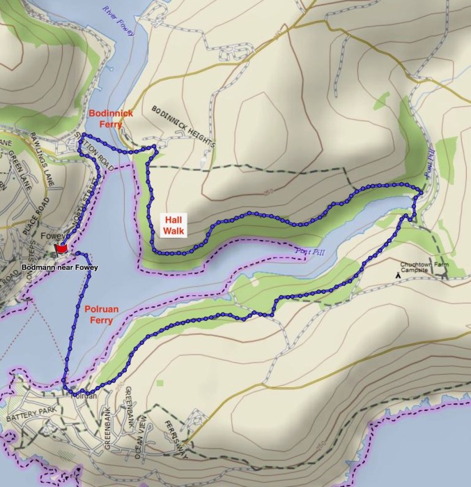
We walked from our cottage down to the ferry crossing at Bodinnick.
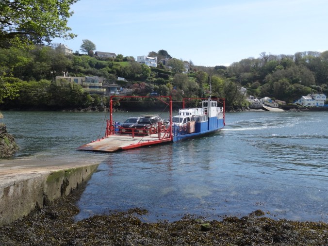
Waiting for the ferry to dock.
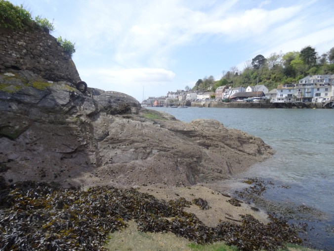
Rocks and barnacles at the Bodinnick landing.
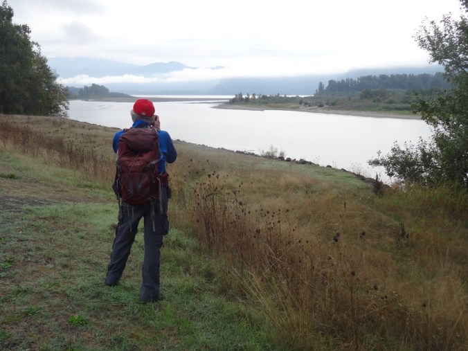
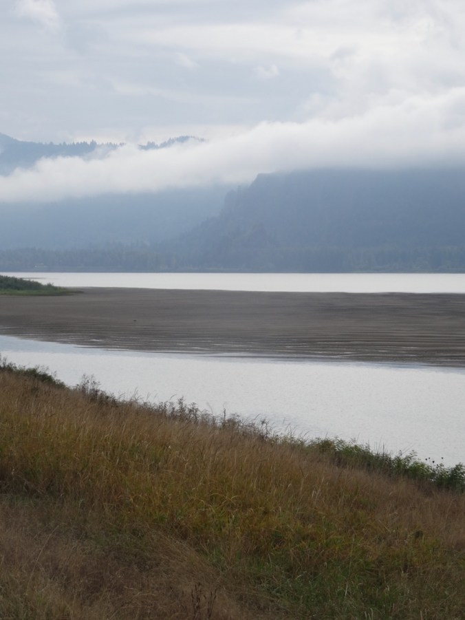
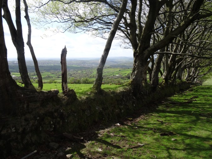
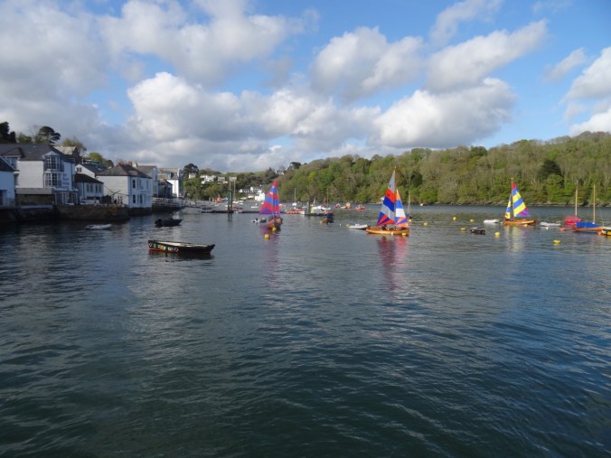
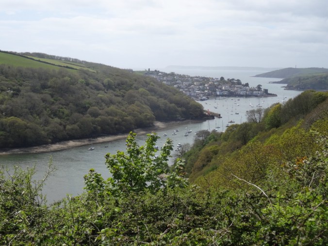
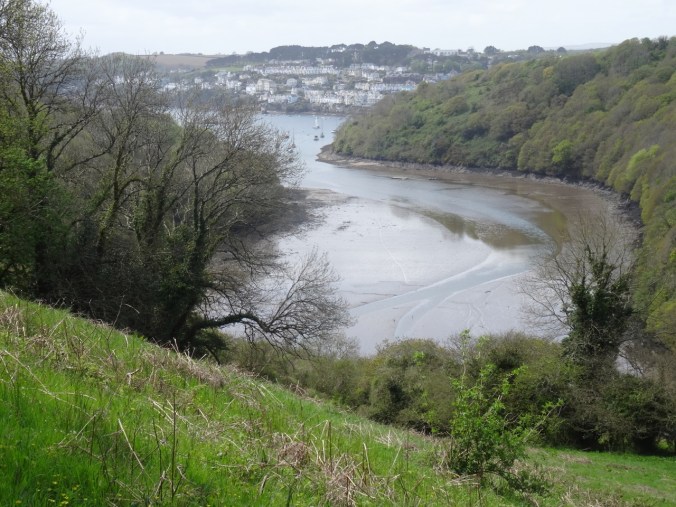
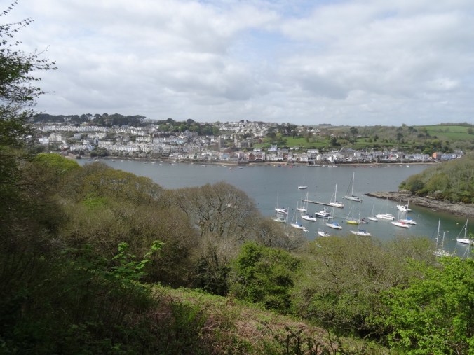
Looking back to Fowey.
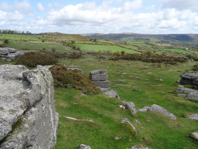
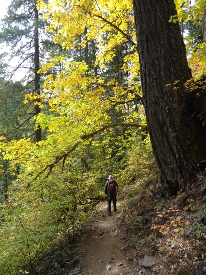
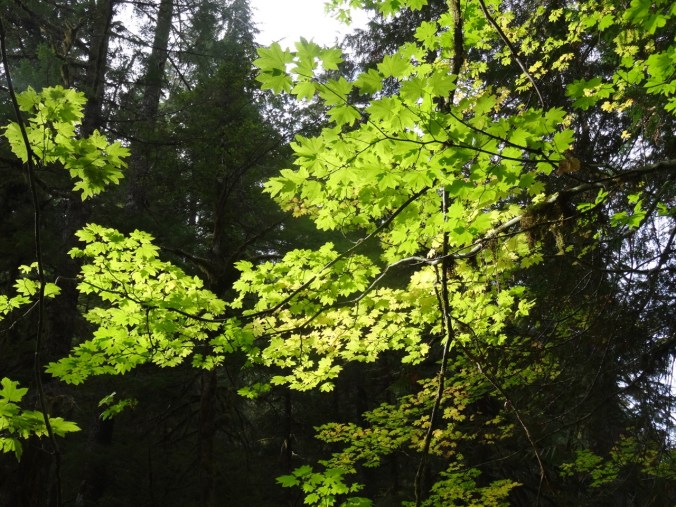
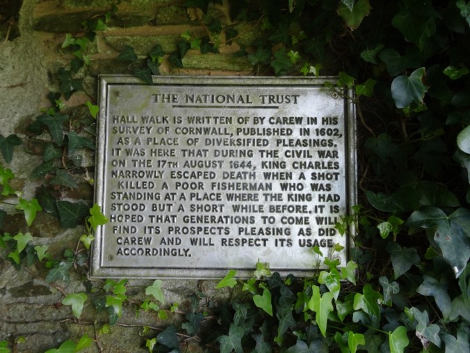
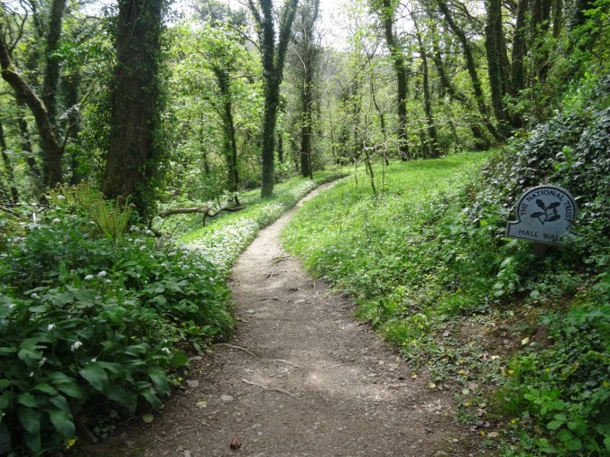
After our brief ride across the river, we walked up hill onto the bluffs above the estuary. Most of our trail was part of the Hall Walk, a National Trust property with historical markers, beautiful wildflower displays, and great views of the landscape.
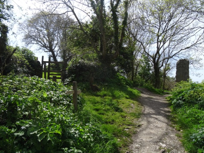
Hall Walk
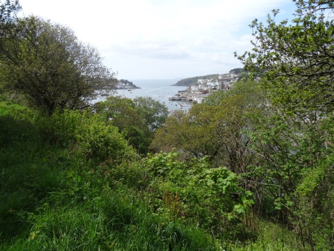
Looking toward the English Channel
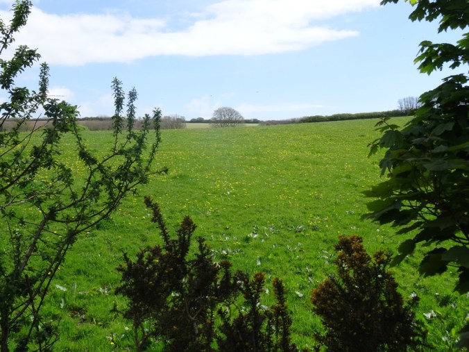
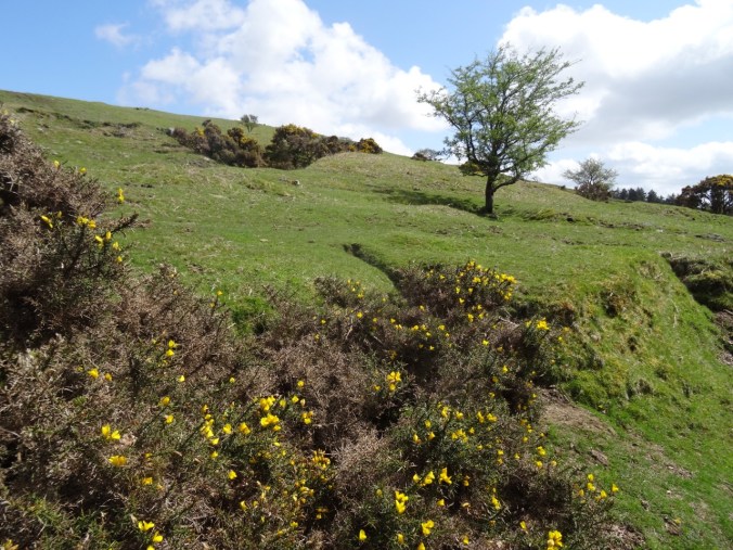
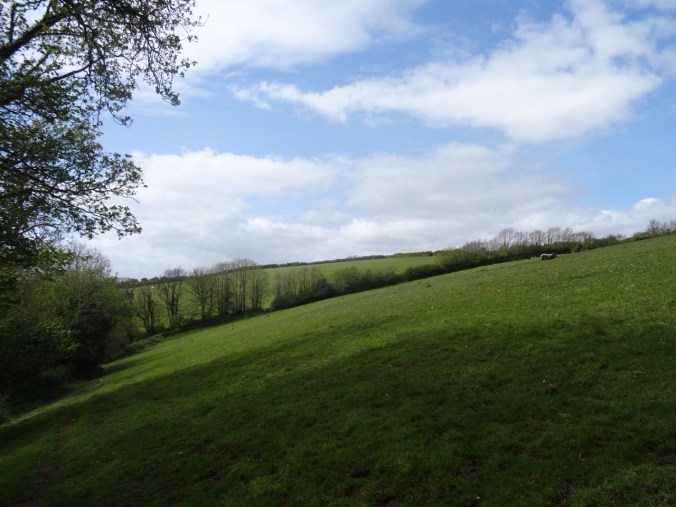
Fields on Bodinnick Heights

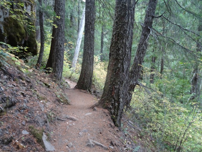
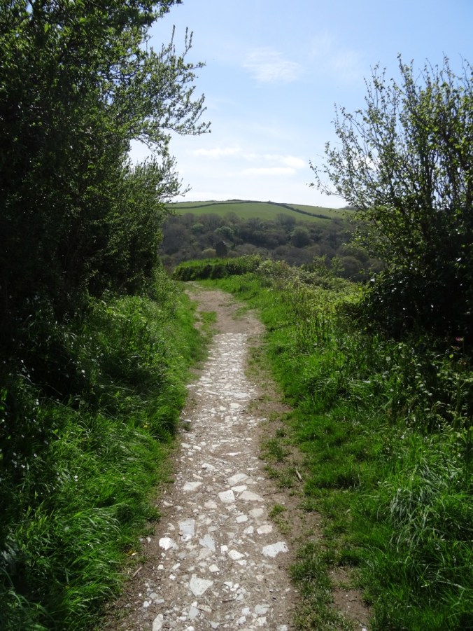
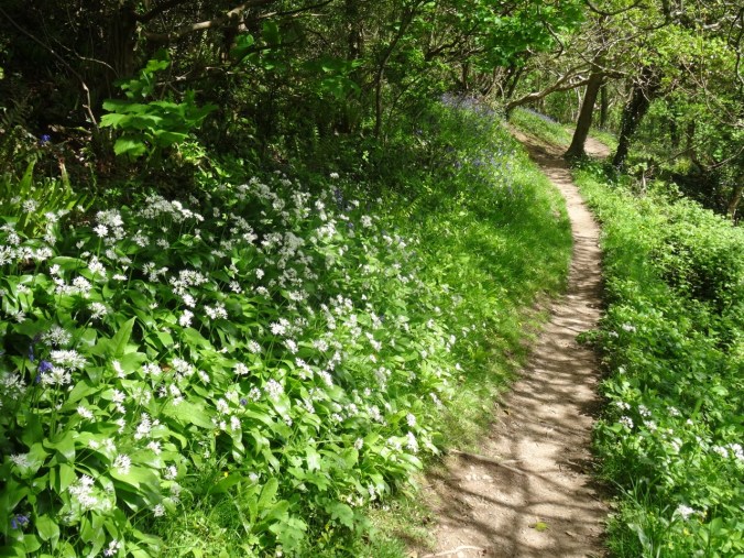
Wildflower-lined path

A place to rest and look at the view.
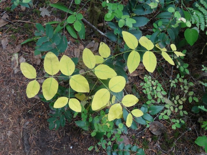
We were lucky to be here when many flowers were in bloom!
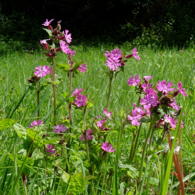
Red campion
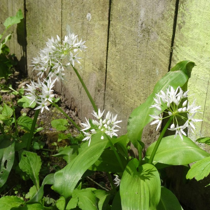
Wild garlic
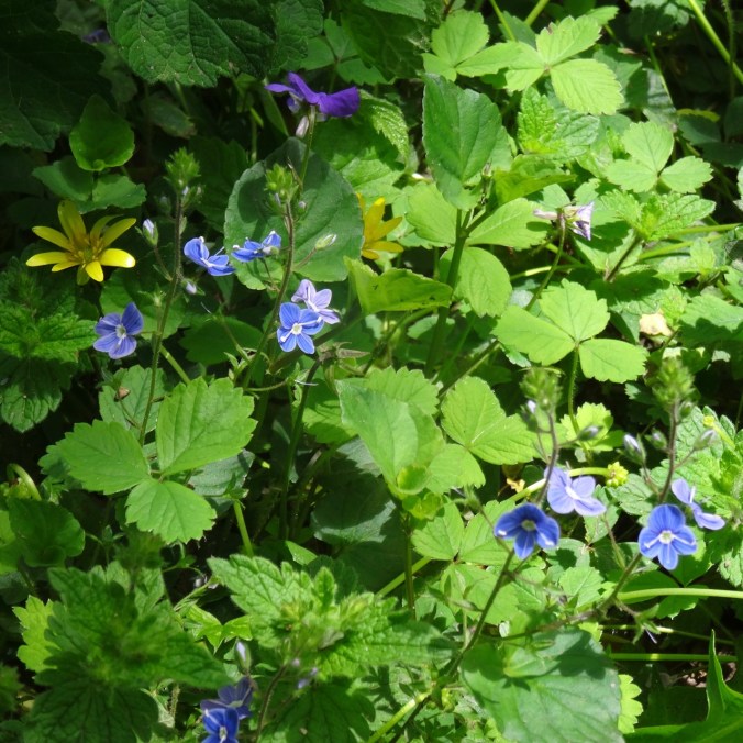
Speedwell
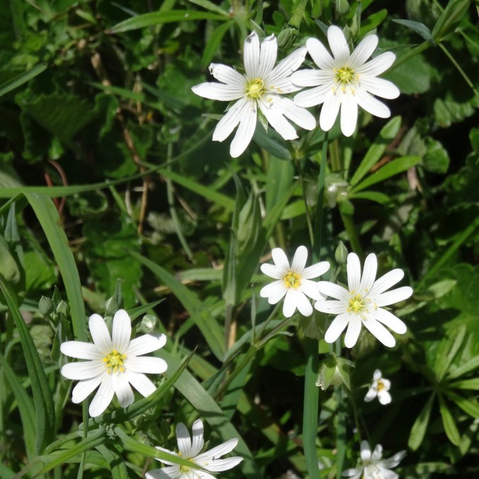
Stitchwort
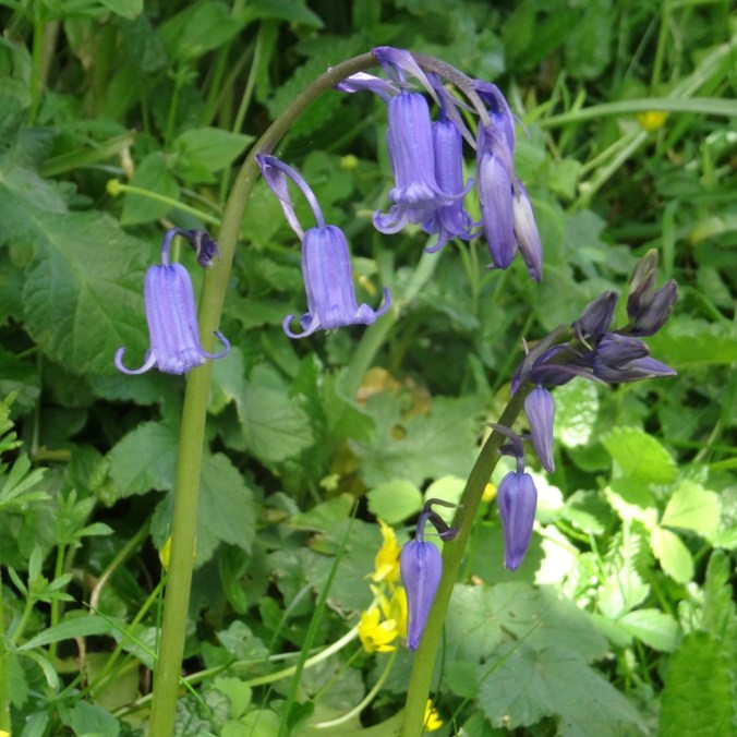
Blue bells
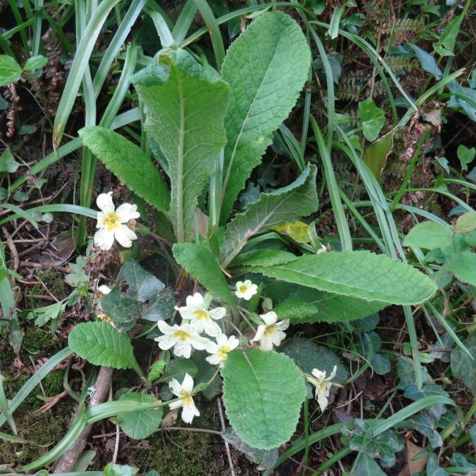
Primroses – at first I thought these were someone’s garden plants gone astray, but after seeing great drifts of creamy white primroses on most of our hikes, I realized that these are native wildflowers here.

Buttercups
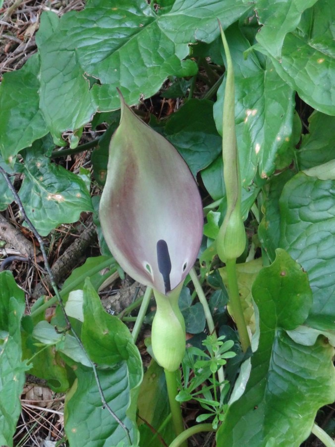
Lords and ladies arum
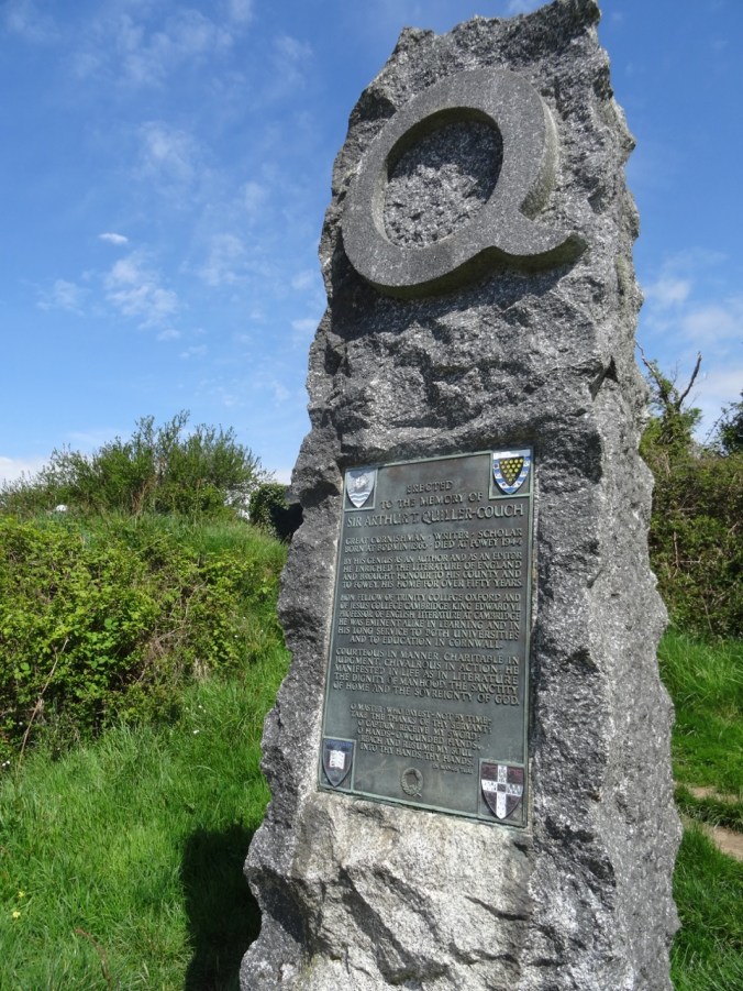
A side path led to monuments to historical figures.
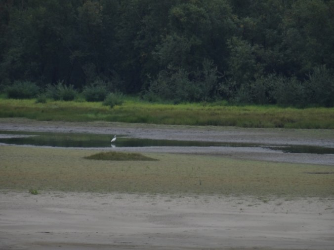
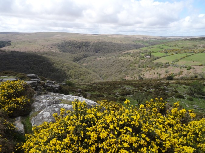
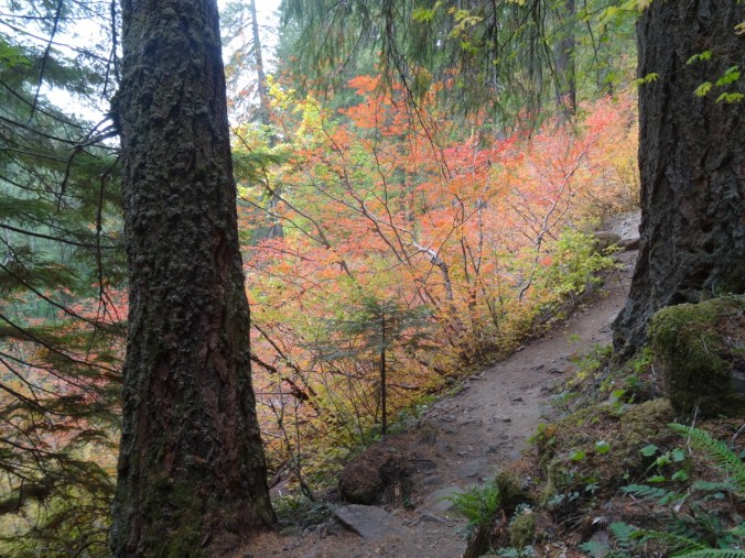
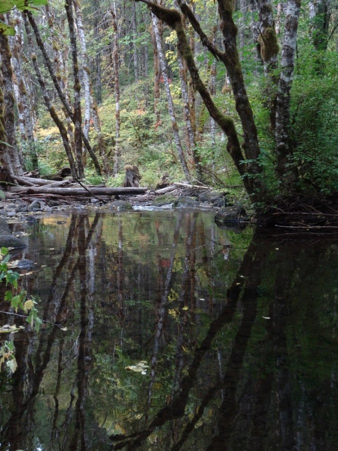
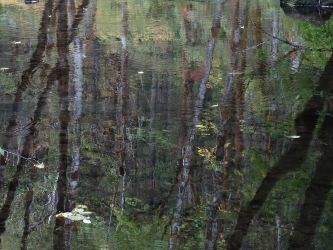
The path then turned eastward along the bluffs above an inlet to the river called Pont Pill.
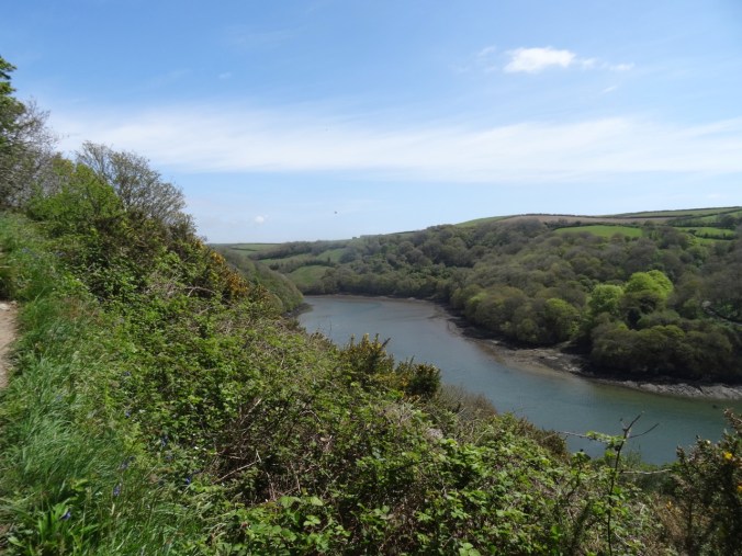
Looking east across Pont Pill.
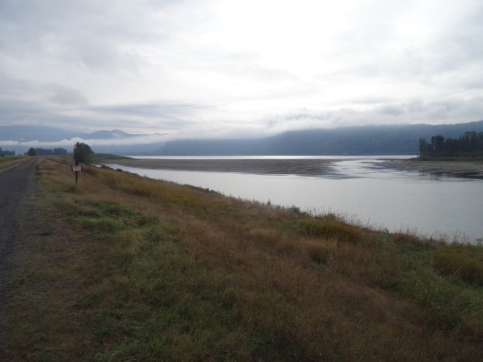
Looking west toward River Fowey estuary.

Looking down past red campion and budding trees to Pont Pill.
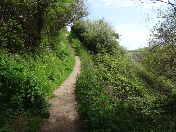
Up the stairs
View out to sea
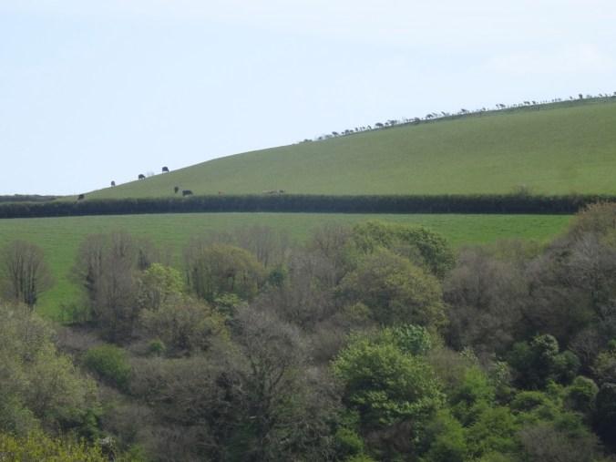
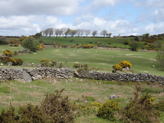
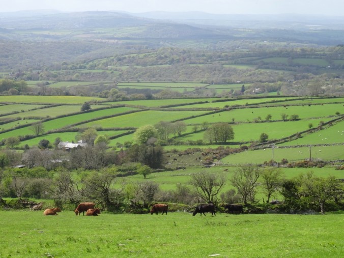
Cattle on the Bodinnick Heights
Down another flowery path
More flowers
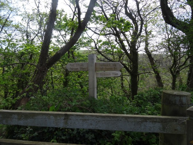
Waypost
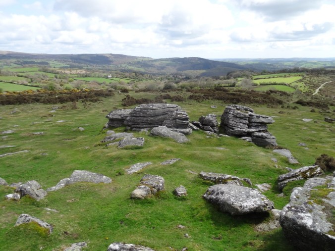
Bodinnick Heights again, before the last descent.
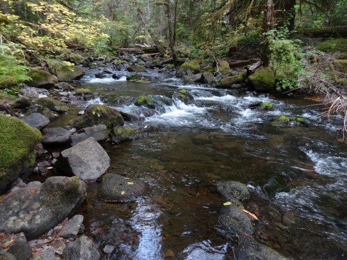
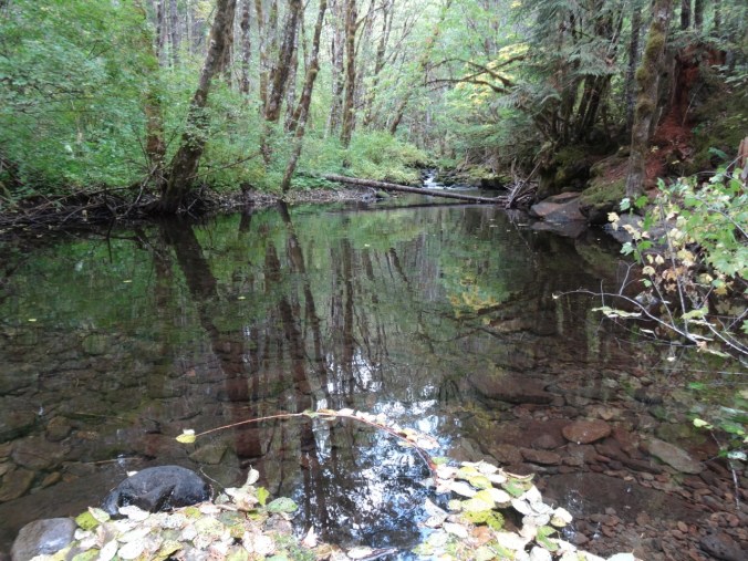
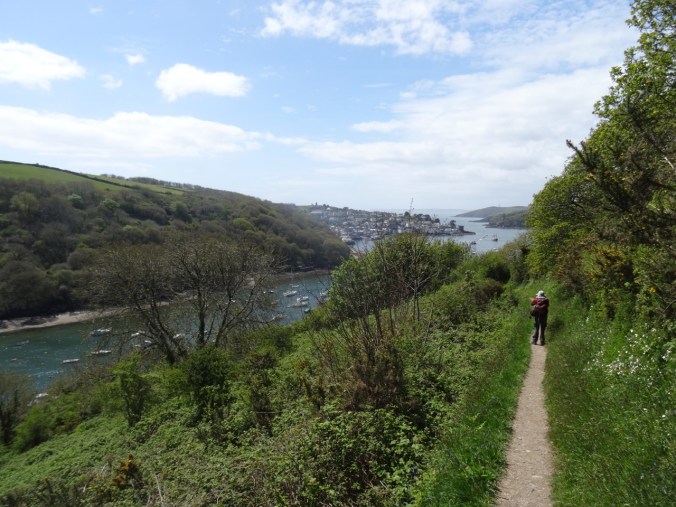
We crossed Pont Pill, and then headed toward Polruan to finish our walk.
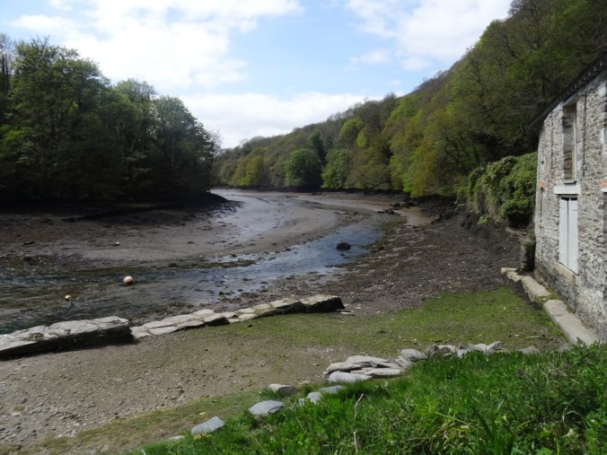
Pont Pill
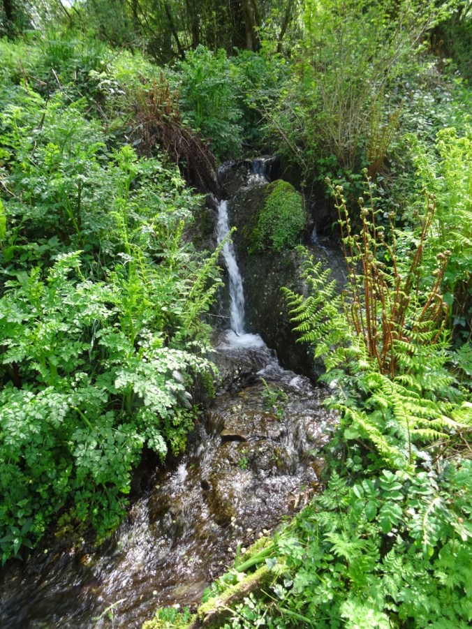
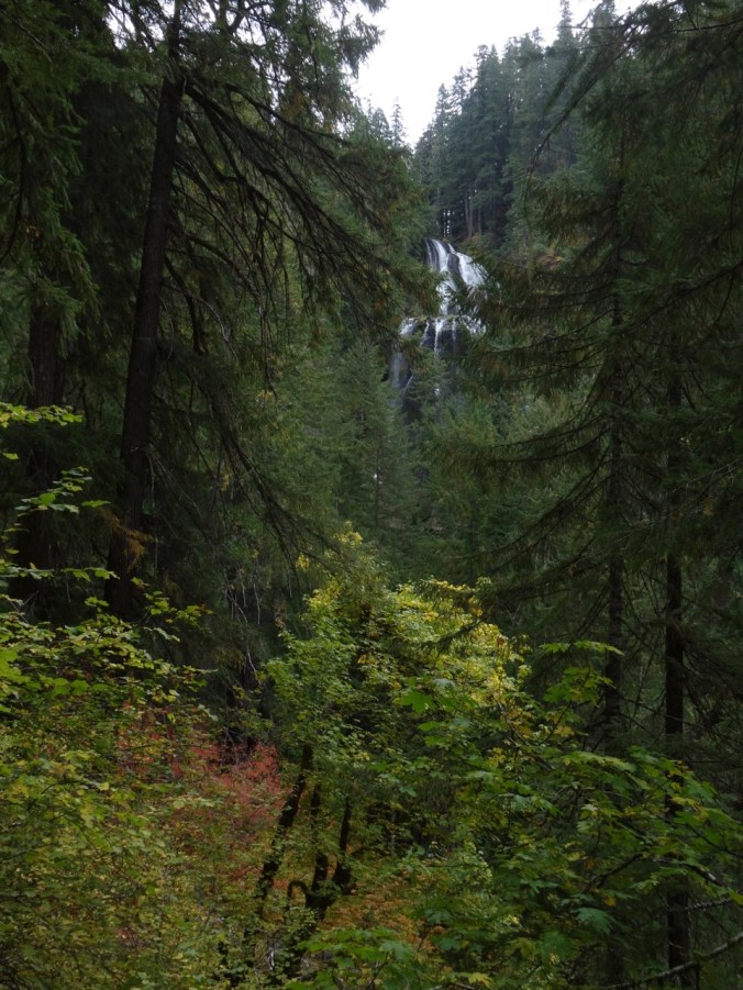
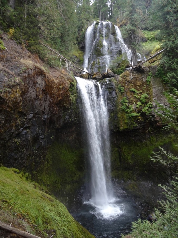
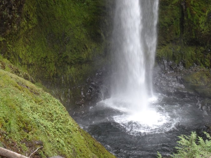
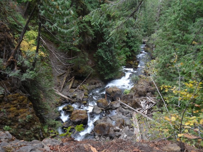
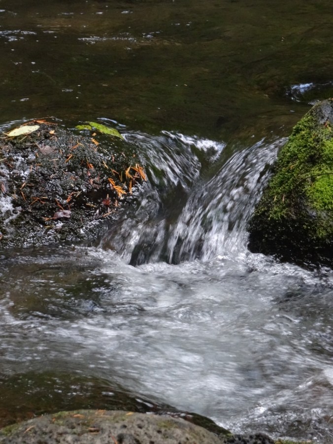
Waterfall on the south side, heading back up onto the headlands.
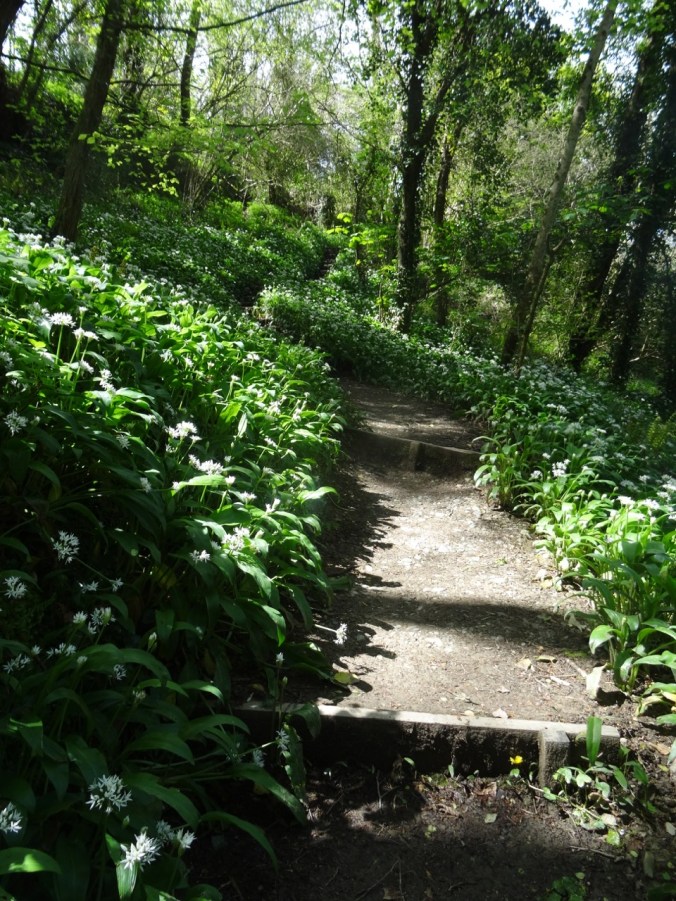
Wild garlic lined path
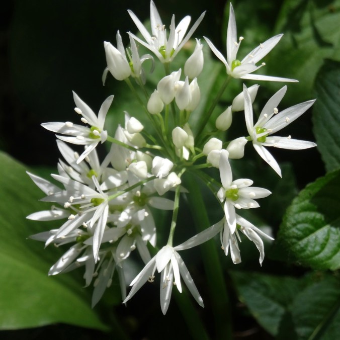
Wild Garlic
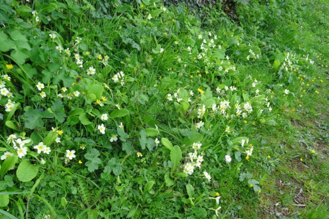
Primroses
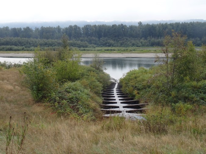
Looking down on Pont Pill.
Looking across to Fowey.

Closer view…
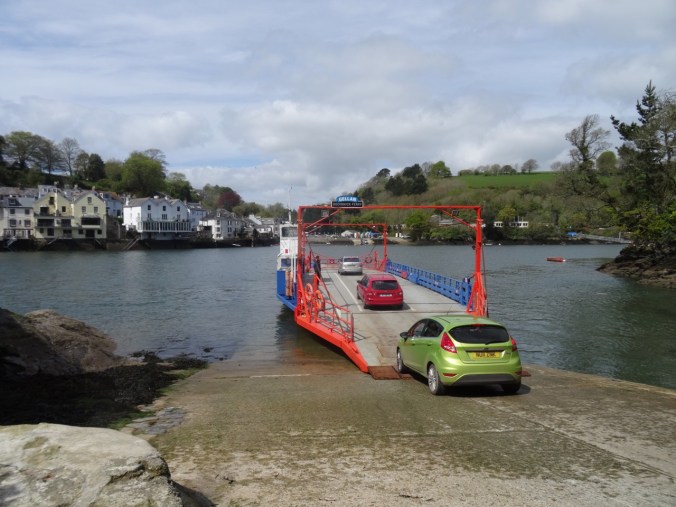
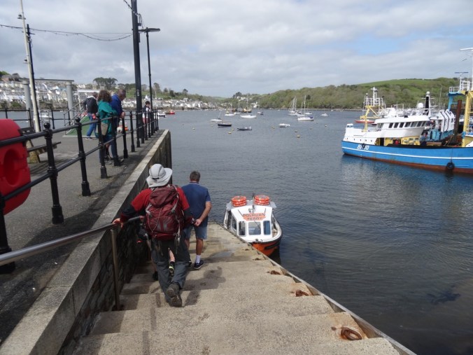
At Polruan we took another ferry back across the River Fowey to Fowey harbor.

Looking upriver…
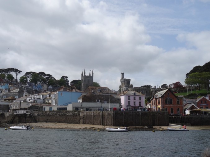
Fowey harbor – tide is out…

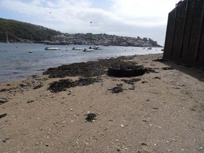
Harbor wall, low tide.
Looking back to Polruan from the landing.
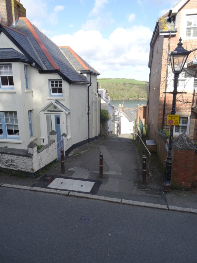
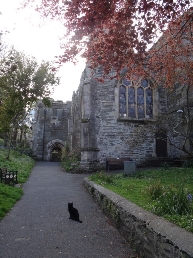
Walking Around Fowey
I then poked around the town and bought a Cornish pasty to supplement our dinner.
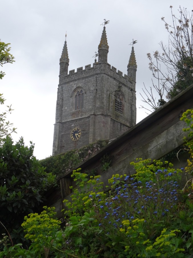
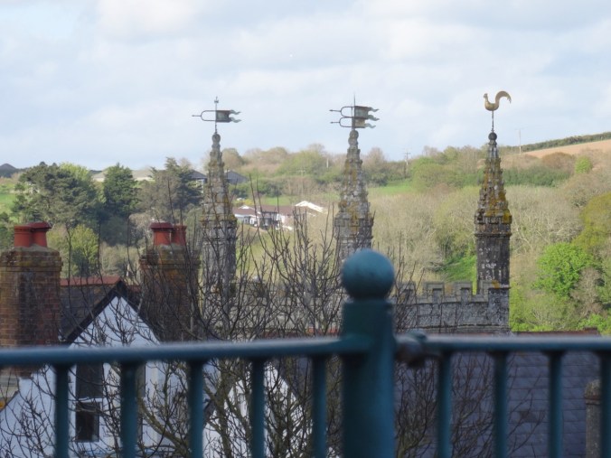
Church tower
I came across these signs on a gate which led me to discover that Kenneth Grahame’s book, Wind in the Willows, was thought to be partly inspired by time he spent in Fowey. 

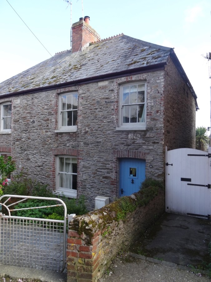
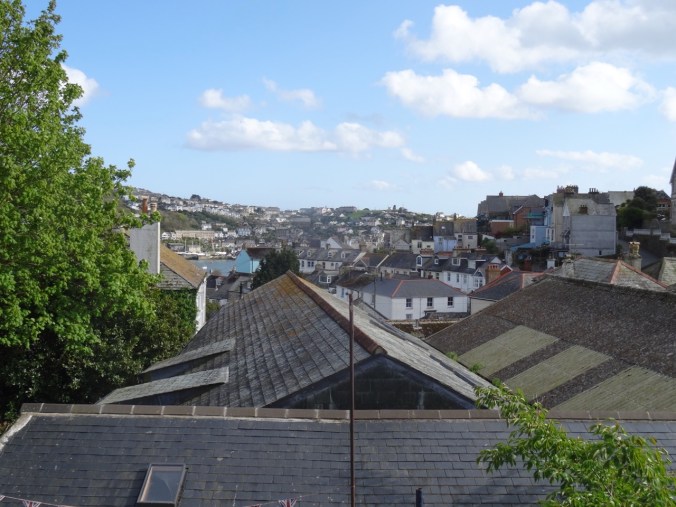
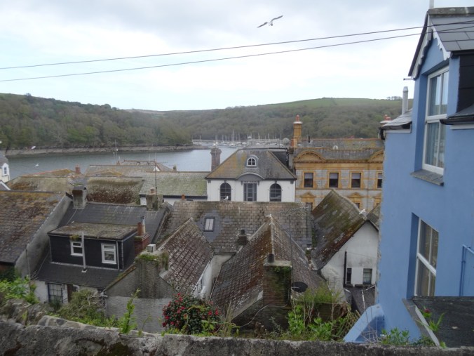
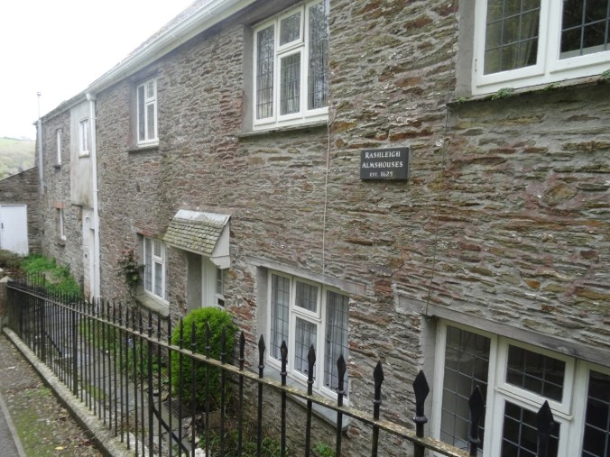
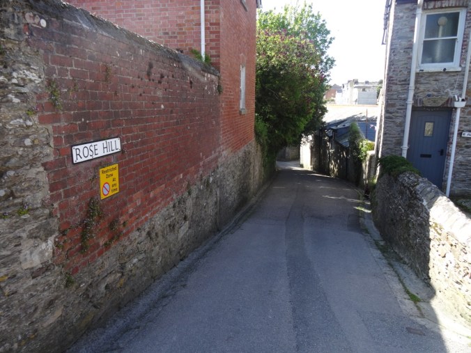
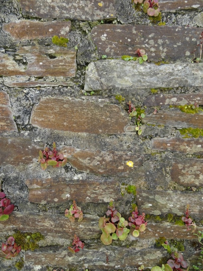
Lots of interesting rooftops, doors, windows, walls:


Back in our cottage, we did laundry and prepared for going farther afield in Cornwall tomorrow.