2/21/2019
We drove over the snowy Coast Range from Portland to Cannon Beach and explored some of our favorite places on a cold, sunny day. Everywhere else within reach was colder, wetter, snowier.
Arcadia Beach State Park
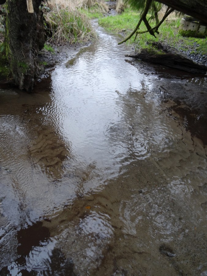
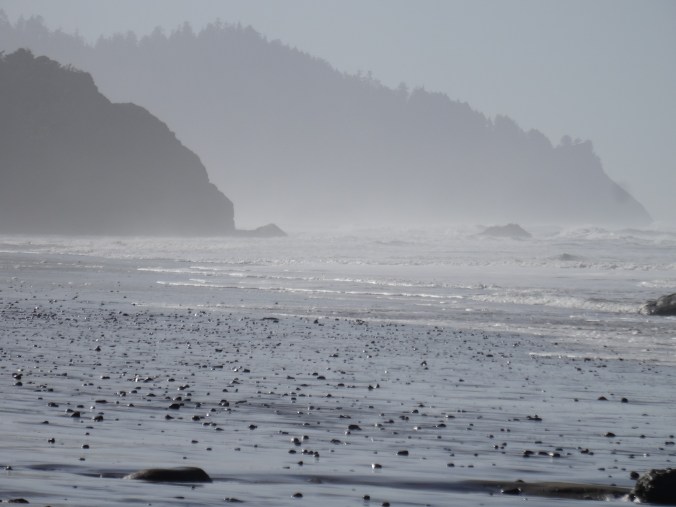
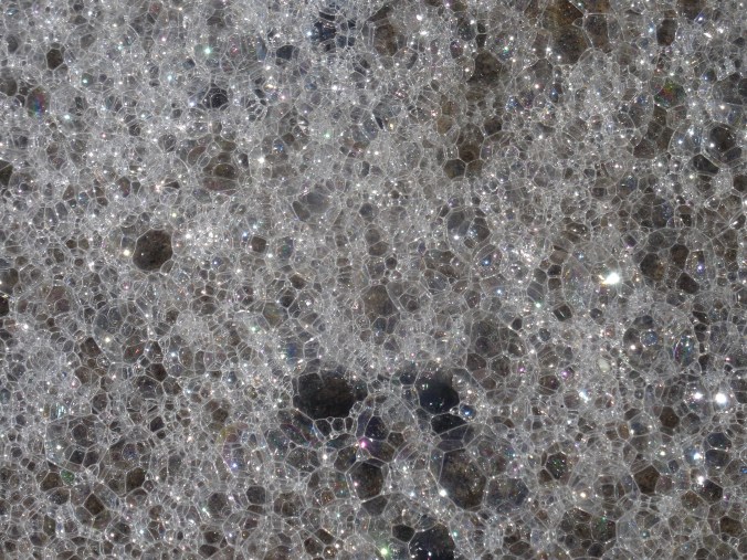
First stop, late morning. High tide was in the early afternoon so the beach was shrinking as we walked a couple of miles south along the shore. We could not get around any of the headlands. Heavy mineral concentrations on the sand-depleted winter beaches made beautiful patterns.
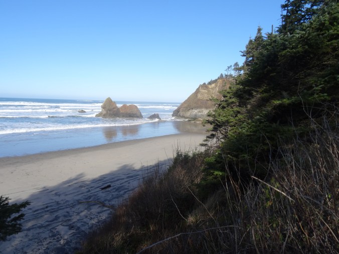
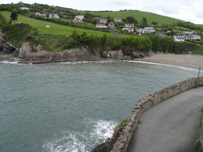
Looking down on Arcadia Beach from above – at low tide we would be able to walk around the headland and north all the way to Cannon Beach.
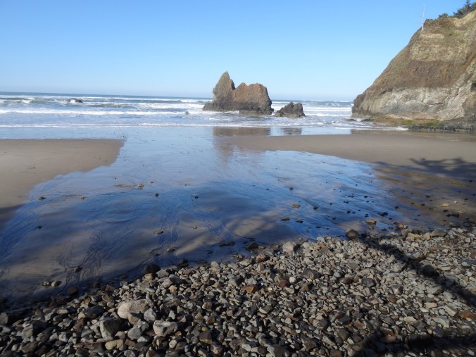
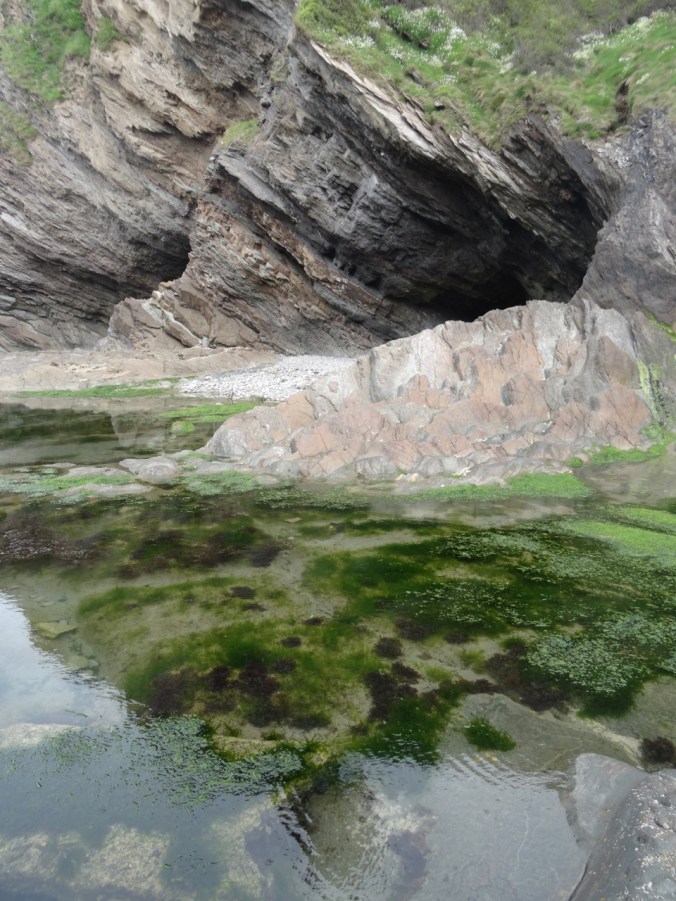
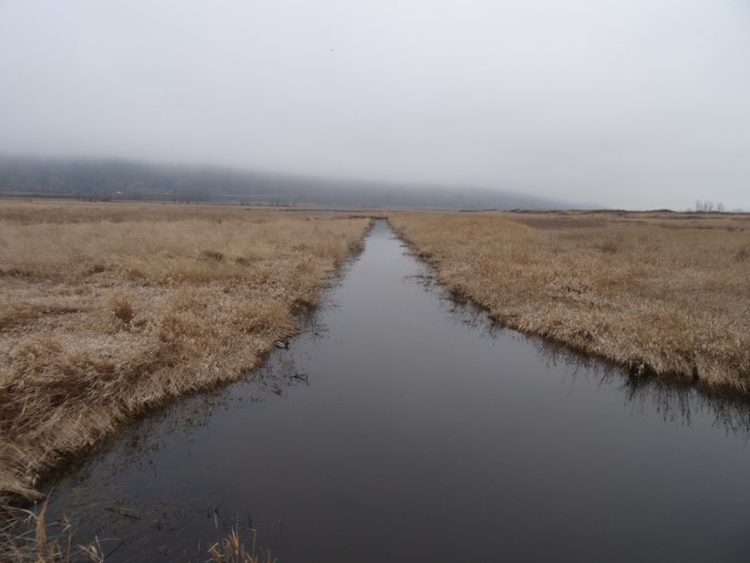
Tidal channels
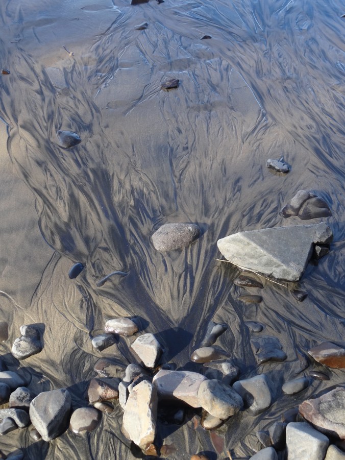
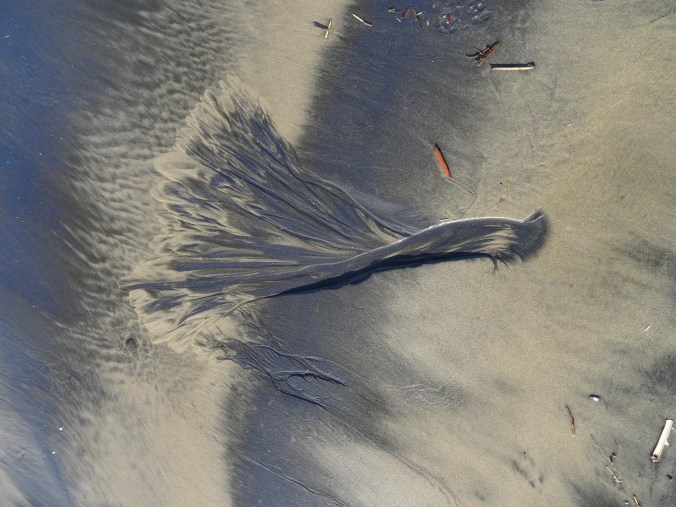
Heavy mineral patterns

Foot for scale.

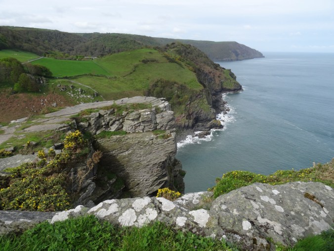
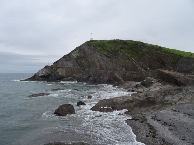
View to the south toward Hug Point and beyond.
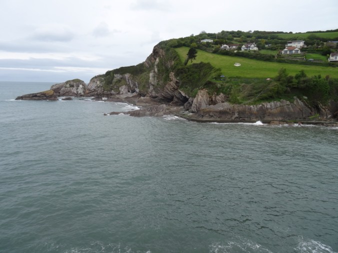
Zooming in on Hug Point – as close as we would get to it today.
Hug Point State Park
Tide even higher, so our stop here was brief.
Beach at Hug Point State Park – north view at high tide. We would not be able to see the waterfall or Hug Point itself today.
South view – in the summer the sand stretches for miles at low tide!
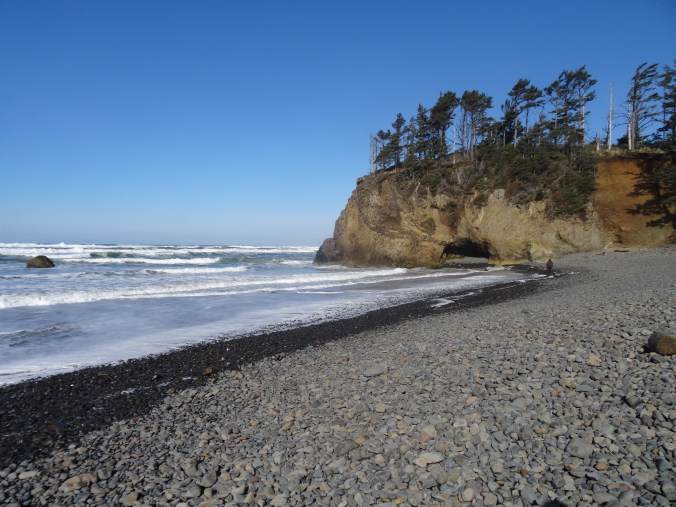
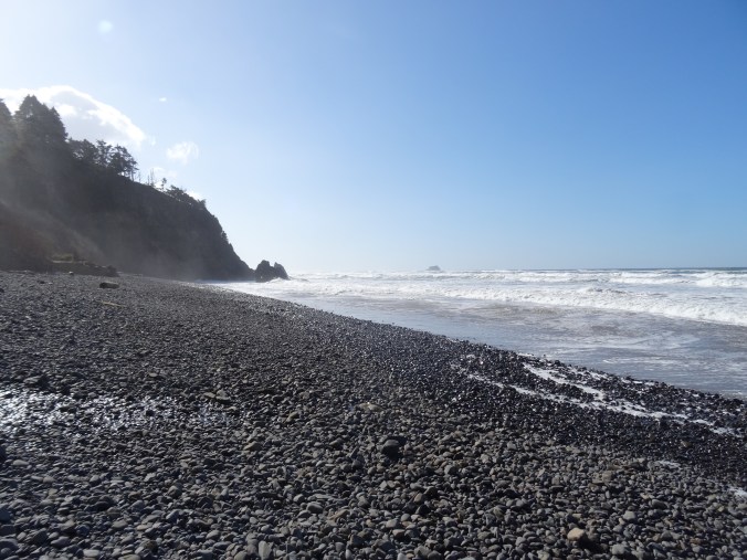
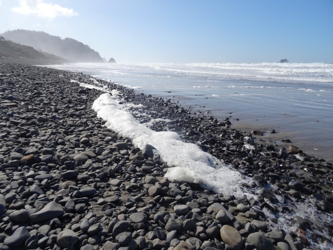
Arch Cape Beach
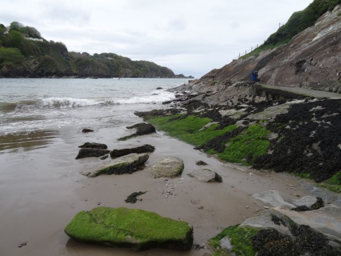
We have stayed near this beach many times over the past 30 years. We found a log to perch on while we ate our lunch. Only the rocky shingle was exposed on the winter beach. Thick foam was washing around in the swash zone, floating on the ebbing water, sparkling in the sun.

Lunch view to the north.
Lunch view to the south, Arch Cape and Castle Rock.

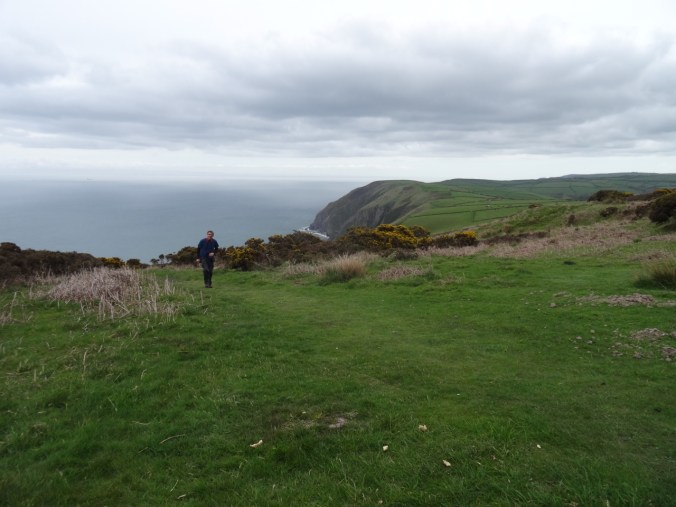
Neahkahnie Viewpoint
At the south end of Oswald West State Park, the view to Nehalem Bay and Manzanita to the south is stunning.

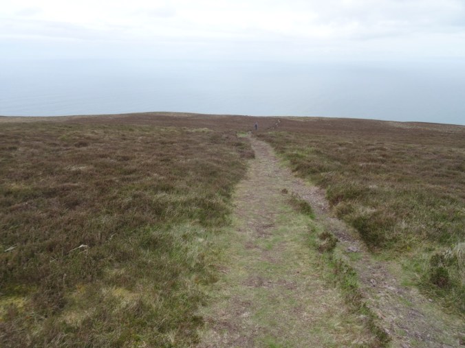
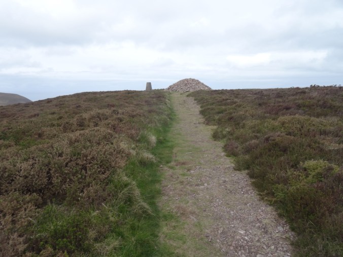
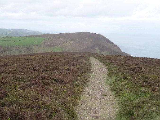
Neahkahnie Mountain
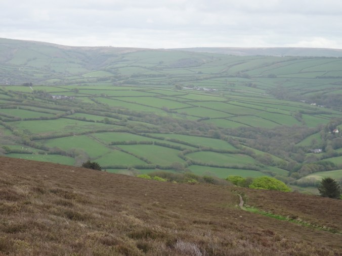
We hiked the three mile round trip to the top of Neahkahnie Mountain – beautiful views on this cold day.

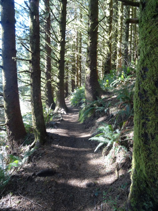
Much of the trail is through shady forest.
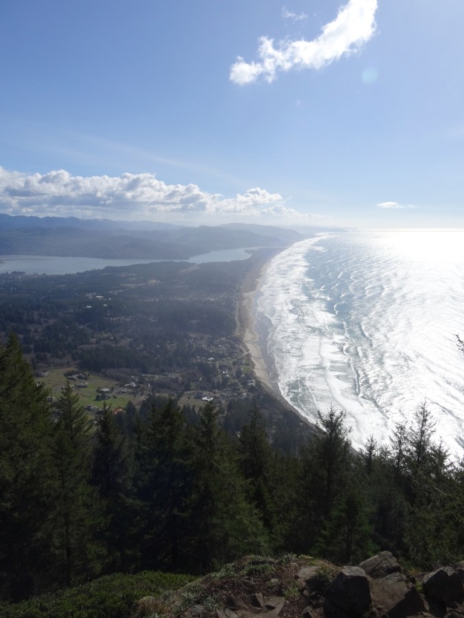
View from the rocky top. Nehalem Bay and Manzanita Beach.

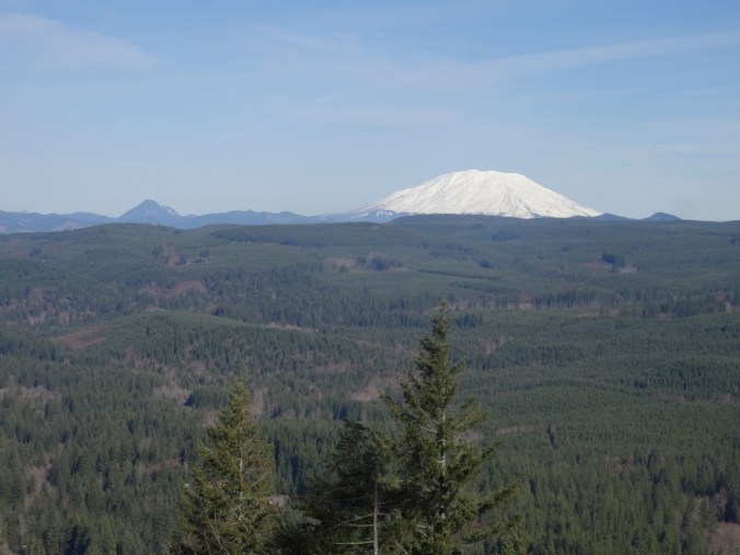
Note the snow capped peaks in the Coast Range.
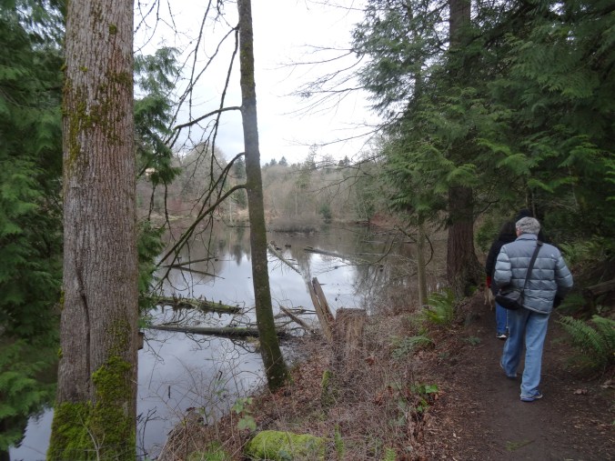
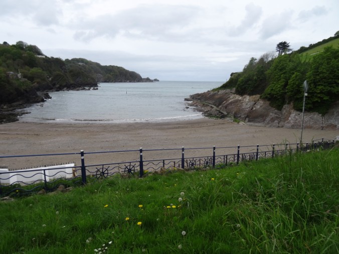
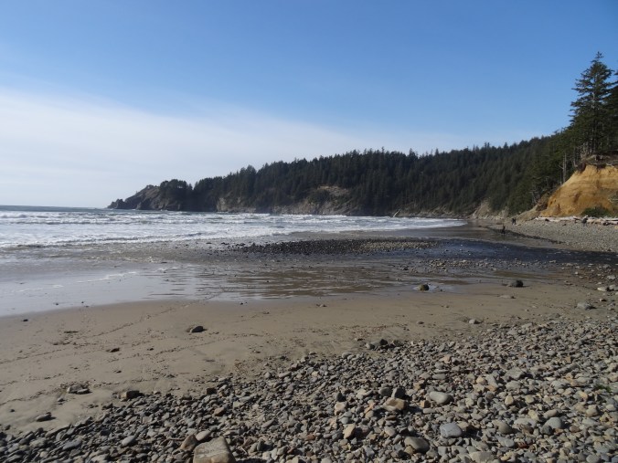
Short Sand Beach, Oswald West State Park
We walked a couple of miles here on the interconnected trails that lead to Short Sand Beach in Smuggler’s Cove.

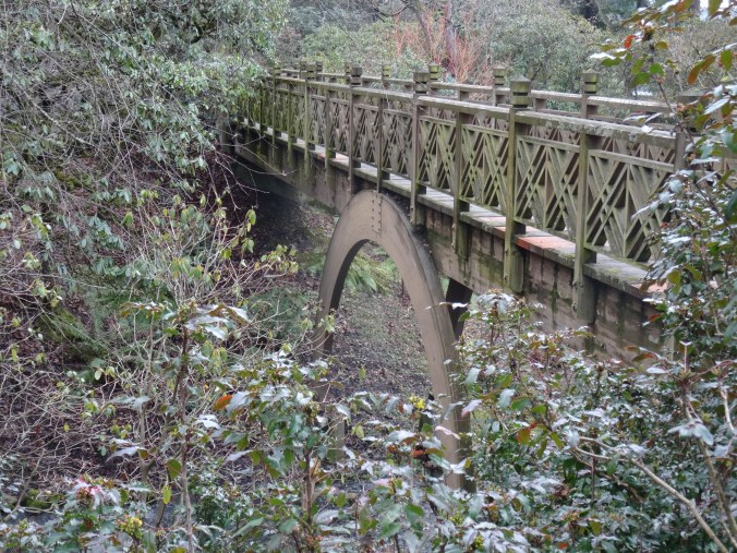
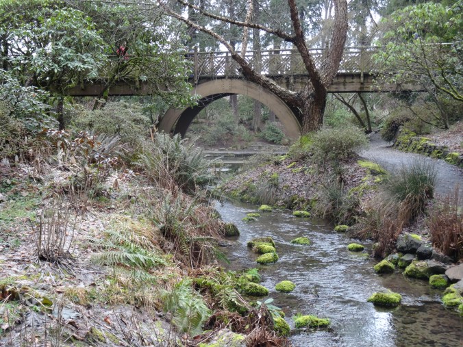
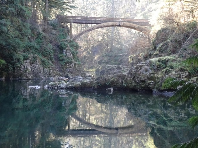
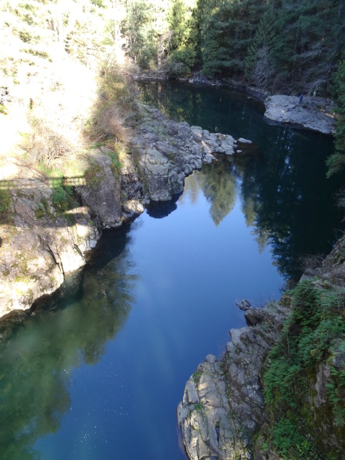
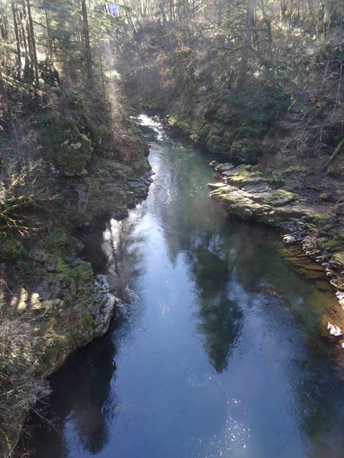
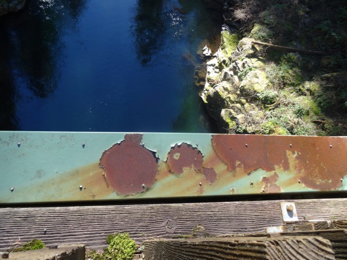
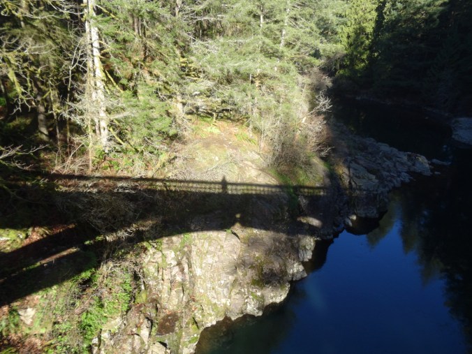
Bridge over Necarney Creek
View to north from the south beach
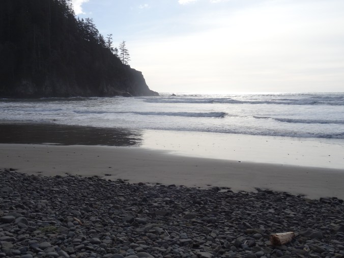
View to south from the south beach
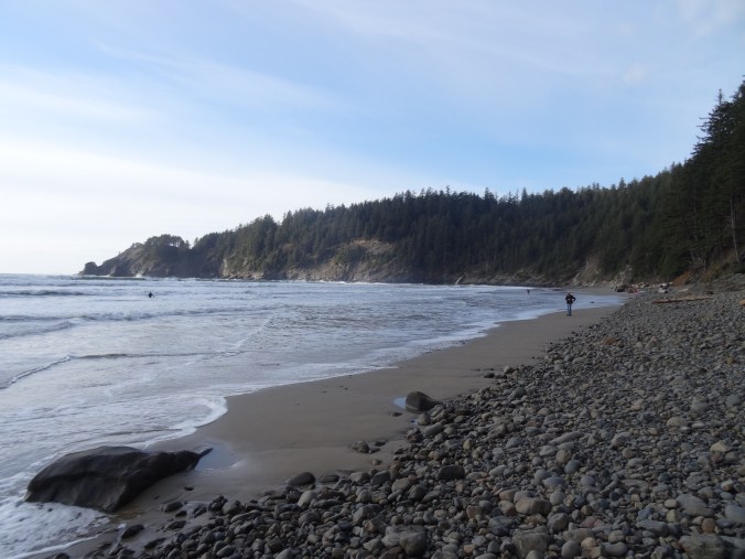
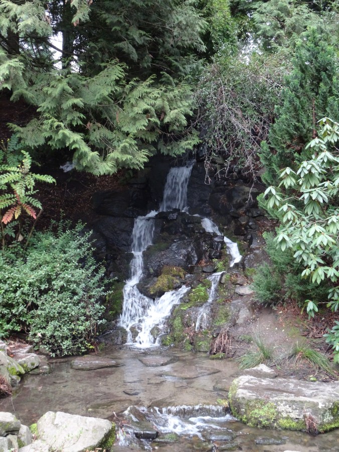
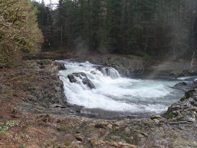
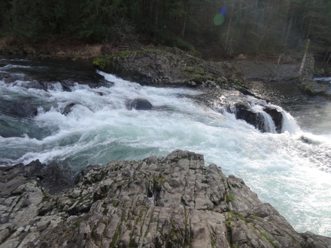
North beach of Smuggler’s Cove – Falcon Point and Blumenthal Falls
There were a few surfers in the water.
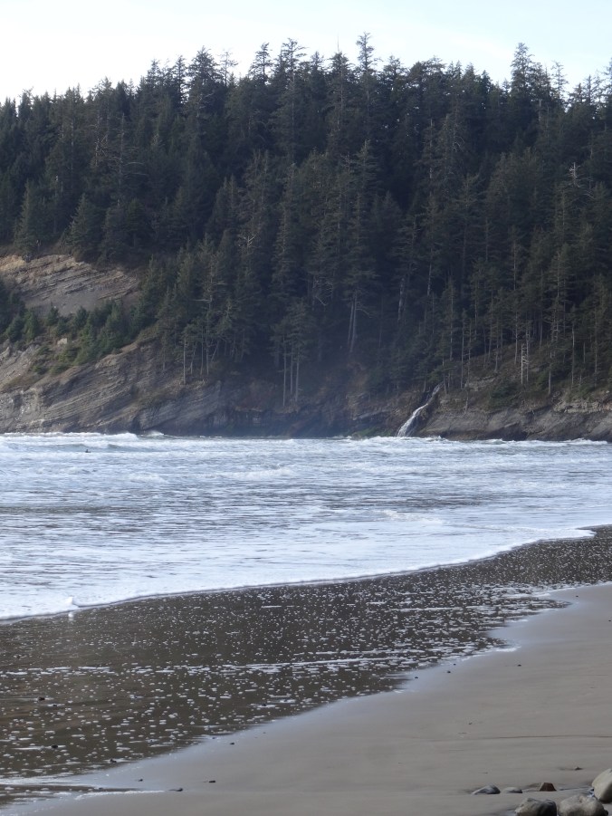
I accidentally photographed a surfer when I was zooming in on the falls.

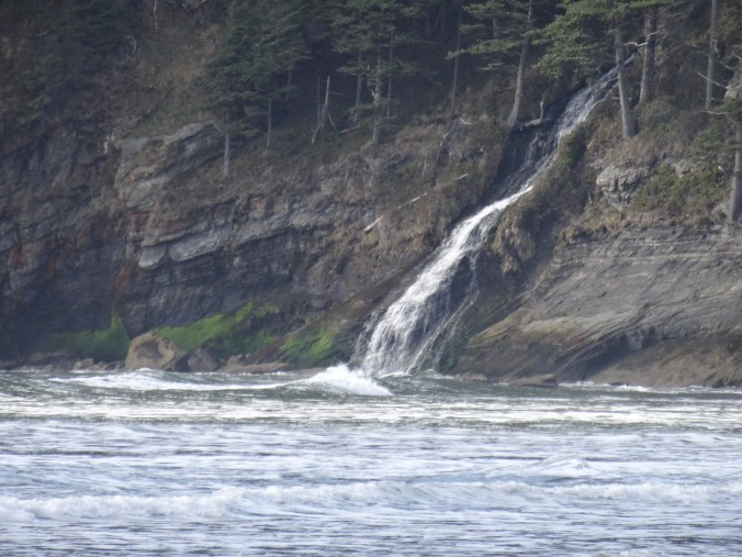
Blumenthal Falls
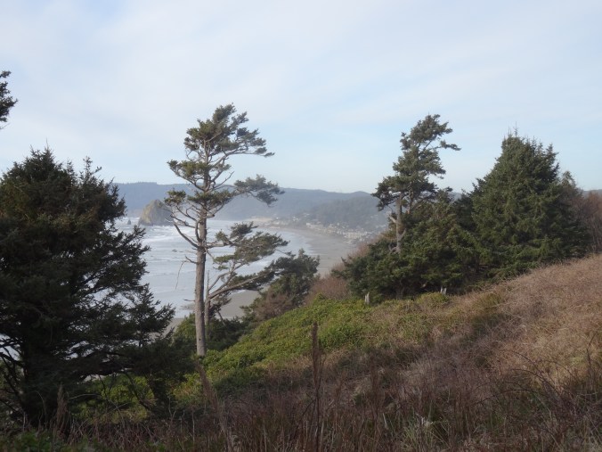
Silver Point View
Looking back toward Cannon Beach and Haystack Rock.
Cannon Beach/Haystack Rock at Sunset
After an early dinner in Cannon Beach, we parked near Haystack Rock. Dan walked down the beach to photograph the sunset. I watched from above, keeping warm in the car. (Hike #11, 8 miles, 1100 feet for the day).

Haystack Rock
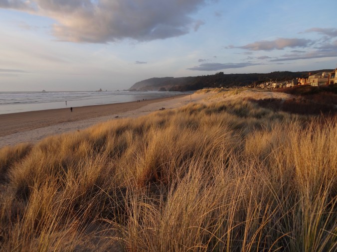
Tillamook Head to the north.

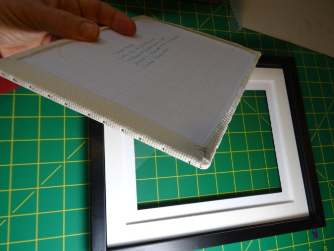
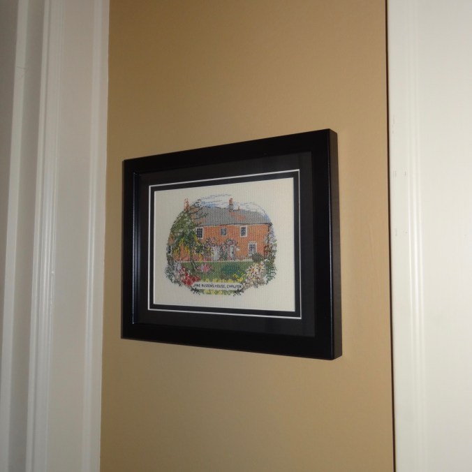
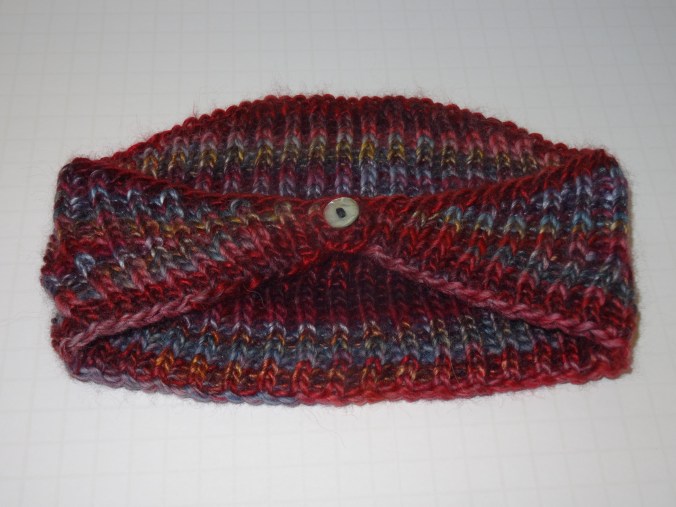
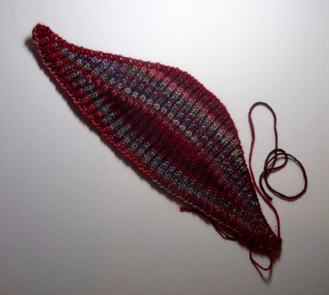
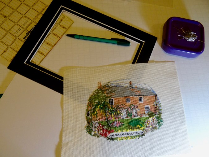
Crafting
I finished the first sock of this pair. I have set up a frame to practice canvas stitching.