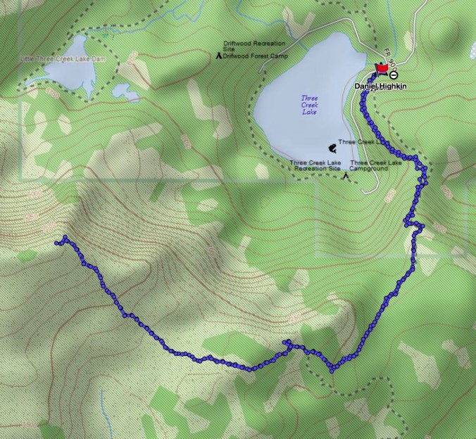
East Crater Trail, 9/23/18 (Hike #53)
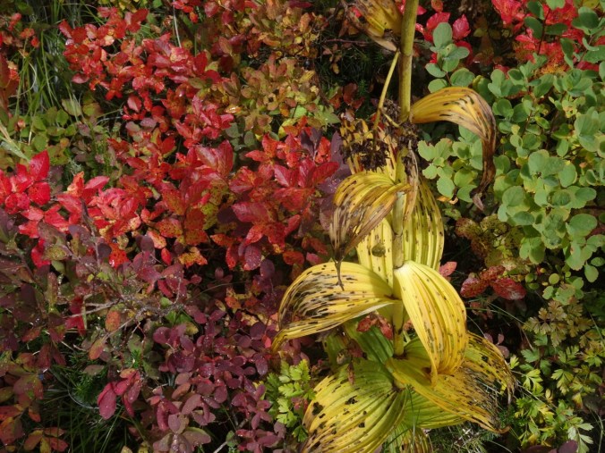
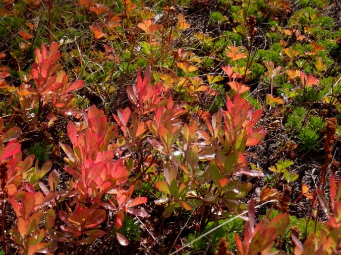
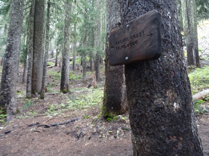
Indian Heaven is a landscape of lakes, cinder cones, forests and meadows in the Gifford Pinchot National Forest southwest of Mt Adams. The Pacific Crest Trail runs right through the center of the Wilderness on its northward path through southern Washington state. There are abundant wild huckleberries in late summer. By fall, the huckleberry and other foliage display a vibrant spectrum of bright colors – reds, oranges, fuchsias, magentas, yellows, yellow oranges and yellow greens that stand out in sharp contrast to the forest and lake greens and browns, and the sky blue.
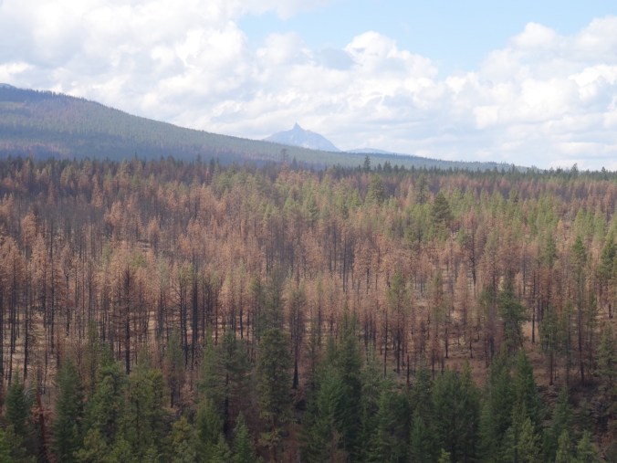
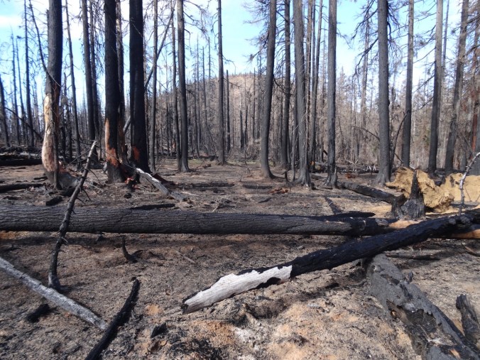
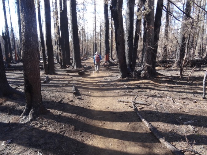
Last fall the Indian Heaven Wilderness was closed due to the East Crater Fire that occurred at the same time as the Eagle Creek Fire, so we are back this year after a 2 year absence.
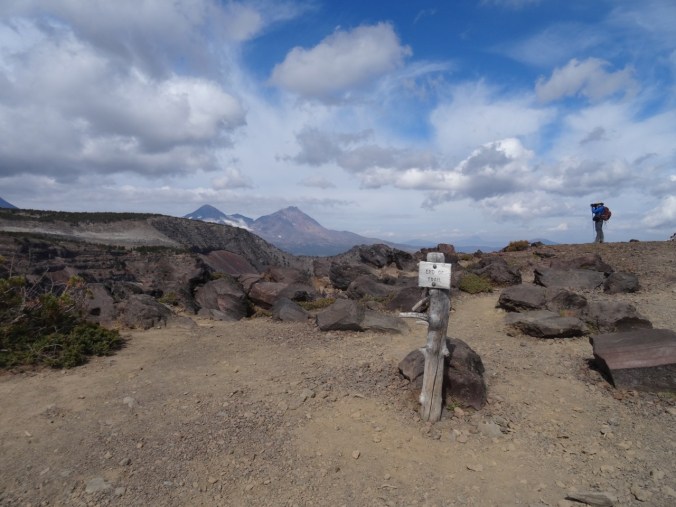
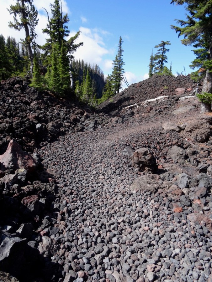
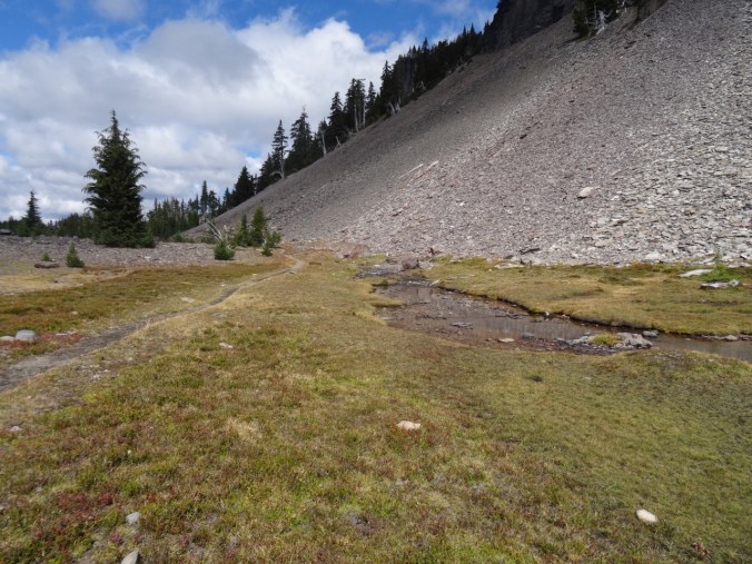
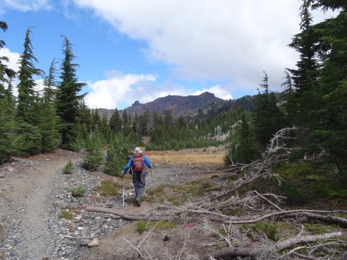
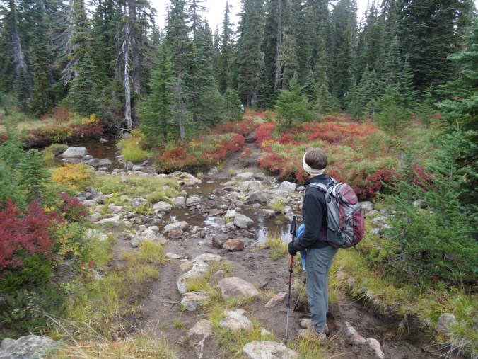
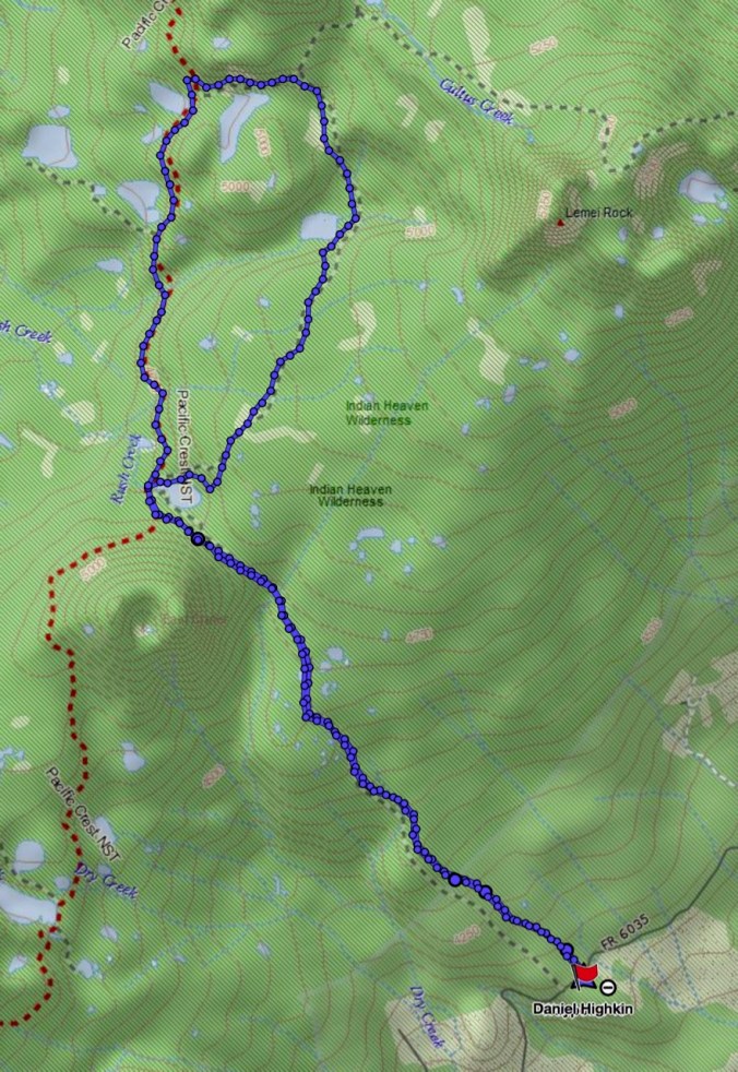
Today we hiked the East Crater Trail to Junction Lake in the center of the wilderness area, then completed a loop that passed several lakes and followed the Pacific Crest Trail back south to Junction Lake.

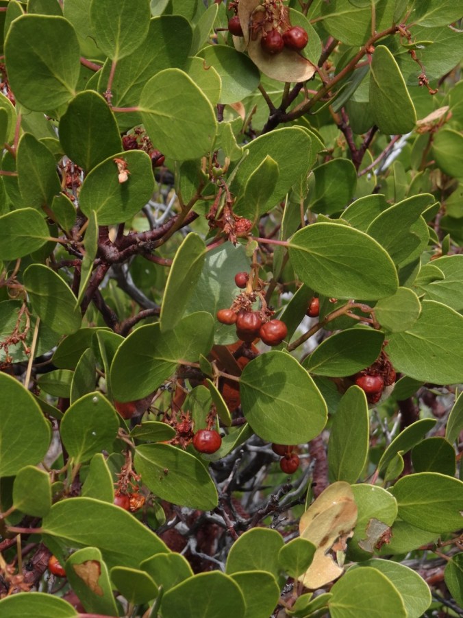
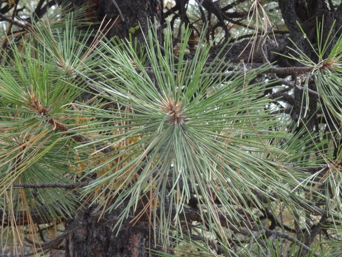
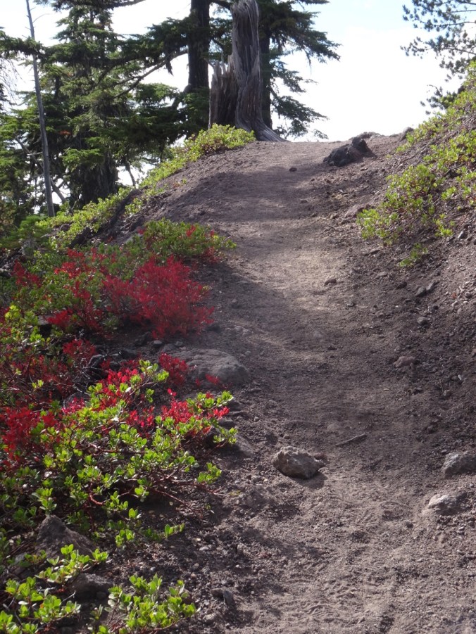
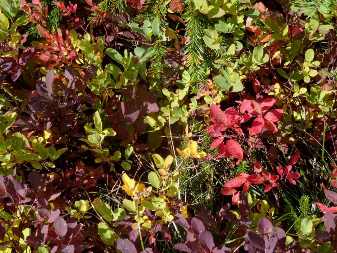
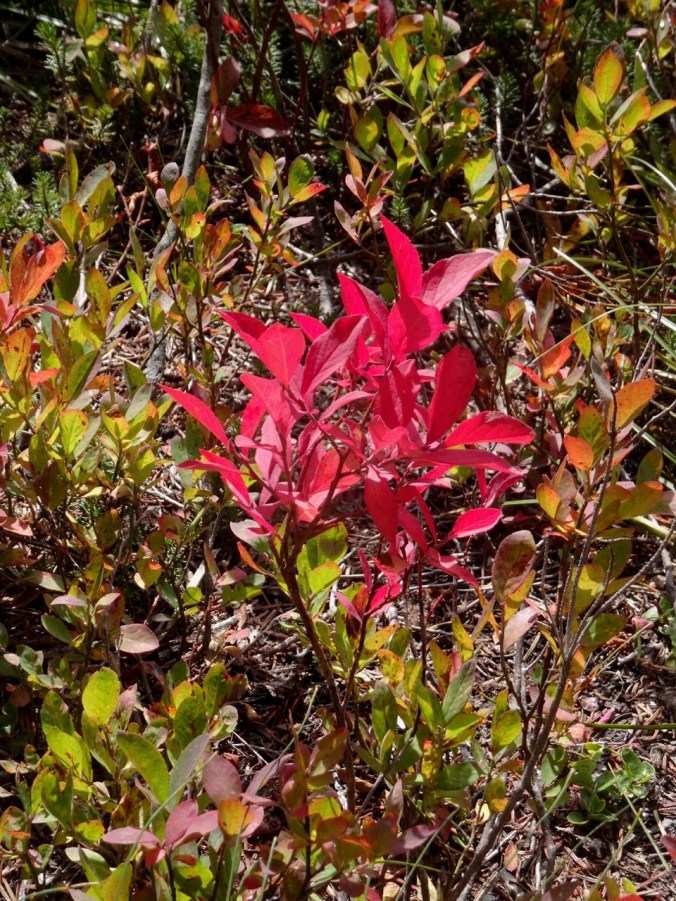
Red huckleberry bushes in the forest

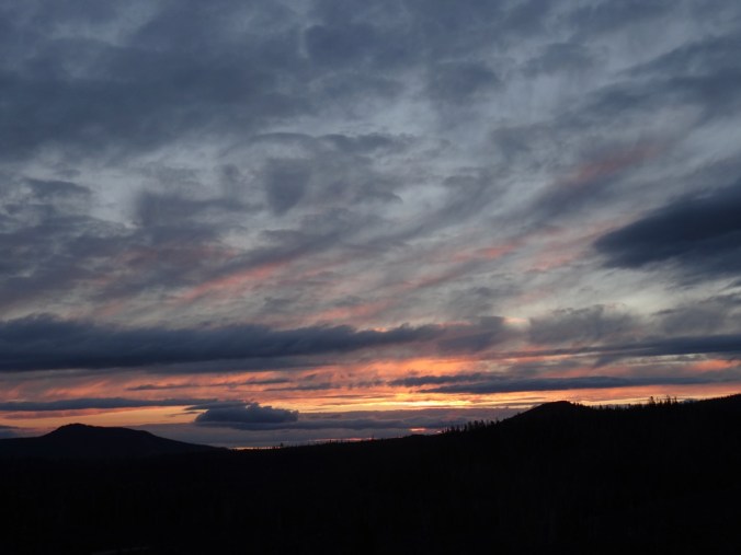
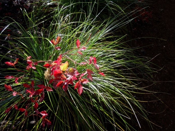
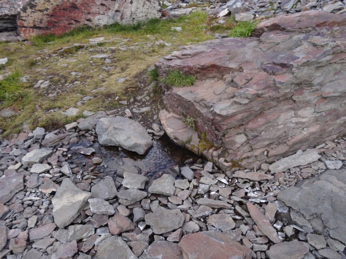
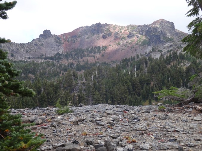
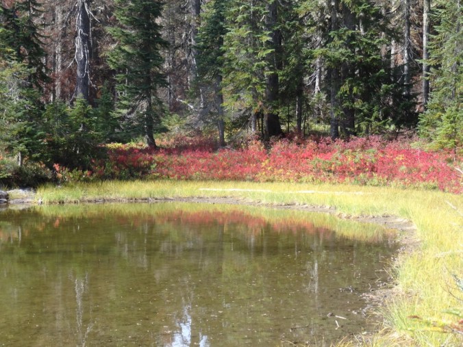
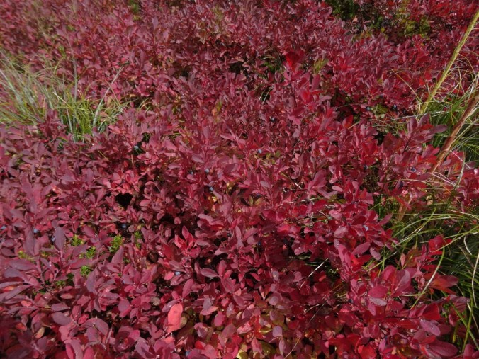
Layers of color

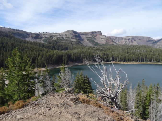
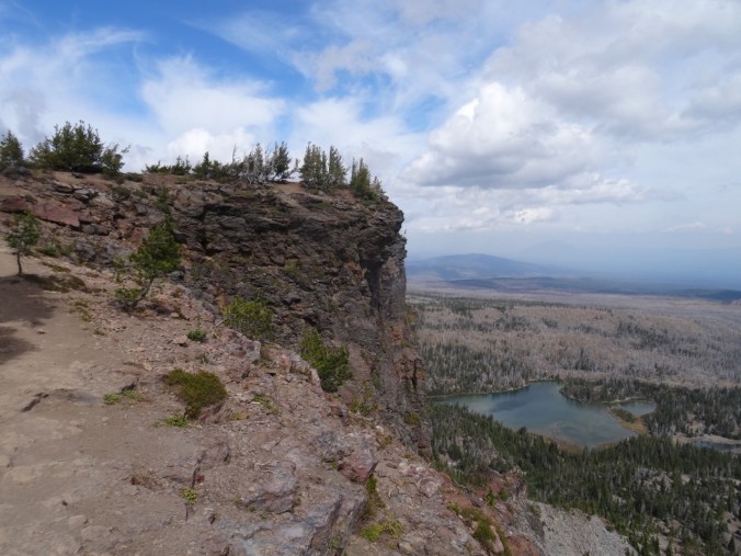
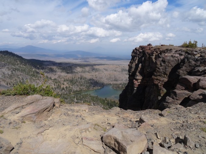
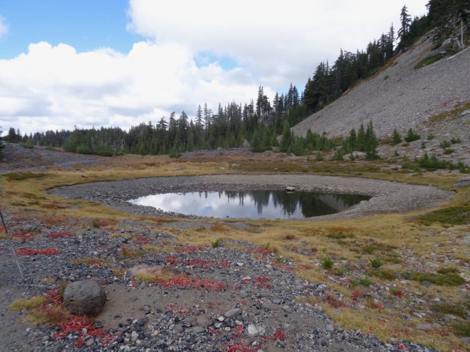
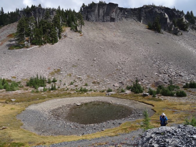
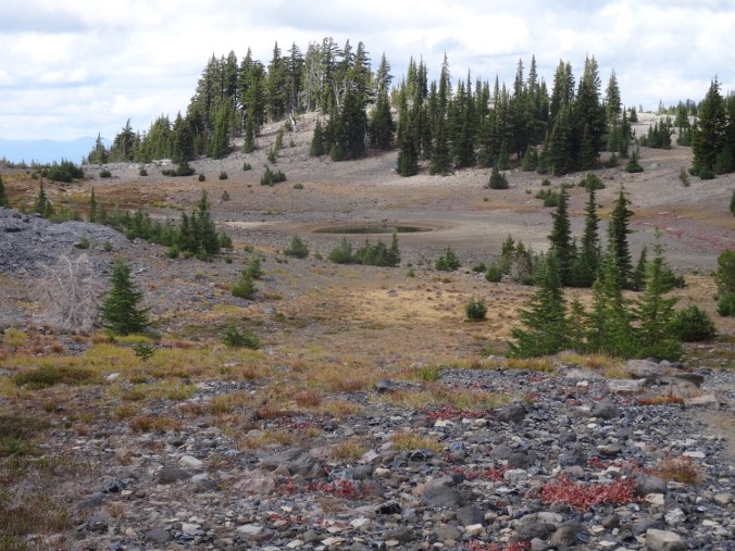
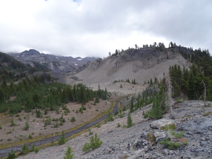
Unnamed lake just east of East Crater – the burn from last year seen beyond and above.

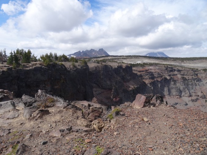
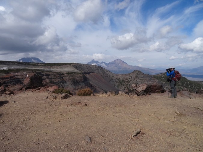
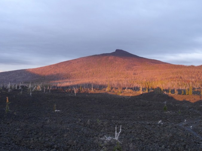
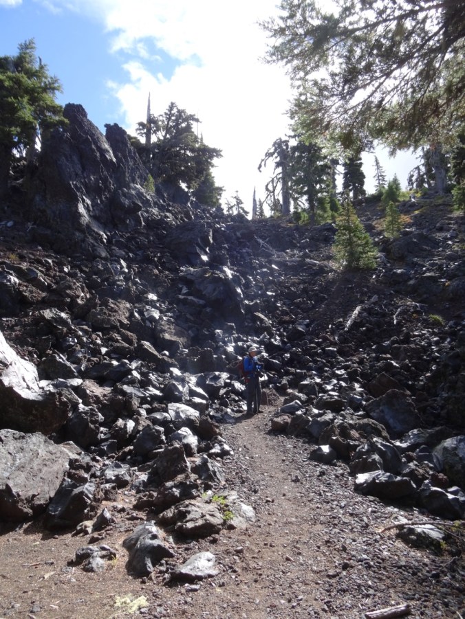
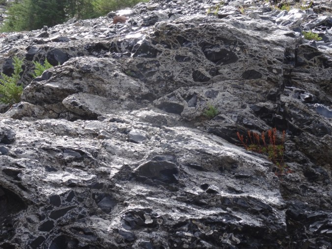
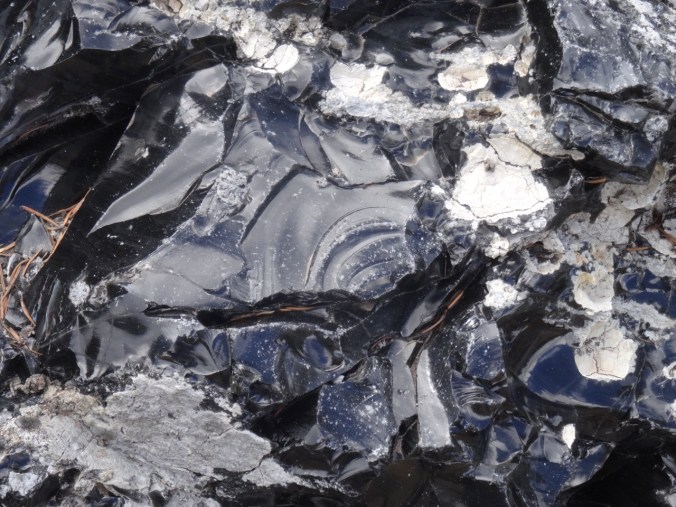
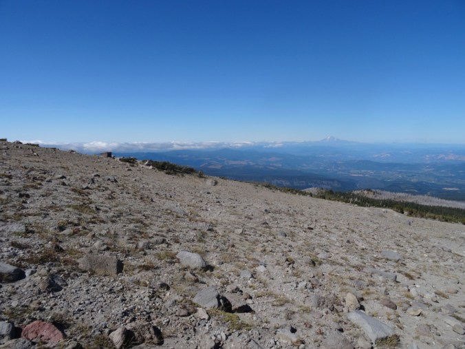
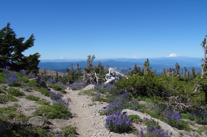
Top of East Crater

Junction Lake
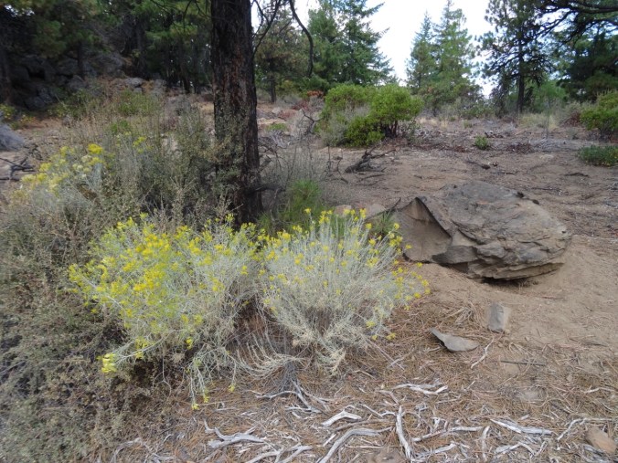
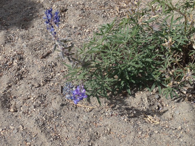
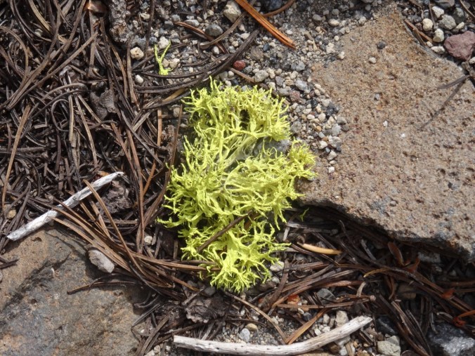
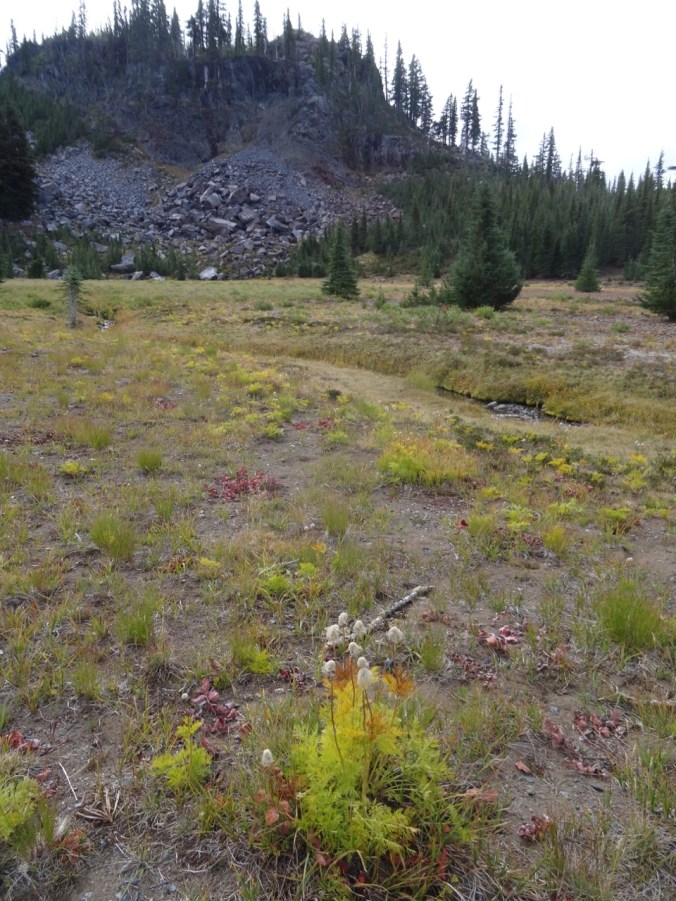
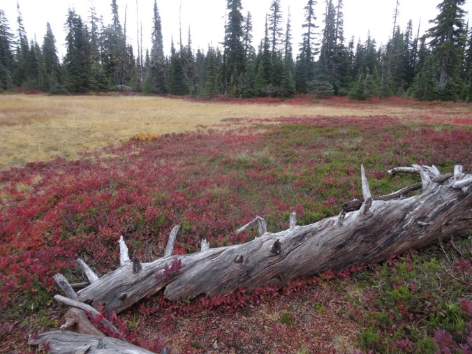
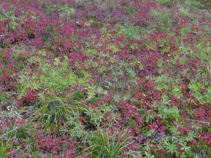
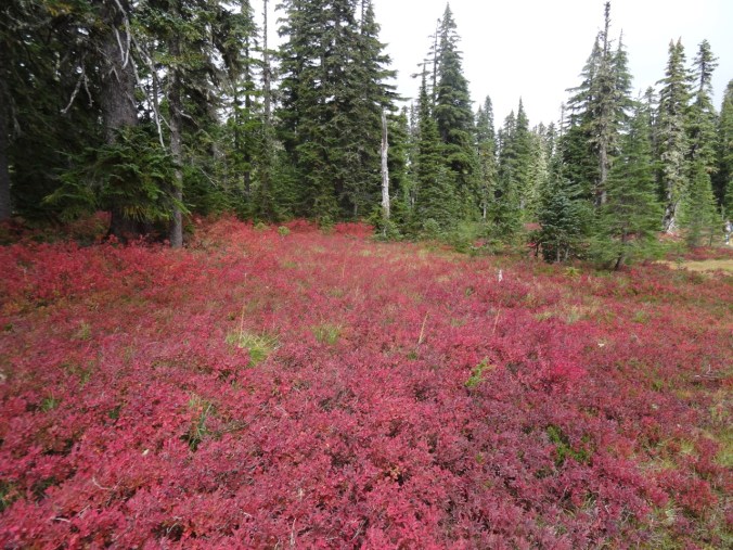
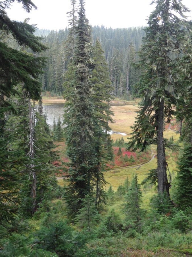
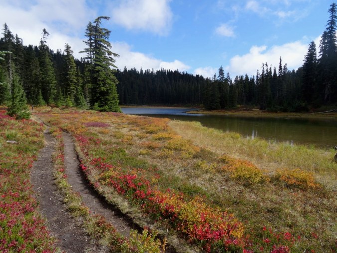
So much color in the meadows!
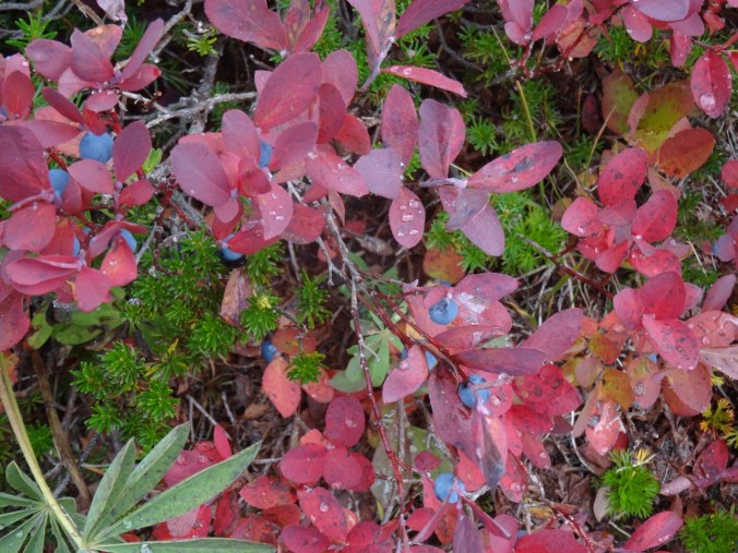
Ripe huckleberries

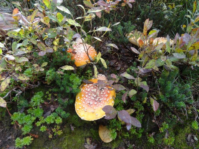
Amanita

Dropping down to Lemei Lake where we had our lunch:
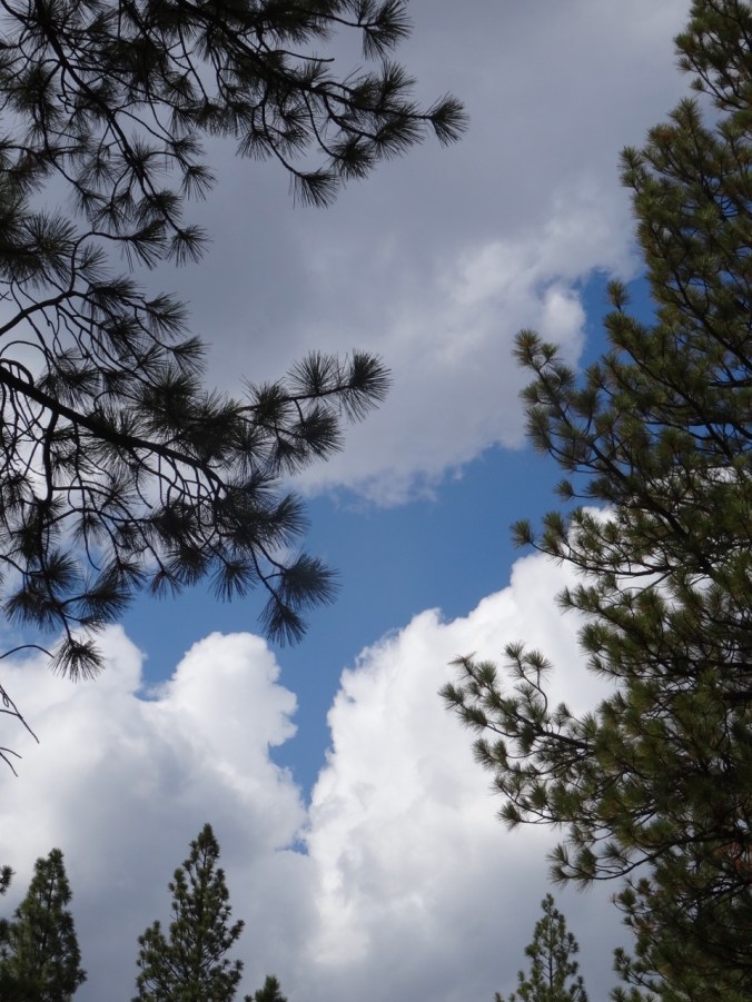
Lunch view
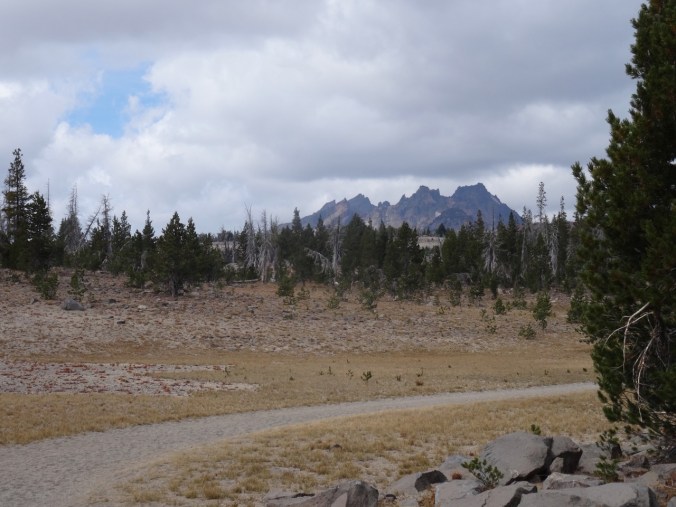
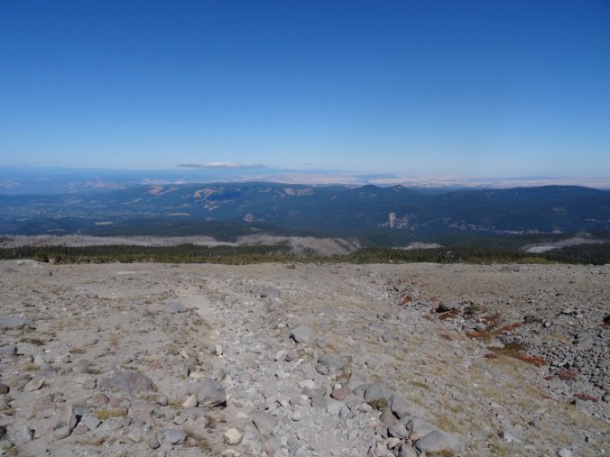
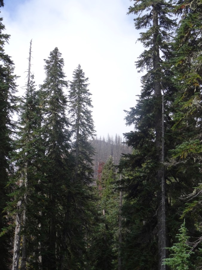
The southbound section of the Pacific Crest trail was more forested, with views through the trees of a couple of bigger lakes.

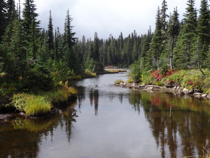
Bear Lake
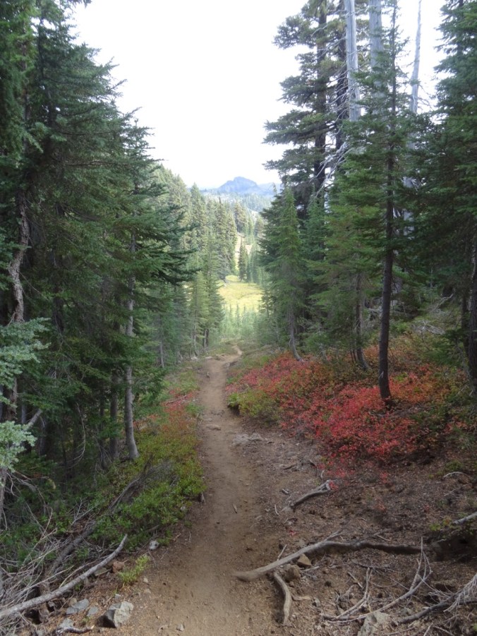
We passed Junction Lake again, then hiked back to the trailhead.

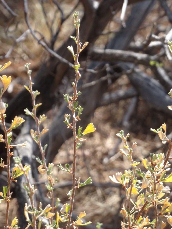
Huckleberry and spirea
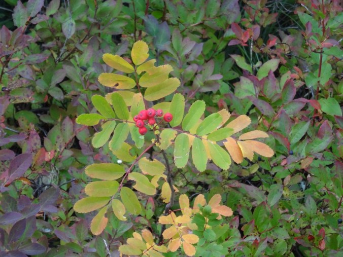
Mountain Ash
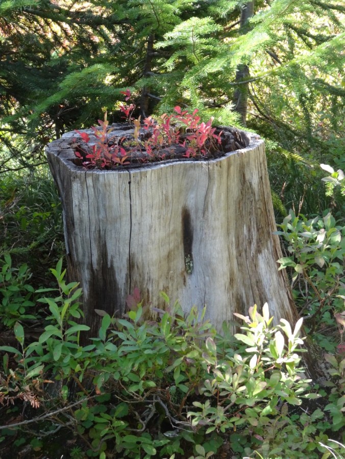
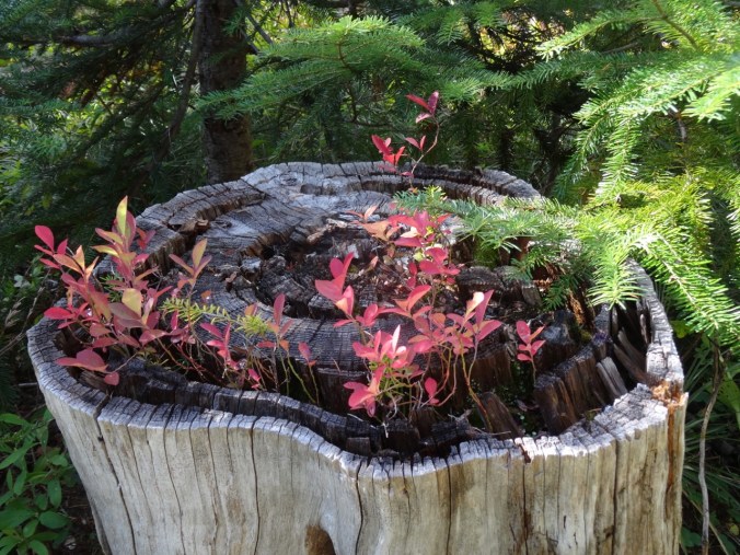
Huckleberry stump
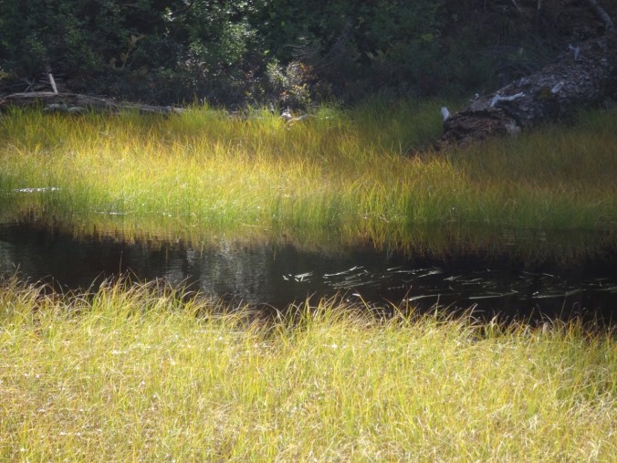
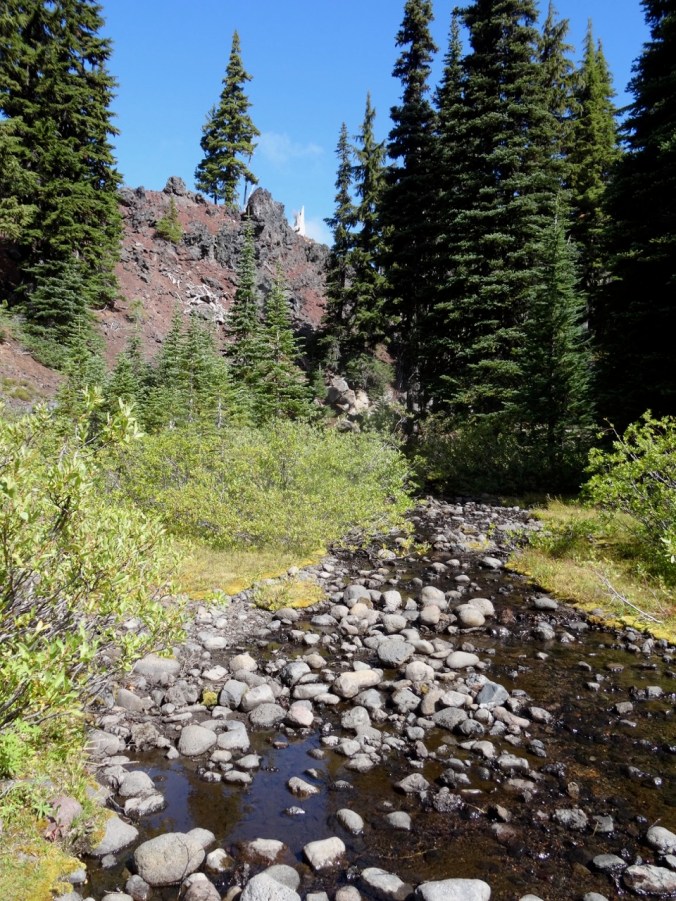
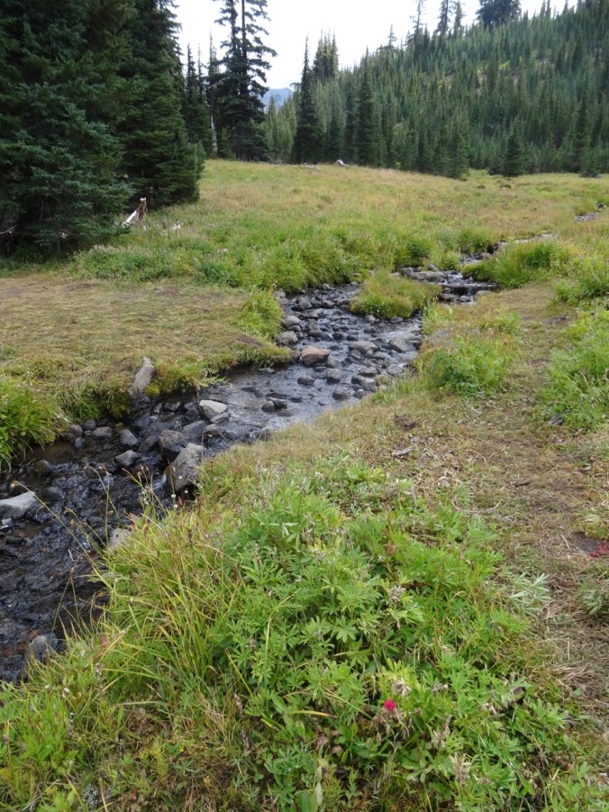
The last little lake on the trail out.
Our total for the day: 9.6 miles/1000 feet elevation.
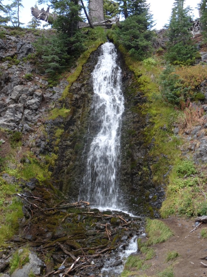
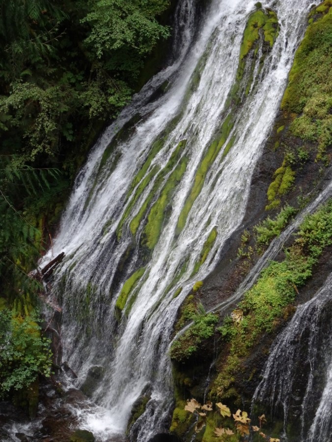
Panther Creek Falls
We made a quick stop on our drive home at this massive waterfall complex – there are three creeks that tumble together into the main branch of Panther Creek.


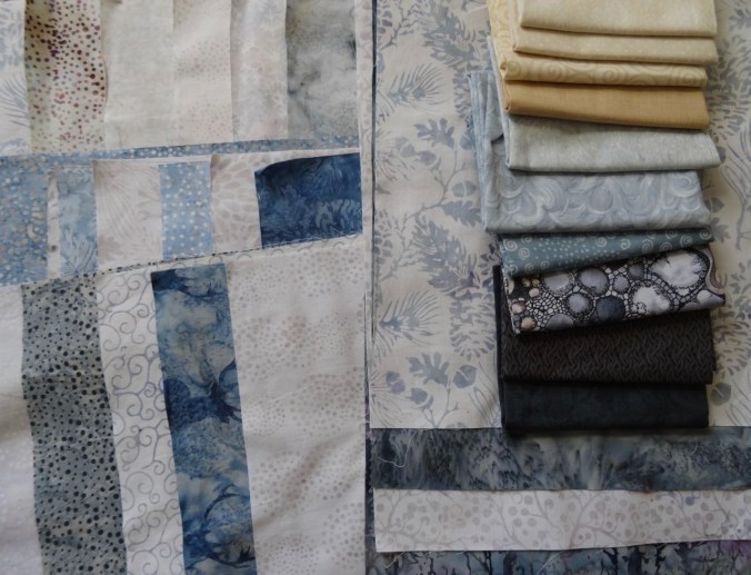
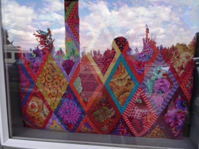
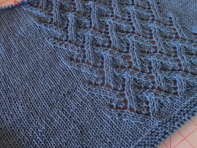
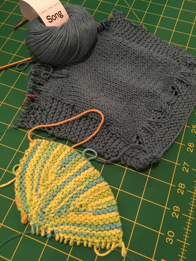
Quilting
I went to the Northwest Quilt Expo in Portland and purchased some fabric for my next quilt project: