Our Thanksgiving drama: Emily home from Oberlin for the long weekend, Sean here, but covering college basketball games at the PK80 tournament at the Rose Garden, Brian also here and working, but not on Thanksgiving. Good friends to join us for dinner. I baked the pies in the morning, the casseroles in the early afternoon and started the oven to roast the 9 pound turkey at 3 pm. I rinsed the brine and trussed the bird – and the oven was only at 170 degrees. Ten minutes later, only 175 degrees. Eventually realized the oven is never going to get to 500 – it gradually rose to 300 degrees, hot enough to reheat the casseroles, but something is wrong! Our neighbors generously allowed us to use their oven when their turkey was done, so we were able to eat about 2 hours later than planned – another Thanksgiving dinner that couldn’t be beat (thank you Arlo Guthrie), with plenty of leftovers for the next day. The silver lining was that Sean was home from work by the time dinner was ready.
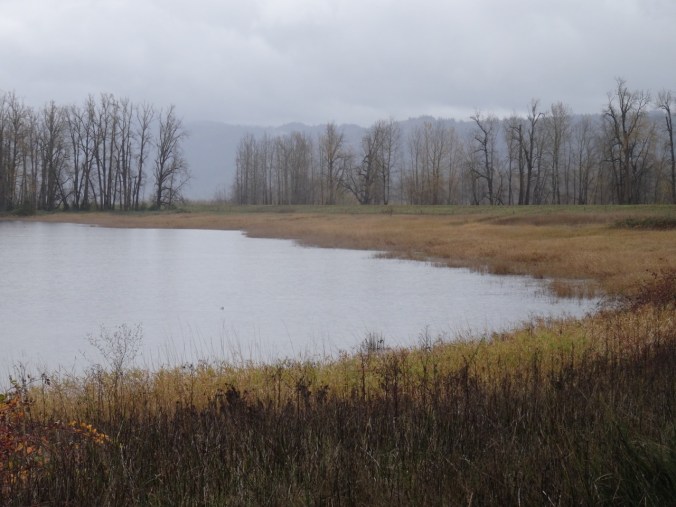
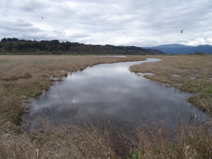
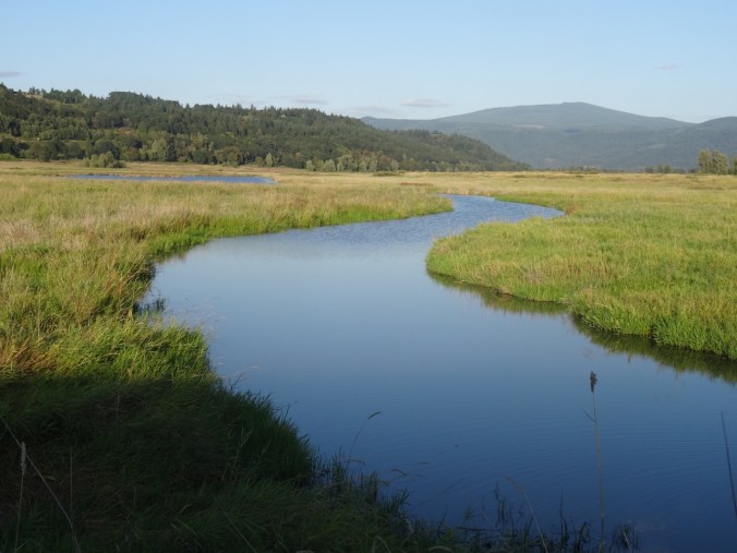
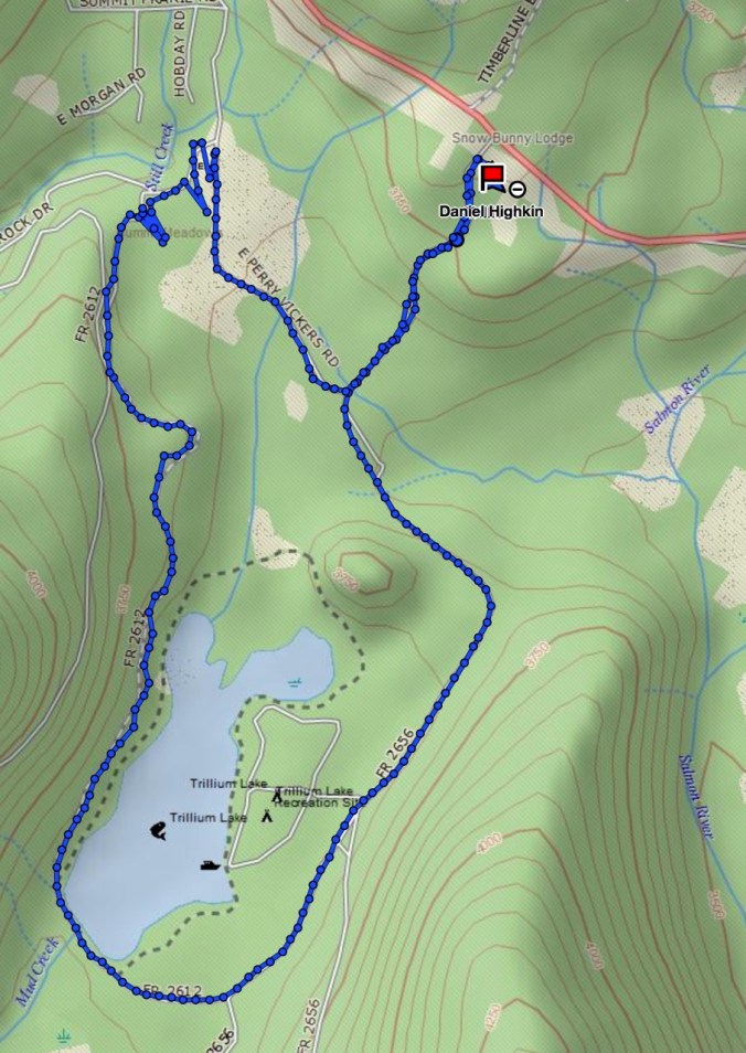
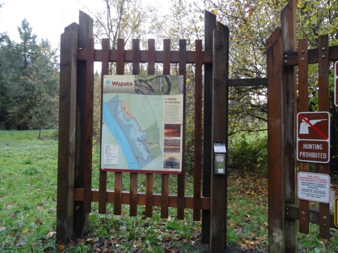
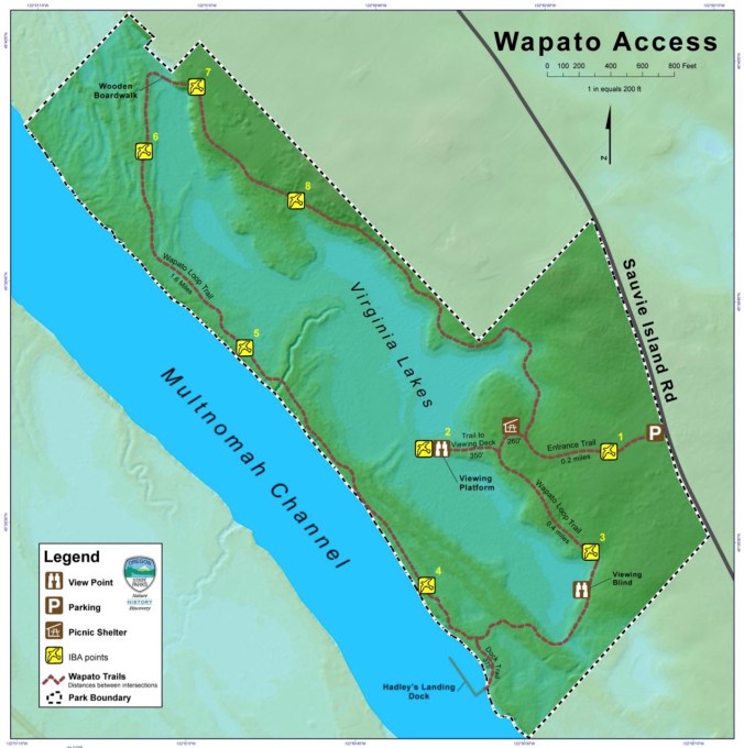
Steigerwald Lake and Columbia River Dike 11/26/2017 (#56)
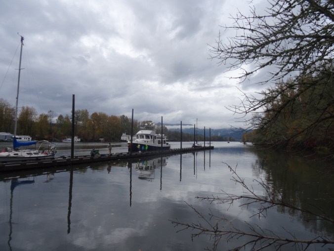
Post-Thanksgiving time/sun window Sunday morning after other family members delivered to airport/work. We drove about 25 minutes to the trailhead near Washougal, Washington.
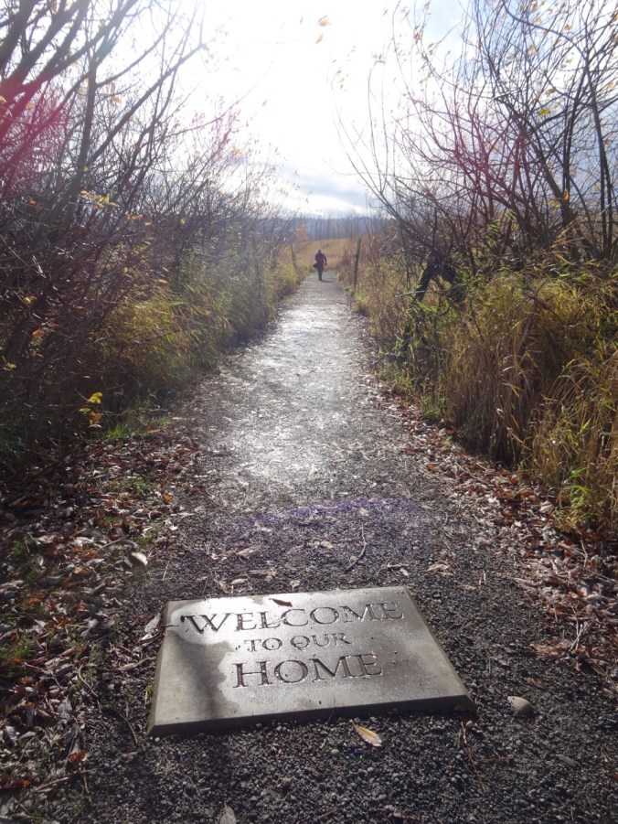
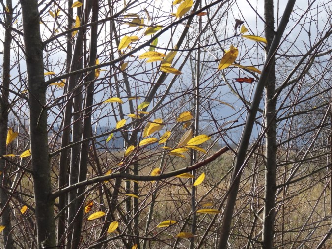
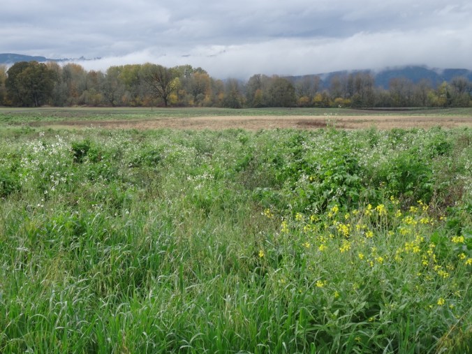
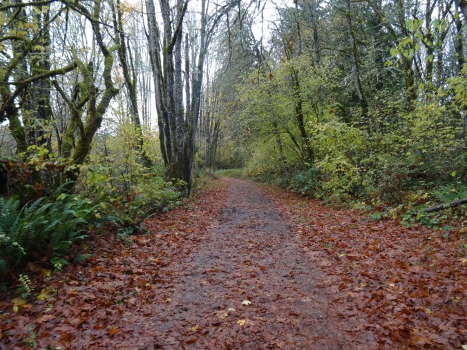
Bright sun and clouds at the start of the trail.

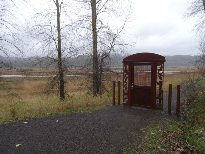
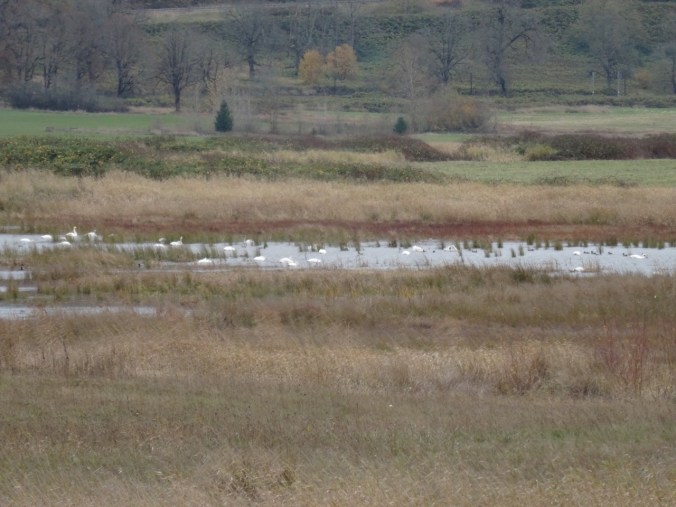
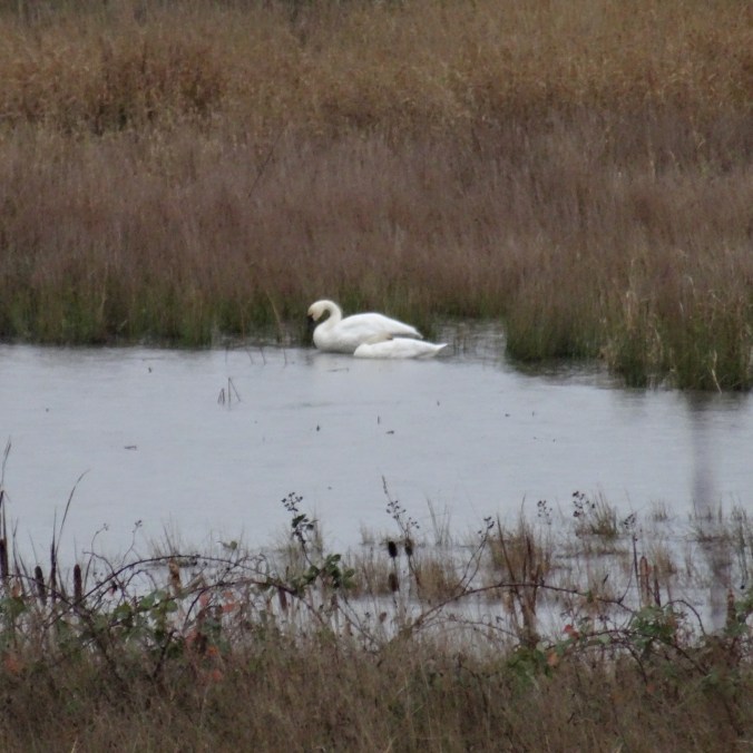
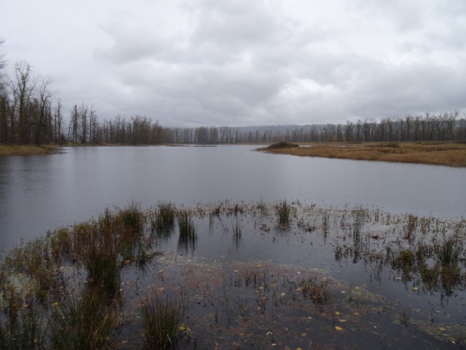
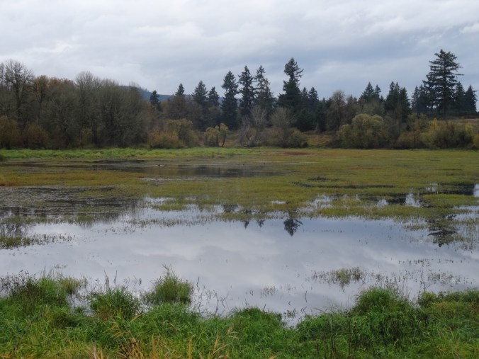
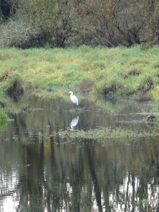
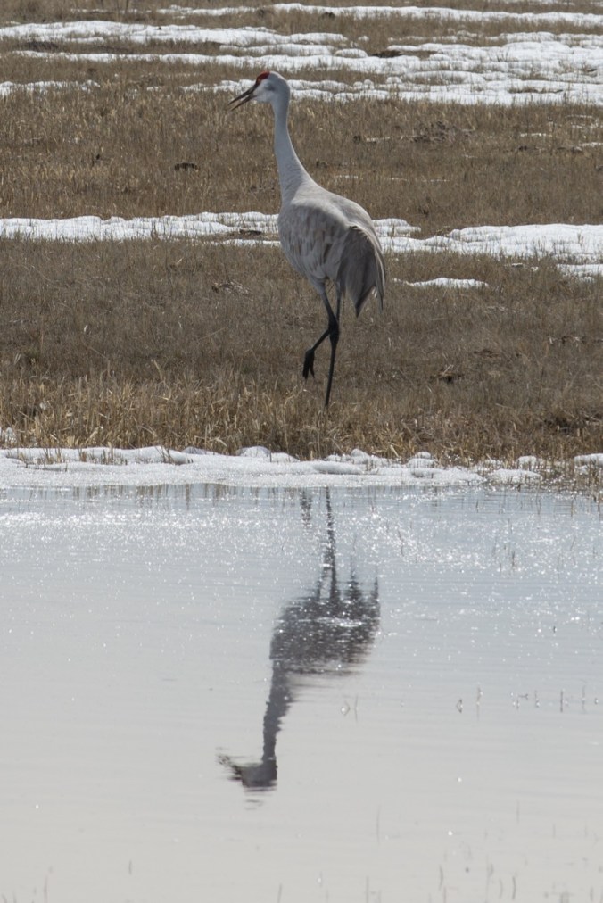
Clouds closing in from the west. Tundra Swans in the lake beyond the closed art trail gate.
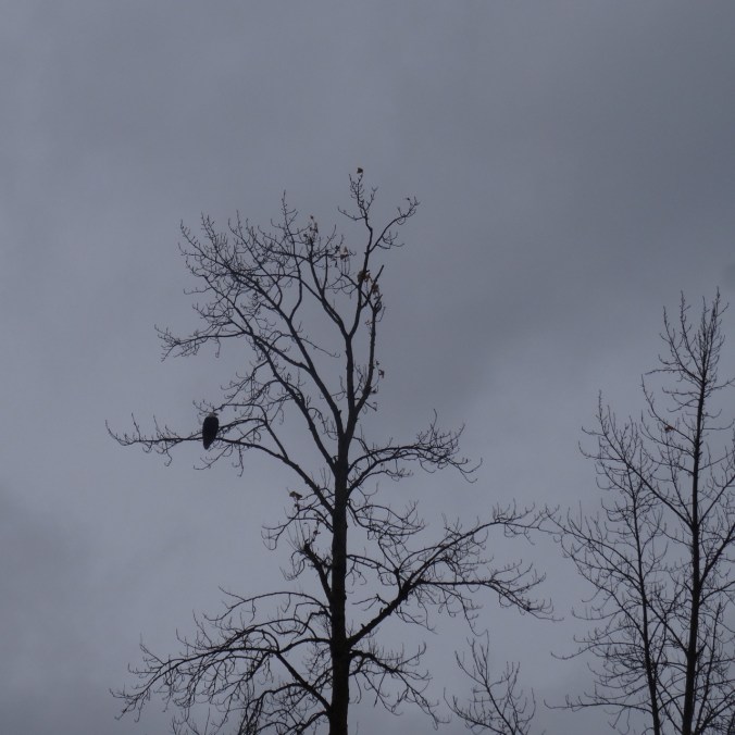
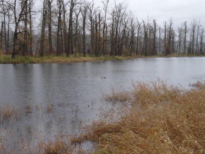
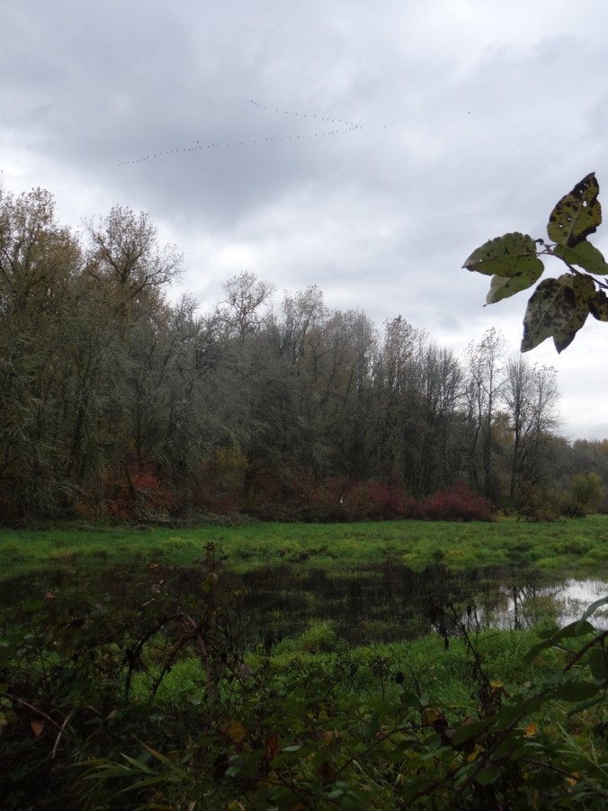
Noisy Canada geese in the distance as a bald eagle flies above them then alights in a tree above the first bridge. We also saw a smaller hawk rustling up the geese.
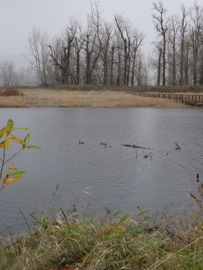
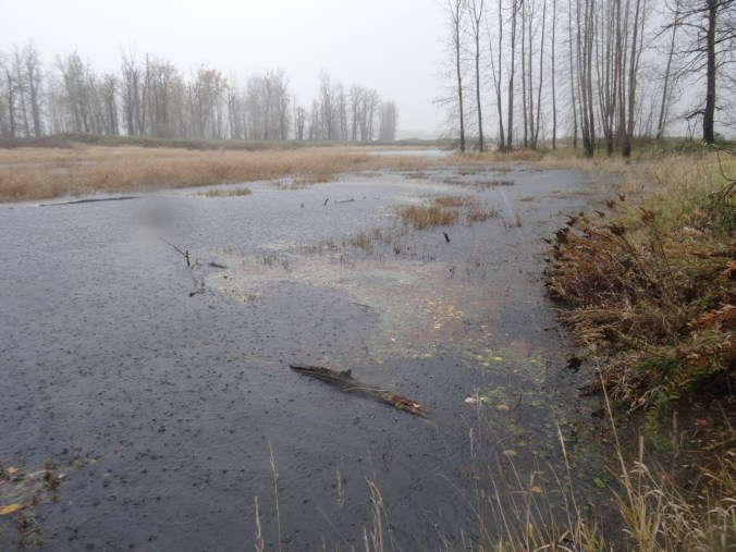
On to the second bridge as the sun dims and the clouds close in — a few wind gusts, a squall, large fat raindrops spatter us and cast rings in the lake. Three ducks in a row swim away. Other hikers heading back to the trail head. By the time we get our hoods up, lenses wiped, the rain has lessened to sprinkle, drizzle, mist. We are prepared for this.


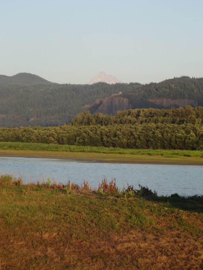
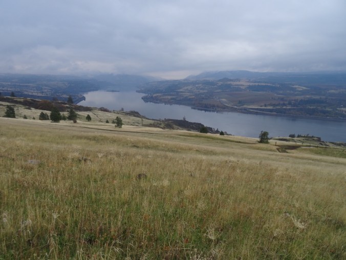
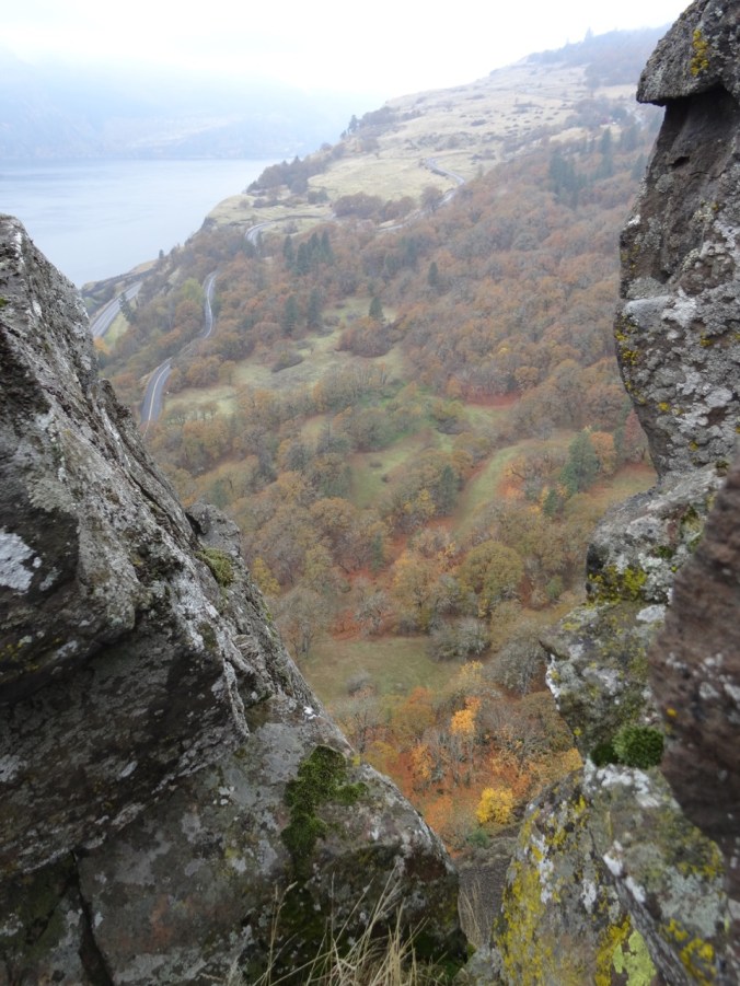
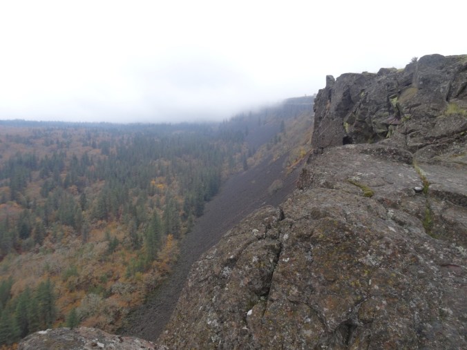
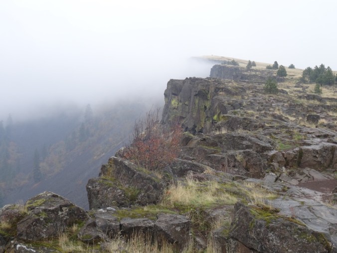
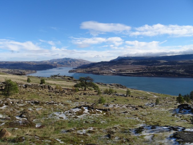
We continue on to the dike and walk east above the Columbia River, Vista House on the horizon through a shroud of clouds closing in. We walk all the way to the closed gate, though I believe the land beyond is soon to be added to the conserved space. Wind blowing east with the clouds, and the wave caps give the illusion of the river flowing upstream…


Vista House across the Columbia River
Returning the same way, and the rain returns.


Back to the trailhead, with a few more photo stops. Light has changed again. Time to get inside, get dry.


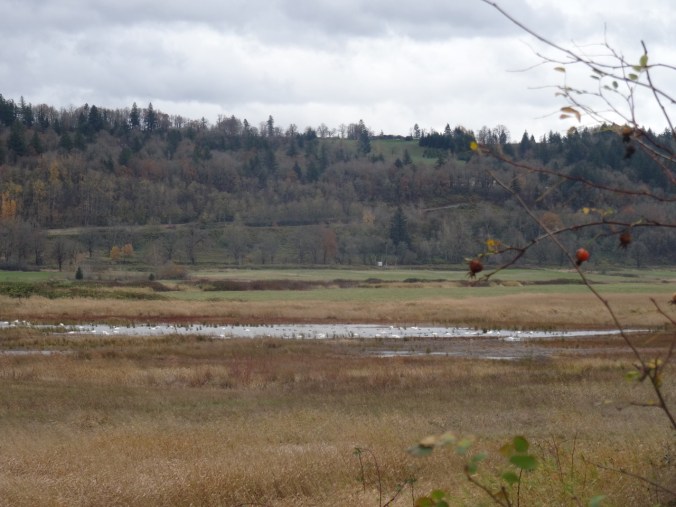
White tundra swans in the far lake
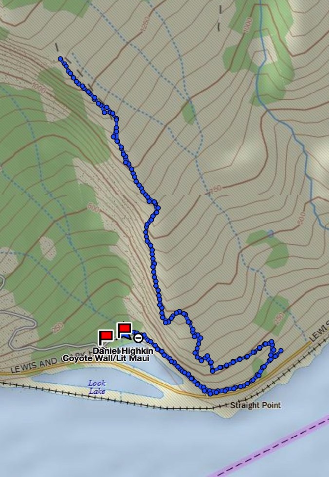
We walked about 4 miles round trip.

LOOKBACK:
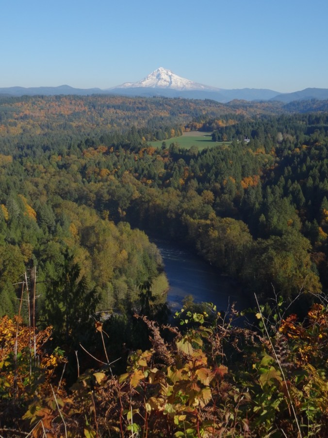
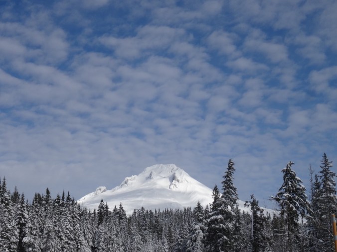
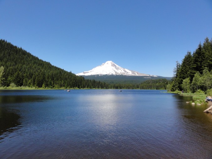
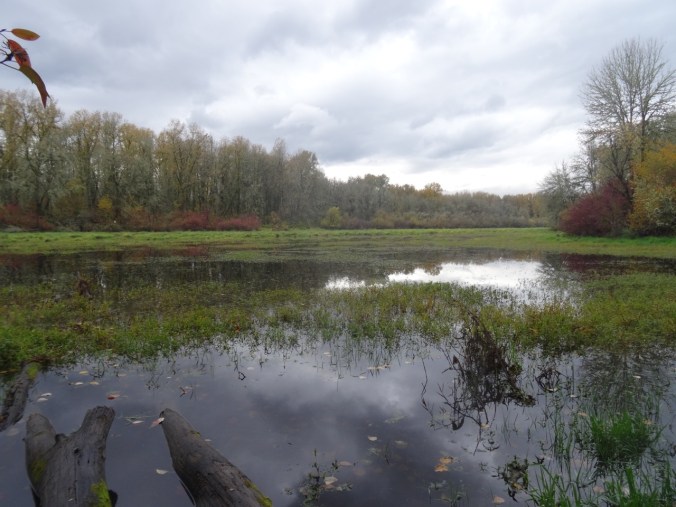
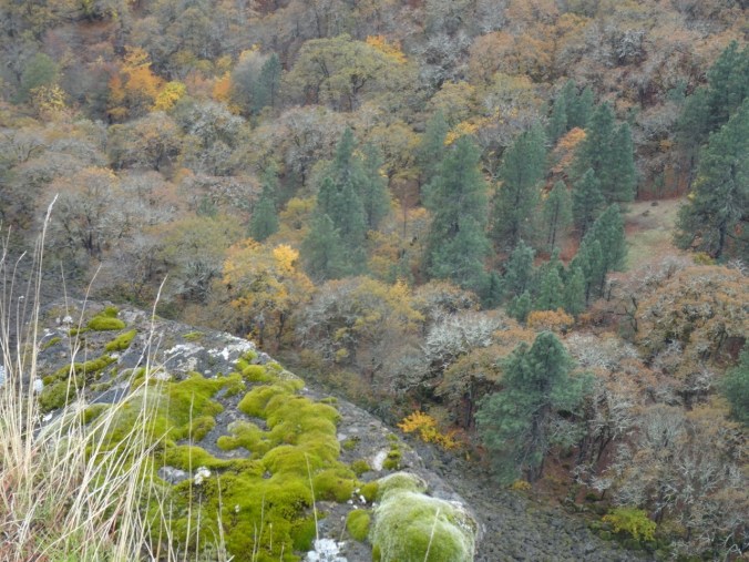
The Steigerwald is a close-in go-to place for us – the light is always spectacular, there is often a resident bald eagle, we often see waterfowl – heron, duck, geese, swans, and on a clear day, the top of Mt Hood is on view.
March 2015
August 2015

March 2016

Vista House, March 2015
Vista House and Mt Hood, August 2015

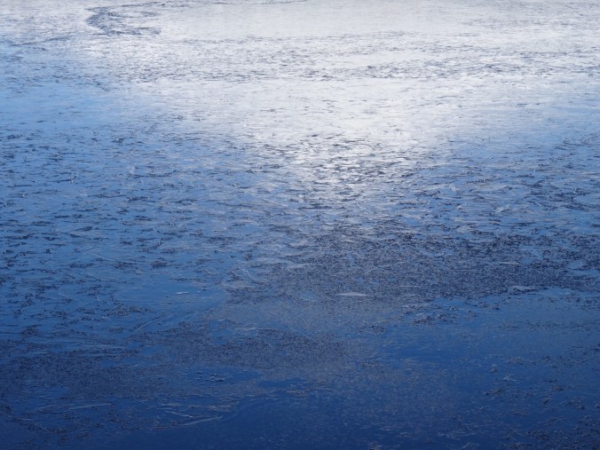
Ice on the lake, December 2016
Flying geese:
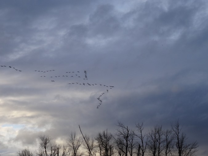
March 2016
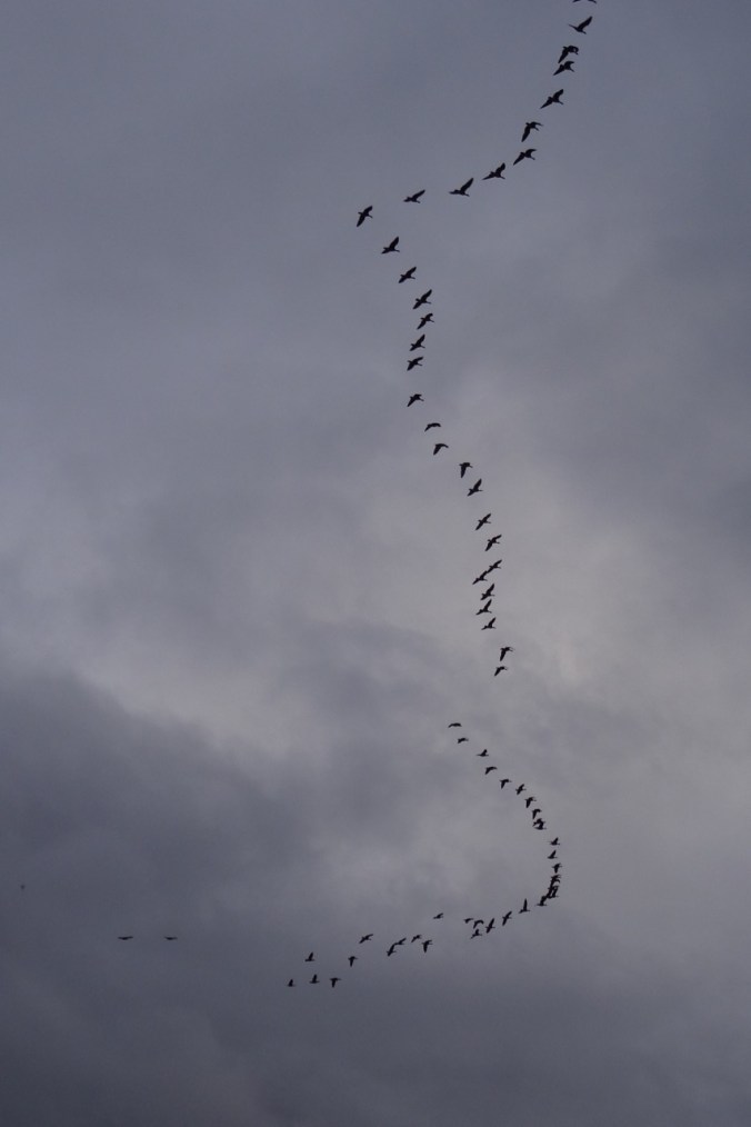
March 2016
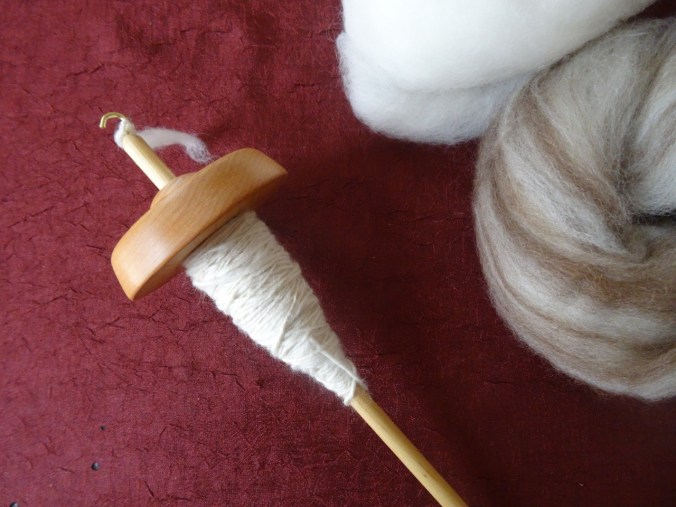
CRAFTING:
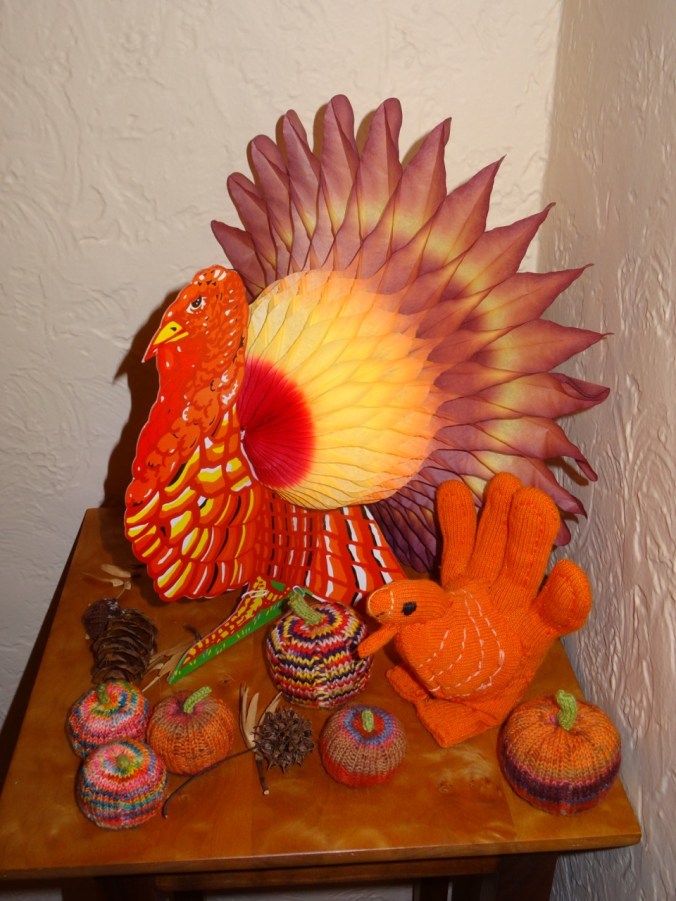
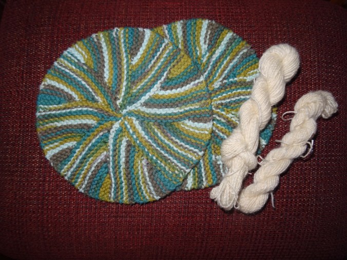
Our Thanksgiving tableau includes one of Emily’s glove turkeys and several knitted pumpkins.
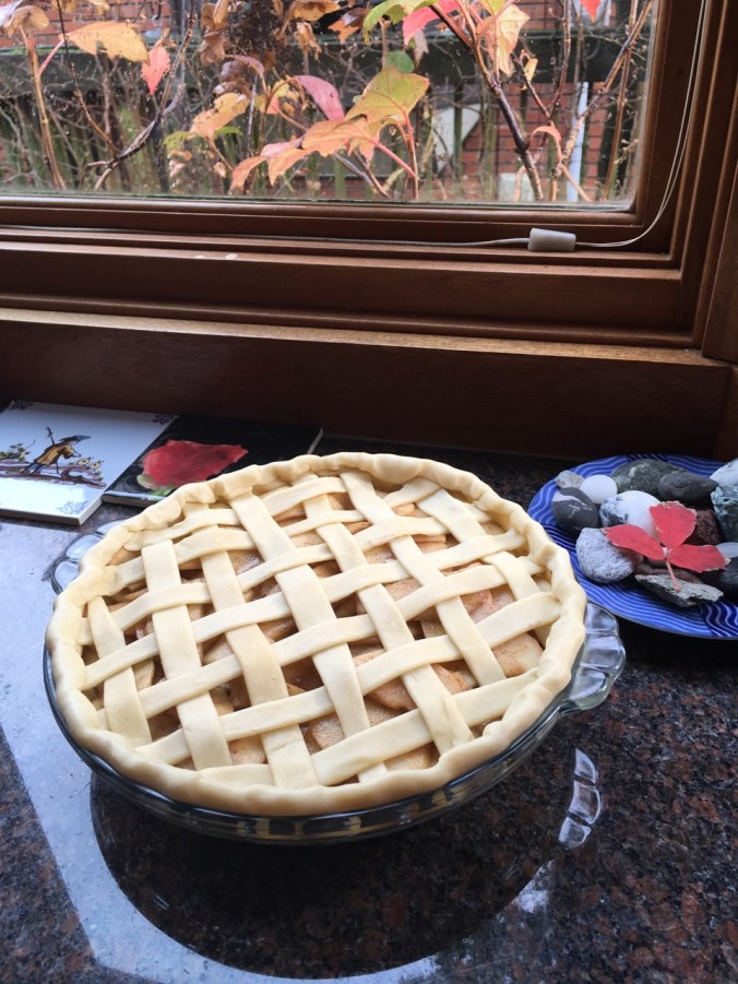
Woven apple pie crust.
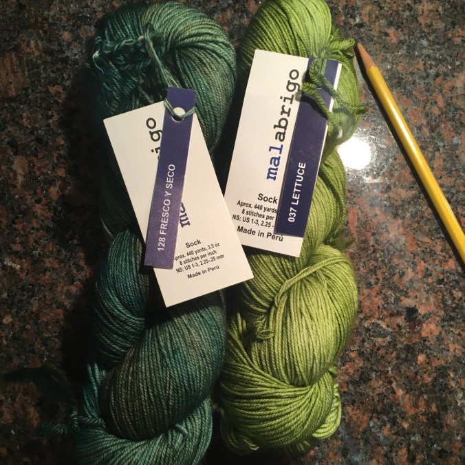
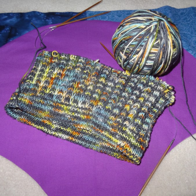
New yarn for a green scarf for Emily
There is a medical issue to be dealt with, so I am adding some words of wisdom for the days ahead:


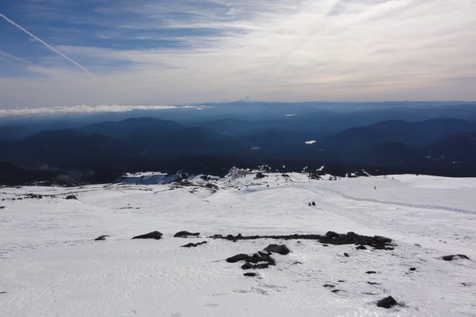


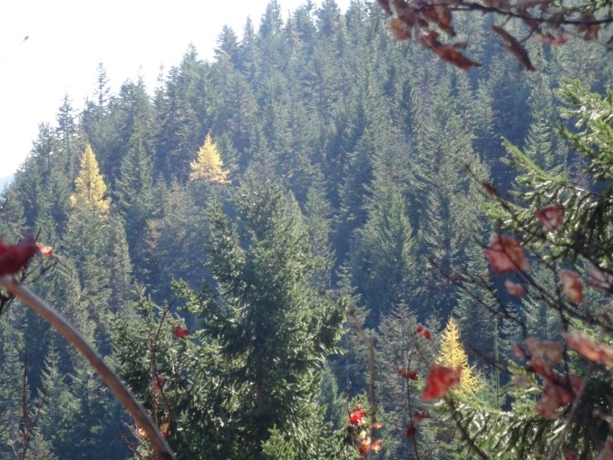
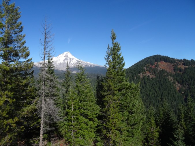
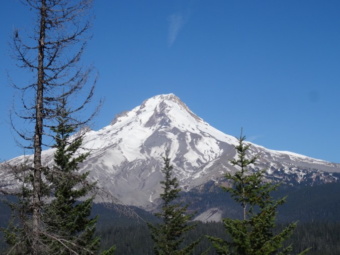
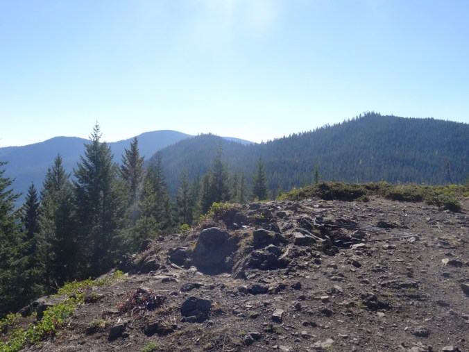
 From the lunch spot at the top of Palmateer Point we identified the bright orange of Barlow Butte as another spot to put on our future hike list.