Our five hikes in October ranged from urban Portland, to wilderness areas at Mt St Helens and Indian Heaven, and to our reliable dry trails in the eastern Columbia River Gorge in Washington.
October 1st, Oaks Bottom, Portland
An oft-repeated sunny walk around the Willamette River bottomlands just south of downtown Portland. Not much wildlife today, but there was new artwork on the railroad underpasses since the last time we were here (3.4 miles, 150 feet).
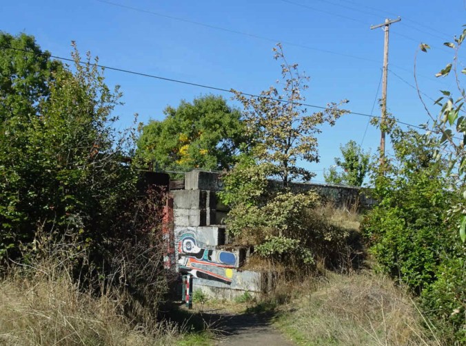
New artwork on the southern railroad underpass
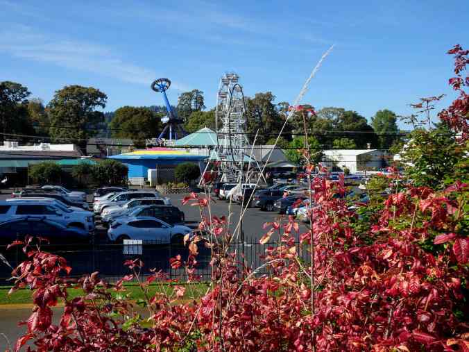
We could hear the screams from upside down people at Oaks Park today.
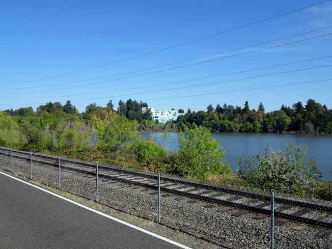
View of the giant mural and the lake along the bike path.

A few cormorants

New artwork on the northern railroad underpass,
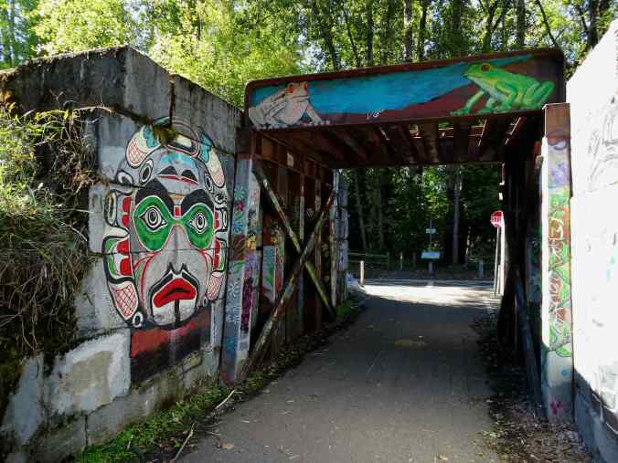
on both sides.

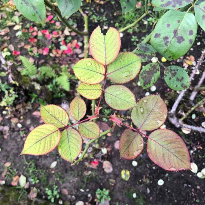
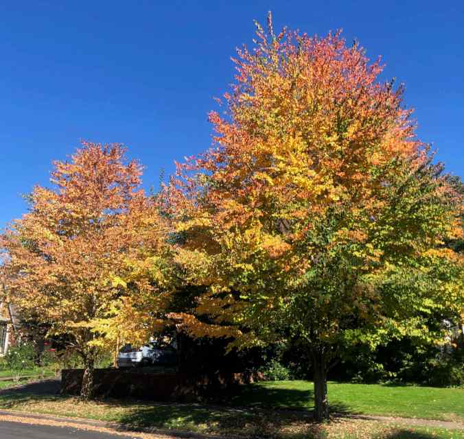
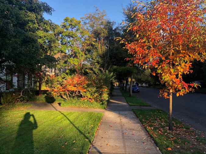
Early fall colors and

reflections in the lake.

The train, and the hills of SW Portland.
October 4, Indian Heaven, WA
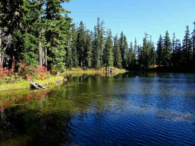
We repeated one of my favorite loops in Indian Heaven, from Thomas Lake to Rock Lakes, to the less trodden path through the lakes and high huckleberry meadows along the Old Cascade Crest Trail (6.4 miles, 750 feet).

Colorful foliage from the trailhead on…

Thomas Lake

Heather Lake

Mt St Helens from the viewpoint above Eunice Lake

Mt St Helens
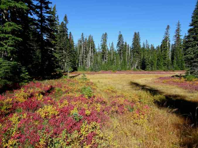
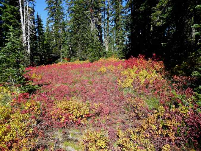
High meadows of huckleberry foliage
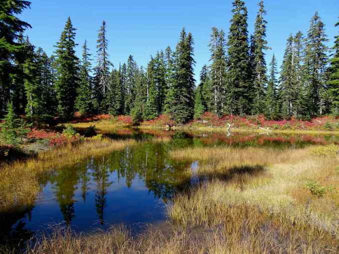
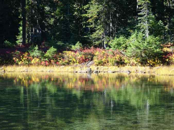
Naha Lake

Reflections
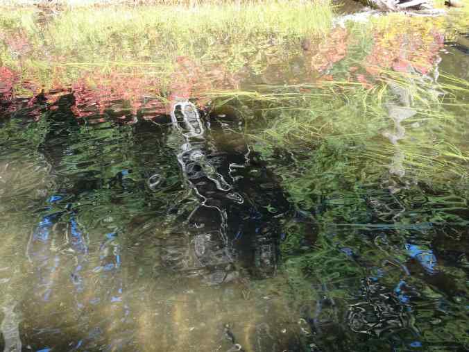
More reflections

Bright red foliage

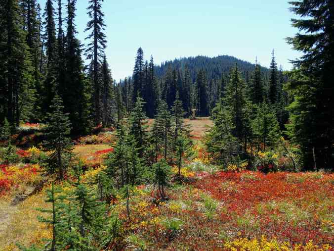
High meadows

A glimpse of Mt Adams through the trees
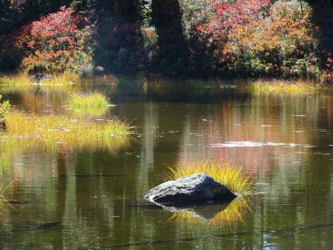
We arrived at our lunch stop, Rock Lakes.

Rock Lakes

Rock crossing
Reflections

Moss
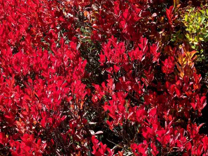
More red
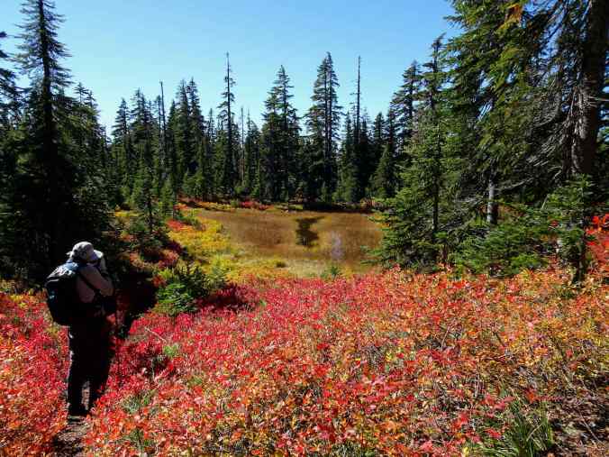
After lunch we continued a little farther east, then south through the high meadows and unnamed lakes along the Old Cascade Crest Trail – all water reflections and colorful foliage. A delight! These are just a few of the images.
Unnamed lake
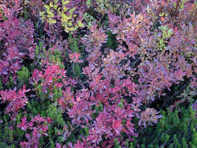
Magenta foliage, with a few last huckleberries
Lakes and huckleberry bushes along the trail
South toward Gifford Peak

Looking back at partly burned East Crater
Gradients of color in the foliage
And in the reflective lake water…
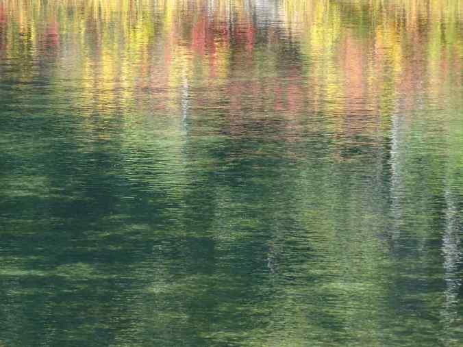
Monet water
We also caught a glimpse of Mt Rainier through the trees on our return hike…
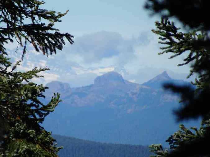
Eastern flanks of Mt Rainier, and the Tatoosh Range?
On our drive home, I took this photo as we crossed the Bridge of the Gods. The burned zone in the Gorge is starting to look like fuzzy grey hair on the slopes.

Crossing the Bridge of the Gods, looking toward Oregon.
October 12, June Lake, Mt St Helens, WA
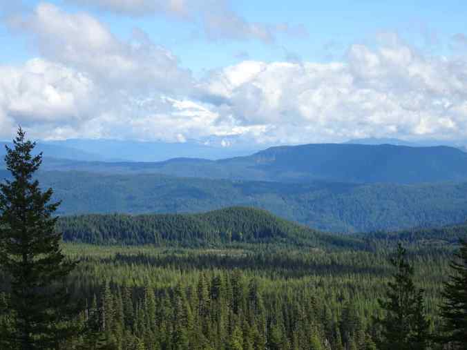
Our only new hike this month. We have been to June Lake before, but this was the first time we continued to the east on the Loowit Trail, the 30 mile loop around Mt St Helens. The mountain top remained covered in clouds all day. We saw fall colors on the slopes below the snow line (6.5 miles, 1200 feet).
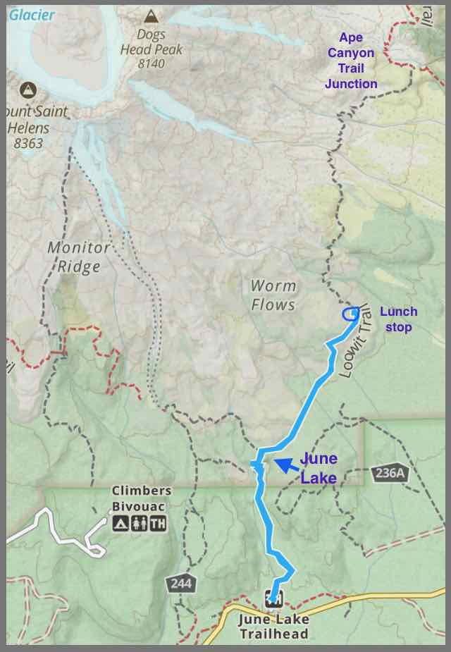
Trail map

The first mile through the forest along June Creek is relatively flat.
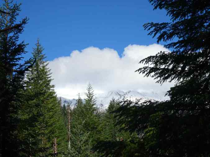
Glimpse of the cloud-covered mountain from near the trail head

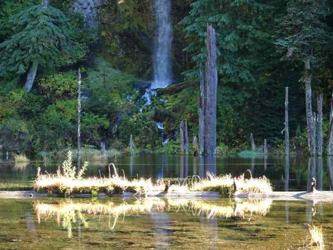
Approaching the lava flow that has dammed the creek to form June Lake. Tiny hiker on the lower left.

June Lake
Lower cascade

Reflections

Fall colors mirrored

More reflections…

More Monet water
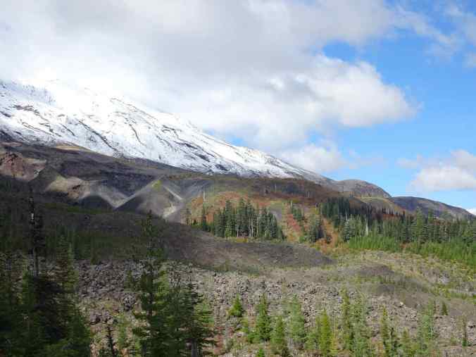
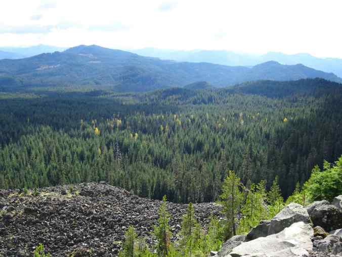
Past June Lake, the trail ascends steeply to join the Loowit Trail around the mountain. We went eastward this time, through forested trail, and over the toes of lava flows, ascending to an eventual viewpoint of the mountain.

Lava flow along the trail

A view of the mountain flank
View from our lunch stop, where we waited for sun breaks to illuminate the fall colors.
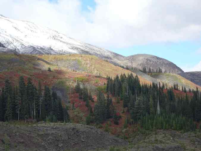
Huckleberry oranges and reds. The Ape Canyon trail junction is in the notch

Colorful foliage on lava flows… the trail continues through here, but we did not take it today.

Volcano monitoring equipment

Snowy slopes
Mt Adams occasionally appeared behind the clouds to the east.

Mt Adams
We returned back over the lava flows…

Loowit Trail over the Worm Flows
Larch trees glowing golden in the autumn sun.
Some of the trees and plants…


Mt St Helens today, still capped by clouds as we drove away.

And a lookback comparison of June Lake from previous trips, autumn, summer and winter…

October 12, 2023

July 4, 2019

February 20, 2016
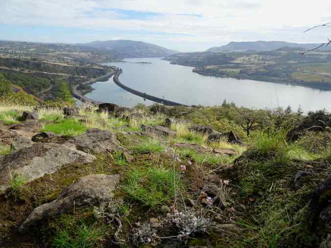
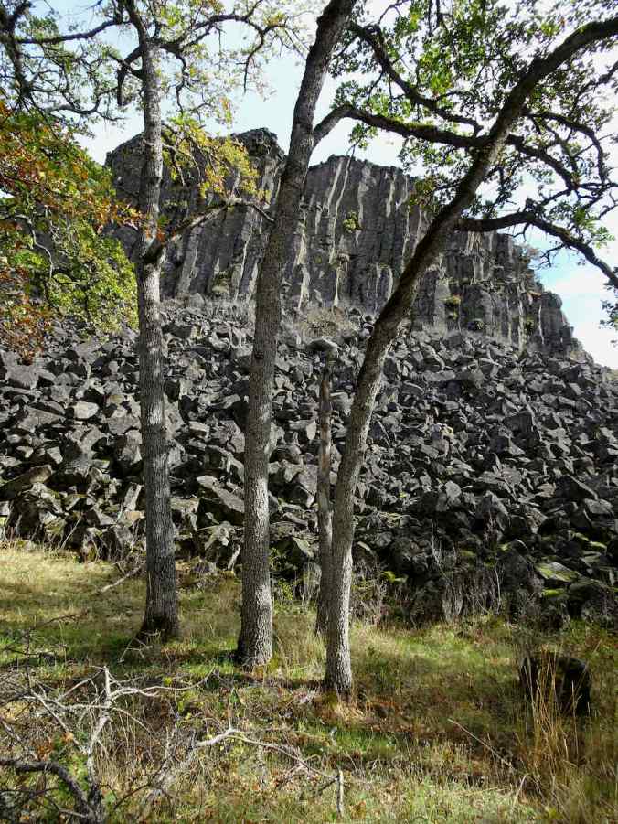
October 17, Labyrinth Trail, WA
Another visit to one of our favorite viewpoints on a dry day in the eastern Columbia River Gorge (4.2 miles, 900 feet).
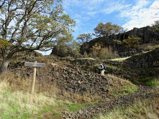
Up the basalt labyrinth

Oregon grape
Buckwheat, eastern view
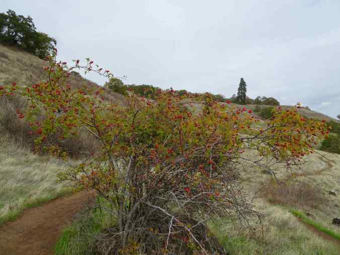
Rose hips, ponderosa viewpoint
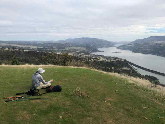
Lunch near the ponderosa

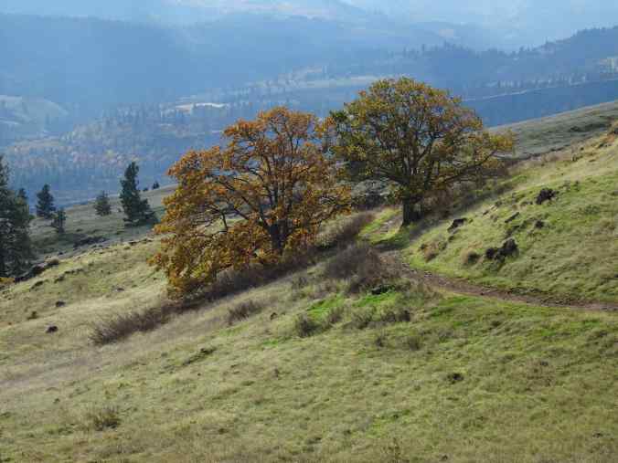
Return trail; Mt Hood and the oak tree
Oak grove
Columnar basalt mesa

Looking down the labyrinth
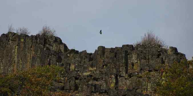
Raptor above the cliffs

Greeting one of my oak tree friends on the way down.
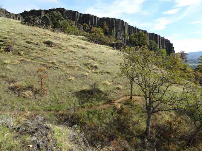
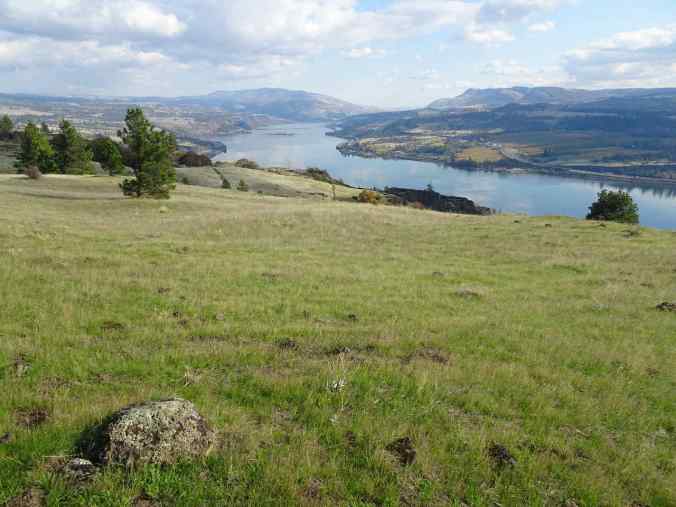
October 27, Coyote Wall, WA
A walk with friends up the basalt cliffs and down the dry meadows of the eastern Gorge (5.8 miles, 1230 feet).
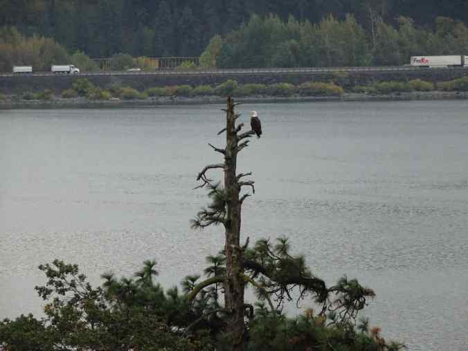
Bald eagle above the Columbia River

Dry slopes above Coyote Wall

Looking across to the Oregon side, the orchards of Mosier
Oak trees

Oak leaves
Cloud mirror to the east

Coyote Wall

Looking east toward the Labyrinth

Walking back along Look Lake

Coyote Wall