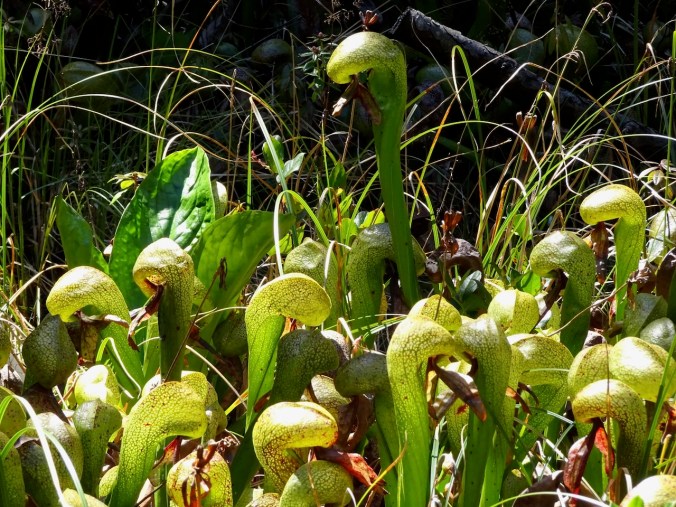
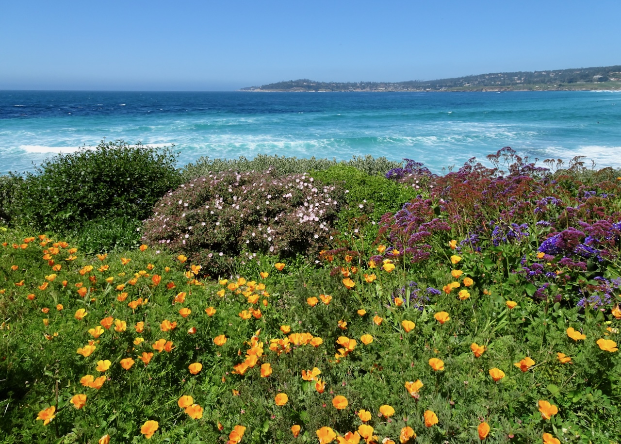
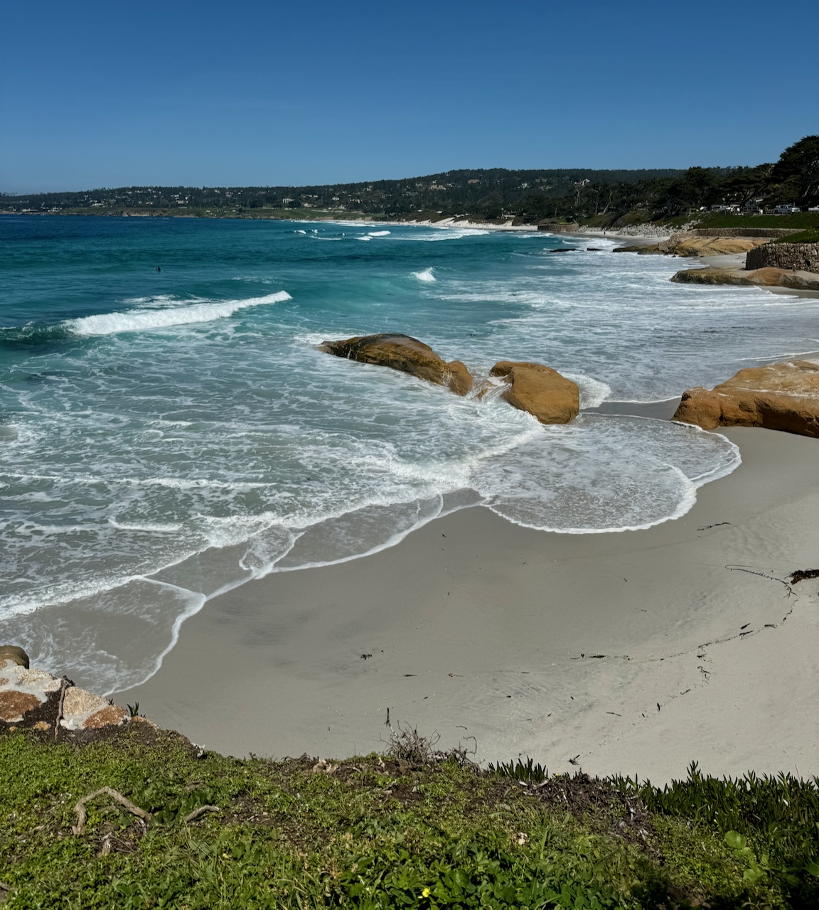
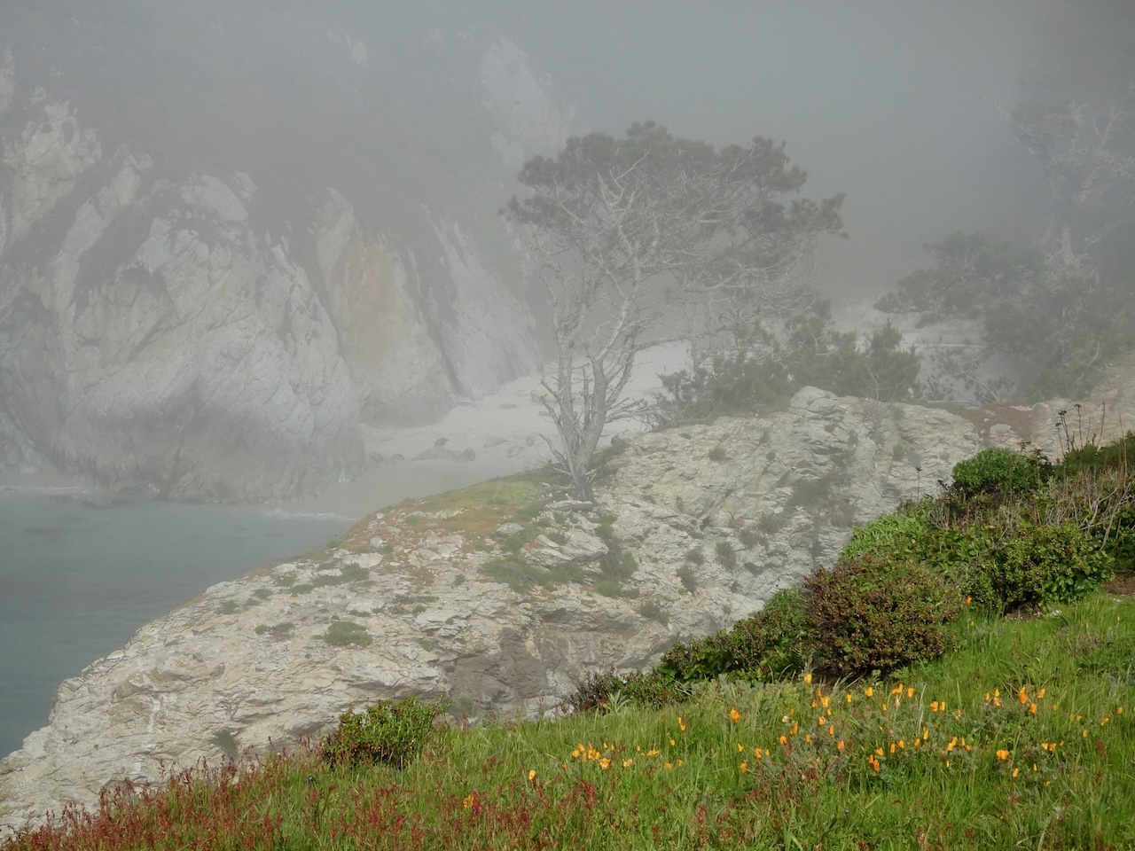
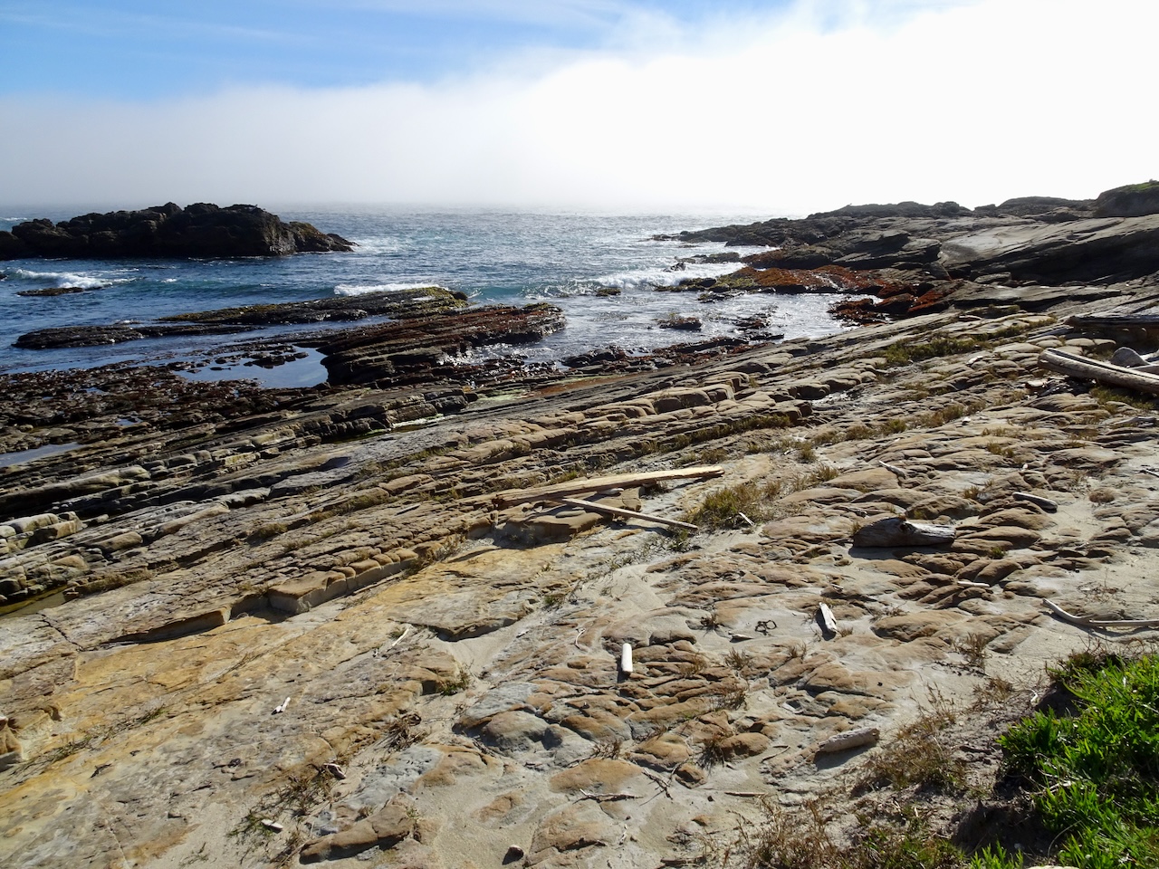
We were in San Francisco to attend my husbands 40th Med School Reunion. After spending a couple of days in Carmel (part 1), we stayed in San Francisco, then Berkeley for the next few days.
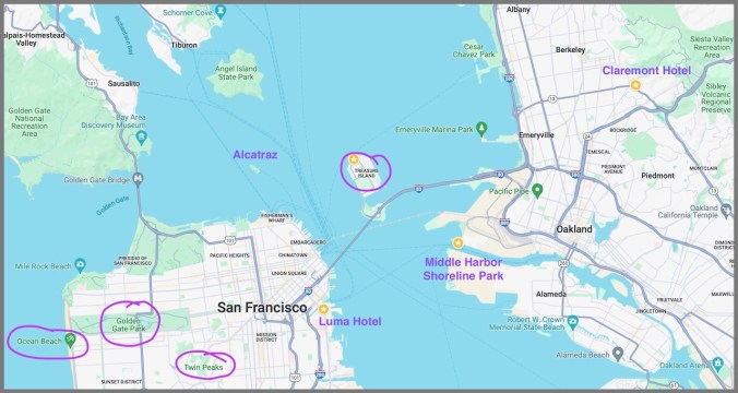
Location Map, San Francisco, Berkeley, Oakland
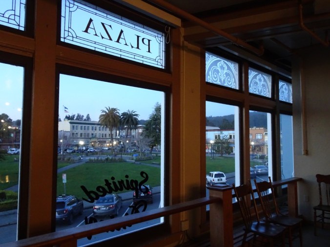
Our hotel in San Francisco was in the newly redeveloped ‘South of Market’ area – near the two new sports stadiums, and close to the adjacent UCSF Mission Bay campus.

View south toward the bay from our hotel room.

Our hotel, lit up at night, very quiet tonight, though I suppose it would be very different on a game day.
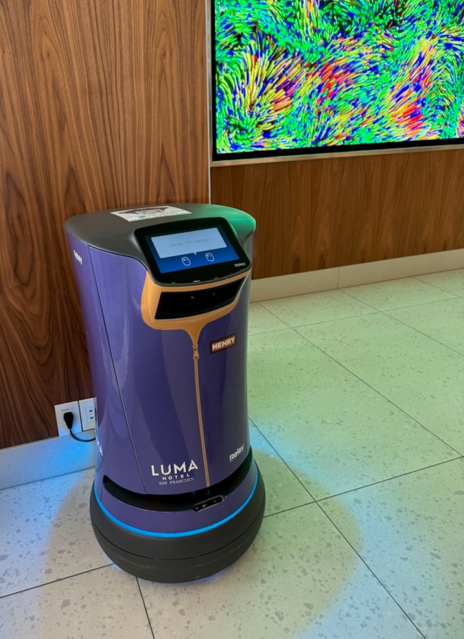
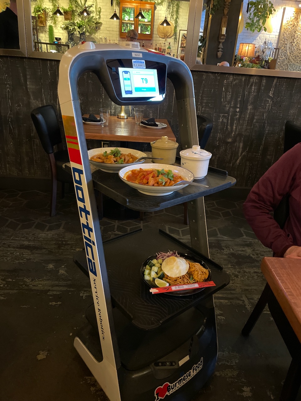
Hotel robot that supposedly could deliver coffee, though we never saw it working.
We did see Waymo self-driving cars, some with passengers, some completely empty, as we drove around the city the next few days.
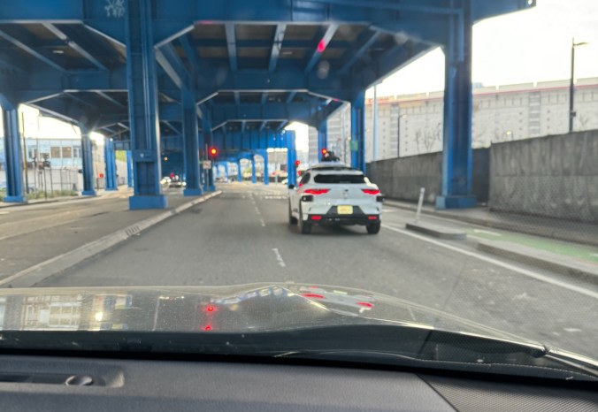
Waymo self-driving car – note the navigation hat on top of the car.
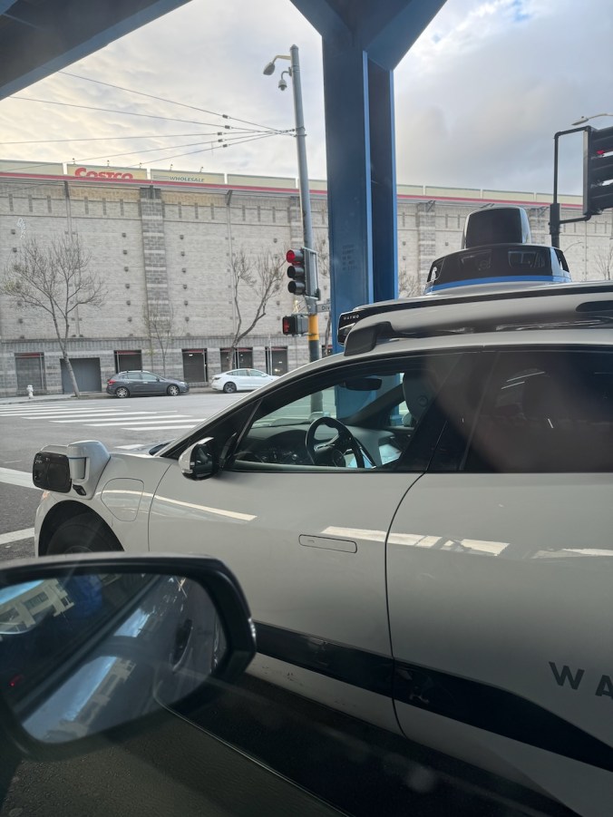
Look, no driver!

There is a passenger…
Friday, April 12th – My husband chose not to attend the academic sessions since he is fully retired. Instead, we played hooky and went to Golden Gate Park, Ocean Beach and Twin Peaks, all places we used to spend time in the early 80’s.
We parked in his old neighborhood, not far from the park, to see the status of the flat where he lived.

3rd Avenue – one of the steeper streets.
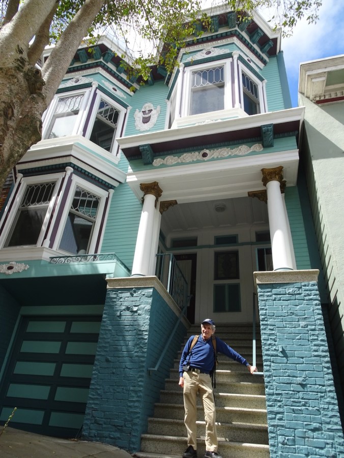
The flat looks good! Fresh paint.
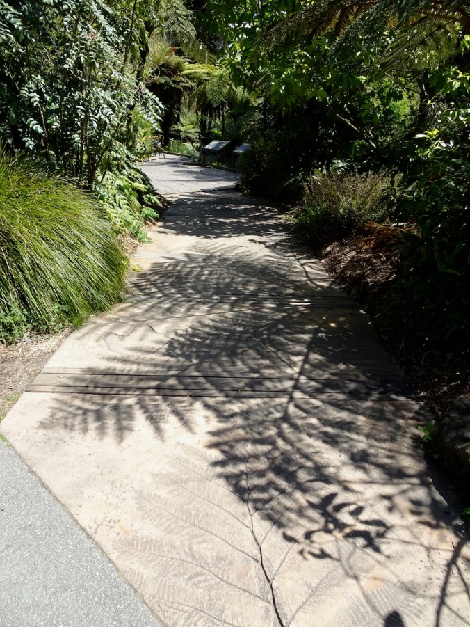
On to Golden Gate Park – We walked often through the Arboretum, and visited a pair of swans that lived in the lake. We didn’t see any swans today, but we enjoyed walking through the geographic sectors, especially New Zealand.

A few cherry blossoms remain…

We had many a picnic lunch or dinner in these open lawn areas.
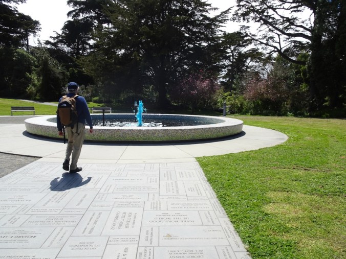
For some reason the fountain was blue today.

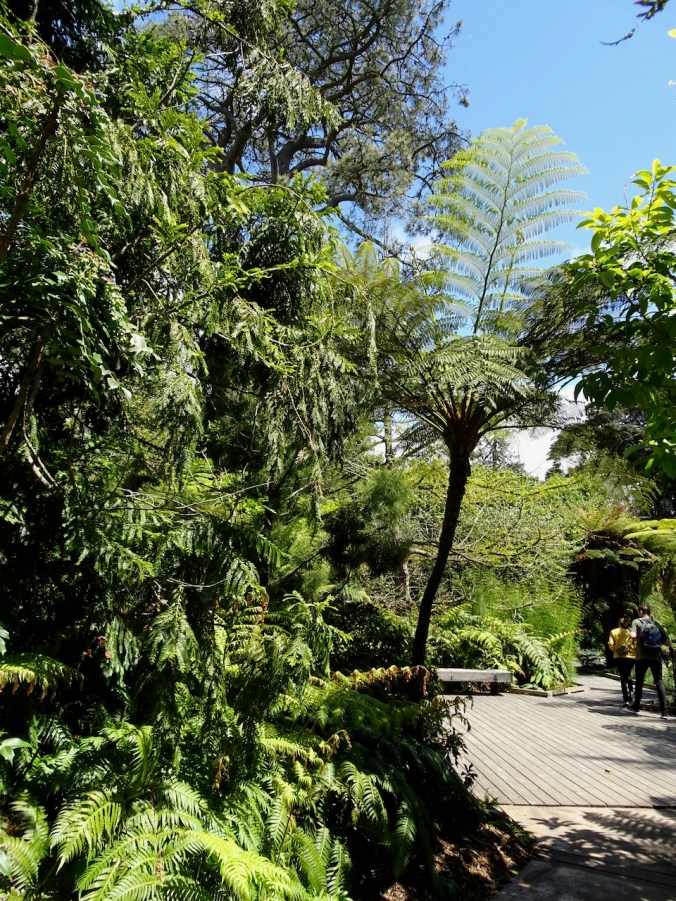
New Zealand sector

Rimu trees

Tree ferns
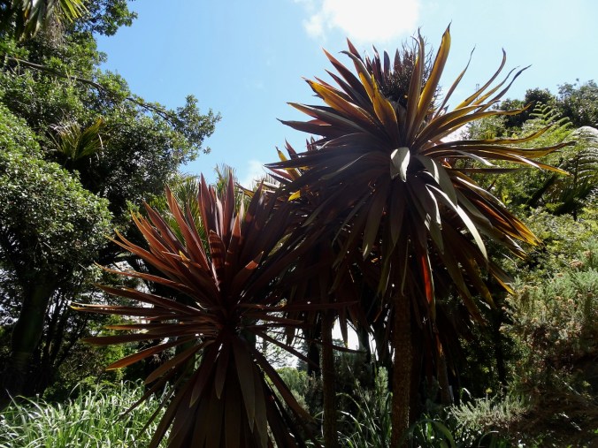
Cabbage trees
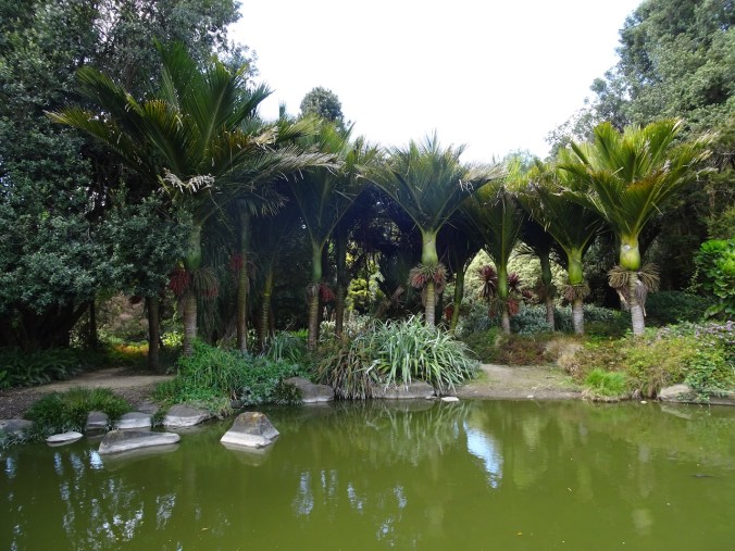
Nikau palms
Back at the lake:
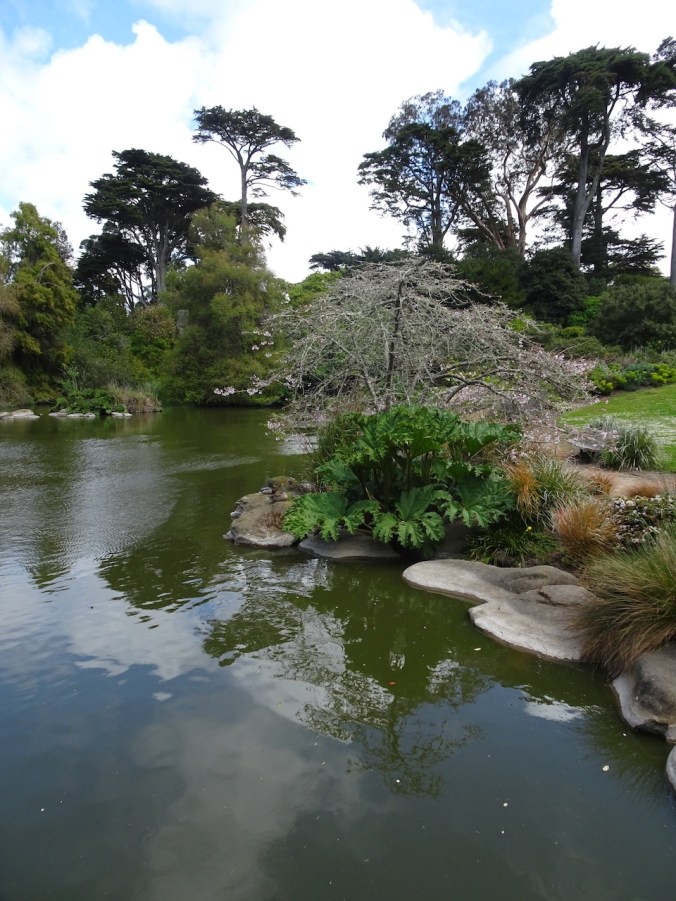
No swans,
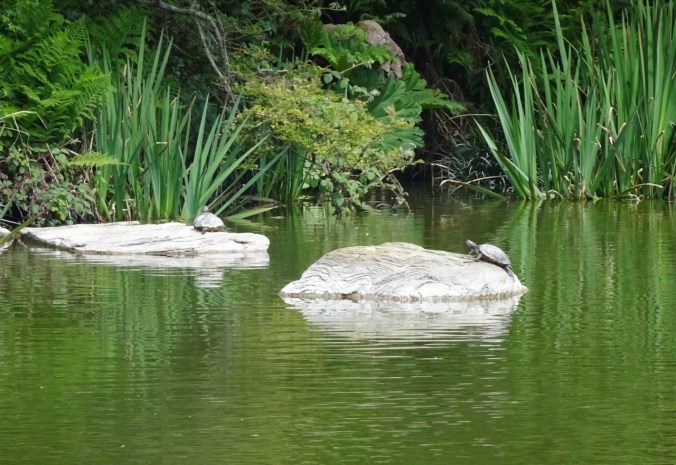
But several turtles.
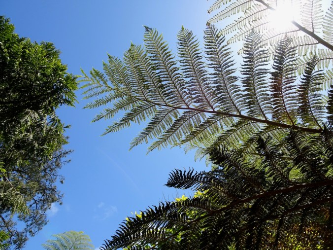
The Ancient Plant Garden:

Tree ferns casting shadows…


Equisetum/Horsetail
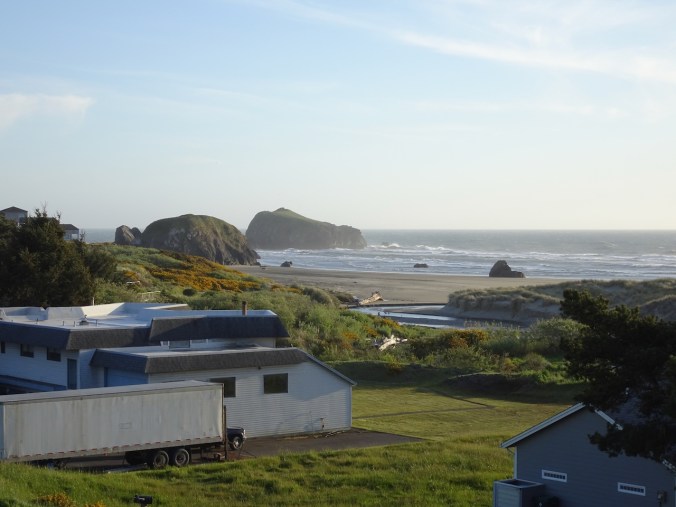
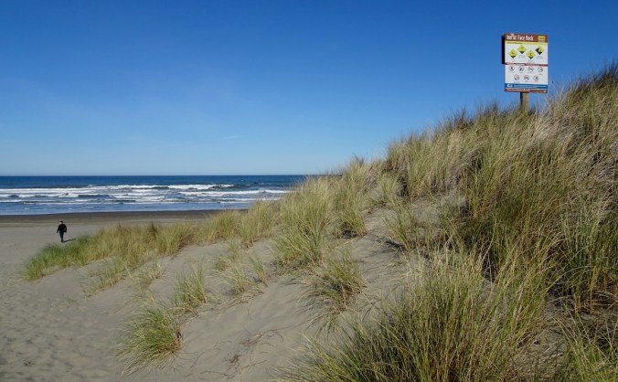
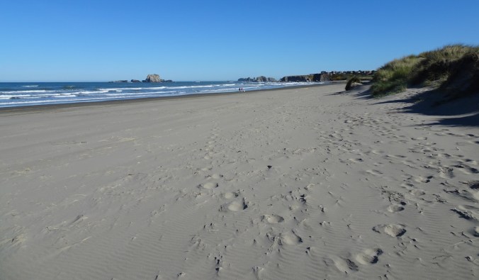
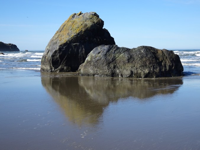
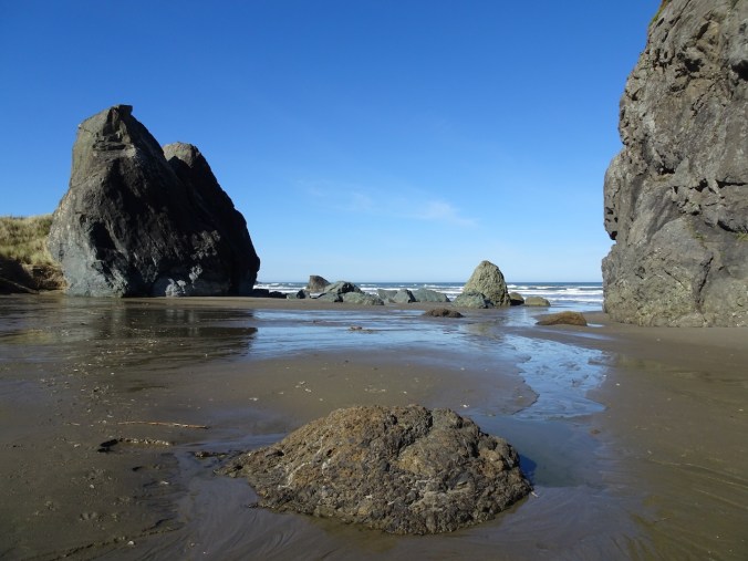
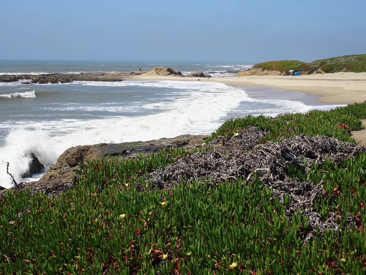
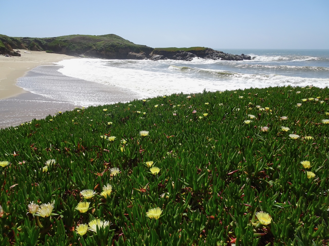
Next, we drove west to Ocean Beach…

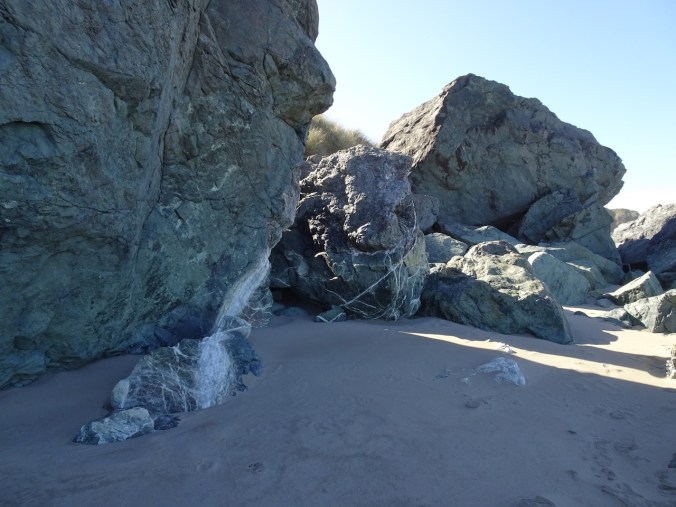
Ocean Beach

Looking back toward Golden Gate Park
We stopped at the Windmill…

Dutch Windmill in Queen Wilhelmina Garden
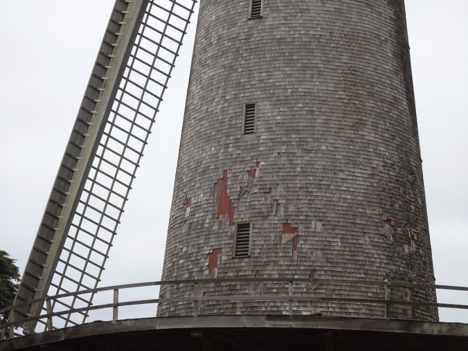
Shingles siding
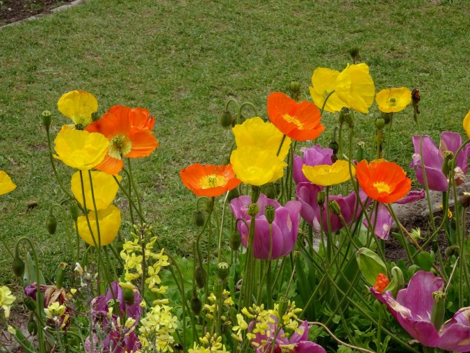
Icelandic poppies
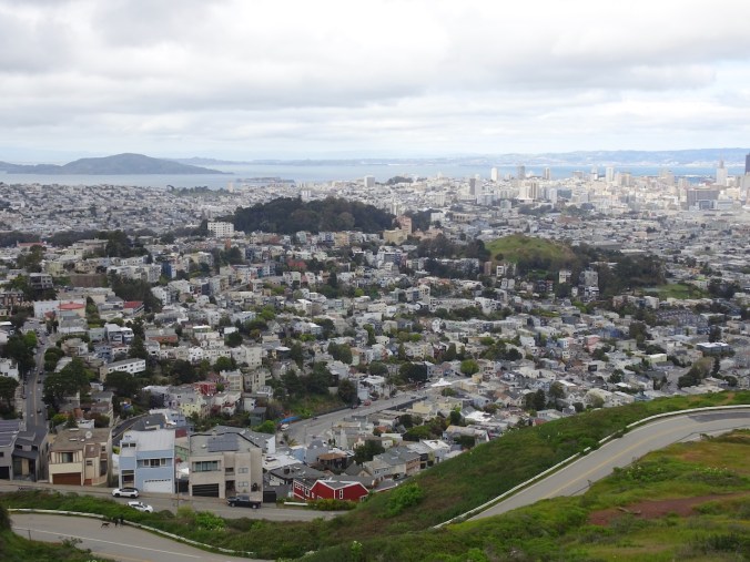
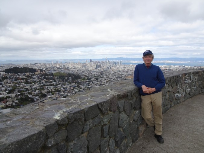
Next, we drove to the top of Twin Peaks to get the wide angle view…
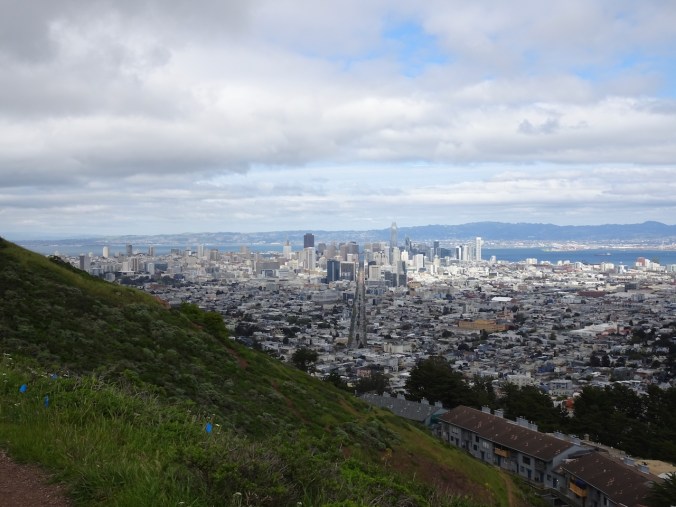
Northward view of San Francisco

Southward view
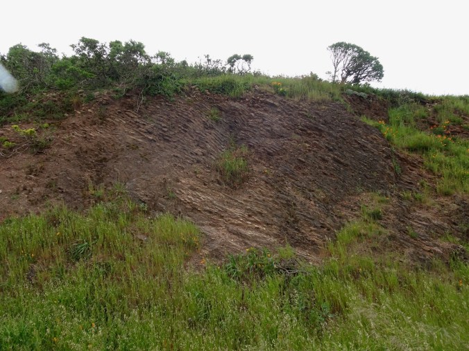
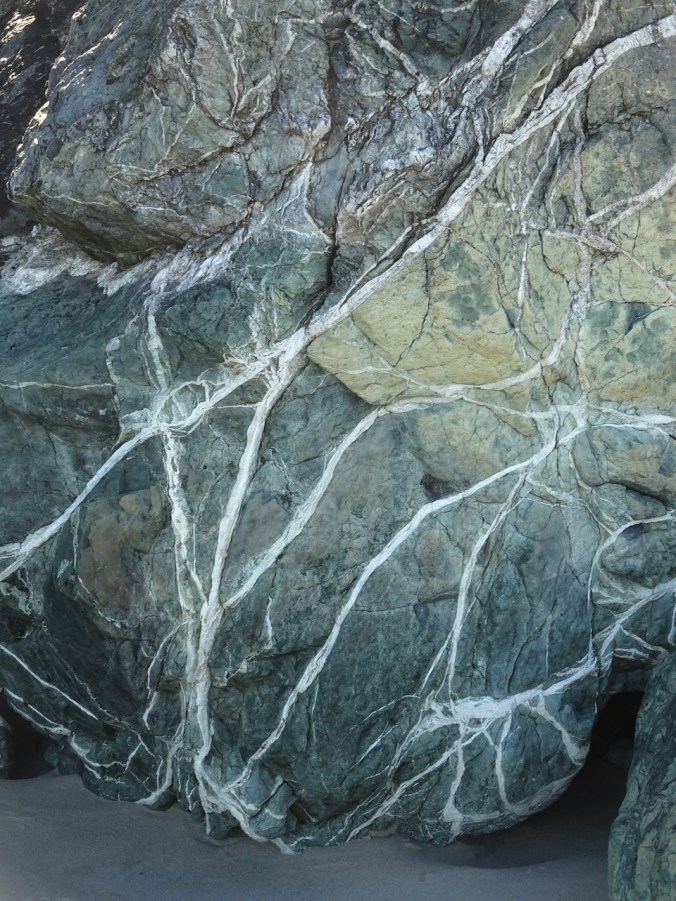
Franciscan chert exposed near the top, with poppies
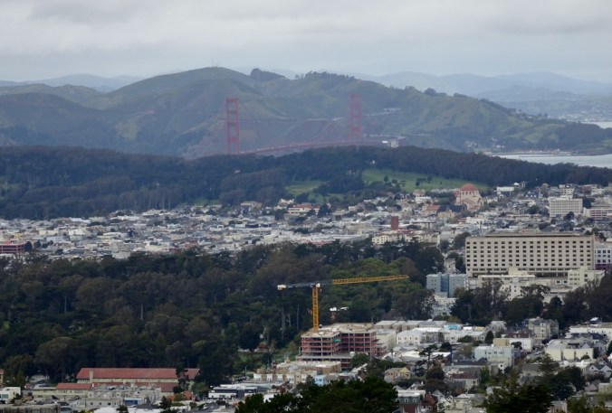
Zoom in on the Golden Gate
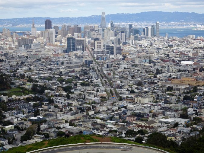
Looking down Market Street
North Beach and Alcatraz
A beautiful day!
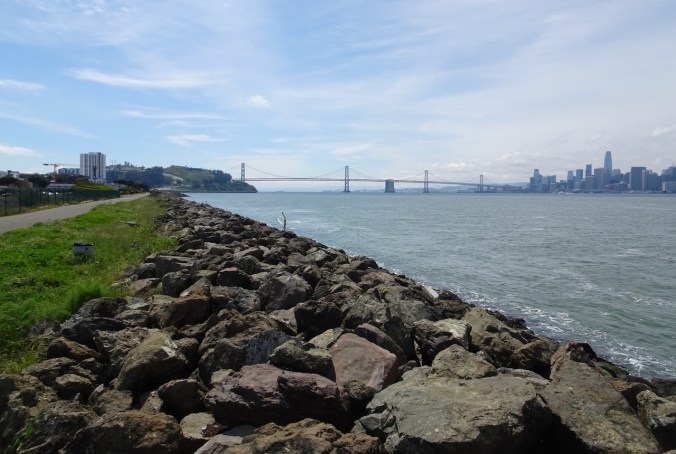
Sunday, April 14 – Saturday was mostly given over to social meetups. Sunday morning we checked out of our hotel, but only had to go as far as Oakland, where we were meeting my sister later in the day. We took advantage of our leisurely pace to stop at Treasure Island, the bit of land in the middle of the Bay Bridge, where we had never stopped because we were always too busy going somewhere else. There is a paved path around the island with fabulous views of the bay, the cities, the bridges. We walked about a mile here.
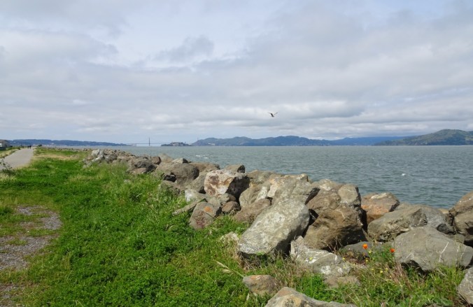
View toward the Golden Gate from the Treasure Island bike path.
We walked counter-clockwise, and more of San Francisco came into view.
The city
The Bay Bridge

Zoom in on Alcatraz and the hills of Marin County
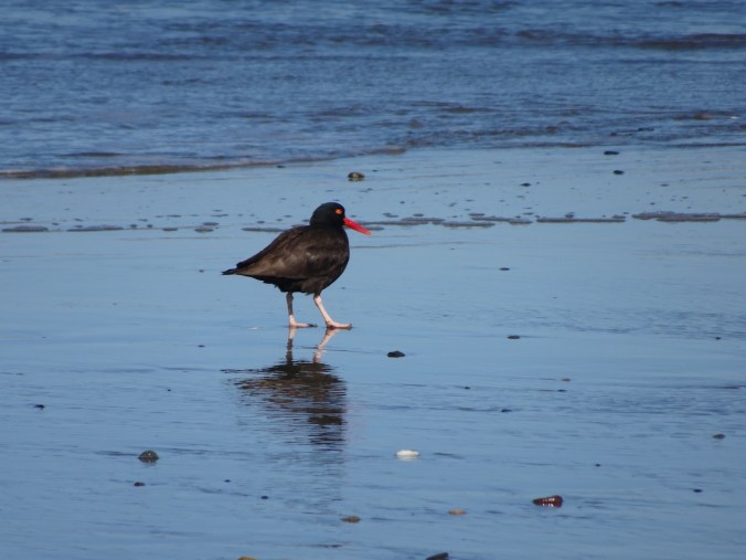
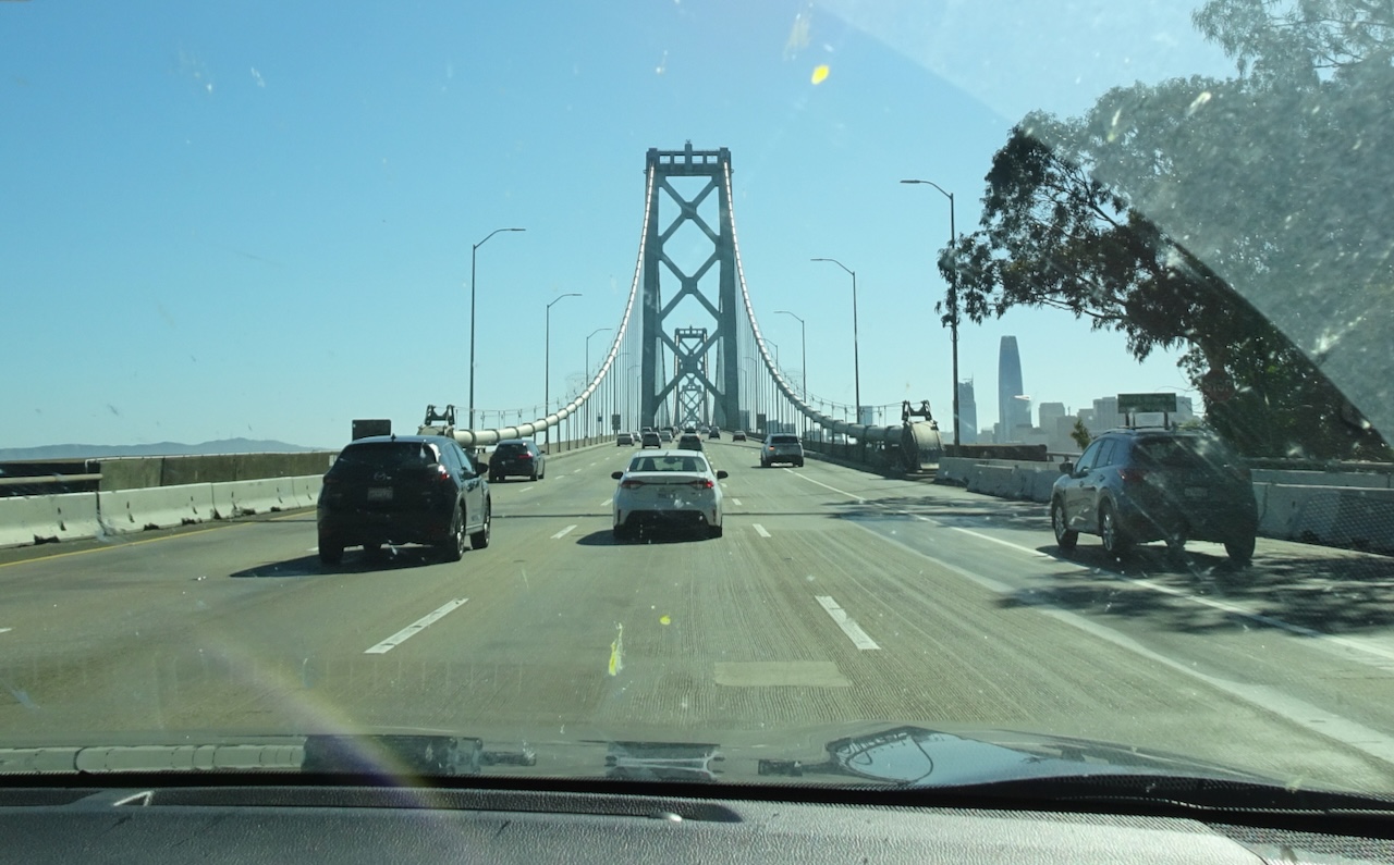
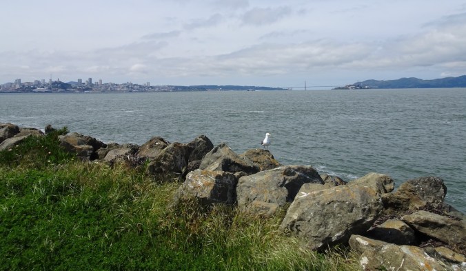
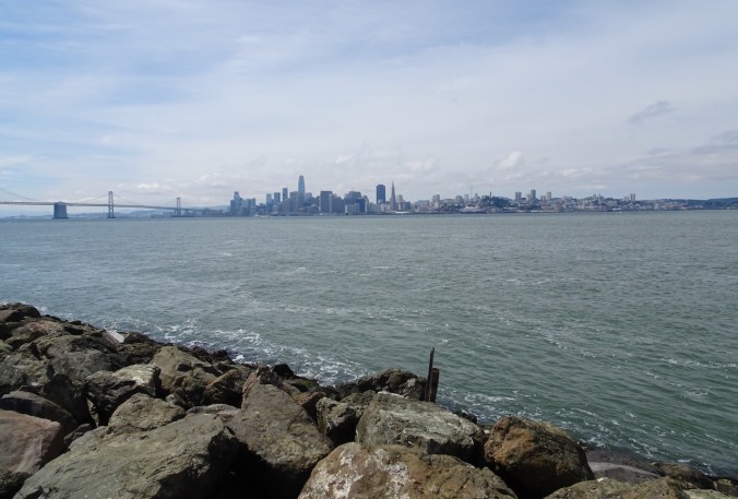
We continued across the Bay Bridge, then circled around just to the south of the bridge for our next stop, another previously unexplored park called Middle Harbor Shoreline Park, in Oakland. Once again, we had fabulous views, through the industrial infrastructure. And there were birds along the shore right next to the shipping cranes.

Eastbound on the Bay Bridge

View of San Francisco from Middle Harbor Shoreline Park
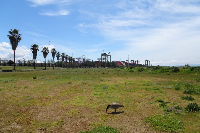
Goose, shipping cranes
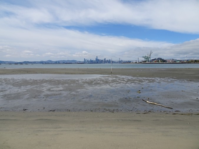
Mudflats, San Francisco

Sandpipers

Goose family
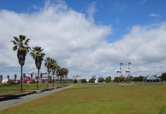
Shipping cranes that look like Imperial Walkers.
Our next stop was the Claremont Hotel, a 100+ year old historic property in the Berkeley Hills. My brother-in-law generously shared his abundance of work-acquired points, and reserved us a room on the 8th floor. Continuing our theme for the day, fabulous views of the entire Bay Area were spread out before us. We spent the next two evenings watching the sunset from this unique perch.

The Claremont Hotel
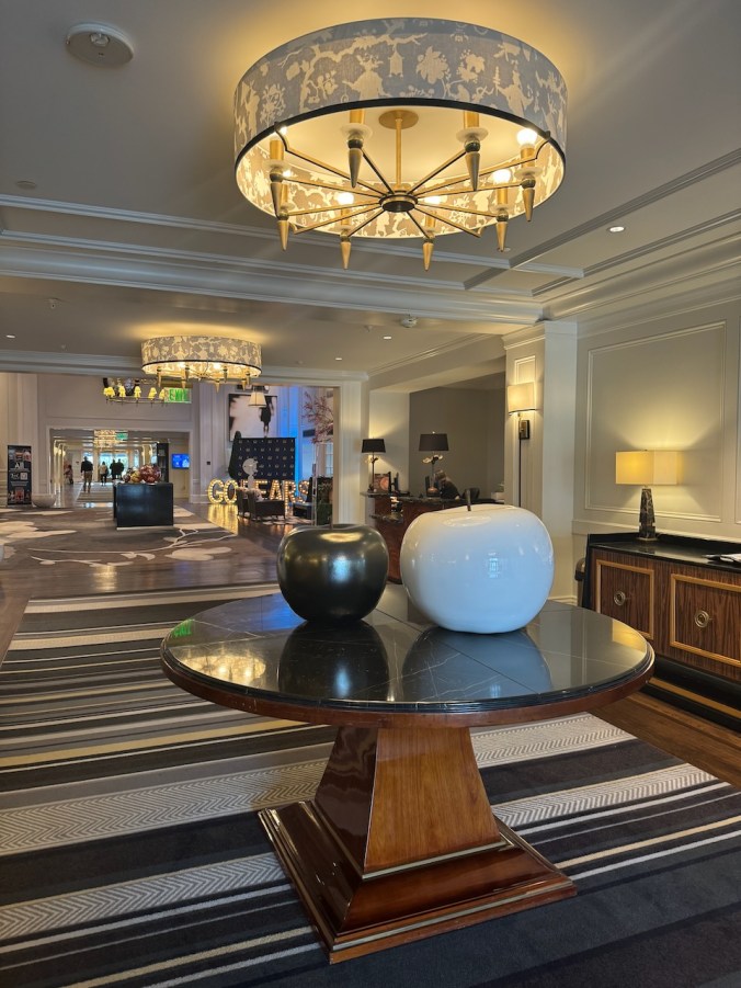
Lobby area
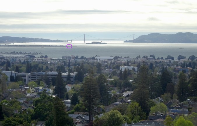
View from our room toward the Golden Gate. The purple circle is the location of the path on Treasure Island where we were walking earlier in the day.
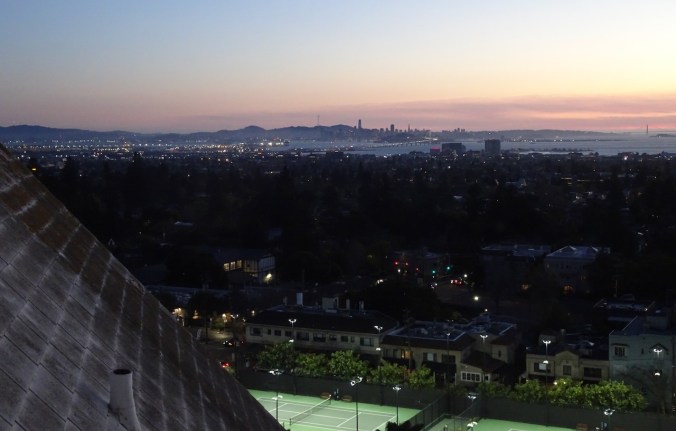
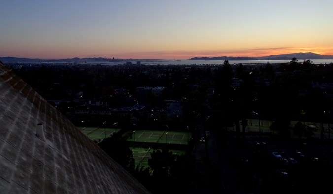
Sunset, San Francisco

Sunset, Mt Tamalpais
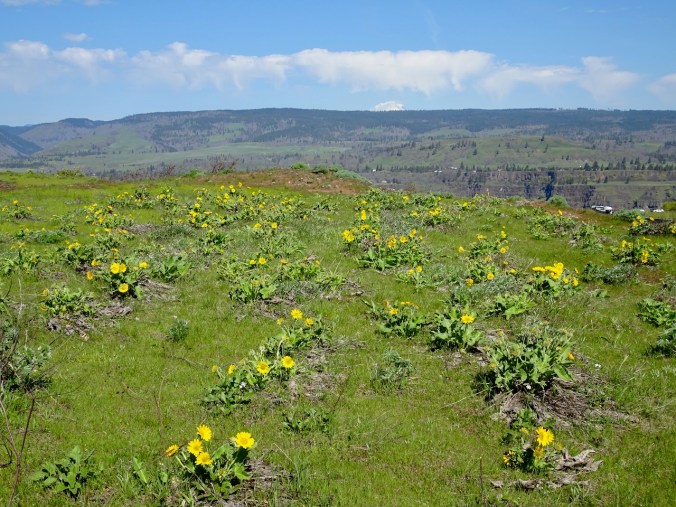
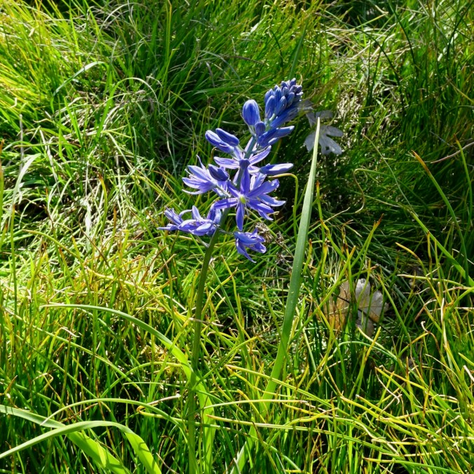
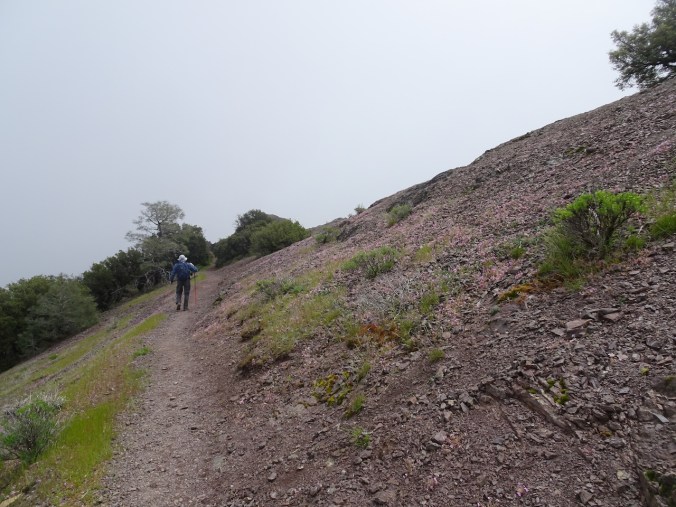
Monday, April 15 – We drove to the top of Mt Diablo to see the poppies in bloom. It was a bit foggy on the way up. We took a short hike at the top, and got to see the Franciscan cherts again, and some familiar bitterroot foliage, not in bloom yet, darn it!
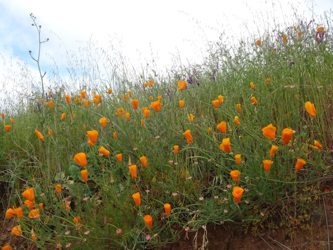
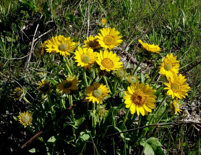
Poppies! Not fully open because of the fog.

More poppies

and mustard
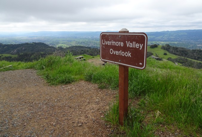
Looking east
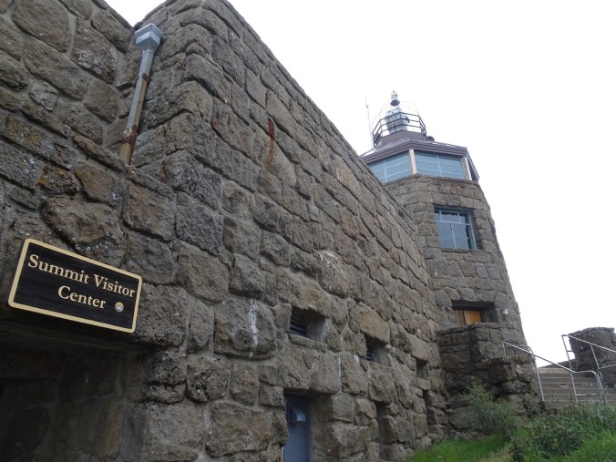
The top
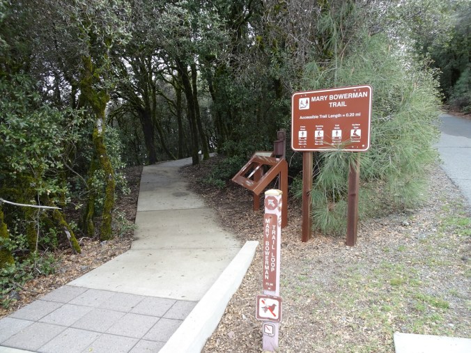
A one mile loop around the top
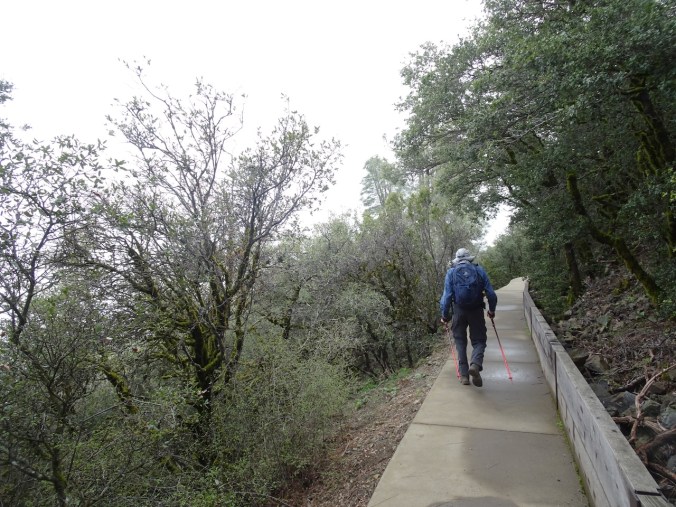
Along the trail – we are back in a chaparral plant zone – chamise, sage, yerba santa, oak.
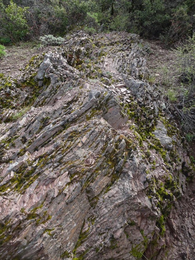
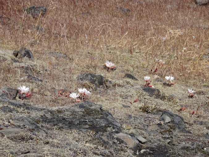
Franciscan chert again!
Chert, covered with springbeauty flowers
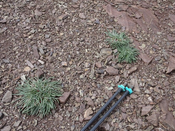
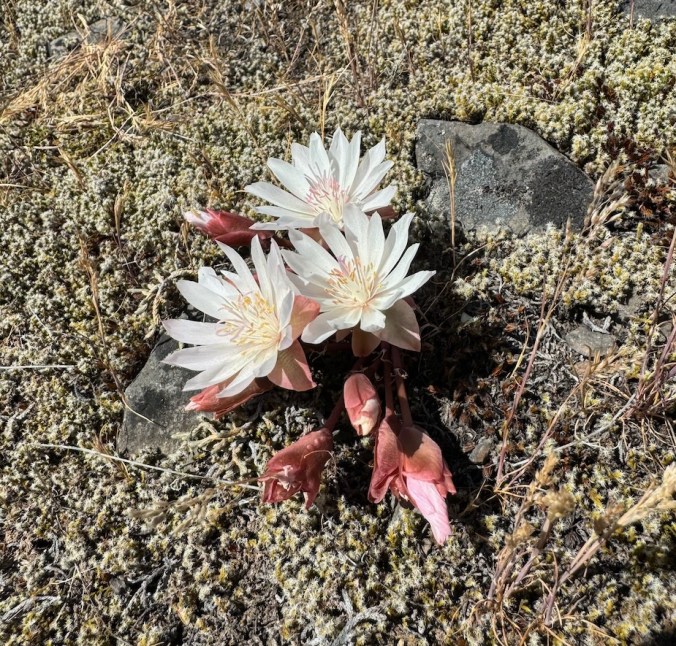
And my favorite bitterroot/Lewisia foliage! I did not expect to find it here!

Looking back at the top through the fog
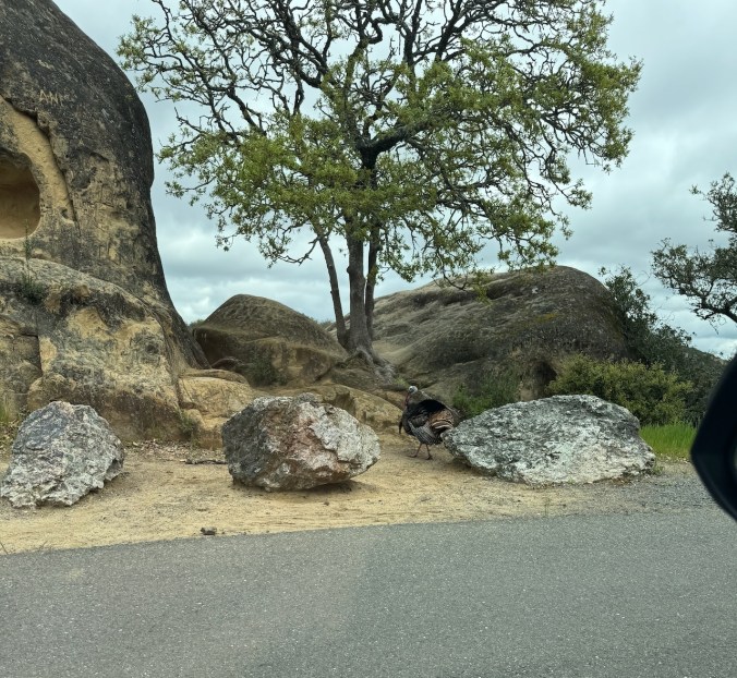
We saw this large wild turkey on the way down…


And more poppies!
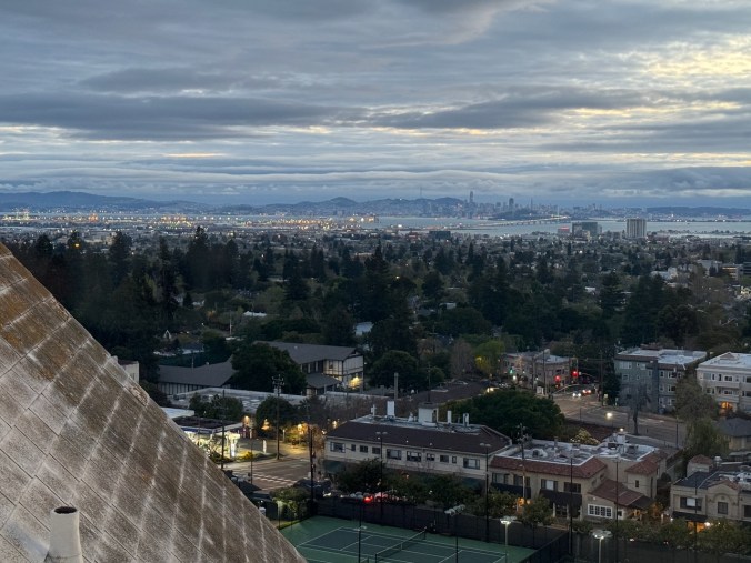
Later, we walked around in Oakland, and then after dinner, we watched another incredible sunset over the bay.
San Francisco and the Bay Bridge
The Golden Gate

Mt Tamalpais
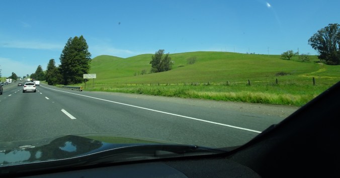
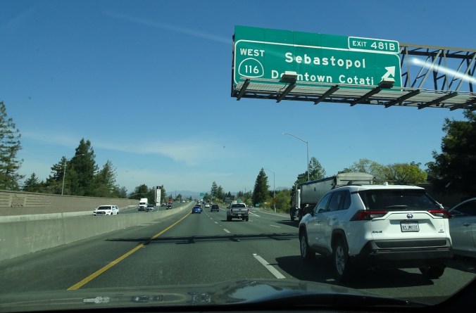
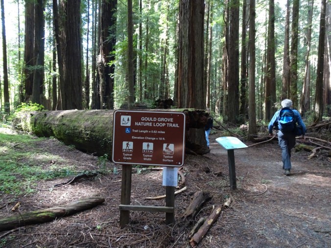
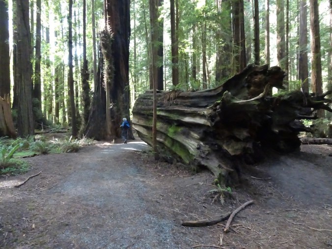
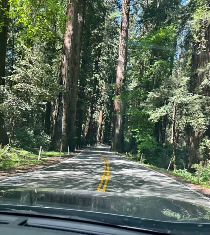
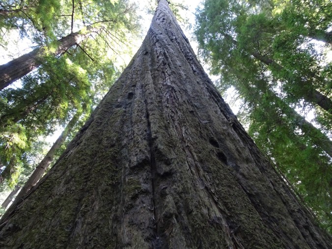
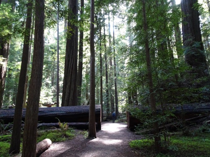
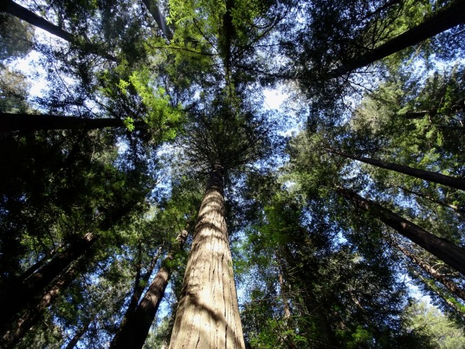
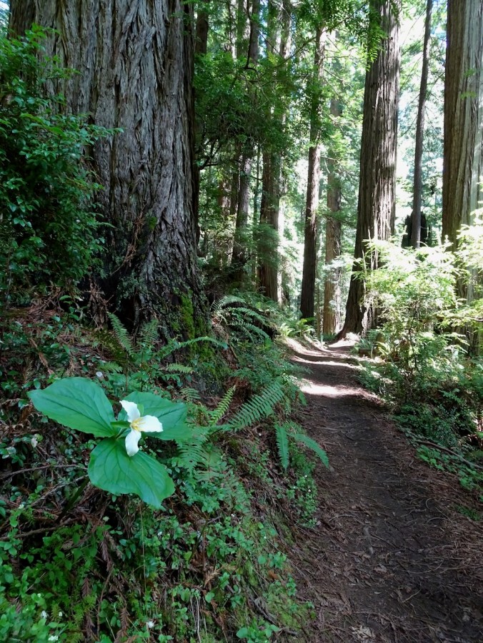
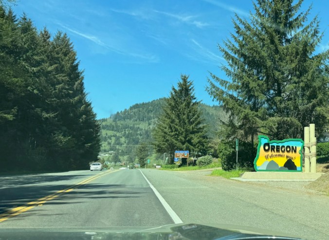
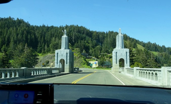
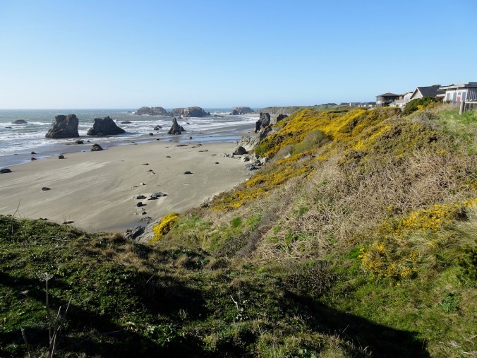
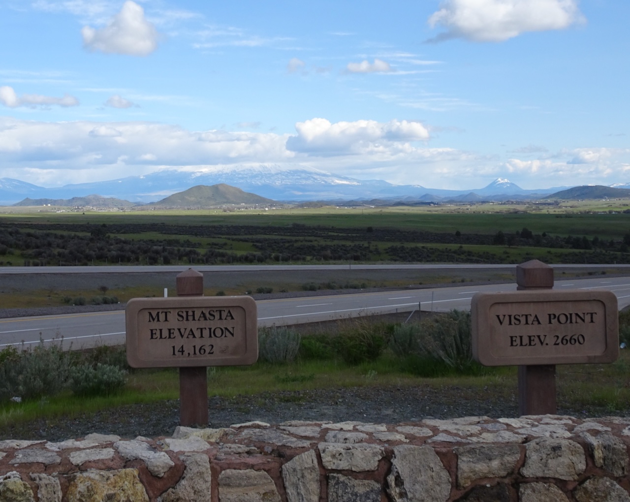
Tomorrow we would return to the north, this time along Hwy 101 – to redwoods and beaches.