We like to look at where we’ve been, we like to look at where we’re going…
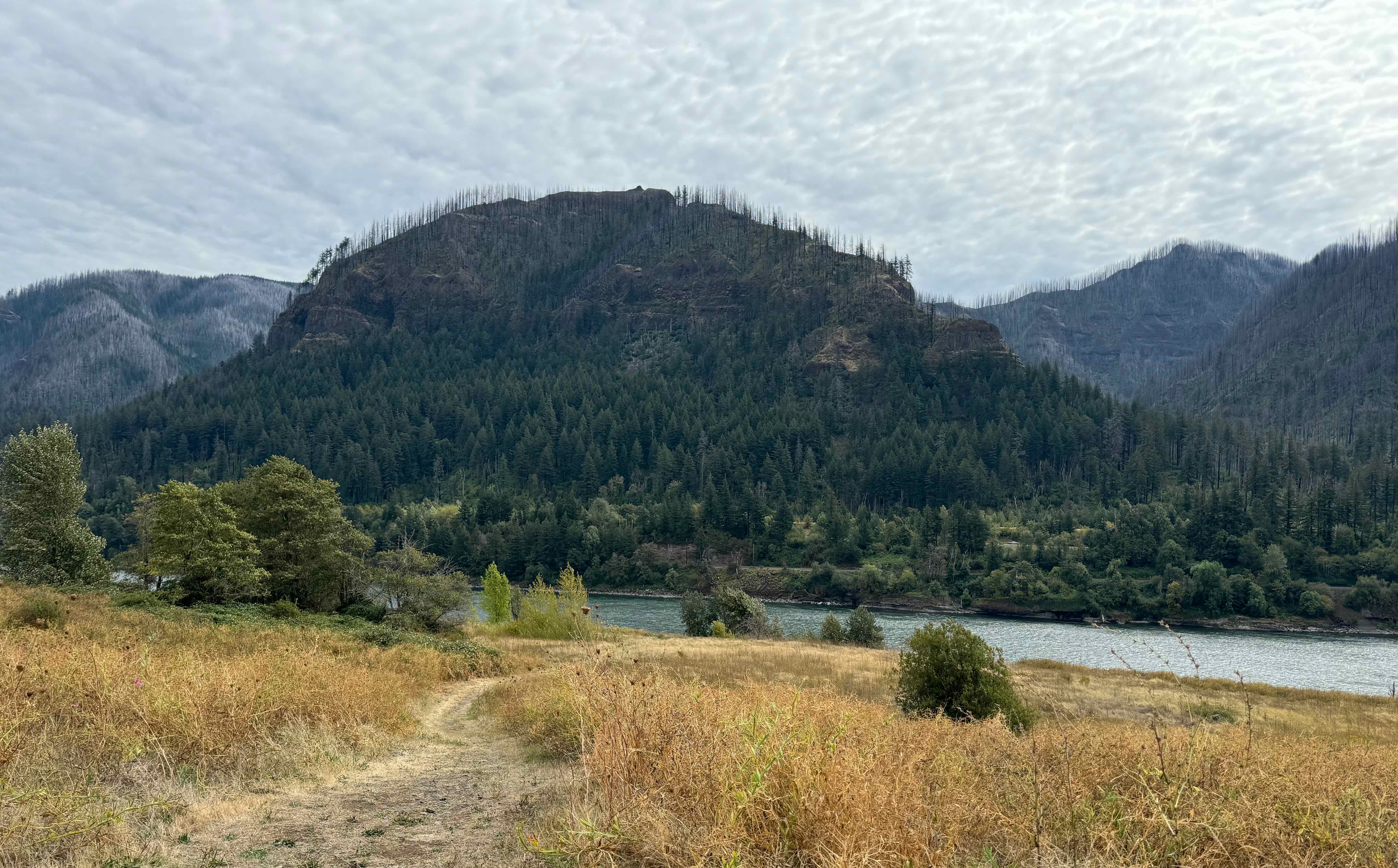
And we could do that from both trails this month – we looked up at Hamilton Mountain, first from the Columbia River level, then from half way up the mountain.
September 16th – Strawberry (or Hamilton) Island, North Bonneville, WA
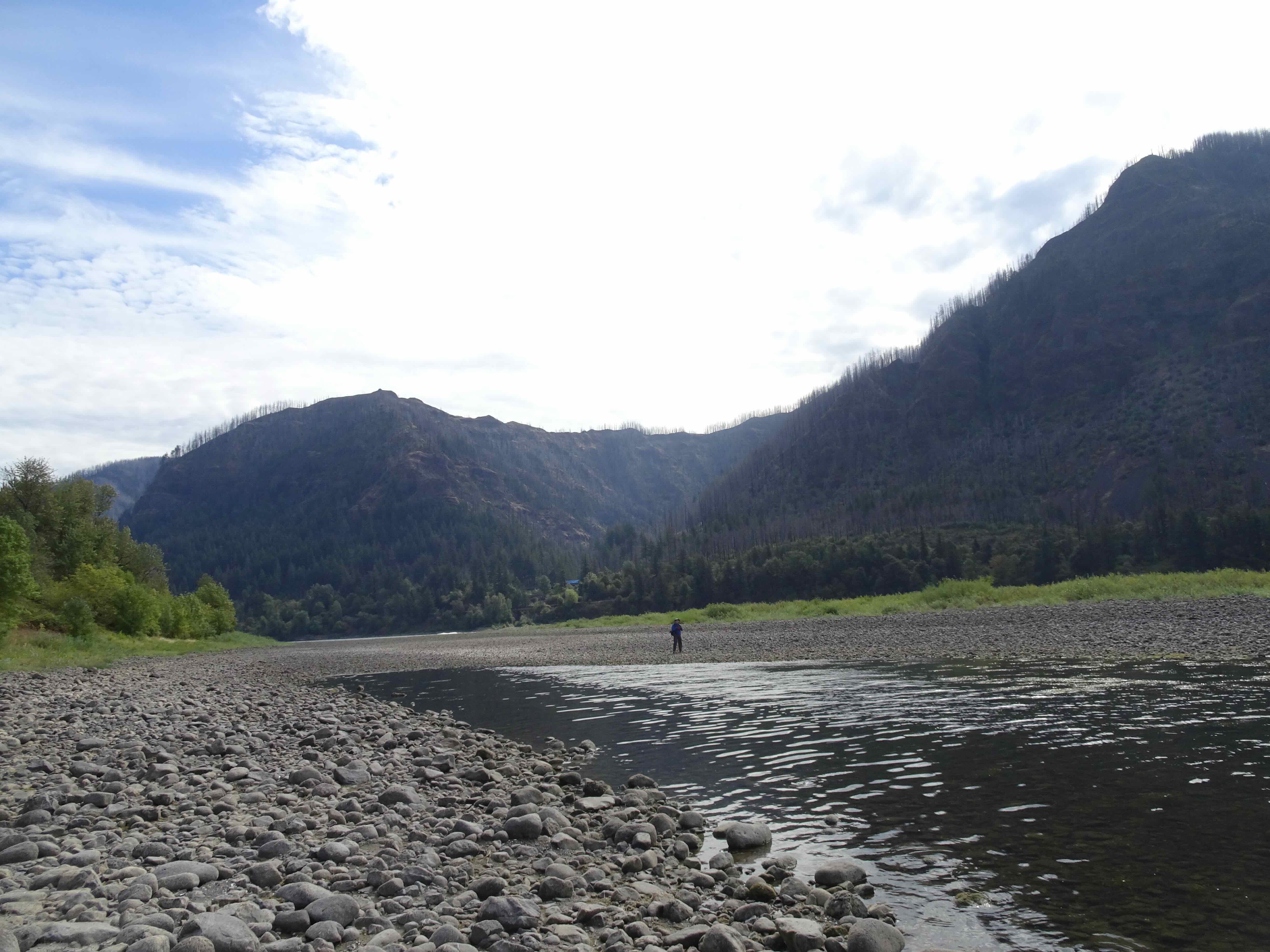
We have been out here before once, on a foggy day when a herd of elk emerged from the mist. Today, it is a good place for a flat walk with no danger of falling (hand healing protocol). We saw some birds, crossed a dry channel to an island in the Columbia River, and had a good view of the mountains on both sides of the river (2.5 miles, 100 feet).

Totem at the Trailhead
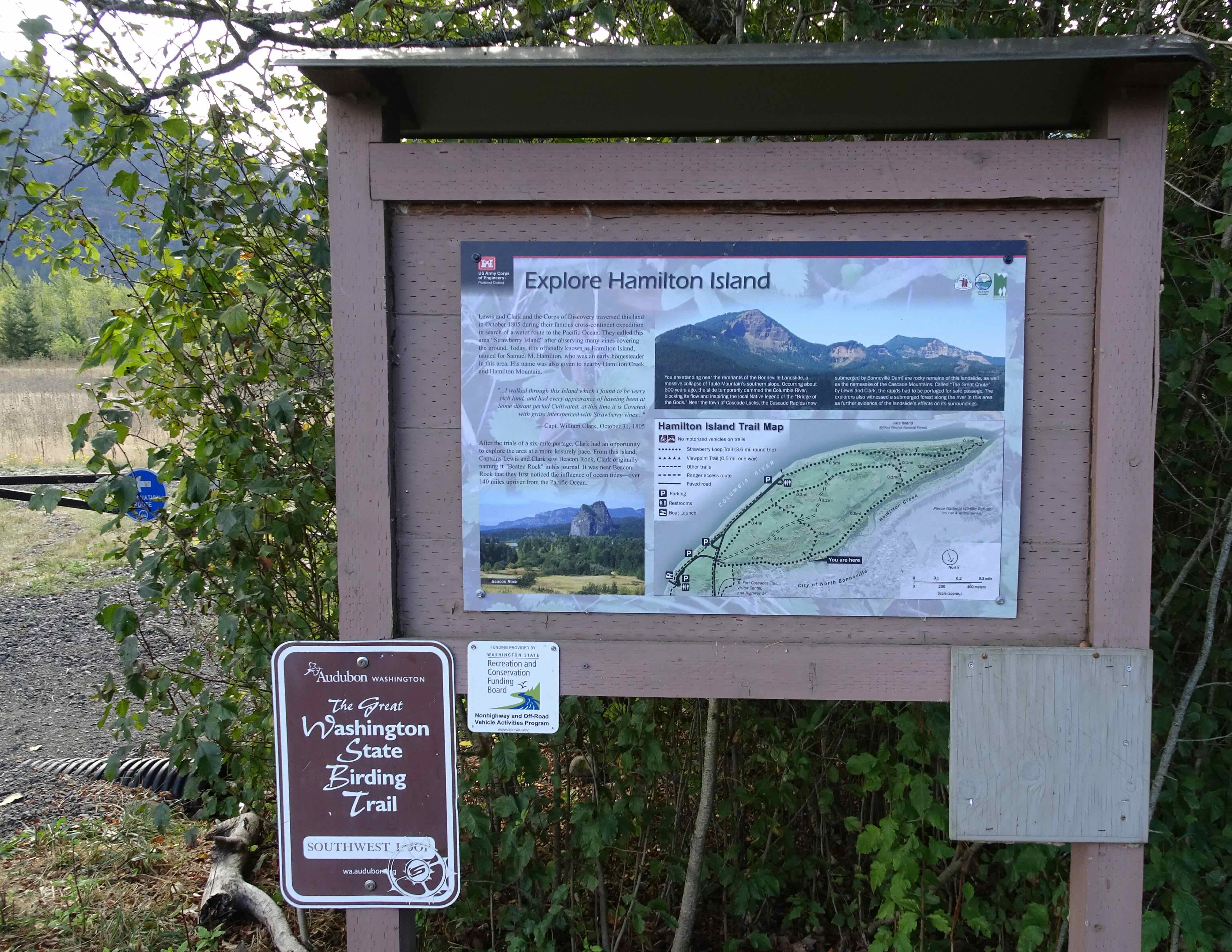
Trailhead map
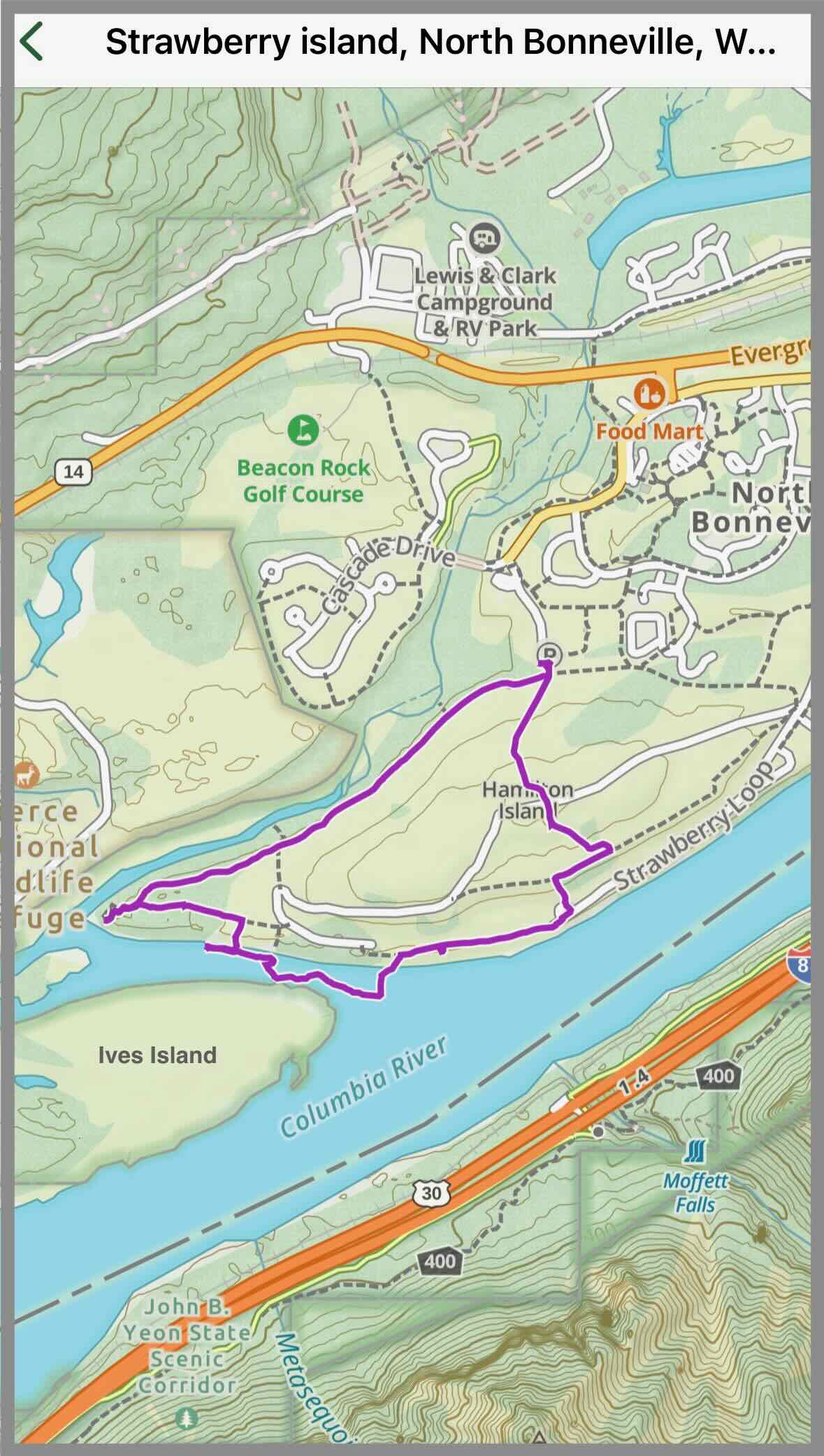
Our Gaia track for the day

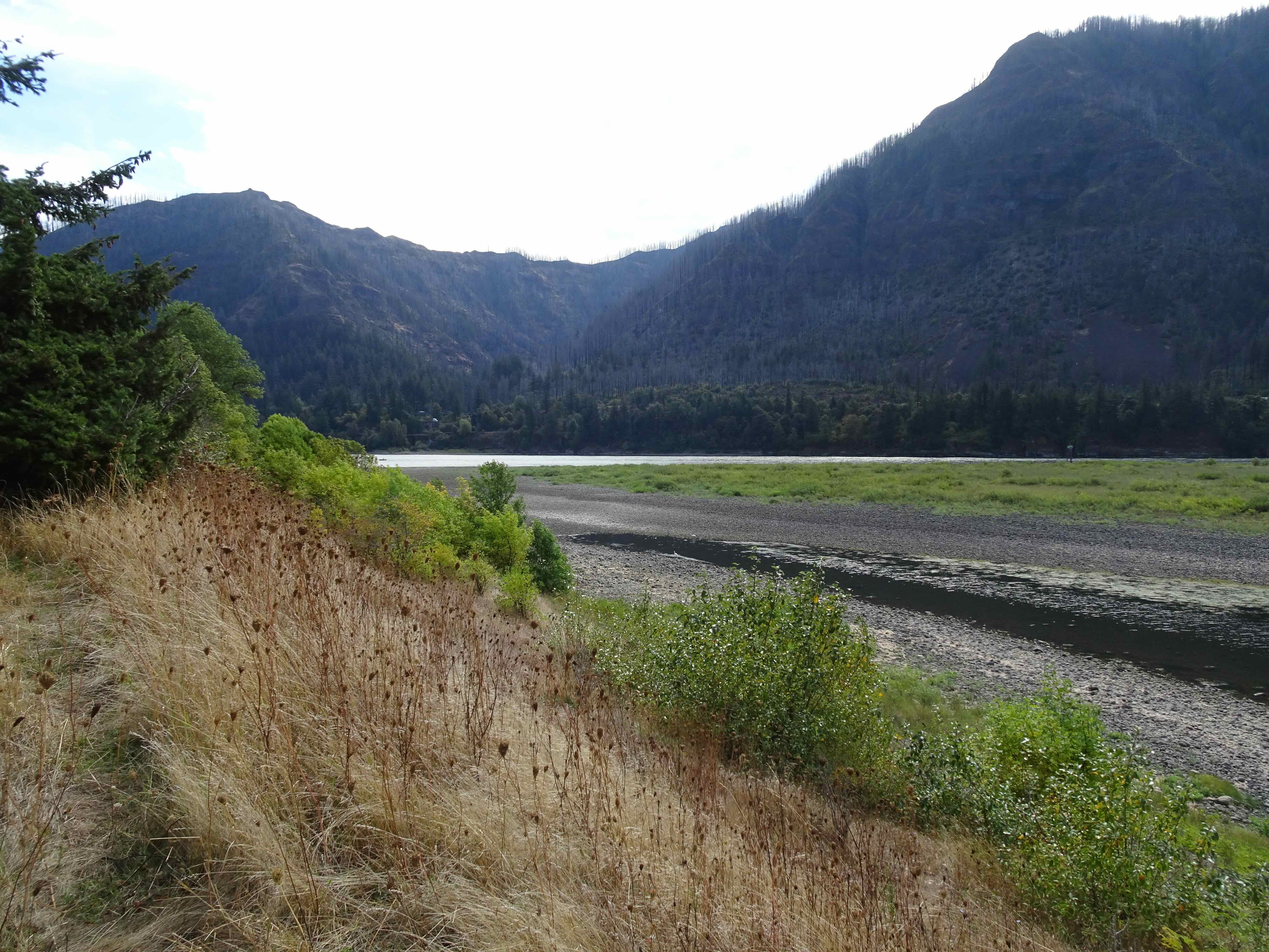
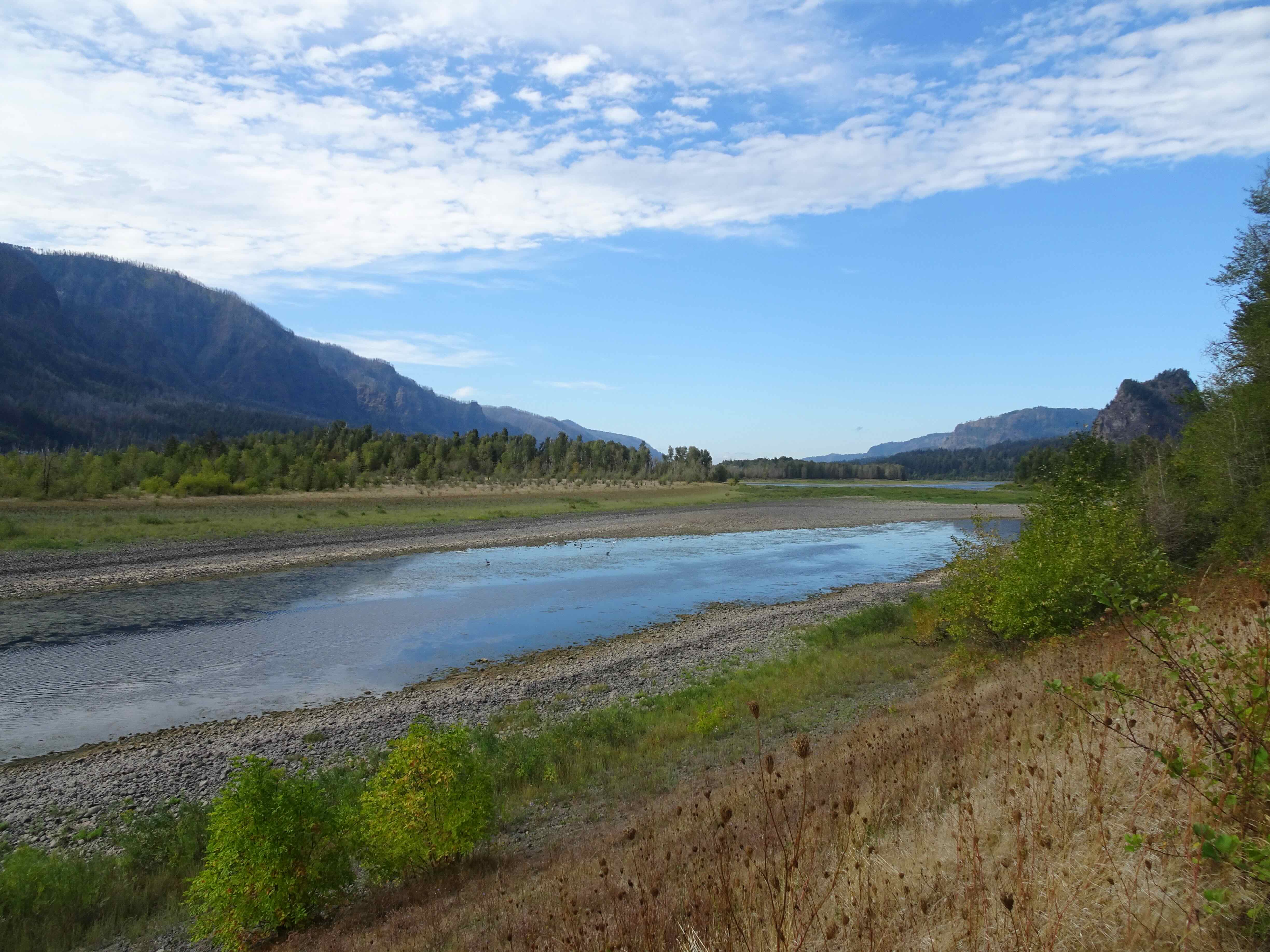
View of Hamilton Mountain from the west end of Strawberry Island
A selection of fall foliage, flowers and berries:


We circled around the to the south and saw that the channel between Strawberry Island and Ives Island had mostly dried up, with a pond in the middle. As we walked down to investigate, we noticed two egrets along the shore.
South side of Strawberry Island, two egrets in the channel
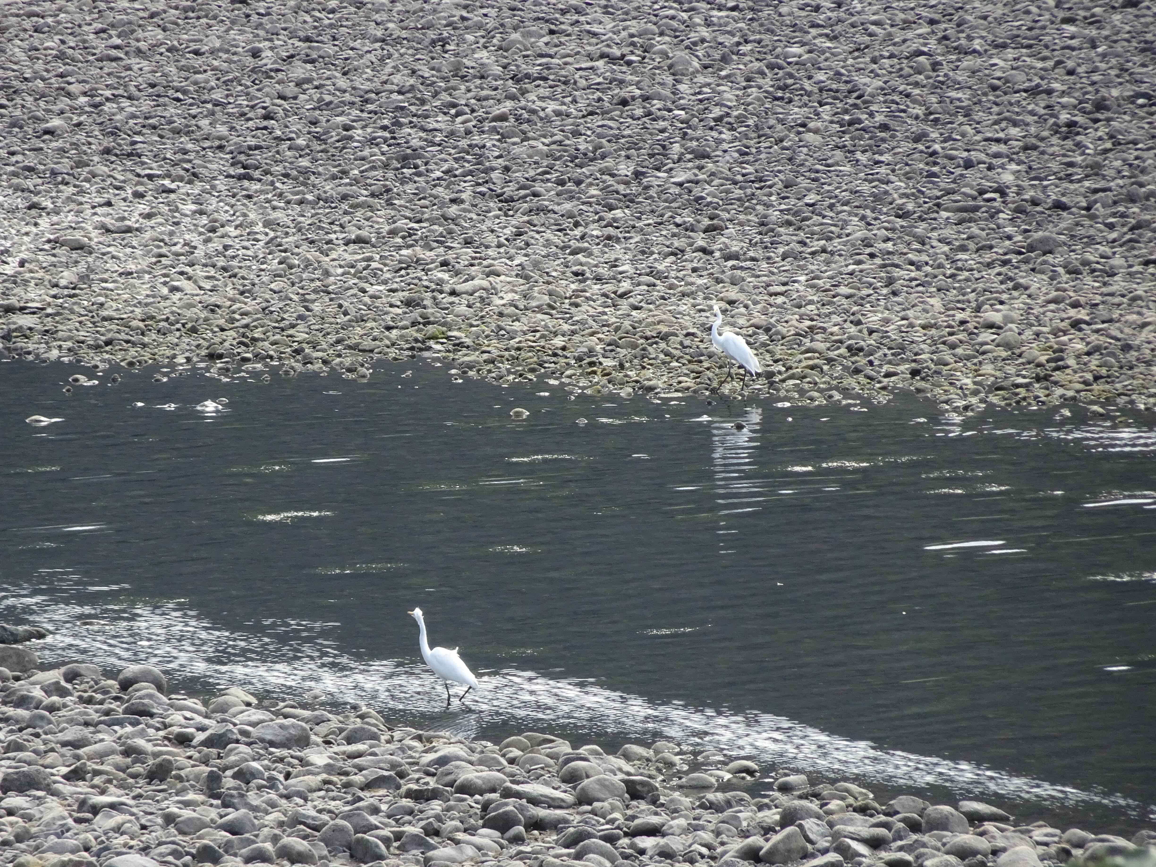
Egrets
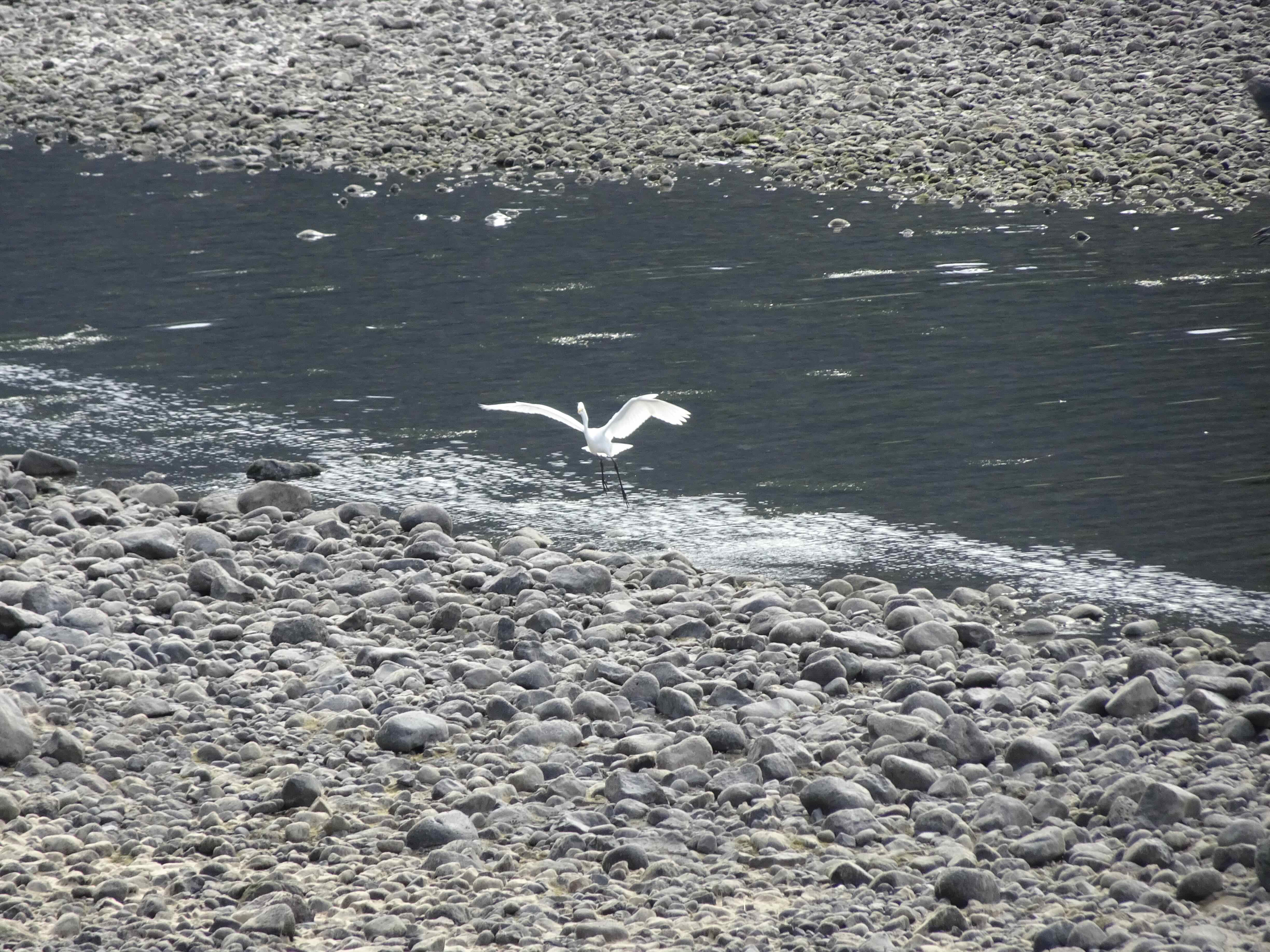
They flew up, and then to the west side of the channel slough,
and joined two Great Blue herons there.
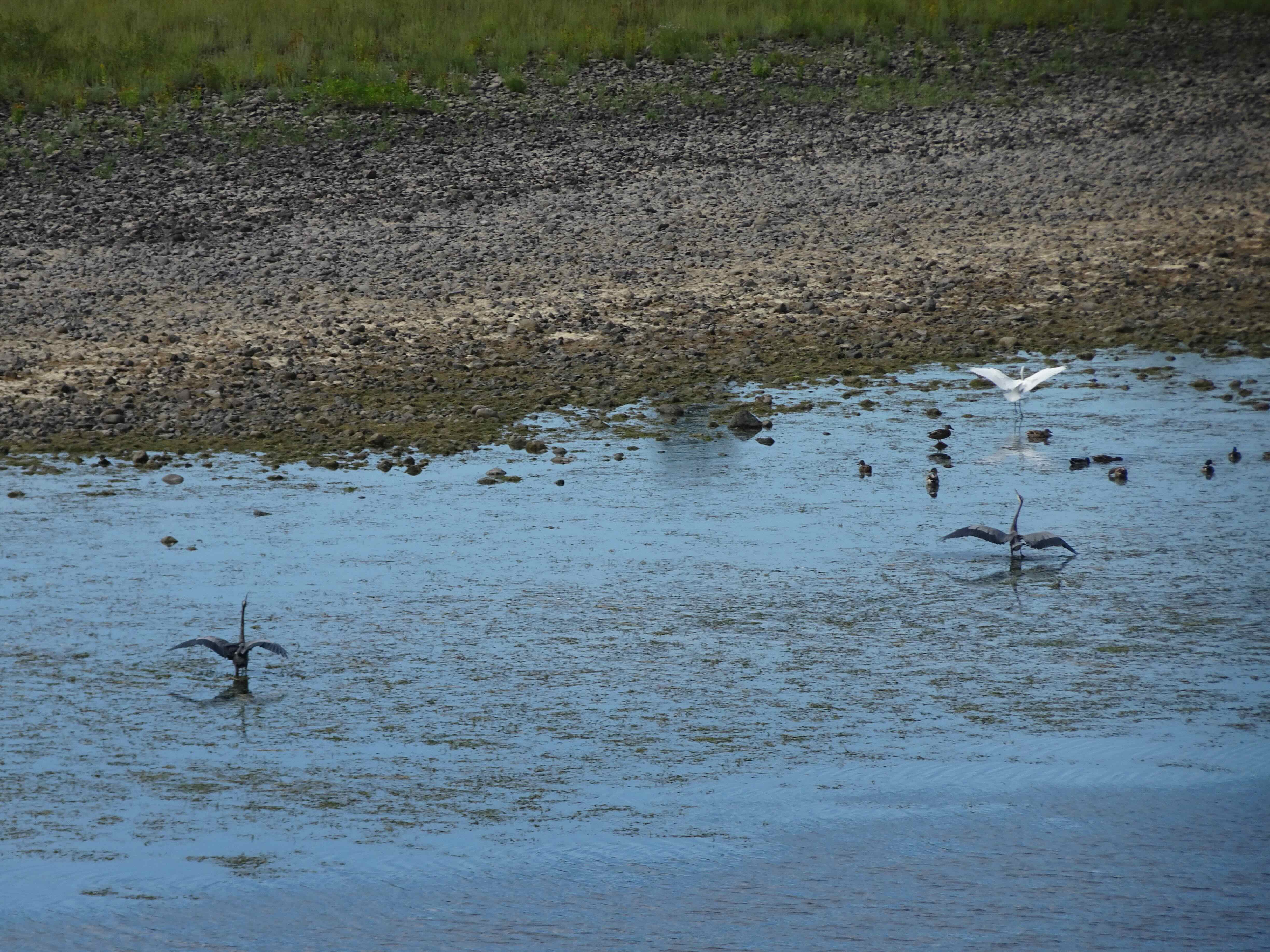
Herons and egret
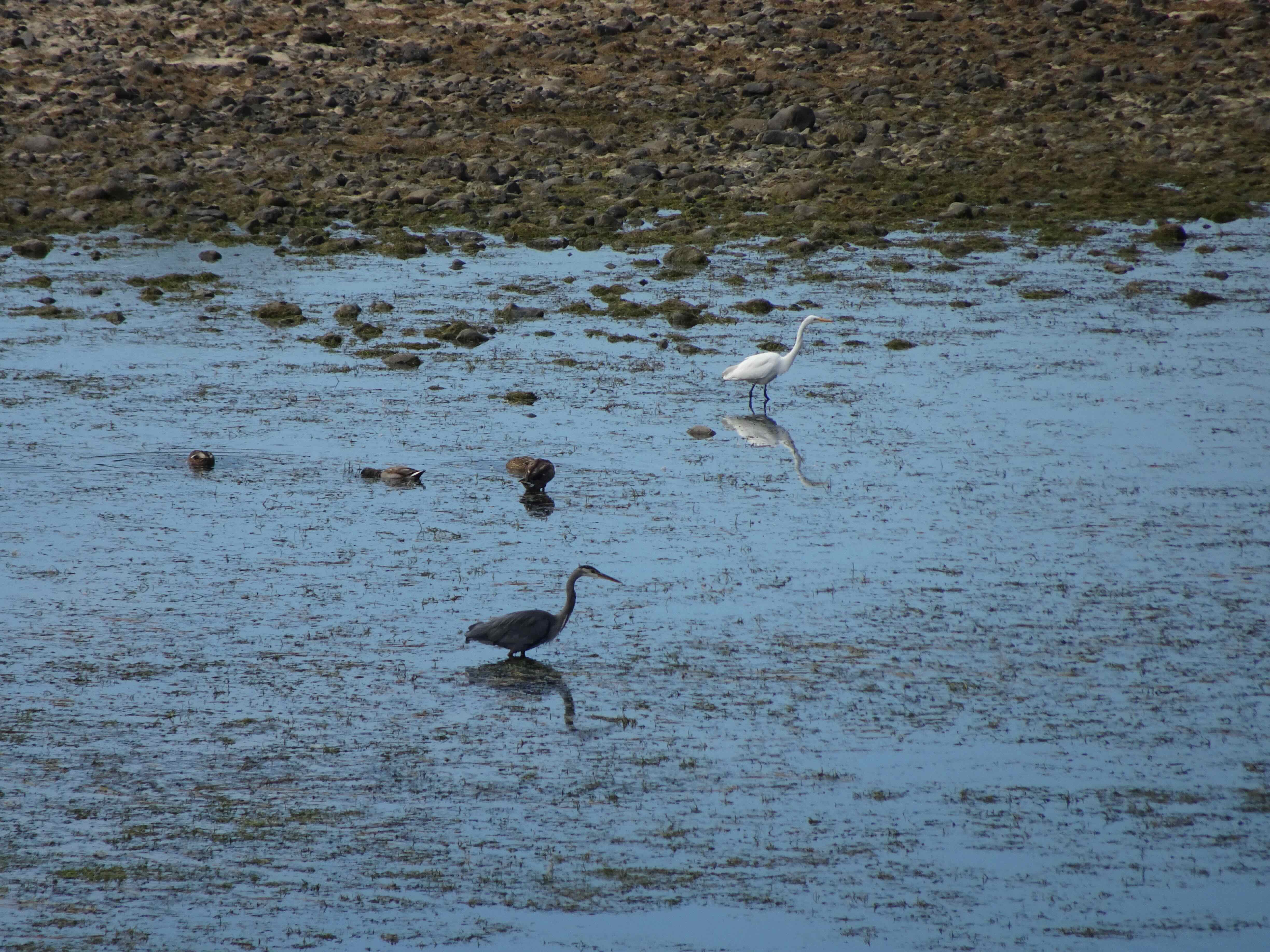
Heron and egret
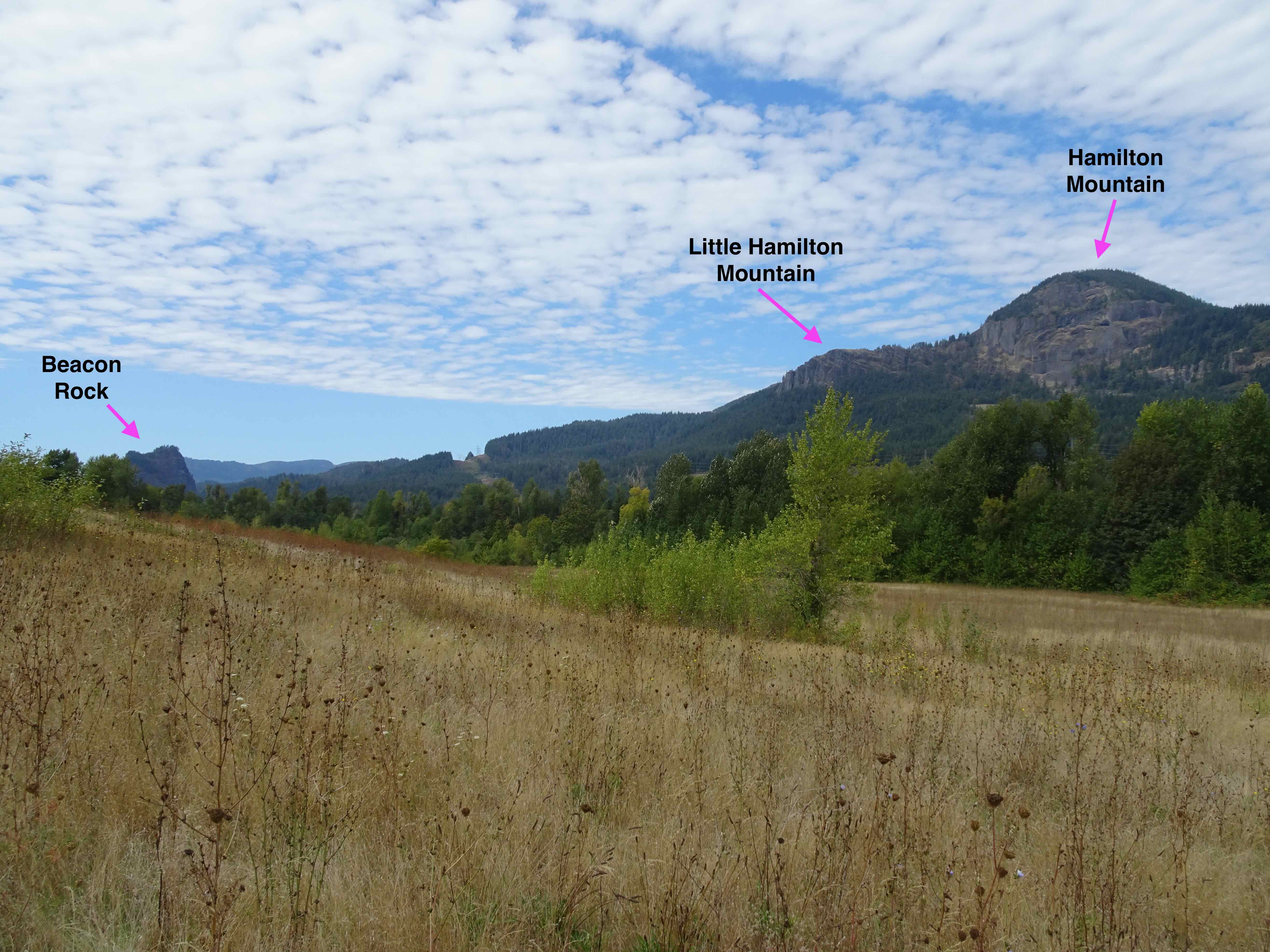
It was a beautiful view down to Beacon Rock.
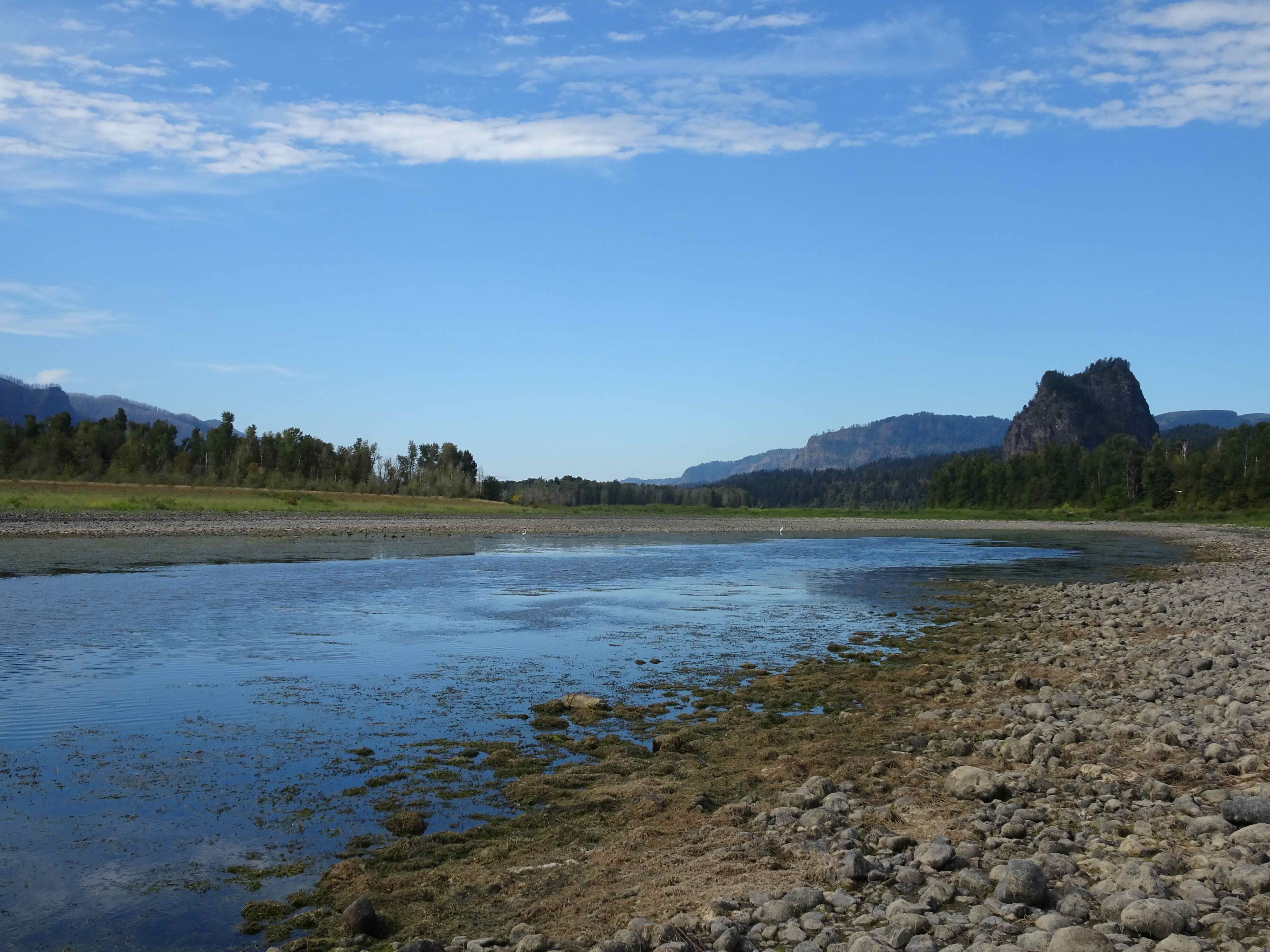
We then walked eastward, crossing the dry river channel over to Ives Island.
East end of the slough
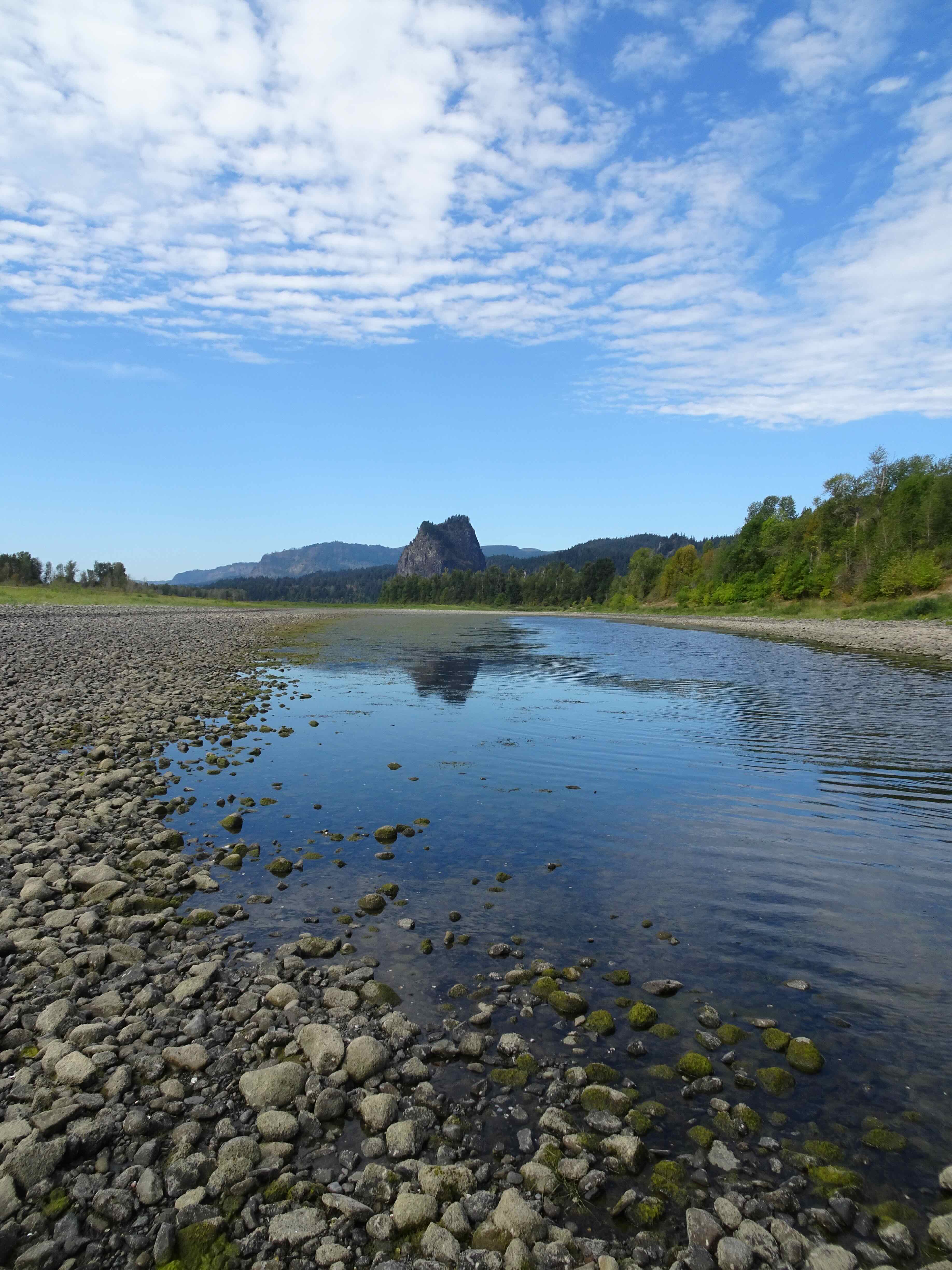
View back to Beacon Rock
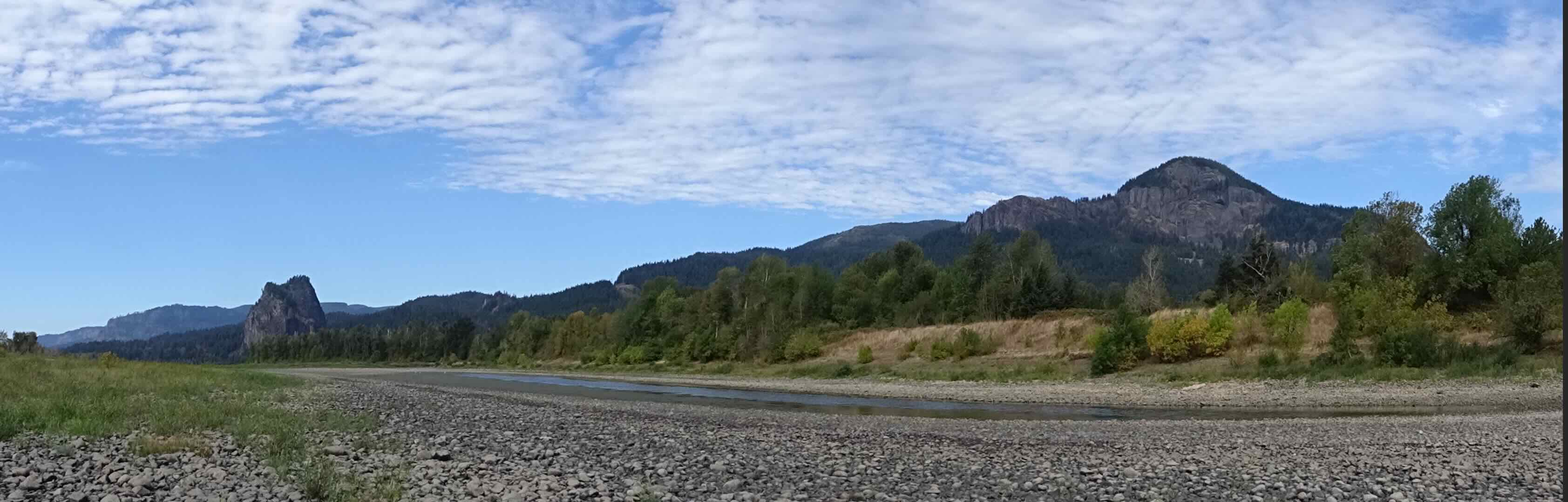
And a wide panorama view from Beacon Rock to Hamilton Mountain.

Micro-mudcracks on the rocks at the bottom of the channel.
Our return took us over the high point of Strawberry Island, where conveniently placed benches provide a nice place to admire the views in all directions.
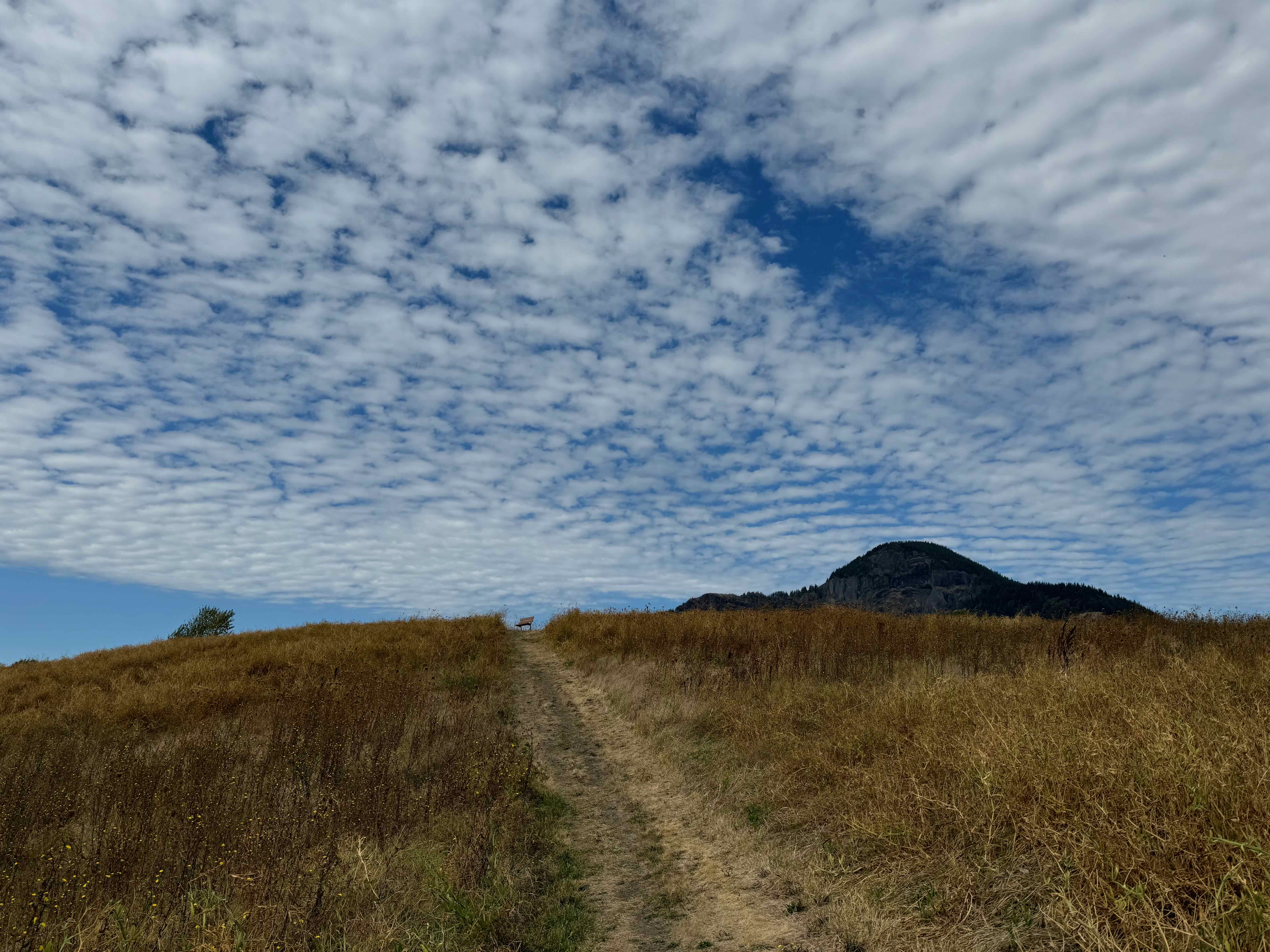
Up to the high point
South – Columbia River and Oregon

East – Bonneville Dam
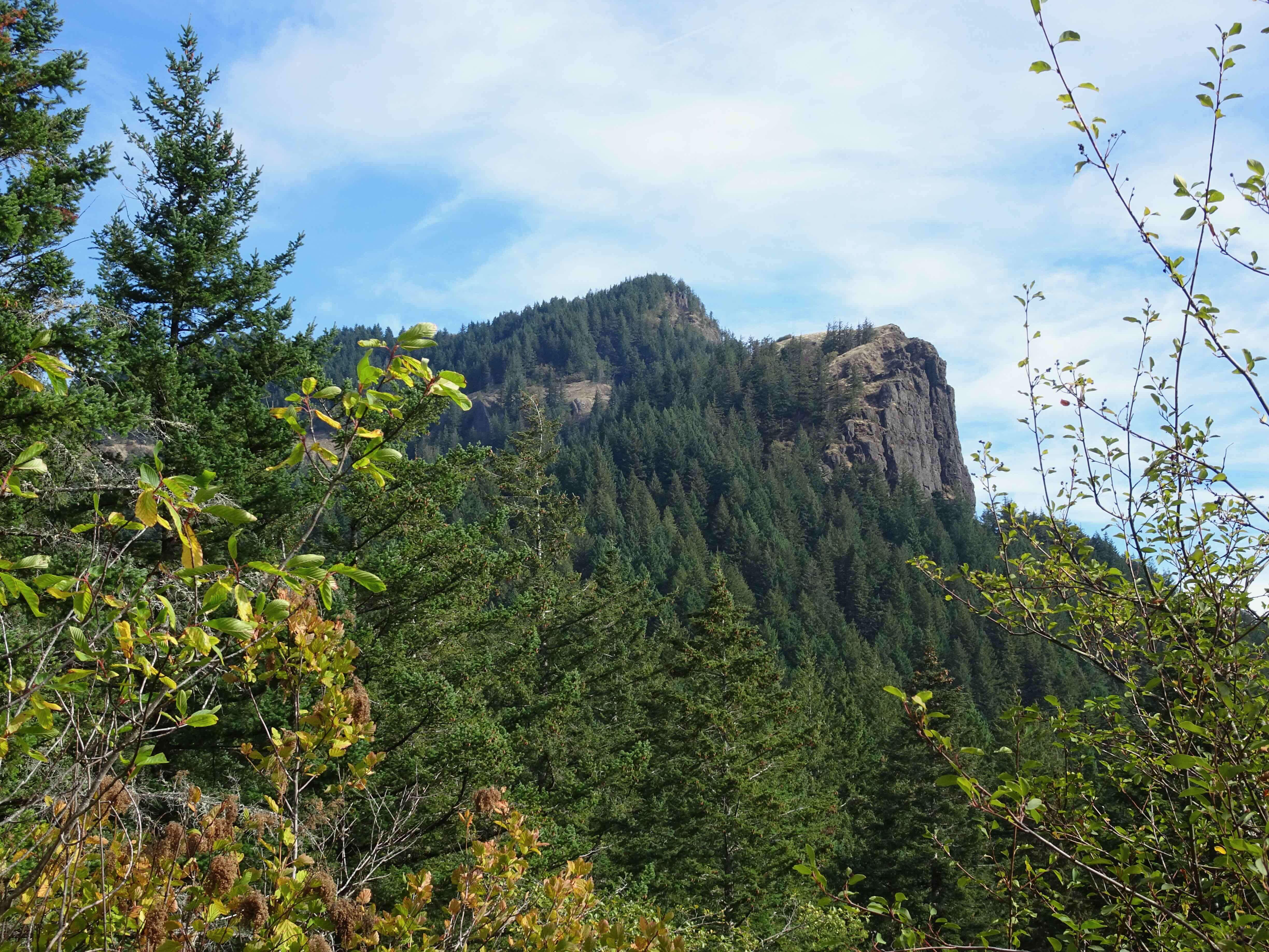
North – noting the shoulder of Hamilton Mountain (Little Hamilton Mountain), where our next hike would take us.
September 23rd – Little Hamilton Mountain, Beacon Rock State Park, WA
My husband’s hand is sufficiently healed, and he has the surgeon’s okay to hold a hiking pole. We need to get some elevation in our legs, so we will see how far up Hamilton Mountain we can go. I think about half way, and I am right. Without the hanging cliff gardens of spring wild flowers, I lost my “up” legs about half way. It is a steep trail and a good work out. Also, the views from Little Hamilton Mountain are better than the tree-obstructed views at the top, though we won’t see Mt Adams from here. It was a good day, a little warm, so I appreciated the tree cover on the way down (4.2 miles, 1355 feet).
View to the top of Hamilton Mountain from the power line cut on the trail.

Rodney Falls and Pool of the Winds, about a mile up the trail.

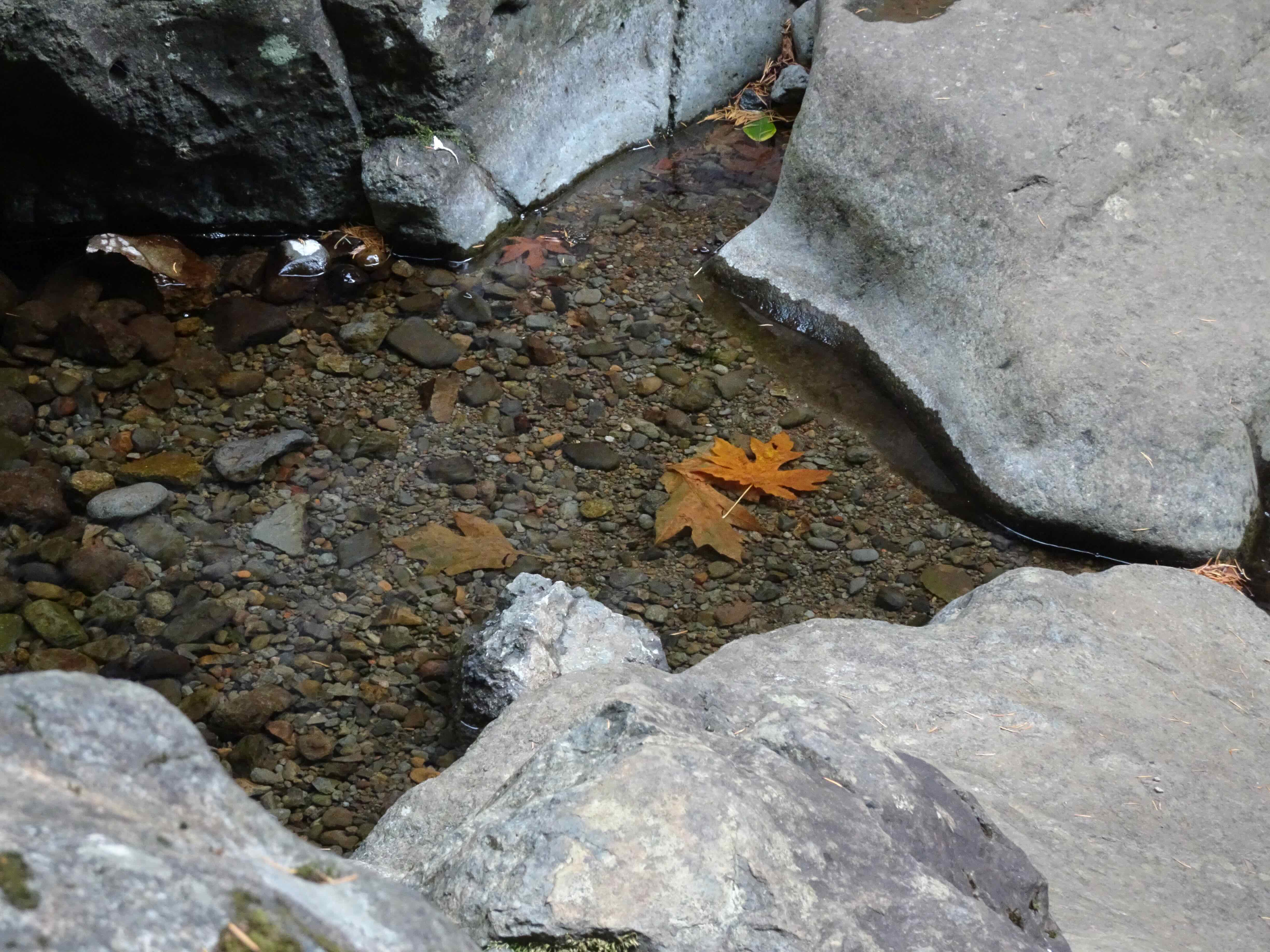
Downstream from the falls.

The next section is shady and steep!
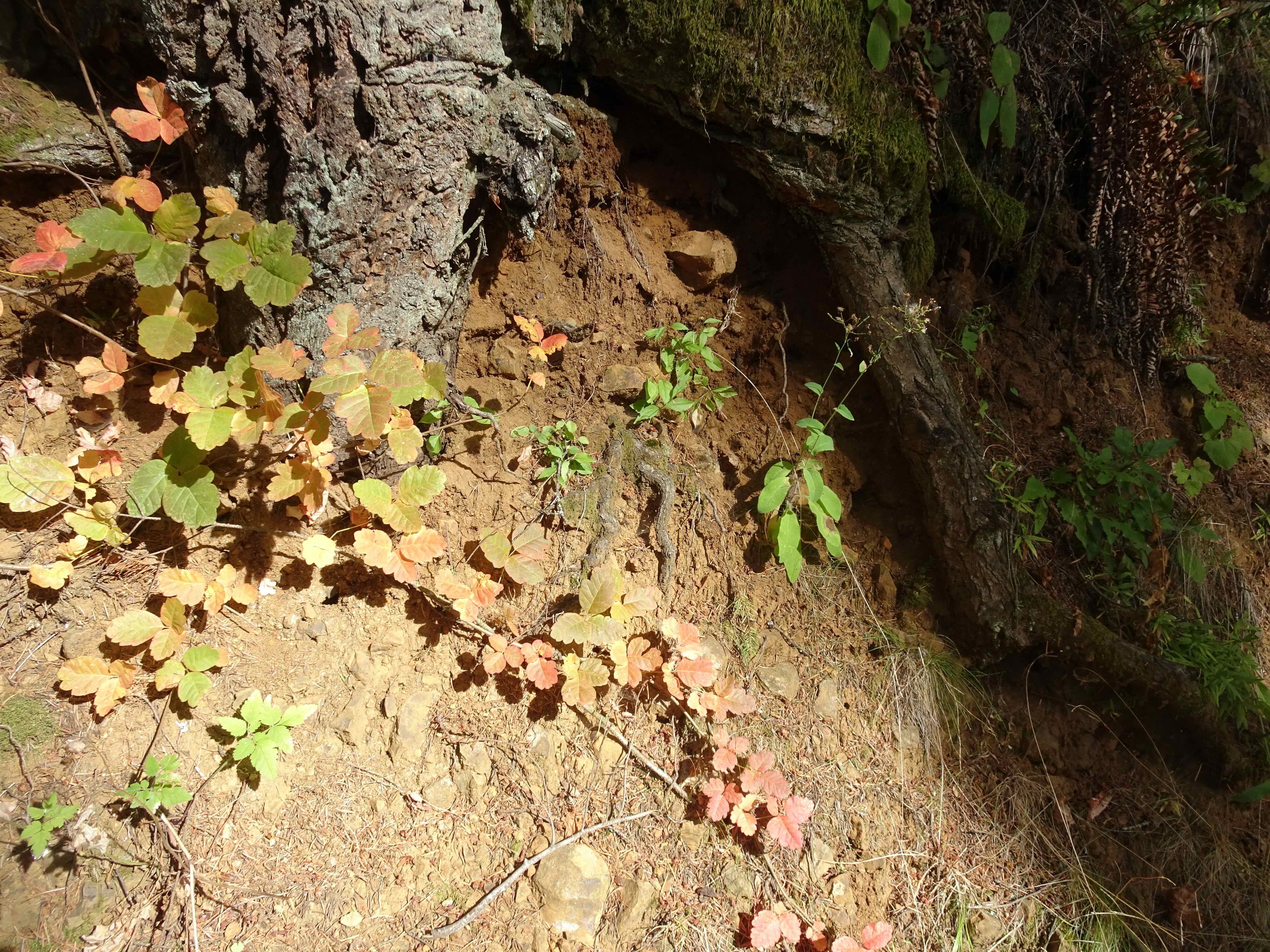
No flowers, just reddening poison oak…
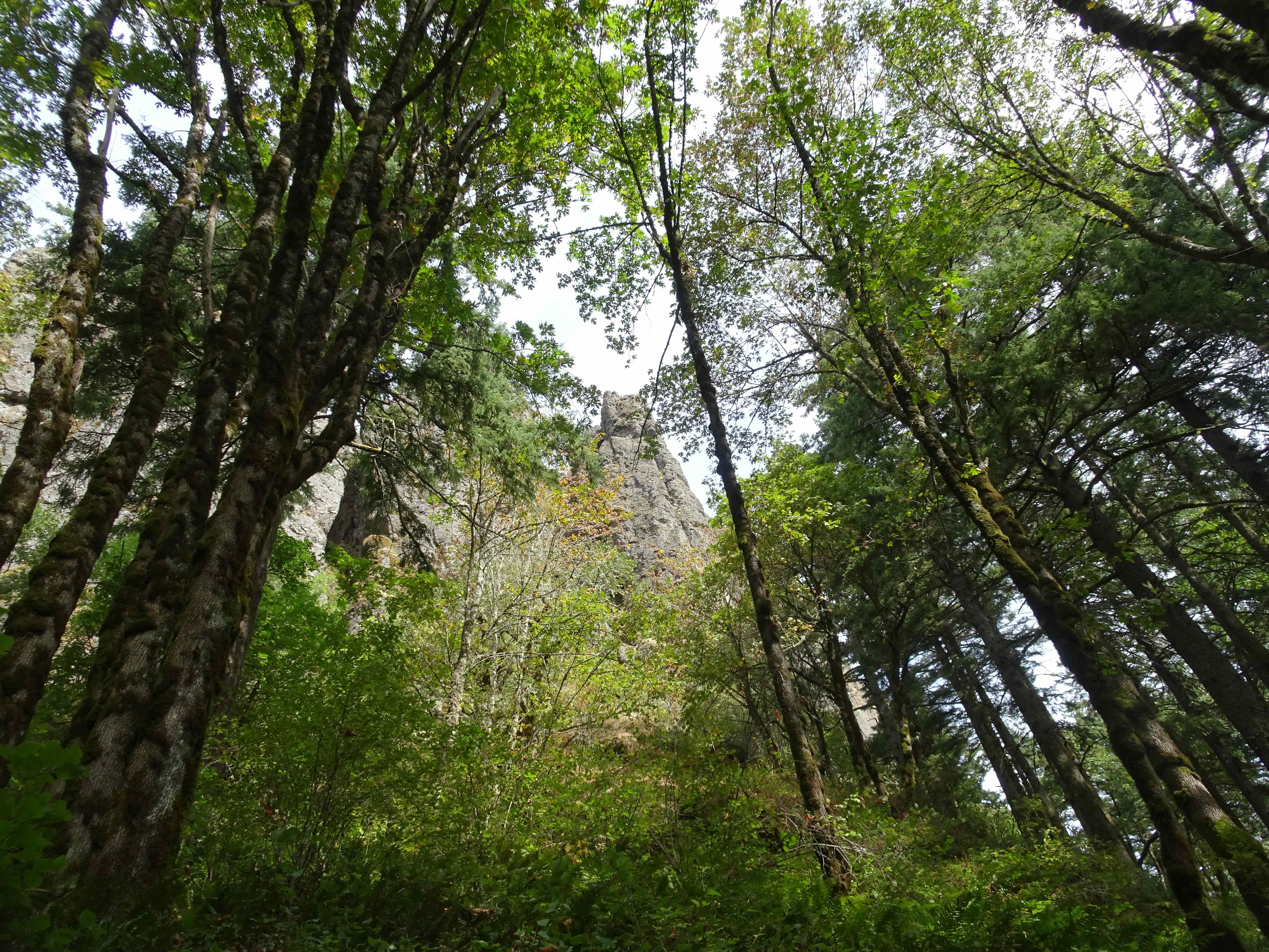
Looking up at the cliffs we must climb…
We made it to the viewpoint at Little Hamilton Mountain, in time for lunch and a good look around.
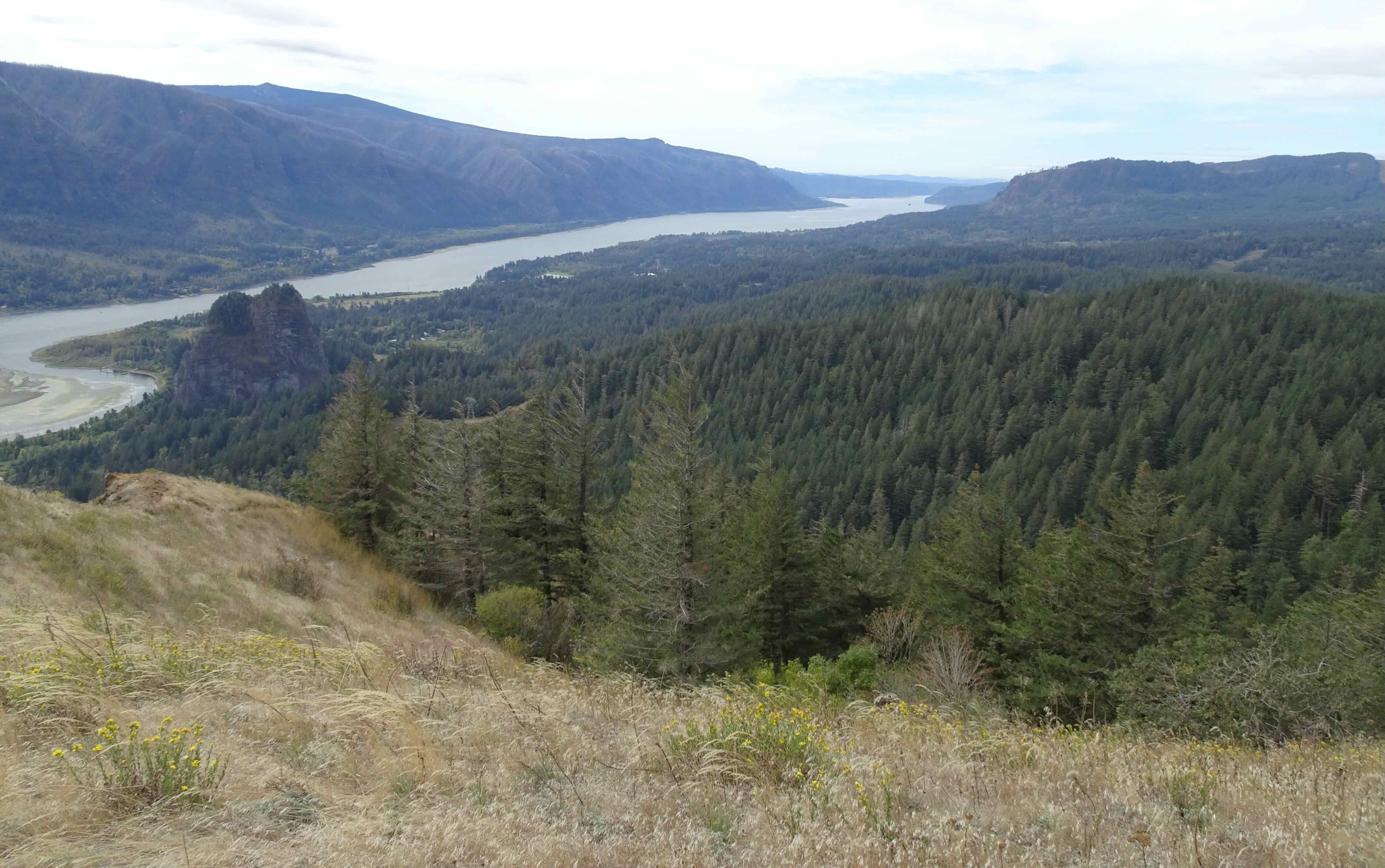
Western view

Mt Hood to the south
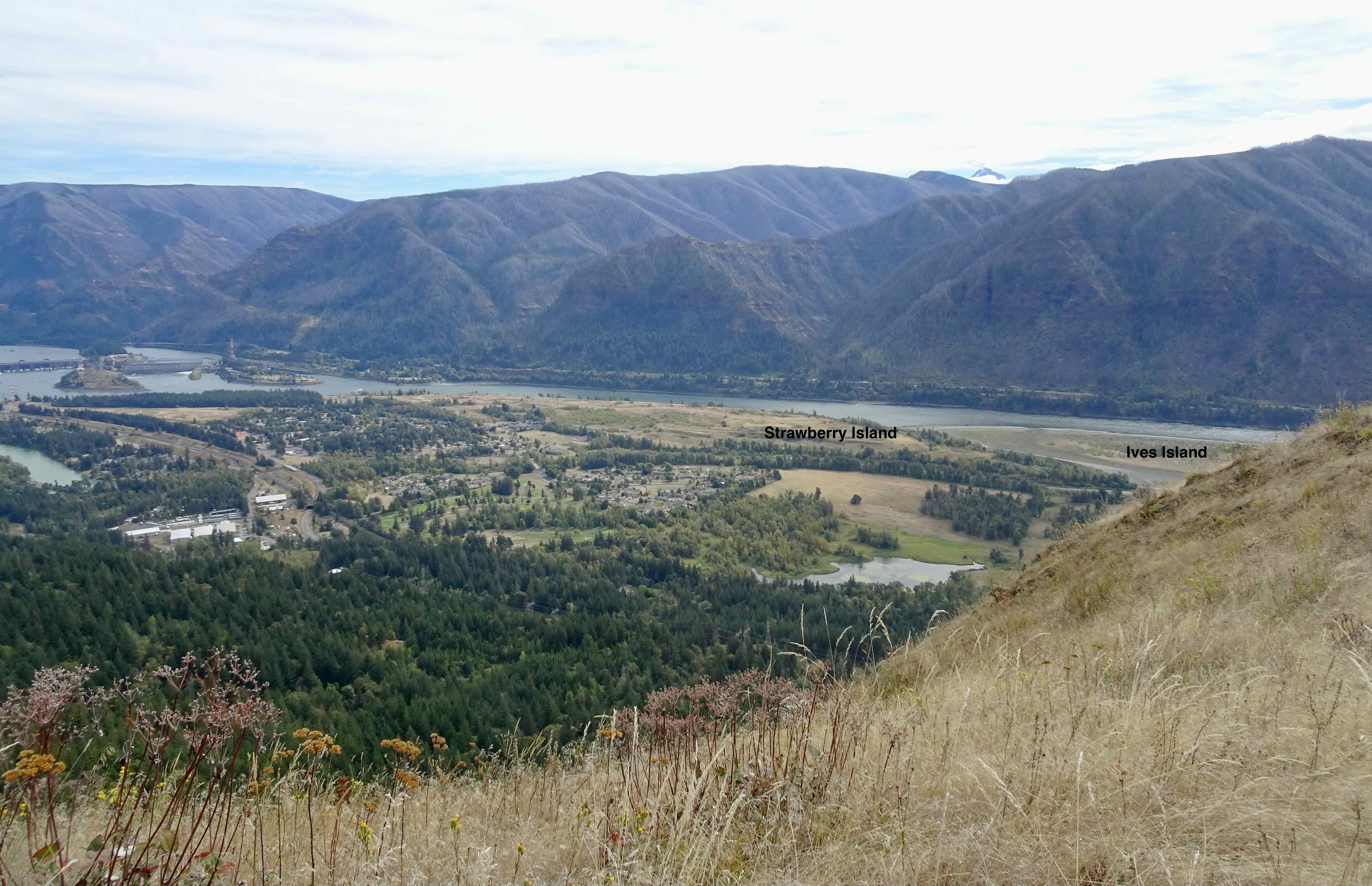
Looking down on Strawberry Island, where we hiked last week.

Zooming in on the benches at the top of Strawberry Island.

Eastward view toward Bonneville Dam
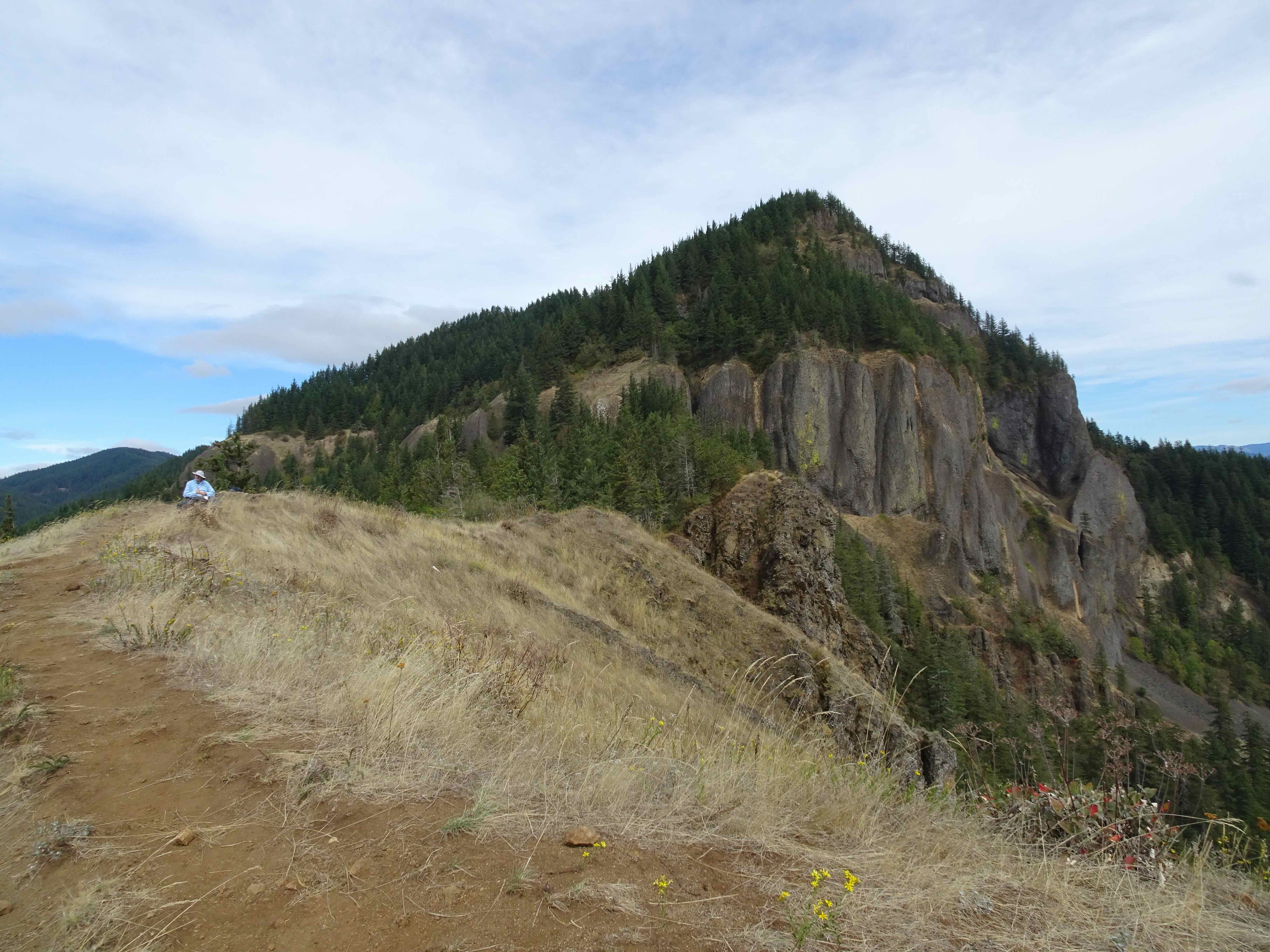
And Hamilton Mountain looming behind us – another 1000 feet up, but not today.
We rested in the shade for a bit at the falls on the way down.

Hardy Creek and falls
We have plans for more adventures next month, and hope to finish the year strong, after this time off for my husband’s hand surgery.