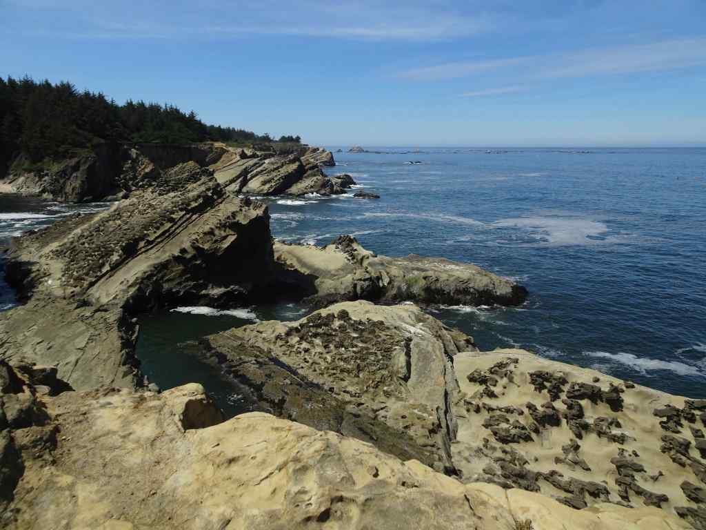
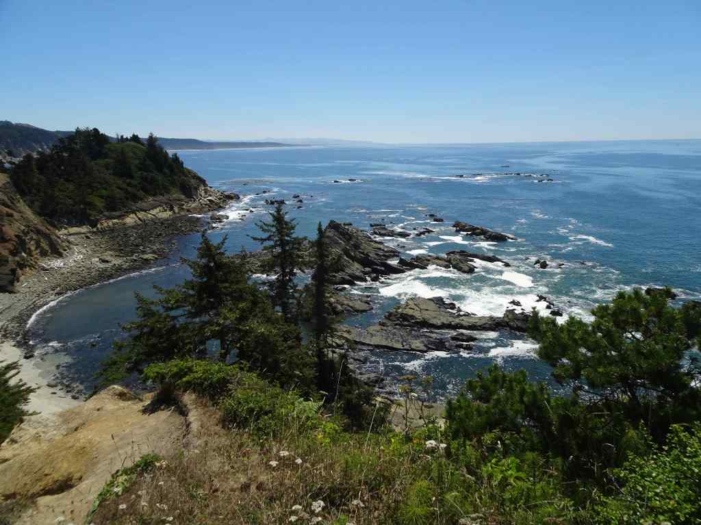
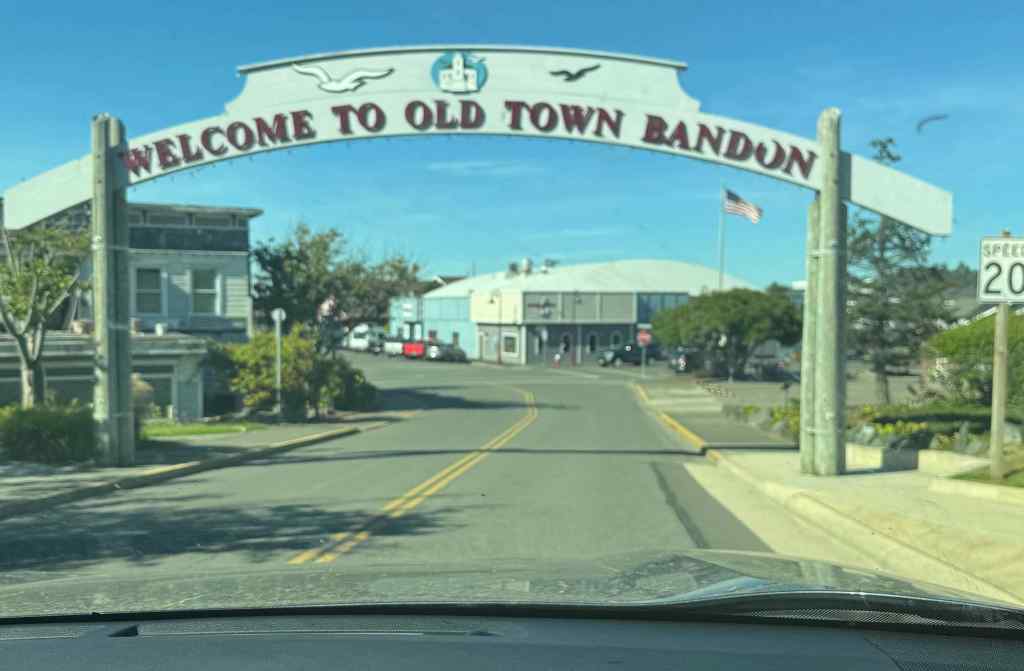
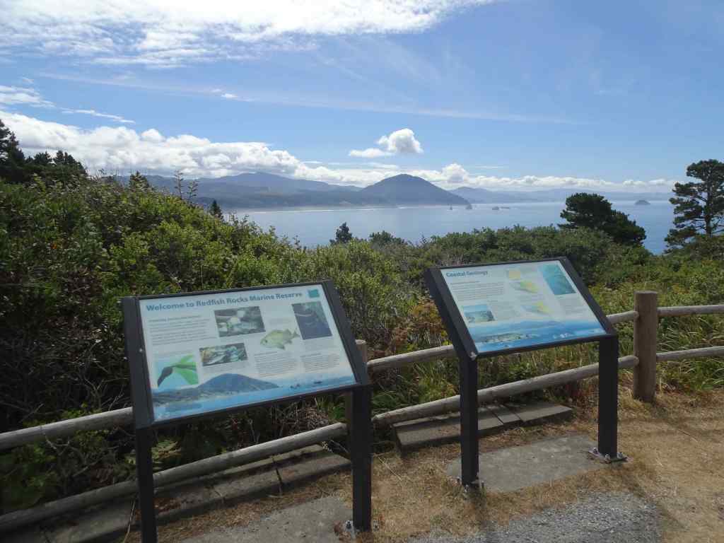
August began with a birthday week stay in Bandon on the southern Oregon coast. The rest of the month went by with the usual home activities, in Portland, Oregon, which, contrary to some news reports, is a very pleasant place to live.
Around the neighborhood –
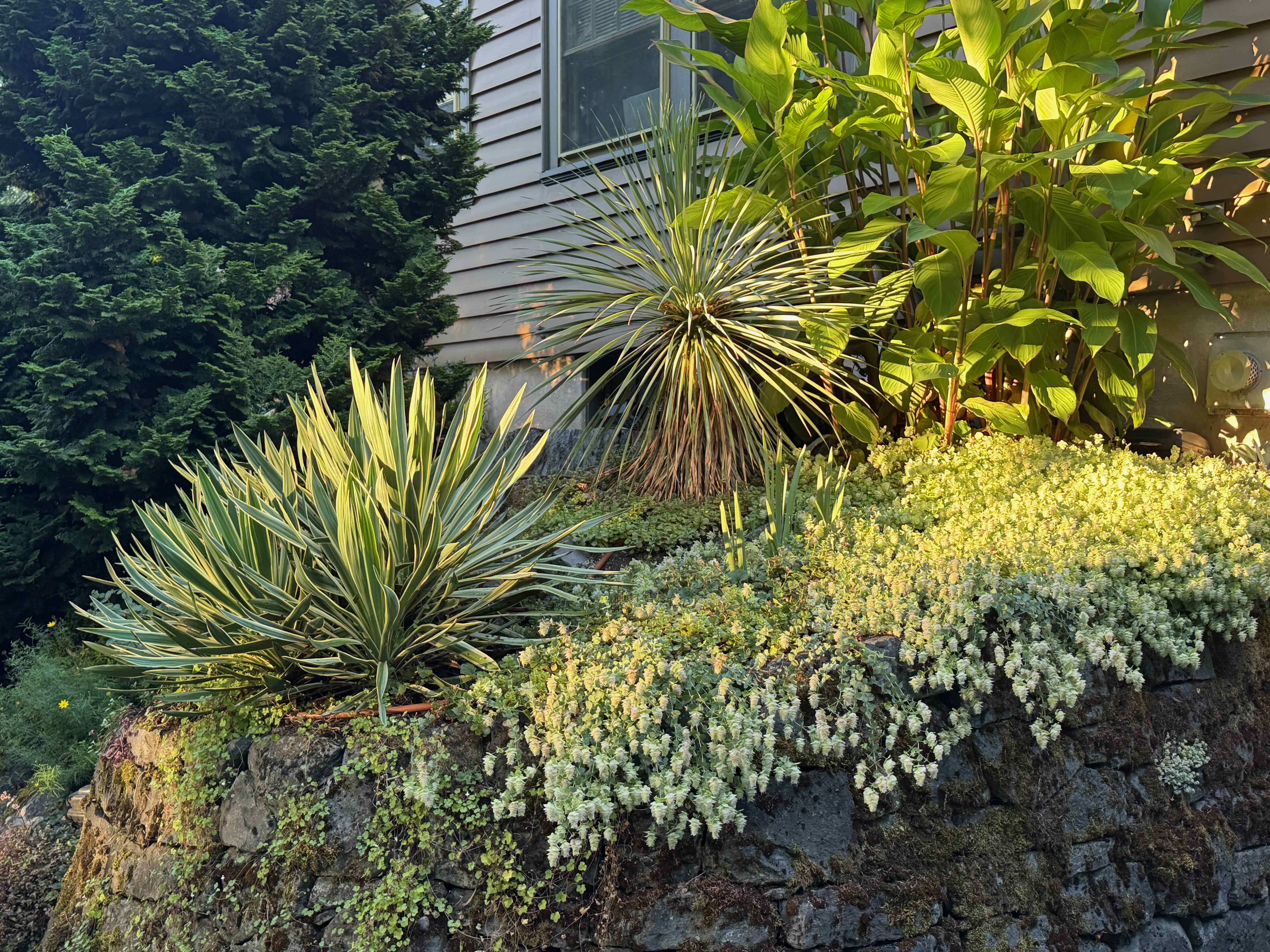
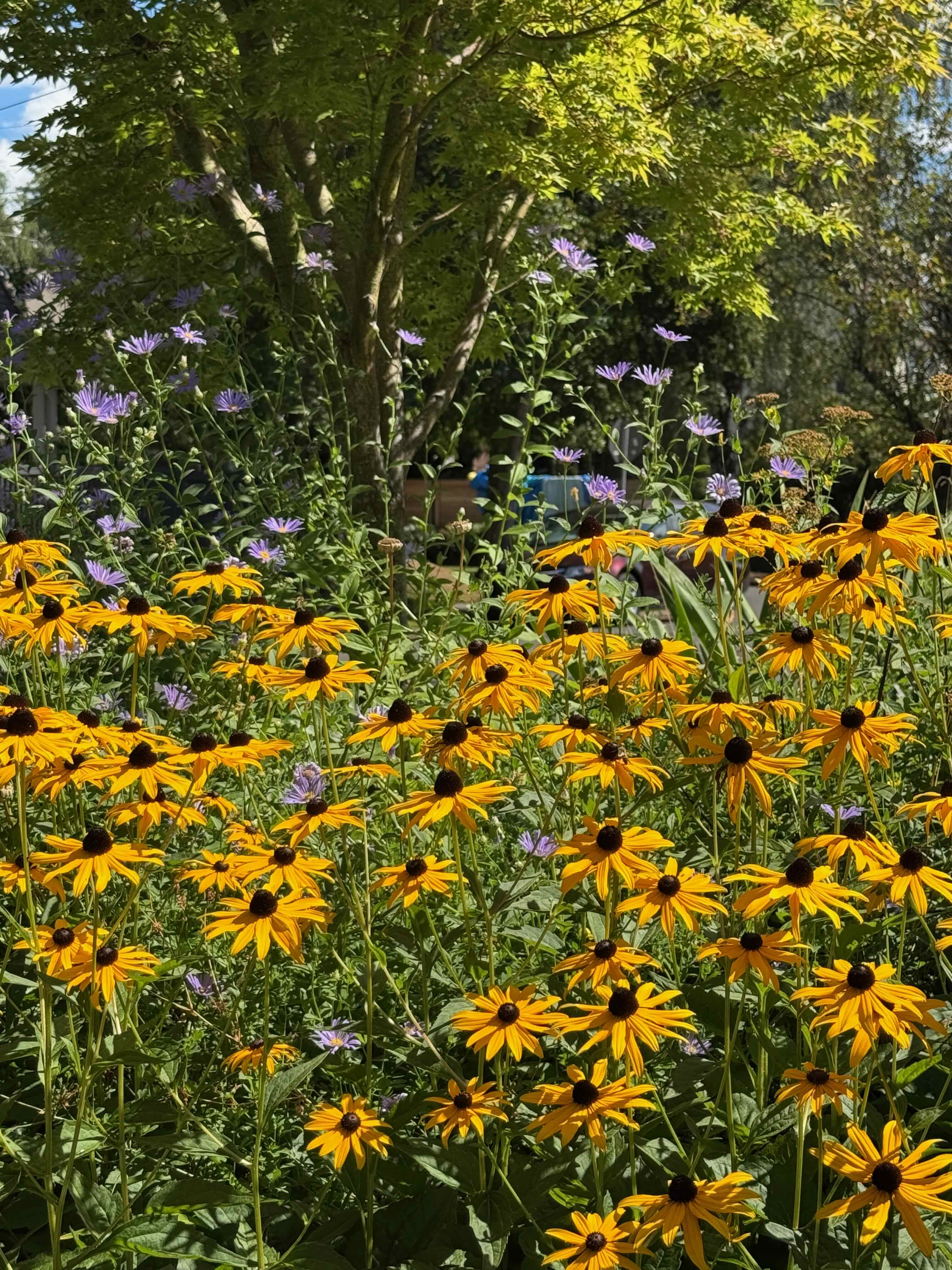
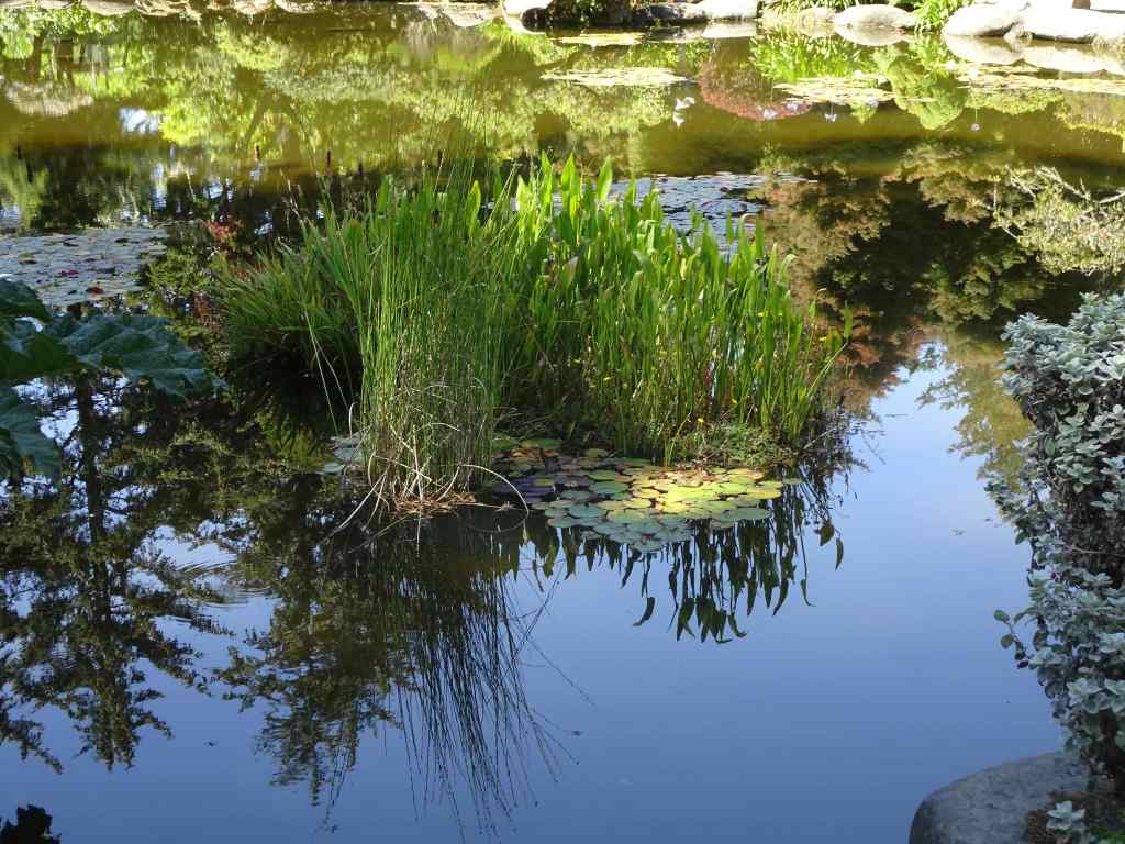
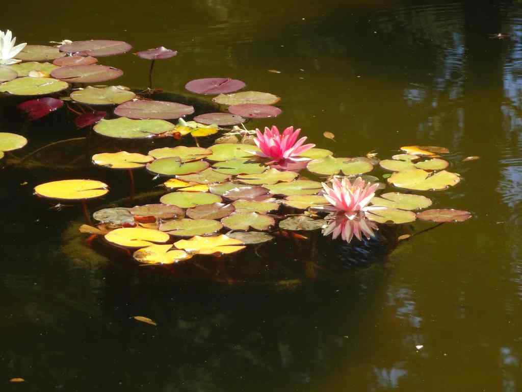
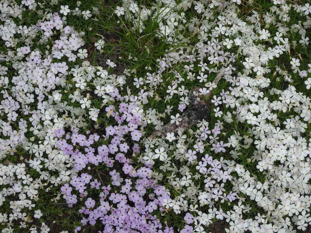
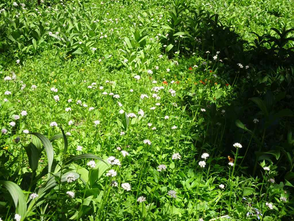
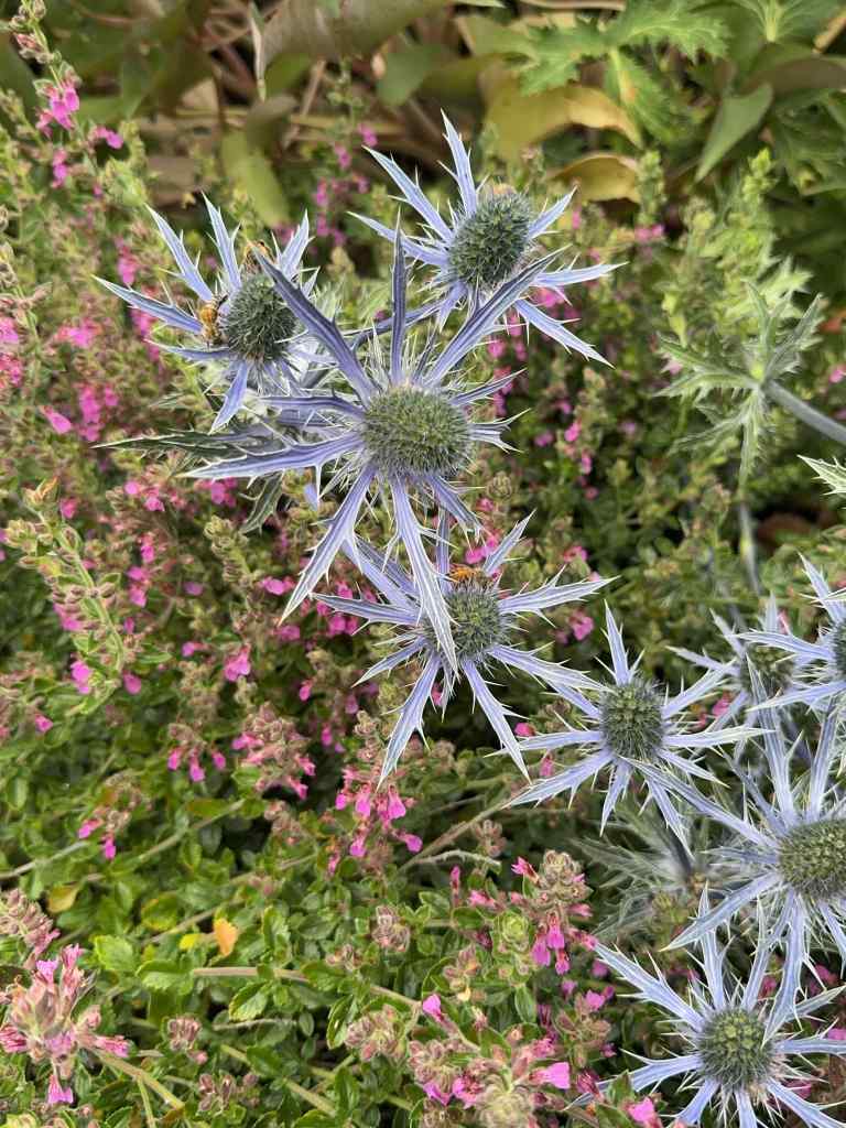
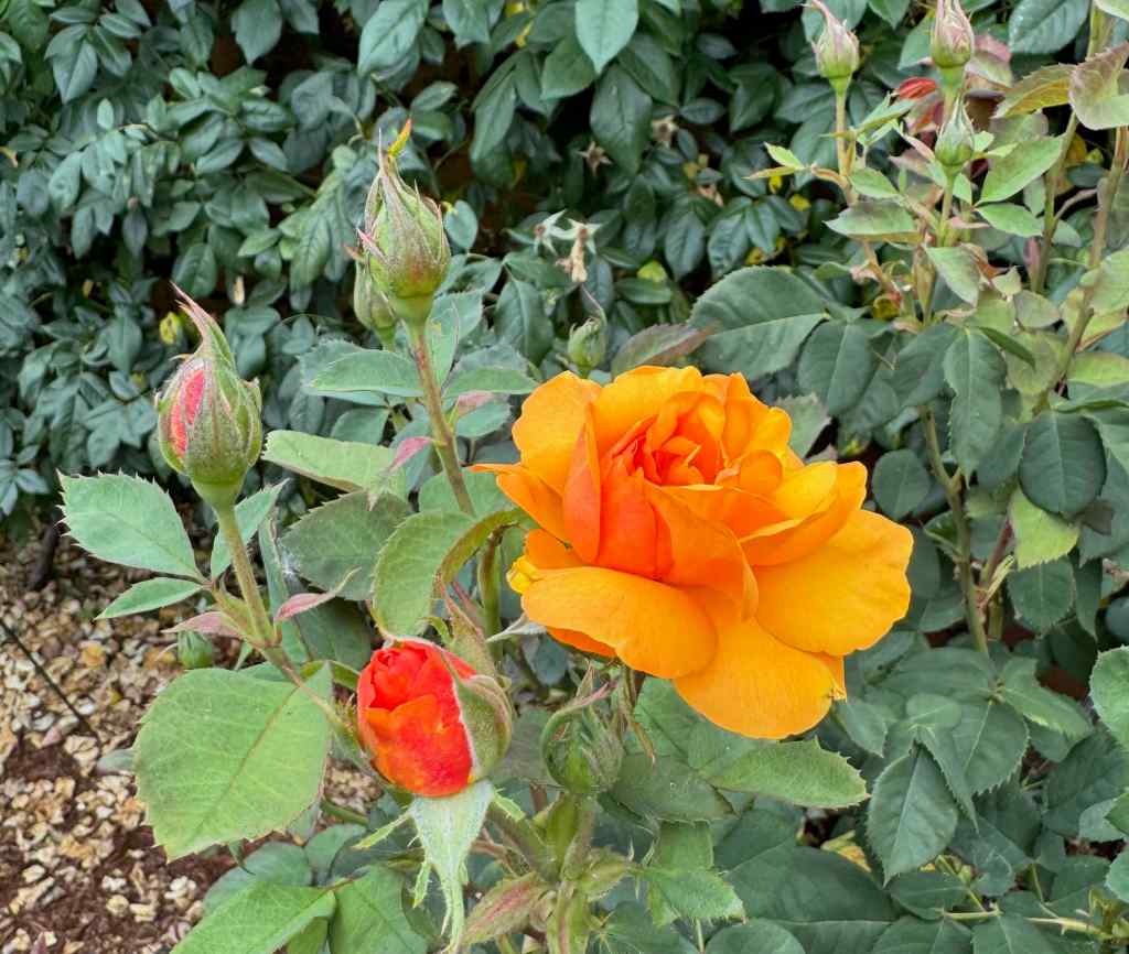
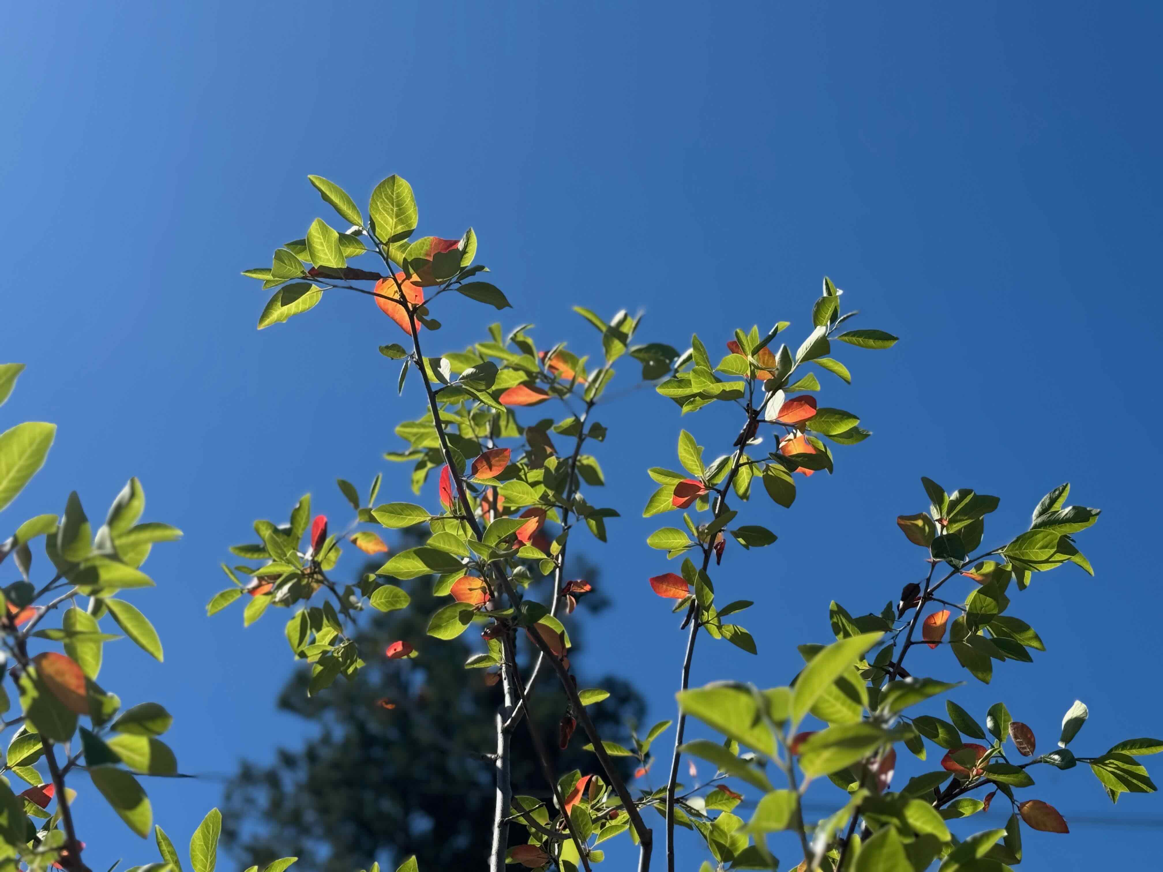
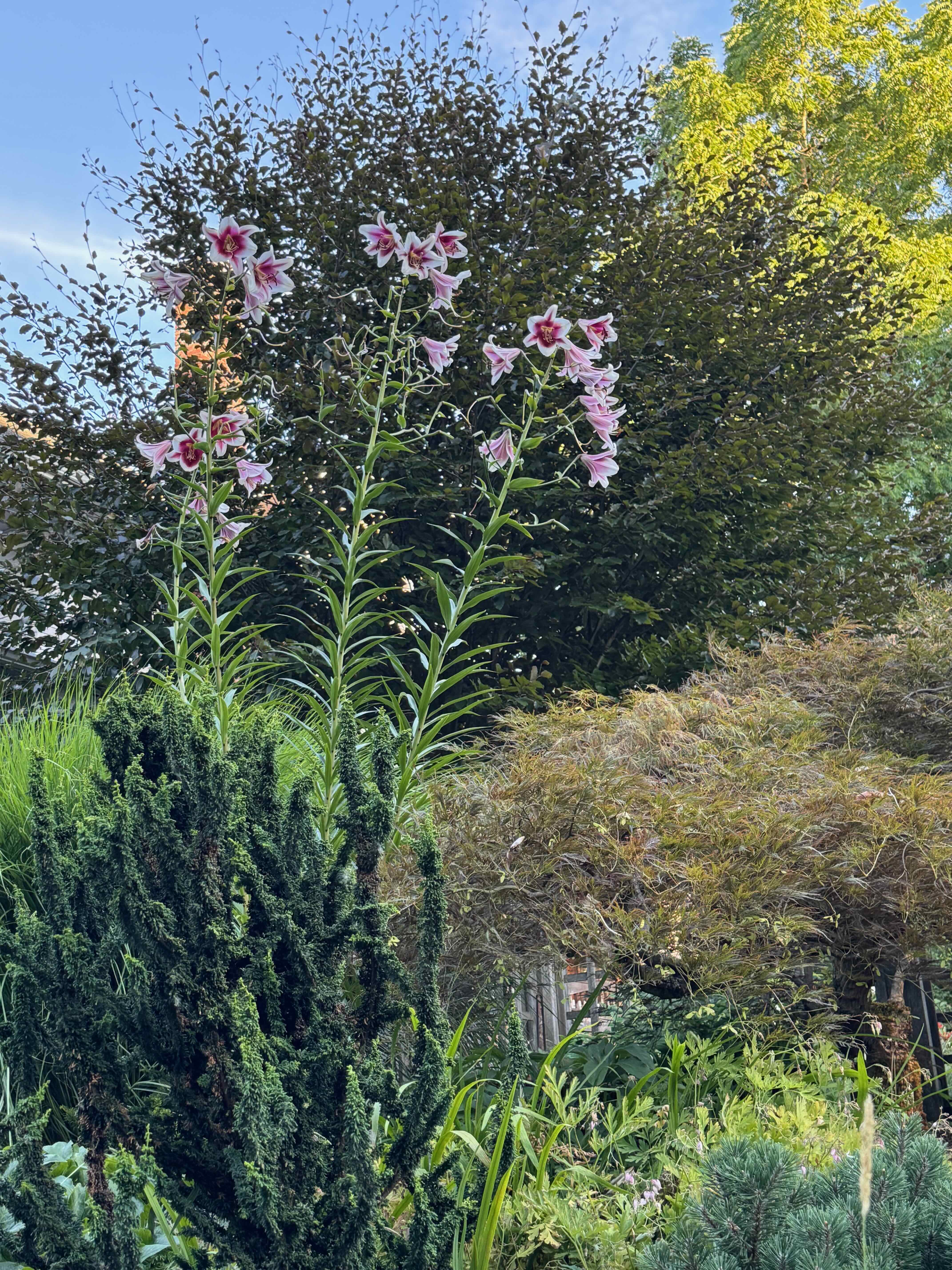
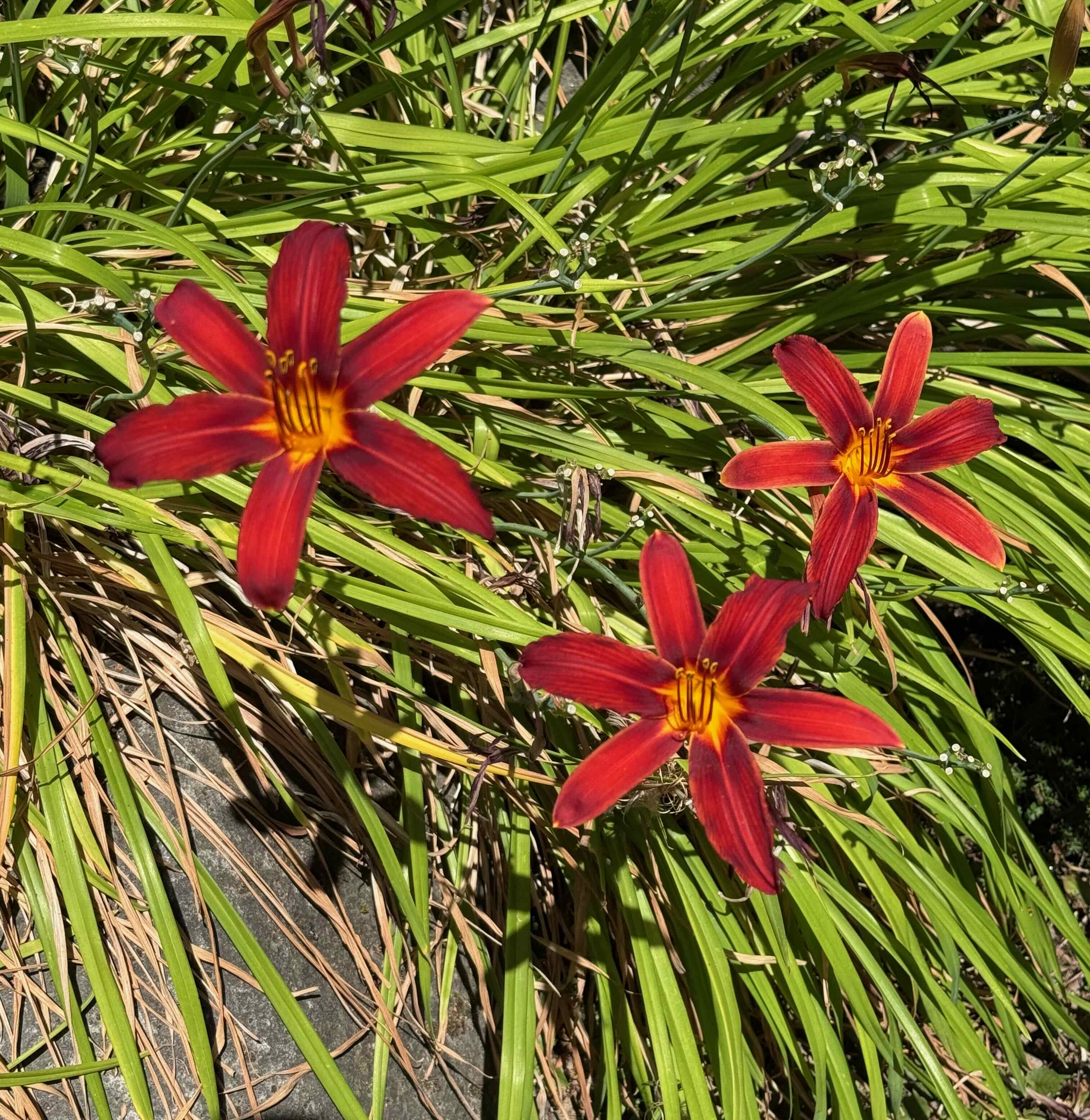
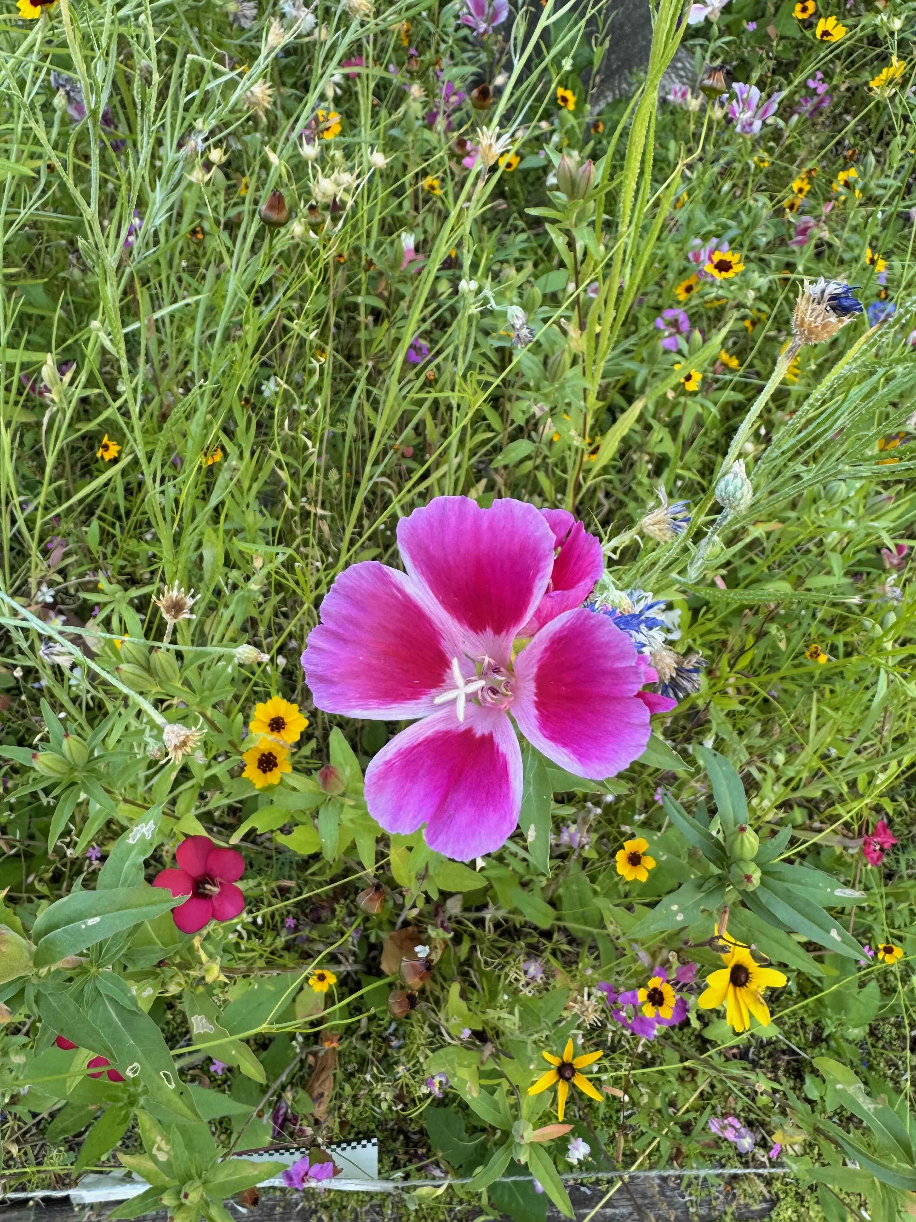
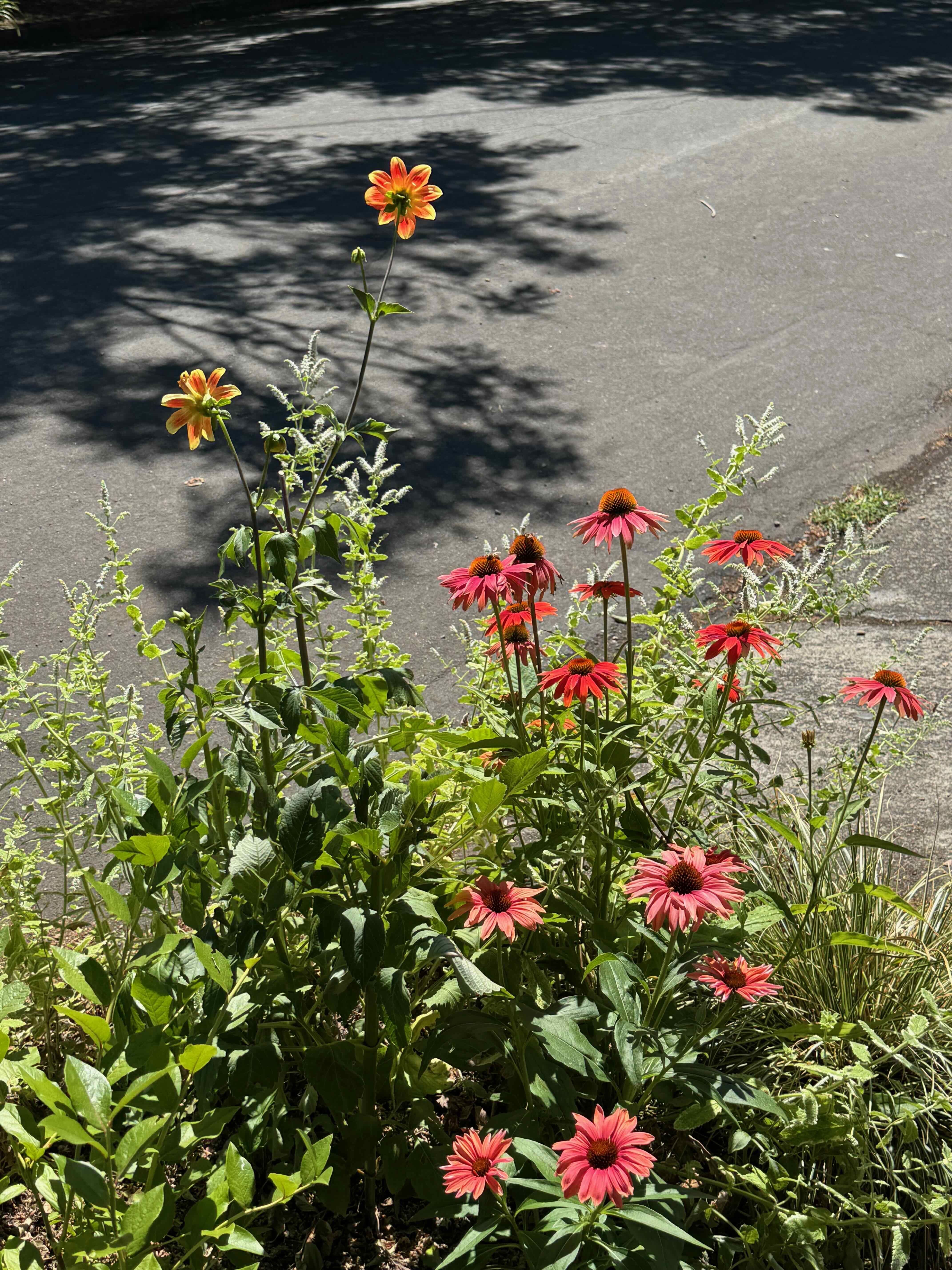
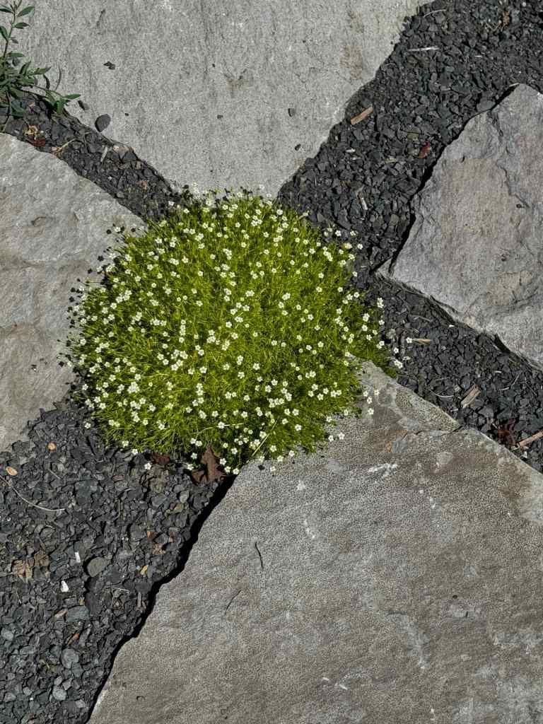
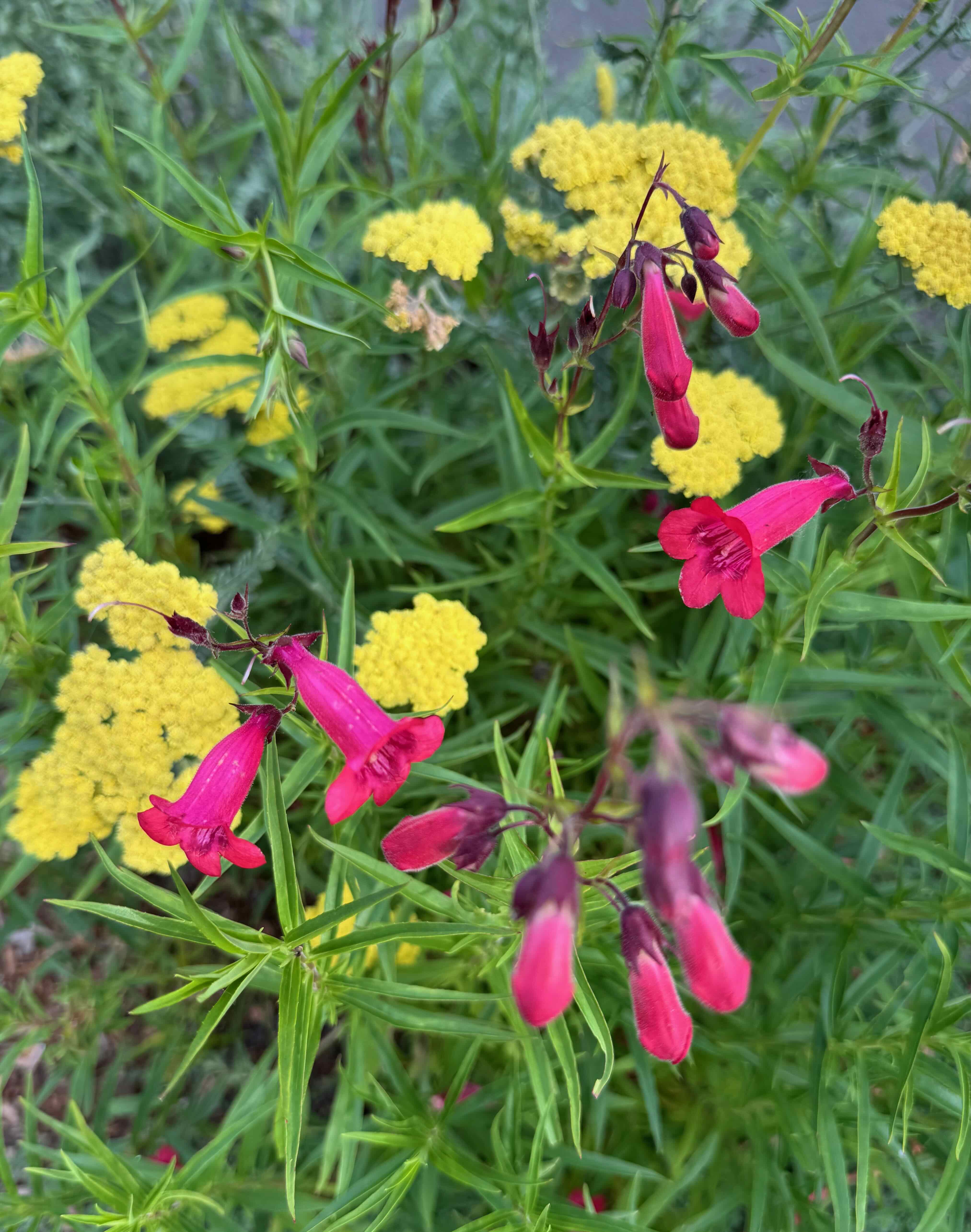
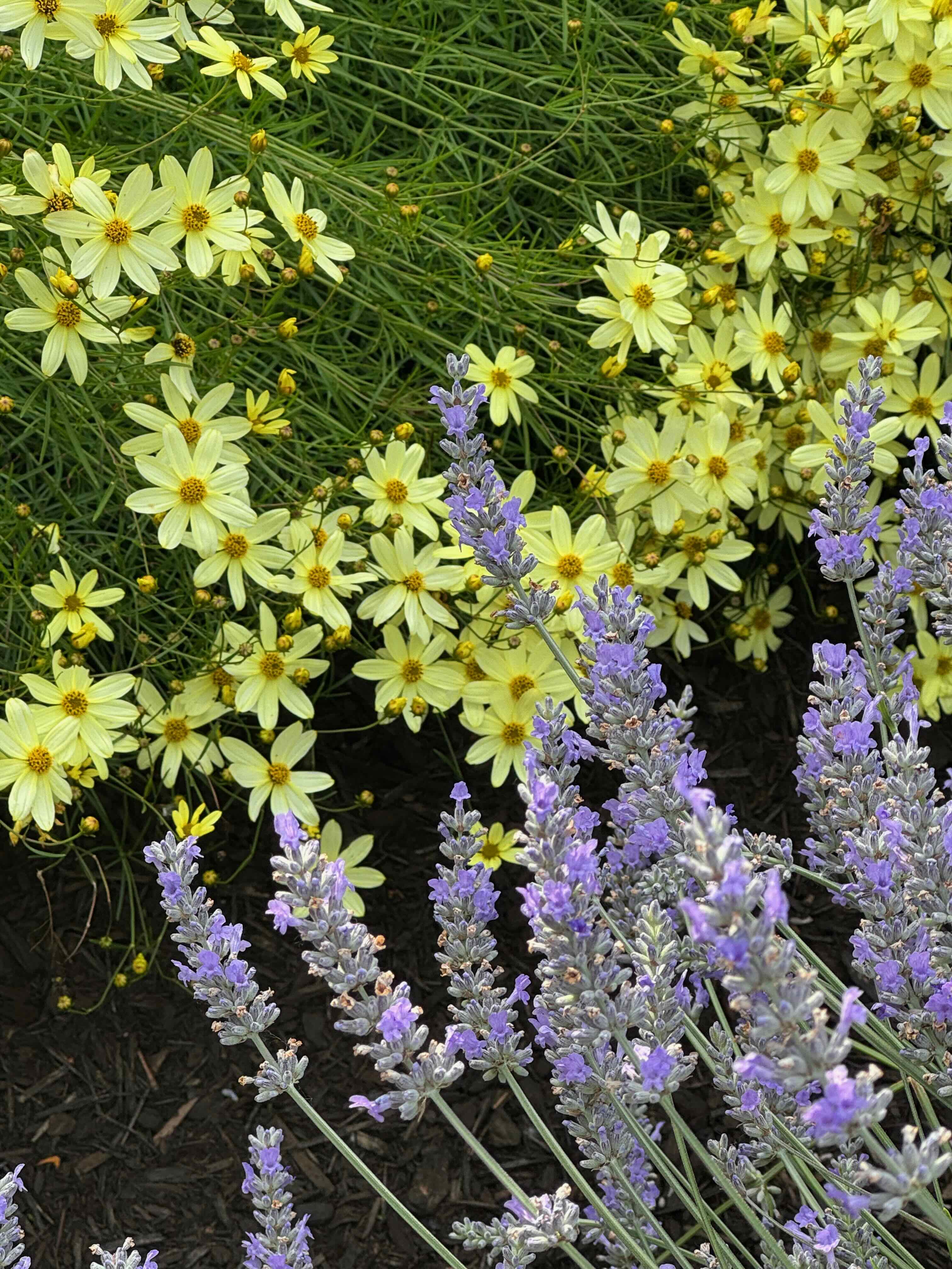
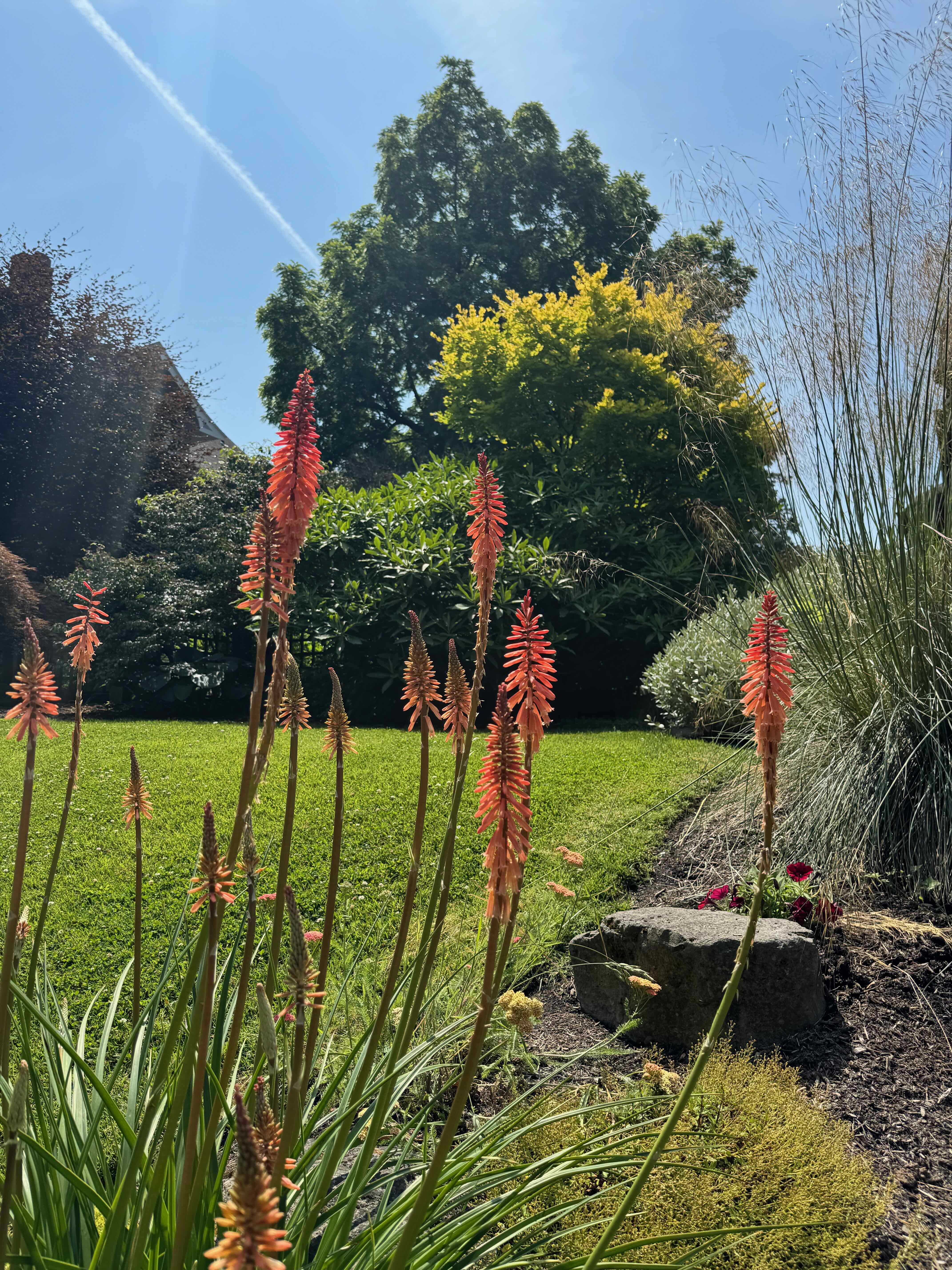
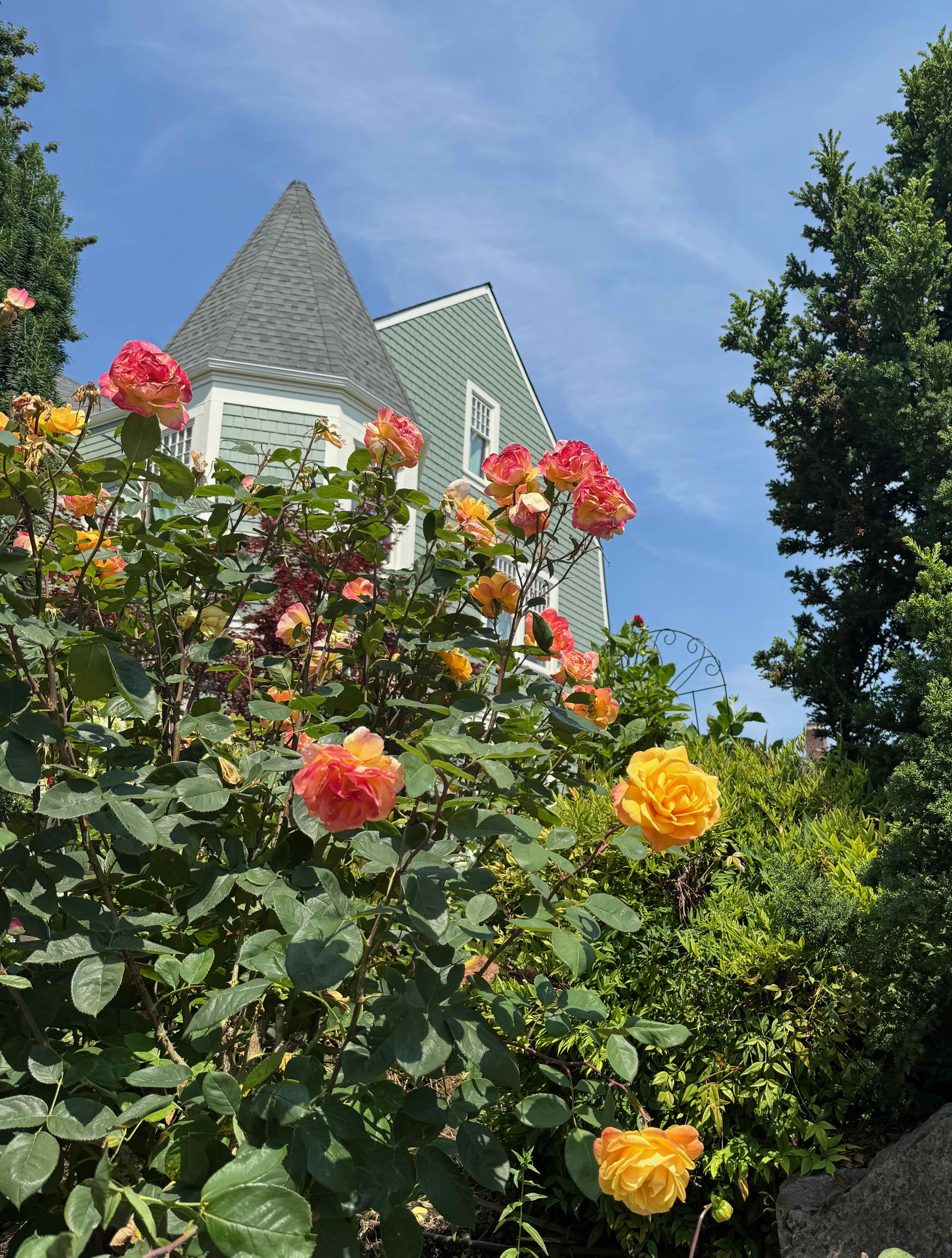
Lots to look at this month while walking – gardens…
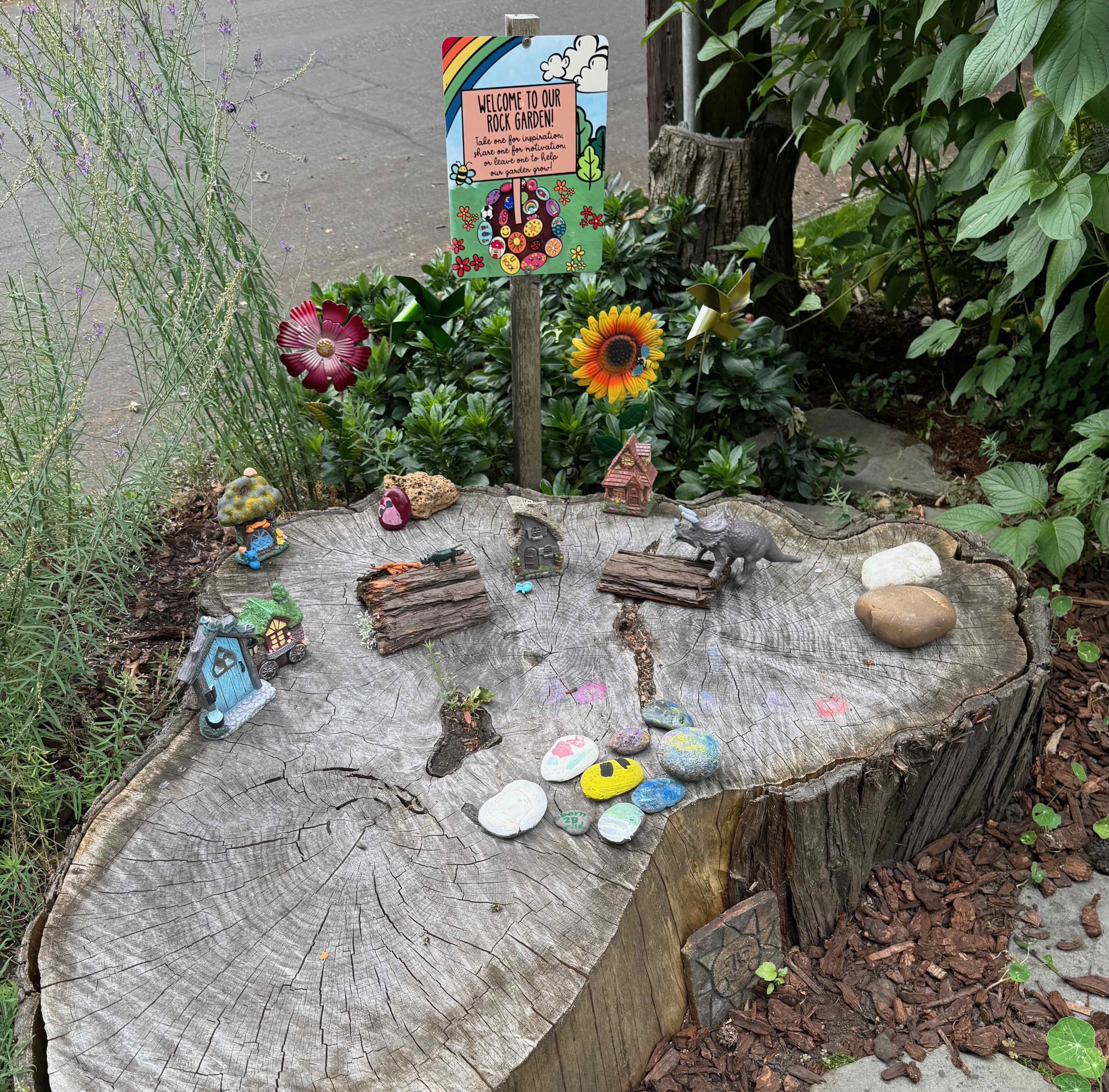
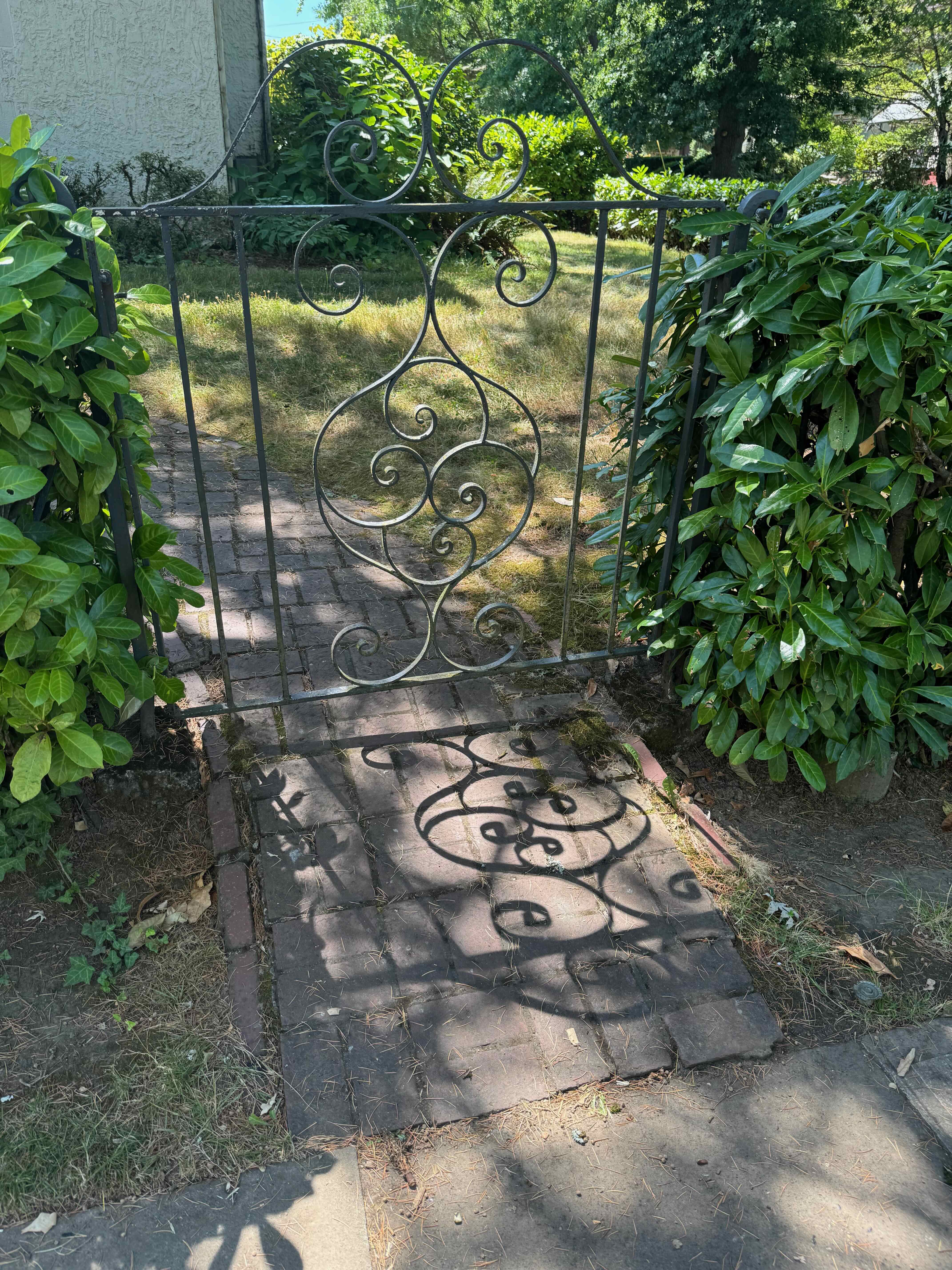
Sidewalk art, architecture, and more Portland quirkiness…
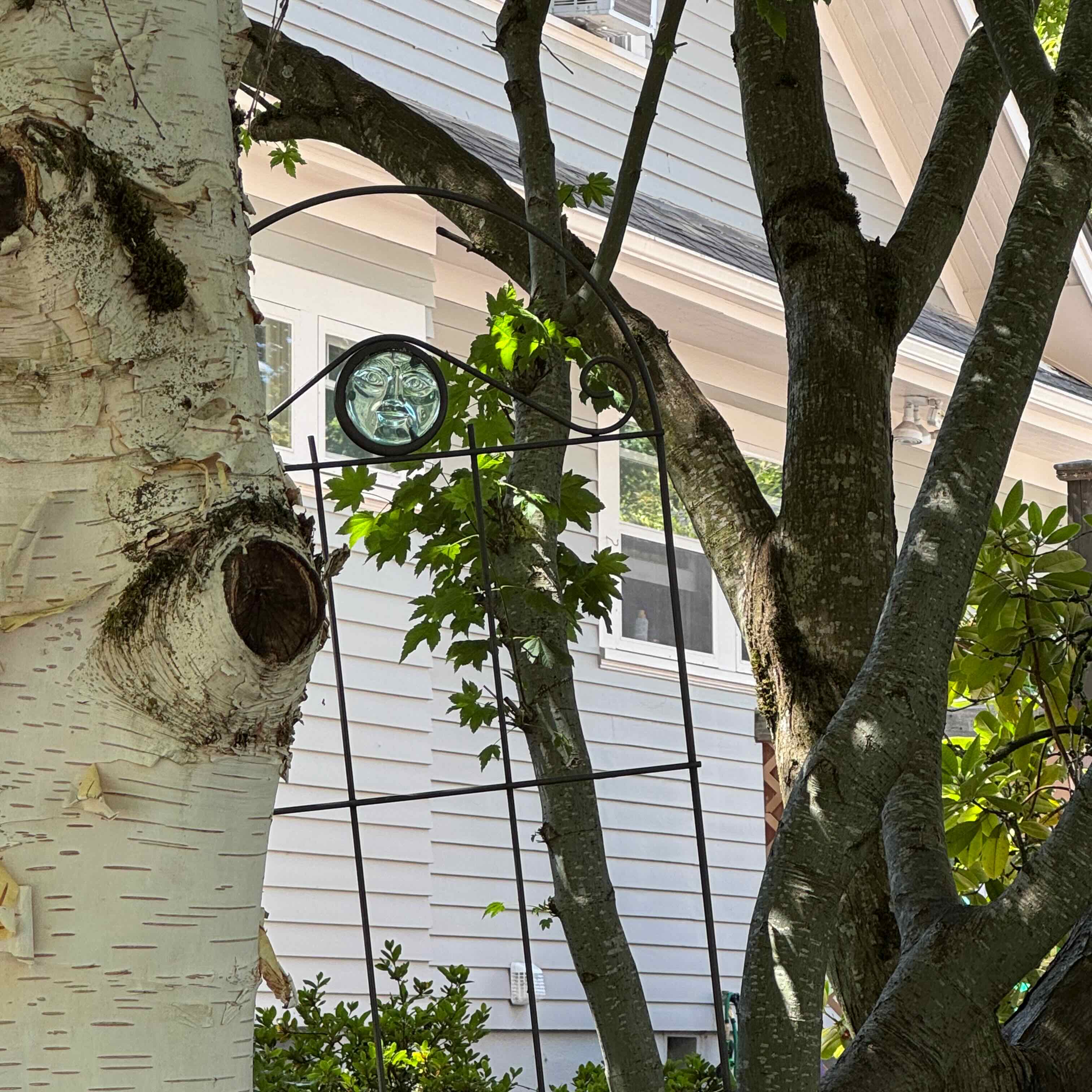
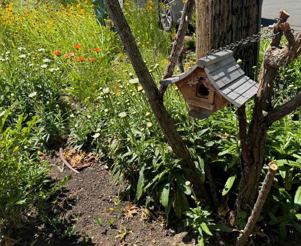
Yard creatures…
Homegrown treats…
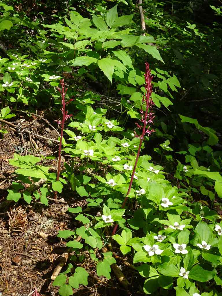
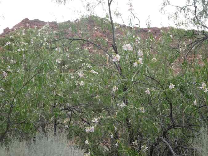
Asters that survived the roofing, painting and tuck pointing.Our neighbors shared their abundant tomatoes.
Knitting –
I made progress on my cardigan and a pair of socks. Our local coffee shop, KISS Coffee, has taken to reserving our Friday morning knitting table.
Reading –
Of the eight books I finished in August, my favorite was There Are Rivers In The Sky, by Elif Shafak. It is set in Victorian and modern London, and ancient and modern Mesopotamia, and links several character’s lives through water and literature. There is a hopeful conclusion, despite the hardships endured. I also enjoyed rereading the Elizabeth Von Amin books set in her German garden.
Eight books read in August 2025
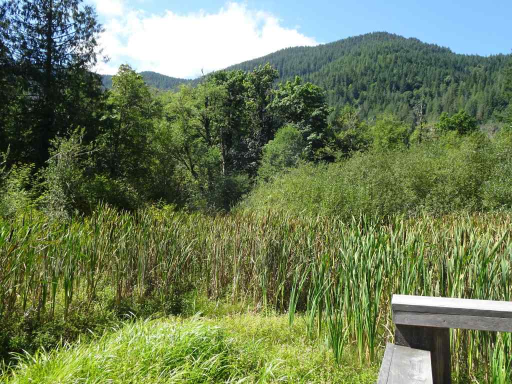
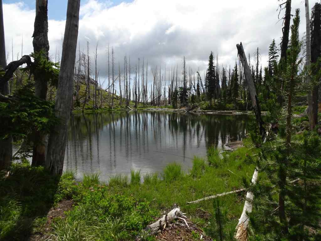
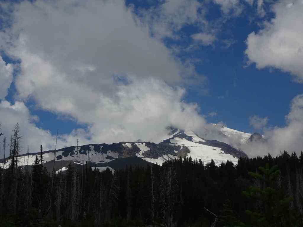
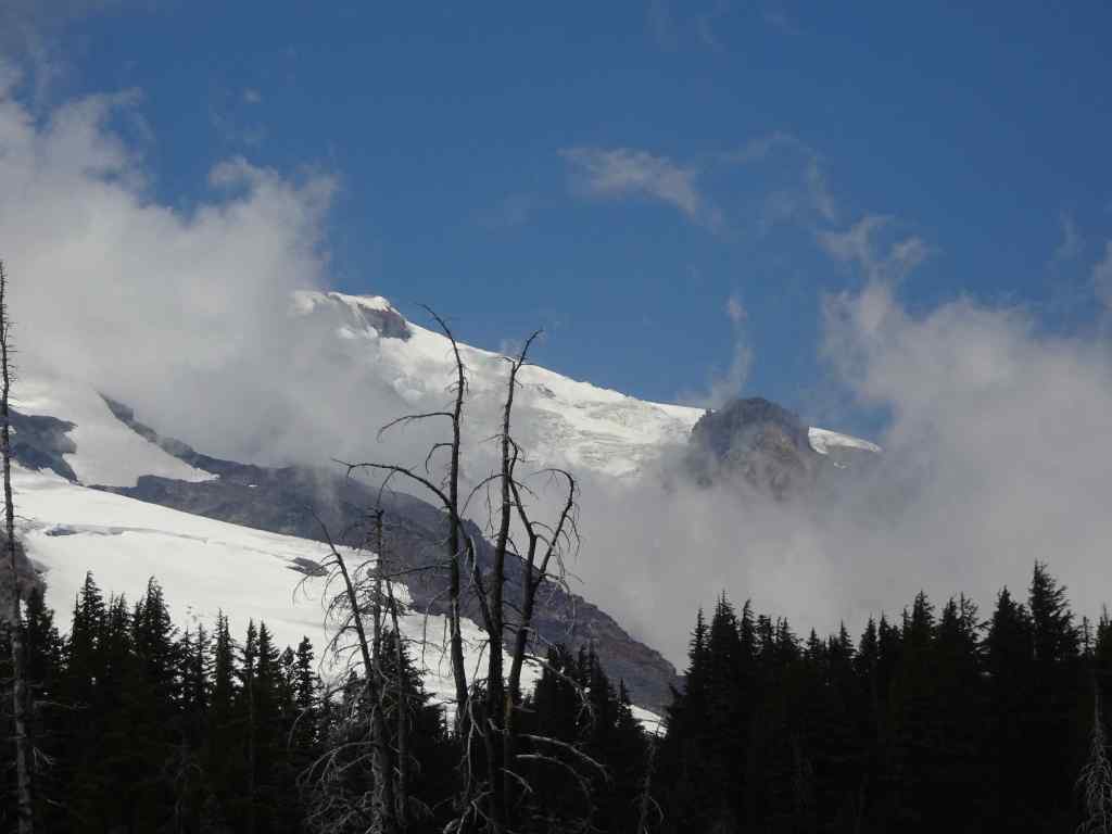
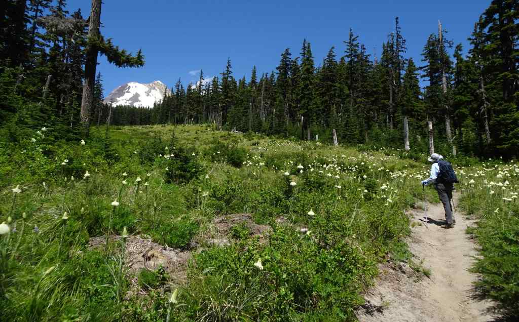
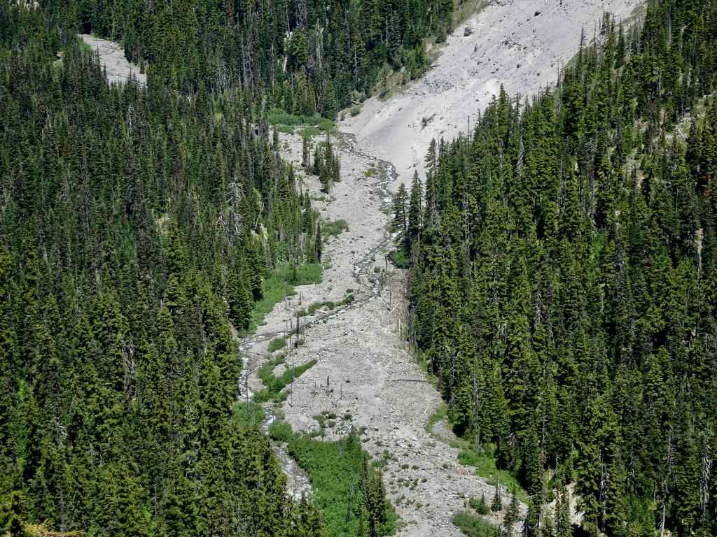
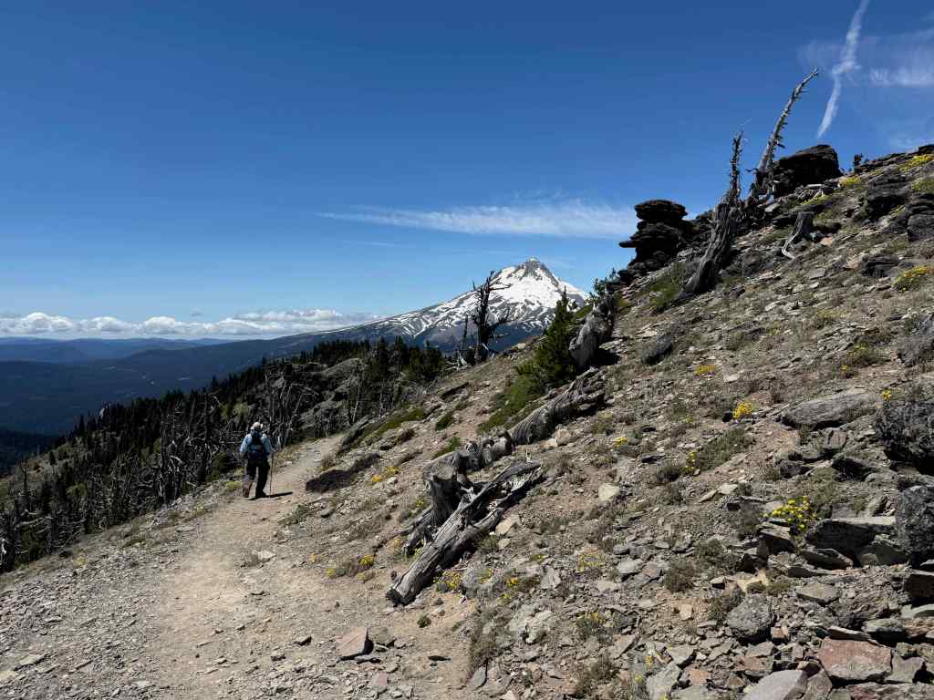
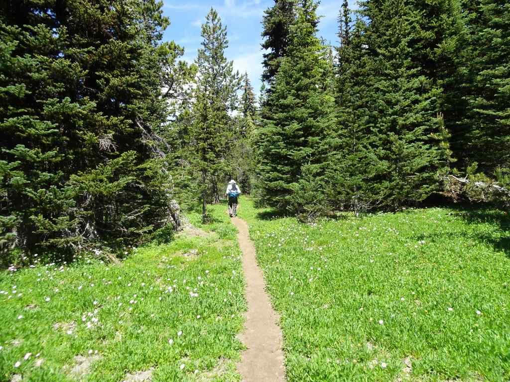
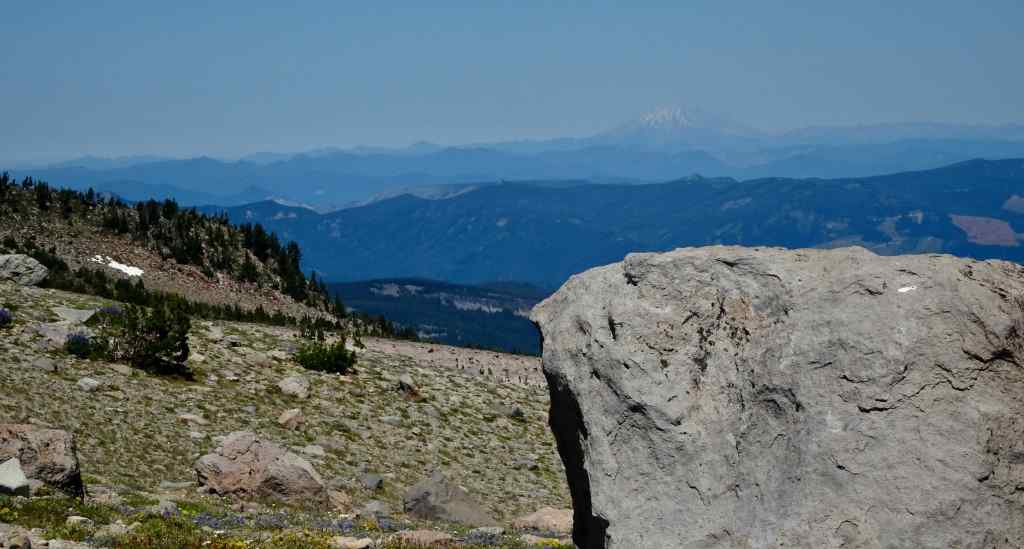
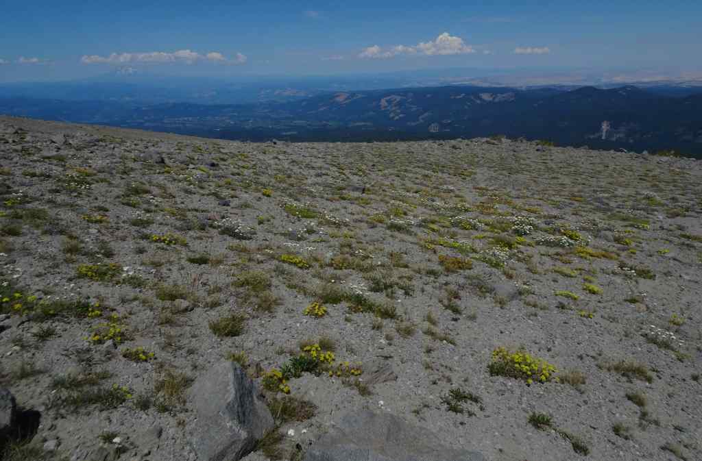
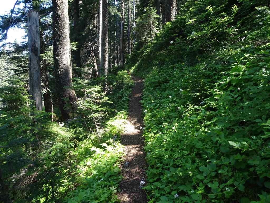
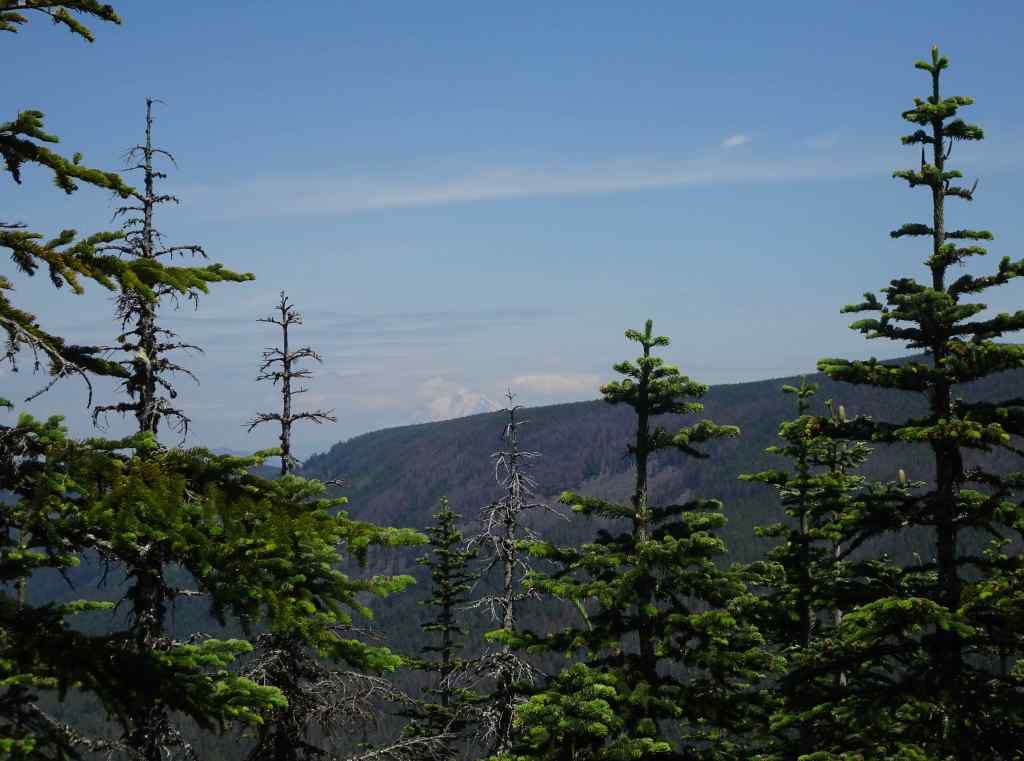
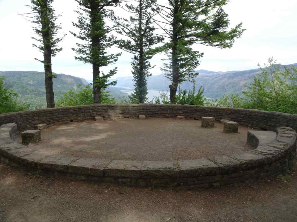
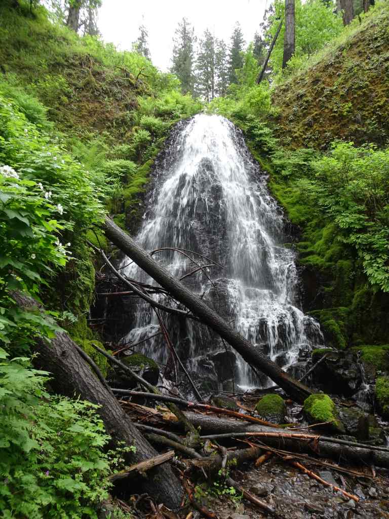
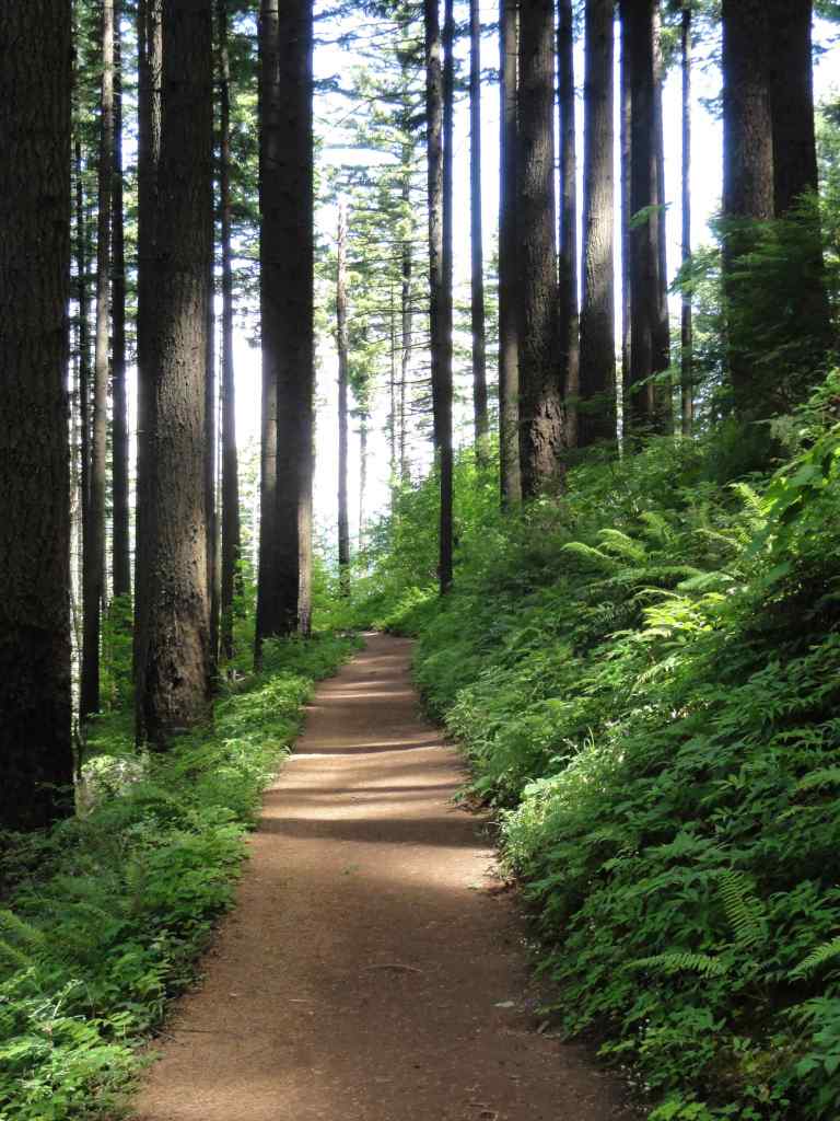
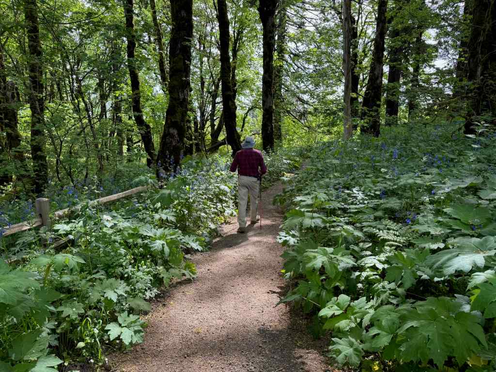
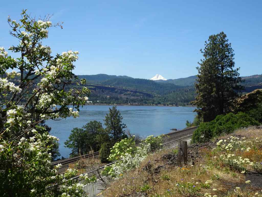
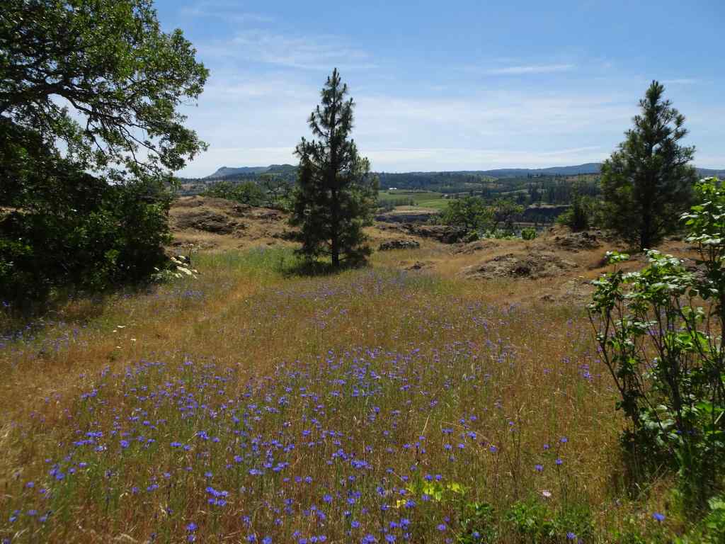
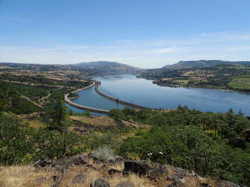
8/19 – A walk in the Wildwood Recreation Area –
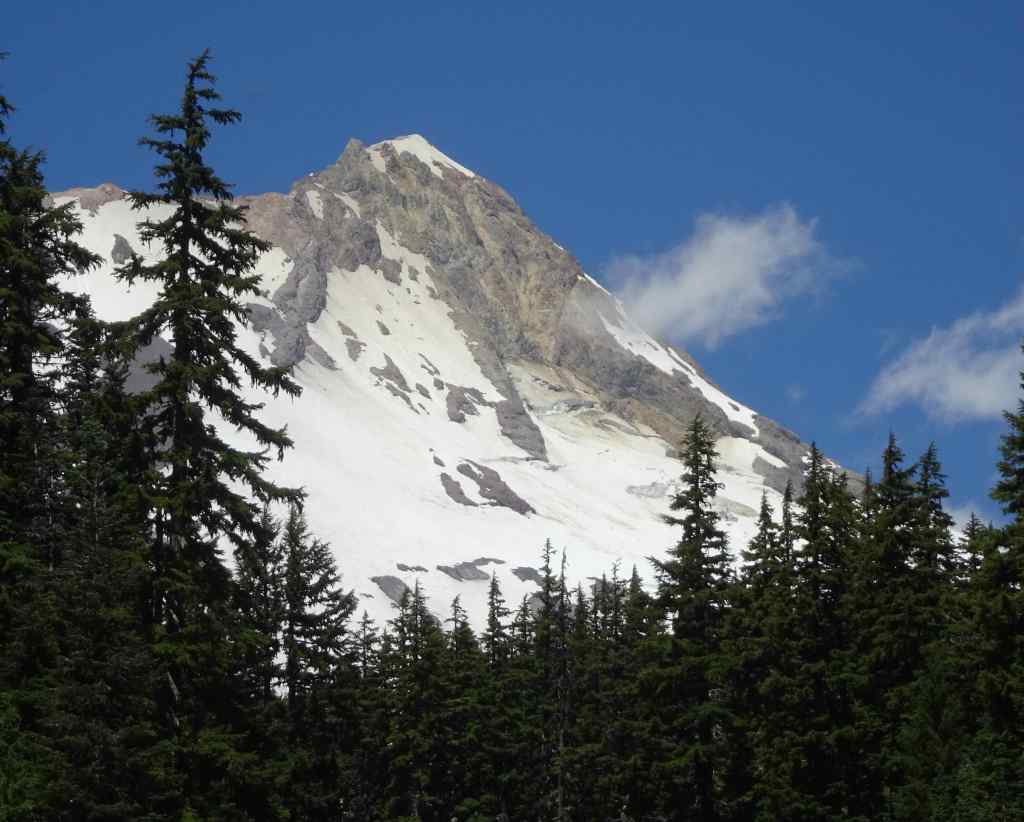
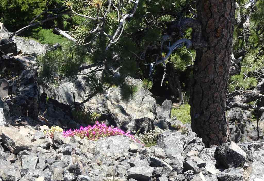
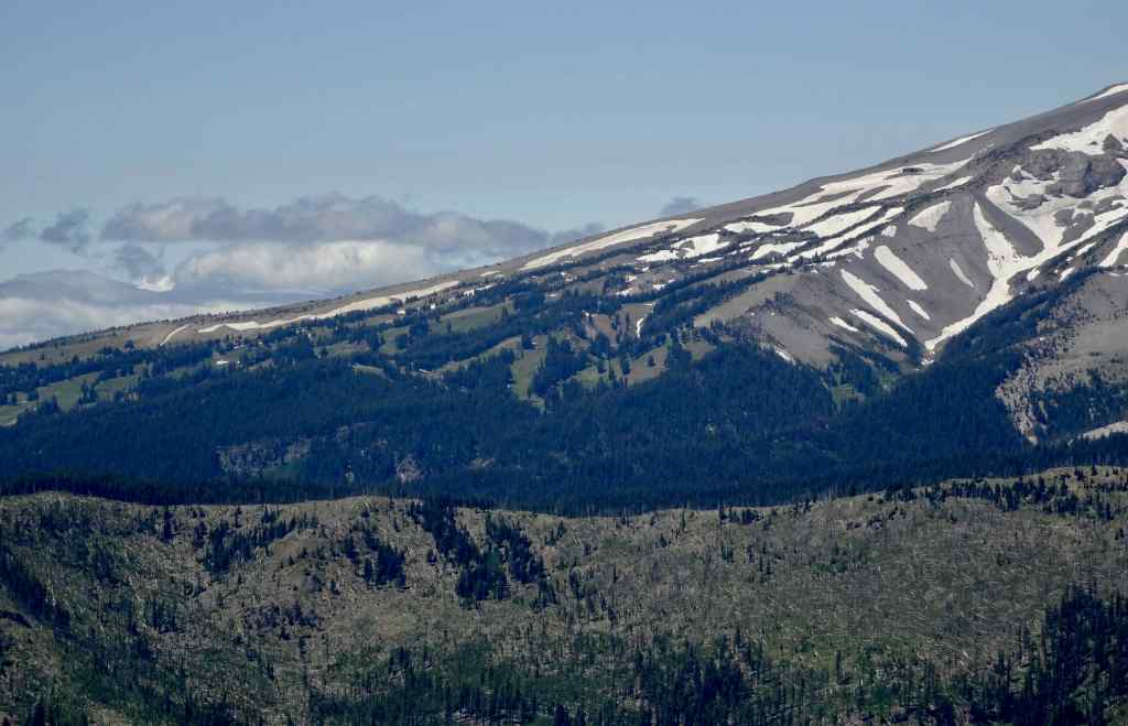
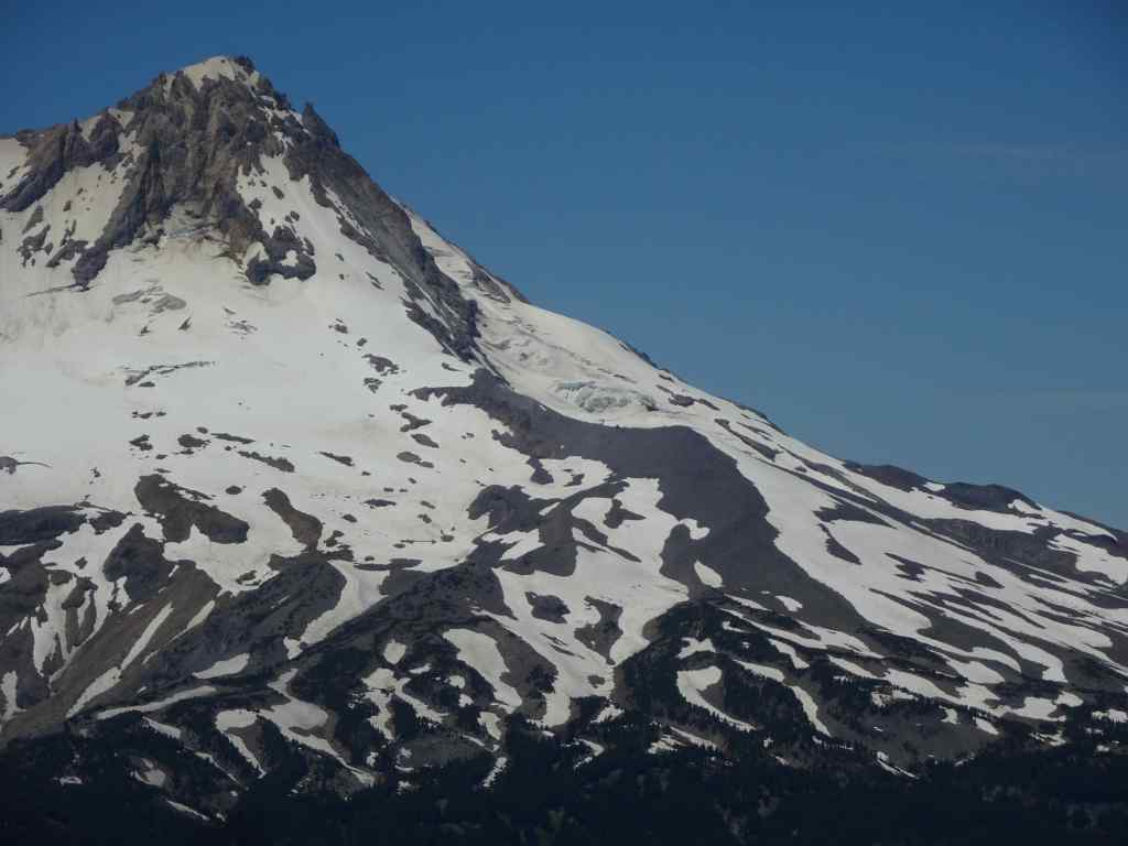
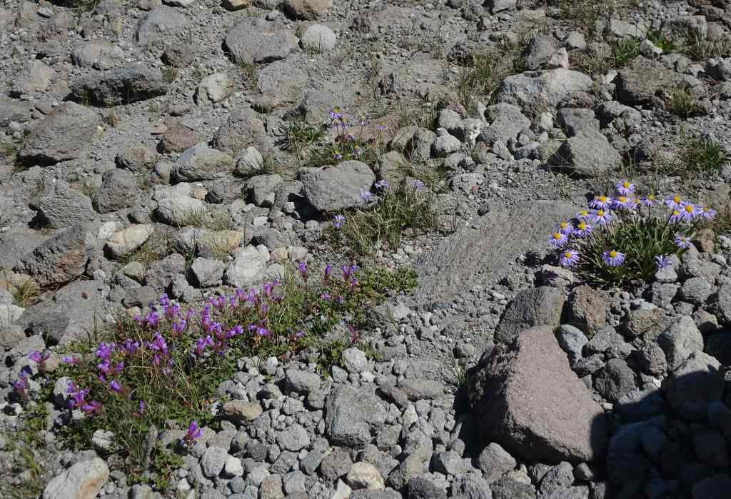
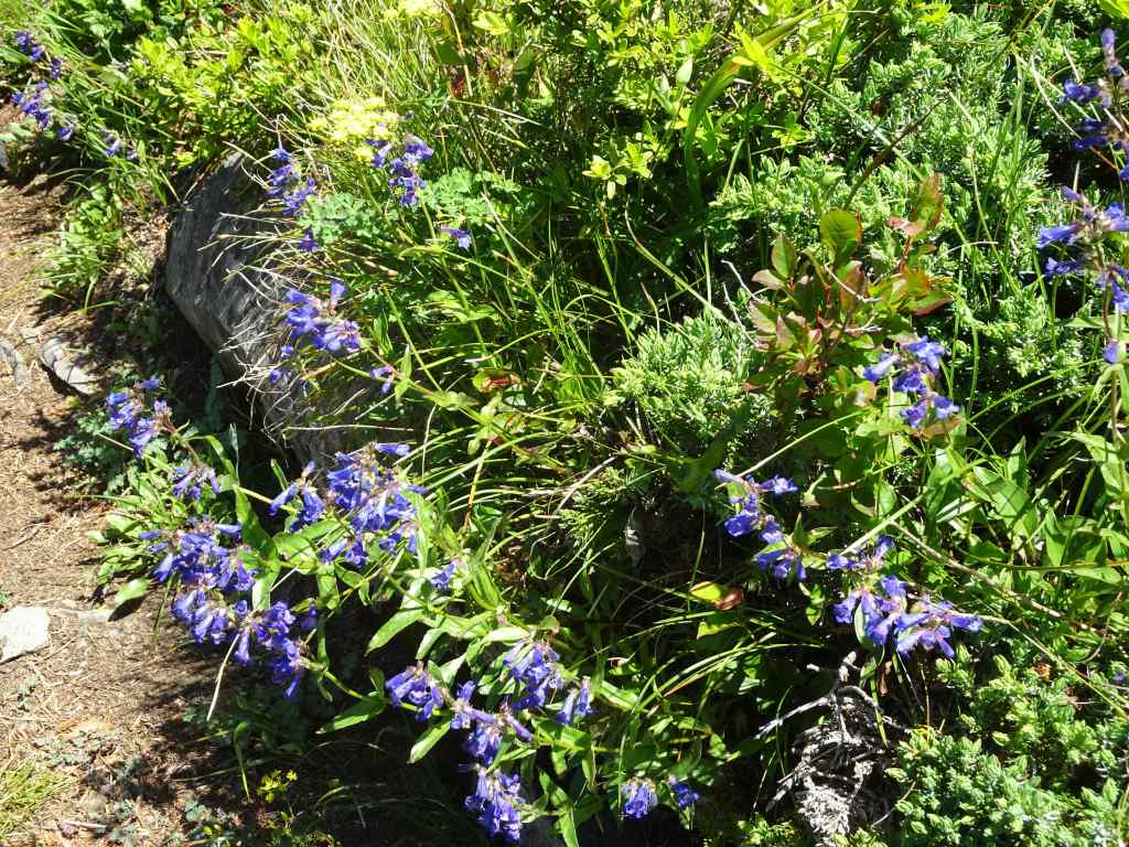
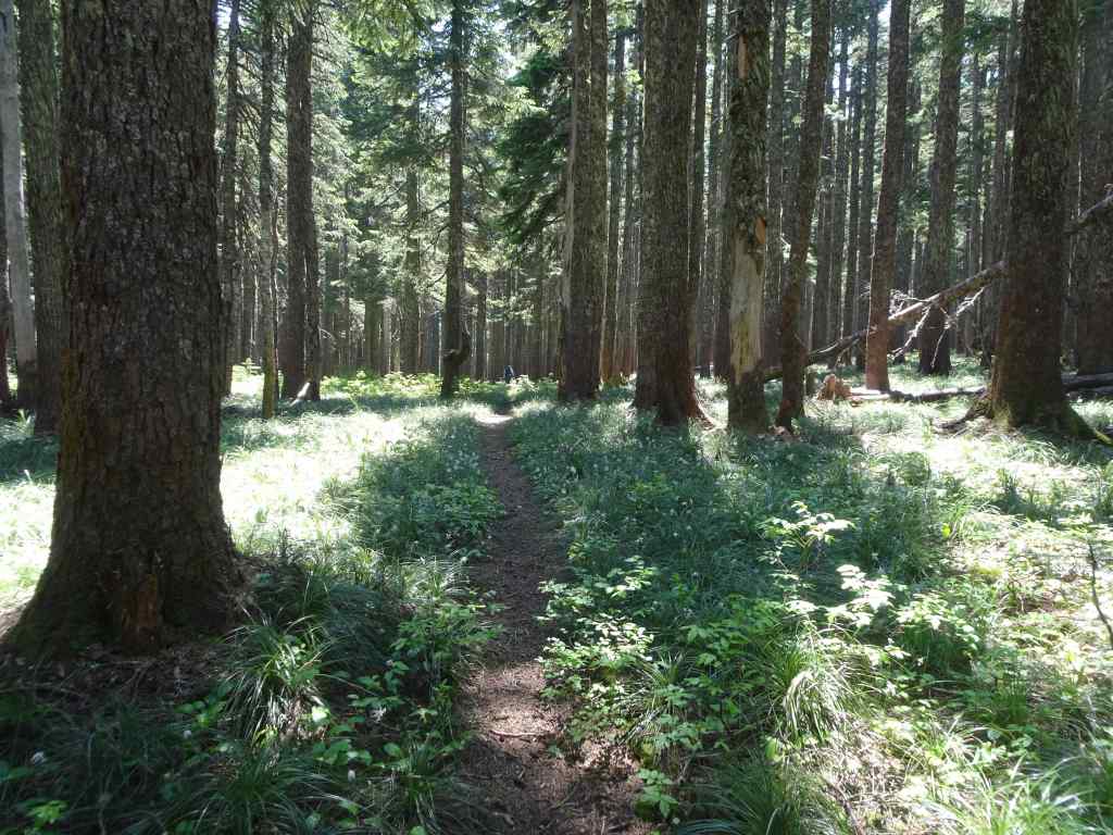
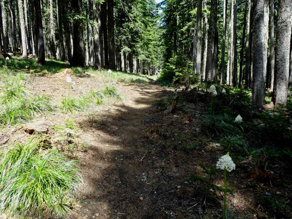
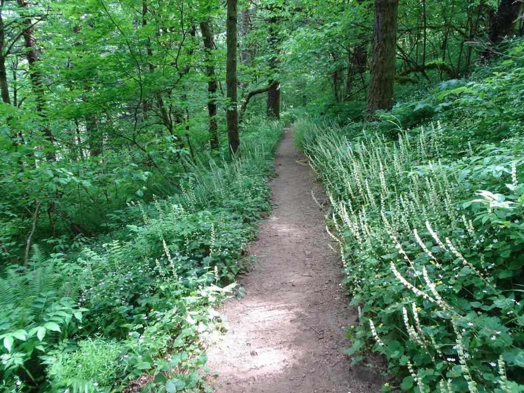
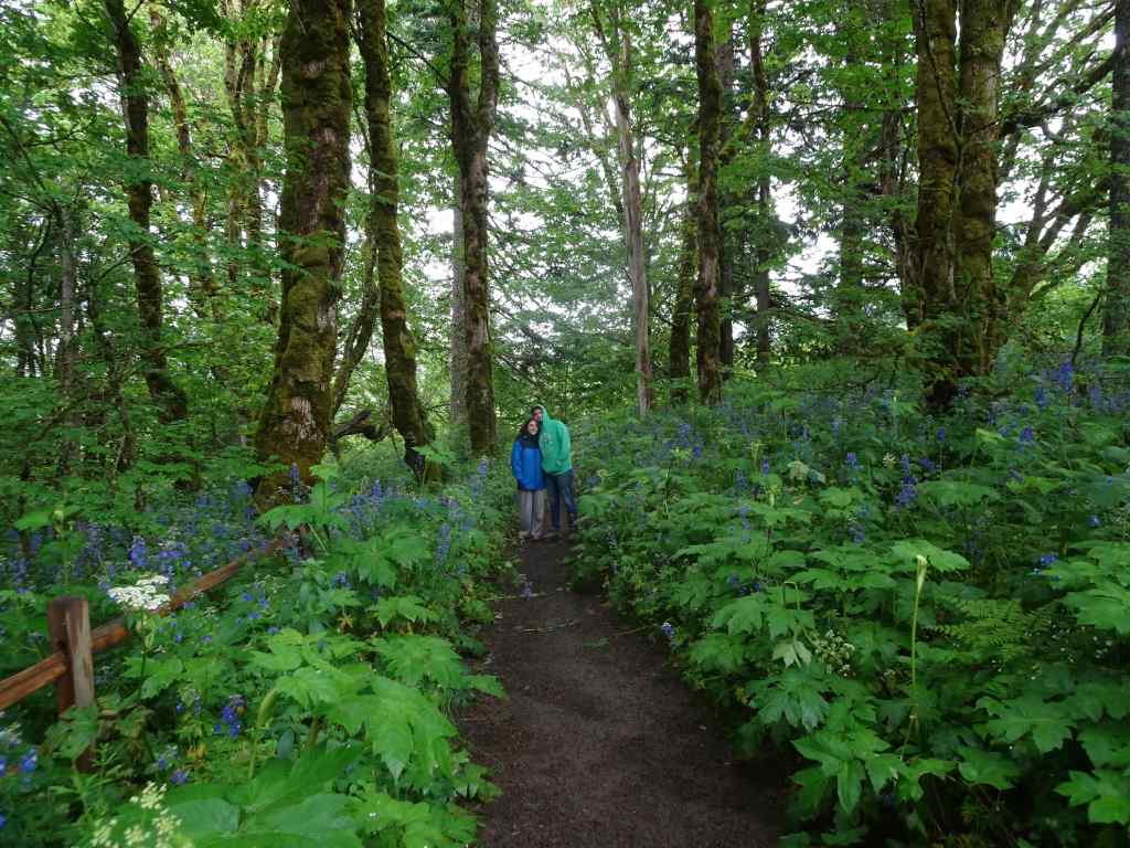
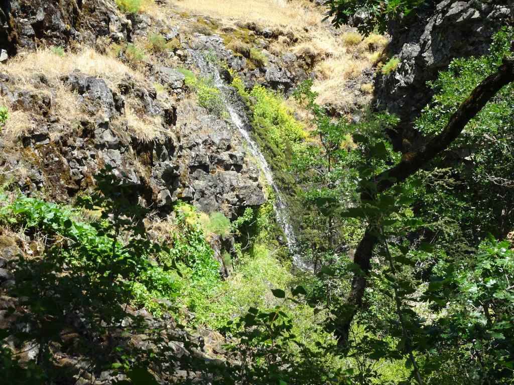
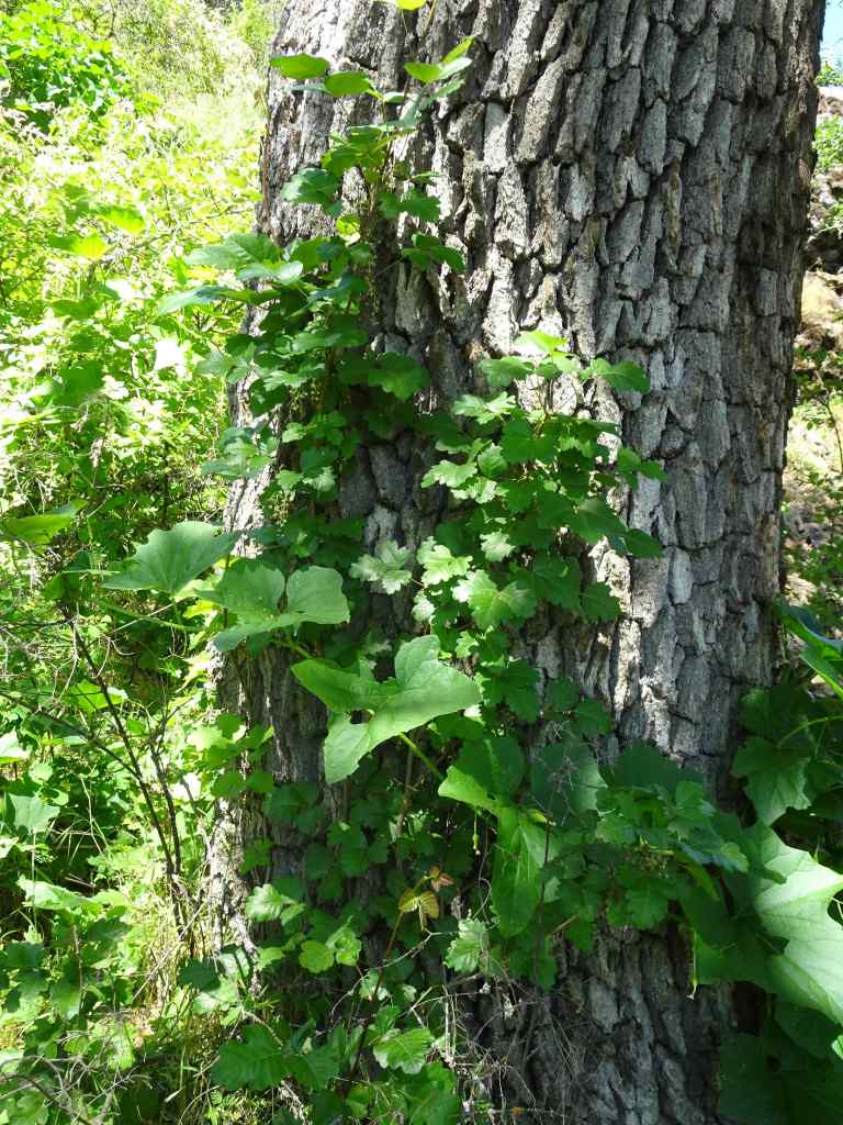
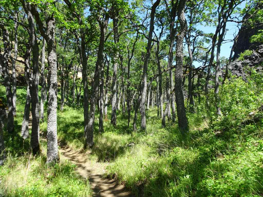
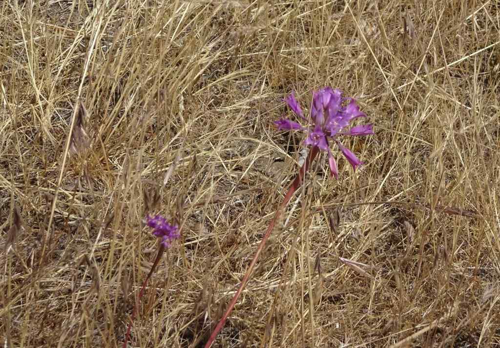
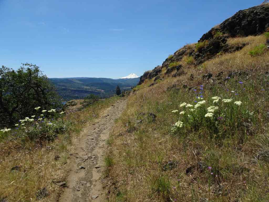
This was the only hike for me in August, after our trip to Bandon. Usually August is a prime hiking month for us, but I had to address some health issues. There were many appointments, including PT for my wonky hip. Everything seems to be getting better, so I hope to have many more challenging hikes in the future. But one hot day, we drove up Mt Hood to the Wildwood Recreation Area, which we had not visited before. This is a BLM site, at about 1200 feet elevation, on the Salmon River. There are several miles of mostly flat trails through shady forest, and along the Salmon River. I imagine many school field trips come here because of the easy access, and abundance of educational signage and picnic tables.
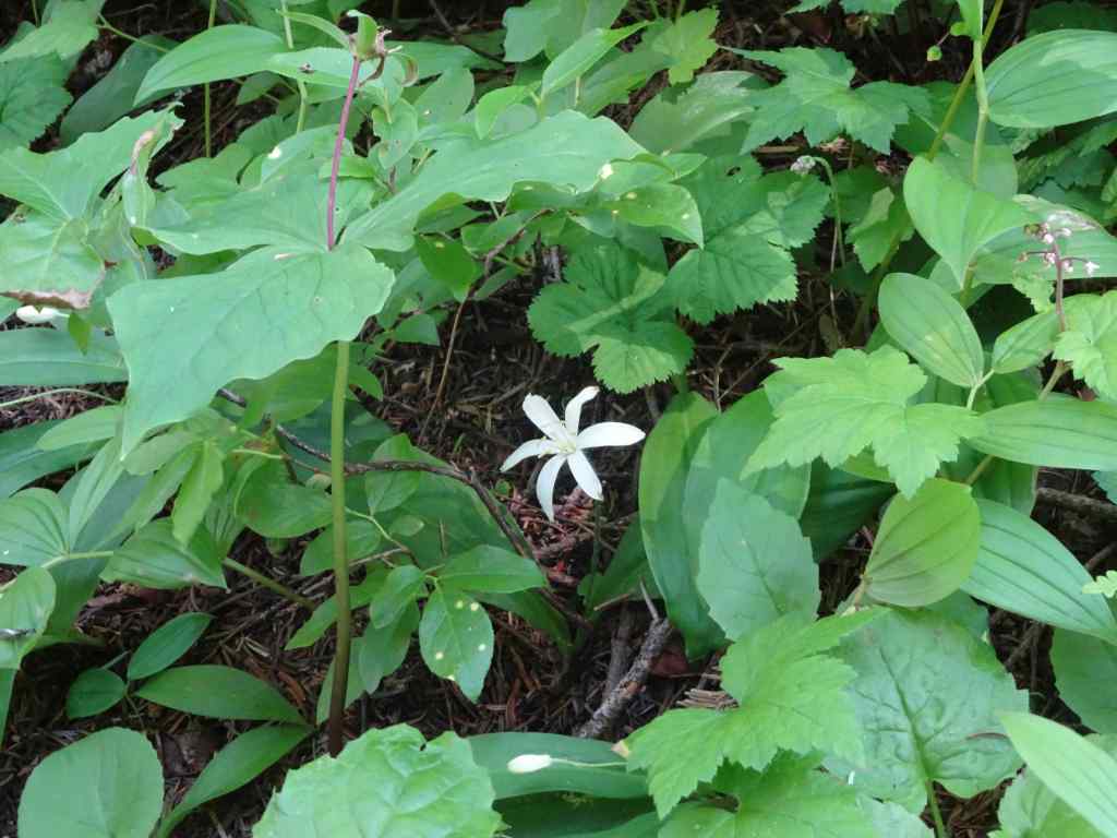
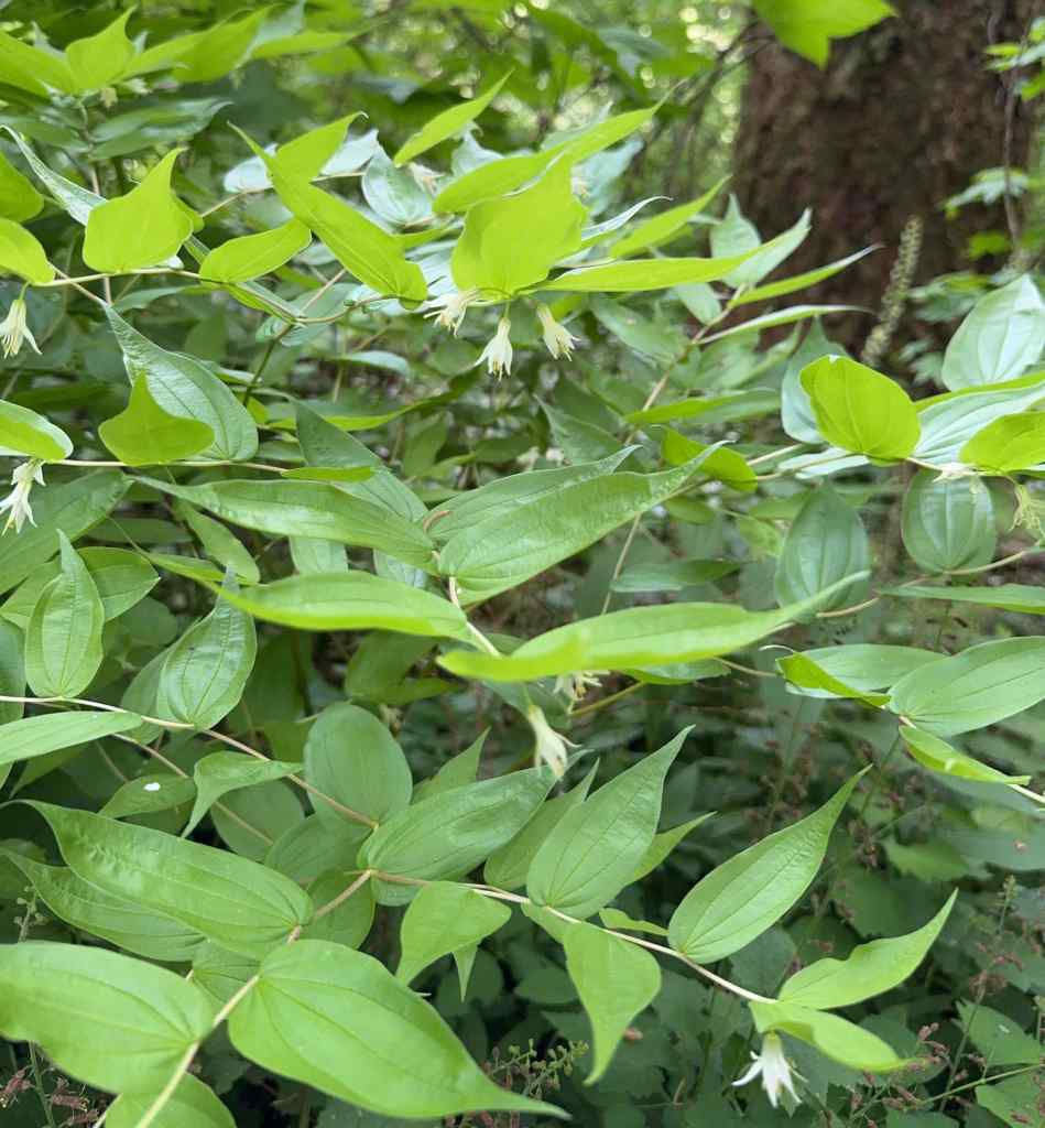
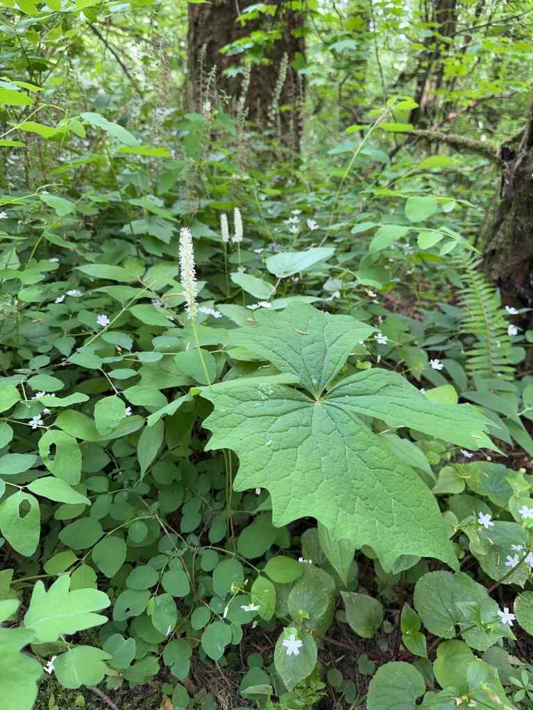
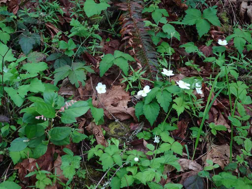
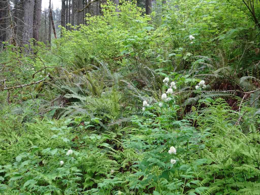
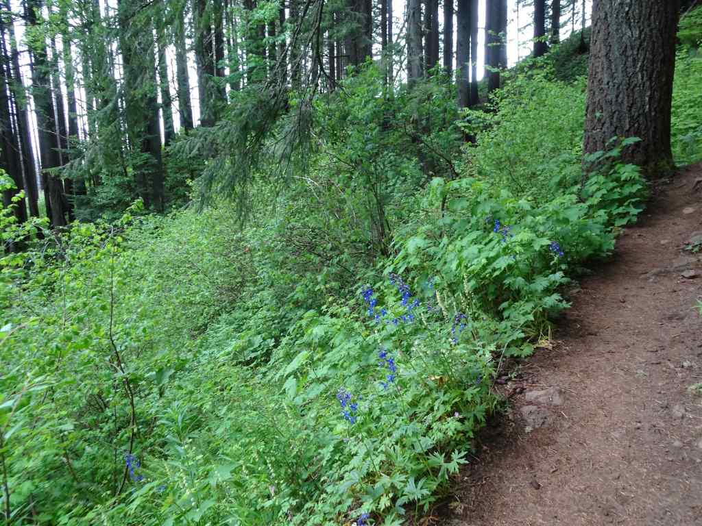
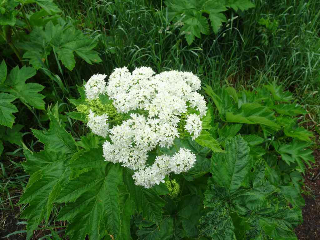
Trailhead sign… we walked trails on both sides of the Salmon River.In the parking lot, I watched a Big Leaf Maple leaf slowly float to the ground.The first leaf of fall?Salmon River from the bridgeView to the nearby ridge across a marsh on one of the nature trails.Shady reflections in the waterForest bathing here…More reflectionsSalmon sculptureRiver access for picnickersUnderwater viewing chamberWe saw a few very small fish in the viewing window. Salmon pass through here in spawning season.
The Wildwood Recreation Area was a great spot for some easy forest bathing on a hot summer day.
And lastly –
A few birthday gifts and cards…
An aspirational window sticker seen in the neighborhood…
There is so much going on that I am constantly whiplashing between system overload and full ostrich. It is a challenging time, and yet we will continue to do what we can to be hopeful and helpful.
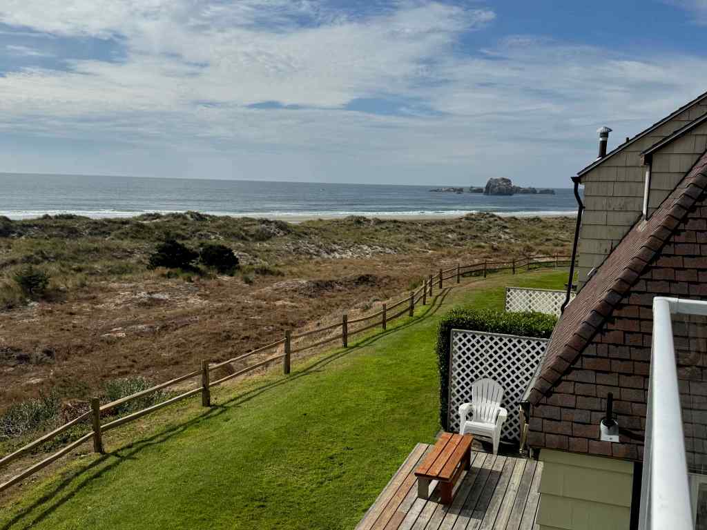
We had planned a trip to Mt Rainier for my birthday week. Then my wonky hip started acting up, and my breathing felt really challenged on my last couple of mountain hikes. When my doctor decided I needed a full cardiac work up, we realized that expecting to enjoy hiking the steep trails at Mt Rainier was unrealistic. Luckily, the place we stayed in Bandon last January had a room available, so we pivoted. At the worst, I could sit on the balcony overlooking the beach and stare at the horizon and the wave trains. I could go for some flat walks on the beach, and find a rock to sit on while my husband walked farther. It turned out to be a very good week for us. We had beautiful weather, some lovely beach walks, and so far, all my medical work ups have not turned up anything other than a likely bad reaction to a new medicine I was trying, and being out of shape because of not doing as much hiking as usual while I was in Utah (too hot), and while my husband was recuperating from his neck surgery in the spring. And maybe, just the entropy of being one year older…
View south from the balconyView north from the balcony
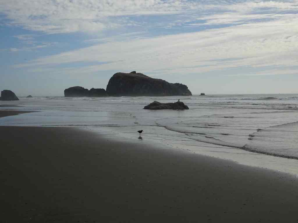
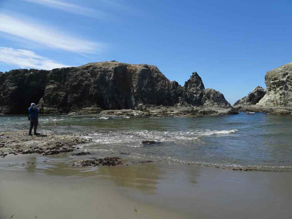
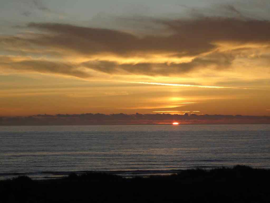
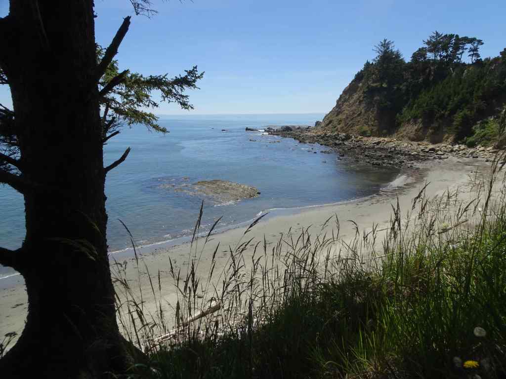
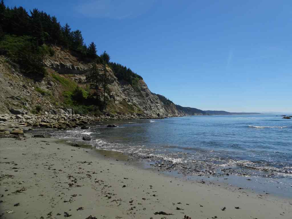
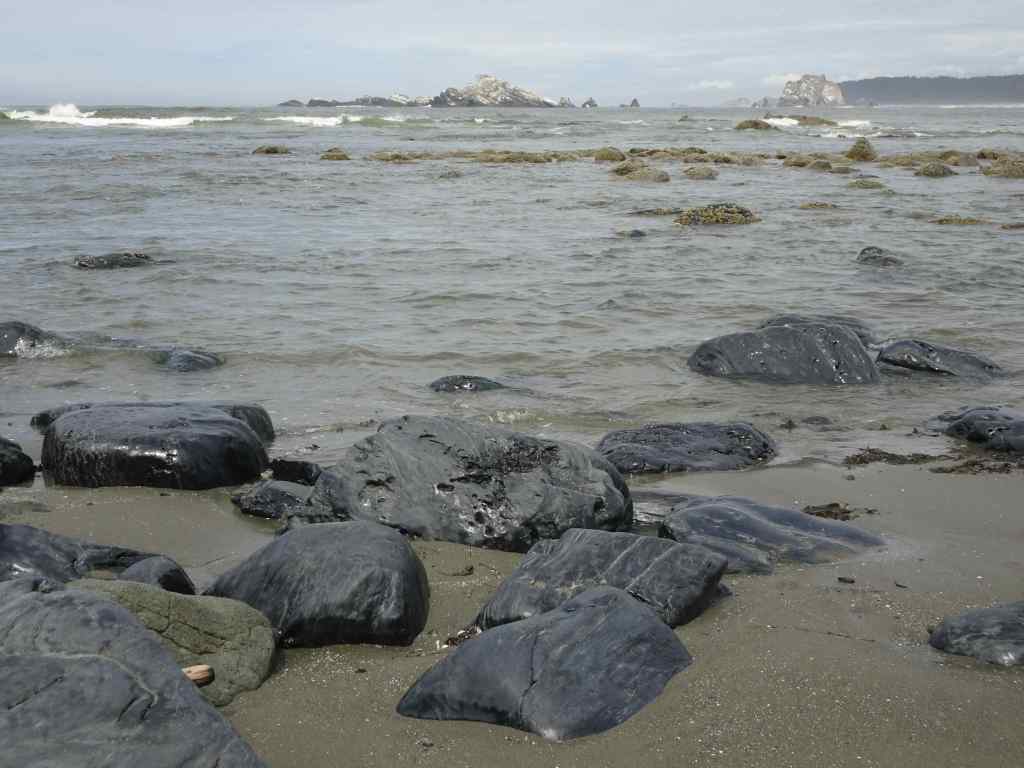
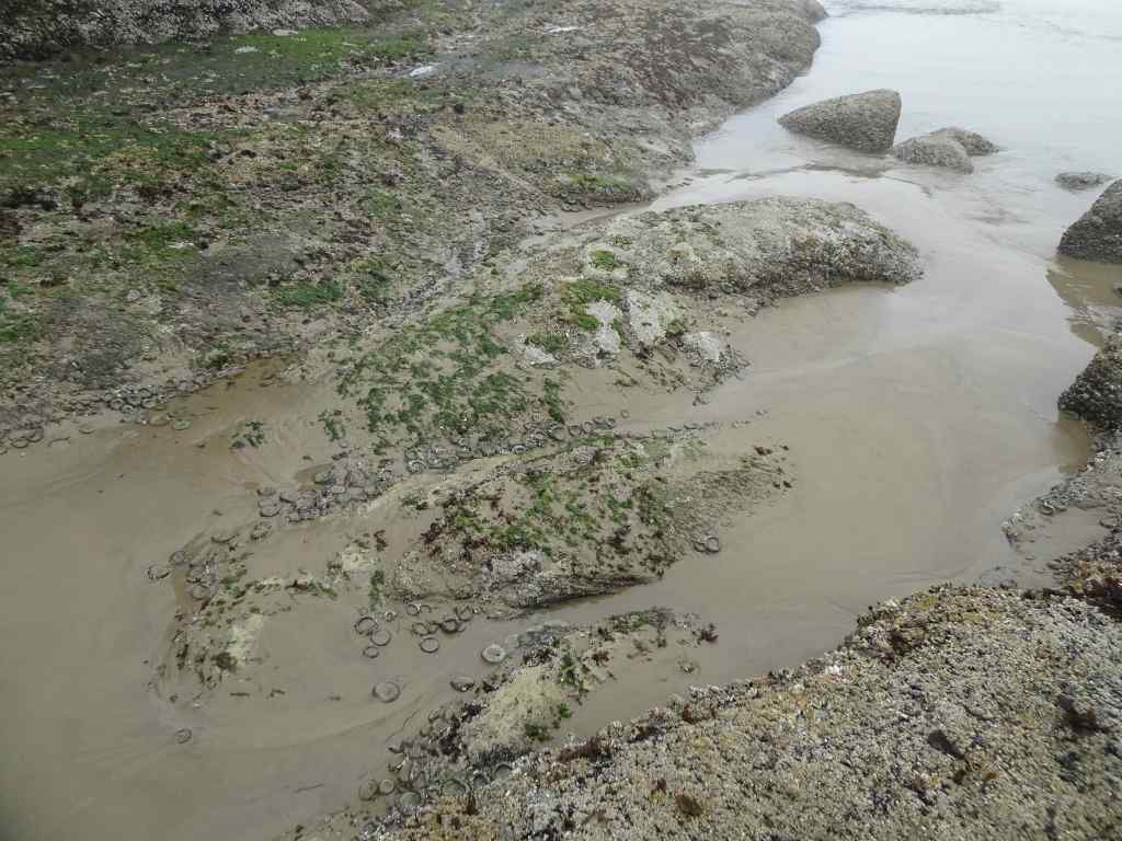
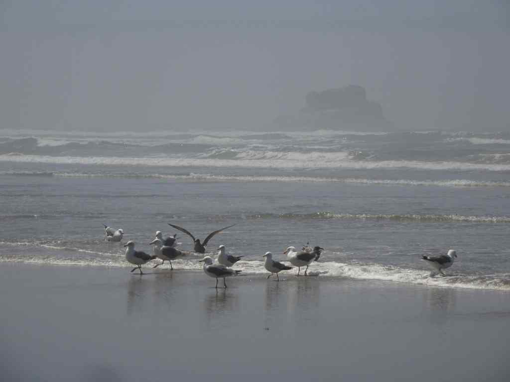
8/3 – Bandon Beach South
Our first evening, we took a walk to the south of our hotel…
Walking south of BandonLots of shore birdsWalking north again, with birdsSunset from the balcony
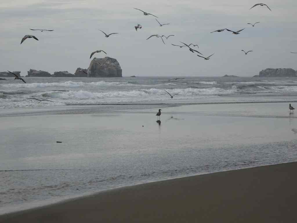
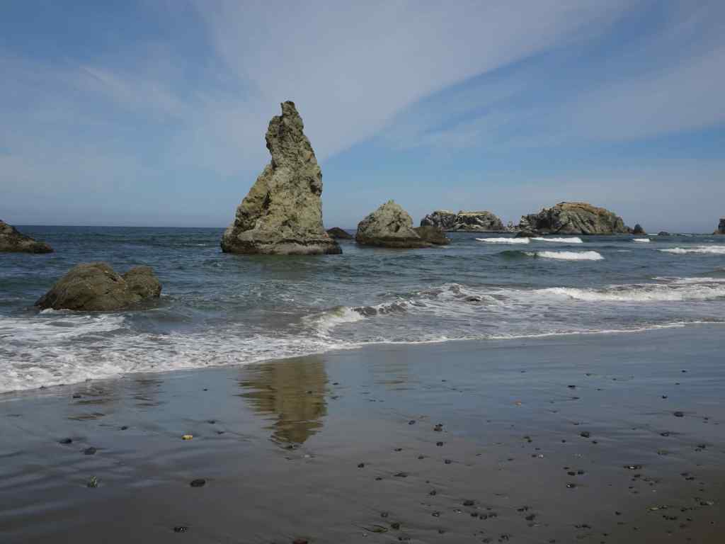
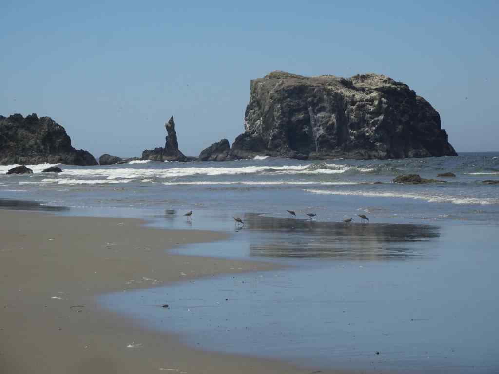
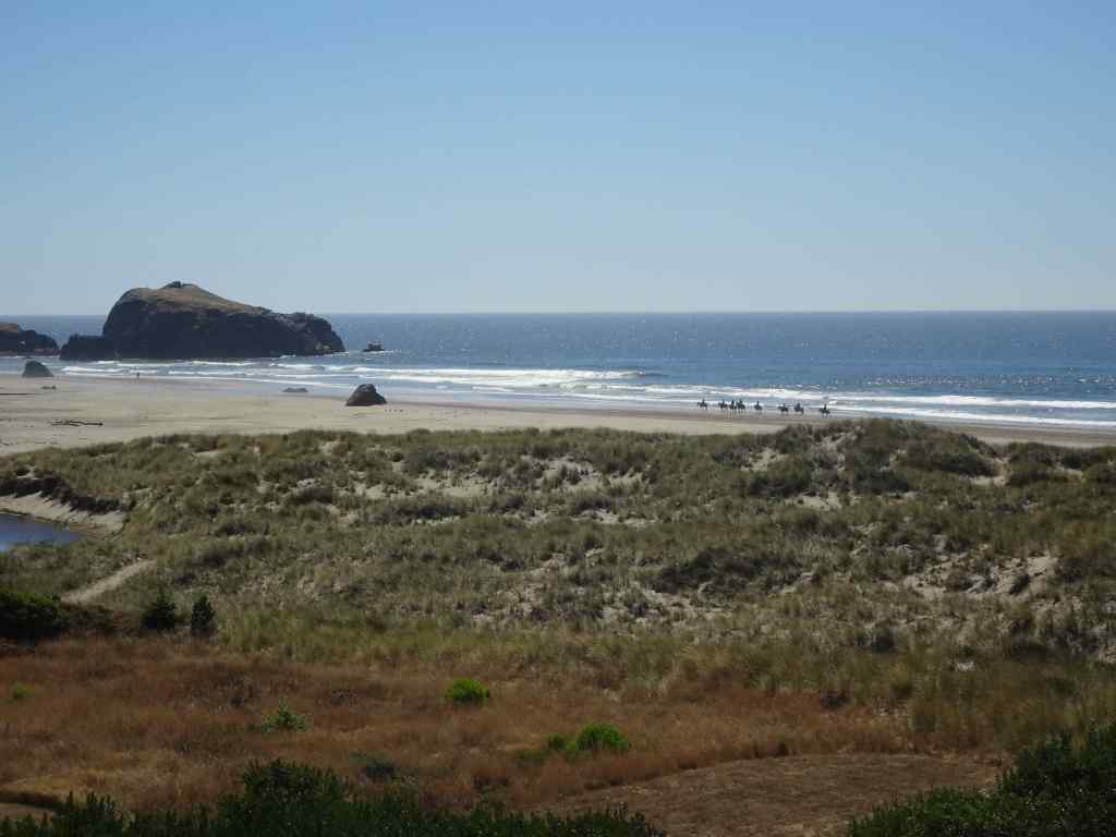
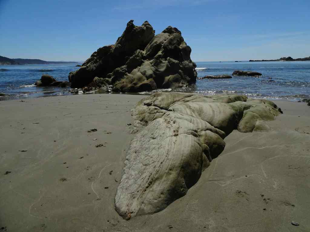
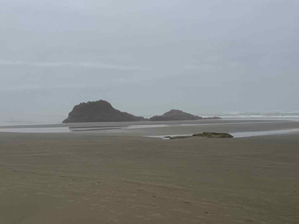
8/4 – Face Rock North
We were expecting low tide in the afternoon, so a perfect day for walking north from Face Rock, enjoying the beautiful beach and the marine wildlife.
View south from the Face Rock overlook.View north from the Face Rock overlook, our destination for the day.Sea stacks and reflections.Lots of shiny stones in the swash zone.Dry sand blowing into the ripple marks.Pelicans and cormorants on the islet.Elephant rock.More reflections.
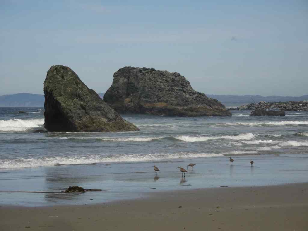
We spent a fair amount of time watching a flock of whimbrels.
WhimbrelsZooming inWalking southWith sea stacksWalking north
I wasn’t the only one beach combing for agates in the swash zone as the tide went out.
Pebbles of many colors. I looked for the smallest one I could find of each color.
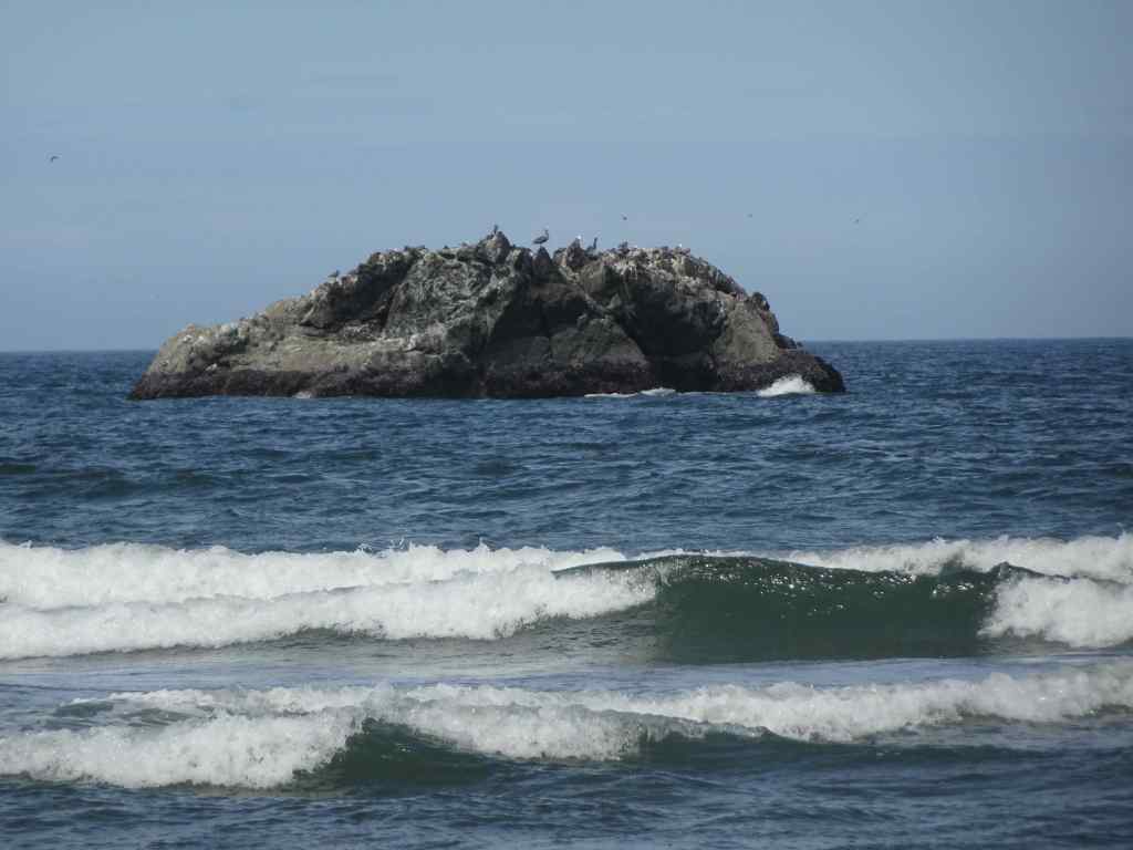
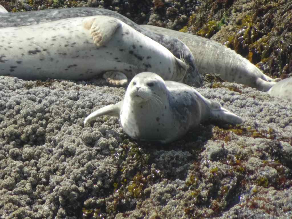
Around lunch time, we saw a pod of seals napping on a nearby islet.
Seals nappingCloser viewThis one is awake.Seal pup.
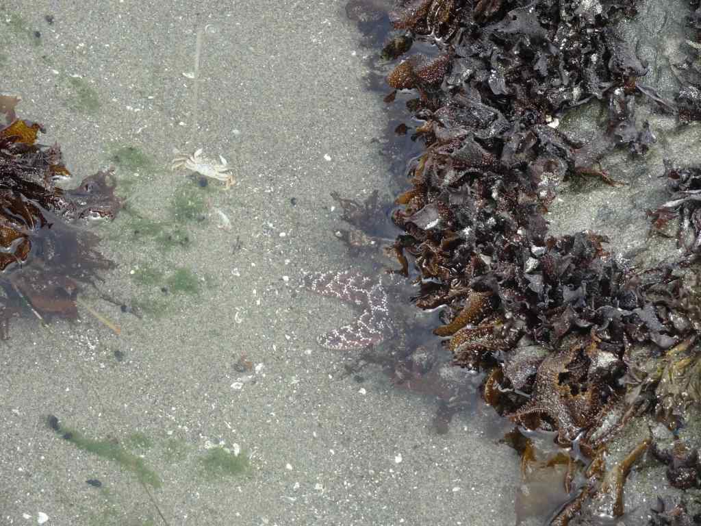
Walking back south, we encountered a bit more marine life…
Walking south along Bandon beachSea anemonesOyster catchers
Back at the hotel, we were treated to another lovely sunset.
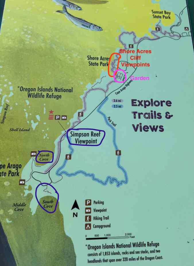
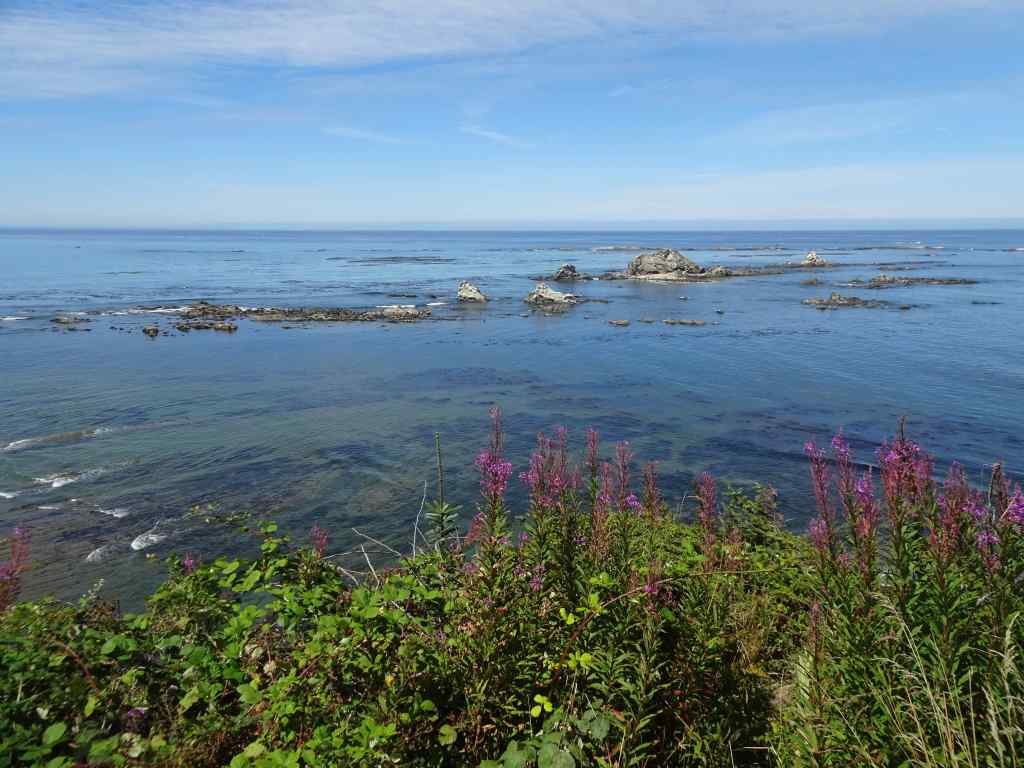
We drove north to Shore Acres and Cape Arago State Parks. This road was closed by a landslide when we were here in January. We visited several beach overlooks and a beautiful cove, and then walked in the historic Shore Acres Garden.
Location Map of Shore Acres and Cape Arago State Parks.
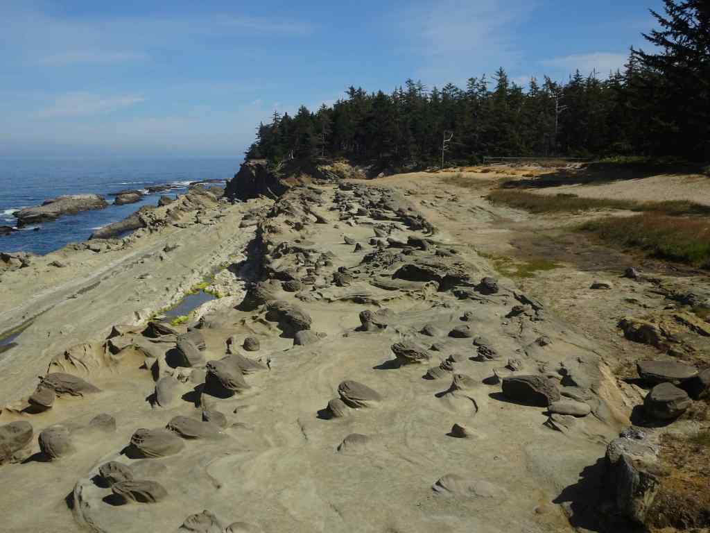
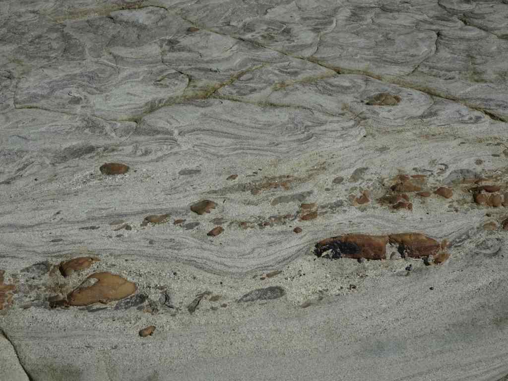
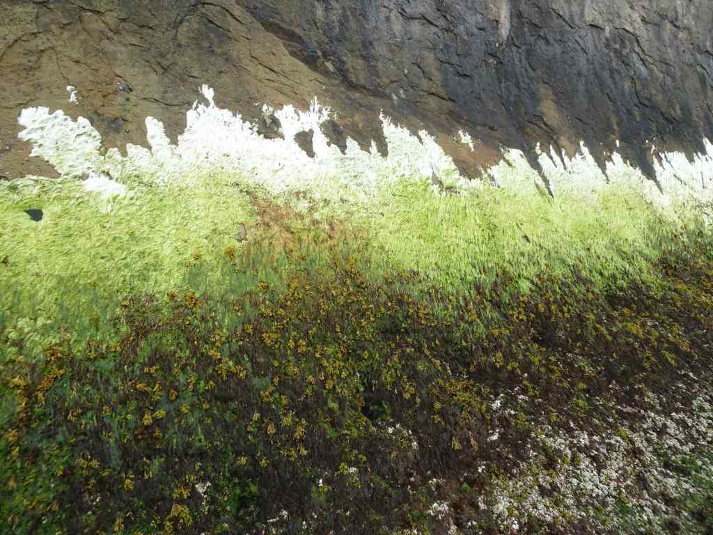
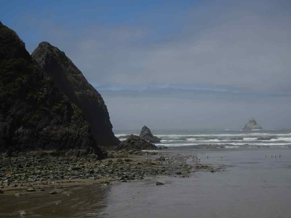
Our first stop was the Shore Acres cliff viewpoints, where we could see dipping sandstone beds and their oddly eroded concretions. It reminded me of the shoreline at Point Lobos, in California. The one other time I was here, it was windy and there were huge waves. Today, it was very calm.
Looking north, Shore Acres State ParkConcretionsTide pools in the dipping sandstone beds.Not much wave action.
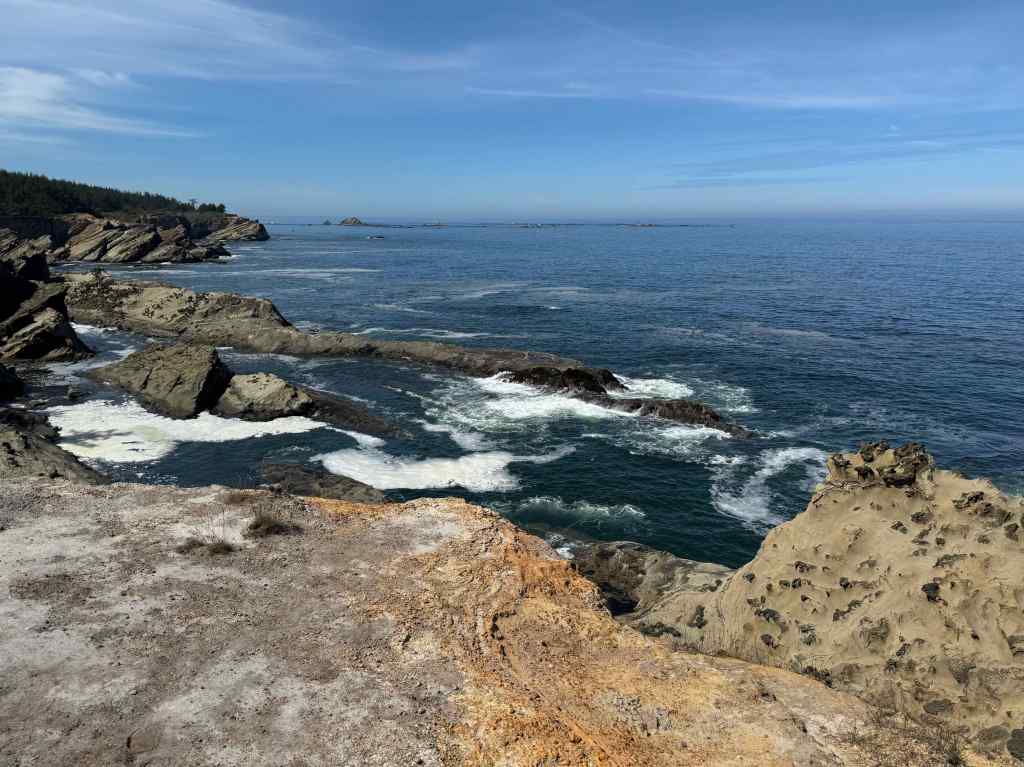
Looking south from some of the viewpoints:
Viewing Gazebo, on the far left – a protected viewpoint for windy days, built on the site of the historic Simpson Mansion.Another view of the dipping sandstones and eroding concretions.Concretions close upAnother viewSouthern viewpoint.Water rushing in at low tide.
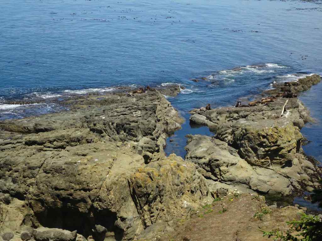
We drove farther south in the park, to the Simpson Reef Overlook.
View to Simpson Reef, with seals and sea lions. It was very noisy, with the sound of the marine mammals barking!Seals piled up on the beach, and on the rocks.Seals and cormorantsMore sealsMarine nursery
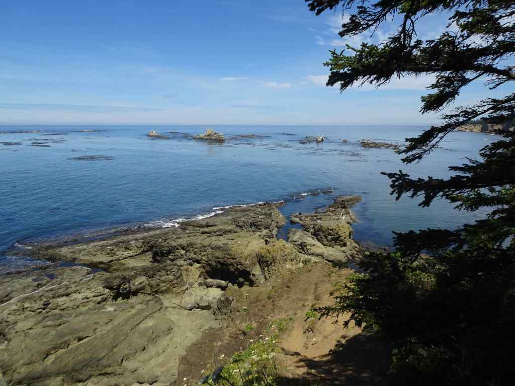
Farther south along this dead end road is Cape Arago. We walked the short trail to the North Cove overlook.
Looking north from the northern tip of Cape Arago…More sea lions on the rocksAnd a pelican flightLooking south from the trail
And then we walked the short trail down to the South Cove.
South Cove, Cape AragoLooking south from the beach.Sea stack and sandstone outcropPebbly sandstone textures.
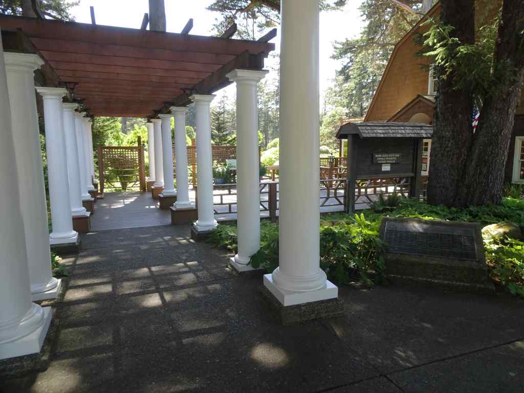
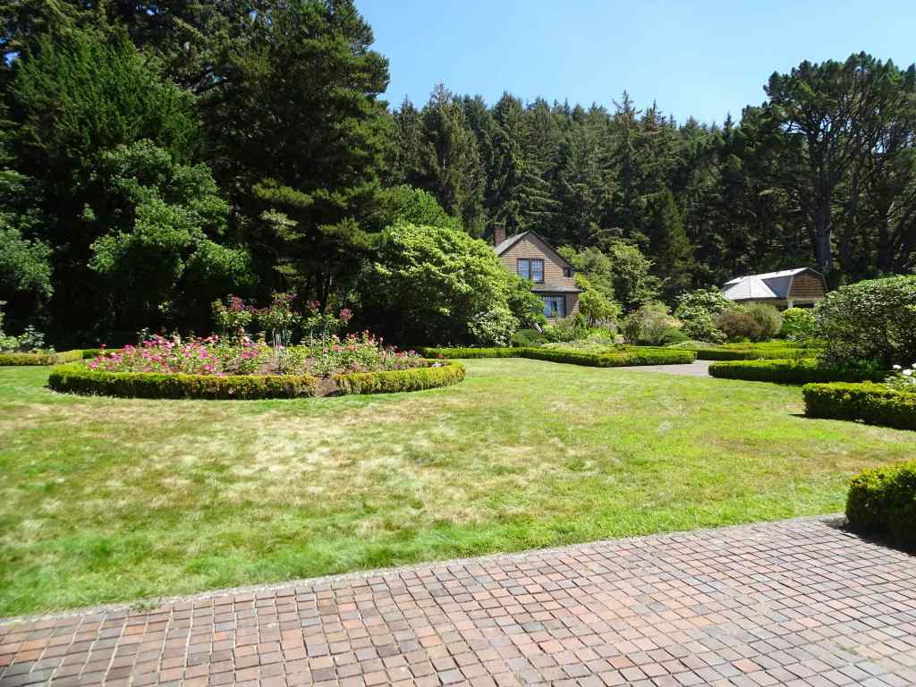
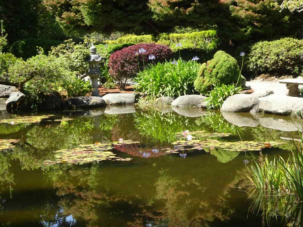
Next, we walked through the Shore Acres Gardens.
Entry to Shore Acres GardensFormal GardensOur favorite area was the pondBeautiful reflectionsLily padsLilies
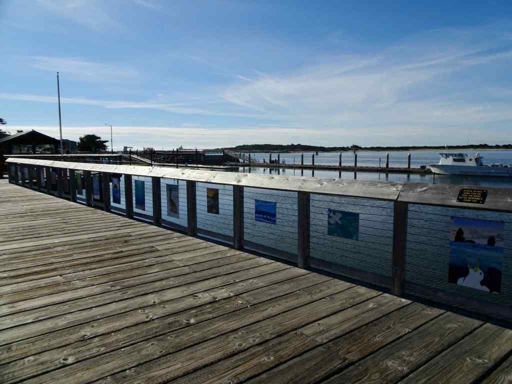
We drove back to Bandon, and had a delicious fish and chips dinner at the harbor.
BandonDinner!We sat at a picnic table on the pier.It was a beautiful evening!
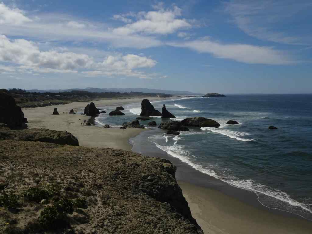
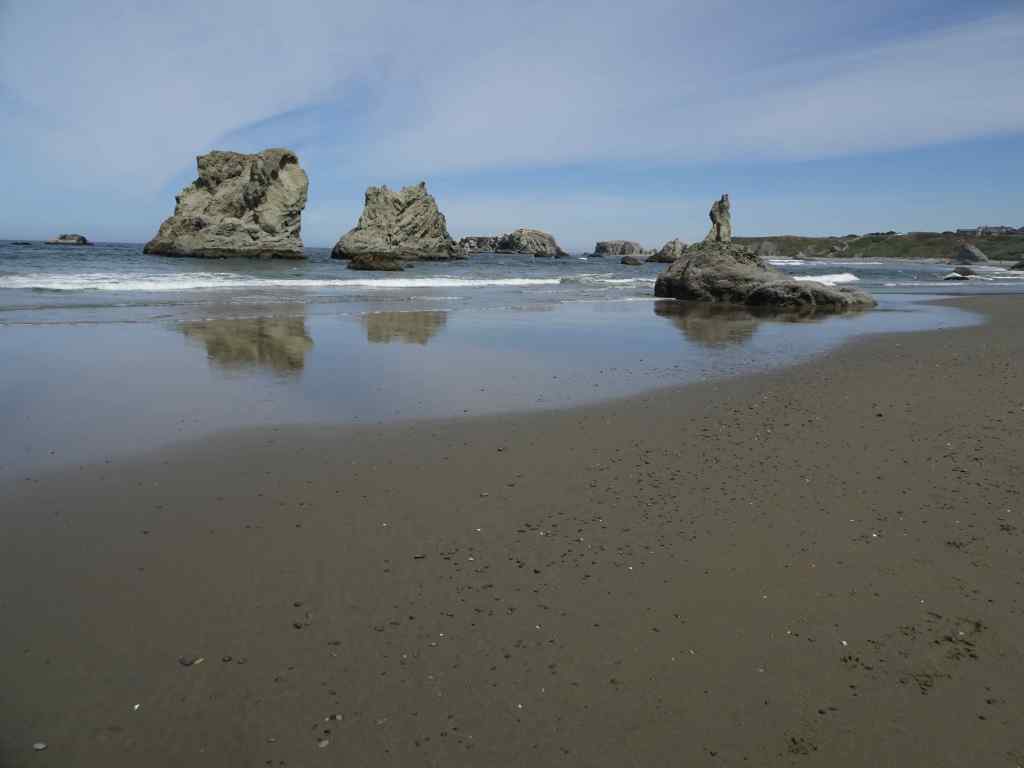
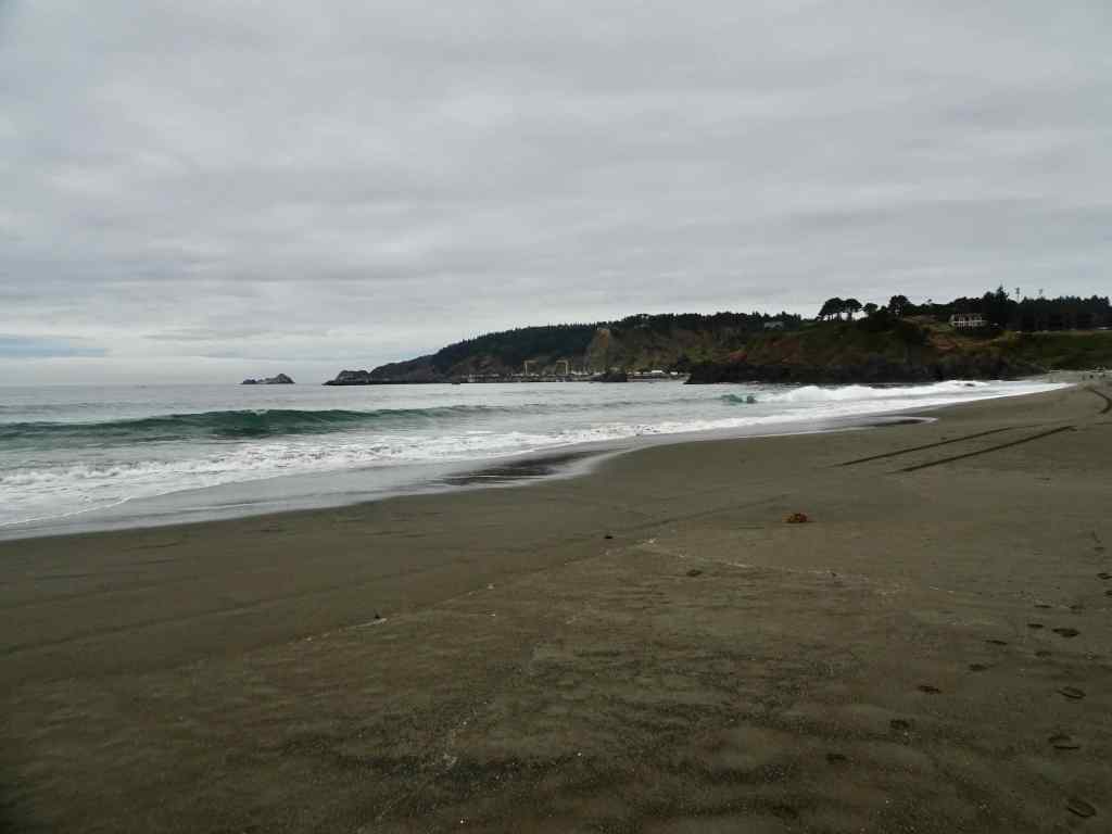
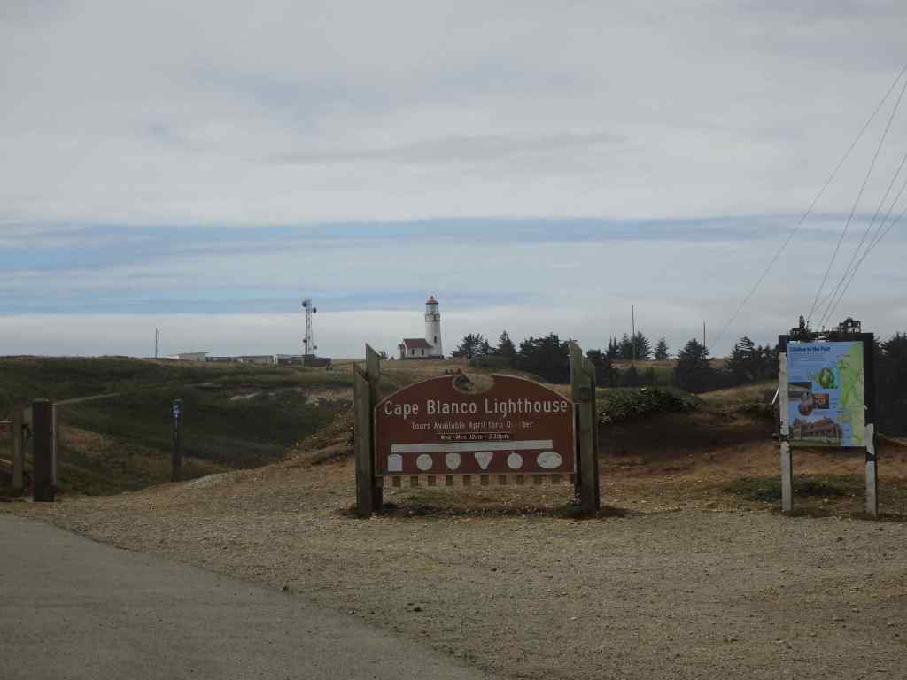
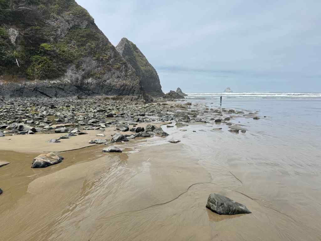
8/6 – Port Orford and Cape Blanco
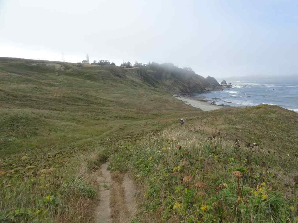
Another beautiful, calm day on the Oregon Coast. We drove south to Port Orford, where we had been once before, in 2007, to see the views and the beaches. We walked the trails at Port Orford Head, to the viewpoints, then had lunch at nearby Battlerock State Beach.
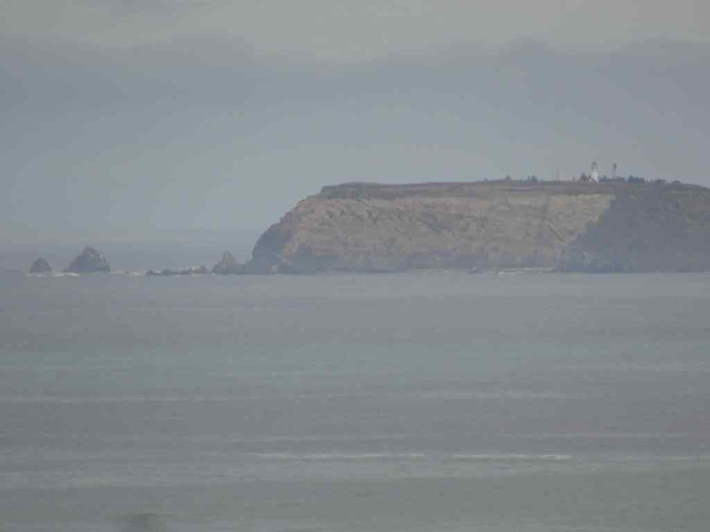
Port Orford Head is the site of an historic Coast Guard Museum.The trails go through the woods, and emerge onto cliff edge viewpointsView to the southView to the north. Cape Blanco, in the distance, where we would end our day.Zoom in on Cape Blanco light house through the mist.
Lunch stop at Battlerock Beach:
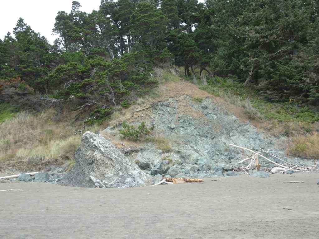
My husband took a walk down Battlerock Beach, while I sat on a rock and admired the views. View to the north, toward Port Orford Head, where we hiked earlier today, and Port Orford harbor.A large outcrop of serpentinite in the beach cliff.Artwork in the nearby Visitor Center, made of upcycled marine debris.Art information
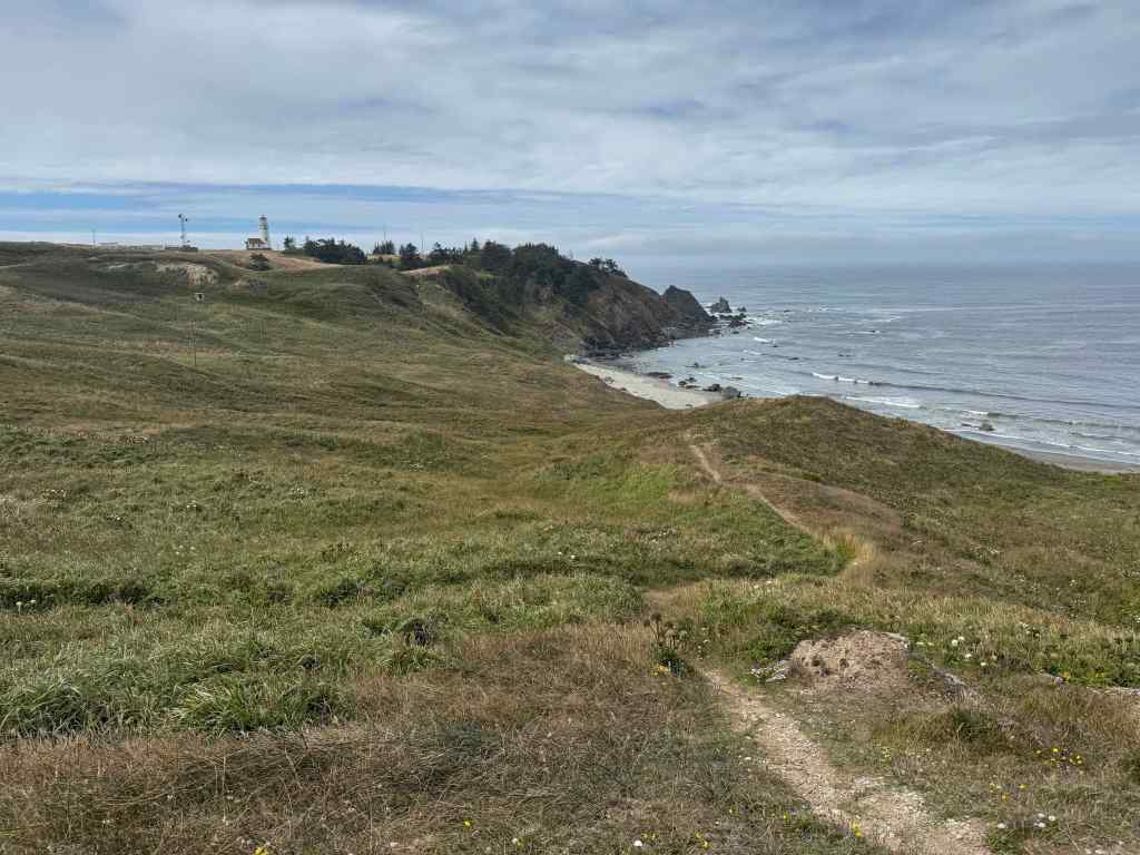
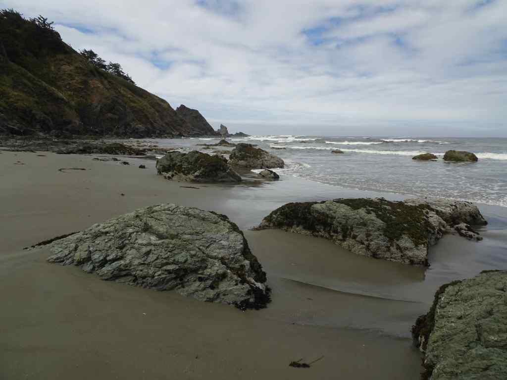
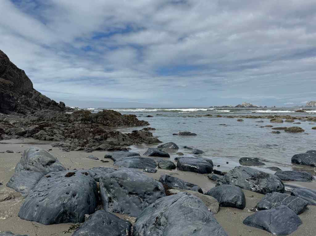
On to Cape Blanco, remembering our lovely walk here in January.
Cape Blanco LighthouseTrail down to the beachOnce again I mostly stayed put while my husband took a much longer walk.I could sit all day, watching the waves as the tide receded.PelicansBeautiful viewsShiny rocksSea star and crabSea anemonesFog rolling in on our hike out.
By the time we returned to our hotel, mist had rolled in all along the coast, so there was no sunset view.
8/7 – Home again, home again, jiggity jig
The next day, we drove home, passing over one of the beautiful Art Deco bridges on the Oregon Coast.
McCullough Bridge, Coos Bay, Oregon
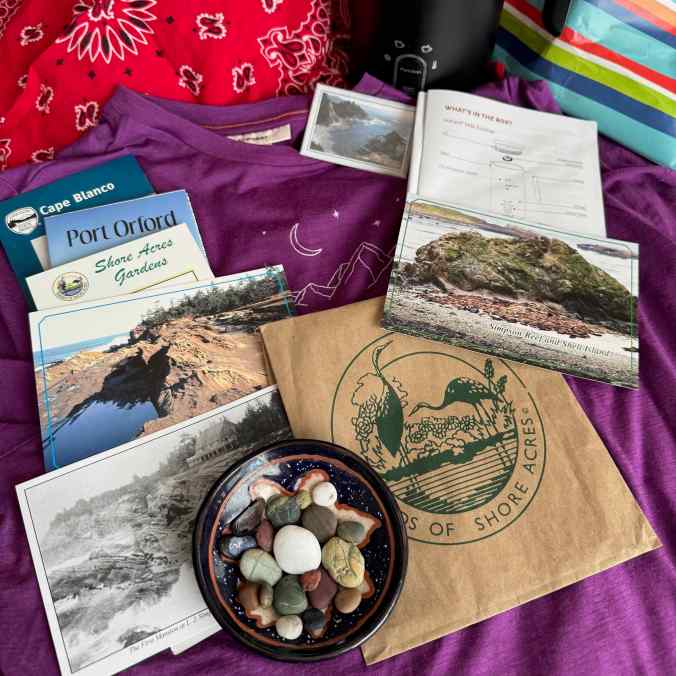
It had been a lovely week, despite my hiking limitations. I brought home some agates, postcards, and a few small birthday gifts, along with my memories.
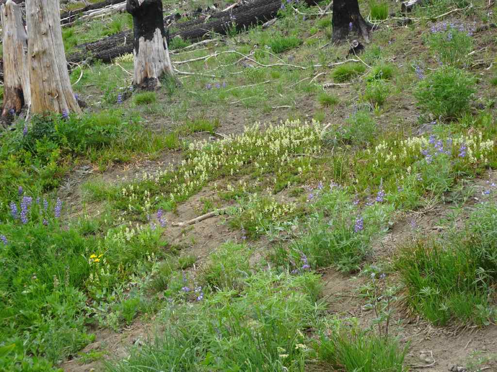
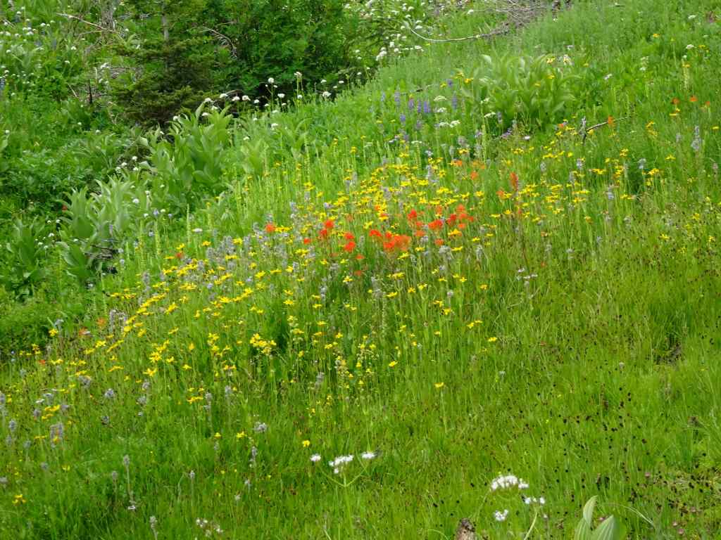
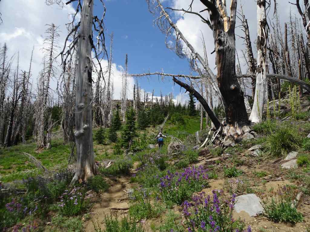
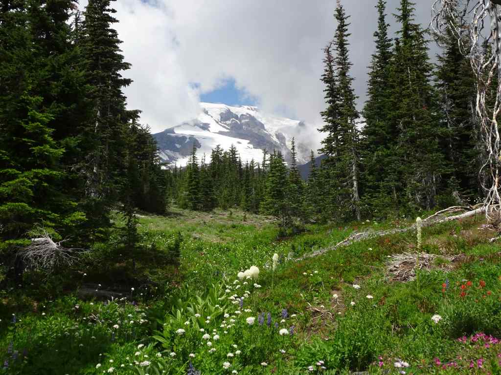
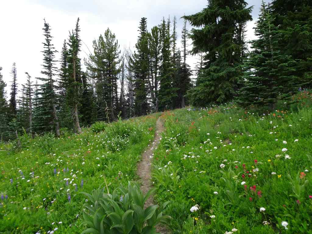
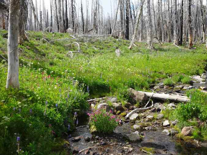
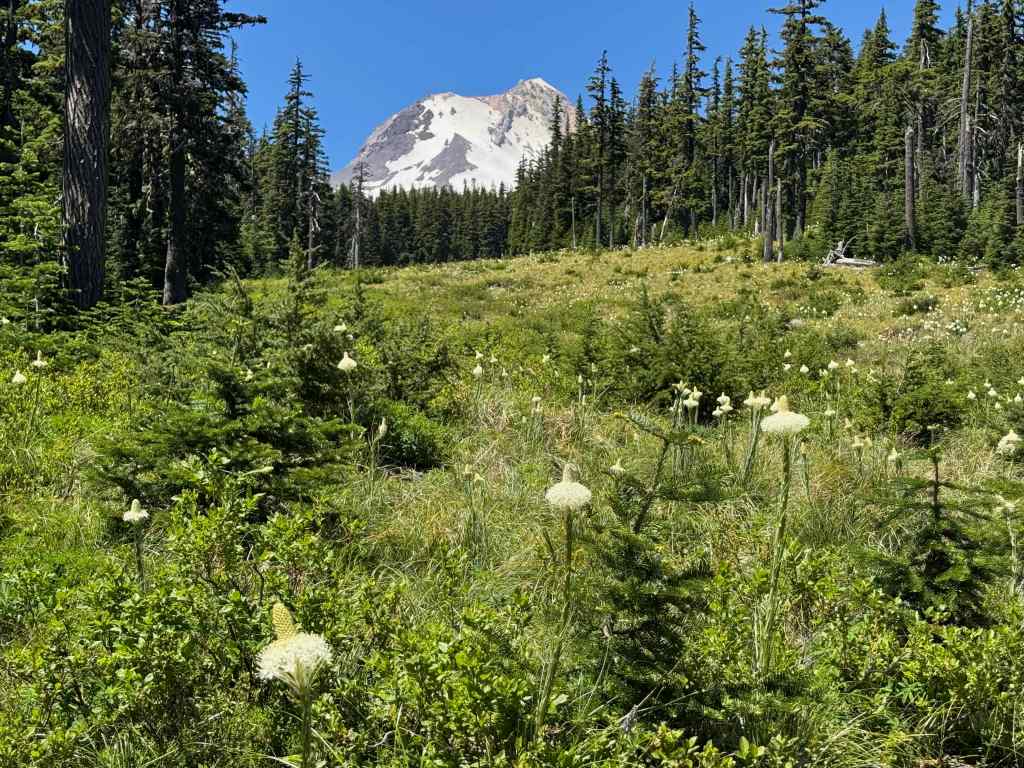
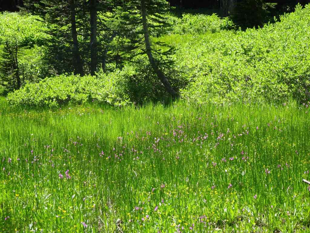
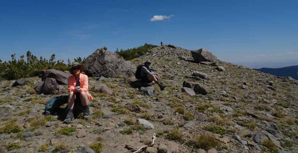
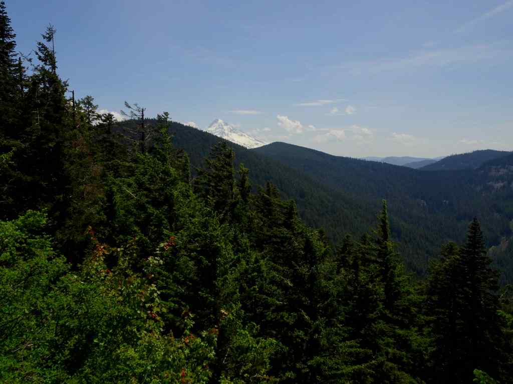
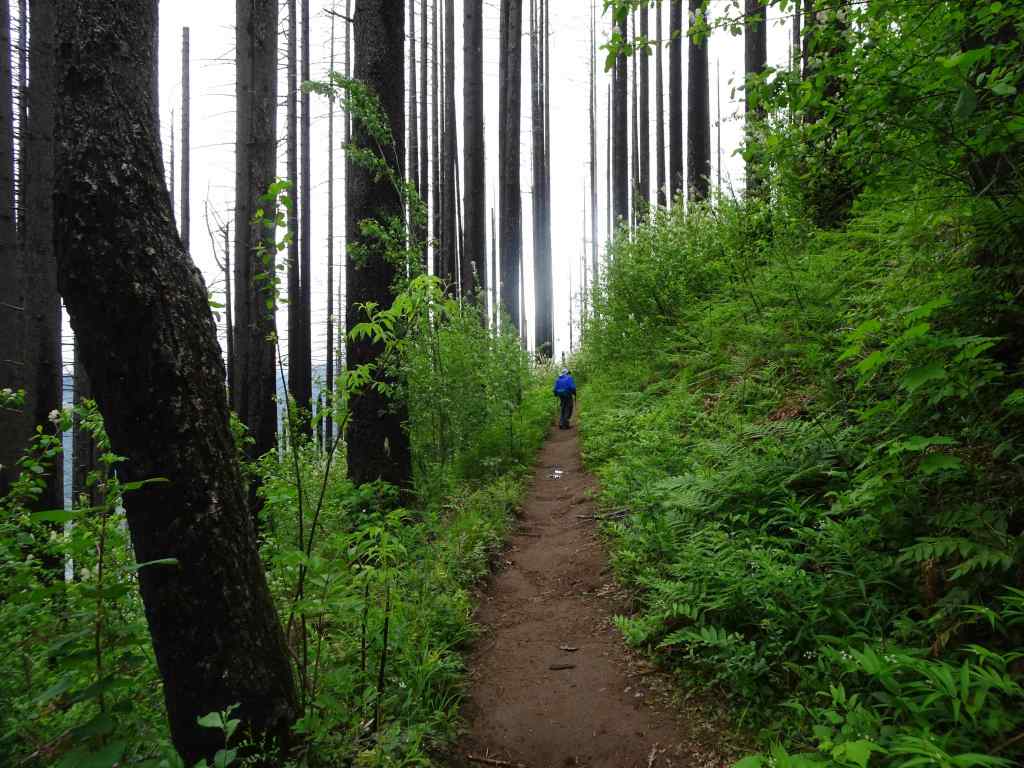
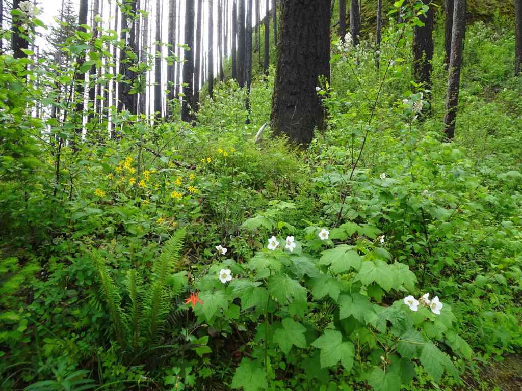
We hiked again where we have hiked before, through the lush wildflower meadows on the southern slopes of Mt Adams, on the Yakama Nation Tract D. We started at Bird Lake, and went counterclockwise uphill to the Hell Roaring Viewpoint of Mt Adams, then down along the Round the Mountain Trail and back to the lake (~5.5 miles, 1000 feet). We saw wildflowers, waterfalls, and some views through the burned forest, on a day when we only had fleeting glimpses of the mountain itself. The wildflower meadows were ‘beyond category’ today, and I took a lot of pictures!
Lower trail, from Bird Lake to Bluff Lake:
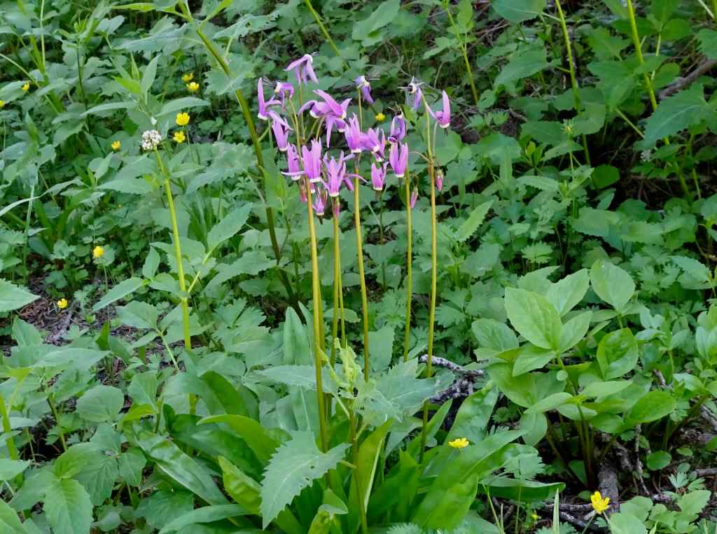
Bird Lake. Mountain not out, but pretty reflections in the lake.Partridgefoot and lupine on the lower trail.Asters under the burned trees.A frog in one of the stream crossings.Monkeyflower, lupine, lovageFireweed and false hellebore.Heather and magenta paintbrush.Bluff Lake
Next, continuing uphill to the Round the Mountain Trail:
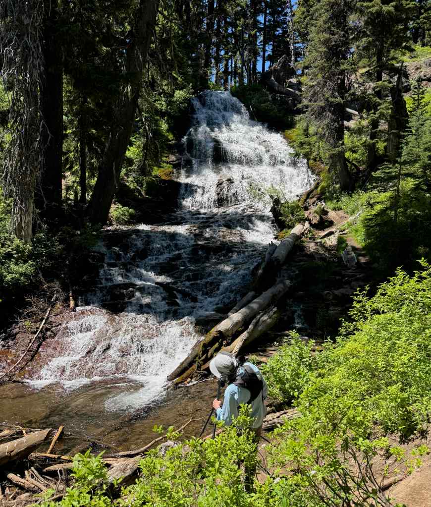
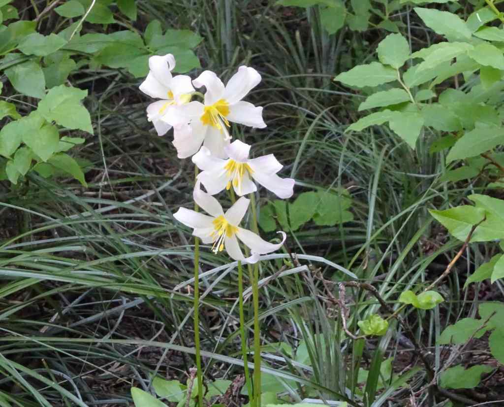
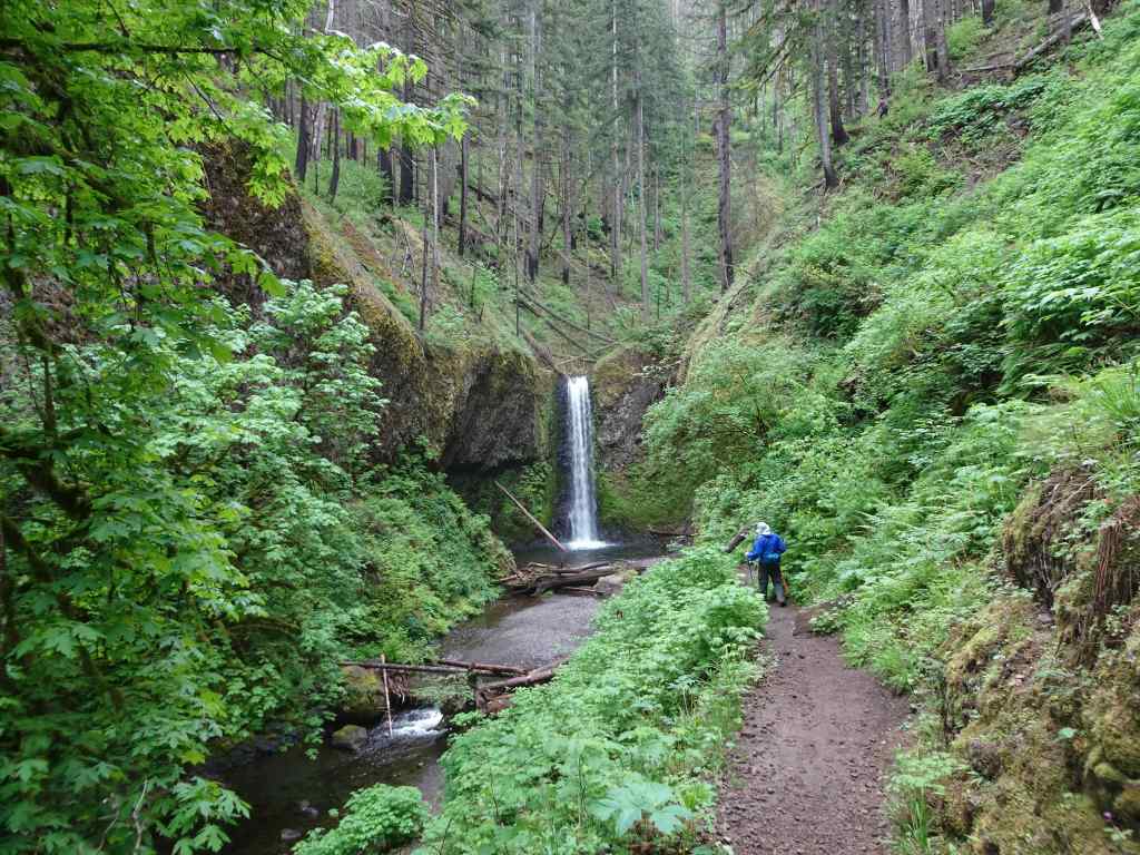
BuckwheatMagenta paintbrush, lovage and lupineSpireaMossy waterfallUp the cliffs, with mariposa liliesMore meadowsBrilliant bouquets all along the trail…Staircase Falls, just below the Round the Mountain Trail.
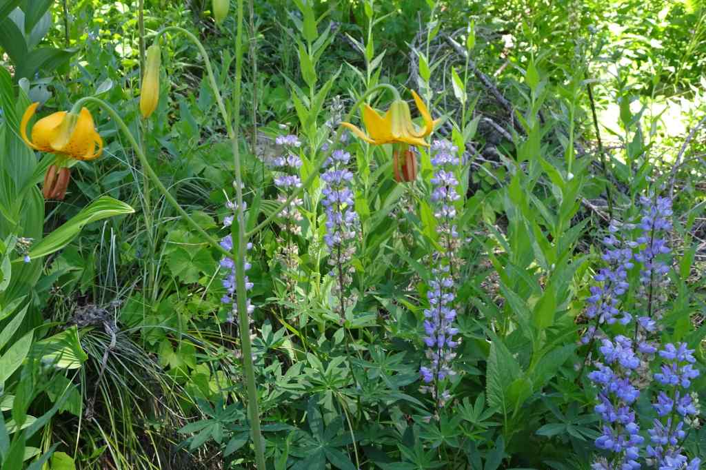
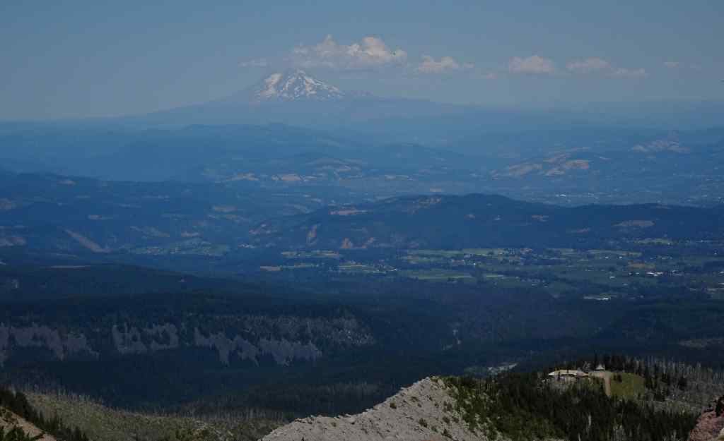
And continuing above the Round the Mountain Trail, on the Trail of Flowers, we finally had a glimpse of Mt Adams from under the clouds.
Mt Adams, with cloud cover.Closer viewBracted lousewort, with more magenta paintbrush and lupineA watchful treePhloxA brief view of the summit of Mt Adams.Orange paintbrush, yellow ‘daisies’ of some sort, and white sitka valerian.And another view of Mt Adams as we hiked up to the next rock ledge.
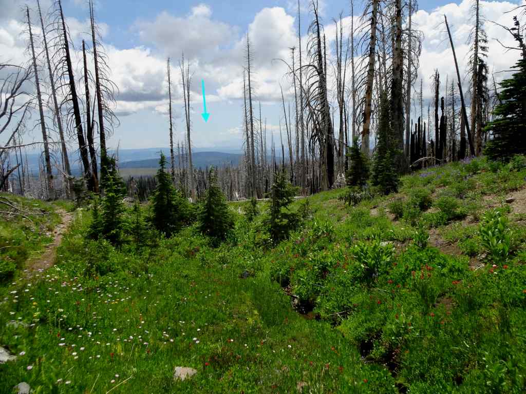
The ledge along the upper Trail of Flowers Loop provides a view to the landscape to the south.
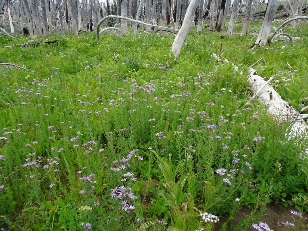
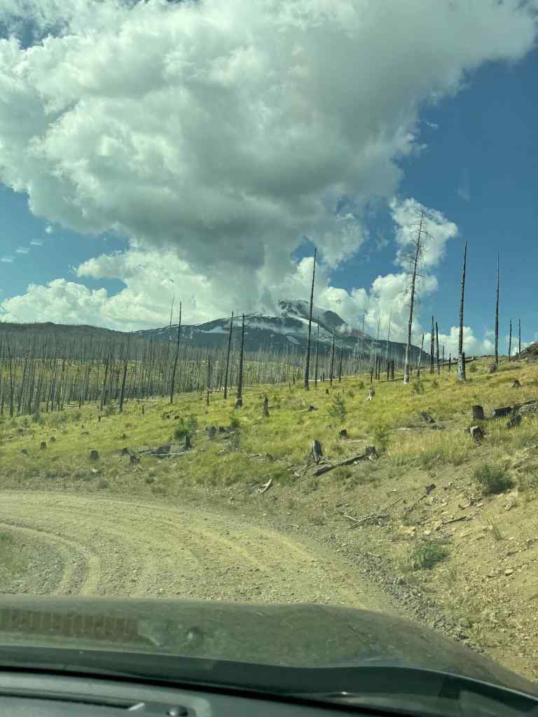
Looking south toward Oregon – blue arrow pointing to the smoke plume from the Burdoin Fire.Closer view of the Burdoin Fire smoke plume.And a wider view across the southern flanks of Mt Adams, and its ghostly forest, burned several times in the past twenty years.
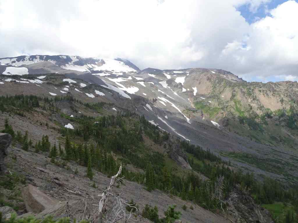
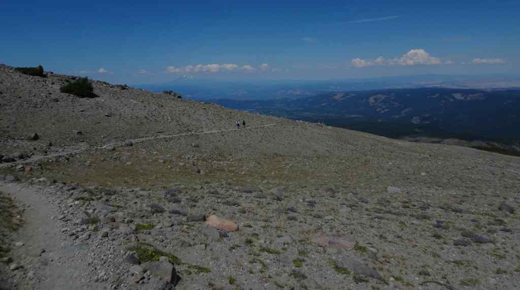
We continued upward through more meadows to the Hellroaring Viewpoint…
Mt Adams on view from the upward trailSandwort and mariposa liliesHellroaring Viewpoint – top of the mountain back under the clouds.Mazama Glacier Hellroaring Falls
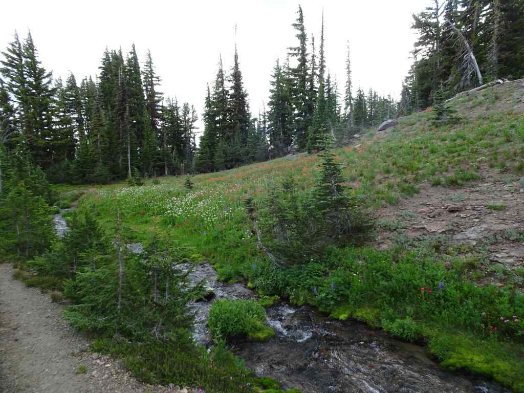
We retraced the trail back to the Trail of Flowers, then down to the Round the Mountain Trail, and continued westward through numerous meadows divided by small creeks that are all branches of Bird Creek.
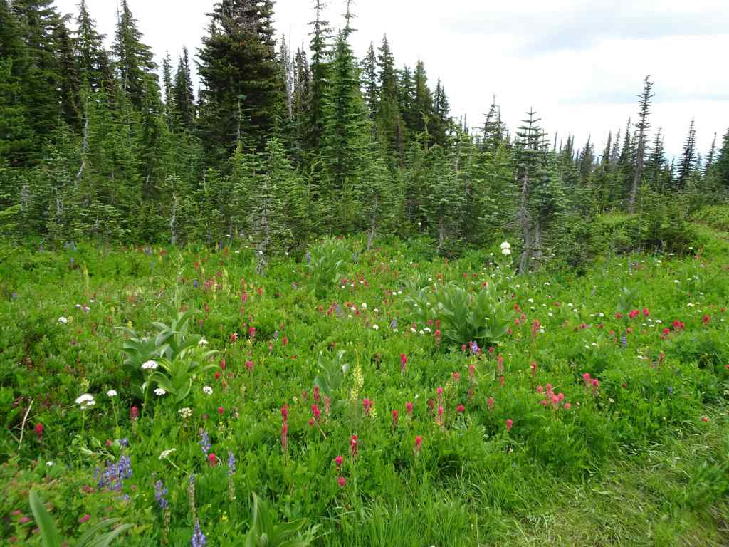
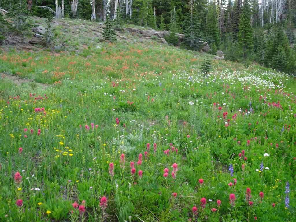
Every kind of flower in these meadowsEasy walking,Another brief glimpse of Mt AdamsAnd more meadowsAll the flowers!A pondAnd more meadows! Next we crossed a slight rise, and then descended to our start point, by going down the Crooked Creek drainage…More meadows on the downward trail…This slope along Crooked Creek was so colorful!More color!Approaching Crooked Creek FallsCrooked Creek Falls
The slopes below Crooked Creek Falls are heavily burned, but the creeks are still colorful with flowers…
Monkey flower, lupine, Sitka valerian, paintbrush
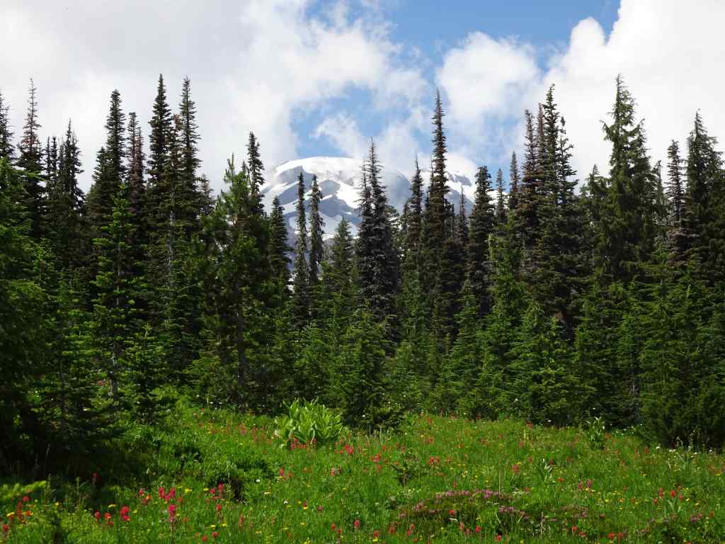
And back to Bird Lake…
Back to Bird Lake, partial view of Mt Adams this afternoon.Meanwhile, dark clouds formed a backdrop for these glowing ghost treesAnd a last view of Mt Adams from the gravel road down.
It was a “wildflower bathing” day on the slopes of Mount Adams!
I wrote most of this post in July, as this event unfolded.
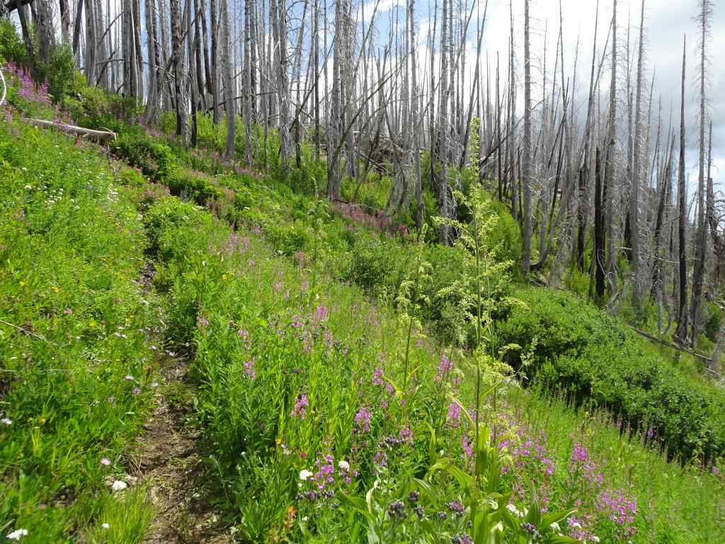
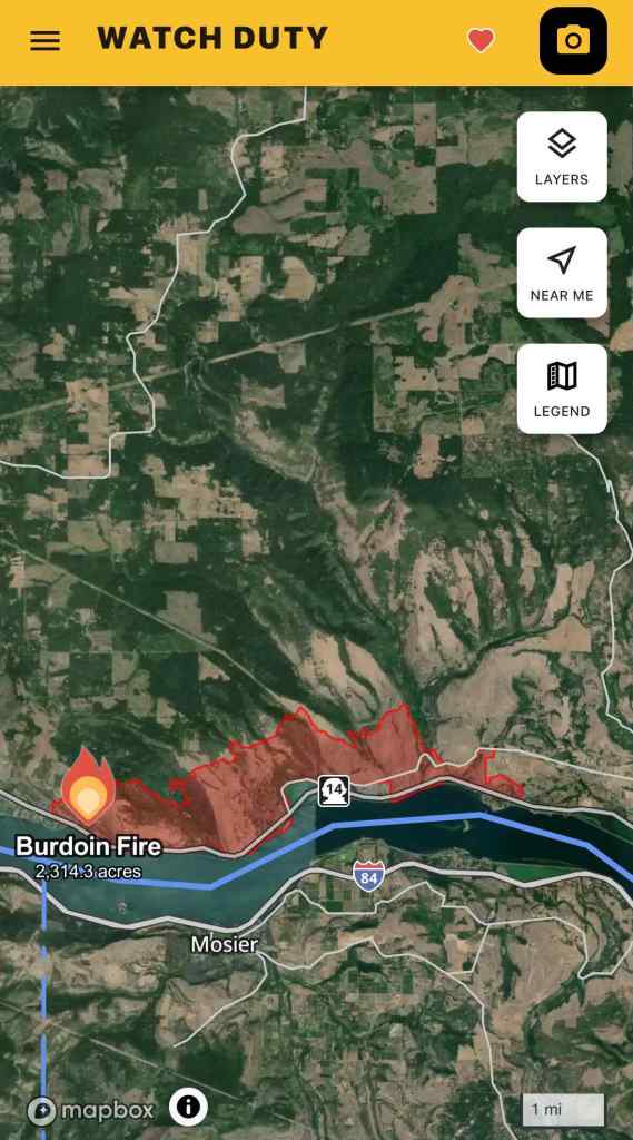
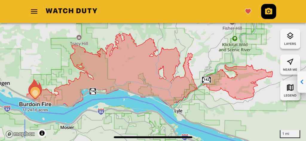
The Burdoin Mountain Fire started on Friday, July 18th, near Coyote Wall: a hot day, an east wind, and whoosh, by Sunday, July 20th, it had burned all the way east to the Klickitat River. In Portland, I followed news reports of evacuations of homes and families and communities; of firefighters on the ground and planes scooping water out of the Columbia River. I kept checking the map on the Watch Duty App – as the red line crept east, remembering all of the many hours we have spent in the fall, winter and spring, hiking the open grassy slopes and rocky cliffs above the river. Wildflowers and fall colors, all captured in my mind’s eye, and stored on my computer hard drive photo files…
July 19th fire boundary – Screenshot from the Watch Duty App.July 24th fire boundary. Screenshot from the Watch Duty App
The biggest concern is for the area residents and their homes. I was keeping my fingers crossed for my favorite trees, too. I hoped the speed of the fire as it traveled through the grass would cause the conflagration to bypass some of the trees:
The guide tree above Rowland Lake – a tall ponderosa pine near the spot where we often have lunch when hiking the Labyrinth – it overlooks many of the trails here in its high perch – will it still be there?
Arrow pointing to the guide tree – from near the Labyrinth trailhead above Rowland Lake, October 24, 2024.Guide ponderosa as seen from Rowland Wall, April 20, 2018.Guide ponderosa from the west as we hike toward our lunch stop and turnaround point, December 16, 2017.Lunch stop near the ponderosa, with all the eastern gorge on view, October 17, 2023.
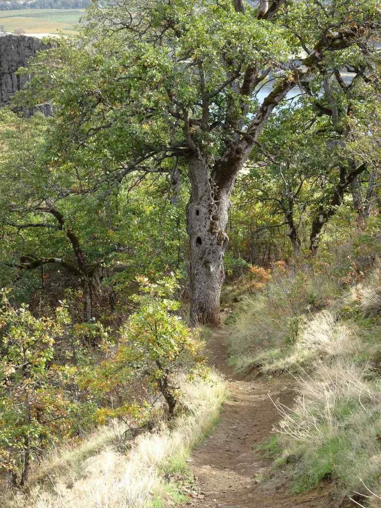
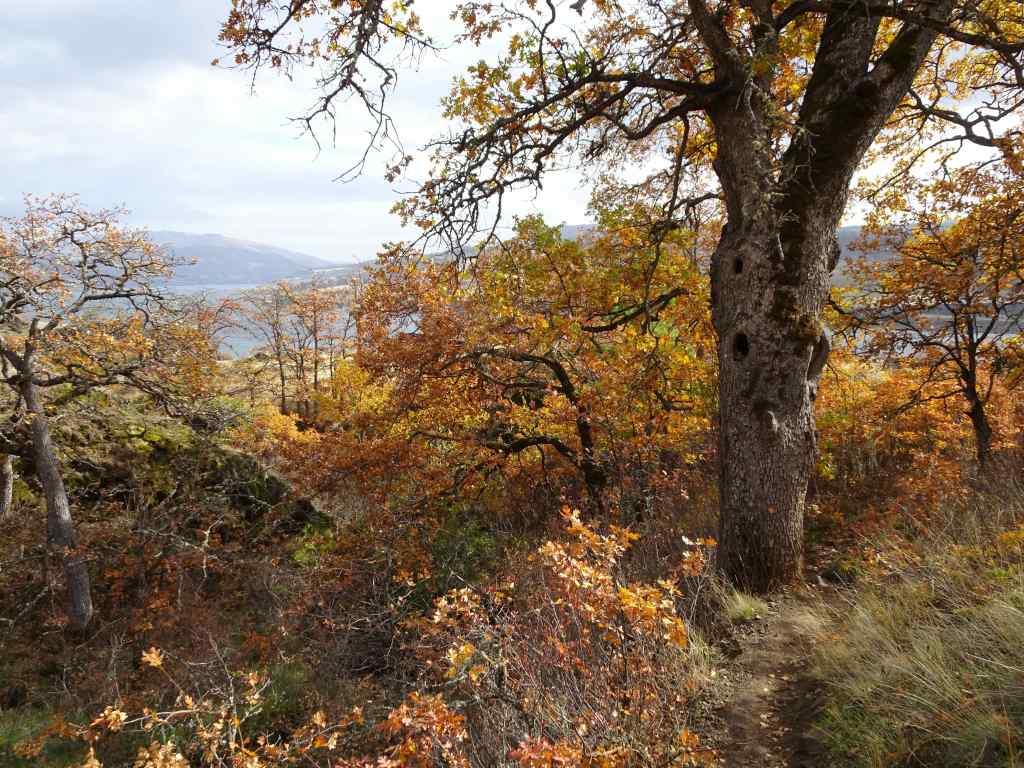
Also along the Labyrinth Trail, my favorite oak grove:
Labyrinth oak grove in the spring, May 17, 2025.Labyrinth oak grove in the fall, October 27, 2021.
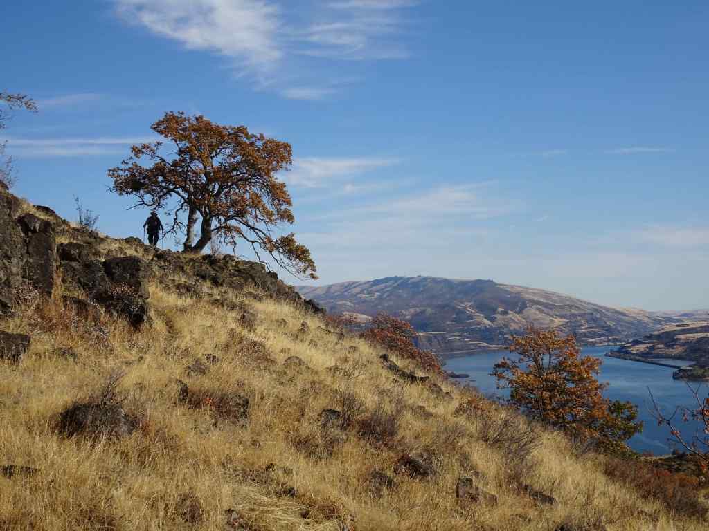
The solitary oak tree that perches on the cliff edge is always photogenic, as seen going uphill, to the east:
April 18, 2018October 24, 2024December 3, 2016December 28, 2015
And downhill, to the west:
October 17, 2023, with Mt Hood beyond.
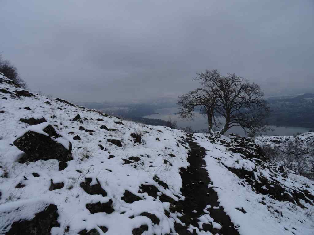
On the way down, I always say goodbye to the one-eyed oak sentinel on the lower trail:
October 17, 2023October 27, 2021
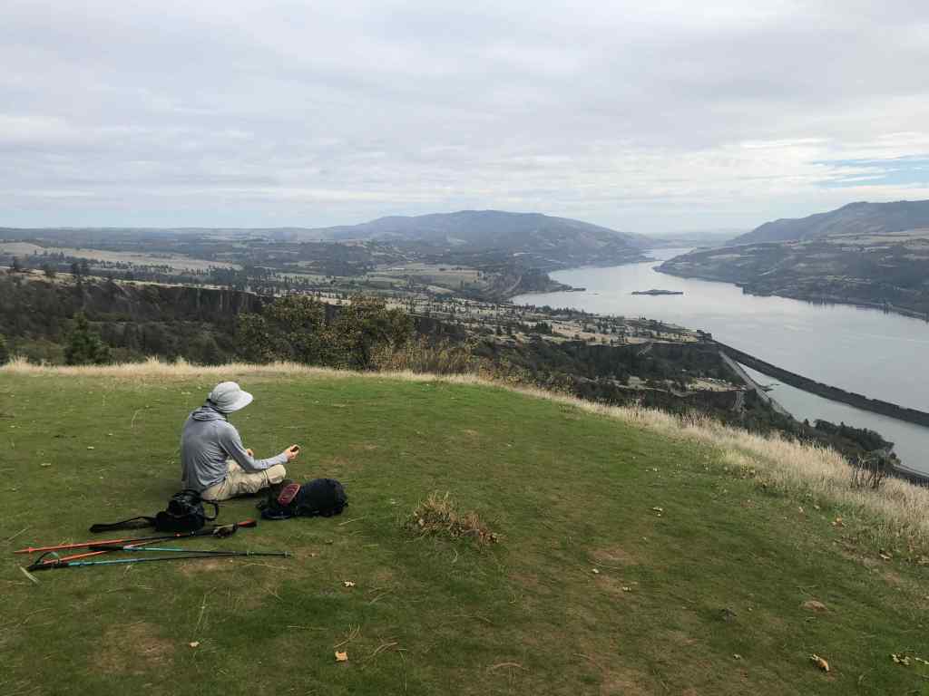
I have been browsing my photo library, and there are so many other beautiful trees there. As the red fire boundary moved farther east on the map, to the Catherine Creek slopes, I thought of the many ponderosa pines, and the small oak groves, including those guarding the fairy ponds:
March 3, 2025
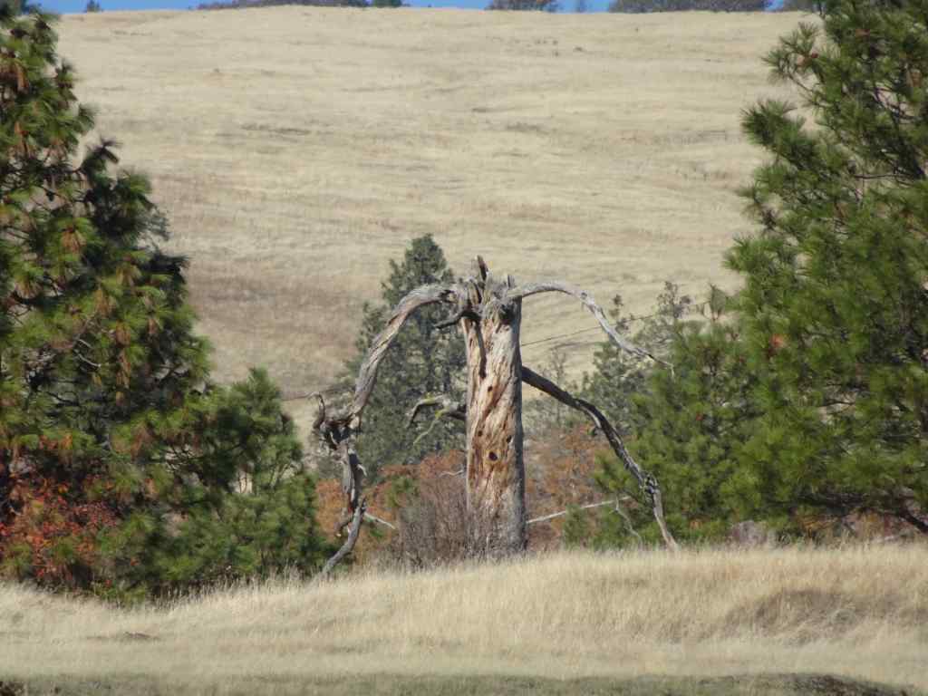
Even farther east, there is my ‘ent’, a snag guarding the eastern slope where there is always so much birdsong in spring, and so many flowers!
November 7, 2024‘Ent’ snag
Next I see fire has made its way all the way east to the Balfour-Klickitat Reserve where we go to see the juvenile bald eagles practicing flight in the small lagoon off of the mouth of the Klickitat River every winter…
January 17, 2023December 28, 2015
We are in the Schroedinger phase…that is, all I know is the fire outline on the map, that keeps spreading eastward. I don’t know what has burned and what has survived.
Part 2 – Preliminary outcome report
As of this writing (late July), the fire is contained, evacuations lifted. Tragically, 19 homes were destroyed and 47 were damaged. No lives were lost. Local people have reported that the burned area was patchy in nature. Many trees were spared. The local residents have a difficult path ahead. Land managers will be monitoring the trail situation. We don’t usually hike here in summer. When the weather turns to cooler temperatures, I hope to find myself on these trails again, to visit my trees and report back.
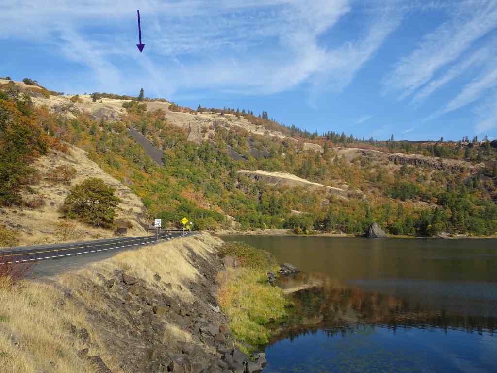
View north toward the Burdoin Fire area from the Mosier Plateau, April 21, 2025, taken before the fire. All of this area north of the Columbia River is in the burn zone, from Coyote Wall, on the west, past the Catherine Creek slopes on the eastern edge, and farther east, all the way to the Klickitat River. The arrow points to my guide ponderosa, on the slope above the Labyrinth.
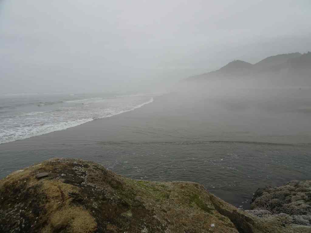
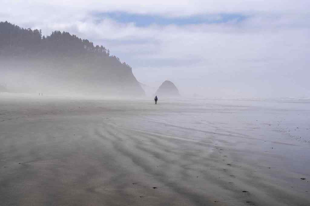
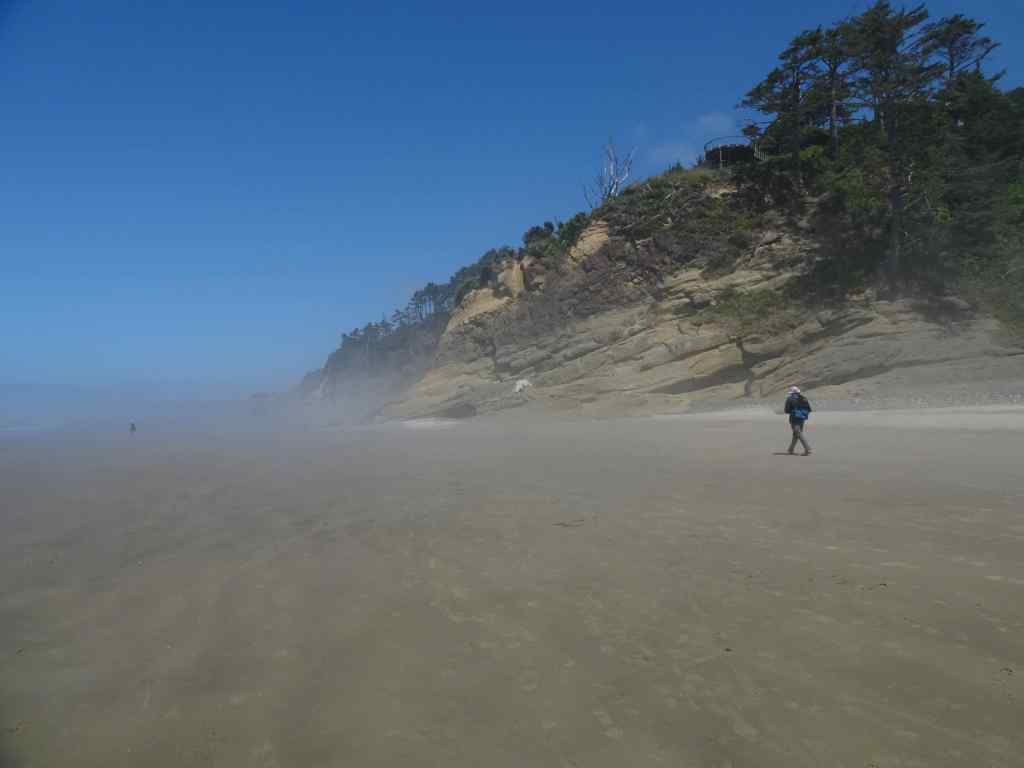
A hot day inland- a good day to go west to the Oregon Coast and walk on one of our favorite beaches, deliciously foggy at first, then sunny.
7/17 – Hug Point
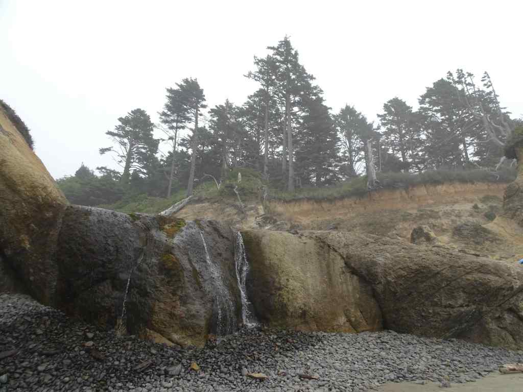
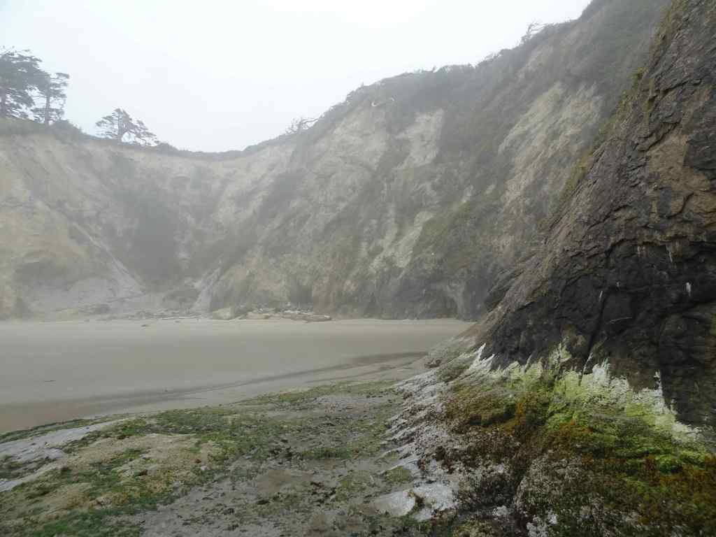
We first walked over the old road at Hug Point – our timing was such that tide would be coming back in soon…
The waterfallApproach to the road around Hug Point.Circling the point.View north from the high point.Beach to the north.Sea anemones on the old road bedRock wall plant gradient.And back to the south side beach.
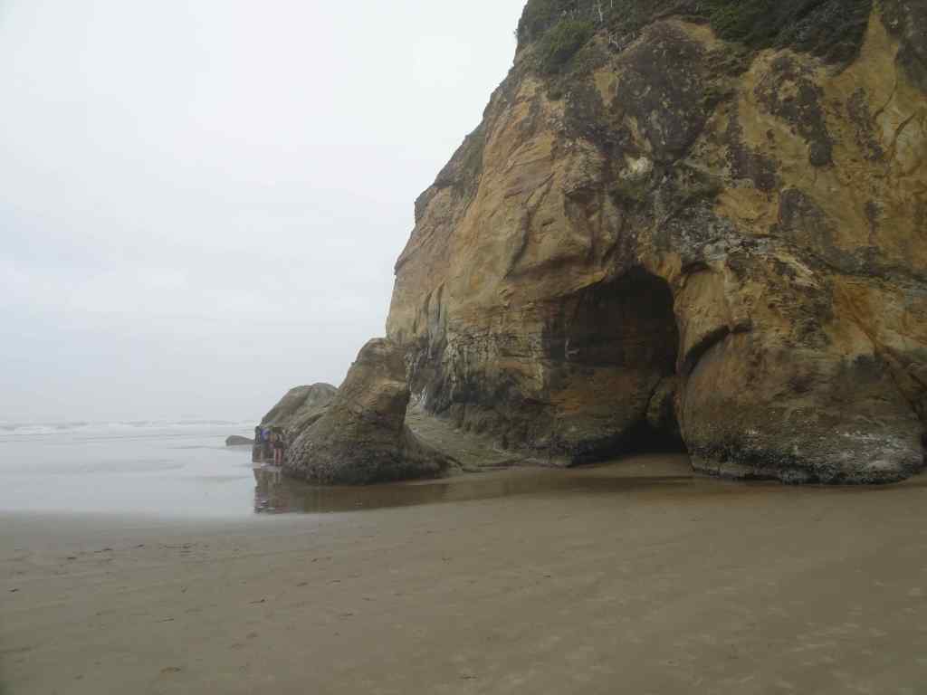
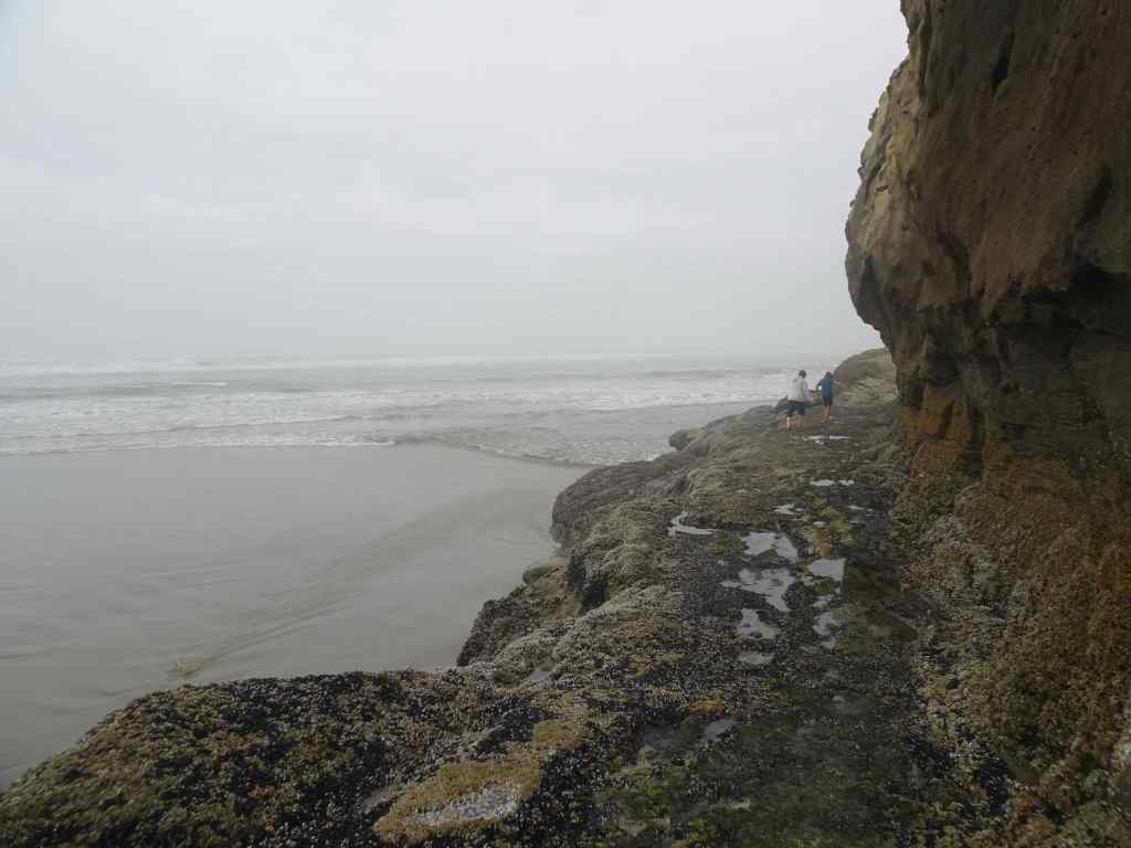
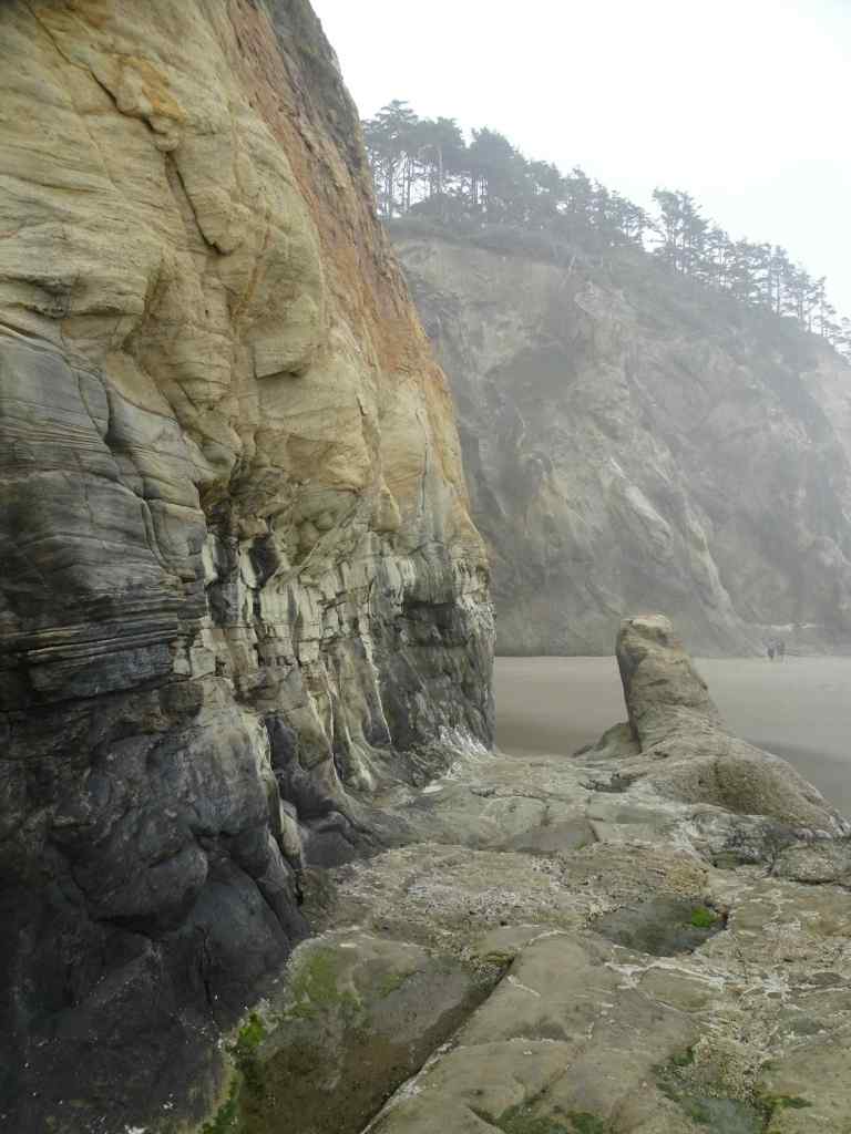
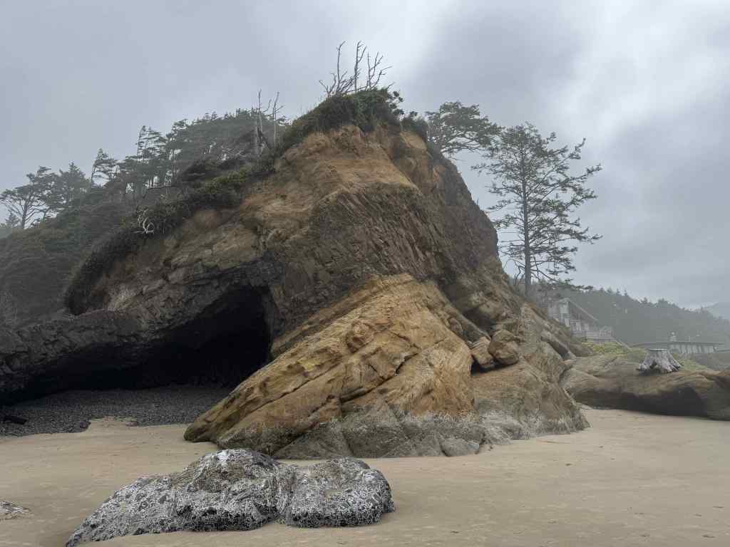
Then we walked all the way south to Arch Cape, passing our favorite landmarks…
The cave – with an addition – a giant stump stranded on the rock ledge – probably from a winter storm.Big barnacle rock,with a few sea stars among the barnacles and mussels.Walking south toward Arch Cape, fog starting to disperse. Photo credit to my husband.Arch Cape Creek and Castle Rock.Lunch view near Arch Cape, with a flock of sea gulls.
And the walk north – about five miles round trip today.
Fog rising, tide coming in.The seagull flock accompanied us most of the way.Blue skies ahead.
Of our five hikes in July, three were on or near Mt Hood.
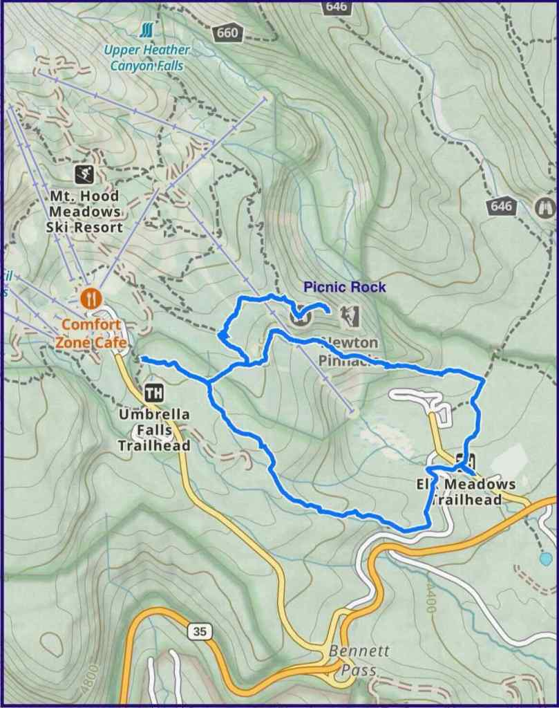
7/3 – Picnic Rock and Umbrella Falls
This hike begins at the Elk Meadows trailhead. We walked uphill along flower-filled ski runs of Mt Hood Meadows, and across to the knob called Picnic Rock. We visited Umbrella Falls, then circled downhill through flower-filled forest to complete the loop.
Trail map, about 6 miles, 1000 feet elevation.
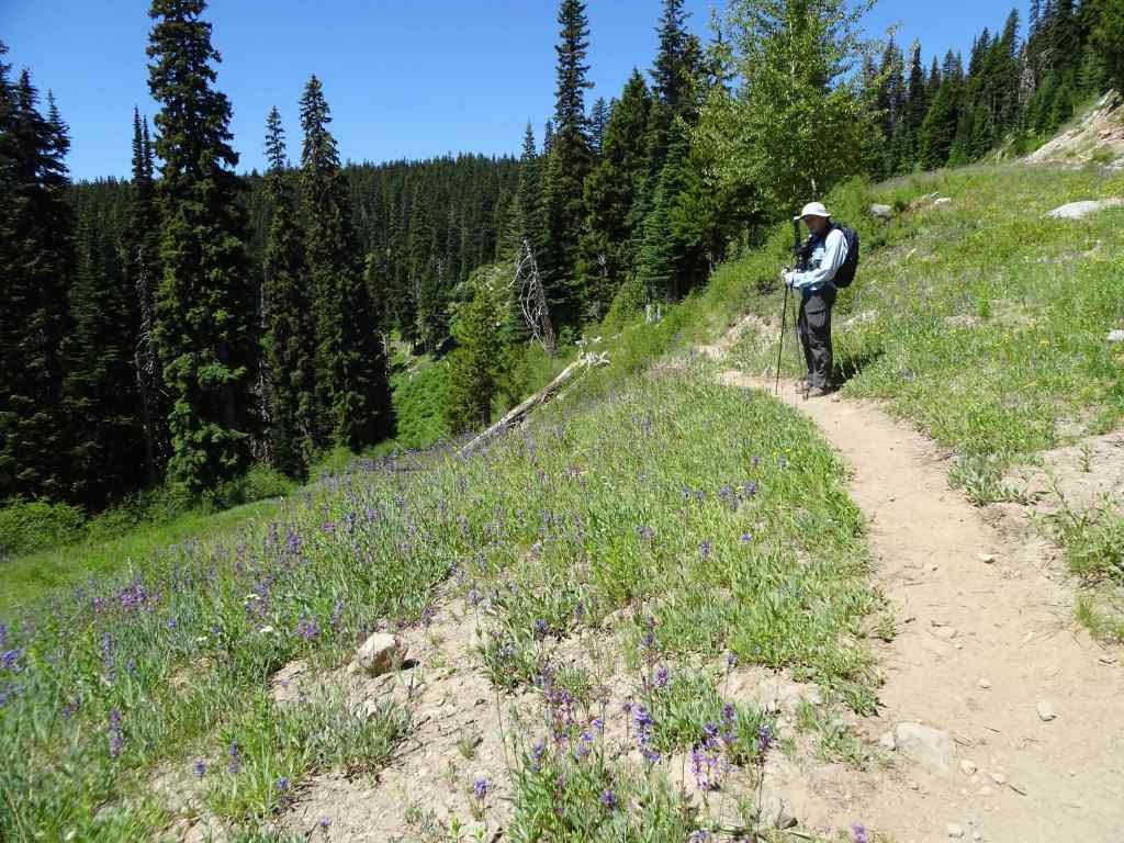
Flowers along the uphill trail…
Uphill meadows – penstemon and lupineWashington liliesBead lilies and Solomon sealLupine and tiger liliesMarsh marigoldTrillium and violetsPaintbrush and Elephant’s head
This was a blooming bear grass year in the ski run slopes, with a view of Mt Hood
Bear grass, Mt HoodMt Hood close up.
At Picnic Rock we had great views…
Ascending Picnic Rock – Mt Jefferson off to the right.Closer look at Mt Jefferson and more Cascade Peaks to the south.Looking east toward Bluegrass Ridge (burned in 2006), above Elk Meadows.West toward Mt Hood and Clark Creek.Clark Creek.Stonecrop on Picnic Rock.Penstemon clinging to the face of Picnic Rock.
We passed back through the bear grass meadows on our way to Umbrella Falls.
Bear grass meadows and Mt Hood.Umbrella Falls
On the downhill trail, we passed through meadows full of sitka valerian, and swampy areas full of shooting stars and buttercups. Once in the forest, the Oregon anemones were sparkling up in abundance.
This was only my second time doing this hike, but it has become a favorite! Especially at this particular time in the bloom season. I hope to be back to explore some of the other trails in the Mt Hood Meadows area.
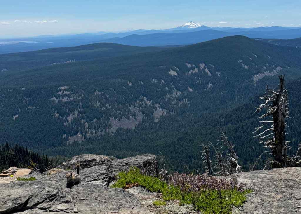
7/10 – Lookout Mountain
The next week, we hiked the short, sweet (3 miles, 550 feet) loop to Lookout Mountain from High Prairie trailhead. We have done this one many times, and it never gets old! The lower part of the trail crosses a couple of large meadows.
Shooting stars, buttercups and bistort at the High Prairie Trailhead.Subalpine fleabaneElephant’s head, buttercups and astersAnd a view to Mt Adams.
Eventually, we ascended to the ridge where views opened up…
Mt Hood ahead, with paintbrush, scarlet gillia, and lupine.Full view of the mountainClose up of the southern flank, where we were hiking last week near Mt Hood Meadows.The summitCooper Spur, and the Eliot Glacier, near where we will hike at the end of the month.A last snow bank on the approach trail.Mt Hood from the top of Lookout Mountain.Mt Jefferson and the other Cascade Mountains to the south, with ground squirrel.Mt Jefferson and Mt Washington
Lots of wildflowers to look at here, as well…
The summit slope has tufts of wildflowers.Sulphurous buckwheat, transitioning from red-orange to yellow.Penstemon and buckwheatDusty maidenAnd a rock wren
More views on the return trail…
The iconic volcanic spire, with Mt Hood beyond,And back through the lower meadows.
The main challenge for this hike is the slow bumpy road up to the 6000 foot trailhead.
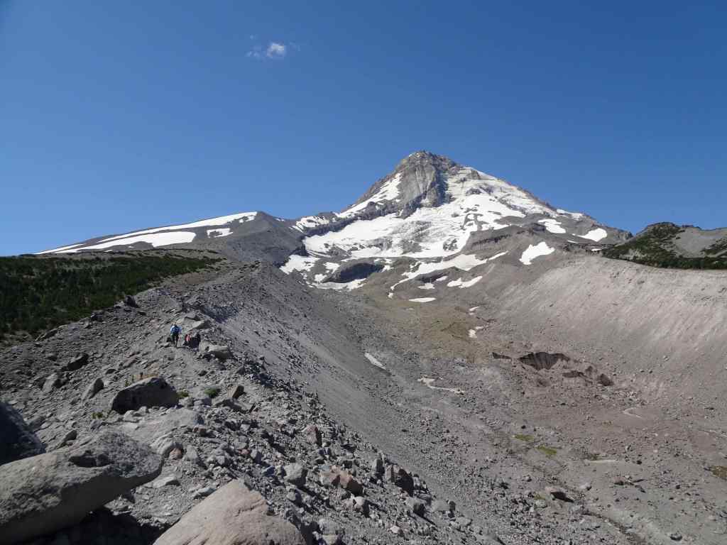
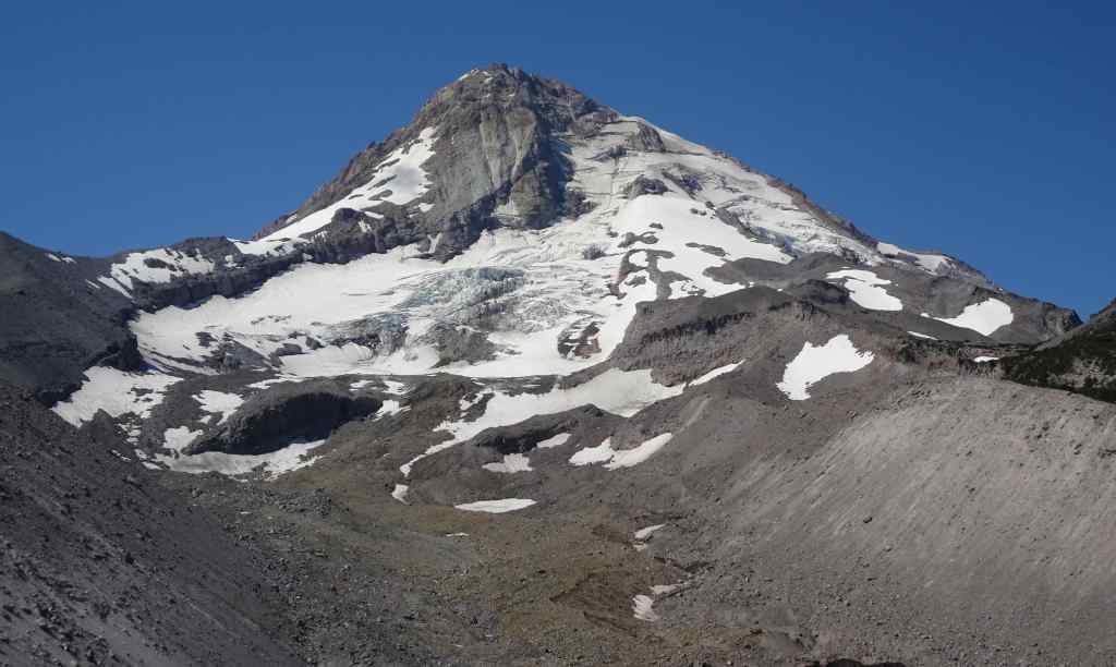
7/10 – Cloud Cap Shelter and Timberline Trail High Point via the East Eliot Moraine.
This long favorite hike also begins with a long bumpy drive up gravel switchbacks, and through a burned ghost forest. From the Cloud Cap Saddle Campground we hiked about up along the crest of the East Eliot Moraine to the Cloud Cap Shelter for lunch. Then we continued south along the Timberline Trail, the high point, about 7300′, for a total of about 5 miles, 1500 feet.
From the crest of East Eliot Moraine, our trail goes up hill toward the Eliot Glacier.Eliot Glacier Glacier close upCrevasses
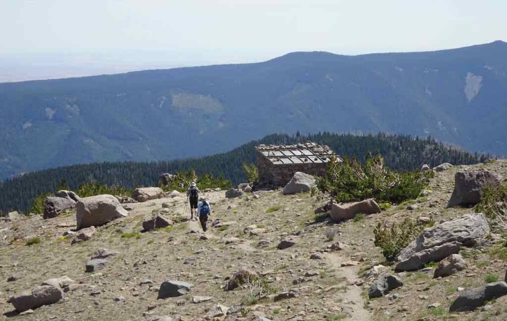
We crossed south toward the Cloud Cap Shelter for our lunch break.
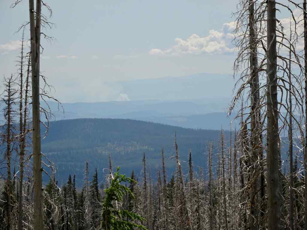
Approaching the Cloud Cap Shelter.Lunch view of Mt St Helens through the haze.Also, Mt Adams to the north, beyond the Hood River Valley; and Cloud Cap Inn, near our trailhead, on lower near right.Cloud Cap Shelter; Cooper Spur and Mt Hood beyond.
After enjoying a good rest rest in the shade at the shelter, as it was a hot day, and I was having trouble with the uphillness of it all, we decided to continue on to the trail high point.
We crossed a few snow banks in the shaded wrinkles of the mountain.Timberline Trail High Point.
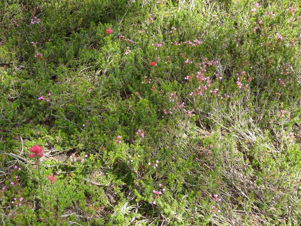
Then we retraced our steps, back along the seemingly barren slopes, with lots of subalpine flowers blooming amid the rocks.
Our trail carved out of the edge of the sky.Tufts of yarrow and buckwheat on the slopes.Yarrow and lupineA last look back at the snow banksPussypawsPenstemon and astersPartridgefoot and Mt Hood.
As we walked the Timberline Trail beneath the Eliot Moraine, I spotted the giant teetering boulder that I have noticed in previous years. It’s still there…
Teetering boulder on the edge of the Eliot MoraineTeetering boulderLewis monkey flowers, asters, and lupine in Tilly Jane Creek, almost back to the trailhead.
Another enjoyable day on Mt Hood. I was really out of shape this year – life circumstances have interrupted my spring hike season. This hike, which I have done easily before, was hard! I hope I will be in better shape for the next time!
Next..
Our other July hikes were on Mt Adams, and at the Oregon Coast – to be reported in the next posts.
July was a busy month, when I look back. Our daughter visited for two weeks at the end of the month, and of course, that was my highlight! Before that, I visited a Textile Exhibit at the Columbia River Gorge Museum, and we went to the Peninsula Park Rose Garden on the fourth of July. There were five hikes (next post), lots of neighborhood walks, and the World Naked Bike Ride rode right past our house.
July 1st – Museum Day
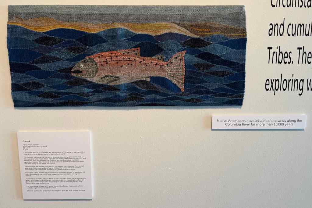
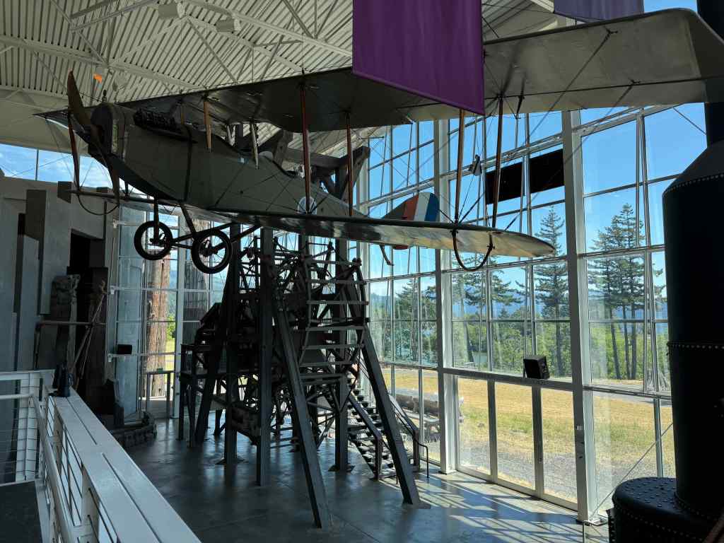
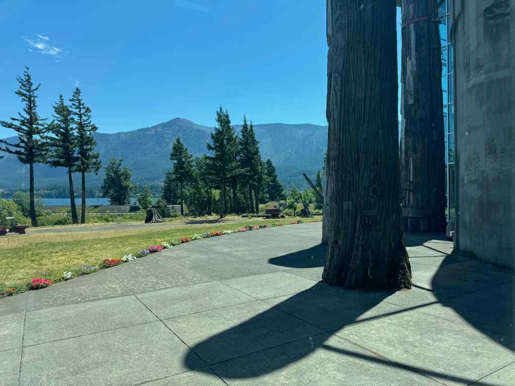
I went with my friend Peggy to the Columbia River Gorge Museum in Skamania, WA, to see an exhibit of tapestry weavings by indigenous artist Kristie Strasen, that were inspired by the Columbia River, and its dams.
Tapestries of the Columbia RiverIndividual panel and river segment descriptionsClose up of panel II, our local strand of the river.Chinook salmon tapestryAntique airplane in the museum, and the outside viewMuseum patio and view to the Columbia River
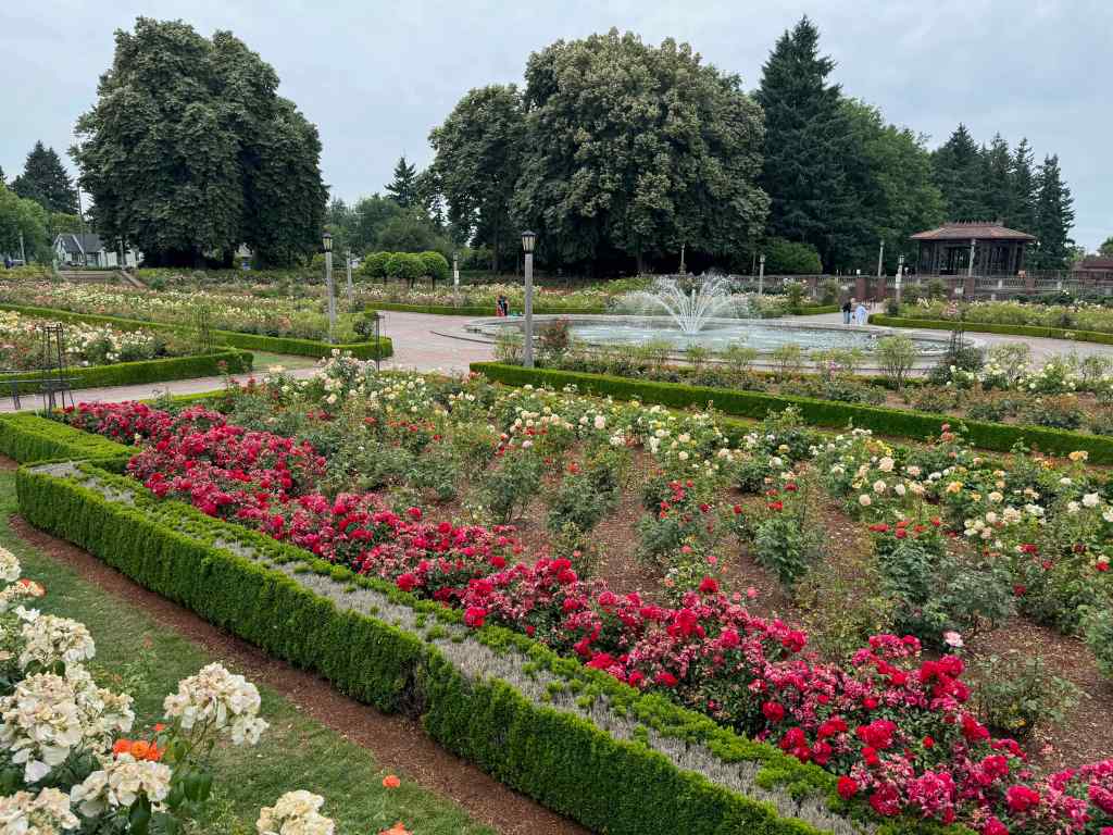
July 4th at the Peninsula Park Rose Garden
Not much going on for us today. We went over to the local rose garden to see the roses.
Peninsula Park Rose GardenBlue eryngo near the entryYellow rosesOrange rosesRed rosesAmerican flag beyond the fountain
Knitting and other crafts
I have made progress on my three projects – socks, a scarf, a cardigan.
Cardigan, sock and scarf, in progress
Our daughter is an expert sock monkey creator and teacher. We started making our own sock monkeys on her previous visit. We are further along now; one more visit from her and we should finish. Meanwhile, she made one for a gift to a friend.
Sock monkeys, in progressHer completed sock catEnjoying Ken’s Artisan Pizza.
Home Improvement/Upkeep – It took half the summer to finish the house painting, and that included having all the storm windows freshened up.
Storm windows ready for re-hanging.Fresh paint
Monthly Book Report
I finished 11 books in July. Several (Cranford by Elizebeth Gaskell, The Dante Game by Jane Langton, Wintering by Katherine May, and Civil to Strangers by Barbara Pym were comfortable re-reads. The type of book that is worth a second listen a few years later. My book group had a lively discussion about Commonwealth by Ann Patchett.
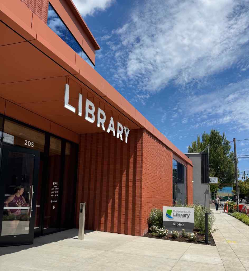
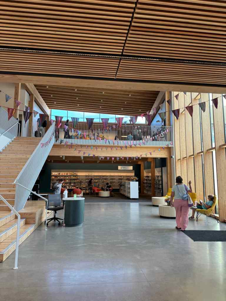
My Hollywood Branch of the Multnomah County Library is closed for six months of remodeling. I went to the newly opened Albina Library, just a little farther away, to pick up my books. It is a beautiful space, open and light-filled. The old part of the building is now a colorful children’s library. The new section is a beautiful, airy space, including classrooms, an outdoor patio planted with native plants, and lots of study spaces.
Russell Street EntryNew foyerOutdoor reading patioSome of the stacksKnott Street entrance. This older part of the building is a refurbished 1911 Carnegie Library, remodeled as the children’s library.Children’s libraryChildren’s library
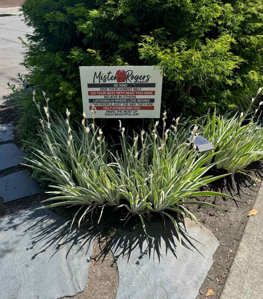
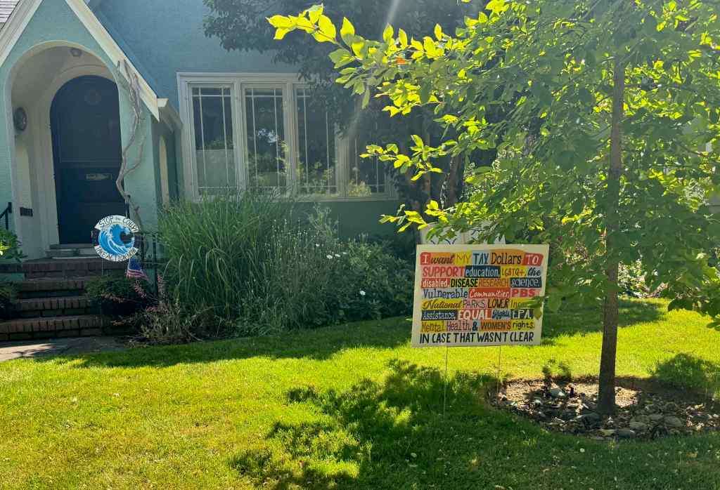
Signs in the neighborhood of resistance and solidarity…
Appreciating our shared acknowledgement that we are not looking away.
And last but not least, The World Naked Bike Ride rode past our house on July 26th. It took 45 minutes for the full peloton of thousands of people to roll by. Neighbors came out and cheered them on. The atmosphere was festive, as the riders expressed their freedom of speech and body acceptance. No photos.
Having been out of town for two weeks in southern Utah where it was too hot to walk outside or exercise, and I was otherwise engaged in helping a family member with a health care situation; Having returned, exhausted, and happy to be in my own home quietly for a couple of days; Having successfully taken a couple of slow neighborhood walks in the flatlands…
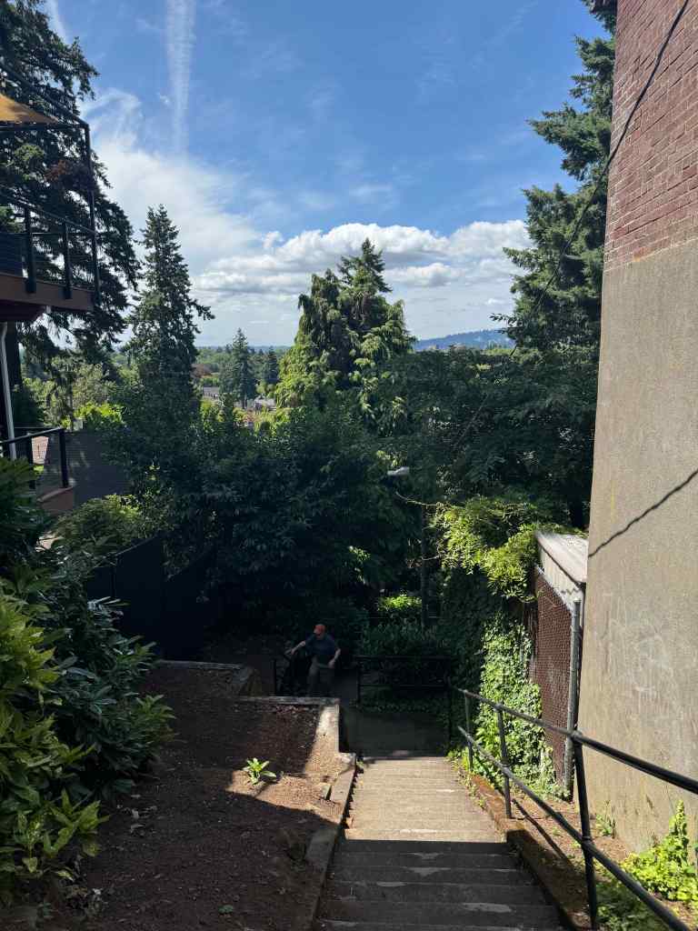
Today I felt I had the energy to walk up to Alameda Ridge and do a few stair repeats. Success! And once again, I am charmed by my neighborhood where I am so lucky to live. Front yards are in bloom and colorful; and today it is only in the mid60s; how lovely to be able to walk outside without being dried and desiccated by the sun. I lived seven years in Tucson, I know dry heat; I knew my survival strategies then. The two weeks of abrupt immersion in the heat and aridity in Utah were exhausting; but now I am recovering. Soon I will be walking in mountains again.
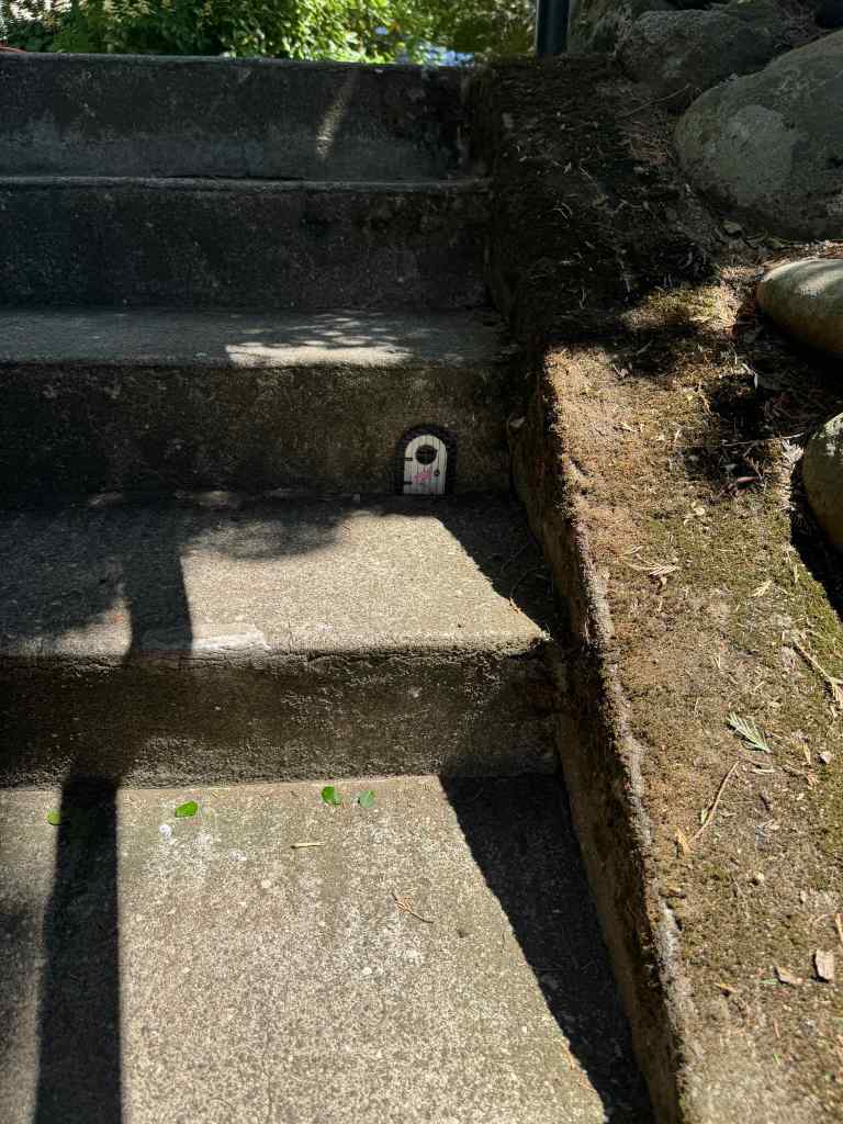
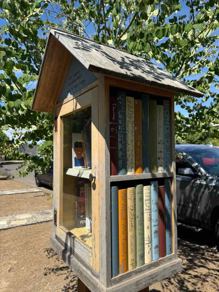
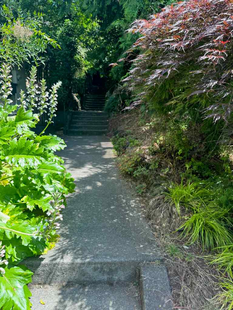
Today I walked my way up the hill, and noticed all the whimsy throughout my neighborhood. It is part of the keep Portland weird vibe. Little doors on trees, little houses under bushes, interesting little signs painted on the sidewalk stair cases of Alameda. Little free libraries throughout my neighborhood.
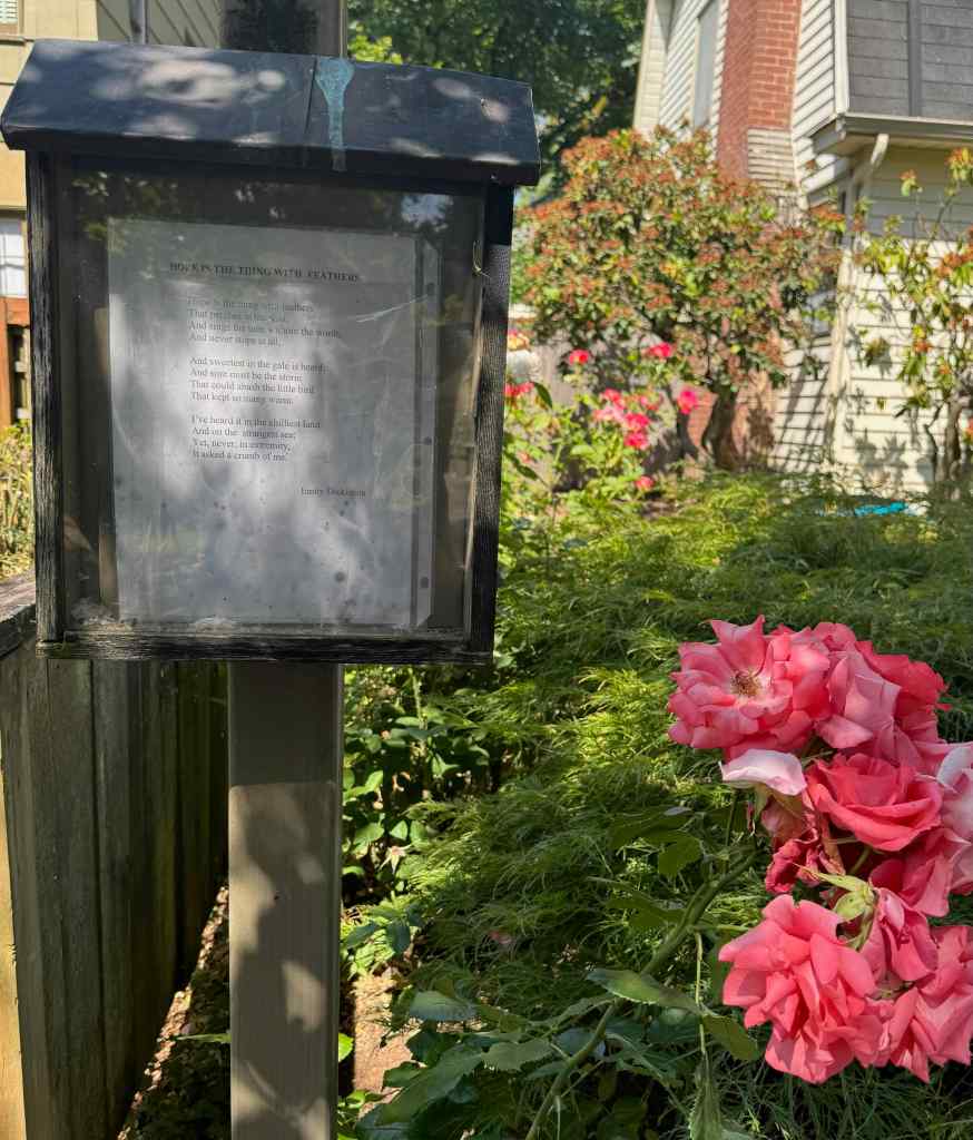
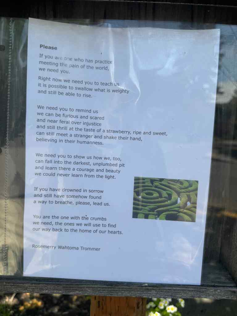
I also looked at each poetry post – today there was Emily Dickinson‘s, ‘Hope is a thing with feathers’, on one signpost. My favorite poetry post, the one I never miss if I am up in that neighborhood, had a very hopeful, expressive poem today for these terrible times we are living in, with the authoritarian effort to crush anything progressive, kind, diverse, multicultural, and human in our country.
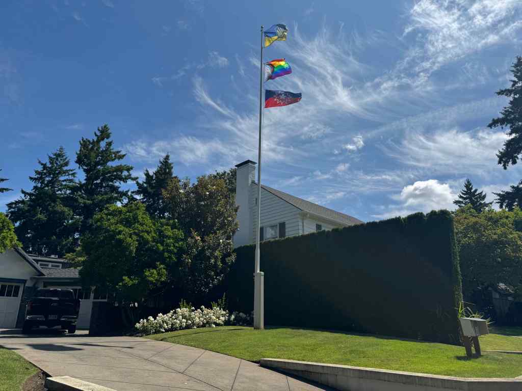
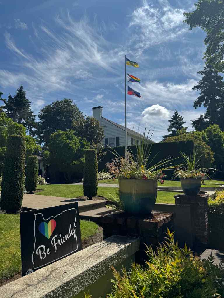
Also up on the ridge today, there is that one house with a flagpole – today they were flying three flags, the Pride flag, the Juneteenth flag, which I had never seen before, and the Ukrainian flag.
How positive those signs are to me just wandering my way through the neighborhood on a beautiful early summer day with flowers blooming everywhere. Birdfeeders and gnome doors and buckets of water on offer for the dogs; signs and flags and symbols of inclusion and acceptance and community. Our quiet mostly white, mostly financially stable neighborhood is not in the firing line of ICE raids, but I have seen my neighbors going to the demonstrations and standing in the space to support the resistance.
I did a few stairway repeats on the ridge today – and now I am ready for our next hike of the week in the mountains.
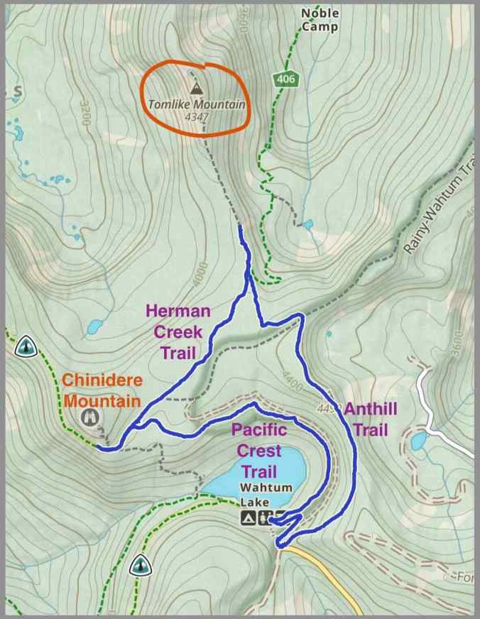
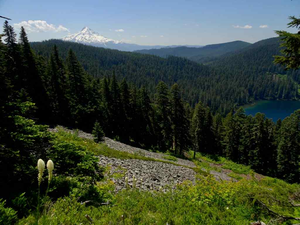
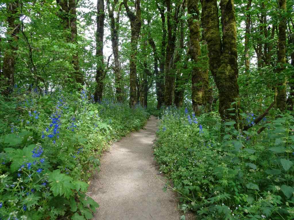
June 24, 2025 – Anthill, Herman Creek and Pacific Crest Trails near Wahtum Lake, Oregon
We usually hike to Chinidere Mountain from this trailhead near Wahtum Lake, but I was curious to try the Anthill Trail toward Tomlike Mountain, which is another rocky peak in the area.
Trail map – about 6 miles and 800 feet elevation gain.
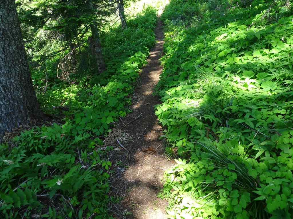
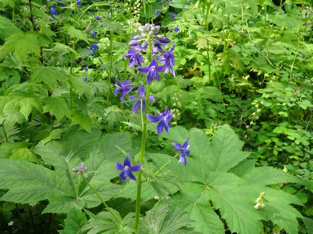
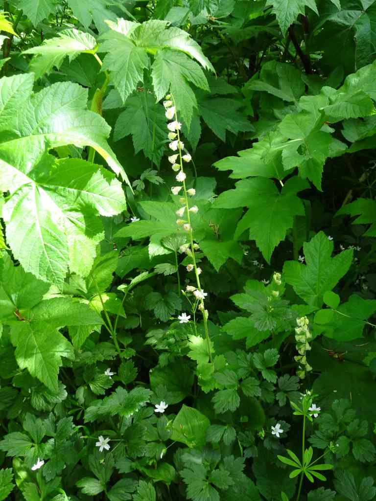
The Anthill Trail begins above the parking area, and continues upward at a gentle gradient along the ridge above the lake. It is beautifully shaded, and on this June day, all the white flowers of the forest floor were sparkling up at us. This is a new addition to my list of favorite trails.
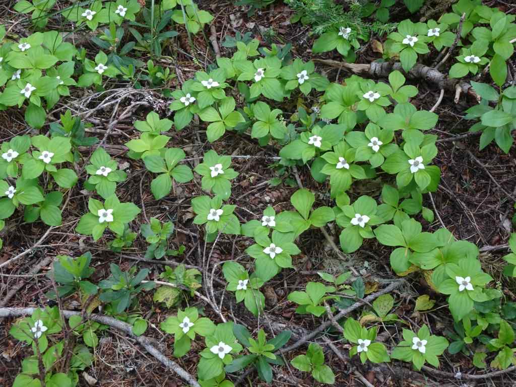
Beargrass along the trail as we start uphill.Green forest floor with so many flowers the entire way. Lots of vanilla leaf in this section.BunchberryStarry solomon sealBleeding heartAvalanche liliesBeargrassRosy twisted stalkContinuing shaded trail with prolific Sitka valerianQueen cup lilies just beginning to openSitka ValerianWindflowers
Near the ridge crest, a rocky view opened up, back to Mt Hood and Wahtum Lake.
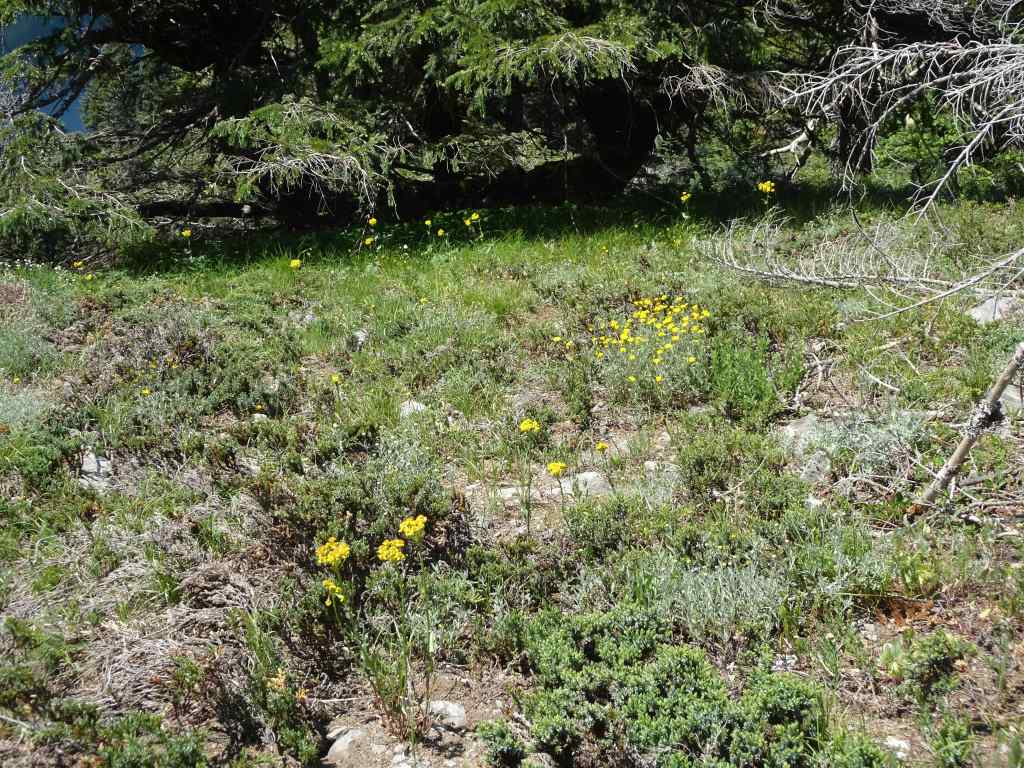
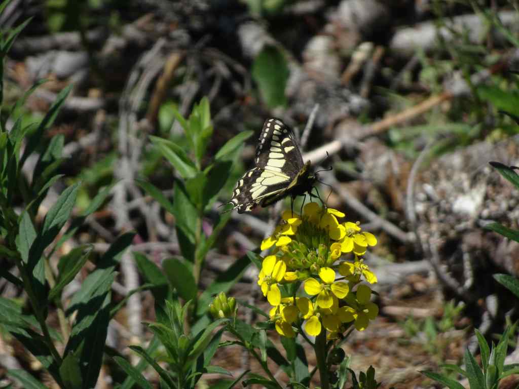
View to Mt Hood and Wahtum Lake, with beargrassYellow flowers on the sunny open slope – arnica, groundsel, Oregon sunshine and wallflowersSwallowtail butterfly on a wallflower
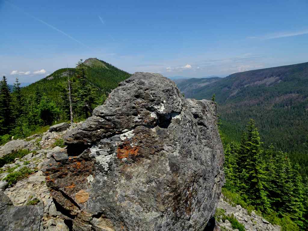
We continued along the Anthill Trail, to the spur that ascends Tomlike Mountain. This is a less well maintained trail, a little rockier. After eating lunch at a rocky viewpoint and admiring the view, we decided begin our return hike. It was another rocky mile to the top – I wasn’t quite ready for that today.
Rocky outcrop, and view to the top of Tomlike Mountain.Glimpse of Mt Adams to the northPenstemon on Tomlike Ridge
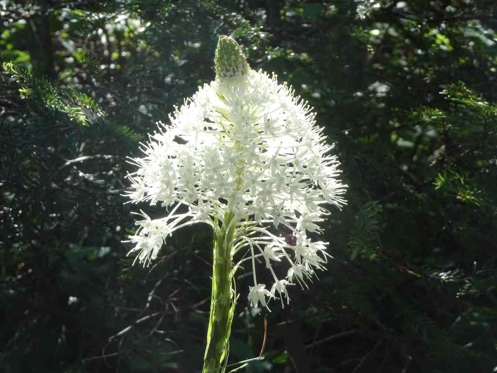
We decided to walk along the Herman Creek Trail toward Chinidere Mountain before returning to the trailhead. We walked through shady forest for least a half mile of blooming avalanche lilies, as far as one could see, across the forest floor. And a few beargrass as well.
Avalanche liliesAs far as the eye can seeShady forest with liliesAnd beargrass
My husband took the side trail to the top of Chinidere Mountain, while I continued a very short distance along the Pacific Crest Trail to the rocky open slope below Chinidere’s cliff side. From here I could see many of the sunny blooming cliff flowers above me, and a view back to Mt Hood the other way. Then I rested in the shade near the trail junction – it was beautiful and quiet in the forest!
Looking up at the cliff side of Chinidere MountainMariposa lilyPaintbrushBuckwheat and columbineChickweed and phloxMt Hood
We completed our circuit by descending along the Pacific Crest Trail above the lake.
Bunchberry and coral root were prolific along our return trail.
This had been a thoroughly enjoyable hike. We had seen some of the wildflowers blooms at their best, though there are more to come. It was lovely to be back in the woods!
I spent the first half of June in St George, Utah, helping a family member with a health care situation. I was extremely grateful to return to the lovely pacific Northwest for the rest of the month, enjoying our more temperate climate and the lovely flowers blooming in the neighborhood. I finished knitting a pair of socks, and cheered on the No Kings Day Protests from afar.
Southern Utah, June 4 to 15th.
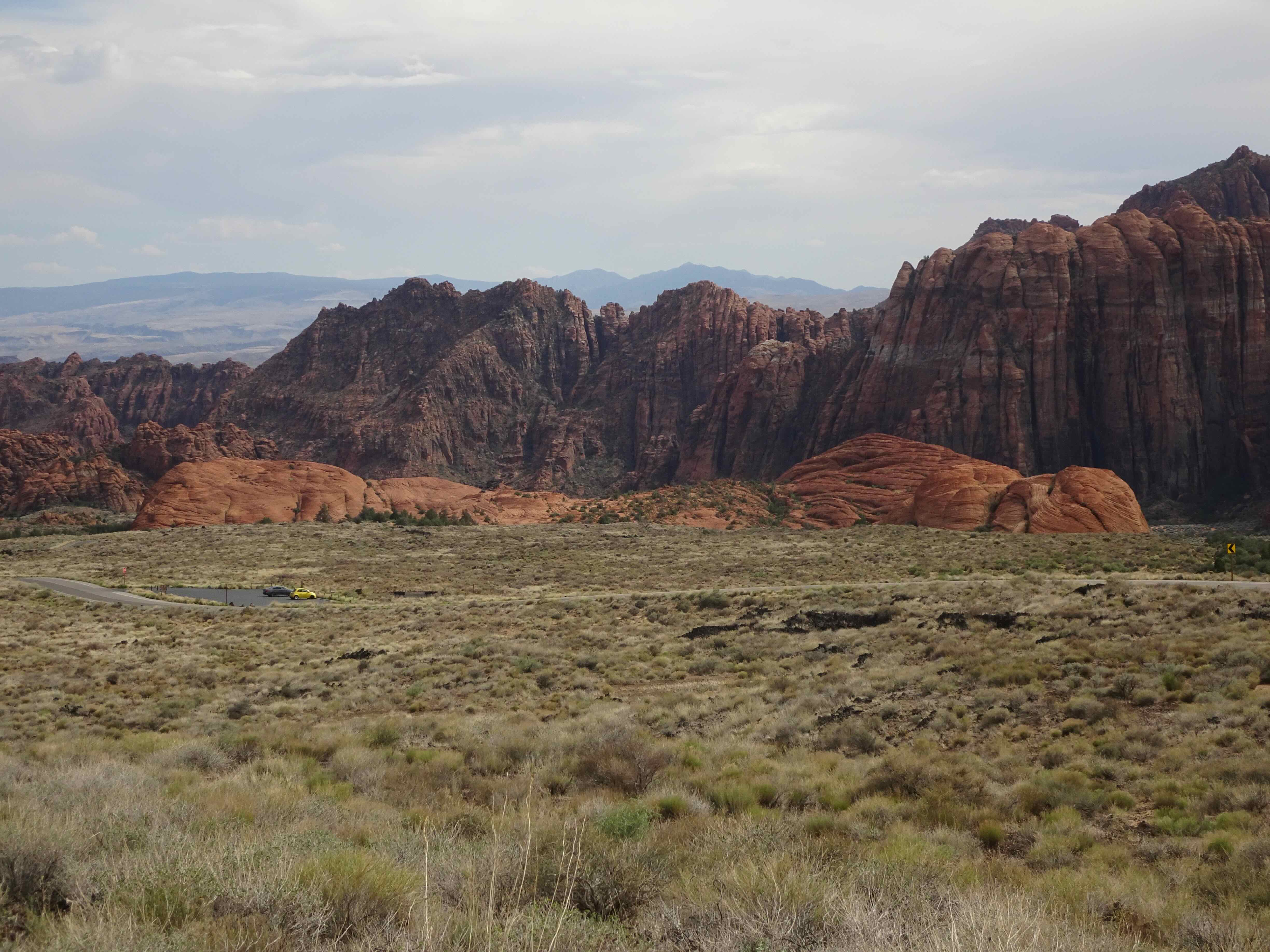
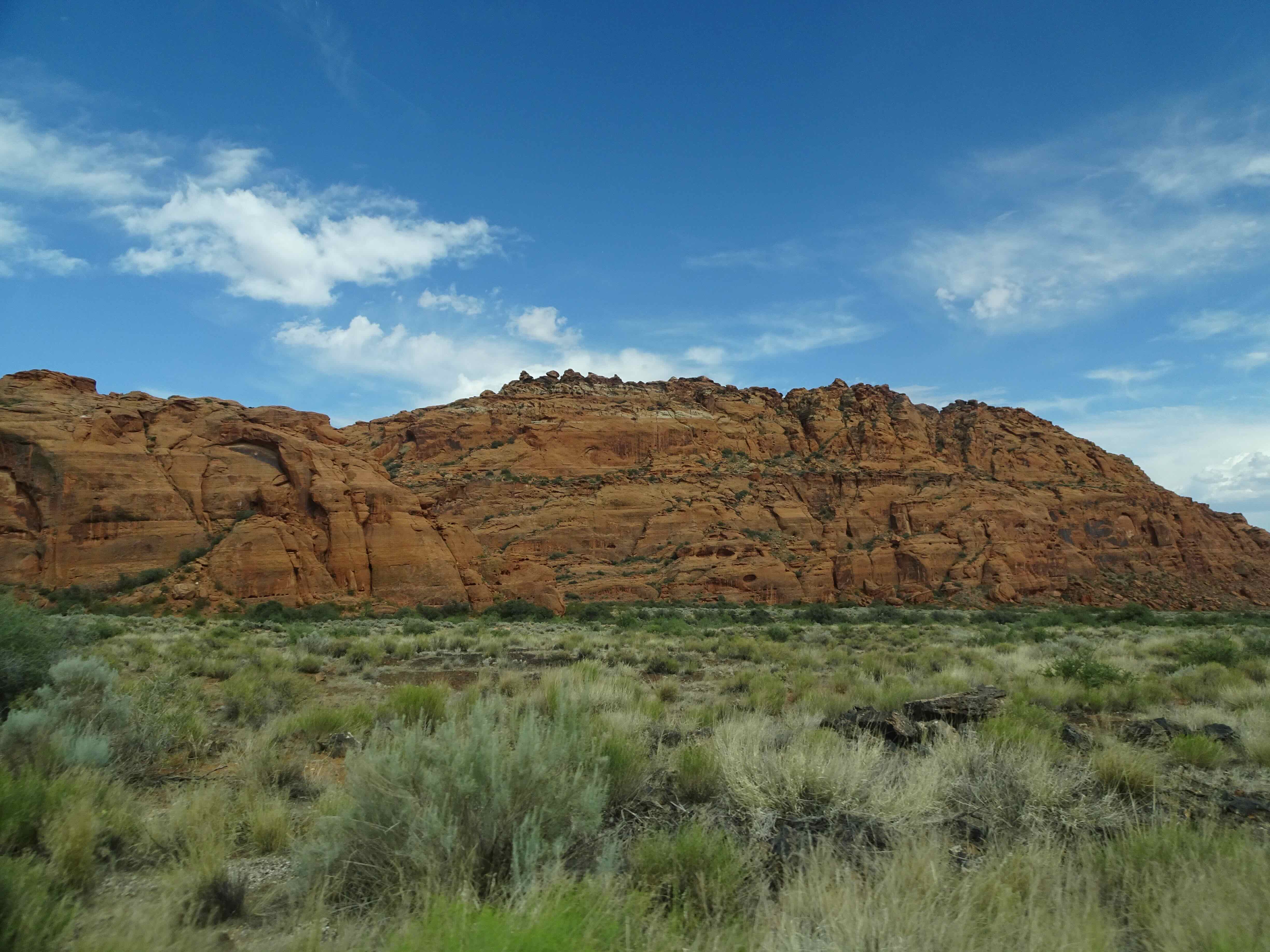
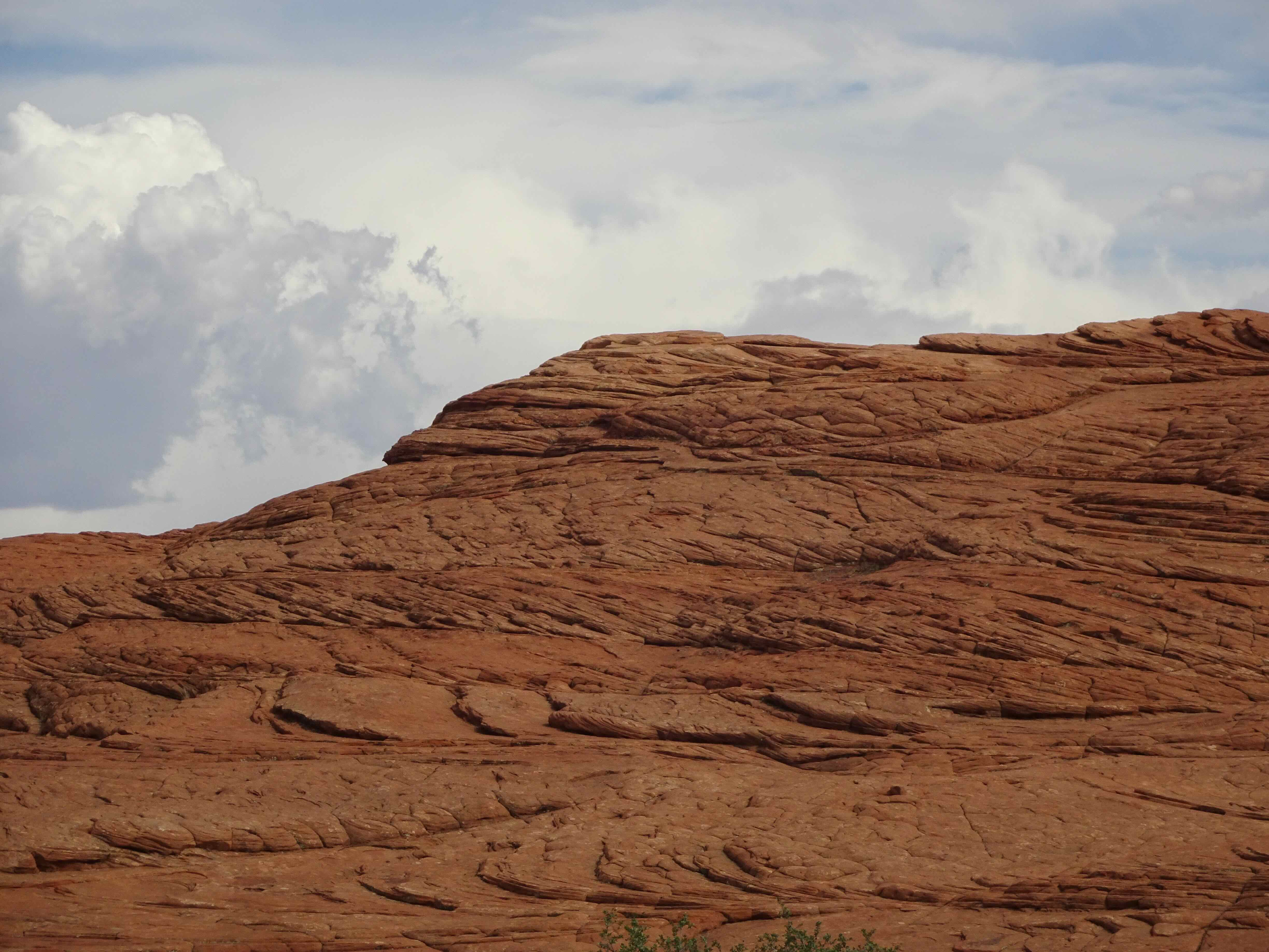
It was too hot in Utah to do much more than scurry from one air conditioned space to the next. We drove through nearby Snow Canyon State Park one evening, to admire the Navajo Sandstone landscape from the car window. I paid homage to the air conditioning gods and the electric grid, praying that it didn’t go down while I was there.
The weather…
Snow Canyon State Park –
Willow trees in bloom
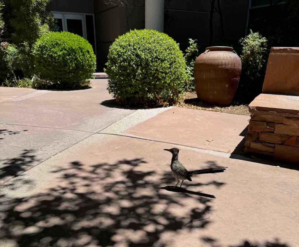
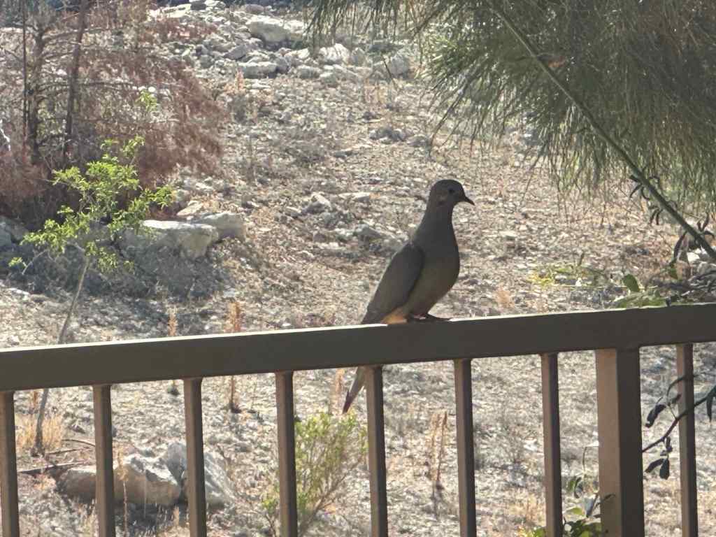
Birds of St George…
Roadrunner in the hospital gardenDove in the back yard
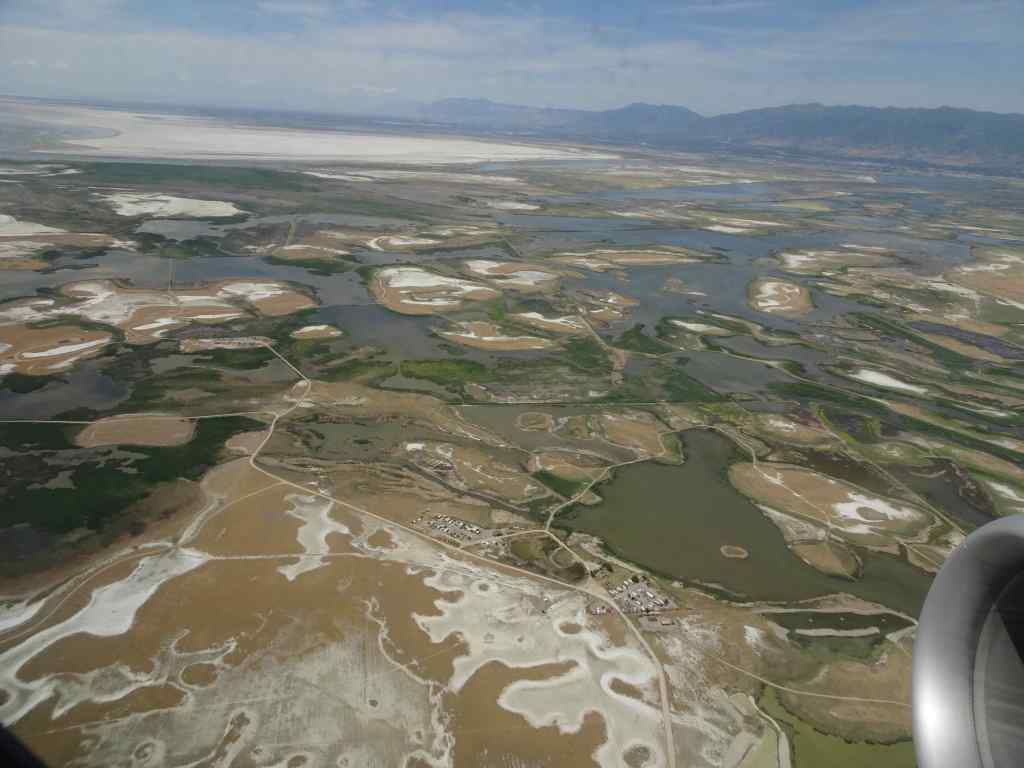
Flying home through Salt Lake City:
Great Salt Lake from the airplane windowTerminal Tunnel in Salt Lake City, inspired by the salt flatsTerminal tunnel art panelThe Columbia River, Cape Horn, and Mt St Helens; welcome views on the return flight to Portland…
Flowers in the neighborhood –
Knitting
I knit not a single stitch while in Utah, but I finished one pair of socks after I returned. I cast on a new pair of socks, and made some progress on a scarf and a cardigan.
Finished socksThree works in progress – cardigan, scarf, socks
Books
Nine books read in June
Of the nine books I completed in June, by far the most compelling was Figuring, by Maria Popova. It is a long and interwoven biographical tale of several women artists and scientists who made major contributions within their fields, yet have gone somewhat unrecognized. The women include astronomer Maria Mitchell, poet Emily Dickinson, sculptor Harriet Hosmer, writer Margaret Fuller, and biologist Rachel Carson. She includes many intersecting peripheral people, who interacted with her selected historical figures. I found it fascinating to listen to.
I also enjoyed a trip down memory lane as I read Sandstone Spine by David Roberts, a description of hiking across Comb Ridge in southern Utah, a place I did field work 40 years ago.
The rest of the world:
June 14th – While I was roasting away in St George in a care-giver role, millions of people all over the world were marching in No Kings Day protests. I am grateful that so many were able to show up!
(Instagram screenshot)
Back in Portland, I took a long neighborhood walk on Juneteenth, and a real hike near Mt Hood on June 24th – to be described in the next post…
We went on five hikes in May, all in the Columbia River Gorge, following the wildflower bloom…
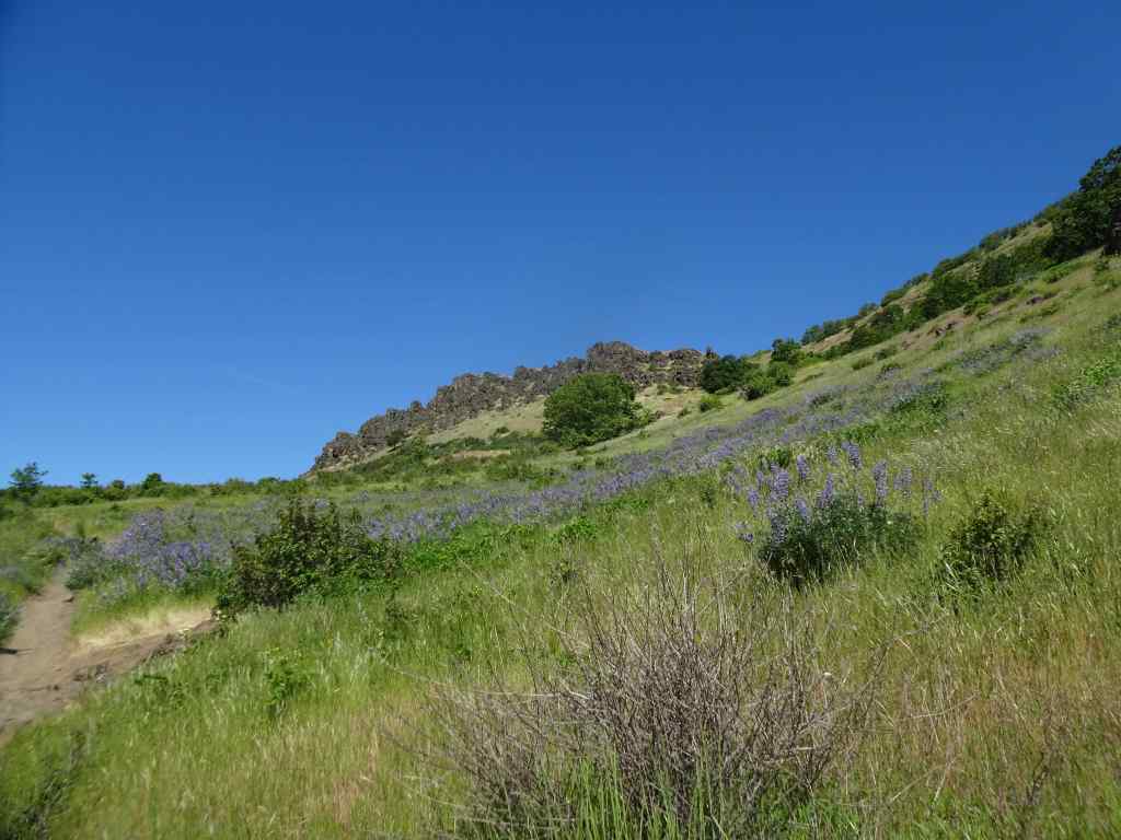
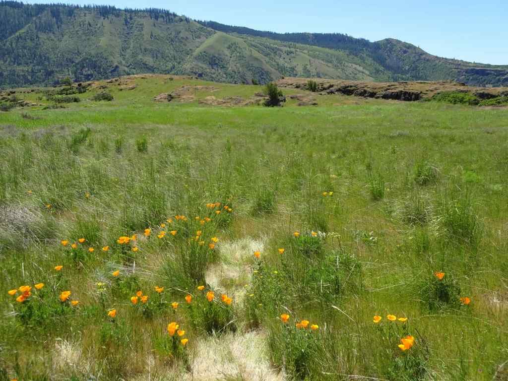
May 6 – Lyle Cherry Orchard, WA
Warm and a bit windy today – we got a chance to see the waning balsam root – everyone’s favorite!
Purple ookow blooming on the Convict Road.Ookow and the seedpods of Columbia desert parsleySwales of lupine on the middle plateauThe last of the yellow balsam rootA poppy patch.
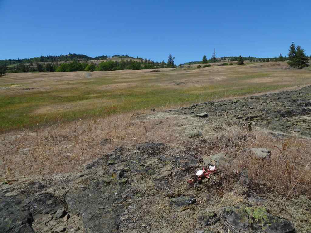
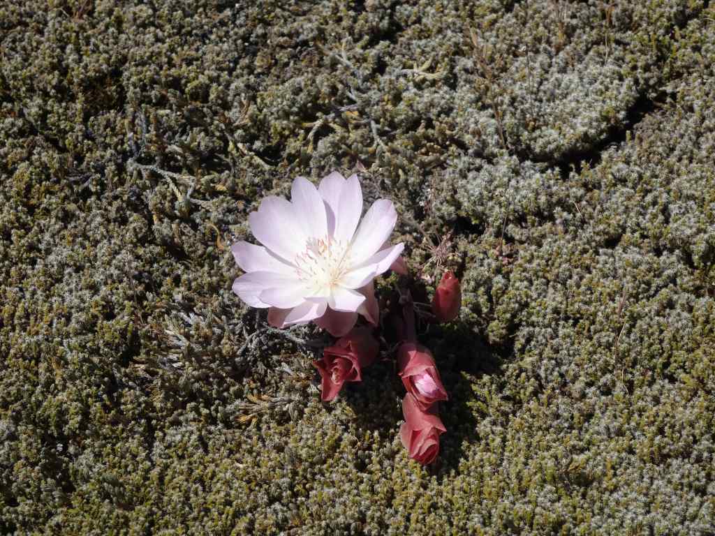
On our drive home, we stopped briefly at the Catherine Creek Trailhead so I could get a peek at the bitterroot that blooms there – probably my only chance this season.
And there it was, on the rocky outcrop just above the parking lot.Lewisia rediviva, bitterroot – one of my all time favorites!
May 10 – Cape Horn, WA
Tall larkspur season at Cape Horn – it is always a treat to walk on the neatly groomed trails here. Today we started at Strunk Road, and walked to one of the lower overlooks – less than two miles, but with rain in the forecast for the next few days, we took our opportunity.
Tall larkspur along the pathCloser viewWhite fringe cup and candy flower also prolific today.Nancy Russell Overlook – we stop to look at the view and say, “Thank you!” to Nancy Russell for her conservation work.Up river view toward Beacon Rock.Continuing downward, the purple path continues…And the fringe cup…A few other flowers tucked in – Hooker’s fairy bells,Fern leaf biscuitroot,and vanilla leaf.
May 13 – Wahkeena-Multnomah Loop, OR
Back again to this five mile long, 1500 foot loop.
We began at Multnomah Falls, and started west along the old highway toward Wahkeena Falls.After passing Wahkeena Falls, the trail ascends up many wildflower-filled switchbacks,to Lemmon’s Viewpoint, overlooking the Columbia River.Continuing up Wahkeena Creek, past Fairy Falls,passing more wildflowers along the way. Columbia windflowers, and salalBaneberryA few fading trilliumLarkspur and fringe cup
After a lunch break at the trail junction, we walked eastward toward Multnomah Creek. This part of the trail has always felt rather magical to me – mostly flat, through a forest of tall firs. The undergrowth has changed a bit since the 2017 fire, but it is still one of my favorite places.
2013 Lookback – Magical trail before the fire.May 2025, Lots of redstem ceanothus filling the forest floor under the burned trees.Still very pretty, and with a view to the river…More wildflowers along the trail as it descends into Multnomah Creek – thimbleberry, columbine, arnica.CorydalisWiesendanger FallsHoneysuckle and inside out flowerBack to the trailhead at the bottom of Multnomah Falls.
May 22 – Cape Horn, WA, again
We wanted to take our son and his fiancee for a hike – though they didn’t bring proper shoes, and it was a bit rainy. We settled for going back to the tall larkspur-lined path from Strunk Road to the Nancy Russell Overlook at Cape Horn. It was less than two weeks since our previous visit, the tall larkspur were even more profuse, and the cow parsley were starting to spread their umbrella heads. Lovely, even with a bit of our Oregon sunshine misting us.
Previous week, May 10, with older hiking gentleman.Same path, May 22nd, with cow parsley and a cute young couple.Misty view from the overlook.Cow parsley
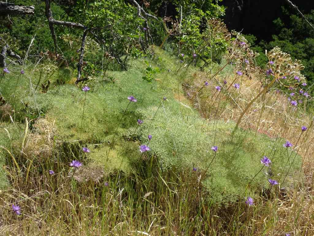
May 27 – The Labyrinth, WA
The Labyrinth was one of the first trails we ever hiked in the eastern gorge, and we have returned many times. The path winds through piles of columnar basalt that provide some protection from the wind, and the views are great! Wildflowers change throughout the bloom season. Today was the first time I have seen this particular suite of flowers – blue and purple bachelor buttons and ookow; white buckwheat, yarrow, and mock orange; pink clarkia and onions; all accompanied by a full gauntlet of poison oak.
The first surprise – abundant wildflowers surrounding the Lower Labyrinth Waterfall on the old highway approach trail – mock orange, bachelor button, ookow, buckwheat, and monkeyflowersMore mock orange, poppies and buckwheat, the Columbia River, and Mt Hood.Mock orange
Starting up the trail along Labyrinth Creek –
Buckwheat, golden grass with late season flowers. YarrowOokow, and bachelor buttons. The bachelor buttons are considered disturbed, but they do add a pretty color to the late season wildflower suite.Winecup clarkiaSwales of flowers in the drying grass
Continuing up along Labyrinth Creek –
Monkey flowers surrounding the upper waterfallHomage to the poison oak gauntlet that we carefully walked through today.Colorful slopes beneath one of the volcanic buttes.My favorite oak grove, with a lush poison oak understory.
Lunch views, with mule deer…
Westward, mule deer on the next ridgeMule deerEastward – Columbia River shimmeringHooker’s onions
It was getting warm, and I was losing my uphill motivation, but I wanted to go a little higher, to the rocky bluff where bitterroot blooms.
Mt Hood and buckwheatAs I expected, the bitterroot is shriveled up – I’ll have to wait until next year.Looking farther uphill, toward the slopes that lead to Coyote Wall – green grass turning to gold.Another look at Mt Hood, then we begin the return hike…I didn’t notice these White Brodiaea on the way up.Ceanothus blooming in the oak groveAnd past the waterfall again on our return to the trailhead.
It was beautiful day in the Labyrinth. But it is getting too hot for me in the eastern gorge – we may not be back until fall! I am going to southern Utah in June, where it is already very HOT, to help a family member. I may not hike much in the next month, but there will be red rocks and possibly some dinosaur tracks…