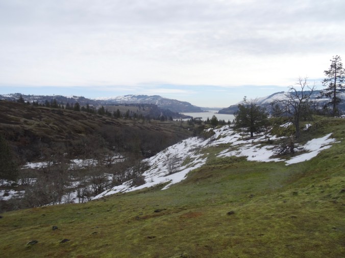
May 2, 2019 Dalles Mountain Ranch, WA
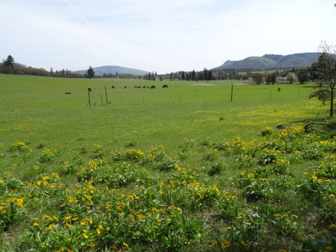
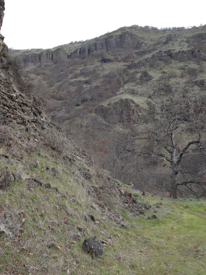
On a very windy double birthday, we followed the lure of the wildflowers to Dalles Mountain Ranch, Columbia Hills State Park, WA. We hiked the Middle Loop, from the Ranch, downhill and then back up again, over rolling slopes and across streams. Balsam root, biscuit root, lupine, and filaree painted gold, yellow, purple and pink highlights on the hills, and neither words nor pictures can really describe the beauty! But I try…
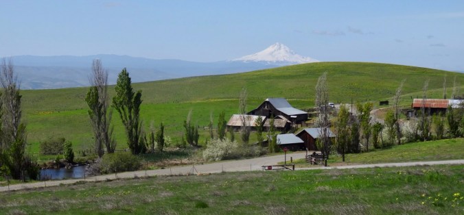
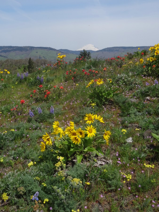
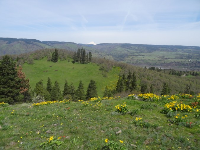
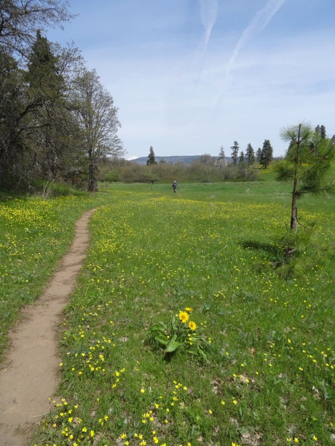
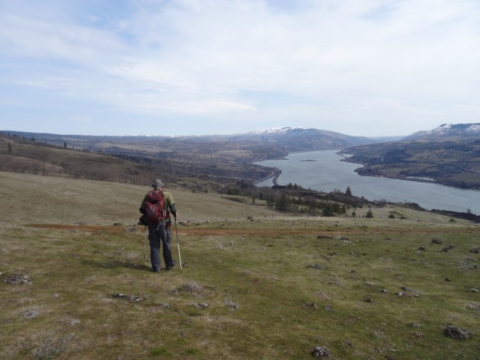
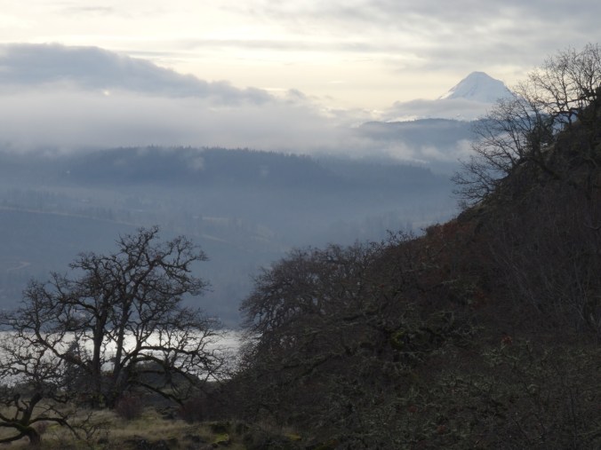
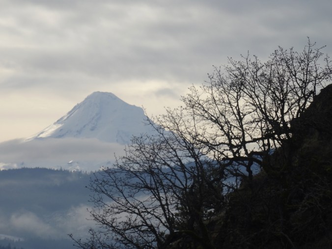
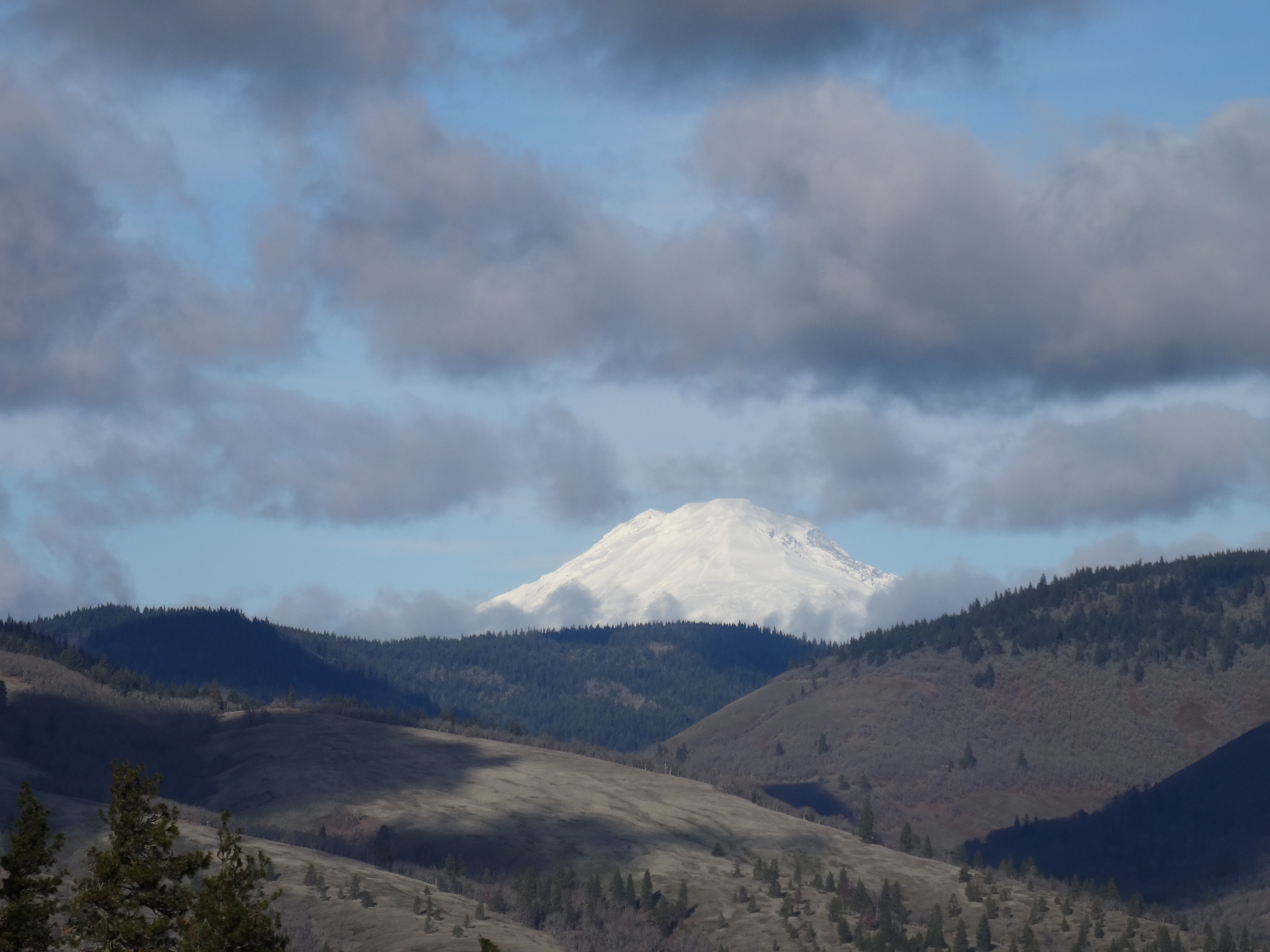
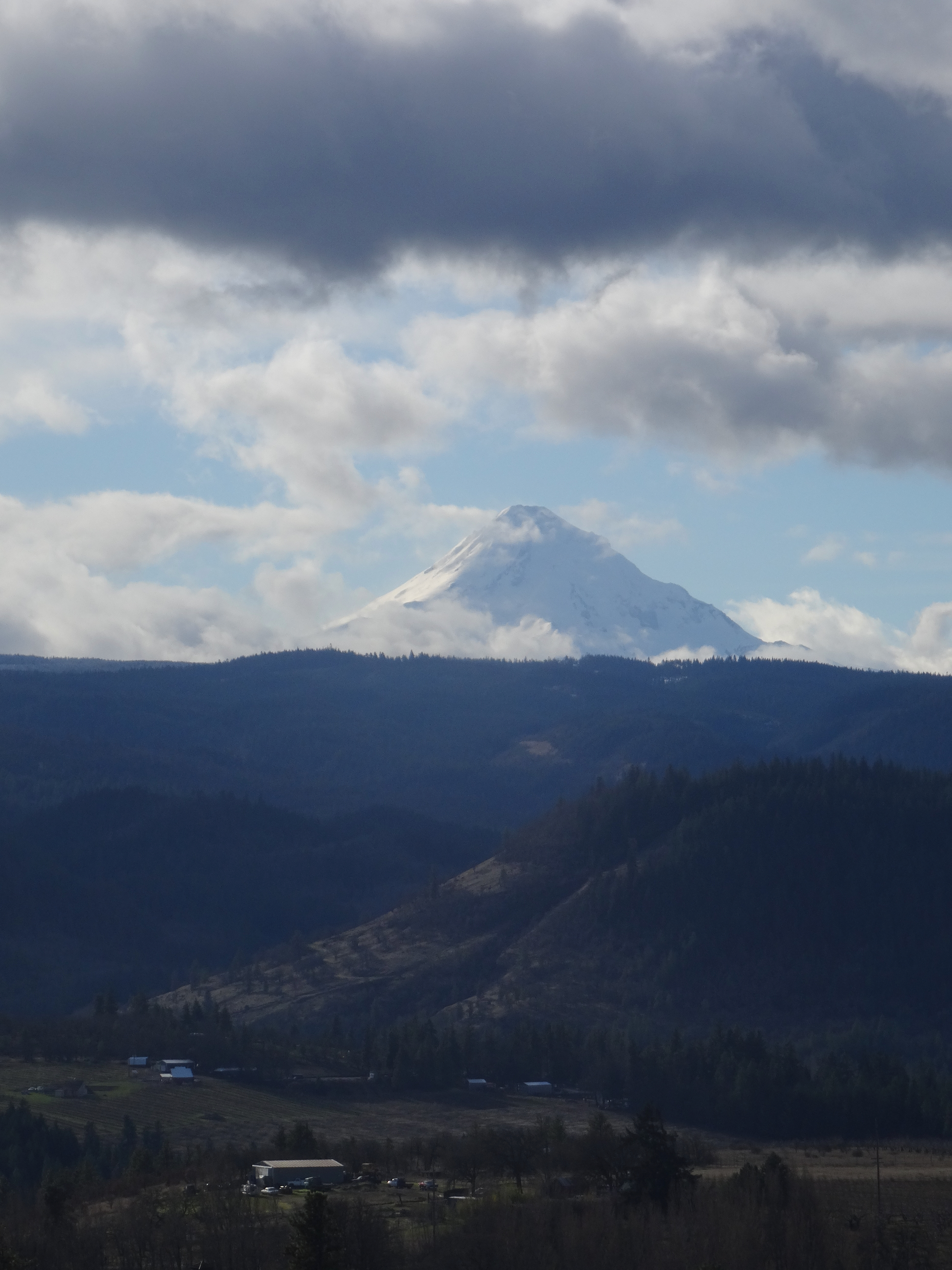
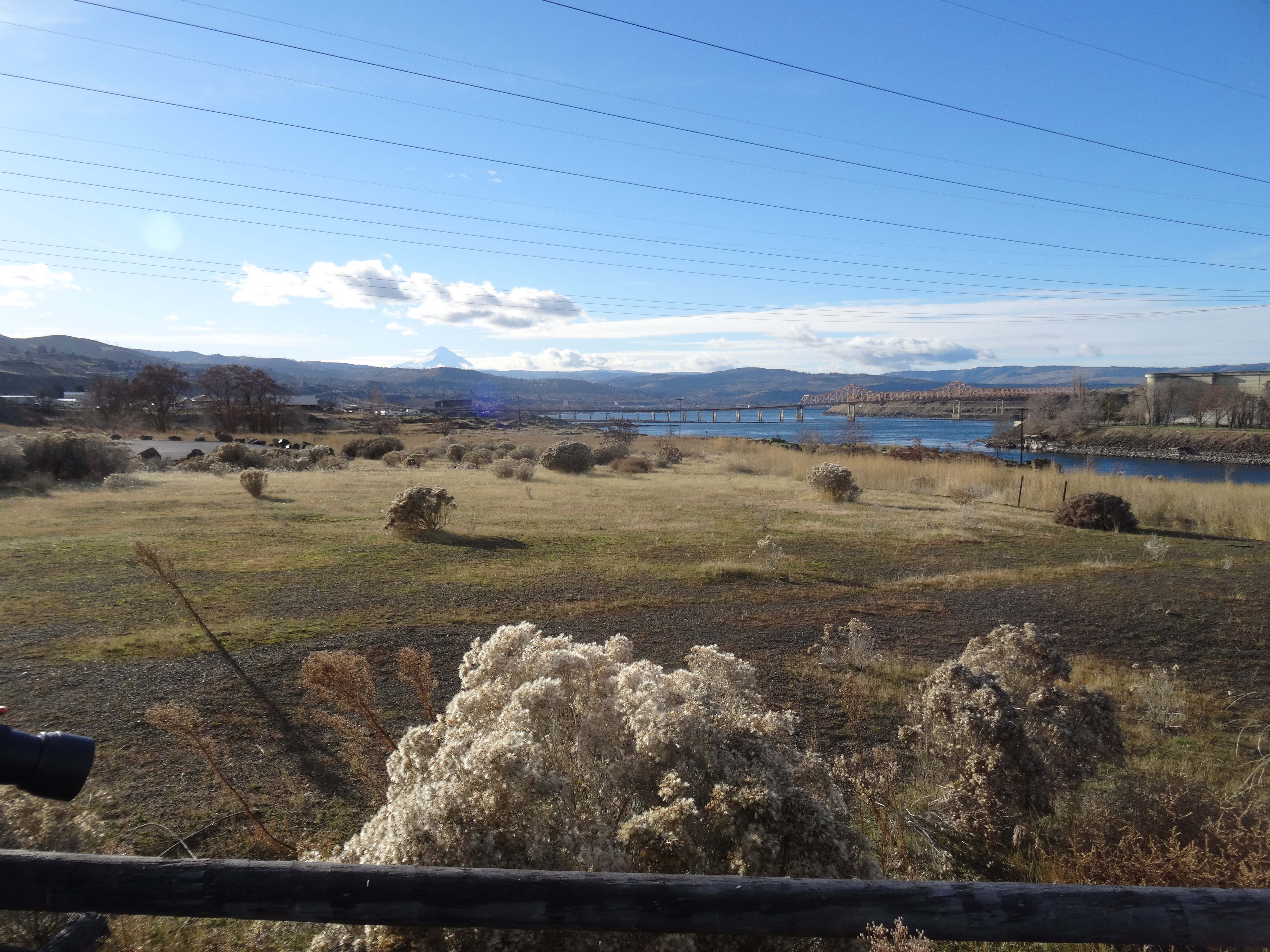
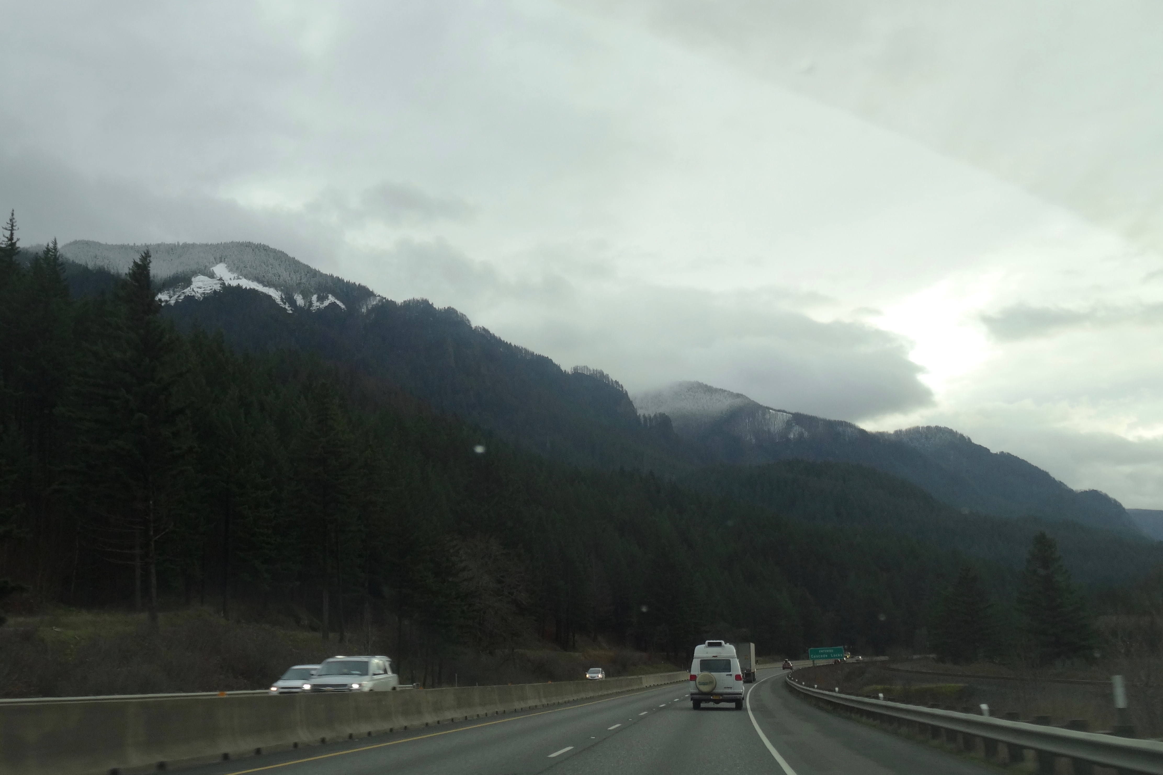
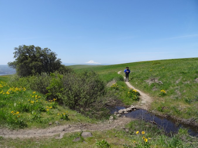
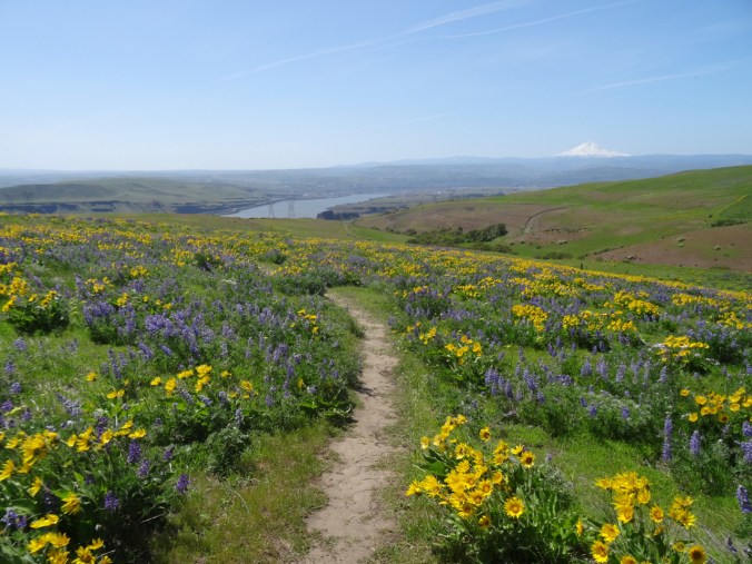
We started from the ranch trailhead, Mt Hood in the distance.

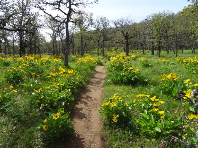
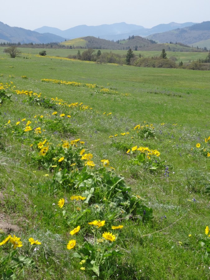
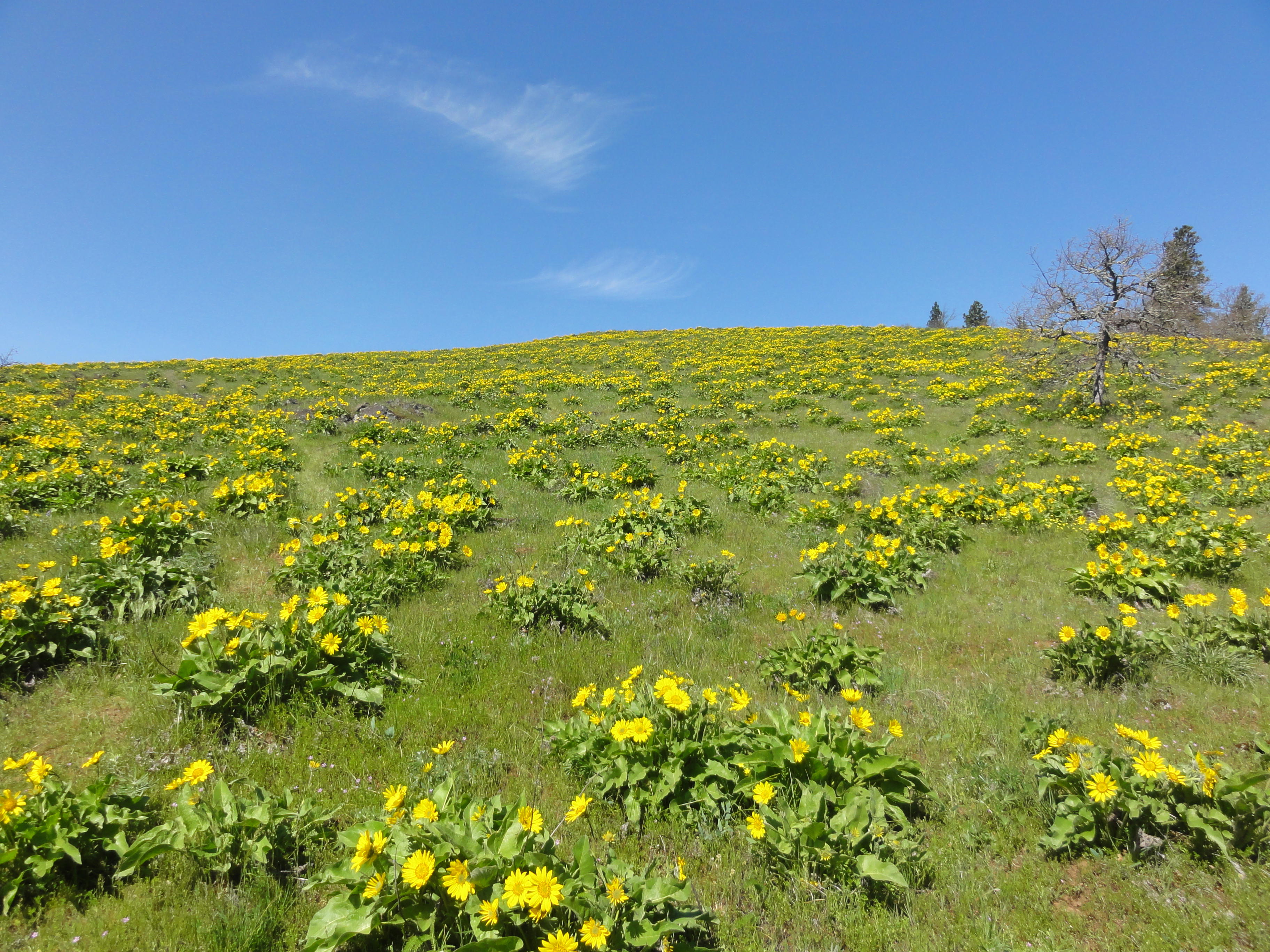
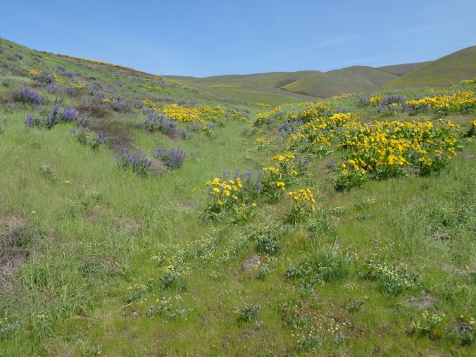
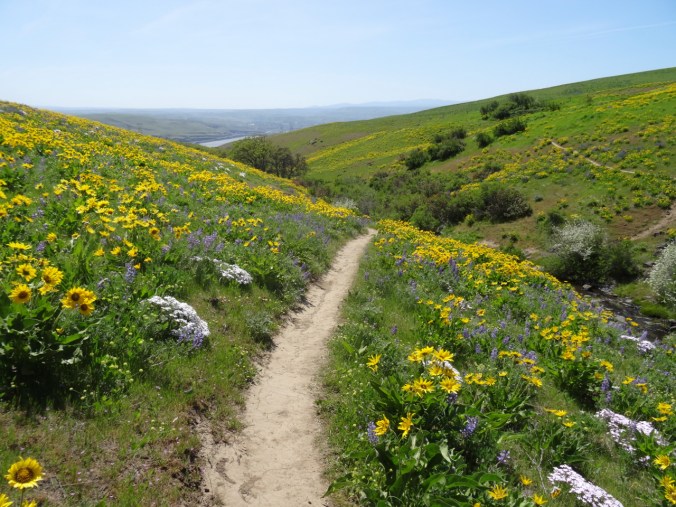
Down the balsmroot and lupine filled slopes.

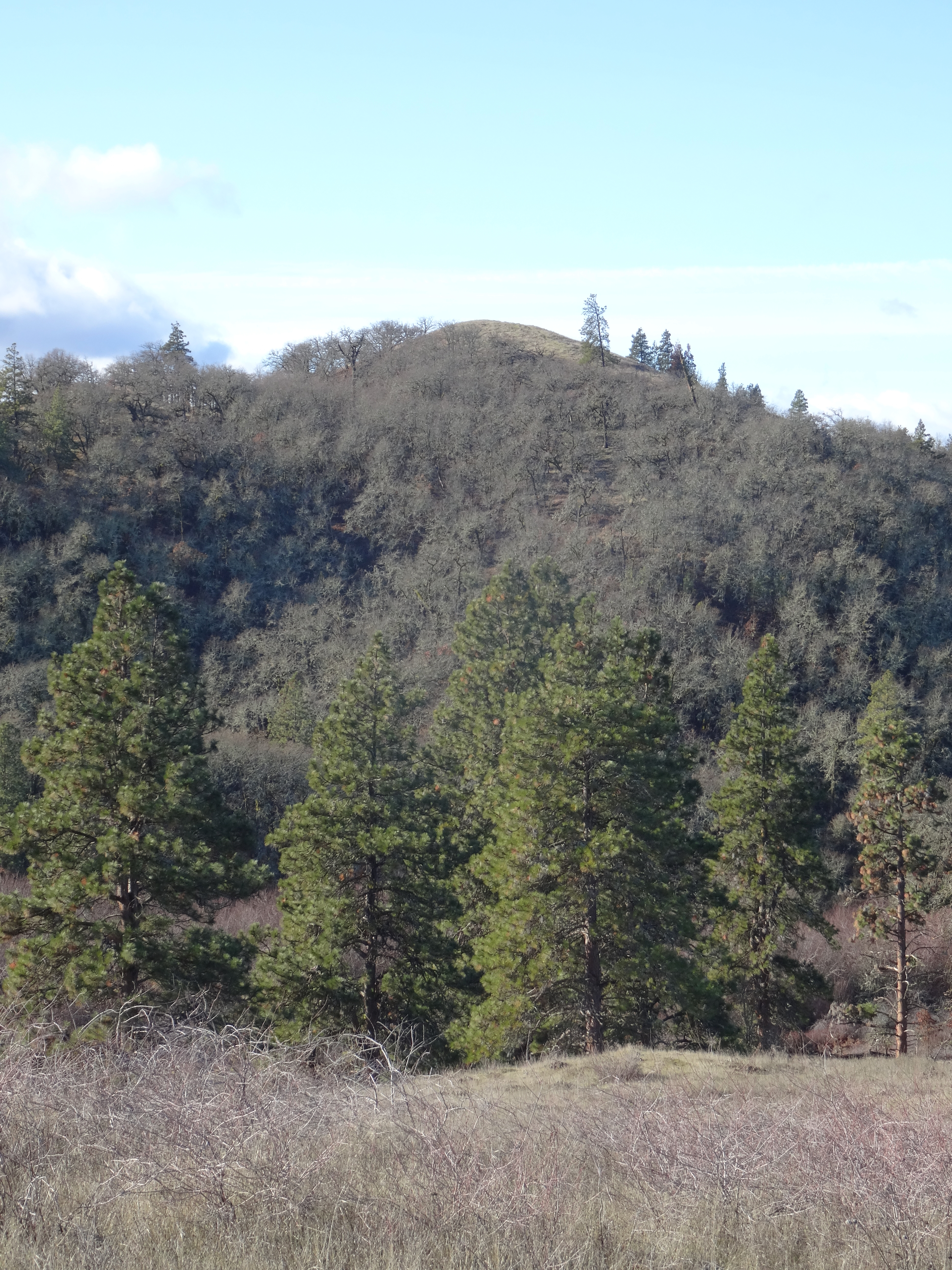
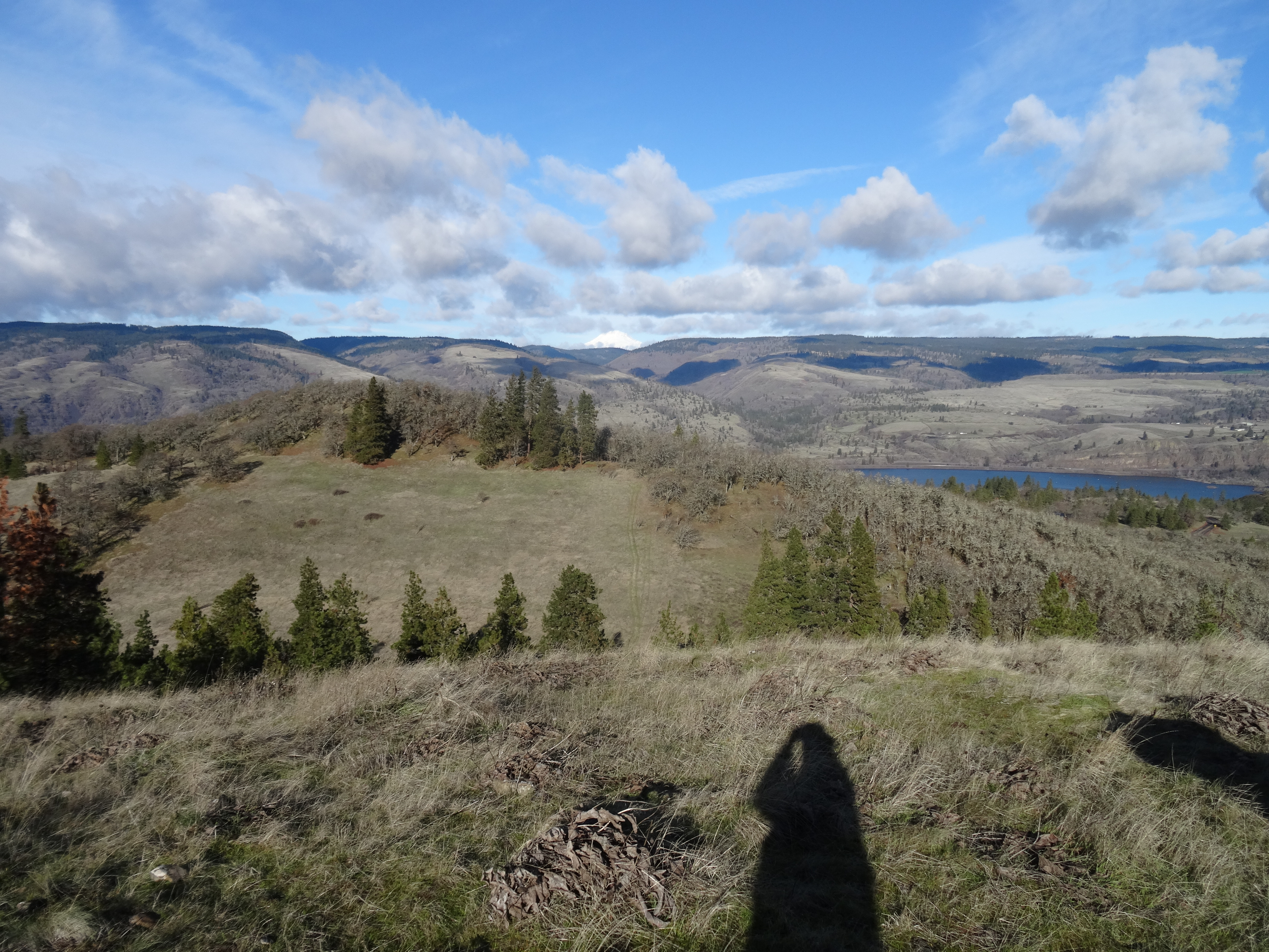
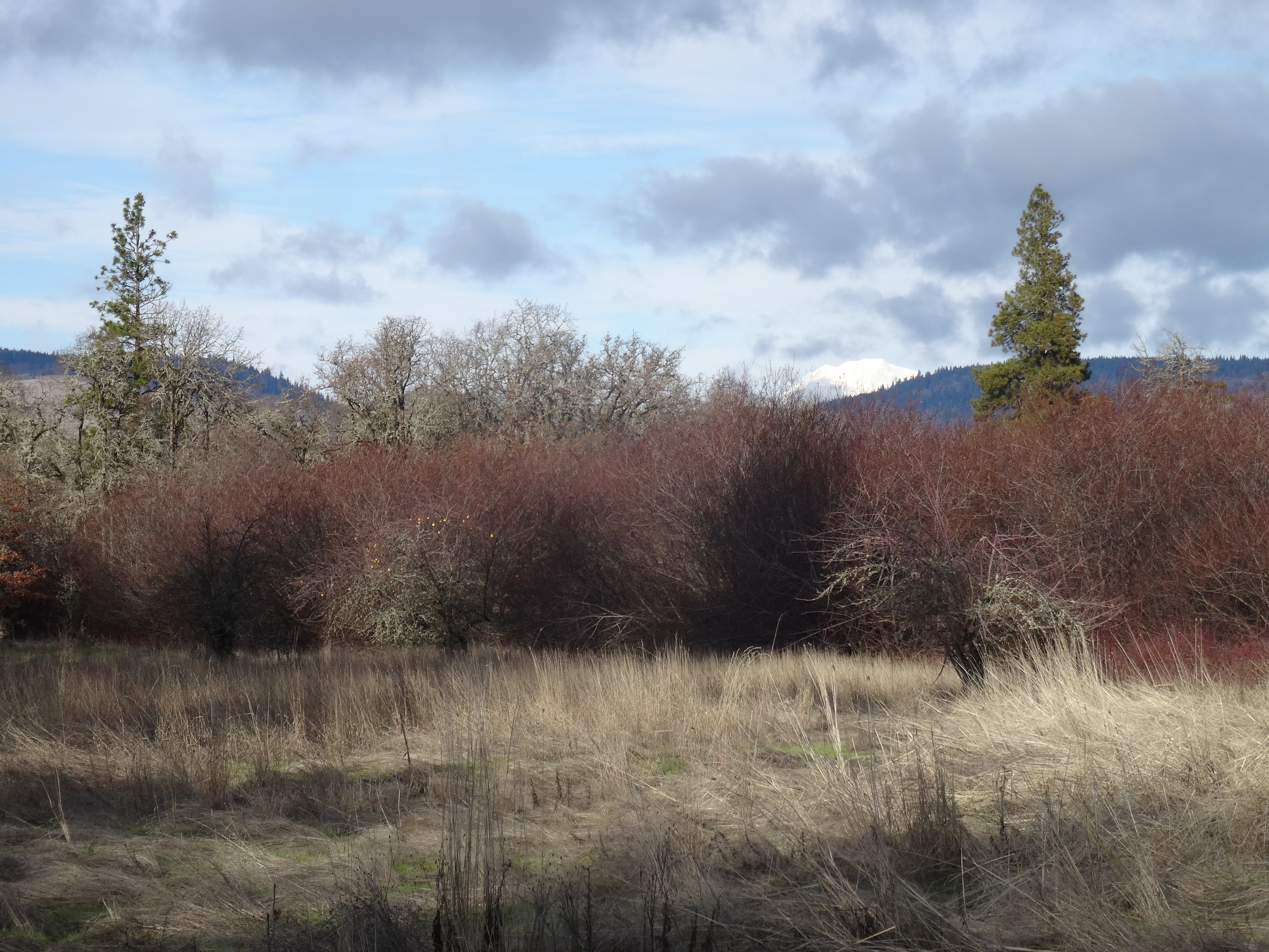
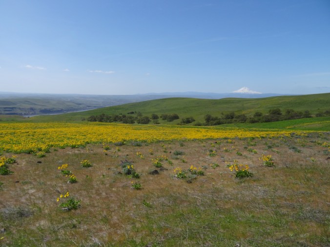
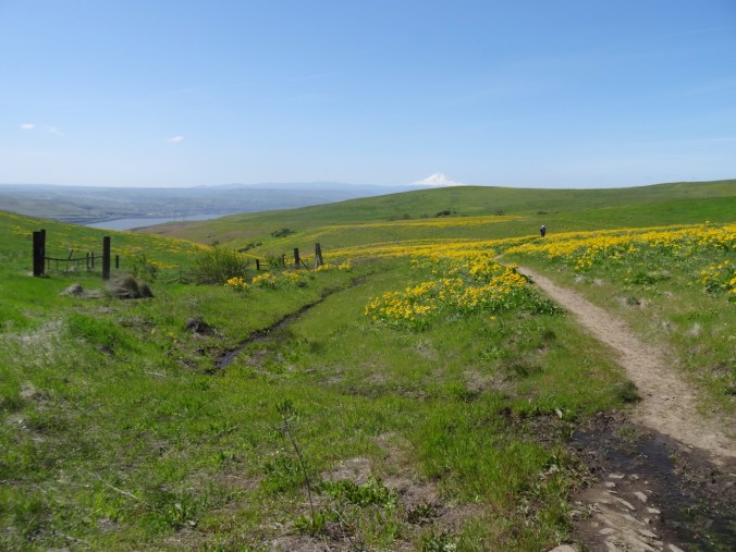
As the trail winds down, the view changes from Mt Hood
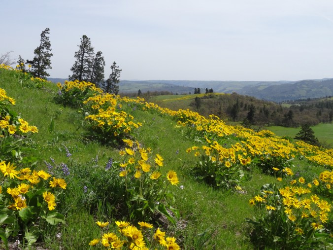
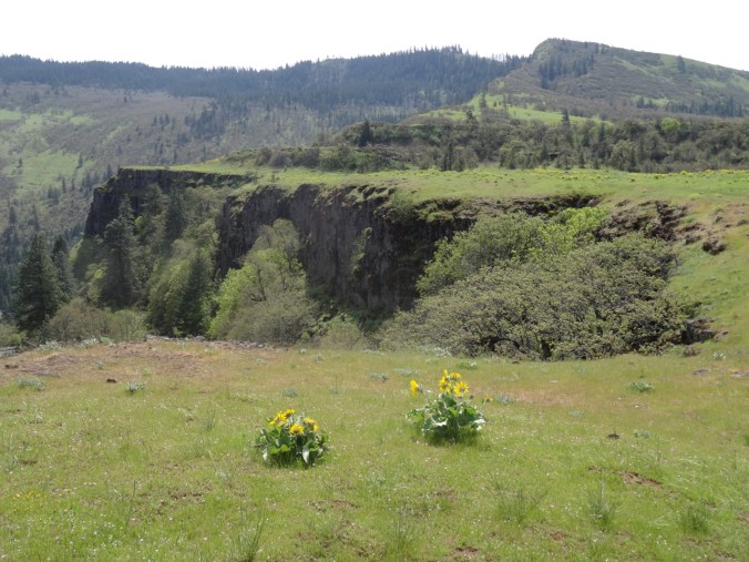
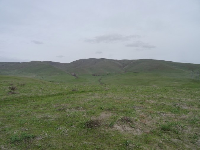
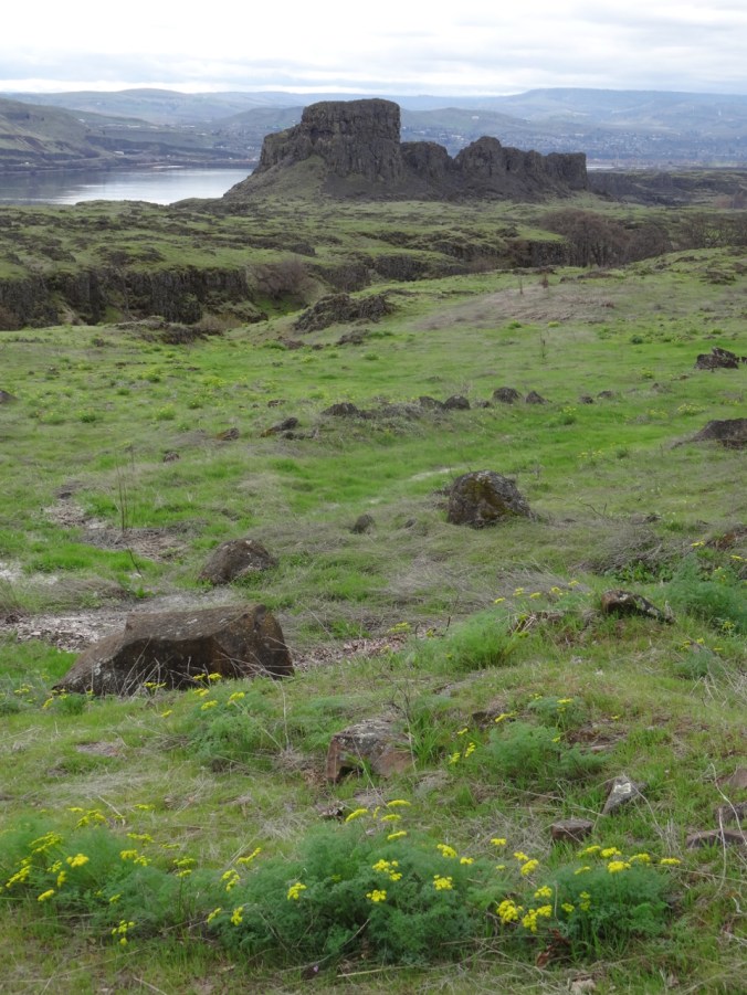
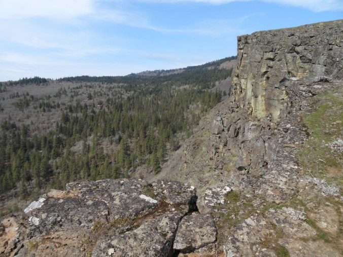
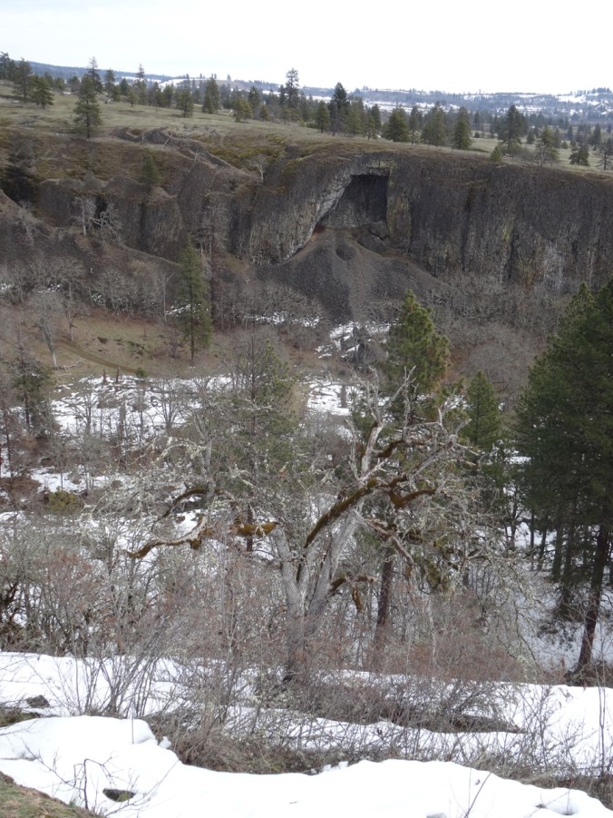
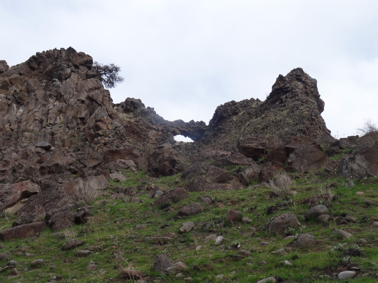
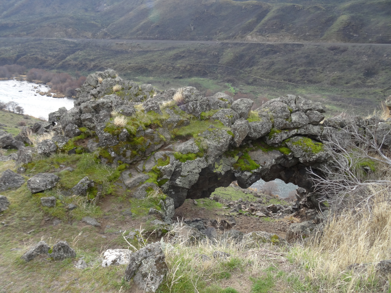
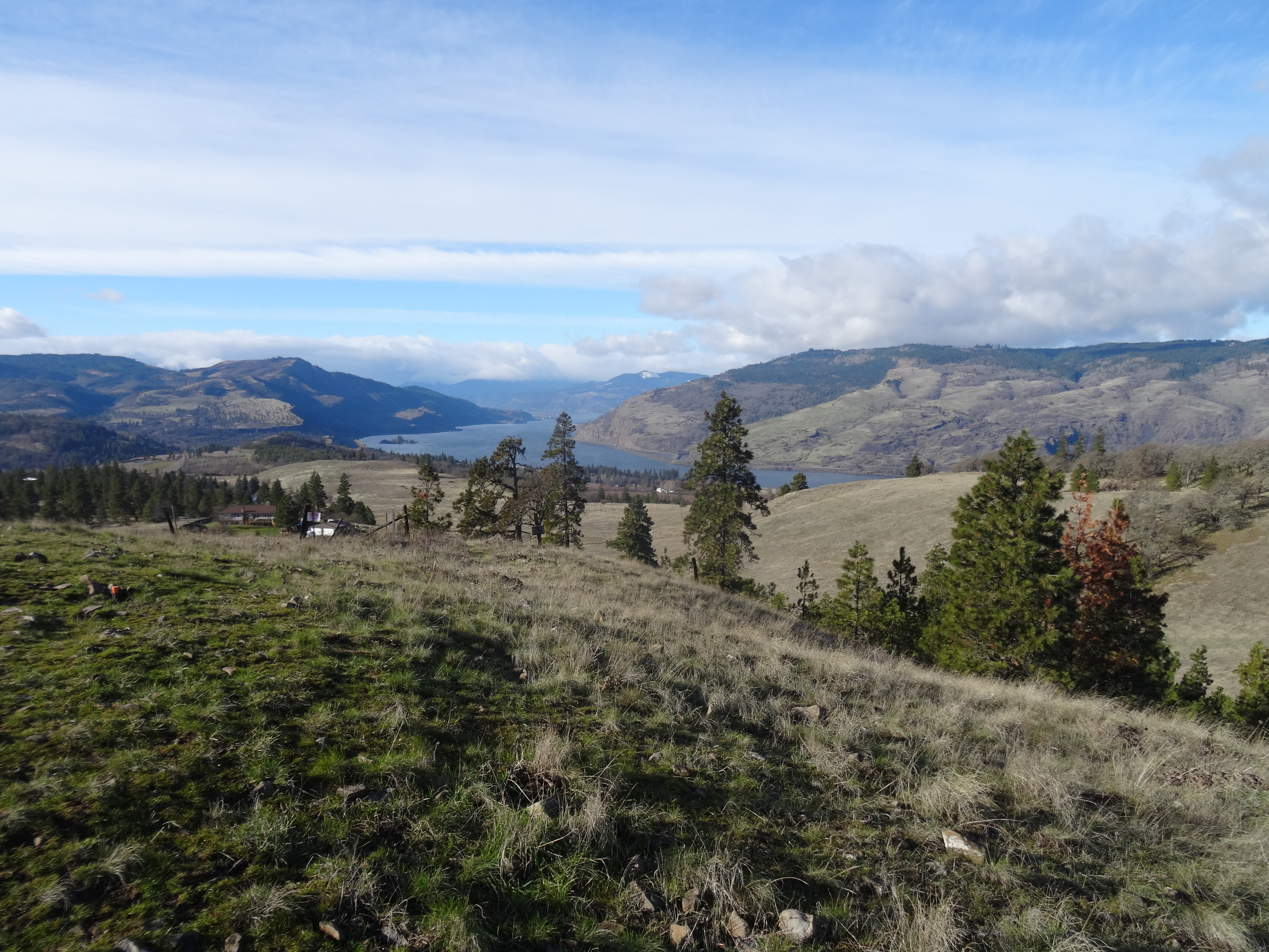
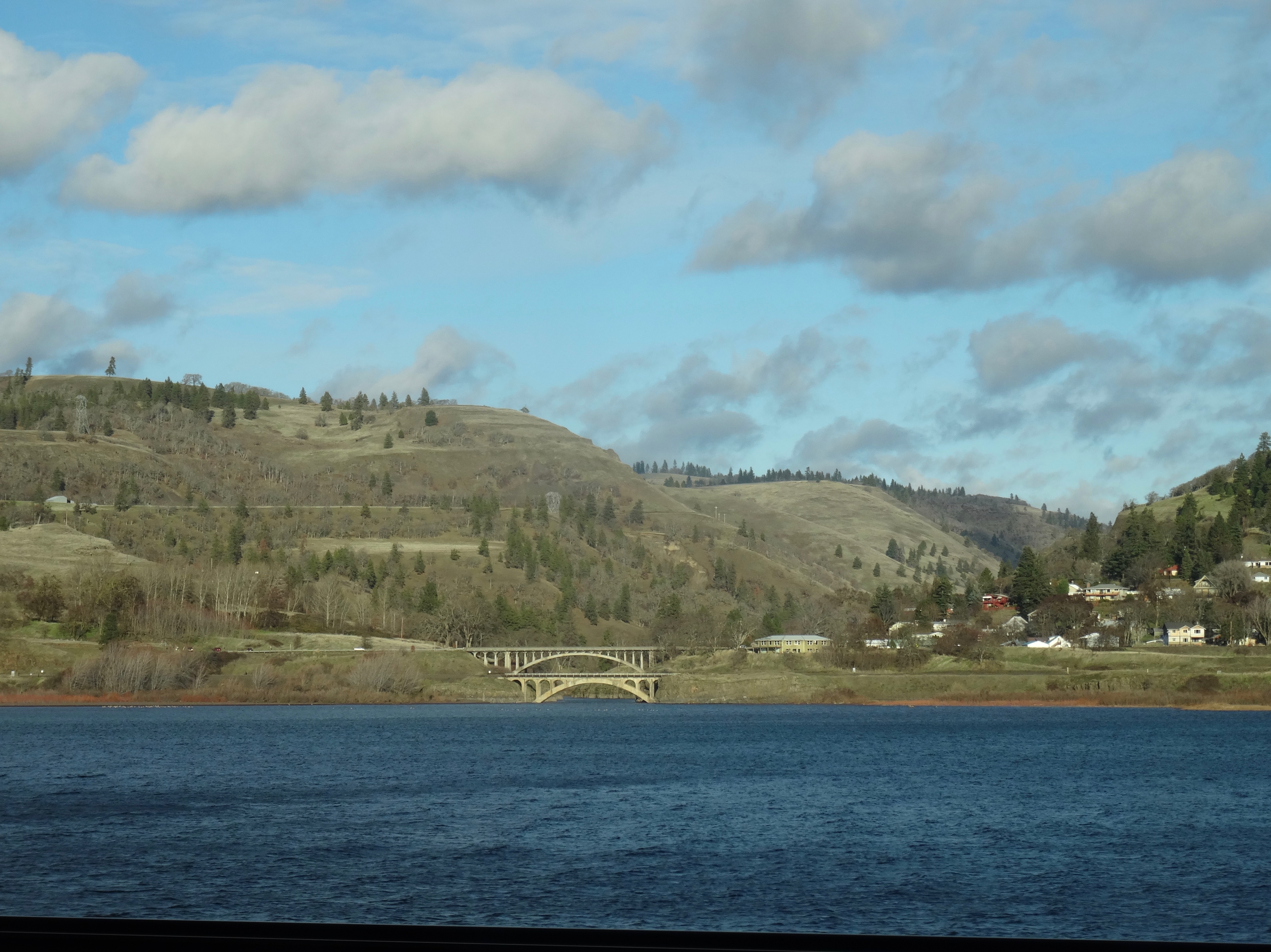
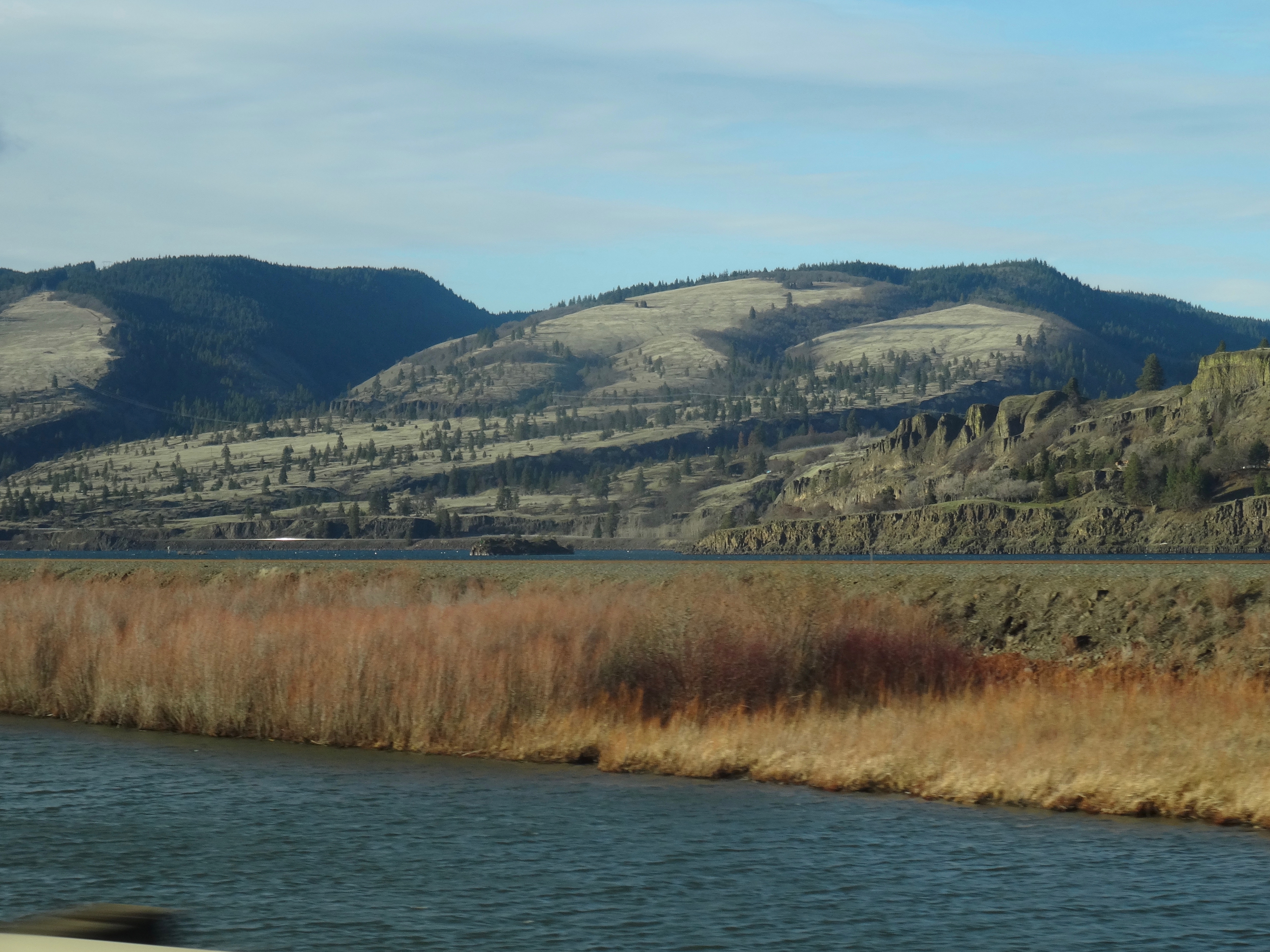
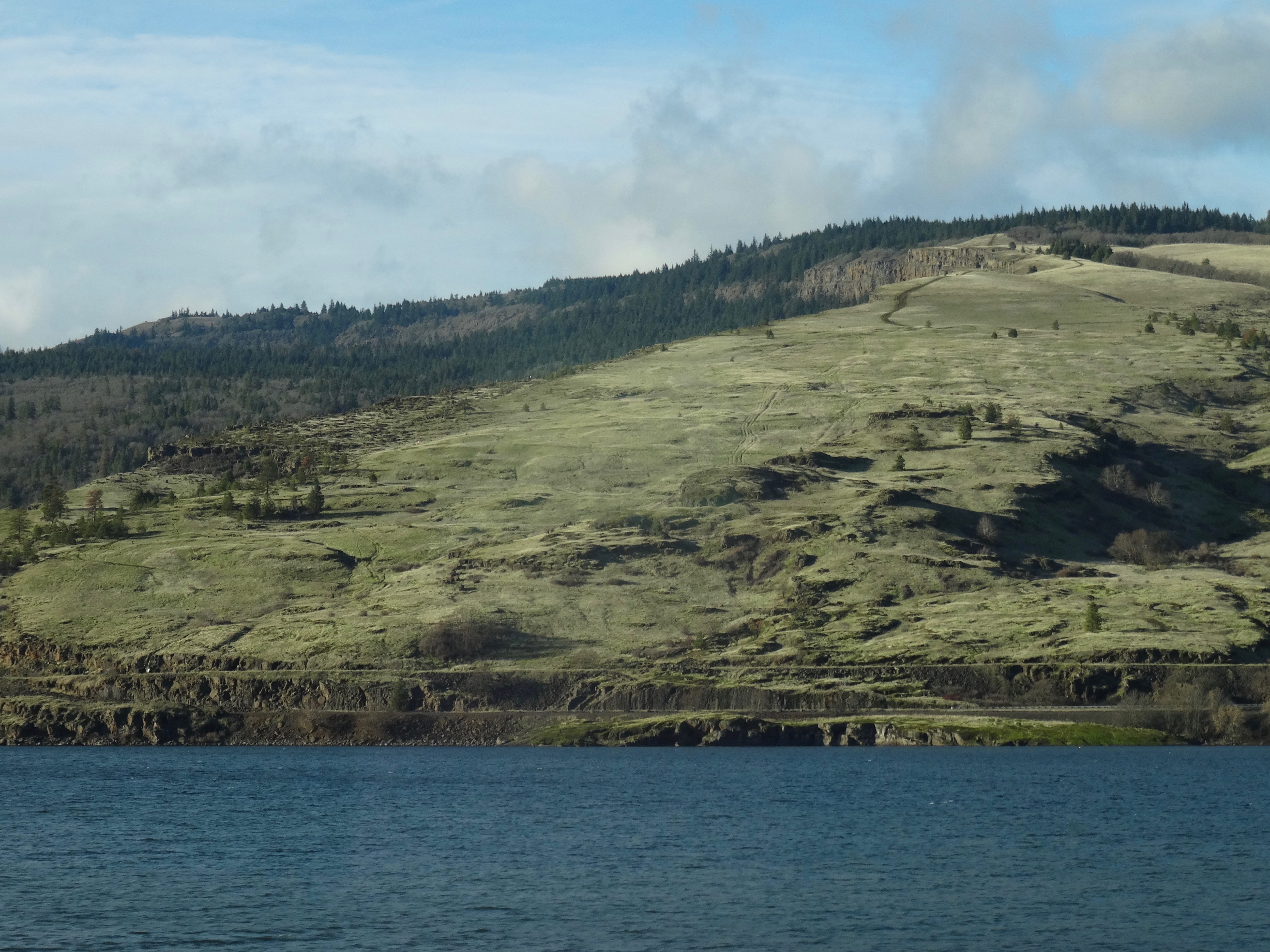
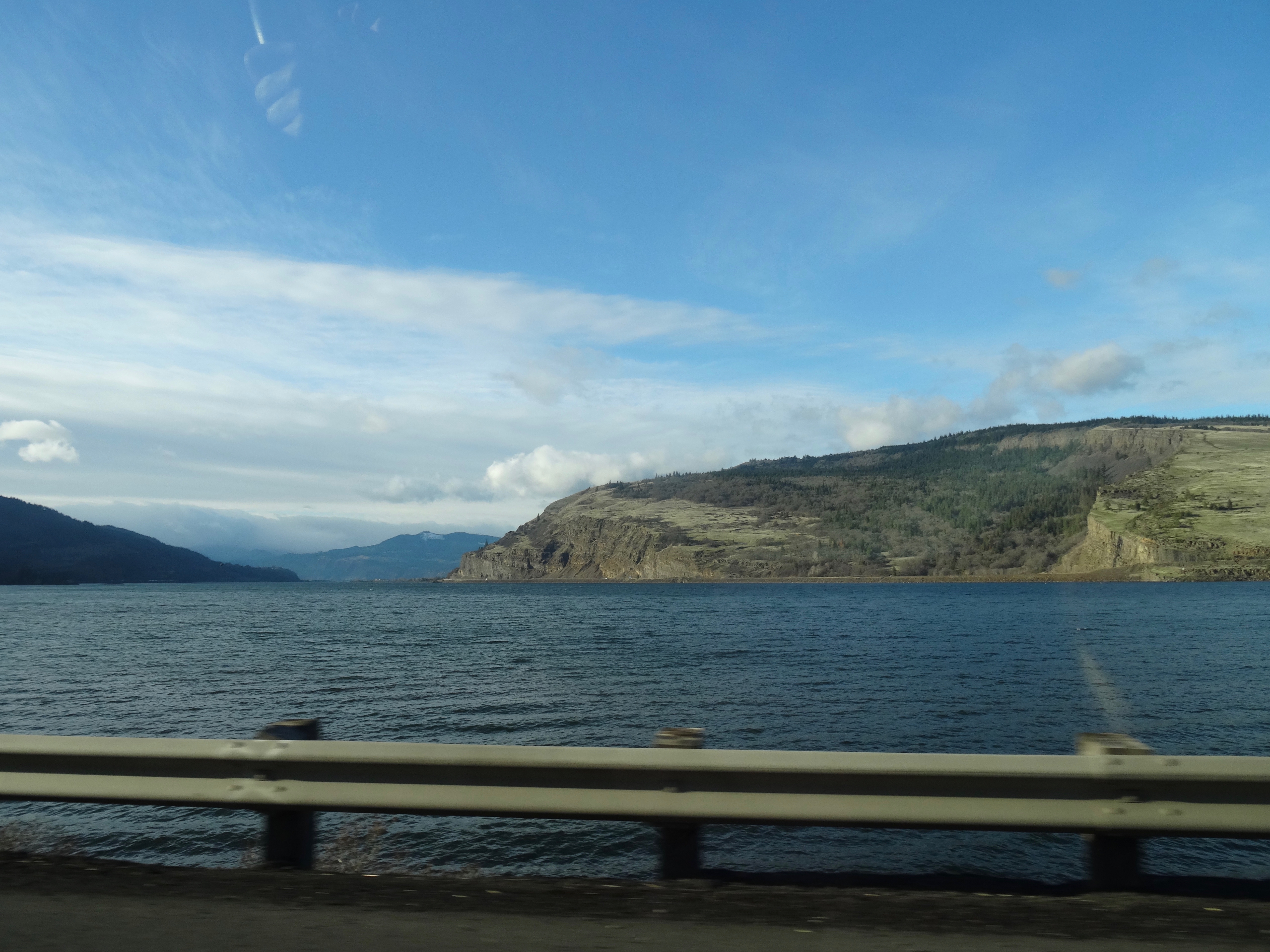
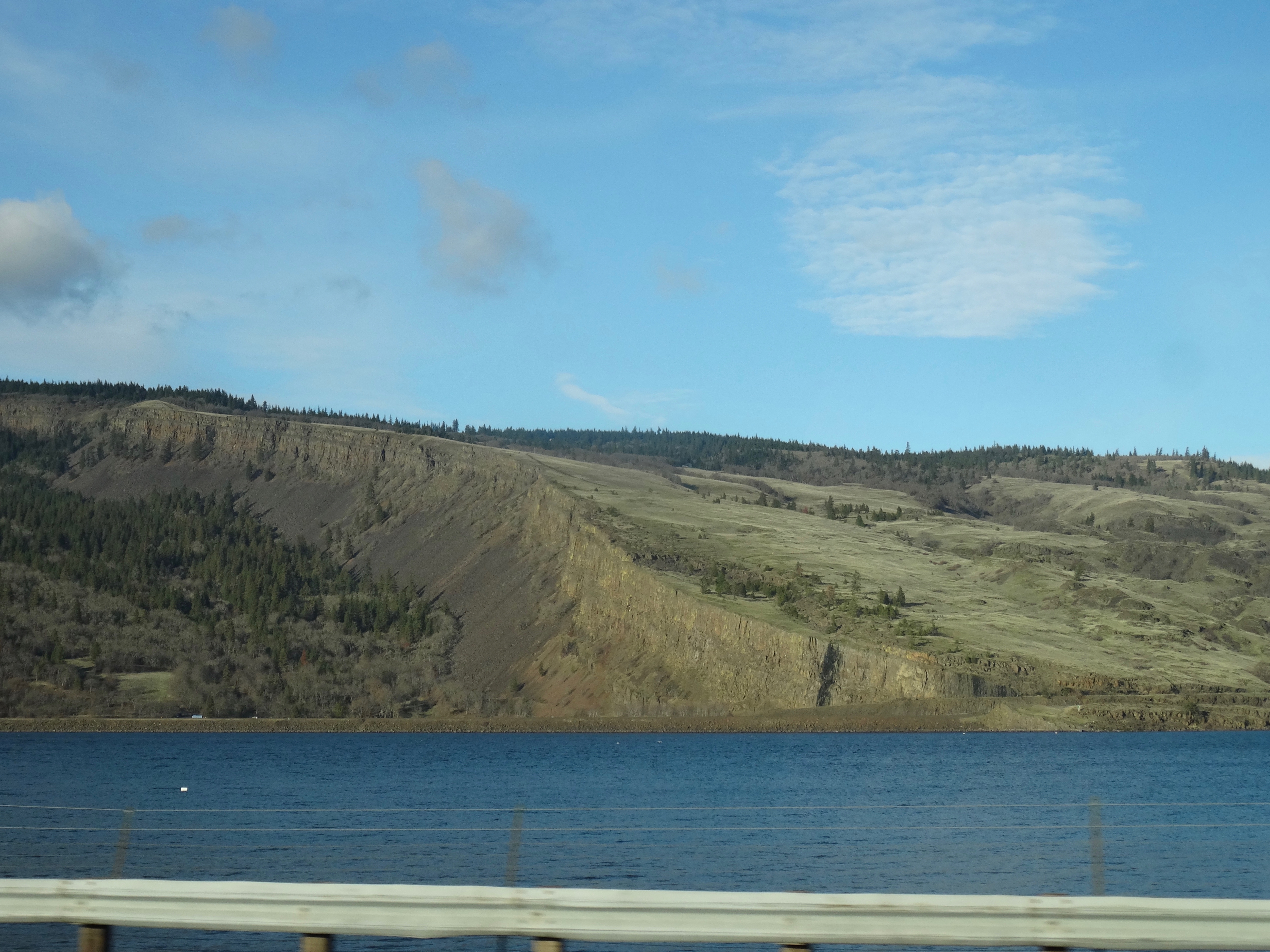
to the Columbia Hills.
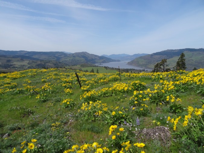
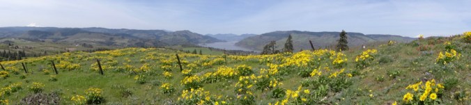
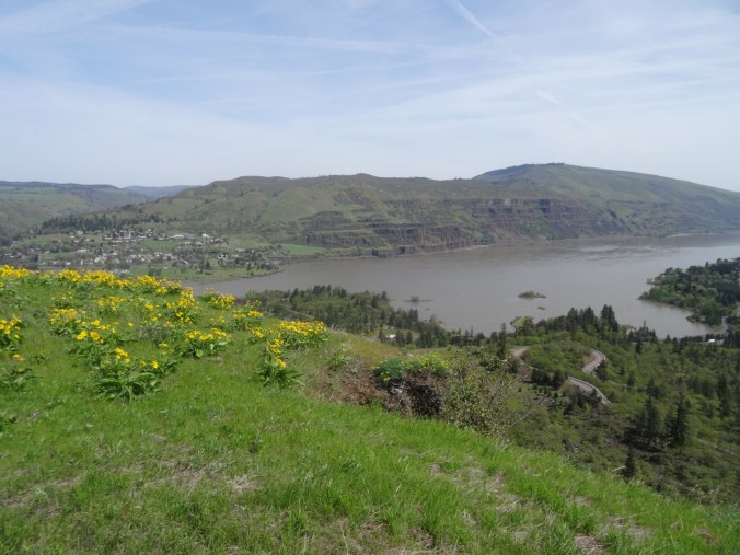
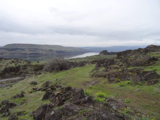
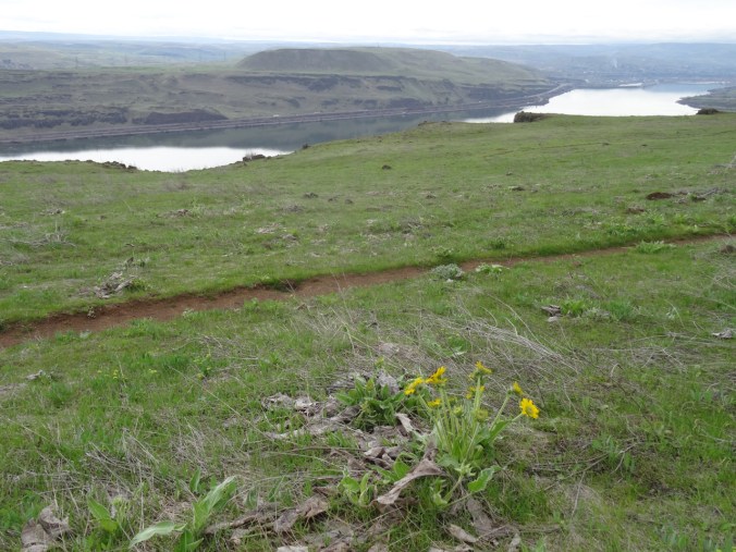
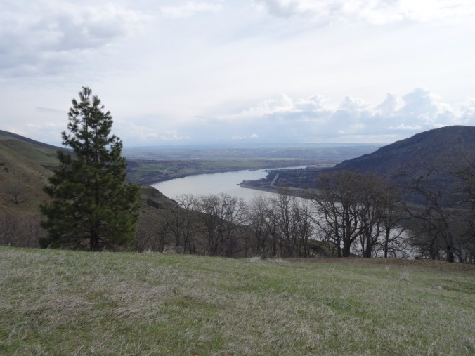
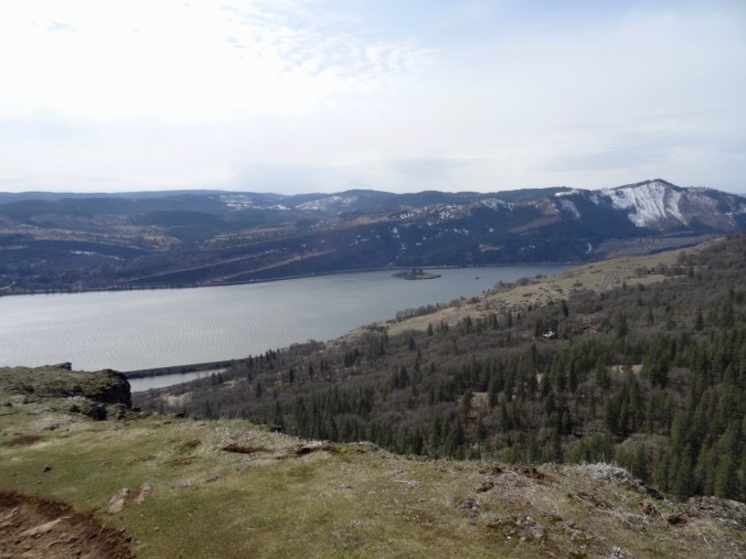
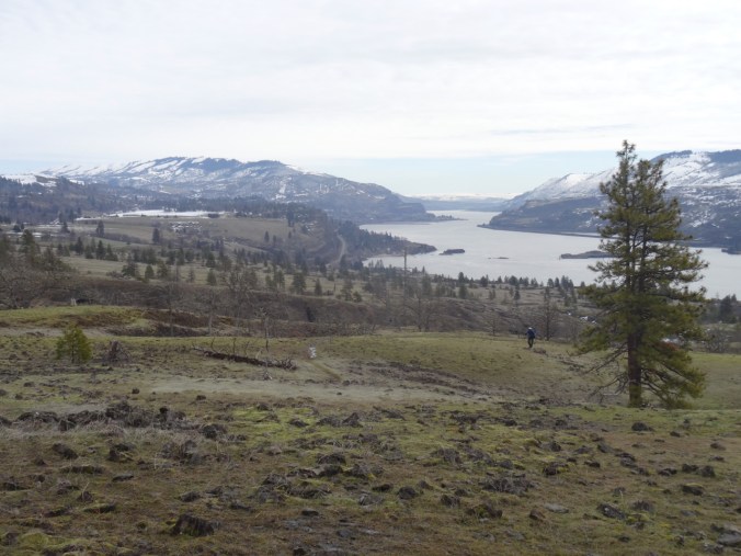
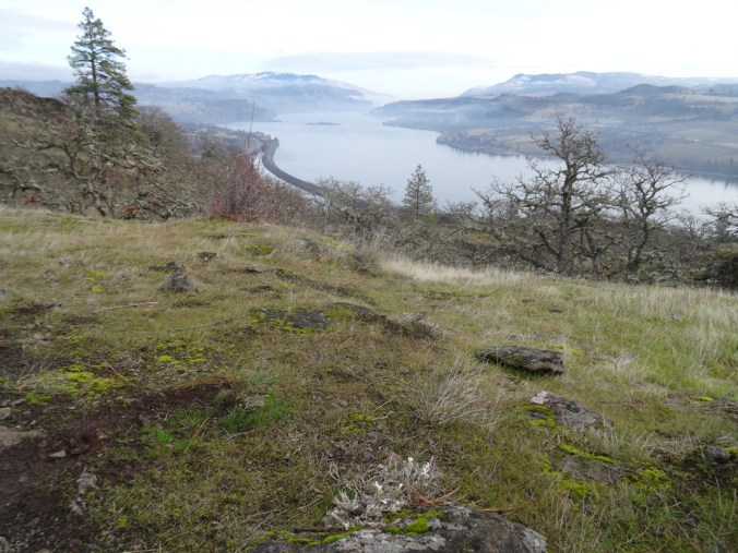
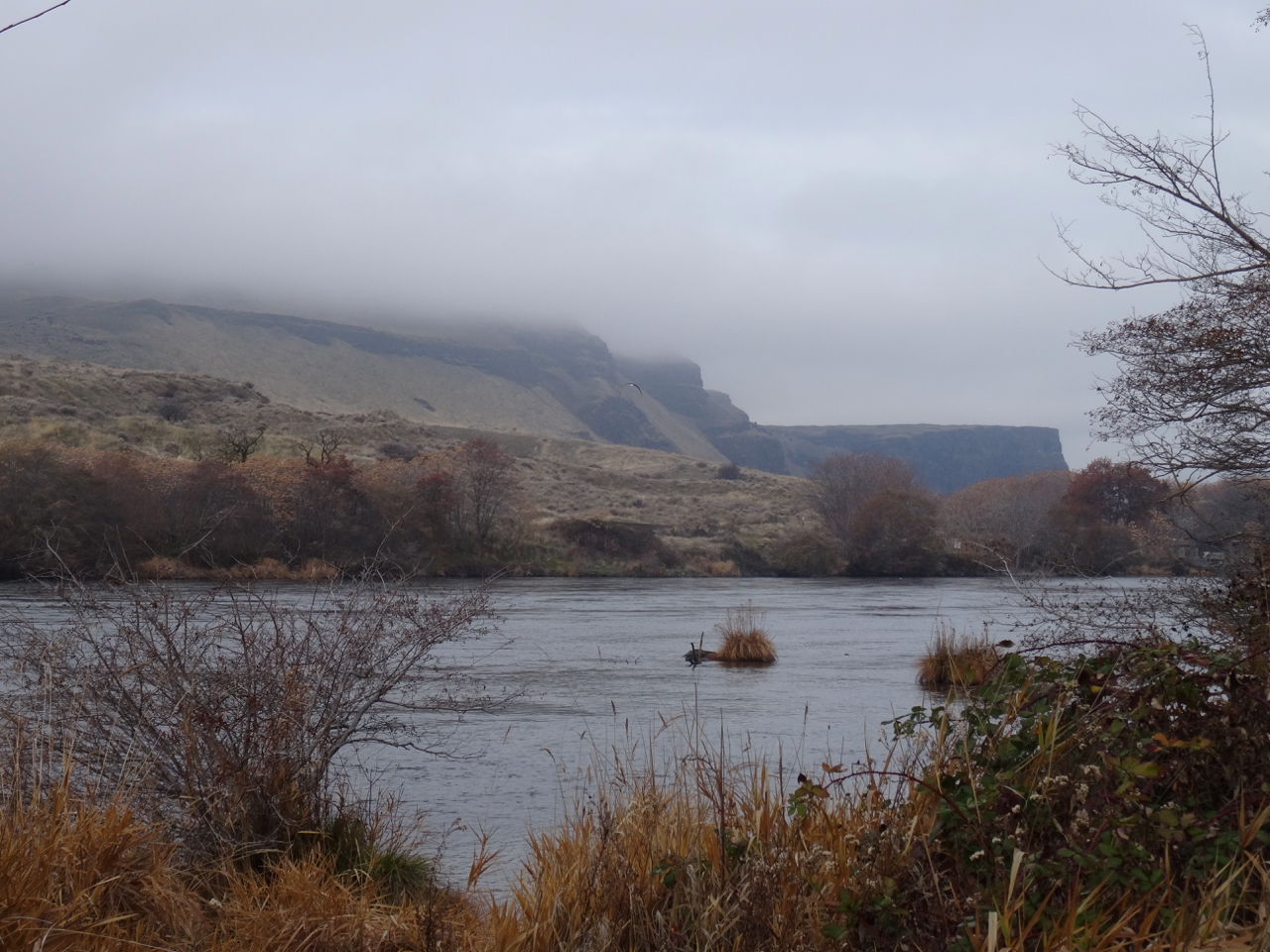
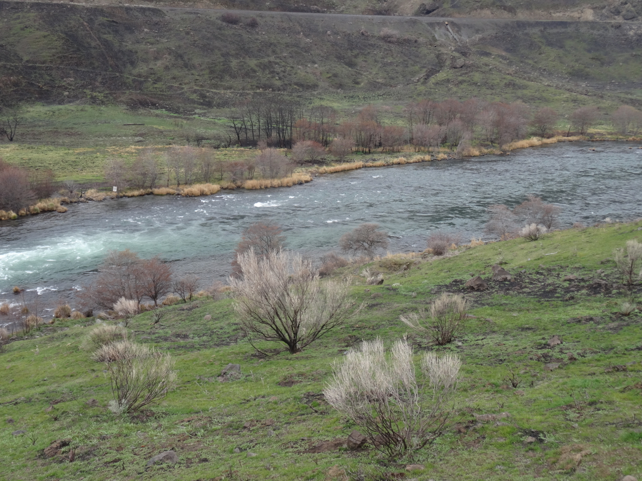
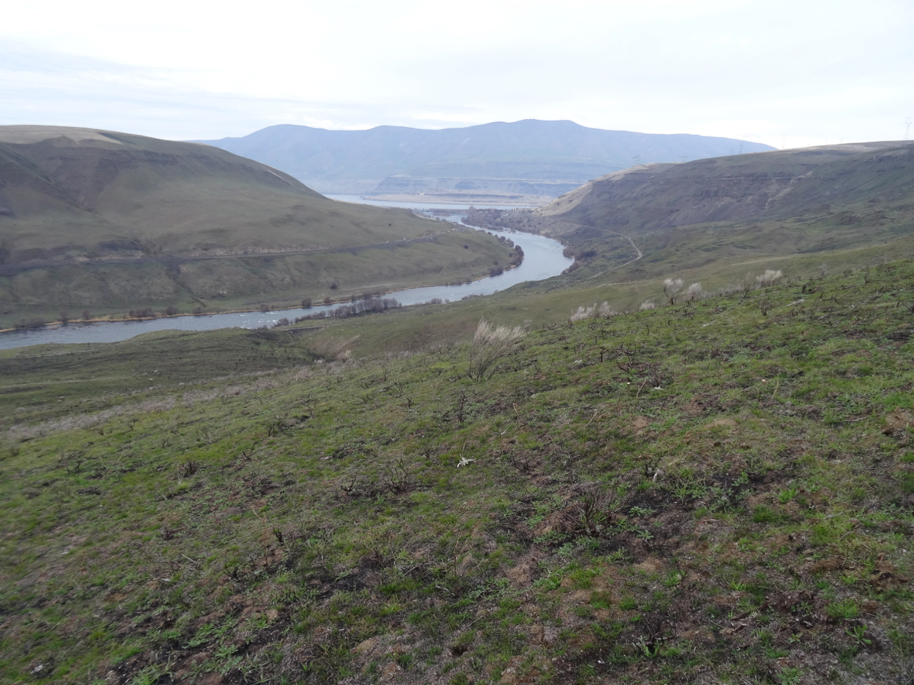
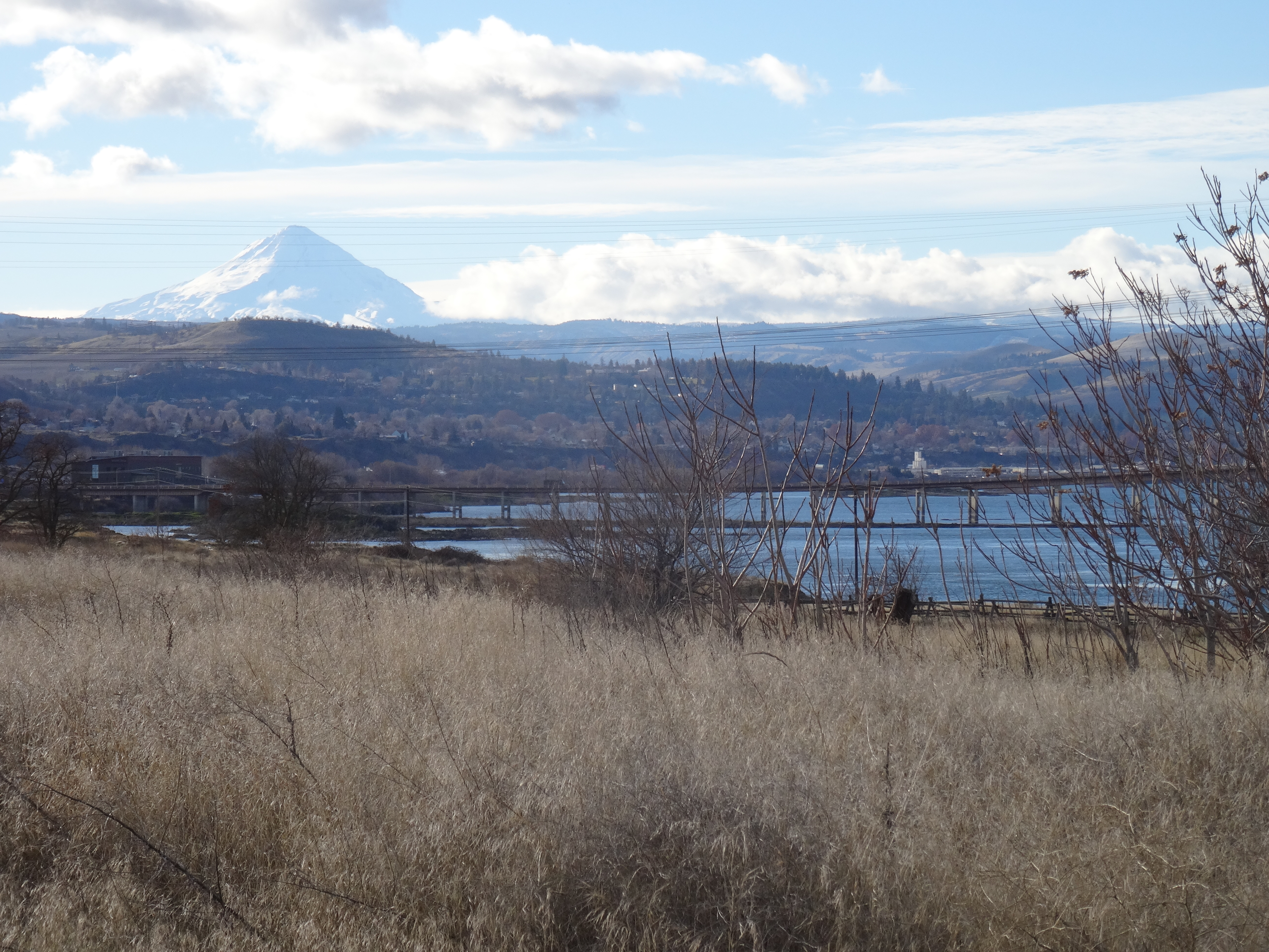
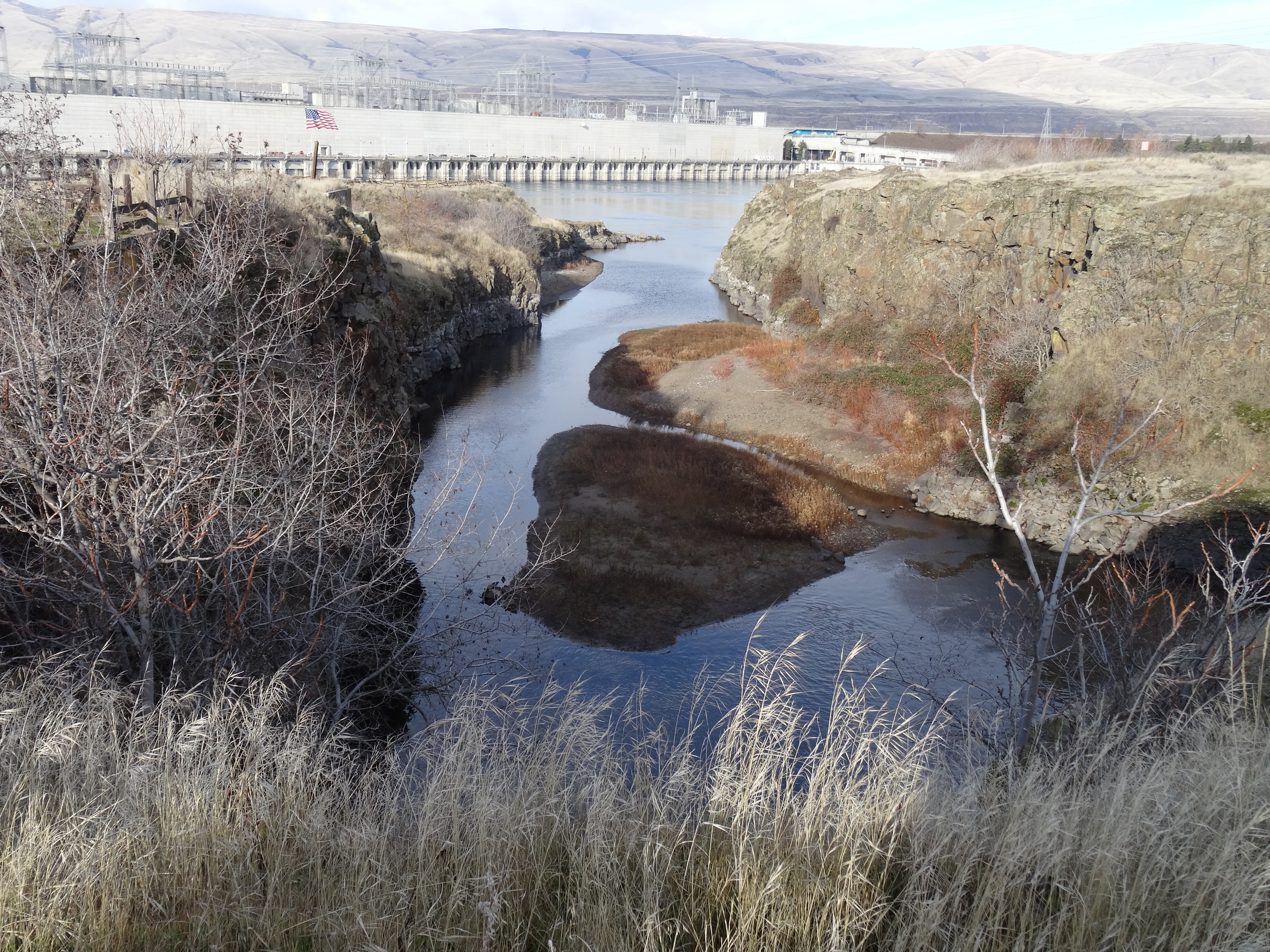
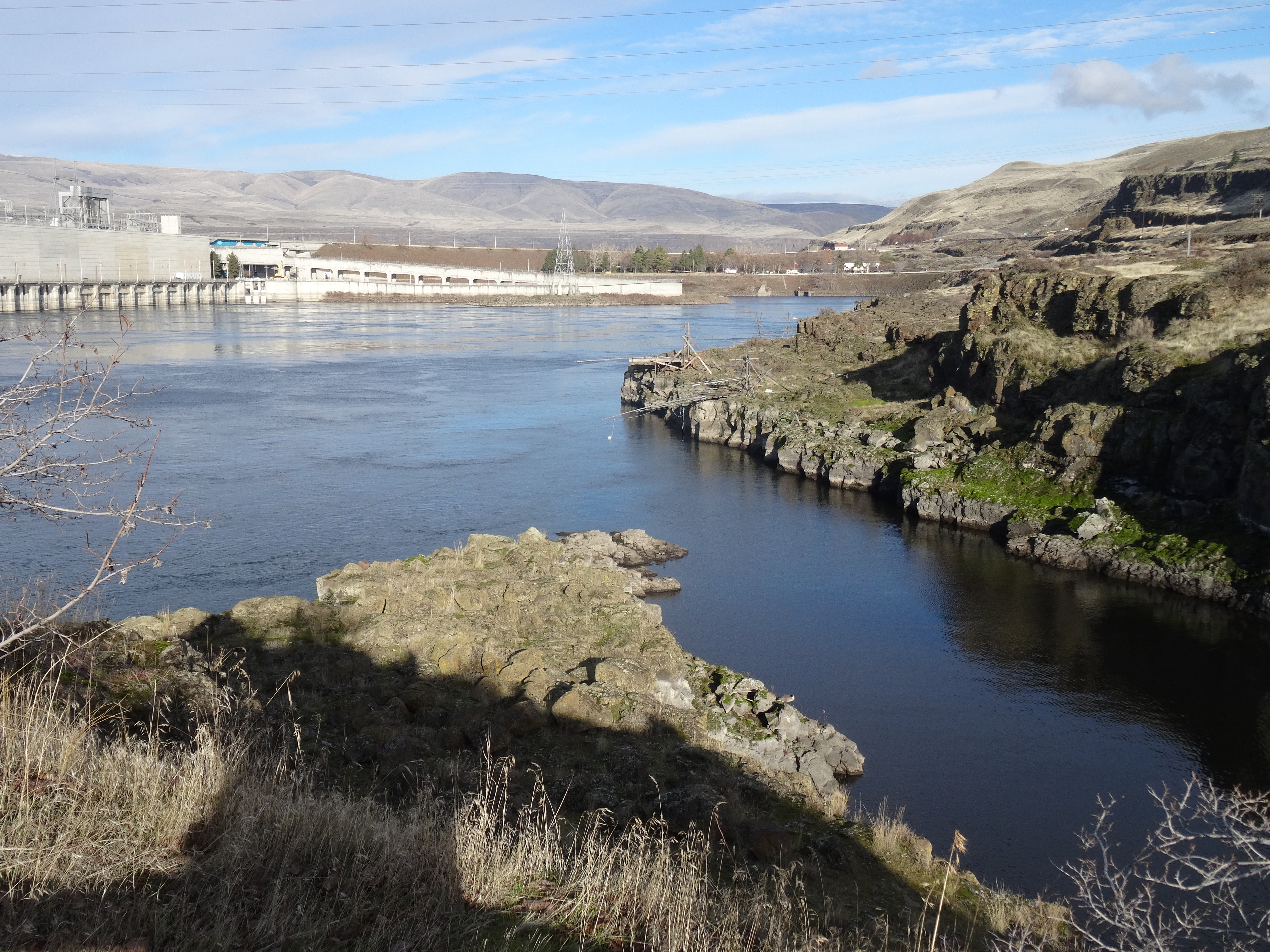
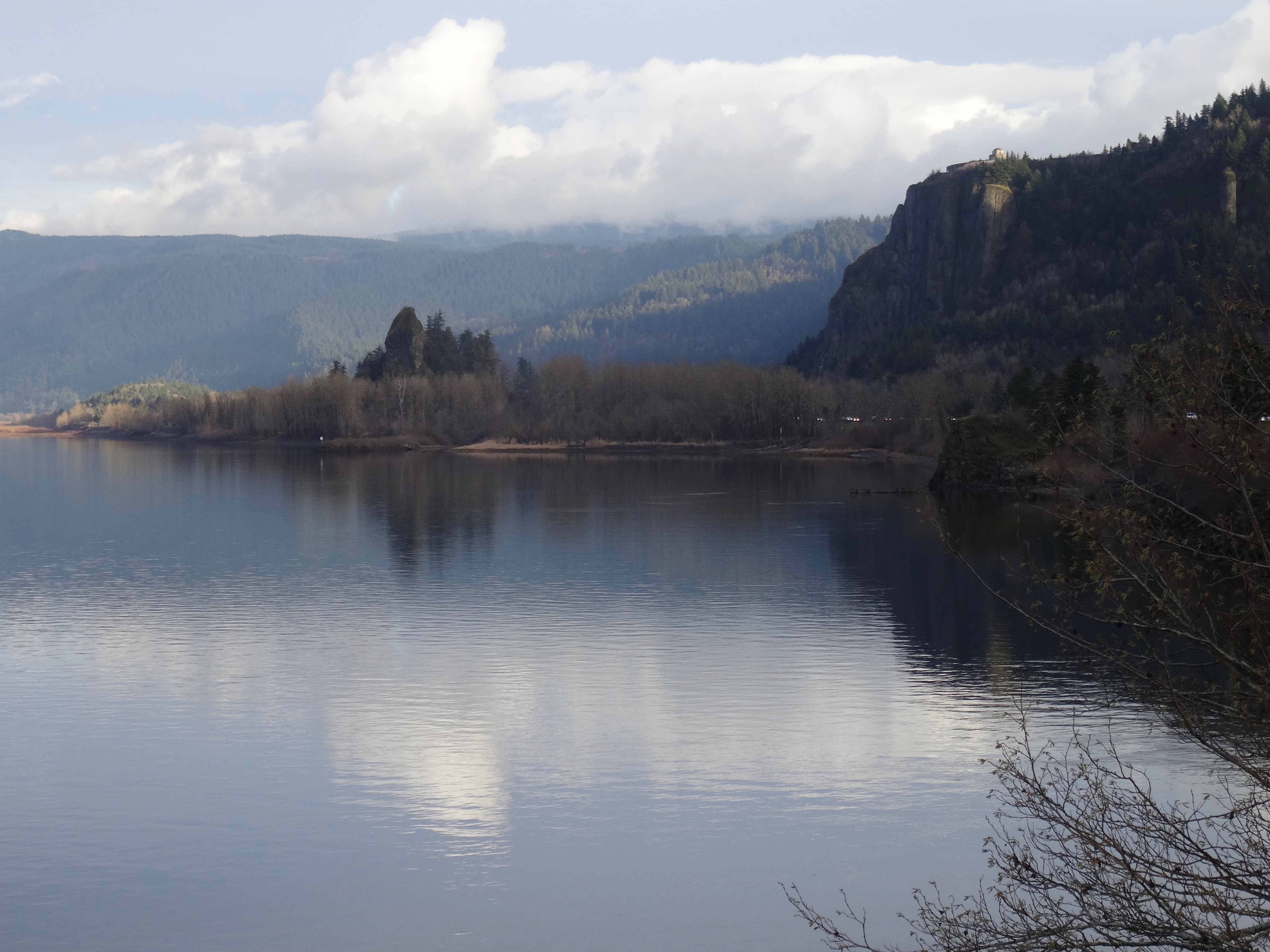
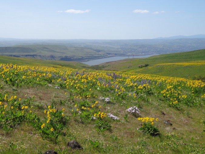
The Columbia River comes into view,
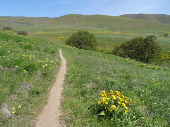
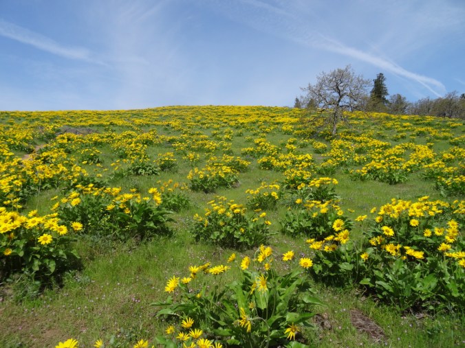
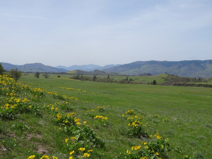
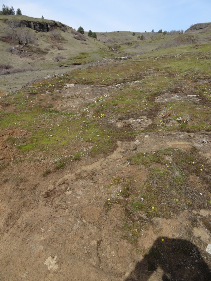
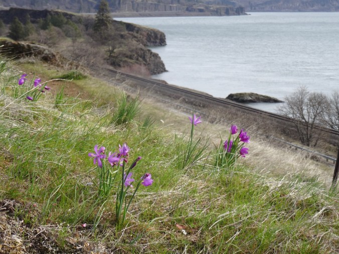
and so many flowers!
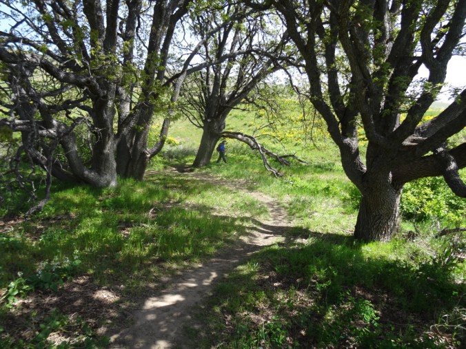
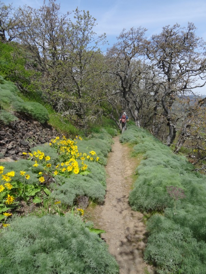
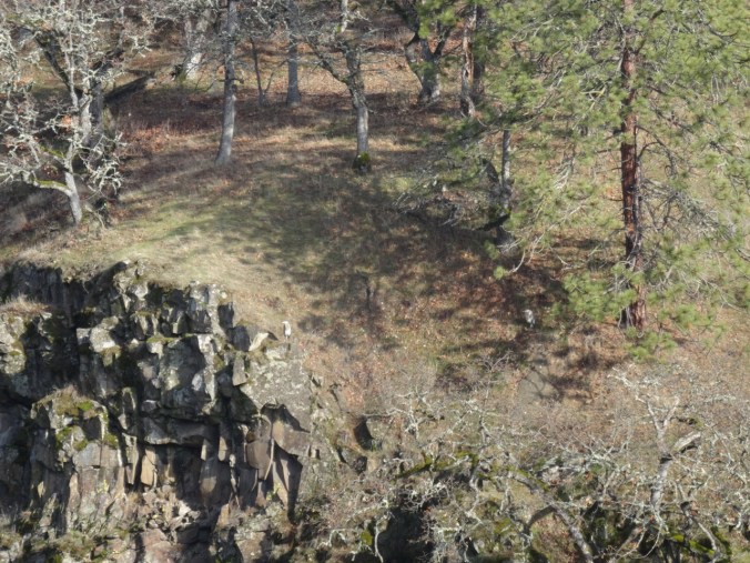
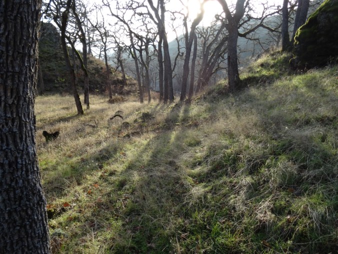
Under oak trees,
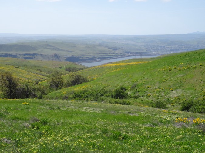
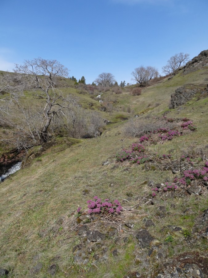
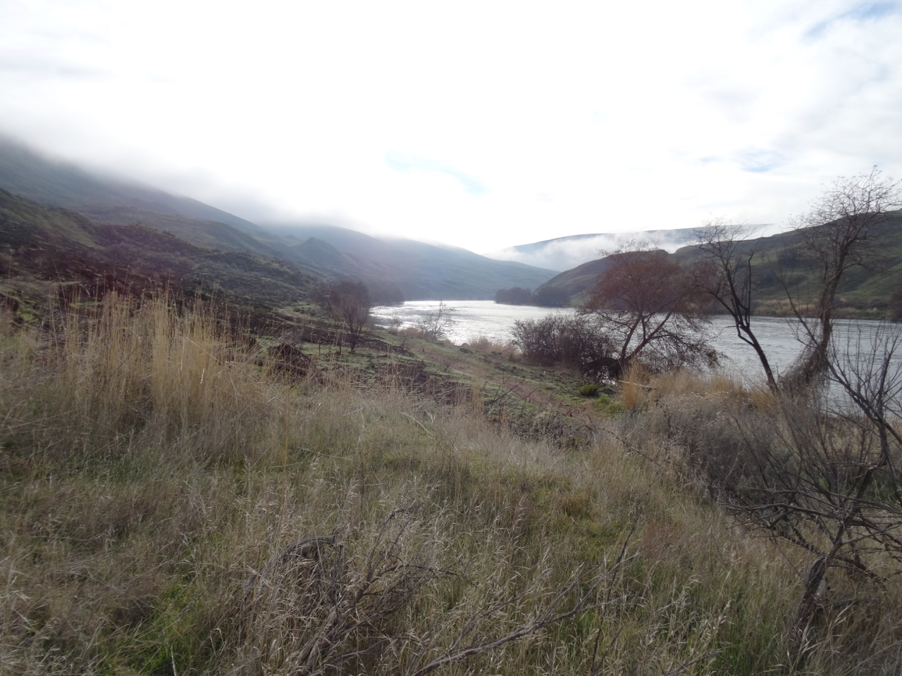
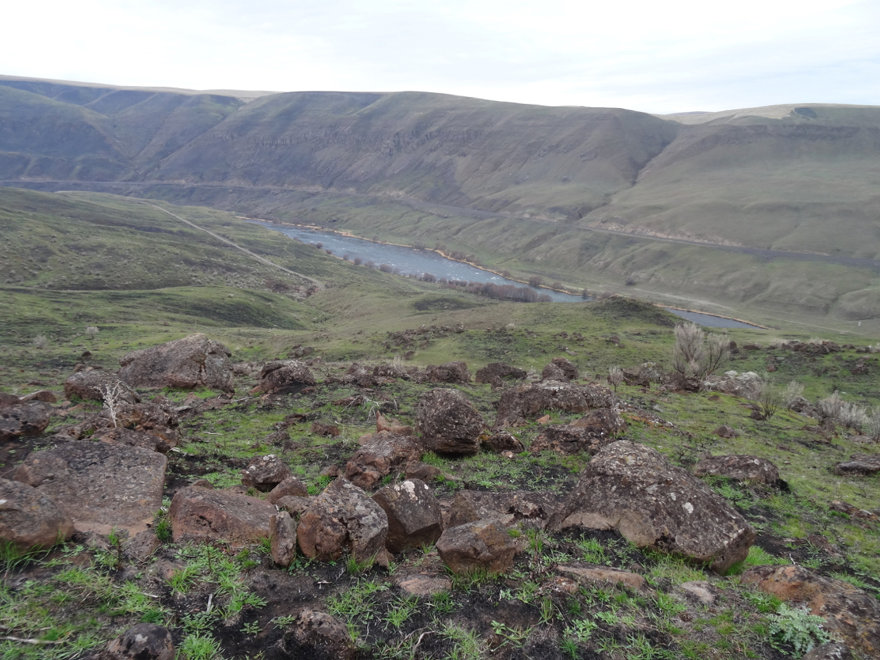
Down hill, closer to the river.

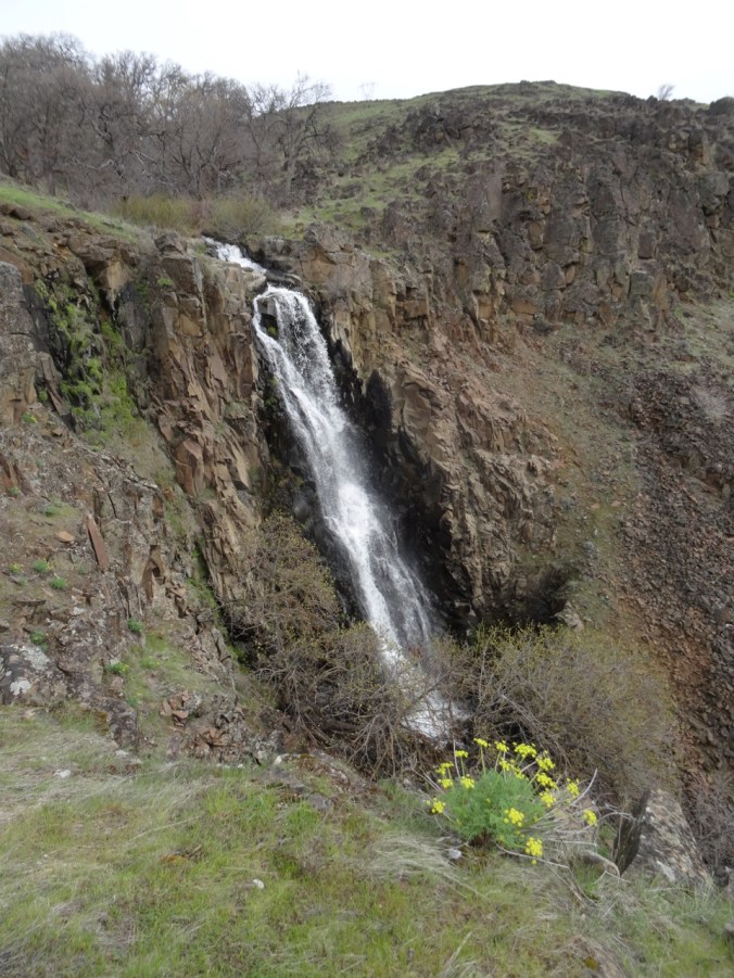
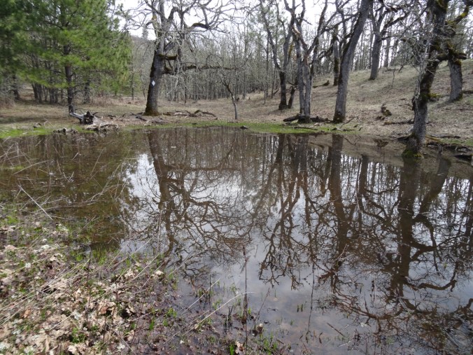
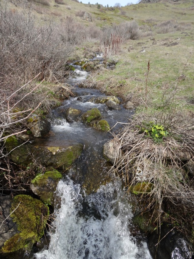
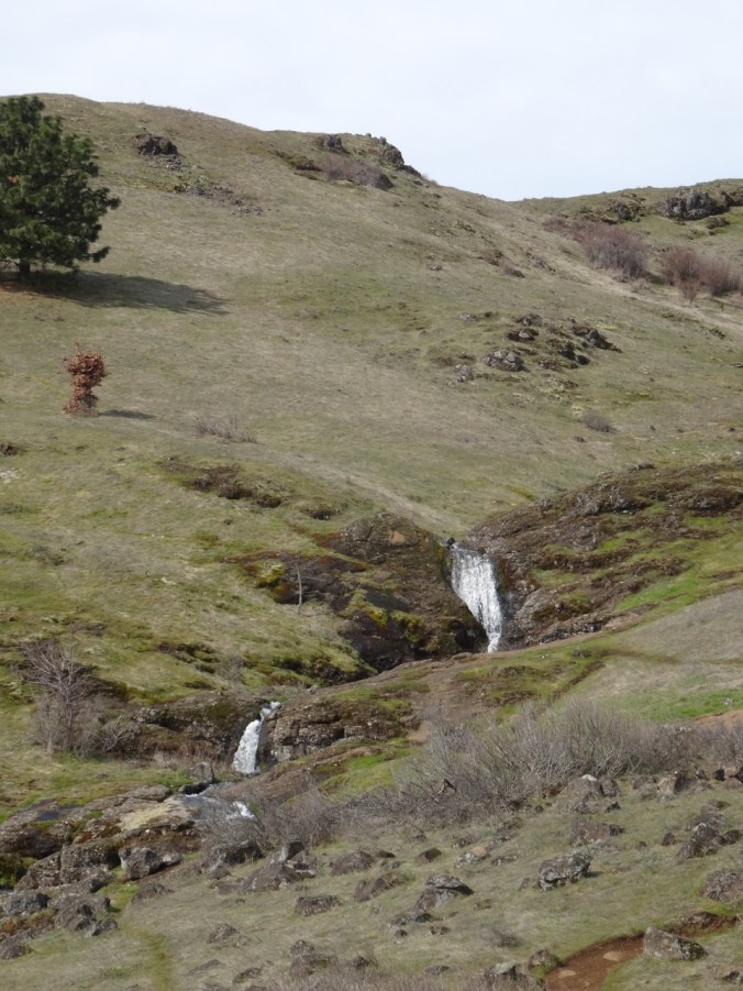
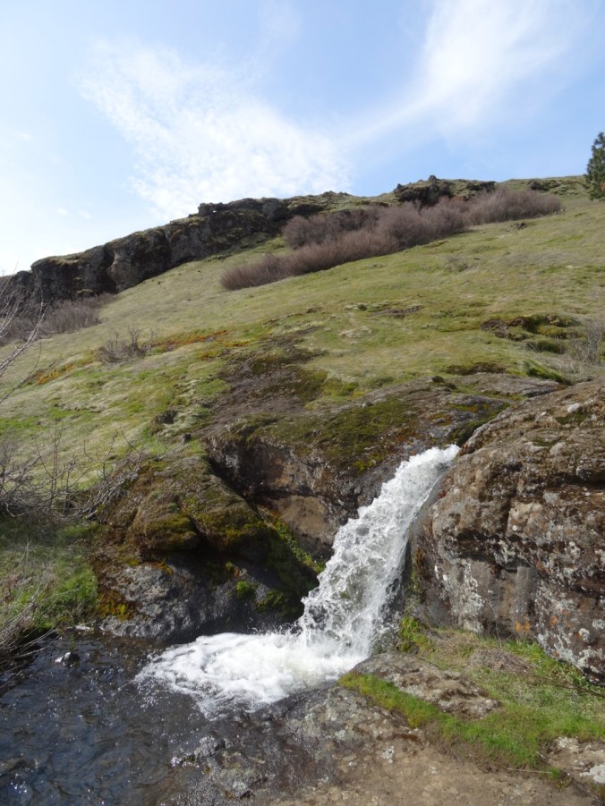
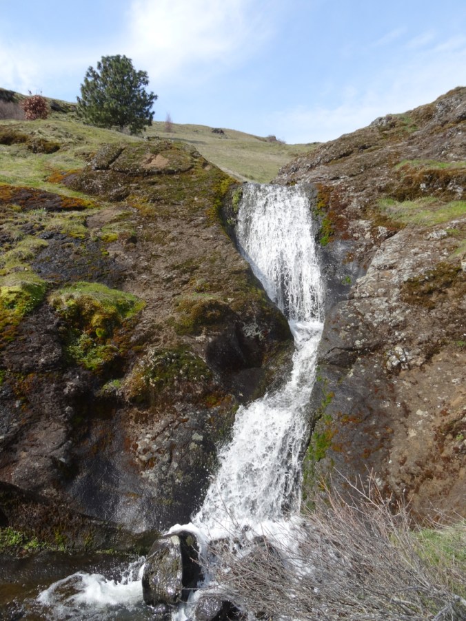
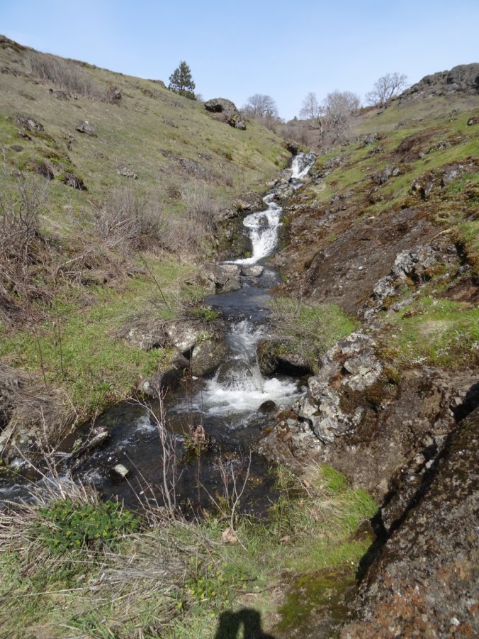
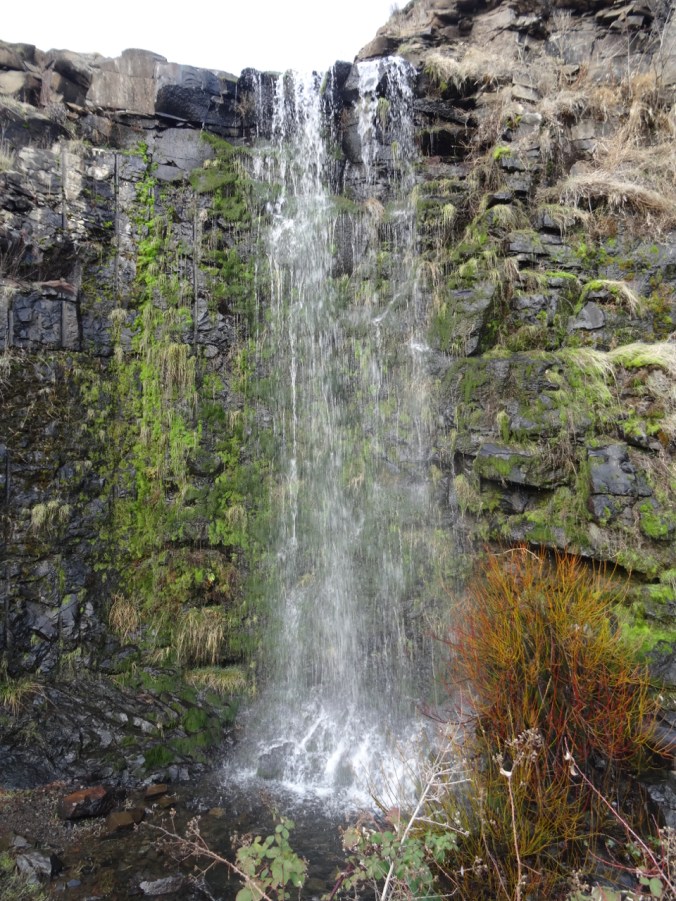
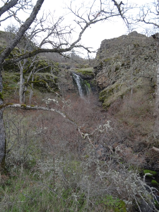
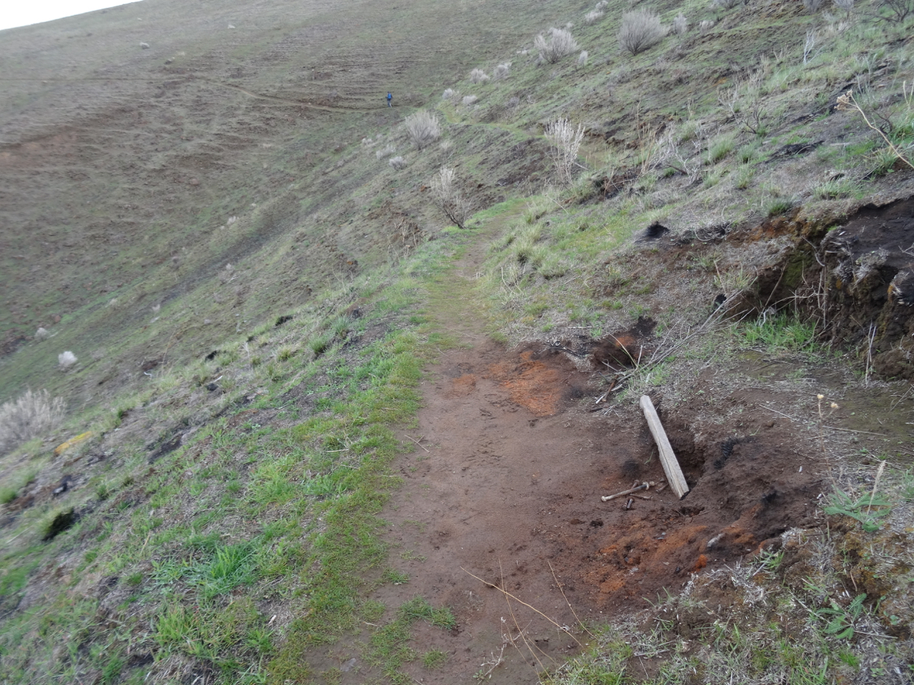
Stream crossing,
Puffy mounds of phlox,


A patch of death camas
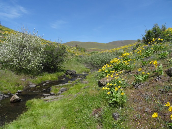
Another stream crossing,

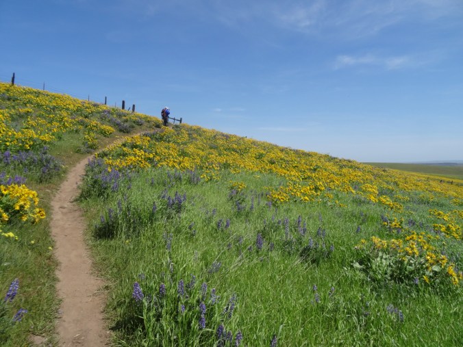
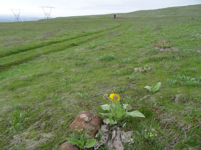
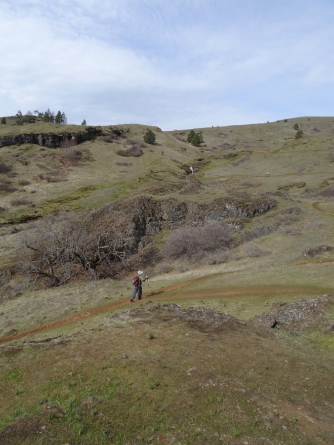
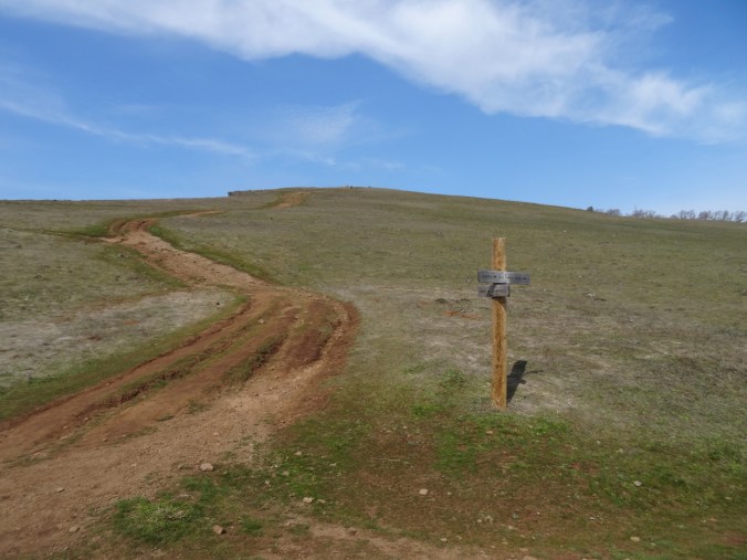
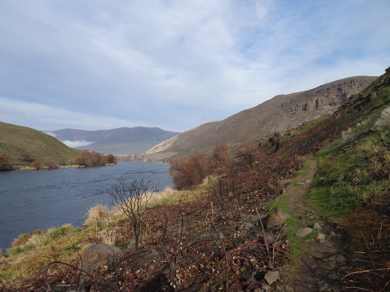
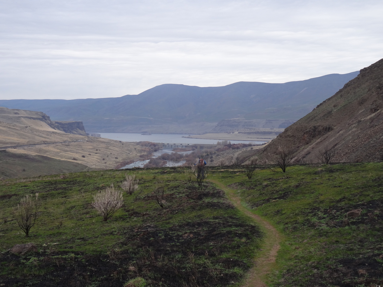
Back up the last slope to the trail head.
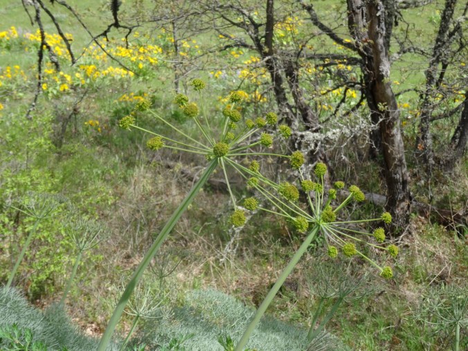
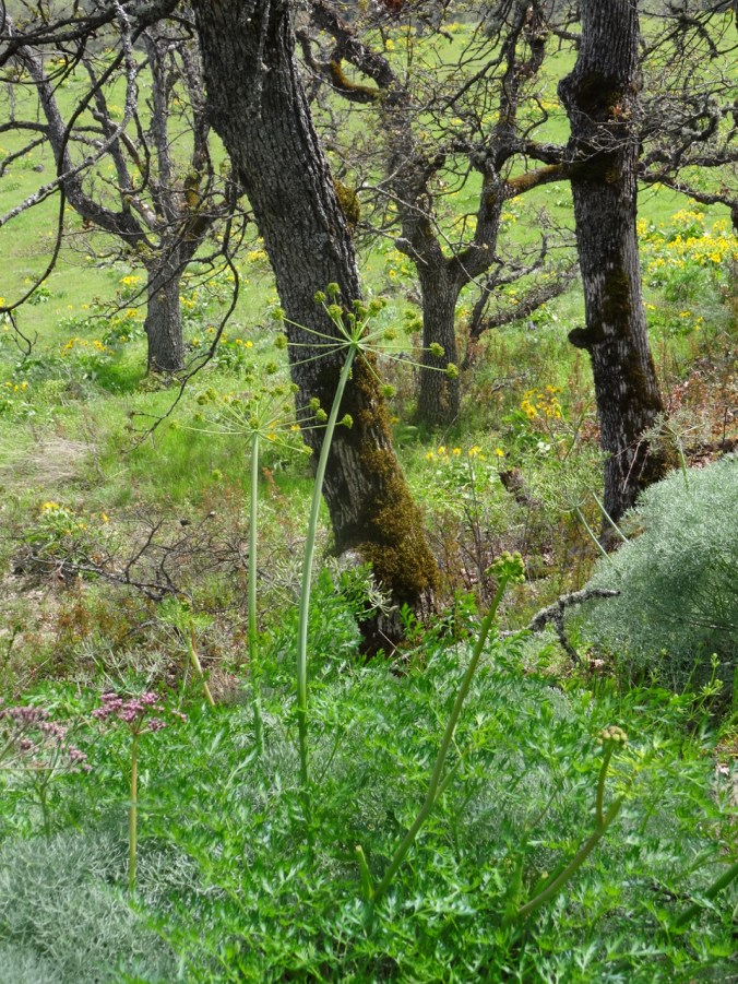
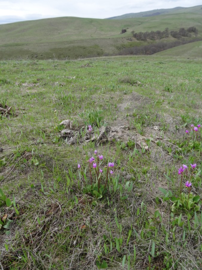
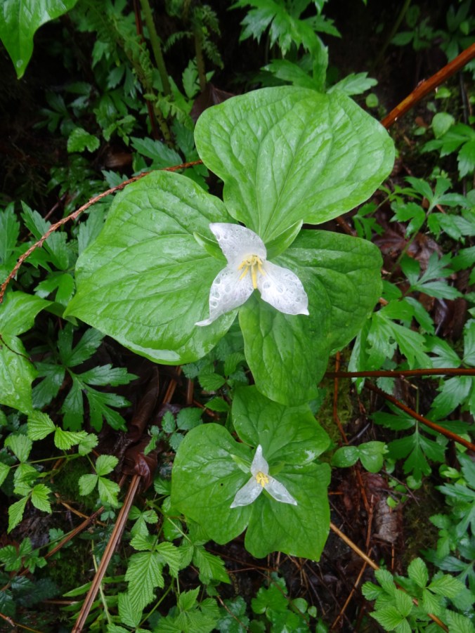
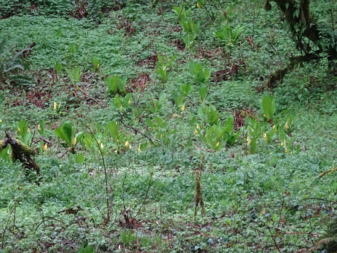
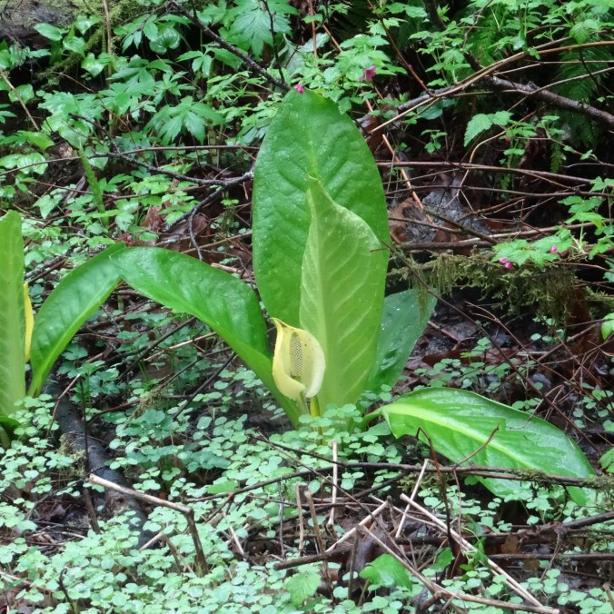
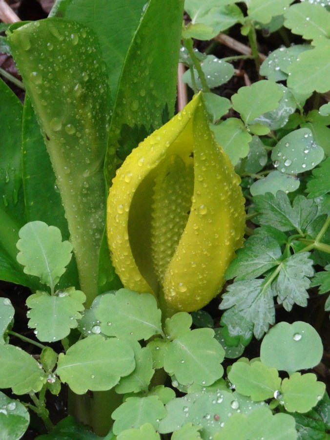
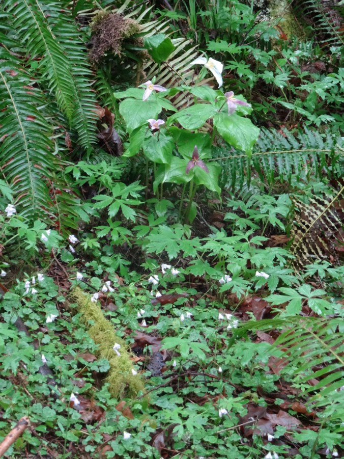
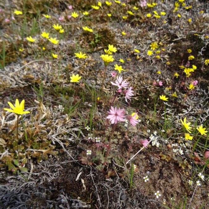
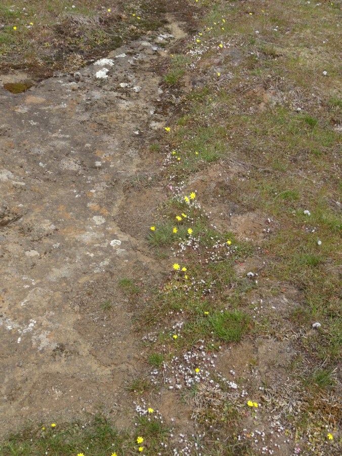
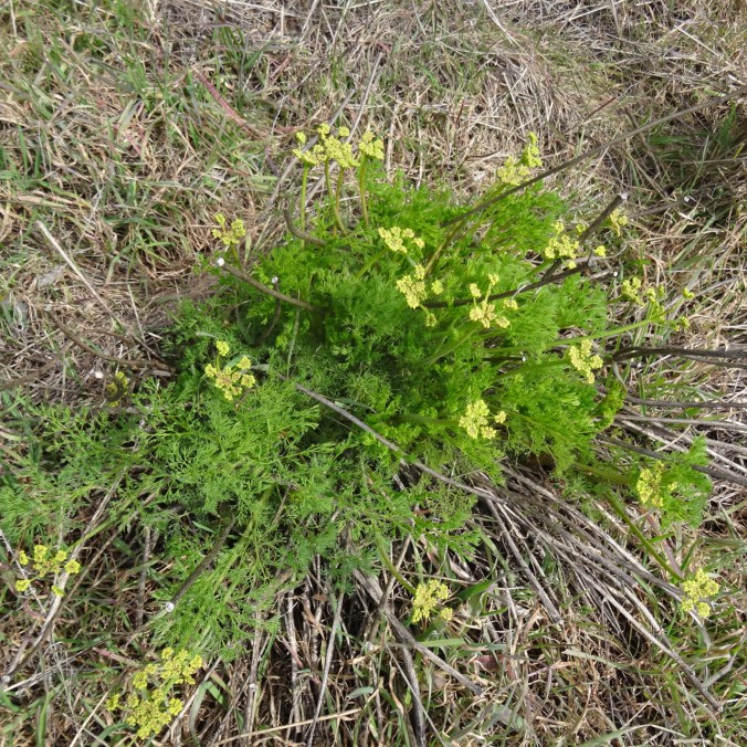
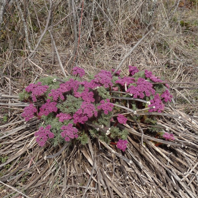
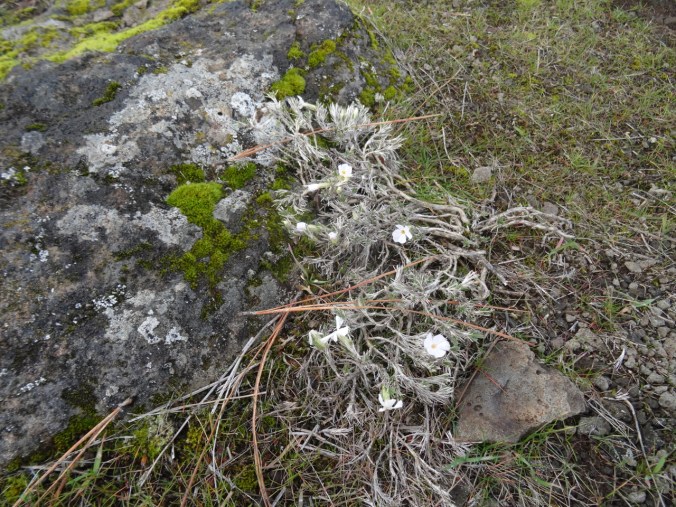
A few less common flowers seen today:


Later, the same day – camas lilies and bitterroot!
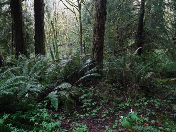
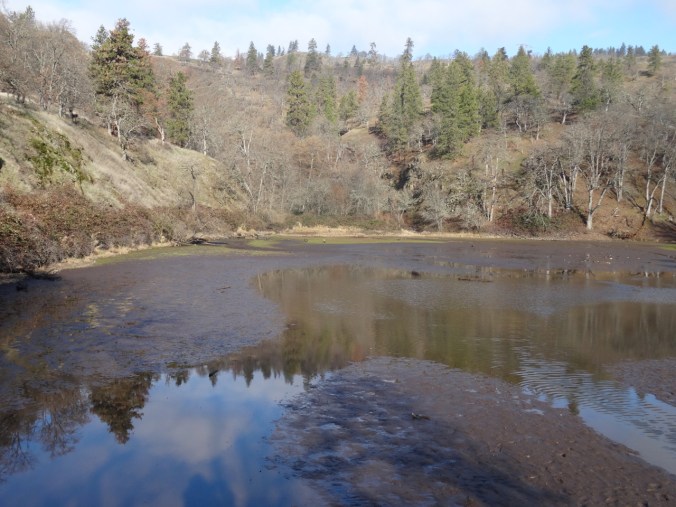
On our way home, we took a short hike at Catherine Creek where the open slopes are already beginning to dry out.
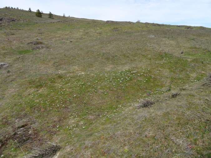
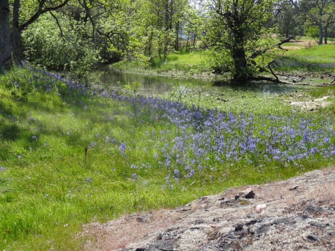
 I was hoping to see swales of blue camas lilies in the vernal pools, and we found them!
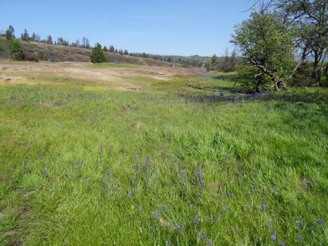
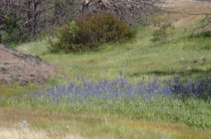
Blue camas lilies growing where the vernal pools are drying up.
A few white camas in with the blue camas lilies.
A bonus was finding the first blooming bitterroots of the year! We completely missed them last year when we were in Cornwall, so I took extra pictures to make up for it.
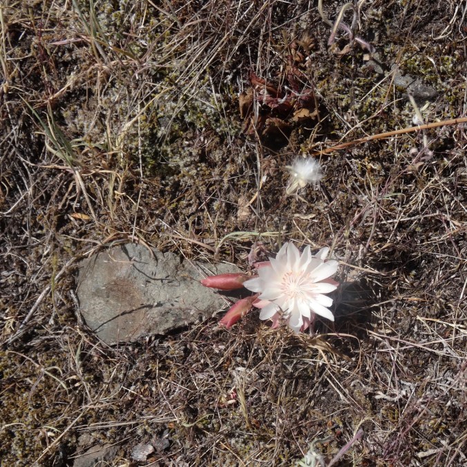
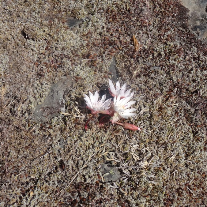
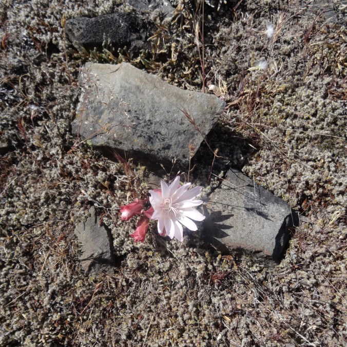
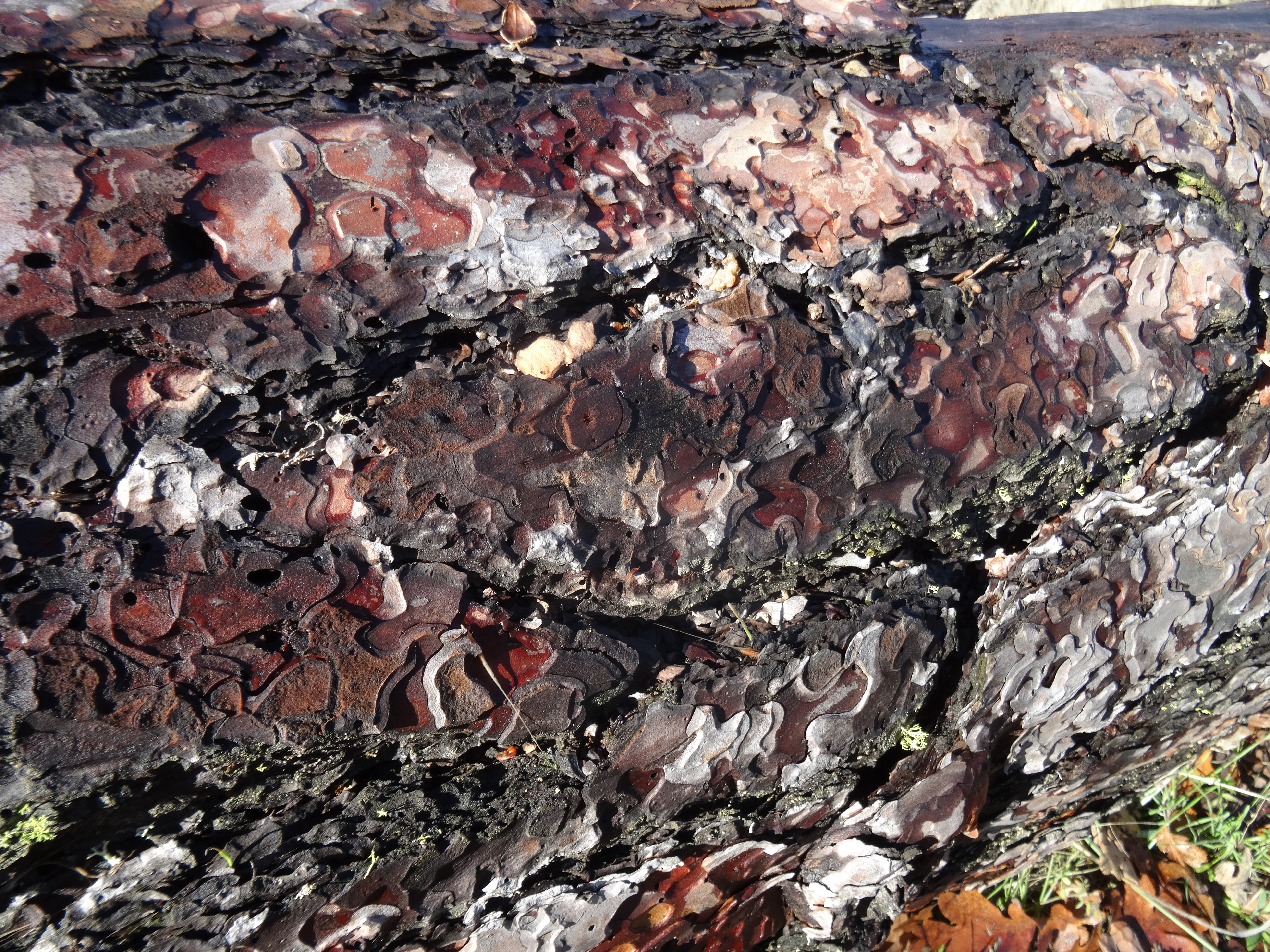
The large pink flowers are so delicately beautiful, and yet grow out of tough black lava outcrops.
Bitterroot blooming on the rocky foreground, camas lilies and buttercups beyond.
This was hike #21 for 2019, about 6 miles, 600 feet overall, but a million in flowers.
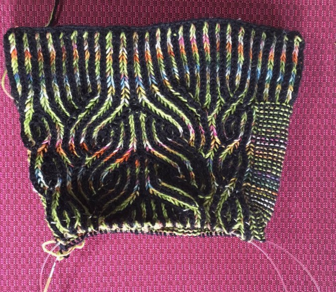
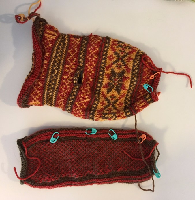
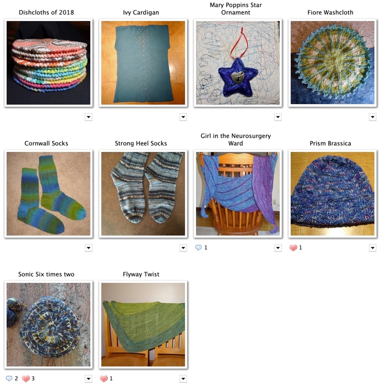
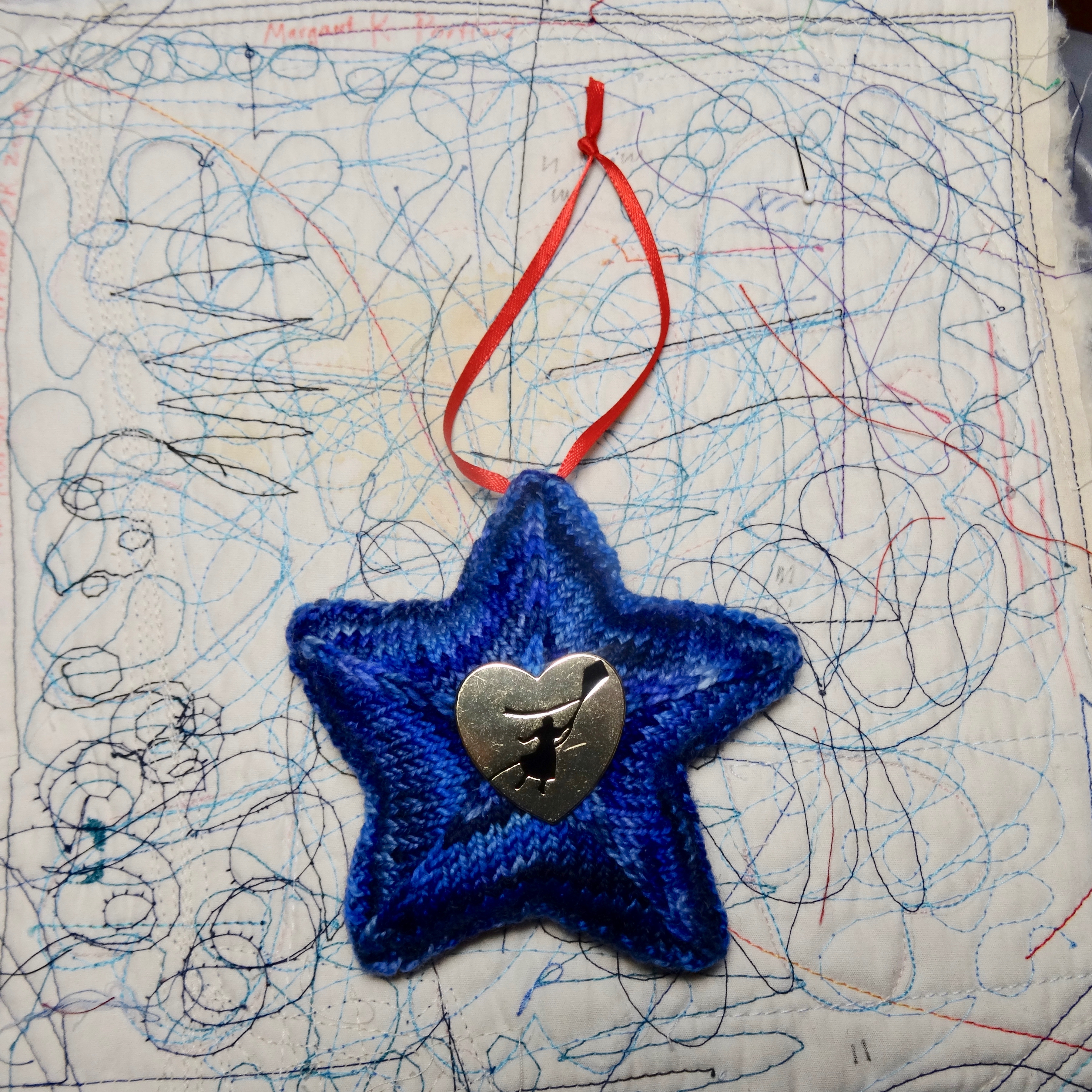
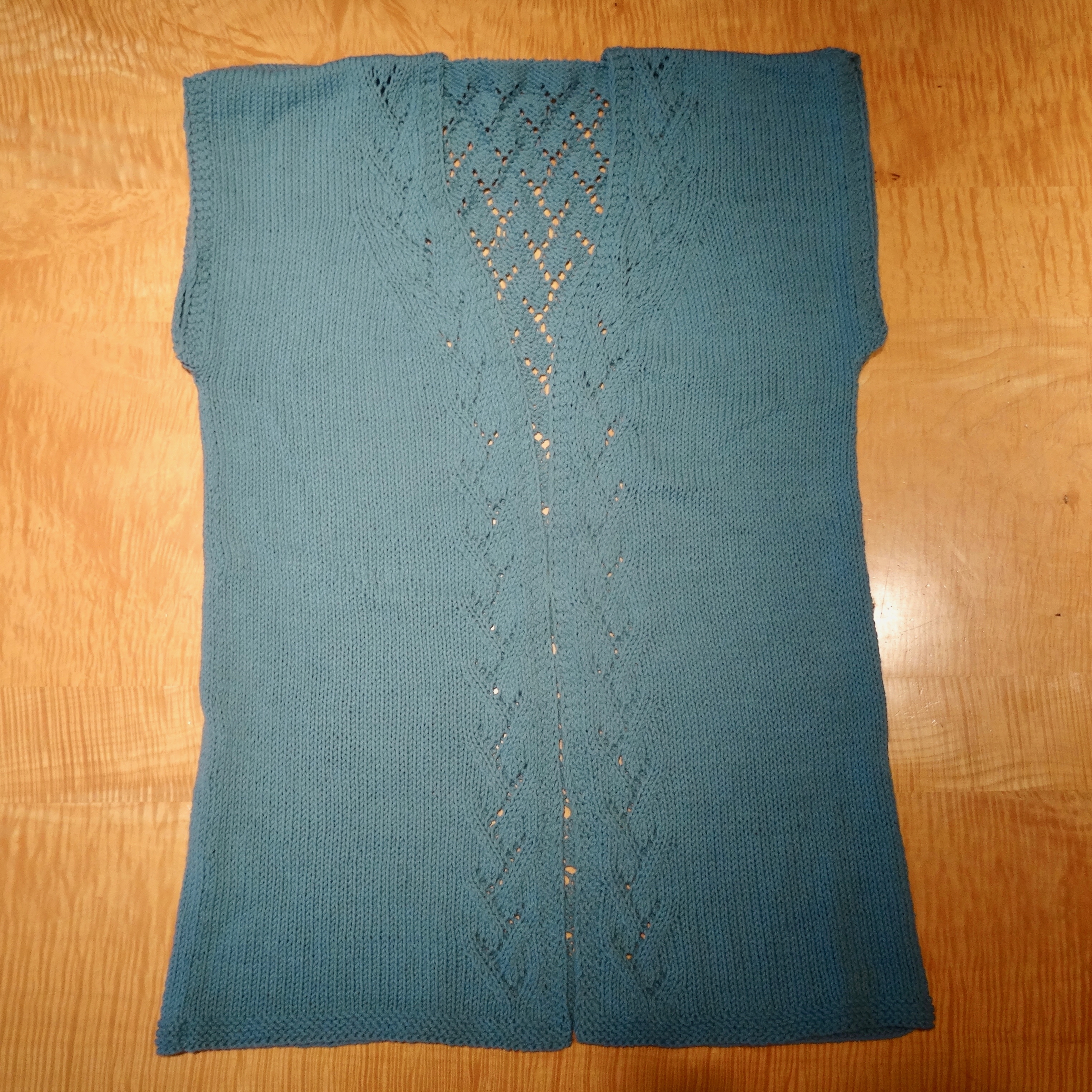
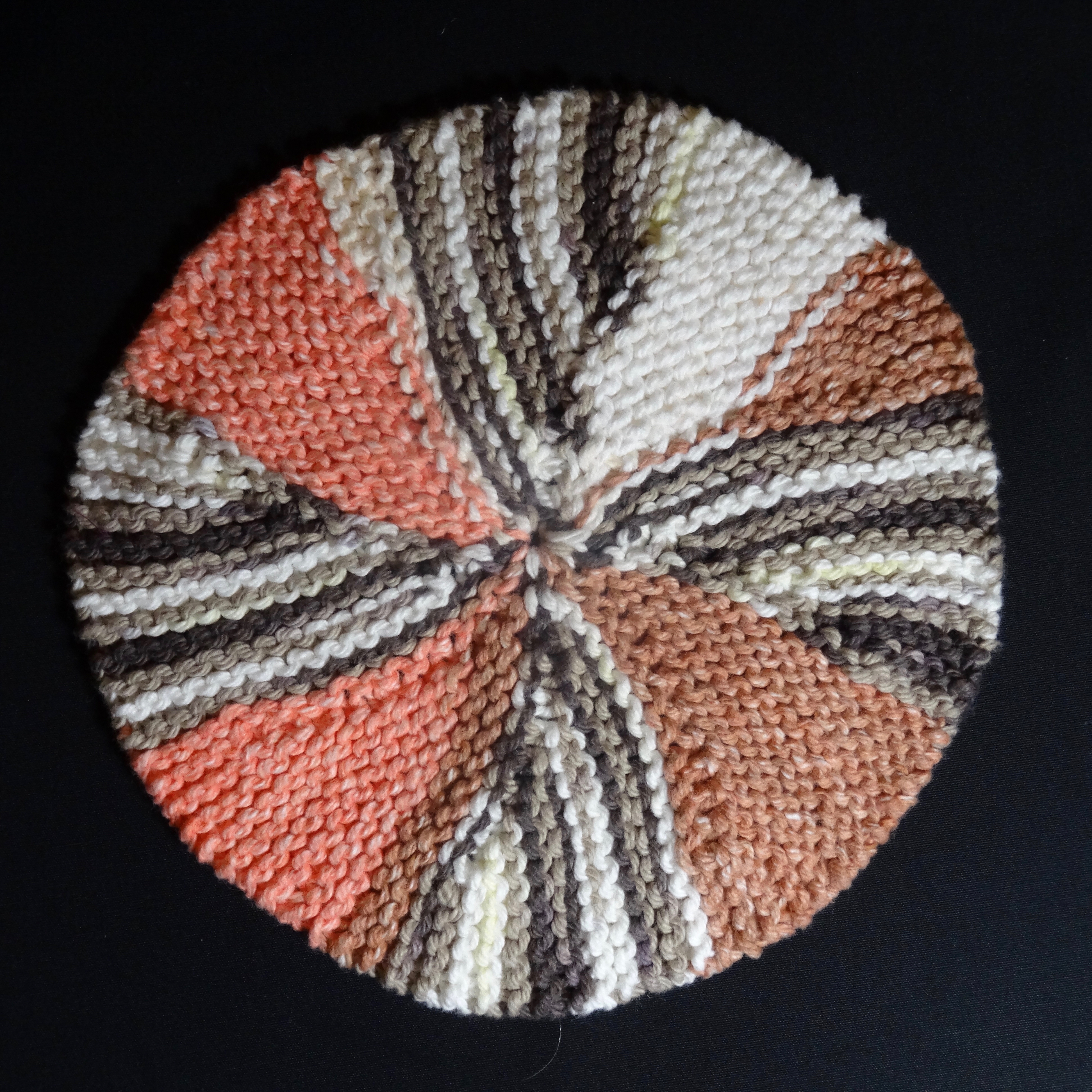
Even later, birthday cake and new socks
I made the requested traditional chocolate cake. After dinner out at our favorite local Chinese restaurant, Brian blew out XXVI candles.

Dan will blowout his LXV candles on Sunday when he has his party. Both had ‘medical insurance significant’ birthdays this year. Brian was wore his new socks the next day while watching the Portland Trailblazers squeak out a win over Denver in quadruple overtime! I don’t think there is any adrenaline left in town.

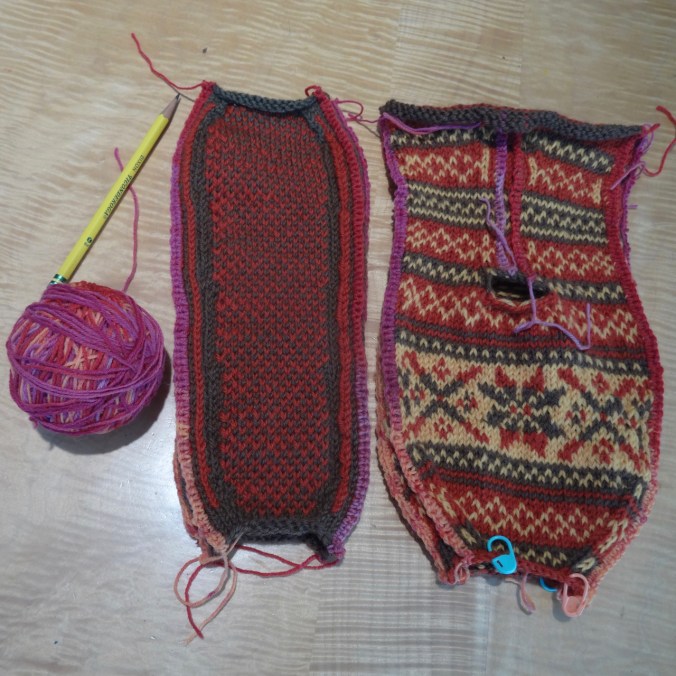
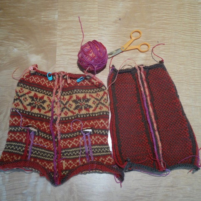
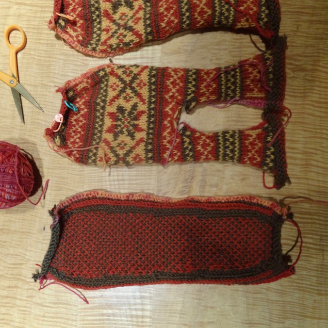
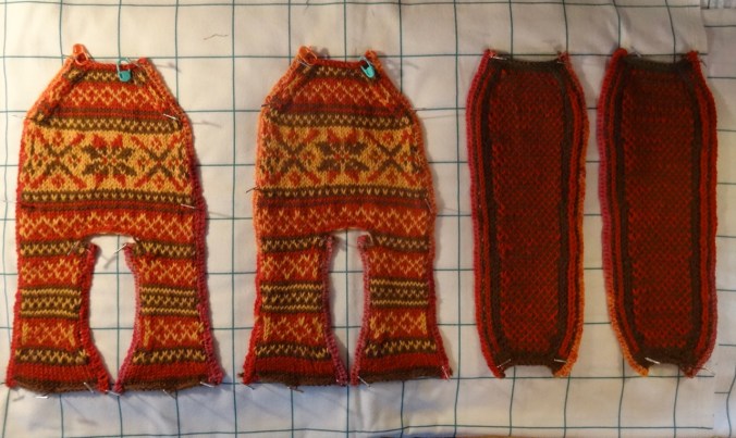
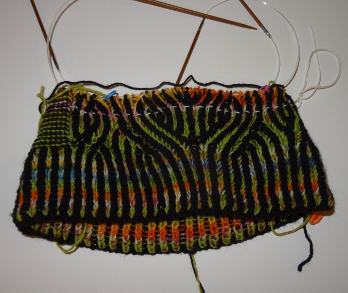
I finished these just in time for Brian’s birthday!
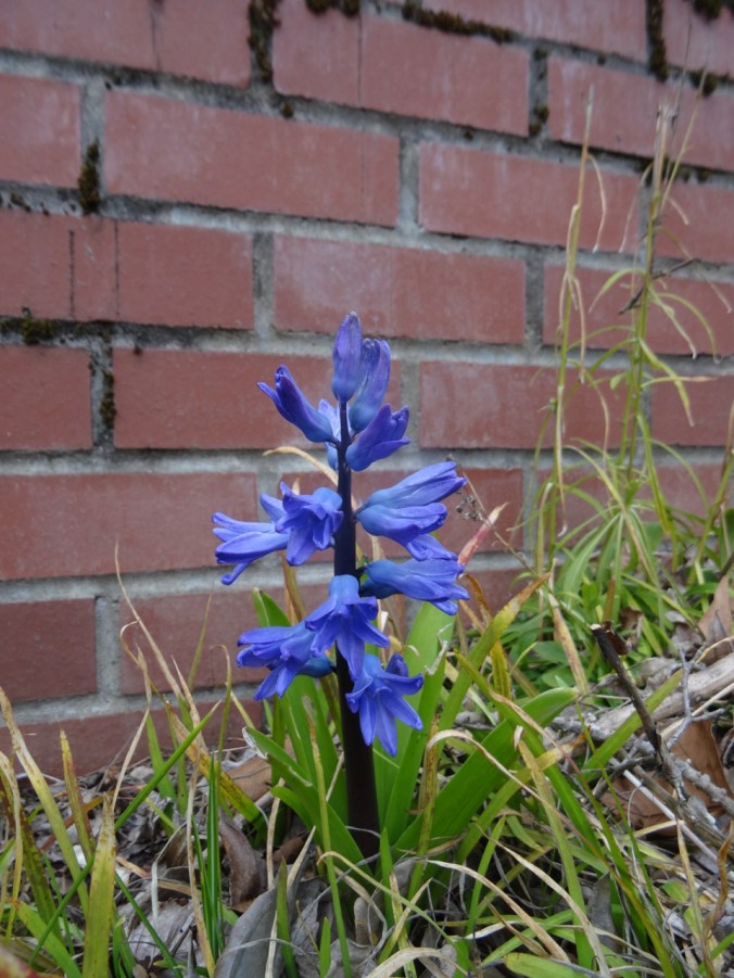
Meanwhile in the garden….
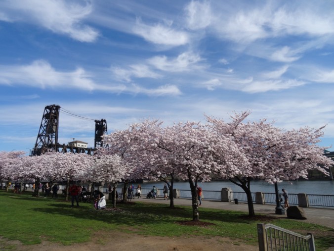
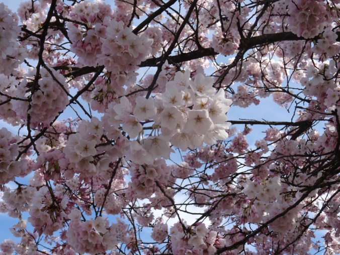
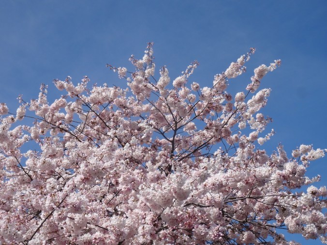
Dogwood trees are blooming all over town in glorious pink, salmon and cream colors. And in our yard:
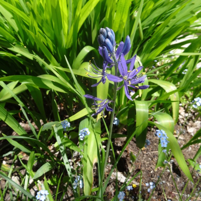
Only one of twelve camas bulbs bloomed.

Chinese fringe flower and phlox still going strong
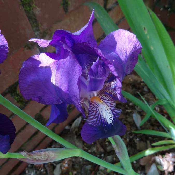
Iris