Thoughts on the Burdoin Fire, Columbia River Gorge, WA, July 2025

Part 1 – in real time…

I wrote most of this post in July, as this event unfolded.

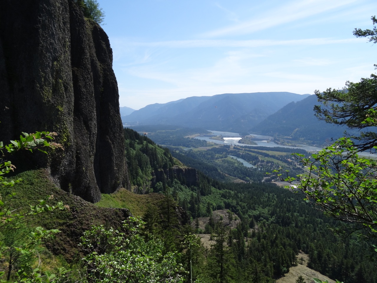
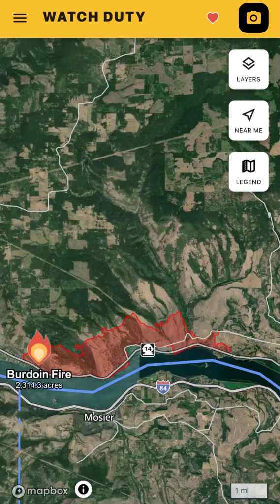
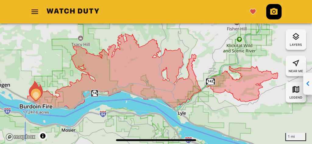
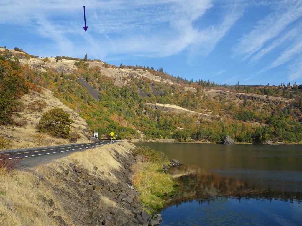
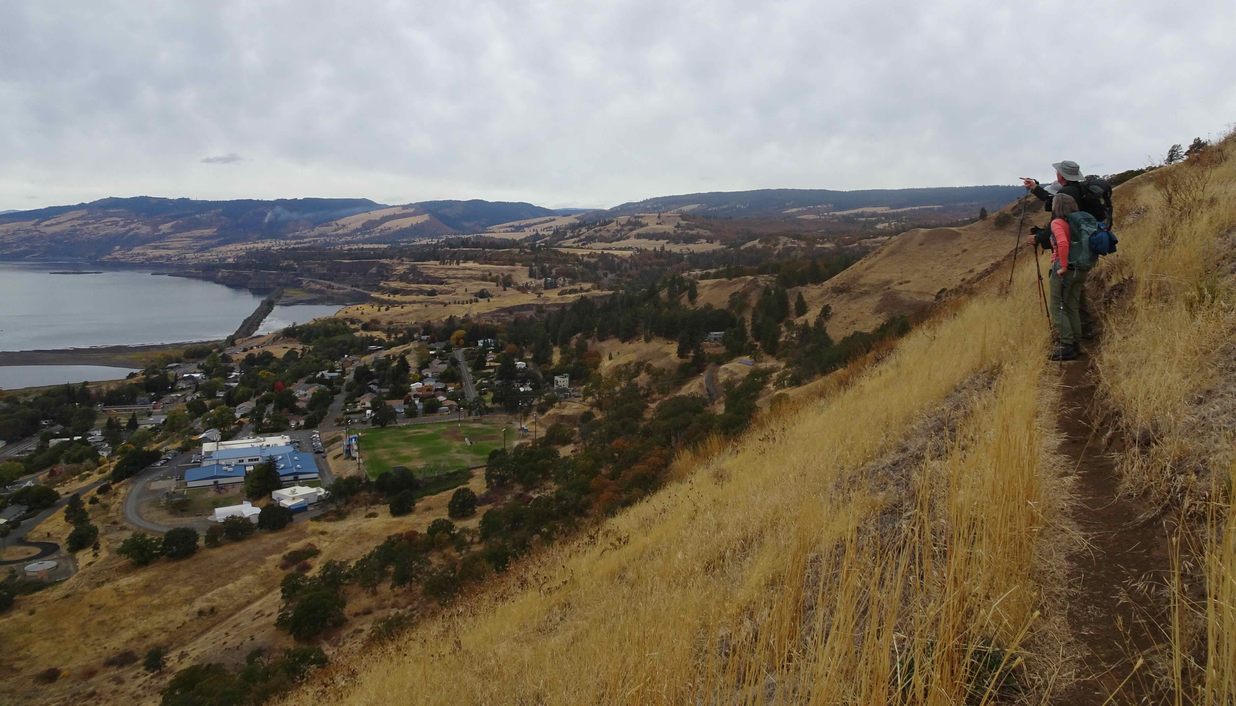
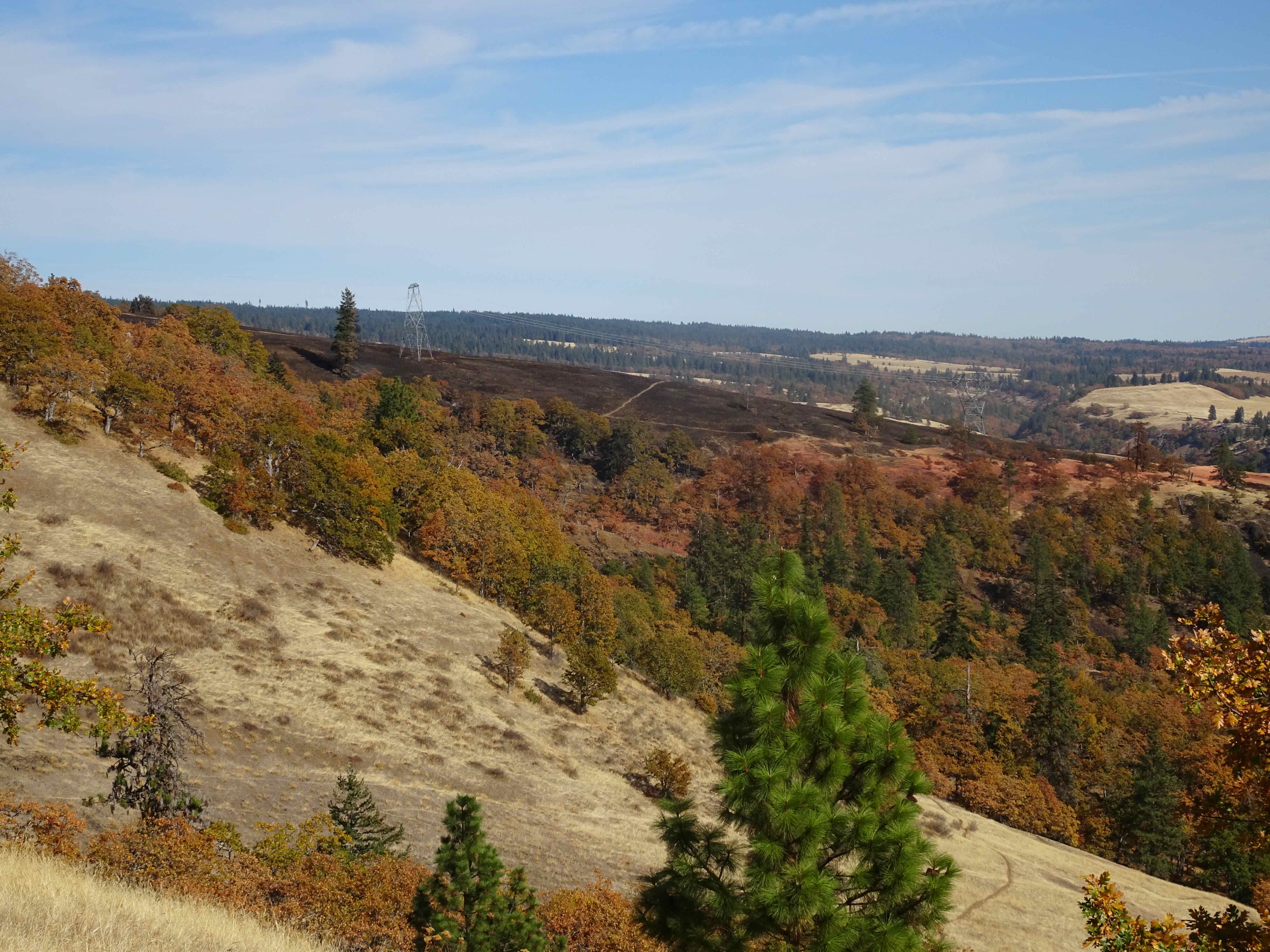
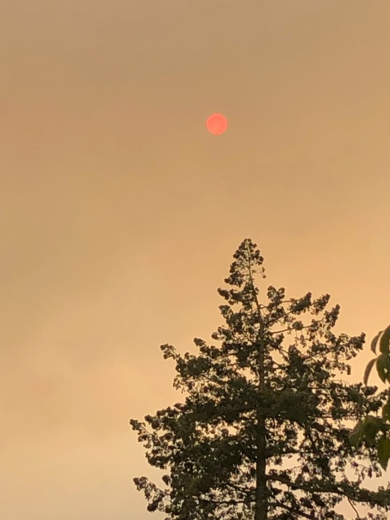
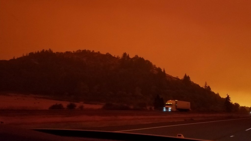
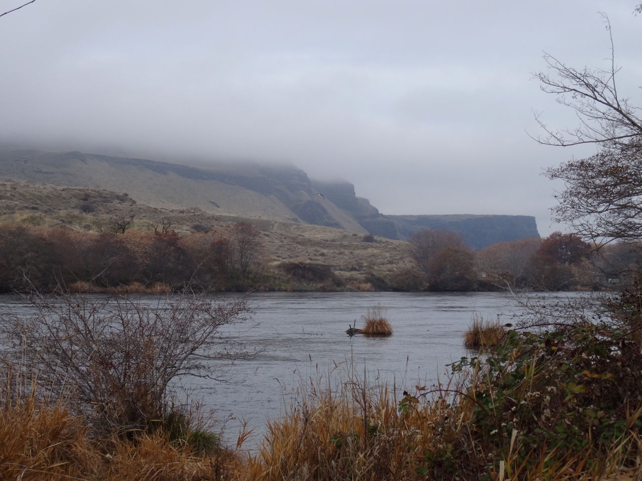
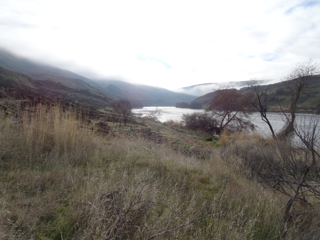
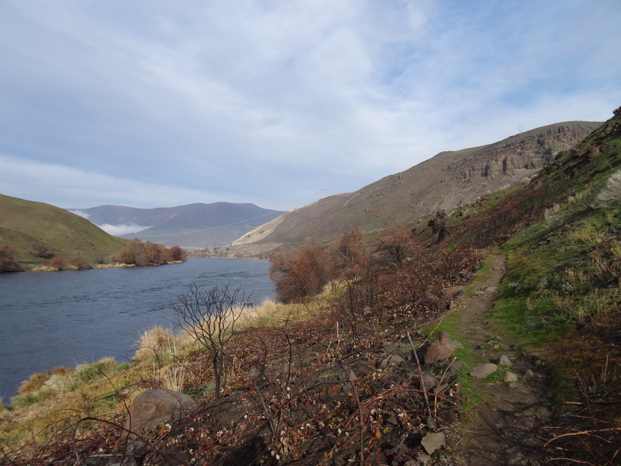
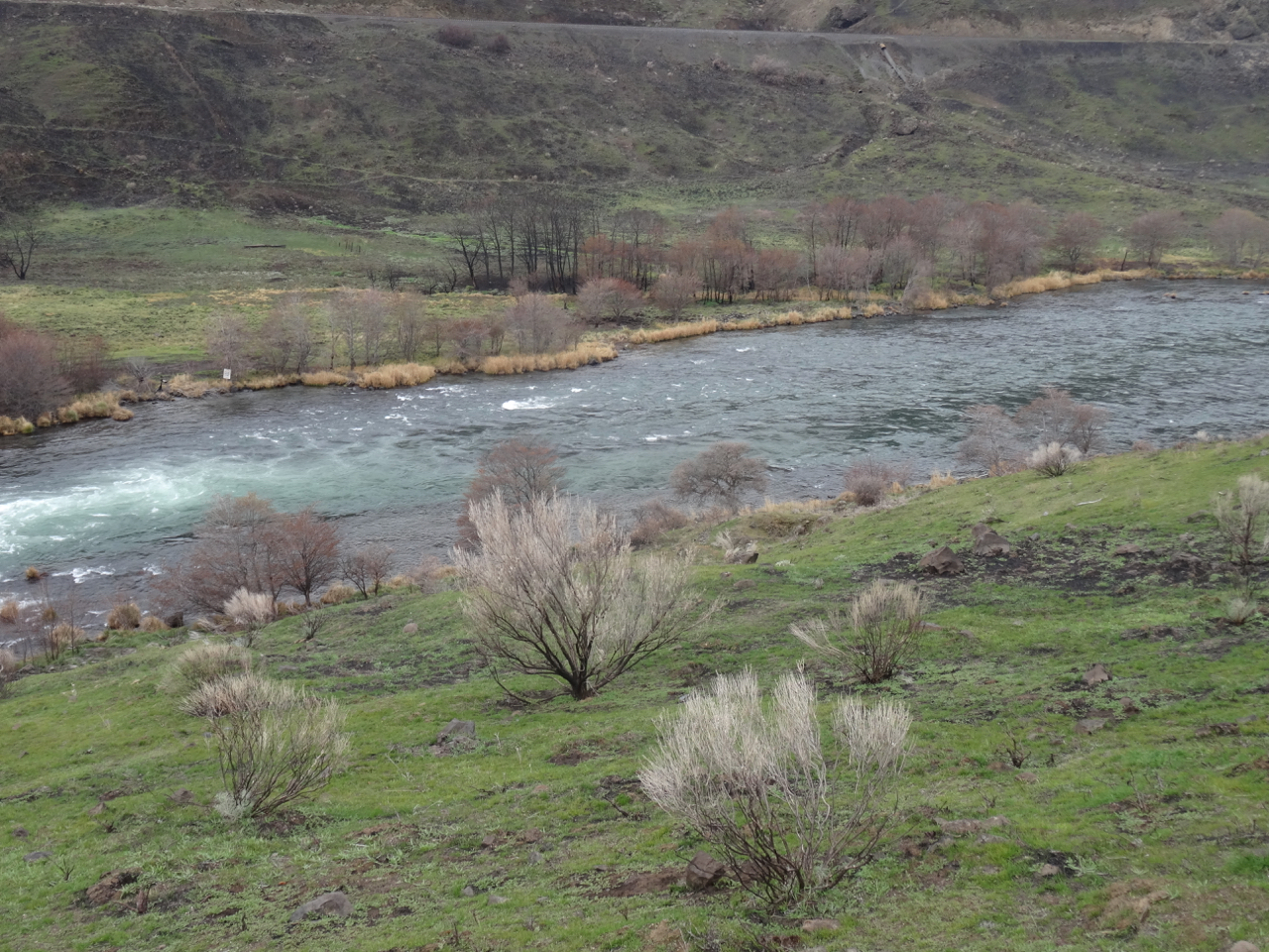
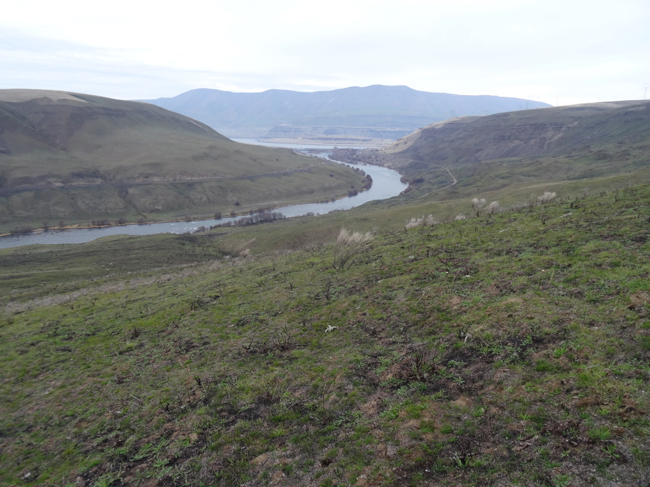
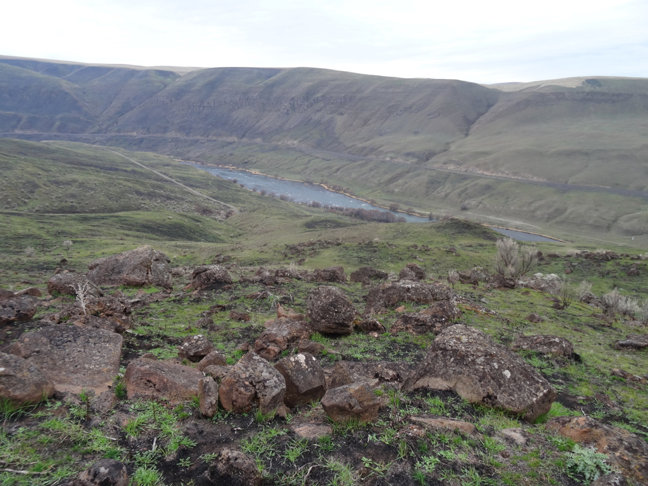
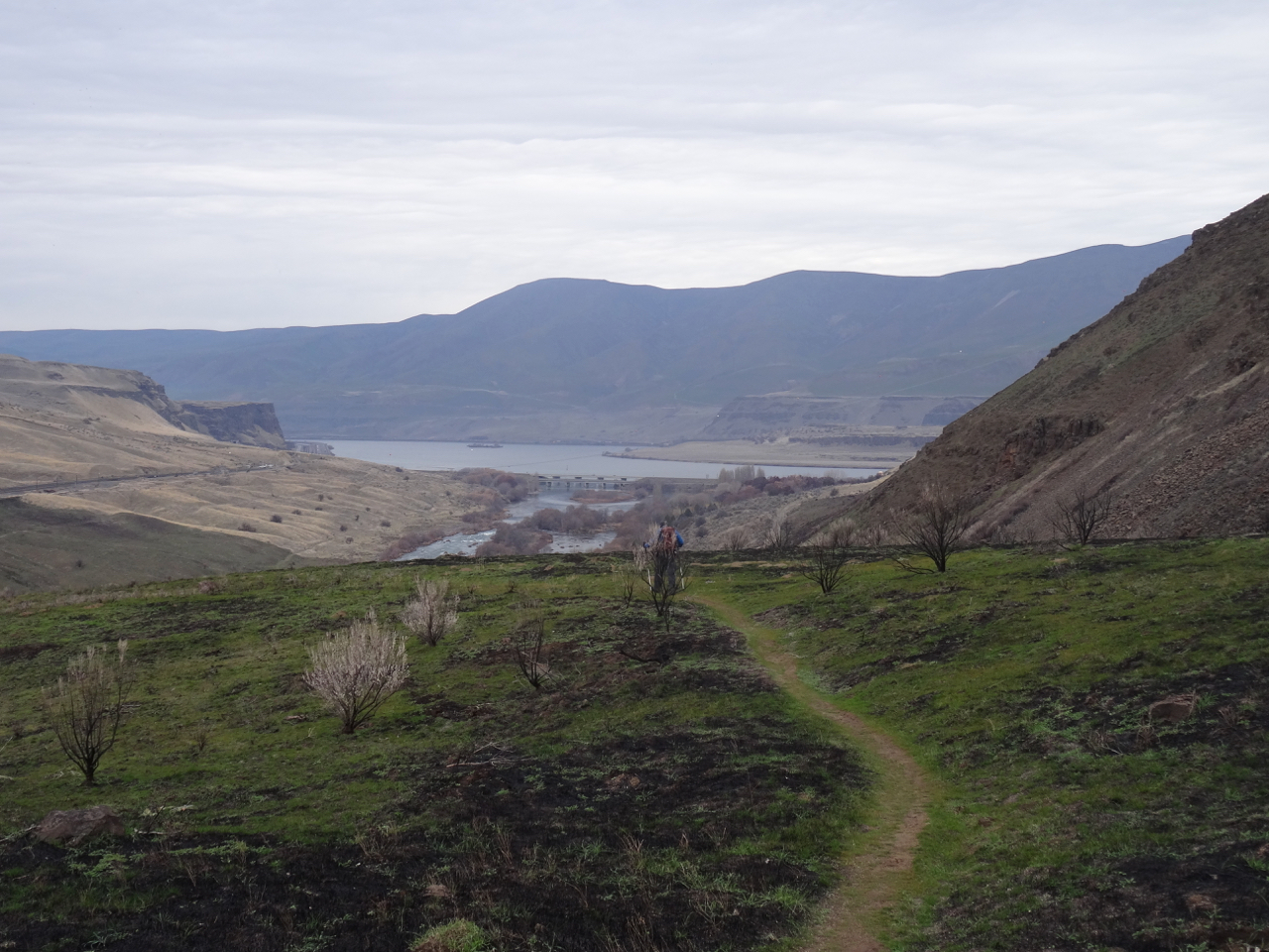
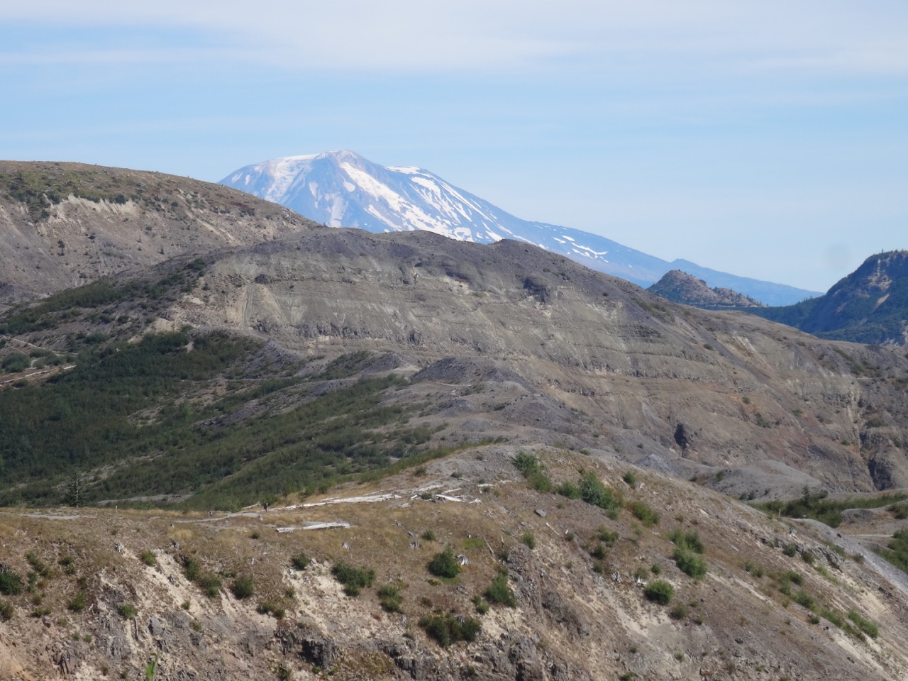
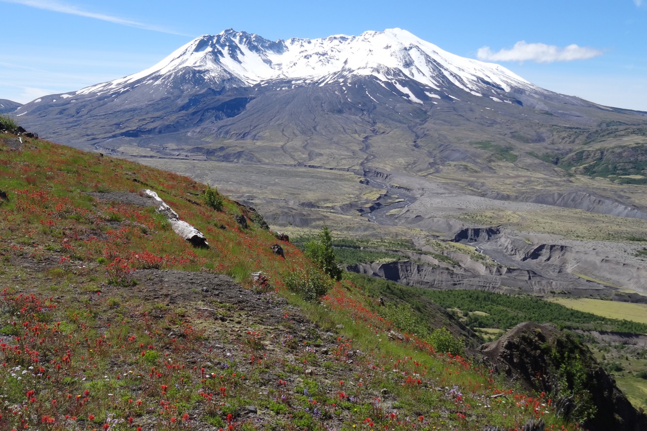
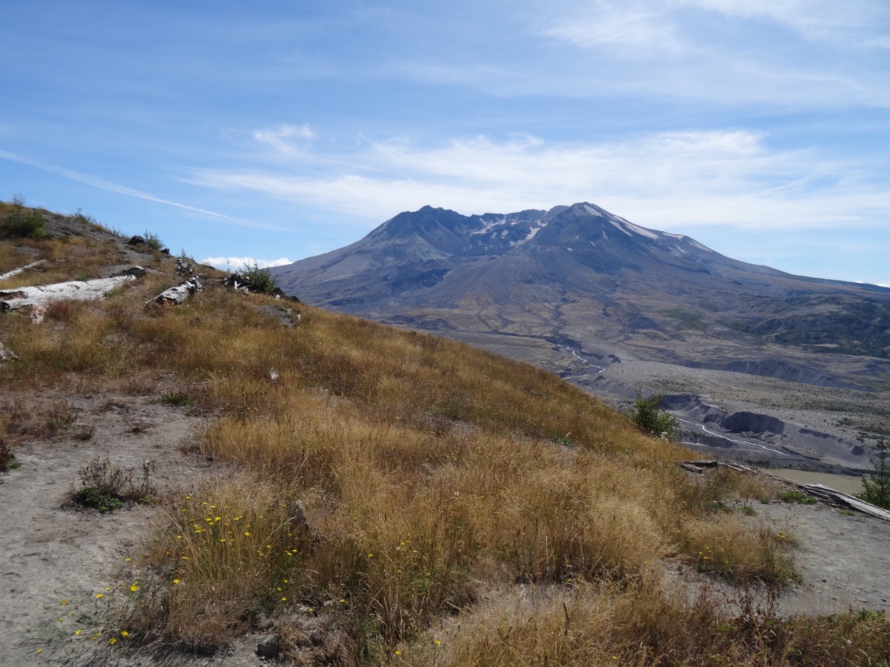
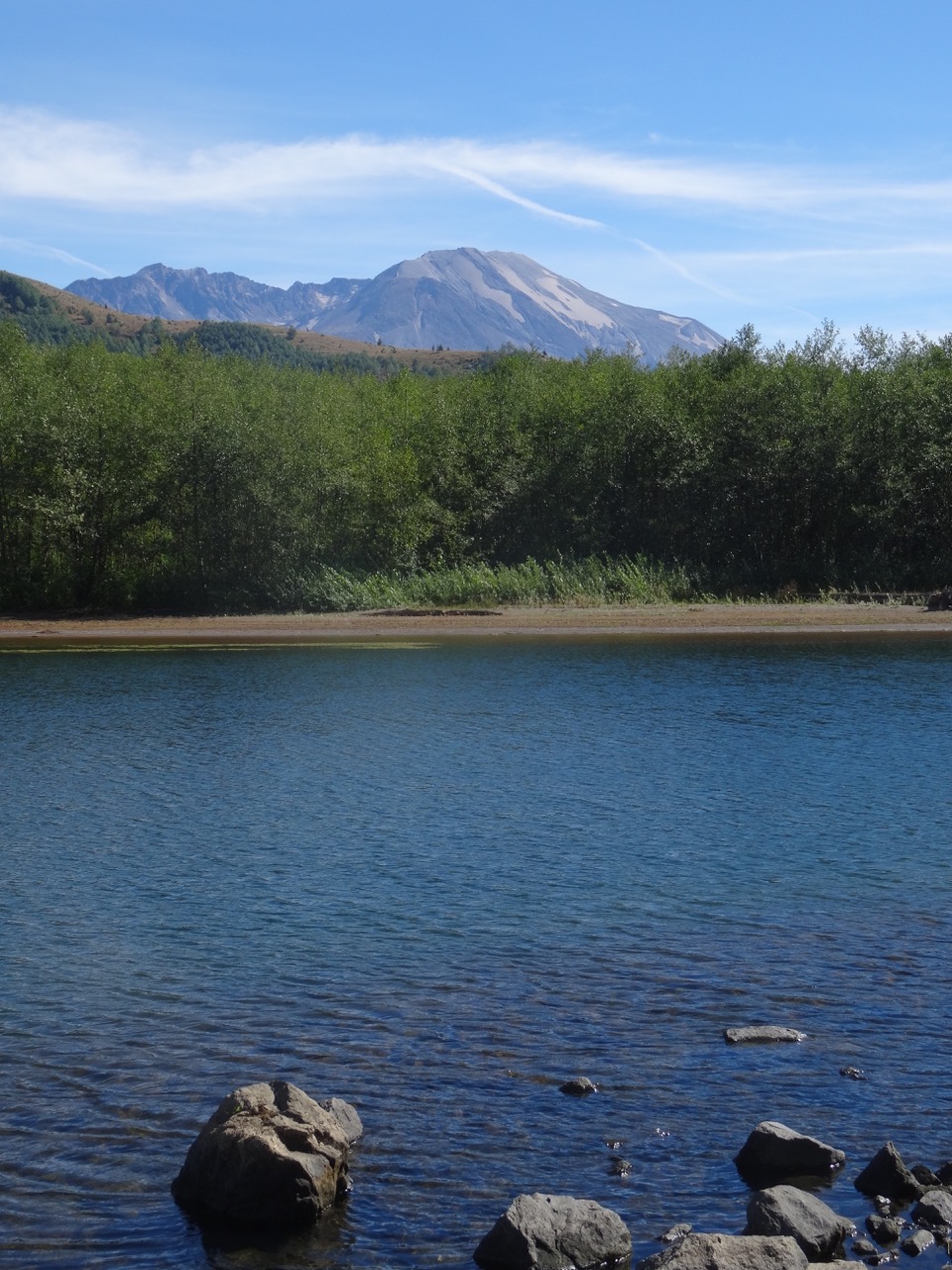
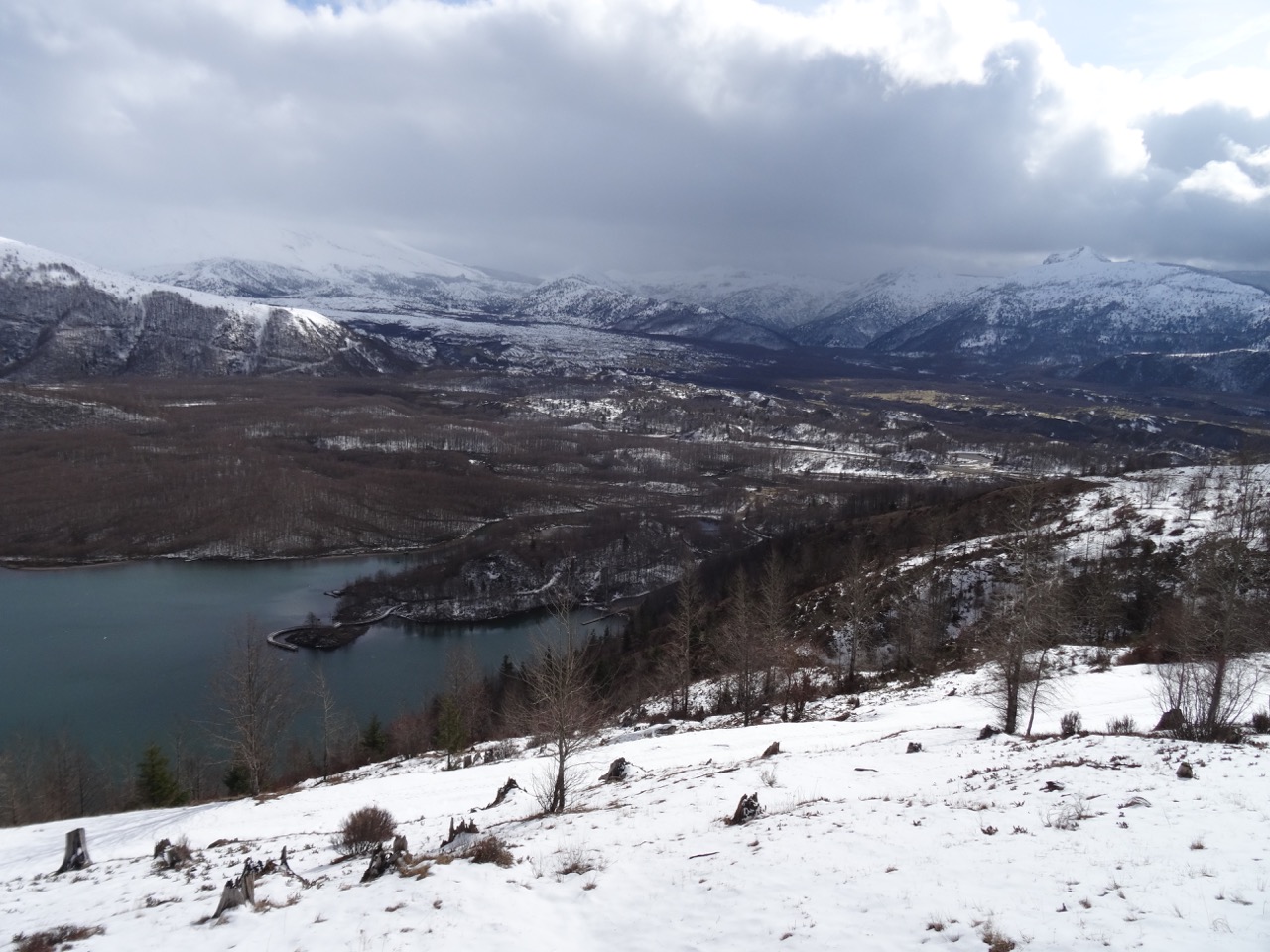
The Burdoin Mountain Fire started on Friday, July 18th, near Coyote Wall: a hot day, an east wind, and whoosh, by Sunday, July 20th, it had burned all the way east to the Klickitat River. In Portland, I followed news reports of evacuations of homes and families and communities; of firefighters on the ground and planes scooping water out of the Columbia River. I kept checking the map on the Watch Duty App – as the red line crept east, remembering all of the many hours we have spent in the fall, winter and spring, hiking the open grassy slopes and rocky cliffs above the river. Wildflowers and fall colors, all captured in my mind’s eye, and stored on my computer hard drive photo files…

July 19th fire boundary – Screenshot from the Watch Duty App.
July 24th fire boundary. Screenshot from the Watch Duty App

The biggest concern is for the area residents and their homes. I was keeping my fingers crossed for my favorite trees, too. I hoped the speed of the fire as it traveled through the grass would cause the conflagration to bypass some of the trees:

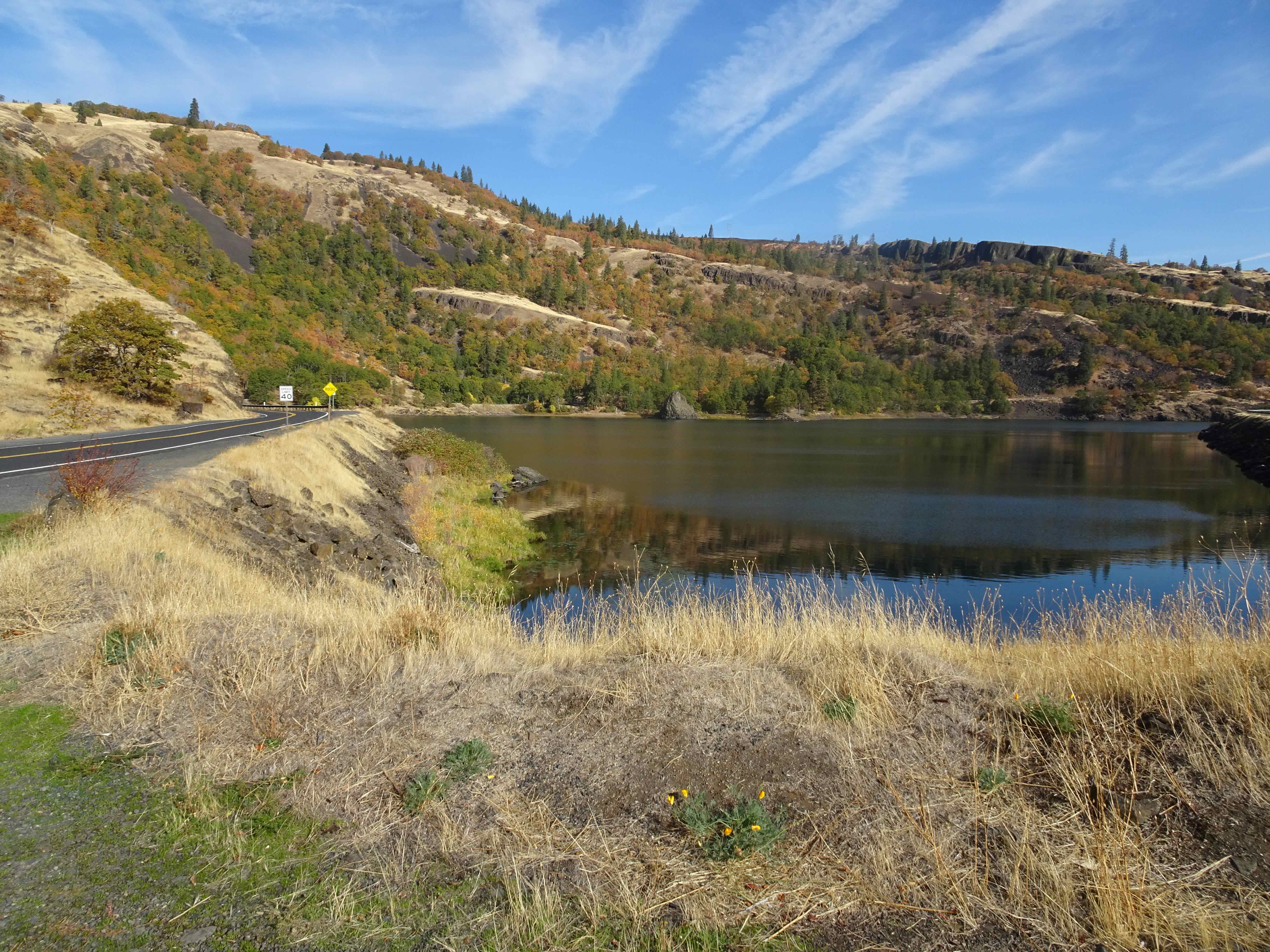
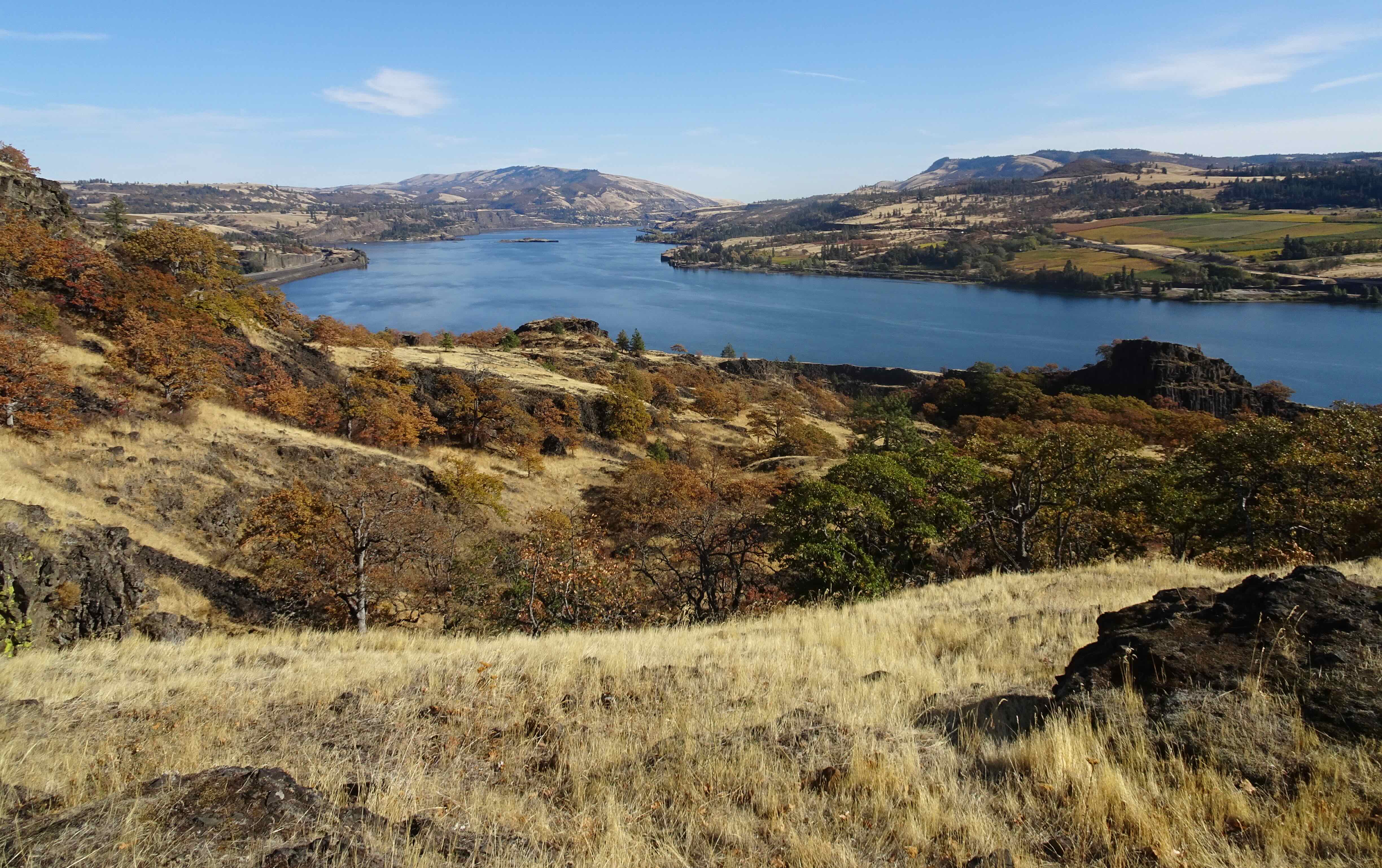
The guide tree above Rowland Lake – a tall ponderosa pine near the spot where we often have lunch when hiking the Labyrinth – it overlooks many of the trails here in its high perch – will it still be there?

Arrow pointing to the guide tree – from near the Labyrinth trailhead above Rowland Lake, October 24, 2024.
Guide ponderosa as seen from Rowland Wall, April 20, 2018.
Guide ponderosa from the west as we hike toward our lunch stop and turnaround point, December 16, 2017.
Lunch stop near the ponderosa, with all the eastern gorge on view, October 17, 2023.

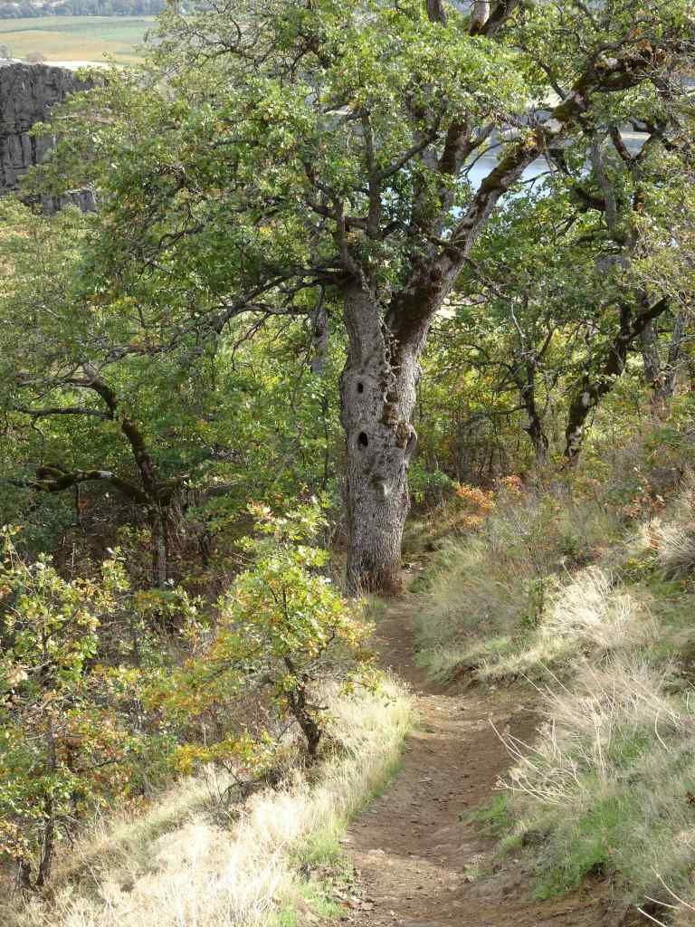
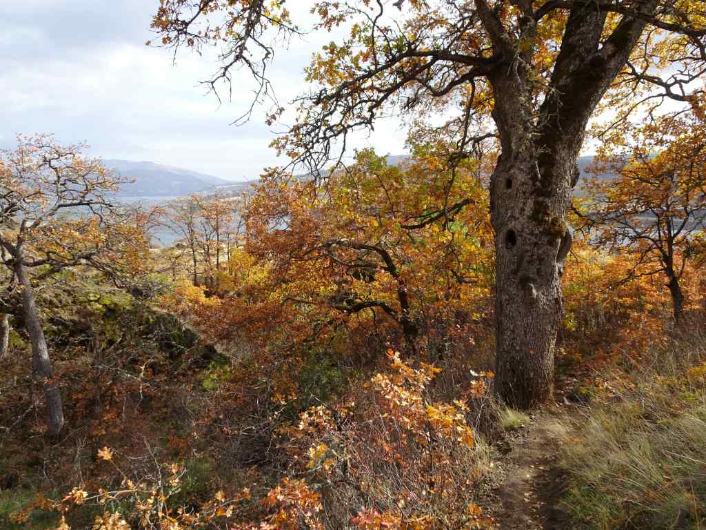
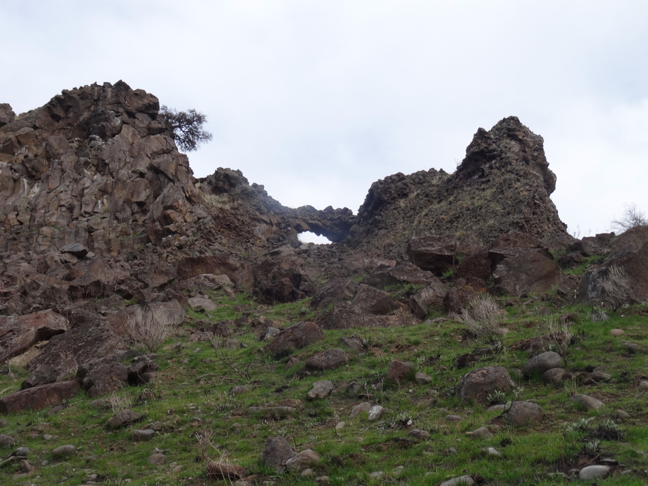
Also along the Labyrinth Trail, my favorite oak grove:

Labyrinth oak grove in the spring, May 17, 2025.
Labyrinth oak grove in the fall, October 27, 2021.

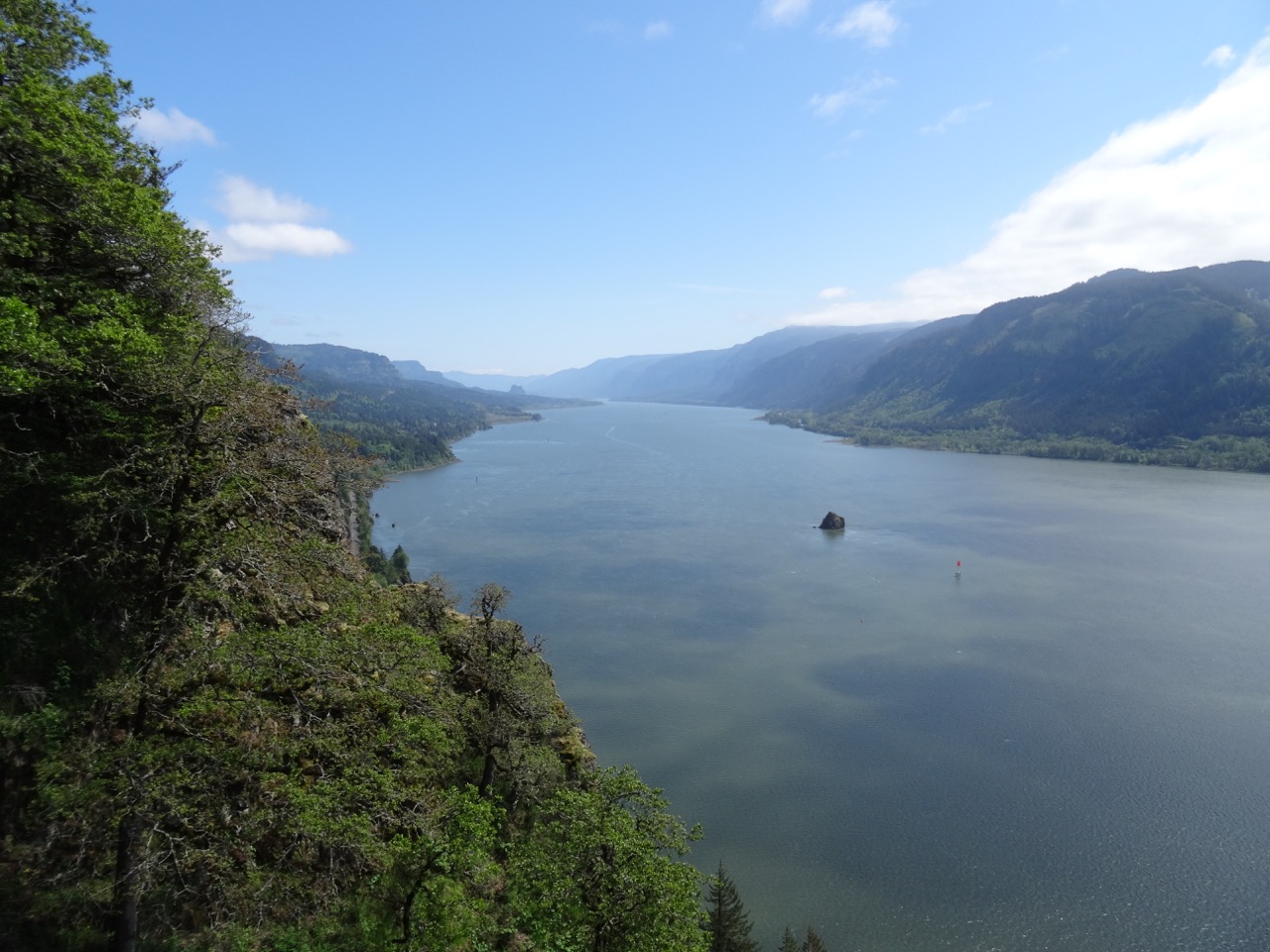
The solitary oak tree that perches on the cliff edge is always photogenic, as seen going uphill, to the east:

April 18, 2018
October 24, 2024
December 3, 2016
December 28, 2015

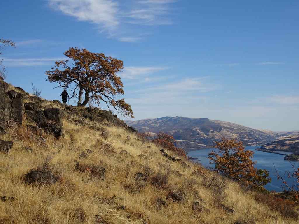
And downhill, to the west:

October 17, 2023, with Mt Hood beyond.

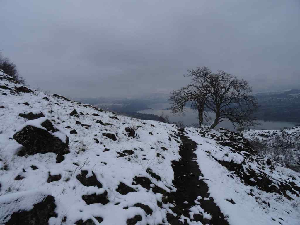
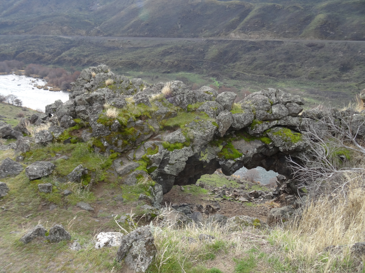
On the way down, I always say goodbye to the one-eyed oak sentinel on the lower trail:

October 17, 2023
October 27, 2021

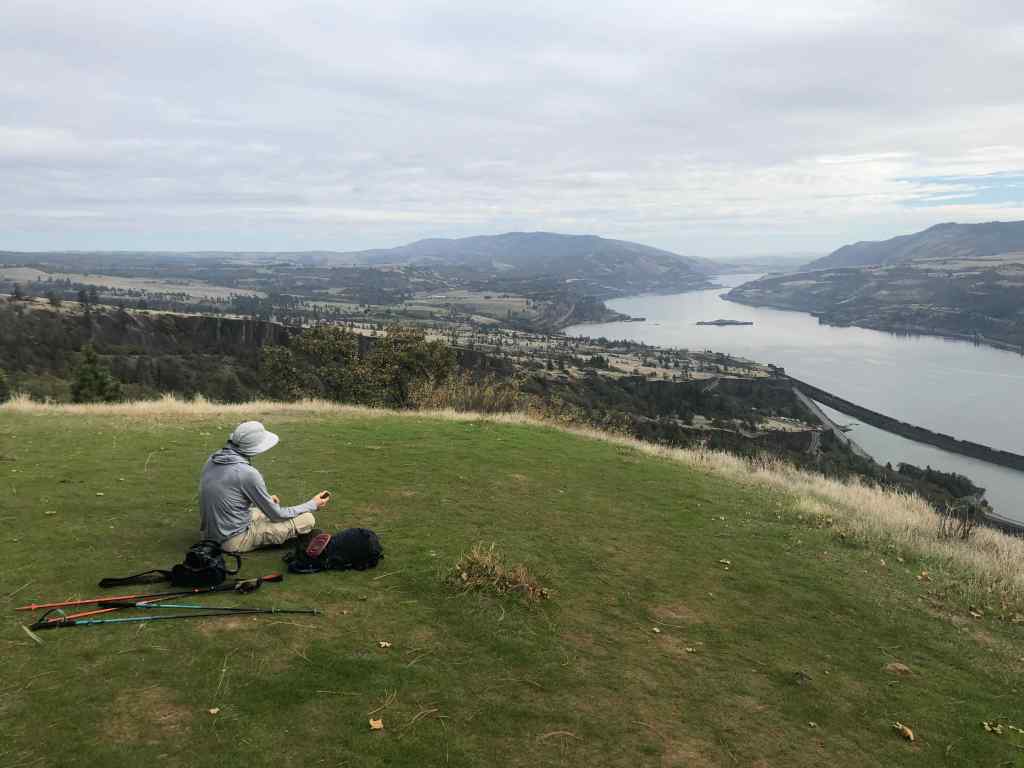
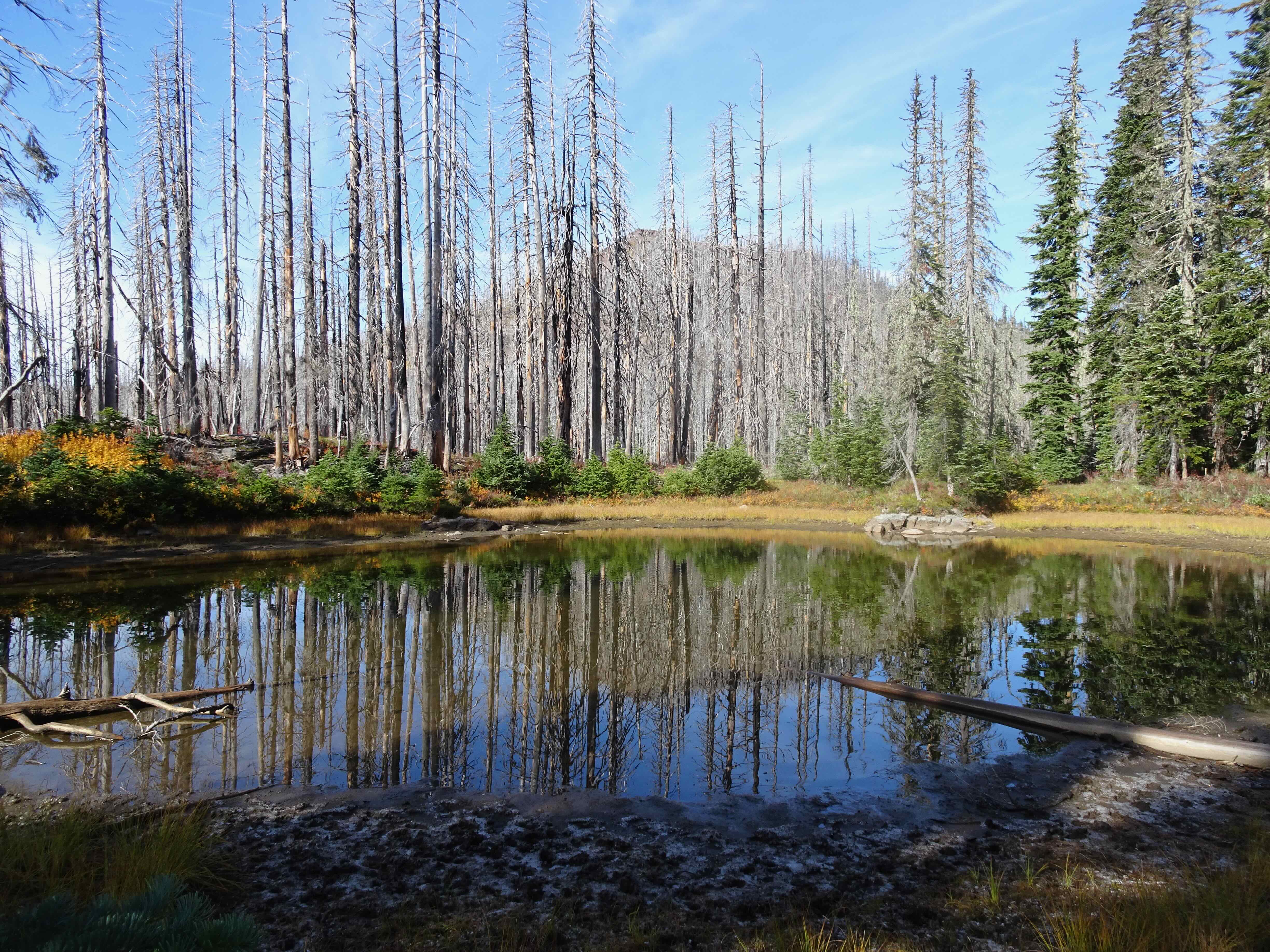
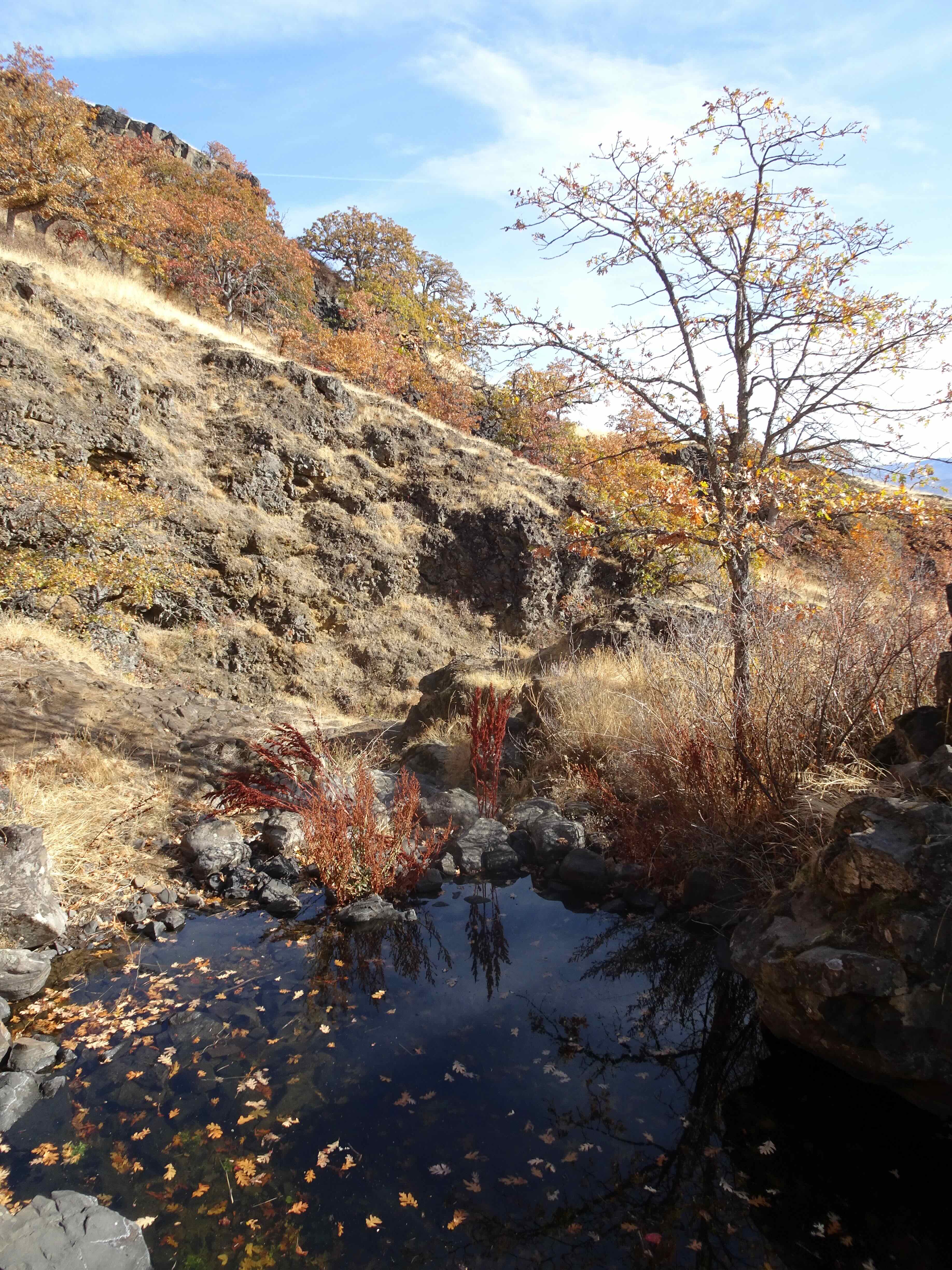
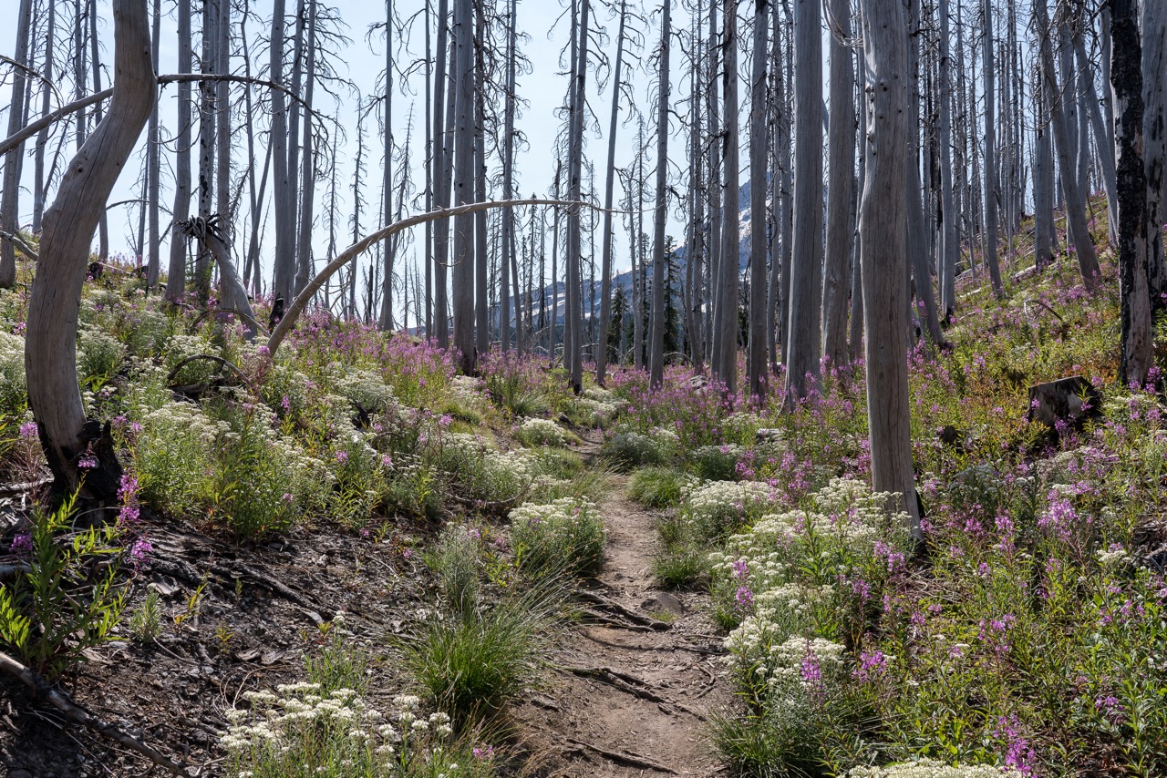
I have been browsing my photo library, and there are so many other beautiful trees there. As the red fire boundary moved farther east on the map, to the Catherine Creek slopes, I thought of the many ponderosa pines, and the small oak groves, including those guarding the fairy ponds:

March 3, 2025

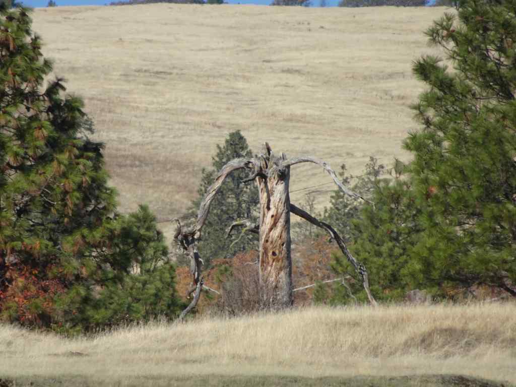
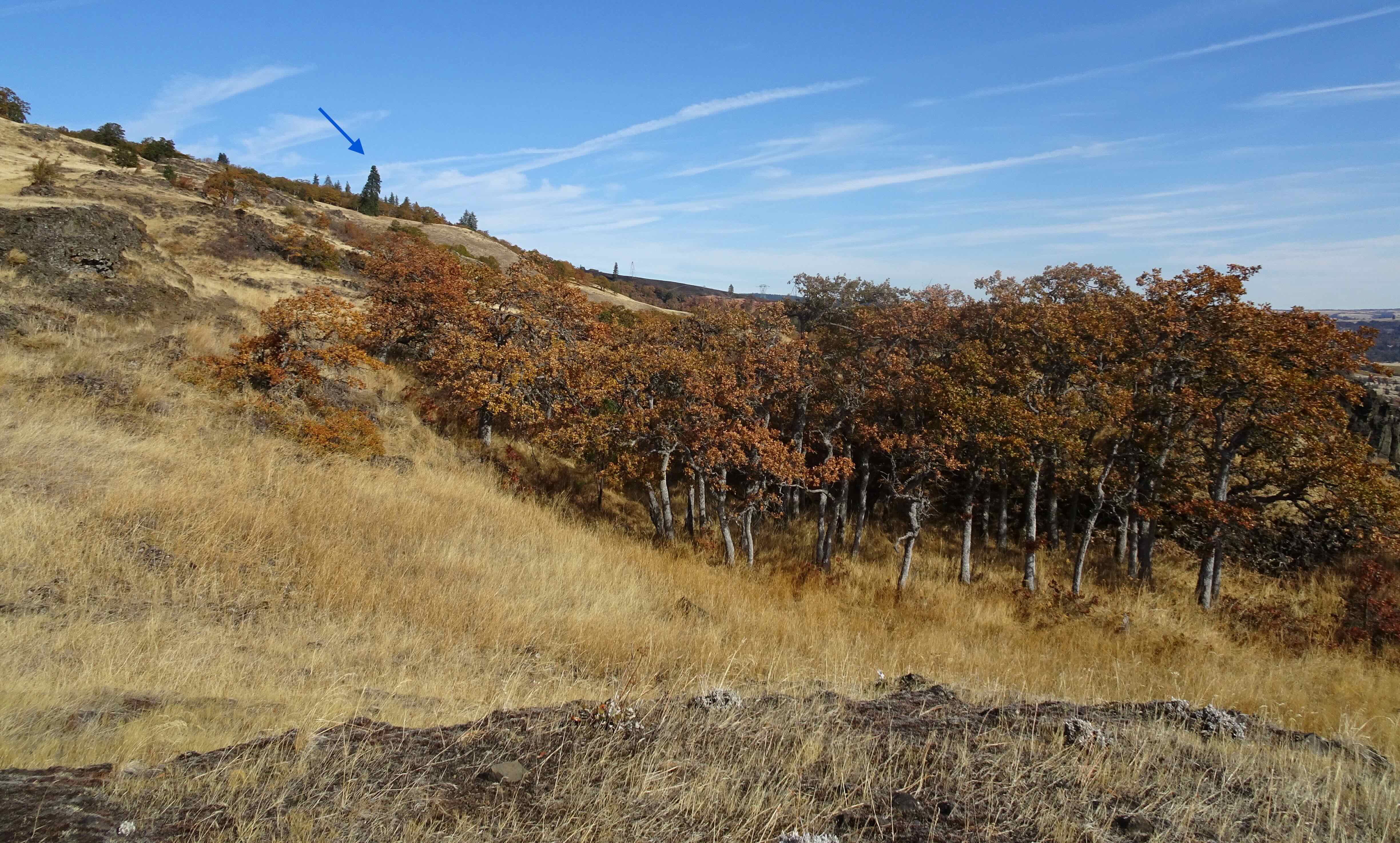
Even farther east, there is my ‘ent’, a snag guarding the eastern slope where there is always so much birdsong in spring, and so many flowers!

November 7, 2024
‘Ent’ snag

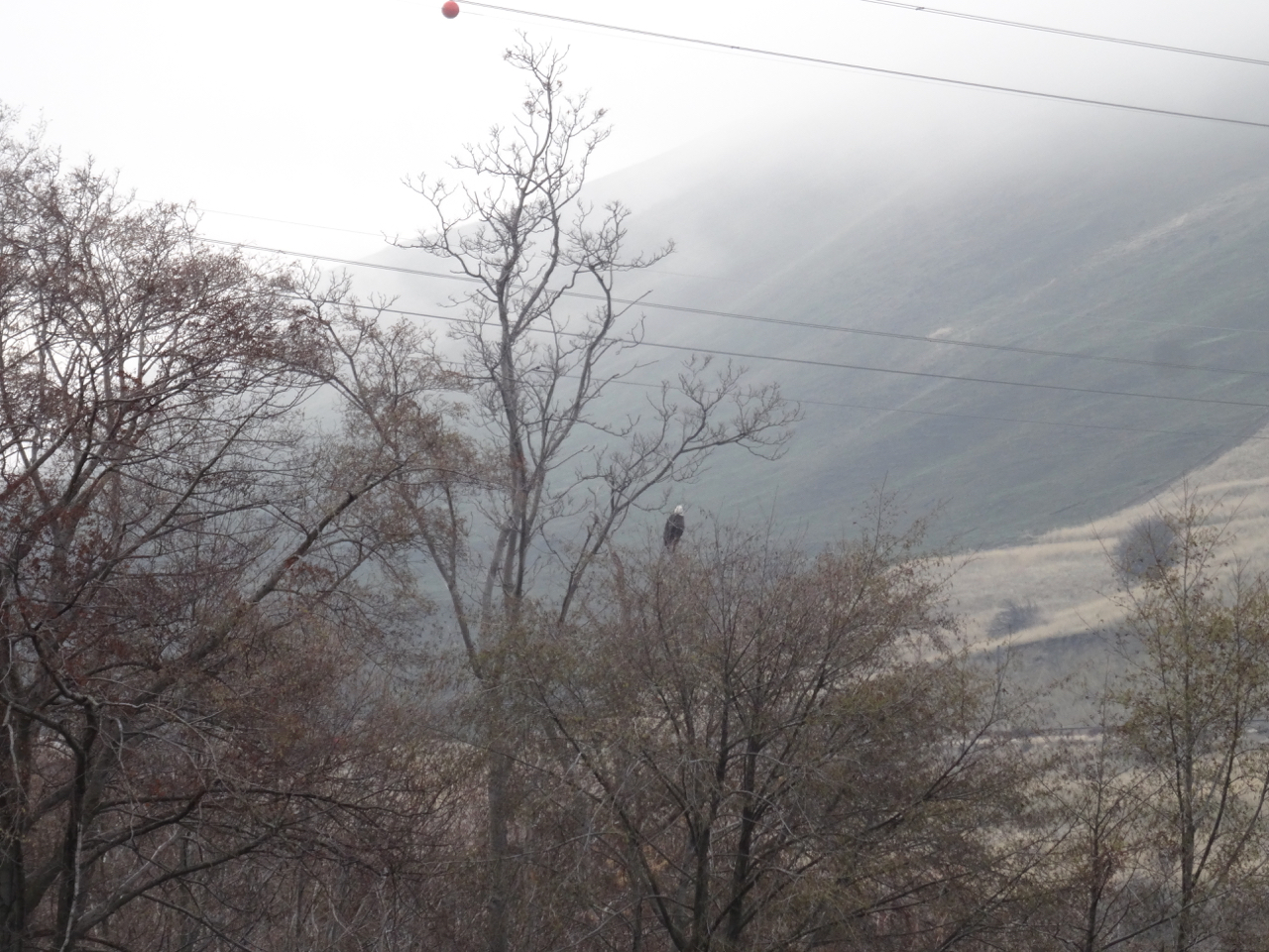
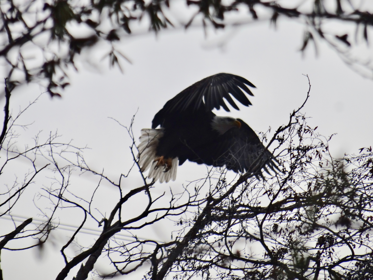
Next I see fire has made its way all the way east to the Balfour-Klickitat Reserve where we go to see the juvenile bald eagles practicing flight in the small lagoon off of the mouth of the Klickitat River every winter…

January 17, 2023
December 28, 2015

We are in the Schroedinger phase…that is, all I know is the fire outline on the map, that keeps spreading eastward. I don’t know what has burned and what has survived.

Part 2 – Preliminary outcome report

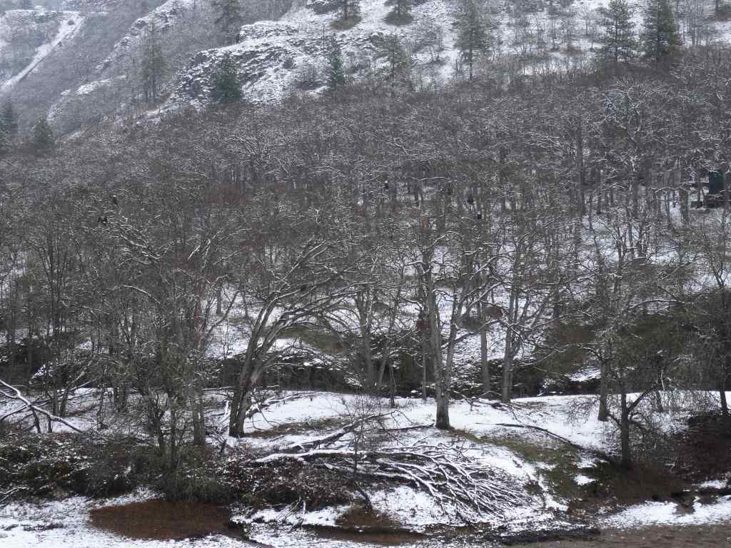
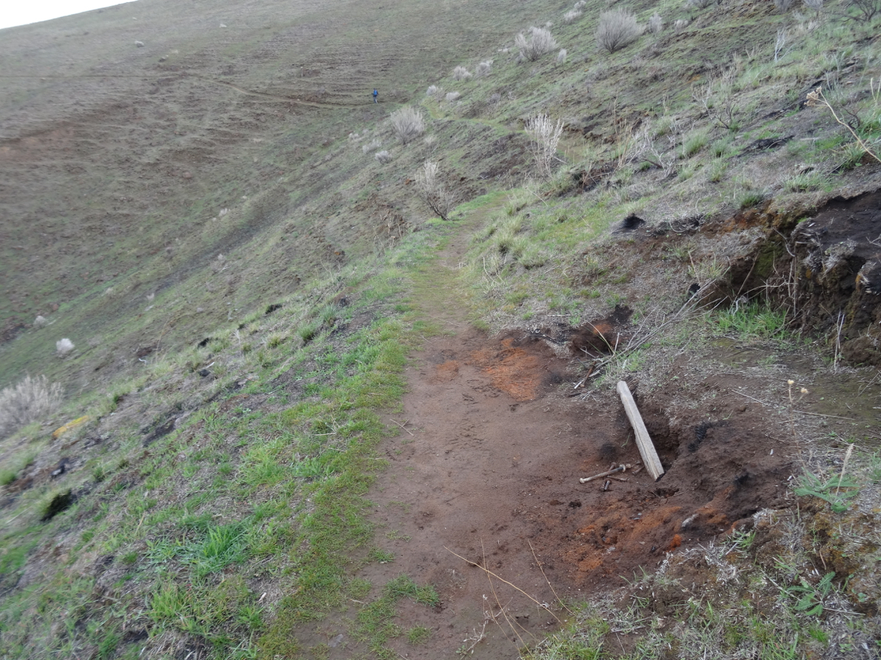
As of this writing (late July), the fire is contained, evacuations lifted. Tragically, 19 homes were destroyed and 47 were damaged. No lives were lost. Local people have reported that the burned area was patchy in nature. Many trees were spared. The local residents have a difficult path ahead. Land managers will be monitoring the trail situation. We don’t usually hike here in summer. When the weather turns to cooler temperatures, I hope to find myself on these trails again, to visit my trees and report back.

View north toward the Burdoin Fire area from the Mosier Plateau, April 21, 2025, taken before the fire. All of this area north of the Columbia River is in the burn zone, from Coyote Wall, on the west, past the Catherine Creek slopes on the eastern edge, and farther east, all the way to the Klickitat River. The arrow points to my guide ponderosa, on the slope above the Labyrinth.

October 2024 chronology…

In the interest of keeping up, I’m posting a brief chronology of what I did in October after our visit to Mt Rainier during the first week.

Hikes and other adventures:

Portland Art Museum – Our son visited from Philadelphia, and we visited the Beatles photography exhibit during his stay…

IMG_2649

I got my first glimpse of the extensive remodel of the Portland Airport.

IMG_2686

Portland Art Museum – we all like the Beatles, and my husband and I are just old enough to remember the early 60’s.

IMG_2683

Most of the photographs were taken by the Beatles during their early 60’s American tours.

IMG_2662

Beatlemania from the inside of the car…

October 10 – Our son joined us on a hike from the East Crater Trailhead, Indian Heaven Wilderness, WA.

DSC00886

East Crater

IMG_2708

Junction Lake

DSC00965

Small lake along the Old Cascade Crest trail

DSC00947

Frozen bog

October 16 – We went up to the Hoyt Arboretum in Forest Park to see the Japanese Maple, but it was still mostly green.

DSC00999

Vine maples changing

DSC01020

Japanese maple still green

October 18 – We hiked with friends in the eastern gorge, Lyle Cherry Orchard Trail, and could see over to the Catherine Creek area, where a controlled burn had spread to nearby forest.

DSC01022

Convict Road viewpoint

DSC01026

Lyle overlook, smoke from the Top of the World fire

DSC01027

Closer view of the fire

DSC01032

Wide view looking west

October 24 – Back in the eastern Washington gorge the next week, for one of those perfect fall hikes at the Labyrinth trail – colors blazing, views forever.

DSC01044

Rowland Lake, near the trailhead. A late bunch of poppies; destination ponderosa on the skyline.

DSC01049

Mt Hood on view

DSC01062

Hello to the trail guardian oak tree

DSC01079

Creek almost dry, but a few ponds in the stream bed

DSC01091

Oak leaves

DSC01108

Oak grove

DSC01121

Lunch view

DSC01139

Ponderosa near our destination…

DSC01161

From which we can see over to the controlled-burn area above Catherine Creek.

DSC01169

Going down past the ridgeline oak tree

DSC01184

A glorious day!

October 29 – We went back up to the Hoyt Arboretum, to see the maple tree now in nearly full color.

DSC01204IMG_2839 2

Meanwhile – Neighborhood walks…

Neighborhood Halloween –

Neighborhood Hope – I am writing this in November, but we did have hope in October…all through the neighborhood.

Crafting – was mostly knitting, but also, near daily prep and painting over numerous patches in the walls from plumbing repairs.

And I carved my Halloween pumpkin with inspiration from my kitchen sock monkey.

IMG_2885

September – wildfires and smoke

September began with a heat wave, too hot for hiking. I went on my usual walks through the neighborhood, noting the late summer flowers and early signs of fall.

And I finished sewing my summer kimono robe.

We were planning some adventures after the Labor Day weekend, when the trails would be quieter. Instead, quite literally, all hell broke loose. In my last post, I expressed my “hope for a late summer without a local fire season.” I could never have predicted the late summer snowstorm in the Rockies that created an ‘unprecedented’ giant windstorm that swept westward across the continent, fanning the flames of wildfires in every combustible forest on the west coast of North America. We were safe at home, watching in horror, as the news kept getting worse.

Satellite photos from September 11th show the smoke being pulled far out to sea:

After the winds died down, the heavy smoke settled in, limiting visibility, and making breathing painful. We learned how to use the AirNow app to monitor our air quality, constantly refreshing the page, hoping for better results.

For six days I did not go out of doors at all – grateful to have a safe home to harbor in, knowing there were so many families evacuated, and many with their homes burned. Many have still not been able to return; meanwhile the firefighters, Red Cross, and all the social support services have stepped up to aid those in need. I have only gone out once, so far, to pick up a prescription and some groceries. Nobody is walking our neighborhood streets – the air has been too bad. Today it finally shows signs of improvement, and we may be able to step out in the next day or two.

September 16th – our first glimpse of the sun in more than a week.

Knitting

Once again, knitting to the rescue. I have had time to finish a few projects:

And make progress on other projects:

Awake and say
“What time is it?
What day is it? What season?”
No sun,
but not dark,
so…
daytime…

End of summer in a strange year
when all the cues are gone,
and now gone again.
Most things closed down again.
Wildfire smoke blankets our part of the planet.
Fall approaches, but is it the fall of our civilization? Or autumn?
Invisible viruses still pervade the air.
Not quite invisible smoke particles dim our sight, harm our lungs.

A metaphor for the insidious gloom covering our entire nation in an unprecedented election year, the outcome to determine how we will breathe going forward.

9/12/2020

Happy New Year 2019!

First Hike of the New Year: Ferry Springs Trail, Deschutes River State Park, Oregon – January 5, 2019 

We did this same hike almost exactly one year ago – January 6th, 2018.  It was a beautiful day with blue sky and long reaching views. Today, was a cloud covered day with no actual rain. We saw the effects of the July 2019 Substation Fire that burned both river banks for about 20 miles upstream from the park.

There was a bald eagle near the trailhead, but it flew off as I watched it.

dsc00827

Bald eagle near the trailhead.

dsc00828

dsc00830

Bald eagle – the white tail visible in the center of the photo, flying downstream.

Our trail started along the river, through riparian vegetation, but then we crossed the fire line and saw before us nearly completely denuded and blackened landscape through which grass in now emerging, a green/black palette. In some ways it reminded us of the highlands of Scotland.

dsc00846

From dry grass to burn zone, though the bench is intact, as were the other benches along the lower trail.

dsc00857dsc00868

We passed below, then above the arch as the trail looped back north and uphill towards Ferry Springs.


dsc00879

Looking up at the arch.

dsc00888

Looking down through the arch.

dsc00883

I was looking forward to resting on the bench on the upper trail, but it was burned. 

dsc00892

Lookback: Two views from the Upper Trail toward the mouth of the Deschutes River and Columbia River. In 2018 we were walking through dry grass. This year, the edge of the burn is well defined.

dsc00617

January 2018, pre-burn

dsc00890

January 2019, post fire

After crossing Ferry Springs, we headed back to the trailhead, looking down at the fire scars along the way.

dsc00905

This wooden gate survived, though the area around was scorched.

dsc00908

Looking back upriver.

dsc00913

The dry waterfall

dsc00914

More scorched earth, then back to dry grass.

This landscape is renewed by fire. I don’t think all the green grasses emerging are native grasses, but we did see new growth on some of the native plants. It will be interesting to return next year to see what happens. (5 miles, 560 feet, Hike #1 for 2019)

dsc00909

A yellow composite flower

dsc00918

New foliage on burned shrubs.

Crafting

dsc00926

Cross stitch of Jane Austen’s house – I just need to add the windowpanes and french knot flower centers.

dsc00930

I finished the second sock, now I have to find the place in the stripe sequence that will match the place where the knot was in the first sock.

Other Adventures 

It has been a busy couple of weeks of the New Year, winding down from the holidays, and getting my daughter and her things sent back to college. I note that today is one year exactly since my surgery. I am adjusting to all my new medications, and am healthier for not having excess growth hormone secretly running around in my body and creating future problems. I am grateful for my recovery. My husband has just stepped down to half time work, with full retirement planned for a year from now. Thus we will likely have many more hikes and adventures in the years to come, including having just booked a hiking trip in New Zealand for a year from now! I am used to hiking at my own pace, but I will need to increase the difficulty of my hikes as the year goes on to prepare for the trip. A good goal, one of many, for 2019. (2019-1)


Smoky week in Portland / Return to Vista Ridge (18-35)

untitled-70

Northward view from the Timberline Trail on Mt Hood. Mt St Helens, Mt Rainier and Mt Adams float above the gray smoke layer.

August 16, 2018

I mailed the baby and Welcome Blanket quilts while breathing wildfire smoke. While feeling a papery dry sand feeling in my mouth. While watching the blood red sun set though the haze.

Today there is an orange sky at noon. It is too hot to go outside, and there is an ashy taste on my tongue.

It’s wildfire season.

Smoke is disseminated through the atmosphere blotting out the sun, the views, and the cool air we are supposed to get from the ocean.

If this keeps up, if  global temperatures continue to rise, will we find out what it was like to be the dinosaurs when they died?

It was supposed to be a meteor, but there were also Deccan flood basalts, and/or a climate change with wild fires – all valid hypotheses and maybe all had a combined role…

Meanwhile, oppressive haze and heat keep me indoors instead of outside where I could be walking, hiking or gardening.

The air feels dusty and my lungs feel the burn –

It reminds me of the San Fernando Valley of my youth, before cars had smog devices, when we could hardly ever see the Santa Monica Mountains, or the San Gabriel Mountains, but on really bad days we couldn’t even see the Mission Hills.

Now we have fire season. Our beautiful forests burn and the smoke infiltrates our adjacent valleys, so even though we are not in the burn zone, we must breathe the smoke or alter our activities to avoid breathing outside. This is the second August in a row that has been the season of burning, of wildfires, of dreading the views of the torched landscape, not to mention the threat to lives and livelihood of those that live closer to or in the forest. Of knowing that the beautiful places that we hike into for recreation and healing are changed beyond recognition, and though they may return to green someday, they will not be a comforting place to go for years….

Return to Vista Ridge    8/17/18     (Hike # 44)

Speaking of burn zones – this is our sixth year hiking up Vista Ridge on Mt Hood.  Today the regional smoke and heat have decreased enough to allow us to go for a hike.

untitled-16

Pearly everlasting and fireweed along the Vista Ridge trail.

Once again through the burn zone with fireweed and pearly everlasting, huckleberries, goldenrod and berries of Sitka mountain ash.

Once again through the meadows along the Timberline Trail, this time to the west, toward Ladd Creek.

IMG_0904

Mt Hood from the Timberline Trail near Wyeast Basin

untitled-168

Close up of Coe and Ladd Glaciers


By the time we reached the Ladd crossing it was too late in the day, too deep to cross without wading.

IMG_0902IMG_0903

We stopped there for lunch then retraced our steps, back to the Wyeast basin with far reaching views of snow capped peaks floating above the smoke shroud that covers the Washington landscape.

IMG_0907

Clear Branch Creek in Wyeast Basin. Mts Rainier and Adams beyond.

Back down through fireweed in the burn zone, we say ‘Hi’ to a few ghost trees again, nibble the huckleberries, and make our way to the trailhead.

IMG_0910IMG_0889untitled-57

My legs were feeling it today – I am getting back into shape, but still have a ways to go to recover my fitness. Photo note – many of the photos in this post were taken by my husband – I only had my cell phone with me.

Screen Shot 2018-08-18 at 4.46.23 PM

8 miles/1600 feet

Knitting

I finished the Cornwall socks!

DSC07555

23. Visiting the Midwest

As I write this I get an Eagle Creek Fire update:  Rain has finally slowed the fire, and operations are turning to cleanup and recovery.

We flew to Ohio, passing over the south side of Mt Hood – smoke not impeding our view today to Mt Adams and Rainier beyond.

DSC07967

Mt Hood, Mt Rainier and Mt Adams

Ohio

Oberlin College

We visited our daughter at Oberlin College in Ohio. I had previously only had a brief peak at the campus the day we moved her into her dorm two years ago.  She and her roommate are now in a two bedroom apartment and enjoying the non-dorm lifestyle. We walked all around campus, seeing the various buildings and rooms where she spends her time. She introduced us to friends that seemed to appear around every corner.  I enjoyed the quiet, but intensely busy vibe on this early-term late summer weekend.  We got coffee from The Local, ate delicious dinners at The Feve and Indian Garden, and joined her for a student prepared lunch at her dining coop.

Brandywine Falls, Cuyahoga National Park, Ohio   Sept. 17, 2017  (#46)

She also wanted to go for a hike.  We chose a 4 mile hike about an hour from campus, the Stanford/Brandywine Falls trail. It was a beautiful sunny day though the humidity was much greater than we are used to in the Pacific Northwest. There was enough shade in the woodlands to stay comfortable, a few summer flowers struggled along, and fall colors were beginning to pop.


Chicago

We then flew to Chicago to visit to our son. Beautiful weather continued on Monday as we enjoyed the Architectural Boat Tour.

Windows and reflections:

After lunch we rented Divvy bikes and rode four miles along Lakeshore Drive trail from Millenium Park back to Lakeview where we were joined by long time friends for dinner.

DSC08332

The Bean, i.e. Cloud Gate, in Millenium Park

The next day we visited the Chicago Art Institute.

DSC08357

We spent most of our time in the Impressionism and Modern American galleries. My favorite piece was by Georgia O’Keefe, a 24 foot long painting that filled a stairwell:

DSC08426DSC08428

This also caught my eye:

DSC08430

We walked around some of the parks near the Art Institute.

After dinner we went to see Hamilton!

This was my first visit to Chicago, and only lasted two days, but I enjoyed my time, and can see why my son likes living there.

Knitting update:

DSC07915

11 dishcloths

22. Mt St Helens Boundary Trail

Eagle Creek fire update as of  9/11/17:  34000 acres, 7% contained.

21640885_123414854982697_7881458328682540061_o

USFS Incident Map

Boundary Trail toward Harry’s Ridge     9/10/2017    (#45)

The skies are alternating blue and cloudy today. Unsure of any firesafe place east of us, we opted to drive north to Johnston Ridge, Mt St Helens National Monument.  Clouds that were floating at mountain level when we arrived late morning evaporated during the day.

DSC07837DSC07842

DSC07848

Mt St Helens

We hiked the Boundary Trail toward Harry’s Ridge.

DSC07855

Coldwater Peak, north of the Boundary Trail

The trail that used to go along a steep, cliffy slope to the grand viewpoint at Devil’s Elbow is now closed.  The new alternate route cuts over the ridge, and has a view to Spirit Lake from the pass at the top of the cutoff. We stopped there for lunch.

DSC07851

Lunch stop at the top of the new cut off trail, with view to Spirit Lake

I decided it was too hot to continue, so hiked slowly back to the observatory.  Dan went on to Harry’s Ridge then met me back at the observatory later.  I had the chance to watch the excellent 16 minute film that simulates the eruption and illustrates the forces of nature during the 1980 eruption.

DSC07861

View while hiking back toward Johnston Observatory

DSC07871

Looking east from the observatory toward Mt Adams

DSC07872

Mt Adams

There are straggling summer flowers in bloom – lupine of both large and dwarf varieties, penstemon, paintbrush, yarrow, an abundant yellow composite, and equally abundant white pearly everlasting gilding the slopes, and standing out strongly in contrast to the early reds of fall.

We stopped at Coldwater Lake to walk the boardwalk trail that illustrates the Birth of the Lake. It was peaceful and beautiful there, with excellent views of Minnie Peak and Mt St. Helens. It is pleasant to walk through shady foliage after spending time in the blast zone. My total mileage for the day was about 5 miles/800 feet.

LOOKBACK:

Boundary Trail to Harry’s Ridge – we have hiked this trail in several seasons, with different views of the mountain:

DSC05594

June 2016

DSC07868

September 2017

DSC05602

Inner crater dome close up    June 2016

DSC07849

September 2017

Coldwater Lake:

In March of 2015, a low snow year, we walked the 12 mile loop around Coldwater Lake.  The foliage was mostly dormant and brown.  We had views of the mountain, walked by the abandoned logging machinery destroyed by the blast, got some closer views of Minnie Peak.

DSC03346

March 2015   Minnie Peak and old logging machinery on Coldwater Ridge

DSC03371

March 2015    Minnie Peak


DSC03460

March 2015

DSC07882

September 2017 Mt St Helens and Coldwater Lake

In Spring of 2017 we were in the area hiking the Hummocks trail, and we visited the Science and Learning Center, which gave us a snowy view of the boardwalk that we walked on today.

DSC01570

February 2017   Looking down on Coldwater Lake


20. The Columbia River Gorge is on fire!!!

September 5, 2017

In northeast Portland the sun is cloaked in an orange shroud, the air tastes bitter, smells like smoke, and is dripping ash, ash from the burning trees in our beloved Columbia River Gorge!  The heat has pushed the human caused (allegedly a teenager with firecracker) conflagration west along the famous waterfall corridor.  Residents have evacuated and their homes are intact so far. Firefighters are working hard, may they stay safe!  But the weather is so hot and dry and the winds relentless – we all fear for the next stage of this tragedy.  It is a waiting game now as I reflect on all the lovely hikes we have taken in the area – waiting to know which of these amazing places are intact, and which will begin a new phase of regrowth and regeneration.  I am no stranger to hiking in burn zones, but this particular area was so lush and green.  It is very sad.

From east to west, some of our favorite places that are threatened or burned:

Herman Creek

 Dry Creek Falls

DryCreekFalls

Dry Creek Falls April 2017

Eagle Creek

Note that steep trail area is likely where the fireworks were used.

Wahclella Falls

WahclellaFalls

Wahclella Falls April 2016

McCord Creek / Elowah Falls

Oneonta / Horsetail area

Wahkeena / Multnomah Falls Loop

Multnomah Falls

MultnomahFalls

June 2014

MultnomahFalls (2)

December 2015

MultnomahFalls (3)

November 2014

Angel’s Rest

Latourell Falls

Views from Washington toward Oregon where the fire is burning

HamiltonMtn

Hamilton Mountain, looking toward Bonneville Dam May 2016

CapeHorn

Cape Horn looking upriver April 2016