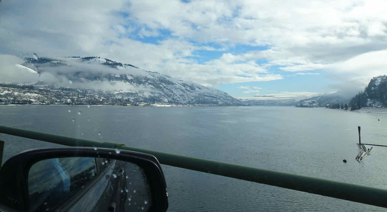
We had five walking adventures in November, four in the wilderness and one in town.
November 1 – Deschutes River Trail, OR –
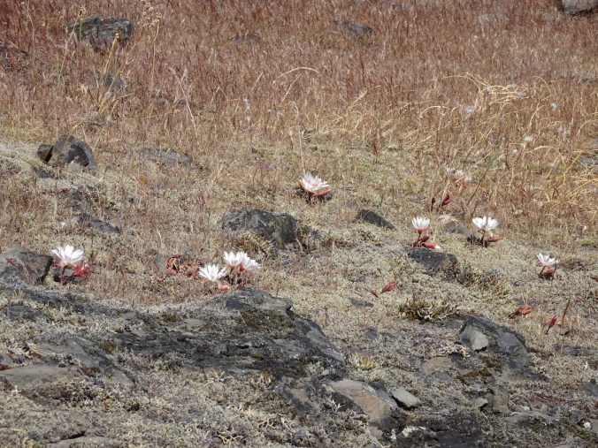
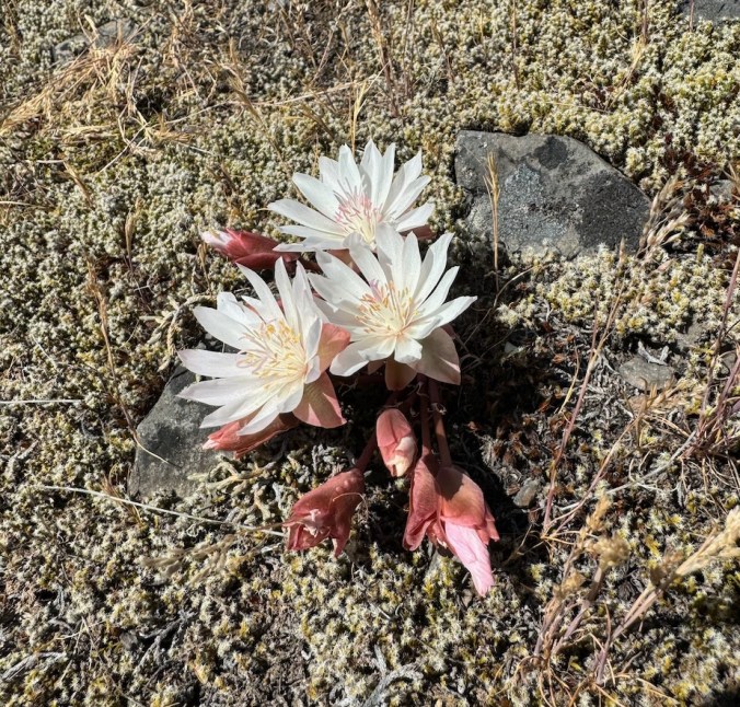
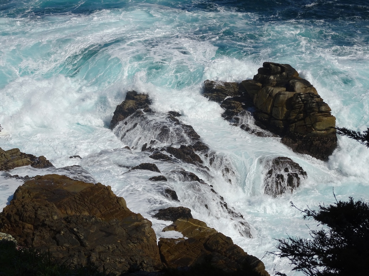
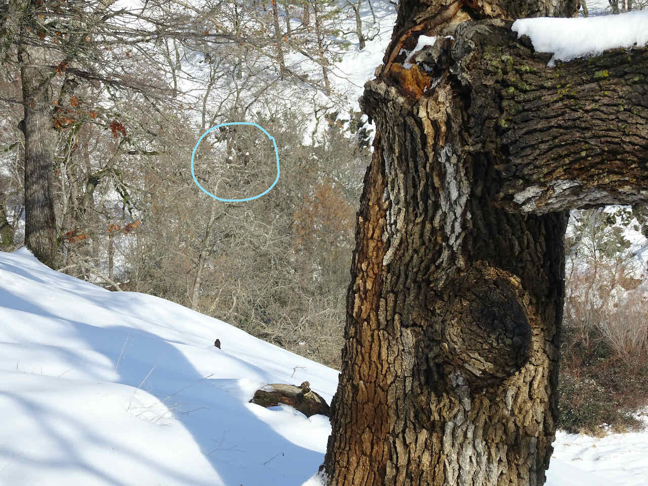
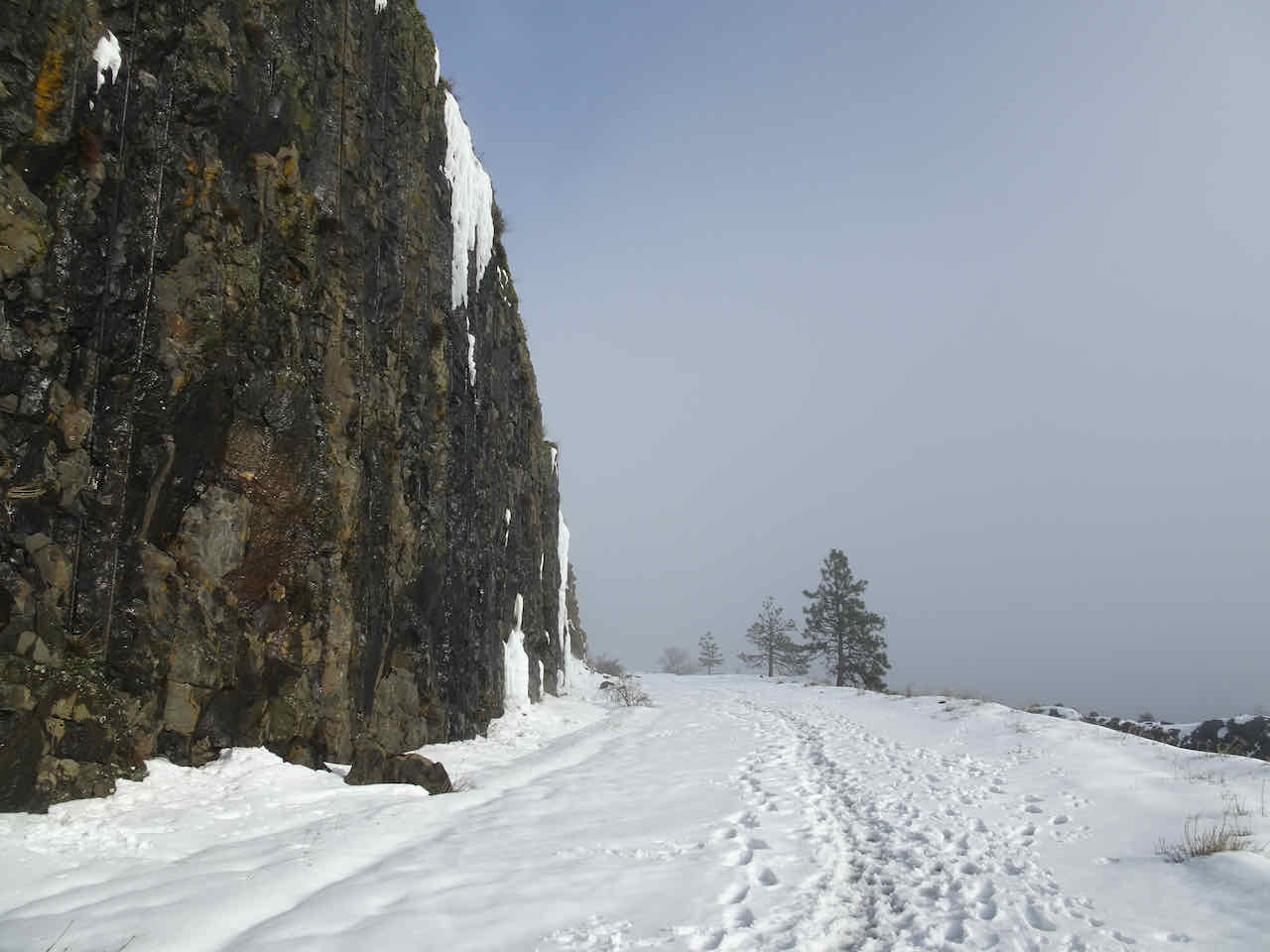
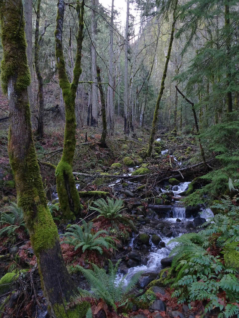
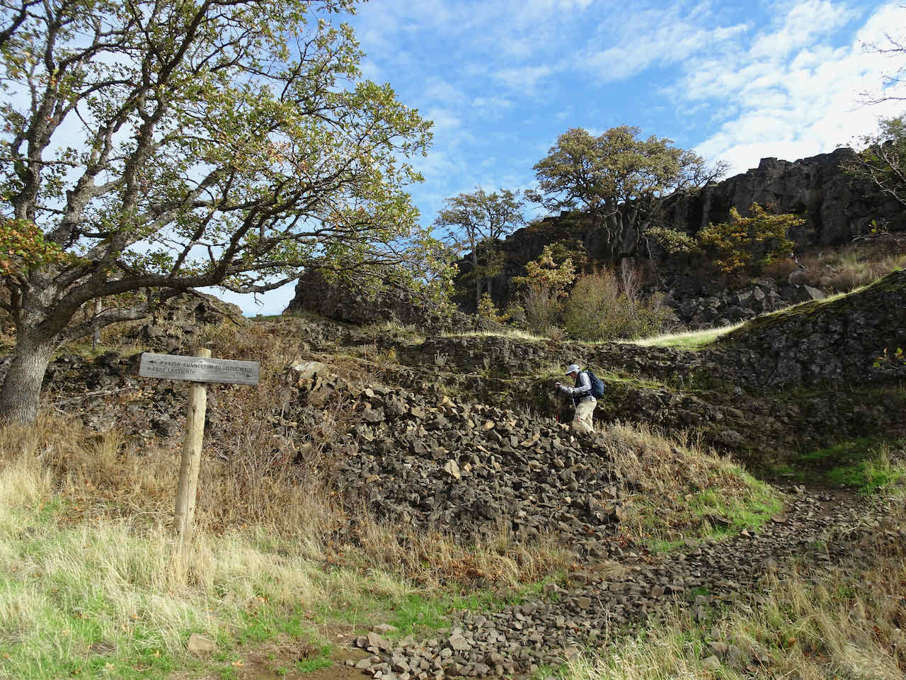
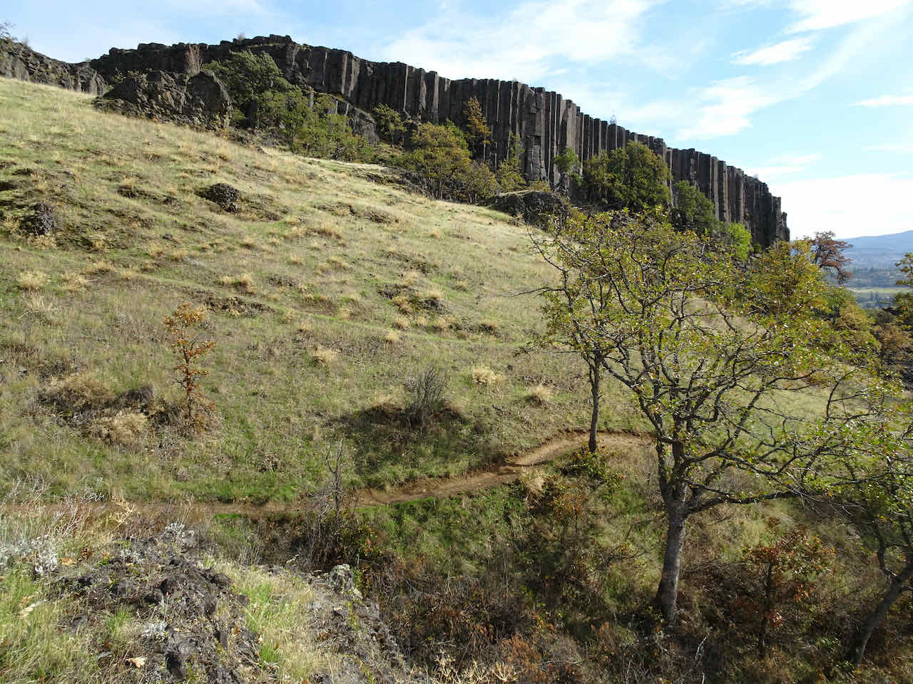
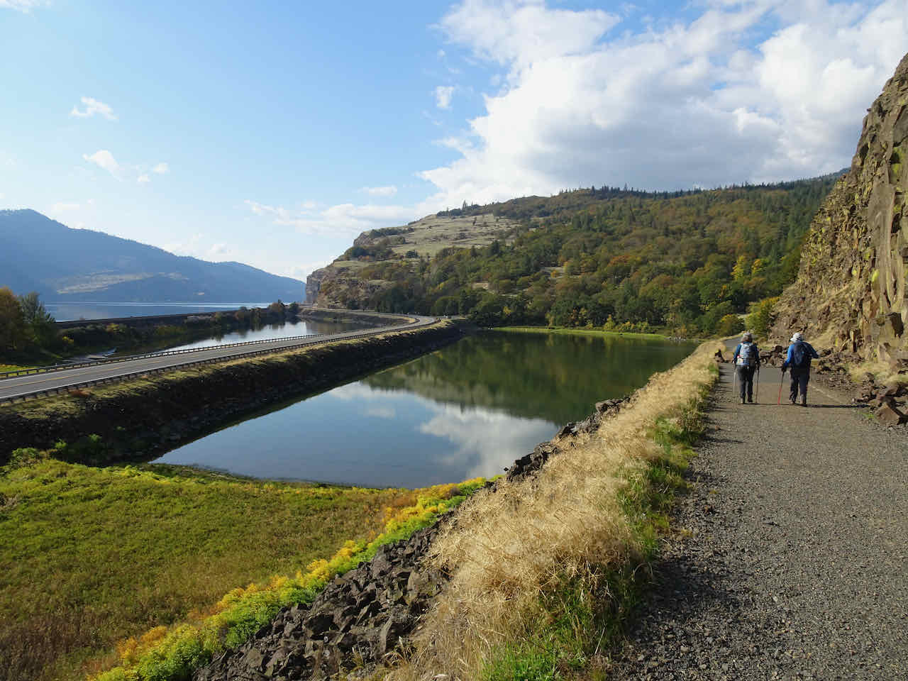
We’ve taken this trail many times, especially on days like today when it is raining everywhere else within a two hour drive of home. This area had a fire several years ago, and another brush fire last summer, which we could see evidence of along the way.
Deschutes River near the trailhead
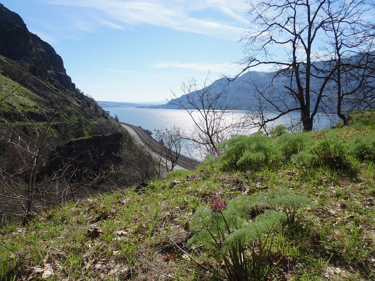
Looking upstream as we walk uphill towards Ferry Springs.

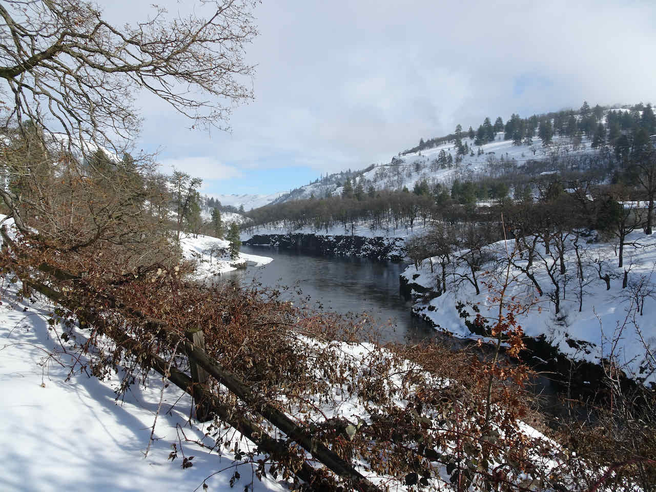
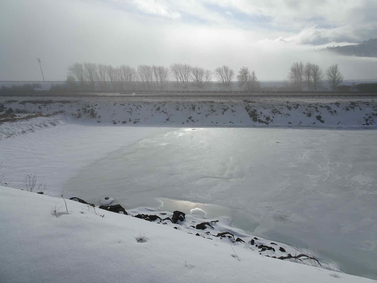
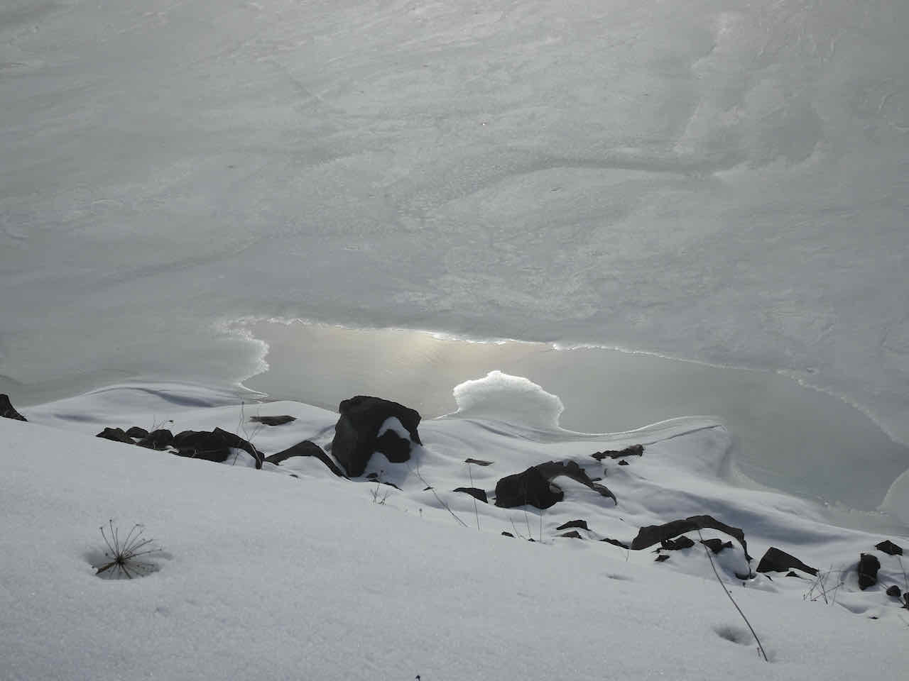
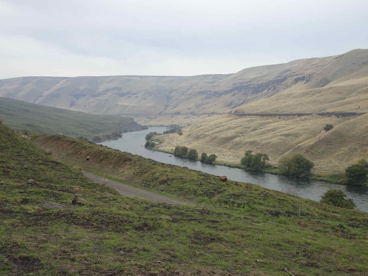
Looking downstream toward the confluence with the Columbia River.
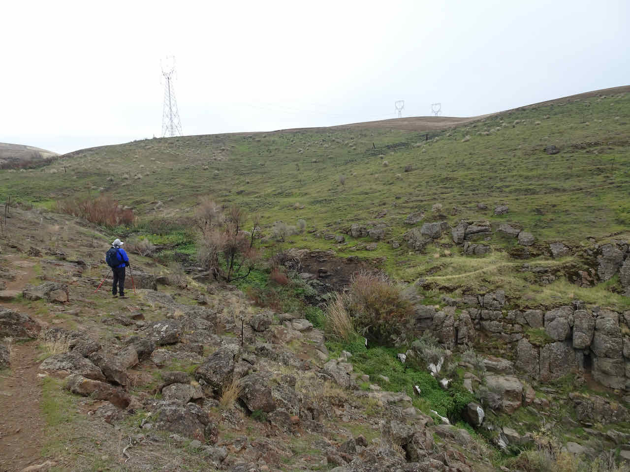
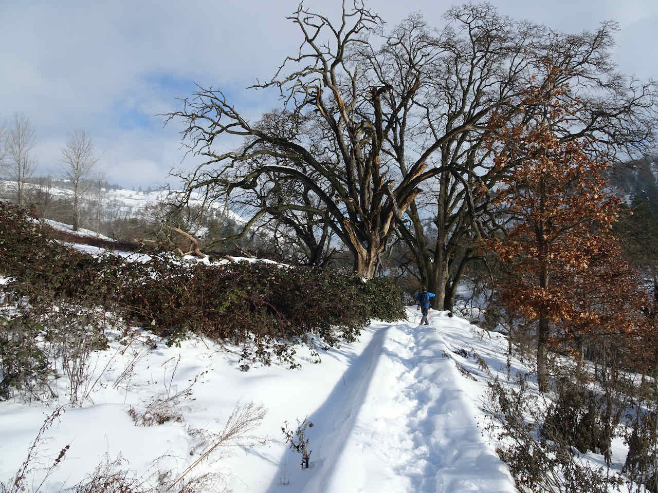
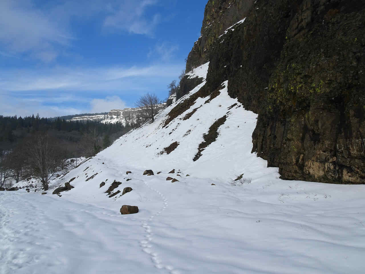
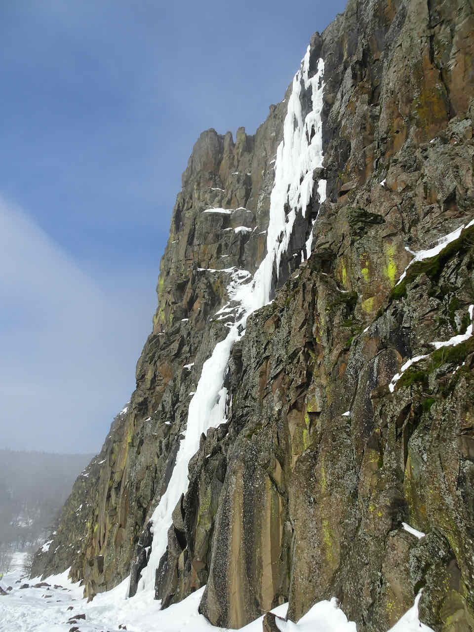
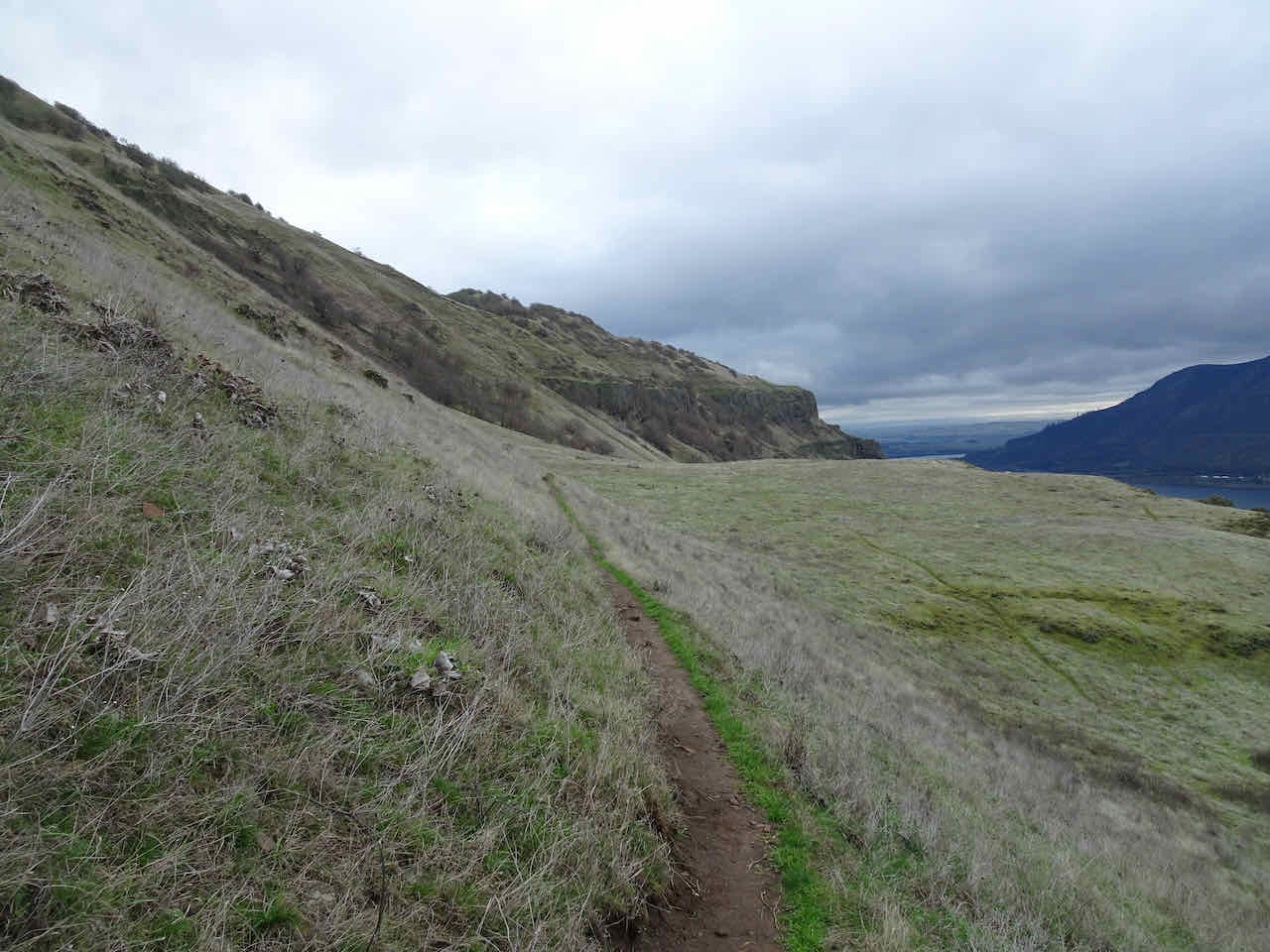
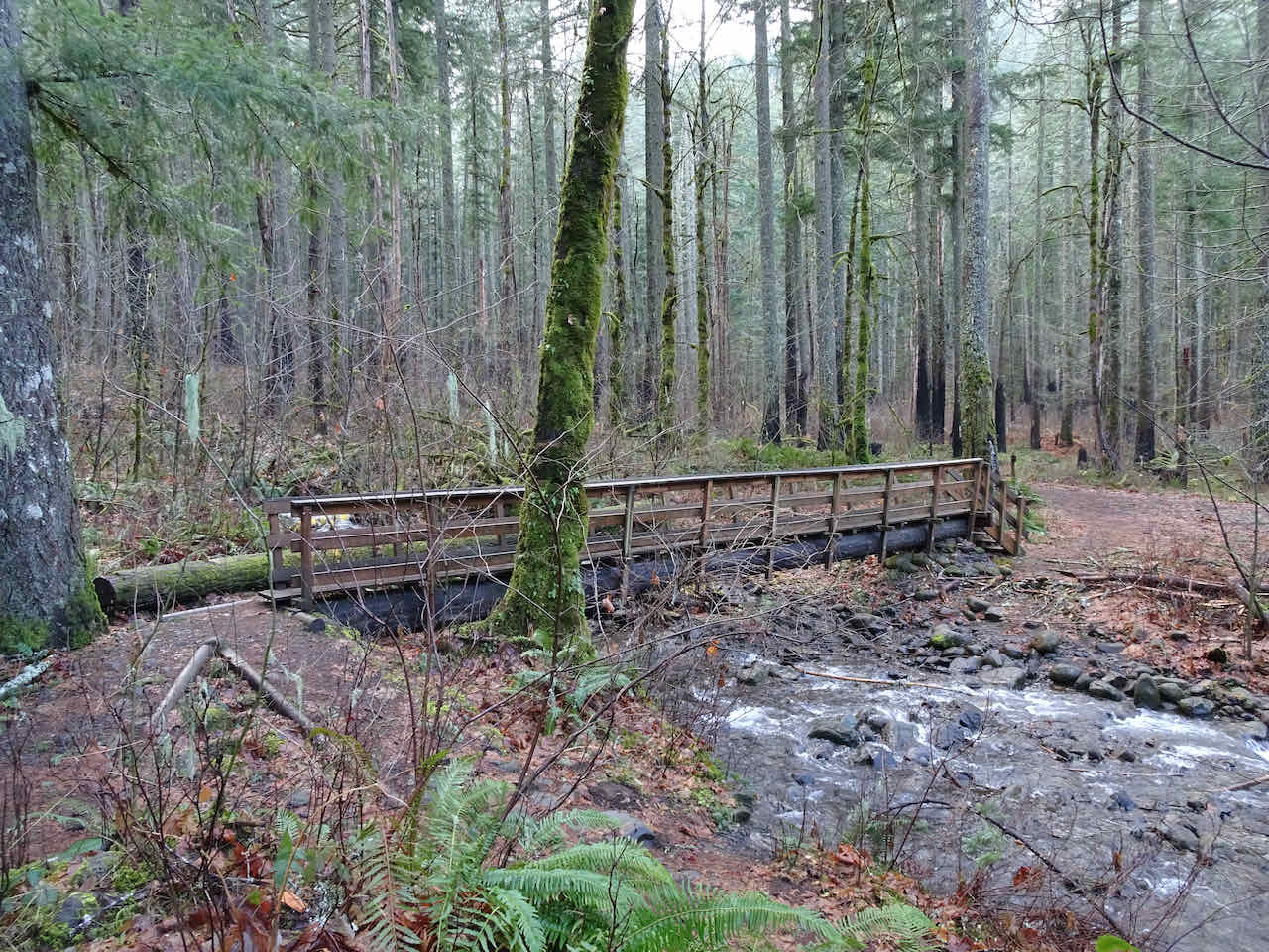
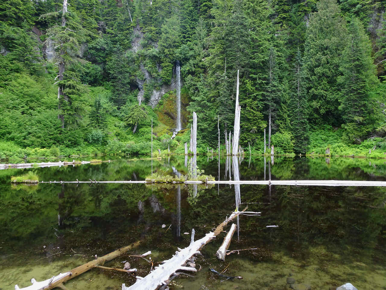
Approaching the Ferry Springs crossing.
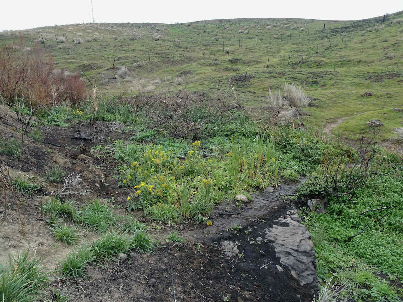
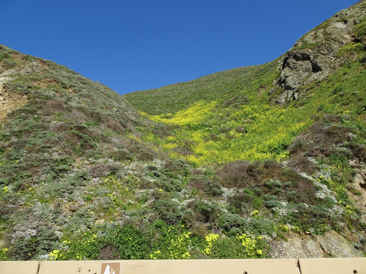
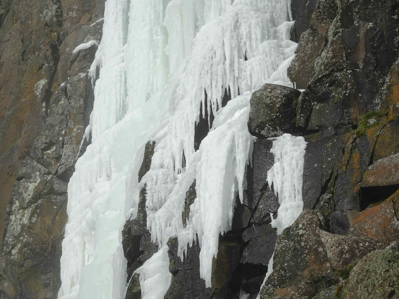
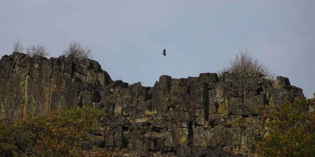
Ferry Springs – burned by a brushfire last July.
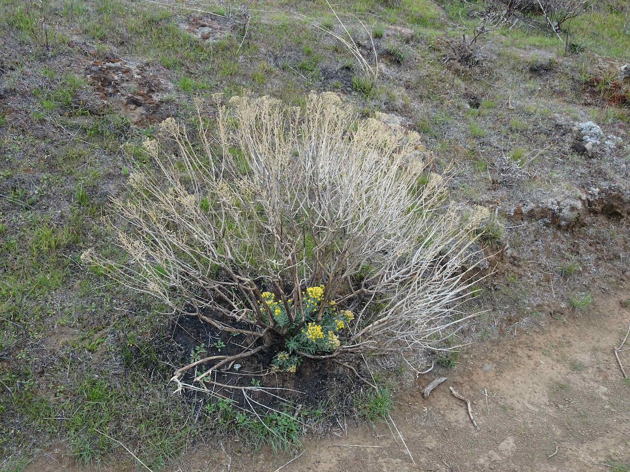
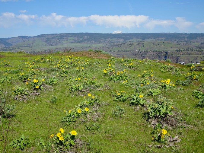
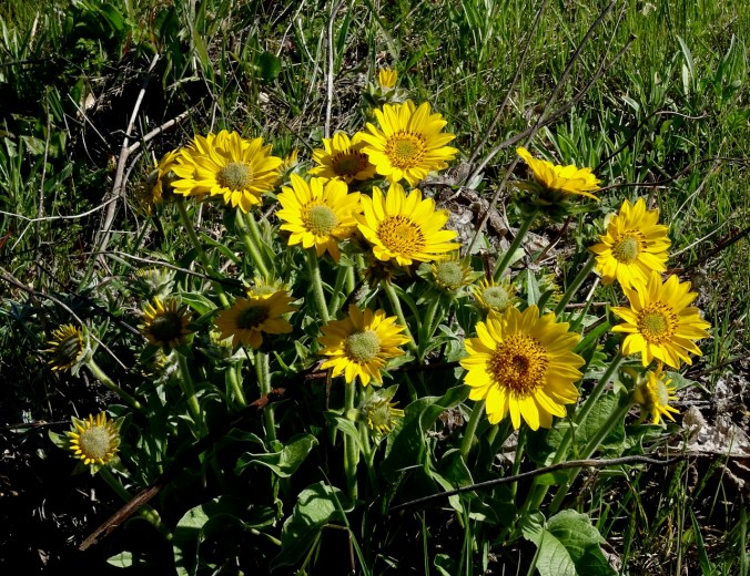
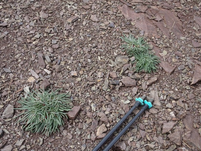
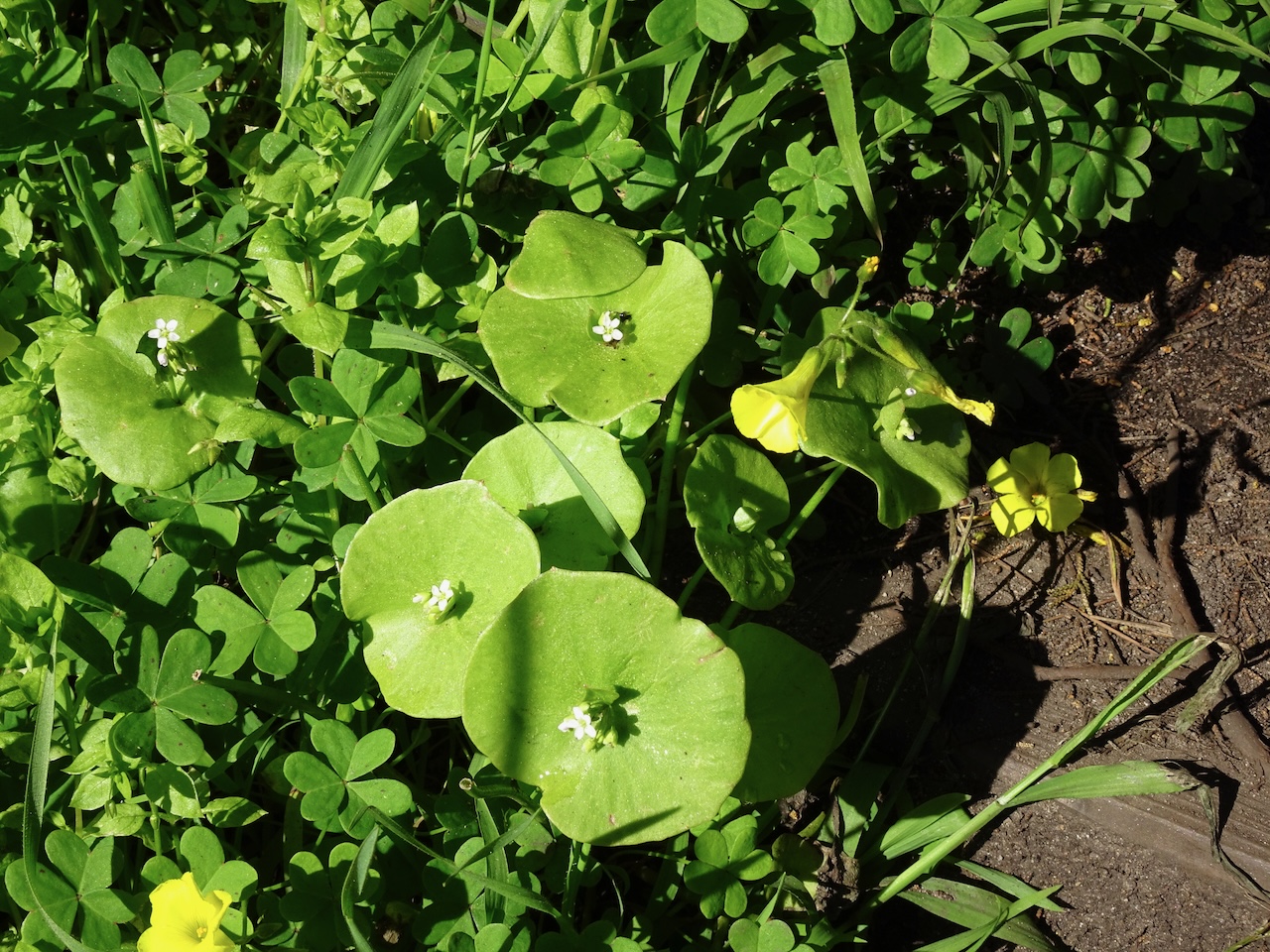
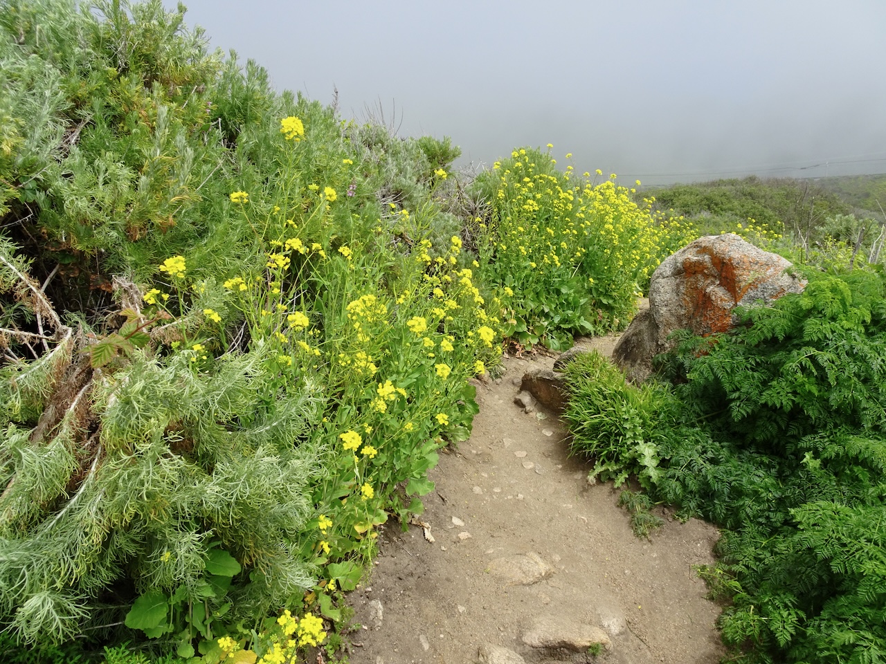
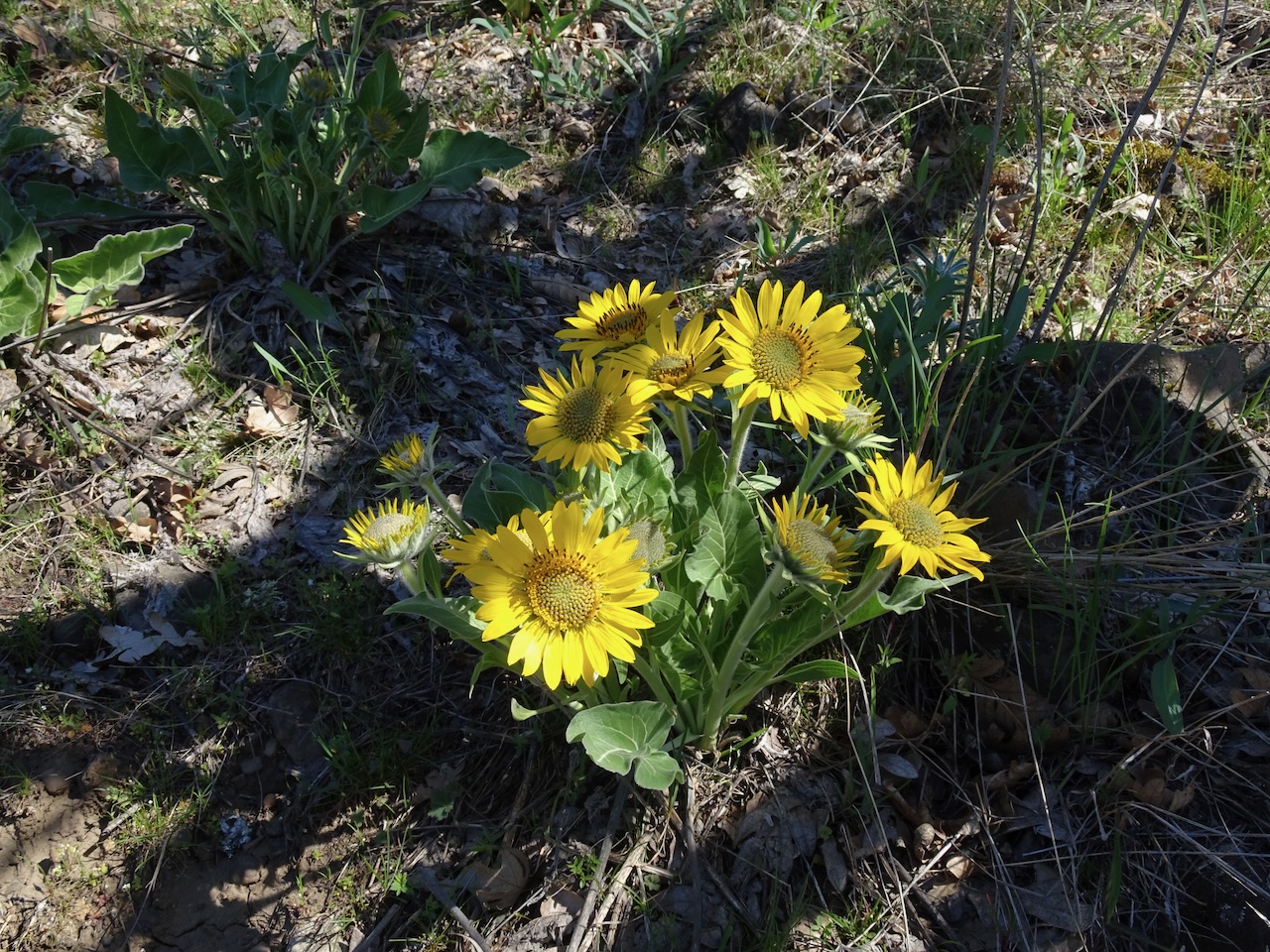
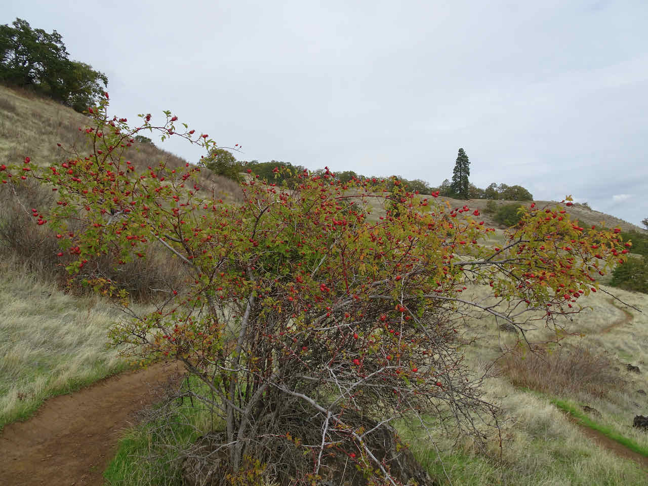
A few wildflowers flowers hanging on.
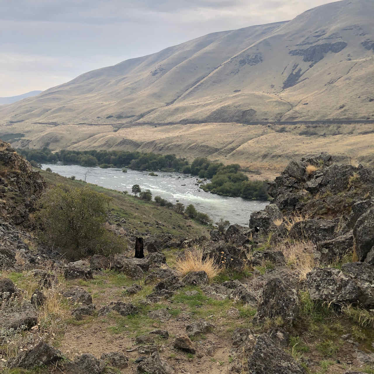
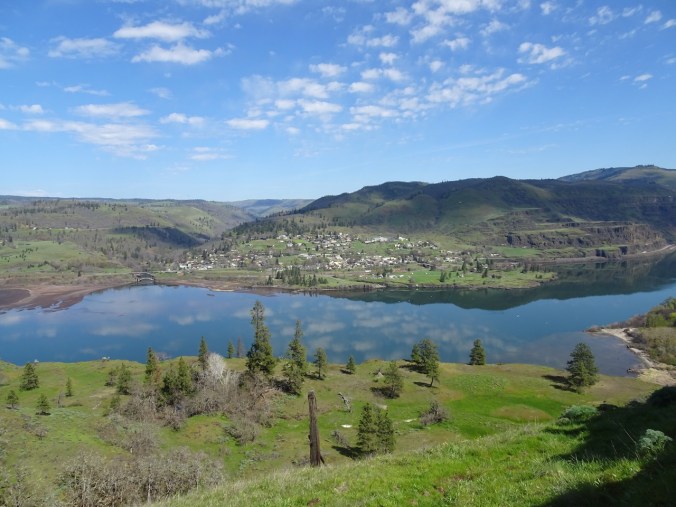
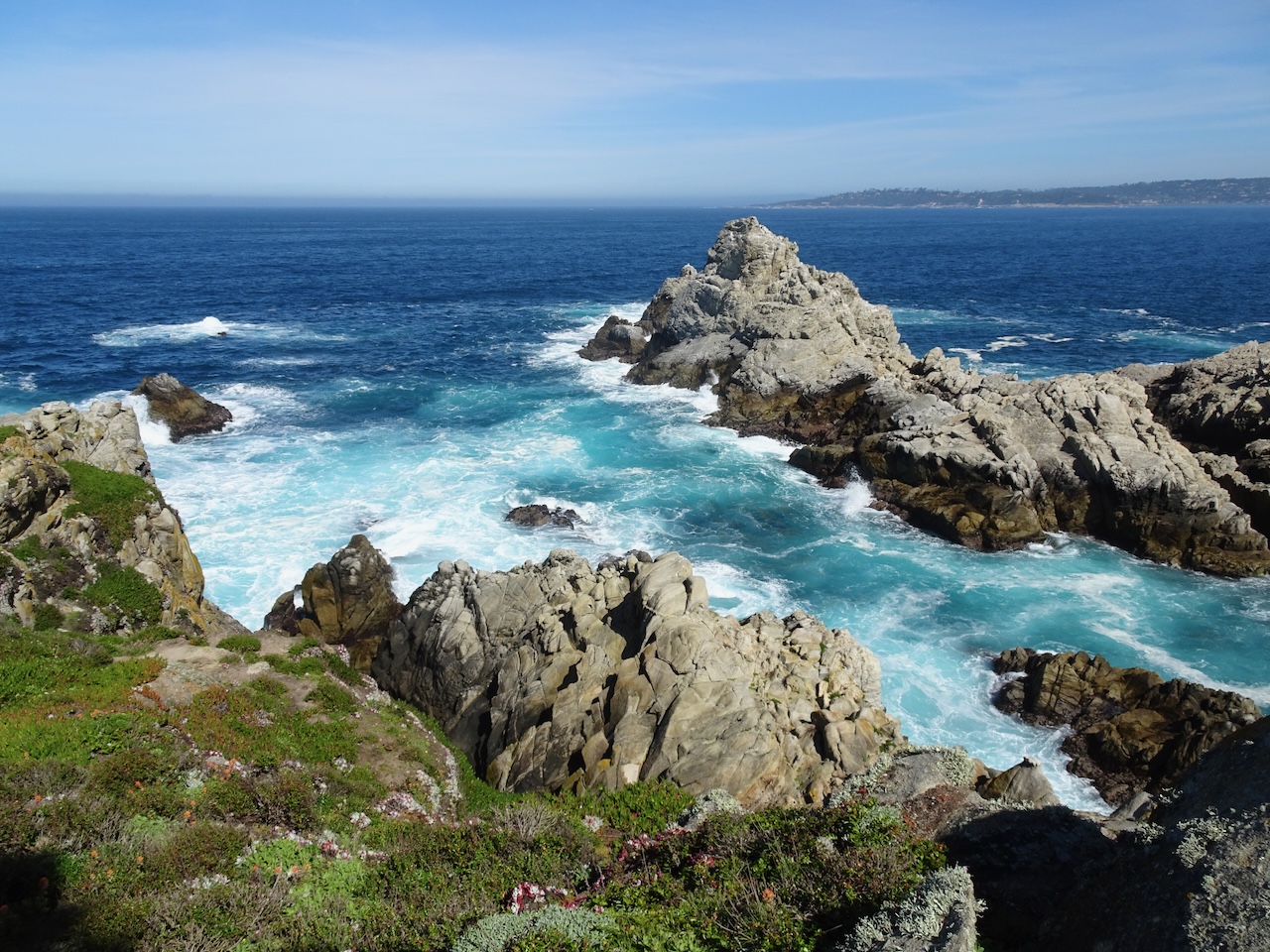
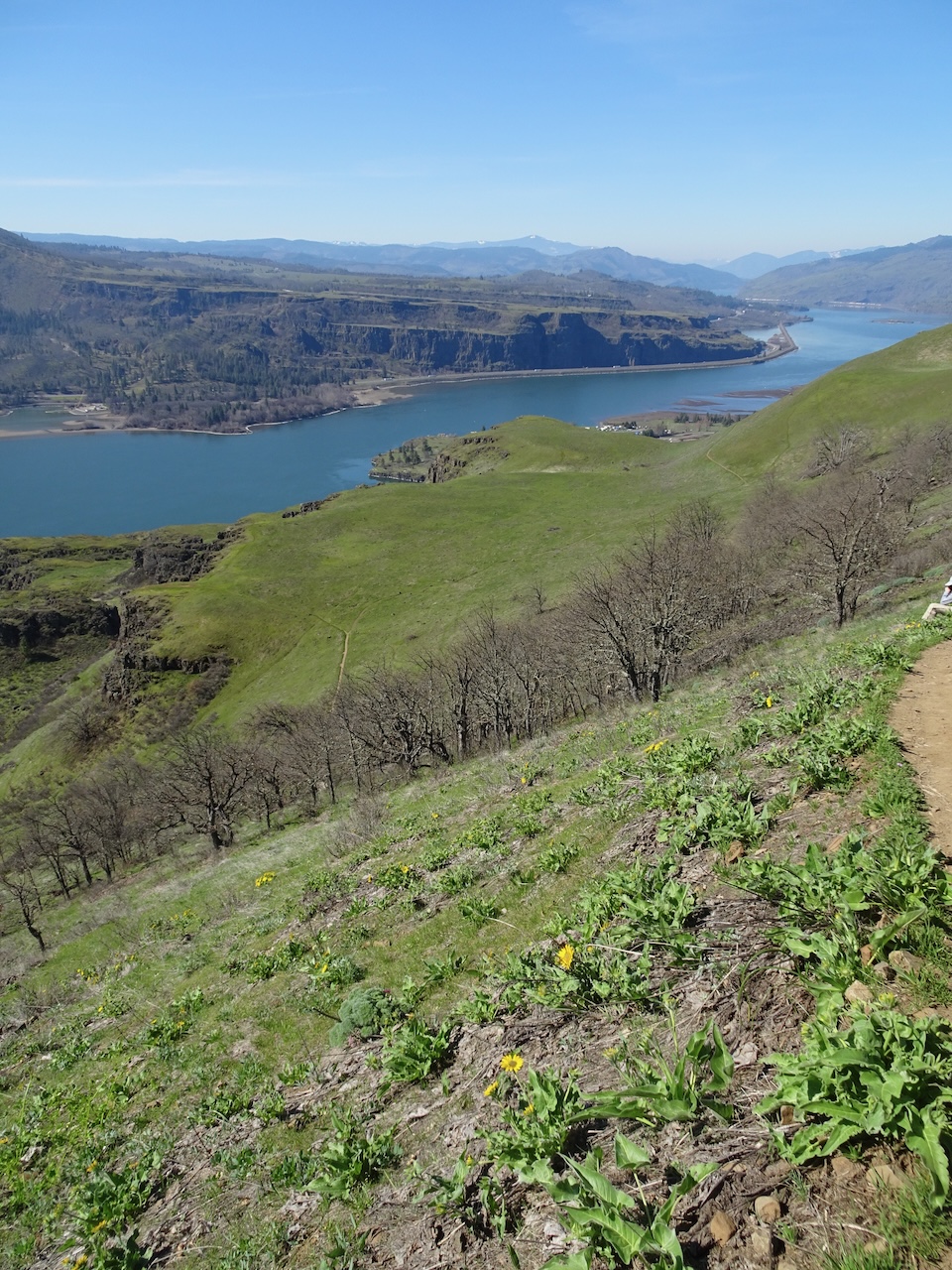
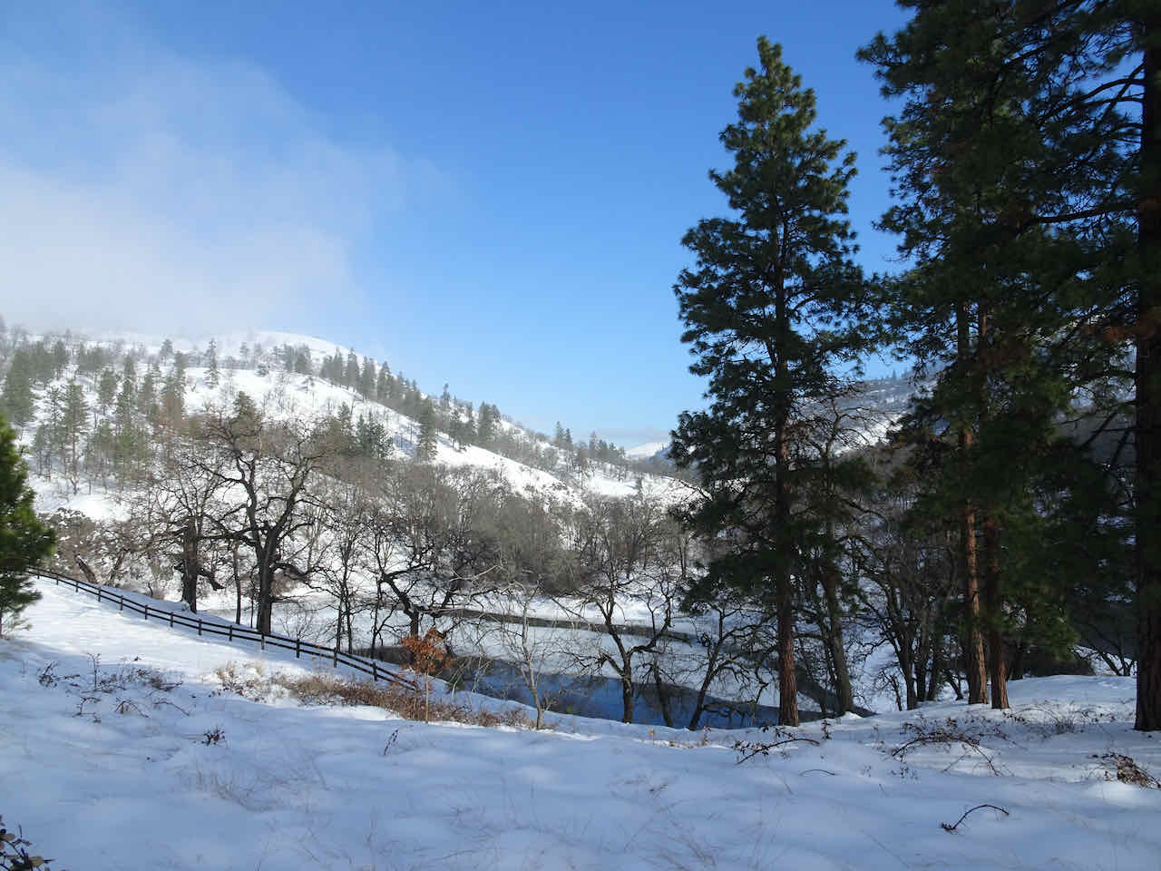
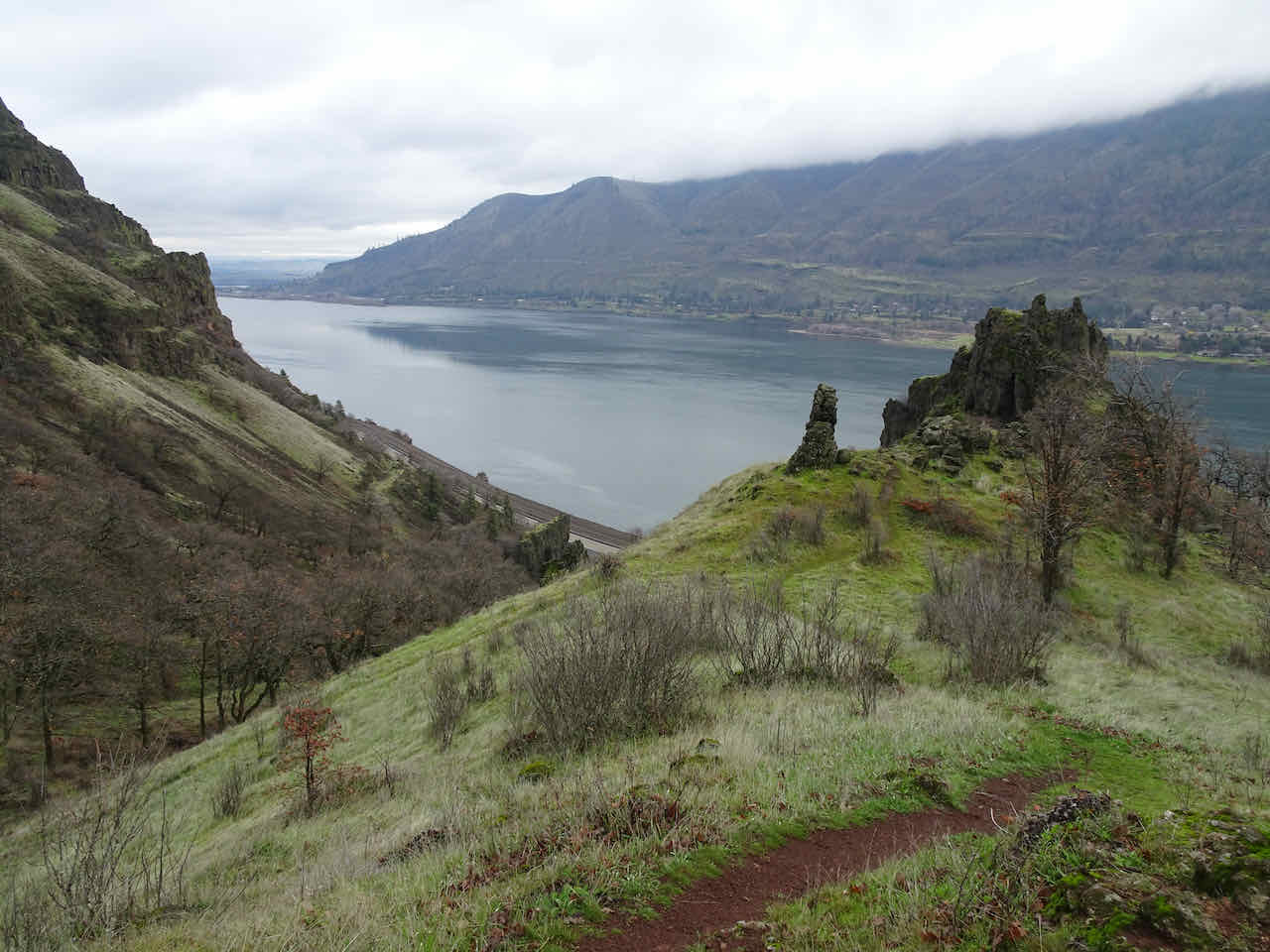
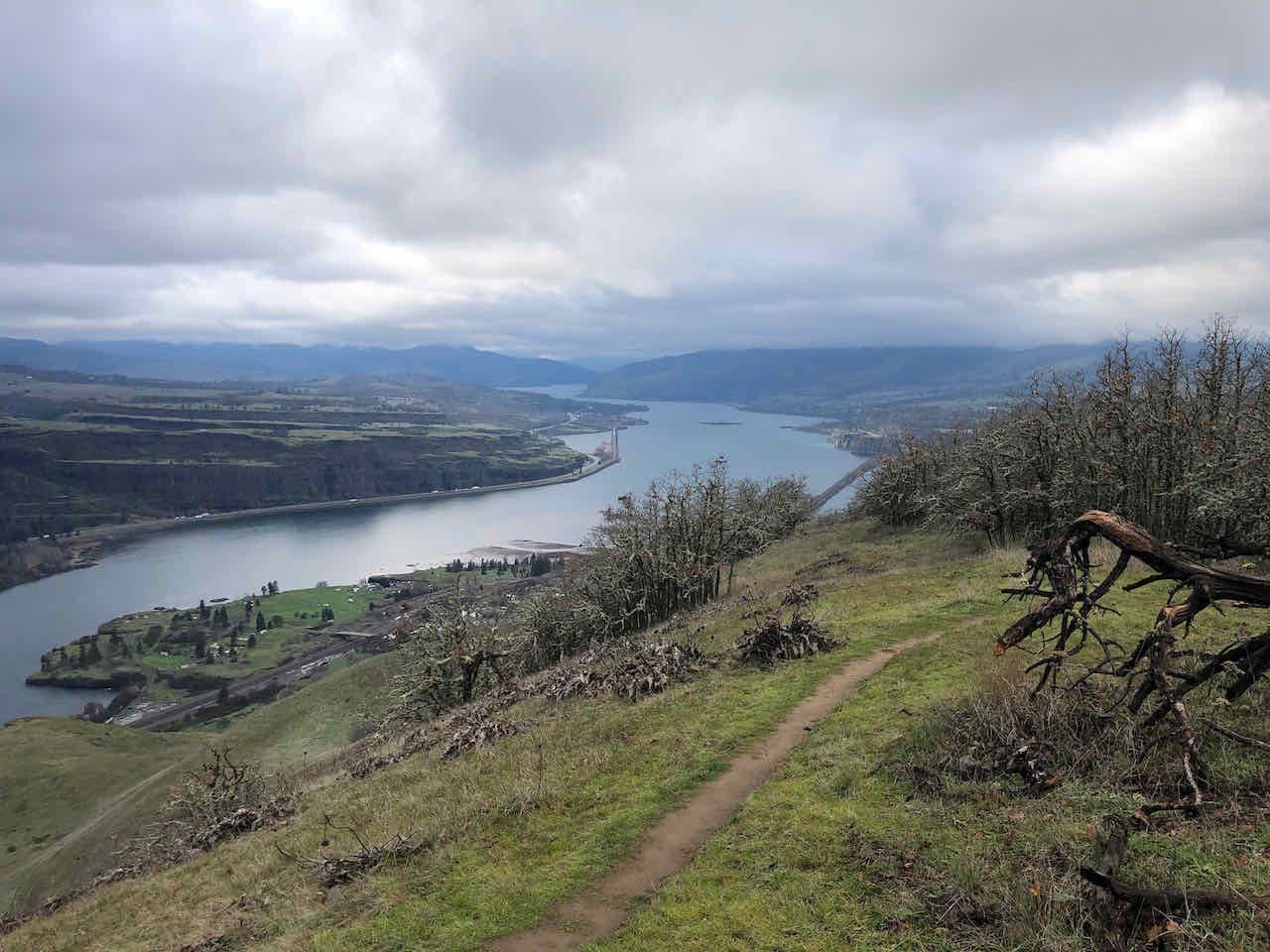
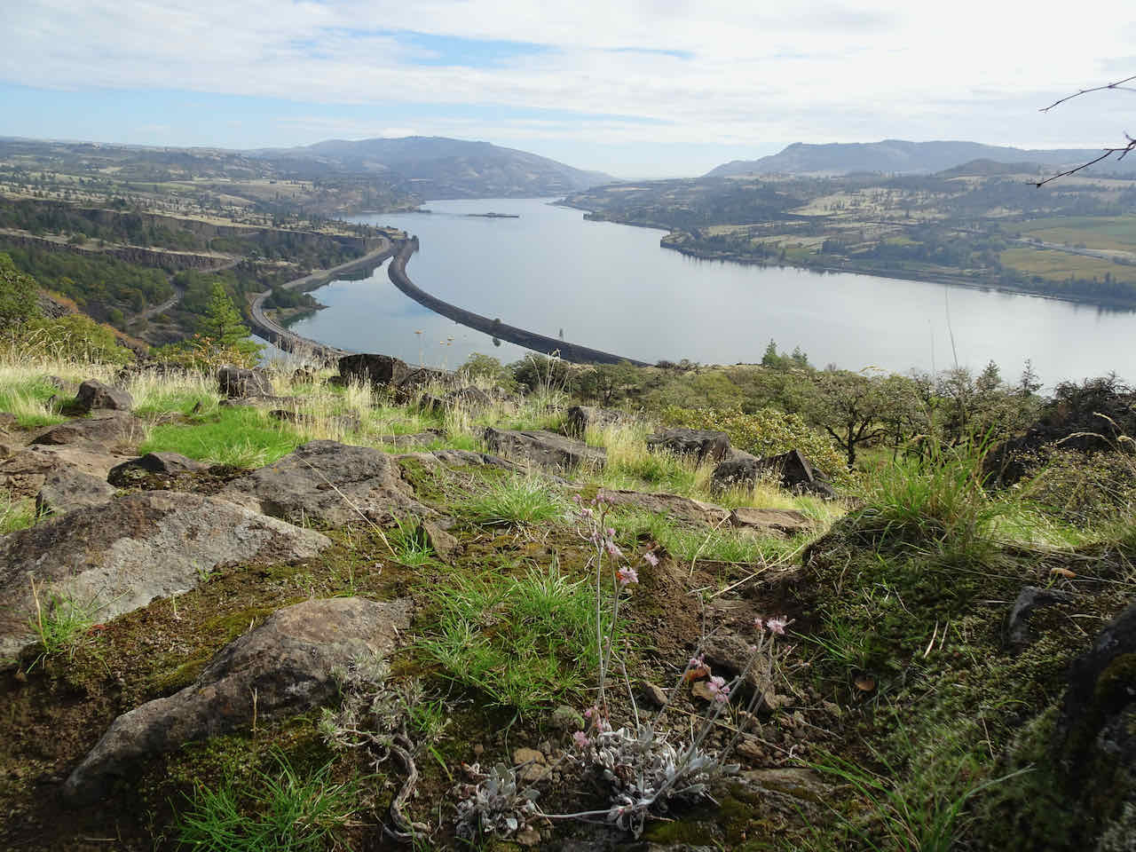
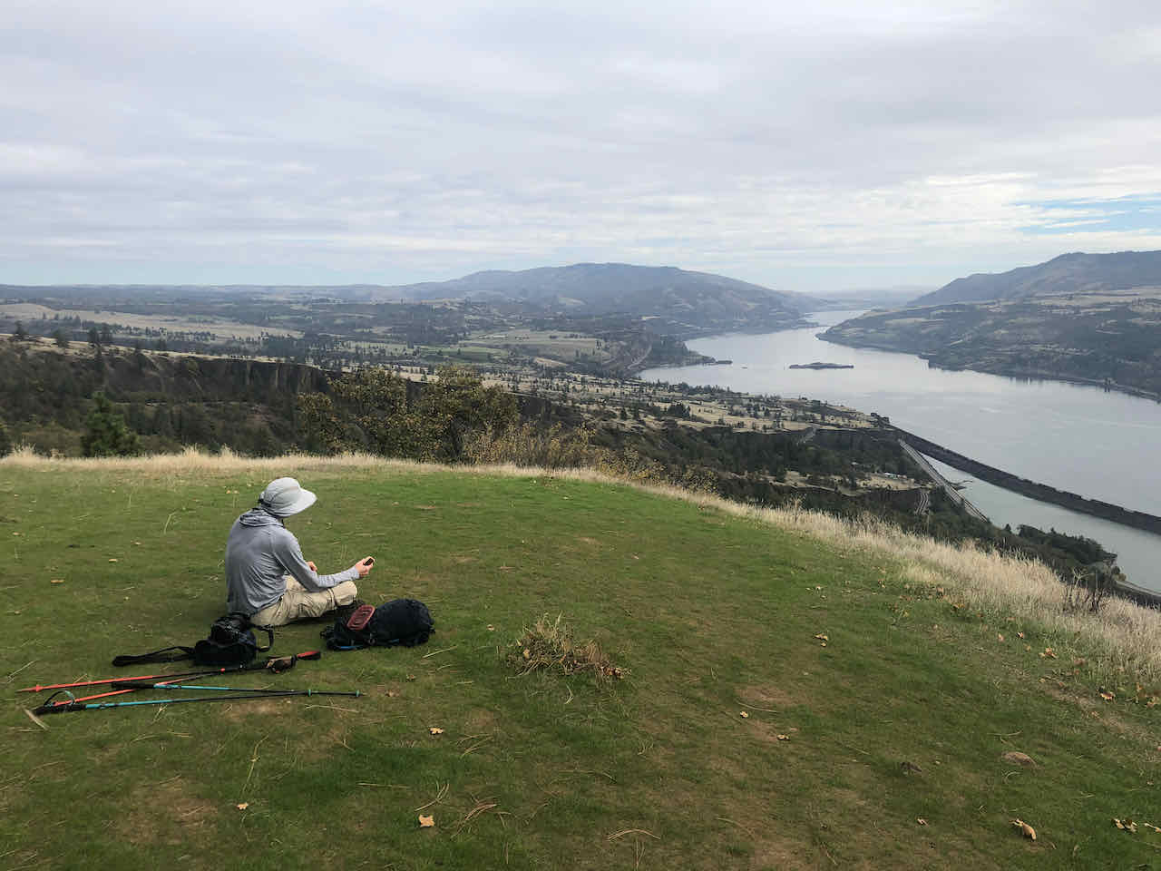
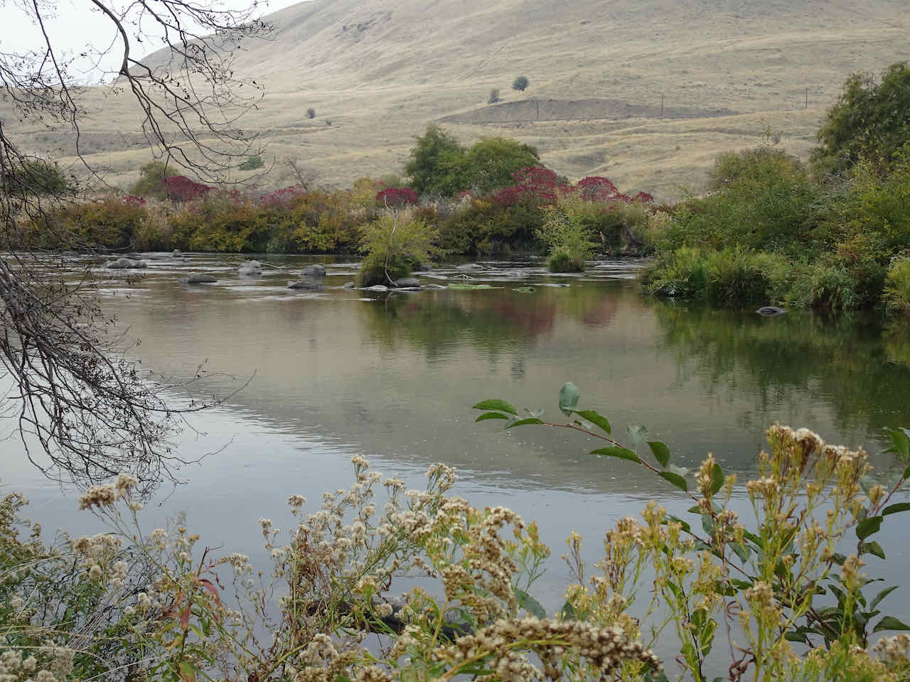
View upriver from our lunch spot near the rock arch.

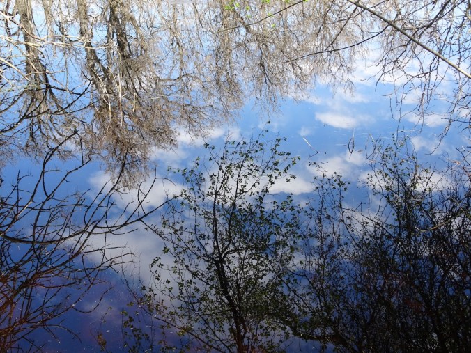
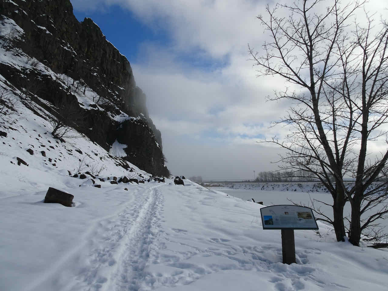
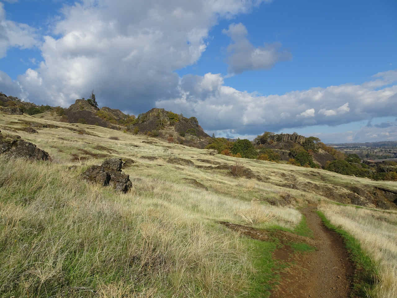
Walking back along the Blackberry Trail, the Columbia Hills appear like a mirage from the mist.
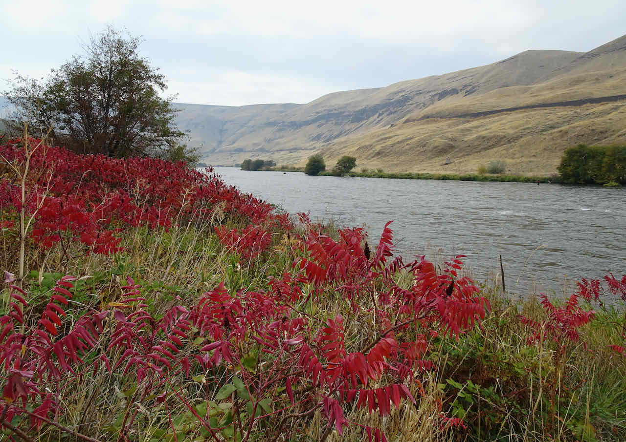
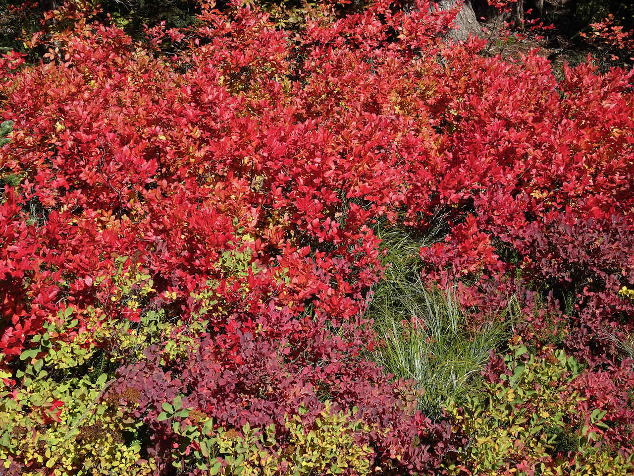
Sumac

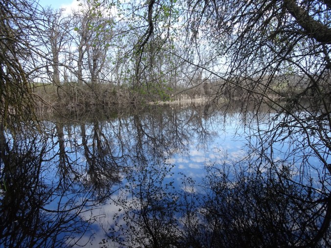
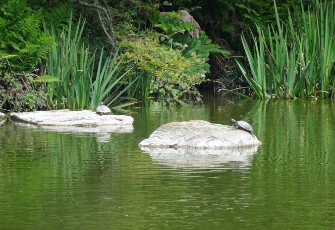
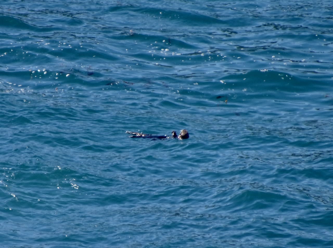
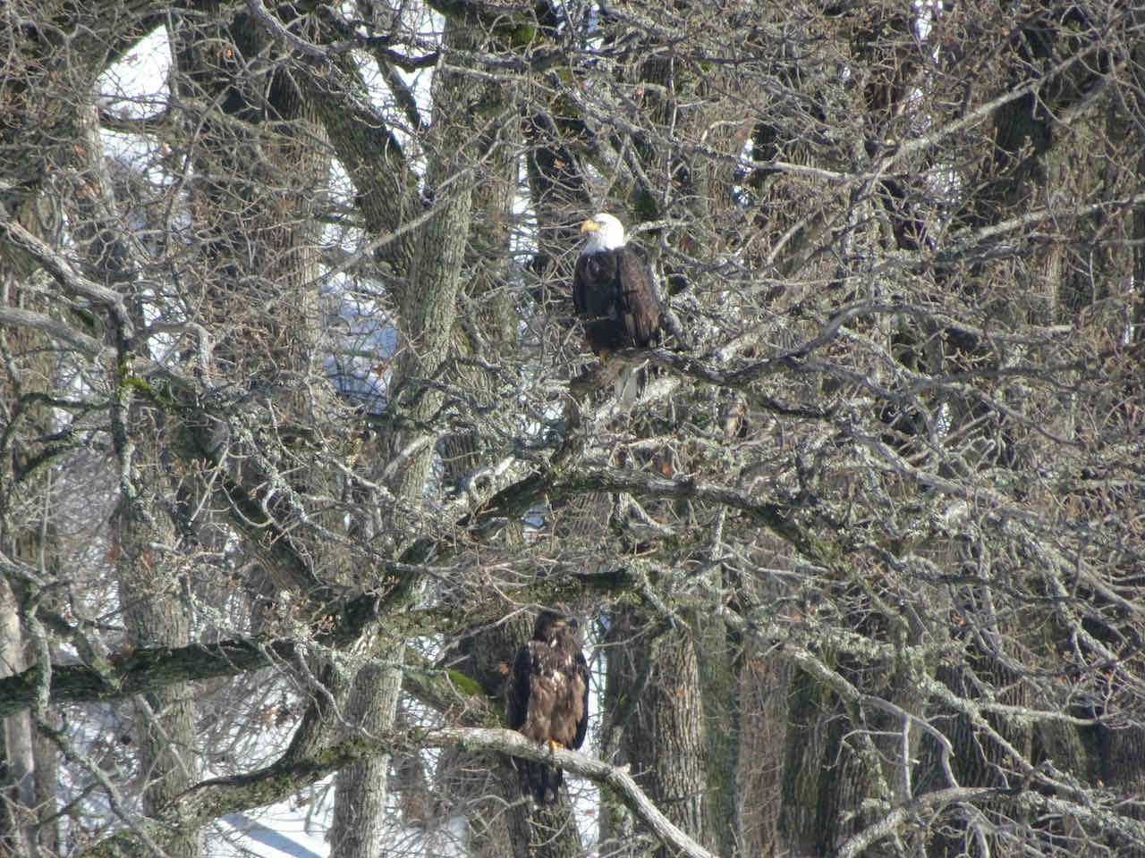
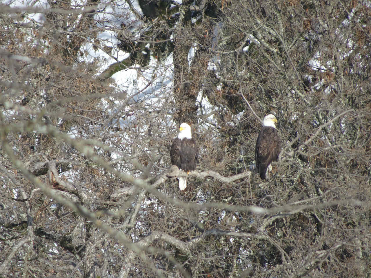
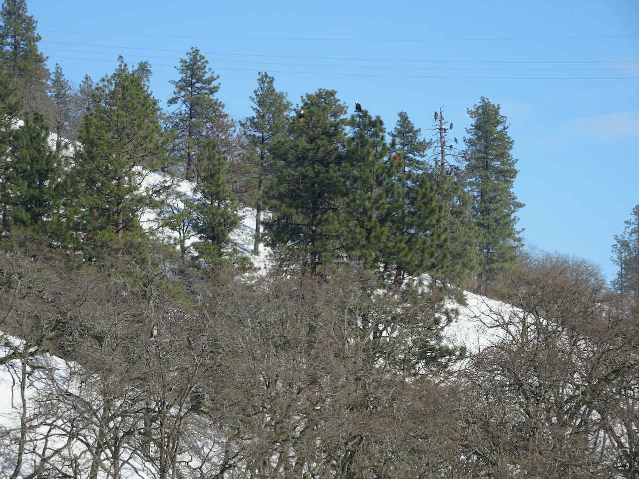
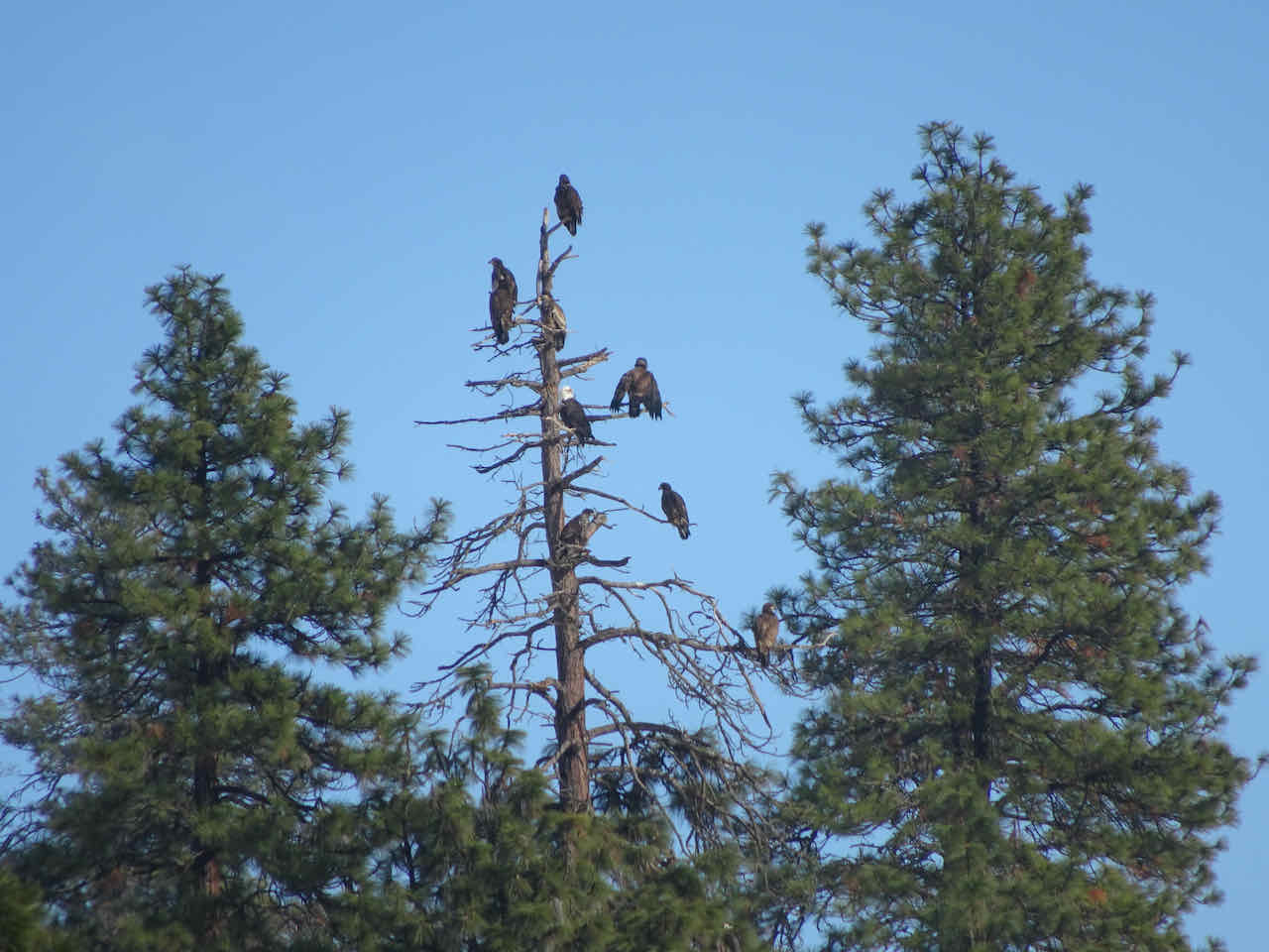
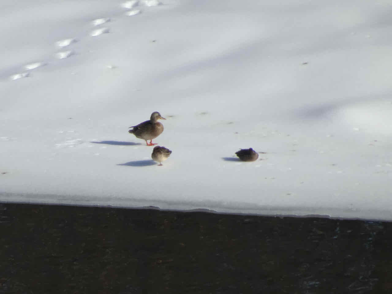
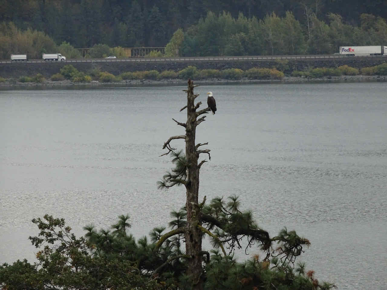
Heron
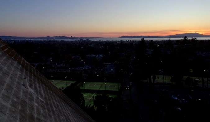
And the rain didn’t start until we were on our drive home (5 miles, 500 feet).
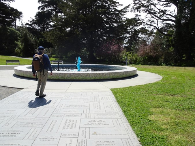
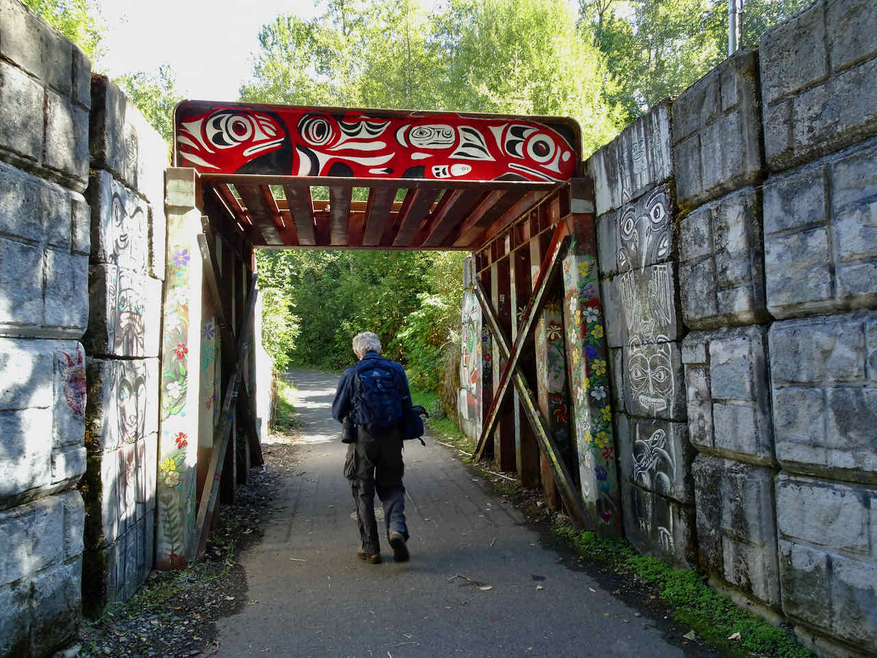
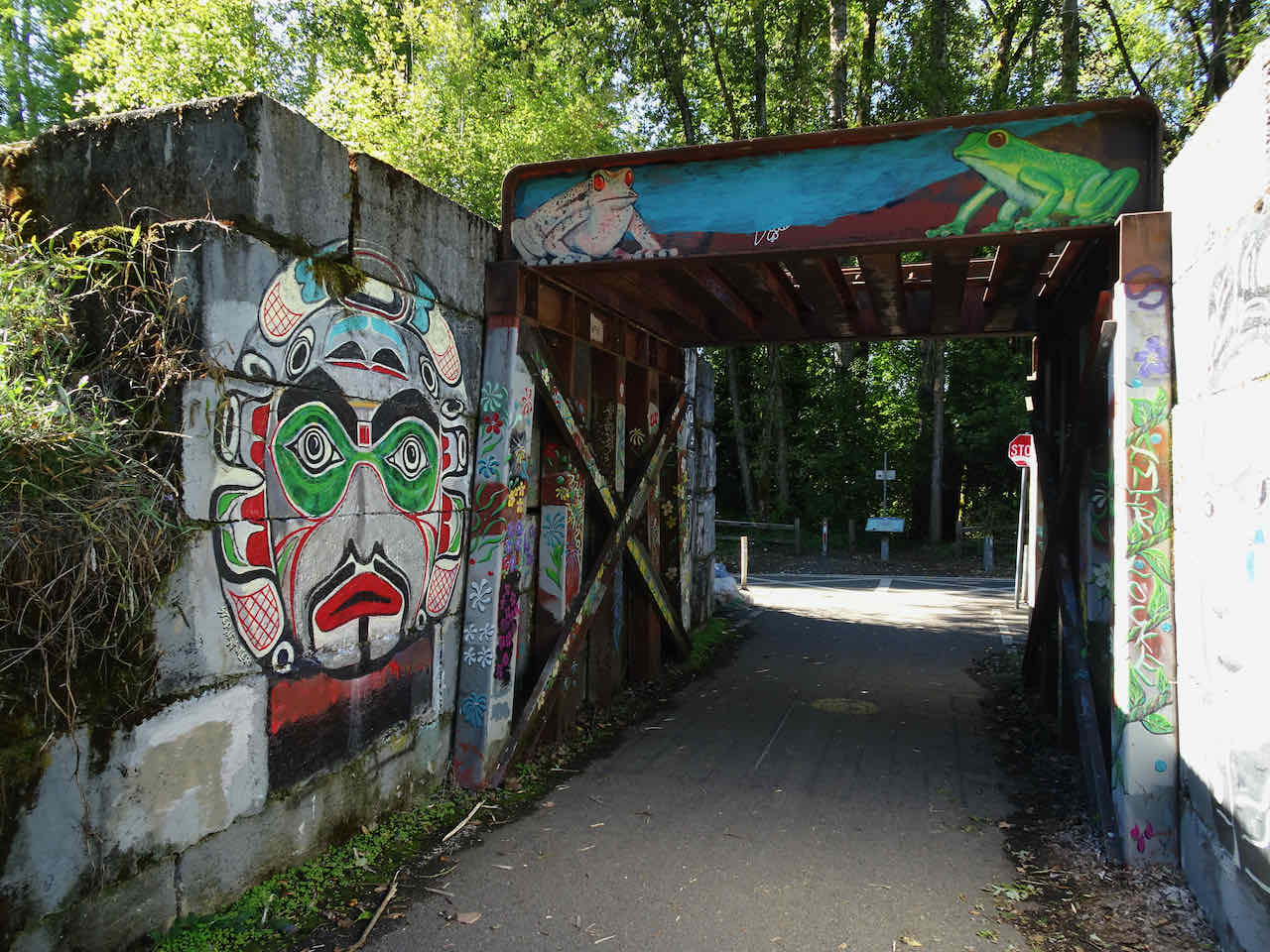
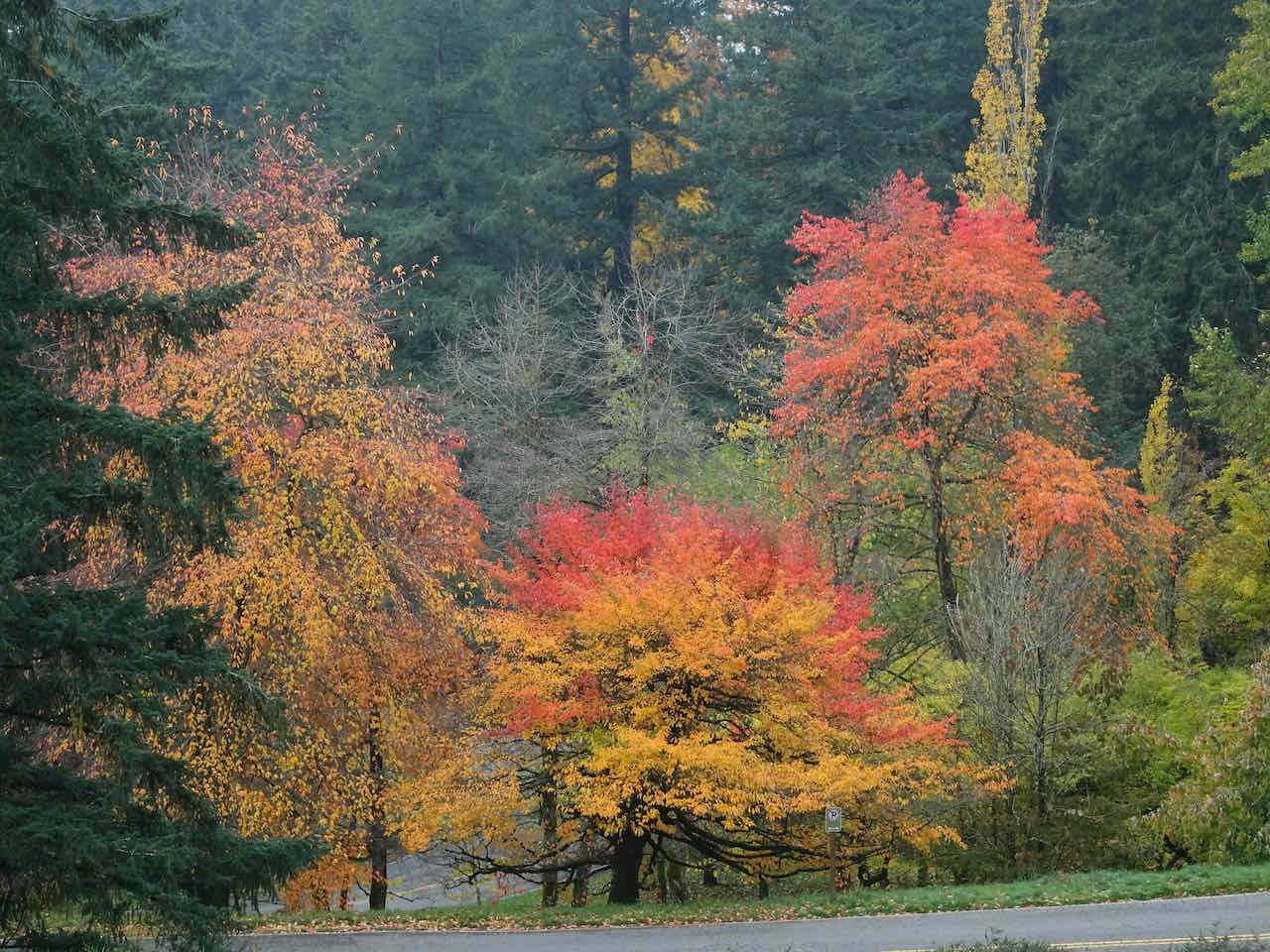
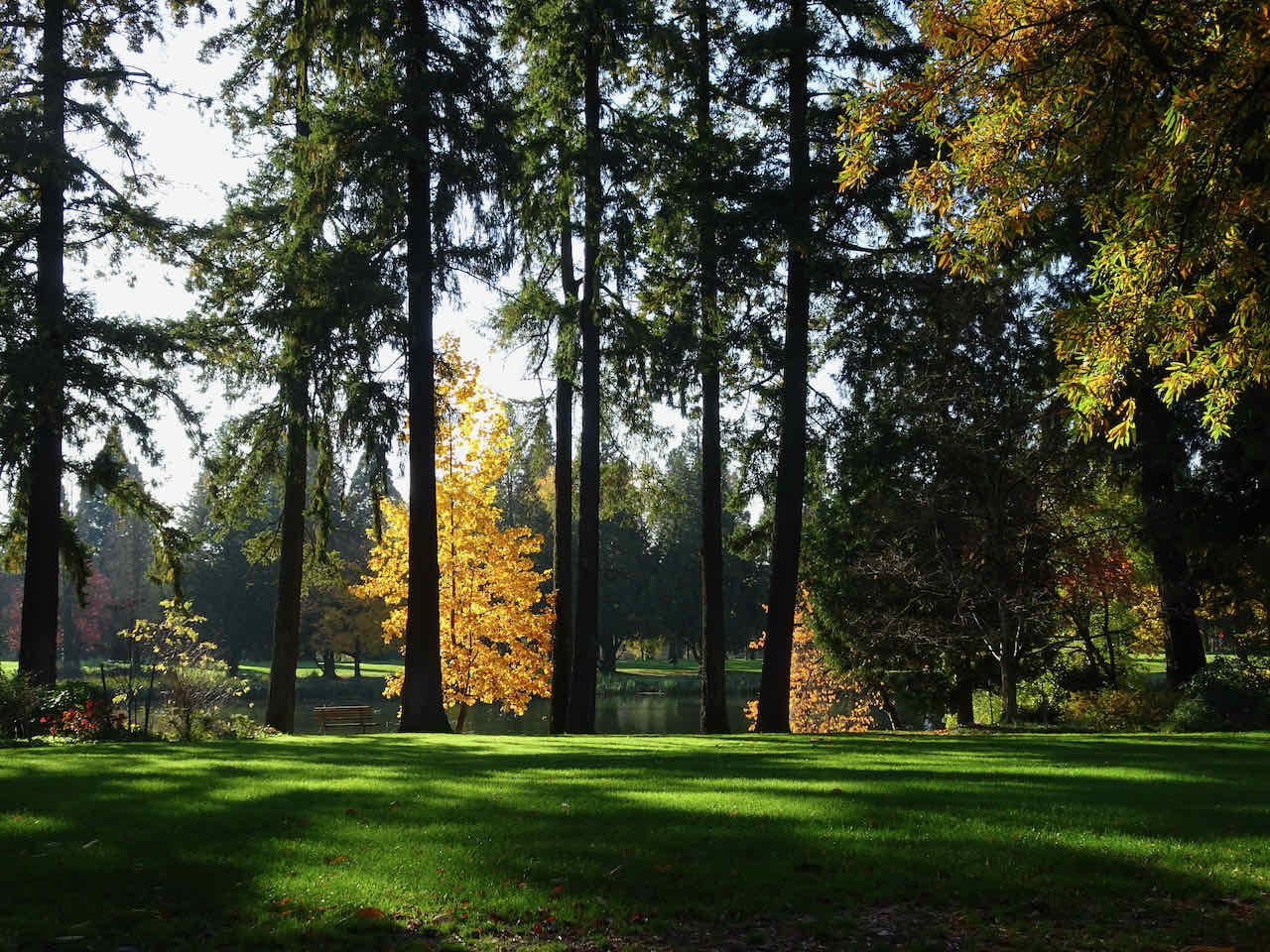
November 8 – Portland Arboretum and Crystal Springs Garden, Portland –
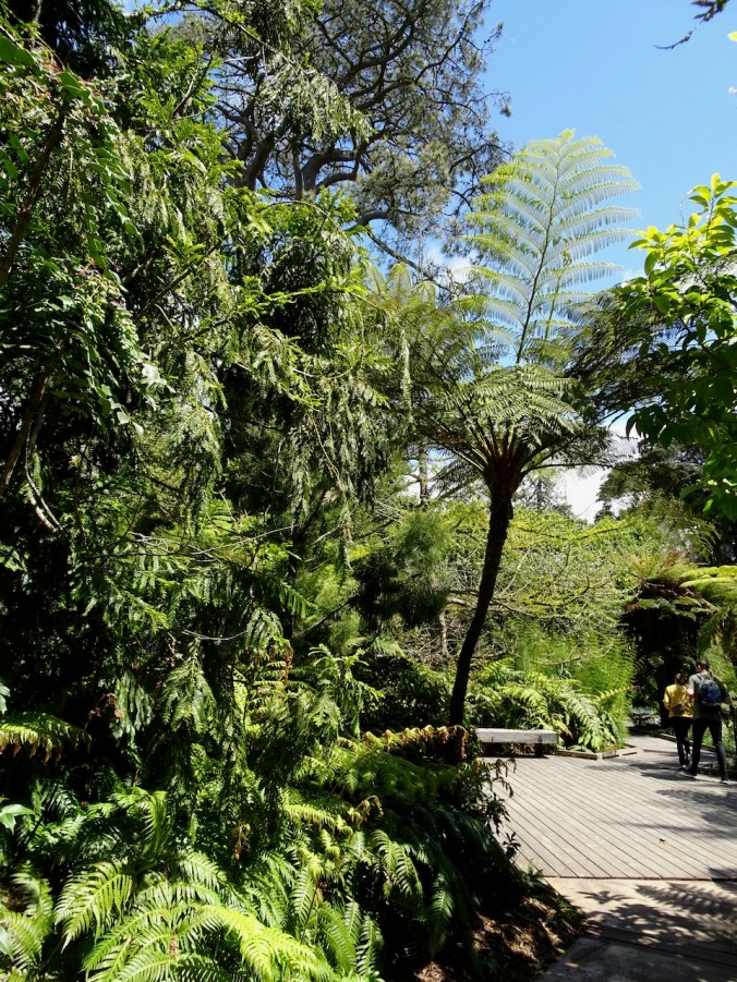
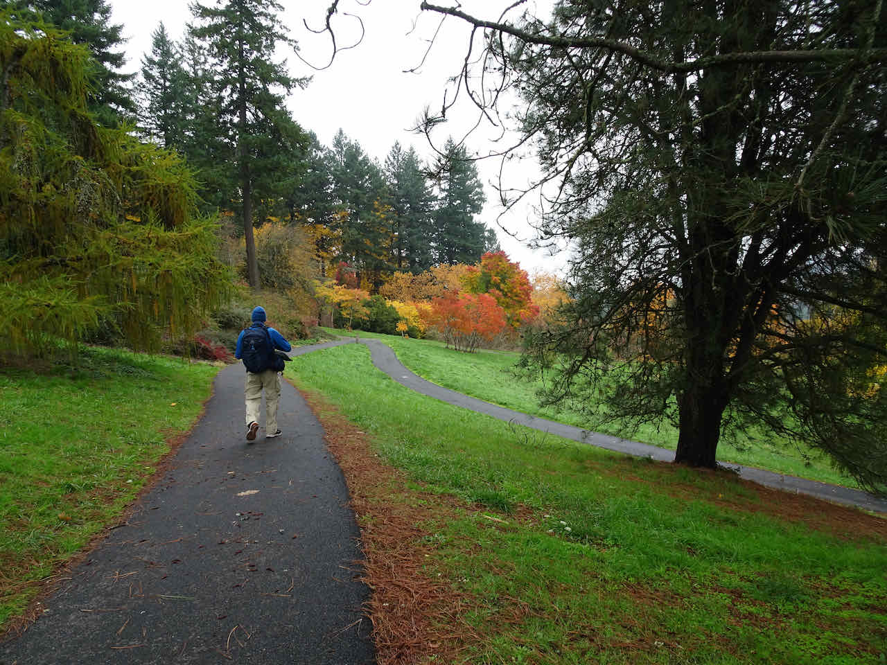
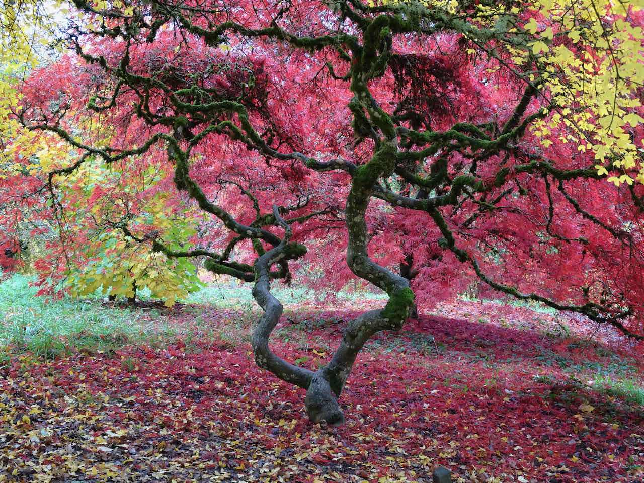
We wanted to see the beautifully curated gardens, including the spectacular Japanese maple, at Portland’s Japanese Garden in Washington Park. On this sunny Wednesday it seemed many had the same idea. The parking lots were packed and lots of people were walking toward the garden entrance – it seemed less than ideal. So we drove around to the other side of the park to the Arboretum, and there found a beautiful Japanese maple and many other trees in excellent fall colors with much less crowded paths.
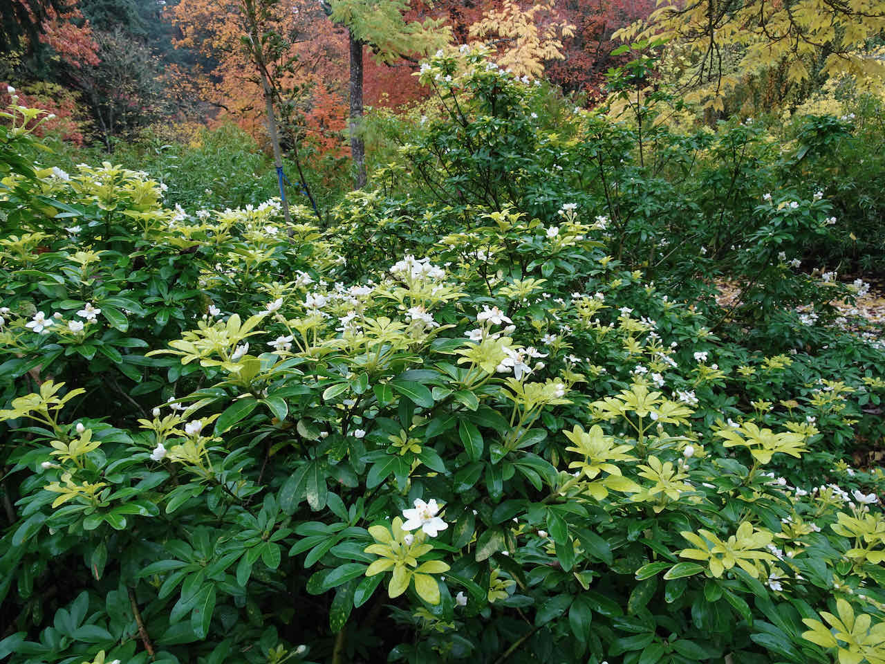
White Mexican Orange flowers near the Arboretum headquarters.
Walking toward the Maple Trail…
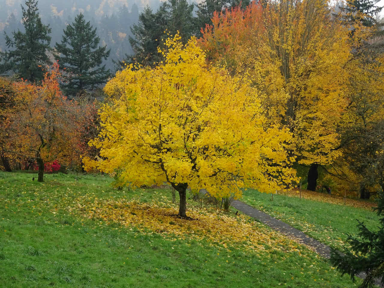
Approaching the sumac grove
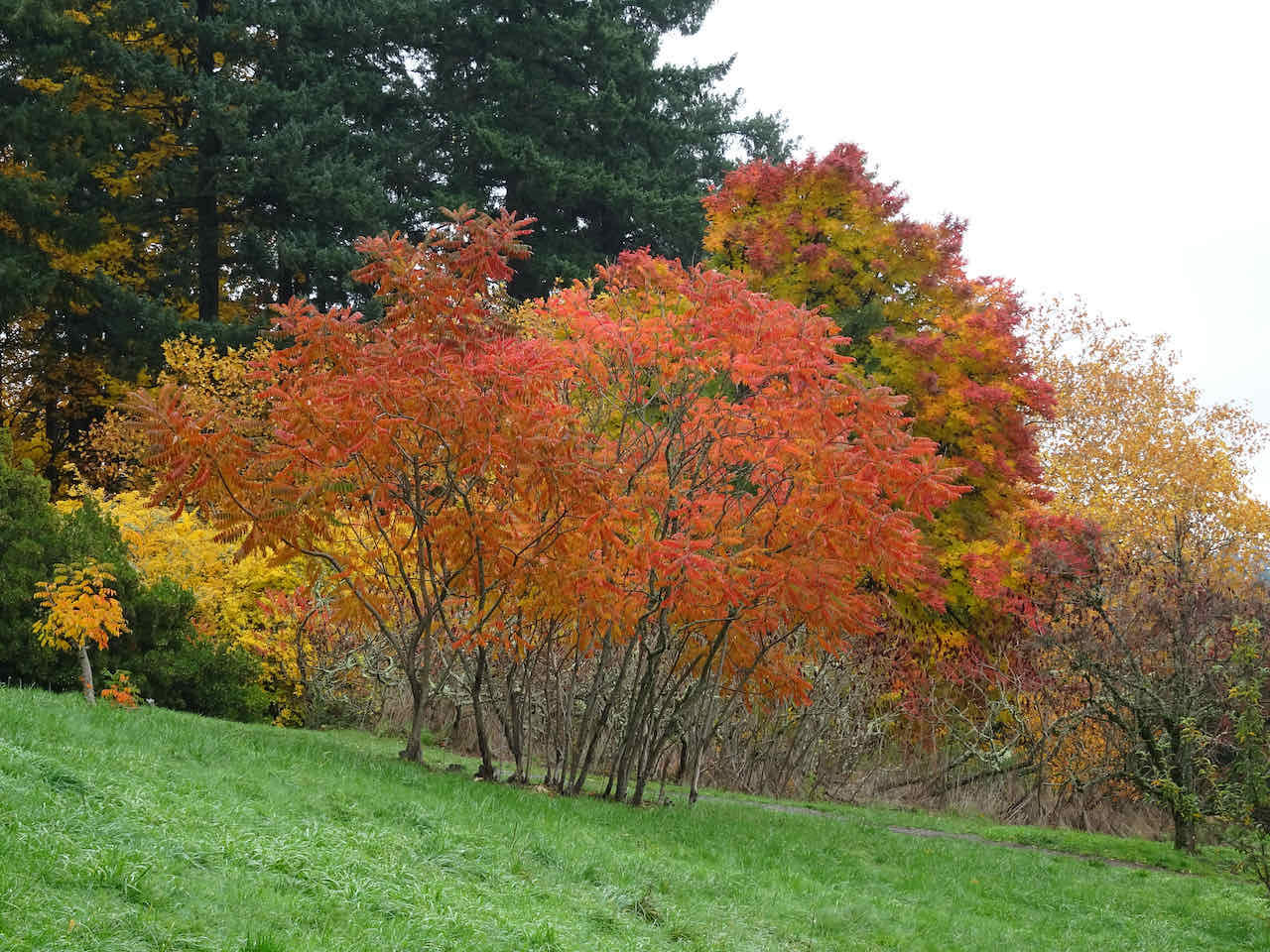
Sumacs
A selection of leaves and berries…
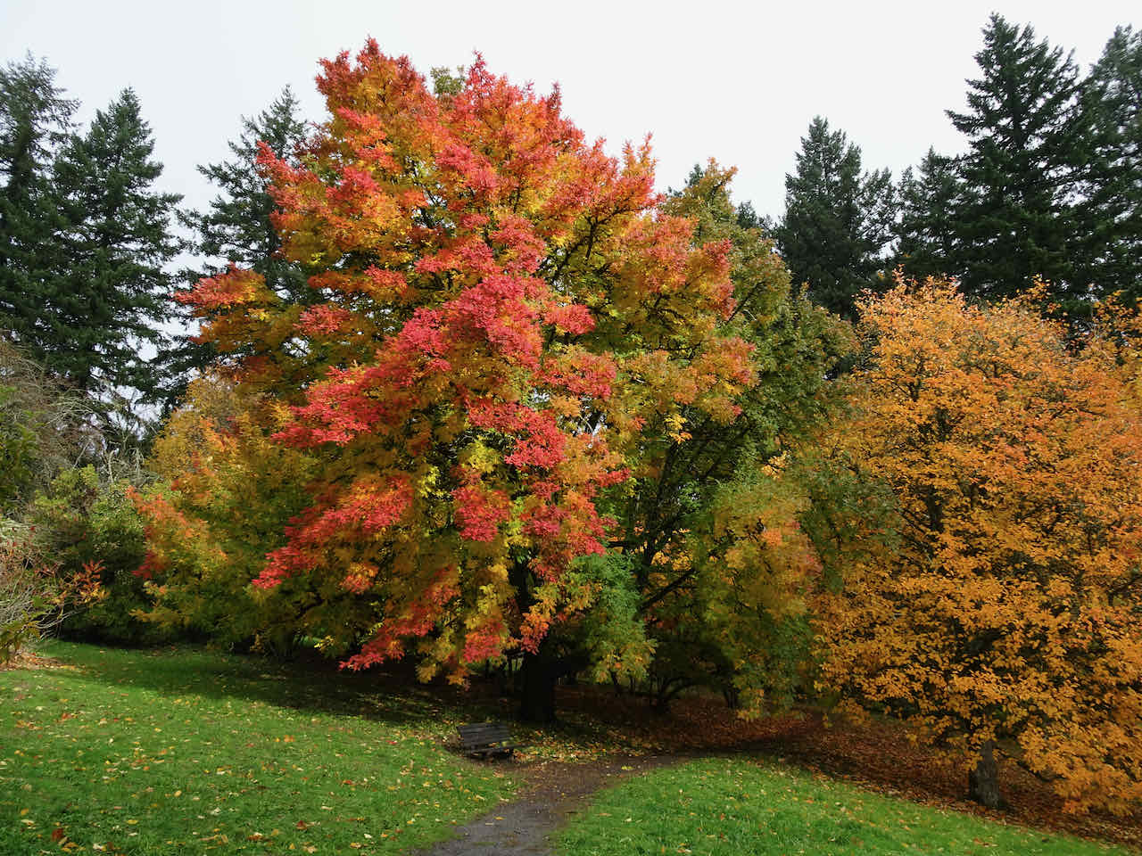
And a beautiful Japanese Maple…
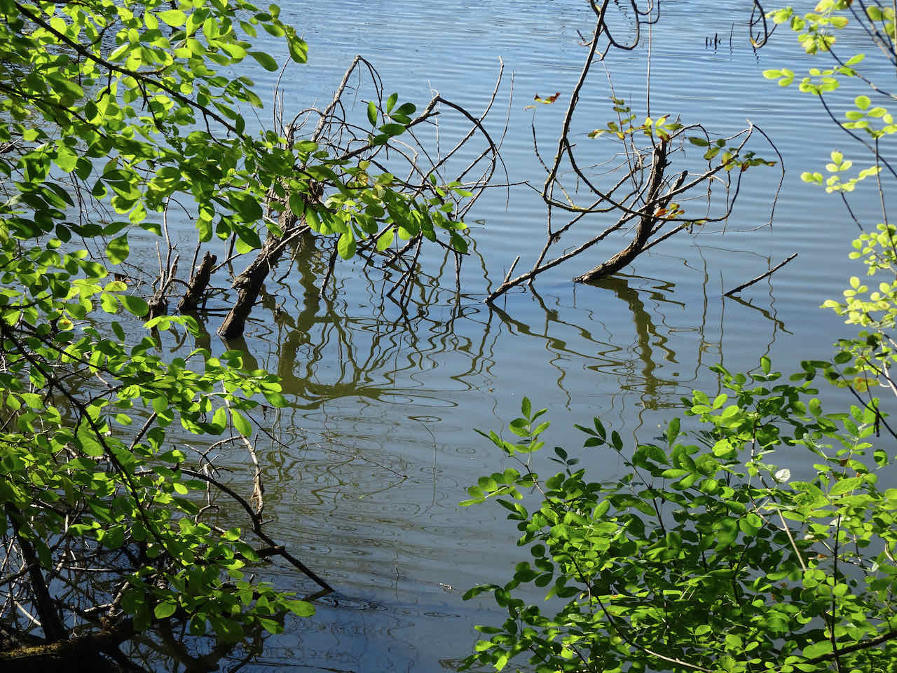
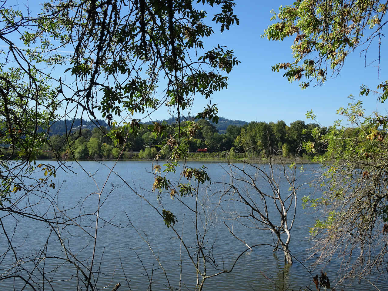
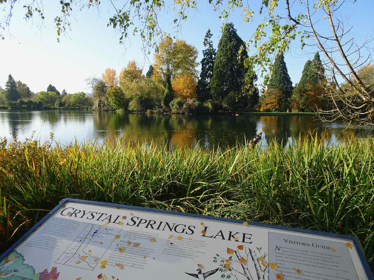
After lunch, we decided to check out the fall colors at Crystal Springs Garden, on the east side of town. It was also beautiful there, with colorful reflections in the lakes, and also not very crowded.

We passed the Portland Tram, that I rode in last week, on our way across town.
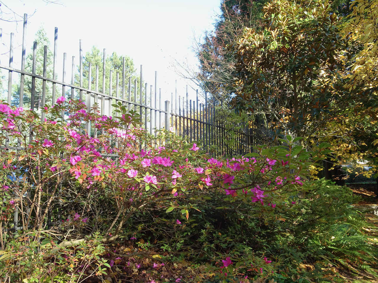
A pink azalea blooming very late
Japanese Maple near the entrance
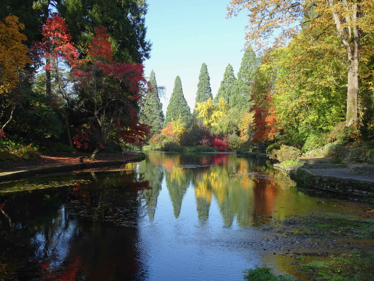
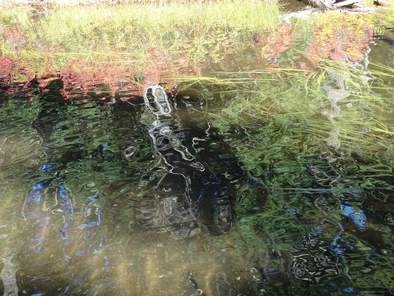
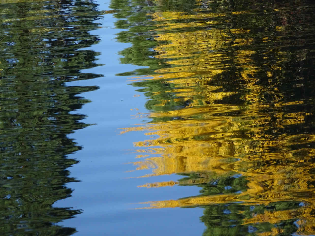
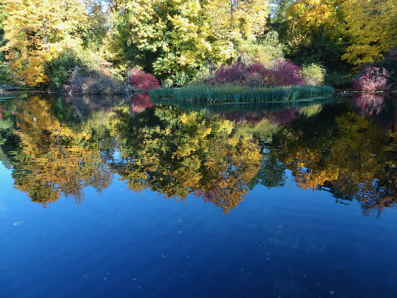
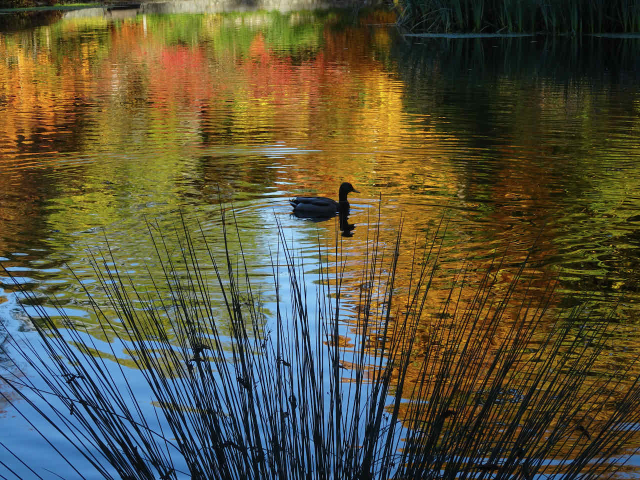
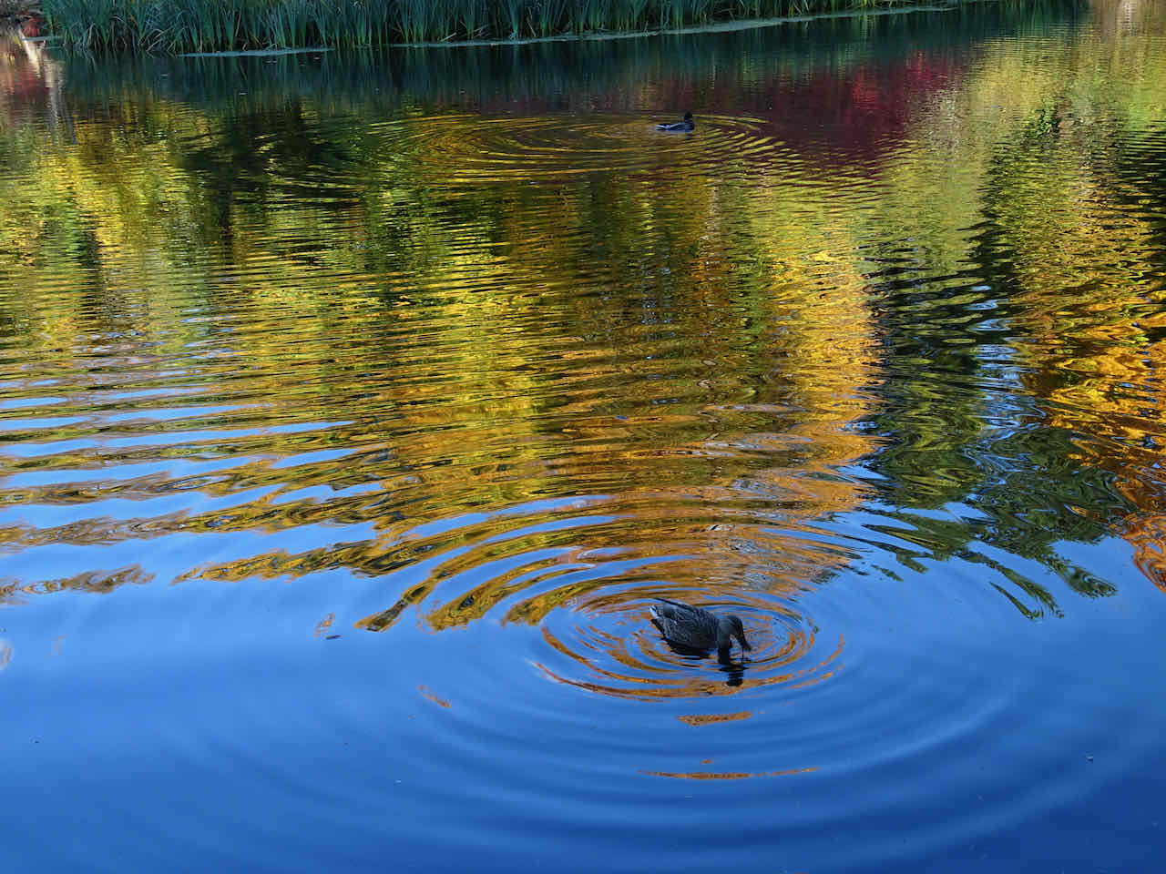
Northern lake, with technicolor reflections…


Cherry tree

And another upside down tree
Crossing over to the southern part of the garden…

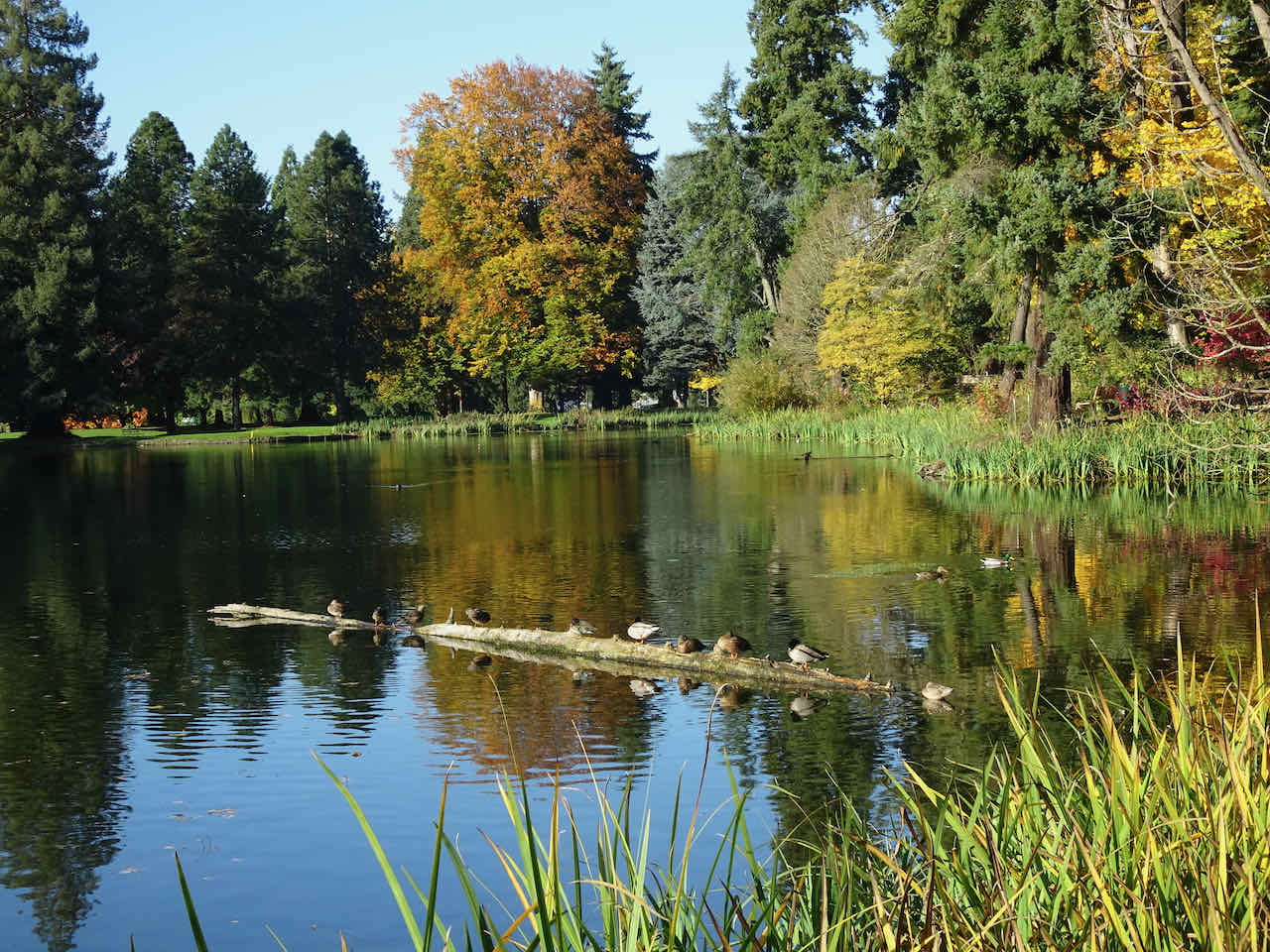
Ducks on a log
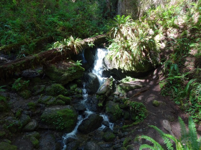
Party meadow

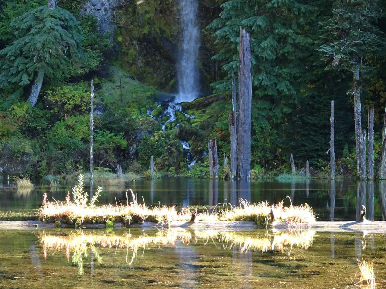
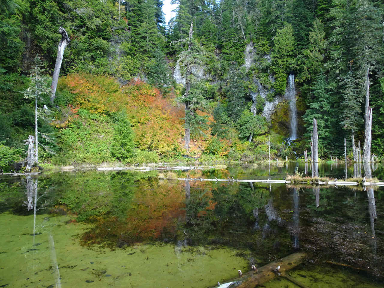
Waterfall
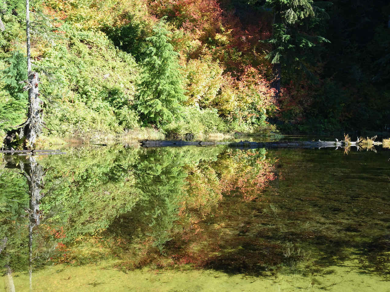
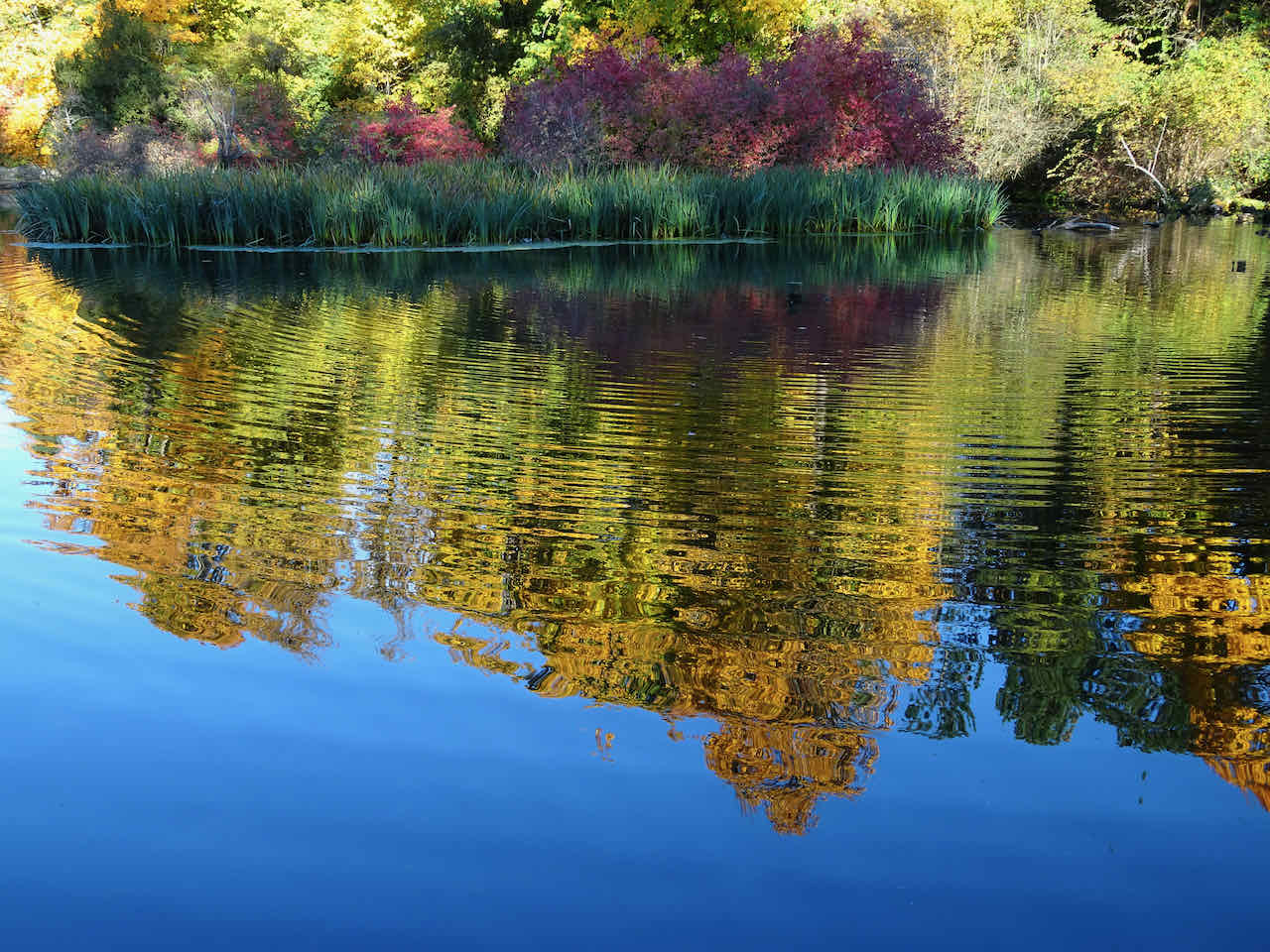
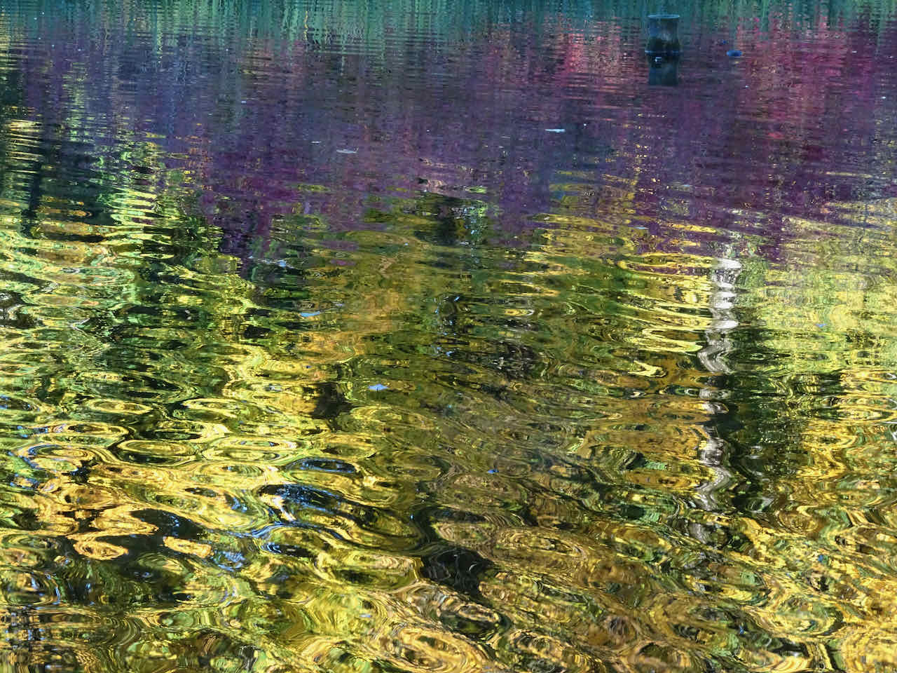
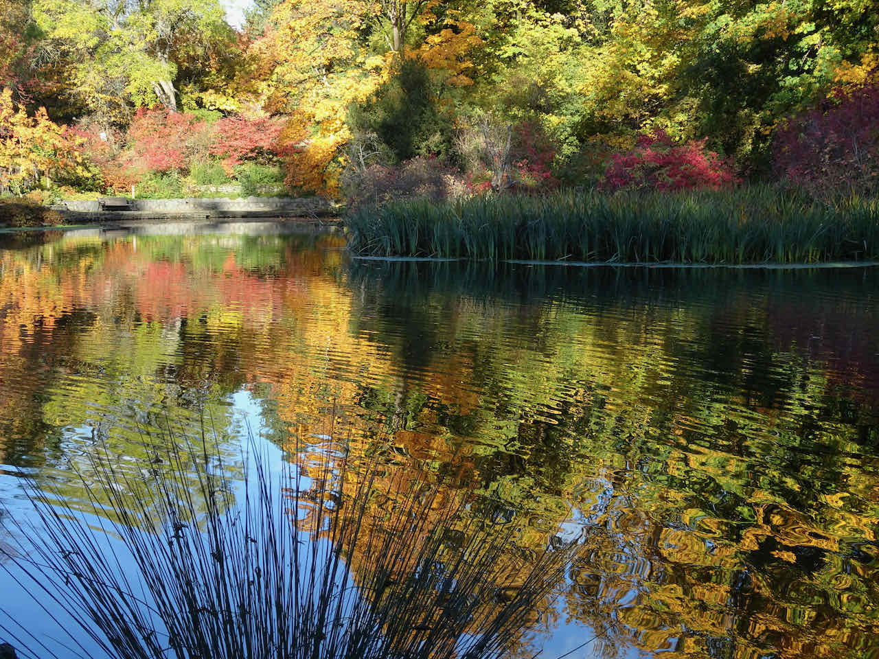
The reflections in the southern lake were mesmerizing…
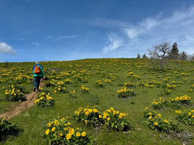
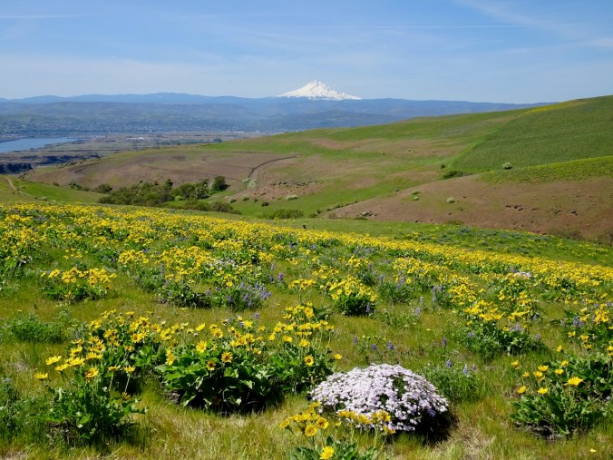
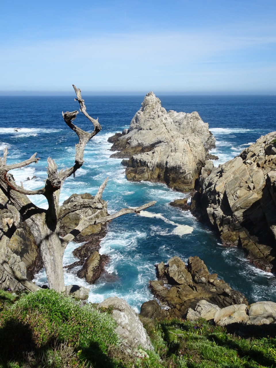
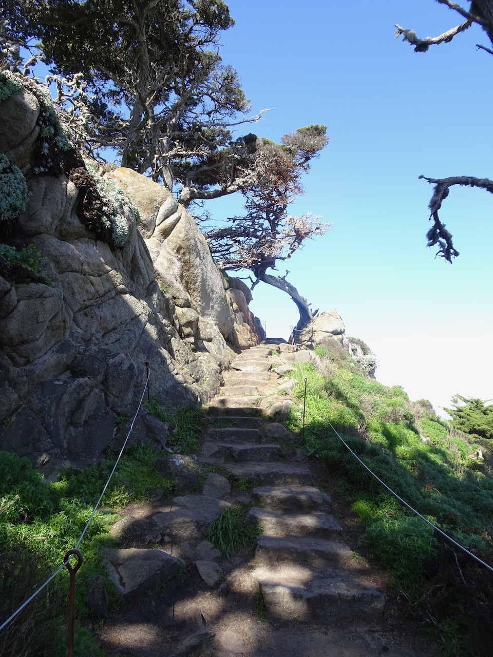
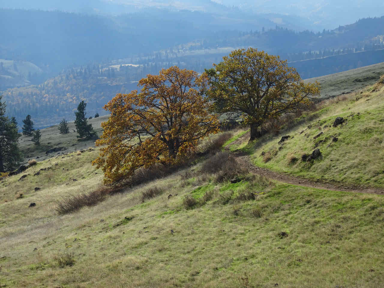
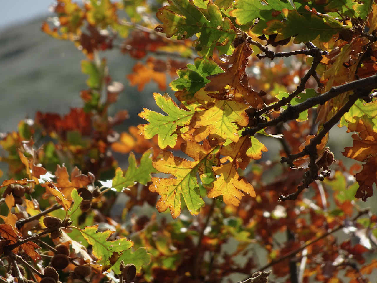
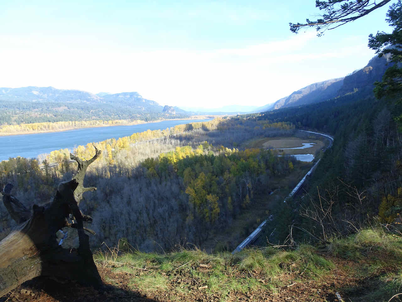
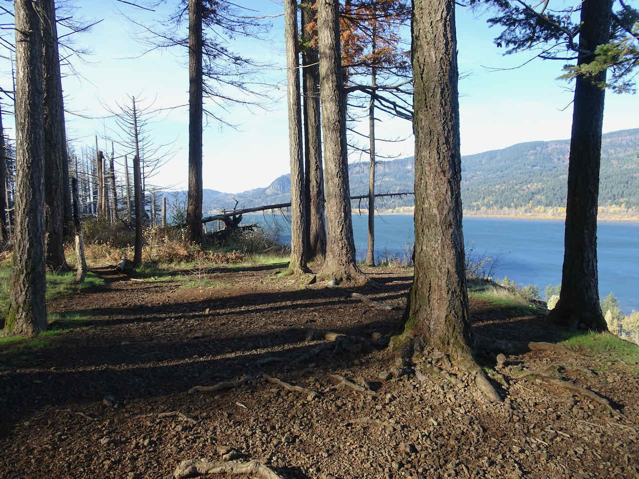
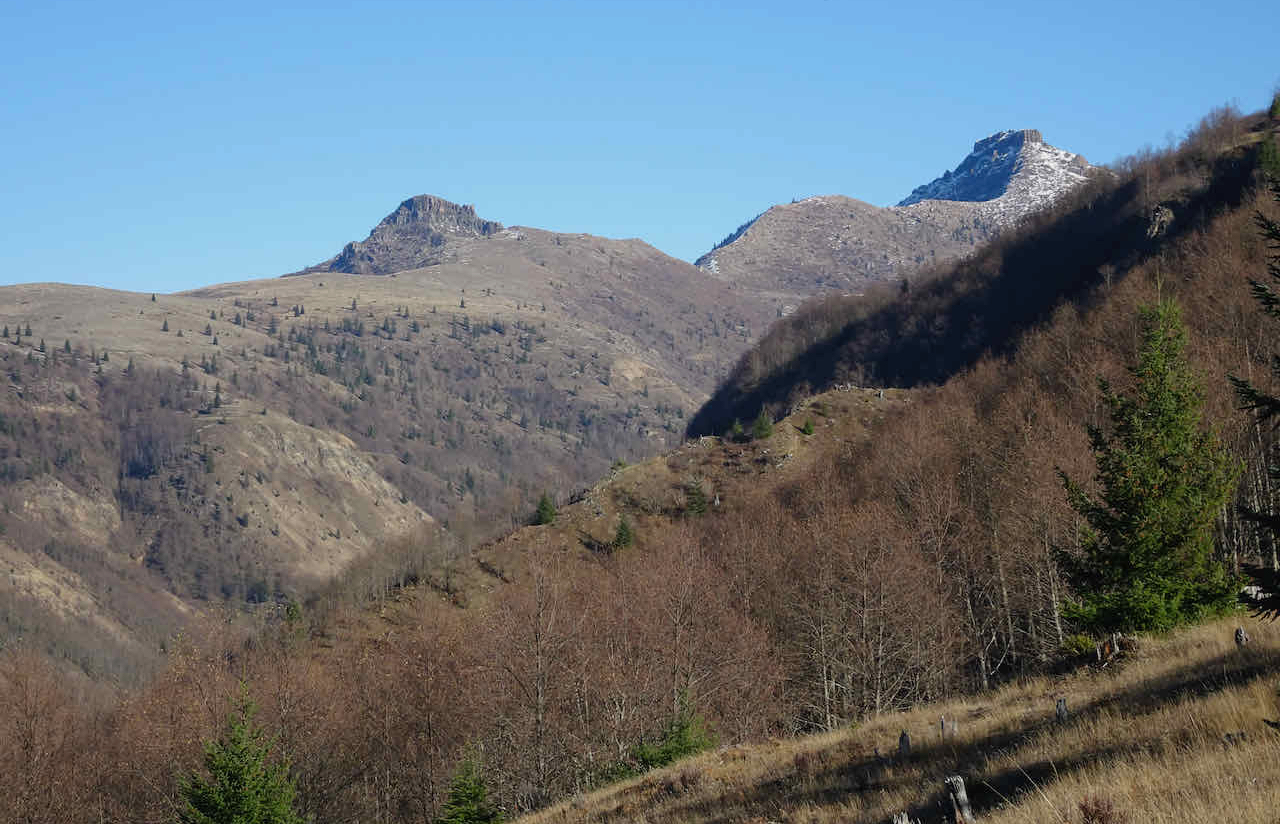
November 14 – Cape Horn, WA –
It has been a while since I have walked the full seven mile loop, but we decided try it on this windy day (7.4 miles, 1460 feet).
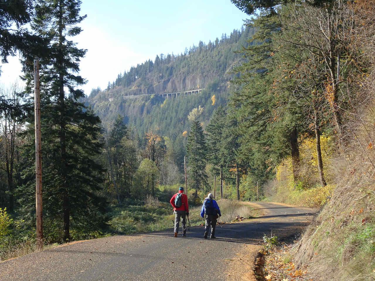
We started clockwise, downhill, a one and a half mile roadwalk.
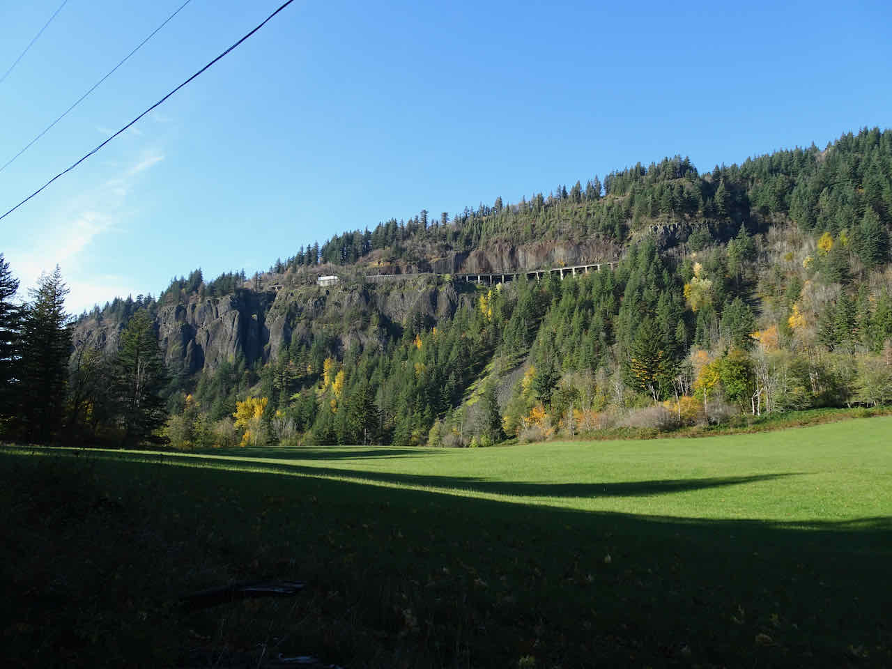
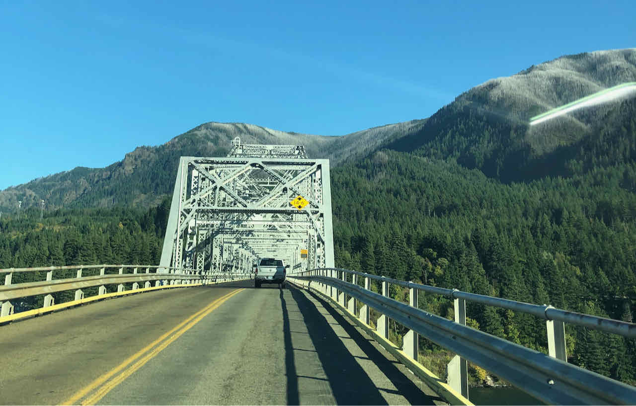
Highway 14 viaduct across Cape Horn above.
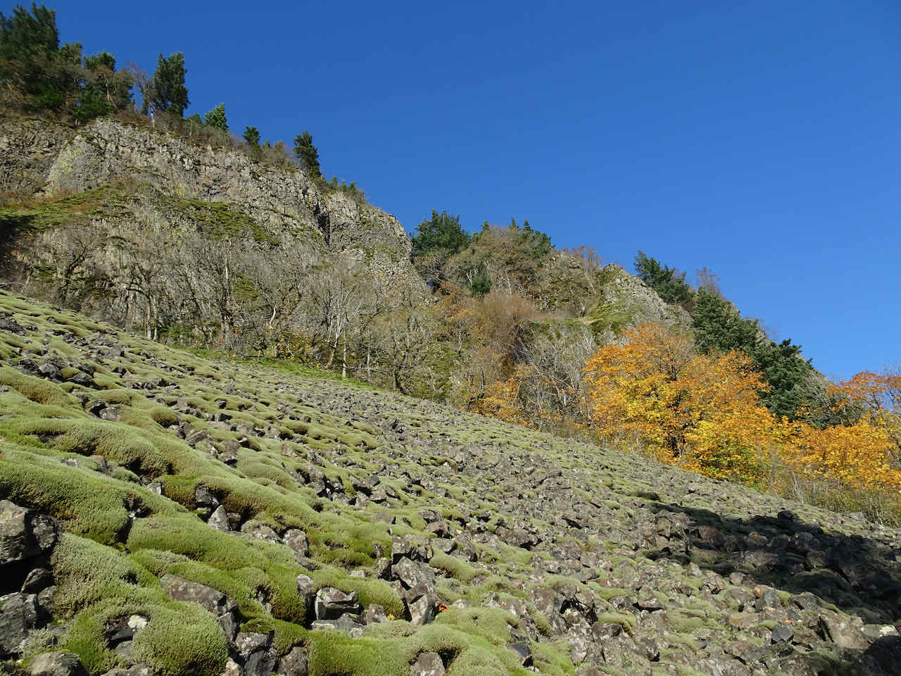
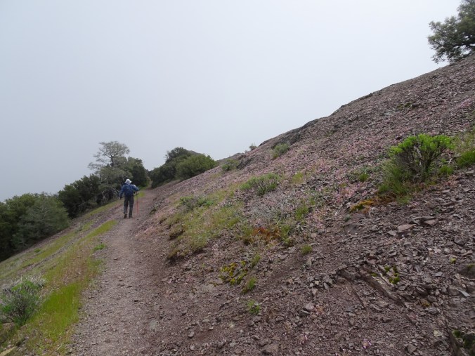
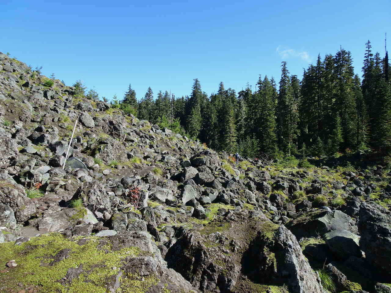
Crossing the lower scree slopes.

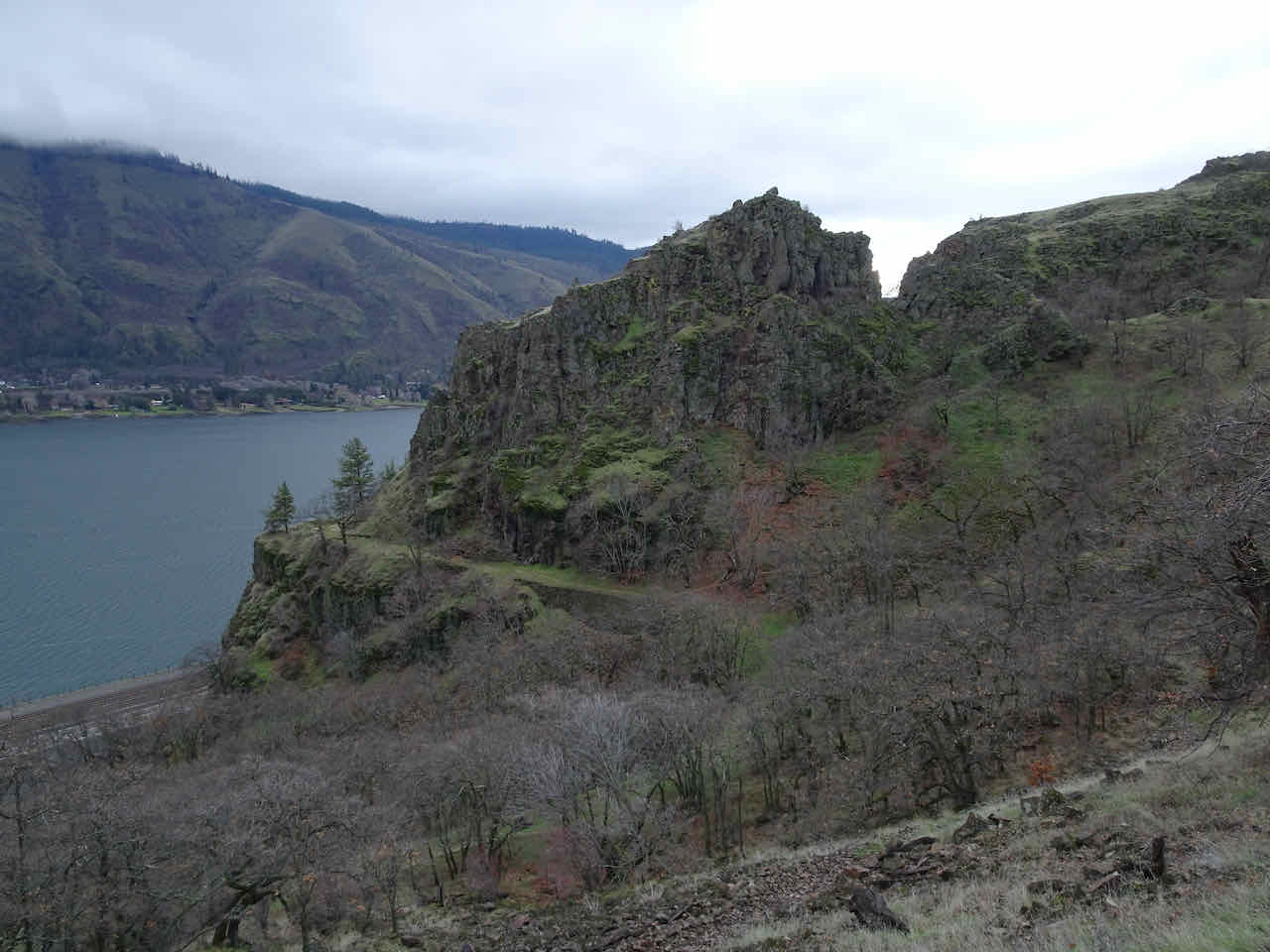
Lower cliffs, upstream view to the Needle and Beacon Rock

Several hundred feet higher on the trail – one of the viewpoints that has had a wall and viewing platform added in recent years.
Upper viewpoint to the east along the Columbia River.
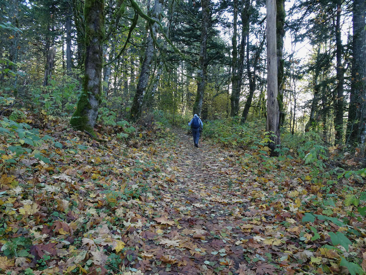
Through the woods near the top of Cape Horn.

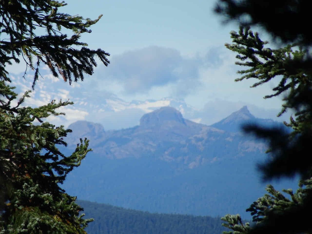
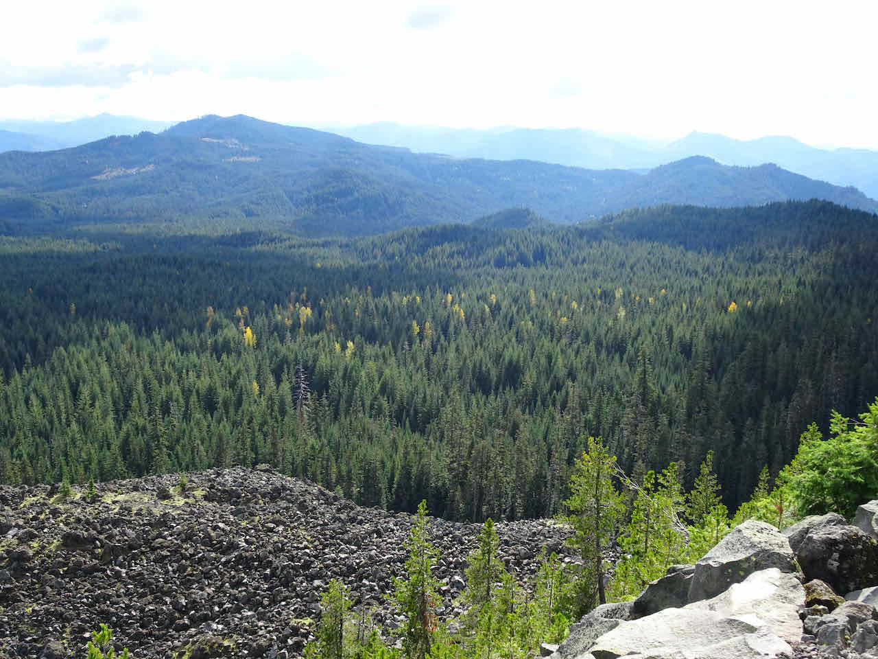
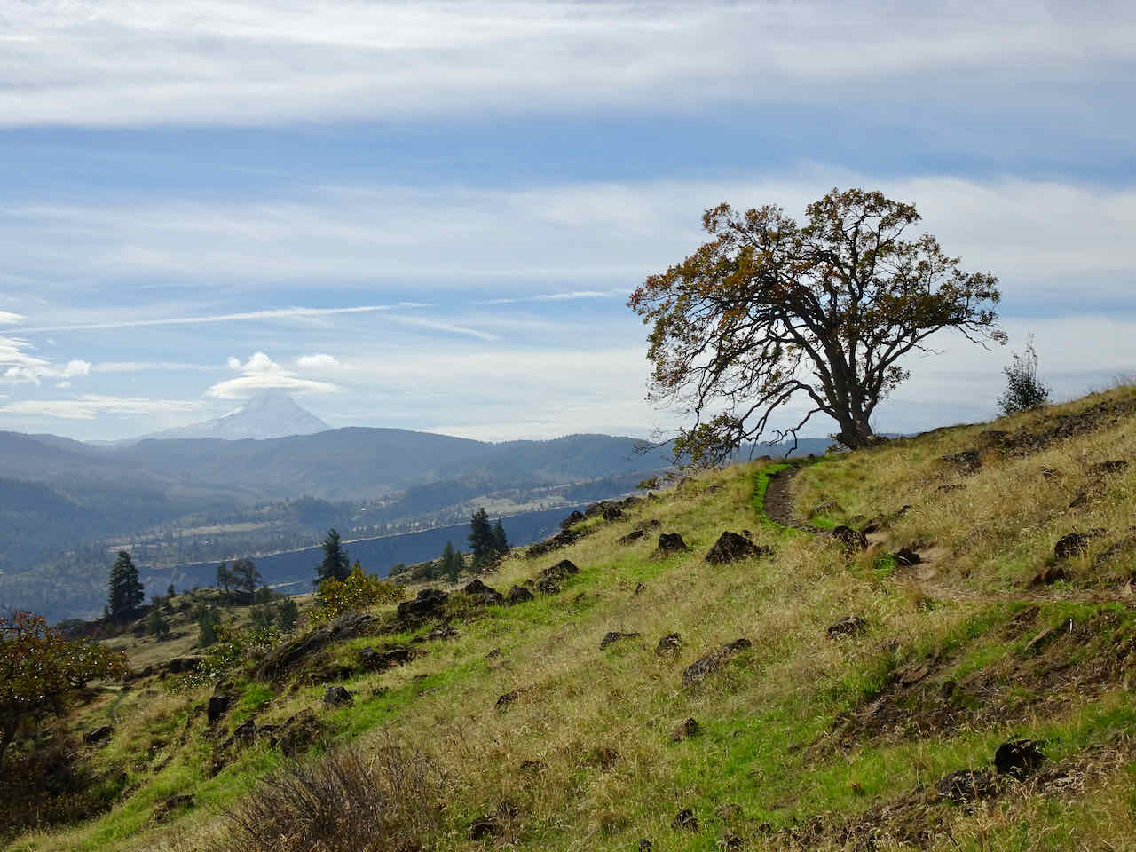
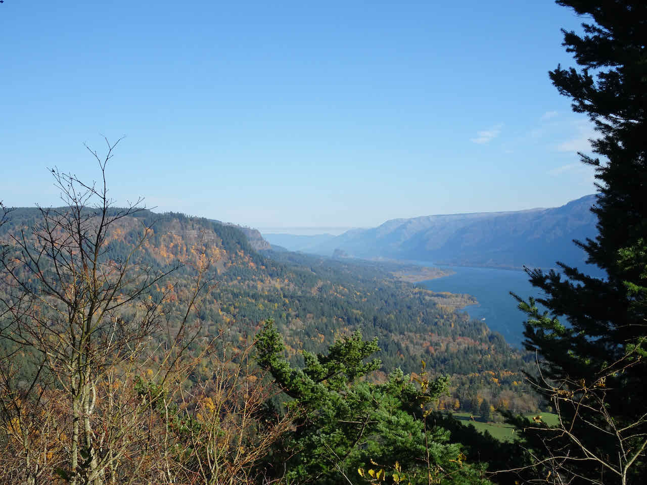
View to the south from the uppermost viewpoint.

Whitecaps on the Columbia River below, and a horse in the meadow.

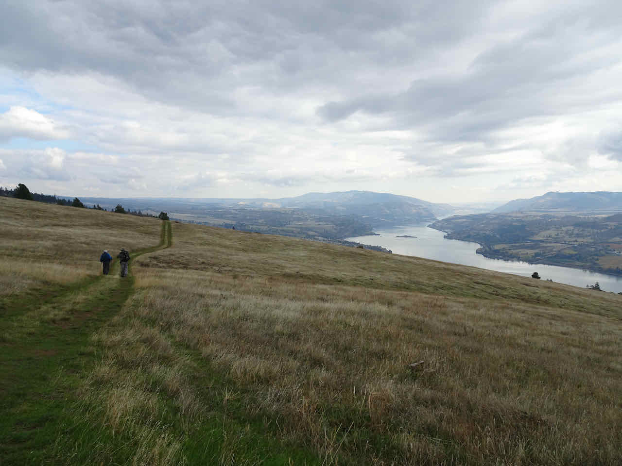
View to Silver Star Mountain, to the north, as we switchback down to the Salmon Falls Road Trailhead.
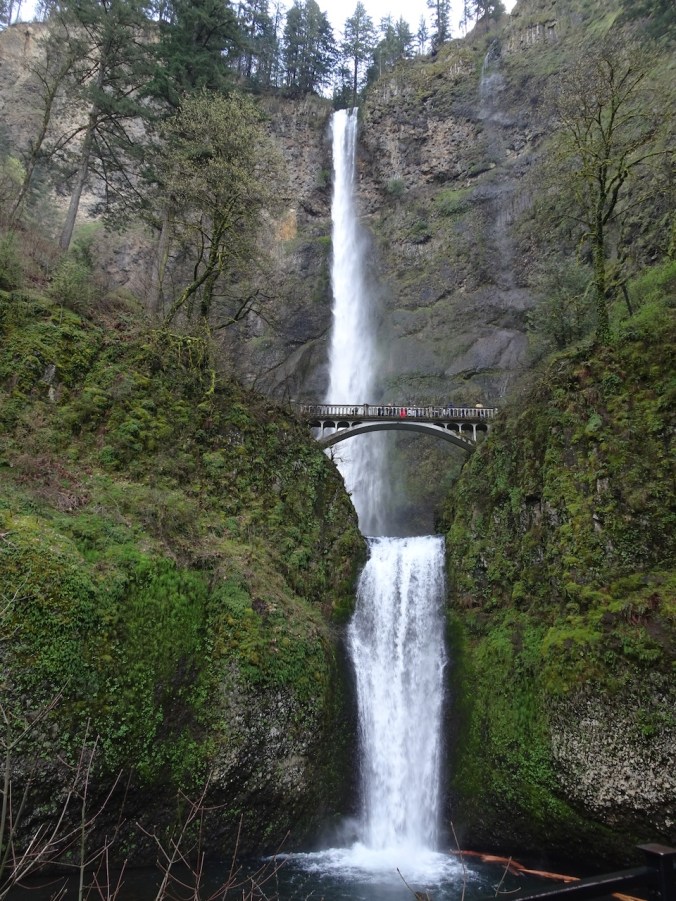
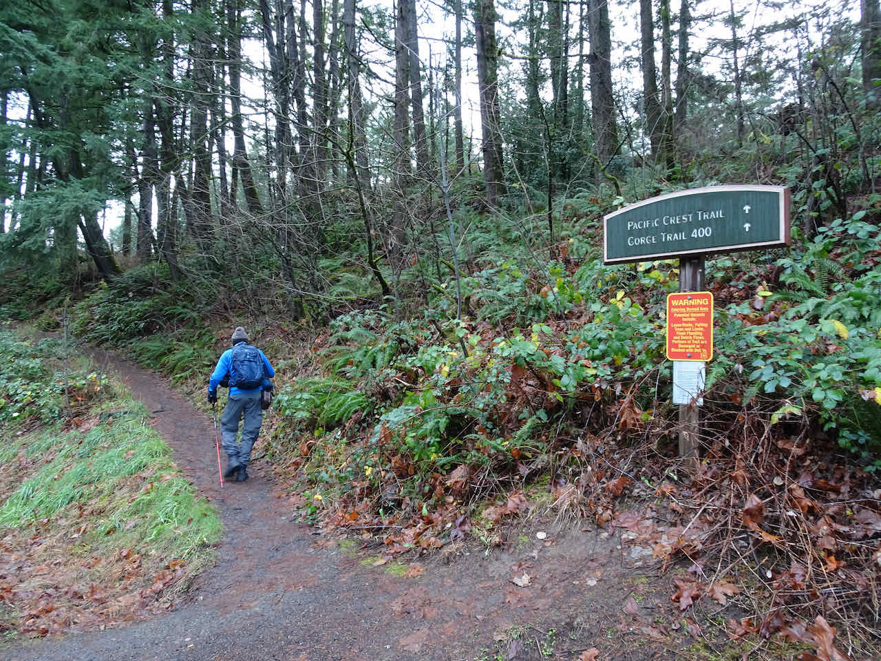
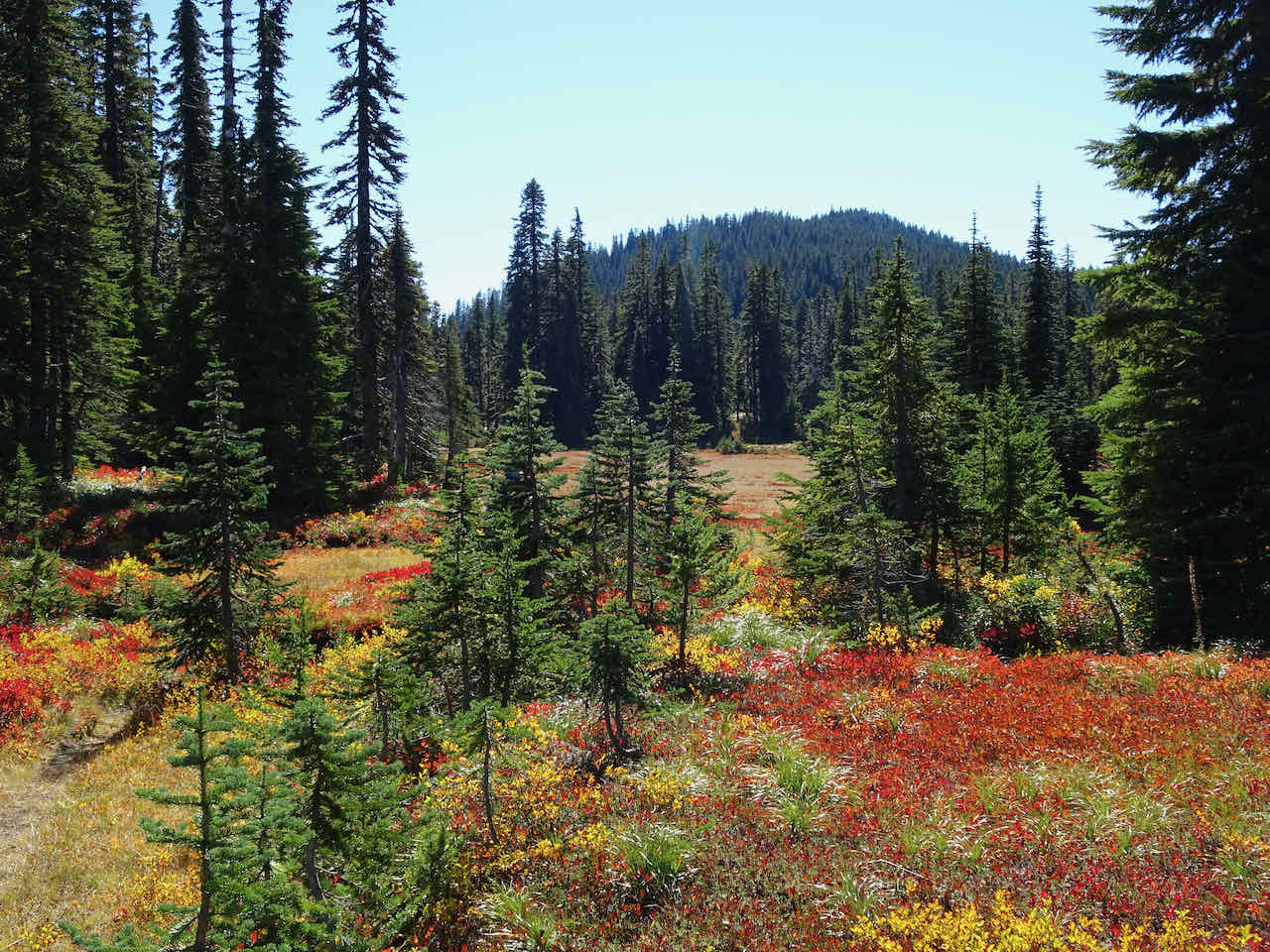
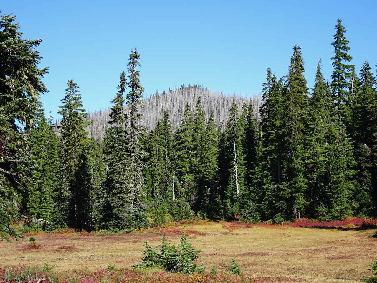
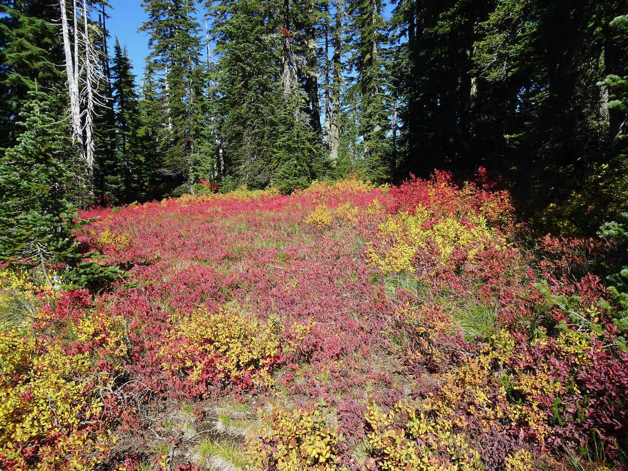
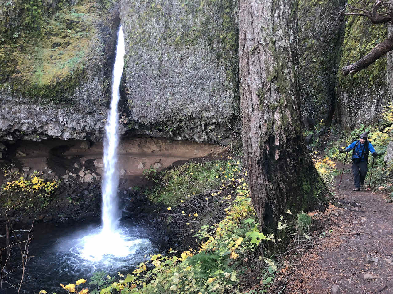
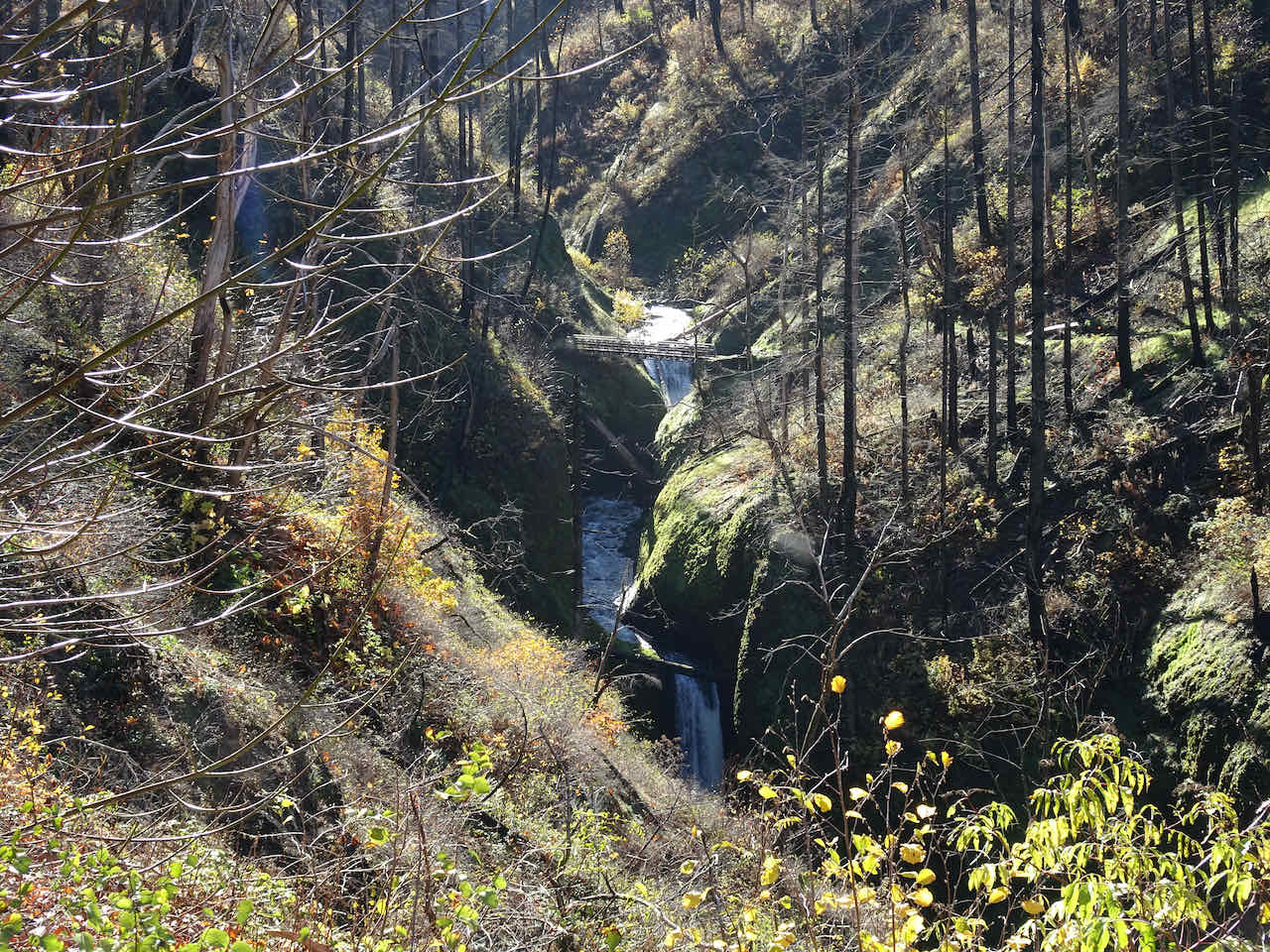
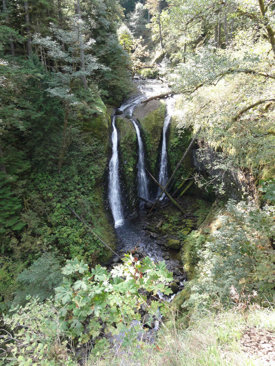
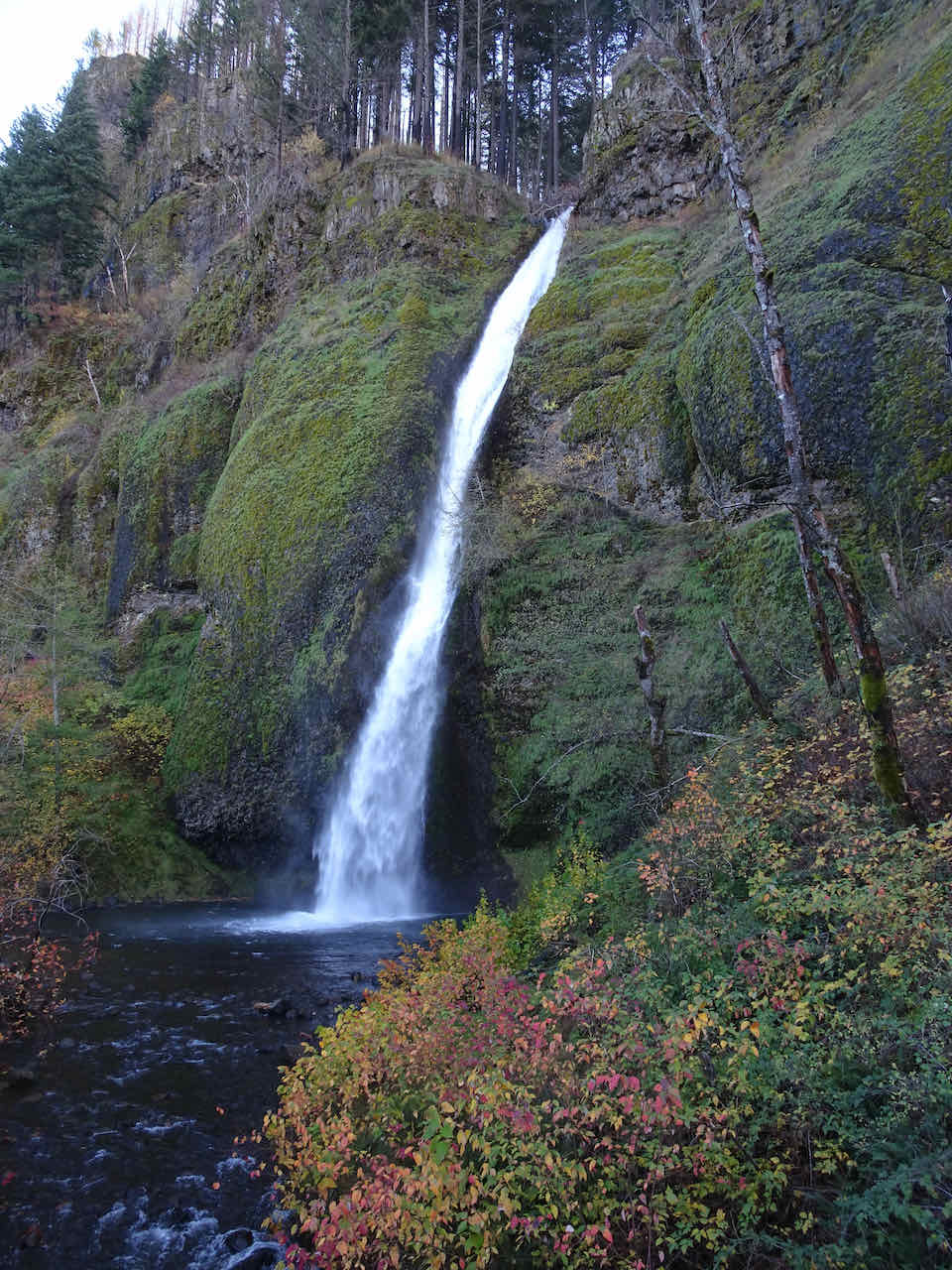
November 20 – Horsetail, Ponytail and Triple Falls, OR –
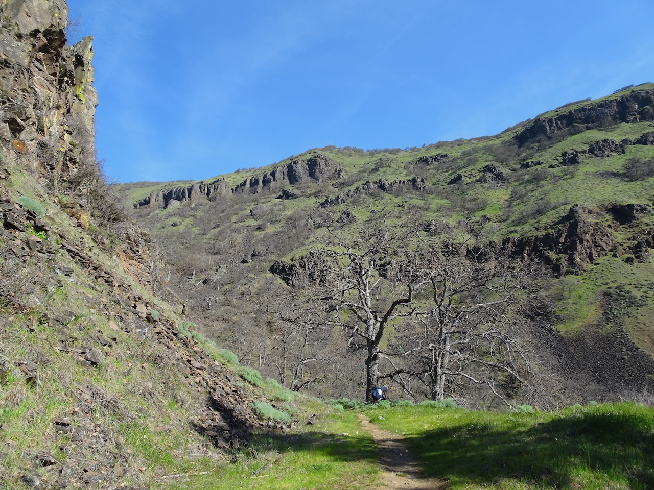
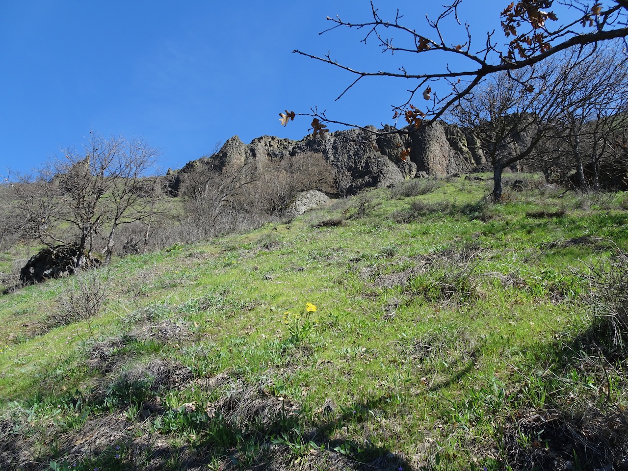
This trail is in the heart of the Columbia River Gorge waterfall zone, and was very hard hit by the 2017 fire. We have not been on this trail since before the fire, but had seen recent trip reports that the trail was repaired and open, so went to see how it fared. We hiked the clockwise loop, starting at Horsetail Falls, then up hill to Ponytail Falls, then across Oneonta Gorge, past the Oneonta Falls, then uphill to Triple Falls, and circling back down to the Highway, and to our start point. We walked through a lot of burned forest, and across several repaired trail sections. The very cliffy trail up to Triple Falls had several obvious washouts that had been repaired, but seemed somewhat fragile. With the local downpours last week, I would not be surprised if the trail were washed out again. (5.0 miles, 1000 feet).
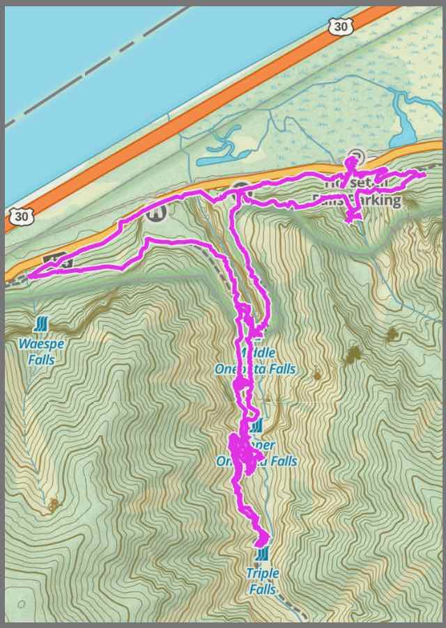
Horsetail to Triple Falls trail
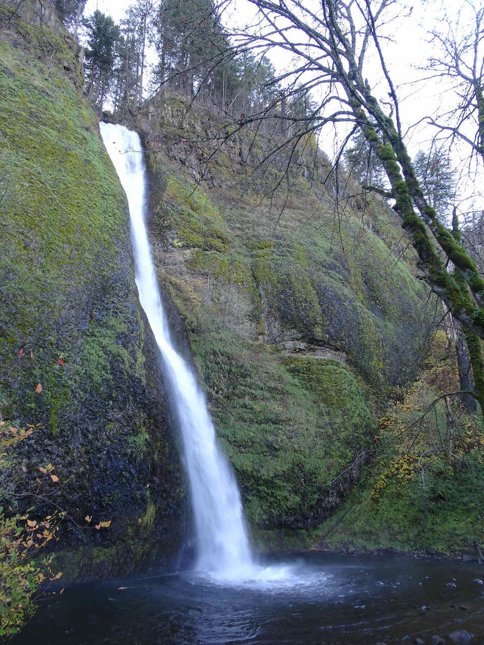
Horsetail Falls
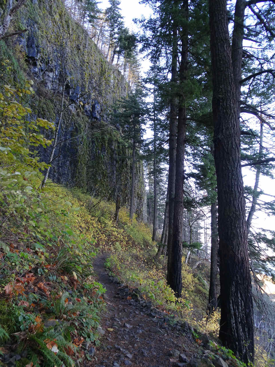
The trail ascends the cliffs above the falls
Top of Horsetail Falls
Ponytail Falls – the trail passes behind the falls

View from behind the falls
Looking back at Ponytail Falls
Looking east at the viewpoint before heading up to Oneonta Gorge
Westward view from the viewpoint
Heading upstream toward the new bridge over Oneonta Gorge

A peak from the trail down into Oneonta Gorge
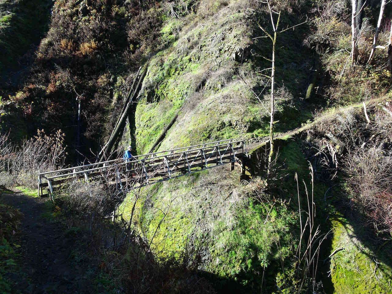
Crossing the bridge
View down stream from the bridge

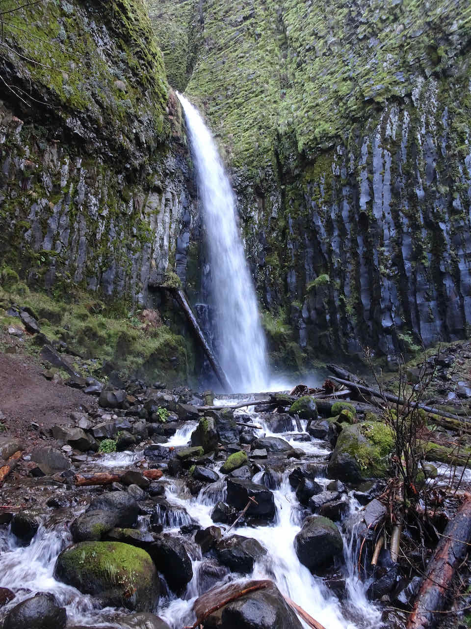
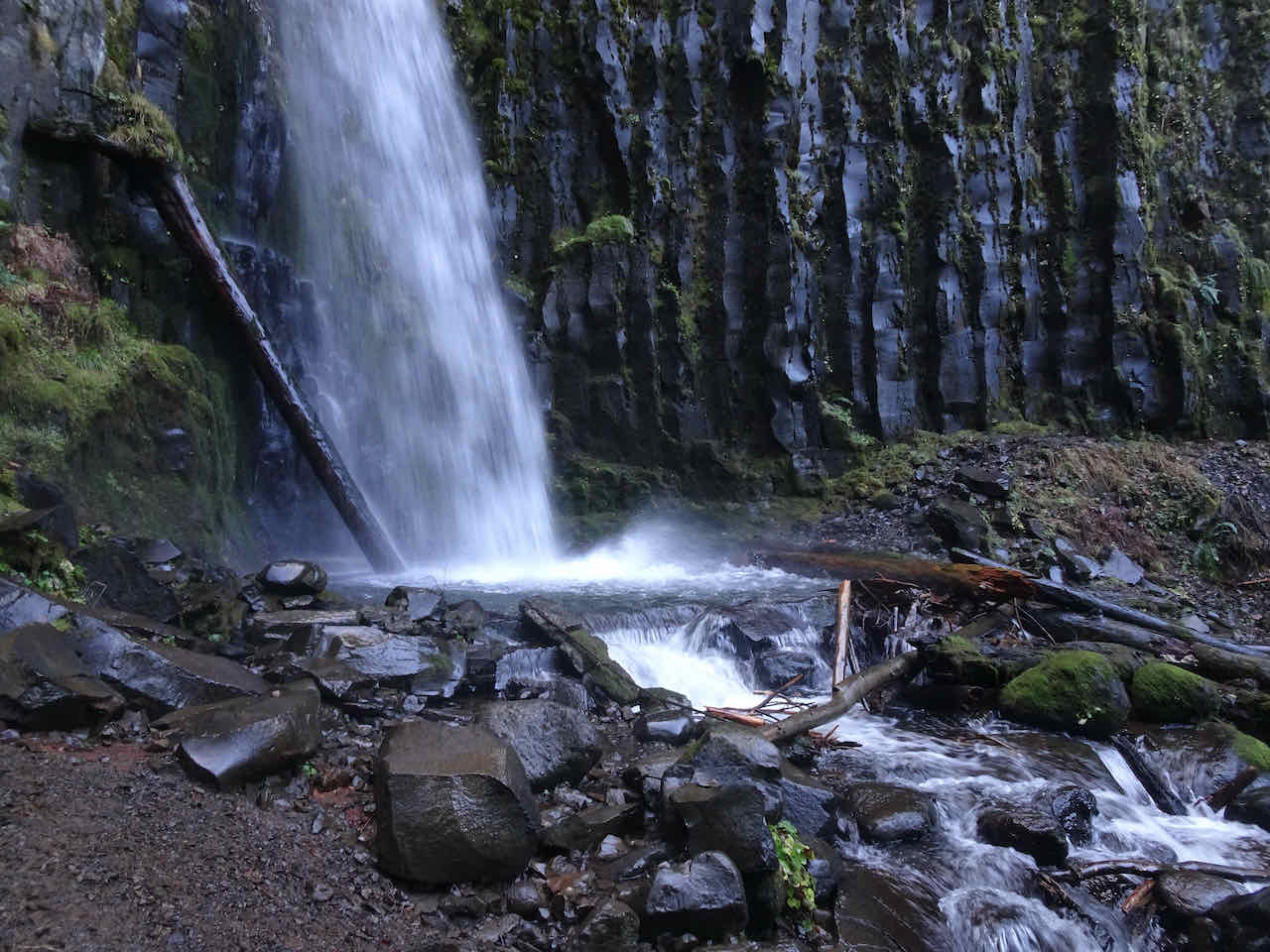
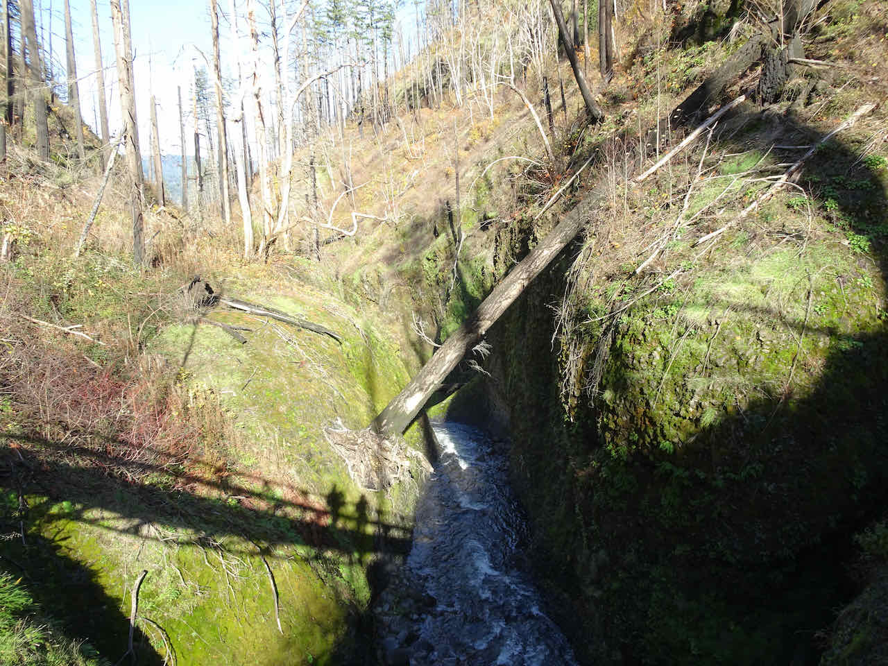
Middle Oneonta Falls upstream from the bridge

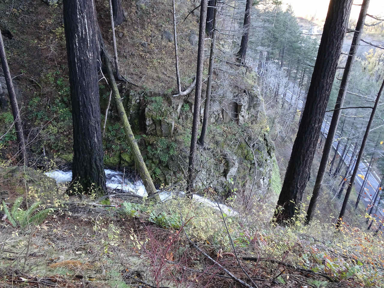
Looking down at Oneonta Creek from Oneonta Trail
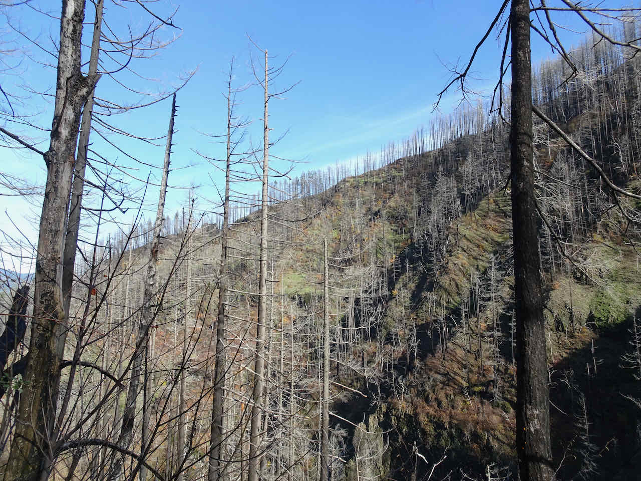
Burned forest on the slopes above Oneonta Creek
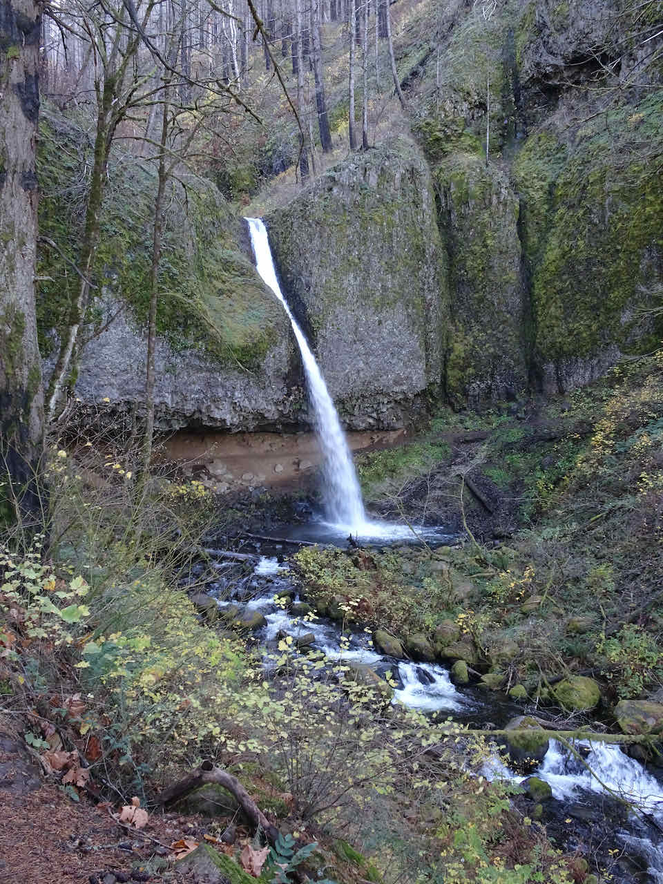
We reached the Triple Falls viewpoint after walking along the repaired trail through the severely burned forest. For comparison, I’m adding a similar view from September 2013.
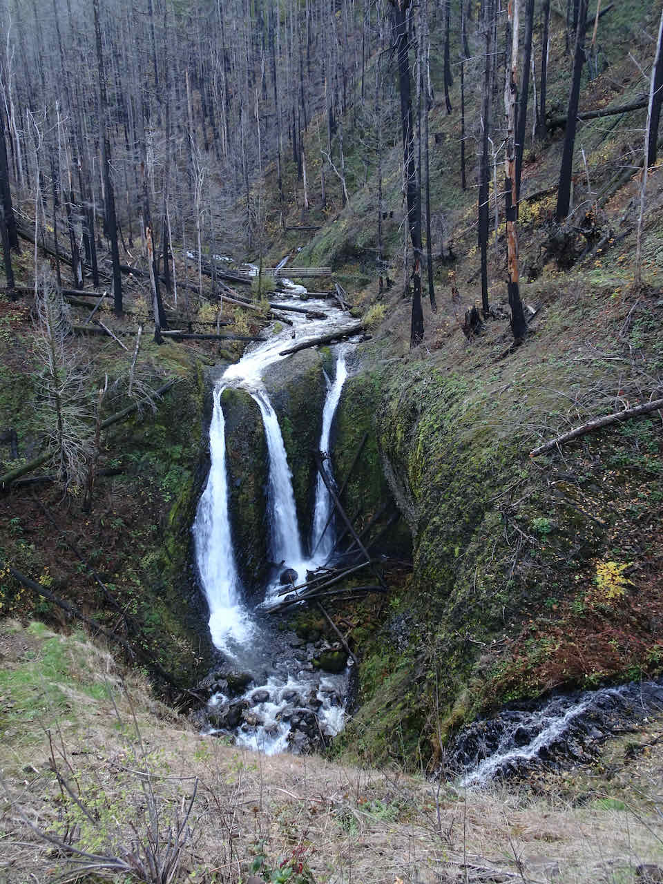
Triple Falls, Nov. 2023
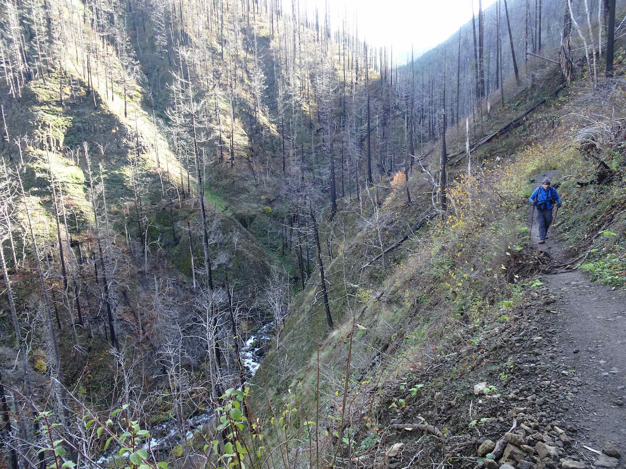
Walking back along the Oneonta Trail through the burned landscape.

Circling back along the highway, toward the Oneonta Tunnel, which was completely burned in 2017.

View from the tunnel bridge up the Oneonta Gorge, trail closed since before the fire because of hazardous log jams in the gorge.
Back to Horsetail Falls.
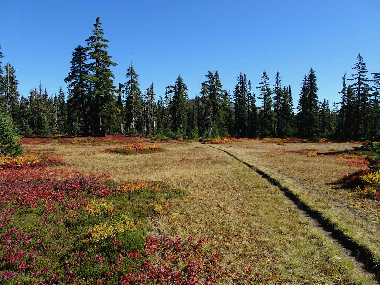
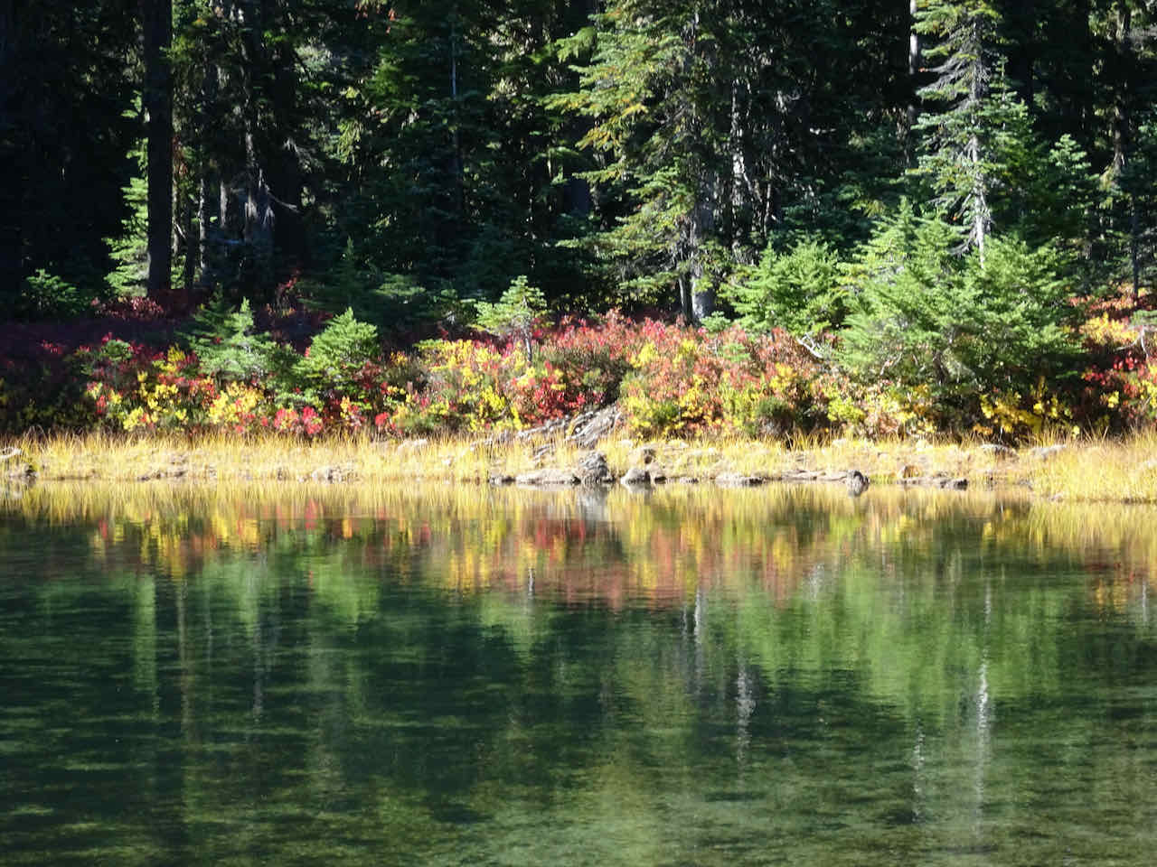
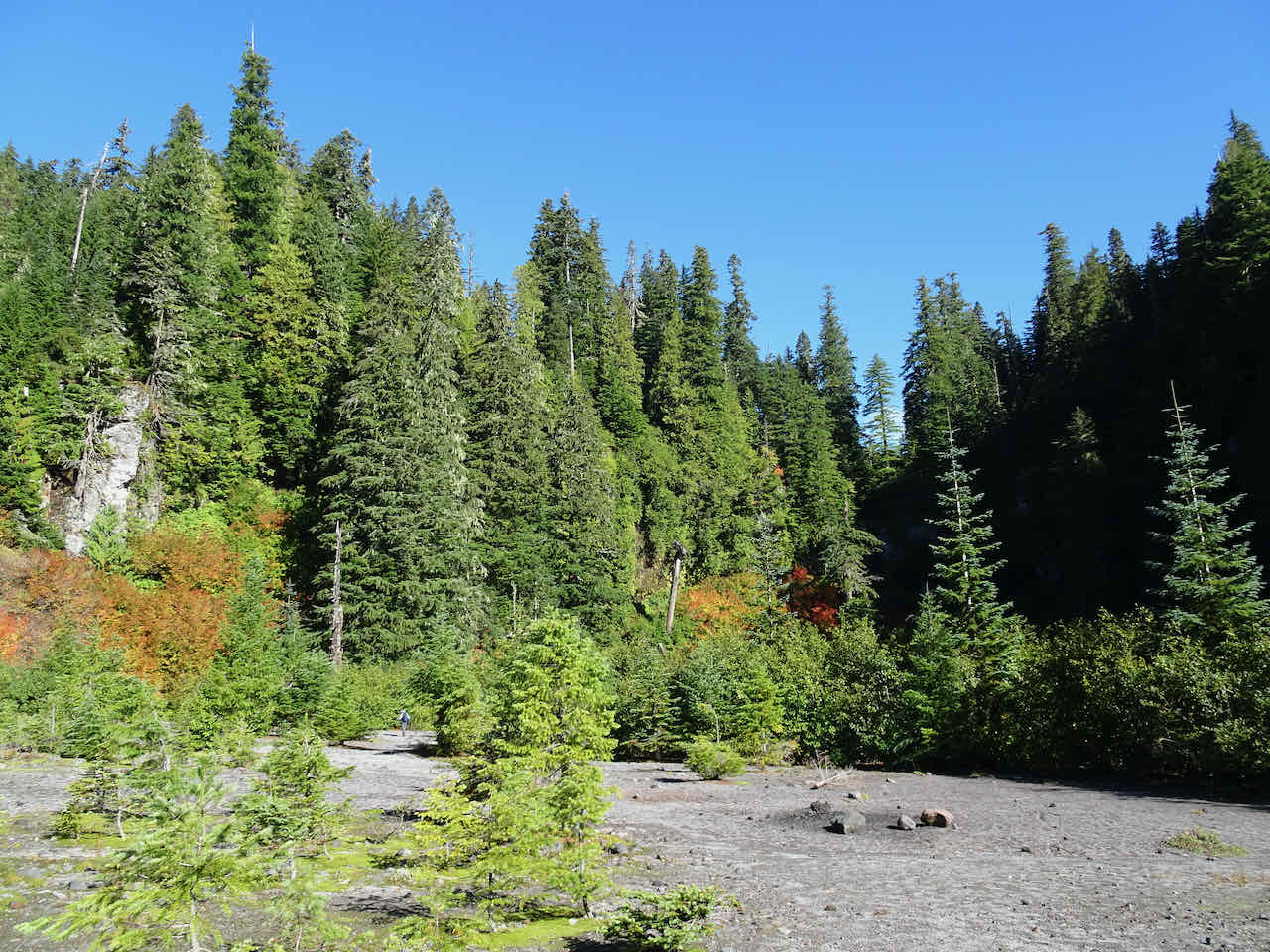
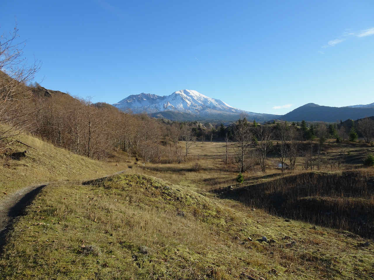
November 28 – Hummocks and Boundary Trails, Mt St Helens, WA –
We have hiked the Hummocks Loop here a few times, but gone farther along the Boundary Trail toward Johnston Ridge one other time, in May of 2020, when they first reopened the trail after the initial pandemic shutdown. We encountered only a few other people out on the trail today (5.7 miles, 1100 feet).
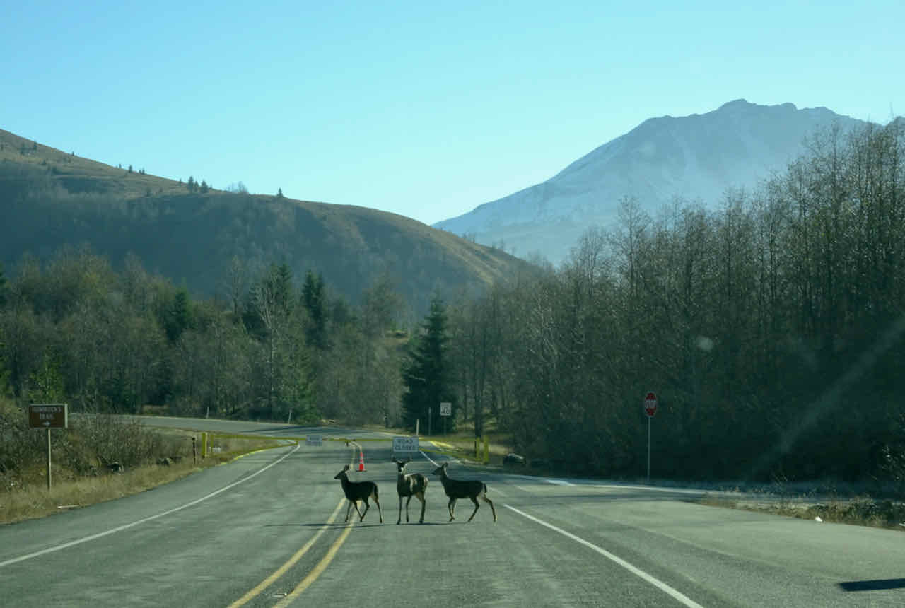
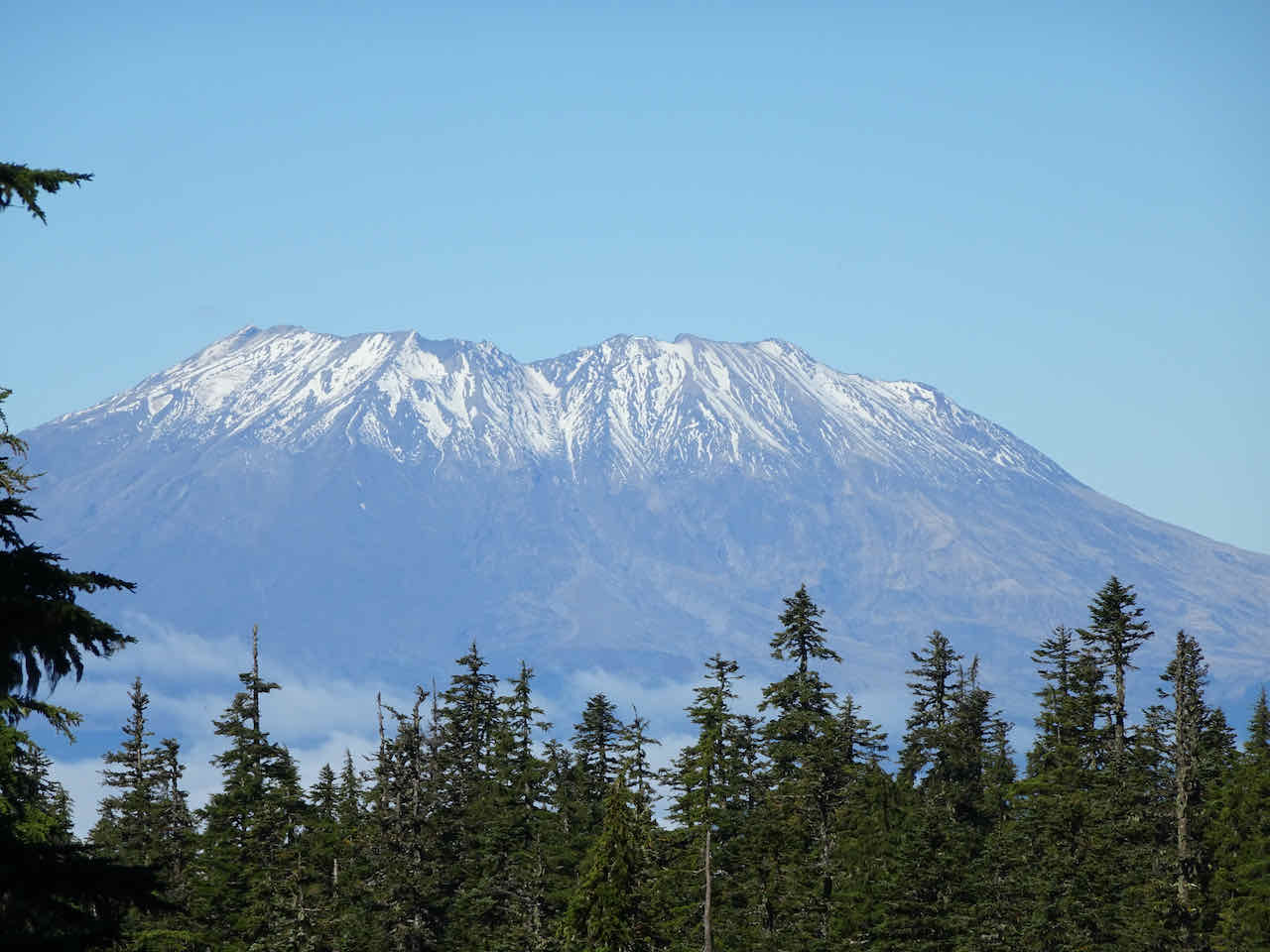
Welcoming party at the Trailhead – white tail deer, Mt St Helens beyond.
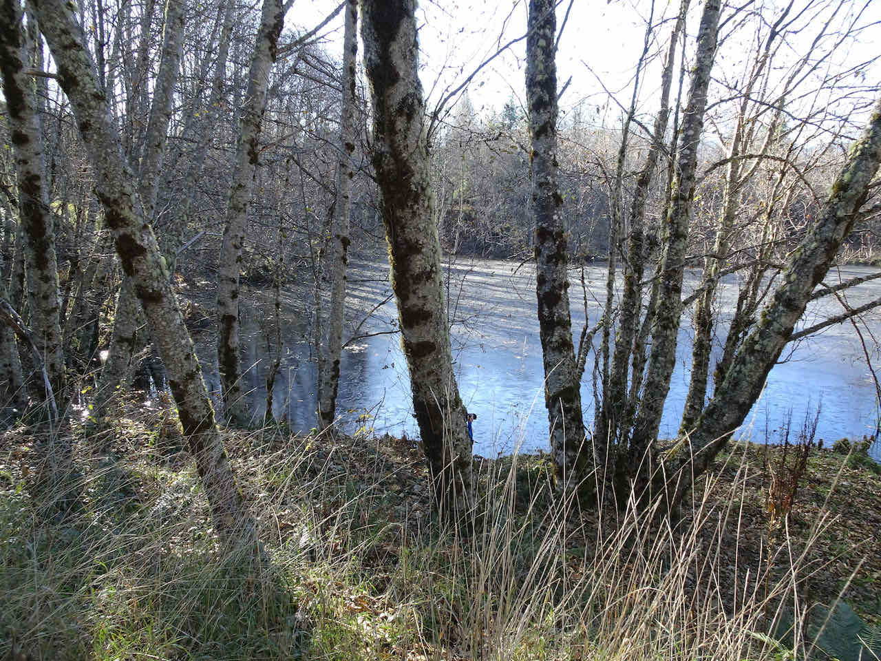
Walking along the lakes that have formed between the hummocks.
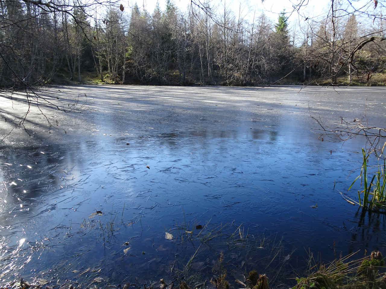
Partially frozen lake
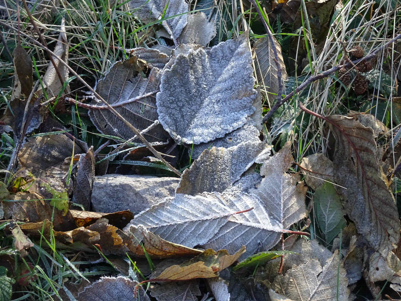
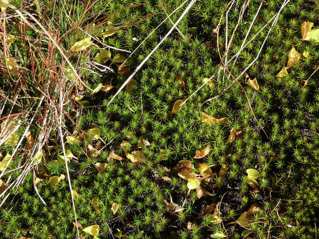
Frost on the trail
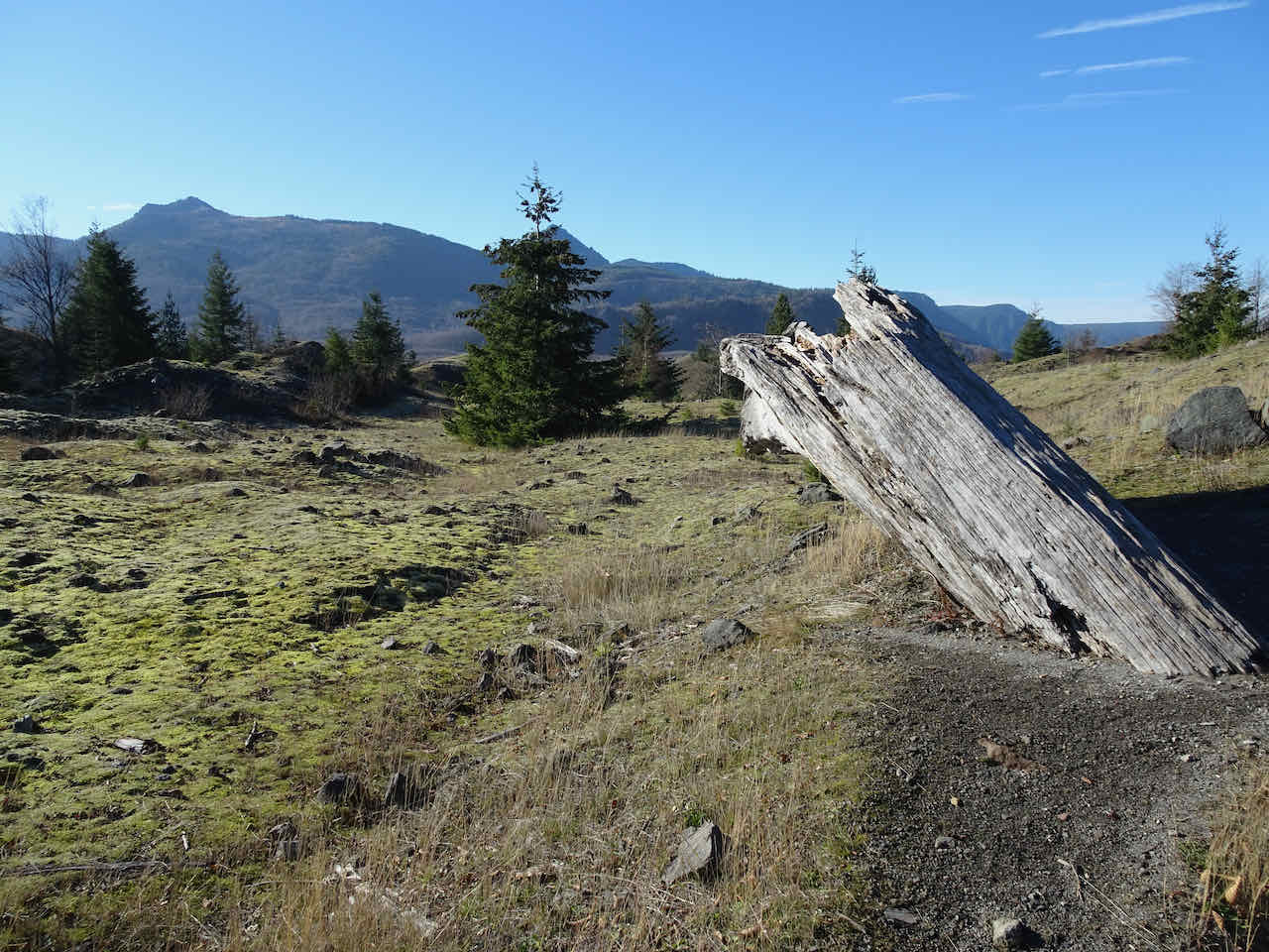
The famous upside down log, still in depositional position from the eruption in 1980.
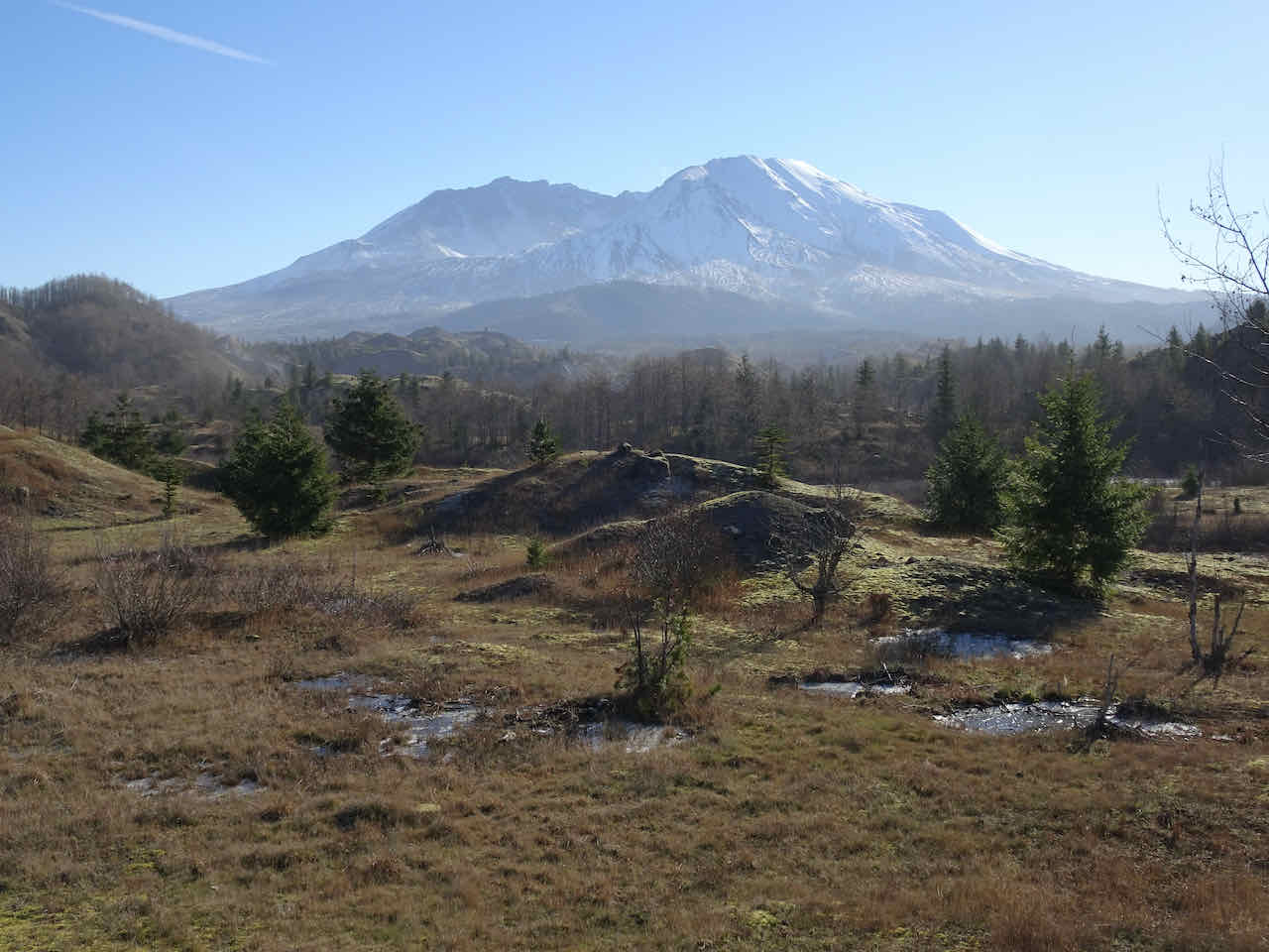
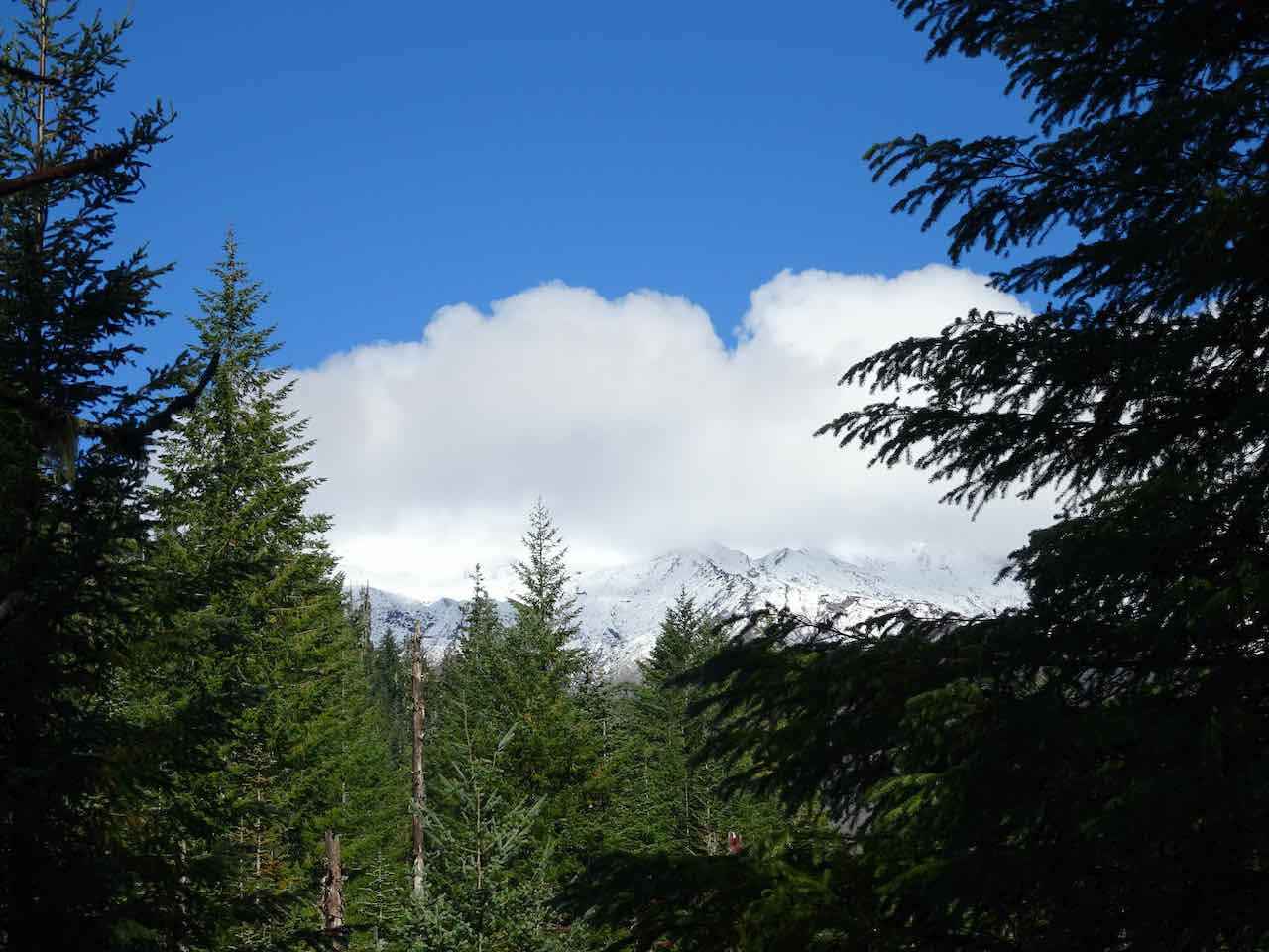
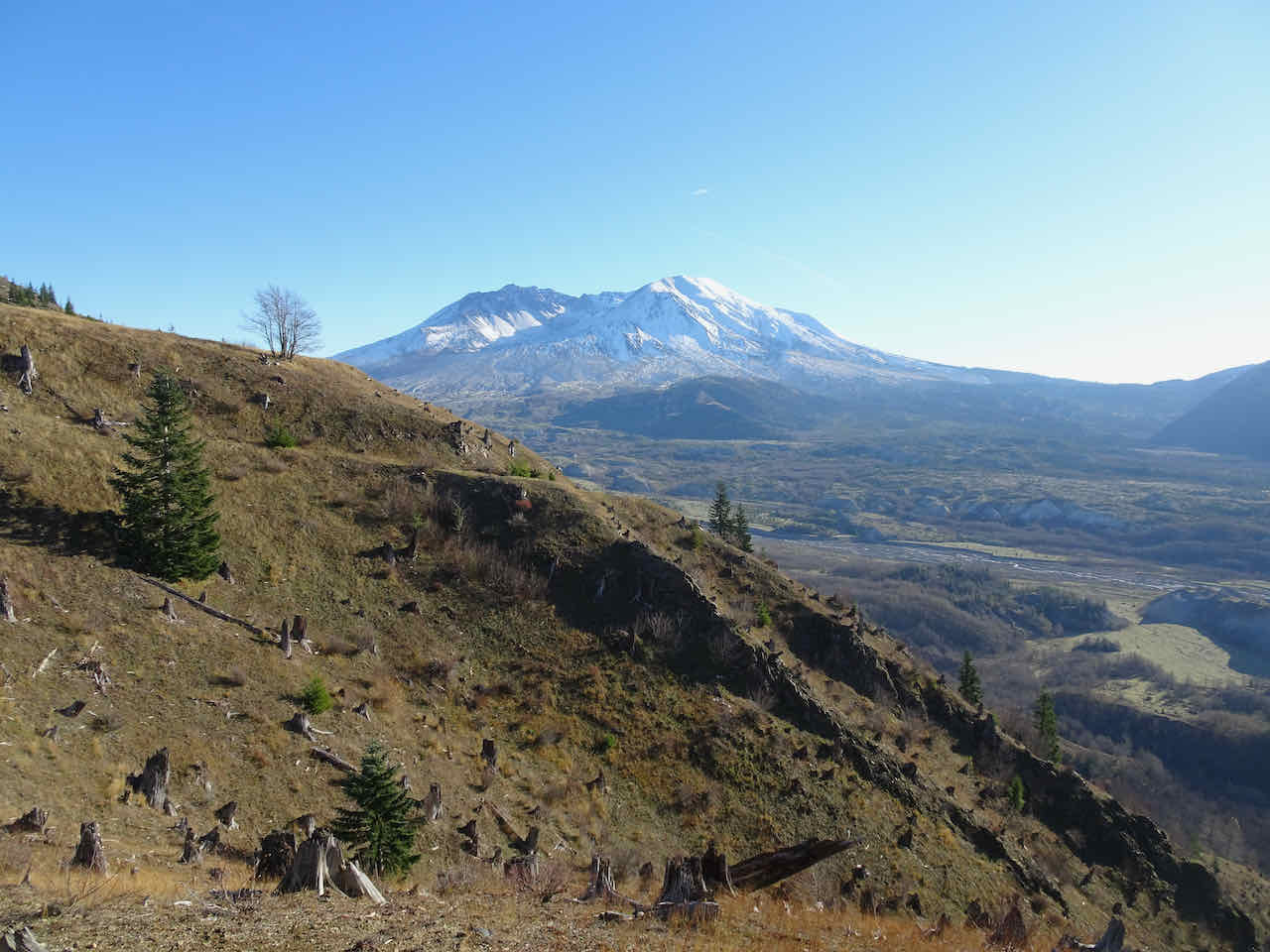
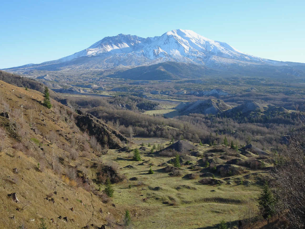
View of Mt St Helens from the trail junction with the Boundary Trail.

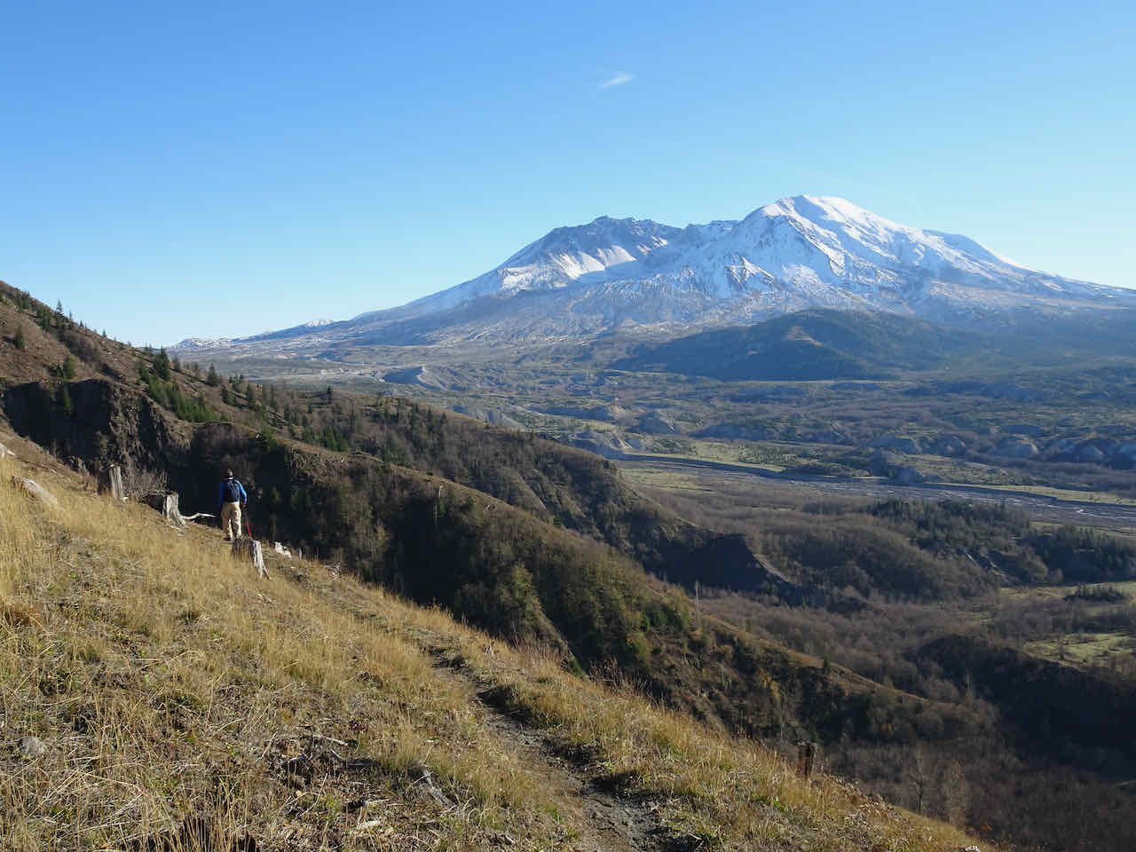
The trail rises above the hummocky plain, and switchbacks up Johnston Ridge, past sheered-off tree stumps, to the ridge crest. From the top are views in all directions, and we can see the mountain all the time.
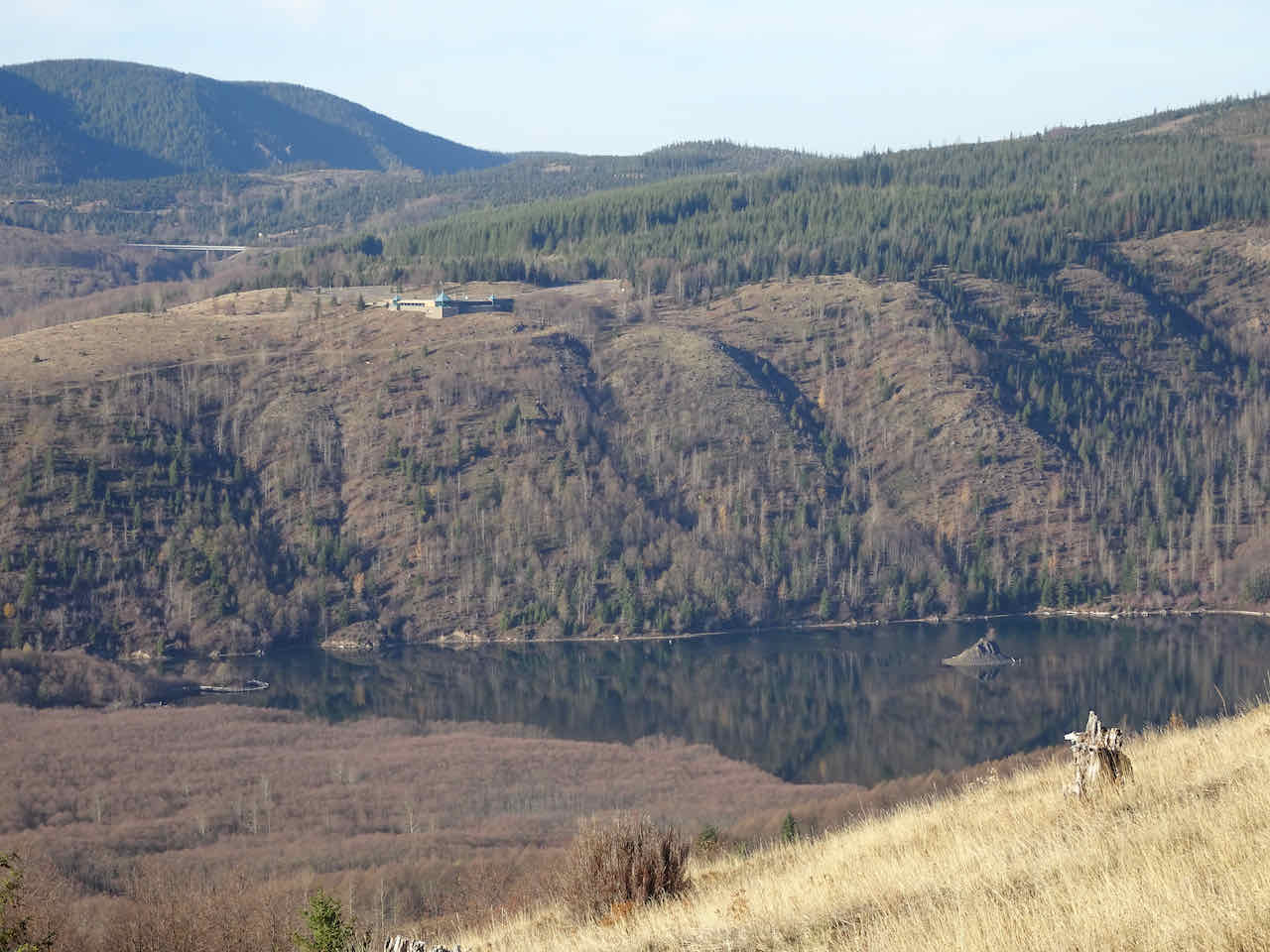
To the north – Coldwater Lake and Visitor Center.
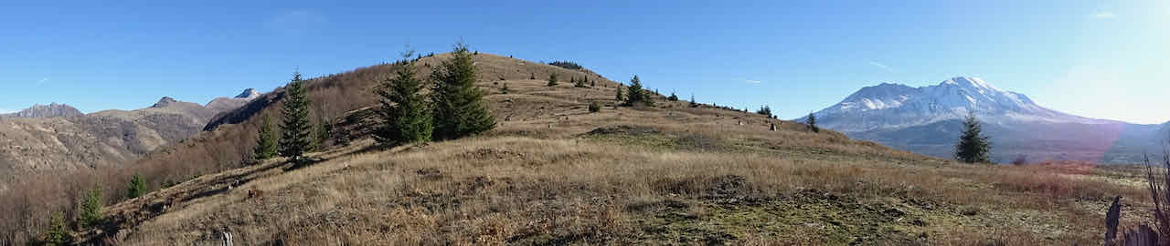
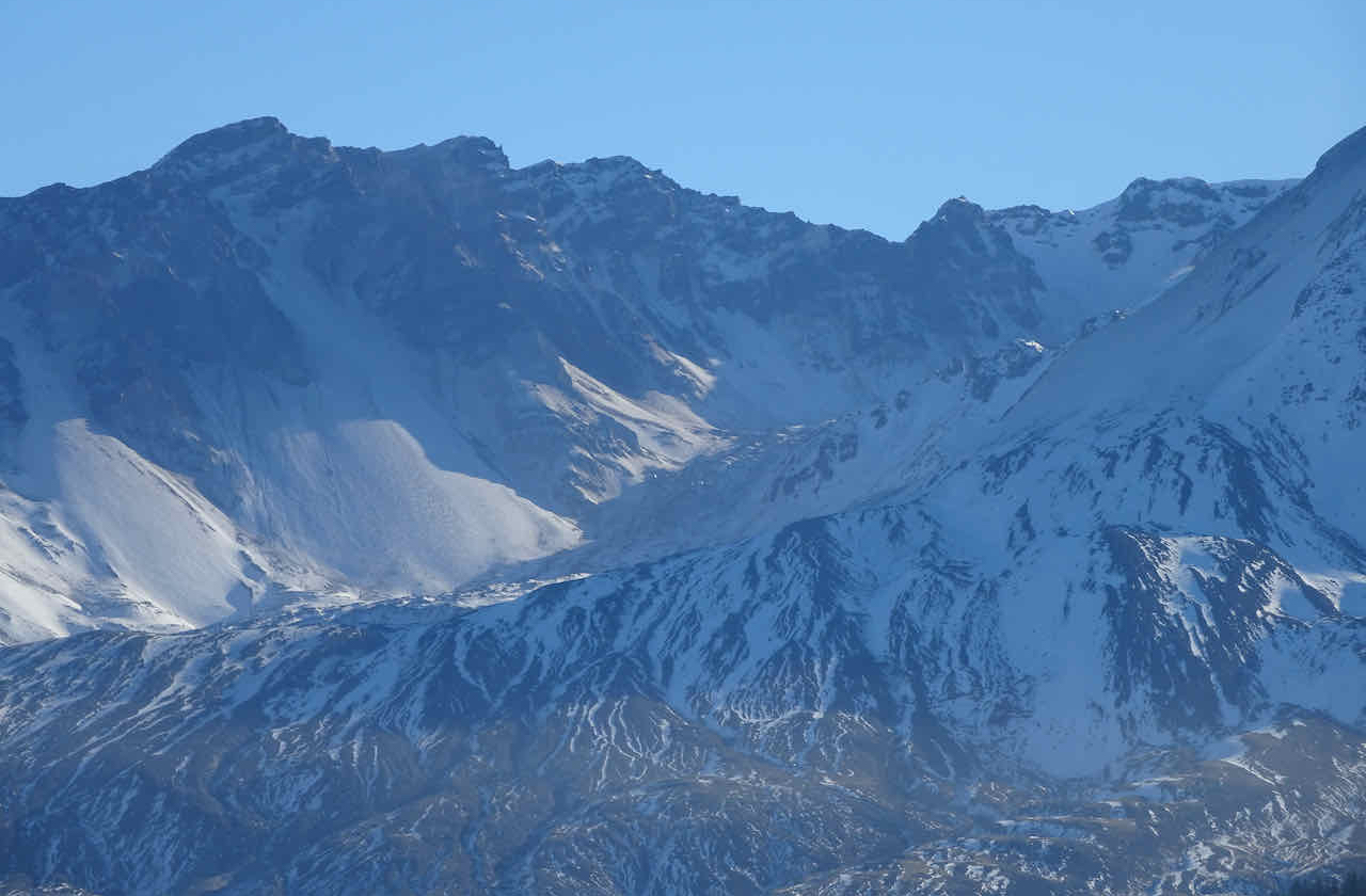
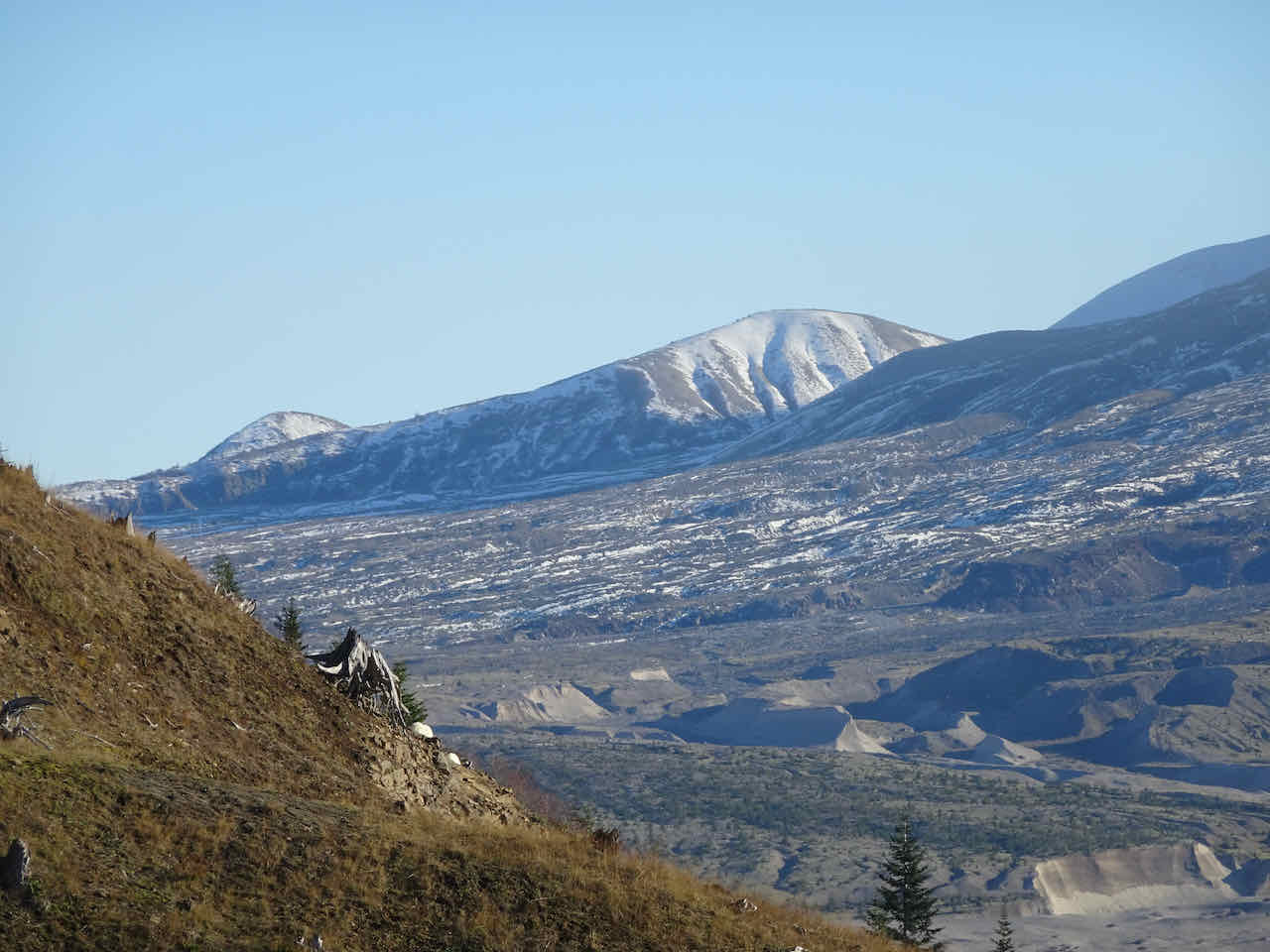
Eastward panorama – Mt Margaret backcountry and Mt St Helens
Some closer views:
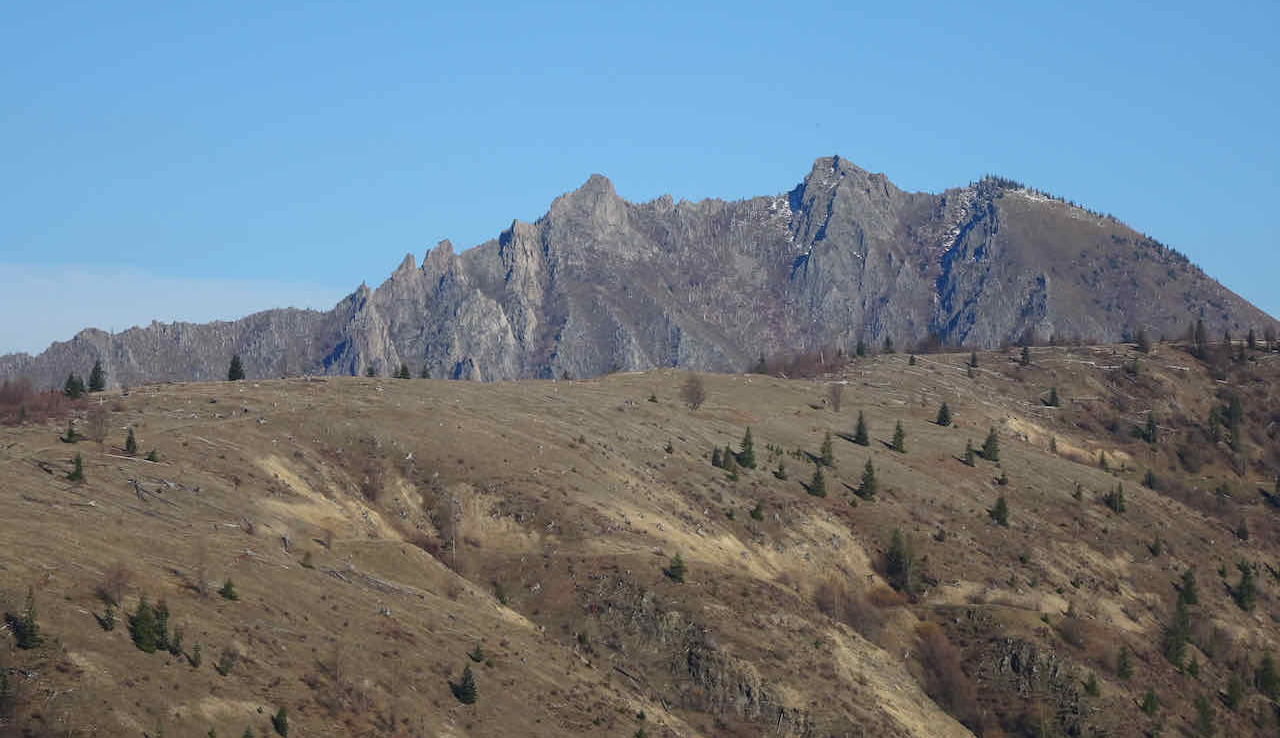
Mt Whittier
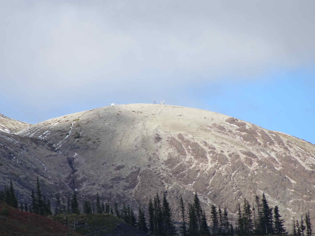
Coldwater Peak
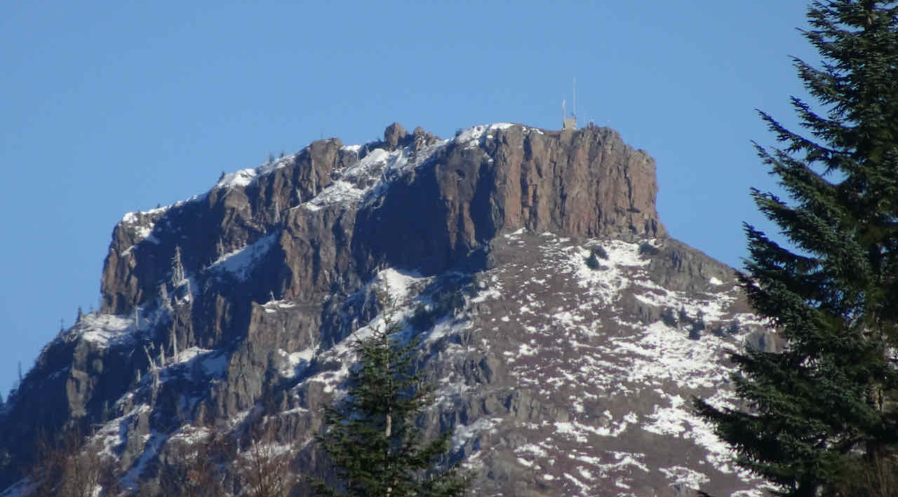
Zoom in on the volcano monitoring equipment on top of Coldwater Peak
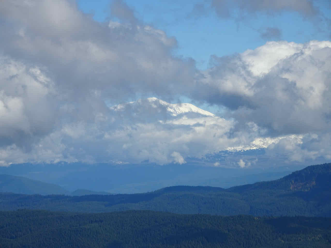
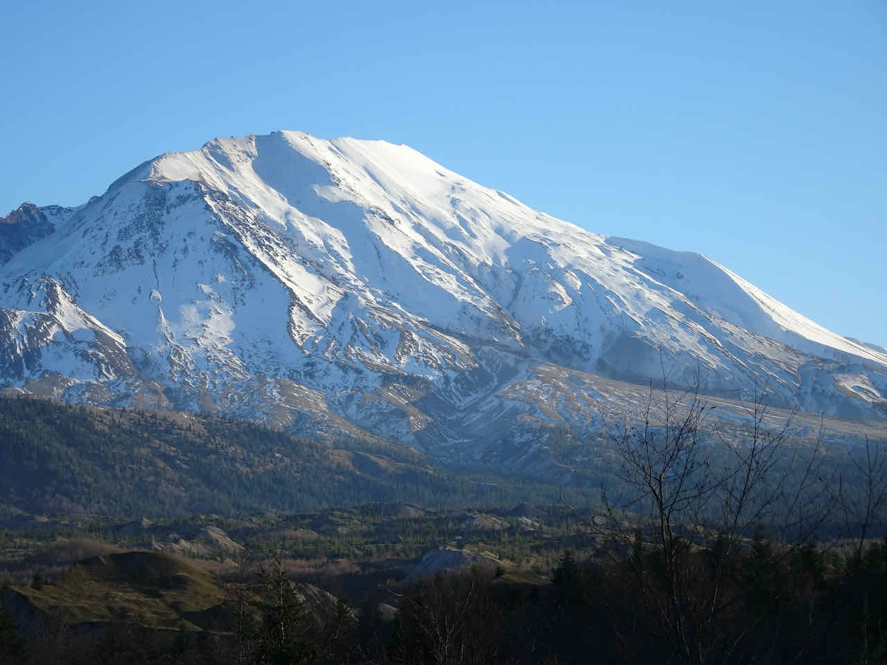
Mt St Helens Crater
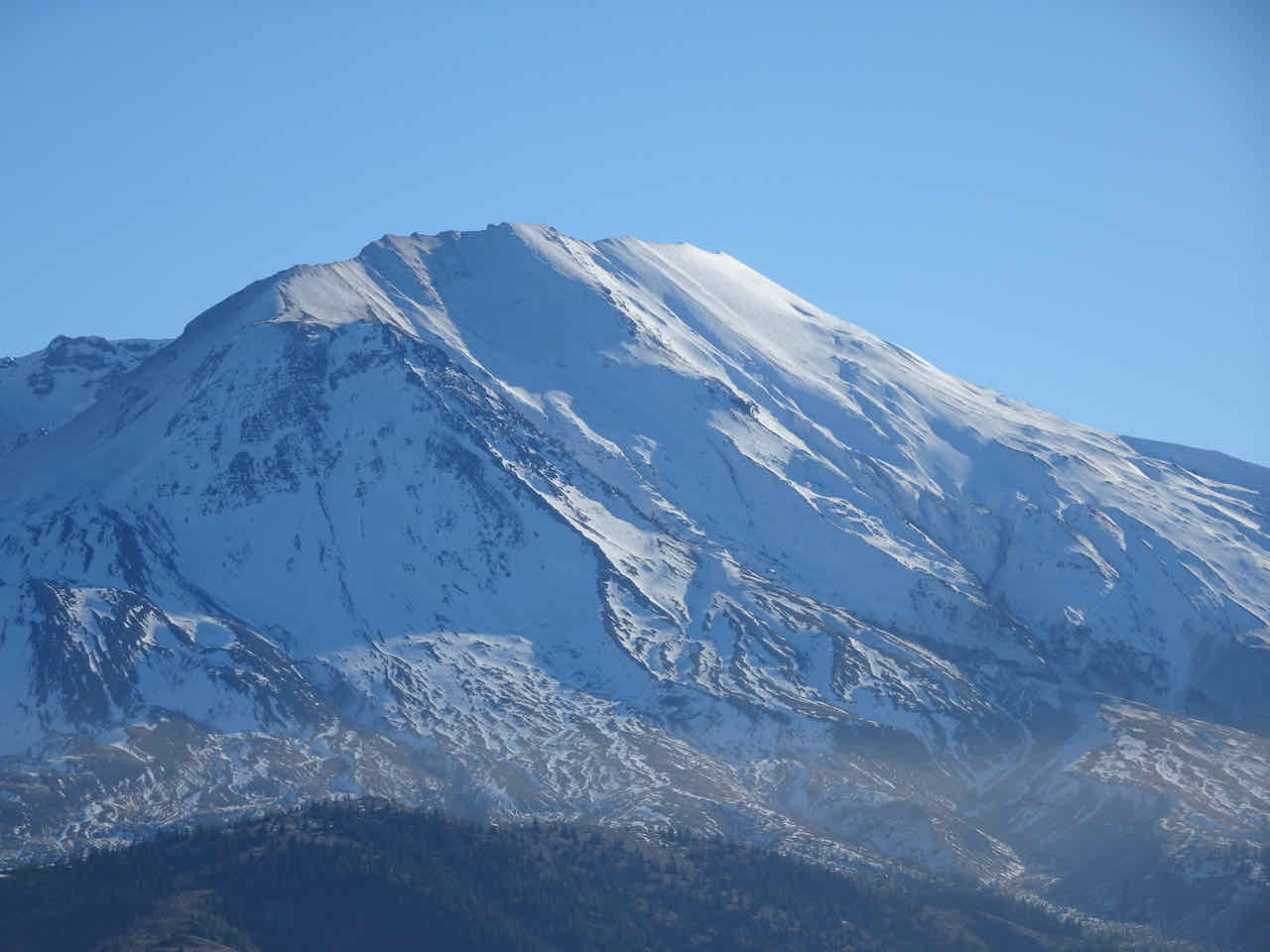
Mt St Helens – snowy high point
Toutle River Valley
Here is a set of photos from nearly the same spot on the ridge, one from May of 2020, when the hillsides were green:
November 28, 2023
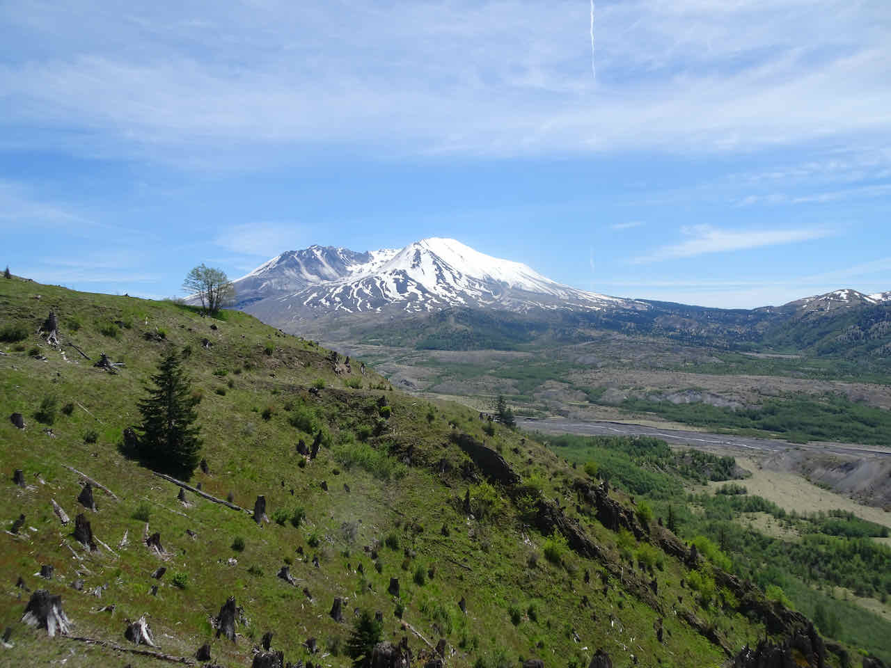
May 27, 2020
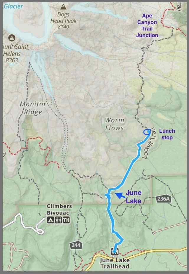
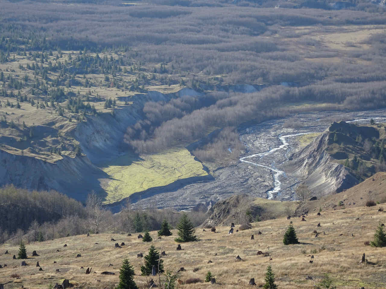
Heading down, I realized we had a good view over to the Windy Pass area on the east side of the mountain, which we were looking toward from the south side on our hike to June Lake in October.
Shadows growing long in the crater as we hike down.
Closer view of the Windy Pass area
And an excellent view of some of the hummocks in the afternoon light.
Back at the Boundary Trail Junction
The top of the mountain is glowing.
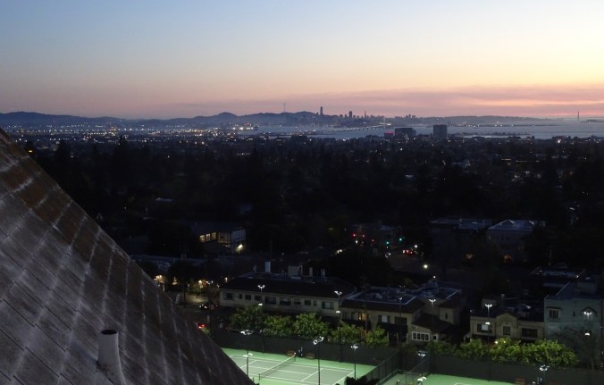
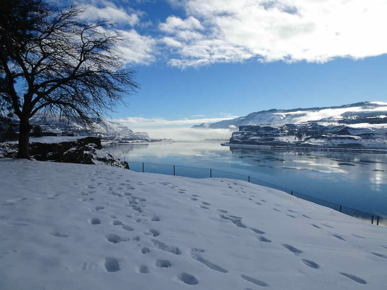
We stopped on our drive out at the Castle Lake Viewpoint for a last look at the area as the sun was setting…

Castle Lake Viewpoint