When we left New Zealand in February of 2020, we had a list of places to visit next time, but then the Covid pandemic shut the world down. Three years later we finally made our return trip. It took us two days to leave Portland – we were on the runway waiting to take off when an unusual 10 inches of snow caused the airport to be shut down. We made it out the next day, and thus began our New Zealand, part two, expedition. Last time we had a guided trip for two of the weeks, but this time we were comfortable with independent travel. This post is an abbreviated summary of our trip (February 23 to March 18, 2023) – more detailed accounts will follow.
View from seat 17A, Portland International Airport, February 23, 2023

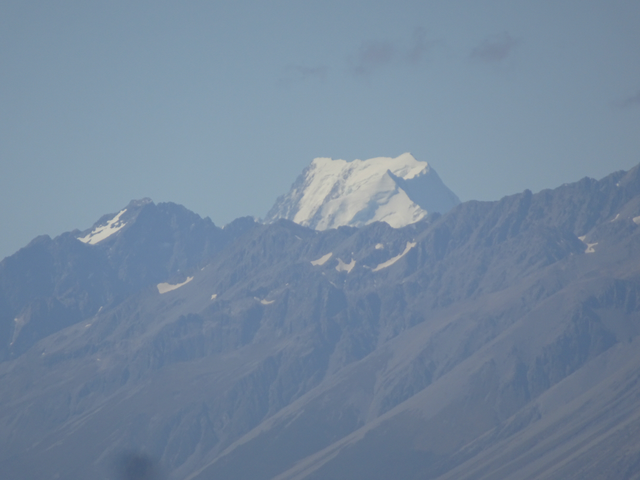
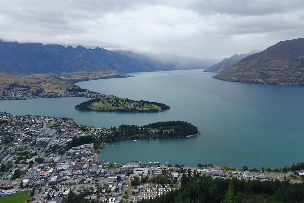
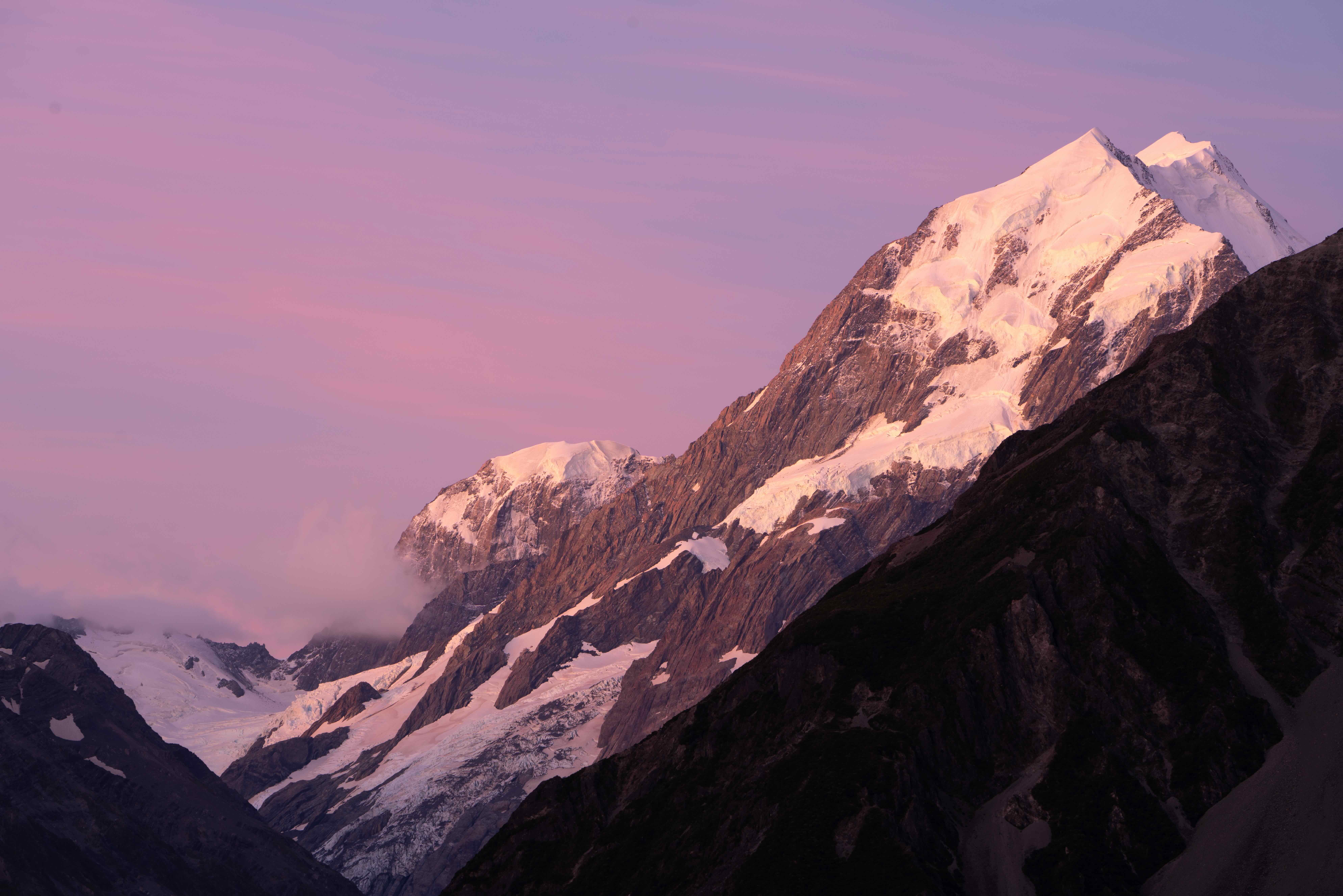
Remarkable Mountains from the Queenstown Airport, February 25, 2023
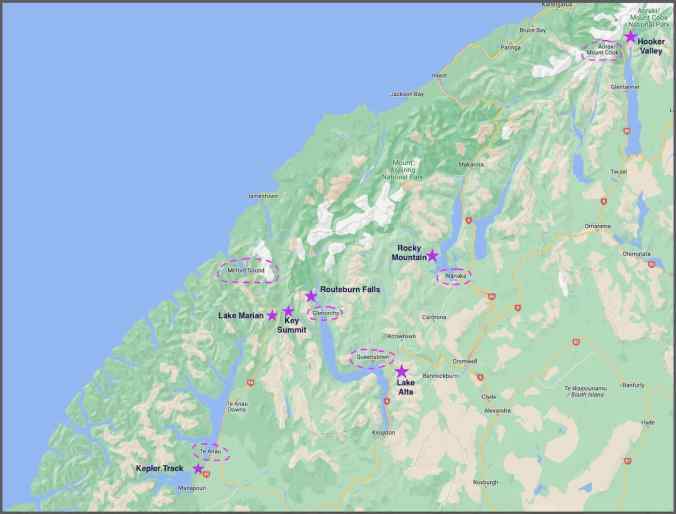
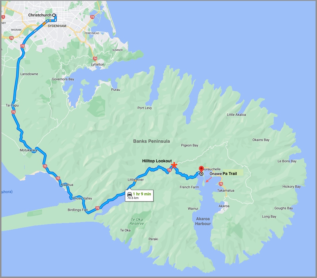
Locations visited and hikes (stars) on the South Island, New Zealand, February and March, 2023
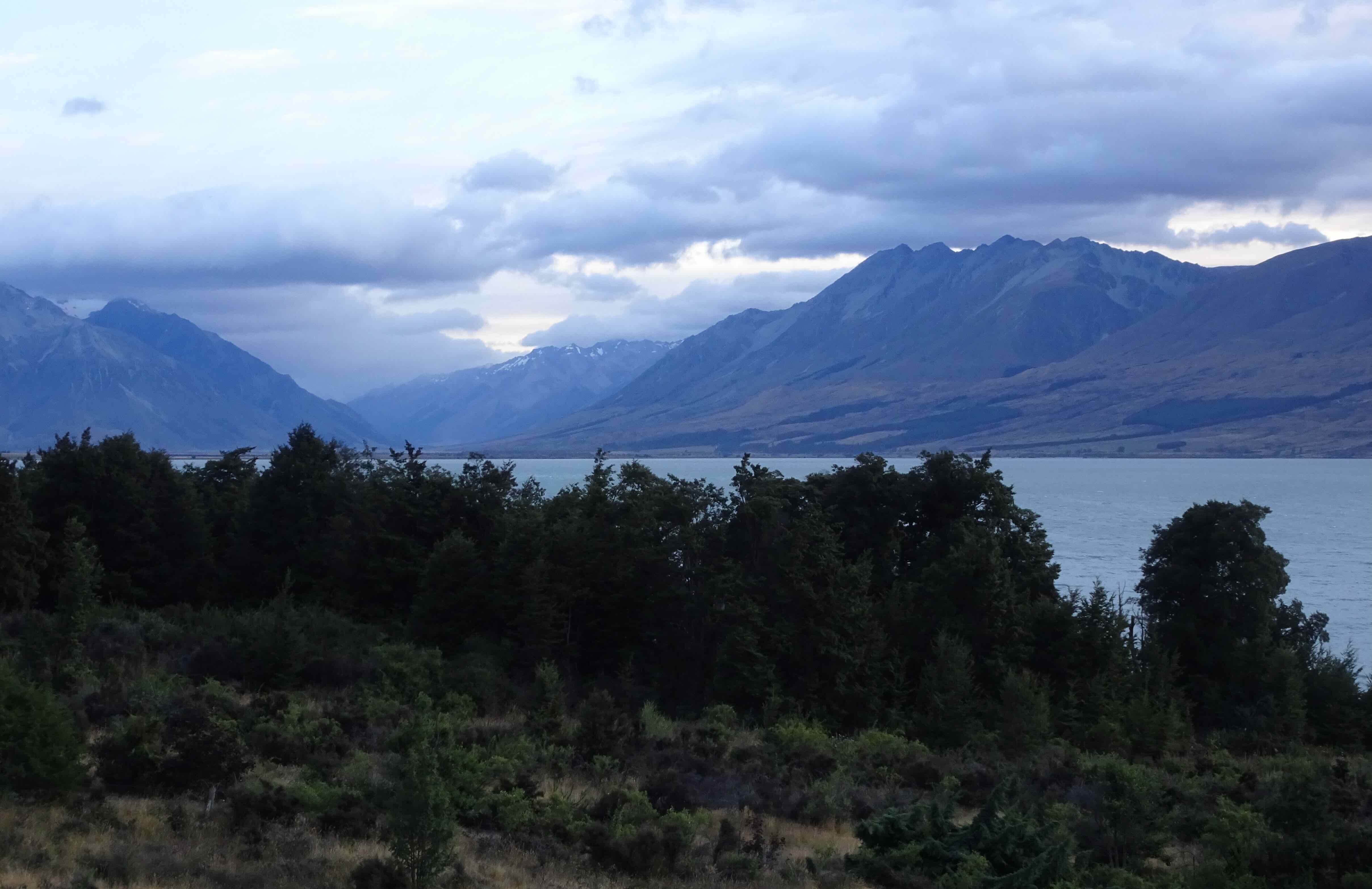
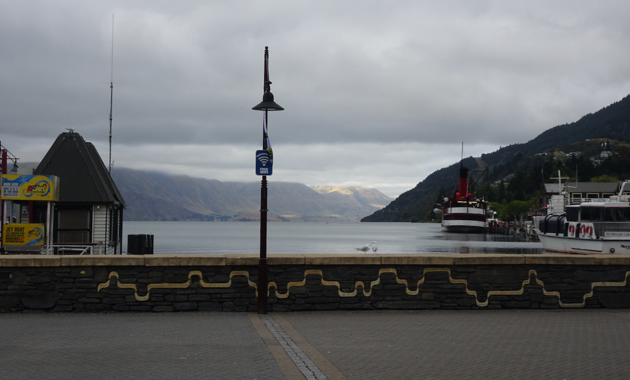
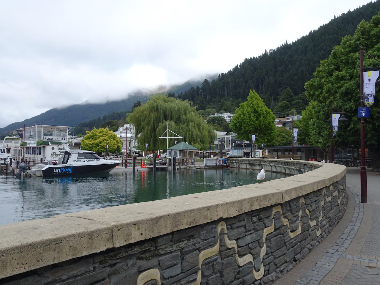
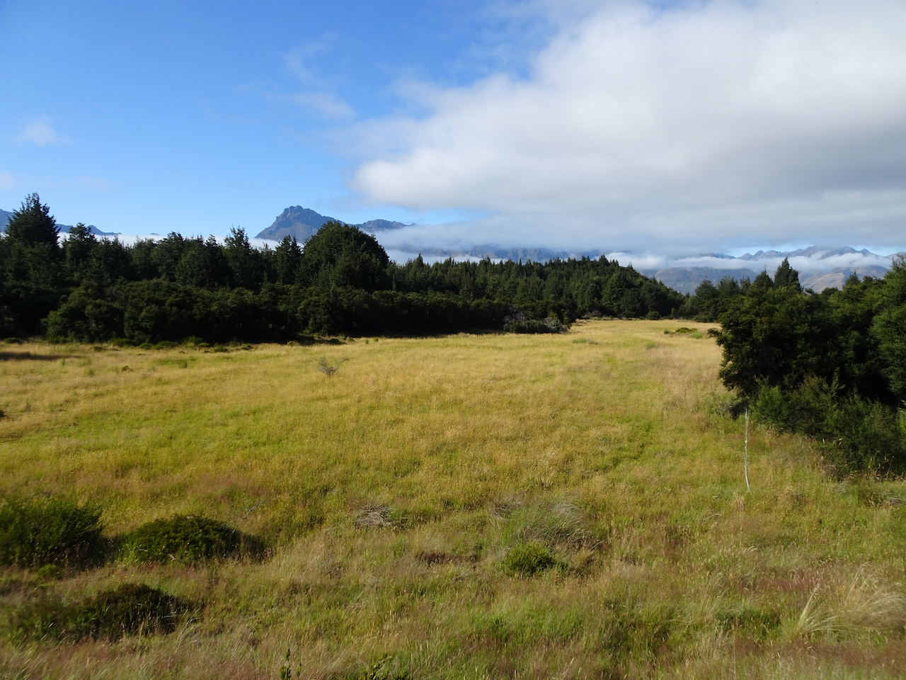
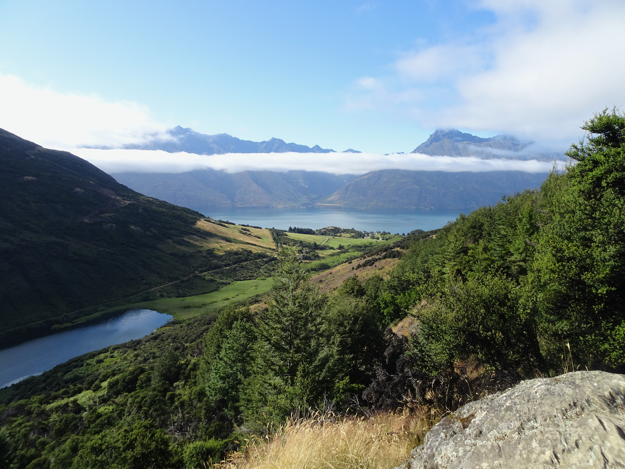
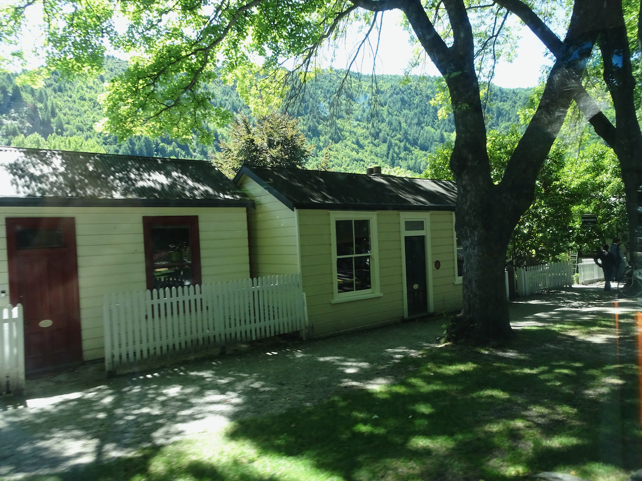
We stayed one night in Queenstown, stocked up on groceries, then headed to Glenorchy, at the head of Lake Wakatipu.
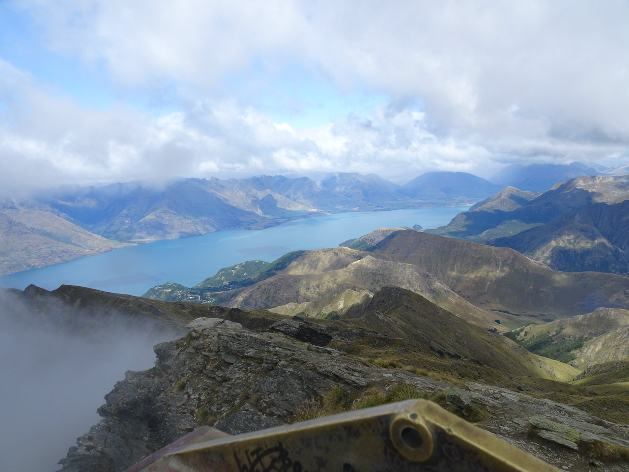
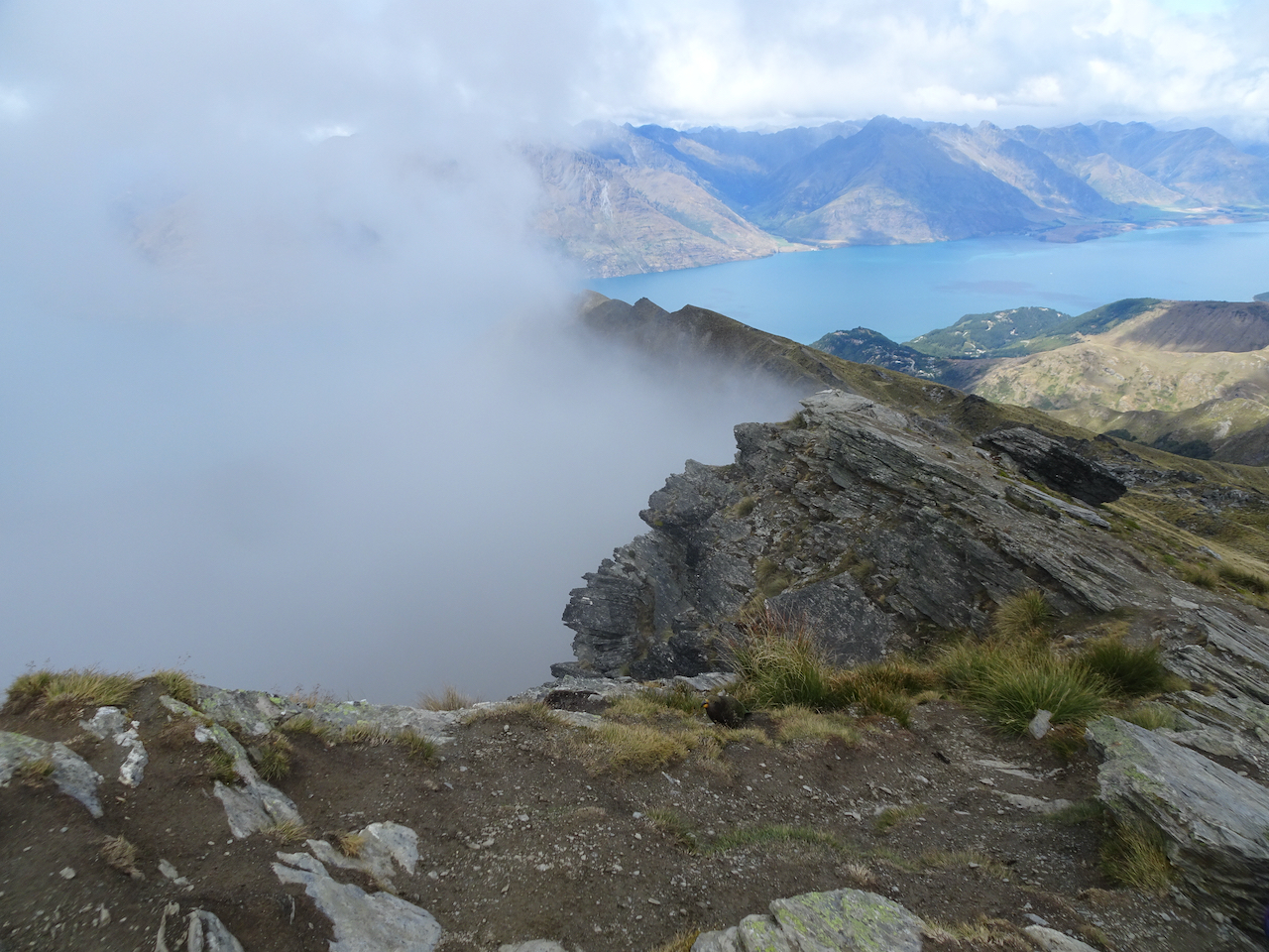
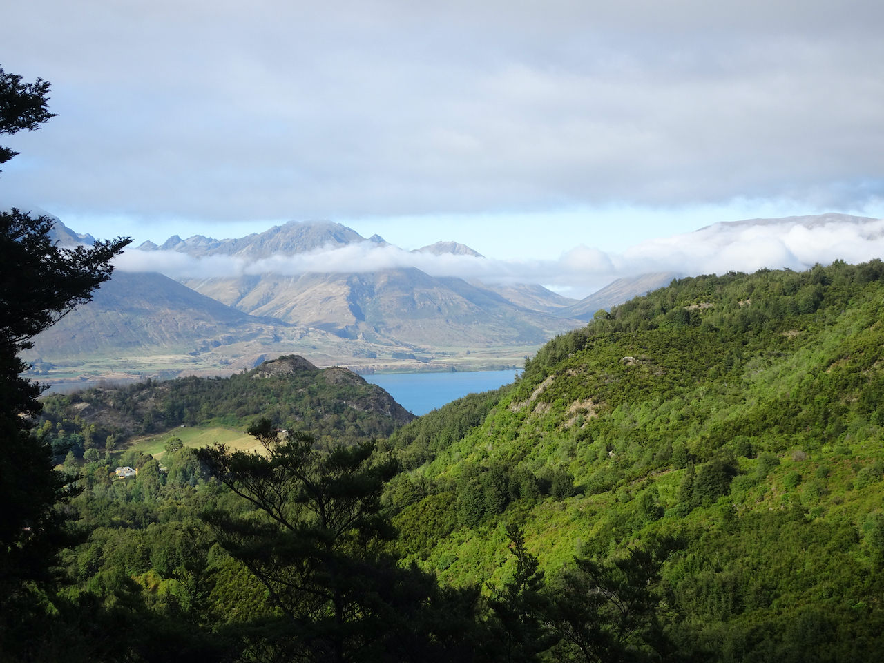
Glenorchy: As we drove along Lake Wakatipu, the low clouds lifted, and the peaks of the surrounding mountains came into view.
Lake Wakatipu and Southern Alps from Bennet’s Bluff viewpoint, 3/26/2023
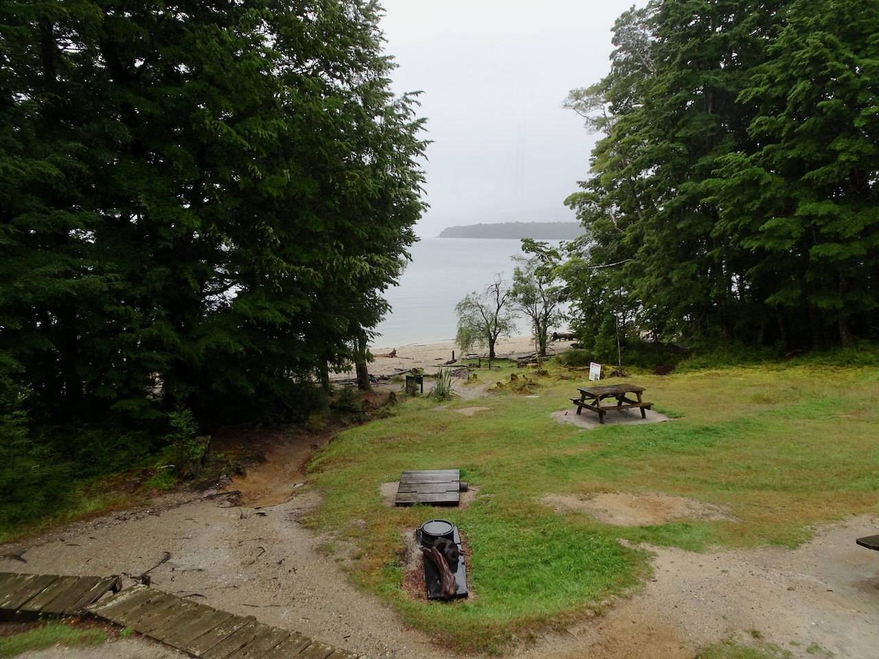
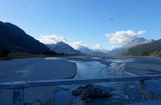
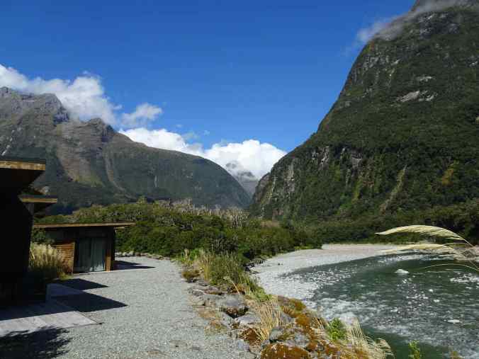
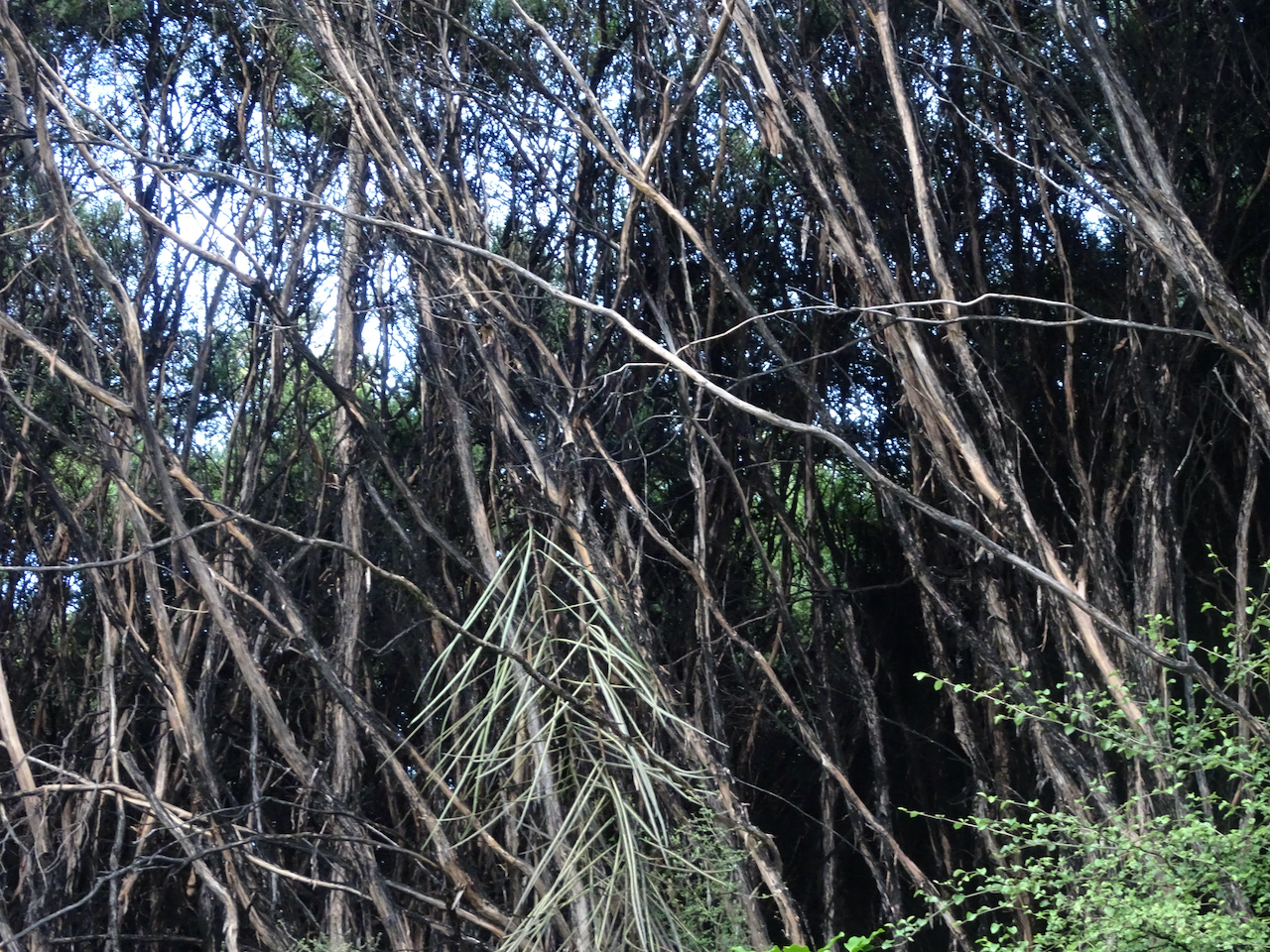
After checking into our lodgings, we spent the afternoon walking the Glenorchy Walkway, where the Dart River flows in to Lake Wakatipu.

Mt Earnslaw from the Glenorchy Walkway
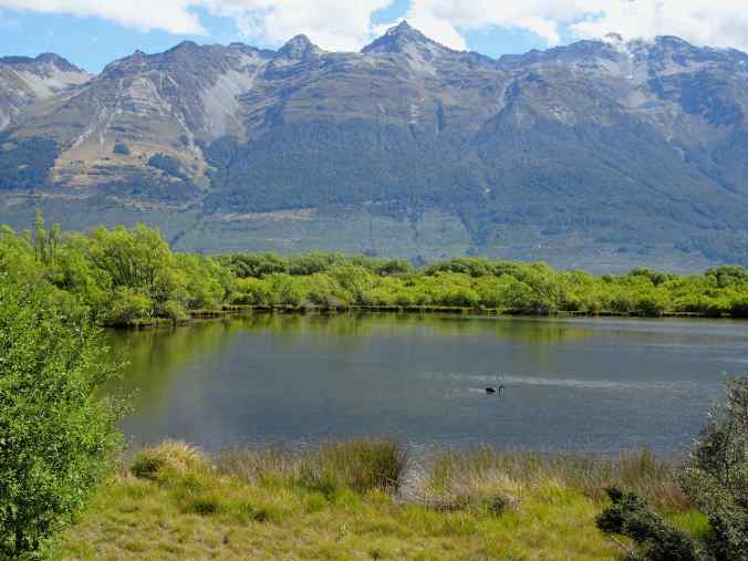
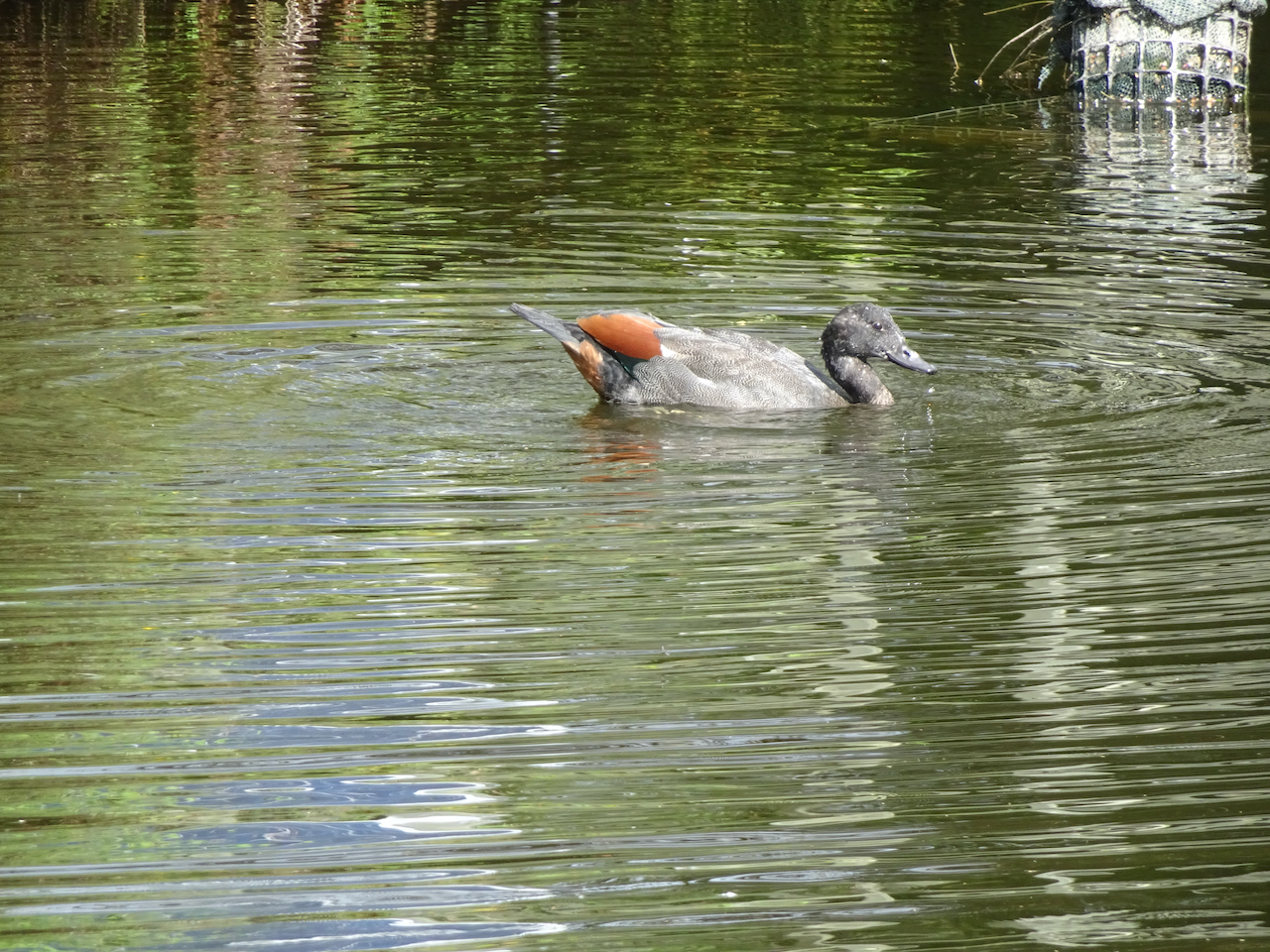
Black swan, Glenorchy Walkway
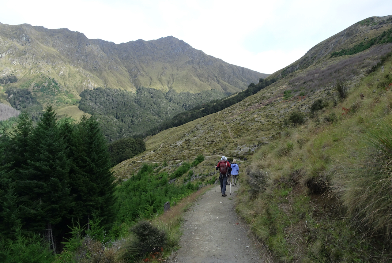
The next day was one of our more challenging hikes, on the Routeburn Track to the valley above Routeburn Falls (13 miles, 2000 feet).
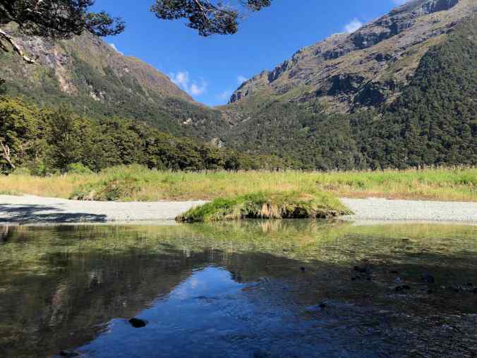
Quiet lunch spot in the Routeburn Flats along the river. Our destination waterfalls are in the cliffs beyond.

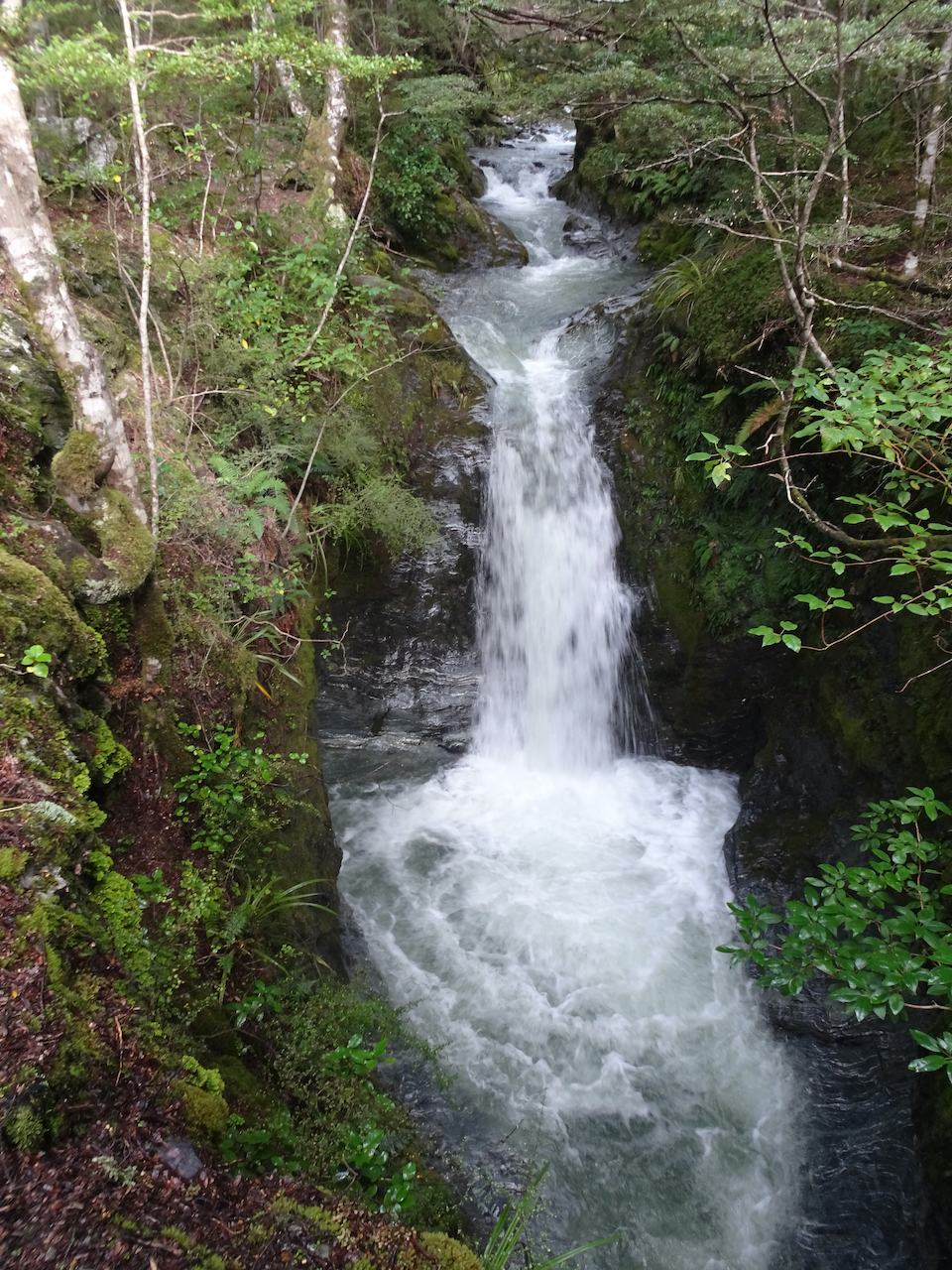
Routeburn Falls
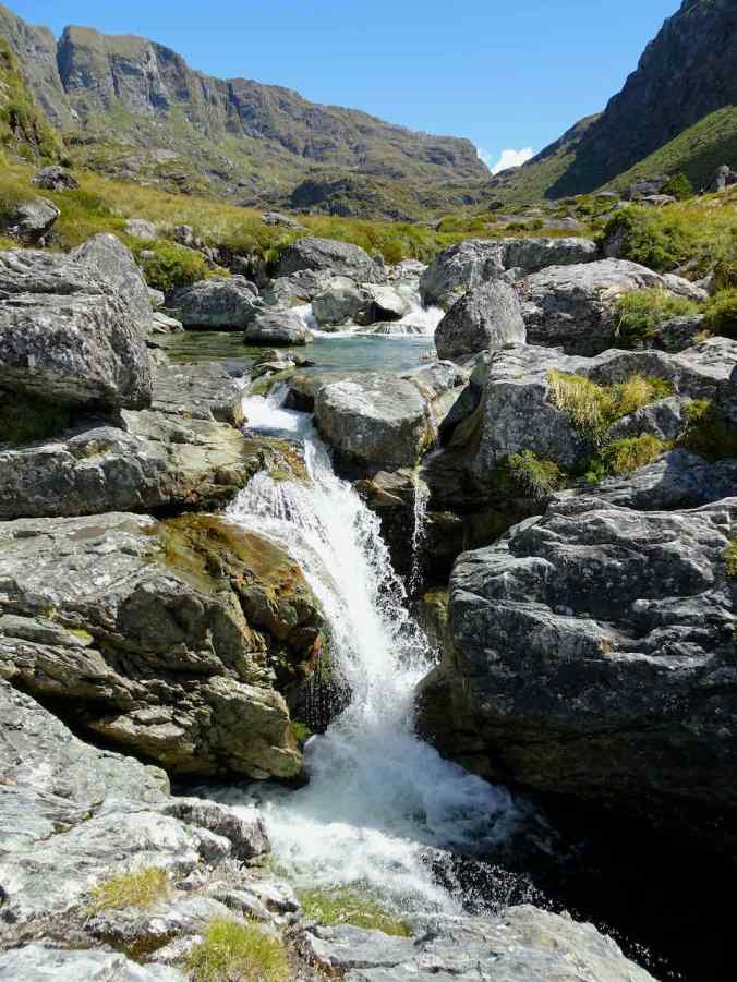
Higher waterfalls on the Routeburn River
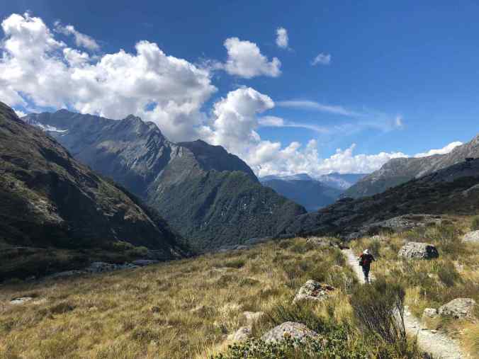
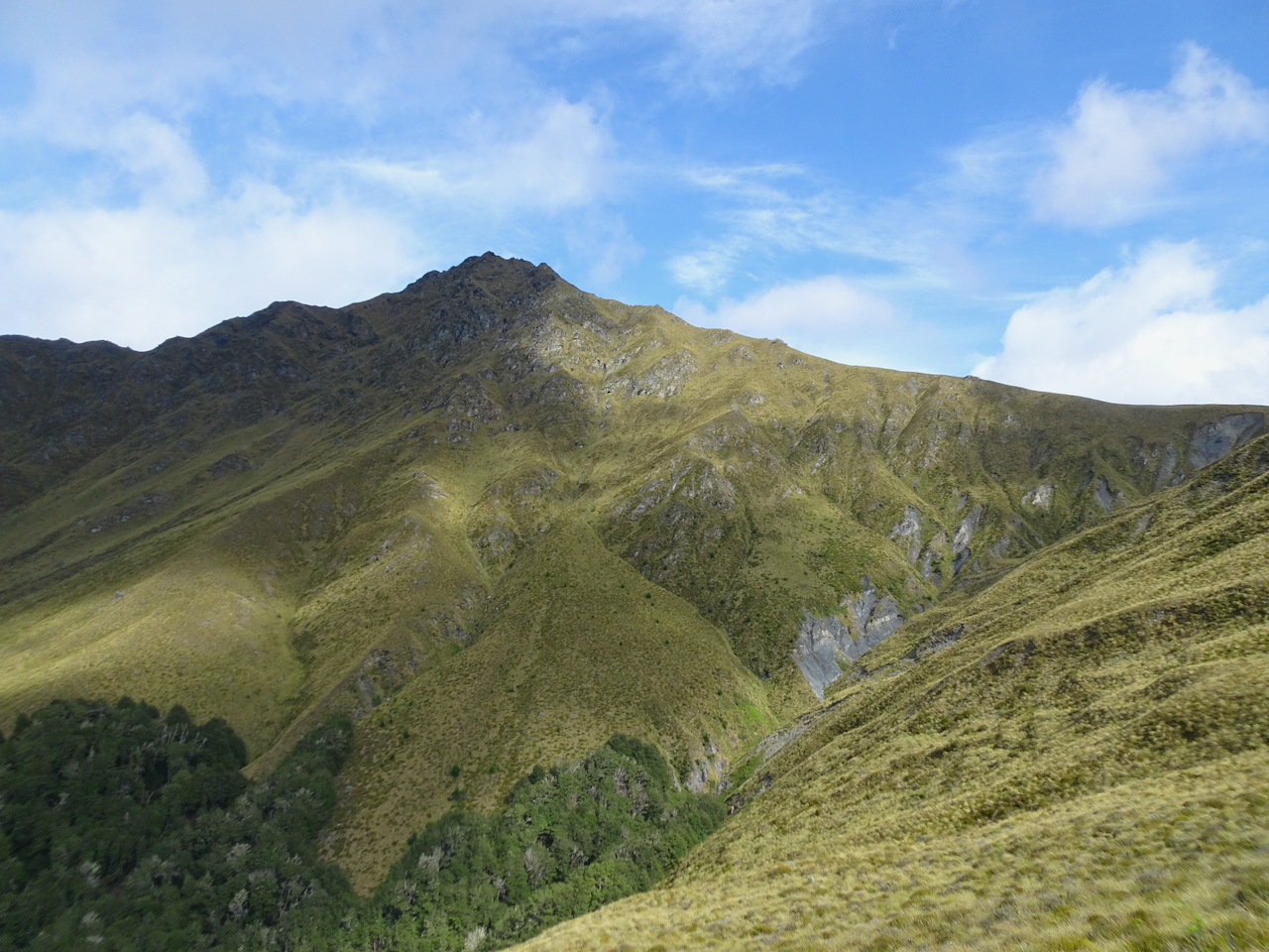
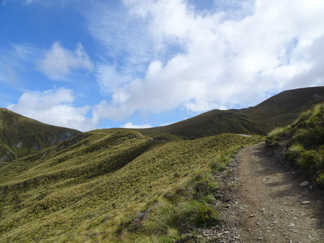
Our high point, looking west, on the Routeburn Track

Routeburn Flats, on our return hike.
The road to this trail crosses the Dart River, tagged on Google Maps as the location for Isengard, a Lord of the Rings movie location.
Isengard? on the Dart River
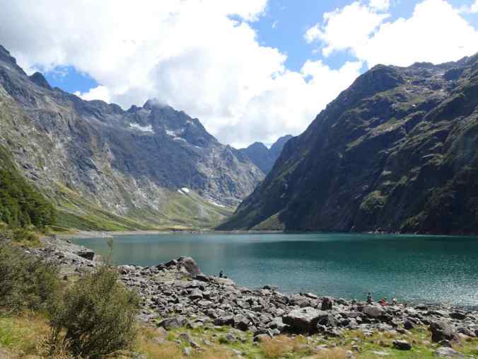
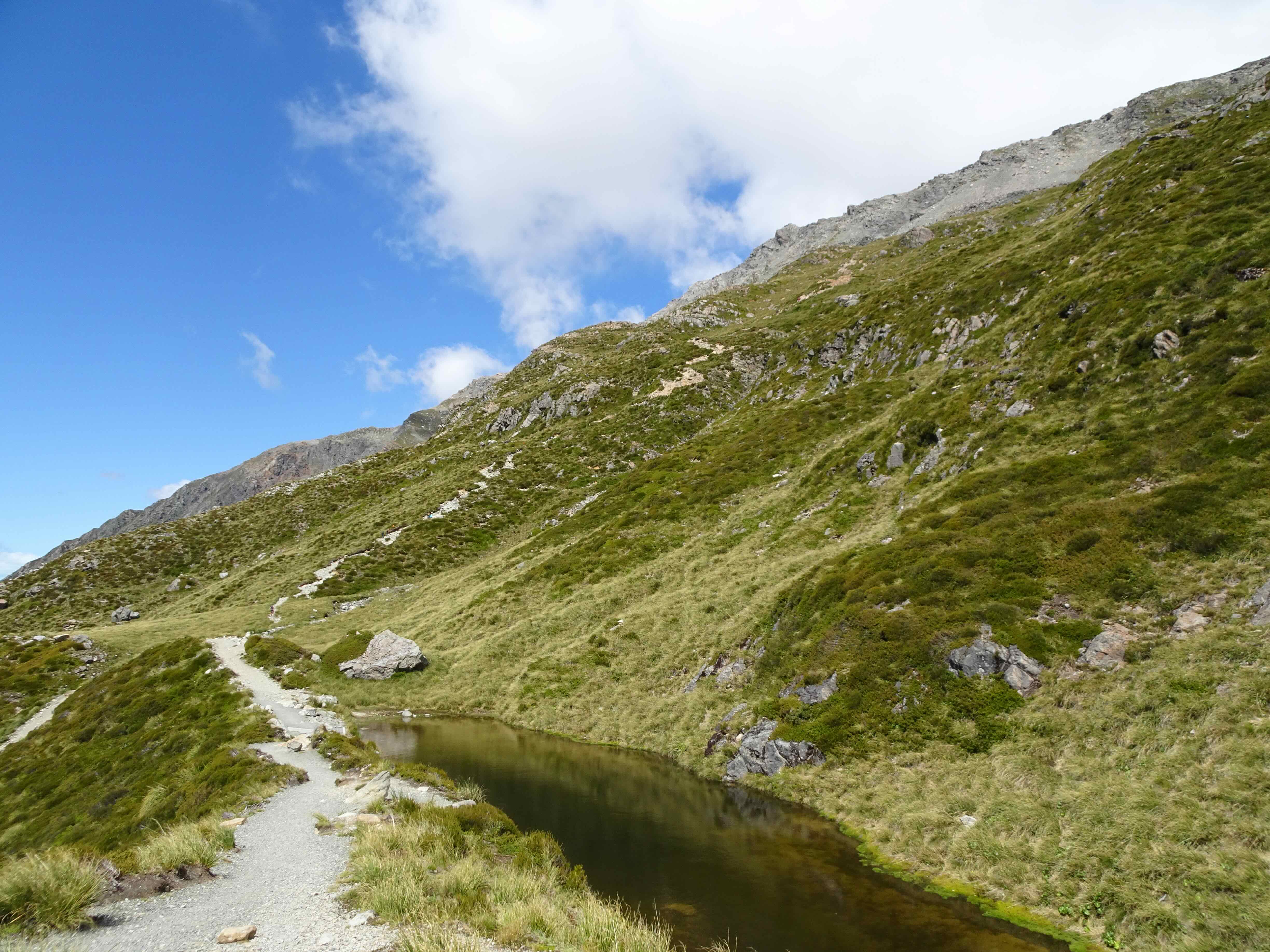
Lake Alta: The next day, we drove back through Queenstown to Te Anau. We made a side trip to the Ski Hill at the top of The Remarkables for a short hike to Lake Alta, which sits just behind Double Cone.

Lake Alta, a cirque lake nestled behind Double Cone at the top of the Remarkables.

Up close, the water is a beautiful green blue!
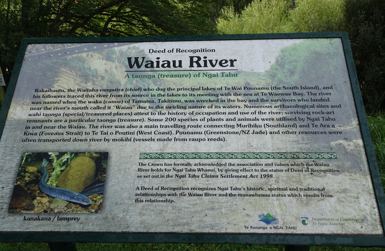
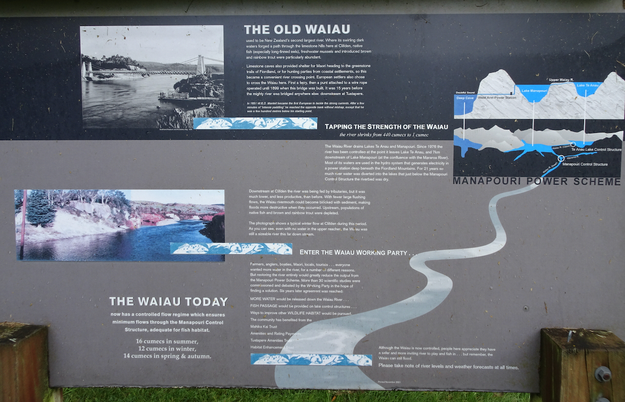
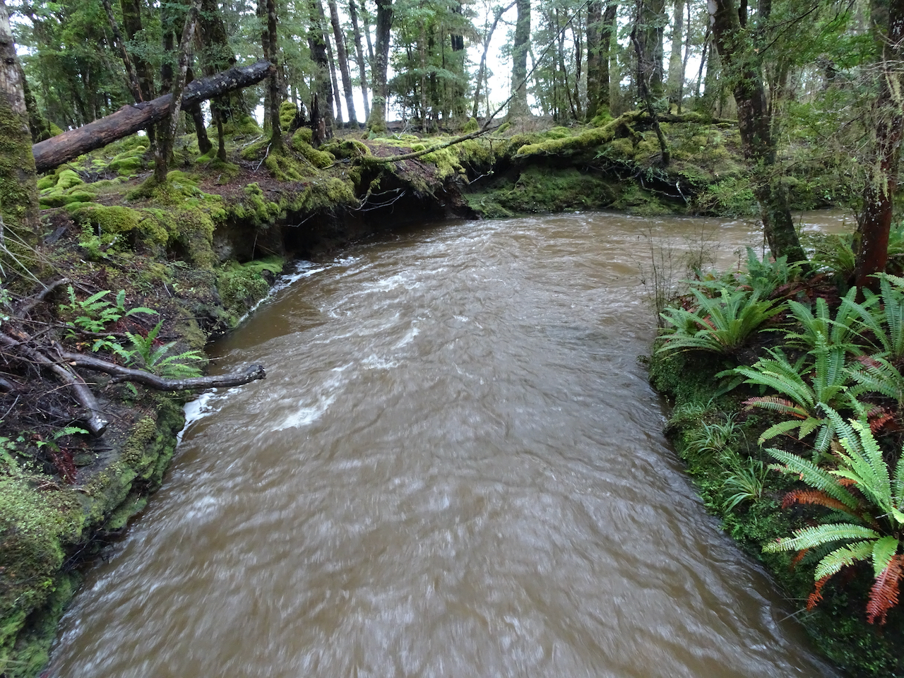
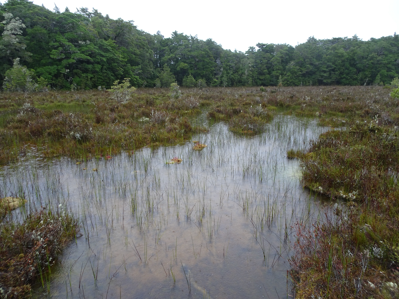
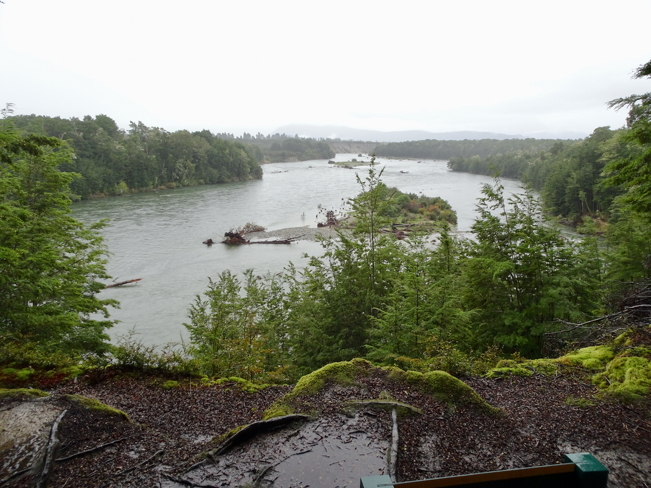
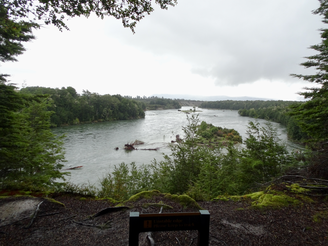
In Te Anau, we hiked a part of the Kepler Track to Lake Manapouri. By incredible coincidence, we bumped into our guide from three years ago at the trailhead.

Waiau River (Anduin River) from the Kepler Track.
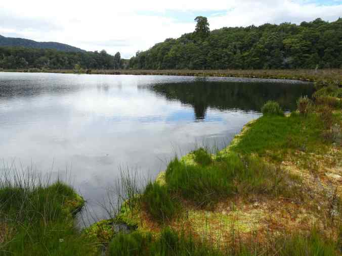
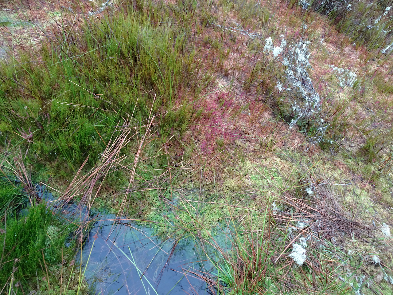
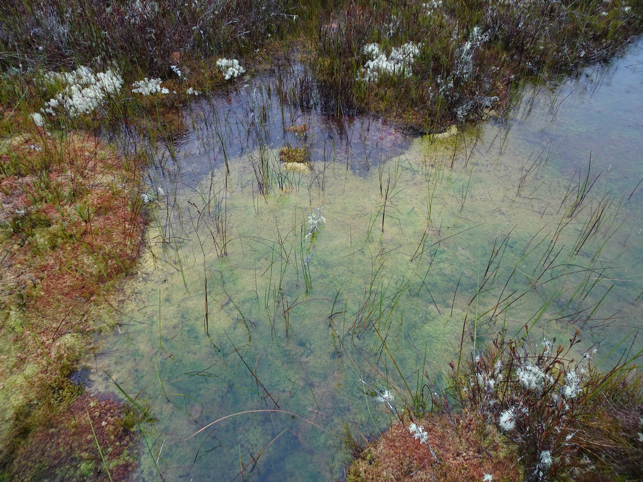
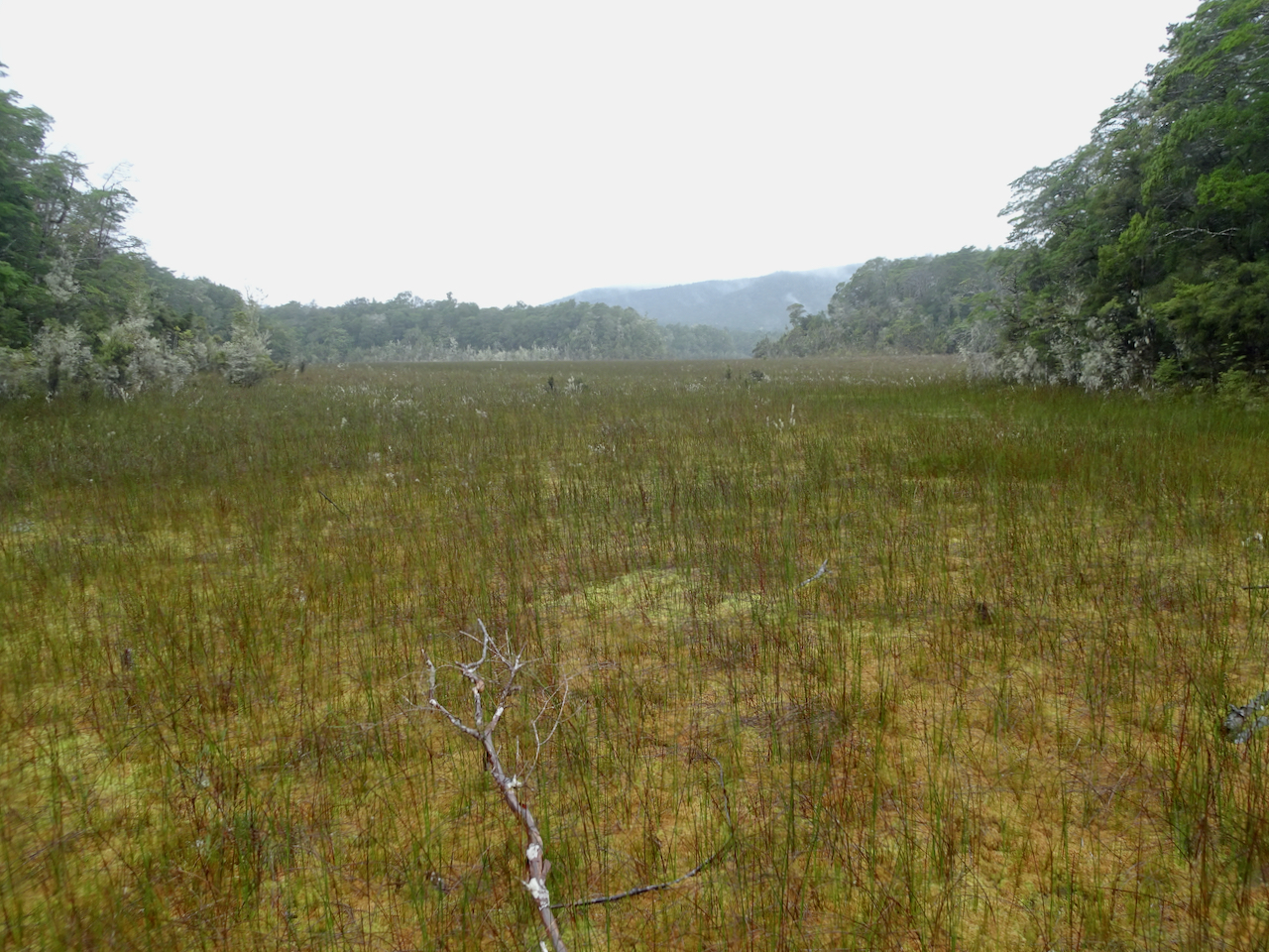
Spirit Lake. The surrounding marshes were dry this late in the summer.

Lake Manapouri, with sandflies.
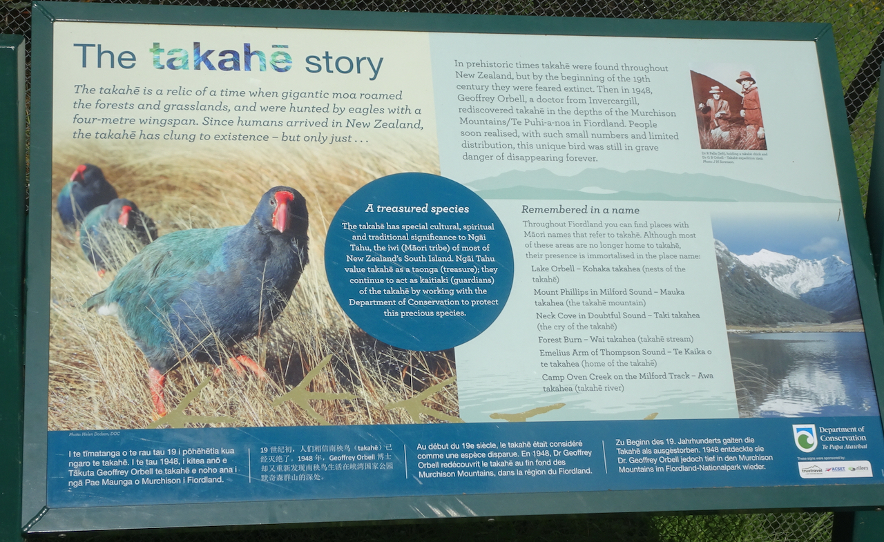
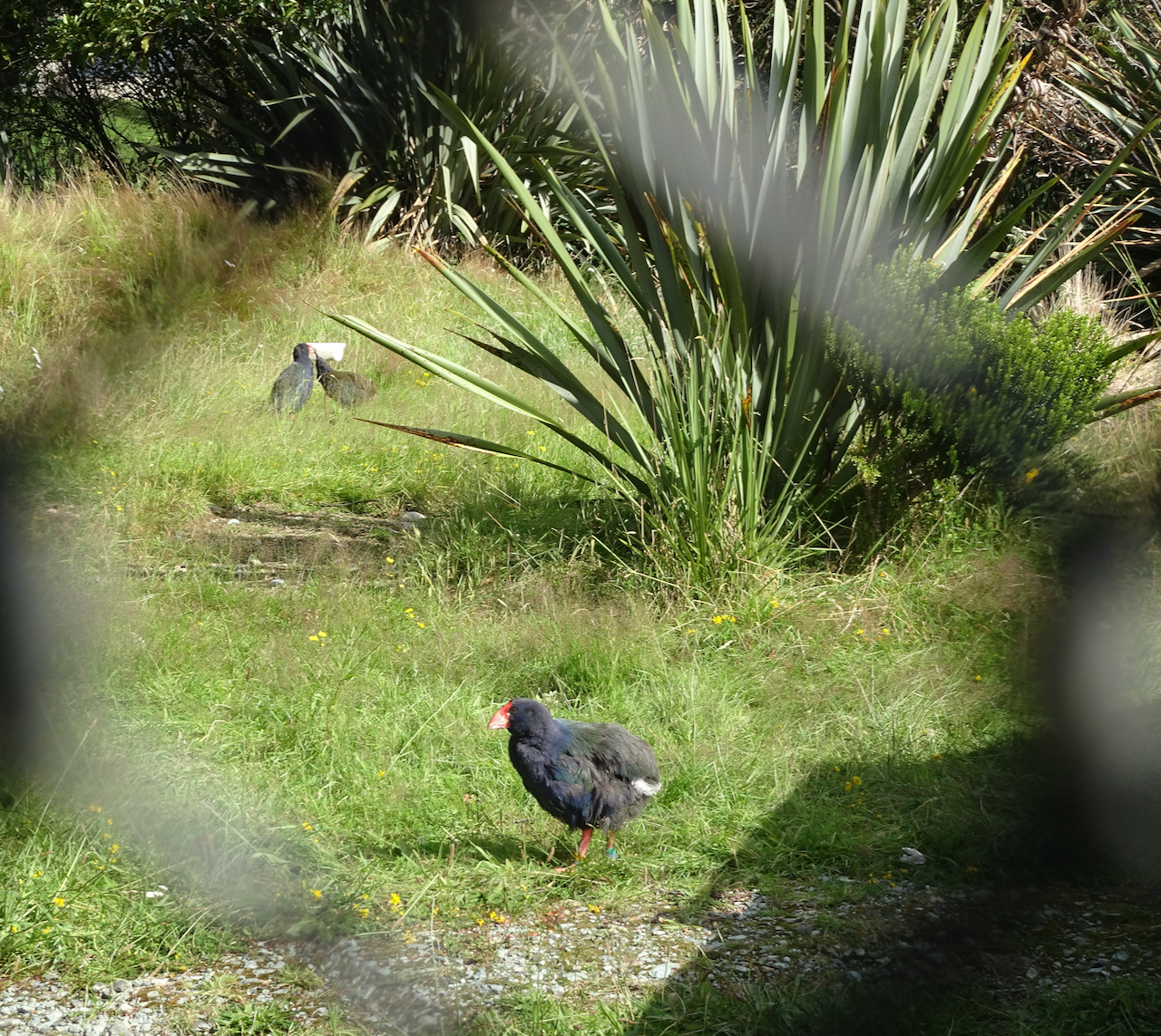
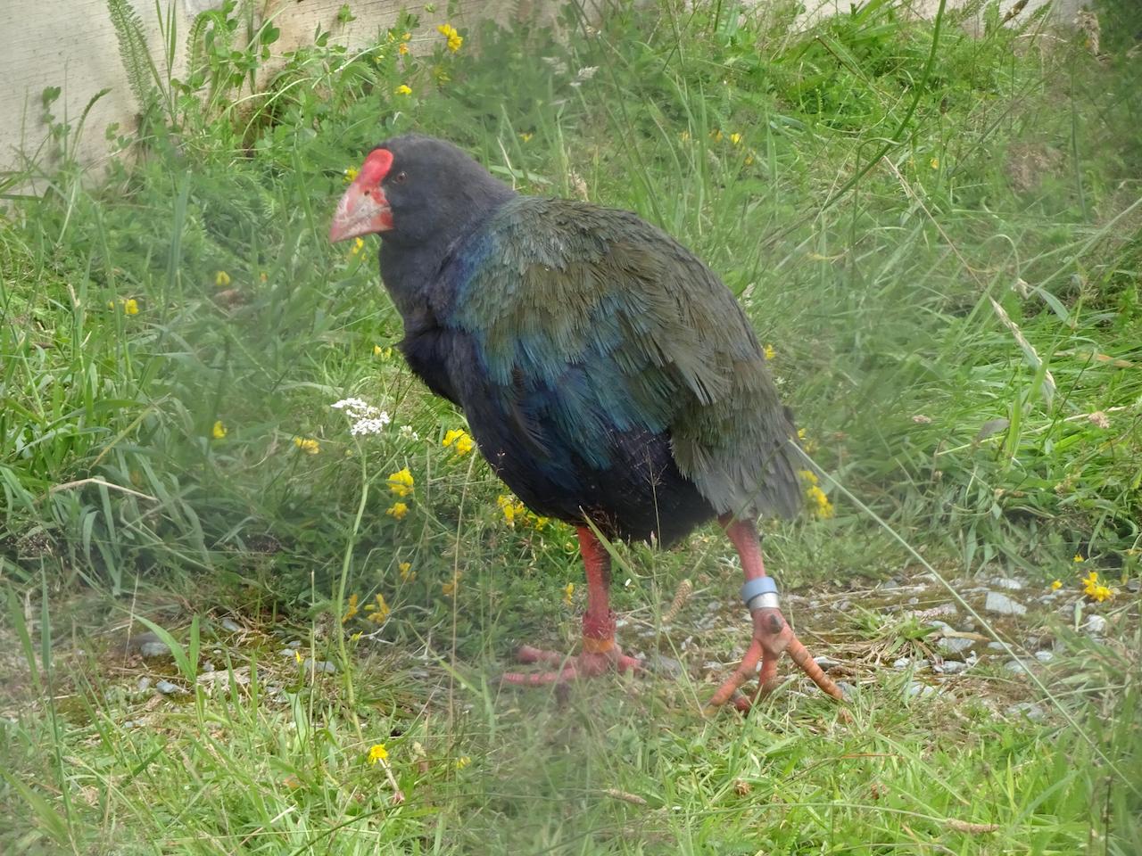
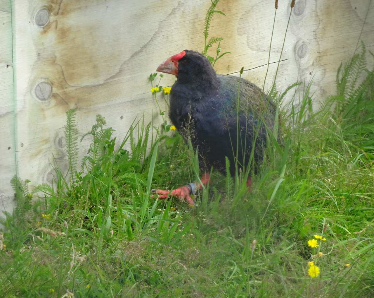
We also made a quick stop in the Te Anau Birdpark to see the Takahe.
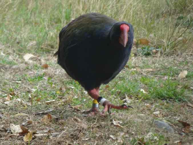
Takahe, Te Anau Birdpark, 3/1/2023
Milford Sound: The Key Summit Track, which is also the other end of the Routeburn Track, is along the road to Milford Sound. We missed this entire segment of our trip three years ago, due to flooding, so this was one of our main destinations this trip. We had the good luck of seeing the clouds lift as we reached the top, revealing views of the surrounding peaks, with Lake Marian nestled between them.

Mts Christina and Lyttle, and Lake Marian, from Key Summit

Key Summit tarn and reflections
After the hike, we drove on through the Homer Tunnel to Milford Sound, where we spent two lovely nights at a lodge on the Cleddau River, surrounded by incredible views of the mountains.
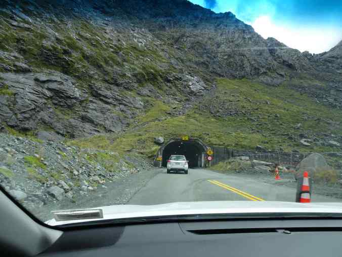
Homer Tunnel entrance, westbound
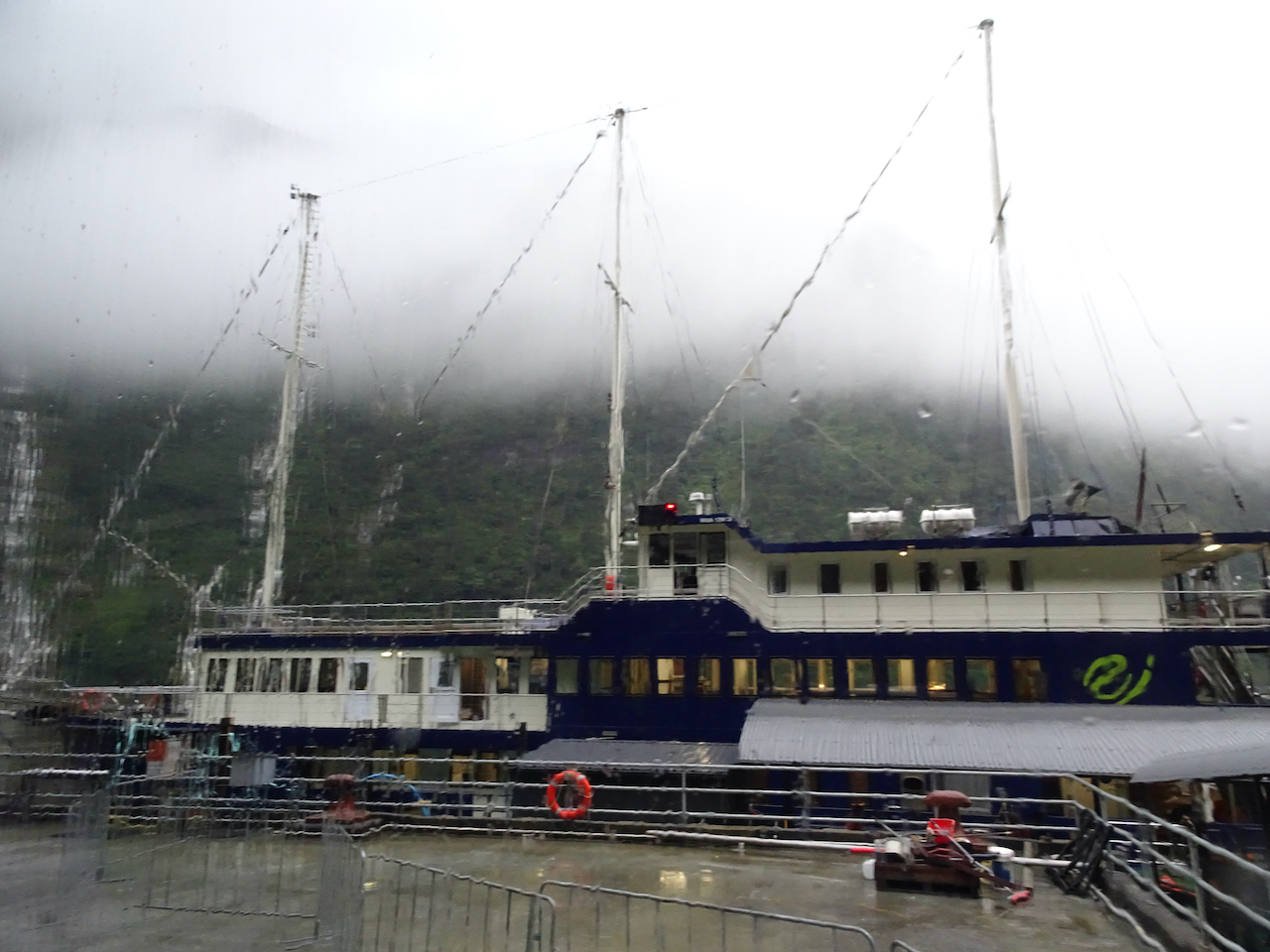
Milford Sound Lodge, Cleddau River
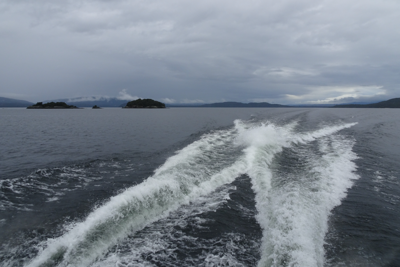
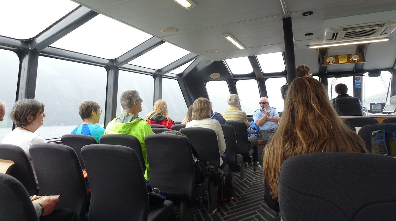
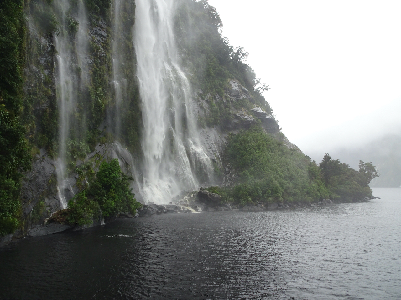
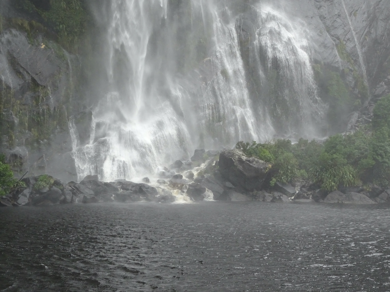
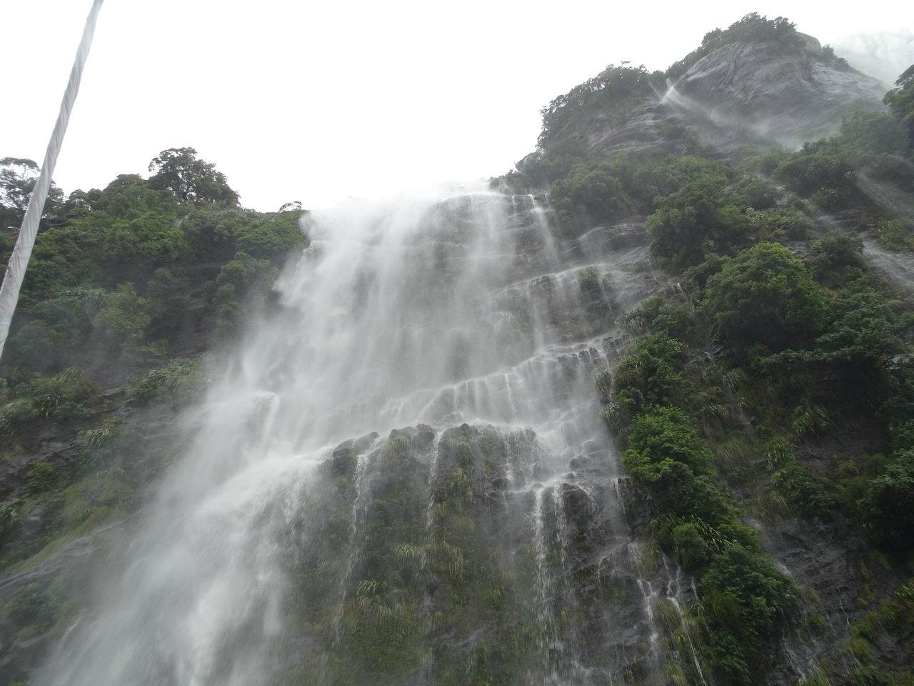
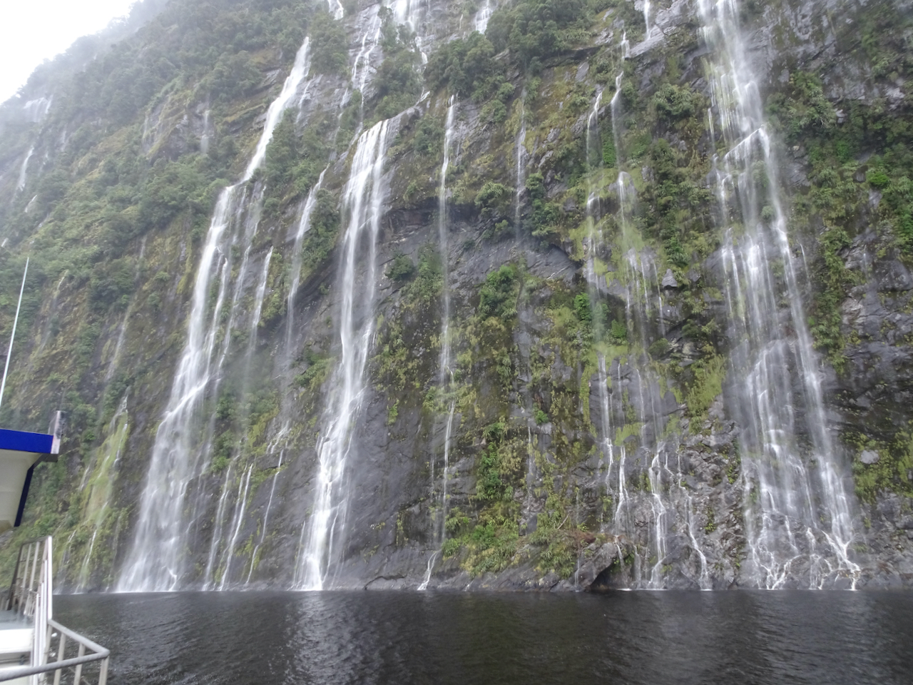
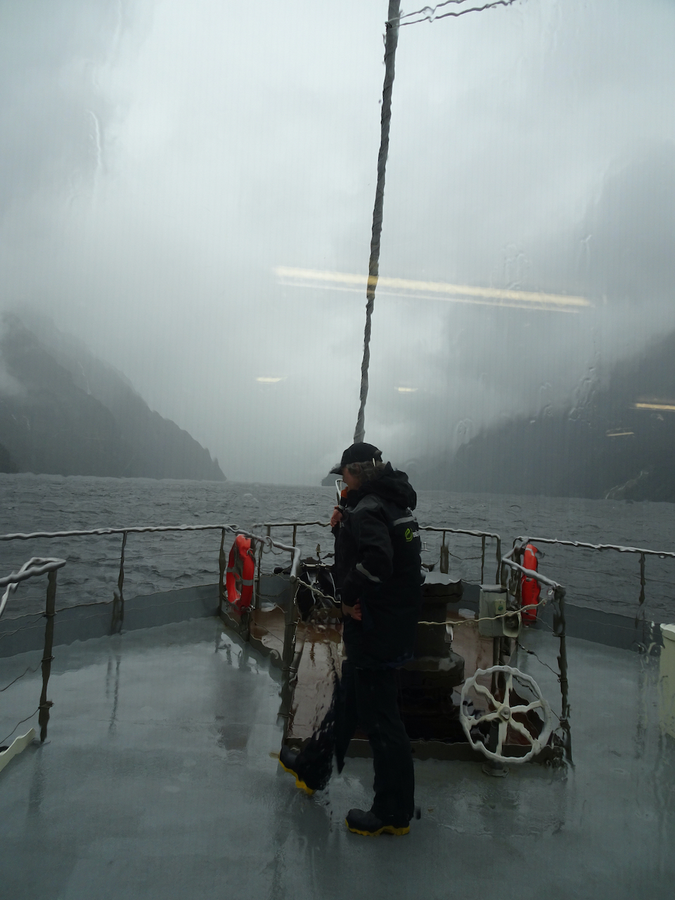
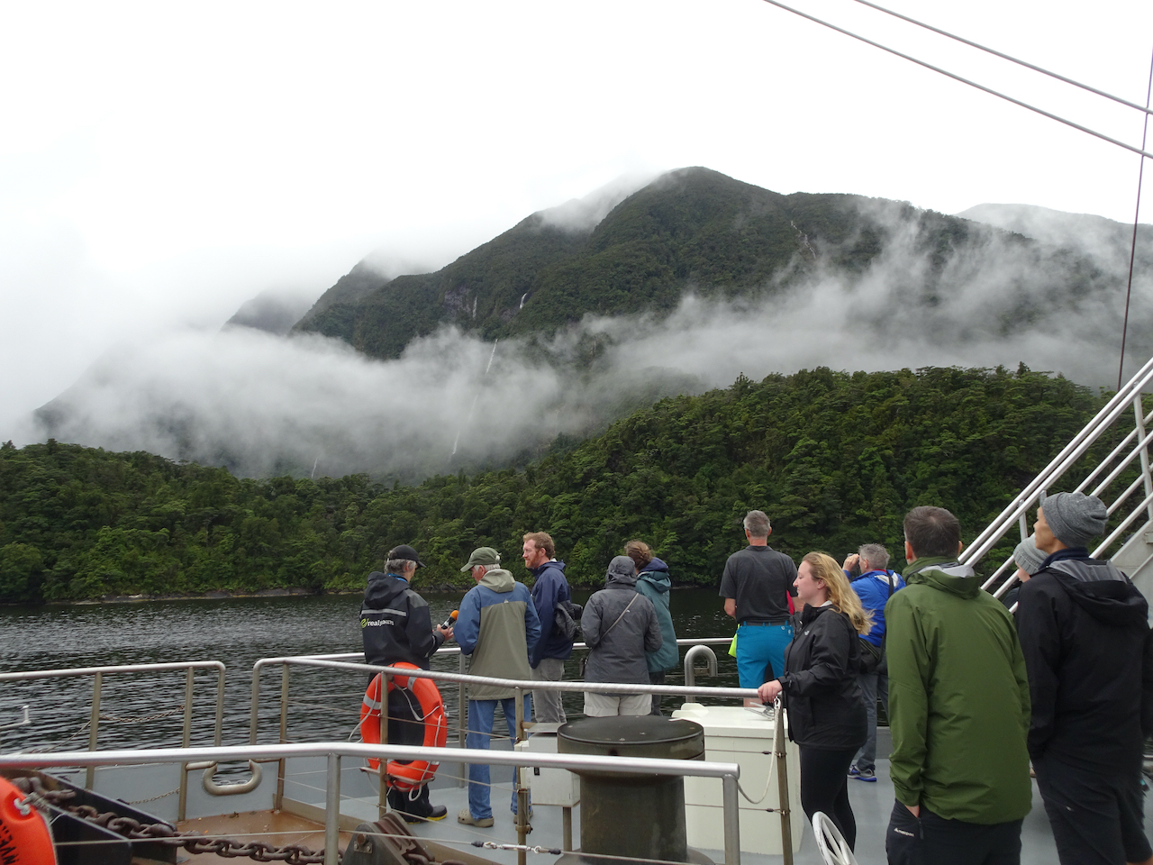
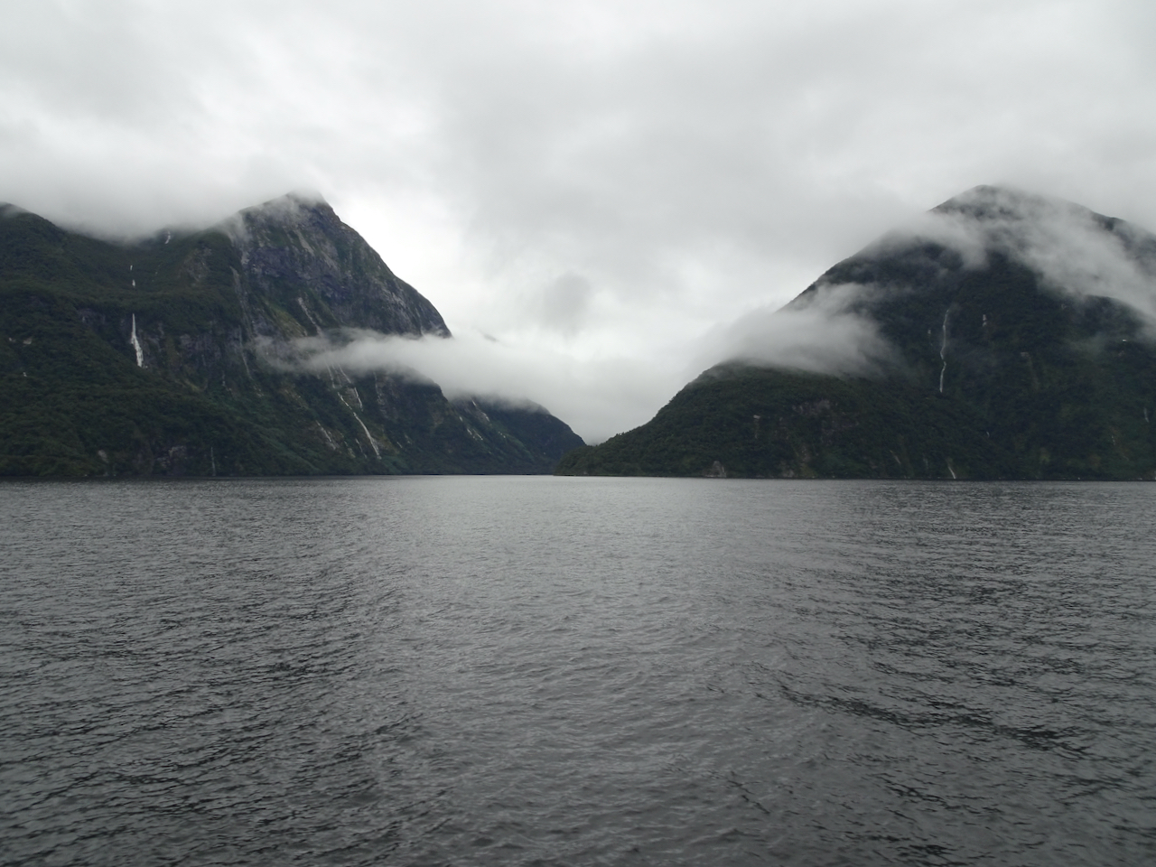
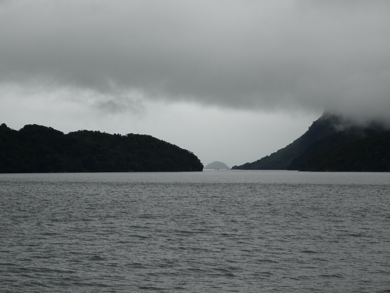
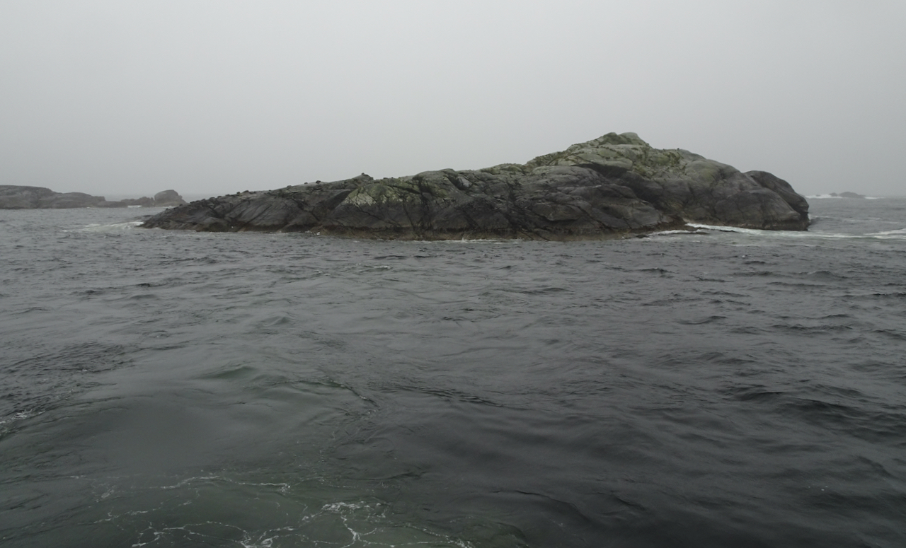
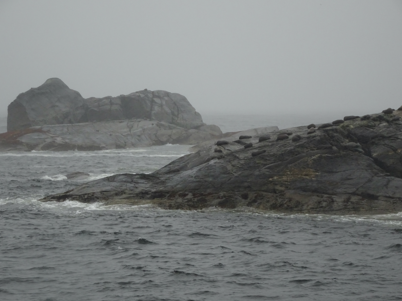
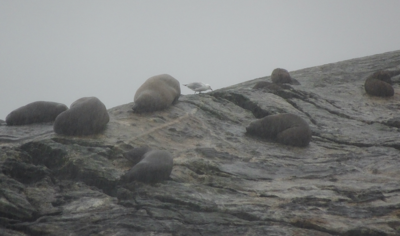
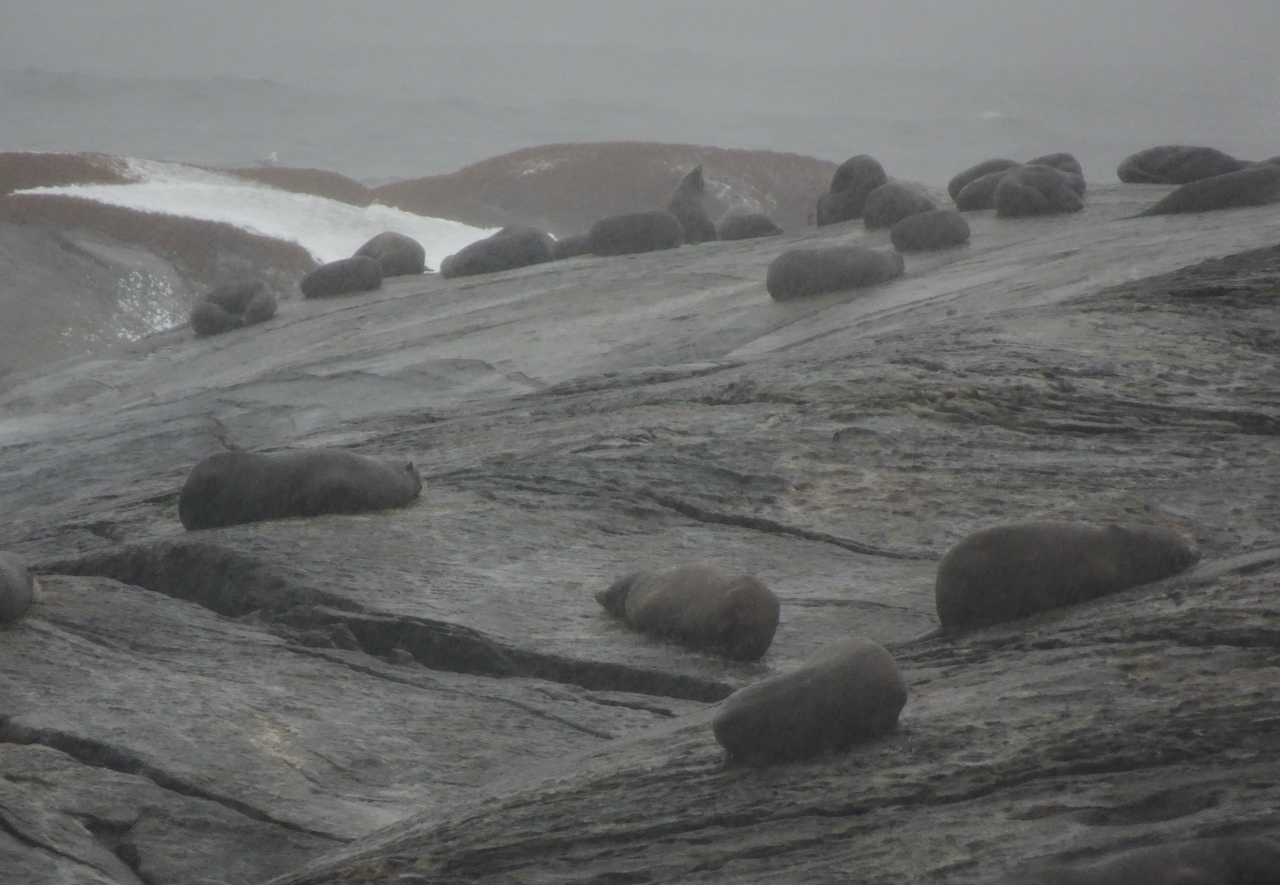
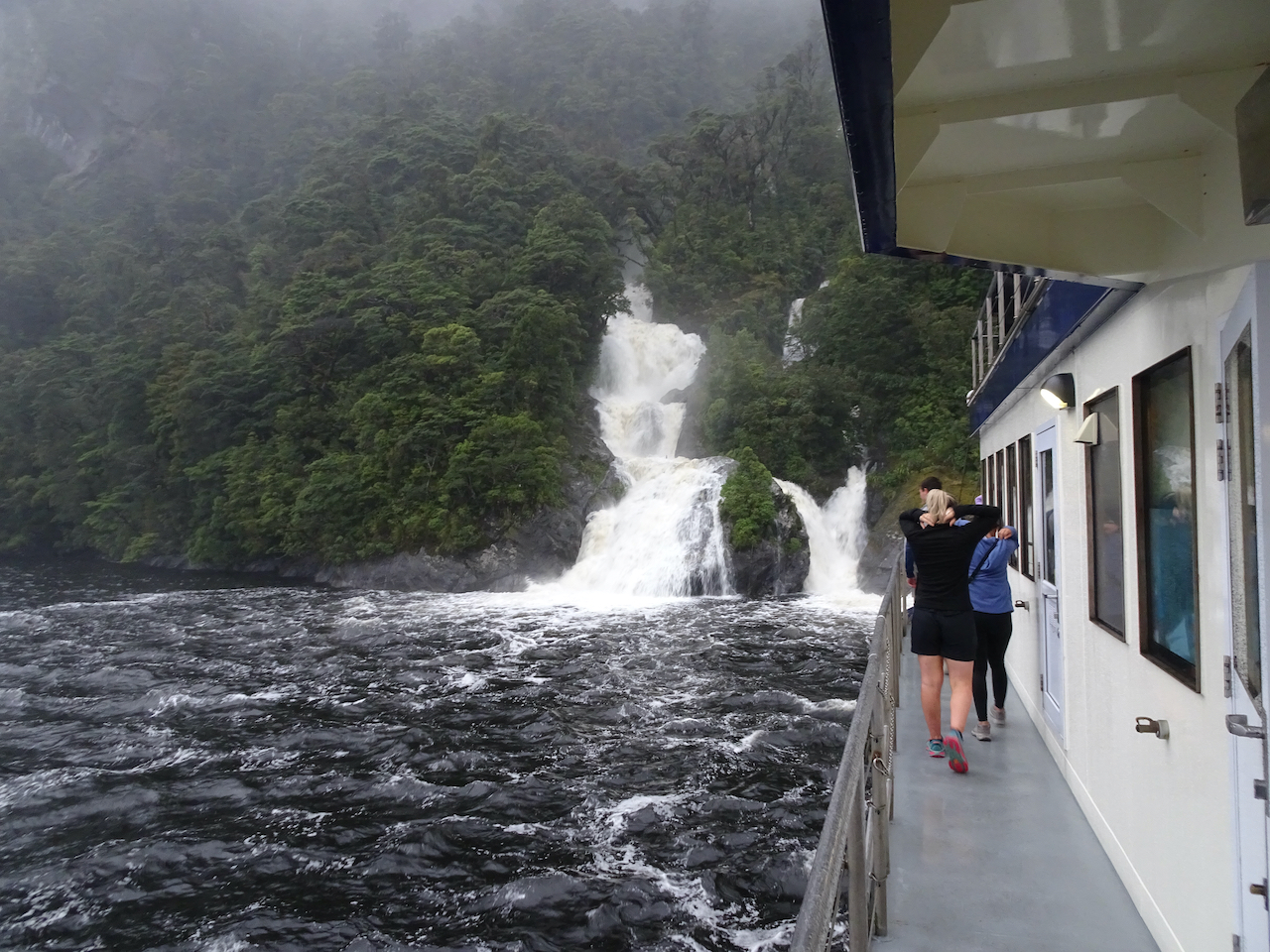
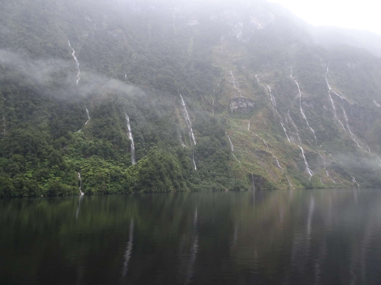
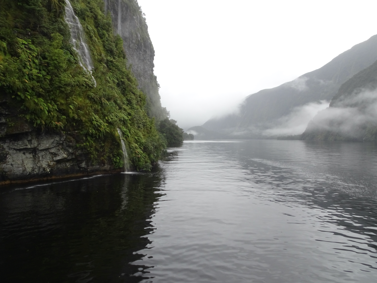
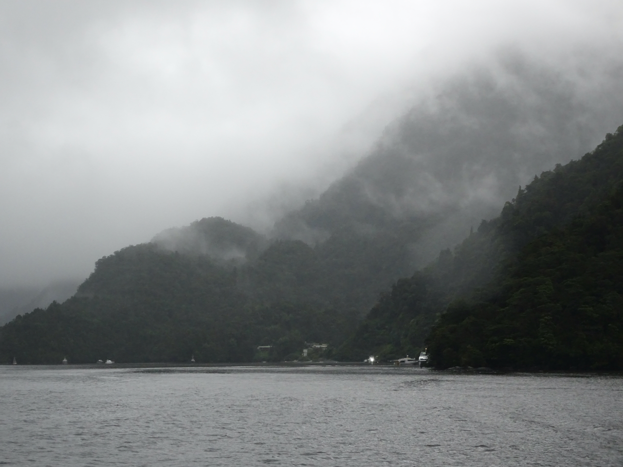
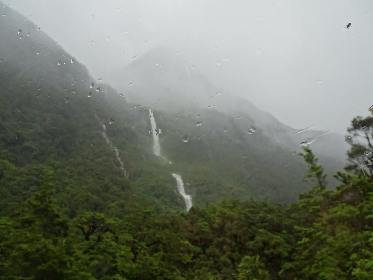
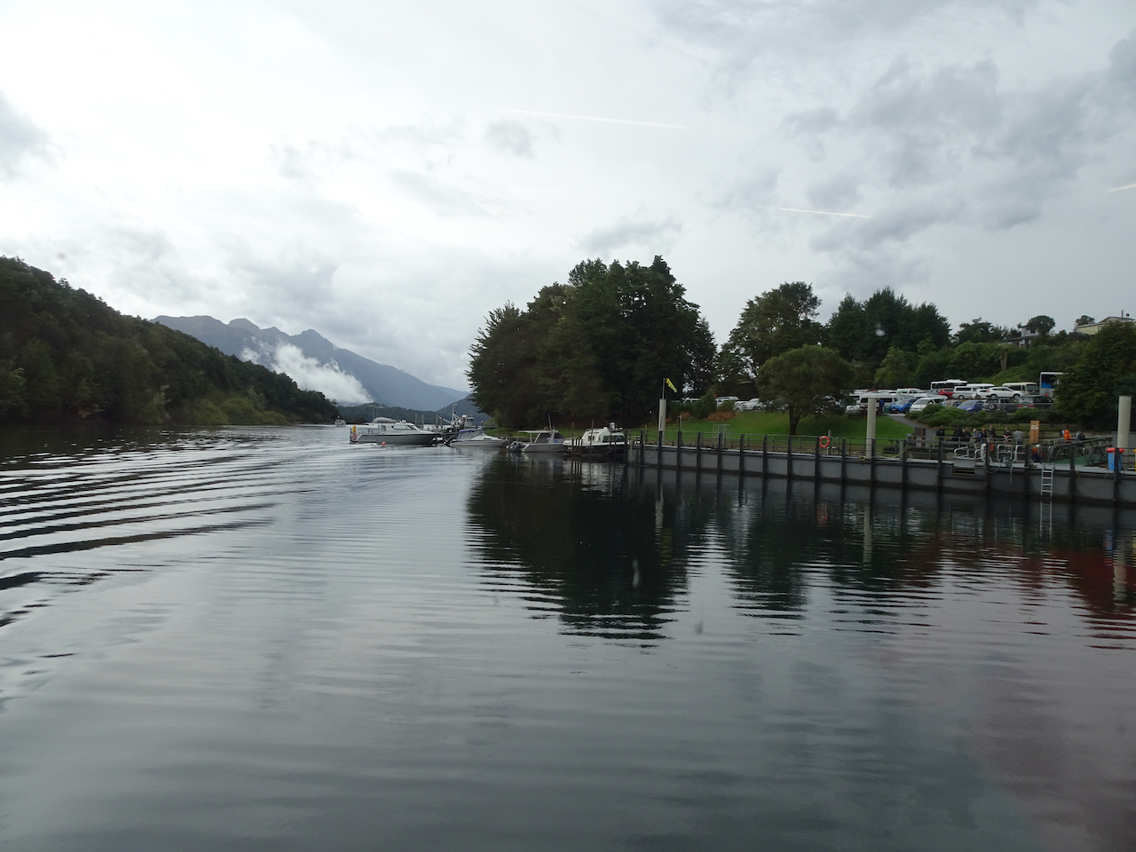
The next day we took our long awaited cruise through Milford Sound to the Tasman Sea and visited the underwater observatory. It was a cloudy day, but didn’t rain. We saw many waterfalls, dolphins, seals, and birds.

Morning view of Mitre Peak, Milford Sound, 3/3/2023
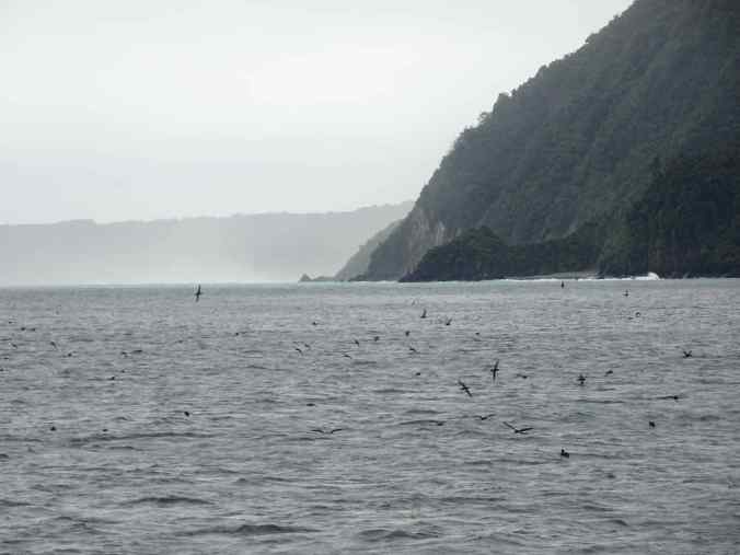
Bird flocks near the Tasman Sea
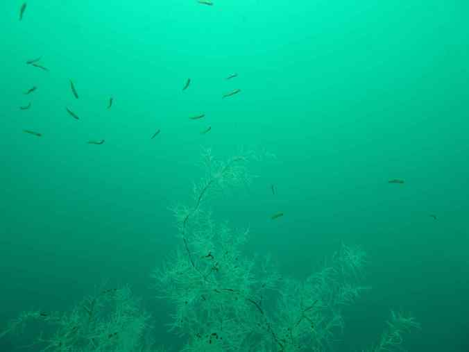
Black coral in the underwater observatory
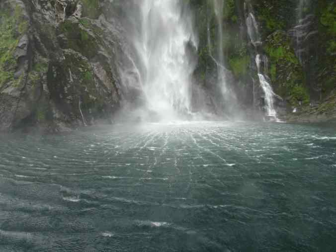
One of the many waterfalls.

Afternoon reflections
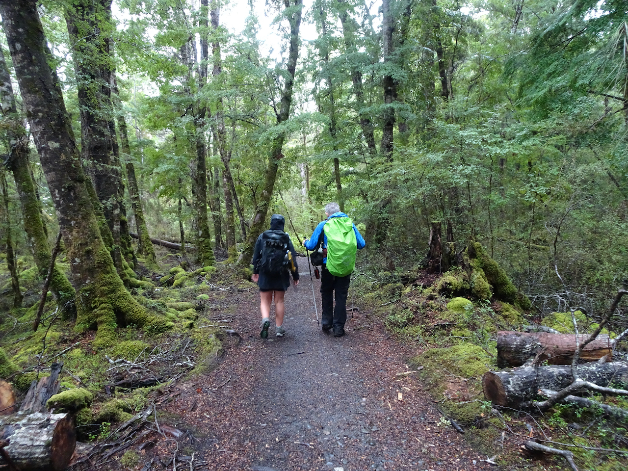
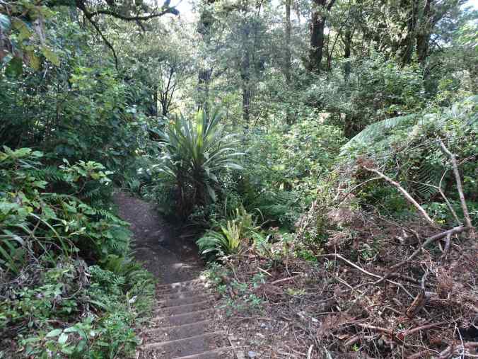
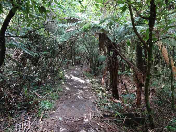
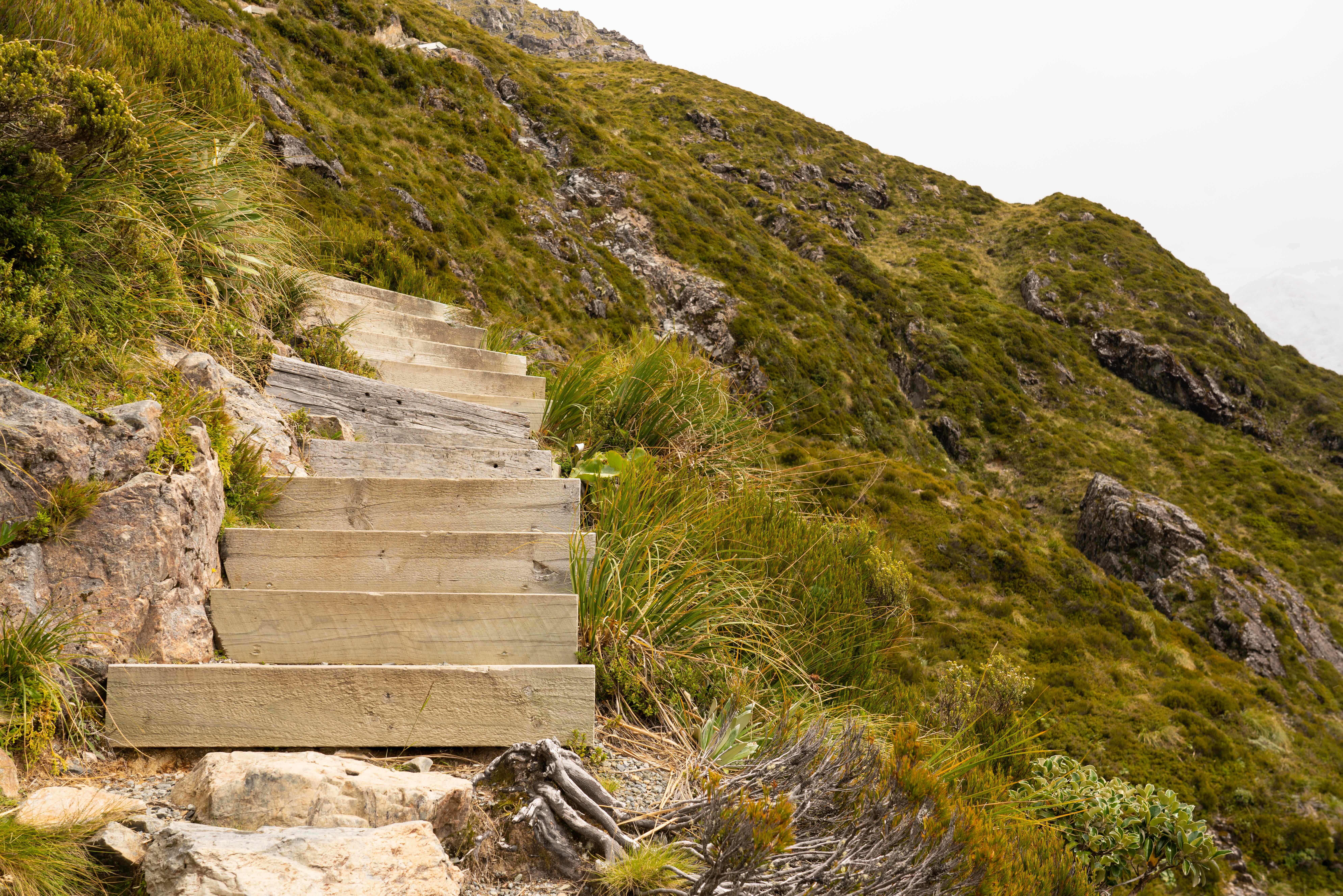
The next day, we drove back through the Homer Tunnel, and this time stopped in the Hollyford Valley to walk up to Lake Marian, which we had seen from Key Summit. The trail is not long, but it is very rough (5 miles, 1500 feet). There is much climbing over rocks and roots, and lots of stairs. The lake was very peaceful, and once again, that beautiful aqua blue color.
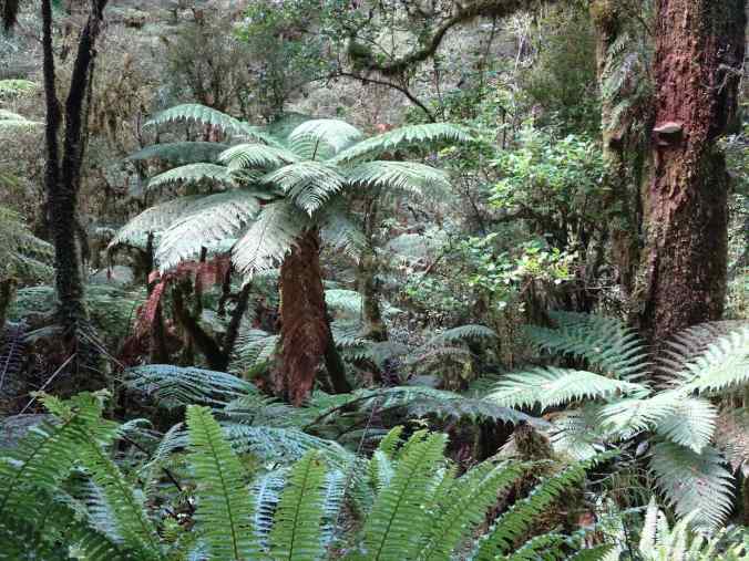
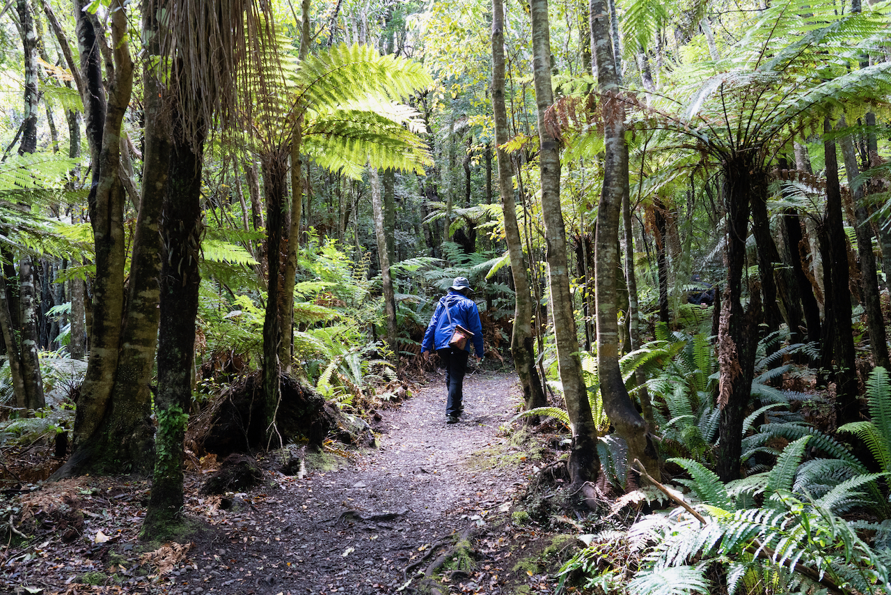
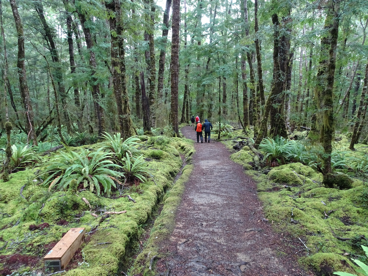
Rainforest in the Milford Sound area

Homer Tunnel entrance, eastbound
Lake Marian

Climbing down one of the steeper trail segments
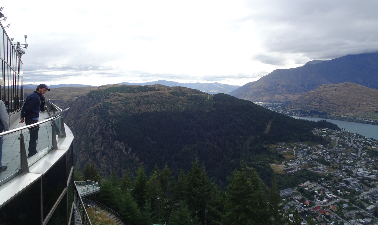
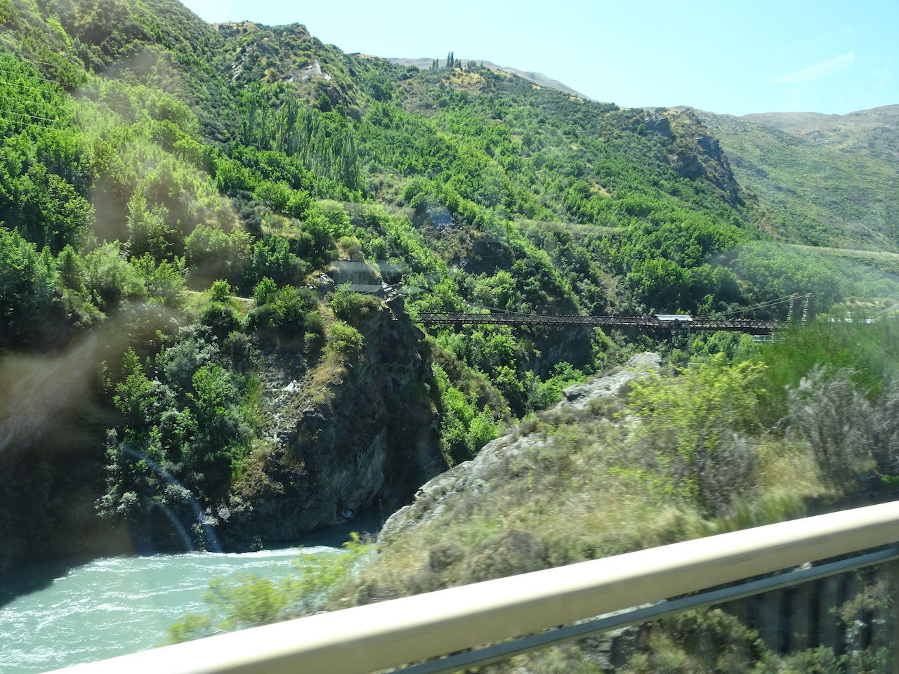
To Wanaka: We stayed one more night in Te Anau, then had a long day’s drive to Wanaka. On our way back through Queenstown, we took a break at Kewarau River Gorge, with its famous bungy jumping platform. It is a beautiful setting, with an antique suspension bridge over aqua blue waters. We saw rafters and kayakers in the gorge below, and also saw several people take the bungy leap.
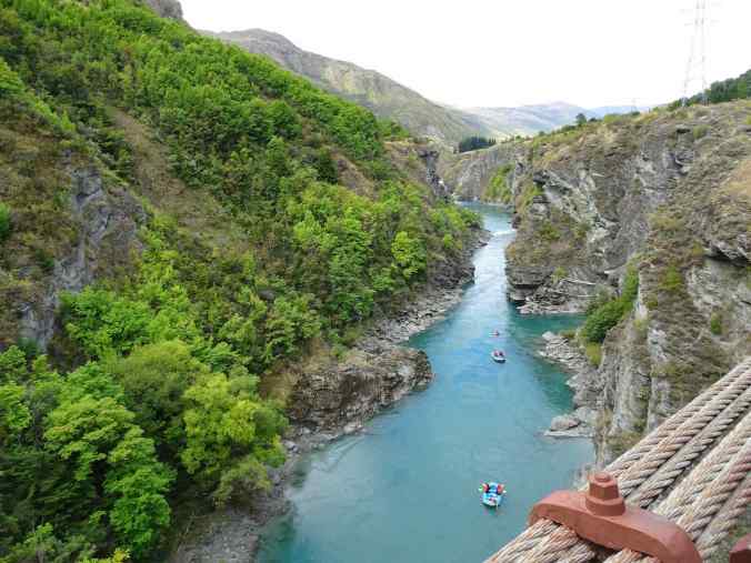
Kawarau Gorge

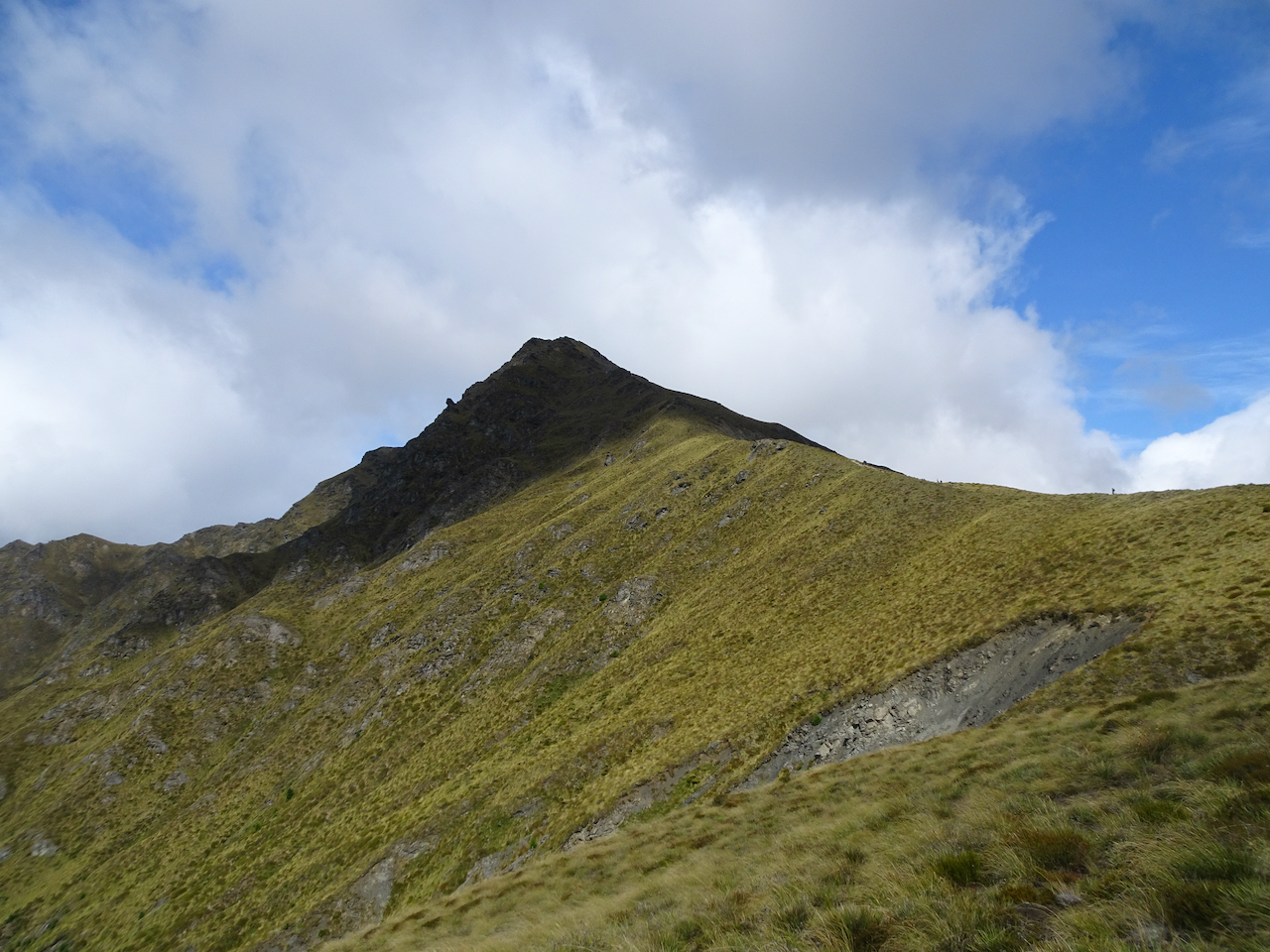
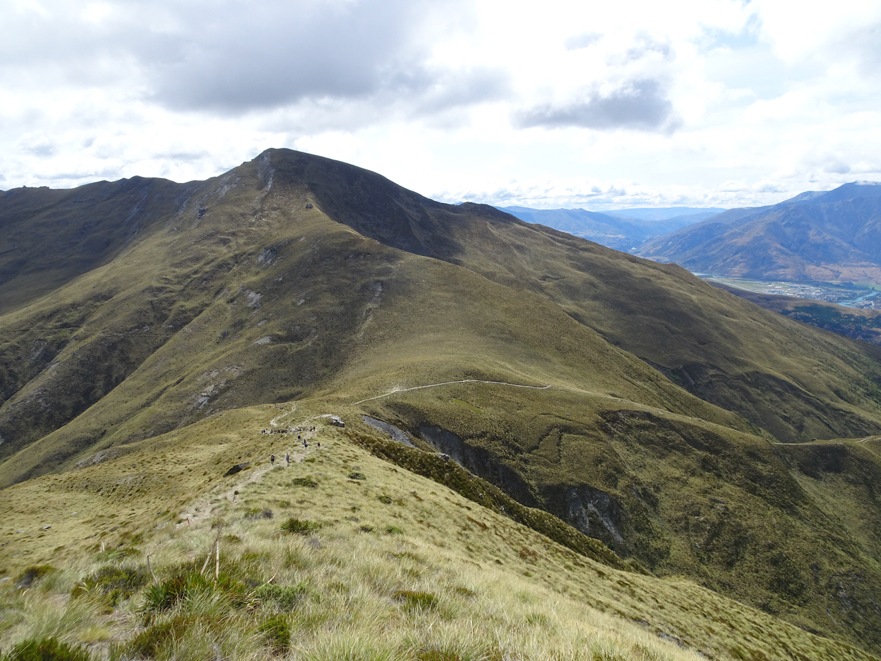
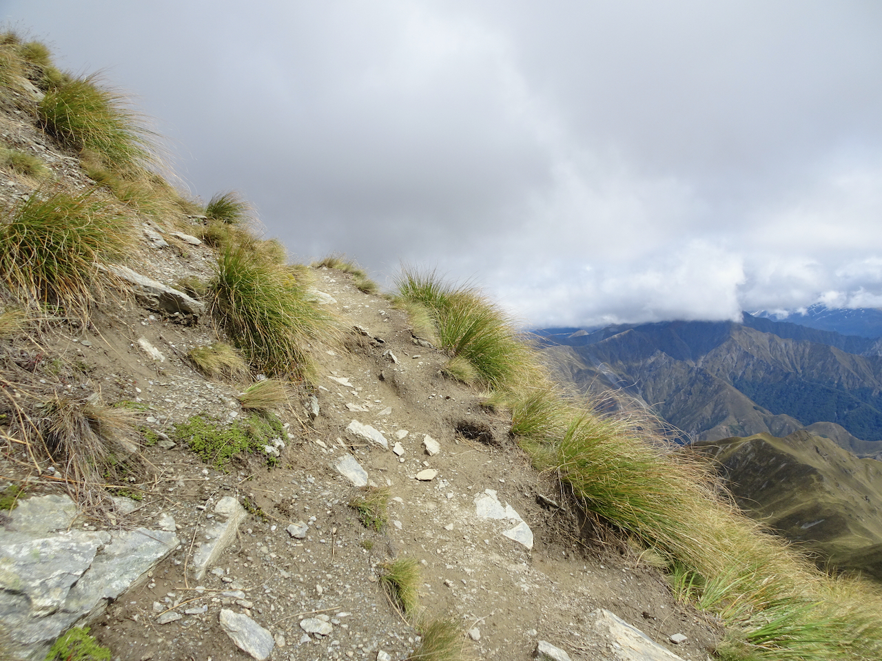
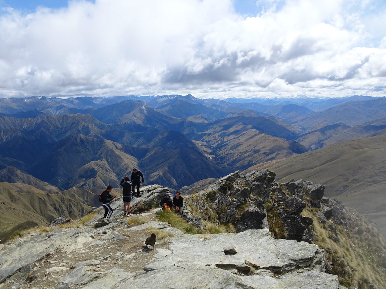
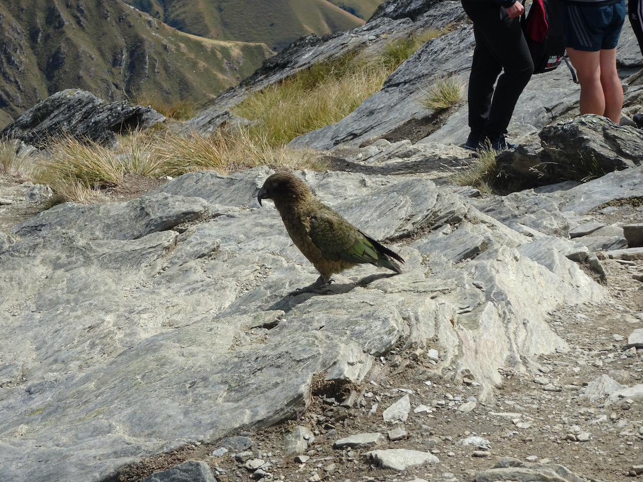
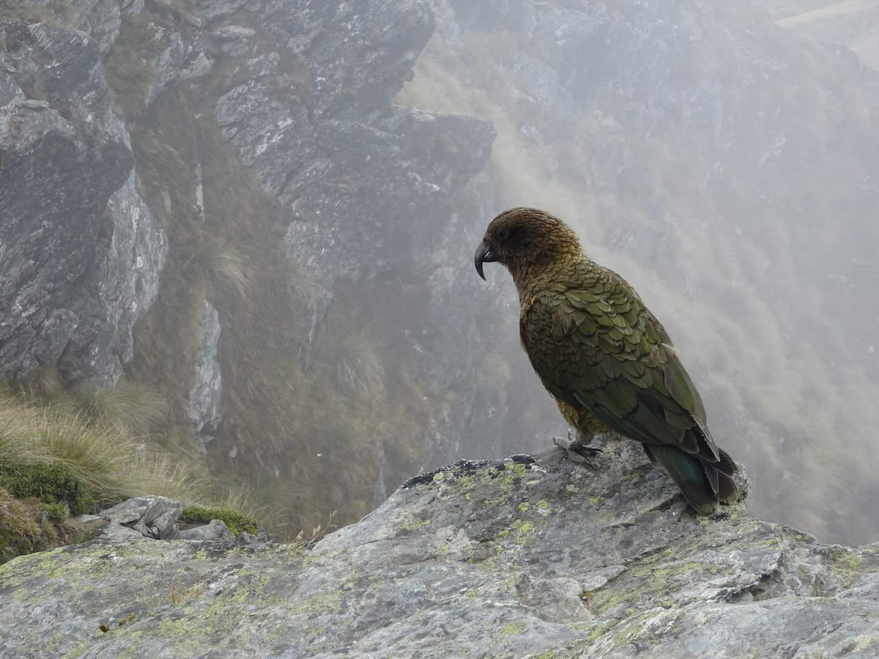
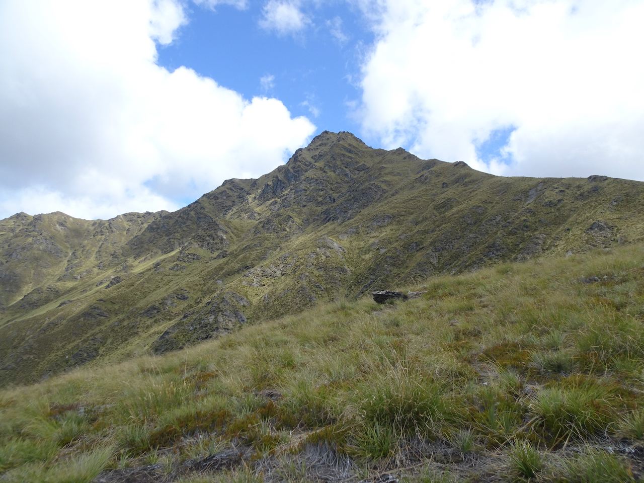
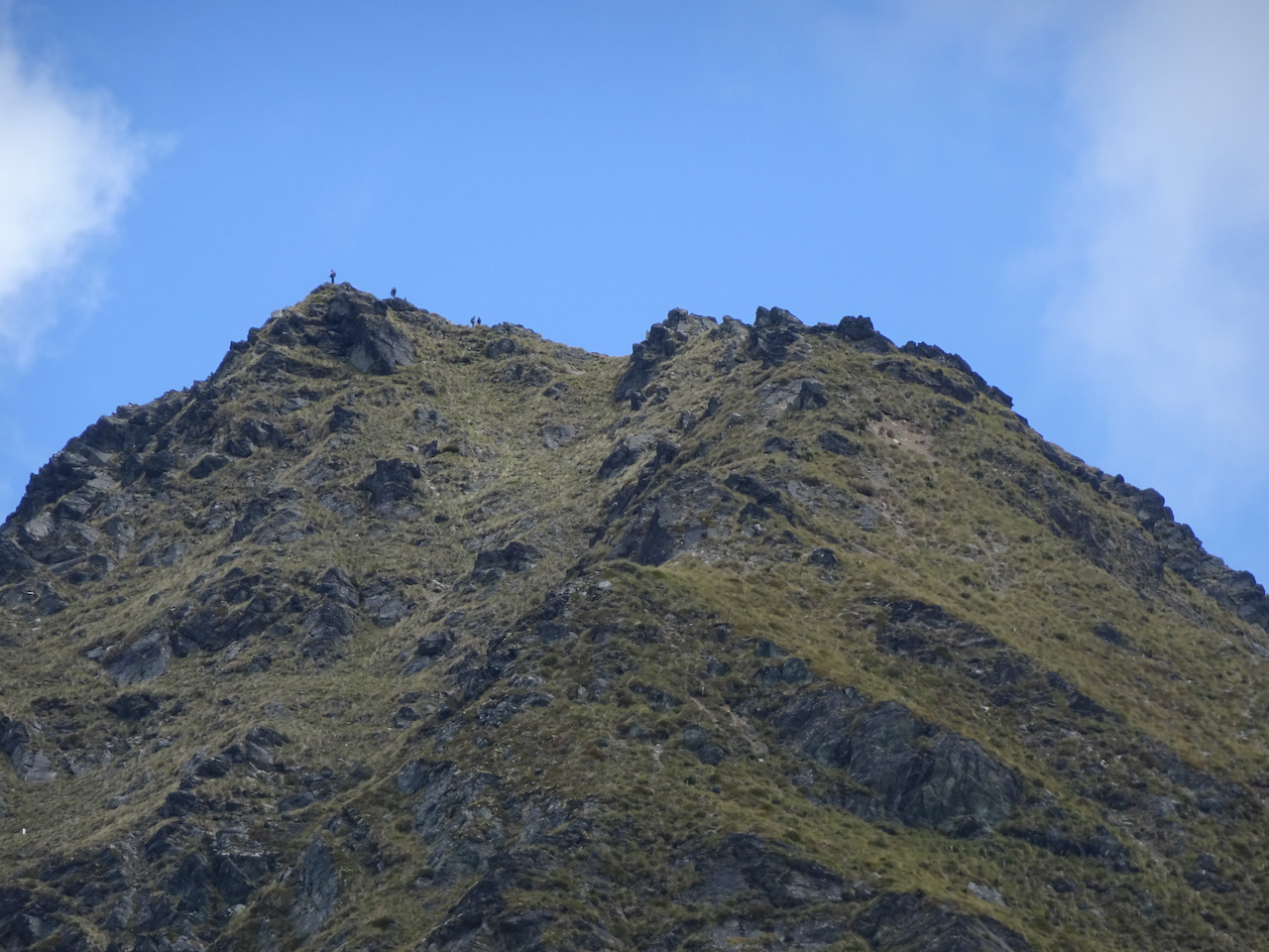
Wanaka: We had been hoping to go to Rob Roy Glacier, but couldn’t find a 4wd vehicle to get to the trail. Instead, we repeated our Rocky Mountain hike of three years ago, this time on a windless day. We were able to admire the 360 degree view from the top for a good long time.

View from the top of Rocky Mountain
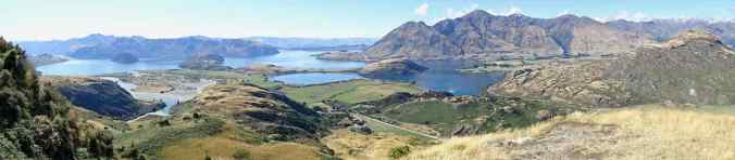
View from the top of Rocky Mountain
Back in town, we visited ‘That Wanaka Tree’ on the lakeshore, and I also found some souvenir knitting wool.
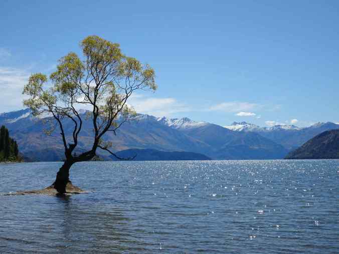
That Wanaka Tree, Lake Wanaka, 3/6/2023
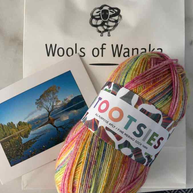
Souvenir sock yarn
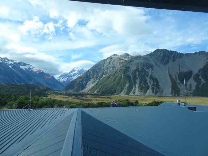
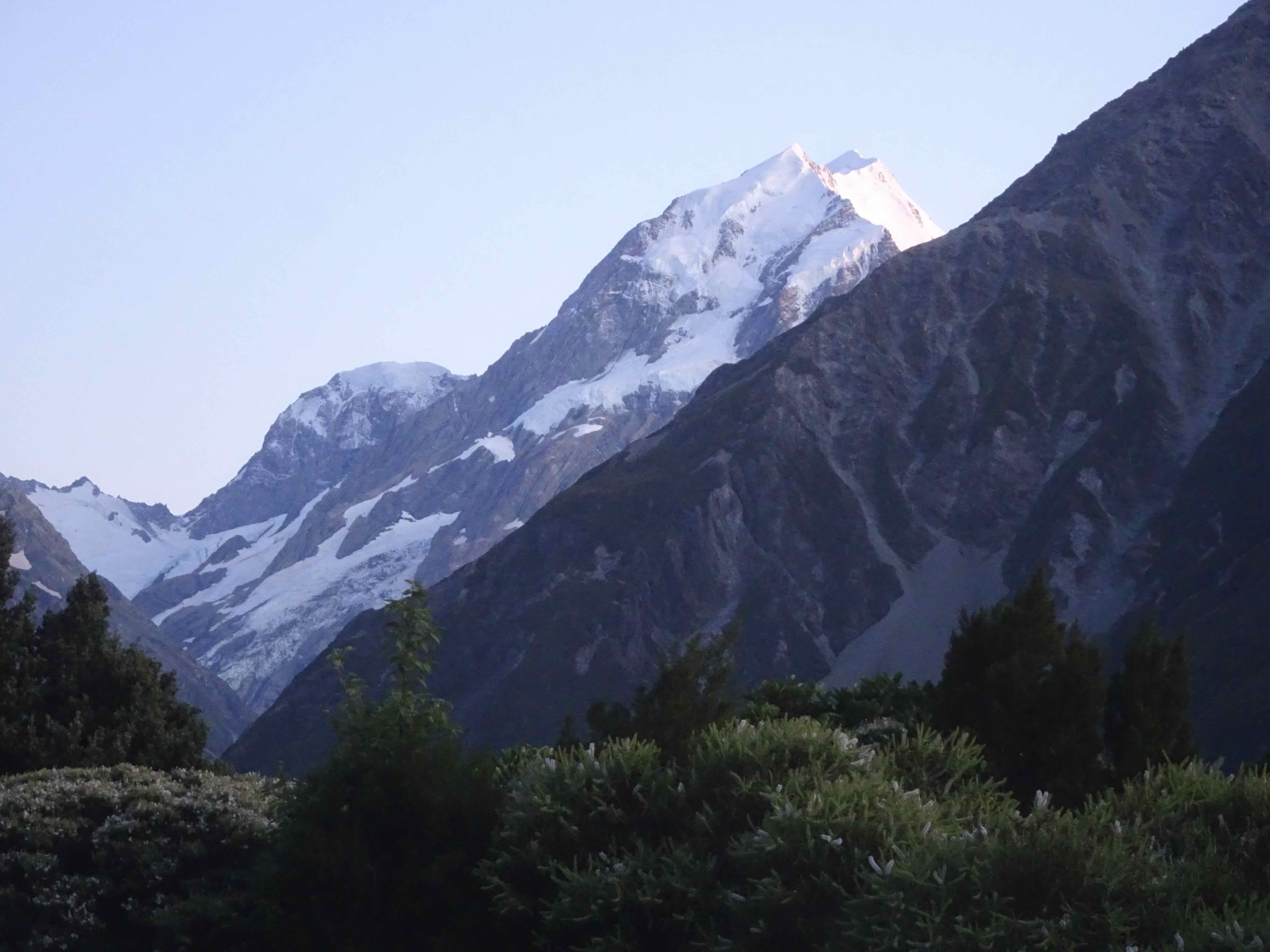
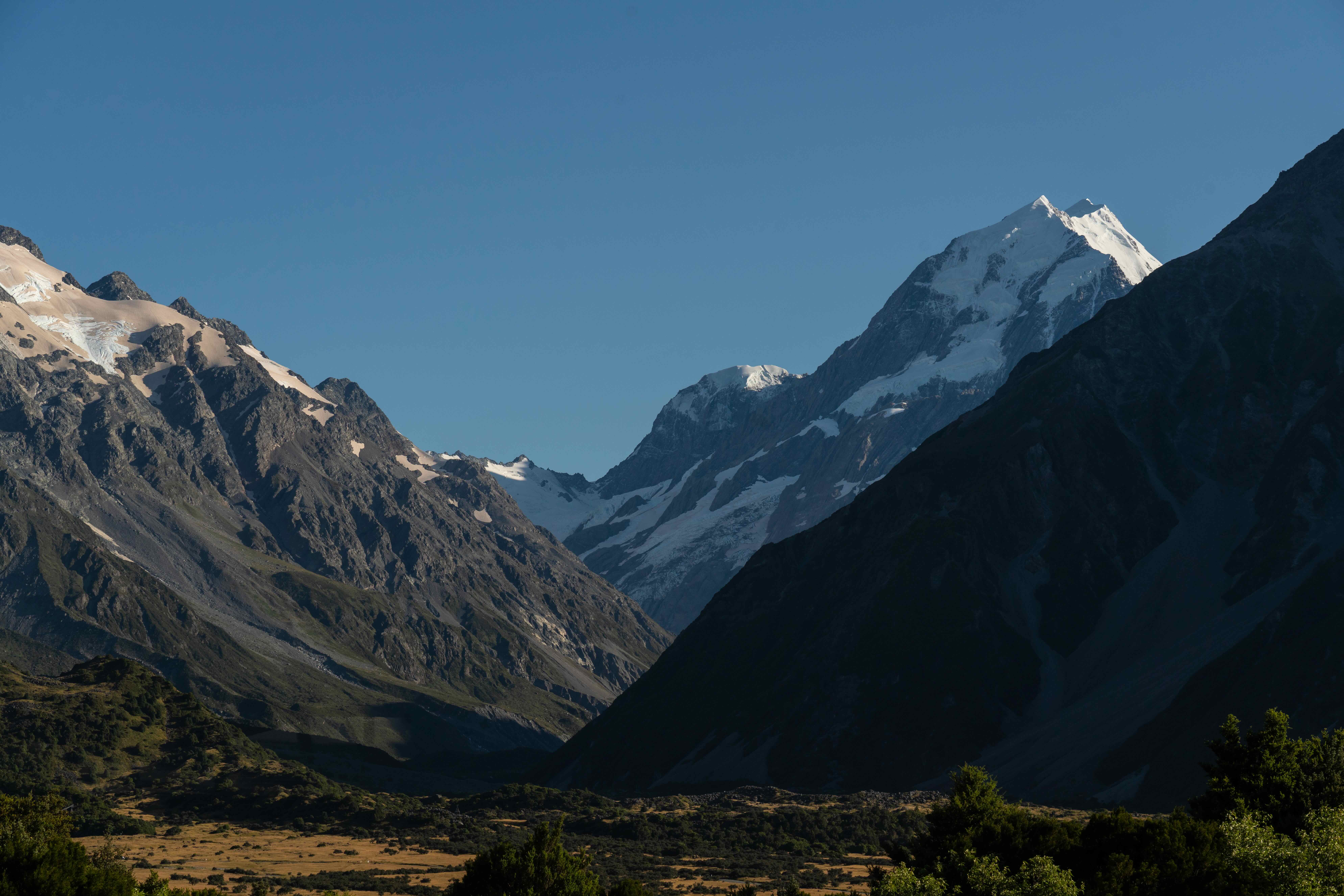
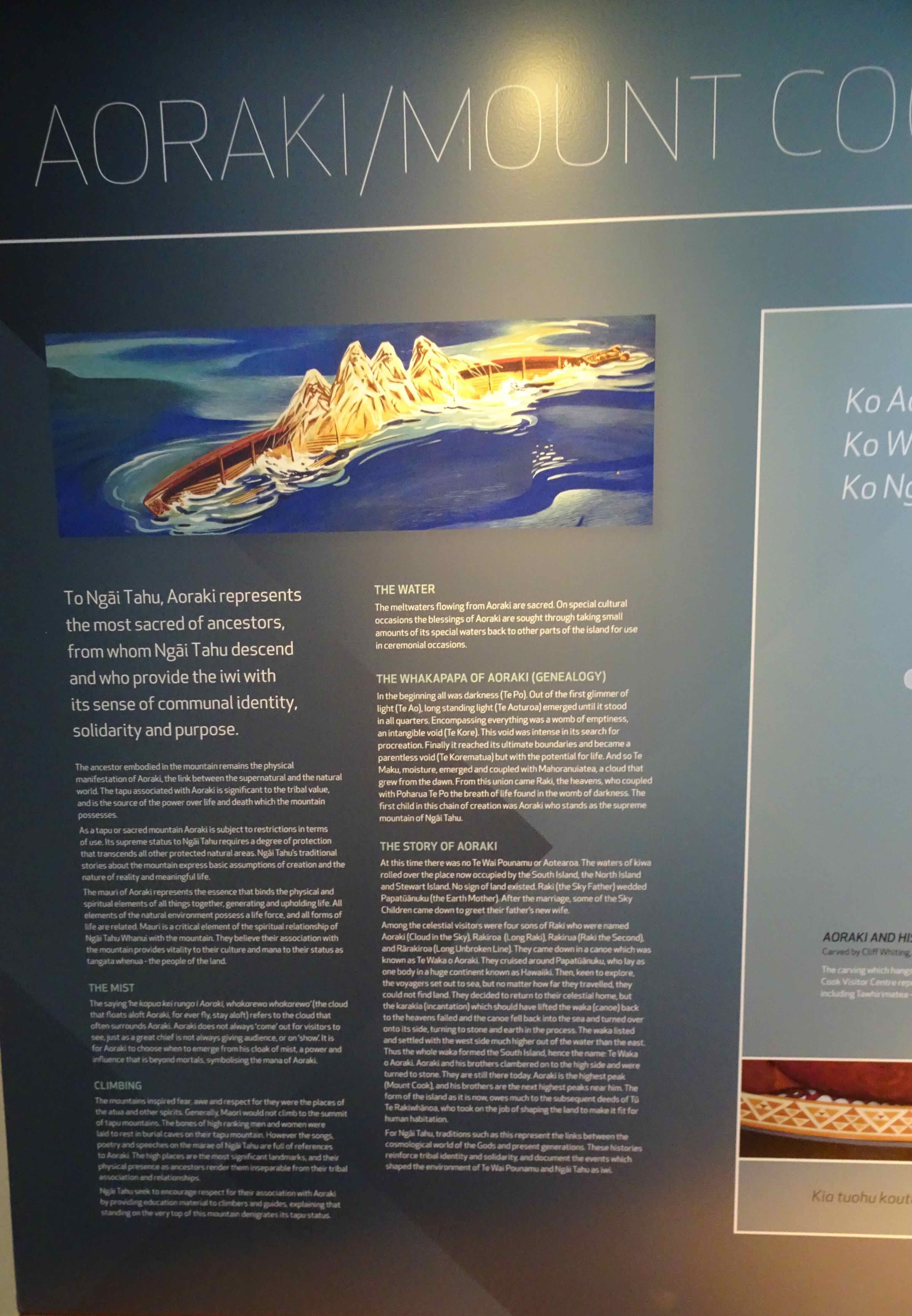
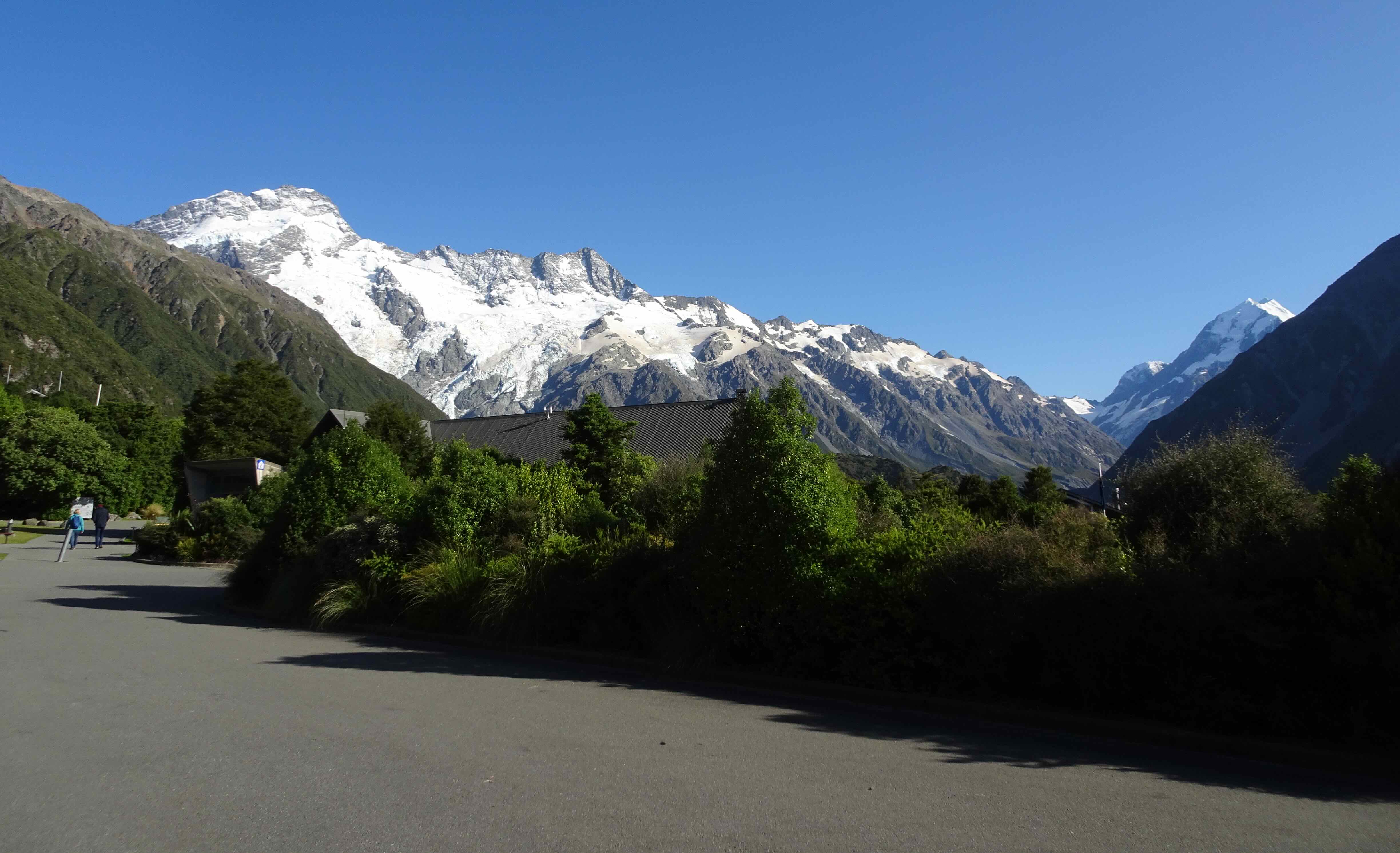
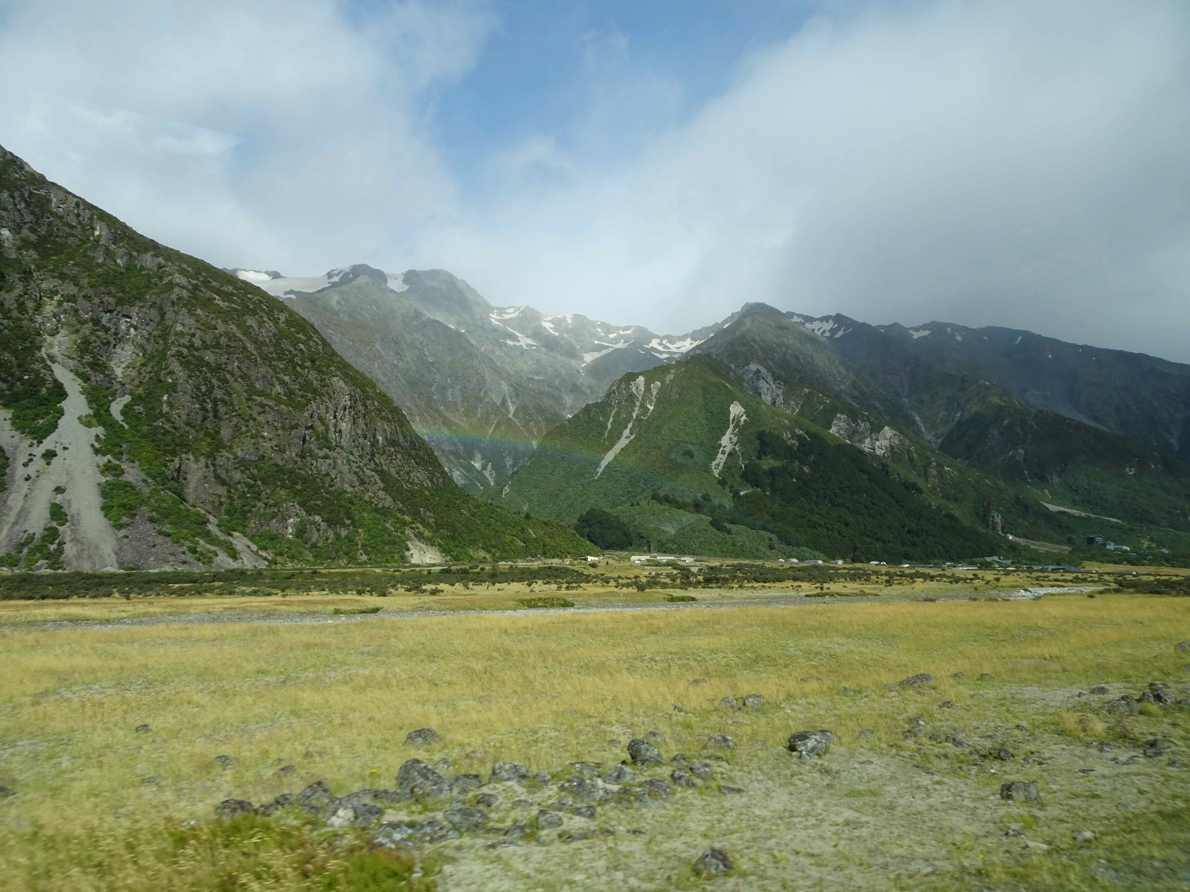
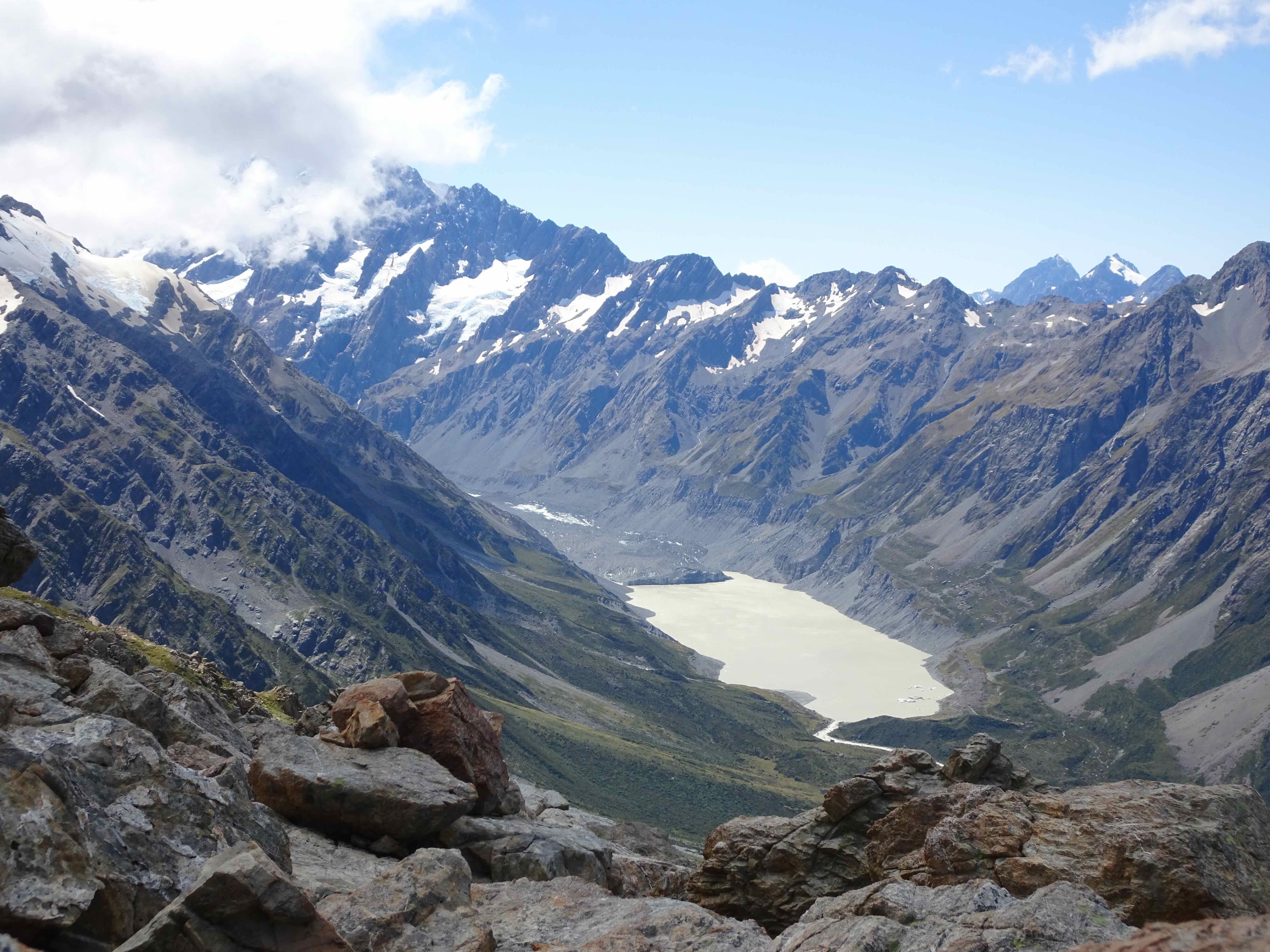
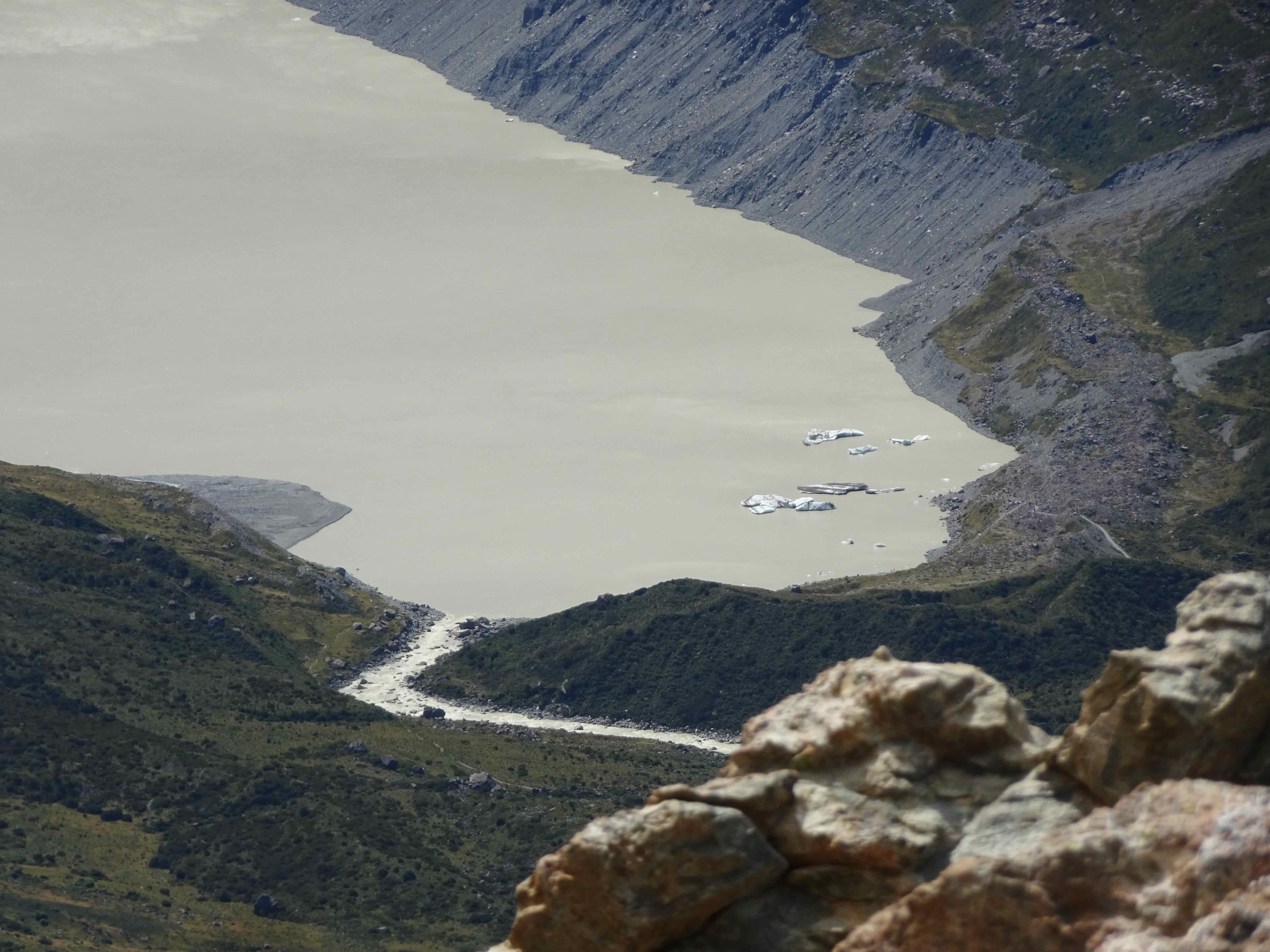
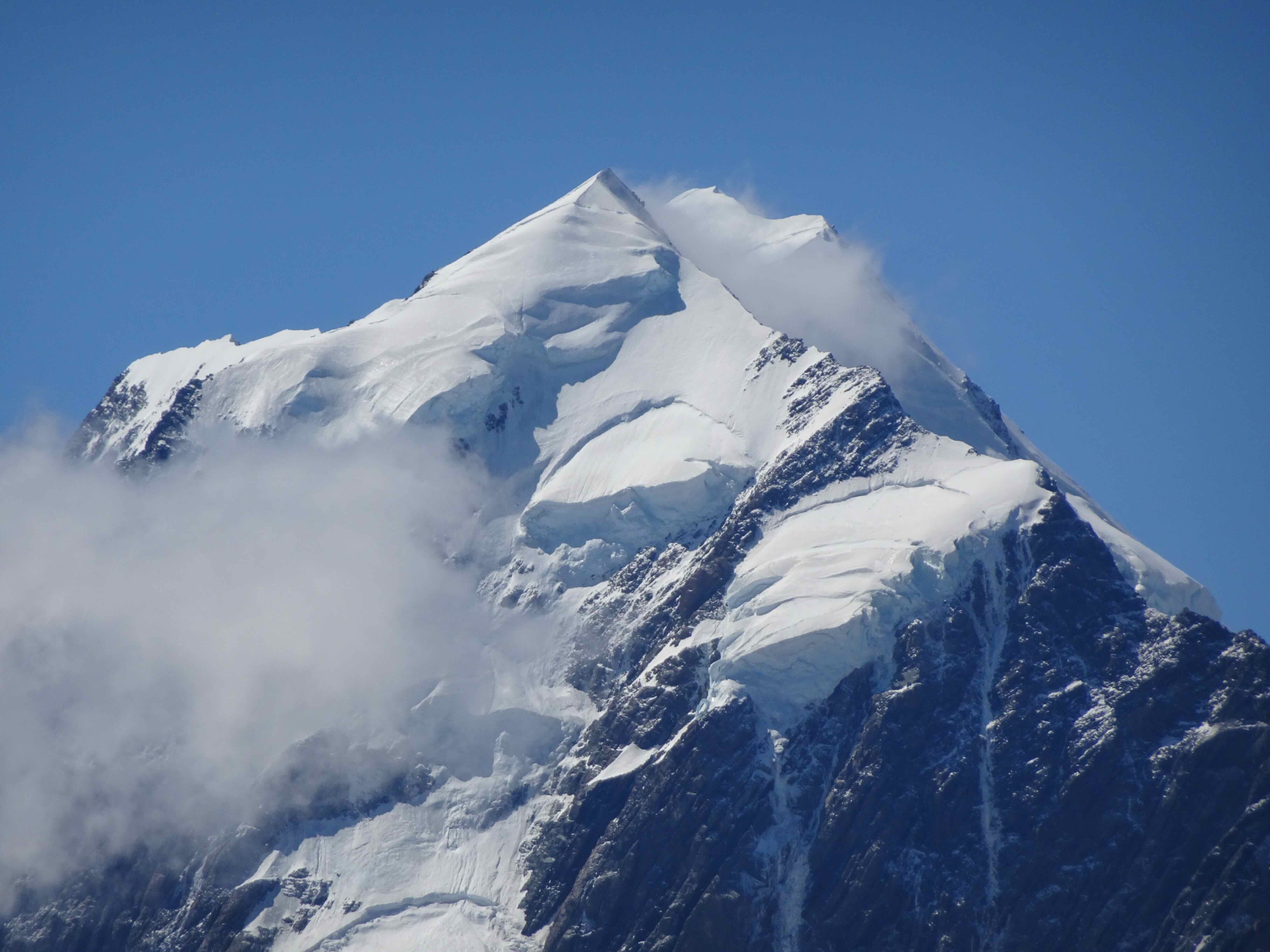
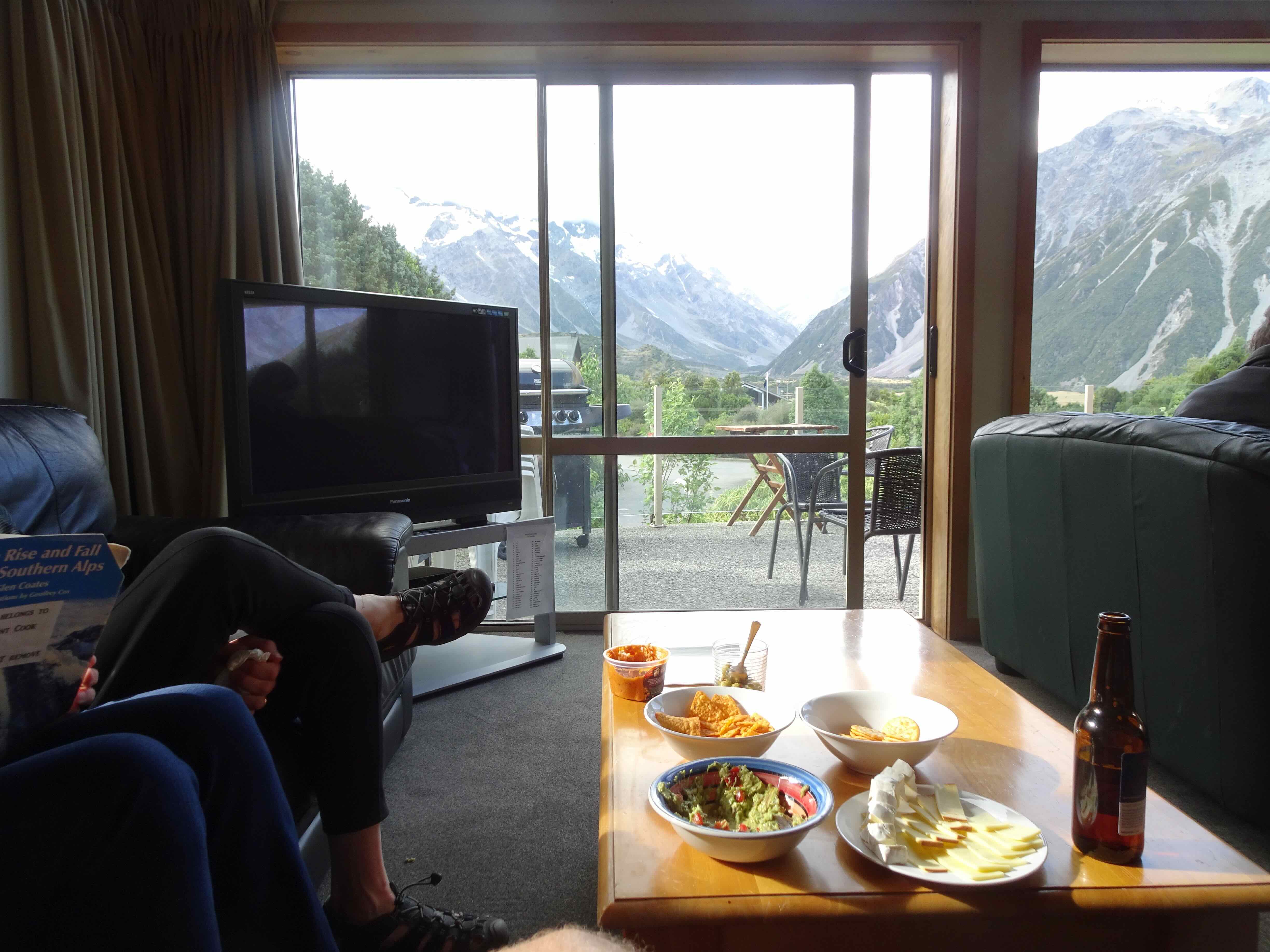
Aoraki/Mt Cook National Park: This was one of our favorite spots three years ago, so we planned to stay three nights. We were bargaining with the weather spirits, as there was a lot of rain in the forecast. Given the state of my knees, we were not planning to rehike the 2000 steps up to the Sealy Tarns, but we were able to find decent weather windows to take four easier hikes in the area. While waiting out rainstorms, we monitored the view of the beautiful Aoraki/Mt Cook through our hotel room window.
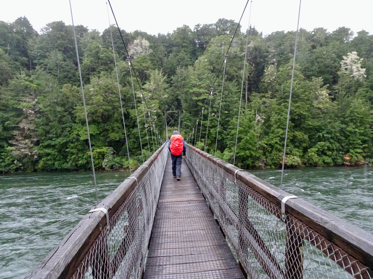
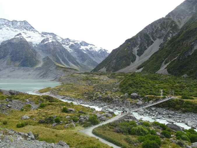
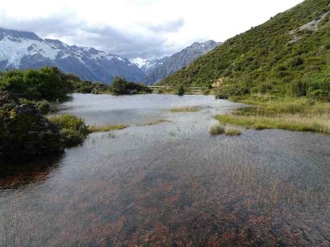
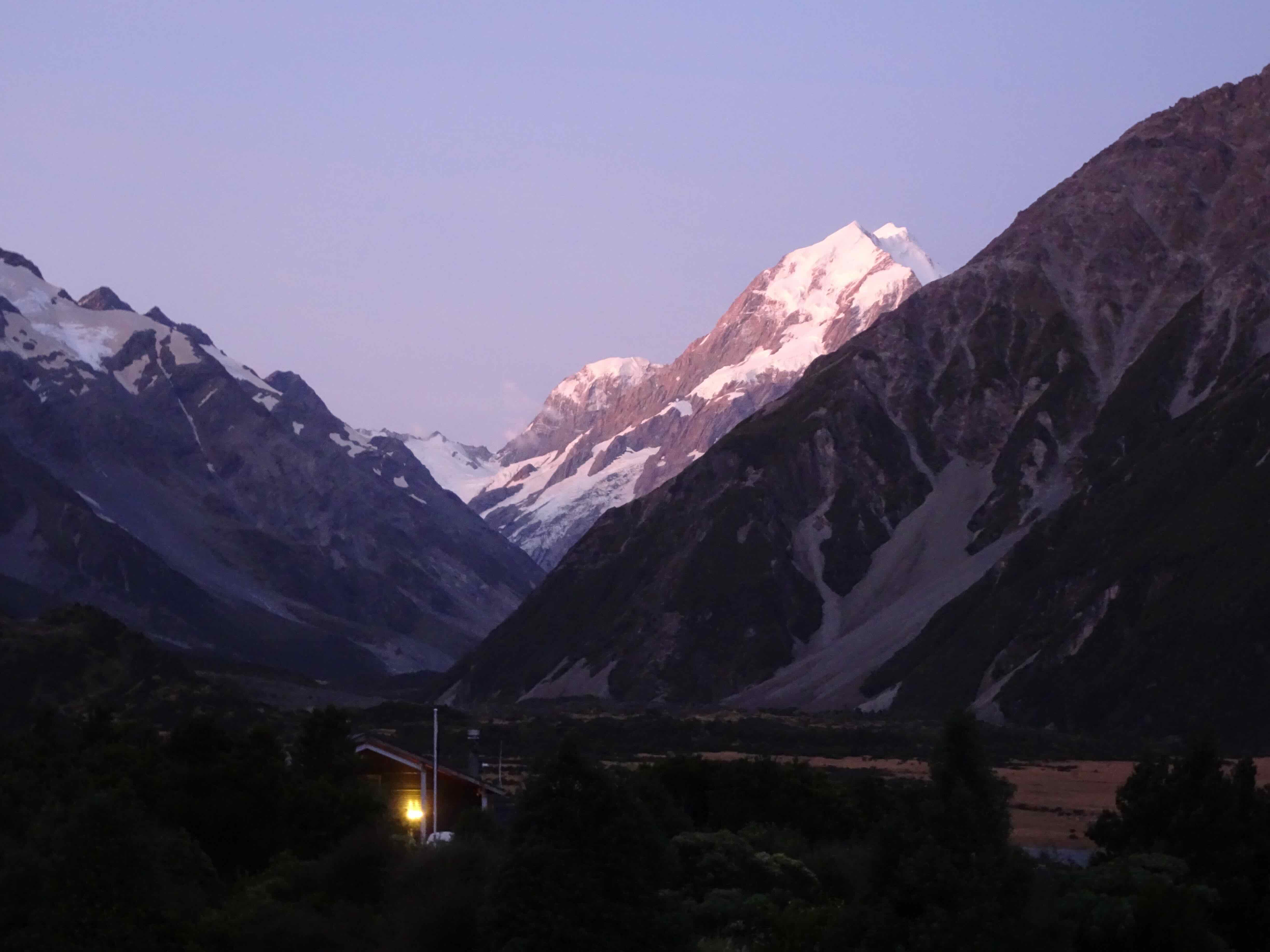
We walked the longest hike (7.3 miles, 650 feet), up the Hooker Valley to Lake Hooker, on out first afternoon, while the mountain was still out, and before the rain set in. We could see the toe of the glacier across the lake, and get quite close to the icebergs that were floating near shore.
Hooker Valley Track. The first of three swing bridges, near Lake Mueller.

Aoraki/Mt Cook from the trail
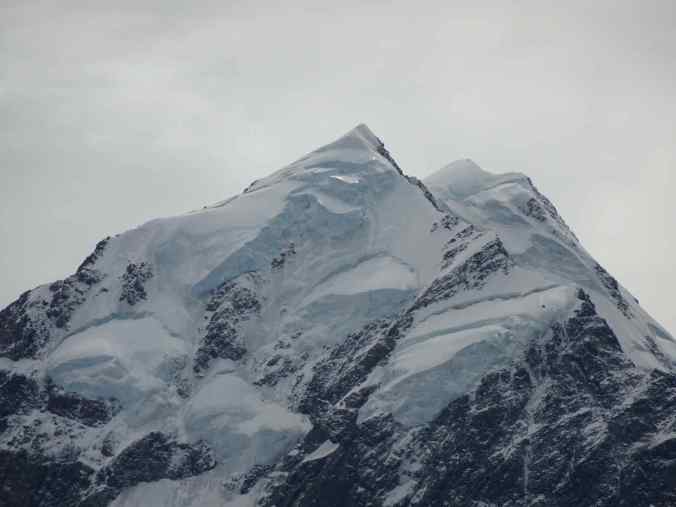
Closer view of the summit
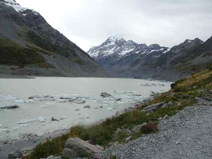
Aoraki Mt Cook, Hooker Lake, Hooker Glacier at the far end of the lake.
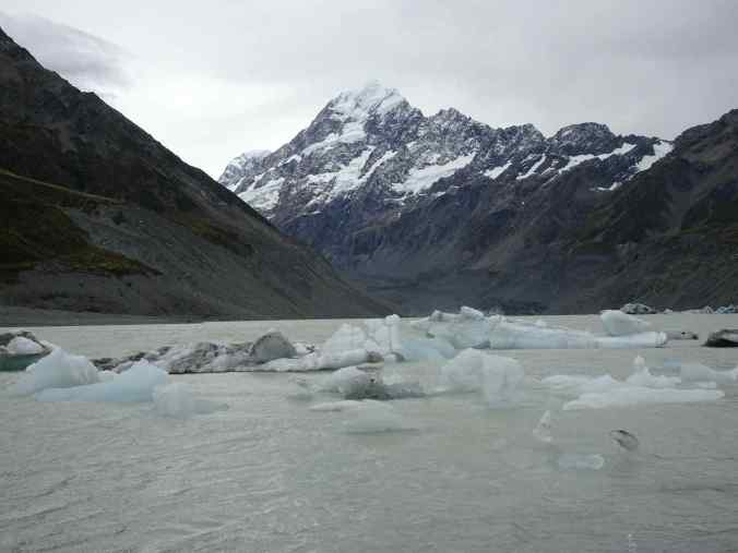
Closer view of the ice bergs
Late afternoon view of Aoraki/Mt Cook from our hotel room
The next day we slept in while the rain poured down. We took a short hike to Kea Point, on Lake Mueller, during a dry spell.

Lake Mueller, and glaciers on Mt Sefton, from Kea Point
The next day was also quite rainy until late afternoon, when we hiked up to a view point at the Red Tarns. This was another of those “mostly stairs” hikes that my knees regretted later.
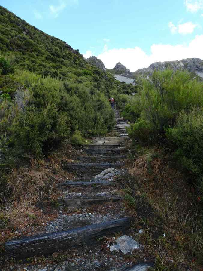
Some of the 1000 stairs up to the Red Tarns
Red Tarns, with cloudy view of the mountains
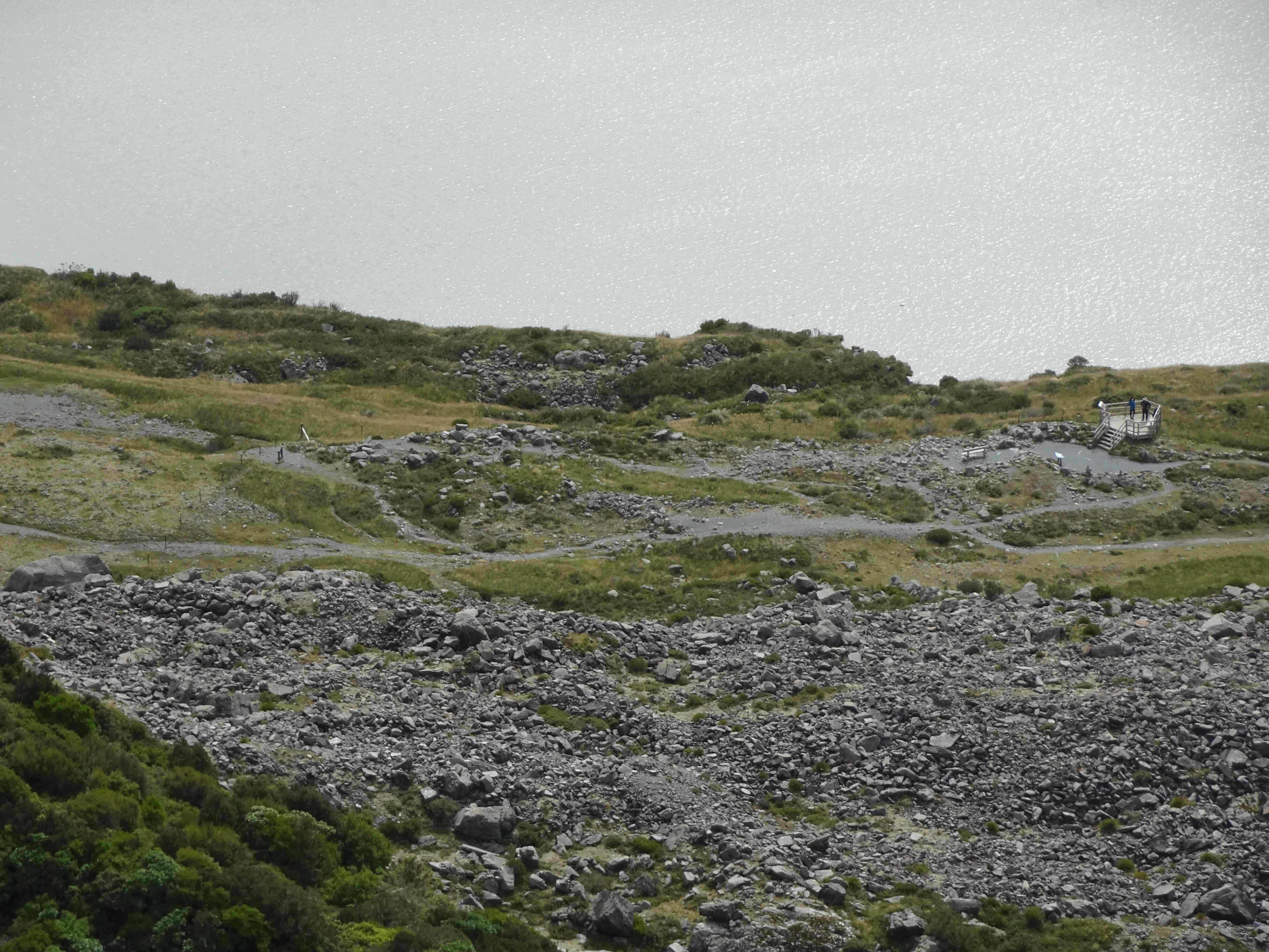
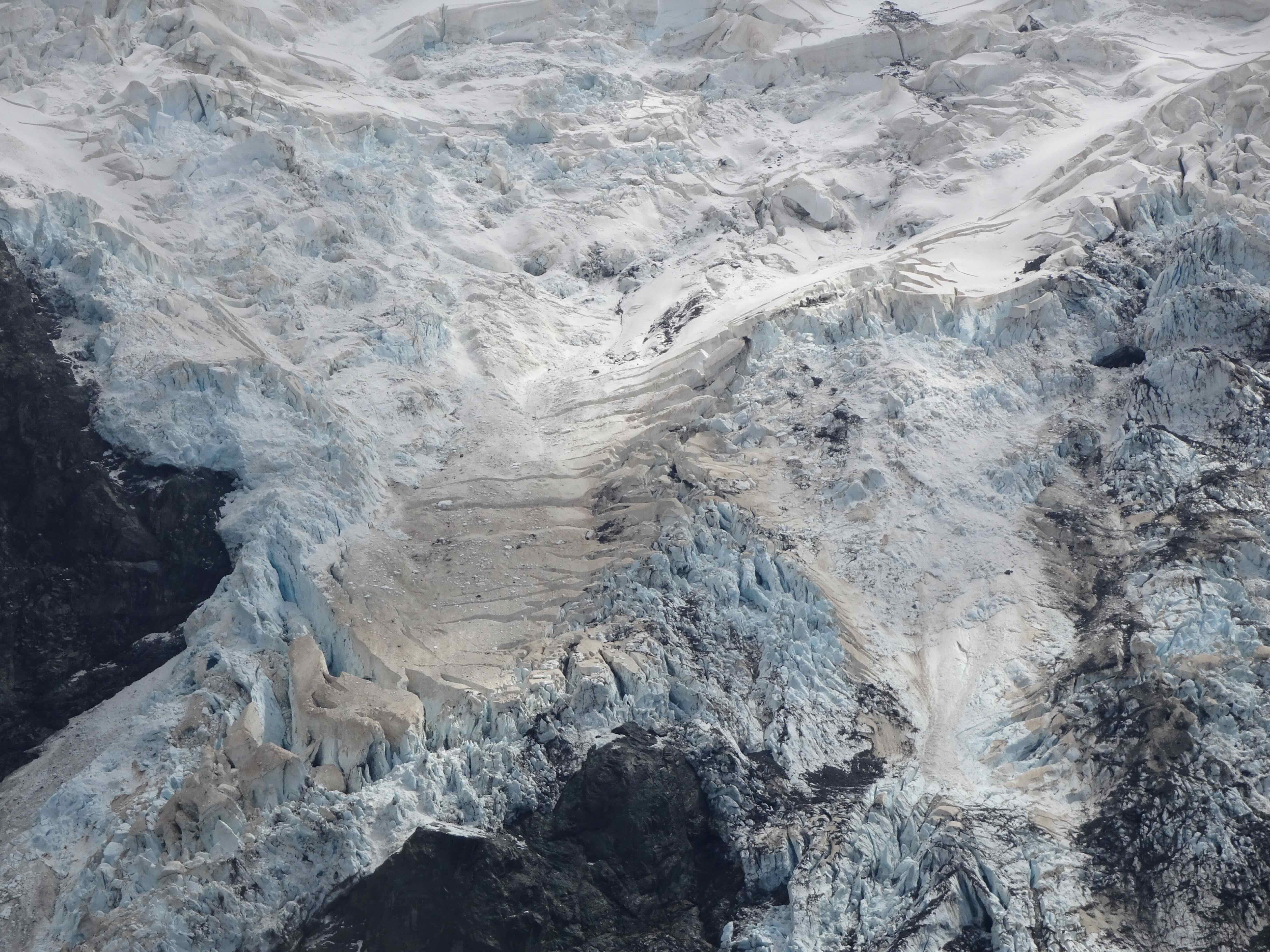
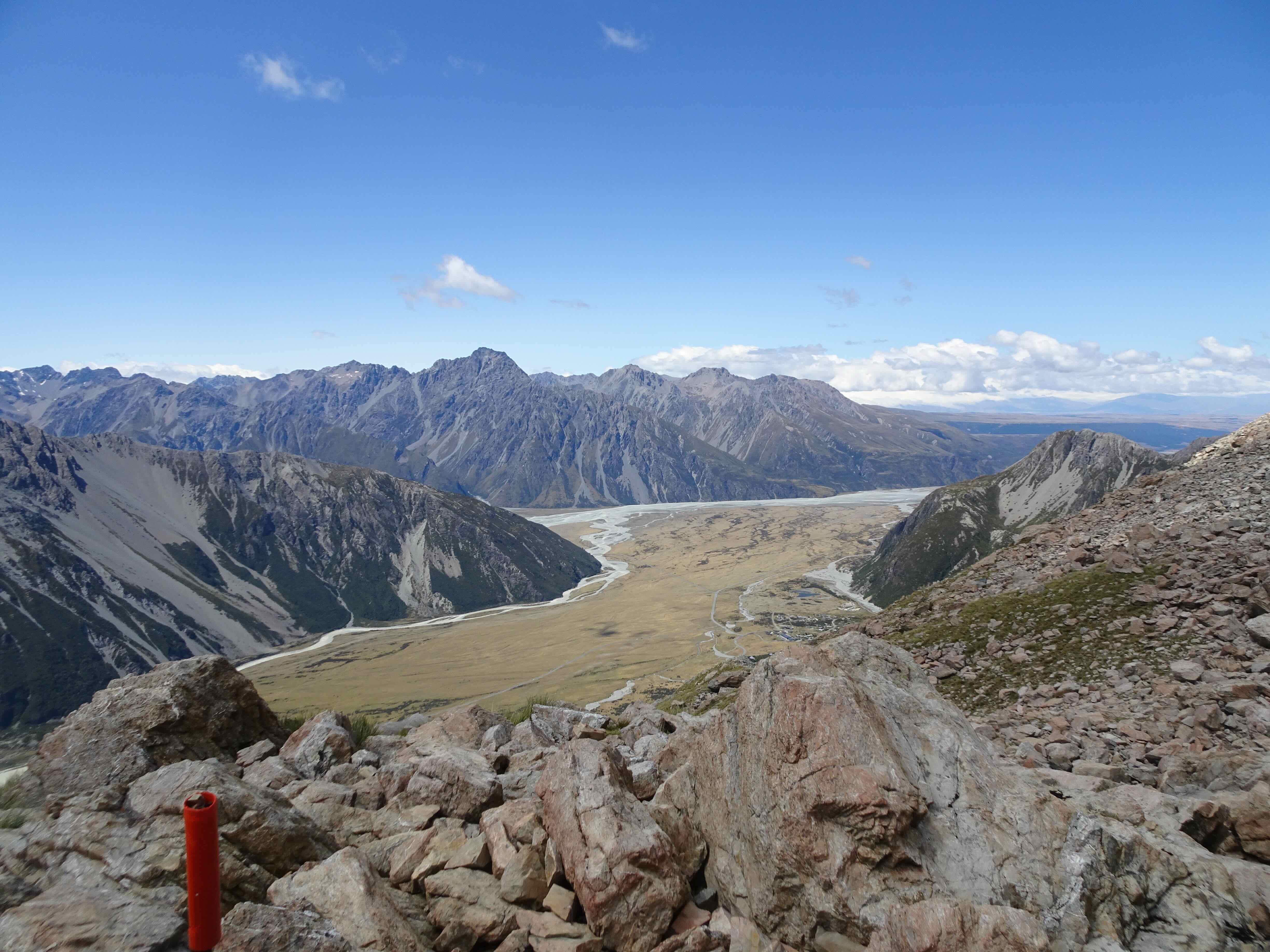
Our last day was fairly clear, except for a bit of cloud sitting just on the summit of Aoraki/Mt Cook. On our way out of the park, we took a short hike up to Tasman Lake, for another view of a milky blue glacier lake with ice bergs and a giant glacier at the far end.
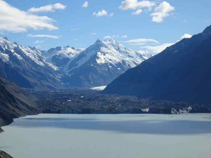
Tasman Lake and Glacier (3/10/2023)

Icebergs in Tasman Lake
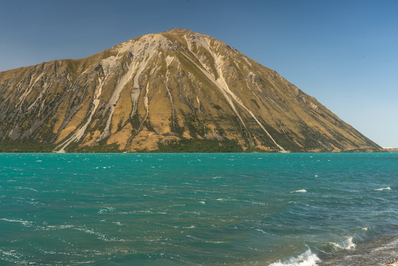
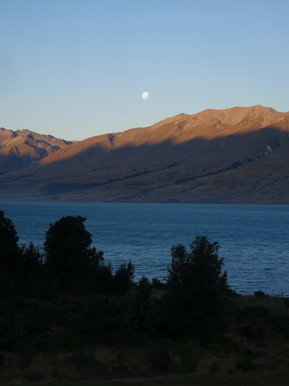
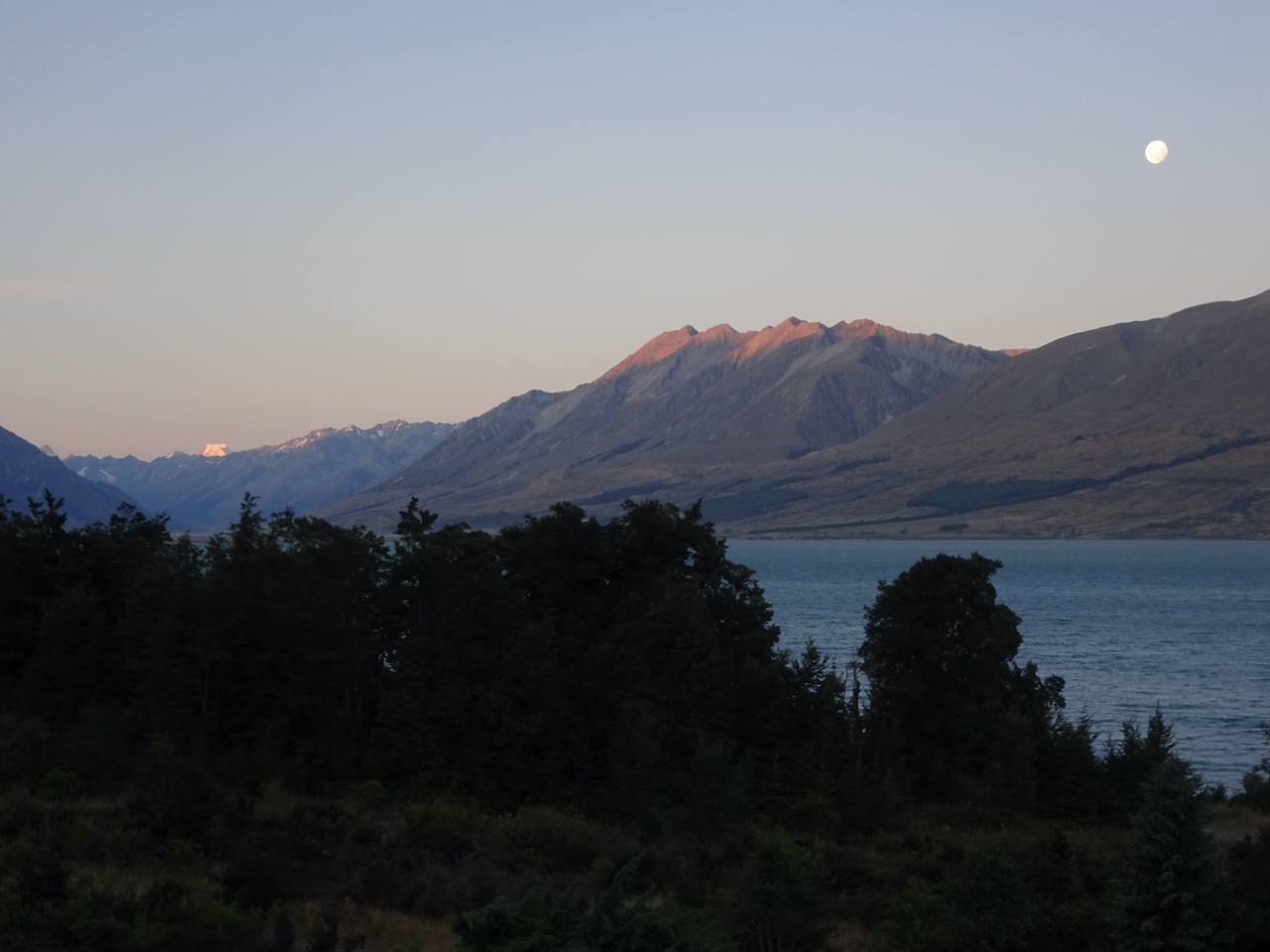
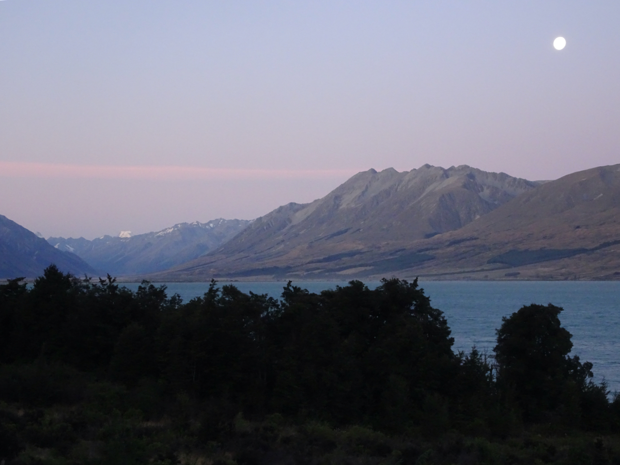
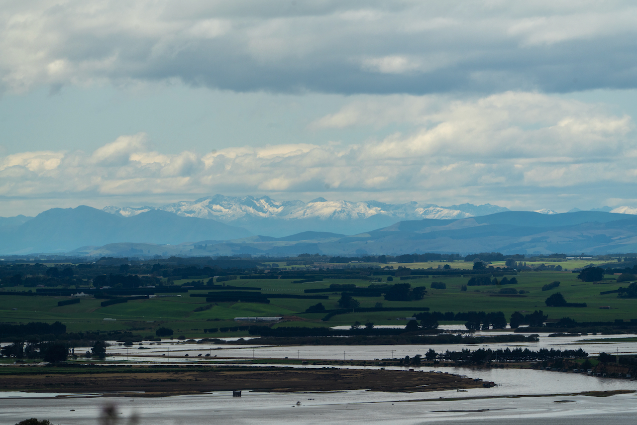
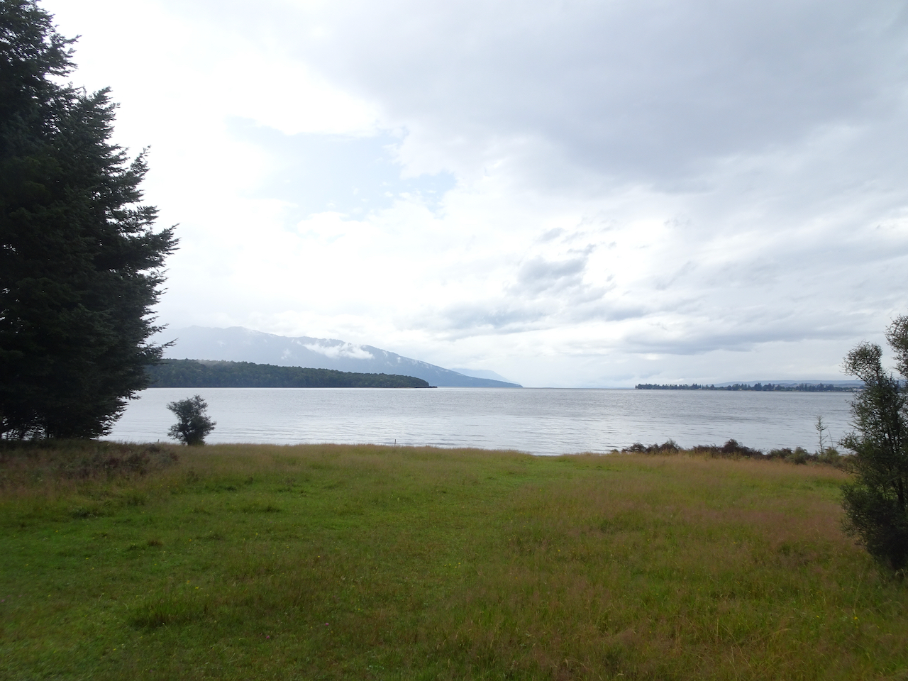
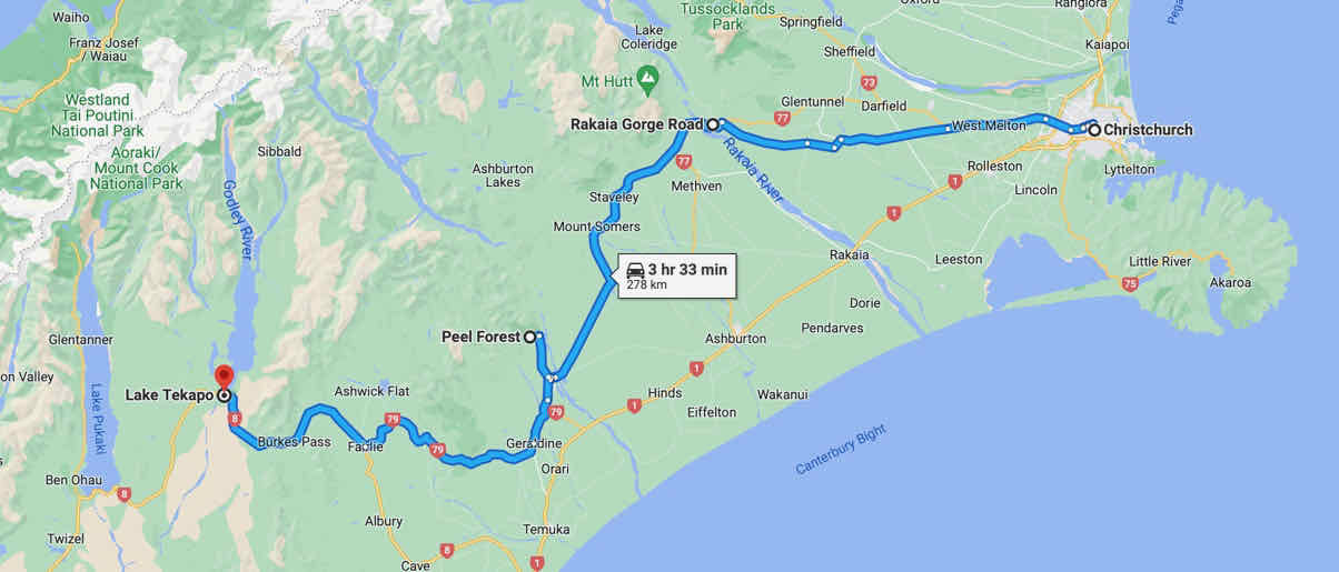
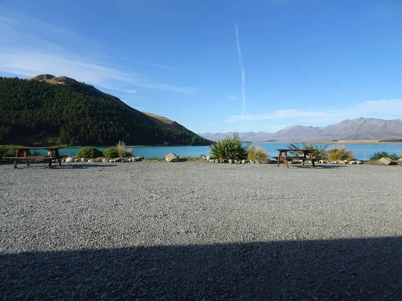
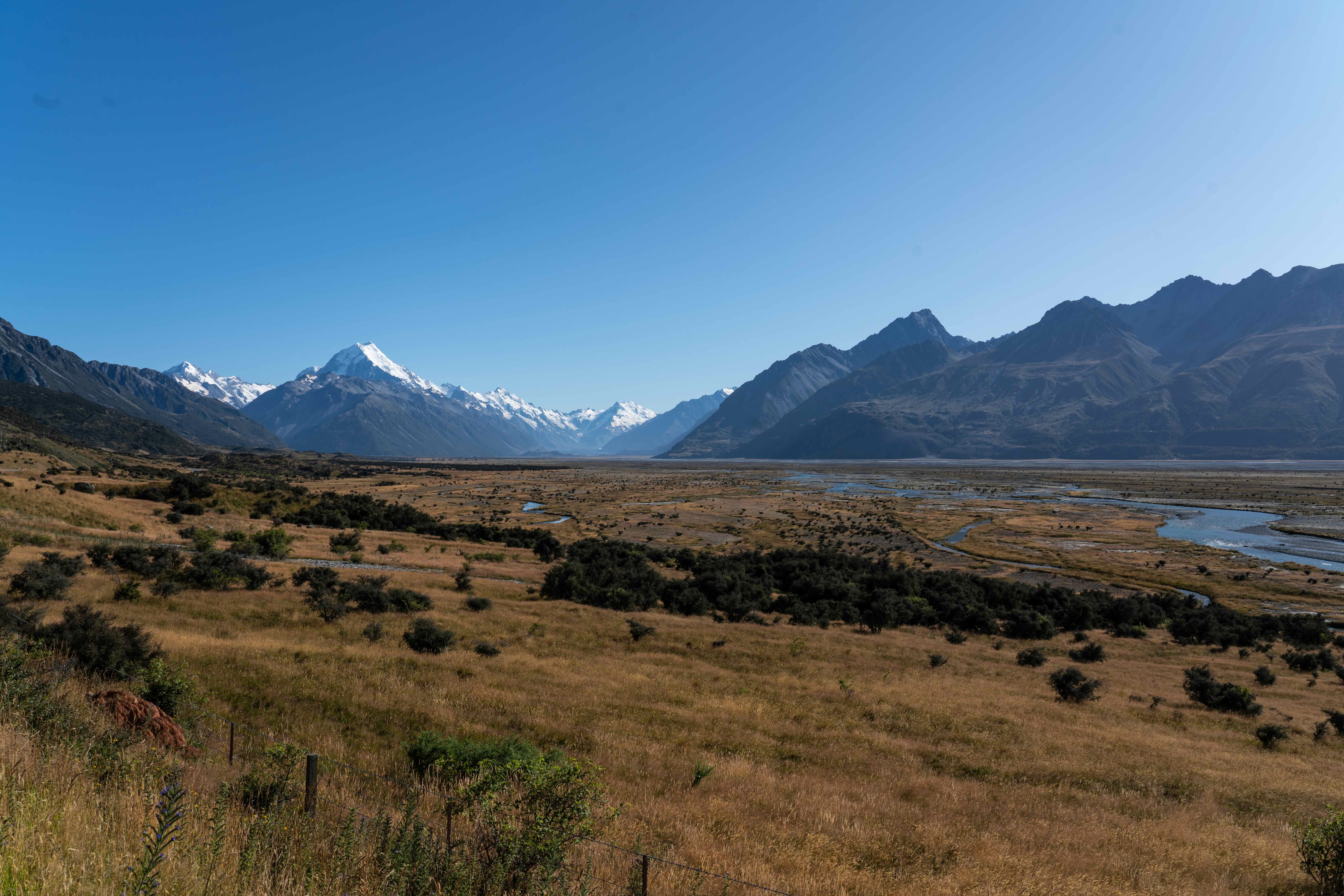
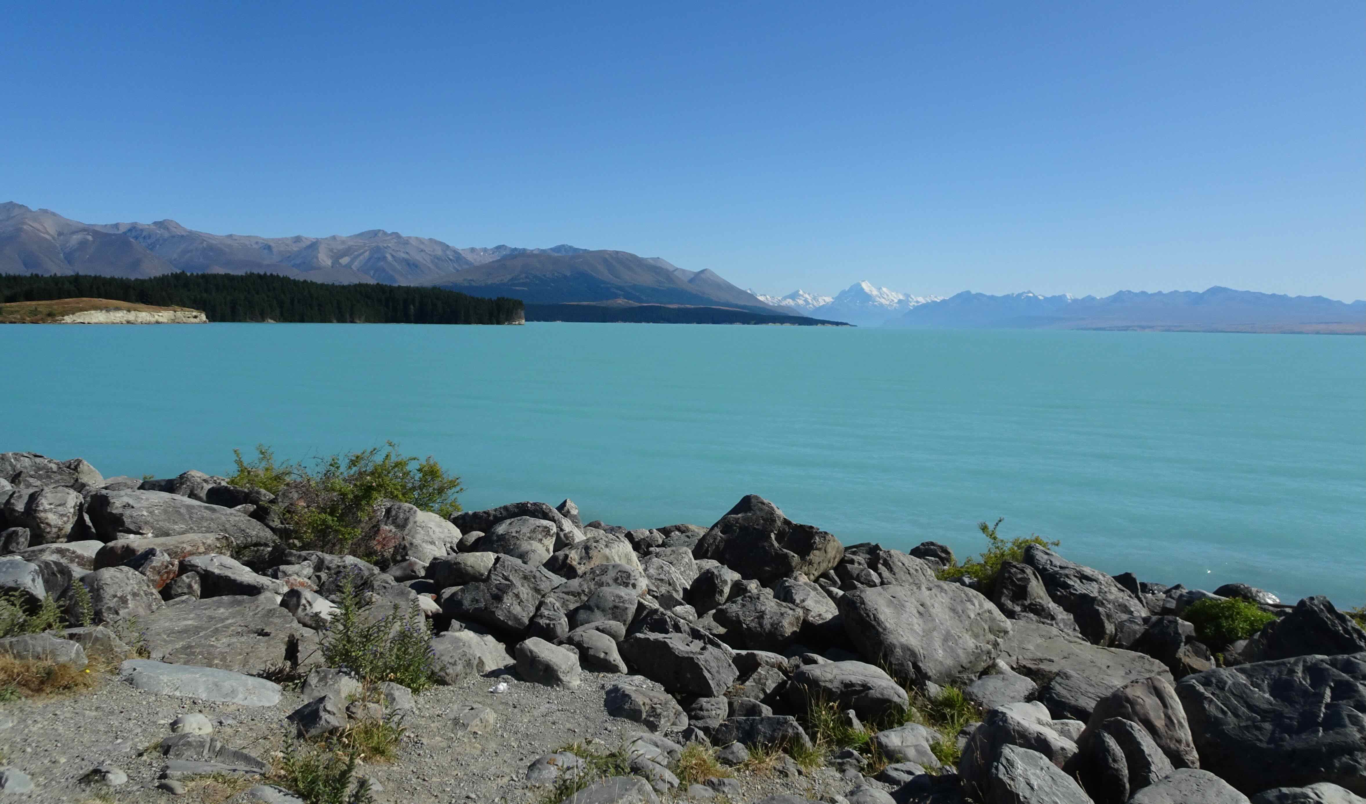
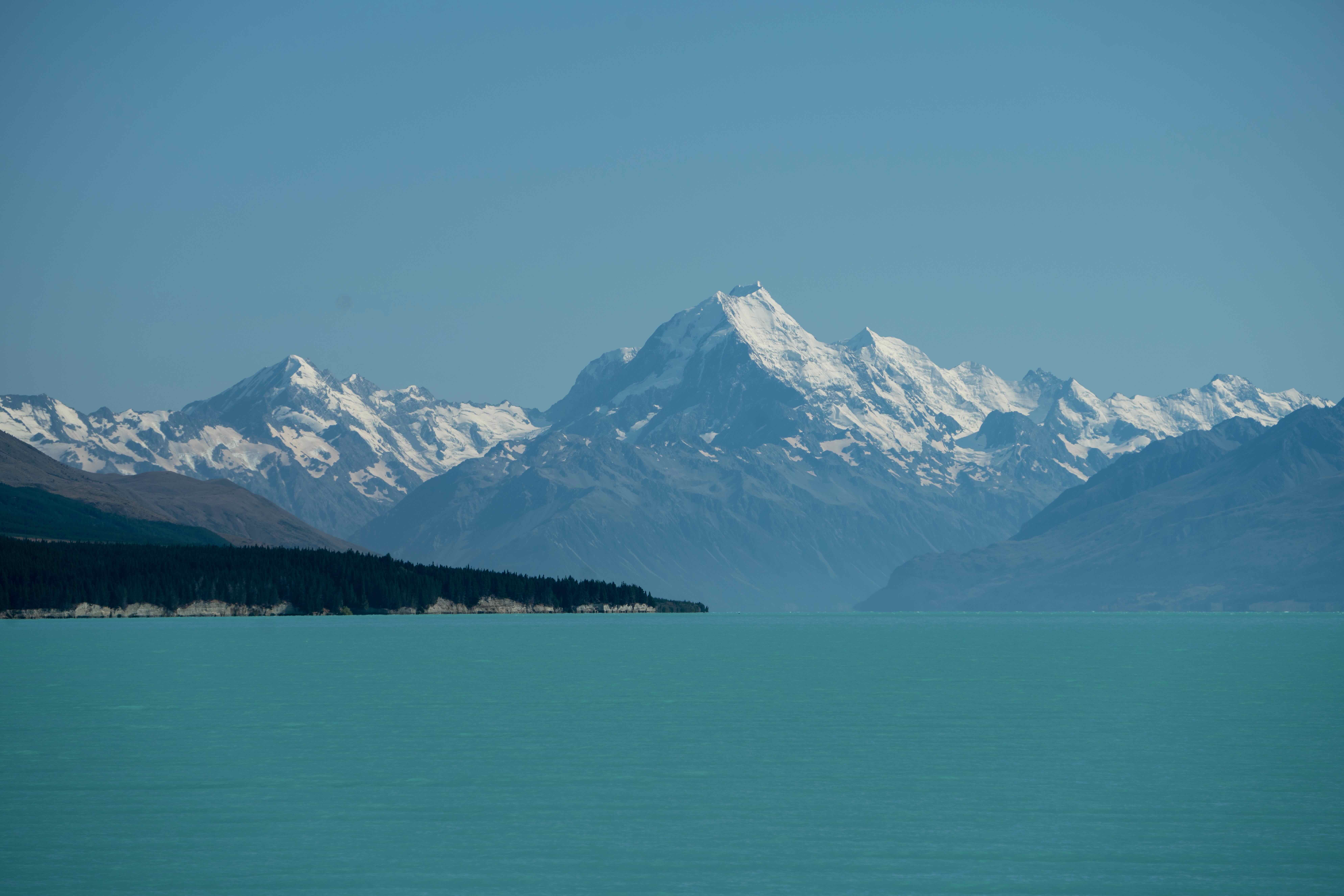
Then we drove back along Lake Pukaki, and eventually to Christchurch, before our flight to the North Island the next day.

Lake Pukaki
North Island…
We did not do any North Island sight seeing on our previous trip, so these were all new locations for us.
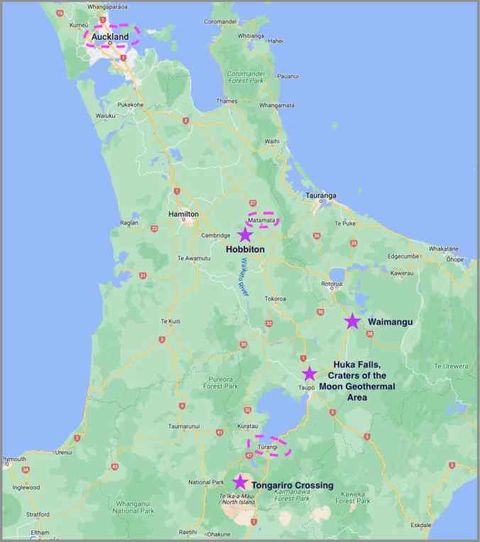
North Island locations and hikes (stars), March, 2023
Hobbiton: Our first stop was Matamata, where we took the Hobbiton Movie Set tour. Having reread Tolkien’s books many times since I was about 12 years old, I had a little trepidation about this, but was completely charmed by the tour. Fog was just lifting off the green, sheep speckled hills when we arrived in the Shire. We walked paths past colorful hobbit holes and gardens, then around the lake and the Party Tree to The Green Dragon Pub. It was like being in the fictional Shire for a little while, with a clever and funny tour guide. I found it a little magical and very satisfying.
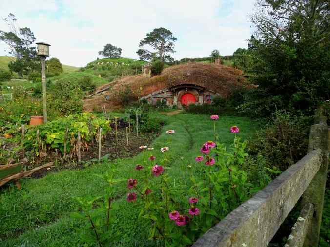
Hobbiton

Bilbo’s home
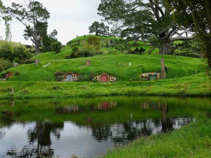
View across the lake
Turangi: We drove on to our lodging in Turangi, stopping at a couple of spots along the way.
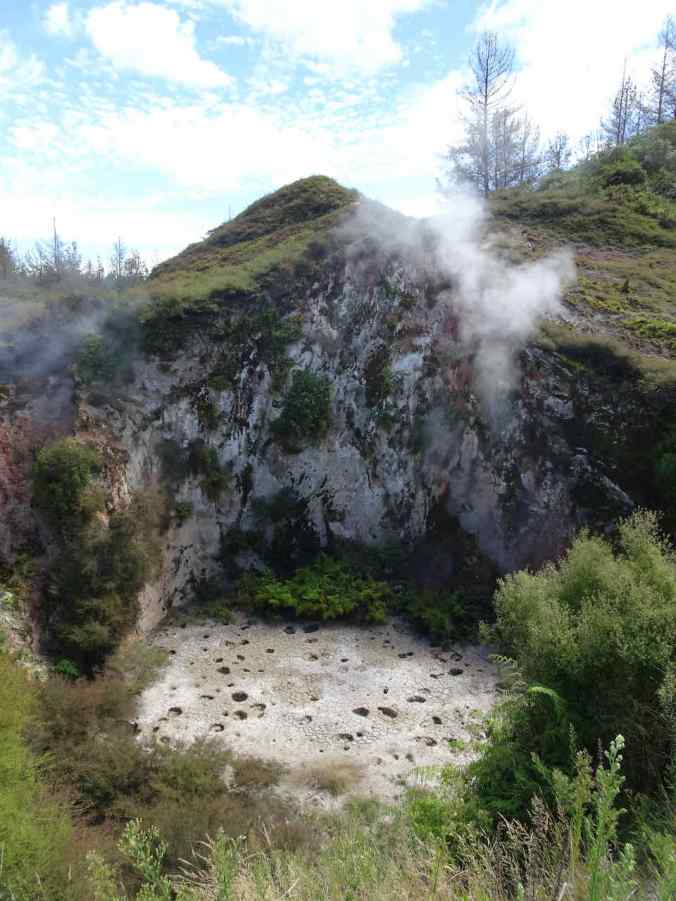
Mudpots and fumaroles at the Craters of the Moon Geothermal Area

Huka Falls on the Tongariro River
Our main goal on the North Island was the Tongariro Crossing, a challenging 13 mile hike across the shoulders of two volcanoes in Tongariro National Park, and also the location for Mt Doom/Mordor in the Tolkien movies. This very popular trail has a shuttle bus system that takes hikers to the trailhead. The track ascends 3000 feet, and then descends 4000 feet, back to the car park. We had budgeted a few days in the area, hoping for a good weather day. On our first day in the area, we could not even see the volcanoes due to clouds and rain. We took a short, slightly rainy walk along the Tongariro River, near our lodging.

Tongariro River Trail near Turangi; this area is famous for fly fishing. 3/13/2023
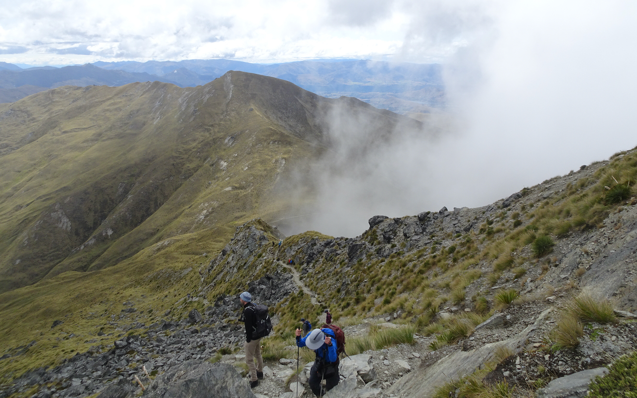
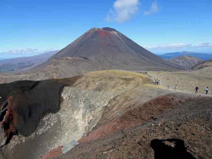
Tongariro Crossing: The next day, March 14, was perfect! Sunny and clear, but not hot. Hundreds of people, including several classes of 12 year old students, were also making the Tongariro Crossing this day. I think they all passed me, but that’s okay – I wasn’t in a hurry, I was just glad to be able to complete the crossing, though it took over nine hours. Of course everyone joked about walking into and out of Mordor. The trail leads through a variety of volcanic landscapes – lava fields, craters, ashy slopes, fumaroles, crater lakes of various sizes, and then back into the forest.

Lower trail, approaching the lava flows up ‘Devil’s Staircase’ toward Mt Ngauruhoe (2290 m)

Looking back at South Crater and Mt Ngauruhoe, from the shoulder of Red Crater

Looking into Red Crater on Mt Tongariro

Summit of Red Crater
View from the summit back to Mt Ngauruhoe
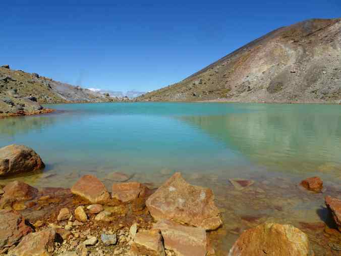
Heading down the other side, on a very steep scree trail, toward the Emerald Lakes; Blue Lake is a little further on the left.
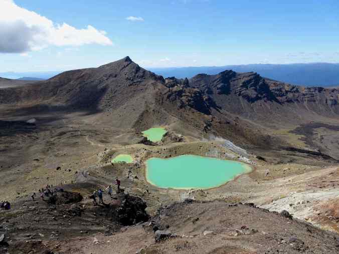
Emerald Lakes
Lunch stop at Emerald Lakes

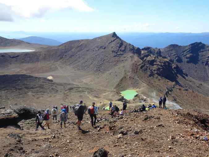
Looking back from the rim of Blue Lake toward Red Crater and a giant lava flow in Central Crater. The highest volcano in the park, Mt Raupehu (2797 m) can be seen just to the left of Mt Ngauruhoe.
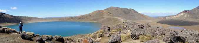
Blue Lake and Central Crater

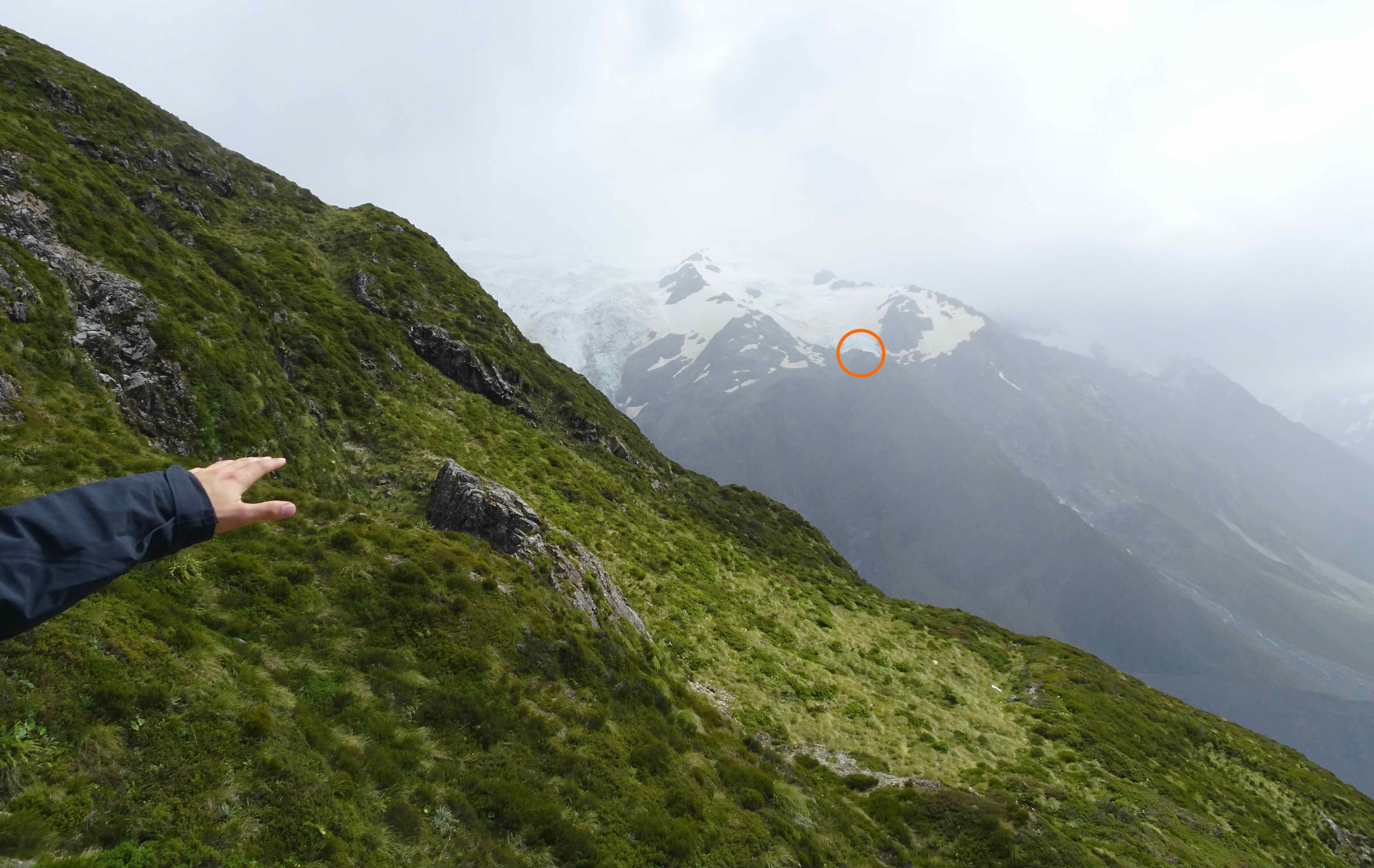
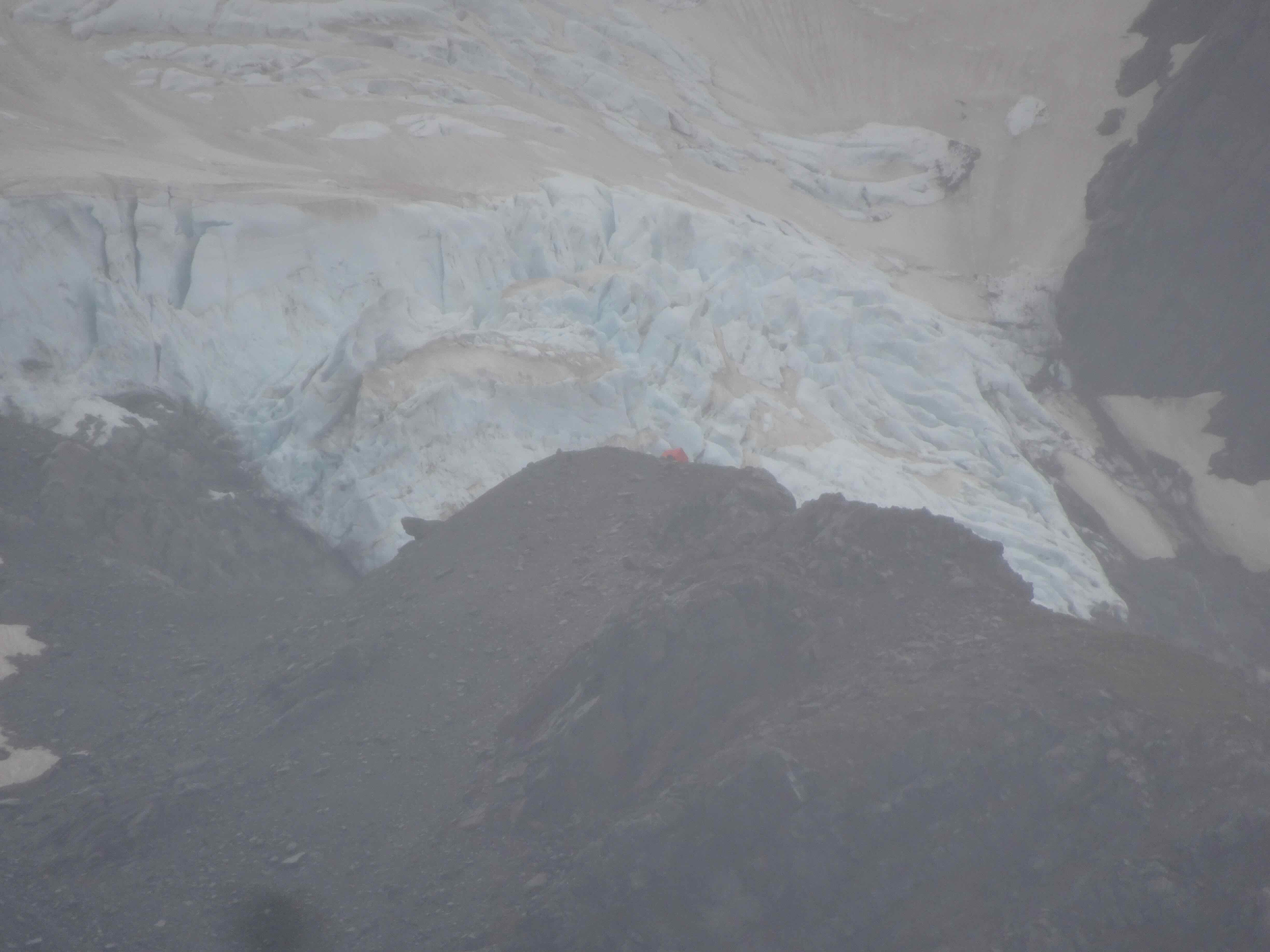
Heading down from Blue Lake, now just 3000 more feet of descent between us and the trail’s end (pink circle). Lake Rotoaira, and the enormous Lake Taupo beyond.
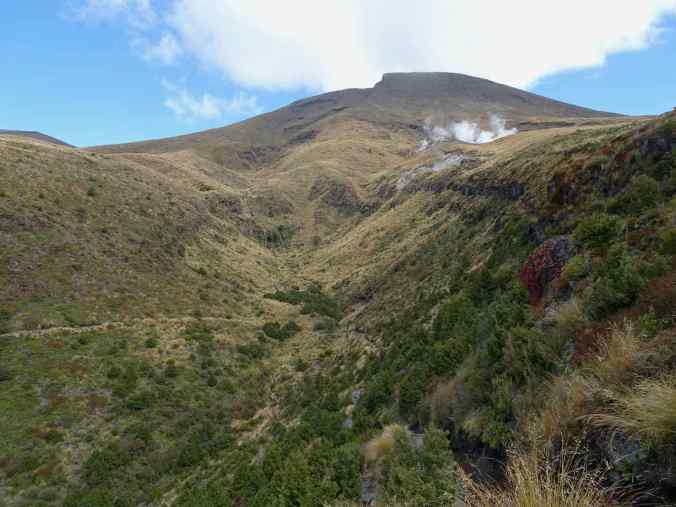
Looking back up at fumaroles and a waterfall
Eventually, we descended into the forest
By this time, so many people had passed me that I enjoyed walking alone for a while through the lush green forest, listening to the birds and the nearby river.
Mt Raupehu: The next day, March 15, we returned to Tongariro National Park and met up with some friends who also happened to be in the area and had made the crossing the previous day. We took the Sky Waka Gondola up the Whakapapa Ski Field on the shoulder of Mt Raupehu, admiring the views, and mostly taking it easy. I needed a rest day!

Sky Waka Gondola on Mt Raupehu

Tawhai Falls/Gollum’s Pool in Tongariro National Park
Black swans on Lake Rotoaira, Mt Tongariro in the distance
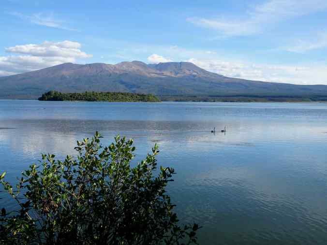
To Auckland: On Thursday, March 16th, we drove north to Auckland. We stopped for views of Lake Taupo, and visited the Waimangu Volcano Valley.
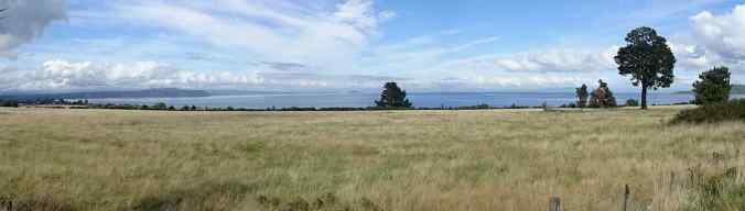
Lake Taupo, an enormous crater lake, is 21 miles wide and 29 miles long
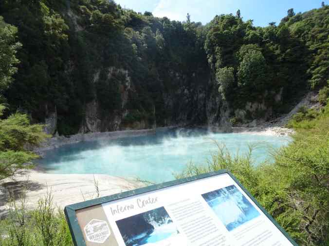
Inferno Crater in Waimangu Valley
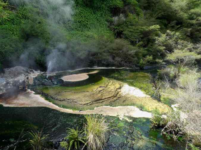
Birds Nest Geyser in Waimangu Valley
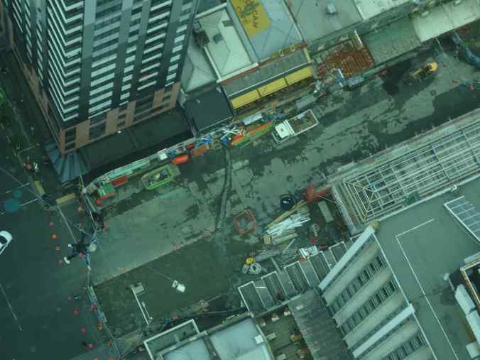
Auckland: We stayed in Auckland for two days before flying home. The first day, we walked all around the city center, and took the elevator up the Sky Tower.
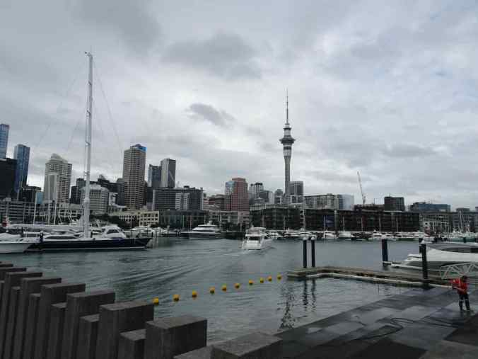
Auckland Harbor and Sky Tower
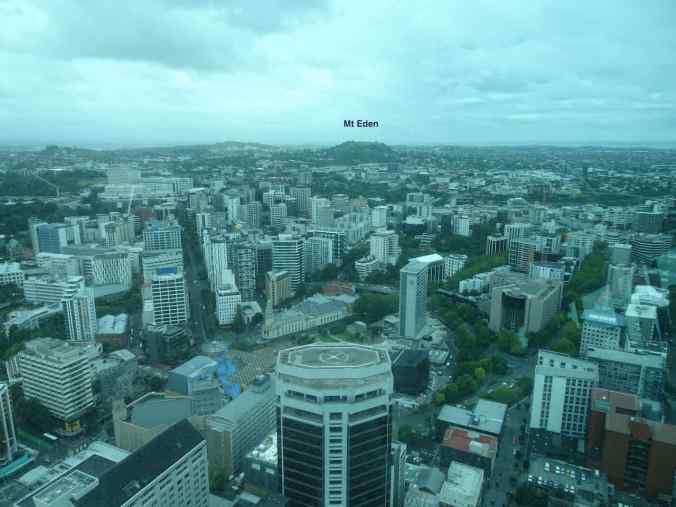
View toward Mt Eden from the Sky Tower

Auckland Harbor Bridge to the North Shore communities, including Takapuna
While we were viewing the city from the Sky Tower windows, adventurous people were jumping off the ledge above, attached to a vertical zip line. The first time one fell past us was quite jarring!
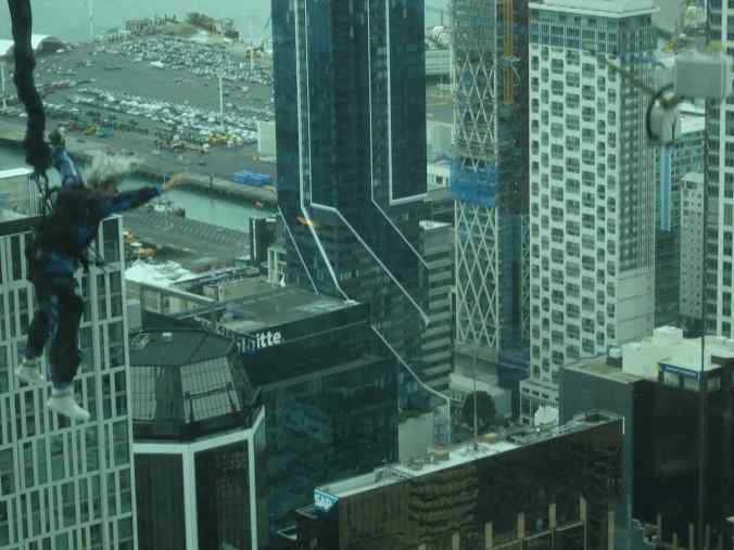
Sky Tower jumper…
going down to a fixed landing pad at the bottom.
We continued our walk around the city, and walked through the Albert Park to the Art Museum.
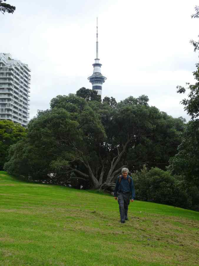
Albert Park
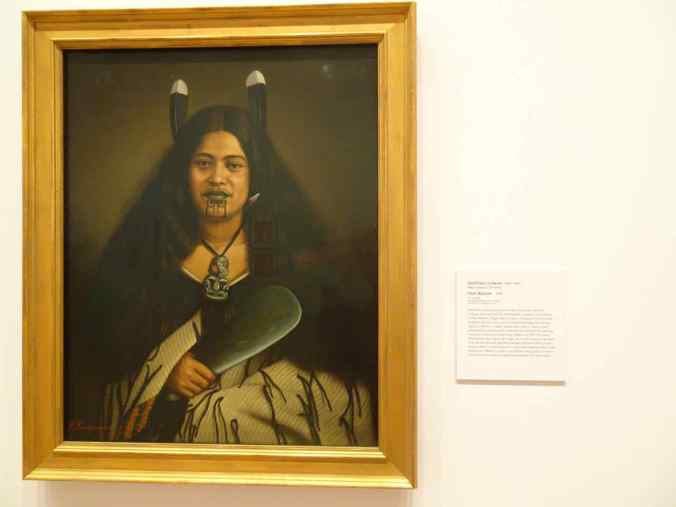
Maori portrait in the Auckland Art Gallery
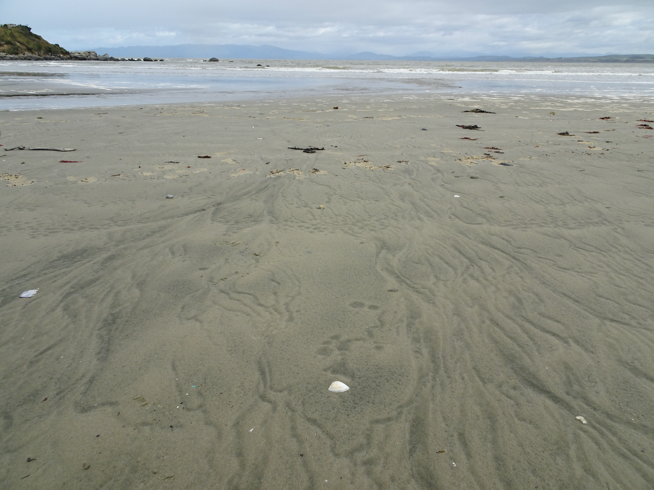
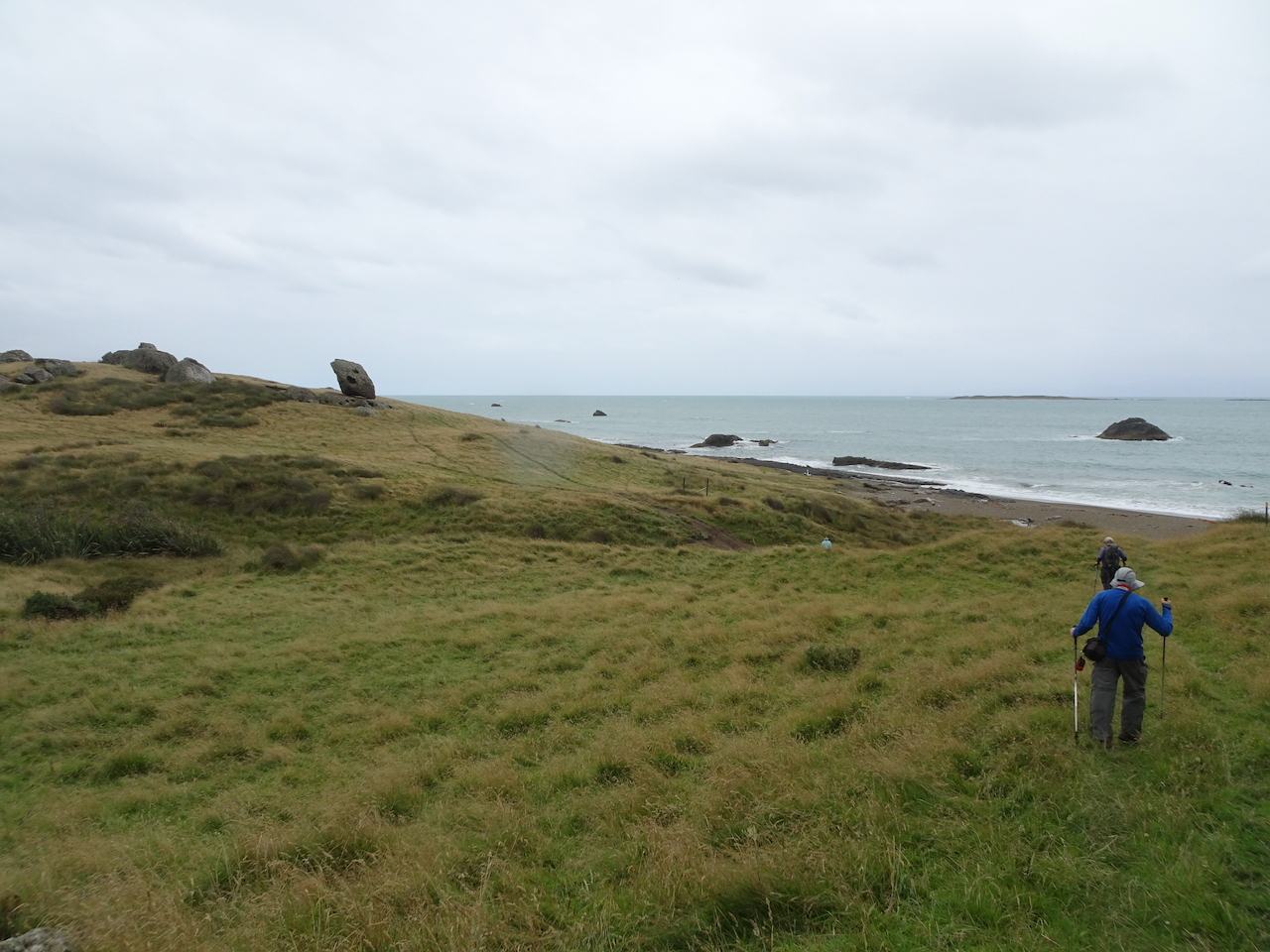
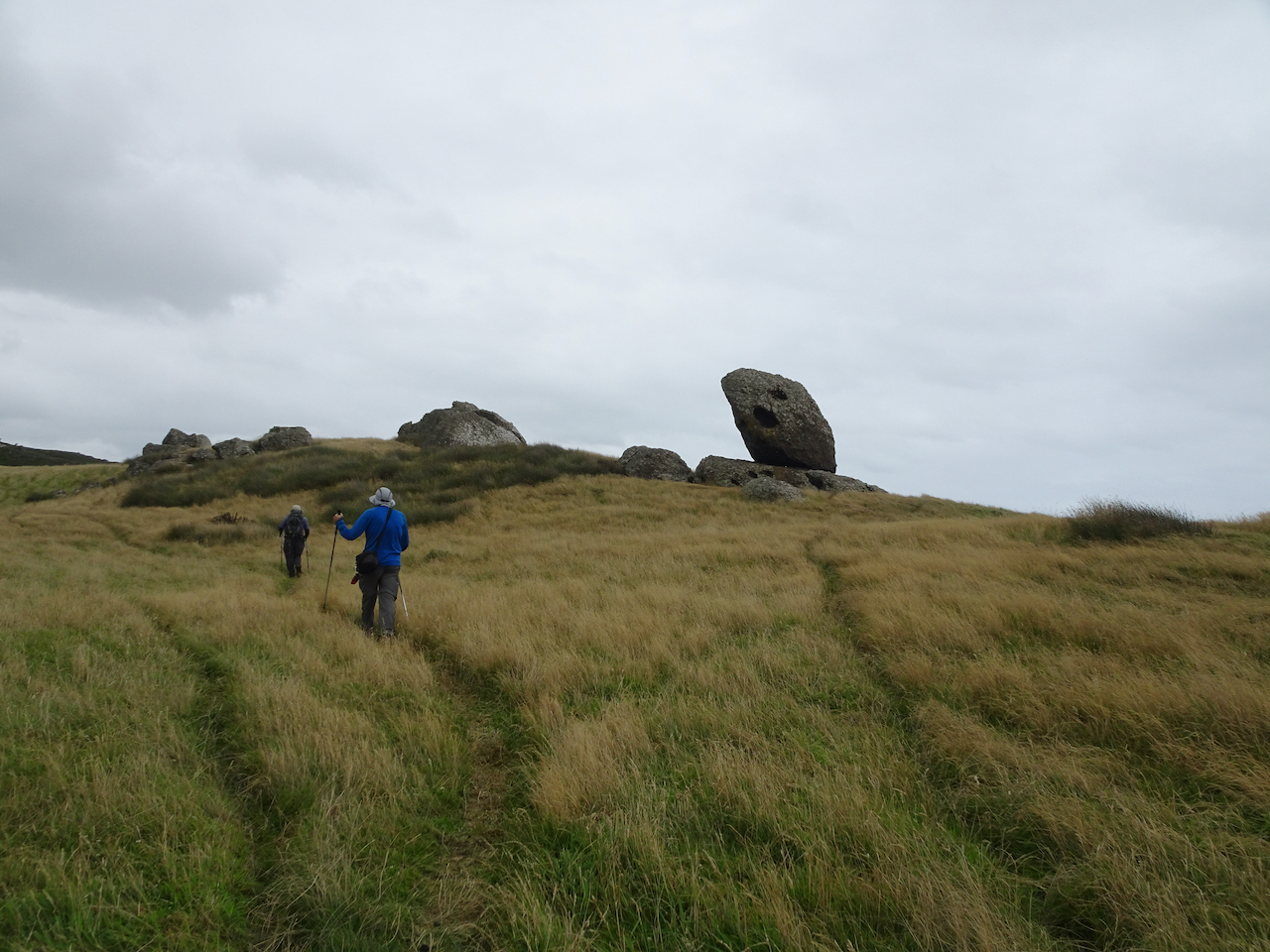
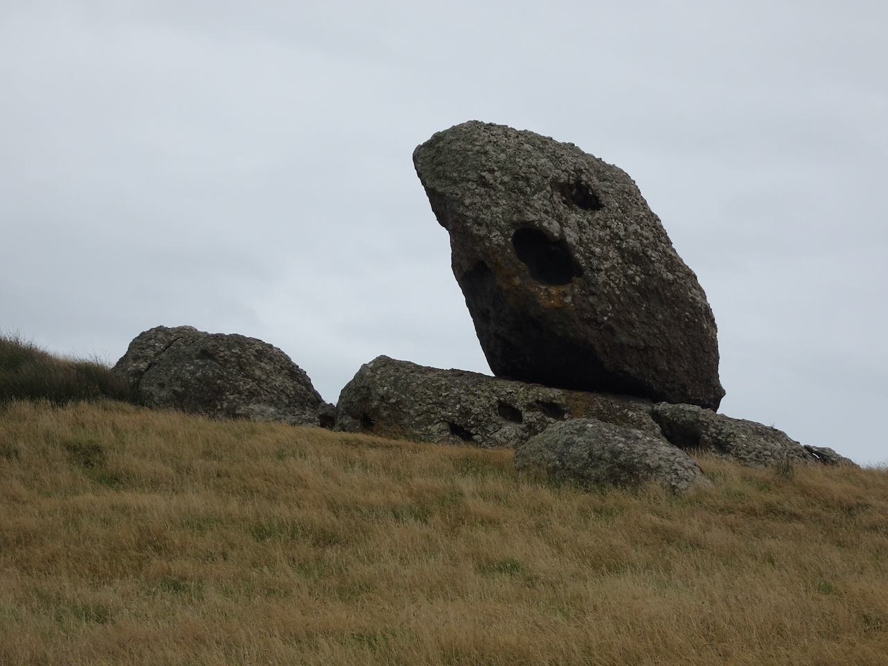
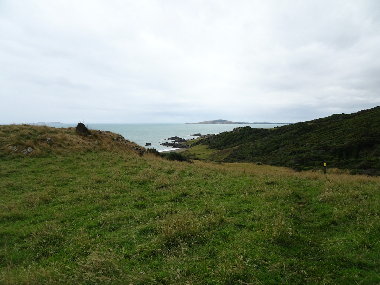
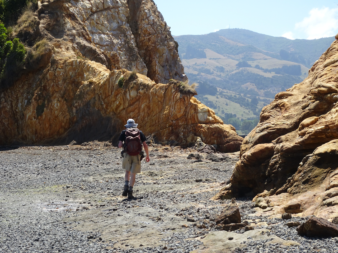
The next day, we drove over the Auckland Harbor Bridge to Takapuna Beach, and took a lovely beach walk. We also visited an art exhibit in the local library.

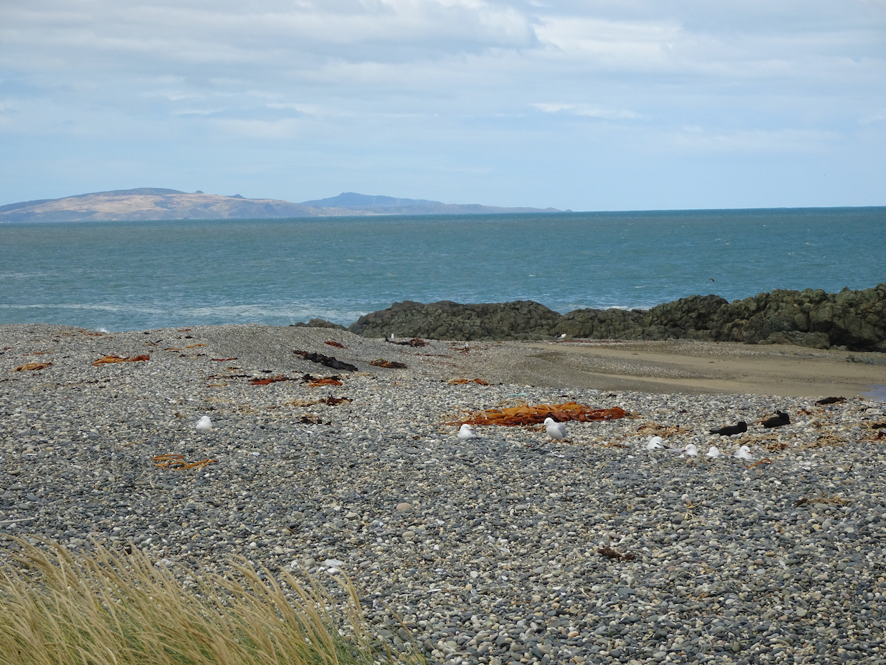
Takapuna Beach
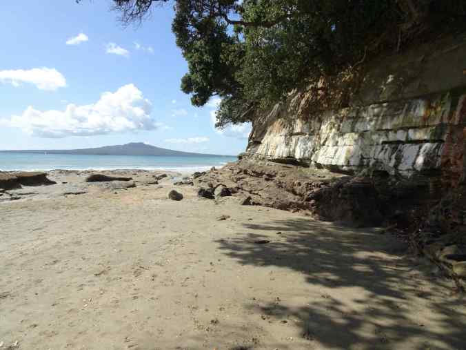
Rangitoto Island beyond the beach
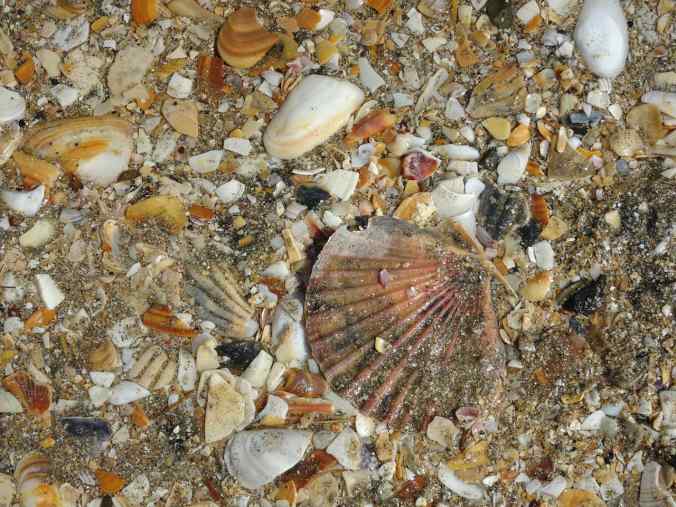
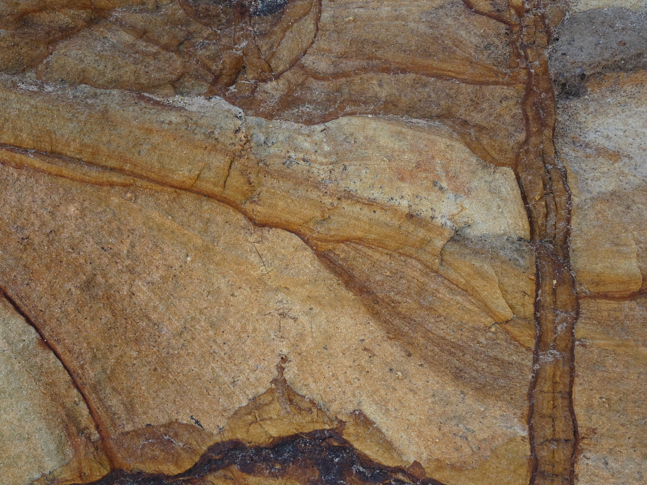
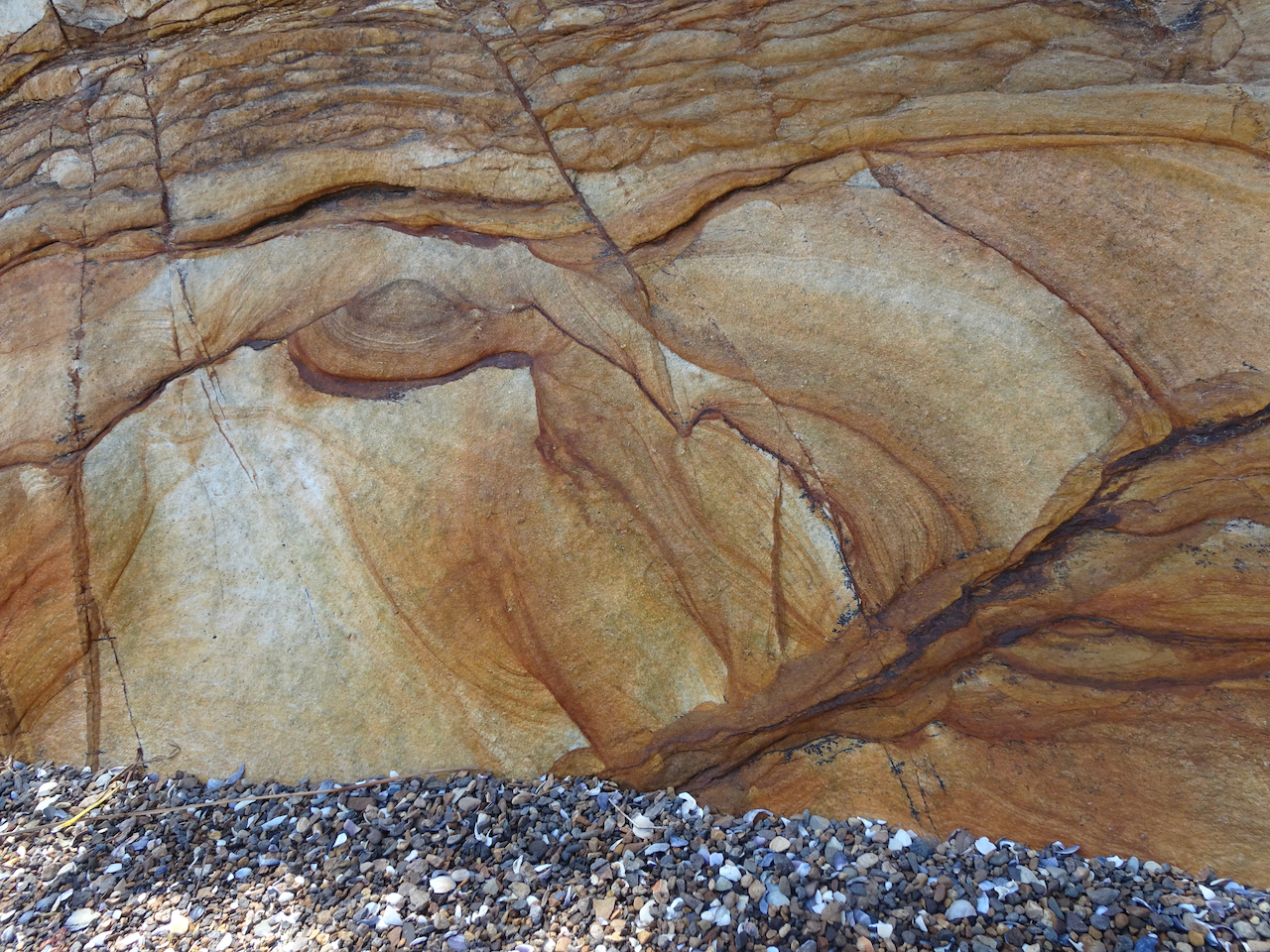
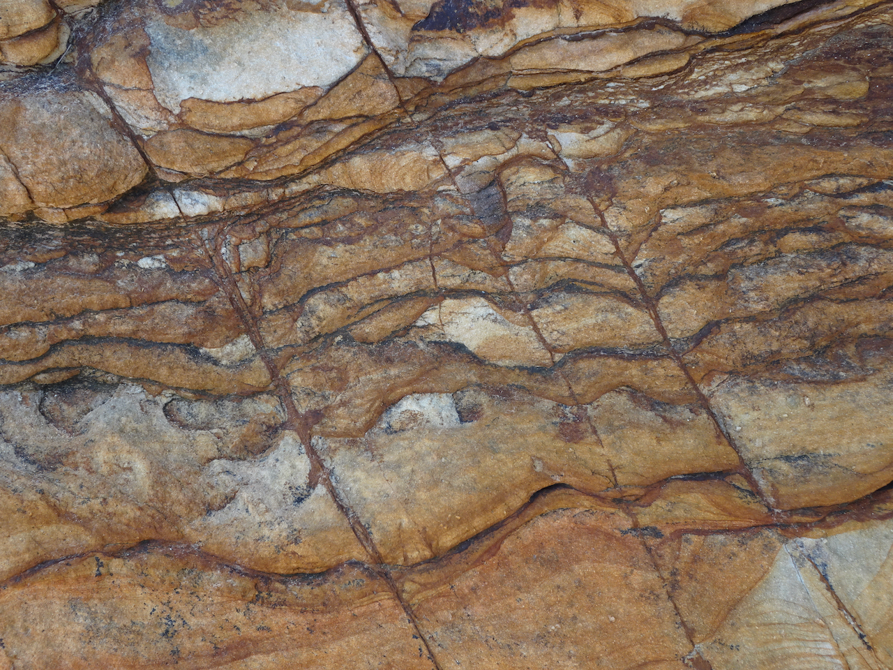
Coquina beach sand
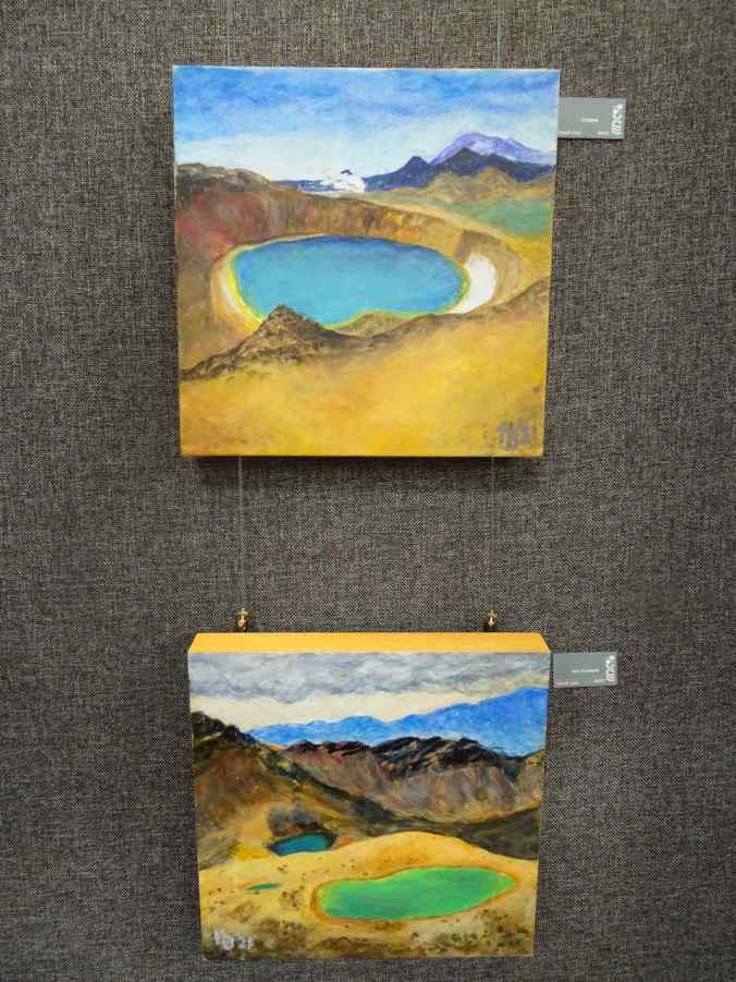
Paintings of Iceland and New Zealand in the Takapuna Library by artist Hafdis Bennet
We hiked up Mt Eden on our way to the airport, for a last look around.

Downtown Auckland from Mt Eden

Mt Hood and Mt Adams from the airplane window, as we return home to Portland.
In all, I loved our return visit to New Zealand. We got to almost all of the hikes and sites on our list. It is an easy place to travel if you can adjust to left side drive. I recommend it to anyone who hasn’t been, and who loves beautiful scenery and outdoor adventures.
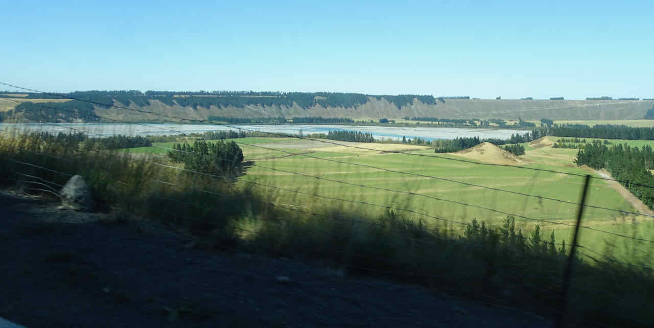

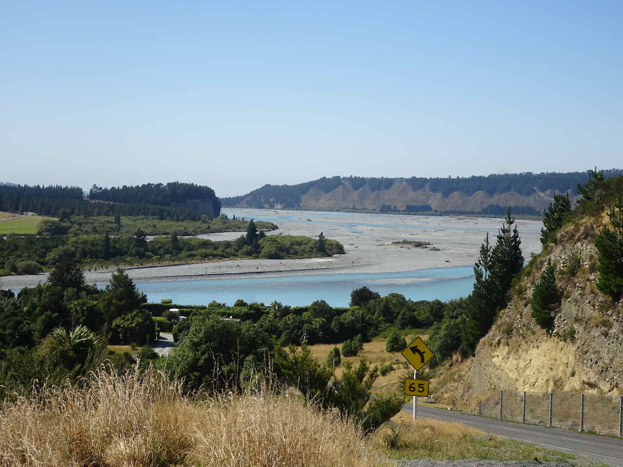
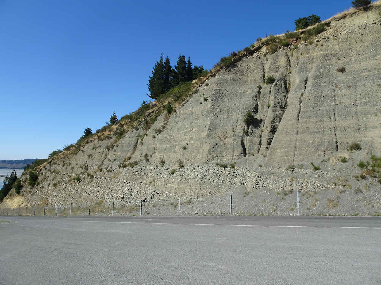
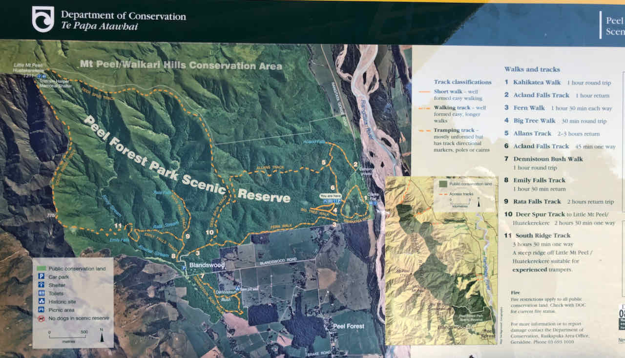
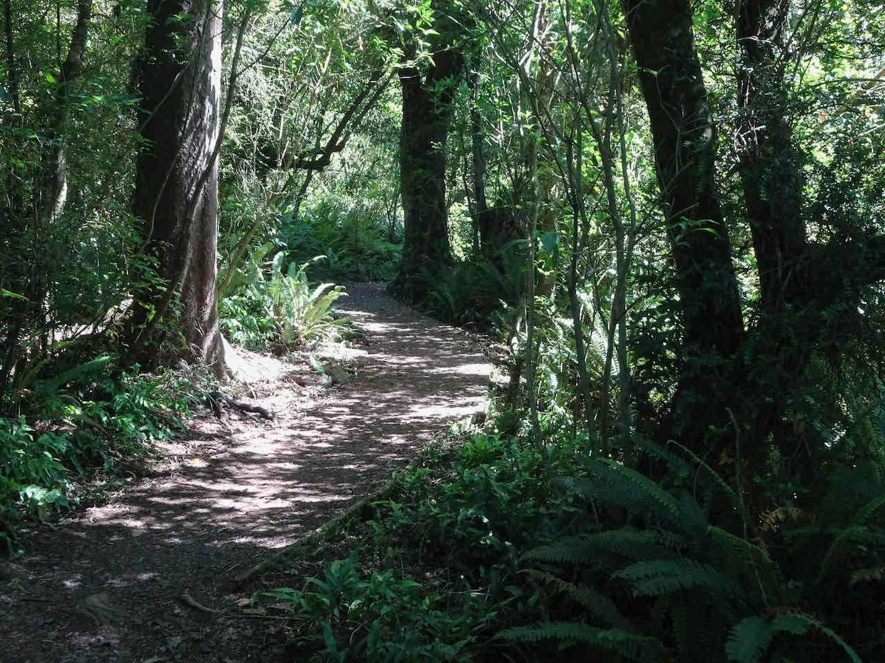
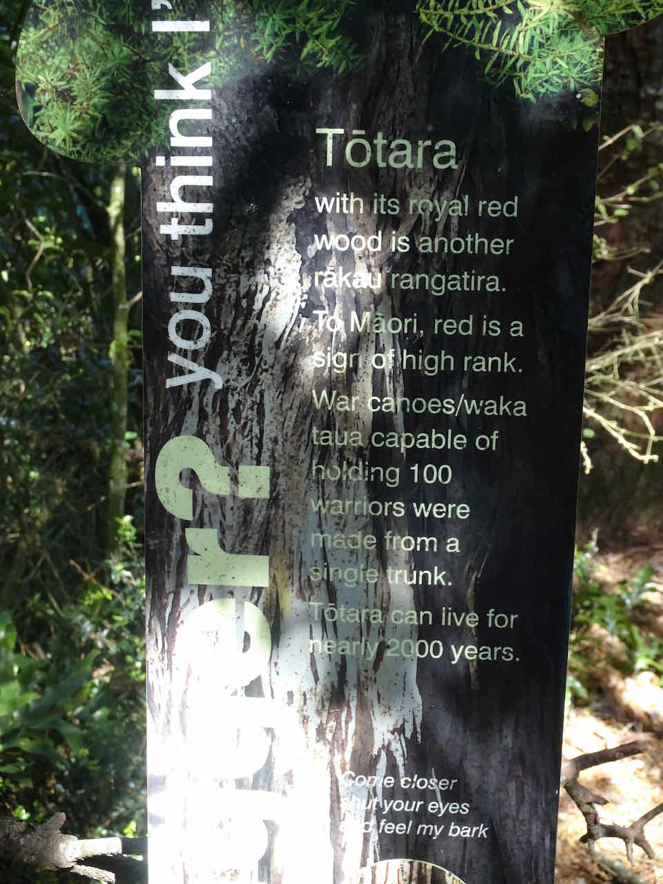


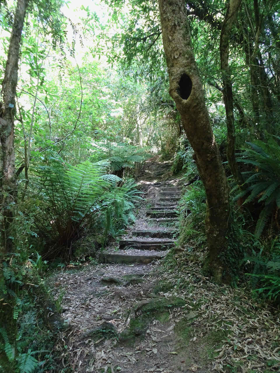


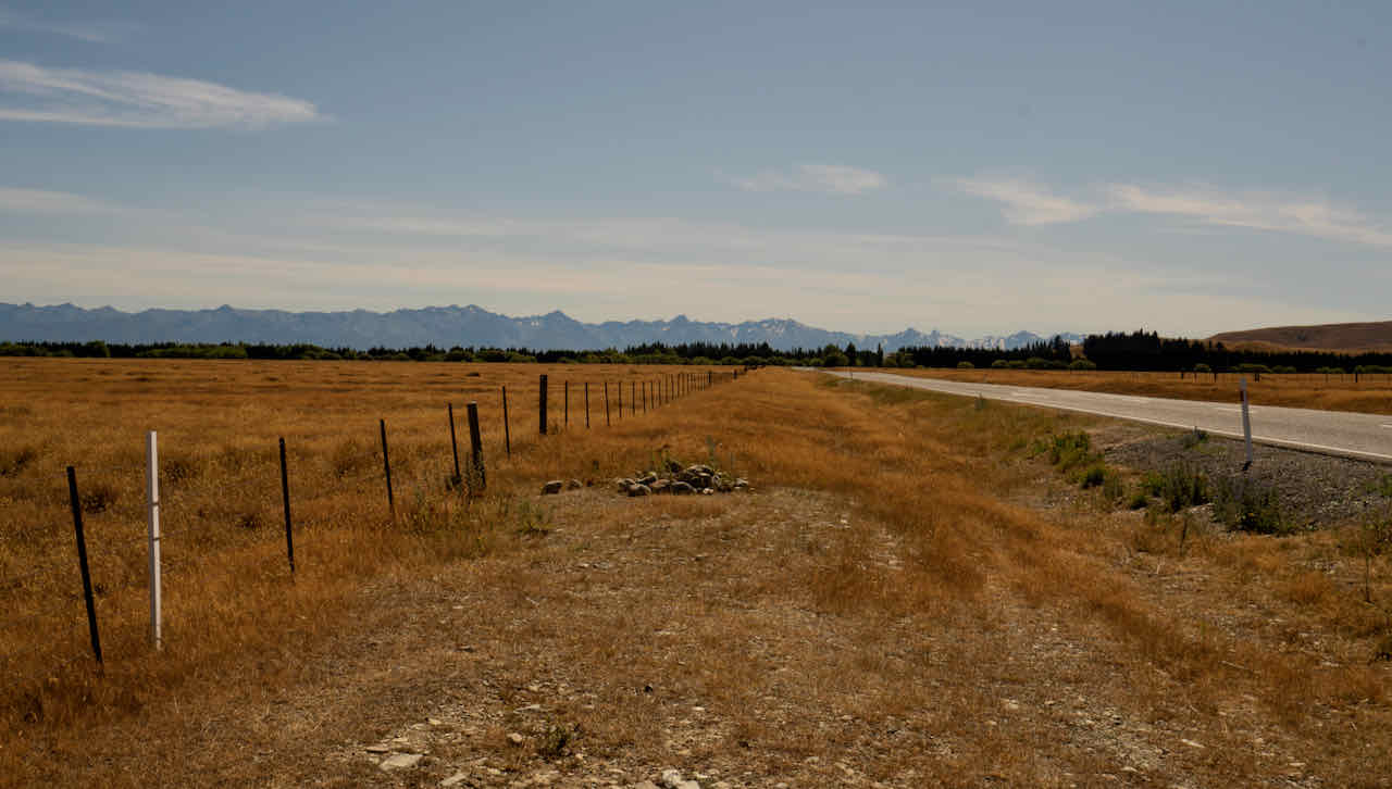
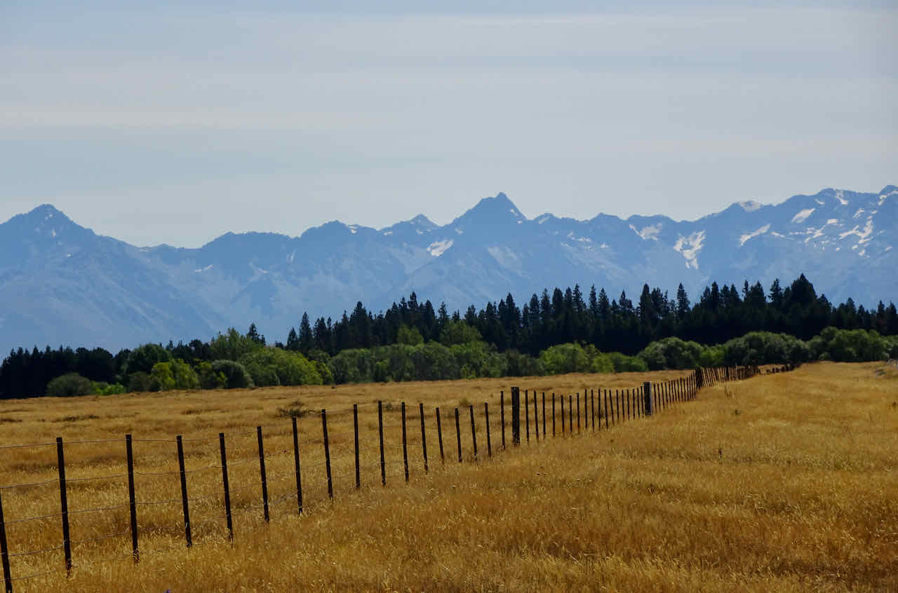


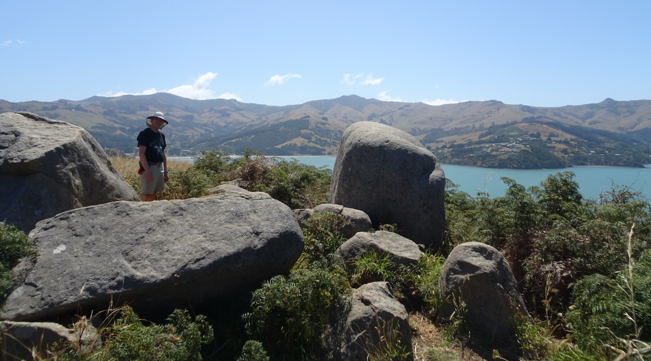
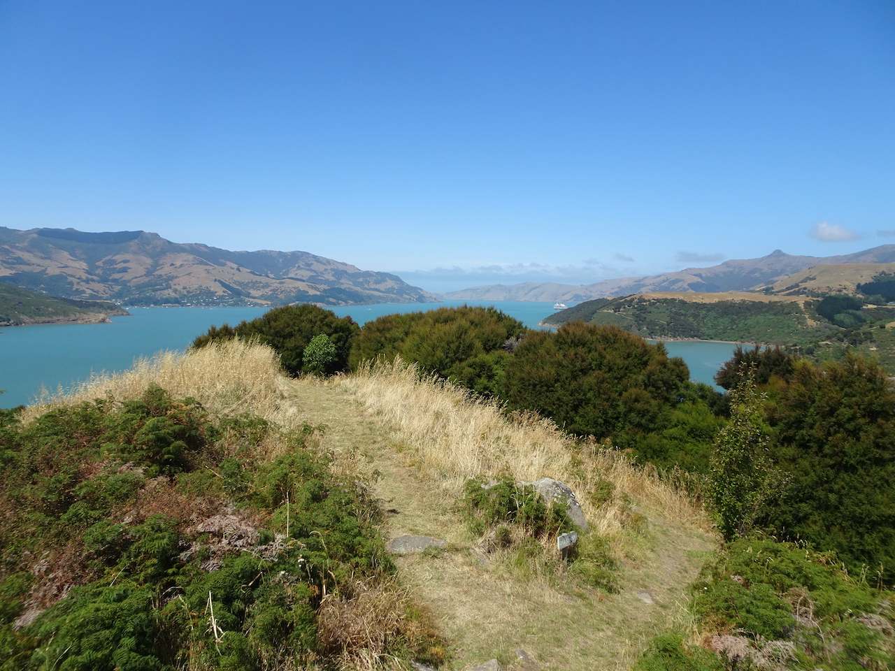
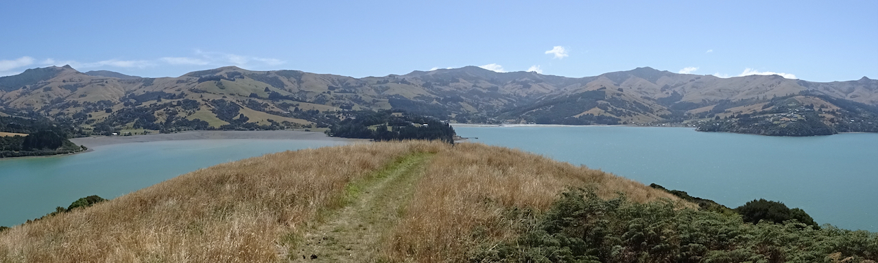


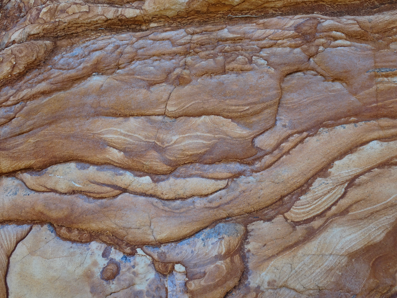

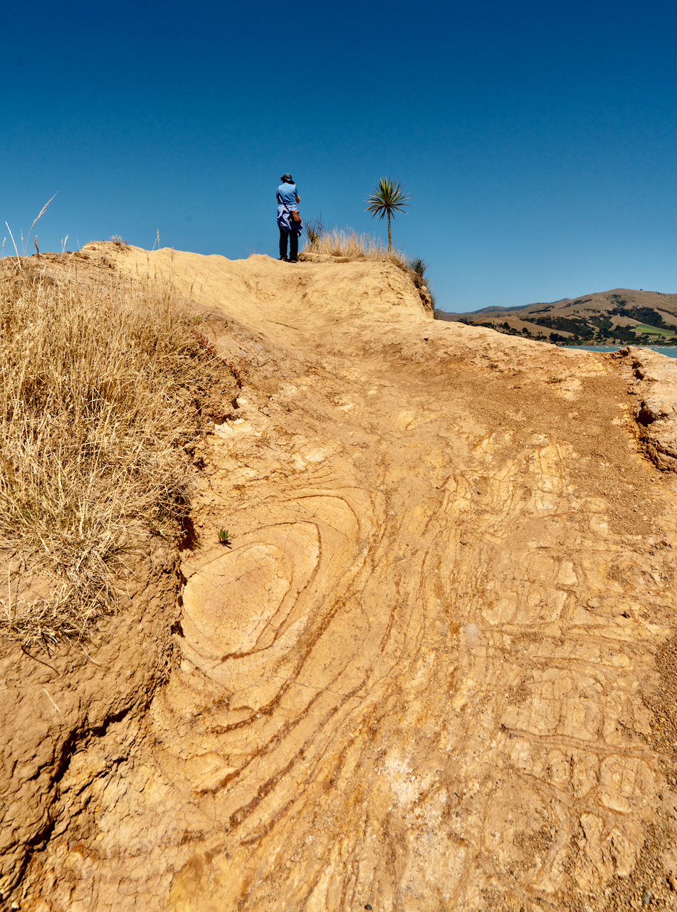
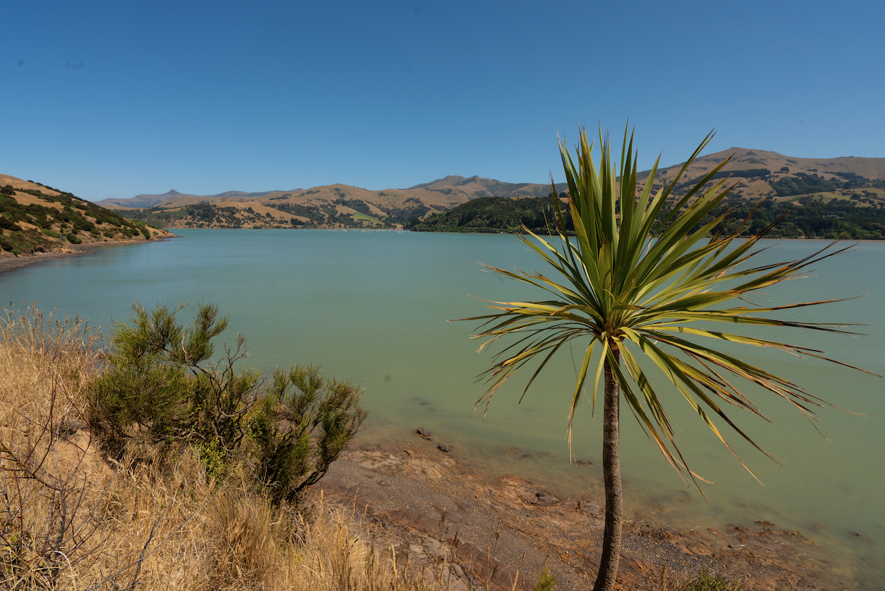
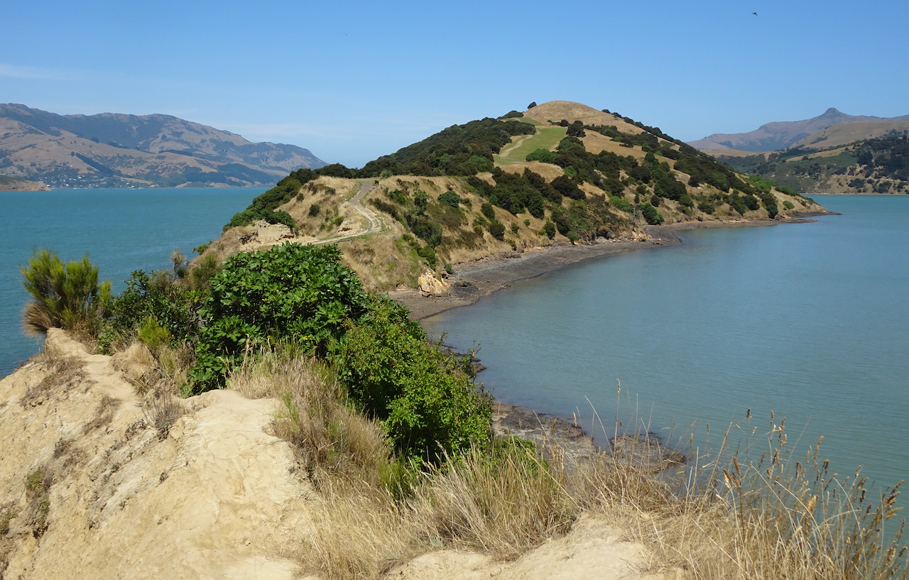

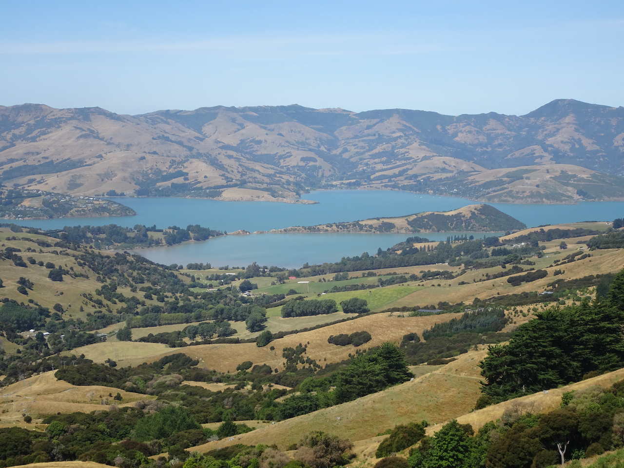


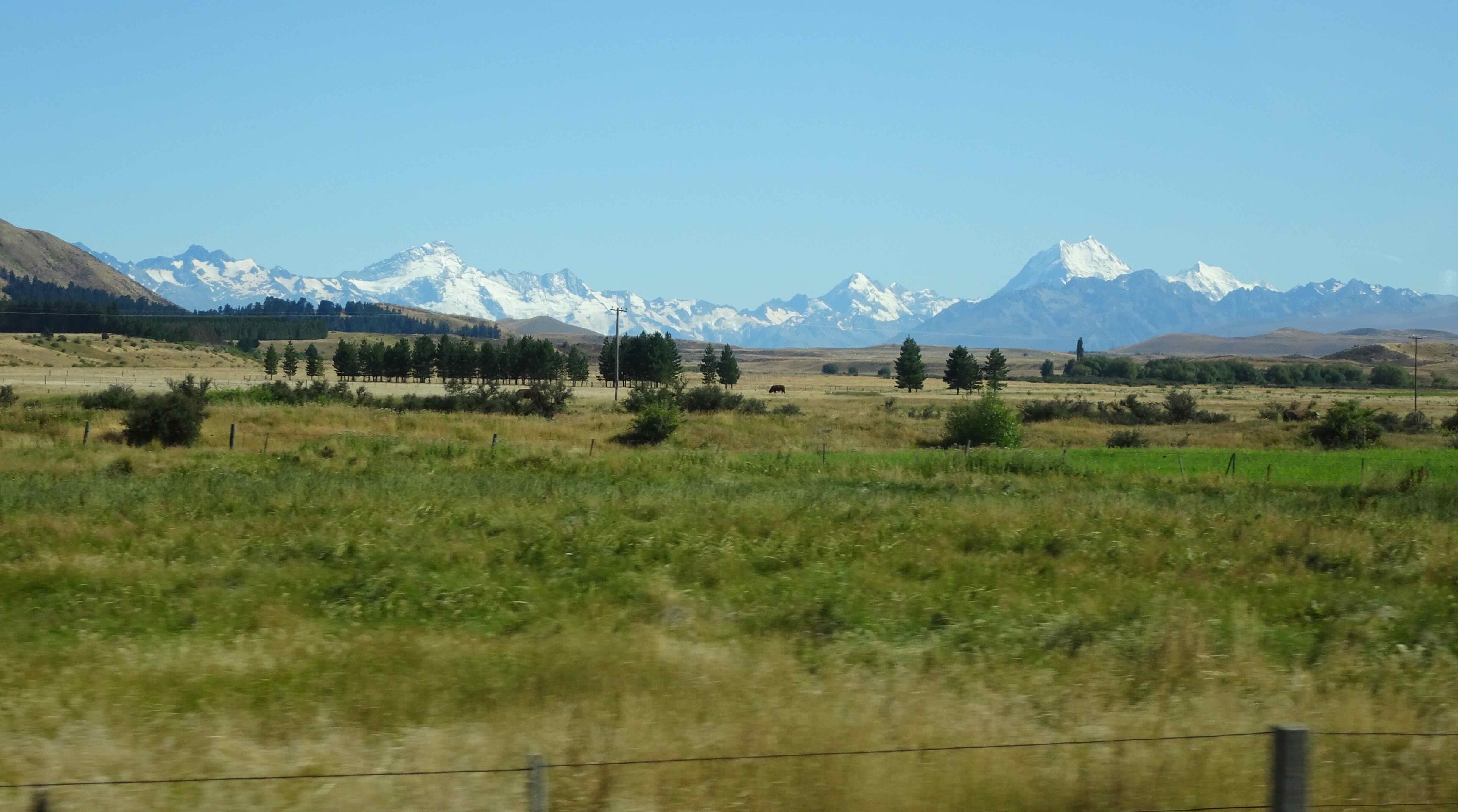


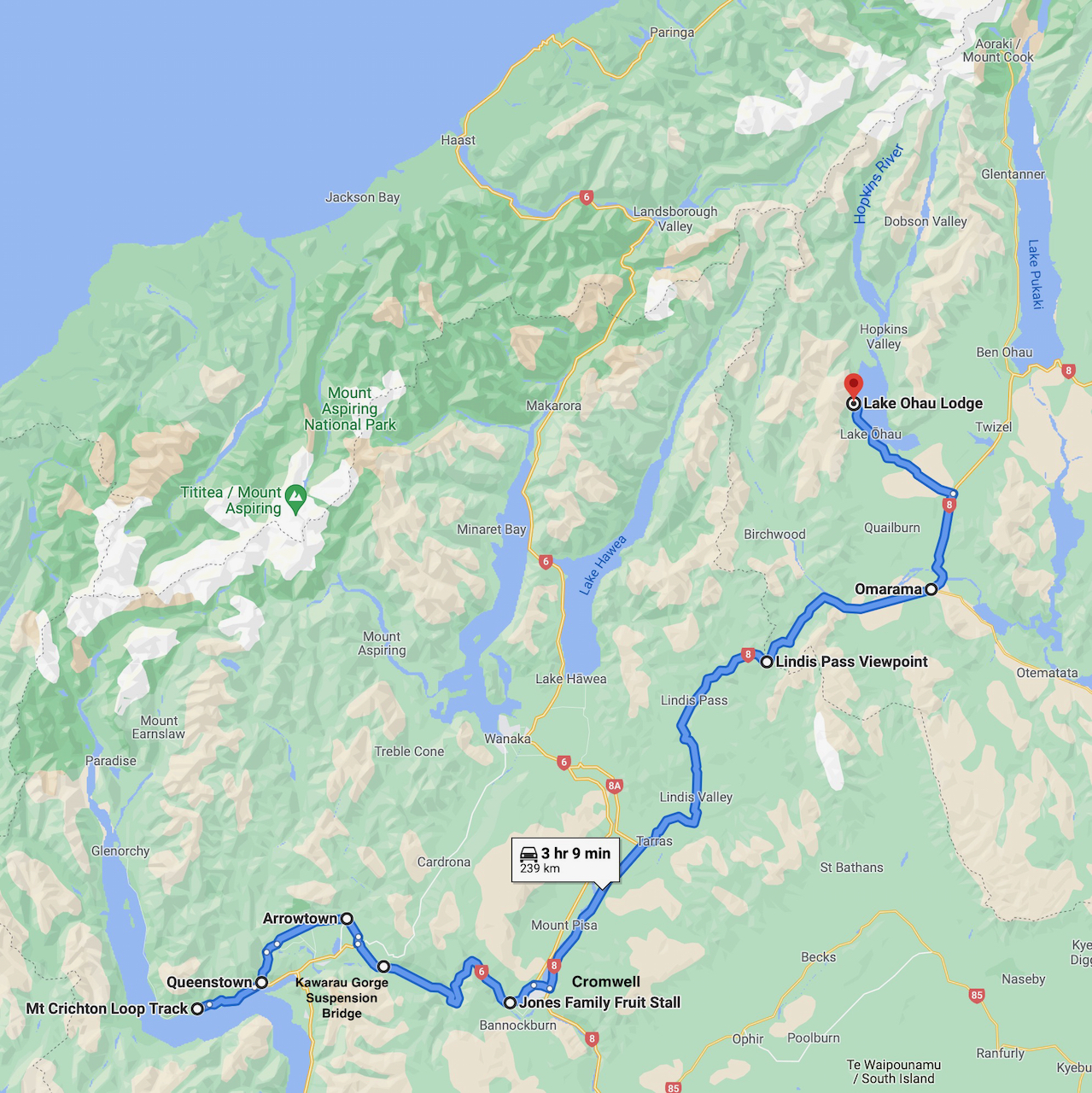


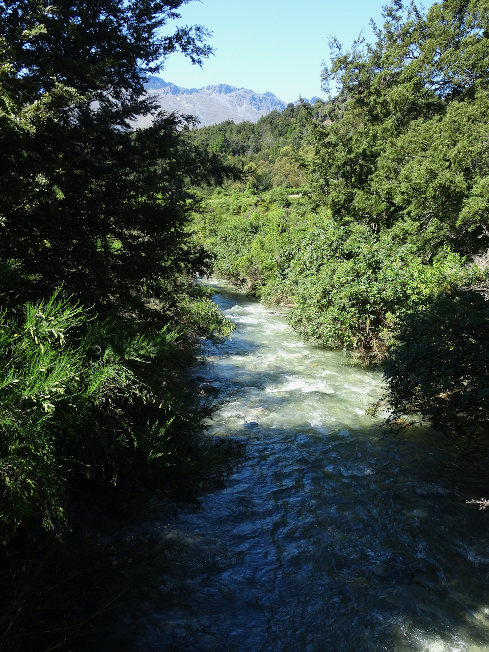
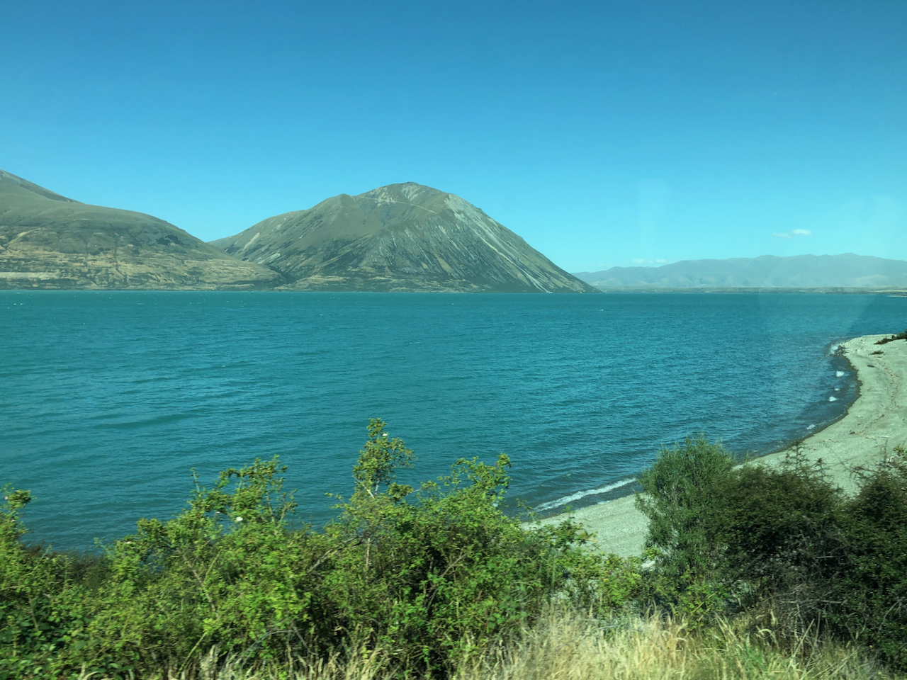
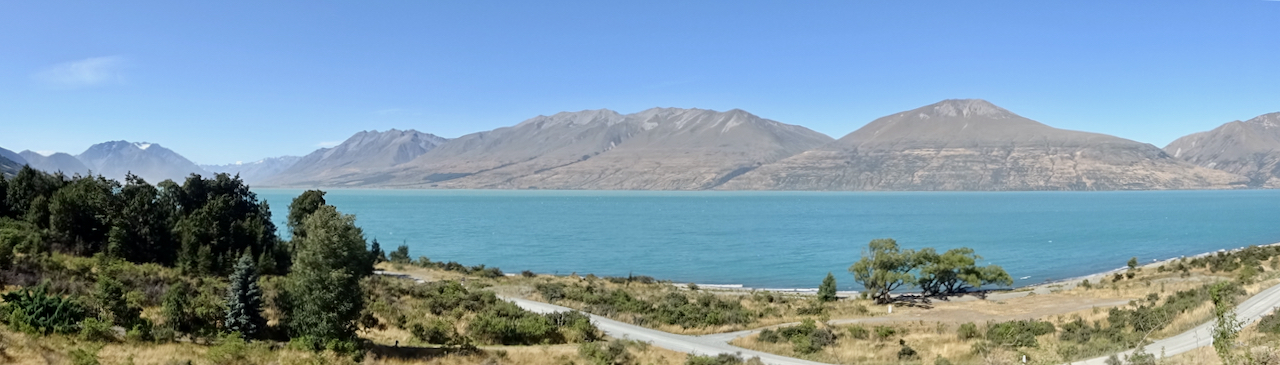
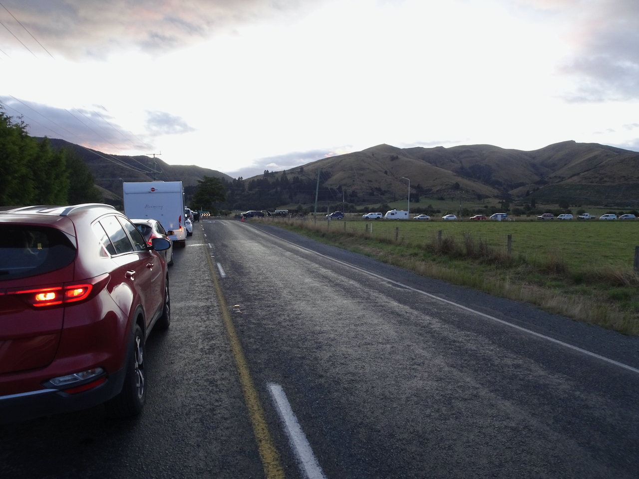
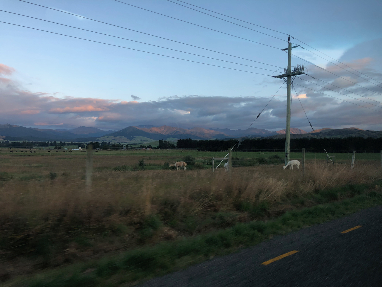
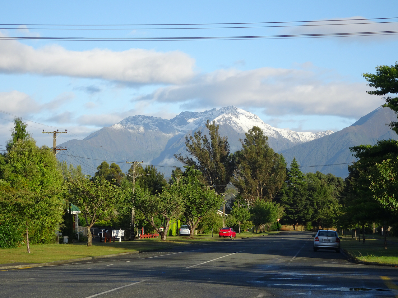
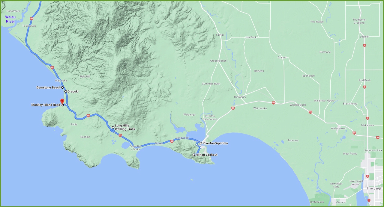
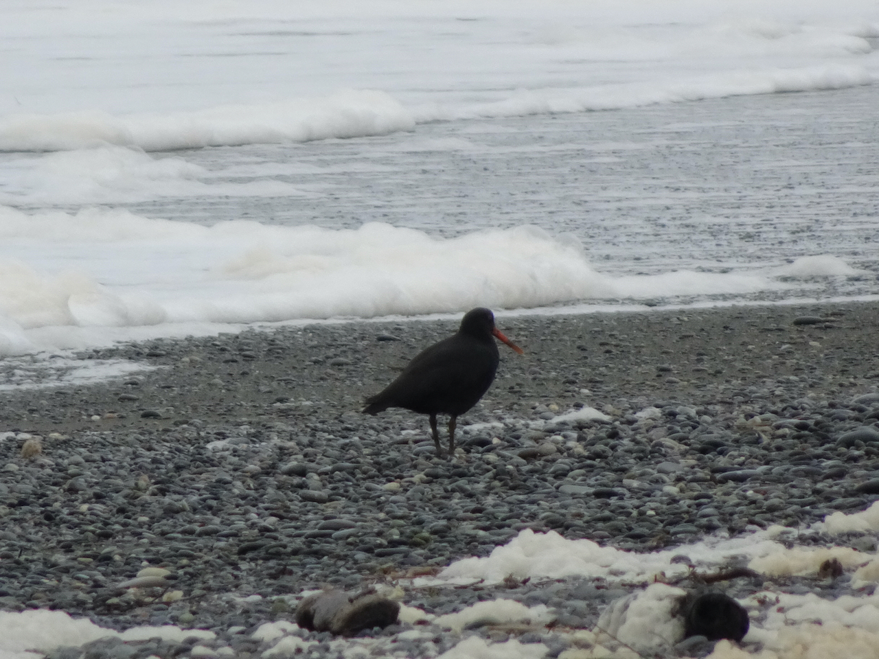
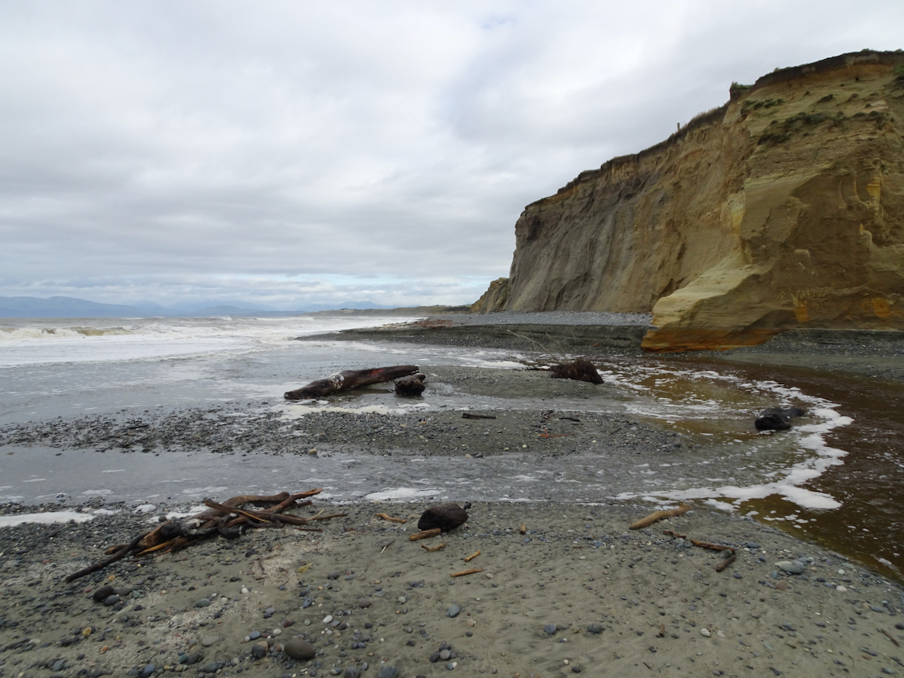
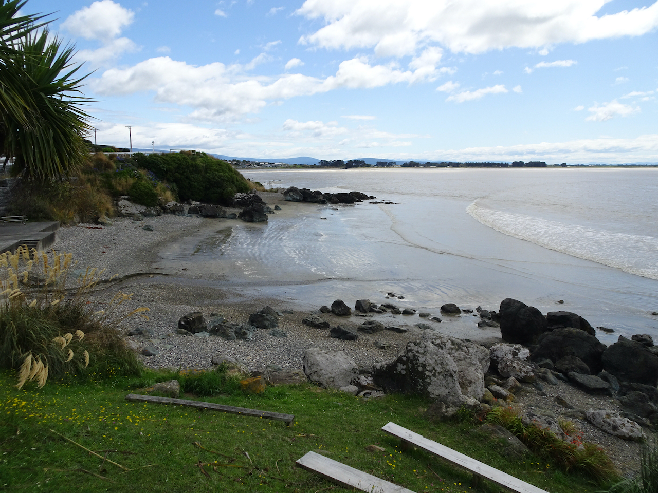
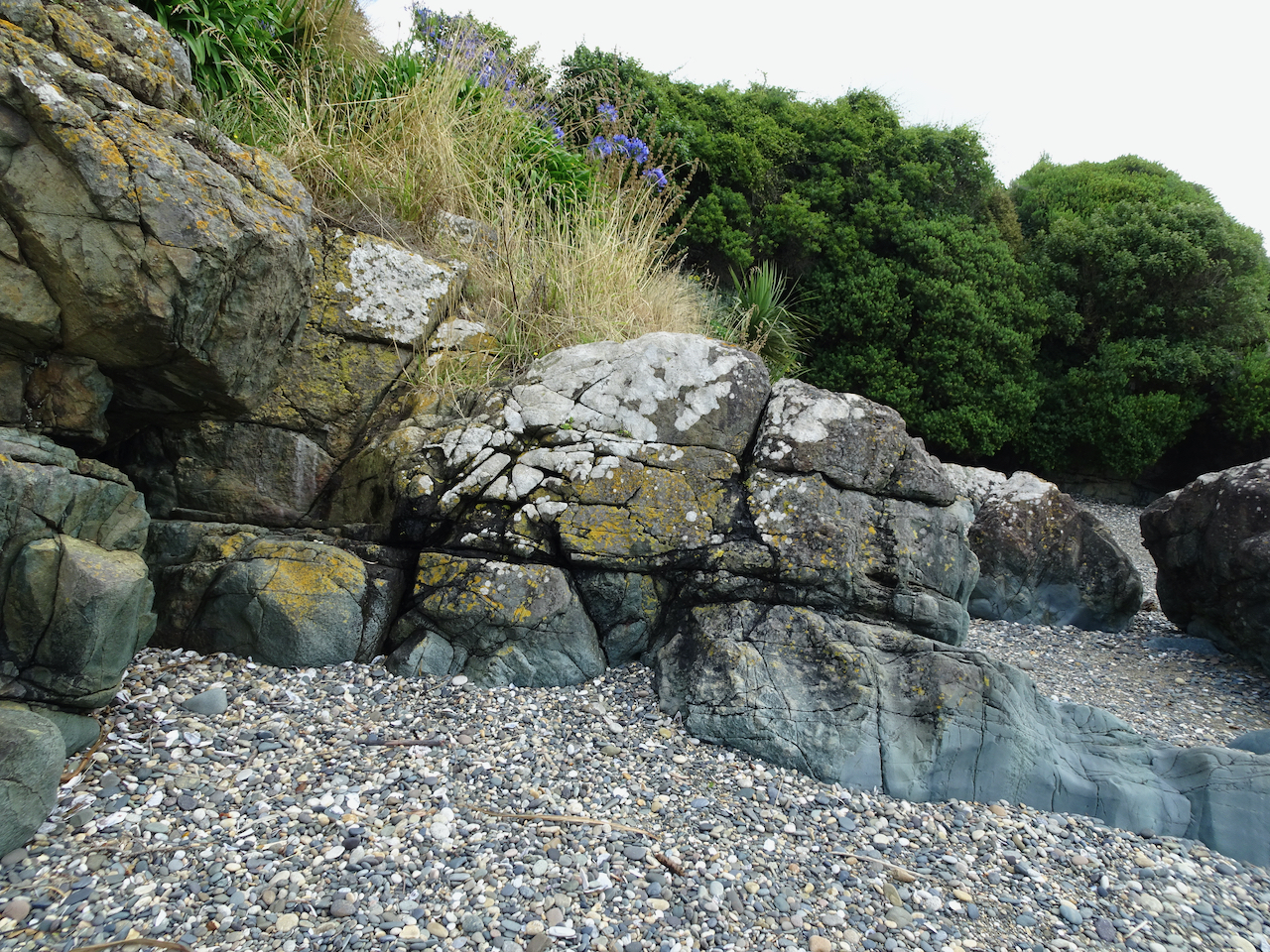
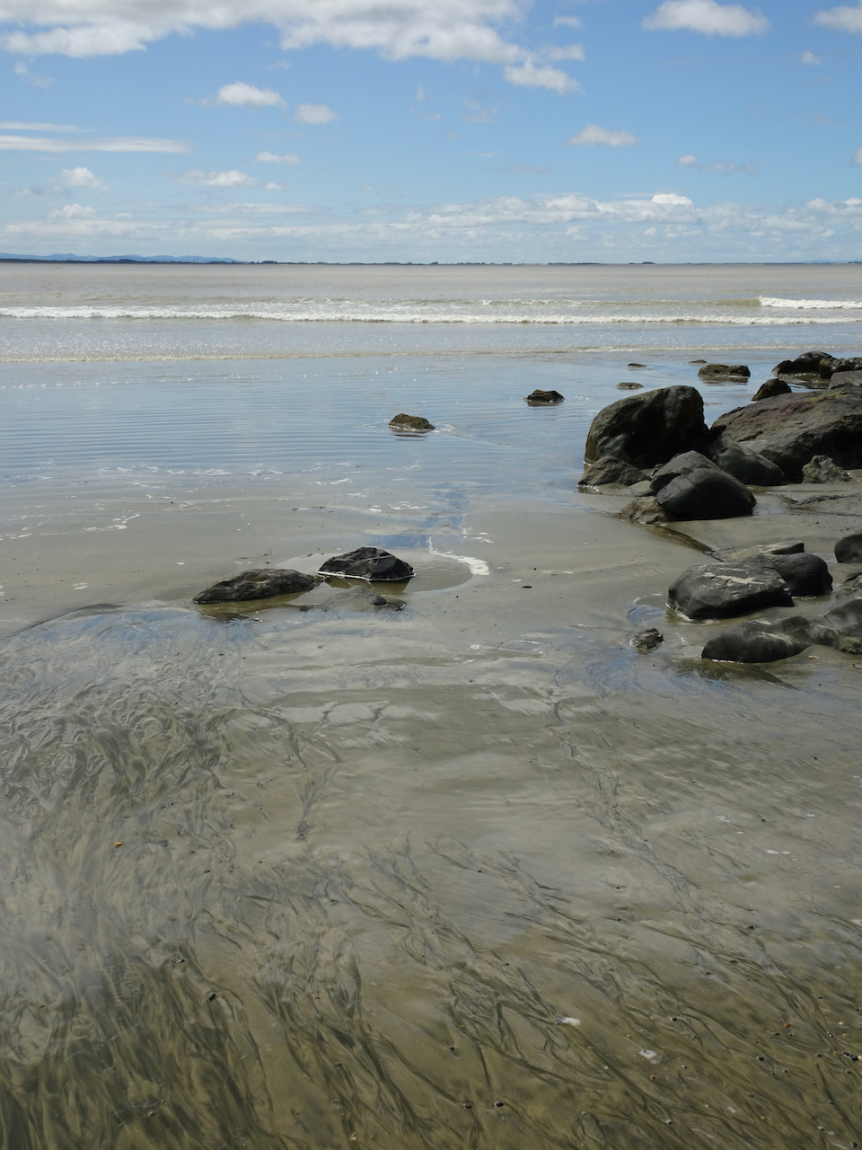
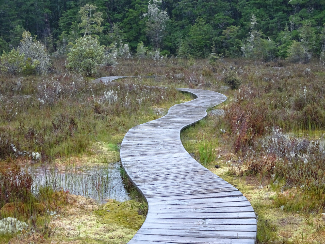
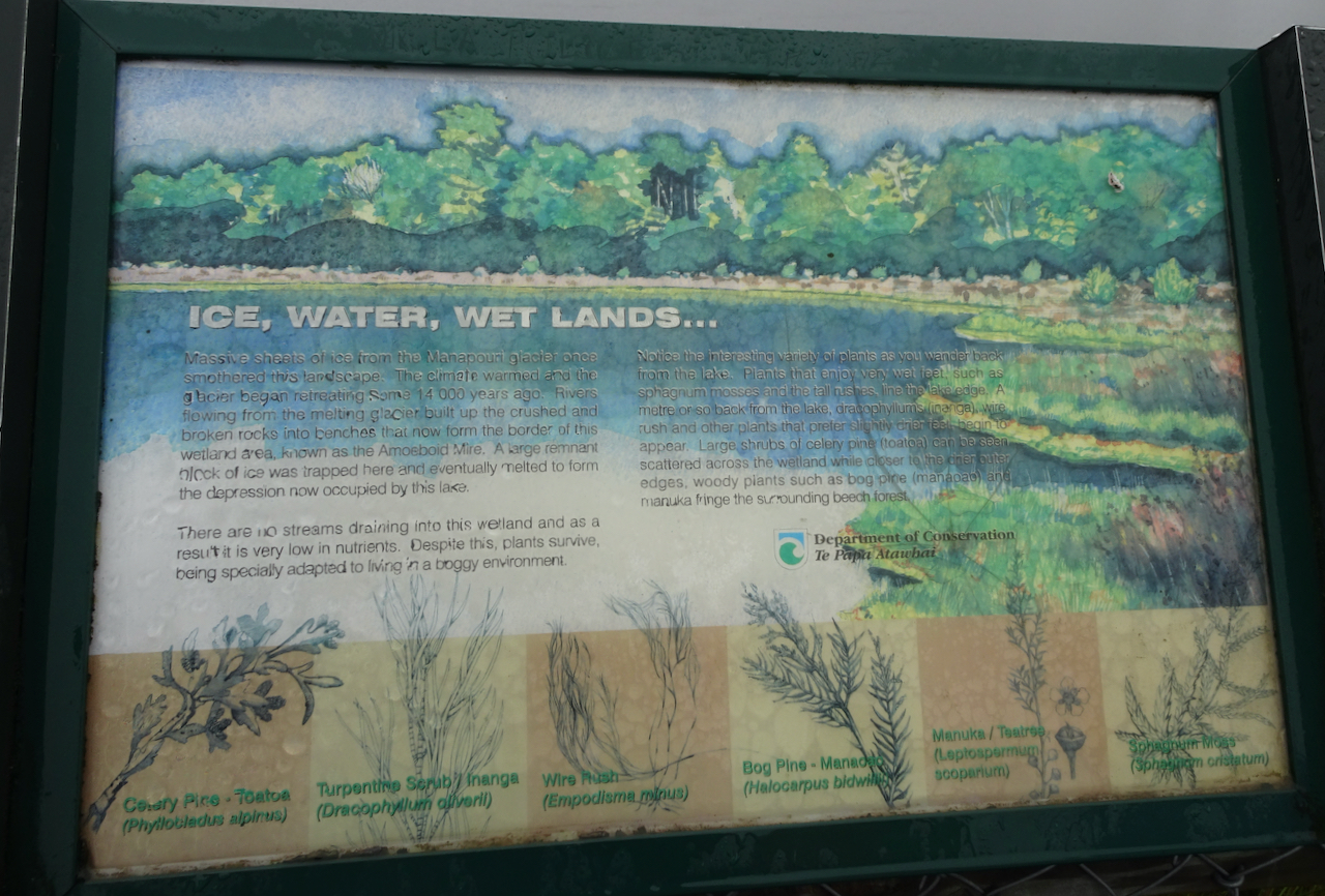
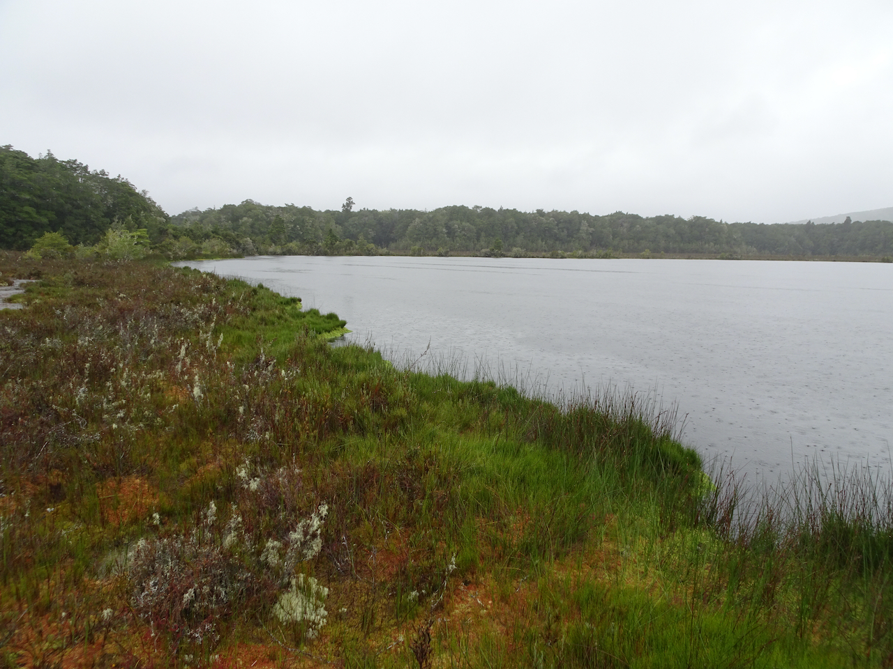
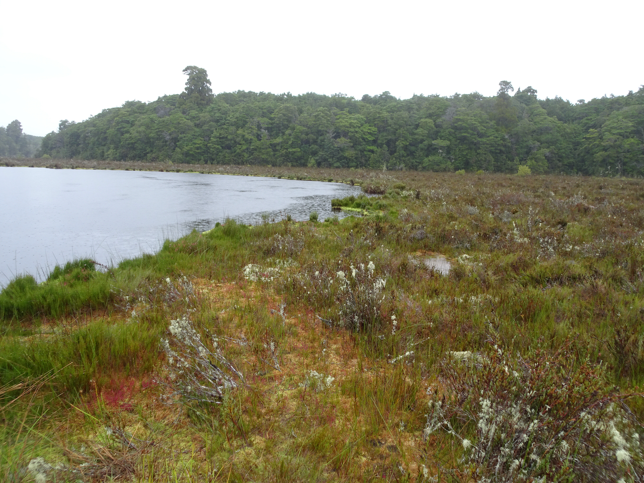
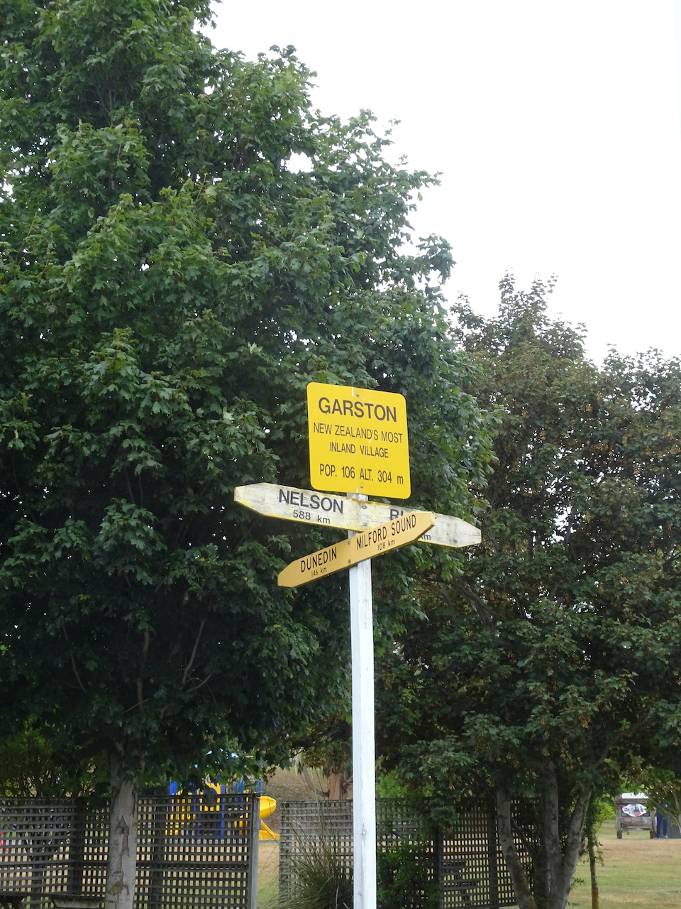
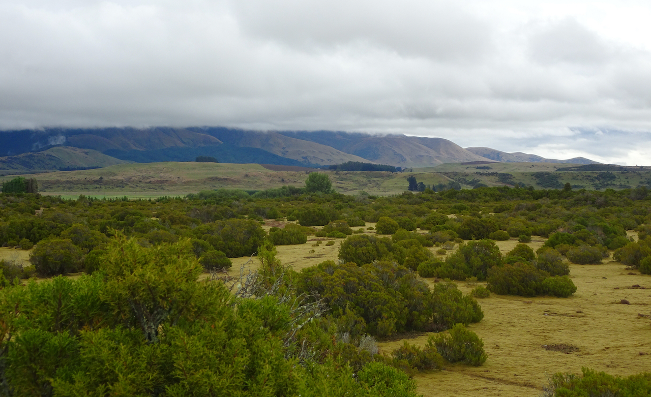
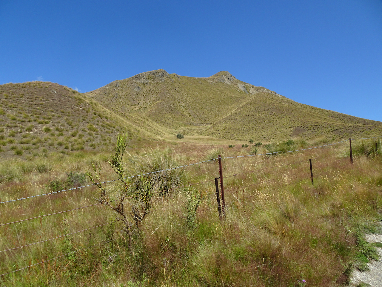
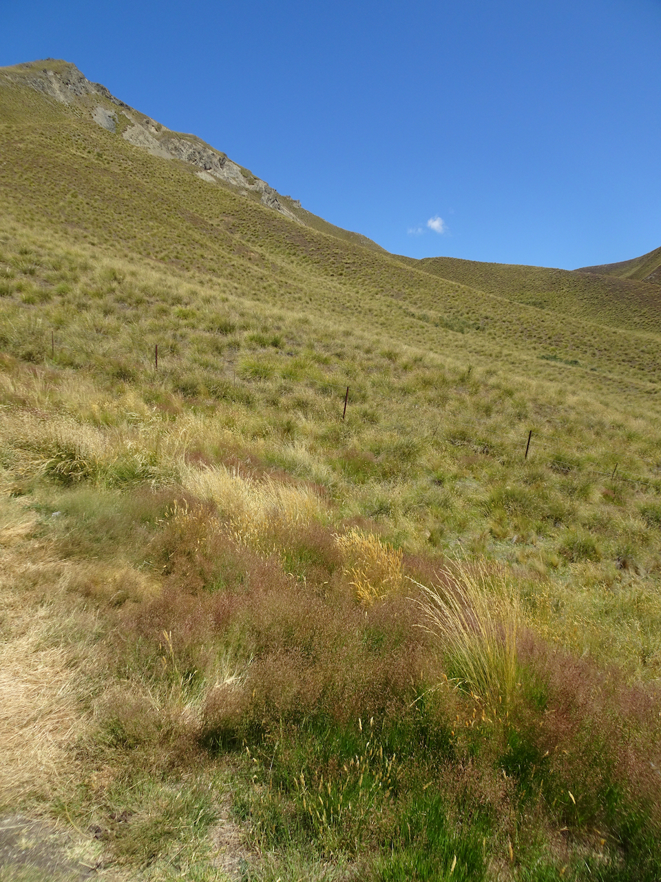
 Driving north: For the next few hours, we drove north along Hwys 6 and 8, with several short stops, and lots of interesting scenery along the way.
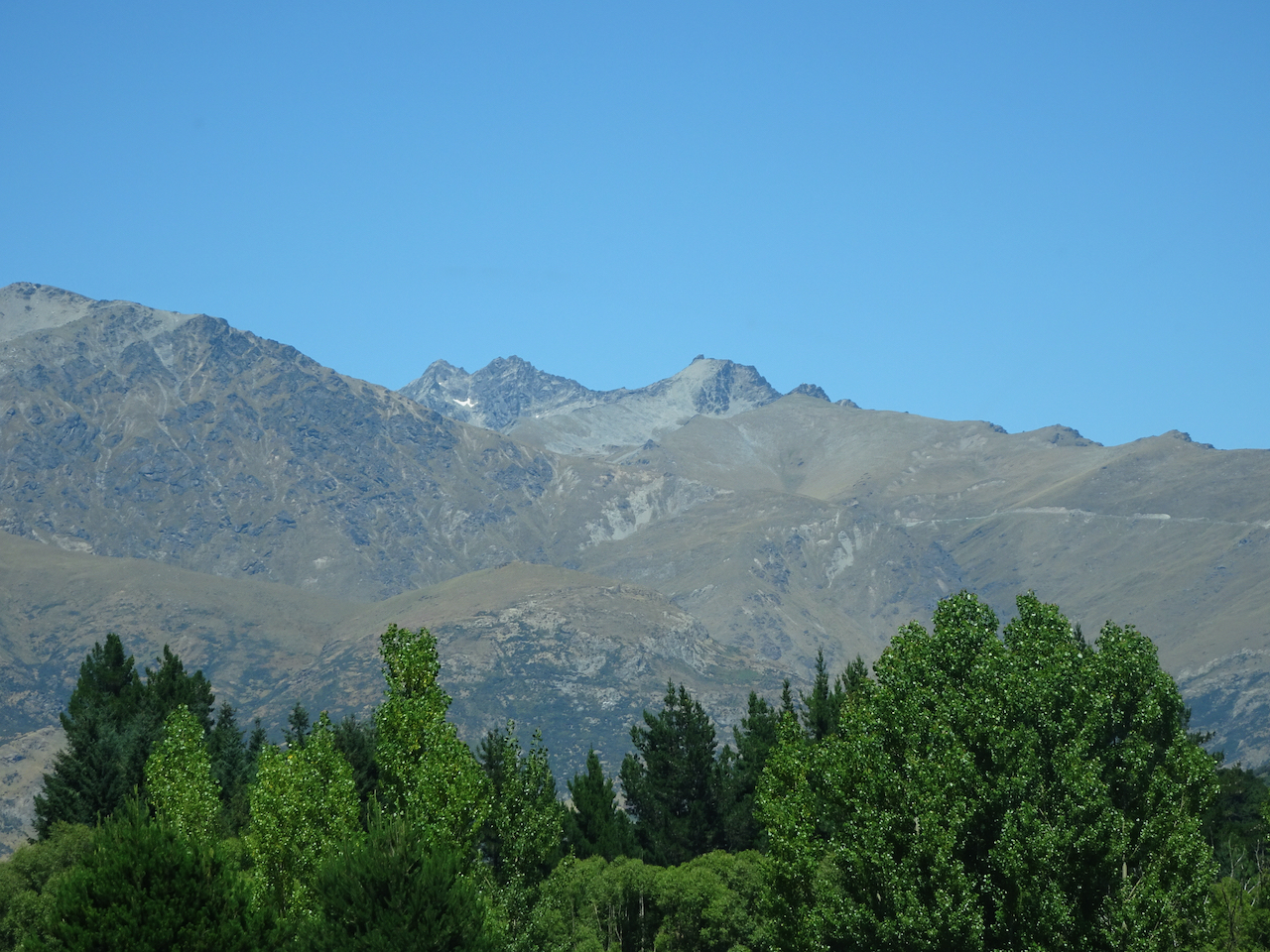


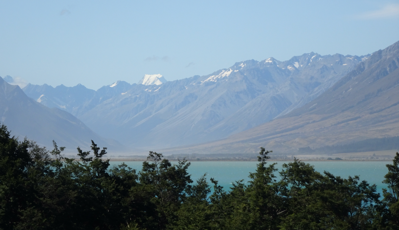
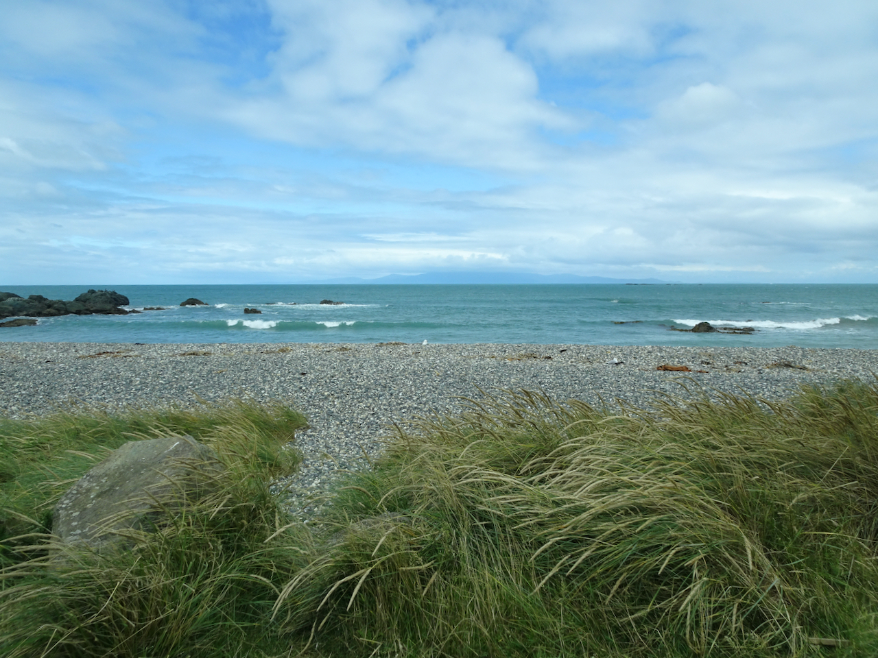
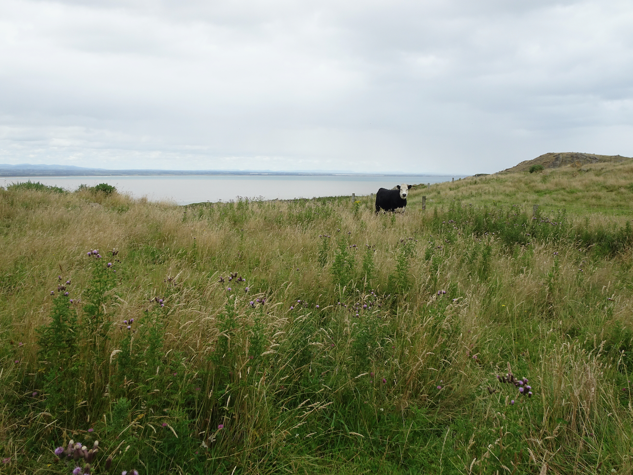
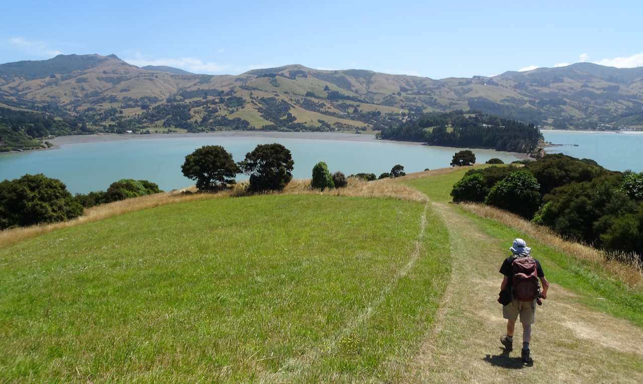
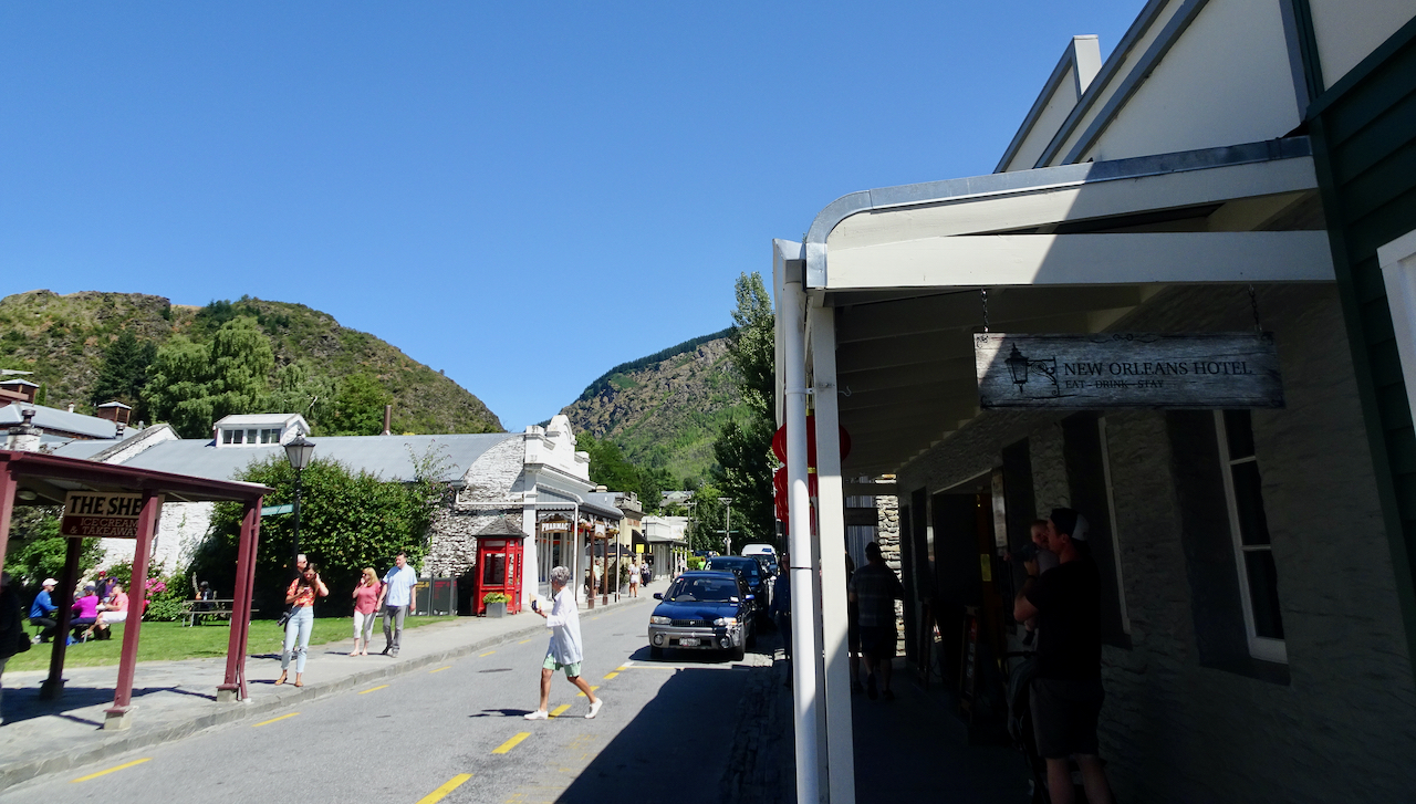
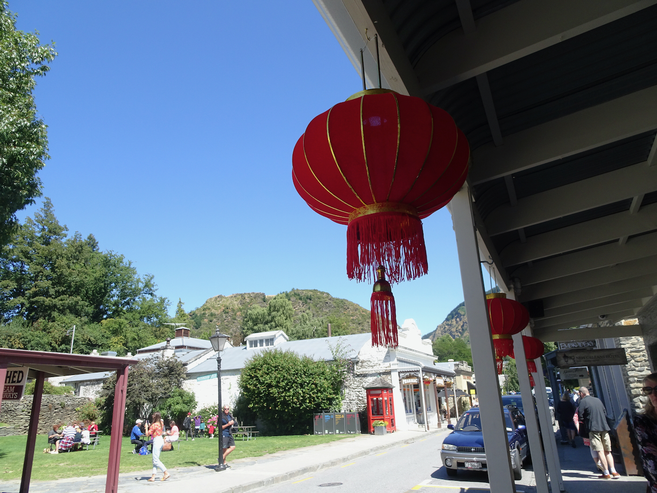
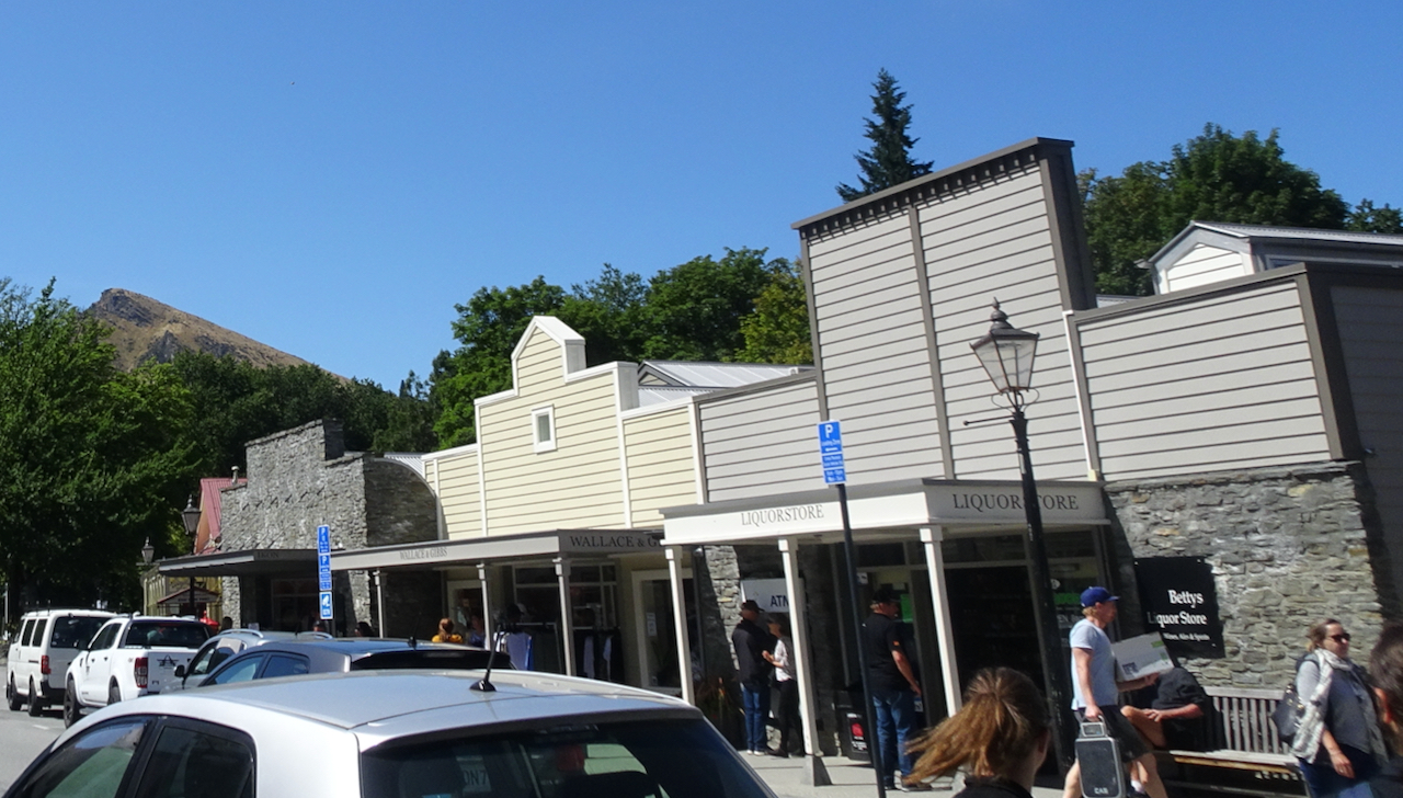
 We took one last break in Omarama, where I found a few post cards, but no knitting wool.