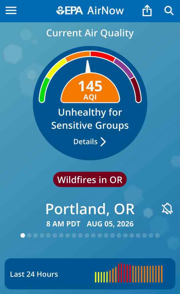
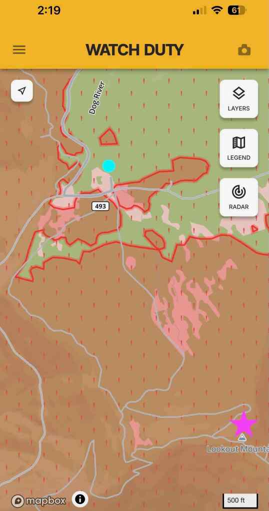
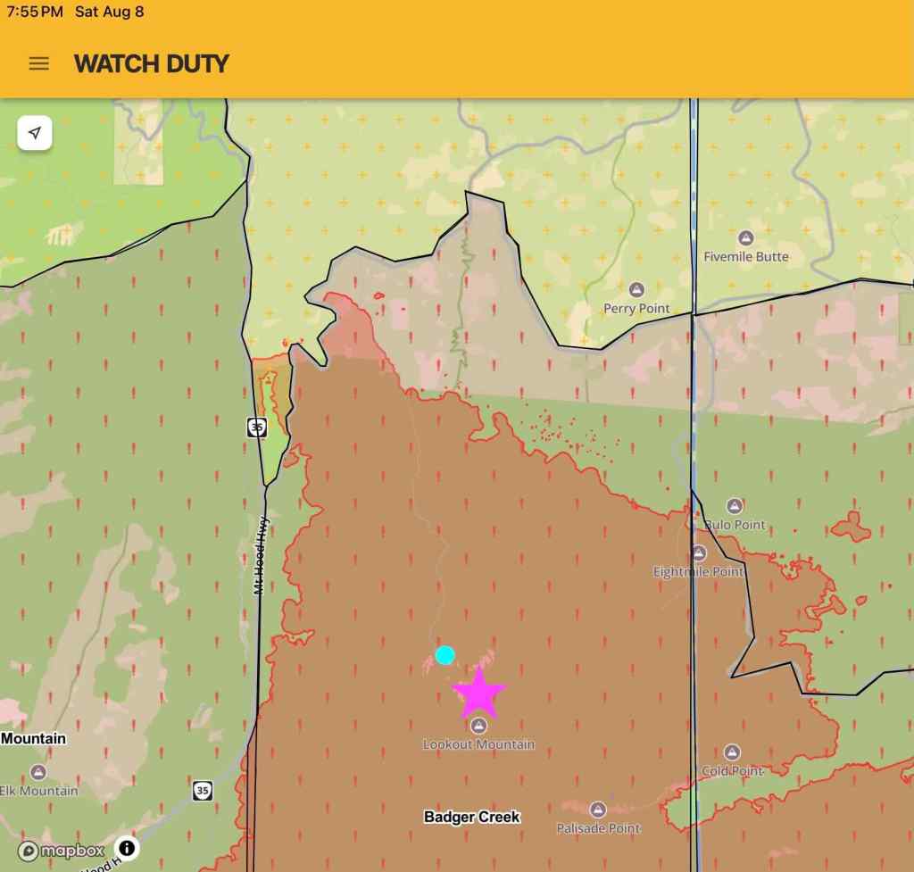
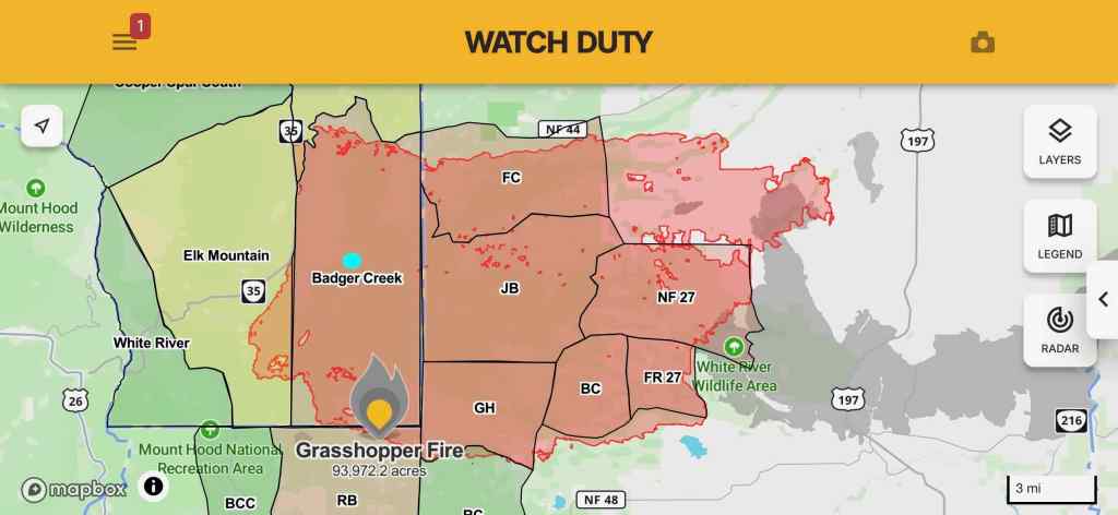
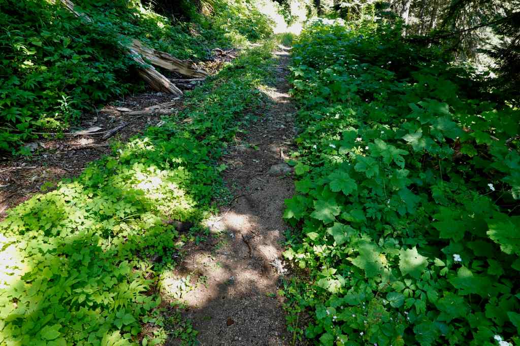
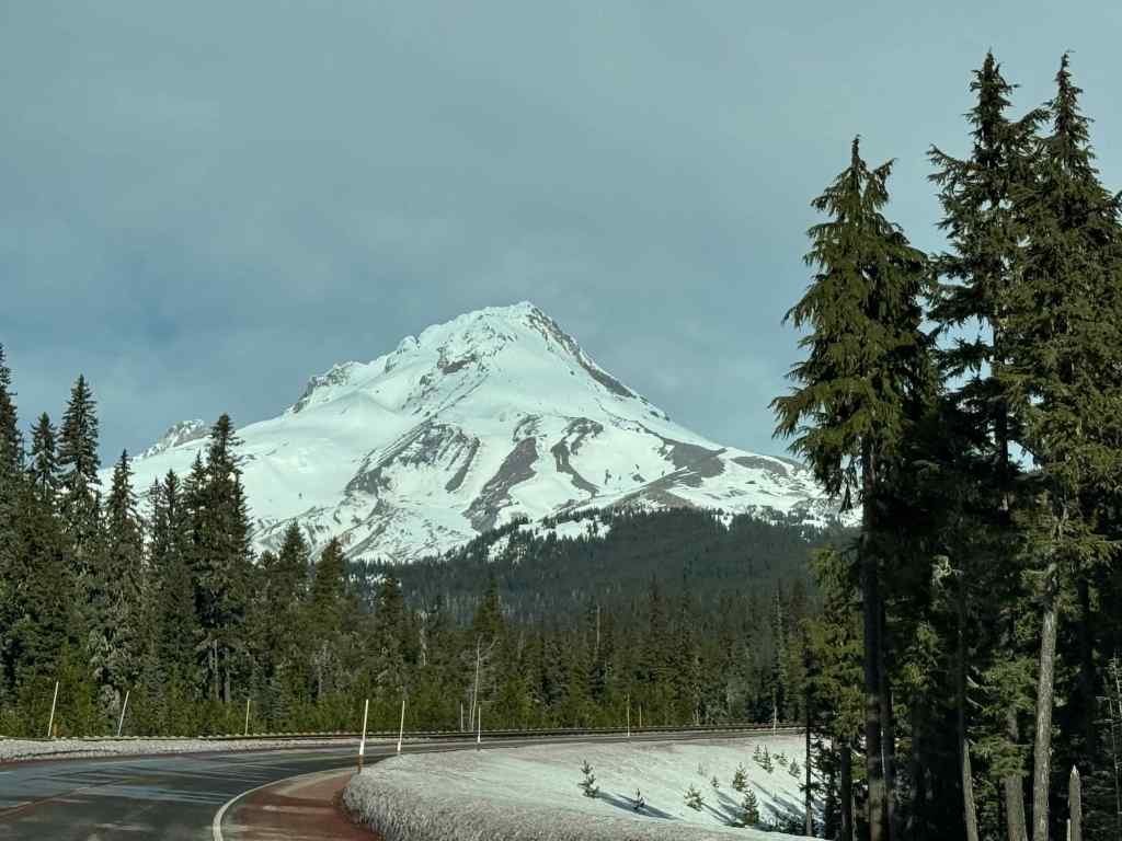
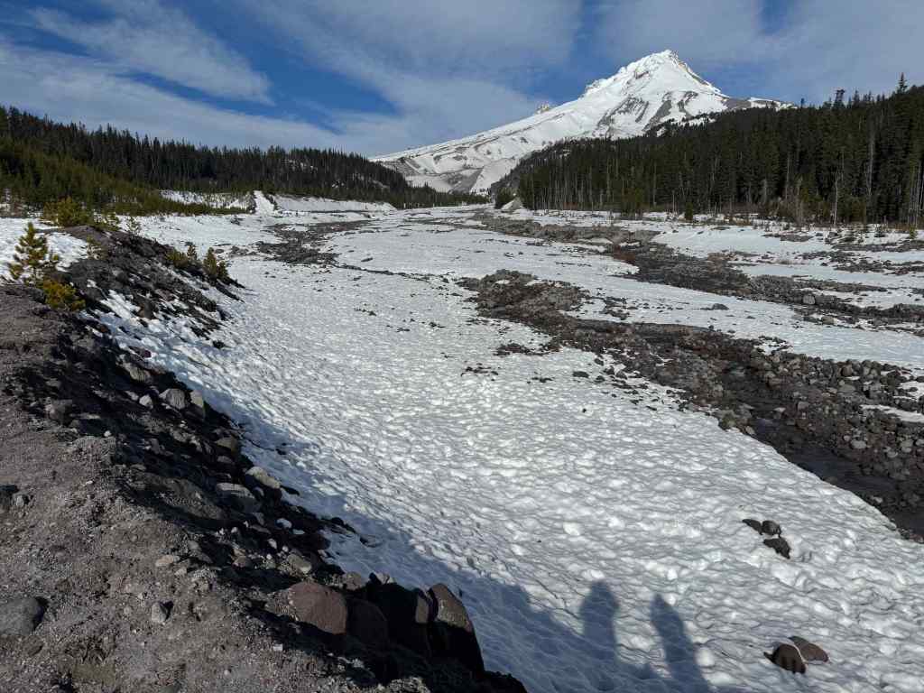
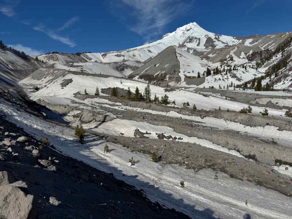
August is usually a great month for hiking…but this year, wildfires at the higher elevations, and high temperatures at the lower elevations, interfered with our usual adventures. We tried! The Grasshopper Fire kept everyone away from Mt Hood, and our attempt to hike at Mt Rainier was interrupted by the regional smoke plume from Canada covering the entire Pacific Northwest for a while. We got in one good hike near Mt Jefferson; otherwise, these were shorter, easier jaunts.
August 2-3 – Mt Rainier interrupted
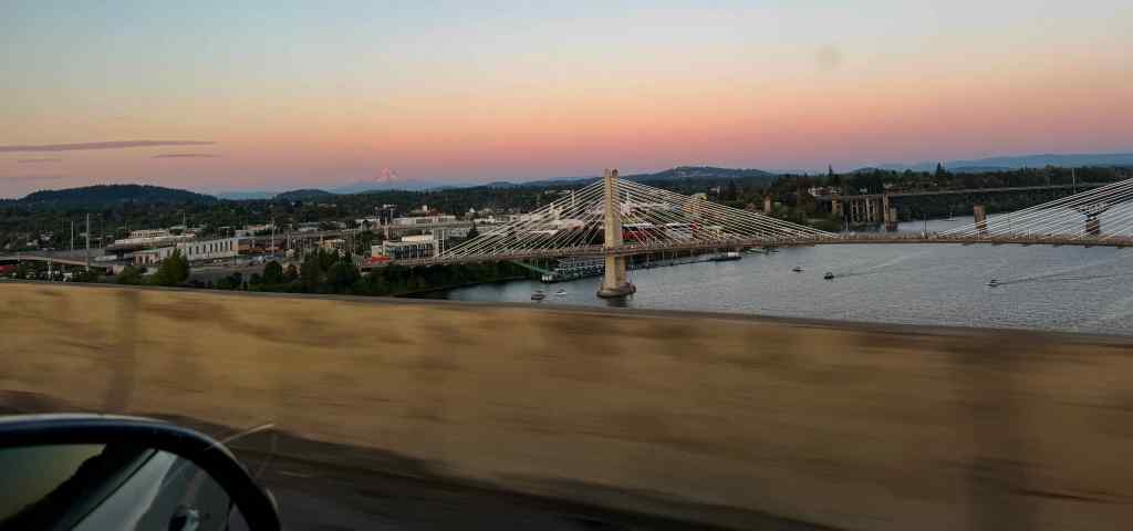
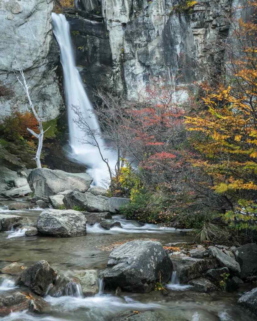
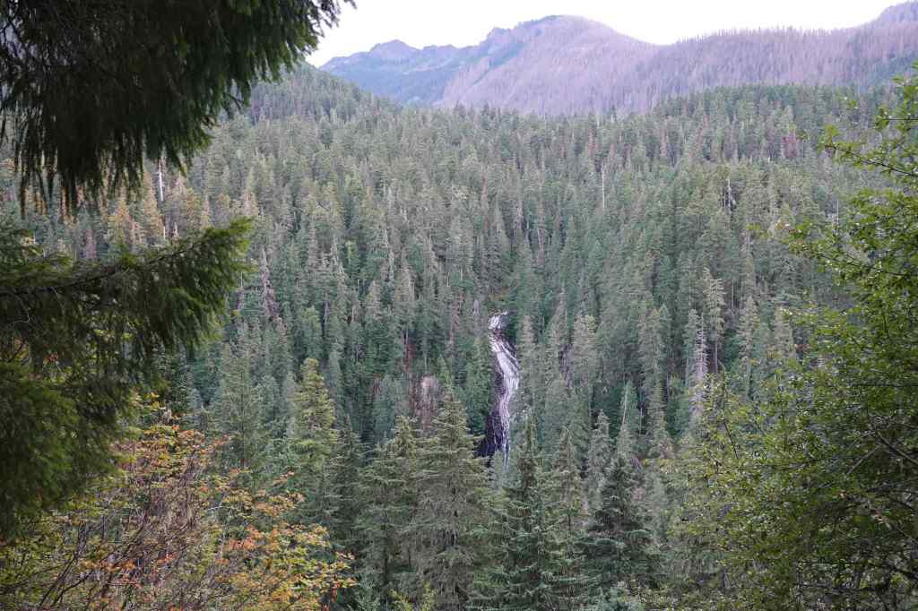
We drove to the town of Packwood, WA, just south of Mt Rainier, on a clear, beautiful day, knowing that higher temperatures and possible smoke were predicted for the latter part of the week. That evening, we drove to a couple of local lookouts on Highway 12, to watch the sunset, and to look at a waterfall.
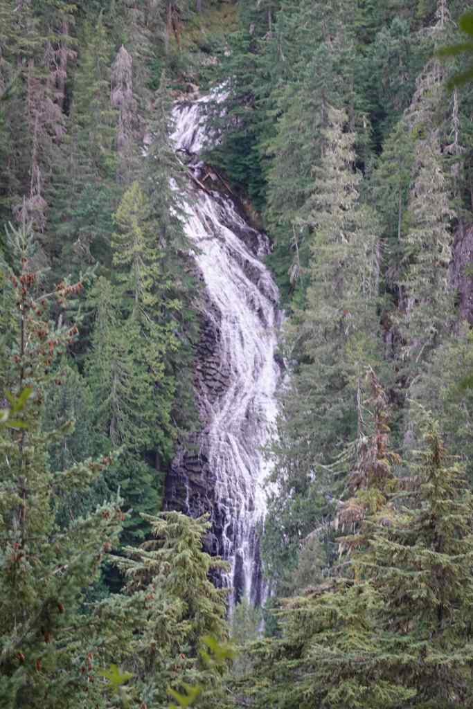
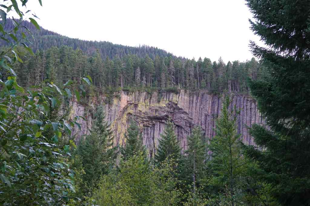
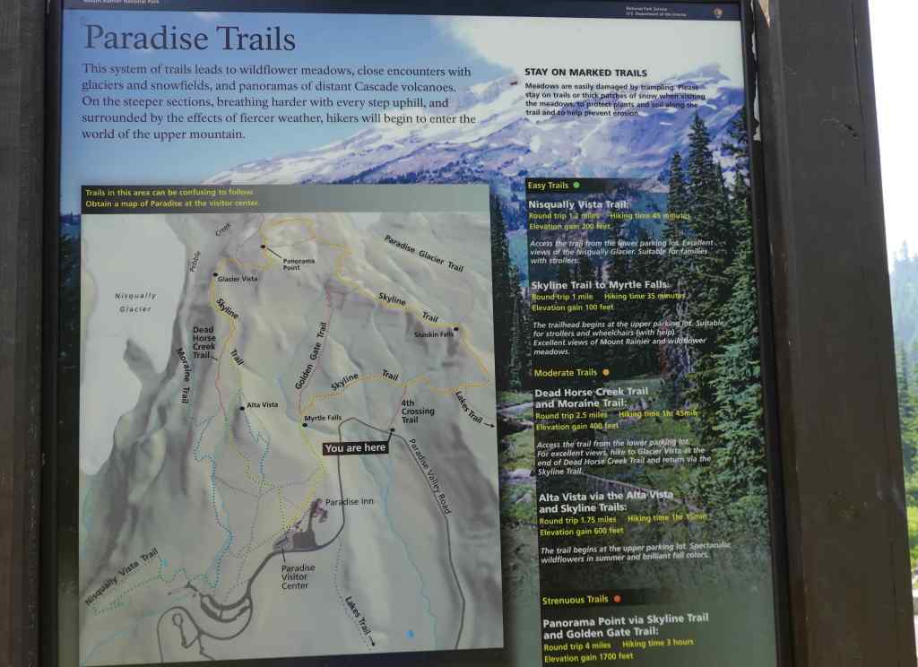
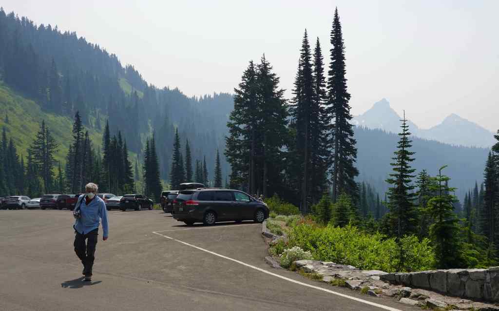
By the next morning, the smoke had arrived, even earlier than expected. Blah! The hotel kindly let us postpone the remainder of our stay until October, so we packed up. We drove home through the National Park via Steven’s Canyon Road, and stopped to look at some of the views and the flowers. The smoke was not deterring the usual summer crowds at Mt Rainier. We could barely find a place to park, and certainly not anywhere near the Paradise Lodge or Visitor Center. Despite the smoky air, many people were in full hiking gear. We knew our lungs wouldn’t like that, so we wore our masks while taking brief walks to look at the views.
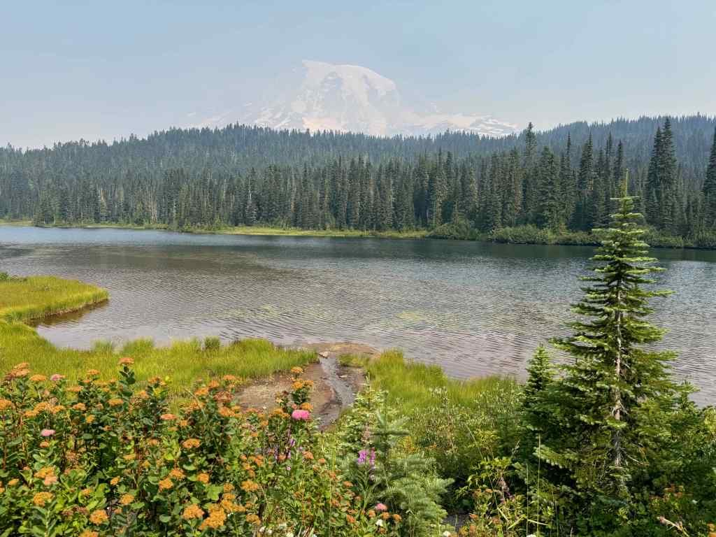
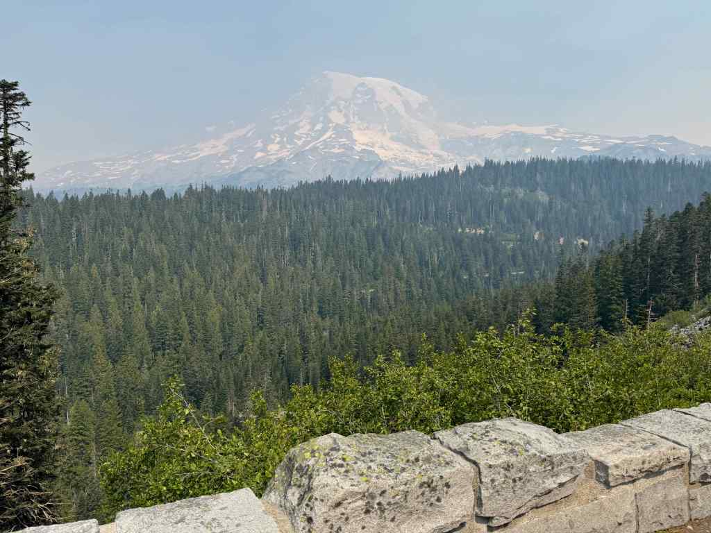
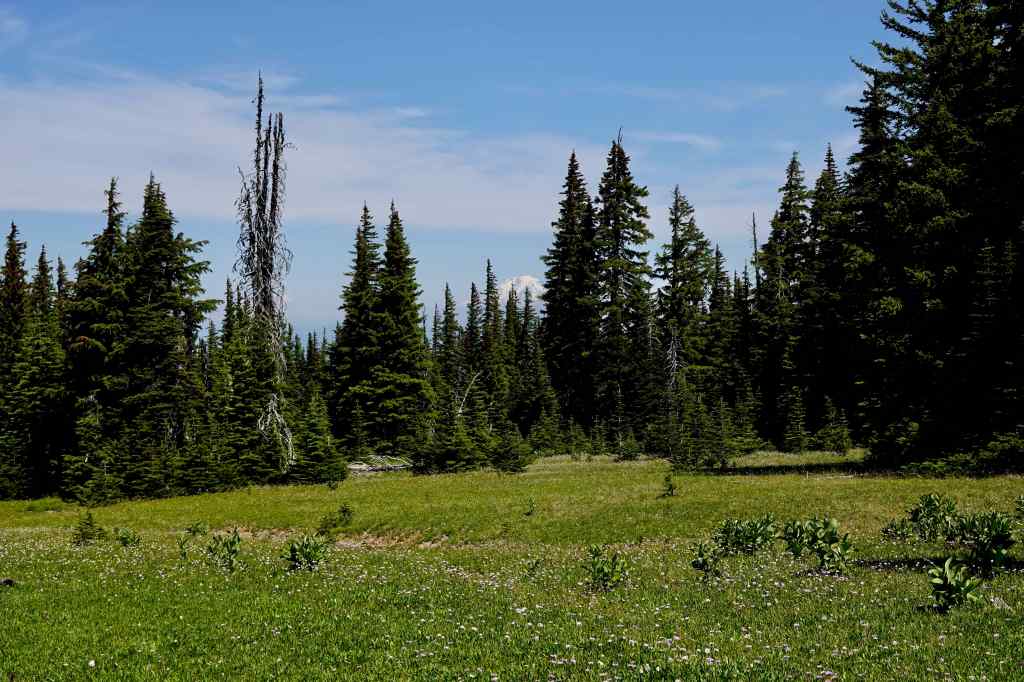
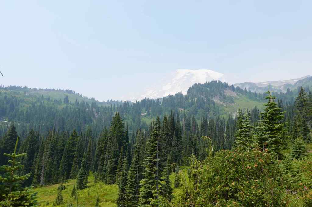
We found a place to park in Paradise Valley, below the Visitor Center, which was fine for our purposes. There were some lovely wildflower meadows and a mountain stream, plus views to the surrounding mountains. We didn’t have to walk very far through the smoke, but at least we got to see the scenery briefly.
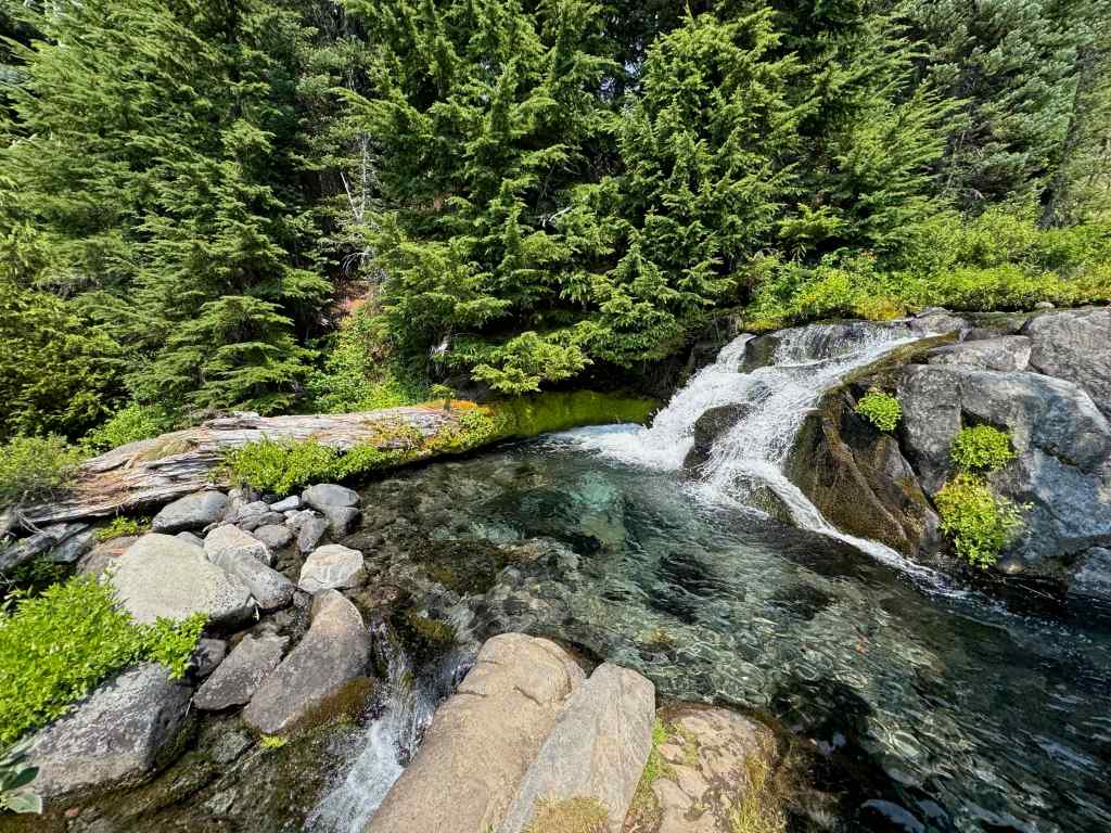

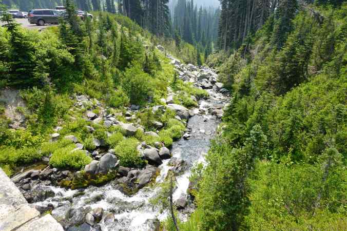
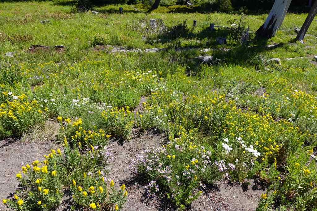
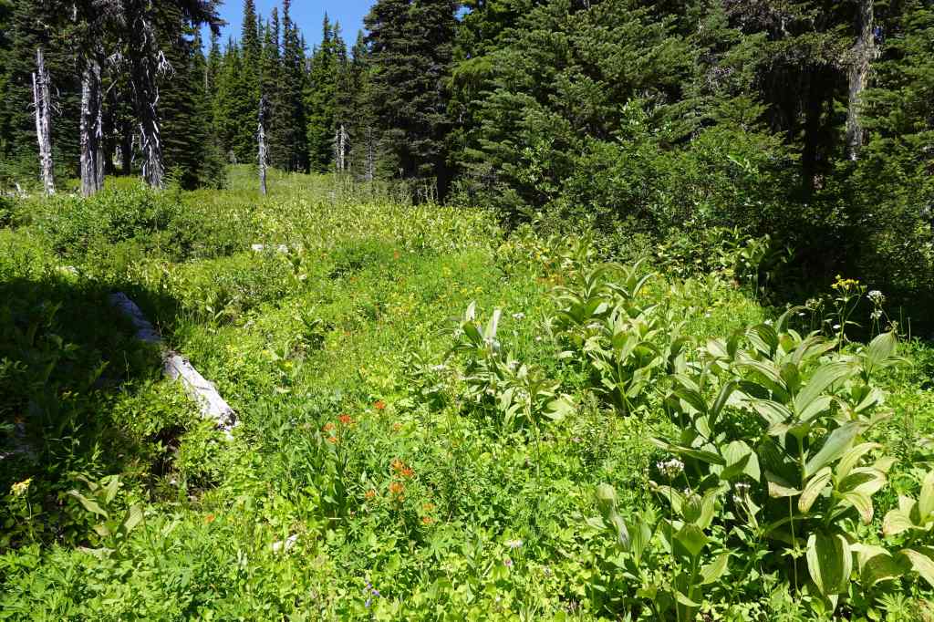
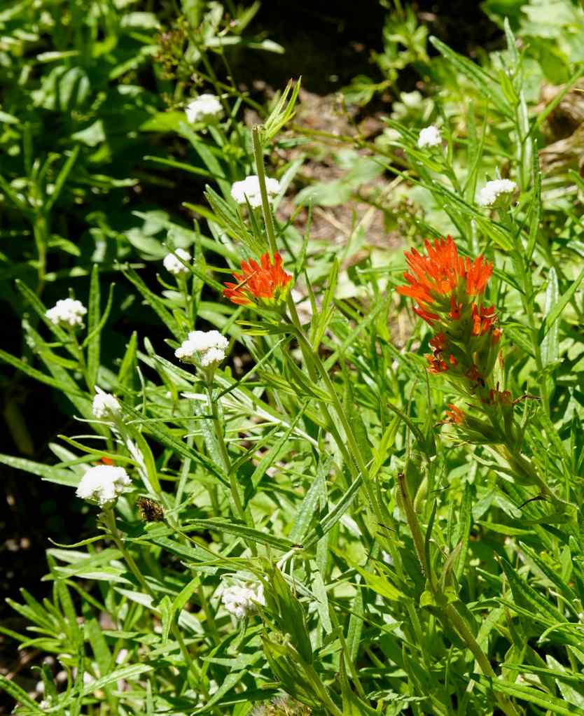
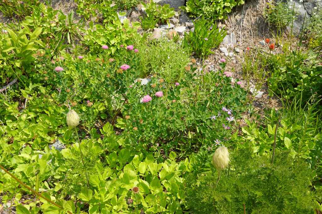
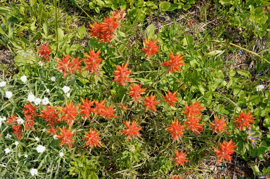
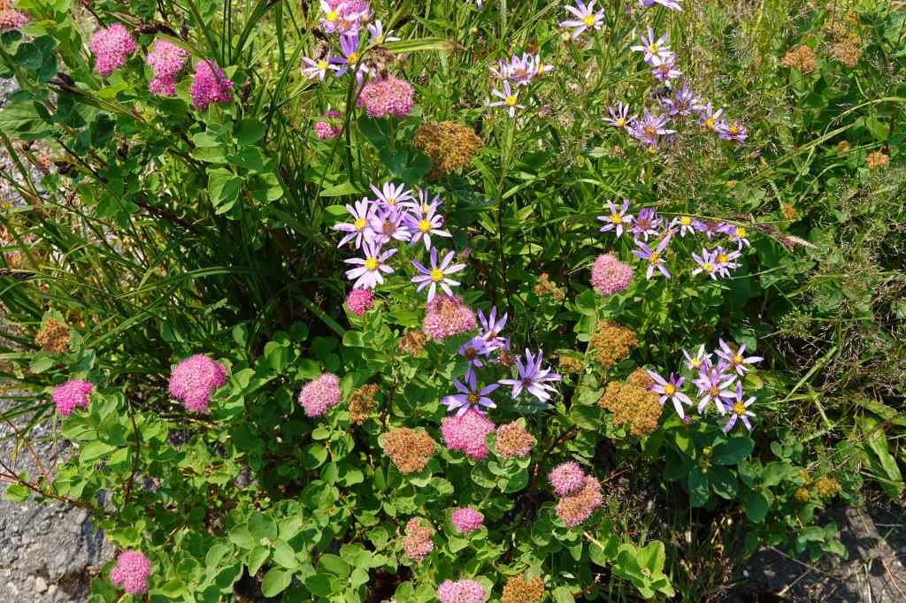
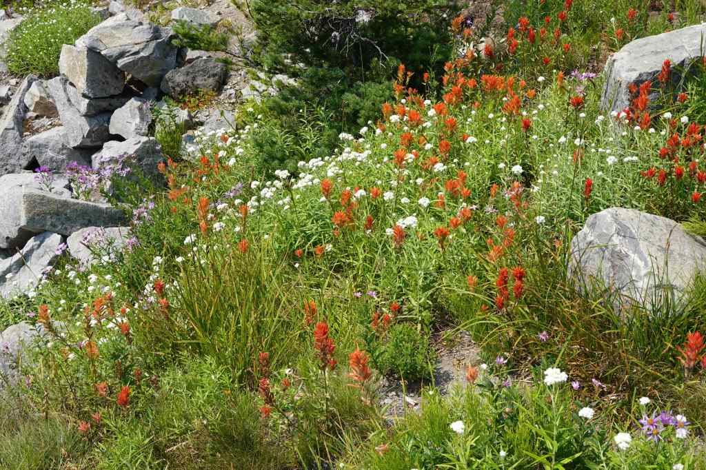
The wildflowers were prolific! Mostly pearly everlasting, spirea, Indian paintbrush, and asters, and a few pasqueflowers.
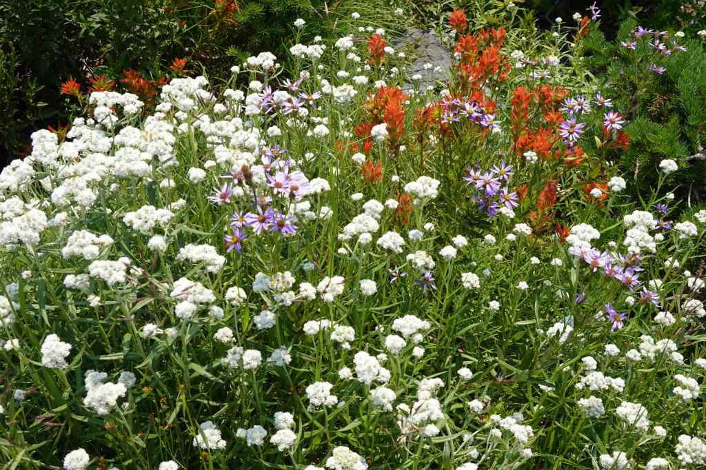
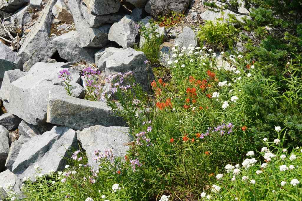
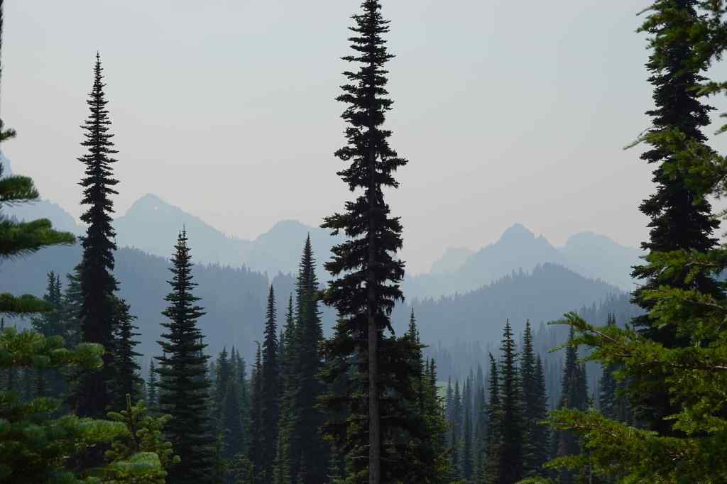
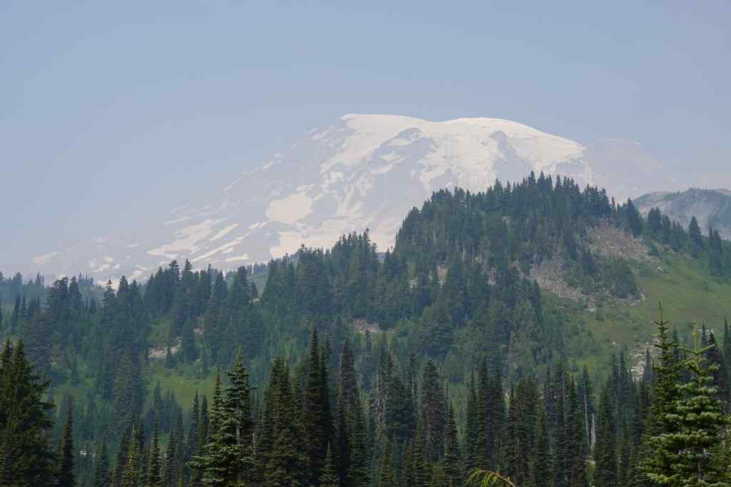
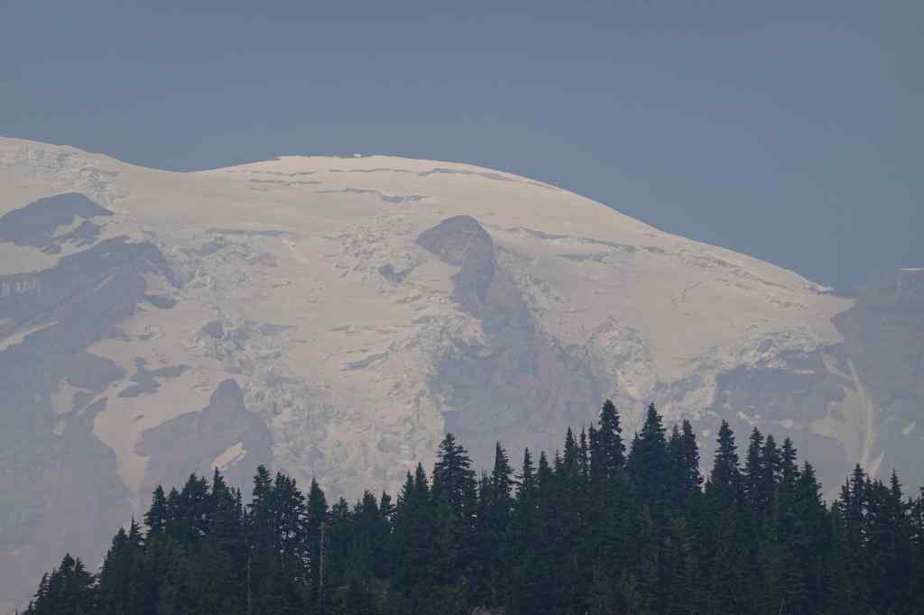
And more smoky views to the mountains…
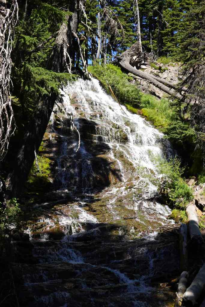
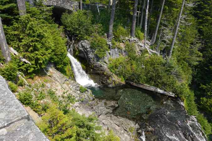
We also stopped for a brief look at Narada Falls before driving home, ending our trip after only two days.
August 10 – Pamelia Lake, OR
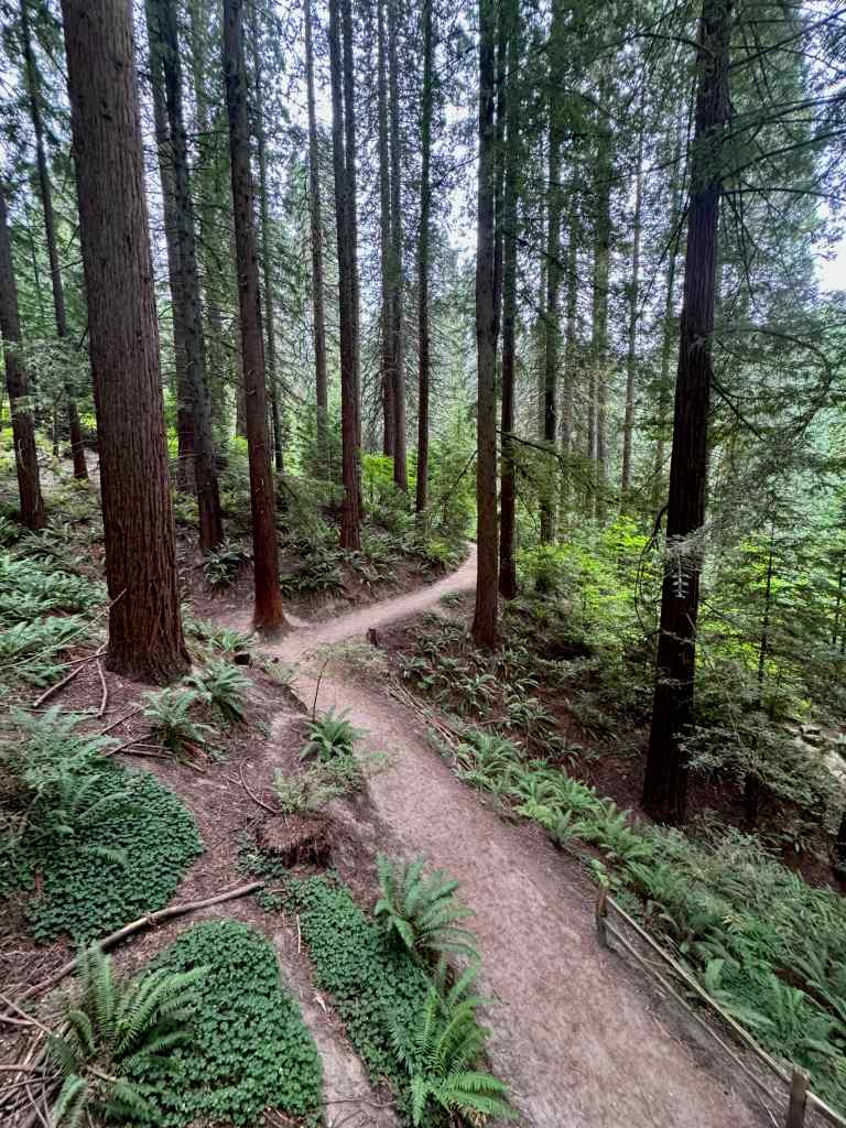
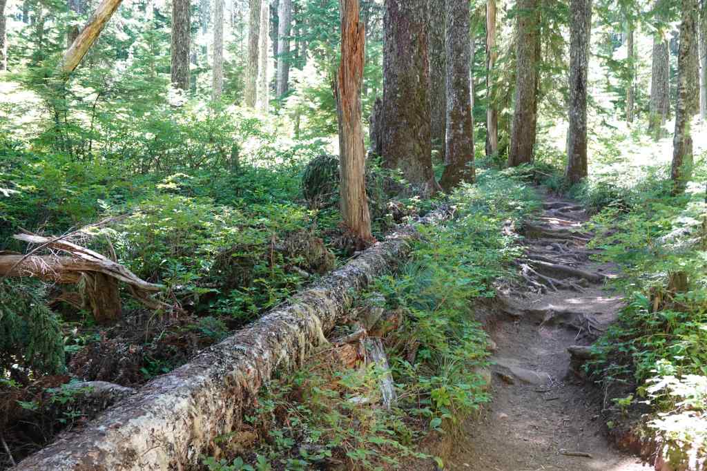
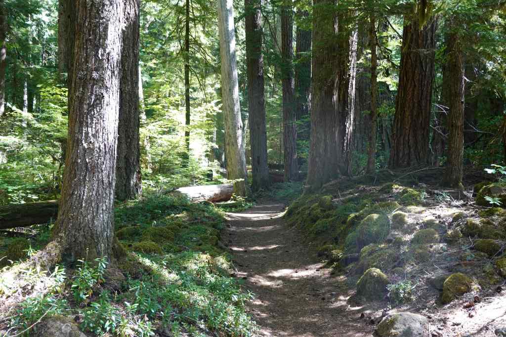
This trailhead, in the Mt Jefferson Wilderness east of Salem, is a bit of a long drive for a day hike, but it seemed our best bet for something not too hard, not too hot, and not smoky, on this particular day. We had only done this hike one other time, and as I remembered, the trail goes gently upward through old growth forest, to the shore of Pamelia Lake, with a view of Mt Jefferson. We got a permit from the Recreation.Gov website for this limited use area, and enjoyed our day, despite the long drive. (5 miles, 800 feet)
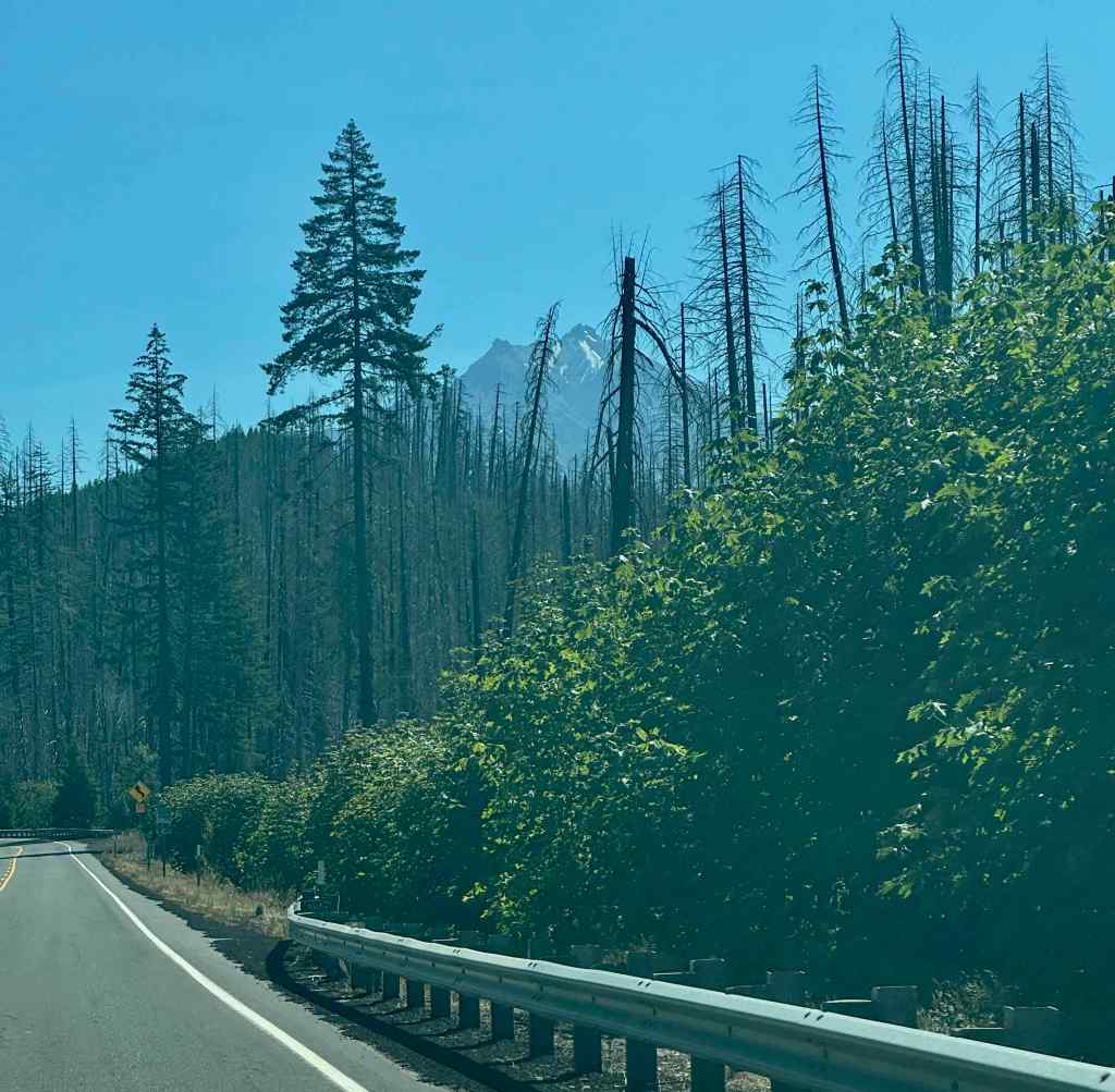
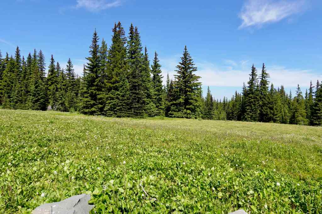
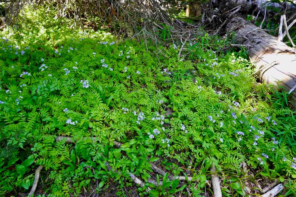
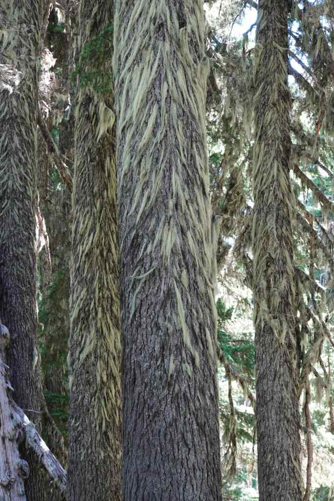
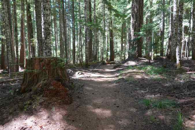
Hiking up through the shady forest, fortunately, not burned in recent years.
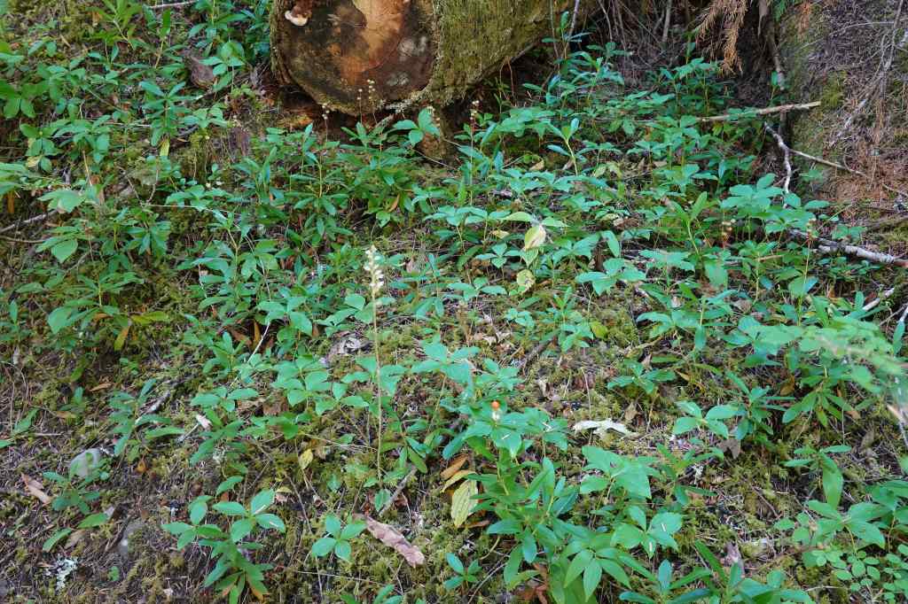
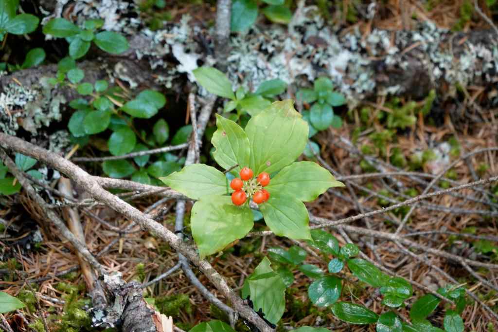
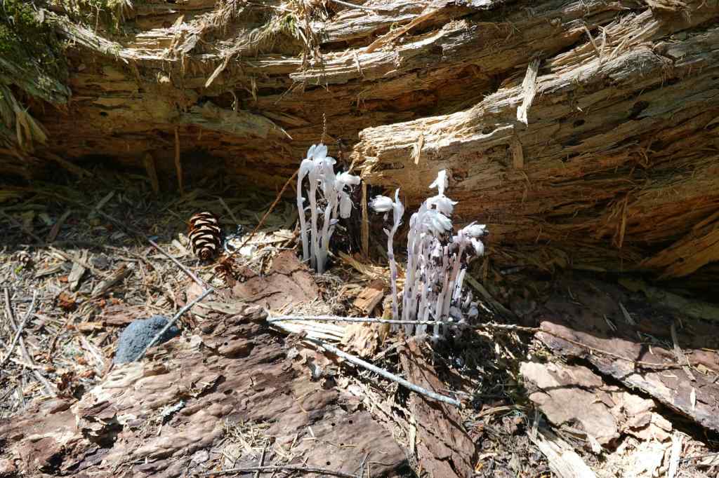
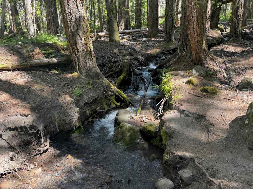
We reached the lake, then walked a ways around the south shore to get a view of Mt Jefferson.
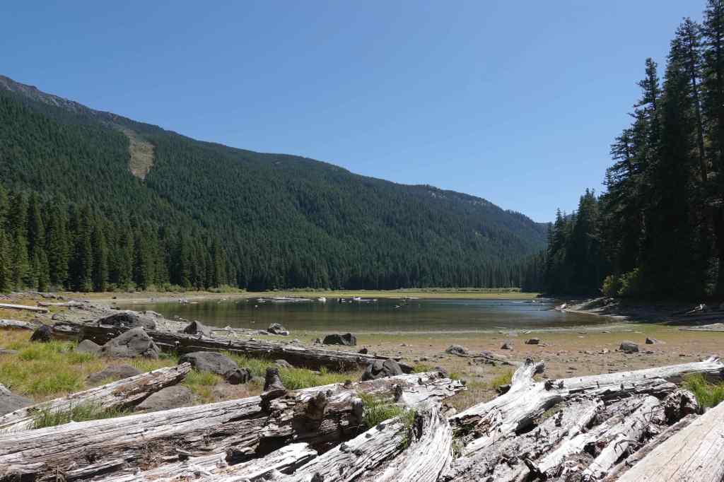
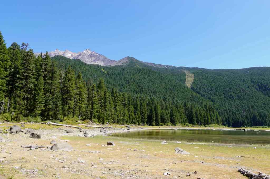
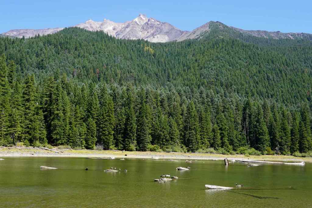
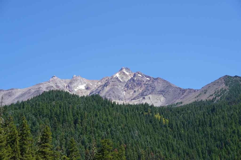
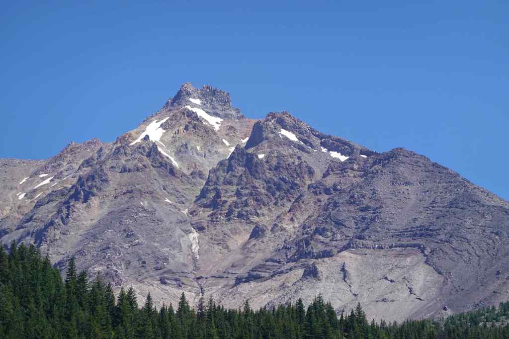
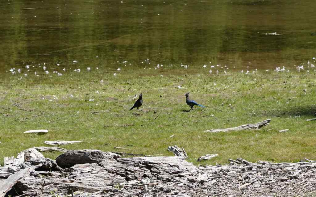
And we had a shady downhill trail back to the car.
August 18 – Crystal Springs Rhododendron Garden, Portland
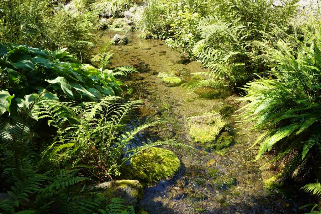
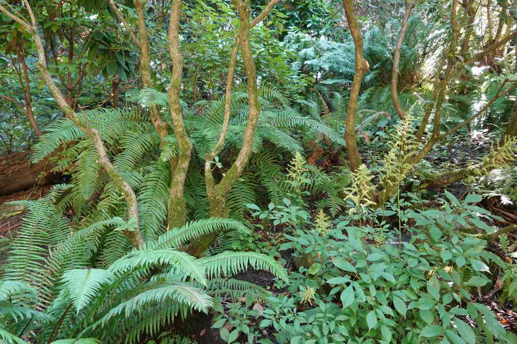
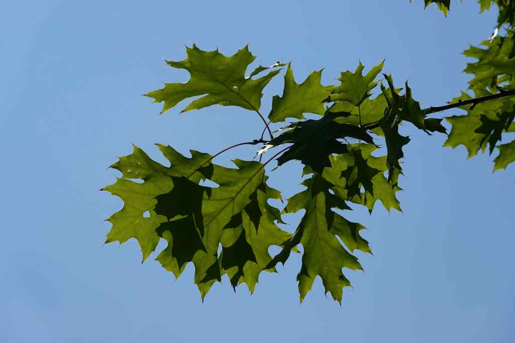
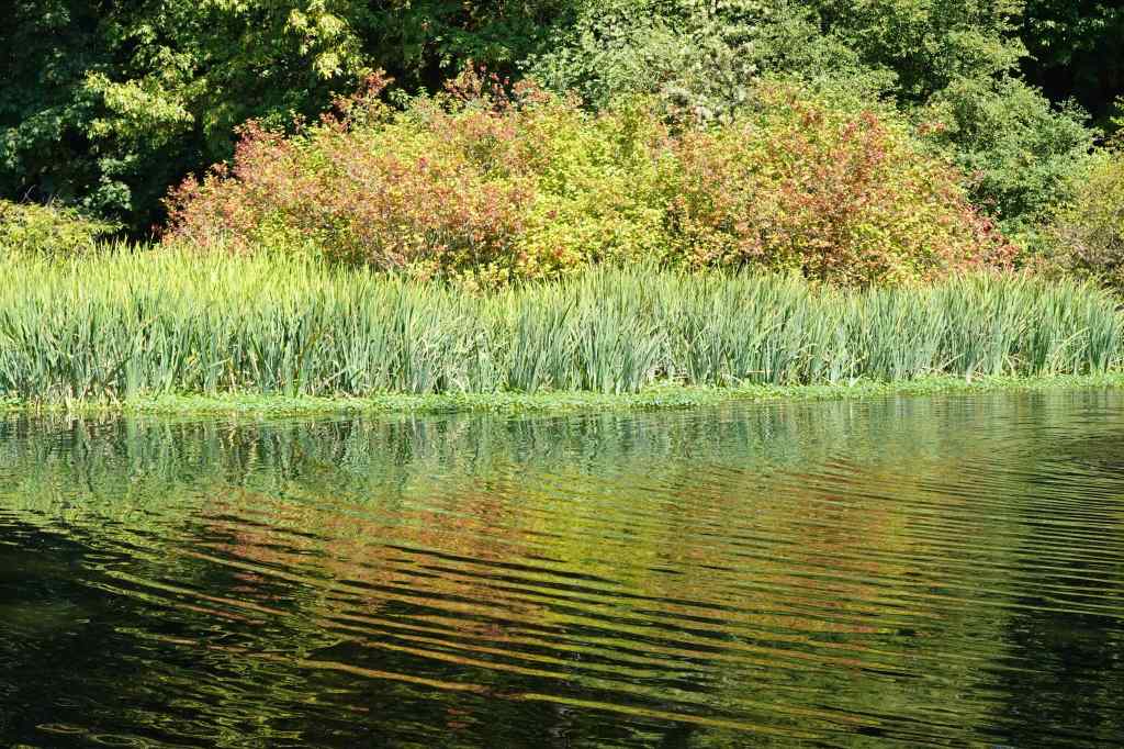
My husband had a new camera lens for bird photography, so while he tried to get the sleepy geese and ducks to let him practice action shots, I walked a couple of easy laps around this beautiful garden, trying to stay in the shade on this hot day. (2 miles, 50 feet)




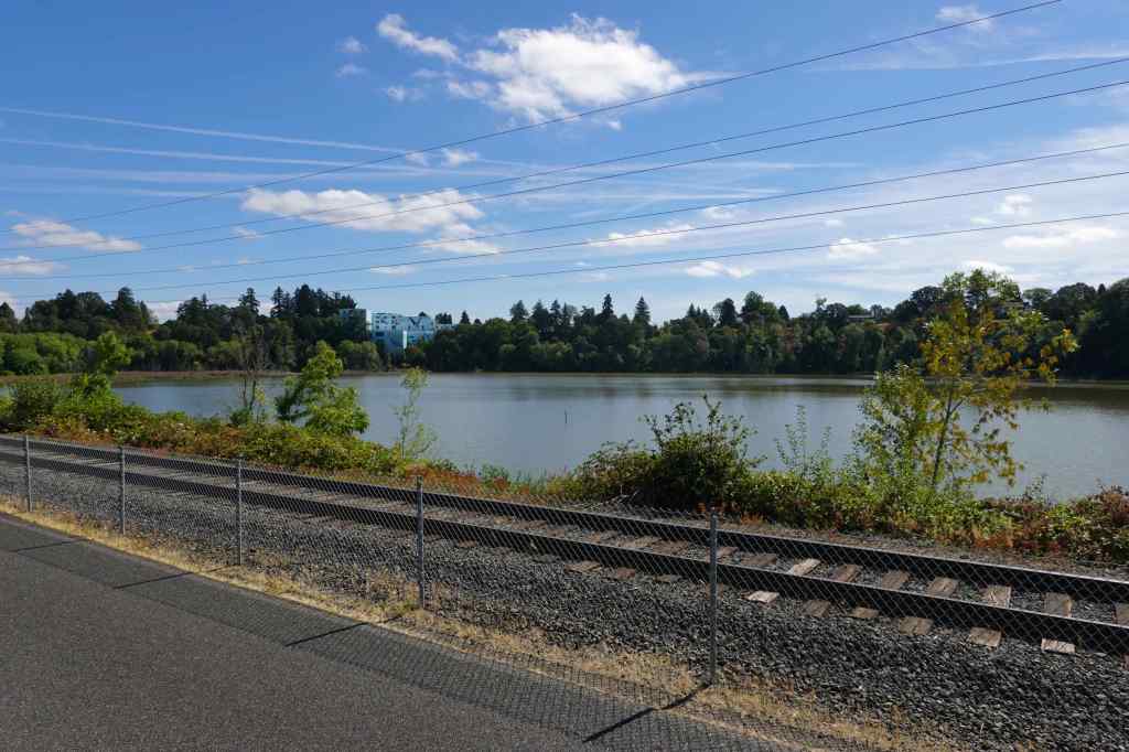
August 26 – Oaks Bottom, Portland
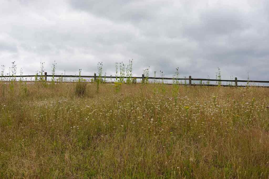
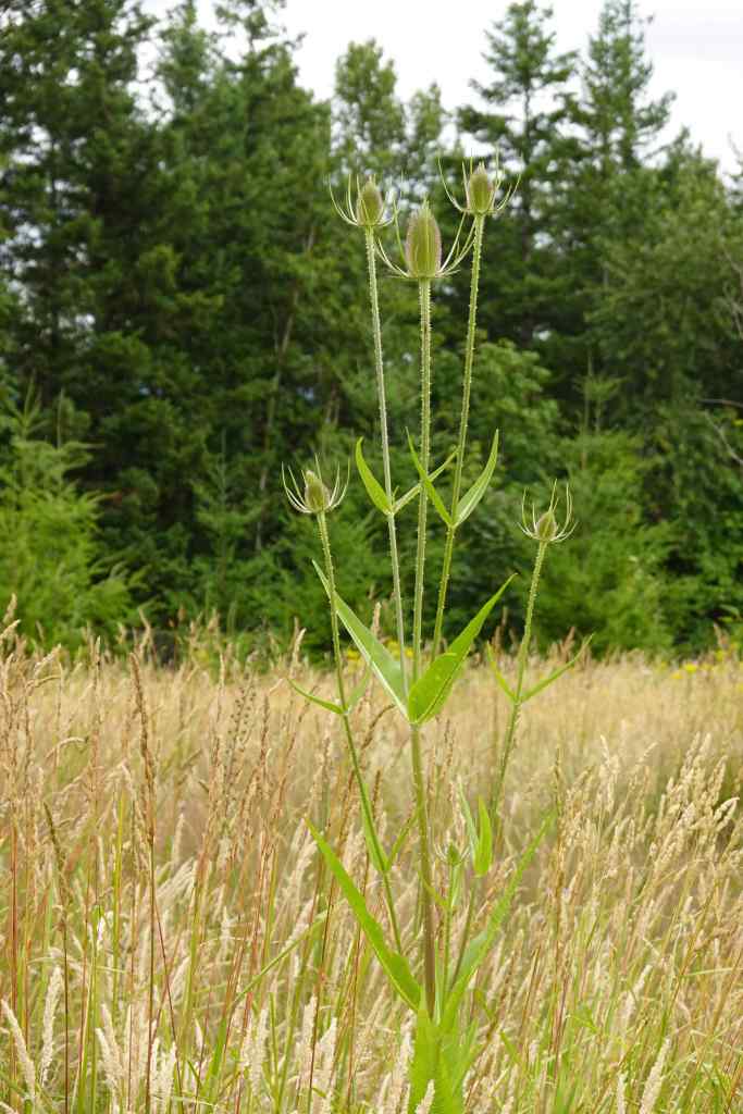
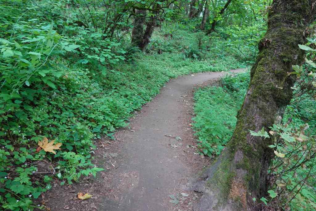
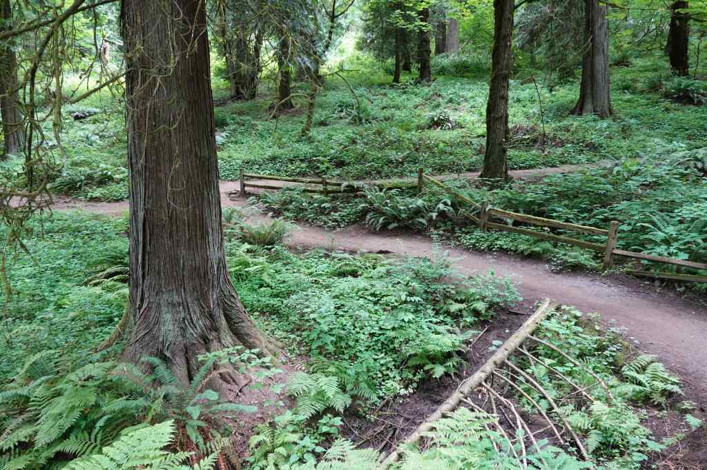
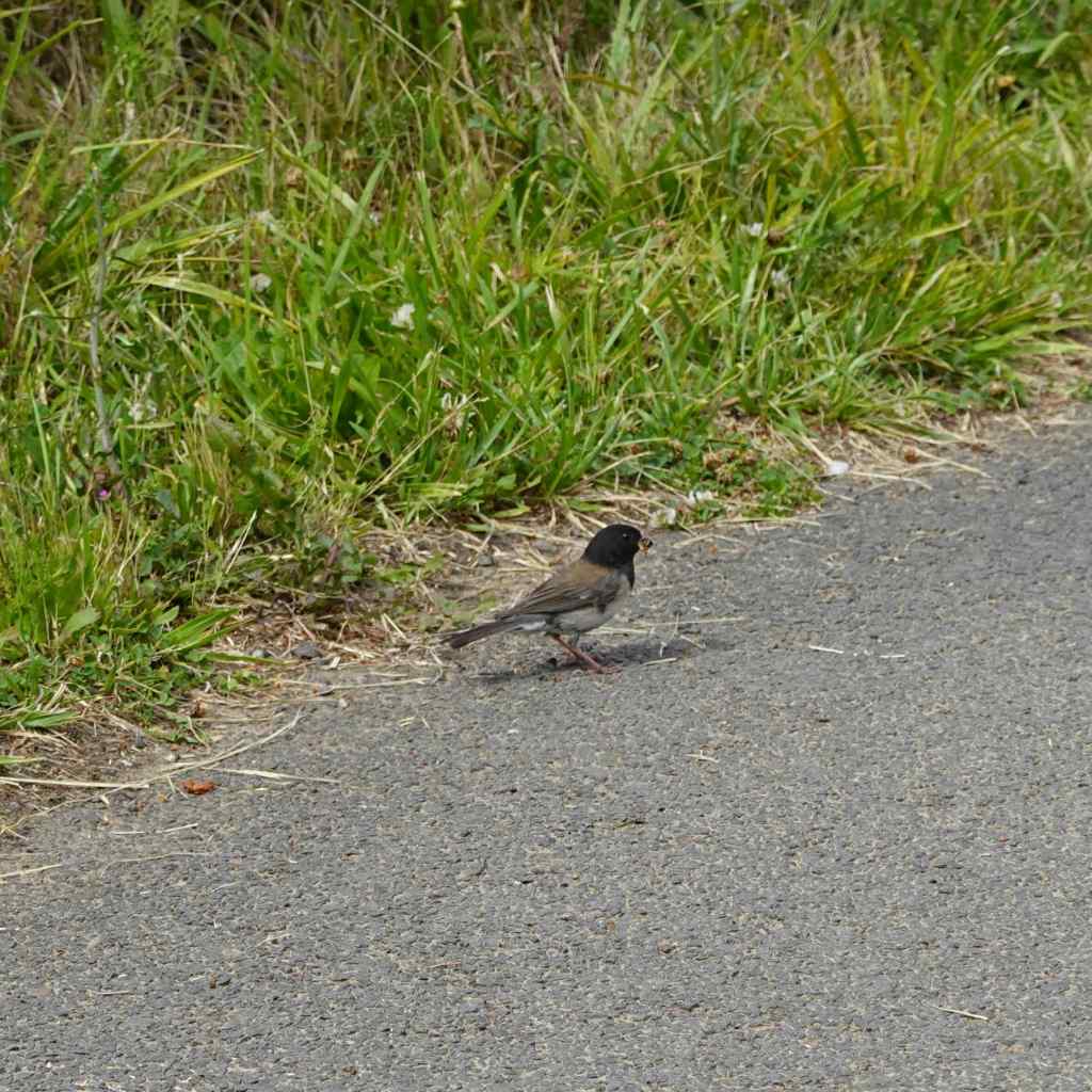
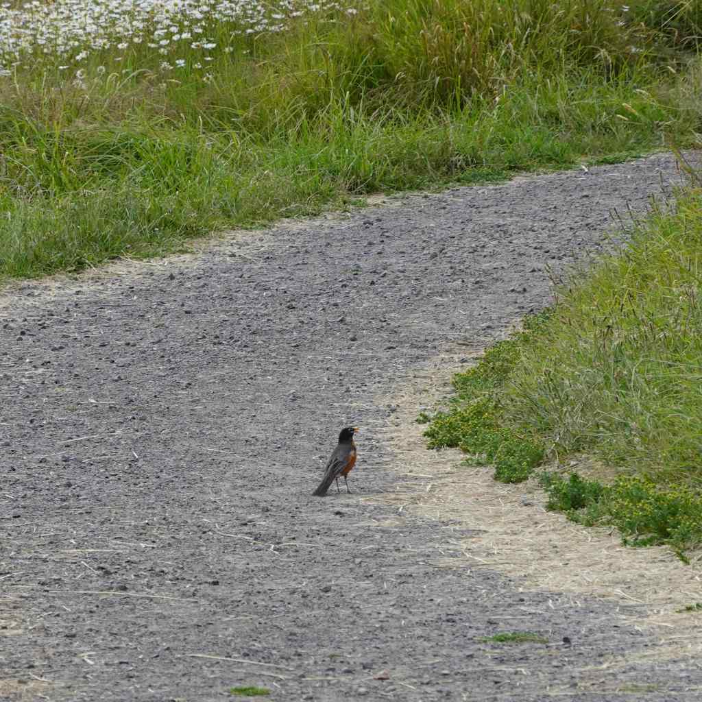
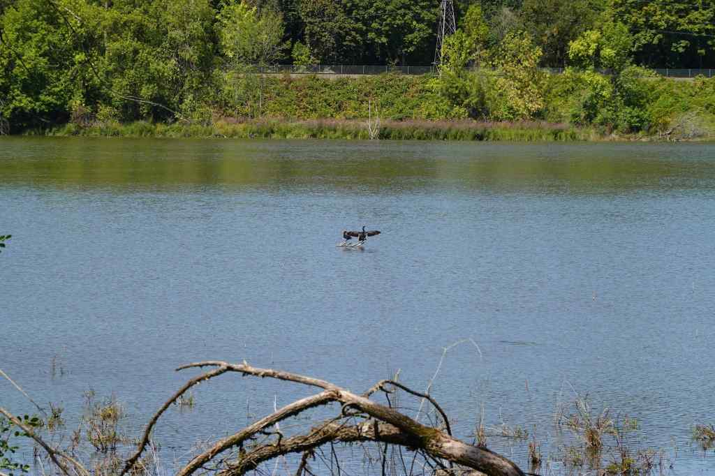
Another hot day, and a hope to see a few birds. They were mostly staying hidden, but we did at least get to stretch our legs in a green area, not too far from home. (3 miles, 100 feet)
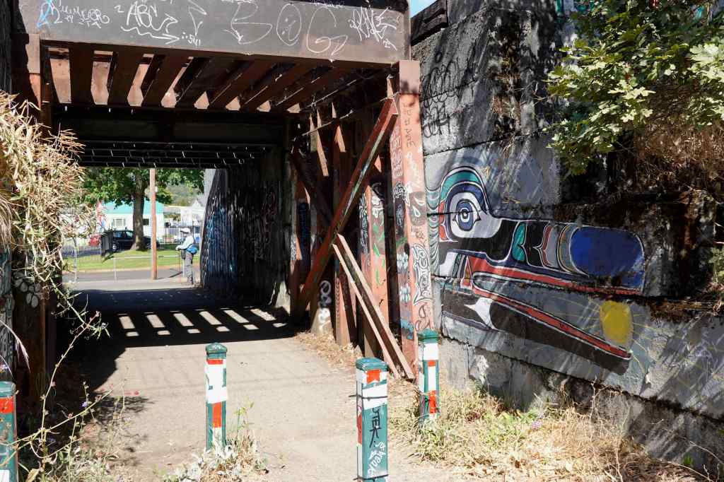
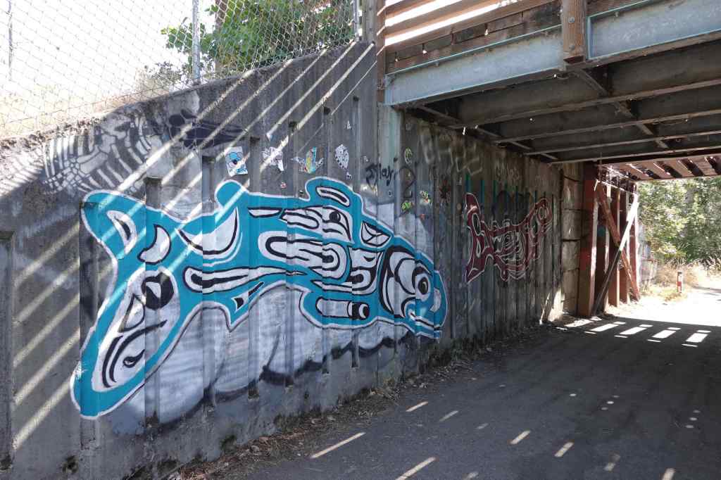
Graffiti images in the underpass tunnels:


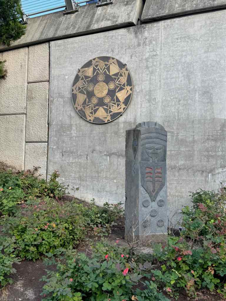
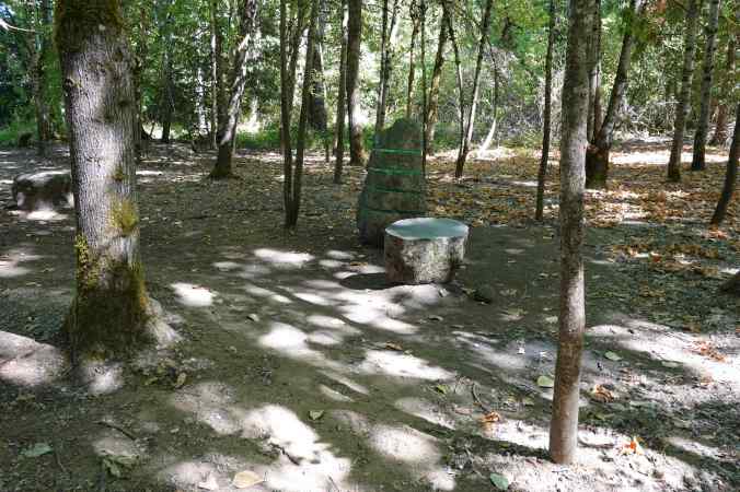
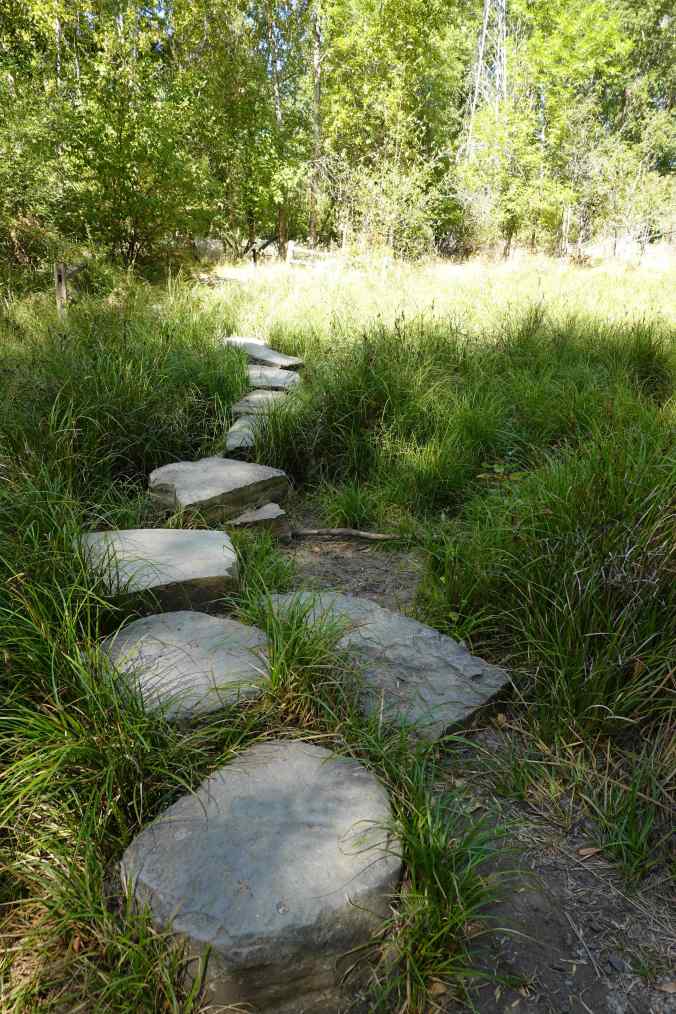
Stone art along the river path…
Side trail to the tadpole ponds…
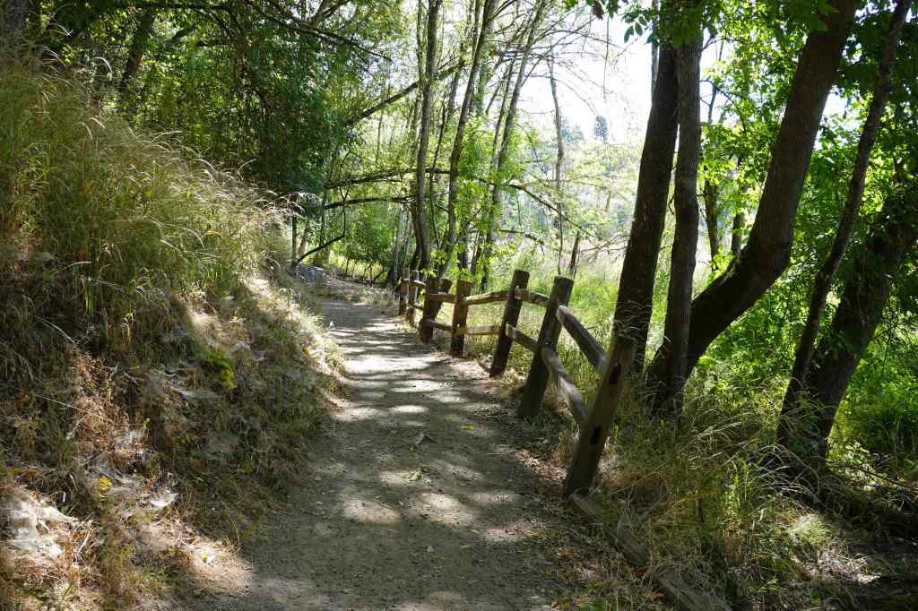
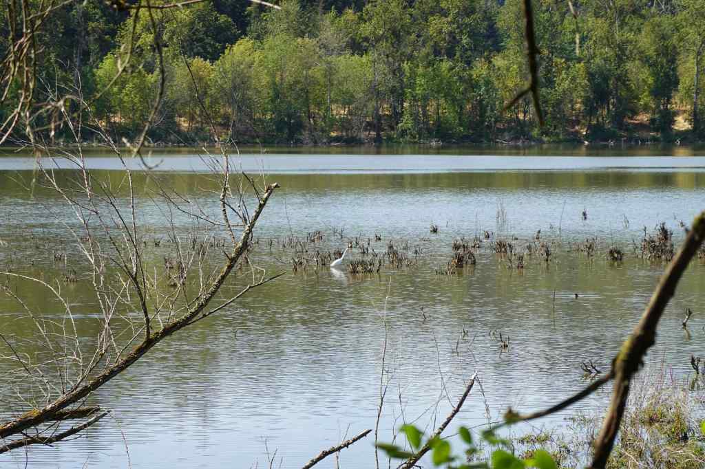
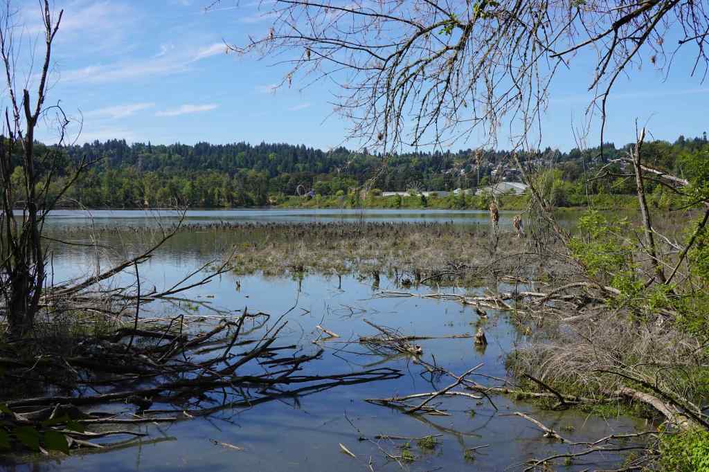
The shady trail under the Oaks Bluff provided views of a few birds…
We had better luck with “real” hikes in September…