June 28 to July 1, 2020 –
We escaped to Sisters, Oregon, about a three hour drive from home, for a few days of hiking. Our motel room was self contained, we brought all of our own food, and chose uncrowded trails during the week to satisfy pandemic safety concerns for ourselves and others. The trip was successful! It was wonderful to get out of our neighborhood and into the mountains we love so dearly, to see so many wildflowers and mountain views, and to hike both new and familiar trails.
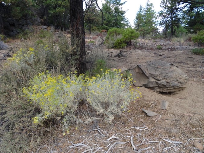
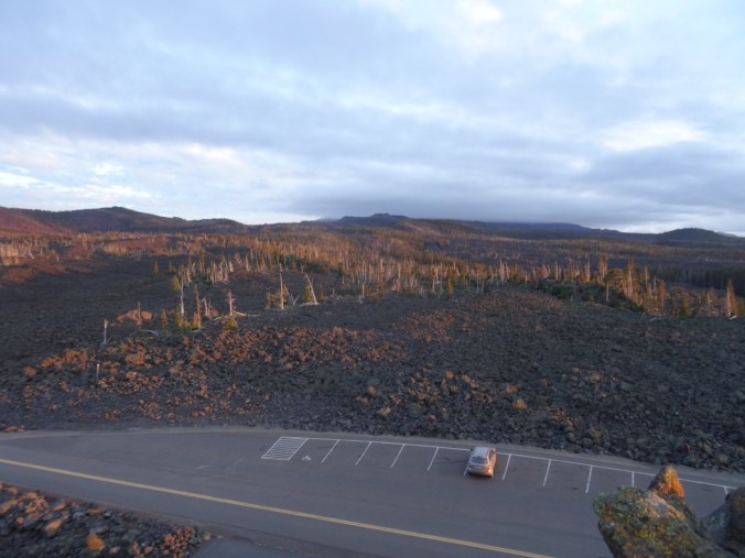
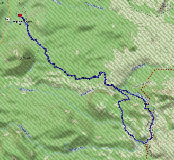
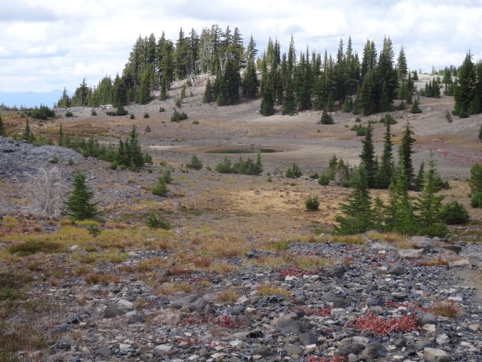
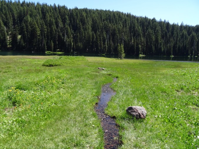
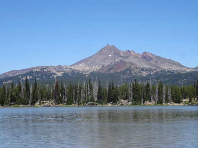
Cone Peak Meadows June 29, 2020
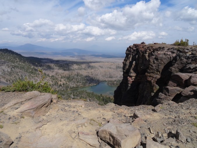
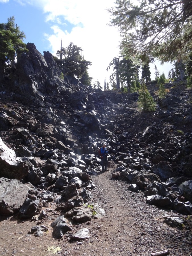
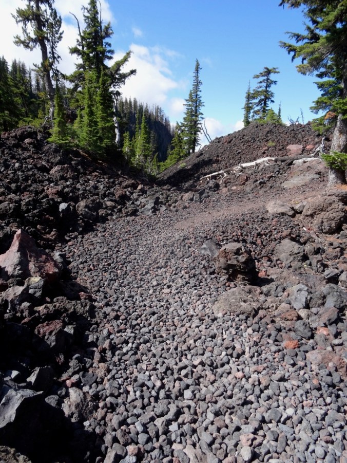
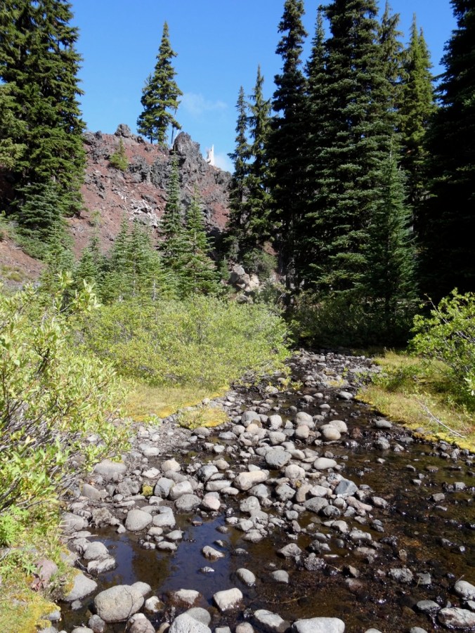
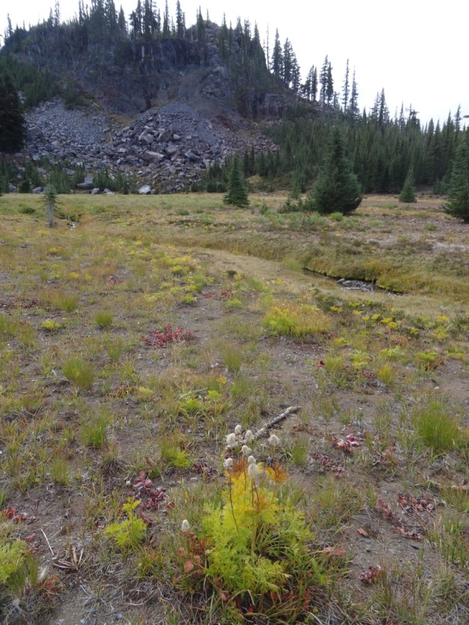
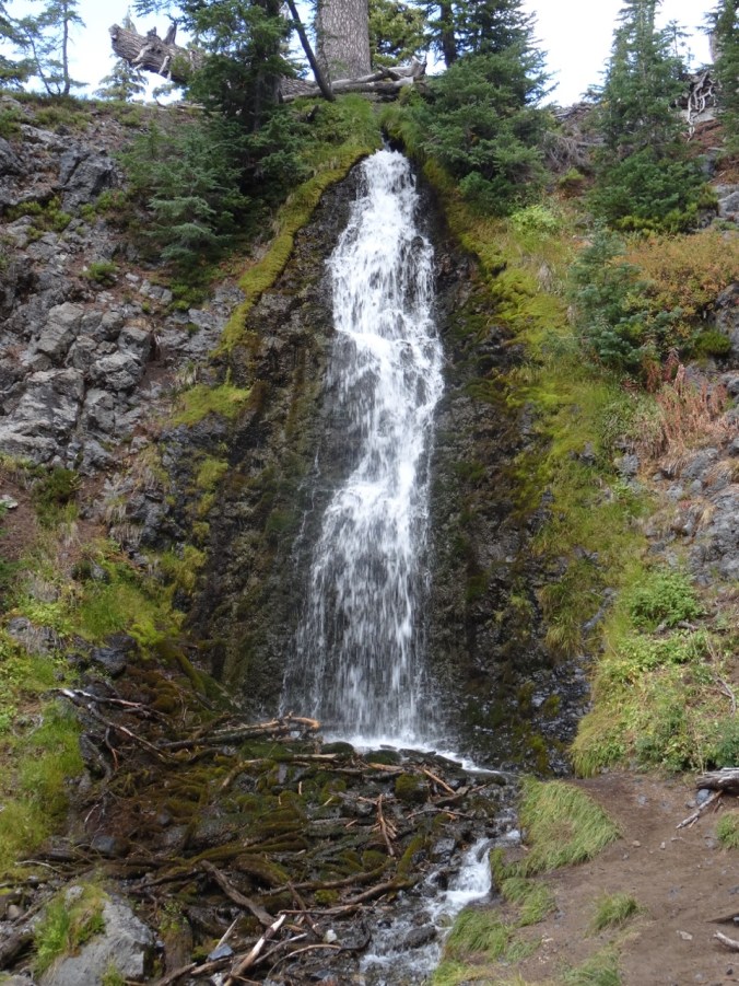
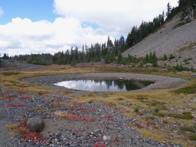
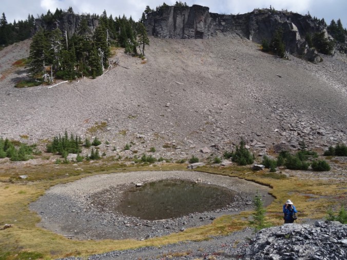
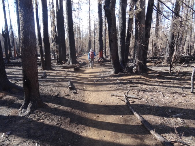
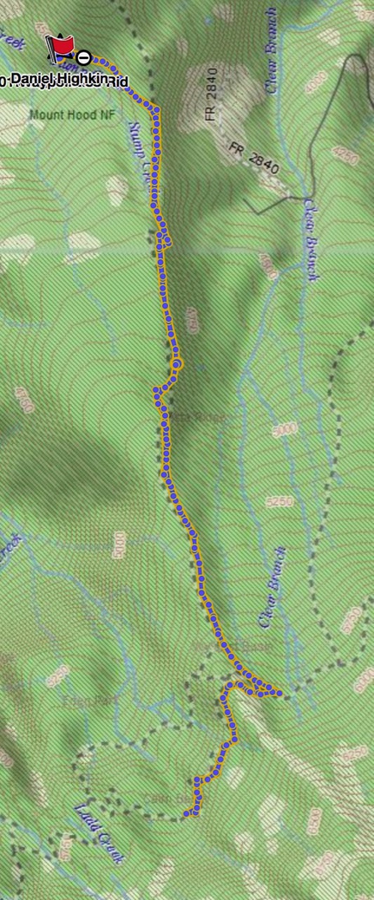
Famous for wildflowers! We hiked in the fog most of the day – few views, lots of flowers, including some new to me. We didn’t go up to the Iron Mountain Lookout because of the fog, but did hike the entire loop for the first time. (Hike #48, 6.6 mile, 1300 feet)

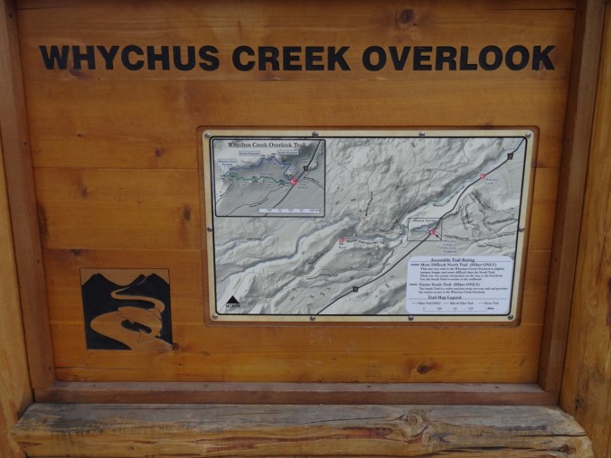
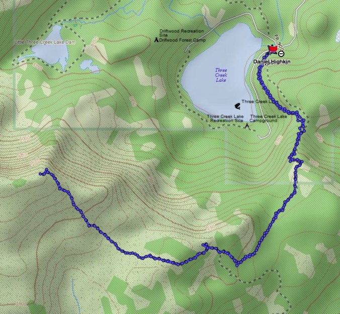
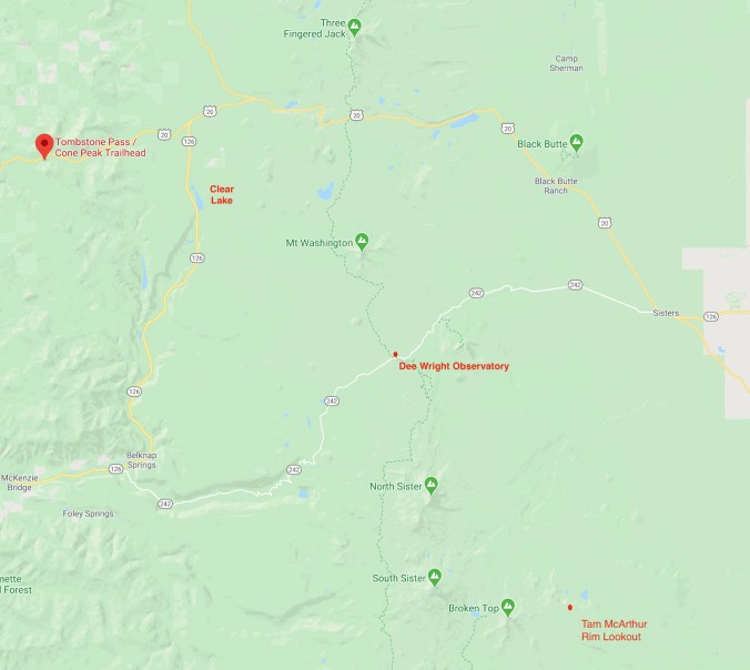
Trail map
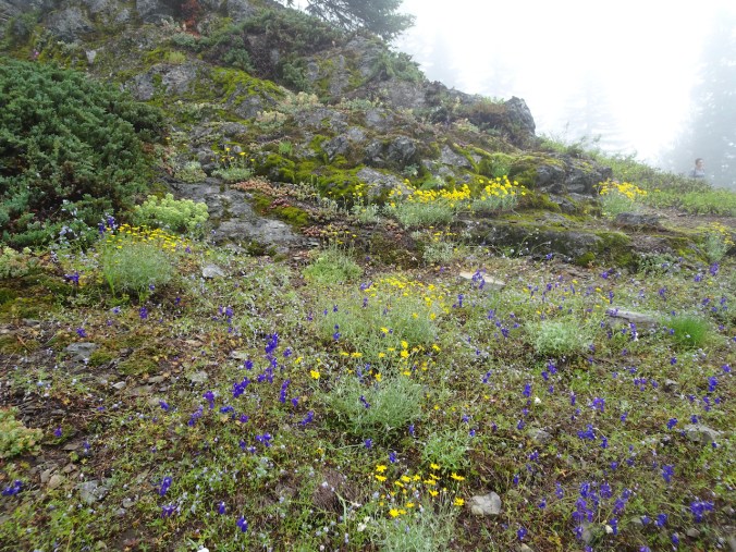
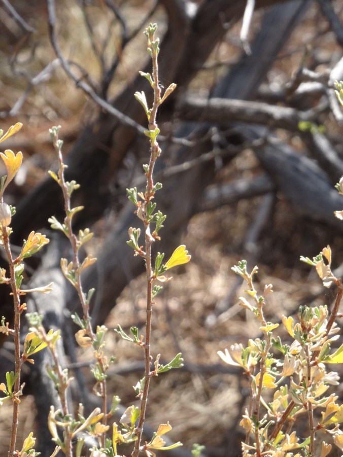
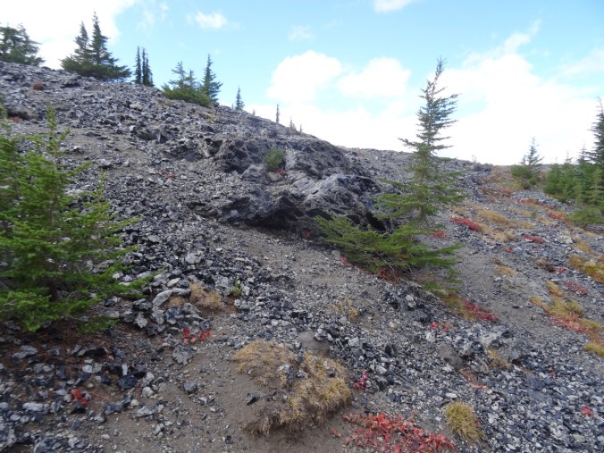
Rocky outcrops above the forest slopes were covered with blooming larkspur, Oregon sunshine and blue gillia.

Lower Cone Peak meadows in the fog.

Lunch view.

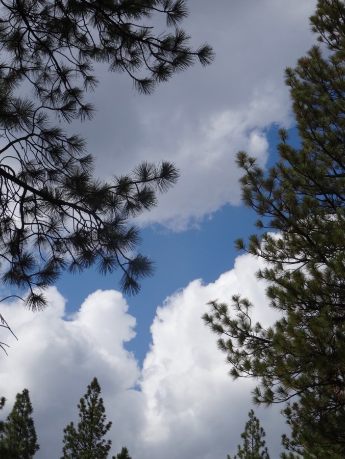
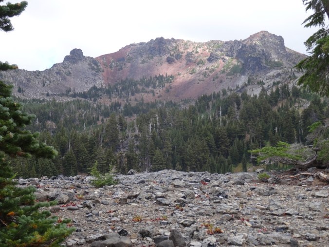
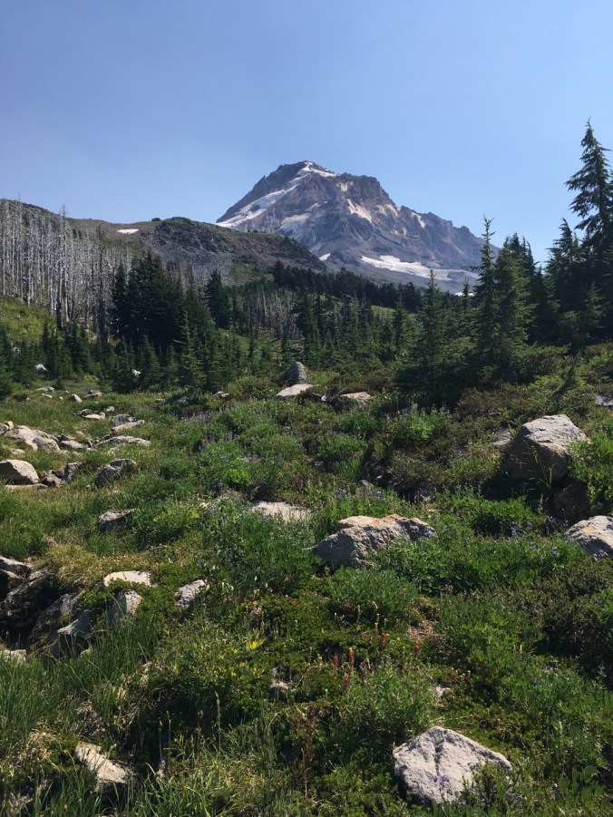
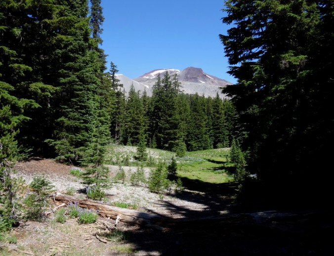
Fog rising, Cone Peak almost visible.
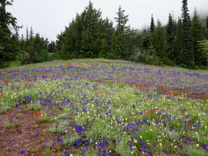
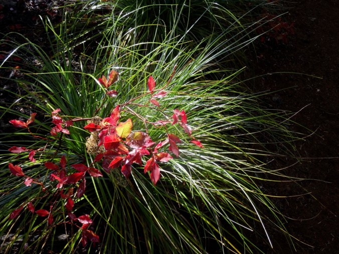
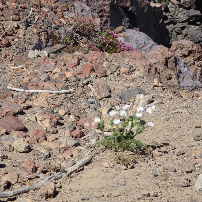
Upper Cone Peak Meadows – death camus, larkspur, paintbrush and more.

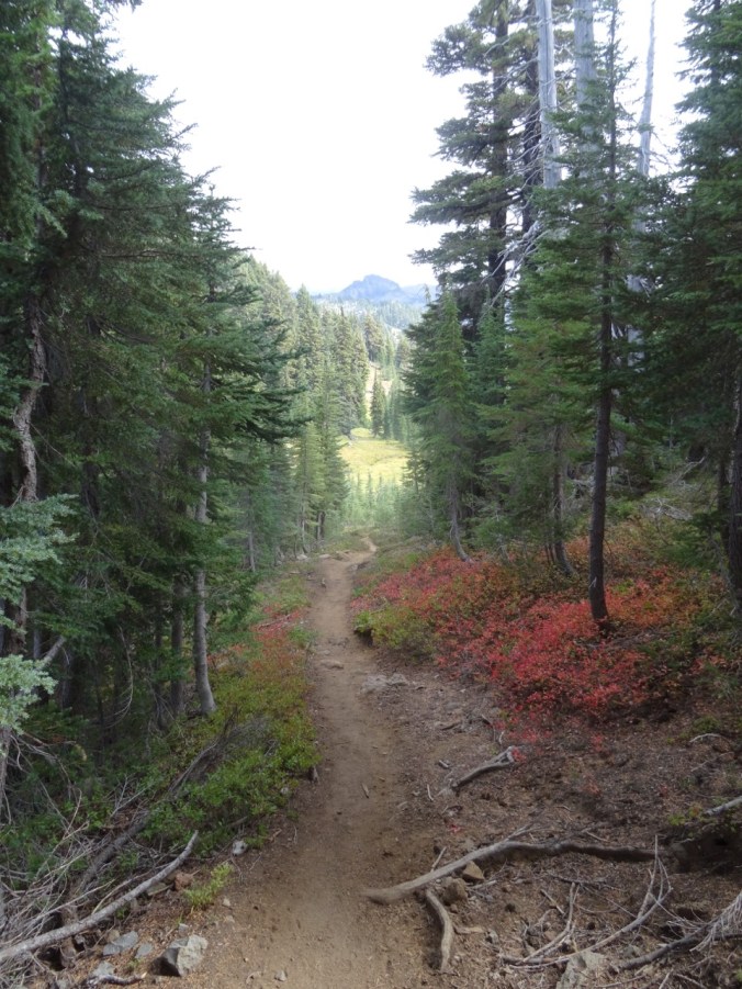
Crossing the upper meadows.
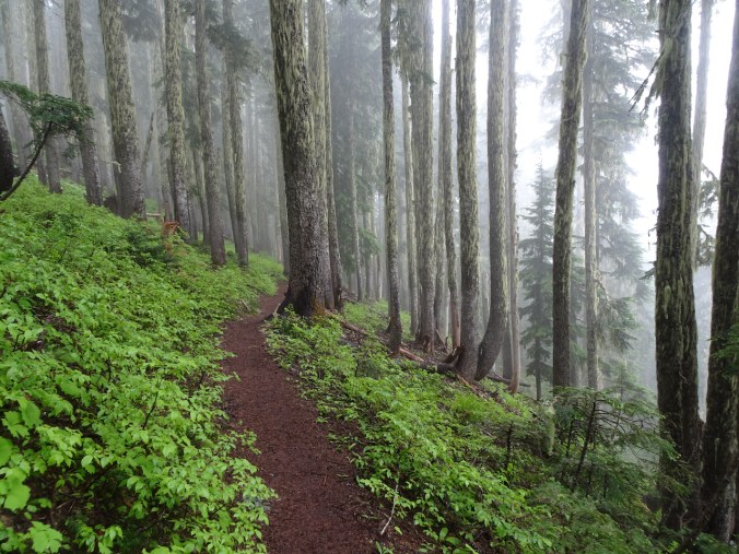
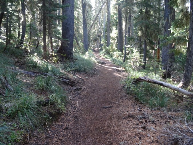
Forested section just north of Iron Mountain.
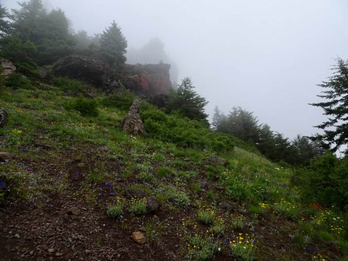
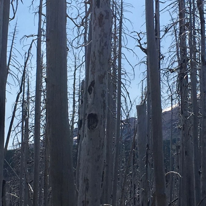
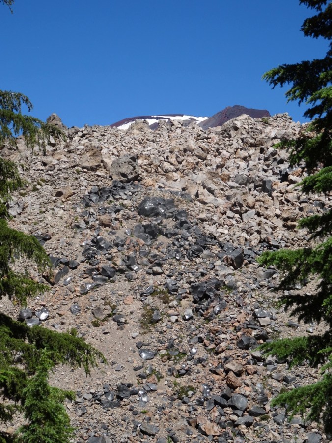
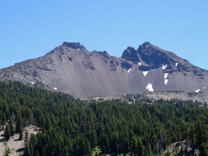
Foggy glimpse of Iron Mountain, which we decided not to climb.
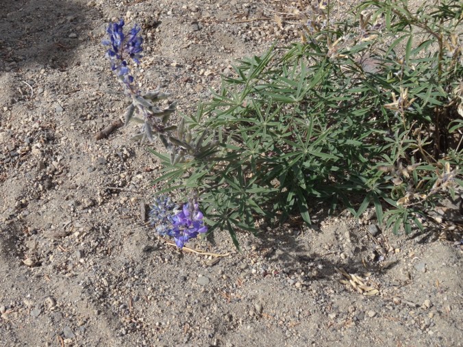
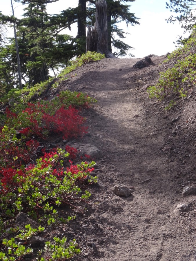
Prolific wildflowers in the meadows and forests!


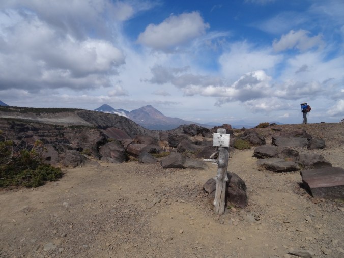
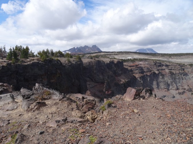
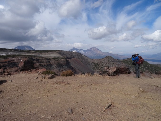
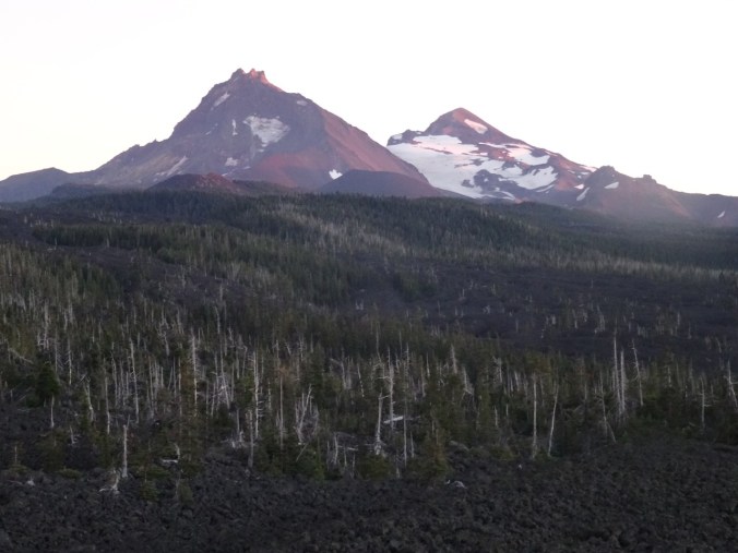
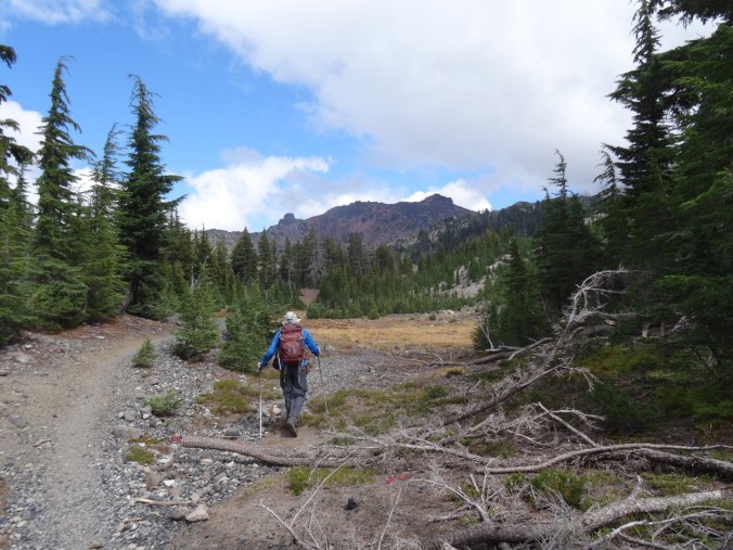
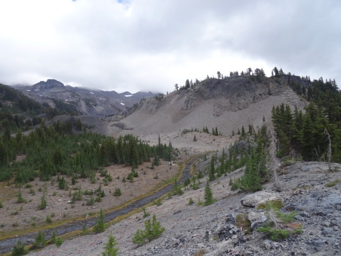
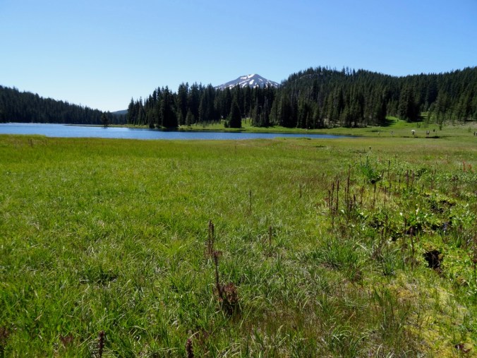
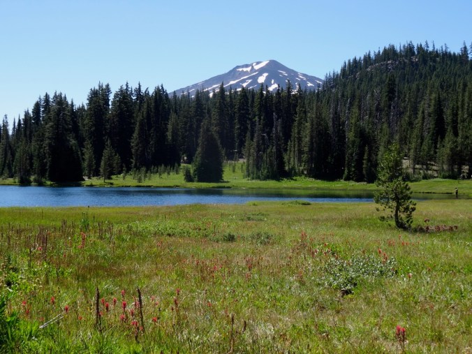
Tam McArthur Rim, June 30, 2020
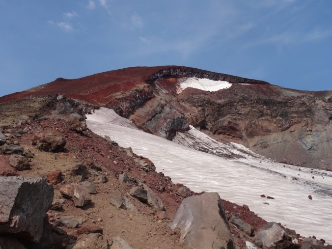
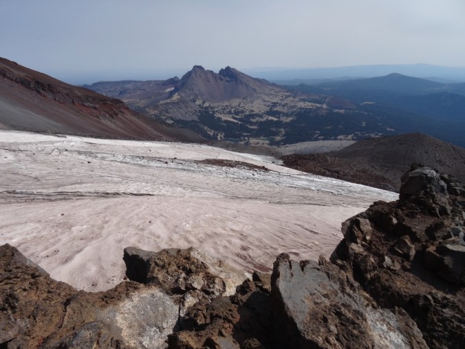
A favorite hike, often very crowded, was pleasantly unpeopled today. Also, not as windy as expected, and the views of the Three Sisters and Broken Top were stunning from our endpoint – the 7950′ red cinder ridge that leads to Broken Top. We lost the trail briefly in some of the snow patches, but the wide open volcanic landscape made it hard to actually get lost. Hike #49, 8 miles, 1500 feet.
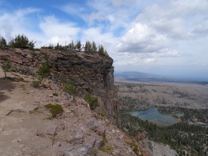
Ascending above Three Creeks Lake. That sharp prow on the left is the overlook.
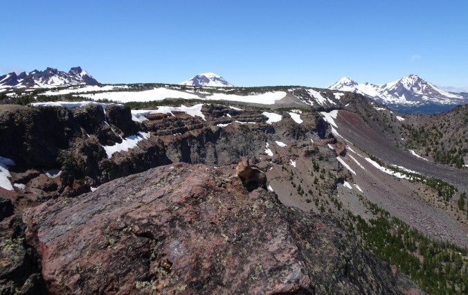
Enjoying our lunch view of Broken Top and the Three Sisters from the overlook, while not feeding the chipmunk.
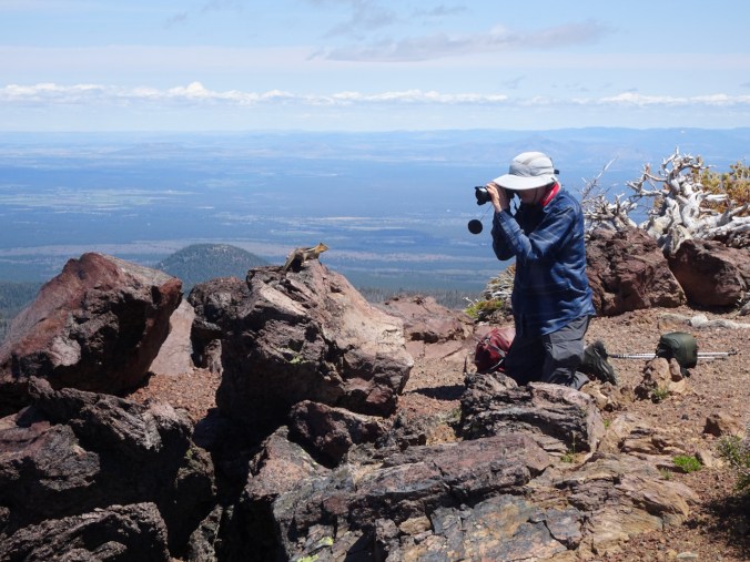
All the chipmunk got were some close up photos.

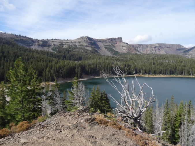
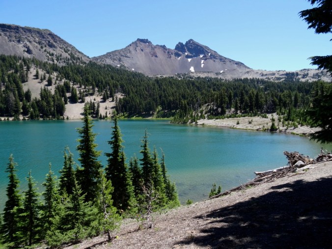
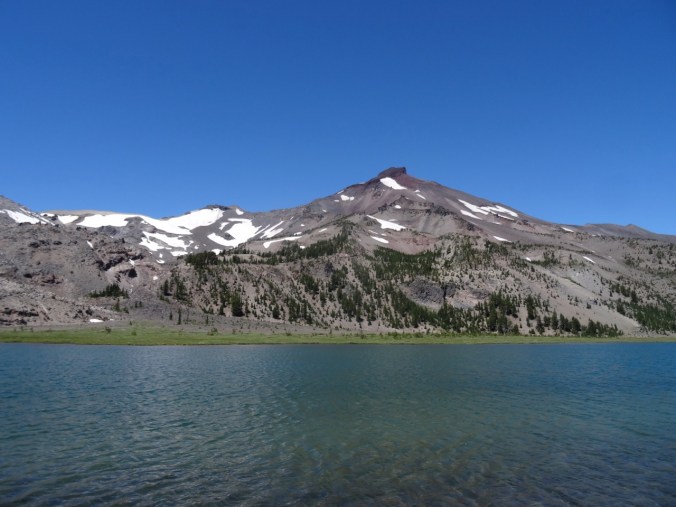
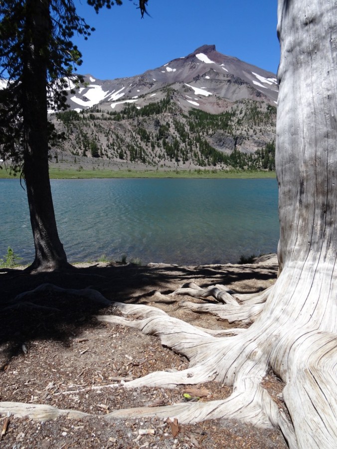
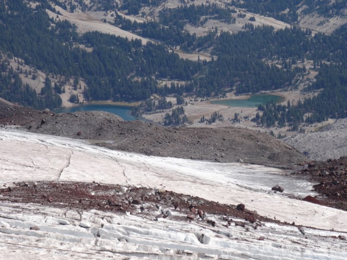
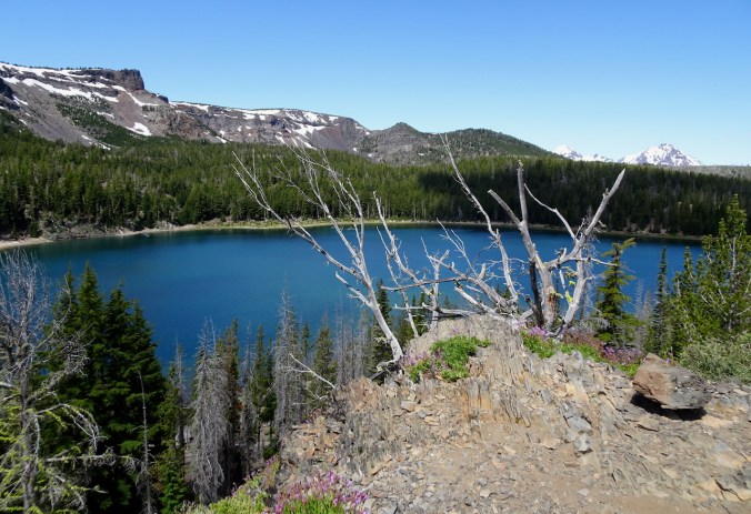
Three Creek Lakes from the overlook.
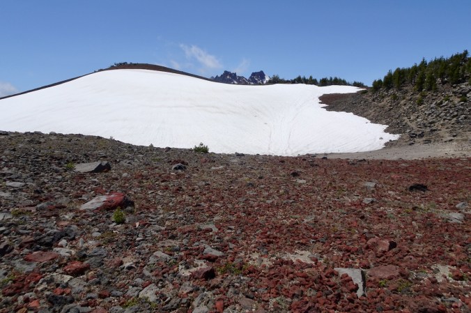
We hiked on across the high plateau to the ridge, crossing a few snow patches along the way.
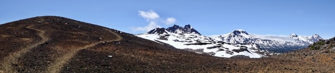
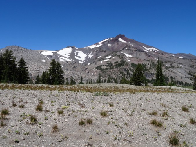
View from the saddle of the red cinder ridge.
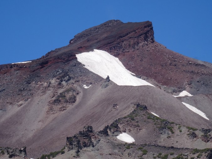
Our endpoint – the top of the red cinder ridge. Broken Hand and Broken top seem just a few steps further…
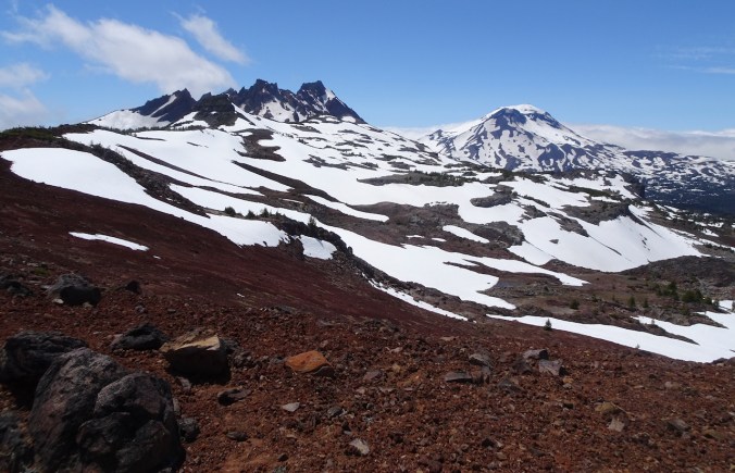
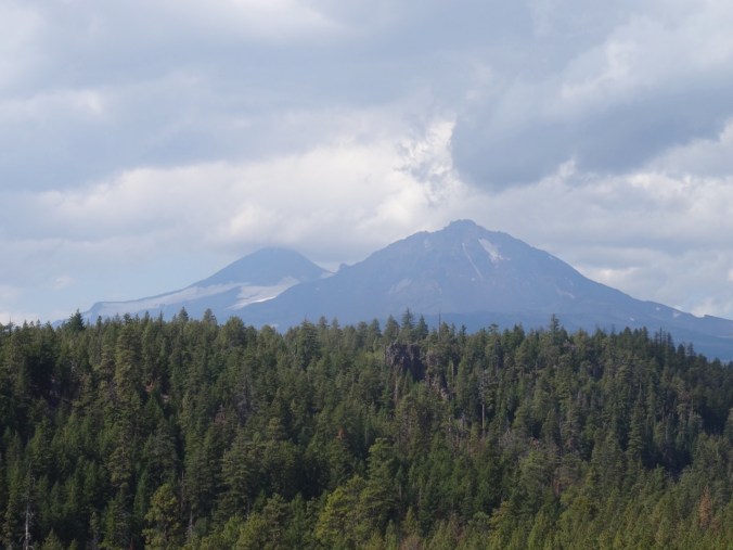
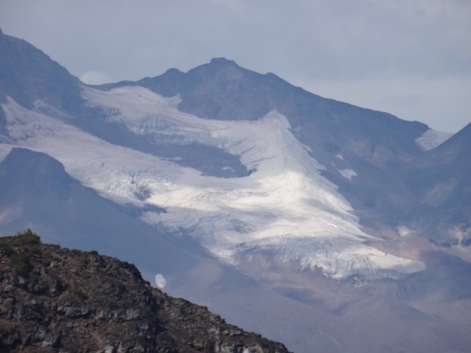
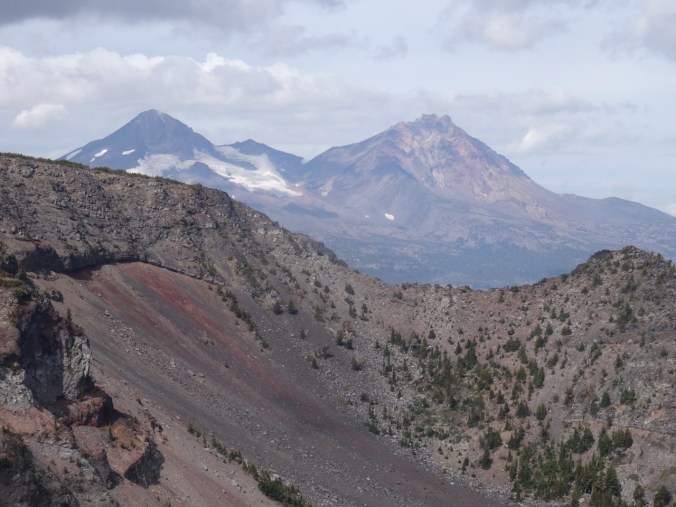
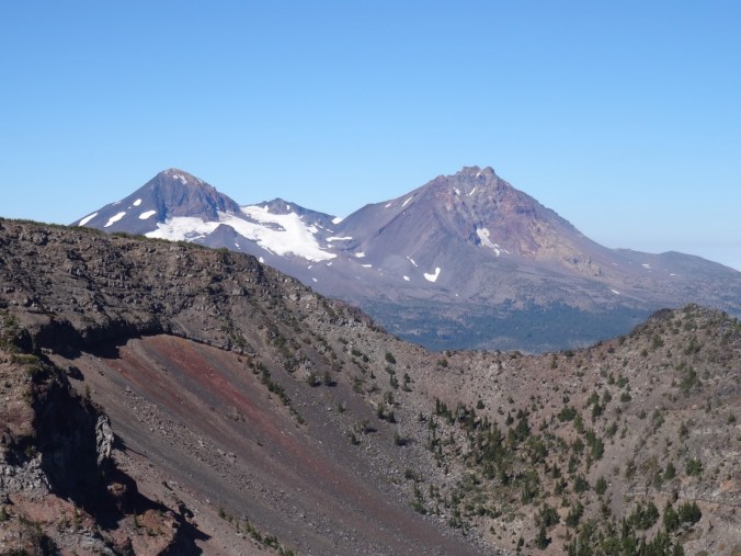
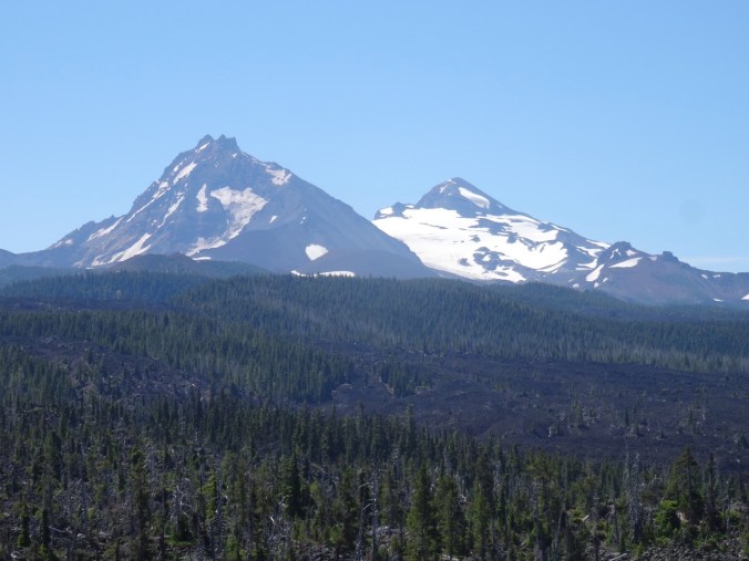
Broken Top and South Sister.

Three Sisters
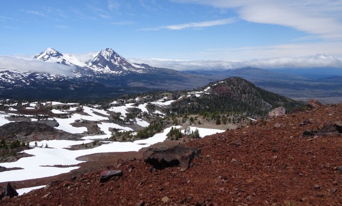
Middle and North Sisters, and the clouds sitting on the Cascade peaks to the north.
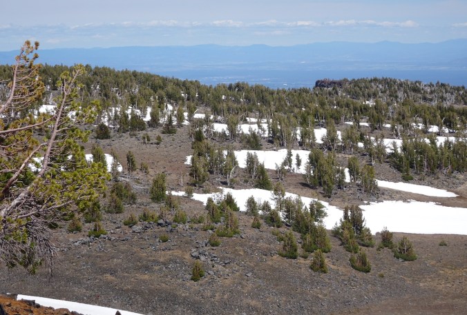
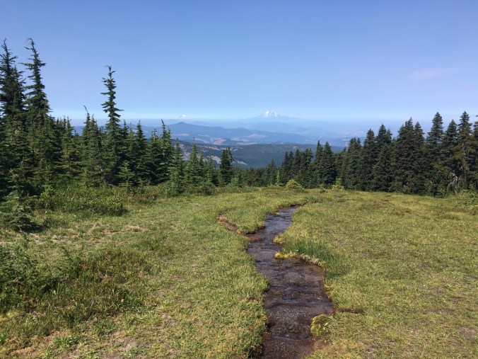
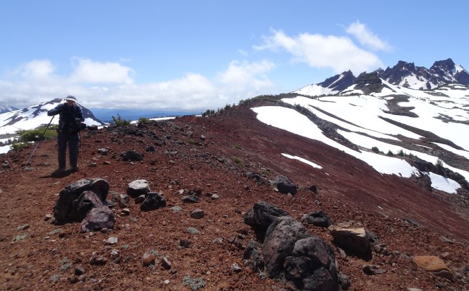
Our trail across the high plateau, back to the lookout.
We stopped again at the lookout before heading down.
Western pasque flowers and heather near the lookout.
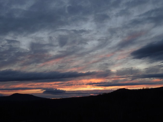
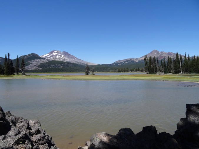
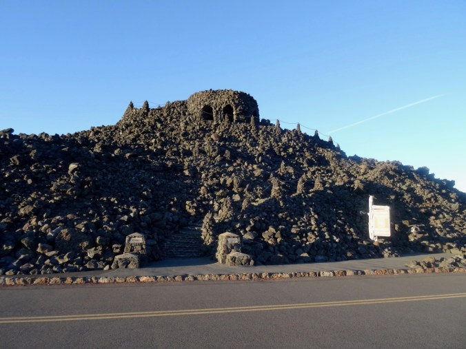
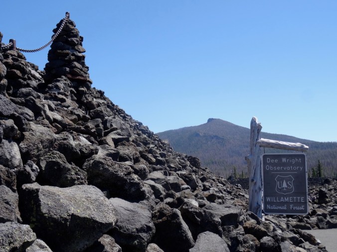
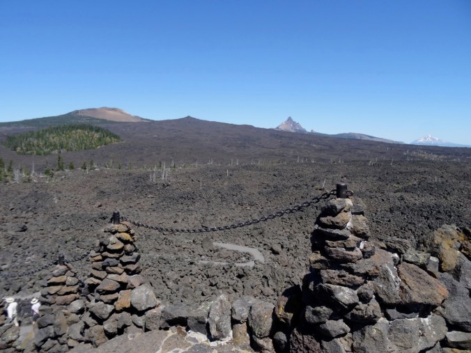
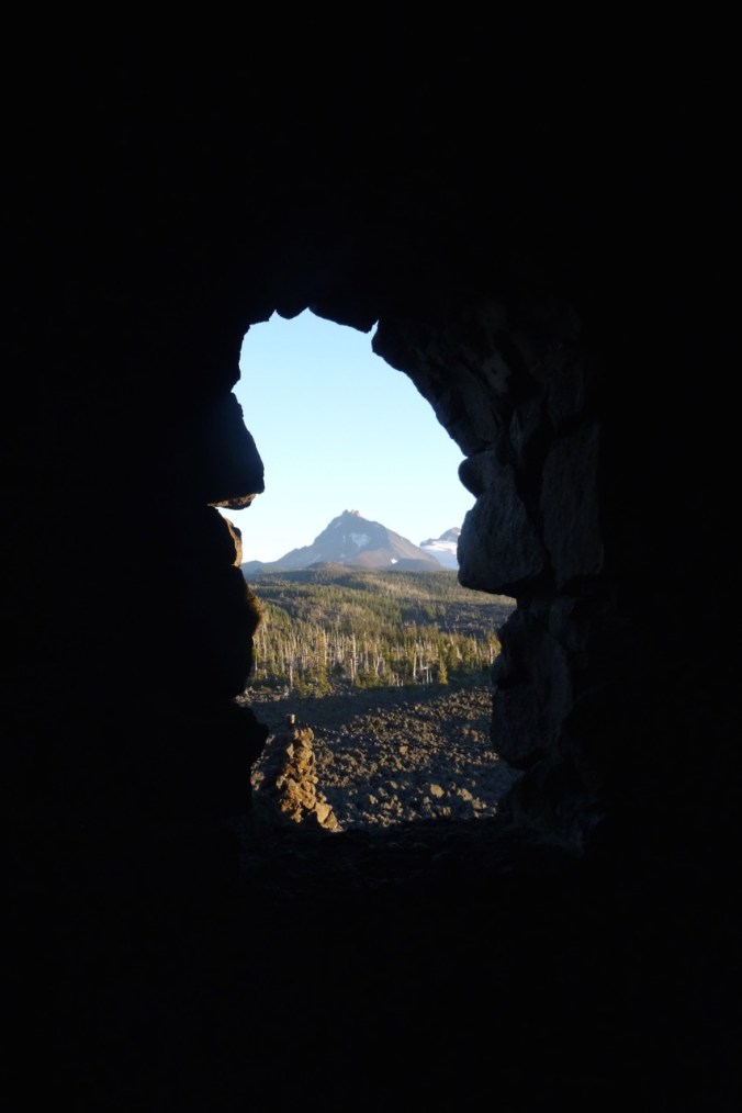
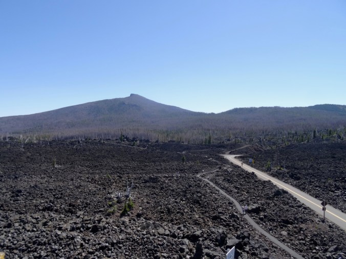
McKenzie Pass and Clear Lake, July 1, 2020
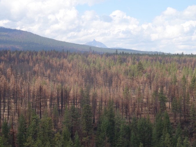
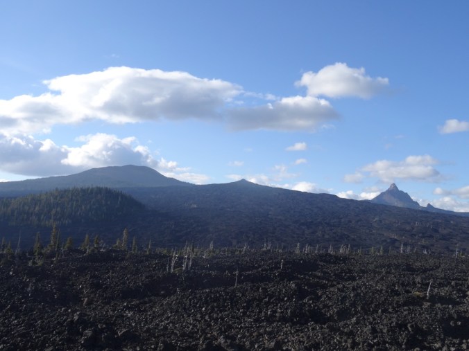
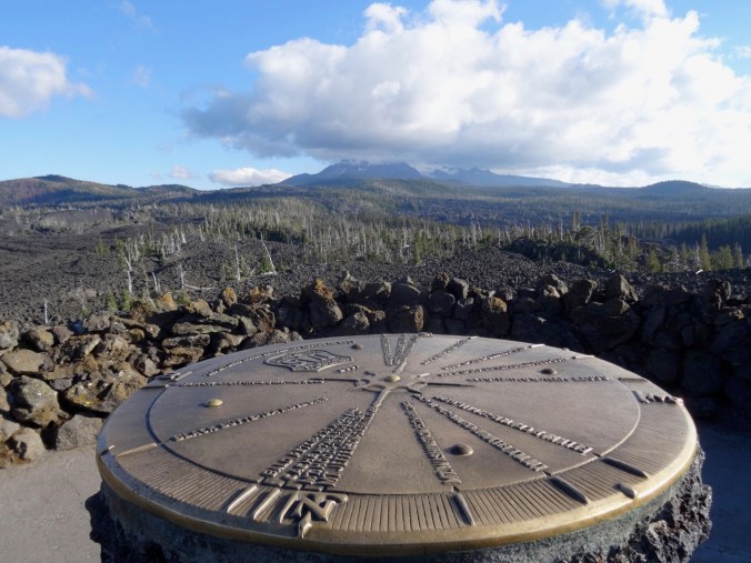
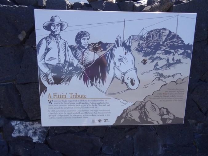
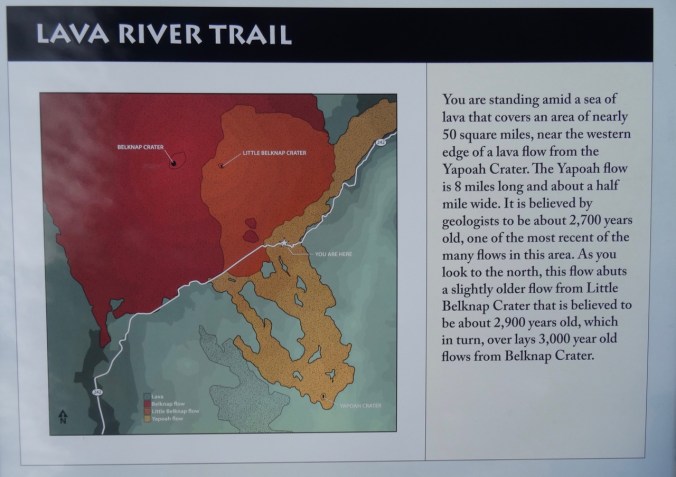
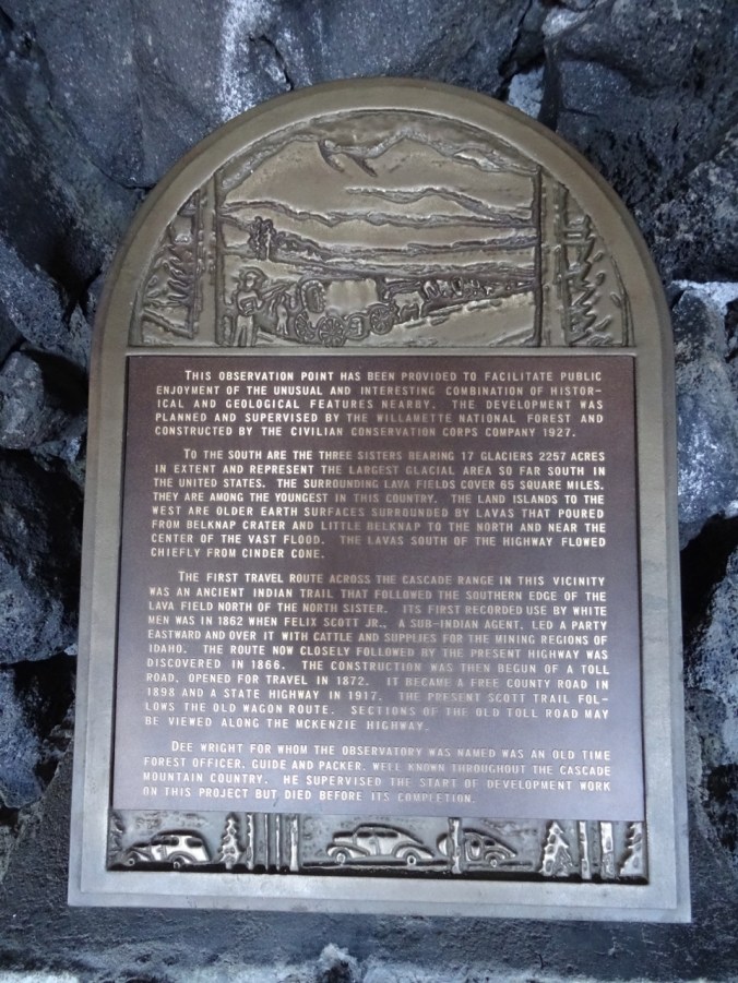
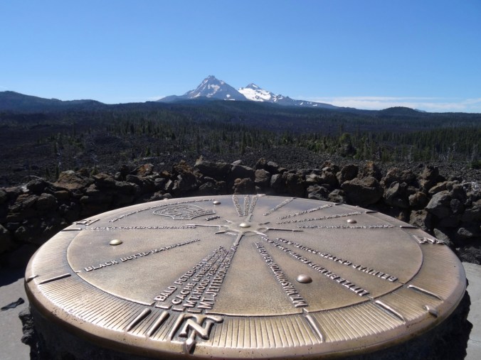
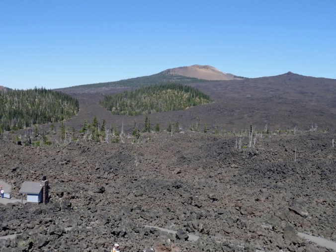
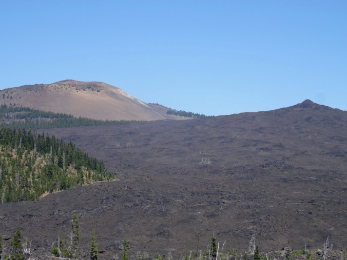
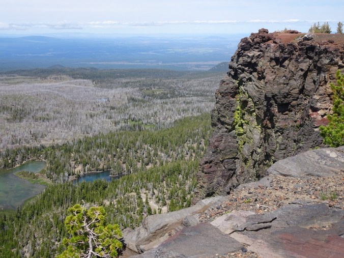
We drove up to the Dee Wright Observatory at McKenzie Pass, one of my favorite places on the planet, to look at the volcanic landscape and hope for some views. The clouds wafted away from some of the peaks briefly, though the bitter wind was not hospitable to hanging around.

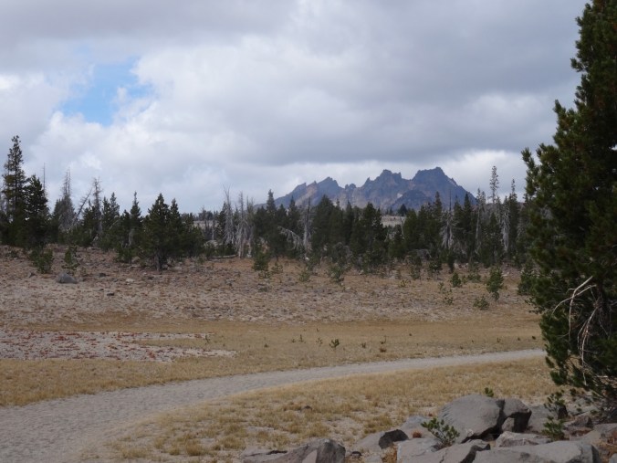
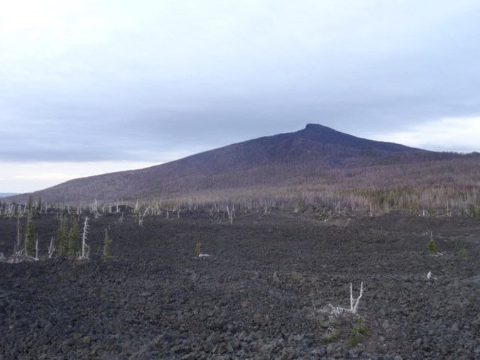
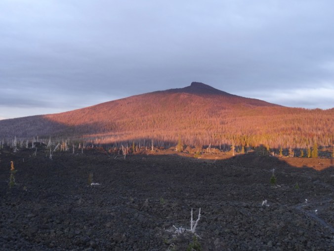
Black Crater from the observatory.
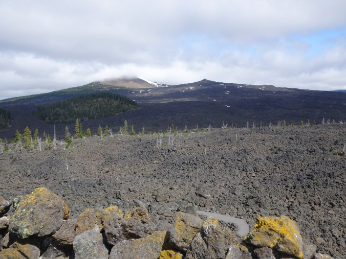
The Belknap Craters

North and Middle Sisters appeared briefly.
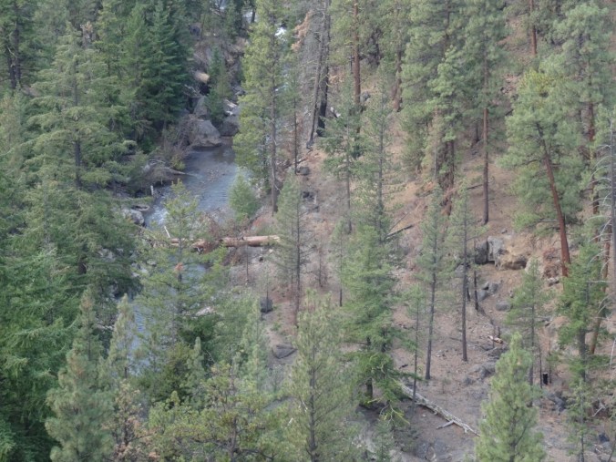
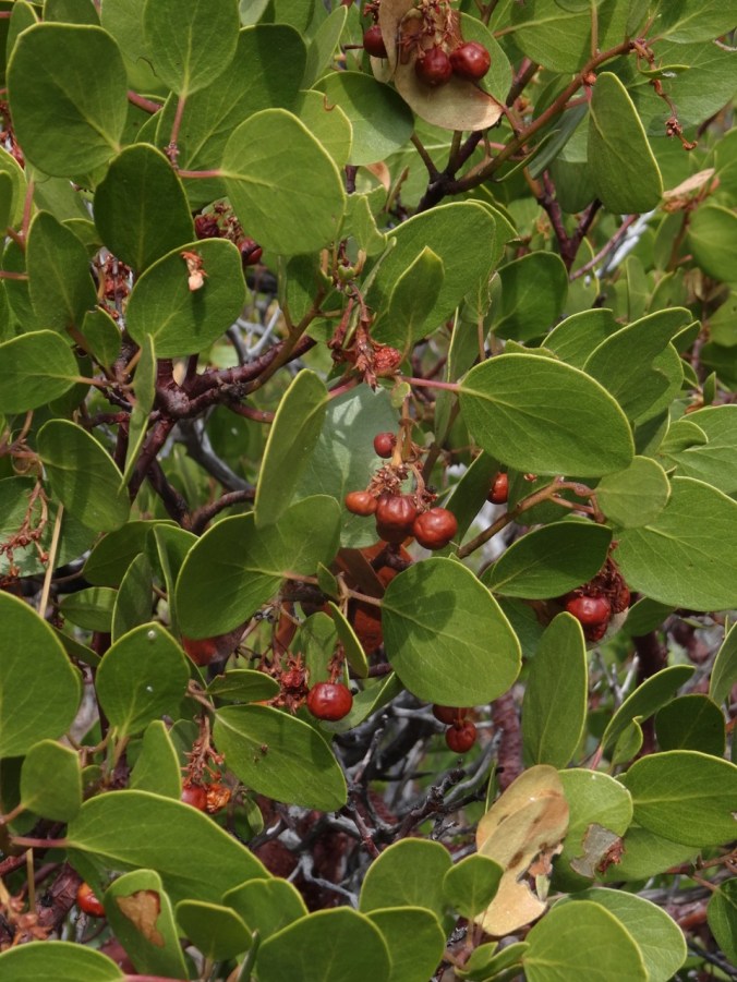
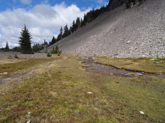
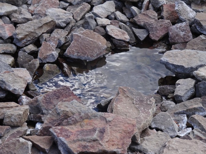
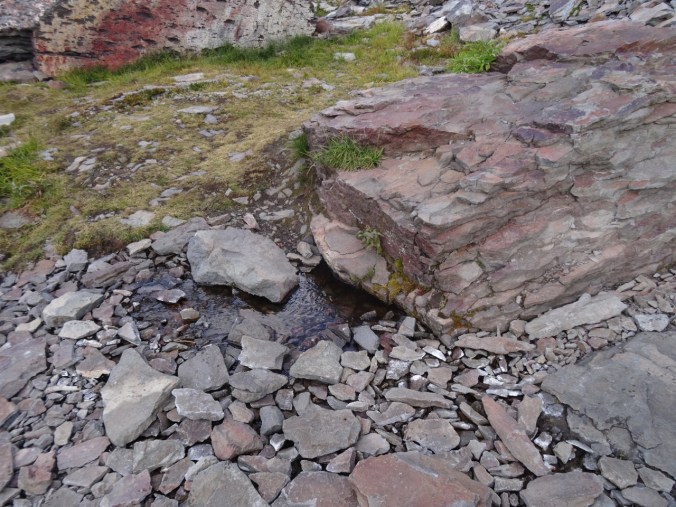
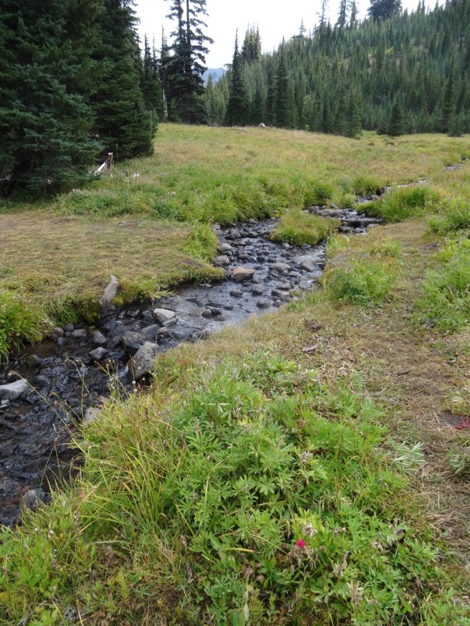
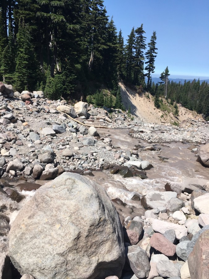
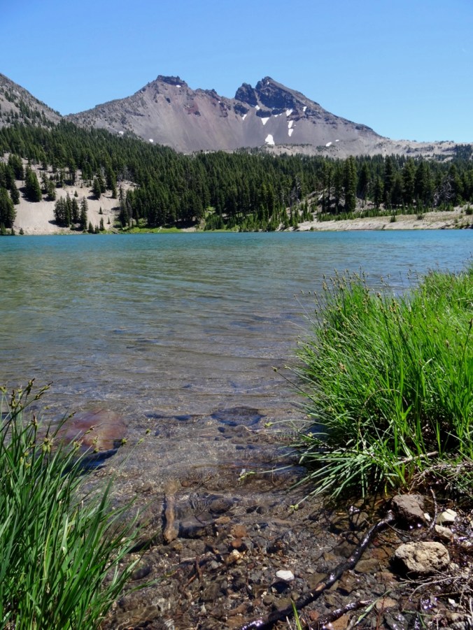
We also stopped at Clear Lake, hoping to see the submerged fossil forest under the turquoise clear waters we have heard so much about. We could not see it from the trail. We did find the Great Spring, from which the McKenzie River is born, and a few new flower sightings. We will have to come back and rent a boat to see the underwater forest. (Hike #50, 5 miles, 200 feet).
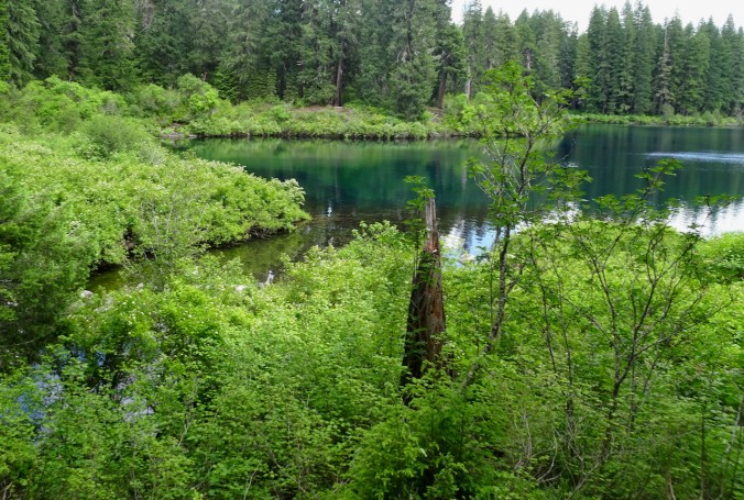
Turquoise blue Clear Lake from the trail

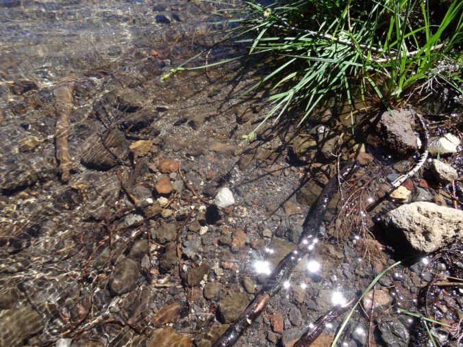
The ripples near the bank are where the water emerges as a spring from under the lava flows.
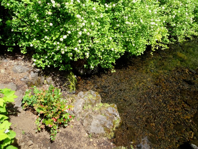
Another view of the Great Spring.

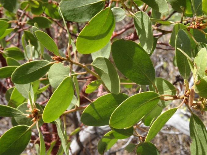
My first time seeing candystick, one of the more unusual flowers in the western Cascades forests.
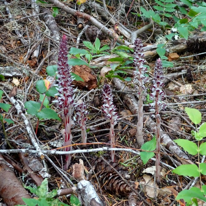
Candystick
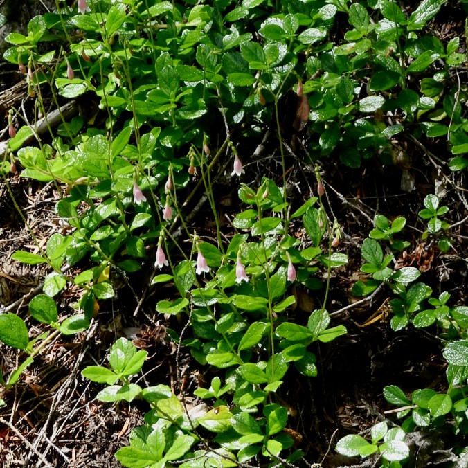
Twinflower
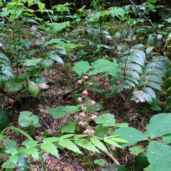
Pink pyrola
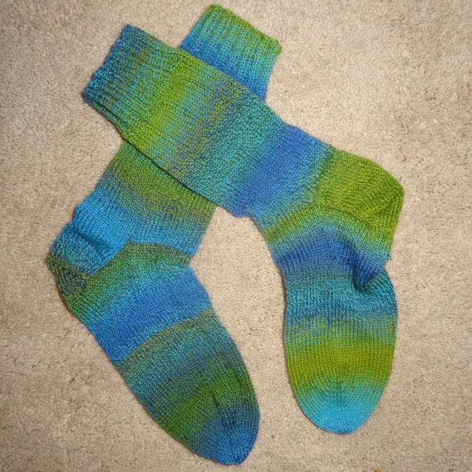
Knitting
I brought my latest traveling socks on the trip, and they are finished!

Hermione’s Everyday Socks, pattern by Erica Lueder, made from Red Heart – Heart and Sole yarn in the Bayou colorway.
Everything that is happening right now-
I keep hearing this expression on the airwaves, to describe the intersection of pandemic, political chaos and antiracist activism. I have been reading the book Me and White Supremacy by Layla F. Saad, journaling about the prompts, and discussing the ideas with my family. I feel not exactly guilty, but impatient, with myself and the world for having accepted a racist society as status quo for so long.