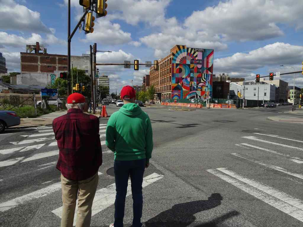
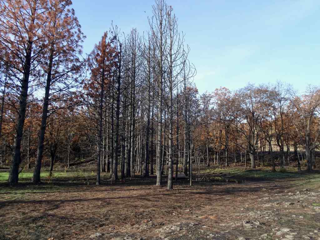
I went on only three hikes in February. We had some down time while my husband recovered from a sudden illness. He is well now. The later walks were in easy, recovery mode.
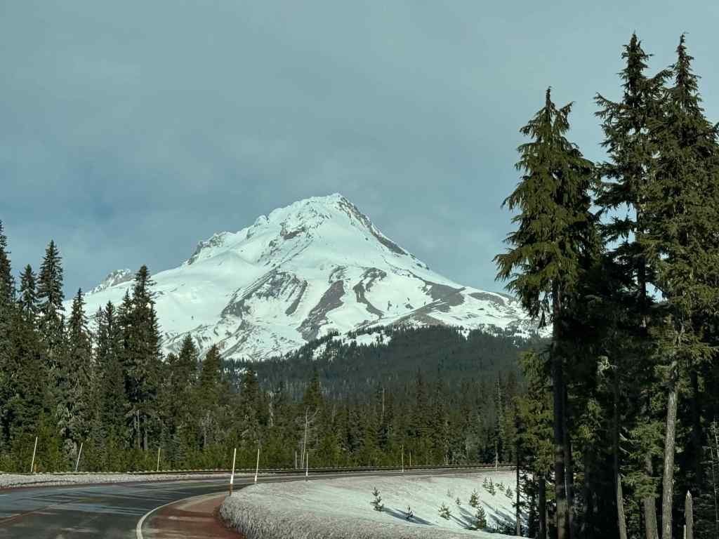
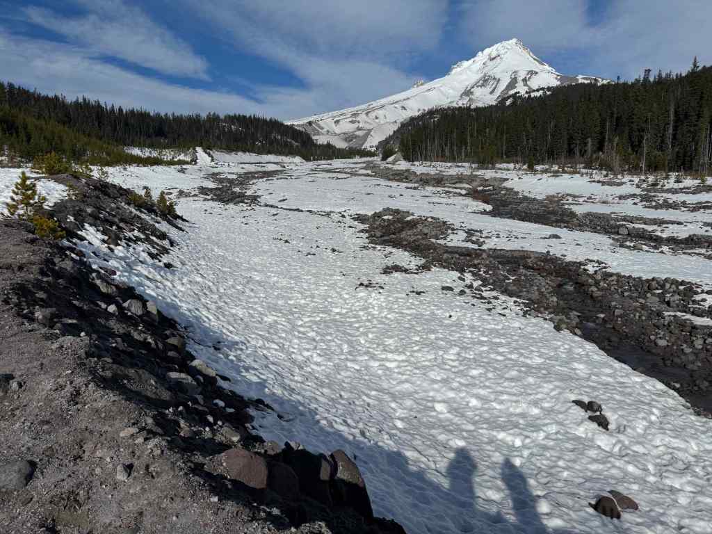
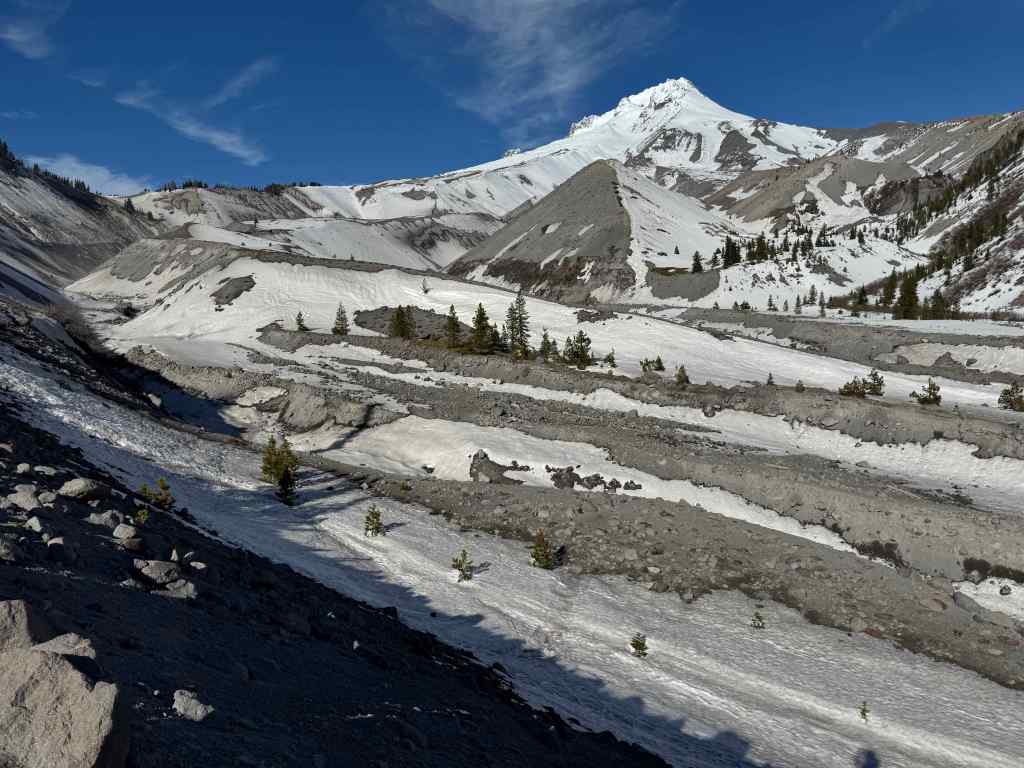
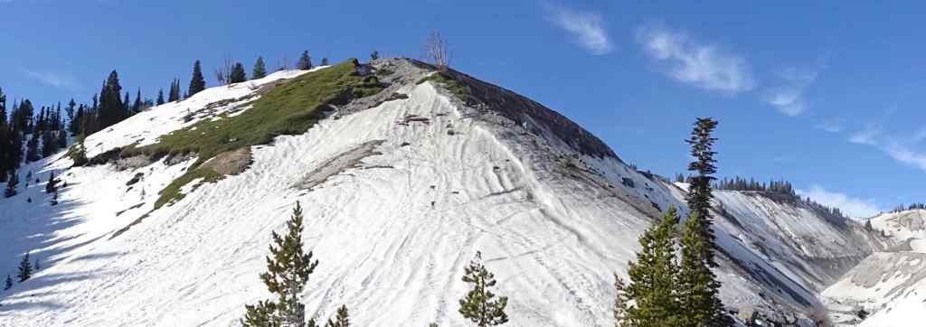
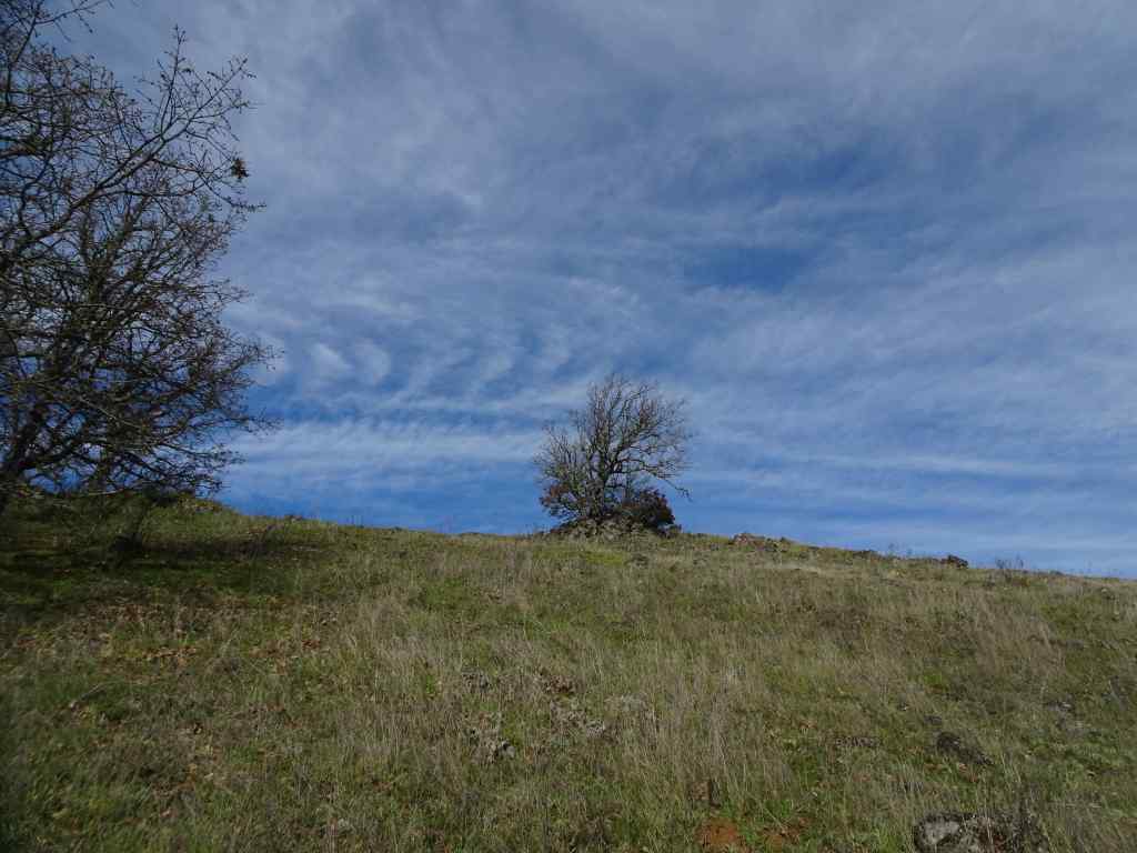
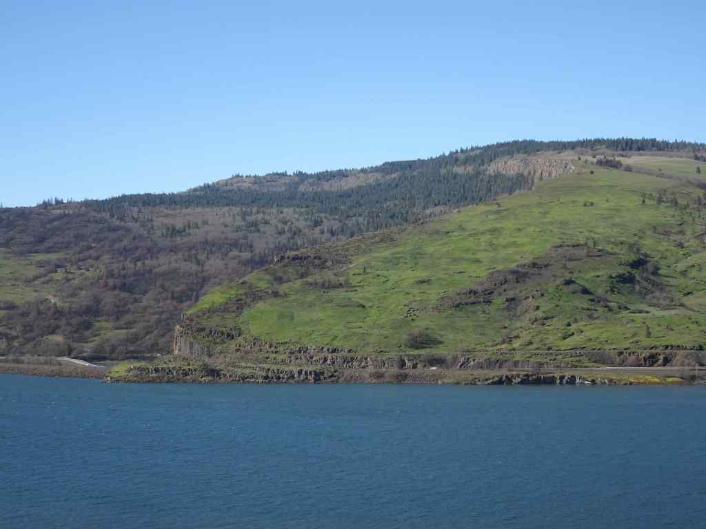
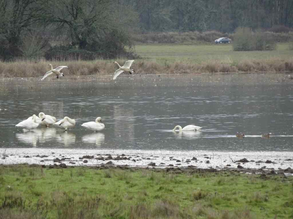
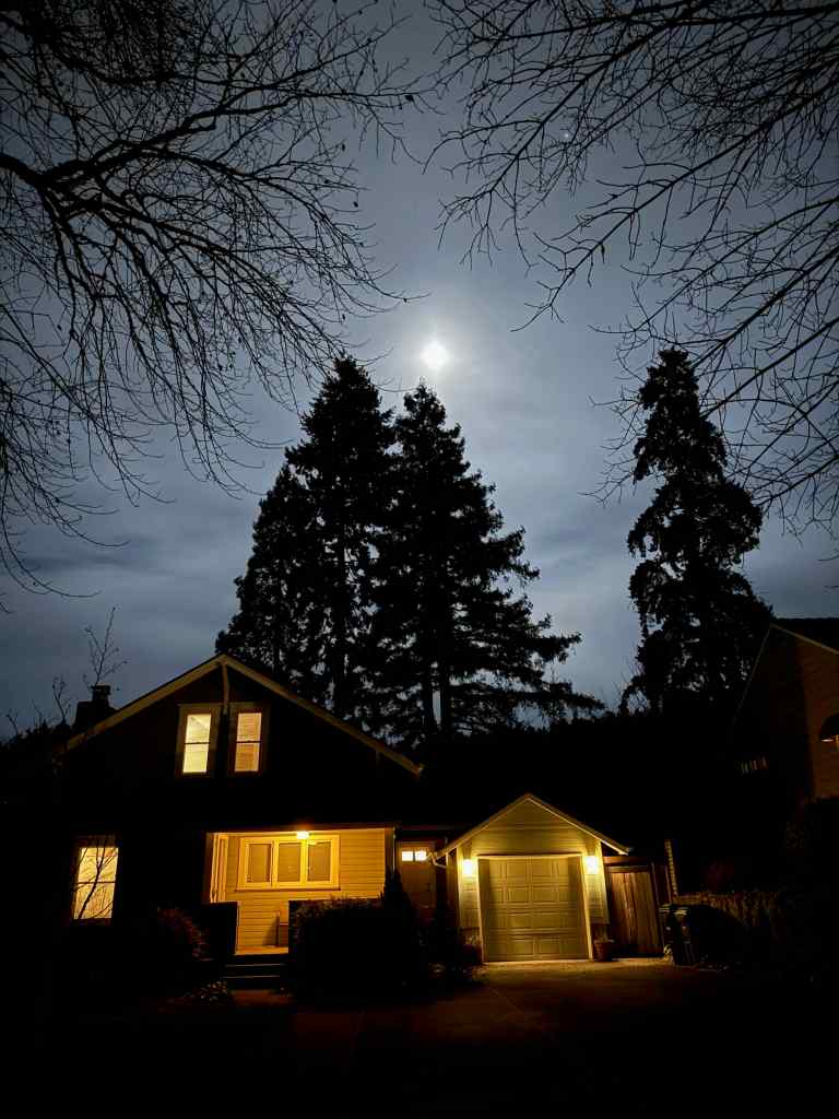
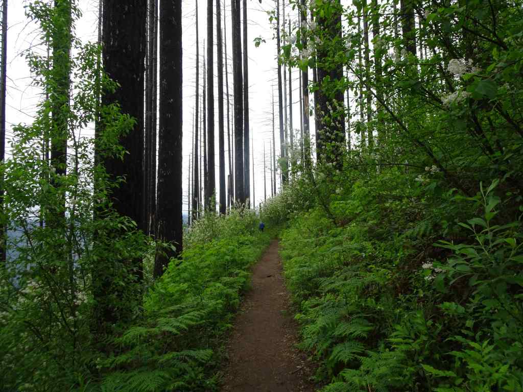
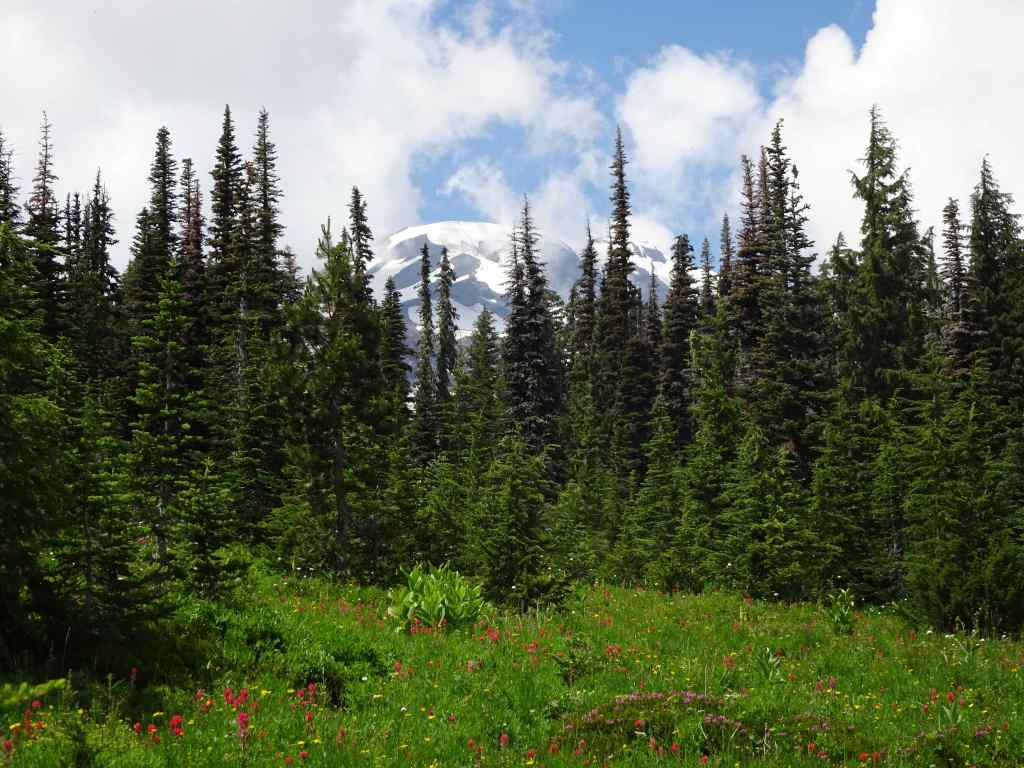
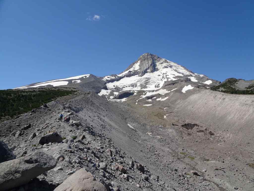
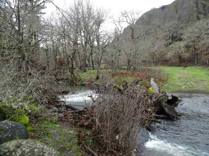
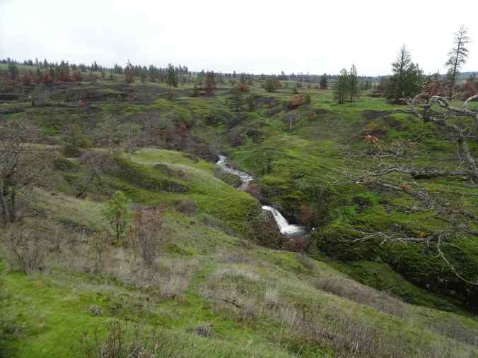
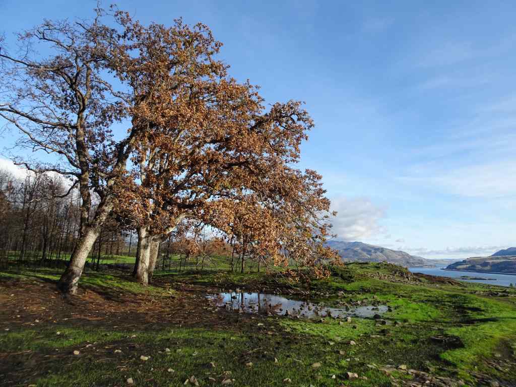
2/5 – White River snow hike, Mt Hood, Oregon
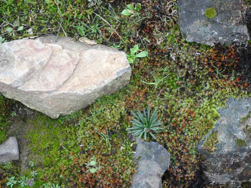
With snow levels still very low, we were able to hike this out-and-back trail, a long time favorite, with just micro spikes on our boots. There was a small amount of post-holing, but it was mostly fine.
Mt Hood from the HighwayHiking uphill along the White River moraine – lots of exposed earth.Our usual lunch spot, about a mile and a half up river, near the Timberline Trail crossing.Boy Scout Ridge, which we sometimes avoid due to avalanche danger, has exposed plants on the surface today.Glamour shot of the top of Mt Hood.
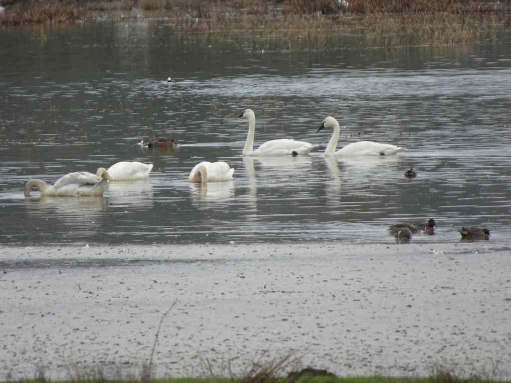
Luckily we had more snow by the middle of the month. There is more snow at this location now than there was in the beginning of February.
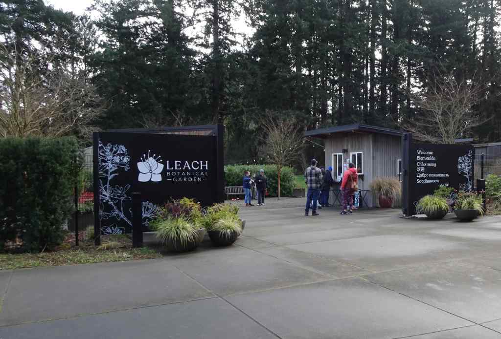
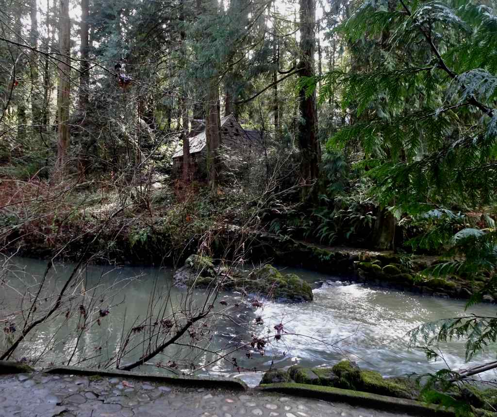
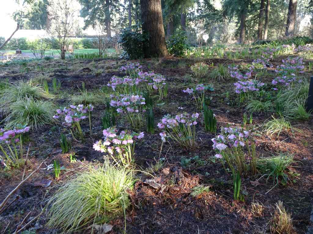
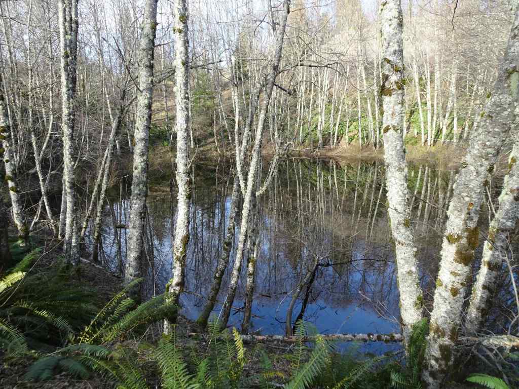
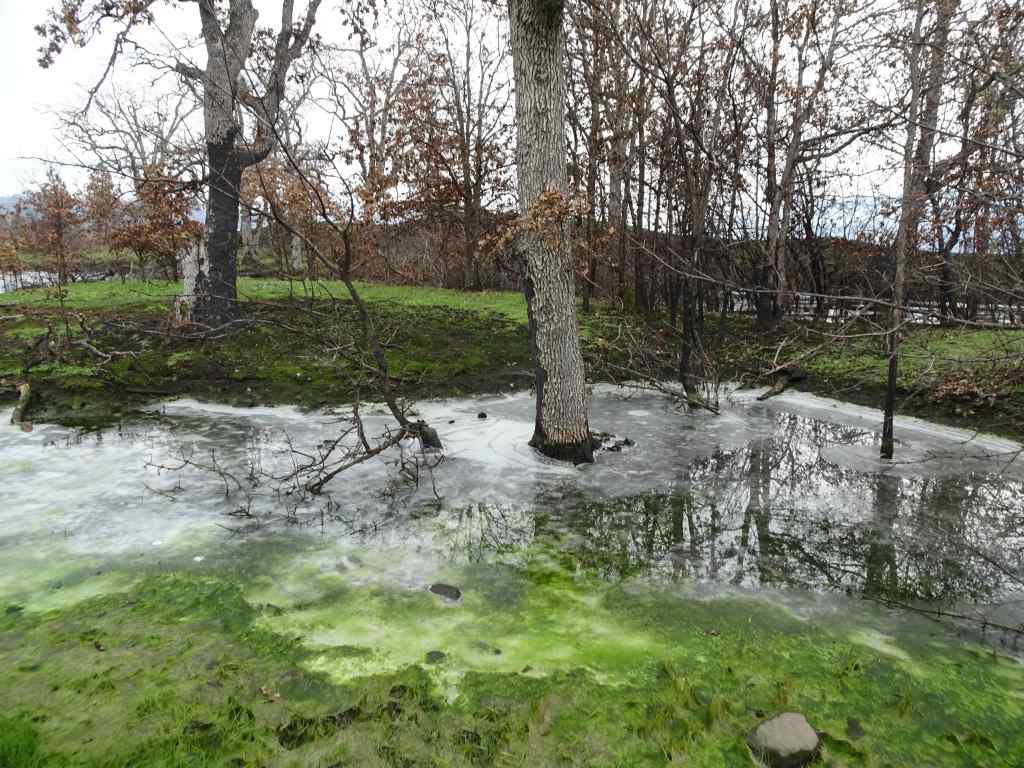
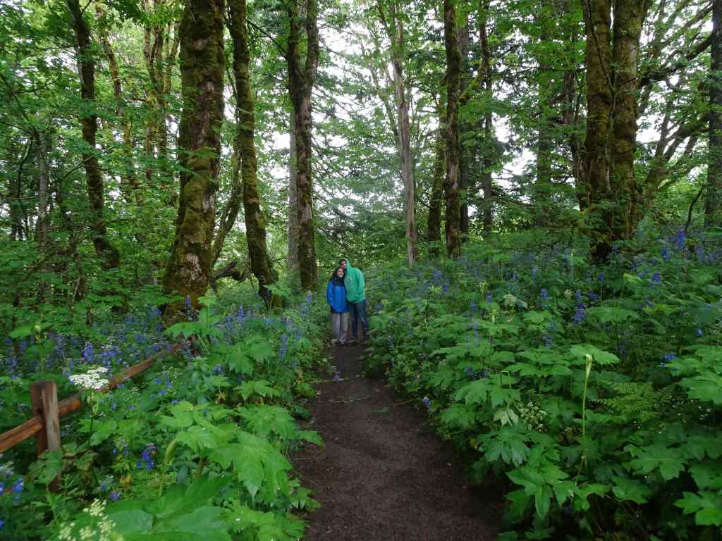
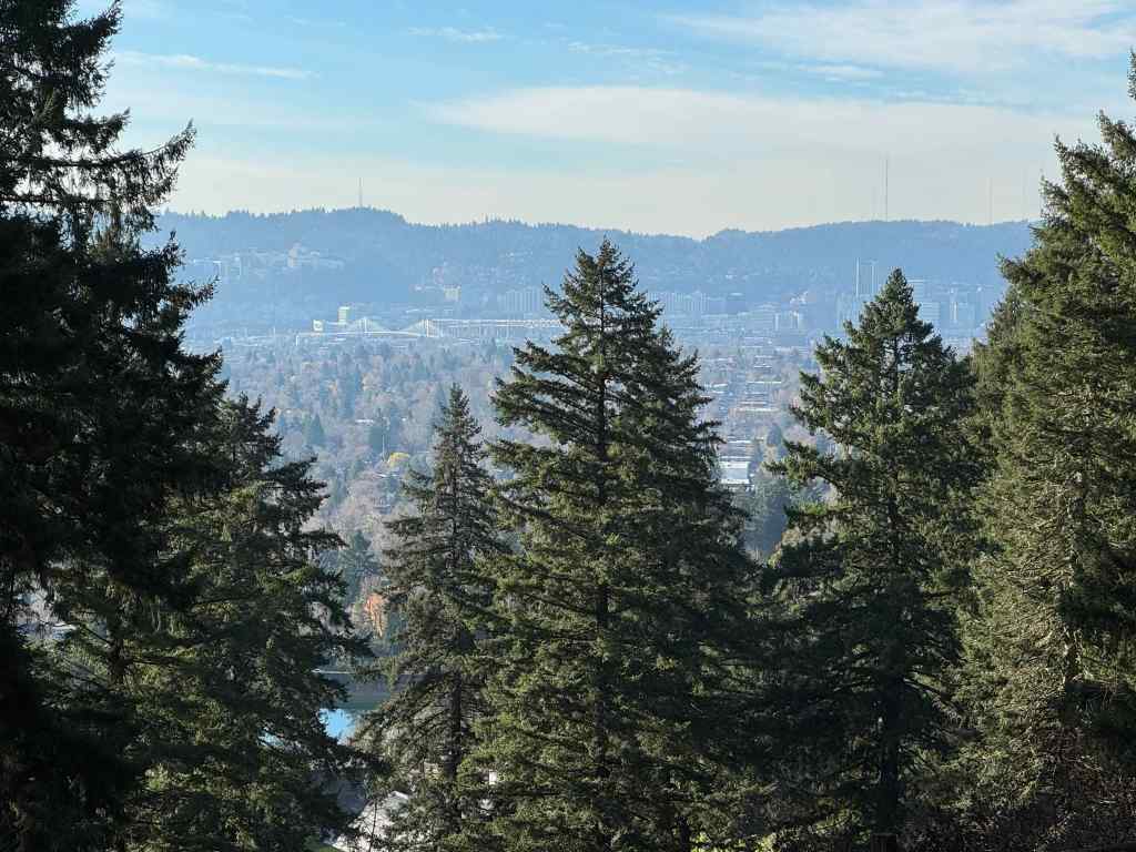
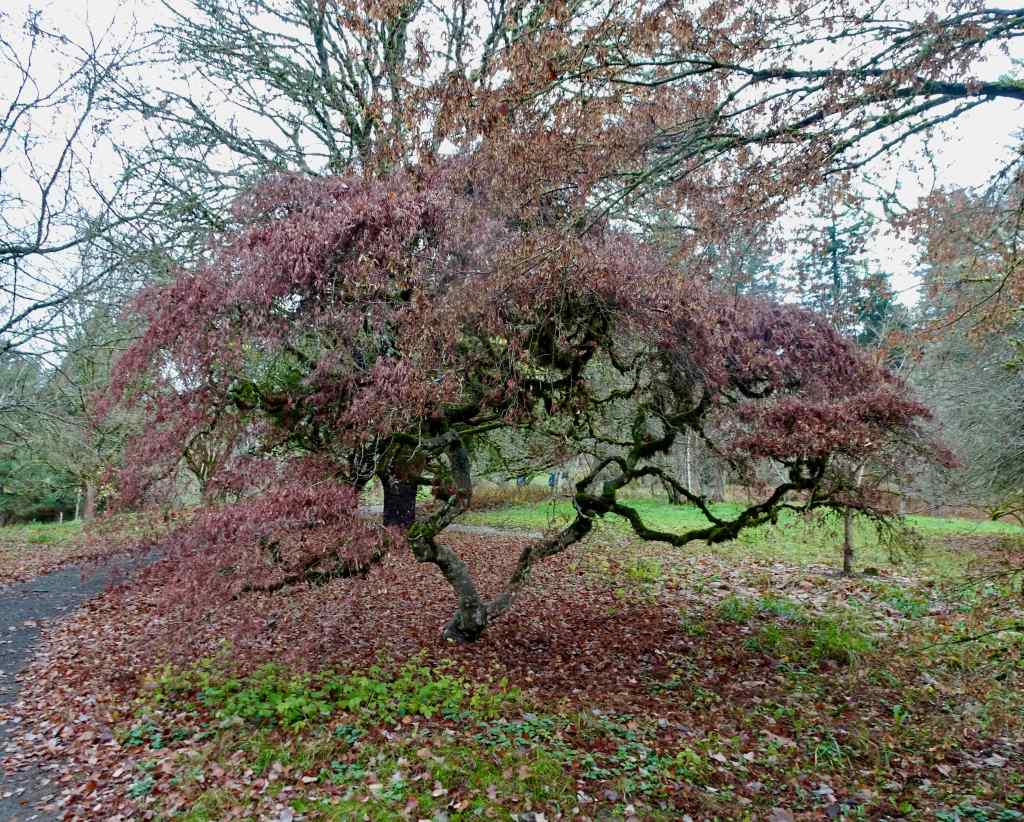
2/15 – Leach Botanical Garden, Portland
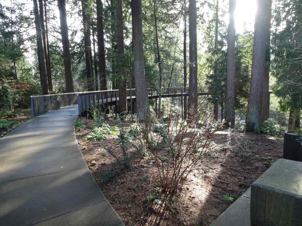
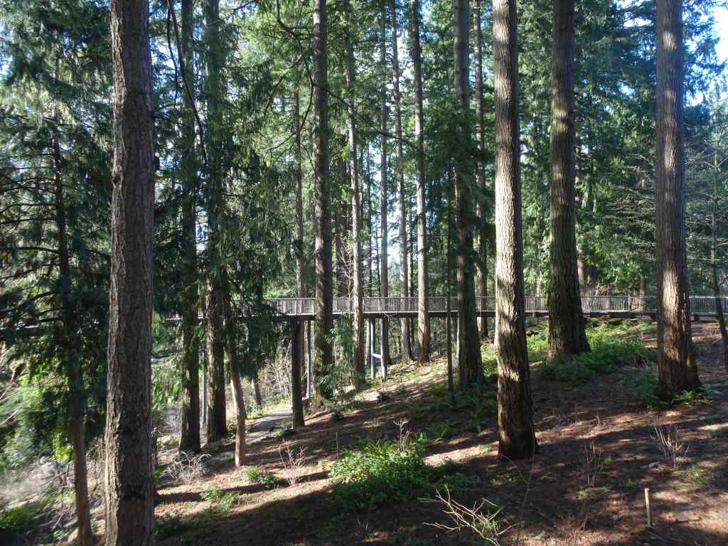
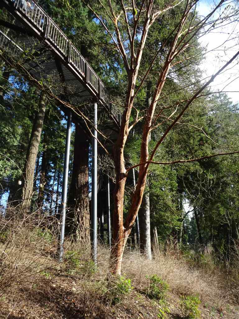
This public garden was gifted to the city of Portland by the estate of John and Lilla Leach. We hadn’t been in many years, but I remember taking my children here when they were young, and walking the stony paths between the plants. There was a bit of a Secret Garden feel to the park. I was aware that there had been a huge remodel and accessibility initiative. There is now a lovely Aerial Walkway that floats through the woodland. Today was our first time to try it. We walked less than a mile in total, as we had a time constraint, and also, my husband was still in recovery mode. Spring flowers were popping in a few beds, with more to come. I hope to return later in the spring to see more flowers.
Entry to Leach GardenAerial walkwayFloating through the forestSome trails pass below the walkway.Trails continue down to Johnson Creek, and to the original stone cottage across the creek.
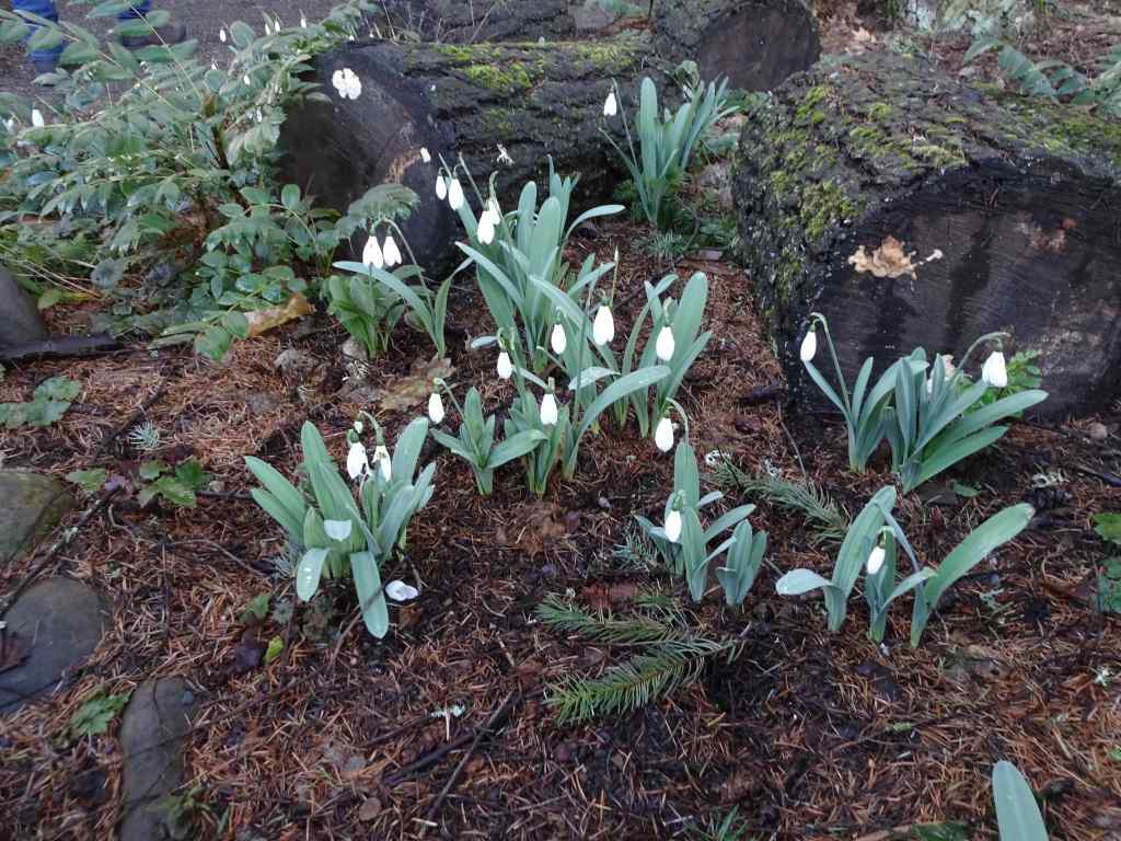
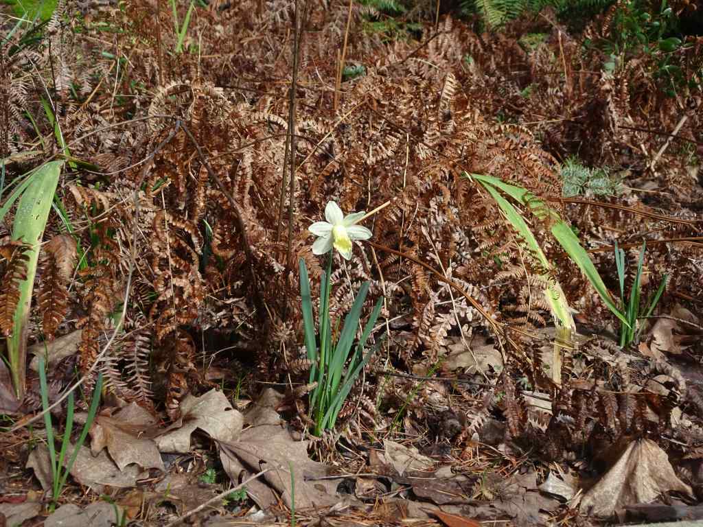
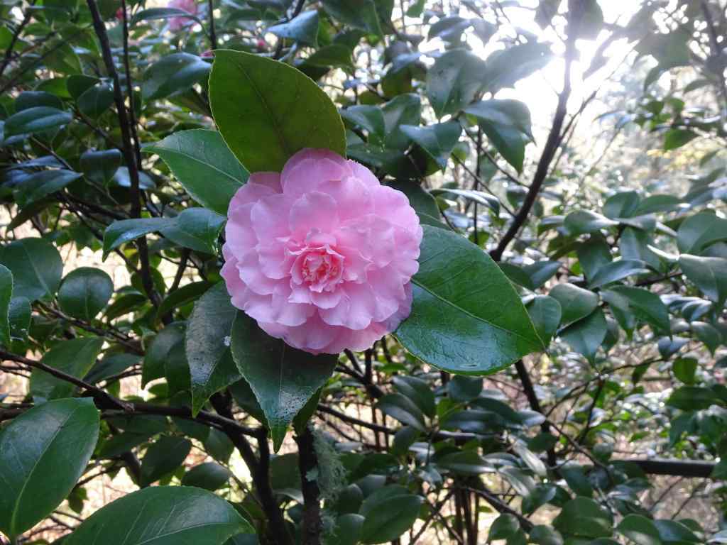
Some flowers in bloom today…
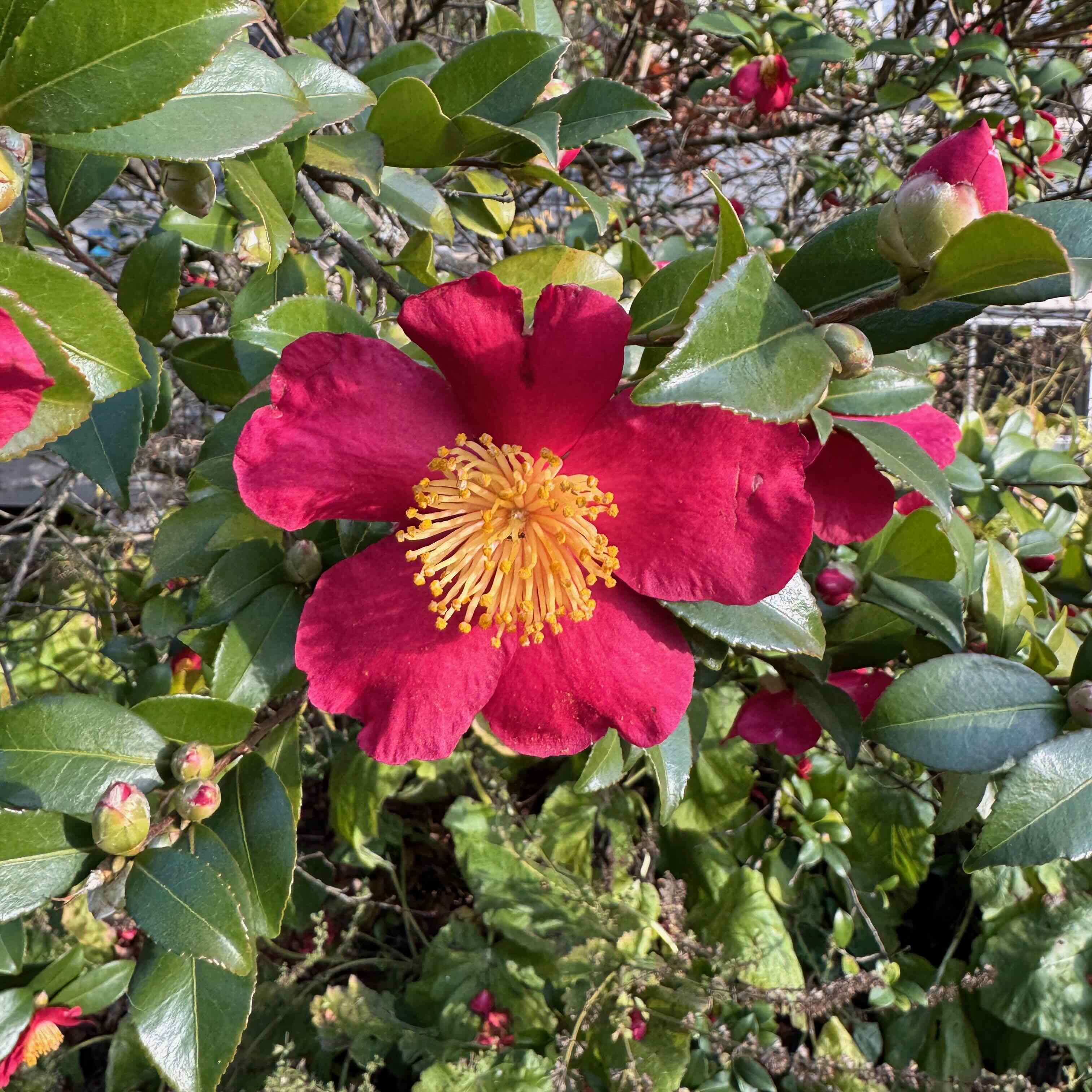
SnowdropsNarcissusCamelliaHellebores
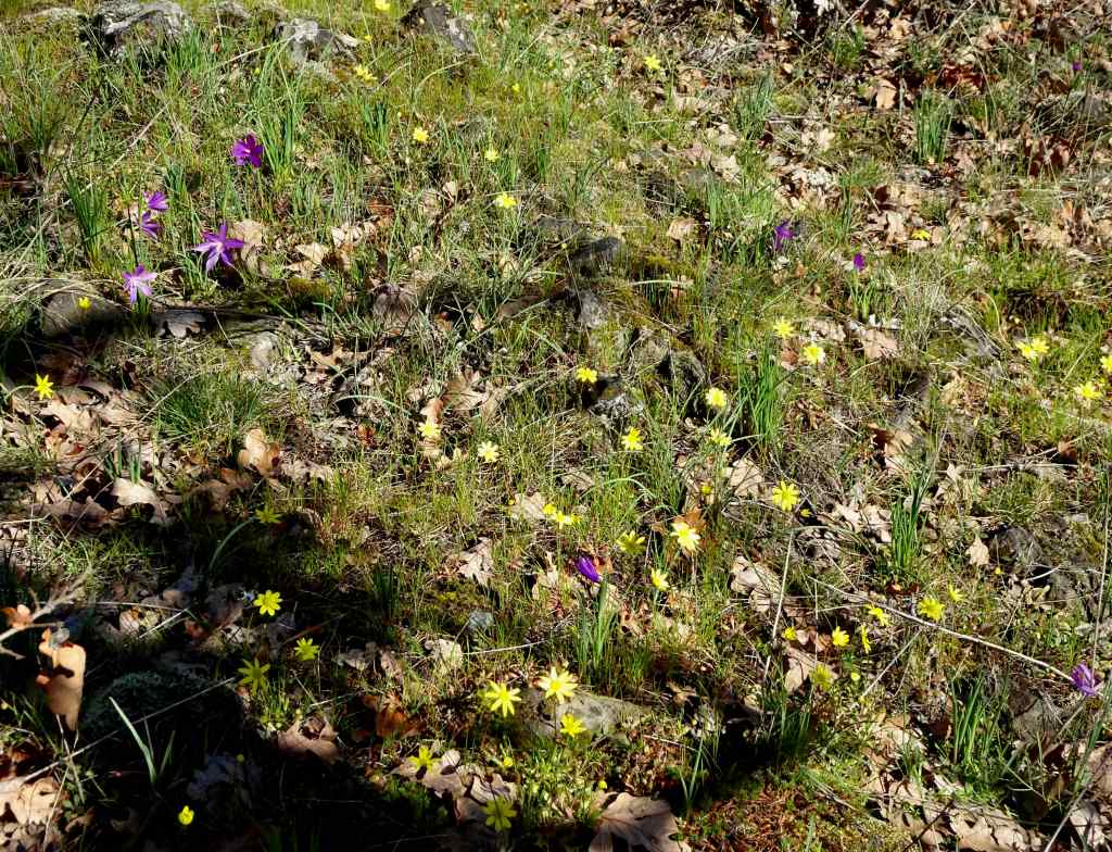
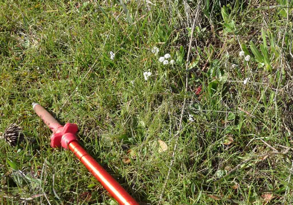
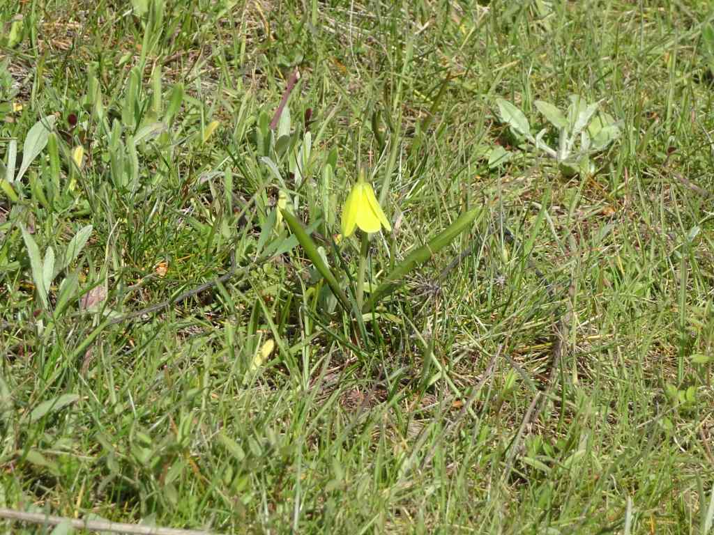
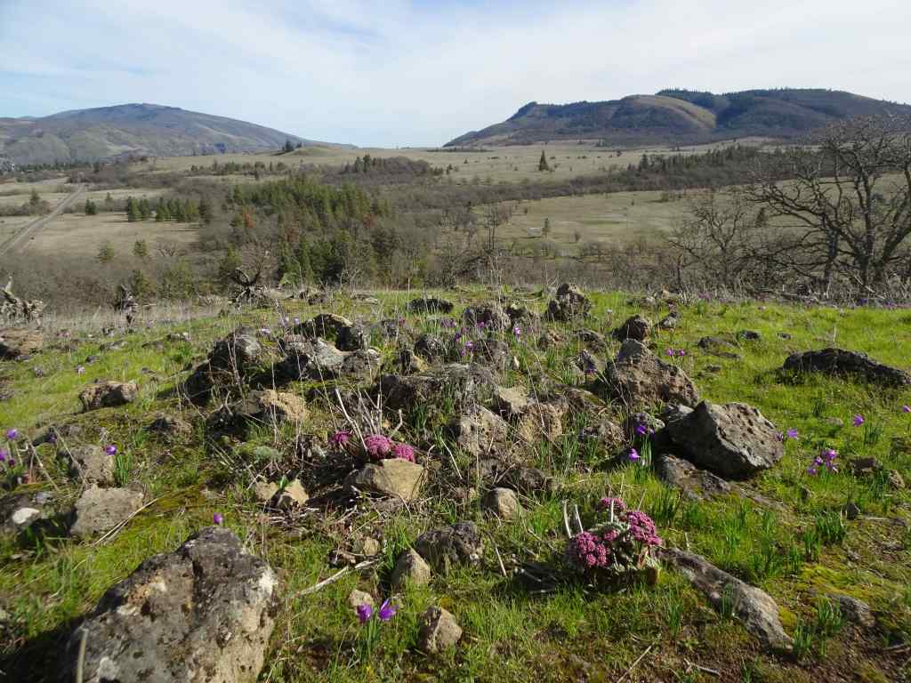
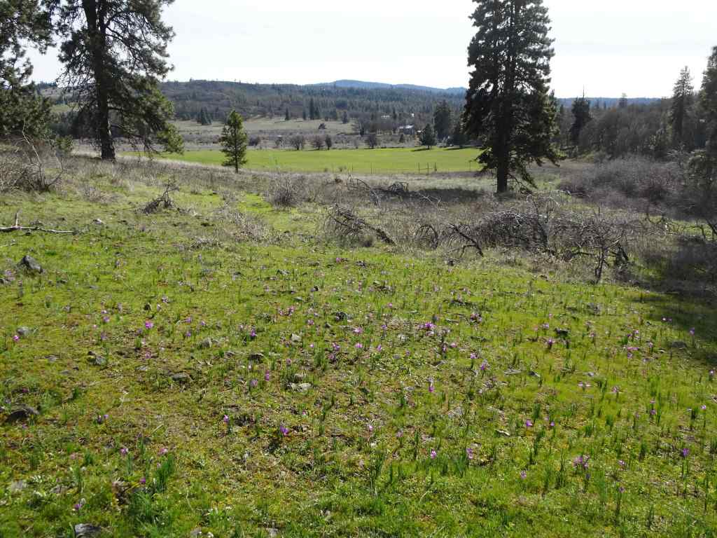
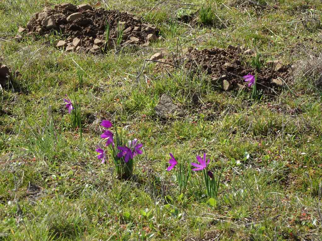
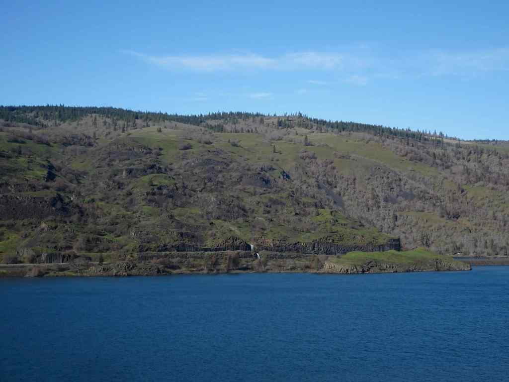
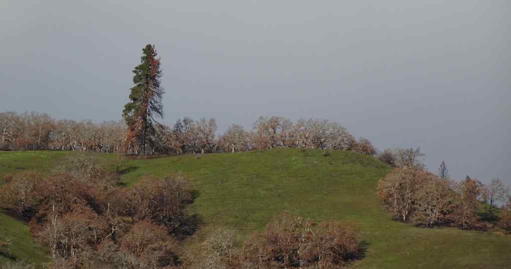
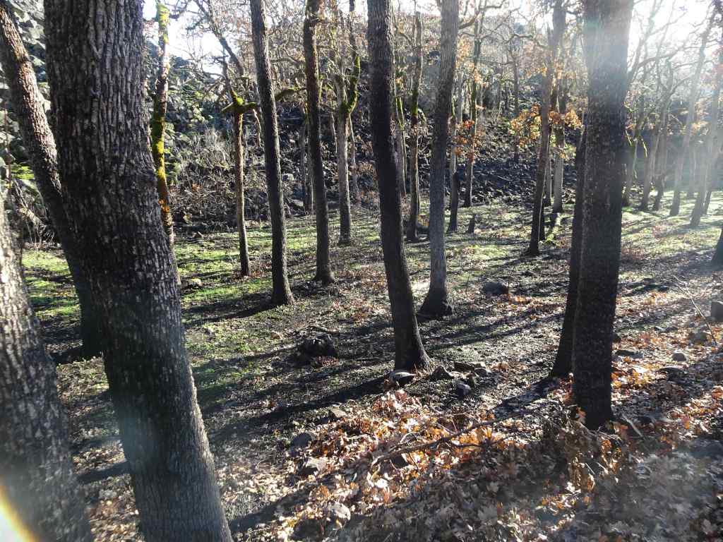
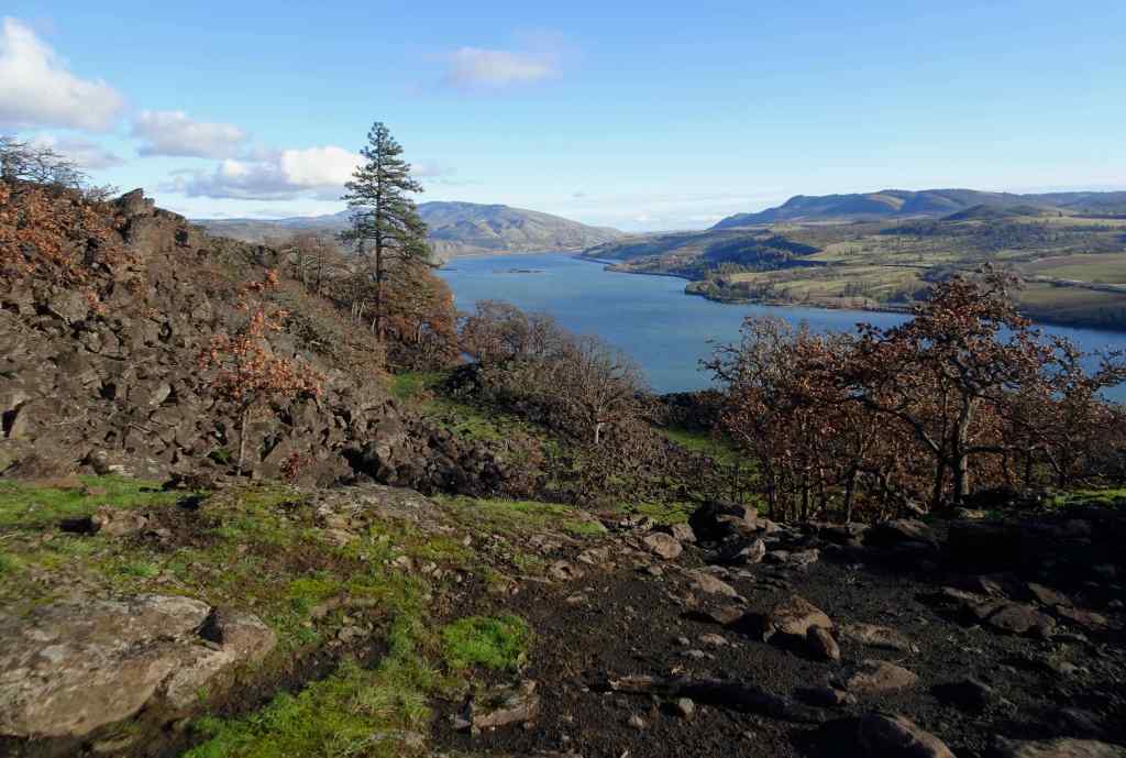
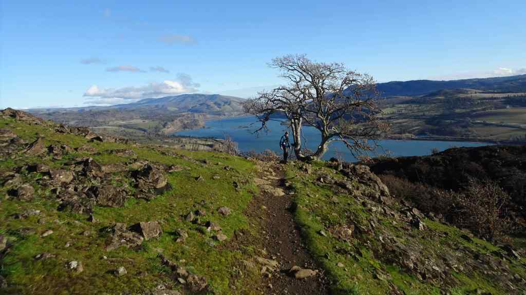
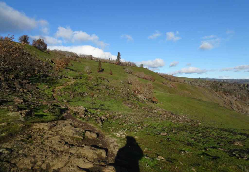
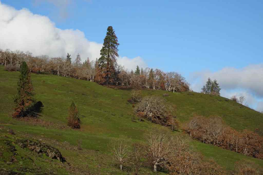
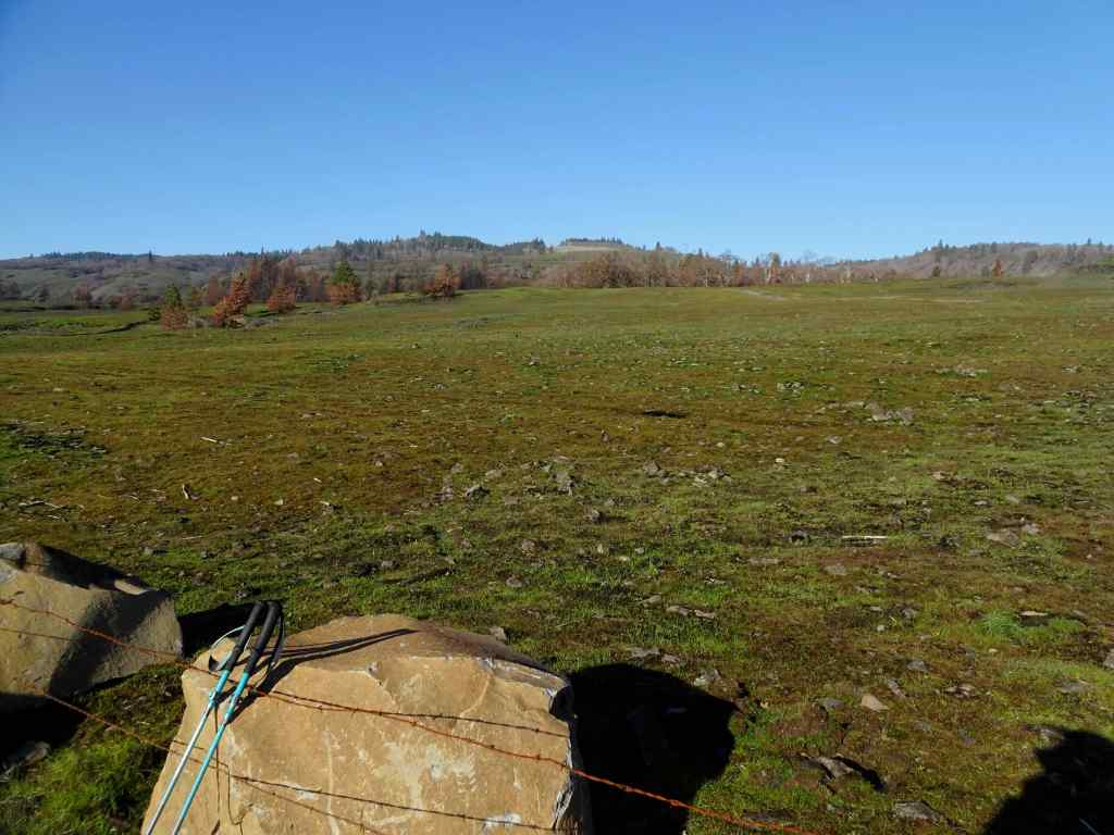
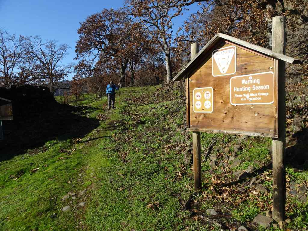
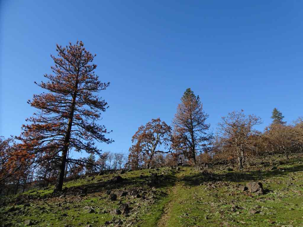
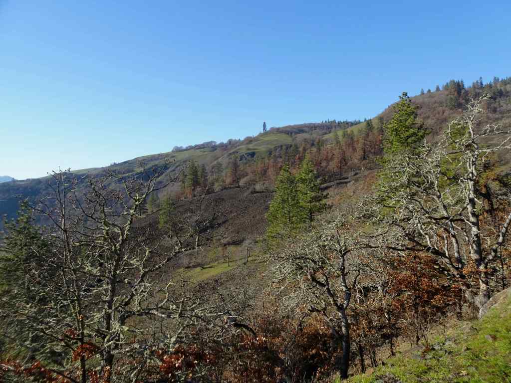
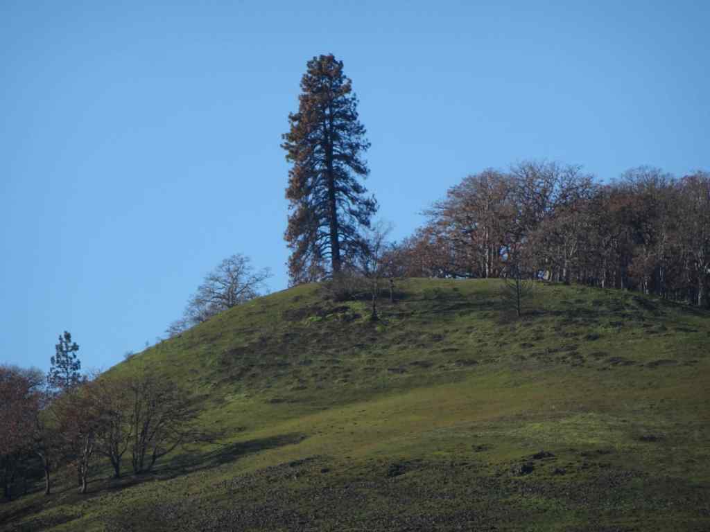
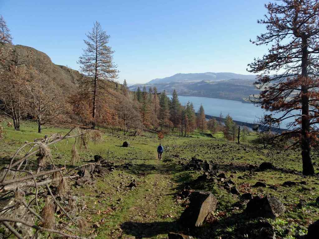
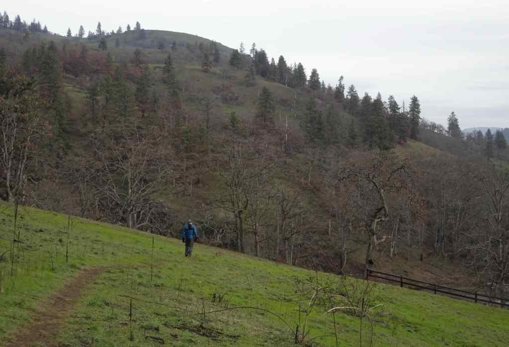
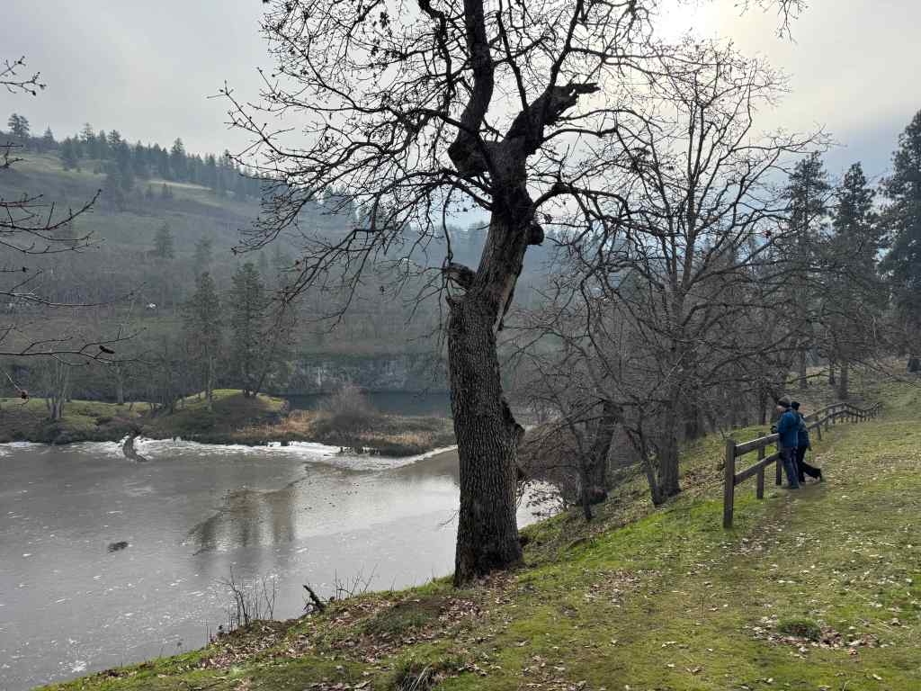
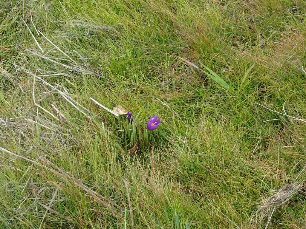
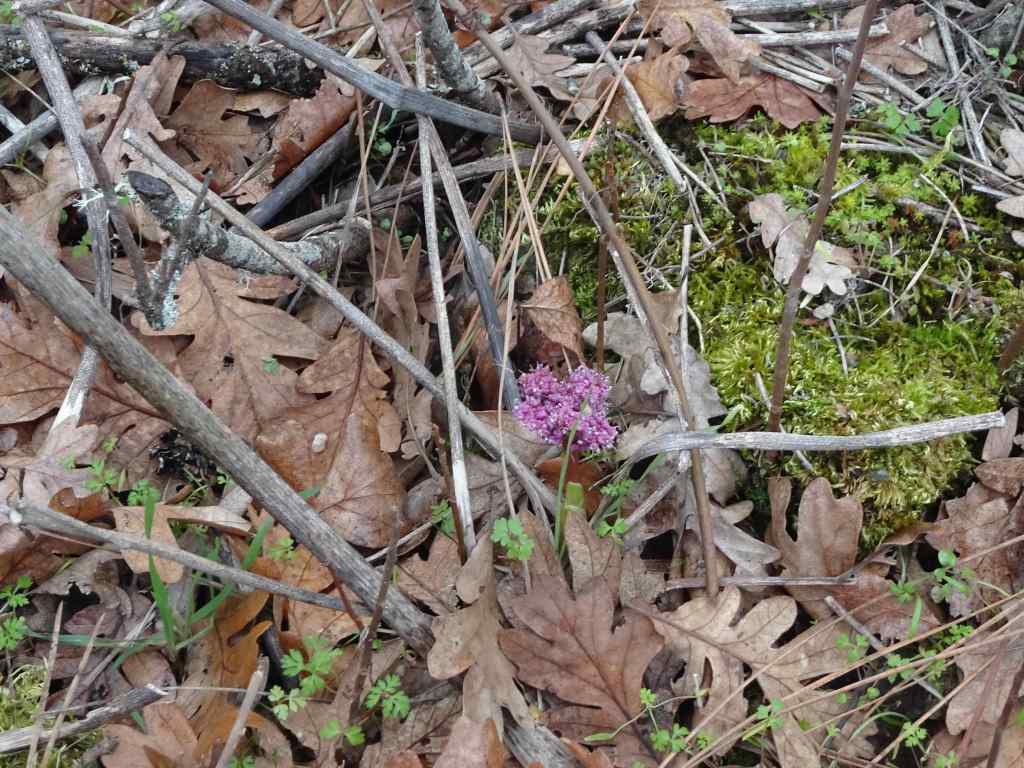
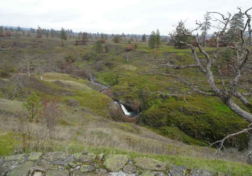
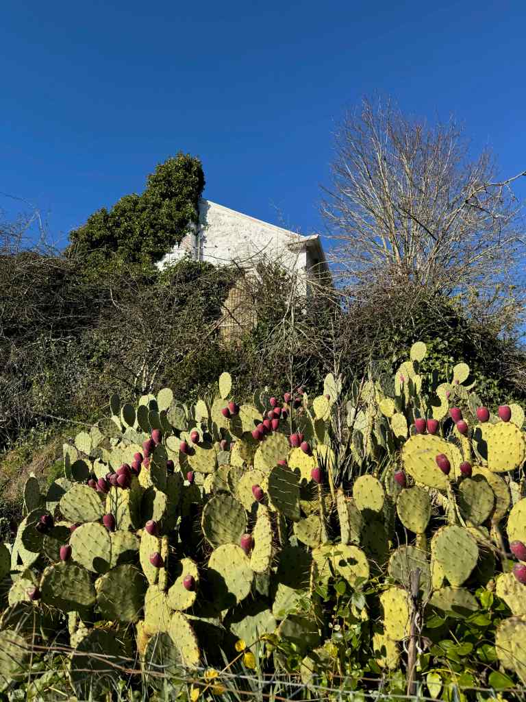
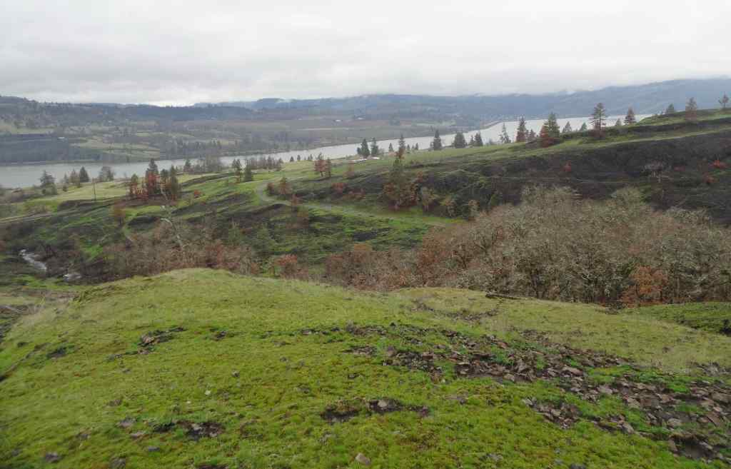
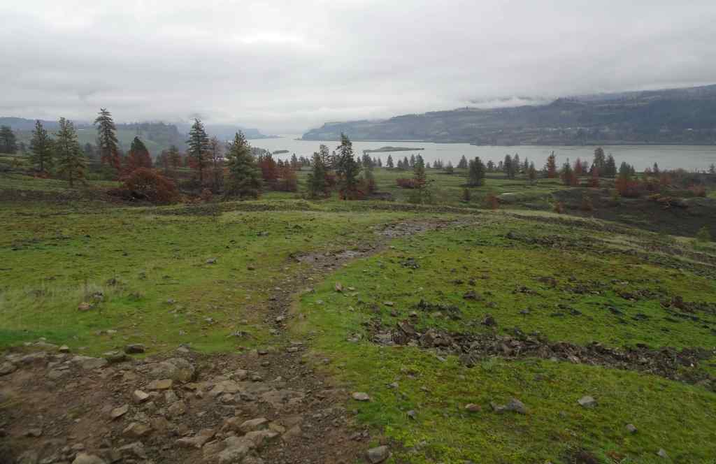
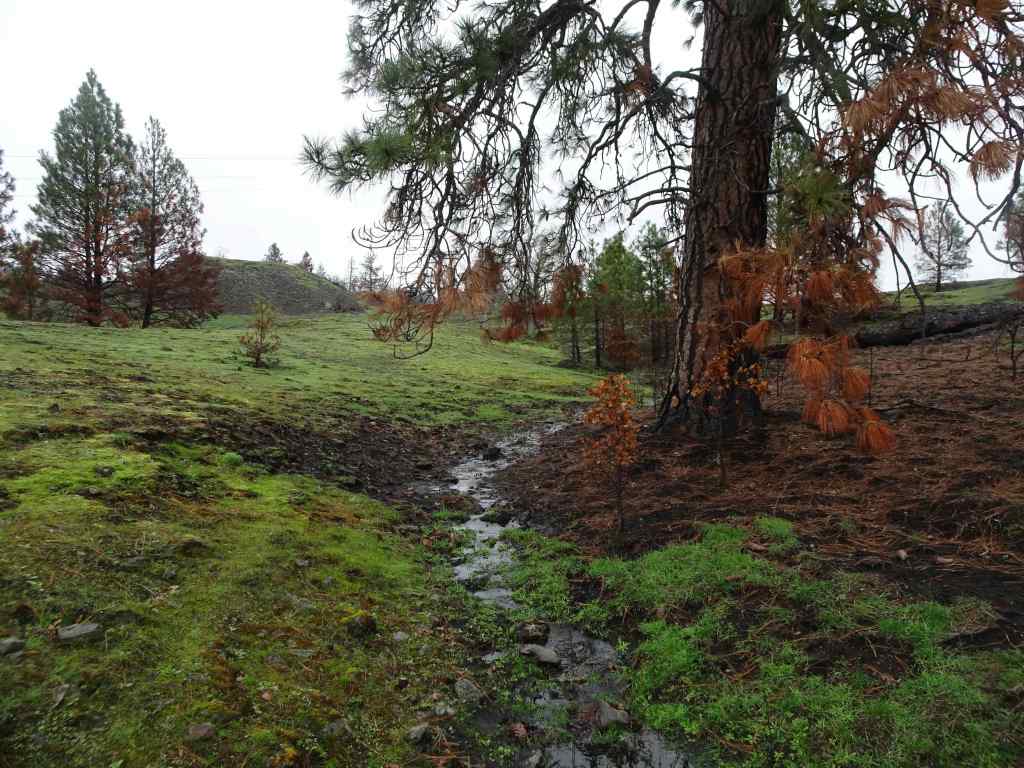
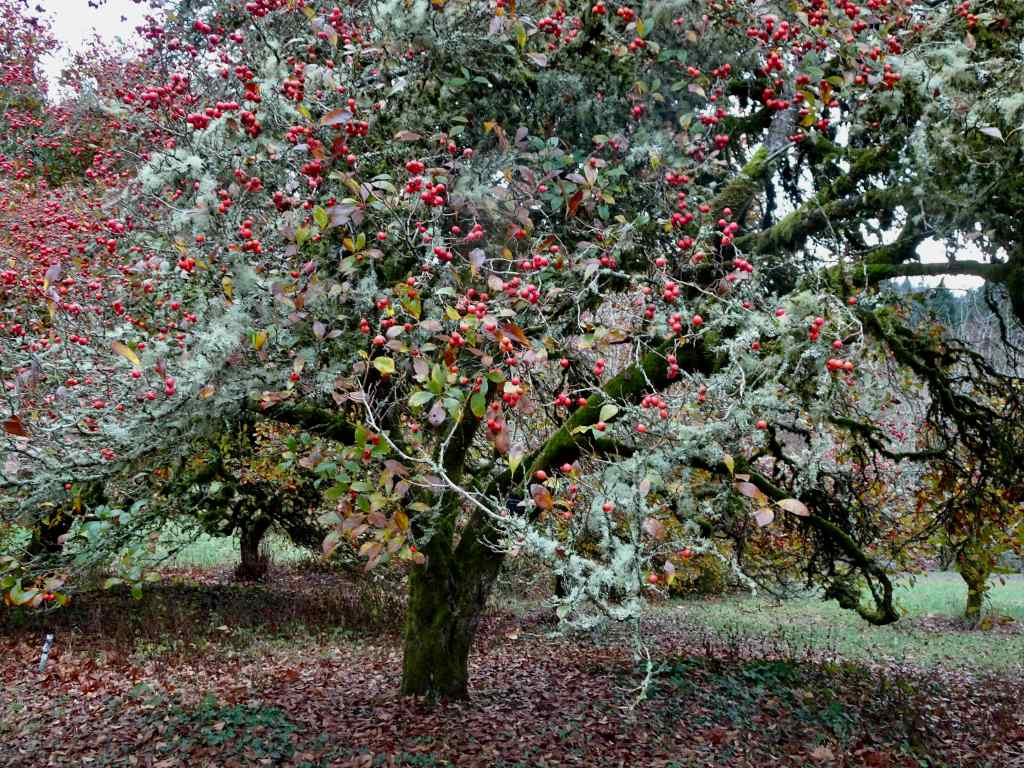
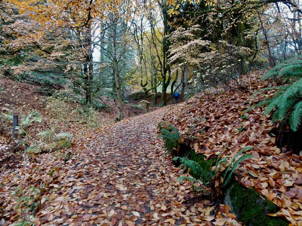
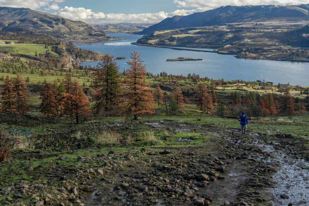
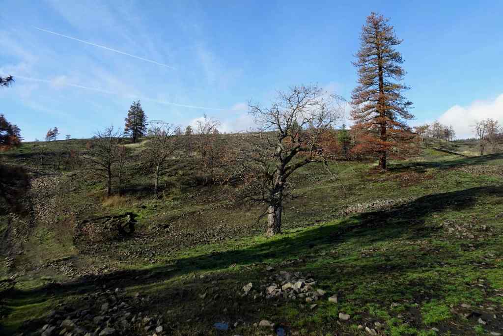
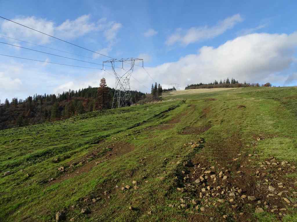
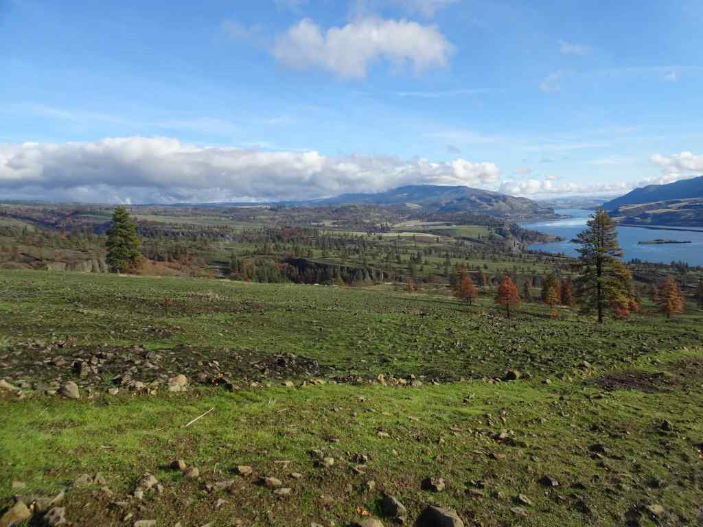
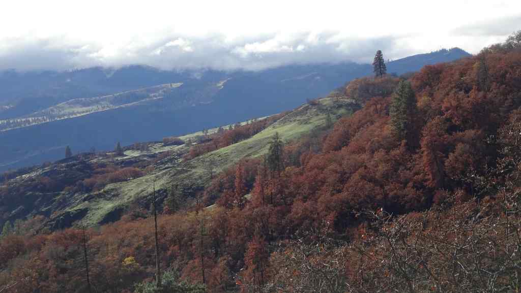
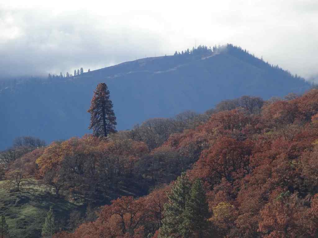
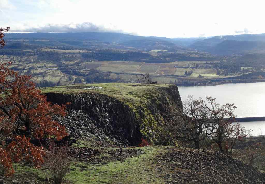
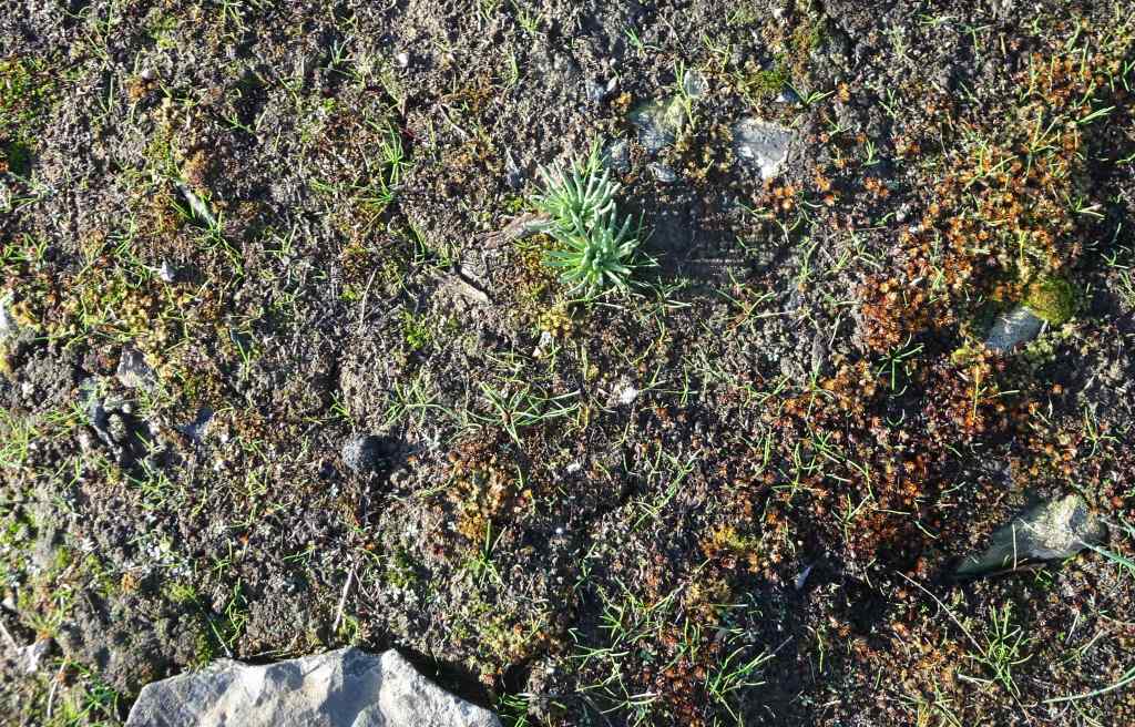
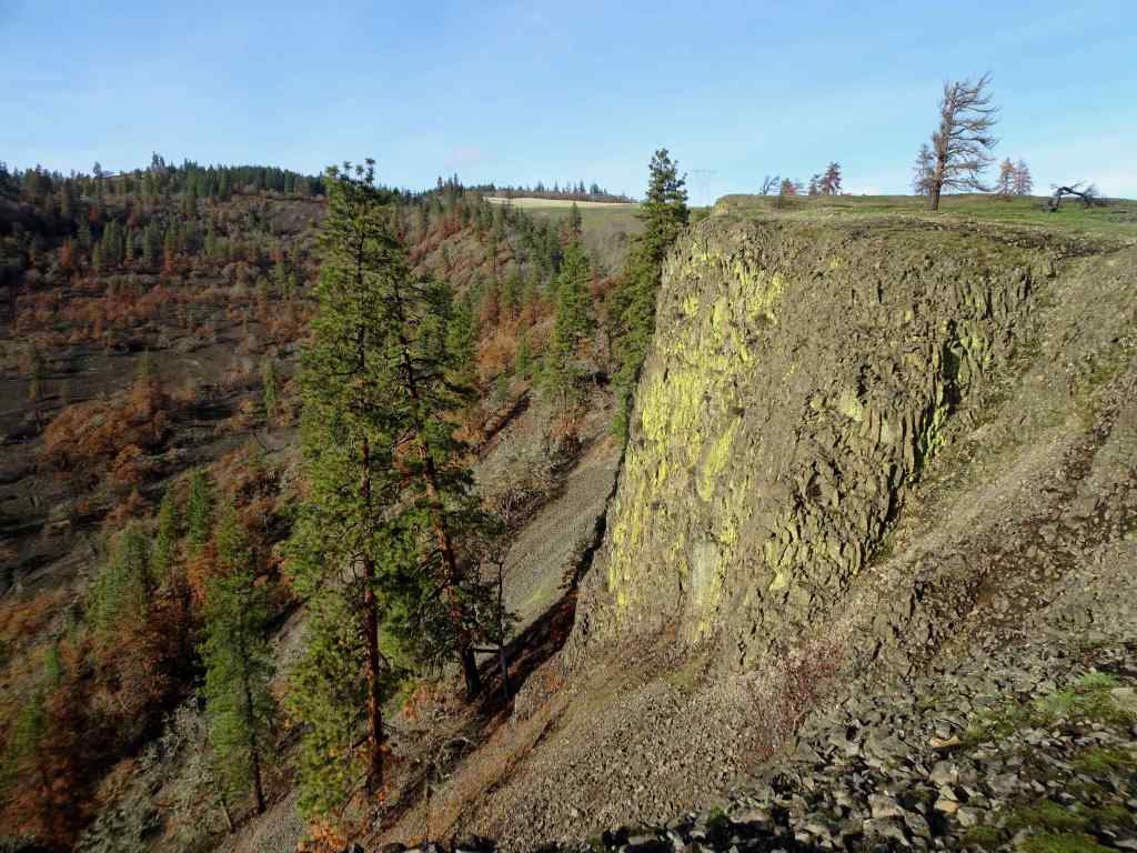
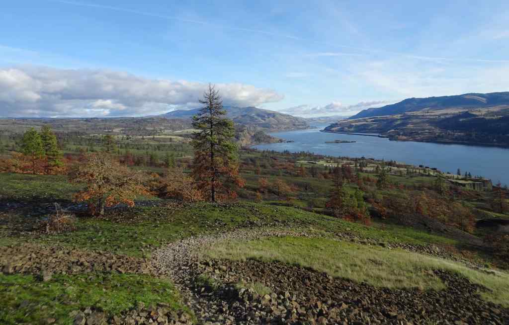
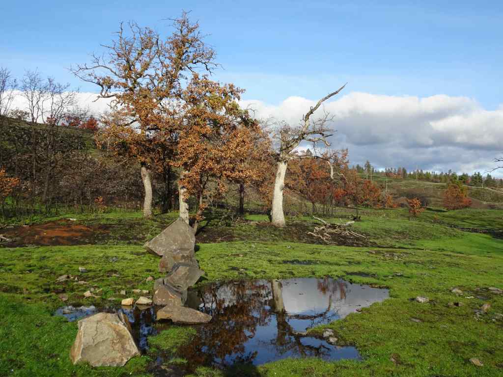
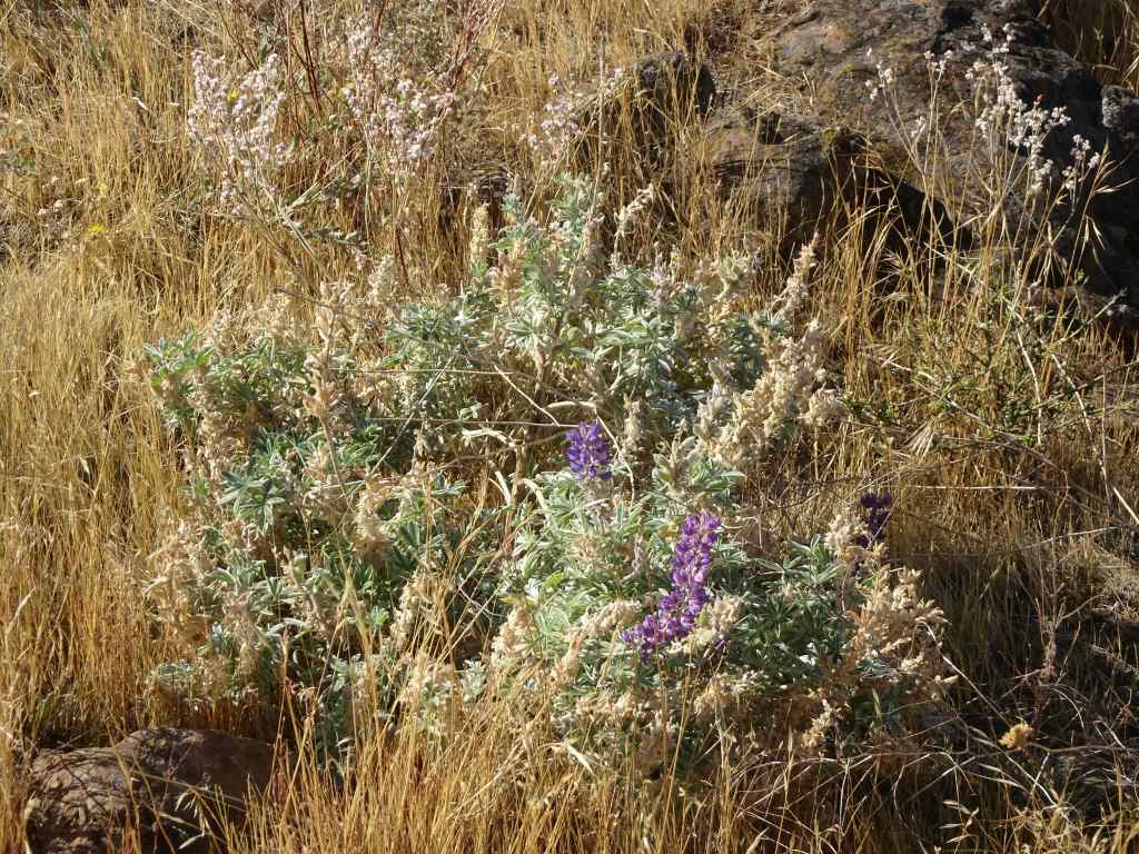
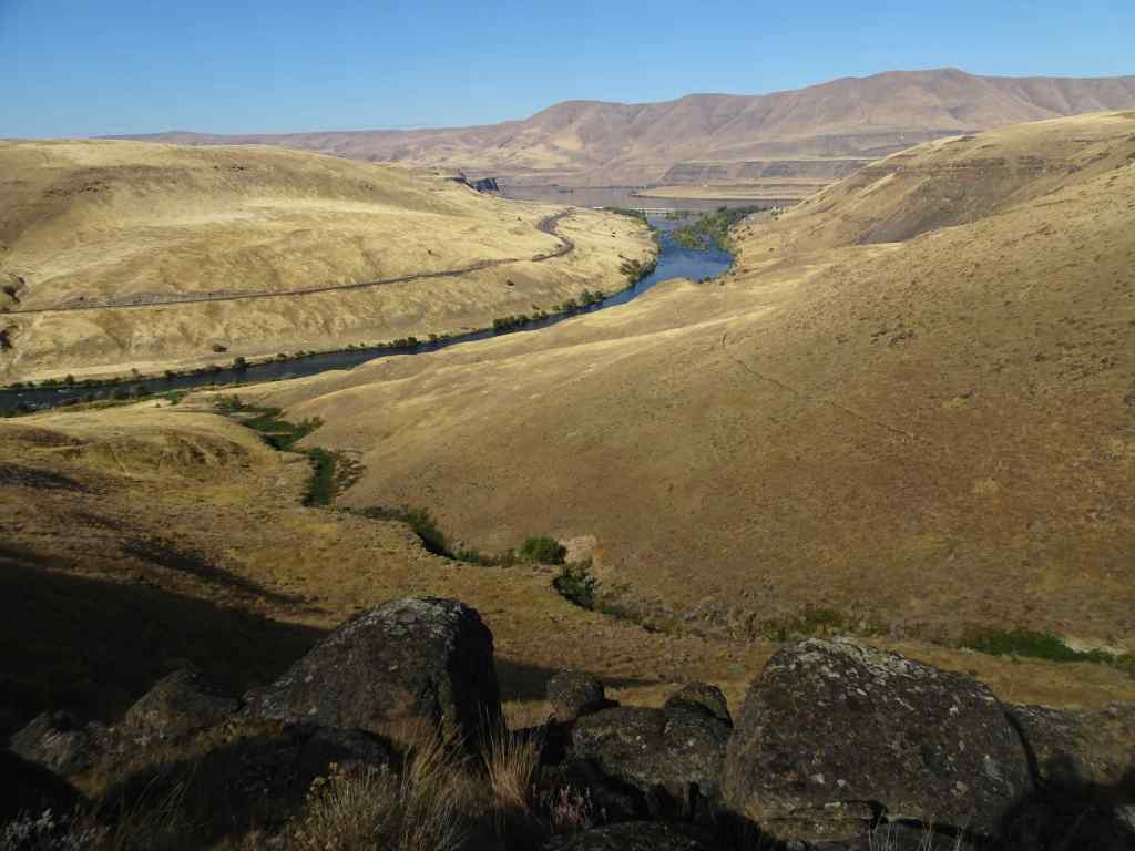
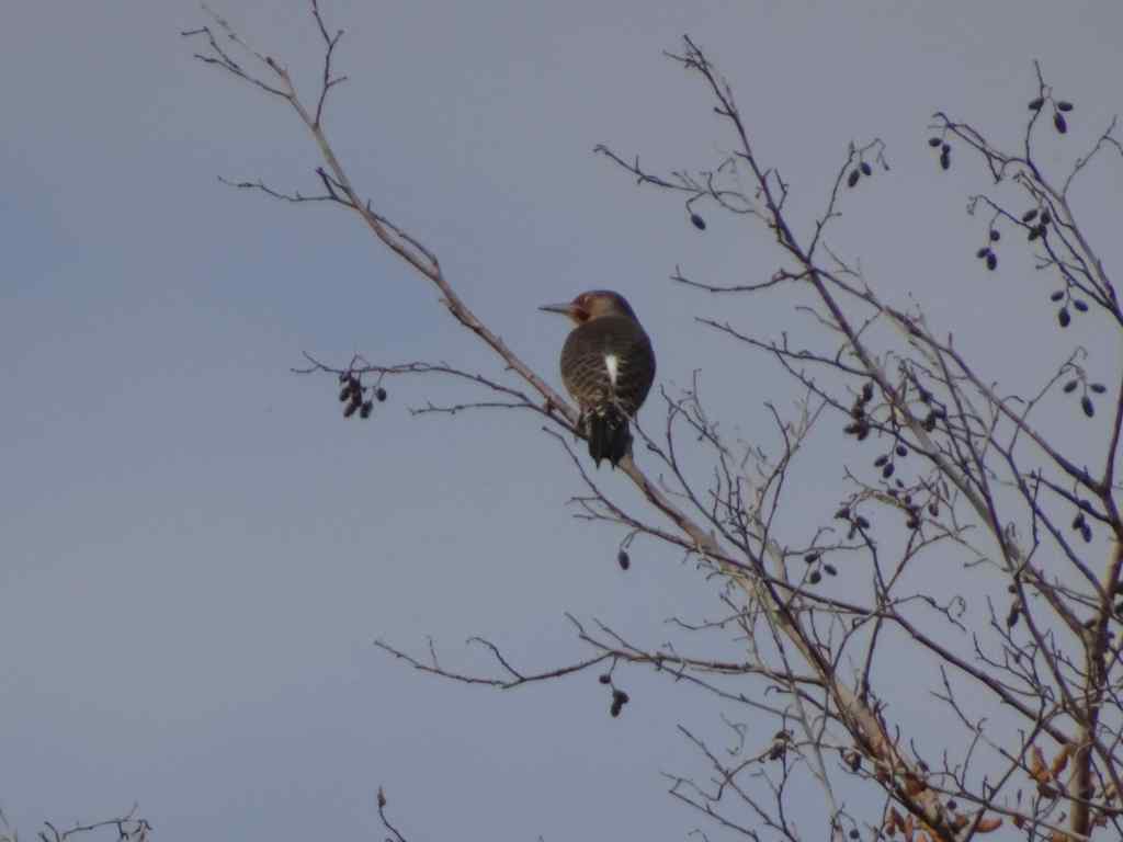
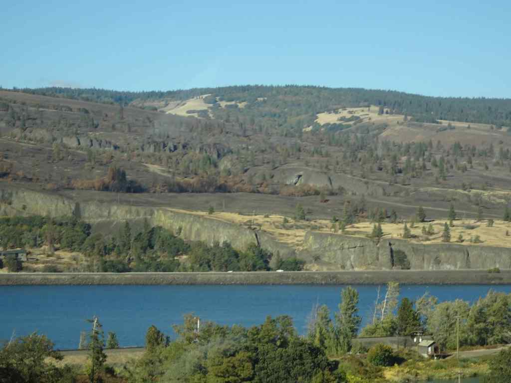
2/26 – Memaloose Hills, Oregon
A windy day in the gorge. Most of this trail is protected from the strongest blasts, and it is a good conditioning hike (3 miles, 550 feet), as we work on our stamina…
Trailhead view across the Columbia RiverGold stars and grass widows on the upward slopesGrass widowSalt and pepper parsleyYellow bellView of the gorge and Mt Adams from the top of Chatfield HillMt Adams
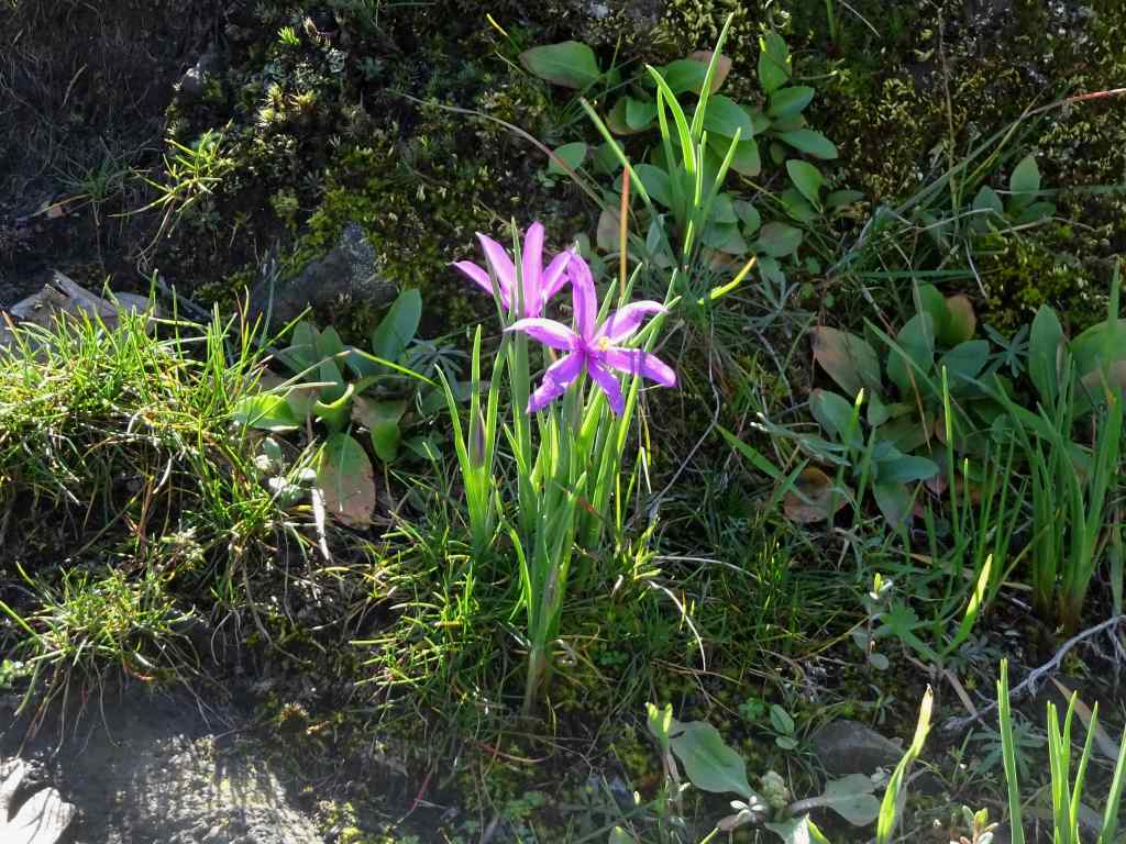
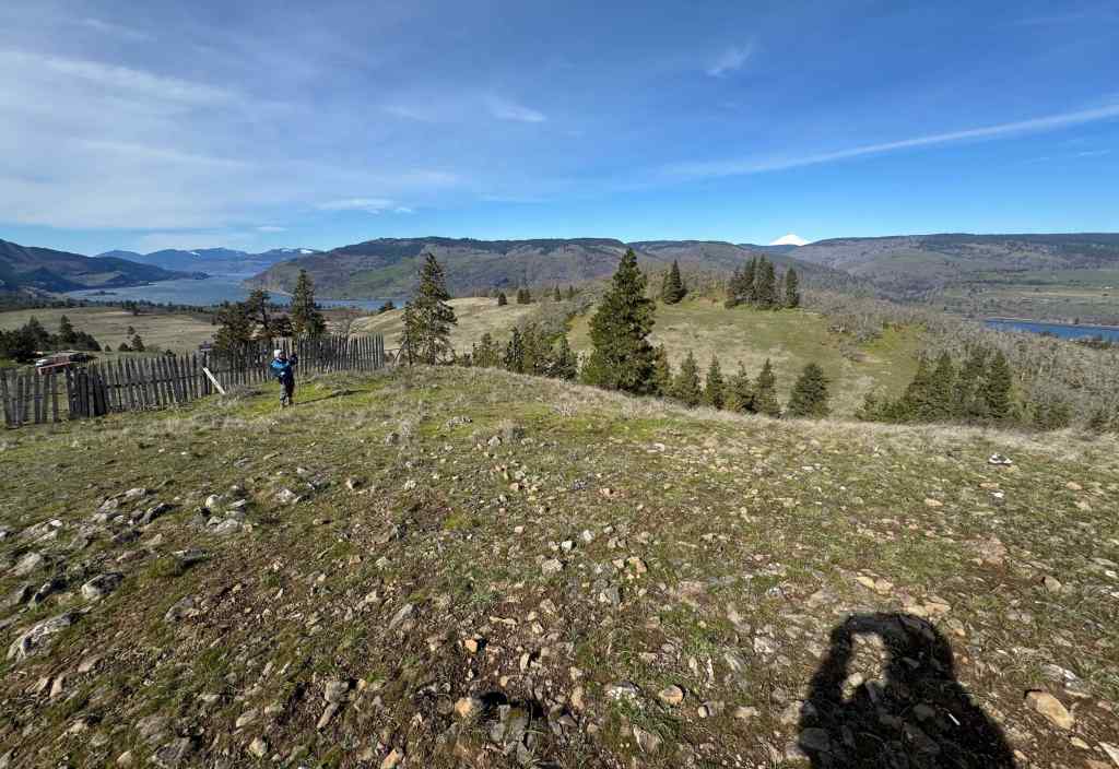
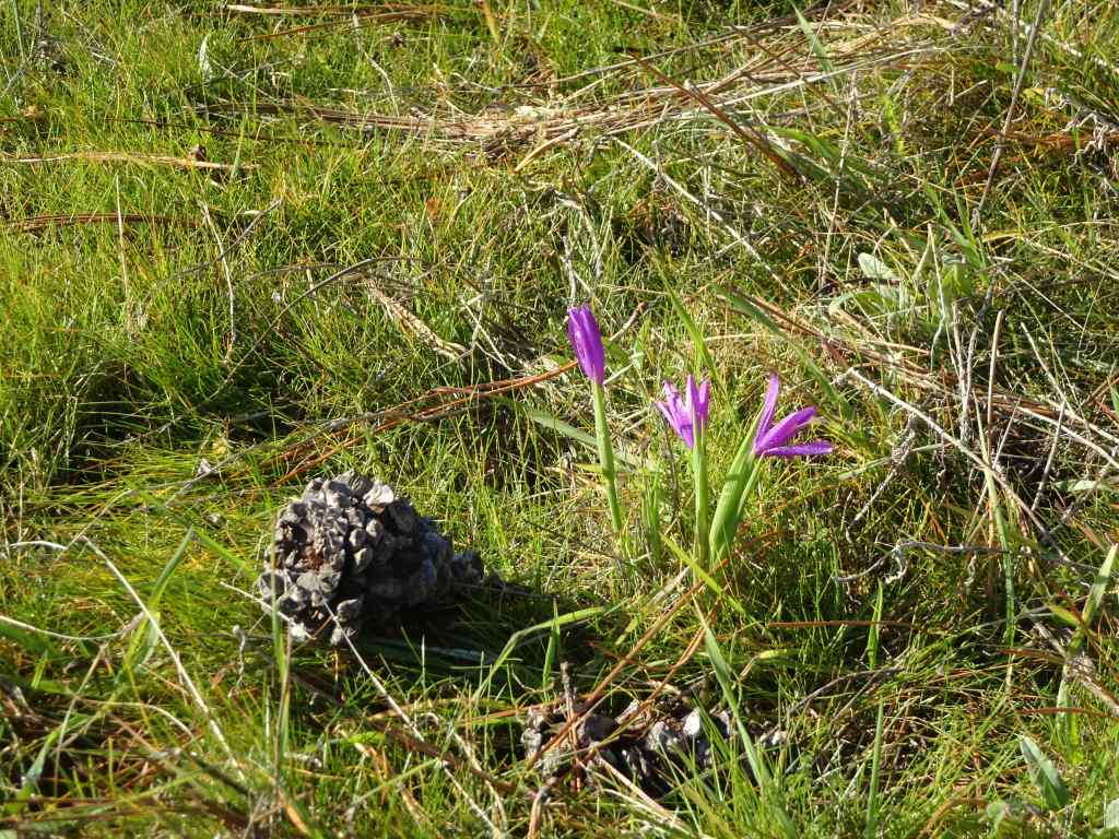
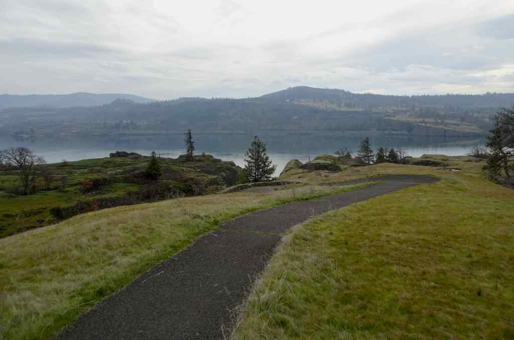
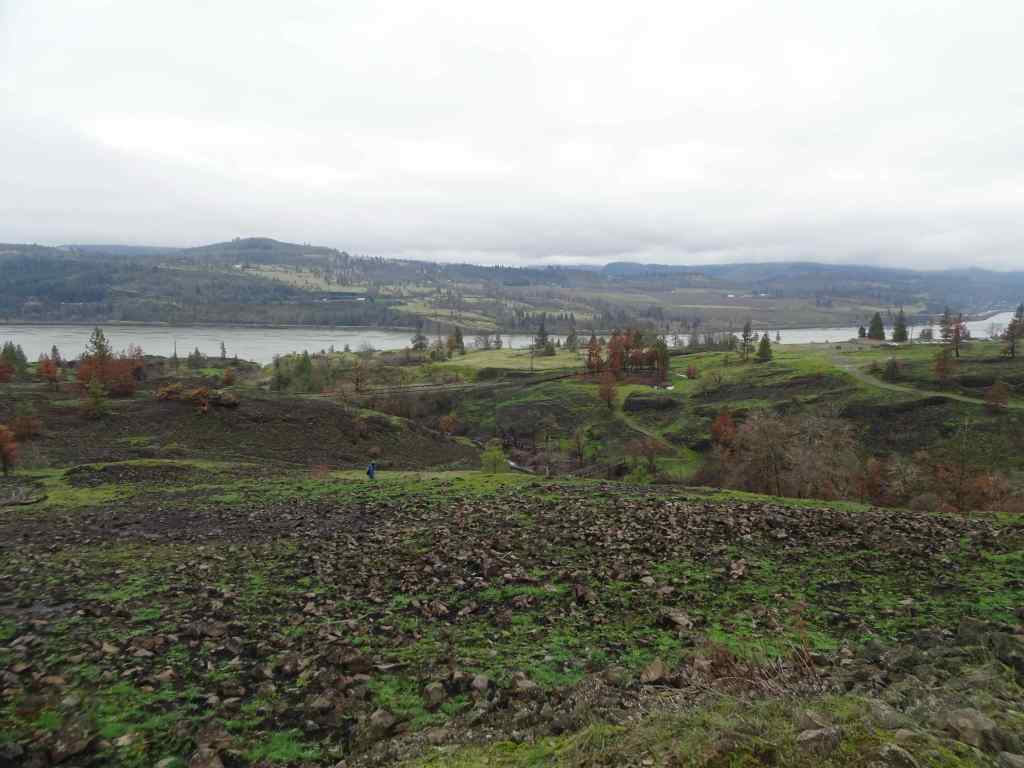
We continued the loop that circles over the top of Marsh Hill…
Nearing the top of Marsh HillView eastward from the top of Marsh Hill toward Tom McCall Point, with Columbia Desert parsley and grass widows among the rocks.Swales of grass widows just beginning to bloom.Grass widows
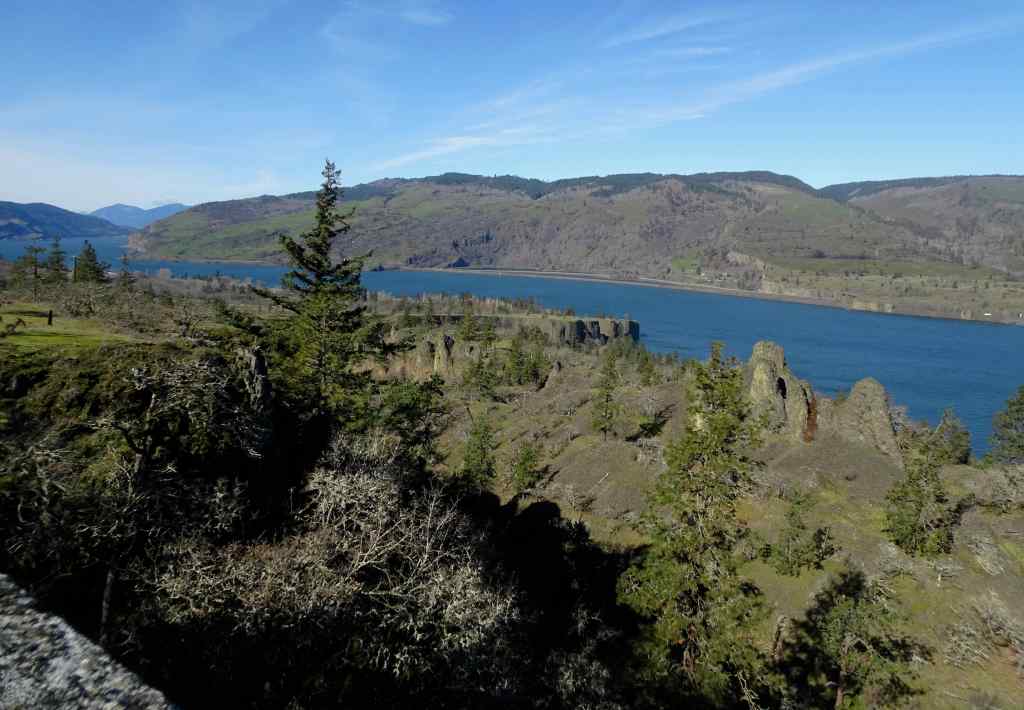
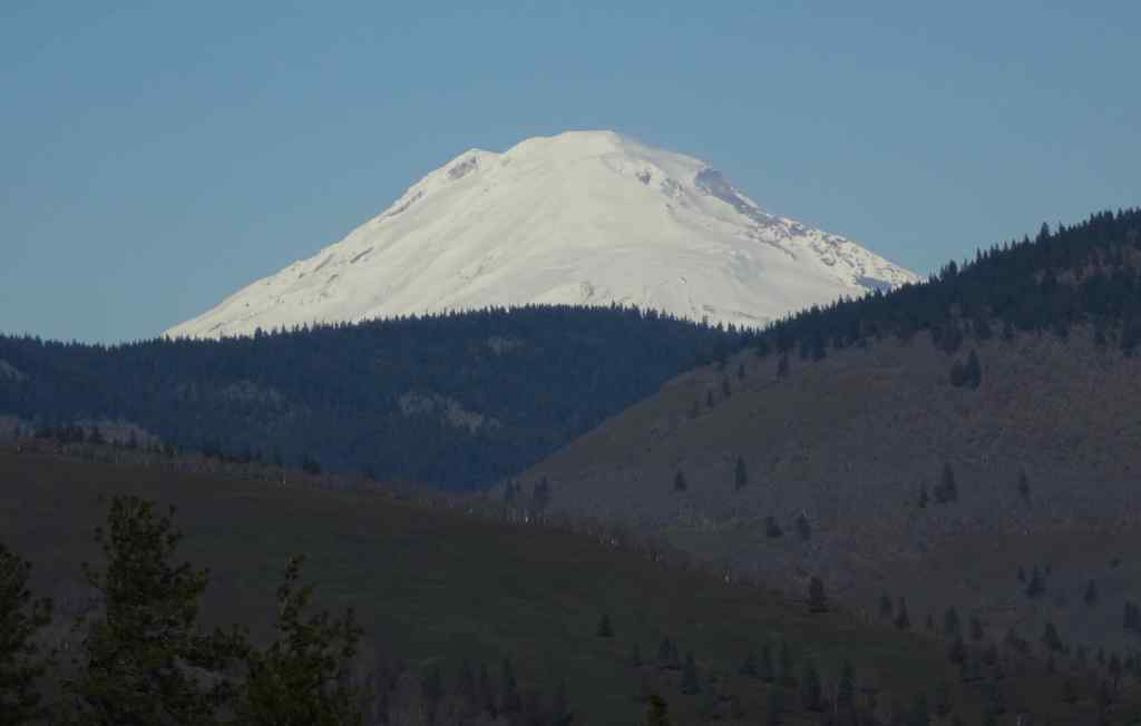
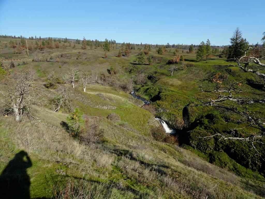
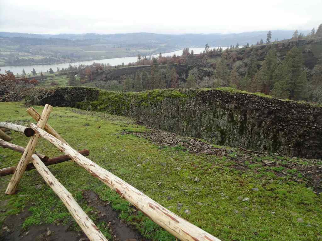
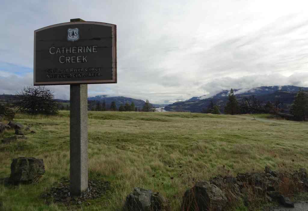
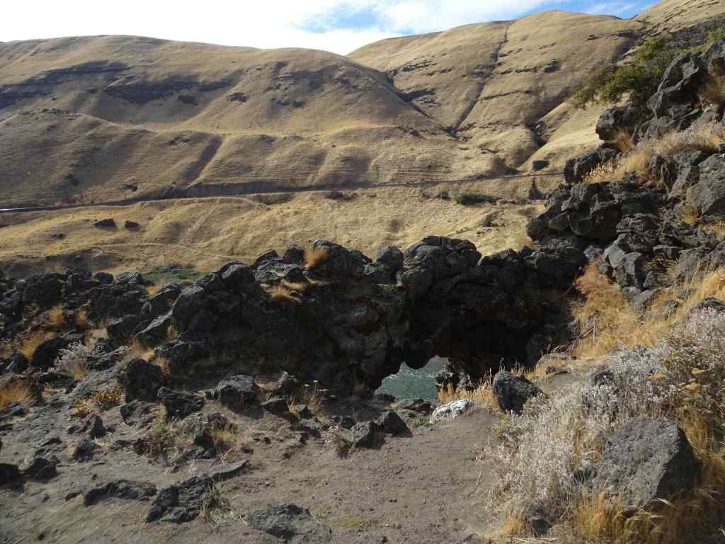
On the drive back toward Mosier, we stopped for a view to the north, to look at the greening slopes of the Coyote Wall and Catherine Creek areas, all burned last summer by the Burdoin Fire.
Coyote Wall, Little MauiThe Labyrinth
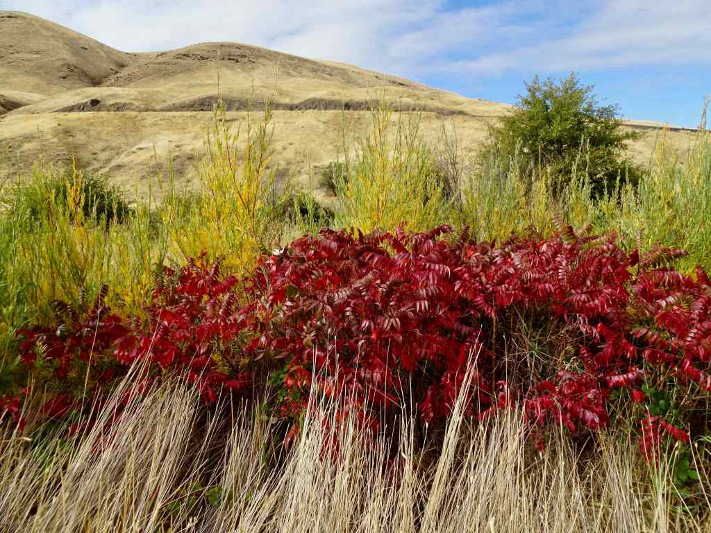
The good news is that, despite all the chaos in the political world, the flowers of spring are blooming again this year in the Columbia River Gorge!
I began February with a lighter heart, having reconnected with many family members in Eugene at the end of January. Cold weather, rain, not enough snow in the mountains, and a week-long interruption due to a (now resolved) medical emergency derailed some of our plans, but on we go…
Knitting and sewing
I spent several days in hospital rooms, keeping my husband company as he was treated for a sudden bad reaction to a medication he was taking. All is well now, and he is recovered, but I spent many hours sitting, and knitting serious/whimsical hats for sock monkeys, and other small creatures. These are in homage to the Resistance Hats that were worn by Norwegians during the Nazi invasion, and now are made by Minnesotans and other knitters, as anti-ICE symbols. I bought the pattern, with proceeds going to help people hurt by ICE. In the meantime, while I was distracted and worried, knitting these little hats kept my hands and part of my brain busy. We have a display of sock monkeys in our window, leftover from early pandemic solidarity, and now they have joined the resistance.
I began with a couple of the sock monkeys and the Emotional Support Chicken.I found a small amount of green yarn, enough to make a couple of Portland Frog hatsAnd then added a few more, including a Pussy Hat for good measure.Window display
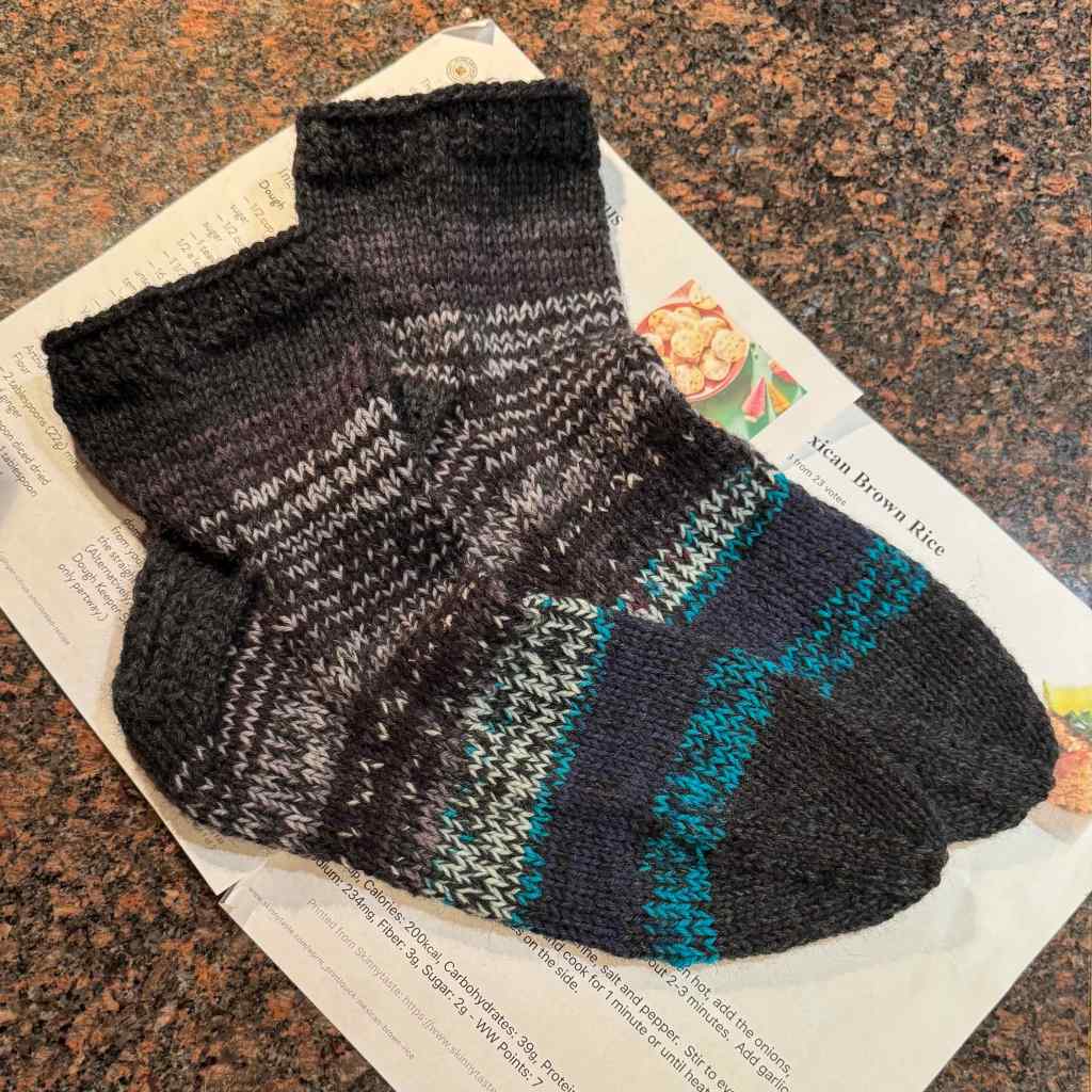
I also finished a pair of socks.
Artist Garden Socks, Mostly scrap yarn.
And I actually sewed with my sewing machine for the first time in a while. I made a travel kimono robe.
New kimono Robe
Books
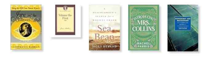
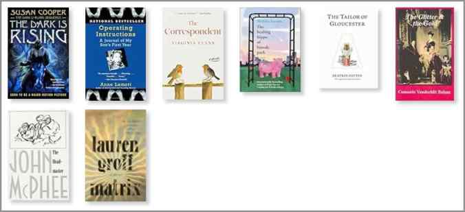
I finished five books in February, including three in the Jane Austen-esque category.
February Books
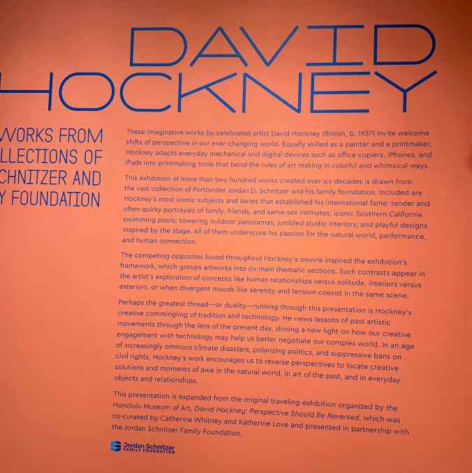
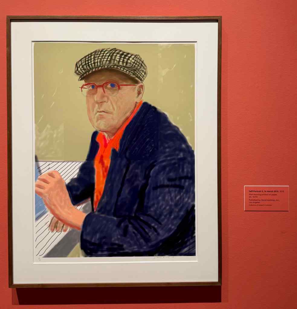
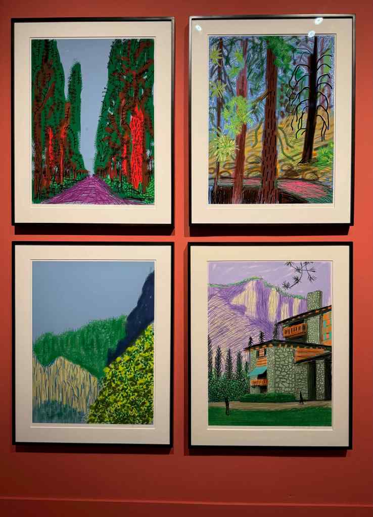
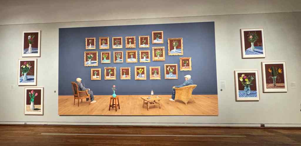
2-17– Museum Day – David Hockney Exhibit at the Portland Art Museum
I was not previously familiar with David Hockney, but now I am so impressed with his body of work! The exhibit follows his life, from British art school student to American icon. His art follows his curiosity, into new mediums and subject matter. The impact of anti-homosexual laws in England, the loss of many people to AIDS (bouquets and chairs); portrait, still life, abstract, and landscape images, including one of my favorite places – Yosemite. The work varies from traditional art materials to modern iPad drawings and videography.
Exhibit IntroductionDavid Hockney, Self Portrait, 2012, iPad on Paper
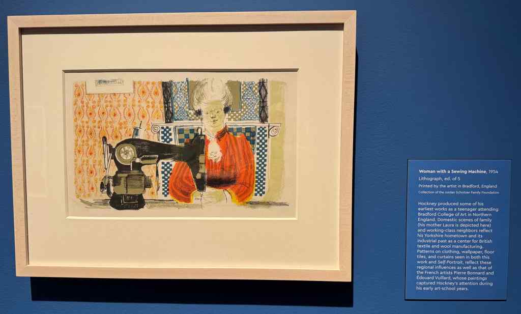
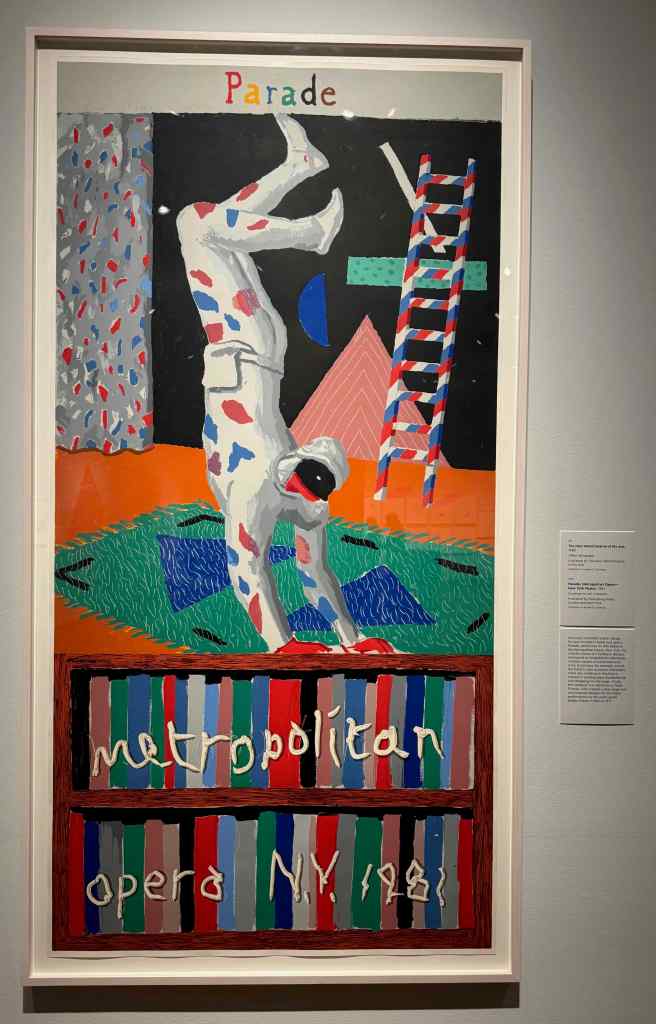
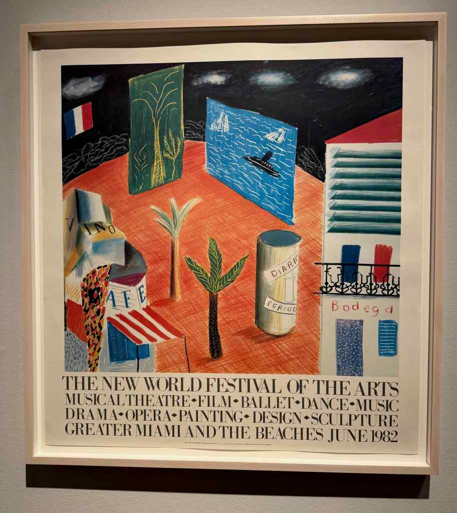
Below are some of my favorites of his earlier works, created with traditional media:
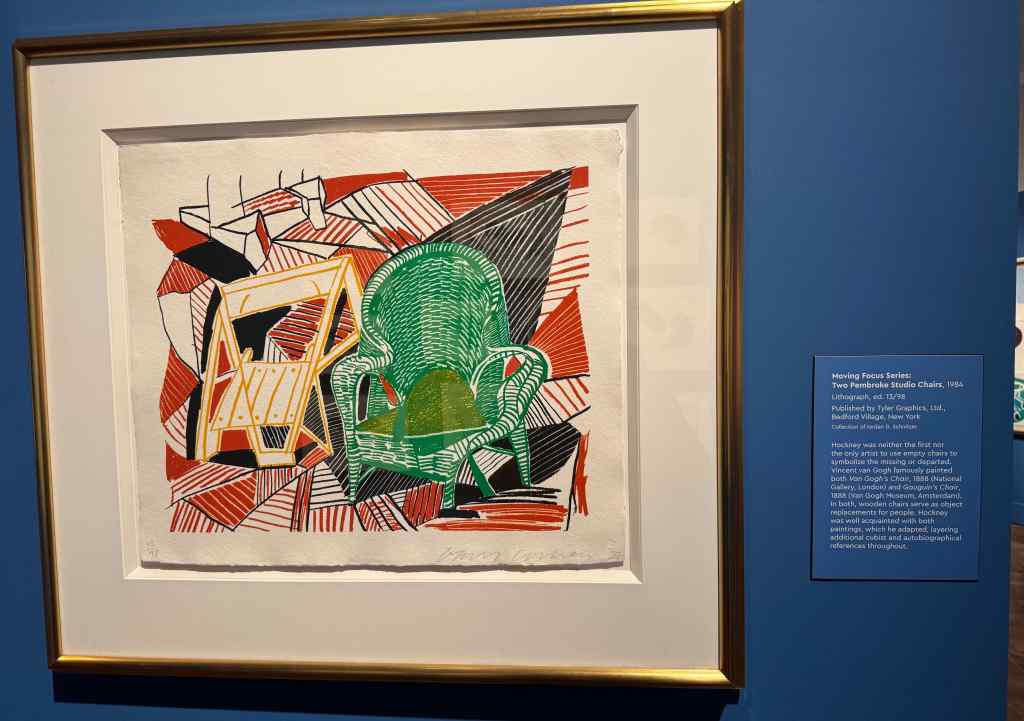
Woman With Sewing Machine, 1954 Parade, Metropolitan Opera Poster, 1981New World Festival of the Arts, 1982Two Pembroke Studio Chairs, 1984An Image of Celia, 1984-86Four Part Splinge, 1993-94
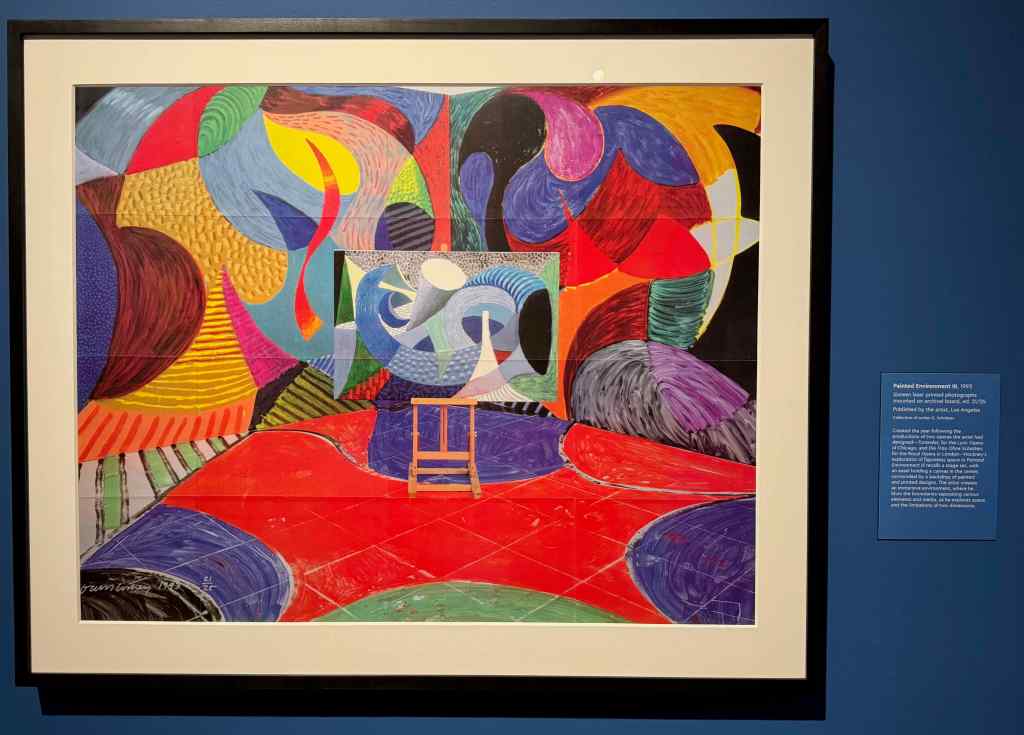
Later works used Photographs and iPad paintings
Painted Environment III, 199330th May 2021, 2021
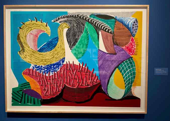
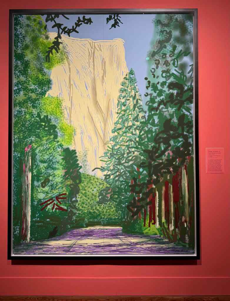
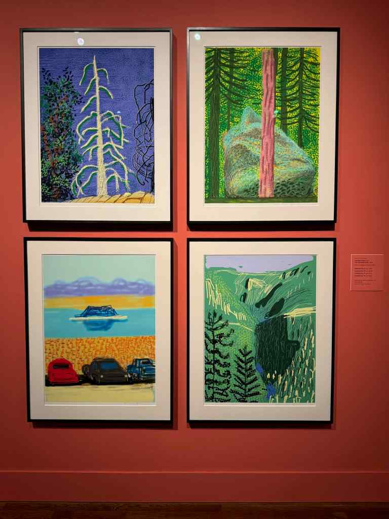
I really loved this Yosemite Series, 2010, iPad drawings printed on paper:
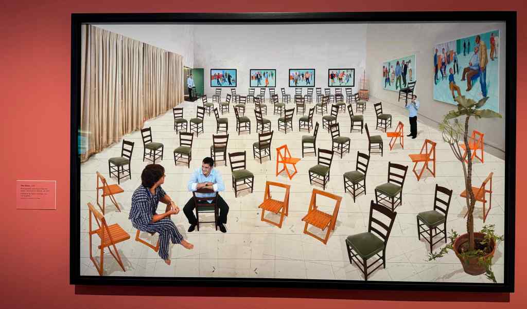
These two extremely large works, described as Photographic Drawings printed on paper, play with perspective:
The Chairs, 201425th June, 2022, Looking at the Flowers, 2022. In this case, the original flower paintings were mounted on the large wall on the other side of the gallery, as well as reproduced on this large image. The artist is sitting in the chairs.
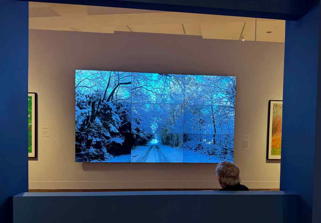
The videography piece was created with multiple cameras mounted on a vehicle driving through a snowy forest. The perspective of each camera differs slightly, the effect is mesmerizing. Luckily there is a convenient bench to sit and watch. Yorkshire Landscapes 2011
The amount of work presented in this exhibit is overwhelming. I am showing just a few here. I hope to go back and look again.
Neighborhood
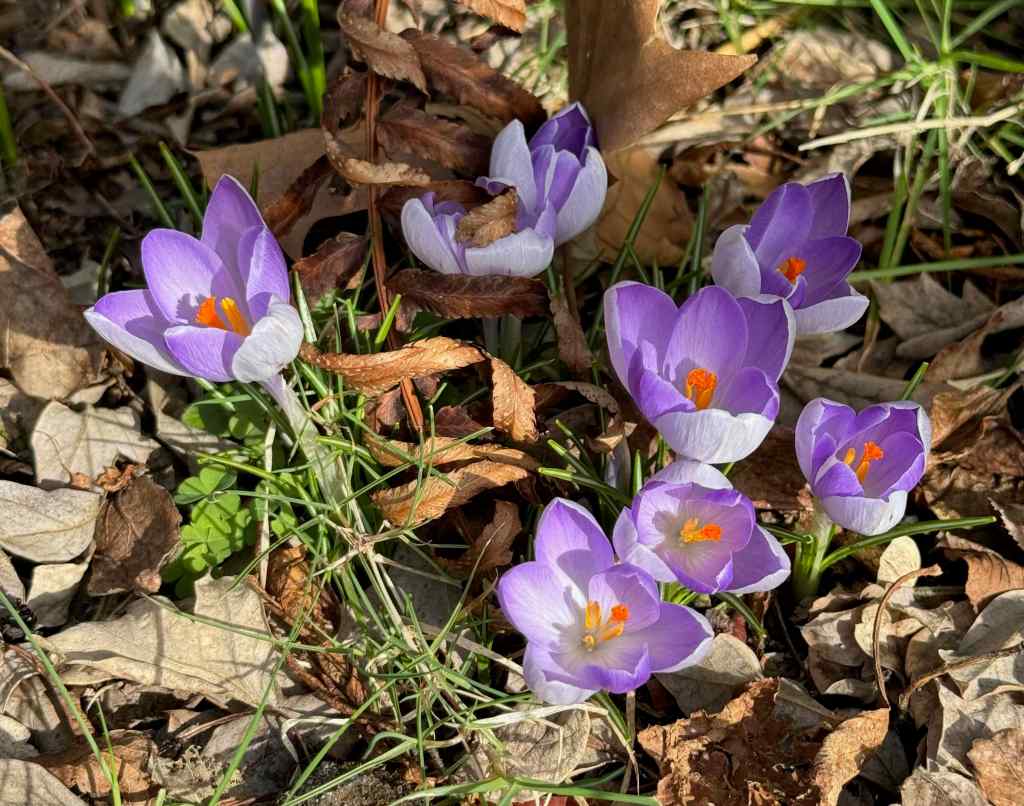
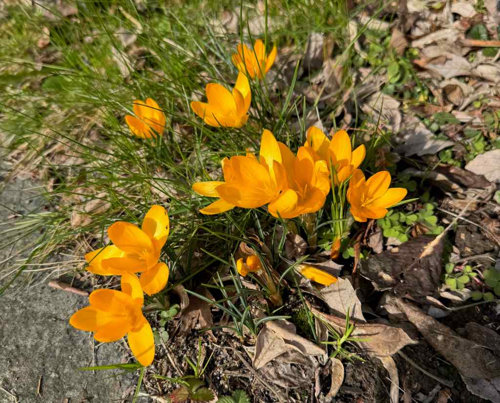
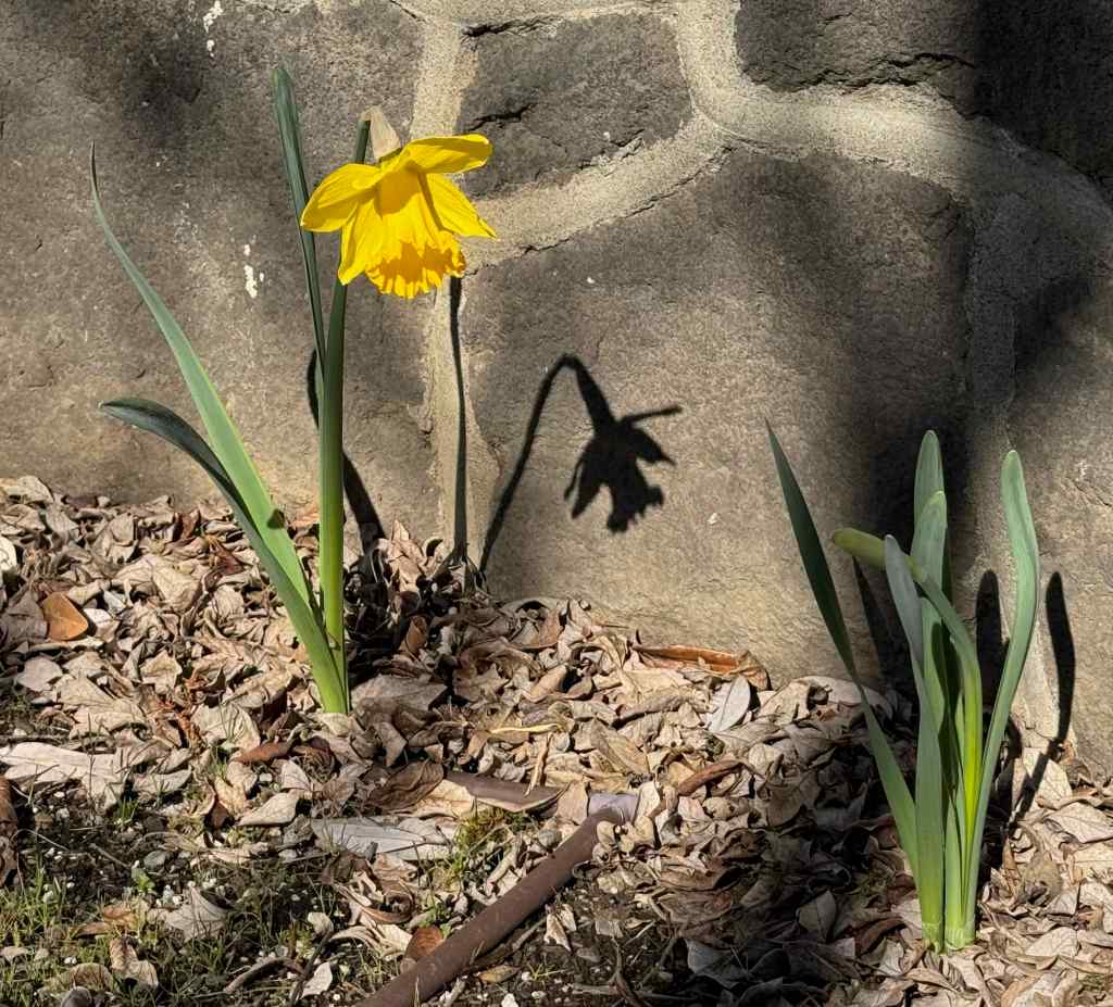
Crocuses and daffodils were blooming in February.
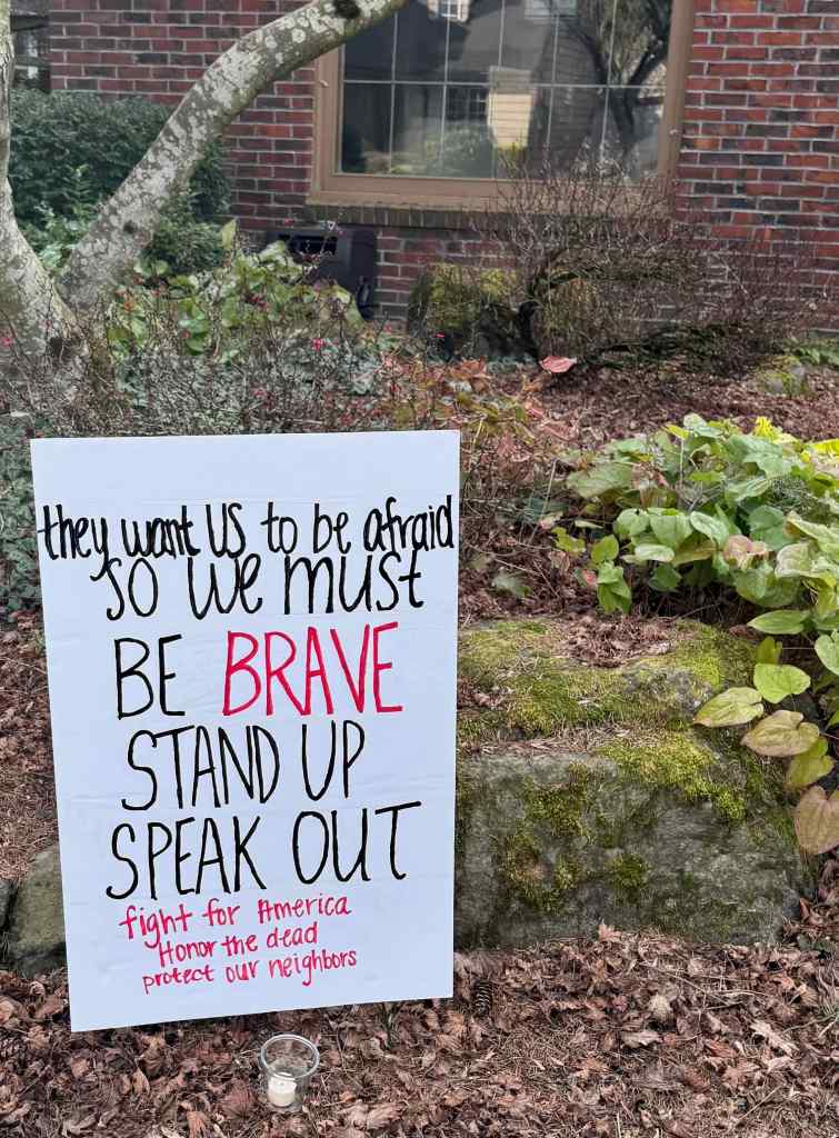
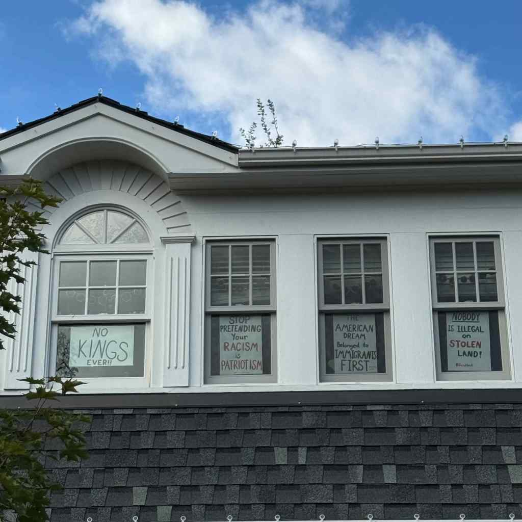
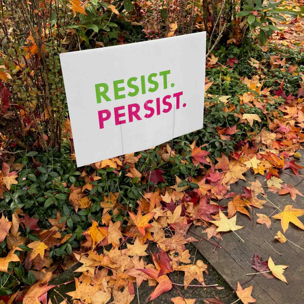
One day I walked to our newly reopened Hollywood Branch Library, and saw the early cherry trees beginning to bloom, along with this sign of the resistance.
Neighborhood resistance
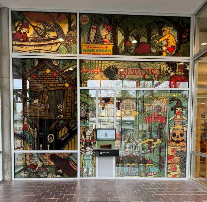
This new mural in the entry to our remodeled library celebrates our local author, Beverly Cleary, who grew up here and set many of her beloved children’s books in this neighborhood.
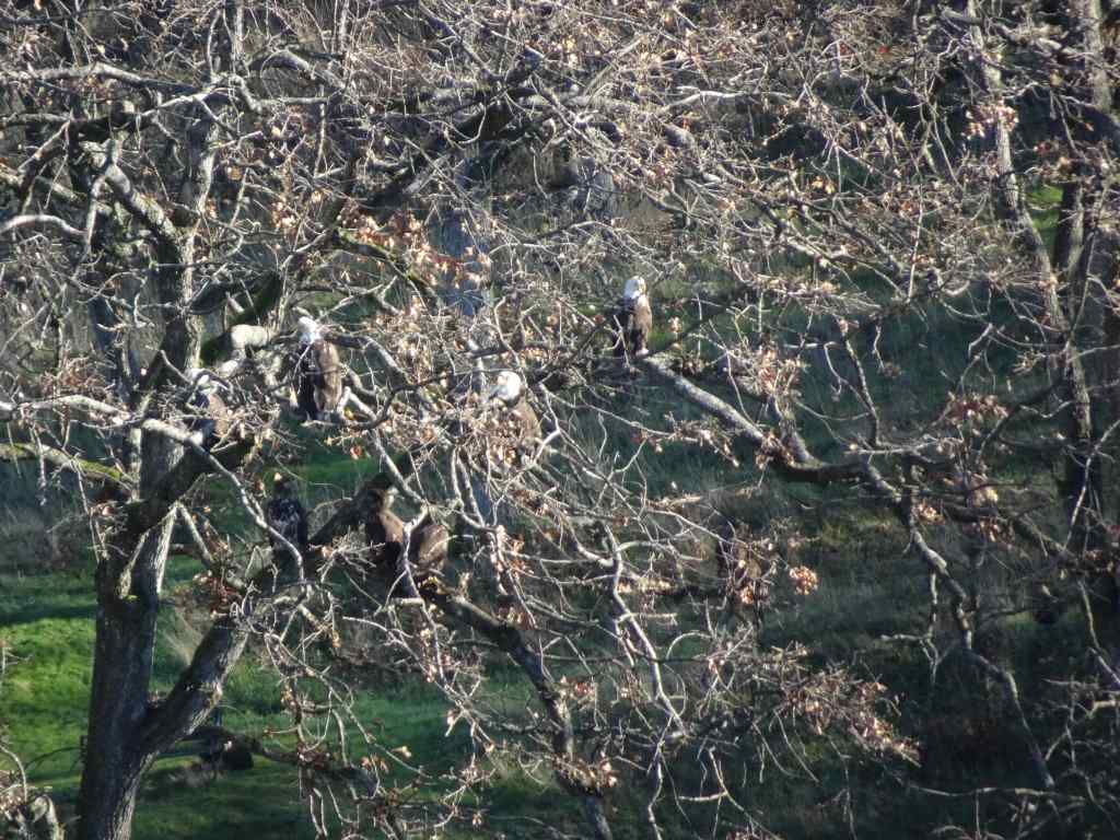
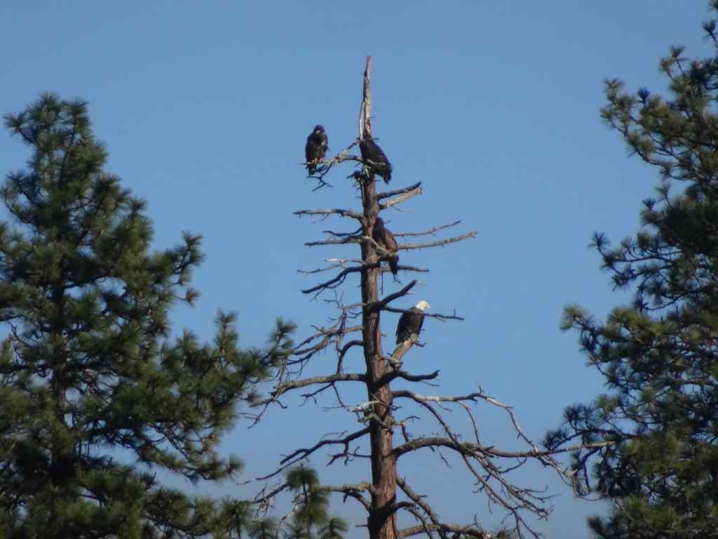
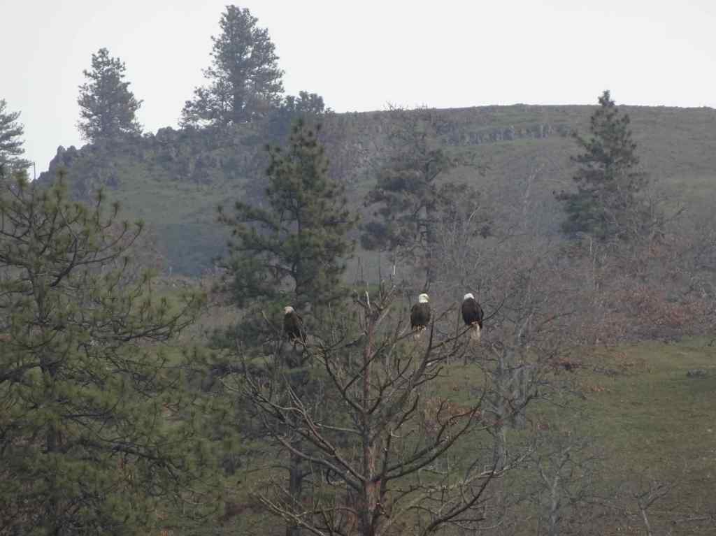
1/5 – Balfour/Klickitat Eagles, and Labyrinth Trail, WA
Our annual visit to this eagle nesting area near Lyle, Washington…
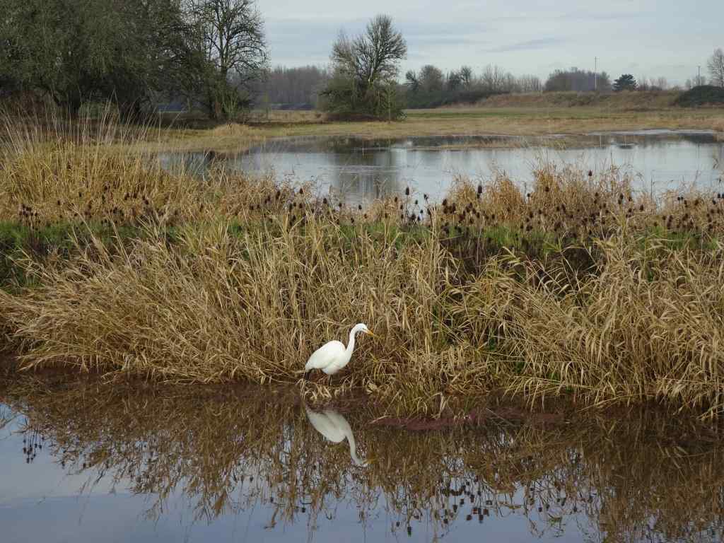
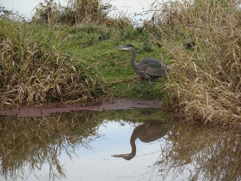
Osage oranges on the trail to the eagle overlook,Lagoon with salmon, ducks, and eagles hiding in the trees. We saw about 20 while watching for a half hour.EaglesEaglesZooming in on the snag in the distance – more eagles.
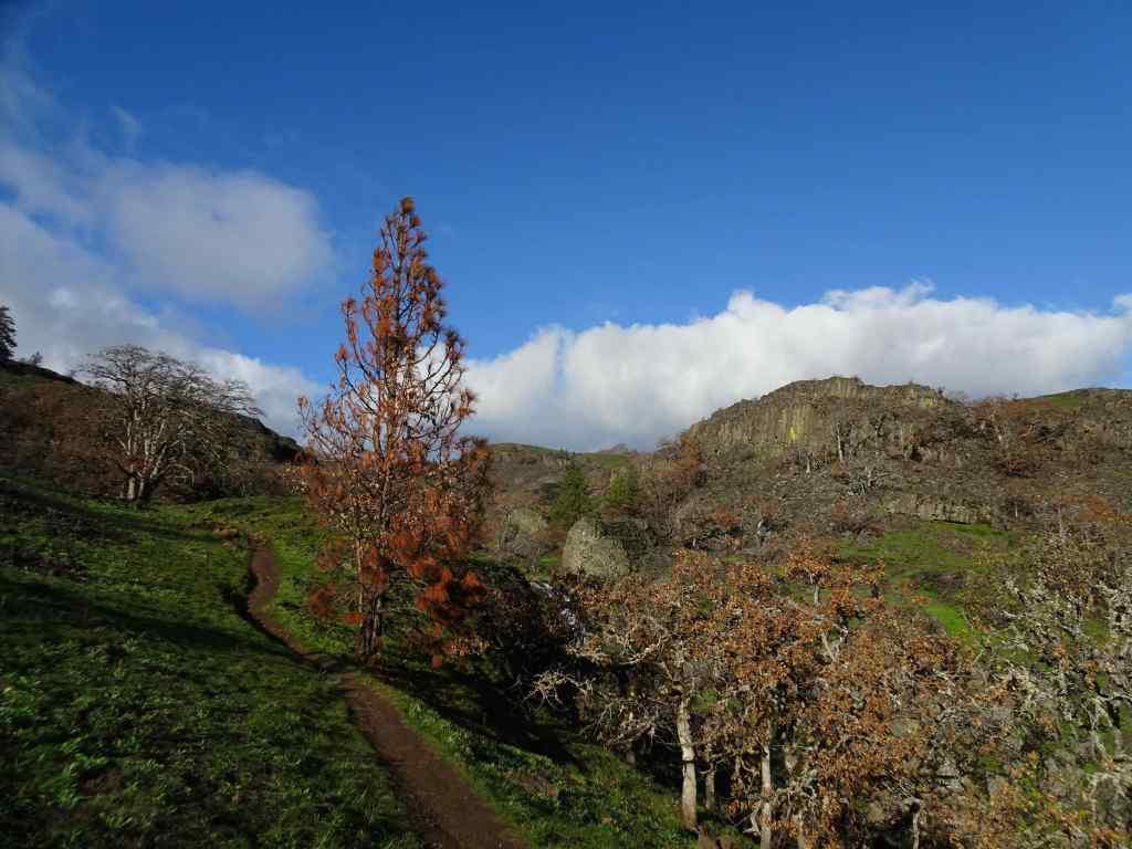
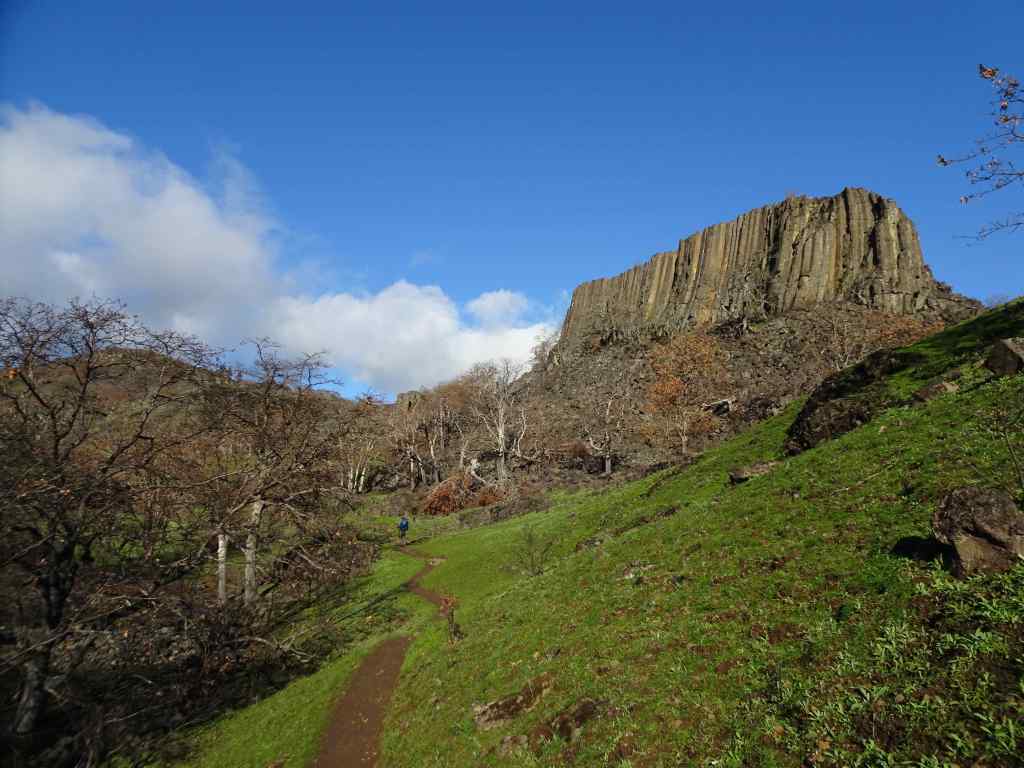
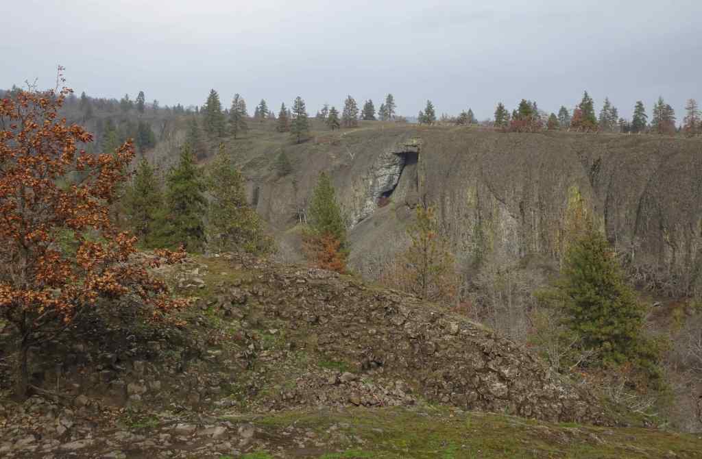
Next we went to the Labyrinth Trail, our first time here since the fires last summer…
Looking up to the guide Ponderosa Pine tree above the Rowland Lake Trailhead.Zooming in, I can see it is partially burned.The waterfall – quite full this time of year.Hiking upward through the mosaic burn…The burned areas are sprouting new grass.My favorite oak grove is scarred, but trees are still standing.View upriver from our lunch ledge.The ridgeline oak tree is intact.We didn’t get all the way to the guide tree on this day, but zooming in, I can see it is less burned on the west side.
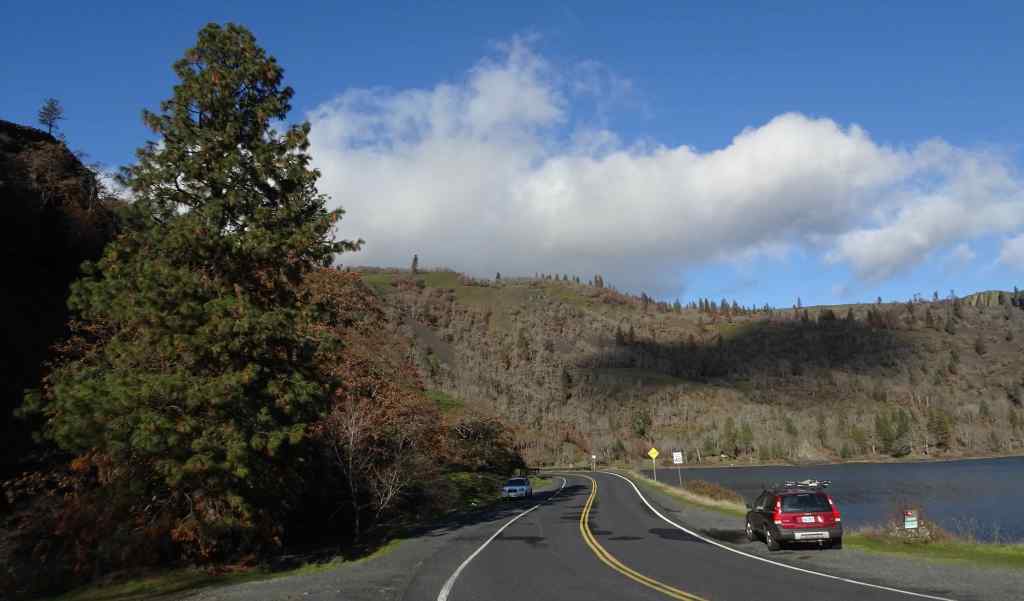
1/14 – Catherine Creek and Rowland Basin, WA
Another rainy day in Portland, but nice and sunny in the eastern Columbia River Gorge…
First we walked the lower loop at Catherine Creek, looking for the first grass widows, which we had seen reports of…
Trailhead. The burned slope here is turning green.We found a few clumps of early grass widows along the ADA trail south of the road. This area did not burn.Catherine Creek waterfall viewpoint.
Next, we walked up the trail that starts at the base of Rowland Wall, and walked about a mile up into Rowland Basin, having never started our hike from this point before, just to see what we would see.
TrailheadUphill, again, plenty of burned landscape, all in recovery mode…And we can see the guide tree from here.Another zoom in on my favorite ponderosa.All the usual undergrowth is gone under the oak treesLooking back eastward toward Rowland WallWe found a few clumps of grass widows out hereAnother view of Rowland Basin, before we start back.Hiking back down.
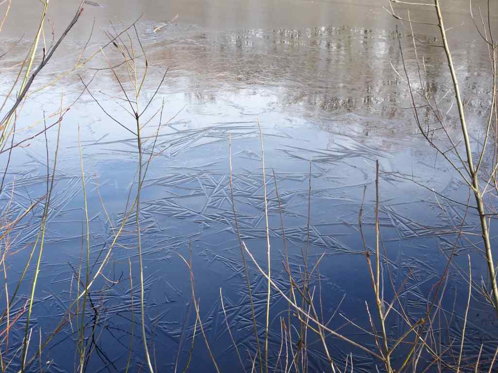
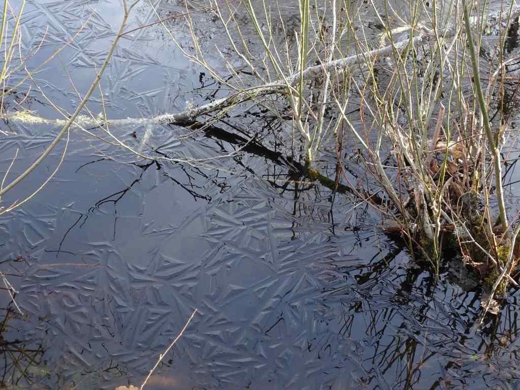
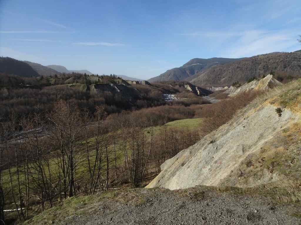
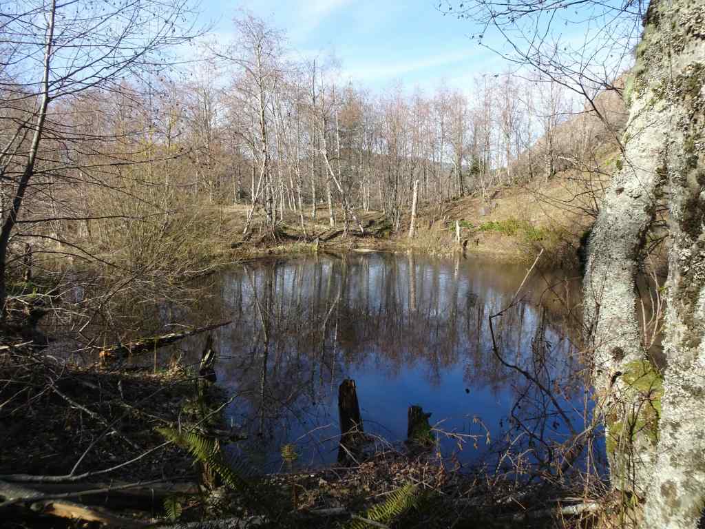
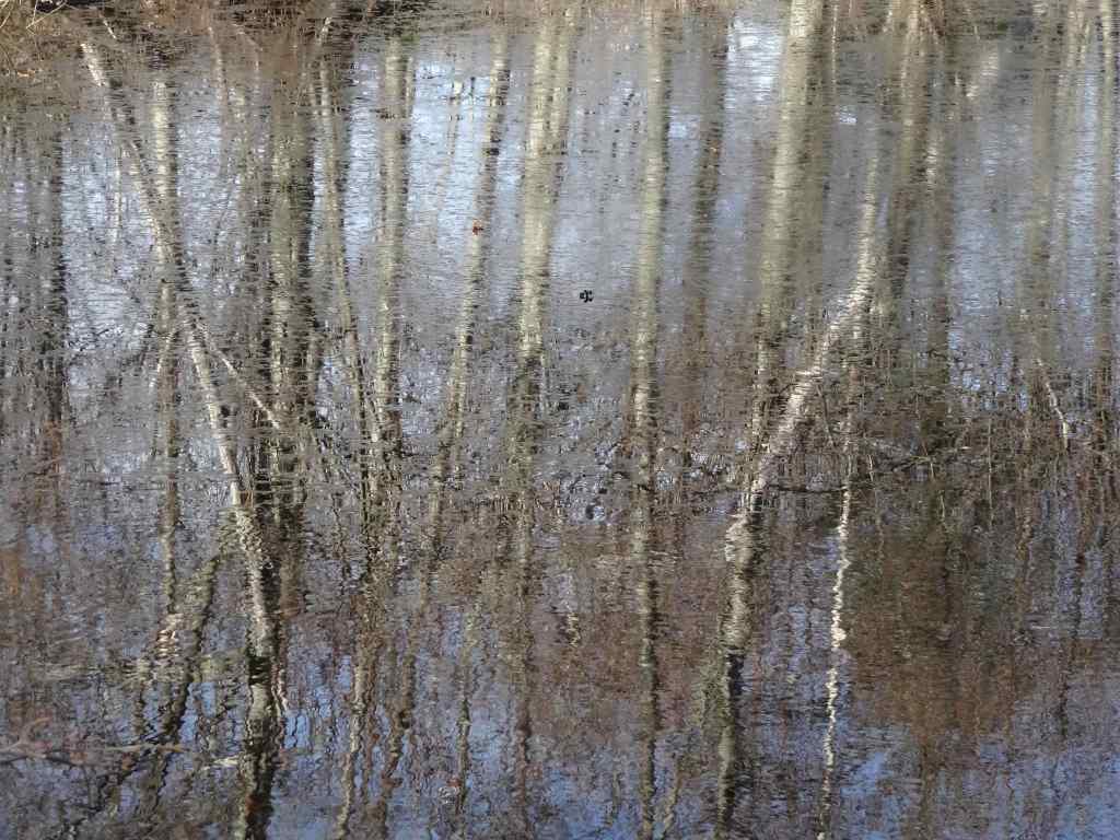
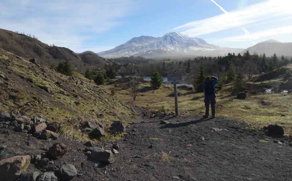
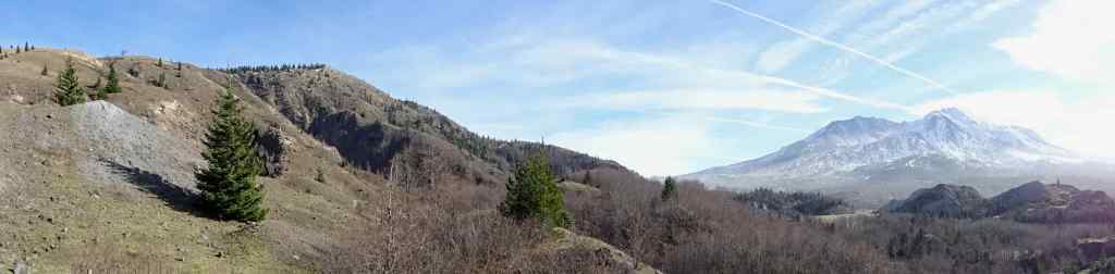
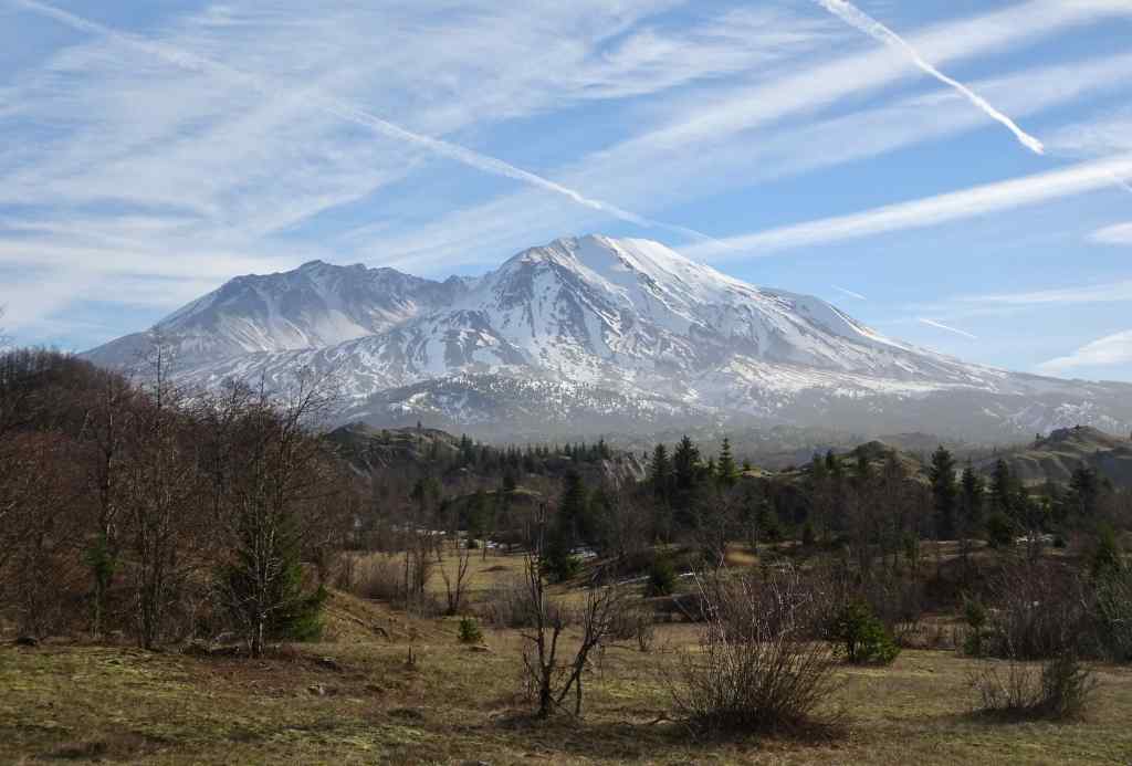
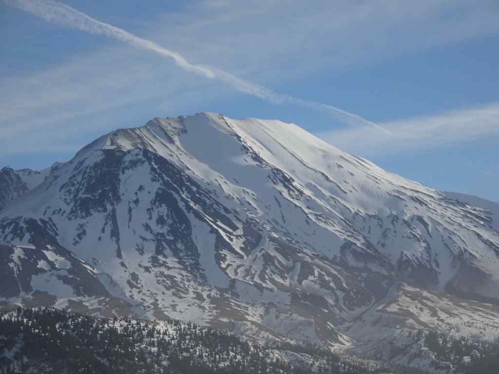
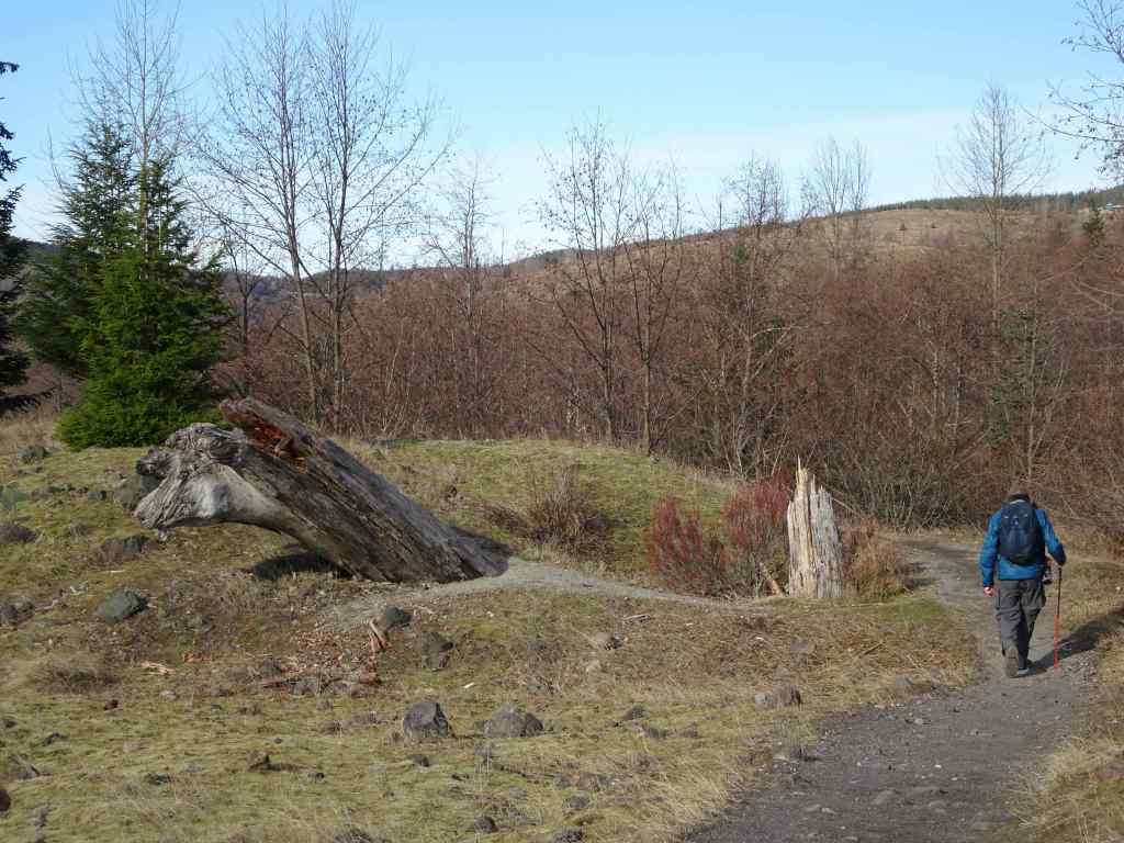
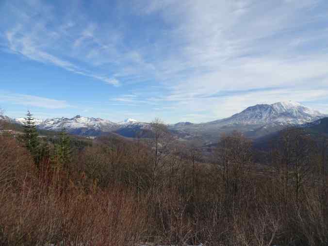
1/20 – Hummocks and Boundary Trails, Mt St Helens, WA
And now for something different – It had been a low snow January, so we drove up to Mt St Helens to try the Hummocks and Boundary Trails. As long as we stayed among the hummocks, we could enjoy the day. There was a cold wind blowing along the Boundary Trail, so we only walked a short way up…but we had great views, and a real change of scenery from the Columbia River Gorge.
Mt St Helens, as seen from I-5 as we drove north.Snow in the parking lot. The trail was mostly clear. The trail winds around through hills of volcanic debris that were completely barren after the eruption in 1980. Forty five years later, the hummocks are covered with vegetation and there are many lakes and ponds throughout this landscape.On this day the lakes were partially frozen.I was fascinated by geometric patterns in the ice, apparently caused by differential melting due to plant shadows.More ice patternsSnow patches along the trail.Groves of alder trees have filled in much of the landscape.Alder treesToutle River Overlook – this downstream landscape is unstable and constantly changing.Another pond with tree reflections.Tree reflectionsJunction with the Boundary Trail, toward Johnston Ridge…into the wind we go.The trail switchbacks up onto the ridge on the left, toward Johnston Observatory, with great views of the northwest side of Mt St Helens.View from our turnaround point…the wind was getting stronger the further east we went.Closer view of the summit on this side.The return loop passes by this inverted tree, still buried where it landed in May, 1980.And one more reflective pond picture…
We stopped for a last look from the Elk Rock viewpoint on Hwy 504 on our drive home.
Panorama of the Mt Margaret backcountry, Mt Adams, and Mt St Helens.
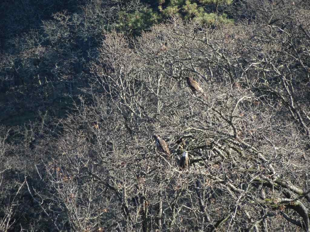
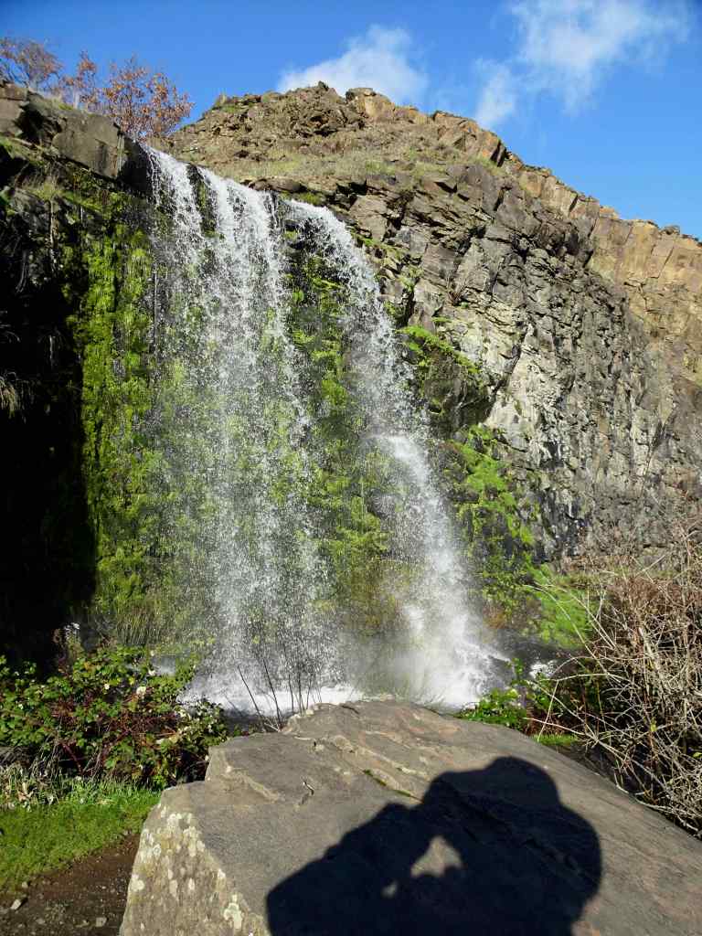
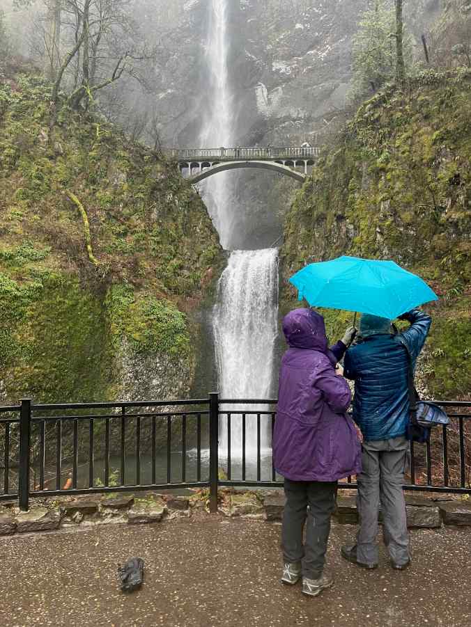
1/28 – Eagles and Catherine Creek, WA, again; with a side of Multnomah Falls, OR
My sister was visiting, and interested in an easy hike, so we took her back to a couple of our favorite places in the Columbia River Gorge.
We could see a few bright white spots in the trees as we approached the overlook at the Balfour/Klickitat Reserve.Three bald eagles. We saw about a dozen this day.The pond is icier than it was earlier in the month.
Next we walked the lower ADA Trail at Catherine Creek, and found just a few of the early flowers.
Catherine Creek ADA trailGrass widowBudding Columbia Desert ParsleyWaterfall OverlookWe walked up to the fairy ponds, now frozen around the trunks of slightly burned oak trees,and looked over to the Arch.
And finally, we drove back through the rainy Gorge, and made a quick stop at Multnomah Falls.
Multnomah Falls
I am gald to be back out on the trails, though I have some work to do to regain my stamina!
I will continue to post about knitting and other crafting; reading; neighborhood sights; hiking and other adventures, including monthly visits to an art museum; and inspiring resistance memes from my internet neighborhood, trying to focus on the positive.
Knitting –
I finished two projects in January – a cowl, and a pair of socks.
I have been rereading Jane Austen’s novels since my teenage years. Perhaps because it was Jane Austen’s 250th birthday last month, there have been many new ‘adjacent’ books published: scholarly analyses of the times she lived in with speculation about her political, feminist, quirky, satirical, and social views; and fictional sequels and ‘inspired by’ books. I realized at the beginning of the month that I was simultaneously reading three of them (one audio, one ebook, one analog). And there are more on my shelf, or in my library queue! Austen literature gives me joy and provides escapism from these troubling times.
Six of the eight books I finished in January were Austenesque. There will be more in February!
January Books
Neighborhood sites in January –
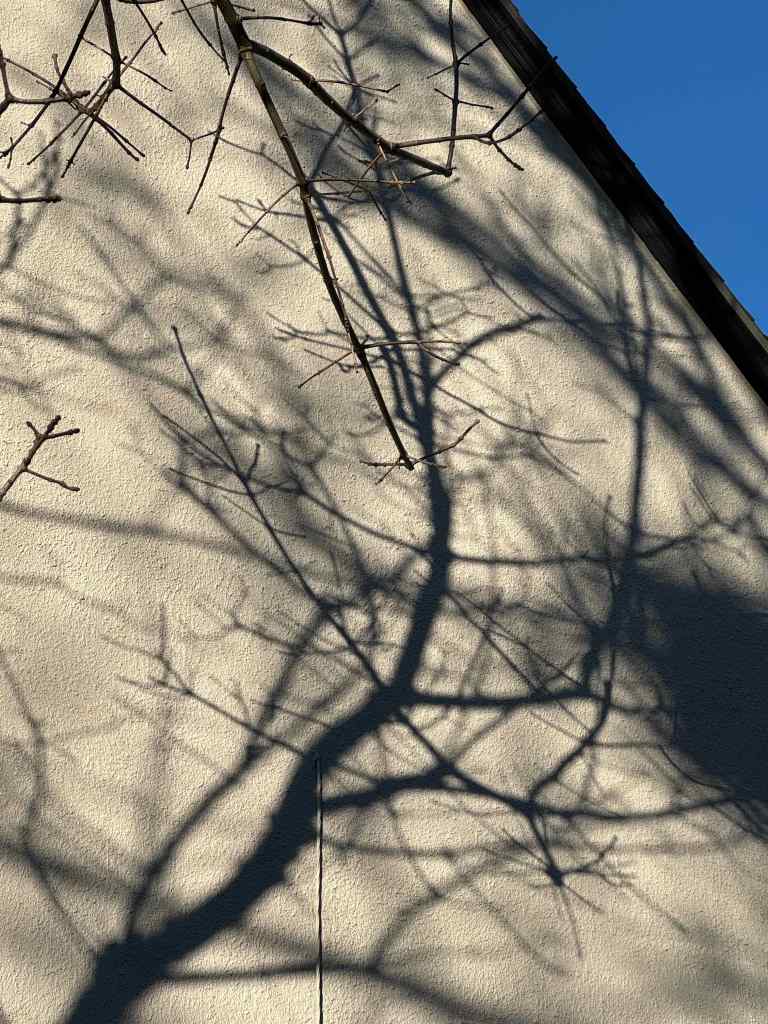
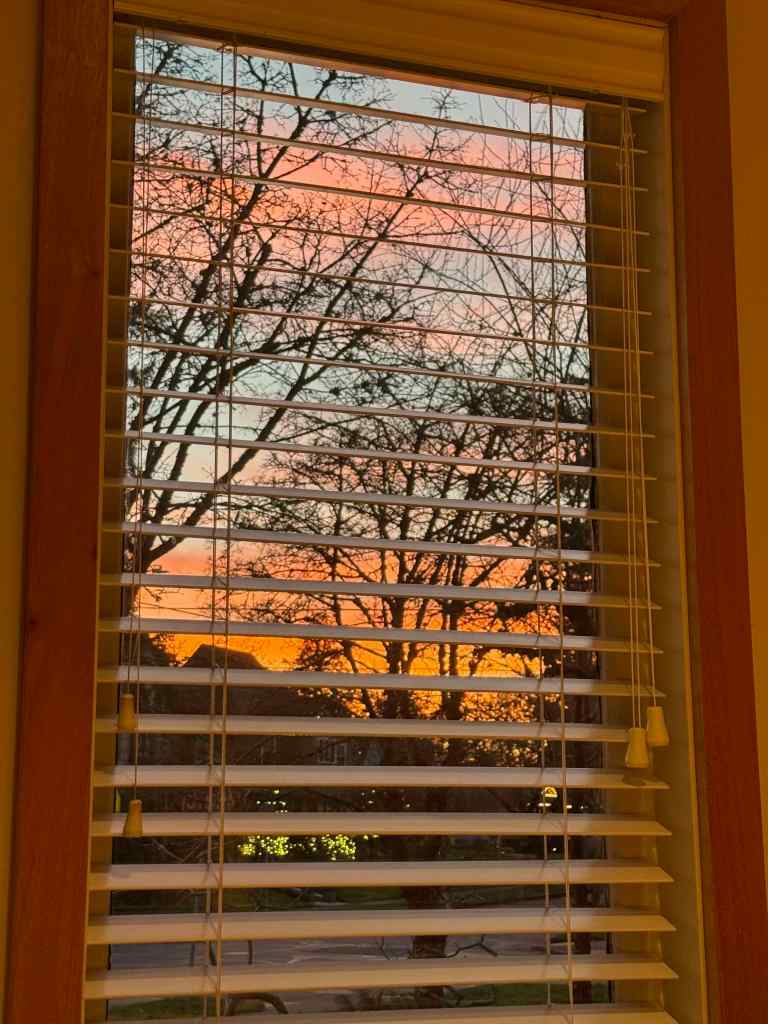
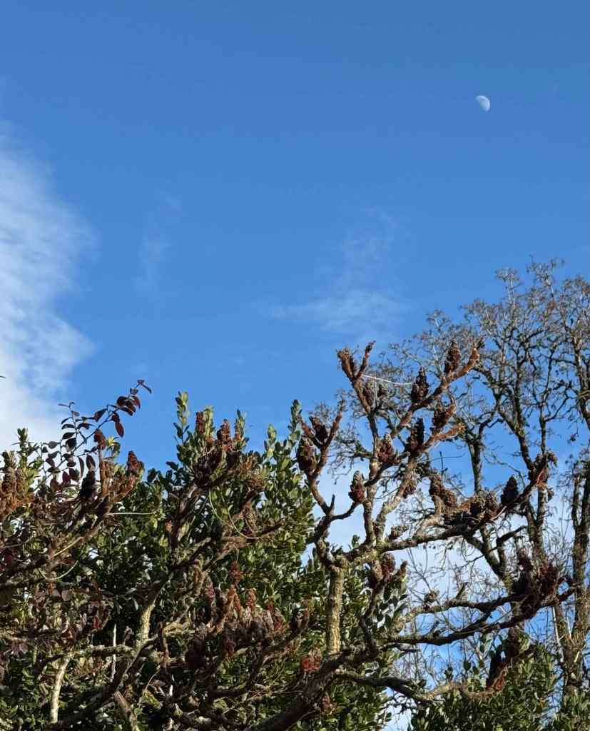
Daffodils beginning to sproutPrickly pearsShadowsSunsetThe moon
Museum Days –
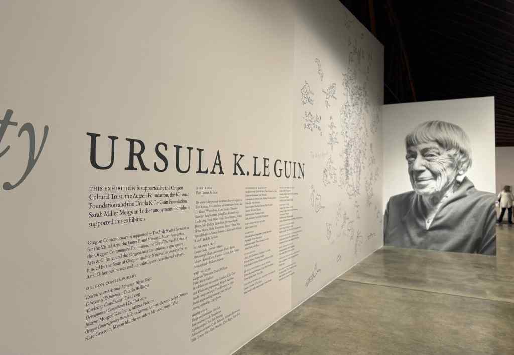
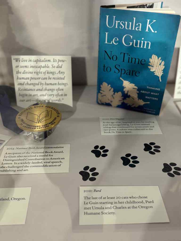
We had two museum visits in January – the Portland Art Museum, and the Ursula Le Guin Exhibit at the Oregon Contemporary Museum.
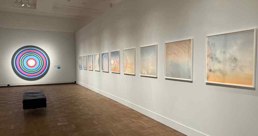
1/6/2026 – Portland Art Museum – We spent most of our time at the Global Icons, Local Spotlight exhibit, and also visited the Mt Hood room.
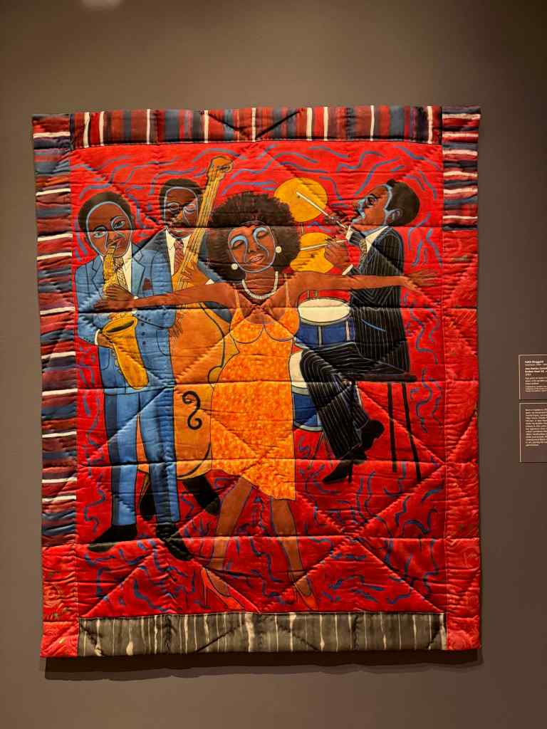
Global Icons entry placard. There followed several rooms of bright and inspiring artworks. Highlights for me:25 Dots, 2013, Chul-Hyun Ahn – This piece is extremely colorful, and three dimensional.Your Love Will Bring Me Home, 2023, Jeffrey Gibson. By an indigenous artist, includes acrylic paint and glass beads.Spirit and Matter, 2023, Jeffrey Gibson, Acrylic paint on elk hide. Skywalker/Skyscraper, 2022, Marie Watt, Reclaimed blankets, cedar, steel.Atomic Pinwheel 8 and 9, 2018, Polly Apfelbaum, Woodblock monoprintsLA Magic Hour 6-10, 2021, Tacita Dean, Lithographs of sunset colors; these pieces reflect the circular airbrush painting: No. 138, 1999, by Ugo Rondinone, at the far end of the gallery, providing a surreal, almost immersive atmosphere.Jazz Stories: Somebody Stole My Broken Heart #2, 2023, Faith Ringgold, Quilted textile
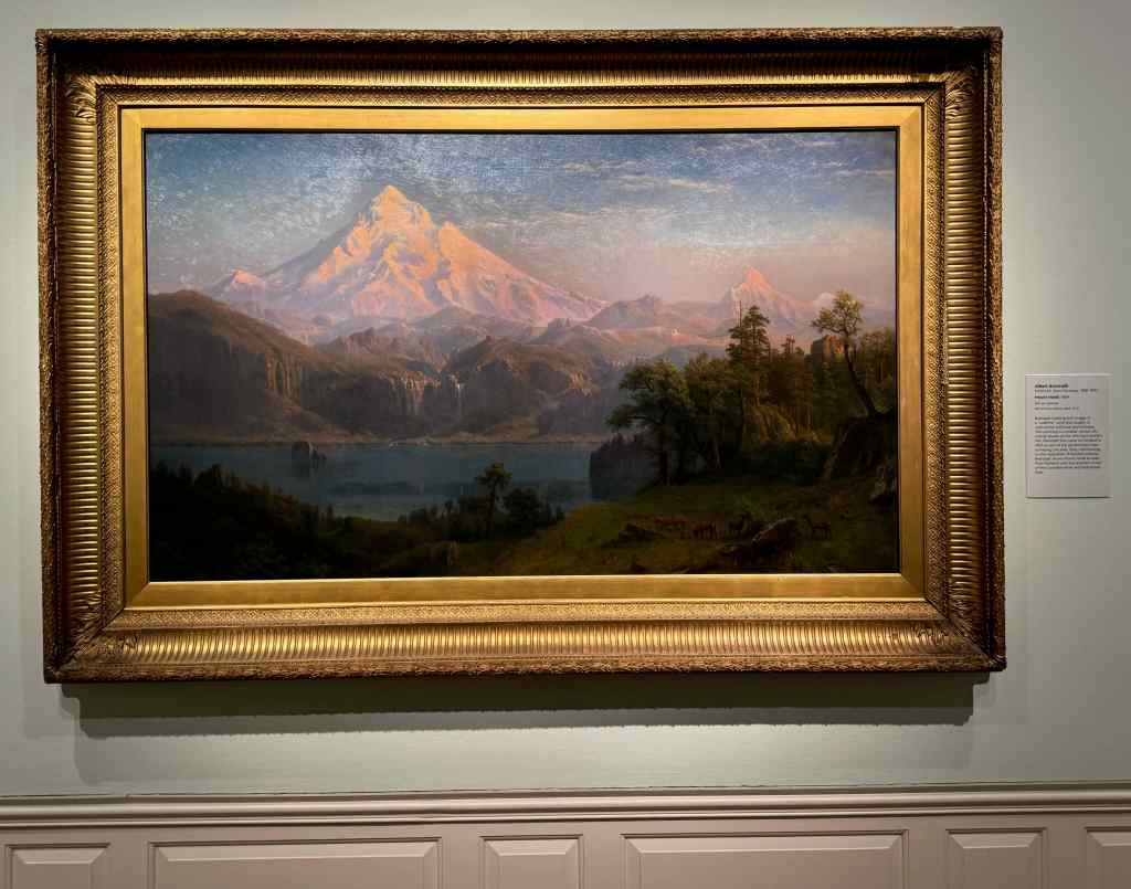
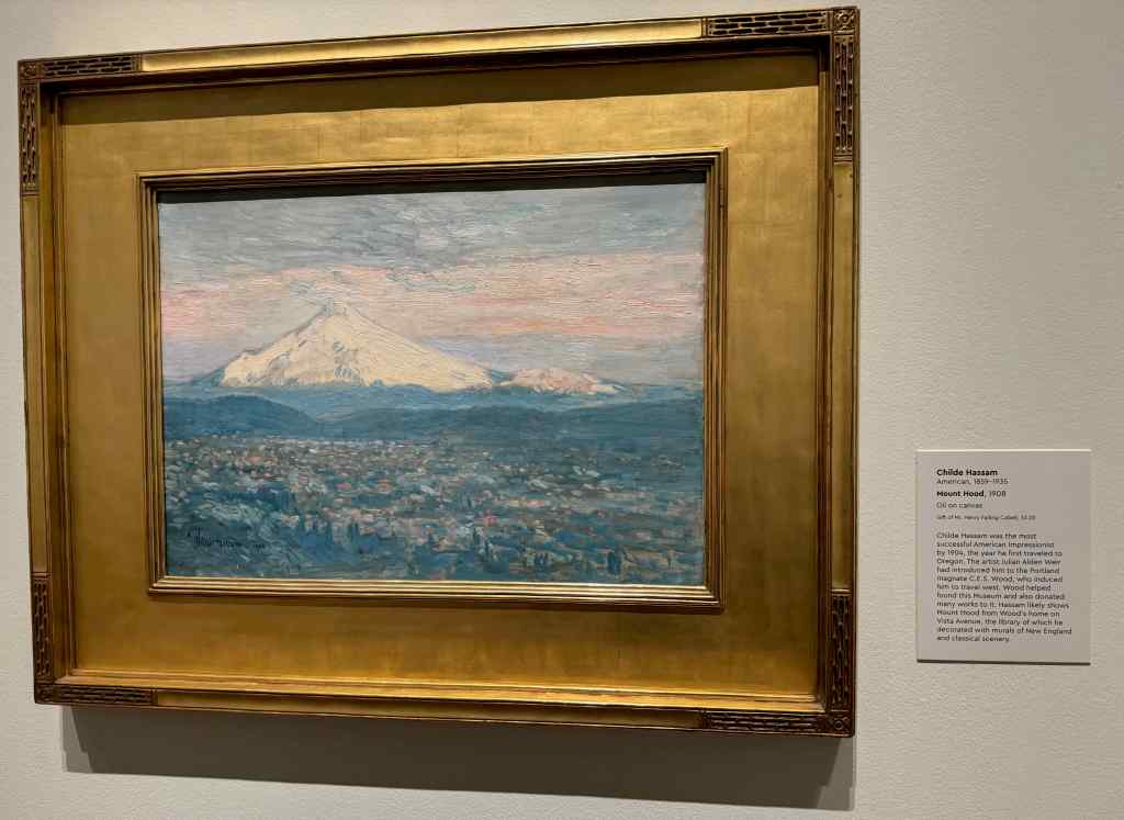
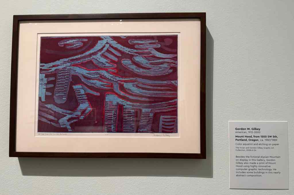
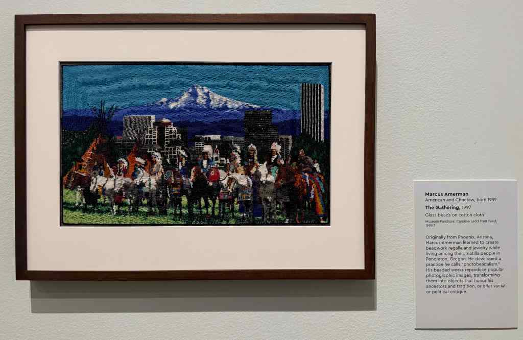
Some of the mountain paintings in the Mt Hood room:
Albert Bierstadt, 1869Childe Hassam, 1908Gordon W. Gilkey, 1987Marcus Ameman, 1997
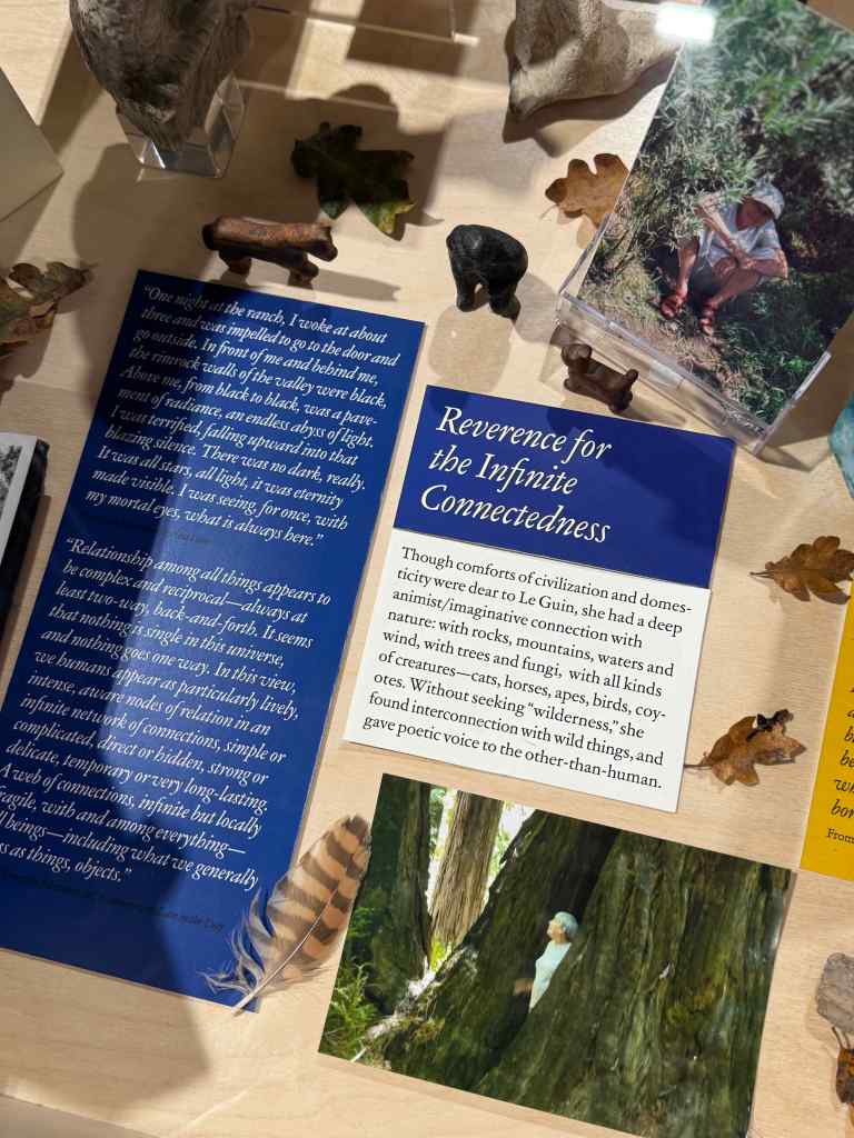
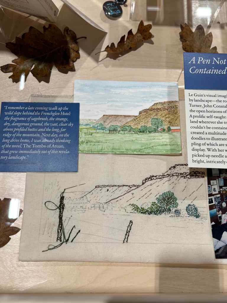
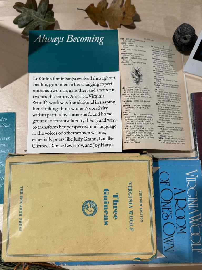
1/16/2026 – Ursula Le Guin at the Oregon Contemporary Museum –
Author Ursula Le Guin spent much of her adult life in Portland. Her family helped create this exhibit with many of her original manuscripts and hand drawn maps of some of her fantasy worlds; personal belongings, including childhood toys, books, sketch books, and literary awards; and interactive exhibits about her literature. I didn’t take very many photos, but I was inspired to see these artifacts of her life and works.
Entry to the Ursula Le Guin exhibitAwards and books and a lifetime of pet cats.Natural world – leaves, feathers, rocksA few of her many sketch books.Literary influences.
Eugene Weekend
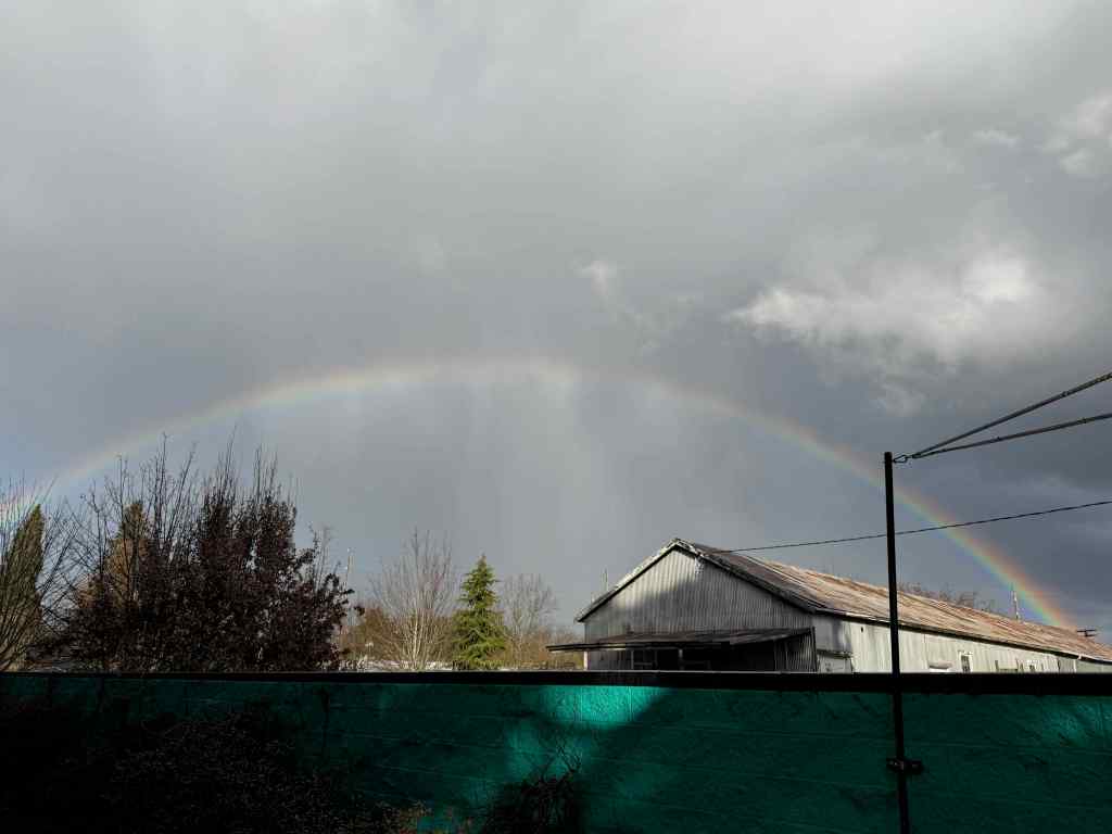
Late January – early February, my extended family held a celebration of life for those we lost last year. The silver lining was the reunion with several distant loved ones parted since before the pandemic. We hope to meet up more often going forward.
A walk to Hendricks ParkCousin connectionsMoonriseCelebration, with Nathaniel’s Art on the wallsThe rainbow that came out as we toasted him.Nathaniel’s rainbow.
Etc…
Events are occurring in our own country I never thought to witness. My neighborhood held a candlelight vigil after the murders of protesters in Minnesota. We continue to support the resistance as best we can…
Candlelight vigil in the neighborhood…Internet meme
I am having a hard time keeping up here – real life is getting in the way, as it should, I suppose, but I want to keep my record. Future me wants to read about what happened. So this post is my summary of 2025, written in February 2026, to the best of my current memory.
Last year I still managed to knit and read a fair amount, but our hiking and travel were somewhat curtailed by health issues, and I did very little sewing and quilting.
Knitting
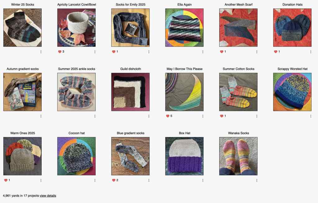
I finished 17 projects in 2025, including nine donation items, mostly hats.
My 2025 Knitting Projects, from Ravelry
One goal for 2026 is to finish the Zephyr sweater I have been working on for two years.
Zephyr Cardigan, in progress
Reading
I always set my goal to my age, but lately have zoomed past it. This year I read just over 100 books.
Quilting, Sewing and other projects…
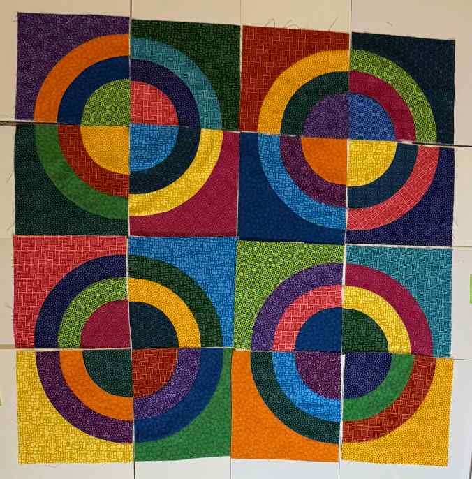
Stitching was mostly helping my daughter work through her mending pile whenever she visited. I also briefly worked on these quilt blocks. Next year I hope to quilt four languishing quilt tops, and I have several planned tops in my minds eye…
Hands All Around Blocks, Modern Quilt Studio
We also made progress on home maintenance and repair: interior wall repair; new dining room blinds, new hallway carpet; new kitchen faucet; window repair; storm window cleaning and repair; exterior paint; and exterior brick tuck pointing. This 1932 house will always need something!
Hiking
I have had the goal of at least a hike a week in recent years. I only made it to 49 in 2025, mainly due to health setbacks. Hip bursitis, and a complete cardiac work up for me, and neck surgery for my husband, kept us on shorter and easier walks for a while. I have noticed that I have much less stamina on hotter days, and we seem to have many more hotter days now.
Highlights:
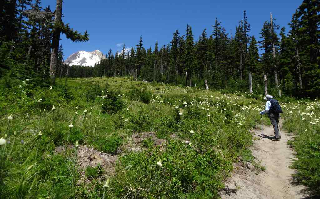
March – Grass Widows at Rowena Crest, ORApril – Green meadows with Death Camas, Shooting Stars and many other wildflowers at Catherine Creek, WA…these meadows would burn in July….April – First walk through the new hiker/biker tunnels at Mitchell Point, ORMay – Return to that one trail between Multnomah and Wahkeena Creeks, ORMay – Tall larkspur at Cape Horn, WAJune – Avalanche lilies on the Ant Hill Trail, Mt Hood, ORJuly – Bear Grass near Picnic Rock, Mt Hood, ORJuly – Bird Creek Meadows, Mt Adams, WAJuly – Elliot Moraine and Timberline Trail High Point, Mt Hood, ORDecember – First return after the fires to Catherine Creek, WA
Travel
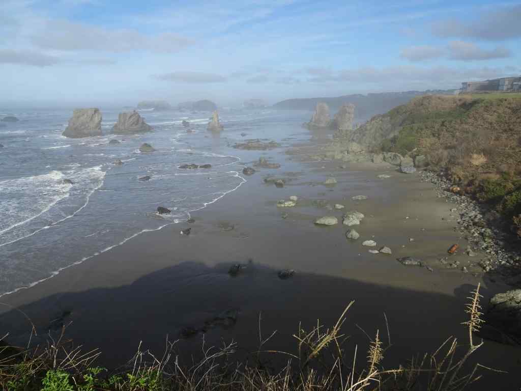
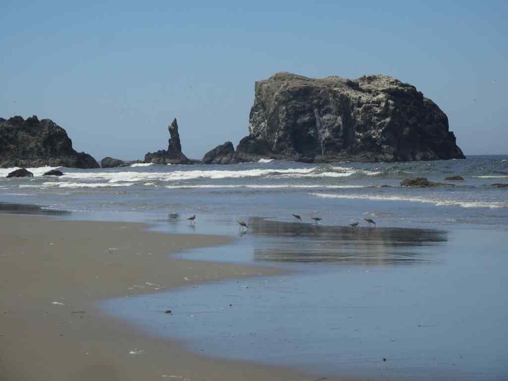
Travel was mostly local this year. We had to cancel plans for Paris, Switzerland, and Mt Rainier due to the previously mentioned health issues. We spent two lovely weeks in January and August at Bandon, on the southern Oregon Coast.
January – Bandon, ORAugust – Bandon, OR
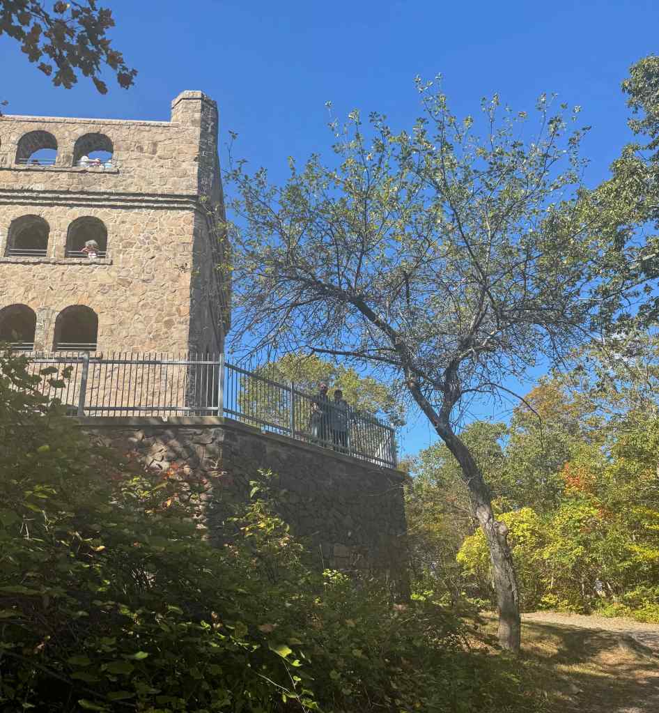
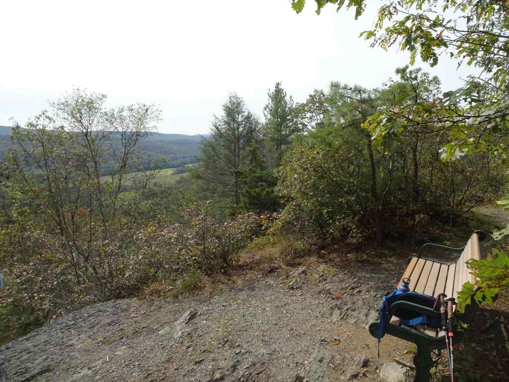
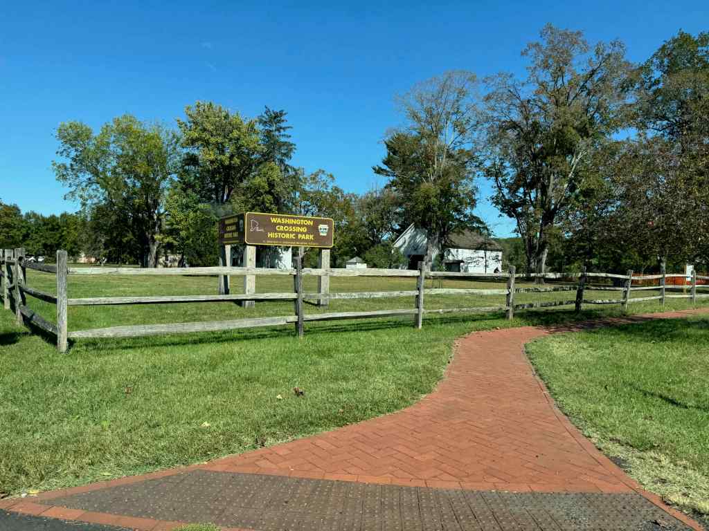
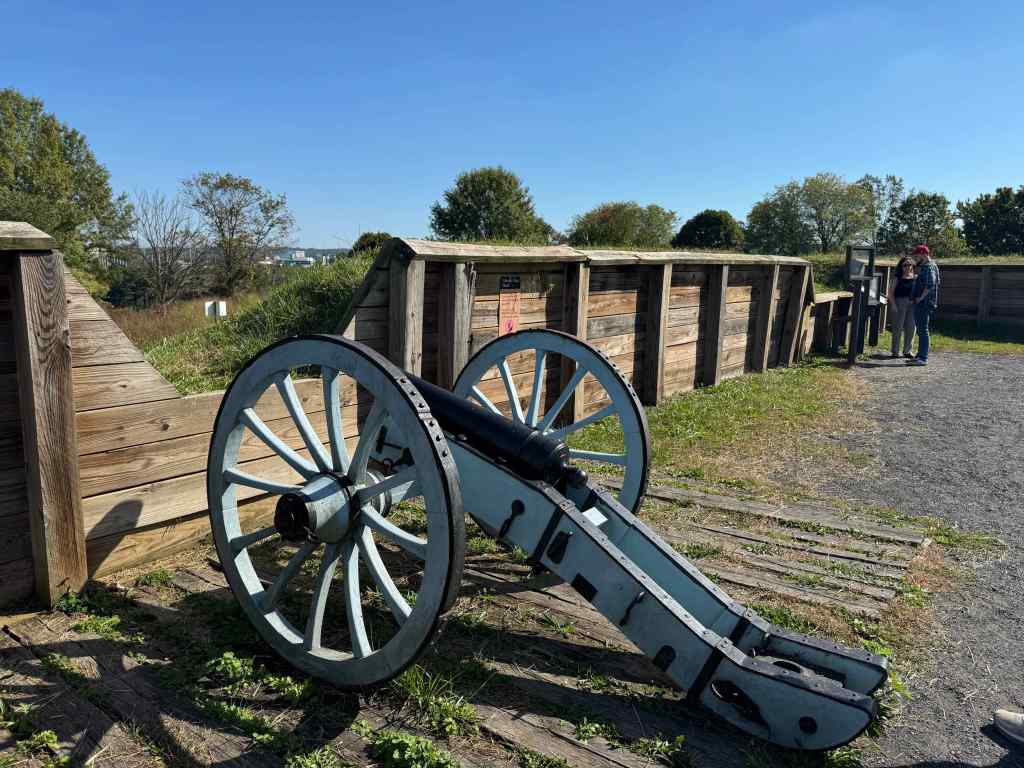
We visited family in Connecticut and Philadelphia in the fall.
Sleeping Giant, CTDelaware Water Gap, PAWashington Crossing, PAValley Forge, PAPhiladelphia, PA
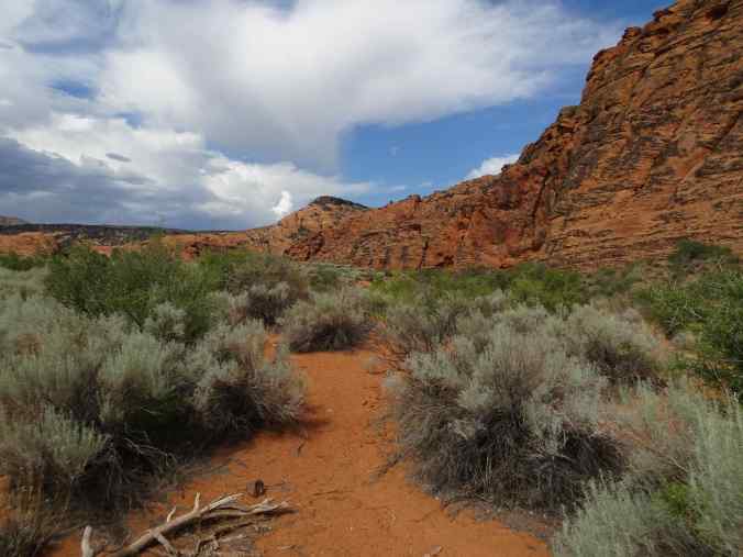
And I spent two weeks in southern Utah in June, but that was mostly within health care settings, and too hot to go outside.
June – Snow Canyon, UT
RIP
I will miss these family members who left too soon.
Mary (1950-2025)Nathaniel (1986-2025)Art by Nathaniel
Etc…
2025 was worse than expected, with the government now being run by corrupt criminals who have a stranglehold on the checks and balances built into our government. Someday, someone will figure out why Congress and the Supreme Court won’t do their jobs (Epstein files?). In the meantime, people are protesting in the streets, and every avenue of progress has been set back; basic rights are denied to many people. I thought this was behind us! I wish I was living in that other reality, with a woman president, all people feeling respected as humans, climate change initiatives proceeding, and everyone learning to accept diversity as a natural part of the human species. In the meantime time I will do my bit to communicate, vote, knit, read, and share in resisting tyranny. In spite of everything, I have to hold an optimistic spark in my soul, for hope that we end 2026 on a brighter note!
Neighborhood encouragement…City encouragement…Literary encouragement…(From Instagram)Encouragement from a modern bard.
We only went on two hikes in December, one in town, and one out in the eastern gorge.
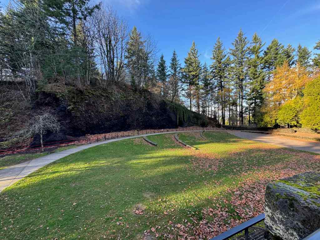
12/1/2025 – Mt Tabor, Portland
On a sunny day, we drove to our nearest extinct volcano, and walked around its circumference and up to the top, taking in views, and getting a good leg stretch (2 miles, 200 feet). There are many trails that circle around and through the park, and many users, running, walking, and stair climbing. It is a great public space on the east side of Portland.
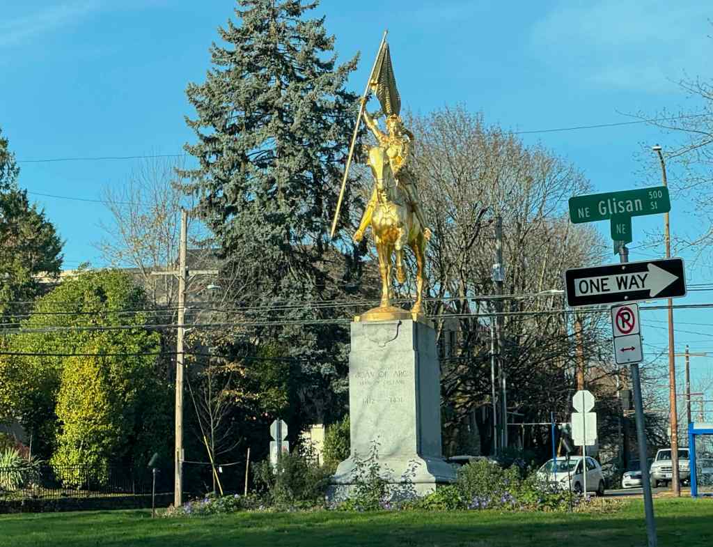
As we gained elevation, we got a western view toward downtown Portland across one of the reservoirs.We continued upward on one of the forested trail to the top.There is a view to Mt Hood through the trees near the summit.And another view toward downtown.We hiked down the northern slope, and got a peek at Mt St Helens.The amphitheater near the parking lot has an outcrop of the volcanic layers.We passed Joan of Arc, glittering defiantly in the sun, in her traffic circle, on the drive home.
12/23/2025 – Catherine Creek, WA
We went with our daughter to this favorite winter hiking spot. This is our second time here since the Burdoin Fire last July. This time, we walked the East Loop above the Arch, and also made a quick trip down to the waterfall viewpoint on the lower ADA trail. (3 miles, 450 feet).
At first we planned to walk the loop that returns by crossing the creek below the Arch, but we wanted to be sure the creek crossing was possible, so we went to look.
Catherine Creek crossing on the lower Arch trail. The waterfall-like step is actually the plank bridge, now broken and underwater. The road/trail was not accessible without serious wading. So we took the trail above the Arch, and then the eastern return loop.Walking across the burned slopes toward the lower bridge across Catherine Creek. This one survived the fire.Once we reached the slopes near the Arch, we could see across the Columbia River to the west,And to the east.Bitterroot foliage coming up through a rocky, mossy area that likely escaped burning. There were a few unburned areas within this mostly burned slope.View from the top of the Arch, new fence in place.We ate lunch on the rocky outcrop just north of the Arch, then continued our loop to the east, passing scorched pine trees.We returned back across the lower bridge.
Then we took a quick walk down the paved ADA trail south of the parking area, to see the waterfall.
Catherine Creek Waterfall. This side of the road has dead, dry grasses on the slopes because it didn’t burn along the paved trail. But it looks like it did burn across the river.
We enjoyed this hike on an overcast but not rainy day. It was nice to spend some outdoor time with our daughter. And it will be interesting to watch the land here as it recovers from the fire damage.
I managed to do many of the traditional December things this year, despite the lead up to the winter solstice being a little darker than usual, as I carried the grief of losing two family members in November, and the chaos of our national wrecking ball situation. In some ways, the traditions kept me going through the otherwise difficult days. The solstice arrived, bringing longer days and more light. And we thoroughly enjoyed a two week visit from our daughter.
Knitting:
I finished two pairs of gift socks, and then re-made a cowl into a felted bowl.
Gift socks – Malabrigo Sock, PocionGift socks, Patons Kroy scraps held double.Lancelot Cowl, as finished last year, in a bulky alpaca yarn called Hobbii Apricity.
When I tried the cowl on this winter, it was just a bit too itchy for me. Since I knew the yarn would shrink and felt, I decided to unravel the last six rows and reknit it with a closed bottom into a bowl shape. Then I machine washed and dried it, and the fiber shrank and felted into a small bowl, with the textured stitches still visible in the fabric. I count it as a success!
Remade into a felted bowl..
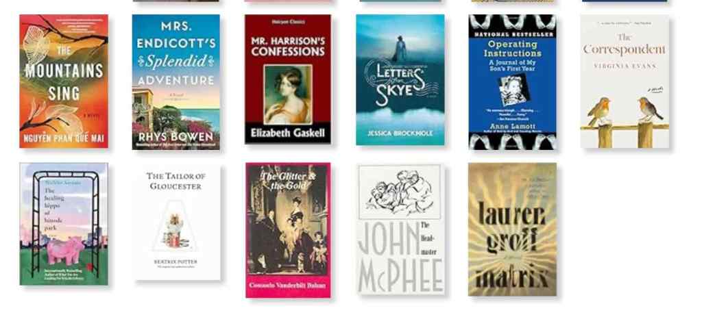
Books:
I finished 8 books in December. The Correspondent, by Virginia Evans was probably my favorite of the bunch. I enjoyed seasonal rereads of The Tailor of Gloucester and The Dark is Rising. I learned a lot about the Gilded Age lifestyle in Consuelo Vanderbilt’s autobiography – The Glitter and the Gold.
December books
Museum Day:
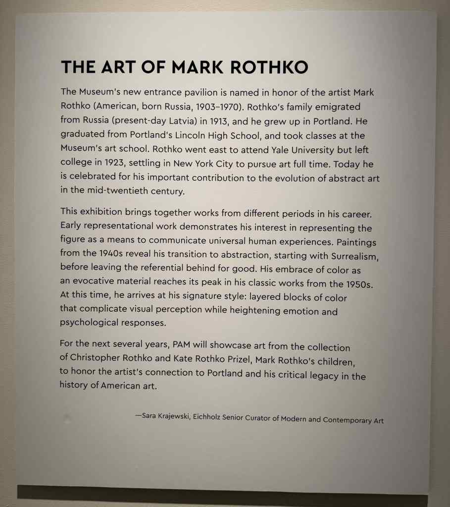
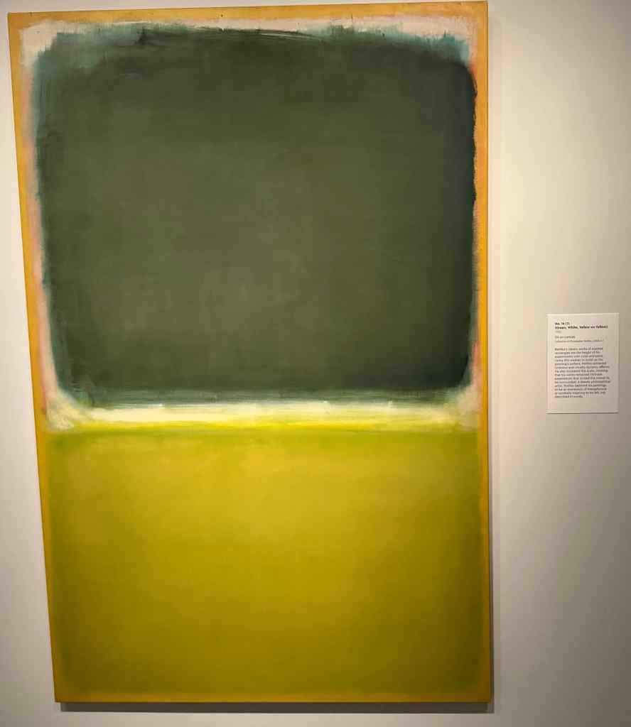
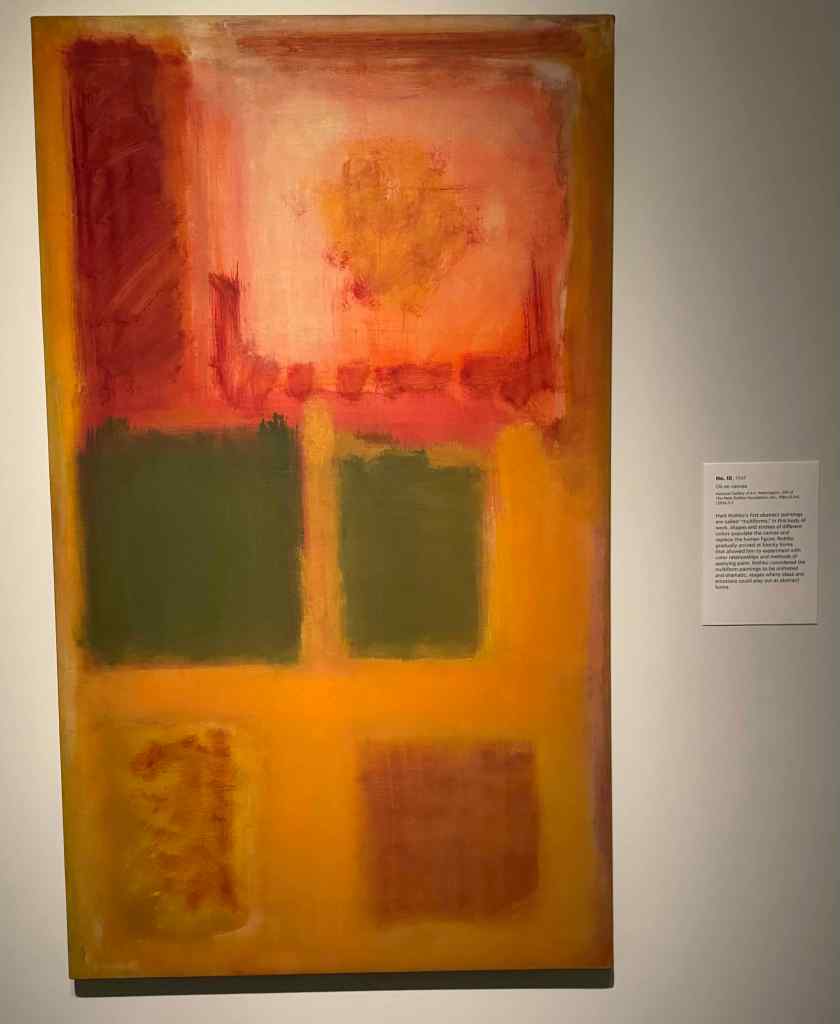
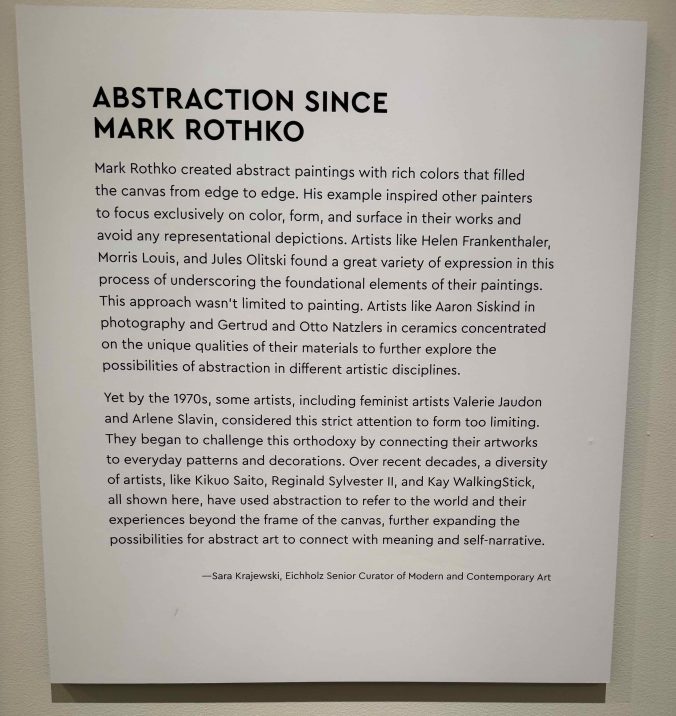
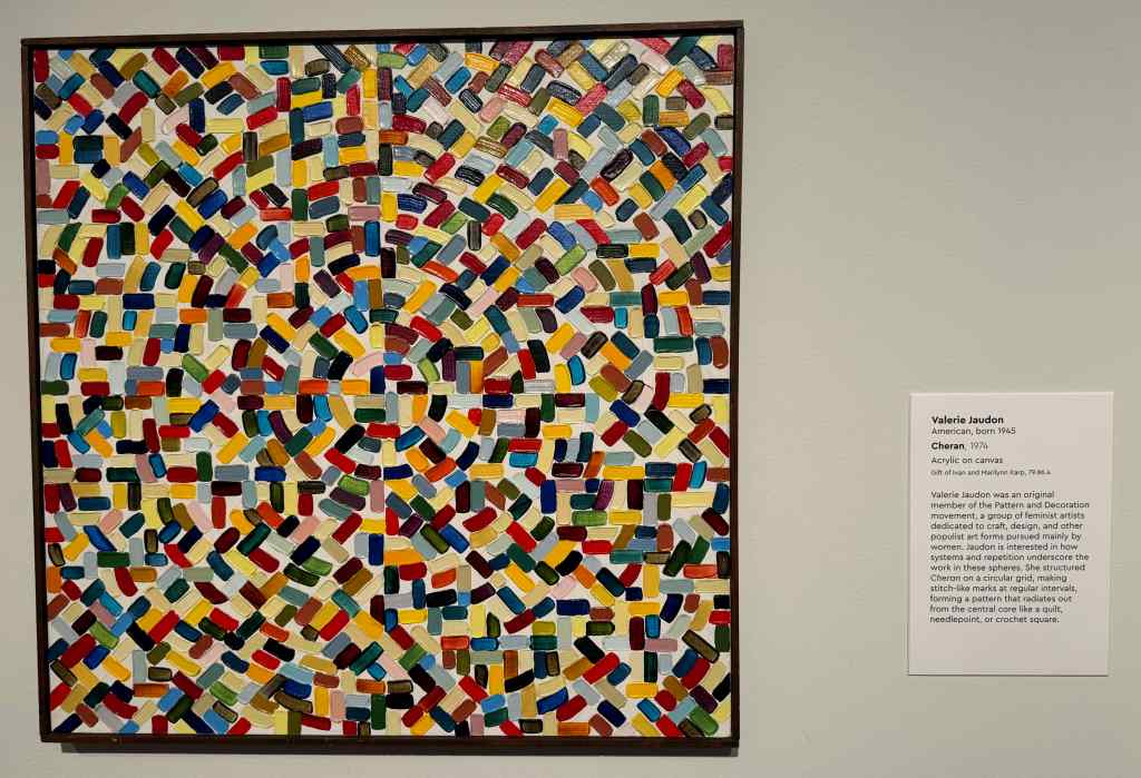
The Portland Art Museum has just opened their newly expanded and remodeled gallery space. We bought a membership, and I hope to go monthly to see all the new exhibits and spaces. Today, we focused on the Rothko exhibit, where we saw examples of this Portland grown artist, from early career to the abstract art he is famous for. There was an adjacent exhibit presenting Abstraction Since Rothko.
Part of the Rothko GalleryMark Rothko placardNo. 16 (?)No. 10Abstraction Since RothkoMurasaki by Arlene SlavinCheran by Valerie Jaudon
I am always attracted to bright colors and patterns. And I love to see the close up view of the texture of the paint layers and brush strokes on the canvas. I am looking forward to looking at a lot of art next year.
Neighborhood walks:
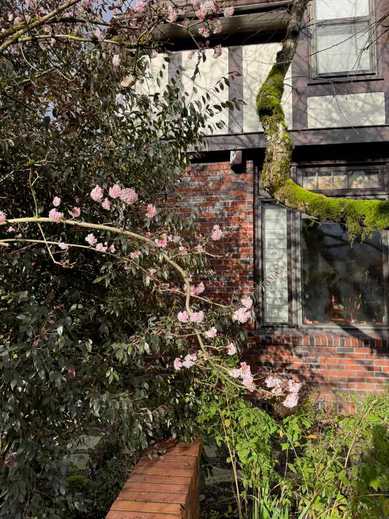
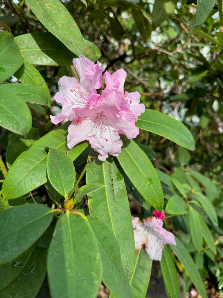
The flowers of December sparkled amidst the holiday and protest decorations.
ViburnumRhododendronRose
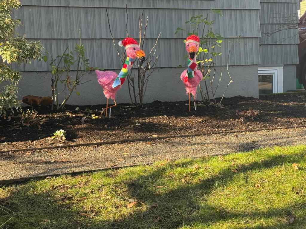
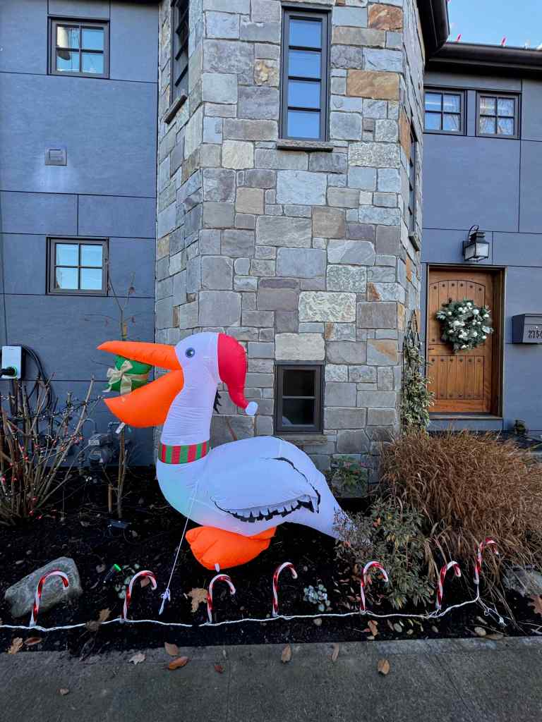
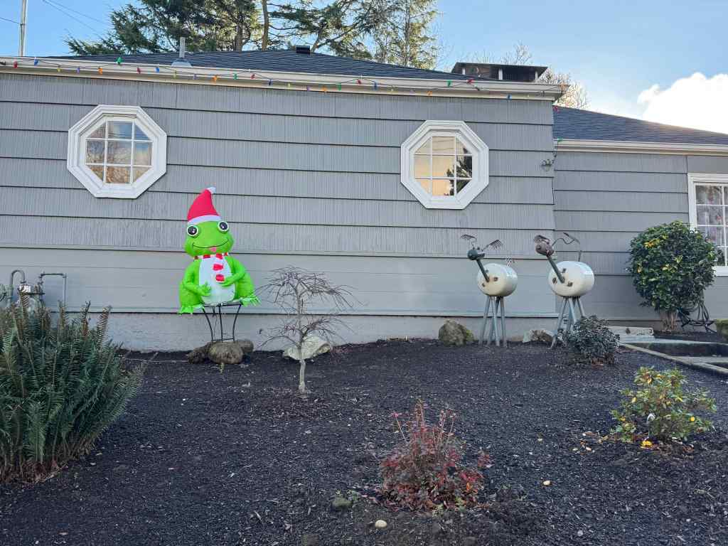
Holiday decorations somewhat overlapped with the ongoing protest signs. New this year were some birds, and some frogs.
FlamingosPelicanFrog added into to this traditionally elaborate displayAnother frogA mixture of holiday and protestStraight protest.
Celebrations:
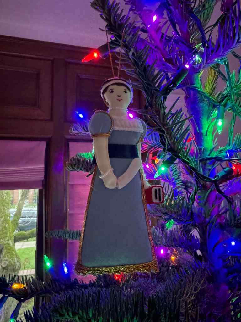
The first December celebration was Jane Austen’s 250th birthday, on December 16th.
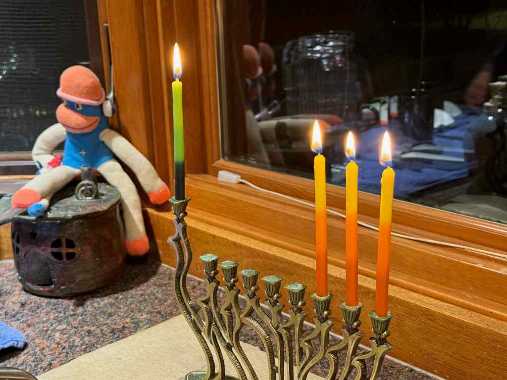
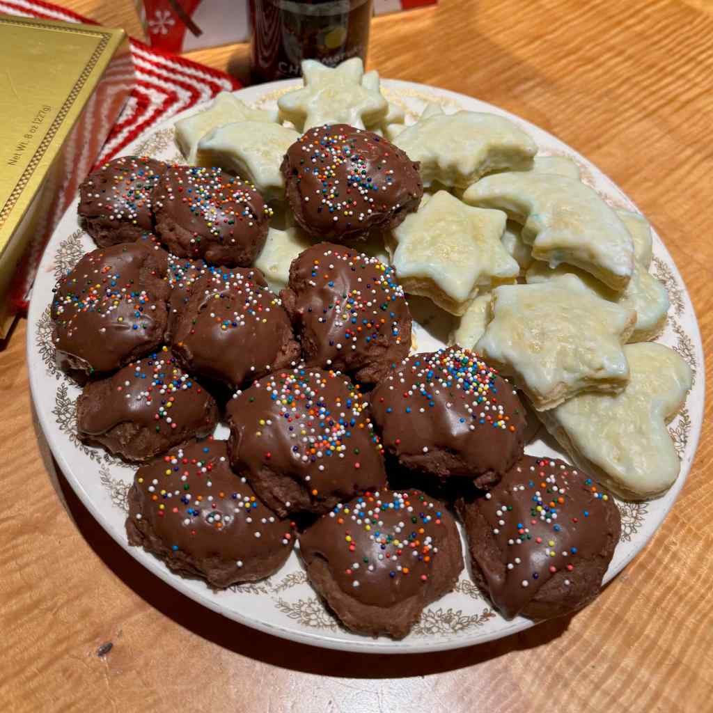
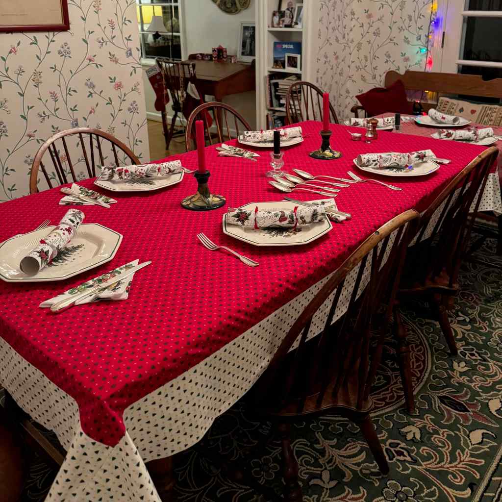
Long my favorite author! (Internet meme)I have her ornament, which I bought at her house in Chawton, UK, hanging on my tree.I slowly put all the decorations on the tree,And hung a wreath on the door.We lit Hanukkah candles.The shortest day went by.We baked a very few cookies,and had a lovely traditional Christmas dinner with long time friends.
We also went on a few outdoor walks and a hike, to be detailed in the next post.
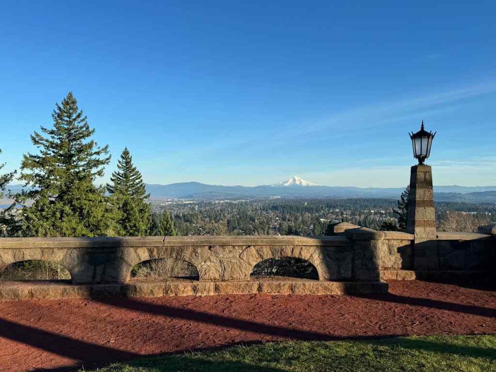
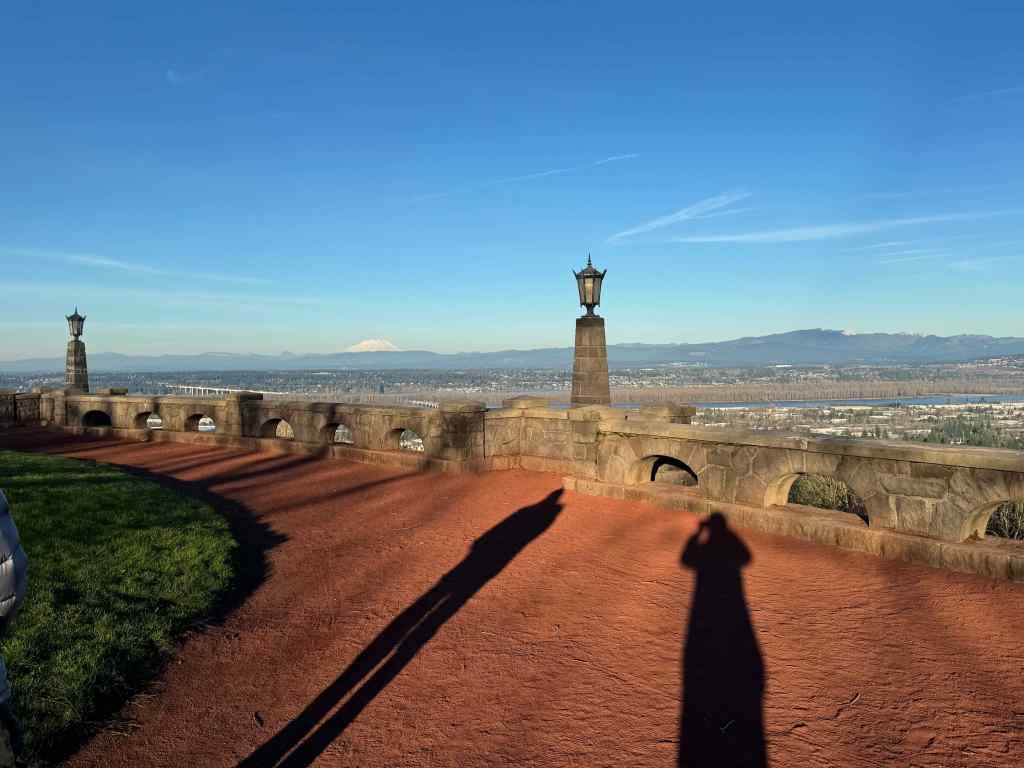
On New Years Eve, we stopped on our way home from doing errands to look at our volcanoes from the top of Rocky Butte.
Clear and cold view to Mt Hood from Rocky Butte on New Year’s Eve.Mt St Helens and our long shadows.
We had a delightful Thai takeout dinner with our daughter and several of her childhood friends, who also happened to be in town for the holidays. Then they went out on the town for the night, and we were early to bed, ready to say goodbye to this difficult year, with hope for better things in 2026.
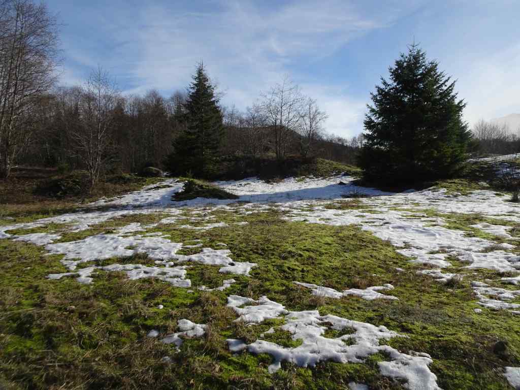
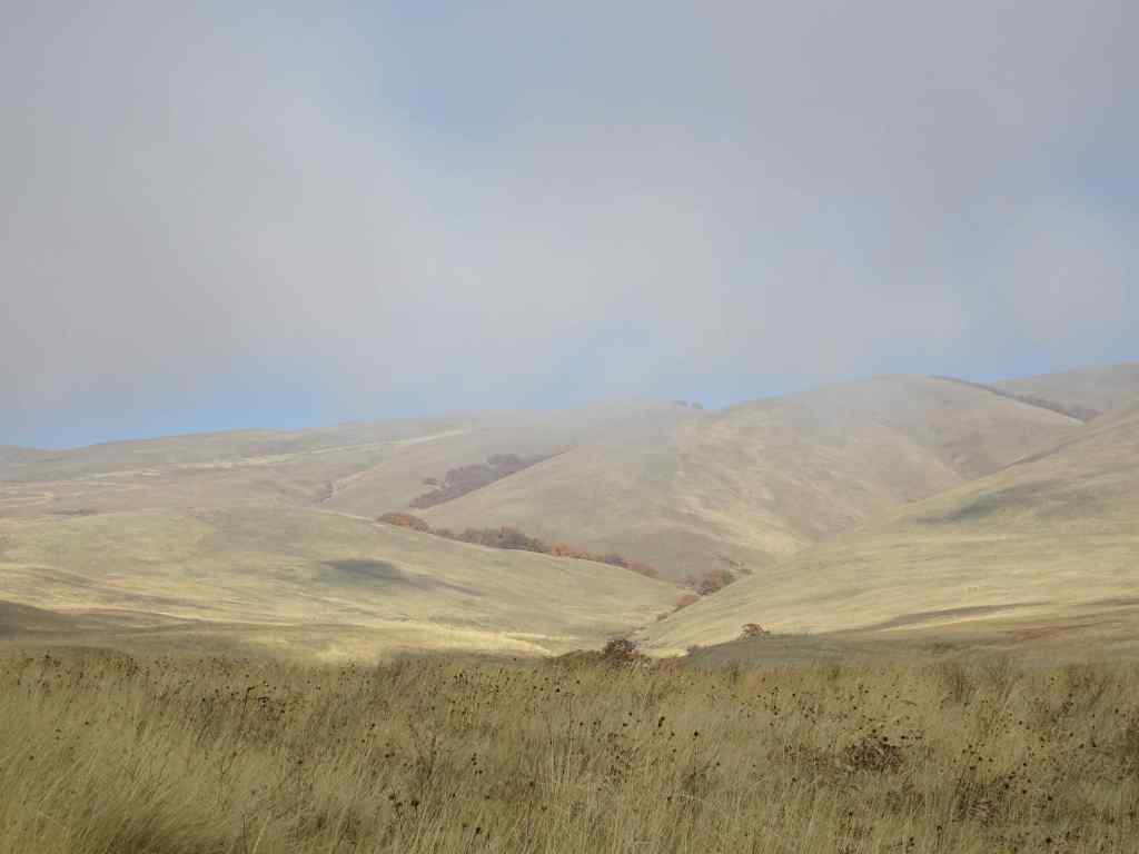
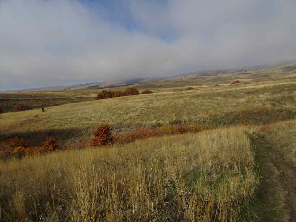
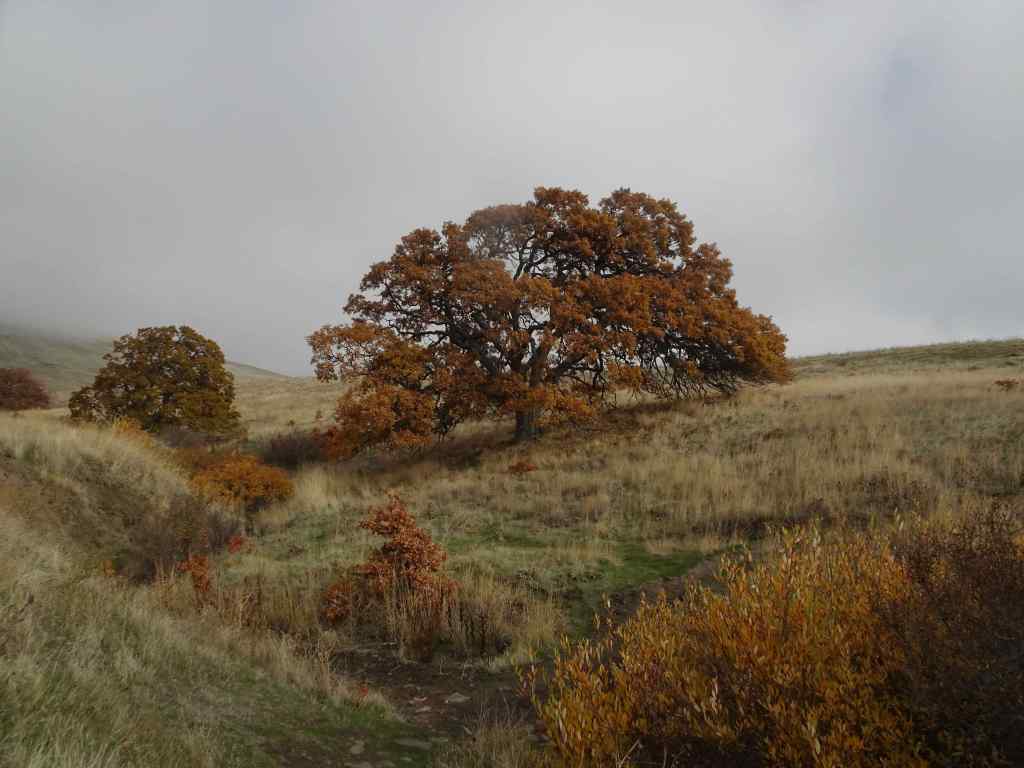
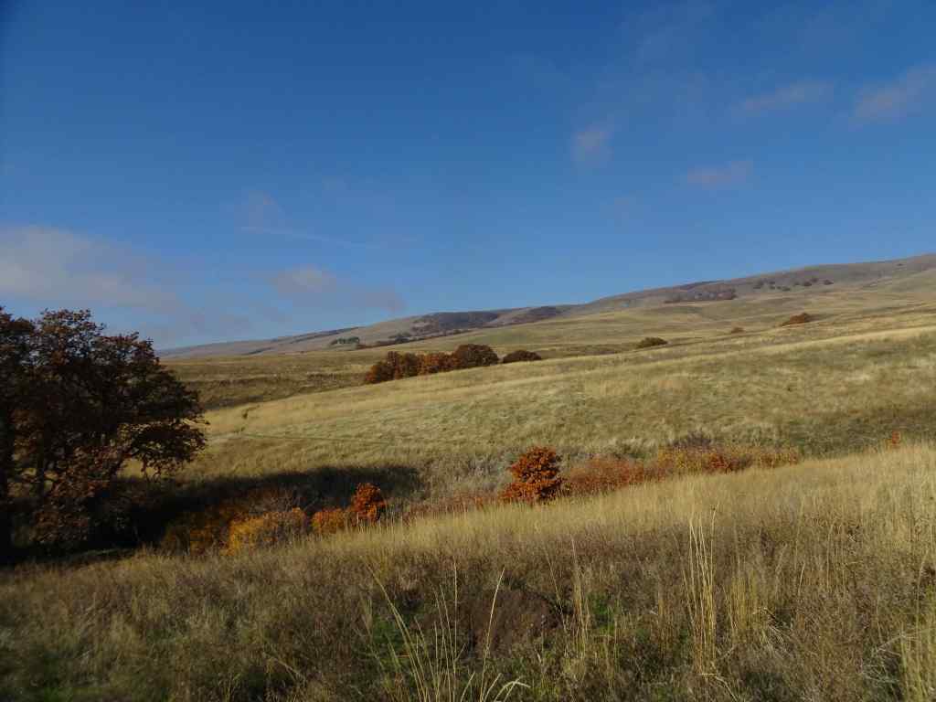
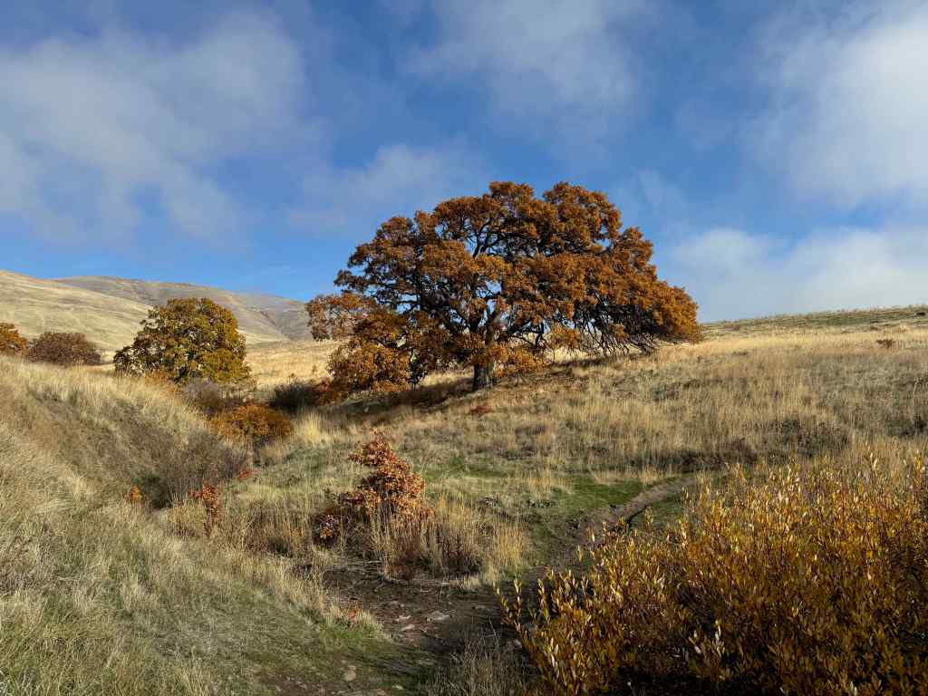
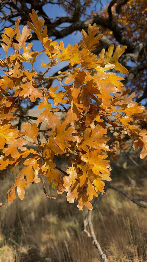
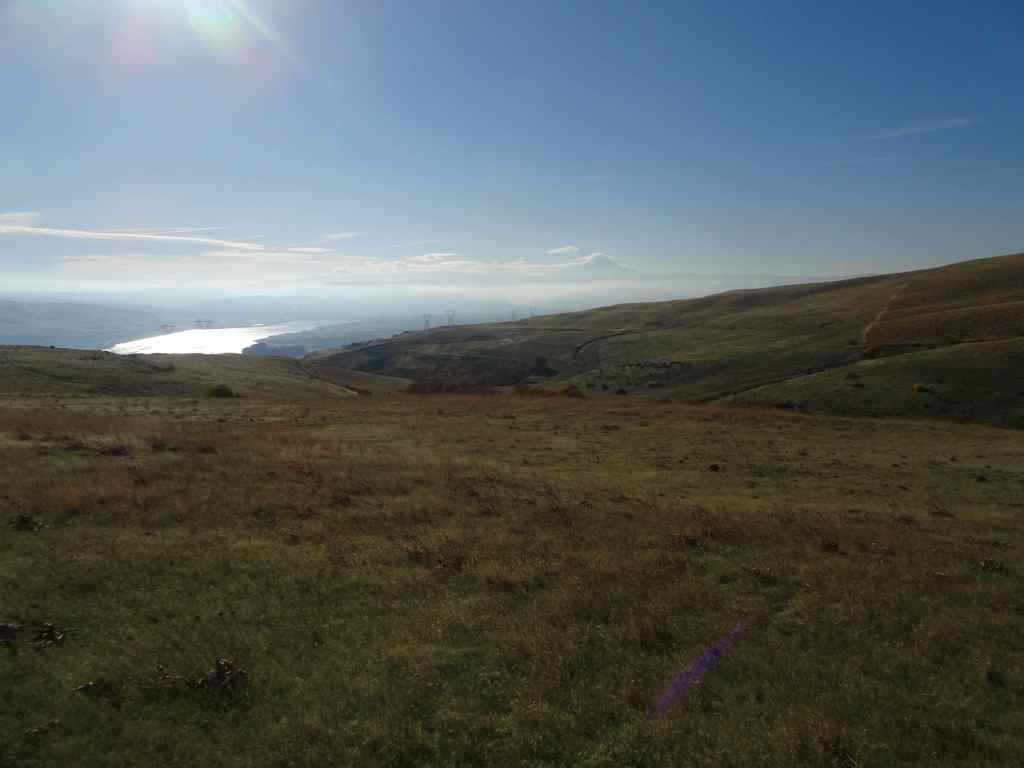
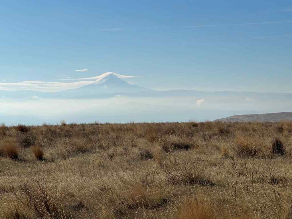
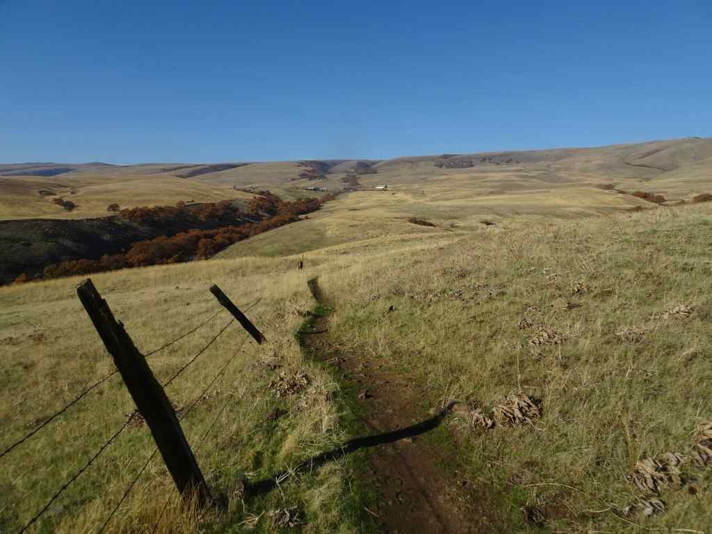
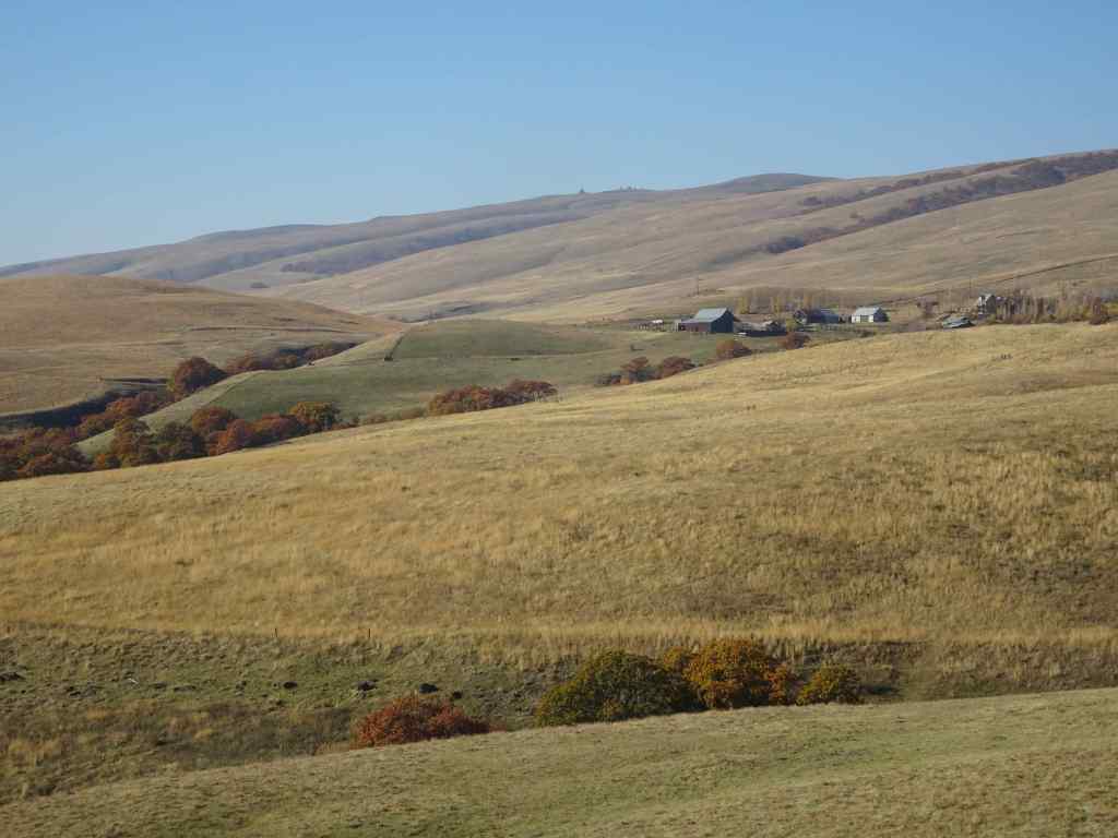
We hiked the upper loop from the ranch ( 4 miles, 450 feet). We began the day with fog and mist, which evaporated by lunch time, and we finished our hike under clear blue skies. We visited the ‘one tree’, and had a quiet day on the trail.
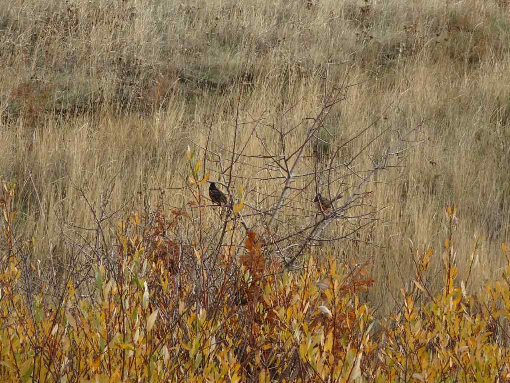
Looking up into the Columbia Hills at the start of the hike. Lots of dried balsam root foliage in the foreground.The hills were still misty when we sat down for our lunch break,right near my favorite oak tree.I watched a flock of towhees in the nearby bushes,By the time we finished our lunch, the mists had evaporated, and the oak tree was illuminated under a blue sky,its leaves glowing in the sun.After lunch, we continued our hiking loop, which circles down to a view of the Columbia River and The Dalles. The sun angle was wrong for photography, but we could see Mt Hood under its cloud cap on the far horizon.We hiked back up to the Ranch along Eight Mile Creek.A satisfying hike on an autumn day, with very few other trail users today.
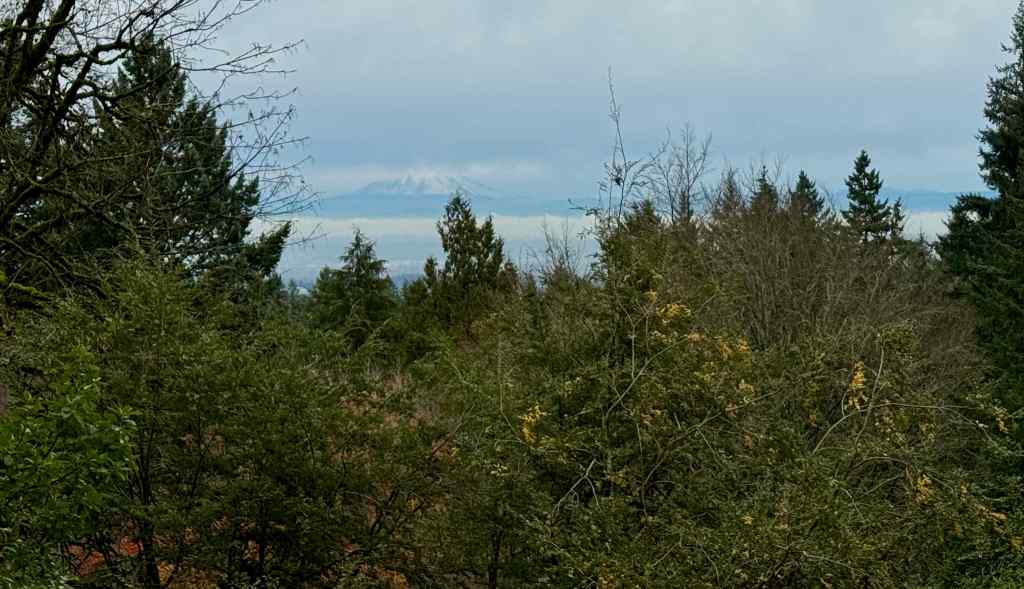
11/25 Portland Arboretum
We hiked a short loop (2.5 miles, 200 feet), past the view of Mt St Helens and our favorite Japanese maple tree, through the Winter Garden, and then back up the Beech Trail.
The snowy top of Mt St Helens was floating like a cream puff on the horizon.The maple tree was past its prime, color faded, but not yet leafless.Red hawthorne berries were glowing, as were the camellias and some of the foliage in the Winter Garden.Beech leaves lined our trail back to the start.
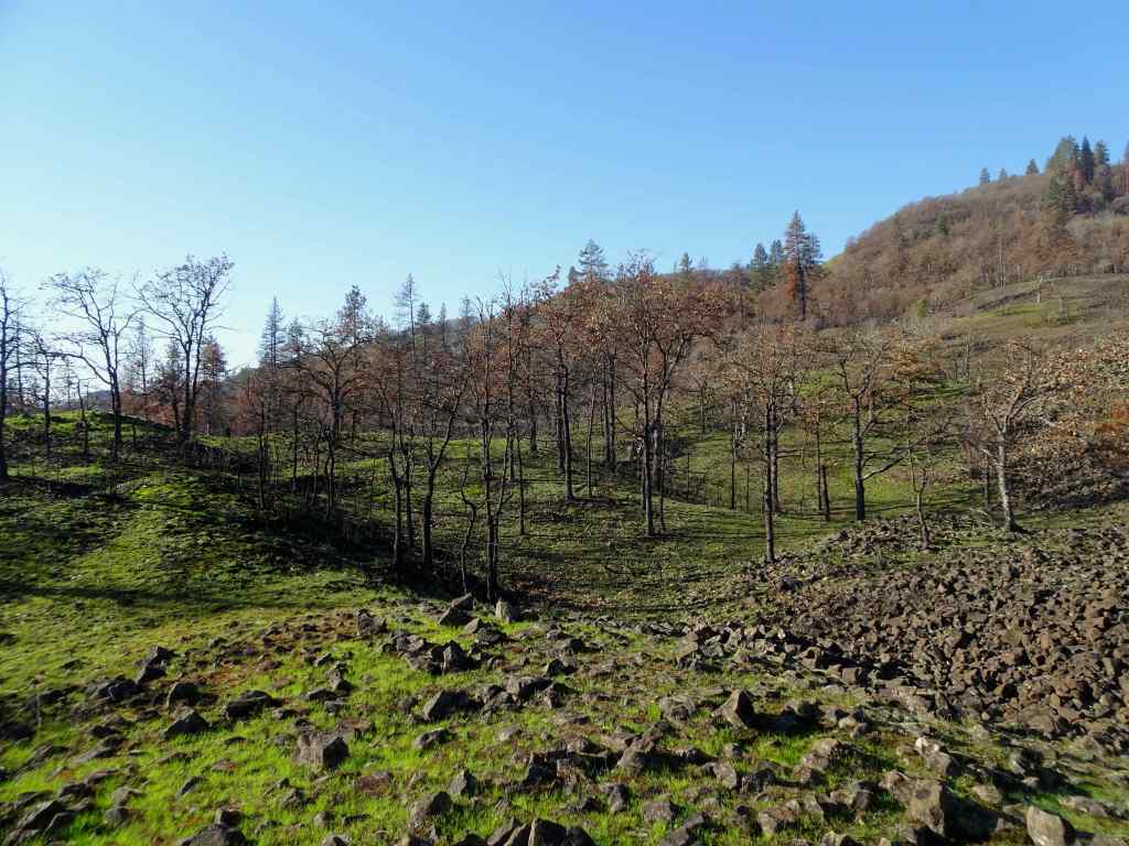
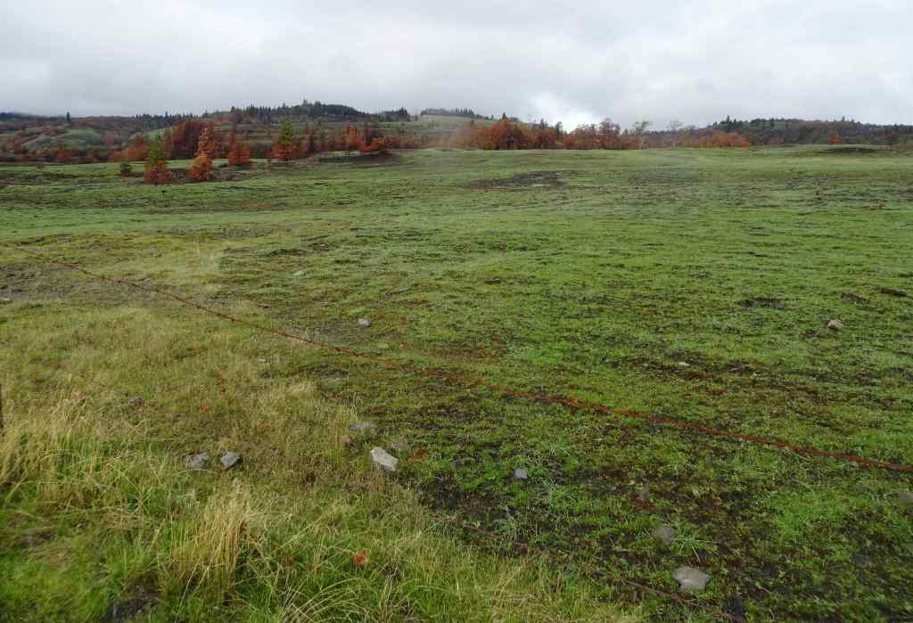
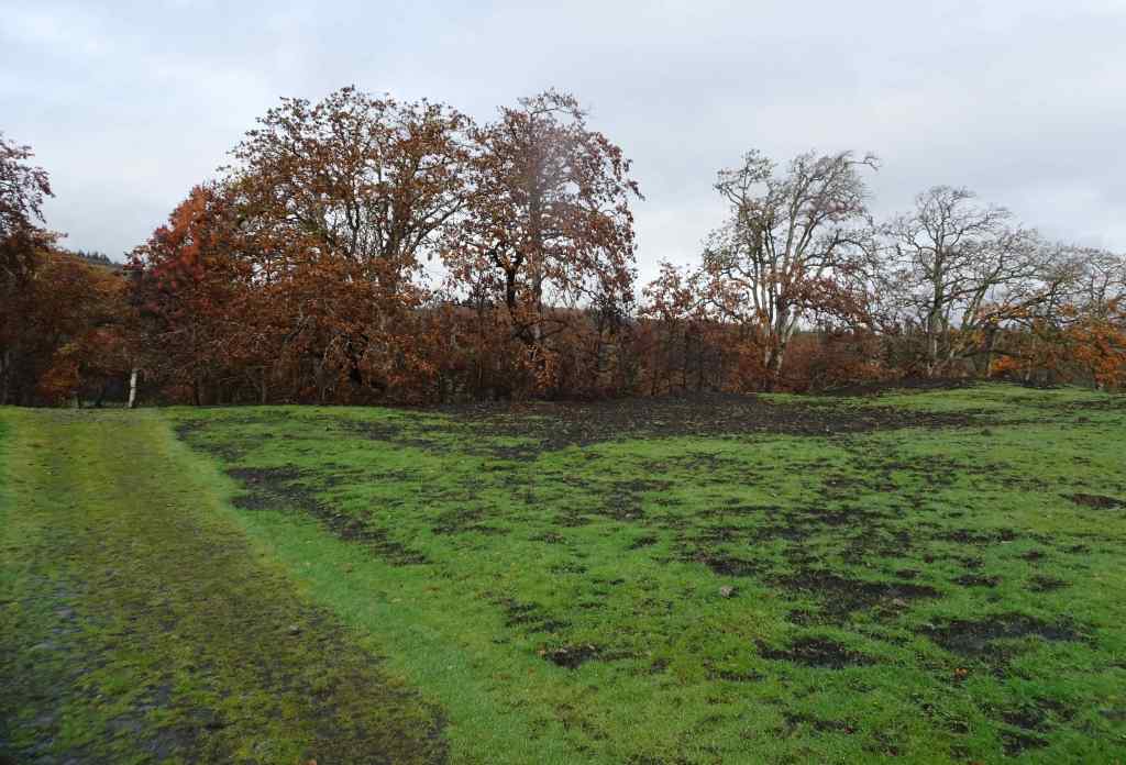
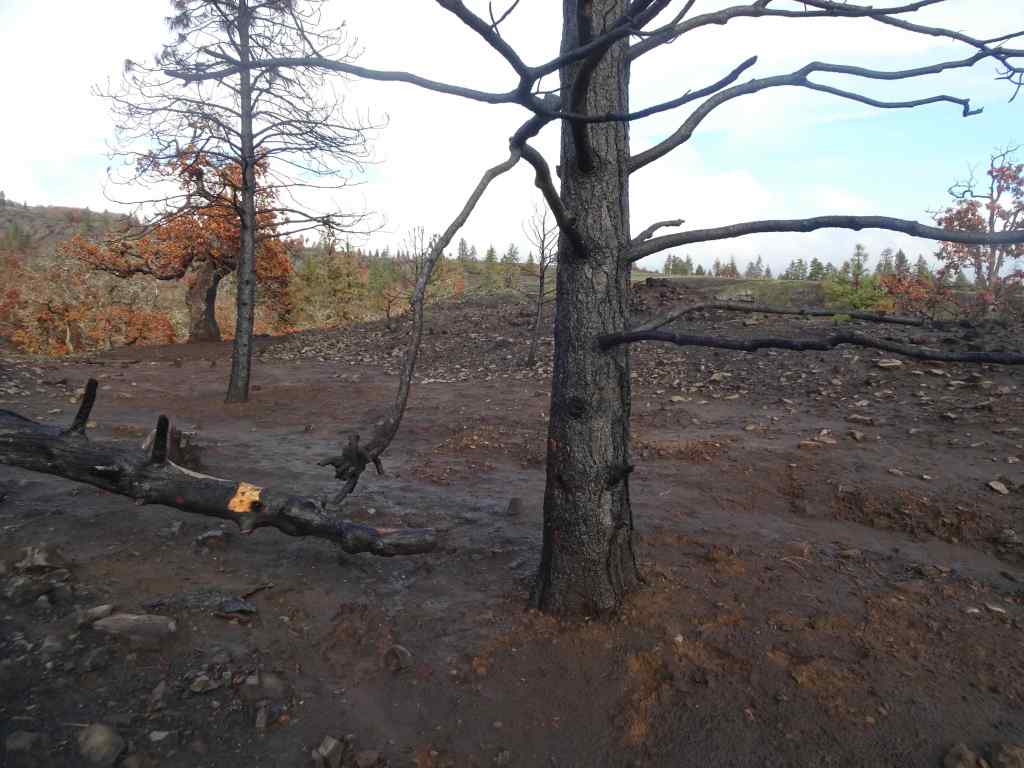
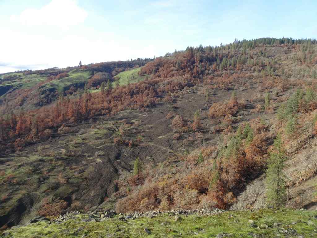
11/28 Catherine Creek/Rowland Wall
This was our first return to this favorite hike since the Burdoin Fire in July (2.7 miles, 720 feet). The blackened slopes have become green with newly sprouting grass. We passed many charred trees, and many that survived the conflagration.
The area of Lower Trail, south of Old Highway 8, did not burn, so looks same as it ever does in winter, with dried grasses fringing the landscape.
Unburned landscape south of the highway.
North of the highway, where the fires swept through, most of the golden grasses and shrubs were completely removed, and the landscape is covered with blackened earth and newly sprouted grasses.
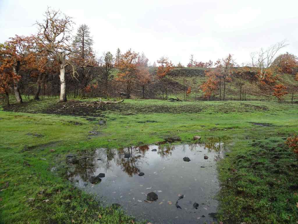
Looking north from the parking area across the burned slope.We began by walking up to the Fairy Ponds.Trees near the Fairy Ponds show fire damage.
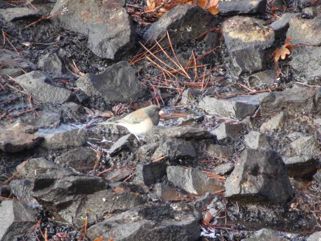
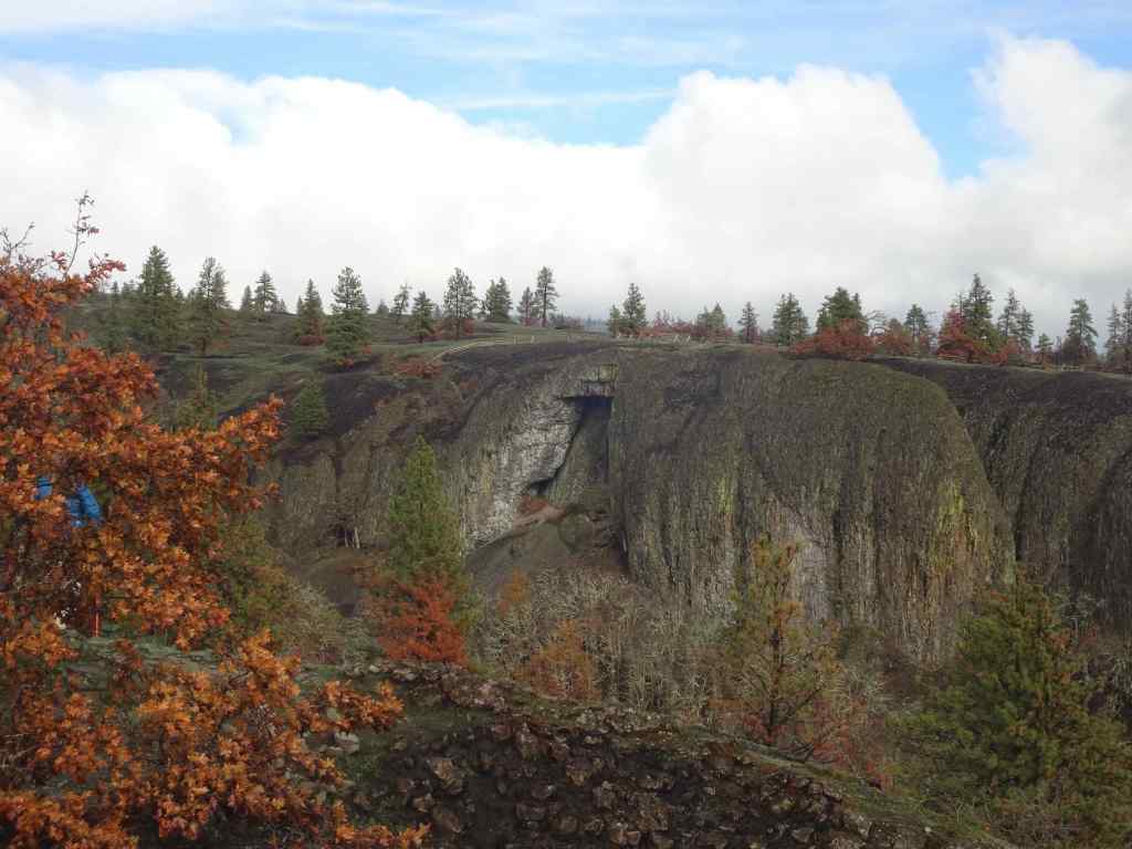
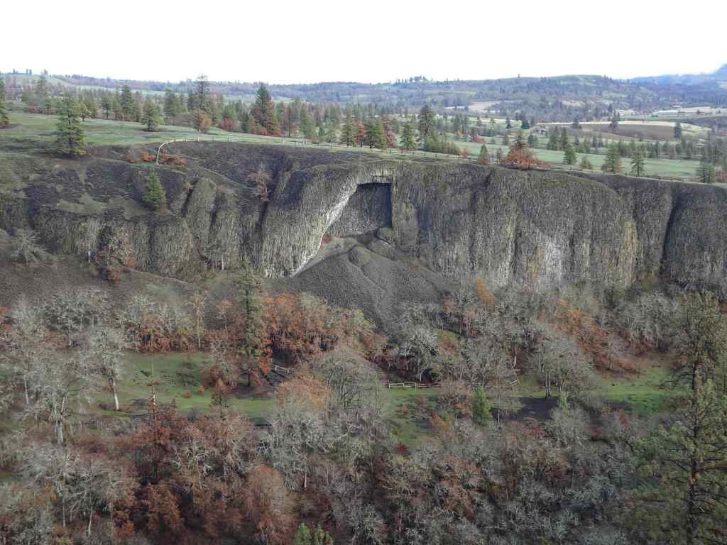
We continued walking up the Bitterroot Trail, to the ridge just west of Catherine Creek.Looking upriver from the ridge, all the way to the town of Lyle, where the fire stopped at the Klickitat River.Blackened soil and trees.Juncos were pecking around in the dirt here.Looking across to the Arch, which already has new fencing in place.Wider view of the Arch, and the lower trail in front of the Arch.
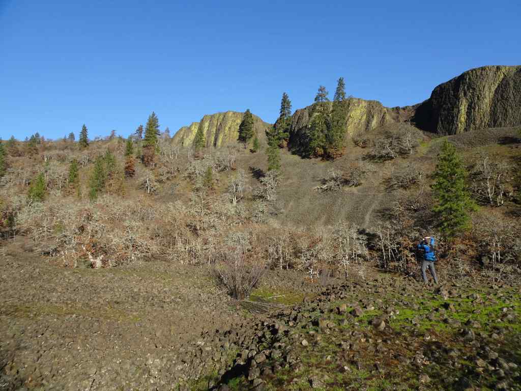
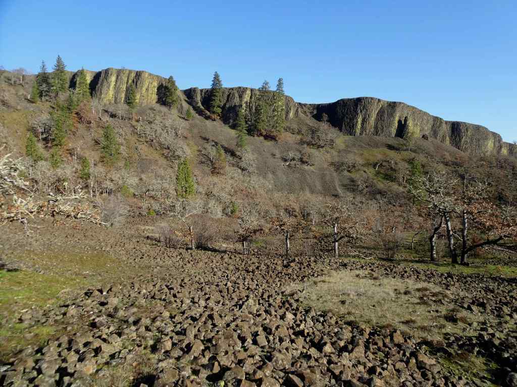
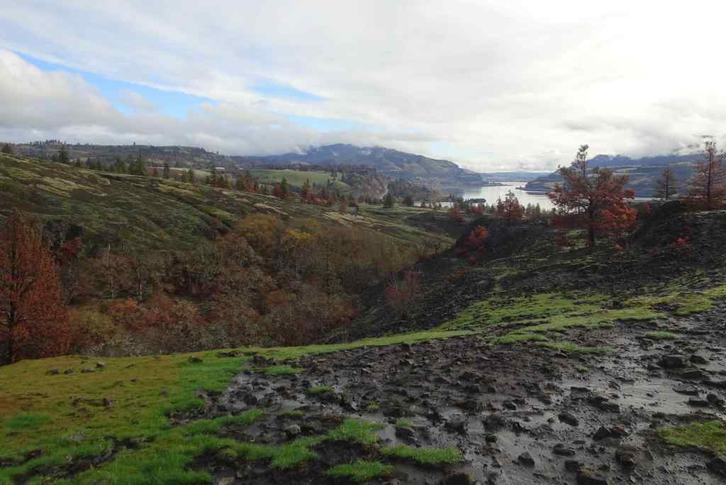
We walked up slope, and past the power pylons to the edge of Rowland Wall.
Looking eastward across the landscape, up the Columbia River. Oddly, green areas are burned, golden areas are unburned. Orange pine trees are fire damaged.Continuing uphill toward the power pylons.Near our turning place – the golden, unburned area at the top was burned in last year’s controlled burn of the area, and I guess they held a fire line there in July.Eastward from our high point. It was a gorgeous day!
From the edge of Rowland Wall, we looked at our familiar landmarks to the west to see how they fared.
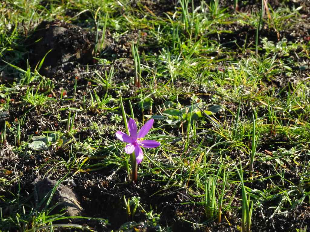
The tall tree here can be seen from many of the trails in the area – I think of it as the ‘guide’ tree.Zooming in – it is still standing, but appears to have some fire damage.Next, we hiked down the Rowland Wall cliffs…I found bitterroot foliage in the usual places – a good omen!Chartreuse lichen on the cliffs – not burned.Wider view: guide tree on the skyline. Lots of burned trees in the volcanic landscape below the wall.
Next, the trail takes us back east toward our parking area. Some of the lower tree stands in this area were very badly burned.
View back toward the parking area.Many burned pine trees.I hope the frogs will be back in this pond, where we often hear them.This is the first time I have seen the rock cliffs behind these trees – all the undergrowth is gone.The ponds are still reflective on this beautiful day.
The experience was a little heartbreaking, but also hopeful – there were still birds, and some of the wildflowers were beginning to sprout up in the blackened dirt. We will return in spring to monitor the changes. I’m glad we can continue to hike here on rainy days in Portland!
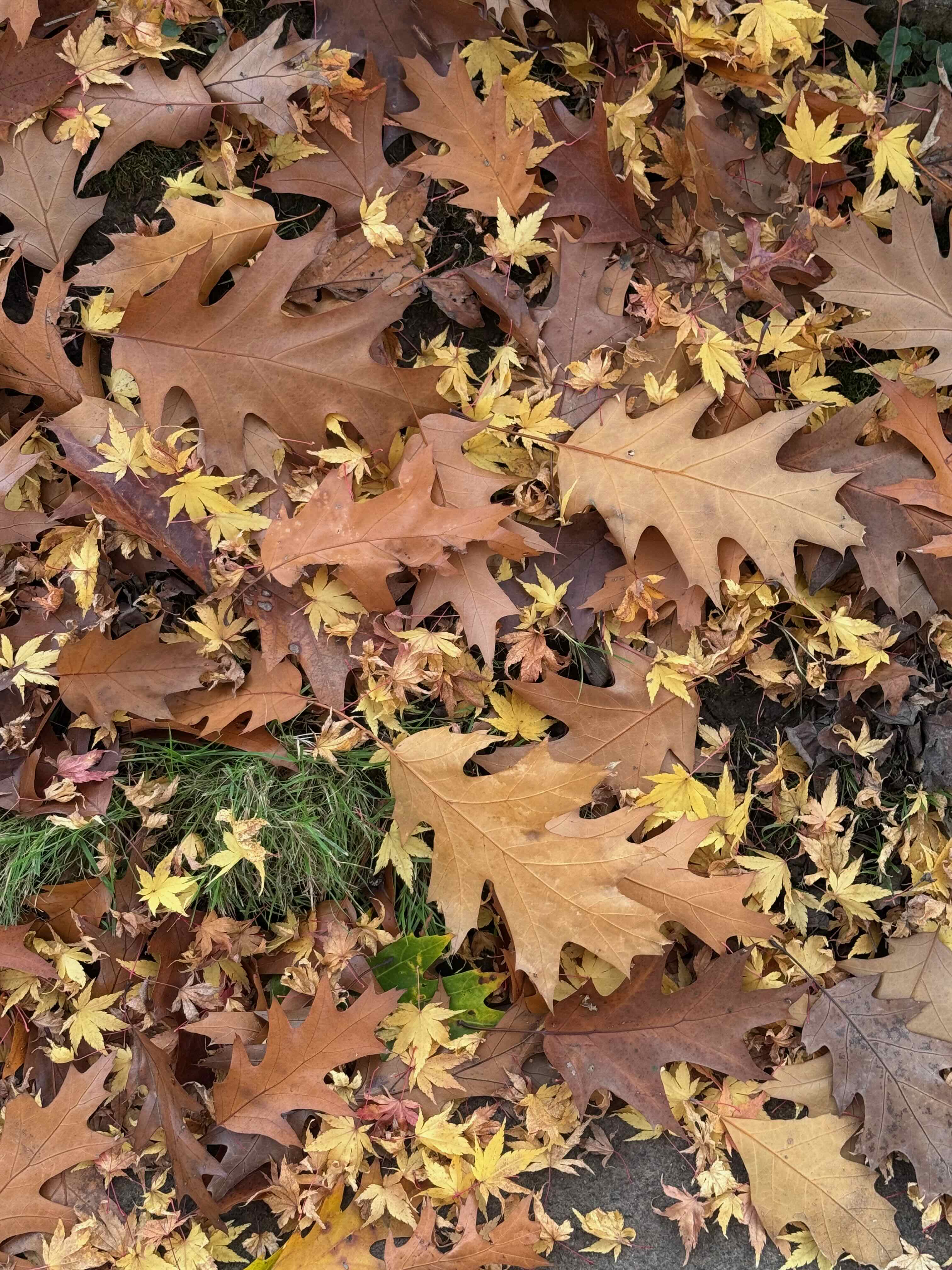
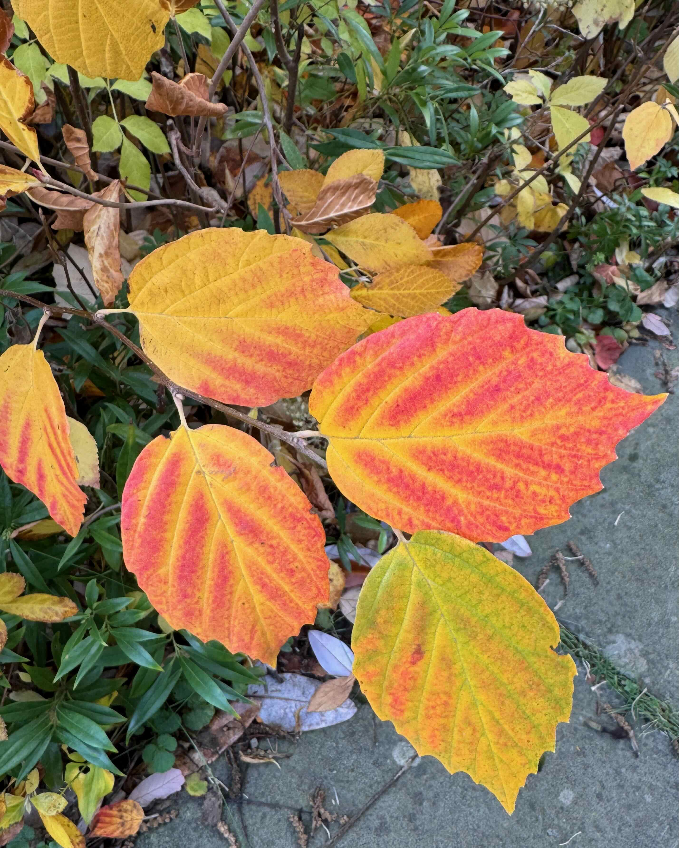
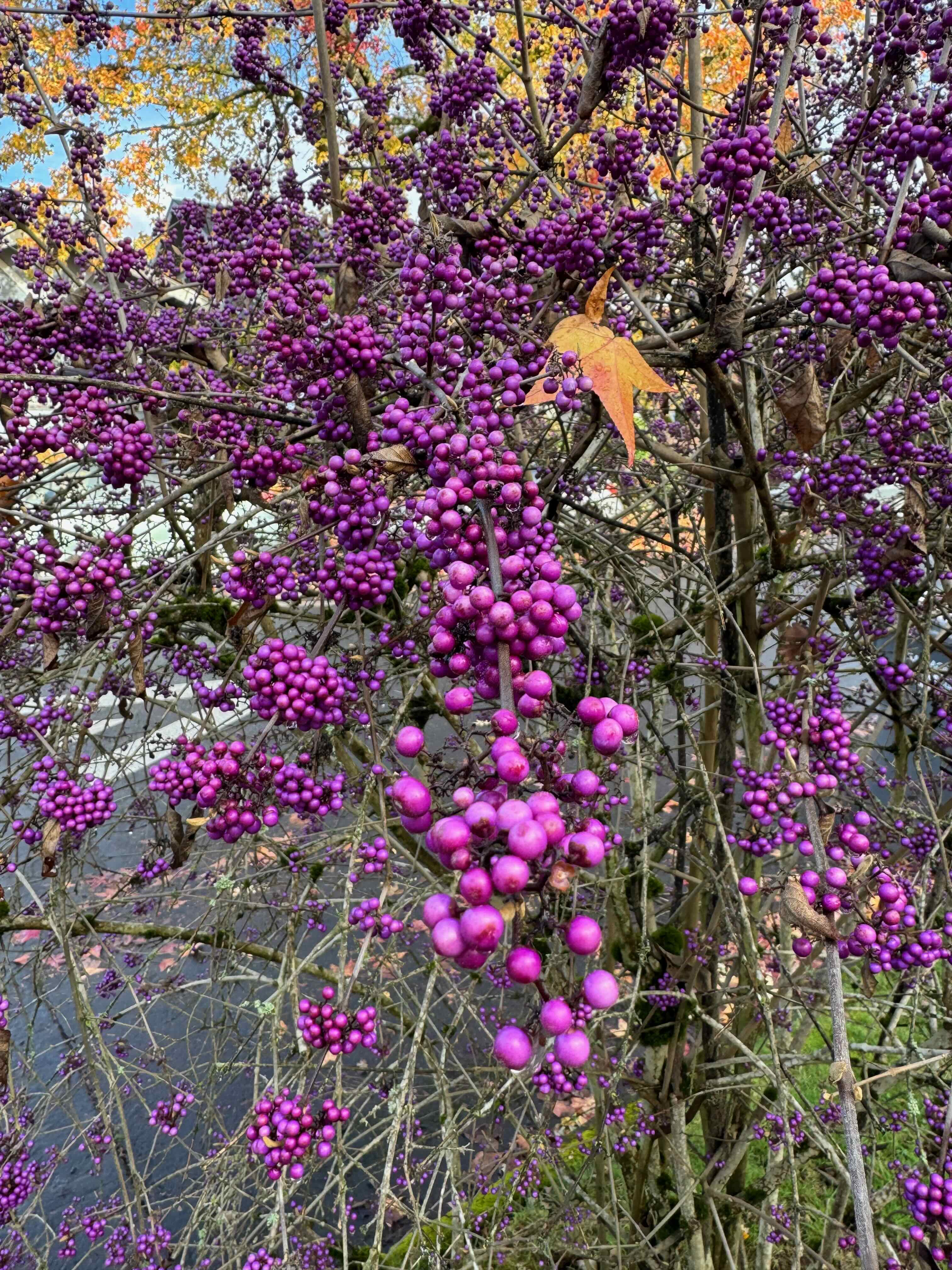
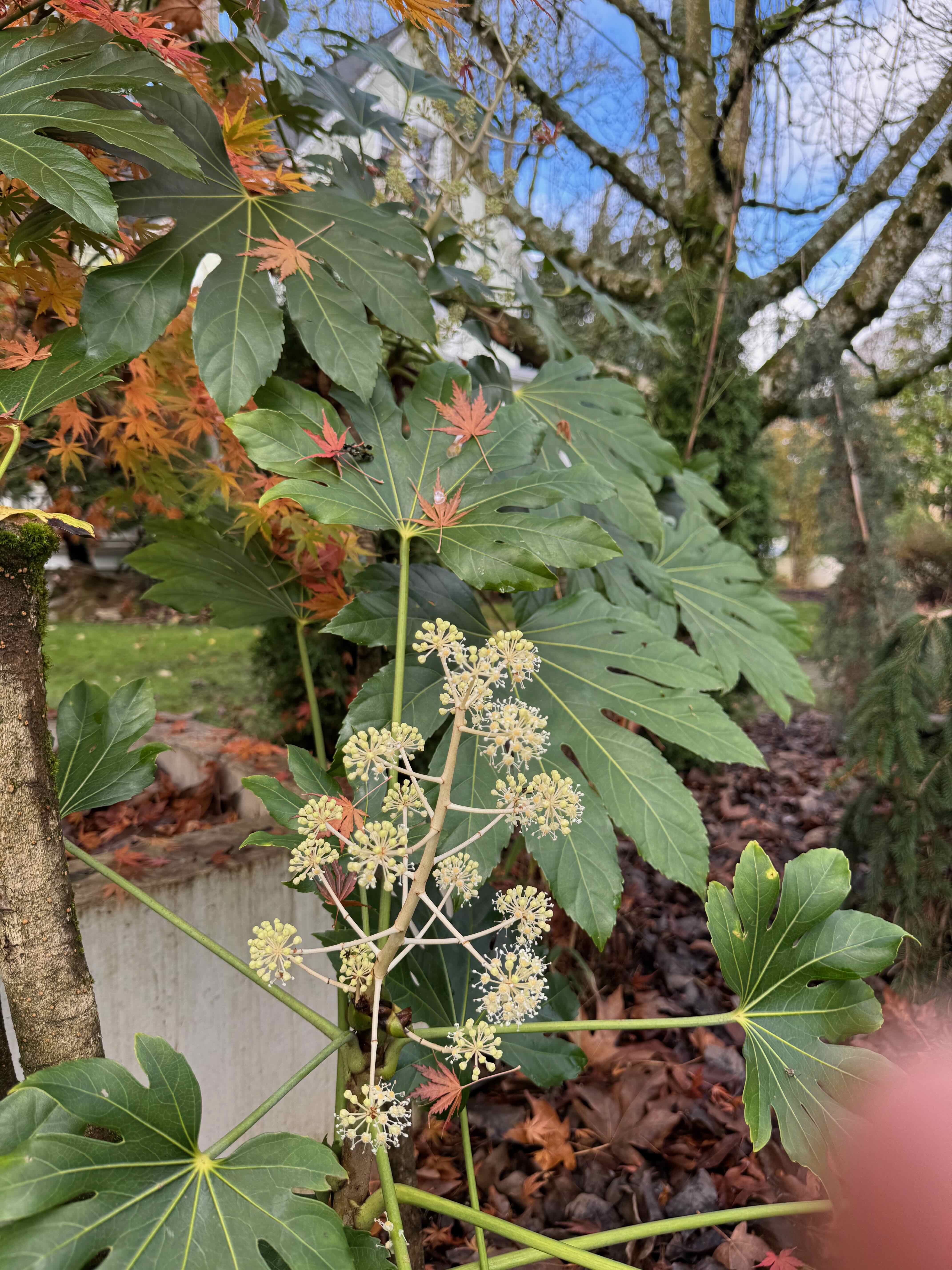
I took many neighborhood walks this month, watching the season change, and contemplating sad partings.
Fall colors in Northeast Portland
The leaves…
Berries and late blooming or winter flowers…
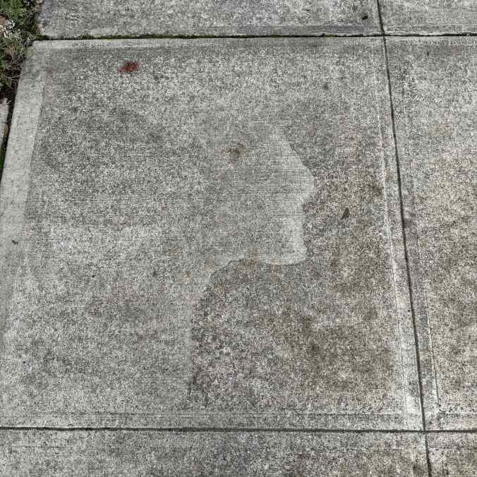
Sidewalk square of the month…
This one has a human profile etched in the weathered cement.
And of course, the early holiday decorations…
Santa penguins, wondering where the snow is.
Knitting
I finished one cowl, which I am wearing almost every day. The pattern is Ella Improv by Cecelia Campochiaro. The yarn in Malabrigo Lace.
Ella Improv cowl
Reading
I finished six books in November. The most compelling was The Mountains Sing by Nguyen Phan Que Mai, a saga of family life in Viet Nam in the twentieth century.
Books of November
Signs of Resistance
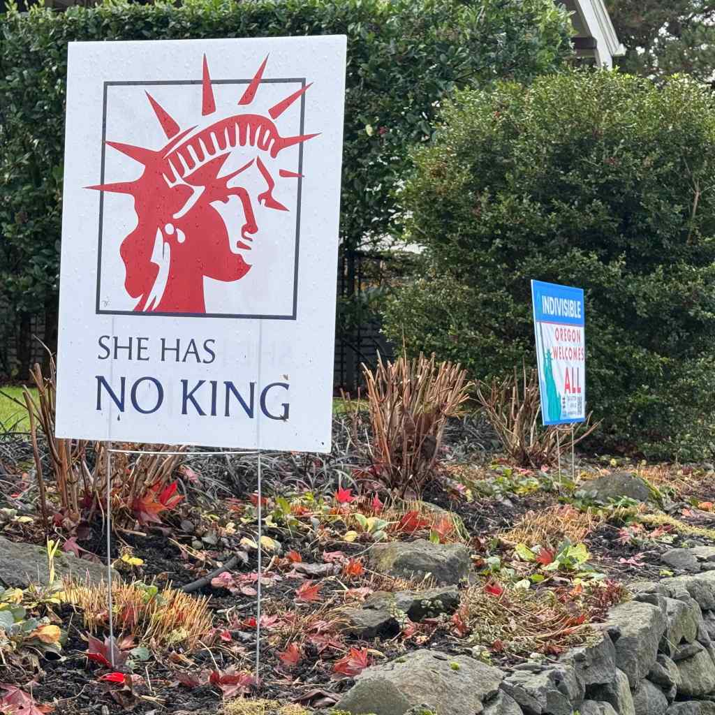
My neighborhood is always heartening in the display of signs of resistance. There seem to be more and more all the time.
Window signs, telling the world how they really feel!These signs were displayed in front of almost every house on this block.Including this one, with an Anne Frank tribute as well.Lady LibertyKeeping it brief.The wall mural I see on the way home from the library, in the low autumn light.
Sadness
This month I lost two close family members; one older, one younger, one with a long illness, both quite sudden. This was unexpected and sad and I have been feeling shaken and unanchored in time. As a family we are scattered geographically, but with the miracles of technology, we have been able to grieve together. It is hard. And it is human. We are all on that train. We are stopped in our tracks by the loss. We are determined to live well in response. Both paths seem wrong. But we go on.
Thanksgiving was celebrated with close friends who invited us for the day, and for whom I am grateful, especially this year.
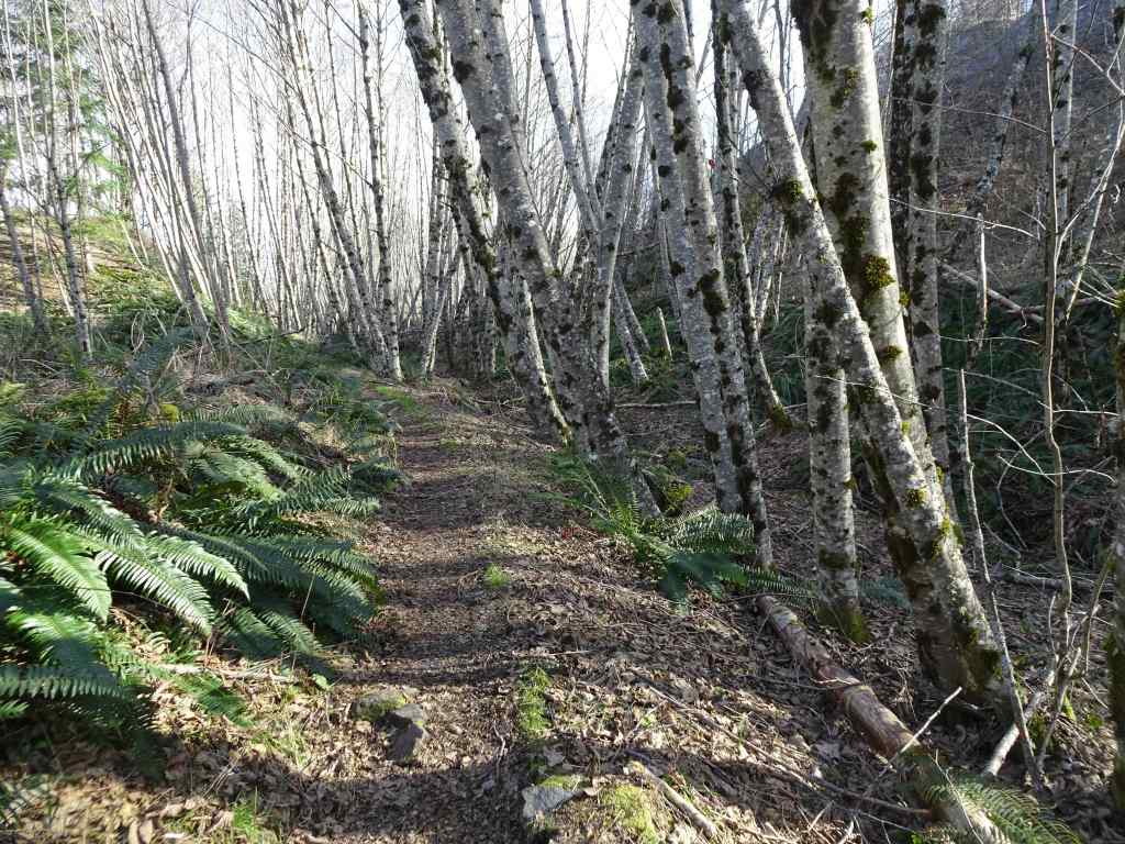
Three hikes this month. Our fall hiking areas on the Washington side of the eastern Columbia River Gorge are still impacted by Burdoin Fire damage. We hiked twice on the Oregon side, and once in the Cascade foothills east of Salem.
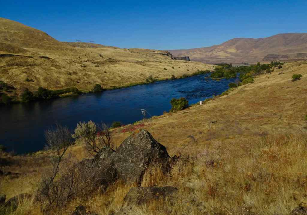
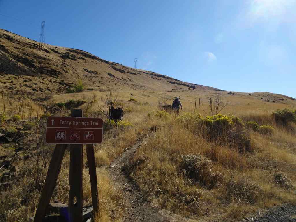
10/14 – Deschutes River Trail, Oregon
Our usual loop, up to Ferry Springs, and then return along the Deschutes River (4.5 miles, 600 feet).
Blue sky today, a light breeze.
Walking along the Deschutes River. Reflections, a few water birds.Rising up above the river, view to the confluence with the Columbia River.Upstream viewUphill toward Ferry Springs.
Still losing my breath on the uphill. There are clumps of white and pink blooming buckwheat, yellow rabbit brush, and a few scrabbling lupines. Dried out balsamroots and thistles punctuate the slopes of golden grass where it was blackened and burned a few years ago. Very little sign of the fires now, so much has regrown. Once again, it is peaceful out here – down by the river there are many people fishing for steelhead; we saw one train on the western bank; otherwise a rock wren, a raven call, and us.
RabbitbrushSnow buckwheatLupine
We crossed over Ferry Springs, then looked down toward the river.
The Ferry Springs CrossingLooking down on Ferry Springs as it joins the Deschutes River.And the view to the Columbia River and Columbia Hills.Almost back to river level, looking through the arch.
Back along the river, walking north –
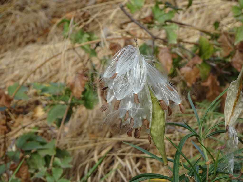
SumacSumacRiver viewDucksNorthern flickerMilkweed seeds getting ready to disperse.Milkweed seed
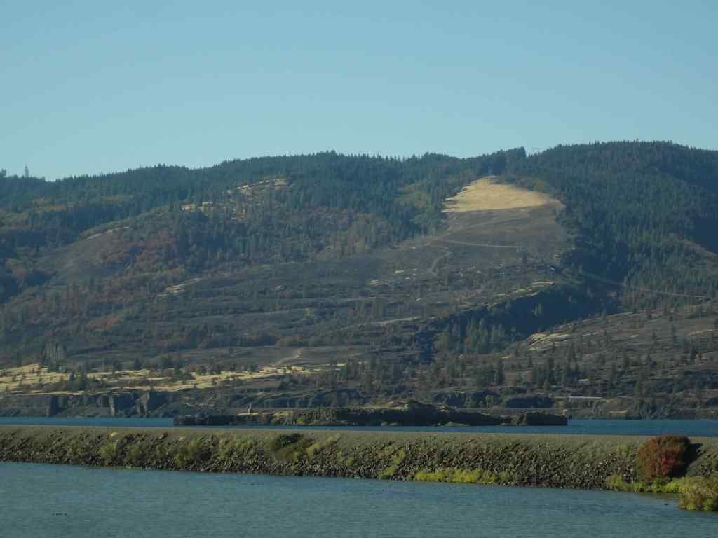
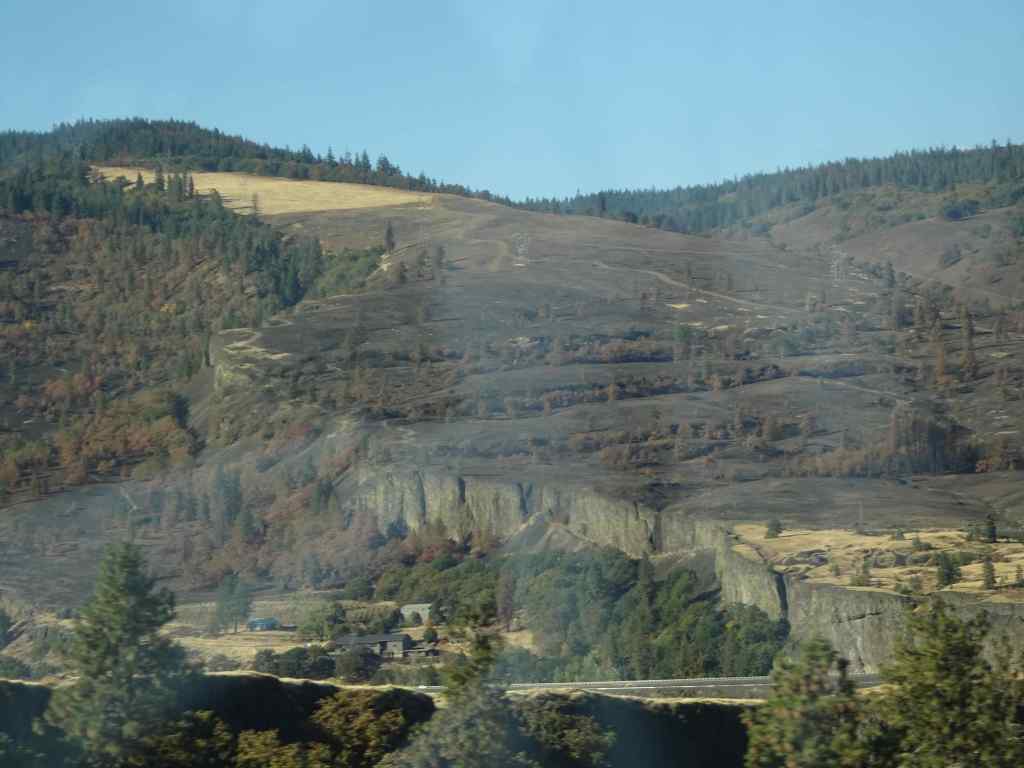
We appreciated the golden slopes we just walked down, especially after seeing the blackened slopes at Catherine Creek. As we drove back west along south side of the Columbia River, I took a few shots of the Burdoin Fire area in Washington that was burned last summer. There are some very black slopes, but also some unburned areas. I can’t quite see my favorite trees from this view.
Catherine Creek hiking area, from I-84, westbound.Catherine Creek areaCatherine Creek area. The Arch and Tracy Hill.
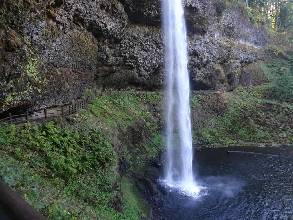
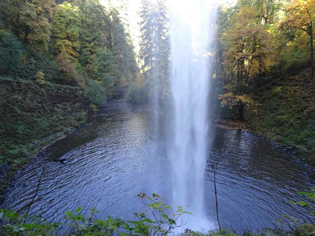
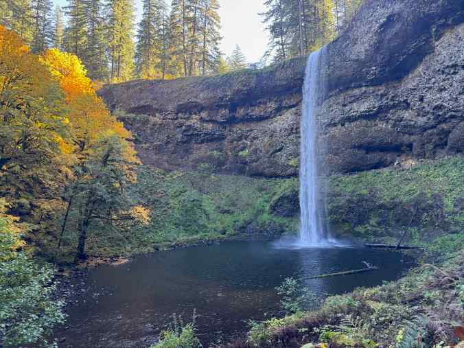
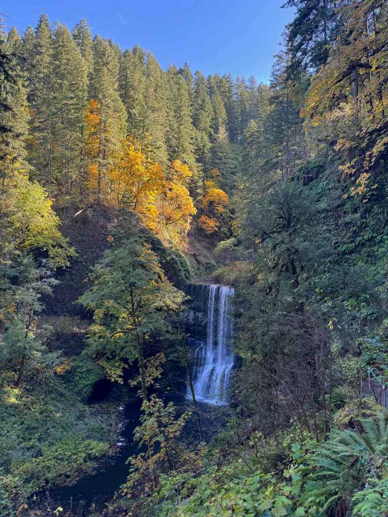
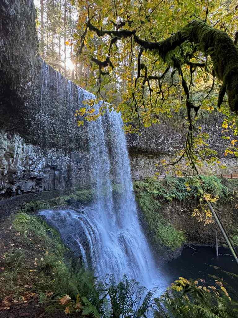
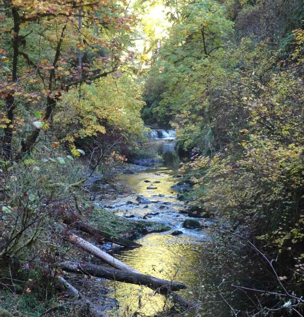
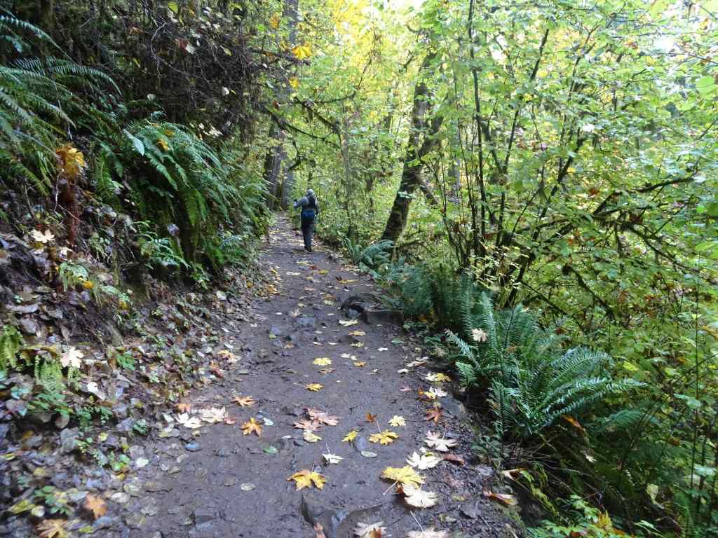
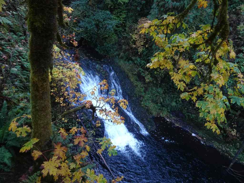
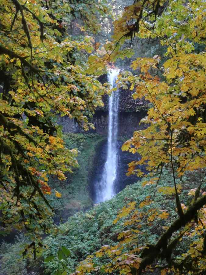
10/20 – Silver Falls State Park, Oregon
Another place we have hiked many times. Today we saw six of the ten famous falls (5.8miles, 600 feet).
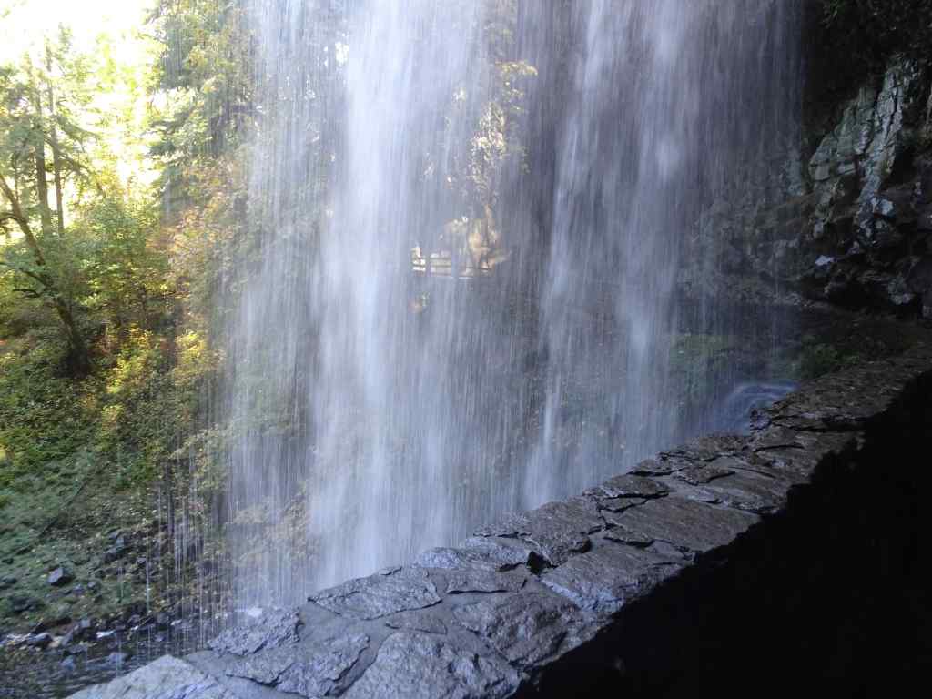
South Falls
Looking down toward South Falls.Our trail goes behind the falls.Looking downstream from behind the falls. This time of year the spray doesn’t soak us.Looking up toward the rim.And looking back from the other side.
Lower South Falls – We continued downstream along the South Fork of Silver Creek, eventually descending switchbacks and staircases to walk behind Lower South Falls.
Descending toward Lower South Falls.Walking behind the falls.Downstream view.Looking back from the other side.
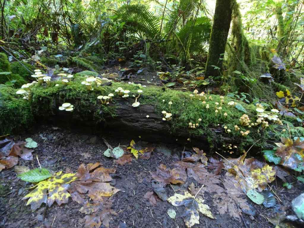
Lower North Falls – Next, we passed the confluence of the North and South Forks of Silver Creek, and began walking upstream along the North Fork.
Mushrooms and mossCrossing the North Fork.Lower North Falls
Drake Falls – Continuing upstream along the North Fork…
Autumnal trail – lots of big leaf maple leaves drifting down.We only get a sideways view of Drake Falls from the viewing platform.
Middle North Falls – A side trail goes under the falls, but we didn’t take it today.
Middle North Falls
Winter Falls – From here, we crossed the river again, and passed the nearly dry Winter Falls while ascending to the rim and walking back to our starting point.
Winter Falls trickling down.
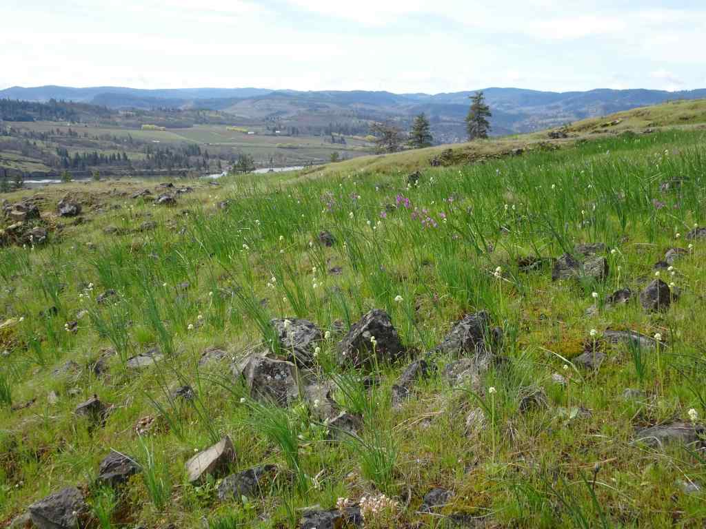
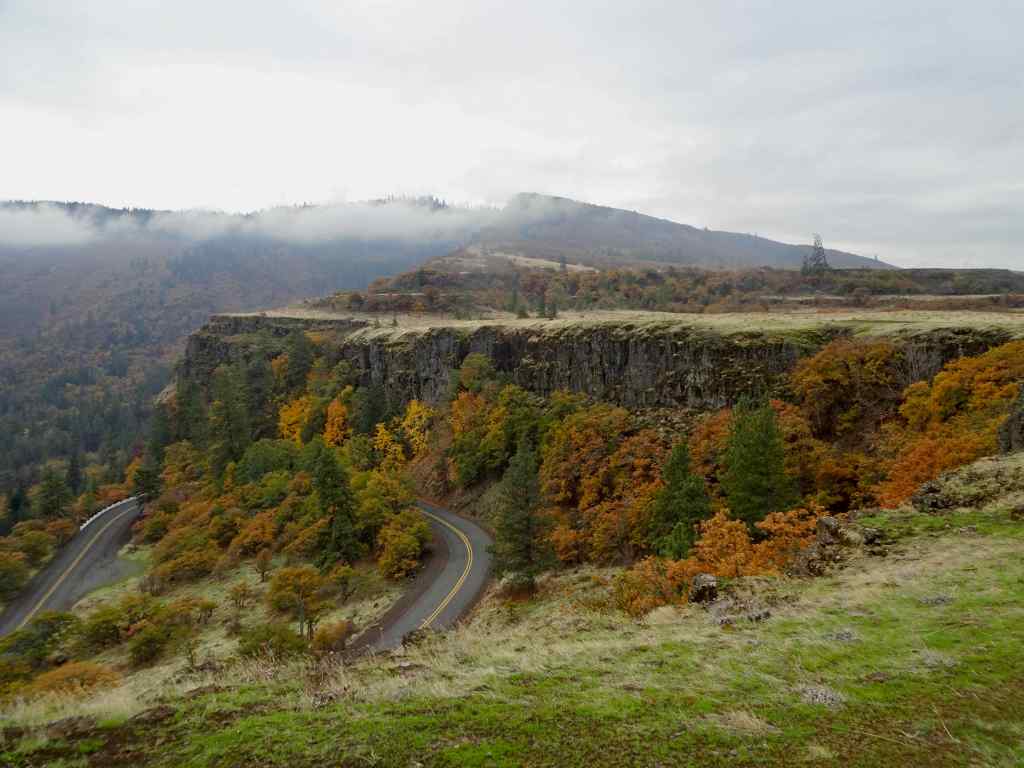
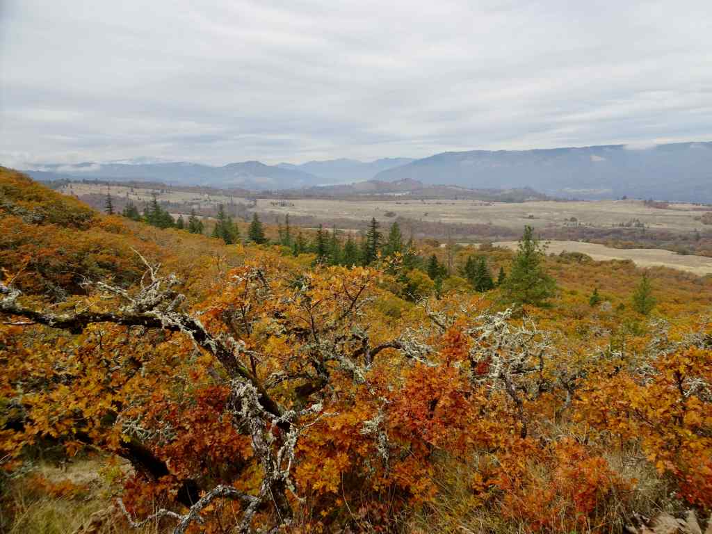
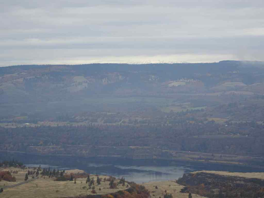
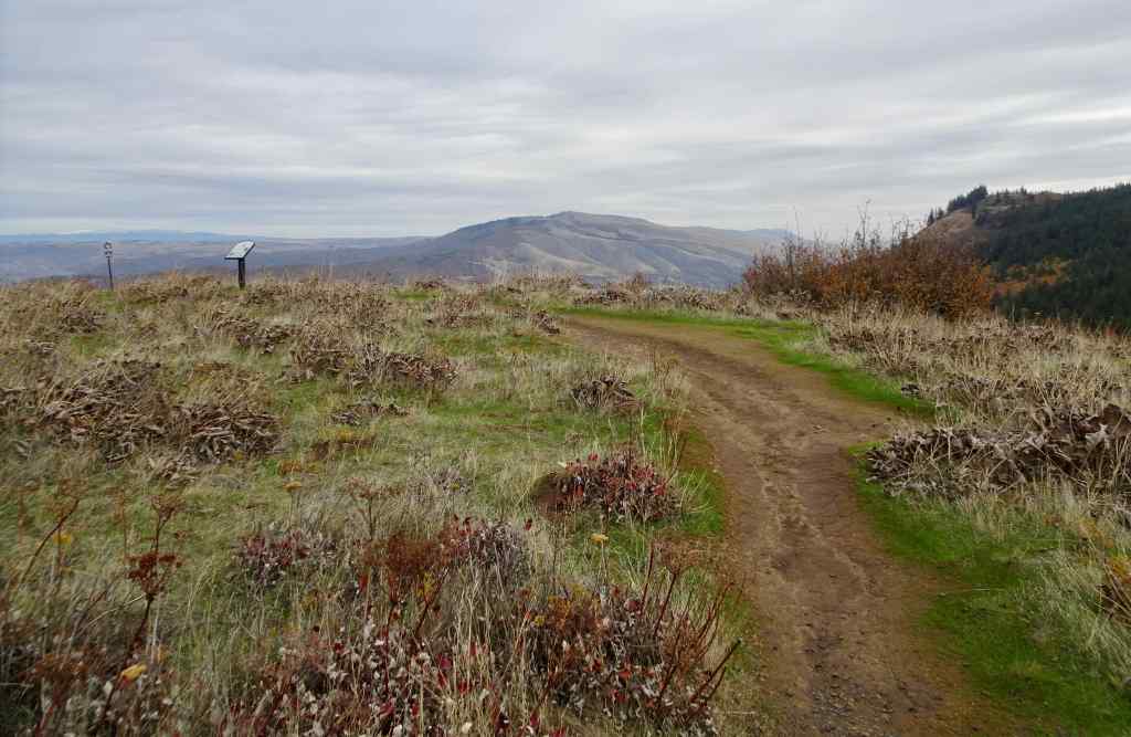
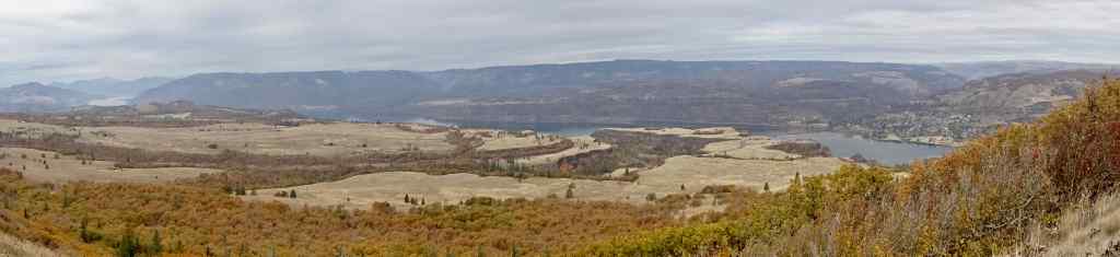
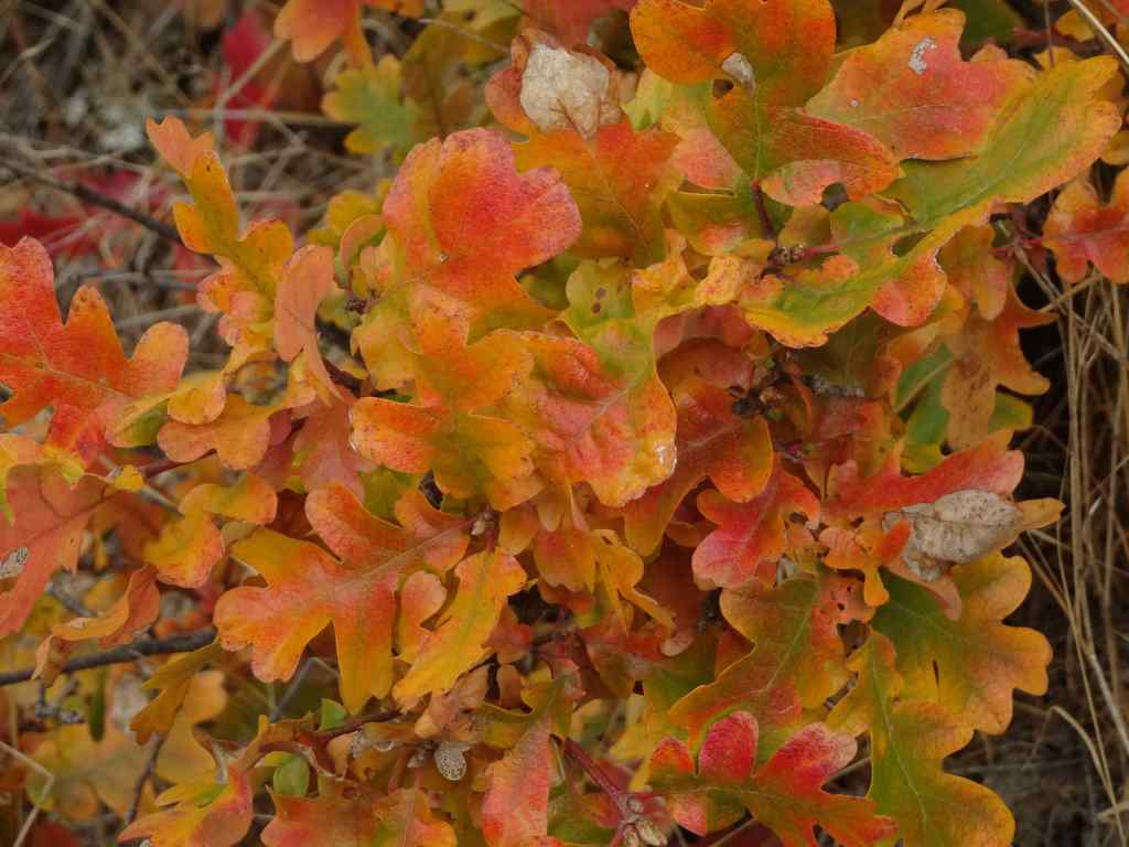
10/28 – Tom McCall Point, Oregon
One of the prime wildflower locations of spring; orange oak leaves color the slopes on this quiet autumn day (3.6 miles, 1000 Feet).
Our destination – Tom McCall Point, through the mist.Parsley alley is rather bare.Looking north from the lower plateau – Rowena Curves below; Lyle, Washington across the Columbia River.Bright orange oak leaves; Memaloose Hills to the west.Zooming in on the shoulders of Mt Adams – the most we would see of it today.
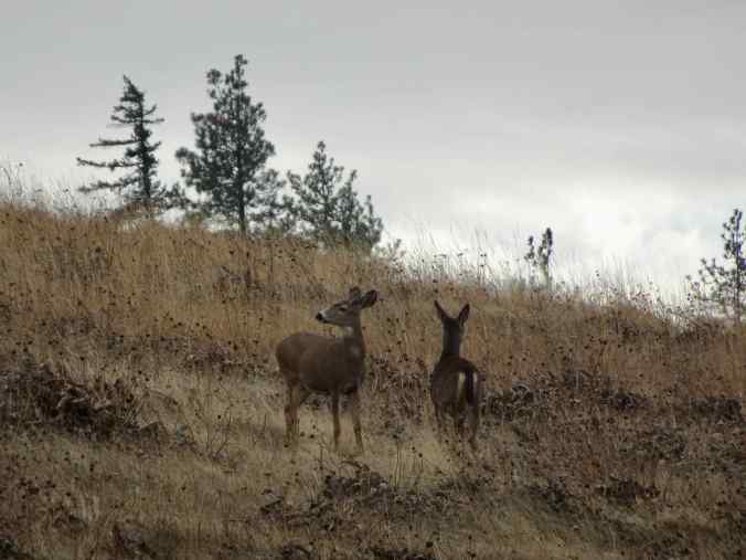
We startled a small family of deer near the summit.
Mule deerMule deerSummit of Tom McCall Point, covered with clumps of dried balsamroot foliage.View toward the Columbia HillsPanorama from this top of the world…The neon orange oak leaves that brightened our day.