Rocky Butte

Another week of Pandemic, another urban volcano hike, new spring blooms, a bit of crafting, and some good advice from George Washington.

April 16, 2020 – Hike of the Week

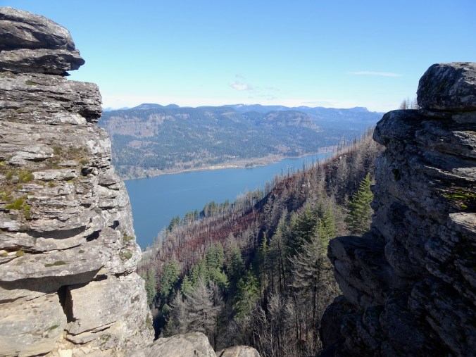
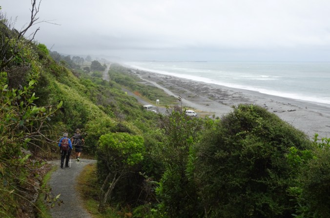
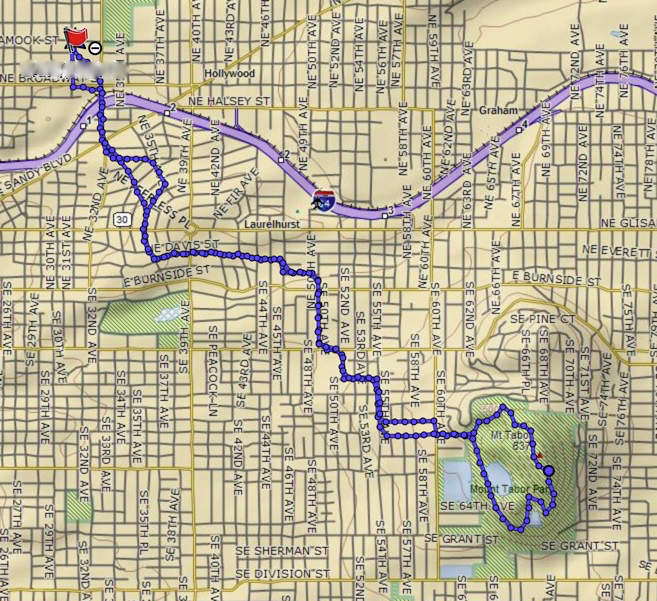
Rocky Butte is another Boring Volcanic Field volcano in Portland. We walked there from the Rose City Golf course, and had a great view of the High Cascades Peaks, with a coyote sighting along the way.

Image 4-22-20 at 10.09 AM

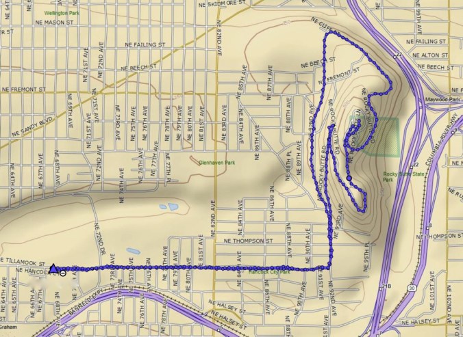
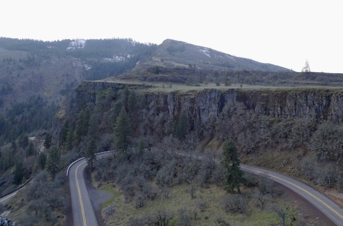
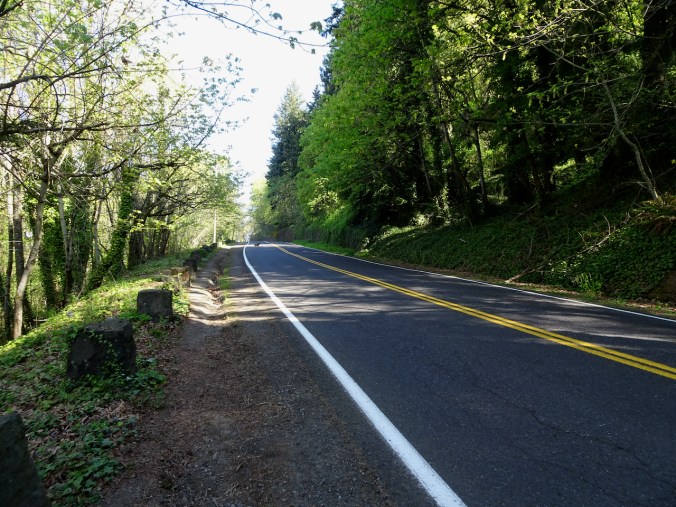
After walking flat city streets, we began the uphill climb on Rocky Butte Road.

DSC00700

A coyote, crossing the road ahead.

DSC00701

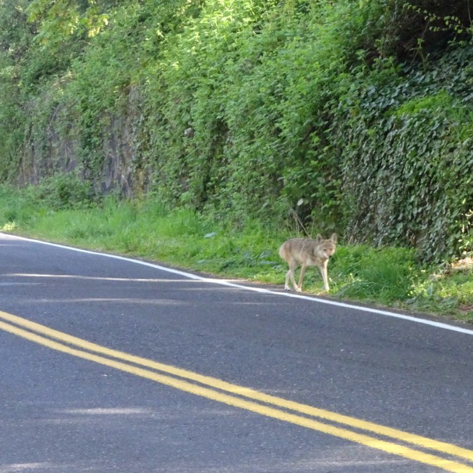
The coyote continued up into the forest.

DSC00702

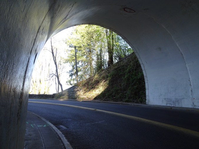
Meanwhile, we walked up the road and through the tunnel.

DSC00705

The road, tunnel, and stone walls were built in the 1930’s as part of a WPA post-depression infrastructure project.

DSC00710DSC00712DSC00714

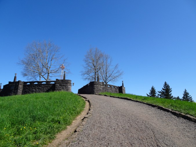
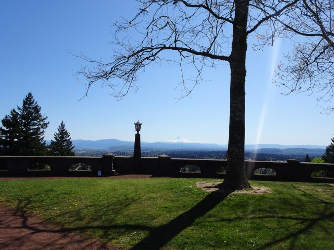
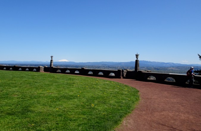
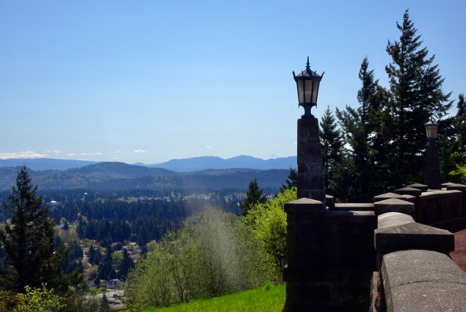
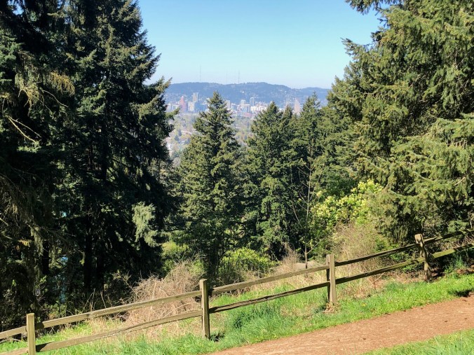
Eventually, we reached the park on the summit.

DSC00721DSC00722

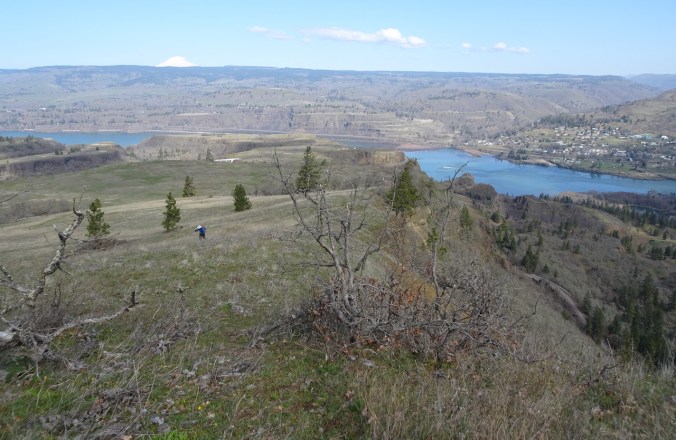
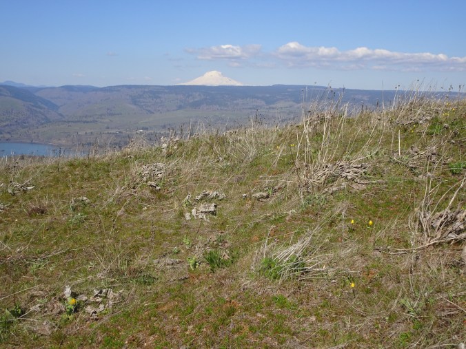
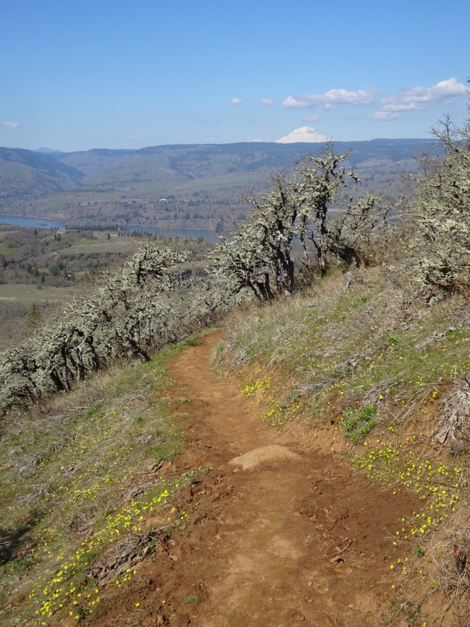
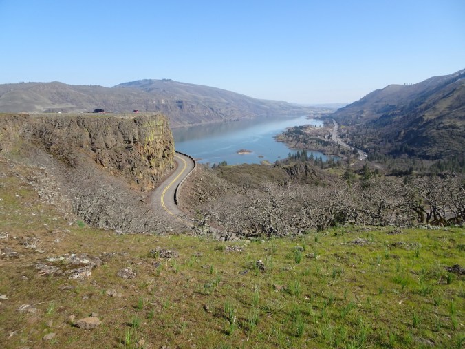
Views in all directions:
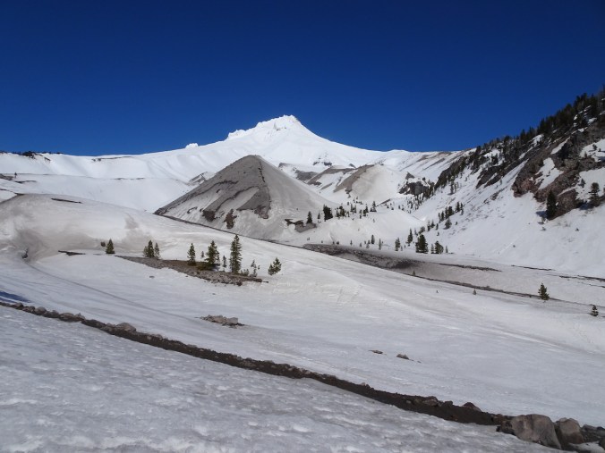
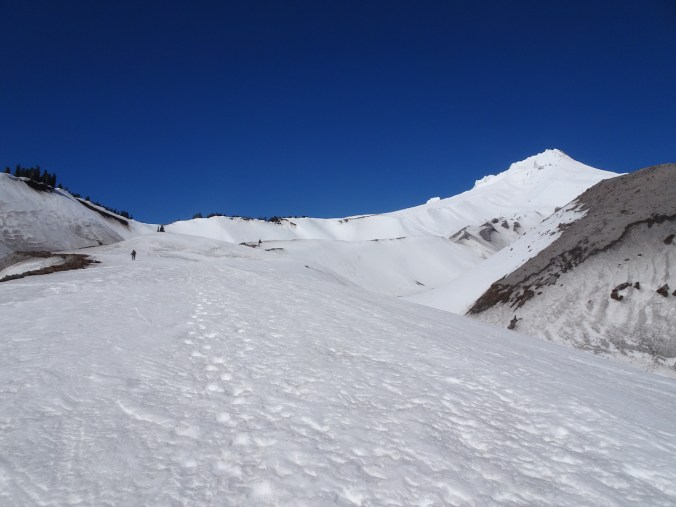
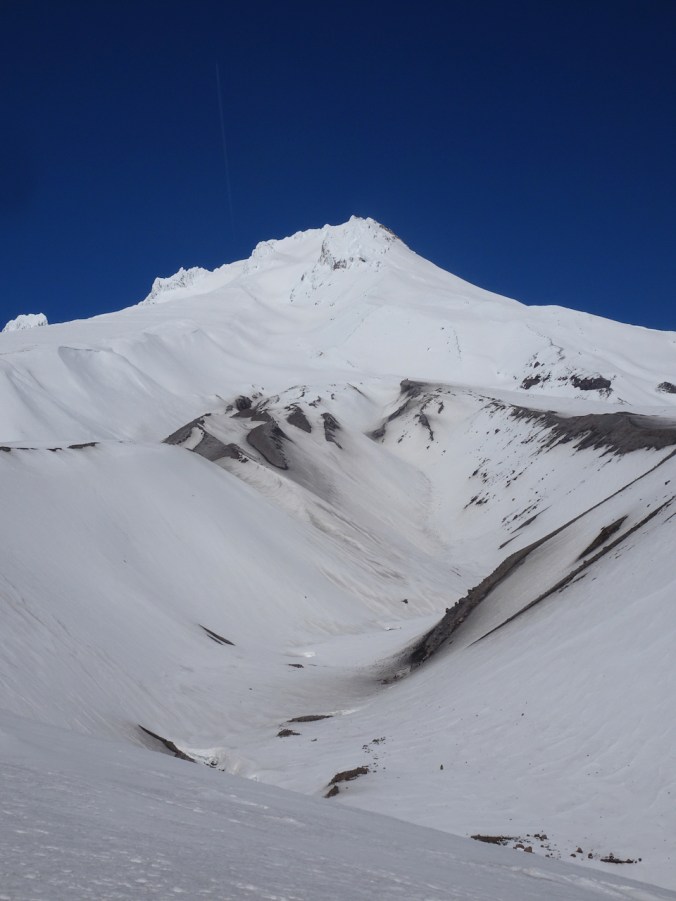
DSC00723

East to Mt Hood

DSC00724

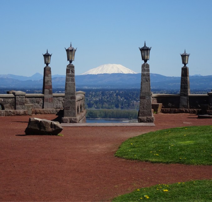
North to Mt St Helens

DSC00739

Columbia River, Mt St Helens
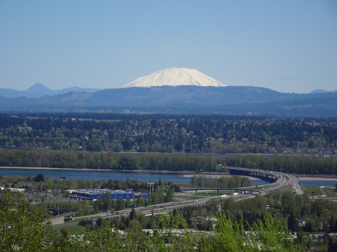
DSC00727

Mt St Helens

DSC00741

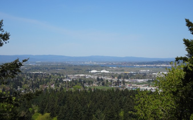
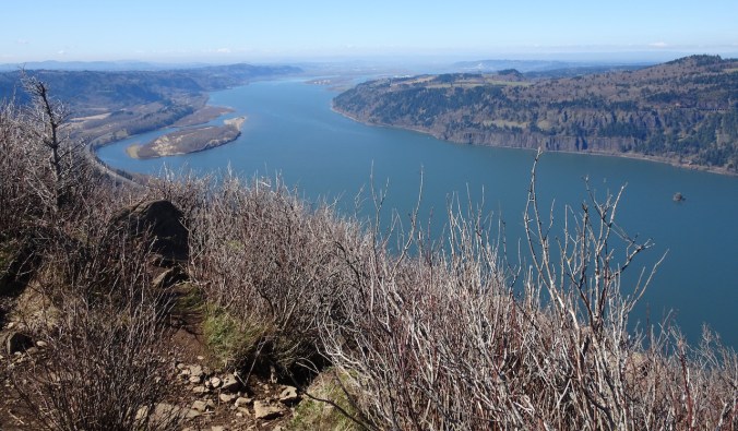
Northwest, down the Columbia River

DSC00731

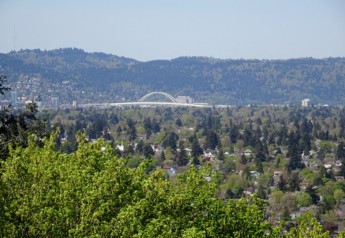
West to the Fremont Bridge, Portland

DSC00734

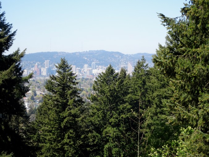
West to downtown Portland

DSC00746

Southeast to Mt Jefferson
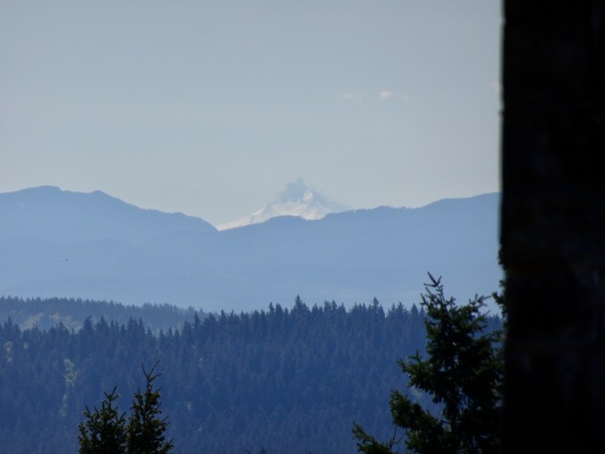
DSC00747

Mt Jefferson

DSC00728

Mt Hood again

And a last look at Mt St Helens before heading down.

DSC00756

I always love a Peak Finder!

DSC00733

Hike#36, 6.5 miles, 420 feet.

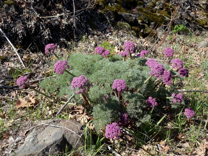
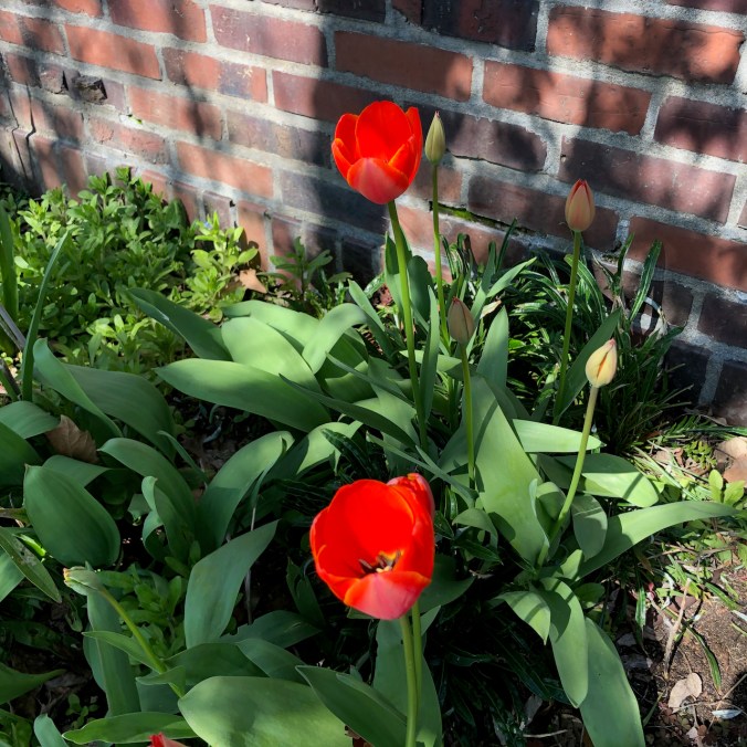
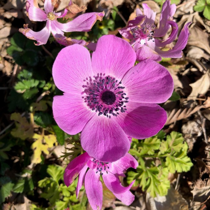
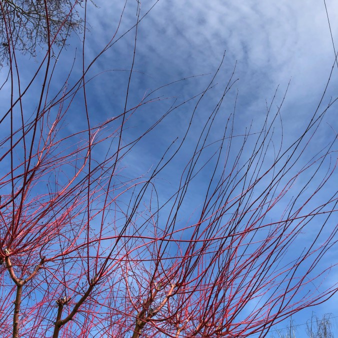
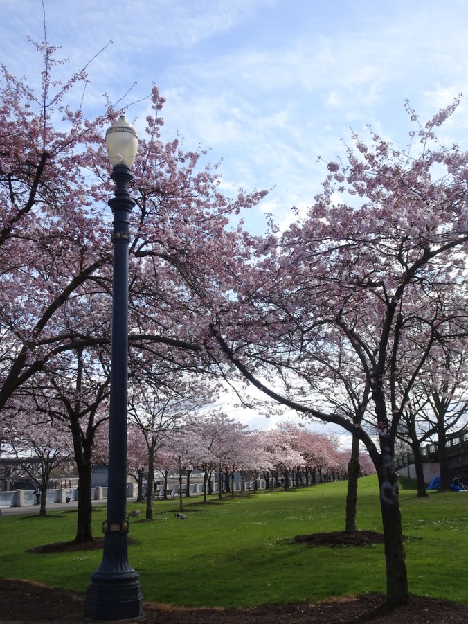
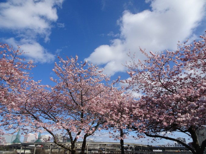
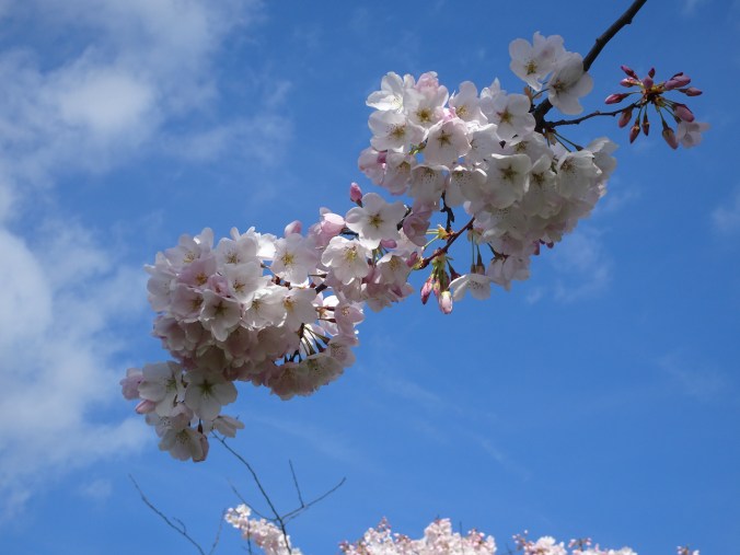
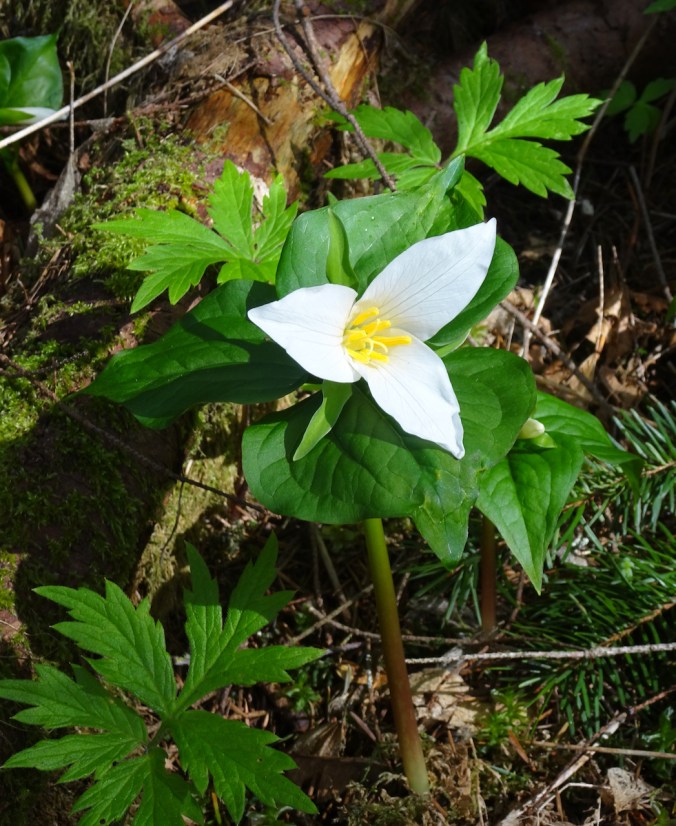
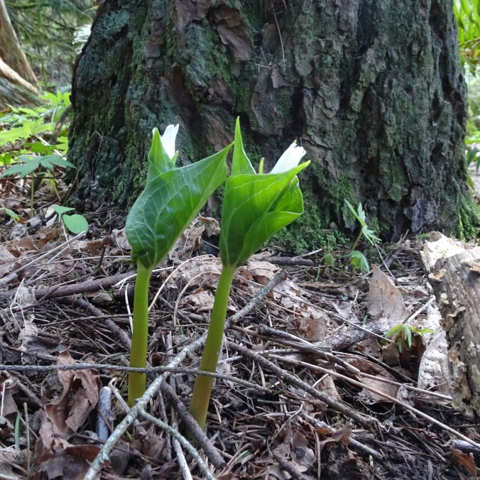
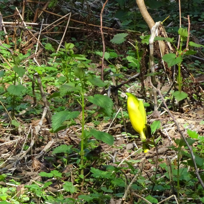
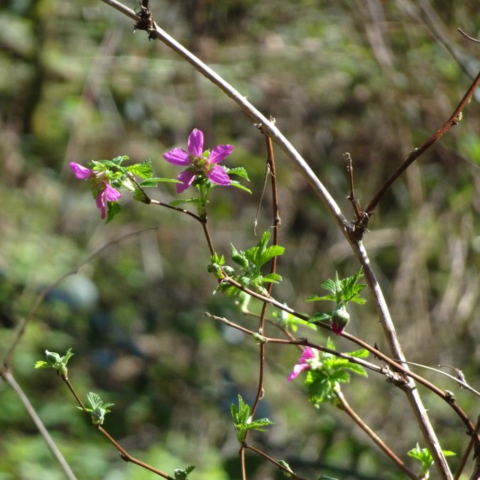
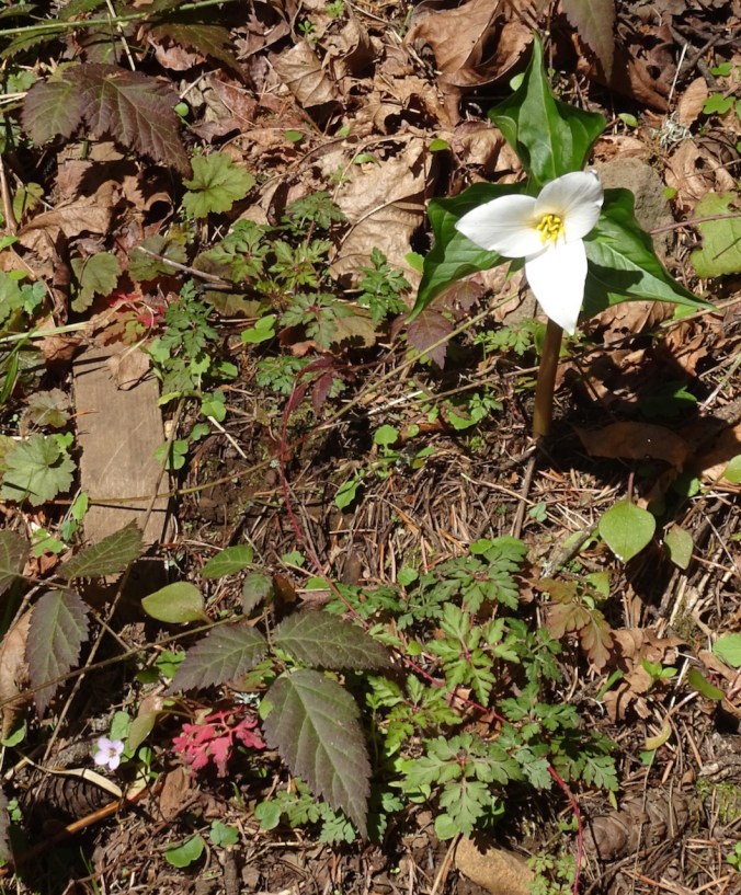
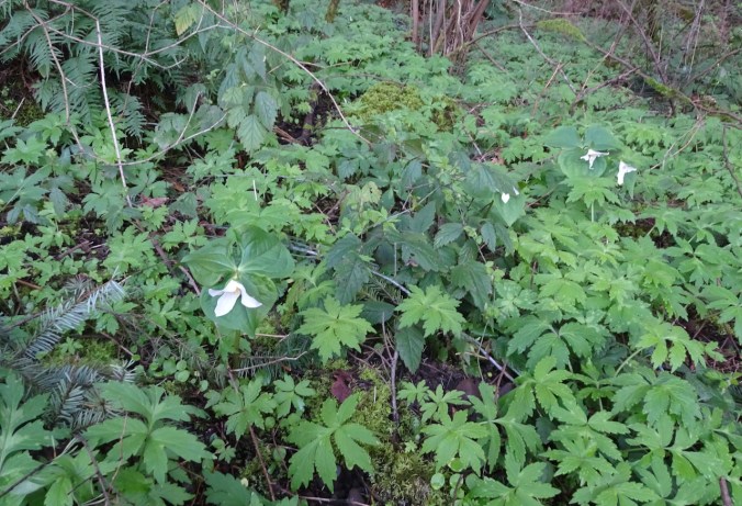
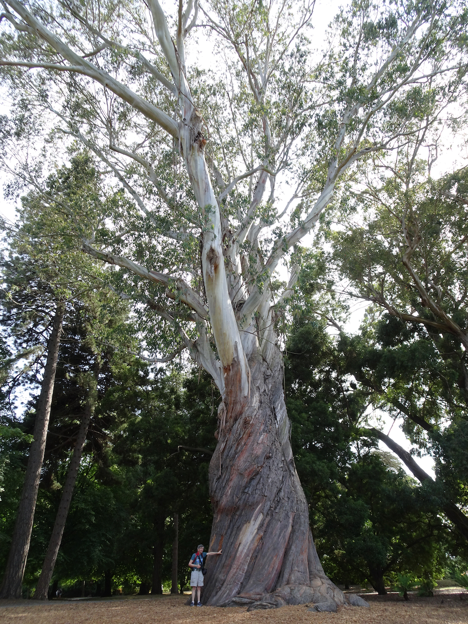
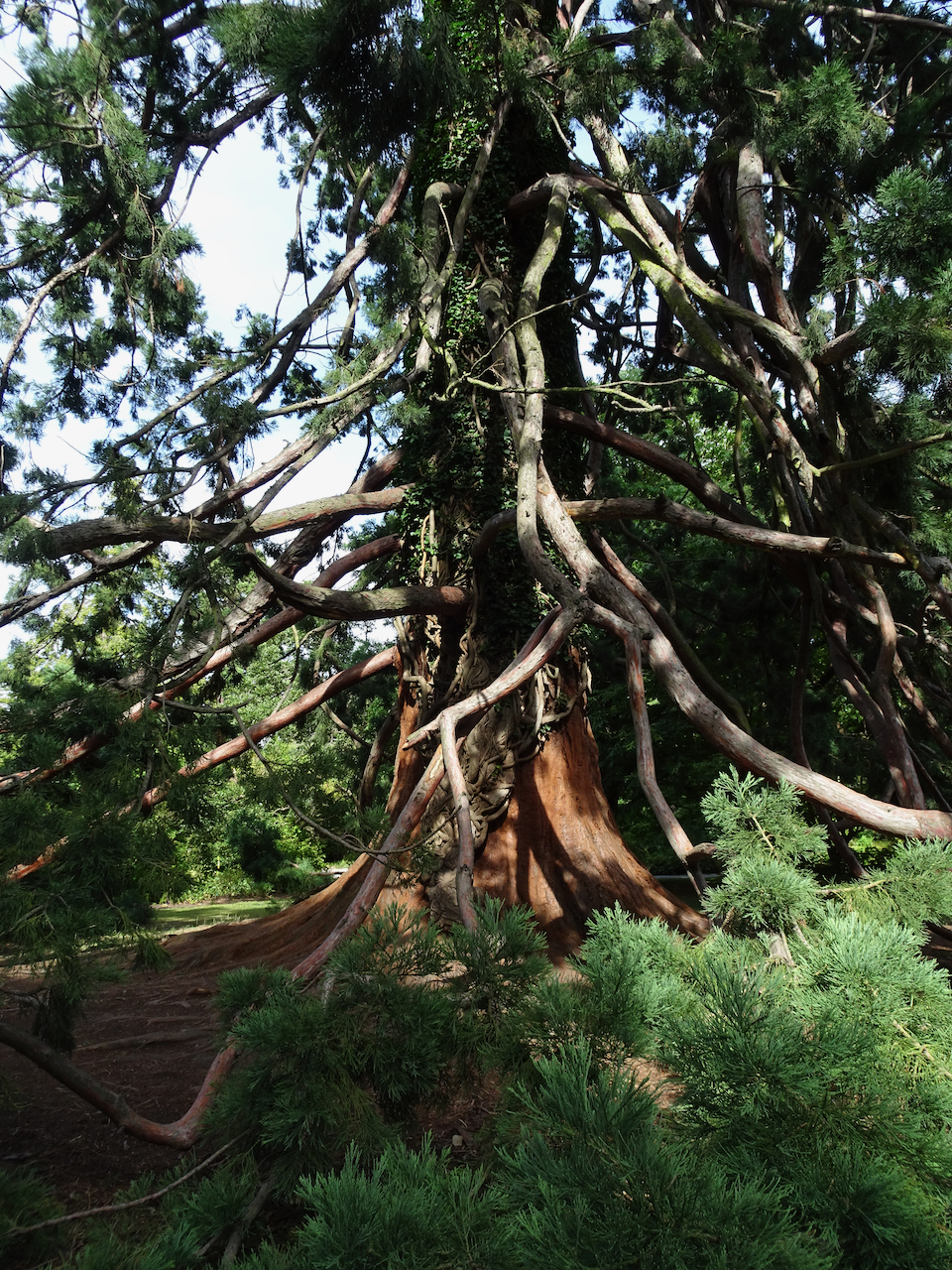
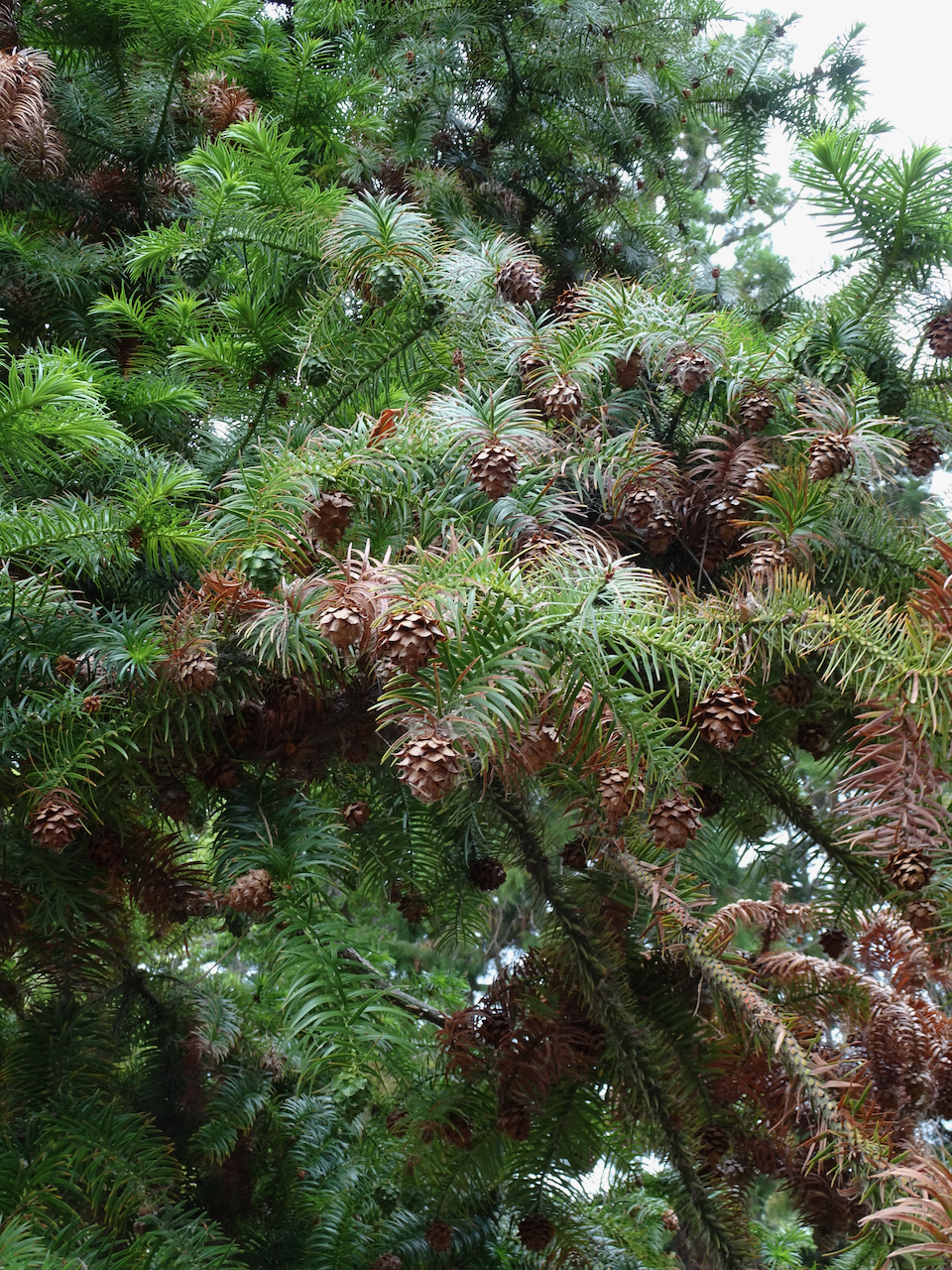
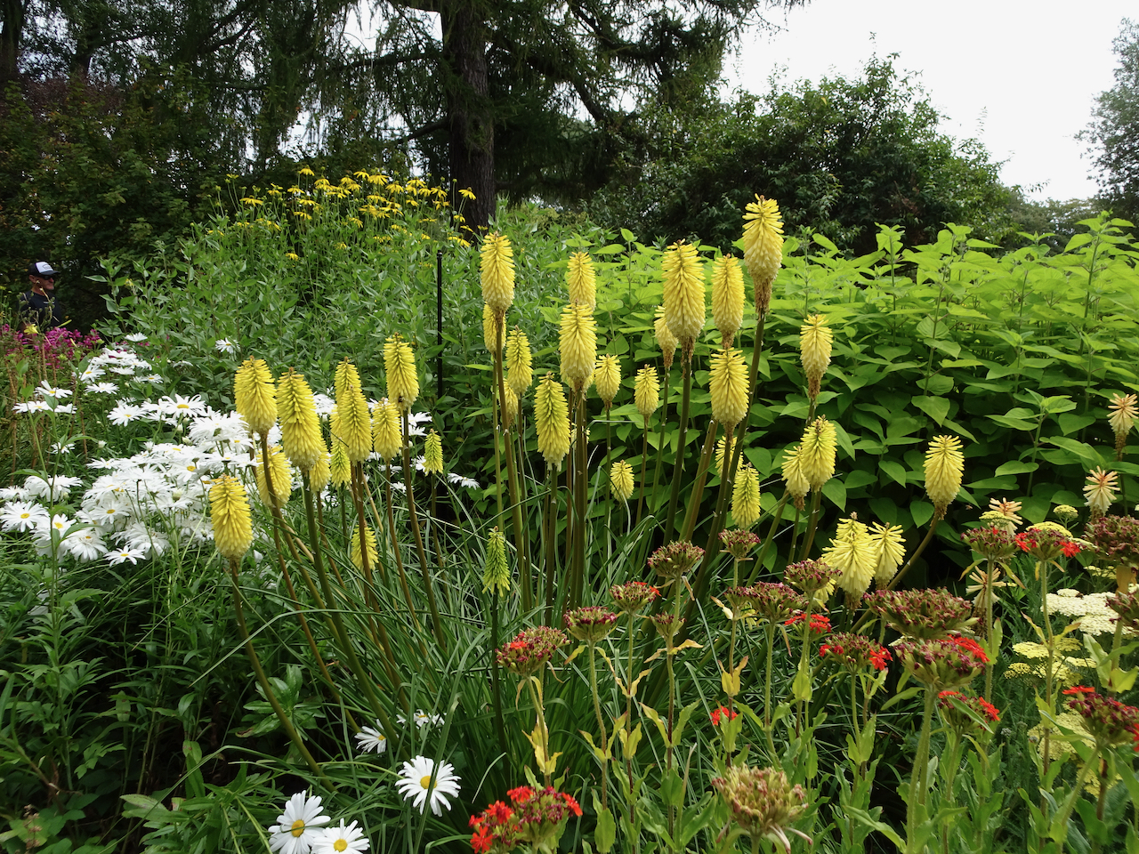
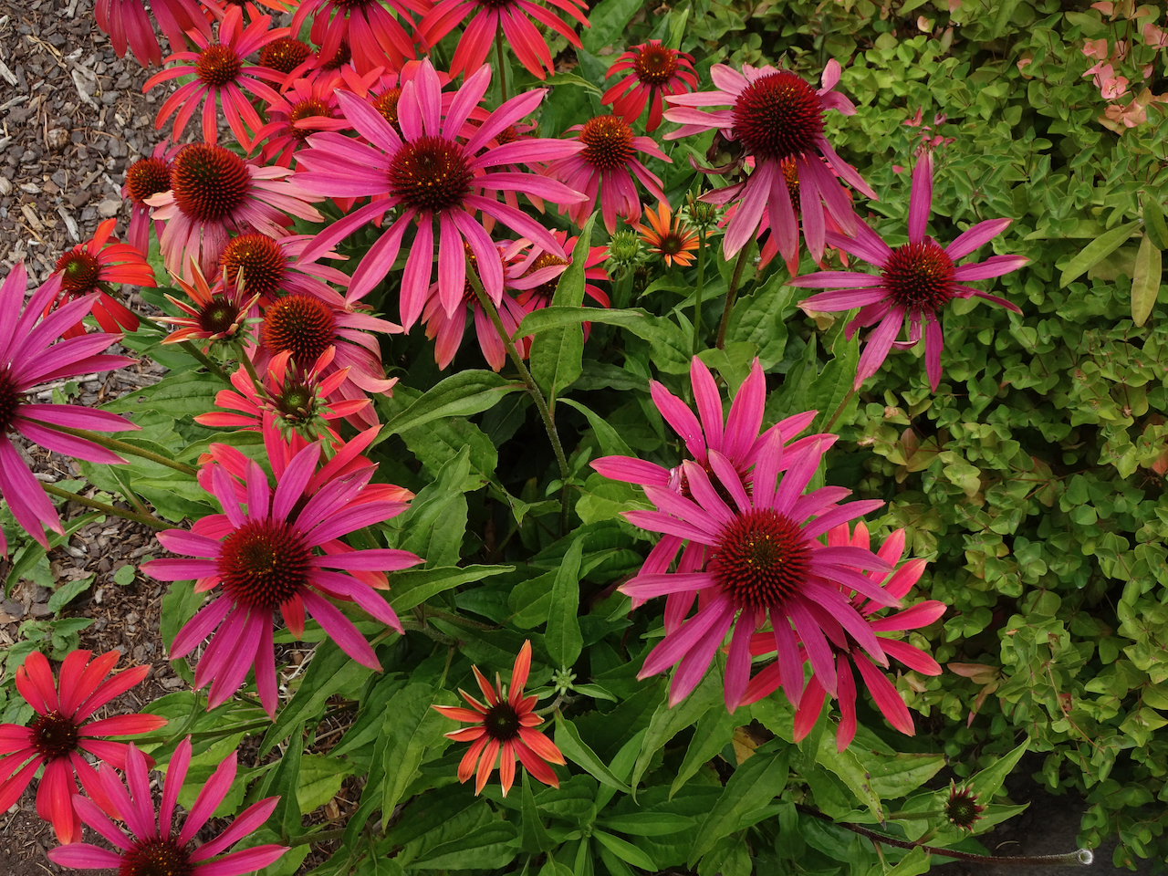
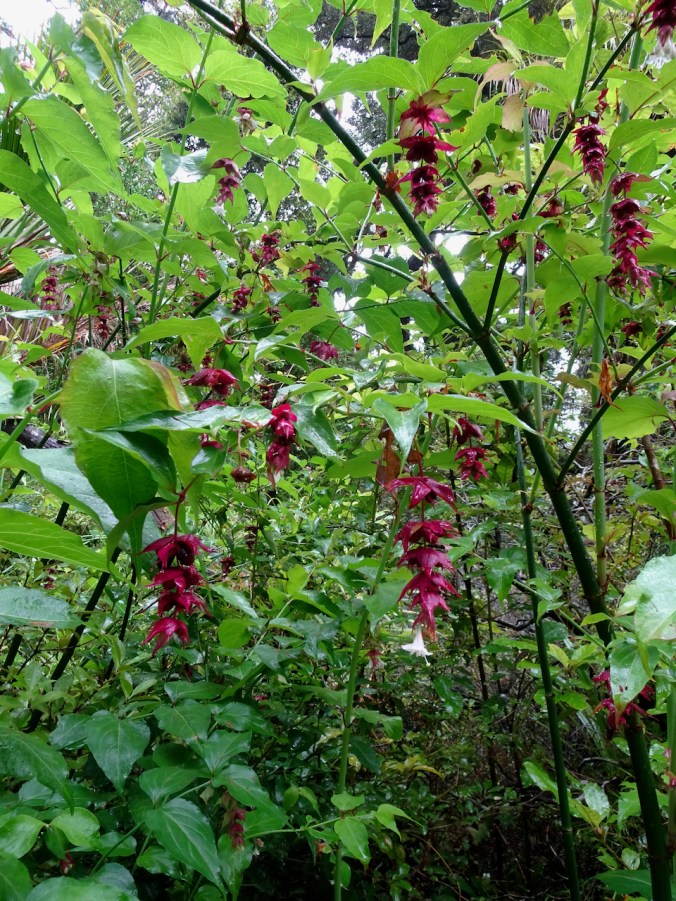
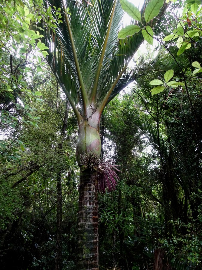
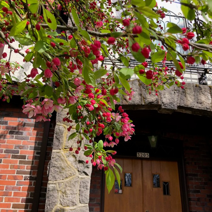
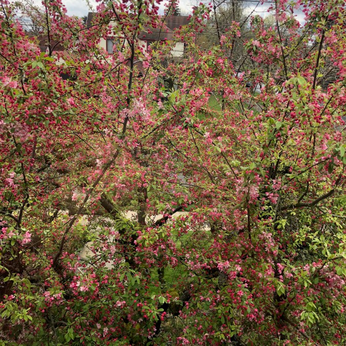
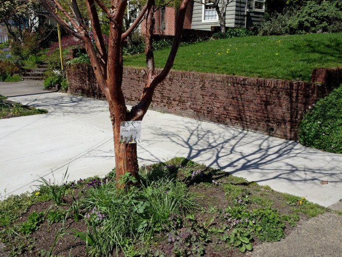
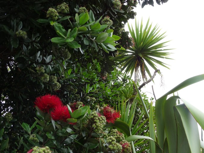
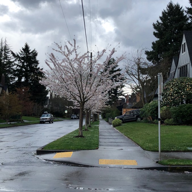
New blooms in the neighborhood and garden this week:

Crafting:

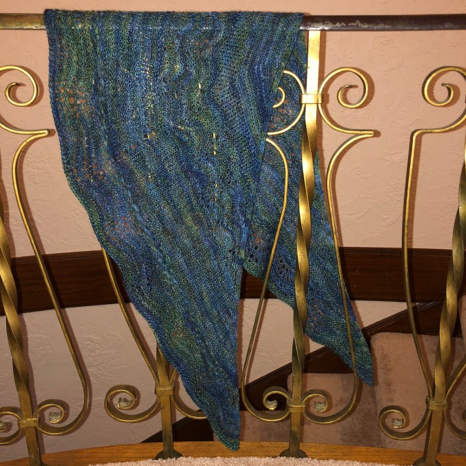
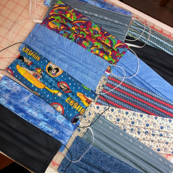
I made forward and reverse progress on my Meris sweater. While playing yarn chicken, I made the sleeves too short. I have knit just about every part of this sweater three times, so now I will reknit the lower sleeves.  I sewed more masks, started sewing a new bathrobe to replace the one I left behind in Queenstown, and continued knitting Emily’s shawl, and the purple socks.

IMG_0724

Meanwhile in Portland:

DSC00765

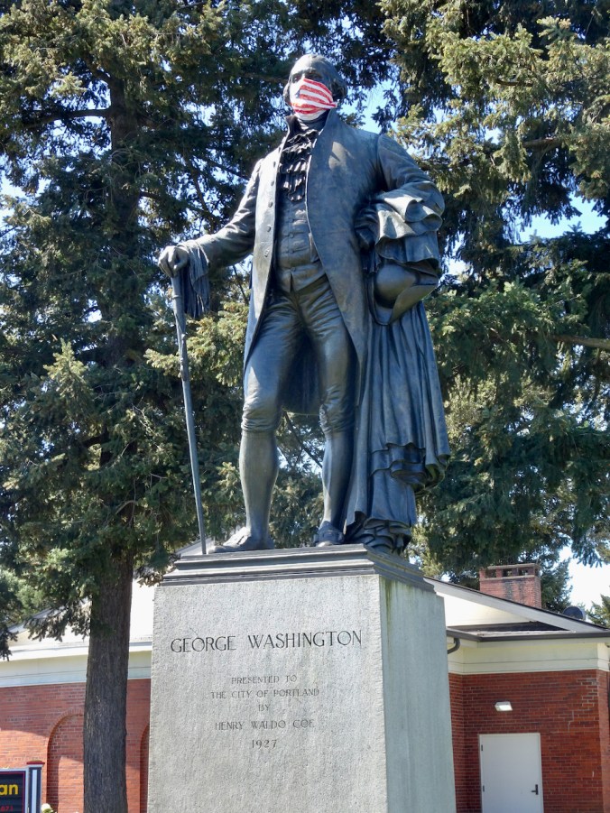
Physical distancing demonstrated by our founding father!

NZ 2020: Day 5, Point Elizabeth, Hokitika, Lake Mahinapua

Wednesday, January 29, 2020

After our relatively dry day yesterday in Punakaiki, we encountered more of the rain of the rainy West Coast on our way south to Franz Josef.Image 4-14-20 at 5.55 PM

Point Elizabeth Track in the rain – palms and seals

We started the day with a hike through rainforest to a coastal viewpoint at Point Elizabeth.  Highlights were lots of blooming nikau palm trees, and then our first sighting of fur seals for the trip.

DSC05847

DSC05848

View north toward Rapahoe

DSC05849

Landward mountains

DSC05850

View south toward Point Elizabeth

DSC05851

Into the rainforest

DSC05856

Tree fuchsias

DSC05868

Nikau palm trees

Views from Point Elizabeth:

DSC05884DSC05874

DSC05877

Looking down at the fur seals near the cliffs.

DSC05878DSC05889

DSC05882

Still misty as we hike out.

DSC05896DSC05897

Hokitika

We stopped to eat lunch and browse the shops offering Maori greenstone carvings.

DSC05910

Views from the Hokitika River Quay.

DSC05905

DSC05904

I discovered a yarn shop with a sock knitting machine museum, here near southernmost part of the settled world!

DSC05903

Sock knitting machines

DSC05902

DSC05901

And a Carnegie Library, here on the far side of the world.

Lake Mahinapua

DSC05945

Another hiking stop – we took the Jum Michel Walk, in the rain, and saw some interesting plants. Once again our guide dropped us at the trailhead, and met us on the other side.

DSC05912

DSC05915

Into the rain forest

Then we wandered over to Lake Mahinapua to look at what could have been a view to the peaks of the Southern Alps.

DSC05936

Lake Mahinapua

DSC05938DSC05939

Total hike stats for the day: 6 miles, 300 feet.

IMG_0338

Tree Ferns and mountain views, Franz Josef

Our final stop was our lodging in Franz Josef. Tomorrow, if the weather cooperated, we planned to see the Franz Josef glacier.

Mask sewing, knitting, neighborhood walks, and hiking a local volcano…

I’m not exactly sure – I think it is the second week of April…

We are lucky to be just sheltering in place, only venturing out for walks, weekly grocery replenishing, and the occasional medical appointment. So far we are healthy and doing our part by staying home.

IMG_0636

I made masks for family and friends.

I am enjoying meeting my knitting group via the internet, and making progress on a shawl for my daughter.

IMG_0695

Which Came First shawl, pattern by Cheri Clark, Malabrigo Mechita, Piedras colorway.

We are busy with home projects, both inside and out.

IMG_0648

We made a nice dinner for the first night of passover, which we shared virtually with one of our sons.

I continue my usual neighborhood walks. We have had some amazingly beautiful spring days. Trees are blooming, leafing out, glowing in the sunshine!

Our crabapple tree has come into full bloom this week.

IMG_0588

Earliest blooms

IMG_0638

IMG_0623

Looking out from the upstairs window

DSC00649

Queen Catherine has come out of retirement to show solidarity with the neighborhood!

We walked to a farther distant park in town to make up for not being able to take our usual hike of the week in wilder surroundings just now.

Mt Tabor Park, Portland, 4/9/2020

Mt Tabor is a relict 300,000 year old cinder cone, over 600 feet high, that is a popular park on the east side of Portland. It is about 3.5 miles from our house, so by the time we walked up and around the reservoirs and to the top of the hill we had covered over 8 miles for the day, with a little bit of hill climbing.

Image 4-9-20 at 9.41 PM

Our route was through residential neighborhoods.

Native wildflowers, which I am so missing from our hikes, are blooming in front yards.

When we reached Mt Tabor Park, we continued uphill, past the reservoirs and through the woods to the top. No cars are allowed on the roads, and trails are wide, so we were easily able to keep our distance from other people.

We found a bench to eat lunch with a westward view toward downtown Portland.

IMG_0654DSC00680

After lunch, we walked down past the amphitheater where the excavated hillside reveals the volcanic structure of Mt Tabor.

DSC00681

On our walk to and from Mt Tabor we saw encouraging signs of pandemic solidarity throughout the neighborhoods…

We saw a tribute to John Prine – sadly, one of the coronavirus victims this week.

DSC00686

More words of encouragement! One of my knit group members shared a photo of this plaque from the FDR Monument in Washington DC…a message of hope and guidance that applies to our times as well.

IMG_0619

NZ 2020: Day 4, Punakaiki

Tuesday, January 28, 2020

The sun was still shining when we woke up to a beautiful morning in Punakaiki!

IMG_0335

Morning view from our lodging.

DSC05771

Southern rata and cabbage tree

We spent the day hiking in Paparoa National Park.

Image 3-22-20 at 11.16 PM

Our destinations for the day.

Pororari Punakaiki River Track

We had our first chance to fully immerse ourselves in the rain forest. It was beautiful, and very different from our usual forests in Oregon.

DSC05722

IMG_0333 (1)

The red line shows our trail. Our guide dropped us at the Pororari River, then hiked in to meet us from the Punakaiki car park.

DSC05723

Limestone cliff above the Pororari River.

DSC09588

Tree ferns

DSC05730

Nikau palms

DSC05738

Each turn in the trail revealed interesting views.

DSC05729

Palm trunk

DSC05731

Cut trunk of a tree fern?

DSC05732

Pororari River, looking west toward the ocean.

DSC05733DSC05736

DSC05756

We were learning the unusual (to us) foliage – this is the Rimu, or red pine, a member of the native Podocarp family. We would see these throughout our travels on the South Island.

DSC09599

The red blooming tree is the Southern Rata, a native evergreen tree.

DSC05764

DSC05761

Our guide had us taste the inner core of the supplejack vine – a bit like asparagus.

DSC05745

We were excited to see a few weka birds running across the trail and in the parking area. They are flightless native birds about the size of chickens, sometimes regarded as nuisances, but are a protected species, as are all the native birds.

DSC09616

Weka

Punakaiki Pancake Rocks

After lunch we visited the famous Pancake Rocks. The tide wasn’t quite high enough for spouting during our visit, but we admired the weirdly eroded limestone rock formations and ocean views.

DSC05777

DSC05808

View to the south.

DSC05806

Closer look

DSC05812

DSC05809

Limestone layers

DSC05789DSC05798DSC05799DSC05786DSC05778

DSC05807

Red-billed gull

DSC05819

Imaginative viewing.

DSC05822

View north to the next destination – the Truman Track.

Truman Track

The Truman Track leads through rainforest to the beach.

DSC05823

DSC09836

It was a little misty in the forest.

By the time we reached the beach the sun was out.

DSC05825

View to the south back toward Punakaiki.

DSC05824

Truman Cove beach to the north.

DSC05827

The tide was going out as we walked along the sand.

DSC05829DSC05833DSC05842

DSC05837

Pebbly “sand”

DSC05830

Marine fossils in the sandstone cliffs and ledges

DSC05836

DSC05839

Overhanging sand stone cliffs, and view to the beach stairs.

DSC05826

Stairs up through New Zealand flax back to the trailhead.

We had a lovely day exploring interesting rocks, fossils, pebbly beaches, and rainforest palms and tree ferns of Paparoa. Tomorrow we would go south along the West Coast toward Fiordland. Our three hikes for the day added up to about 7 miles/600 feet (#3 for 2020).

Walking in my neighborhood…

March 31, 2020

Walking in my neighborhood in the time of coronavirus

It has become a strange do-si-do as we pass each other…

At each corner, each intersection, I look ahead –
If the sidewalk is clear I keep walking.
If someone is coming my way, I cross to the other side of the street.

IMG_0507

If we approach each other on the same sidewalk,
one of us will take the time to step aside or
step into the street
to maintain that magical six feet of separation
that is supposed to keep us safe from infecting each other.

This is in my friendly old neighborhood where I have walked for almost thirty years.
Houses of every style, mostly pre1950’s, some homes dating back to the 1800’s.

This is Beverly Cleary’s Ramona Quimby’s neighborhood, for goodness sake!
Usually people are very friendly, walking together, stopping to greet dogs and children.
I notice my favorite landmarks –
the cedar stump carved into an eagle and salmon,
the fairy houses,
my favorite sidewalk patches,
the old curbstones with horse rings,
and this time of year, the tulips and the cherry trees in bloom.
I visit my favorite poetry posts and sometimes take an extra copy.
I scan the Little Free Libraries, and sometimes take or leave a book.

These days I almost hope no one else will be out
so I won’t have to make the awkward do-si-do,
though we usually nod wistfully and
smile apologetically,
encouragingly,
hopefully,
as we pass.

IMG_1155

Neighborly fence of encouragement!

NZ 2020: Day 3, Christchurch to Punakaiki

January 27, 2020

Our guide picked us up in the morning in Christchurch to begin a two week guided hiking tour of the South Island of New Zealand.  The agenda for the first day was to cross the Southern Alps at Arthur’s Pass, and to arrive in Punakaiki on the West Coast by the end of the day.

Image 3-22-20 at 11.10 PM
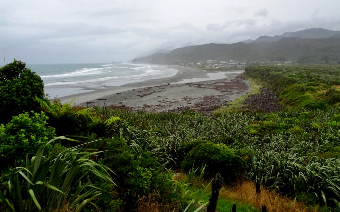
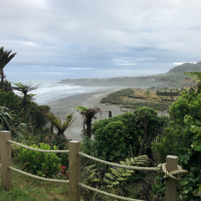
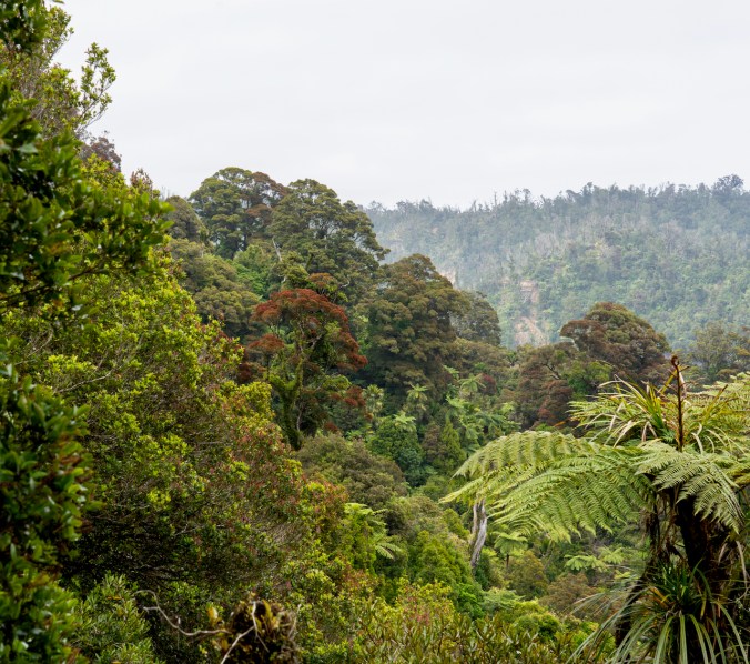
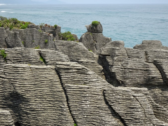
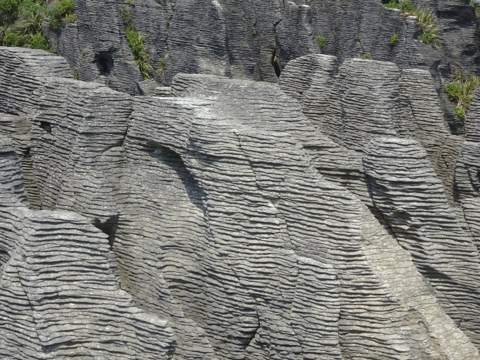
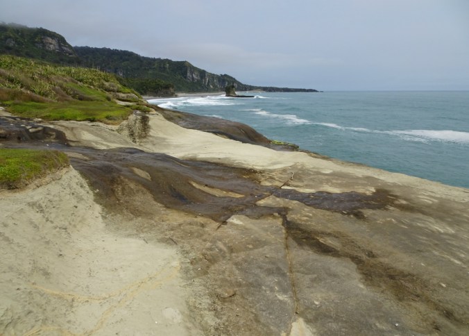
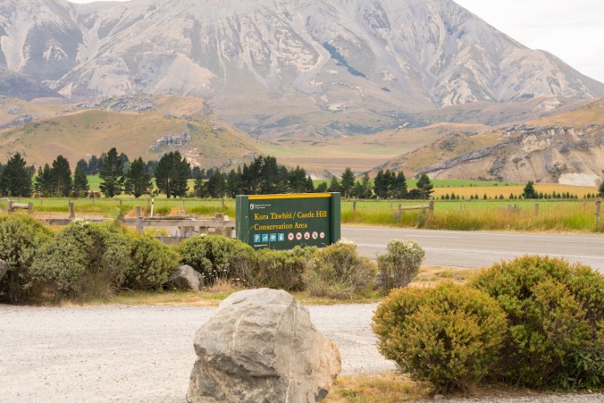
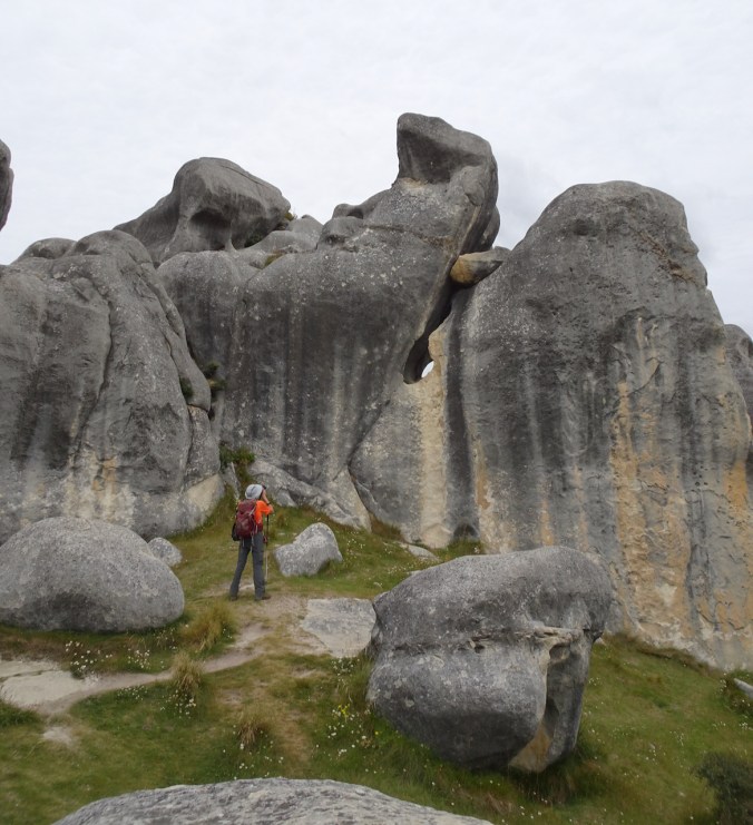
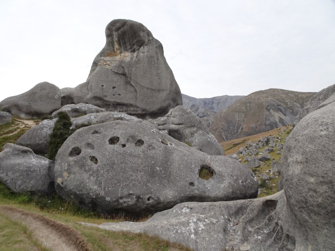
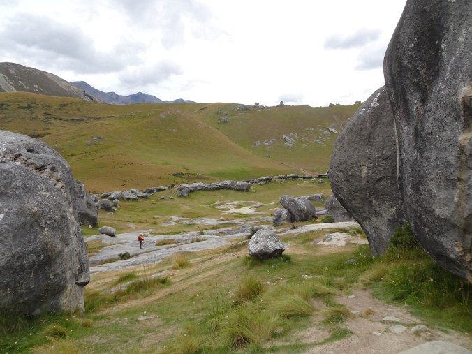
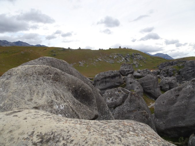
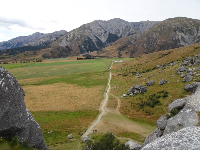
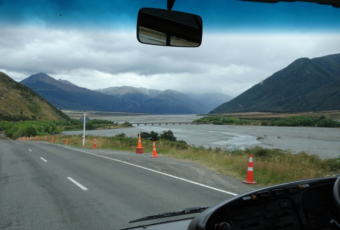
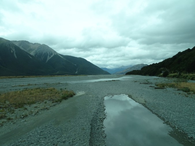
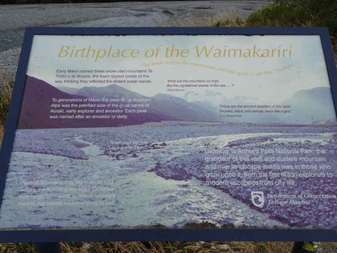
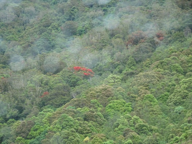
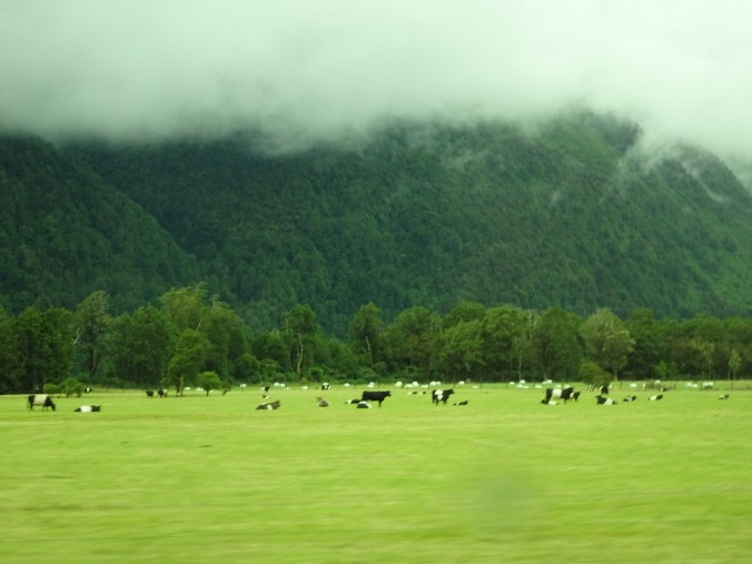
The South Island is about 500 miles long, and 150ish miles wide, with steep mountains along the west coast. The mountains create a rain shadow for the eastern part of the island. We were on our way to experience the rain forests and wetter climate of the west coast.

Castle Hill

Our first hiking stop was Castle Hill. We walked up the hill and through the maze of giant, weirdly eroded limestone boulders and knobs that standout in the landscape.

DSC09460

DSC05634

We learned early on that most of the wildflowers we would see are non-native, and considered weeds. (“If it’s pretty it’s a pest!”) The national effort to remove alien wildlife, both plants and animals, was an ongoing theme during our trip.

DSC05639

Wandering among the limestone boulders.

DSC05640DSC05641DSC05644DSC05649DSC05654DSC05656

DSC05651

View back to the car park.

Hike #2 of 2020, 2.2 miles, 150 feet.

Arthur’s Pass National Park

We could see we were headed for clouds and rain as we continued west toward the mountains.

DSC05669

We stopped to look at the Waimakariri River, one of the largest of many broad, braided glacial outwash rivers that cross the eastern plains of the South Island.

DSC05670

Waimakariri River

DSC05682DSC05685DSC05684

DSC05691

We made a quick stop to view Devil’s Punchbowl Falls, 131 meters high.

Rain began as we drove through Arthur’s Pass.

DSC05700

One of many road preservation structures and roadworks we would see in this geologically active country.

DSC05701

Rata tree blooms – these are native!

DSC05704

Quintessential New Zealand green pastures with sheep and cows.

We reached the west coast near Kumara, then headed north to Punakaiki, admiring the beautiful beaches and lush green, misty slopes along the way. It had been a lovely first day of our tour.

DSC05710

Driving north along the west coast of the South Island of New Zealand.

DSC05715

West coast sun, clouds and beaches!

Trip note: Our tour was with the New Zealand company Active Adventures. I have only good things to say about our experience with them. Amazingly, because of some last minute changes, we were the only two people on the first five days of our tour. We had been expecting up to twelve people, and instead we had a private tour, with an entire small bus and guide to ourselves. This is the first time we have taken this type of tour, and we were not sure what to expect, but we soon became good friends with our guide. We appreciated being able to simply enjoy the adventure without worrying about  the logistics of meals and lodging, or the left-sided driving.  As the trip went on, there were challenges from the weather, and we were very glad that our local, experienced guides could nimbly create alternative itineraries – more about that later.

Tomorrow we would explore the landscape around Punakaiki.

Yellow bells at Tom McCall Point, knitting progress, and neighborhood sights

Tom McCall Point, March 18, 2020

DSC00541

Tom McCall Point, seen from near the trailhead.

We got to see the mid-March wildflower suite. Yellow Bells were sprinkled through the meadows at every elevation. I have never seen so many anywhere!

DSC00575

Yellow bells on the lower plateau, Mt Adams beyond.

DSC00588

More yellow bells, midway to the top.

DSC00618

Yellow bells and an early balsam root near the summit.

DSC00630

Compact early blooms of the purple Columbia desert parsley line my favorite trail segment that I call Parsley Alley.

DSC00633

Columbia desert parsley

DSC00606

There is a new geology sign at the summit!

DSC00620

Gold stars were sprinkled in some of the sunny spots.

More flowers along the trail:

DSC00640

Looking eastward toward Rowena as we return to the trailhead.

Hike # 33, 4.3 miles, 1300 feet.   We had no trouble keeping our distance from the few other hikers on the trail, and so far, we are still encouraged to get outside as long as we can keep our distance.

Knitting progress:

I finished the Geology Shawl.

IMG_0477

Geology shawl, pattern by Very Busy Monkey, Malabrigo Mechita, Ninfas colorway.

IMG_0496

I have been knitting the sleeves on my Meris sweater, put away since before our New Zealand trip.

IMG_0499

I cast on 390 stitches for the Which Came First shawl, using the Malabrigo Mechita Piedras that my daughter picked out.

Noticed while walking in my neighborhood:

New blooms:

IMG_0480

tulips

IMG_0483

anemone

IMG_0489

A camelia left in a hedge

New growth:

IMG_0495IMG_0491

IMG_0494

Tree trunk

A secret message, and interesting sidewalk cracks and patches:

IMG_0492IMG_0493IMG_0490


Cherry blossoms and snow in Portland, and a White River snow hike, March 2020

Cherry blossoms, Portland waterfront, March 11, 2020

We took our annual walk along the waterfront just as the cherry trees were beginning to bloom.

DSC00426

View from the Burnside Bridge.

DSC00420DSC00427DSC00447DSC00412

Refections of clouds and trees in downtown buildings on this beautiful day:

DSC00456DSC00460DSC00462

White River microspike hike, March 12, 2020

On a blue sky day we walked up White River toward Mt Hood. The snow was packed and not deep, so we could wear our micro spikes instead of snow shoes. We walked past our usual stopping point, up the snow covered moraine, to a closer viewpoint of Mt Hood.

DSC00474

Walking along White River toward Mt Hood.

DSC00478

View from our lunch stop – near where the Timberline Trail crosses the river under the snow.

DSC00492

We walked to a high point on the moraine between the ridges.

DSC00496

Closer view of Mt Hood.

DSC00505

Zooming in on the peak – the black speck is a mountain climber.

DSC00511

Dormant lupine and penstemon on the moraine.

DSC00512

Wind patterns.

Screen Shot 2020-03-13 at 11.08.45 AM

Hike #32, 5.2 miles, 1000 feet.

Snow in Pdx, March 14, 2020

We had a few inches of snow that did not last long – but added a layer of white to the star magnolia blooms.

DSC00311IMG_0463

I am posting from caronavirus social isolation. We are still allowed to go out walking and hiking as long as we keep our distance. Wishing all who read this patience and good health! There will be a lot of knitting going forward!

First Trilliums of spring

March 2020

On two hikes last week we saw the first trilliums of spring. I also went on the Rose City Yarn Crawl with knitting friends, and to the Portland Art Museum to see the exhibition in honor of the 40th anniversary of the eruption of Mt St Helens.

Tryon Creek State Park, March 4, 2020

Hike #30 of 2020, 3 miles, 400 feet.

DSC00293

Early trillium blooms scattered on the forest floor.

DSC00270

Trillium

DSC00282

Trillium buds unfurling

Other early flowers in the forest:

DSC00269

Indian plum

DSC00301

Skunk cabbage

DSC00307

Oregon grape

DSC00299

Salmon berry

DSC00309

Poetry in the park.

Angel’s Rest, March 9, 2020

Hike #31, 5 miles, 1500 feet.

DSC00395

Trillium and oak’s toothwort on the Angel’s Rest trail.

DSC00375

Trillium blooms on the forest floor.

We were treated to the usual stunning views from the top of Angel’s Rest on this sunny, calm day:

DSC00393

West toward Portland.

DSC00392

North to Silver Star Mountain.

DSC00385

East up the Columbia River.

Knitting

DSC00374

Buttons from Twisted and Close Knit in Portland, and Blizzard in Vancouver.

Portland Art Museum: Volcano! Mount St. Helens in Art

This exhibit marking the 40th anniversary of the Mt St Helen’s eruption is multifaceted – videos, photography, and paintings, depicting the mountain before and after the eruption. We did not live in the area at the time, but have hiked around the mountain often in the past ten years. My favorite paintings were these two vibrant depictions of the eruption:

NZ 2020: Christchurch

Days 1 and 2, January 25 – 26, 2020

We arrived in Christchurch, New Zealand, on a summery Saturday morning, having left winter and Friday behind at the International Dateline somewhere over the Pacific Ocean. We spent the next two days wandering around central Christchurch while adjusting to the 21 hour time leap, the left sided traffic, and the northern sun.

DSC05494

Arts Center

DSC05501

Small bookstore

DSC05611

Bridge of Remembrance

Christchurch is rebuilding after two major earthquakes in 2010 and 2011. New buildings are interleaved with earthquake damaged buildings and construction sites.

DSC05498

Back side of the Arts Center.

DSC05514

Artistic fencing around a construction zone.

The Cathedral has a long way to go:

DSC05598DSC05589DSC05593

There were plenty of people about enjoying the parks, shopping, dining and museums. We also came across street performances connected to the International Buskers Festival

DSC05508DSC05613

and Chinese New Year.  

DSC05510DSC05511DSC05614DSC05626

We visited the Canterbury Museum to get an introduction to Maori and natural history:

DSC05559

Maori and Moa

DSC05561

Greenstone

DSC05572

A bit of geology!

One of the curiosities in the museum was an small intact house decorated abundantly with abalone shells (Paua) by an enthusiastic couple:

We walked through Hagley Park a few times to get to our hotel.

New Zealand Gardens in the Hagley Park Arboretum:

DSC05524

DSC05526

Cabbage tree

DSC05528

Beech

DSC05538

Tree fern

DSC05547DSC05523DSC05522DSC05448DSC05467

DSC09113

Tilia

Other sites in Hagley park:

DSC05489

Peacock Fountain

DSC05470

Rose garden

DSC05477

Herbaceous border

DSC05480

echinacea

DSC05520

Punting on the Otakaro/Avon River

DSC05552

Sundial in the rose garden

DSC05443

magpie

We didn’t have enough time to see everything, but we knew we would be back in Christchurch in two weeks, so maybe we would see more then!