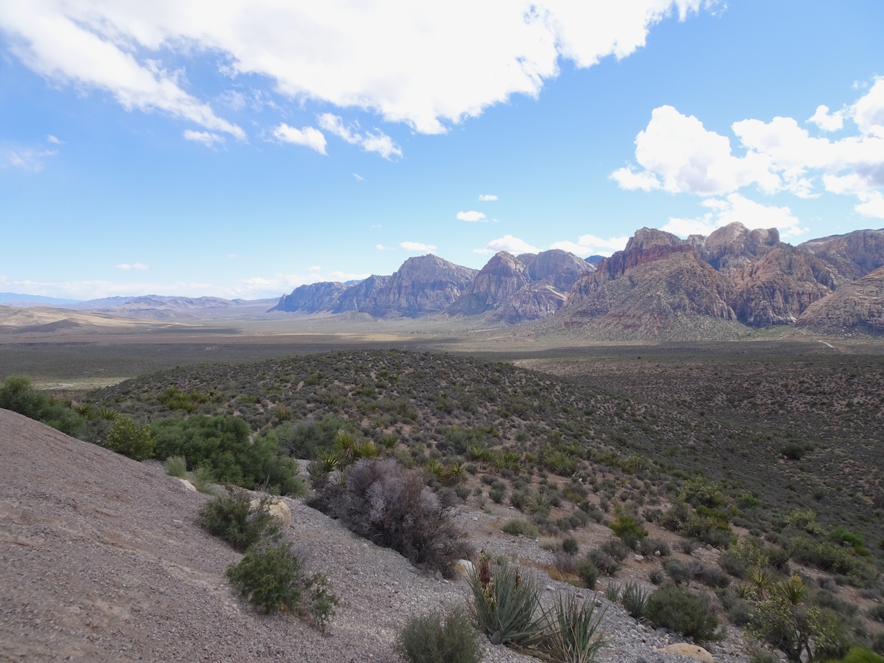
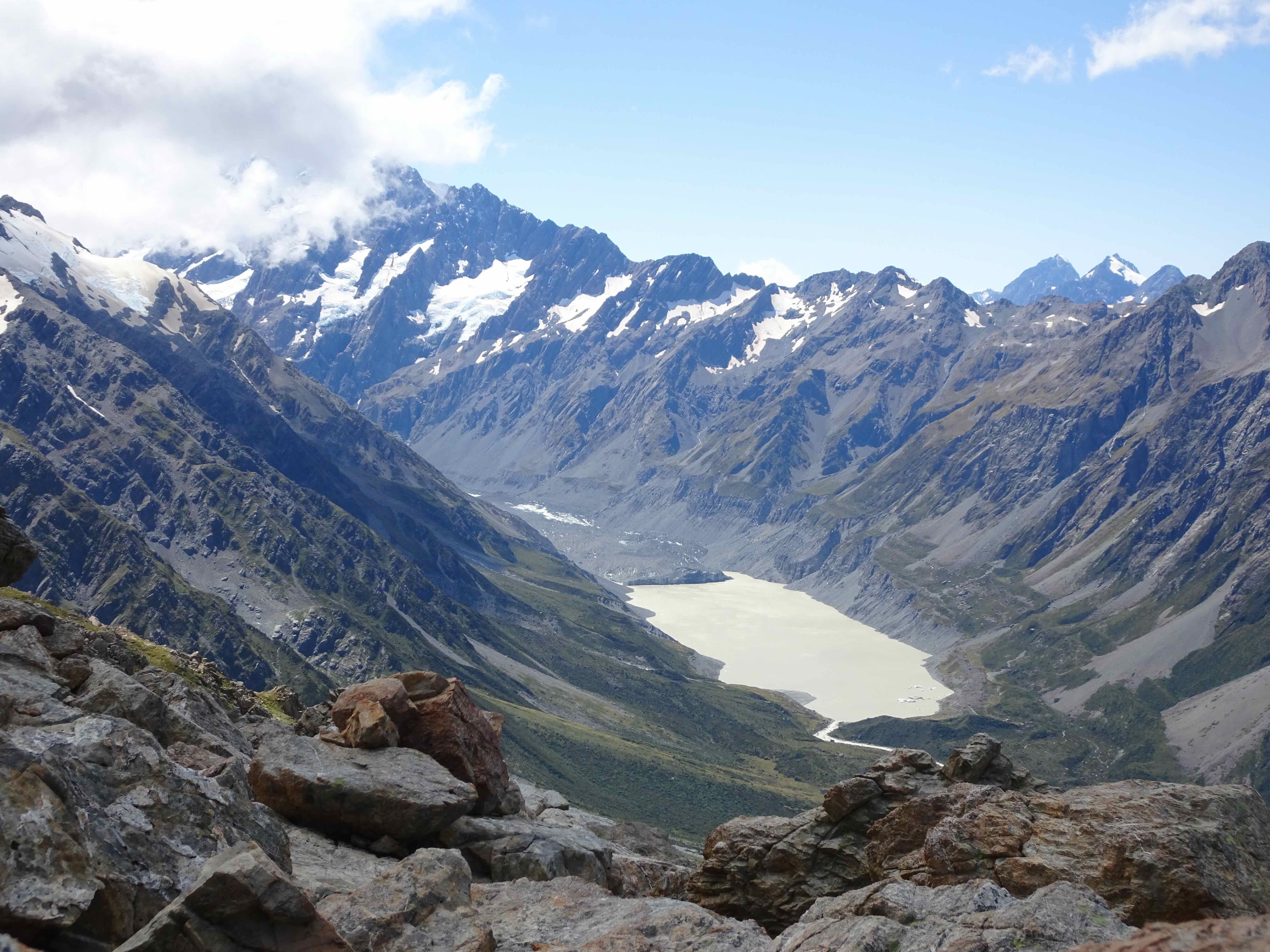
April 23, To Escalante, Utah
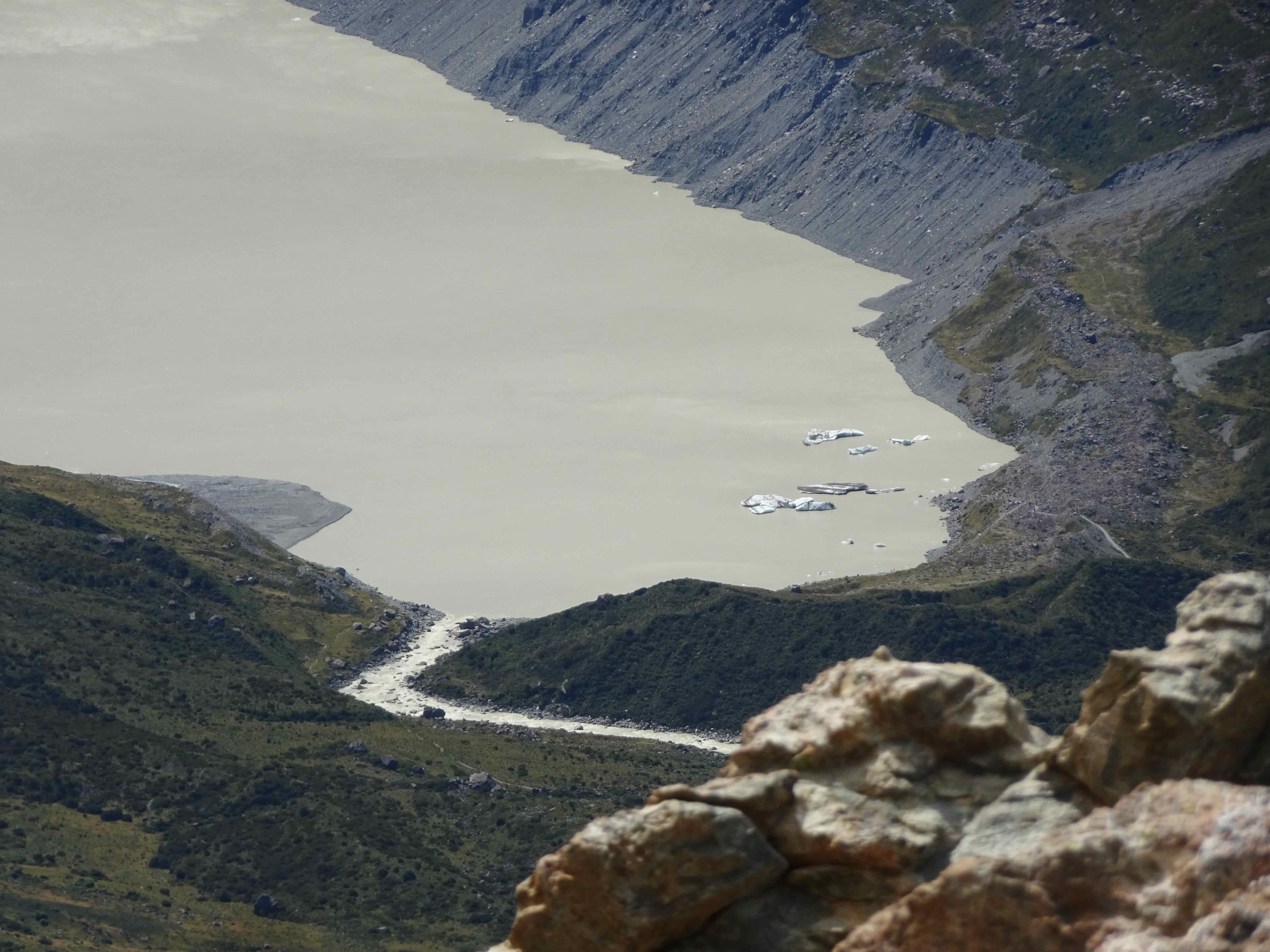
Escalante is about 5 hours drive east of Las Vegas, so we spent most of a day driving there, but it is a beautiful drive!

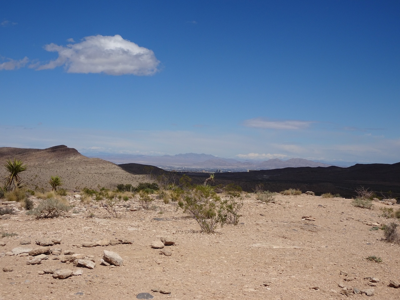
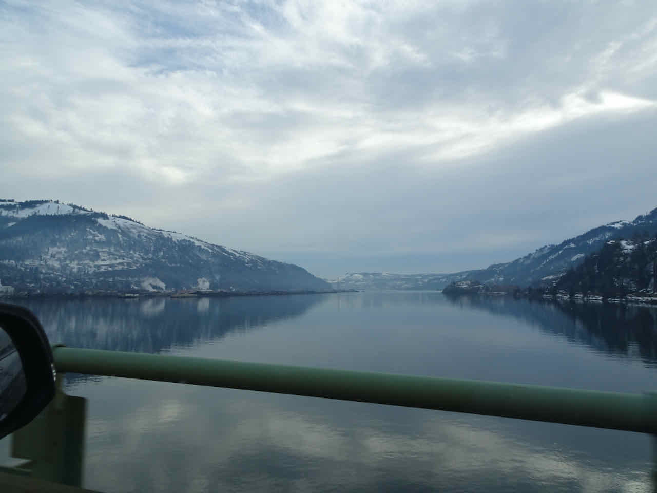
I thought this was a lake, in the desert along Highway 15 east of Las Vegas, but it is actually a large array of solar panels.
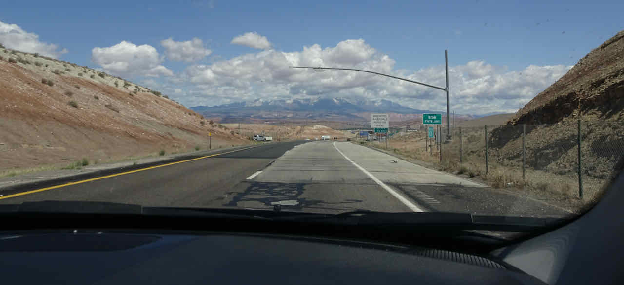
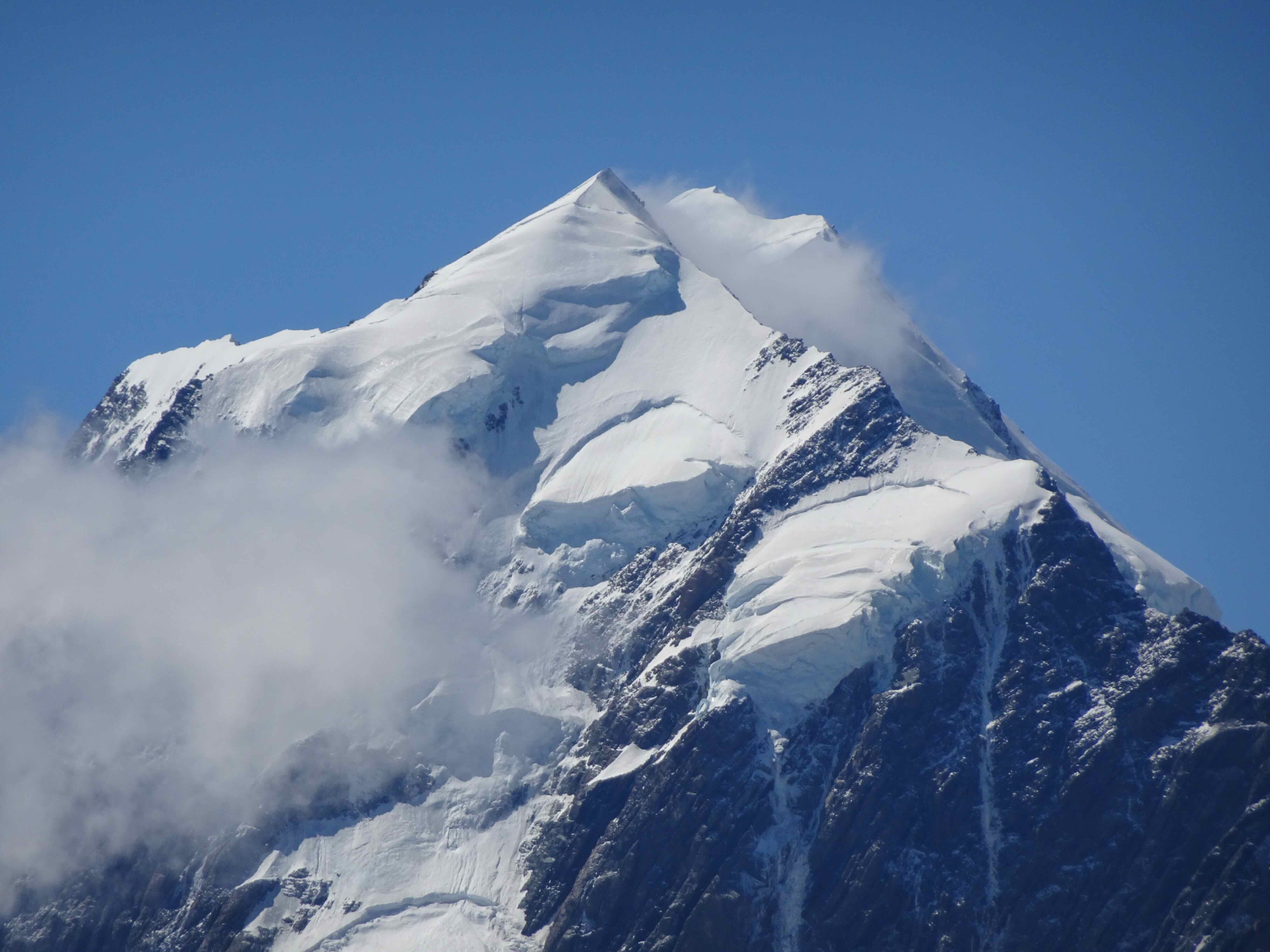
Snow capped Pine Valley Mountains on view as we cross into Utah.
We stopped for a lunch break with a family member who lives near St George, Utah.
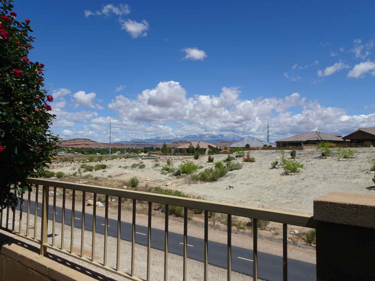
View from the garden.
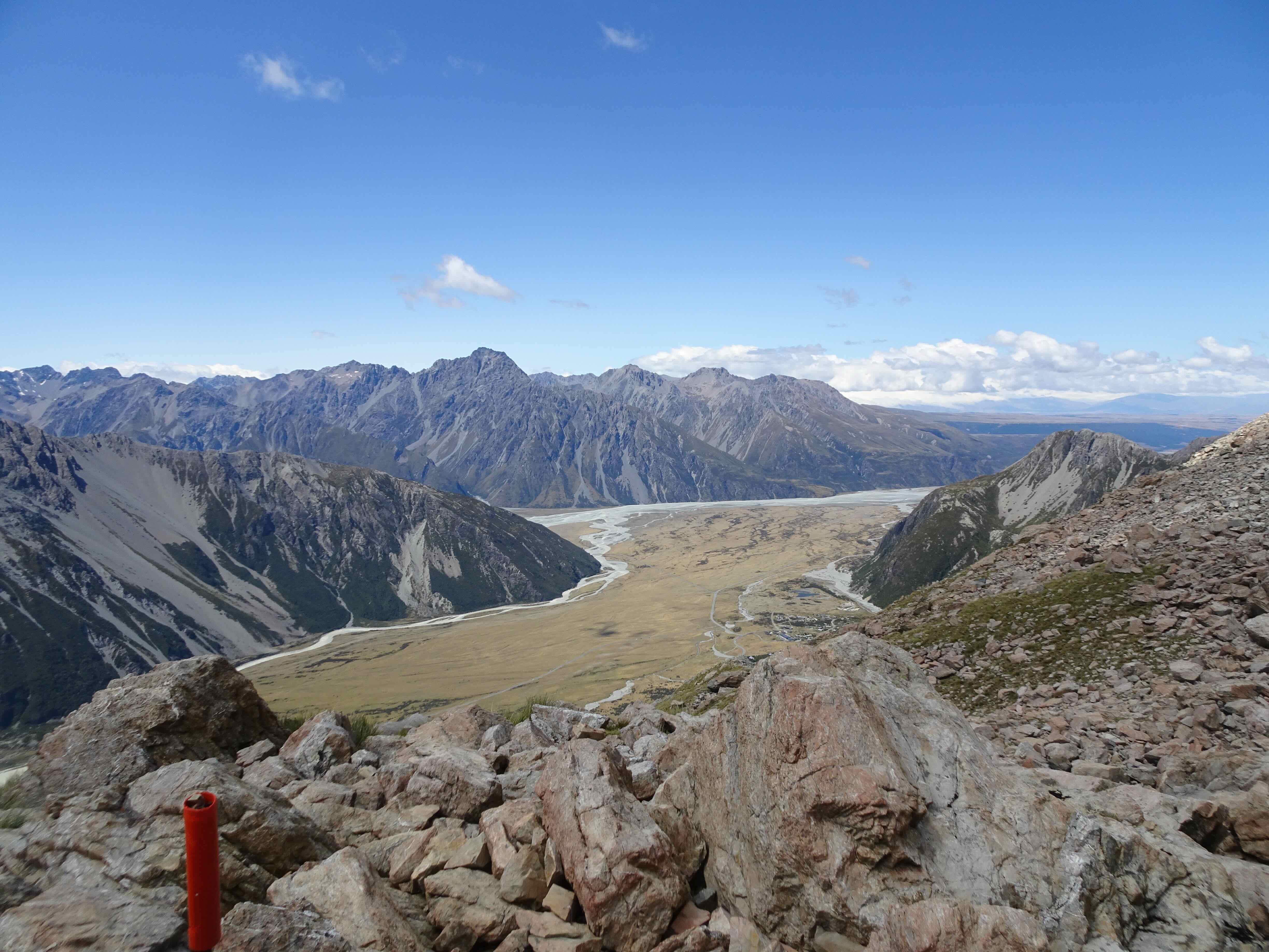
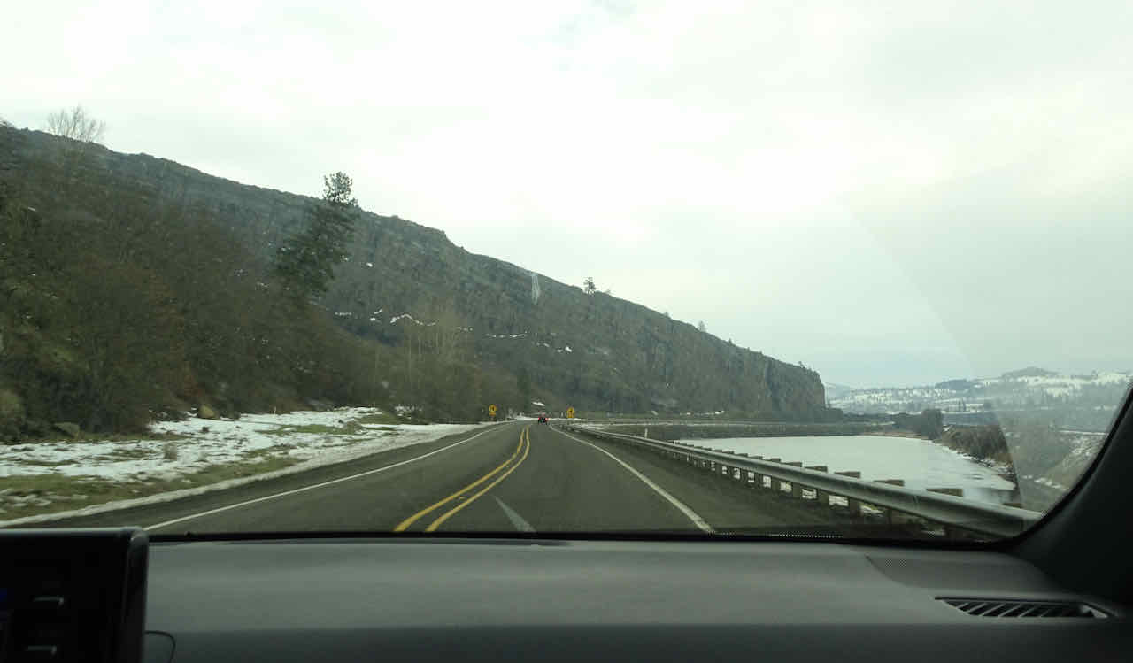
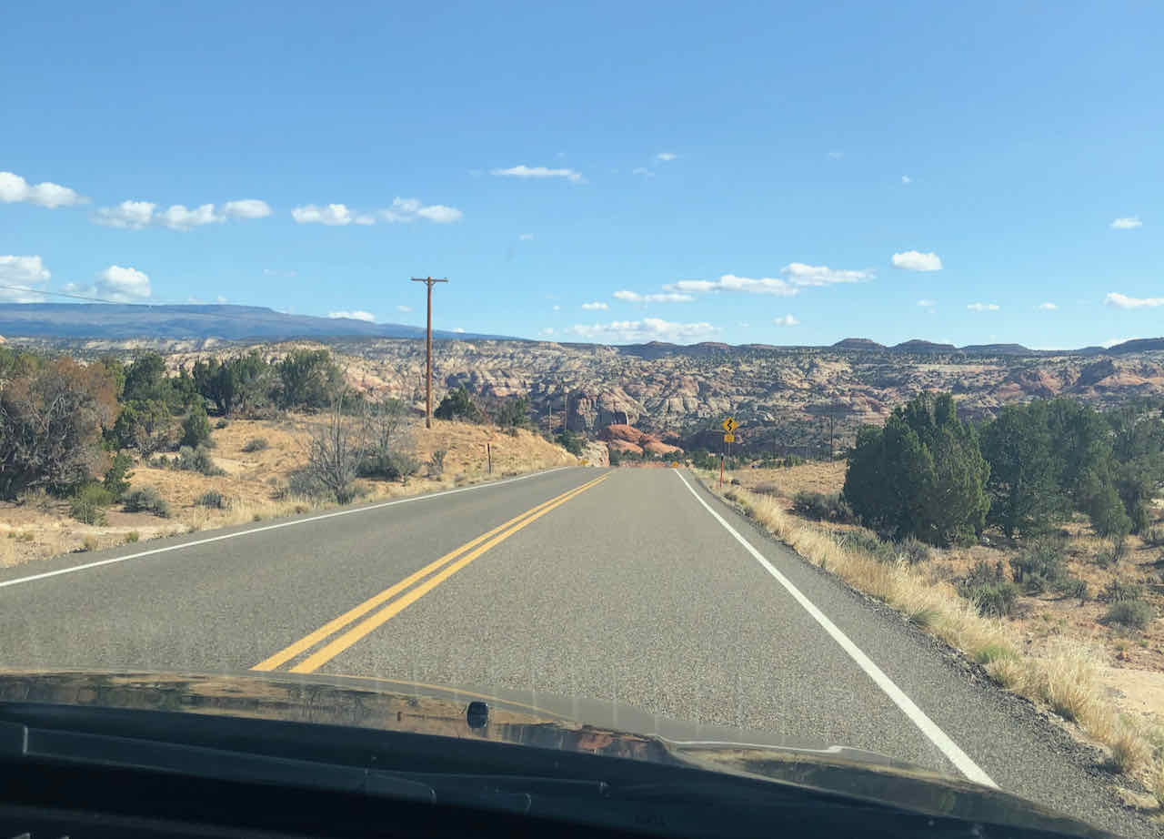
After lunch, we continued on to Cedar City to buy groceries for the next few days. Then we took the scenic route, Hwys 14 to 89 to 12, over mountains, and onto the Colorado Plateau, where the ‘lower’ elevations are above 5000 feet.
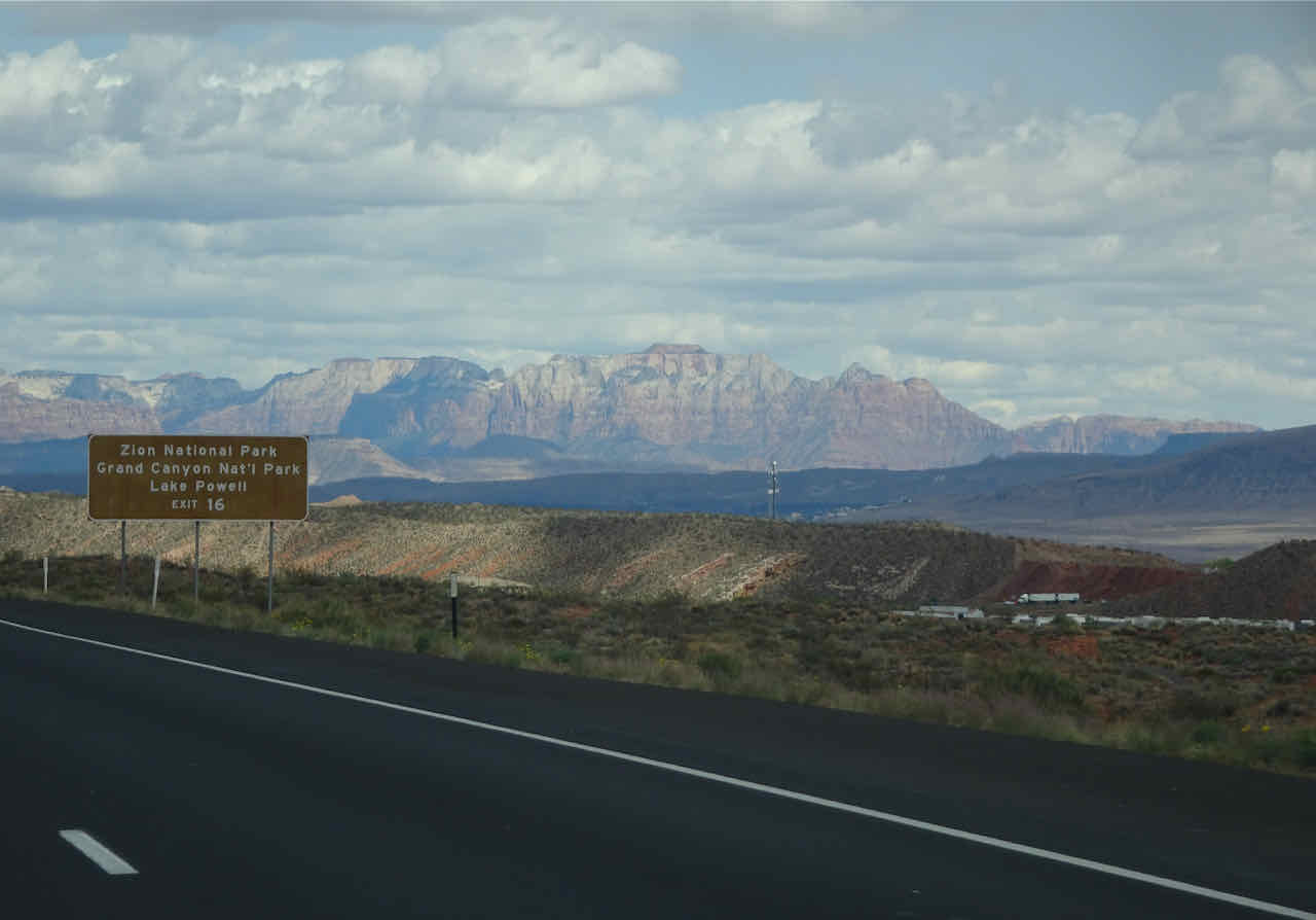
We passed the turnoff to Zion Canyon, not on our agenda this trip.

Over snowy mountains on Hwy 14,
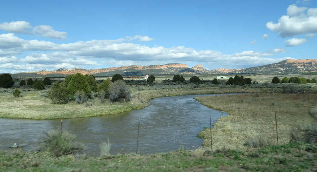
Back down to the Sevier River, along Hwy 89.

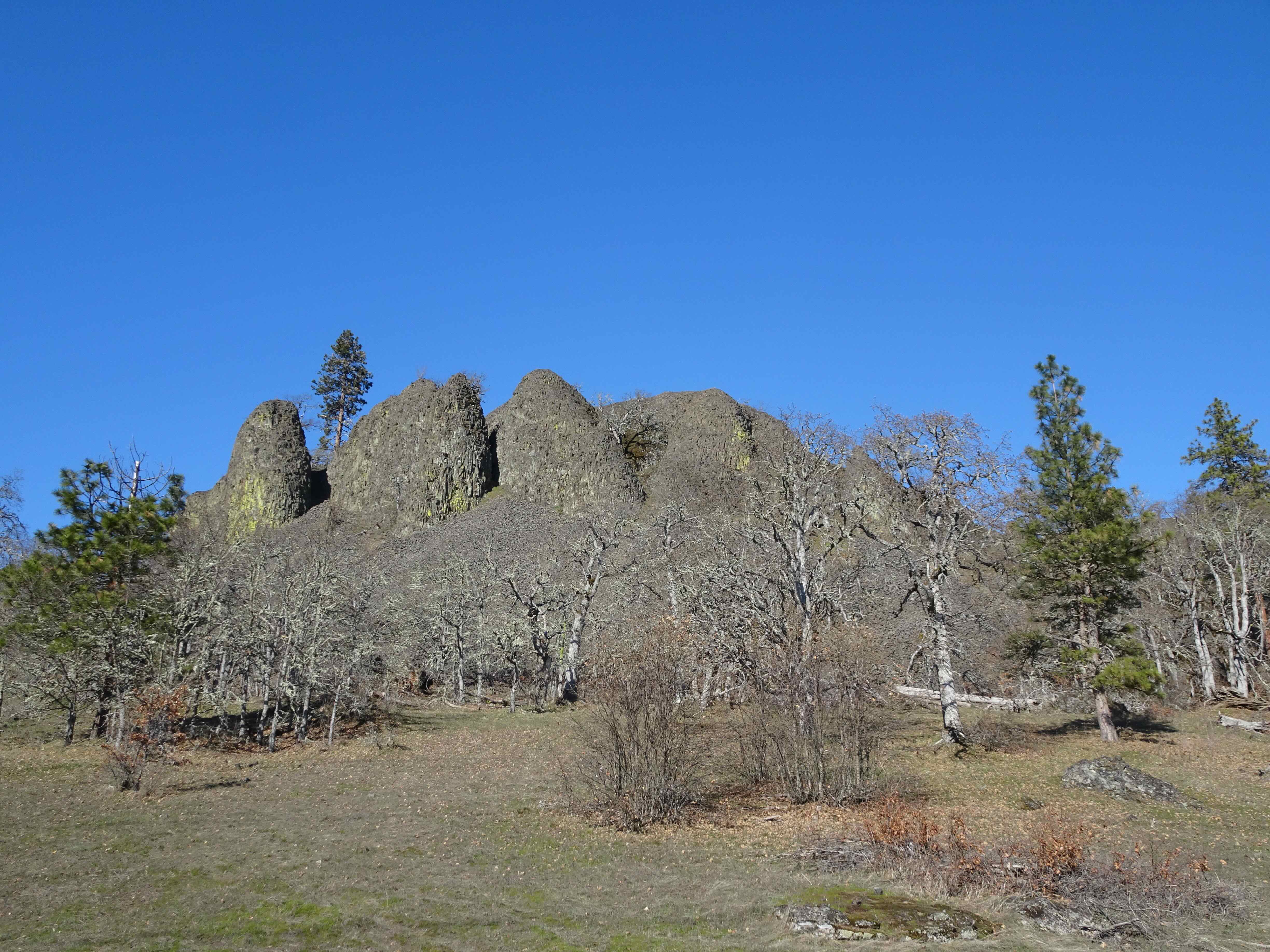
Hoodoos of the Claron Formation along the road near Bryce Canyon.

Everyone loves a rock tunnel!
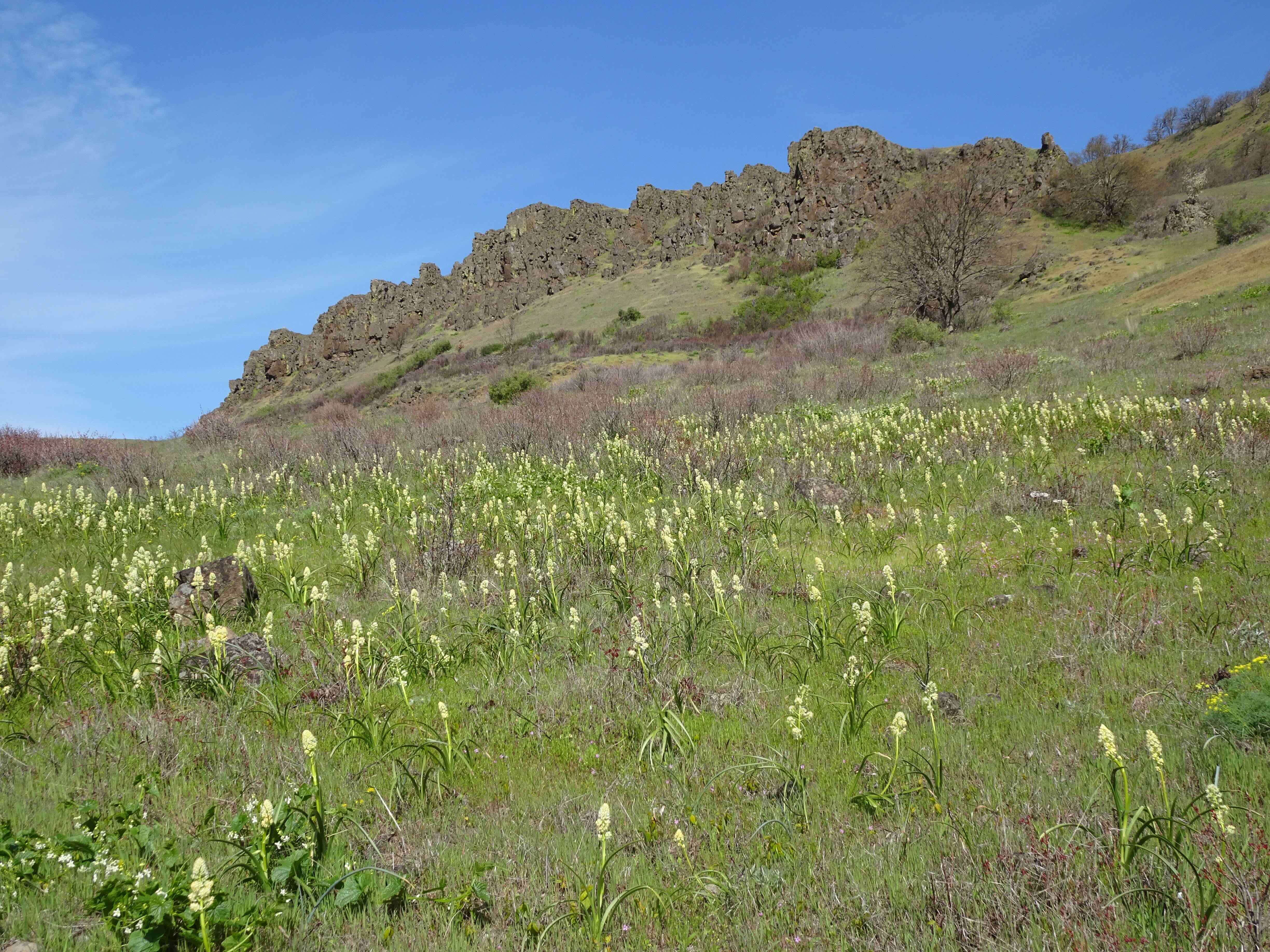
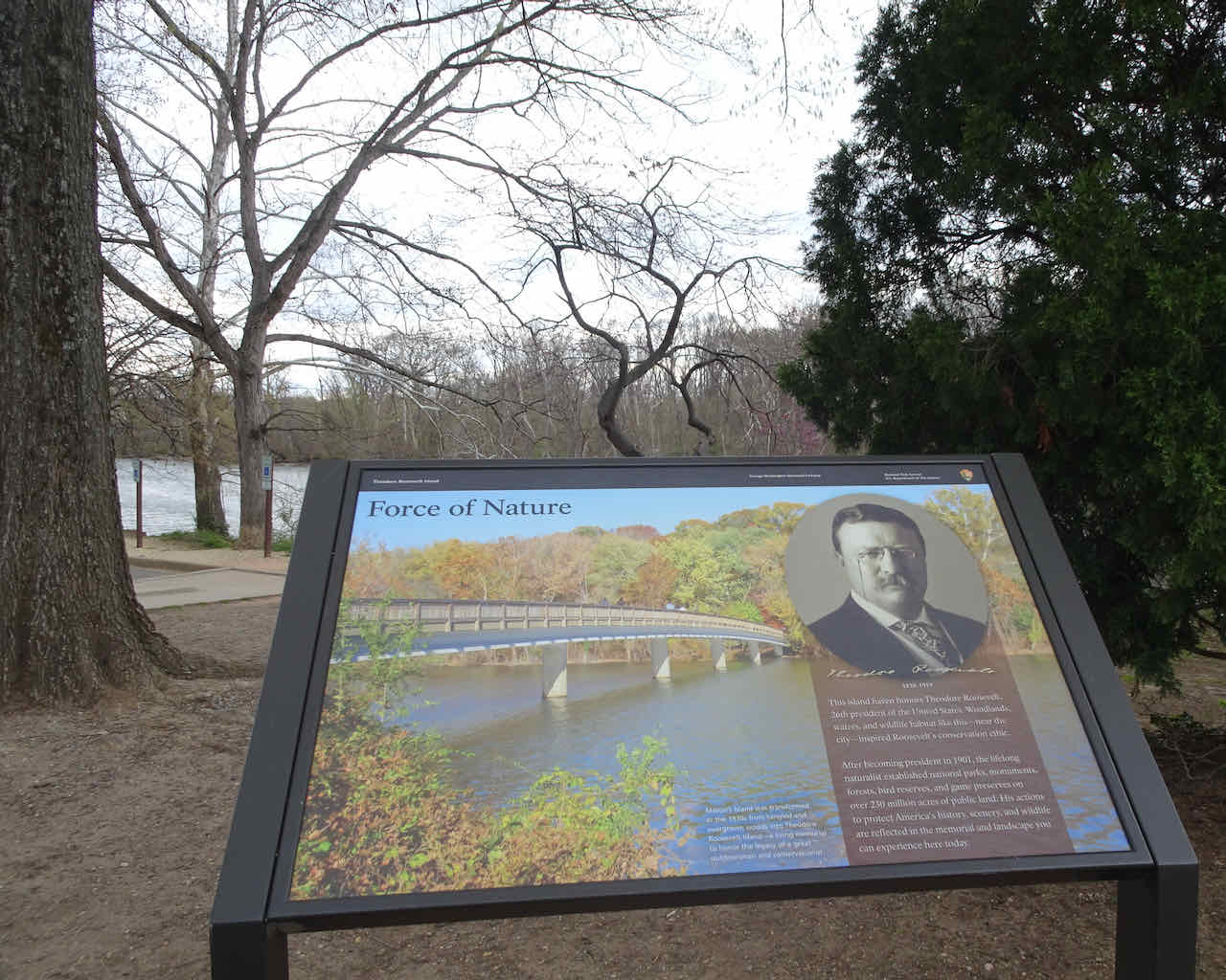
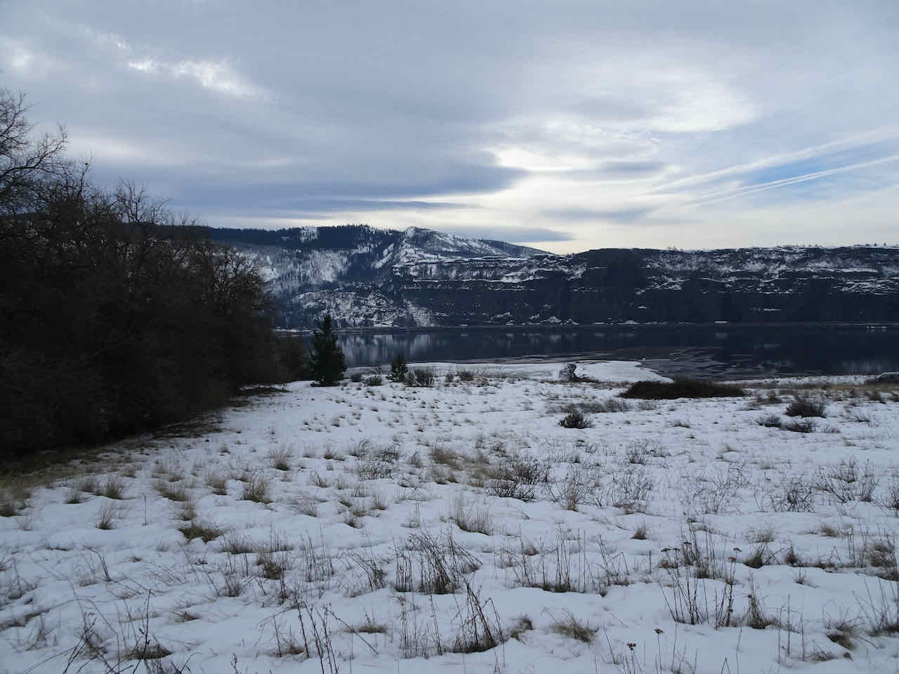
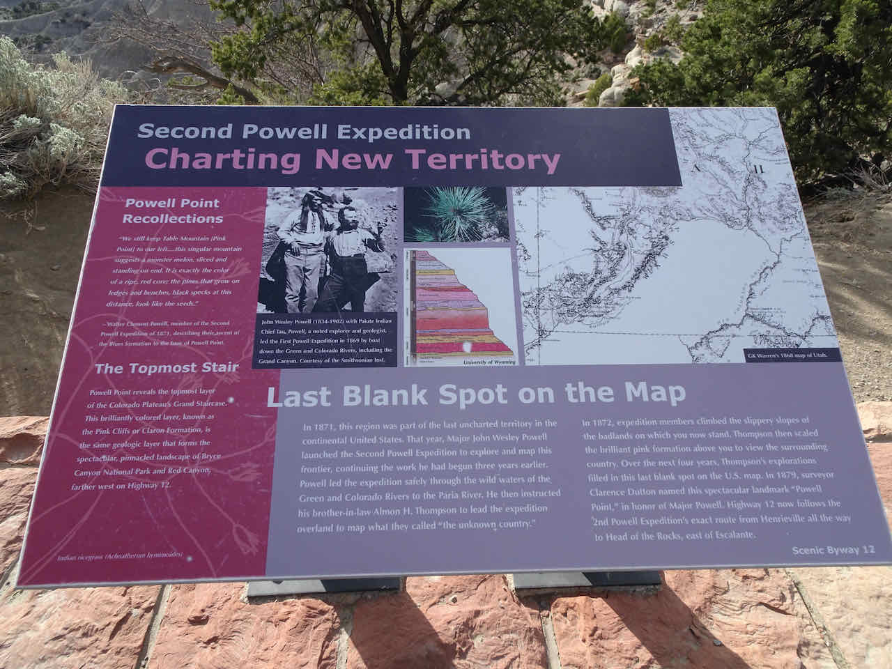
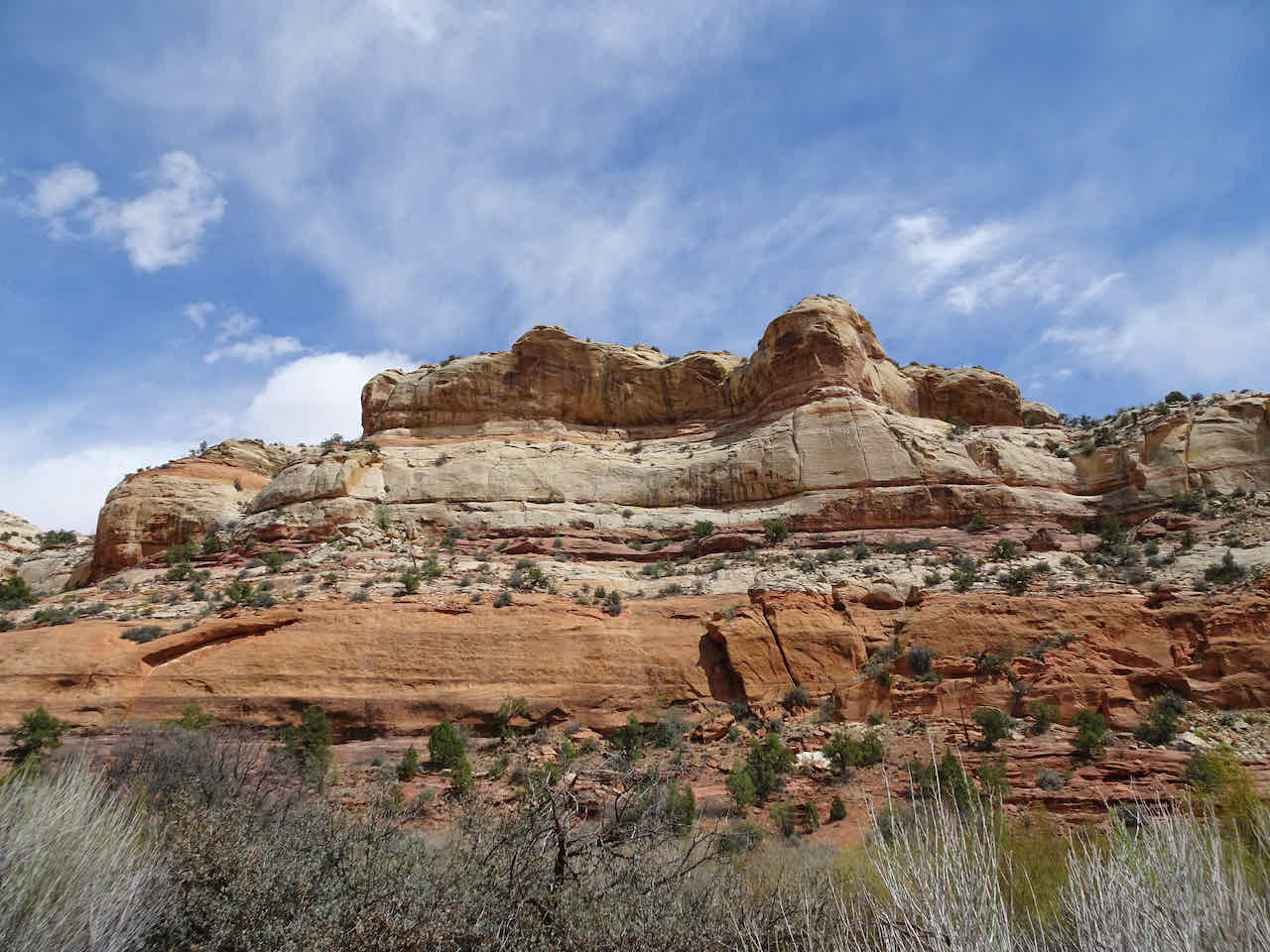
Beyond Bryce, Powell Point of the famous Grand Staircase Pink Cliffs began to dominate our view.

Powell Point
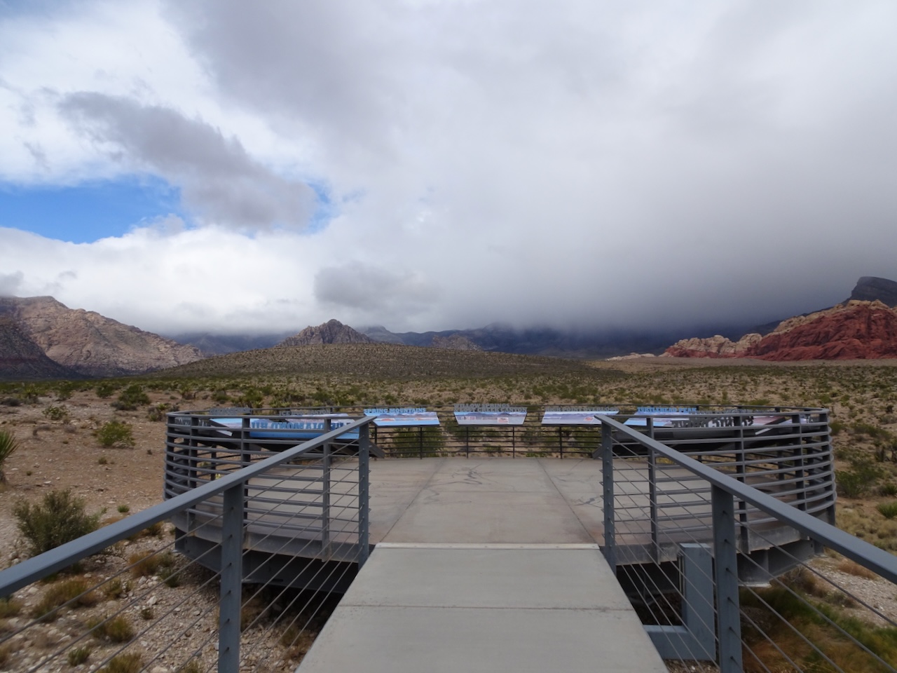
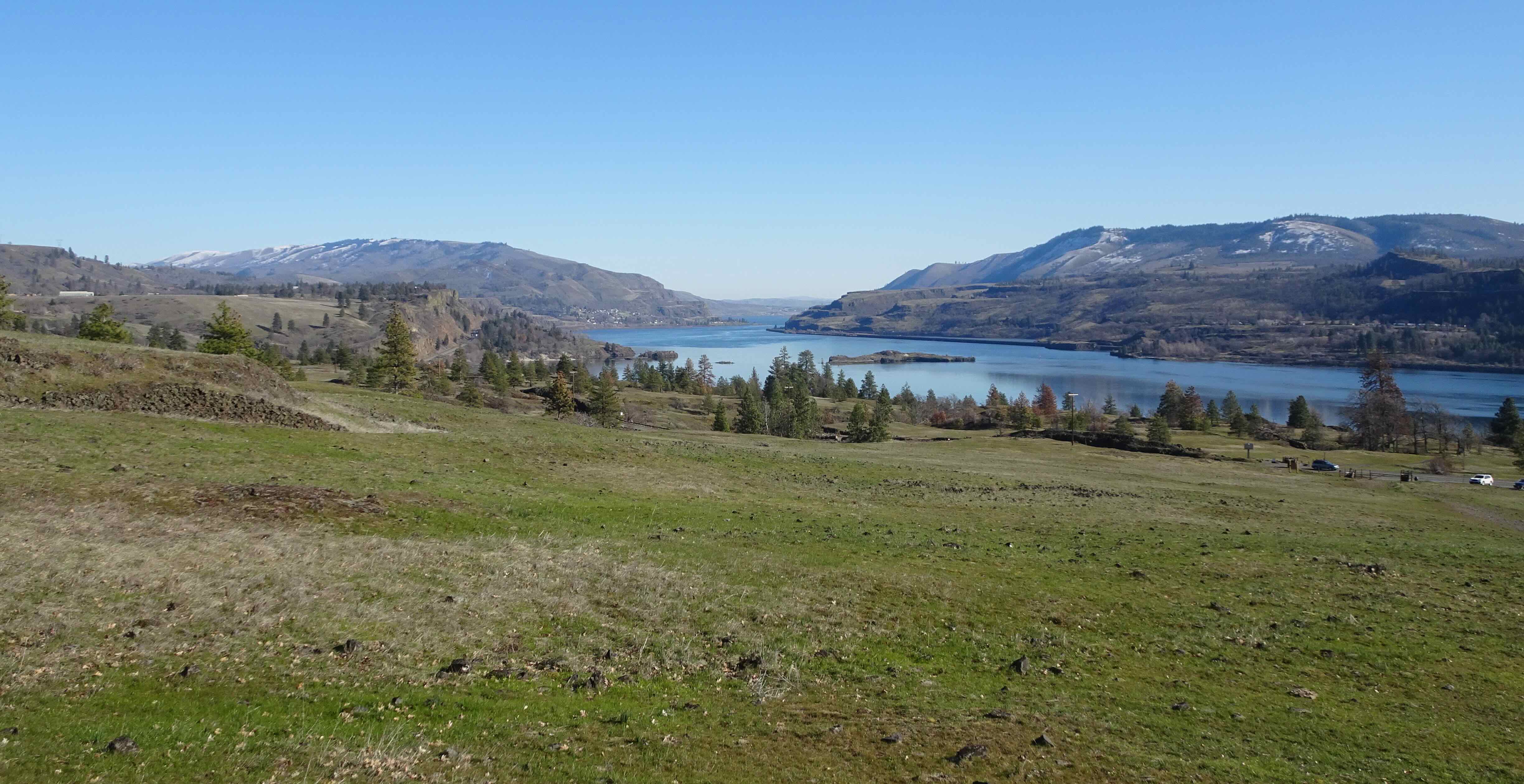
We stopped at the overlook on Highway 12 to admire Powell Point from another angle.

View of Powell Point from the Hwy 12 Overlook.
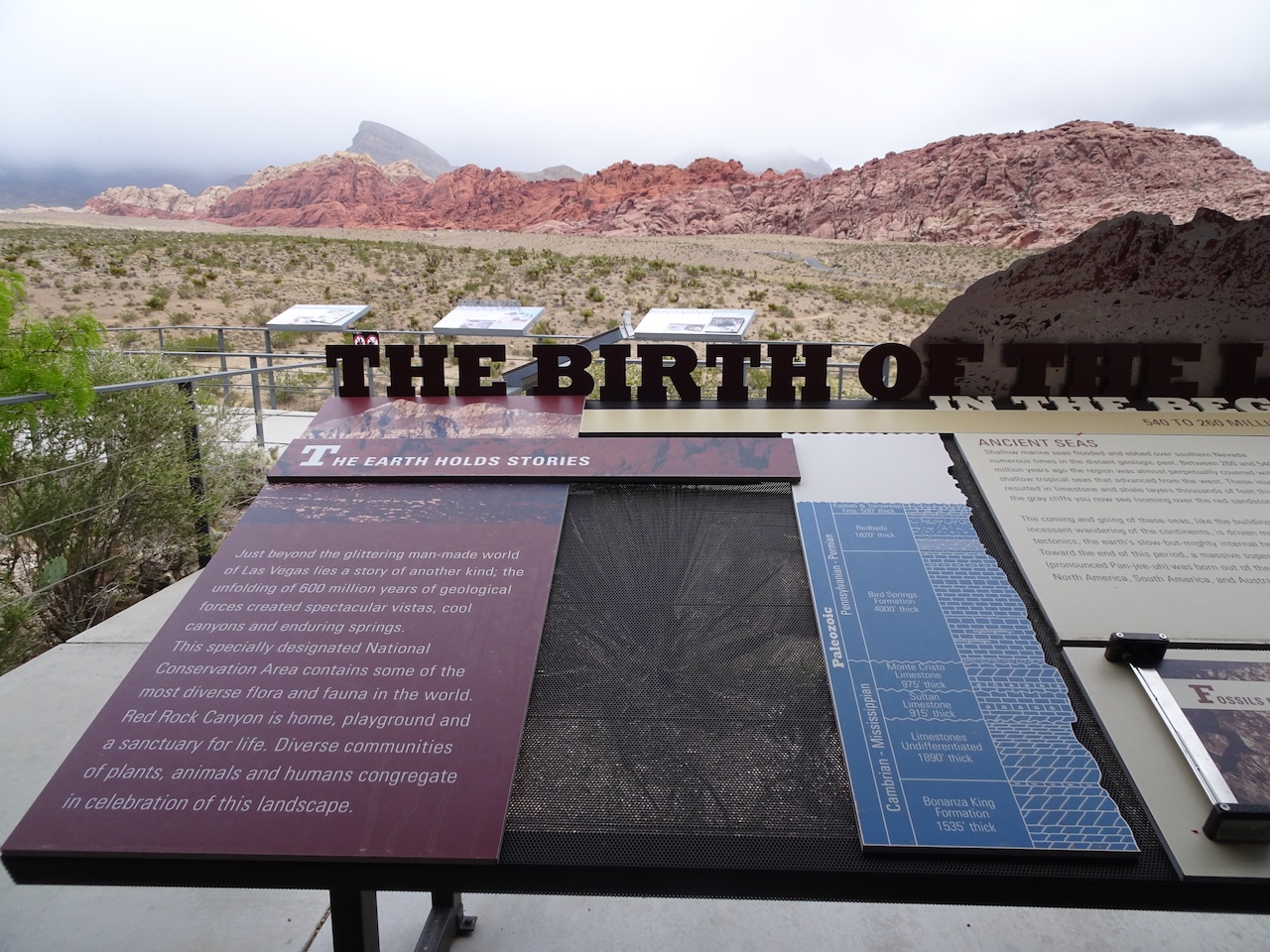
Hwy 12 Overlook sign

Our stratigraphic column for the week.
We arrived in Escalante around dinner time.
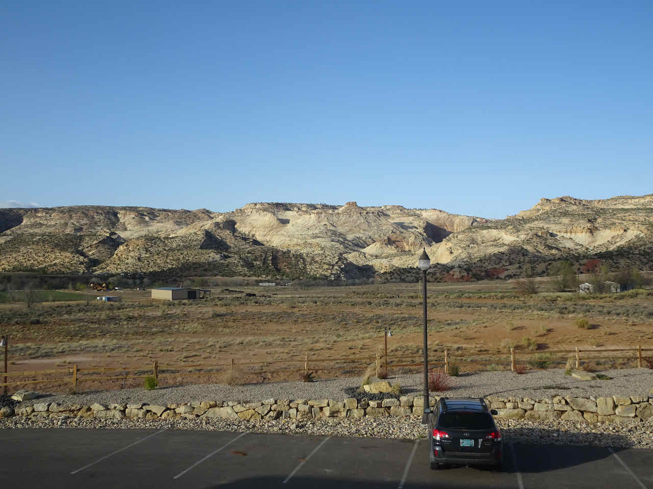
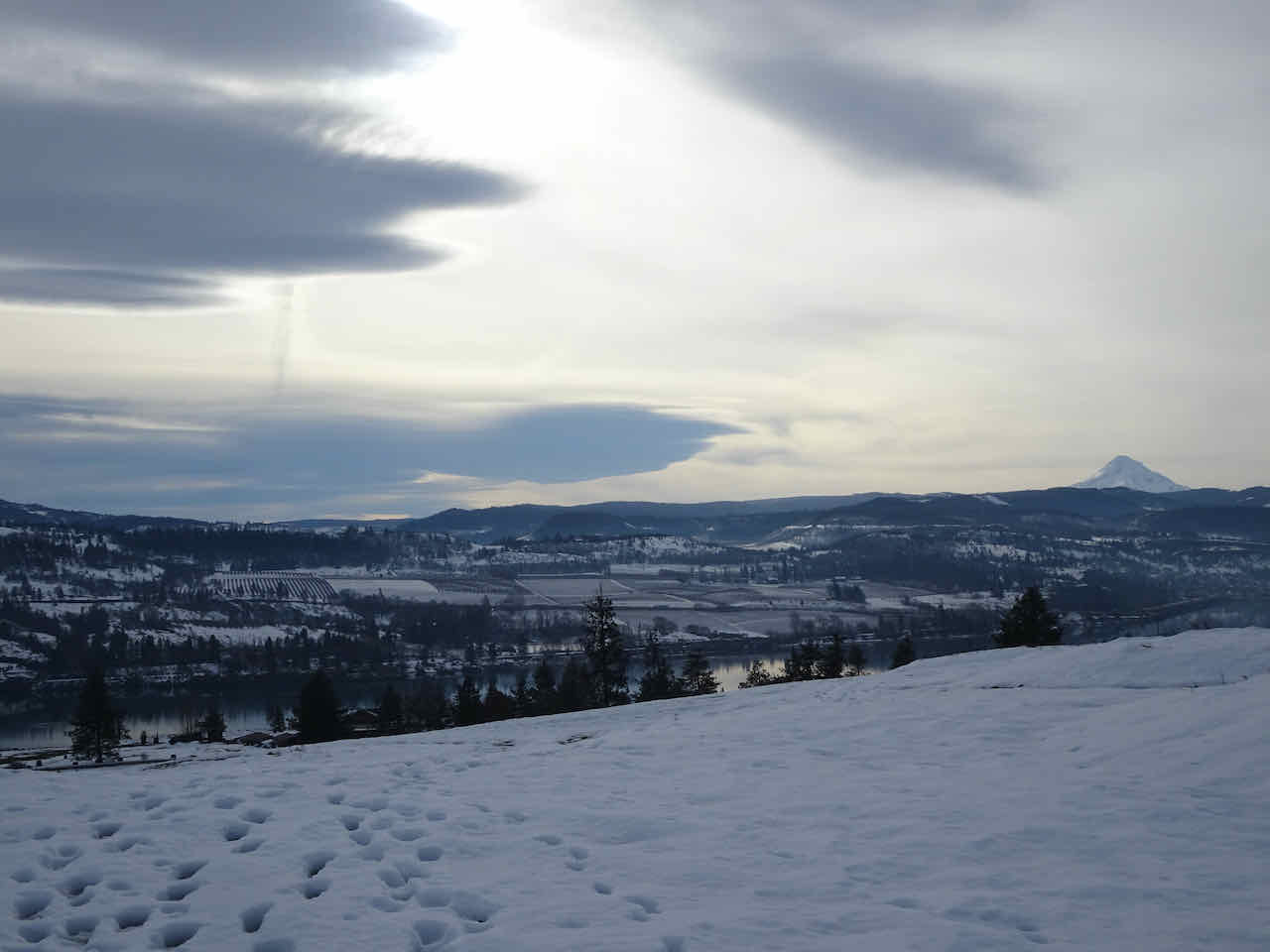
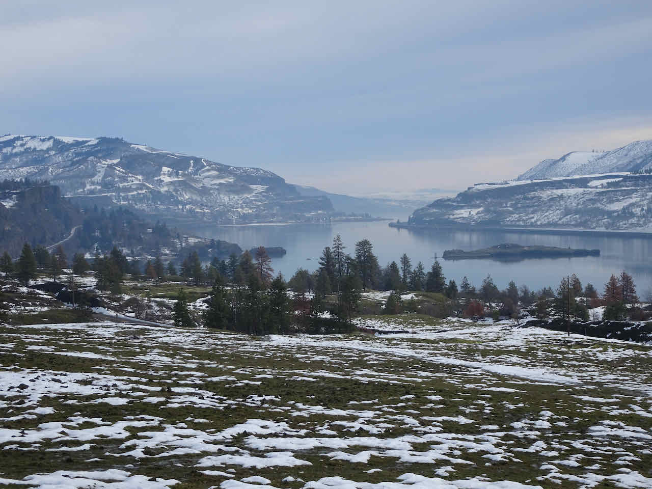
Escalante hotel room view – very different from Las Vegas!

Location map for our hikes and landmarks for the next few days.
April 24 – Toward Boulder and the Burr Trail
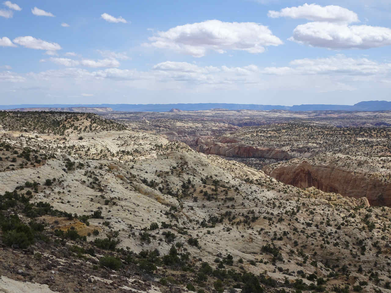
We began the day by driving east on Hwy 12 into this remarkable landscape:
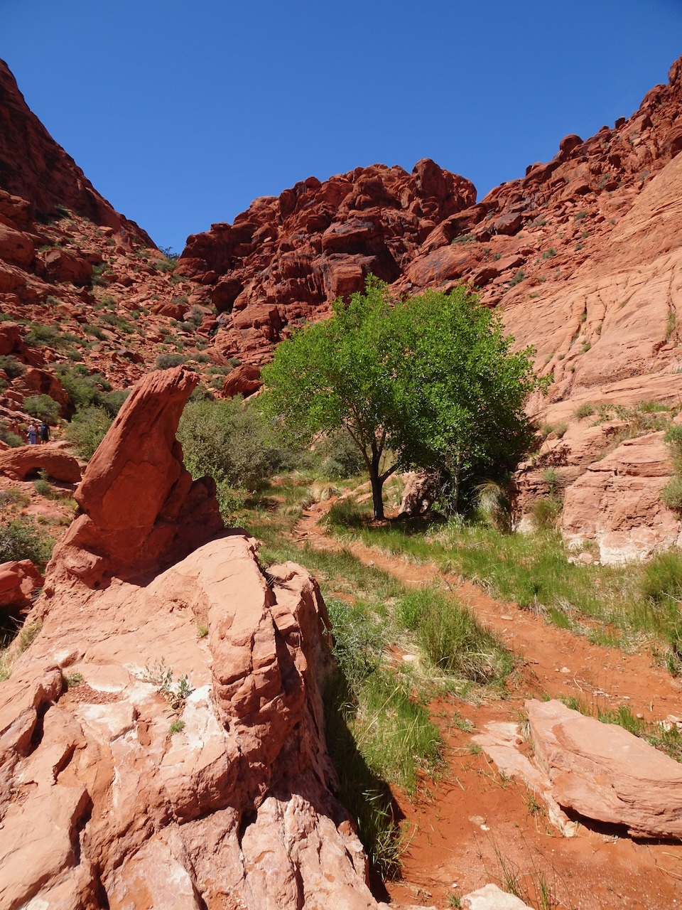
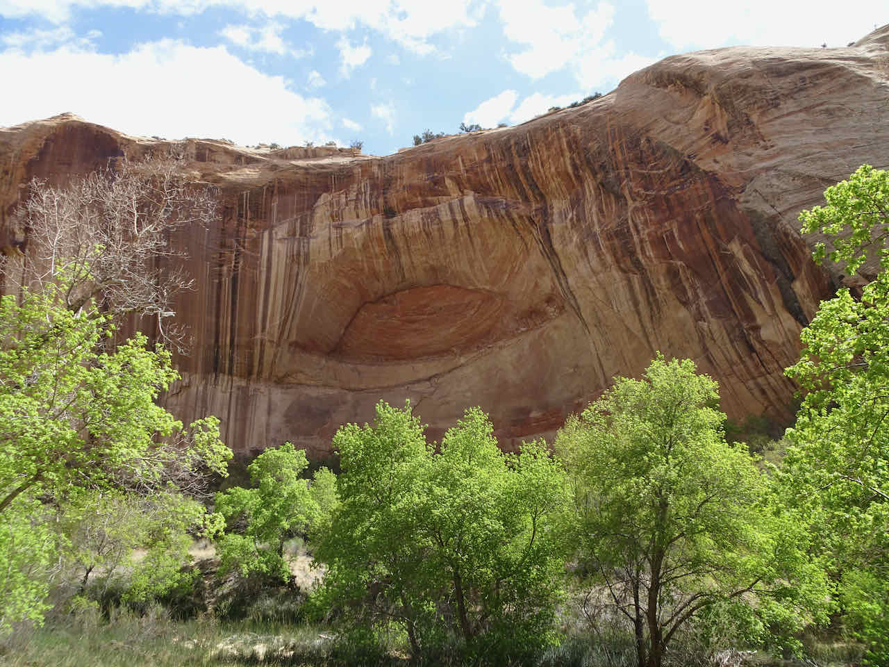
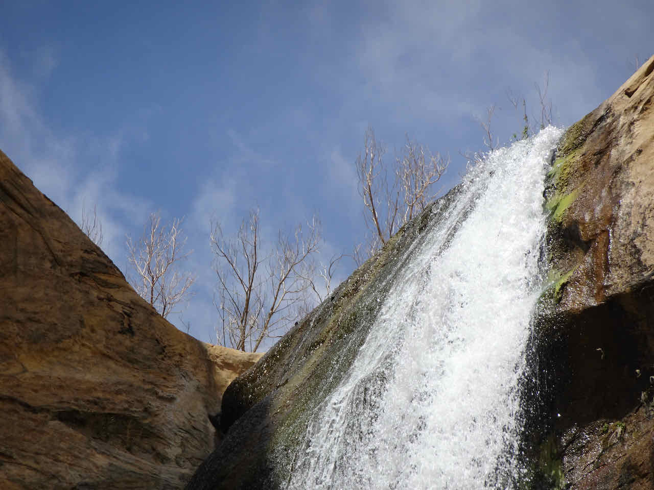
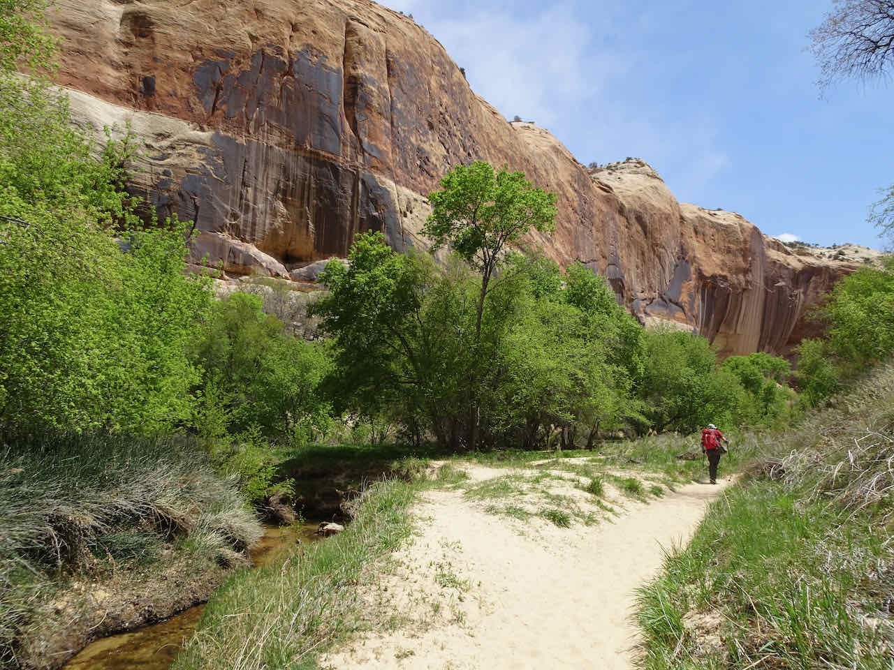
Lower Calf Creek Falls – We hiked six miles round trip along Calf Creek, mostly between steep red sandstone walls of Navajo Sandstone.
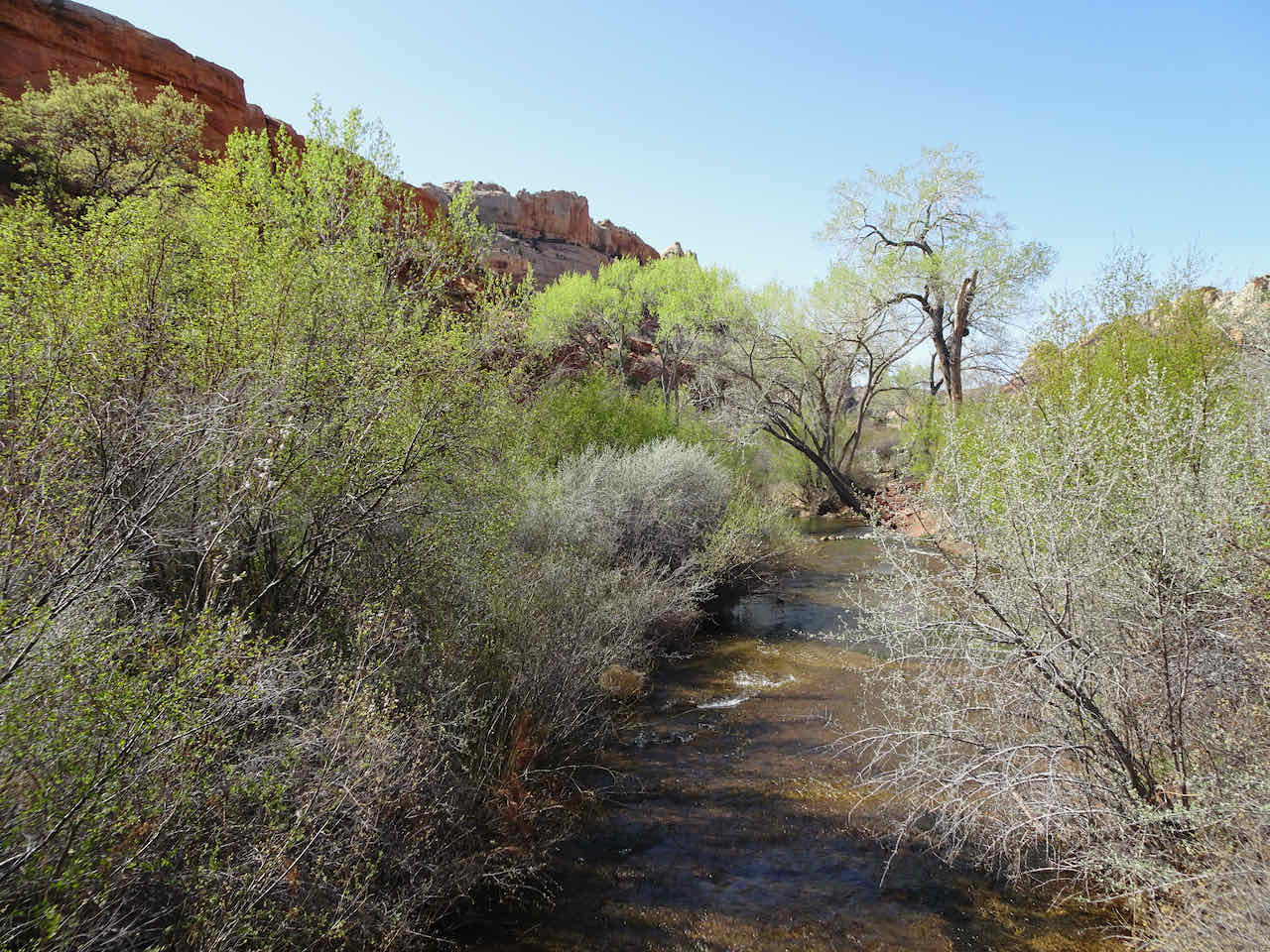
The trail begins near the campground, and stays close to the river most of the way.

Red sandstone walls loom above,

On both sides of the river.
Photogenic scenery in every direction.

Beaver dams in the river.
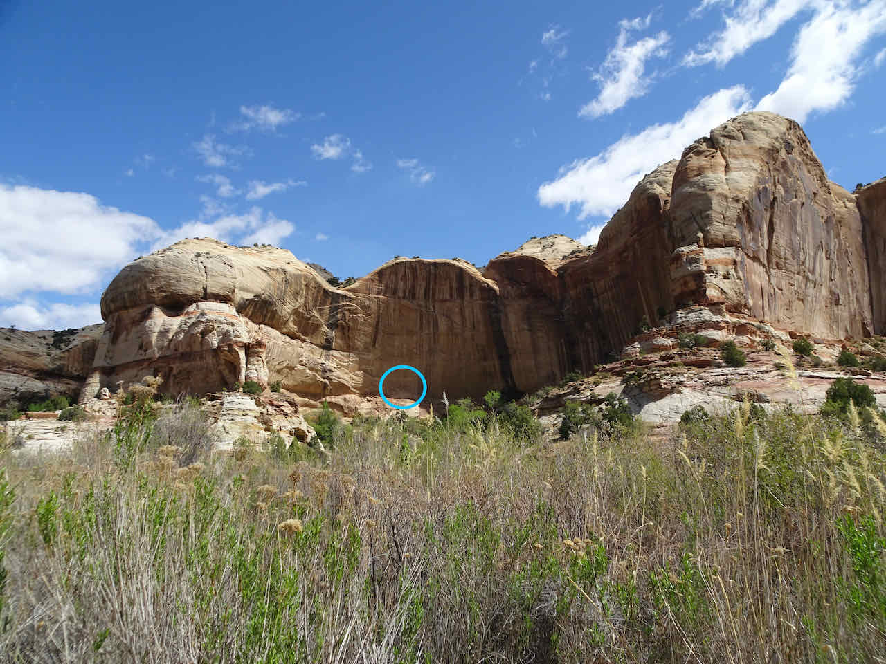
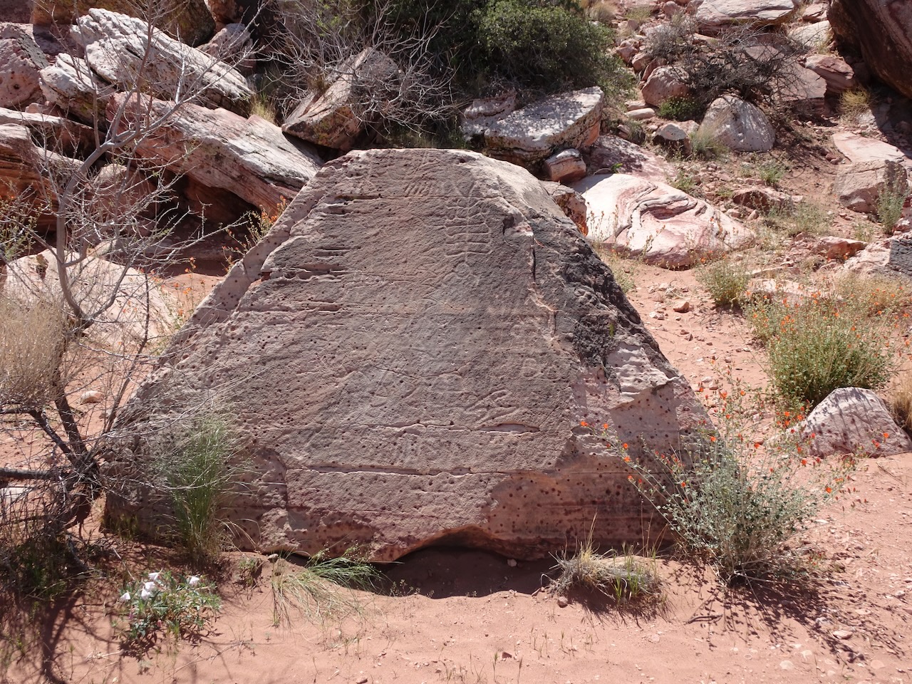
The paper trail guide pointed out pictographs across the canyon,

identified as Fremont-style rock art,
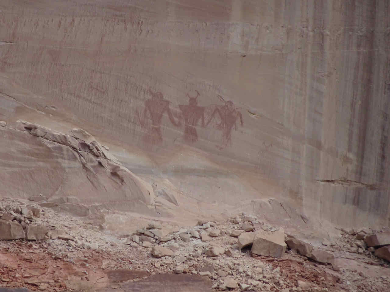
painted with red pigment.
A rock arch across the creek, where the canyon walls narrow.
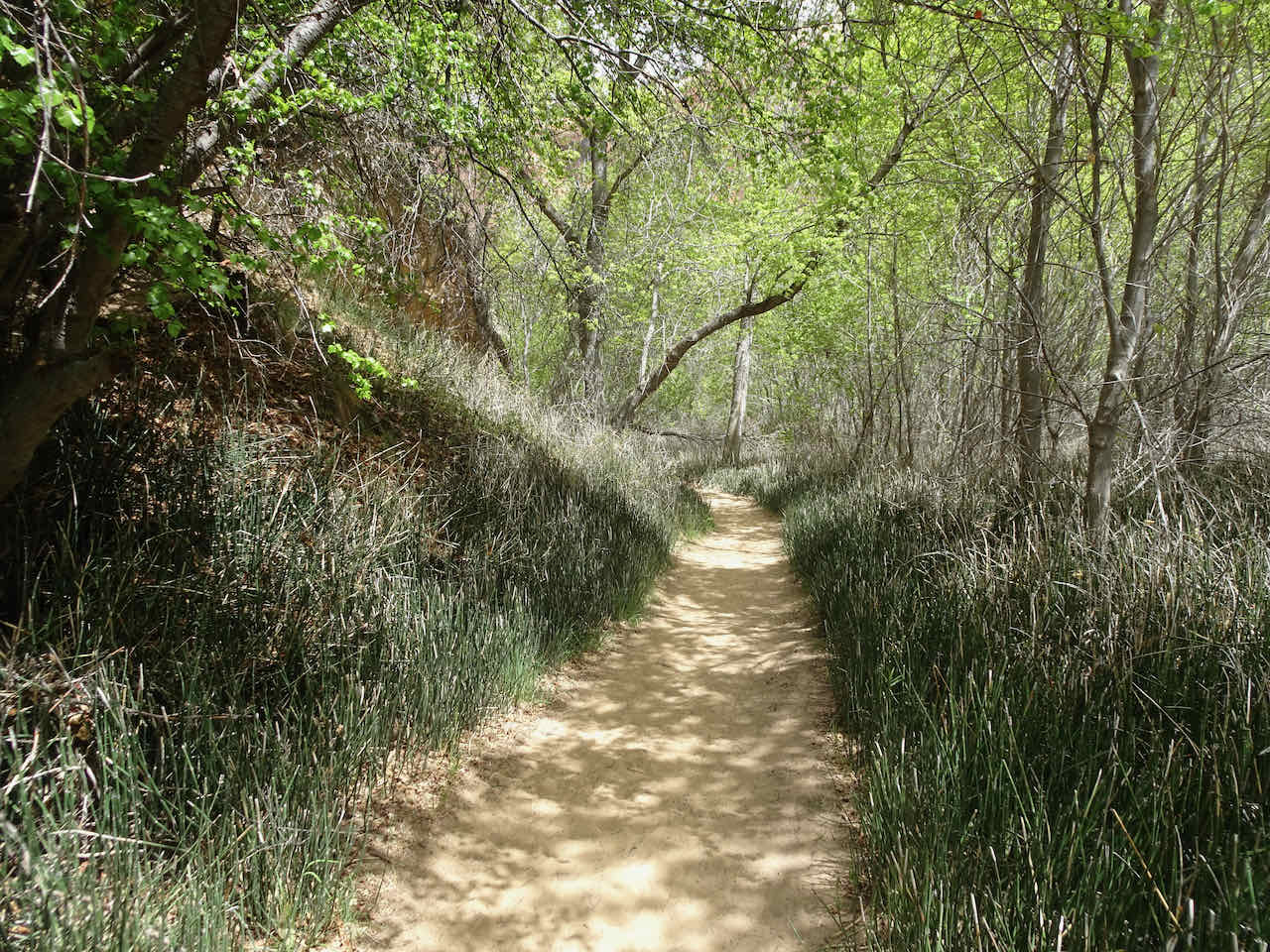
At river level, the vegetation forms a tunnel,
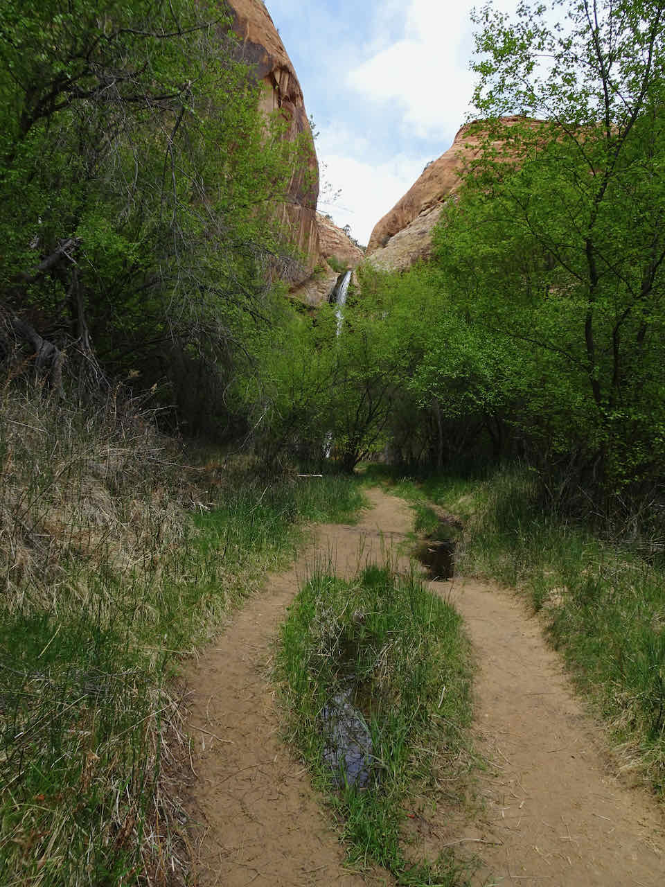
and then the waterfall appears through the trees.
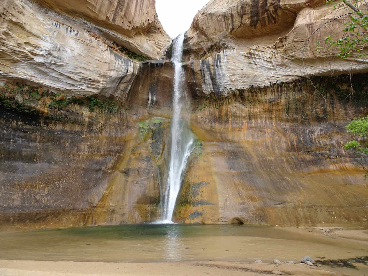
Lower Calf Creek Falls, 126 feet

Upper lip
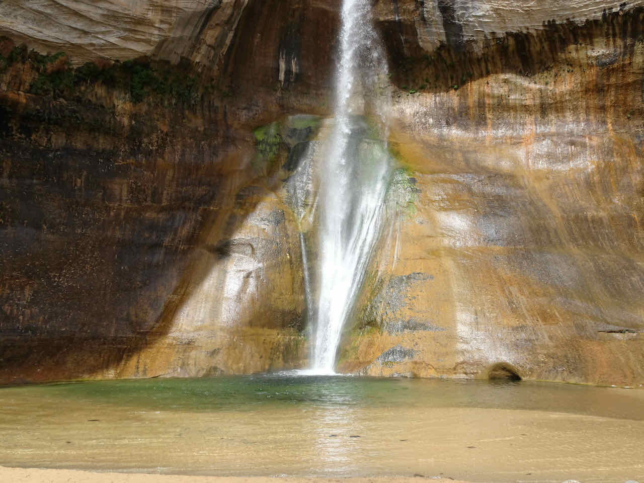
Lower drop
This was a great lunch stop! We admired the falls for a while.
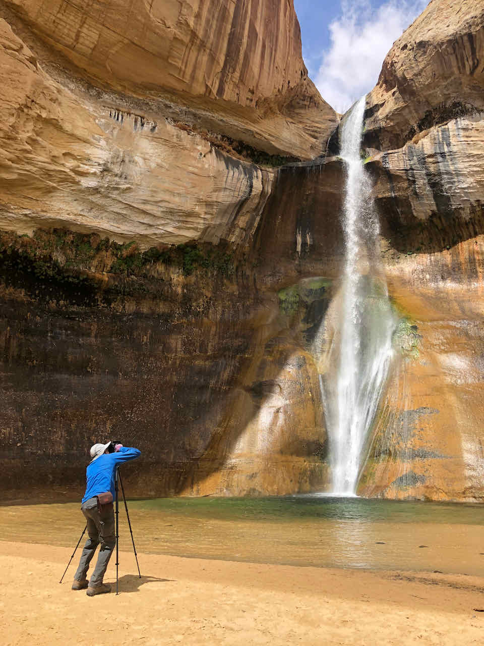
Tripod nation
Upper lip again
After lunch, we returned down the sandy trail.
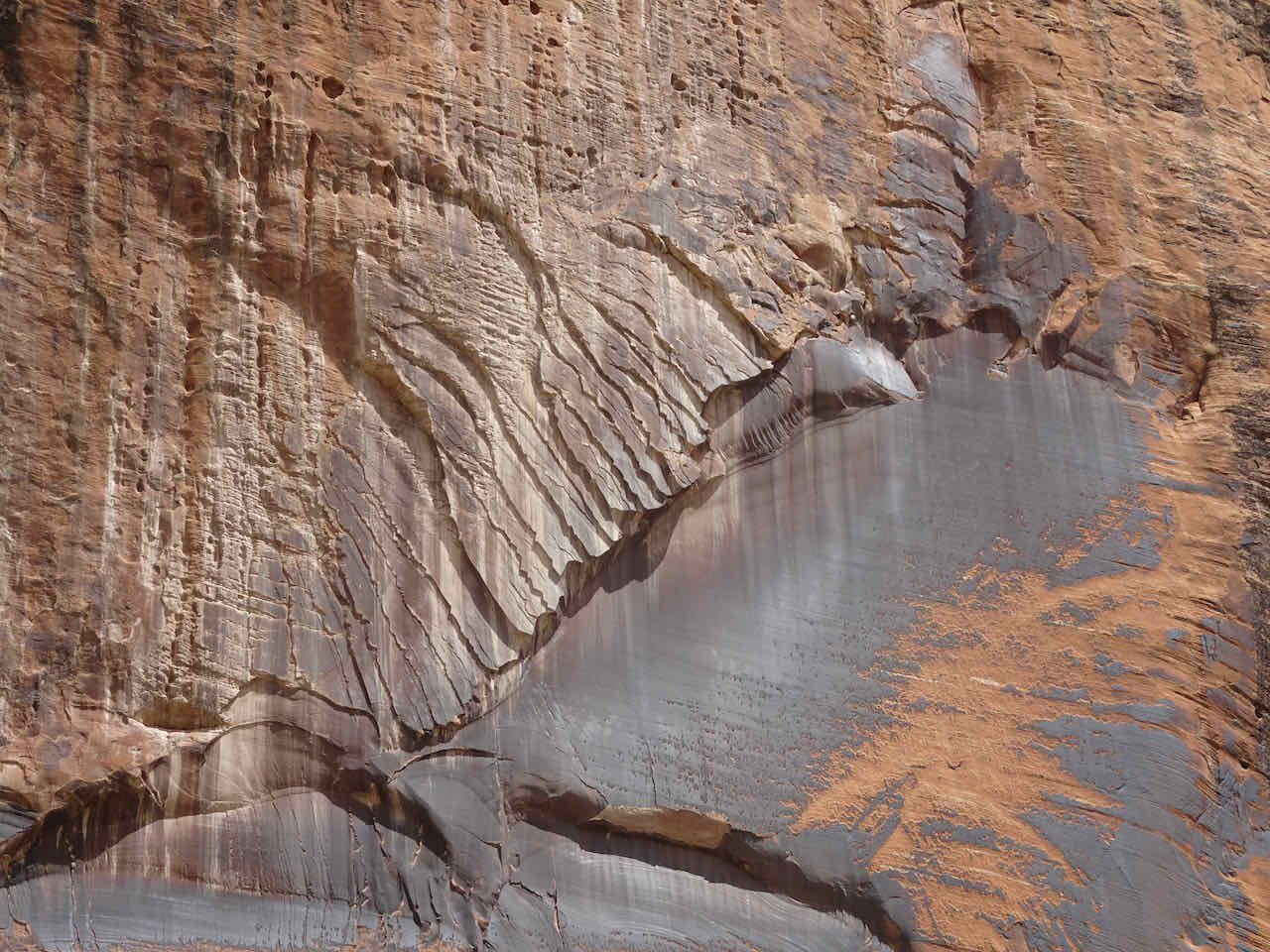
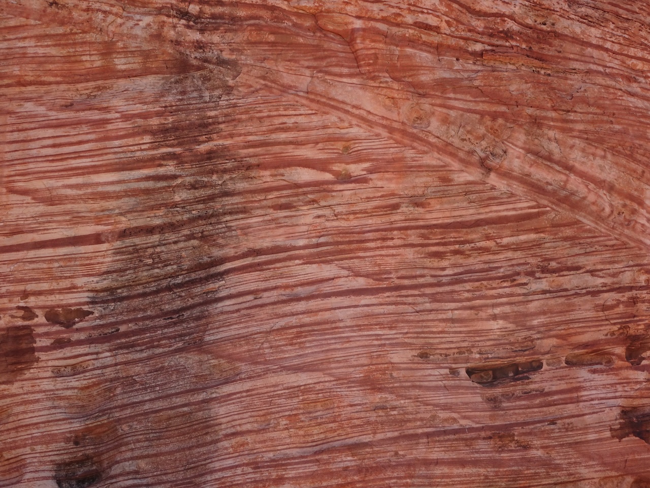
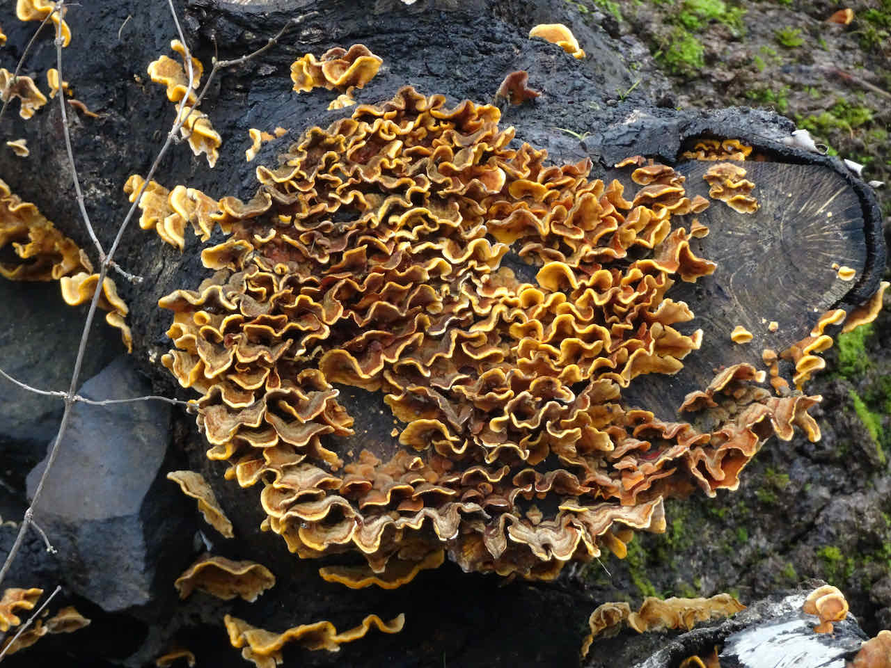
Desert varnish on sandstone

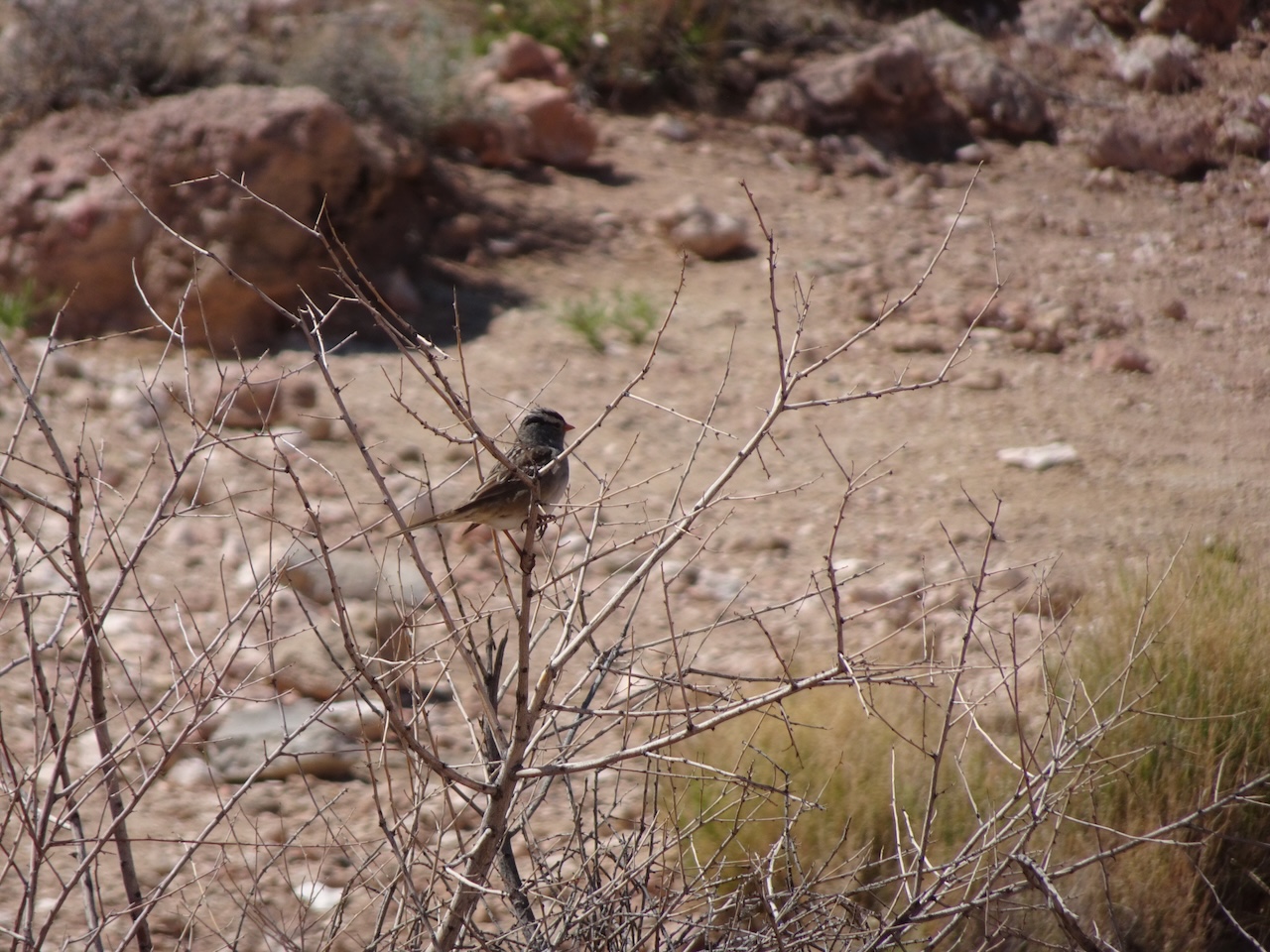
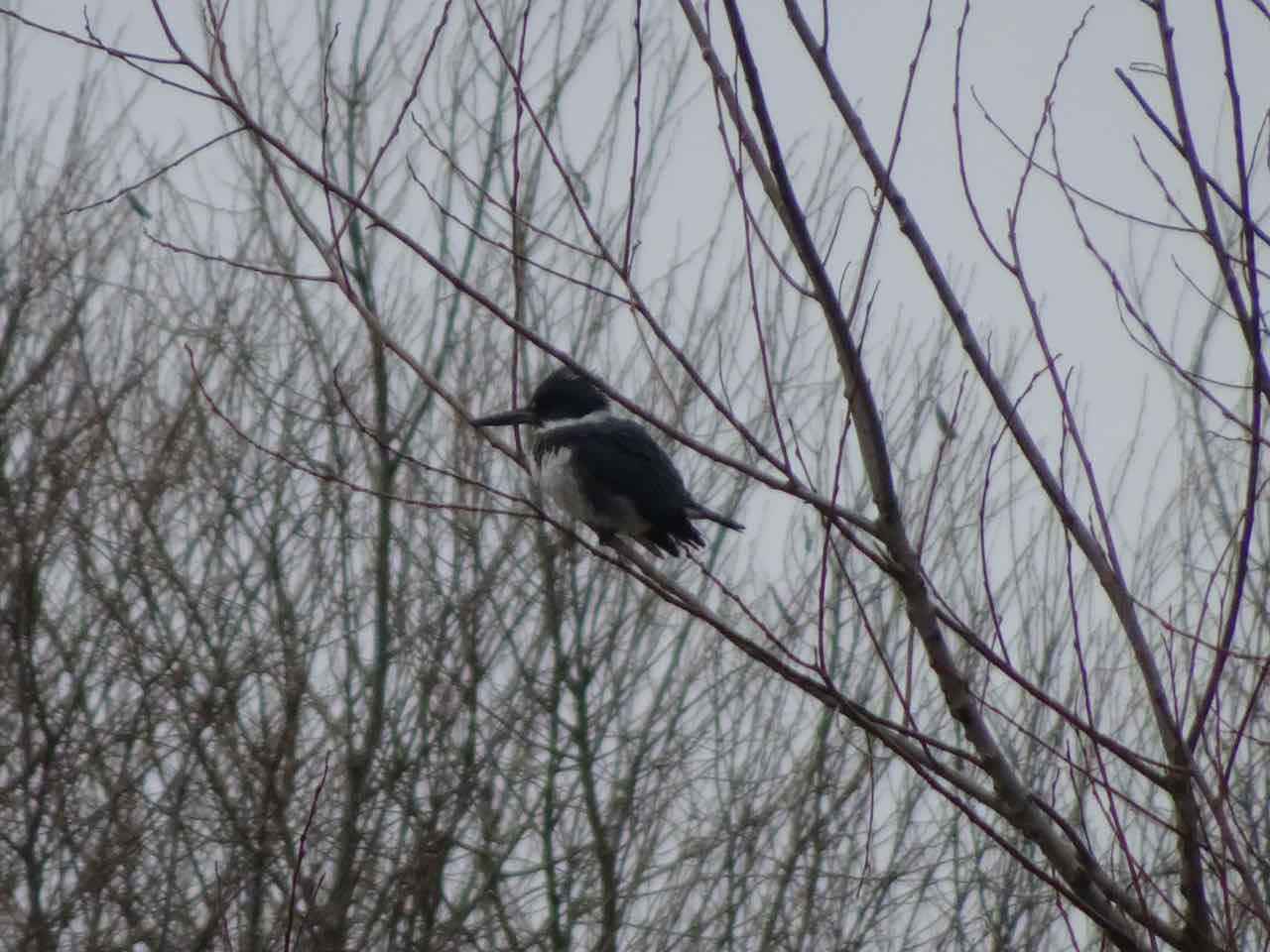
Spotted towhee
Navajo Sandstone
We continued driving east on Hwy 12, toward Boulder. We stopped at the pullout that is just above Calf Creek Falls, to see the view across the canyon.
Looking west
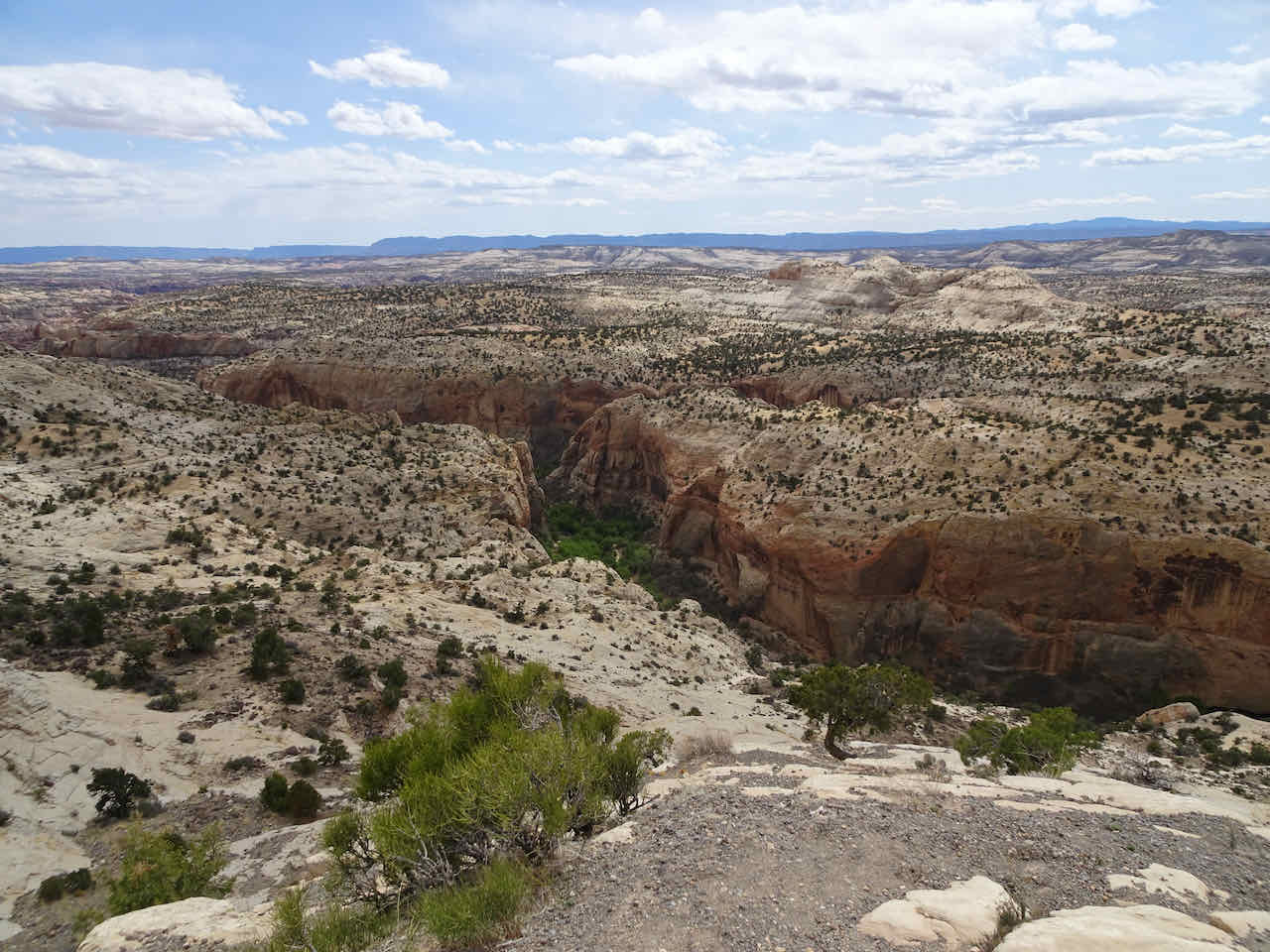
Our trail down in the canyon
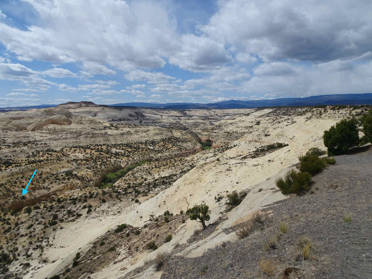
Blue arrow points to the narrow part of the canyon, and approximate position of Lower Calf Creek Falls.
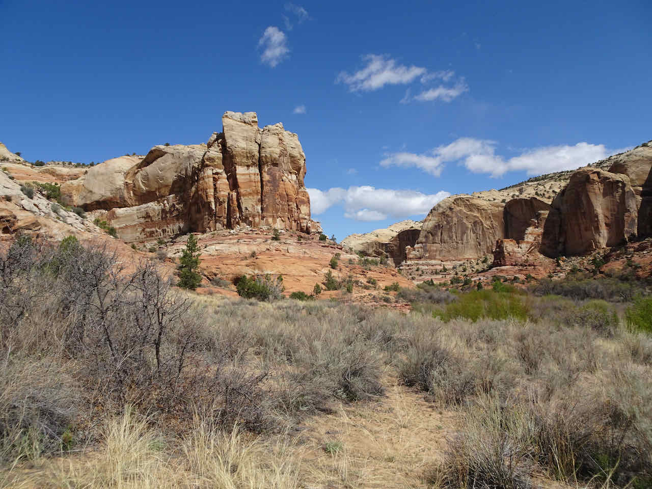
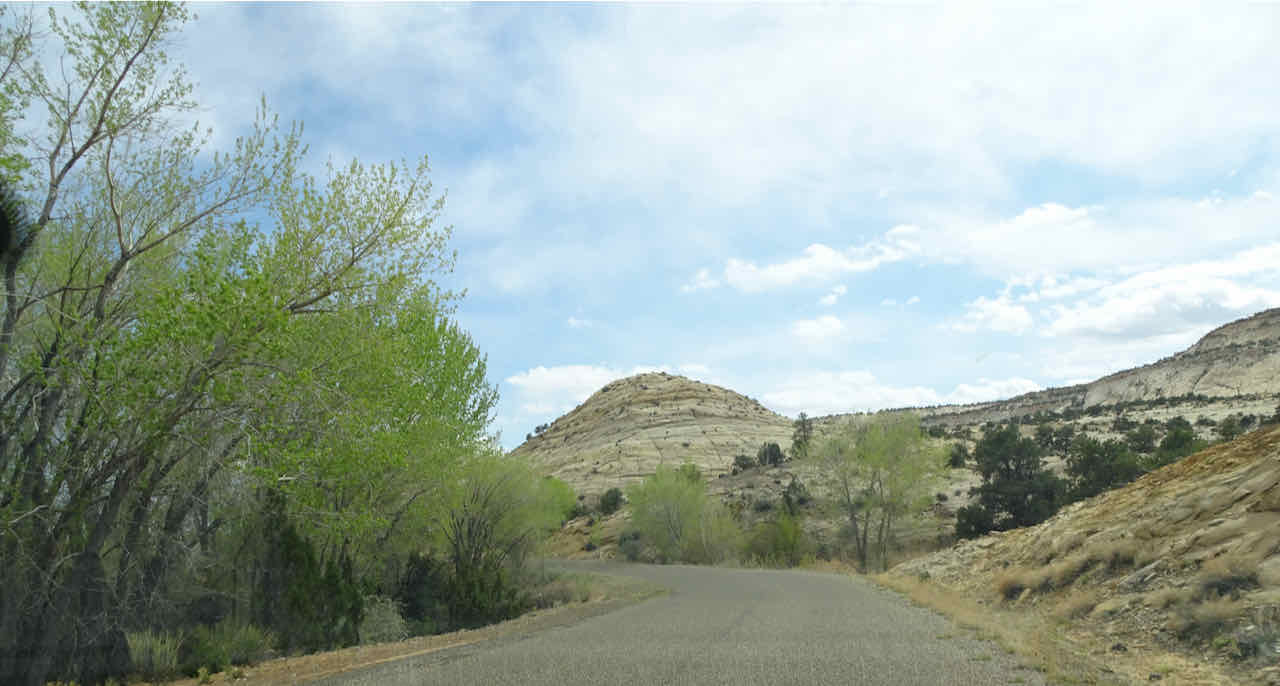
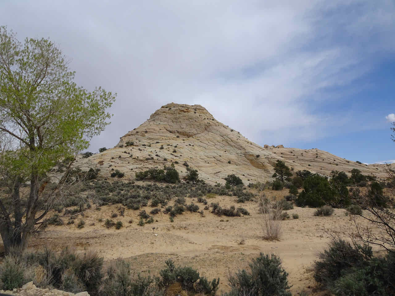
Long Canyon Slot – We continued east on Hwy 12, to the small town of Boulder, then turned onto Burr Trail Road for eleven miles, to the Long Canyon slot canyon. Once again, the road cut through amazing scenery. These white sandstone hills just outside Boulder remind me of Checkerboard Mesa, near Zion Canyon.
Navajo Sandstone
By the time we reached Long Canyon, we had driven lower into the stratigraphy to the older Wingate Formation, also a massive red sandstone layer. The slot canyon here is less than a quarter mile long and easily accessible.
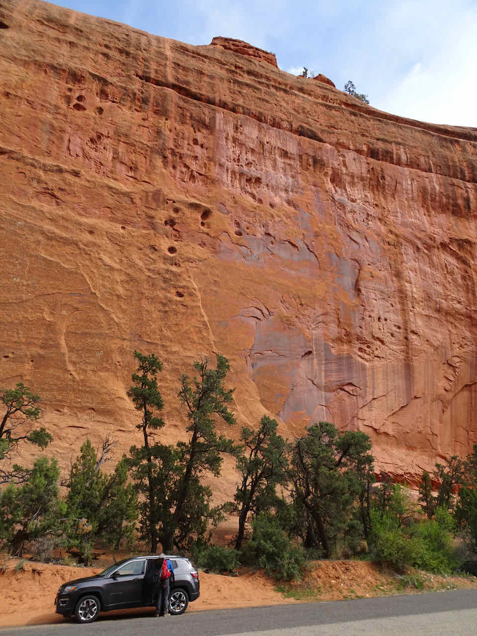
Wingate Formation
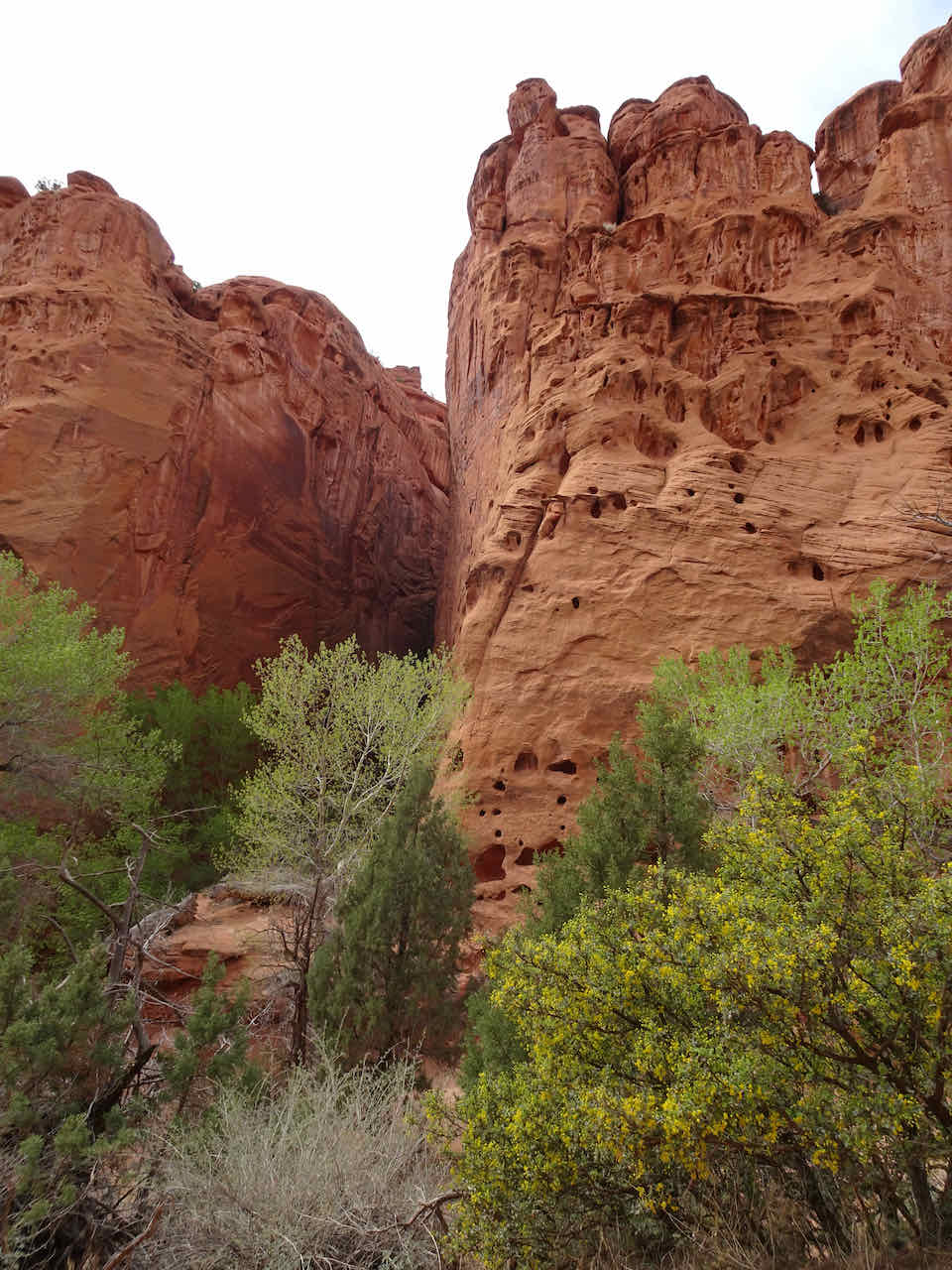
The slot

Slot entrance
Looking up at the sky between the walls

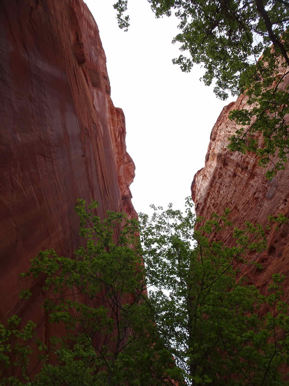
The end of the canyon

Much narrower above.
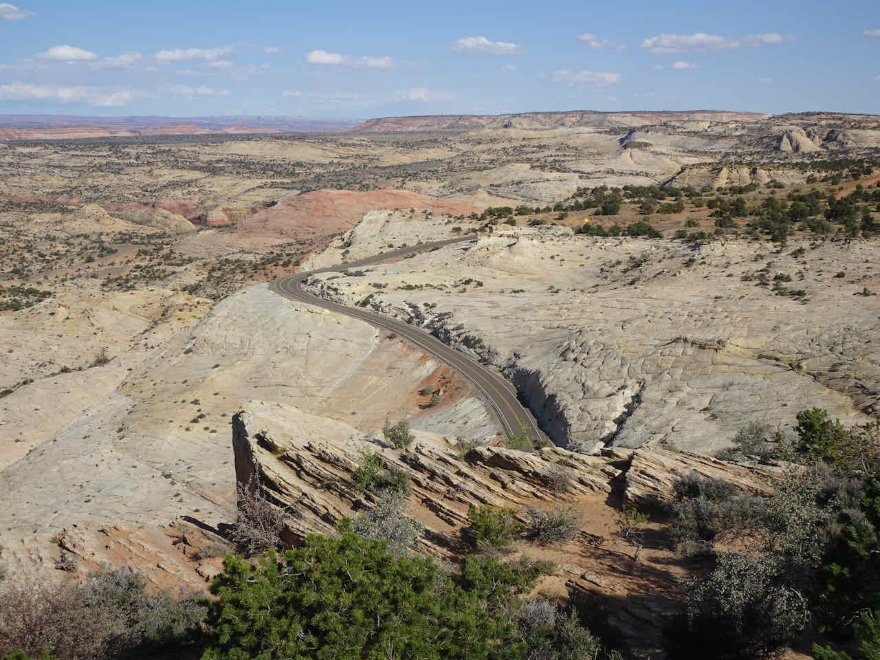
Head of the Rocks Viewpoint
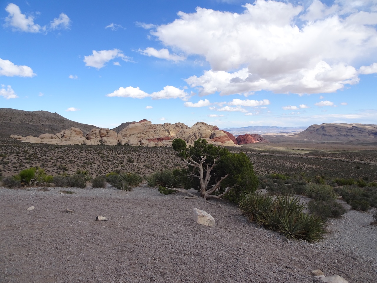
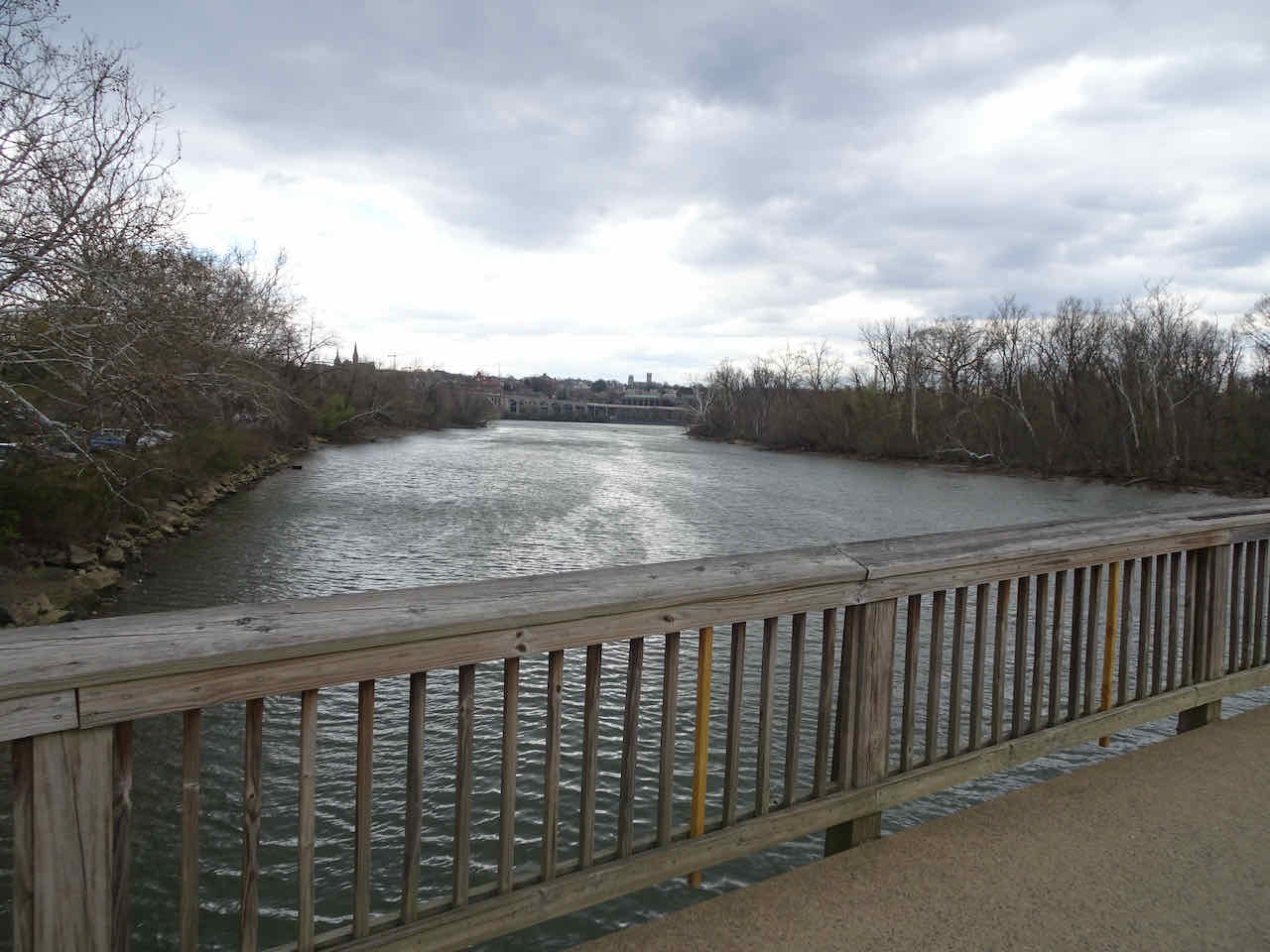
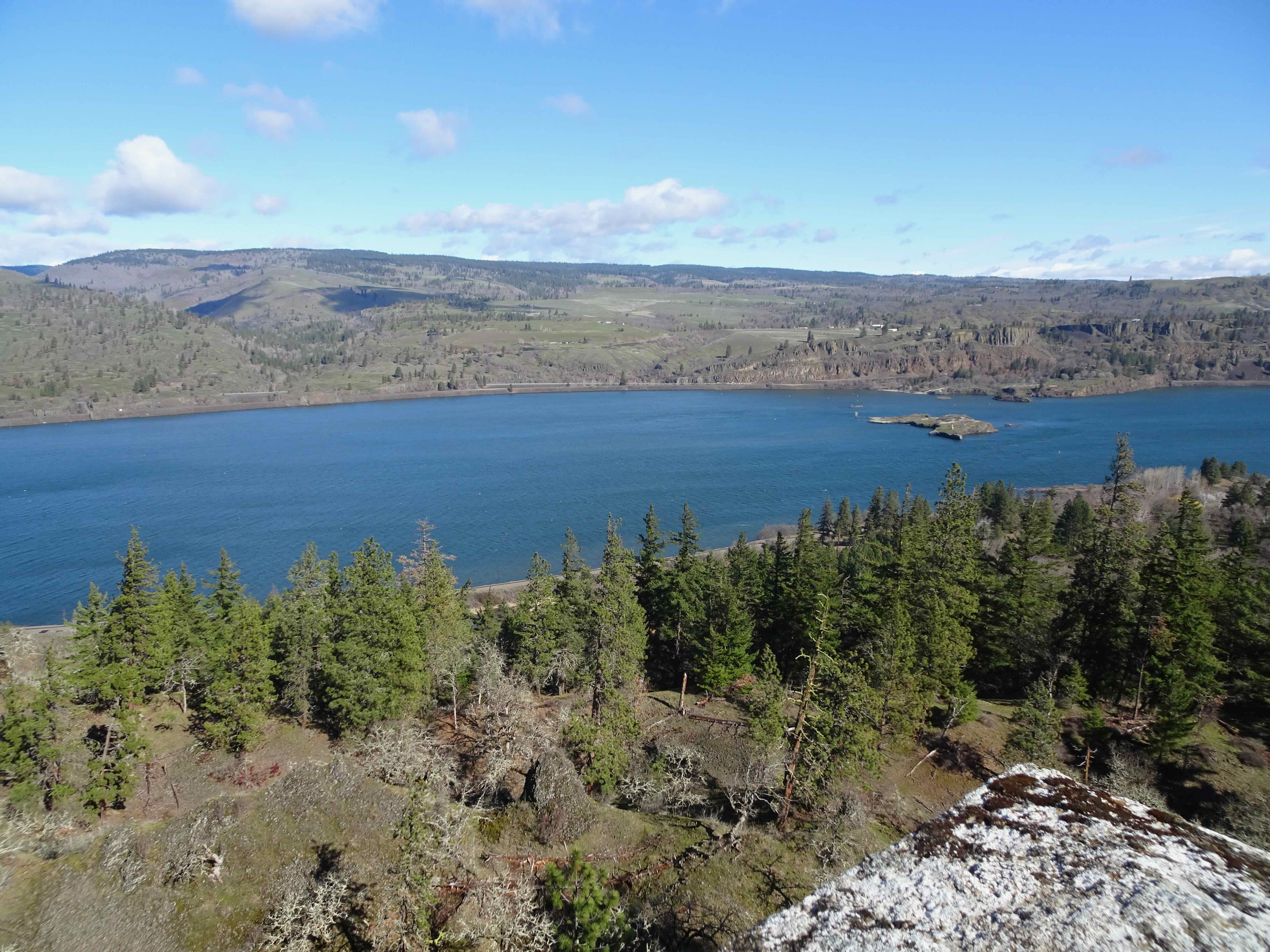
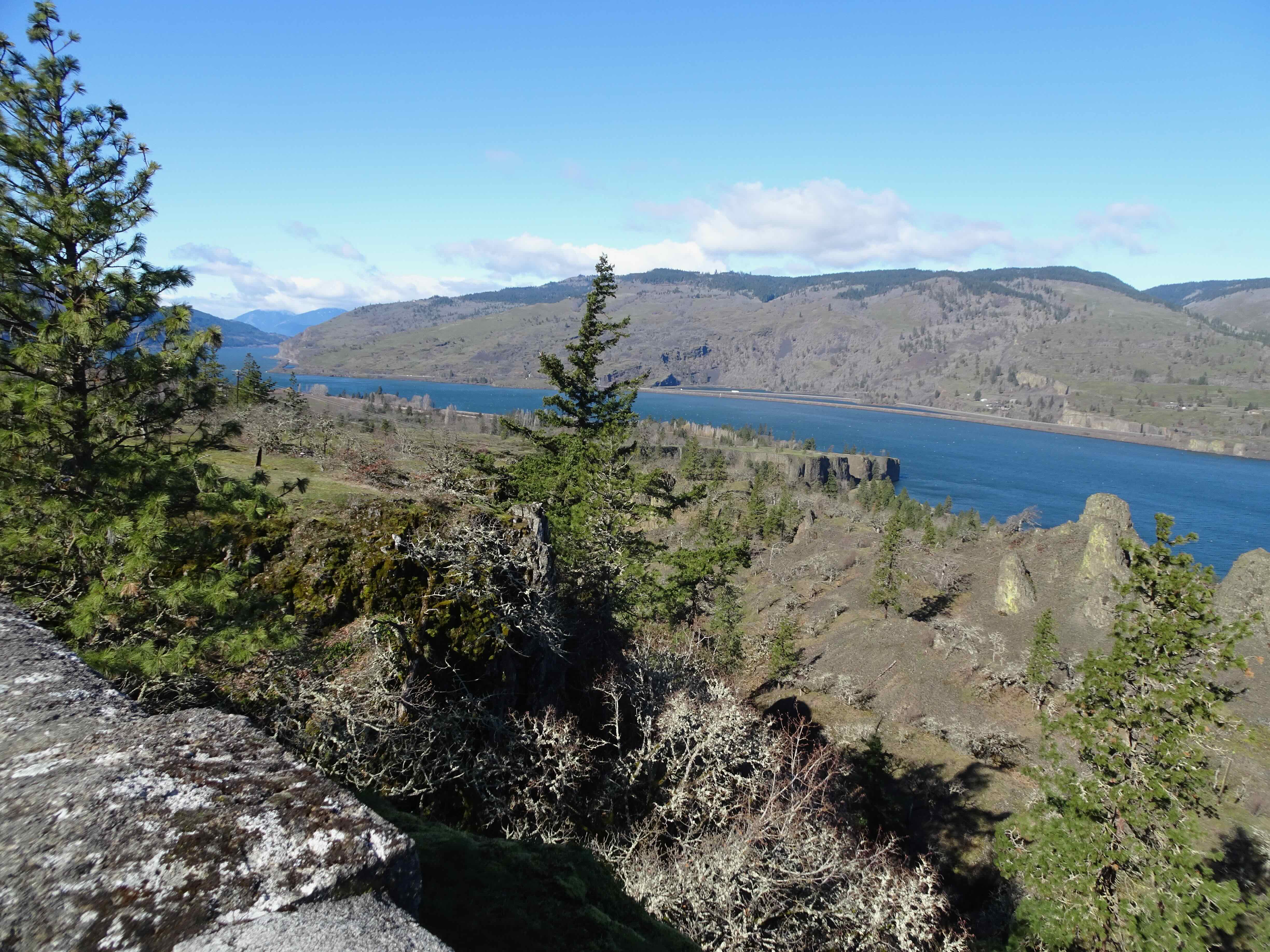
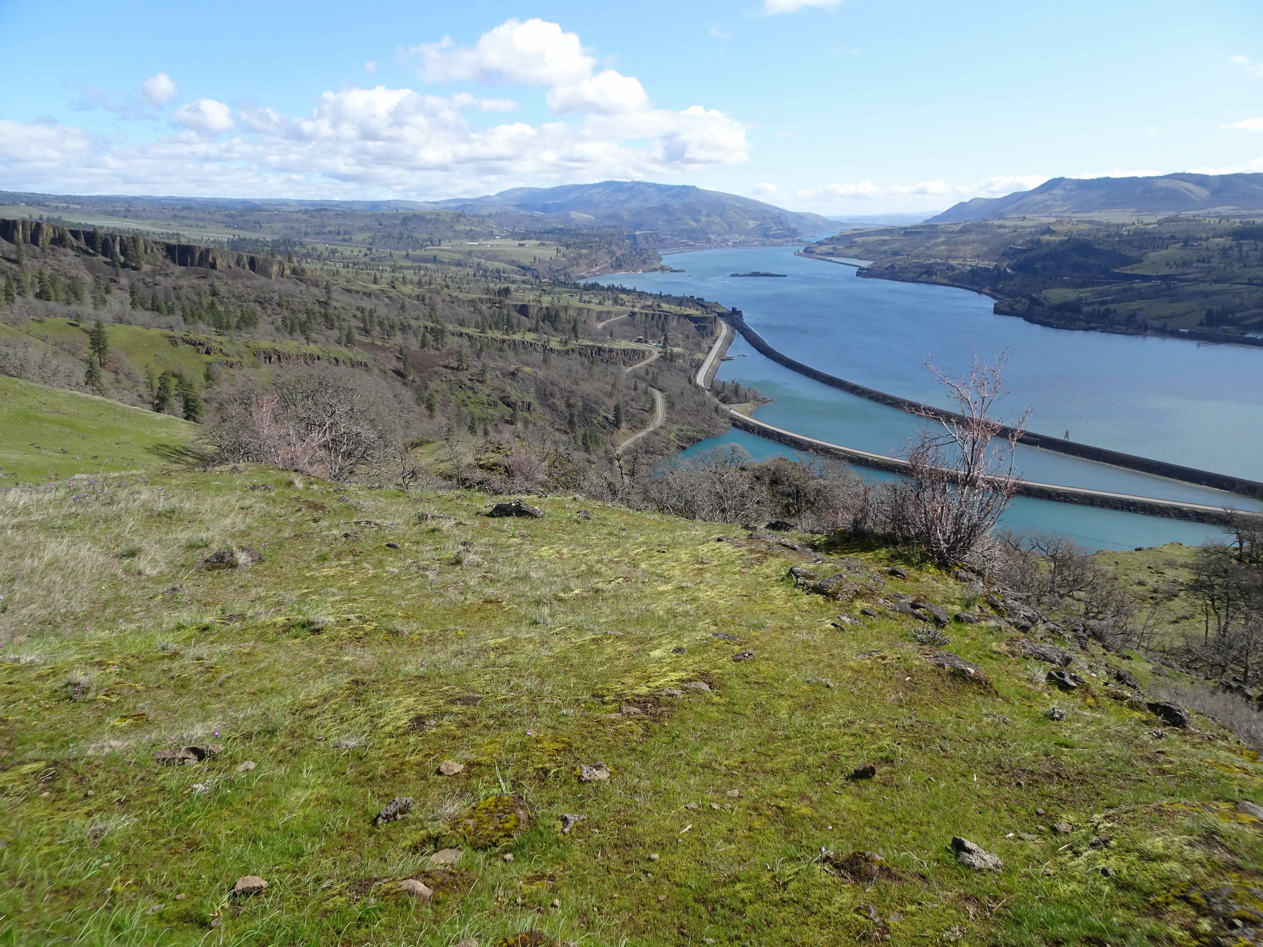
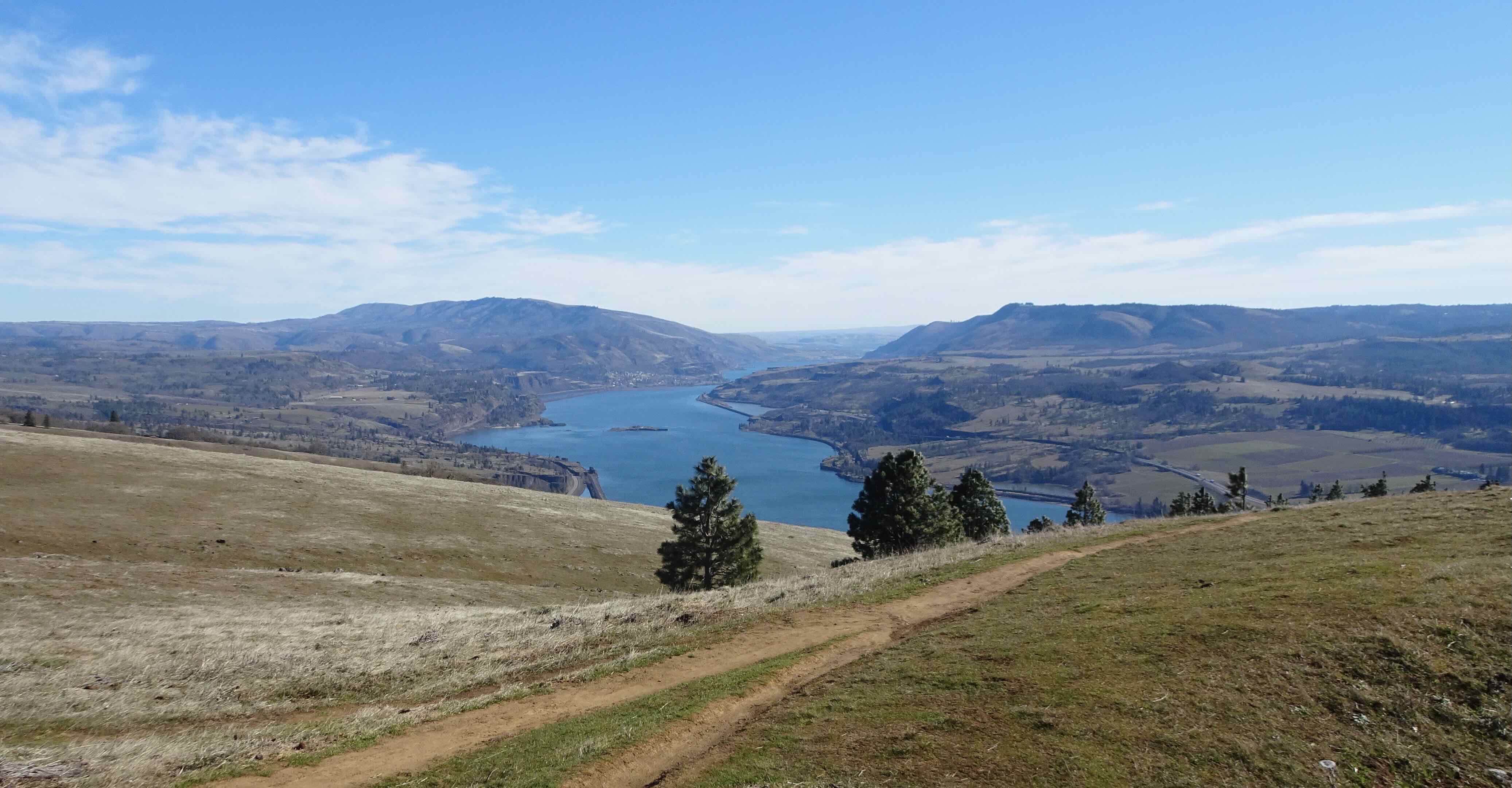
On our drive back to Escalante, we stopped at the Head of the Rocks Viewpoint, with all the world displayed around us.
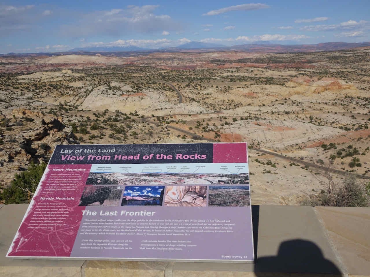
Head of the Rocks viewpoint
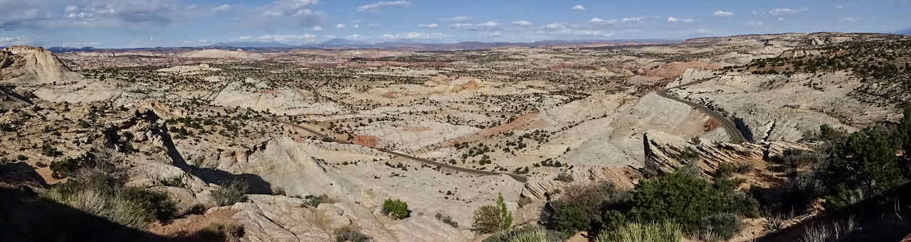
Panorama
Farther east

Close up of slick rock Navajo Sandstone surface
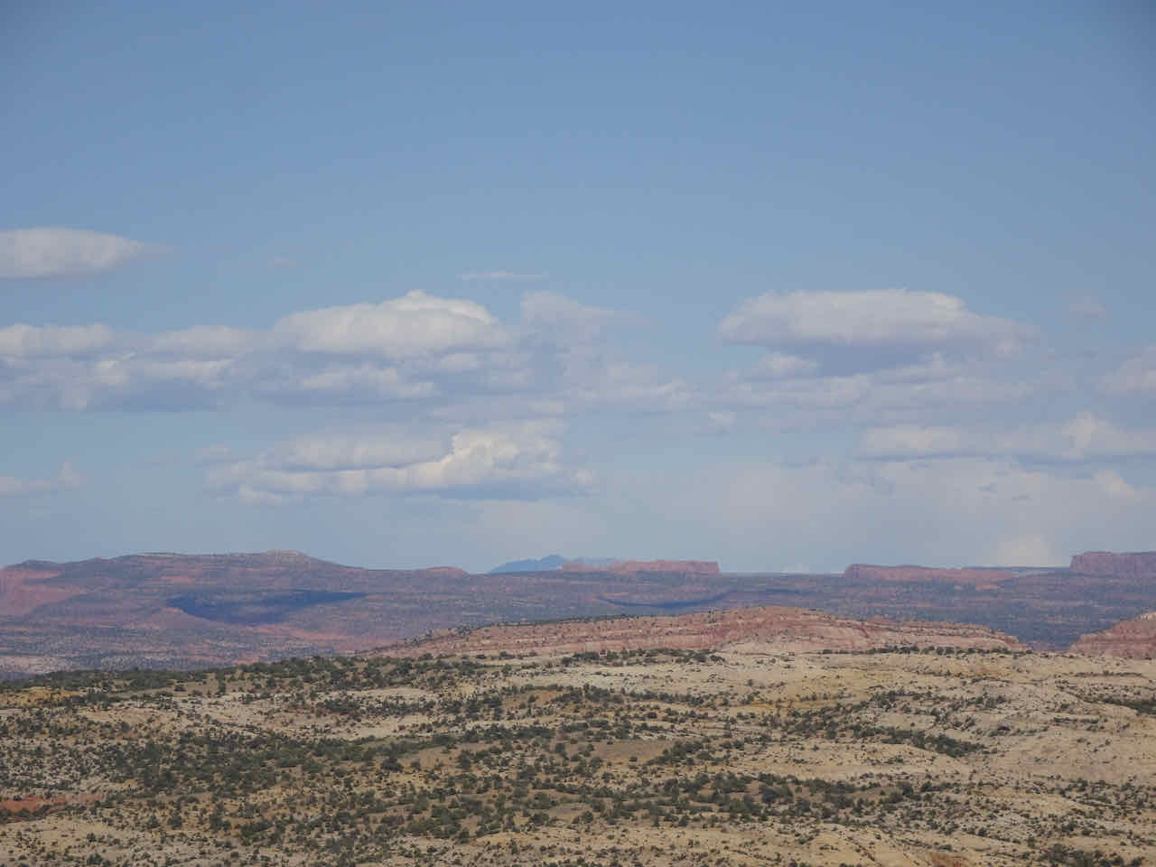
Navajo Mountain in the far distance
April 25 – Hole in the Rock Road
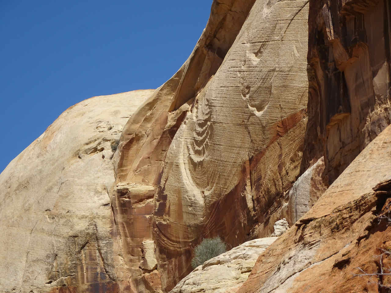
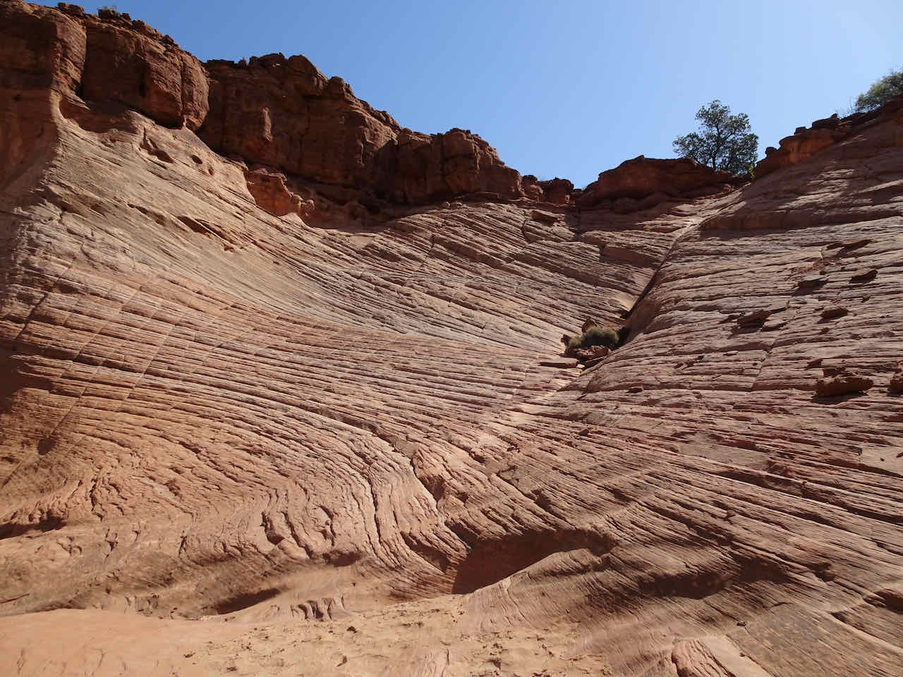
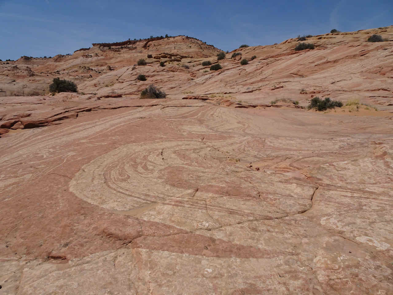
Zebra Slot Canyon – We drove down Hole in the Rock Road, south of Escalante, to the trailhead to Zebra Slot. This was another six mile round trip hike, first across open desert, then into canyons cut into Navajo Sandstone. For most of the hike we were admiring wall after wall of cross bedded sandstone.

Open desert and cliffs west of Hole in the Rock Road
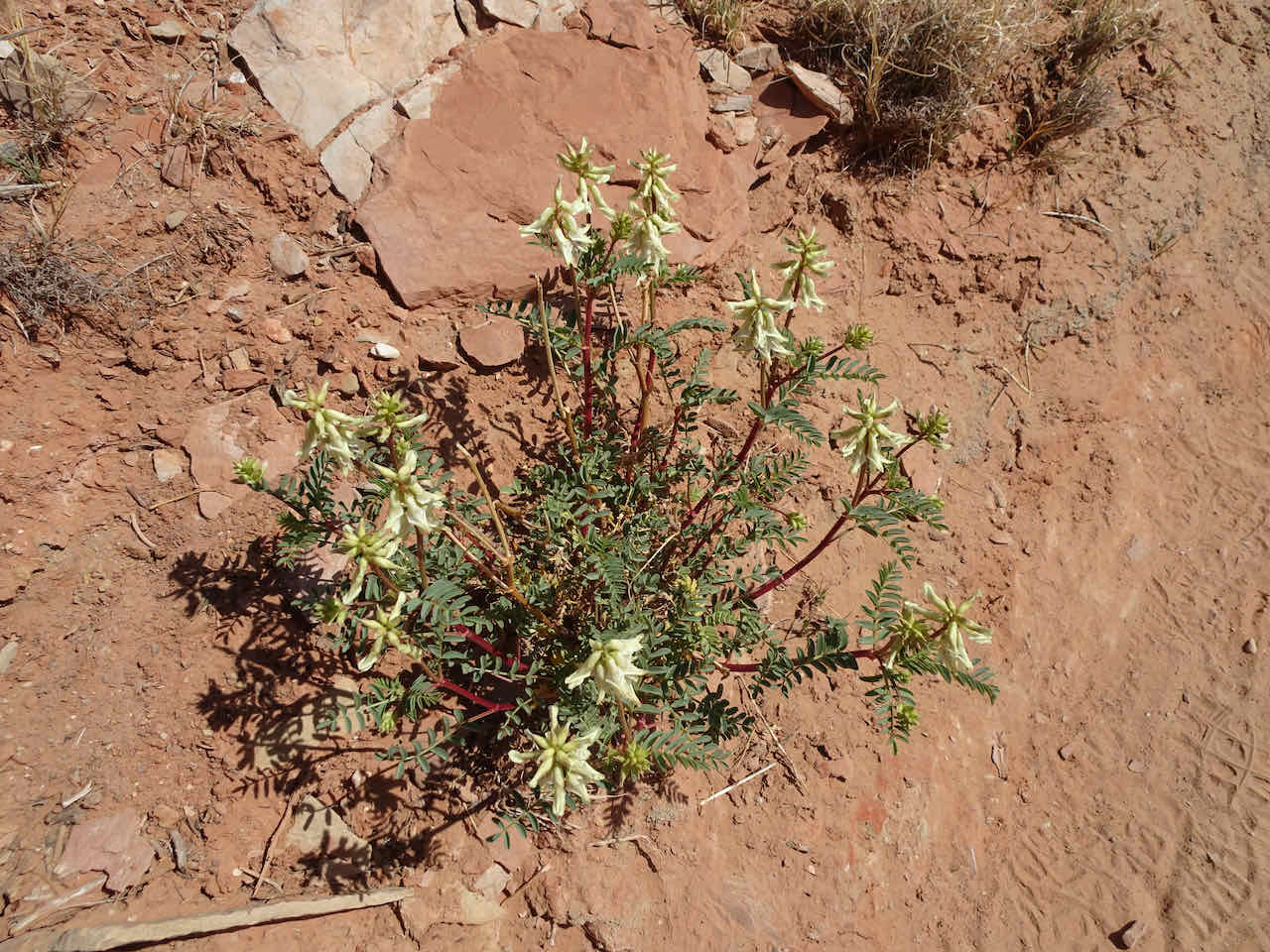
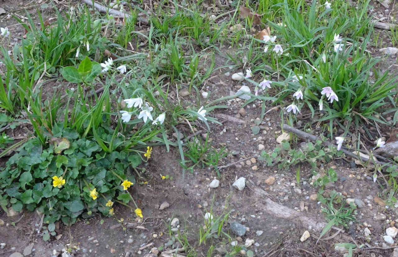
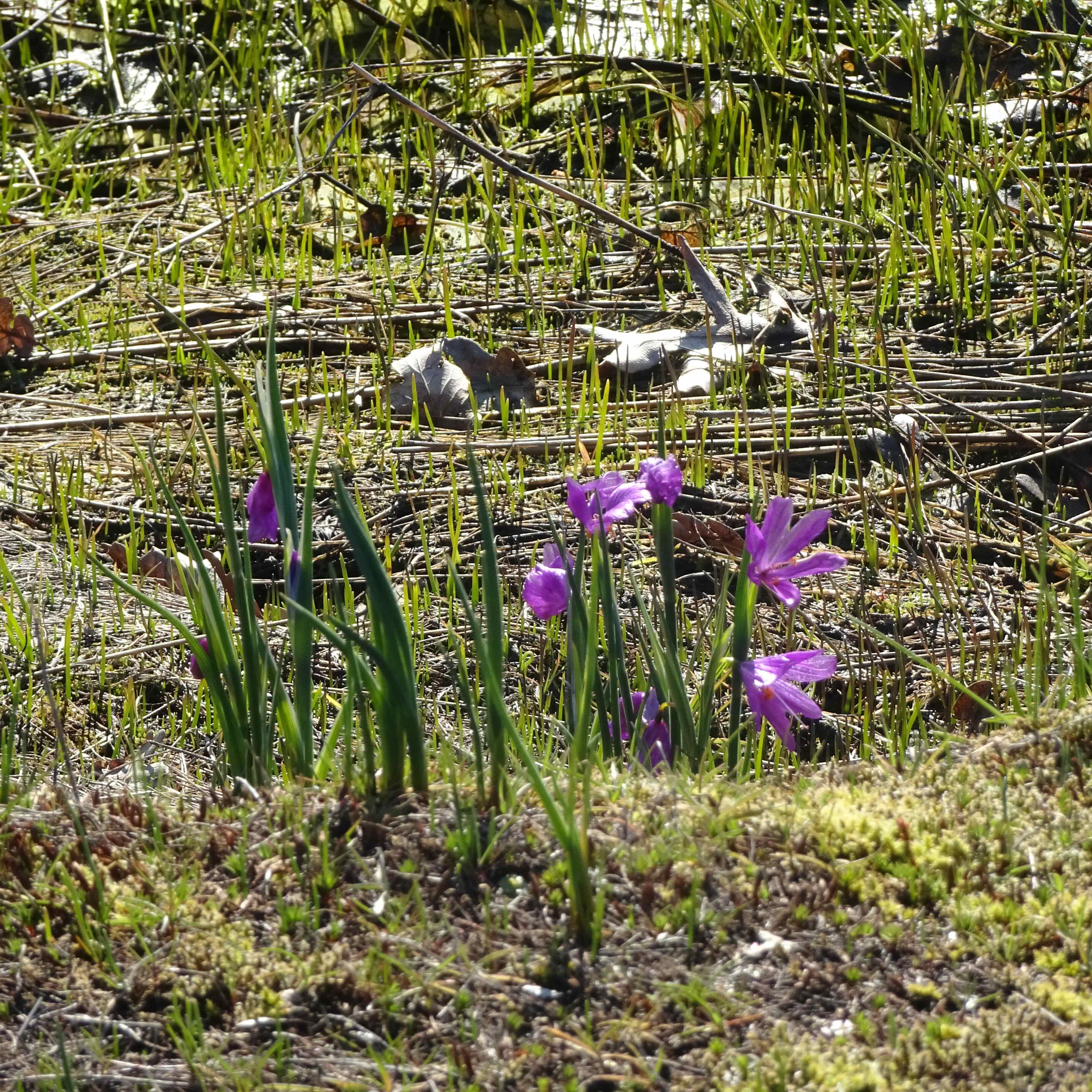
A desert vetch in bloom


Slumping within the original sand dune layers
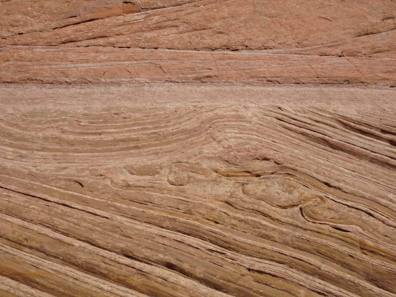
Closer view

Microfaulted crossbeds

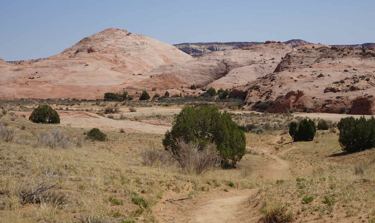
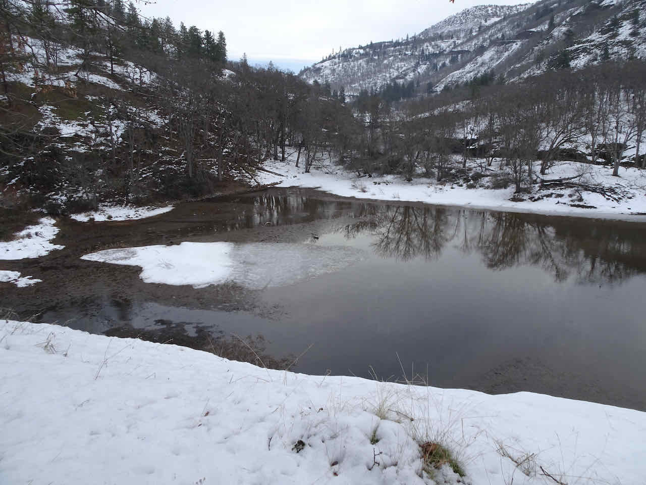
Harris Wash
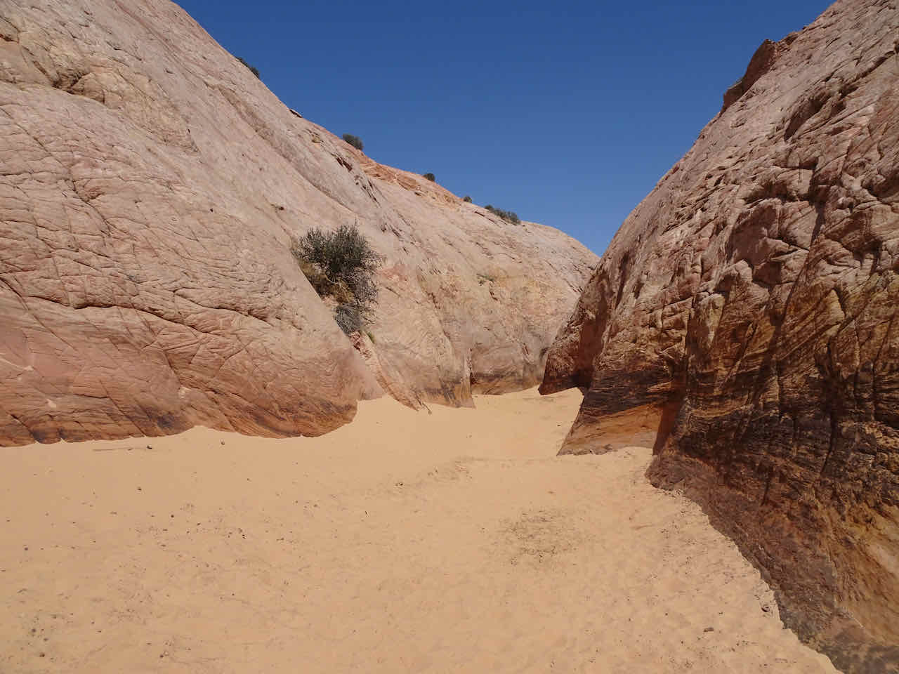
Entrance to Zebra Slot

Passage becoming narrower

An open chamber between narrow passages
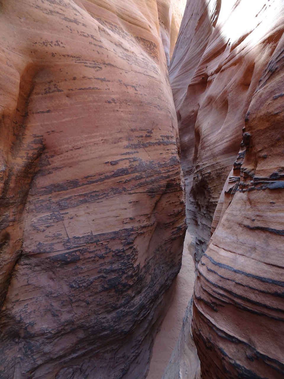
Stripes of varnish and concretions

Squeezing through – we didn’t make it much farther – we would have had to chimney up the slot – a bit out of our skill set.

Some of the beautiful striping suggesting the Zebra name
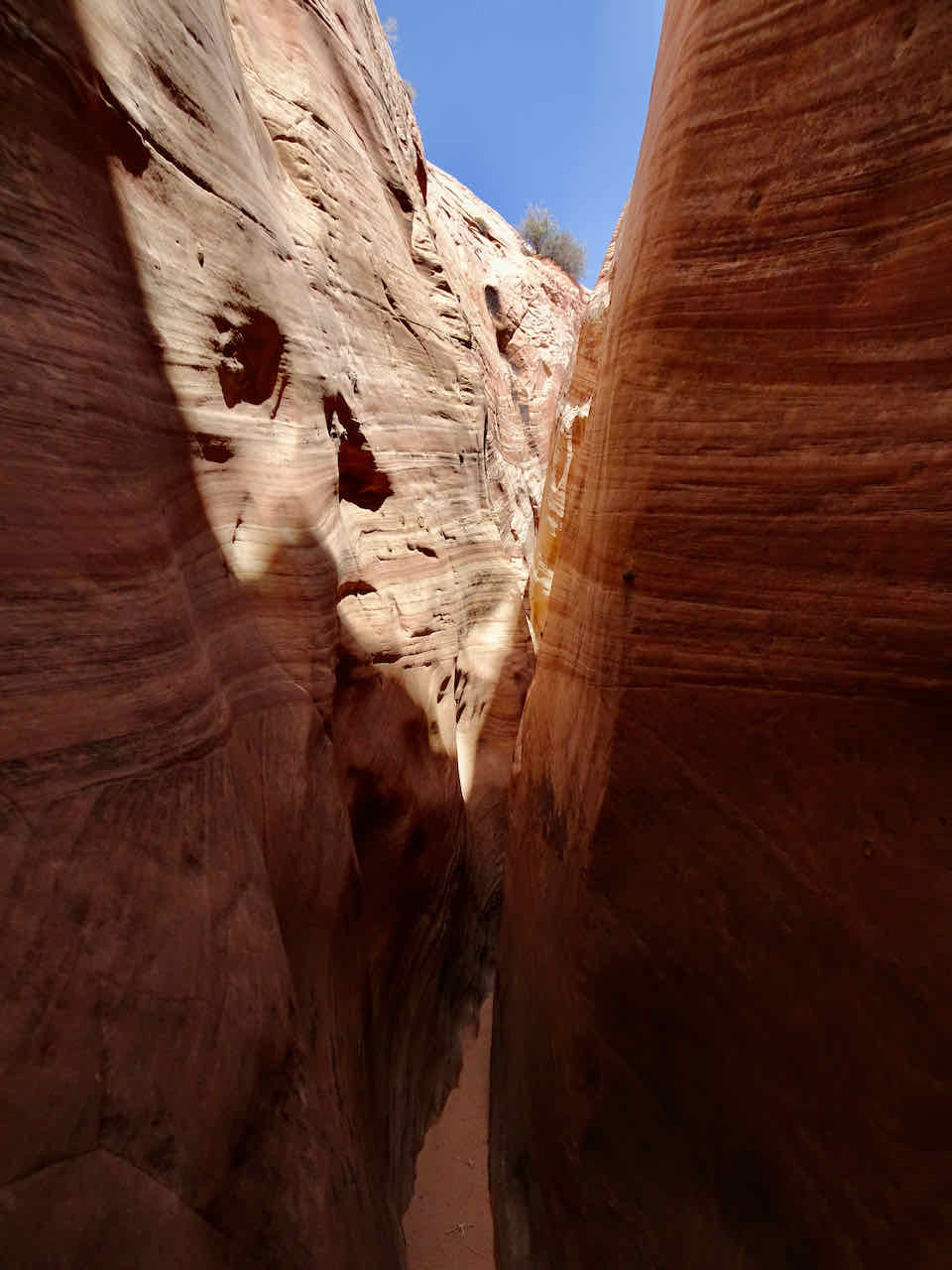
Daylight above

Coming out of the slot
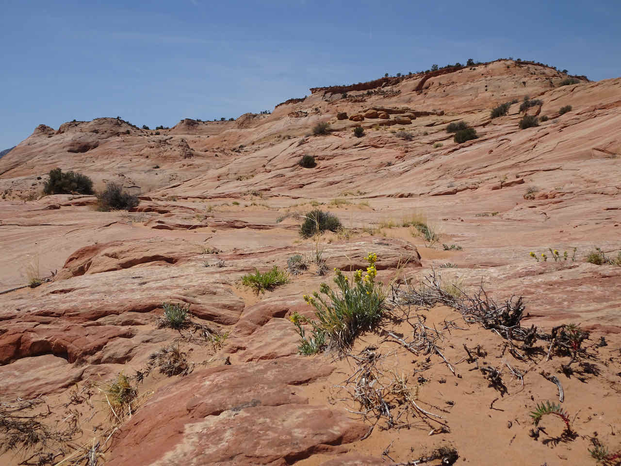
On the hike out, we wandered across the beautiful slick rock surfaces.


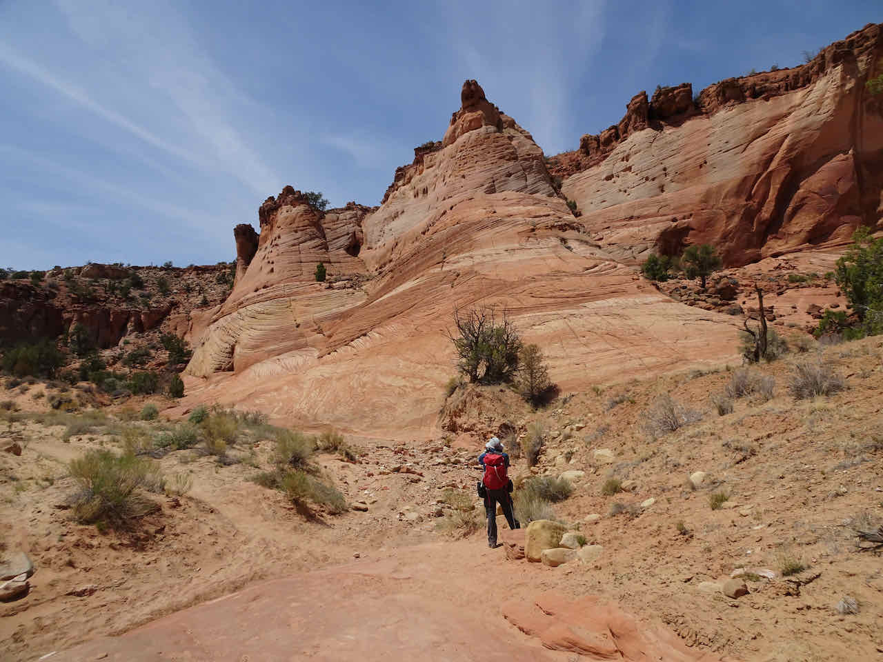
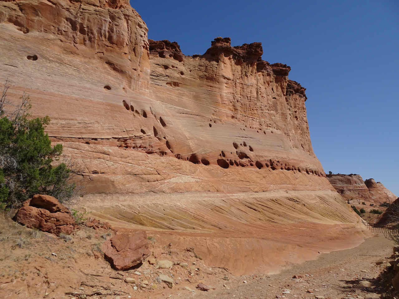
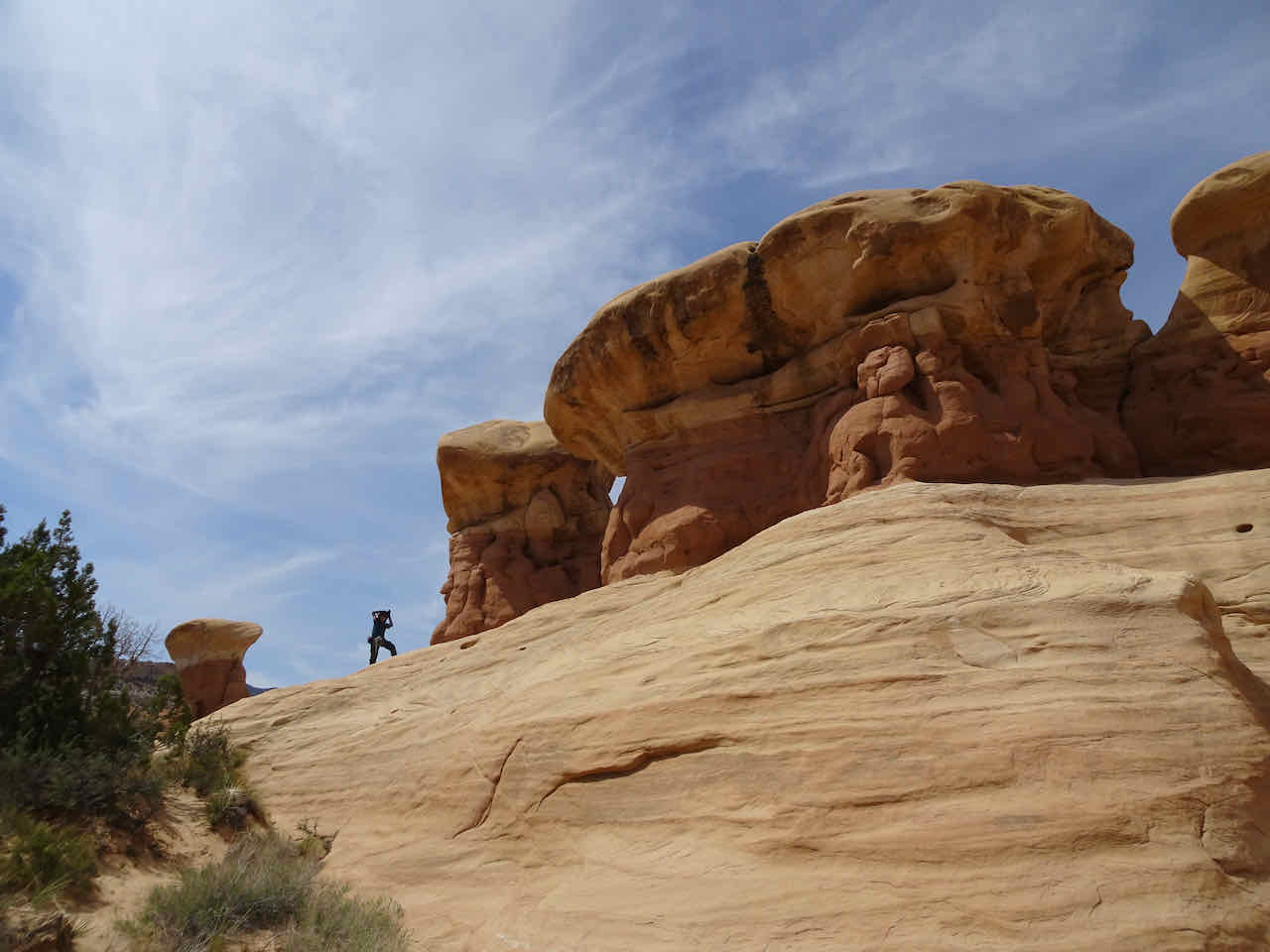
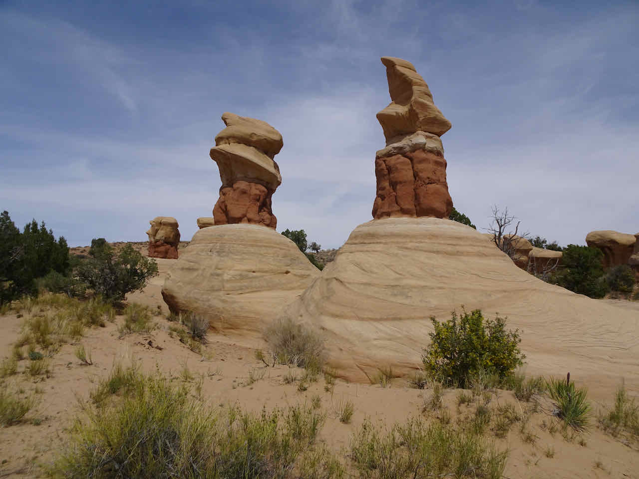
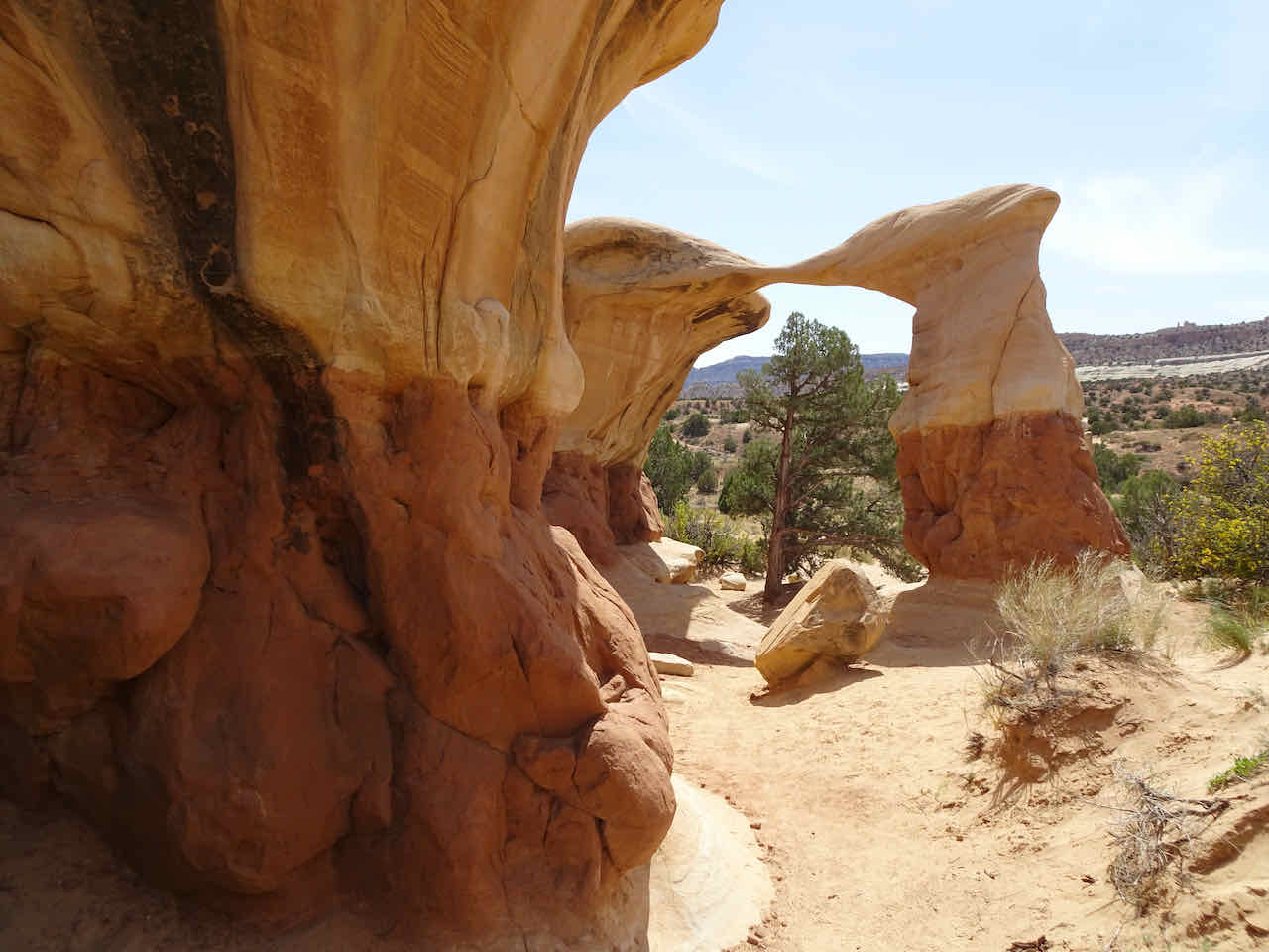
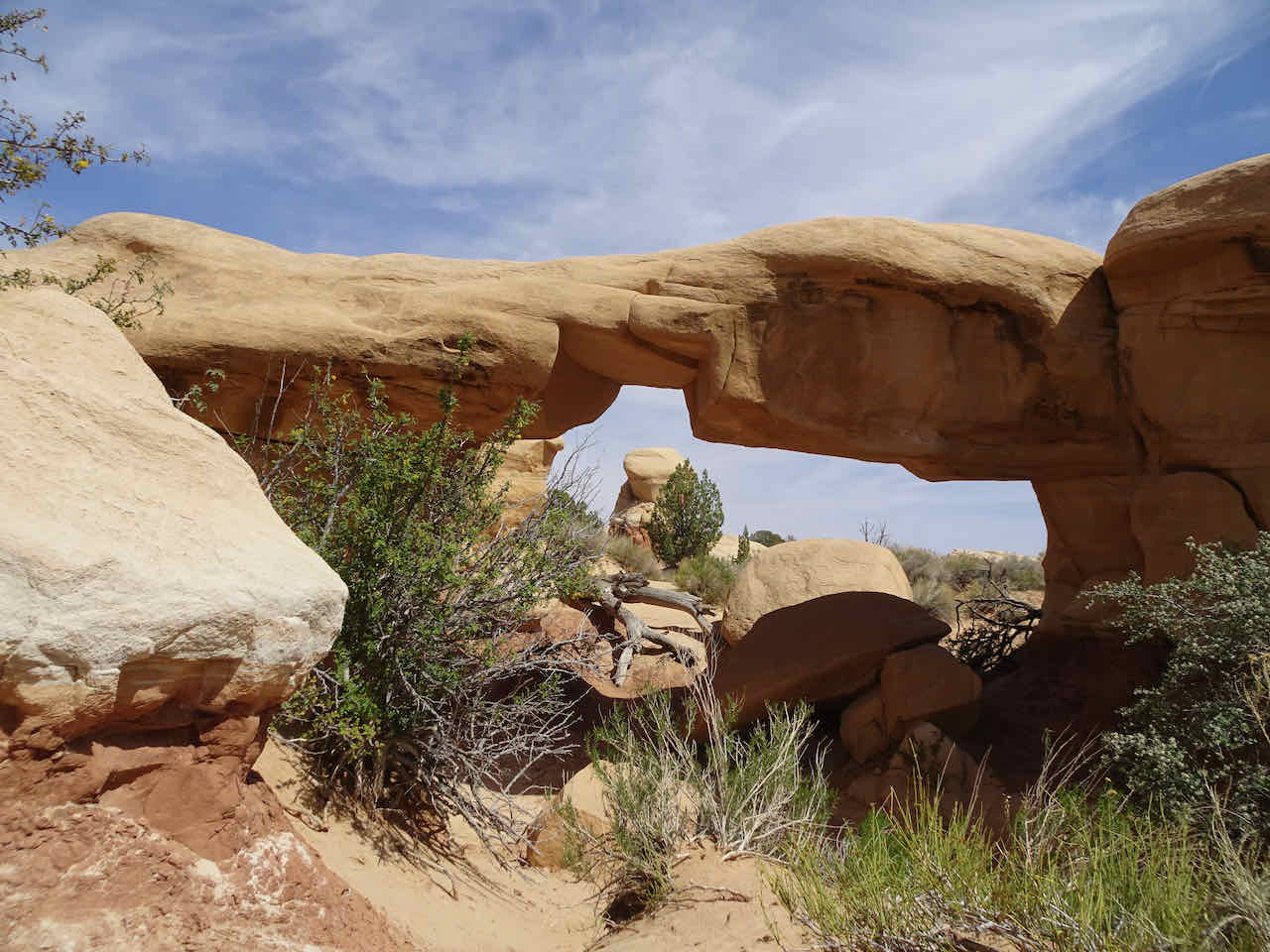
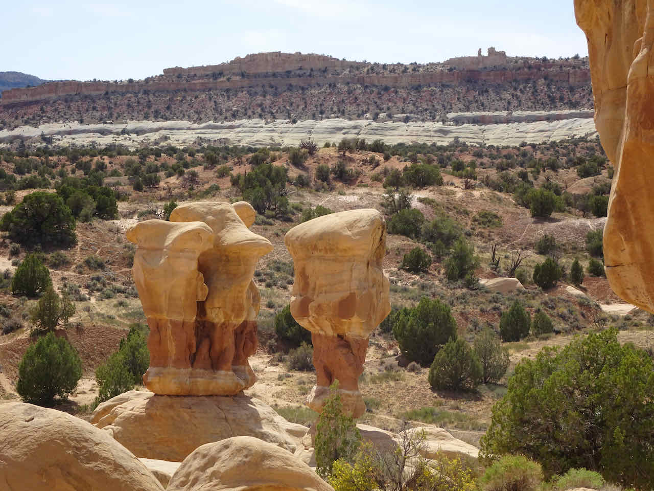
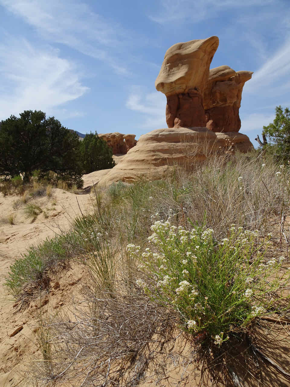
Devil’s Garden – We continued down Hole in the Rock Road for a few more miles, to the Devil’s Garden – an area of hoodoos eroded from the Entrada Sandstone. We wandered around this area for about an hour enjoying the photo opportunities.


Metate Arch
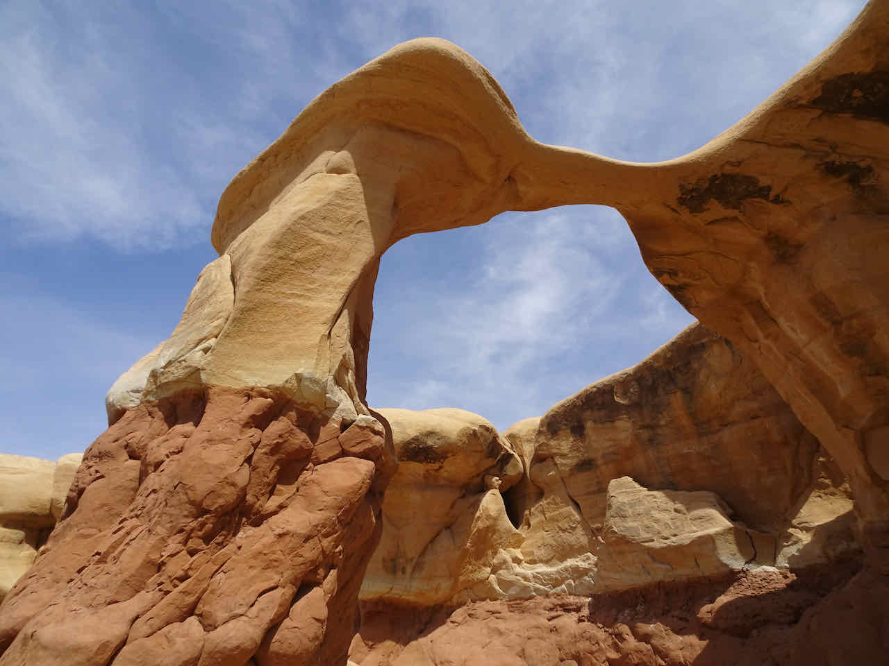
Metate Arch
Metate Arch
Mano Arch
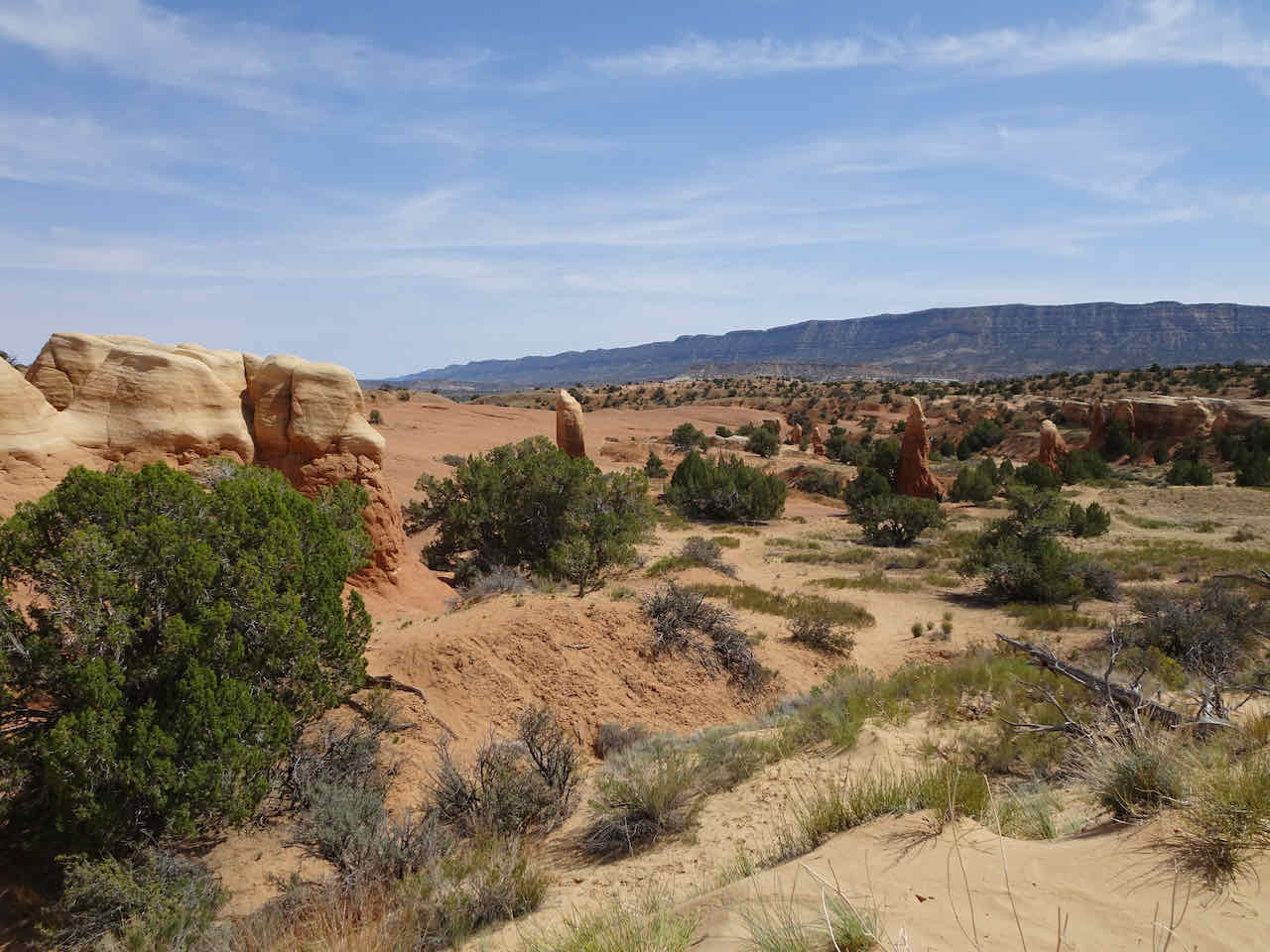
More hoodoos in the distance
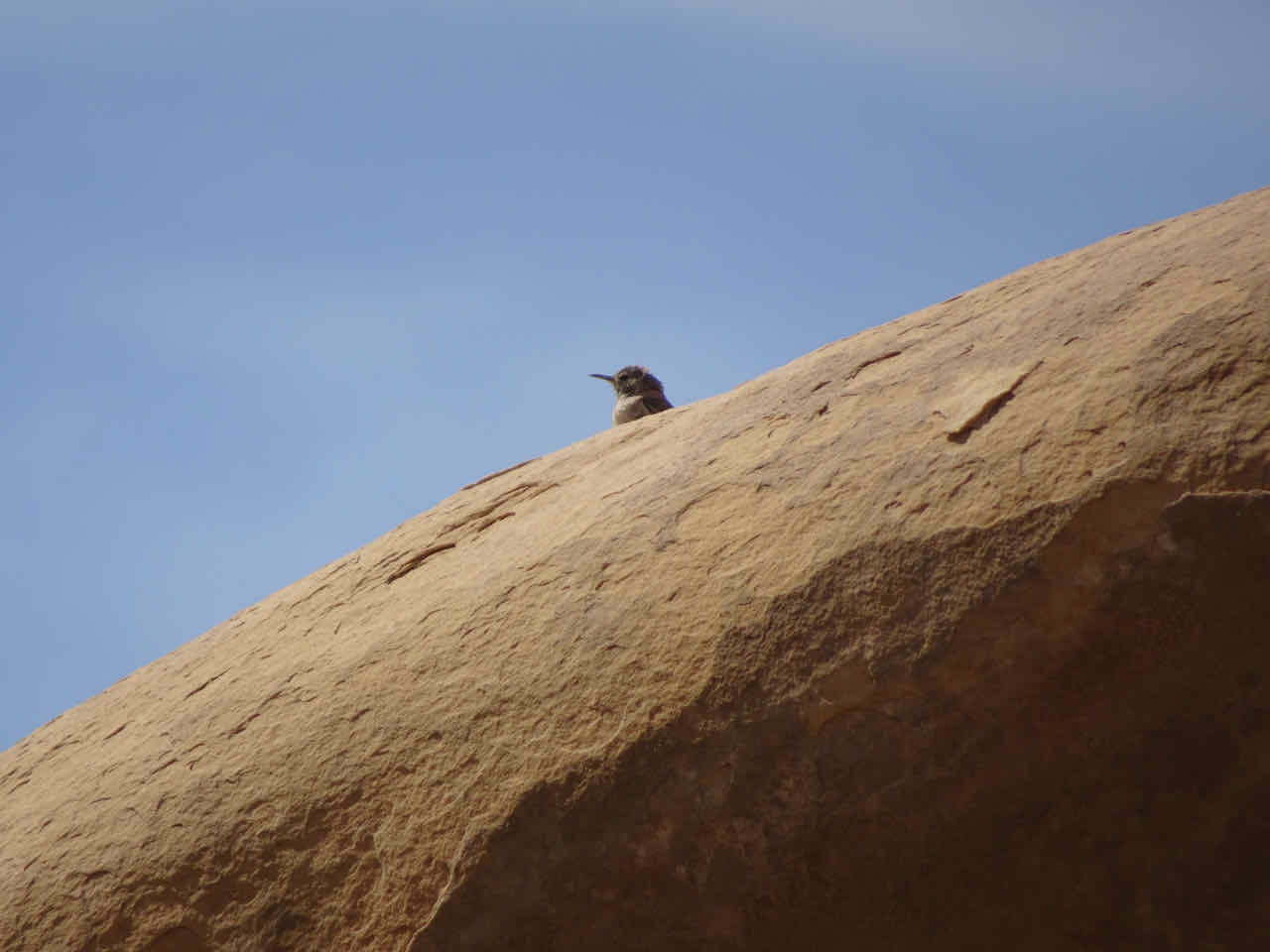
A rock wren?


Eroding sandstone layers
To Tropic – At the end of the day, we drove back west for about an hour, relocating to the town of Tropic, just east of Bryce Canyon, where my husband would be based for his photo class. And we still had a whole day to explore in this area.

View to Powell Point from our cabin in Tropic.
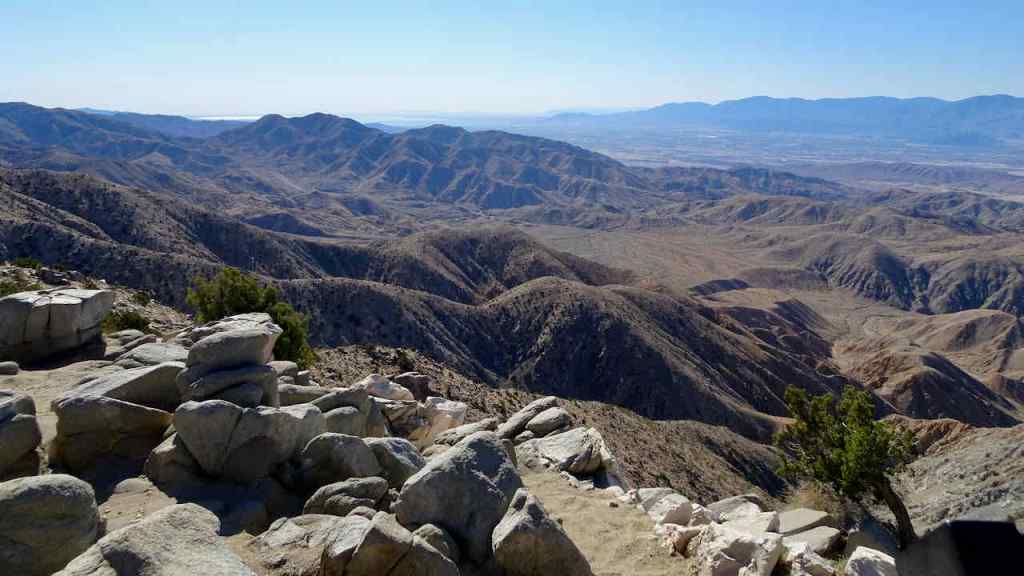
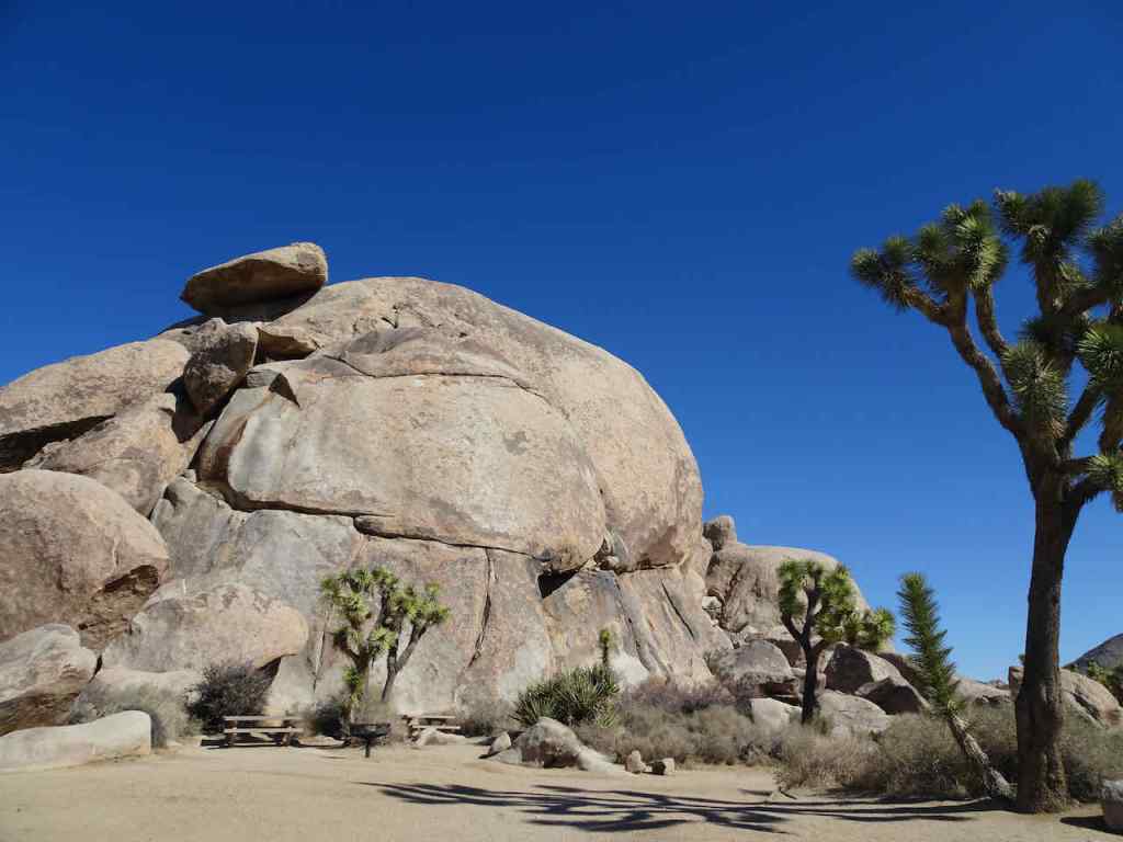
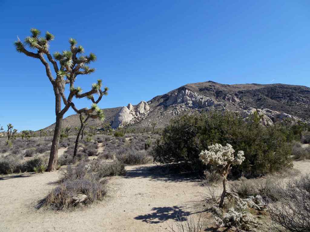
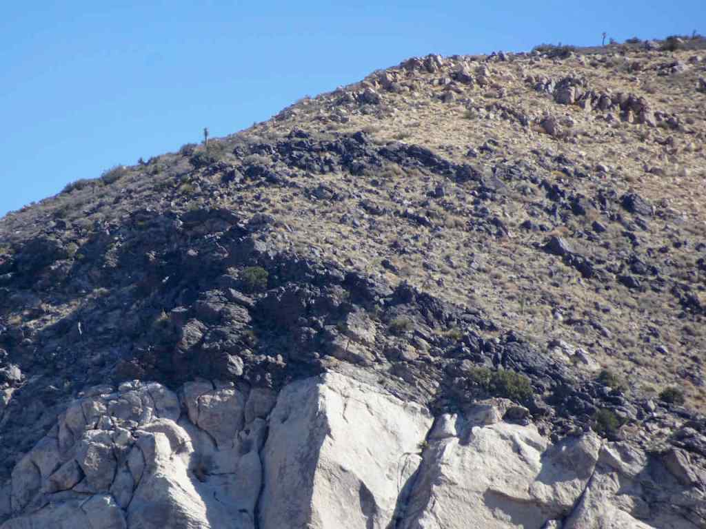
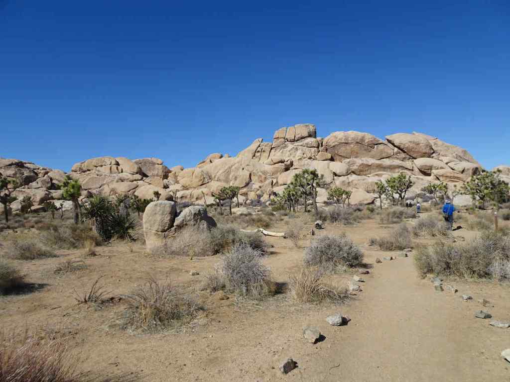
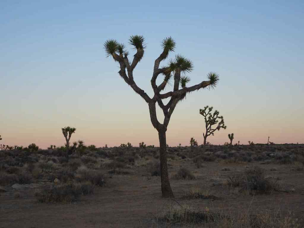
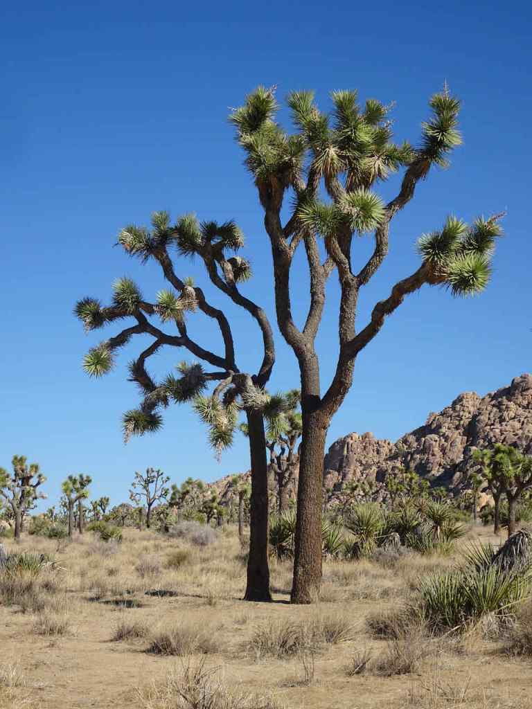
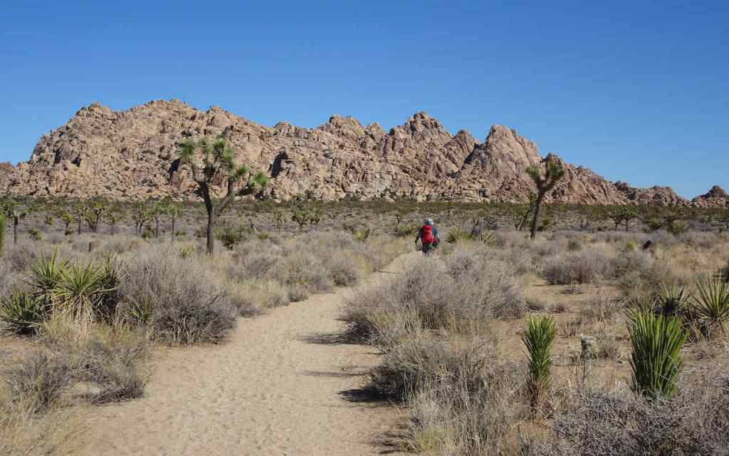
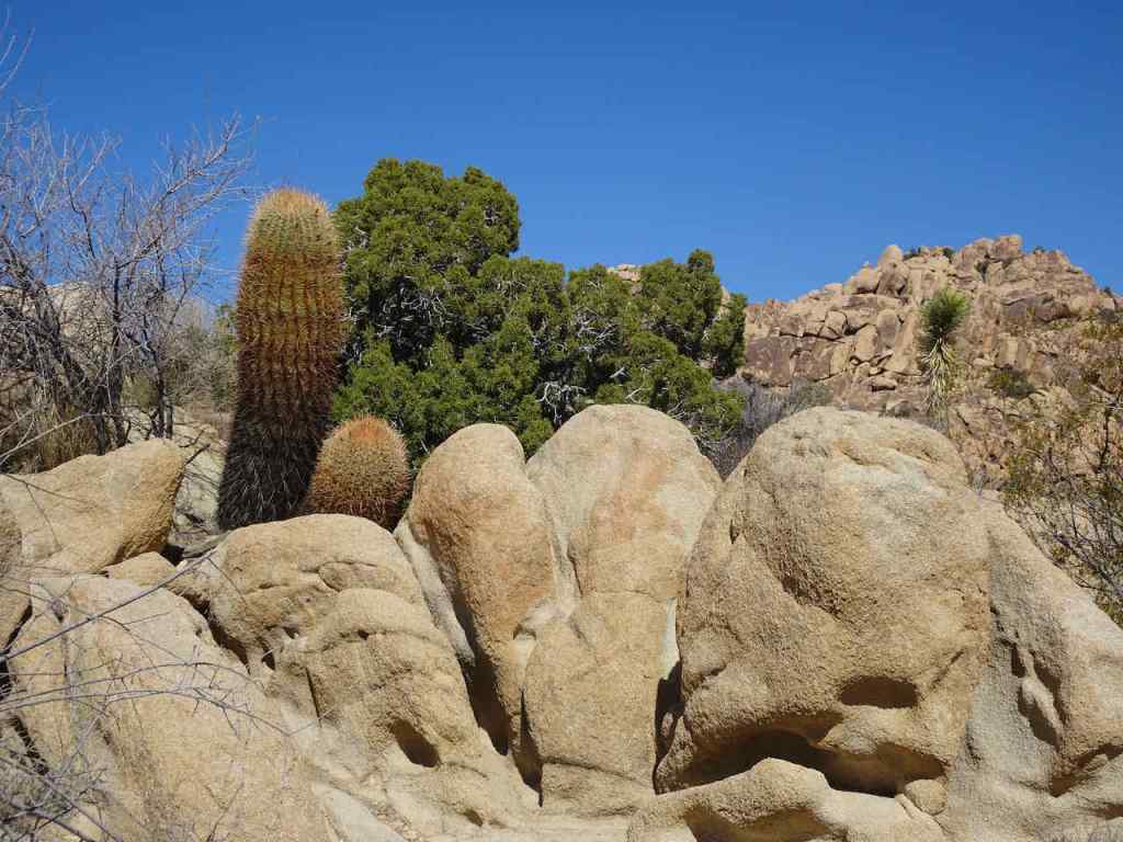
Coda: When I was at Joshua tree in February, I was wondering if I still liked the desert, and this trip to the redrock country has answered that question. This is the desert I like…sandstone slickrock, slot canyons, and cliffs – I realized it was the Colorado Plateau I was seeking. Each day, we noted trails and views we didn’t have time to explore, and made a list for next time…