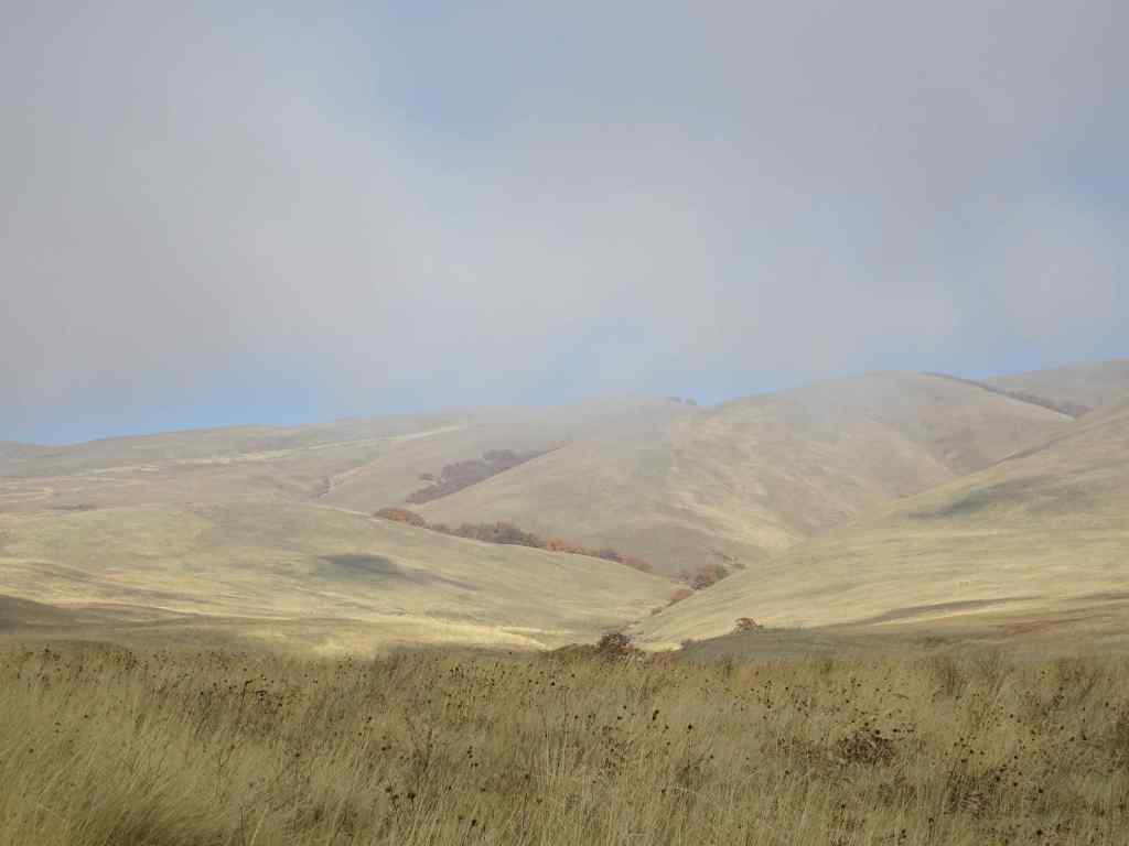
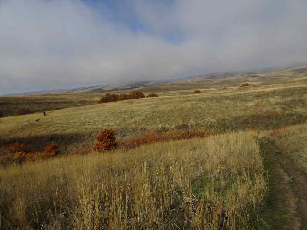
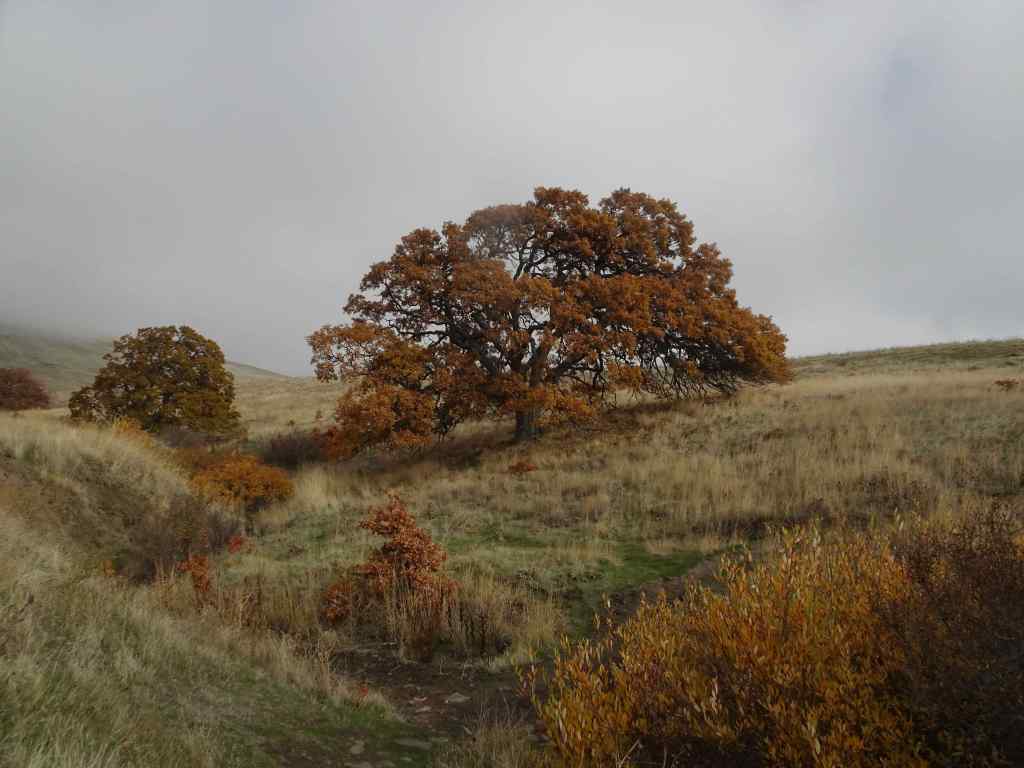
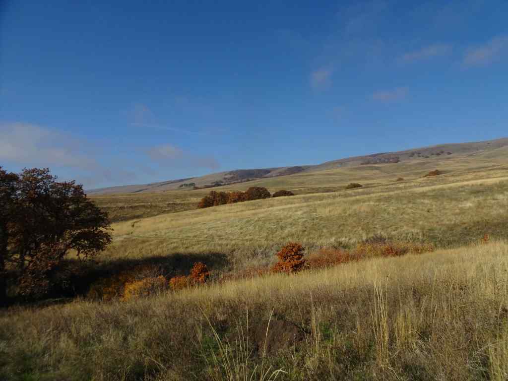
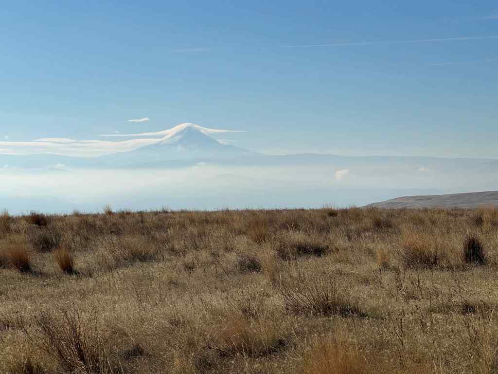
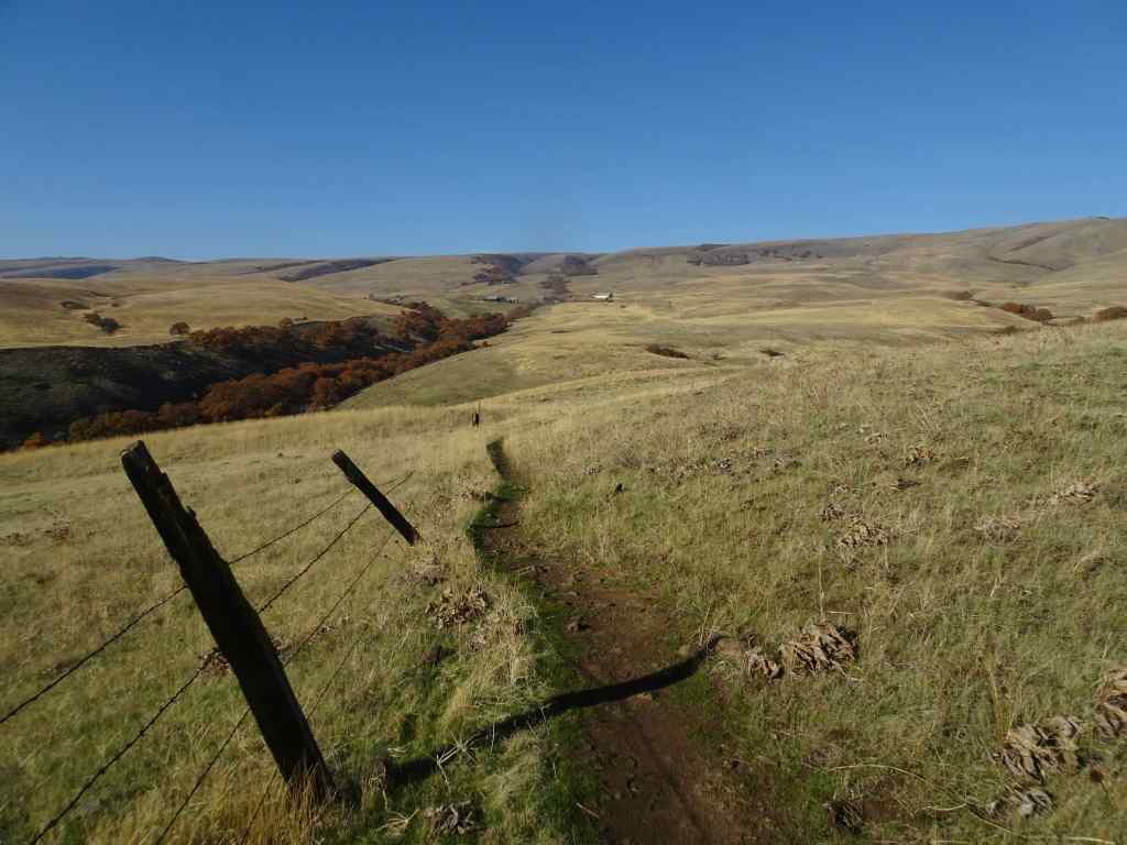
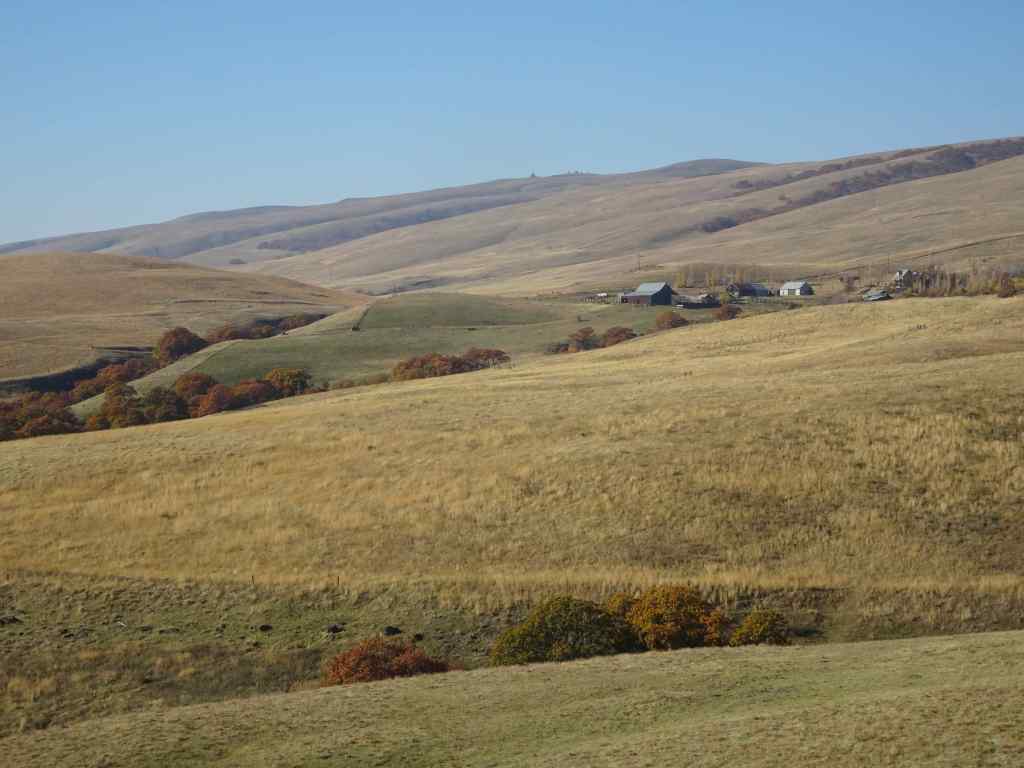
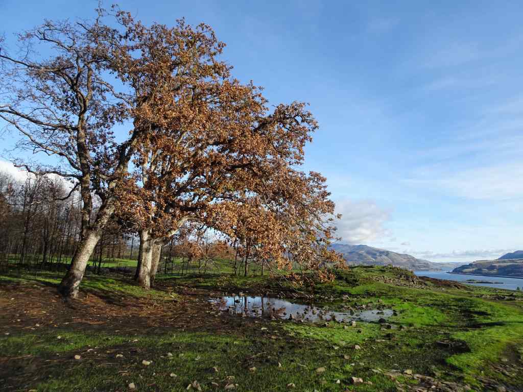
We hiked the upper loop from the ranch ( 4 miles, 450 feet). We began the day with fog and mist, which evaporated by lunch time, and we finished our hike under clear blue skies. We visited the ‘one tree’, and had a quiet day on the trail.
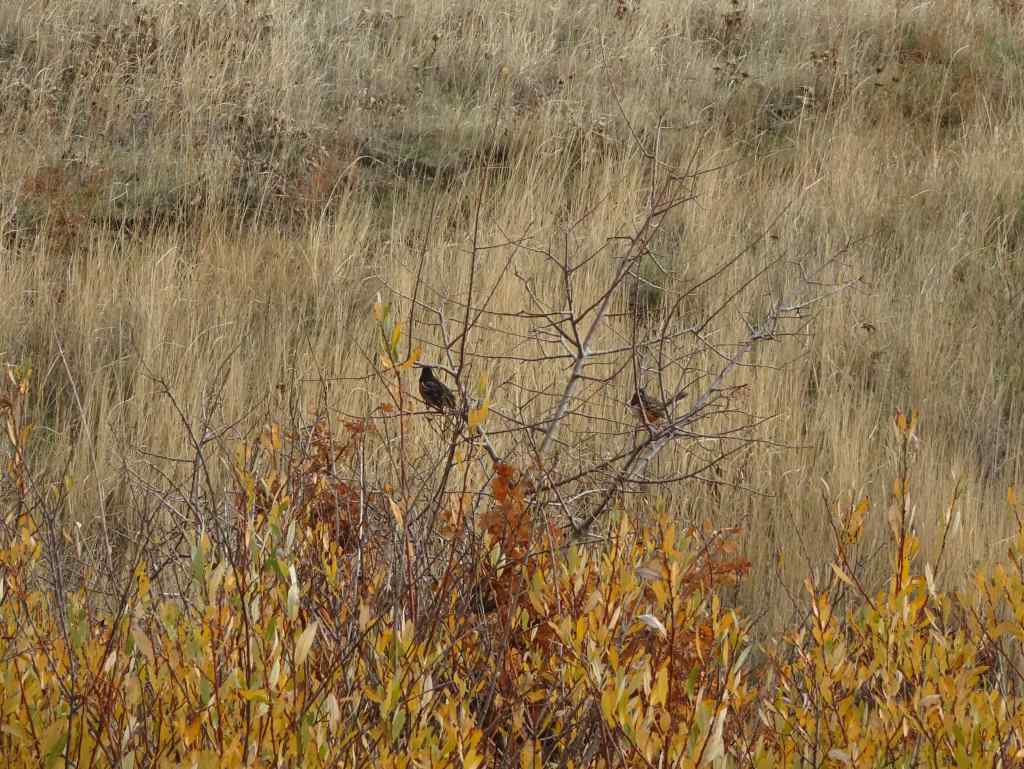
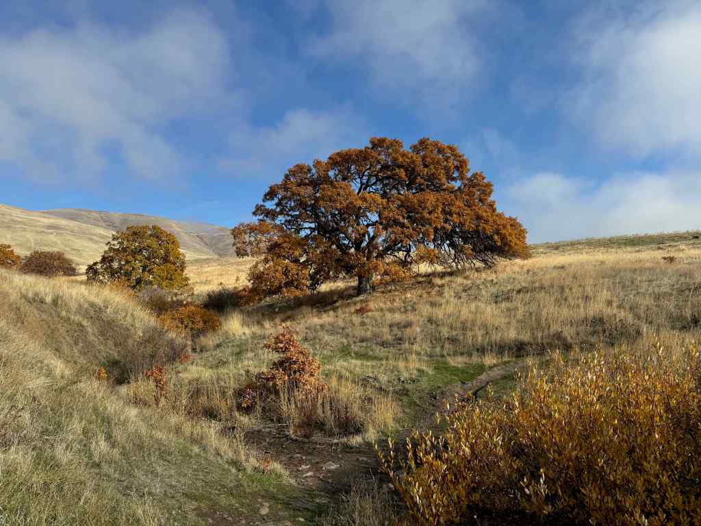
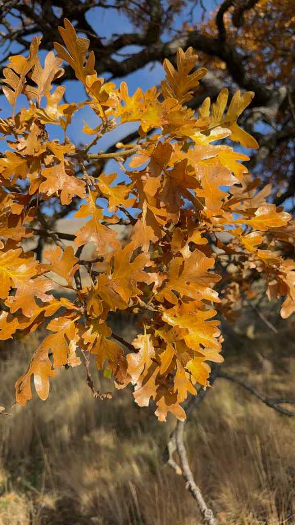
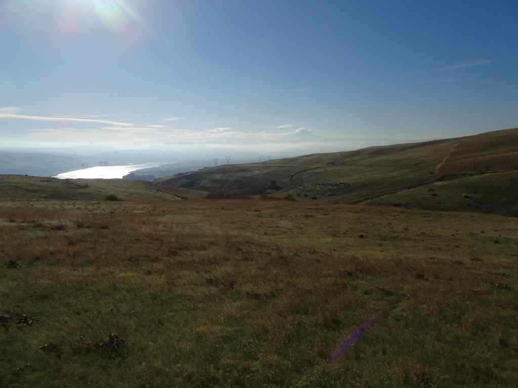
Looking up into the Columbia Hills at the start of the hike. Lots of dried balsam root foliage in the foreground.The hills were still misty when we sat down for our lunch break,right near my favorite oak tree.I watched a flock of towhees in the nearby bushes,By the time we finished our lunch, the mists had evaporated, and the oak tree was illuminated under a blue sky,its leaves glowing in the sun.After lunch, we continued our hiking loop, which circles down to a view of the Columbia River and The Dalles. The sun angle was wrong for photography, but we could see Mt Hood under its cloud cap on the far horizon.We hiked back up to the Ranch along Eight Mile Creek.A satisfying hike on an autumn day, with very few other trail users today.
11/25 Portland Arboretum
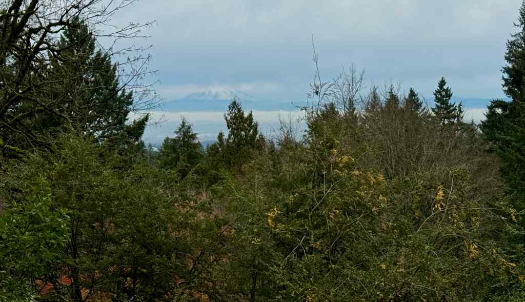
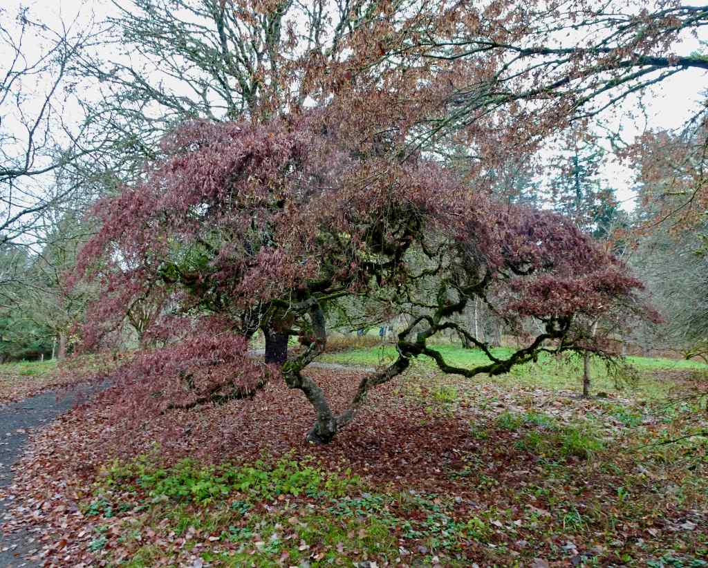
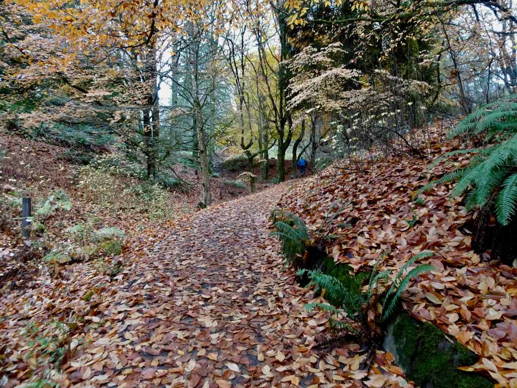
We hiked a short loop (2.5 miles, 200 feet), past the view of Mt St Helens and our favorite Japanese maple tree, through the Winter Garden, and then back up the Beech Trail.
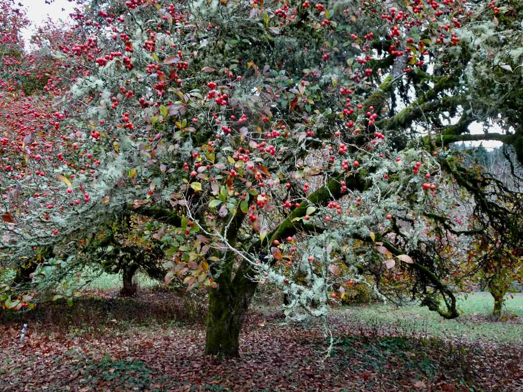
The snowy top of Mt St Helens was floating like a cream puff on the horizon.The maple tree was past its prime, color faded, but not yet leafless.Red hawthorne berries were glowing, as were the camellias and some of the foliage in the Winter Garden.Beech leaves lined our trail back to the start.
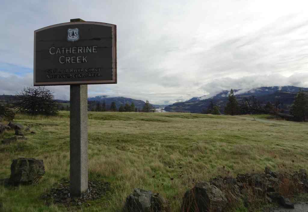
11/28 Catherine Creek/Rowland Wall
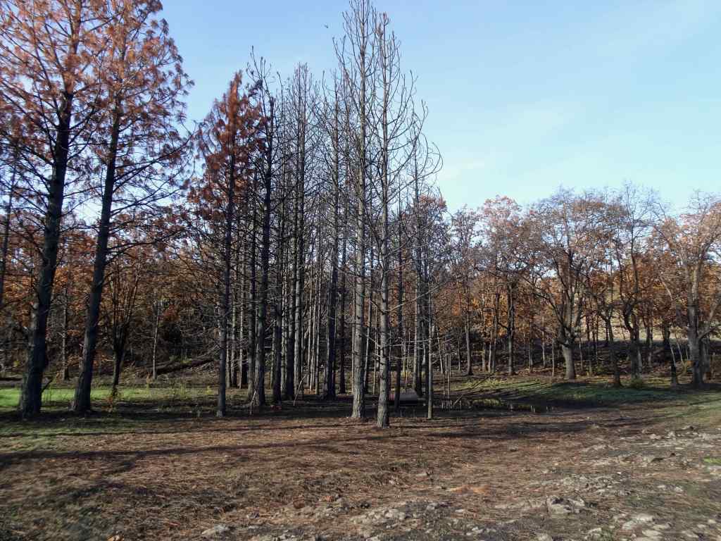
This was our first return to this favorite hike since the Burdoin Fire in July (2.7 miles, 720 feet). The blackened slopes have become green with newly sprouting grass. We passed many charred trees, and many that survived the conflagration.
The area of Lower Trail, south of Old Highway 8, did not burn, so looks same as it ever does in winter, with dried grasses fringing the landscape.
Unburned landscape south of the highway.
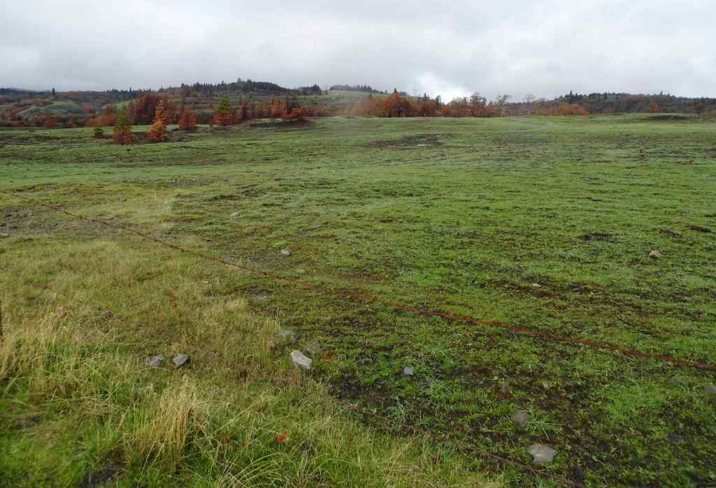
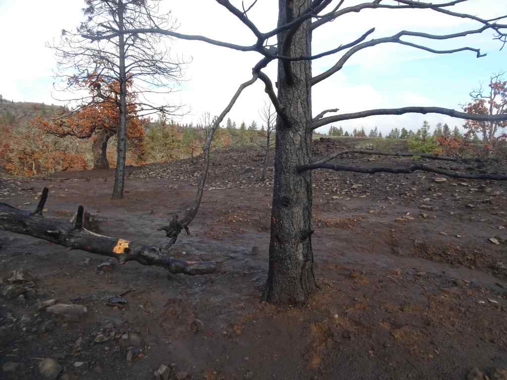
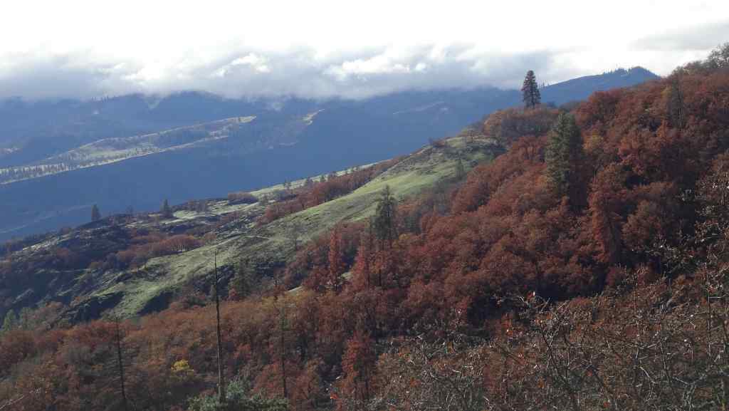
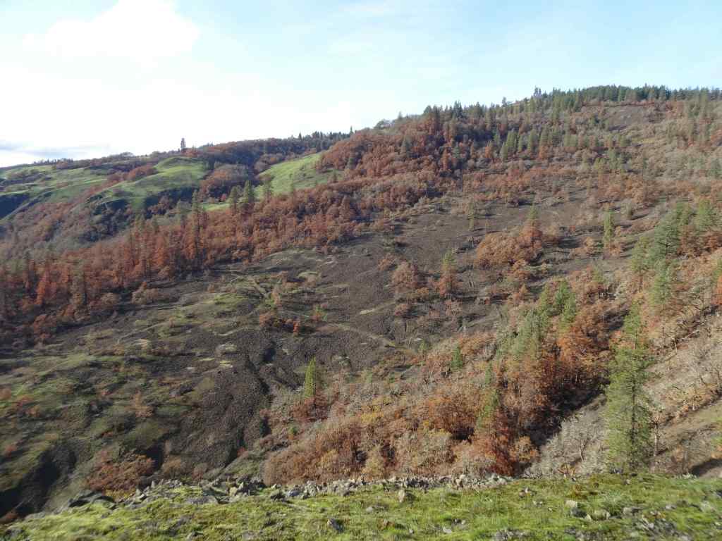
North of the highway, where the fires swept through, most of the golden grasses and shrubs were completely removed, and the landscape is covered with blackened earth and newly sprouted grasses.
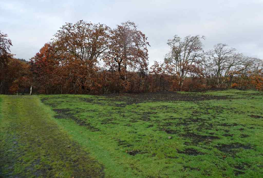
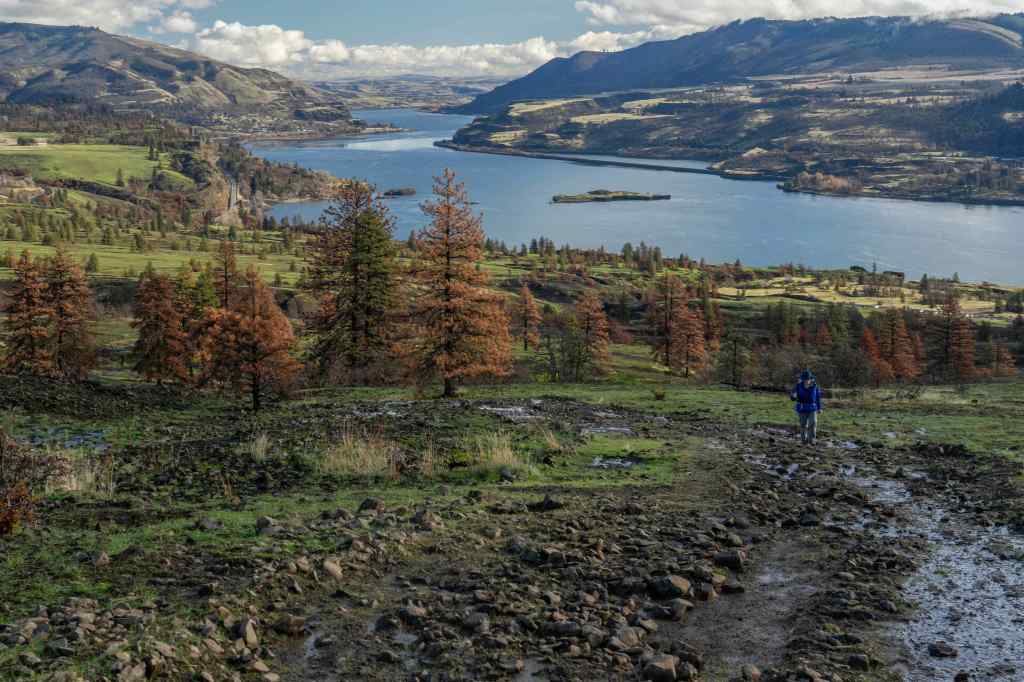
Looking north from the parking area across the burned slope.We began by walking up to the Fairy Ponds.Trees near the Fairy Ponds show fire damage.
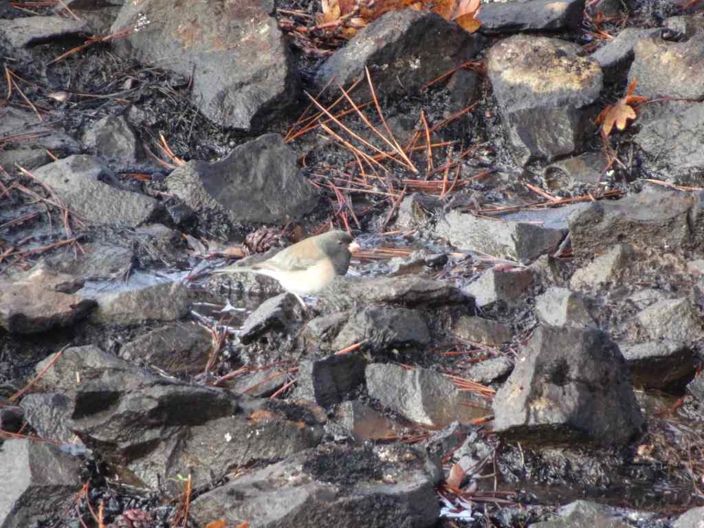
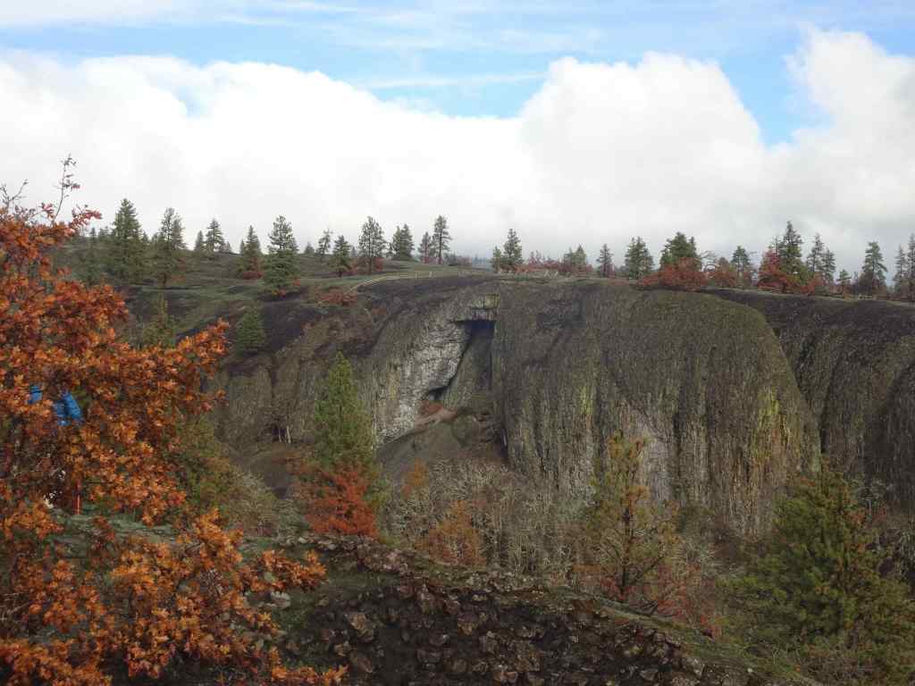
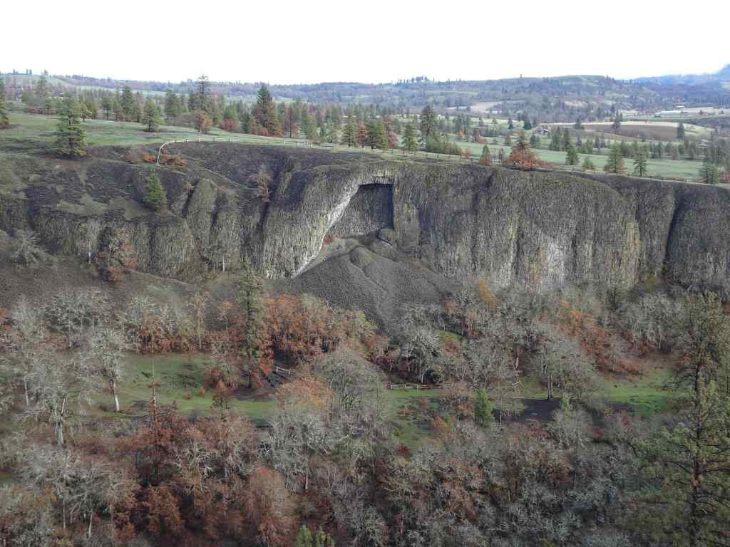
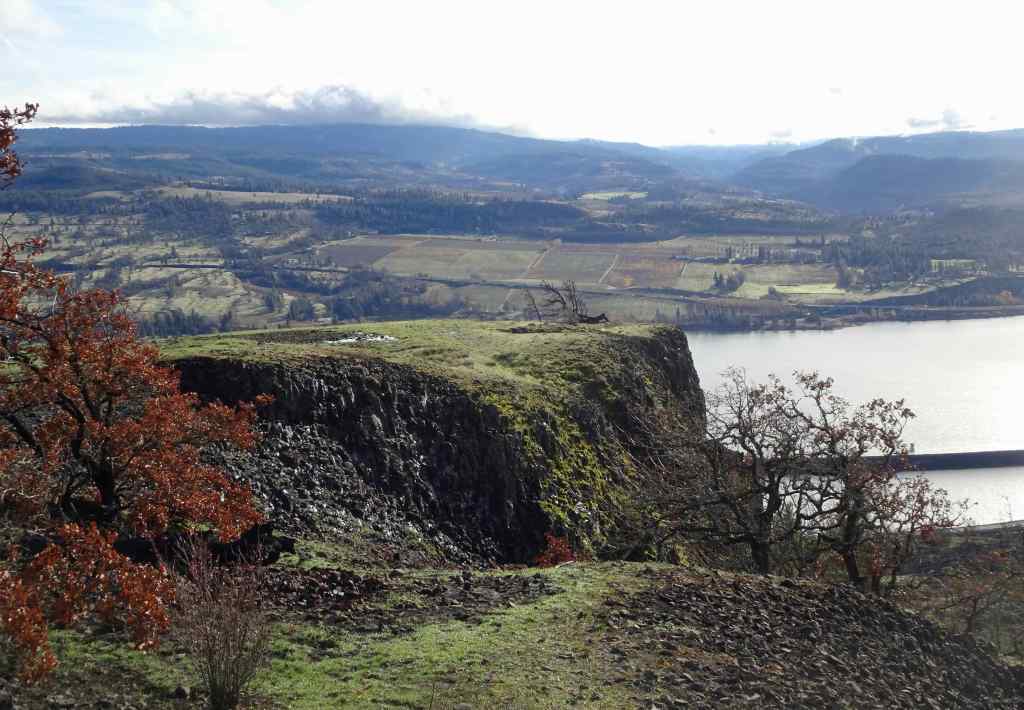
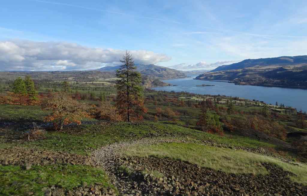
We continued walking up the Bitterroot Trail, to the ridge just west of Catherine Creek.Looking upriver from the ridge, all the way to the town of Lyle, where the fire stopped at the Klickitat River.Blackened soil and trees.Juncos were pecking around in the dirt here.Looking across to the Arch, which already has new fencing in place.Wider view of the Arch, and the lower trail in front of the Arch.
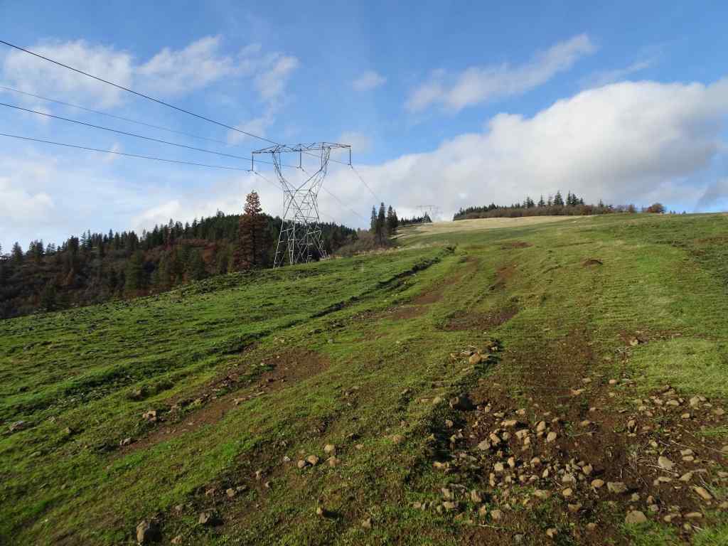
We walked up slope, and past the power pylons to the edge of Rowland Wall.
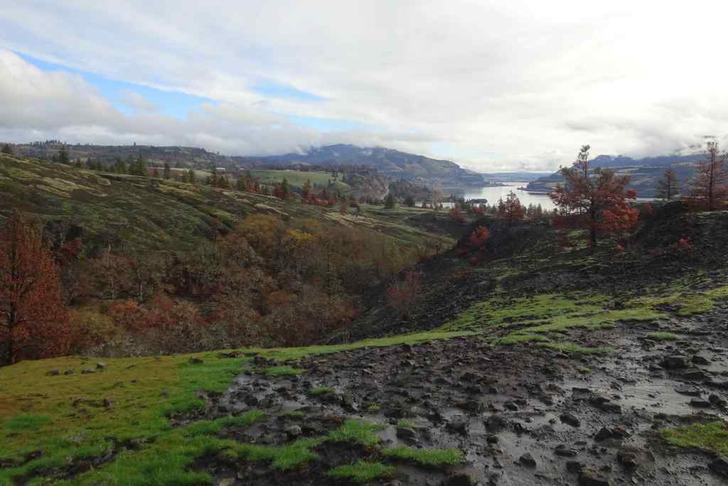
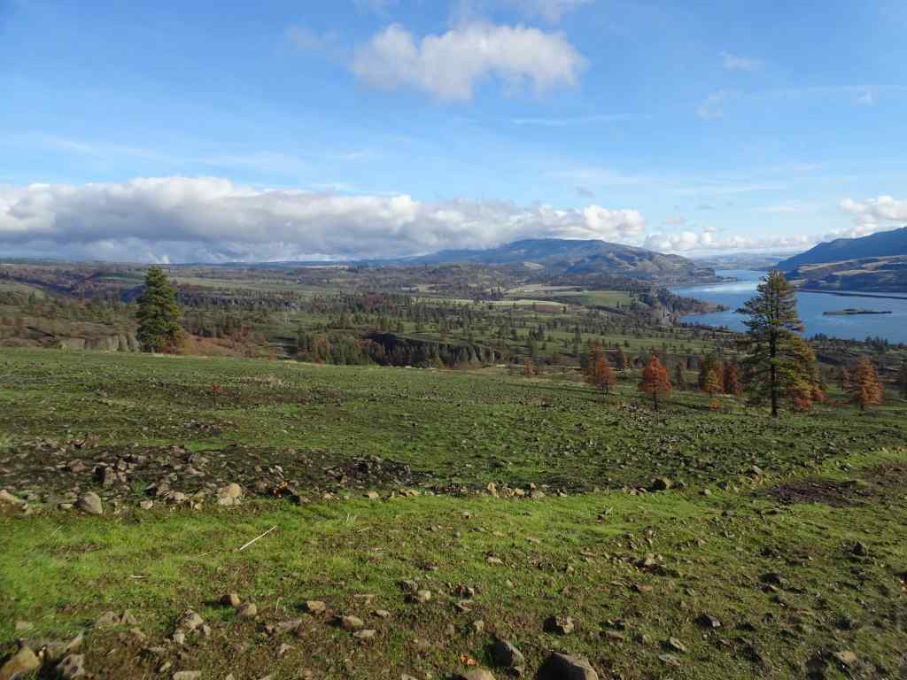
Looking eastward across the landscape, up the Columbia River. Oddly, green areas are burned, golden areas are unburned. Orange pine trees are fire damaged.Continuing uphill toward the power pylons.Near our turning place – the golden, unburned area at the top was burned in last year’s controlled burn of the area, and I guess they held a fire line there in July.Eastward from our high point. It was a gorgeous day!
From the edge of Rowland Wall, we looked at our familiar landmarks to the west to see how they fared.
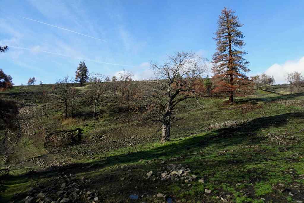
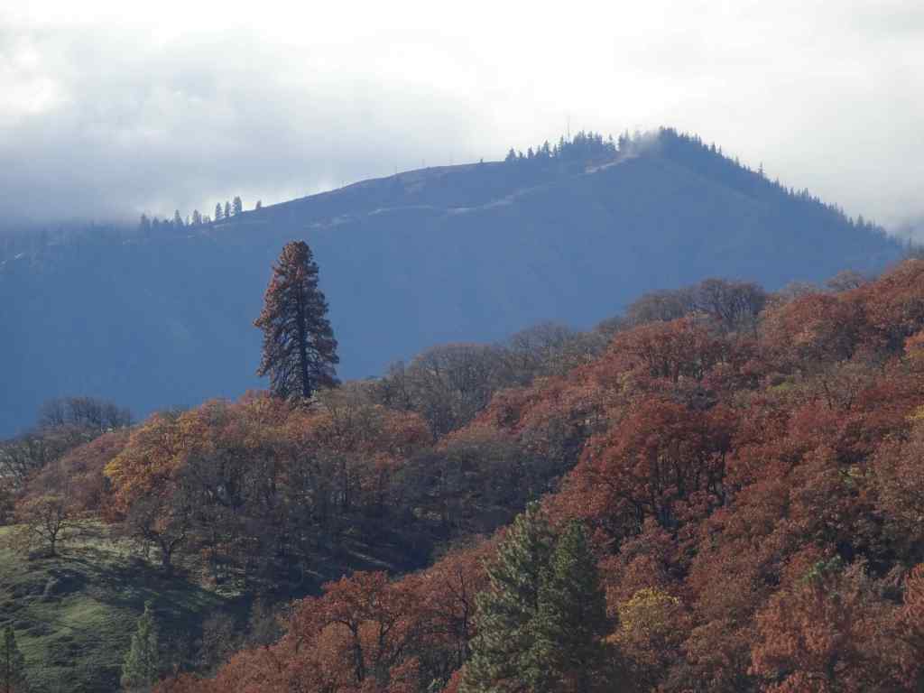
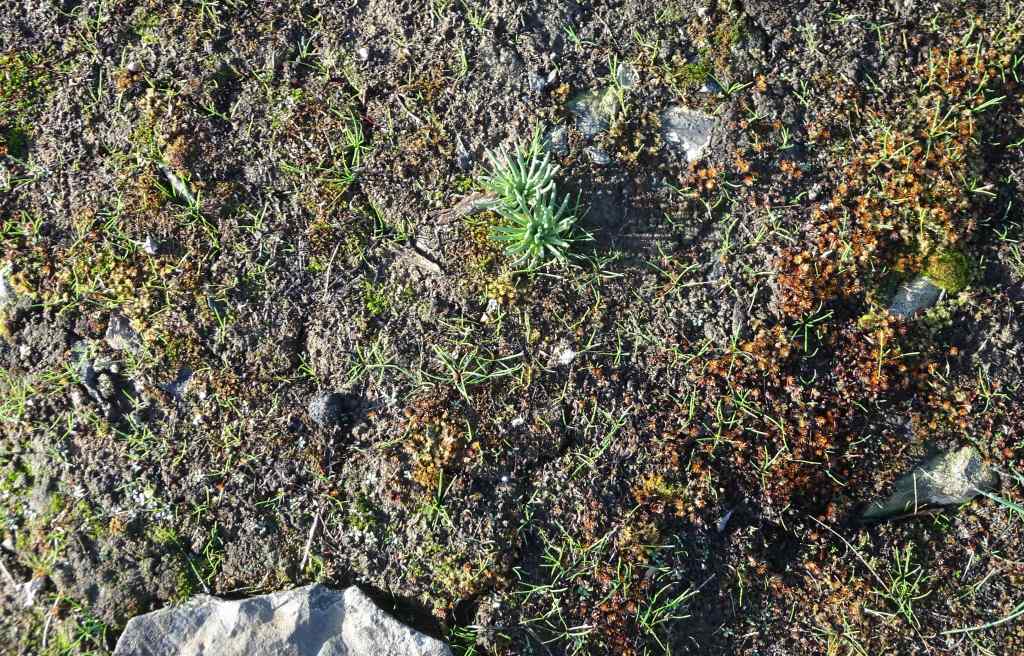
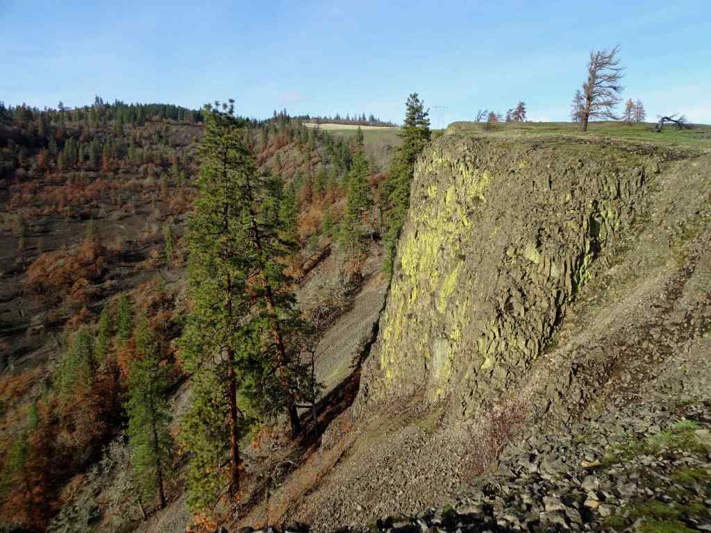
The tall tree here can be seen from many of the trails in the area – I think of it as the ‘guide’ tree.Zooming in – it is still standing, but appears to have some fire damage.Next, we hiked down the Rowland Wall cliffs…I found bitterroot foliage in the usual places – a good omen!Chartreuse lichen on the cliffs – not burned.Wider view: guide tree on the skyline. Lots of burned trees in the volcanic landscape below the wall.
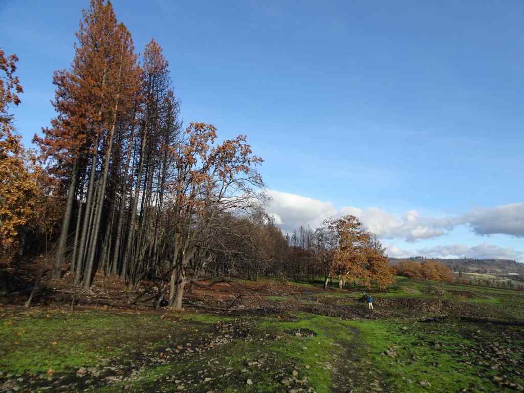
Next, the trail takes us back east toward our parking area. Some of the lower tree stands in this area were very badly burned.
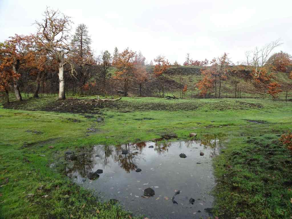
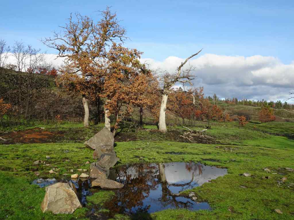
View back toward the parking area.Many burned pine trees.I hope the frogs will be back in this pond, where we often hear them.This is the first time I have seen the rock cliffs behind these trees – all the undergrowth is gone.The ponds are still reflective on this beautiful day.
The experience was a little heartbreaking, but also hopeful – there were still birds, and some of the wildflowers were beginning to sprout up in the blackened dirt. We will return in spring to monitor the changes. I’m glad we can continue to hike here on rainy days in Portland!