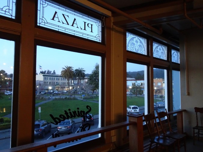
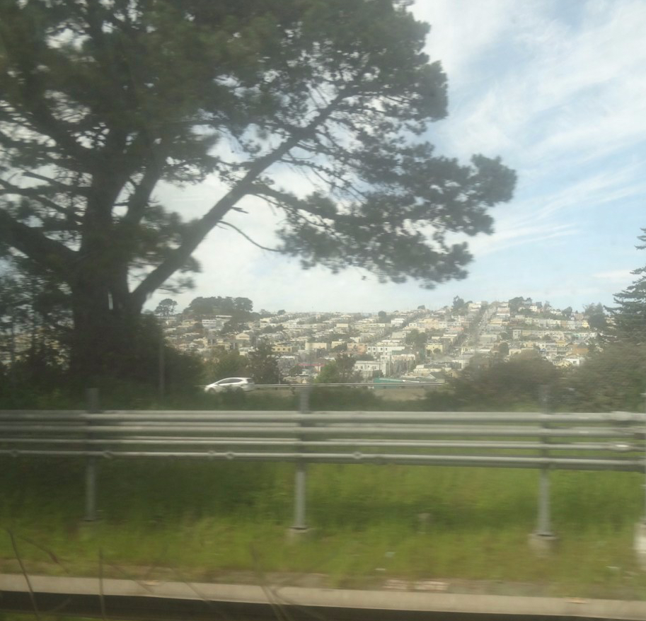
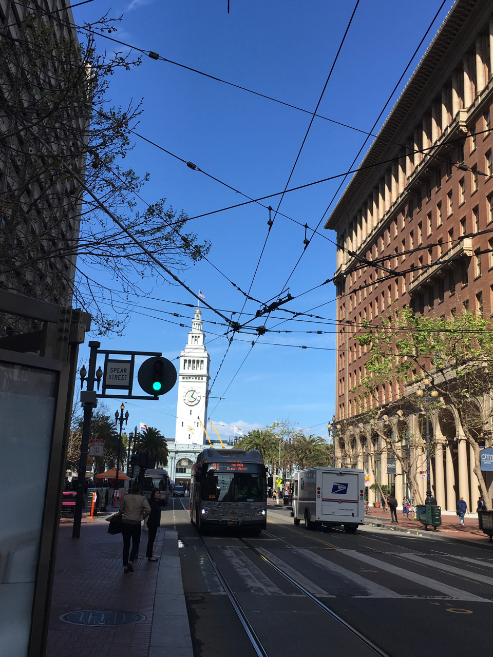
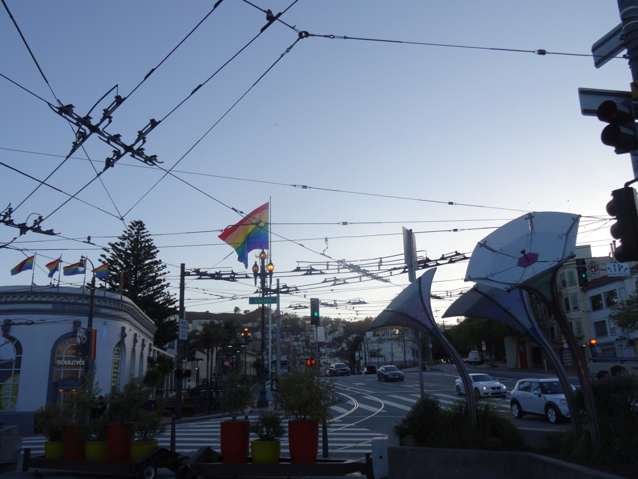
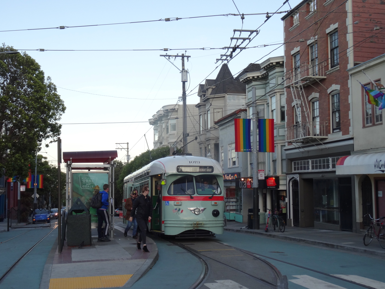
November 23 to Dec 1 – For the first time in many years we did not host Thanksgiving at our home. Instead, we drove to California to share the holiday with our daughter, graciously hosted by her partner’s family. We stayed in a nearby hotel, and hiked outside four of the days of our visit.
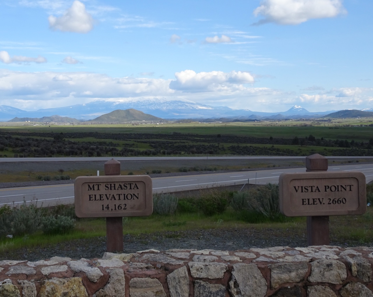
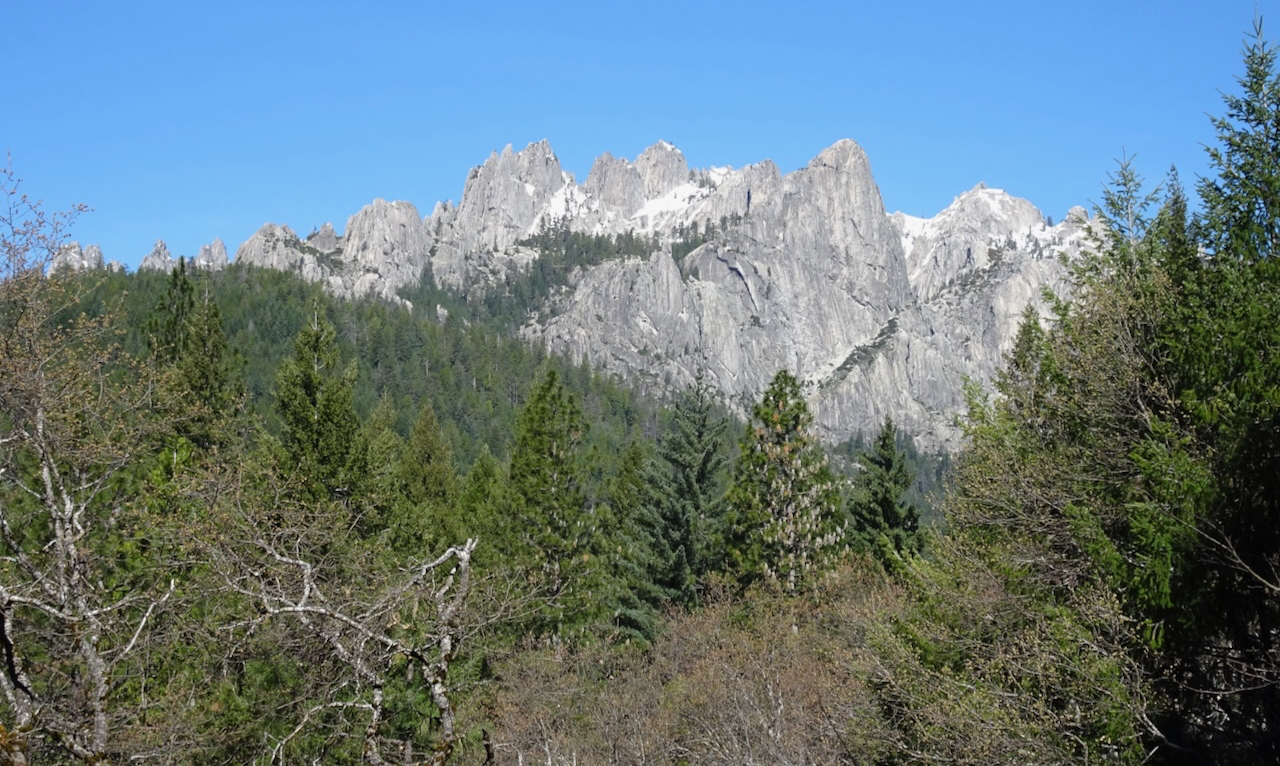
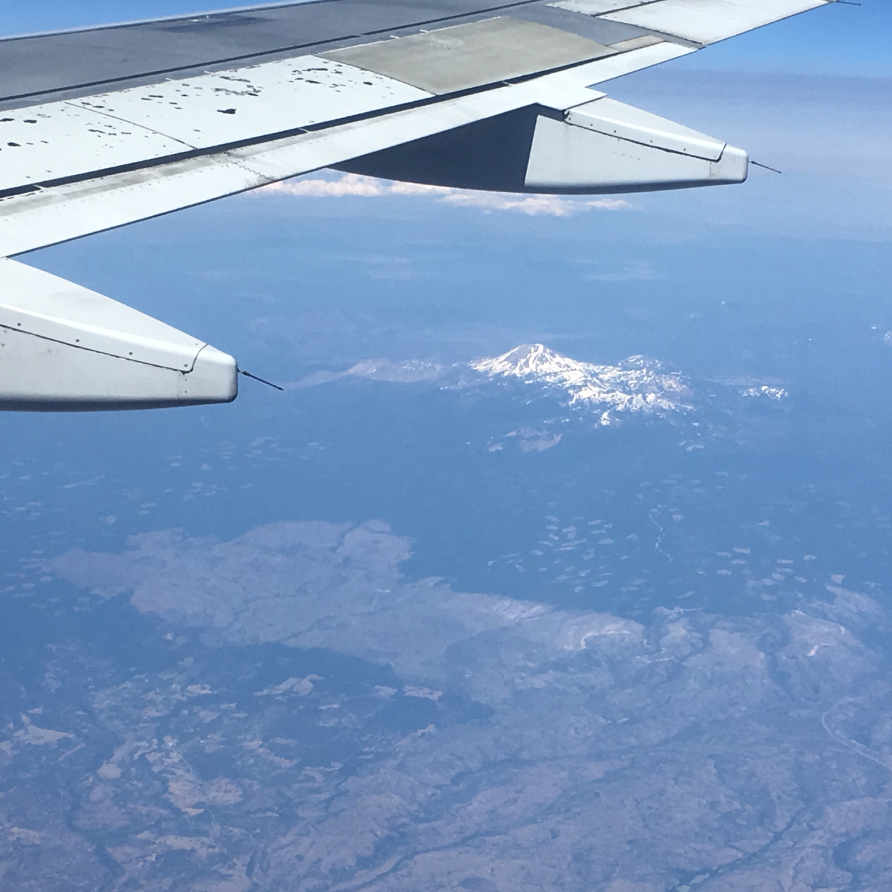
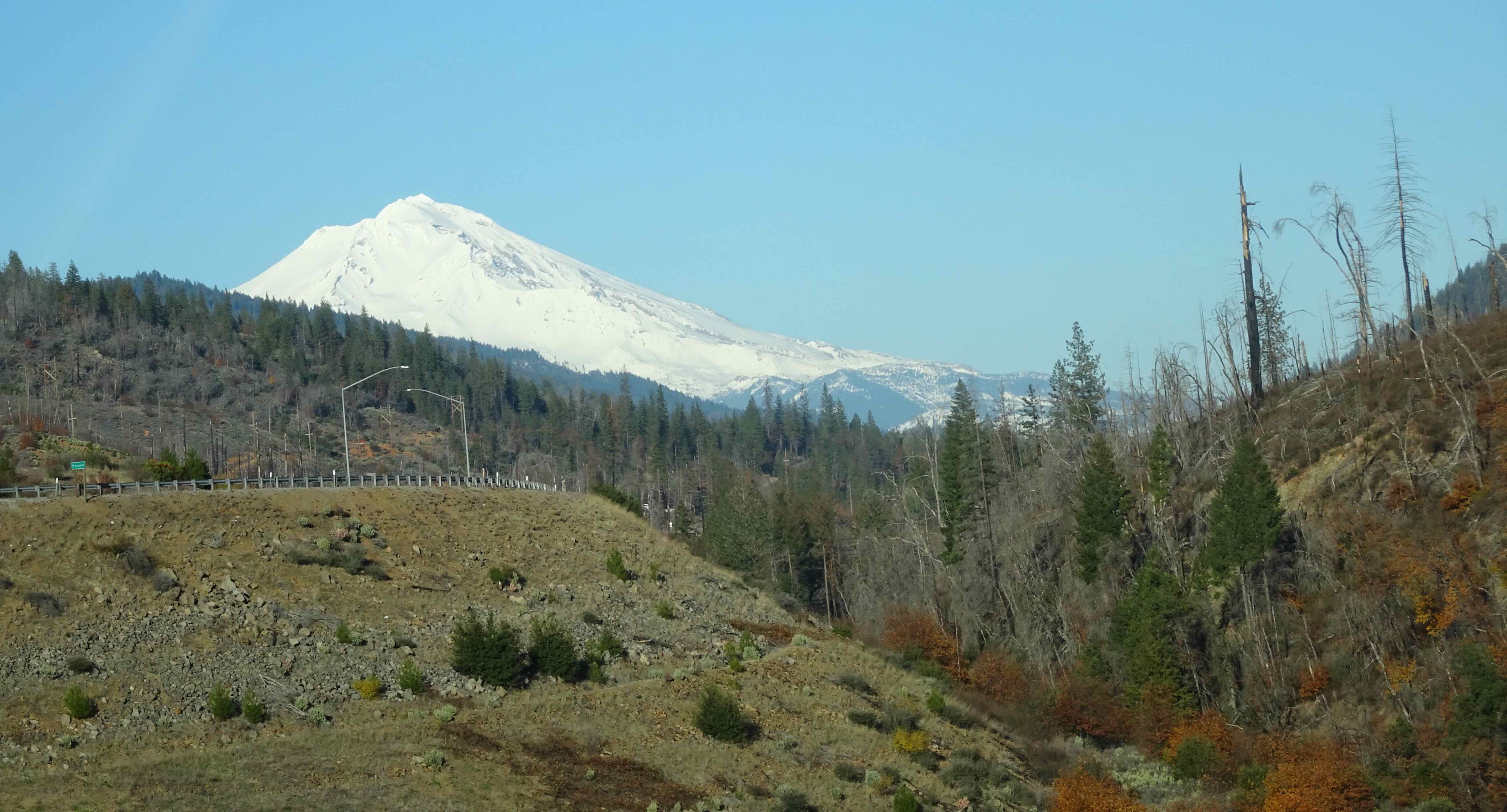
Southbound – We drove as far as Red Bluff, CA on Saturday, Nov. 23. There had been road-closing snowfall earlier in the week, but we made it over the Siskiyous with no problems, and had beautiful views of Mt Shasta.
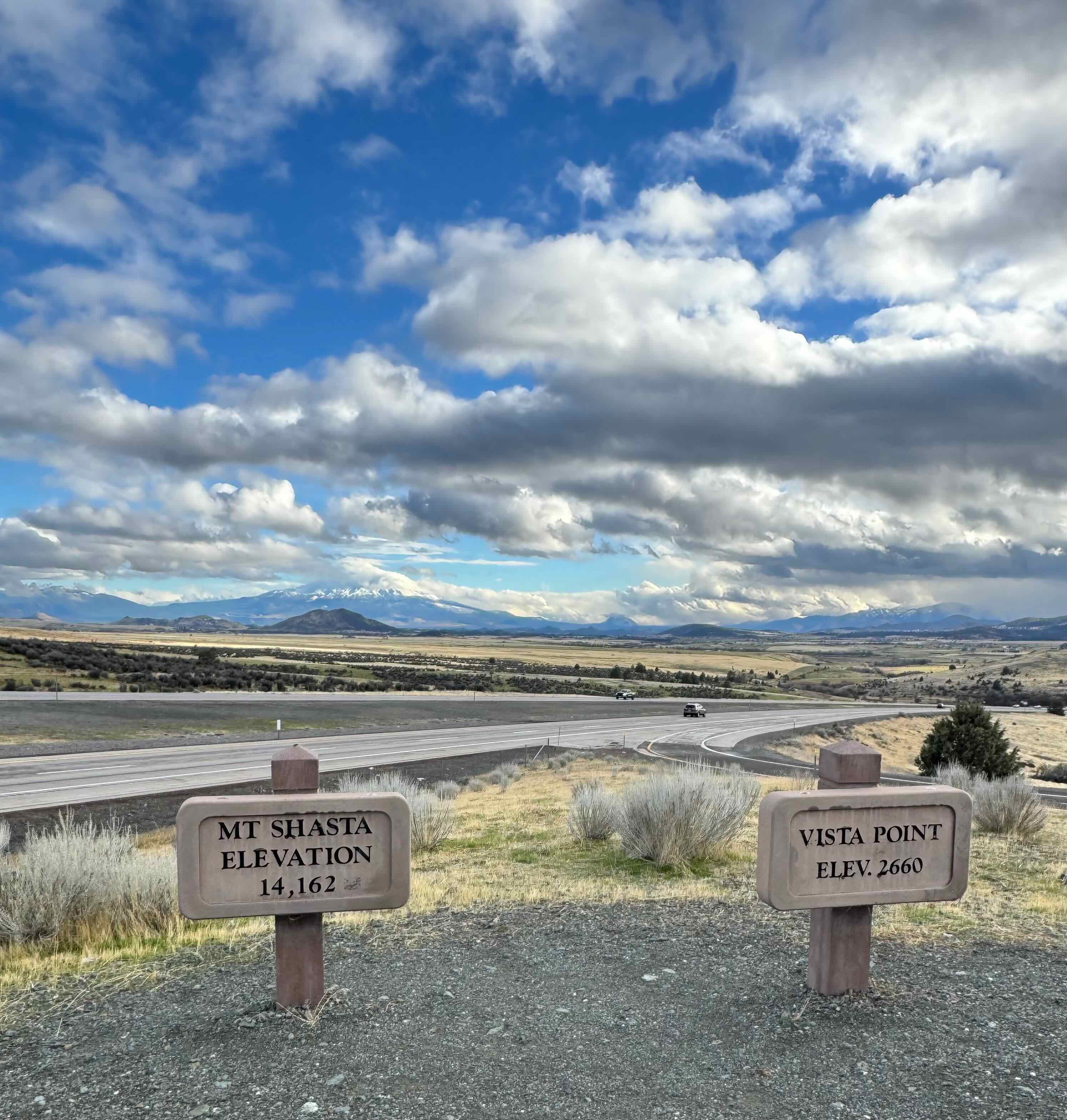
Mount Shasta
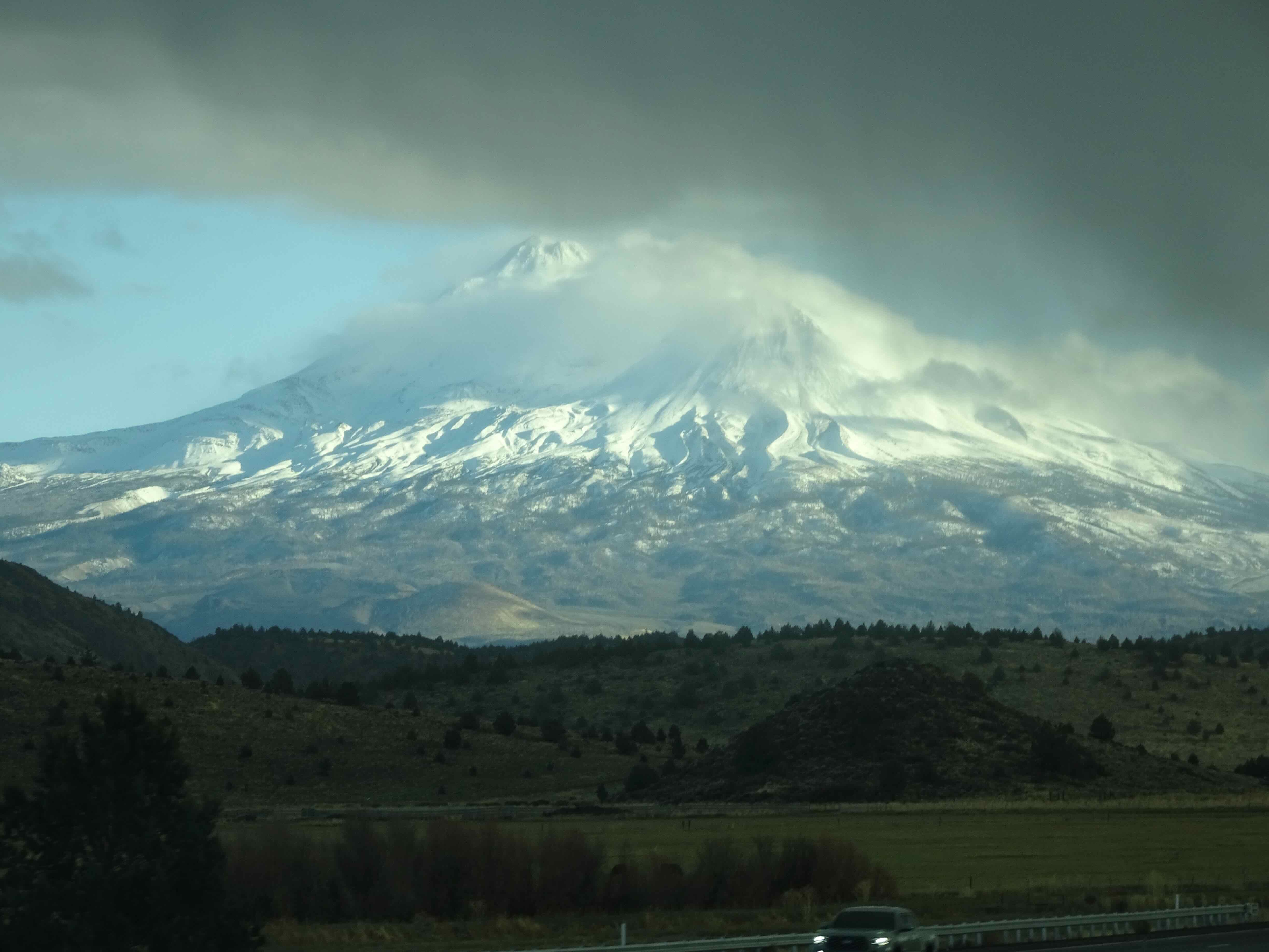
The cone just visible,
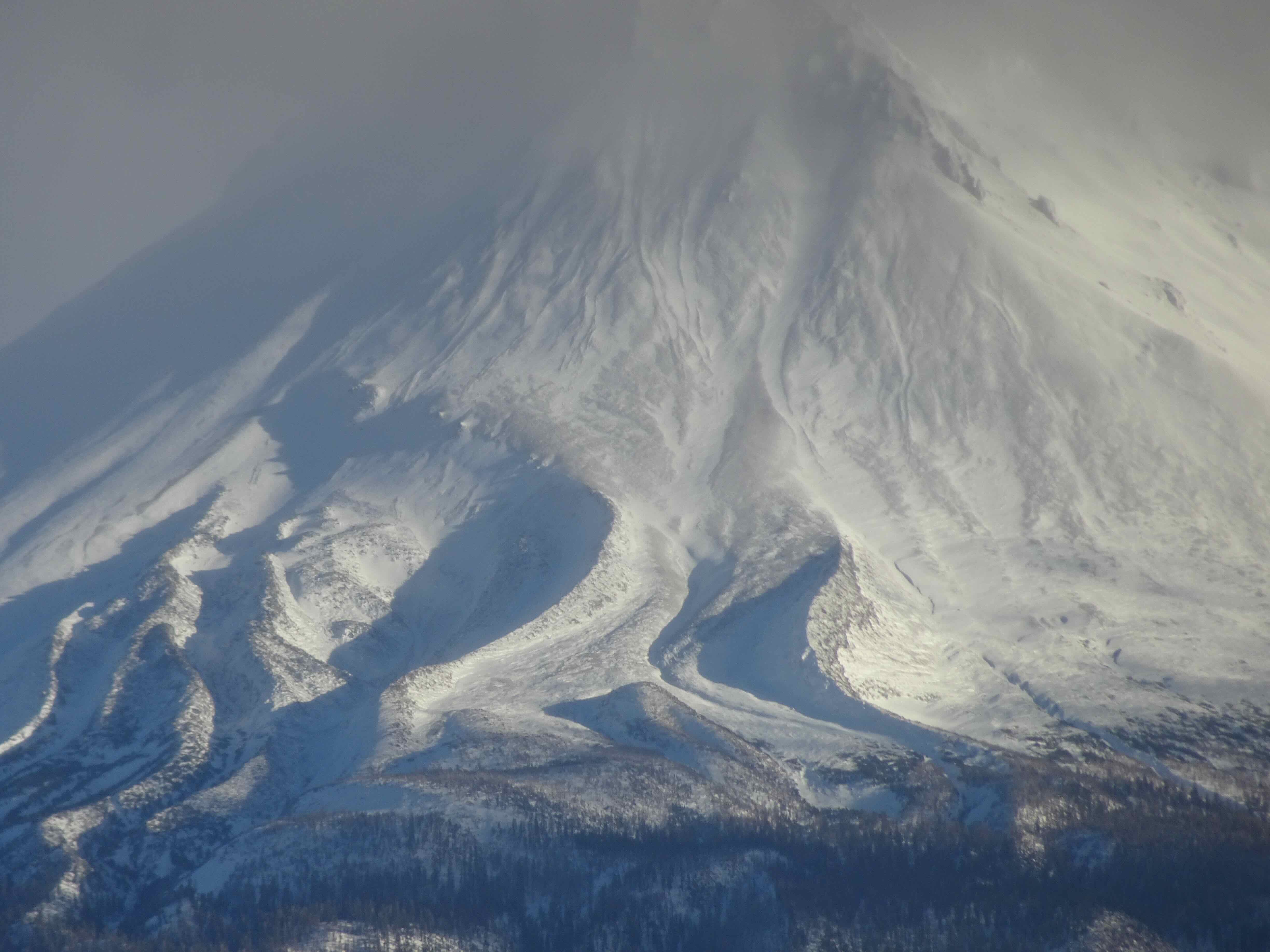
and the glaciers and moraines.
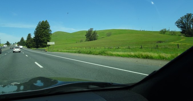
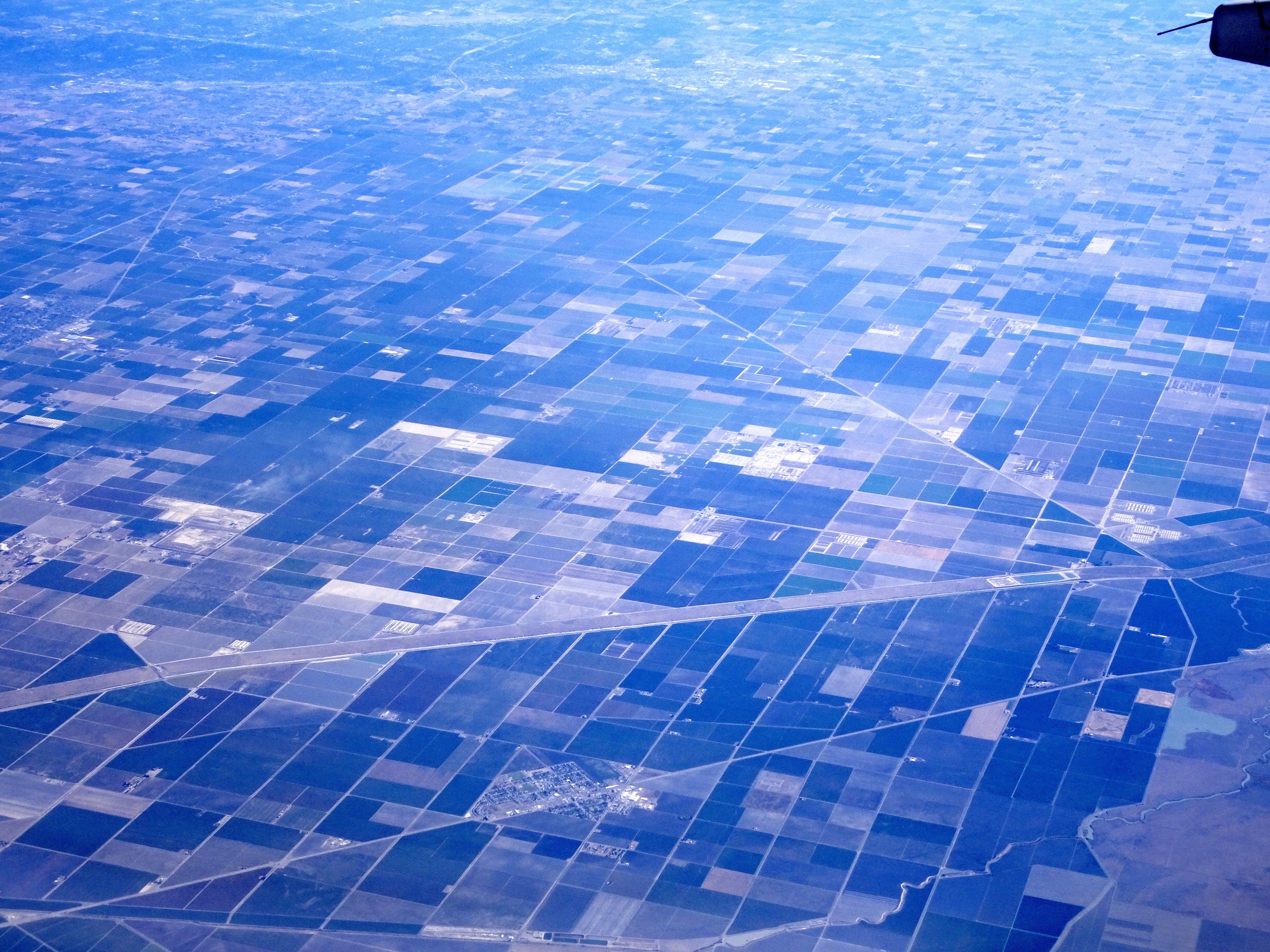
The next day, we continued south in the Sacramento Valley, through the Tule fog. We turned west near Williams, and as soon as we left the valley, the blue skies shone through.
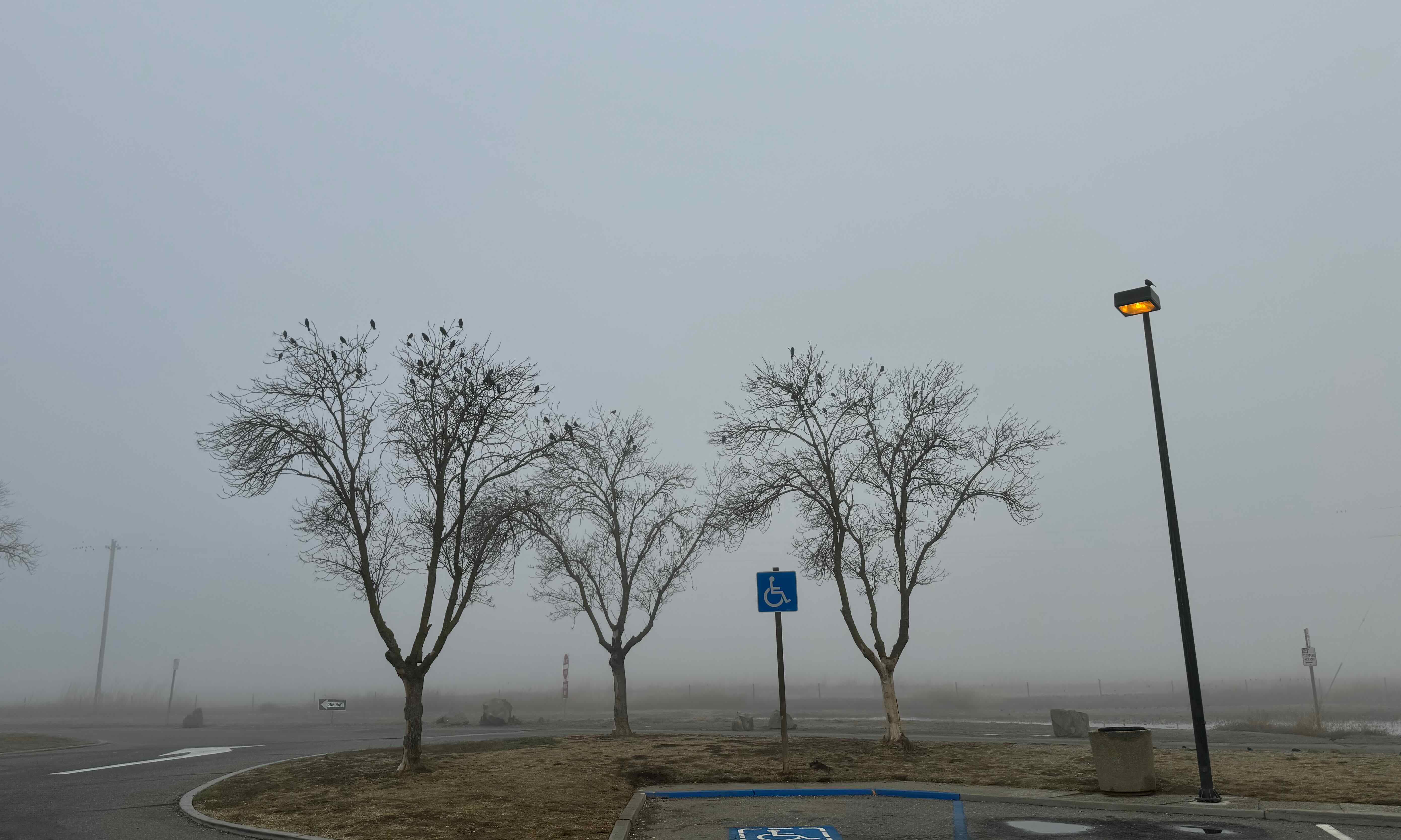
Tule fog along I-5.
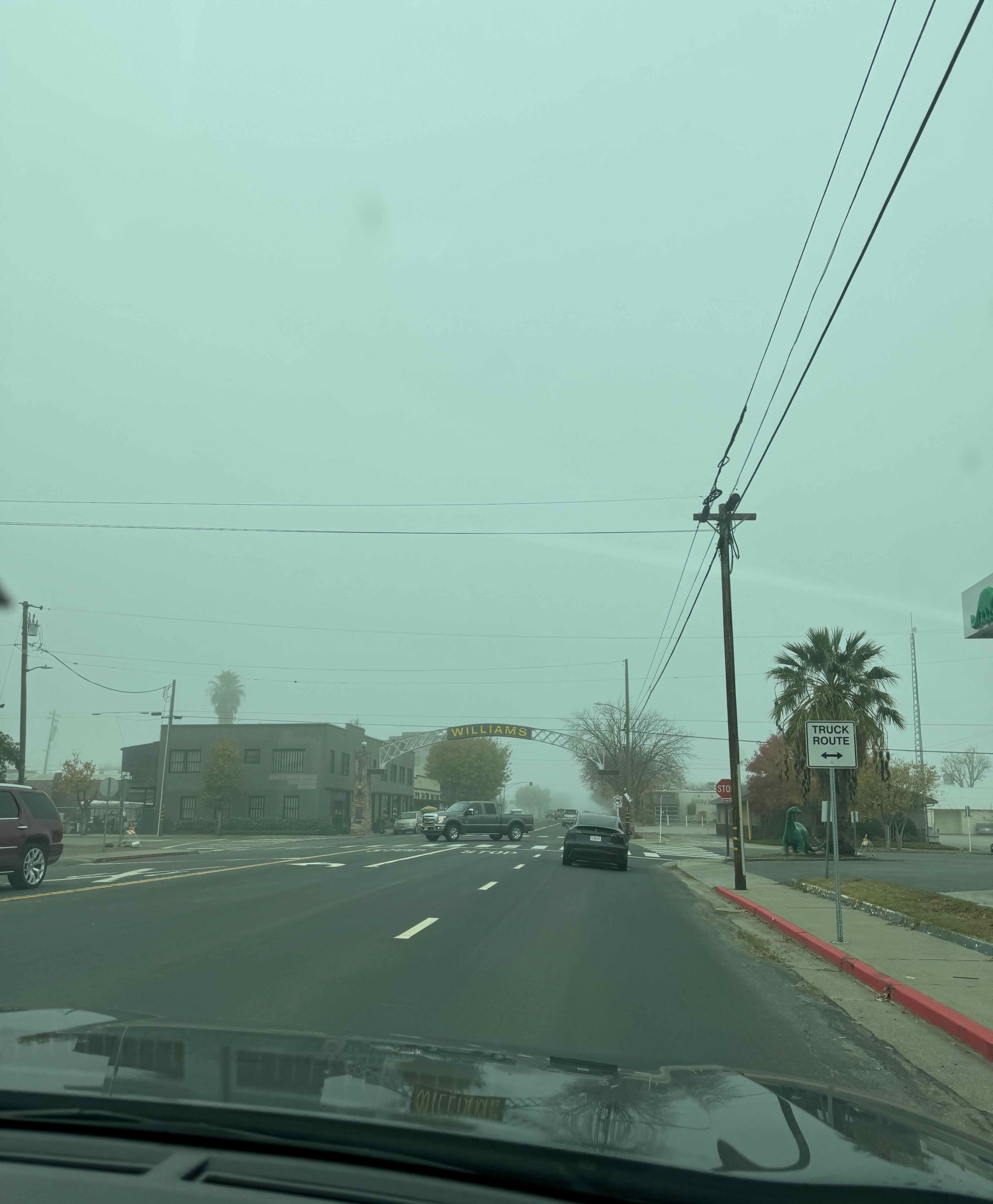
Williams, CA
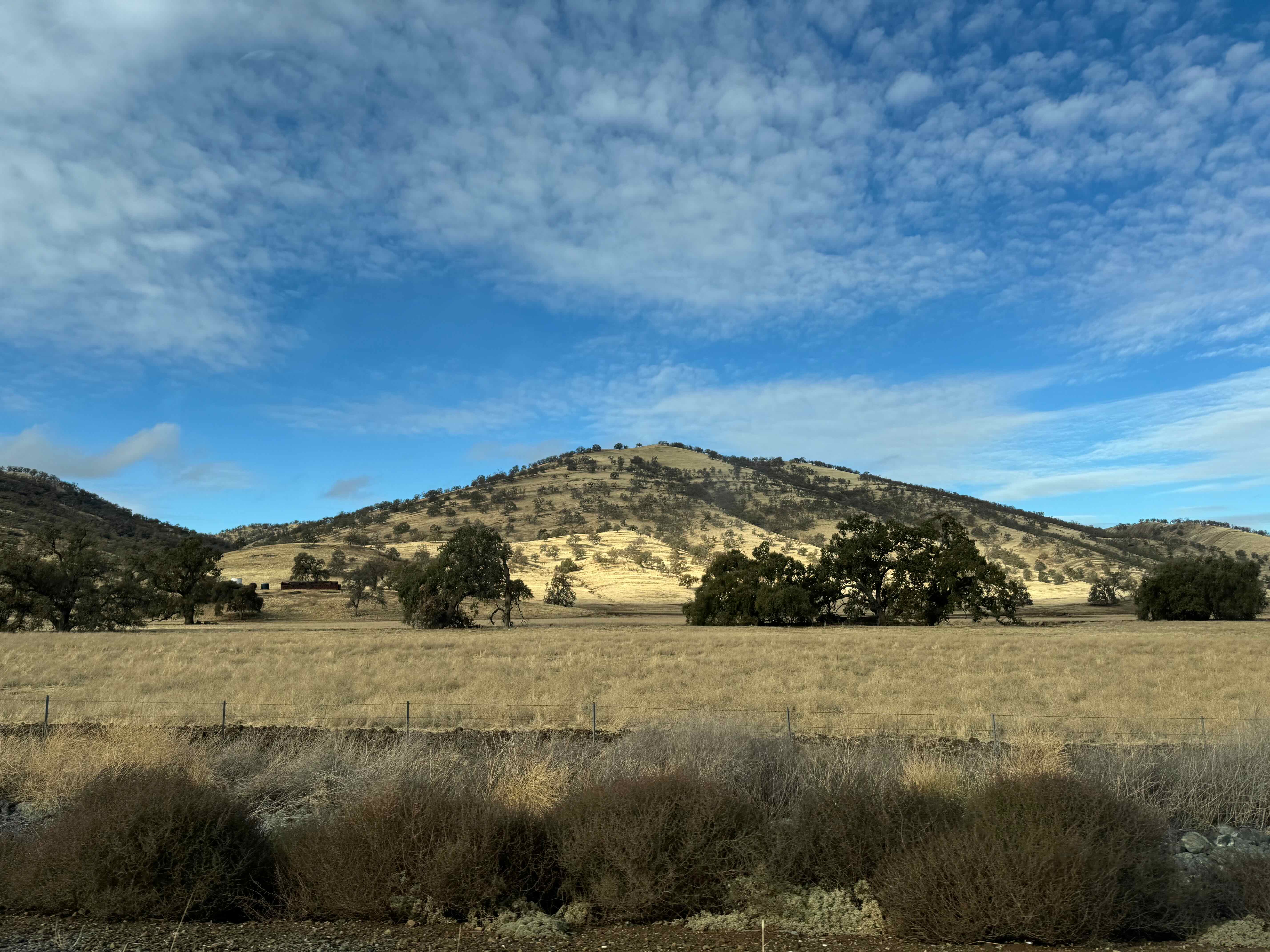
Blue sky, oak woodlands along Cache Creek and Hwy 20.
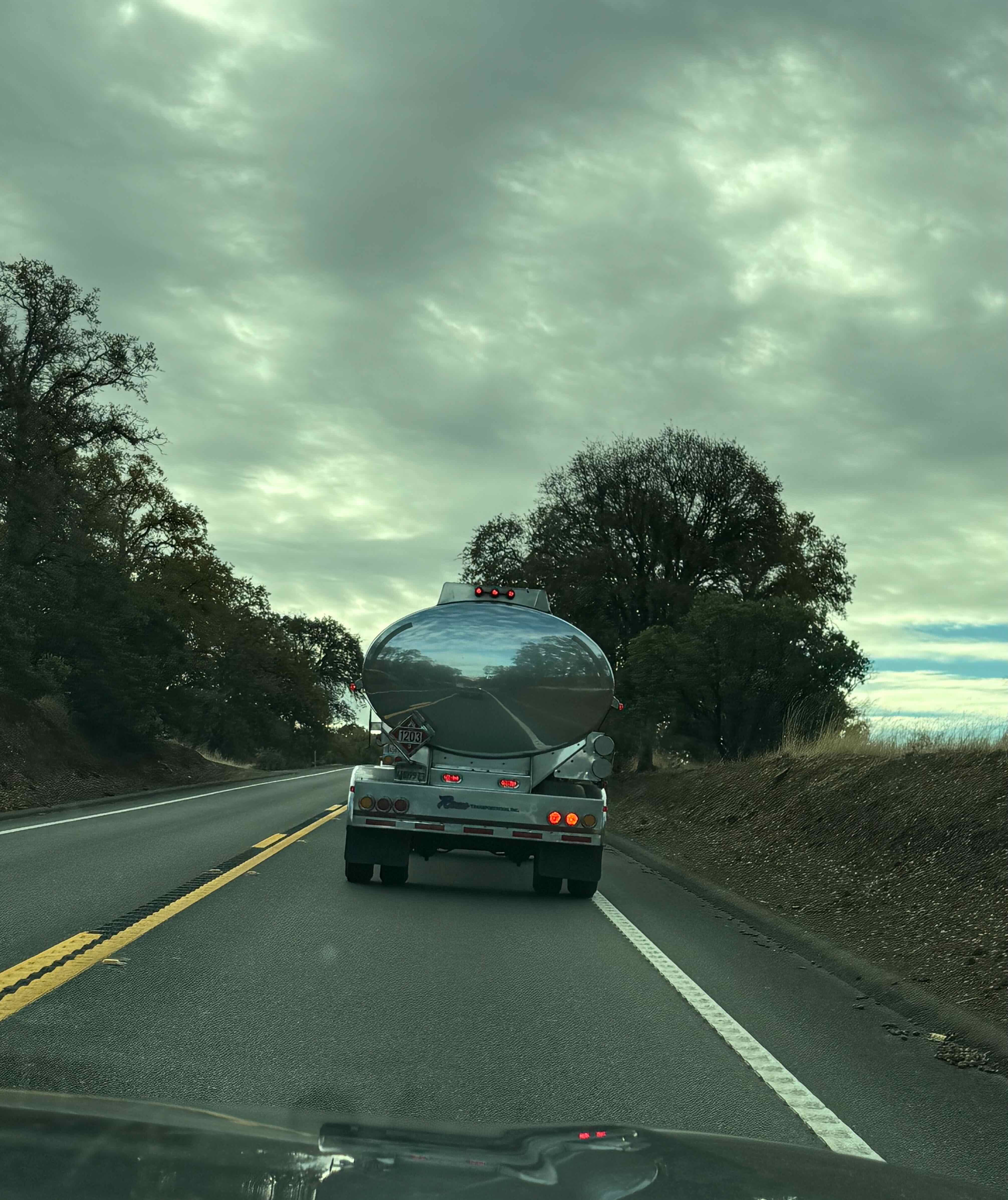
Watching ourselves reflected in the slow milk tanker truck.
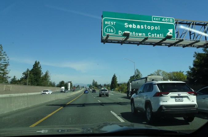
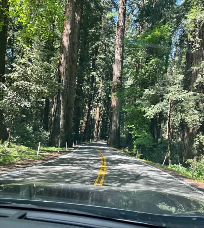
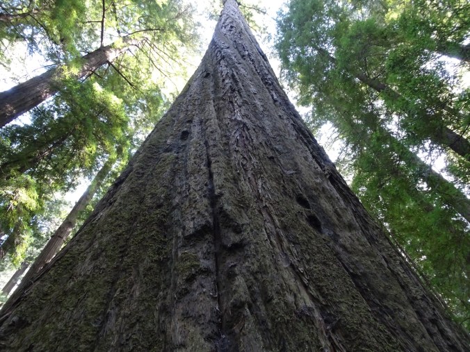
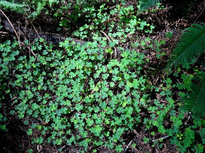
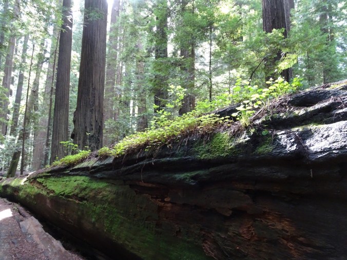
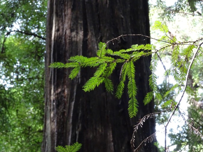
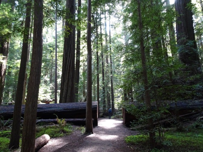
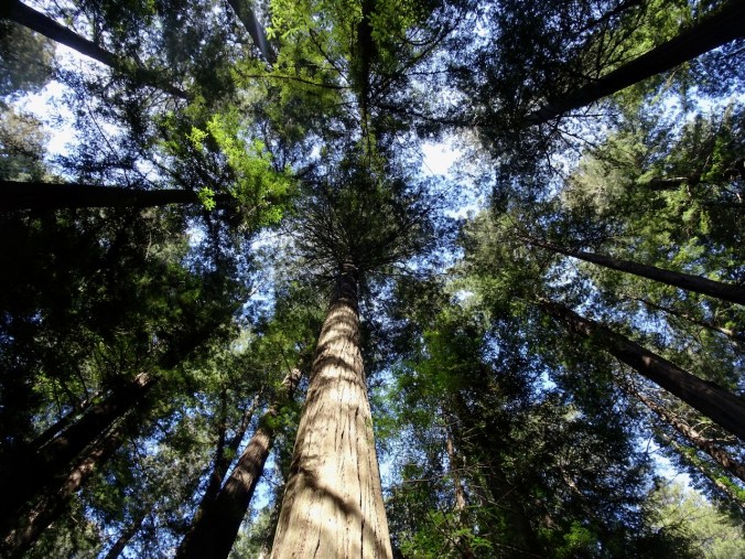
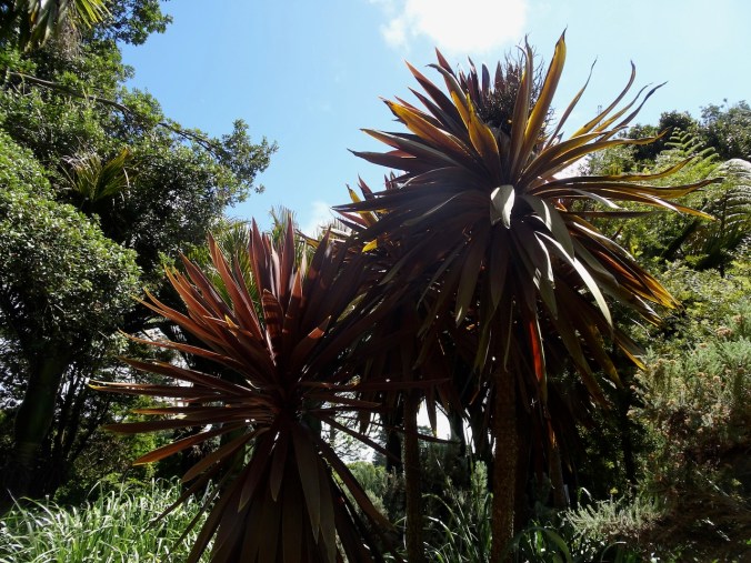
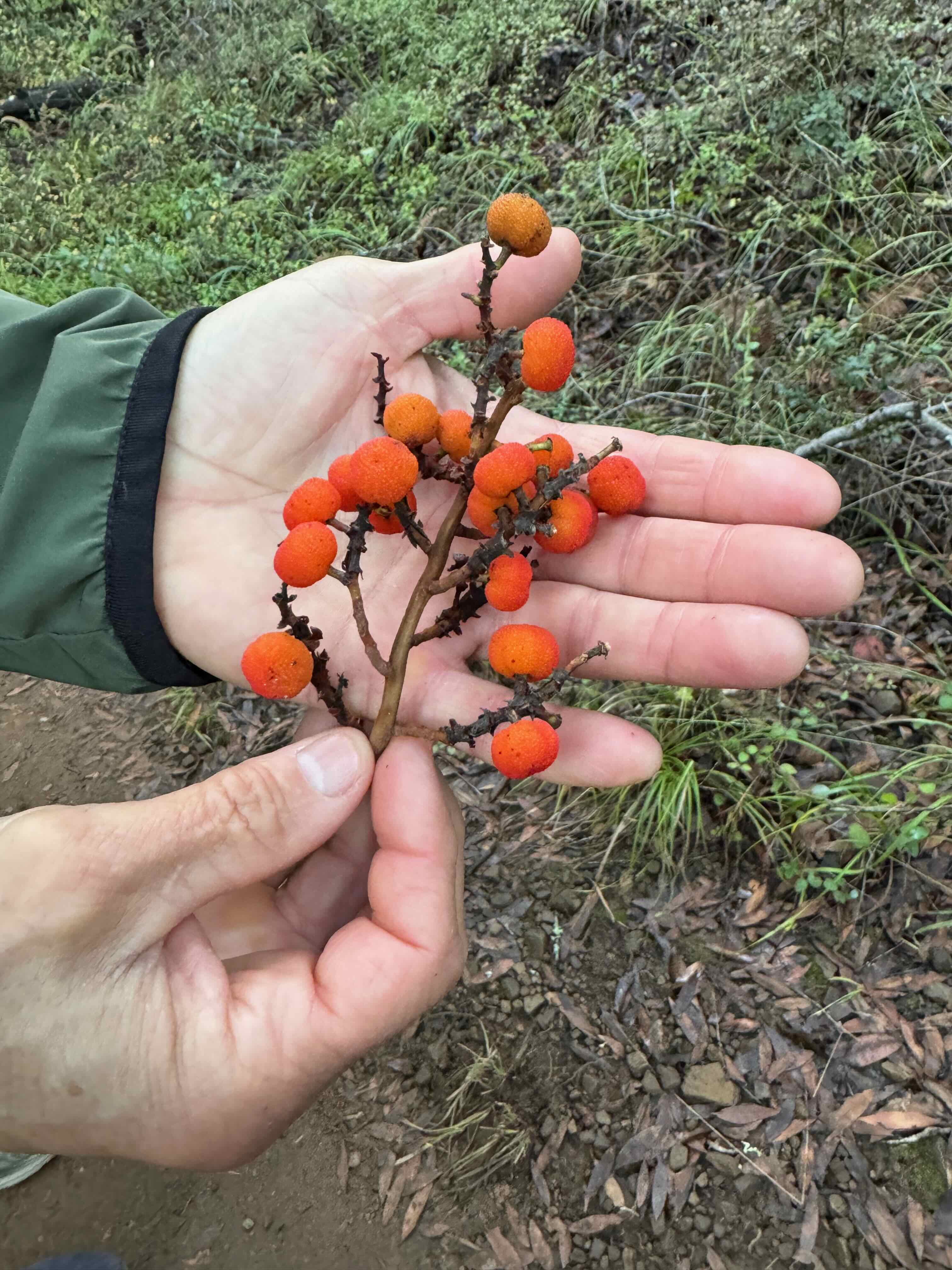
We drove to Forestville, Ca, to meet some friends for lunch and a rainy walk through Armstrong Grove, then continued south to Corte Madera by dinnertime.
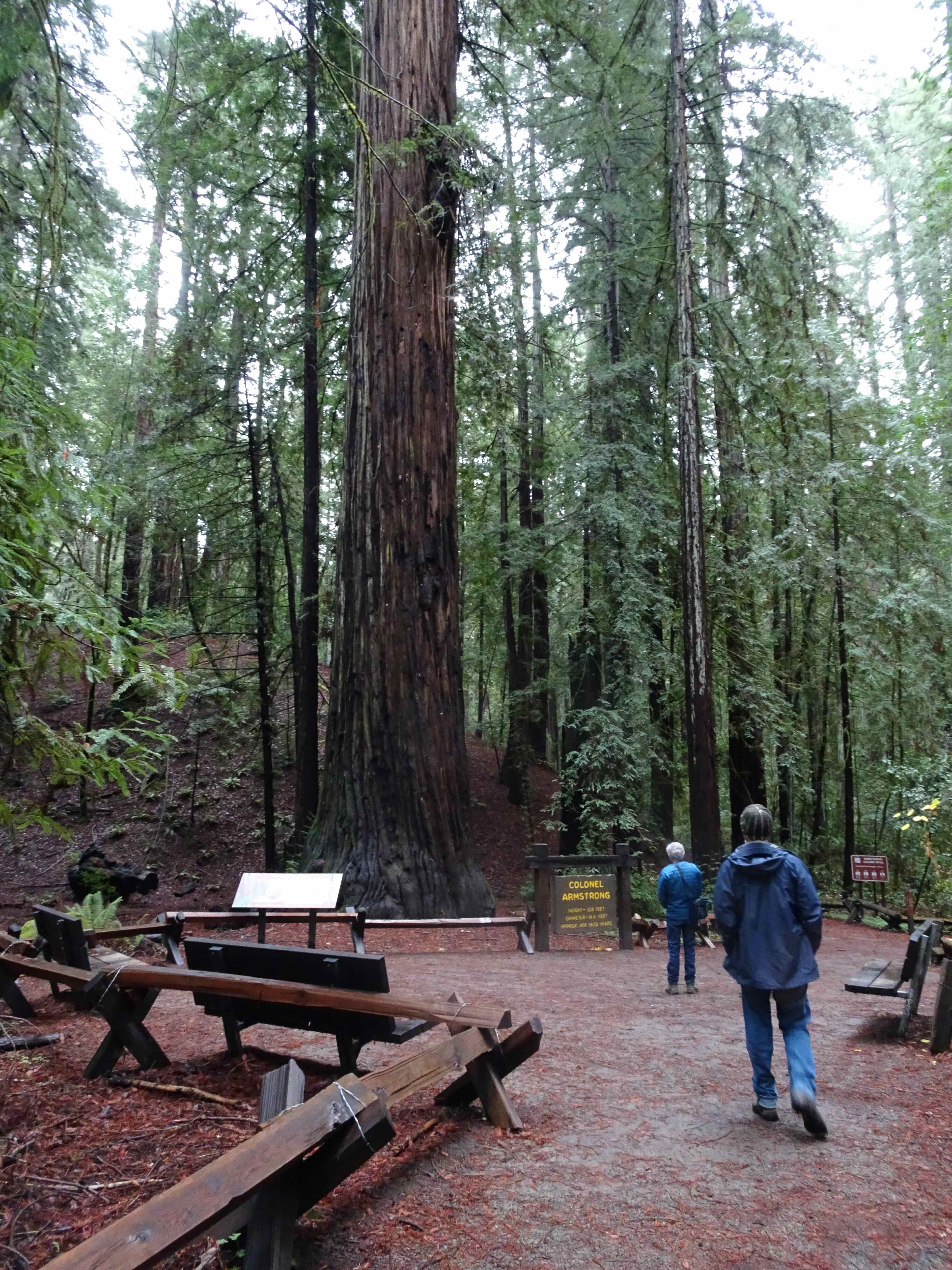
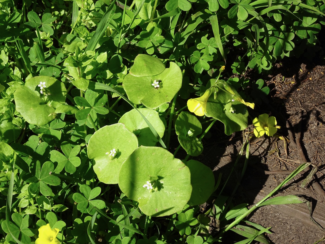
Armstrong Grove in the drizzle
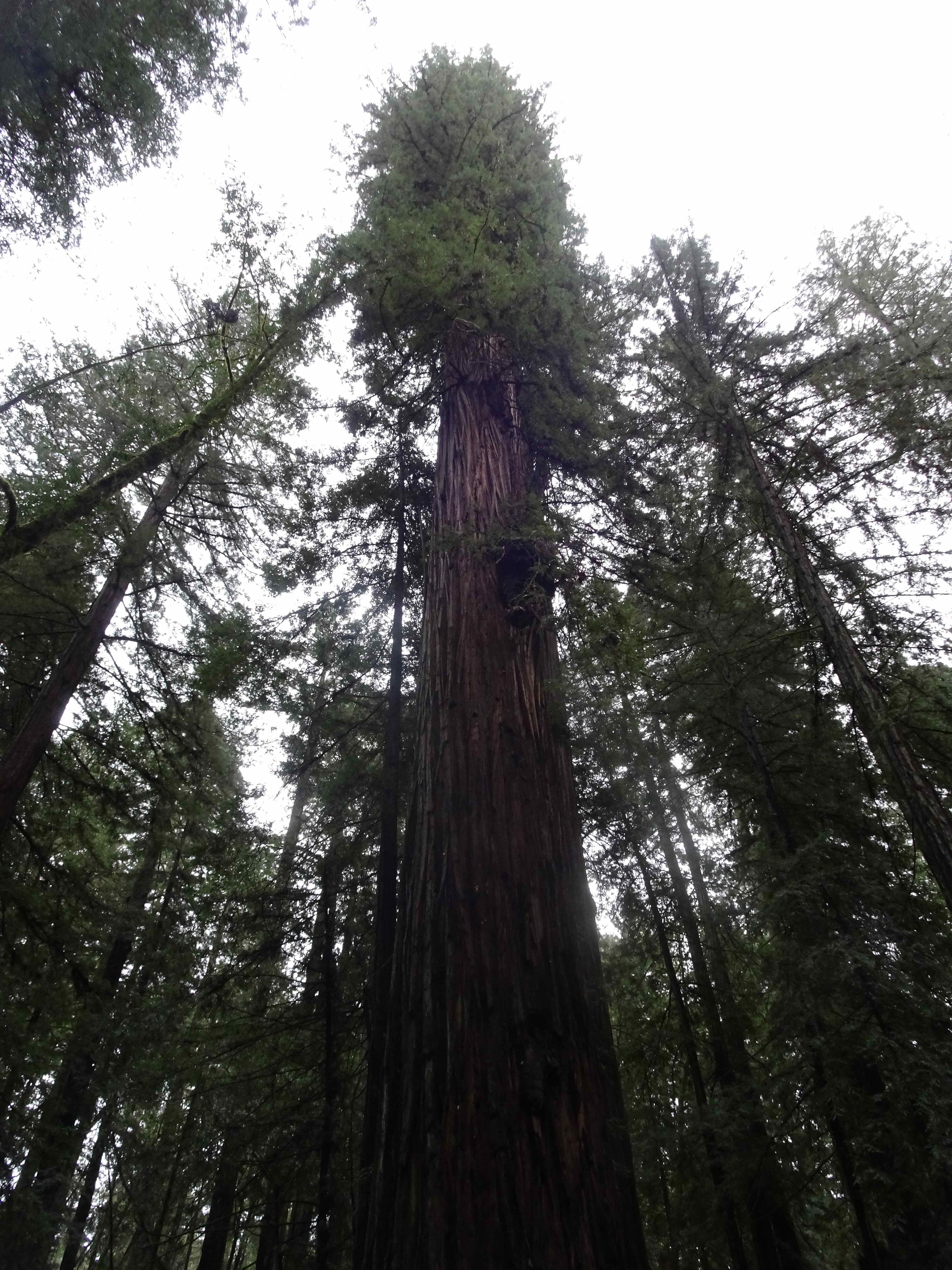
Colonel Armstrong tree
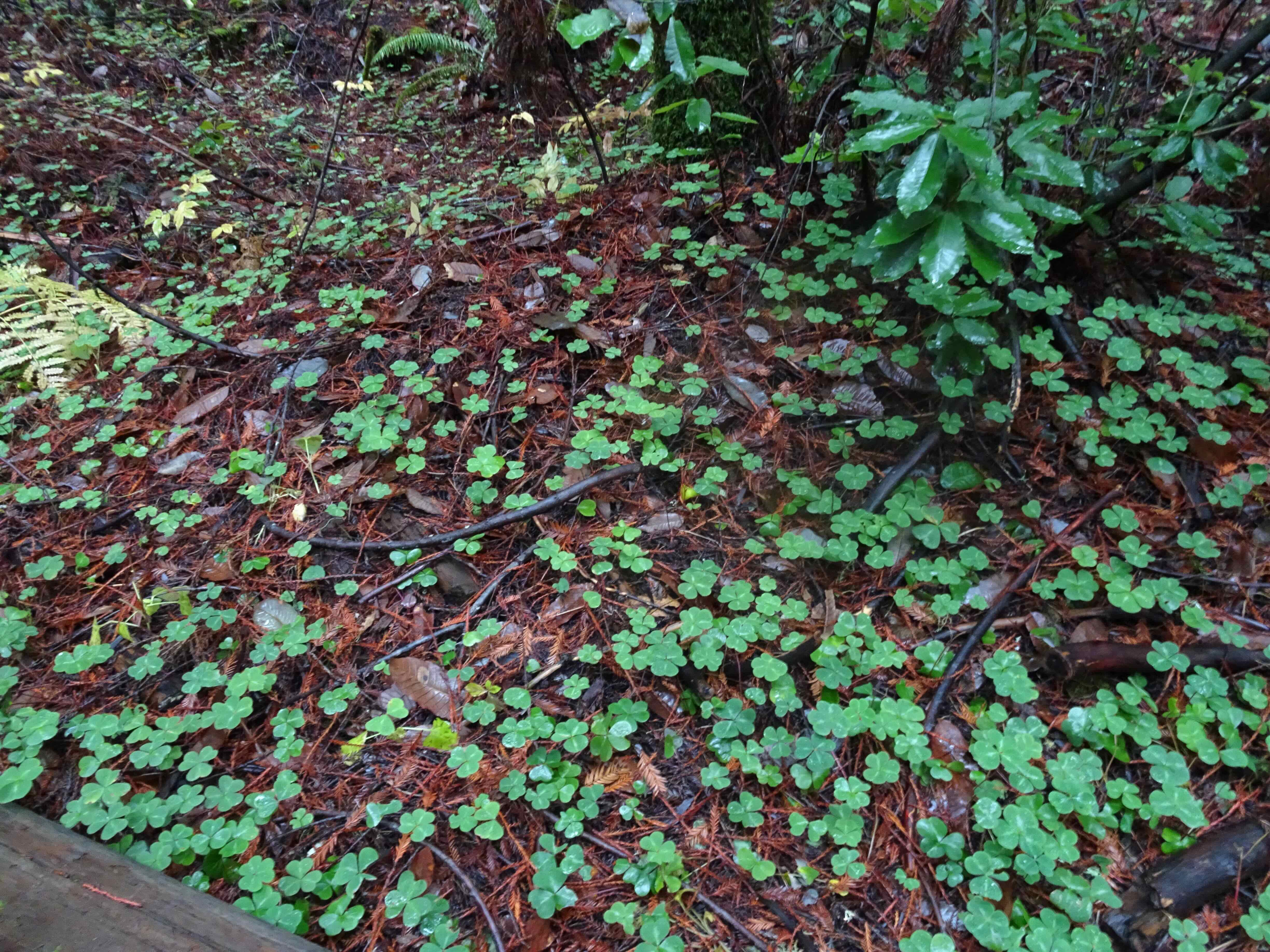
Oxalis on the forest floor

Overflowing stream
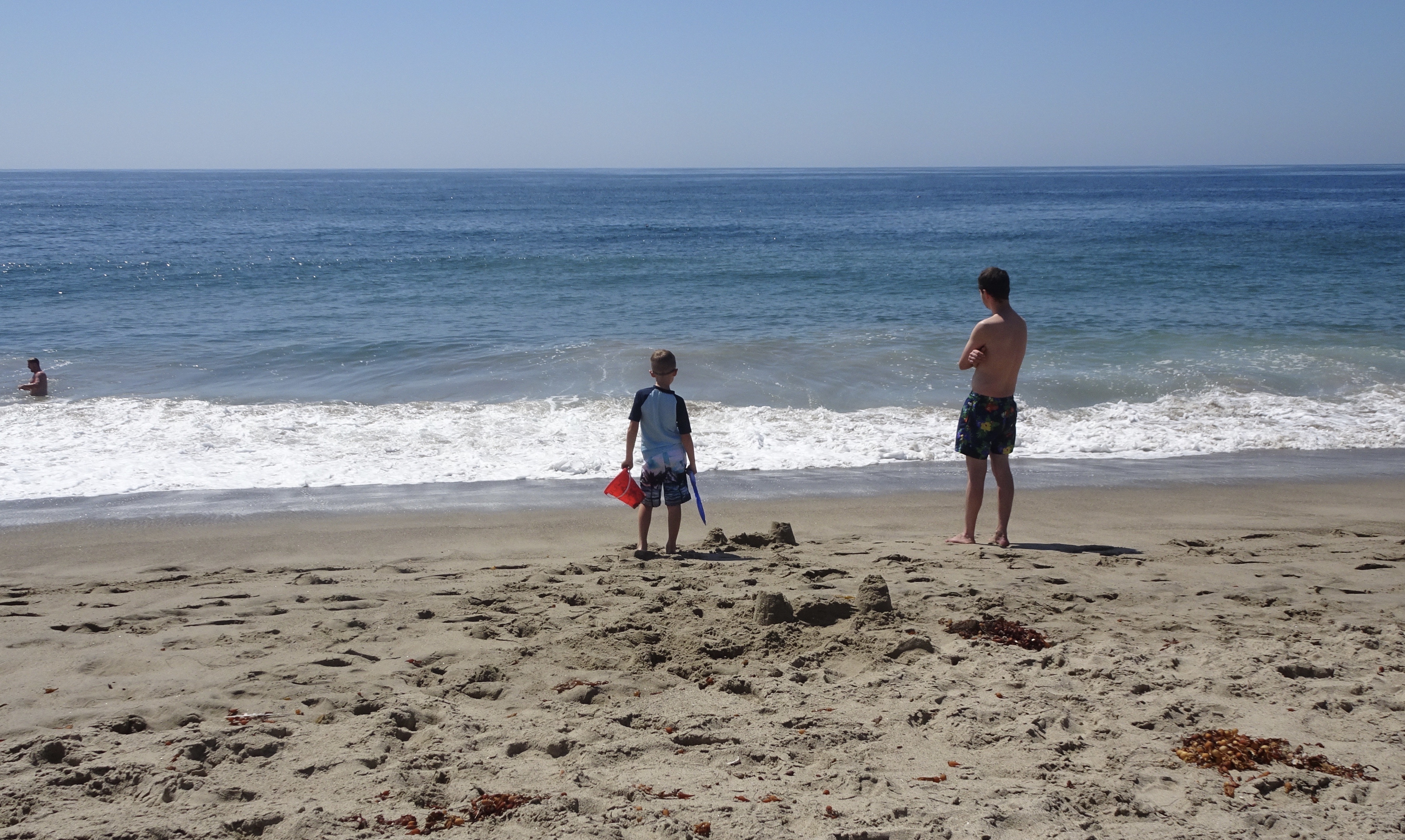
Monday, November 25th – The next day, my good husband tested positive for rebound Covid….drat! We quickly arranged separate hotel rooms, and he had to stay quarantined most of the visit. Fortunately, it was a mild case, but we did not want to spread it around! He was able to join the family in their outdoor spaces – they had a good array of Covid-era heat lamps. And he could join in outdoor hikes and walks, so all was not lost, and no one else there became ill, so in that respect it was a successful visit. I tested negative every day, so was able to join the family for a lovely Thanksgiving dinner, and several walks and hikes.

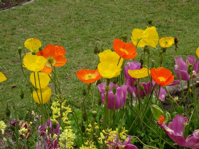
Thanksgiving table
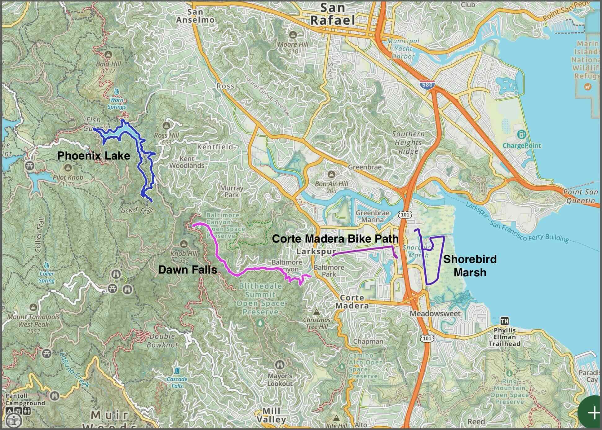
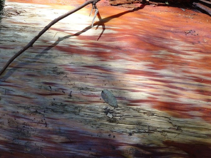
Walks and hikes near Corte Madera
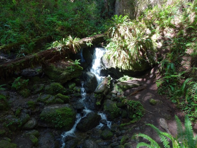
Dawn Falls – This was a completely rainy walk up to the falls, through redwoods and forest – quite beautiful and authentic!

Dawn Falls, Baltimore Canyon
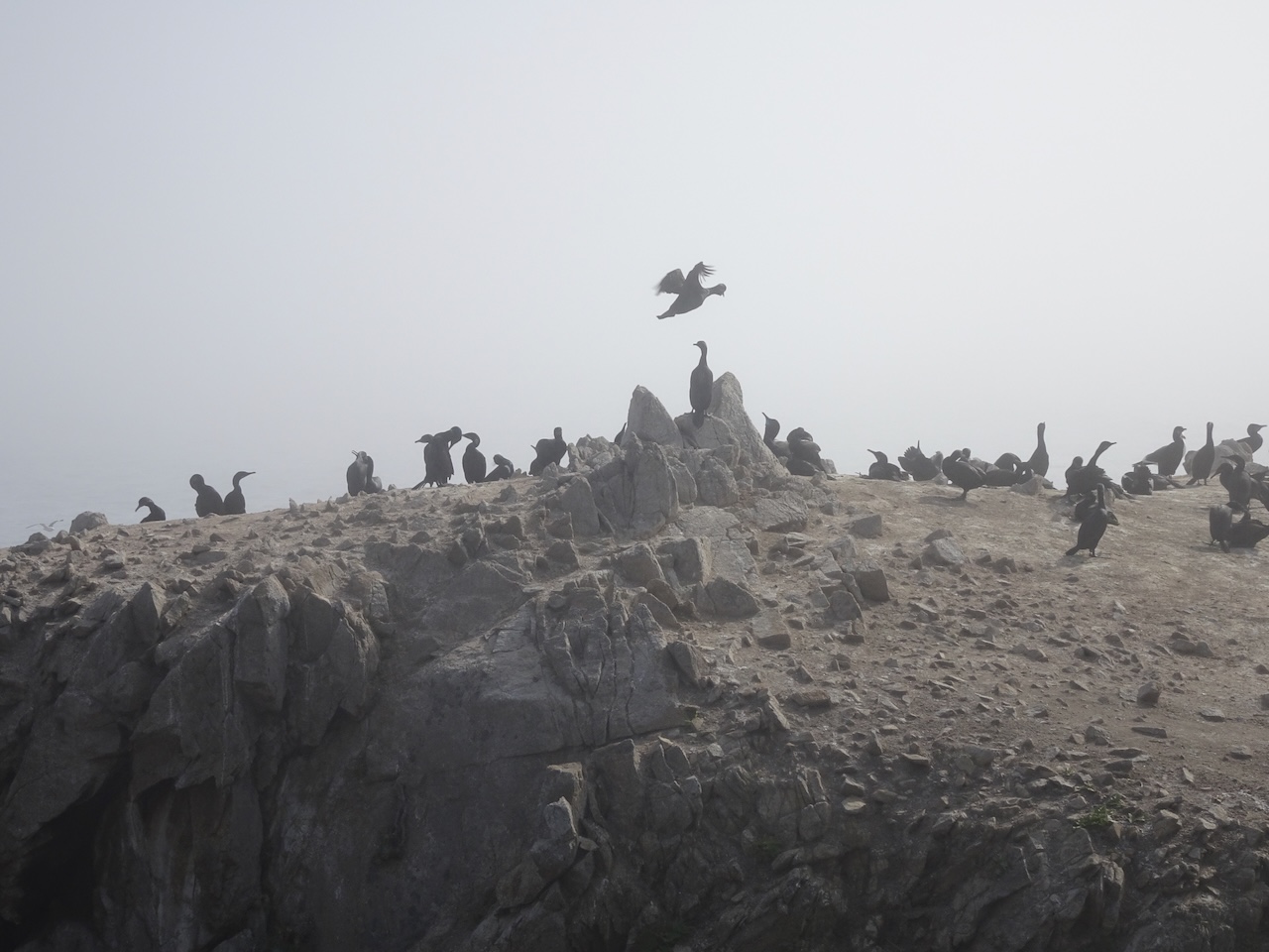
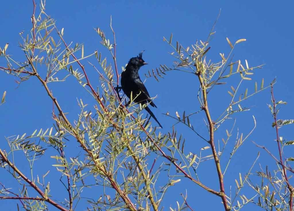
The Corte Madera Bike Path was close to our hotel, and a good place to walk to see birds.
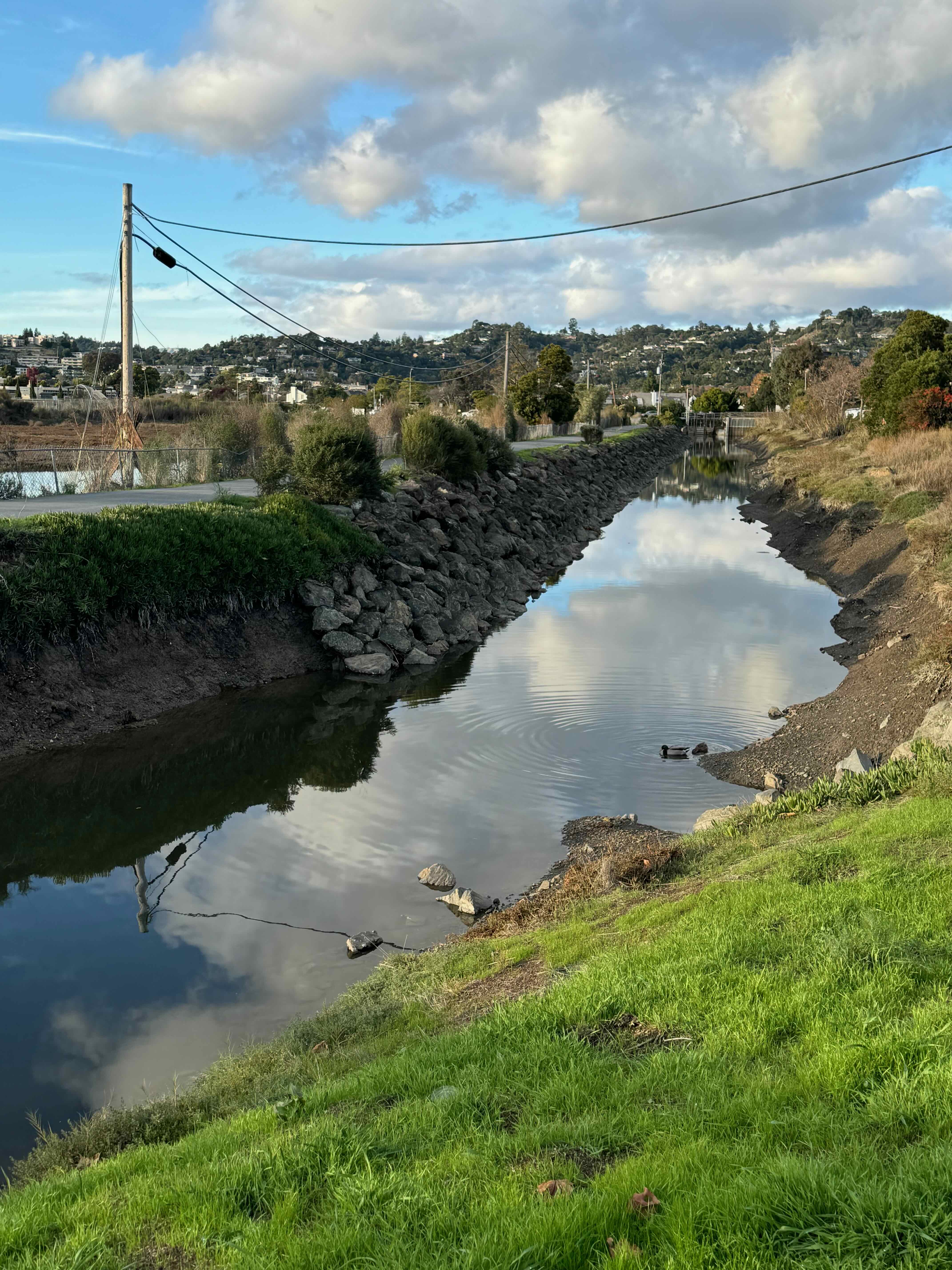
Canal reflections
Wetlands with egrets
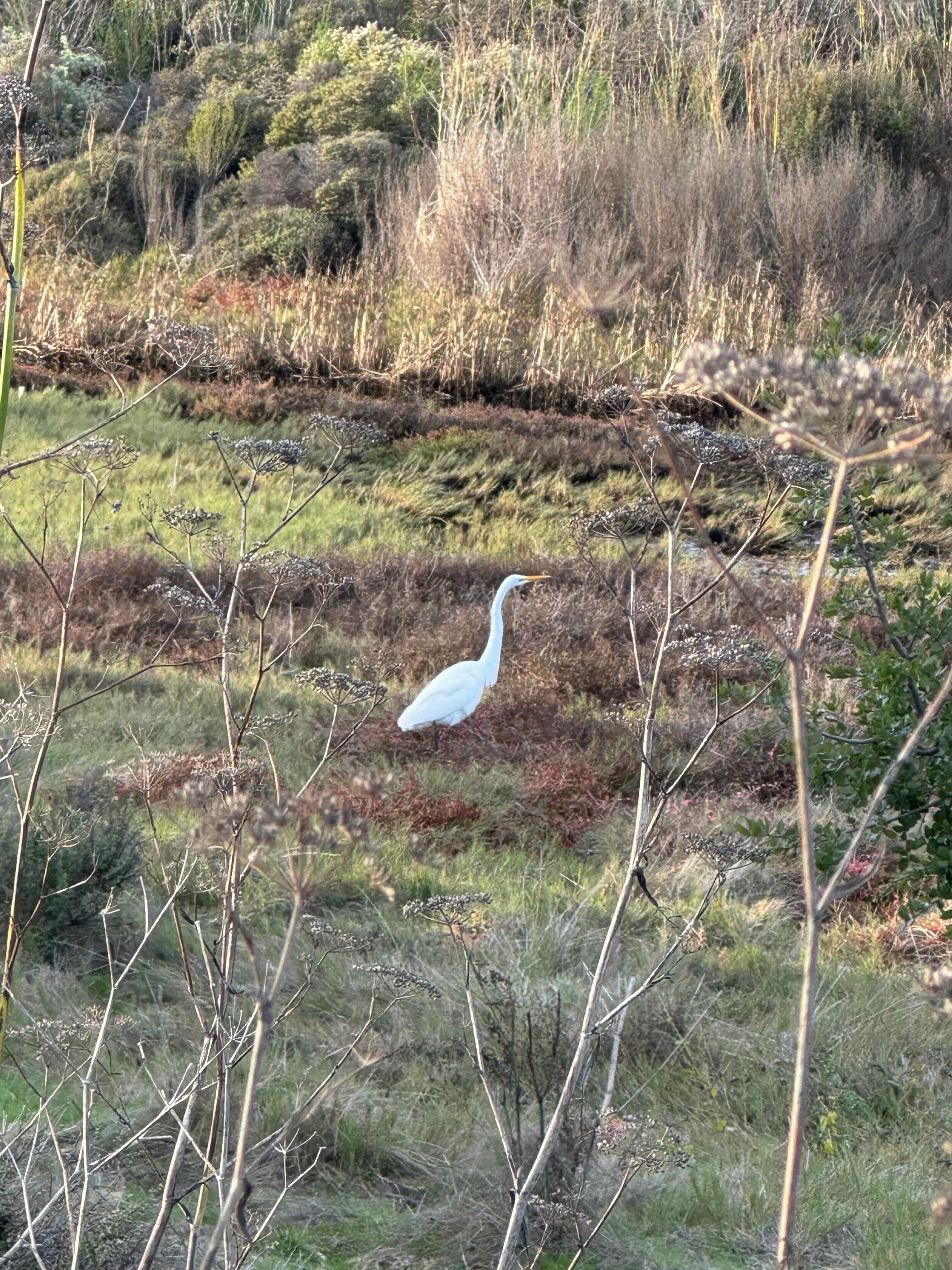
Egret
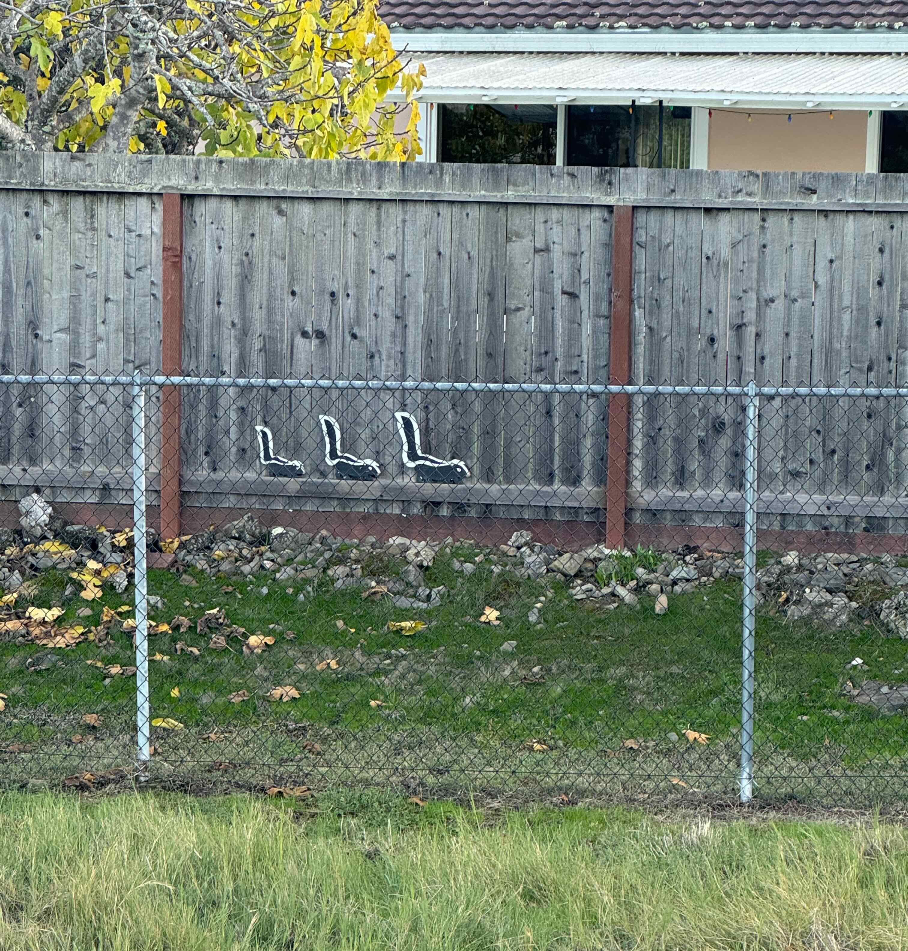
Skunks
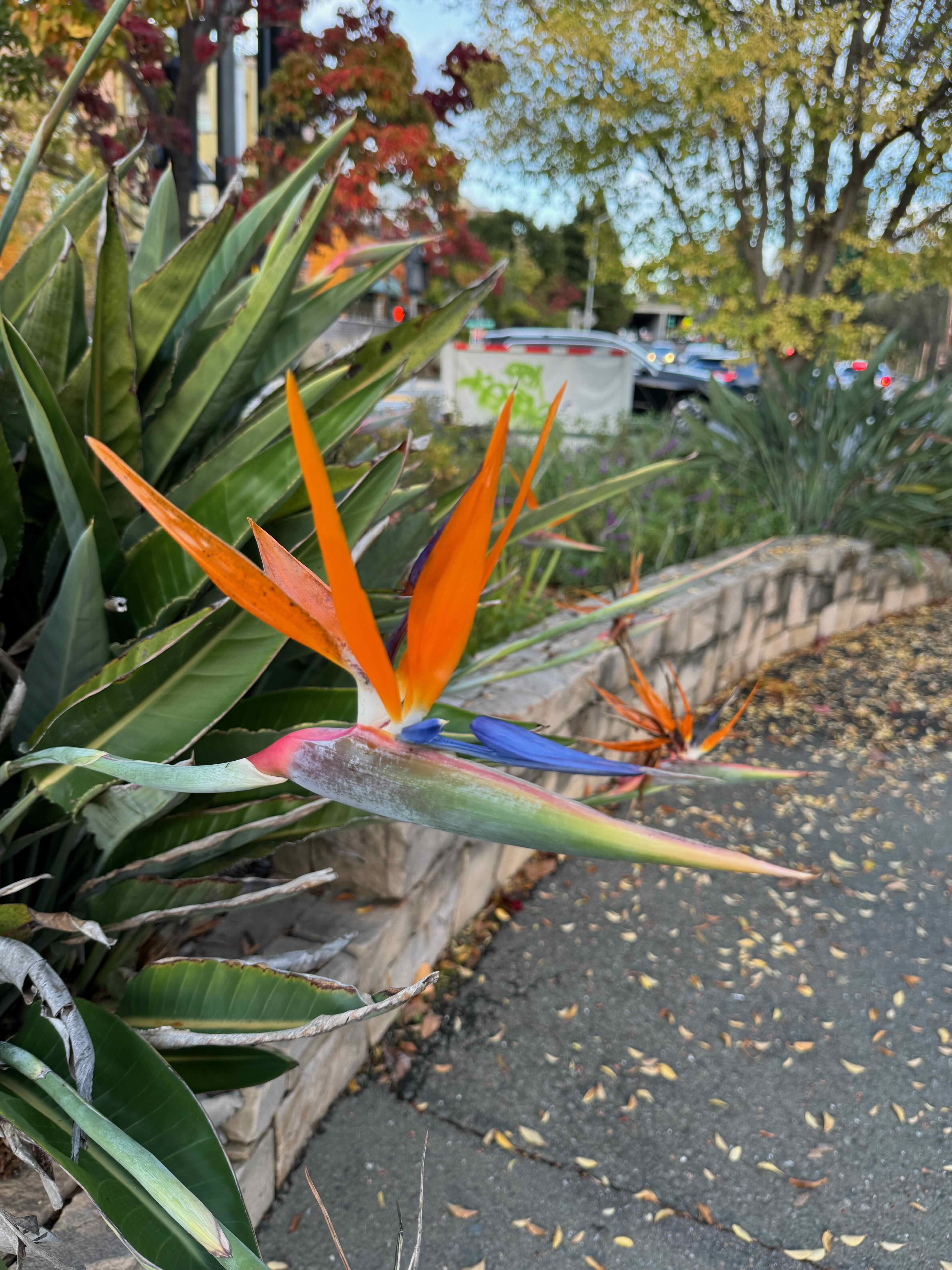
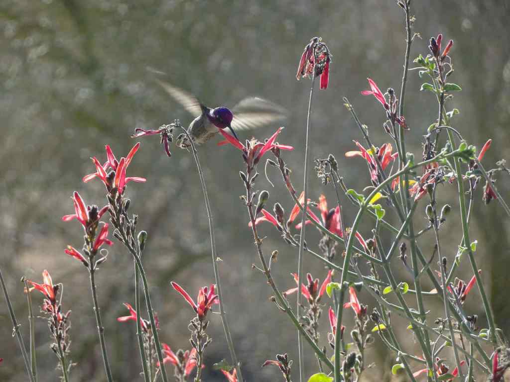
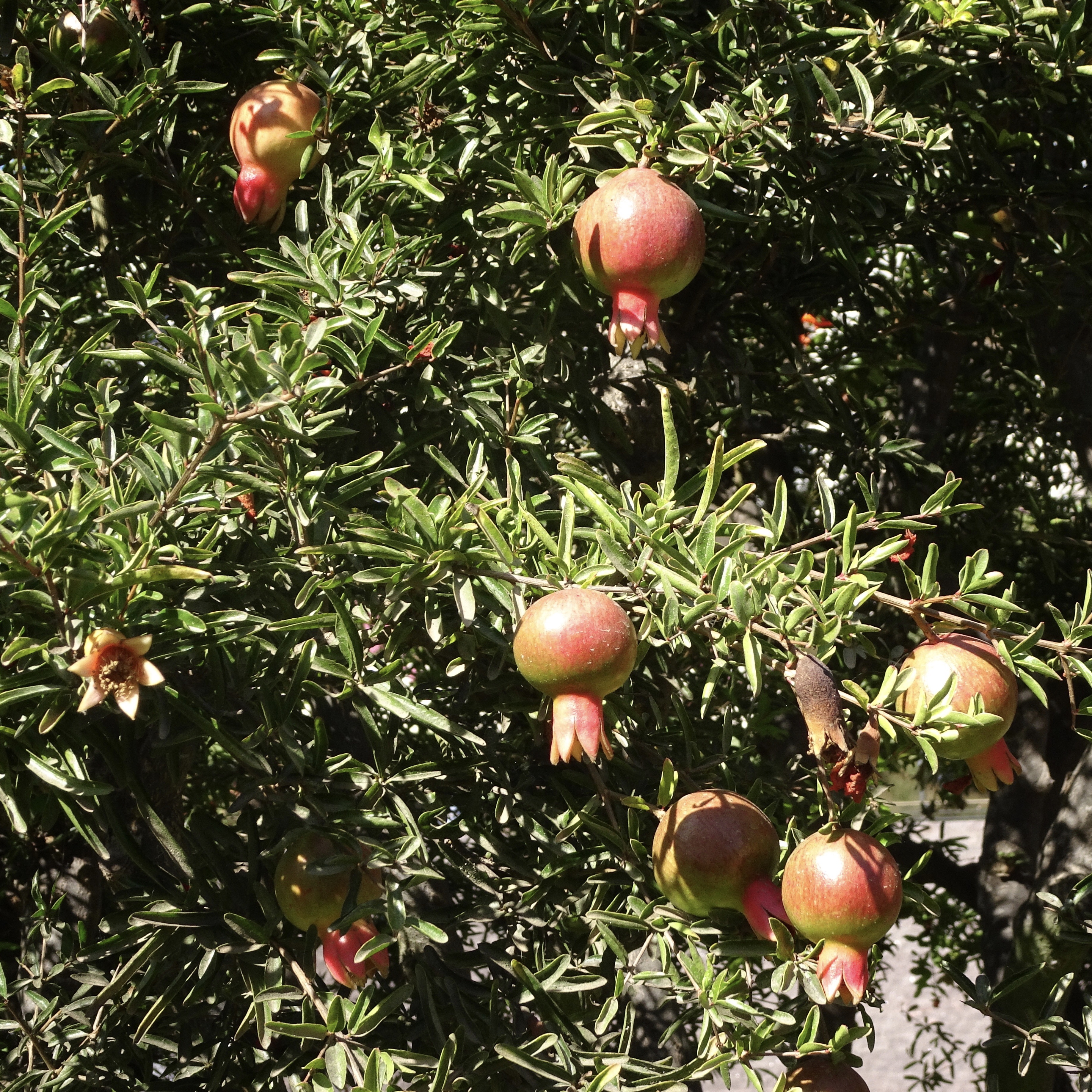
Bird of Paradise
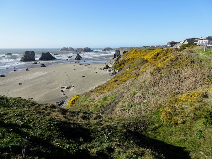
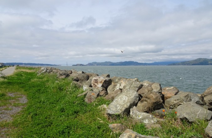
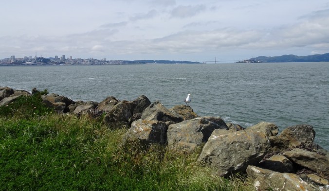
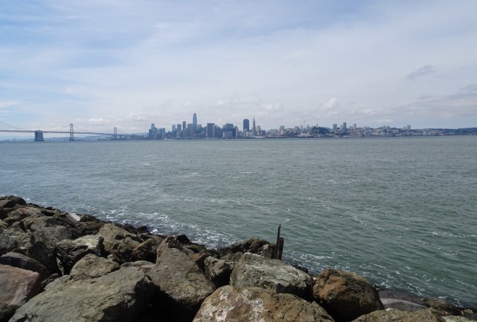
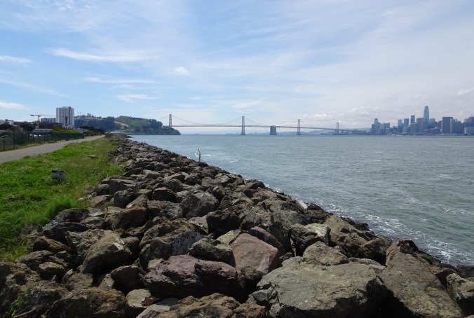
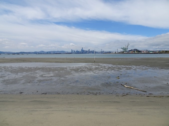
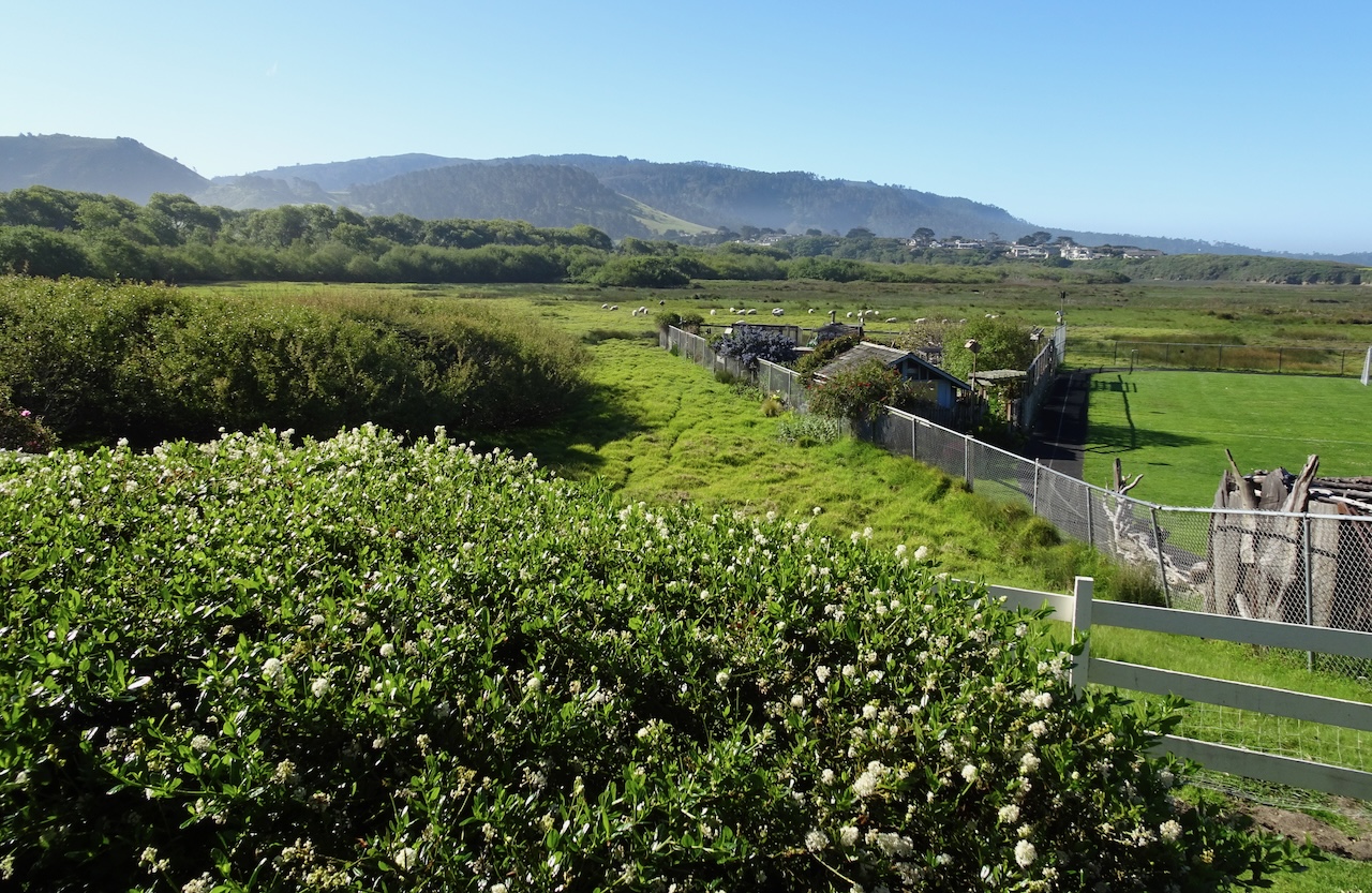
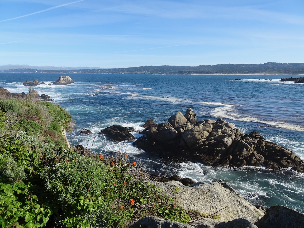
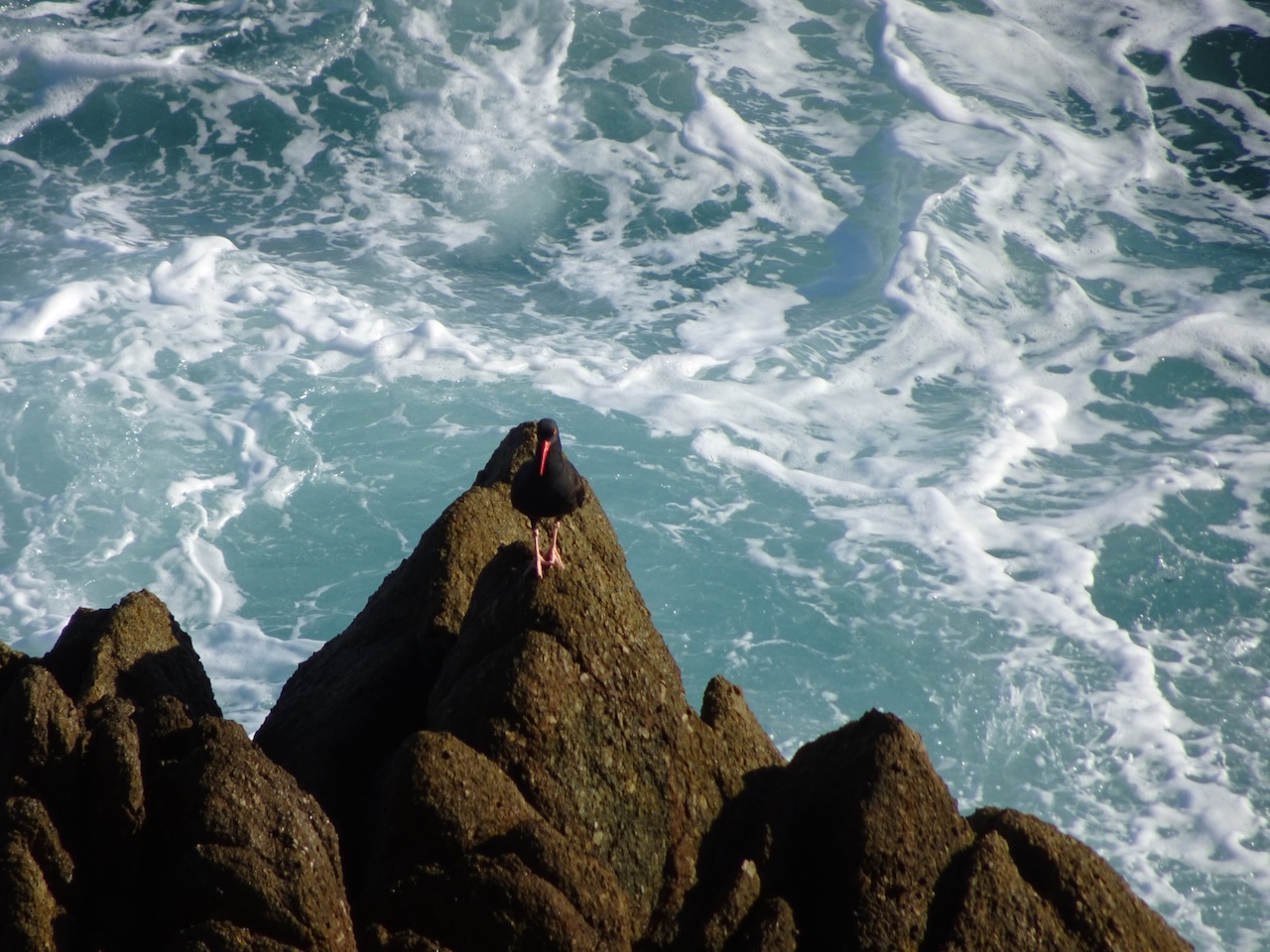
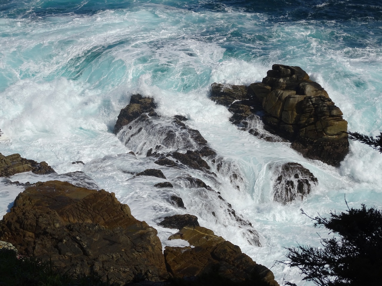
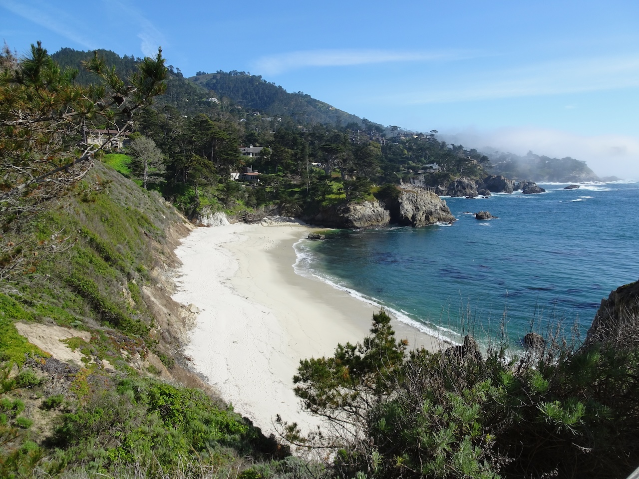
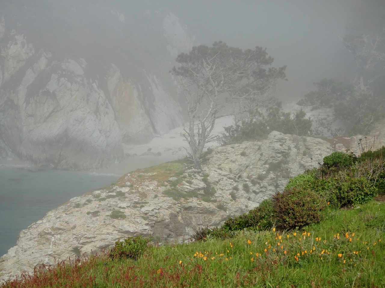
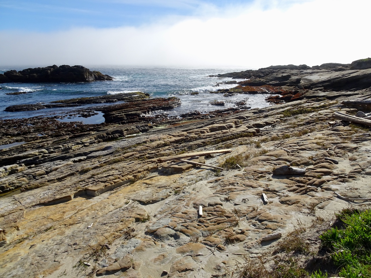
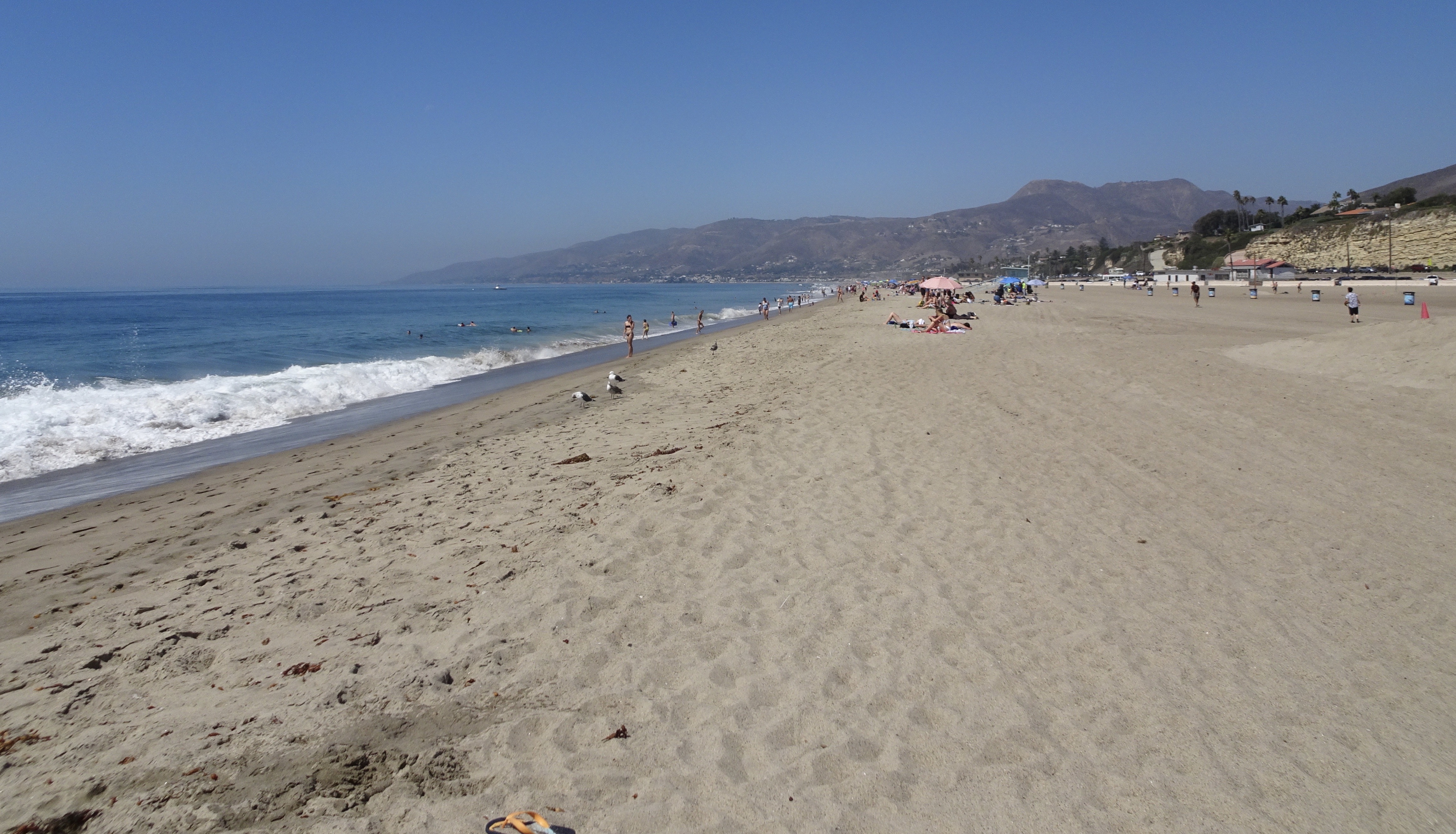
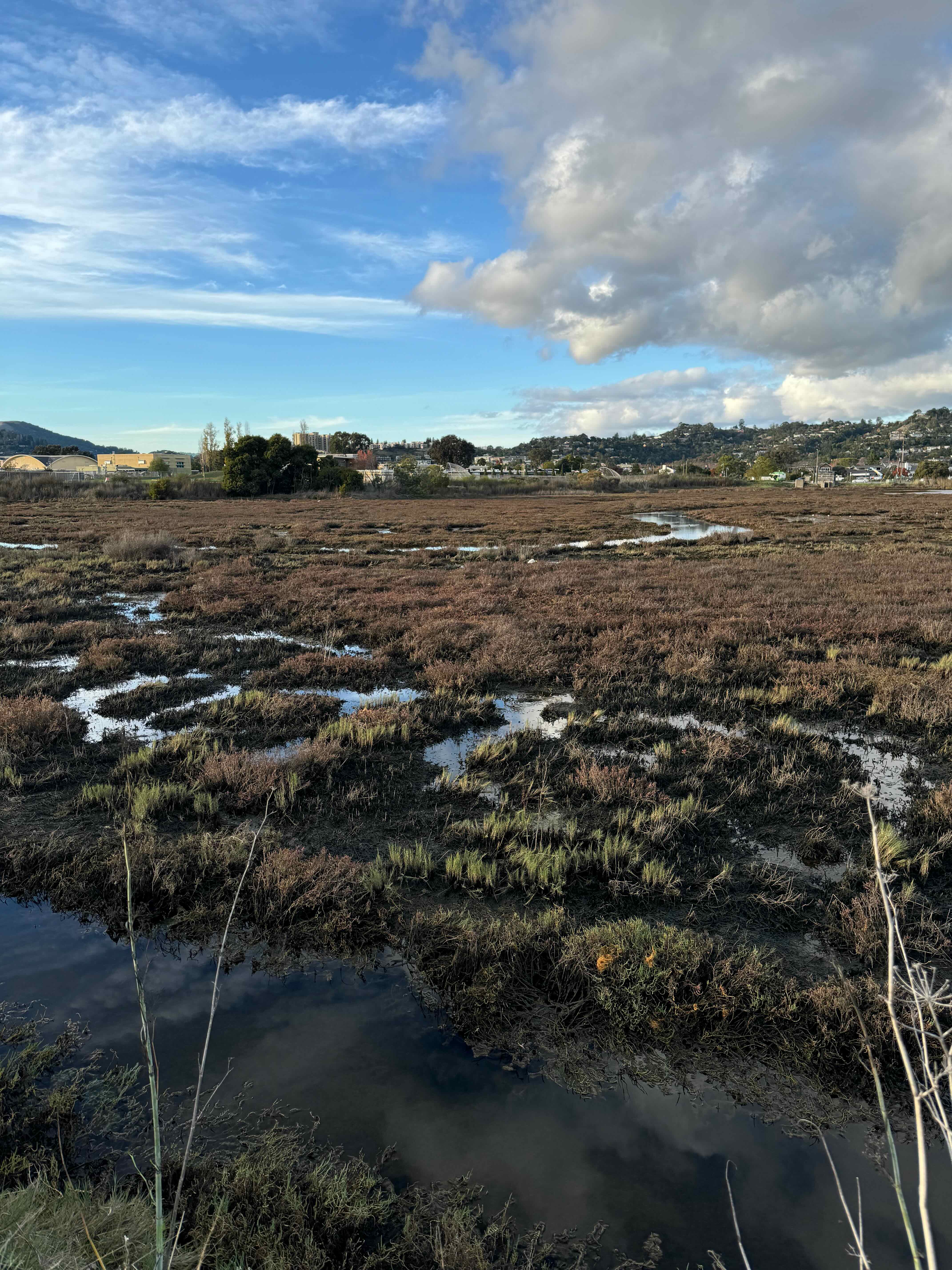
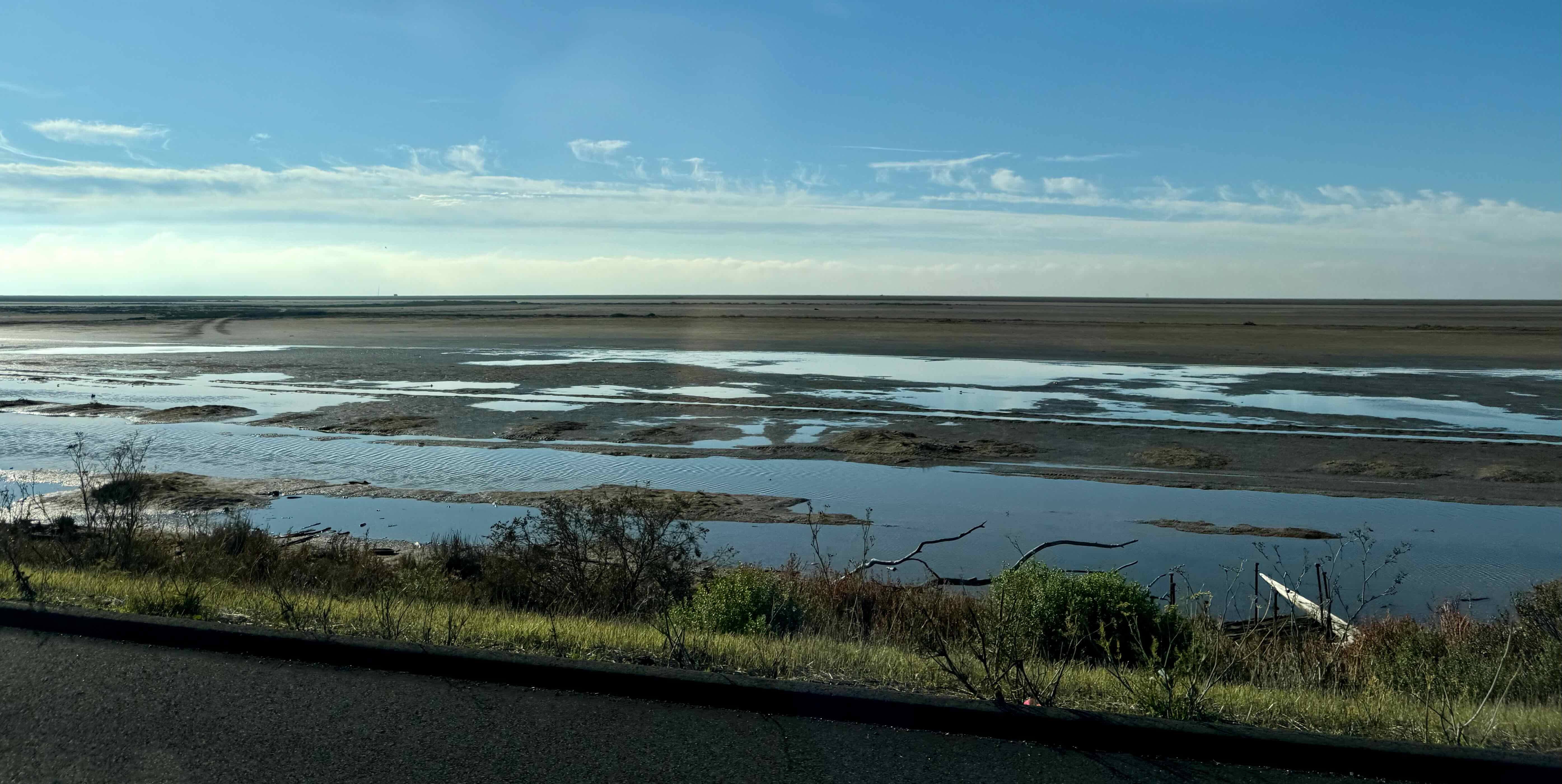
The Shore Marsh Wildlife Area was also nearby – flat, and with scenic views across the North Bay wetlands.
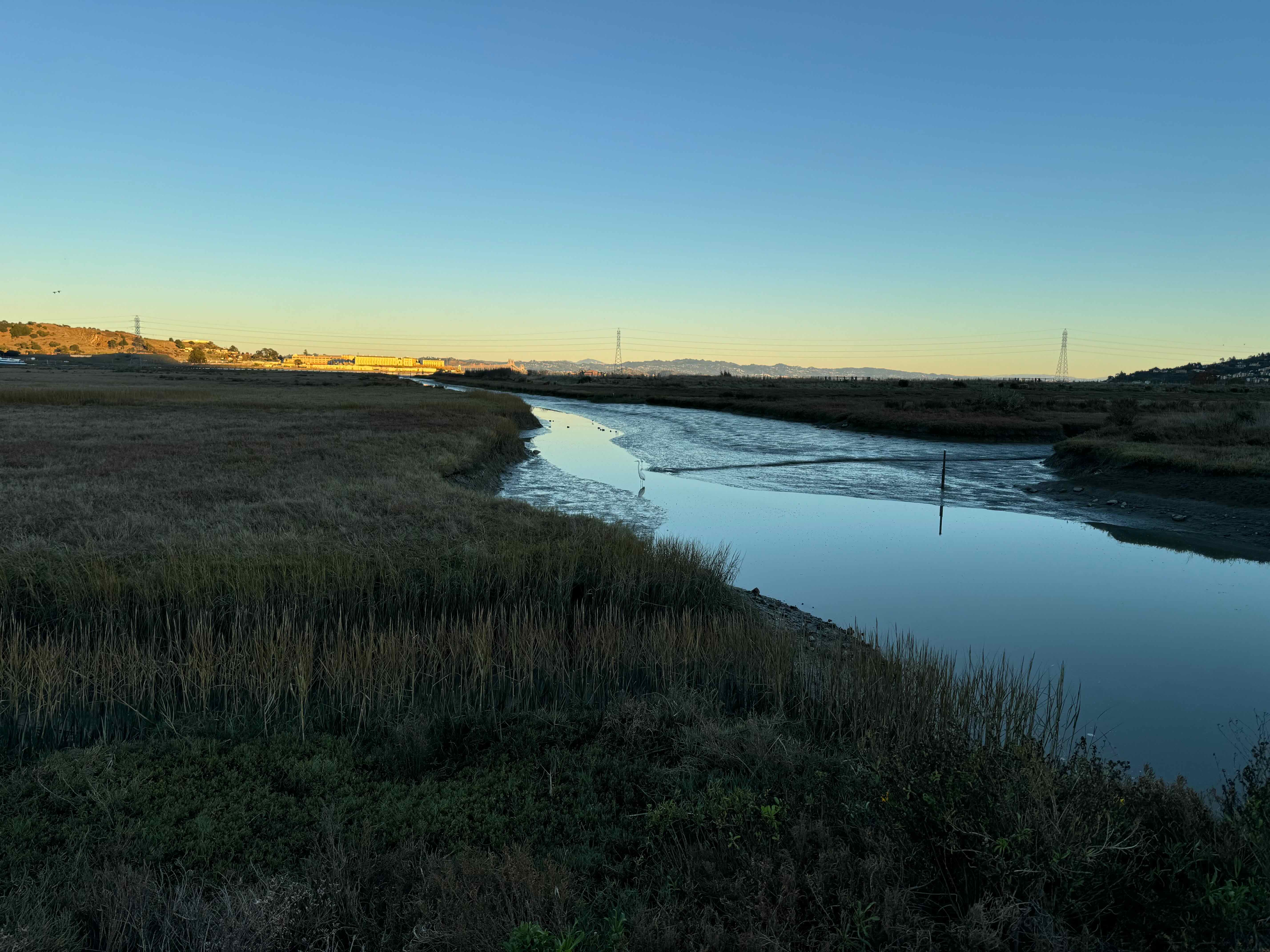
Egret, San Quentin
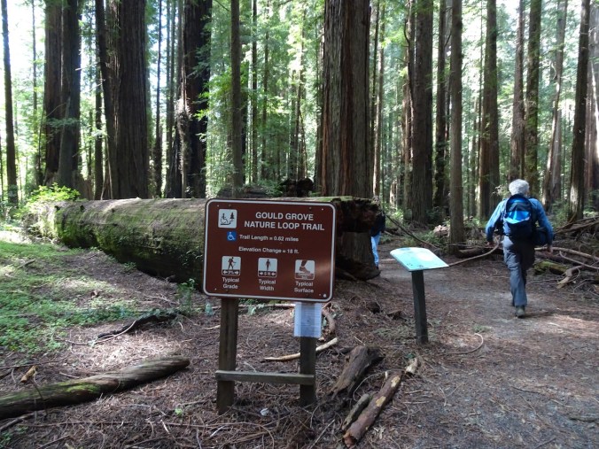
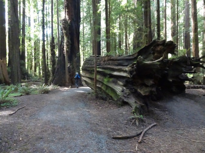
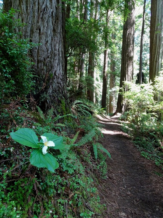
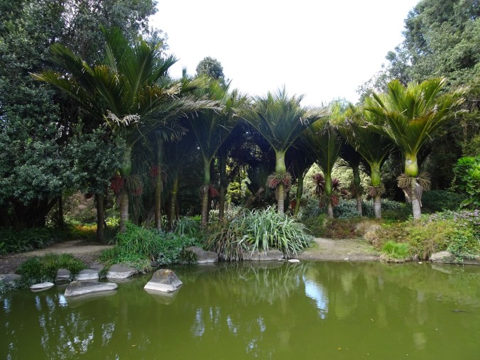
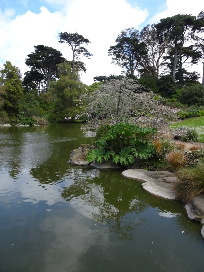
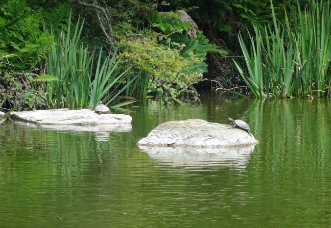
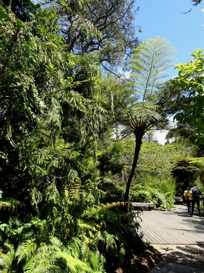
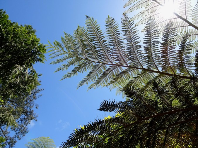
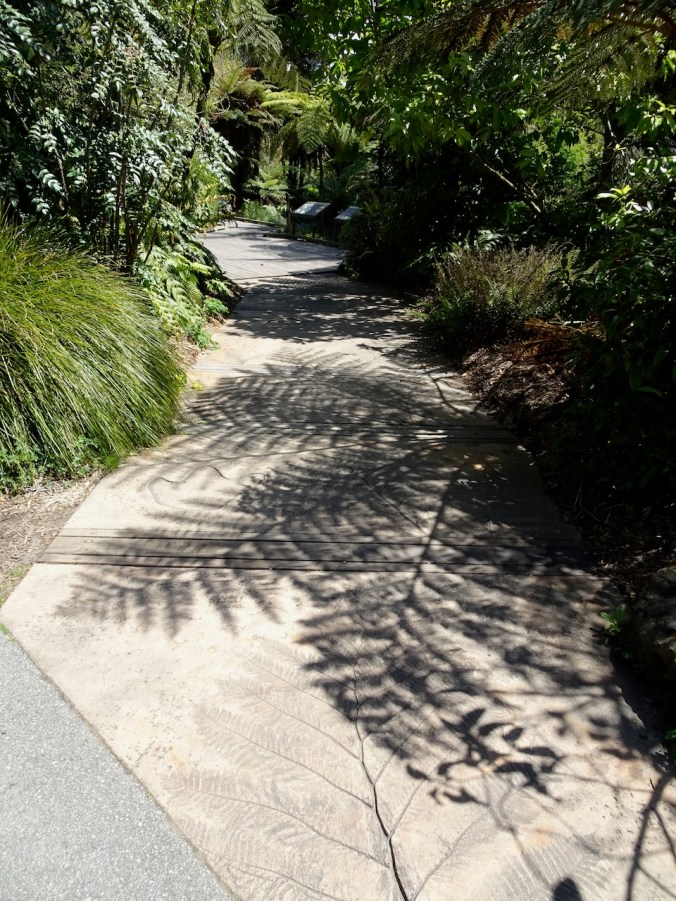
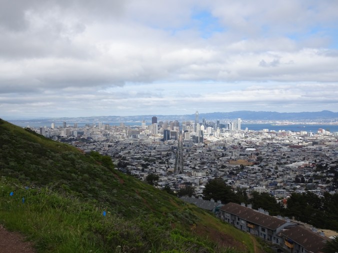
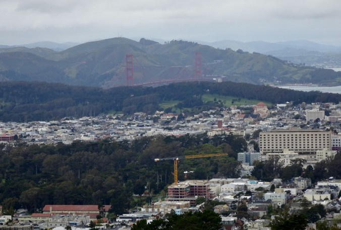
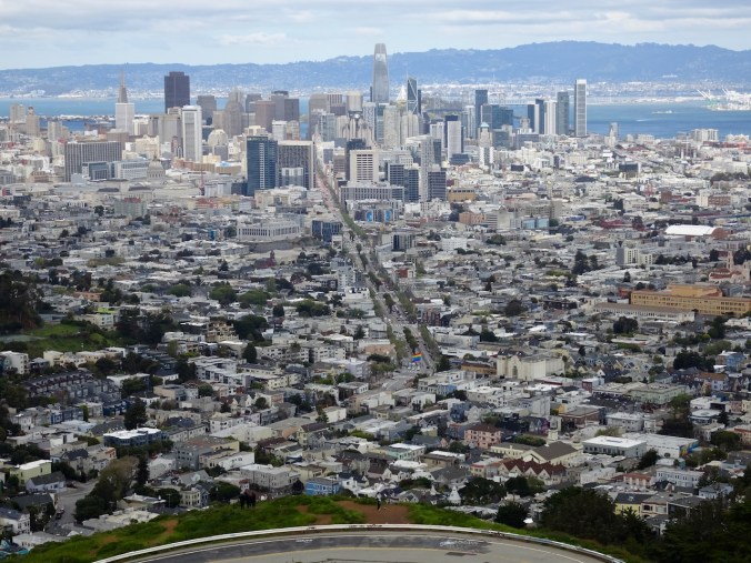
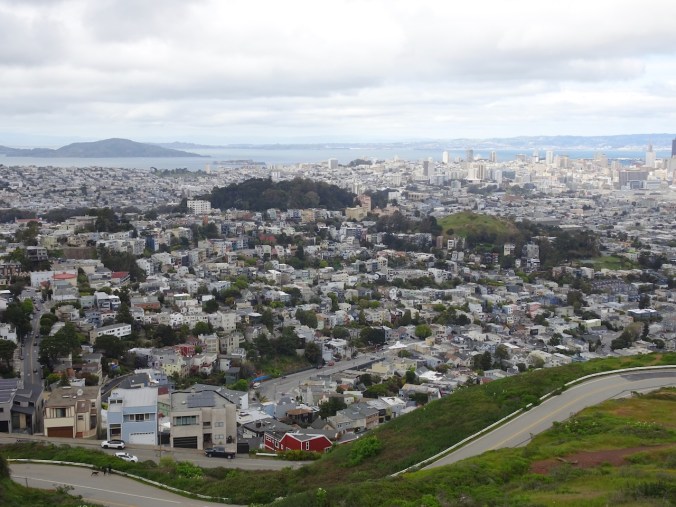
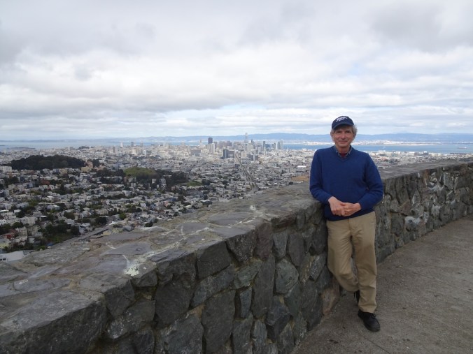
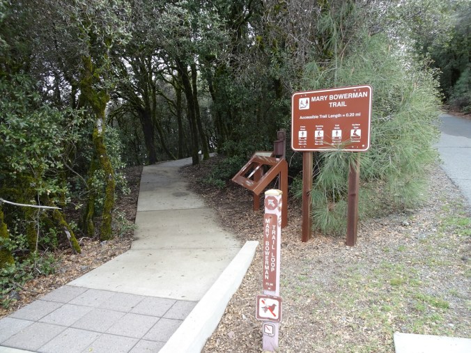
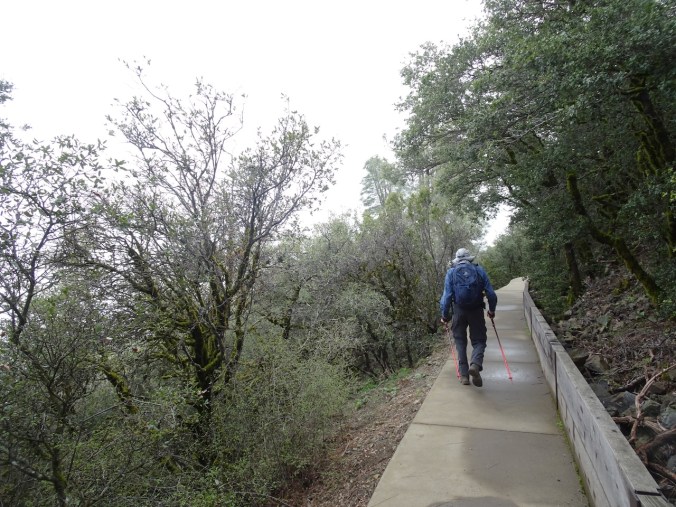
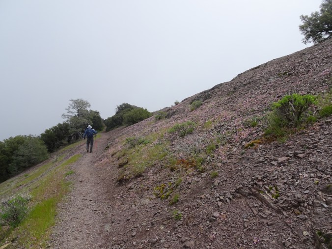
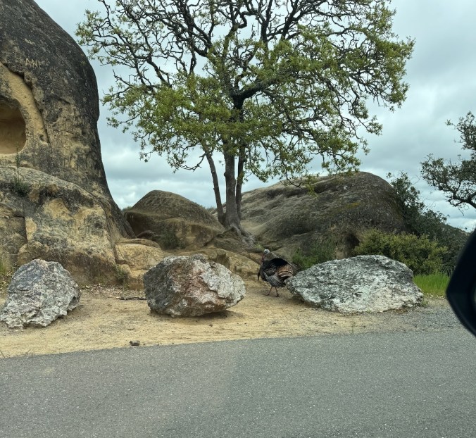
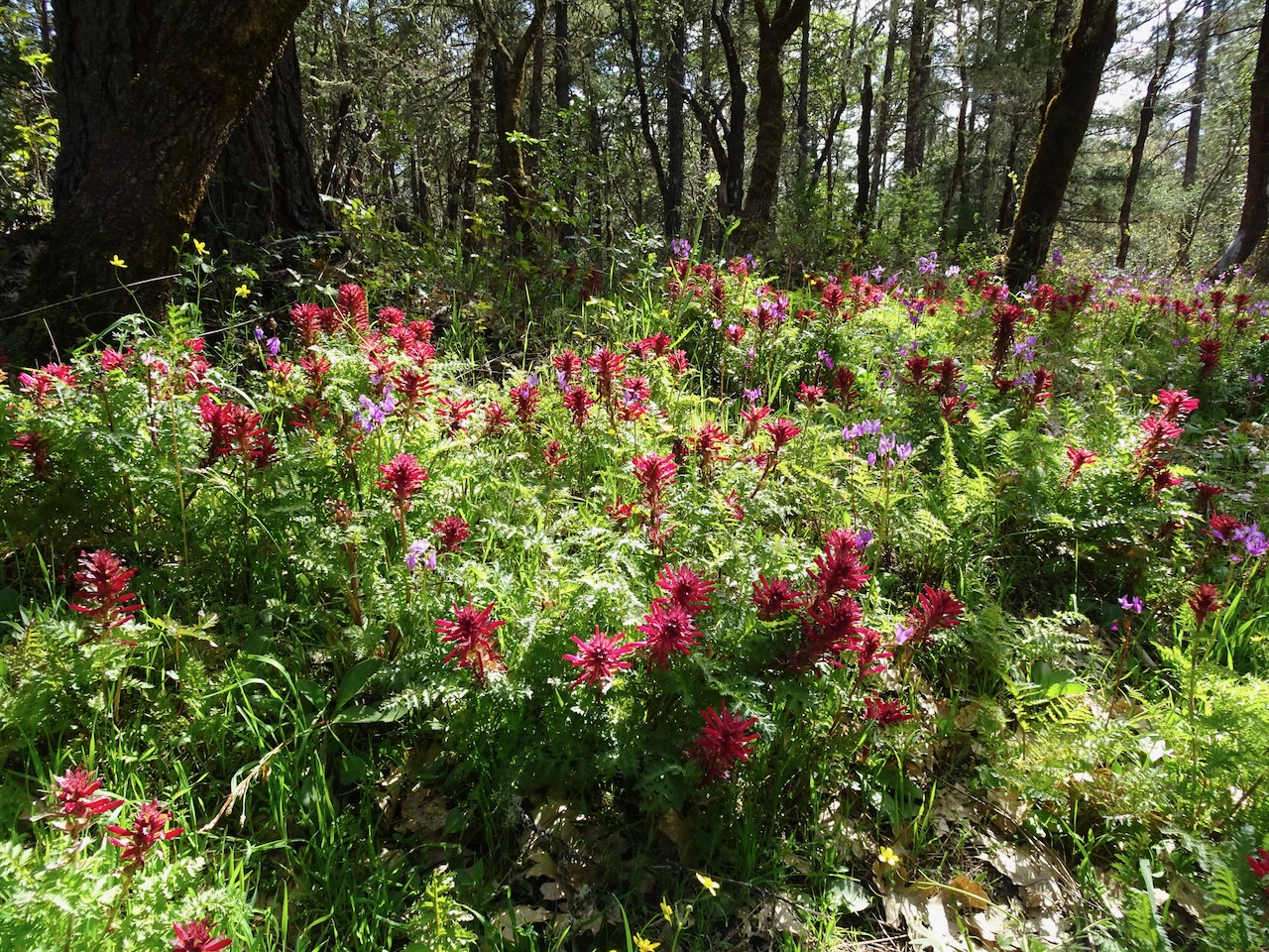
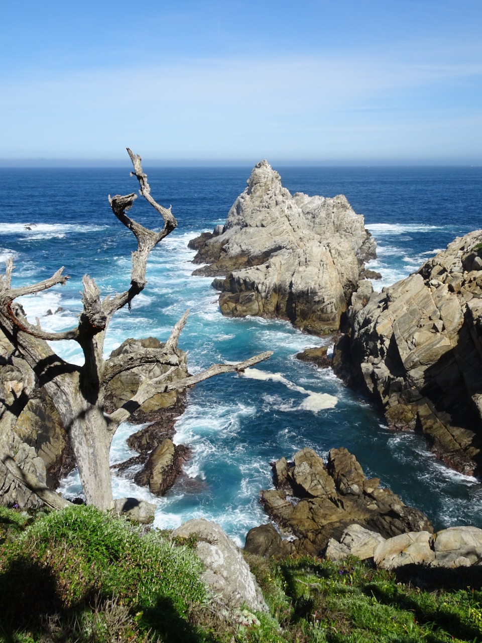
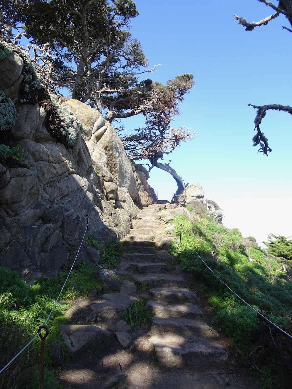
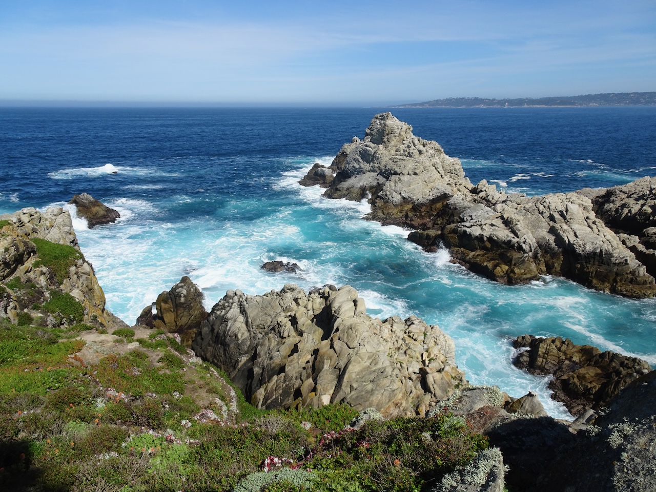
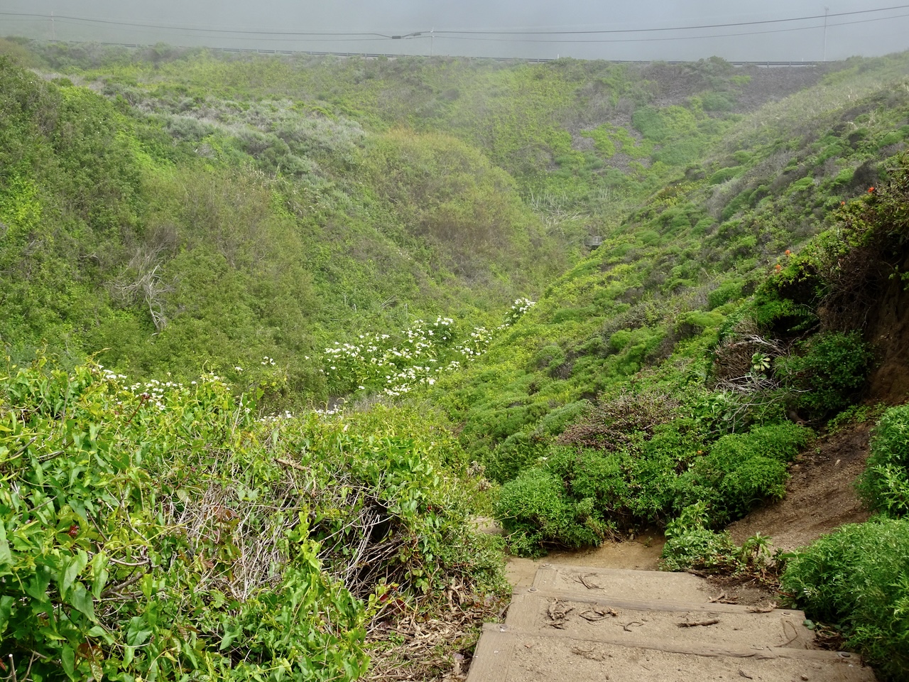
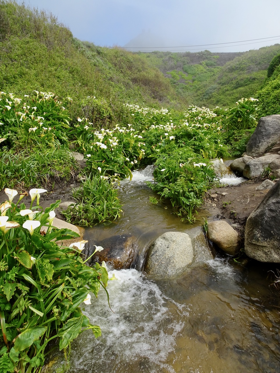
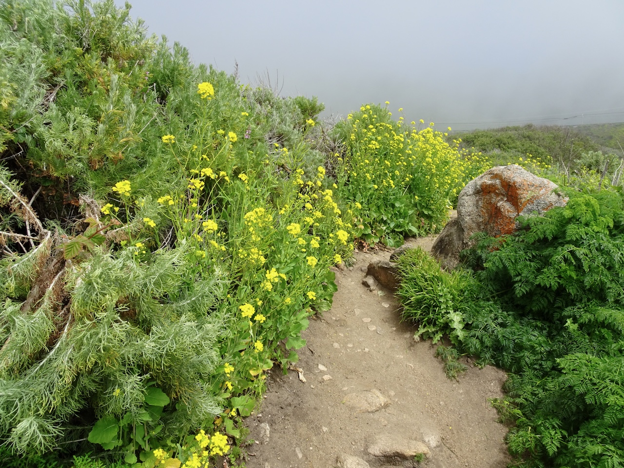
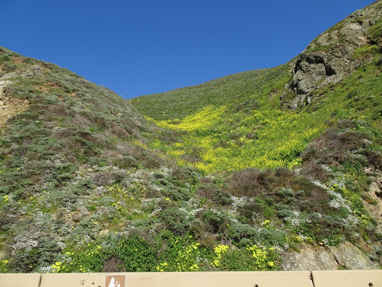
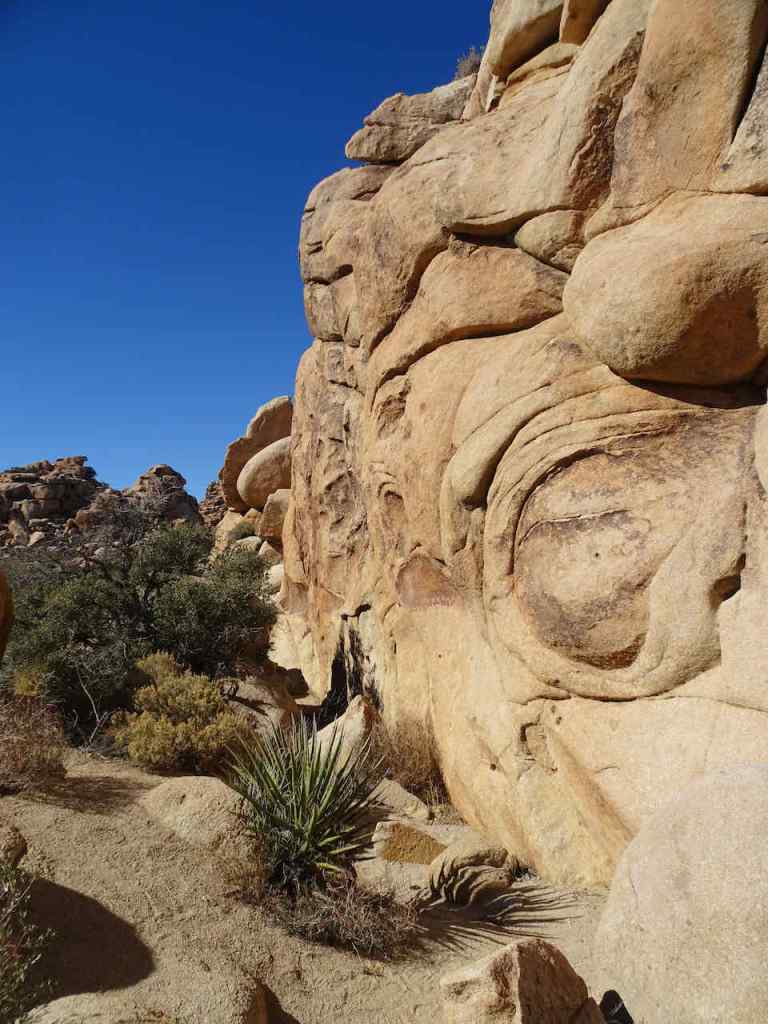
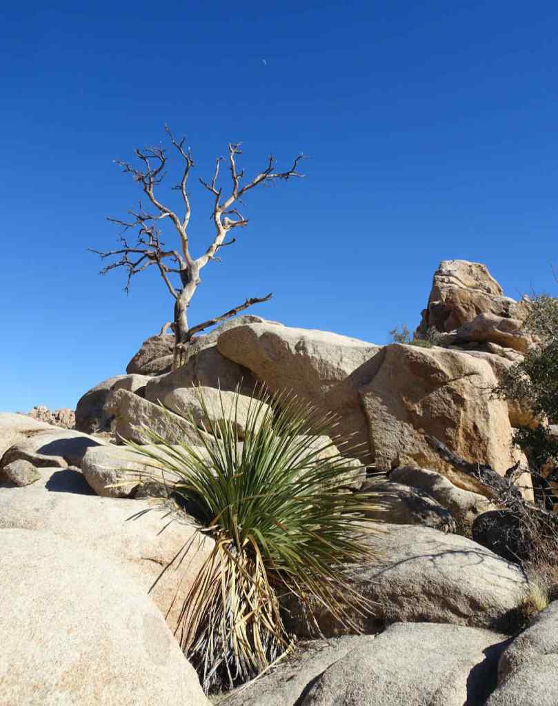
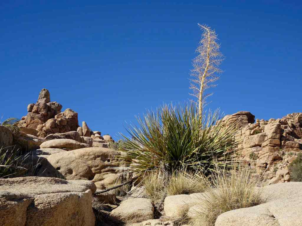
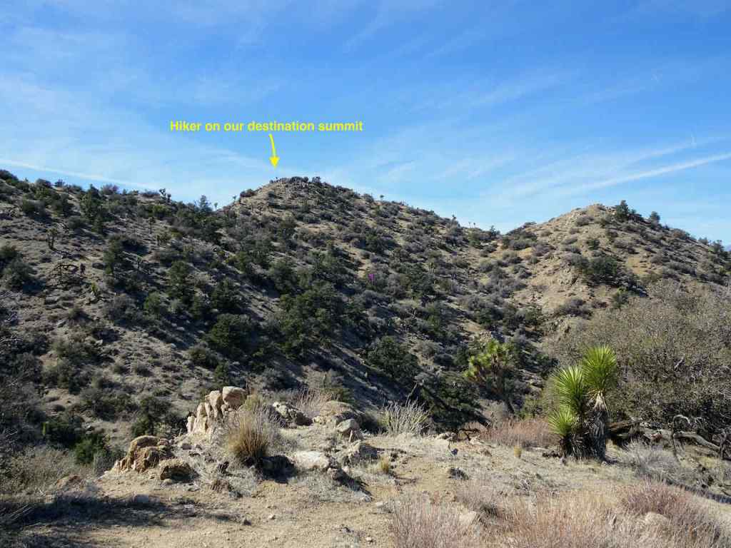
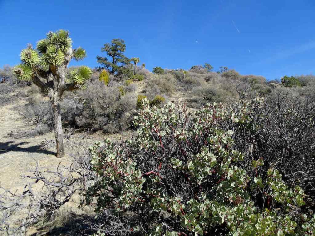
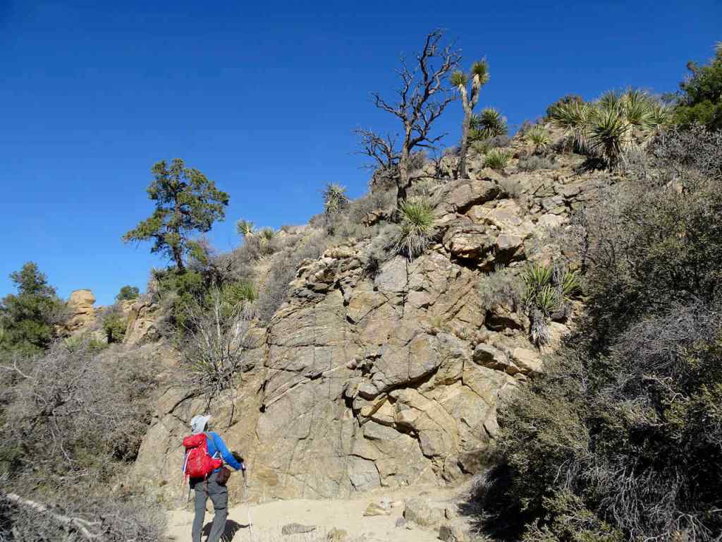
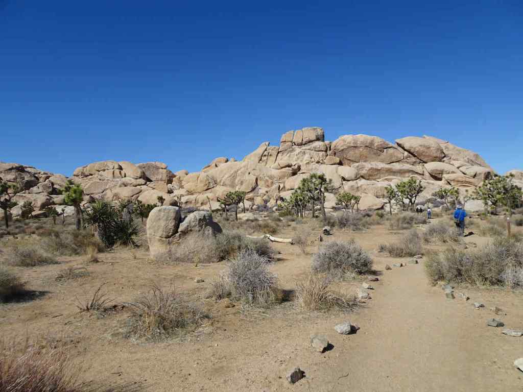
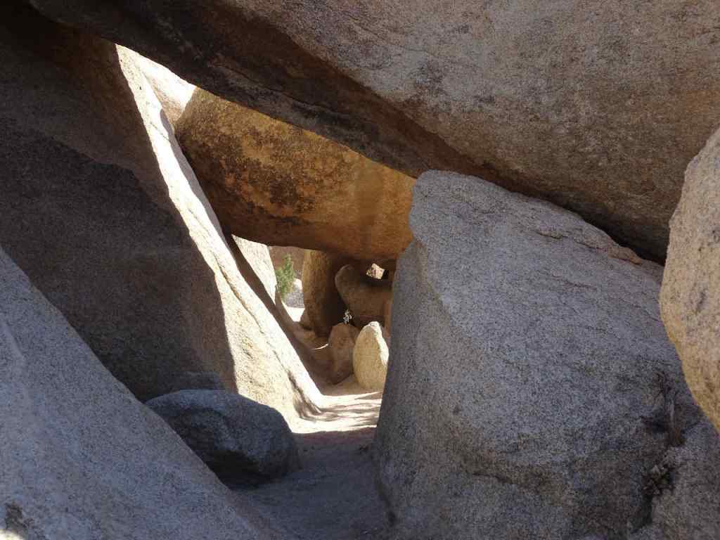
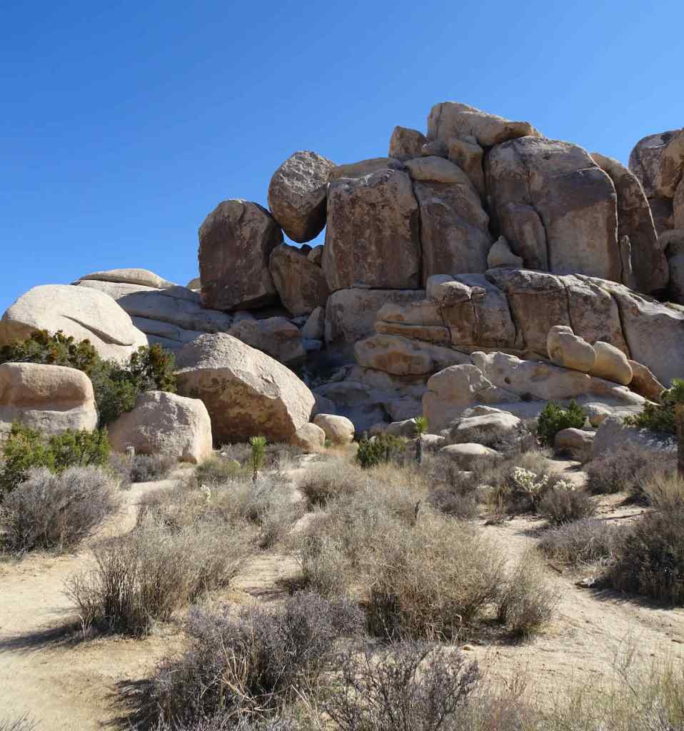
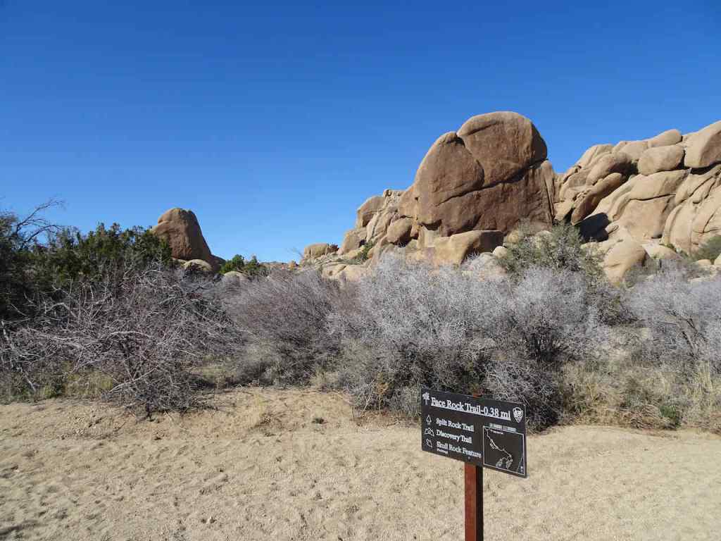
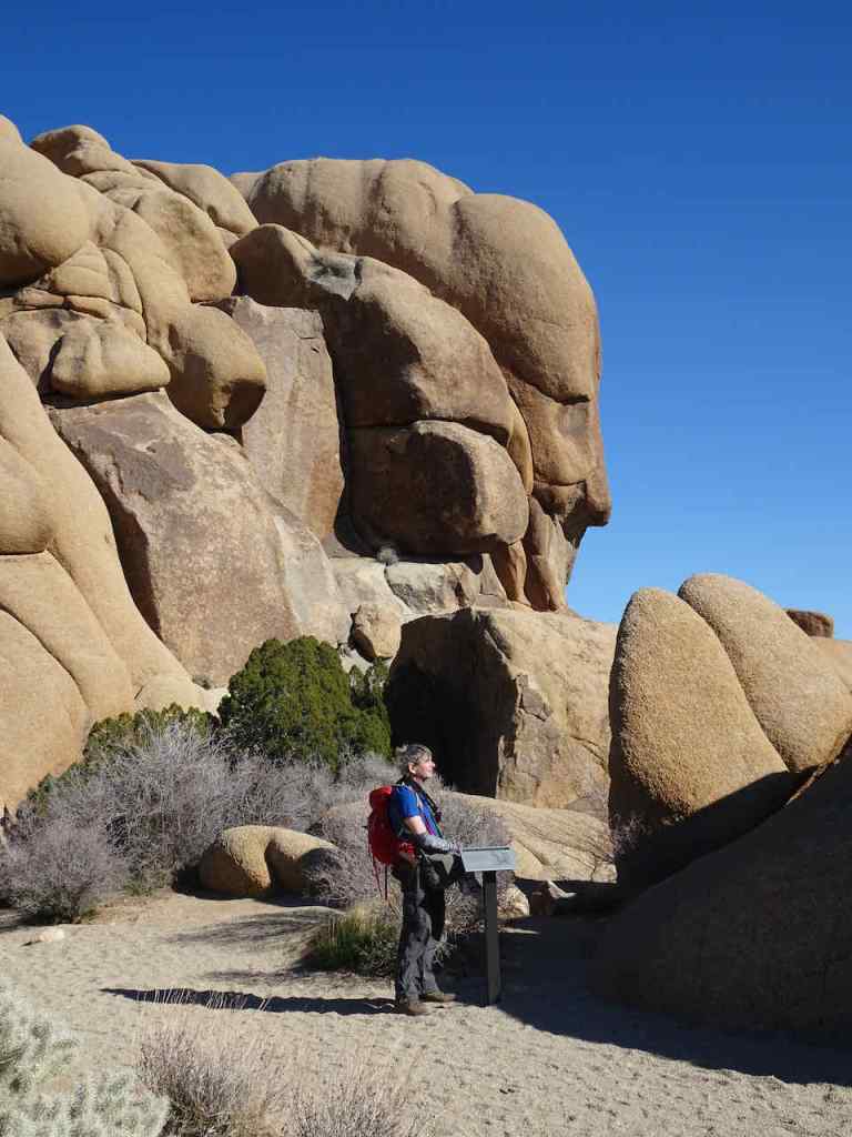
We hiked around Phoenix Lake on Black Friday – just one of the many trails around Mt Tamalpais on the Marin Peninsula.

Mt Tamalpais above as we walk down toward Phoenix Lake

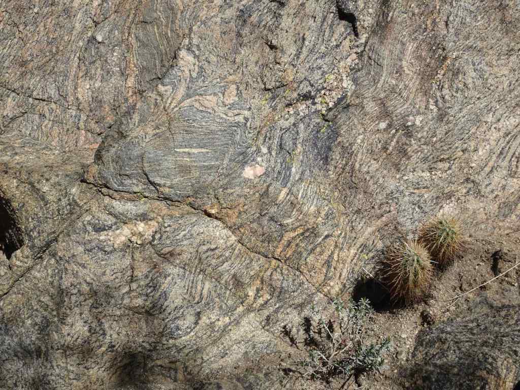
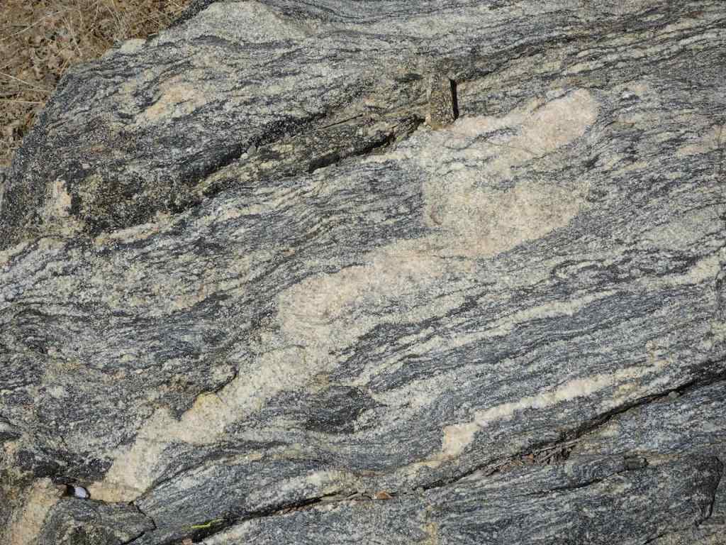
Stream channel
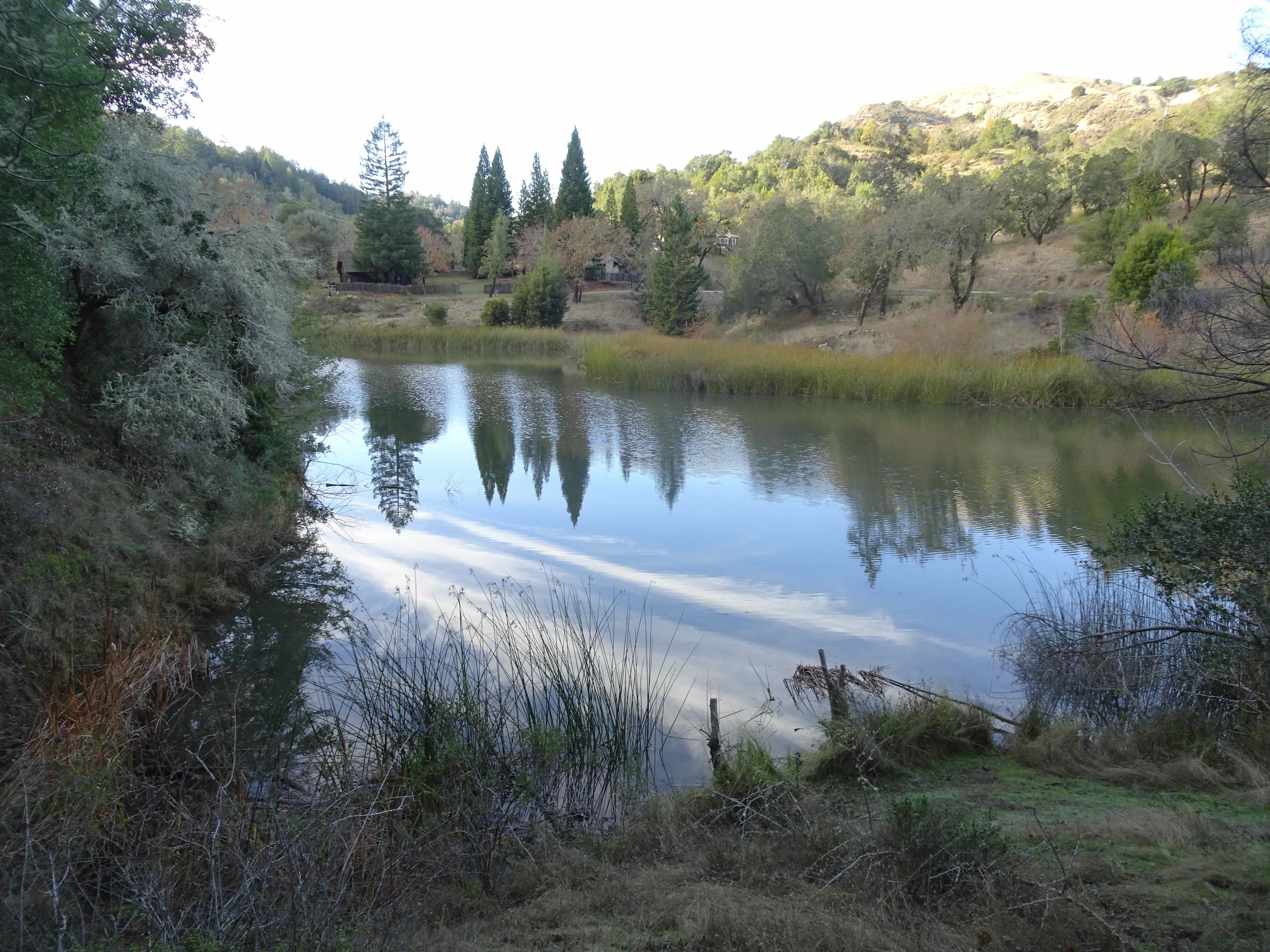
Phoenix Lake
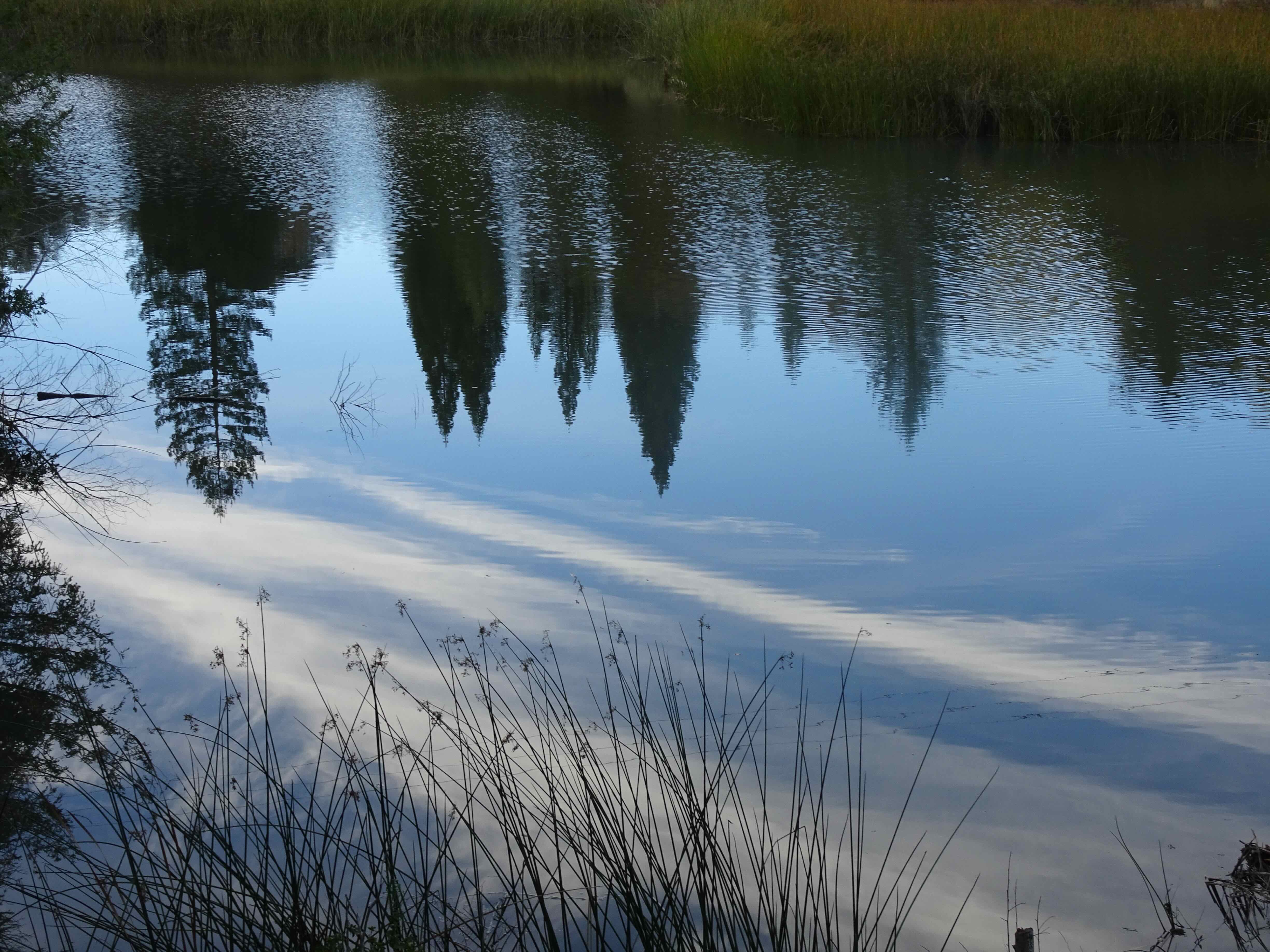
Reflections

Hiking back up
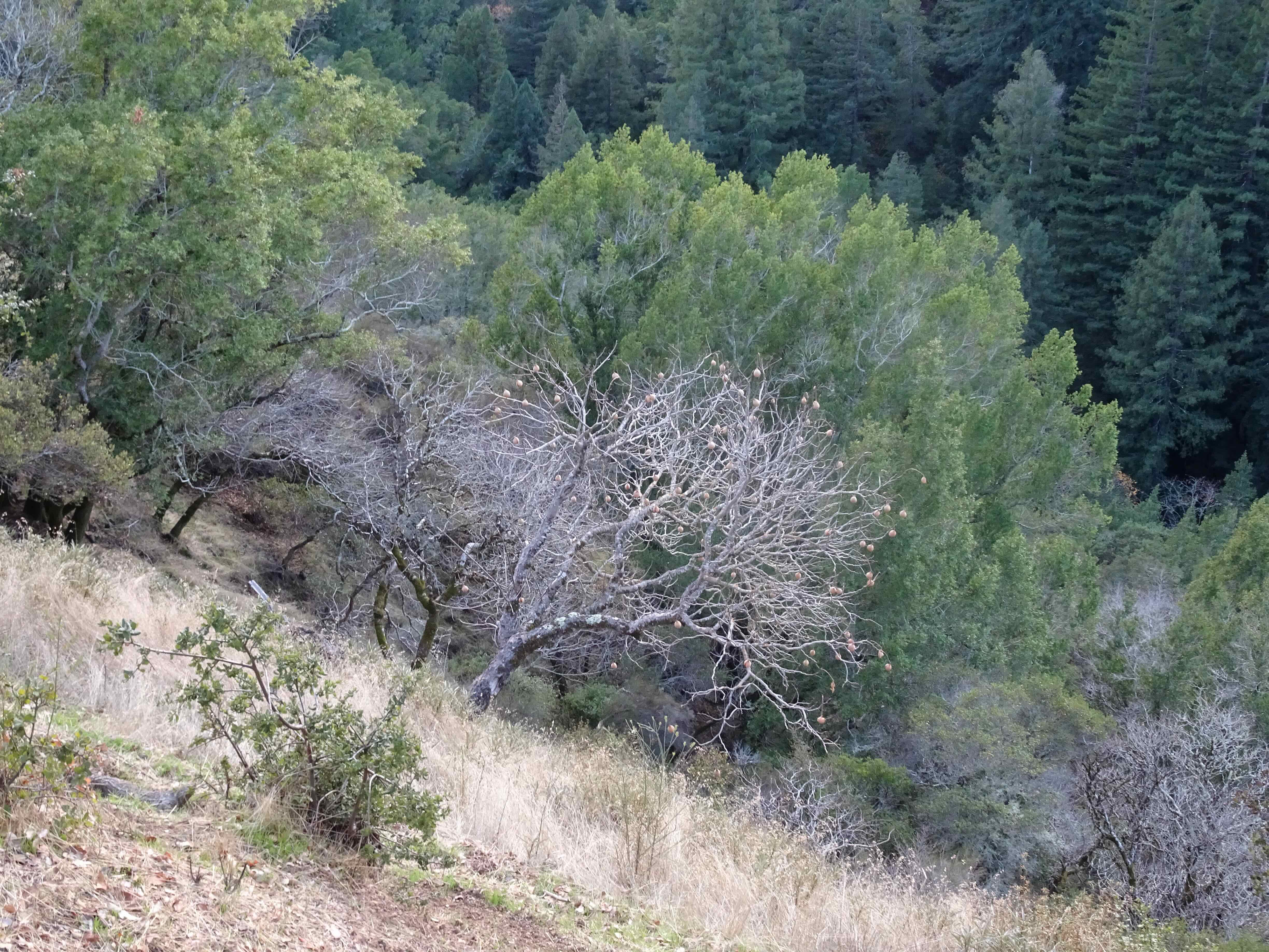
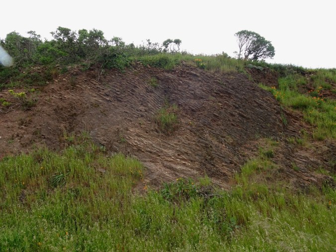
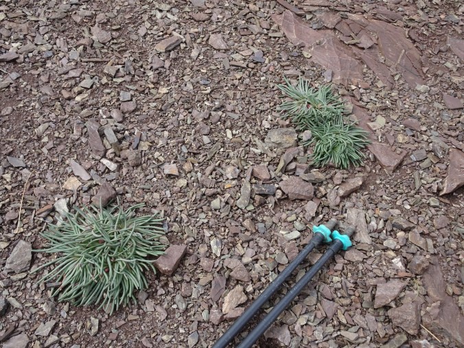
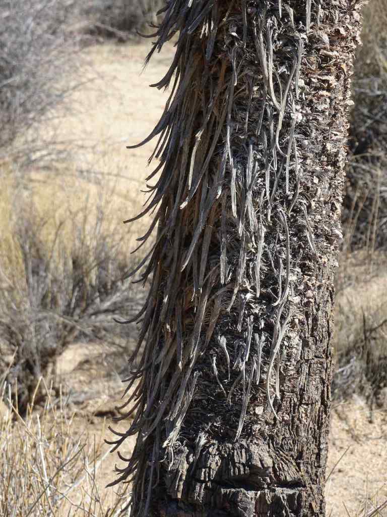
Oak tree with galls
Mistletoe that has fallen by the path
Northbound – November 30
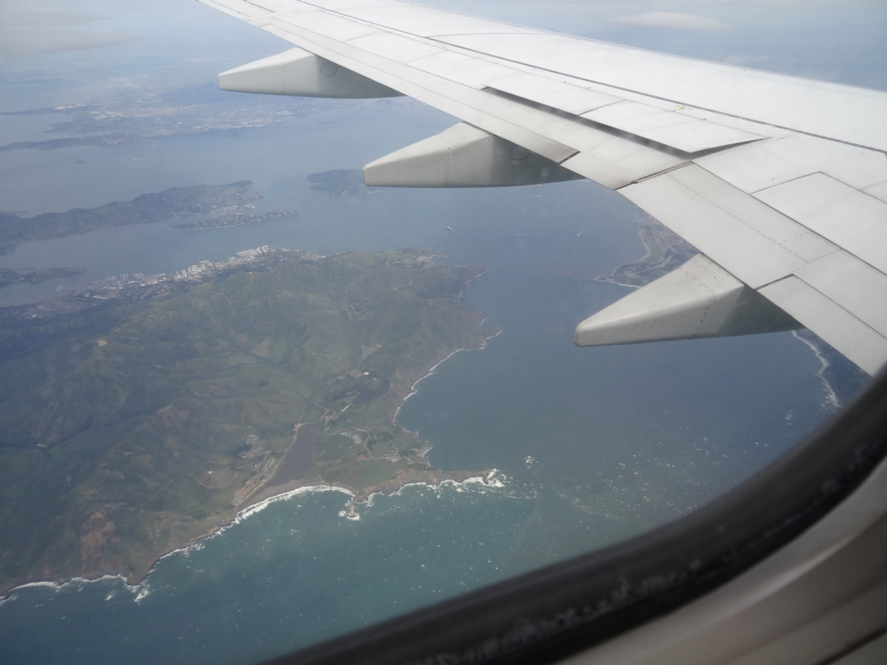
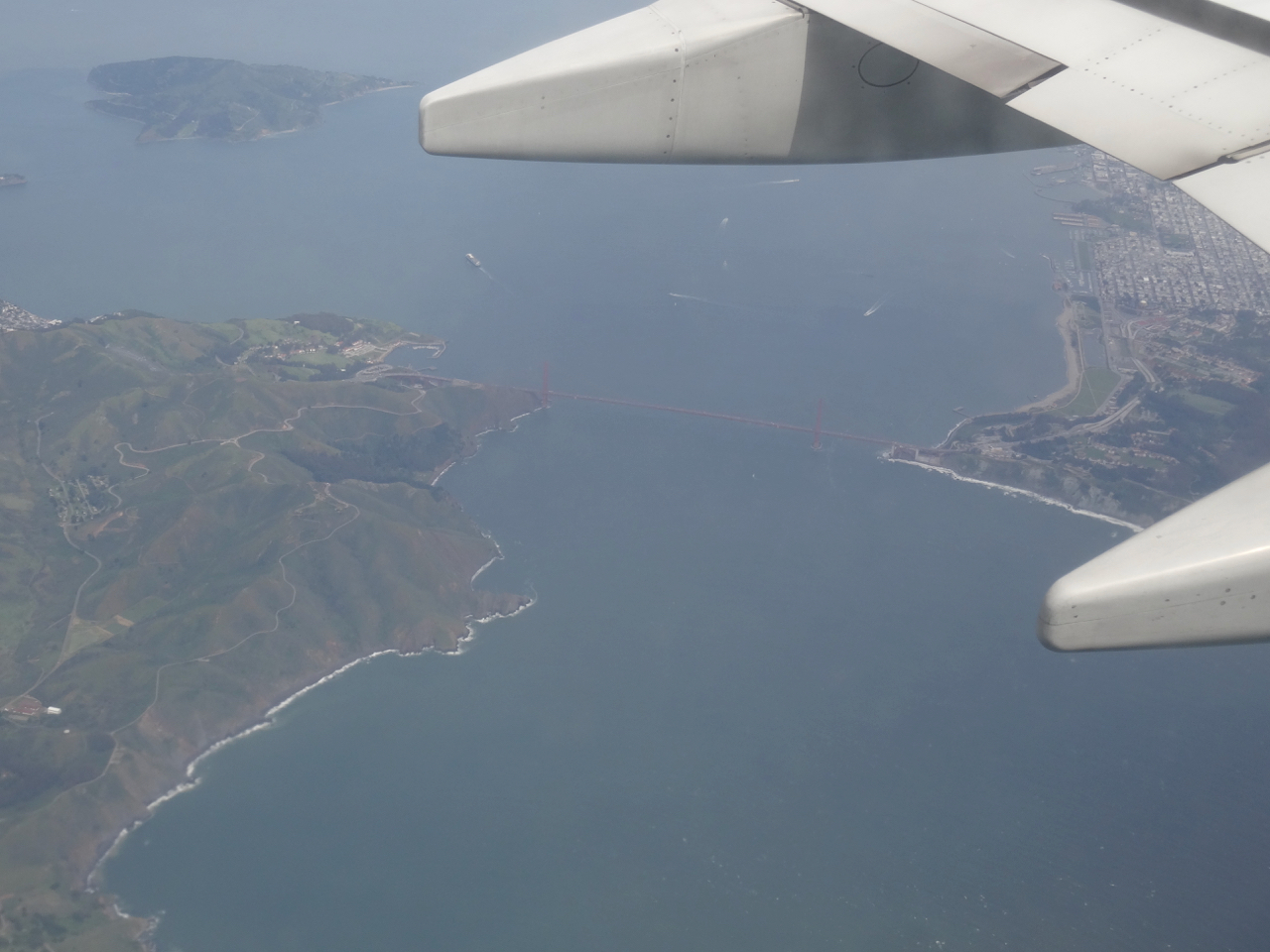
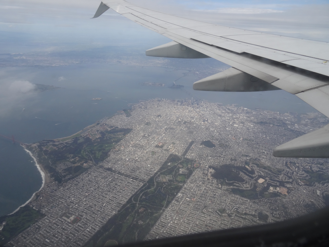
We drove across the north end of the San Francisco Bay on a clear day. I took photos from the car as we drove – so the framing may be a bit blurry. We transitioned from flat watery views, through the foothills and into the central valley, from which we could see the Sutter Buttes and the snow-covered peaks around Mt Lassen.
San Pablo Bay
Looking south

and northward

Sutter Buttes
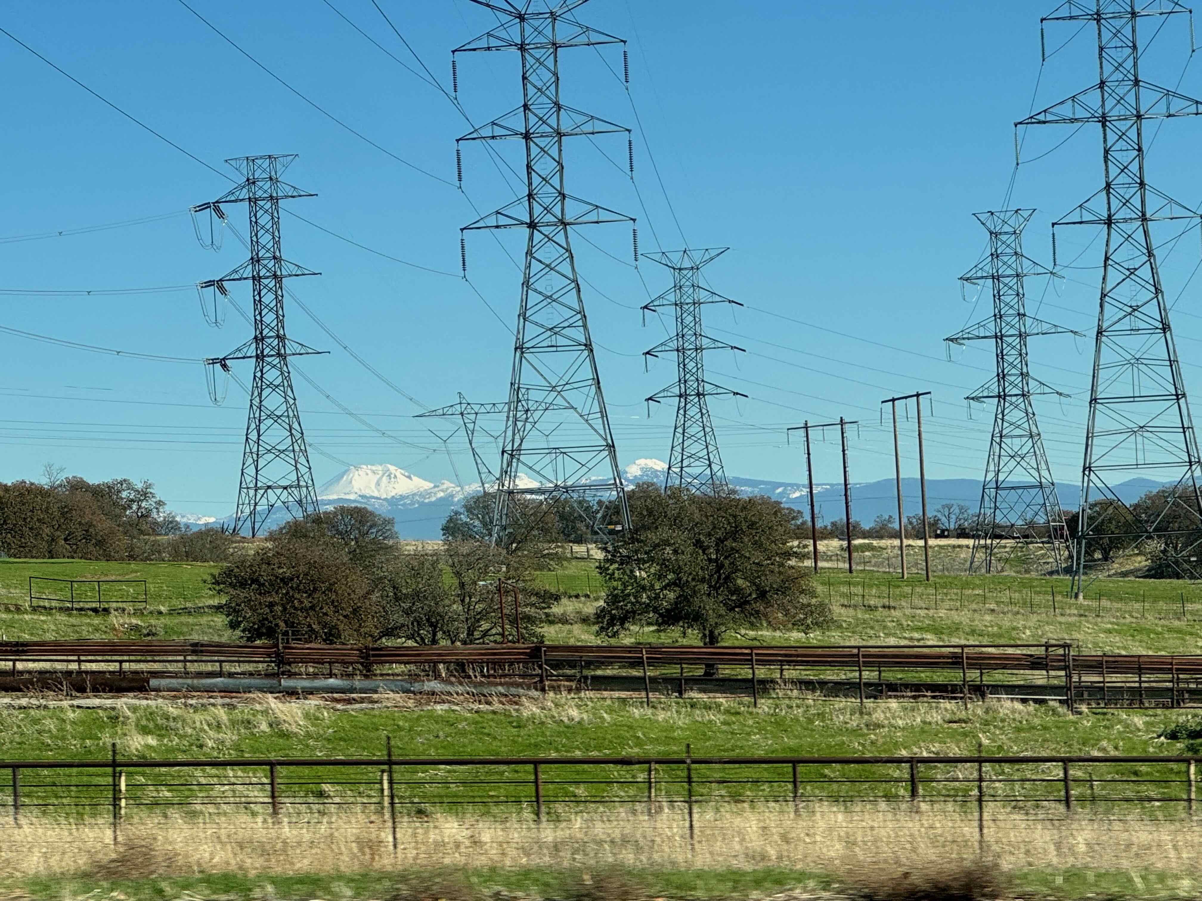
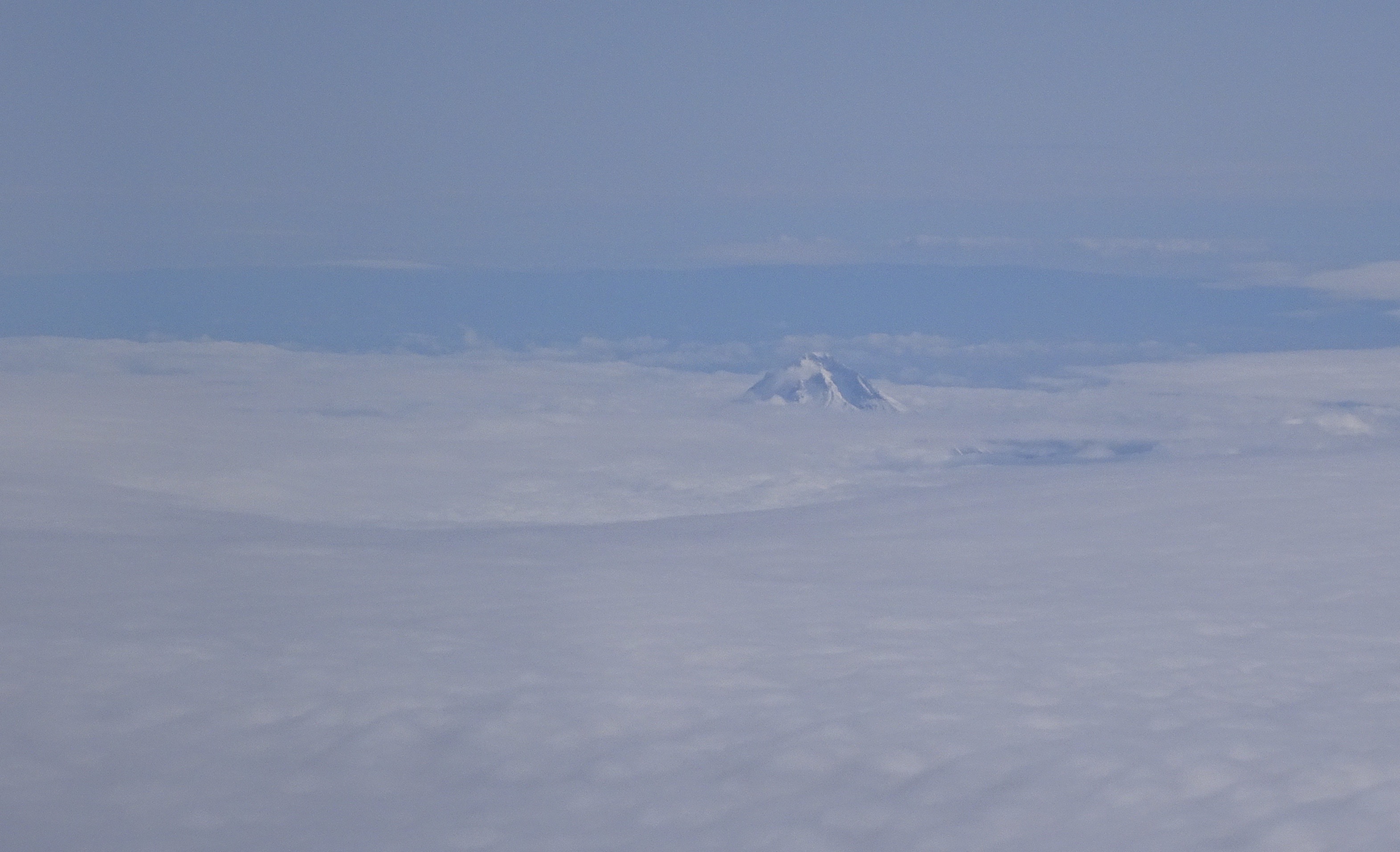
Mount Lassen
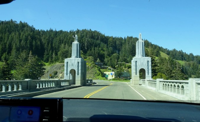
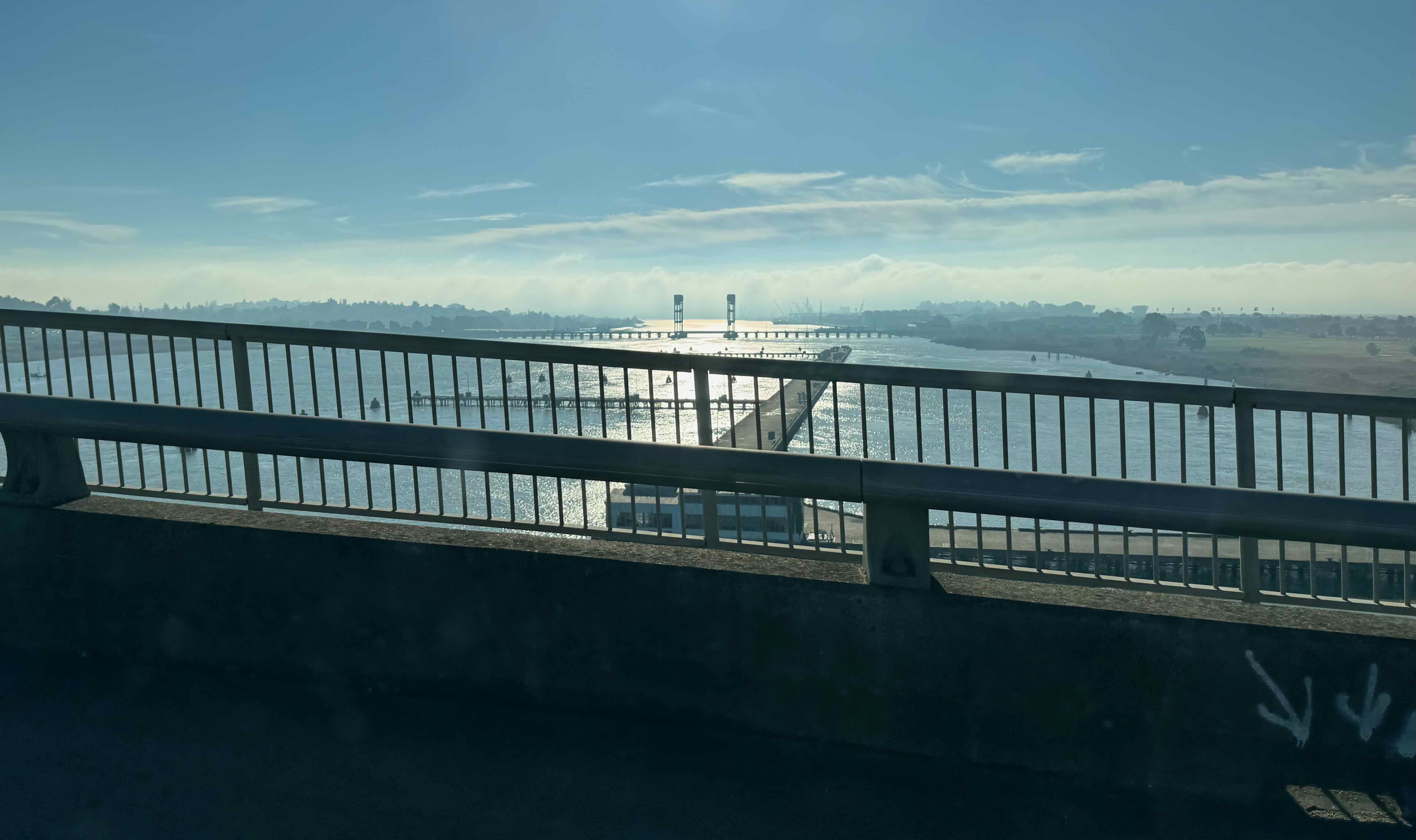
We stopped for lunch in Redding at the Sundial Bridge across the Sacramento River, a good place to stretch out our legs.

Sundial Bridge from our picnic table

Crossing to the north

Eastward view to Mt Lassen

Shadows and lines
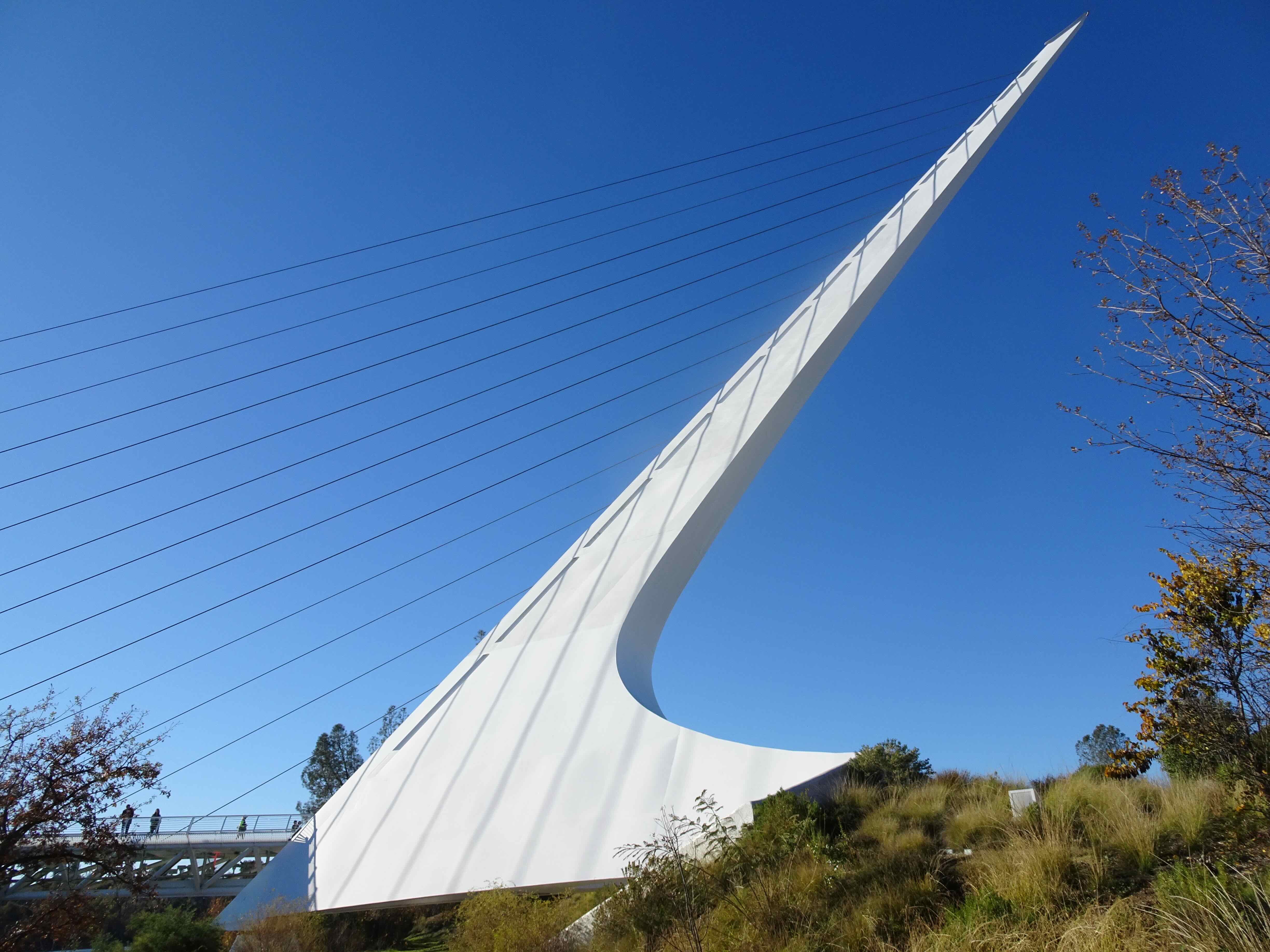
Side view from the north viewing area
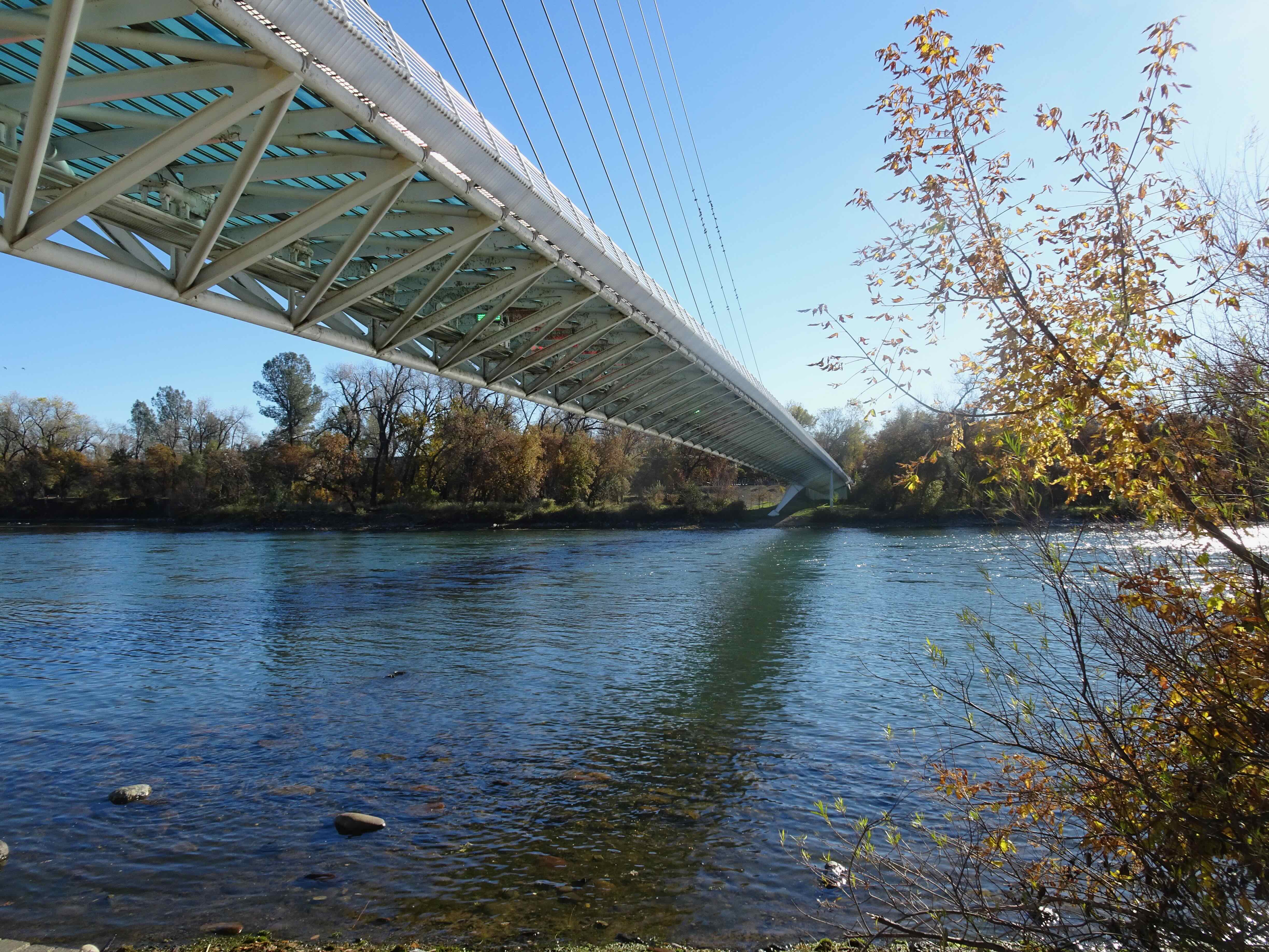
Underside, looking south
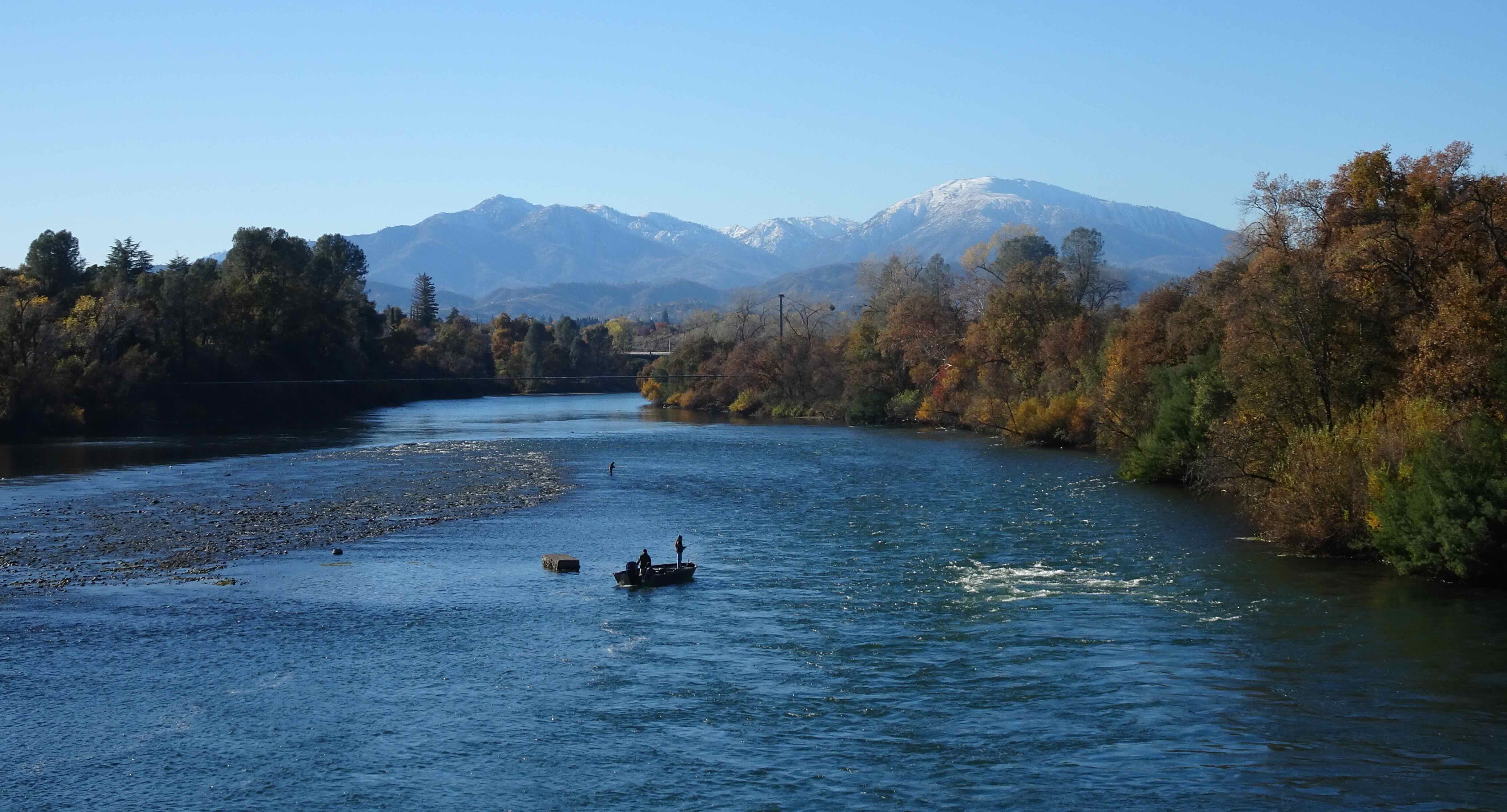
West view toward the Trinity Alps
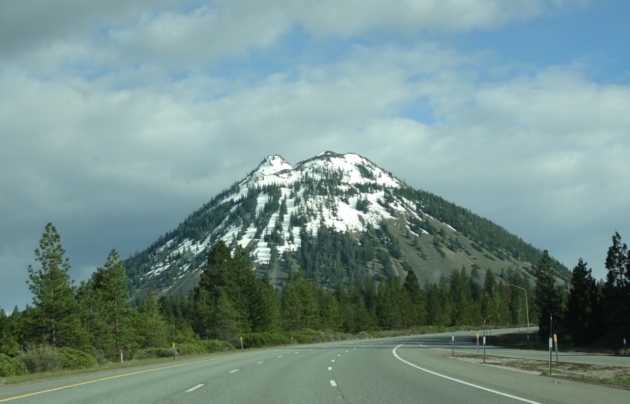
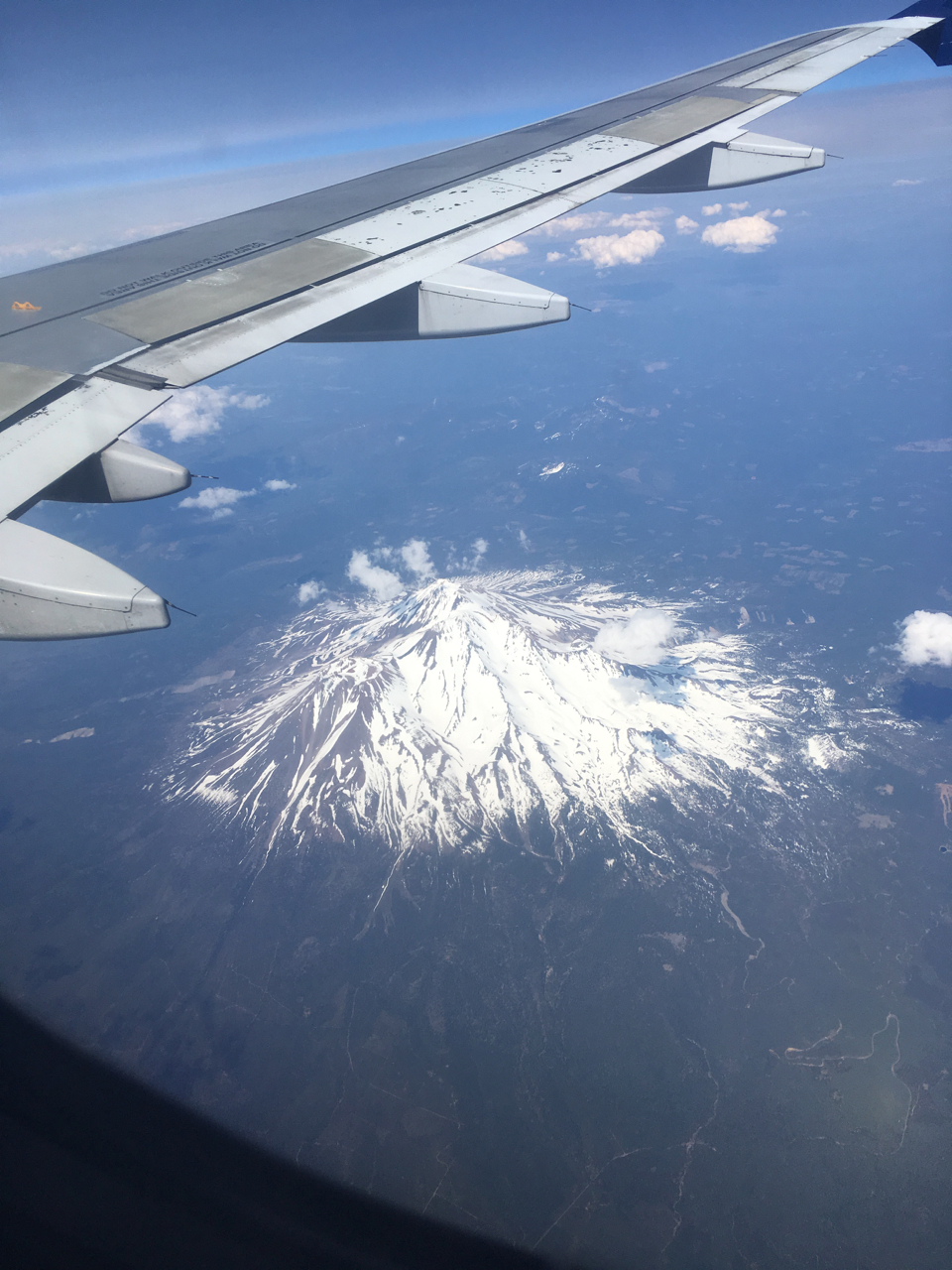
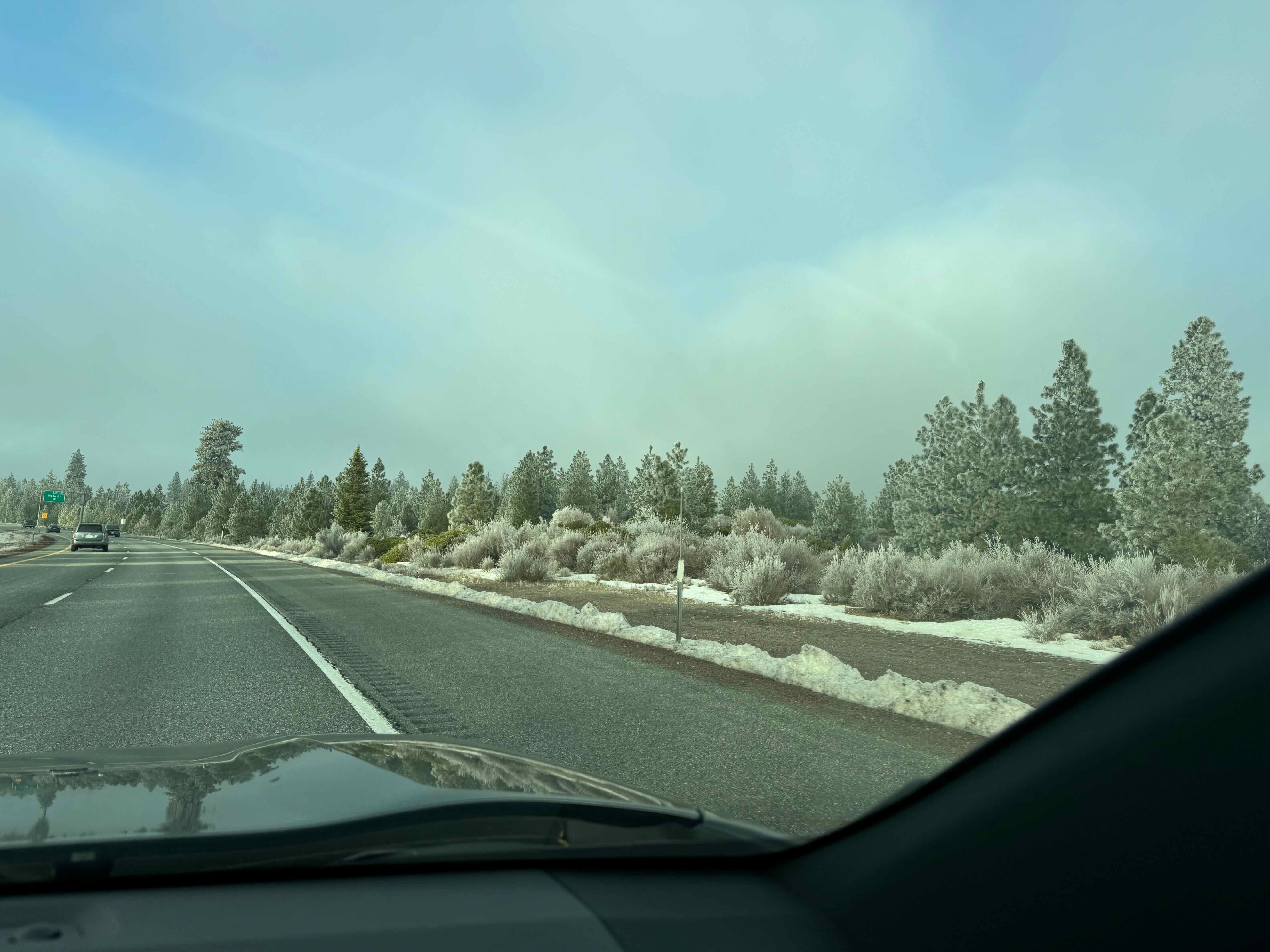
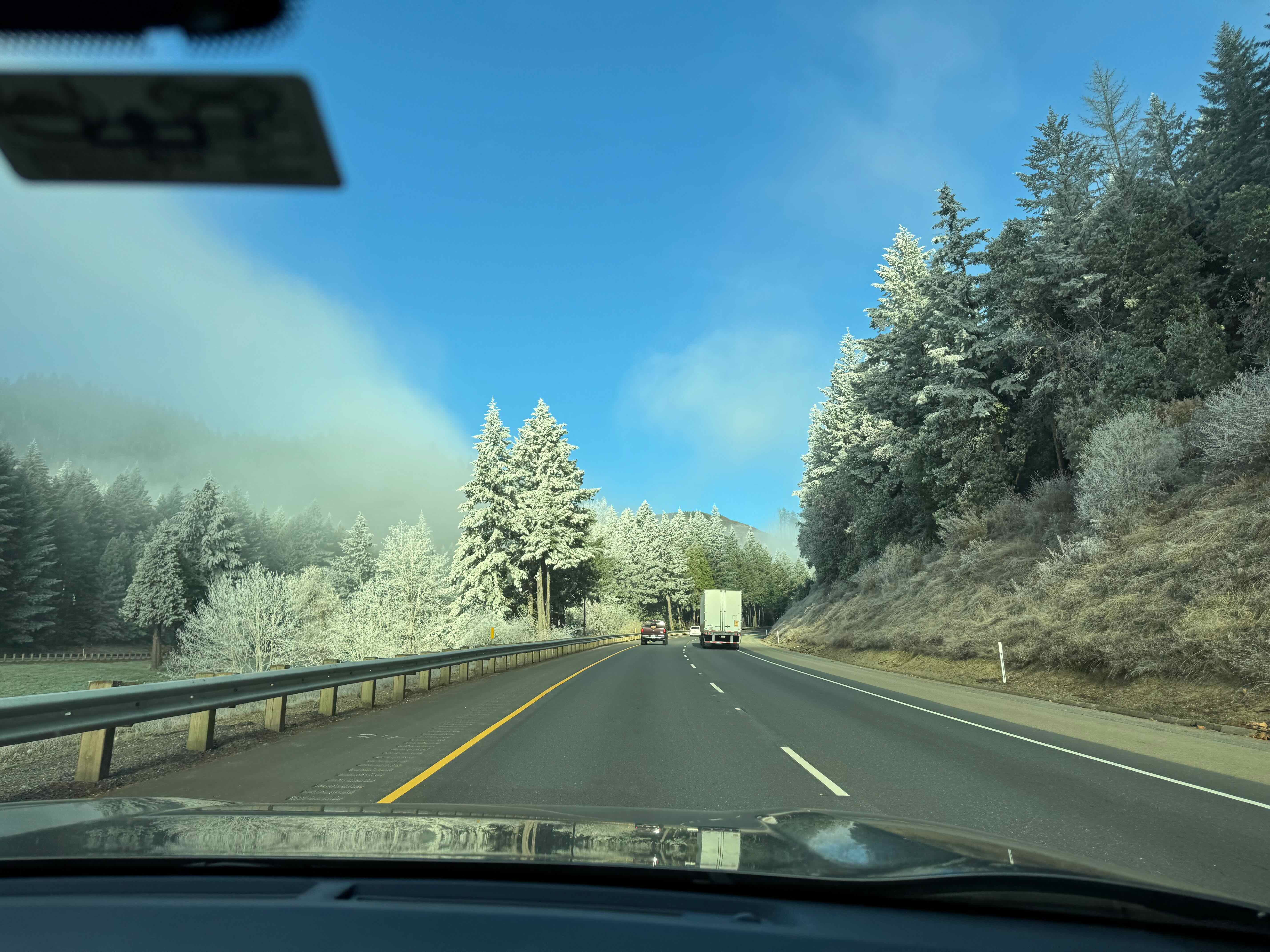
After lunch, we continued north to Medford, Oregon, over frosty passes.
Frosty landscape over the passes

Blue sky and frosted trees
Mt Shasta

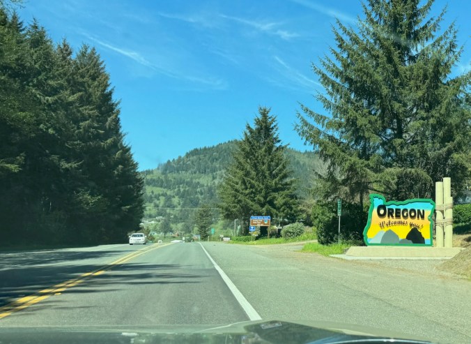
Crossing into Oregon
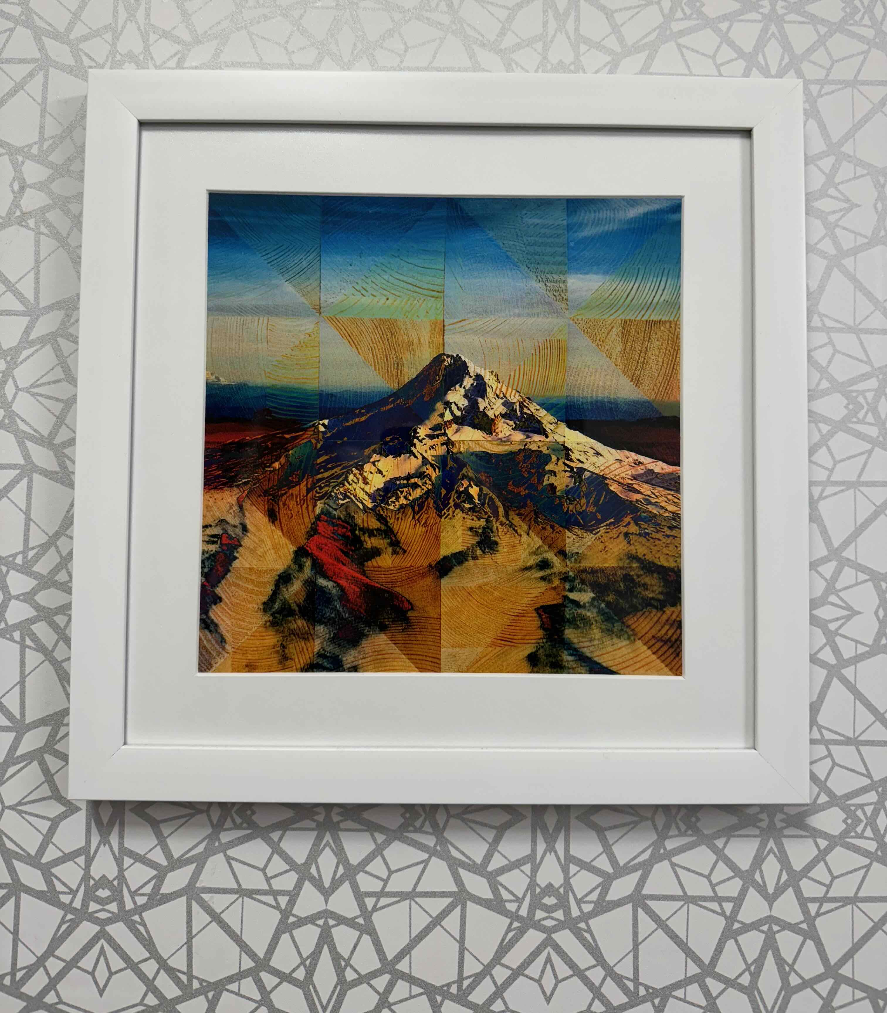
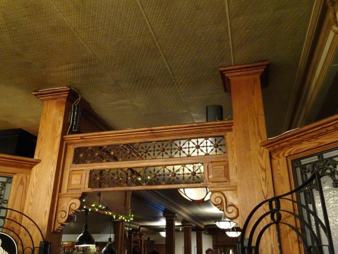
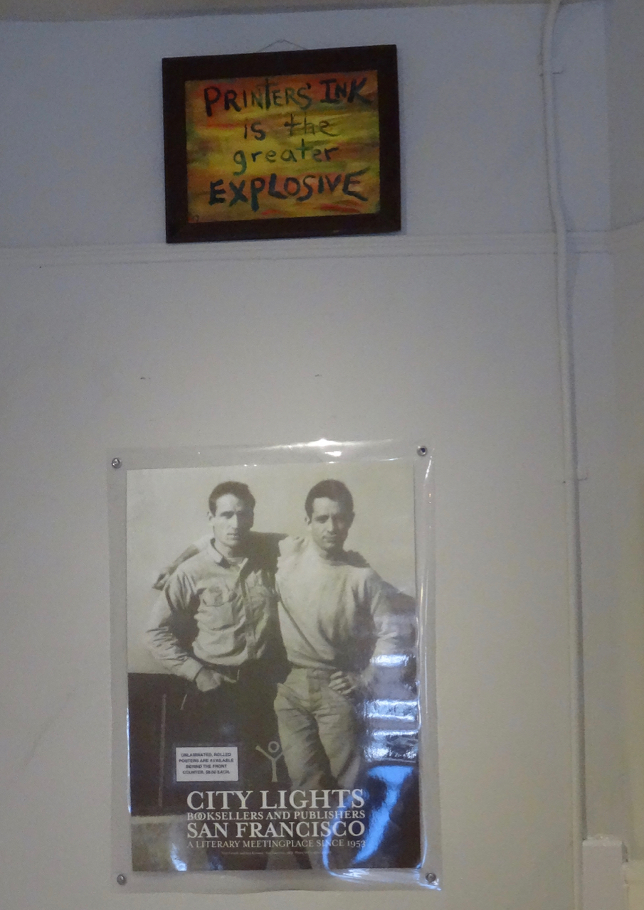
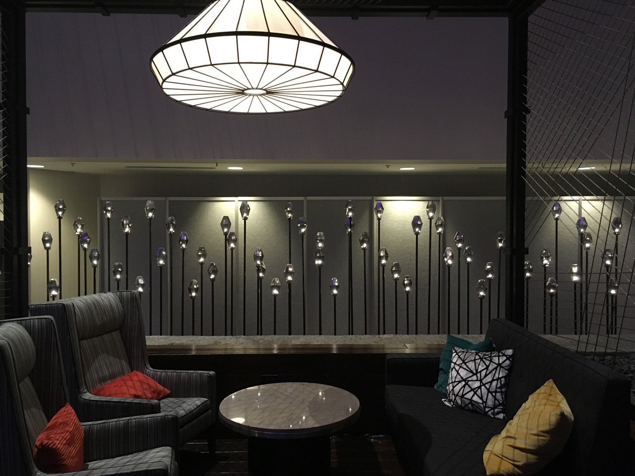
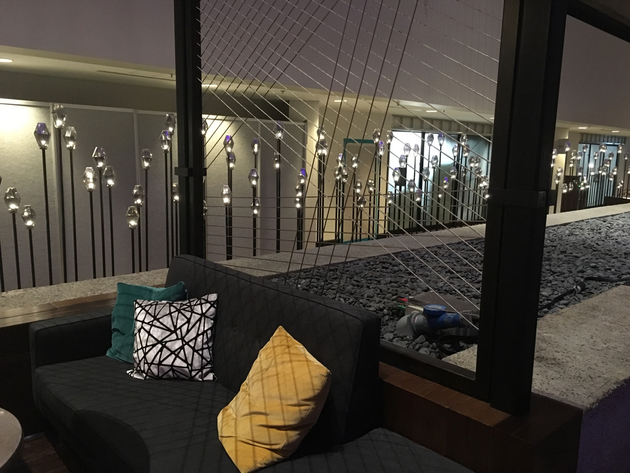
Hotel room art in Medford
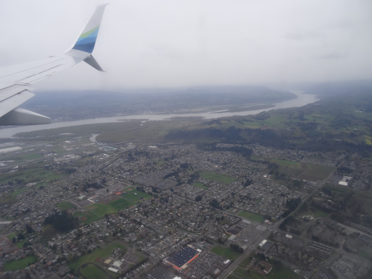
Home to Portland, December 1st – We drove north from Medford, once again over frosty passes, reaching our familiar Mt Hood scenery by midday.
Frosty pass near Medford

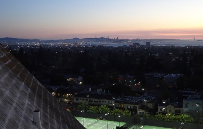
Mt Hood from the Marquam Bridge, Portland
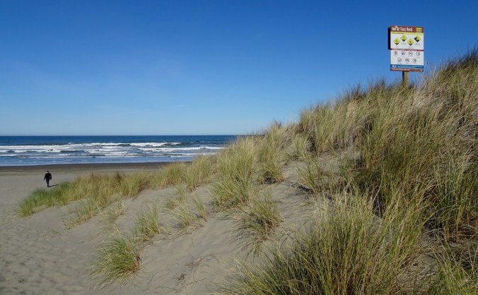
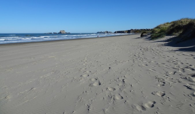
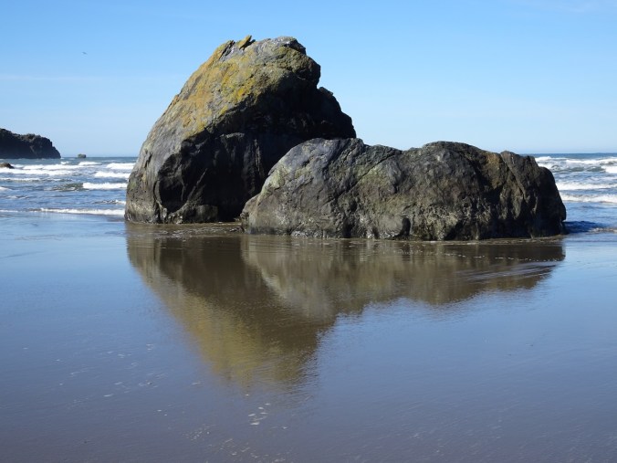
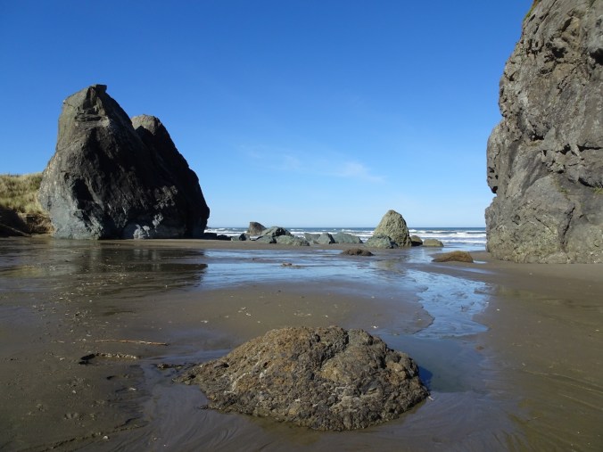
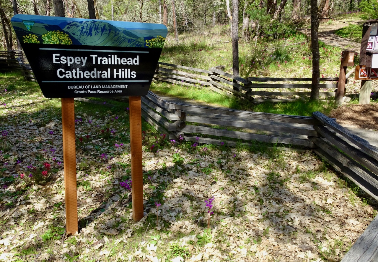
We had a lovely visit with our daughter, and with her partner and family. I enjoyed revisiting some of our old stomping grounds in northern California. I didn’t realize there were so many great trails around Mt Tam – I hope to visit again and hike more of them.