I went on a few hikes, knit a little, read quite a few books, and embarked on what I have decided is my personal four year project.
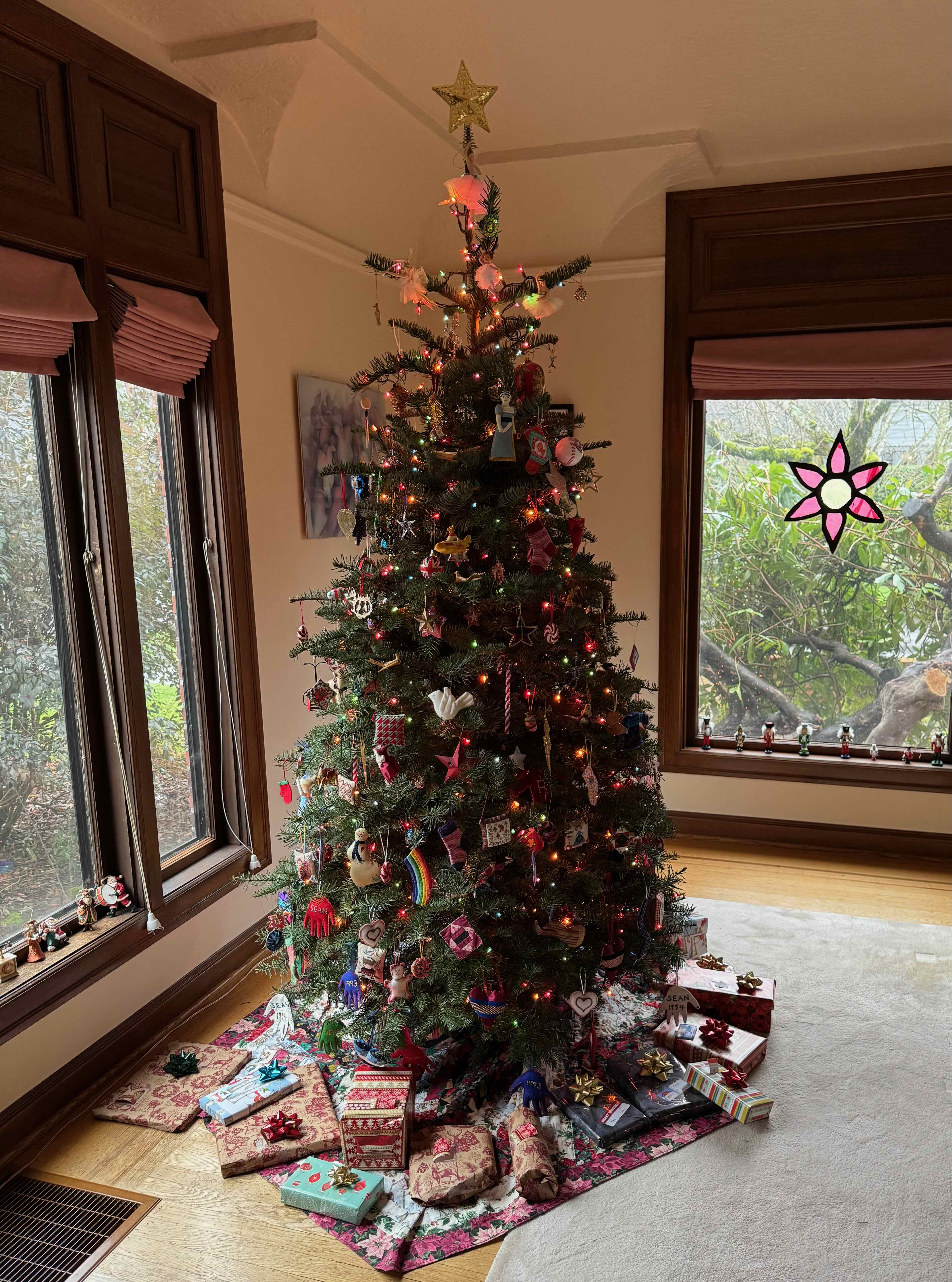
New Years Day was the last day of Hannukkah. We had a small gathering, with latkes.

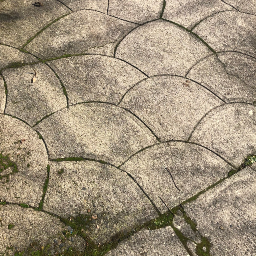
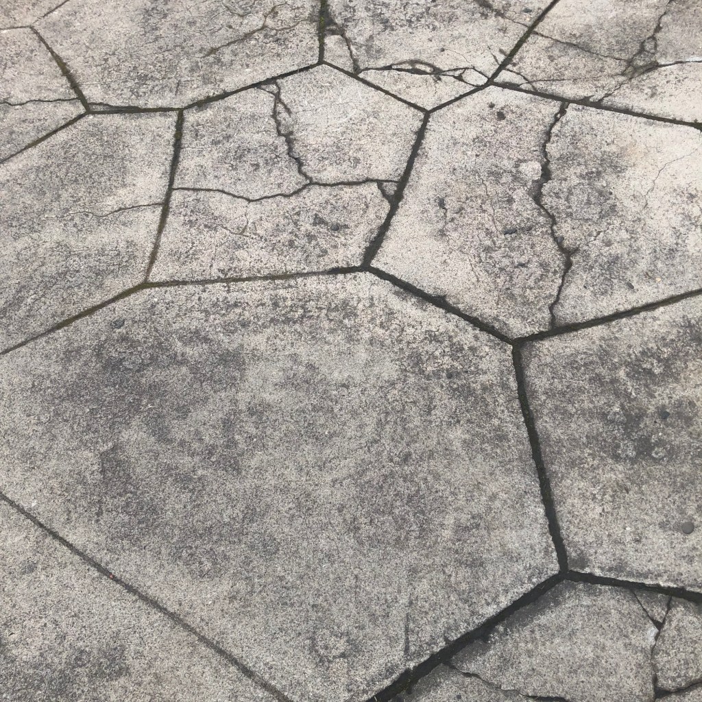
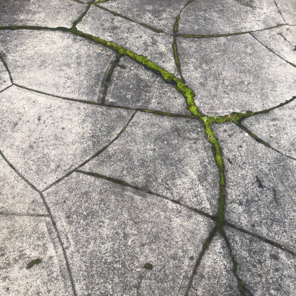
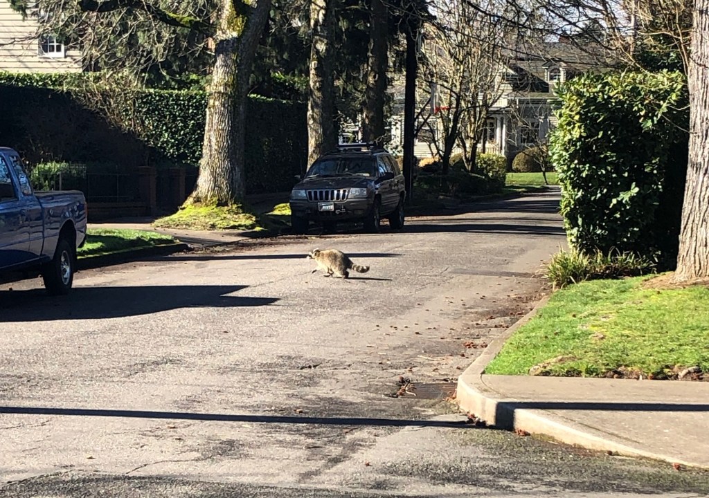
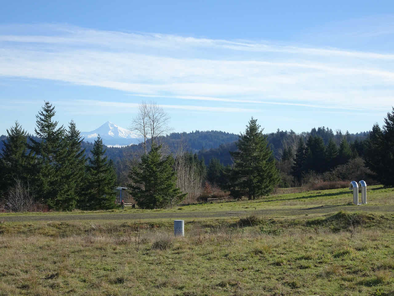
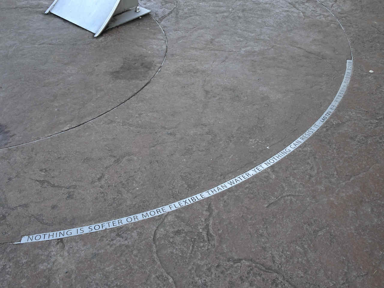
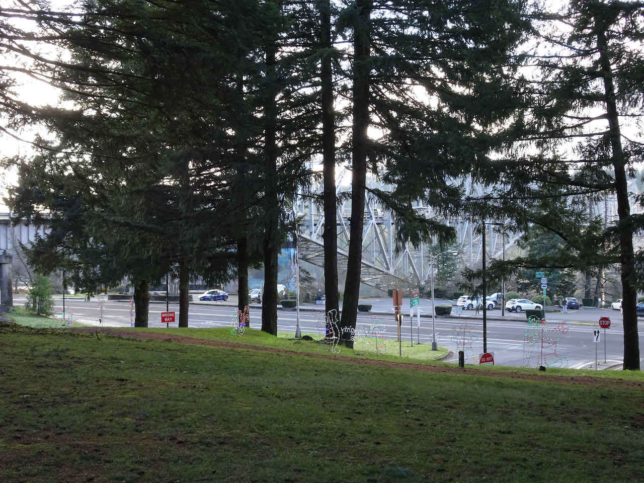
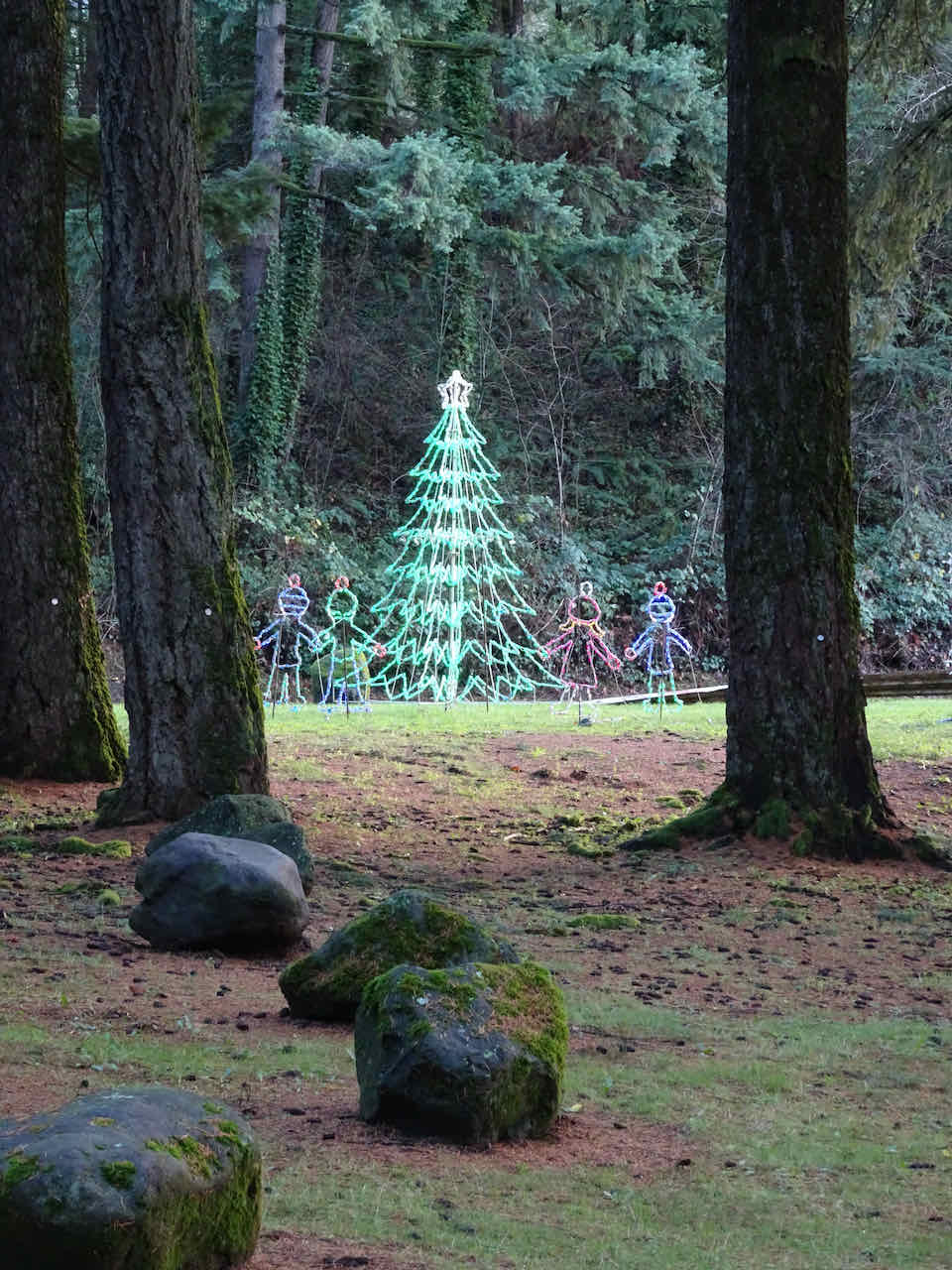
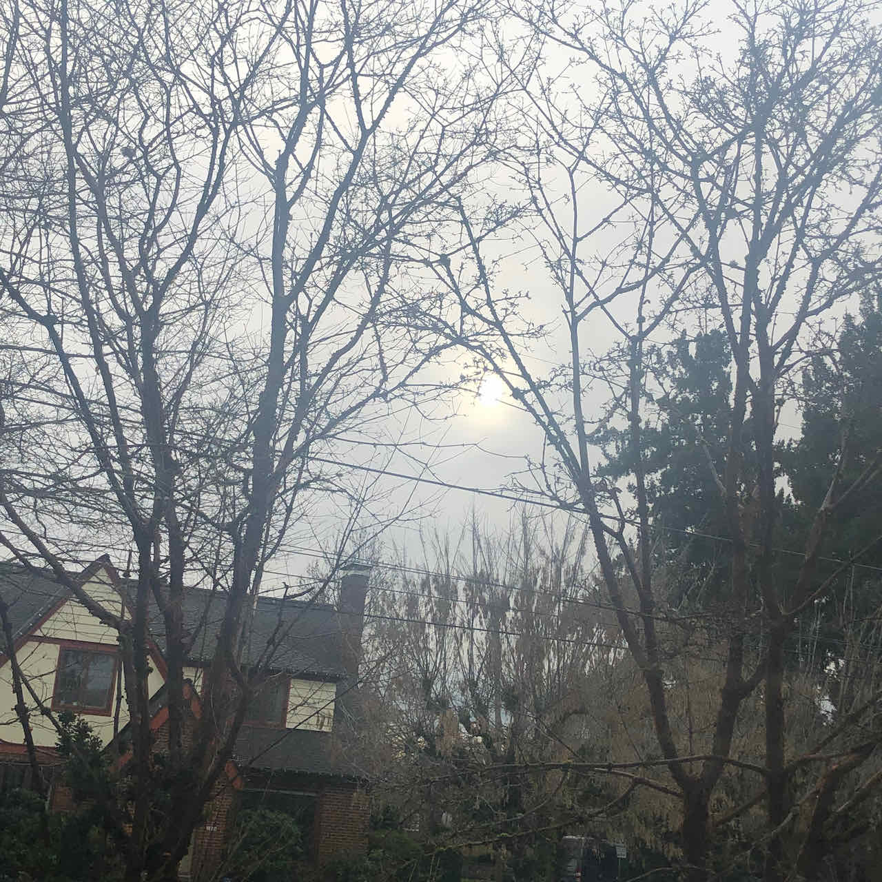
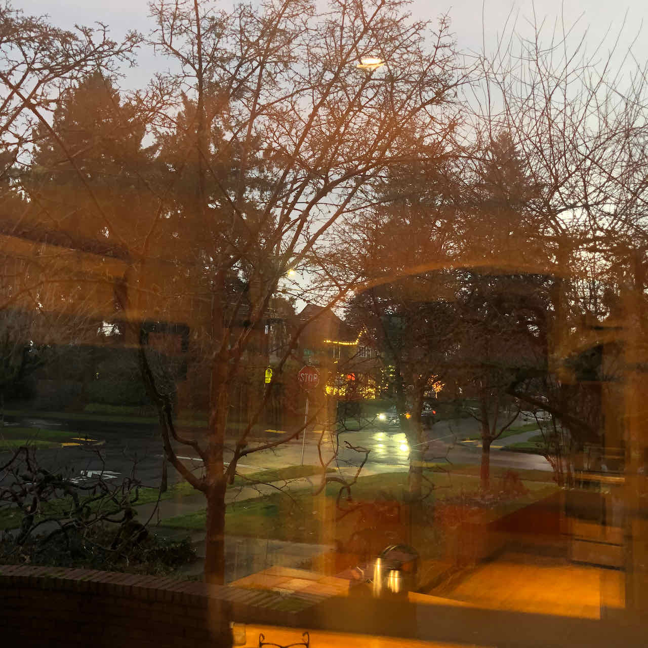
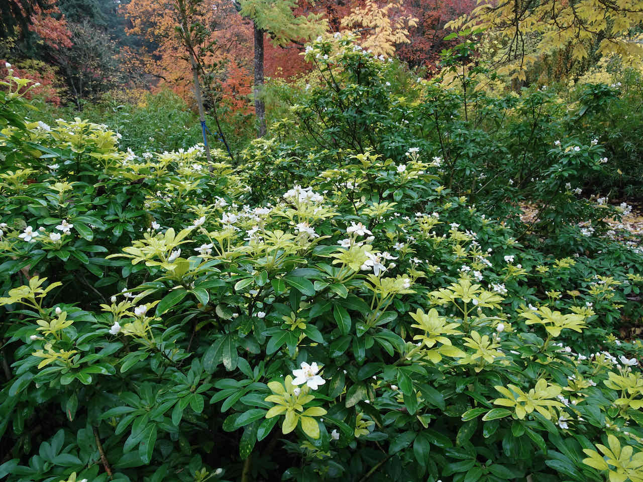
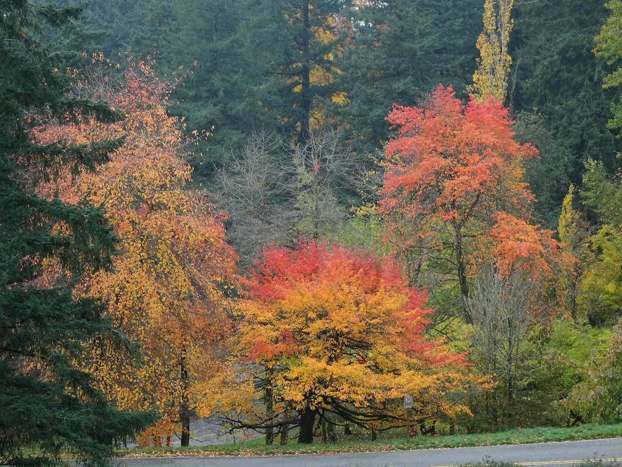
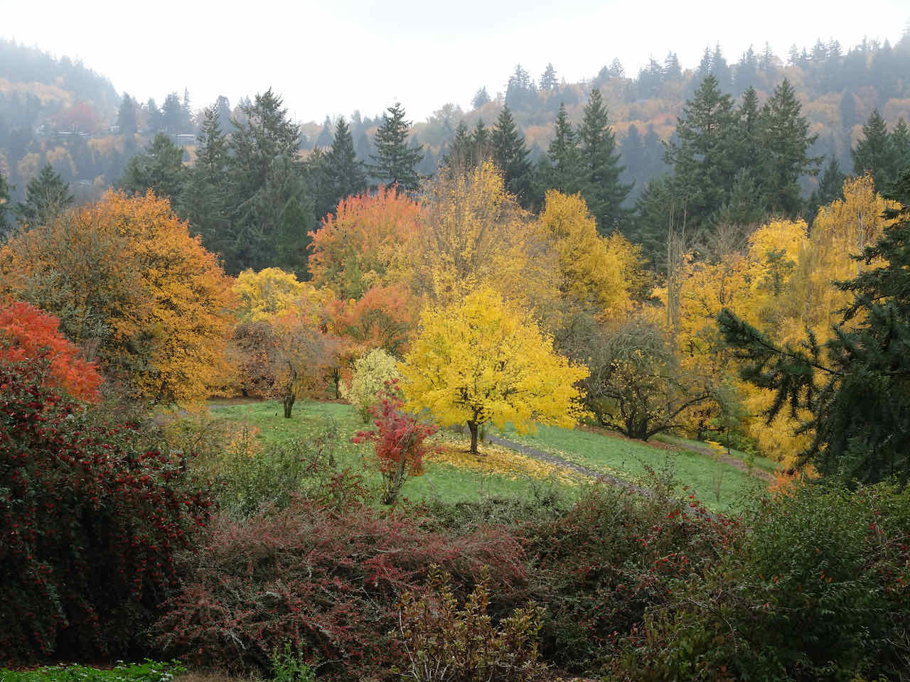
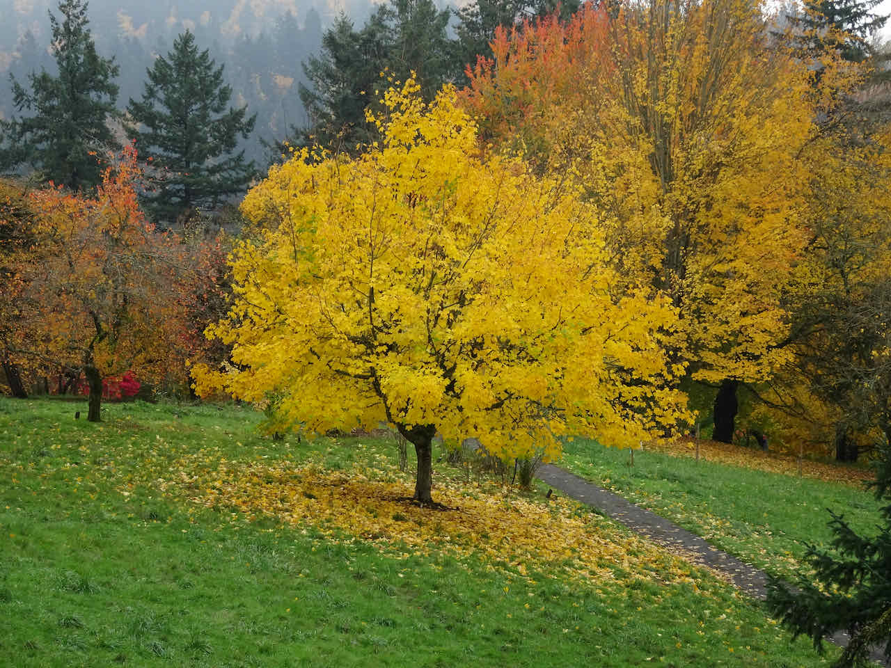
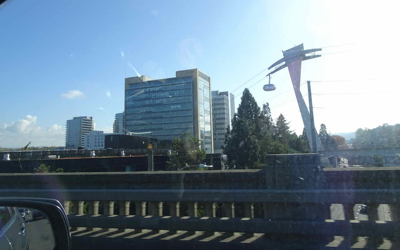
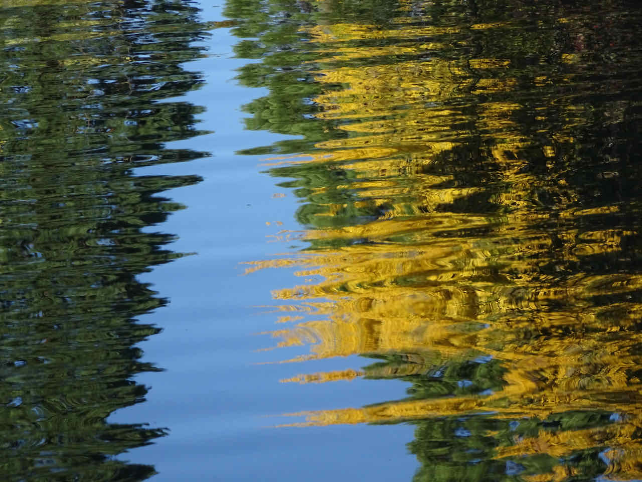
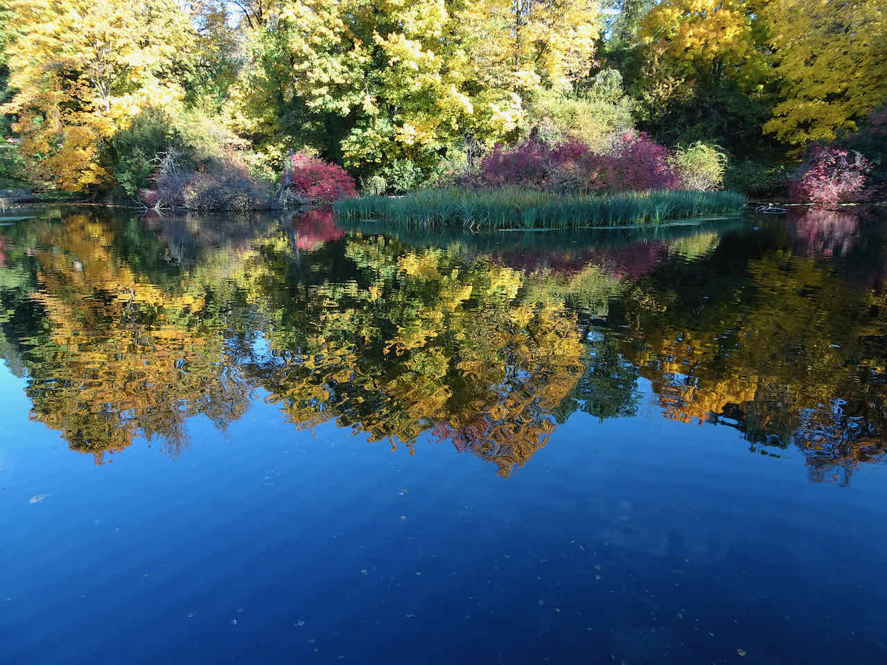
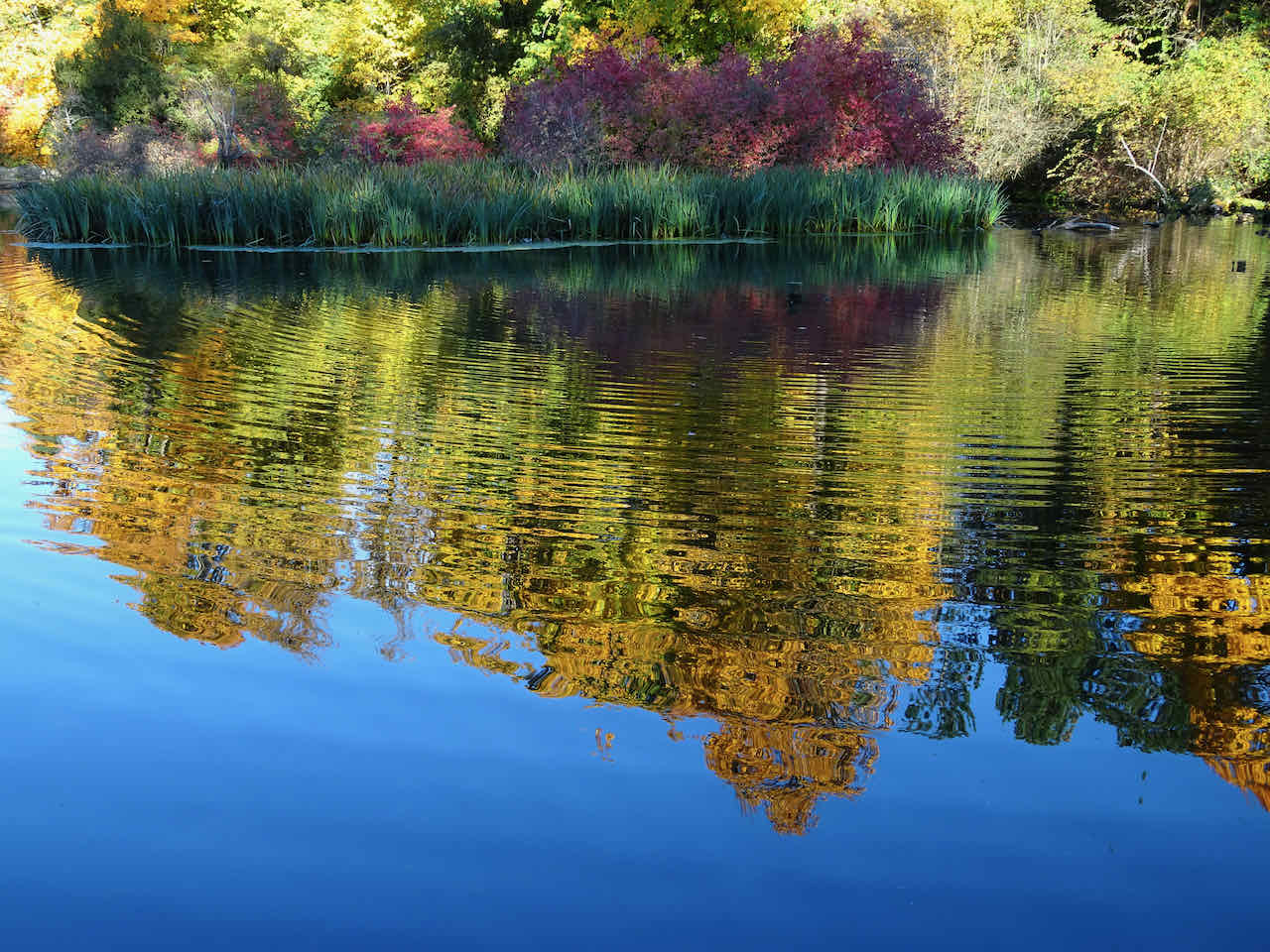
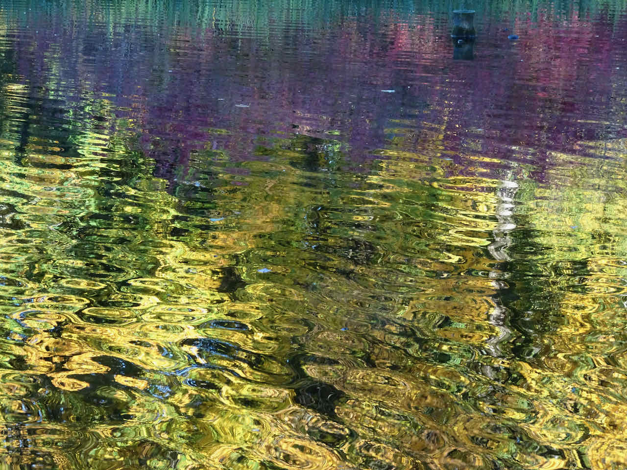
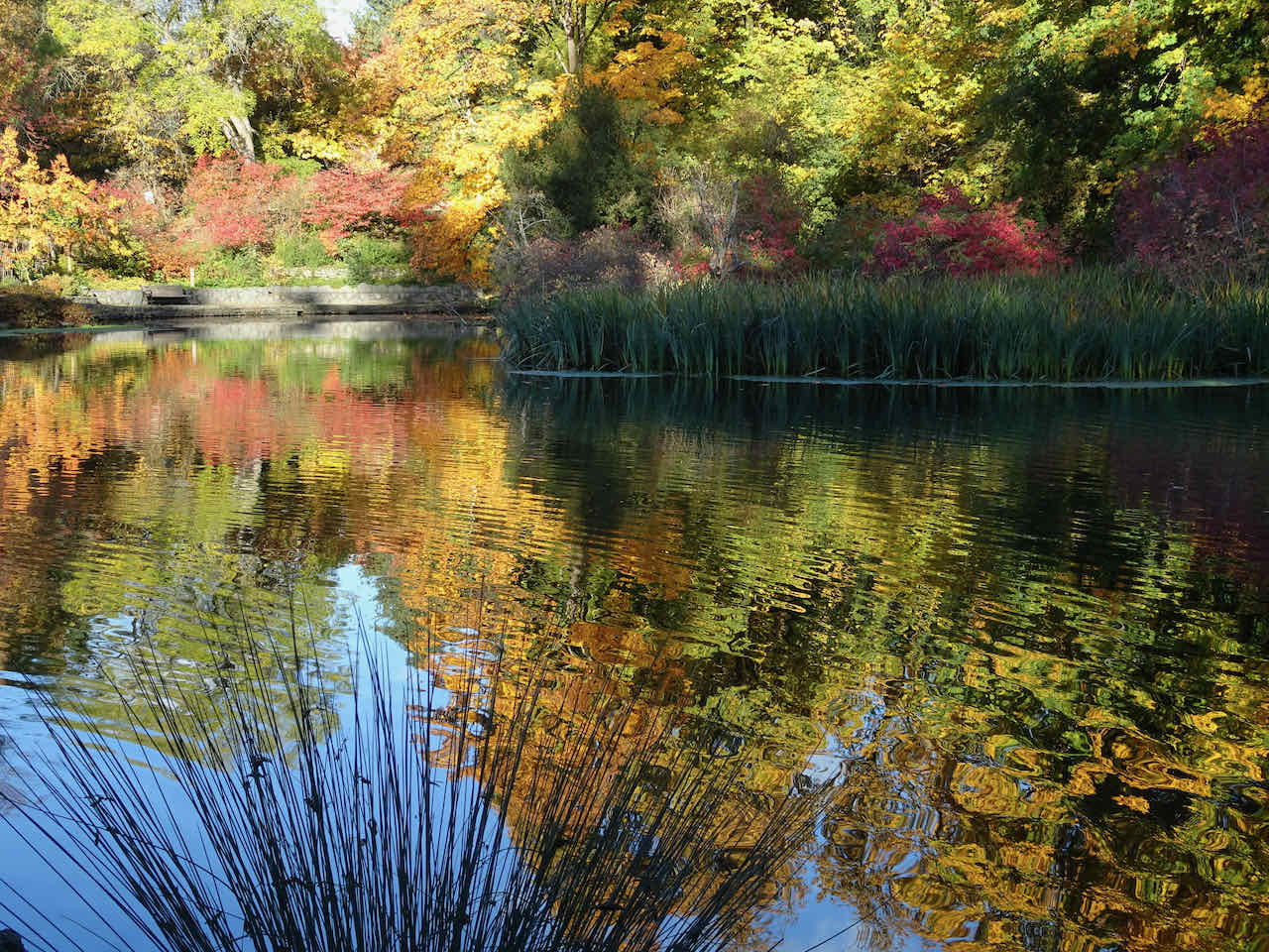
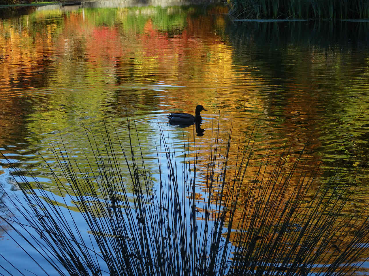
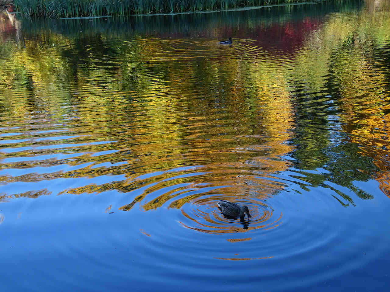
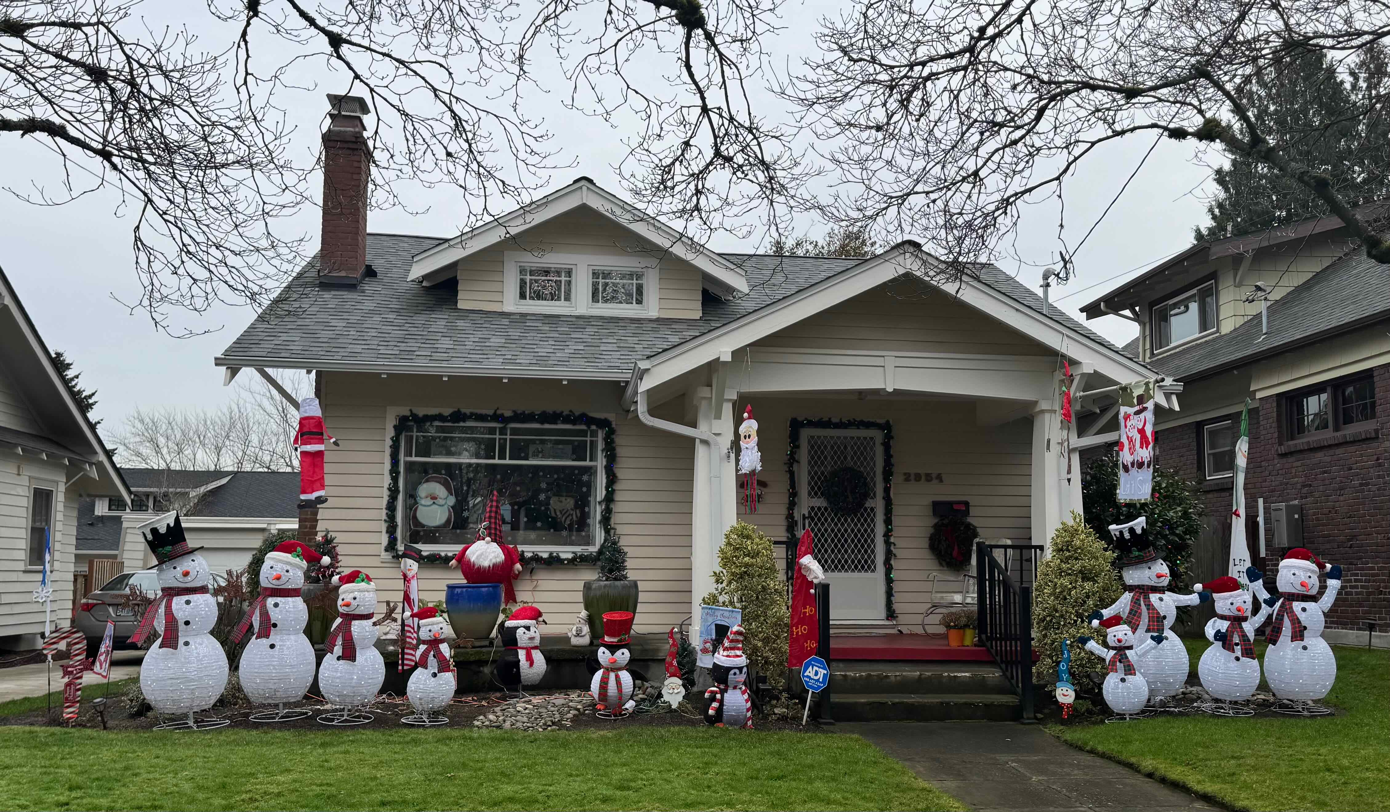
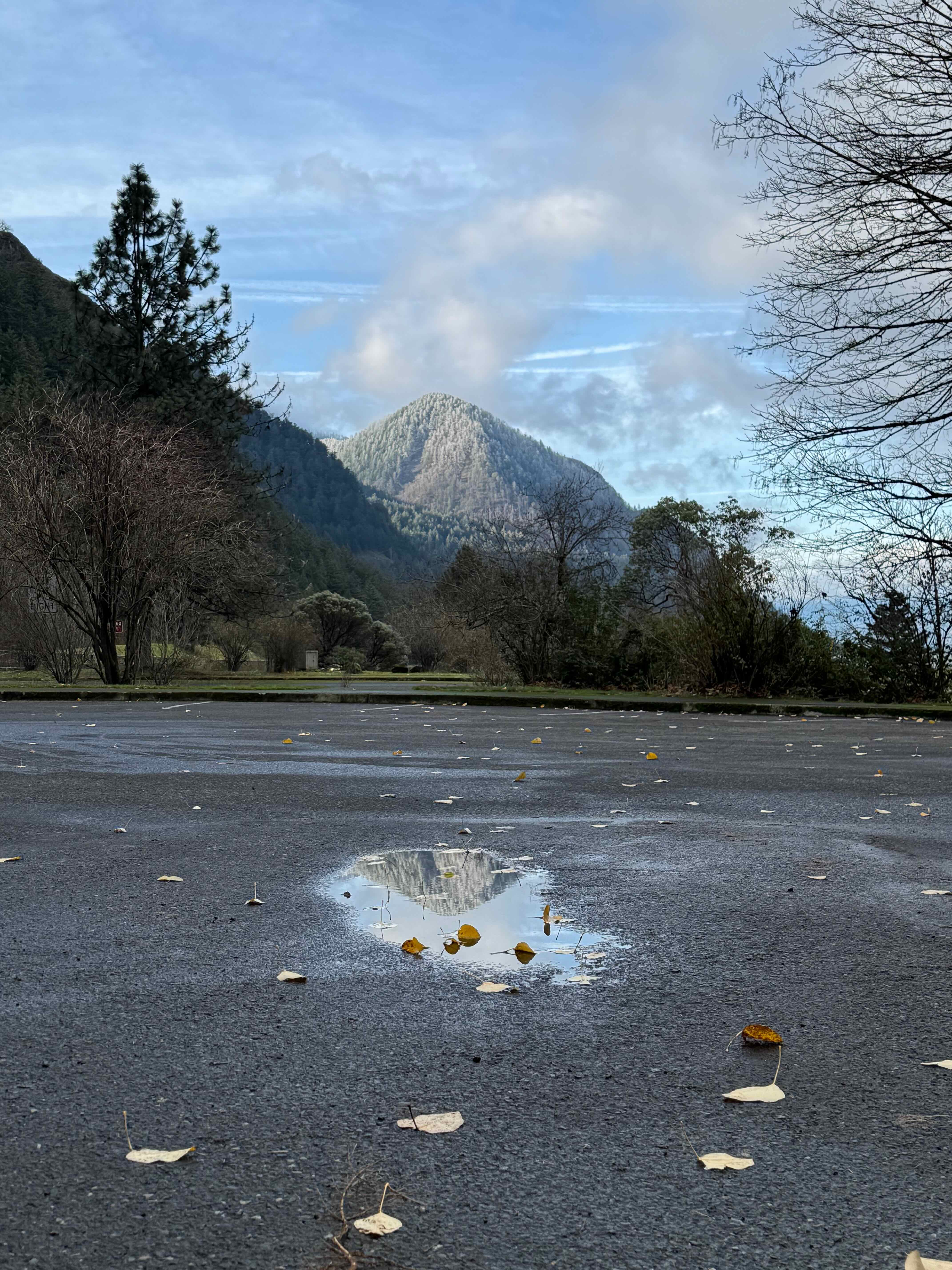
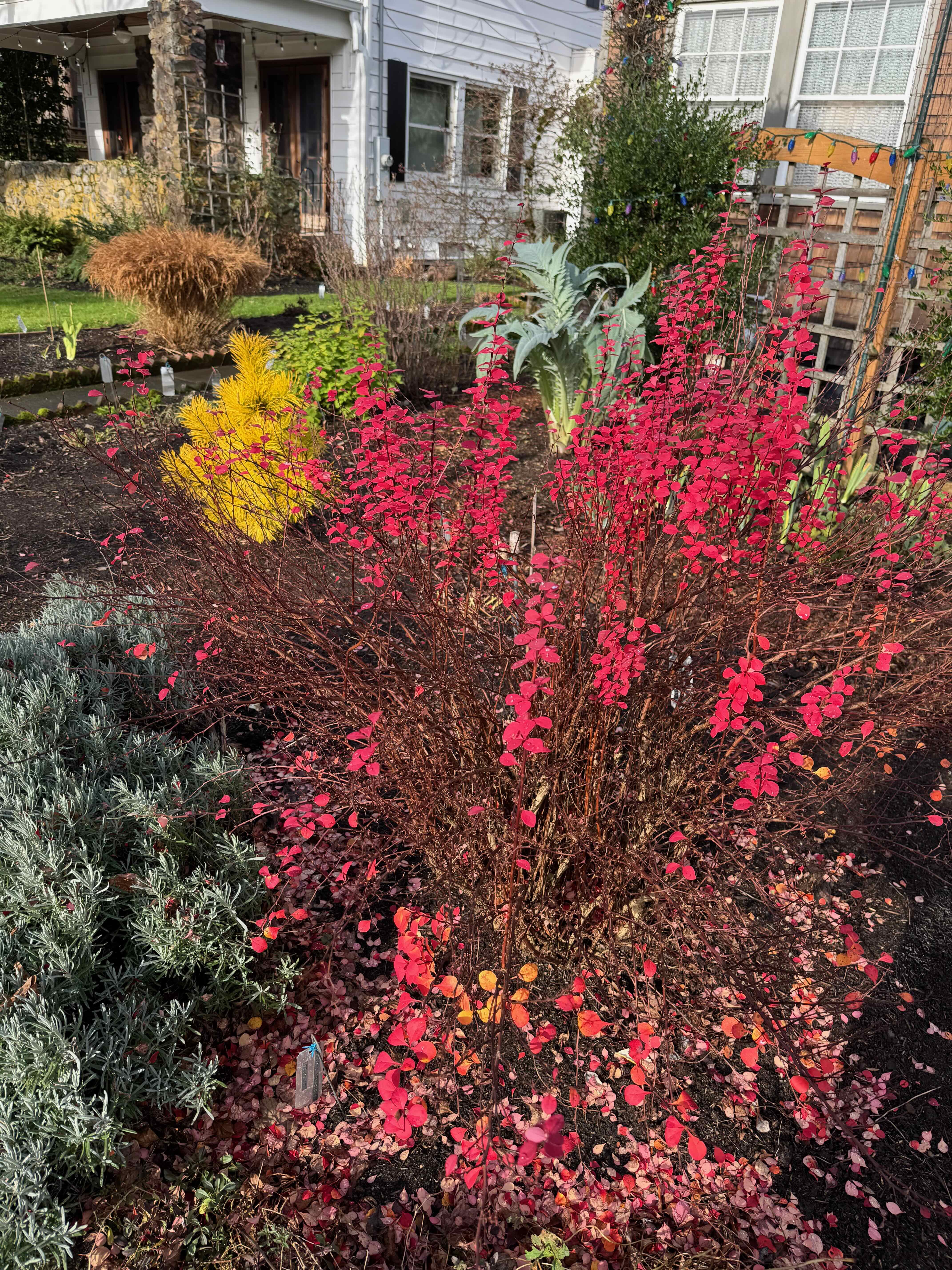
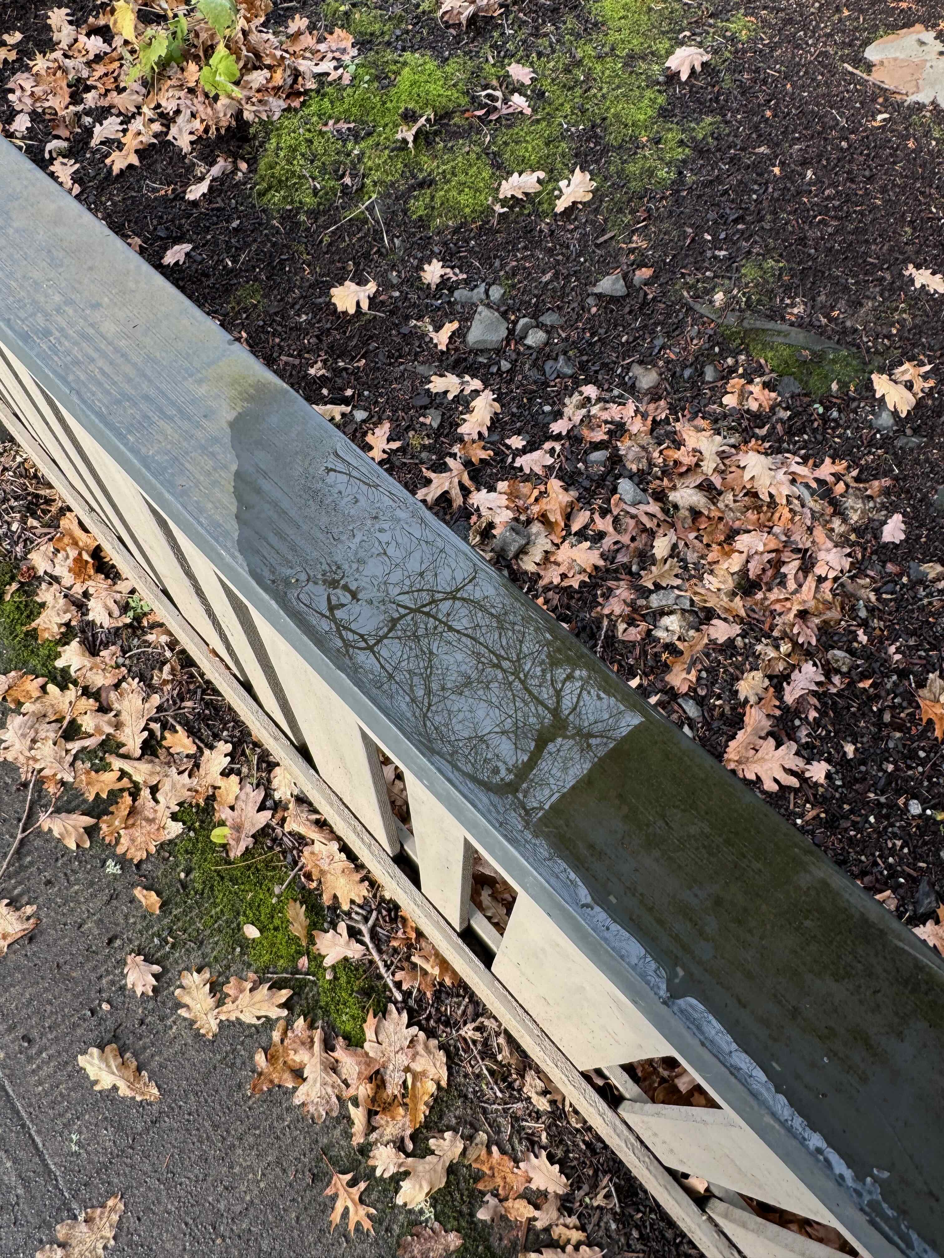
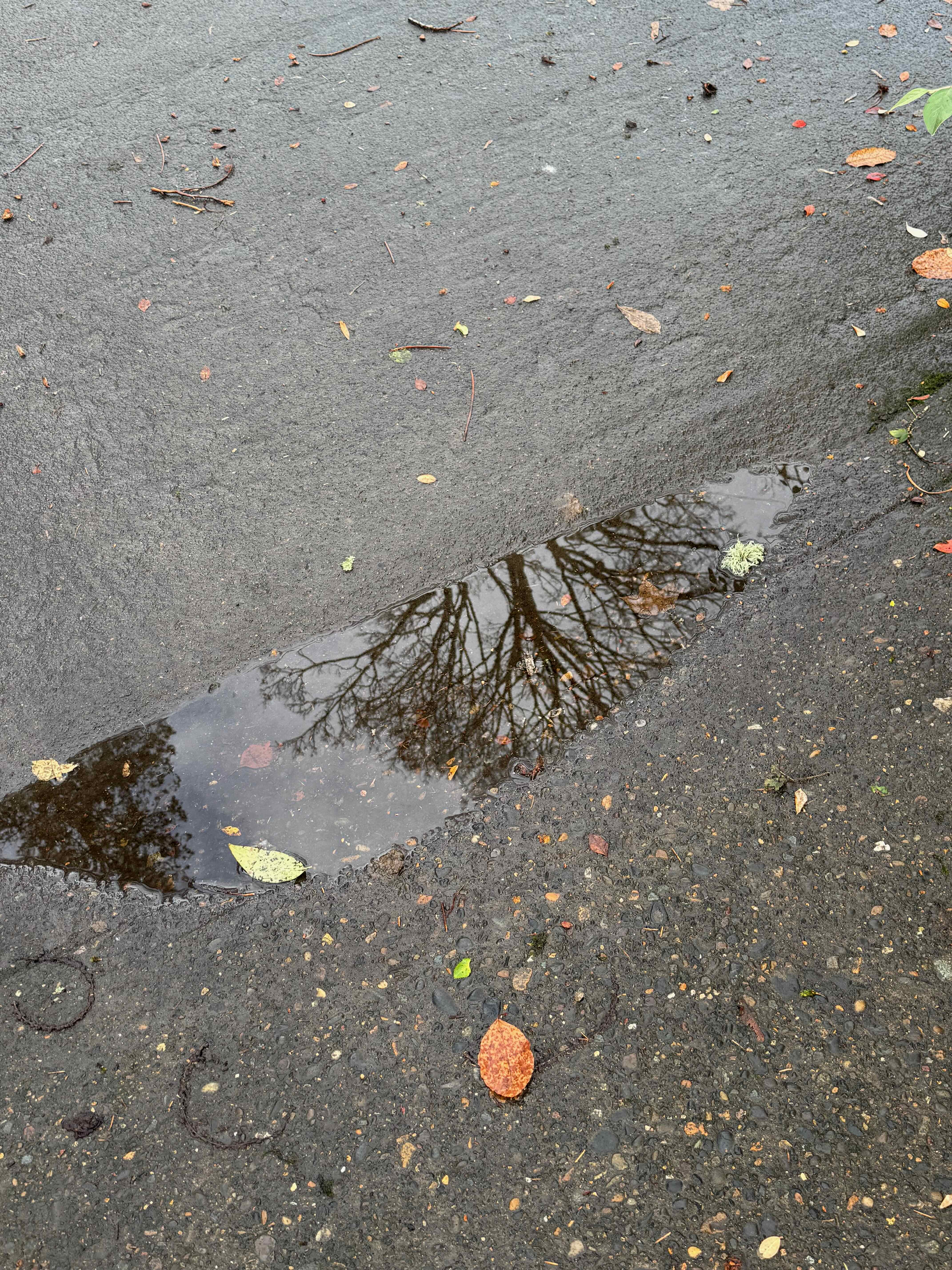
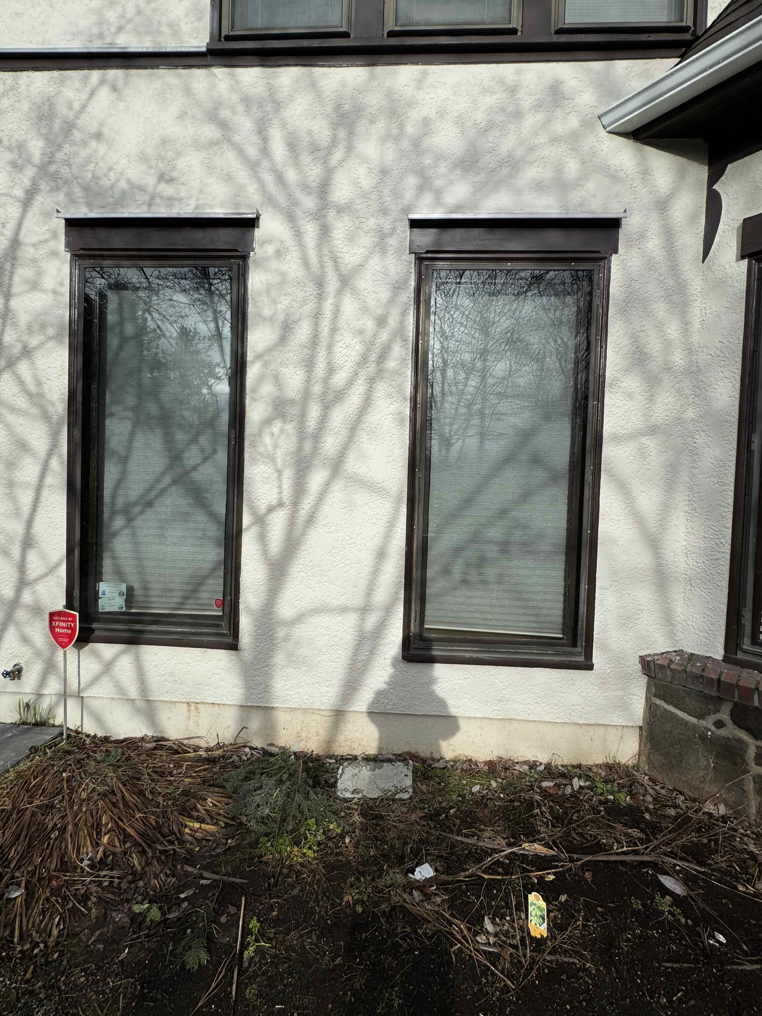
Neighborhood walks – the low sun position intensified shadows and sky…


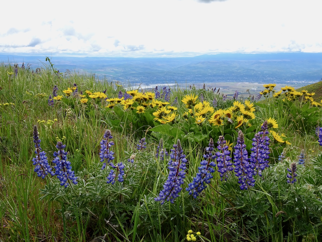
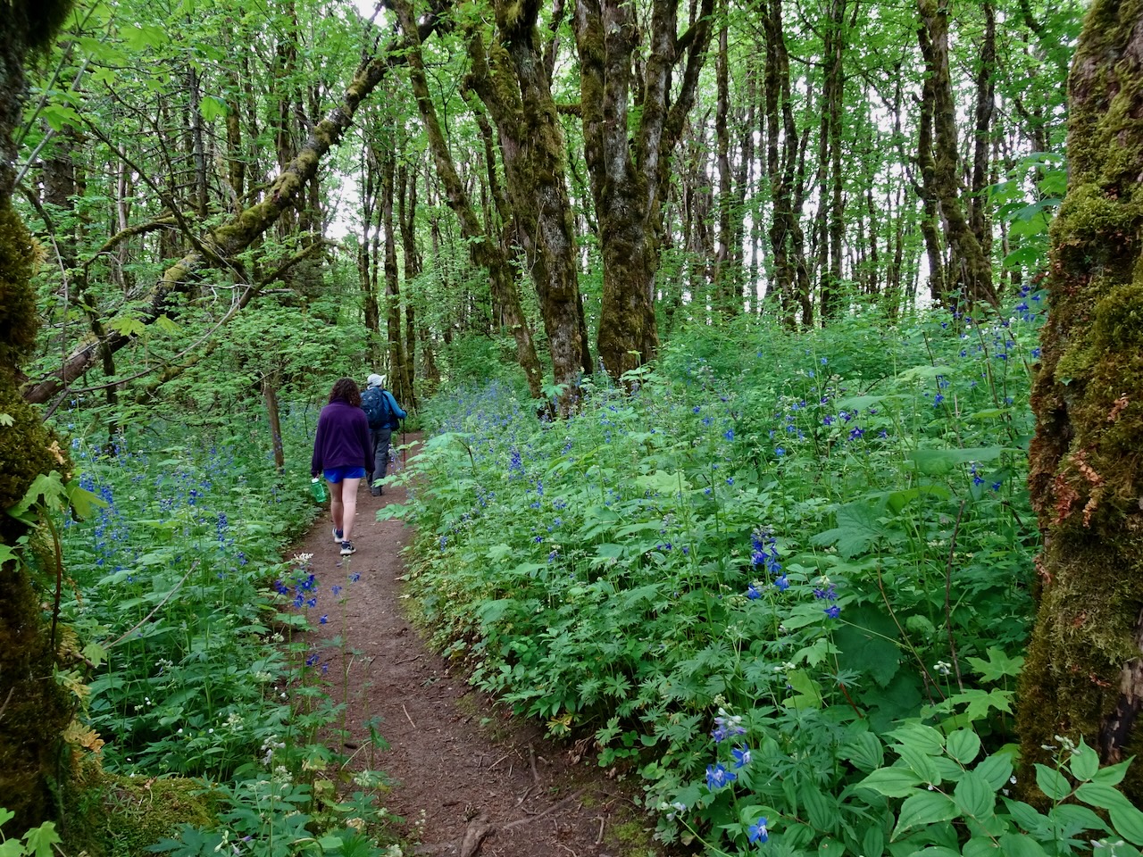
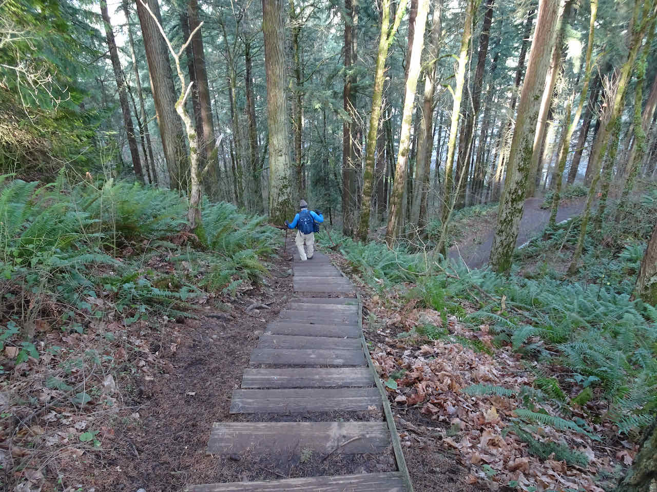
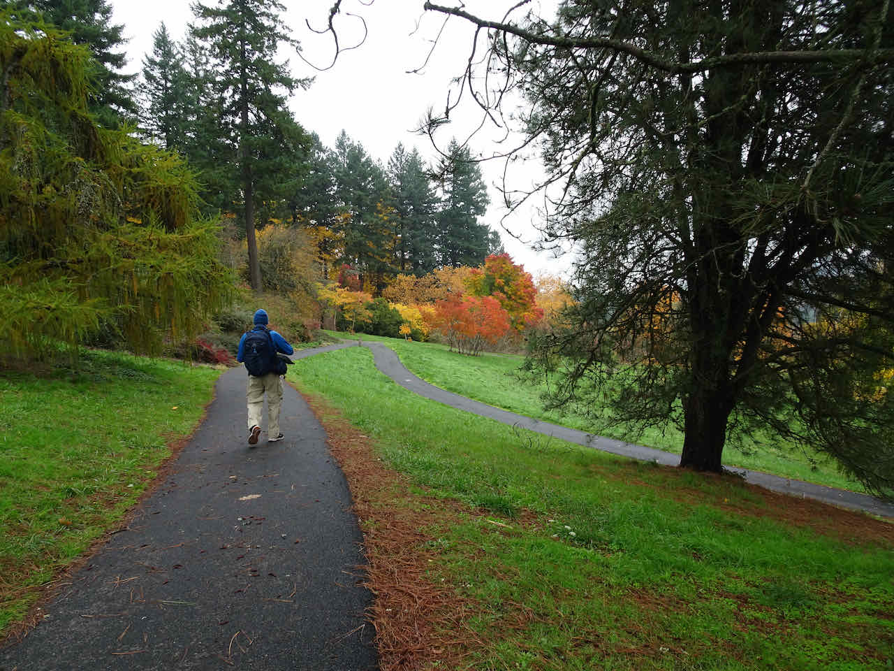
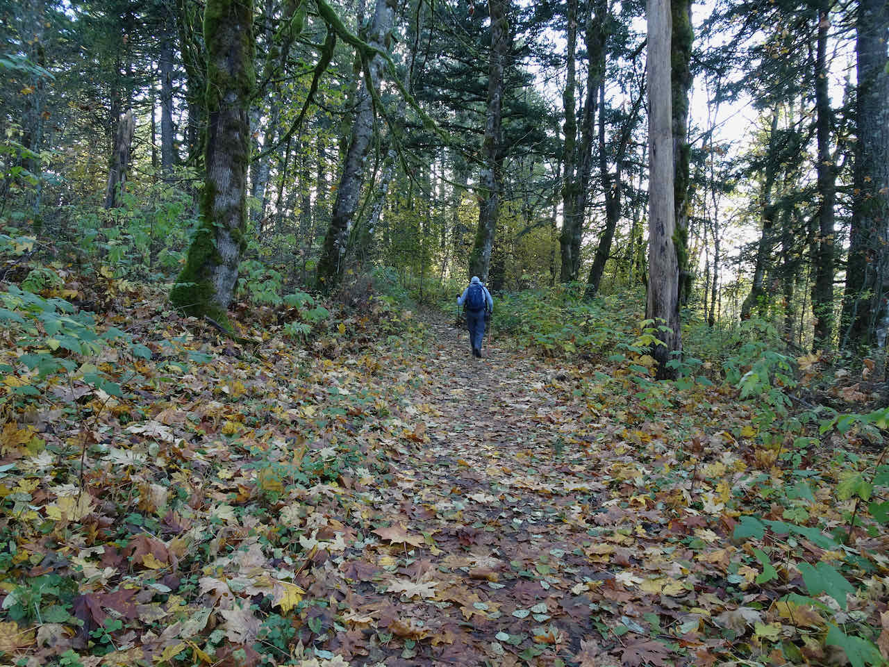
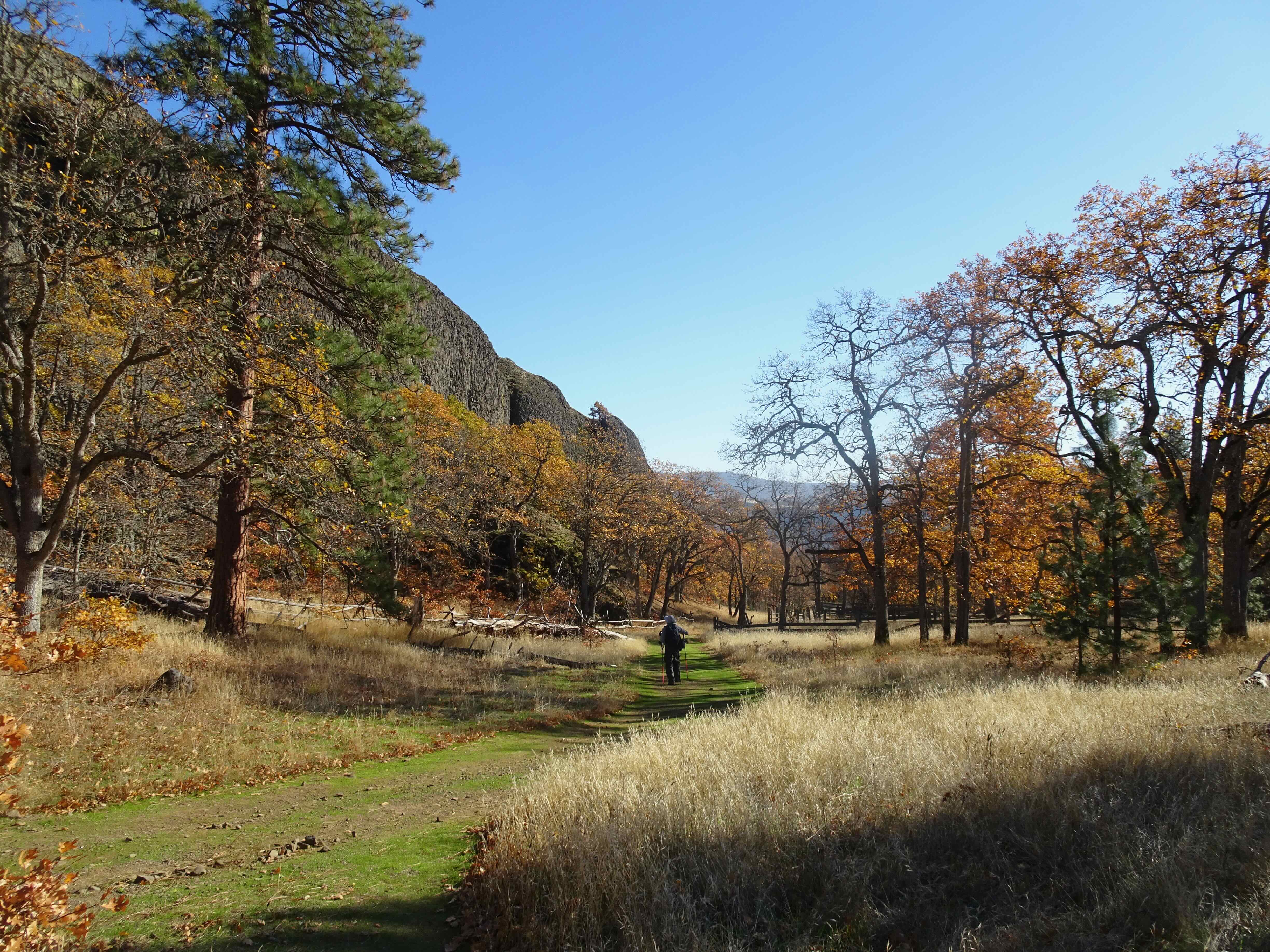
Hikes
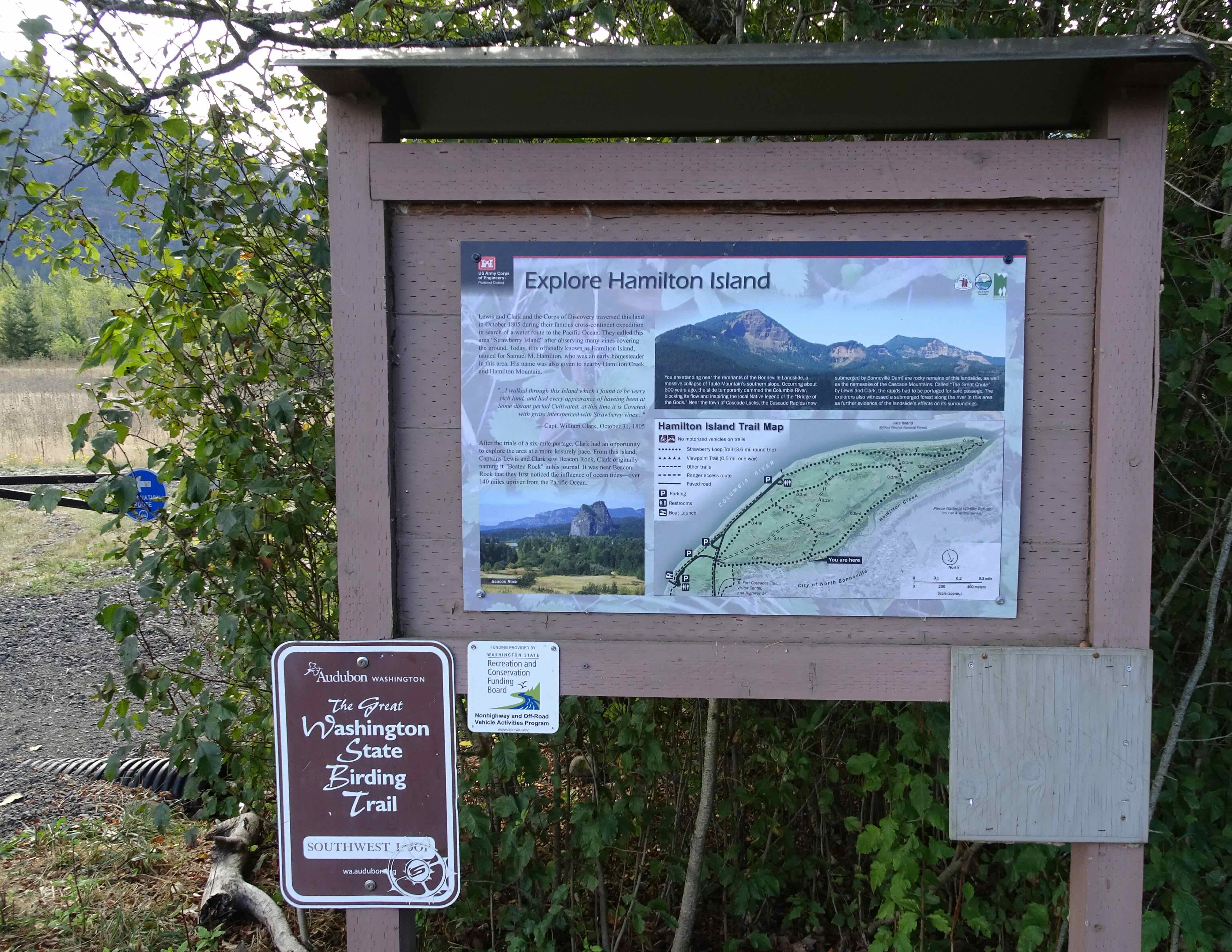
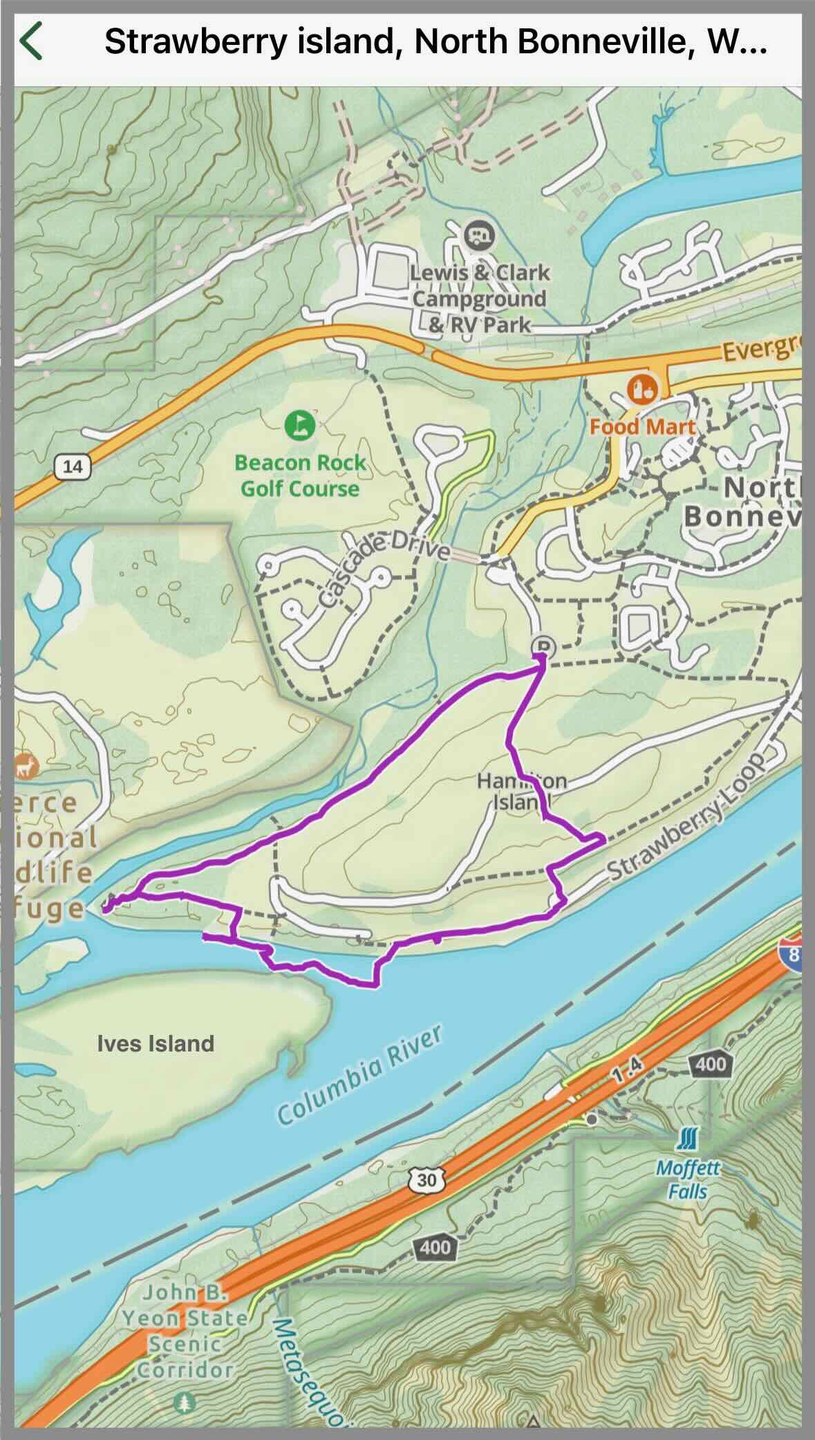
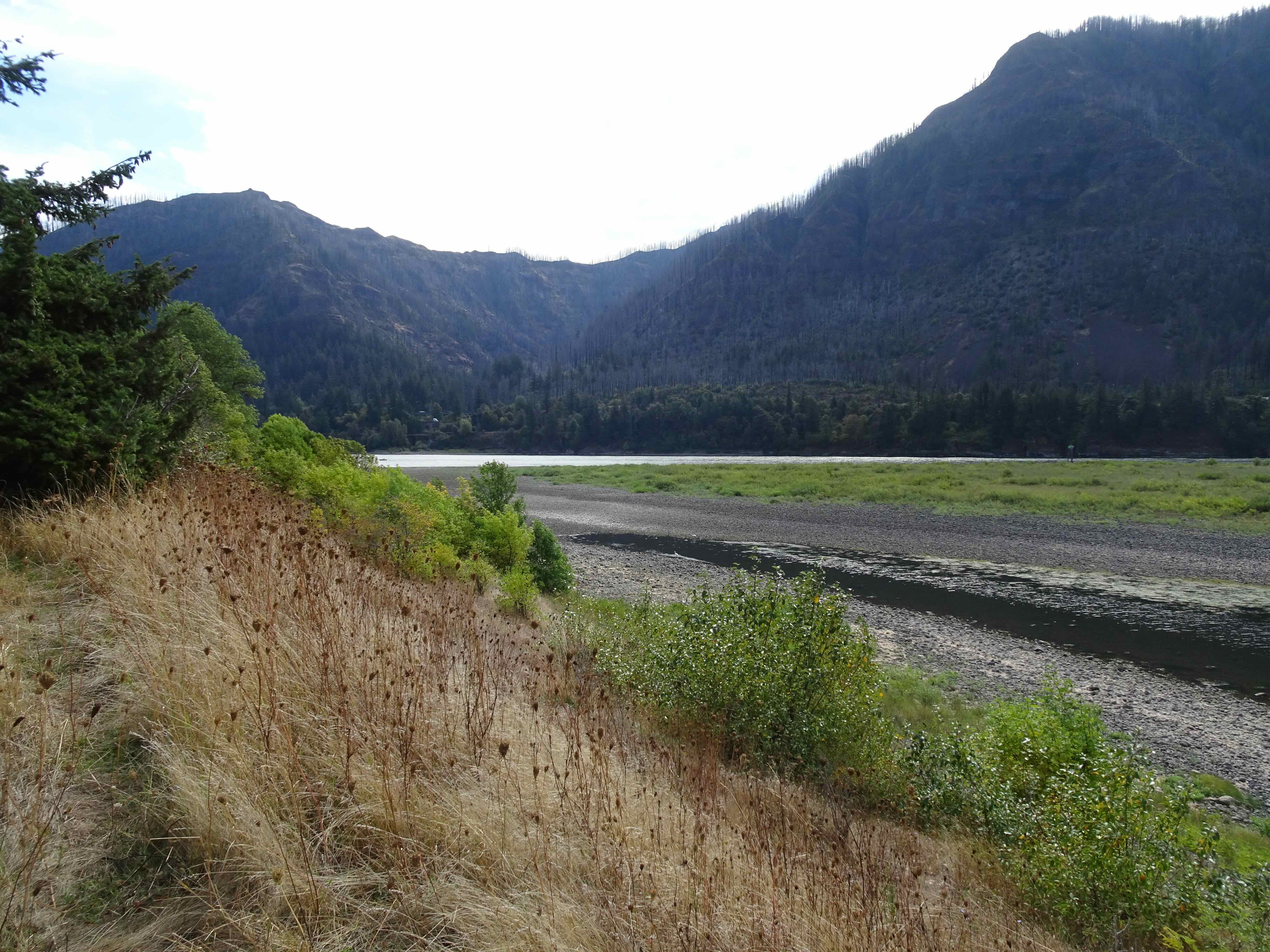
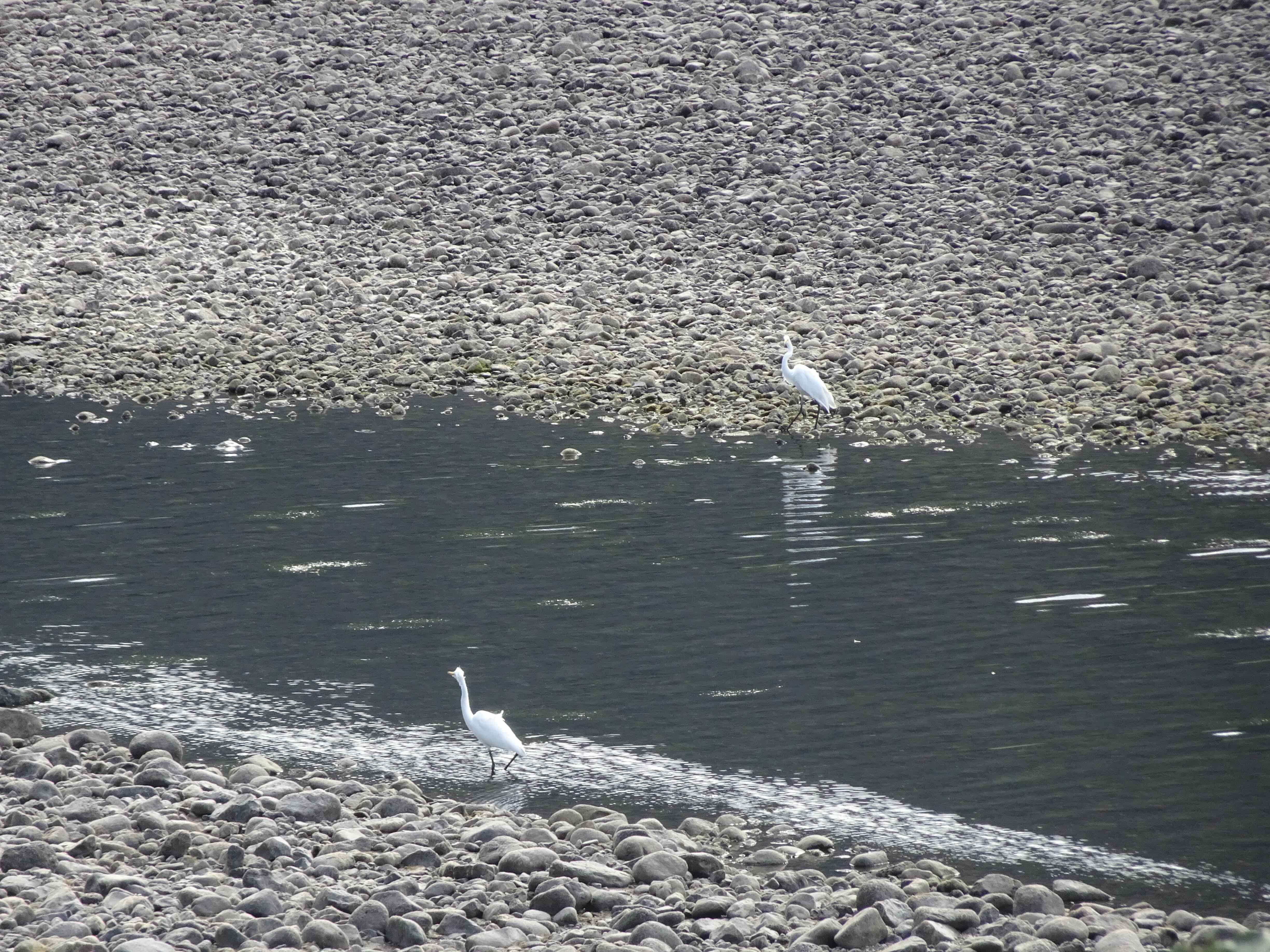
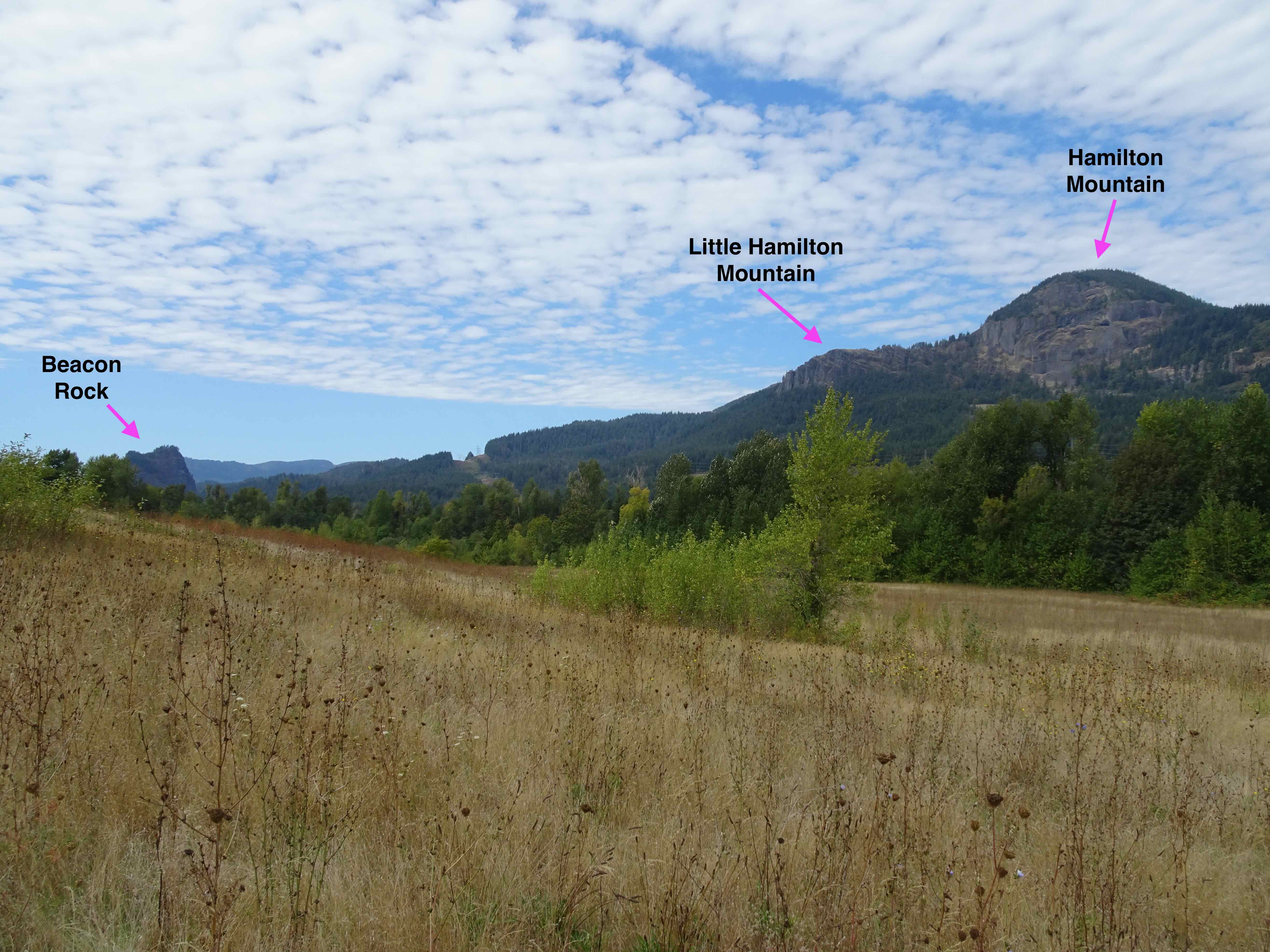
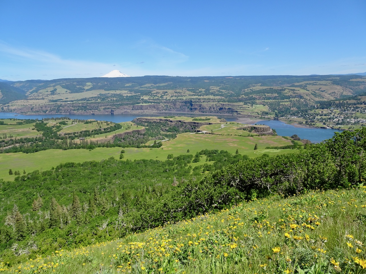
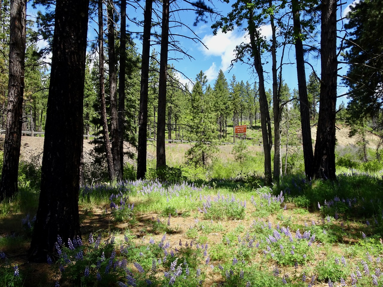
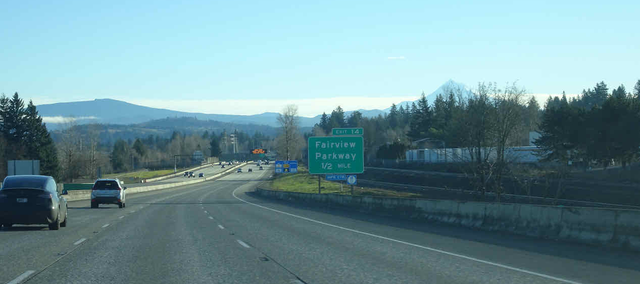
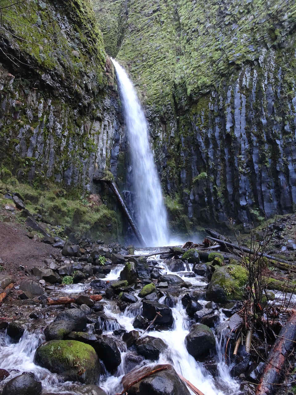
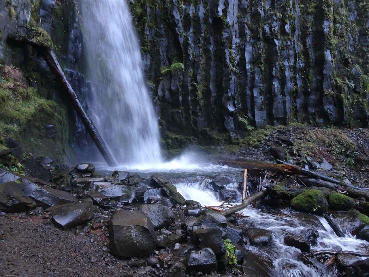
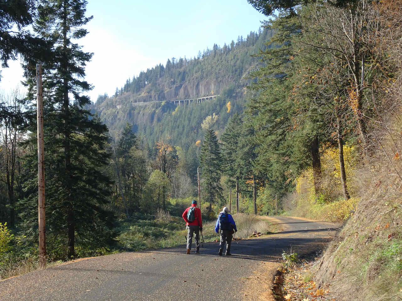
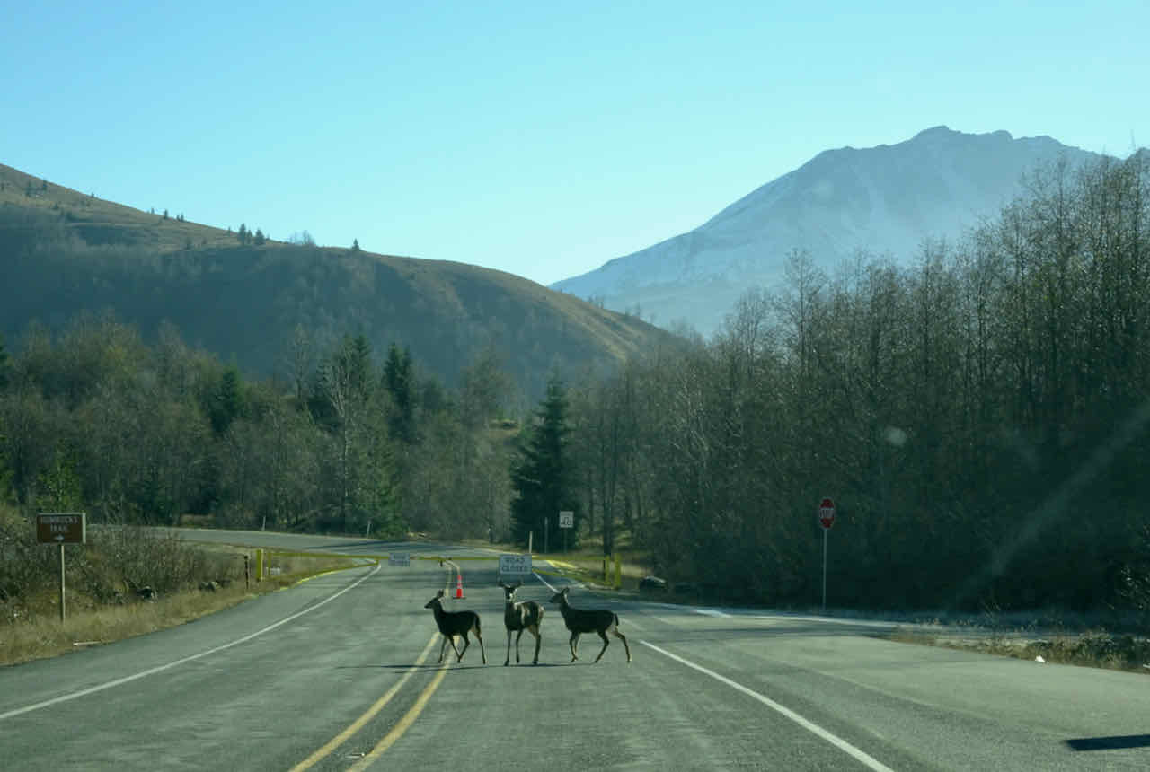
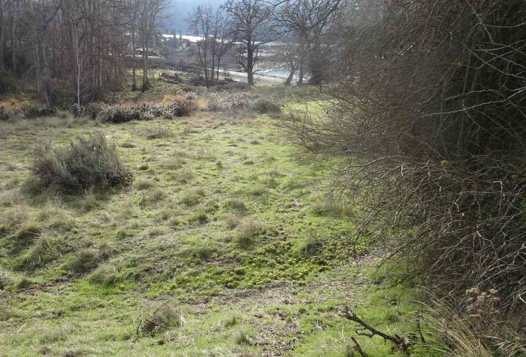
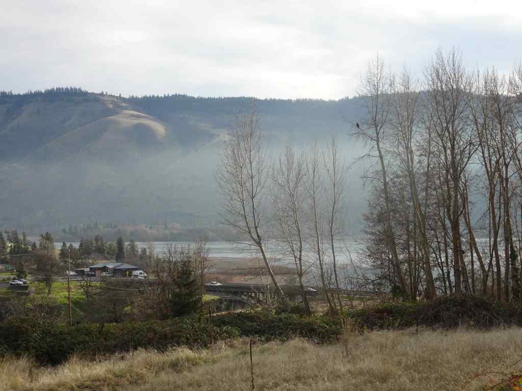
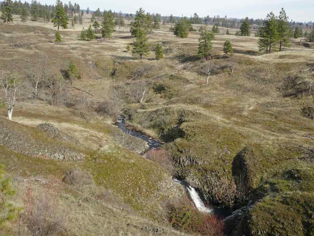
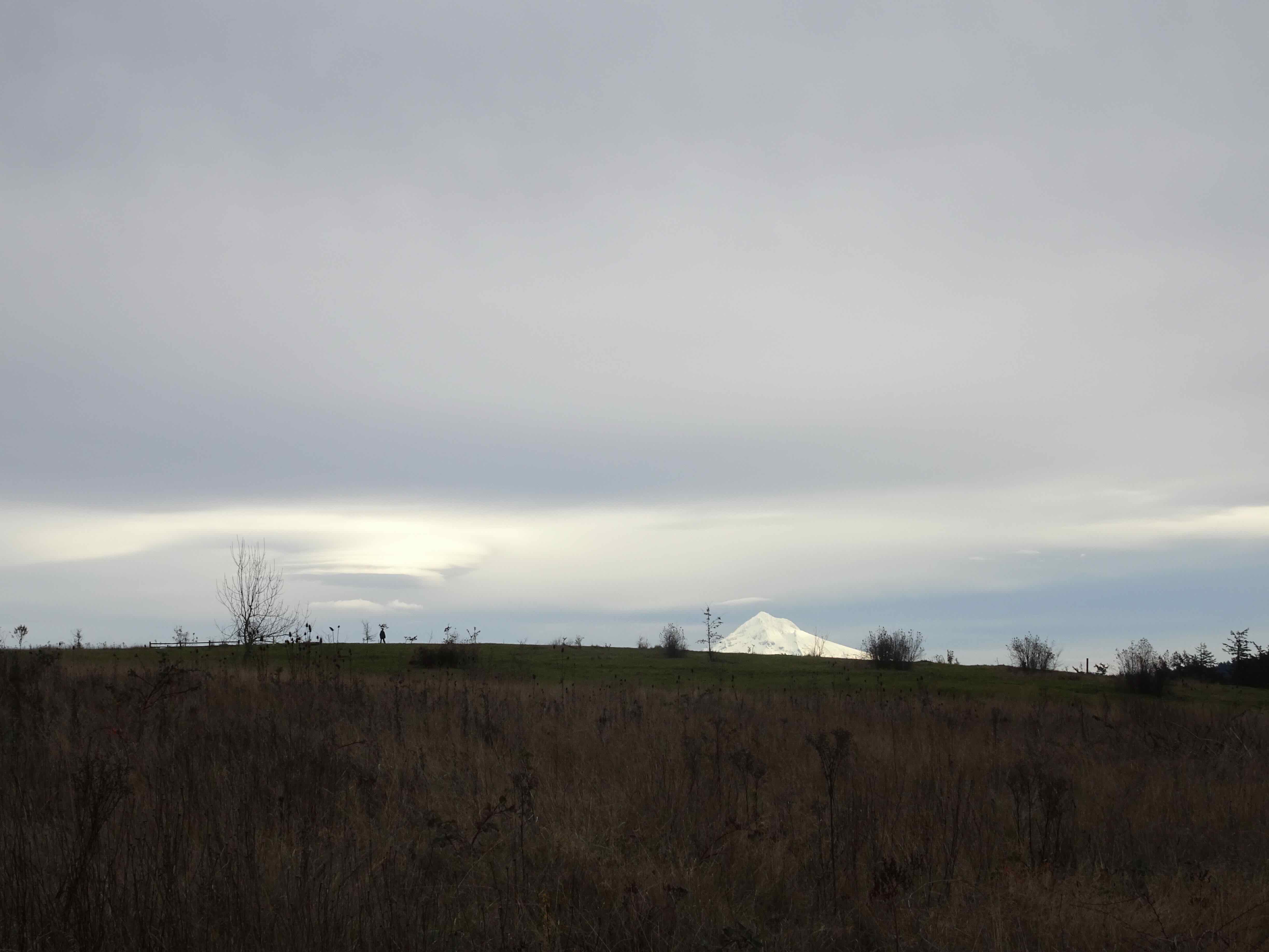
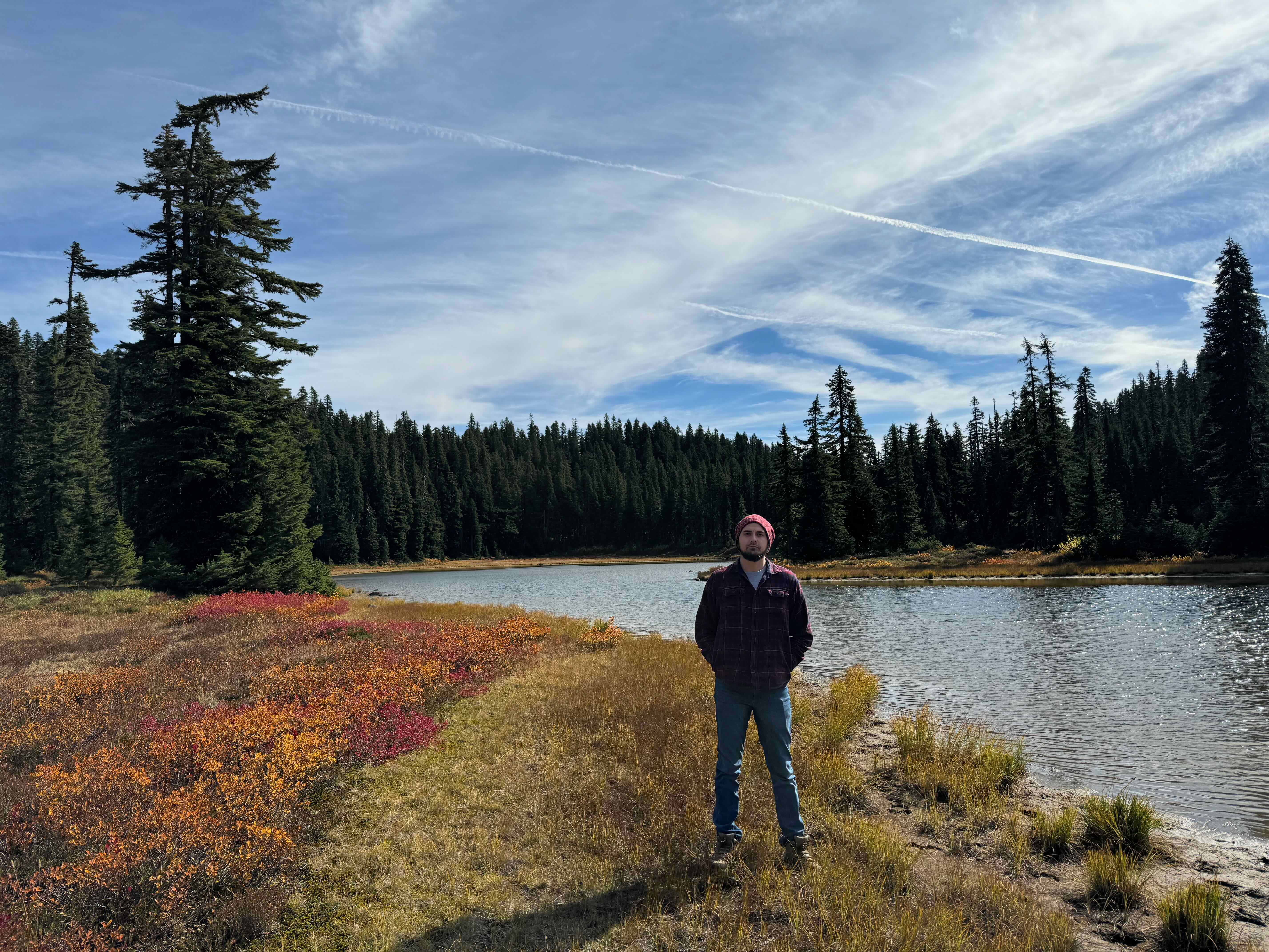
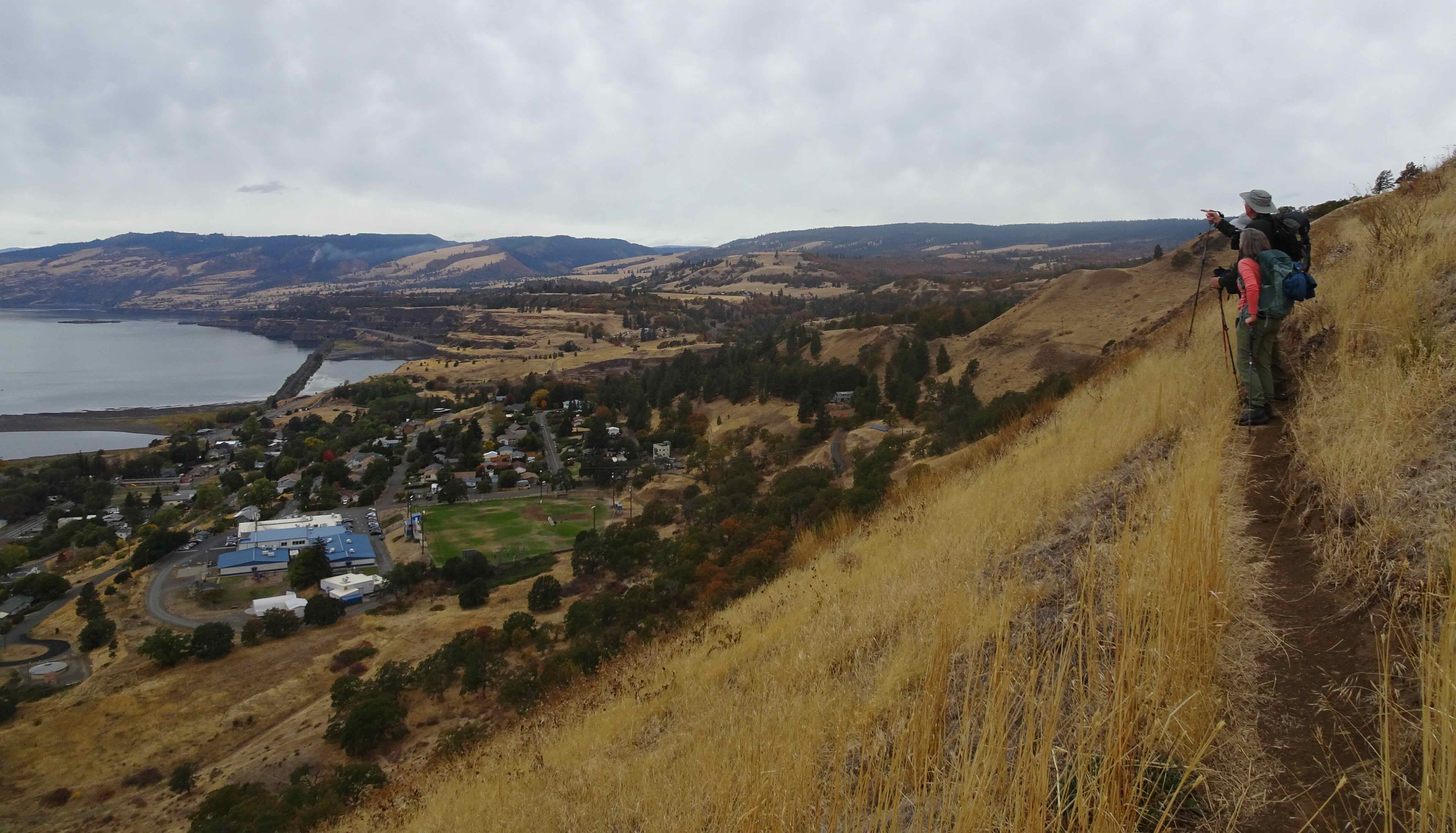
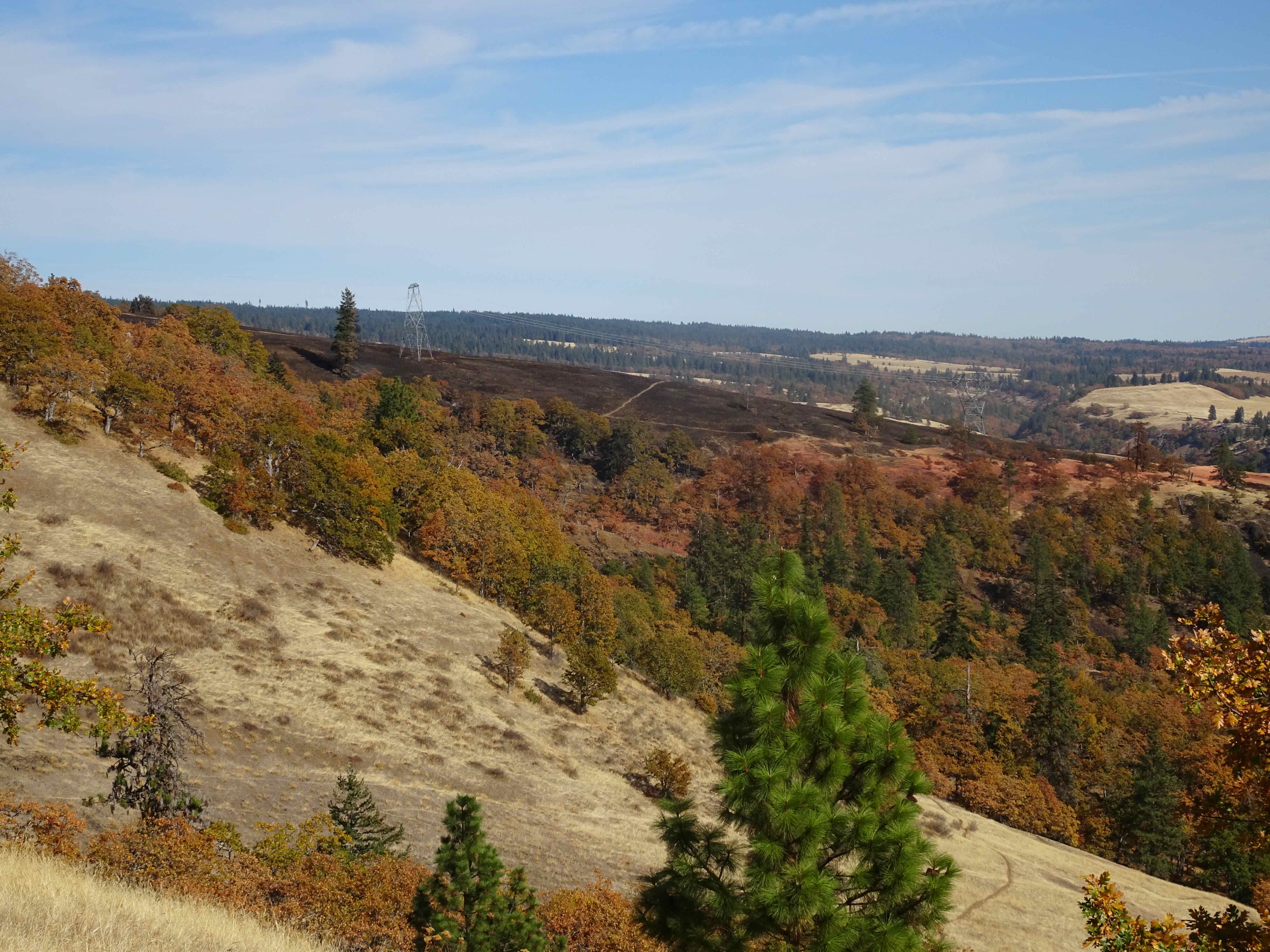
Early in the month, we spent five days on the sunny southern Oregon Coast (see previous post), where it was cold, but not windy! We took several long beach and headland walks. More locally, we hiked in the eastern Columbia RIver Gorge a few times:
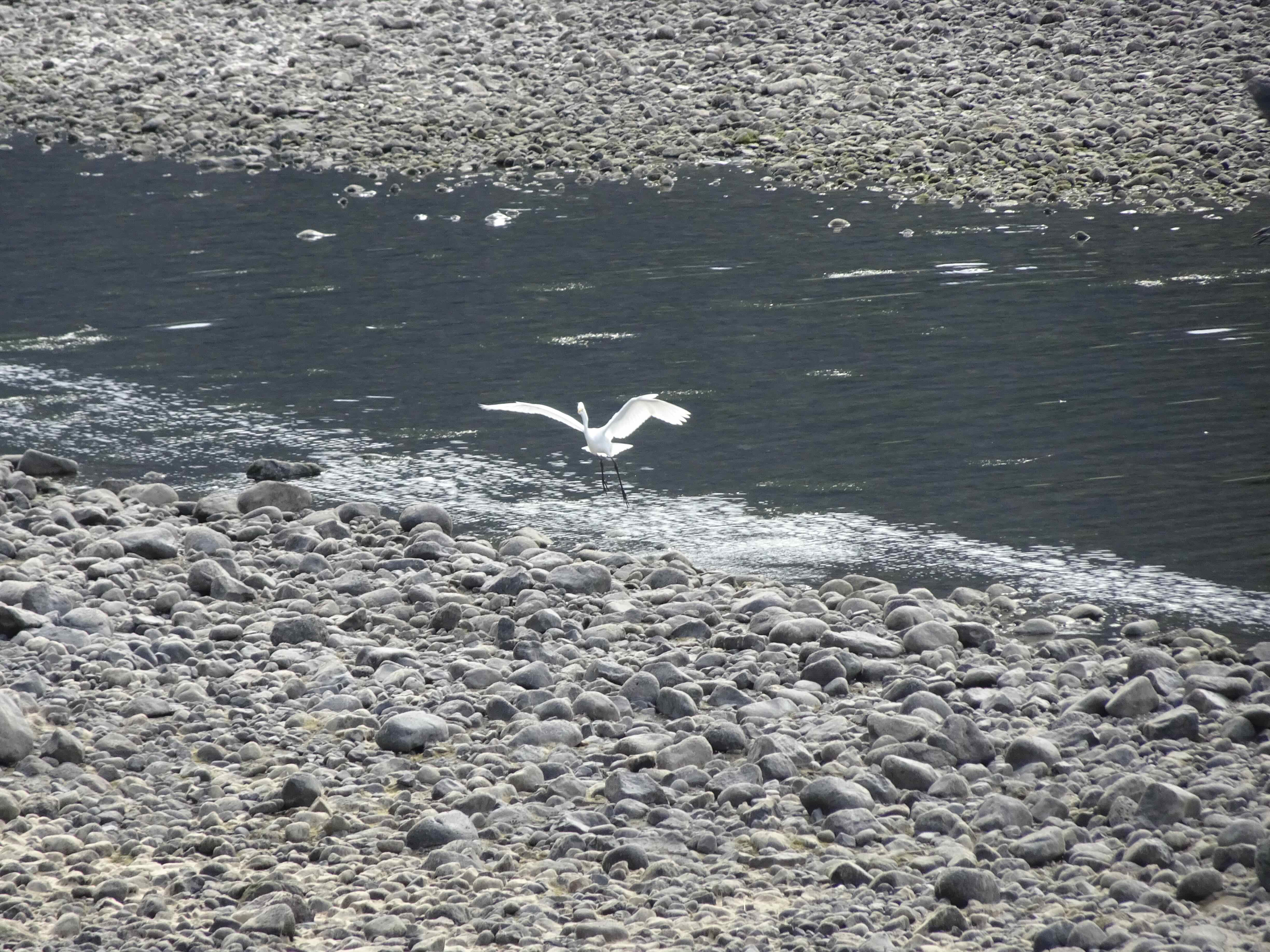
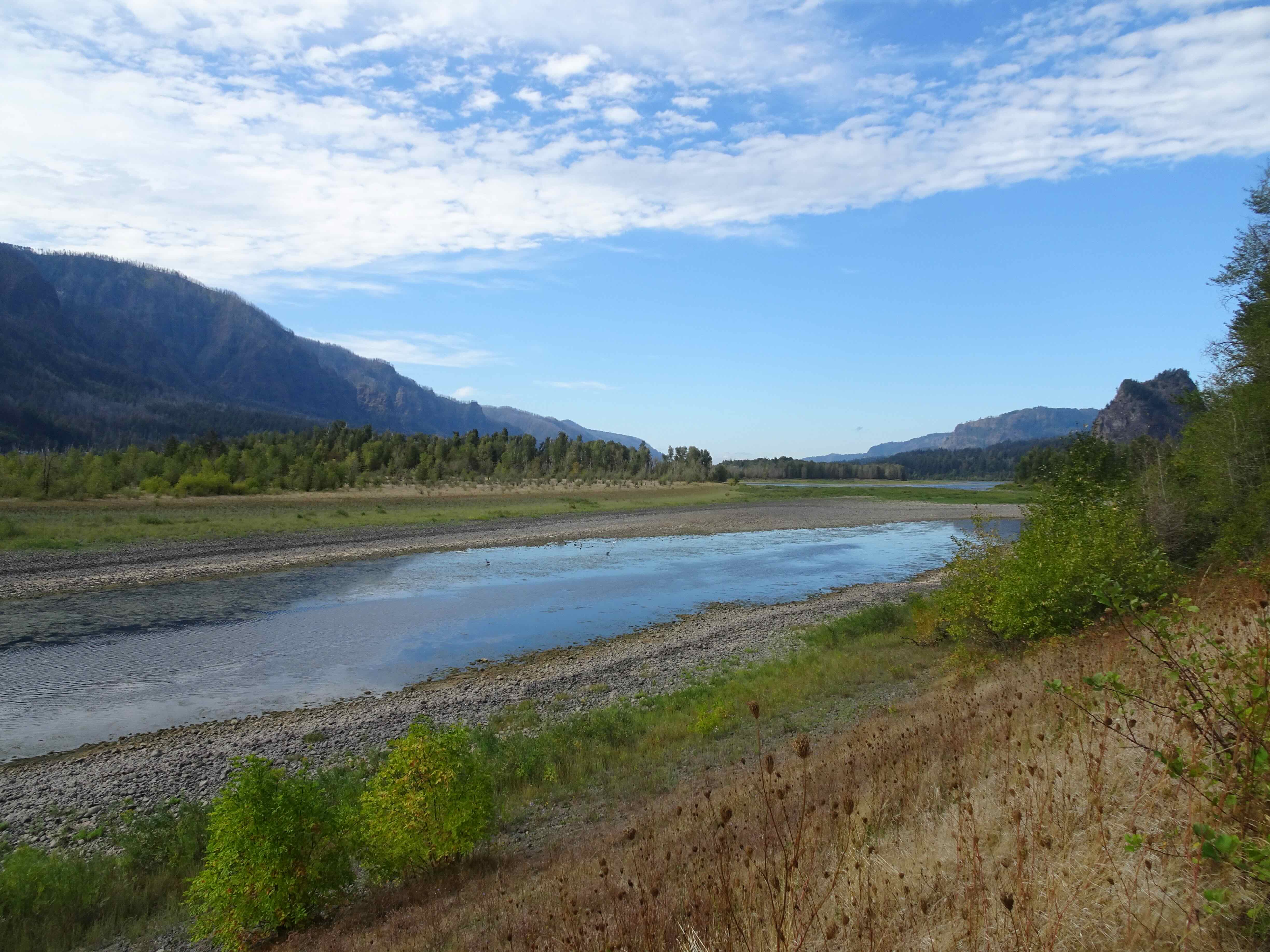
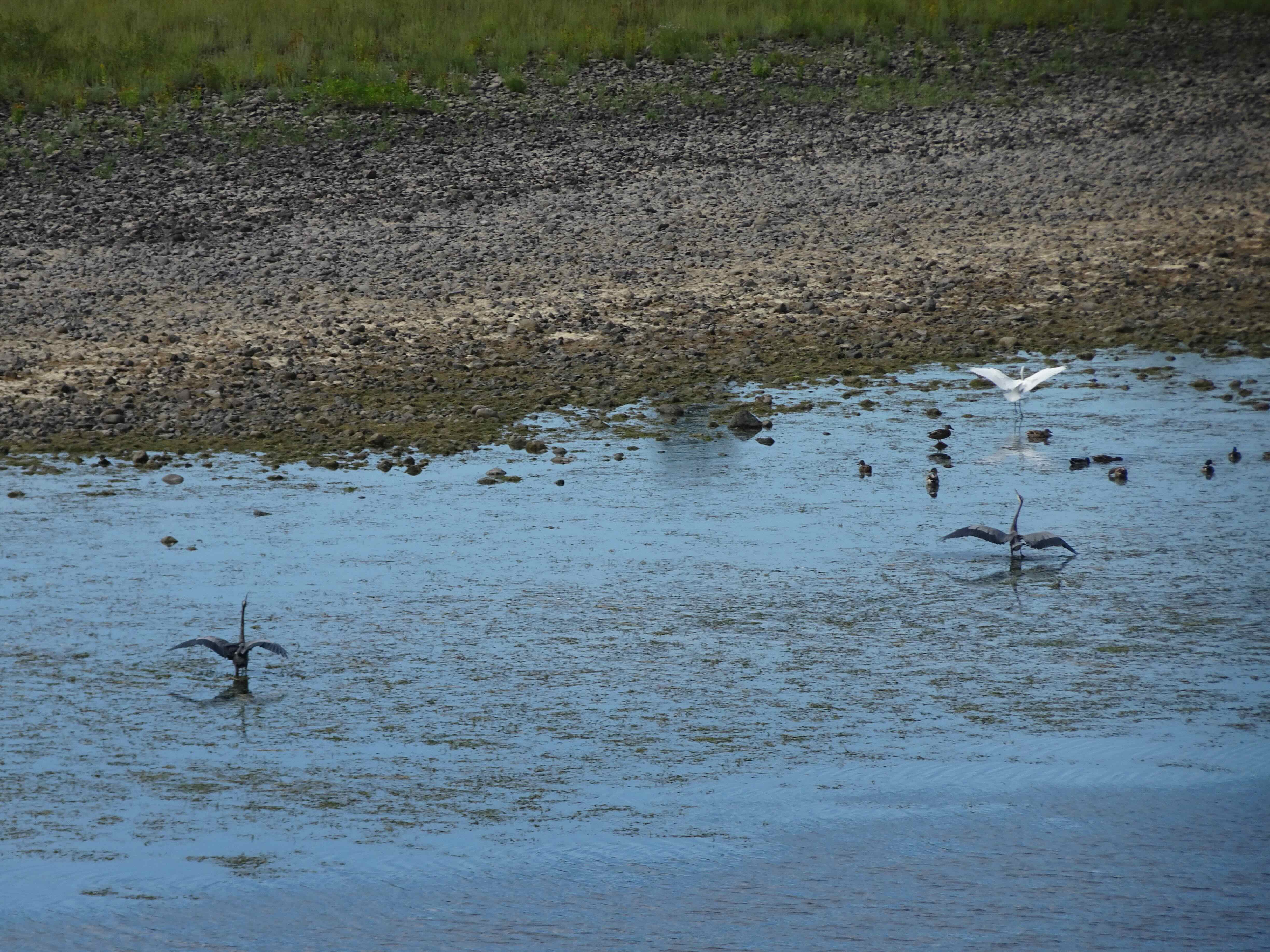
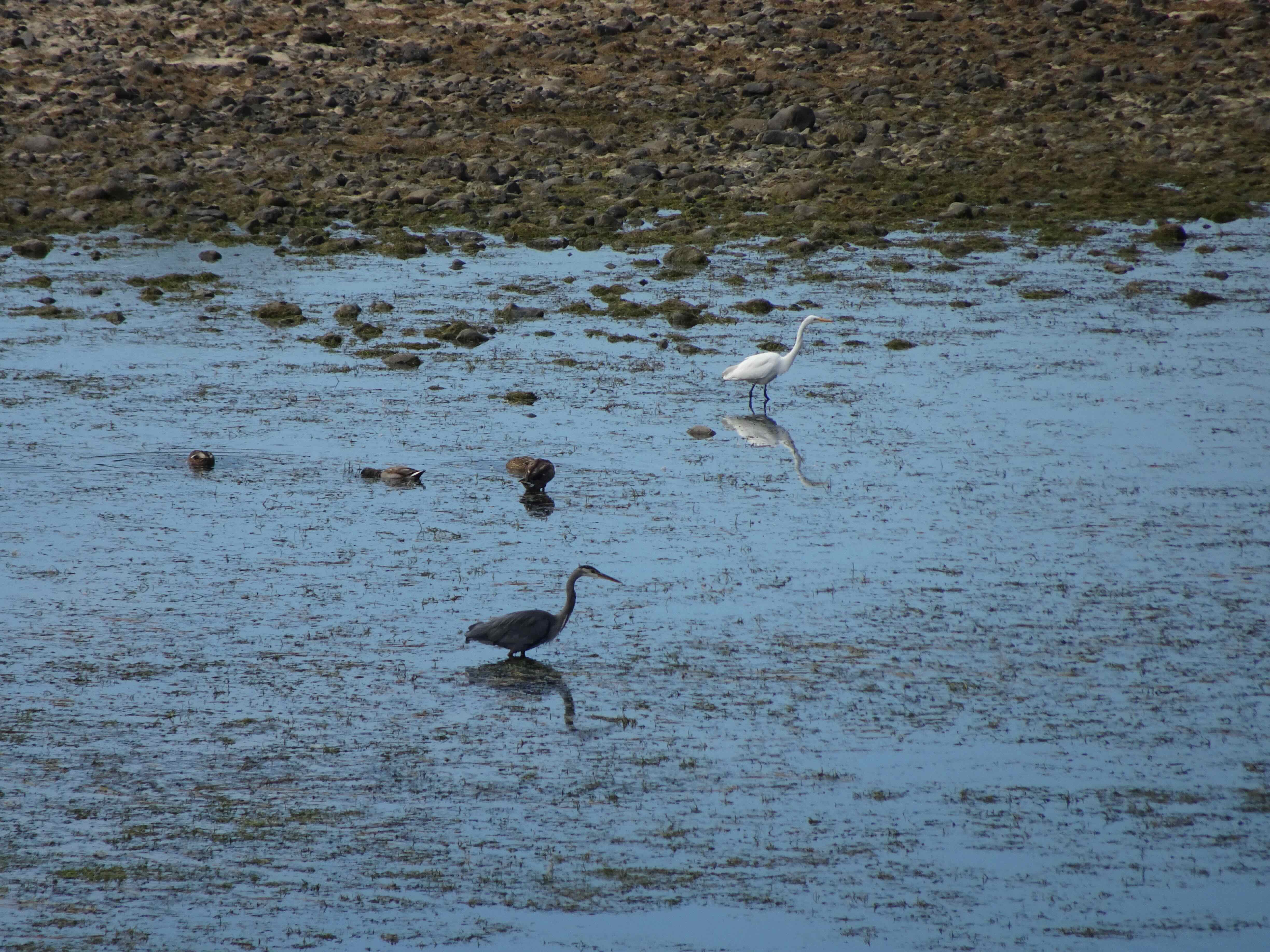
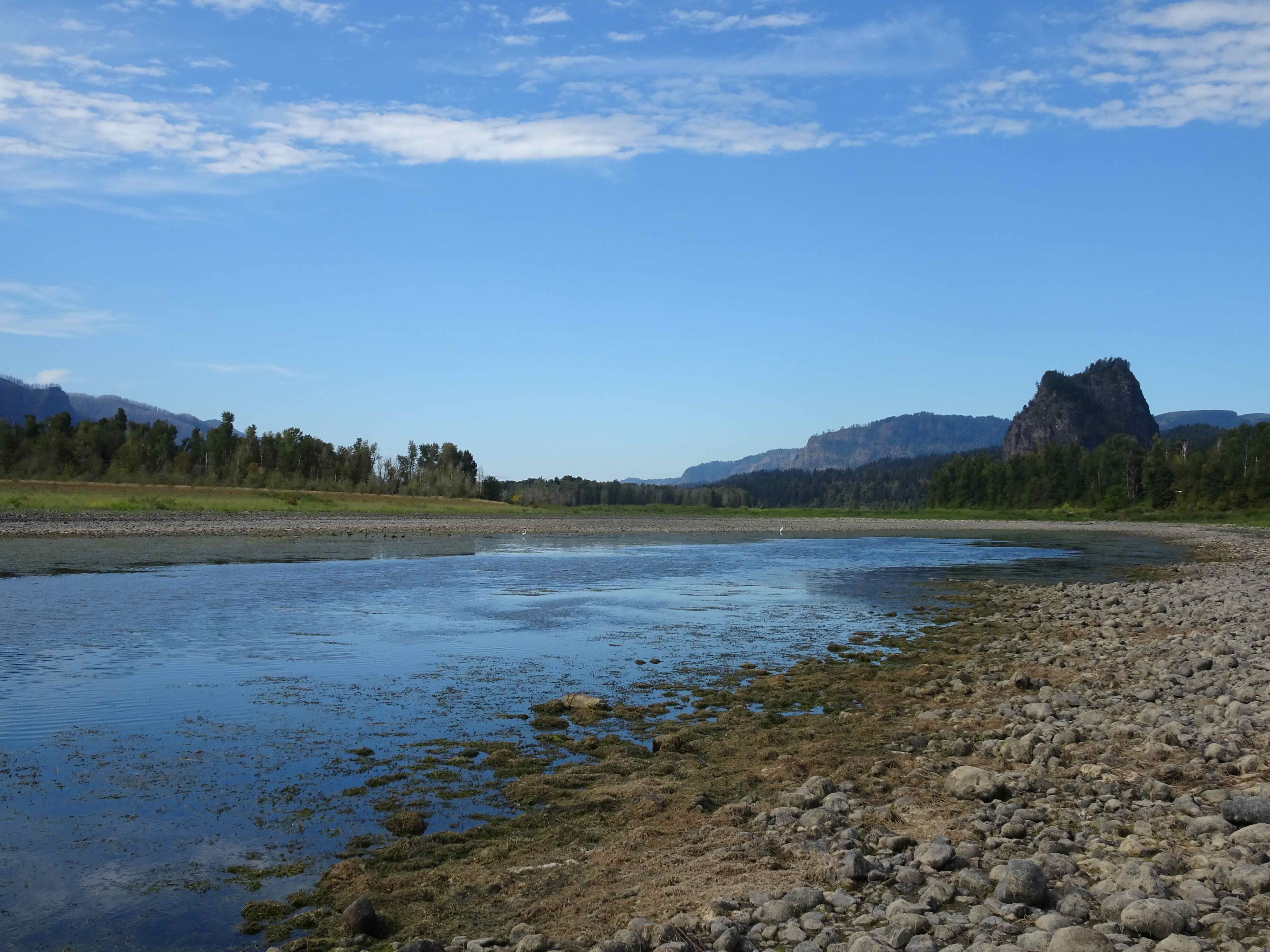
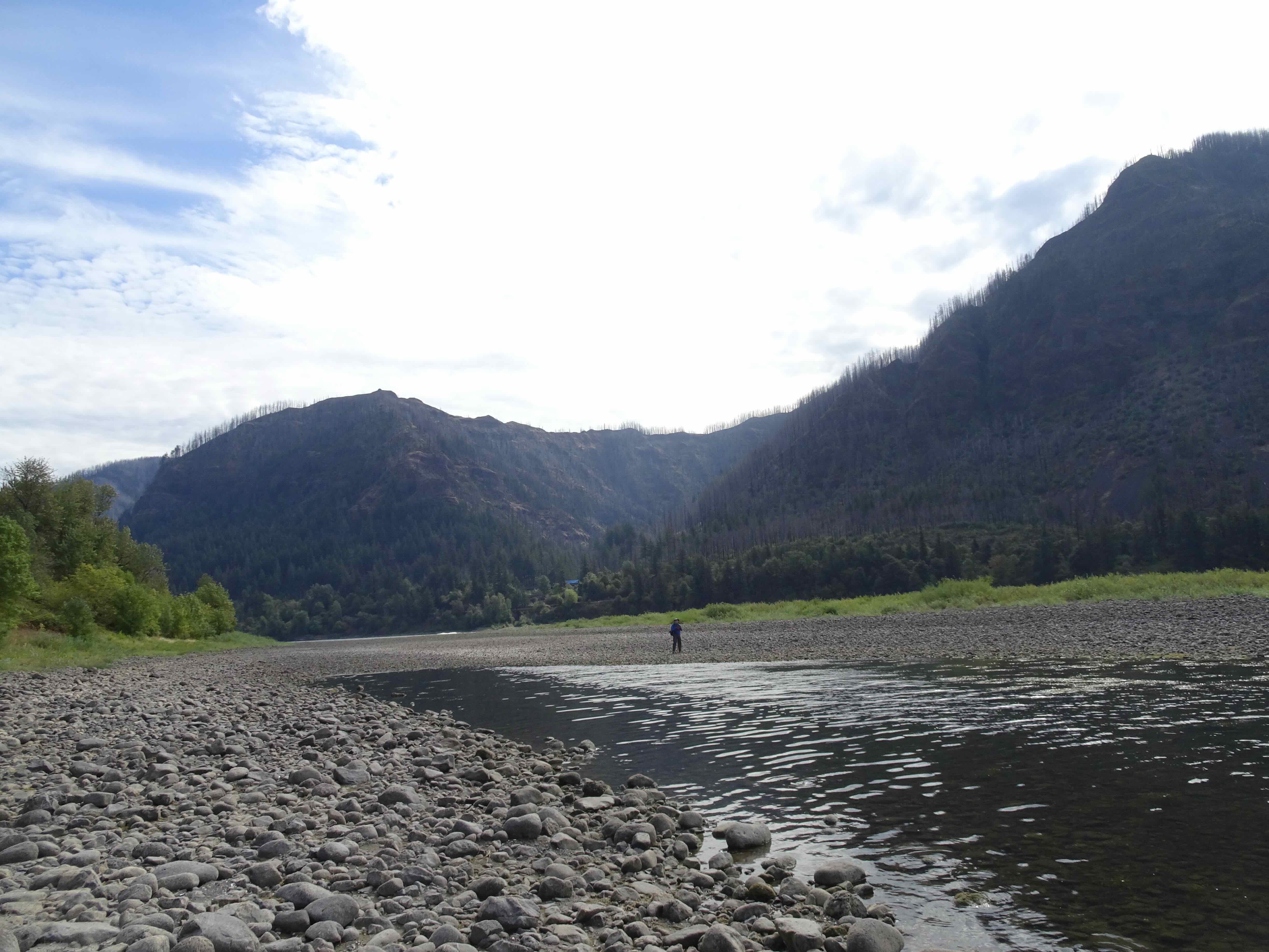
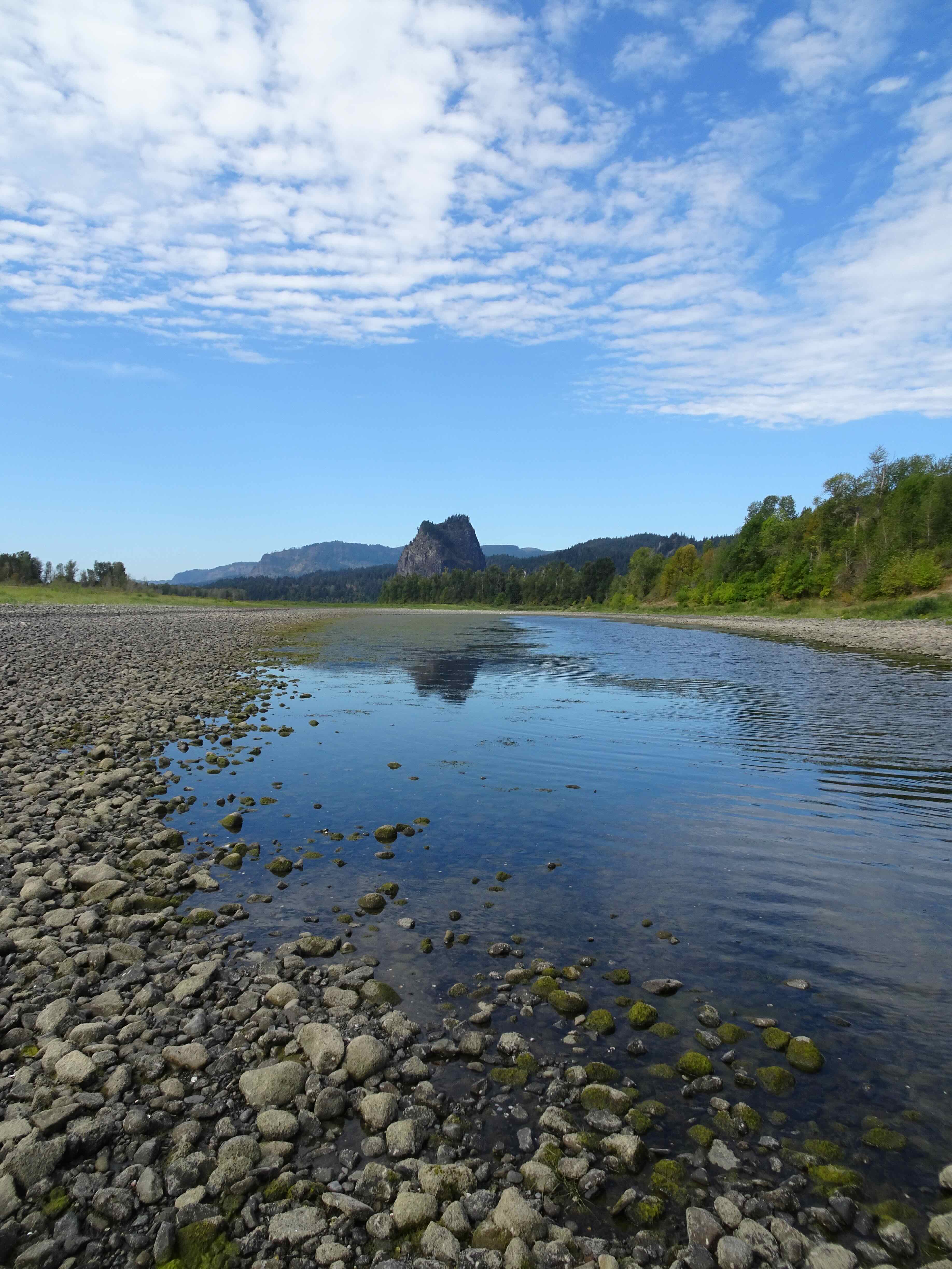
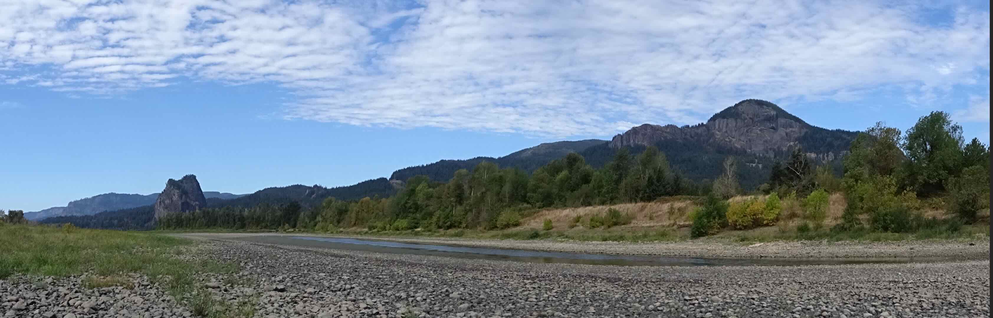
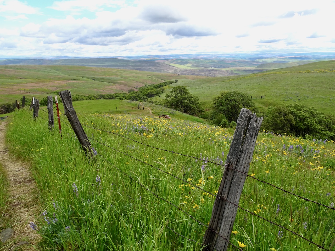
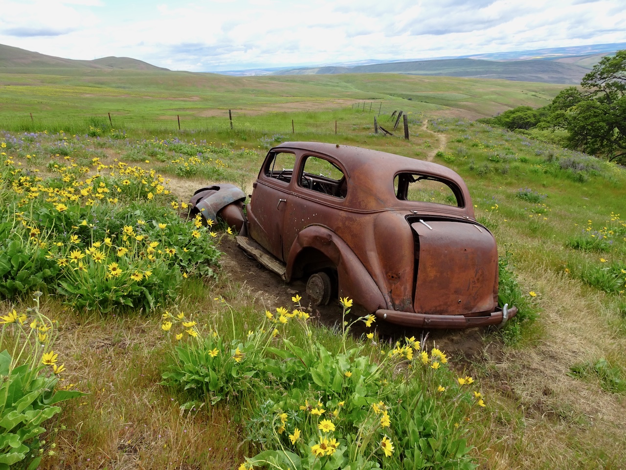
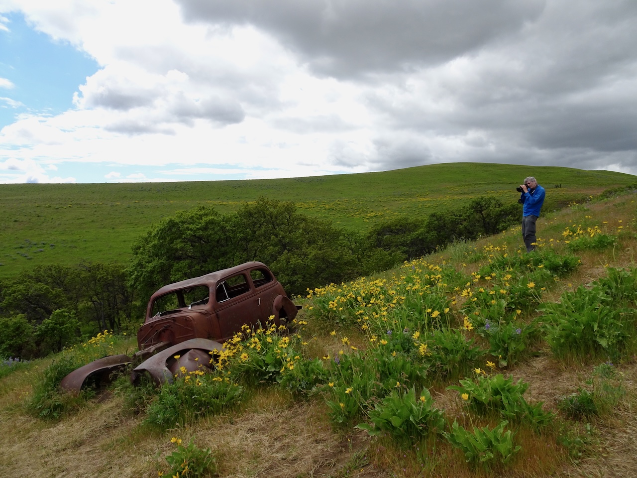
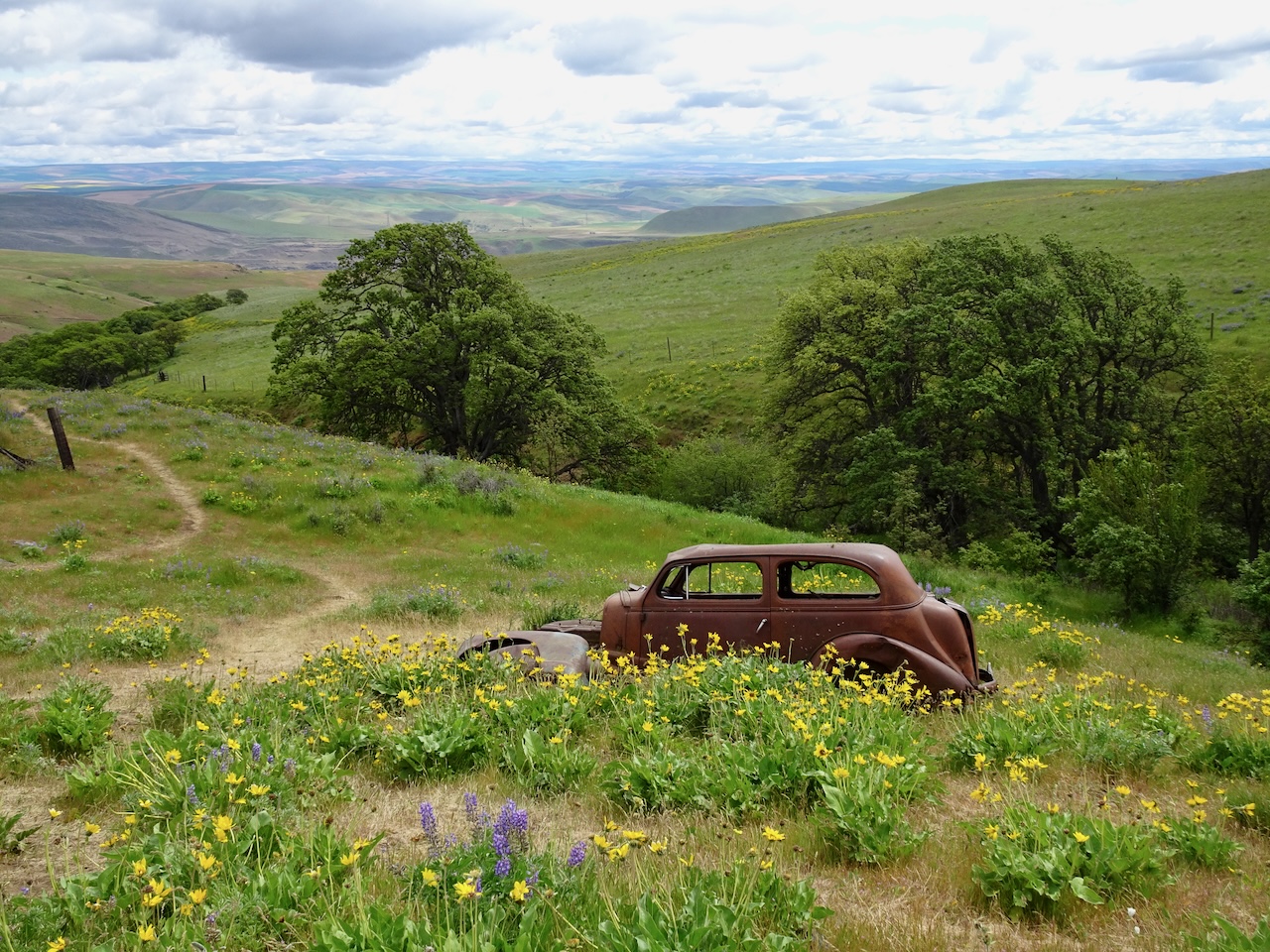
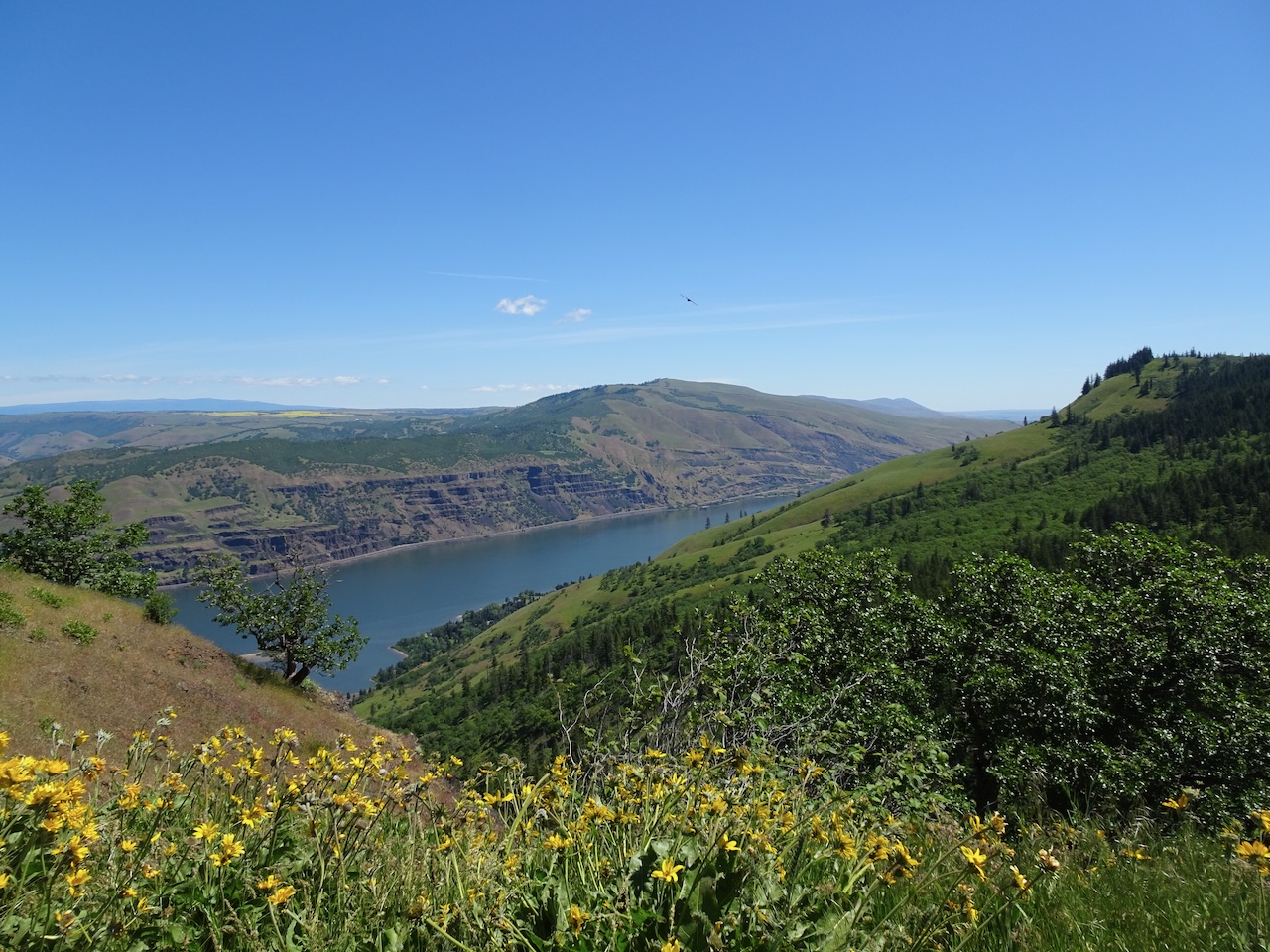
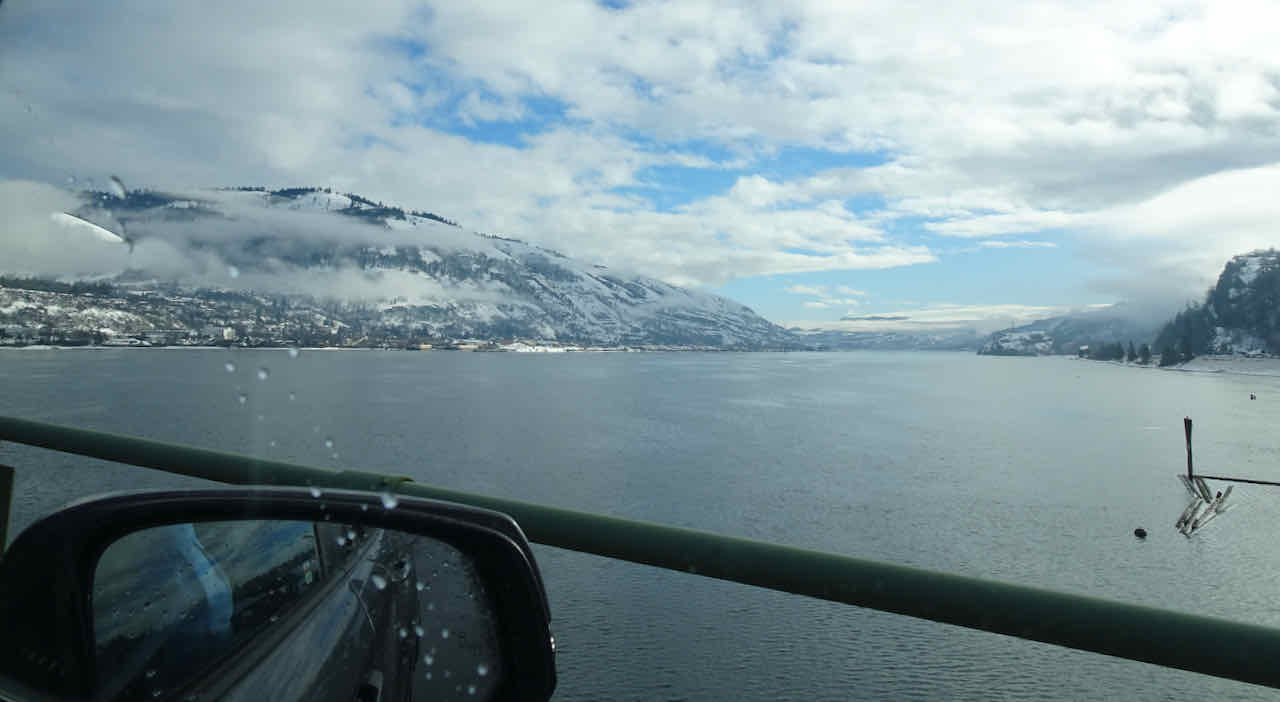
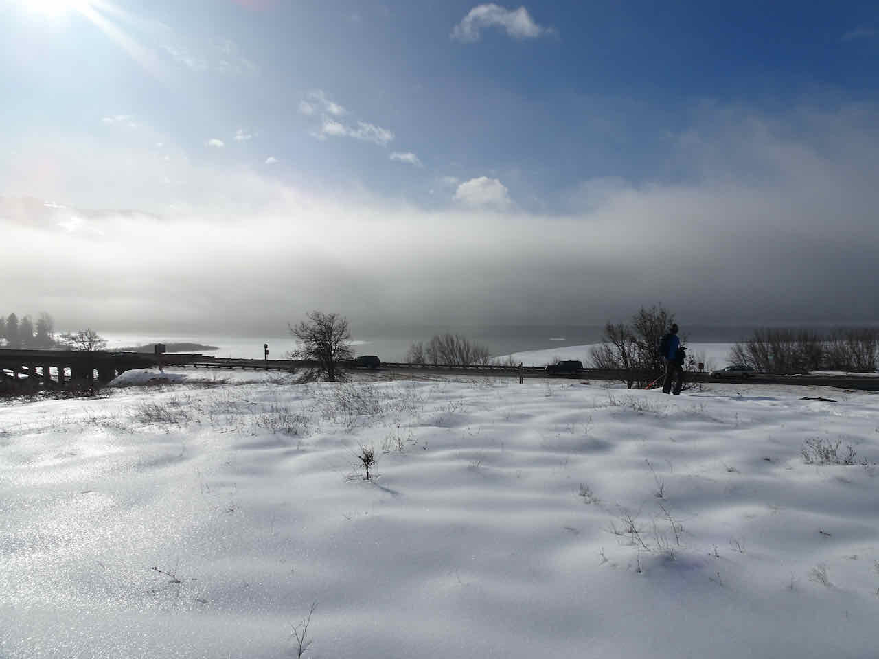
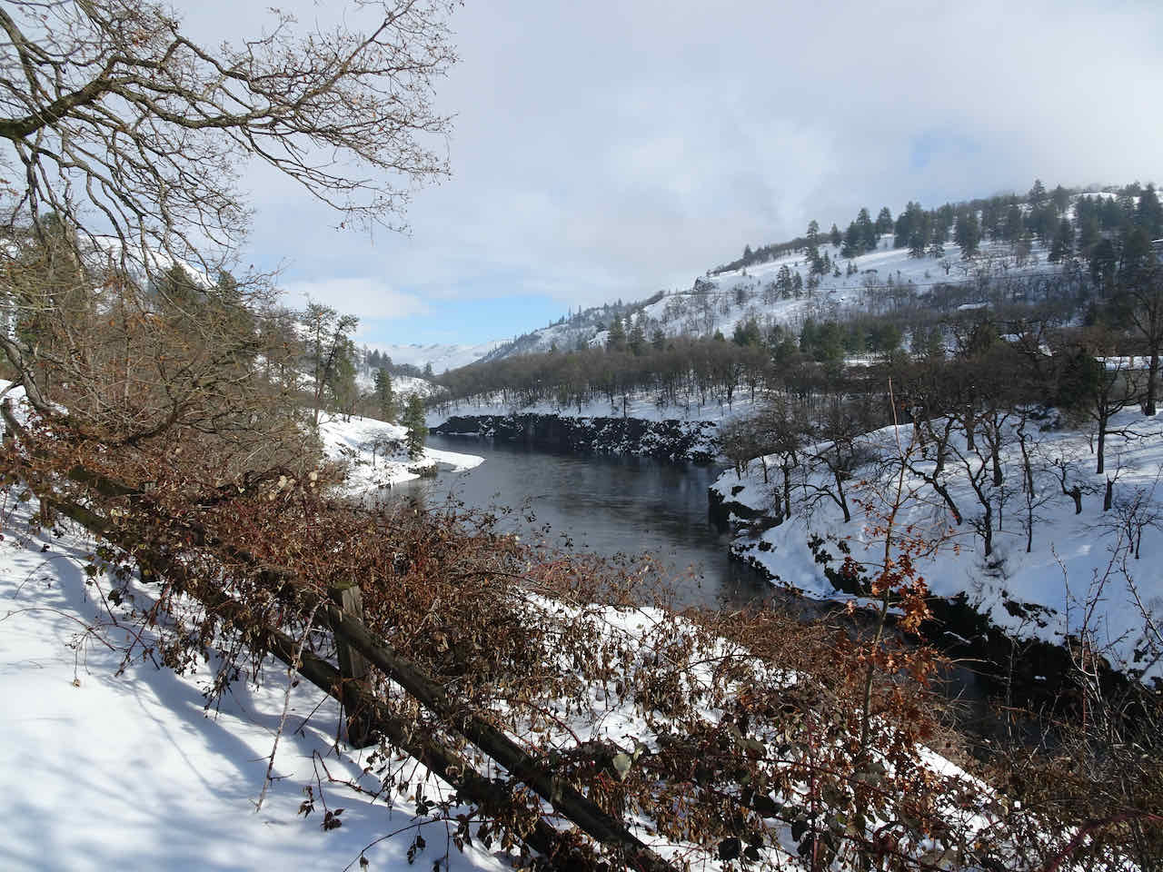
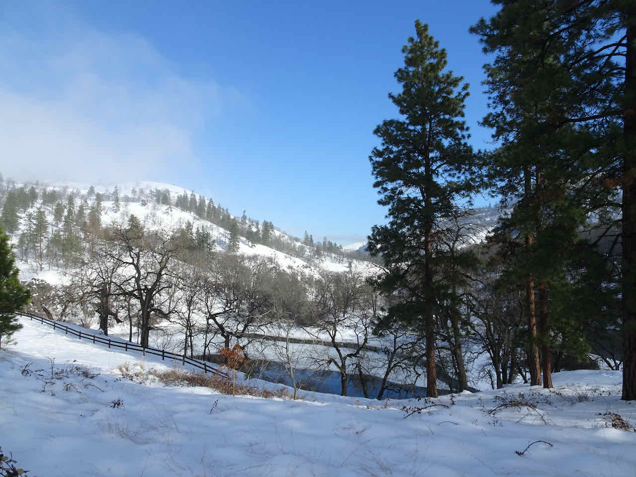
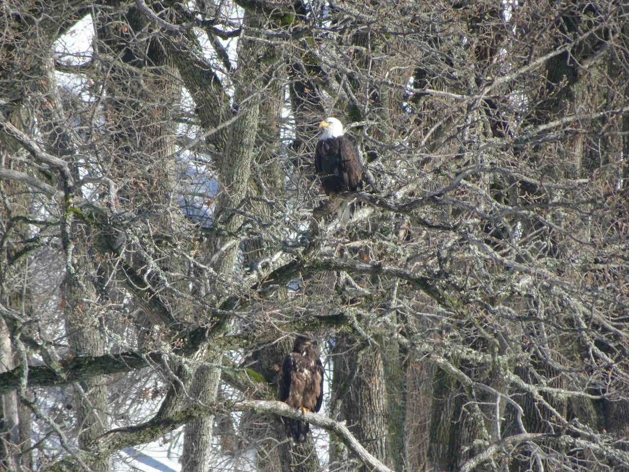
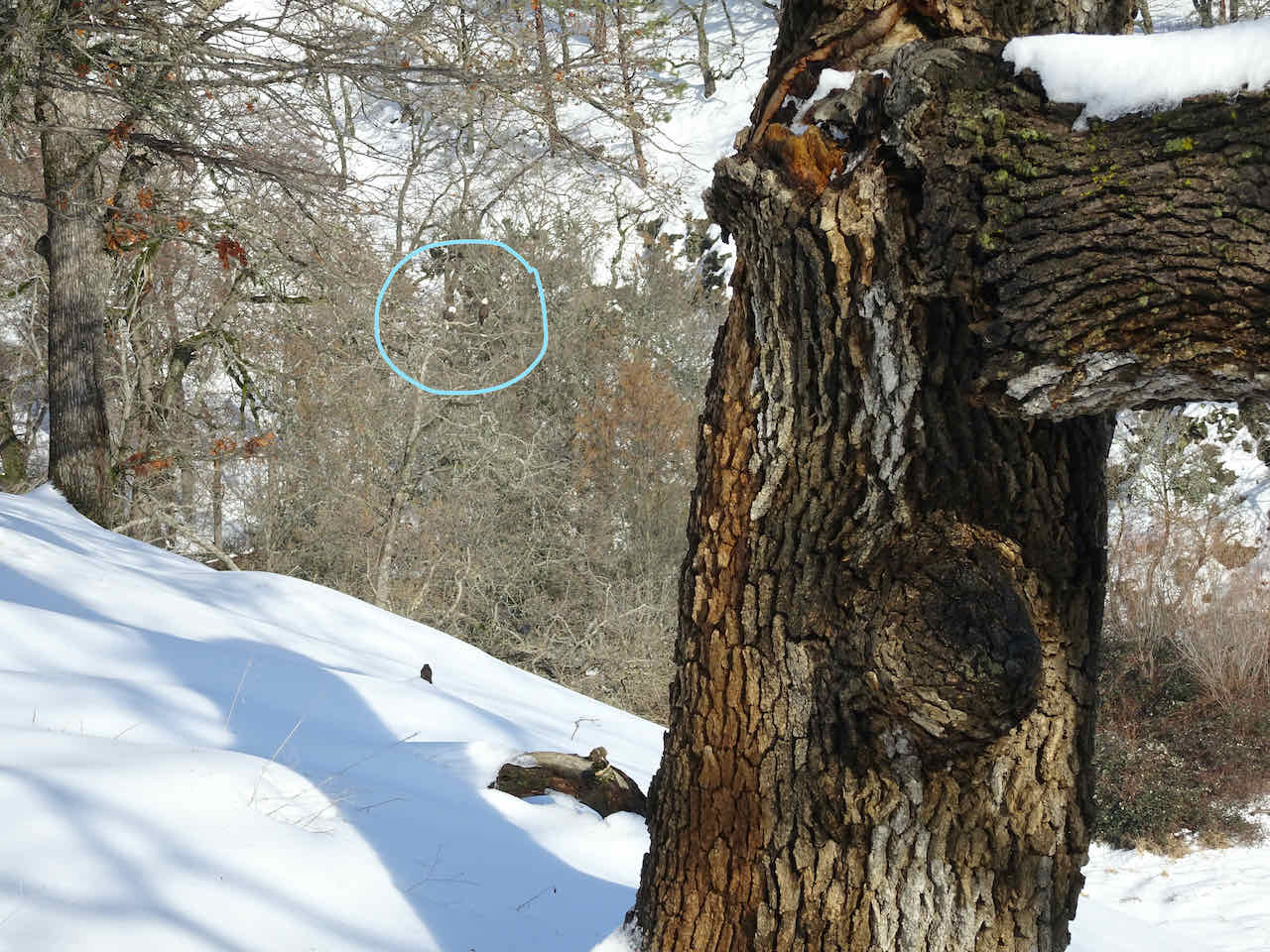
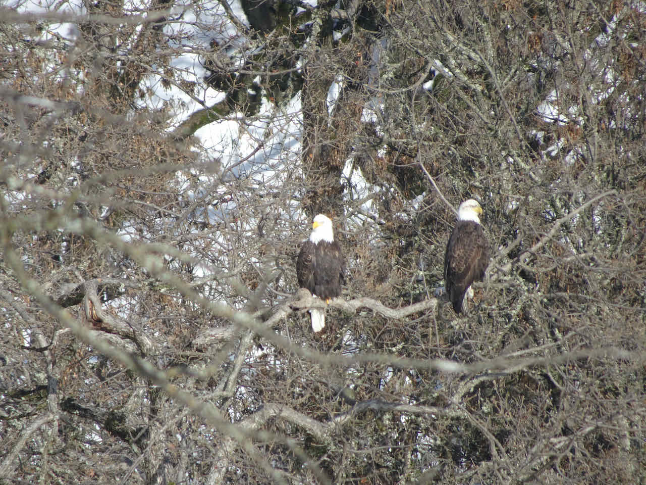
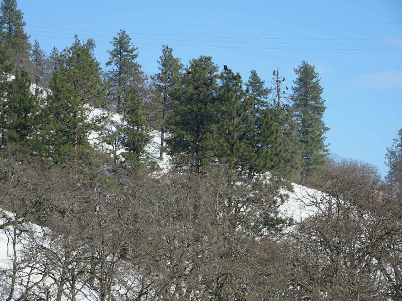
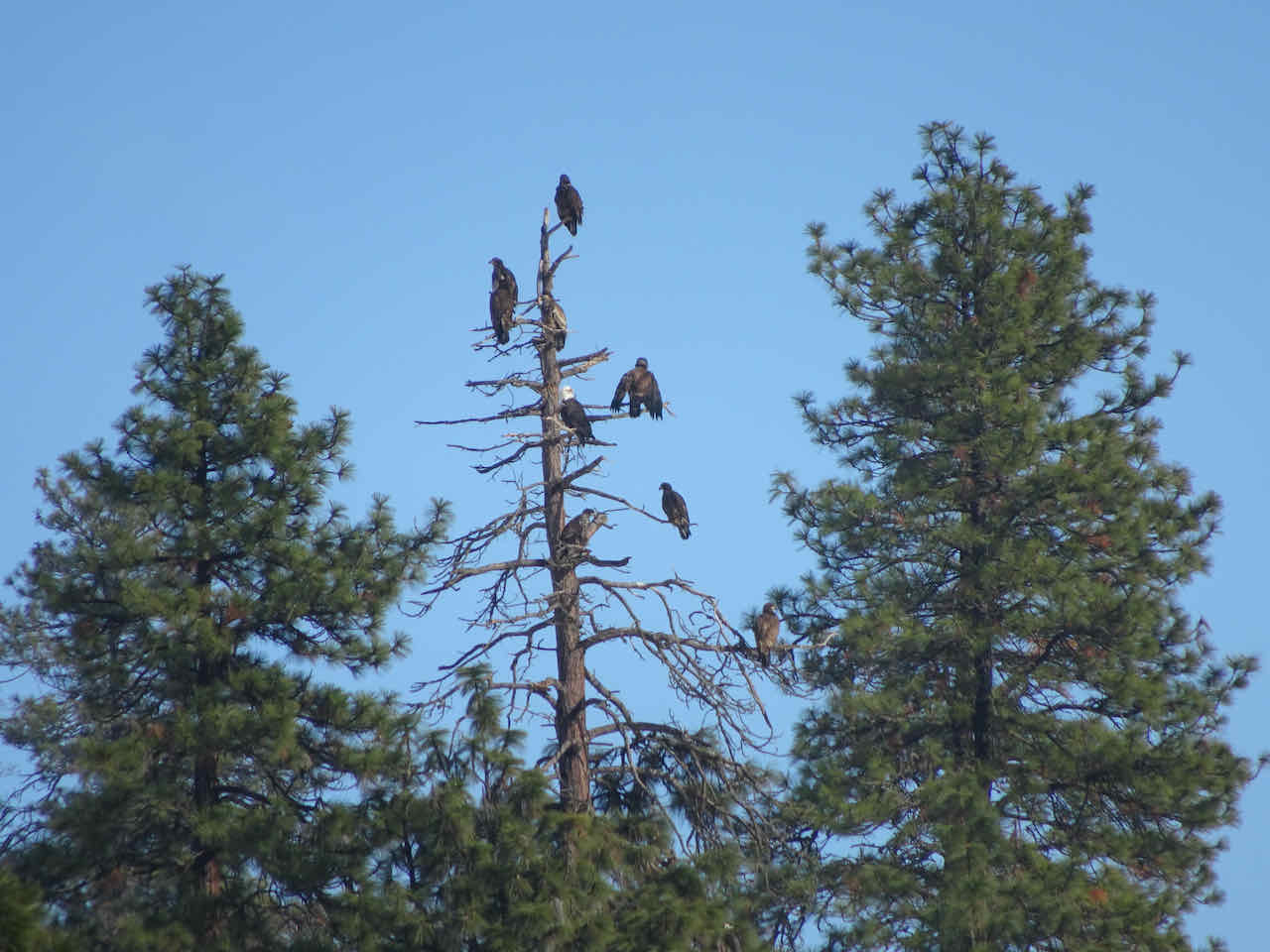
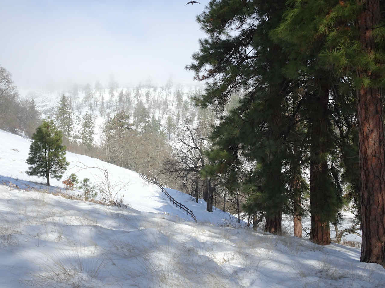
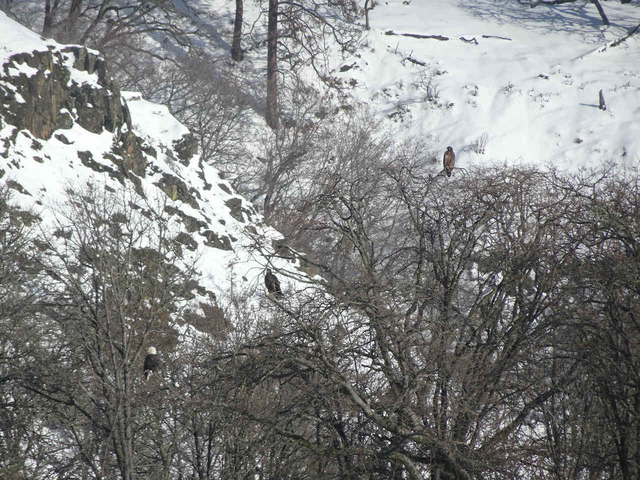
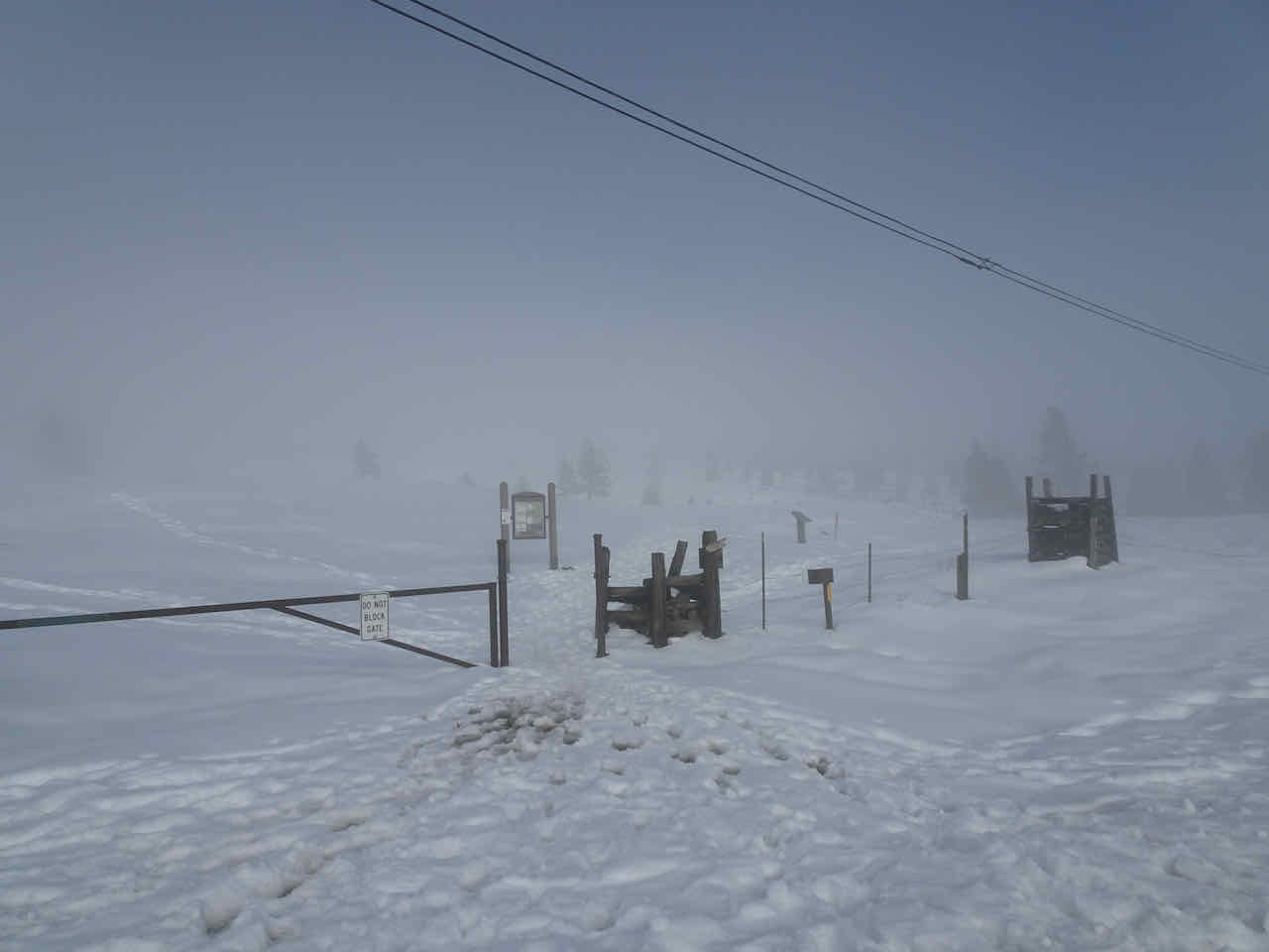
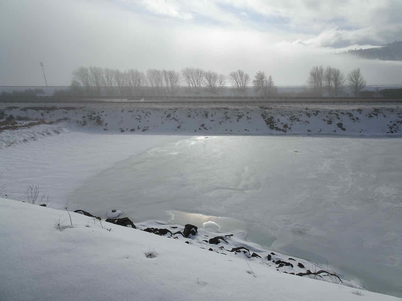
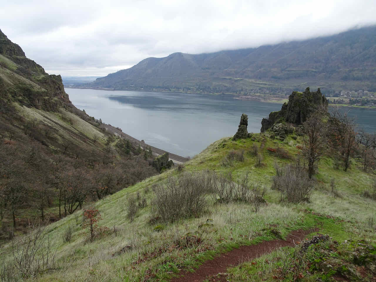
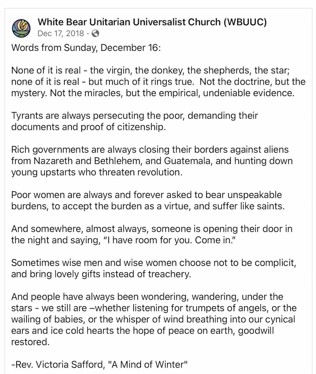
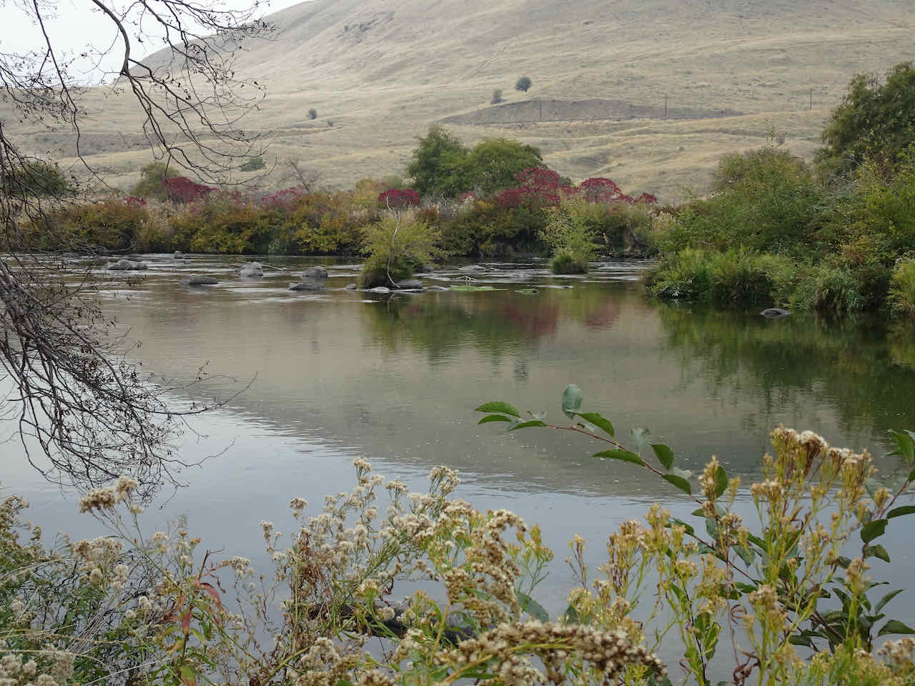
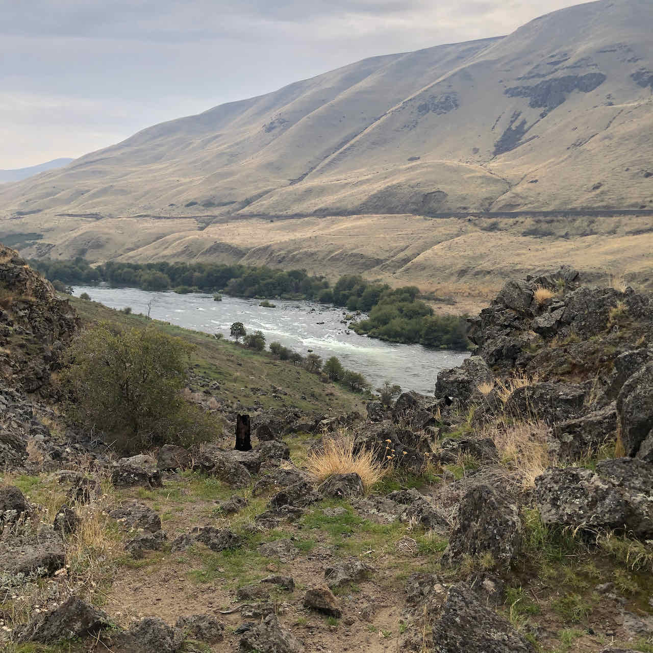
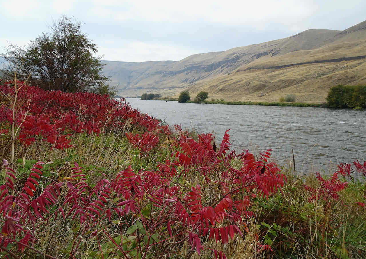
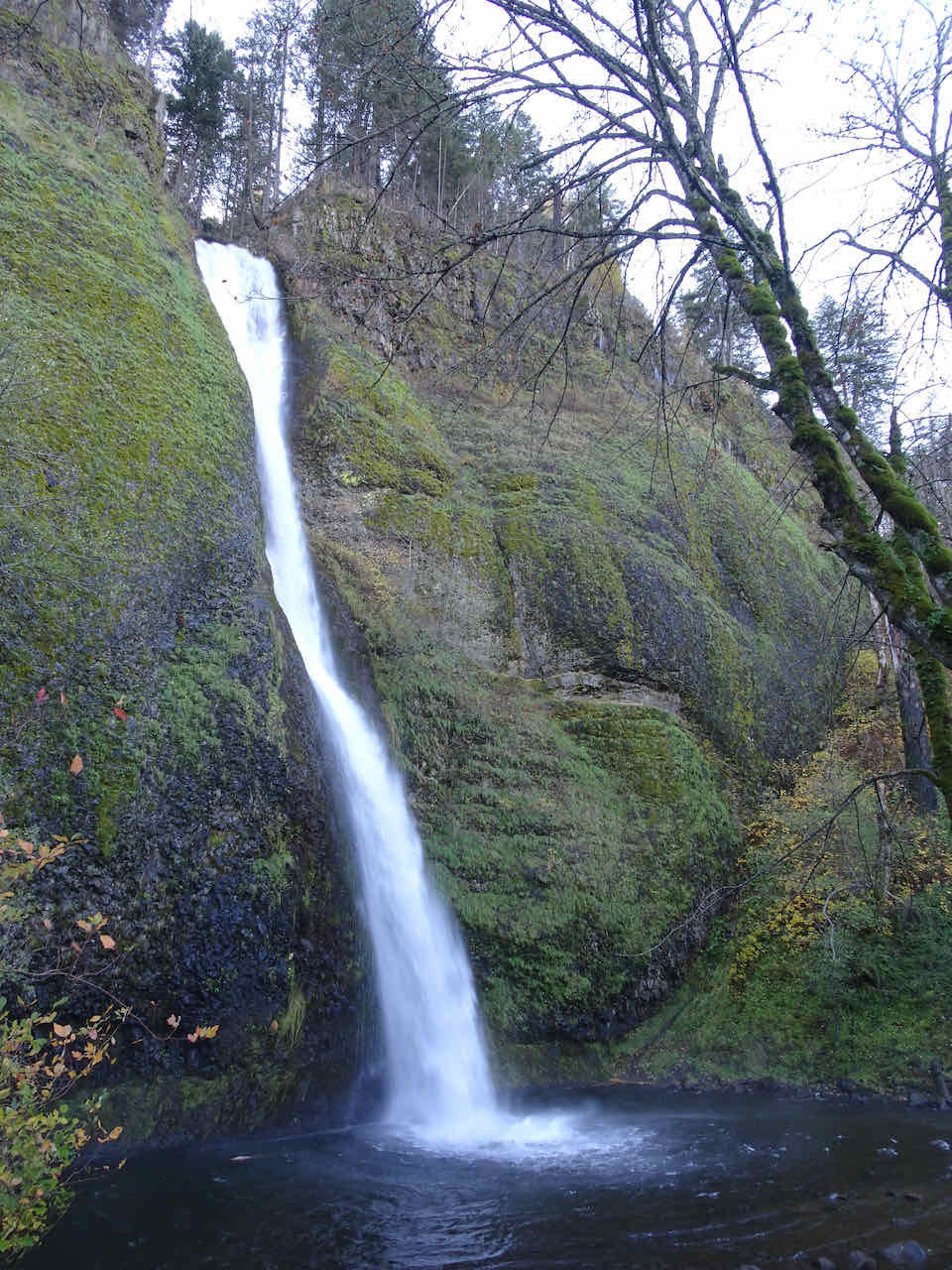
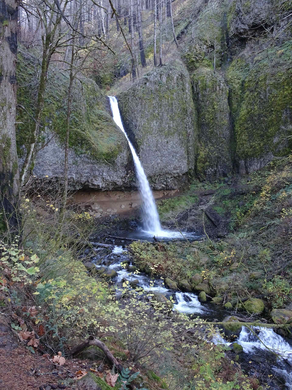
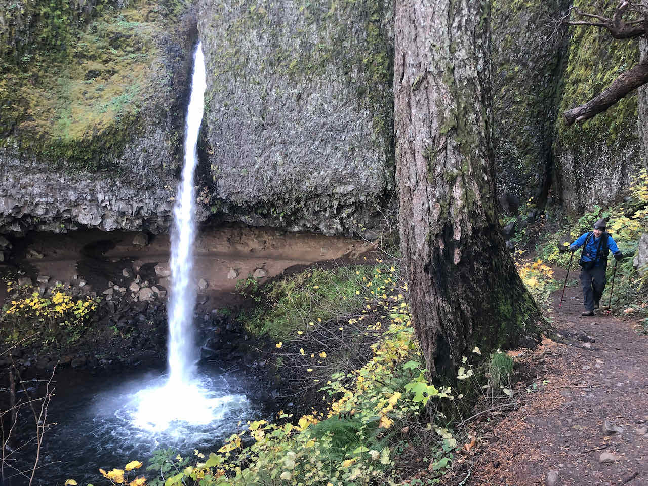
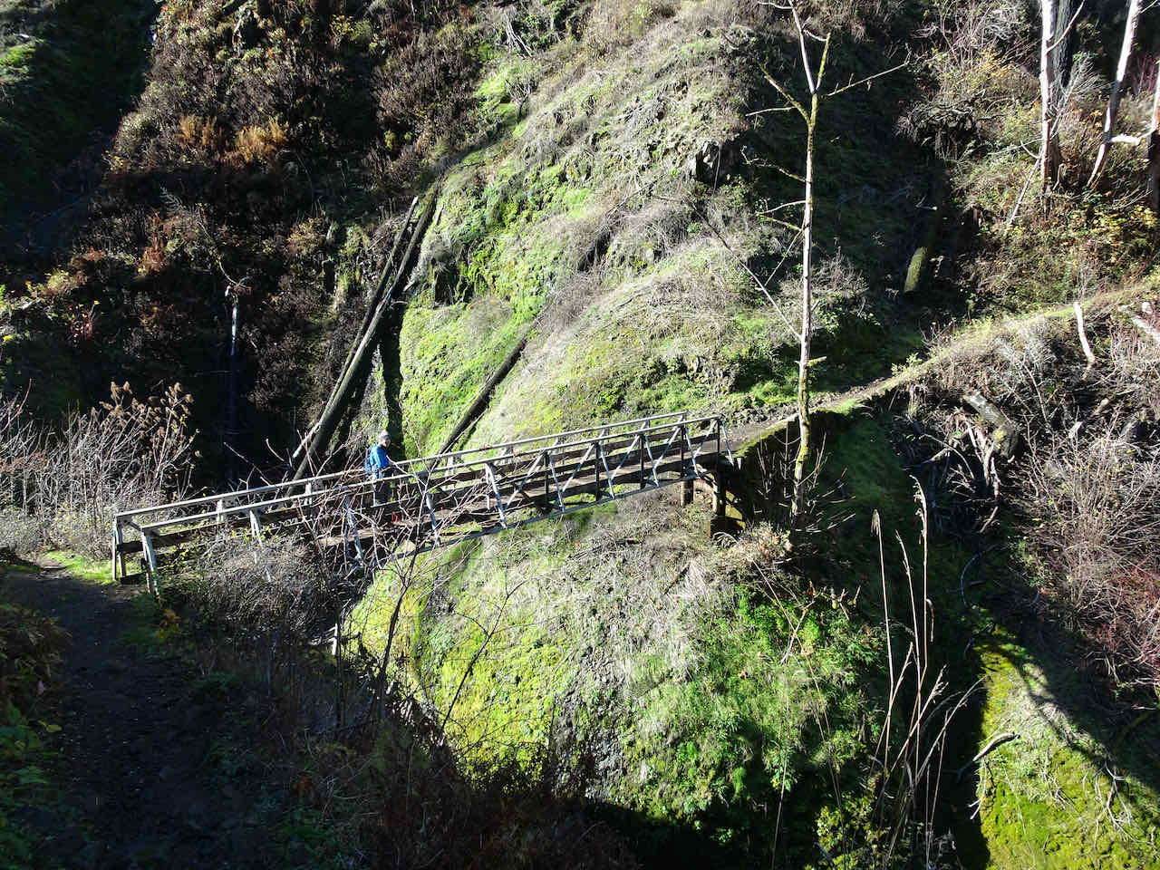
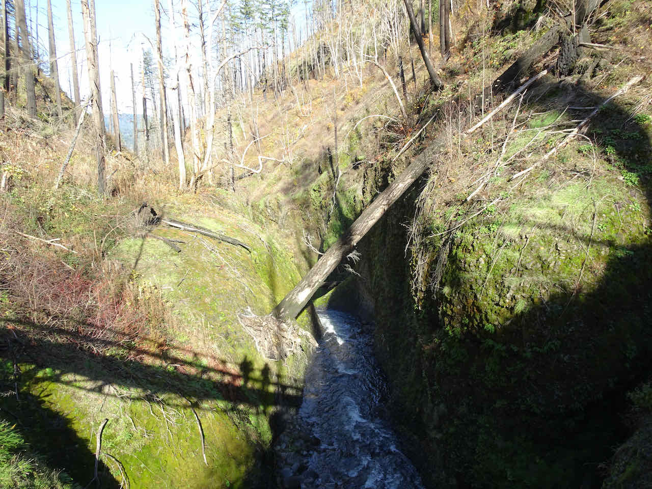
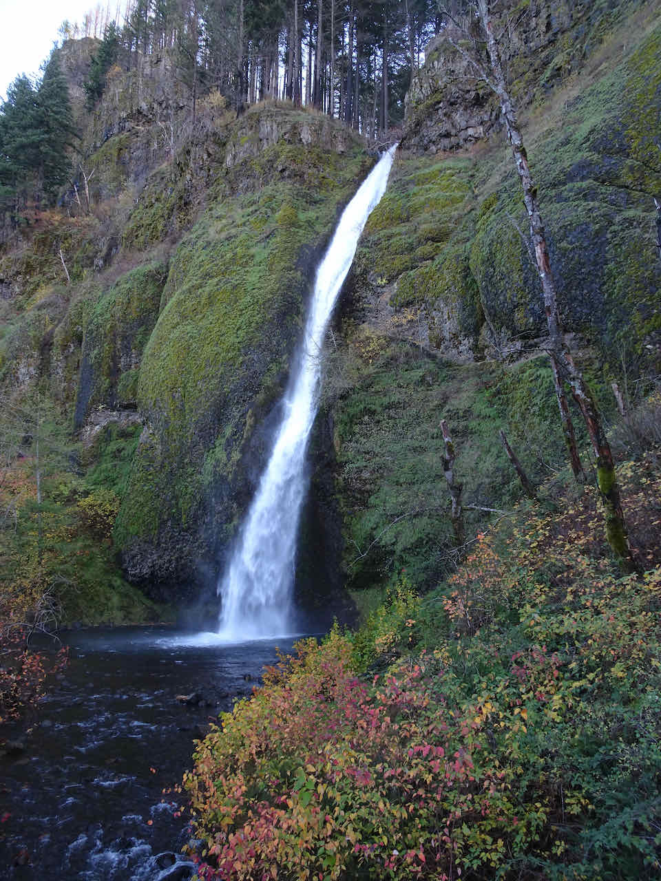
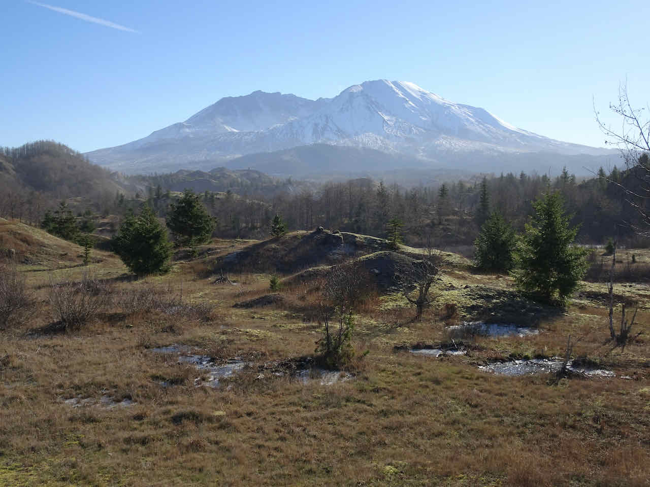
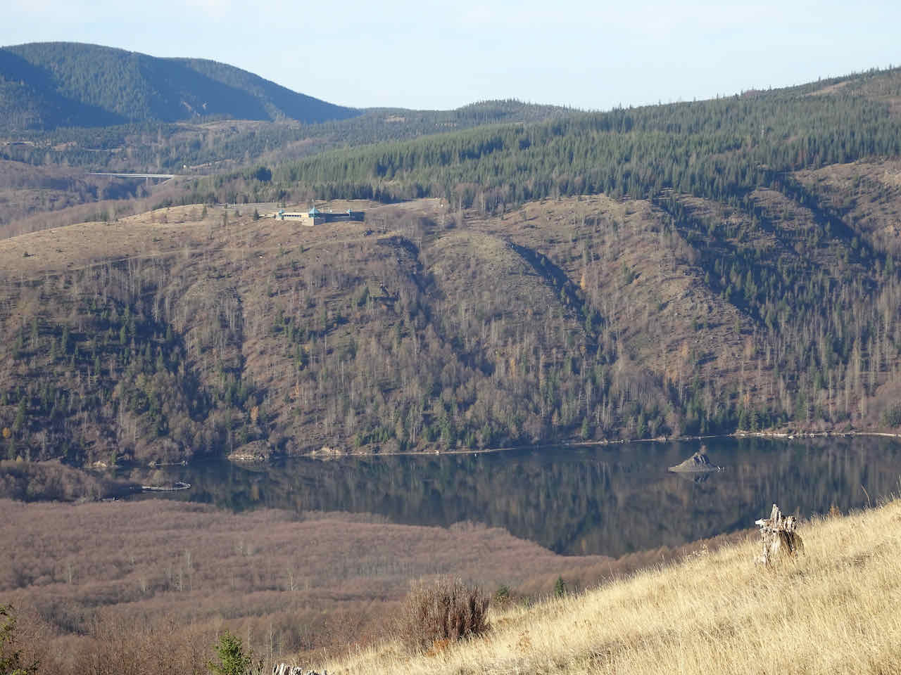
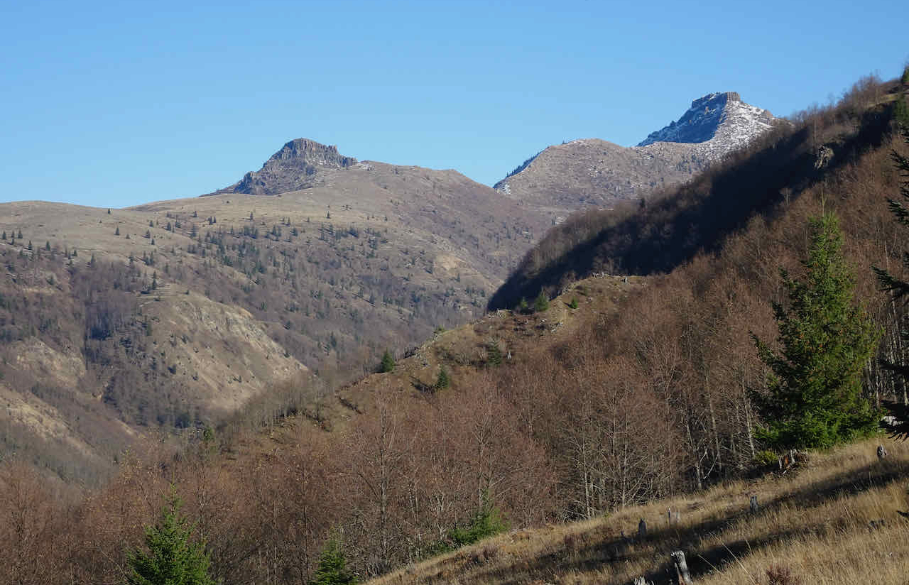
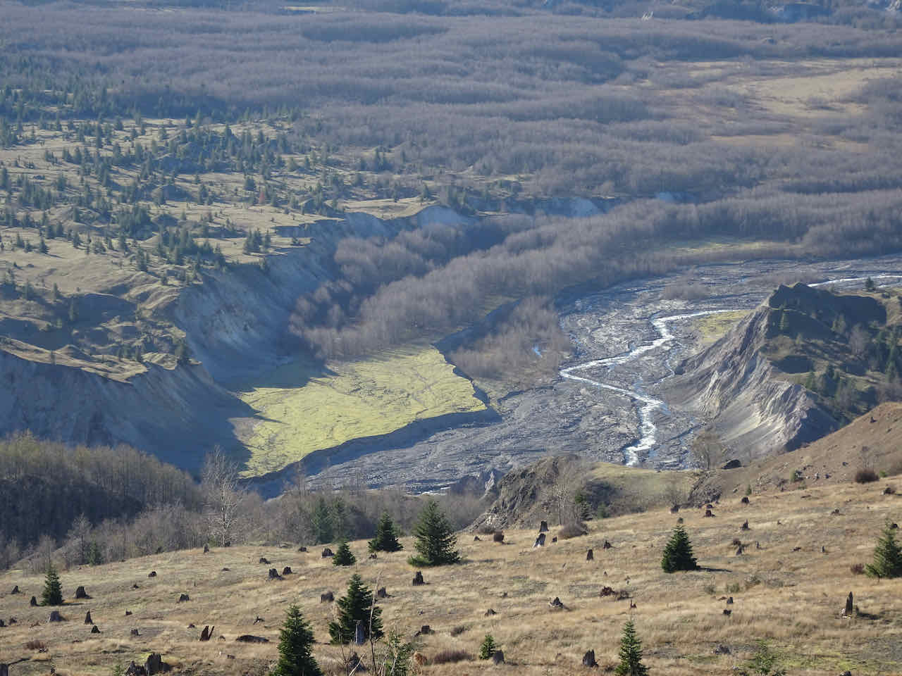
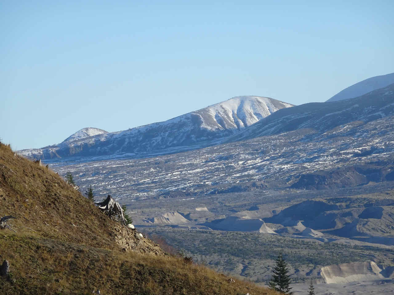
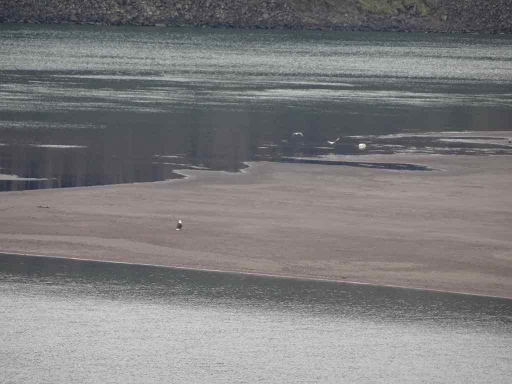
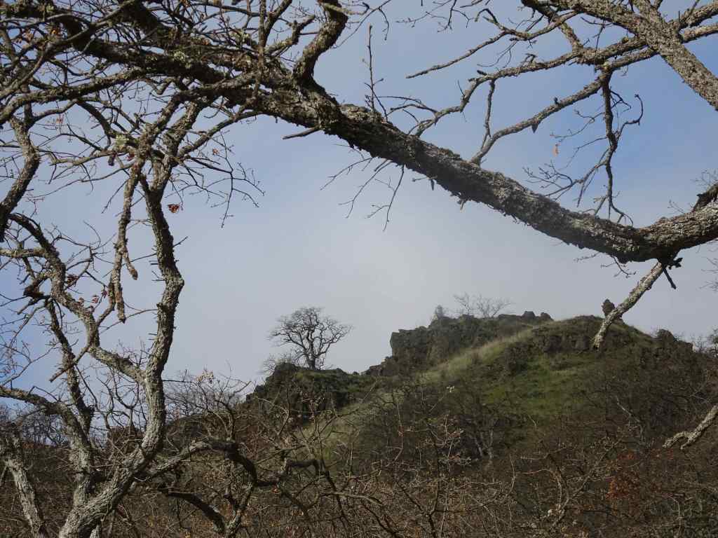
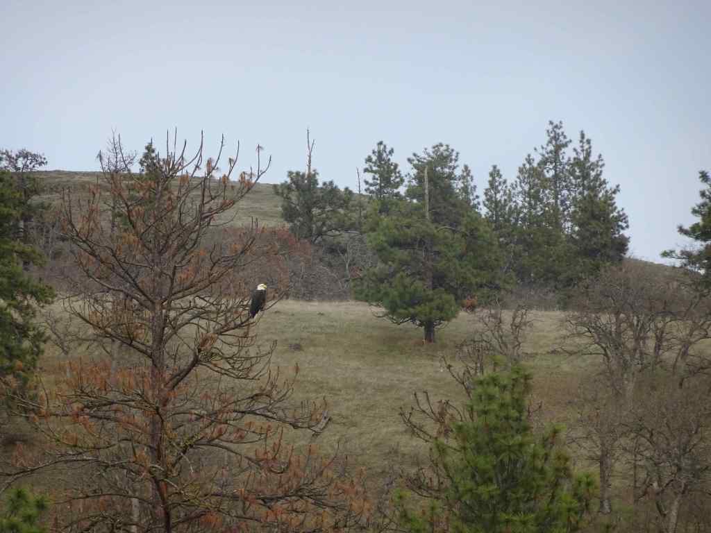
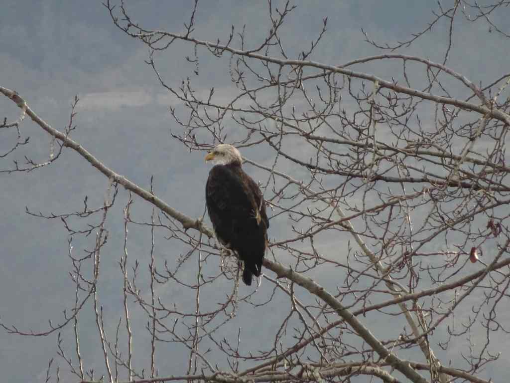
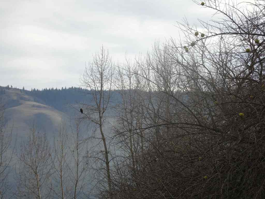
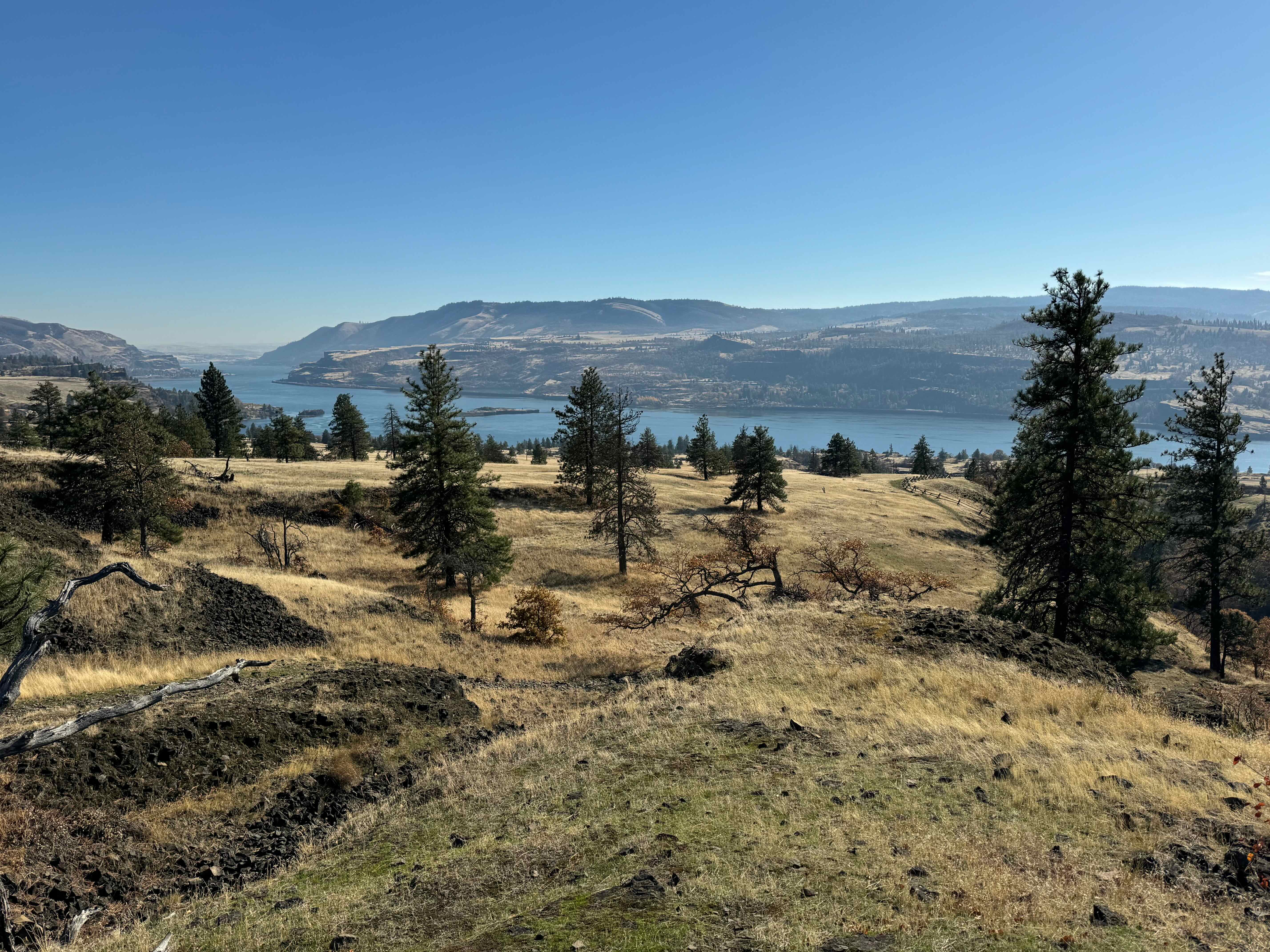
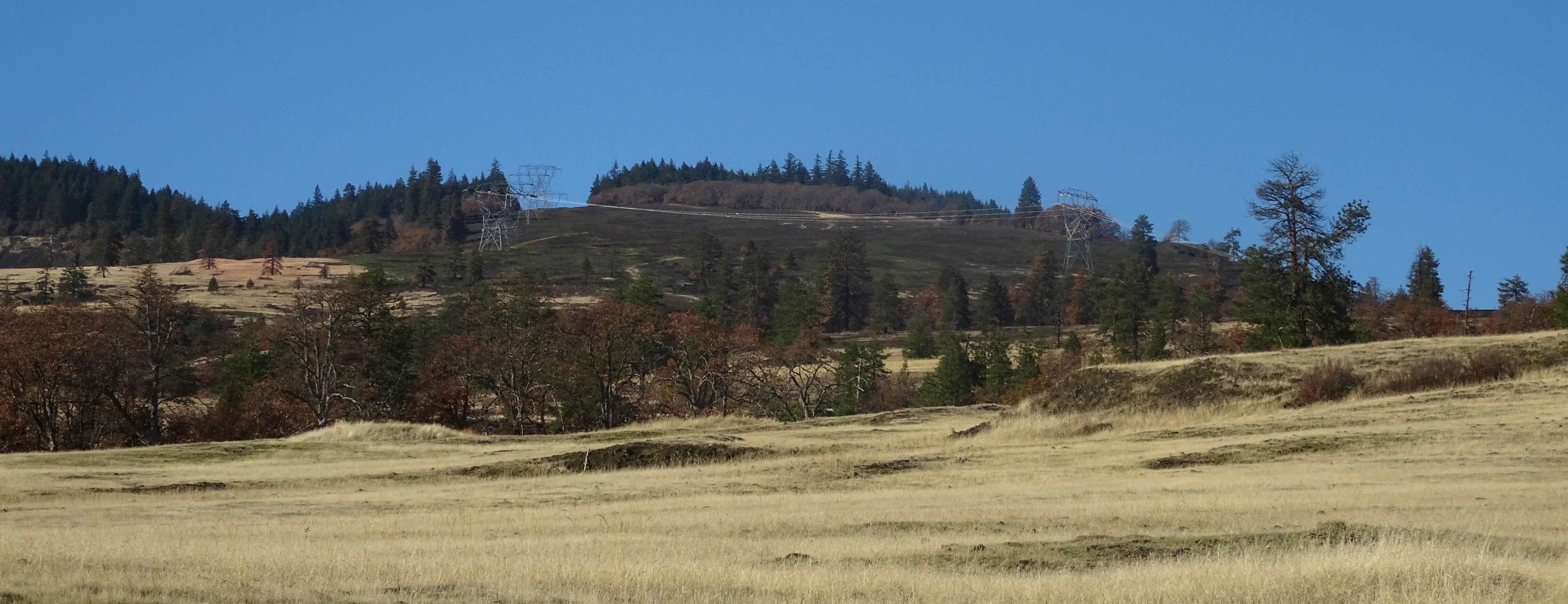
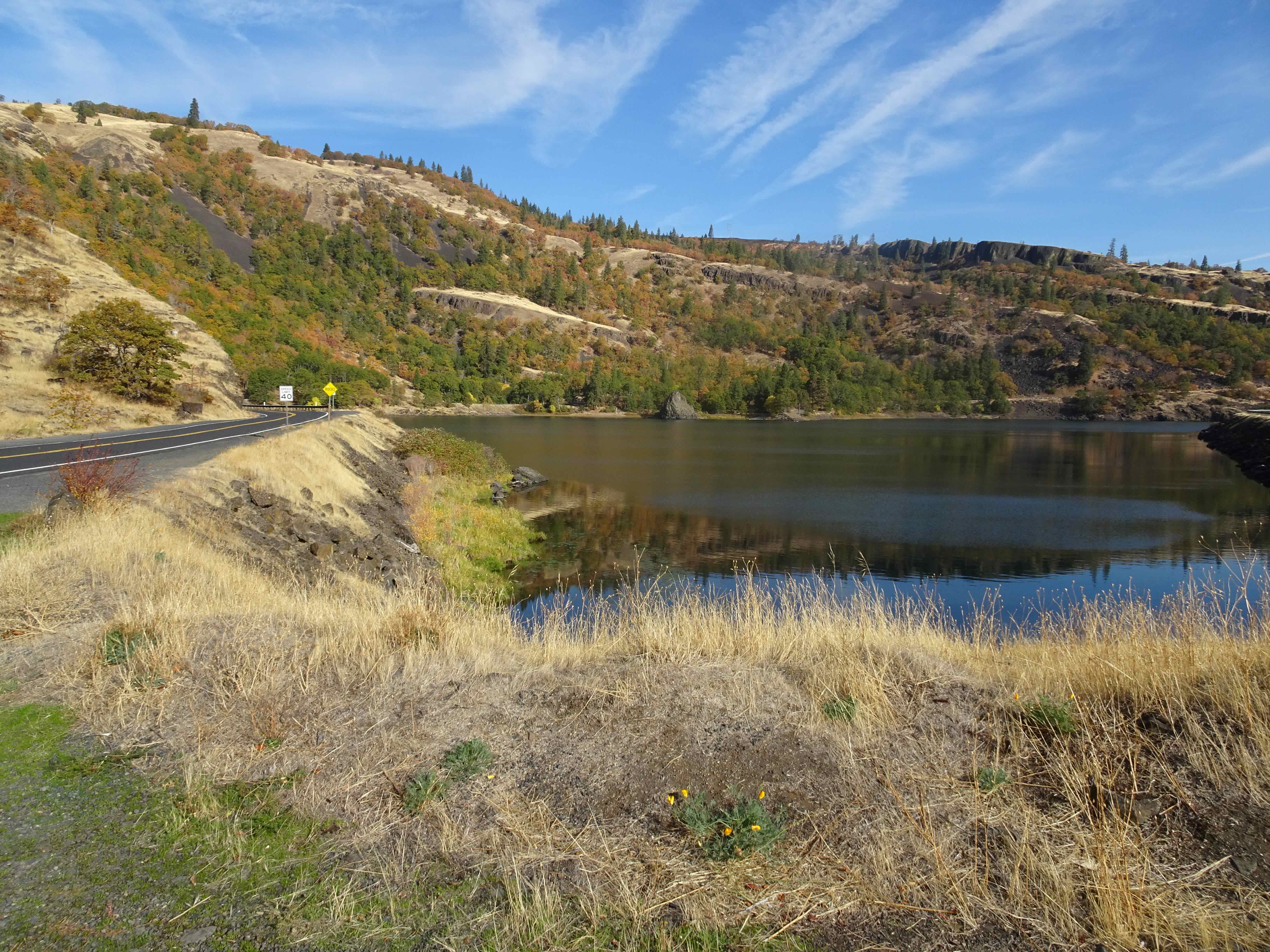
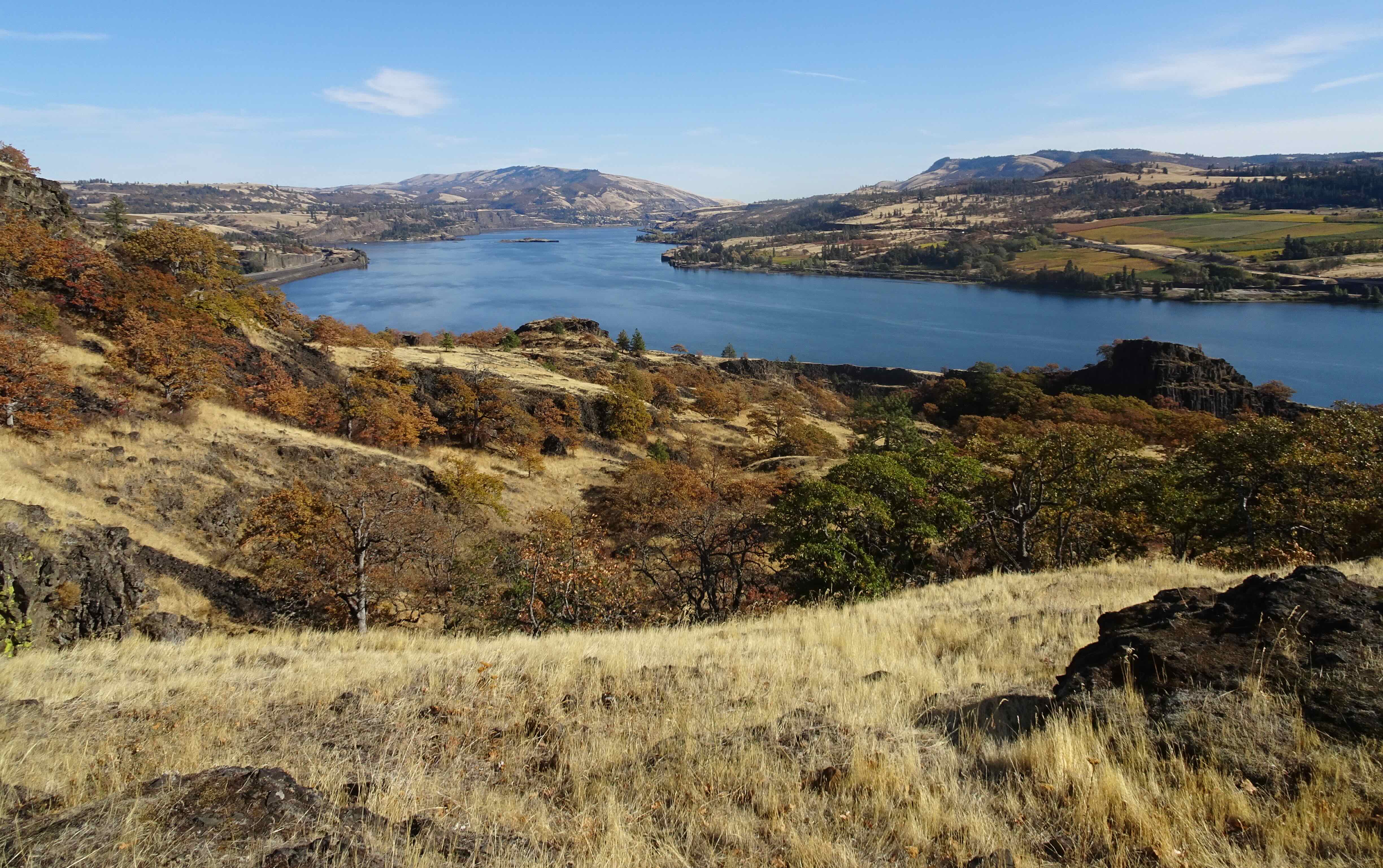
January 13 – Klickitat River Bald Eagles and Lyle Cherry Orchard Trail, Washington – Our annual trek to the bald eagle nesting area on the Klickitat River began with disappointment this year. We saw no eagles along the river in the morning, other than one down on the delta just as we were moving along.

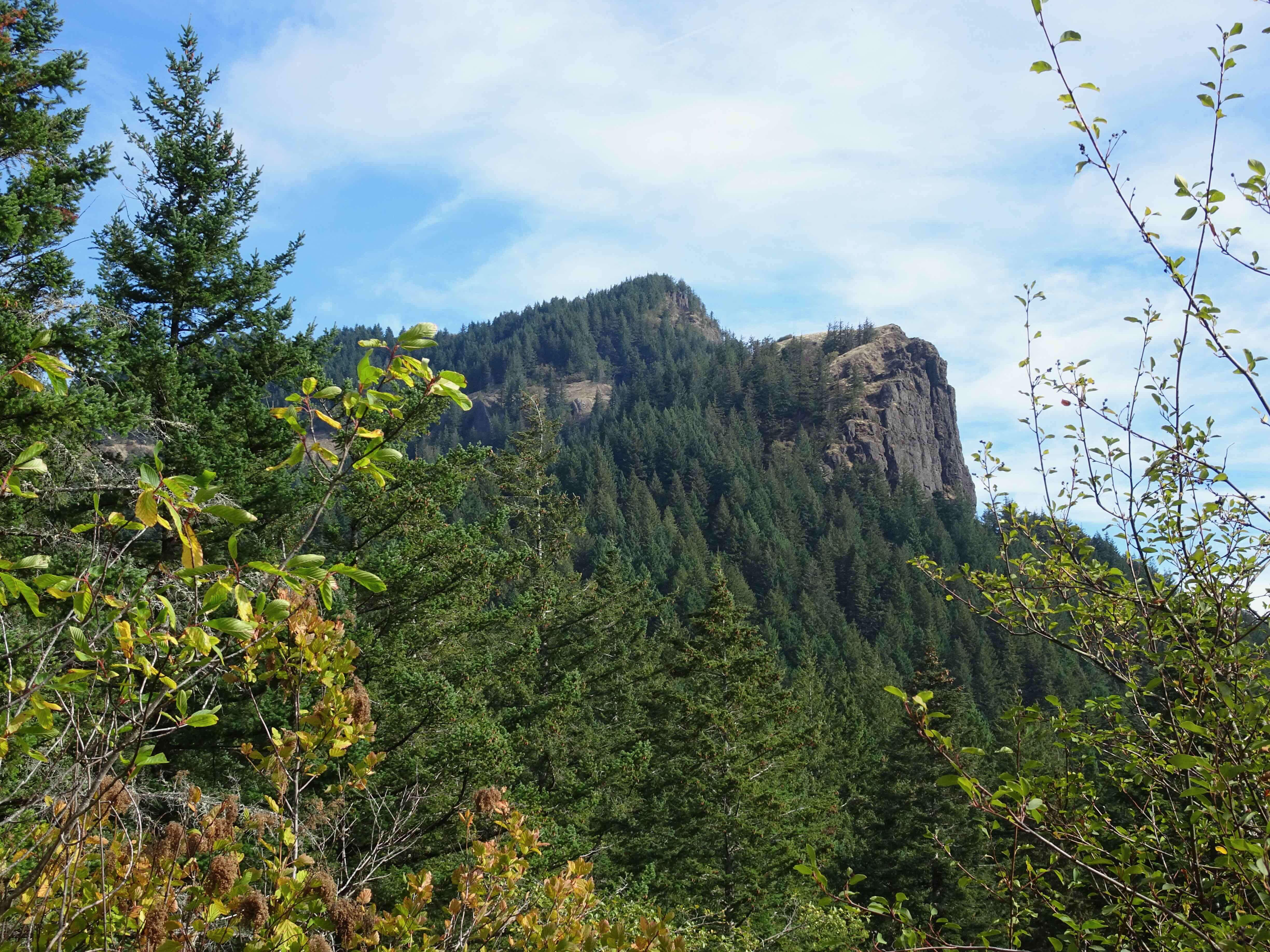
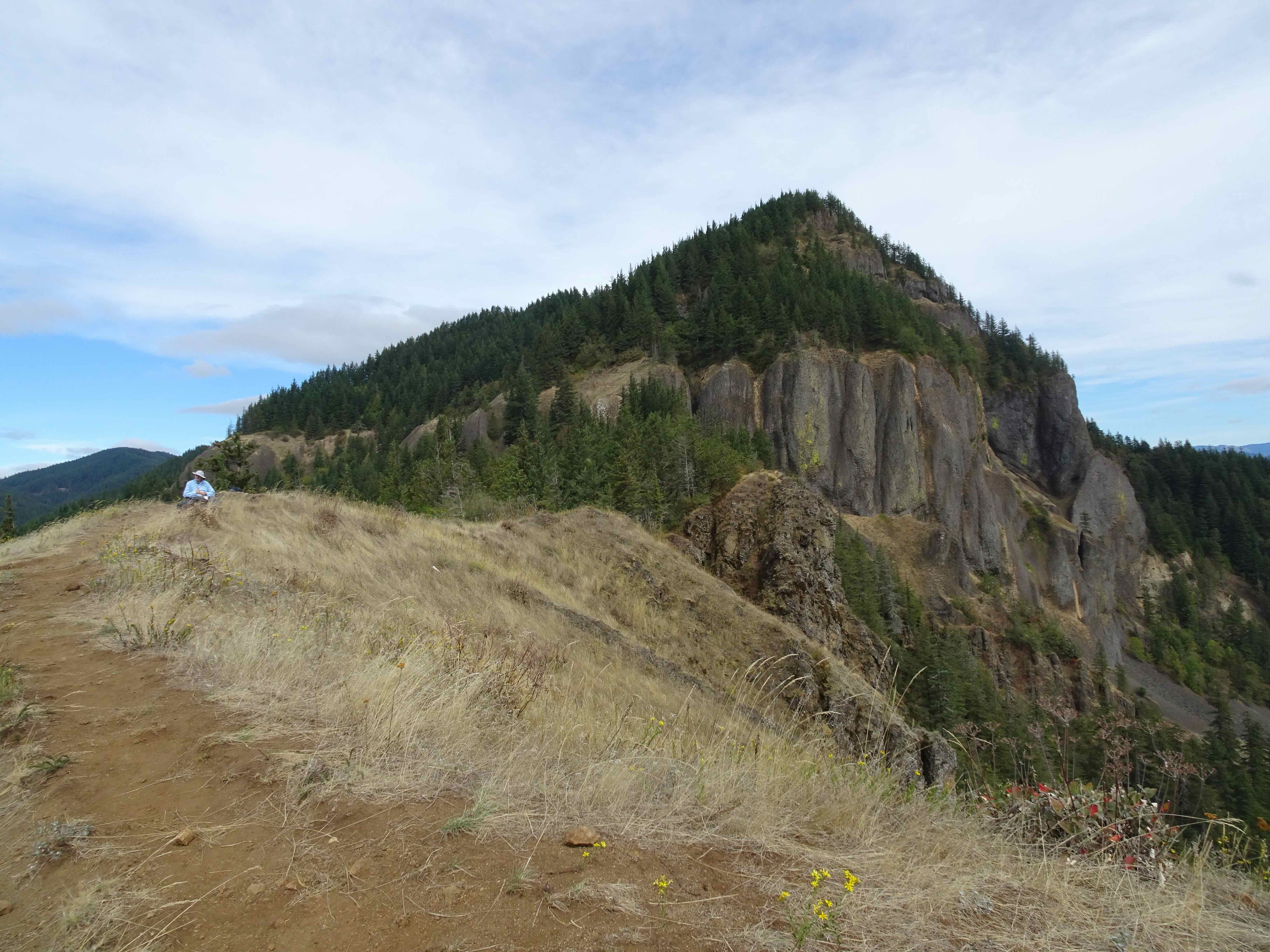
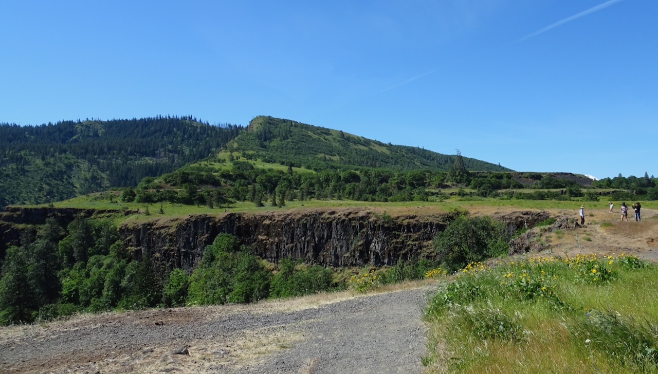
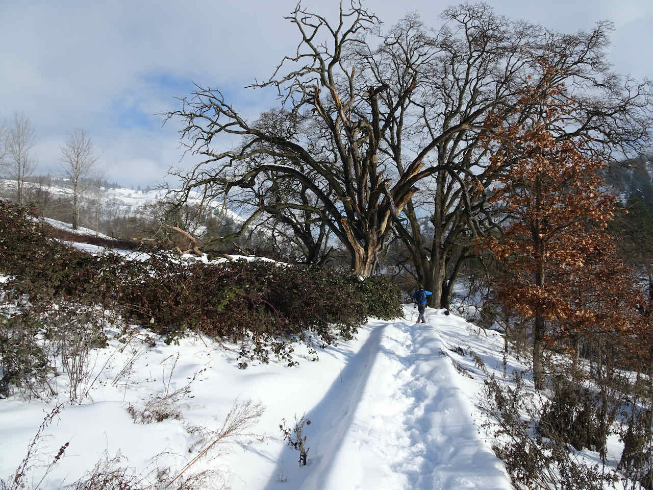
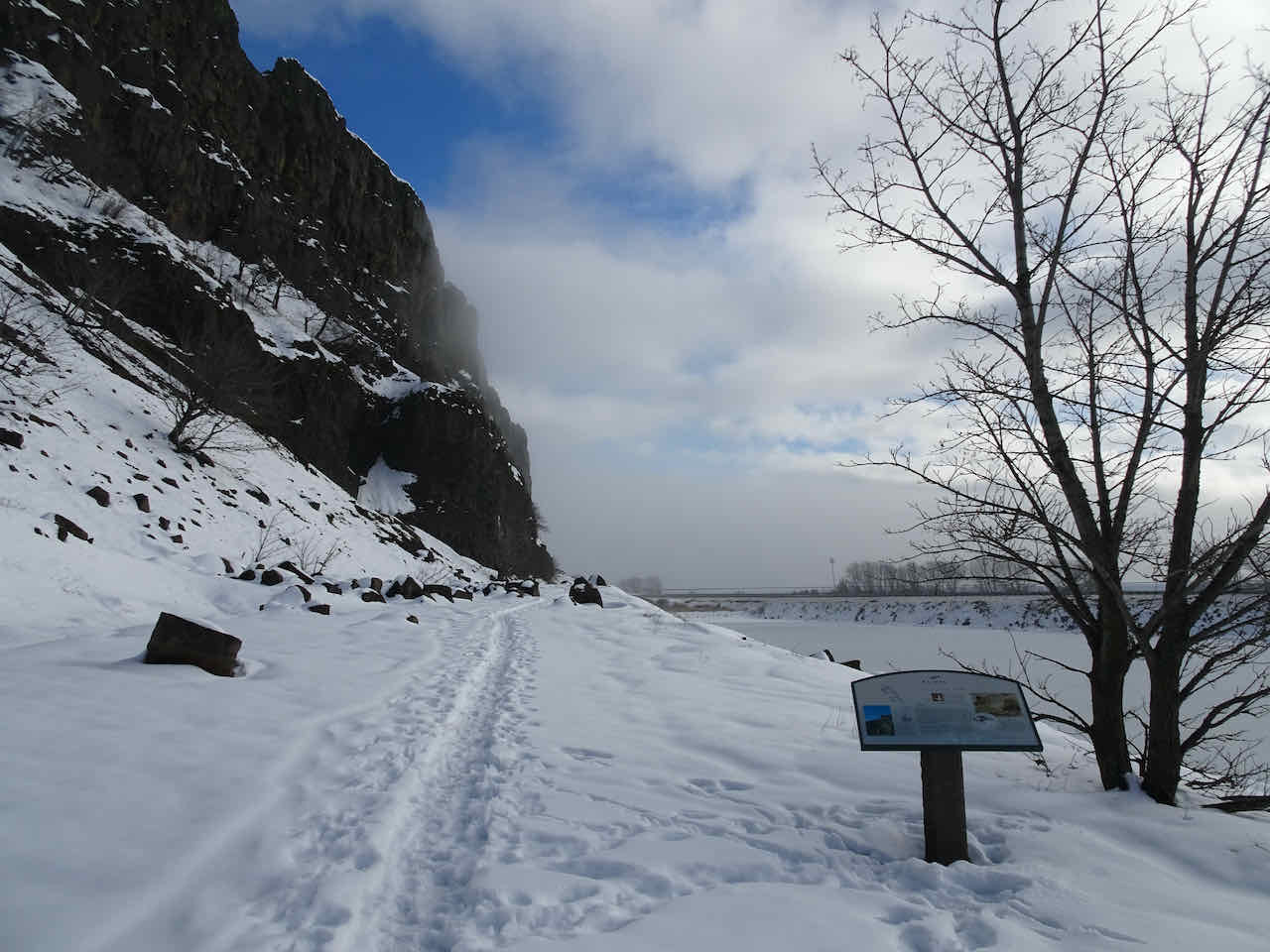
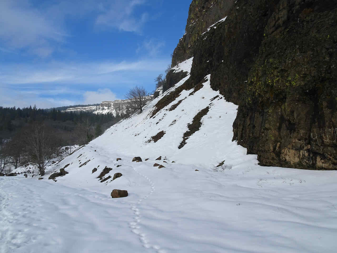
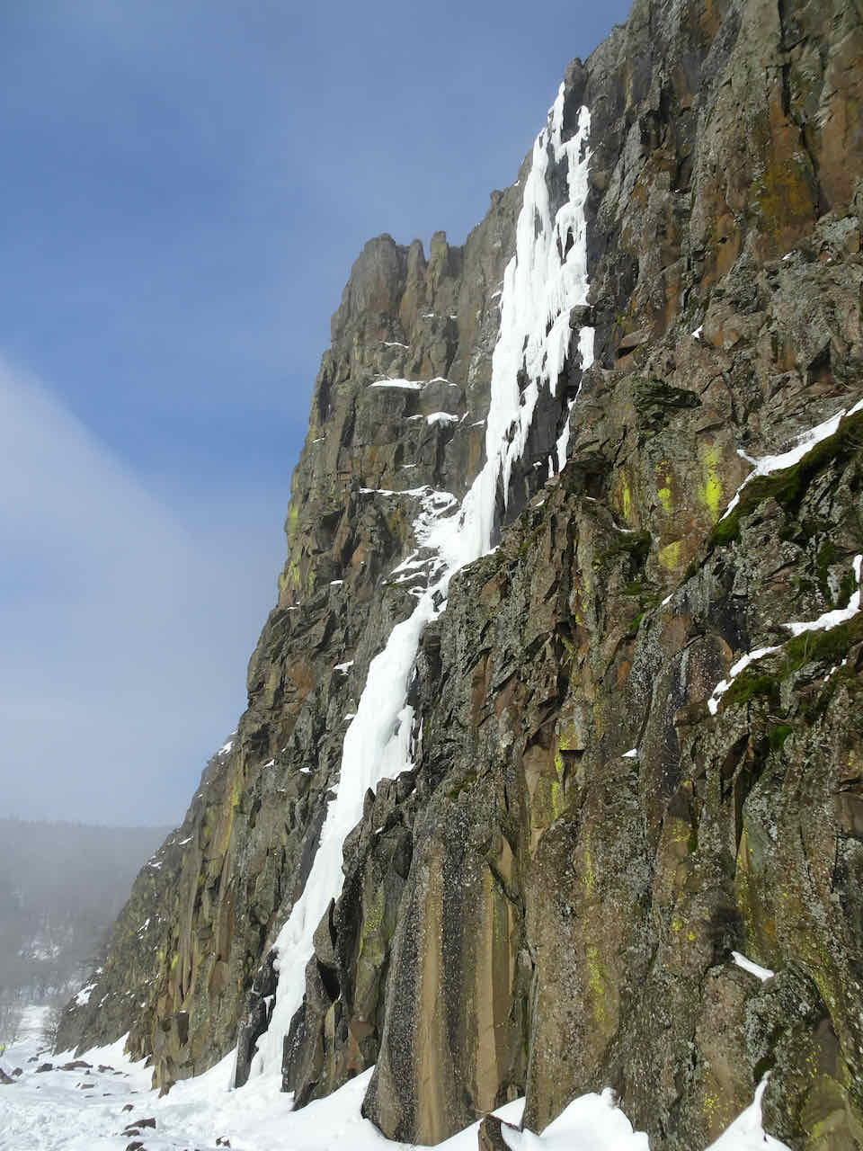
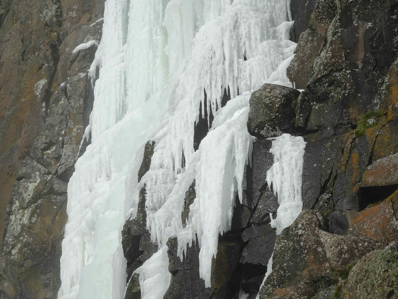
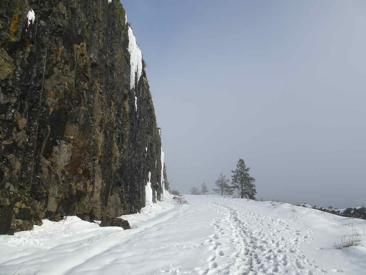
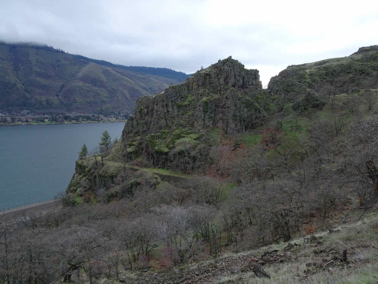
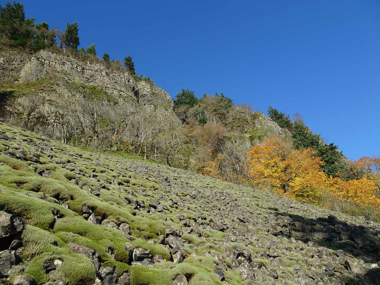
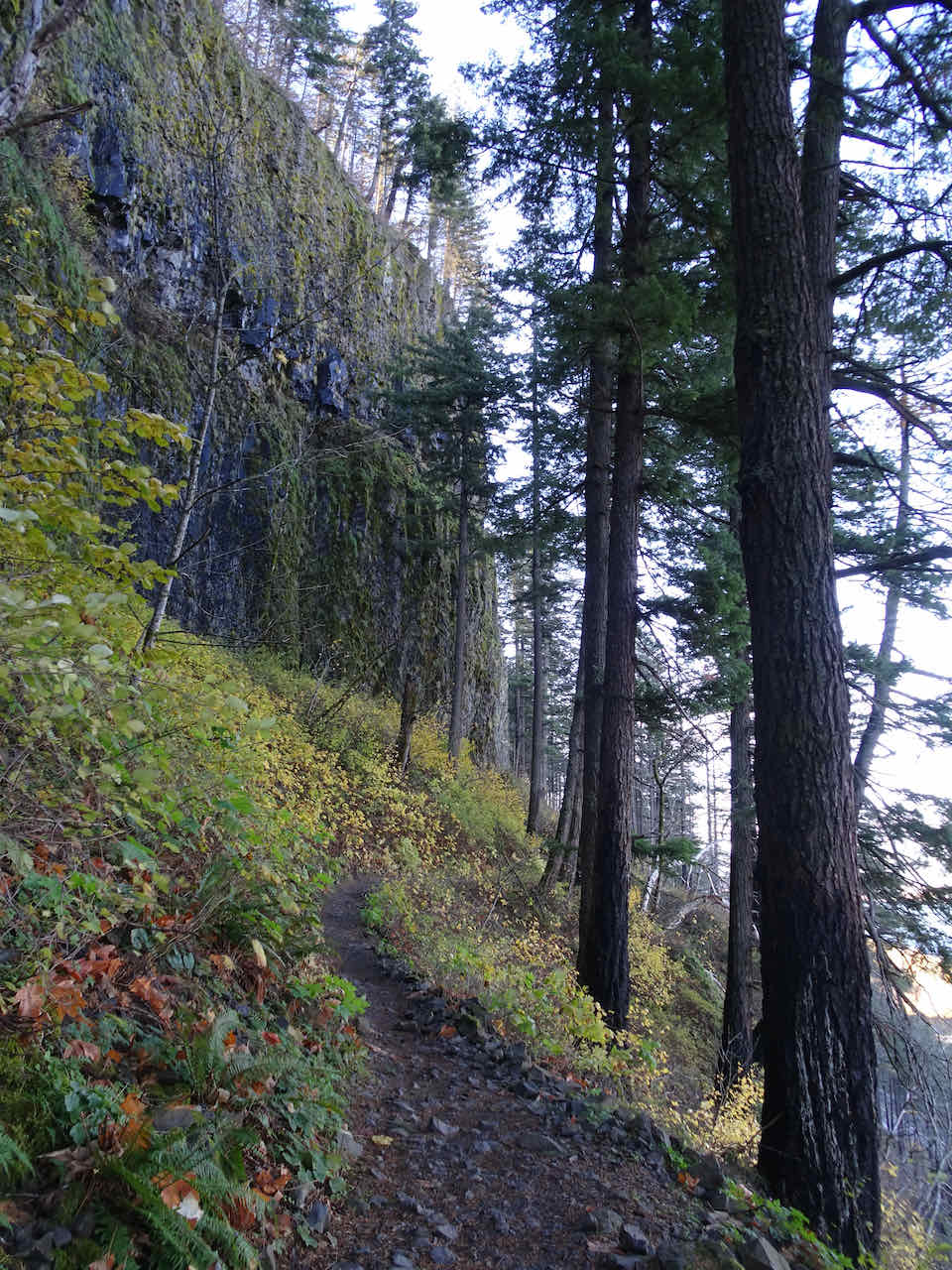
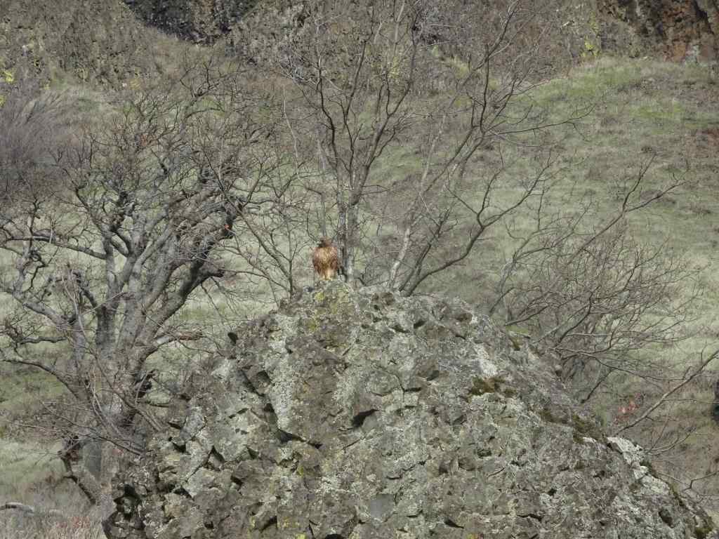
We then took a short hike along the lower benches of basalt at the Lyle Cherry Orchard site. It was a beautiful day out there, calm and cold! We saw a pair of eagles flying along the cliff face. We also saw a hawk on sitting a rock, then devouring prey that it pounced upon as we watched. Circle of life…


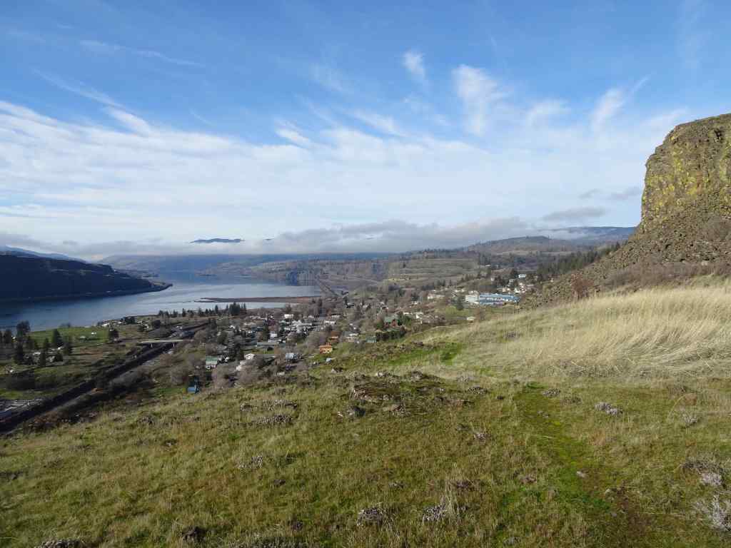
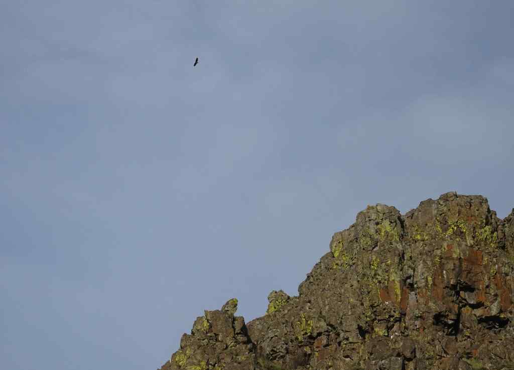

We stopped back at the Klickitat River later in the afternoon, and were rewarded with seeing about a dozen bald eagles – a few perched in the trees, and others flying up the canyon, past us and farther up river, beyond our view, seemingly heading home after their day’s outing.


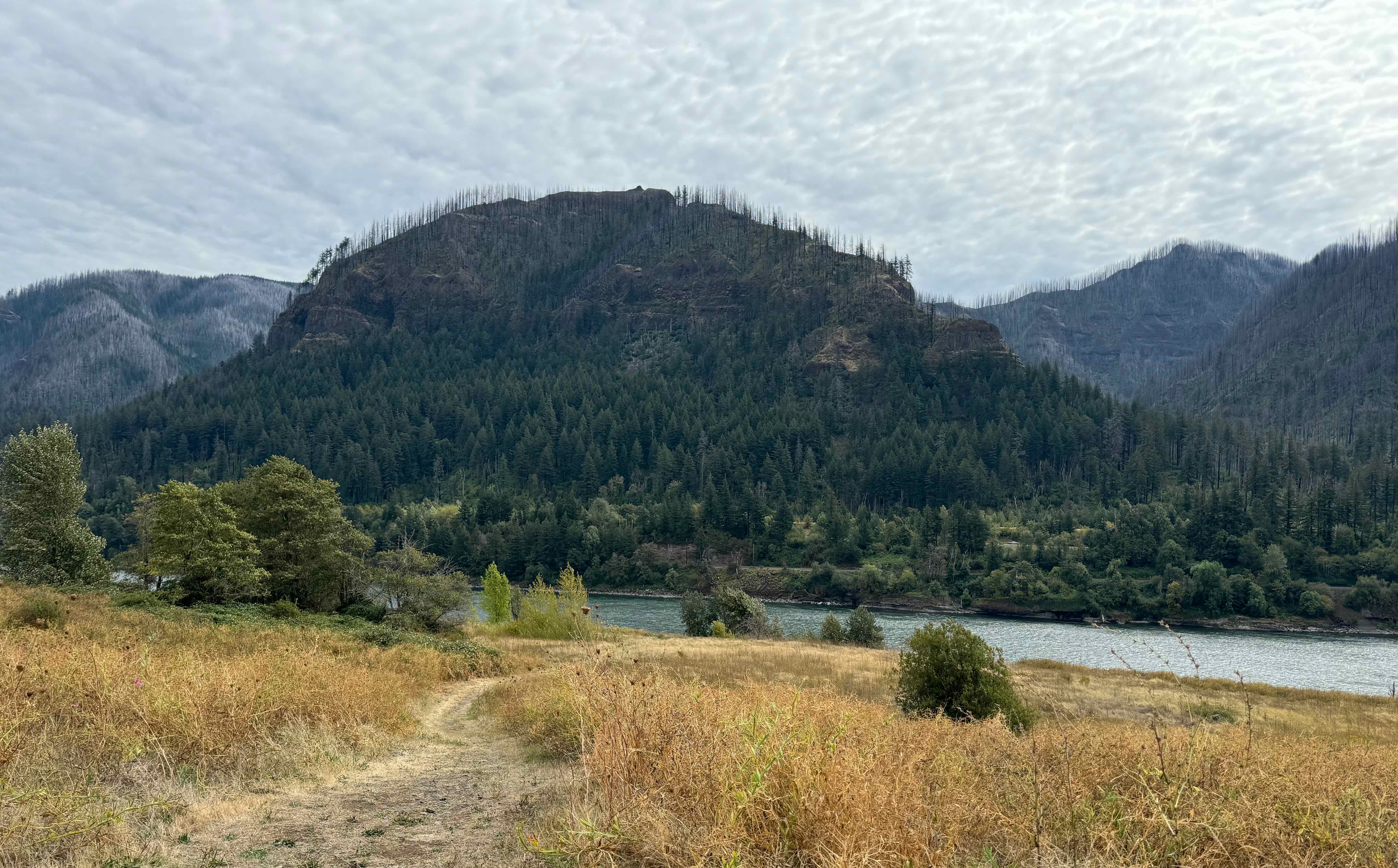
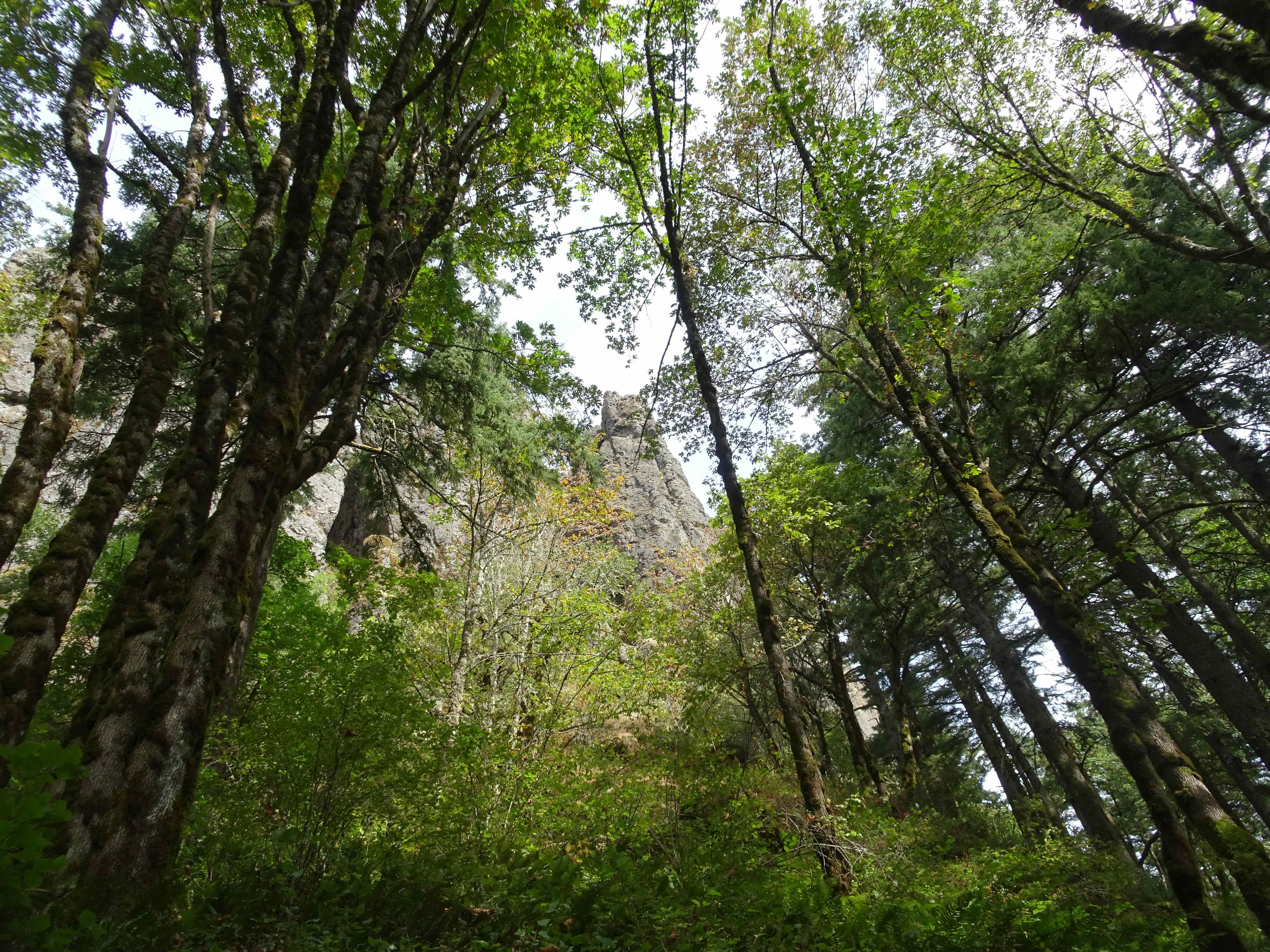
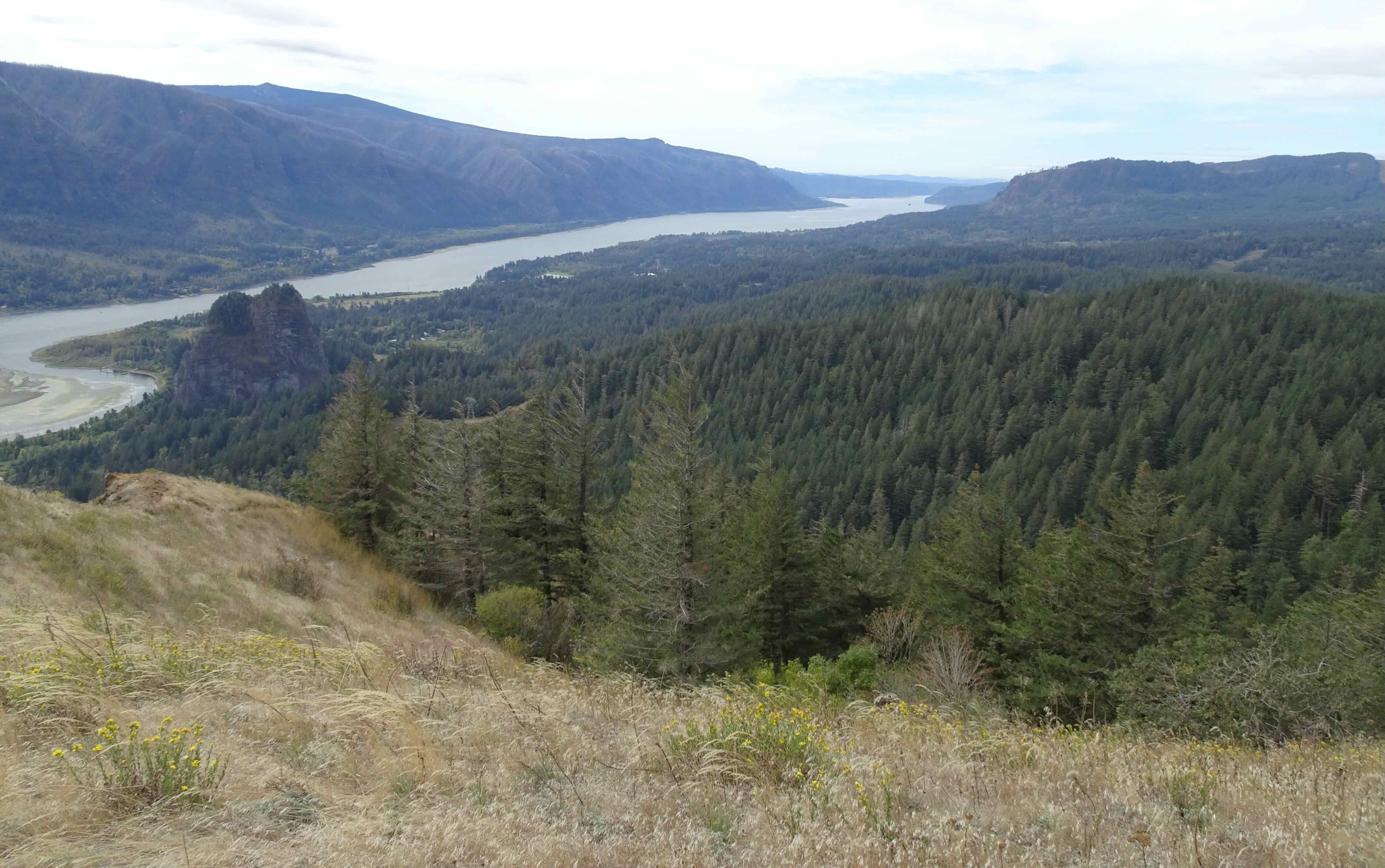
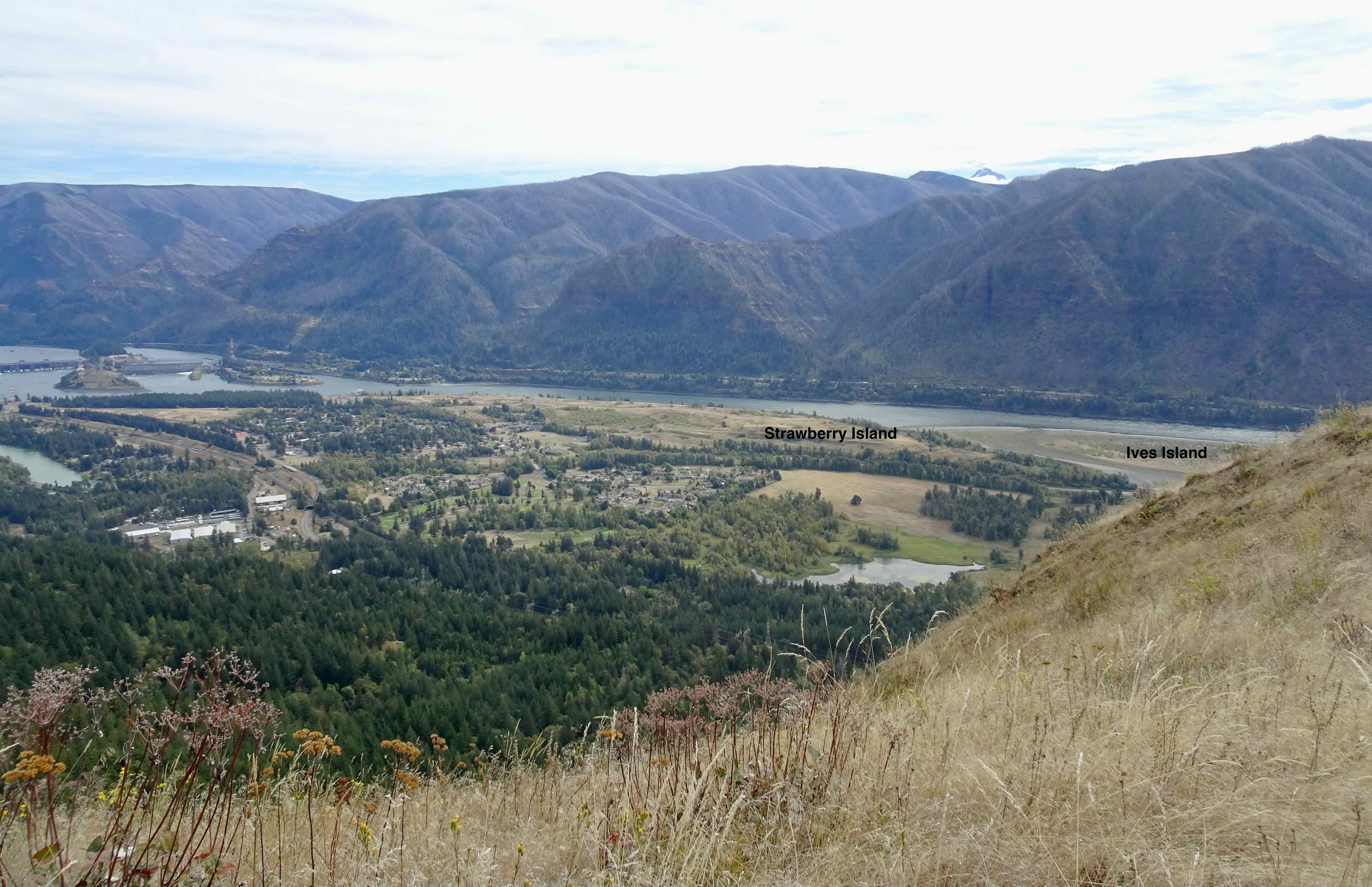
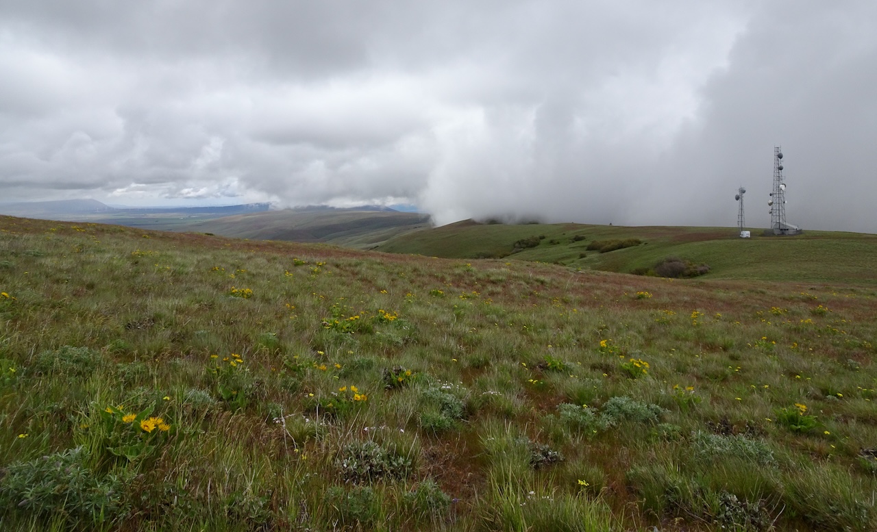
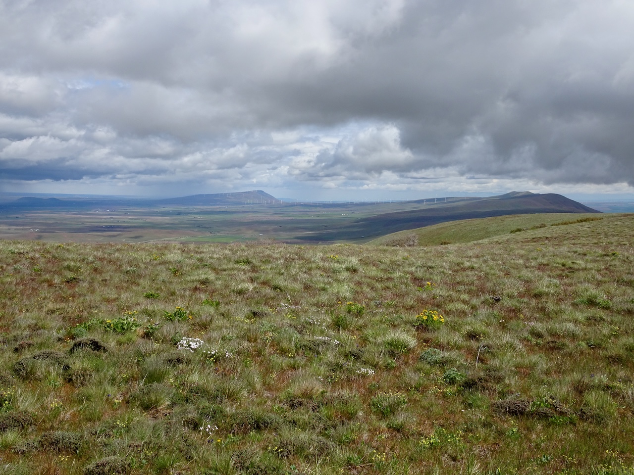
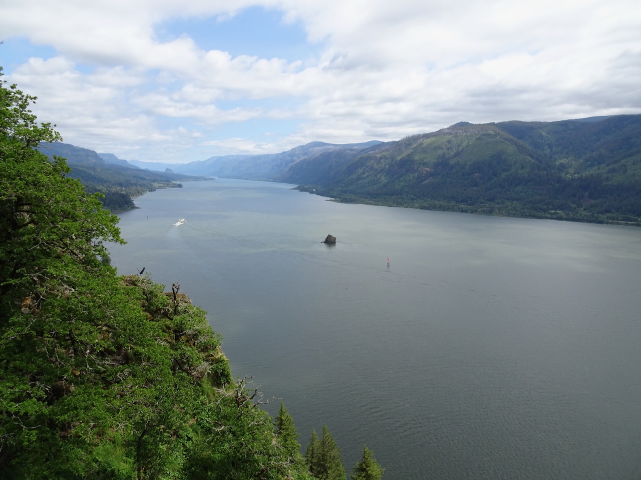
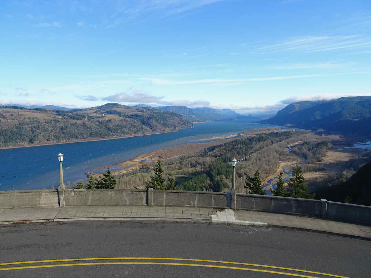
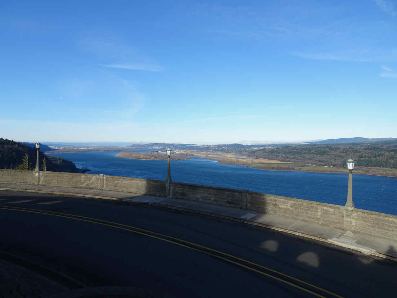
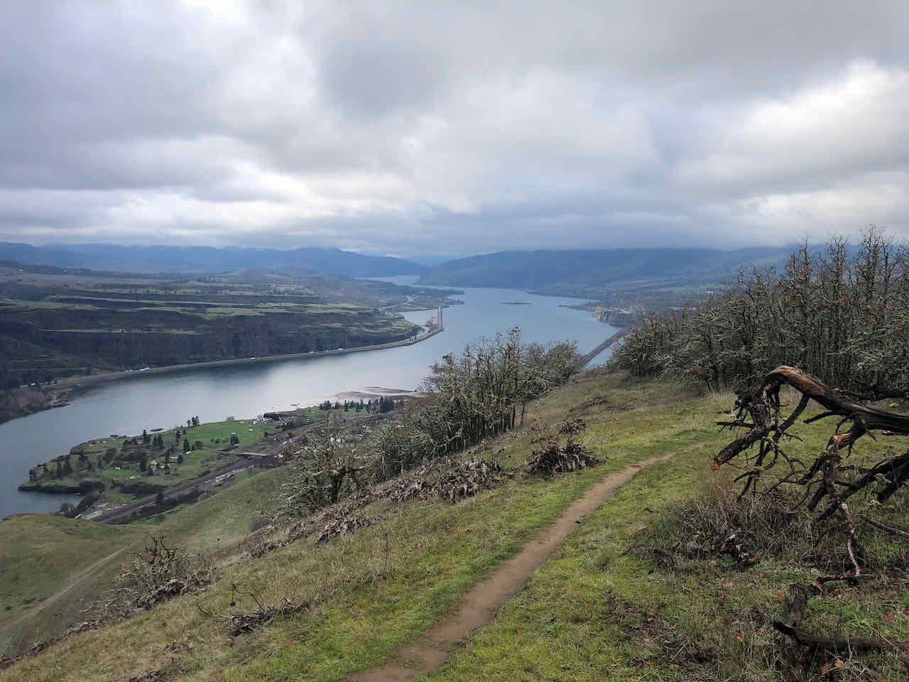
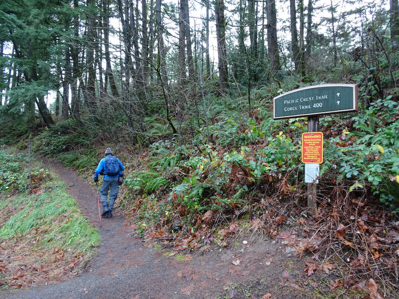
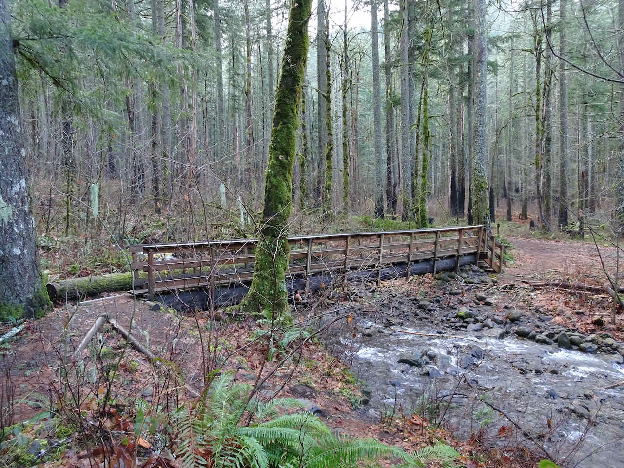
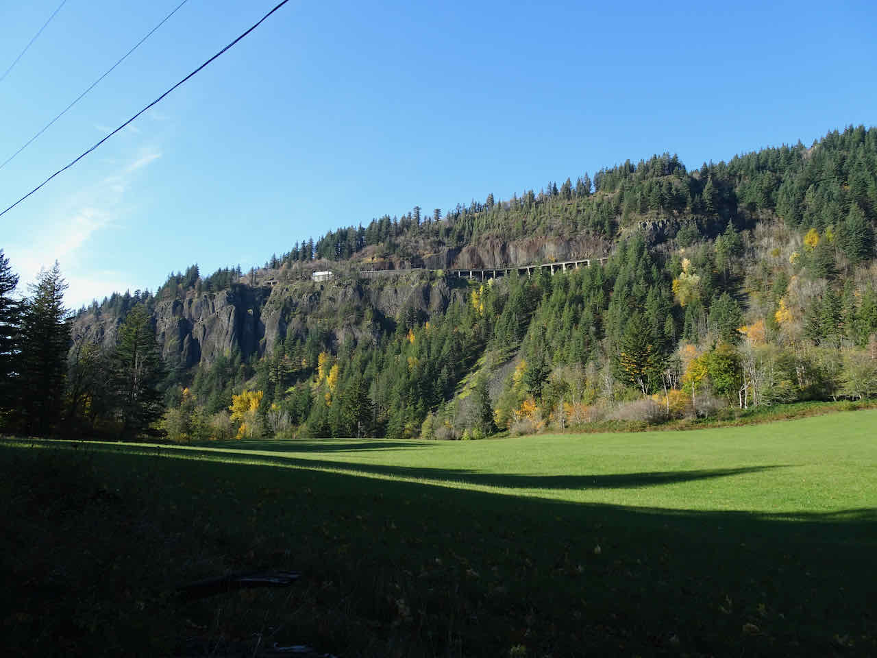
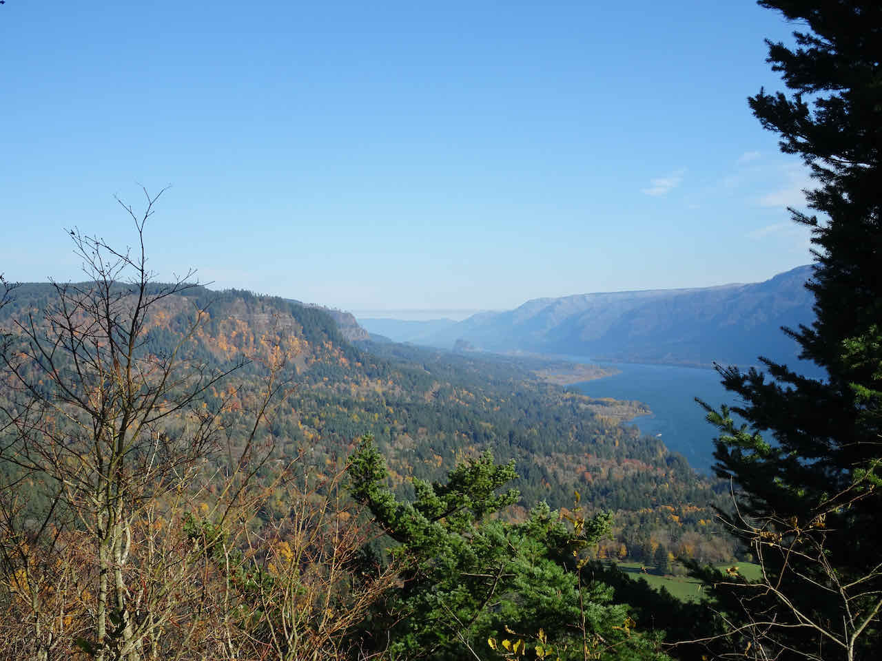
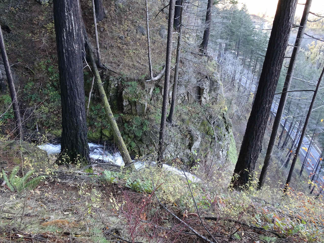
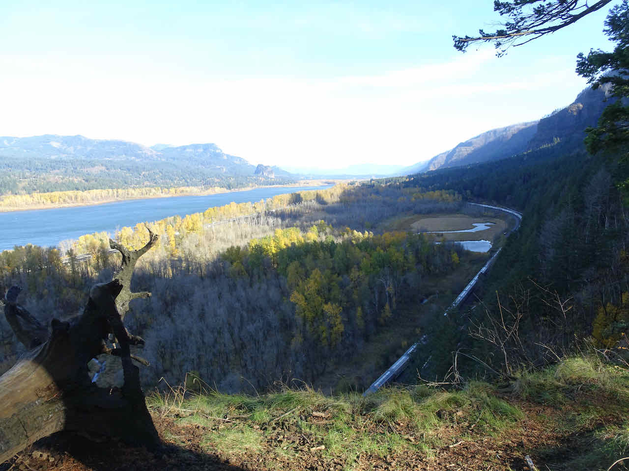
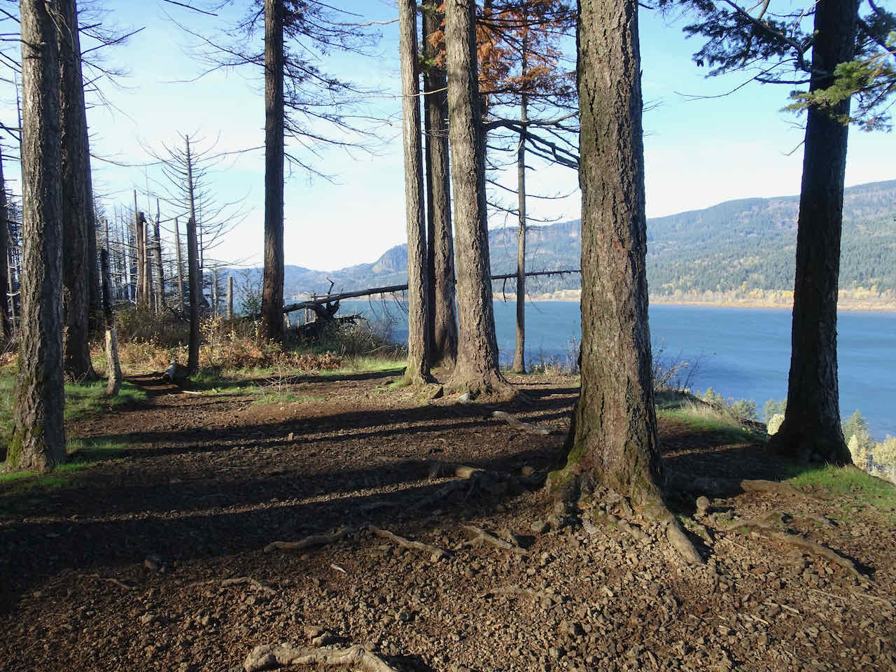
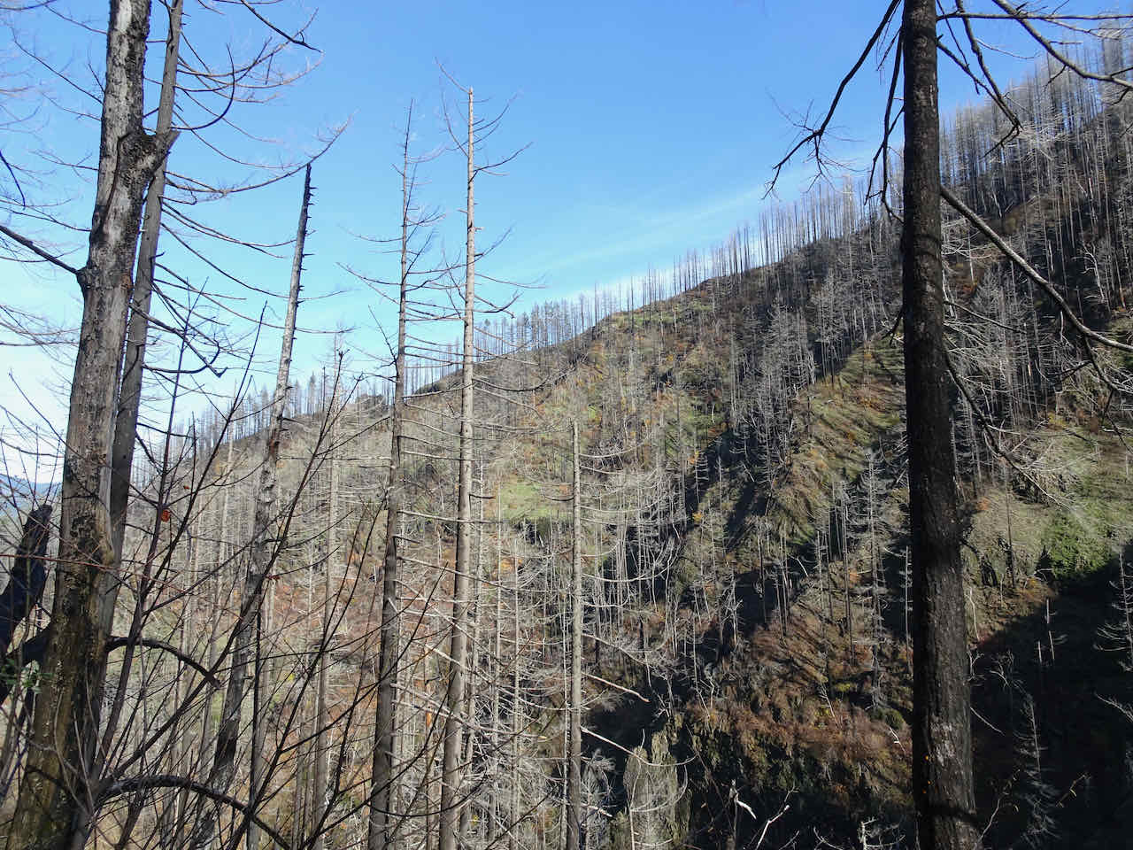
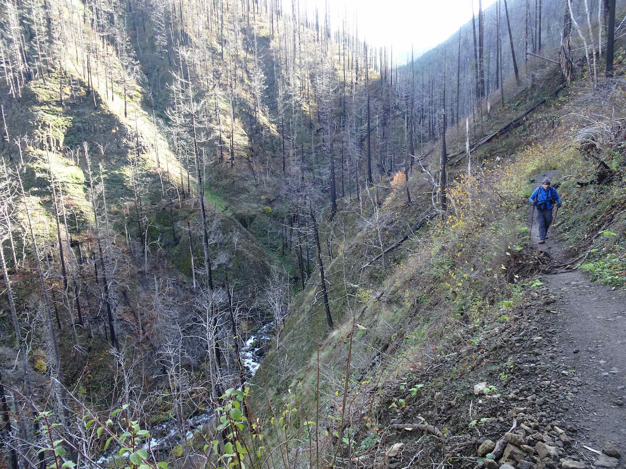
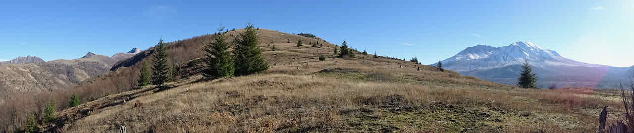
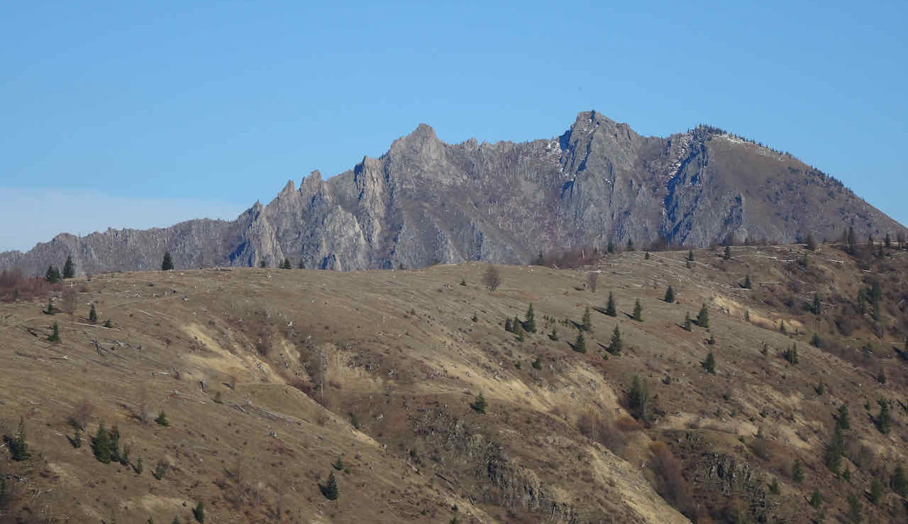
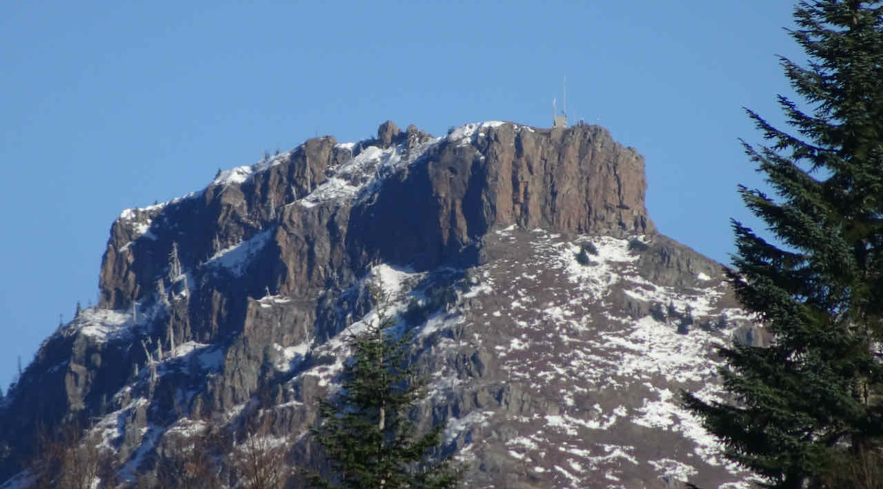
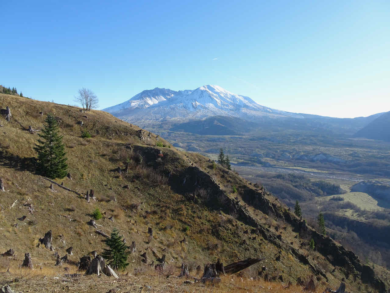
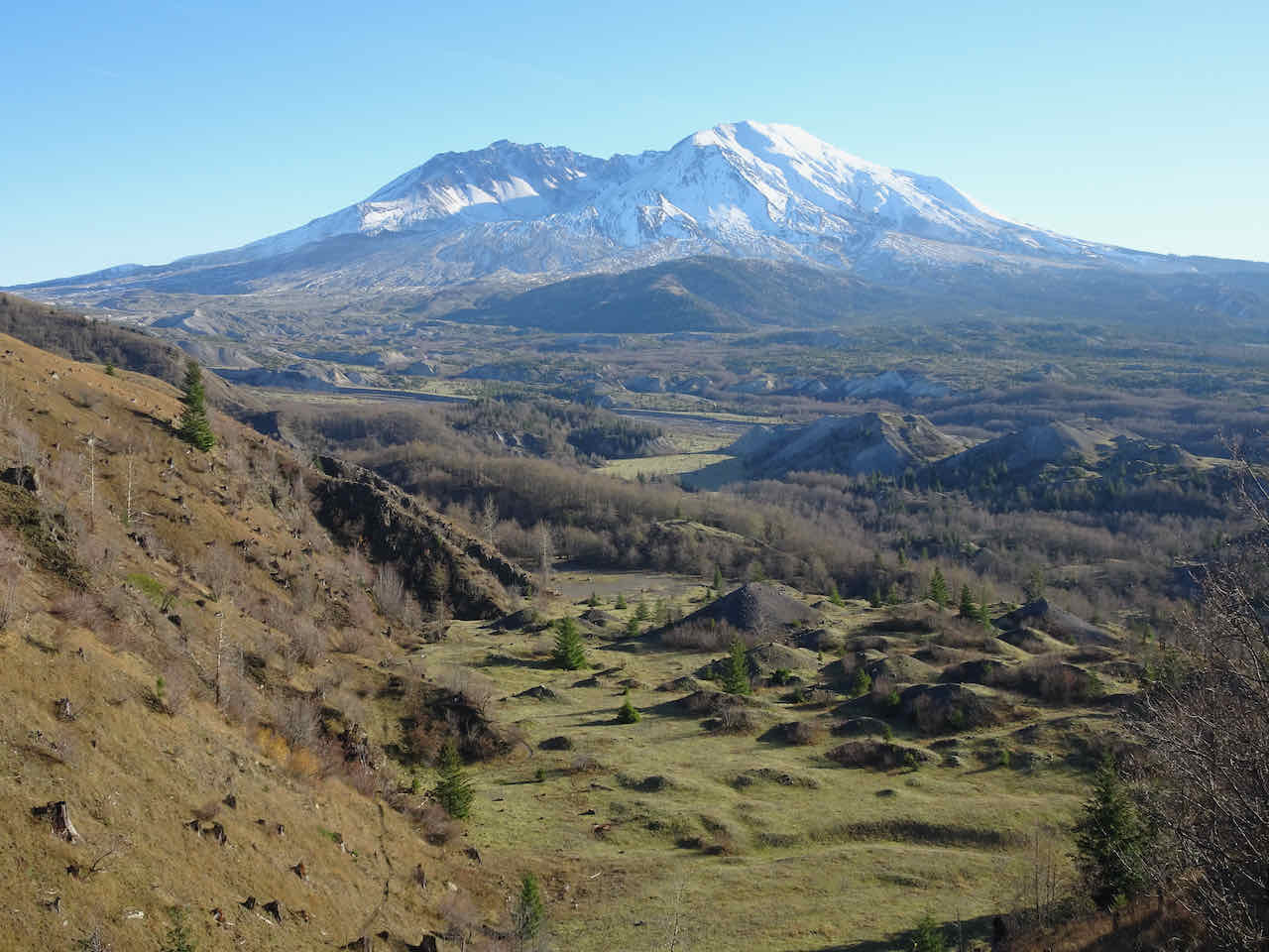
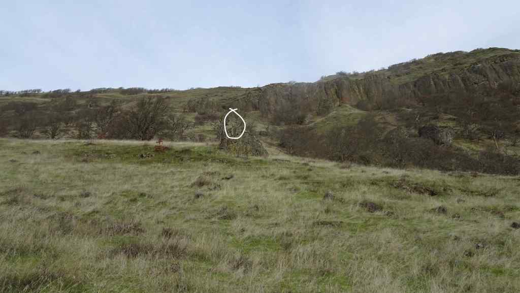
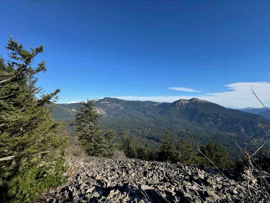
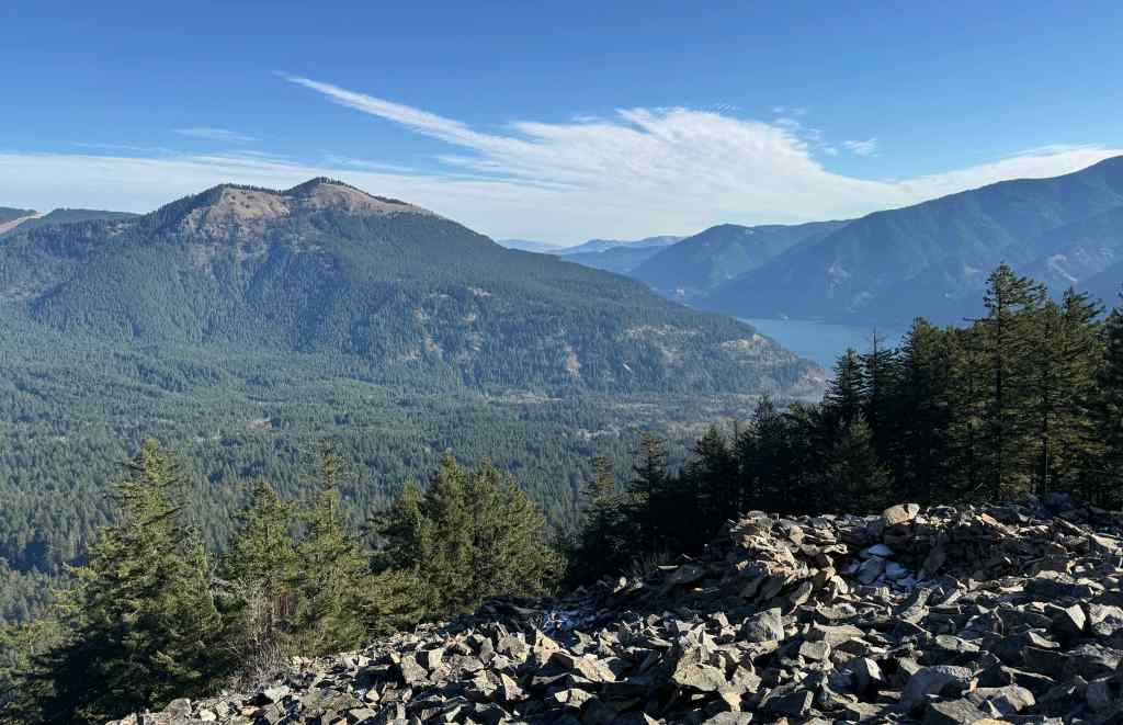
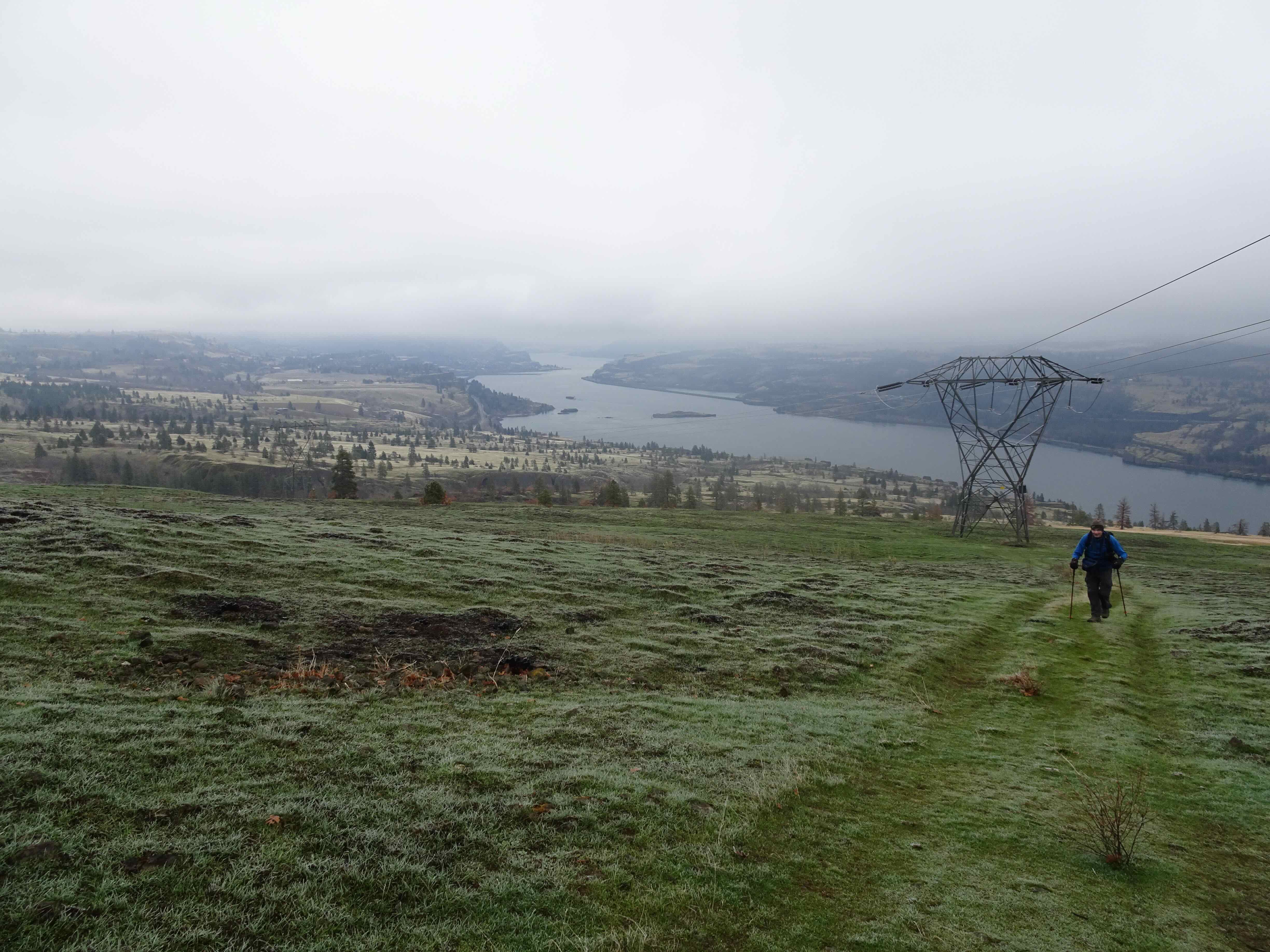
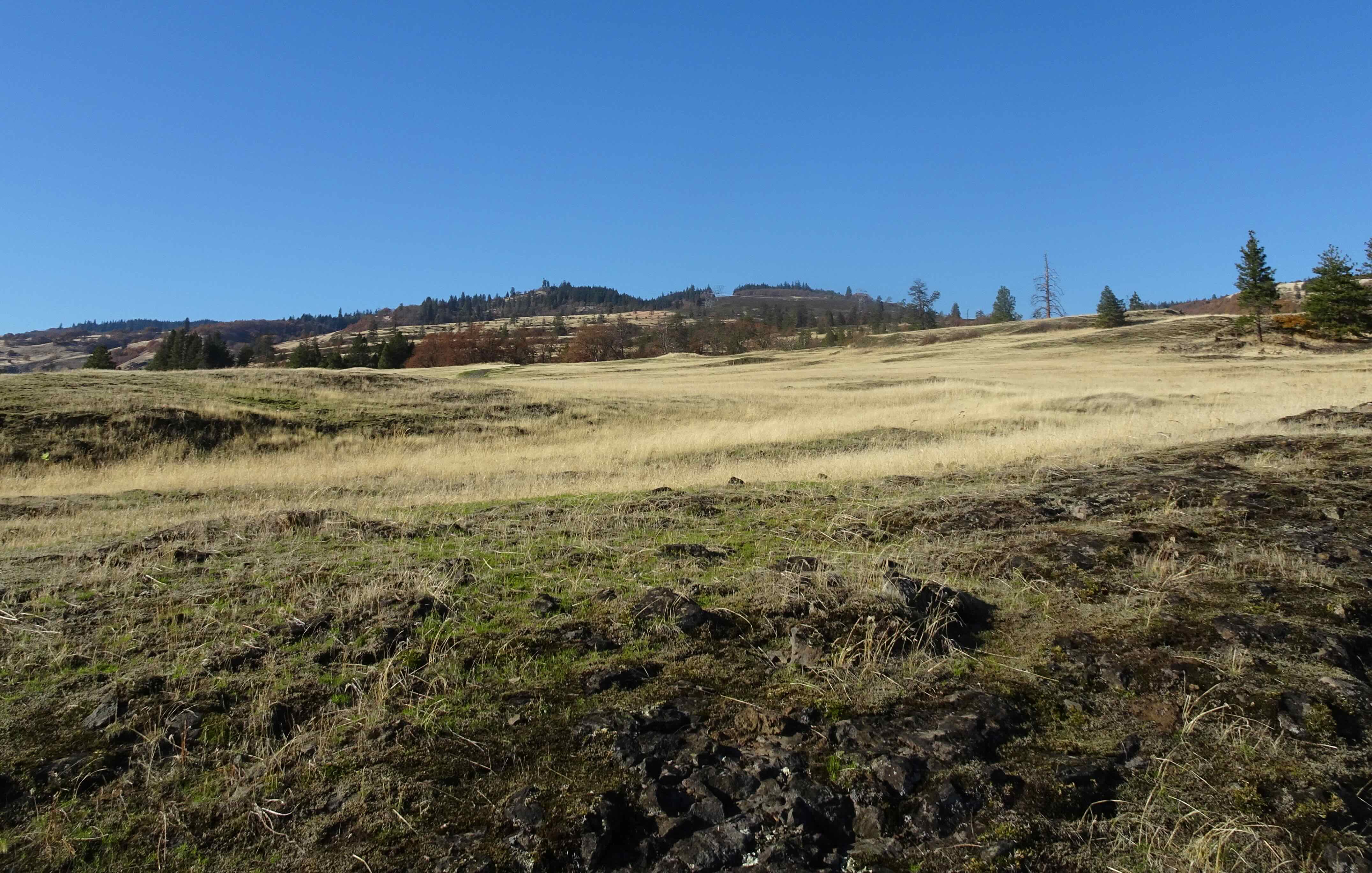
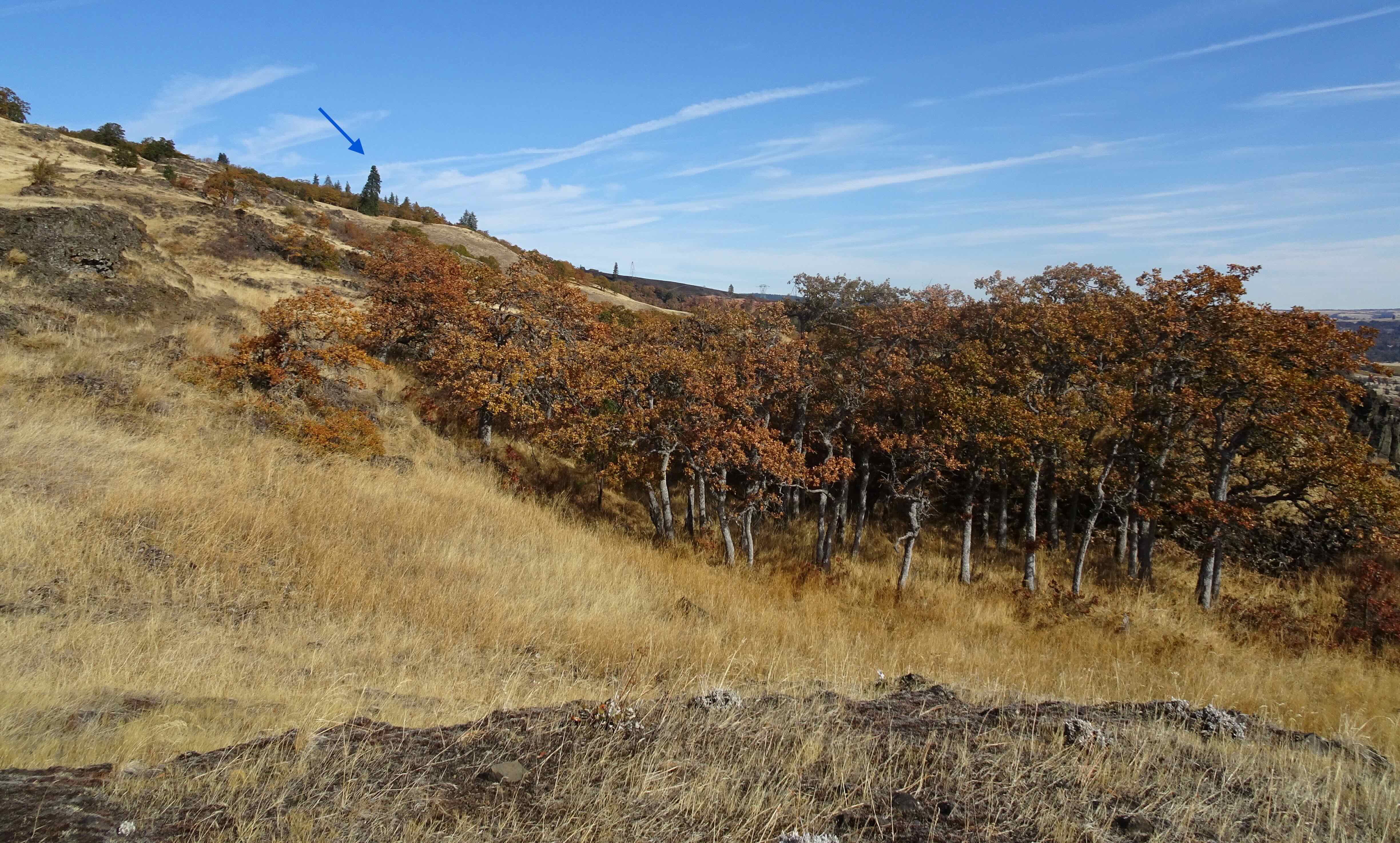
January 22 – Wind Mountain, Washington – a short, sharp hike. I hadn’t been up this one in a while, and was looking for a test for my hip bursitis rehab, after about four months of steady focused exercises. This trail goes up about 1000 feet in a mile, leading to the top of this conical mountain at a bend in the Columbia River.

It was quite windy up top on the river side, so we didn’t spend much time looking at the river and Oregon view.
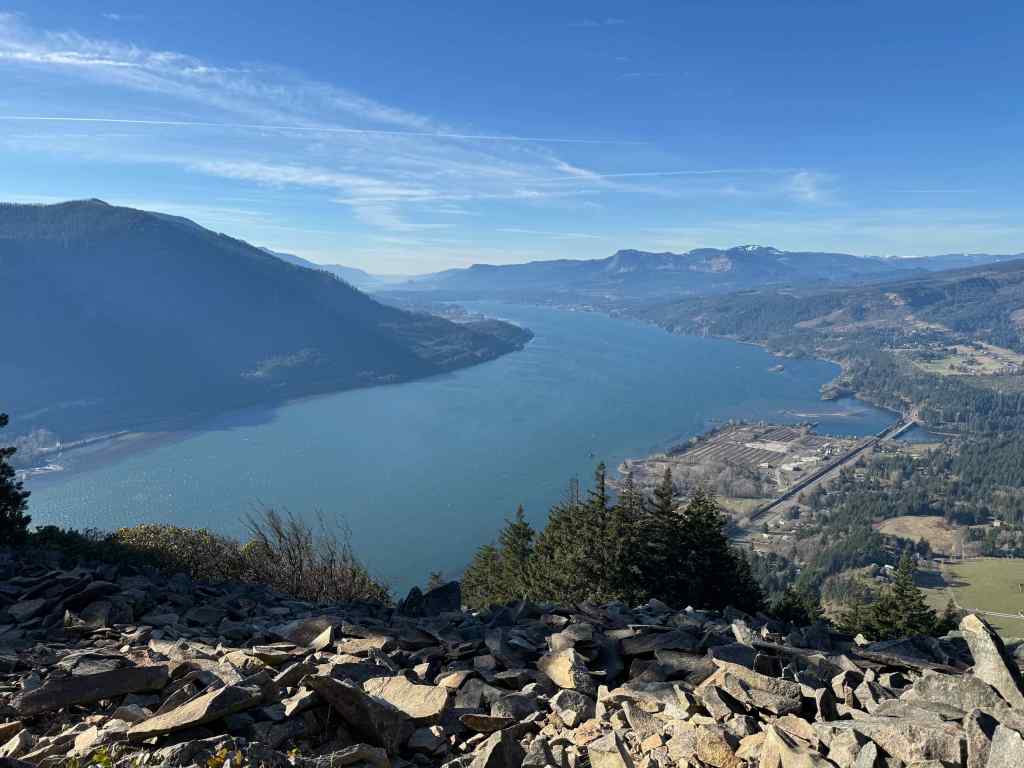
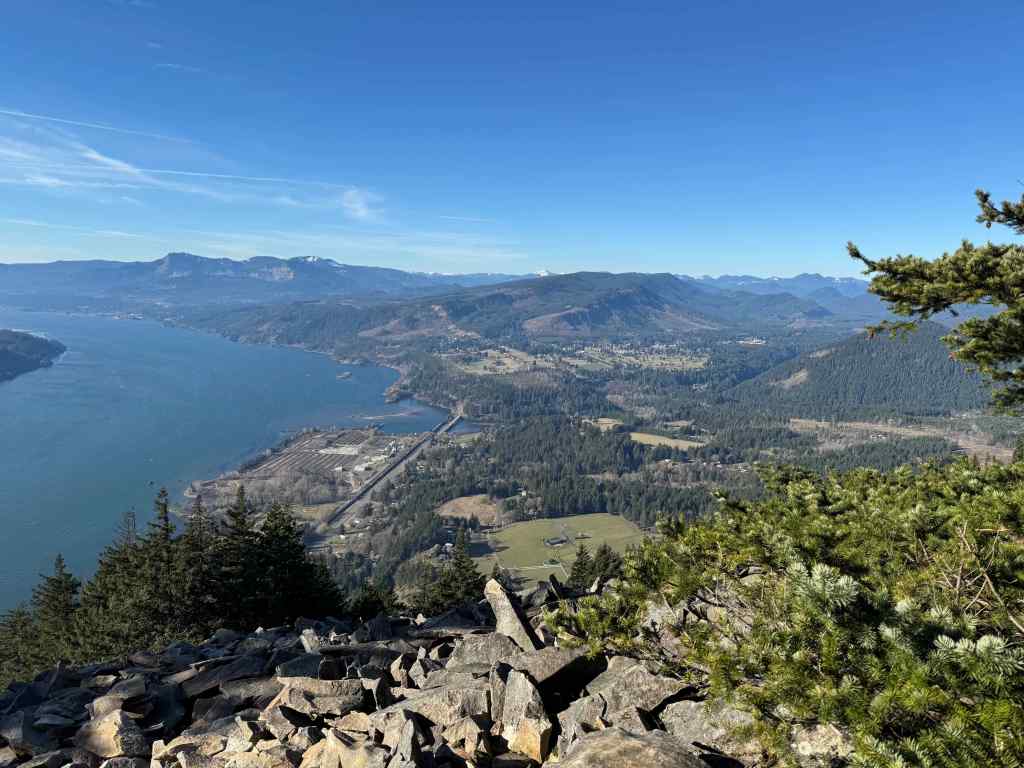
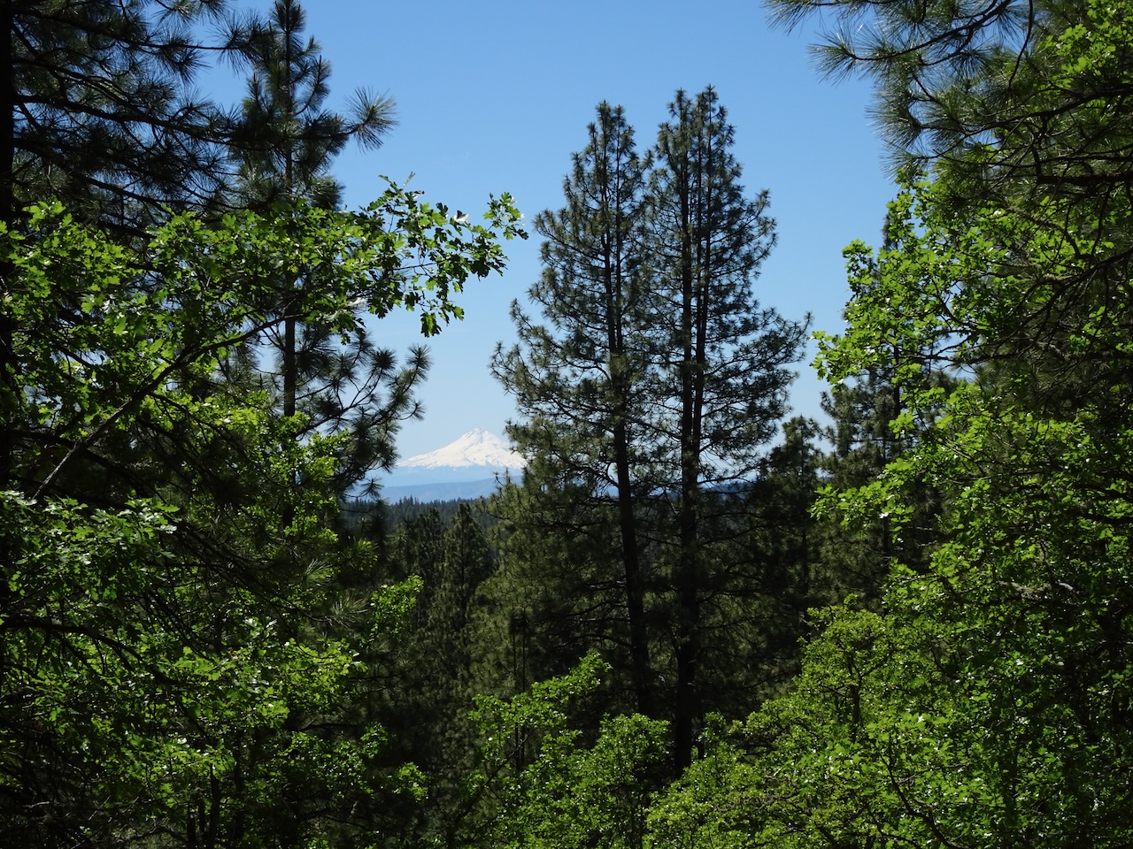
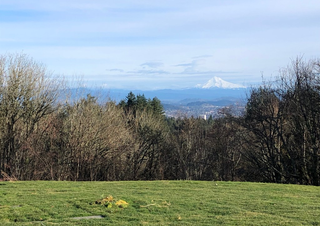
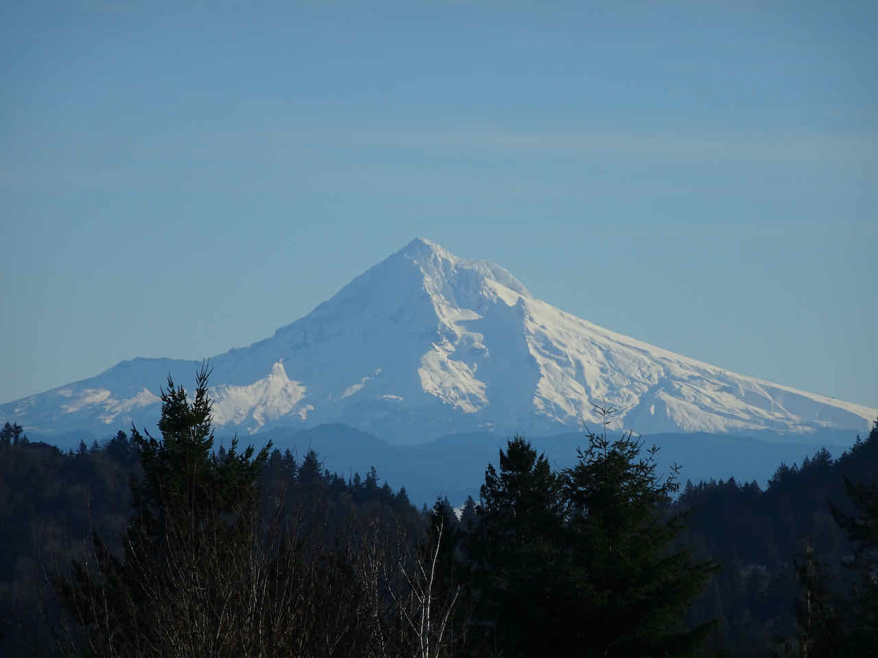
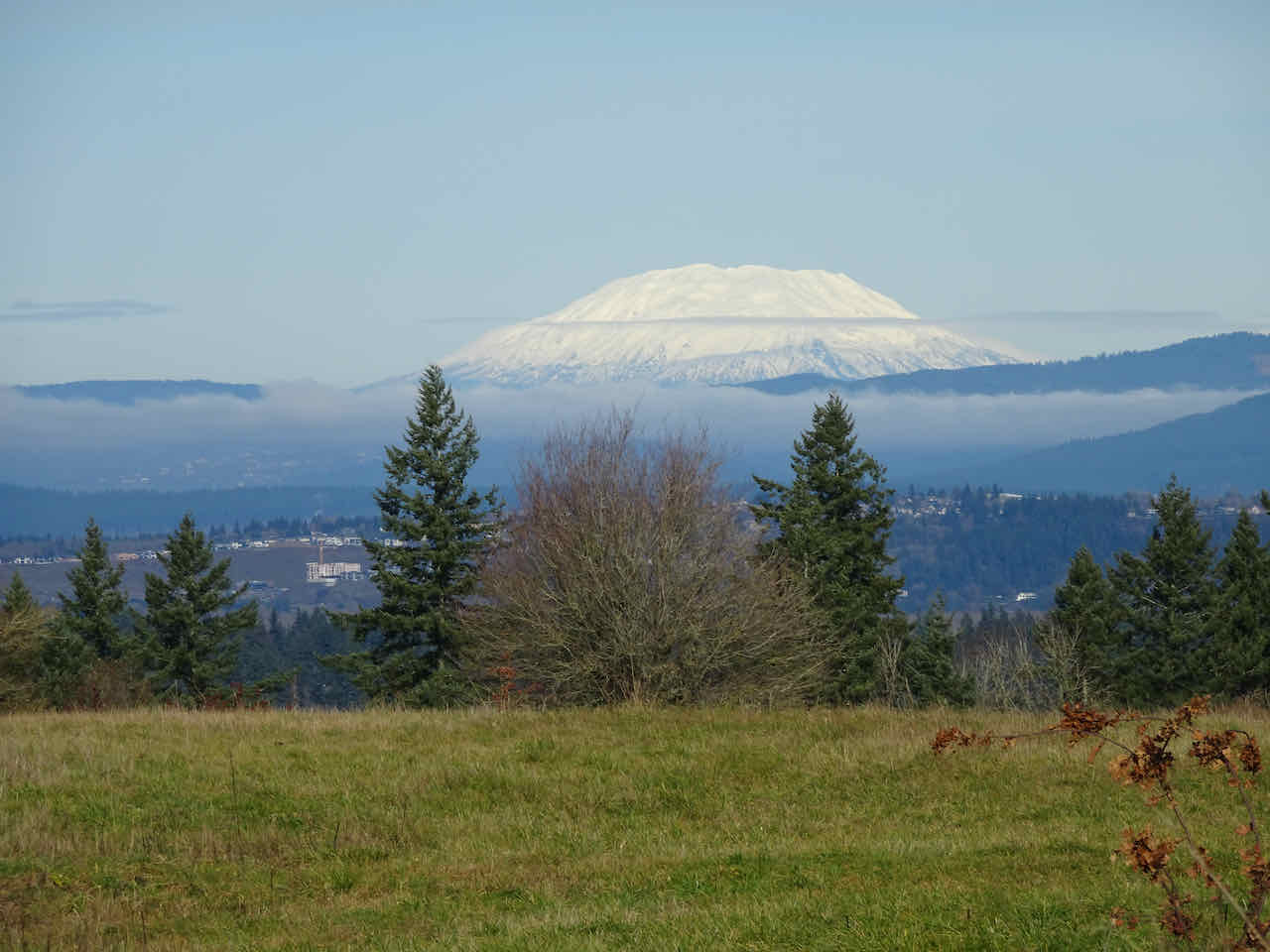
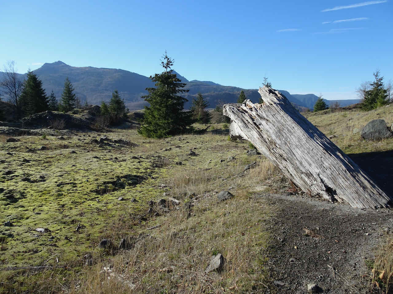
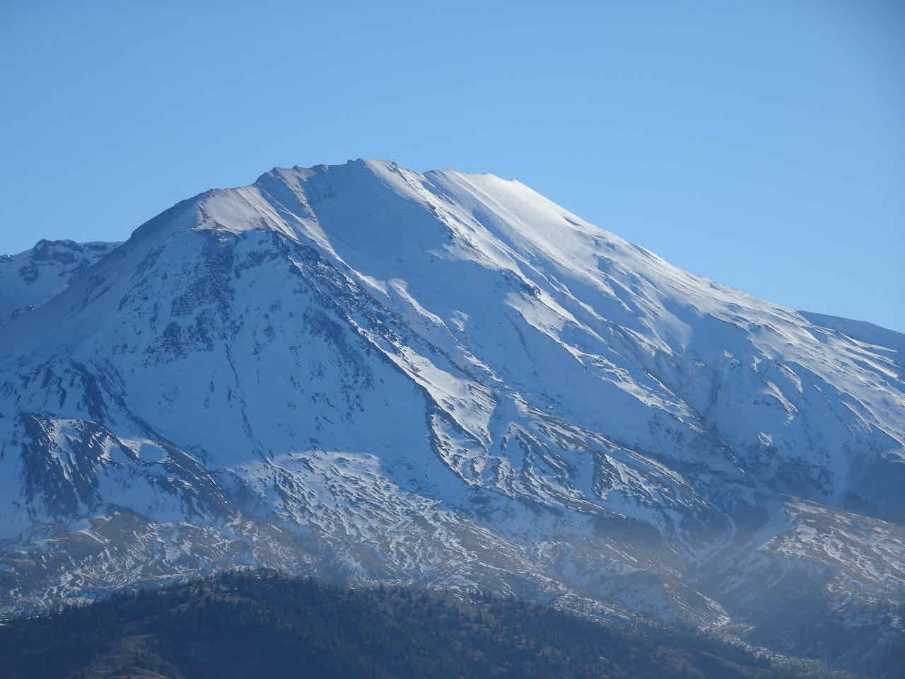
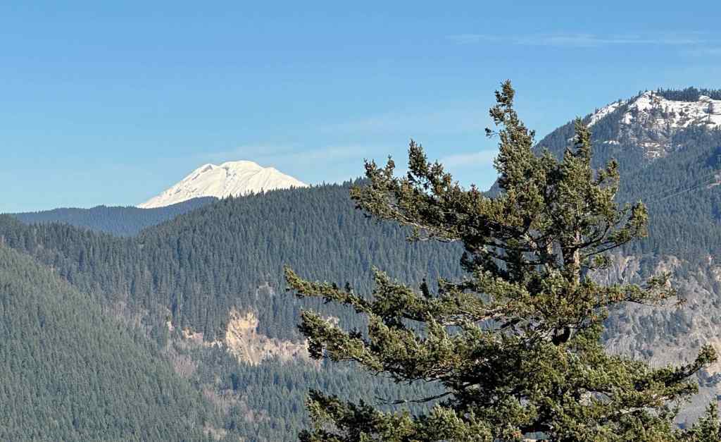
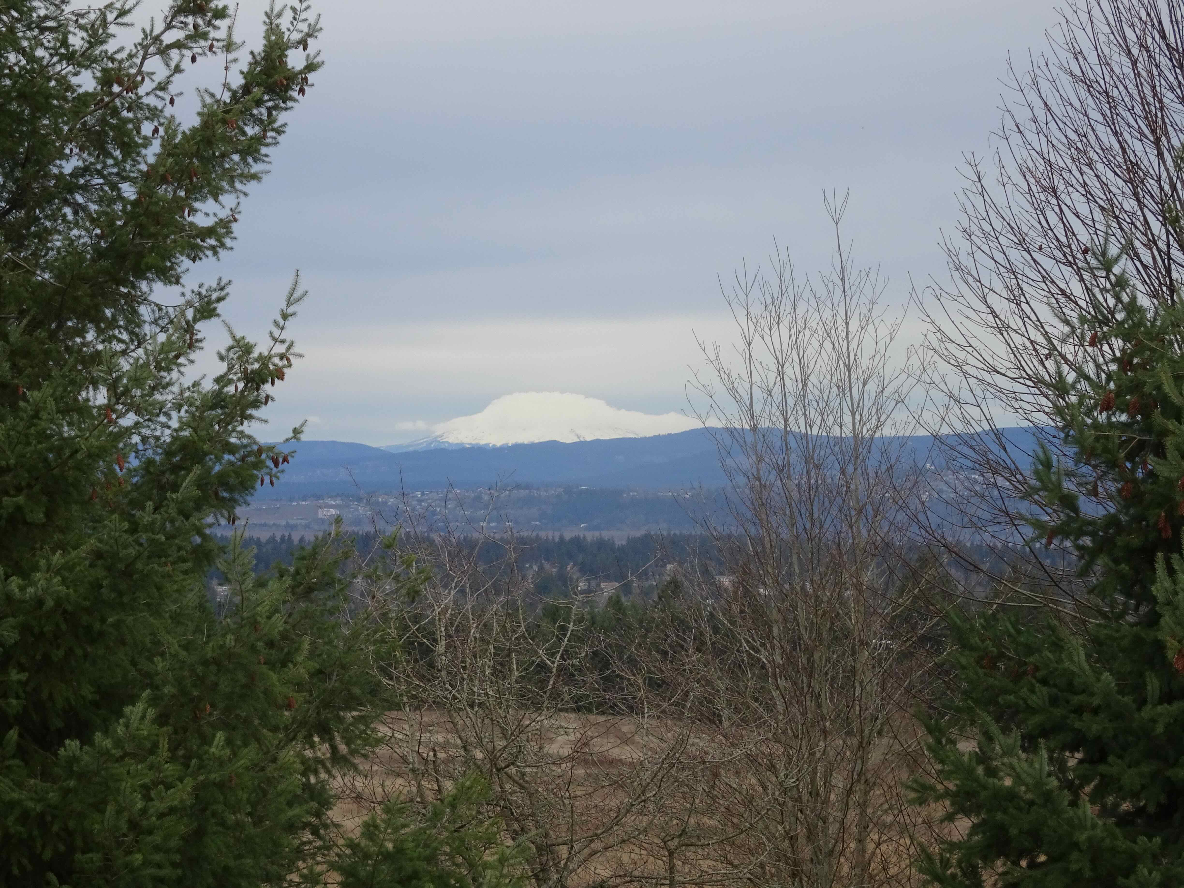
We found a windbreak on the landward side, so ate our lunch looking at Mt Adams and Dog Mountain – also nice landscapes to admire. It was cold, but a good short hike, and a good work out for my legs. Progress!
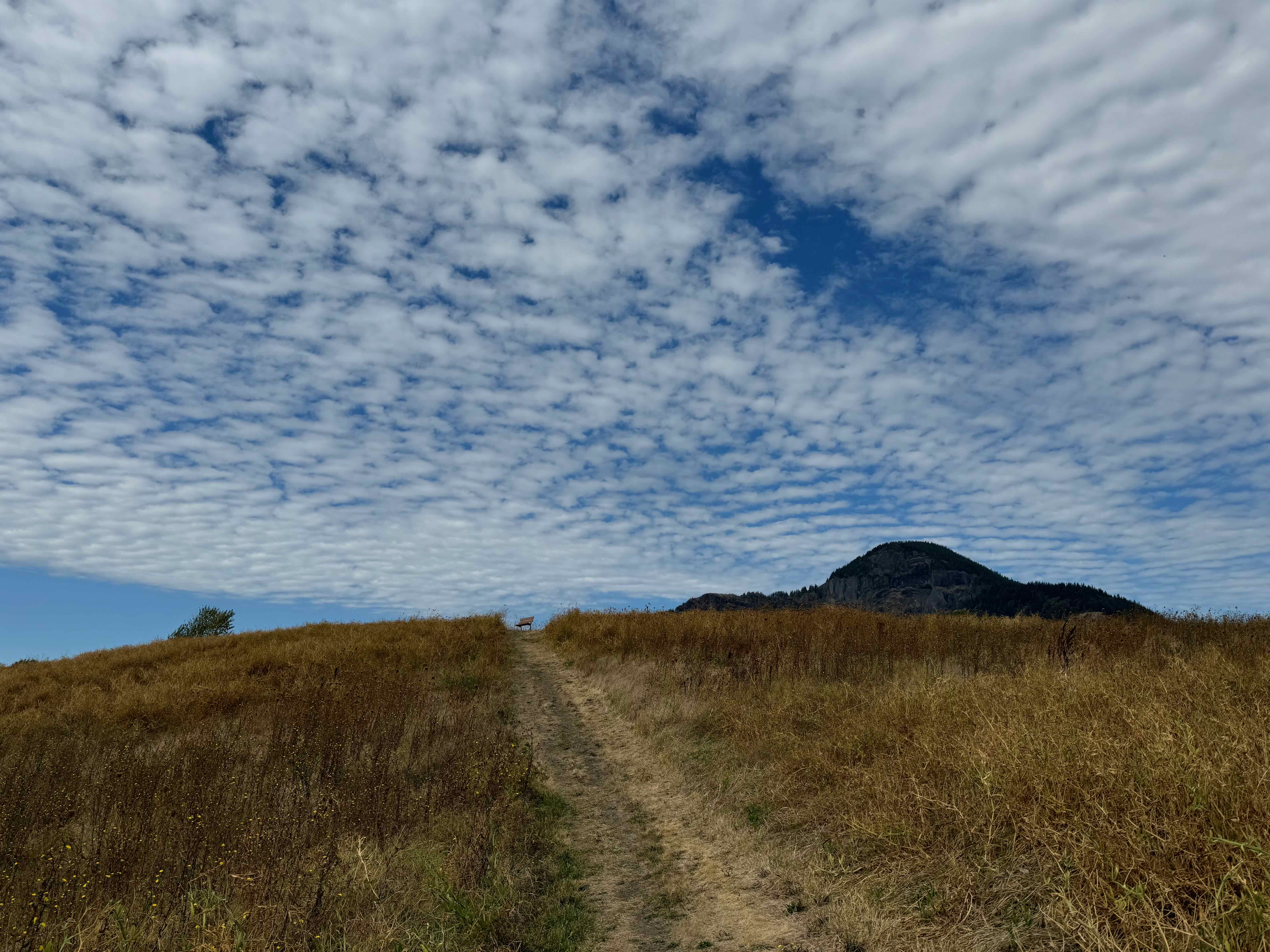
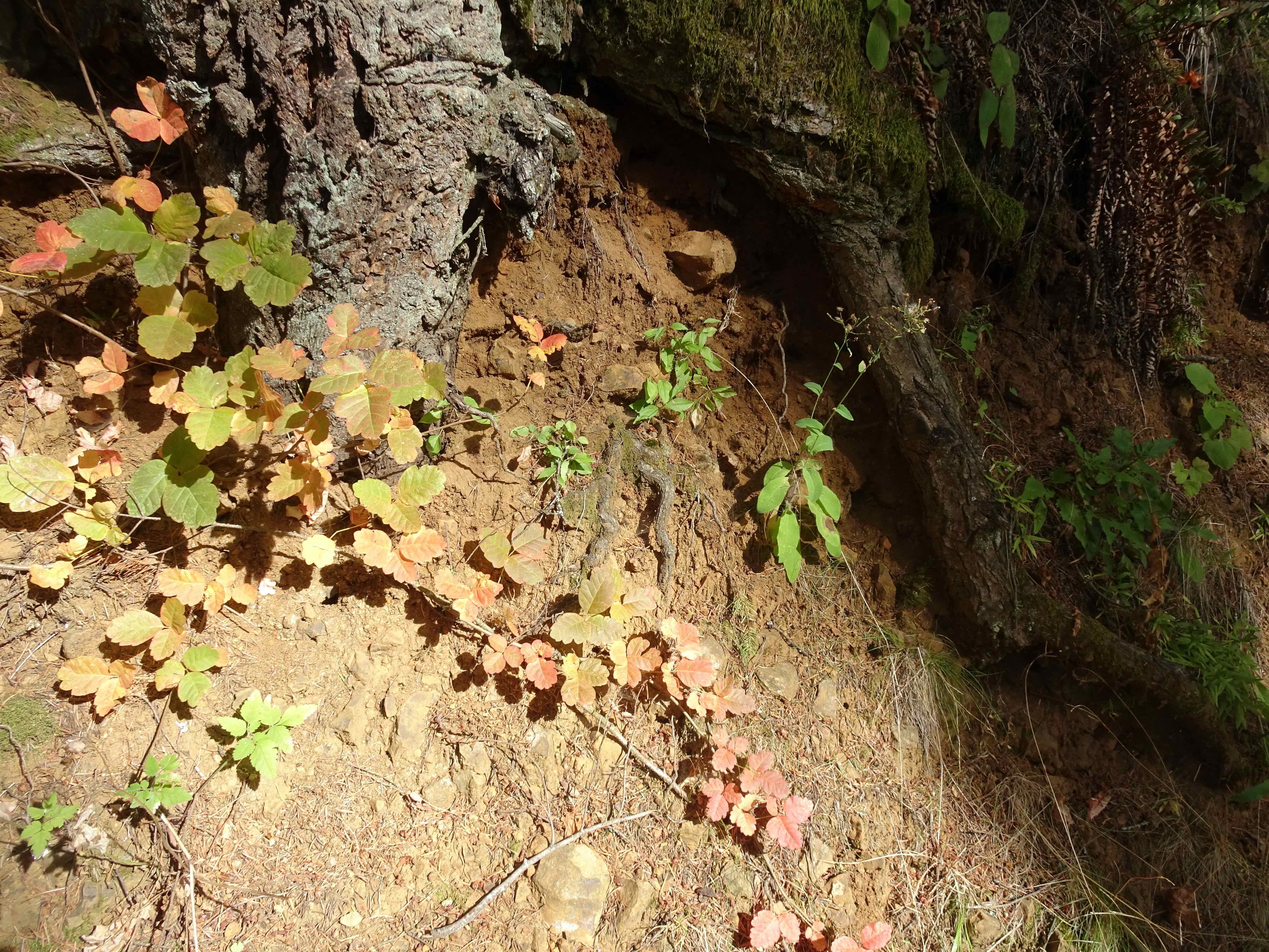
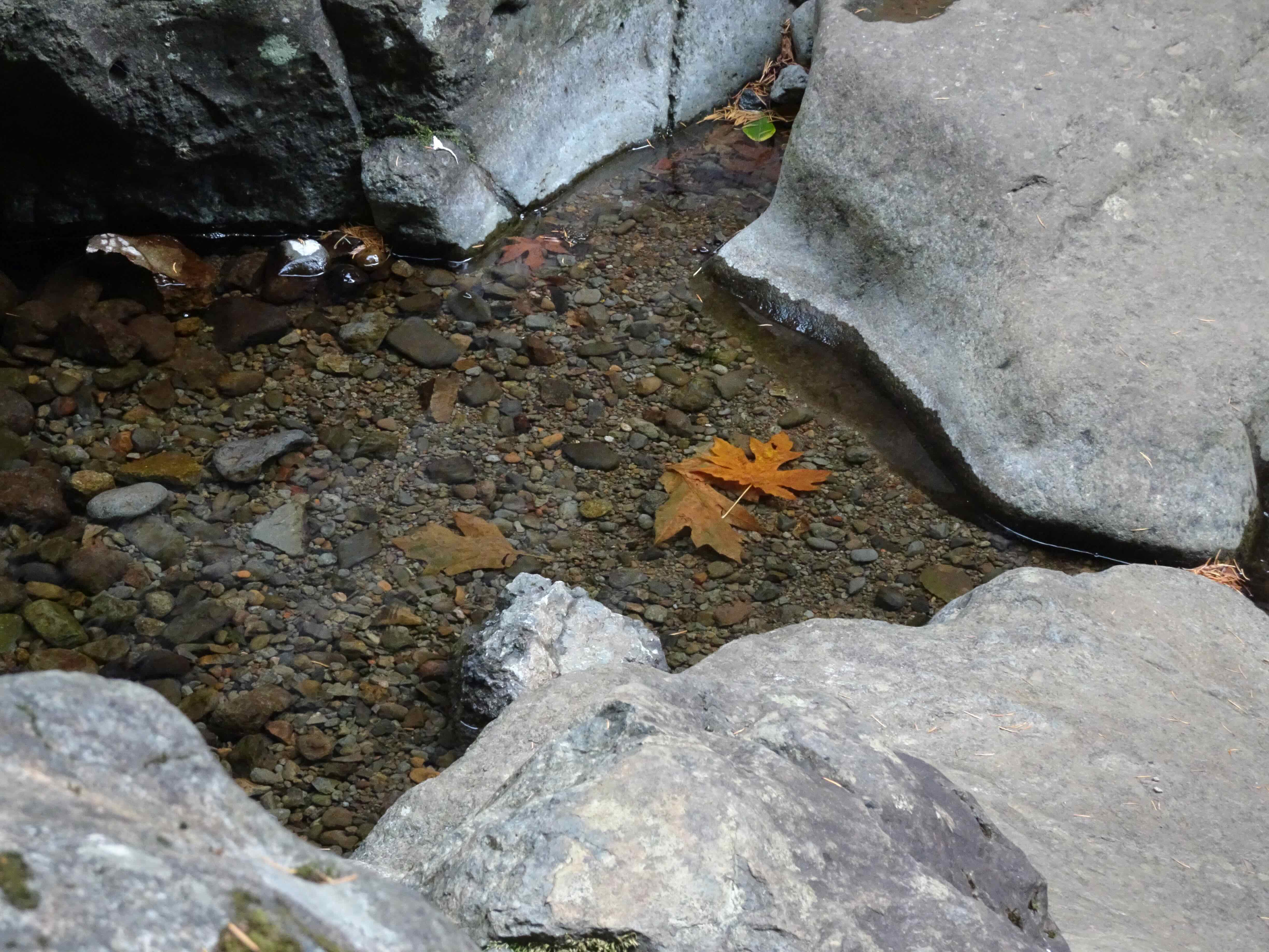
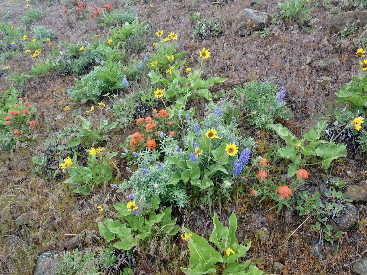
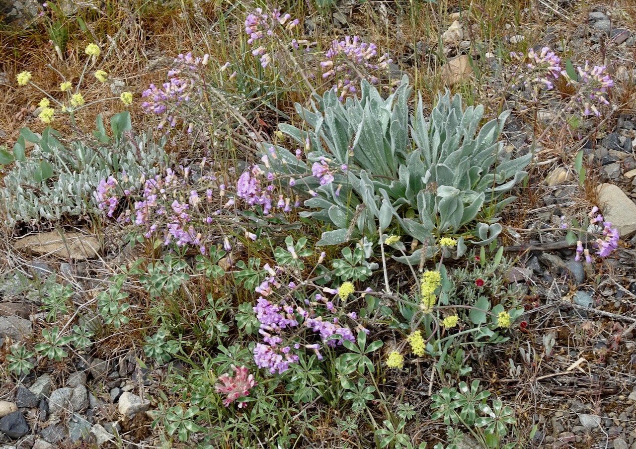
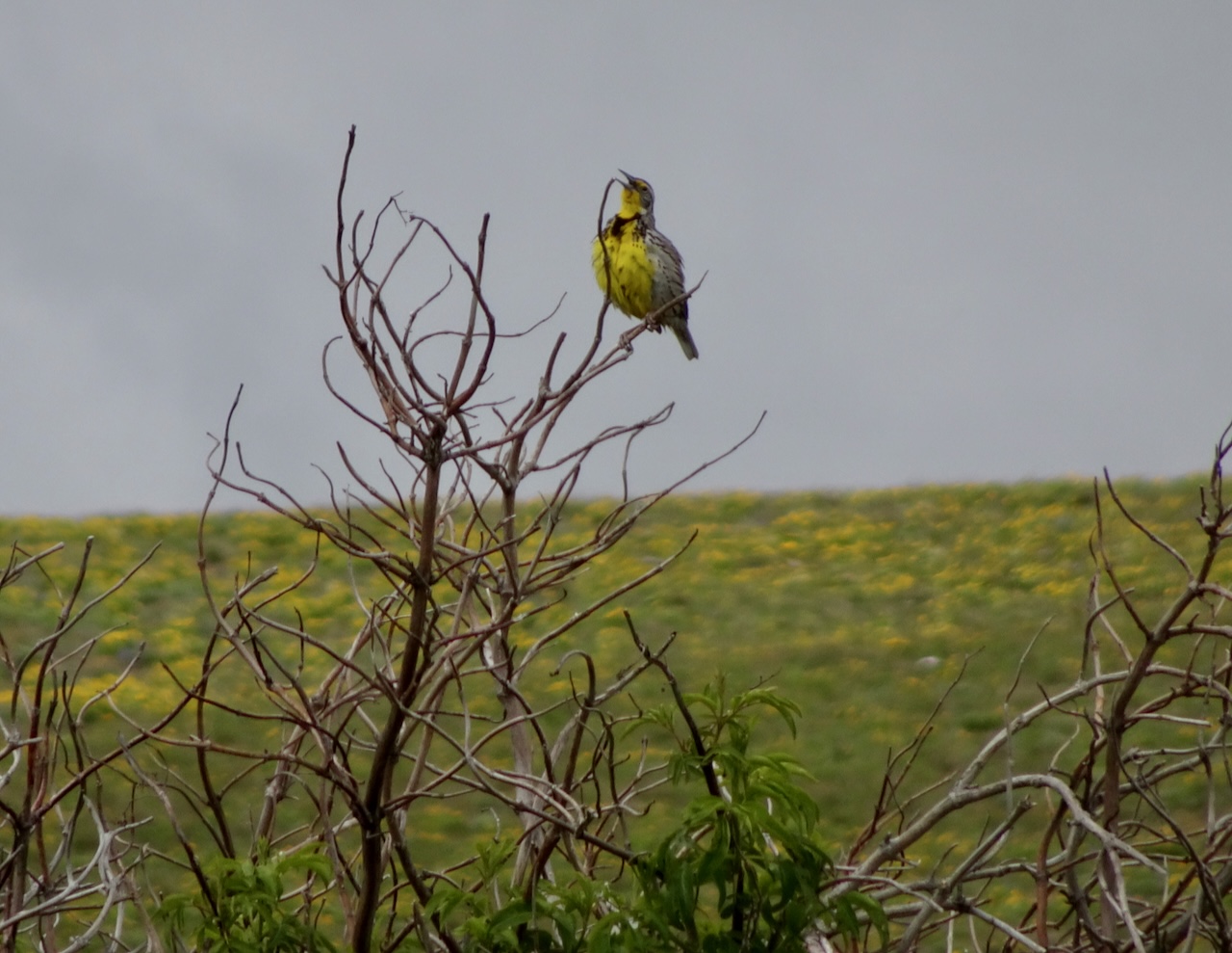
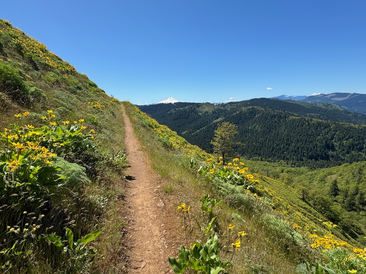
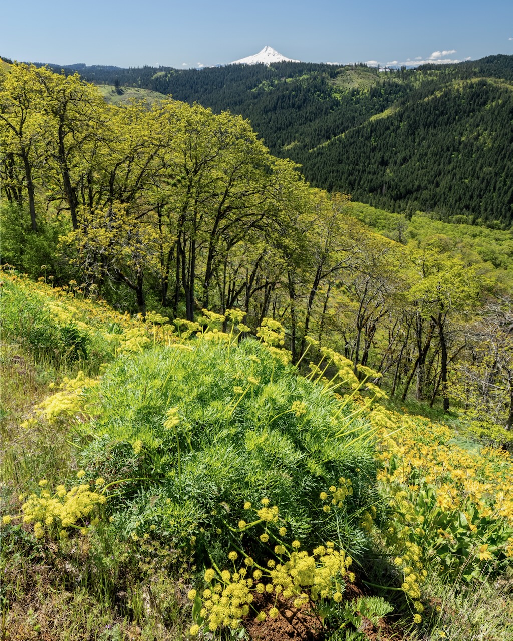
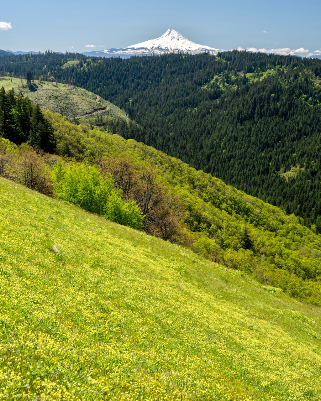
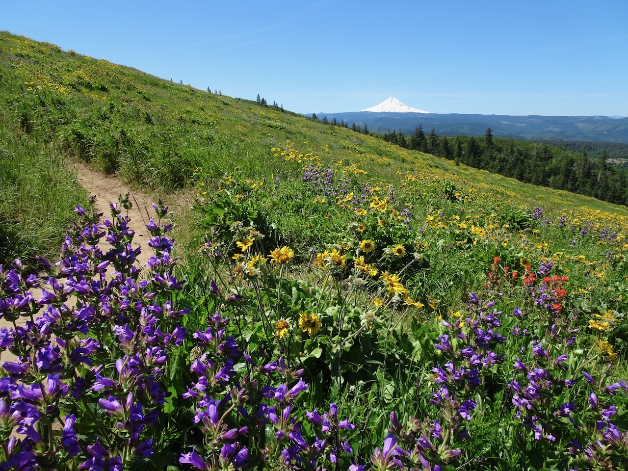
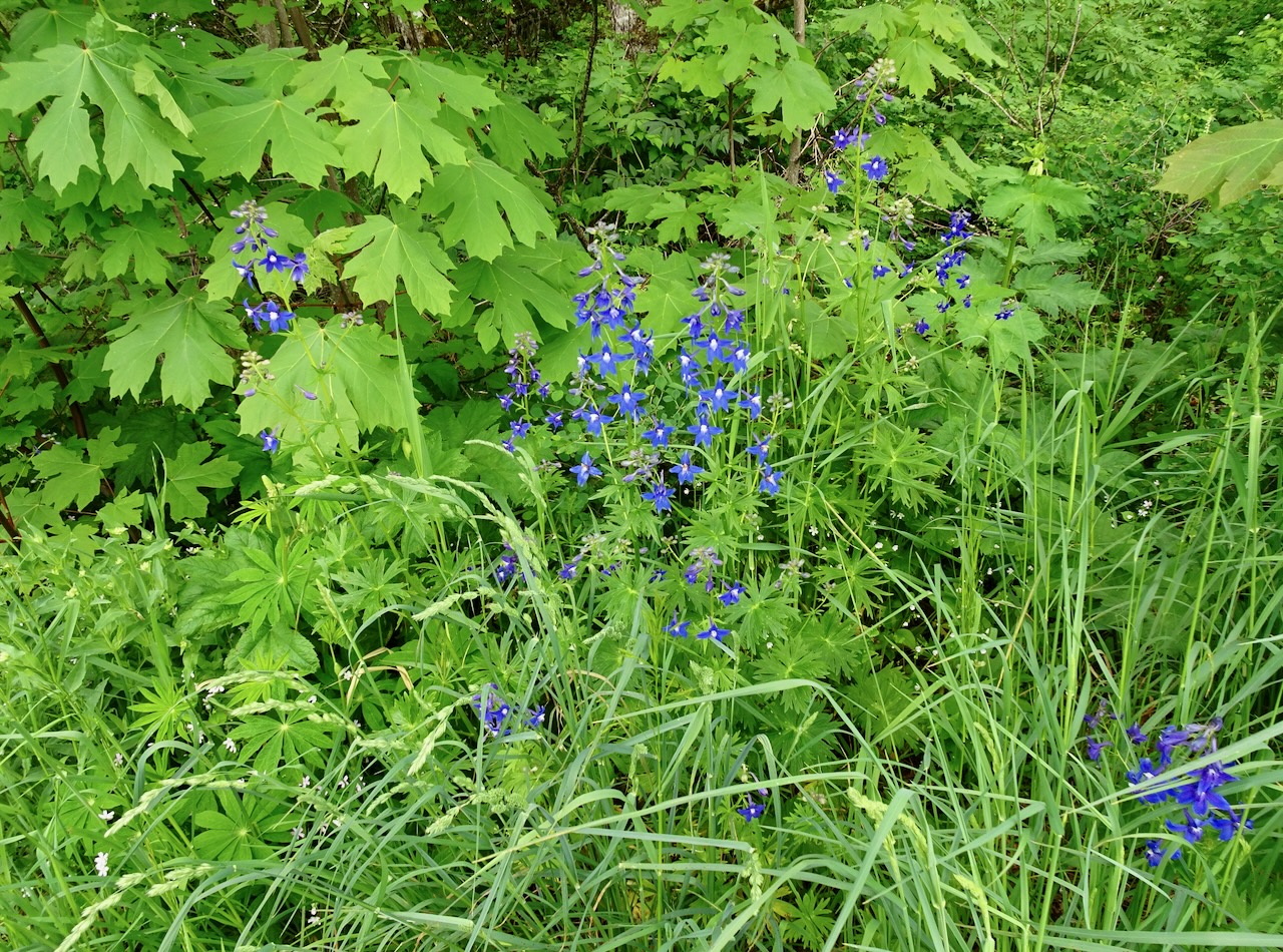
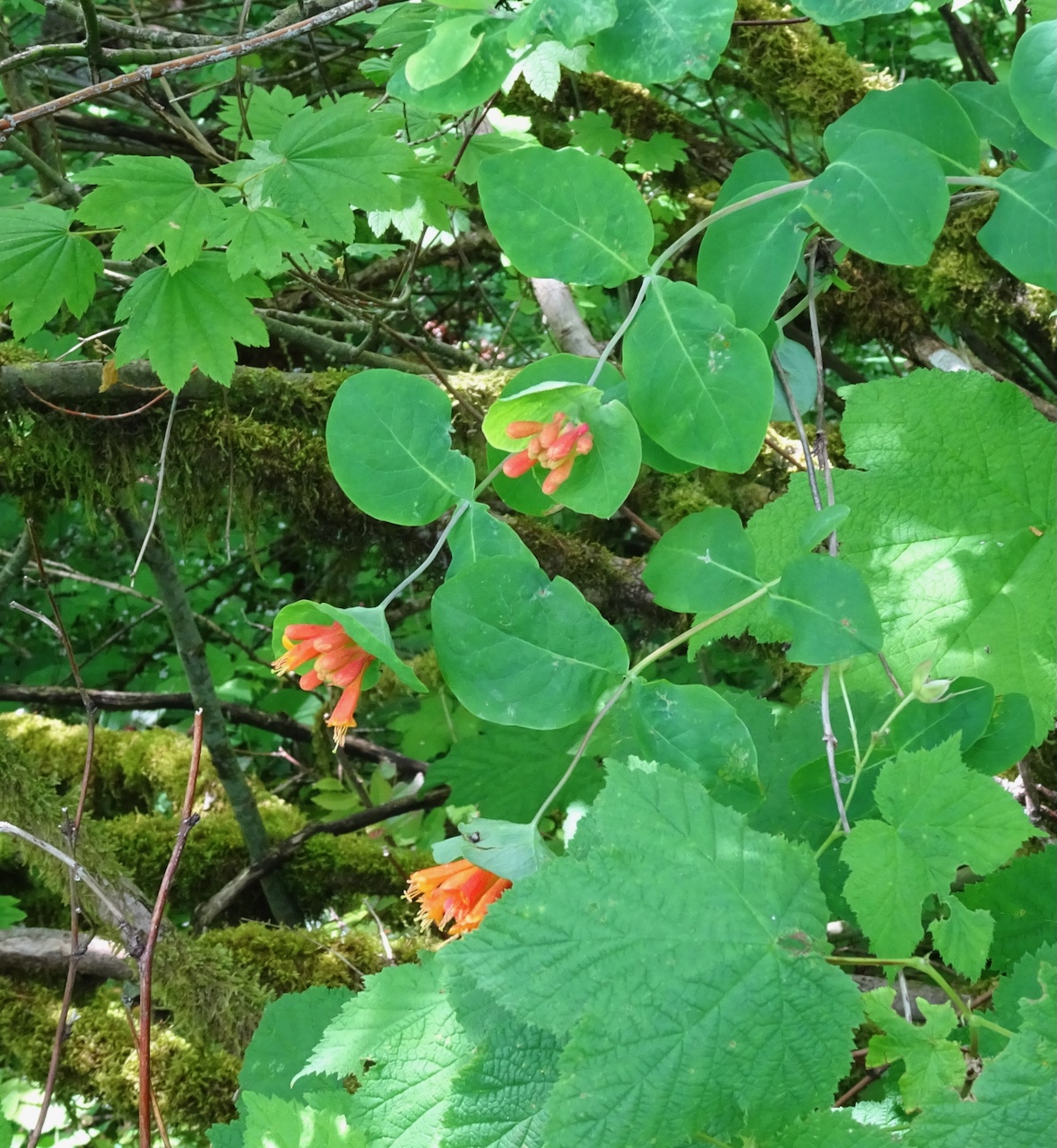
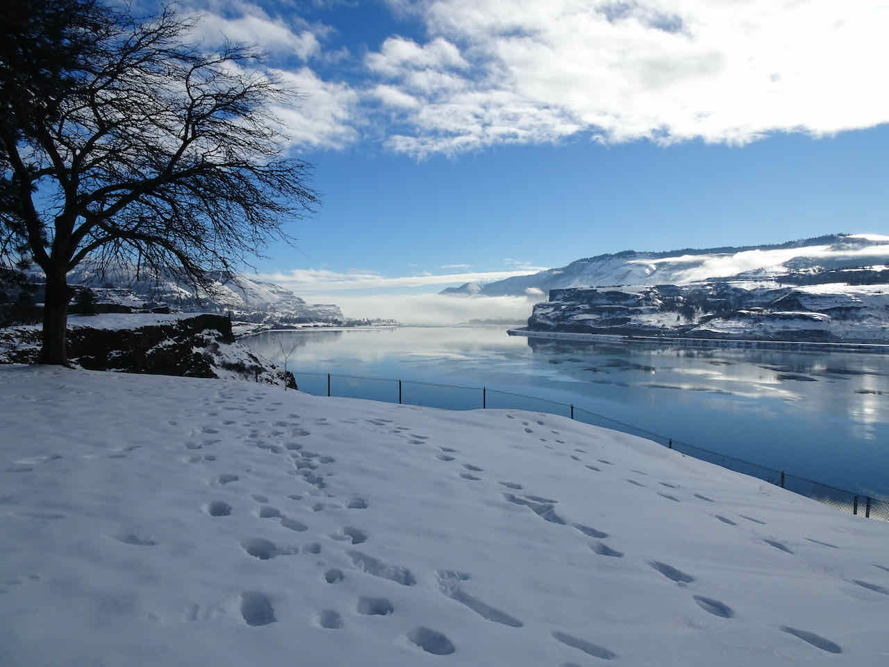
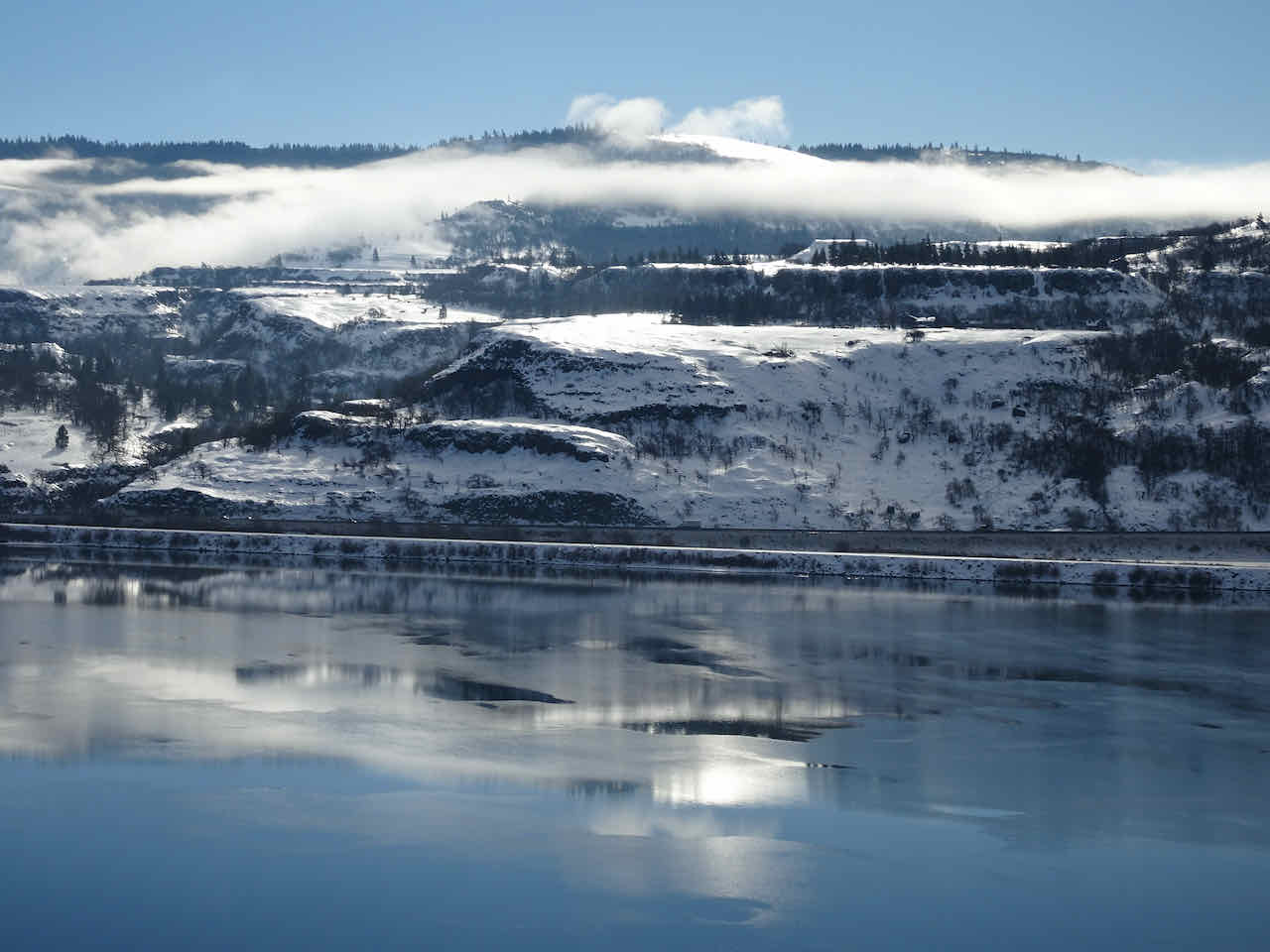
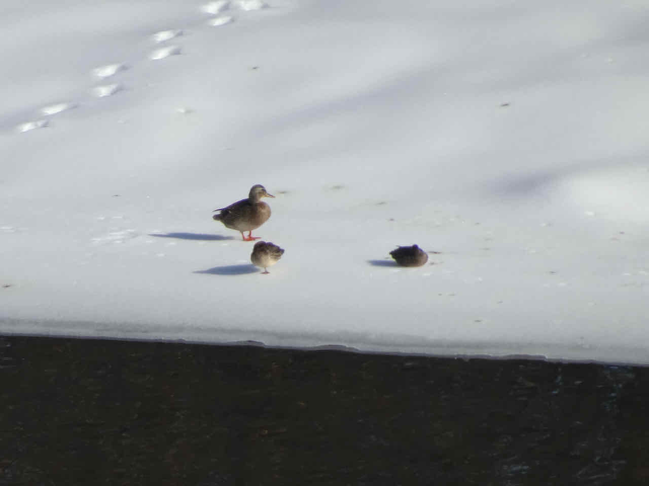
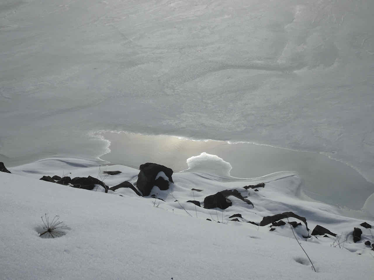
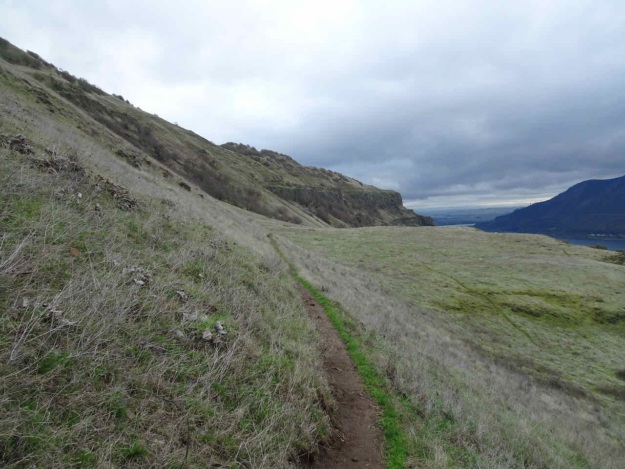
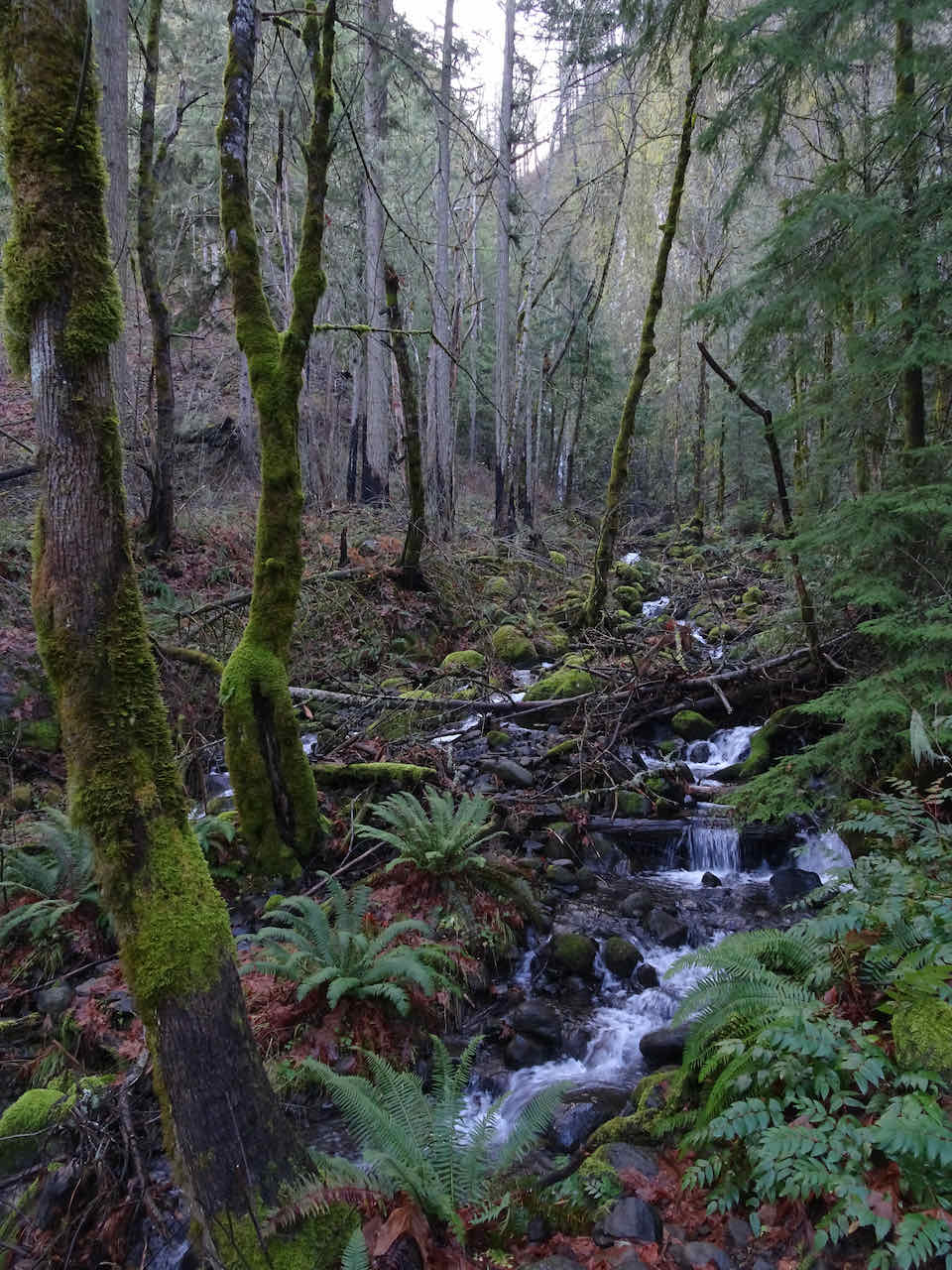
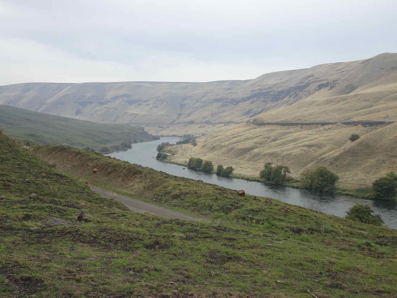
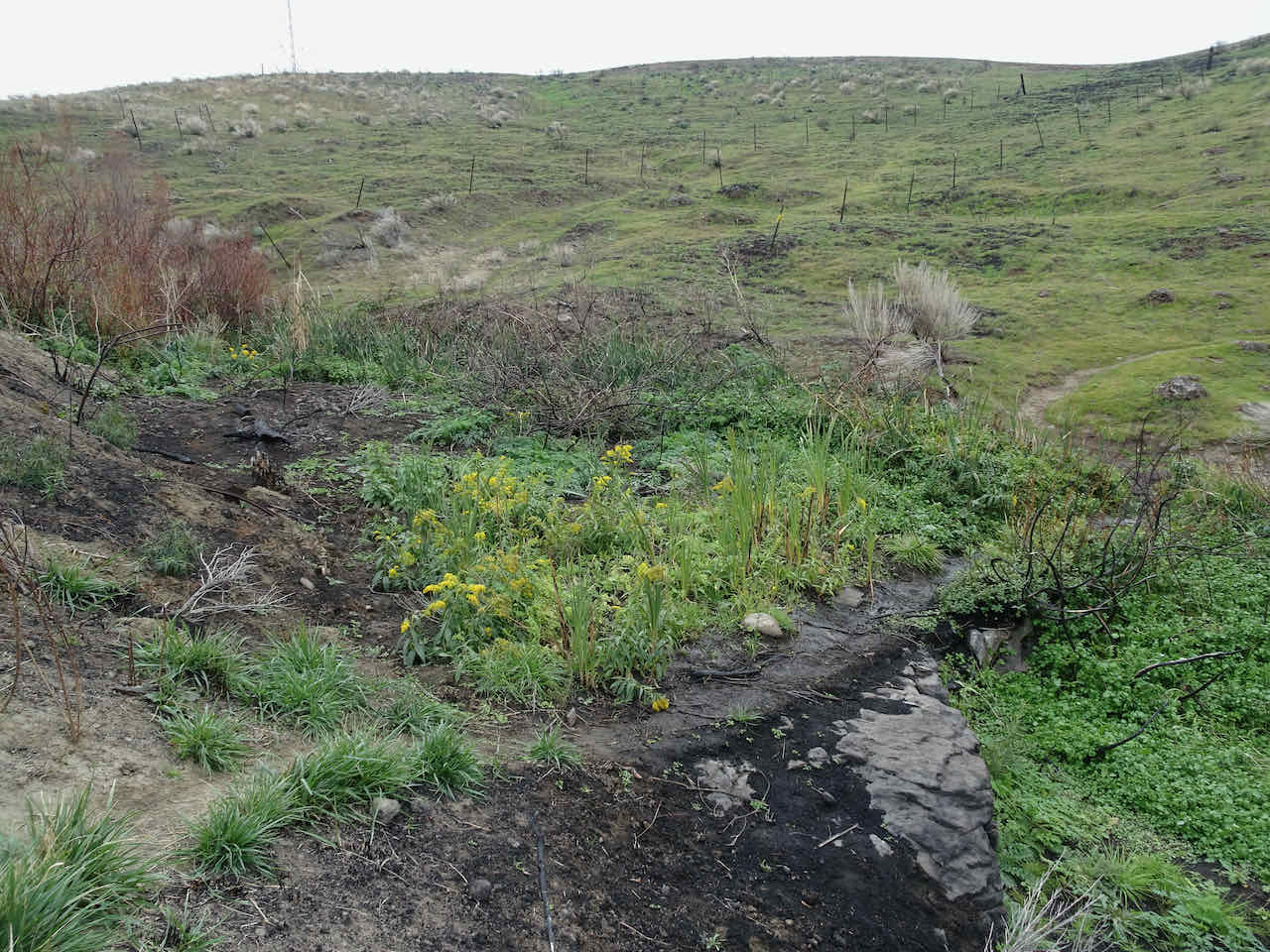
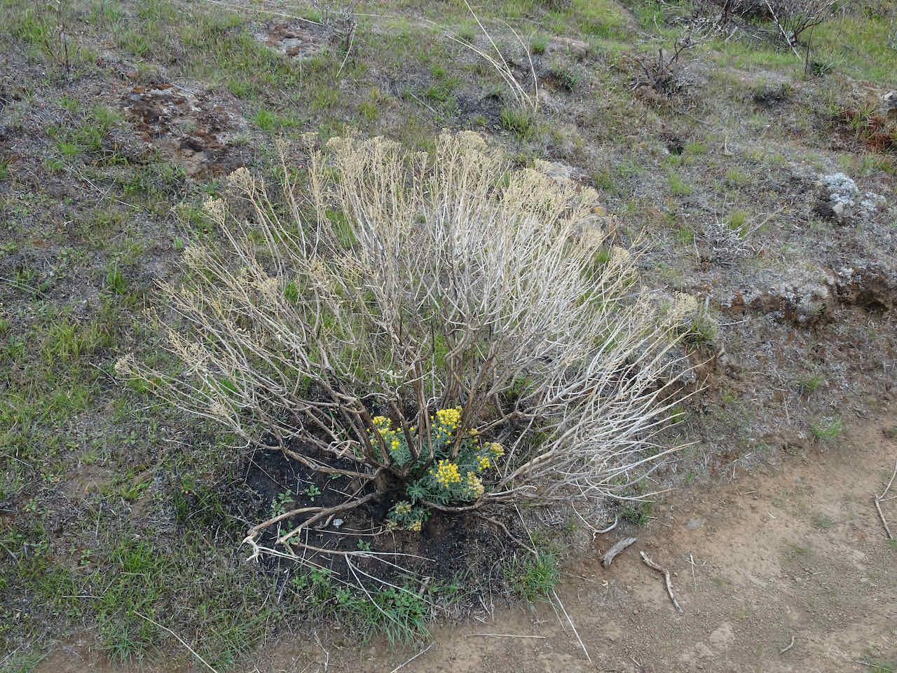
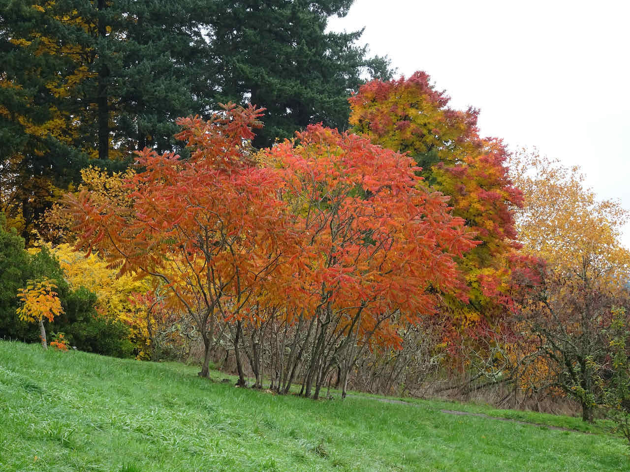
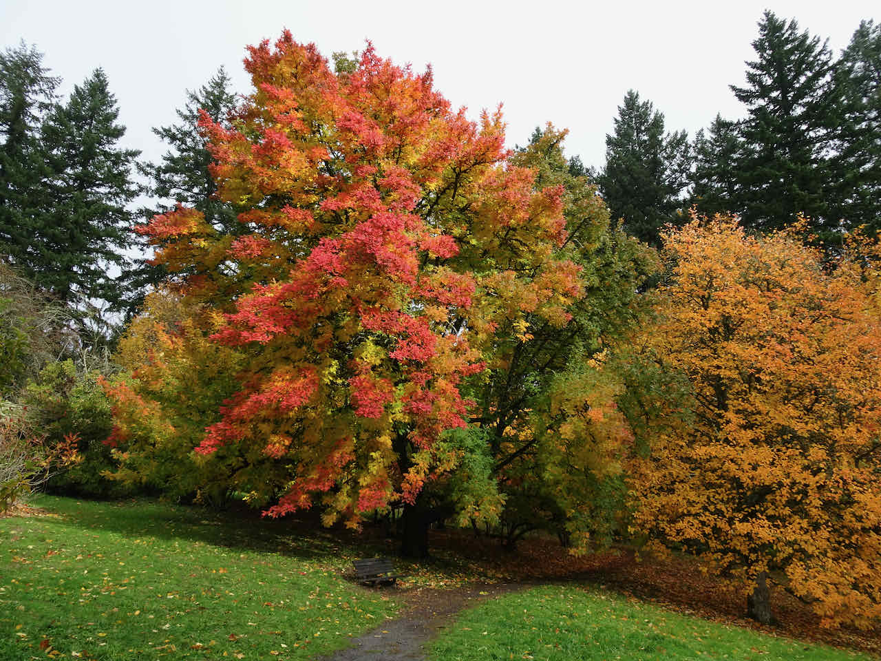
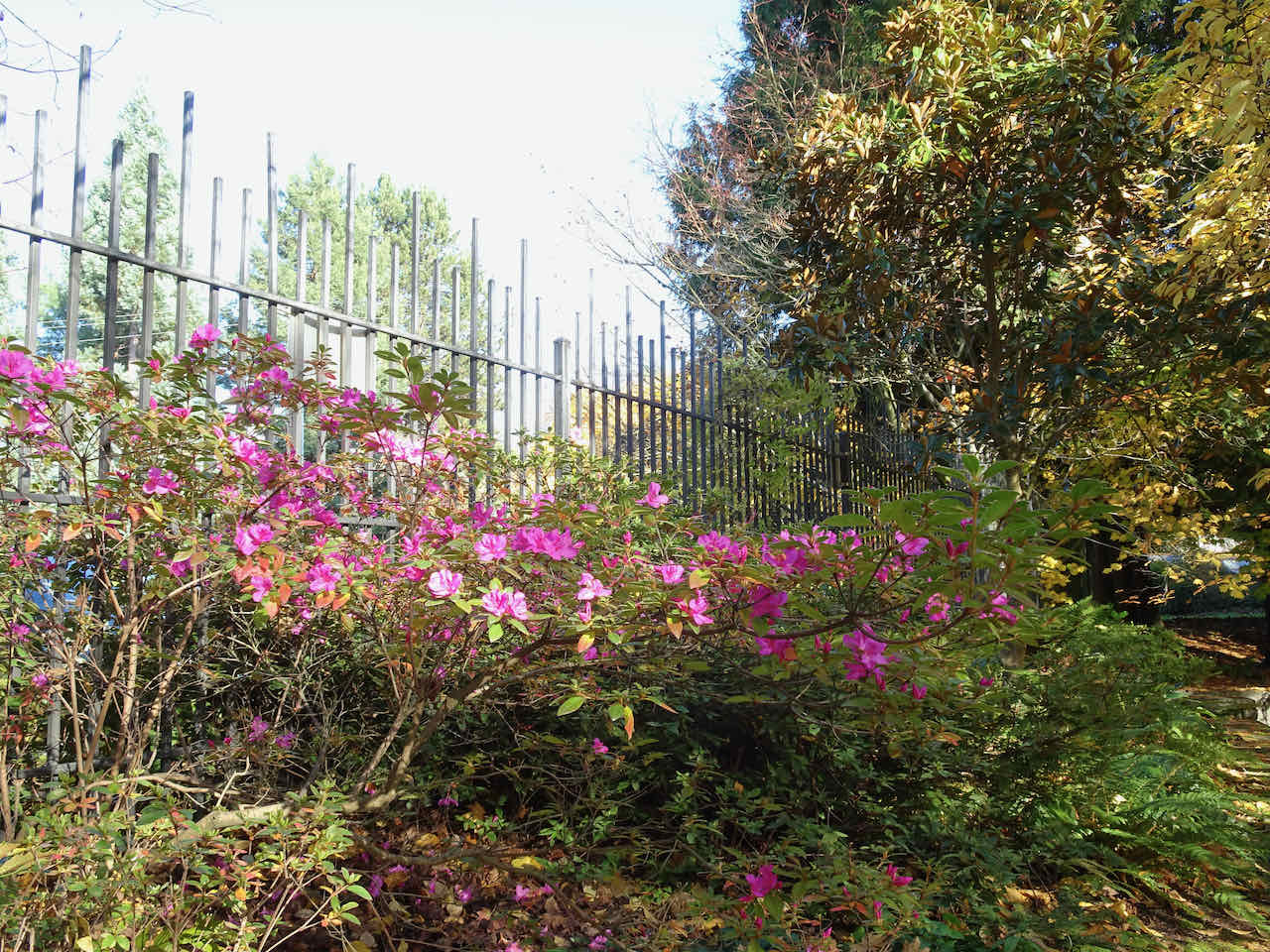
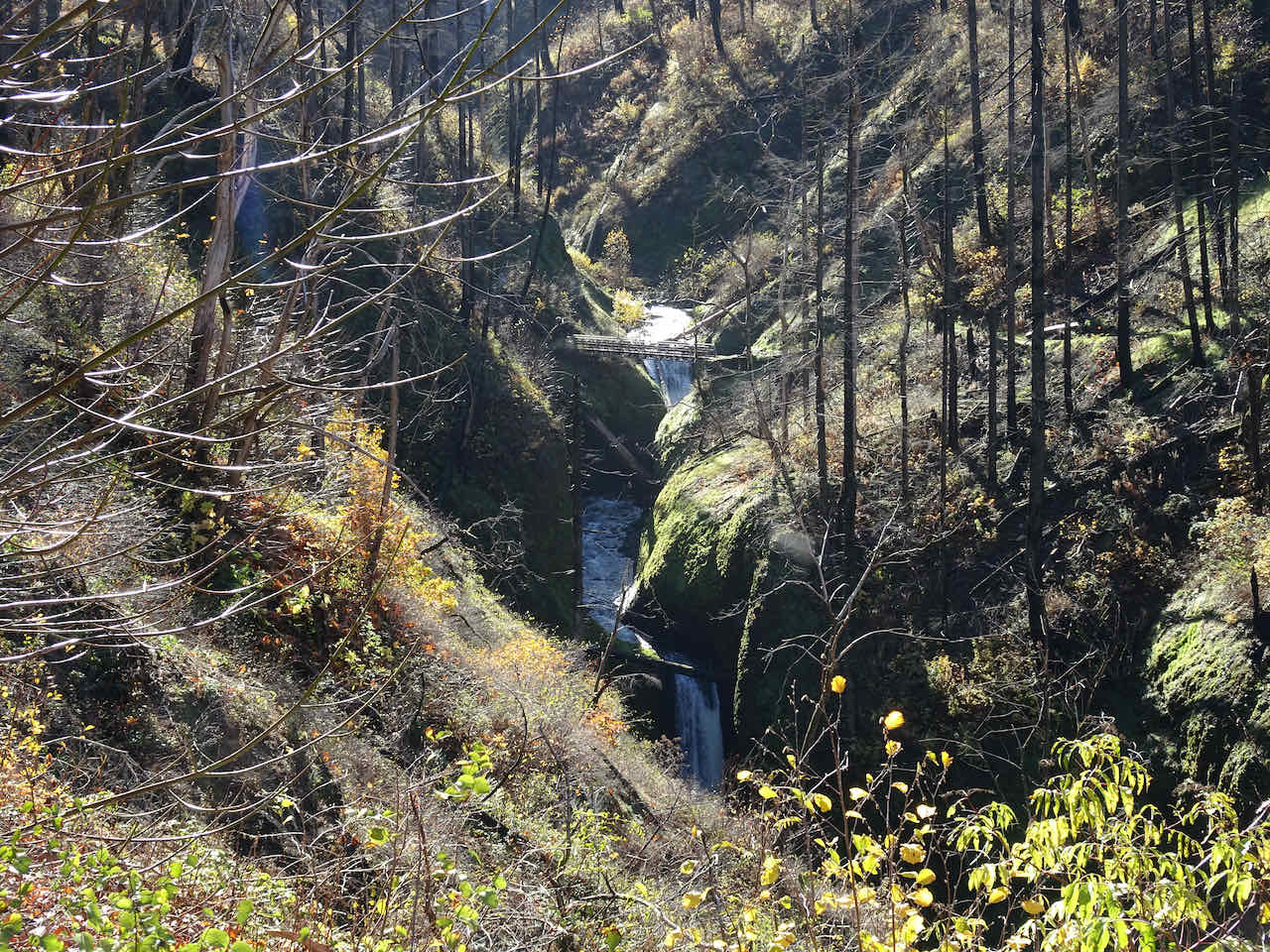
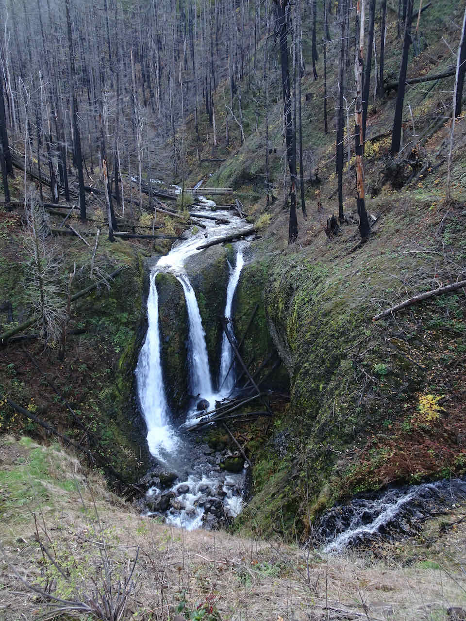
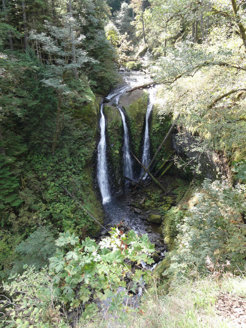
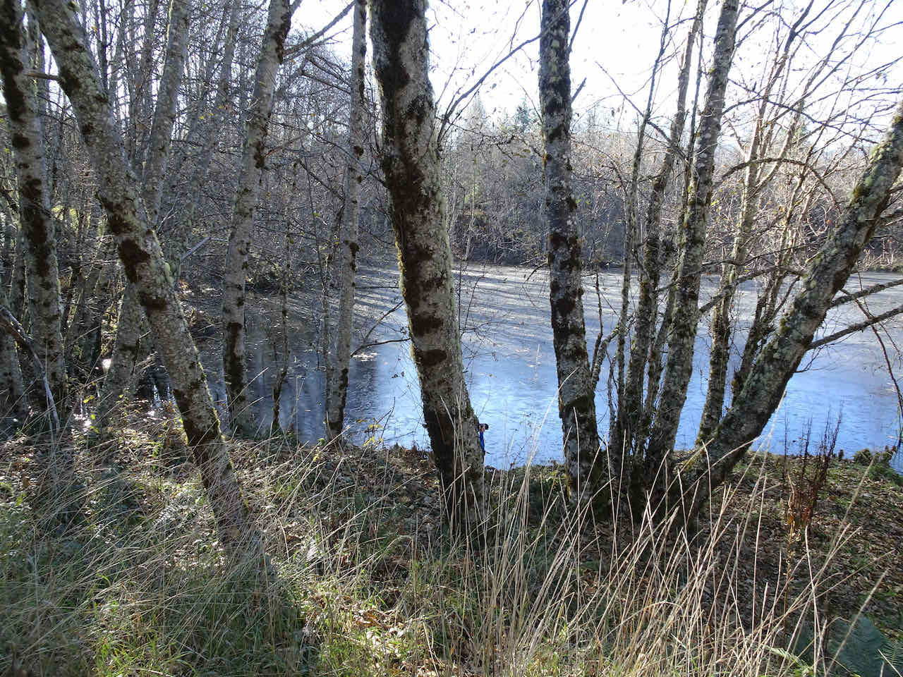
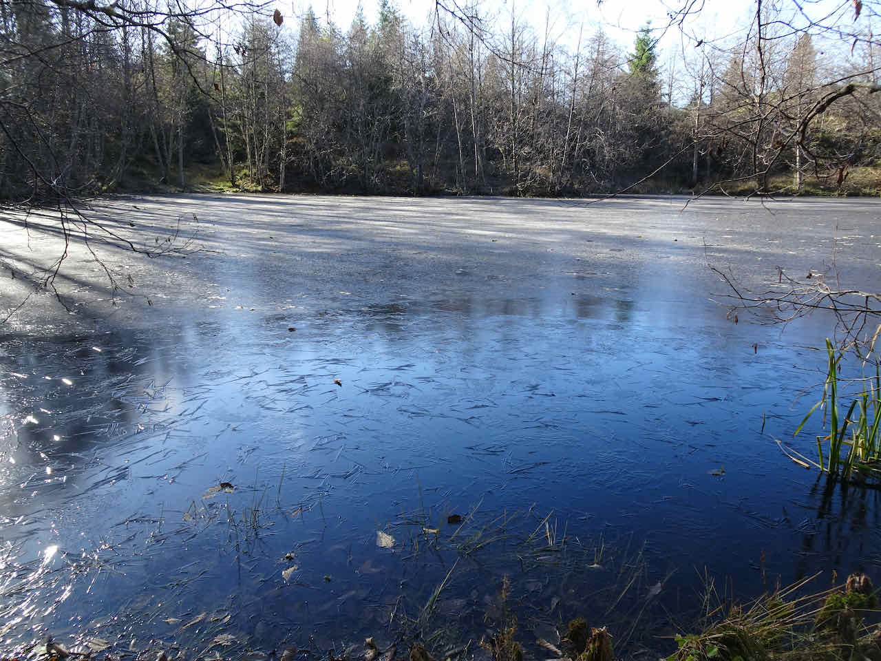
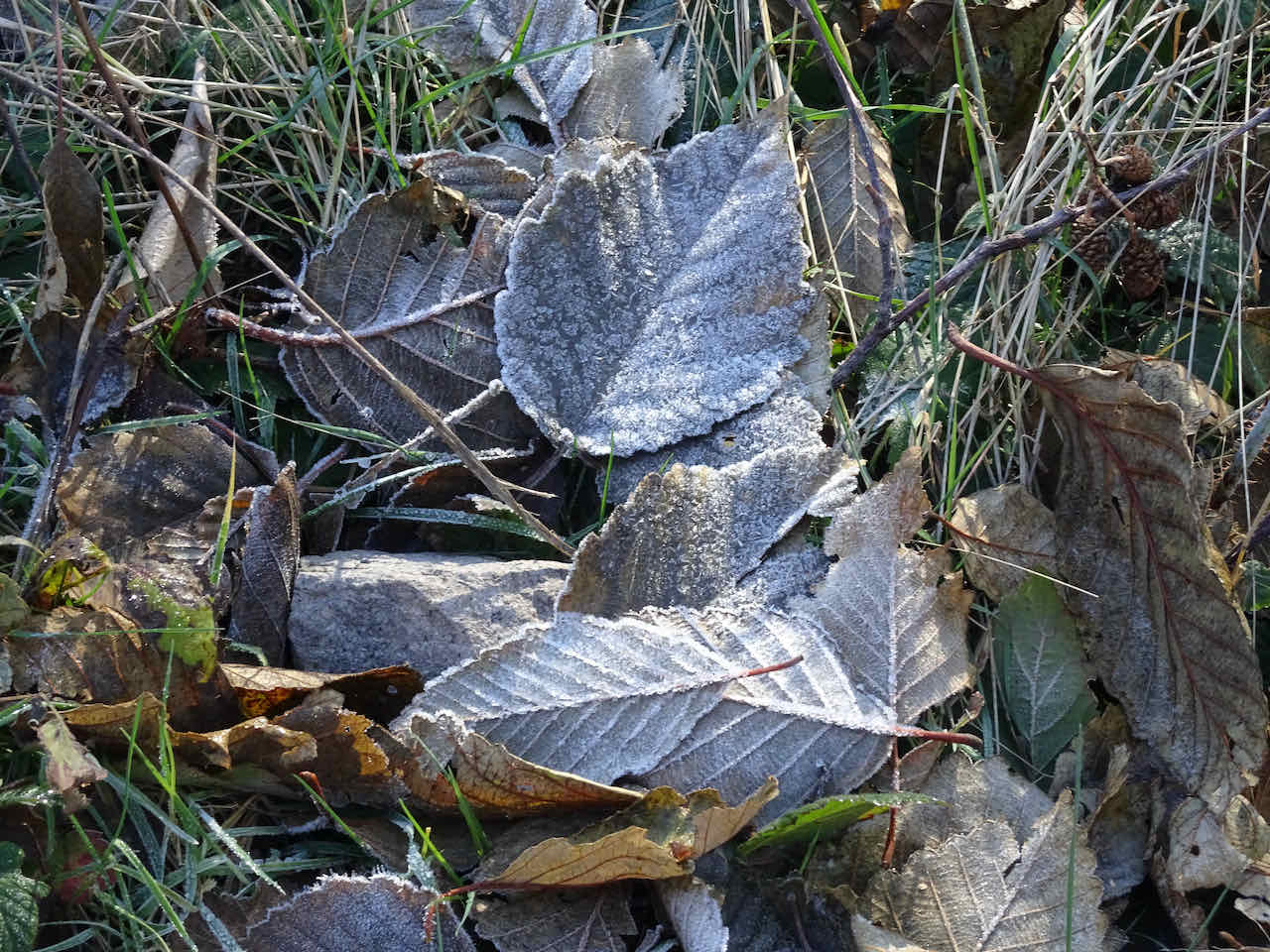
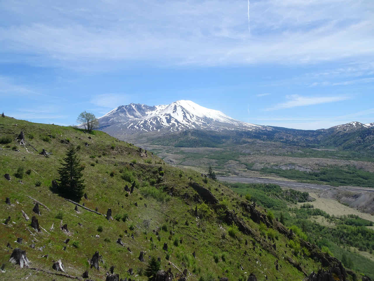
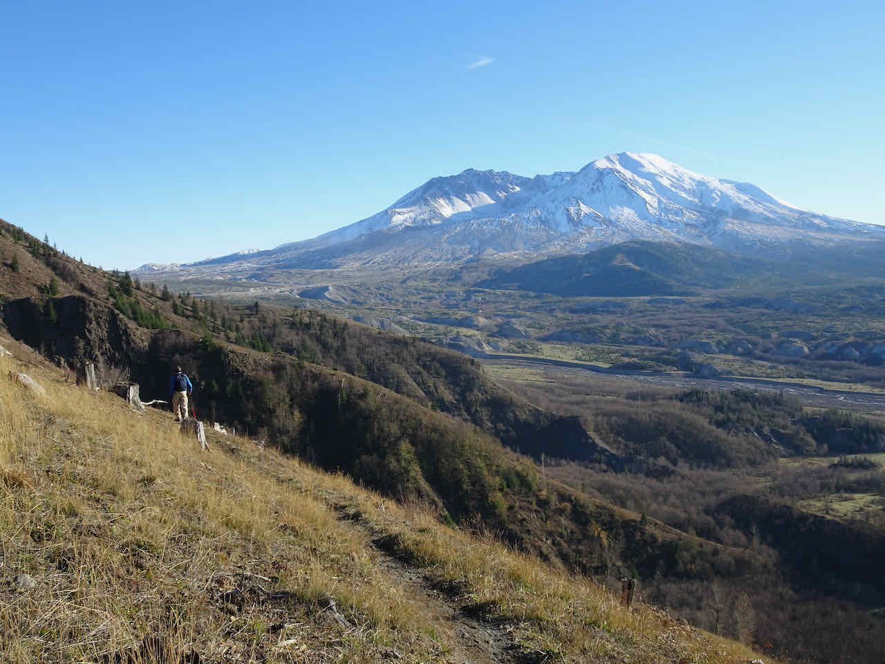
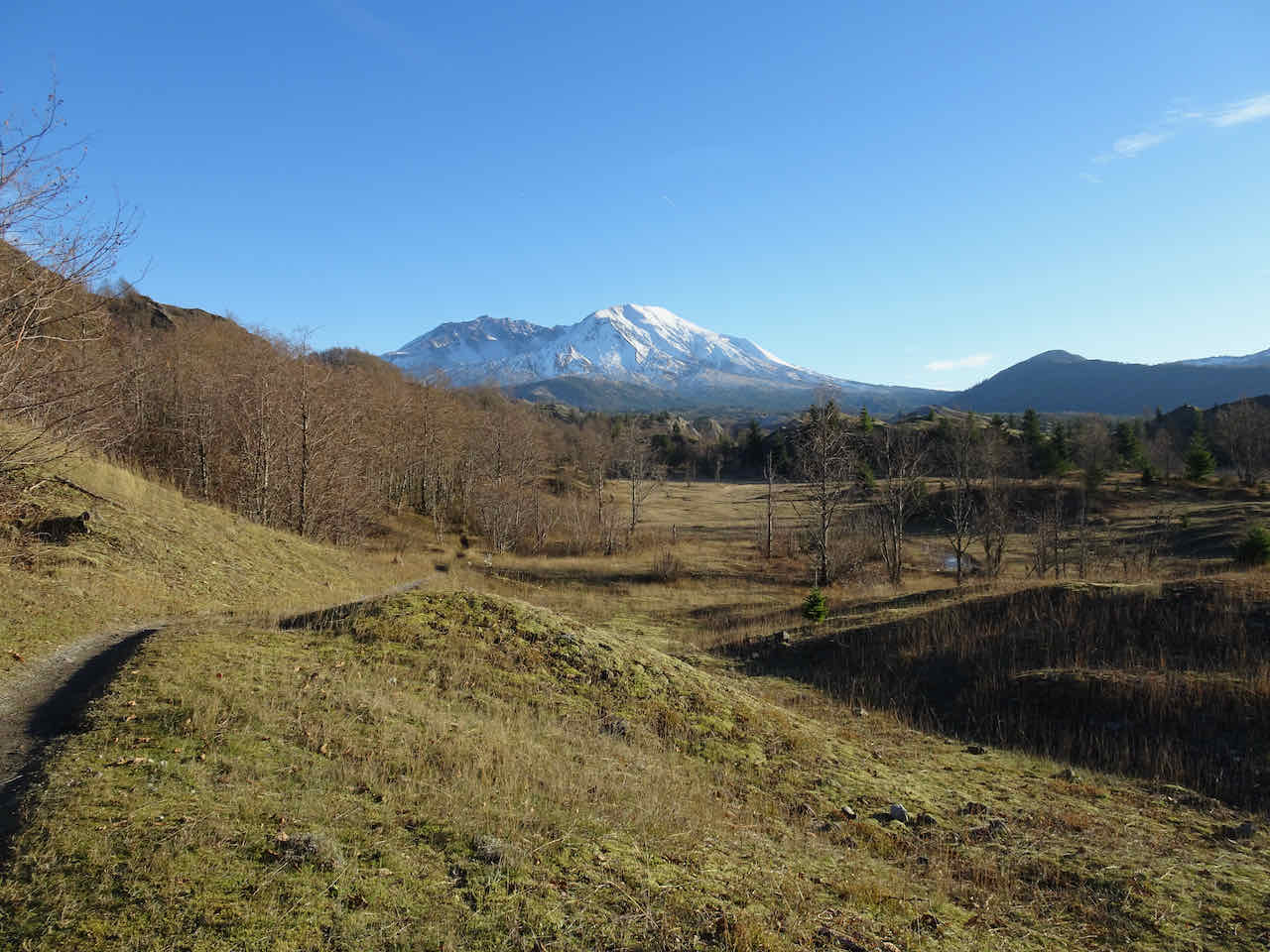
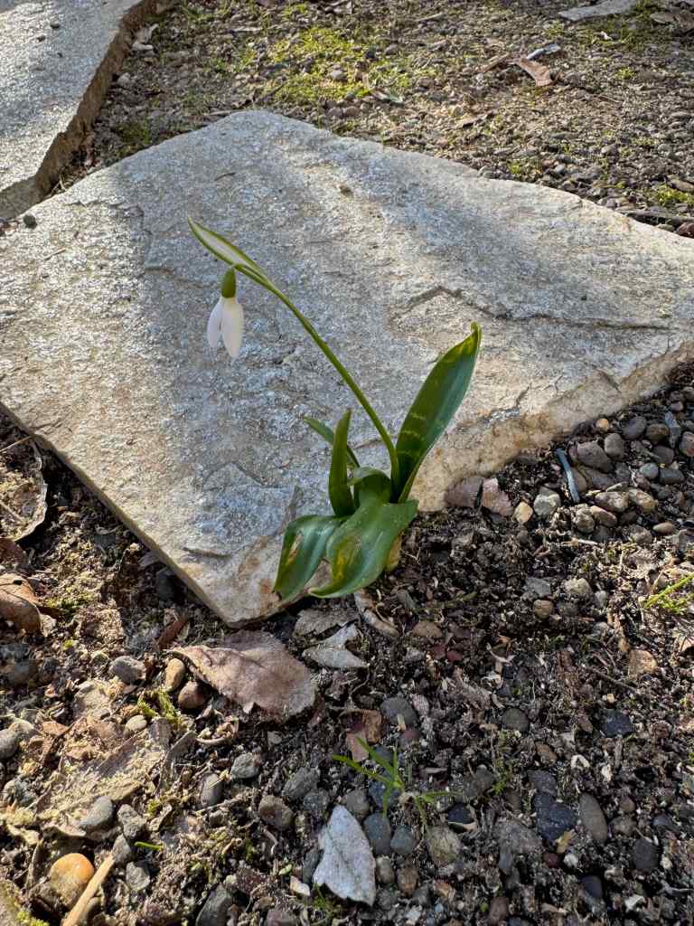
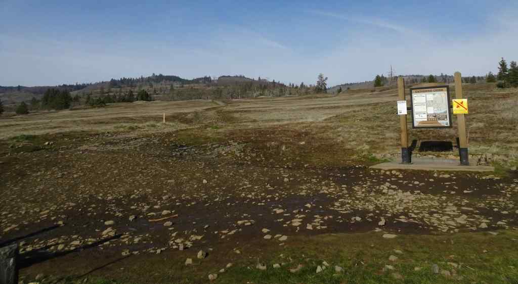
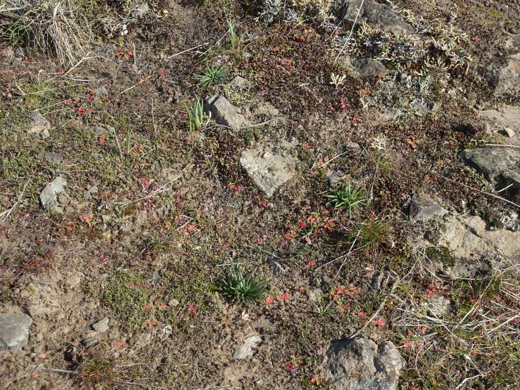
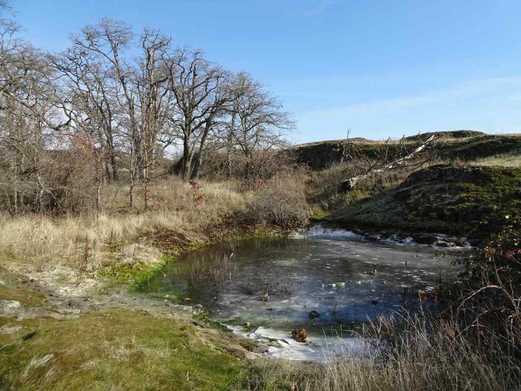
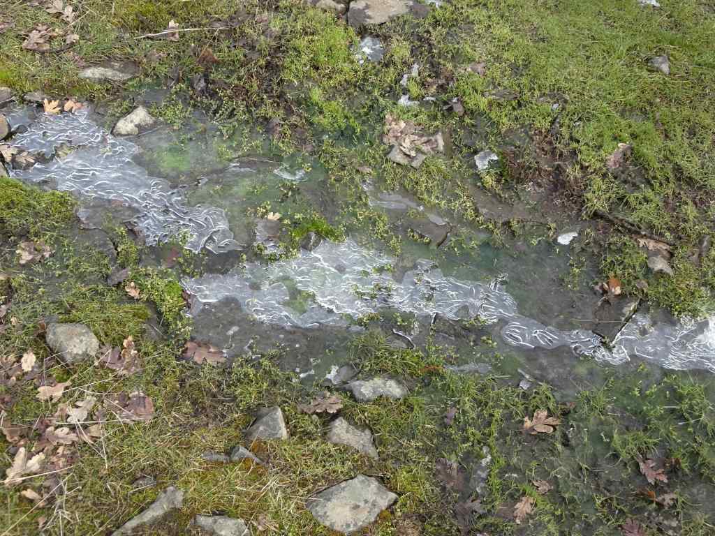
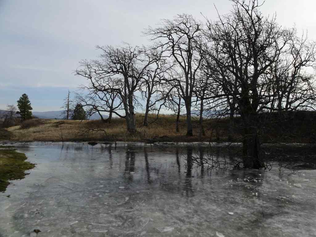
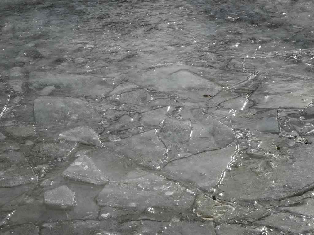
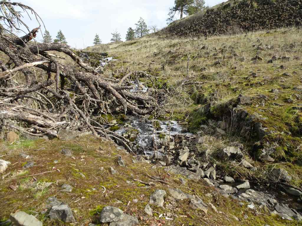
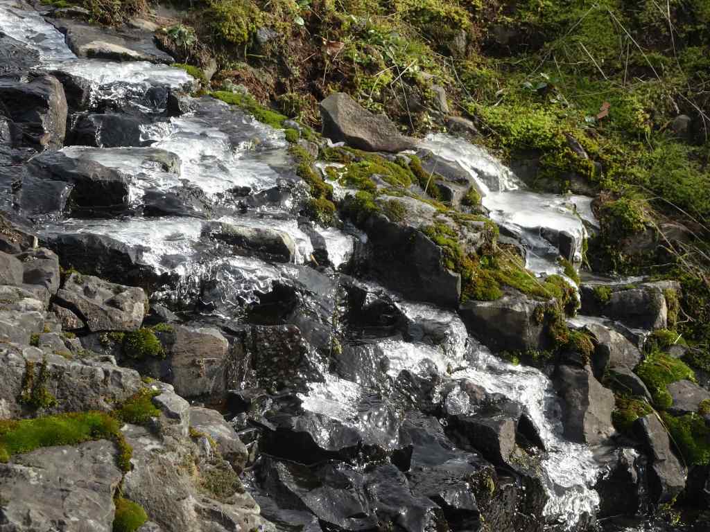
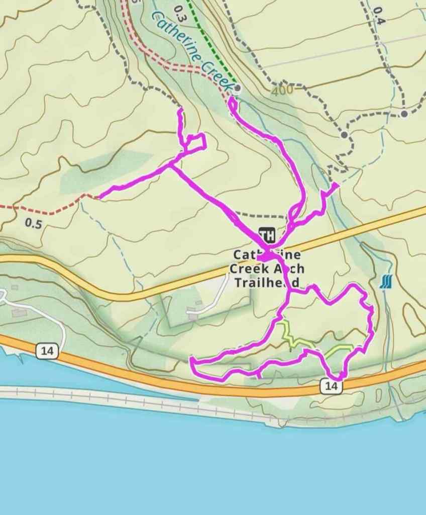
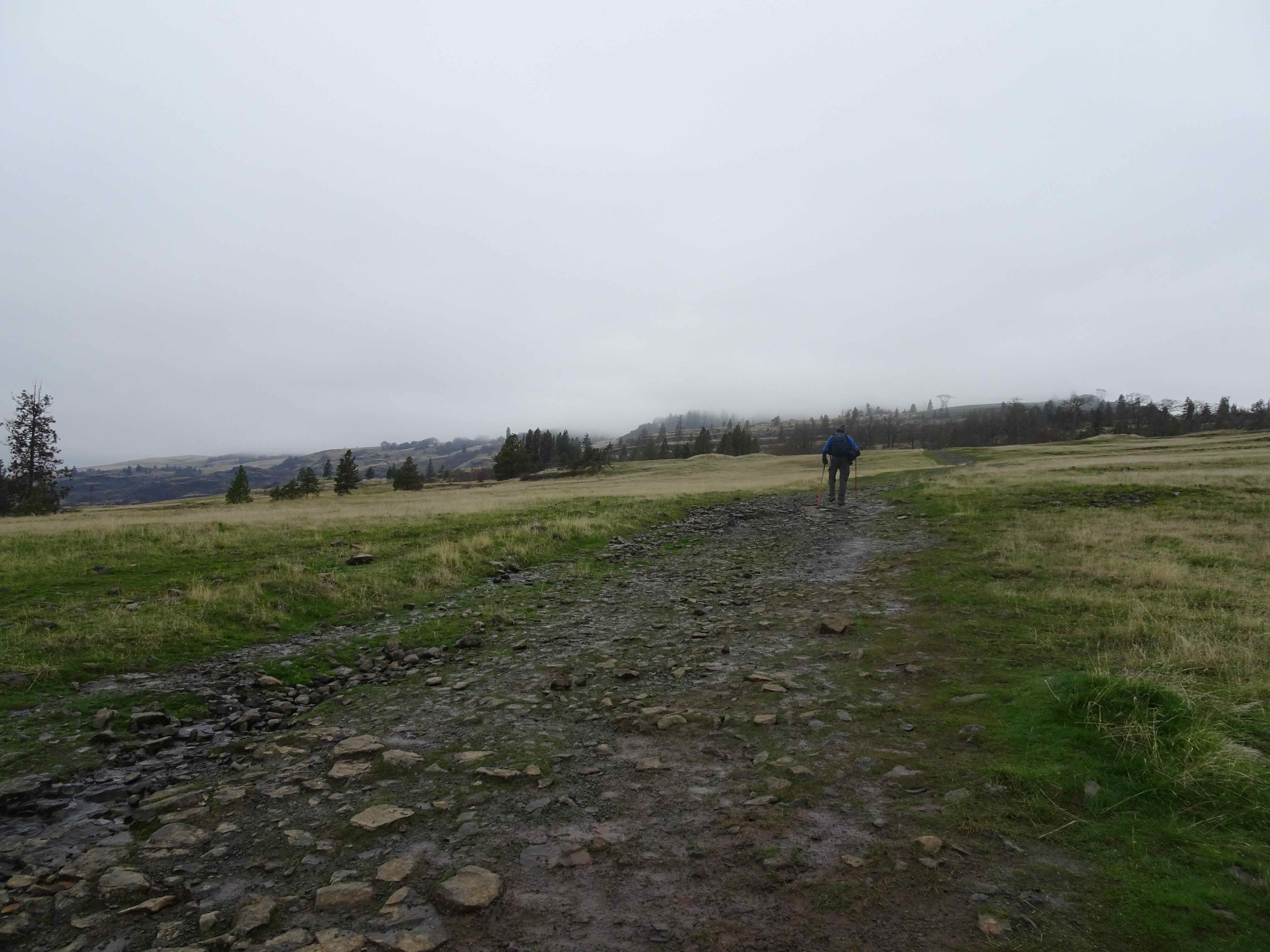
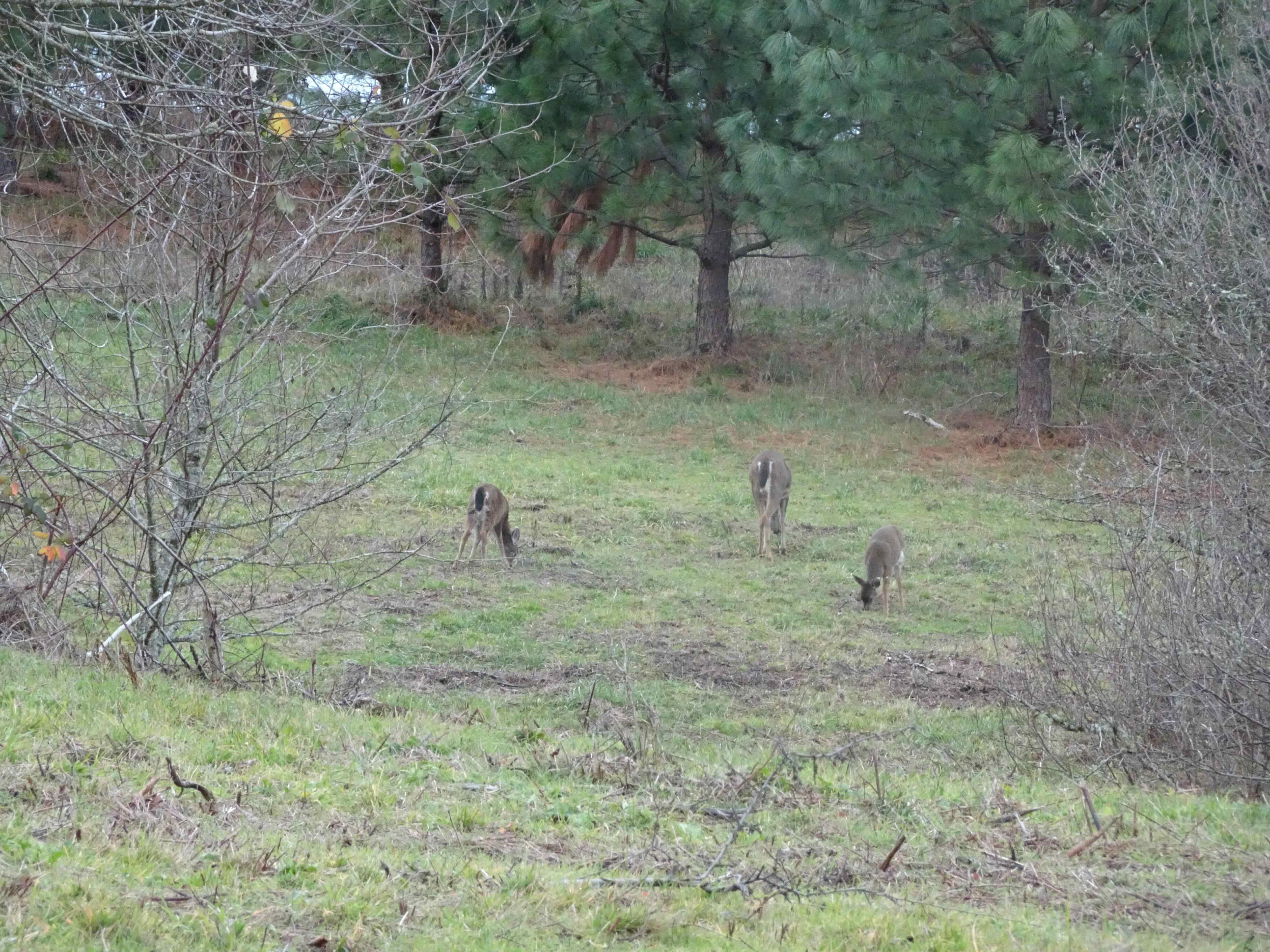
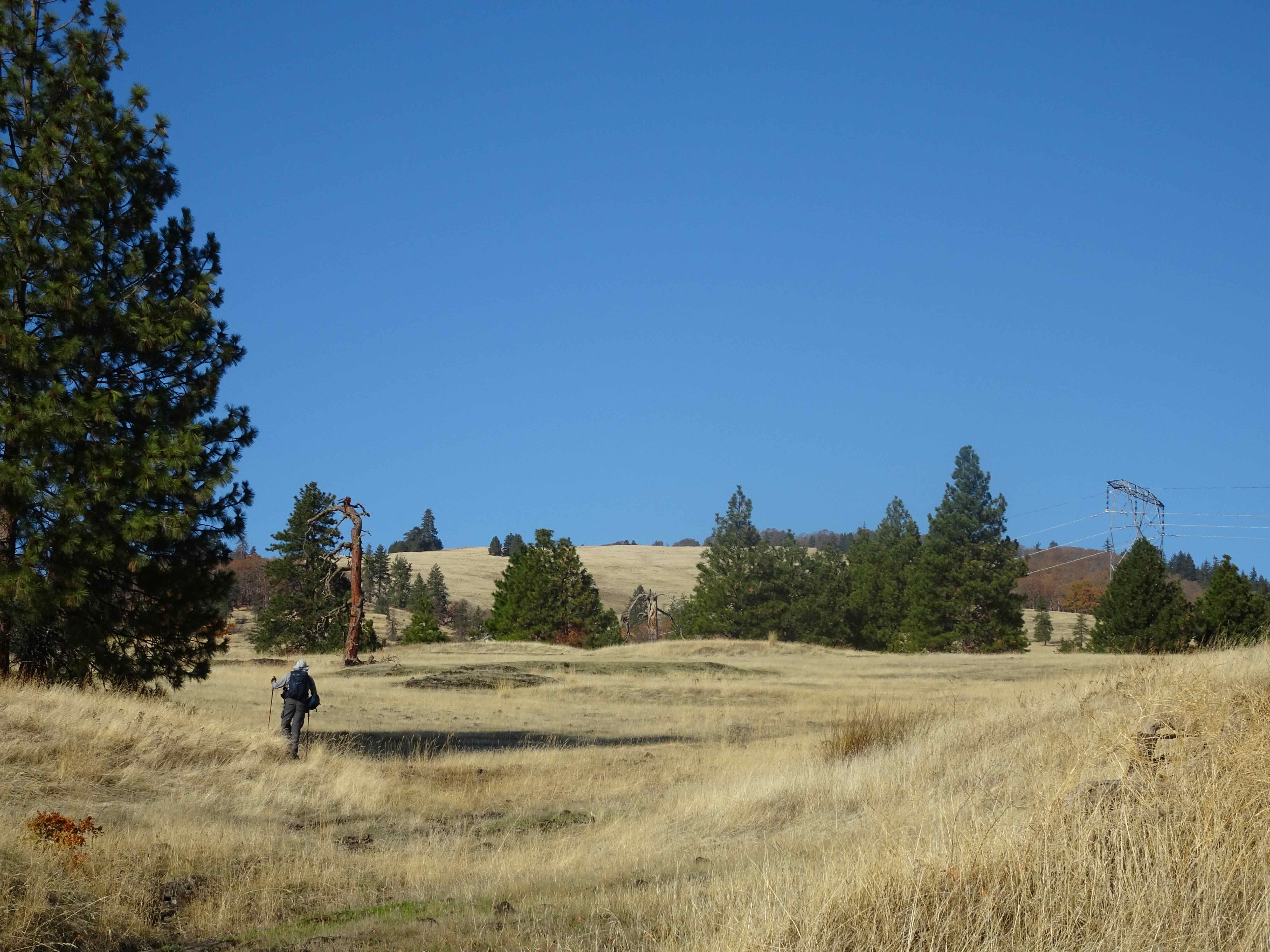
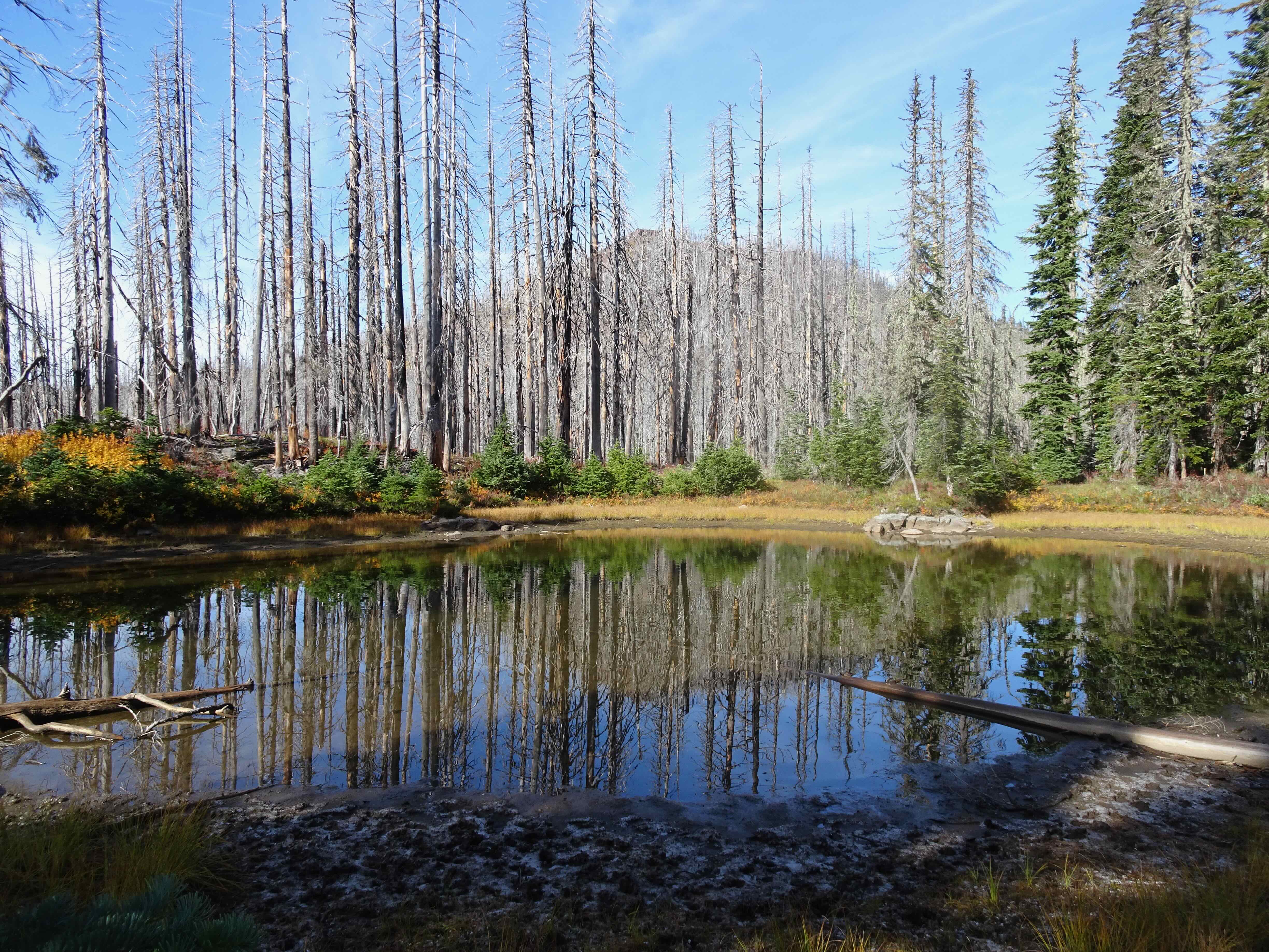
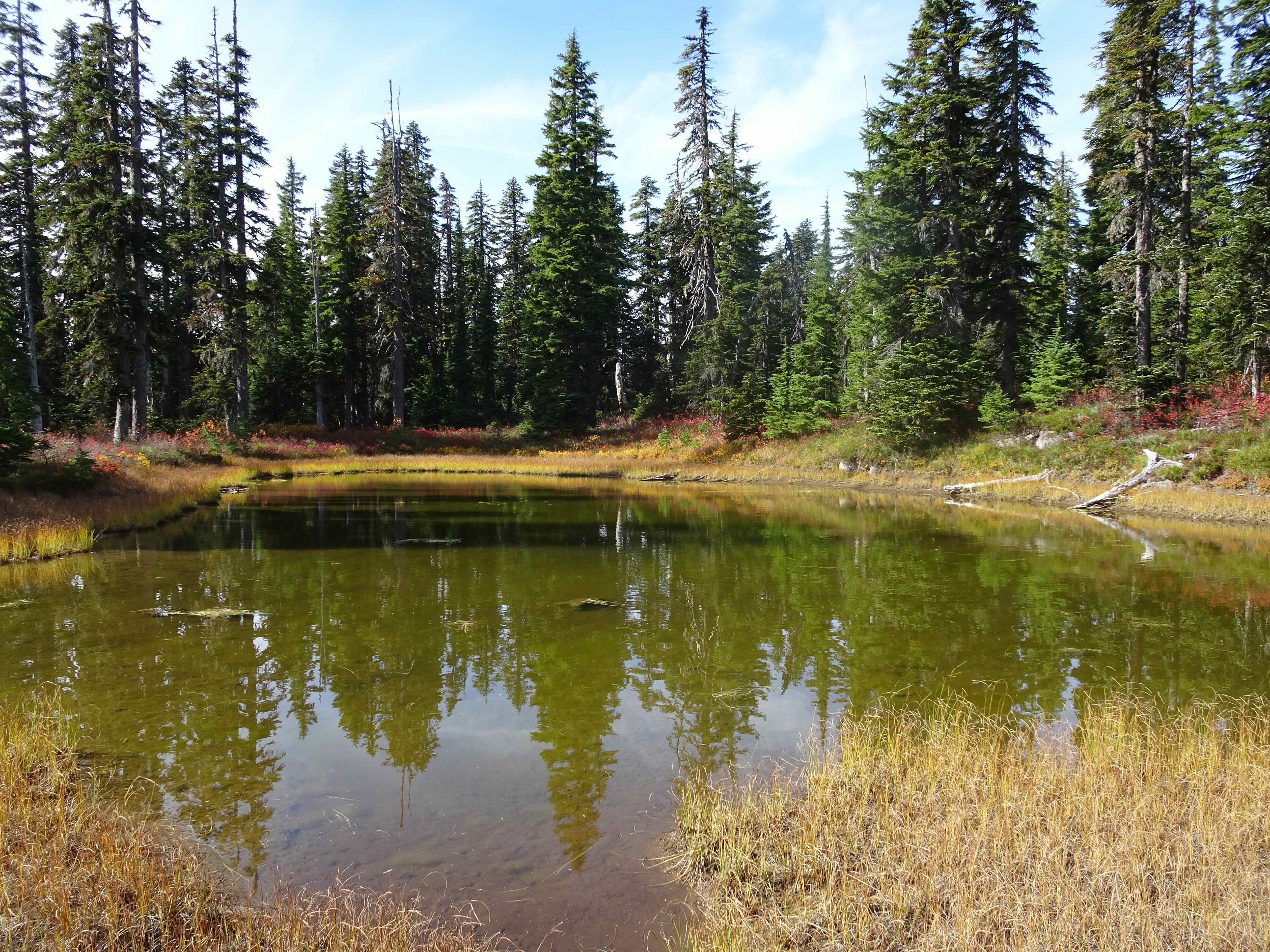
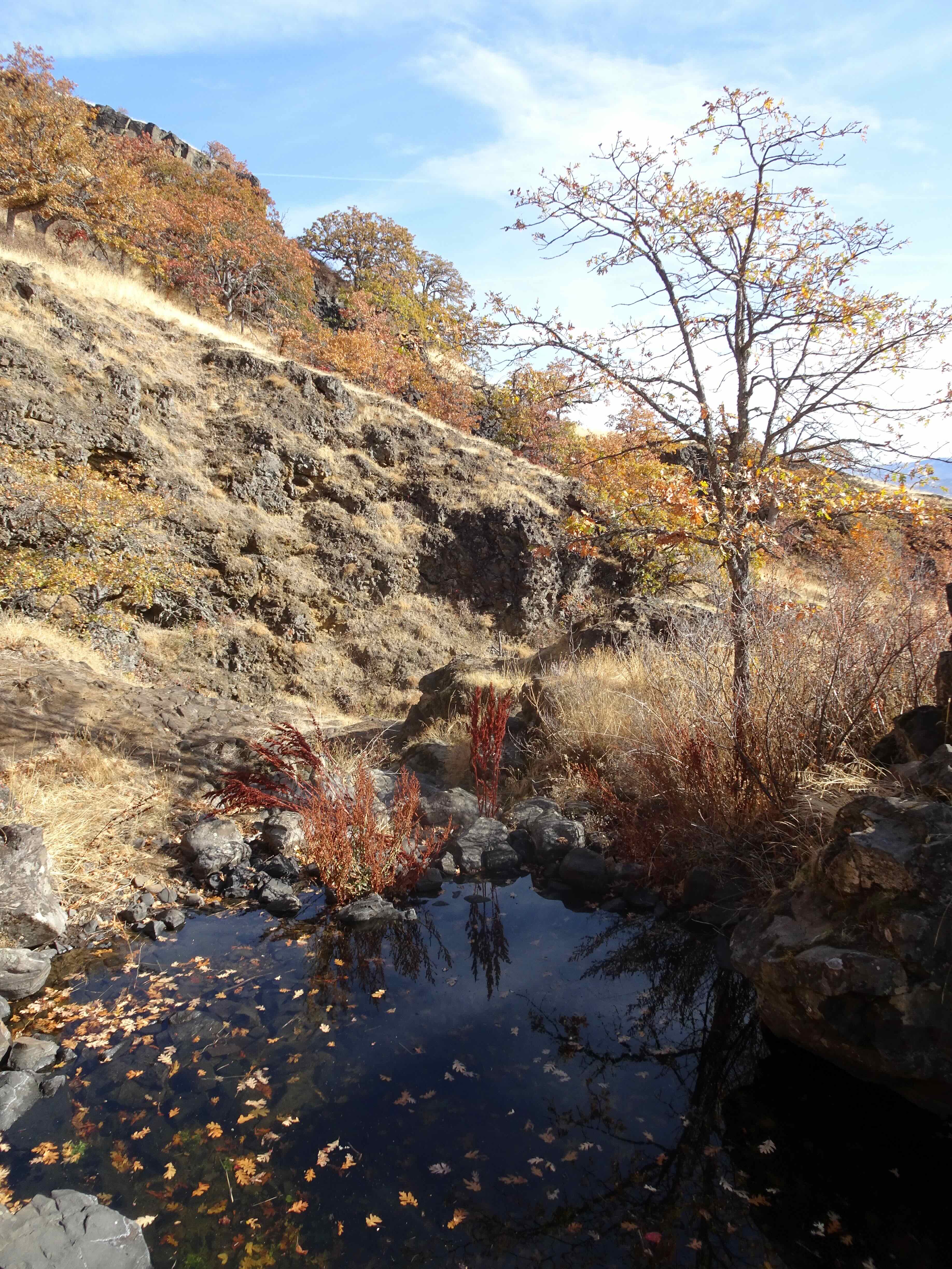
January 30 – Catherine Creek – Rumors of a few blooming grass widows drew us out east in the gorge, on what will probably be the last dry hiking day for the next week or so. We did not find any blooms while wandering several of the lower elevation trails. We visited several vernal ponds that were frozen, and saw foliage of blooms to come…just not yet.


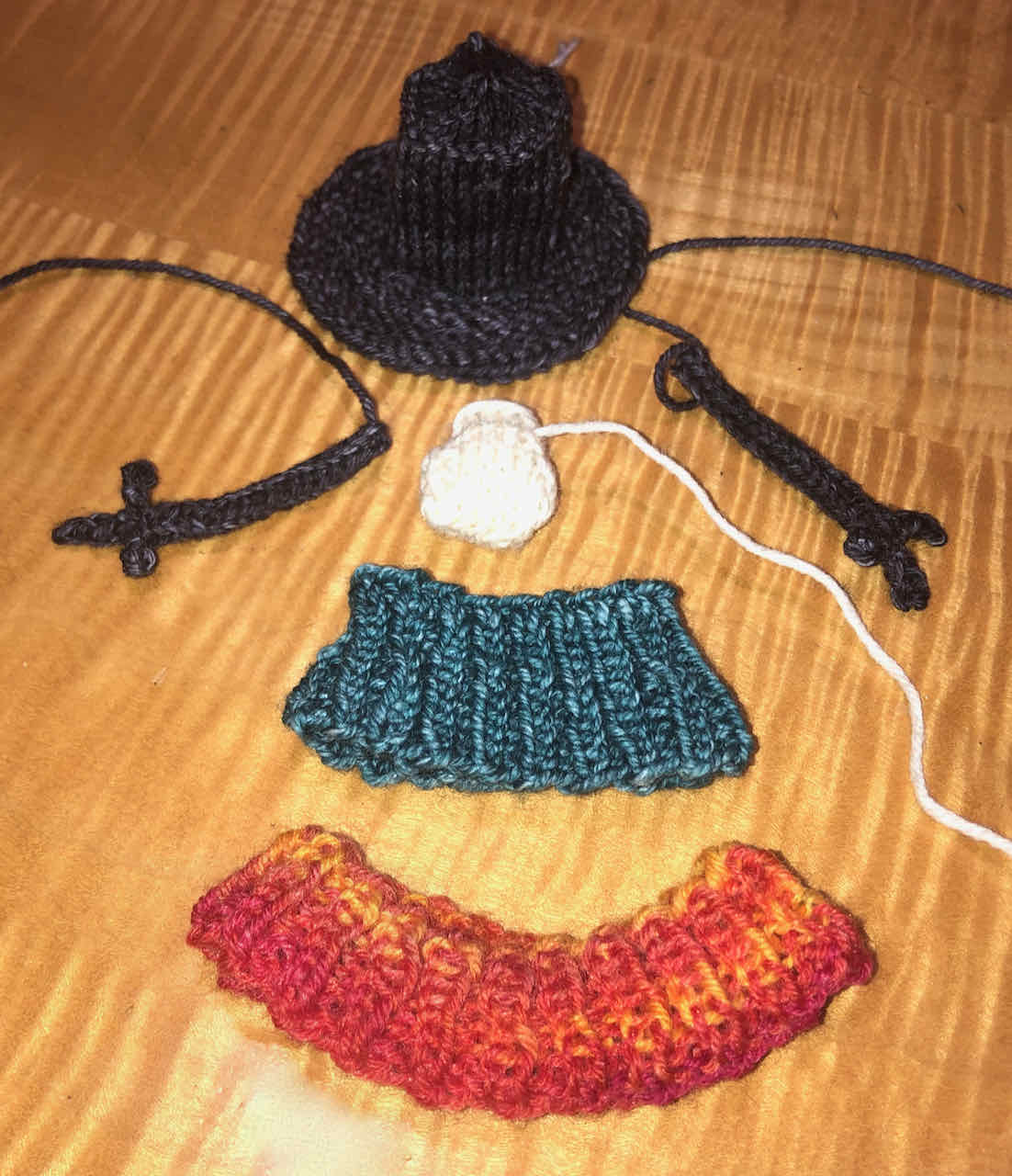
Knitting
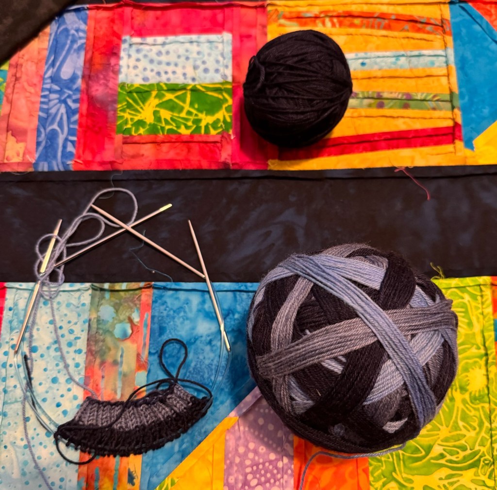
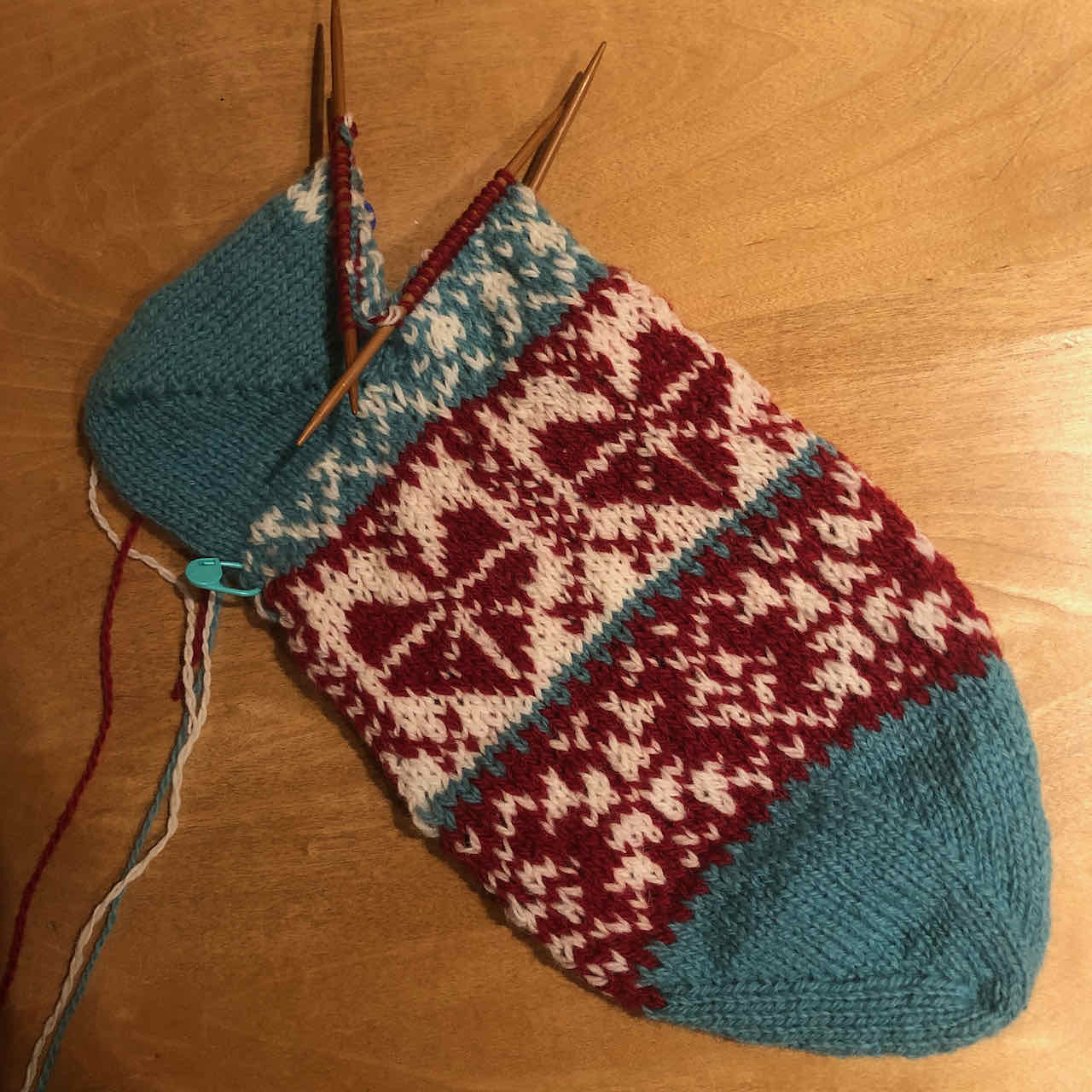
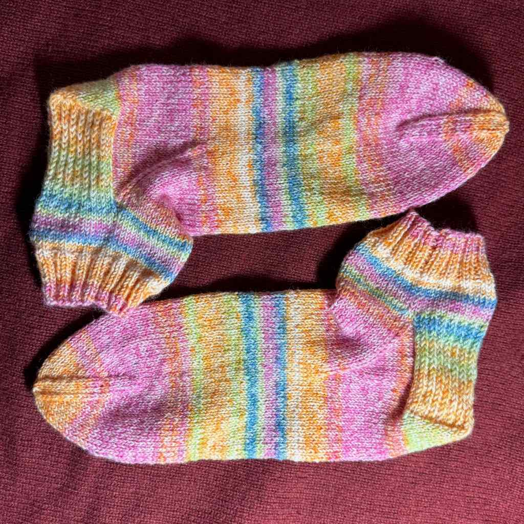
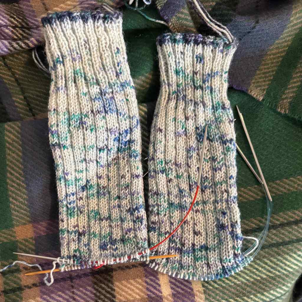
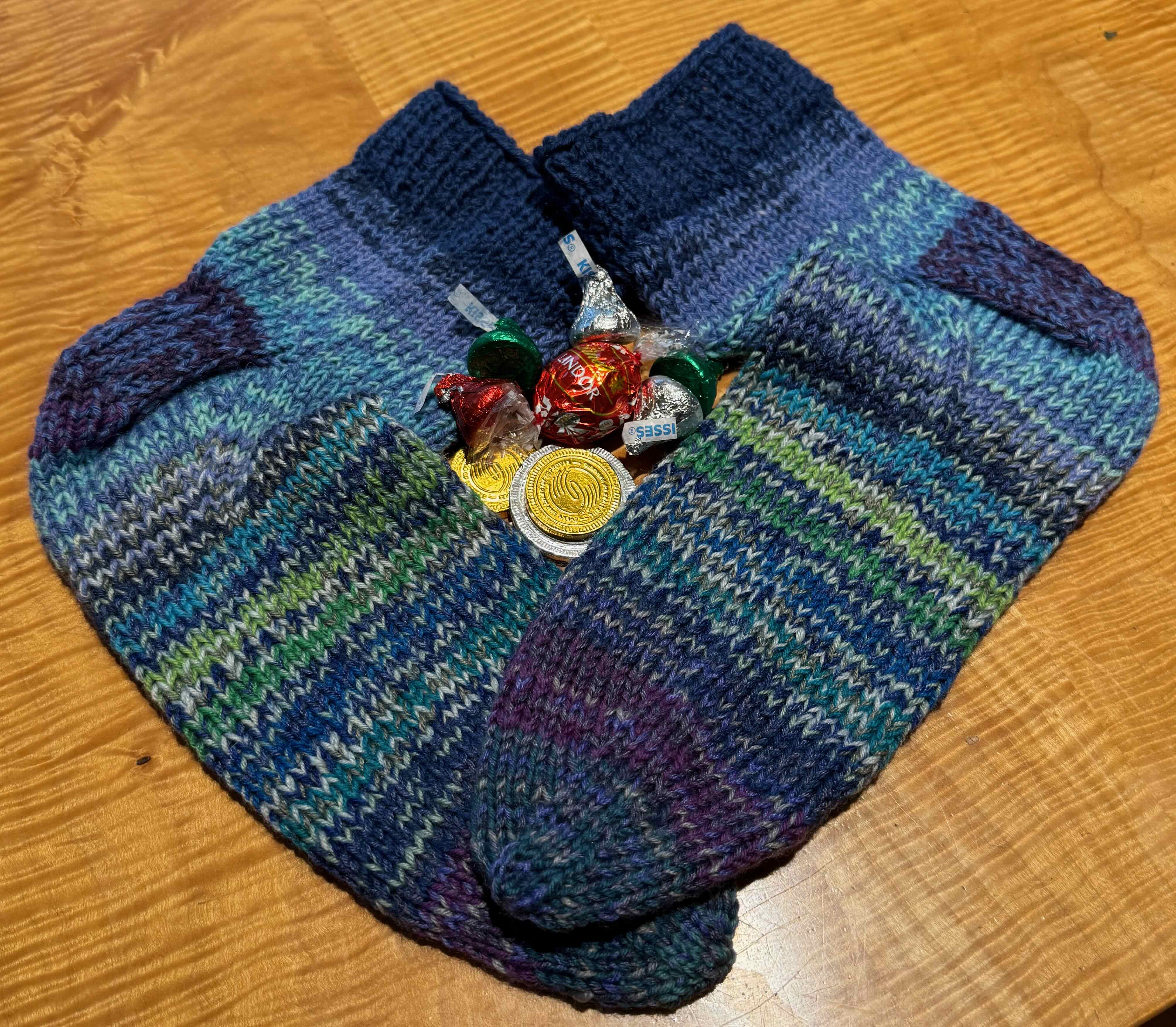
Unfortunately, I overdid the knitting action on a pair of socks – right around the time I needed knitting the most to keep my hands busy while my brain was exploding with the national news. I reactivated an overuse/arthritis knitting injury in my right thumb joint. Blah! I wore a brace and knit not at all for two weeks. I am now allowing myself a few rows per day, and it really helps! I’m trying not to overdo it again. Here are the guilty socks, in progress. But I don’t blame them.
Less Knitting = More reading…

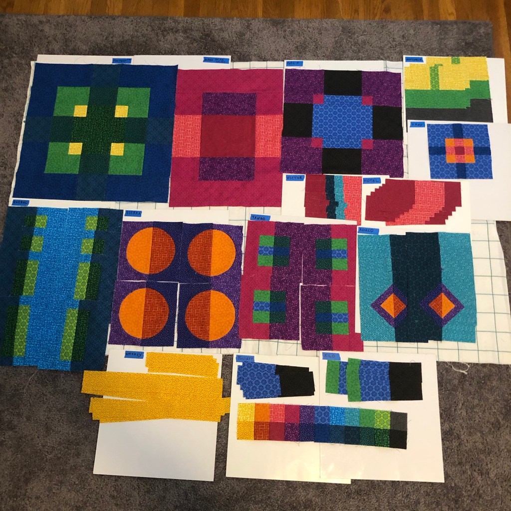
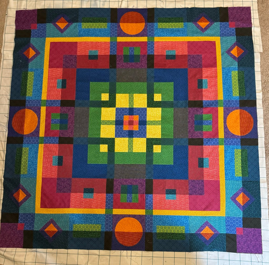
Four Year Project
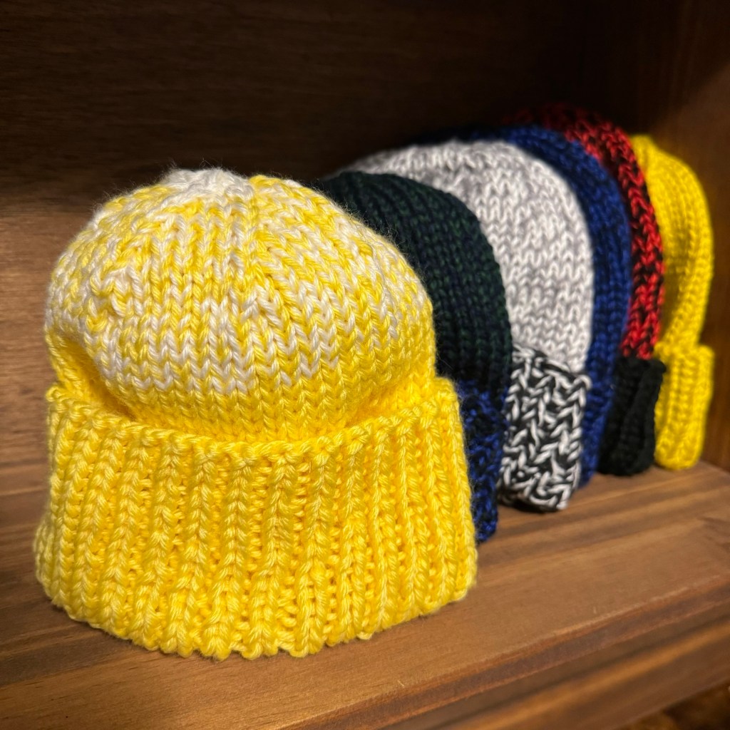
Sometime after the disastrous election outcome last fall I decided I would need a four year project, something I can do in my own home, when the outside world is too much to take (more than sitting on the roof.) It is time to edit, sort, rehome, recycle, and organize the lifetime of belongings we have accumulated during the 33 years we have lived in this house. Three children have grown up and moved out and left behind many things they ‘might want someday’ but don’t have room for yet. I had a career as a geologist before I settled into family life, and I still have boxes of rocks, maps and books (that apparently nobody wants because it is all digital now). Photos and slides, both professional and personal; quilting fabrics and textile art materials for my creative life; personal writing and memorabilia. We have already made some progress during recent renovation work. We recycled all the old paint, thinned out our shelved books in the rooms where we got new carpet, and delivered usable items to new homes. We gave the unplayed banjo to a local music school, and have recycled many magazines that we were shelving for no good reason. A little action every day will make a big difference in four years, and be much more productive than doom scrolling. I plan to find a means of more outward action/resistance, in addition to donations we make to human rights and environmental organizations. And I will knit more hats (thumb permitting) for the guild service project.
Right now it is difficult to think this new year will be a good year, given the chaos at the national level. I call to mind a passage from the novel, Dune, by Frank Herbert, which I first read in the 70’s, as a teenager. Potential future leader Paul was given a test to prove he was human. There was a good chance he might not be, and would not be made leader. The fictional character passed the test. But I can’t believe the current ‘leadership’ ever would – there has been no sign of human empathy, only selfishness and cruelty. Yet we will resist in the ways we can, and hope that our actions in our own lives will contribute to persistence of human rights beyond the next four years…
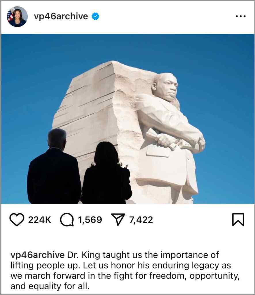
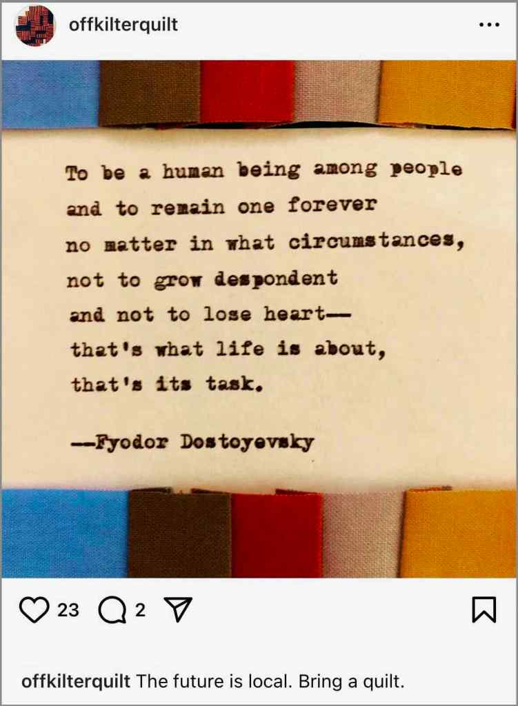
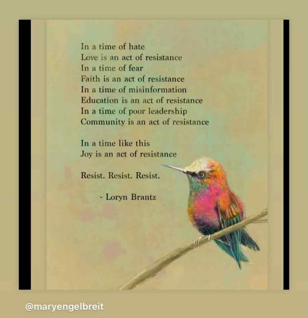
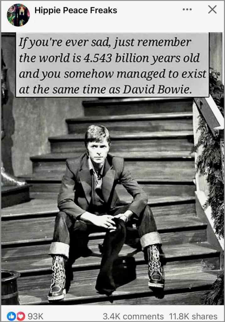
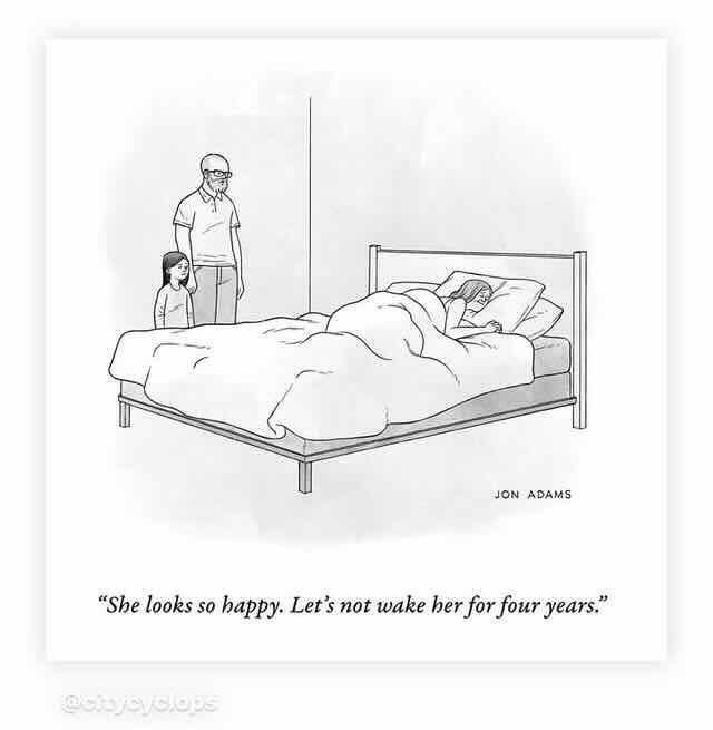
Instagram memes I collected in January expressing gratitude, encouragement, and hope:


")

")
")