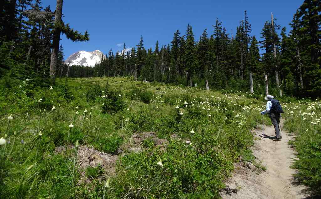
We went to Connecticut and Pennsylvania to visit family. There were meetups and restaurant dinners; hikes, art museums, and historical sites; a fair amount of driving, and then the hunt for elusive parking spots in Philly.

9/26 – Portland to southern Connecticut
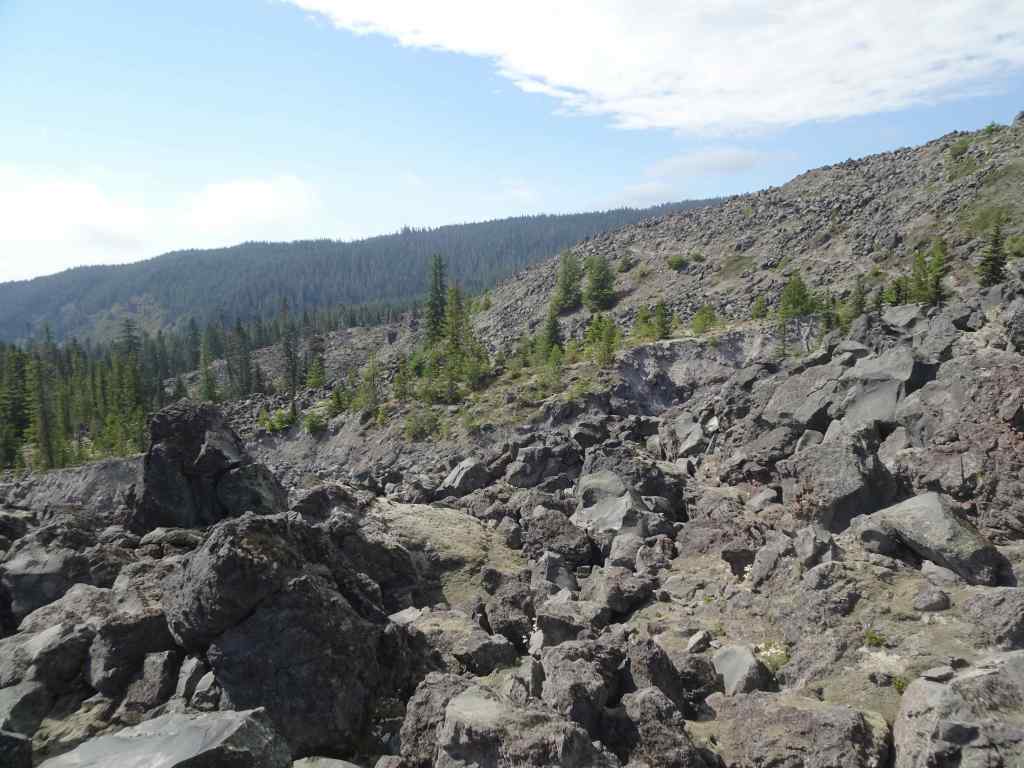
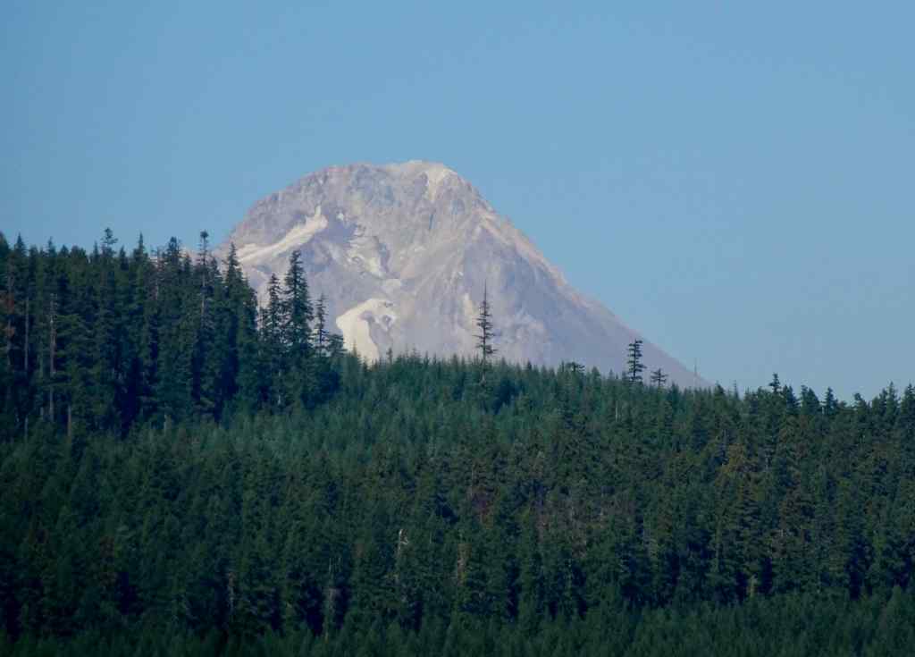
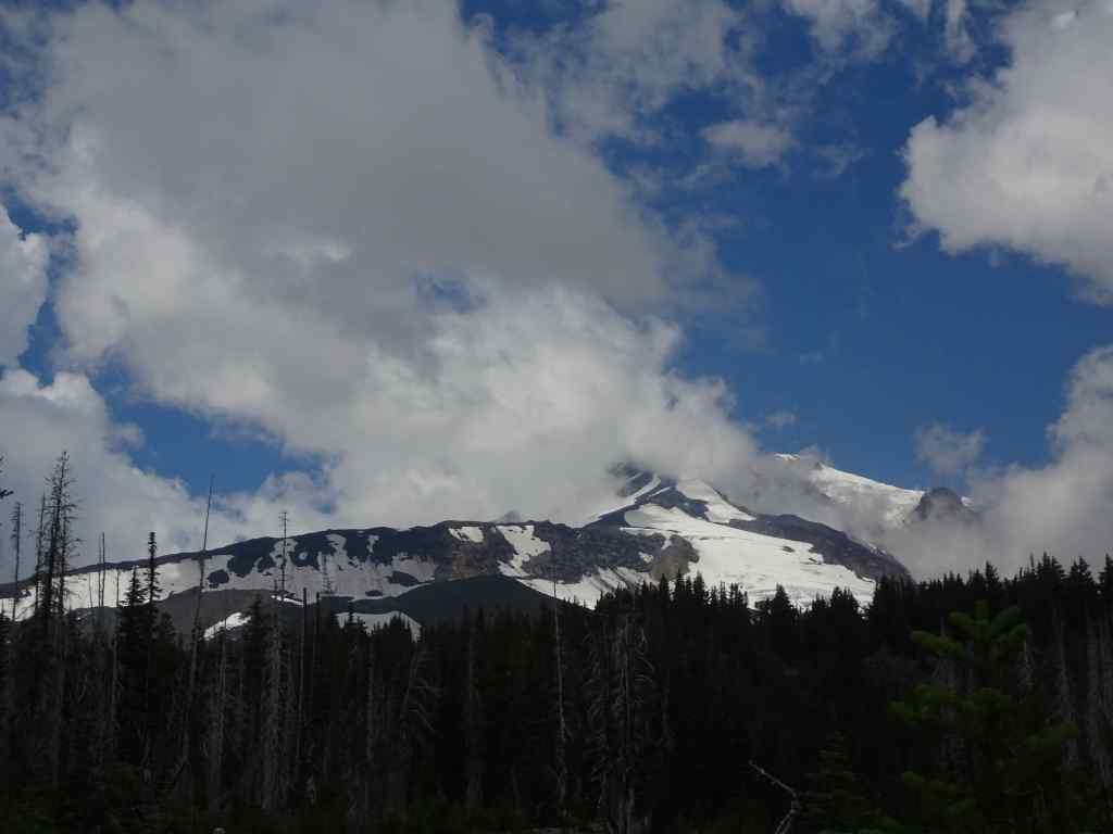
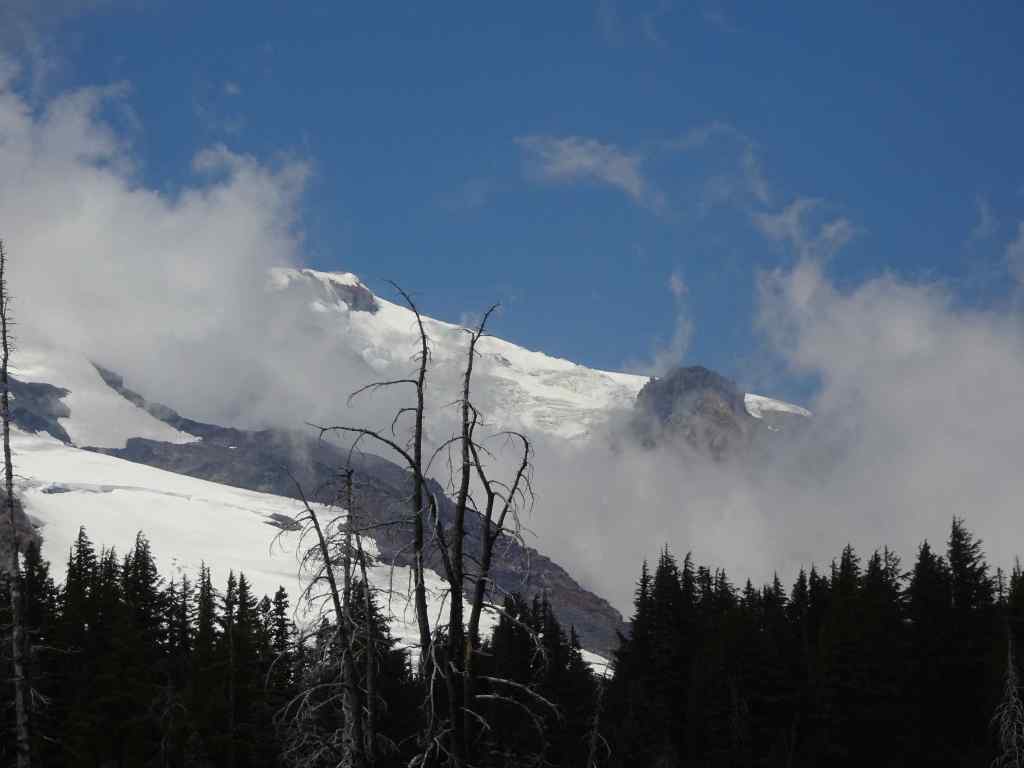
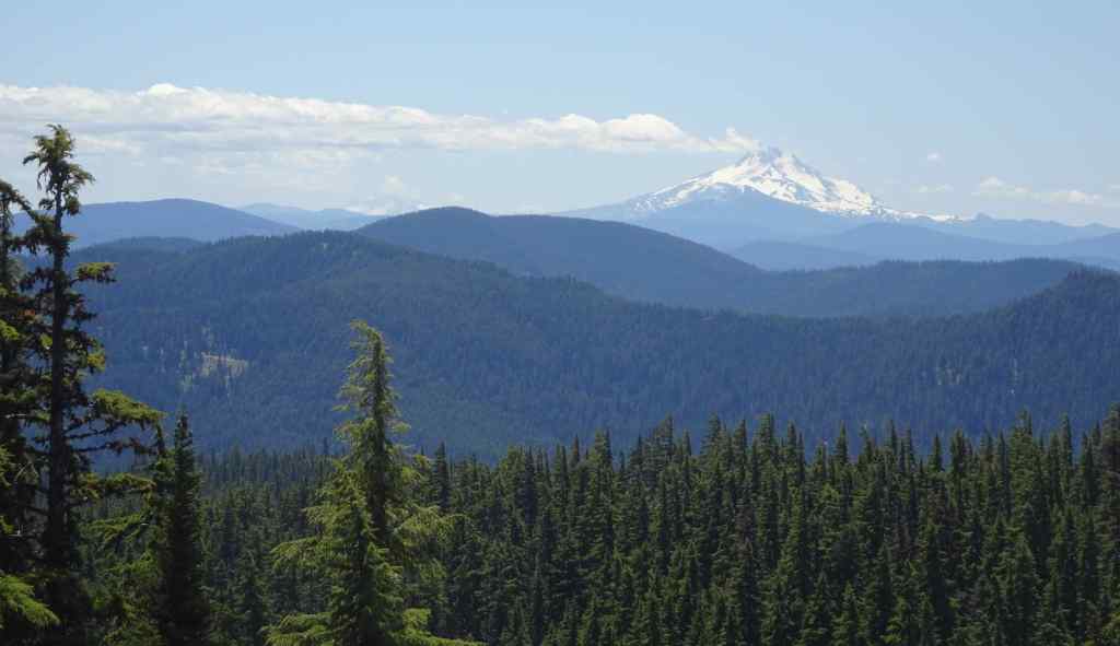
From my window seat today, I saw Cascade Mountains, Great Lakes, and the Statue of Liberty as we flew into Newark Airport.
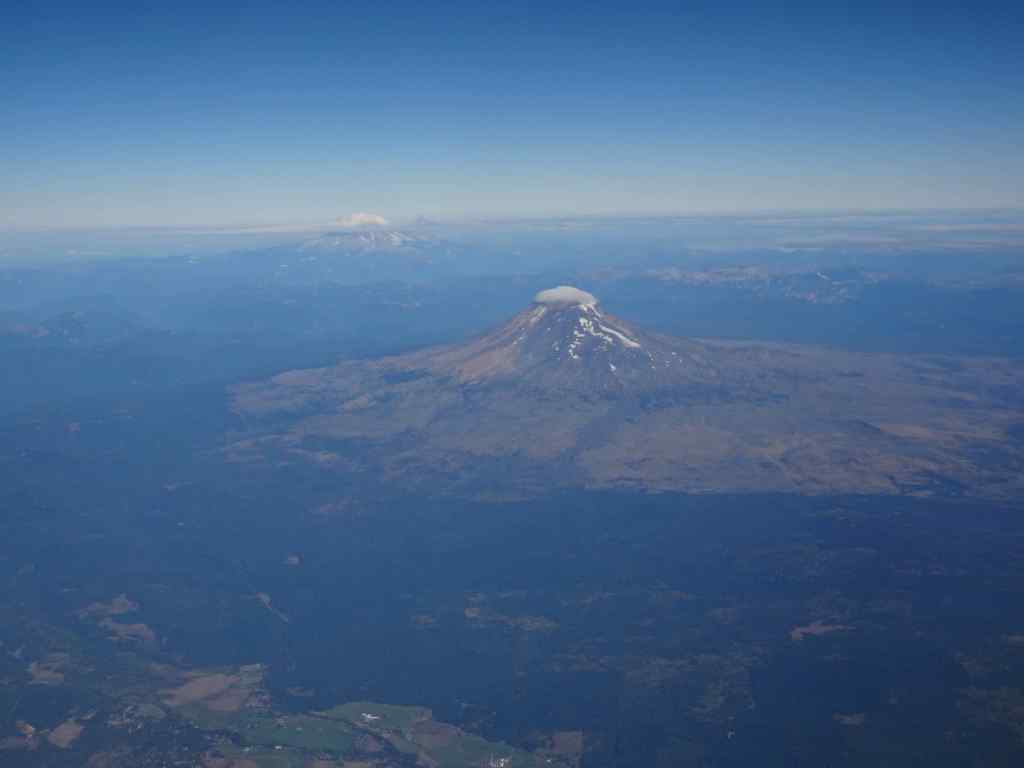
For most of the midwest, there was cloud cover, and not many views. But as we approached the Great Lakes, the cloud layer separated into a sheet of puffs, and I knew I had seen them before in the Art Institute of Chicago, as painted by Georgia O’Keeffe!


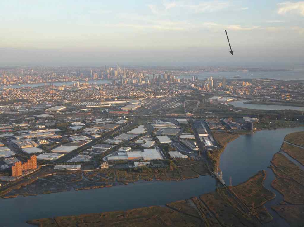
The New York City metropolitan area was glinting in the afternoon sun as we approached the Newark Airport. I even picked out the Statue of Liberty on her Island,

We rented a car and drove north on the New Jersey Turnpike toward Connecticut. Oregon is known for its patient and polite drivers. Not so much, New Jersey!


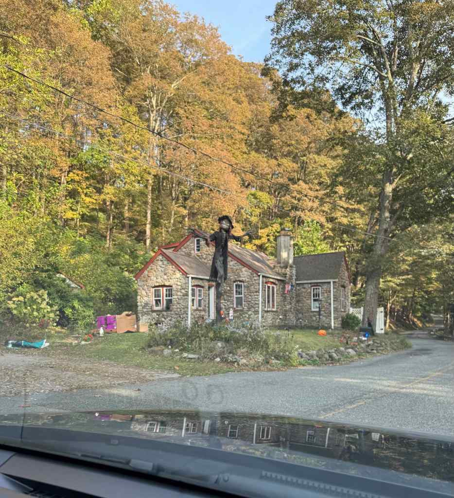
We made it to Hamden, CT, not far from New Haven, and spent three days with family, friends, and dogs there.
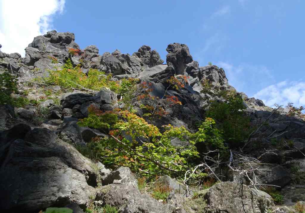
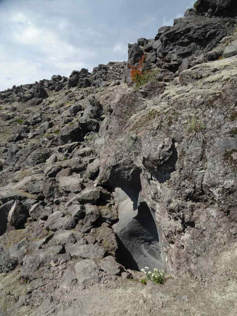
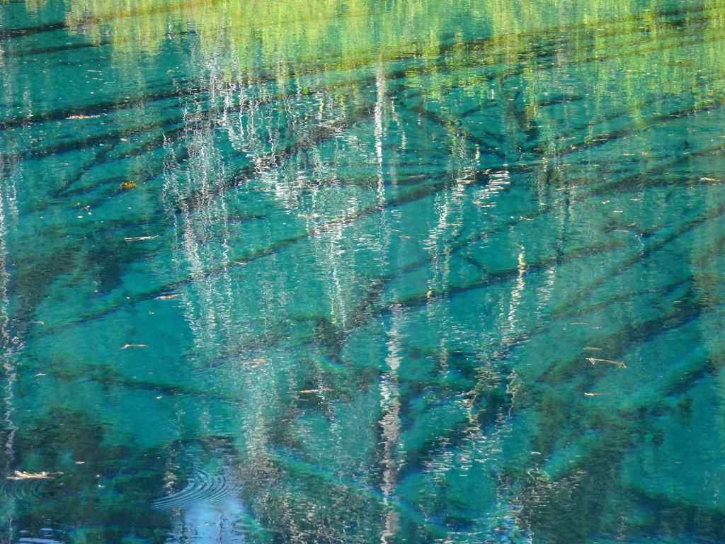
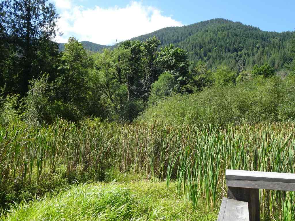
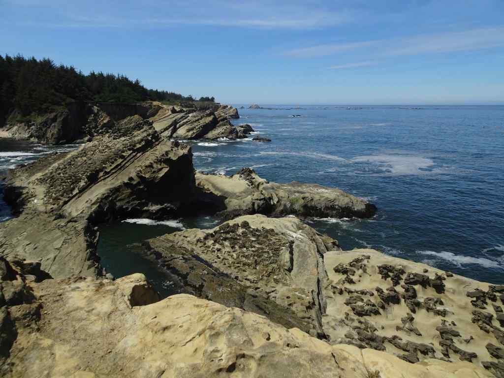
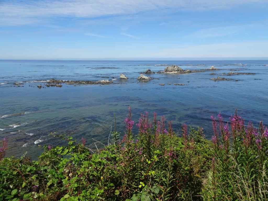
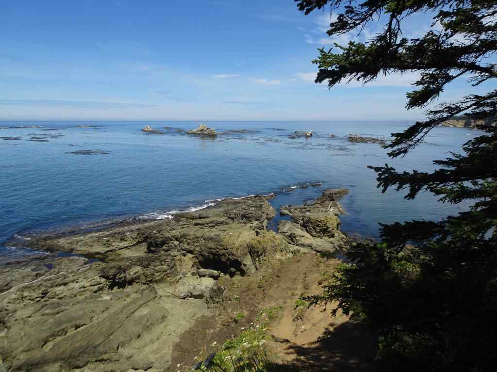
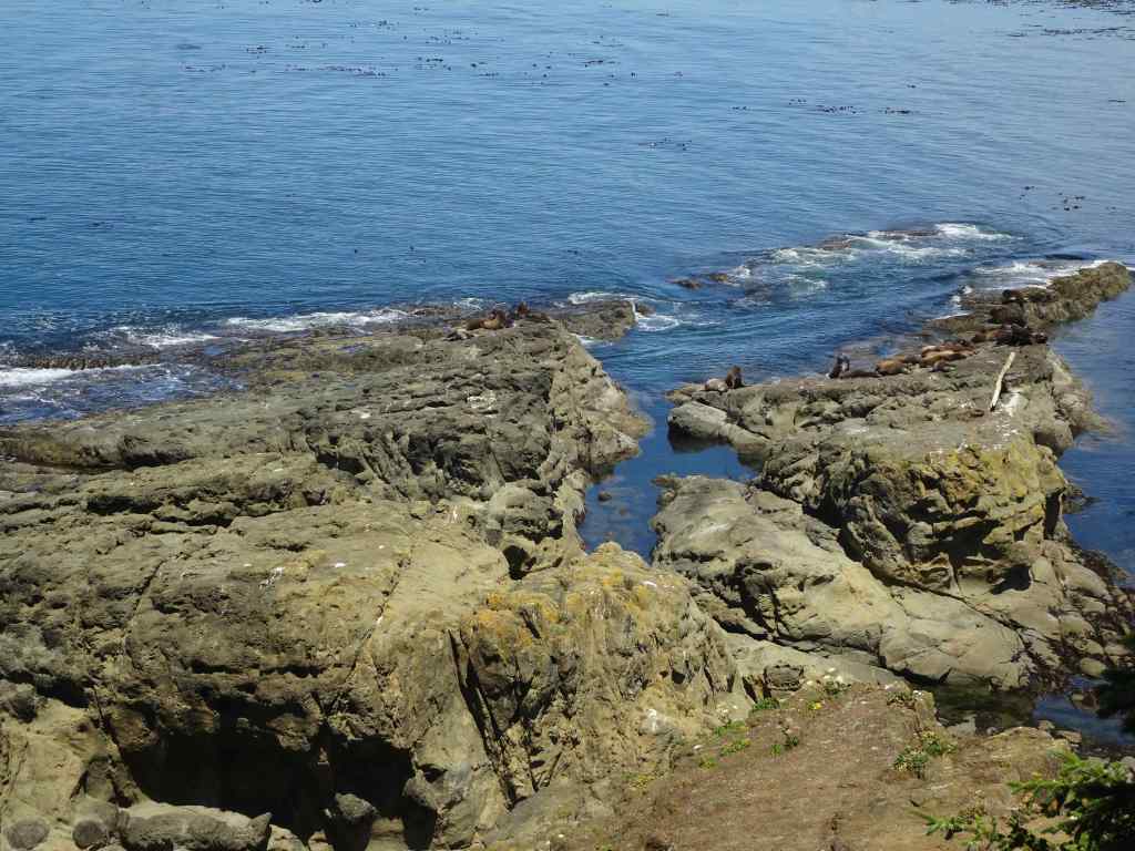
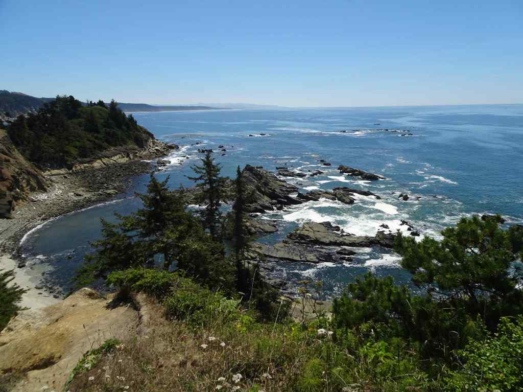
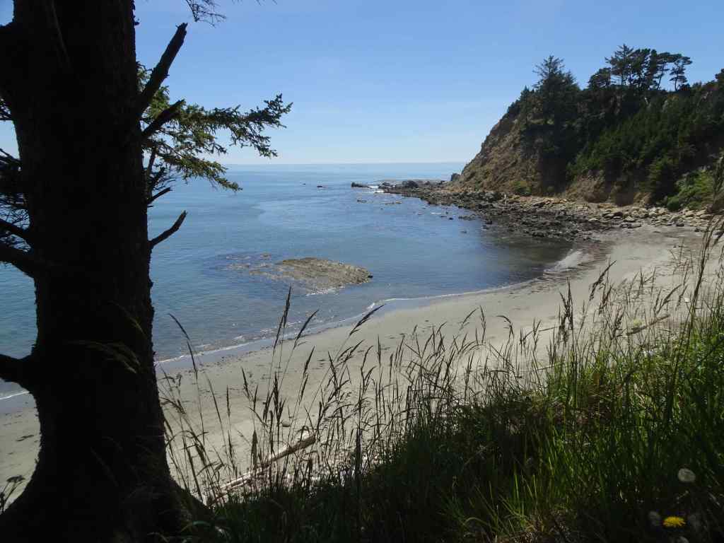
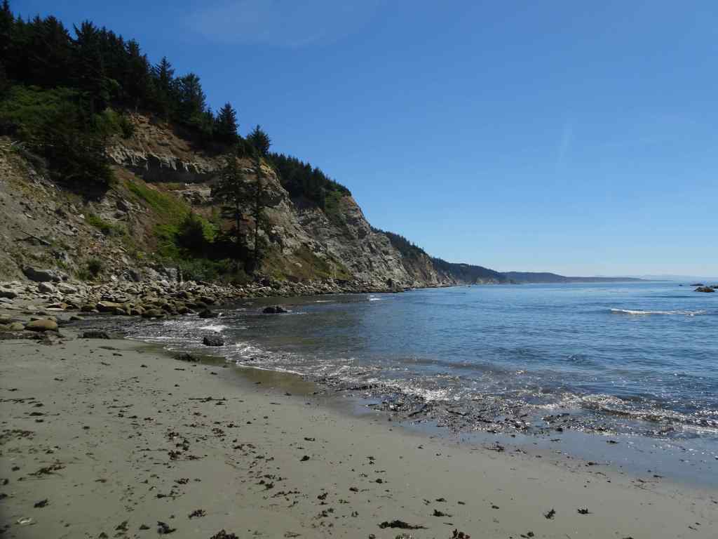
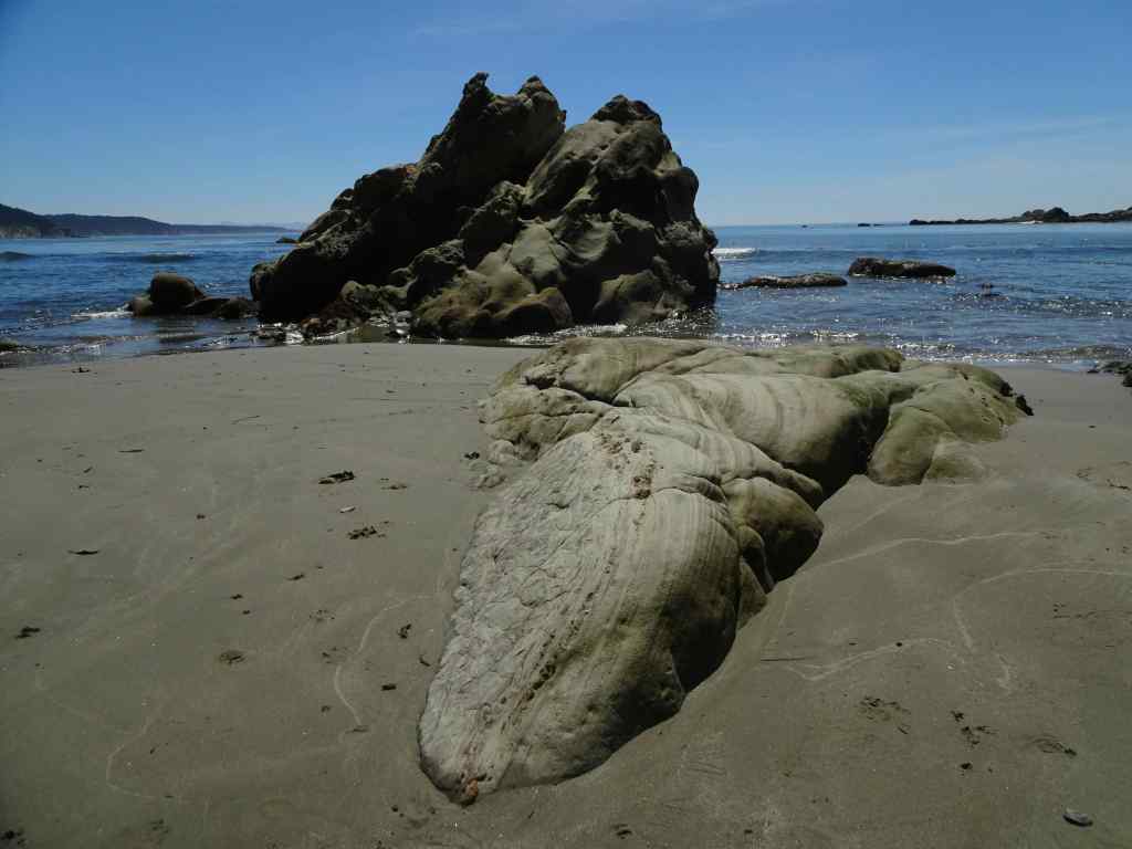
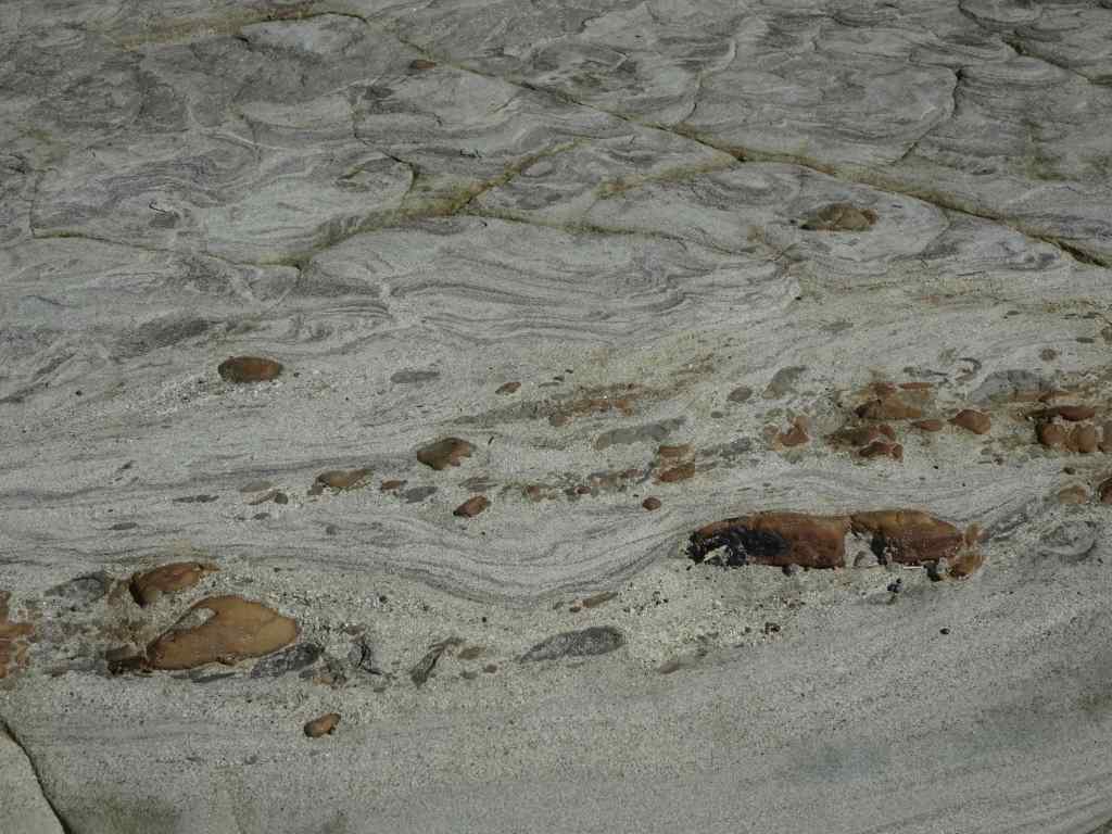
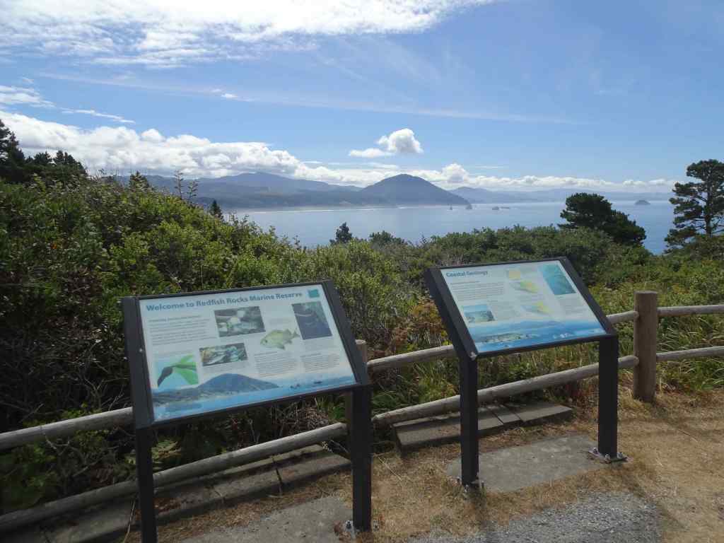
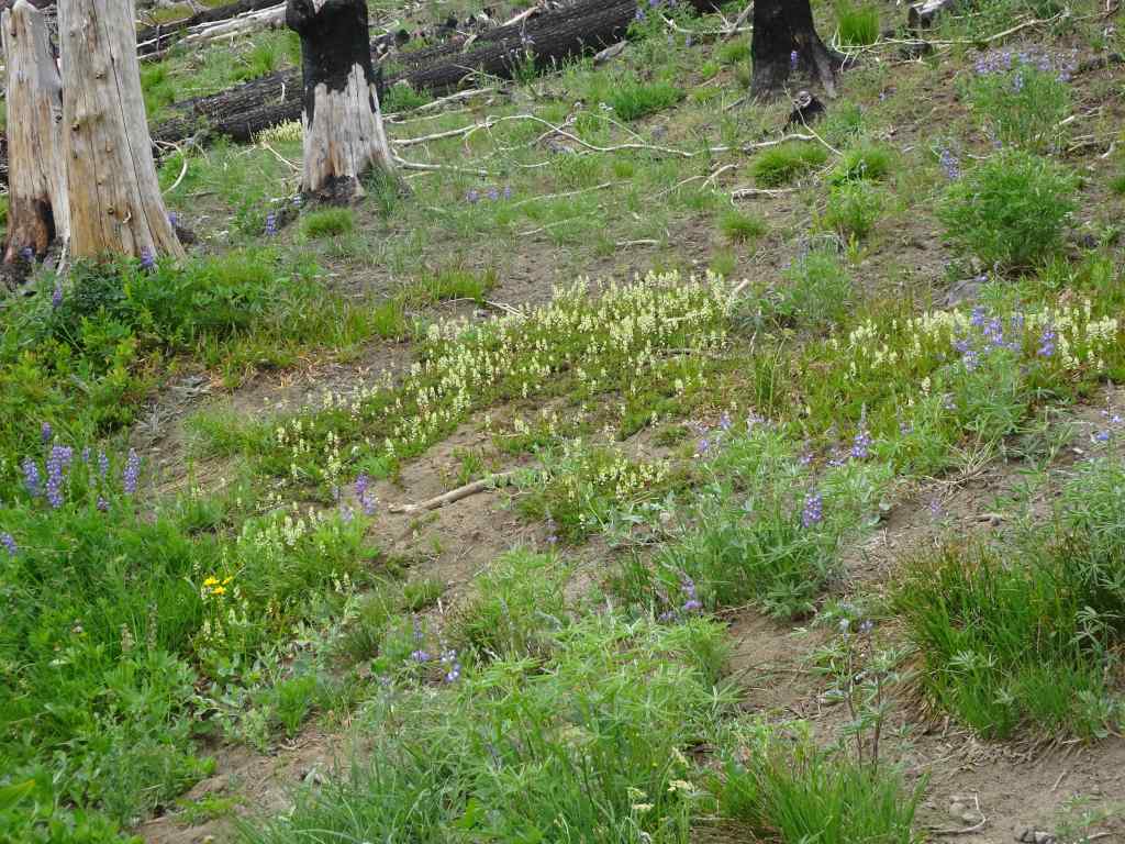
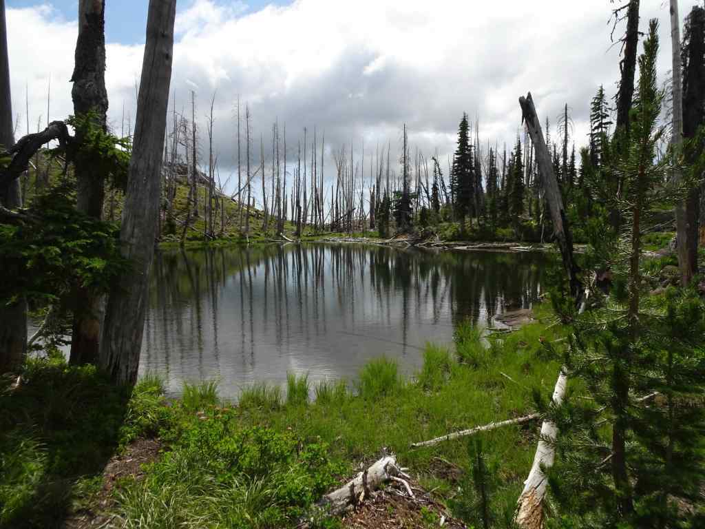
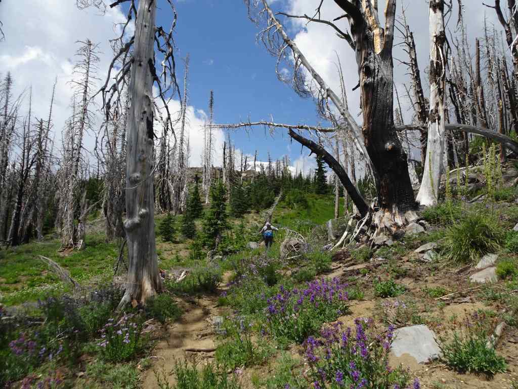
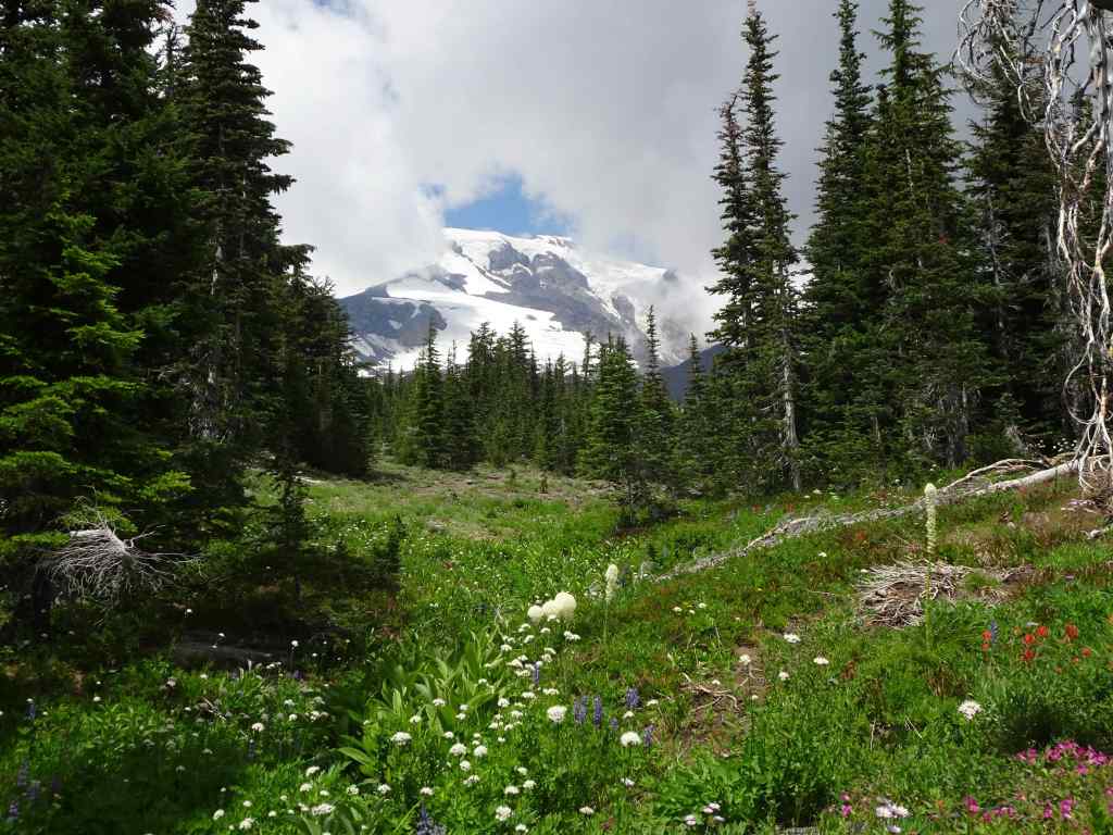
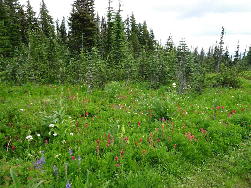
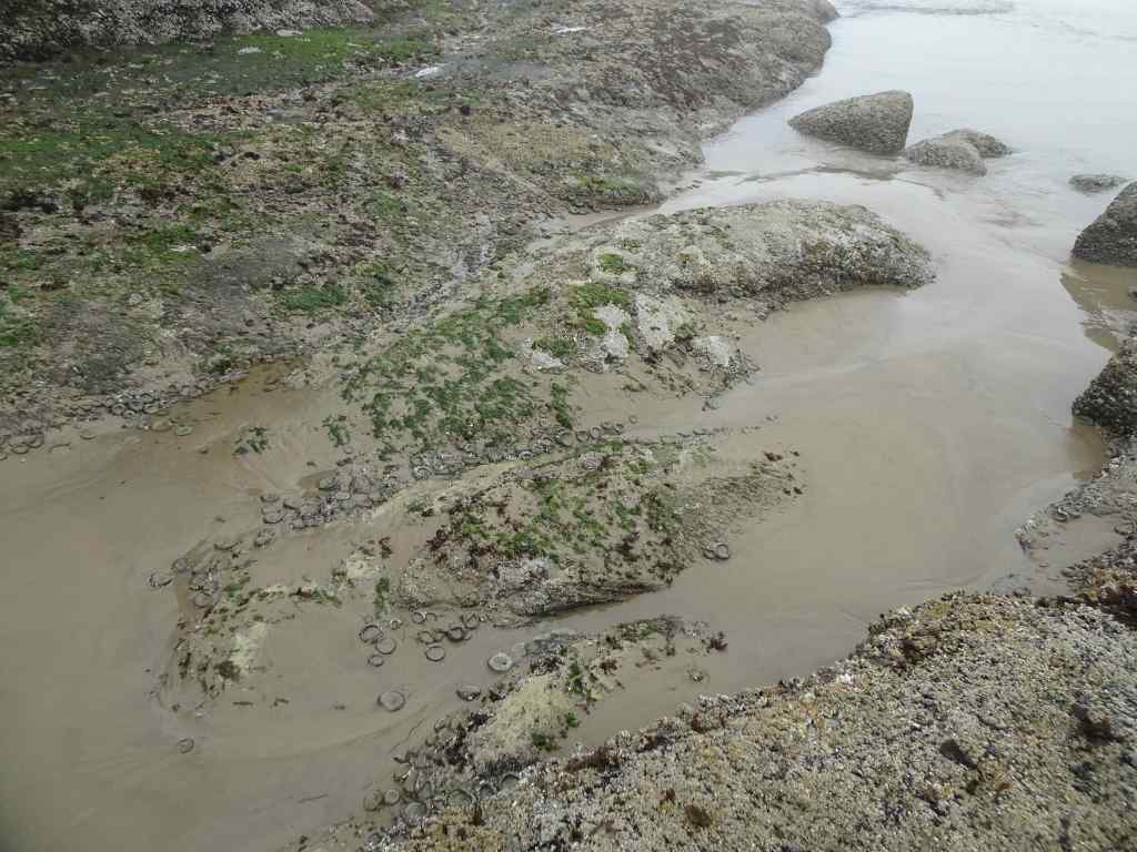
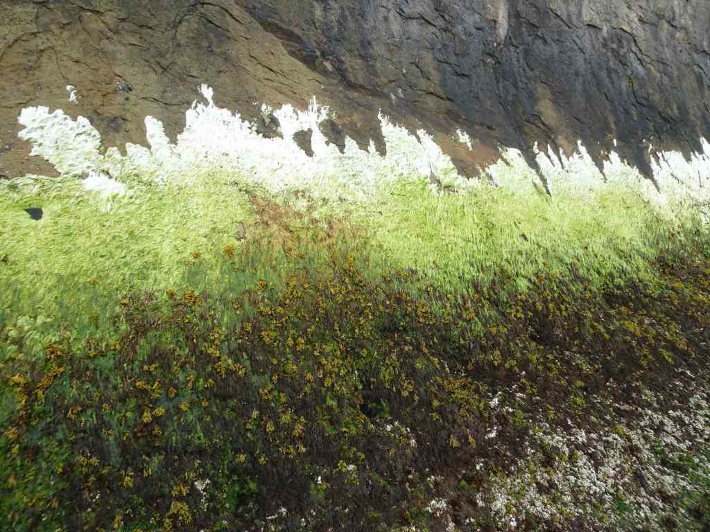
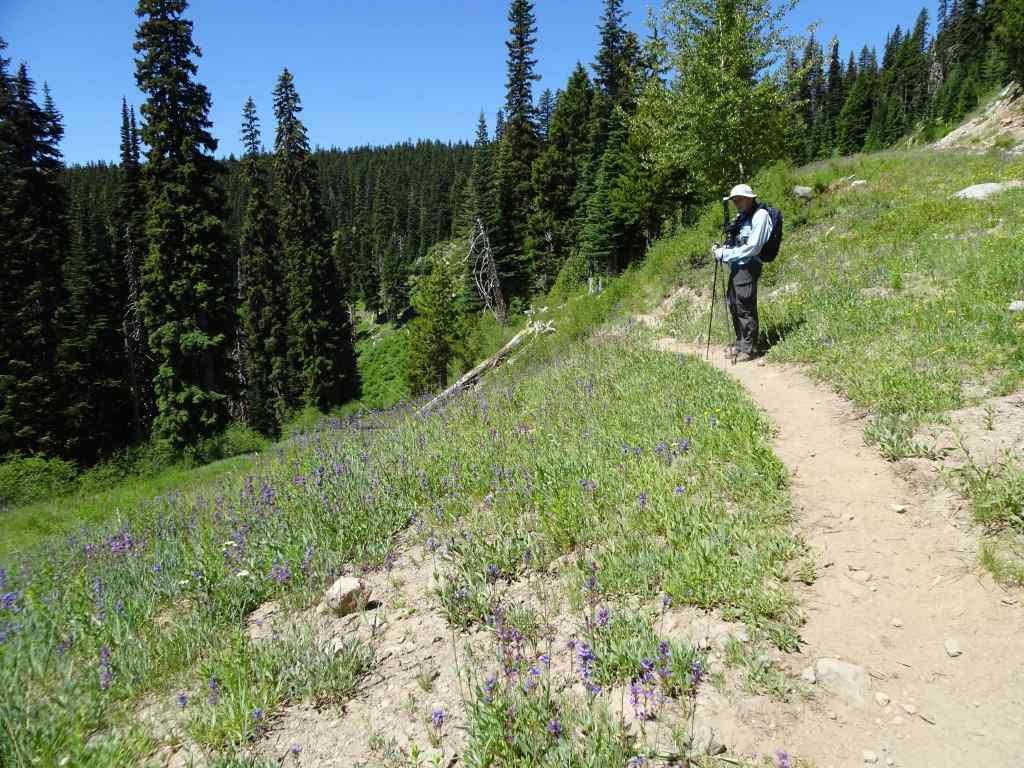
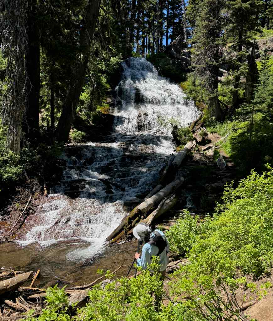
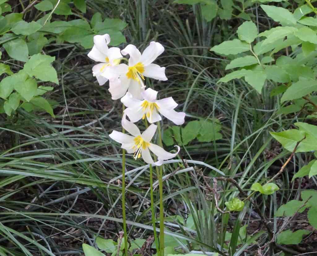
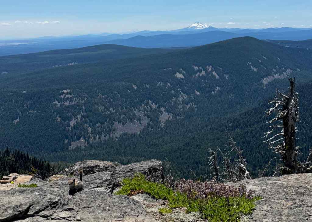
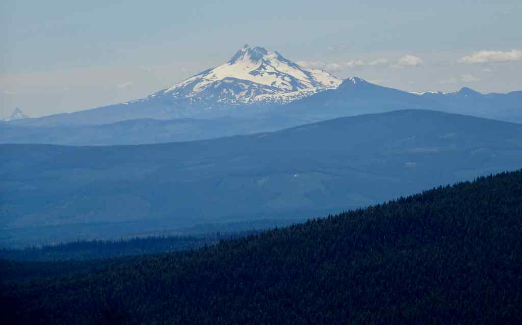
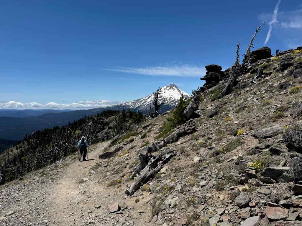
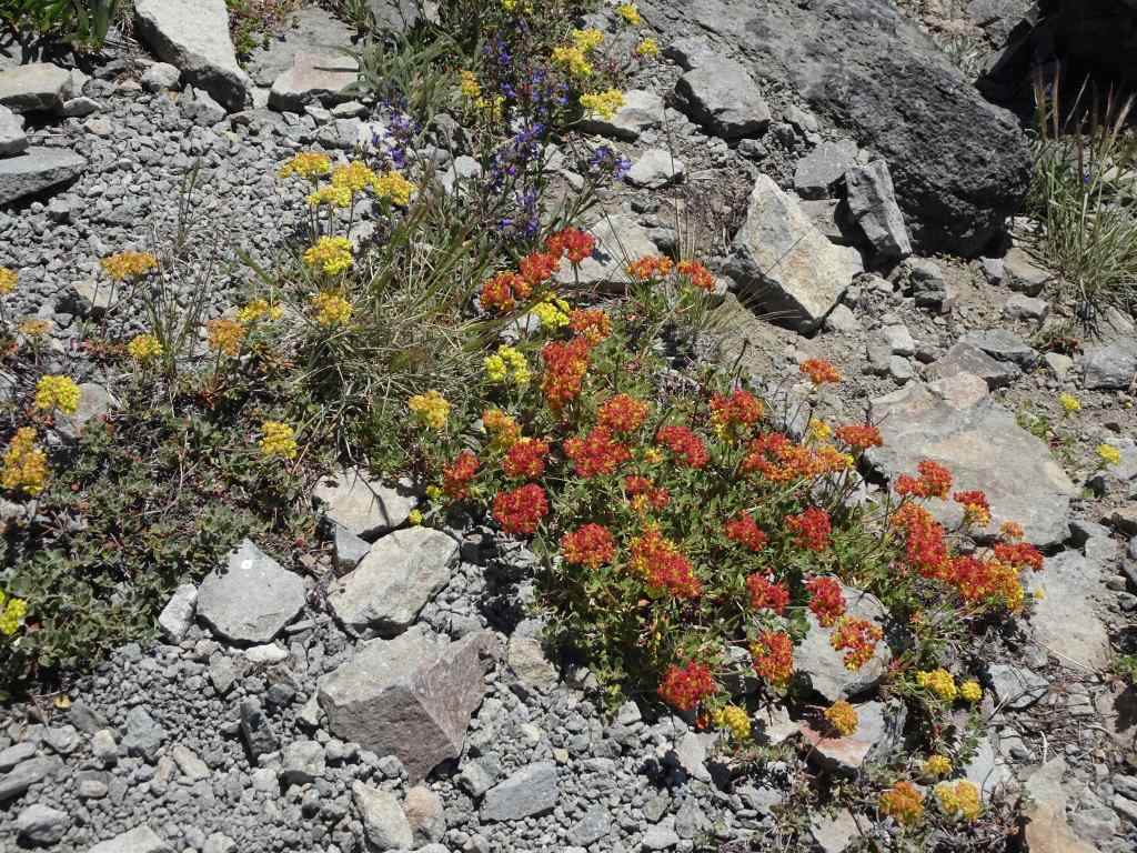
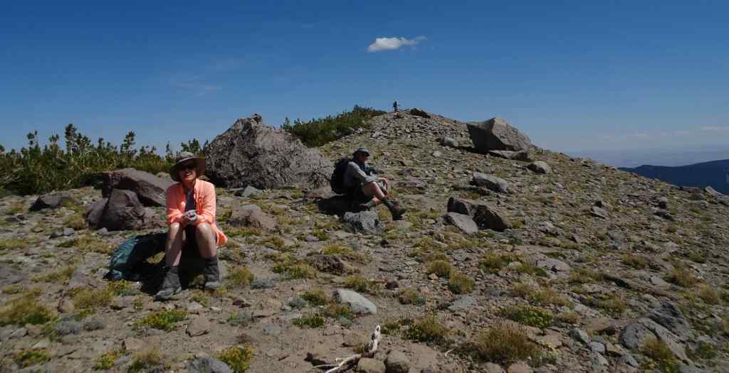
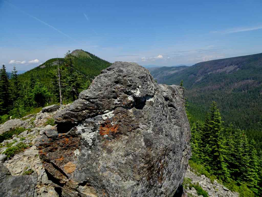
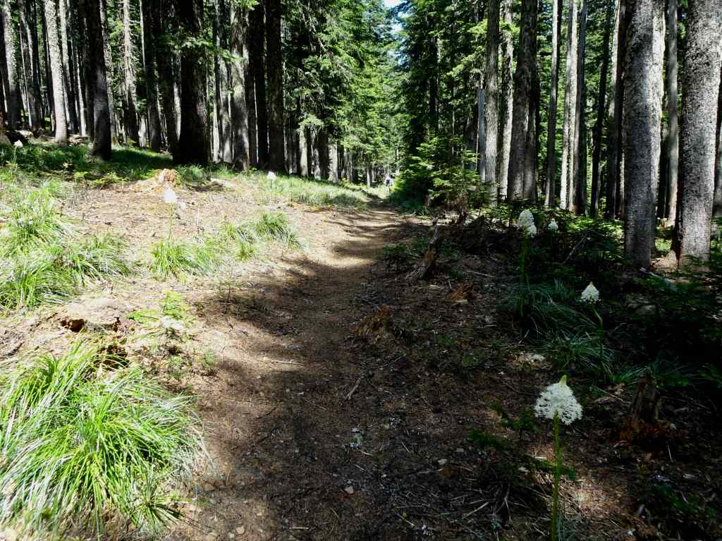
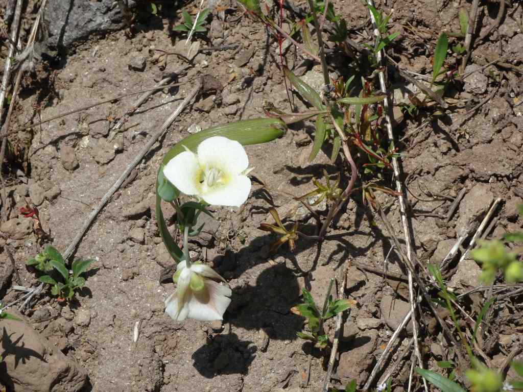
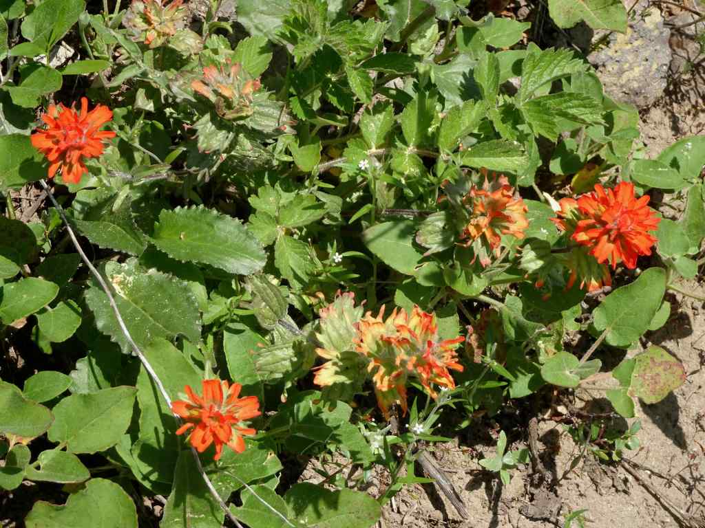
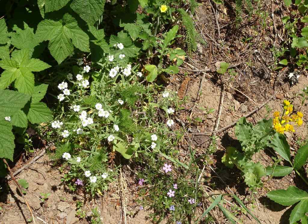
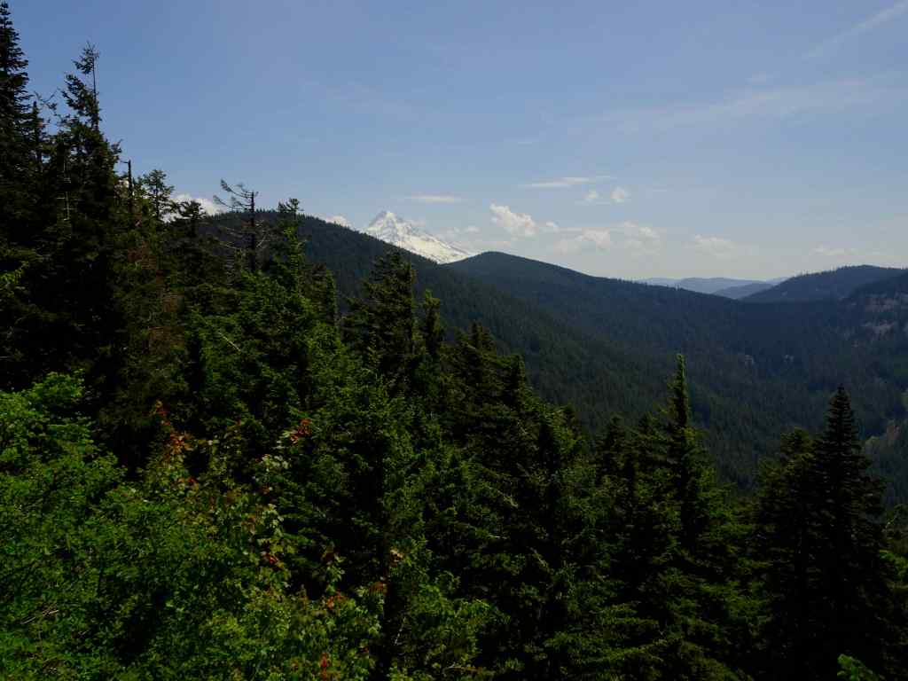
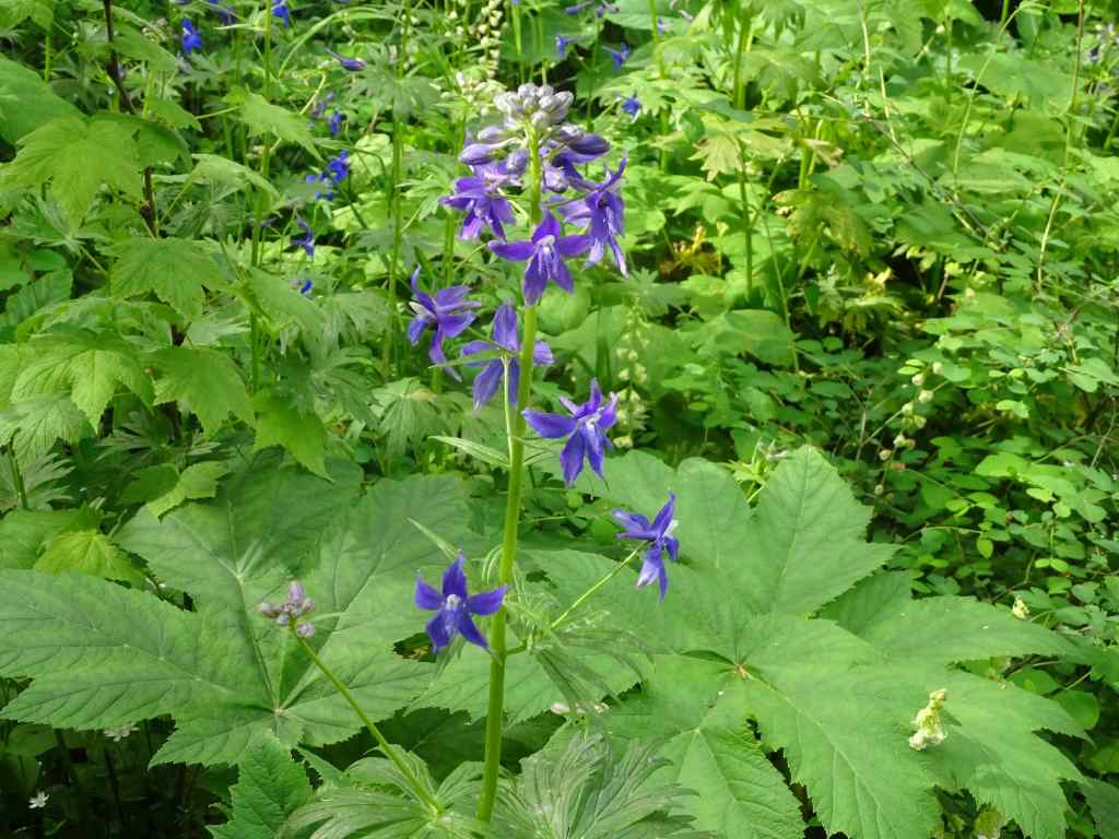
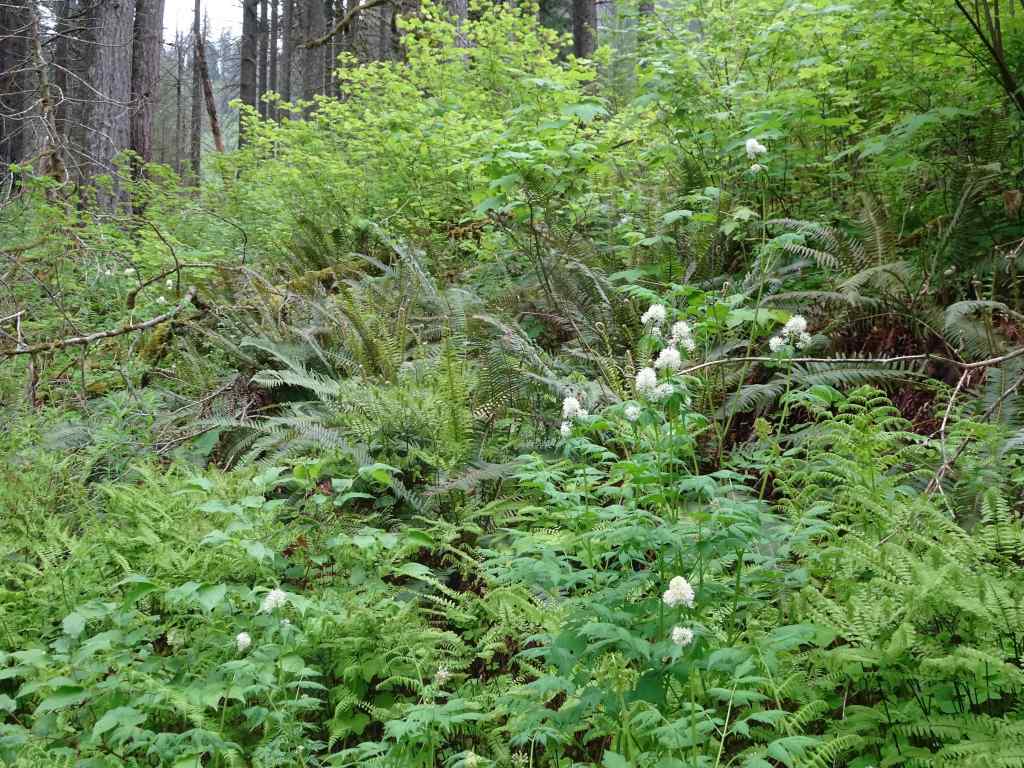
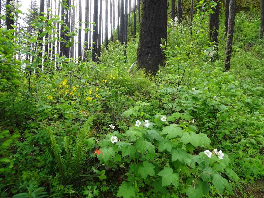
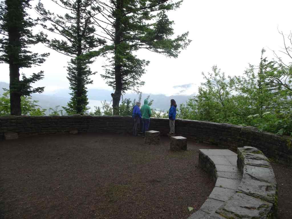
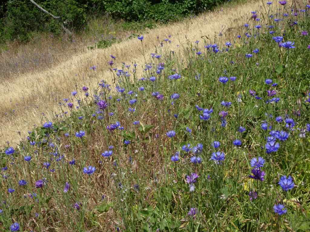
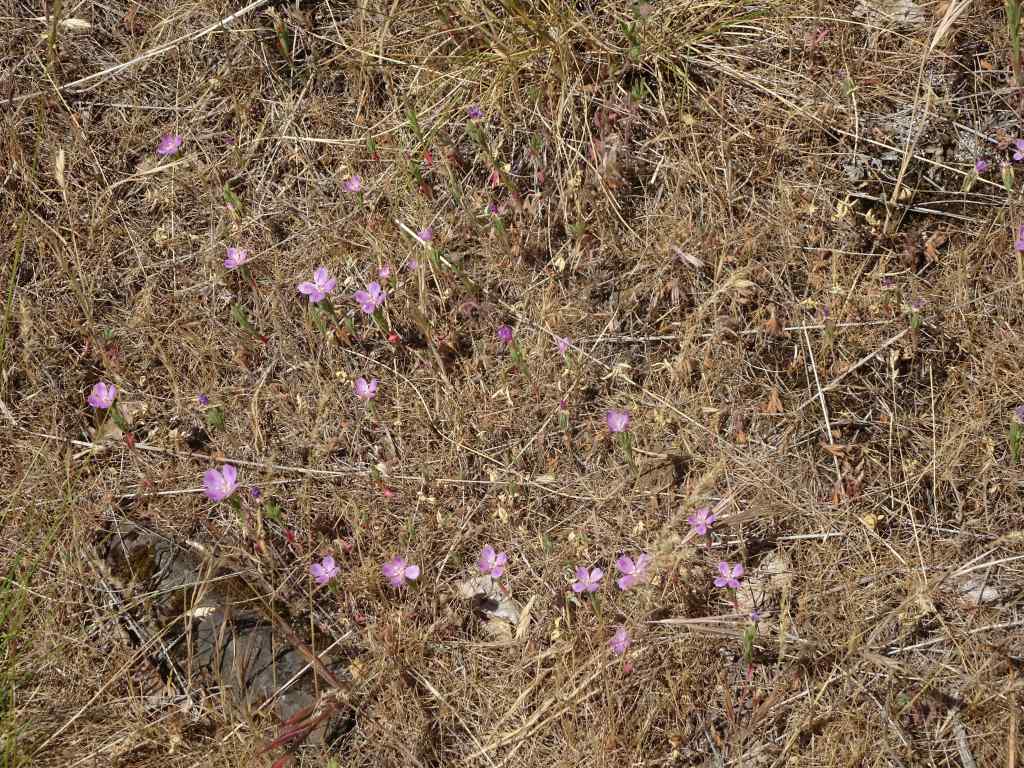
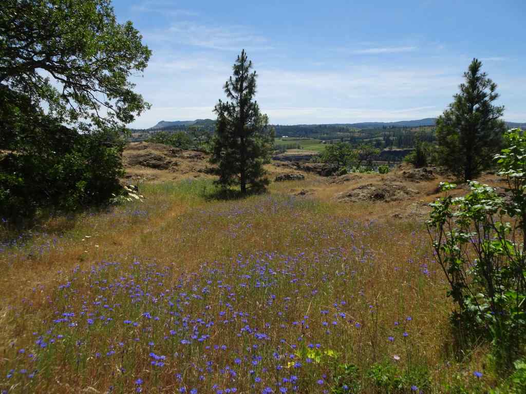
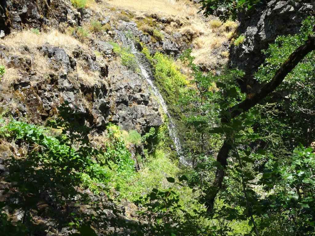
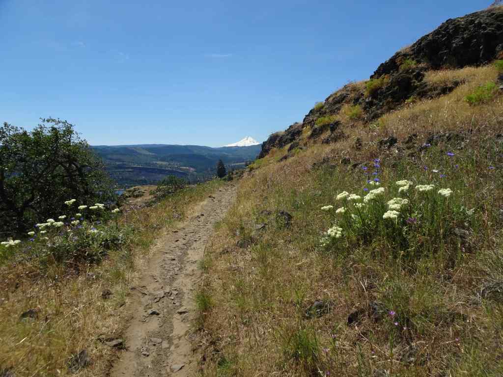
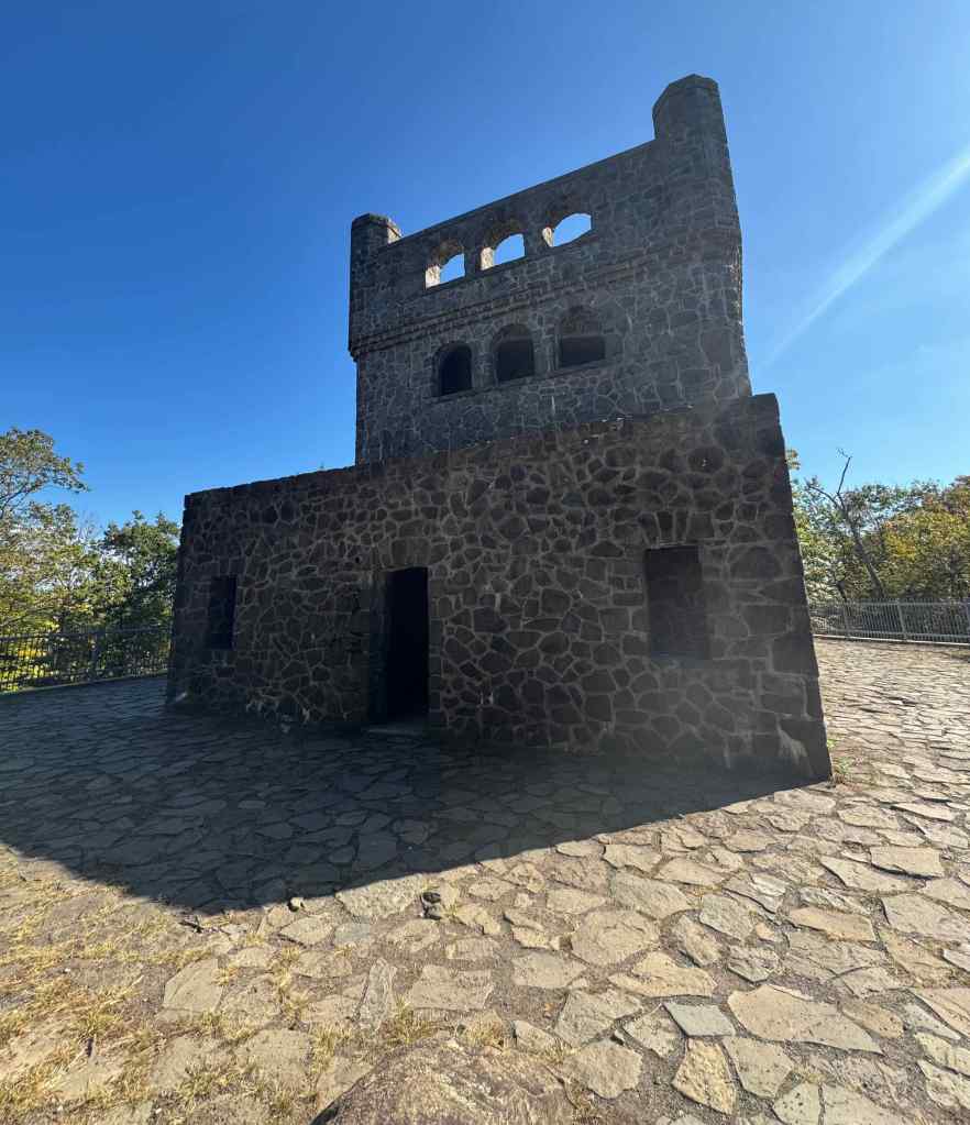
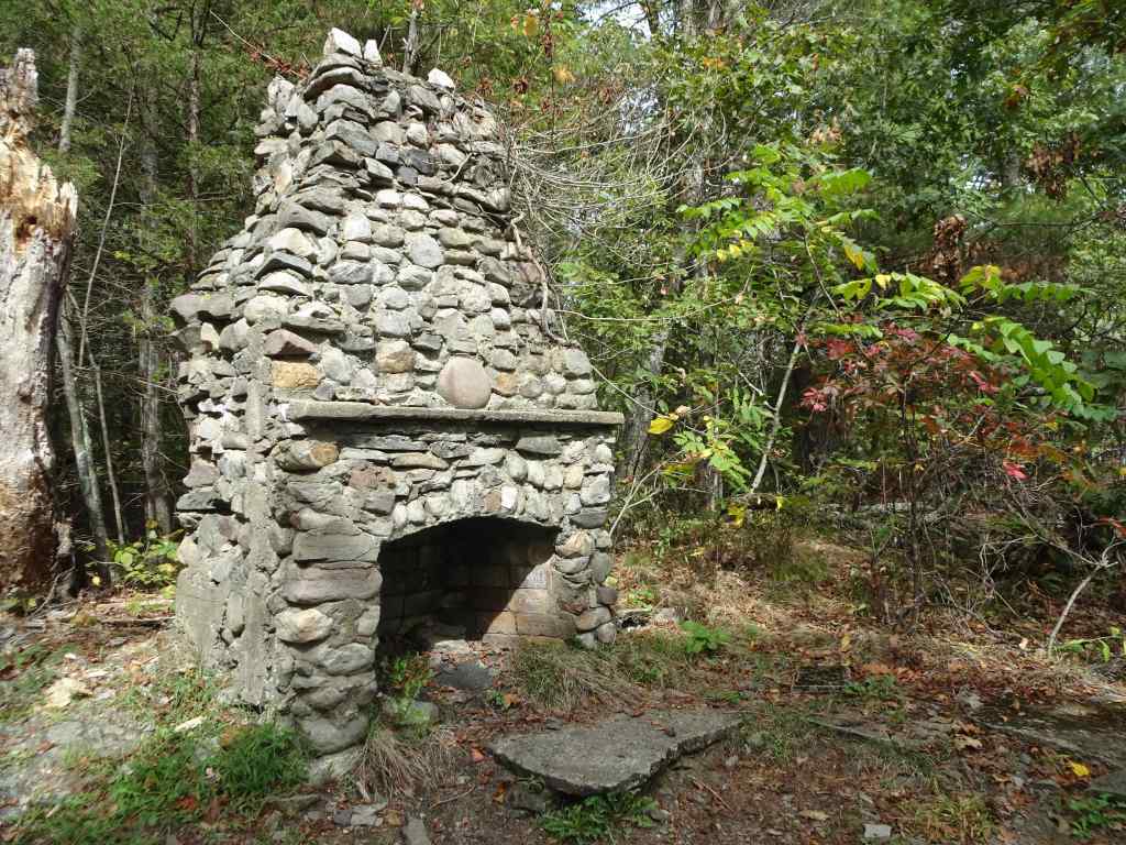
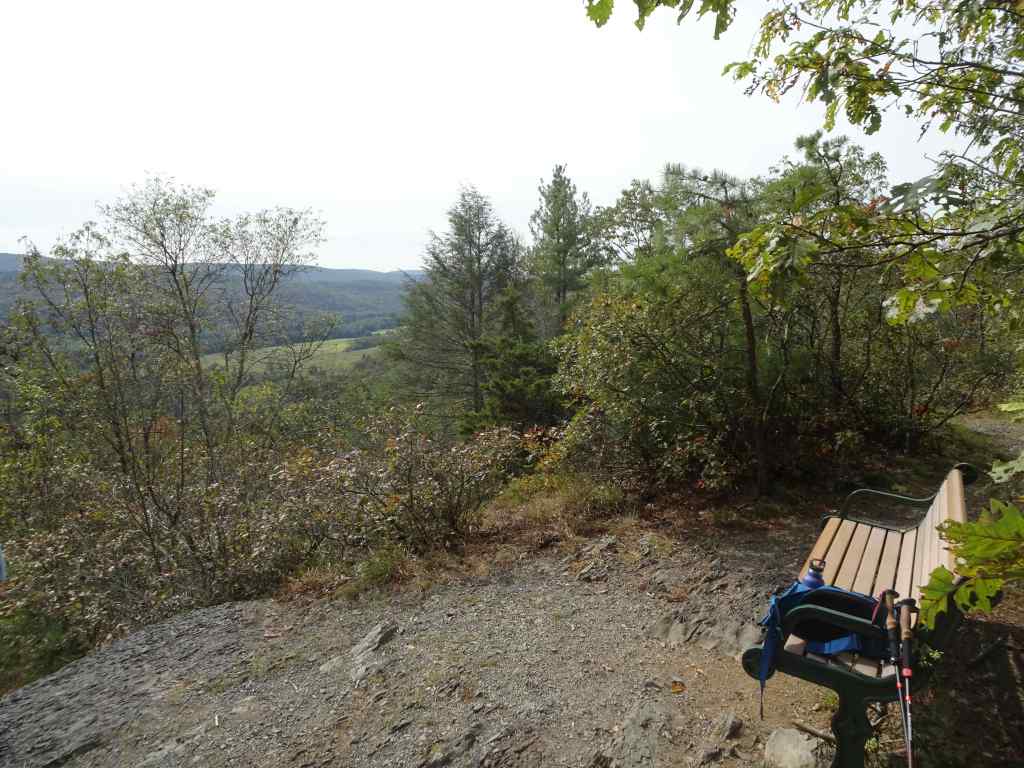
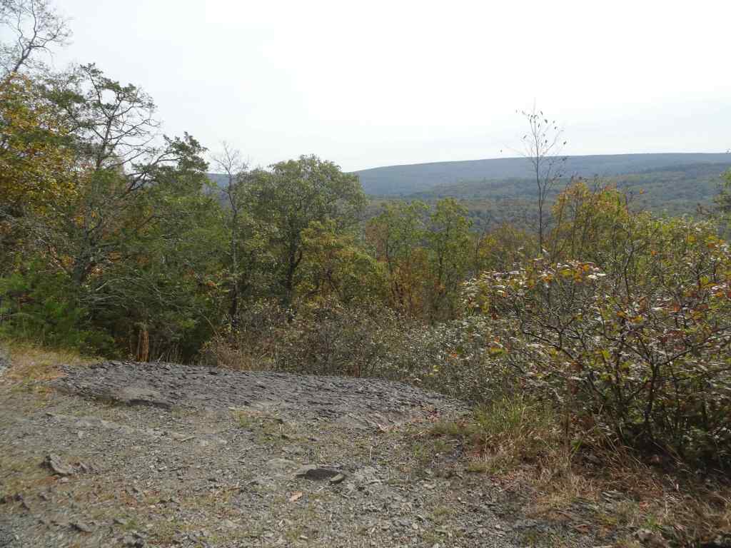
9/28 – Sleeping Giant State Park, CT
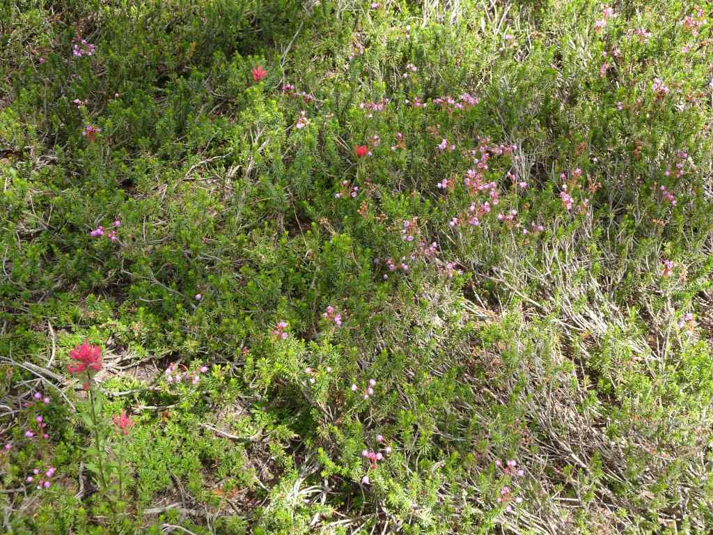
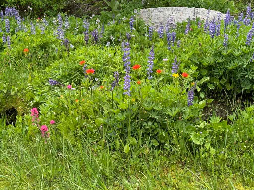
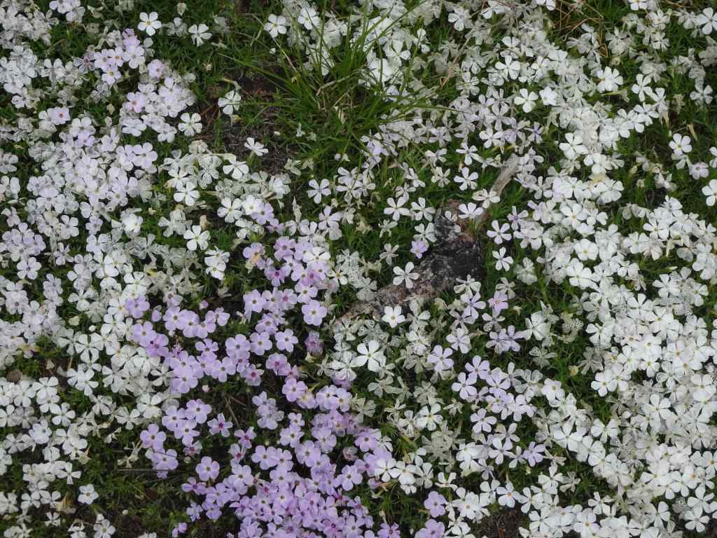
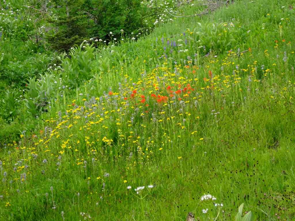
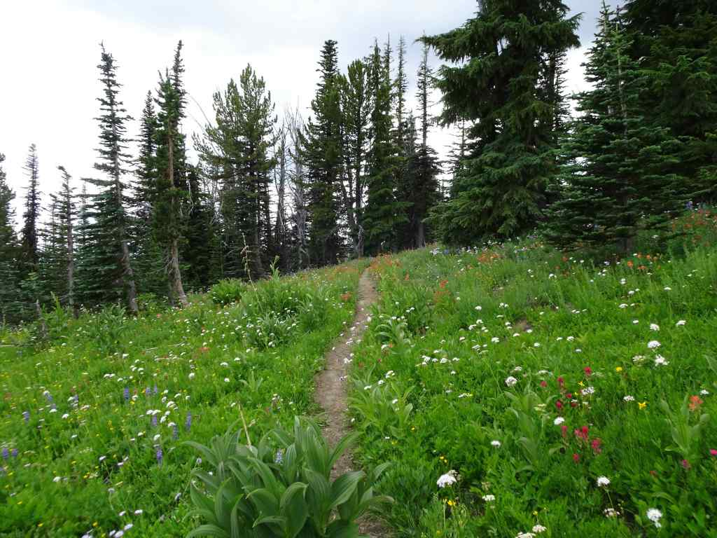
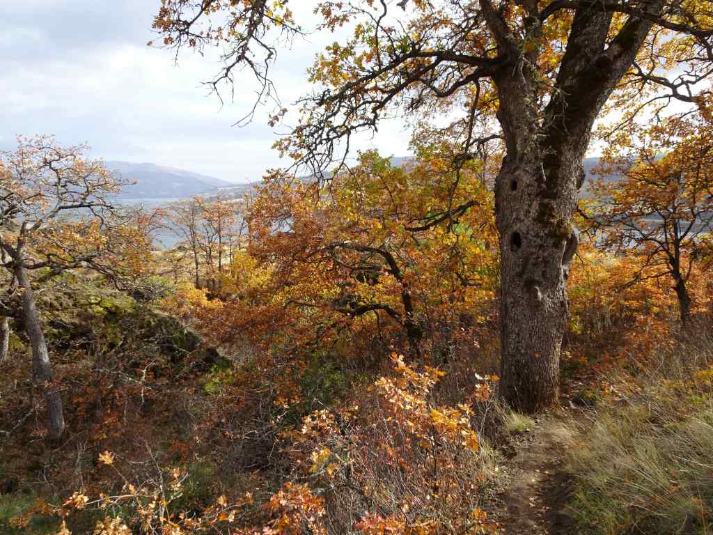
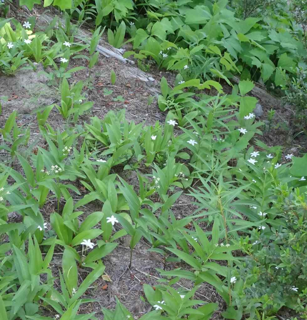
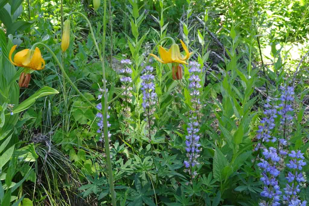
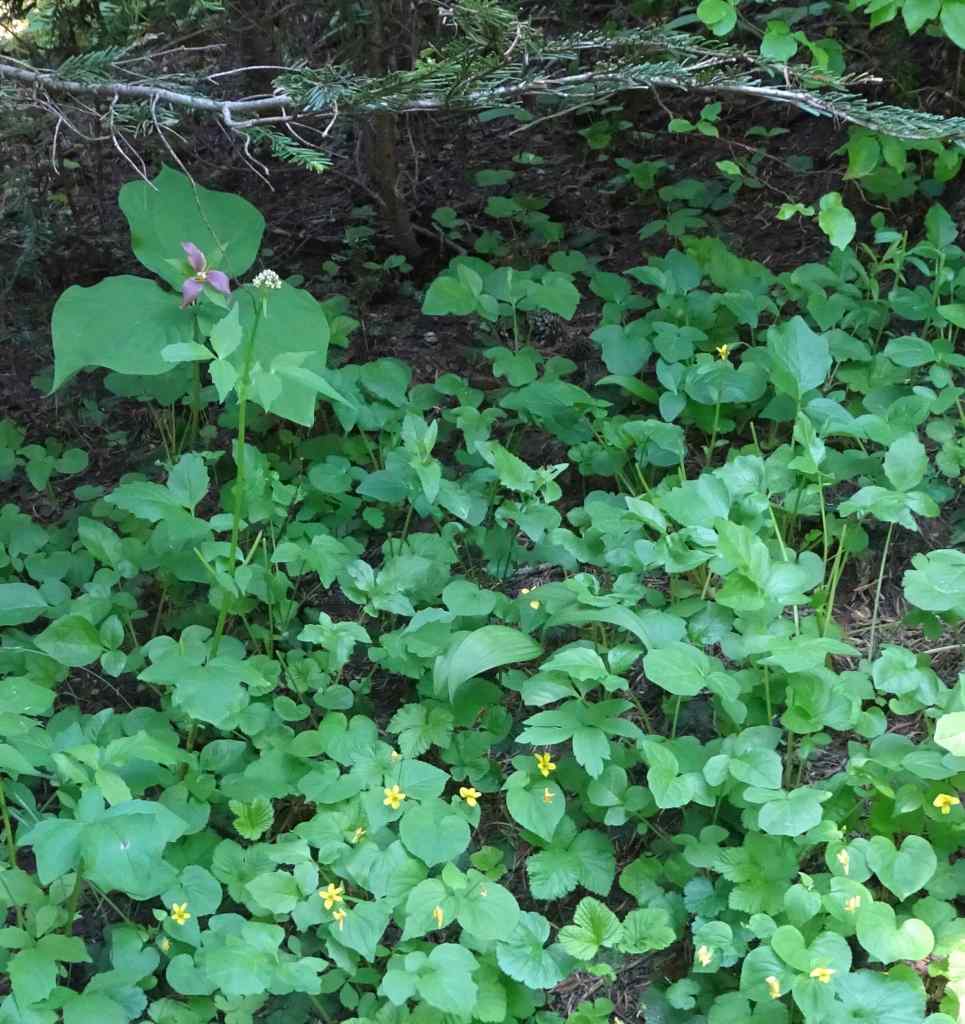
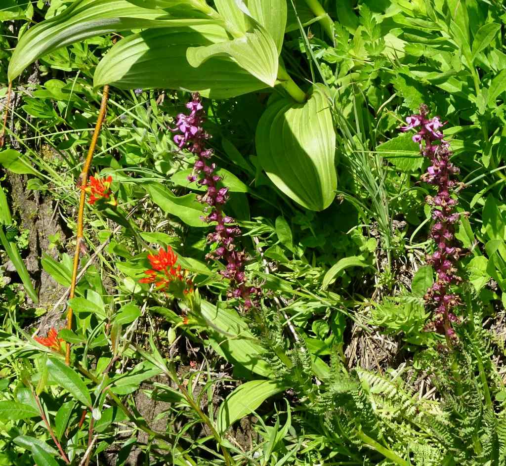
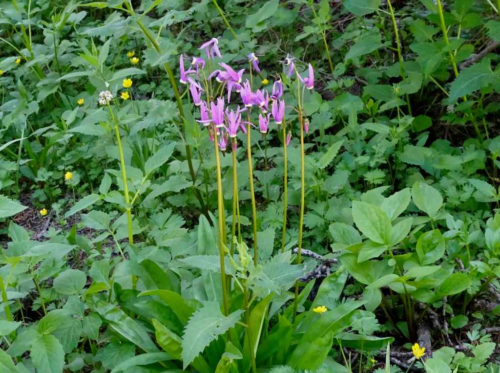
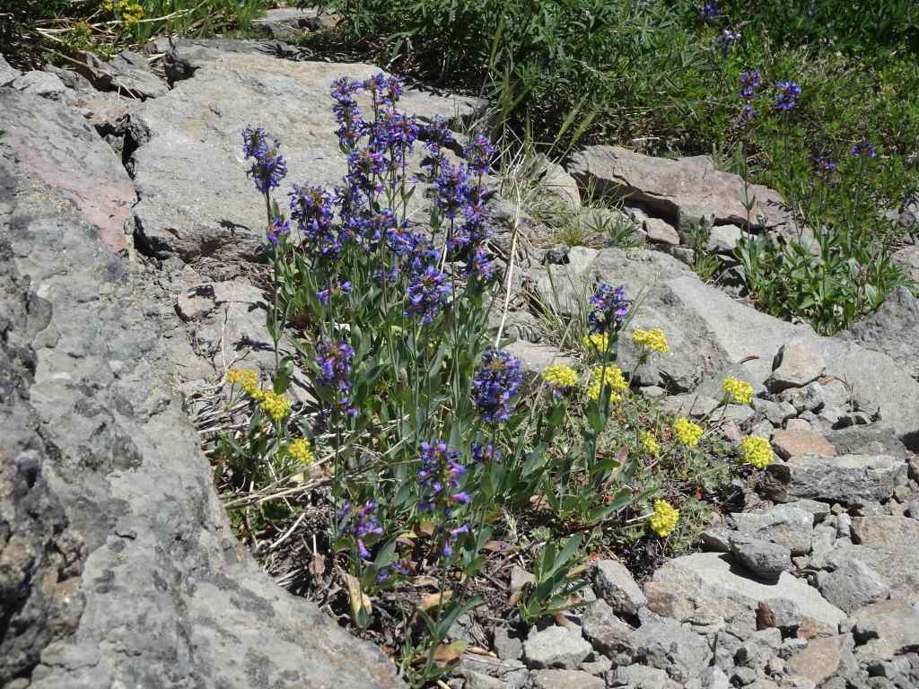
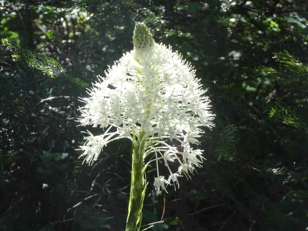
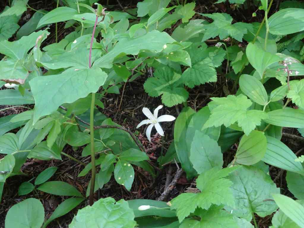
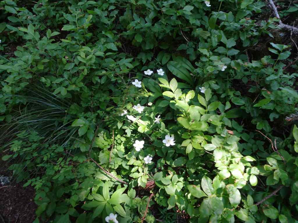
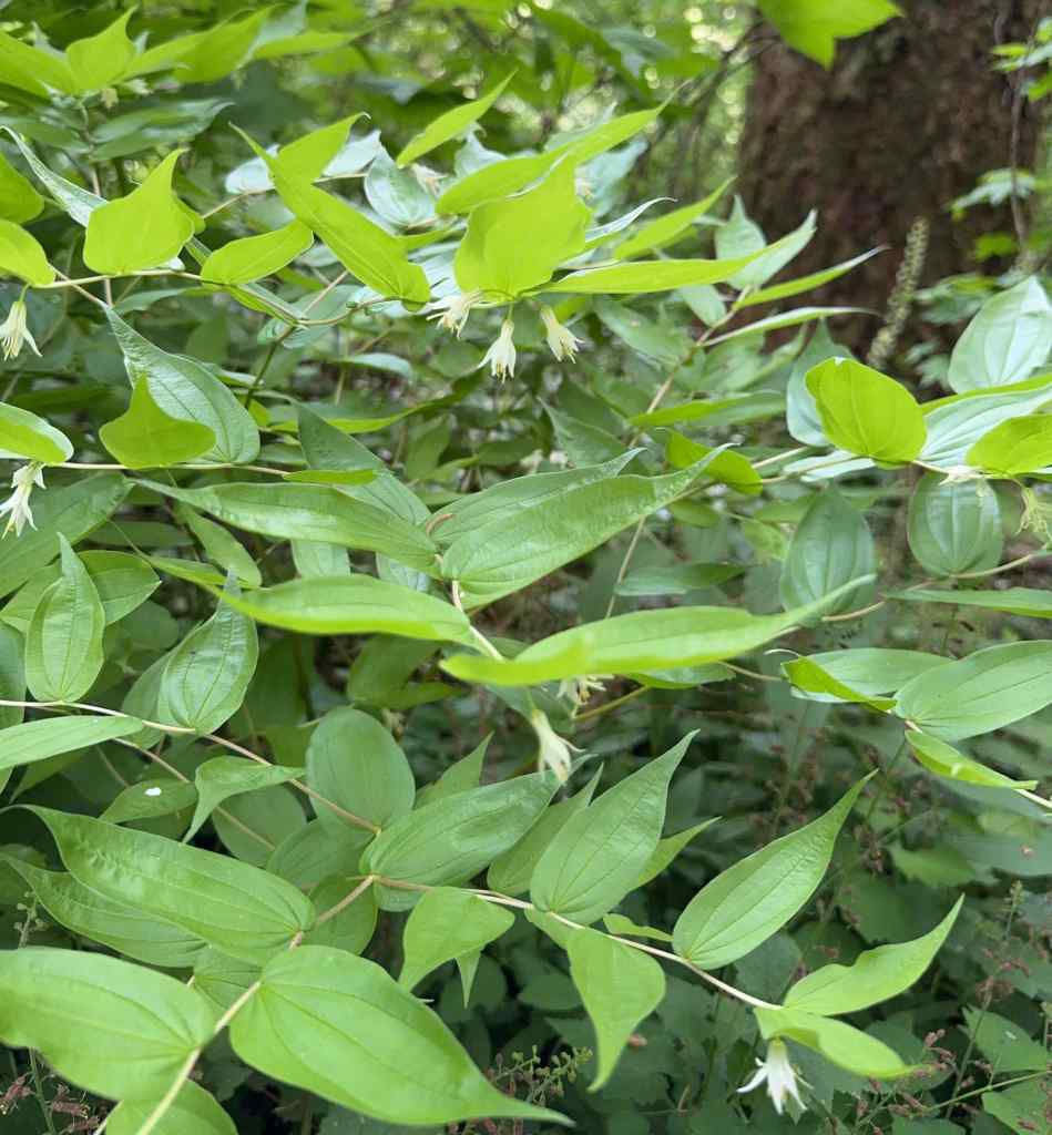
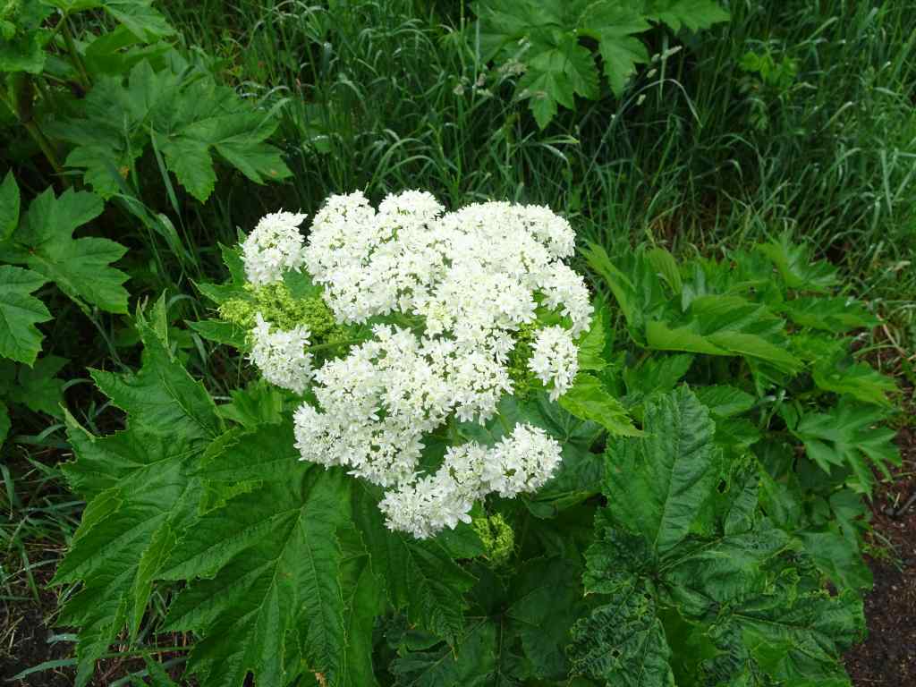
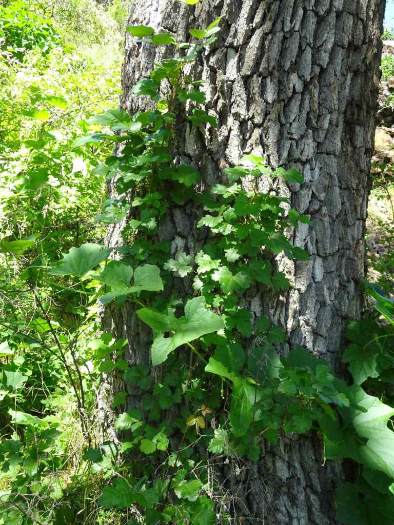
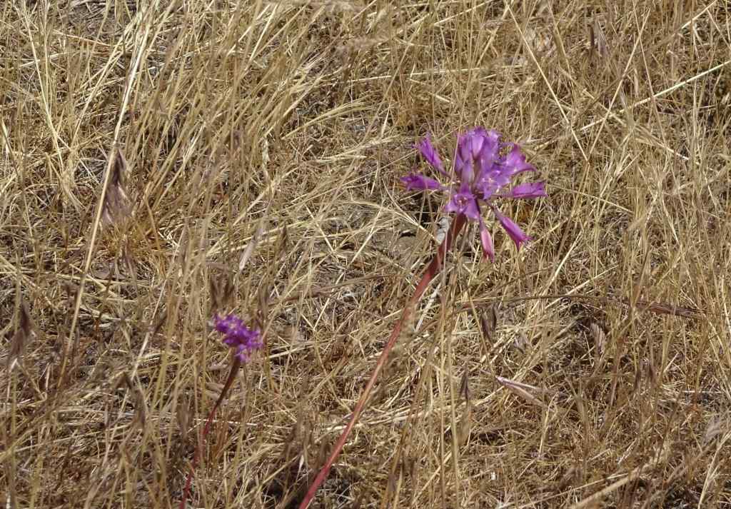
This small mountain near Hamden is popular hiking locale. We opted for the three mile Tower Trail, about 600 feet elevation gain. There were a few late wildflowers blooming, and plenty of other people on this 80 degree day. I appreciated the shade! And the first glimmers of fall color.


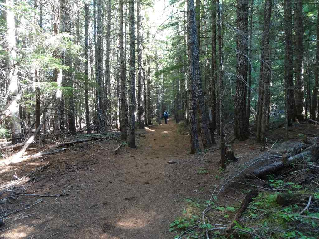
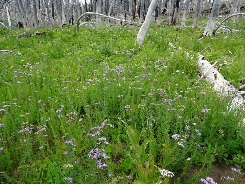
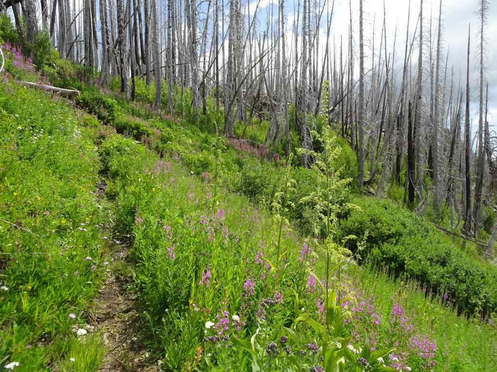
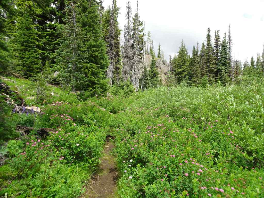
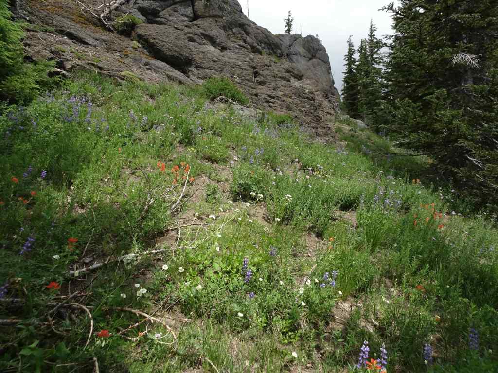
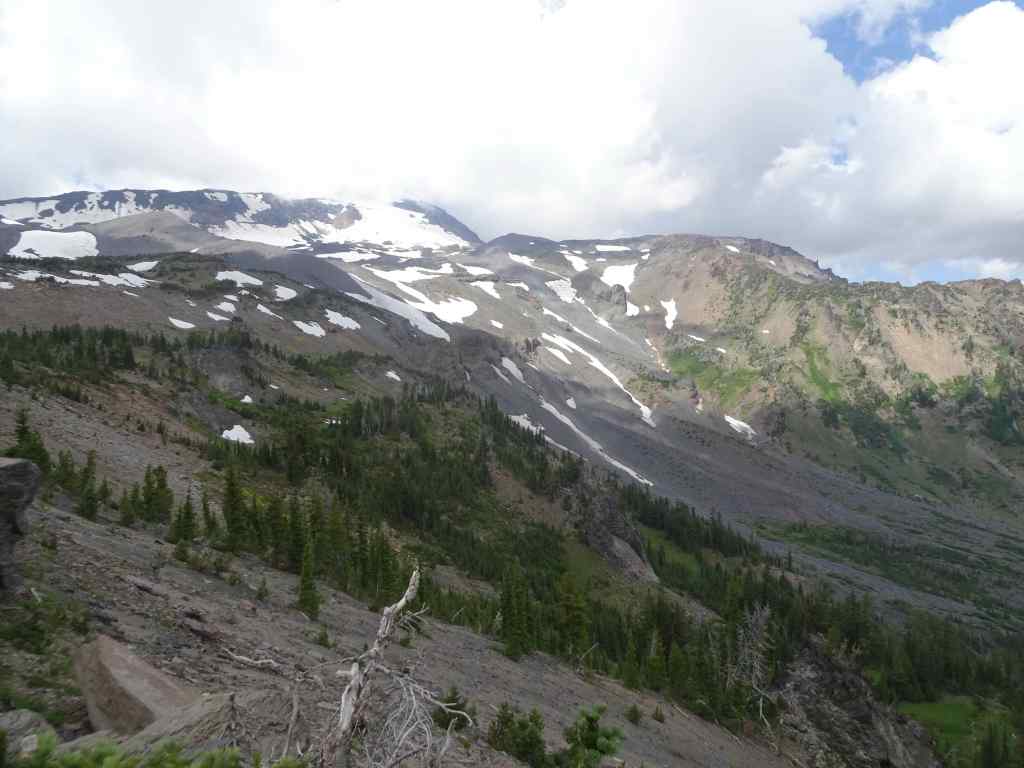
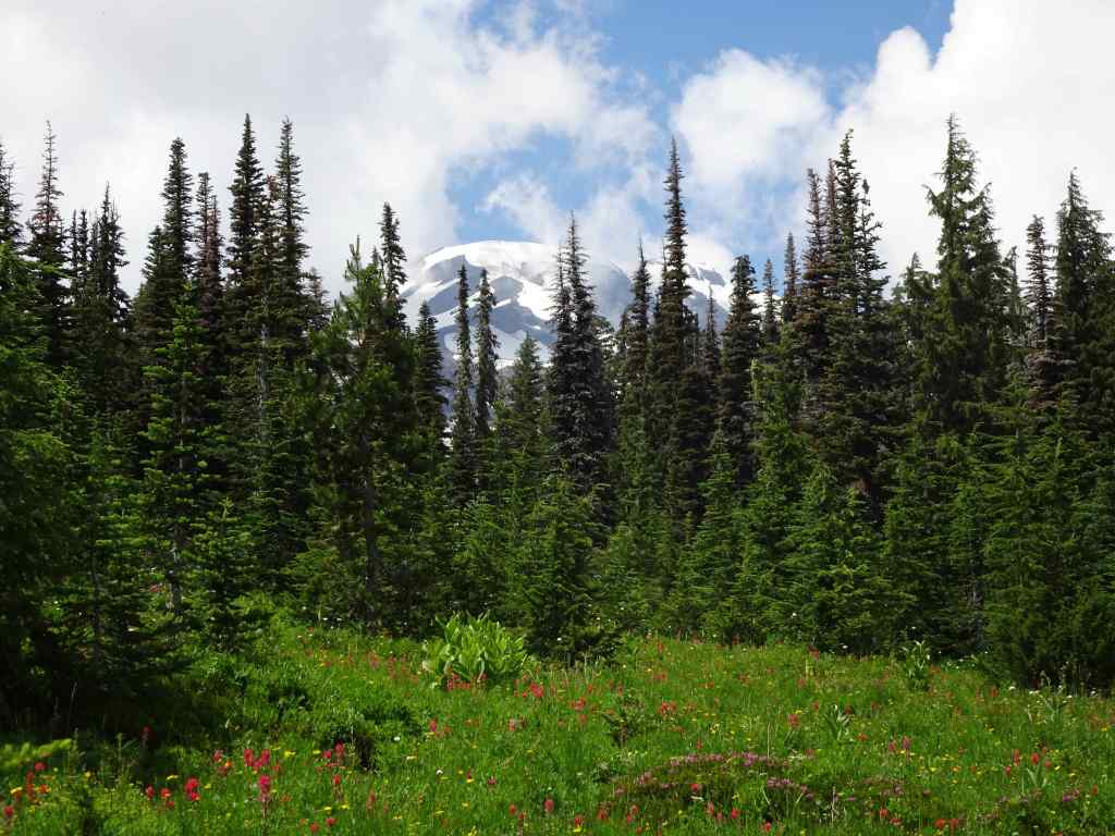
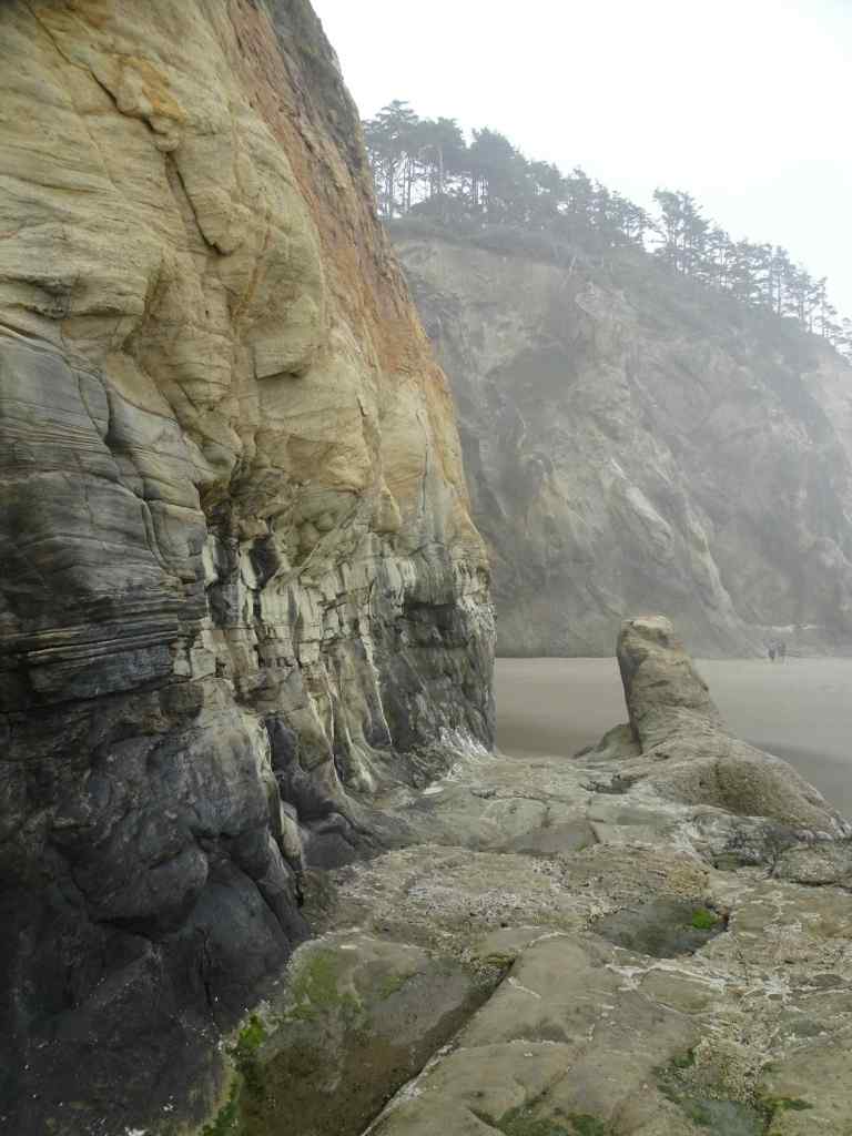
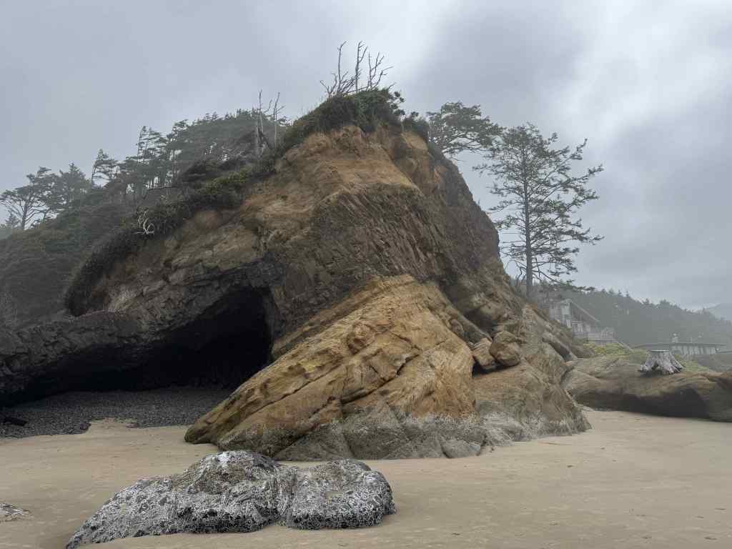
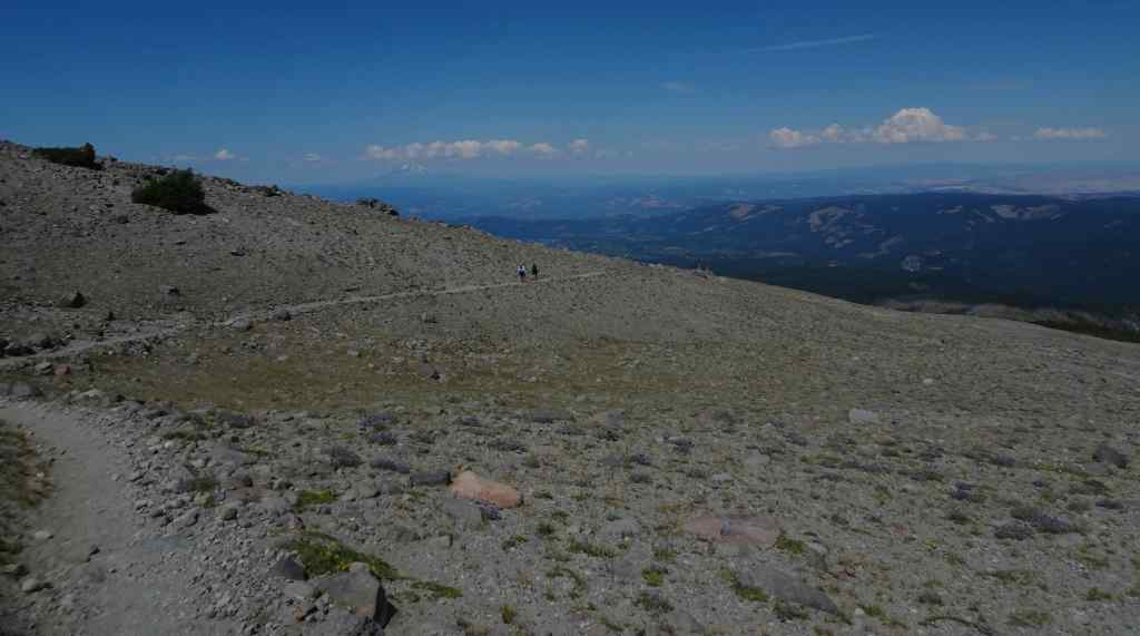
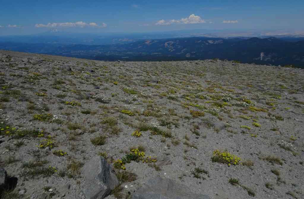
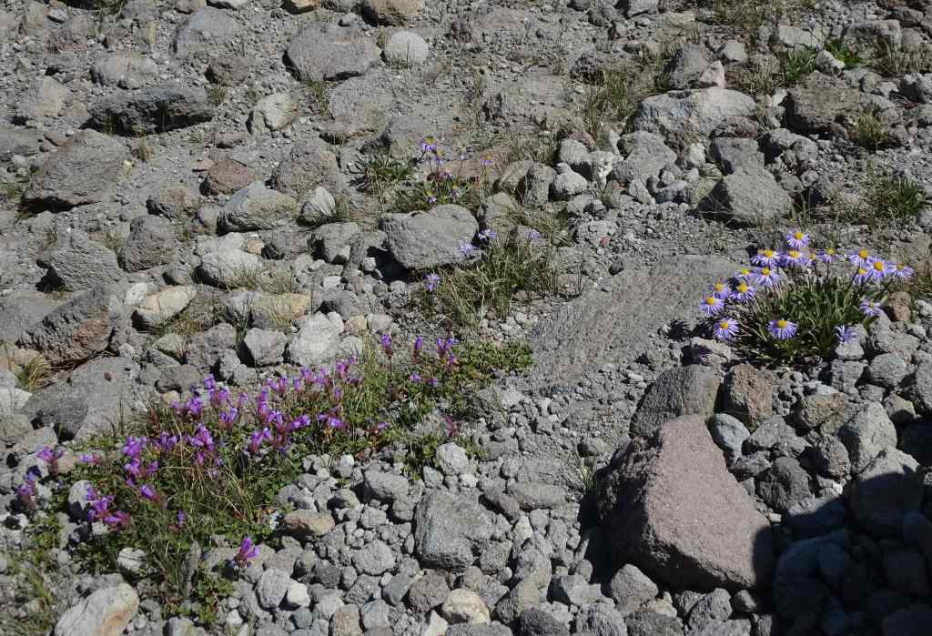
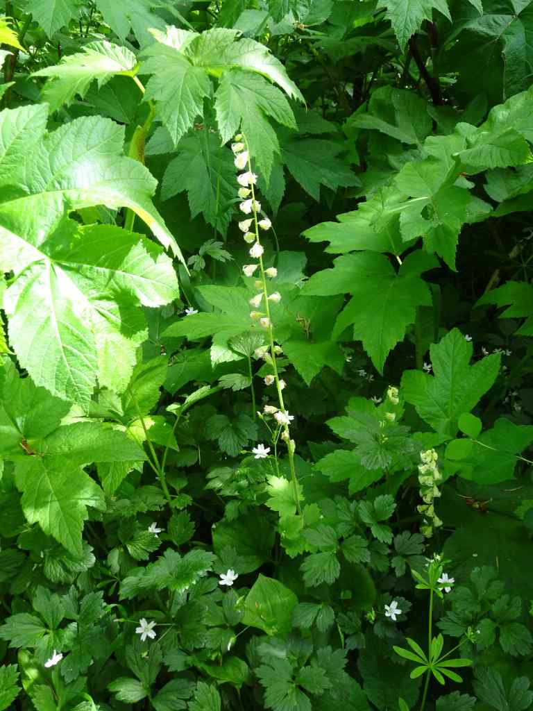
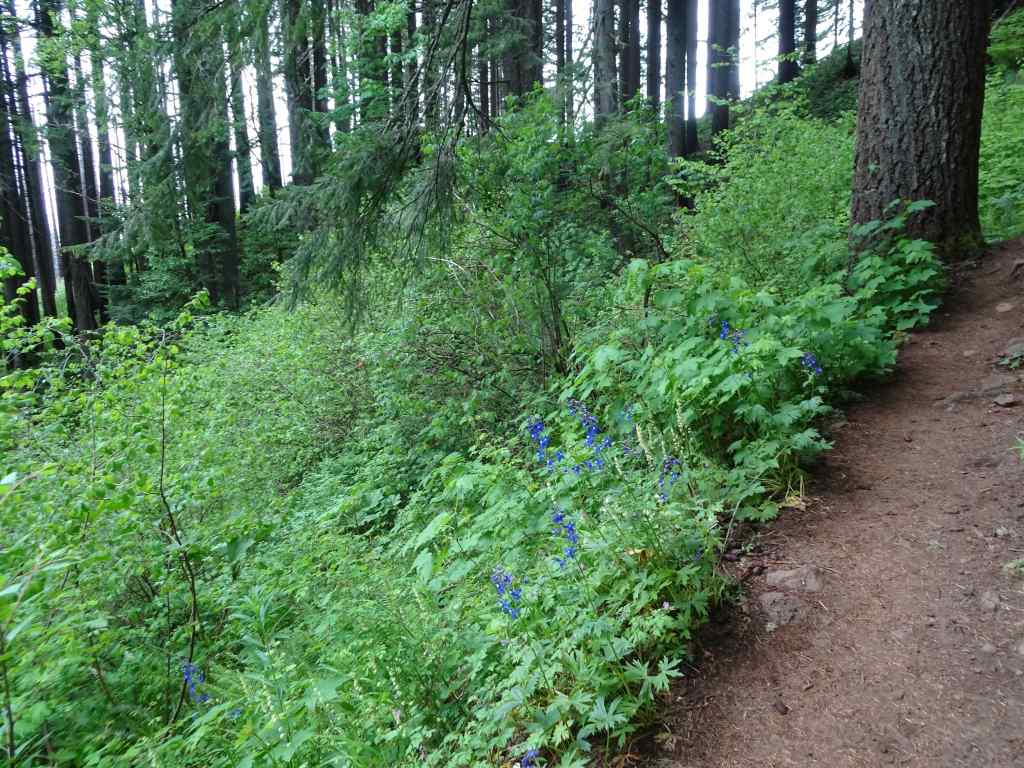
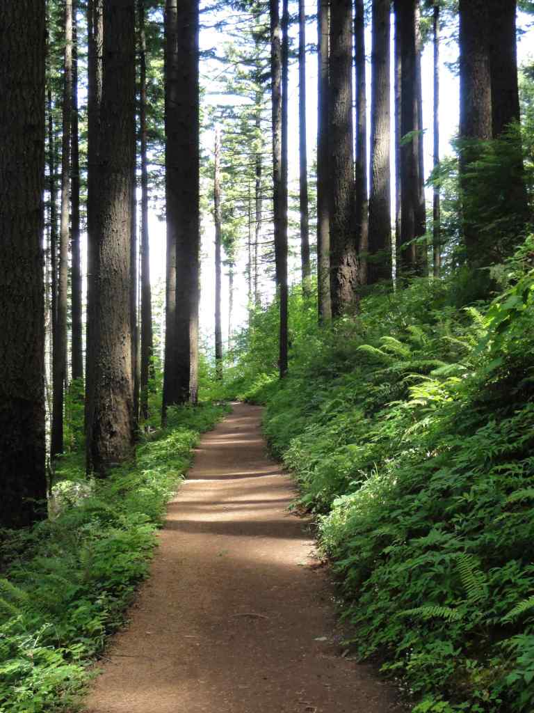
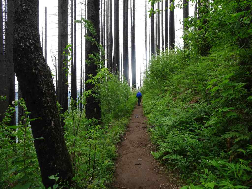
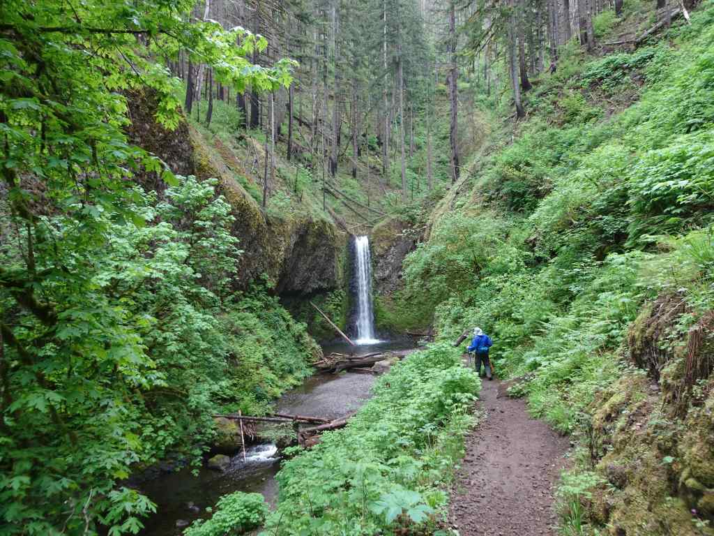
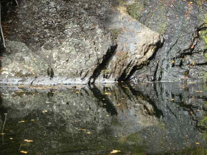
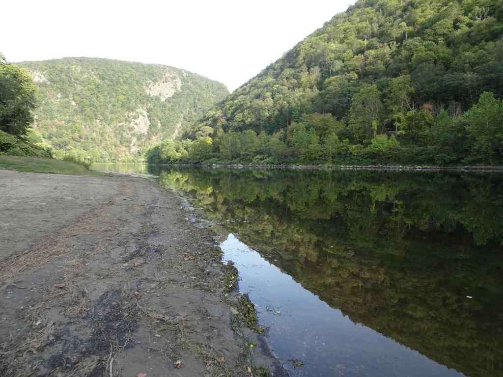
9/29 to 30 – Delaware Water Gap, PA
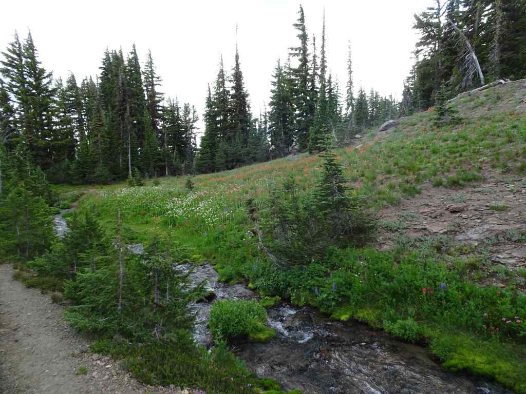
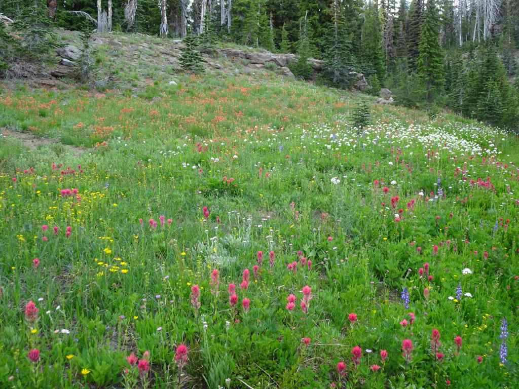
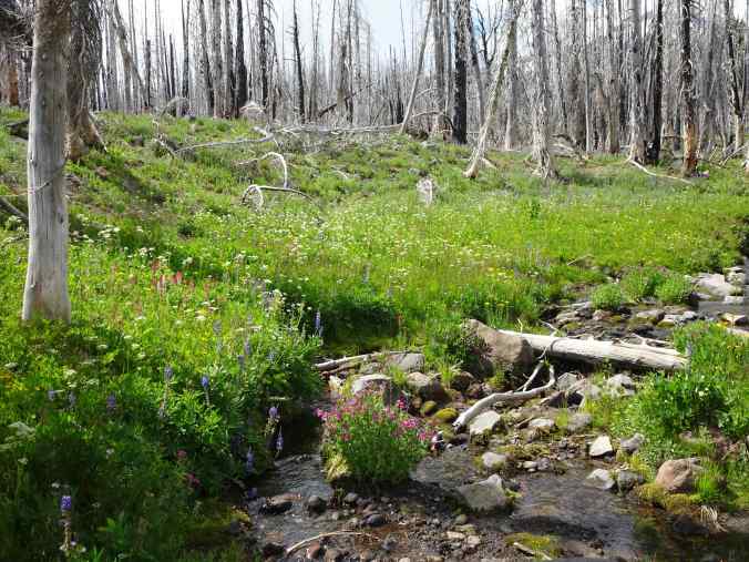
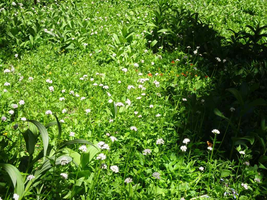
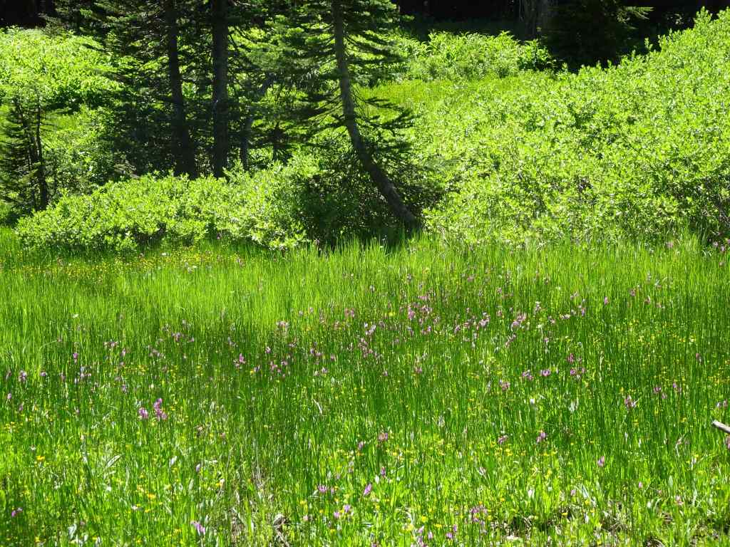
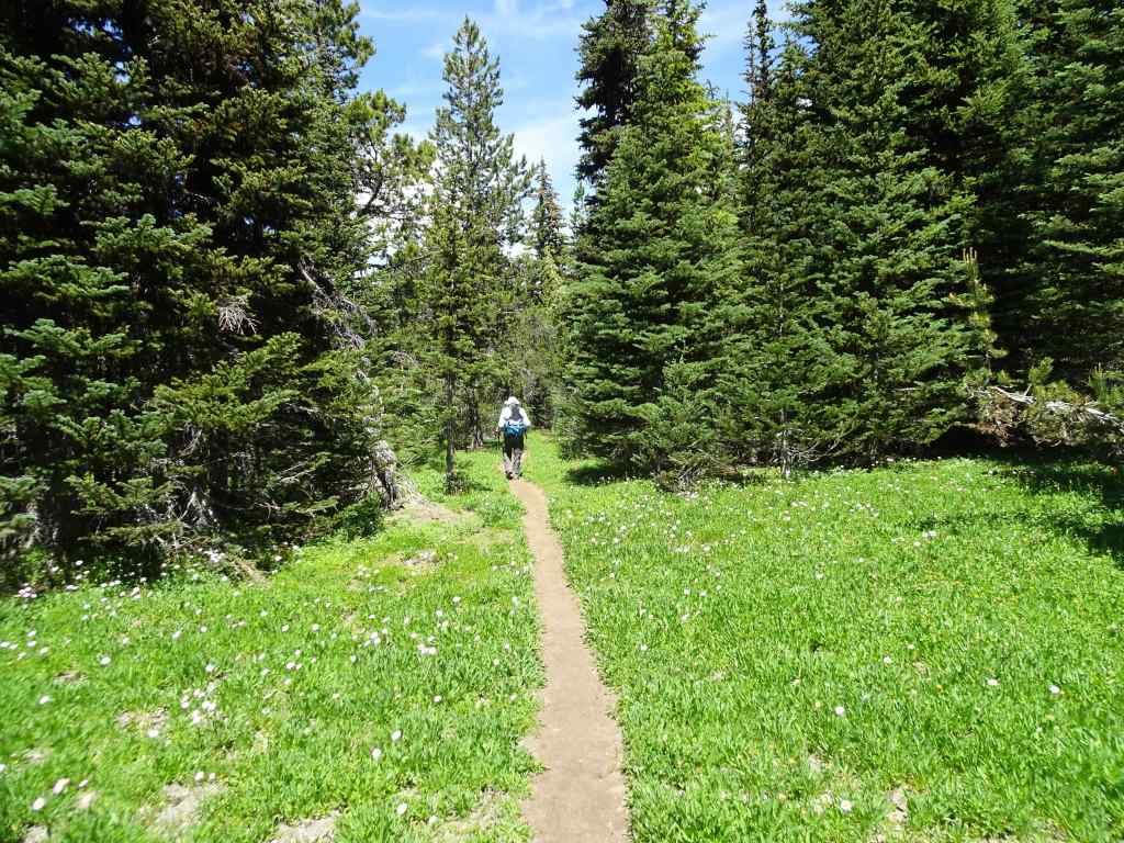
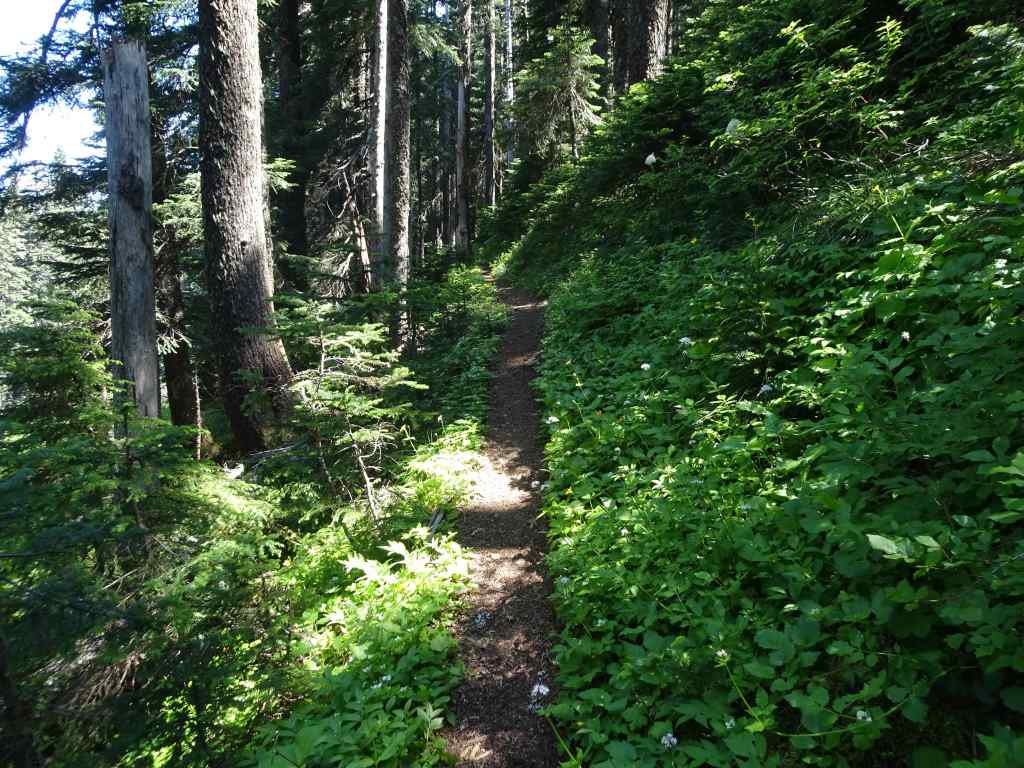
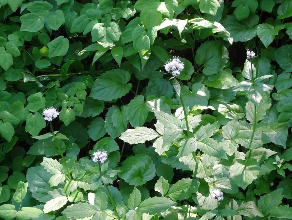
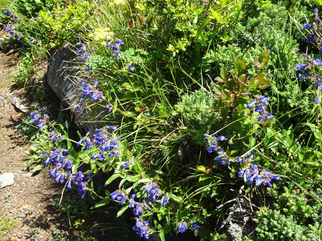
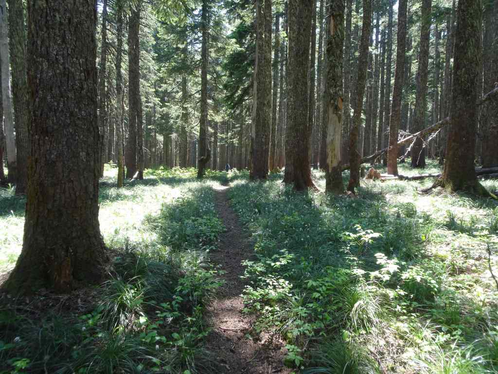
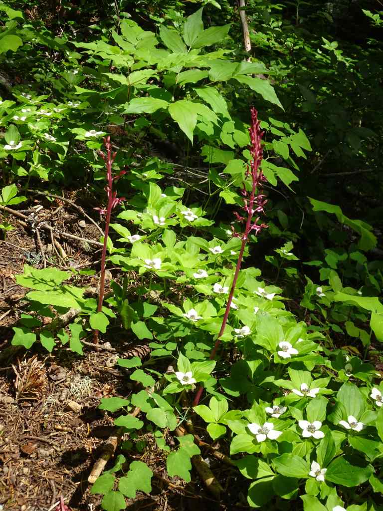
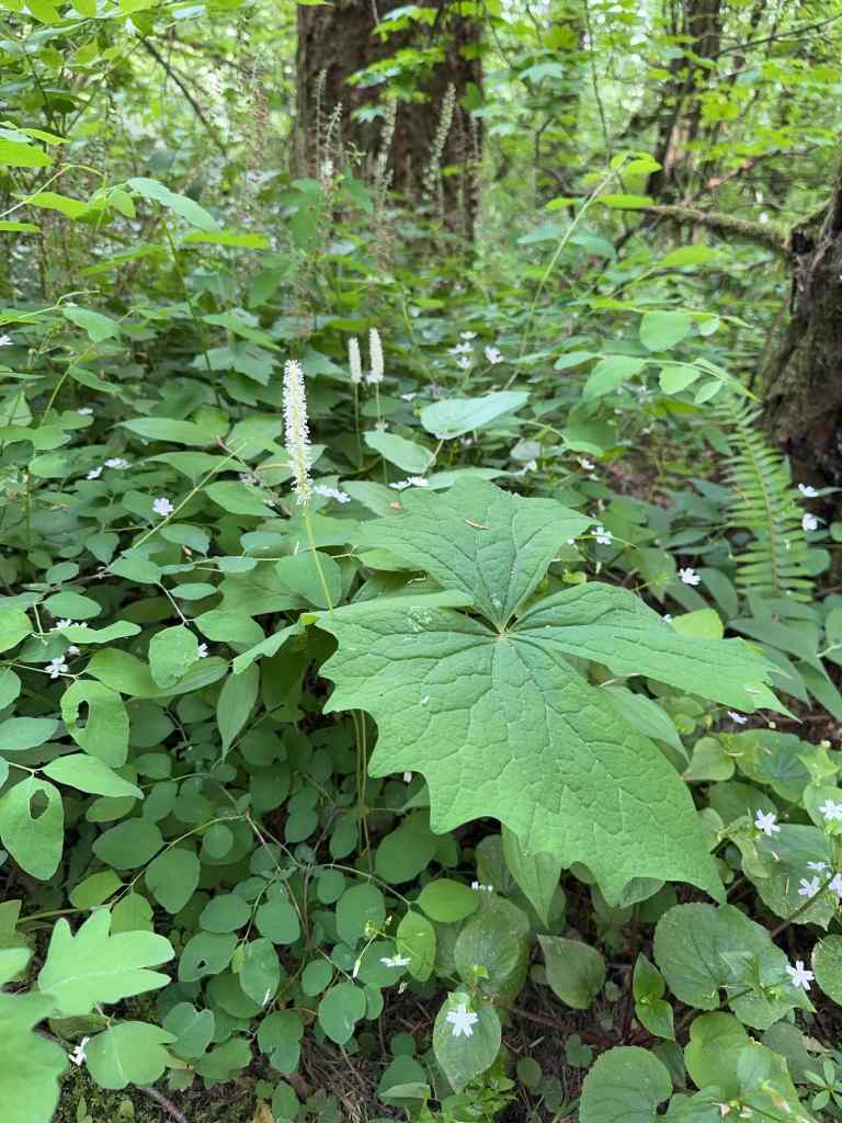
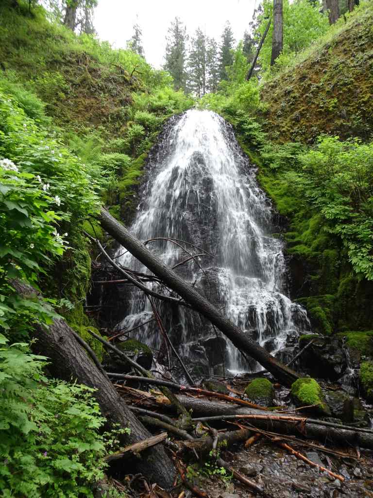
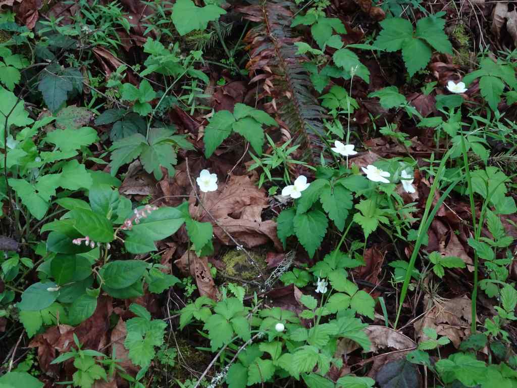
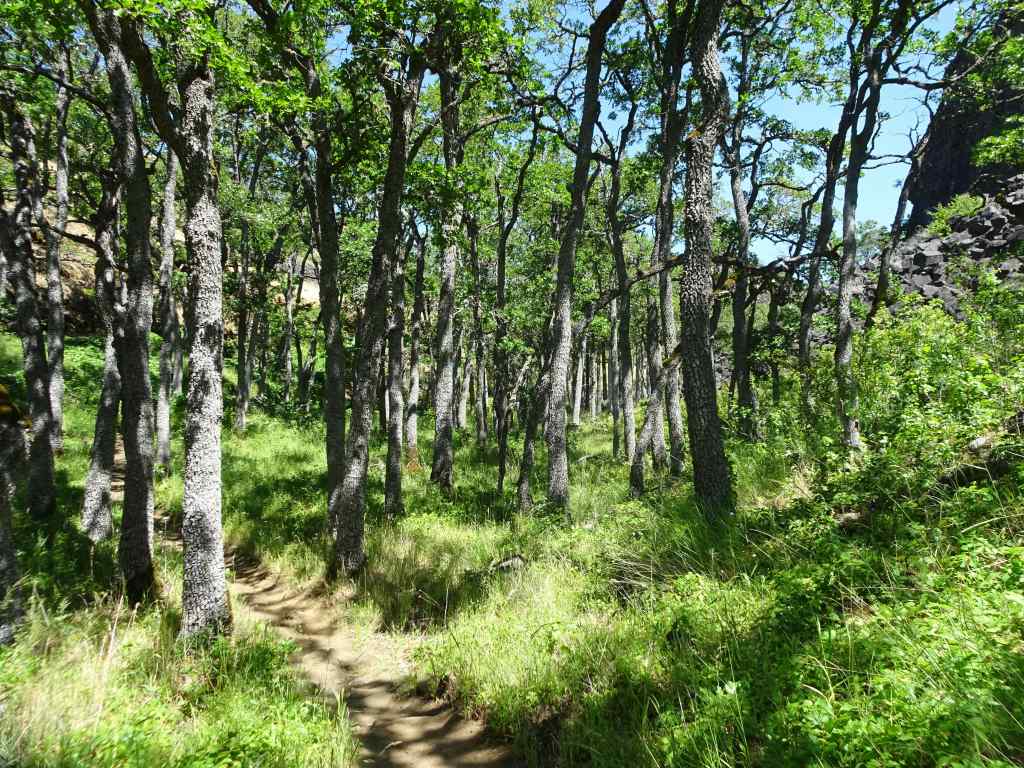
The next day, we drove west to the Pocono Mountains in Pennsylvania, and then spent the following day exploring Delaware Water Gap National Recreation Area. After a stop at the Visitor Center, we decided to hike the Tumbling Falls Trail – shady and not too steep, as it was another hot day, and I was still regaining my hiking stamina. It was a pretty hike through oak and pine woodlands.


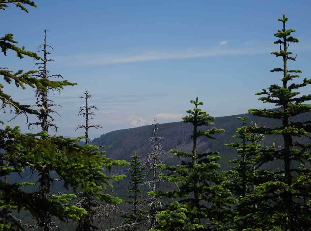
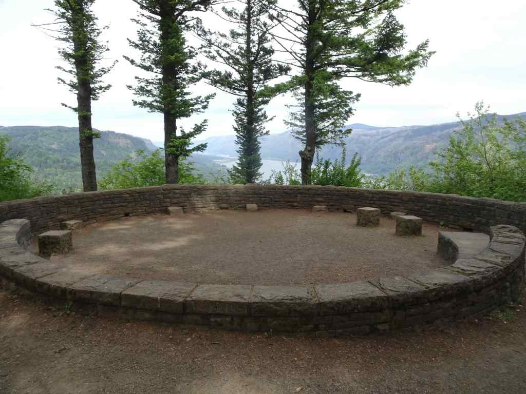
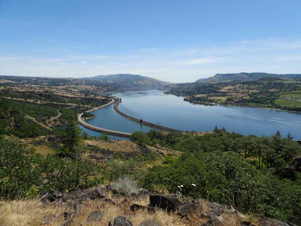
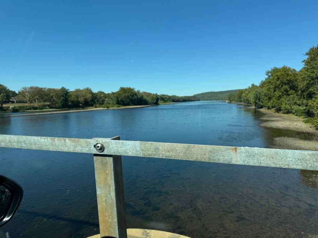
After our hike, we drove south, to a couple of viewpoints of the Gap.


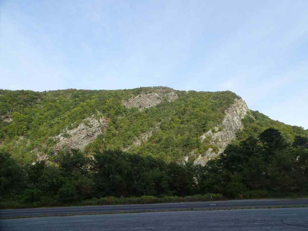
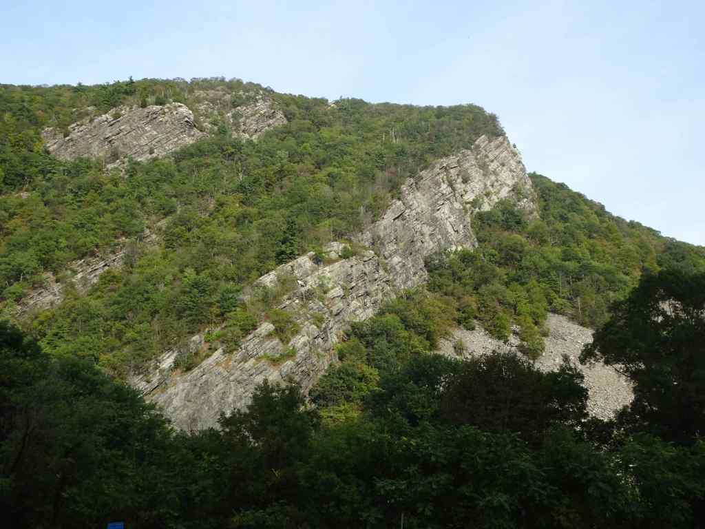
Then we drove across the river to the Kittatinny Point Visitors Center.


10/1 – Washington Crossing Historic Park, PA
We spent the first part of the day driving to Philadelphia. The Washington Crossing Historical Park on the Pennsylvania side of the Delaware River was a convenient lunch stop.


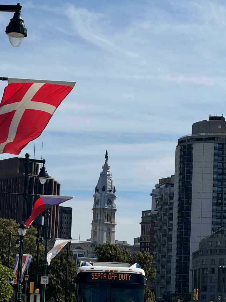
10/1 to 5 – Philadelphia
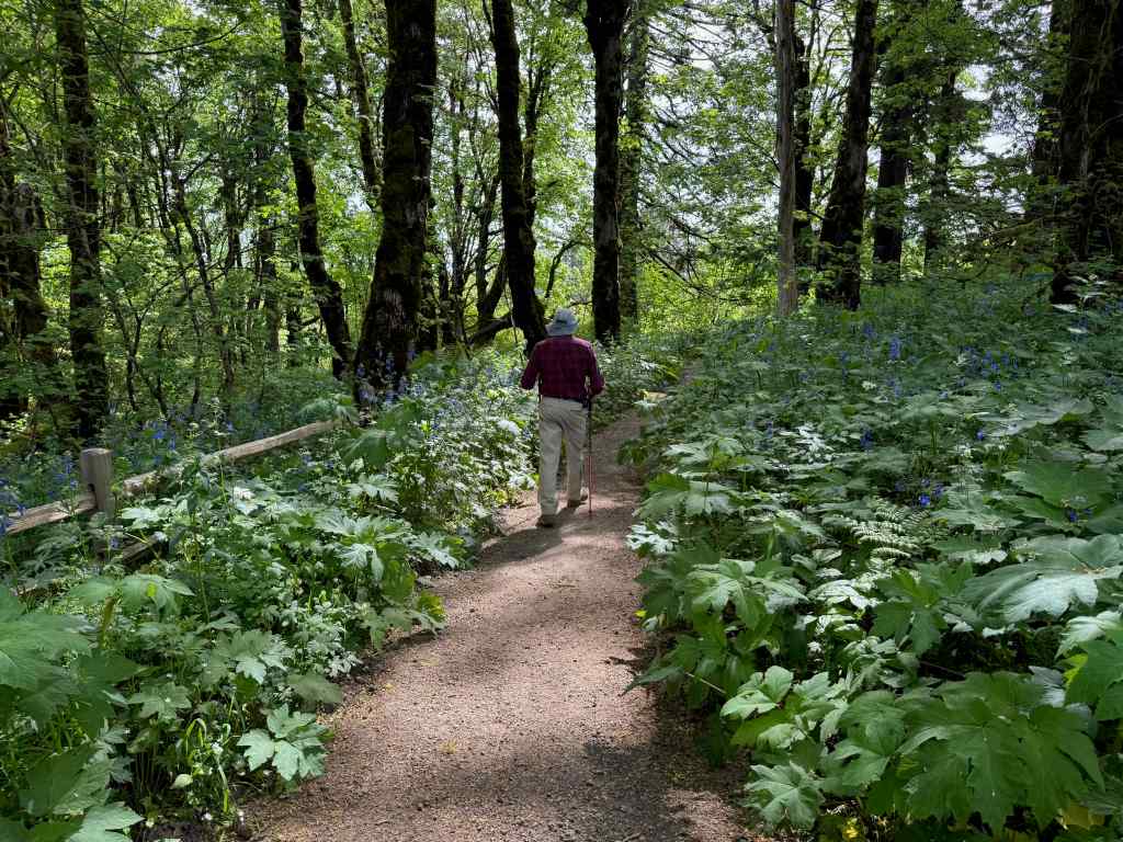
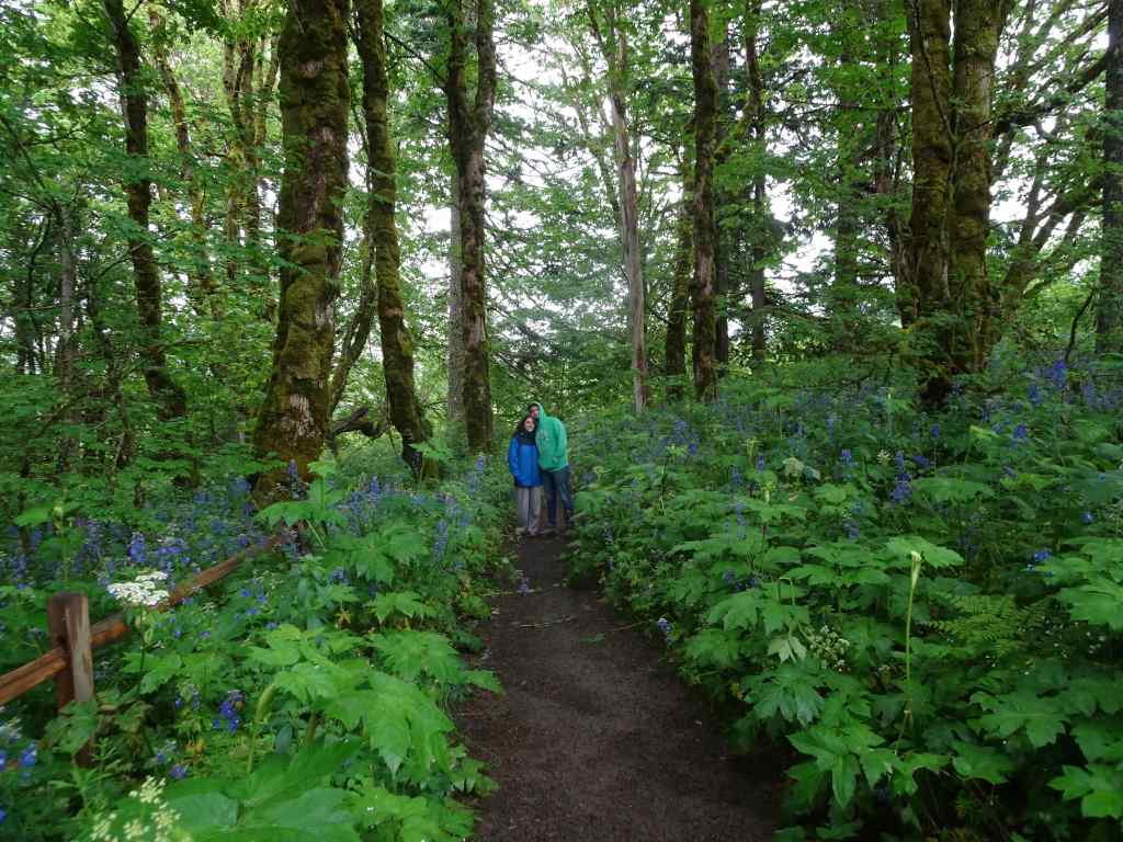
After lunch, we continued on to Philadelphia. Our son lives near the center of the city, and we stayed in a nearby condo hotel. Over the next few days, we ate in several great restaurants – Thai, Italian, and our first Philly ‘cheese steaks’ (I’m not sure it counts if you opt for vegetarian or chicken versions). We walked to two museums on Franklin Boulevard. It was nice weather, and we really enjoyed our time, especially with the people we got to visit.


10/2 – Barnes Foundation
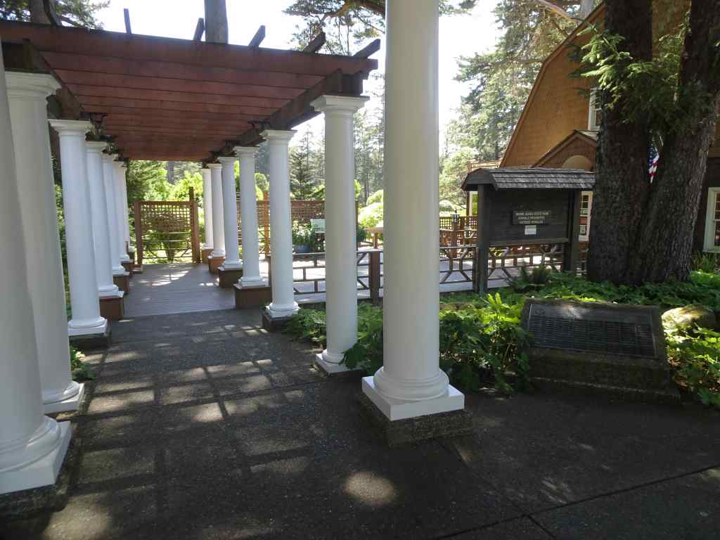
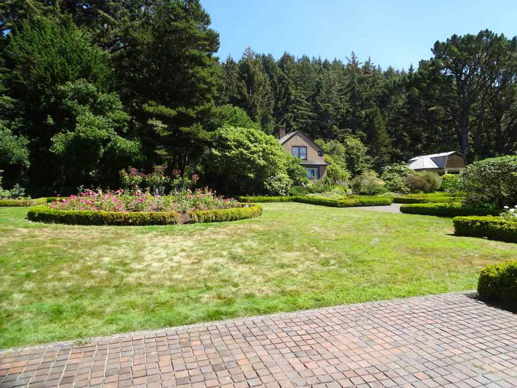
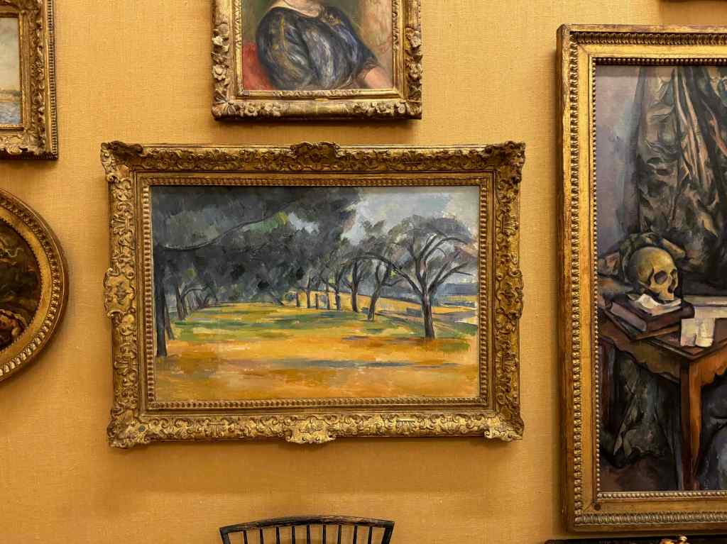
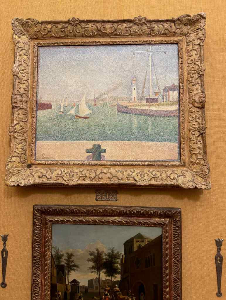
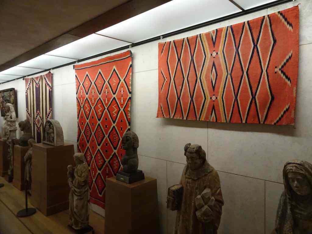
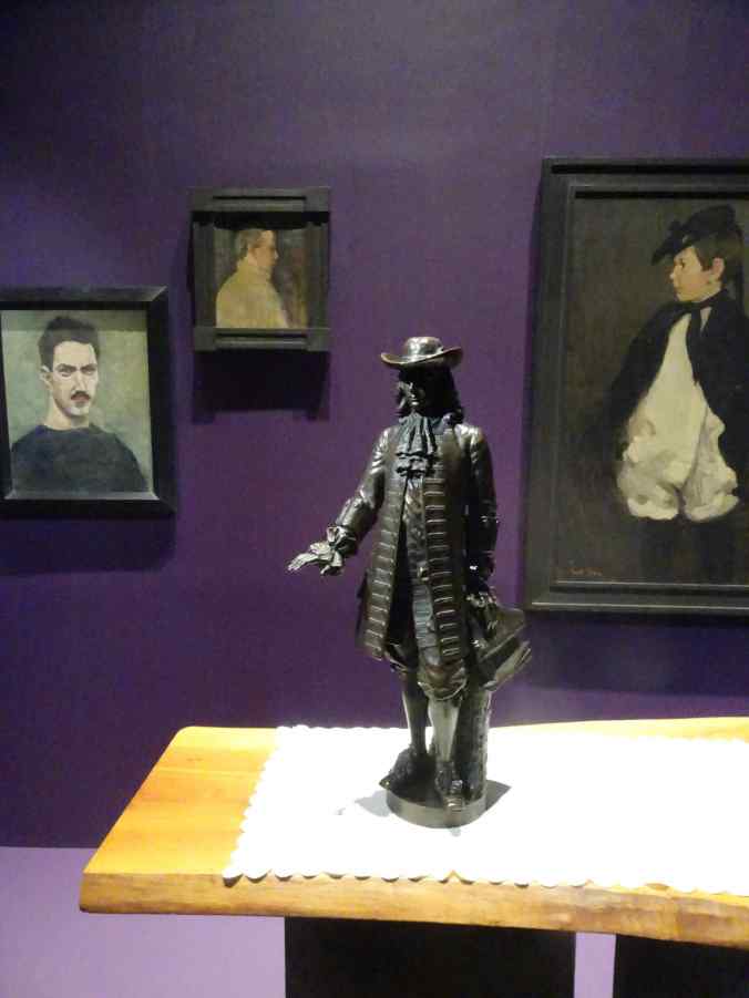
We walked to the Barnes Foundation, an art museum on Franklin Parkway that is particularly known for its enormous collection of Impressionist Art, especially by Renoir. The collection is displayed without placards, and arranged in settings that juxtapose many different artists and media in each room. One must scan the art with a phone to find out the maker or context. The collector, Albert C. Barnes (1872-1951), acquired this art after making a fortune in pharmaceuticals, and he created his foundation to provide art education for everyone. I admired much of the work, and if I lived in the area, I could become familiar with the many types of art and artists on display. For a casual walk through, I found it a bit overwhelming to have to interface through my phone to learn about the art and artists.


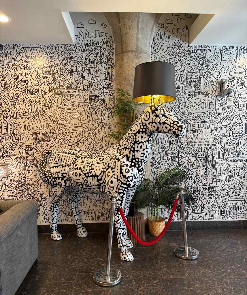
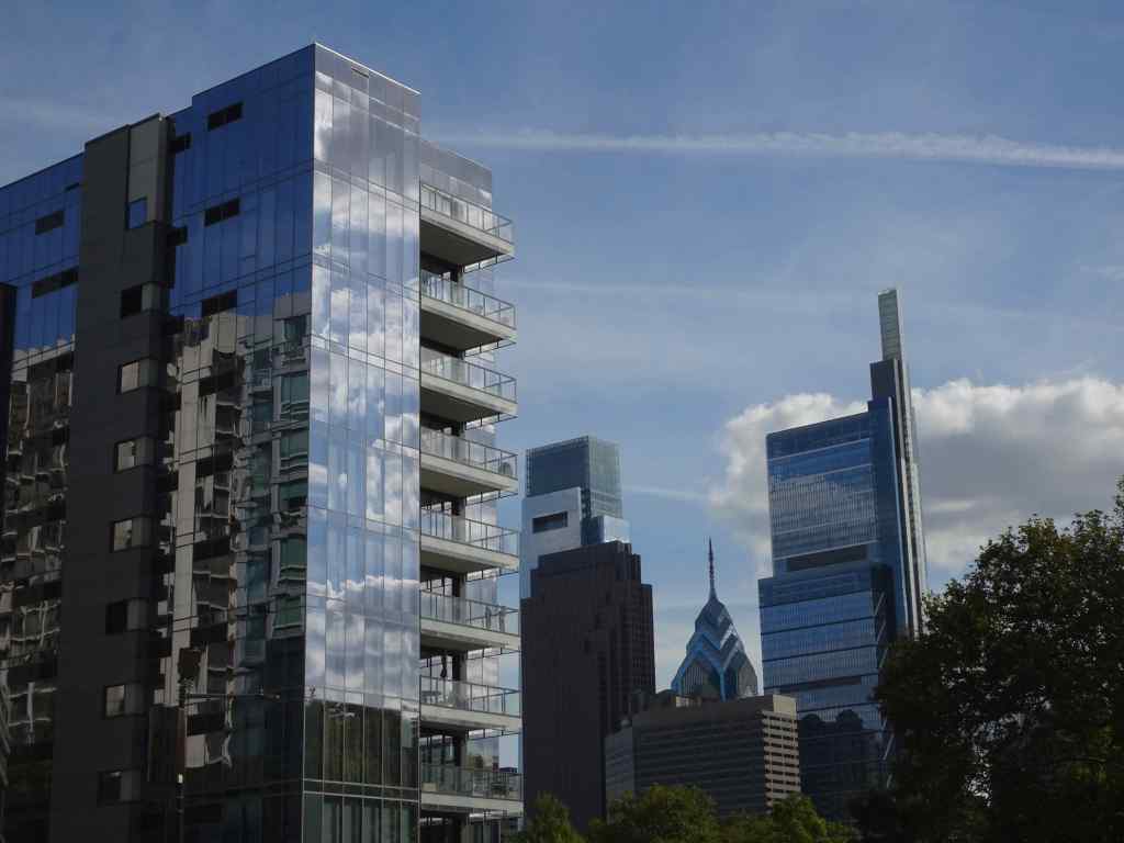
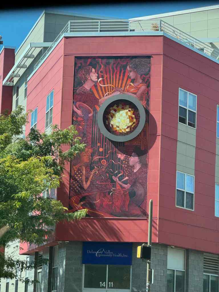
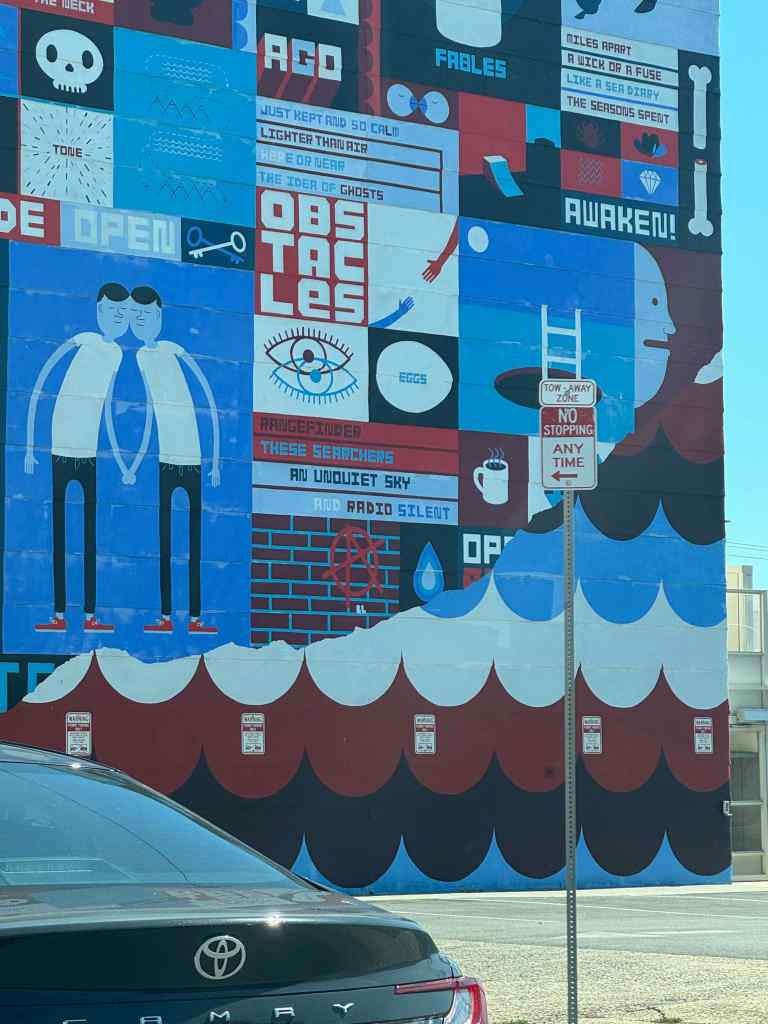
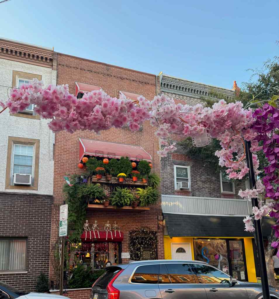
As we walked around for these two days, I admired the juxtaposition of old and new buildings, and of many huge murals on the sides of some of the buildings.


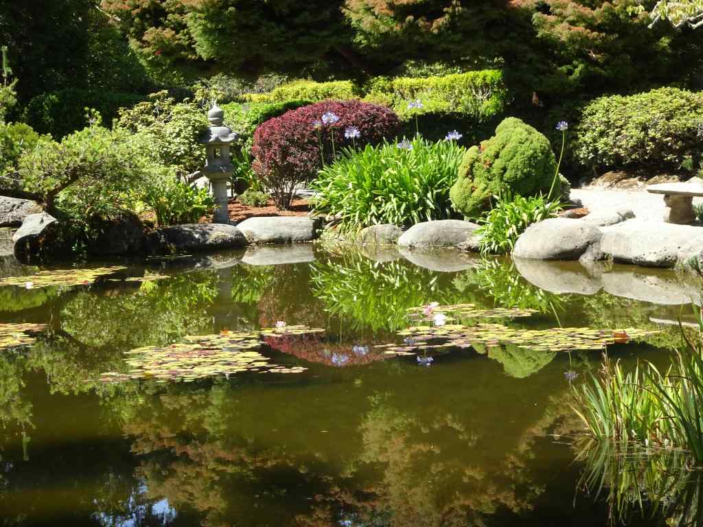
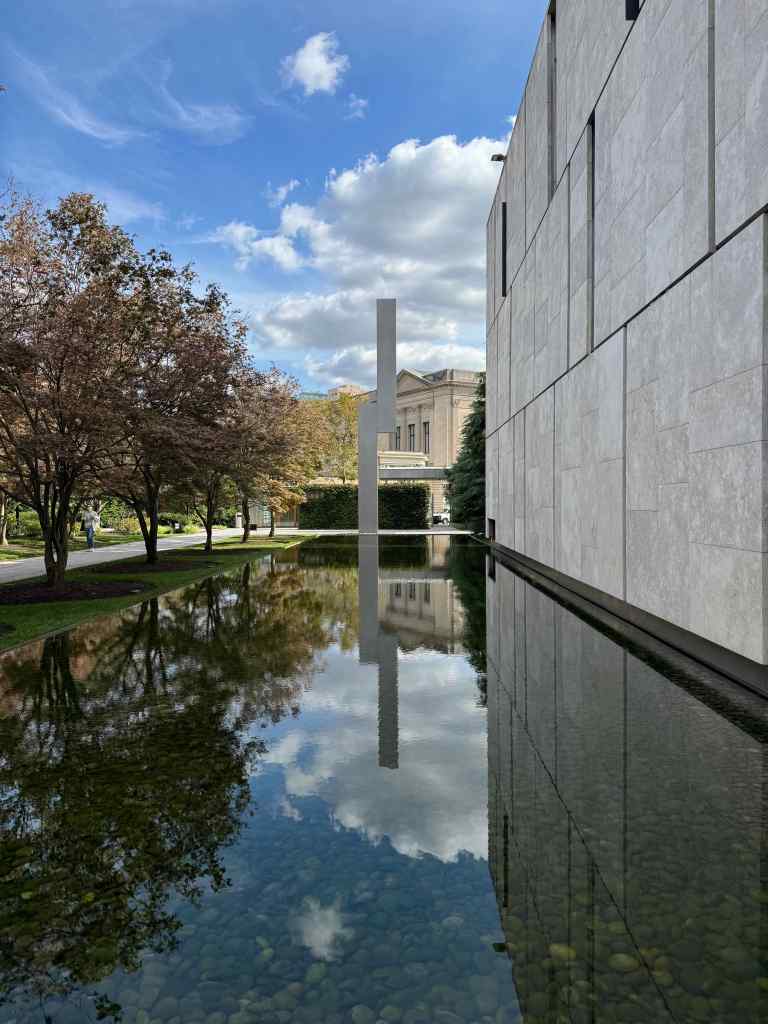
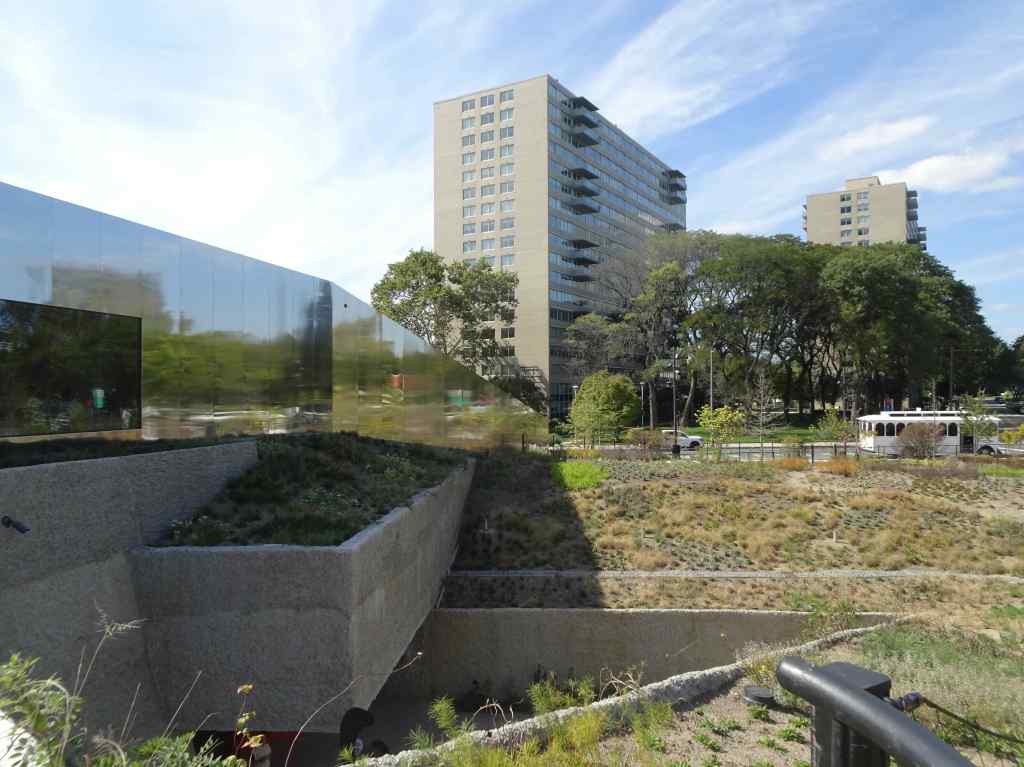
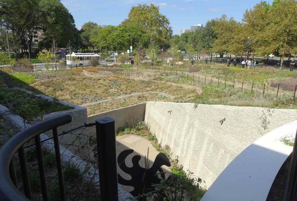
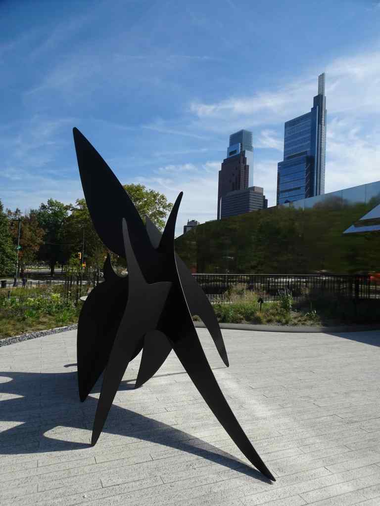
10/3 – Calder Gardens
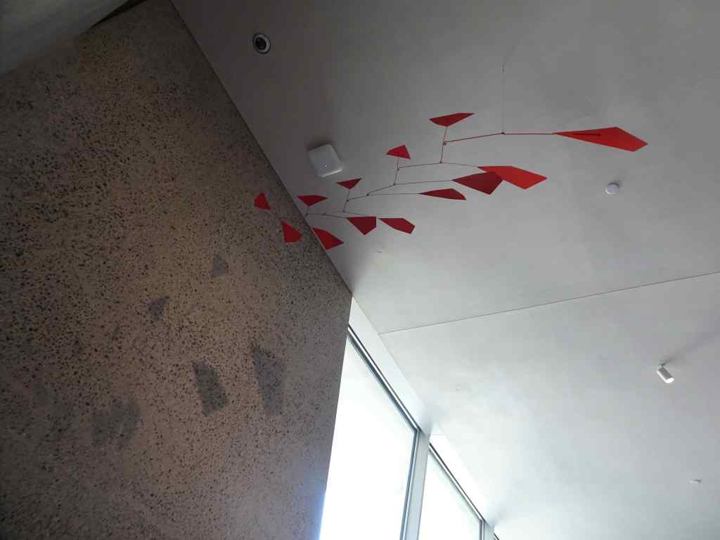
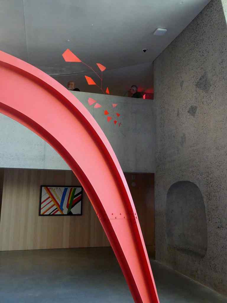
The next day, we planned to meet some cousins in the afternoon, and to visit a new museum on Franklin Parkway, dedicated entirely to the art of Alexander Calder (1898-1976). Calder, from Philadelphia, is particularly known for three dimensional mobile and stabile sculptures, made of wire and steel. His works are displayed both indoors, and in the outdoor garden grounds.
Once inside, there is a balcony that overlooks the lower galleries. It seems an effective way to display both hanging and standing sculptures. And it is interesting to be able to see them from various angles.
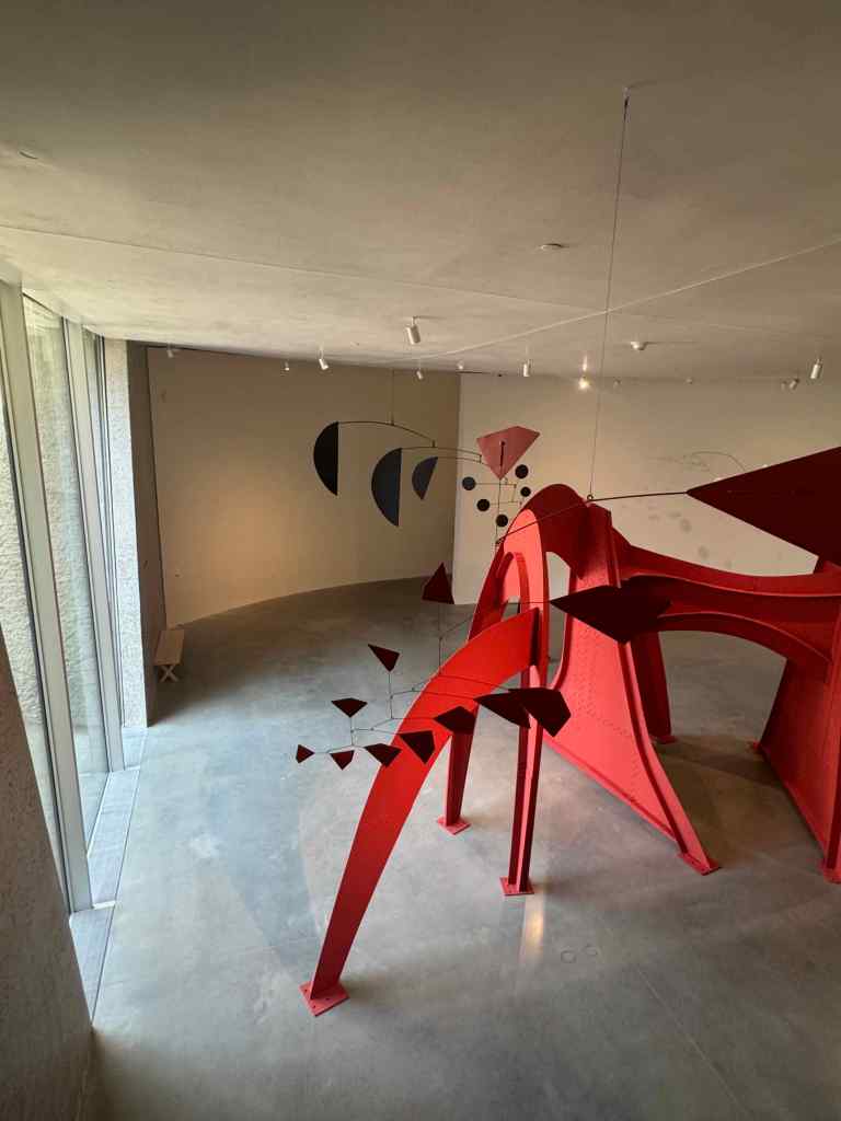


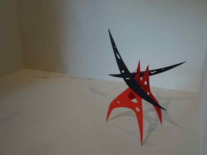
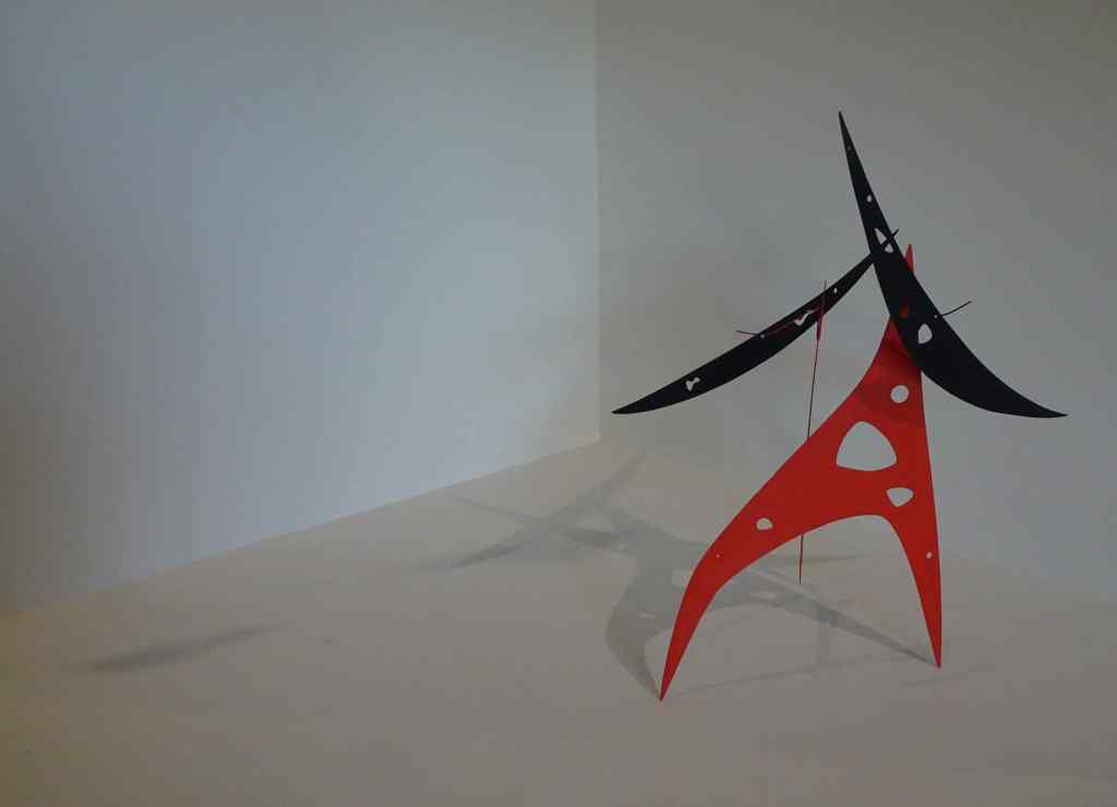
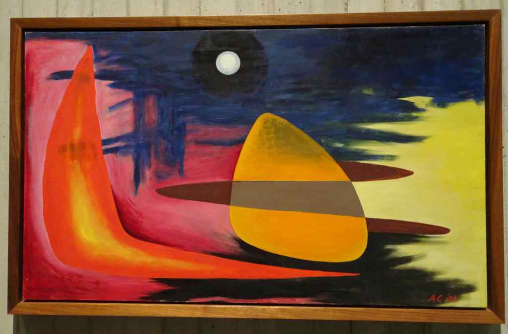
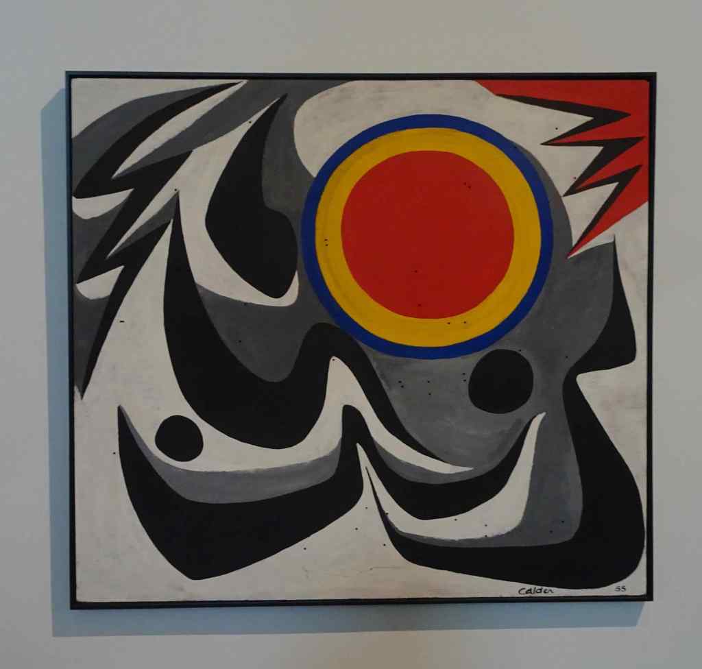
There were many colorful paintings in the lower gallery. I love the bright colors and organic shapes!


After our museum visit, we walked around in the Passyunk neighborhood, and found an Italian Restaurant for another delicious dinner.


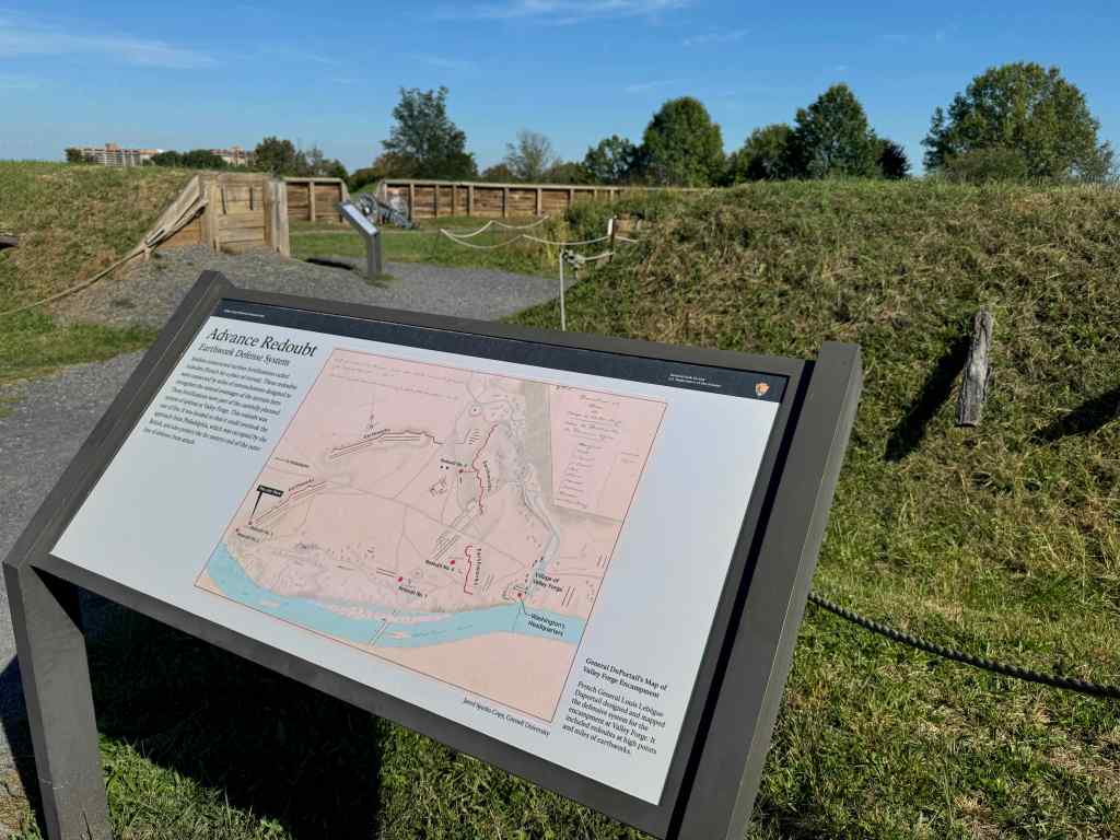
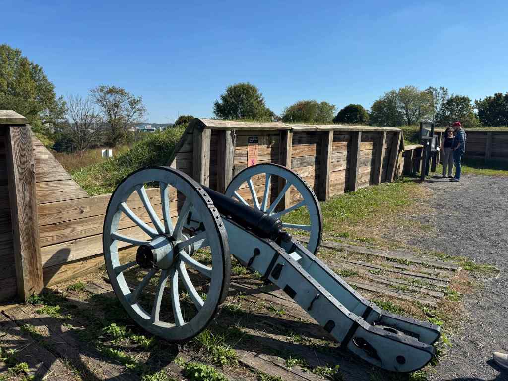
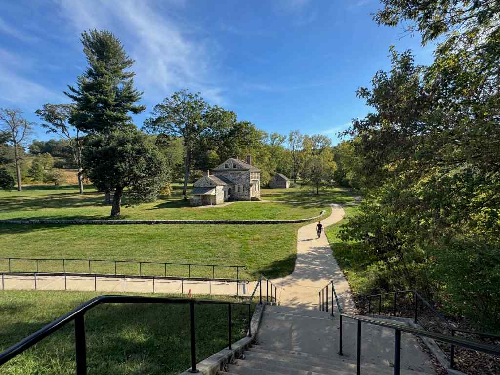
10/4 – Valley Forge, PA
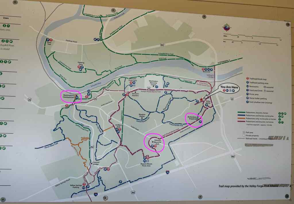
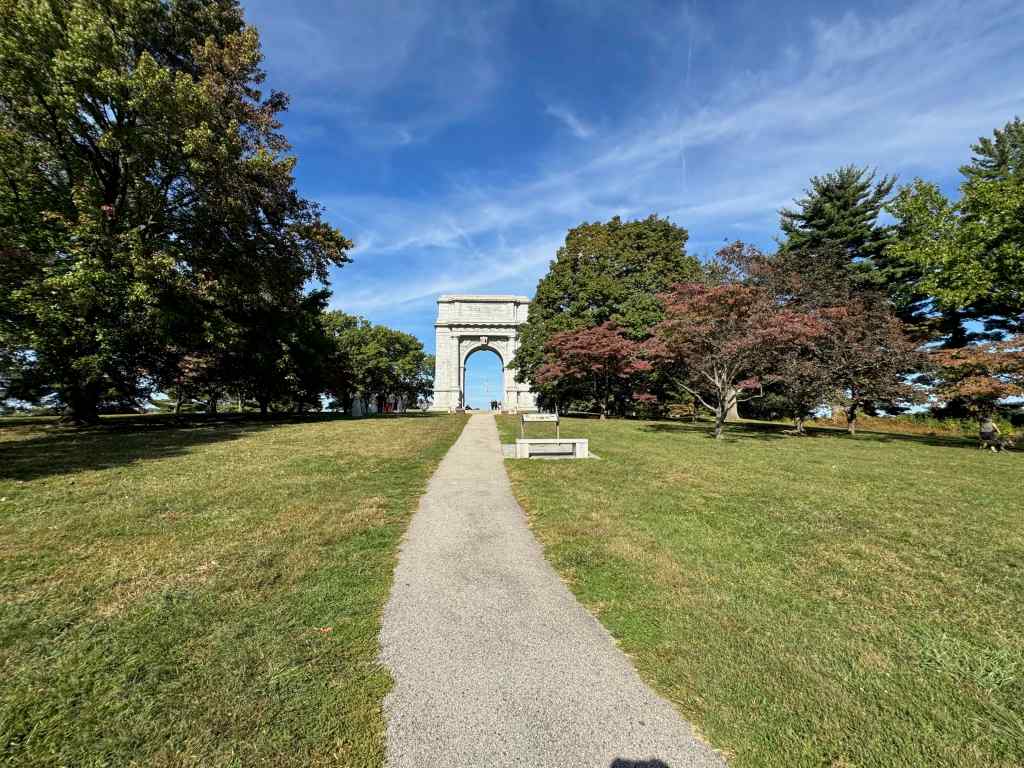
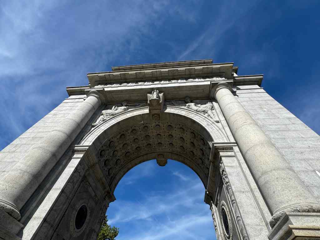
We visited Valley Forge Historic Site, where George Washington’s army of 12,000 people camped during the winter of 1777-1778. This park is huge, encompassing 3500 acres. There are miles of walking trails, and bike and horse paths. We looked at reconstructed cabins and defensive structures, the National Memorial Arch, and George Washington’s Headquarters.


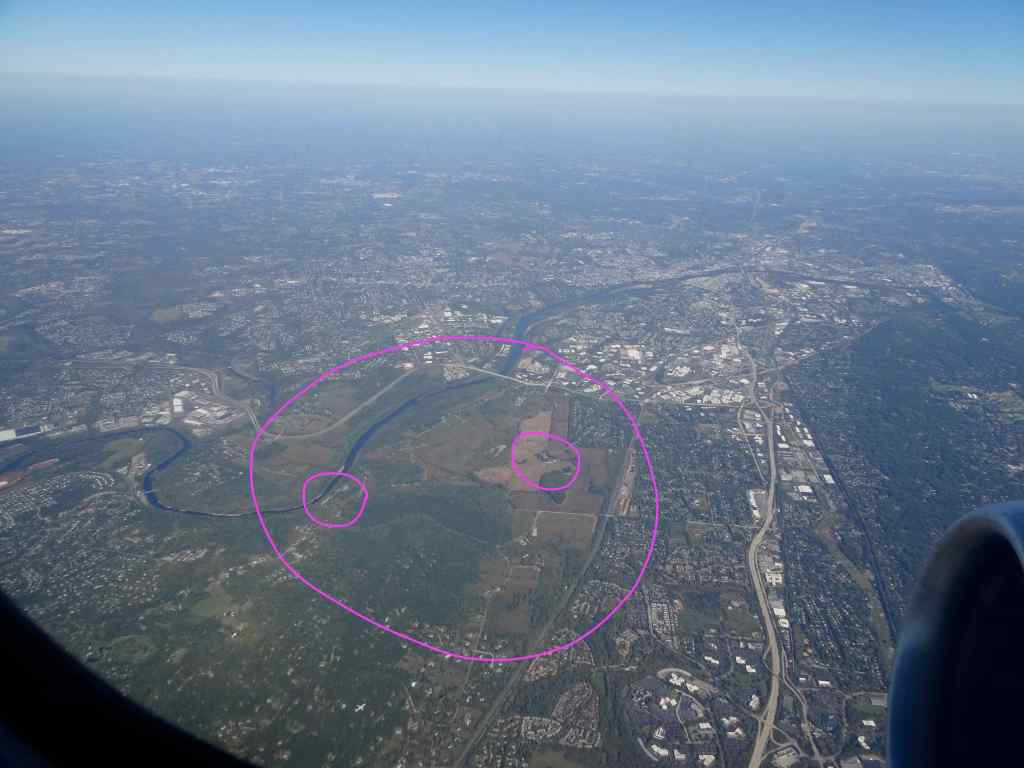
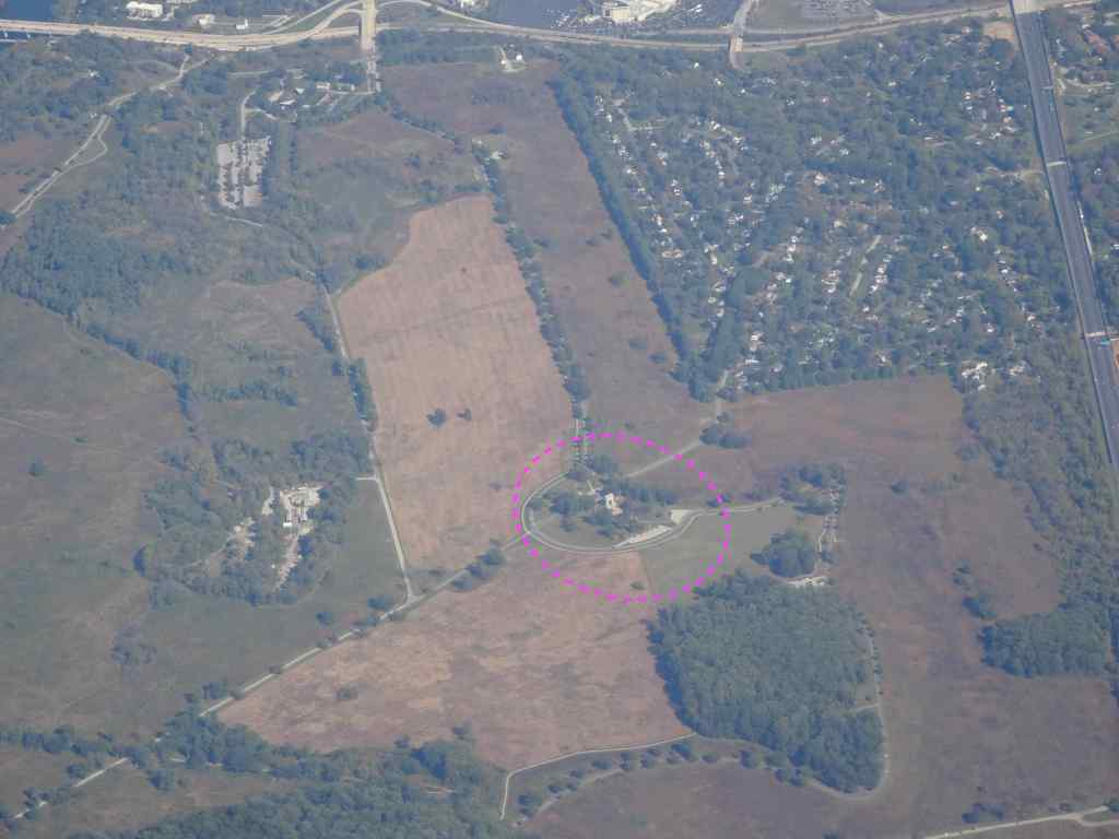
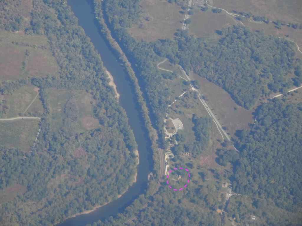
Unfortunately, none of the buildings or Visitor Centers were open, and it was too hot to stay outside. We went to nearby King of Prussia to find a cold beverage, and then to meet up with our soon to be in-laws for dinner. What I didn’t expect was that I would see Valley Forge from the air during our flight home tomorrow.
10/5 – Philly to Chicago, then PDX
I had great views on our flight to Midway Airport, Chicago. Once we left Philadelphia, I realized we were flying over Valley Forge. Having been there the day before, I recognized the road pattern and the Schuylkill River.
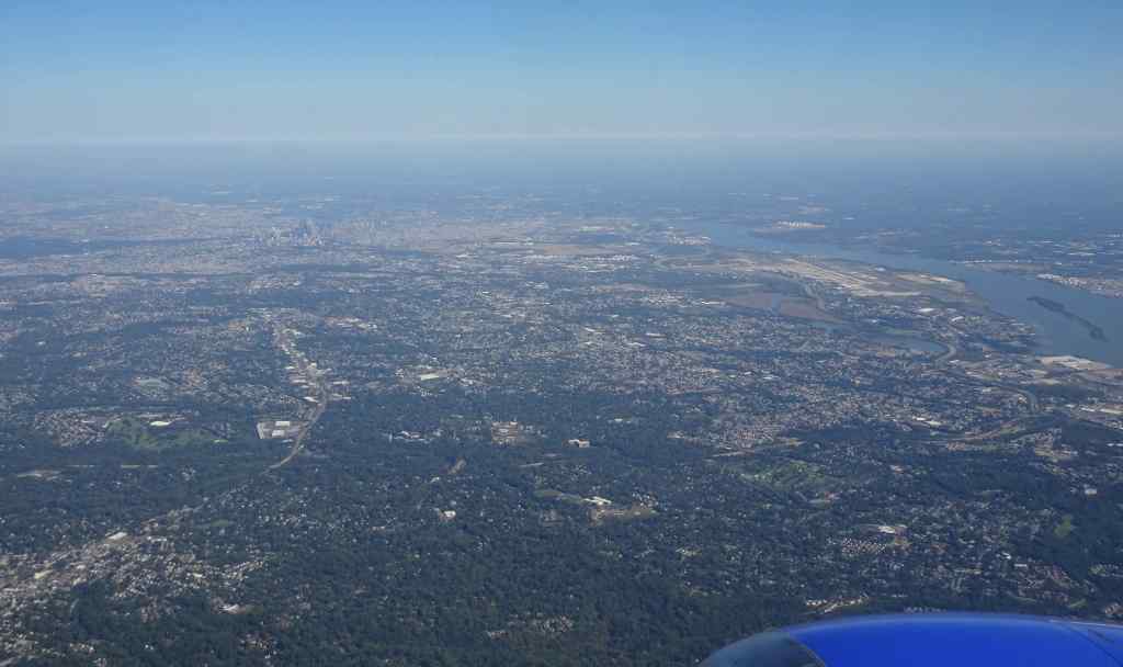
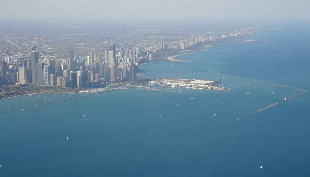
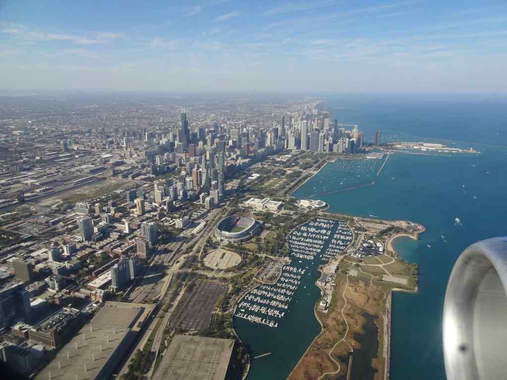
We flew on, over lots of checkerboard farm fields, and rivers cutting through the folded landscape. I also got a good look at Cleveland and Chicago (and their giant football arenas!)

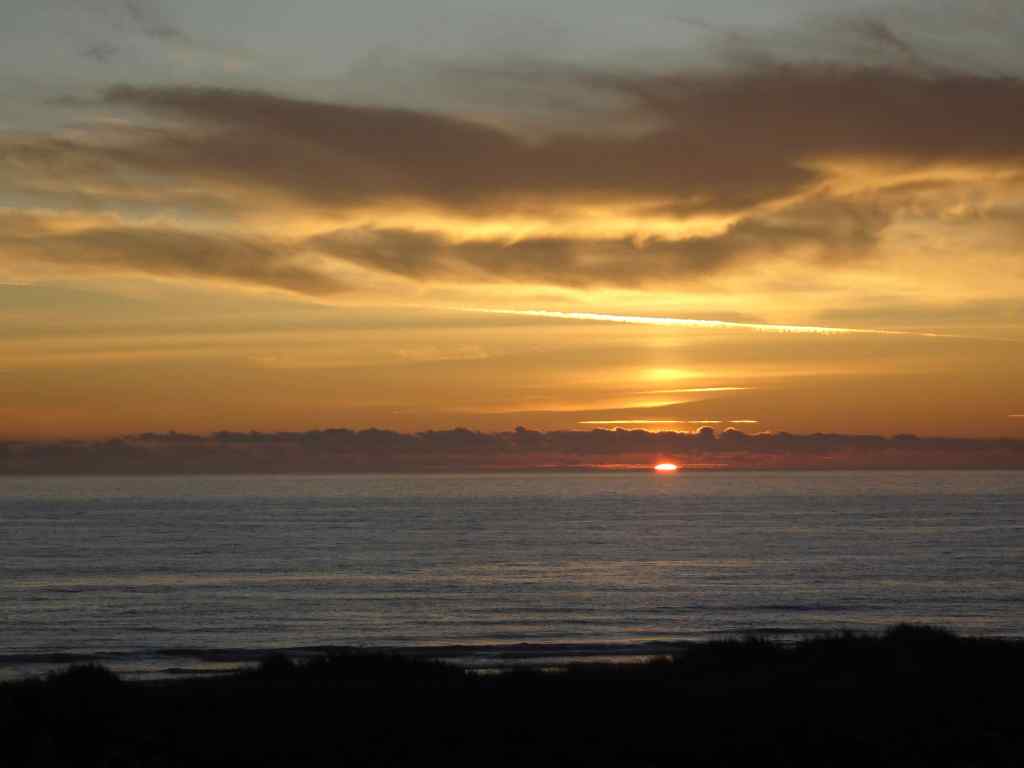
Our connecting flight to Portland was after sunset, so I didn’t see much. I thought about watching the earth go by beneath me from the air; all the baseball diamonds and soccer fields, farms and towns, all the people down there going about their day while I fly above. It gives me perspective about my tiny place in this great big world. Overall it was an enjoyable trip, especially for the family connections reinforced and new connections made.