4. Rainy Weekend: Rainbow, Bitterroot and more Balsamroot

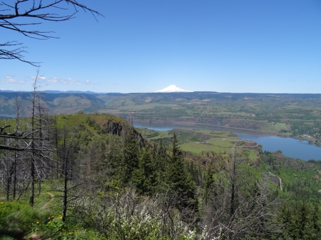
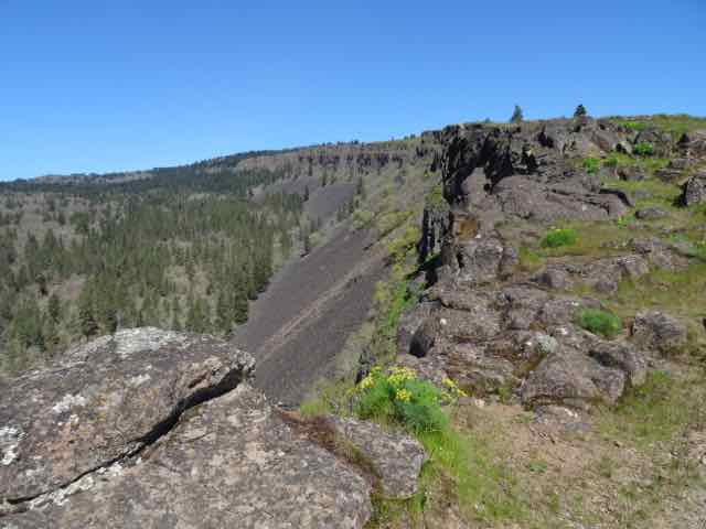
Starvation Ridge          May 12, 2017          (# 24 )

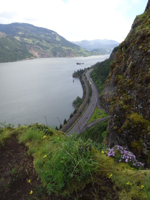
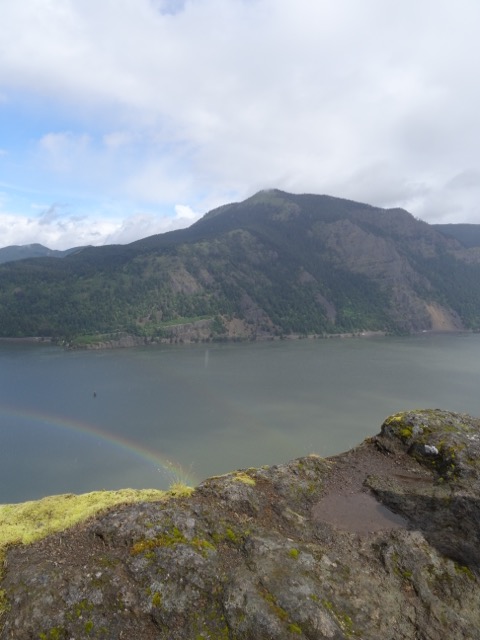
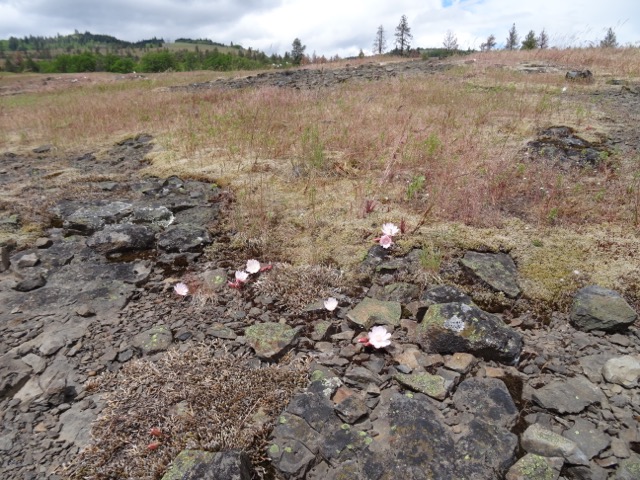
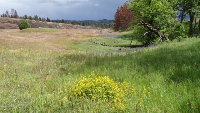
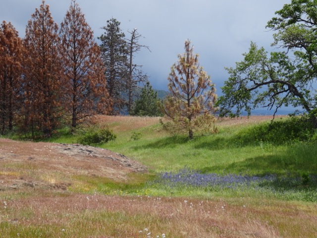
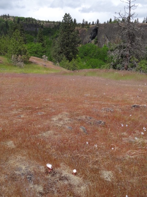
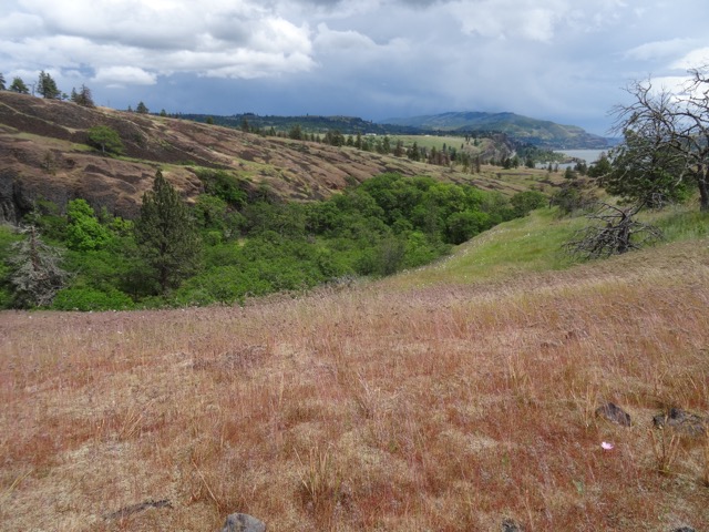
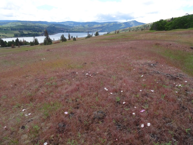
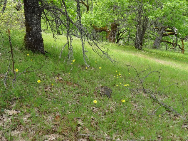
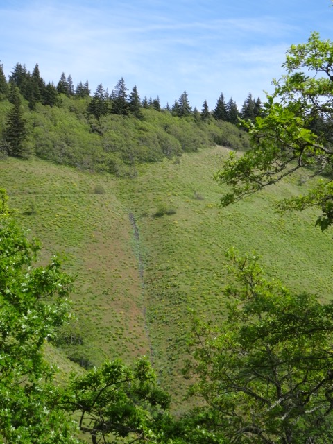
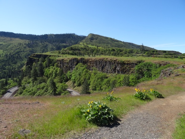
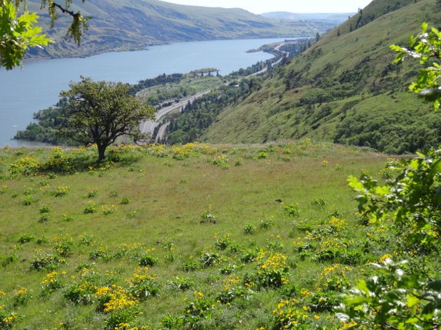
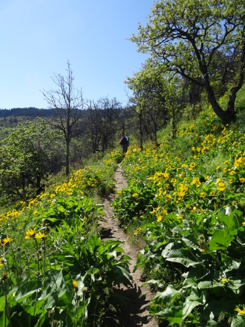
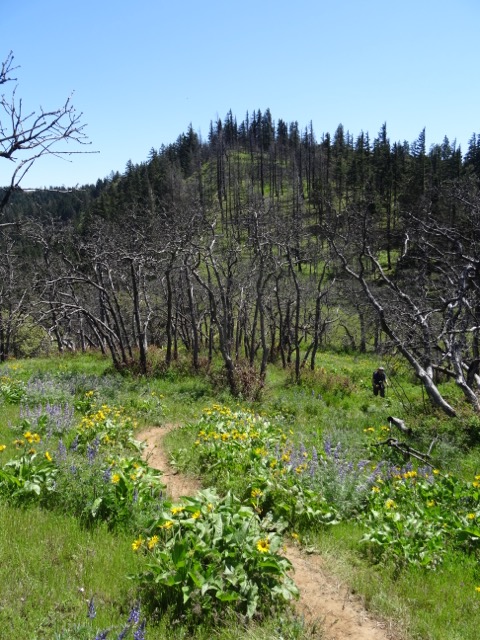
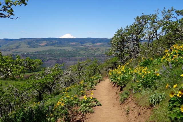
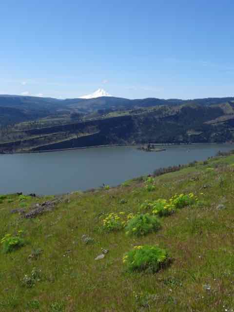
Lots of rain in Portland this weekend.  Friday we decided to try the Starvation Ridge loop near Hood River (50% chance of rain).  Two cars in the parking lot, but no actual raindrops.  Clouds were looming just above the top of Dog Mountain directly across the Columbia River.  The loop is about 3 miles, and the Oregon Hikers trail guide recommends a clockwise loop as the first uphill section is really steep but would be more difficult going down.  We completely agree with their assessment – also there were a couple of washouts on this part of the trail that would be harder down hill.  The trail switchbacks along the ridge and crosses under the power lines.  There are open meadows in places that were full of wildflowers.  We also had drizzle or rain about 50% of the time, but as we were standing on one of the high overlooks, the sun came out behind us, creating a rainbow below us over the river.  We did have to scoot across one stream crossing on a log on our backsides. We enjoyed the hike, and we had the trail entirely to ourselves.  (3 miles, 1100 feet )  We finished the Starvation hike around lunchtime, and ate our lunch while reading the signage about the train that was stuck in the snow here for three weeks in December, 1884, though noone actually starved.
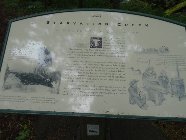
DSC04133

Starvation story

DSC04021

First overlook, east toward the trailhead, with phlox

DSC04066

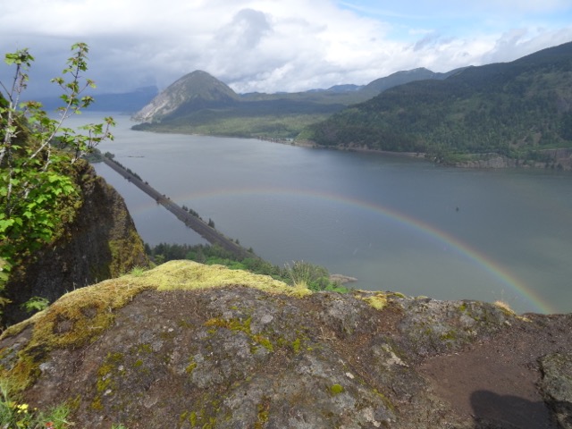
Rainbow below us, toward Wind Mountain

DSC04068

Dog Mountain, across the Columbia River

DSC04101

Rainy meadow

Bitterroot at Catherine Creek     May 12, 2017

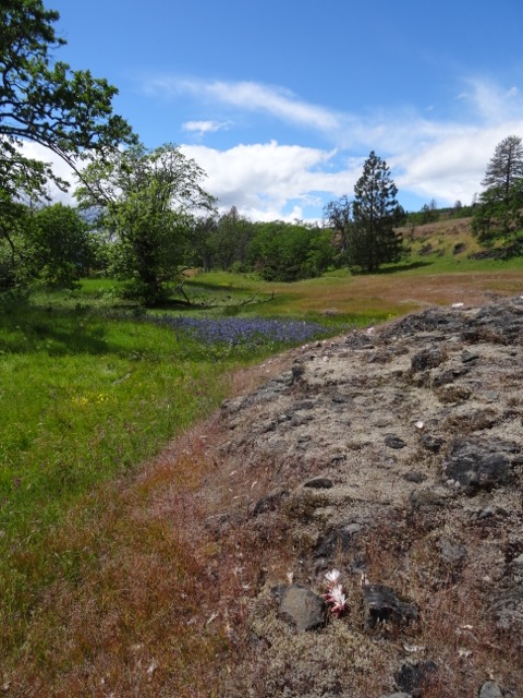
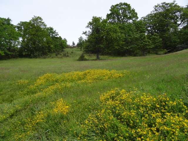
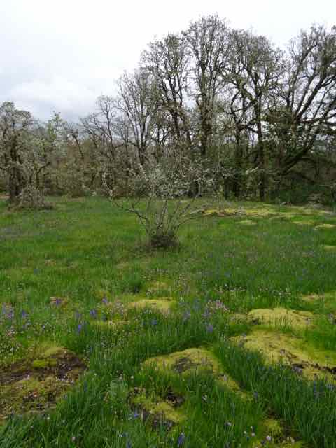
After lunch we crossed over the Hood River Bridge to Catherine Creek as we had seen reports that the bitterroot were blooming.  Yes!  The meadows are starting to look dry, but the rocky balds are sprinkled with clumps of blooms, with more to come.  We wandered up to the vernal ponds area above the road and could see bitterroot bloom far and wide.  The ponds are dried up, but filled with swathes of purple camas and monkey flower.  Buckwheat are starting to bloom, and a few white death camas remain in the shady areas.

DSC04140

Bitterroot

DSC04139

Near the parking area

DSC04162

Vernal Pools filled with camas

DSC04167

DSC04174

Catherine Creek arch

DSC04179

East view – Columbia River

DSC04201

West view- Columbia River

DSC04213

Looking back at the vernal pools

Weldon Wagon Road      May 14, 2017   (# 25)

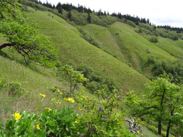
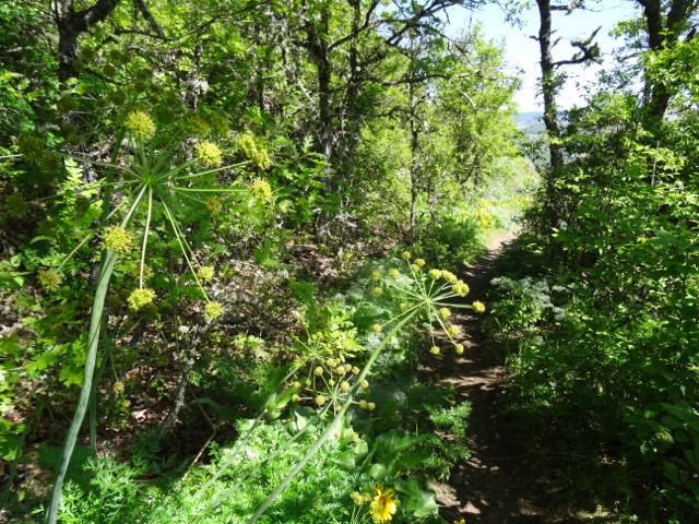
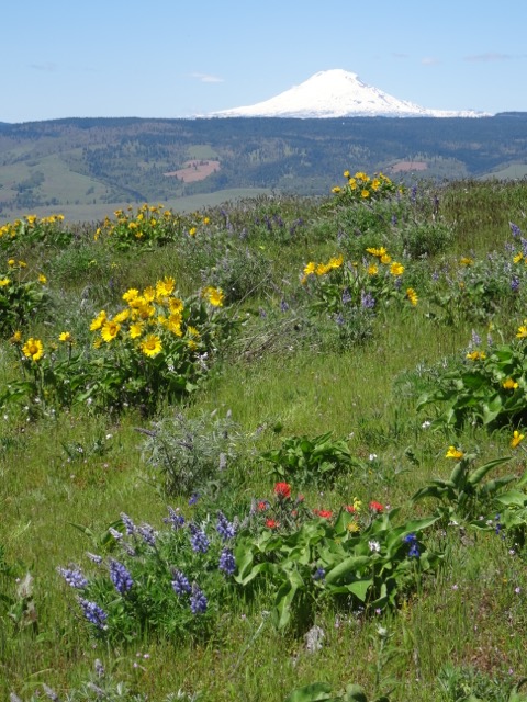
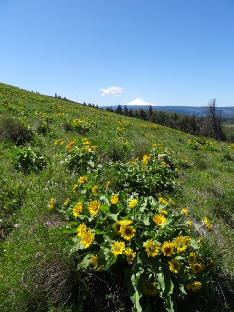
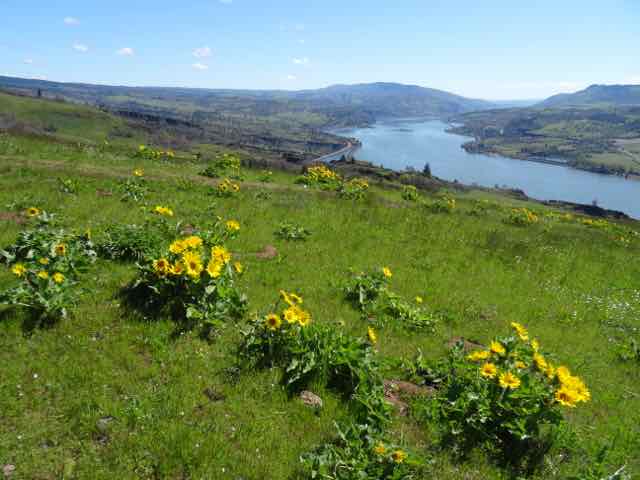
Mothers Day – Once again going east out of the rain, we decided to walk this trail above Husum, Washington. We went with our son, and some friends with their dog. We had been once several years ago, in April, and I remember enjoying walking through the oak woodlands that reminded me of the California hills of my youth.  We were pleasantly surprised to see that in May, the open slopes in the upper part of the trail are covered in balsam root flowers with lupine, buckwheat, and various parsleys. We could only see the very lowest part of Mt. Hood below the rain clouds, but we did not get any rain, and had a very pleasant hike (5.5 miles, 1300′).

DSC04248DSC04250DSC04255

DSC04274

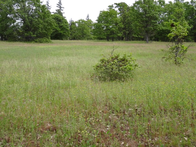
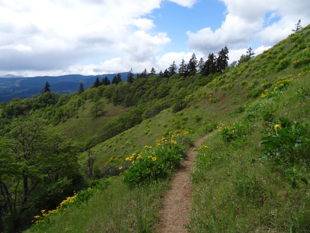
Trail cutting through upper slopes – balsam root in bloom

DSC04286

The lower shoulders of Mt. Hood ahead

DSC04306

DSC04327

Columbia desert parsley in the ravine

3 – Lilacs and Balsamroot

Hulda Klager Lilac Garden    May 6, 2017

We went with friends to see the lilacs in bloom at the 1889 farmhouse in Woodland, Washington.  The lilacs were lovely, there were some interesting quilts in the house, and we enjoyed a picnic lunch at nearby Horseshoe Lake.  We also visited the Tulip farm at the south end of town, and saw the last straggling tulips – mostly done for the season.

Tom McCall Point hike  May 7, 2017    (#23)

Our best hiking weather for the weekend was Sunday, so we knew there would be plenty of people hiking the trail from Rowena Crest to Tom McCall Point on the eastern edge of the Columbia River gorge.  We were all there to see the amazing show of flowers – and the flowers were amazing!  Bright yellow balsam root, purple lupine, red paintbrush, several varieties of parsley, blue-eyed Mary and saxifrage, prairie stars, larkspur, chocolate lilies .  The trail has been relocated since the fire three years ago, and the grade to the top is a bit less steep, and traverses more open meadow than oak woodland. We continued to the high point on the ridge to the east, heading toward Seven Mile Hill, but stopped where the fence crossed the trail (total about 6 miles/1300′). On our way home, we drove down the Old Highway switchbacks to Rowena.  Later that night, the cliff above the road gave way to a massive landslide which will block the road for a few weeks until repaired.

DSC03720

View from the trailhead

DSC03776

East toward Rowena

DSC03777

Through the balsamroot

DSC03735

Parsley lined trail

DSC03804

Memaloose Hills to the west

DSC03902

Mt. Adams to the north

DSC03840

Mt Hood

DSC03888

View from our highest point, back toward Tom McCall Point, Rowena Crest and the Columbia River

DSC03896

Hiking back up Tom McCall Point

DSC03913

Another view of Mt Adams on the hike down

1. Introduction and First Hike Post

I plan to use this blog to document quilts, knitting, and our hiking and other adventures. I am a slow quilter, so quilt posts will be less frequent, but I plan to update with our Hike(s) Of The Week every week.

Hikes of the Week

Coyote Wall    April 21, 2017      (hike #19 for 2017)

We hiked about 8 miles and 1700 feet total elevation on a beautiful blue day where we have hiked many times.  The balsam root were blooming, and we saw 48 different flowers, including the last of the grass widows and yellow bells in the uppermost areas, the first of the chocolate lilies starting to bloom under the oak trees, and large swathes of meadow speckled white with popcorn flowers.

Version 2

Looking north over Coyote Wall from the Little Moab trail.

Version 2 (1)

Looking south to Mt. Hood and the Columbia River

Version 2 (3)

Eastward view toward Catherine Creek and Tom McCall Point, with Balsam Root.

Camassia Natural Area           April 23, 2017         (#20)

On a rainy Sunday we took our chances that we would find a dry weather window, and drove to the Camassia Natural area, a Nature Conservancy property in West Linn.  This site is within view of the 205 freeway, but is a remarkably beautiful.  This was our first visit here.  We walked about 2 miles and saw the early blooming camas flowers, rosy plectritis, buttercups and blue eyed Marys.

Version 2 (6)

Camas fields

Version 2 (5)

Camas and rosy plectritis

I see I may have to adjust photo quality and other formatting issues going forward, but I am happy to have a first post done.