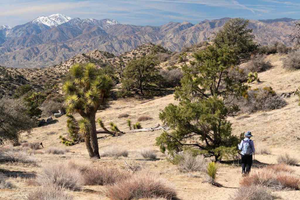
We went on a couple of hikes, and walked among Van Gogh paintings in a digital art experience.
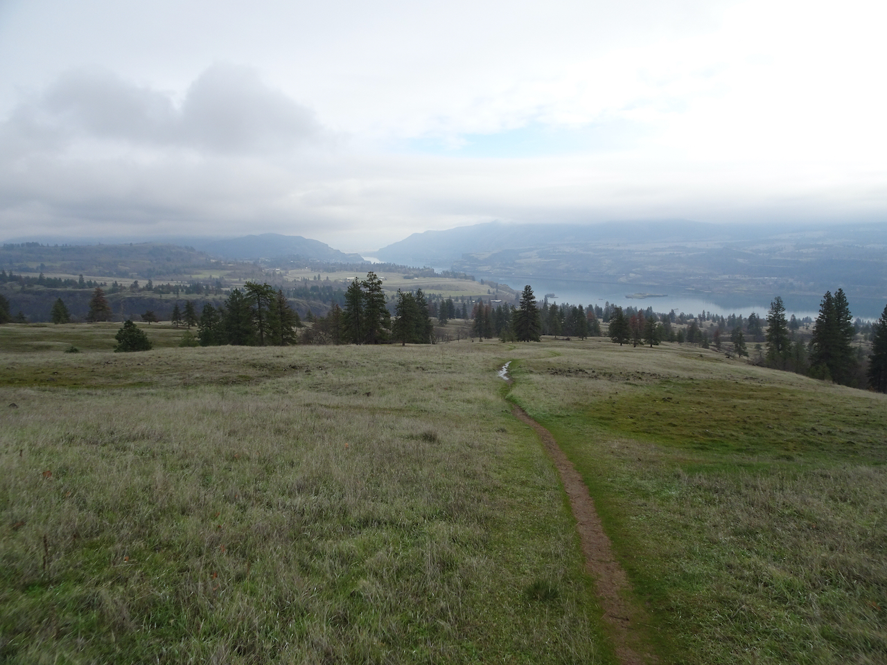
Lyle Loop, 12/2/2021, 5 miles, 1250 feet

Clockwise track
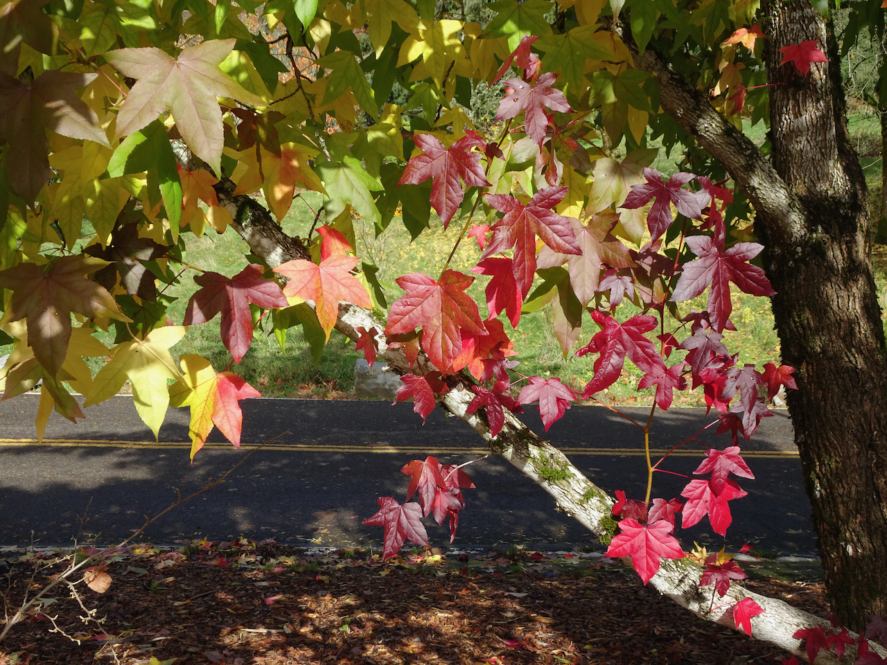
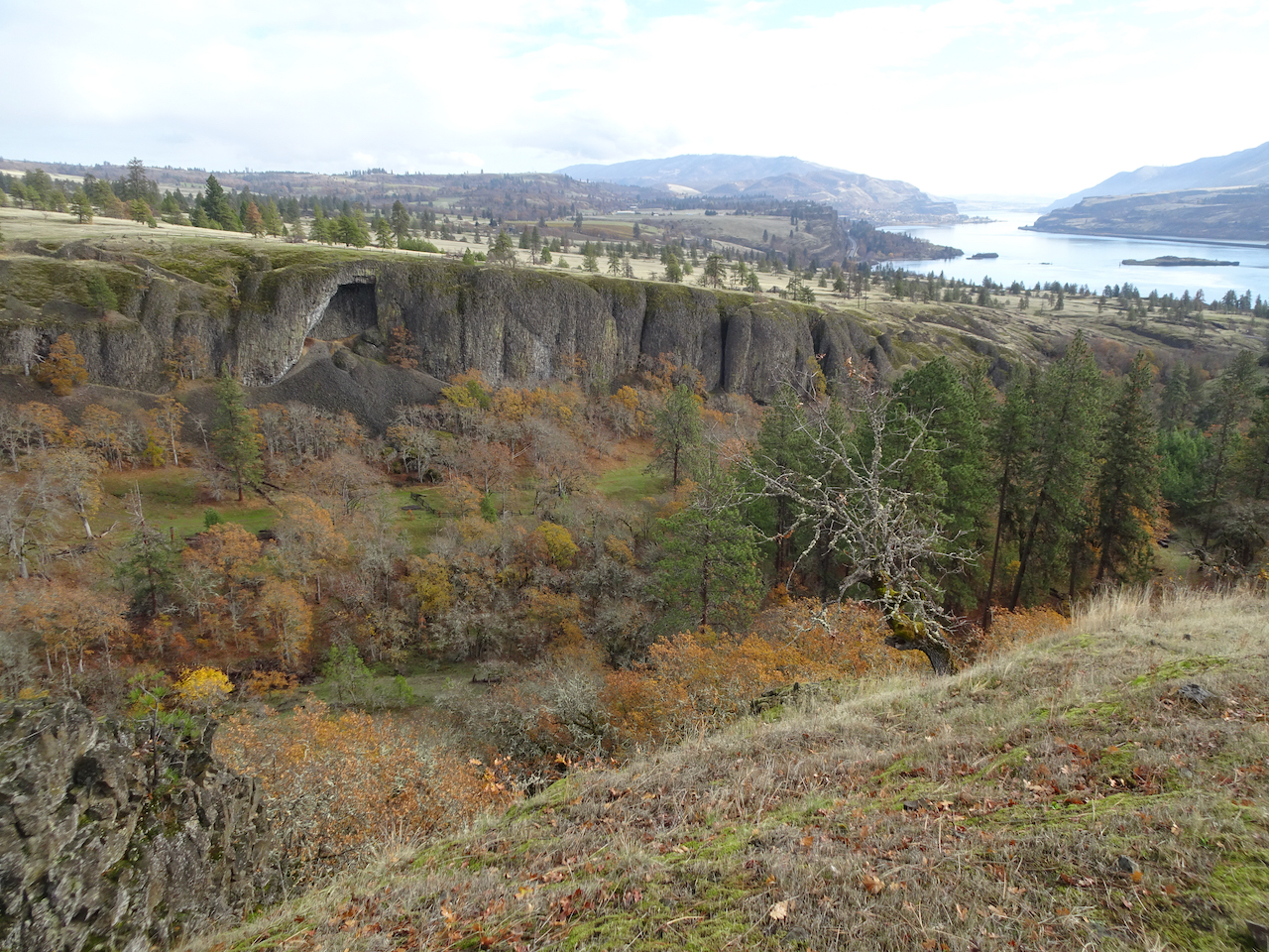
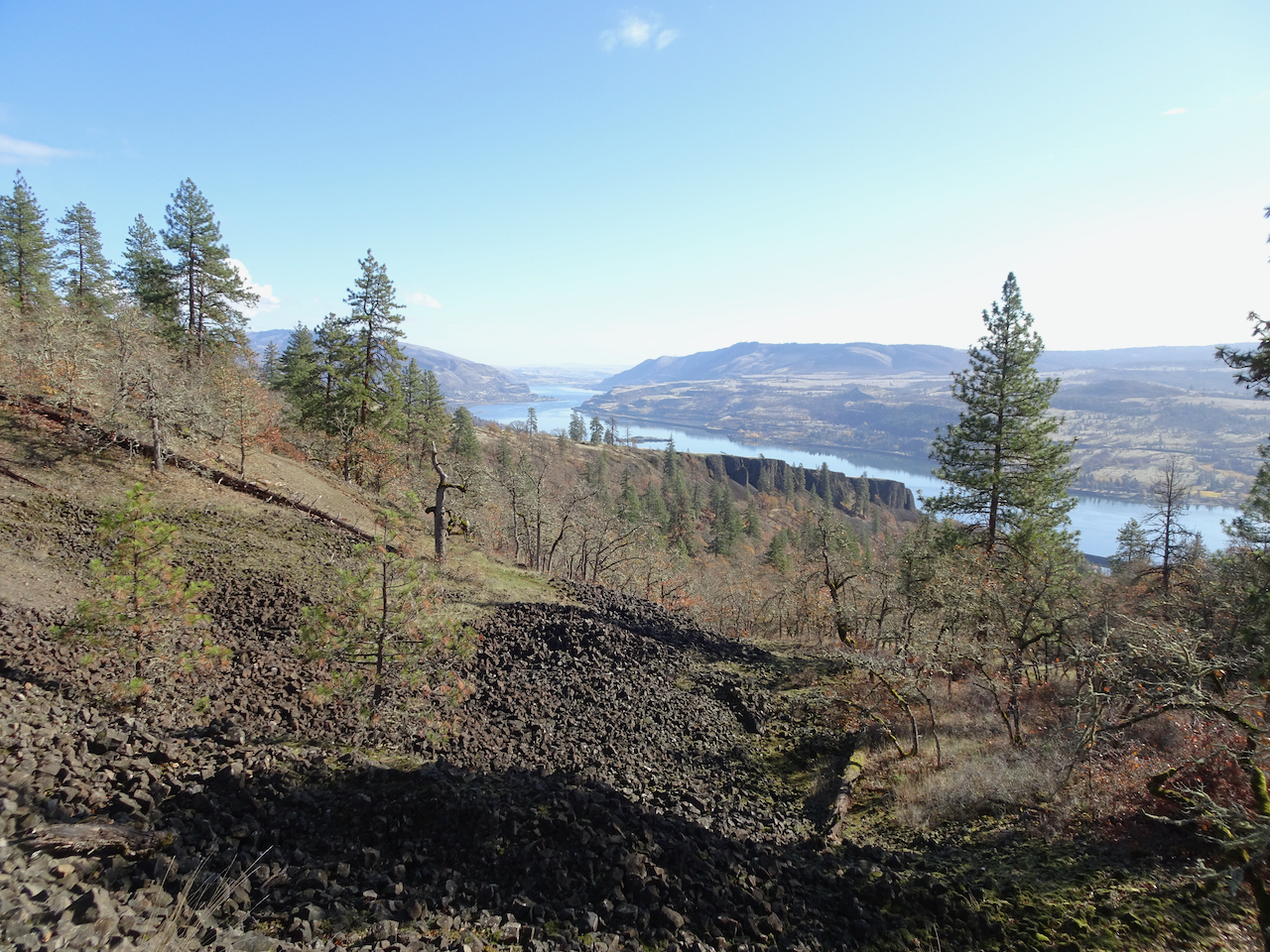
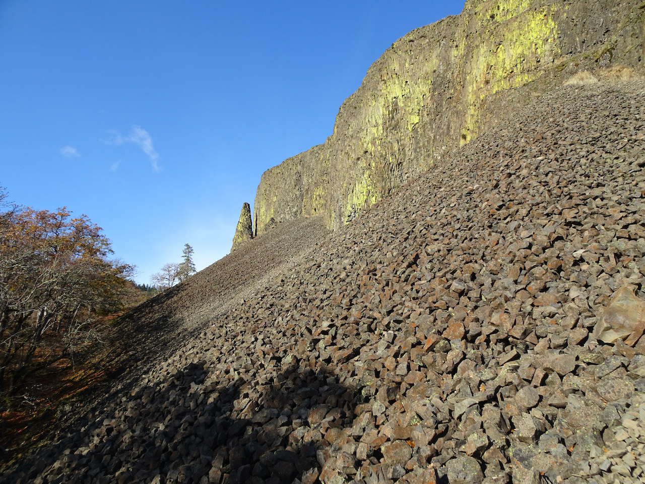
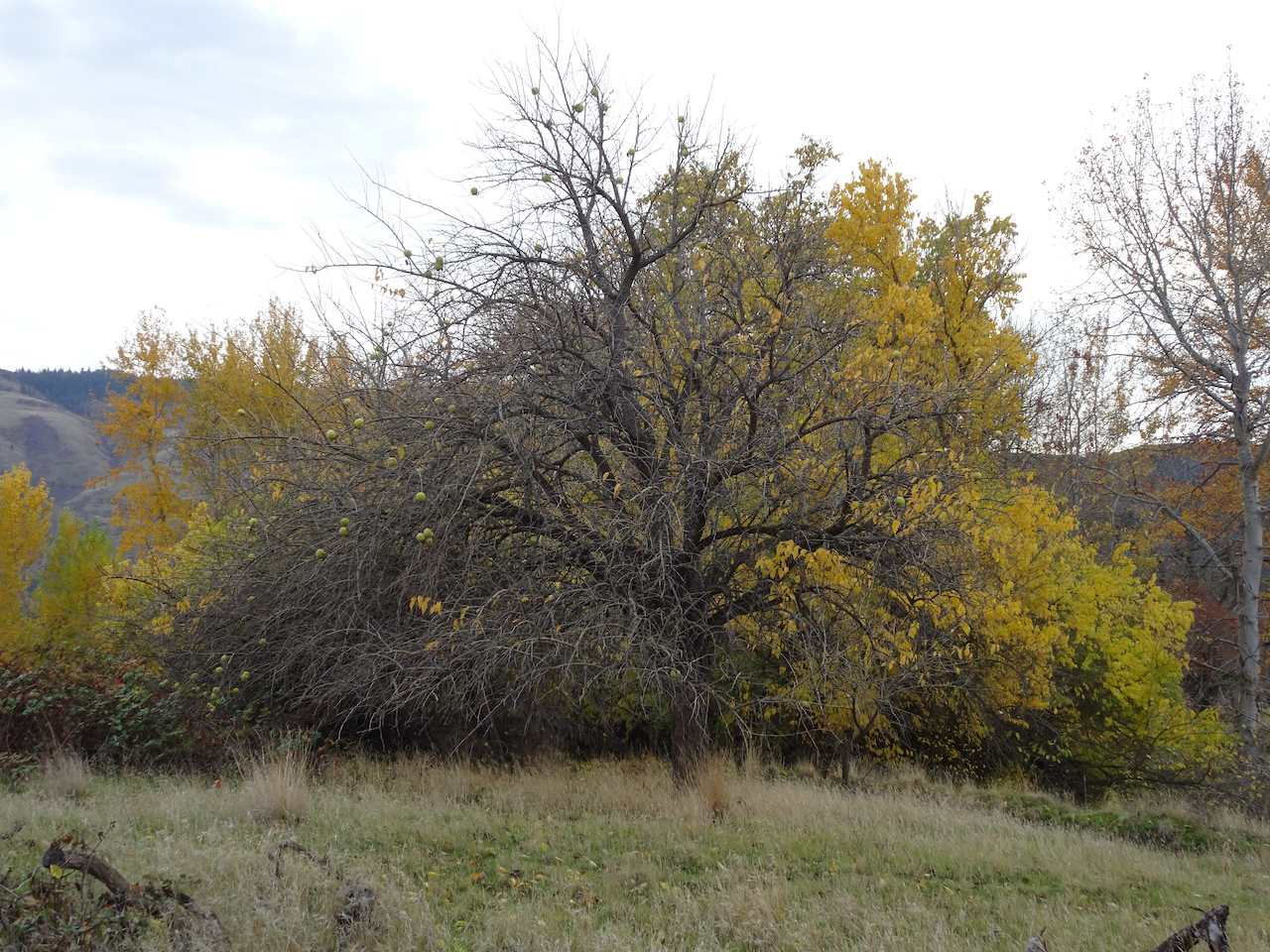
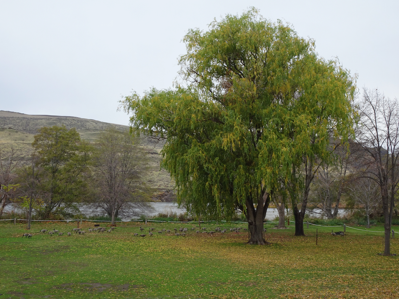
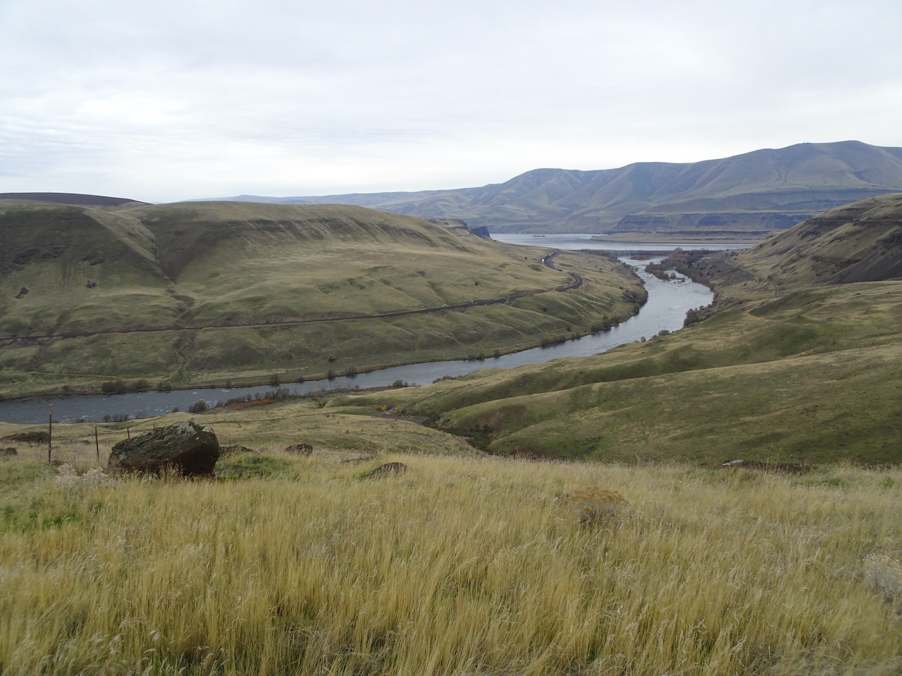
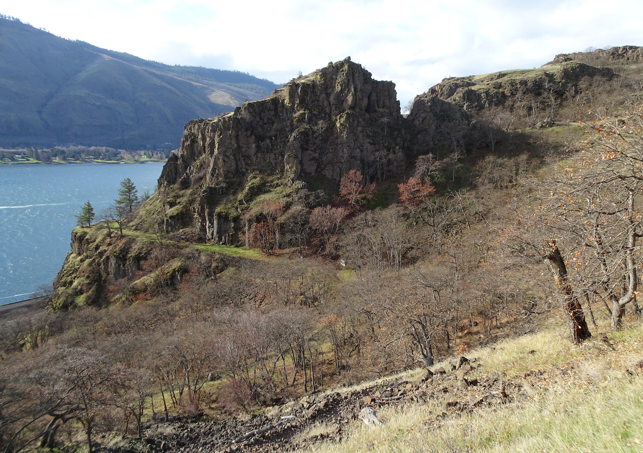
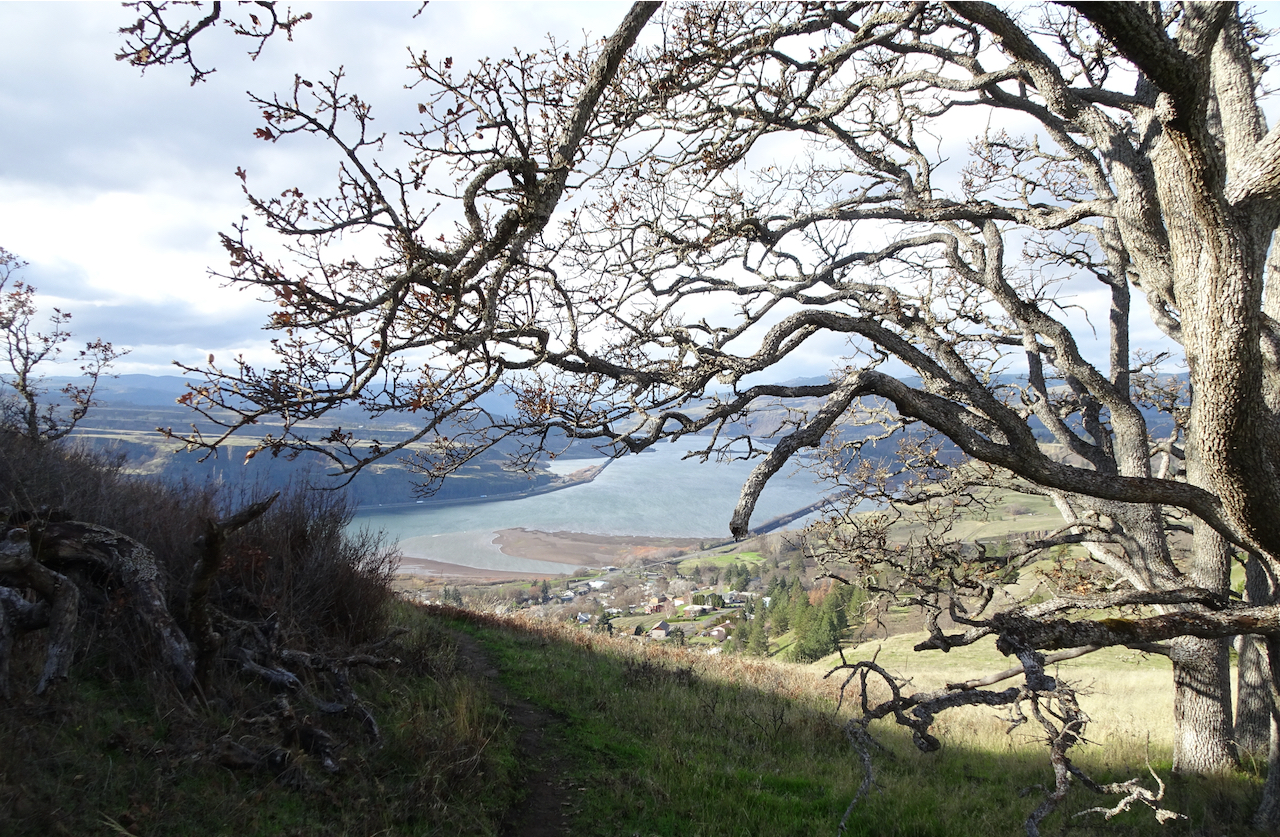
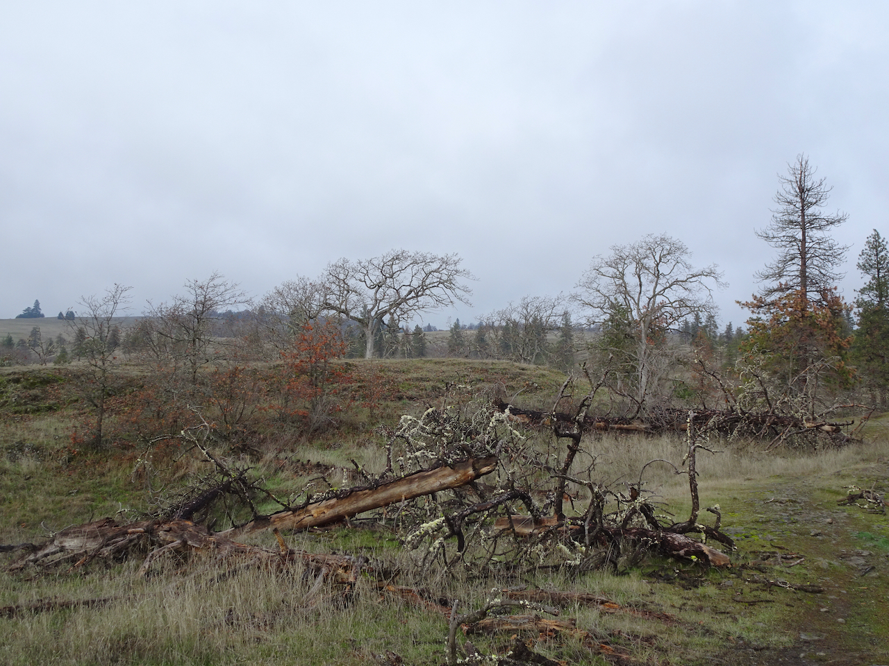
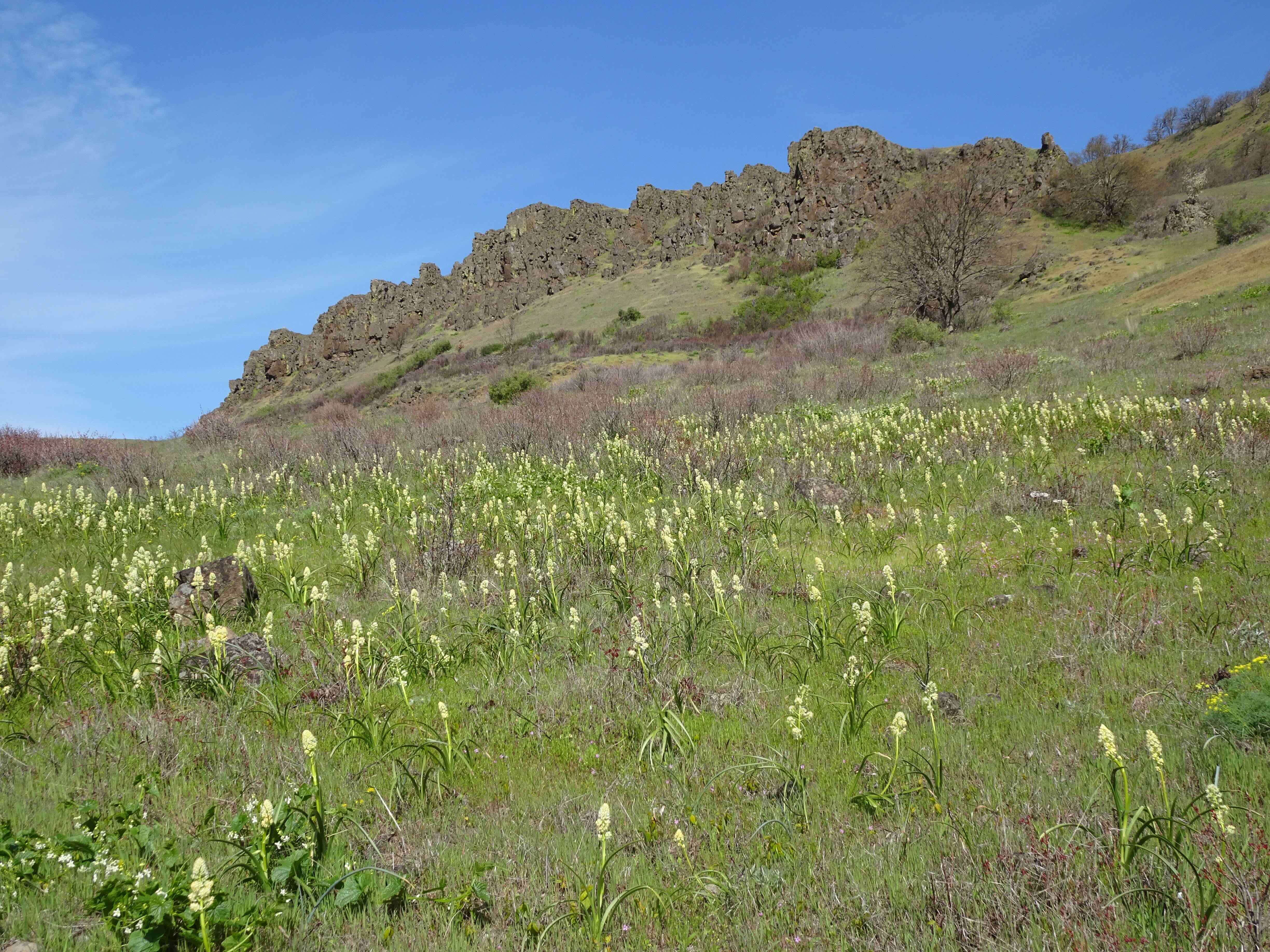
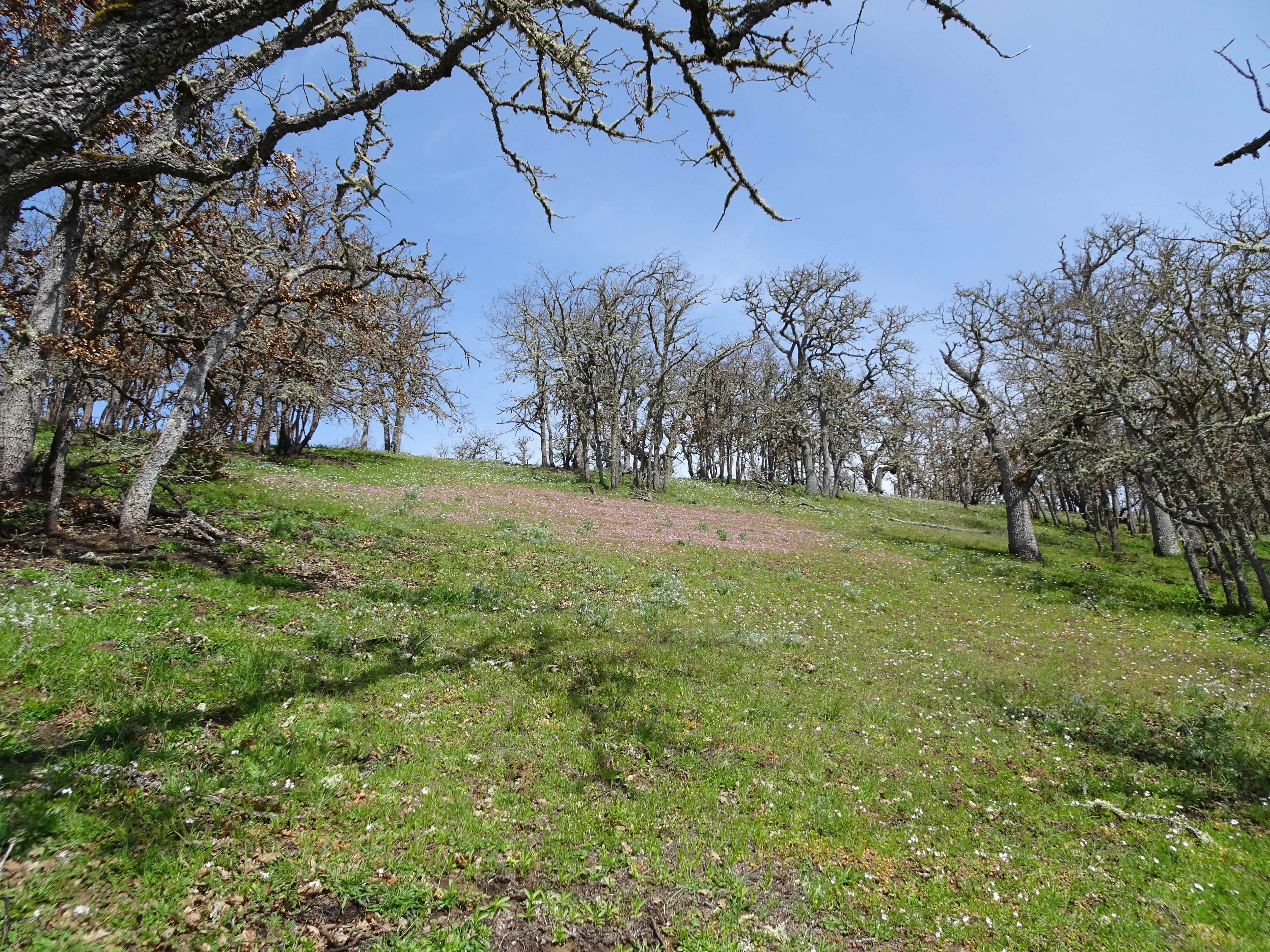
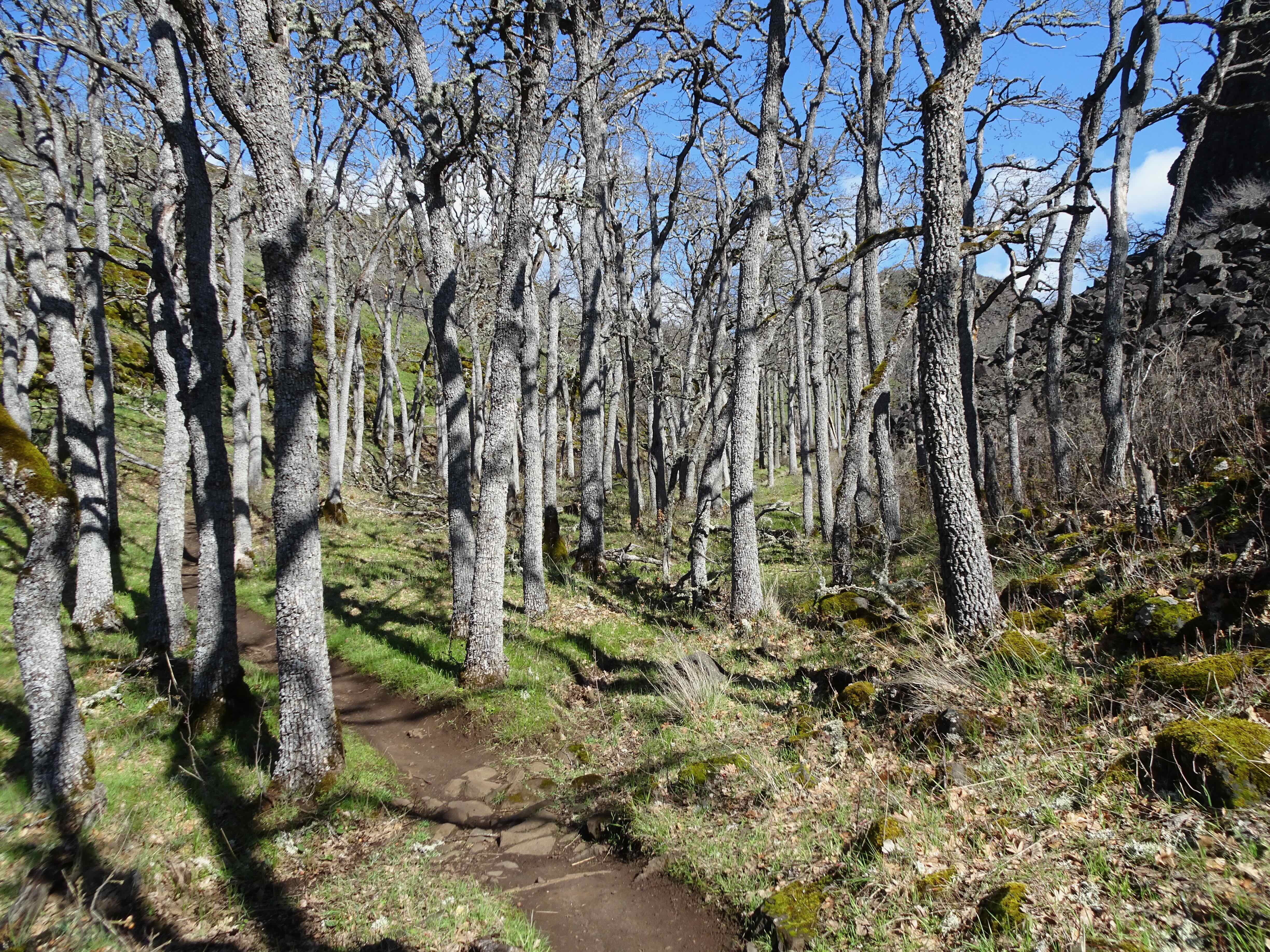
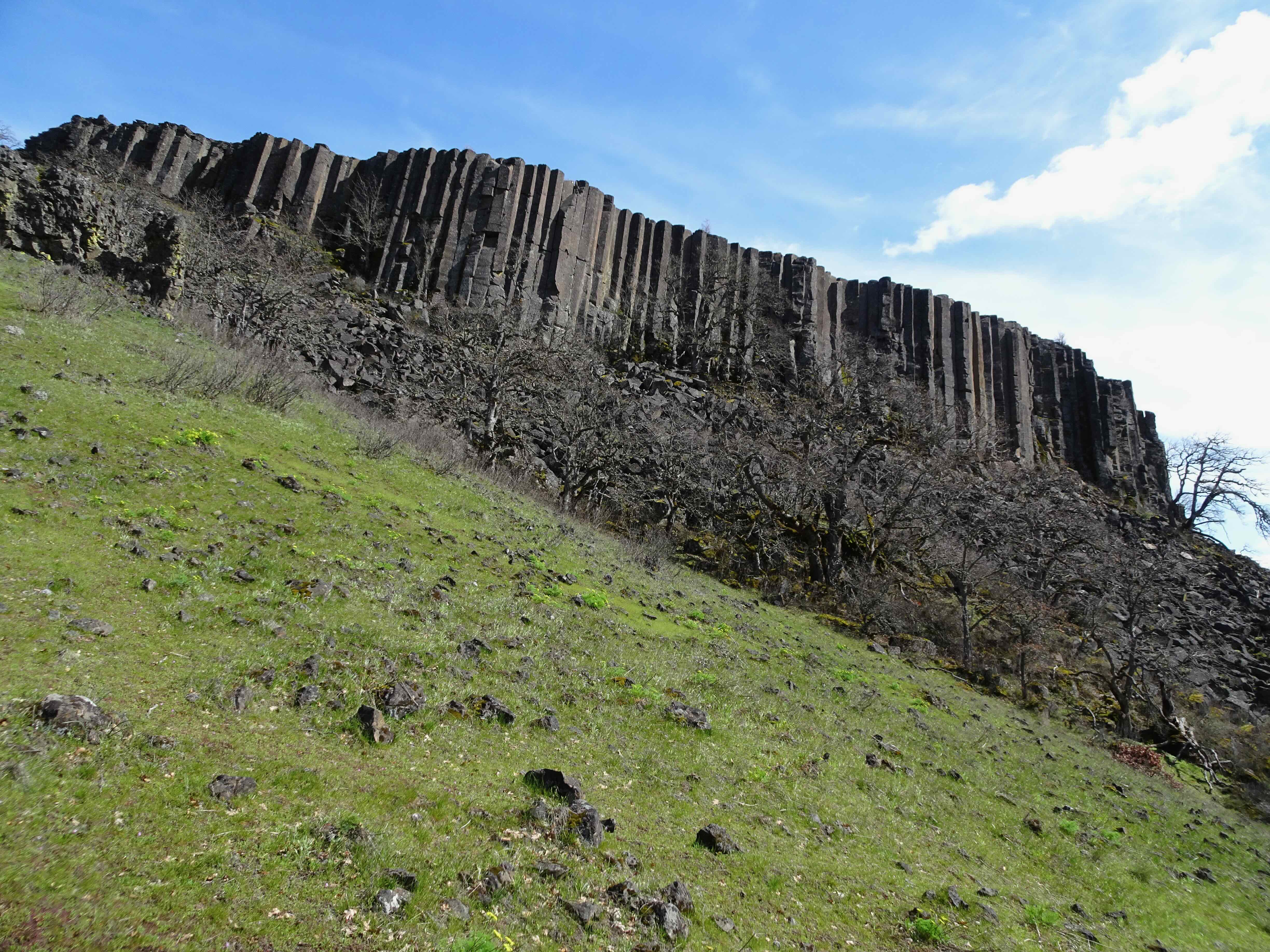
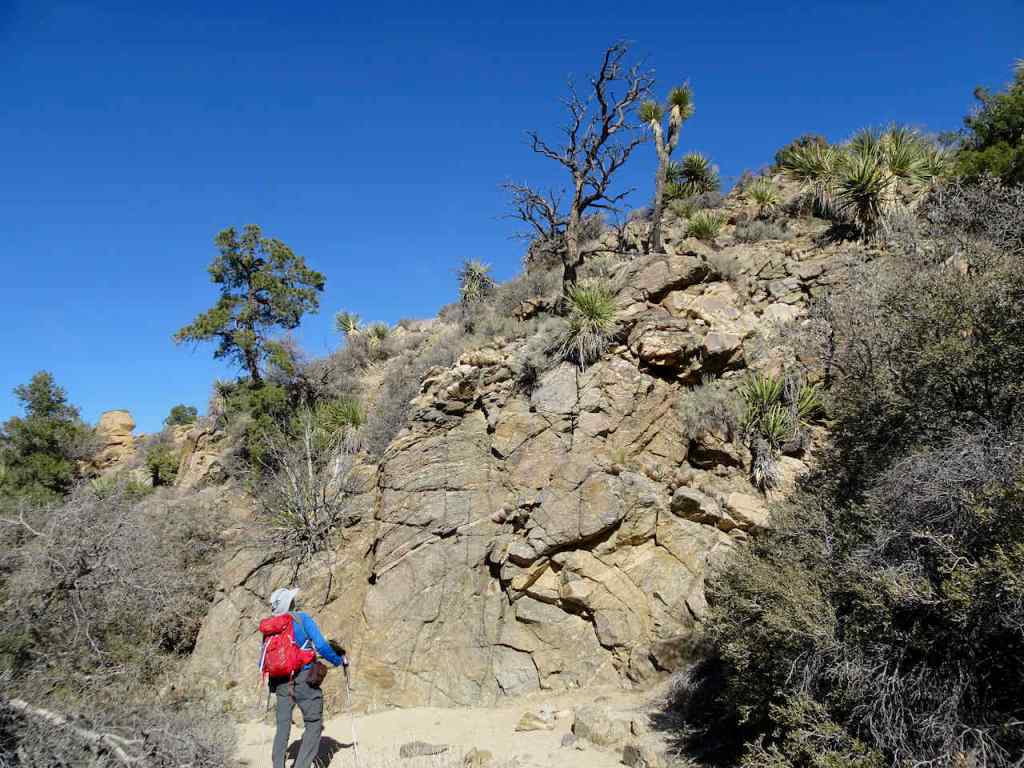
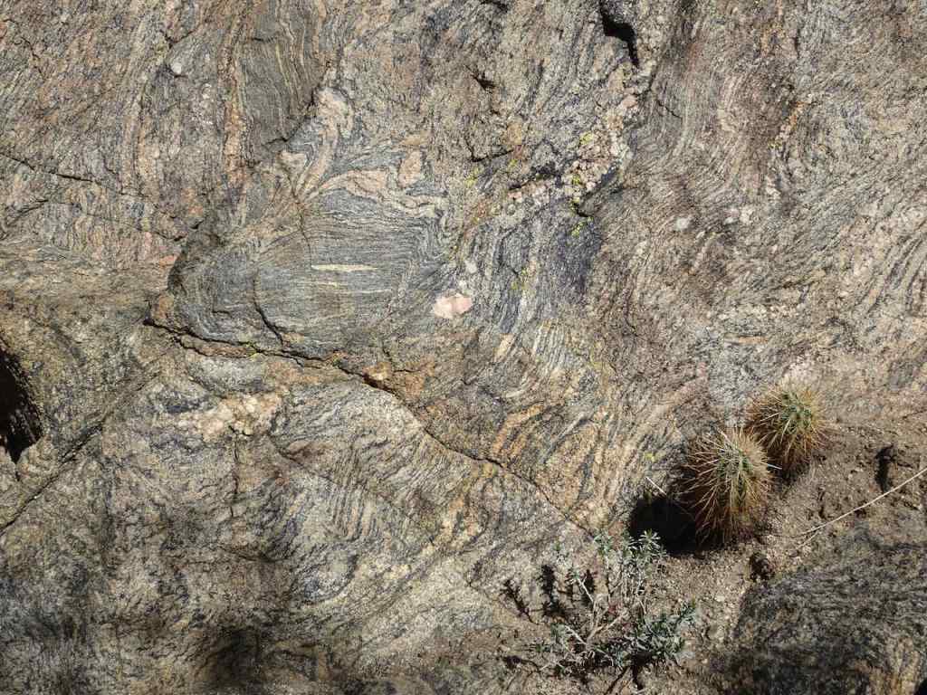
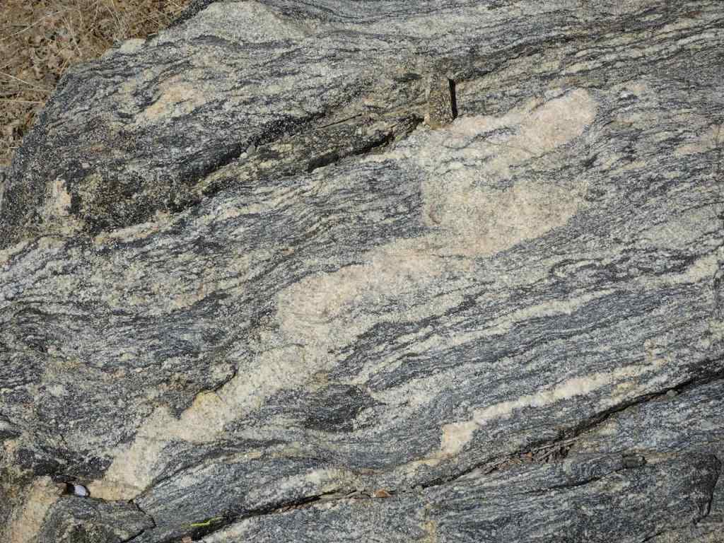
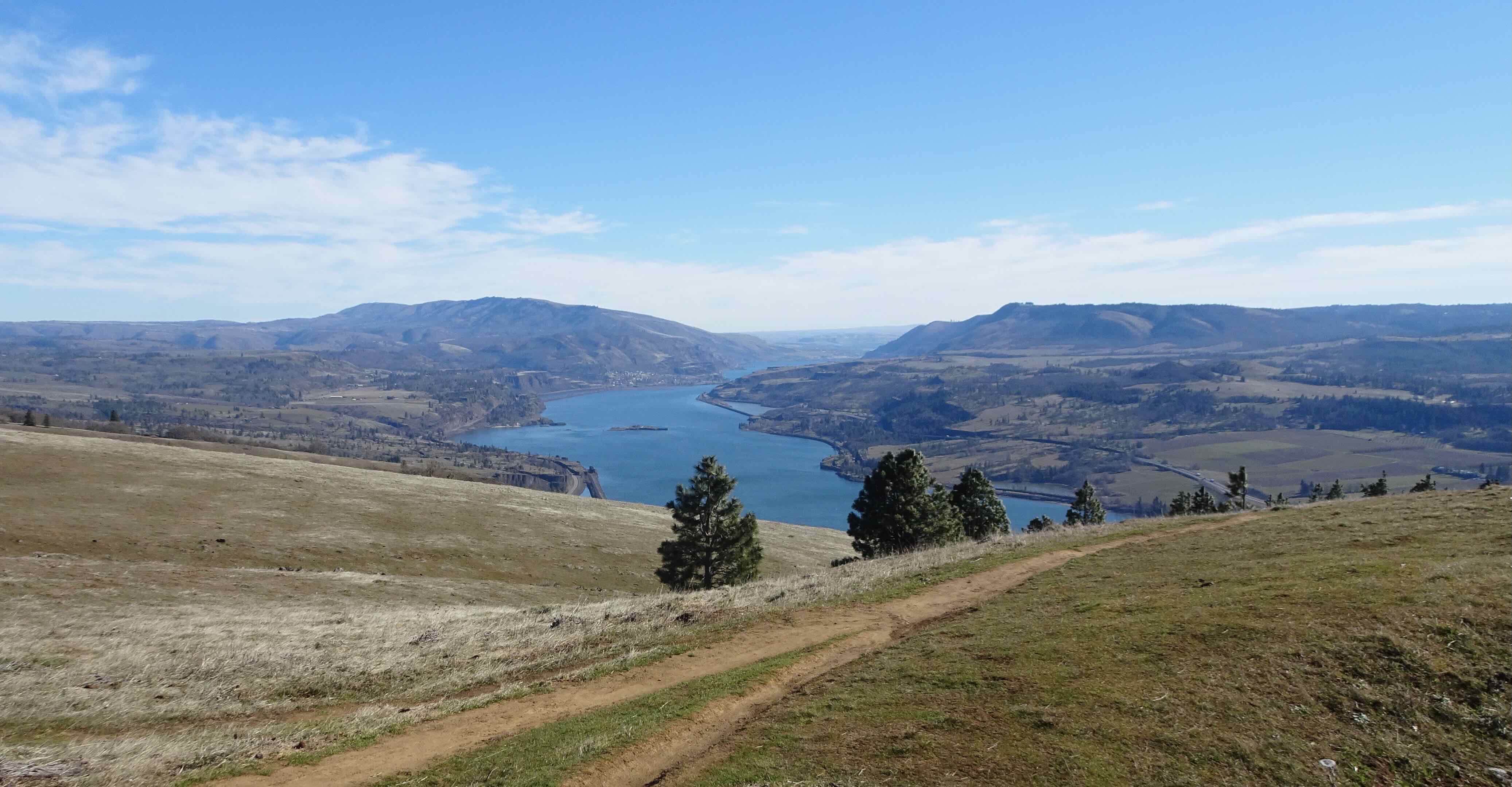
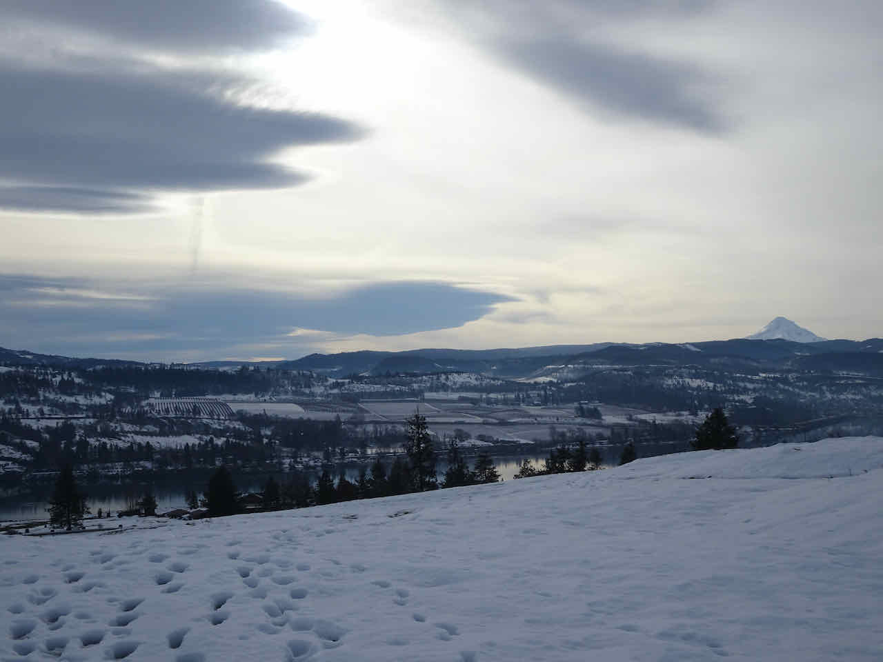
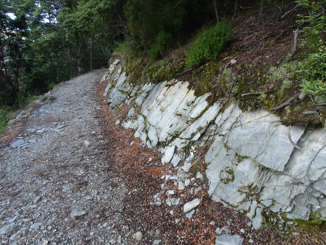
A new loop has been carved out of the Nature Conservancy Lyle Cherry Orchard property. We tried it on a windy (but not tooo windy) day- lovely blue sky and puffy clouds our backdrop. We climbed up the familiar tiers of basalt flows, above the Convict Road,
Looking down on the Convict Road
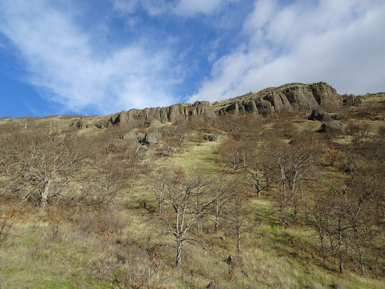
Windy blue skies above
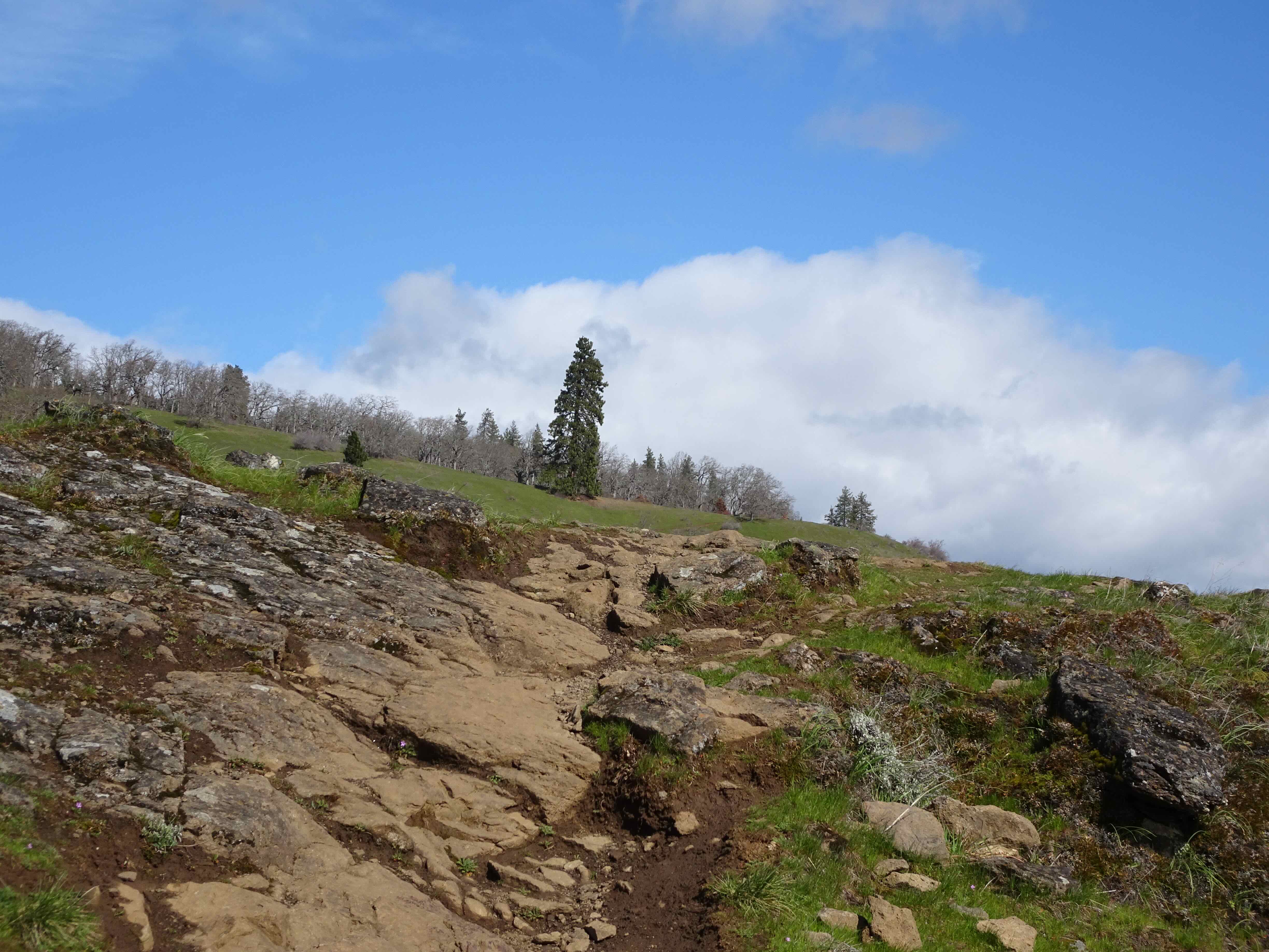
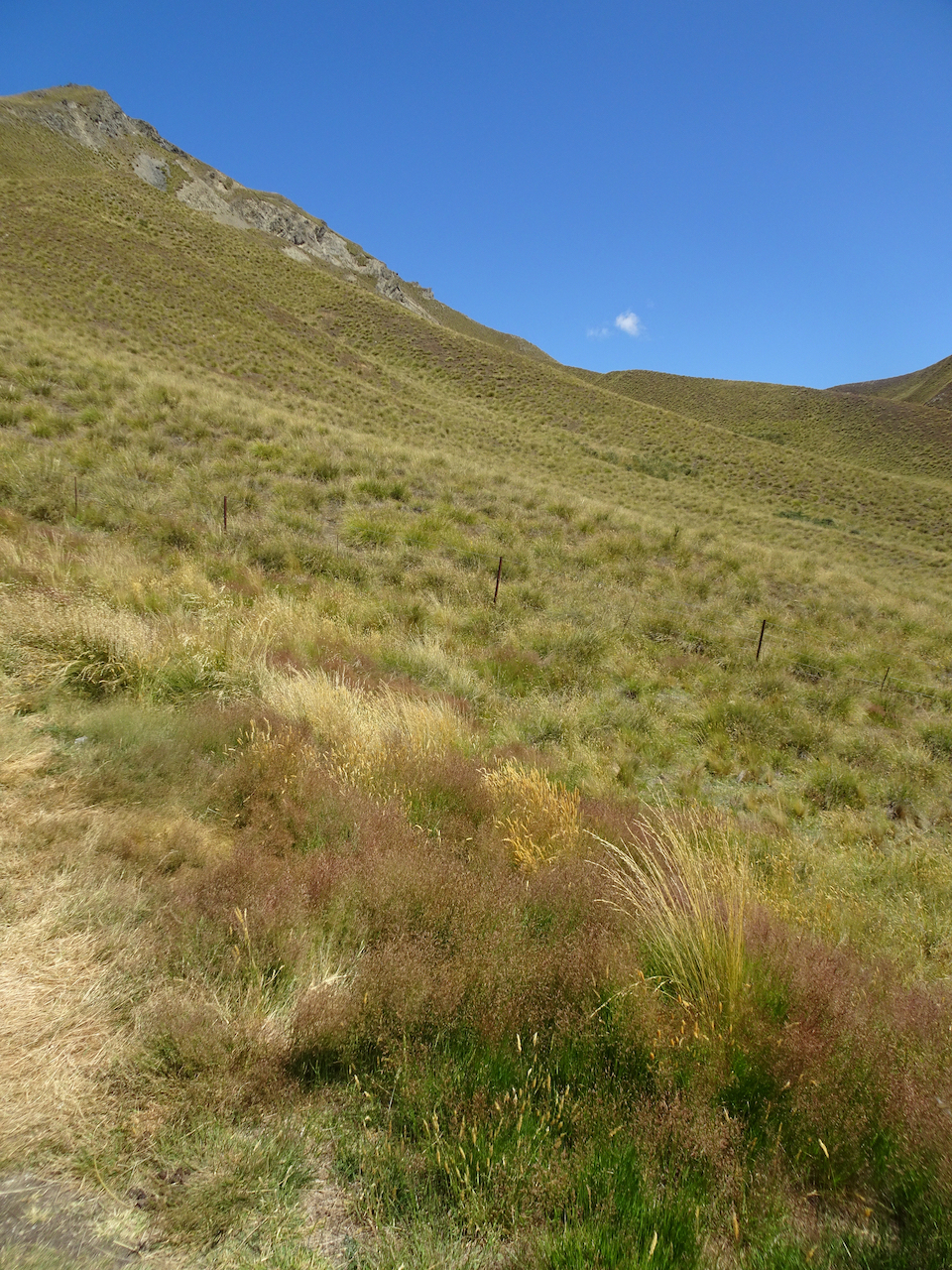
then headed west, to a new trail carved into the grassy slope.
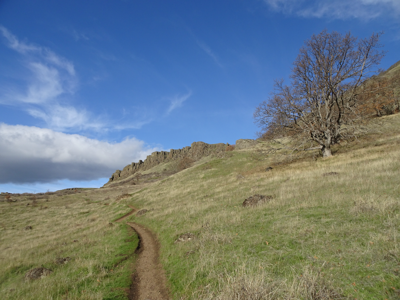
It curves around the mountain above the town of Lyle.

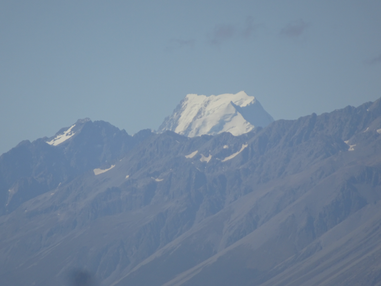
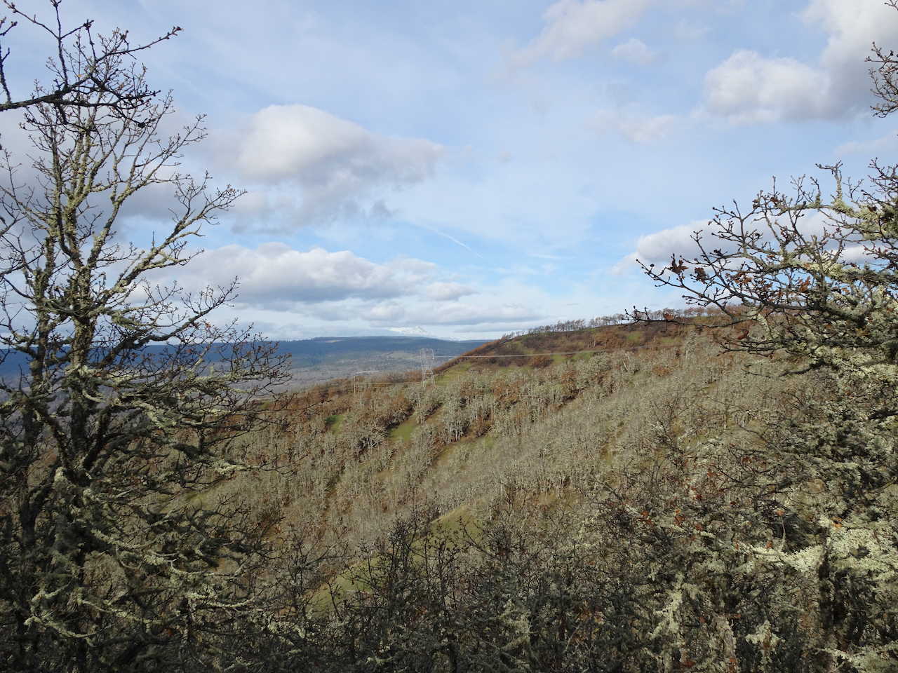
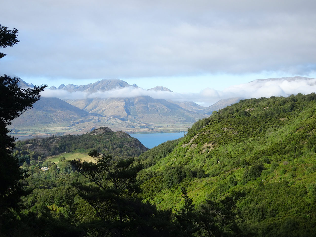
As the trail circled to the north, Mt Adams appeared on the horizon.
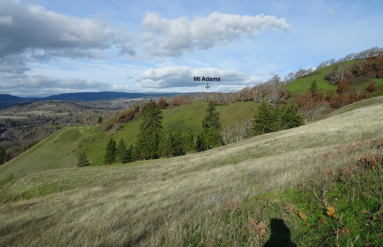

Zooming in
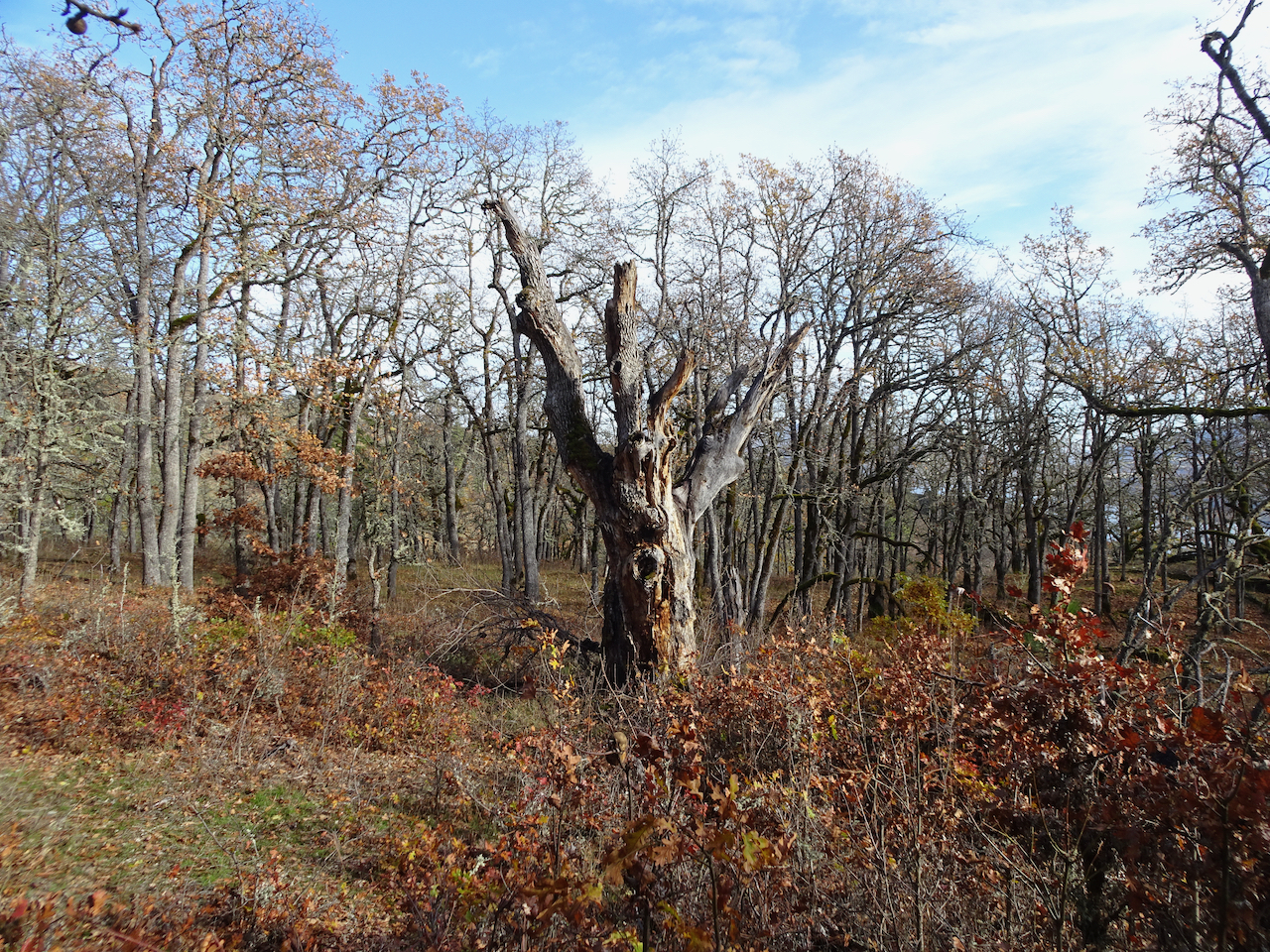
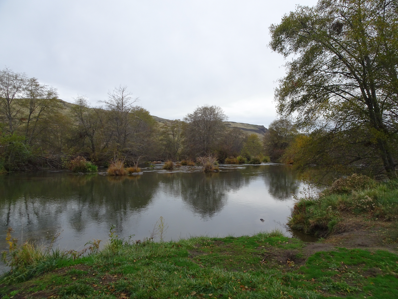
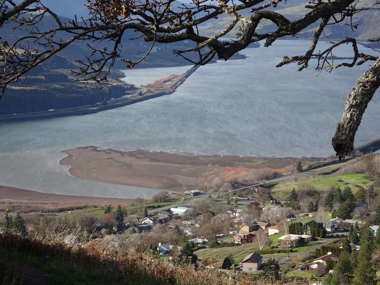
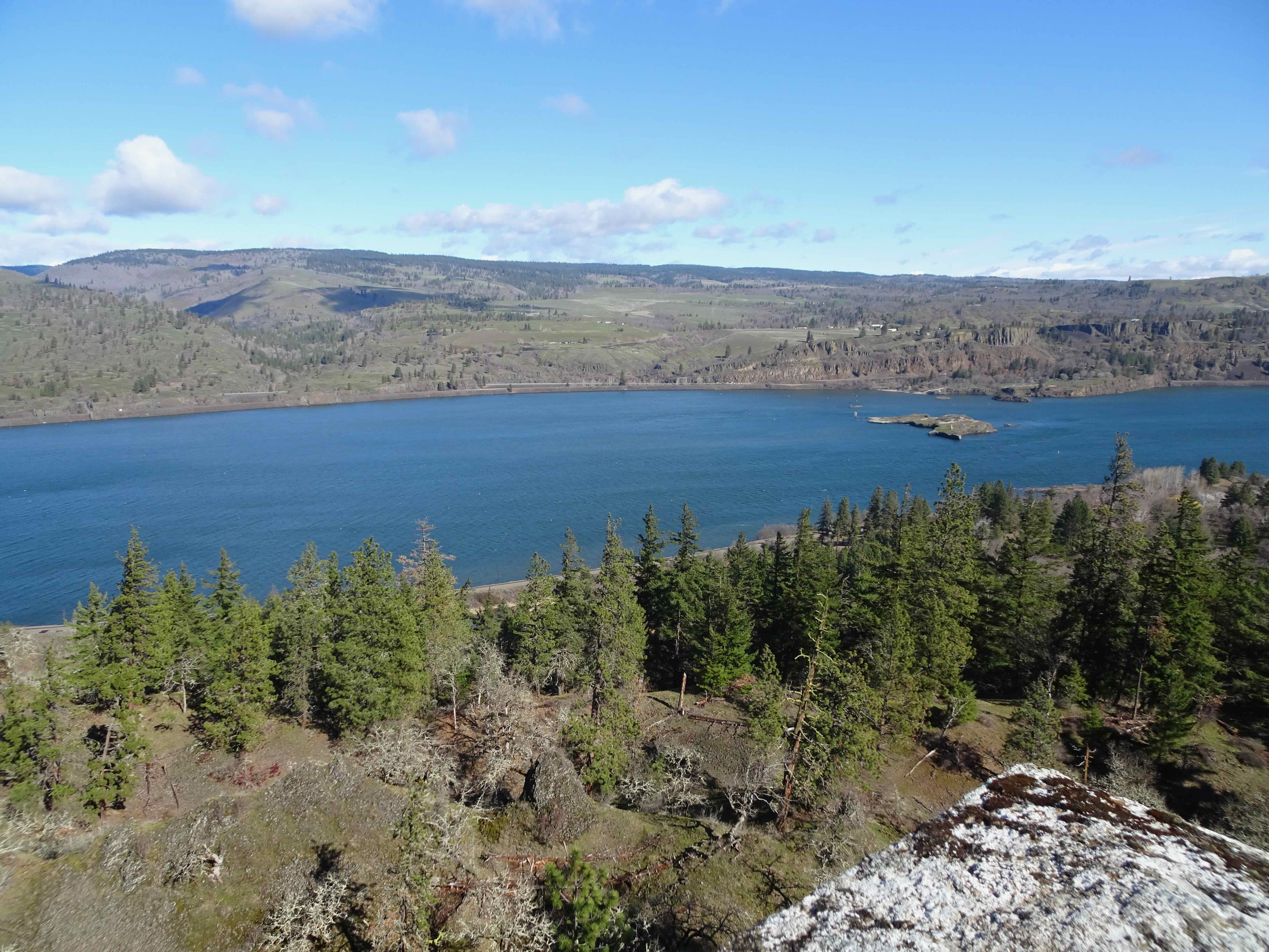
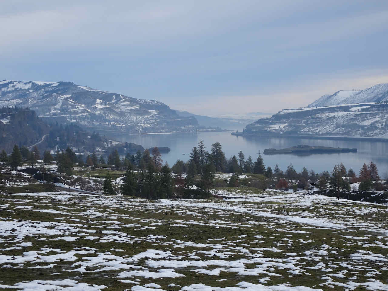
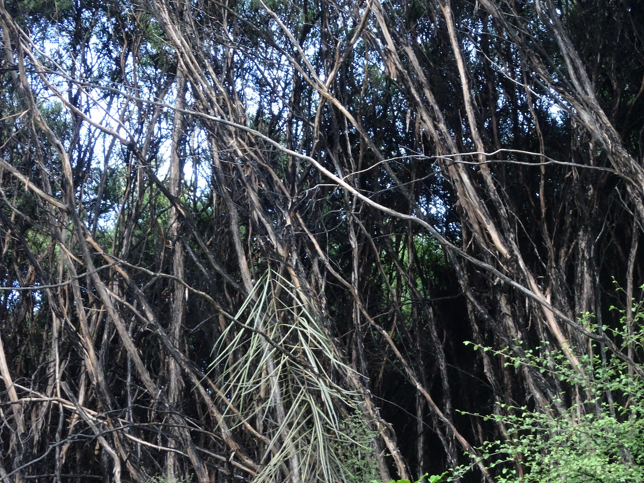
On the northern side of the loop, out of the wind, we walked through lovely oak woodlands, occasionally switching back past views of Lyle, and of Mt Adams again.
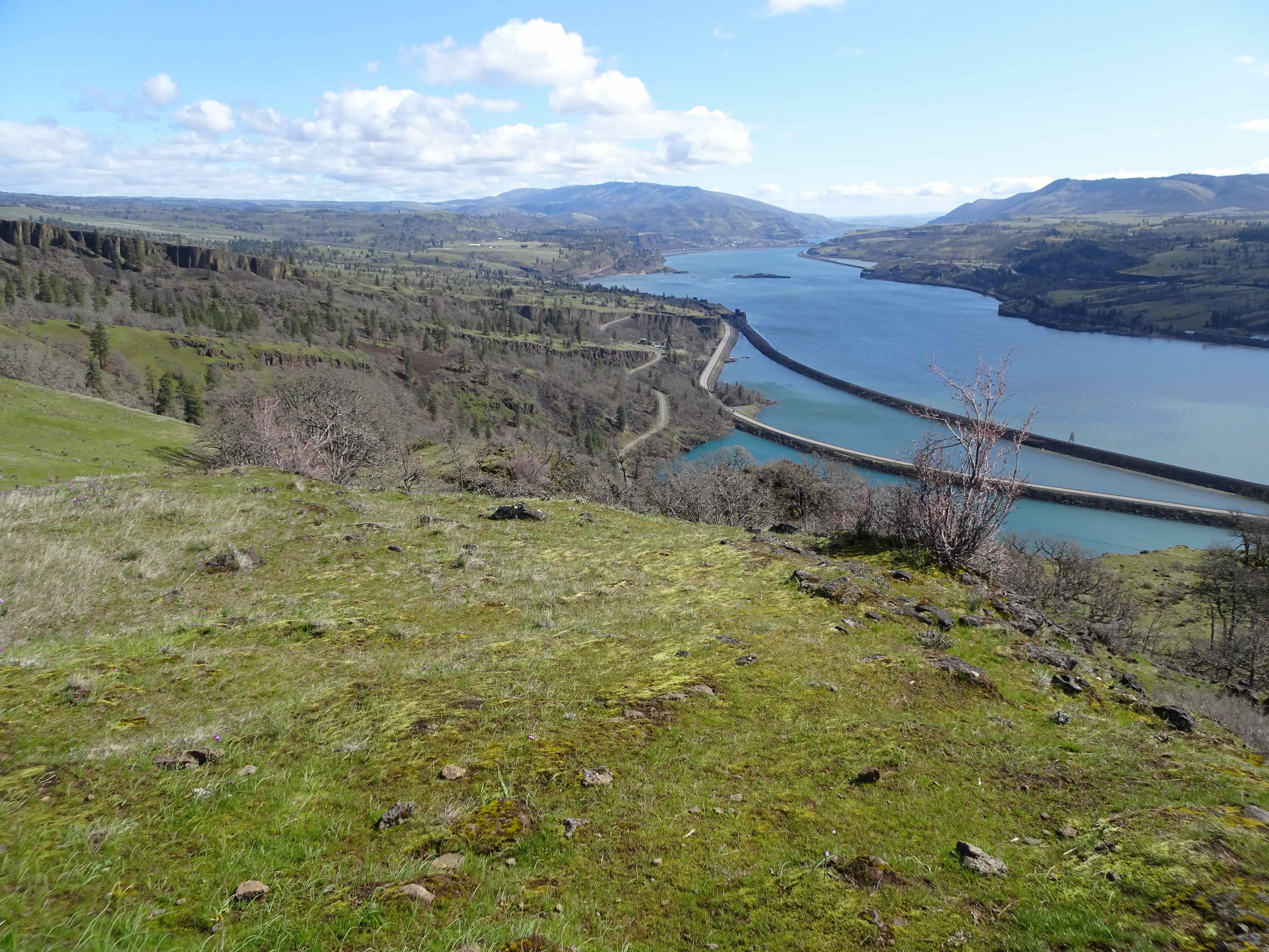
Lyle, Klickitat River delta
Lyle town sign, in white rocks
Mt Adams again,
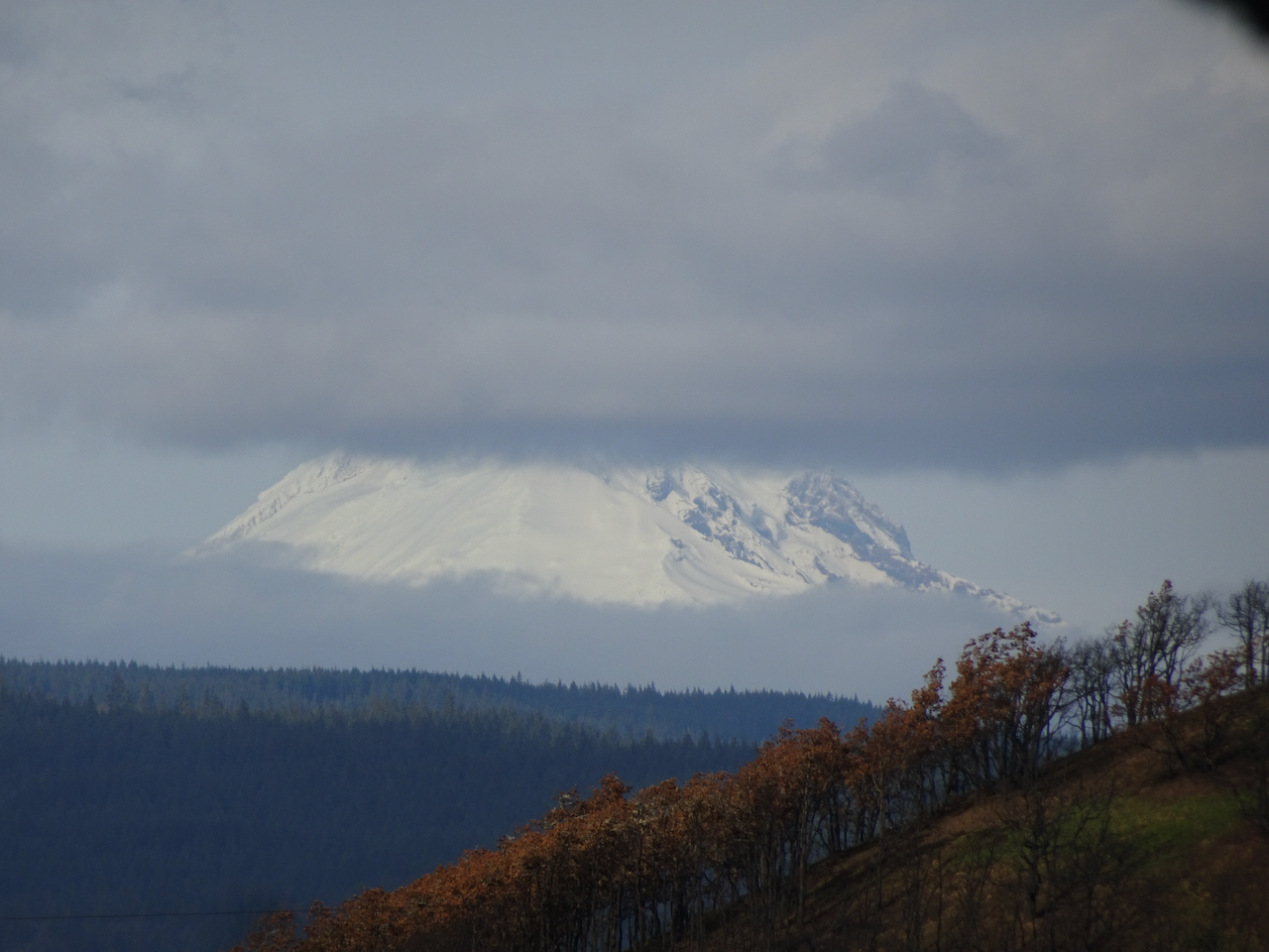
now with clouds.
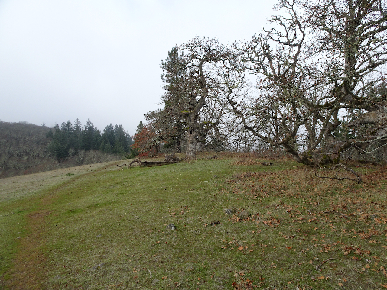
Eventually, our trail intersected the Cherry Orchard Loop, and we descended on the familiar trail.

A lovely day on the sunny side of the mountains.
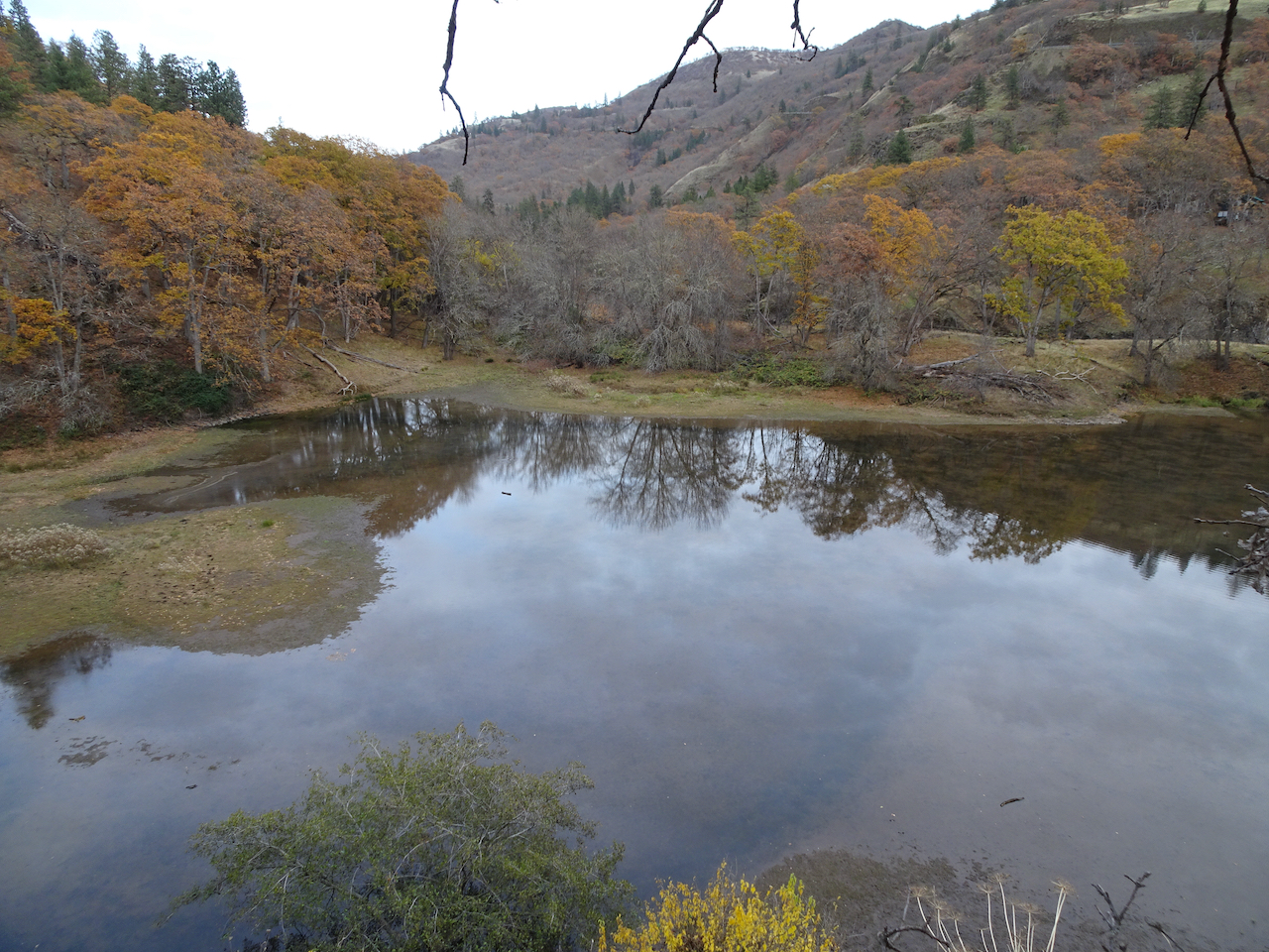
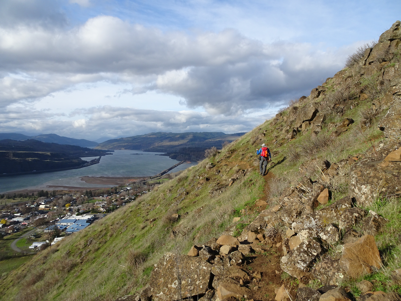
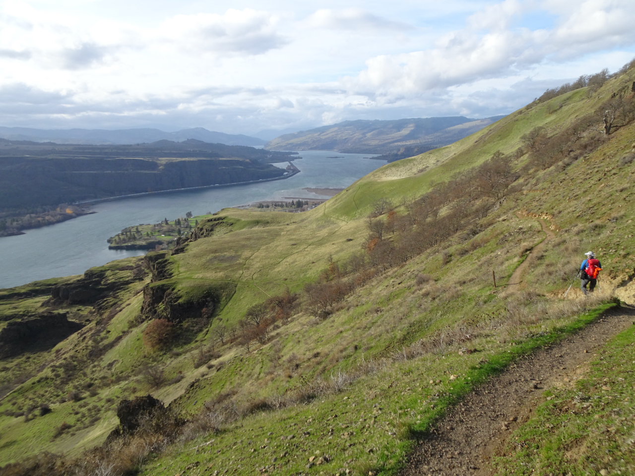
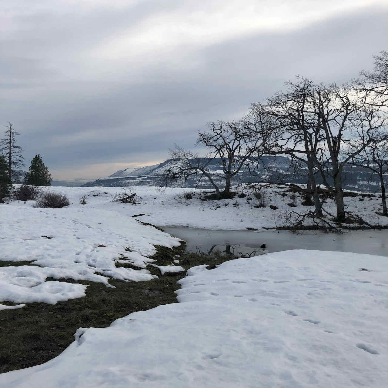
Tracy Hill, Catherine Creek, WA, 12/8/2021, 5.3 miles, 1200 feet

Our counterclockwise trail map
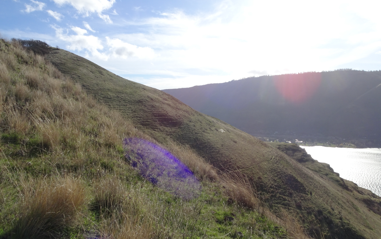
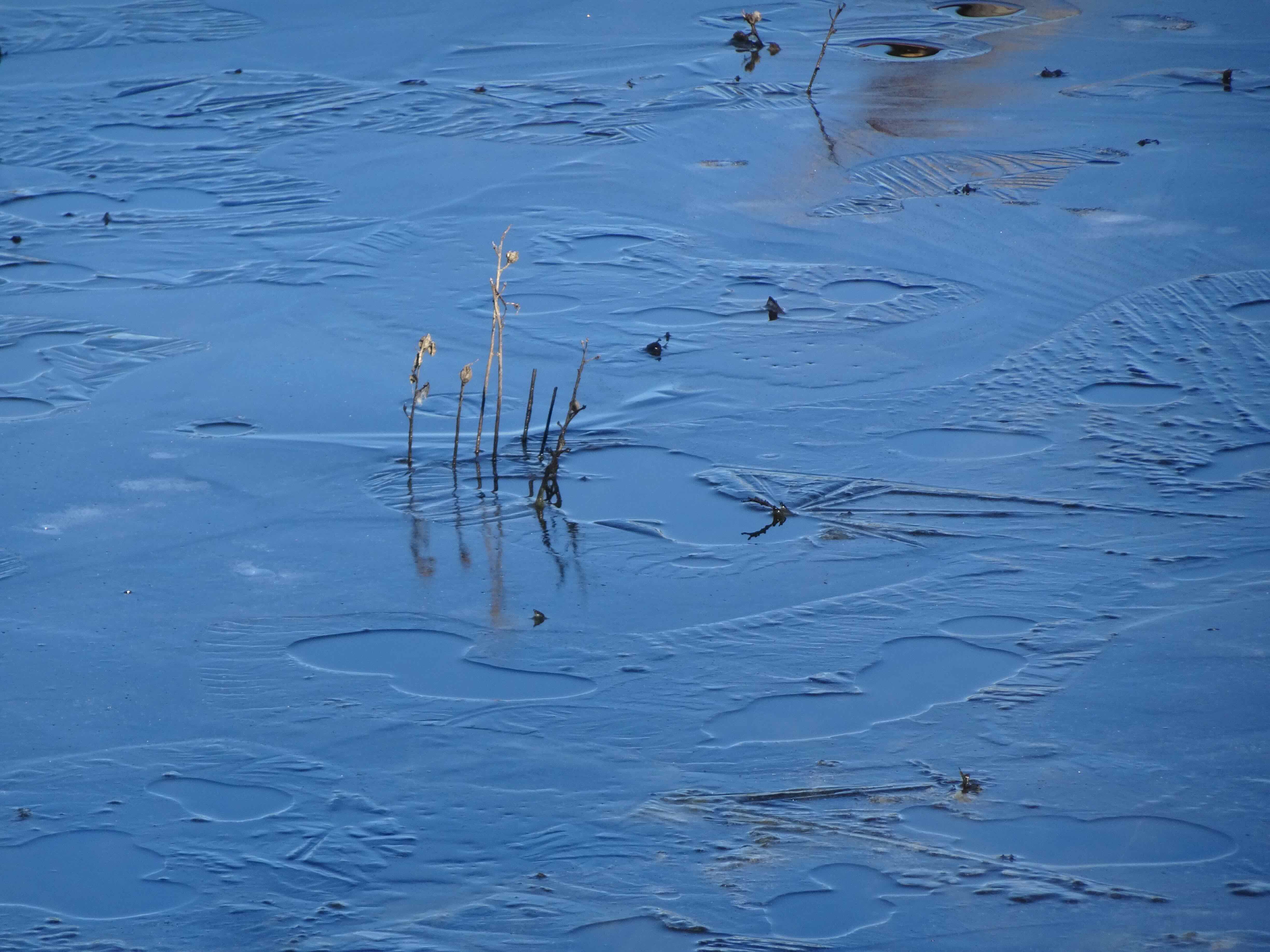
Calm and bright; clouds topping the highest hills; some blue sky distant:
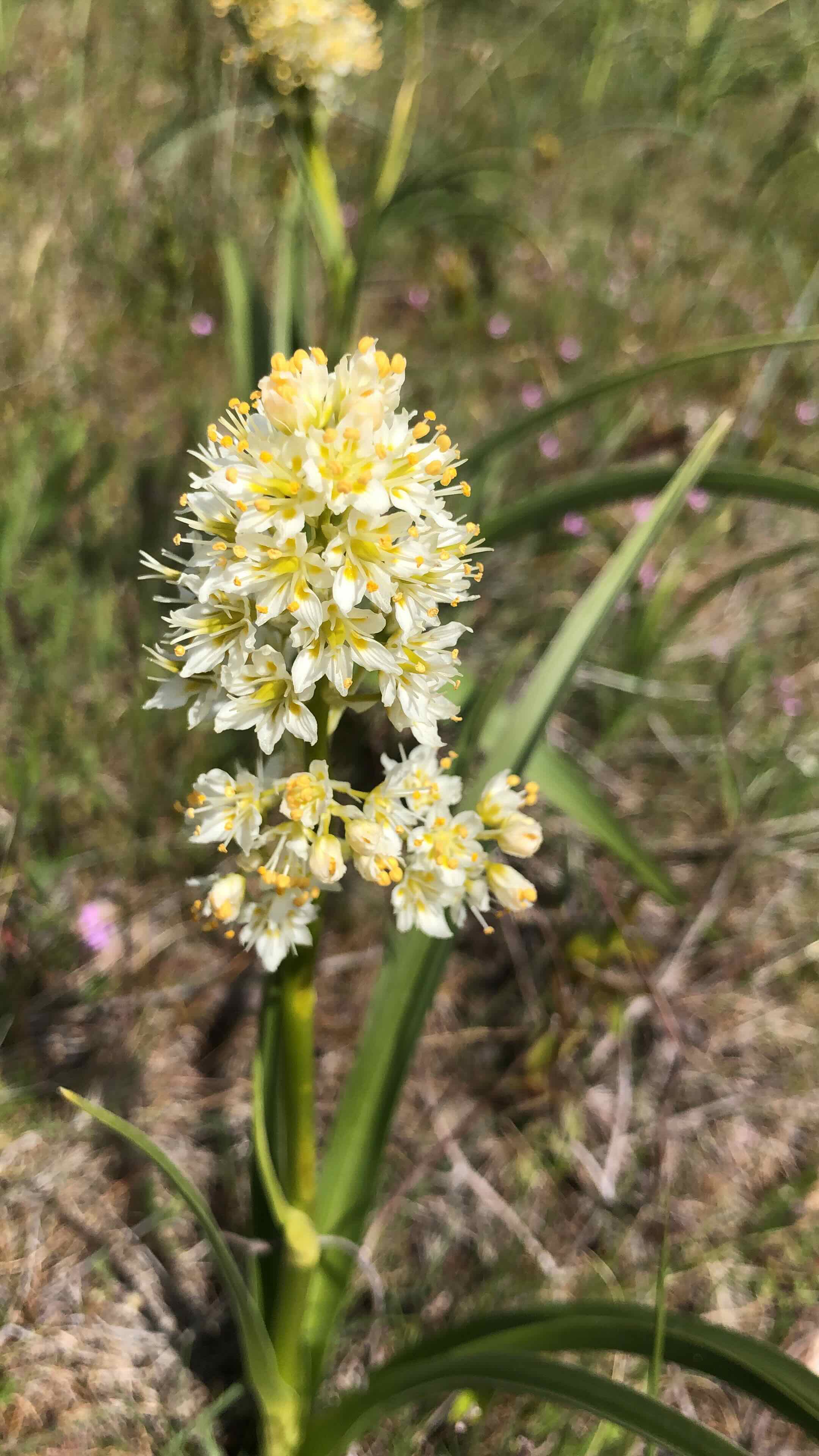
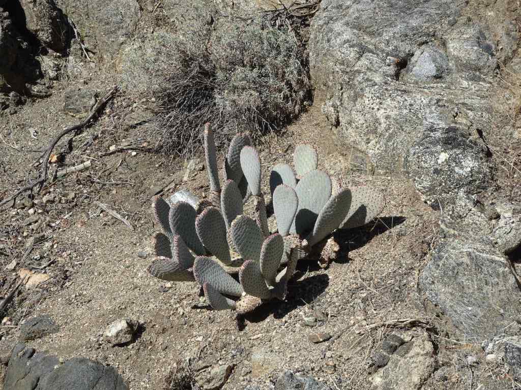
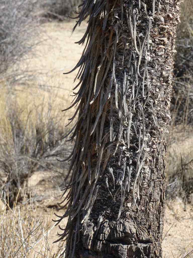
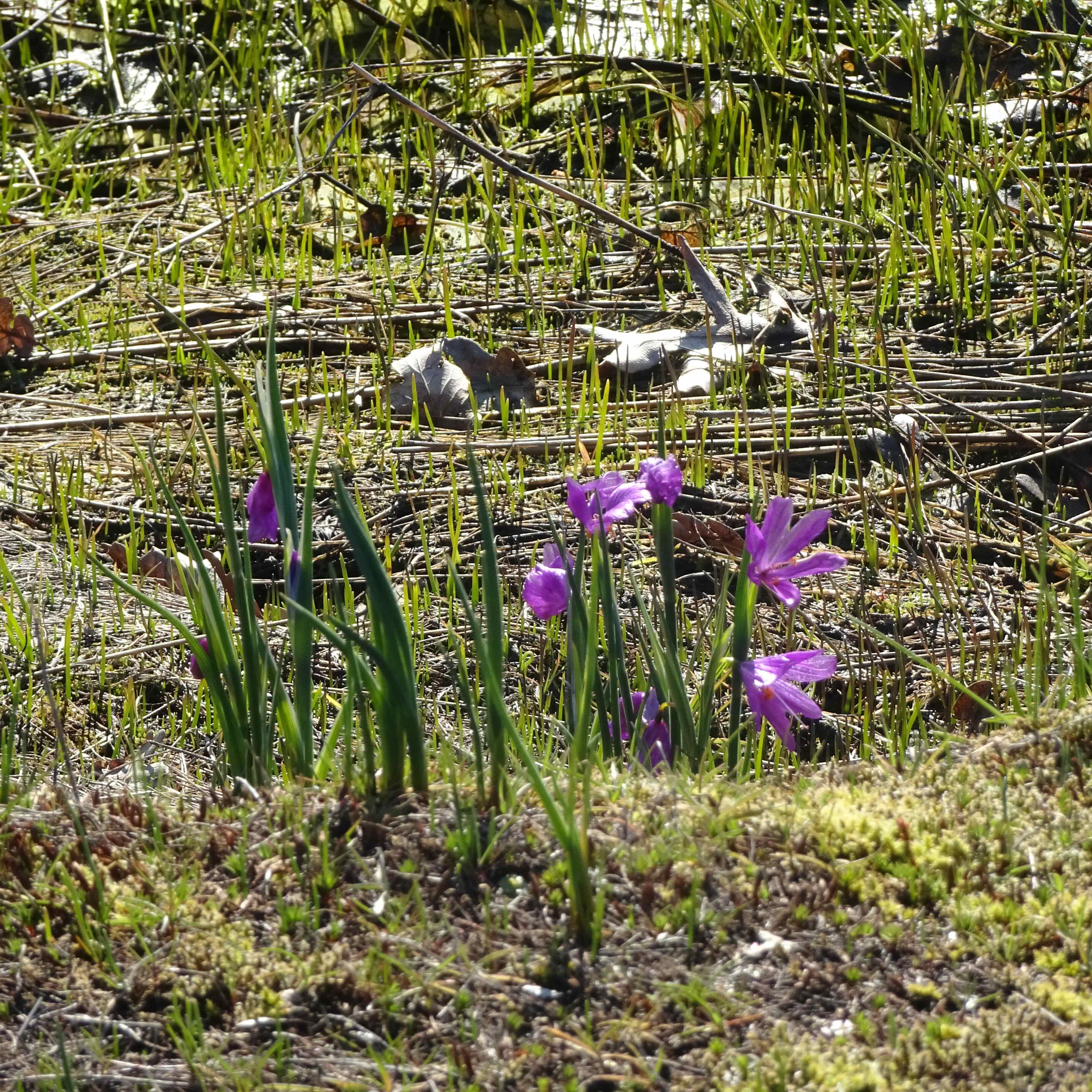
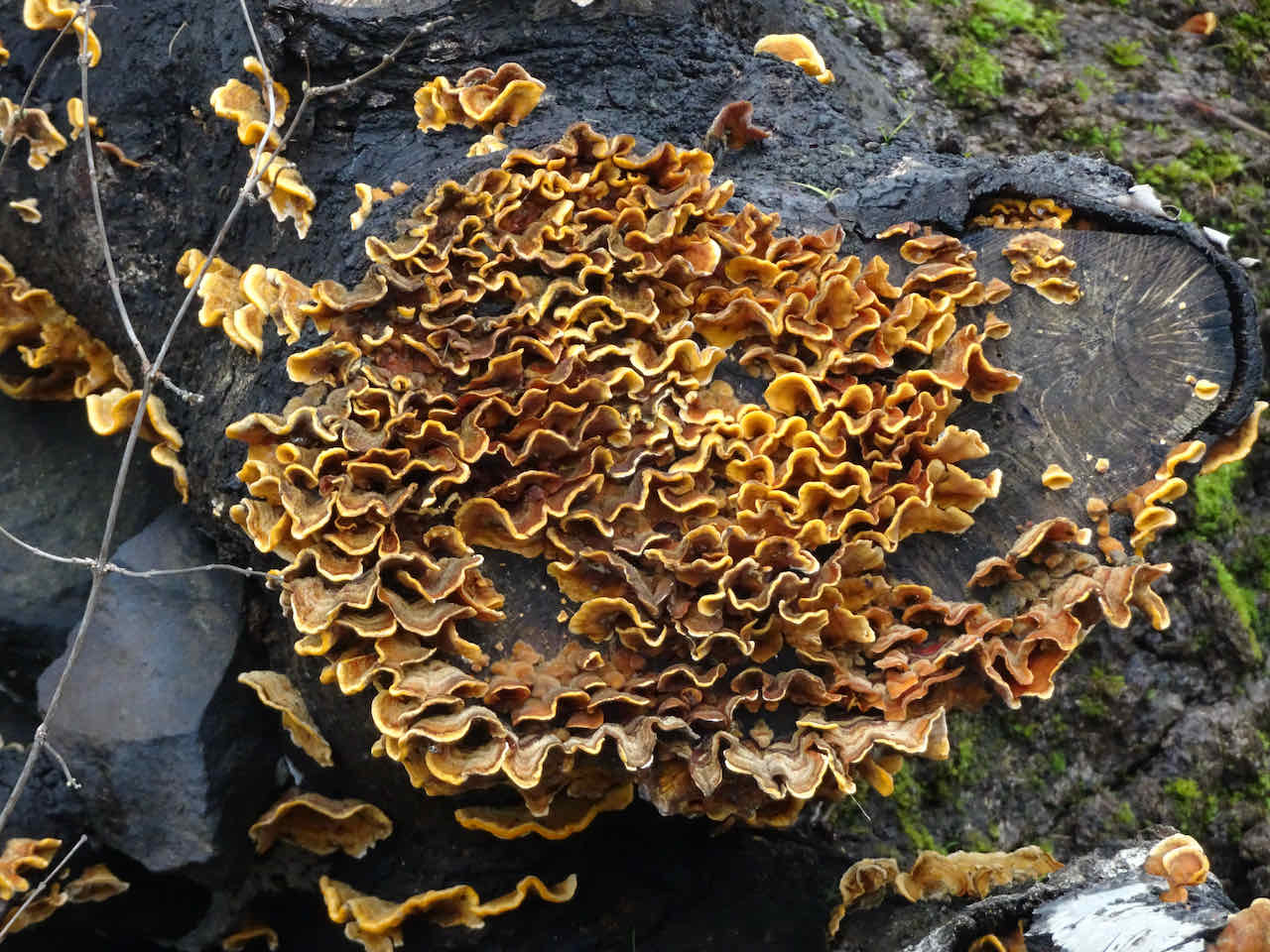
 some of our plant friends in their winter garb:

bitteroot

parsley
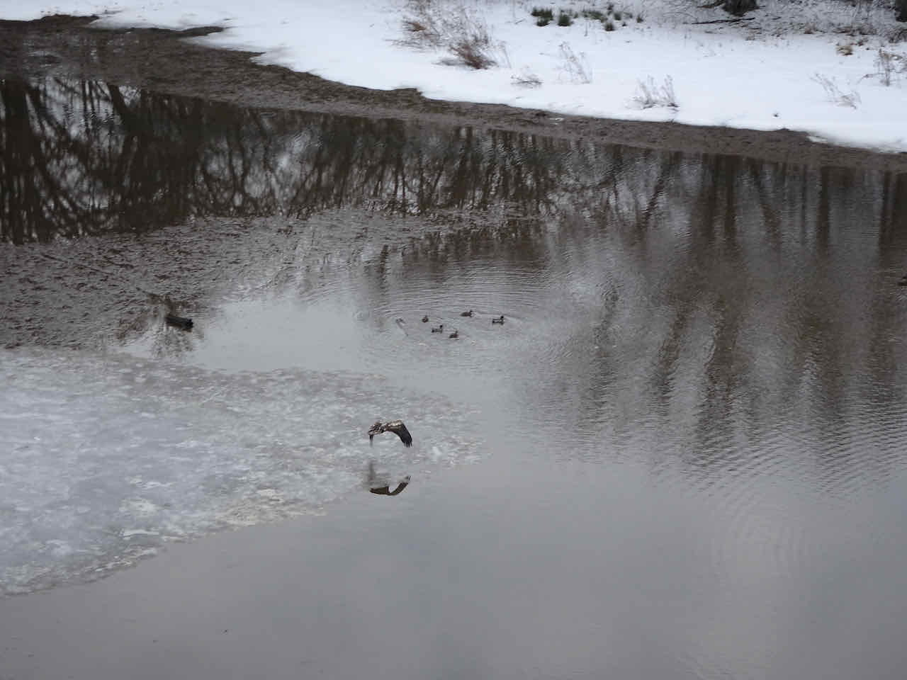
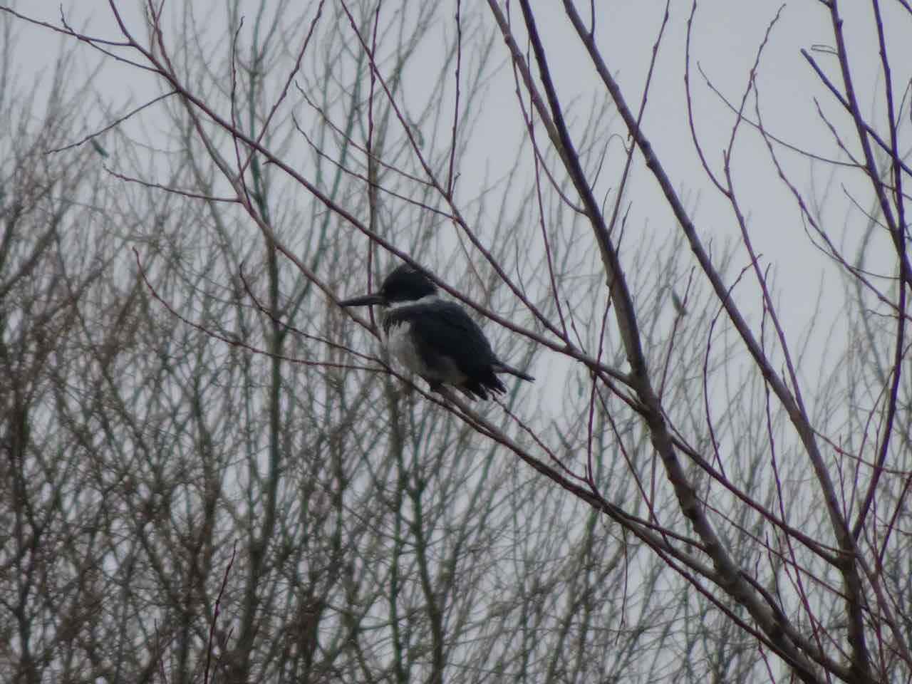
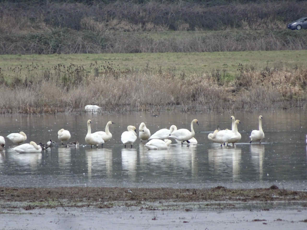
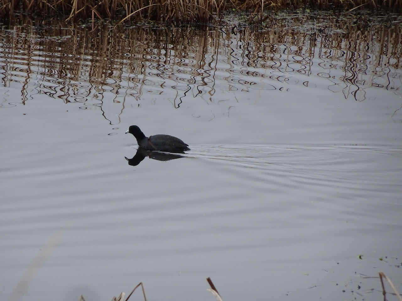
Ravens and cows:
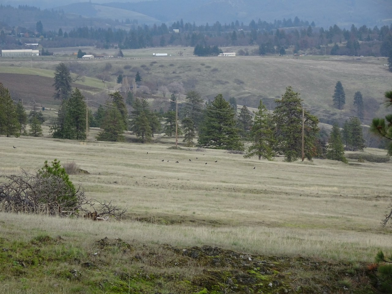
ravens

cows
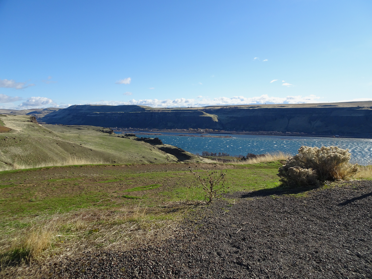
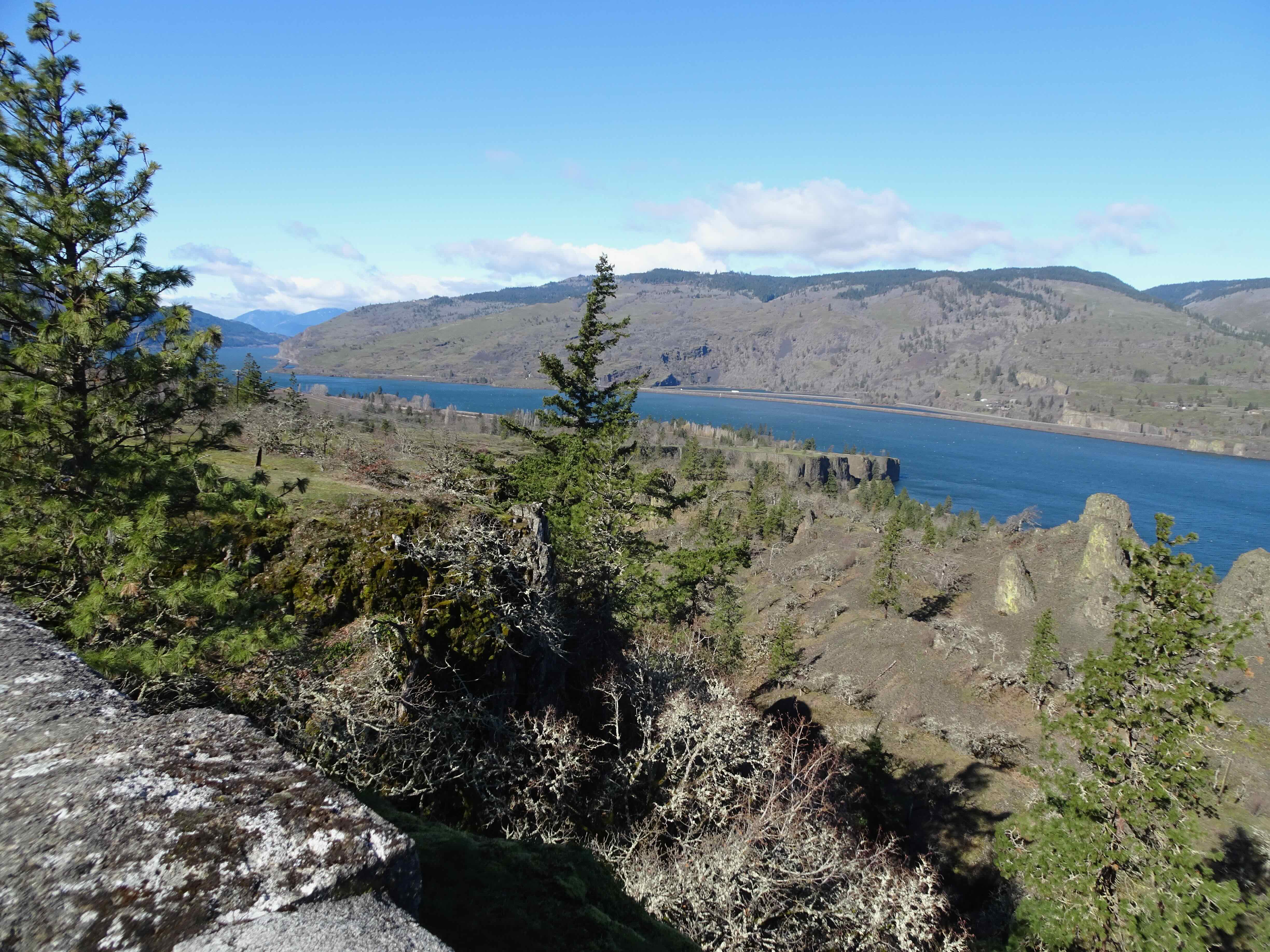
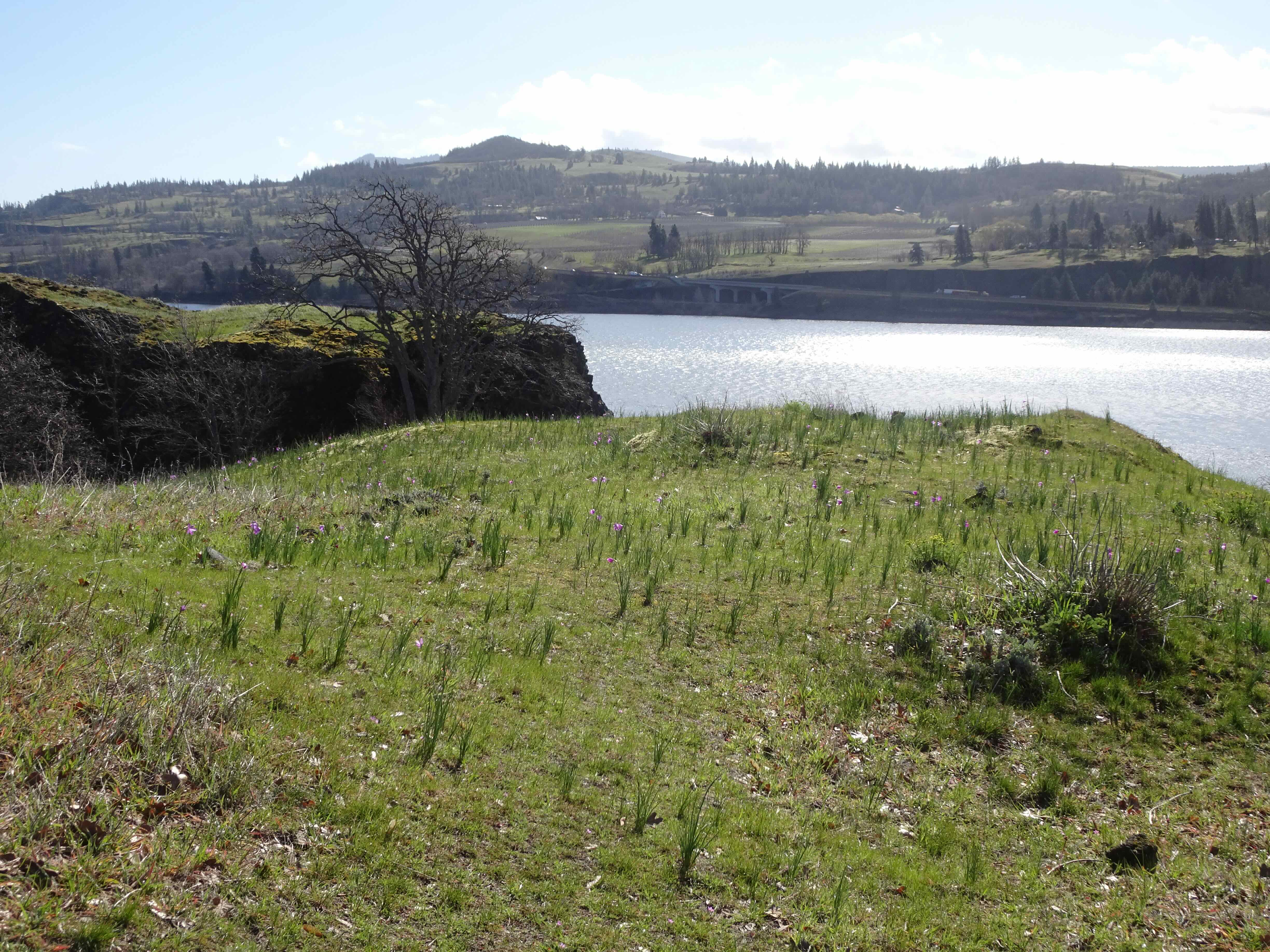
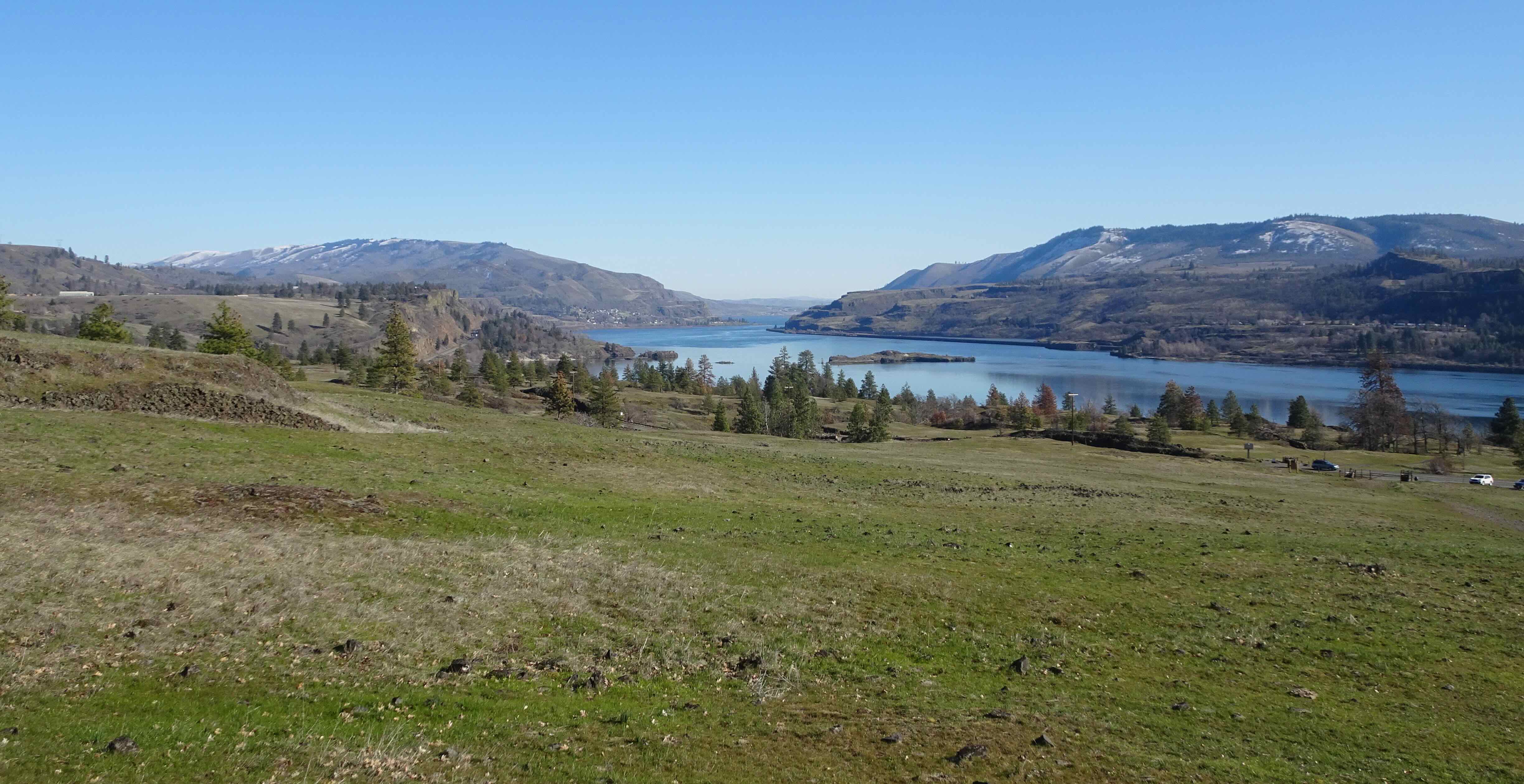
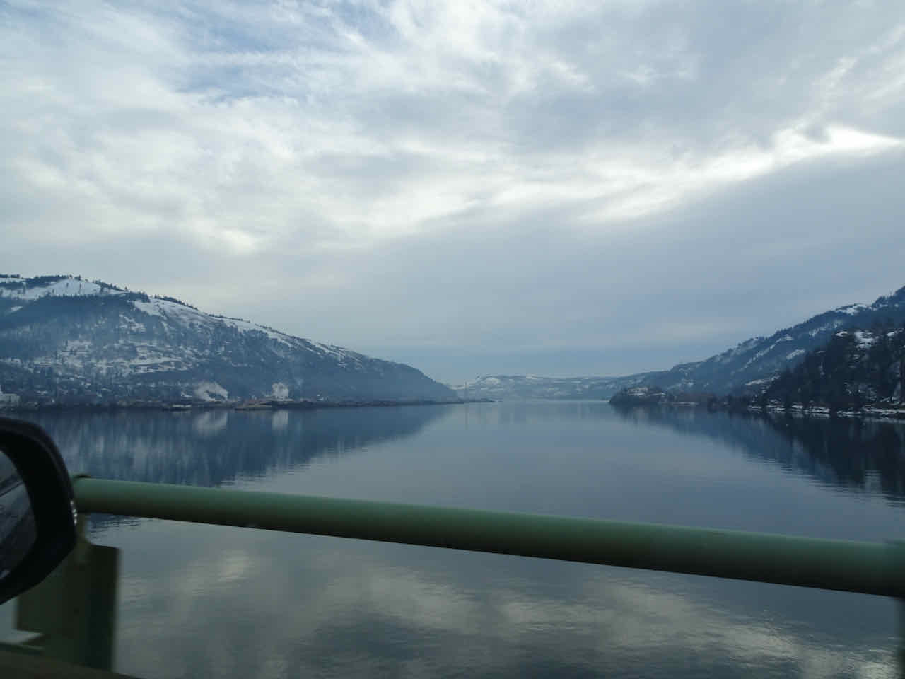
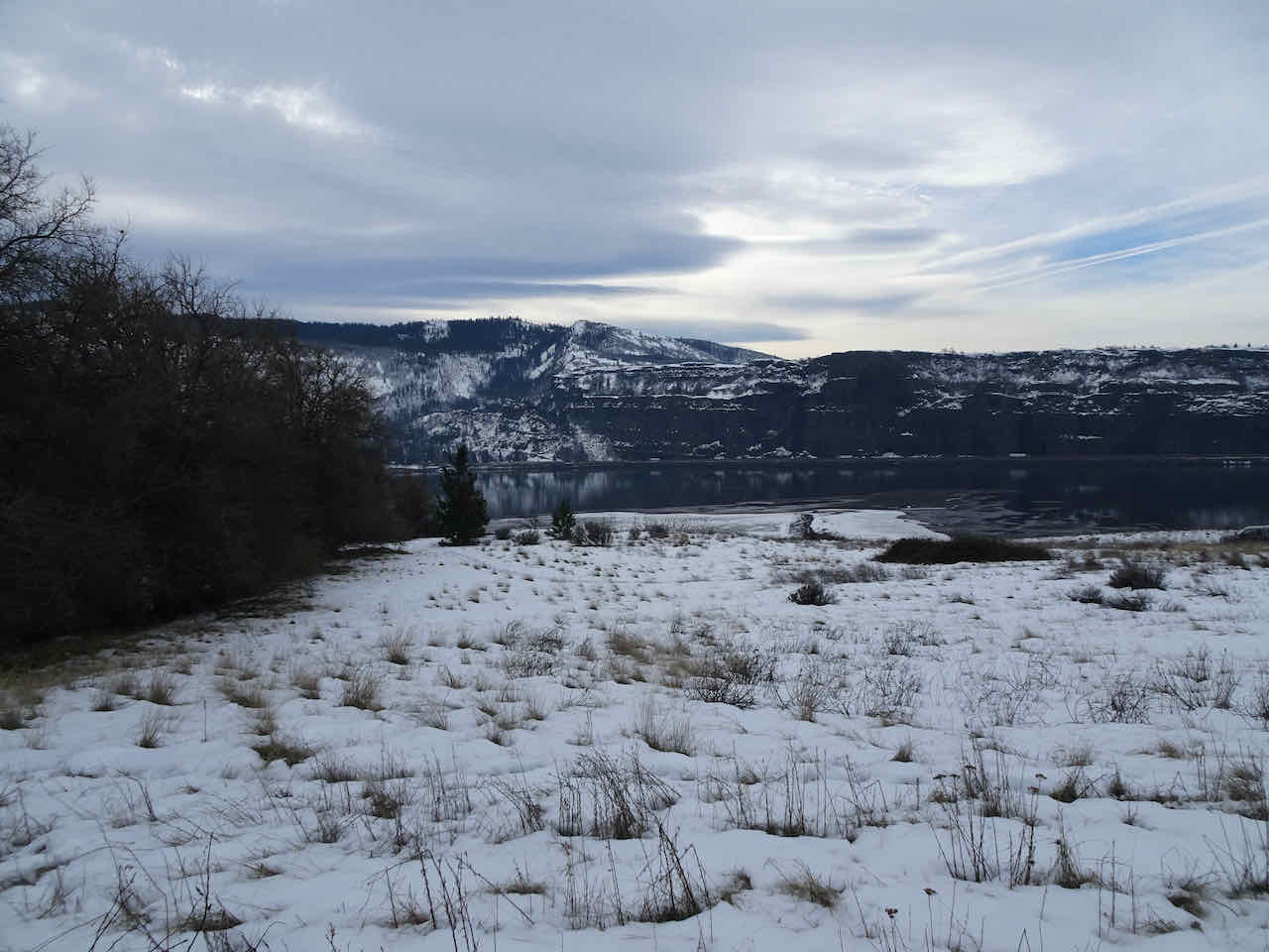
Columbia River shining:

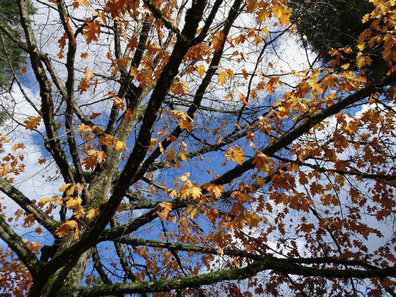
oak and ponderosa sharing the sky:
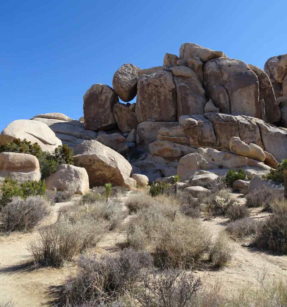
Ent on the skyline:

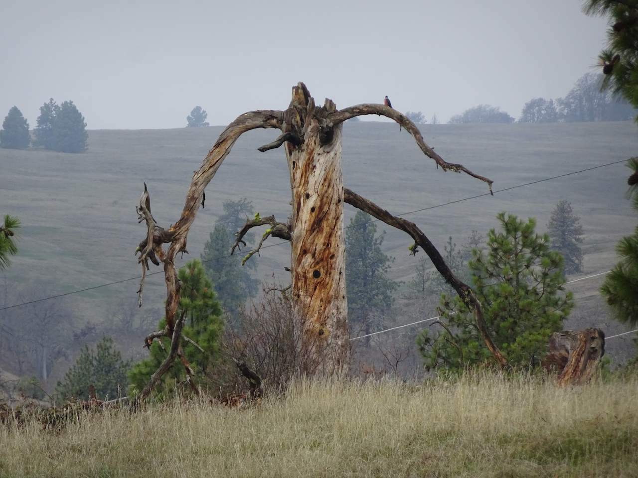
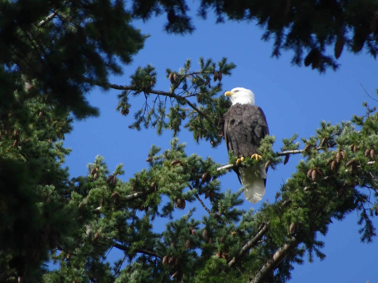
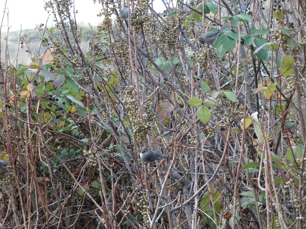
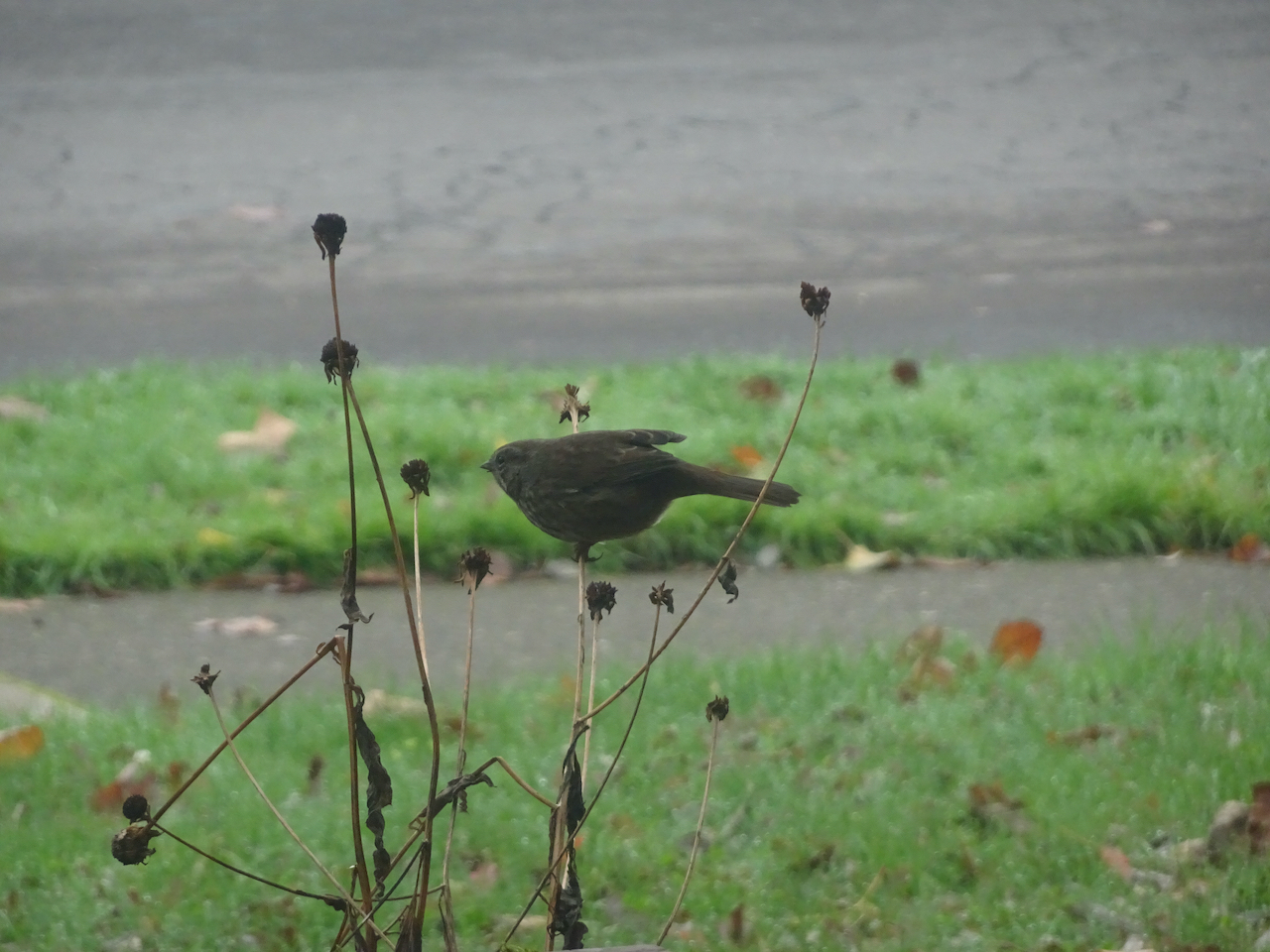
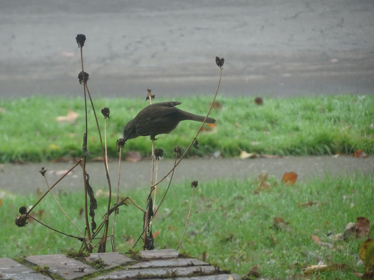
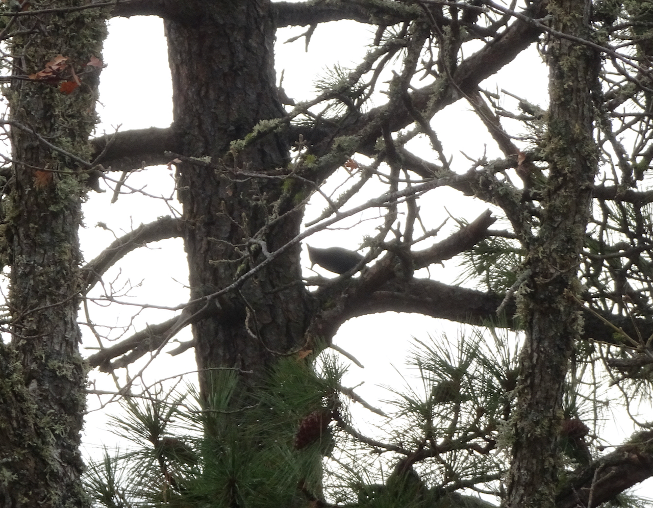
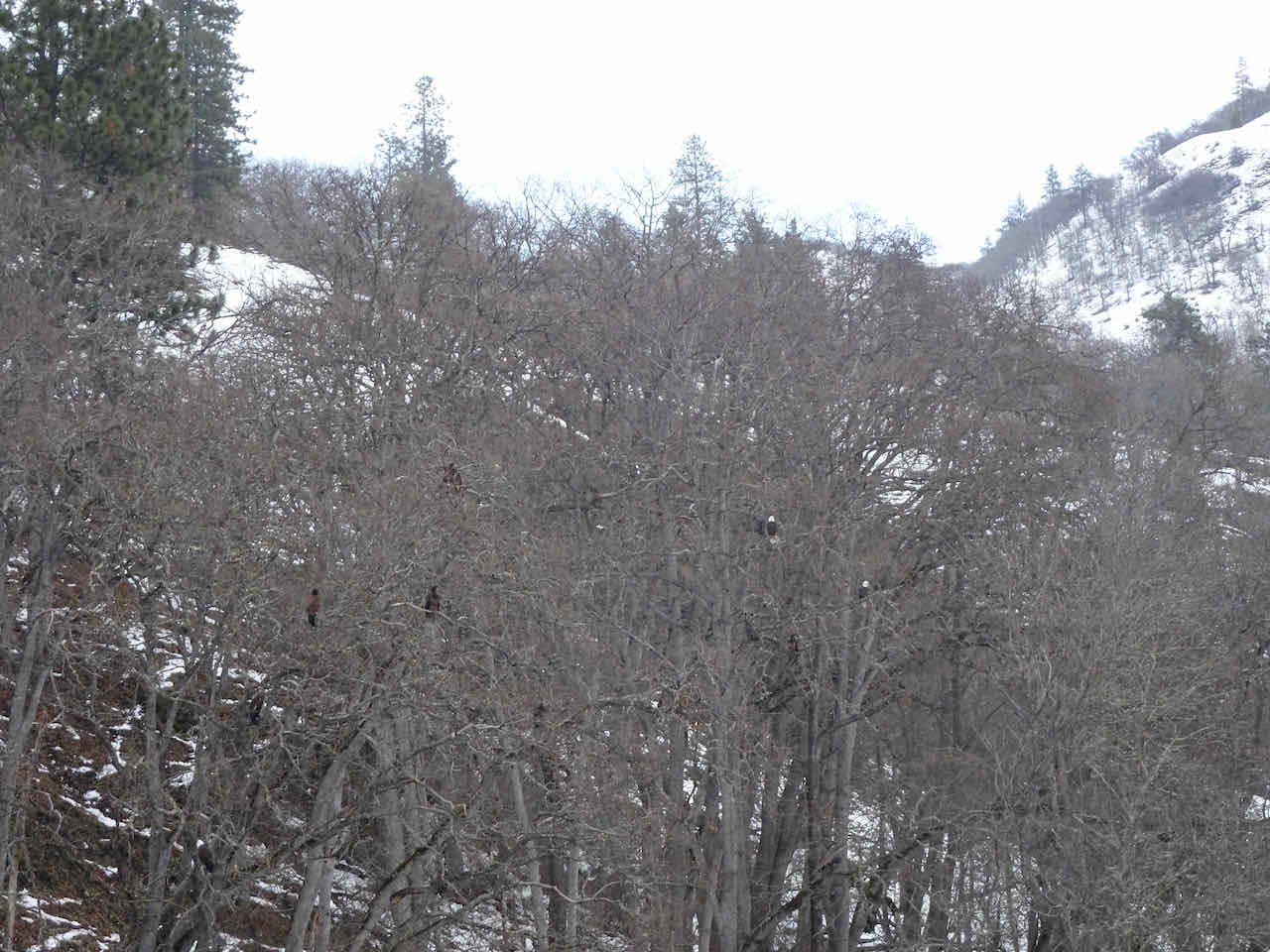
It’s very birdie in this section, chirping and calling, flashes of blue, rust, white and black between trees, I can’t quite see them; blue jays and woodpeckers?


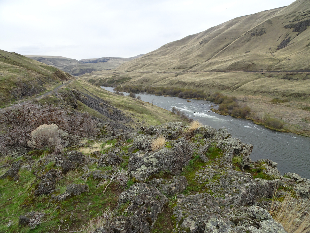
Up Tracy Hill’s open slopes:


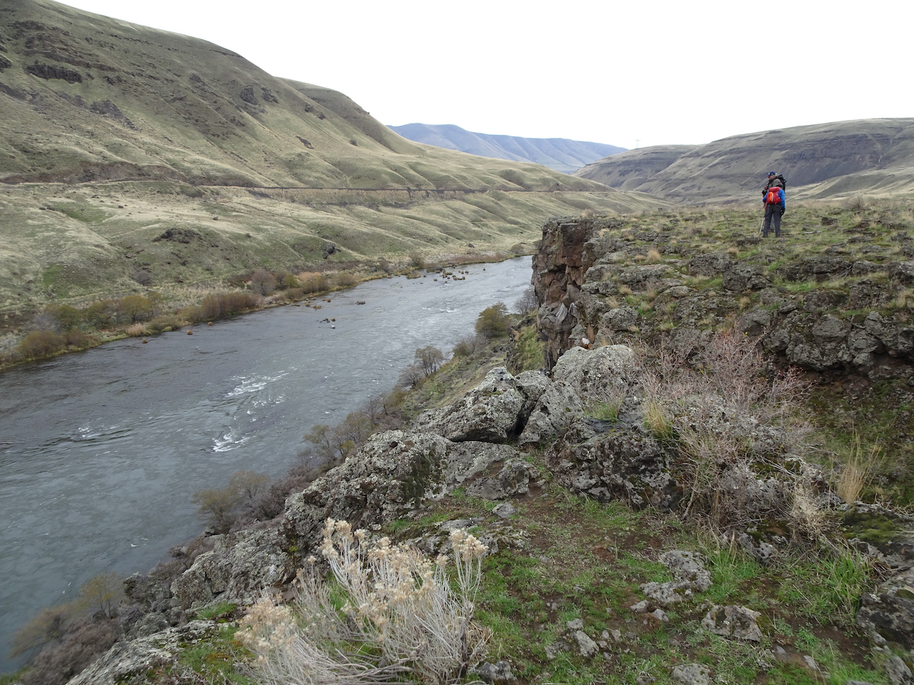
View up Major Canyon, to the east
Seating at the top of Tracy Hill
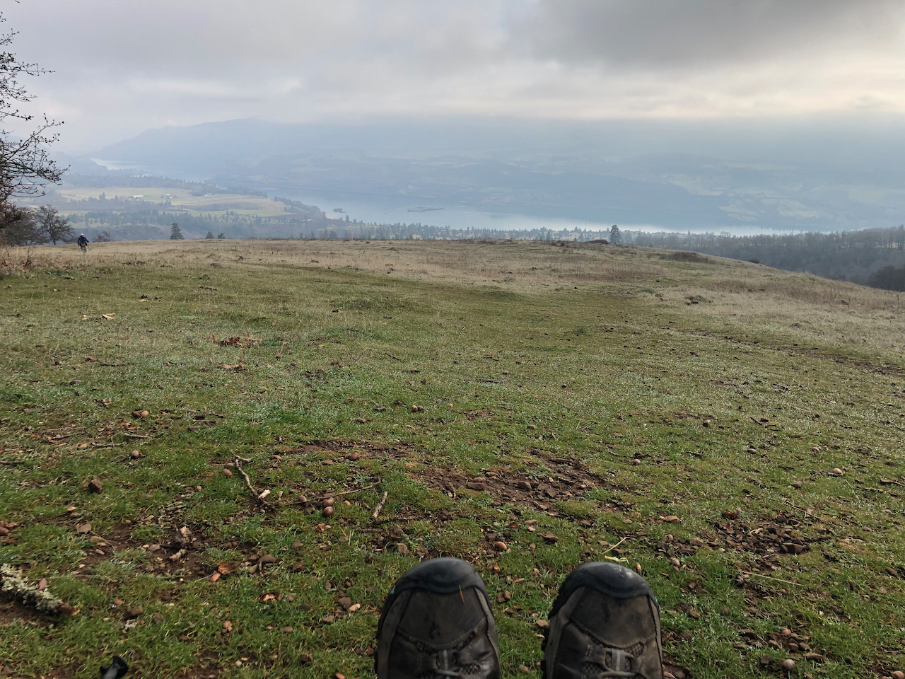
A well earned rest
and down again:
halfway down

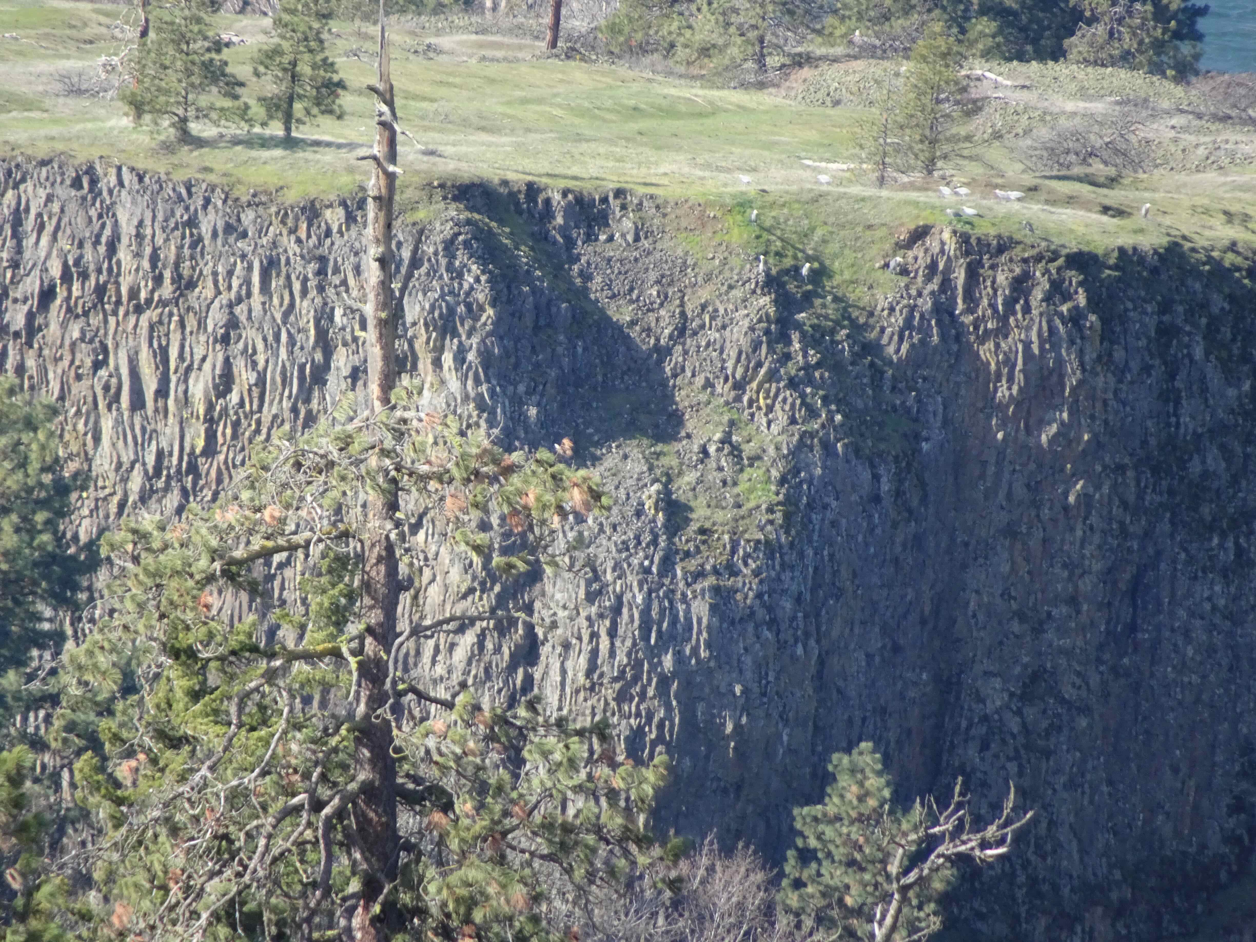
above the arch

Looking back at the top of Tracy Hill
It felt a bit like walking in a painting. I was interested to compare it with walking in digital paintings the next day…
Beyond VanGogh, Oregon Convention Center, 12/8/2021 – We did actually walk in pictures, as the digital imagery swirled around us, and the paintings painted themselves on the walls. All beautiful and colorful, and an excellent reminder of Van Gogh’s work. I loved seeing:
the flowers that melded together then blew away:
the swirls of starry night whirling:
walls of self portraits:
buildings appearing from simple sketched lines to full color paint strokes:
signatures writing themselves in a patchwork of squares:
dark starry skies dripping down the walls:


However, Beyond Van Gogh was not a wilderness experience. I enjoyed the visual imagery, but would have liked to see it in an Imax setting. Perhaps if we had been stationary, I would have felt more in control regarding Covid precautions, especially now that omicron is spreading. There were too many people wandering around in the hall. I was constantly checking over my shoulder to get away from someone standing tooo close with their mask slipping down. I guess I’m not ready to resume life in the peopled world yet.
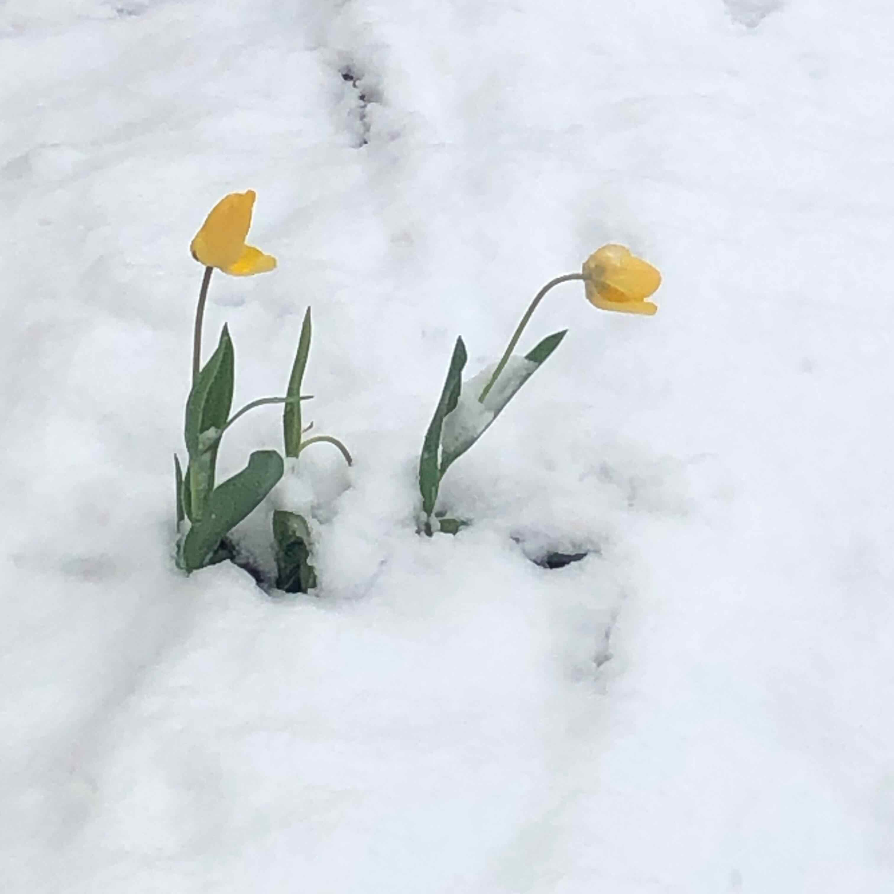
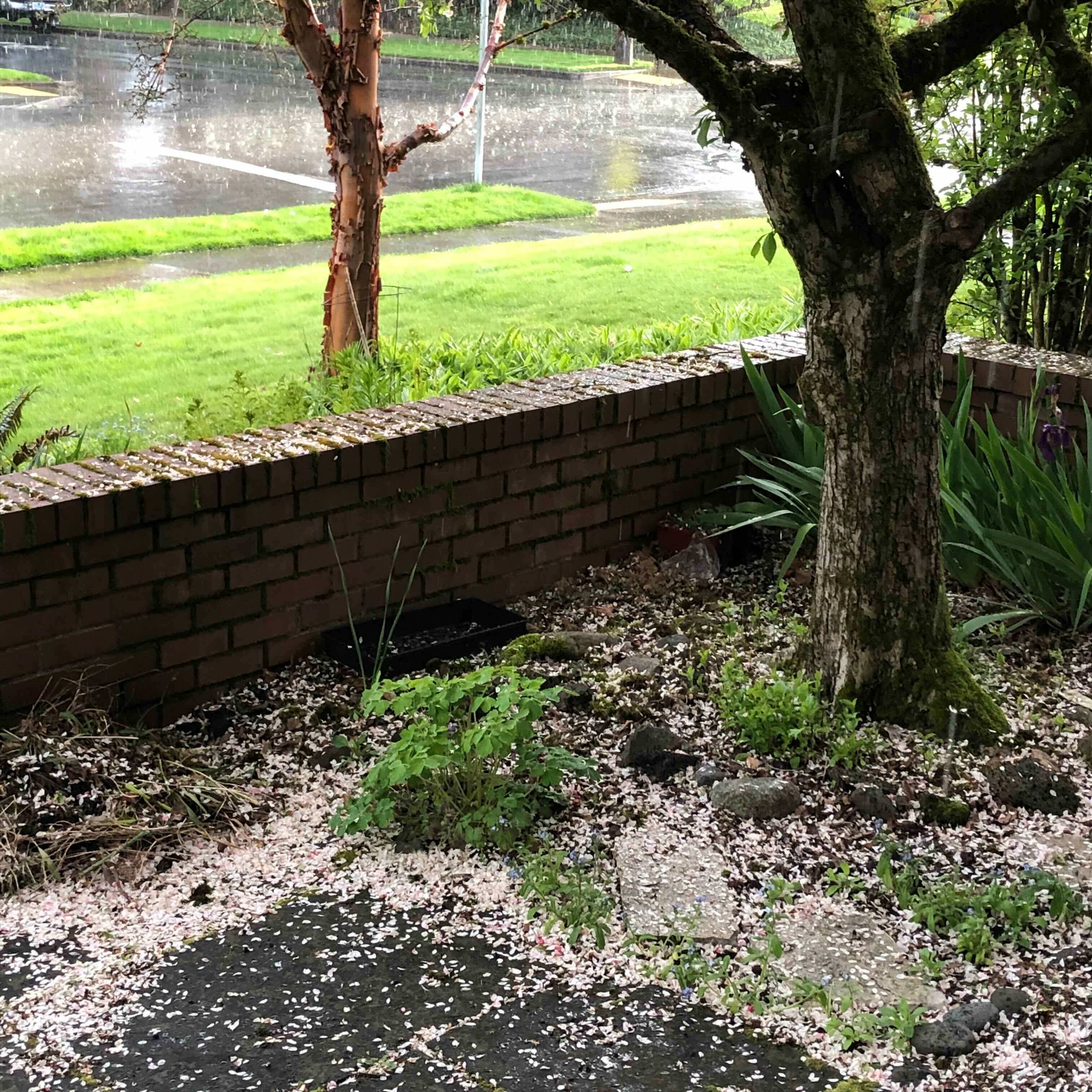
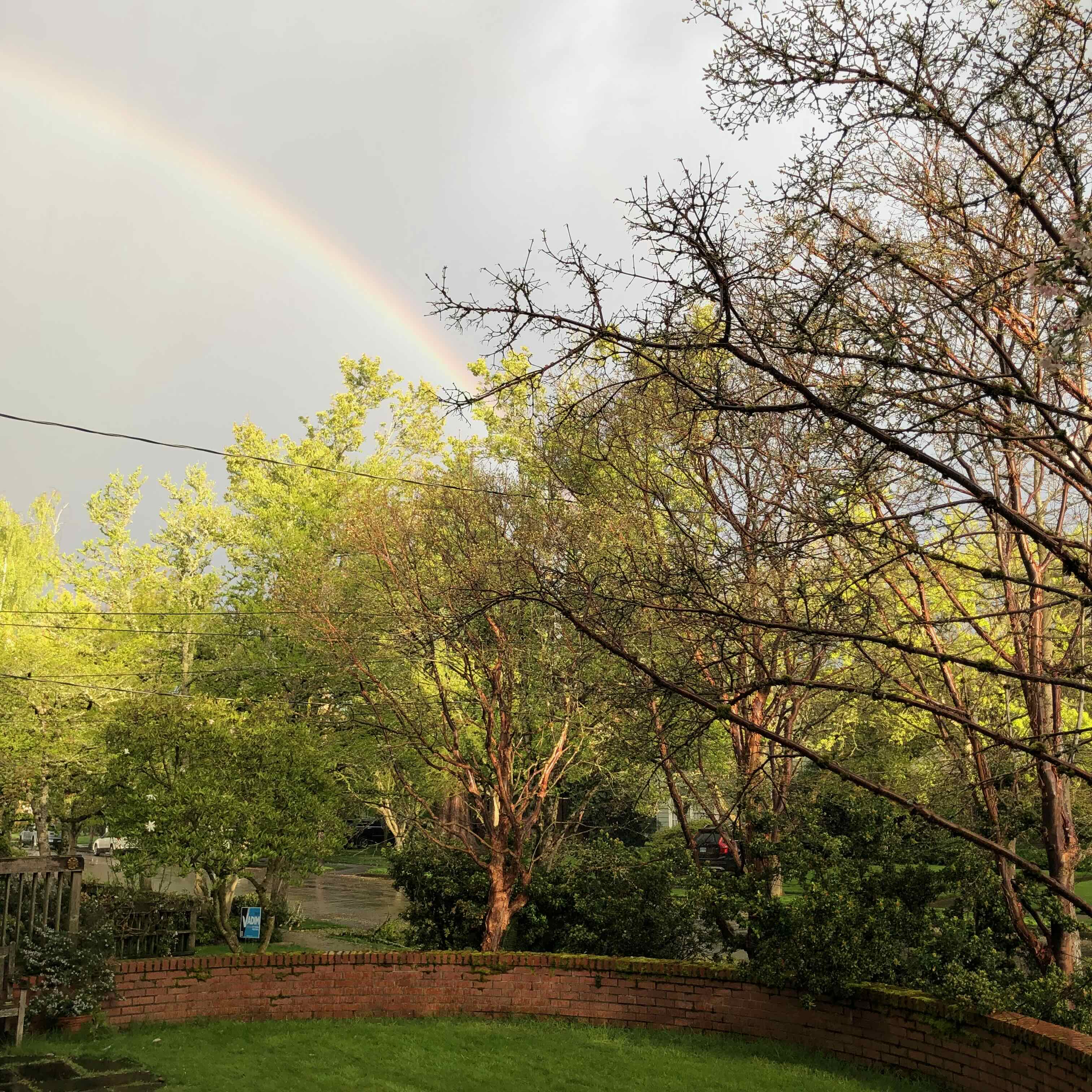
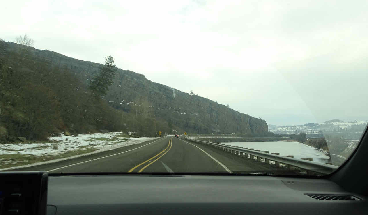
For the rest of December it has been raining, and now is cold (for us) and snowing. Not conducive to driving to the trails or hiking. I’ve mainly been taking neighborhood walks in the brief dry spells. I will be glad to return to walking in the real hills after this Canadian cold front moves on.


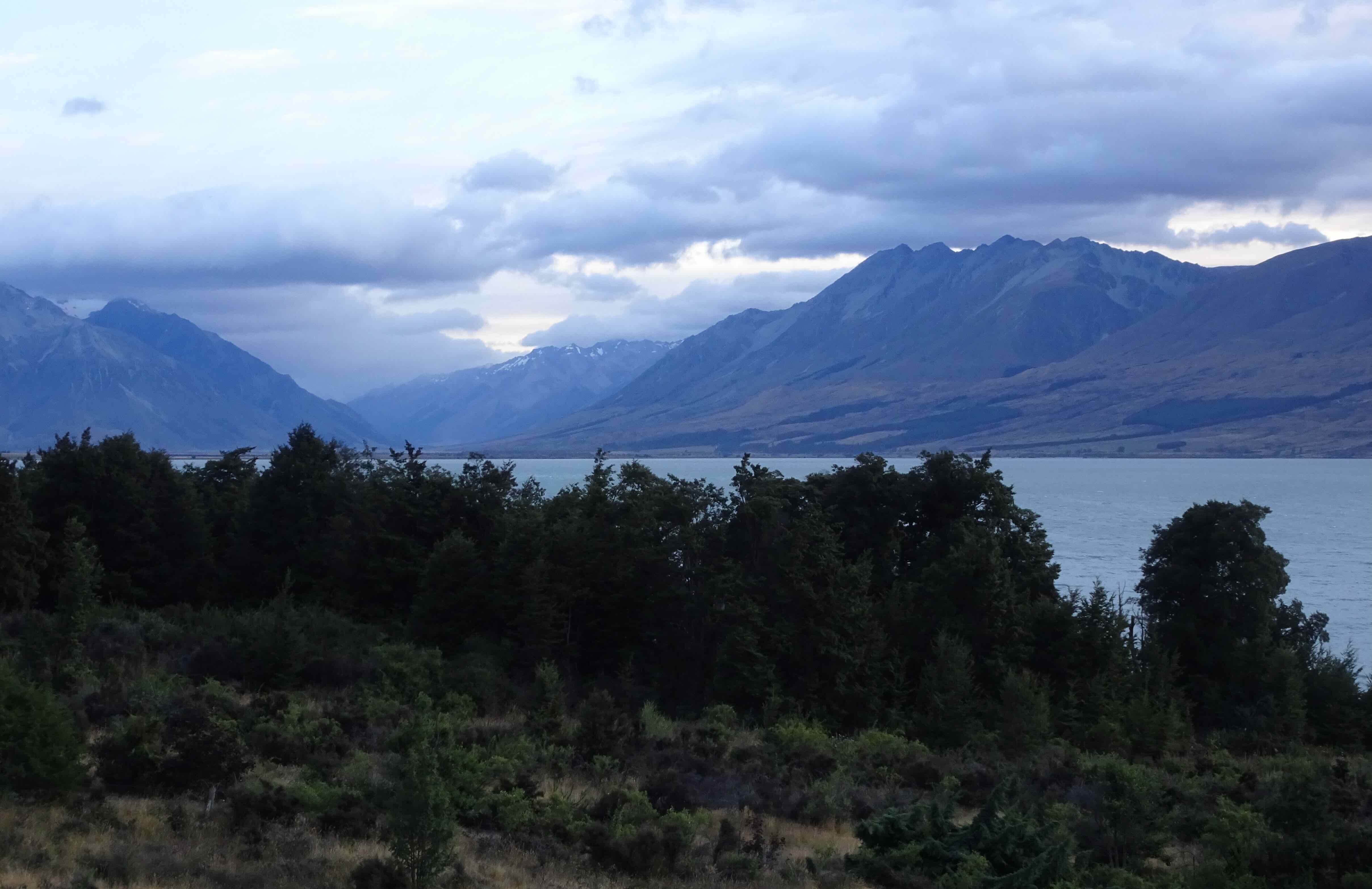

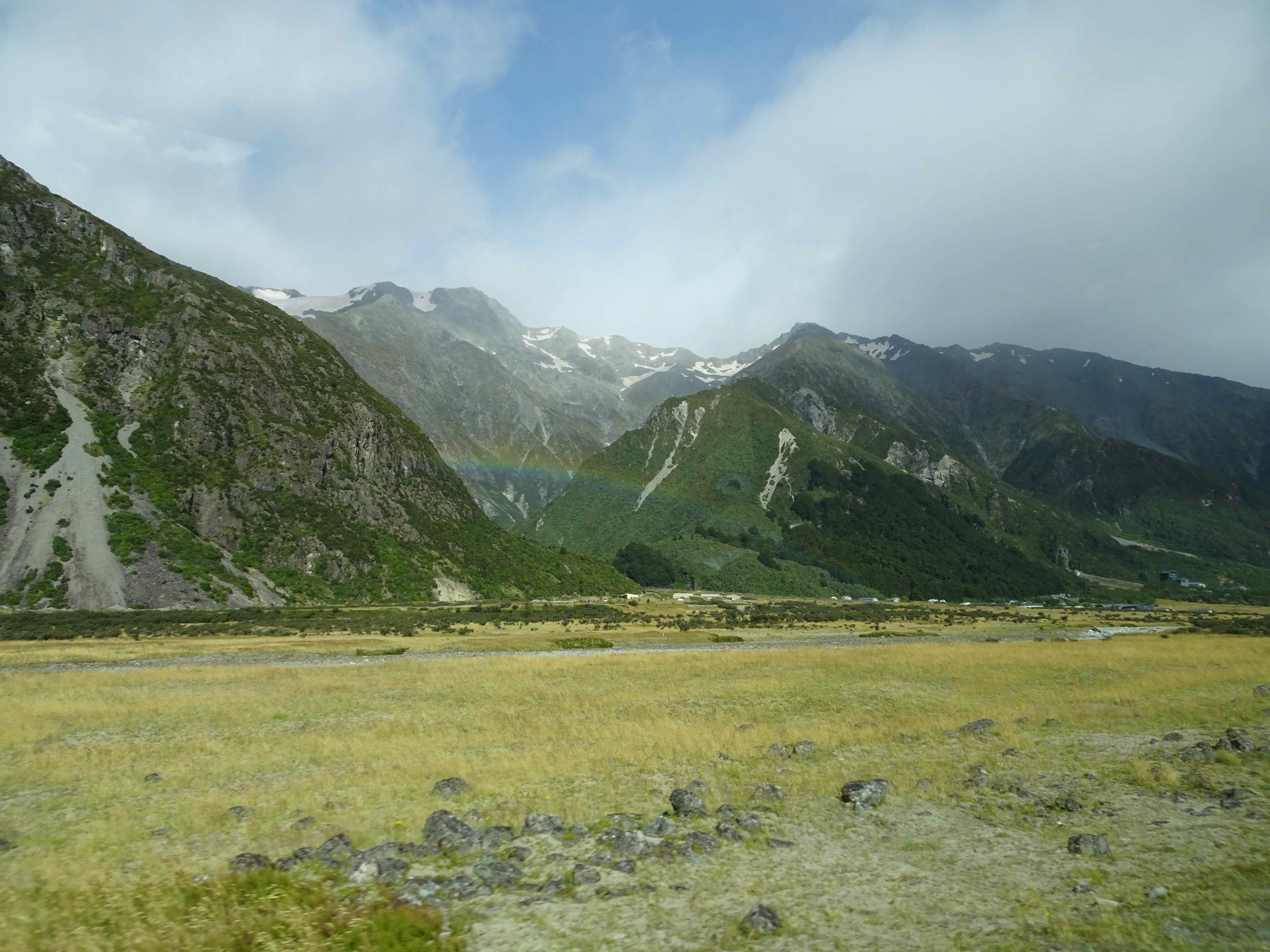


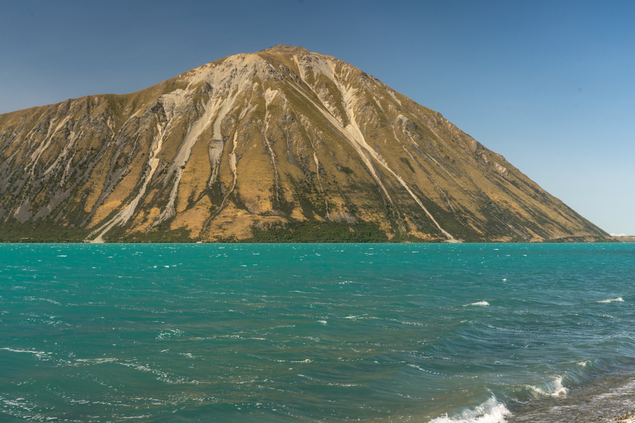
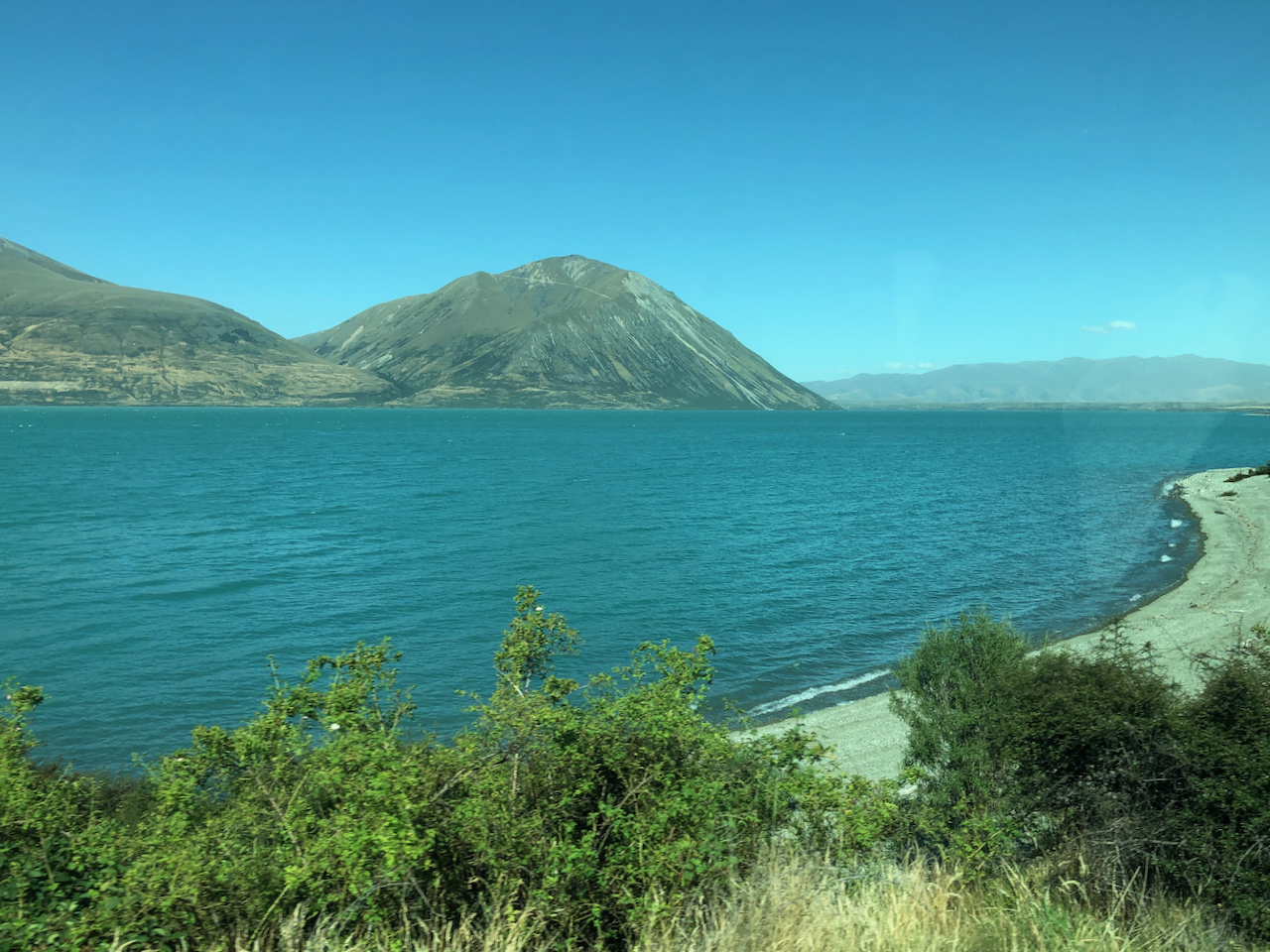
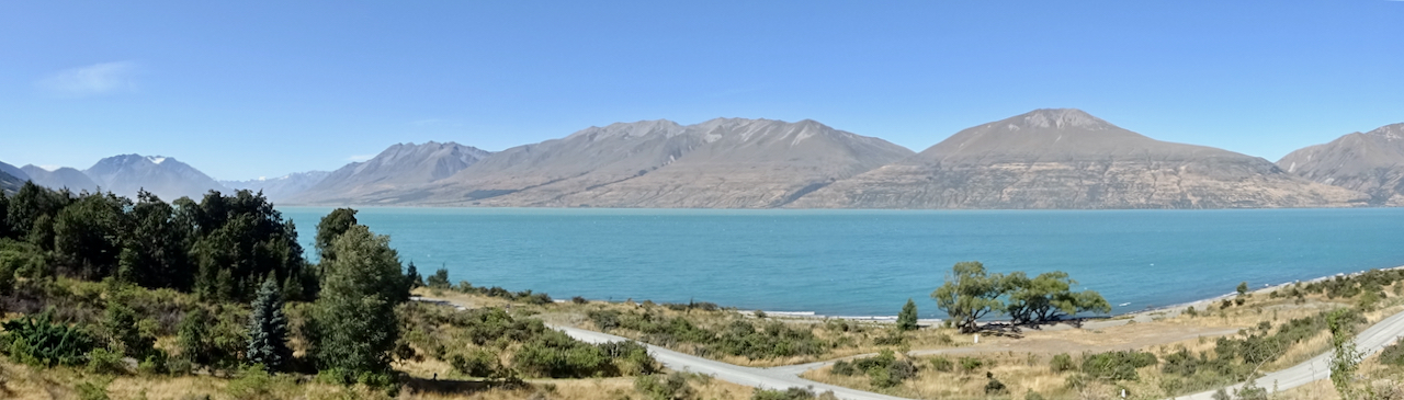
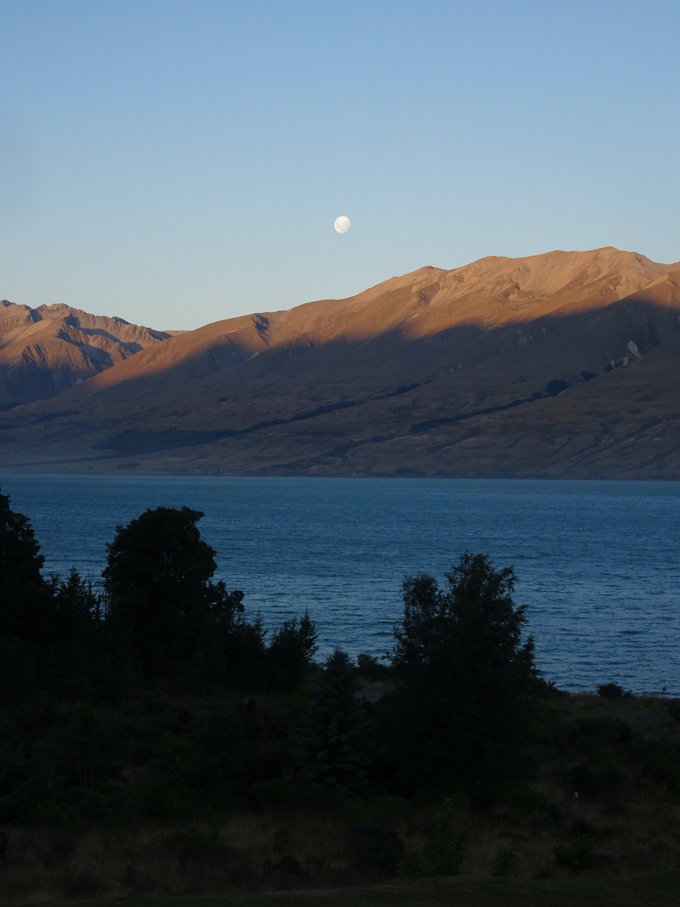
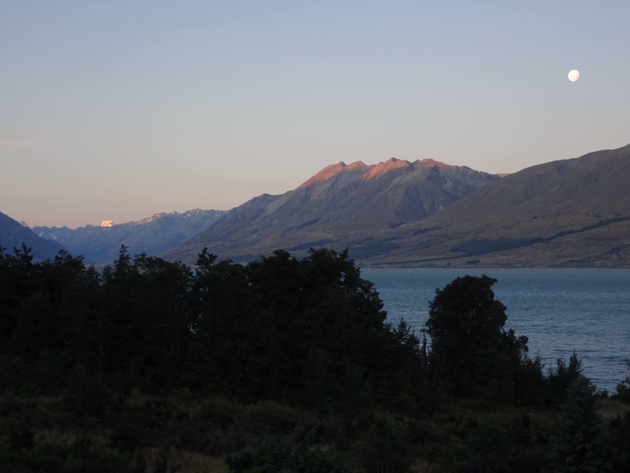
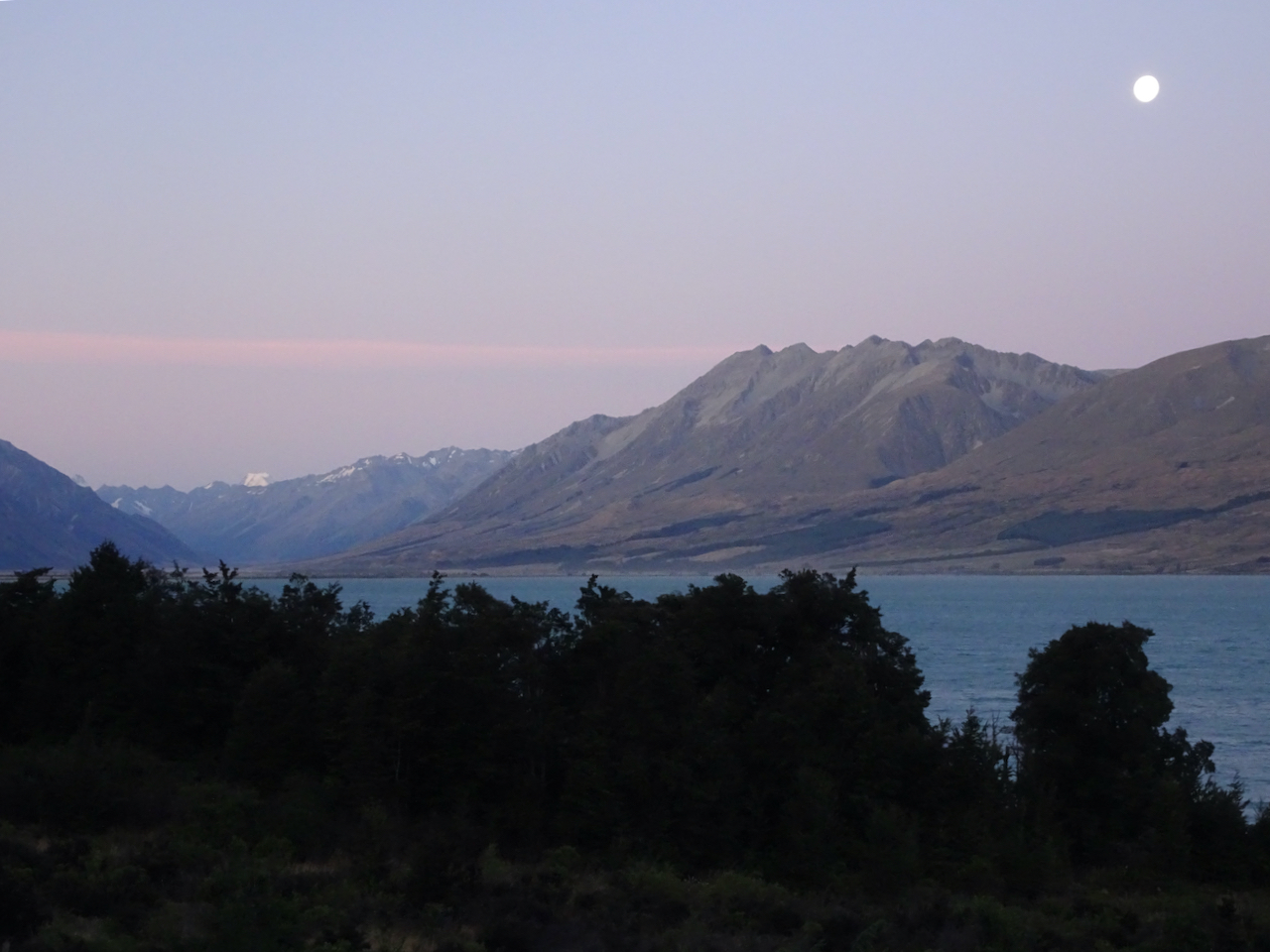
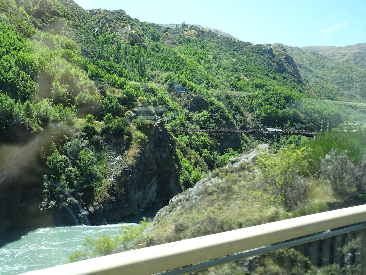
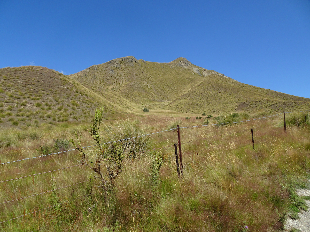
 Driving north: For the next few hours, we drove north along Hwys 6 and 8, with several short stops, and lots of interesting scenery along the way.
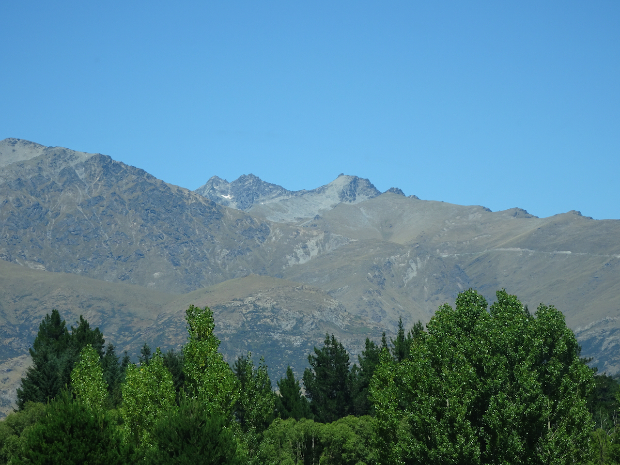


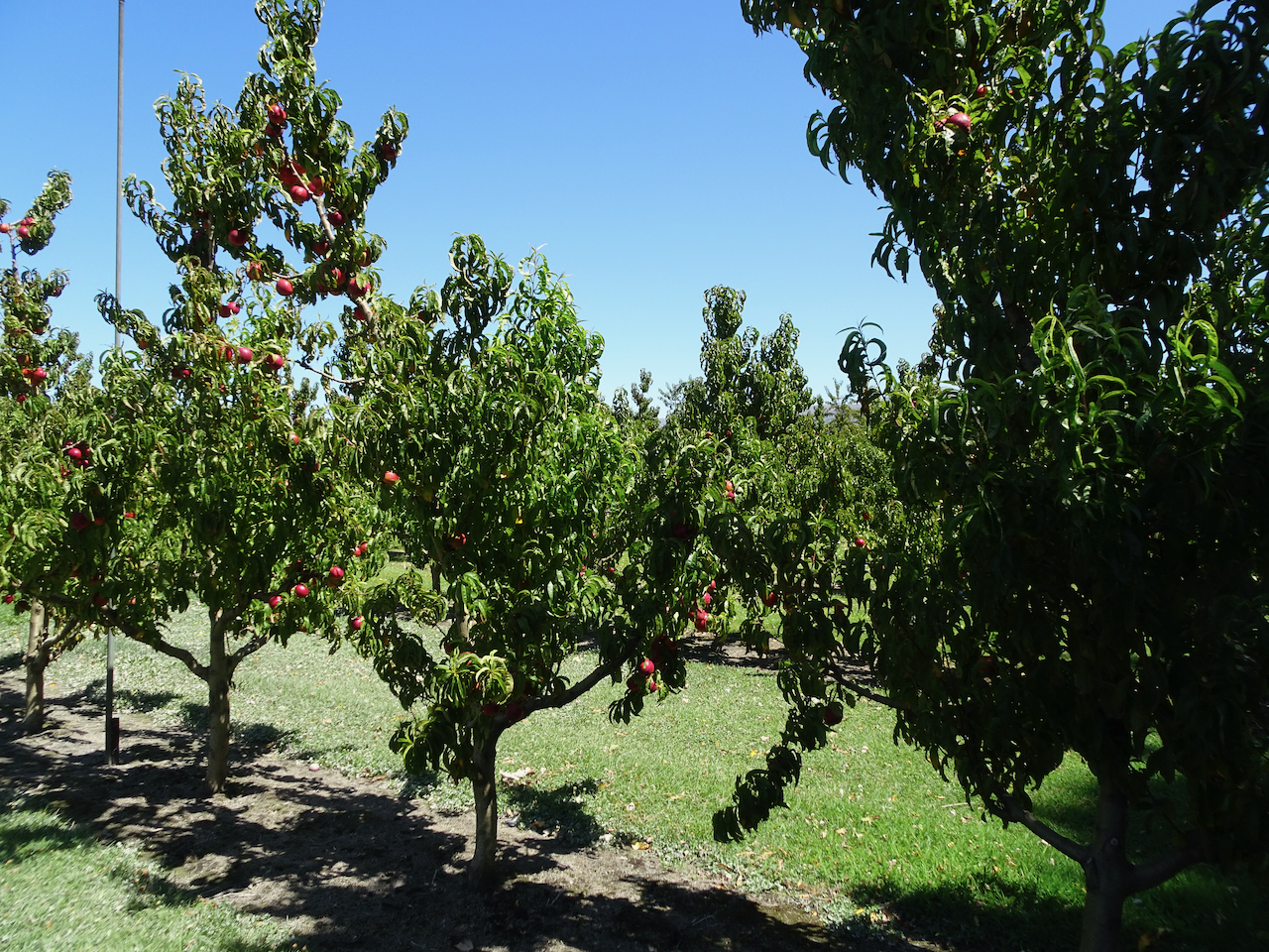


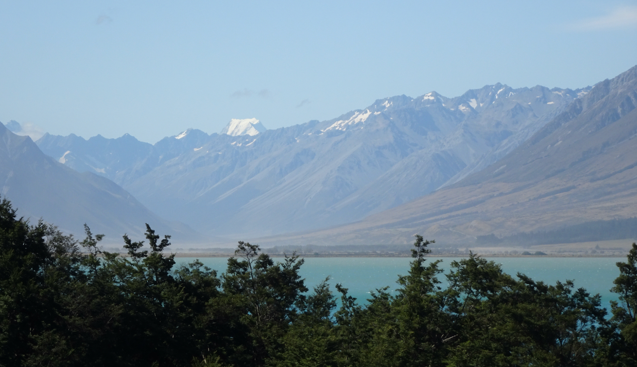
 We took one last break in Omarama, where I found a few post cards, but no knitting wool.