Posting from my peaceful Portland neighborhood –

A trifecta of crises descends on my town –

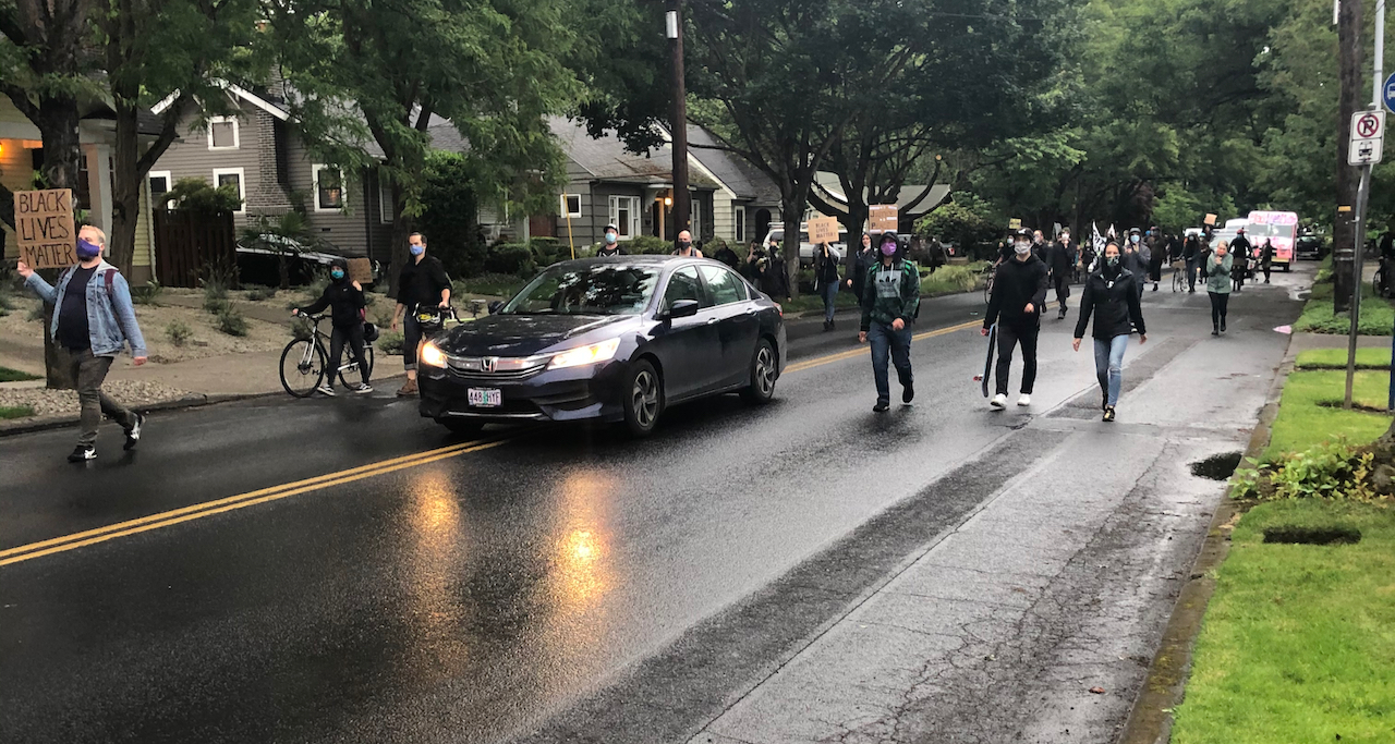
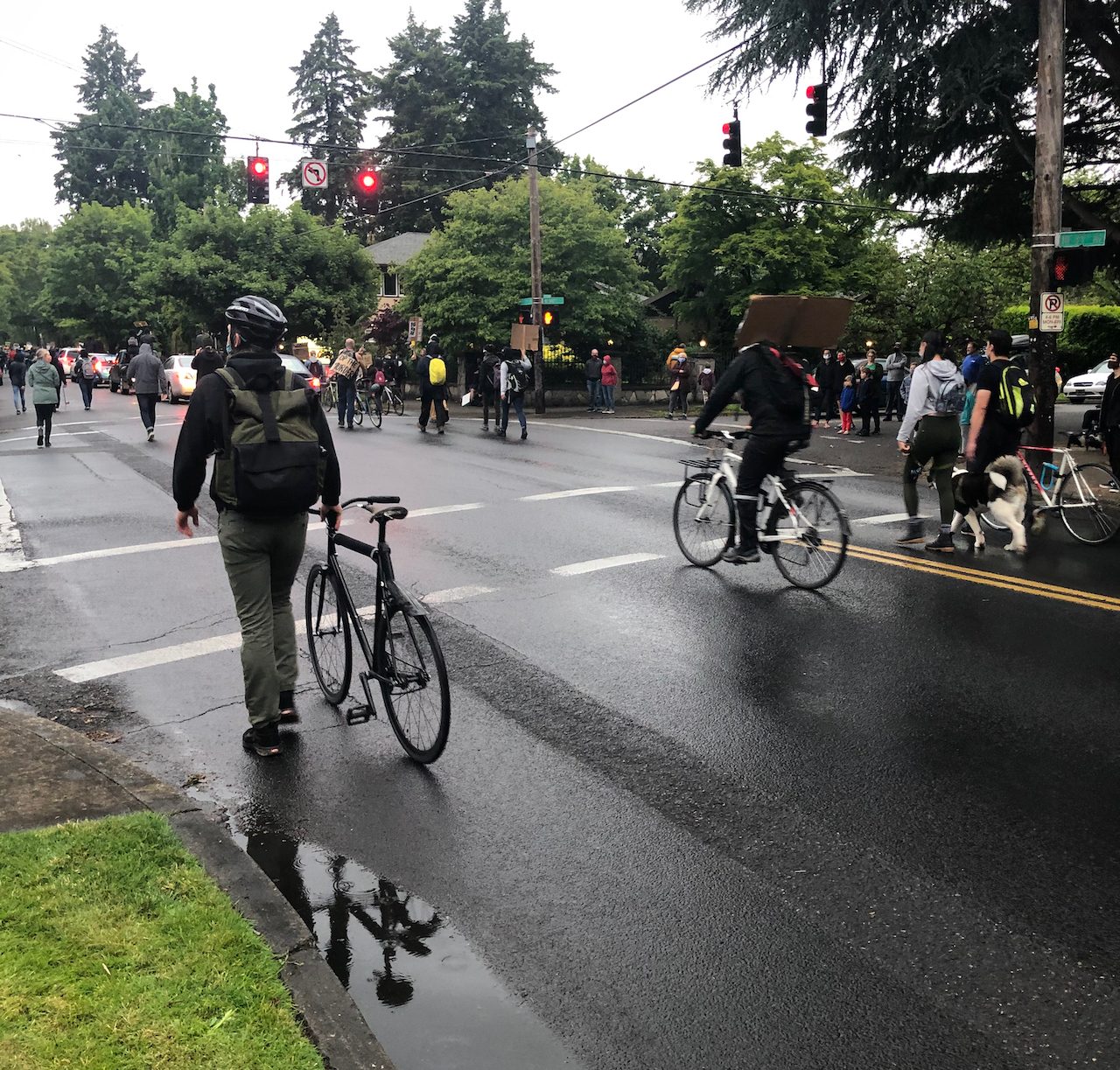
I have been distracted from posting by current events. All I have been able to think about is how my community has been attacked by our own government. Federal gestapo-like forces have invaded Portland’s mostly peaceful Black Lives Matter protests and demonstrations, and created a war zone in the four downtown blocks around the federal building. Click-bait and spot news entertainment have focused on the four square blocks of federally-incited violence that occurs after most demonstrators have gone home. The leadership void in DC is trying to distract from inept pandemic management and interrupt local progress toward ending white supremacy. The ‘stormtroopers’ sent by a failed president are causing the violence. Today there is an announcement of an agreement to withdraw the troops. Our state and city have serious antiracist/police reform legislation proposals underway. I am cautiously optimistic.
I am speaking from a condition of white, middle class privilege. I myself have not been downtown, although I know people who have. I am of an age and health situation that I  think the best thing I can do to help is to stay home, not contribute to spreading Covid-19. I stay aware of what is going on, donate money, and hope that the trifecta of political, economic, and public health crises our country is experiencing will begin to resolve after November elections.

I honor the Black Lives Matter protesters. I appreciate the wall of moms, the dads with leaf (teargas) blowers, the wall of vets, the volunteer medics, street cleaners, and cooks, all the folks who have put themselves on the line to keep the conversation about systemic racism and police reform going.

IMG_0652IMG_1209

Meanwhile, in my neighborhood…

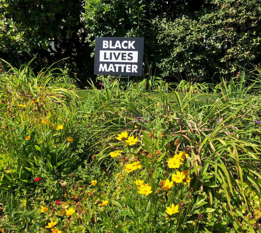
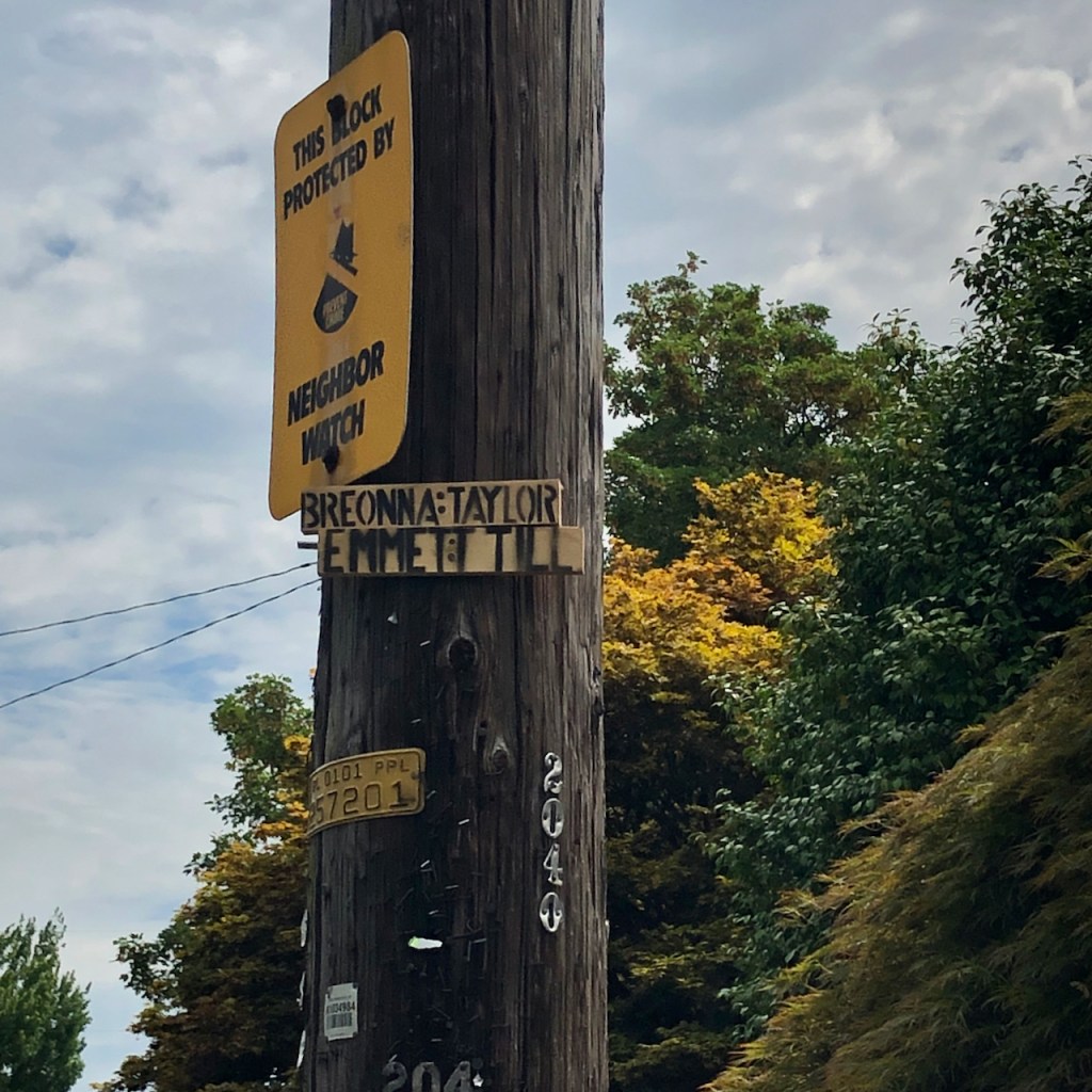
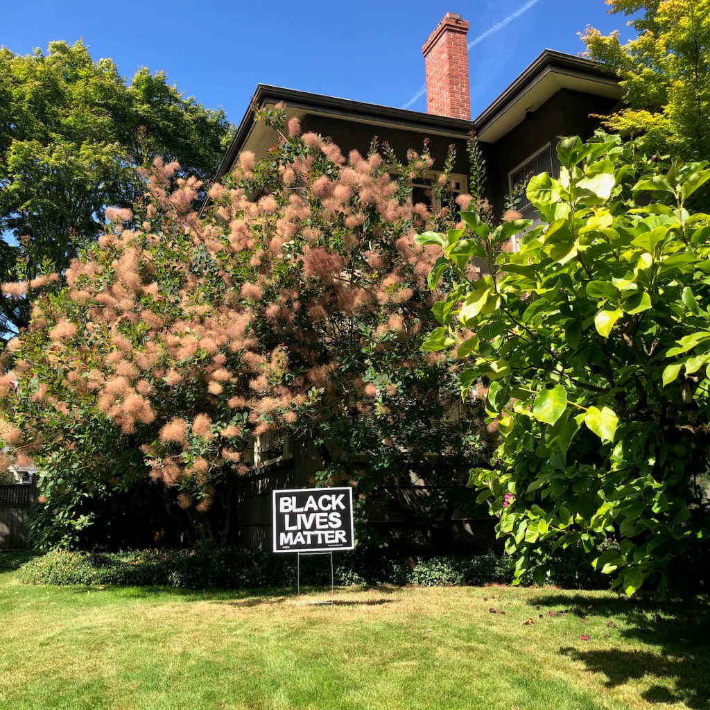
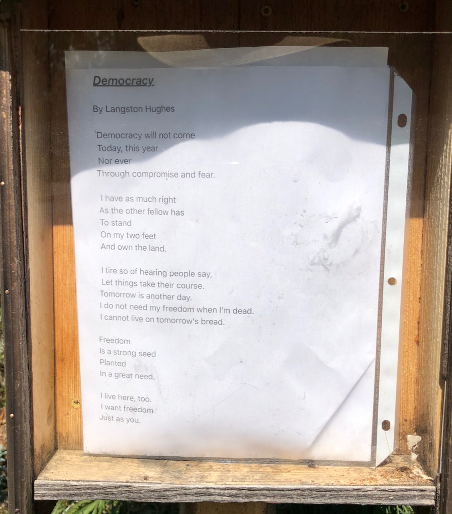
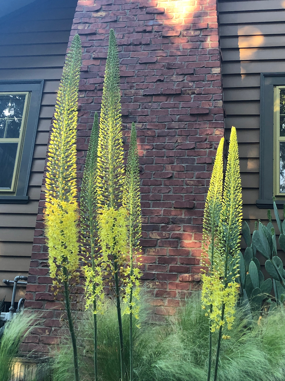
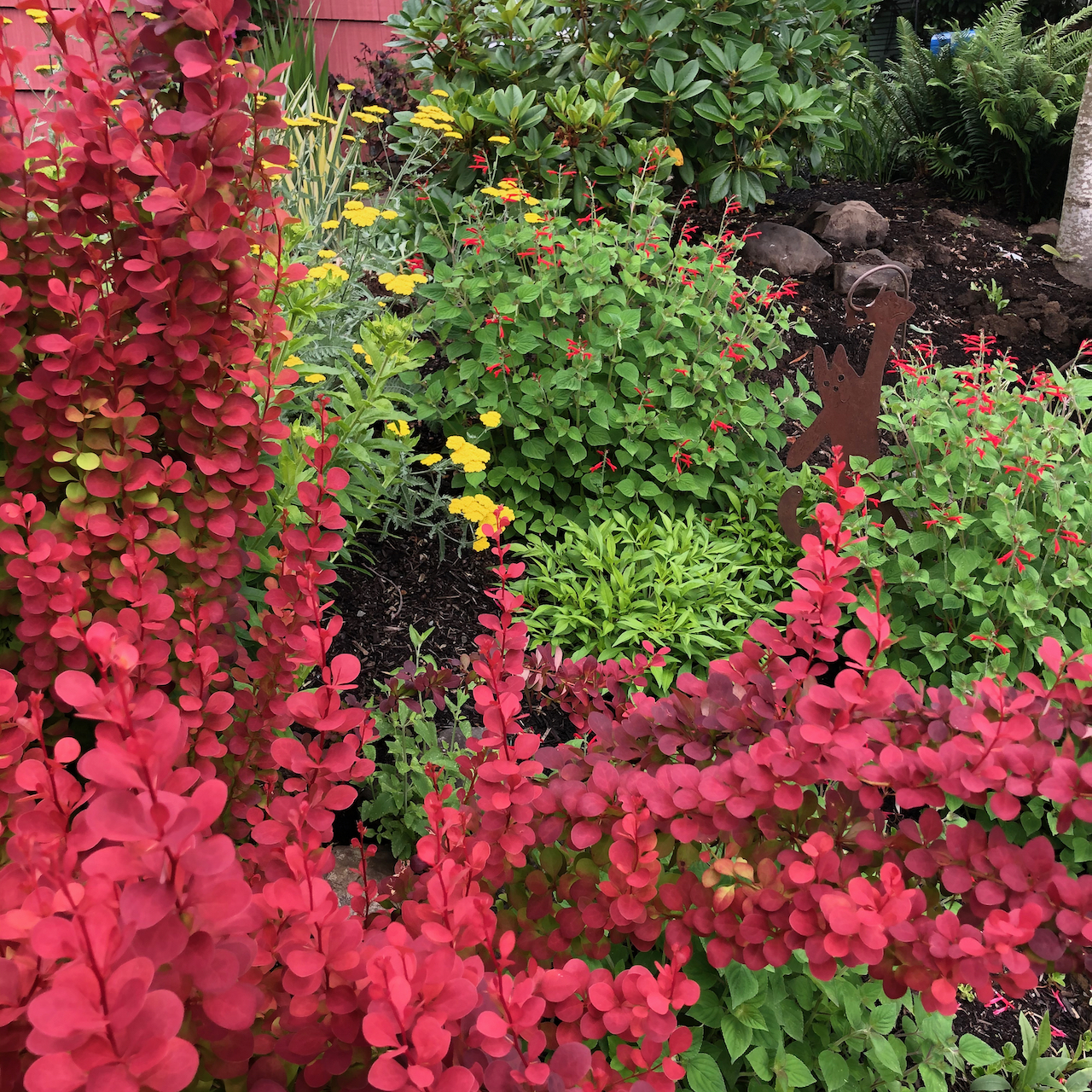
The quiet and calm in my neighborhood are uninterrupted. I see signs of support and blooming flowers on my walks.

We have been eating sungold tomatoes and basil from our garden, and we’ve celebrated another family birthday.

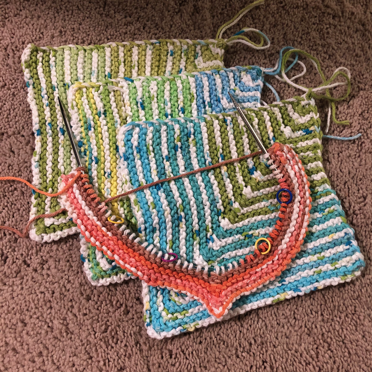
I seem to be obsessed with knitting dishcloths and have also cast on a new sweater.

IMG_1214IMG_1215

We have been out hiking in the past two weeks to places we have been before.

Lookout Mountain, July 22, 2020

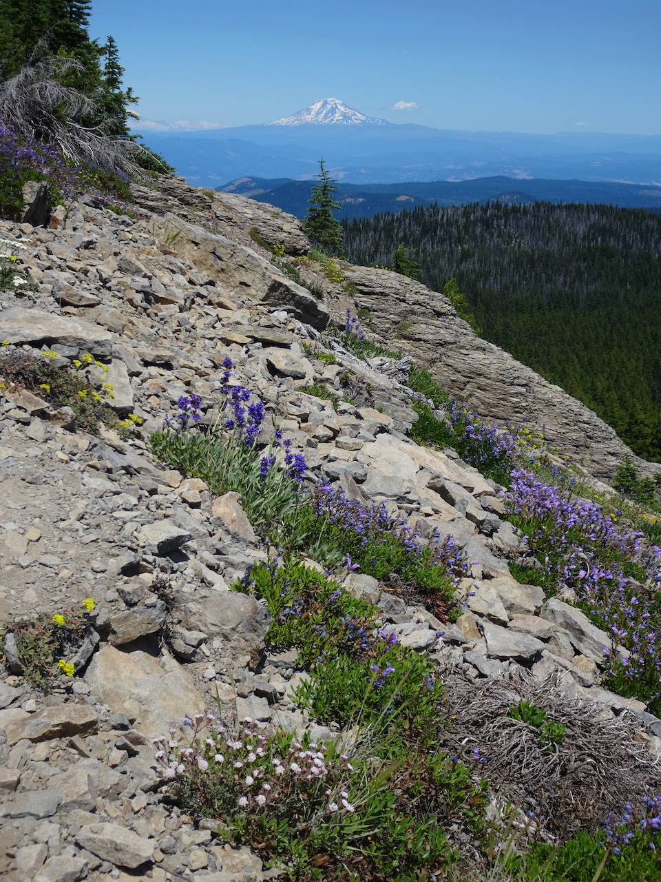
Wildflower meadows and views of nine Cascade volcanoes, from Mt Rainier to Broken Top. Hike #53, 3.5 miles, 650 feet.

DSC02240

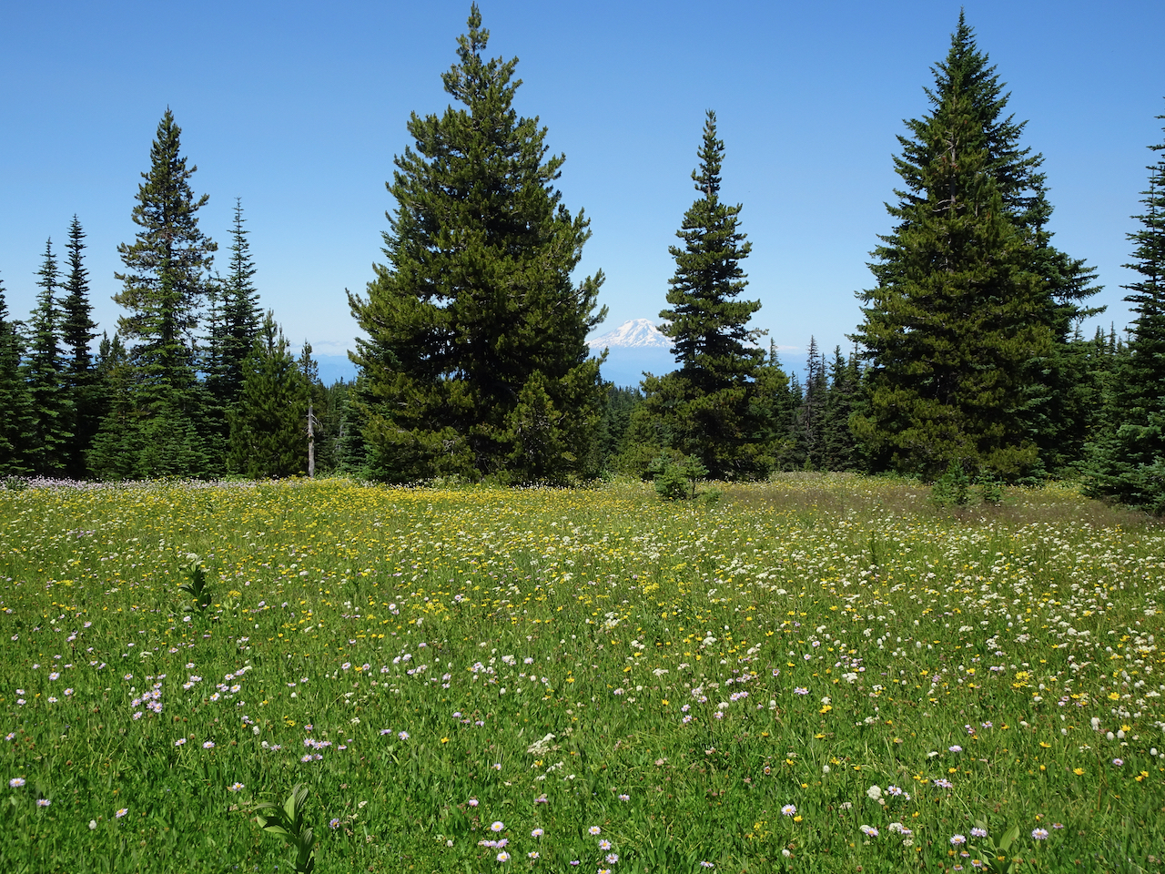
Mt Adams beyond the wildflower meadows of High Prairie.

DSC02155

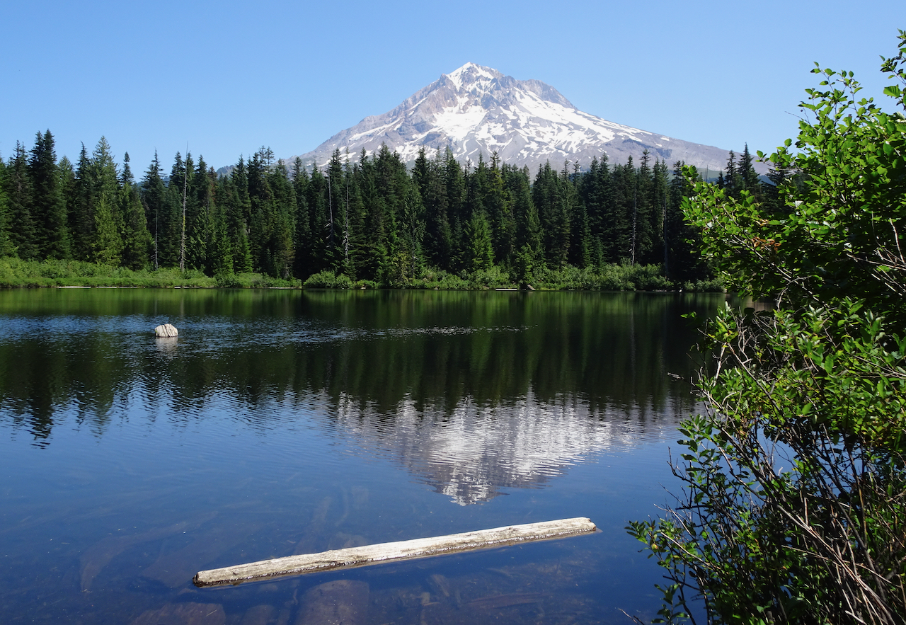
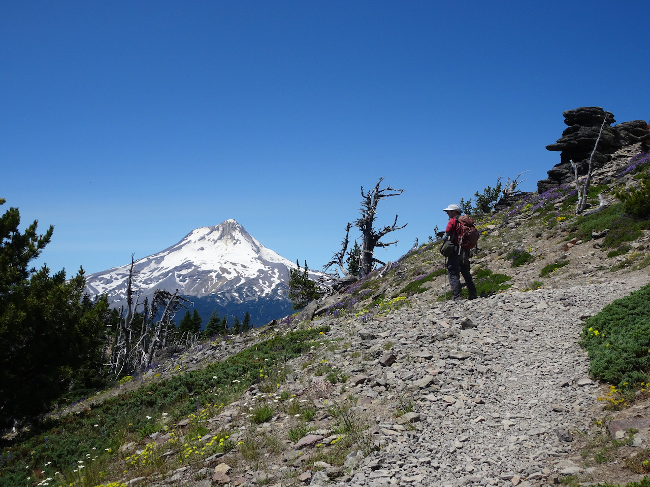
Mt Hood from the volcanic spire overlook.

DSC02168

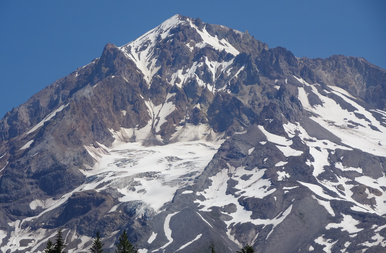
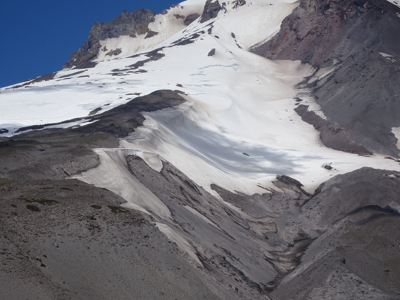
Glacier close up.

DSC02218

Mt Adams from the summit approach trail.

DSC02229

Mt Hood from the summit approach trail.

DSC02183

Washington Cascades from the summit.

DSC02189

Oregon Cascades from the summit.

Notable wildflowers:

Salmon River, July 28, 2020

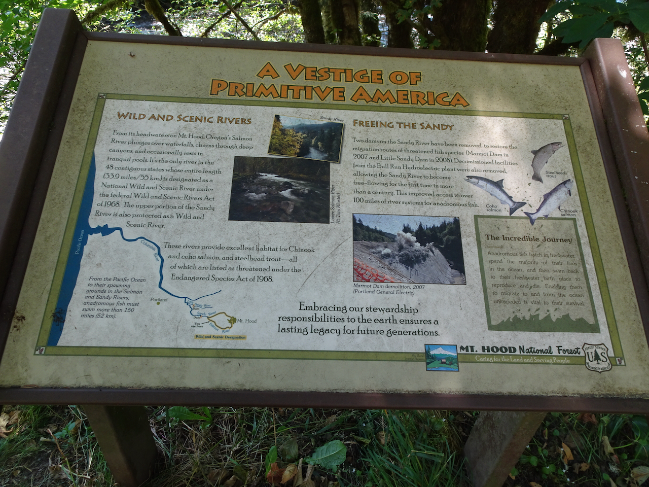
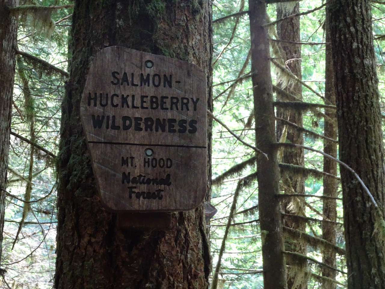
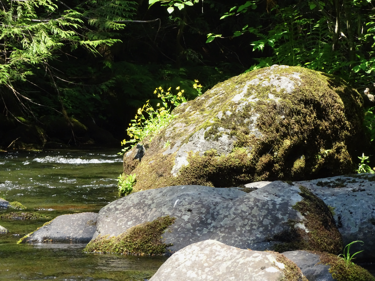
A mostly shaded trail on a hot day along the Wild and Scenic Salmon River through old growth forest on the slopes of Mt Hood. Hike #54, 4.5 miles, 300 feet.

DSC02344DSC02322

Peaceful lunch spot along the river…

IMG_1205

DSC02304

arnica

DSC02302

monkey flower

DSC02287

Notable flowers…

DSC02326

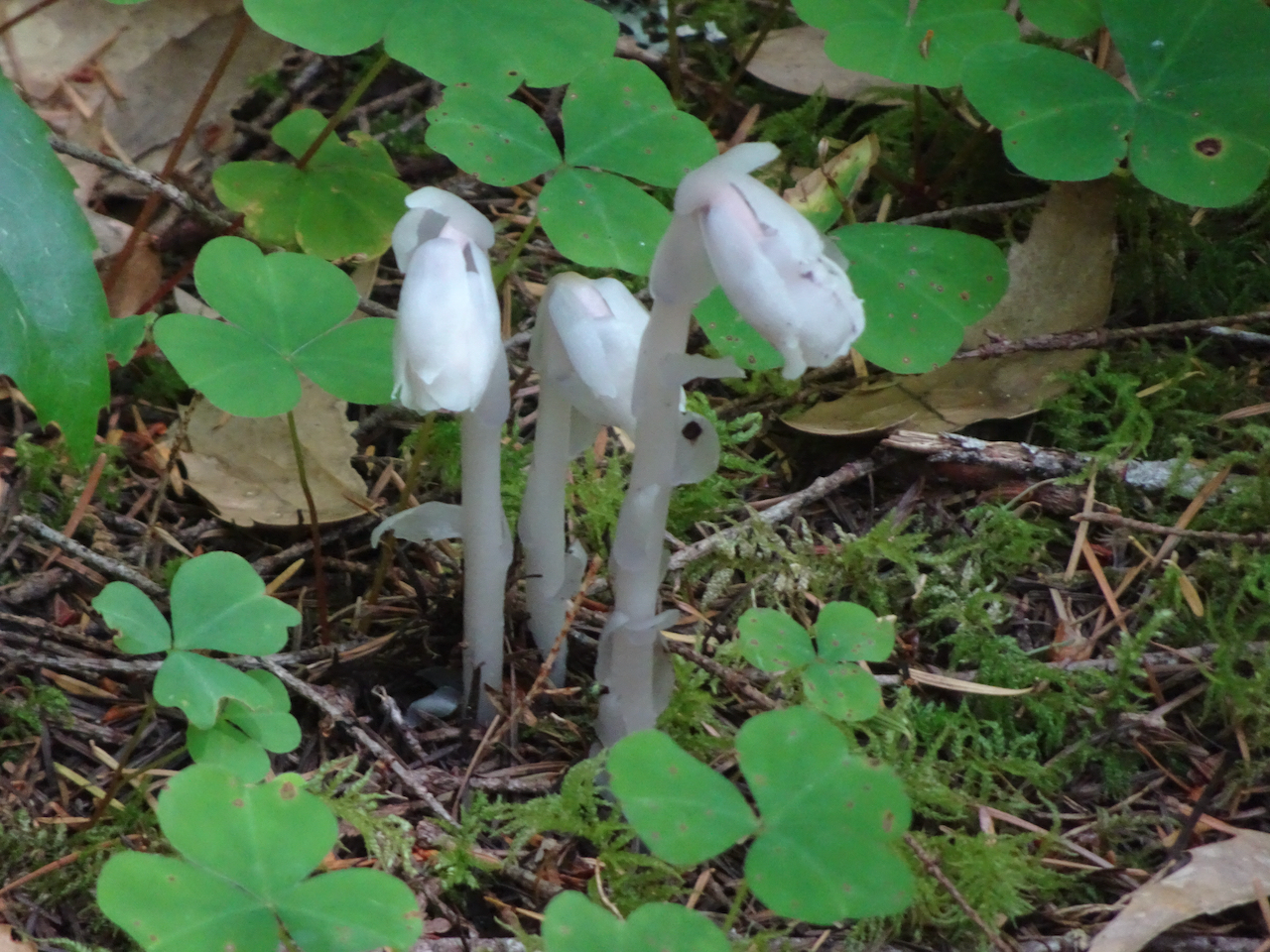
Ghost pipe

DSC02337

Clarkia and blue gillia on a sunny cliff

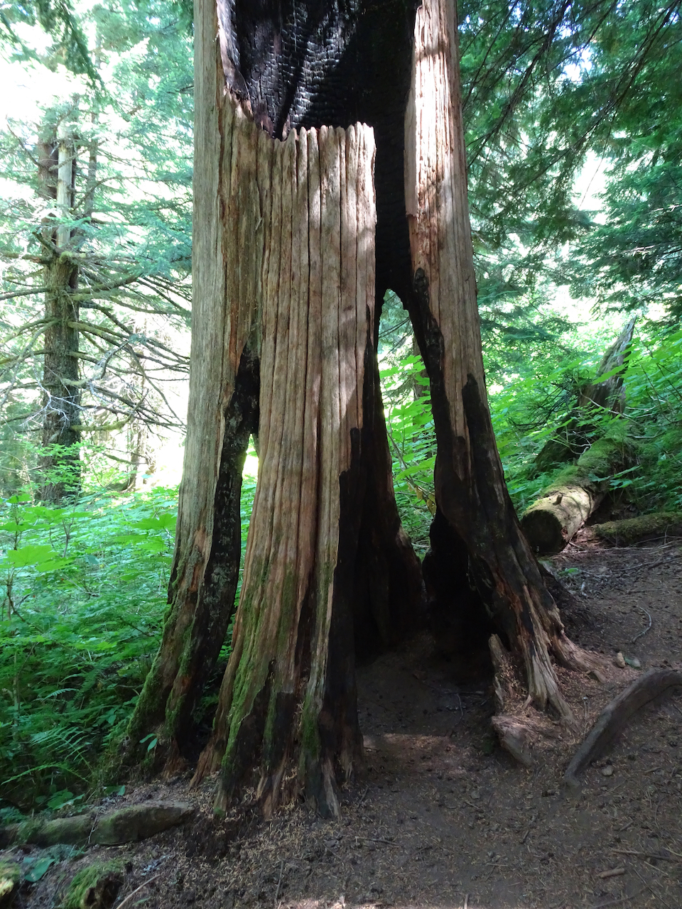
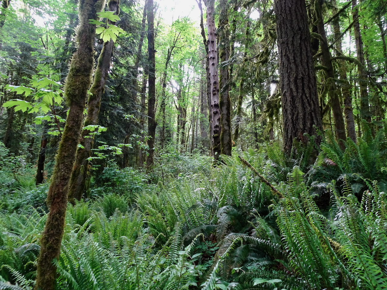
Finding some peace in the old growth forest…

116161295_3650036398357670_598020101229165957_o


Two trails on Mt Hood –

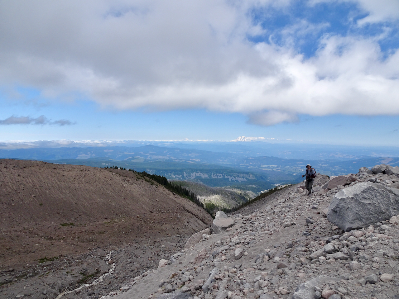
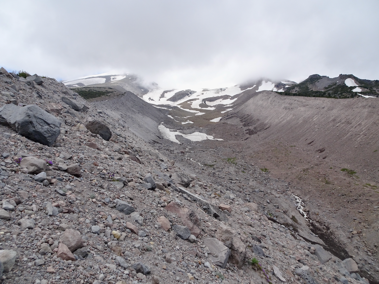
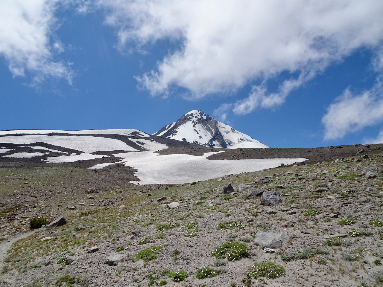
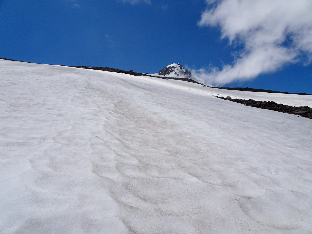
7/6/2020 – Cloud Cap/Timberline Trail high point –

A favorite hike on the Timberline Trail along the high east edge of the mountain.

DSC01959

Washington Cascades from the crest of the East Eliot Moraine.

DSC01948

Eliot Glacier, Mt Hood under clouds.

DSC01967

Cloud Cap shelter.

DSC01987

 The clouds lifted while we walked south on the Timberline Trail.

DSC01999

Crossing snow fields –

DSC01998

with a view of the mountains.

DSC02020

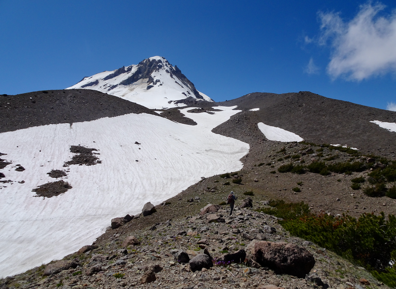
Timberline trail high point – 7350 feet.

DSC02025

Hiking back north on the Timberline Trail along the edge of the sky.

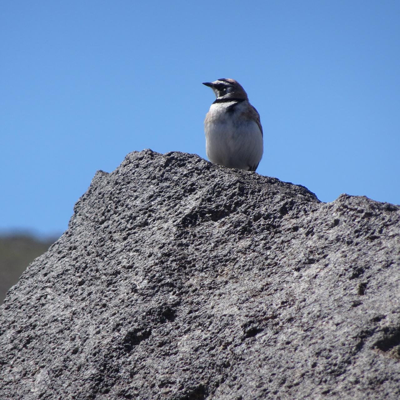
We met this bird along the way:

DSC02038DSC02029

And lots of alpine flowers:

(Hike #51, 6 miles, 1650 feet)

7/10/2020 – Barlow Pass to Timberline on the PCT

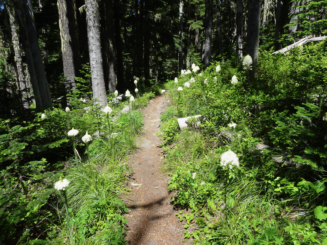
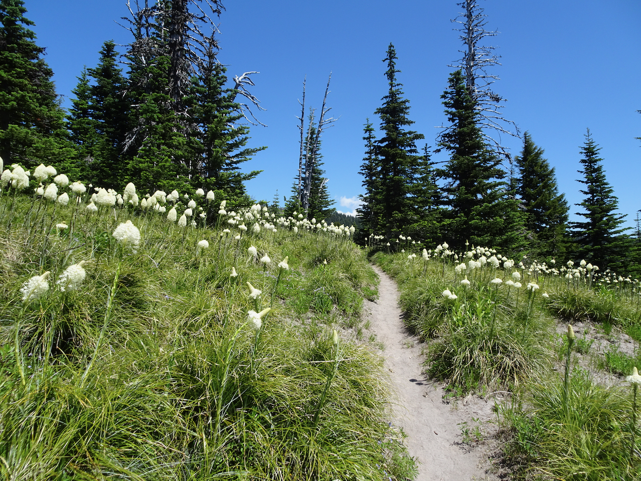
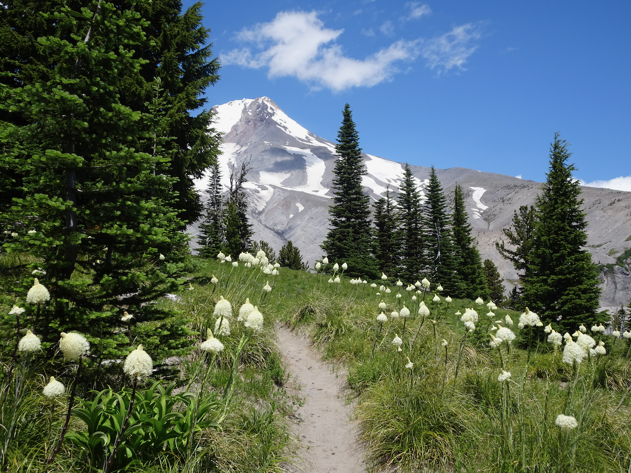
A new trail for us on the south side of Mt Hood. The first three miles ascend steadily through lovely shaded forest on the gently graded Pacific Crest Trail. As we reached the junction with the Timberline Trail, blooming beargrass with Mt Hood beyond gave us a  breath taking trail moment – both stunning and unexpected! (Hike #52 for 2020!, 11 miles, 1750 feet)

DSC02069

Barlow Pass Trailhead

DSC02075

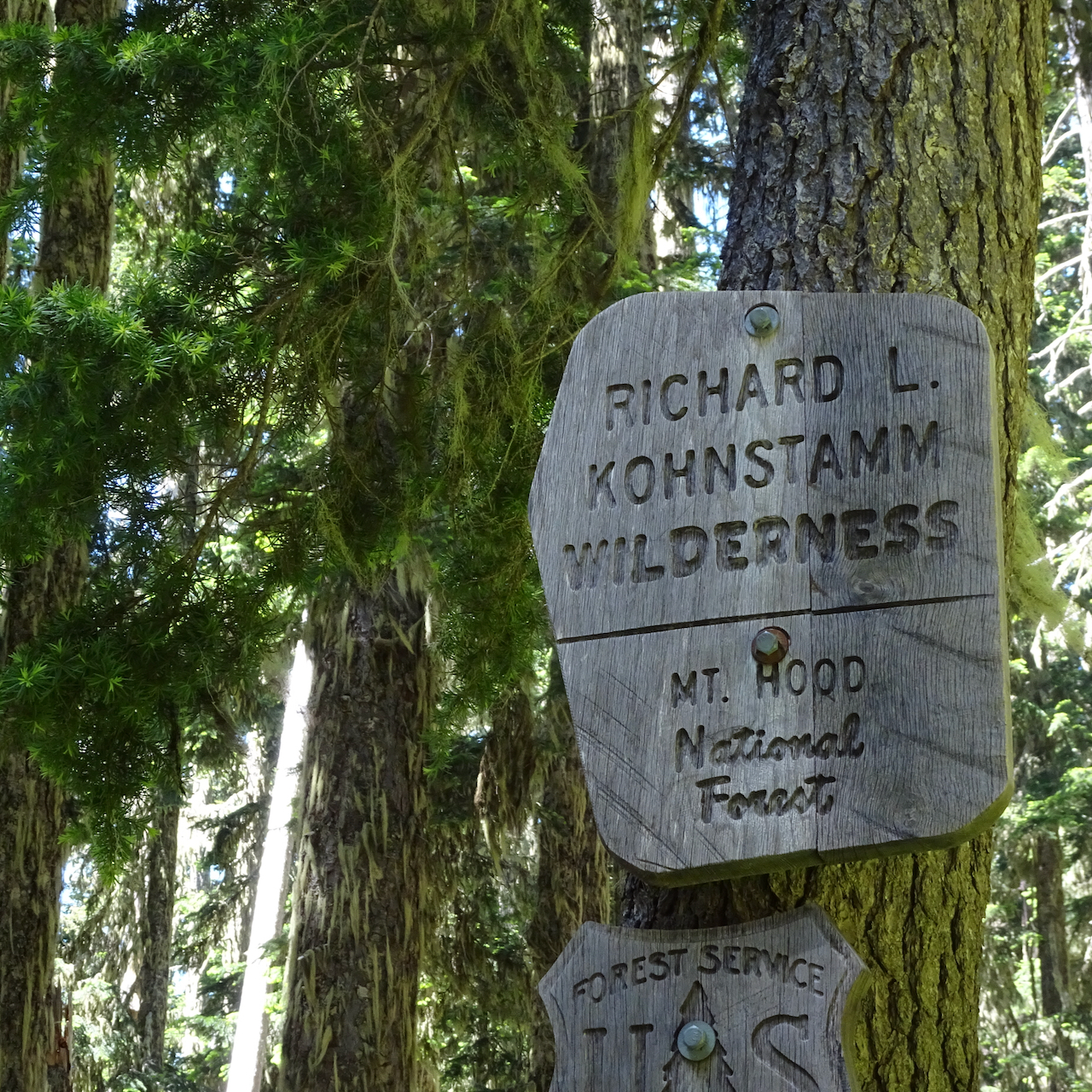
A new Wilderness Area for me.

DSC02074

Beargrass in the forest.

DSC02082

Beargrass in the upper meadows.

DSC02084

Beargrass, and Mt Hood!

DSC02096

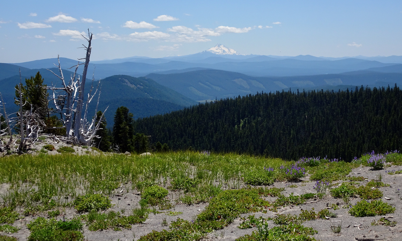
Mt Jefferson and a faint glimpse of the Three Sisters to the south.

Zooming in on Mt Hood:

DSC02099

Timberline Ski area on the left.

DSC02092

Top of the mountain.

DSC02105

Glaciers and crevasses.

DSC02106

Tiny people walking around up there!

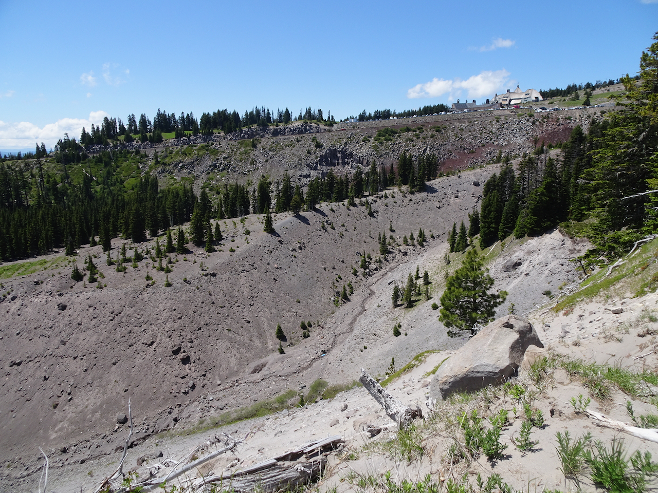
We walked along the Timberline Trail to where we could see Timberline Lodge from an overlook above the Salmon River.

DSC02109

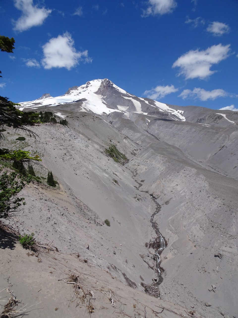
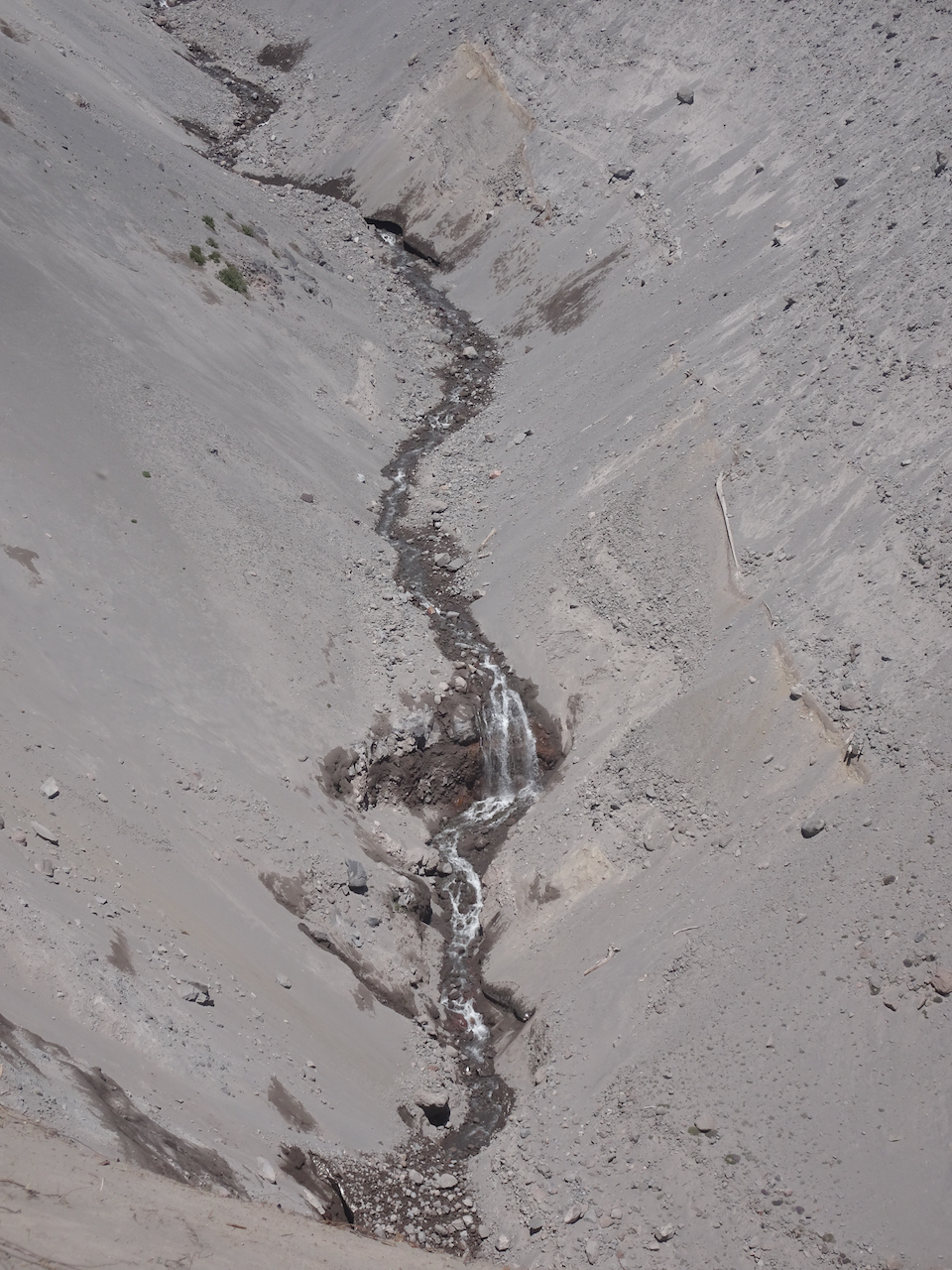
On our way back, we noticed a waterfall in the White River drainage.

DSC02112DSC02114

Knitting

IMG_1156

I finished a Rafa Hat to be gifted (Joji Locatelli, Malabrigo Arroyo Piedras).

Quilting!

IMG_1129

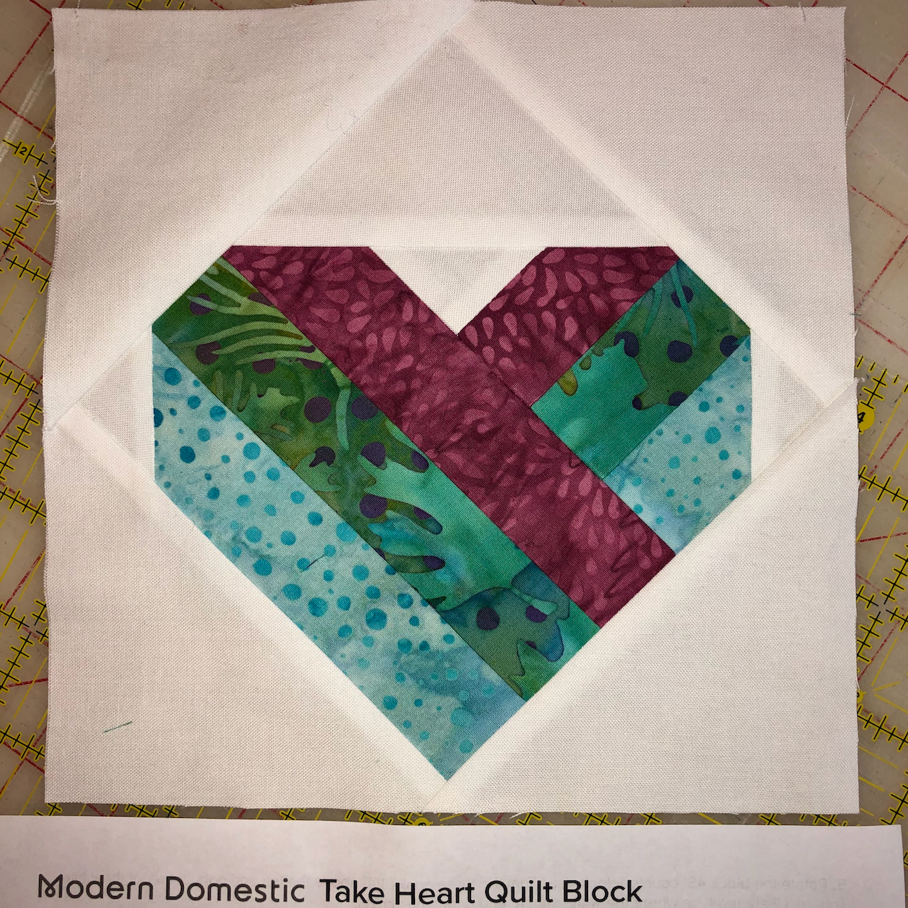
I actually pieced a quilt block, for a Local Quilt Shop raffle quilt.

Garden

IMG_0616

My husband finished making a table for the yard so he can eat breakfast in the garden.

4th of July moonrise

IMG_1100

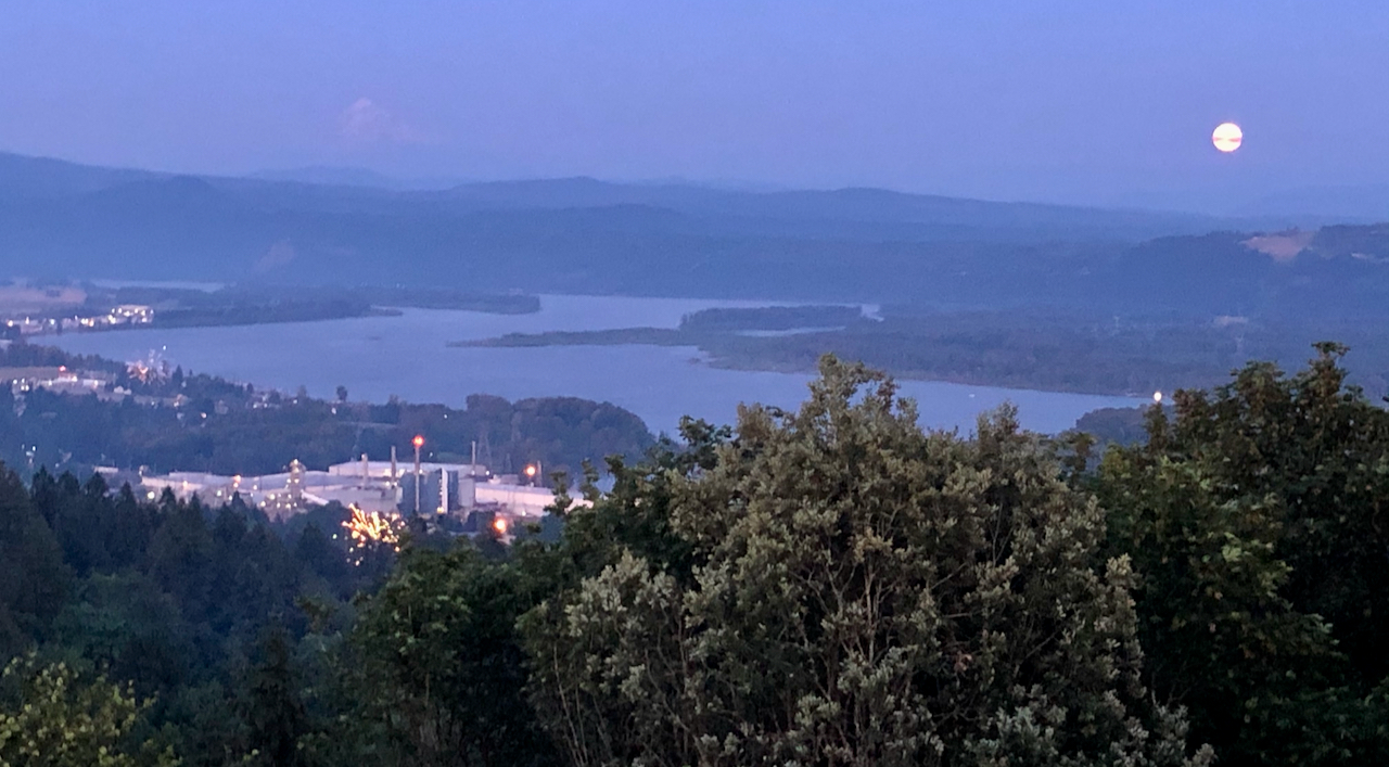
From Camas, Washington – Columbia River, and alpenglow on Mt Hood.


Sisters hiking interlude…

June 28 to July 1, 2020 –

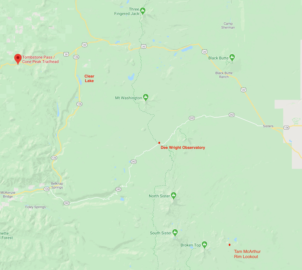
We escaped to Sisters, Oregon, about a three hour drive from home, for a few days of hiking. Our motel room was self contained, we brought all of our own food, and chose uncrowded trails during the week to satisfy pandemic safety concerns for ourselves and others. The trip was successful! It was wonderful to get out of our neighborhood and into the mountains we love so dearly, to see so many wildflowers and mountain views, and to hike both new and familiar trails.

Screen Shot 2020-07-11 at 8.23.32 PM

Cone Peak Meadows June 29, 2020

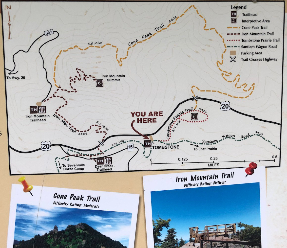
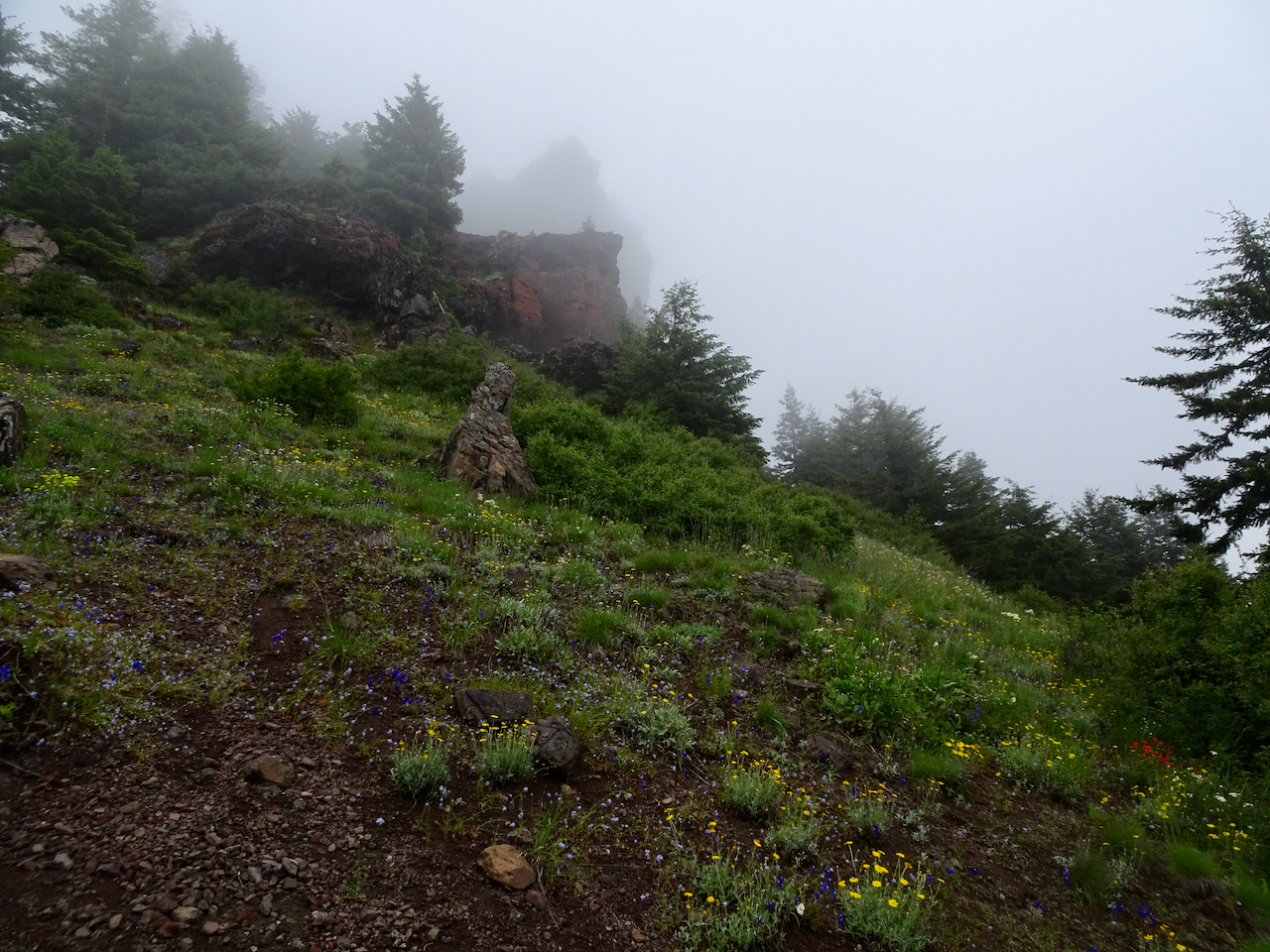
Famous for wildflowers! We hiked in the fog most of the day – few views, lots of flowers, including some new to me. We didn’t go up to the Iron Mountain Lookout because of the fog, but did hike the entire loop for the first time. (Hike #48, 6.6 mile, 1300 feet)

IMG_1043

Trail map

DSC01642

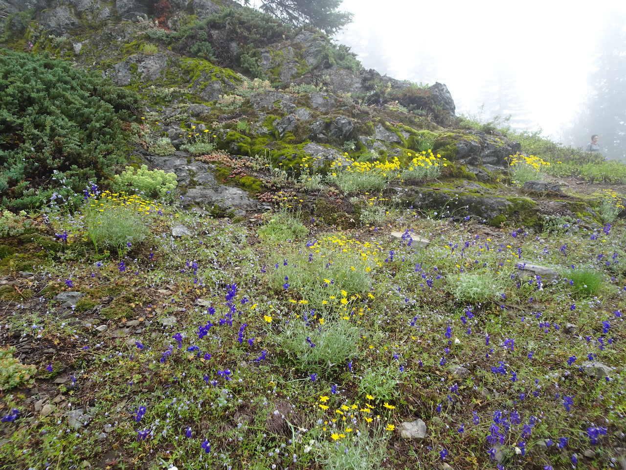
Rocky outcrops above the forest slopes were covered with blooming larkspur, Oregon sunshine and blue gillia.

DSC01663

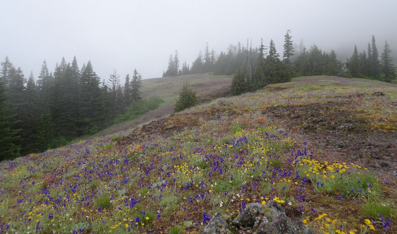
Lower Cone Peak meadows in the fog.

DSC01673

Lunch view.

DSC01687

Fog rising, Cone Peak almost visible.

DSC01689

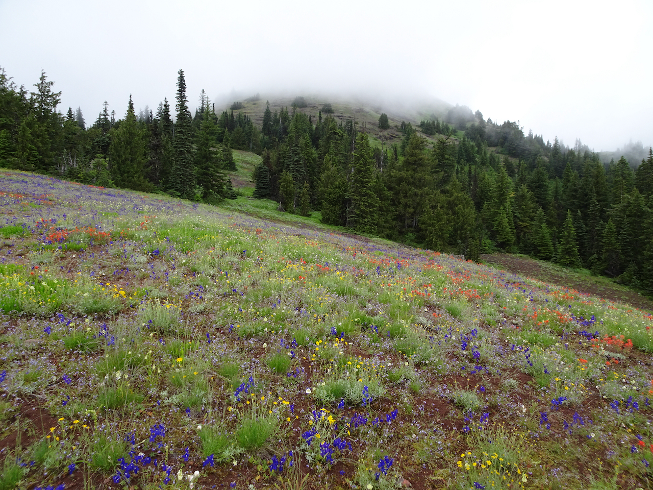
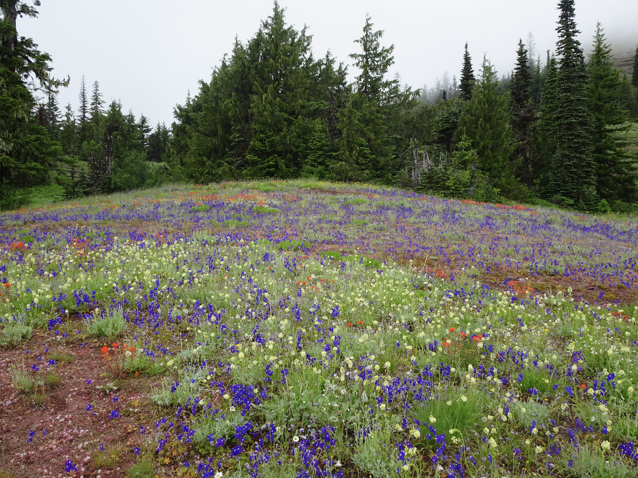
Upper Cone Peak Meadows – death camus, larkspur, paintbrush and more.

DSC01694

Crossing the upper meadows.

DSC01715

Forested section just north of Iron Mountain.

DSC01733

Foggy glimpse of Iron Mountain, which we decided not to climb.

Prolific wildflowers in the meadows and forests!

Tam McArthur Rim, June 30, 2020

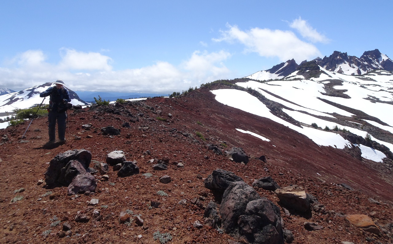
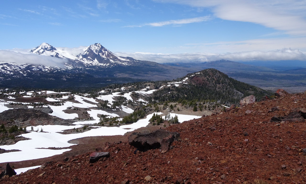
A favorite hike, often very crowded, was pleasantly unpeopled today. Also, not as windy as expected, and the views of the Three Sisters and Broken Top were stunning from our endpoint – the 7950′ red cinder ridge that leads to Broken Top. We lost the trail briefly in some of the snow patches, but the wide open volcanic landscape made it hard to actually get lost.  Hike #49, 8 miles, 1500 feet.

DSC01747

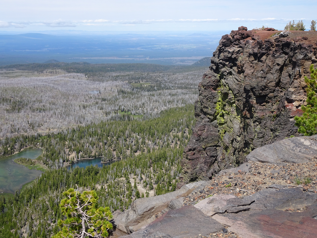
Ascending above Three Creeks Lake. That sharp prow on the left  is the overlook.

DSC01773

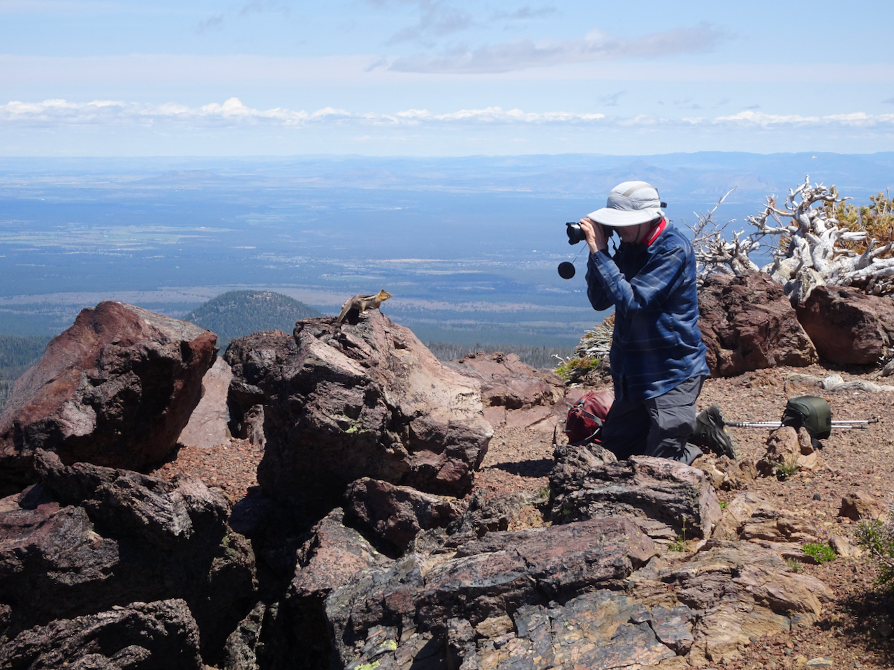
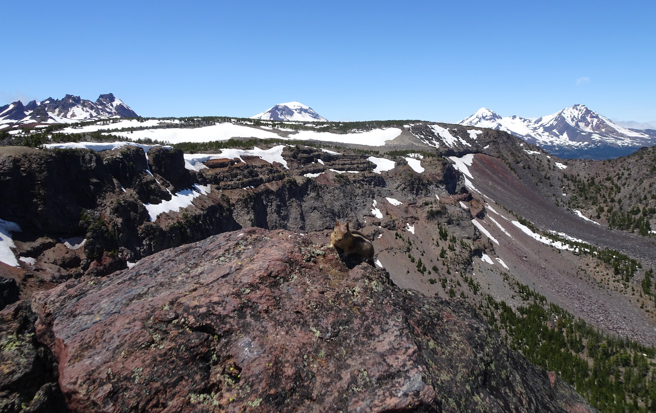
Enjoying our lunch view of Broken Top and the Three Sisters from the overlook, while not feeding the chipmunk.

DSC01783

All the chipmunk got were some close up photos.

DSC01791

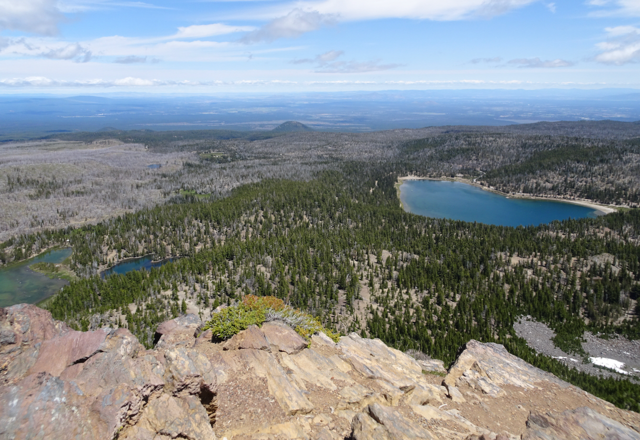
Three Creek Lakes from the overlook.

DSC01796

We hiked on across the high plateau to the ridge, crossing a few snow patches along the way.

DSC01799

View from the saddle of the red cinder ridge.

DSC01821

Our endpoint – the top of the red cinder ridge. Broken Hand and Broken top seem just a few steps further…

DSC01820

Broken Top and South Sister.

DSC01819

Three Sisters

DSC01815

Middle and North Sisters, and the clouds sitting on the Cascade peaks to the north.

DSC01806

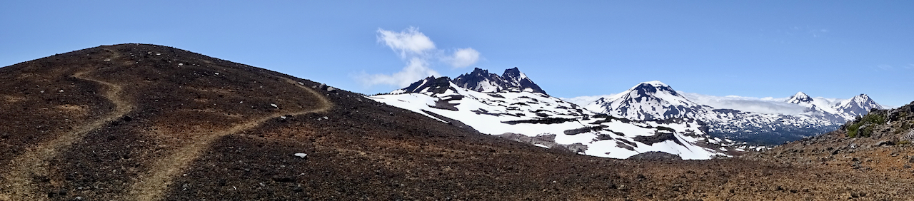
Our trail across the high plateau, back to the lookout.

DSC01823

We stopped again at the lookout before heading down.

DSC01828

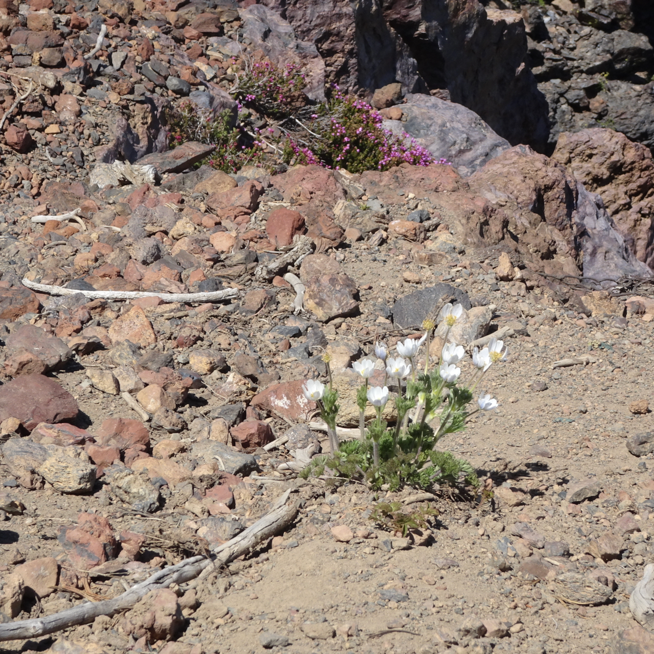
Western pasque flowers and heather near the lookout.

McKenzie Pass and Clear Lake, July 1, 2020

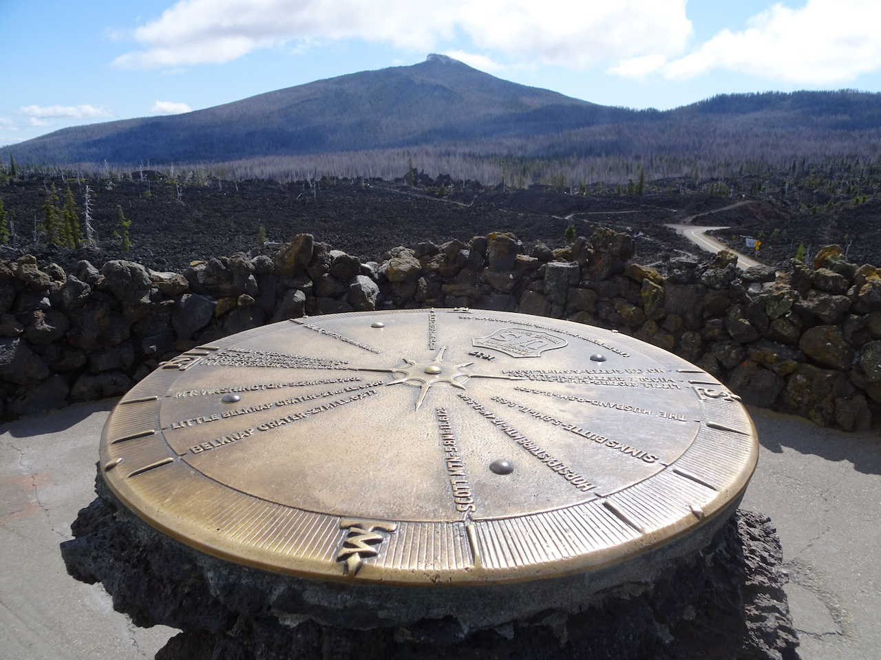
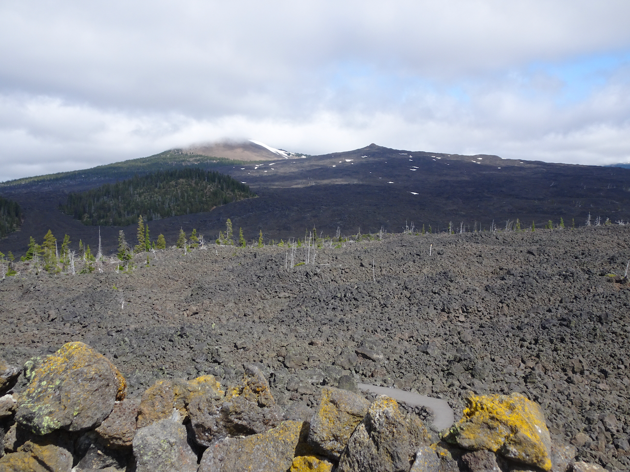
We drove up to the Dee Wright Observatory at McKenzie Pass, one of my favorite places on the planet, to look at the volcanic landscape and hope for some views. The clouds wafted away from some of the peaks briefly, though the bitter wind was not hospitable to hanging around.

DSC01853

Black Crater from the observatory.

DSC01860

The Belknap Craters

IMG_1056

North and Middle Sisters appeared briefly.

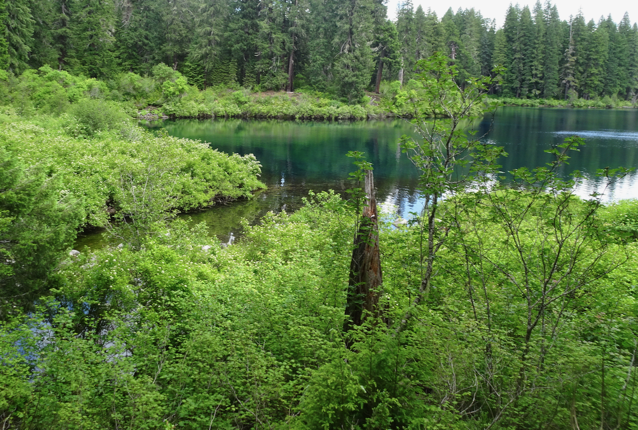
We also stopped at Clear Lake, hoping to see the submerged fossil forest under the turquoise clear waters we have heard so much about. We could not see it from the trail. We did find the Great Spring, from which the McKenzie River is born, and a few new flower sightings. We will have to come back and rent a boat to see the underwater forest. (Hike #50, 5 miles, 200 feet).

DSC01917

Turquoise blue Clear Lake from the trail

DSC01906

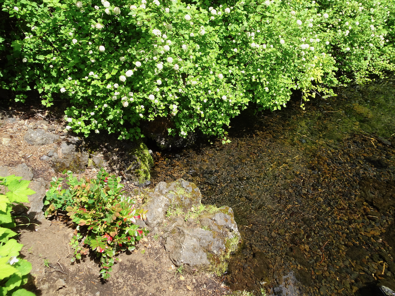
The ripples near the bank are where the water emerges as a spring from under the lava flows.

DSC01907

Another view of the Great Spring.

DSC01924

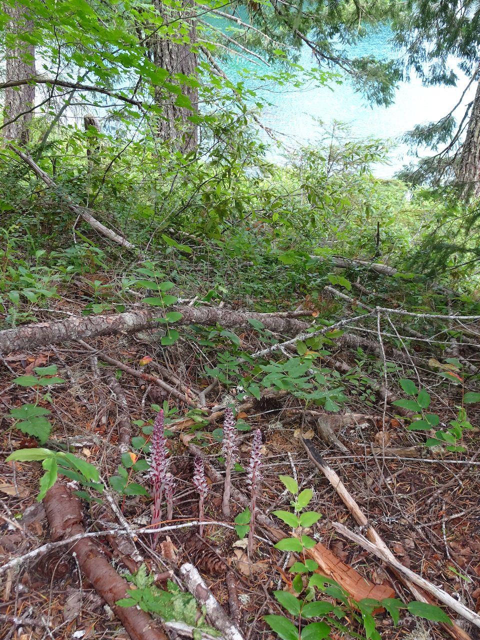
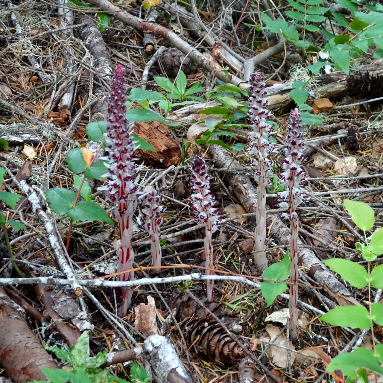
My first time seeing candystick, one of the more unusual flowers in the western Cascades forests.

DSC01922

Candystick

DSC01883

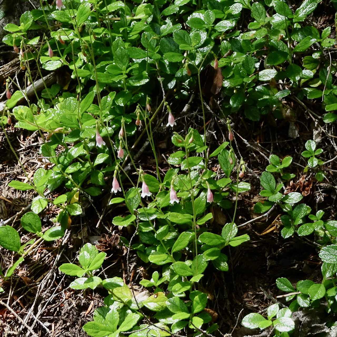
Twinflower

DSC01934

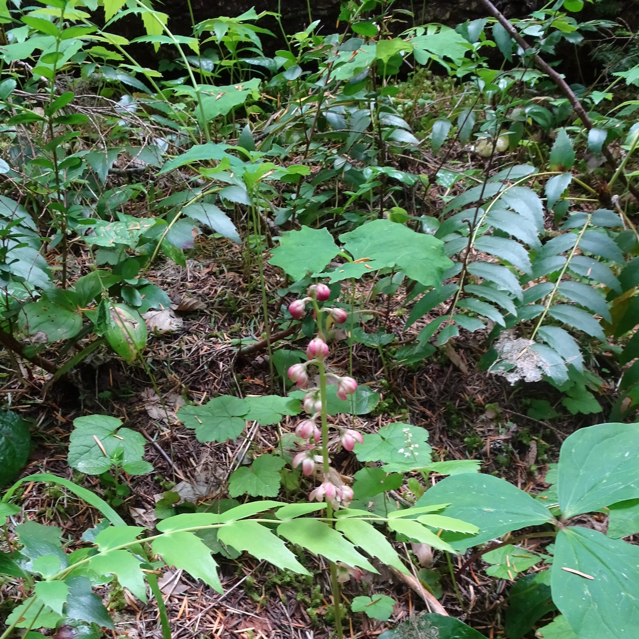
Pink pyrola

Knitting

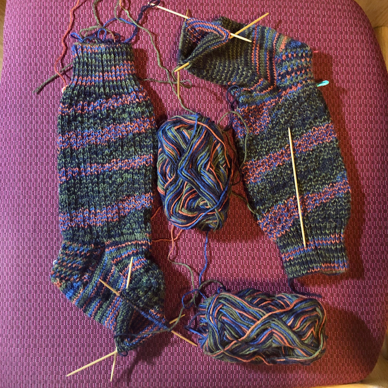
I brought my latest traveling socks on the trip, and they are finished!

IMG_1125

Hermione’s Everyday Socks, pattern by Erica Lueder, made from Red Heart – Heart and Sole yarn in the Bayou colorway.

Everything that is happening right now-

I keep hearing this expression on the airwaves, to describe the intersection of pandemic, political chaos and antiracist activism. I have been reading the book Me and White Supremacy by Layla F. Saad, journaling about the prompts, and discussing the ideas with my family. I feel not exactly guilty, but impatient, with myself and the world for having accepted a racist society as status quo for so long.

Wildflower Rainbows along the trails during Pride month; some knitting, and neighborhood views –

Friday, June 19, 2020, Grassy Knoll, Washington

Wildflower meadows filled the open slopes near the trailhead.

White dogwood, lilies and anemones led us through the shady forest up the steep trail to the ridge crest.

More flowers all the way to the top of Grassy Knoll, and beyond.

DSC01387

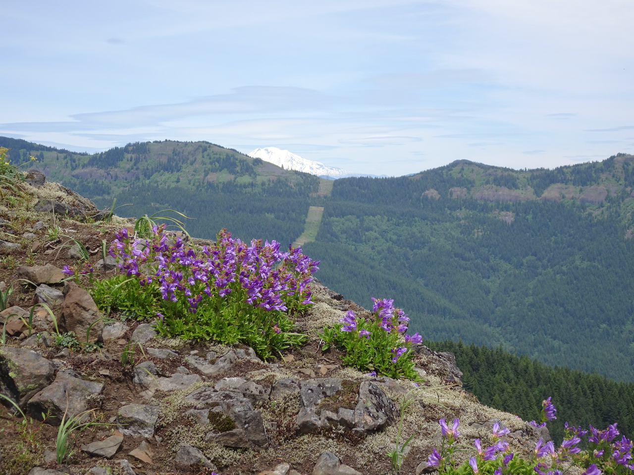
Pink cliff penstemons along the rocky ridge, Mt Adams beyond.

DSC01418

Grassy Knoll looks green from here,

DSC01421

but the green slopes are full of flowers!

DSC01426

Summit view toward Mt Hood.

DSC01428

Summit view toward Mt Adams.

DSC01478

Continuing up the ridge, Mt Hood, the Columbia River, and more wildflower meadows.

DSC01453

And more blooming meadows near our turnaround point.

Every color of wildflower was in bloom today!

It was a great day in the Gifford Pinchot National Forest. (Hike #46, 6.2 miles, 1350 feet.)

Image 6-25-20 at 3.59 PM

Tuesday, June 23, 2020, Chinidere Mountain, Oregon

We saw many of the same flowers that we saw at Grassy Knoll, though we were a thousand feet higher in altitude, so earlier in the bloom season. (Hike #47, 7.5 miles, 1450 feet.)

DSC01518

Wahtum Lake, near the trailhead.

A few early season flowers still in bloom here:

DSC01540

Ascending into the rainbow meadows on Chinidere Mountain.

DSC01545

DSC01561

Mt St Helens, Mt Rainier, and Mt Adams from the summit.

DSC01564

Mt Hood and Mt Jefferson from the summit.

DSC01566

Wahtum Lake and Mt Hood.

A highlight was walking north of Chinidere Mountain on the Pacific Crest Trail, into the upper margin of the 2017 burn zone. Beargrass blooms sparkled in the recovering forest.

DSC01601

Wahtum ‘Express’ back to the parking area.

Knitting

IMG_0980

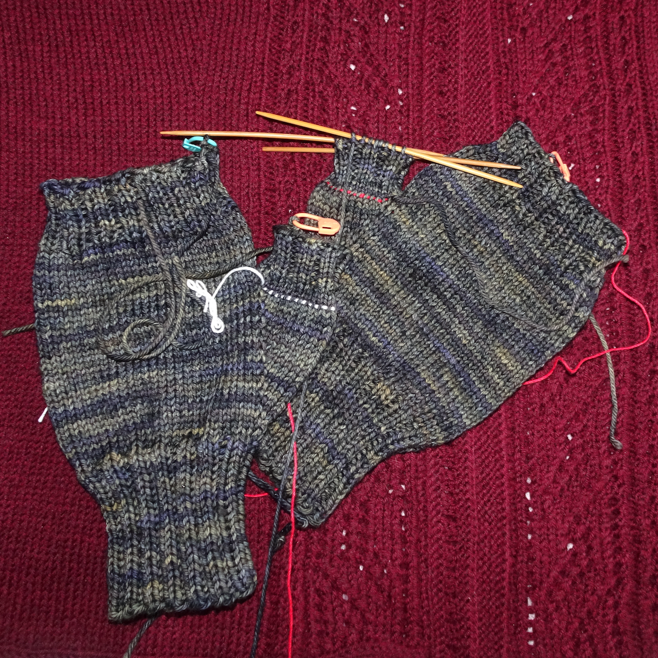
Finished mitts.

IMG_0981

A nearly finished Meris cardigan – still have to sew on the buttons.

IMG_1029

Sock progress.

Around the neighborhood:

Black Lives Matter signs blooming everywhere, along with summer flowers.

And more action nationally…

IMG_0965IMG_0526IMG_0537

First Columbia River Gorge hike in a while, another hike on the Wildwood Trail, some knitting, and neighborhood views

June 2, 2020 – Phlox Point, Beacon Rock State Park, WA

A quiet Tuesday. We met only a few other hikers on trails that are mostly wide equestrian trails until they switchback up Hardy Ridge. Lower slopes are shady forest, with shady forest blooms. We passed a few sunny open areas before reaching the rocky ridge crest with the wide angle view of the Columbia River Gorge that we have been missing these last few months of pandemic-closed trails. A mile north along the ridge are the rocky ledges of Phlox Point. I was very tired by the return, but happy to be able to hike here again. Hike #44, 8.5 miles, 2200 feet.

DSC01246

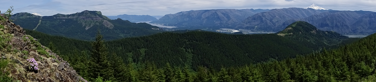
The wide angle view – Mt Adams, Table Mountain, Columbia River Gorge, Bonneville Dam, Hamilton Mountain, Mt Hood.

DSC01206

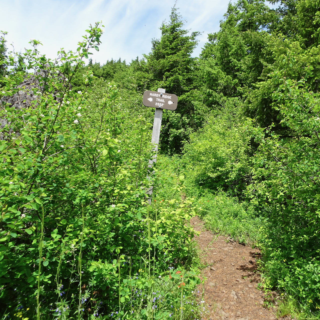
Hardy Ridge Crest intersection

DSC01220

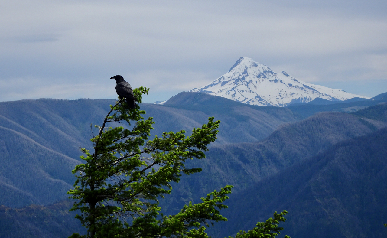
Lunch view of a raven and Mt Hood.

DSC01231

Heading north along the ridge to Phlox Point.

DSC01242

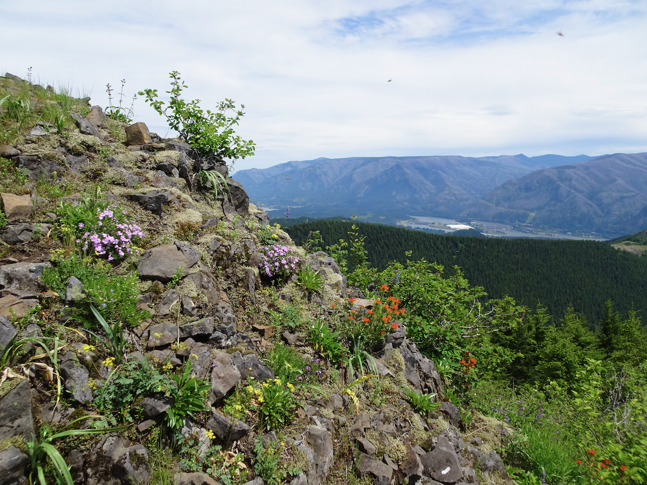
Phlox, paintbrush, and parsley on the way up Phlox Point.

DSC01254

Hamilton Mountain, Mt Hood

DSC01250

Mt Adams

DSC01258

Northern Phlox Point ridges and view.

DSC01256

Some of the wildflowers:

June 10, Wildwood Trail again…

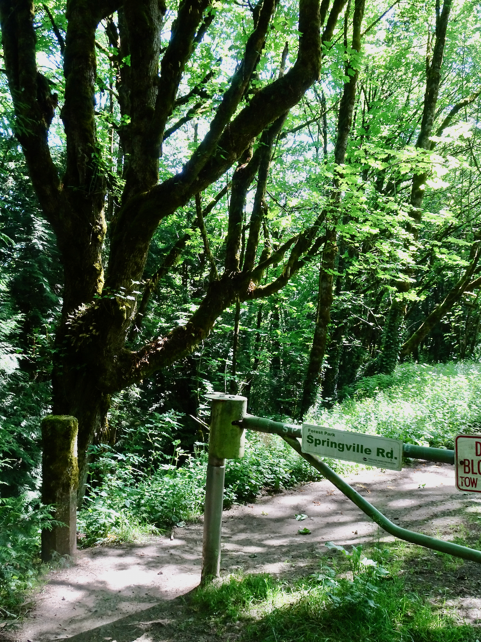
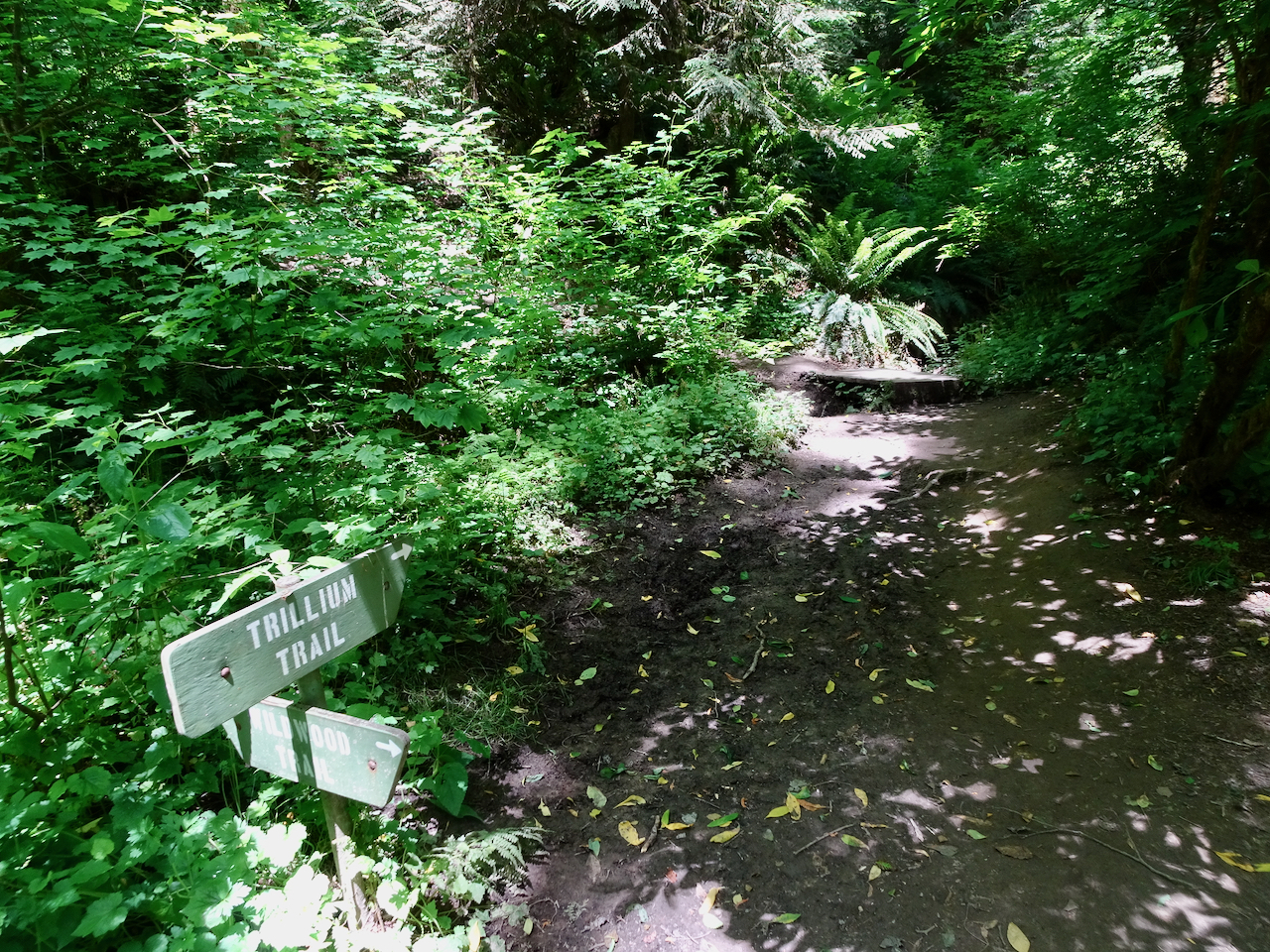
Today we hiked from the Springville/Trillium Trailhead on the Wildwood Trail, east to the detour at the Cleator Trail, and then back. We will have to skip the next mile of Wildwood Trail that is closed for repair. We have now completed approximately half of the 30 mile trail on our five pandemic Wildwood hikes. – Hike #45, 7.6 miles, 615 feet.

DSC01300

On the Wildwood Trail…

DSC01297

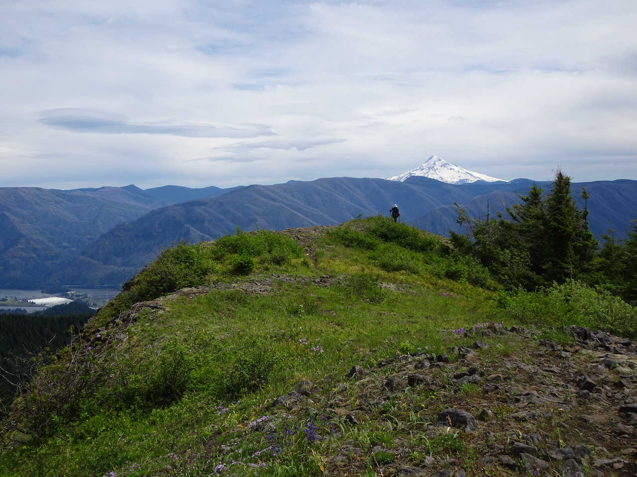
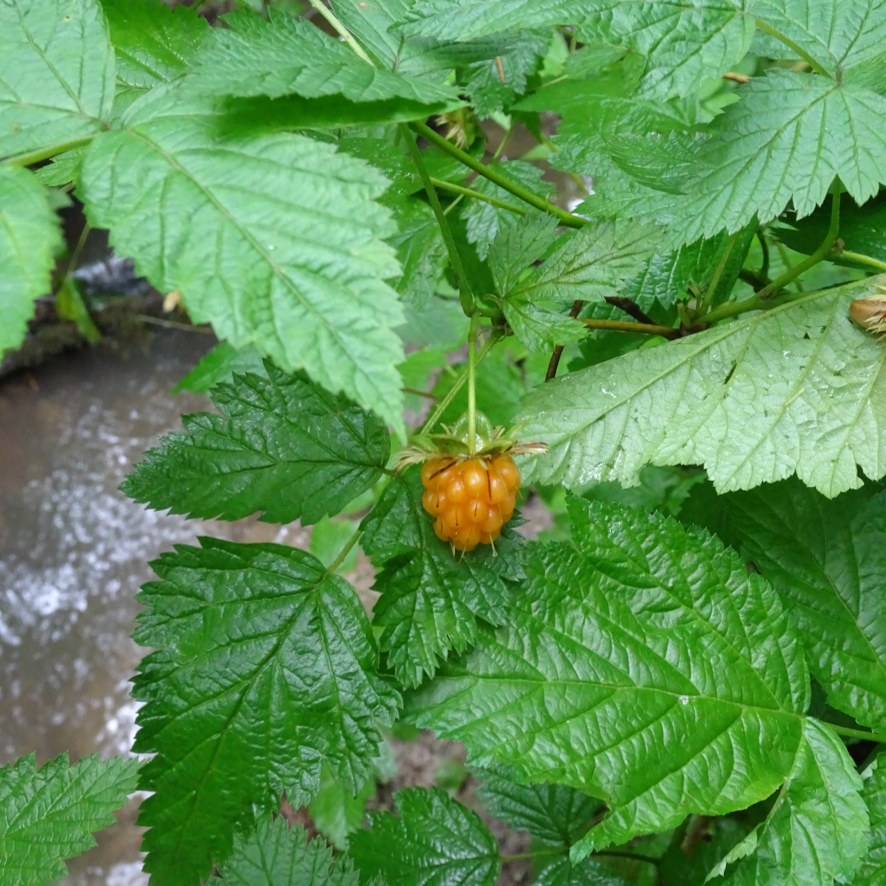
Salmon berries getting ripe…

DSC01316

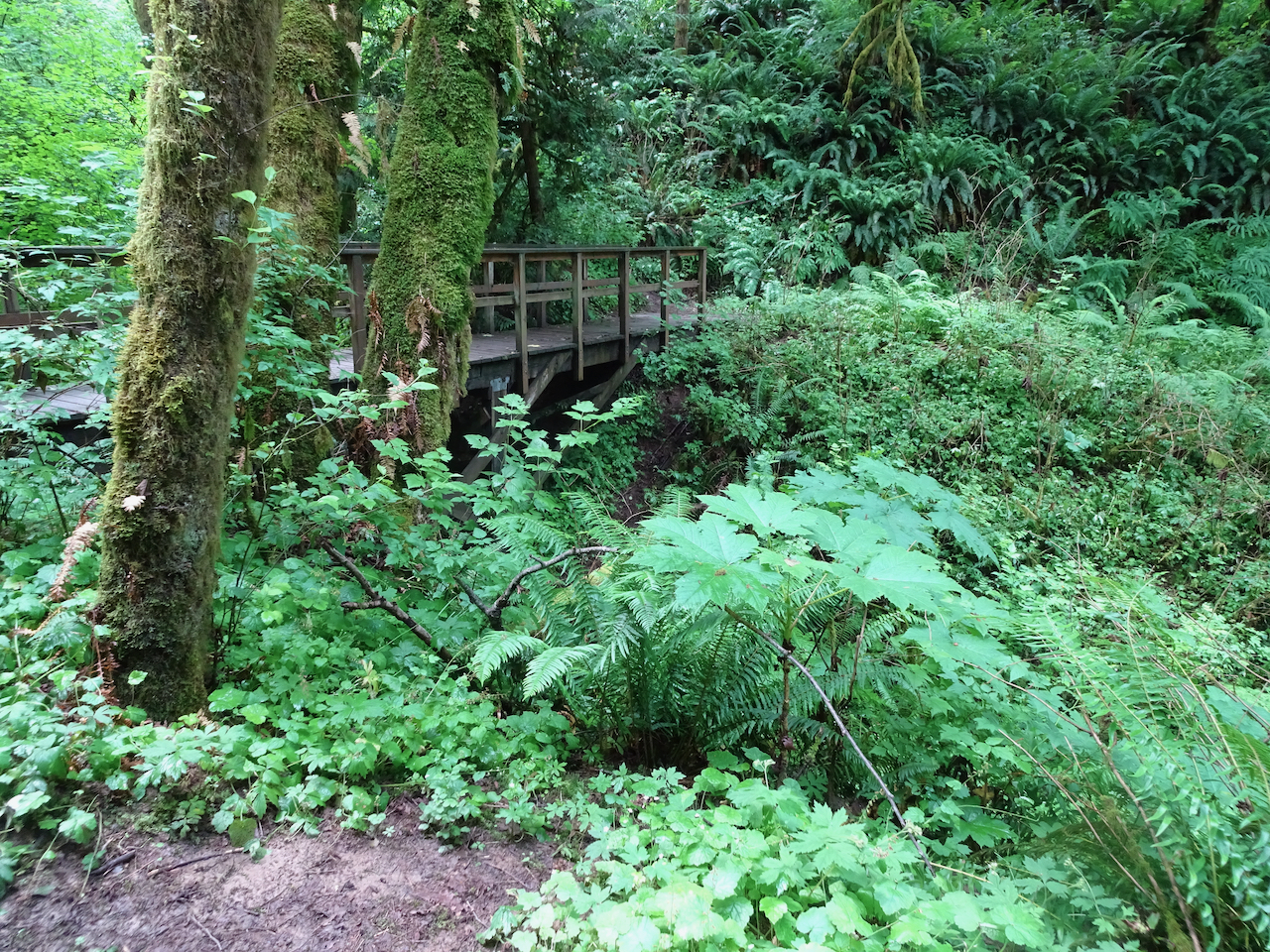
A bridge

DSC01320

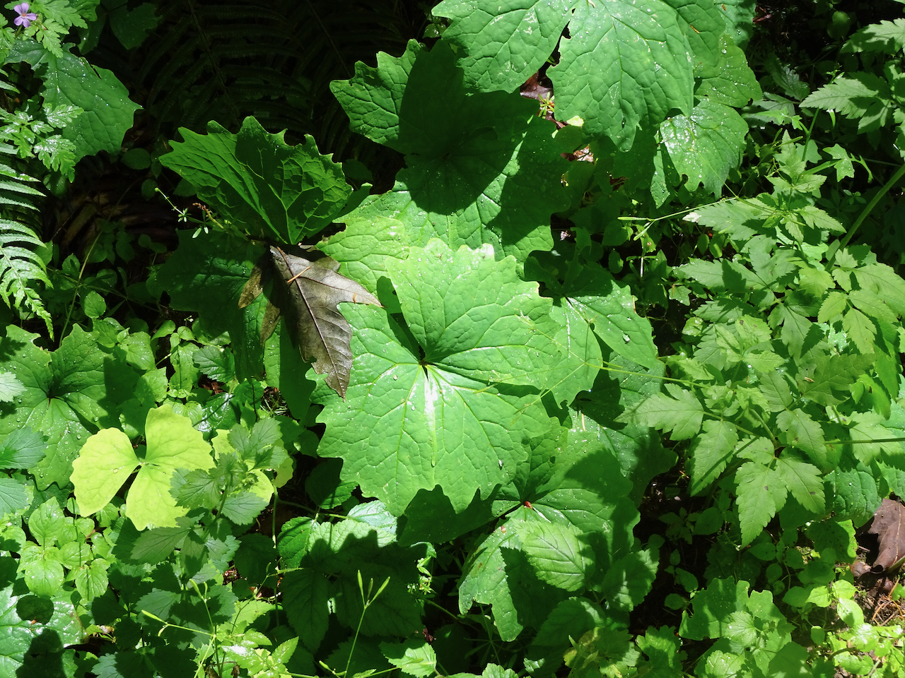
Green!

Knitting

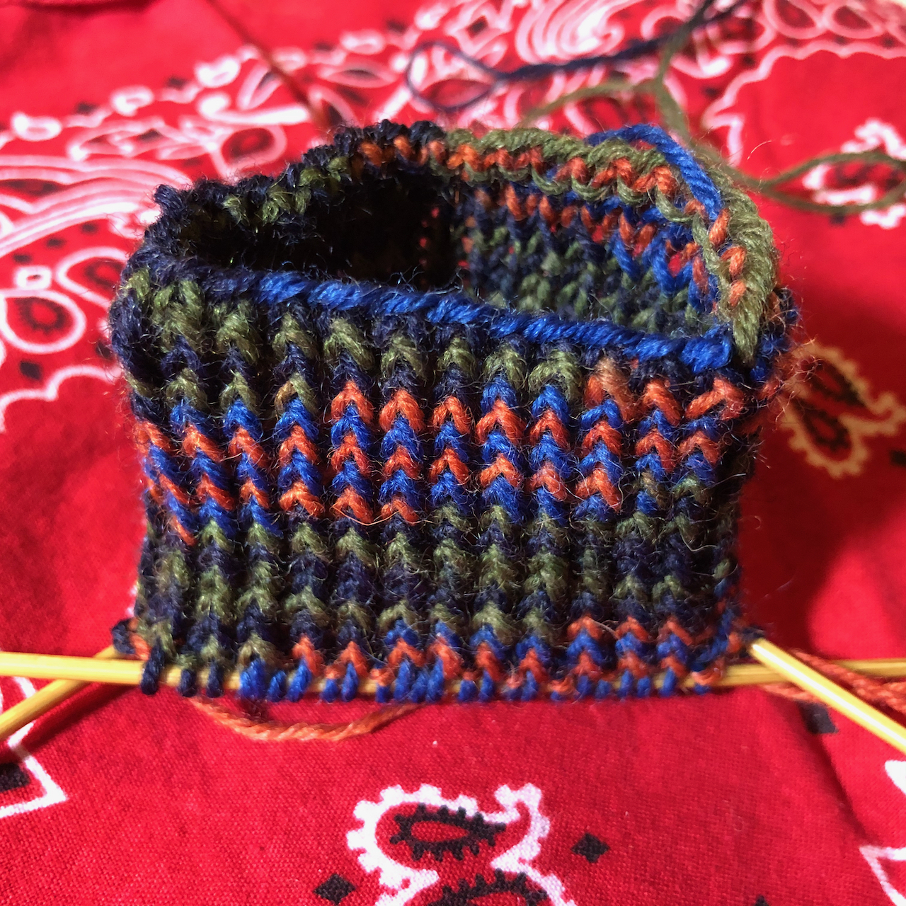
Mitts and a new sock:

DSC01336IMG_0962

Neighborhood

IMG_0943

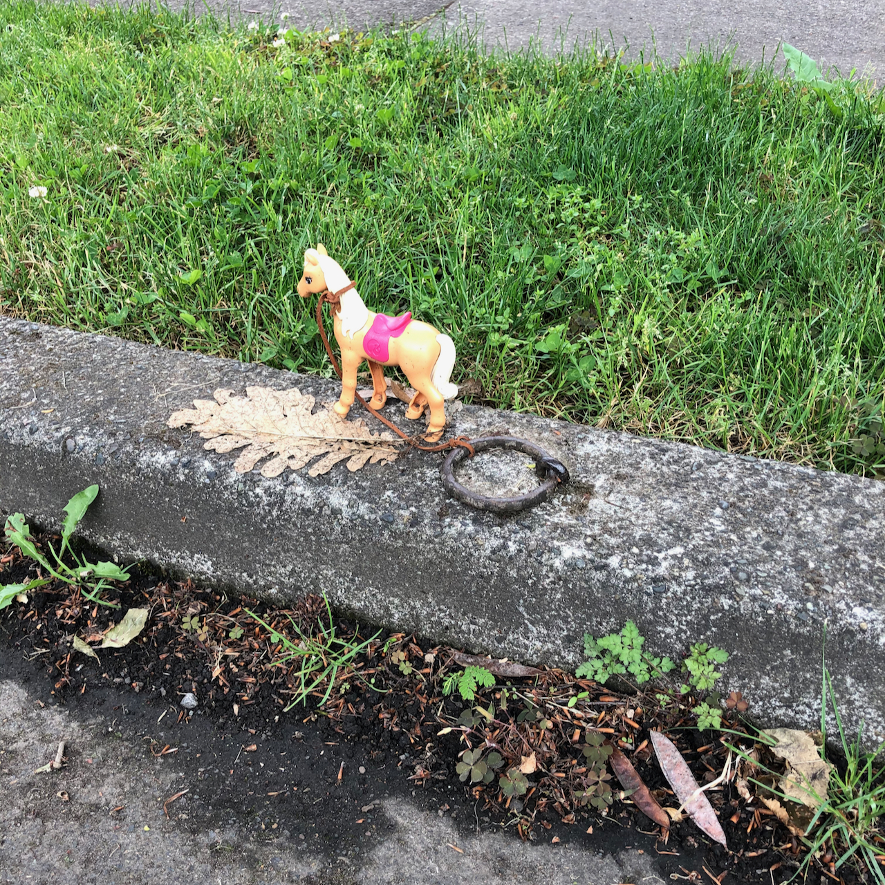
Another tethered horse.

IMG_0944

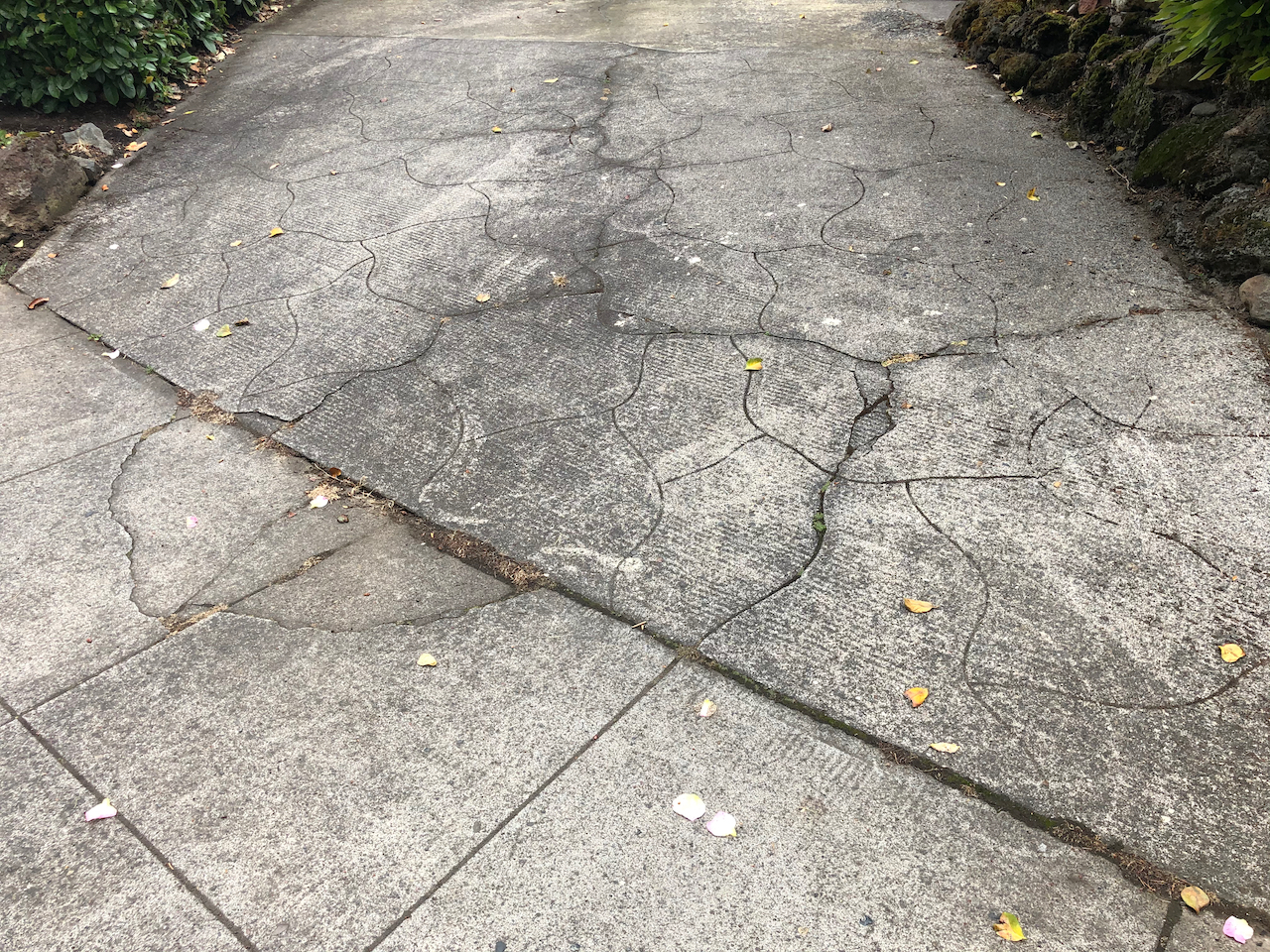
Interesting concrete

IMG_0941

Low light

IMG_0950

A colorful garden

A Black Lives Matter march appeared in our neighborhood. We were able to catch the tail end and join for a short distance, masked and separated, of course.

IMG_0956IMG_0957


Two hikes as our trails reopen…

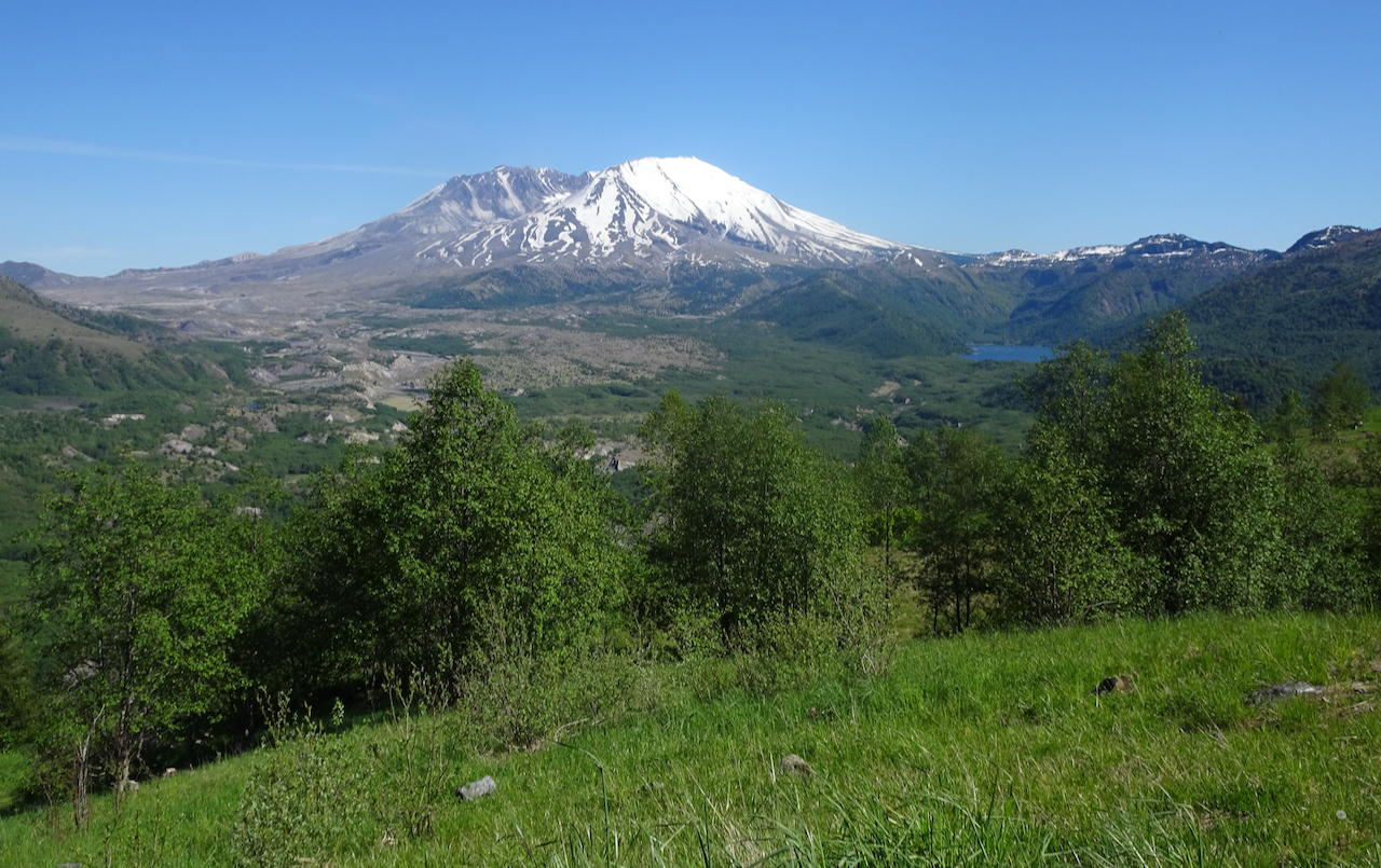
Boundary Trail, Mt St Helens, Washington –

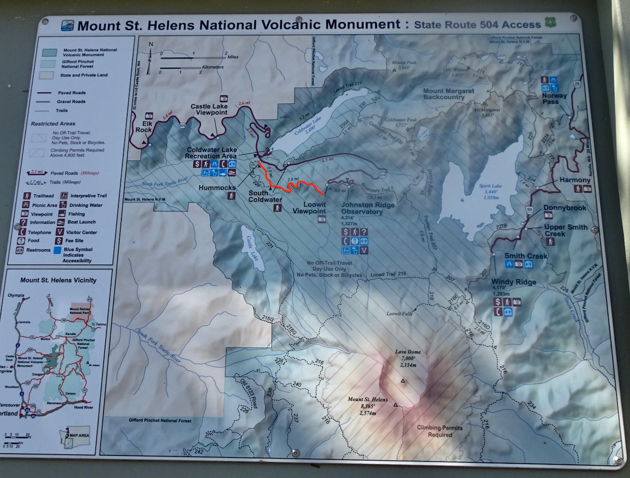
May 27, 2020 – Trails and parks in Oregon and Washington are slowly reopening for careful, “social distance” hiking. We chose a sunny Wednesday to hike at Mt St Helens. The road to the Visitor Center is still closed, so we began our hike on the Hummocks Trail, and continued on to the Boundary Trail. (Hike #42, 8 miles, 1625 feet)

DSC01046

Red marks our route.

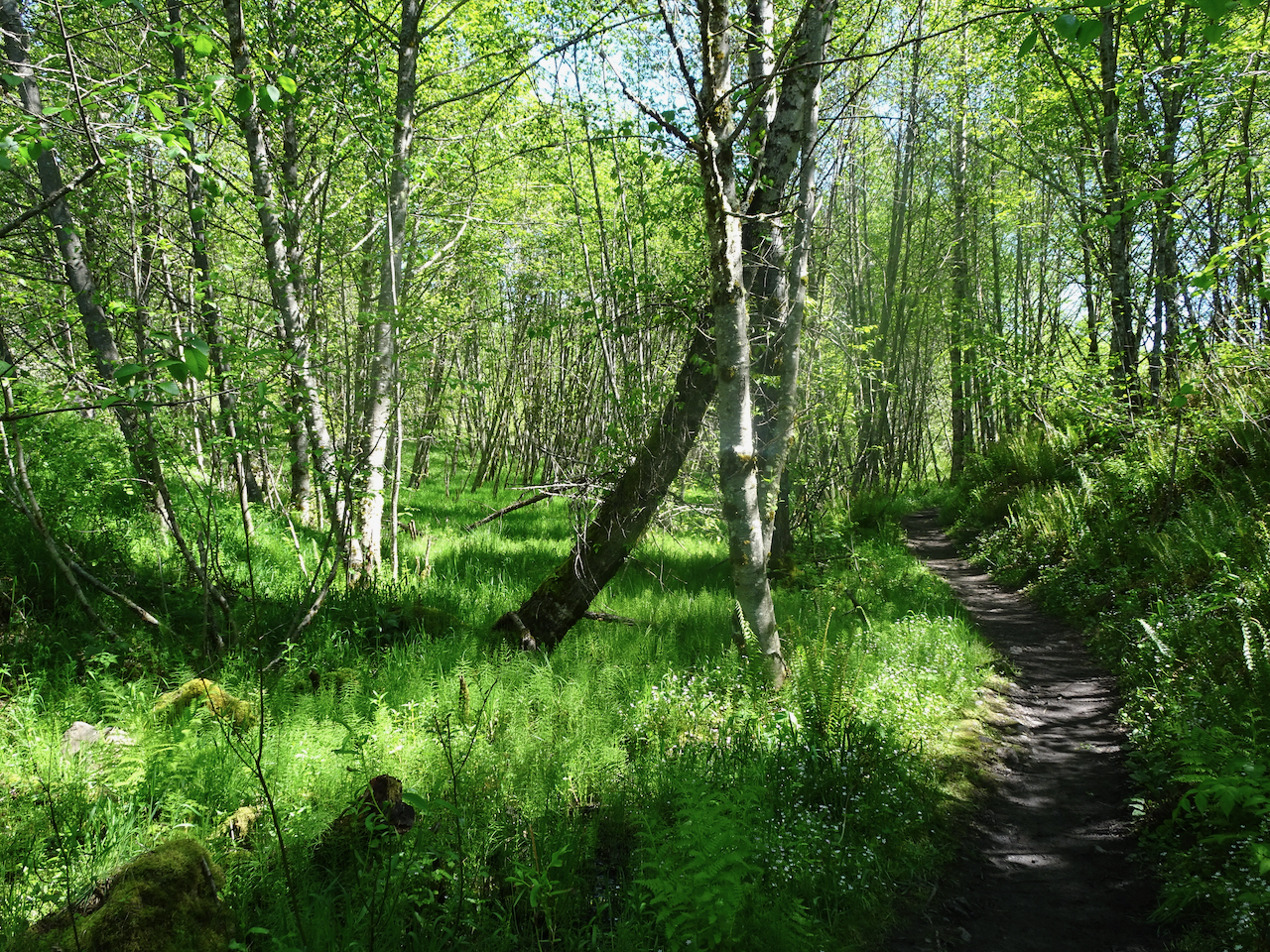
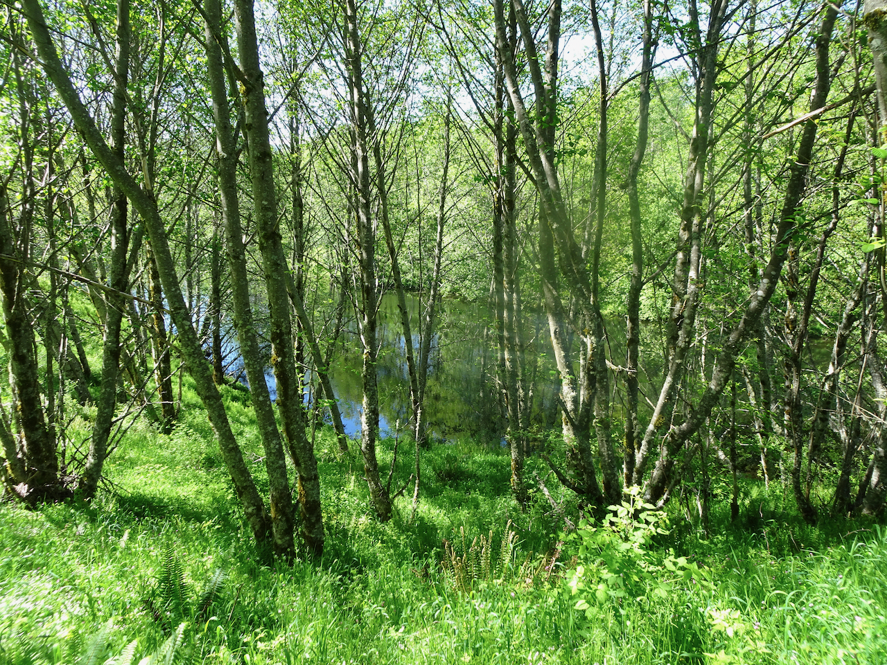
The trail crosses through the hummocks, which are debris avalanche and landslide deposits from the violent May 18, 1980 eruption. Though once a barren moonscape, the hummocks are now lush and green, covered with plants and shady alder groves, and surrounded by ponds and wetlands.

DSC01156

Alder groves and ponds near the trailhead.

DSC01052DSC01055

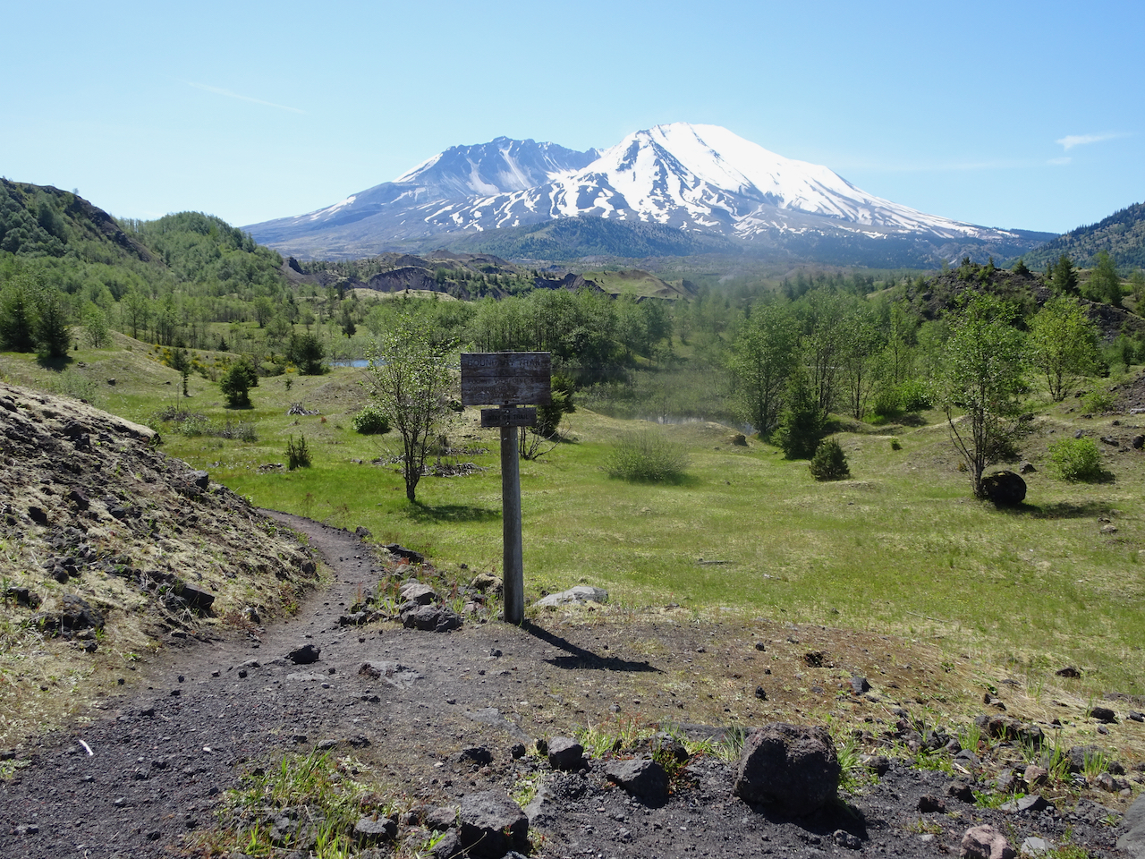
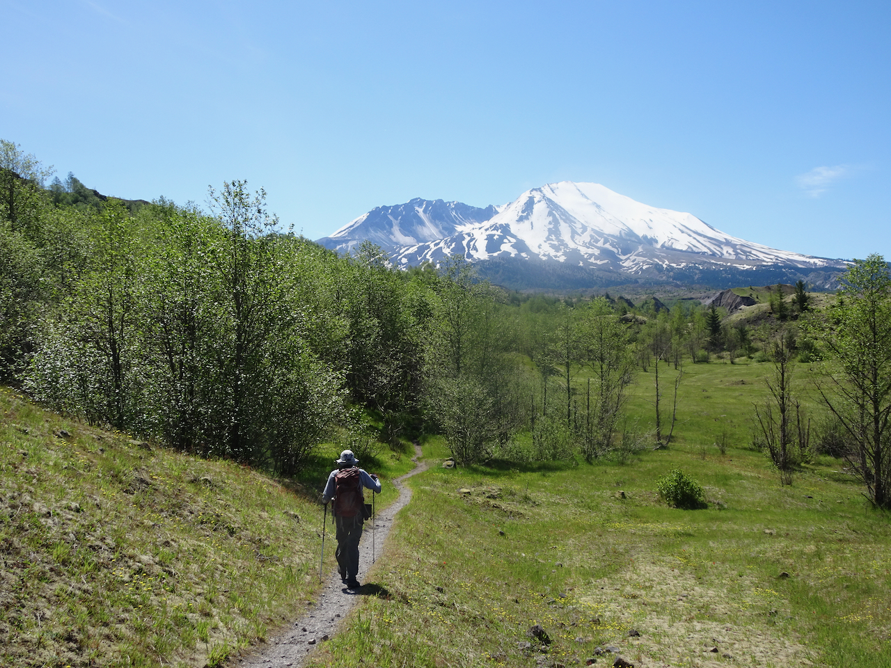
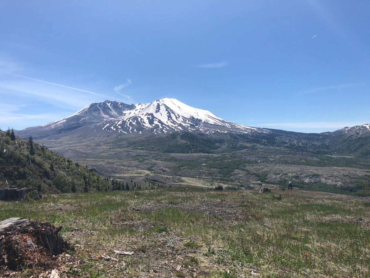
The trail comes out into open landscape at the junction with the Boundary Trail, then heads off into lowlands along the Toutle River, before climbing steeply up the flanks of Johnston Ridge. From here on we almost always had a full on view of the mountain.

DSC01061

Boundary Trail Junction

DSC01065

Zooming in…

DSC01074

Crossing the Toutle River lowlands.

DSC01086

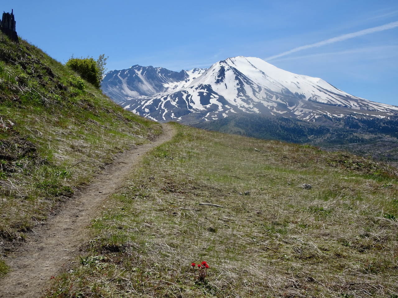
Heading up, Indian paintbrush and Mt St Helens.

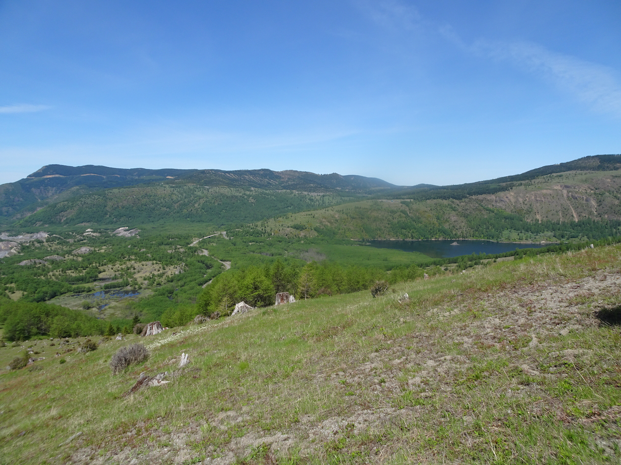
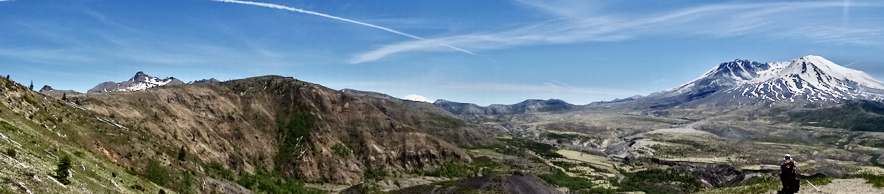
Once high enough, we can see north to the west end of Coldwater Lake, and back to the ponds in the hummocks, our starting point.

DSC01096

DSC01095

Closer view of Coldwater Lake.

IMG_0905

Lovely view from our lunch stop.

DSC01100

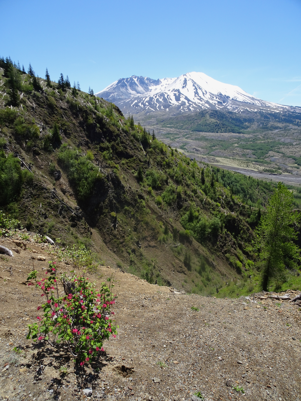
Red current in bloom as we continue eastward.

We reached our farthest view point, not quite to the Loowit Turnout on the road.

DSC01104

DSC01111

Coldwater Peak

DSC01110

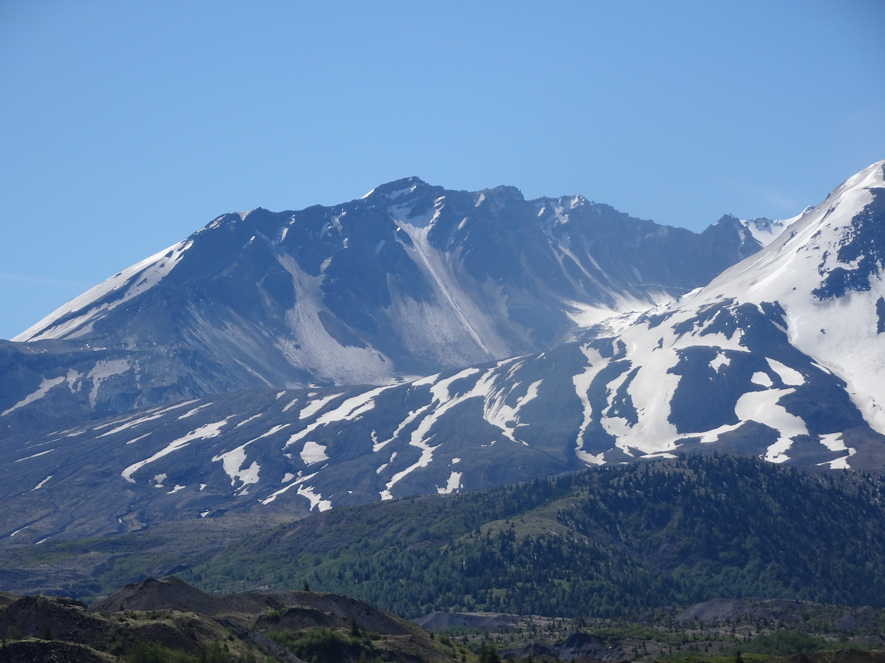
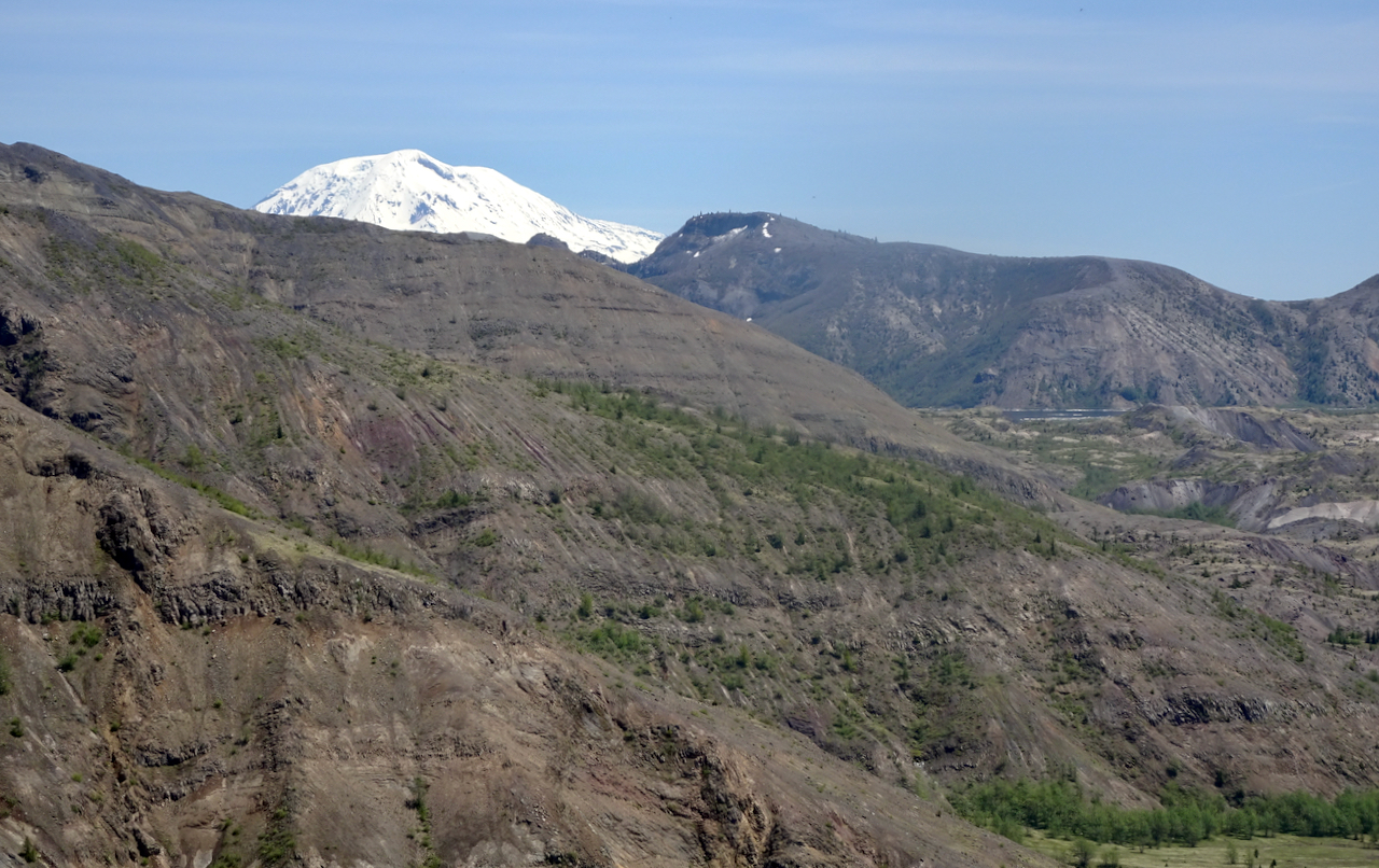
Mt Adams and a glimpse of Spirit Lake

DSC01112

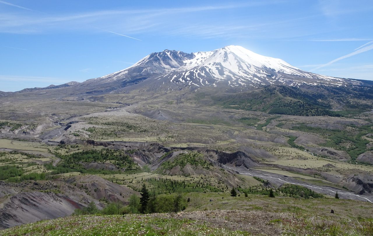
Mt St Helens

I felt a bit out of shape on this hike, so we only went as far as a viewpoint where Mt  Adams comes into view, before we reached the Loowit Viewpoint. It was fairly hot, and once out of the hummock zone, there is no shade. What is amazing is how much shade there is in the hummocks area, because everything in sight has regrown since the eruption 40 years ago.

A last look back at the mountain on our return hike:

DSC01128

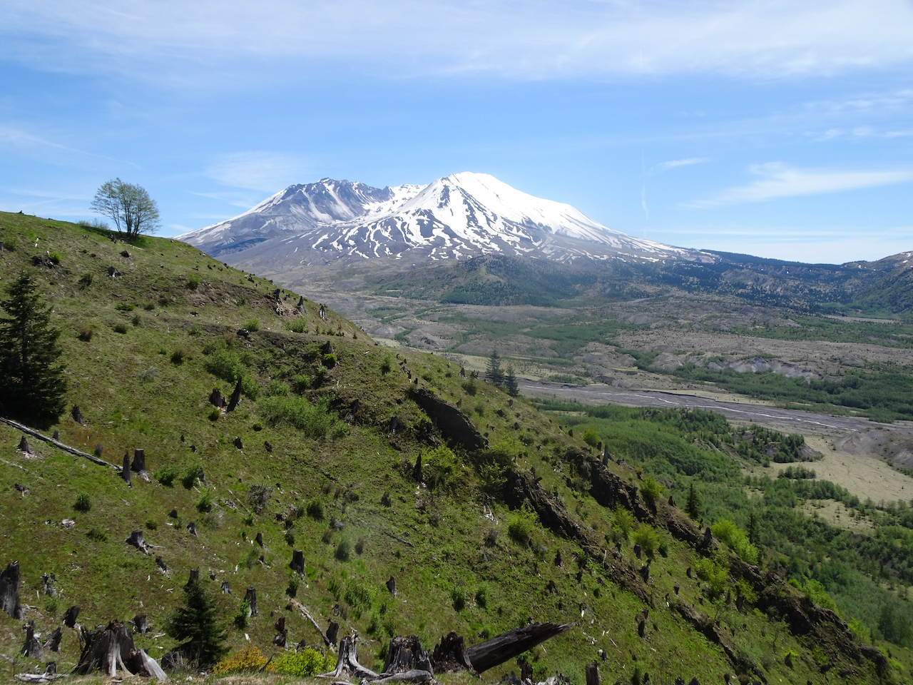
40 year old stumps, with younger trees in the foreground.

DSC01138

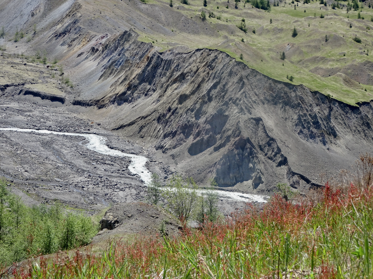
Sheep sorrel, Toutle River

Wildflowers are beginning to bloom – in a couple of weeks it will be very colorful here.

We stopped at the Castle Lake Viewpoint on our drive home for a last look today, with plans to return in the not too distant future.

DSC01159

Castle Lake Viewpoint

Wildwood Trail Hike 4

Friday, May 29, 2020 – In continuation of a pandemic goal to hike all of the 30 mile Wildwood Trail in Forest Park, we walked another section, from Springville Road to the Wildwood Trail, to the Trillium Trail and back to our trailhead on Fire Road 7. This section of the Wildwood Trail is cut into the sides of steep forested slopes. It was dry and warm today, but well shaded. We saw a few flowers, a few birds, a lot of trail runners, and a few hiking groups. Most of the hikers pulled masks up when passing. Trail runners mostly did not. We did our best to give them a wide space. We all need the fresh air! (Hike #43, 5.2 miles, 460 feet)

DSC01162

Trailhead

DSC01163

Springville Road

DSC01172

The first wild roses I have seen this year.

DSC01176

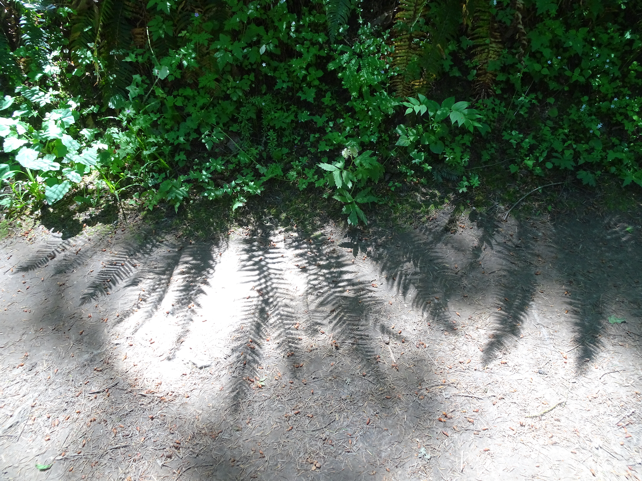
Fern shadows

DSC01180

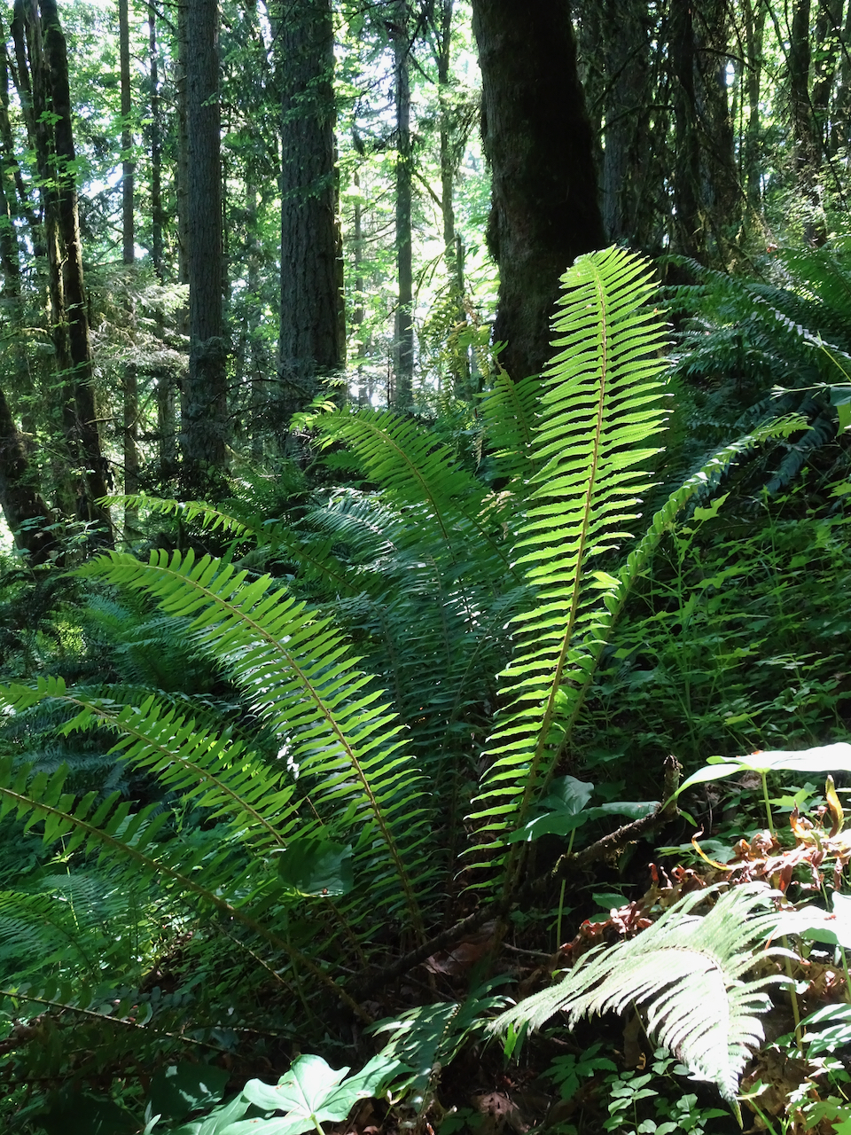
Ferns

DSC01182

DSC01184

Our return trail is all uphill!

Knitting

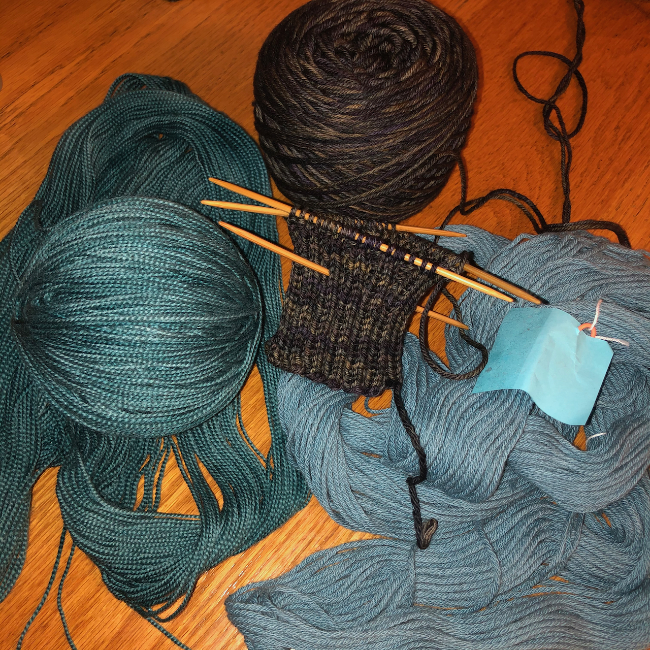
I am getting ready to start new projects, so I have been hand winding yarn, knitting a gauge swatch, and spending lots of time searching the glorious Ravelry pattern library, which in my opinion is the very best place in all of the internet. I also cast on a gift knit – fingerless mitts.

IMG_0924

A note on the times we are living in  I support the Black Lives Matter protests going on this weekend. It may be a long time before the “all are created equal” spirit of our nation is realized, but I try to live my life in support of it. On a more positive note, I was happy to see the successful SpaceX launch this weekend, furthering work my father participated in as rocket scientist.

Forest Park again…

May 15, 2020 – Wildwood Trail: Newberry Road/BPA Road Loop

We returned to the Wildwood Trail in Forest Park on the west side of Portland for another pandemic hike. It had been raining off and on all week, and the forest was a little drippy. Clouds blocked the view of mountains we saw from the BPA Road last week, but there were lots of new wildflowers this week. (Hike #40, 6.5 miles, 1250 feet)

DSC00944

Newberry Road trailhead

DSC00947

Fern-lined trail

DSC00959

Forest

DSC00983

Powerline cut – no mountains this week.

In other good news, nearby forests and state parks are gradually reopening, so we will soon have a wider geography available.

Knitting

IMG_0868

A finish!  Patons Kroy Celestial Purple traveling socks.

Neighborhood walks-

IMG_0856

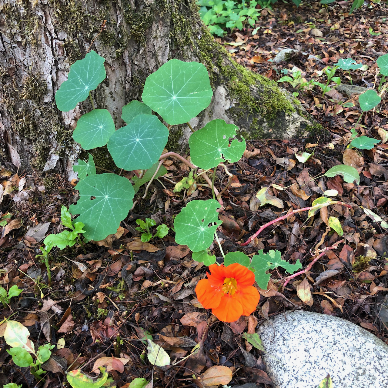
nasturtium

IMG_0851

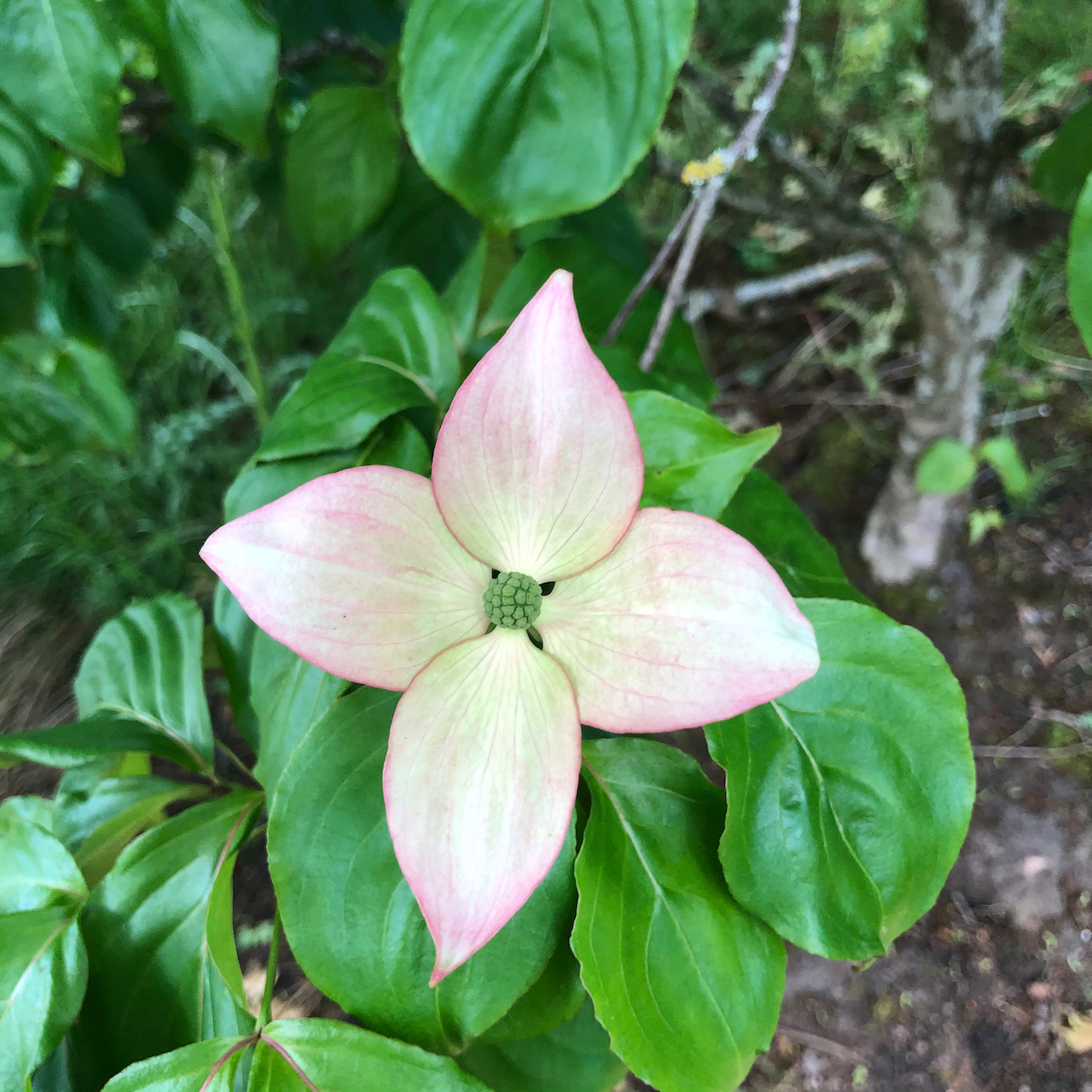
dogwood

IMG_0853

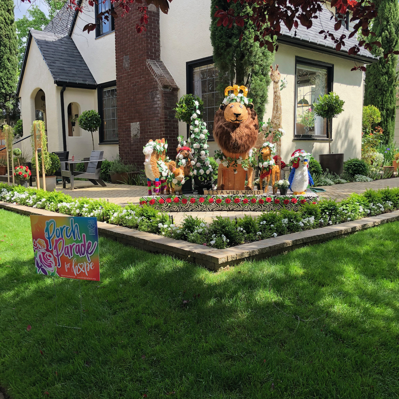
Porch parade

IMG_0852

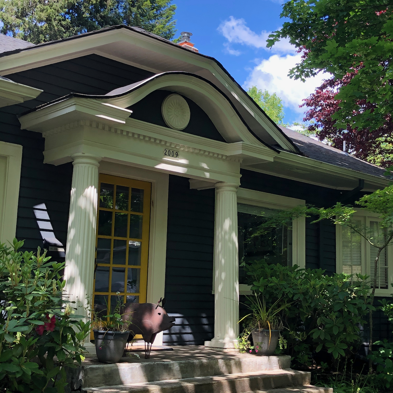
Porch pig

IMG_0855

Tethered horse

IMG_0844

More words of encouragement!

Addendum – Ridgefield Wildlife Refuge, May 5, 2020

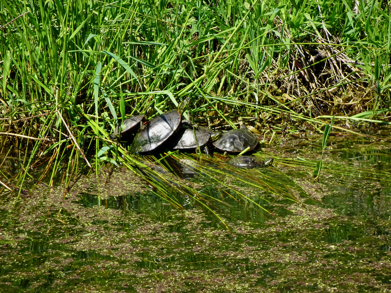
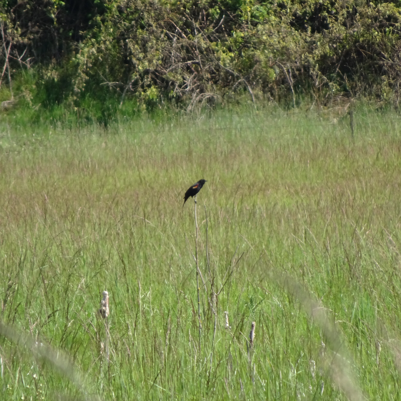
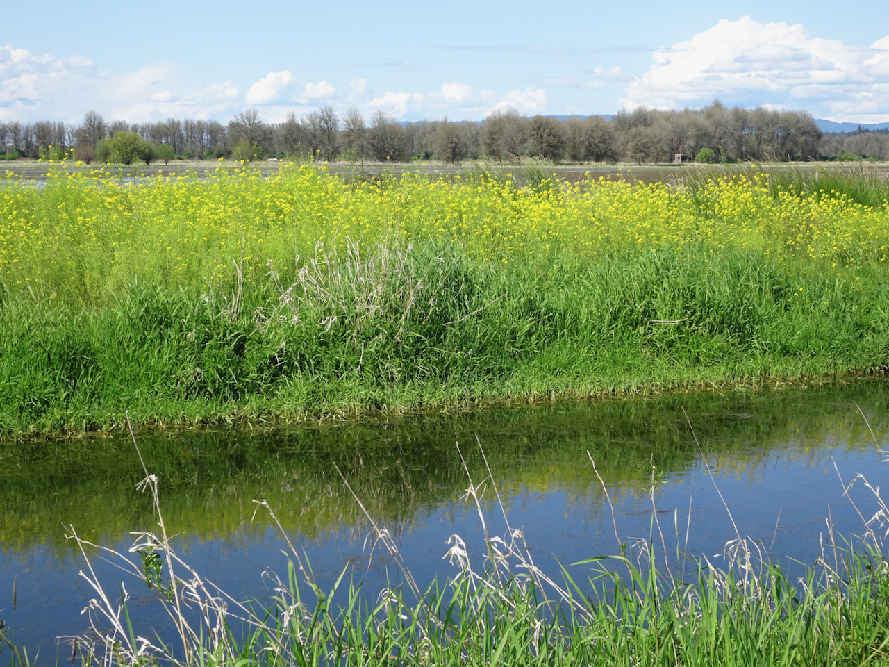
When Washington State reopened some public lands, we went to the driving loop at Ridgefield Wildlife Refuge. The wintering birds – swans, geese, and sandhill cranes – had flown on. Today we saw turtles, redwing blackbirds, egrets and herons. This was our first foray out of our neighborhood in two months, and it was great just to see some wide open spaces from the safe space of our car!

DSC00842

Egret in the distance.

DSC00844

Turtles

DSC00854

DSC00868

Red wing blackbirds in the meadows.

DSC00855DSC00875DSC00879

Peninsula Park Rose Garden


April 23, 2020 – Another urban hike-

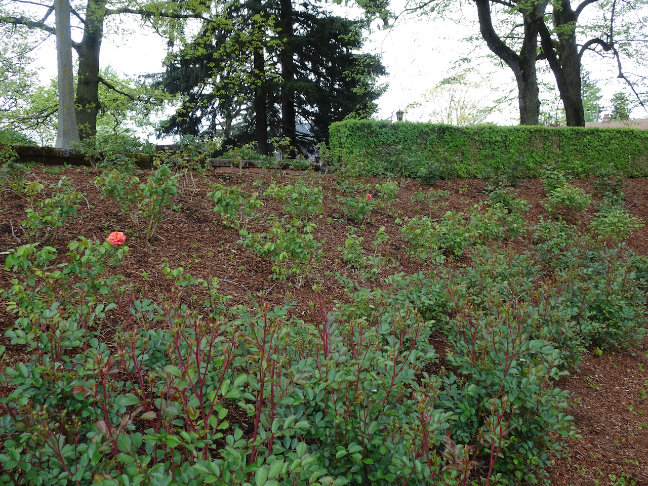
We walked to the Peninsula Park Rose Garden through northeast Portland. Neighborhood gardens are bursting with flowers, but it was much too early for the rose garden.

DSC00778

It is pink snow season in Portland! (cherry blossoms)

DSC00780

DSC00834

These red and white camellias reminded me of the “Painting the roses red!” scene from Through the Looking Glass and What Alice Found There.

Our route took us through the Alberta Arts neighborhood where personal artistic expression is abundant!

We finally reached the Peninsula Park Rose Garden after walking about 4 miles. 

DSC00830

The rose garden was built in 1913.

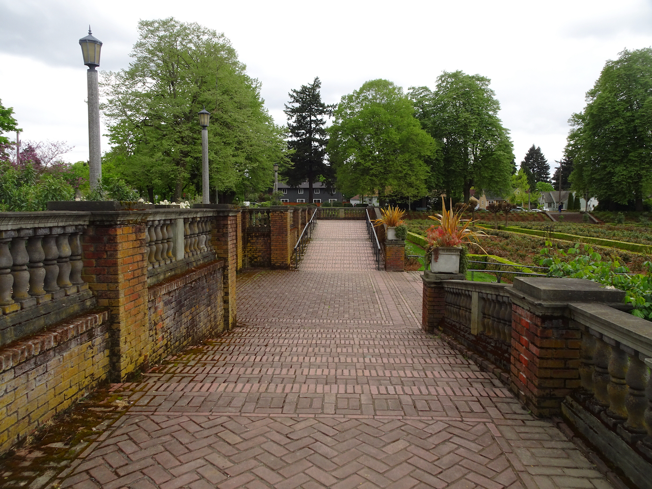
DSC00800

The rose beds are sunken below street level.

DSC00801

Peonies near the entrance were the brightest color there today.

DSC00808

Brickwork paths.

DSC00810DSC00813

DSC00820

The gazebo

DSC00824

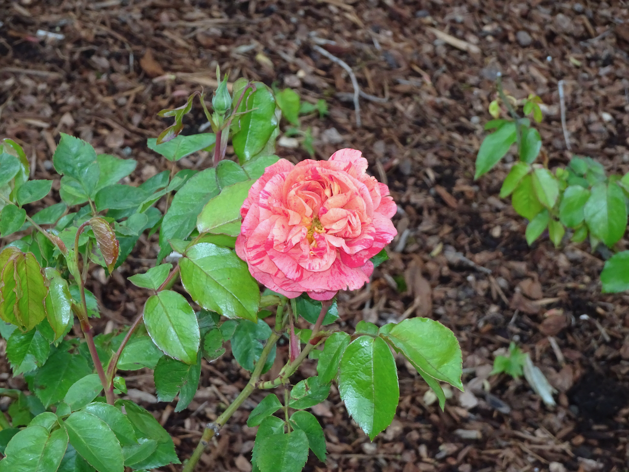
The only blooming roses.

DSC00823

DSC00829

Looking west across the rose garden.

Image 4-23-20 at 10.43 PM (1)

Hike #37, 8.4 miles, 200 feet. We are hoping to find a dirt trail nearby to walk next week – the cement is very hard on my poor arthritic feet, as I am trying to keep my fitness levels up for the duration…

Knitting

DSC00837

I finished the ‘eggs’ and the ‘chicken feet’ on the Which Came First shawl. On to the ‘chicken wire’!

PS. Happy 3rd Blogiversary to me – I published my first post in April of 2017!


Rocky Butte

Another week of Pandemic, another urban volcano hike, new spring blooms, a bit of crafting, and some good advice from George Washington.

April 16, 2020 – Hike of the Week

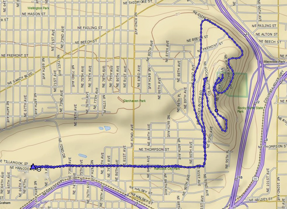
Rocky Butte is another Boring Volcanic Field volcano in Portland. We walked there from the Rose City Golf course, and had a great view of the High Cascades Peaks, with a coyote sighting along the way.

Image 4-22-20 at 10.09 AM

After walking flat city streets, we began the uphill climb on Rocky Butte Road.

DSC00700

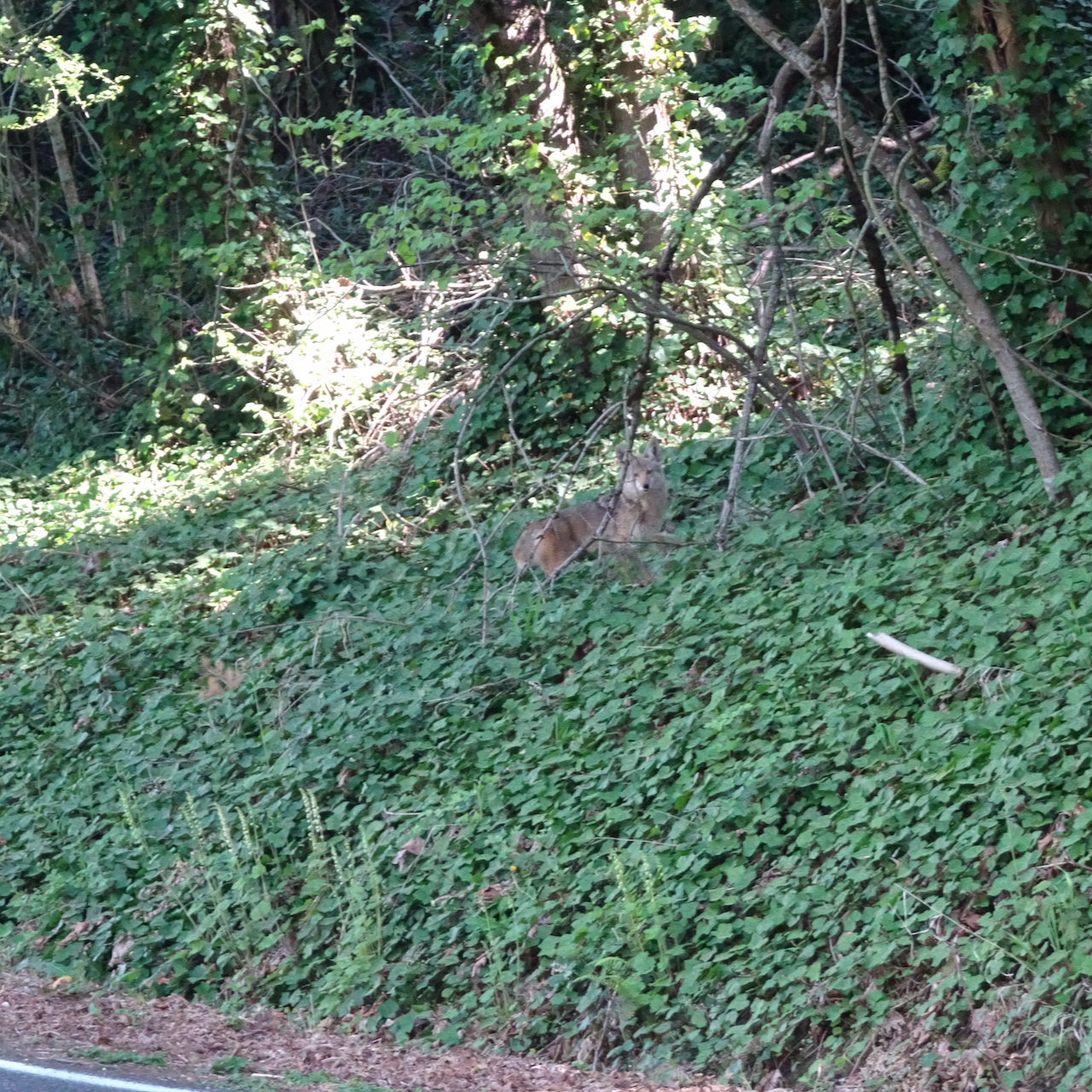
A coyote, crossing the road ahead.

DSC00701

The coyote continued up into the forest.

DSC00702

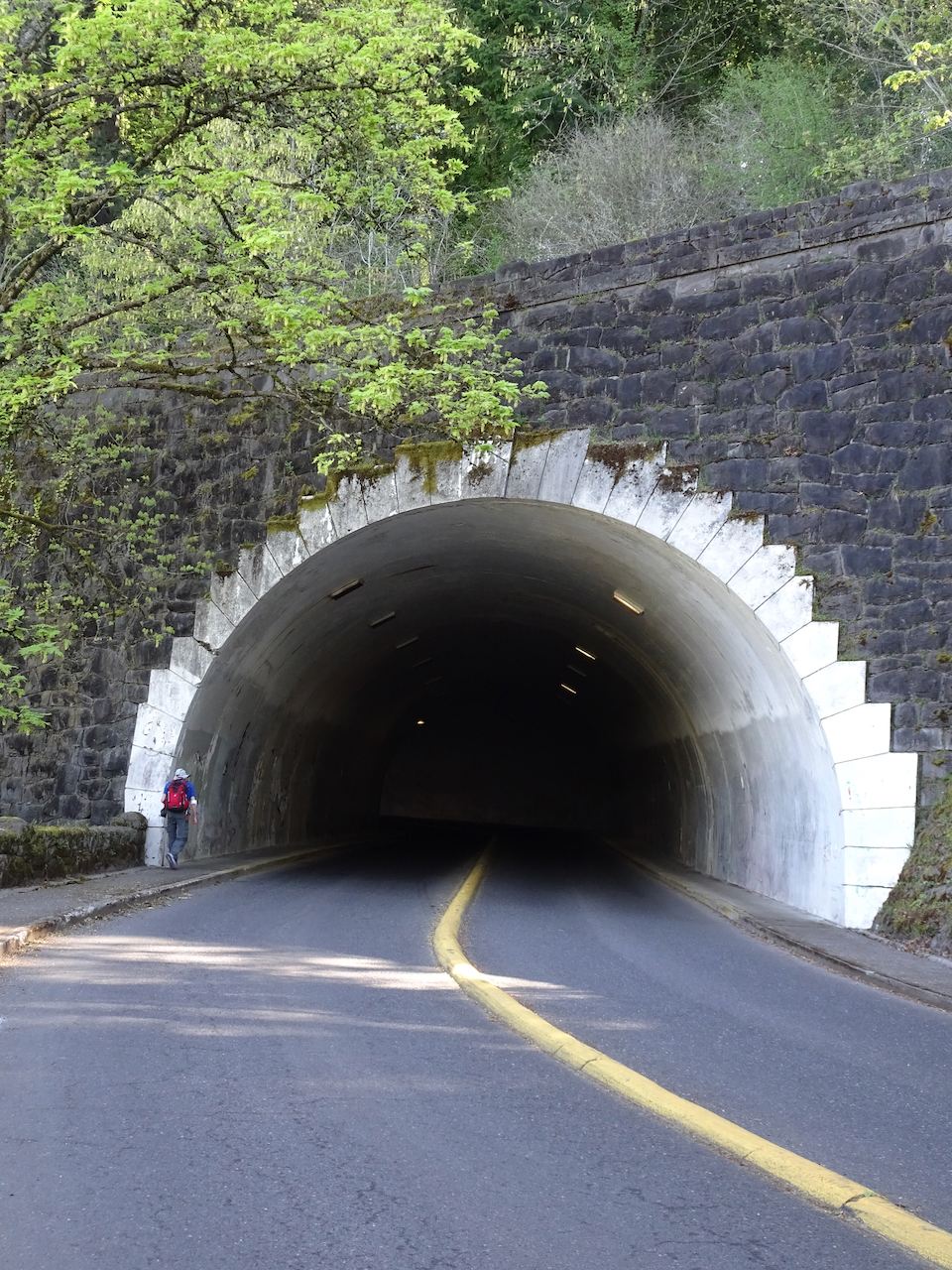
Meanwhile, we walked up the road and through the tunnel.

DSC00705

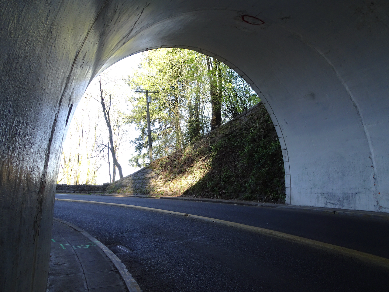
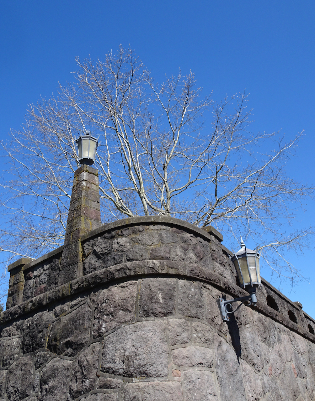
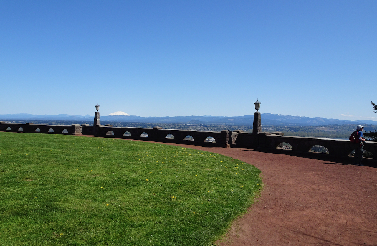
The road, tunnel, and stone walls were built in the 1930’s as part of a WPA post-depression infrastructure project.

DSC00710DSC00712DSC00714

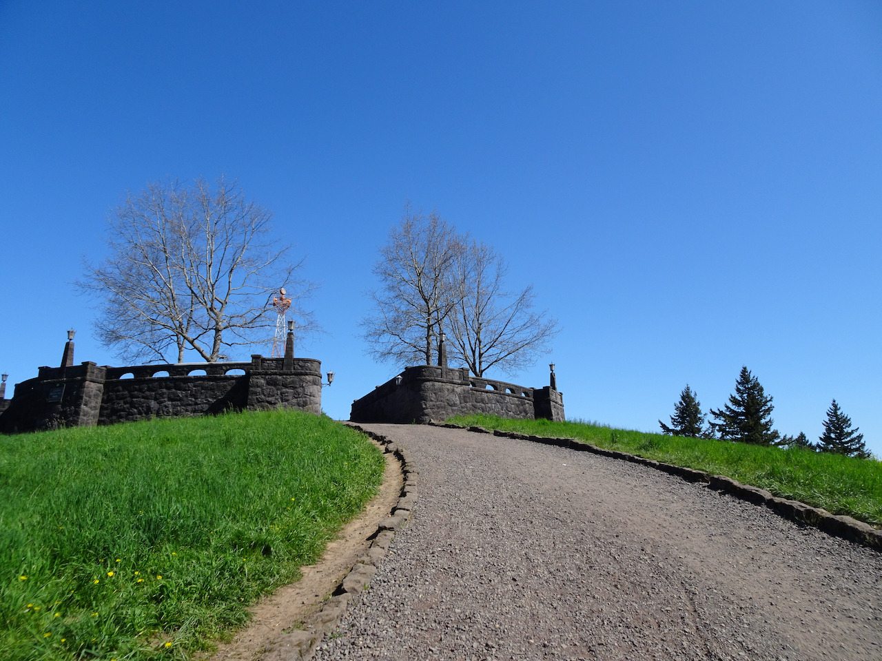
Eventually, we reached the park on the summit.

DSC00721DSC00722

Views in all directions:

DSC00723

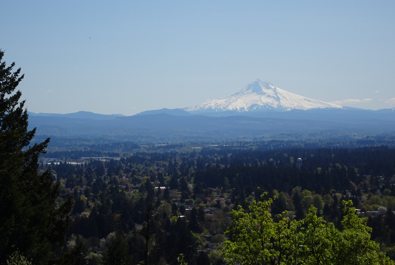
East to Mt Hood

DSC00724

North to Mt St Helens

DSC00739

Columbia River, Mt St Helens

DSC00727

Mt St Helens

DSC00741

Northwest, down the Columbia River

DSC00731

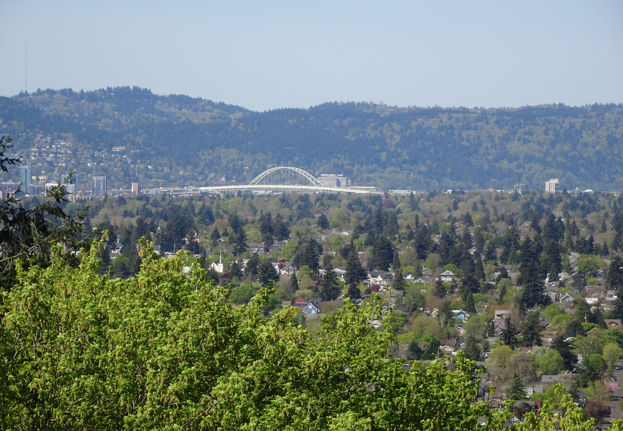
West to the Fremont Bridge, Portland

DSC00734

West to downtown Portland

DSC00746

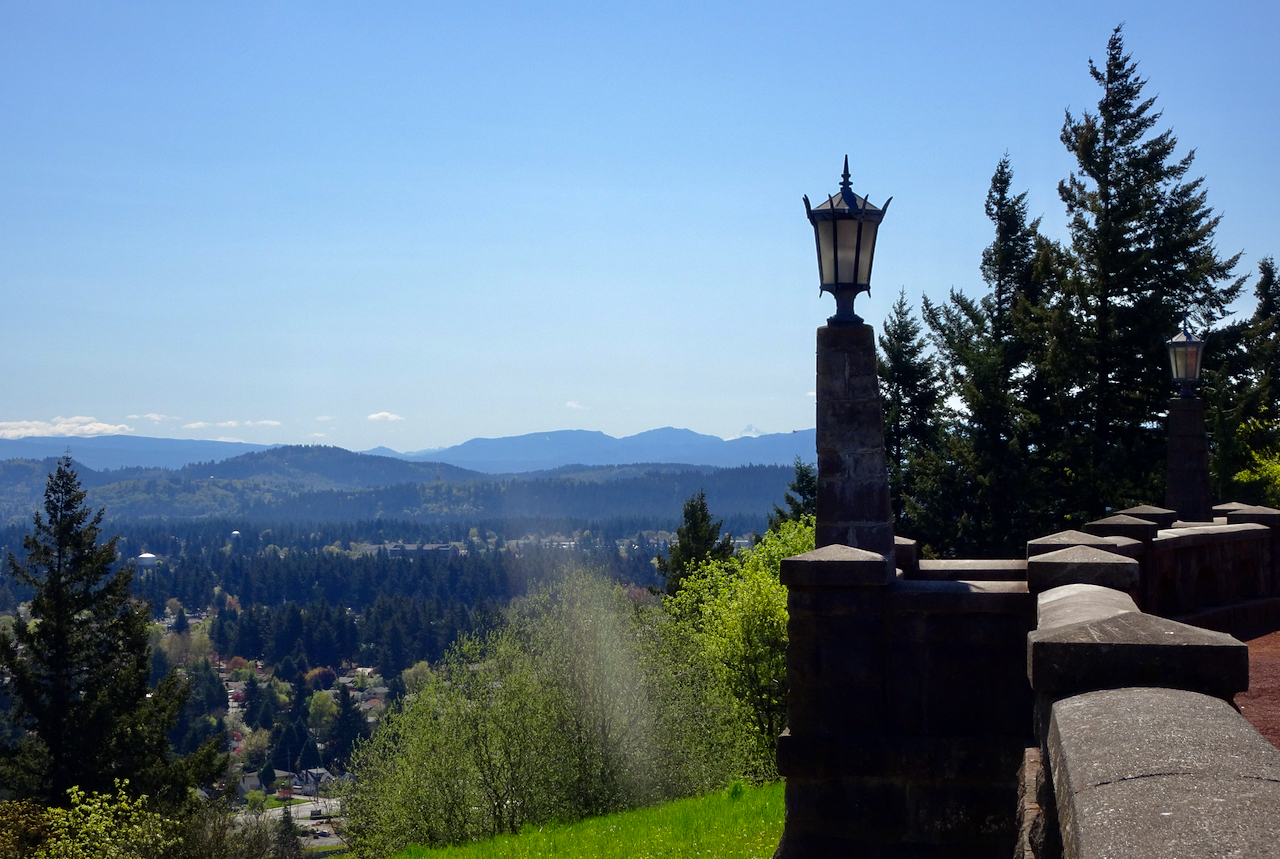
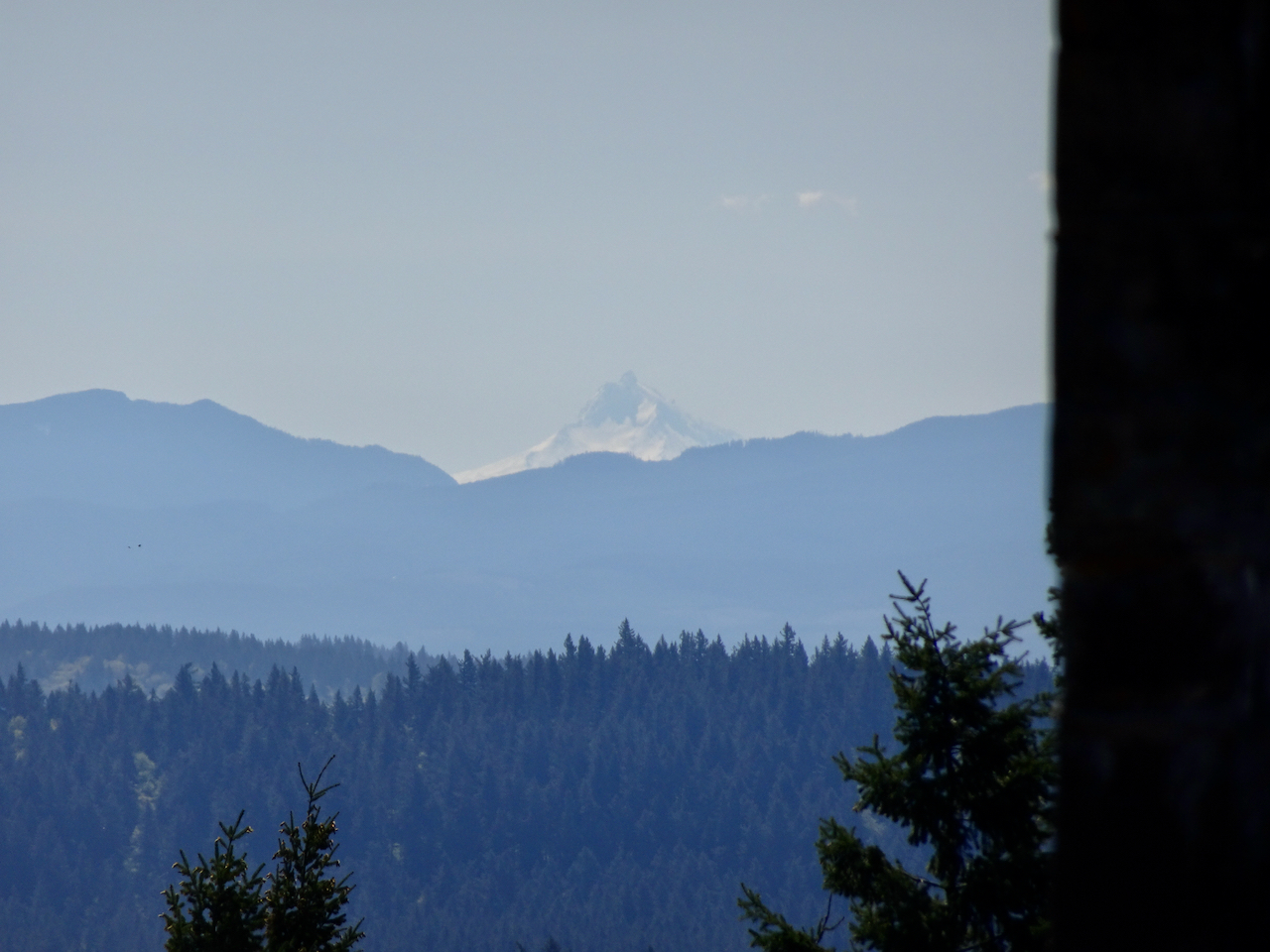
Southeast to Mt Jefferson

DSC00747

Mt Jefferson

DSC00728

Mt Hood again

And a last look at Mt St Helens before heading down.

DSC00756

I always love a Peak Finder!

DSC00733

Hike#36, 6.5 miles, 420 feet.

New blooms in the neighborhood and garden this week:

Crafting:

I made forward and reverse progress on my Meris sweater. While playing yarn chicken, I made the sleeves too short. I have knit just about every part of this sweater three times, so now I will reknit the lower sleeves.  I sewed more masks, started sewing a new bathrobe to replace the one I left behind in Queenstown, and continued knitting Emily’s shawl, and the purple socks.

IMG_0724

Meanwhile in Portland:

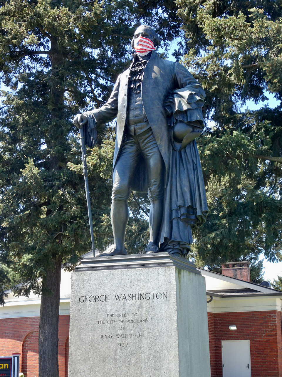
DSC00765

Physical distancing demonstrated by our founding father!

Mask sewing, knitting, neighborhood walks, and hiking a local volcano…

I’m not exactly sure – I think it is the second week of April…

We are lucky to be just sheltering in place, only venturing out for walks, weekly grocery replenishing, and the occasional medical appointment. So far we are healthy and doing our part by staying home.

IMG_0636

I made masks for family and friends.

I am enjoying meeting my knitting group via the internet, and making progress on a shawl for my daughter.

IMG_0695

Which Came First shawl, pattern by Cheri Clark, Malabrigo Mechita, Piedras colorway.

We are busy with home projects, both inside and out.

IMG_0648

We made a nice dinner for the first night of passover, which we shared virtually with one of our sons.

I continue my usual neighborhood walks. We have had some amazingly beautiful spring days. Trees are blooming, leafing out, glowing in the sunshine!

Our crabapple tree has come into full bloom this week.

IMG_0588

Earliest blooms

IMG_0638

IMG_0623

Looking out from the upstairs window

DSC00649

Queen Catherine has come out of retirement to show solidarity with the neighborhood!

We walked to a farther distant park in town to make up for not being able to take our usual hike of the week in wilder surroundings just now.

Mt Tabor Park, Portland, 4/9/2020

Mt Tabor is a relict 300,000 year old cinder cone, over 600 feet high, that is a popular park on the east side of Portland. It is about 3.5 miles from our house, so by the time we walked up and around the reservoirs and to the top of the hill we had covered over 8 miles for the day, with a little bit of hill climbing.

Image 4-9-20 at 9.41 PM

Our route was through residential neighborhoods.

Native wildflowers, which I am so missing from our hikes, are blooming in front yards.

When we reached Mt Tabor Park, we continued uphill, past the reservoirs and through the woods to the top. No cars are allowed on the roads, and trails are wide, so we were easily able to keep our distance from other people.

We found a bench to eat lunch with a westward view toward downtown Portland.

IMG_0654DSC00680

After lunch, we walked down past the amphitheater where the excavated hillside reveals the volcanic structure of Mt Tabor.

DSC00681

On our walk to and from Mt Tabor we saw encouraging signs of pandemic solidarity throughout the neighborhoods…

We saw a tribute to John Prine – sadly, one of the coronavirus victims this week.

DSC00686

More words of encouragement! One of my knit group members shared a photo of this plaque from the FDR Monument in Washington DC…a message of hope and guidance that applies to our times as well.

IMG_0619