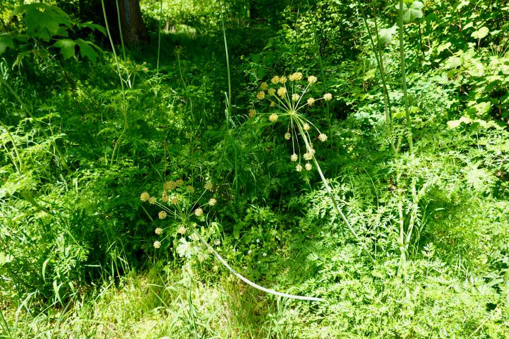
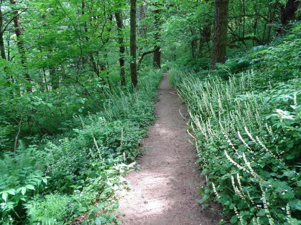
I went on four hiking adventures in August – two to the coast on very hot days, and two to the slopes of Mt Hood.
August 5 – Ecola State Park and Hug Point, Oregon Coast
I like to spend my birthday in nature. It was too hot for hiking inland, so we headed to the coast for the day. We started at Ecola State Park, had a picnic lunch with a view, and took a 3 mile hike down to Crescent Beach and back.

View south from Ecola Point

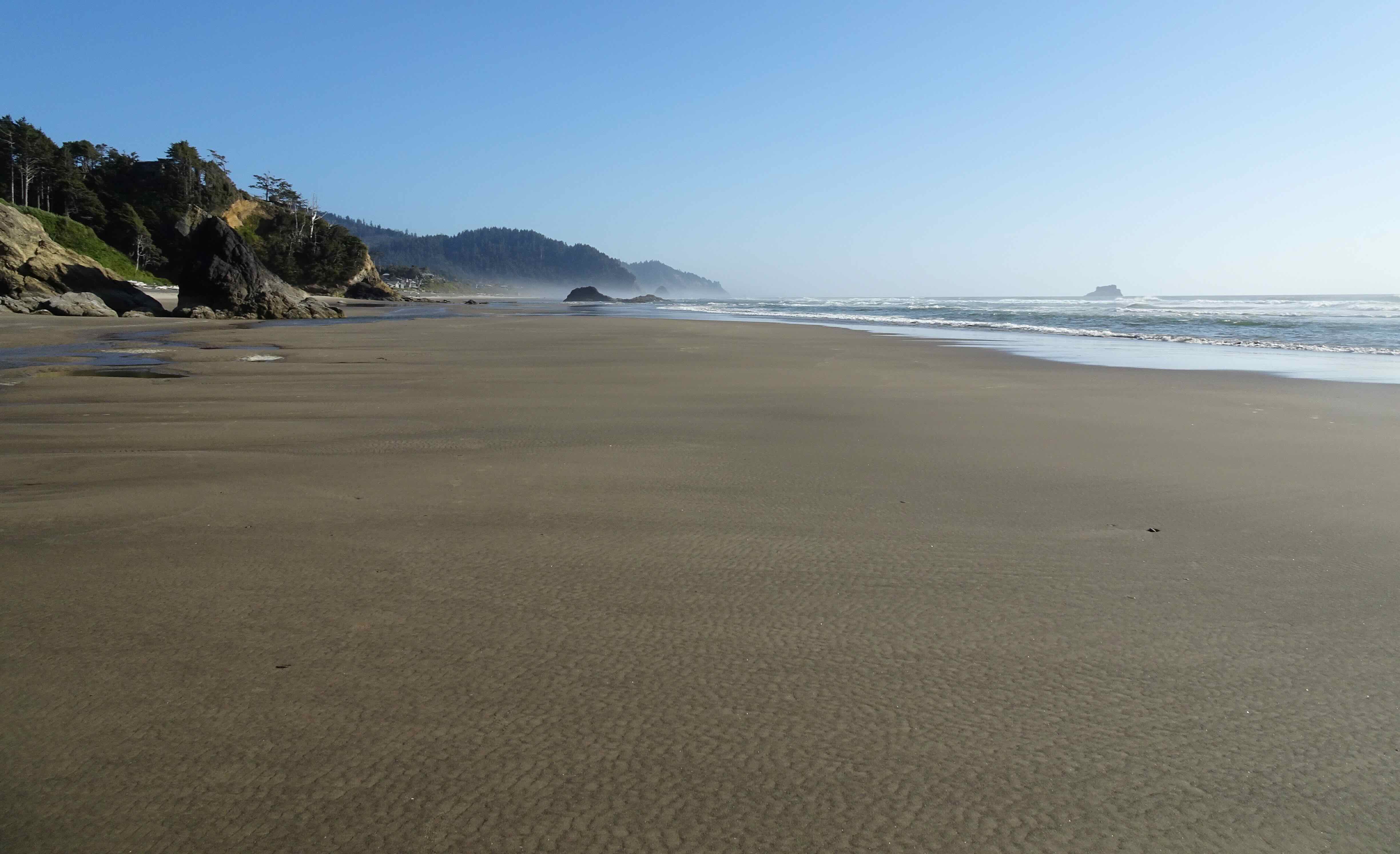
Looking north from Crescent Beach toward Ecola Point
High tide was in the middle of the afternoon, so we wandered around Cannon Beach for a bit. I treated myself to a few quilting fabrics at Center Diamond, then we had an early dinner in town.

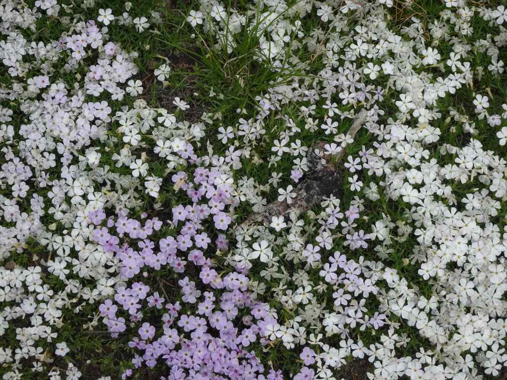
Birthday fabric, including puffins that remind me of Iceland.
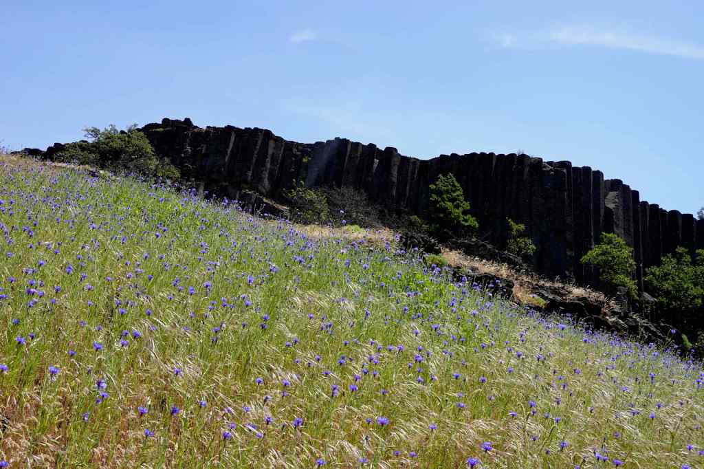
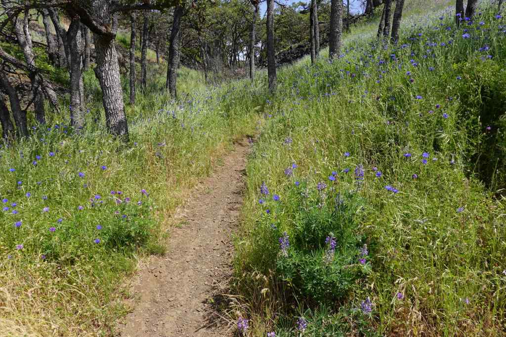
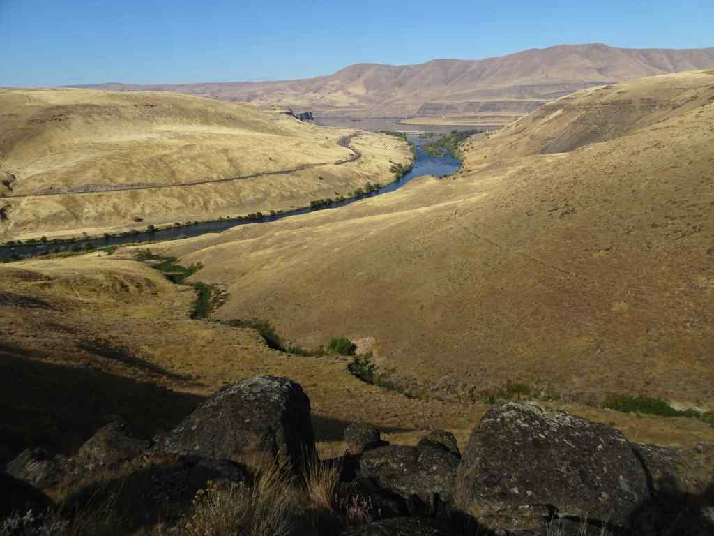
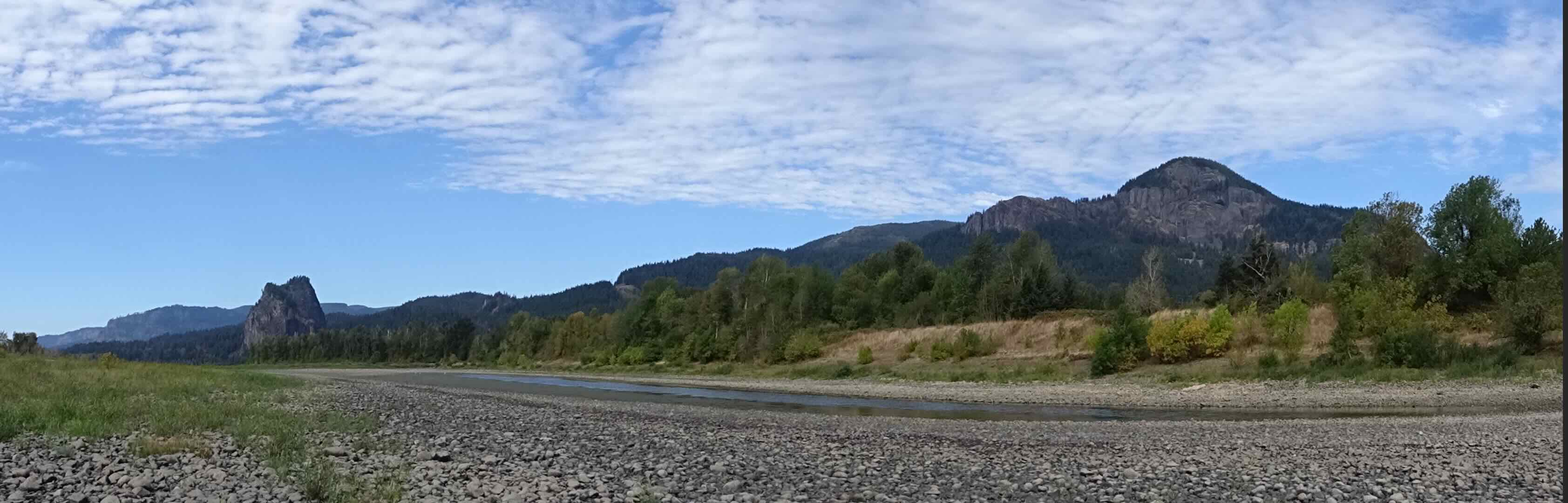
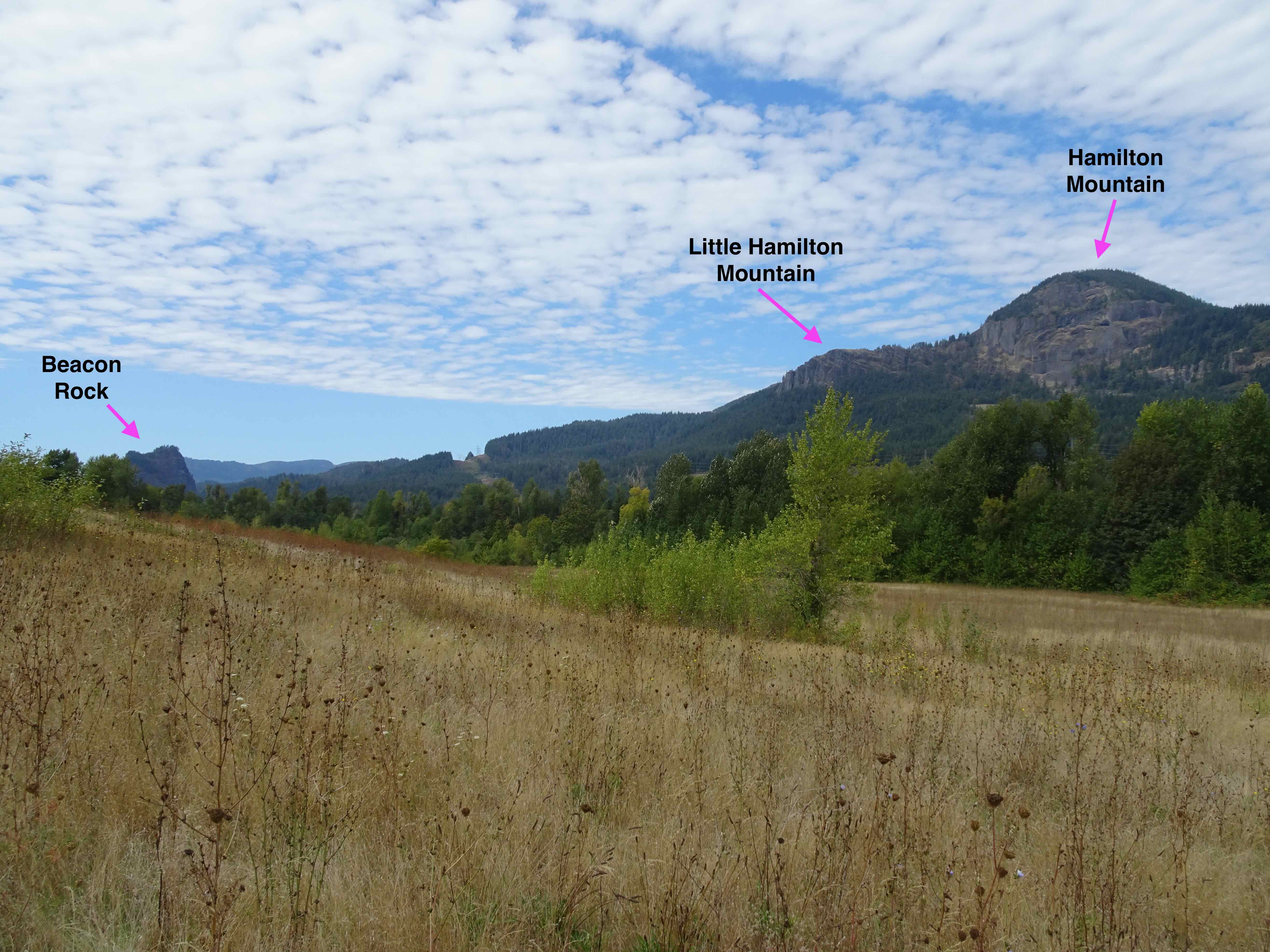
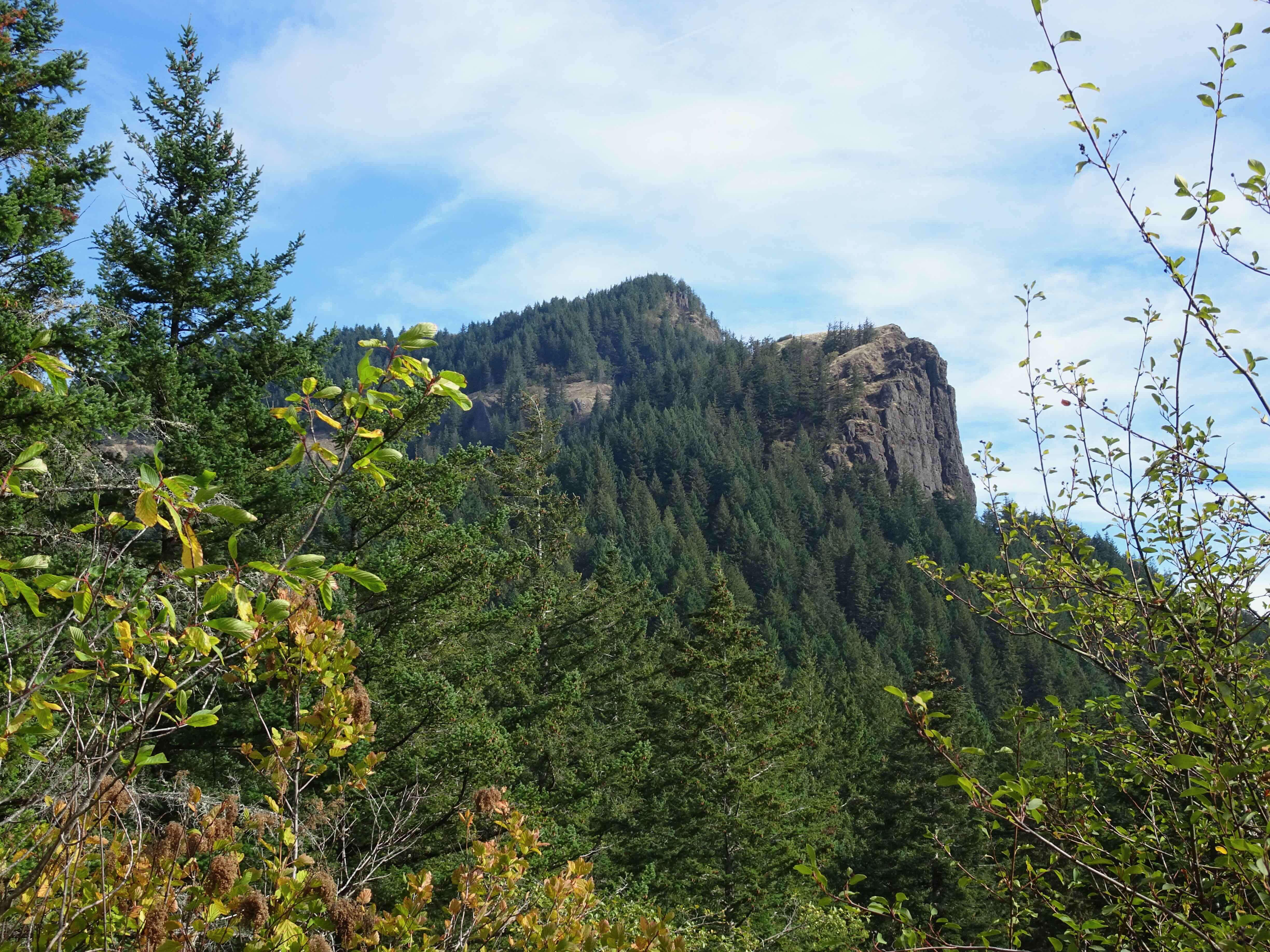
Next, we went to one of our favorite beaches – Hug Point. First we walked south, looking at all the landmarks from the summers we spent entire weeks here with our kids.
View south from Hug Point

I was pleased to see pods of pelicans flying along the surf line.
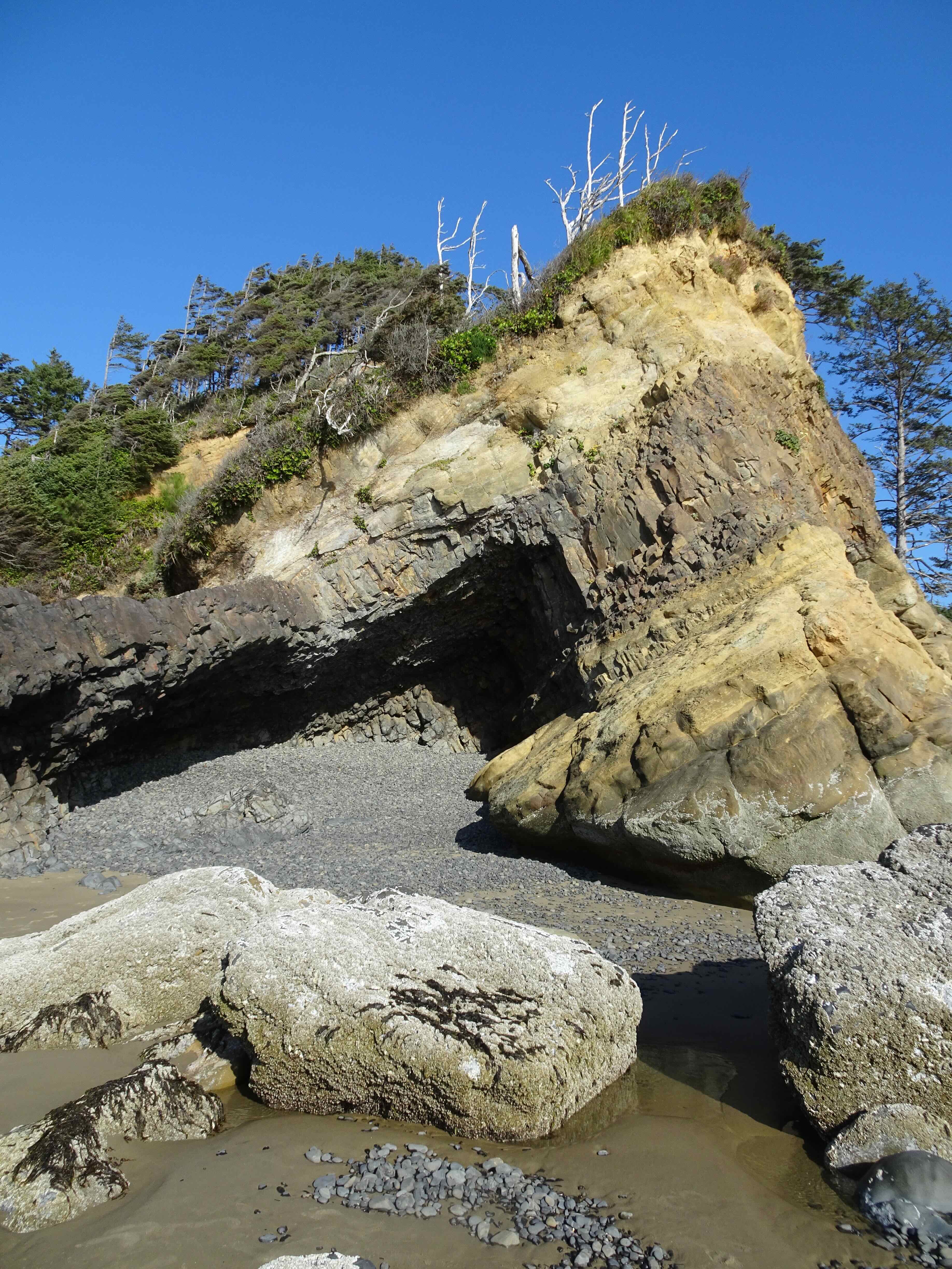
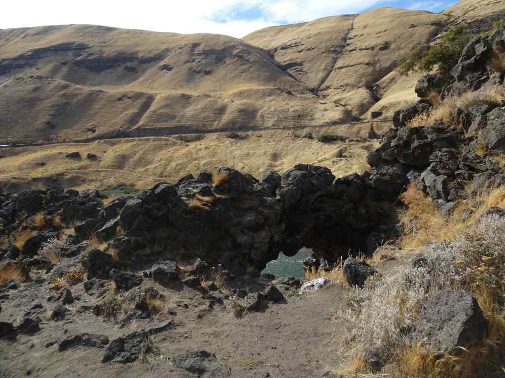
The Cave

Big Barnacle Rock and Castle Rock

The little blue cottage on the bluff where we spent many a happy summer week

Farther south, more pelicans on a sand bar

Pelicans!
Then we walked north, up over Hug Point.
Walking toward Hug Point,
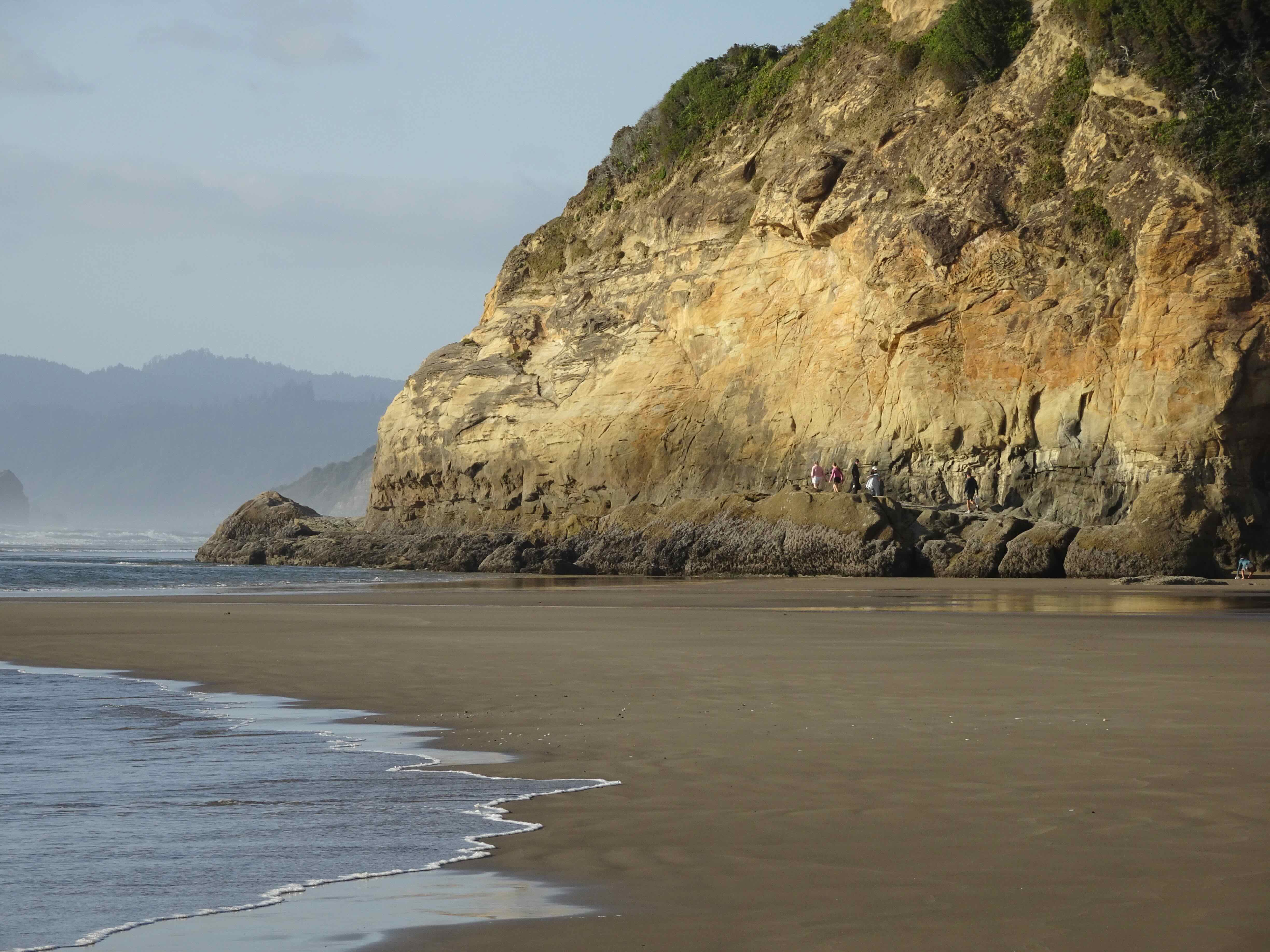
as the tide is going out.
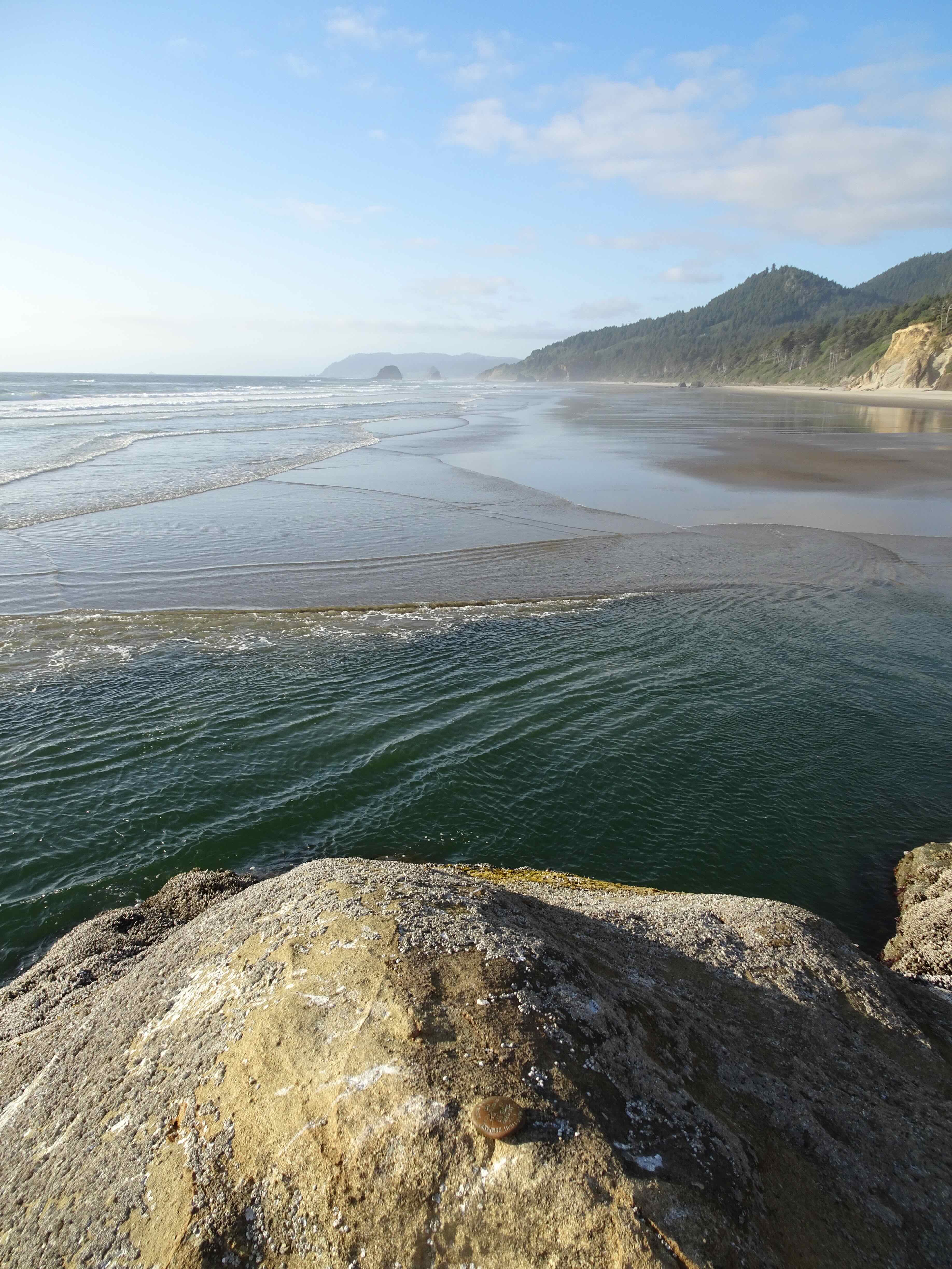
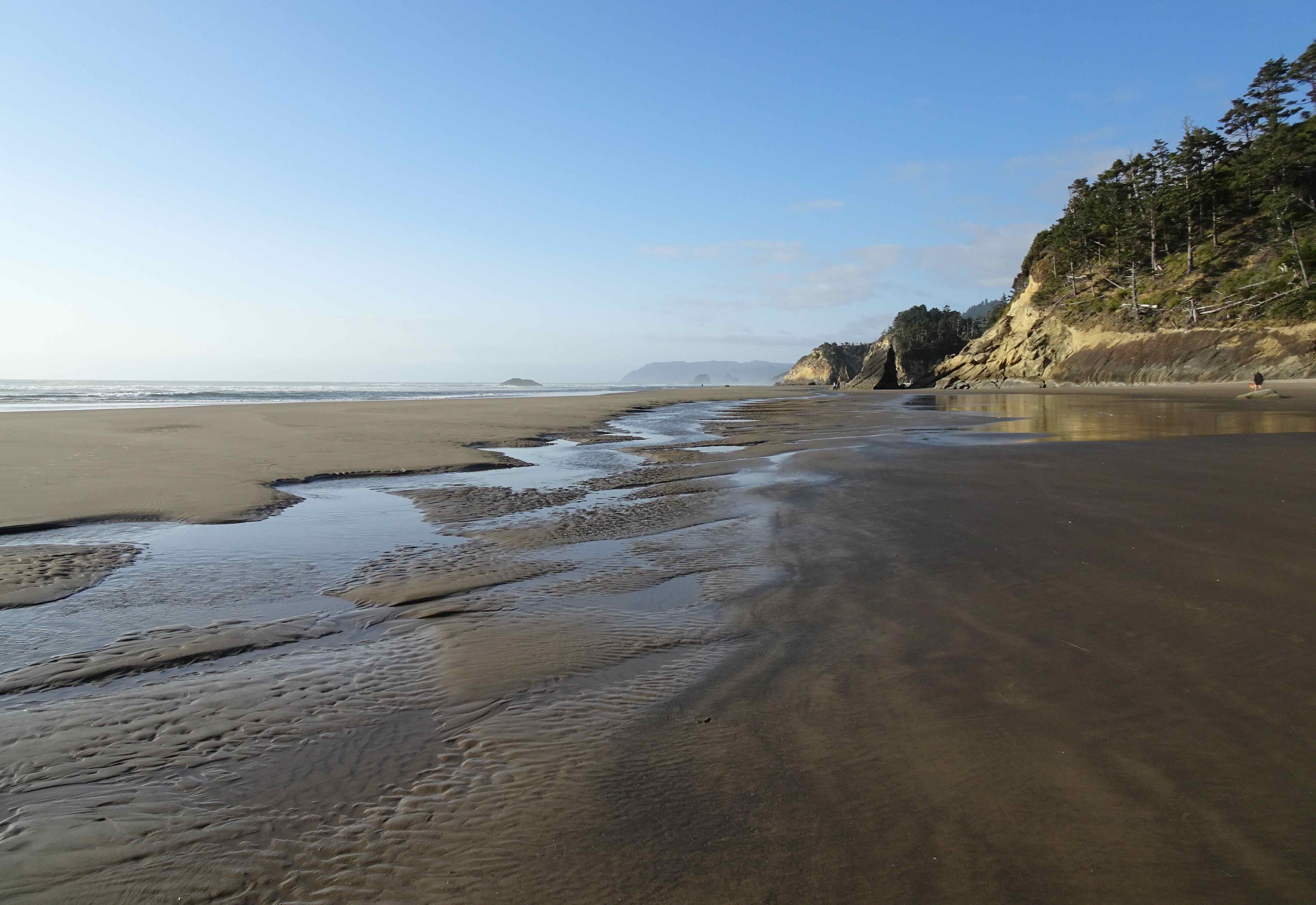
View north from Hug Point

and looking toward the beach just on the other side
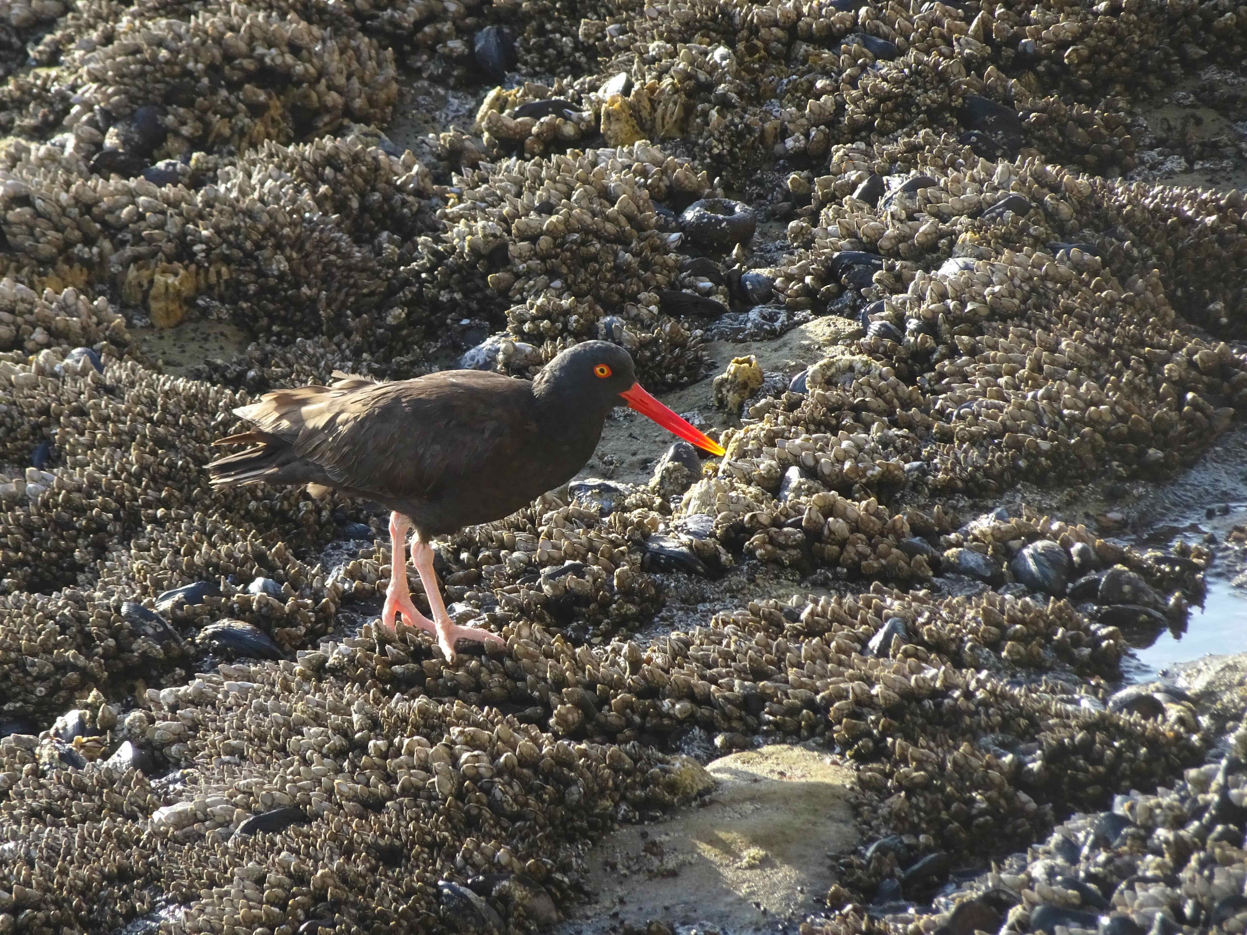
Oyster catcher among the mussels, barnacles and anemones on the Hug Point road bed
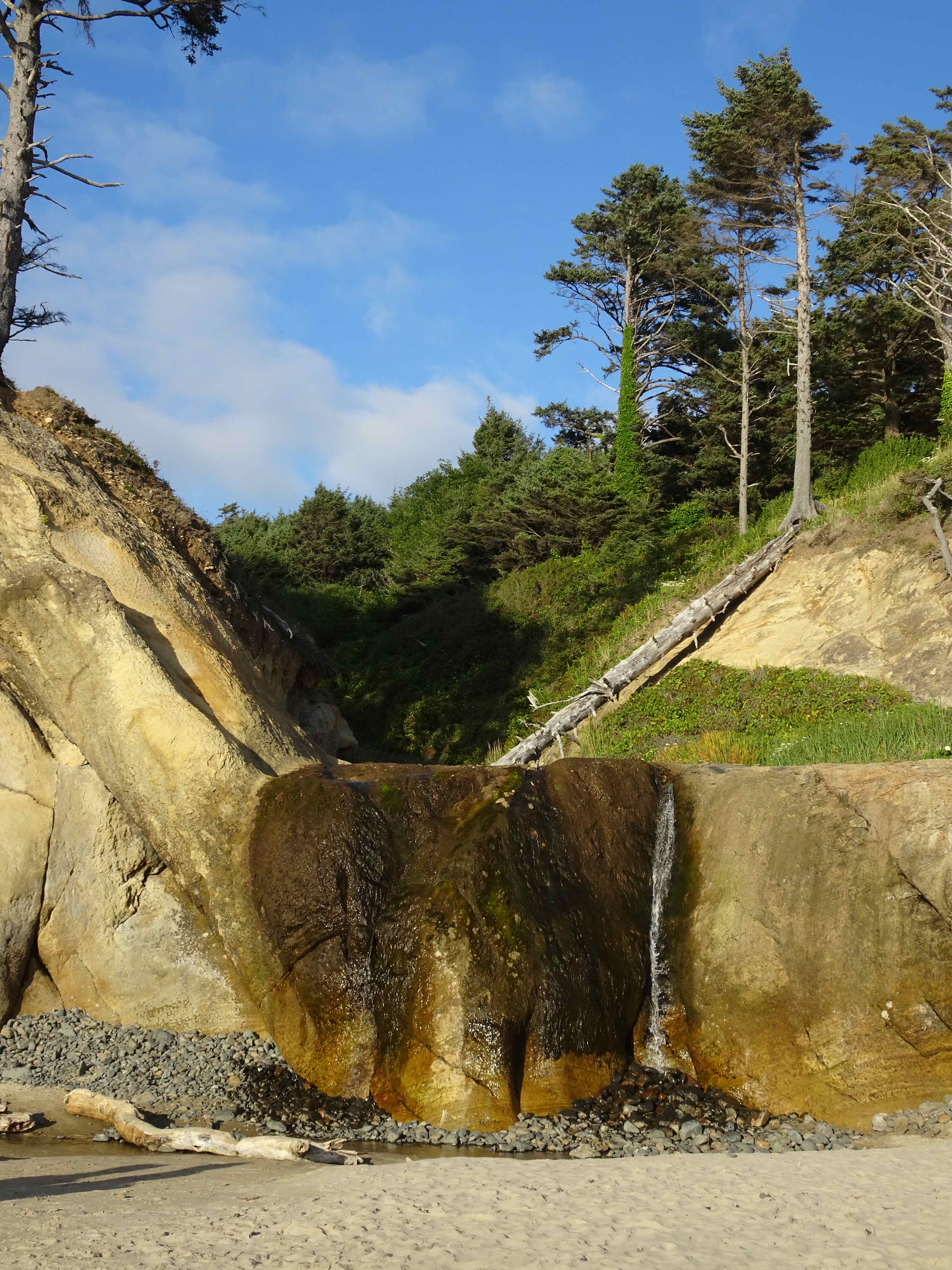
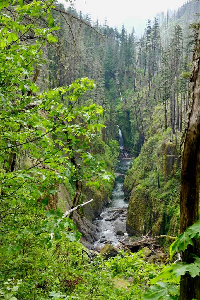
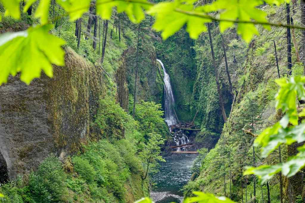
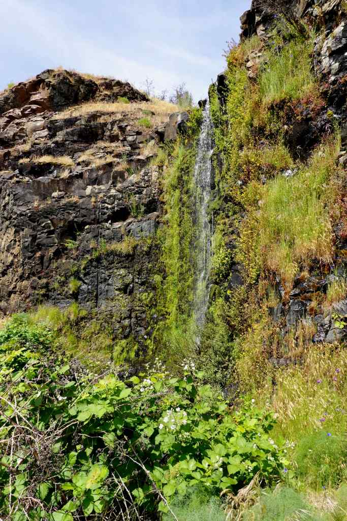
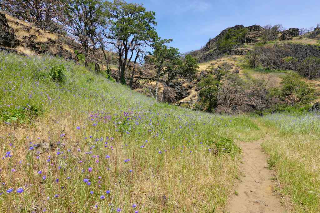
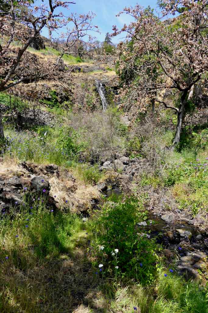
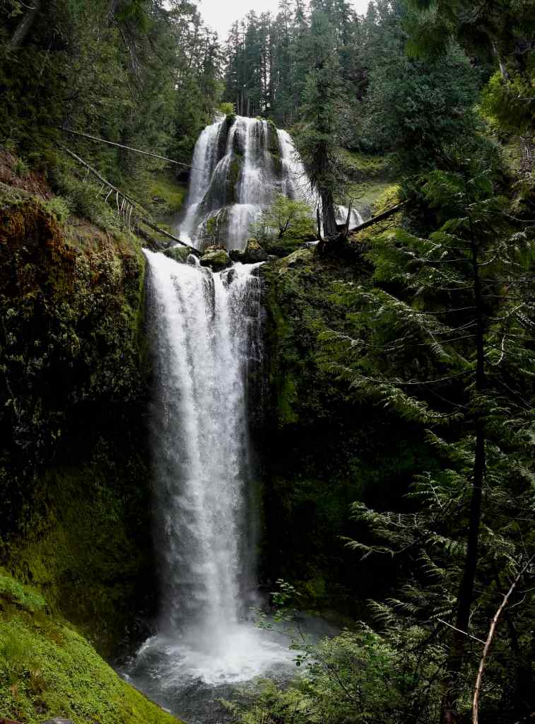
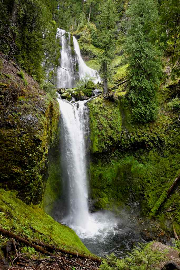
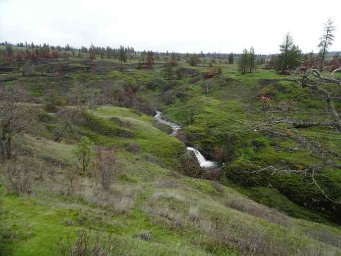
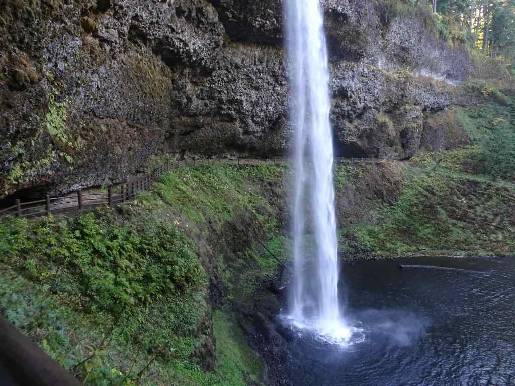
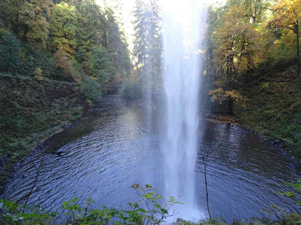
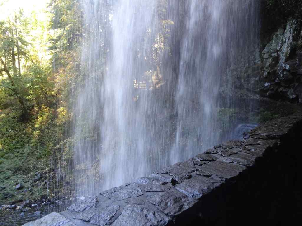
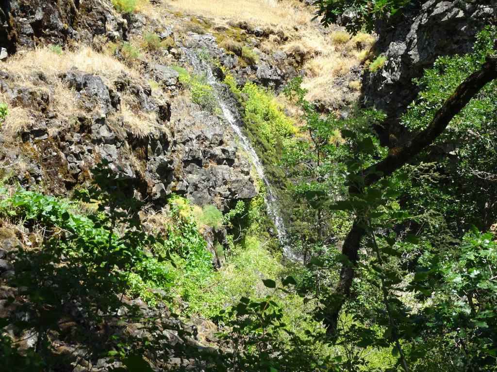
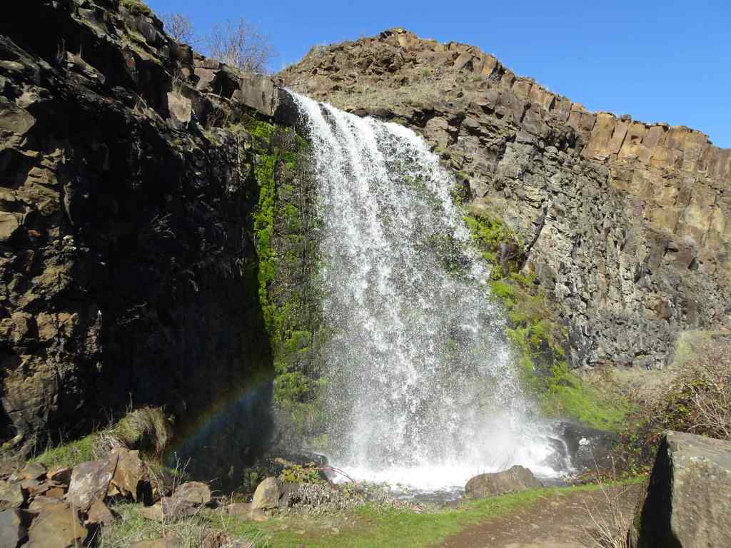
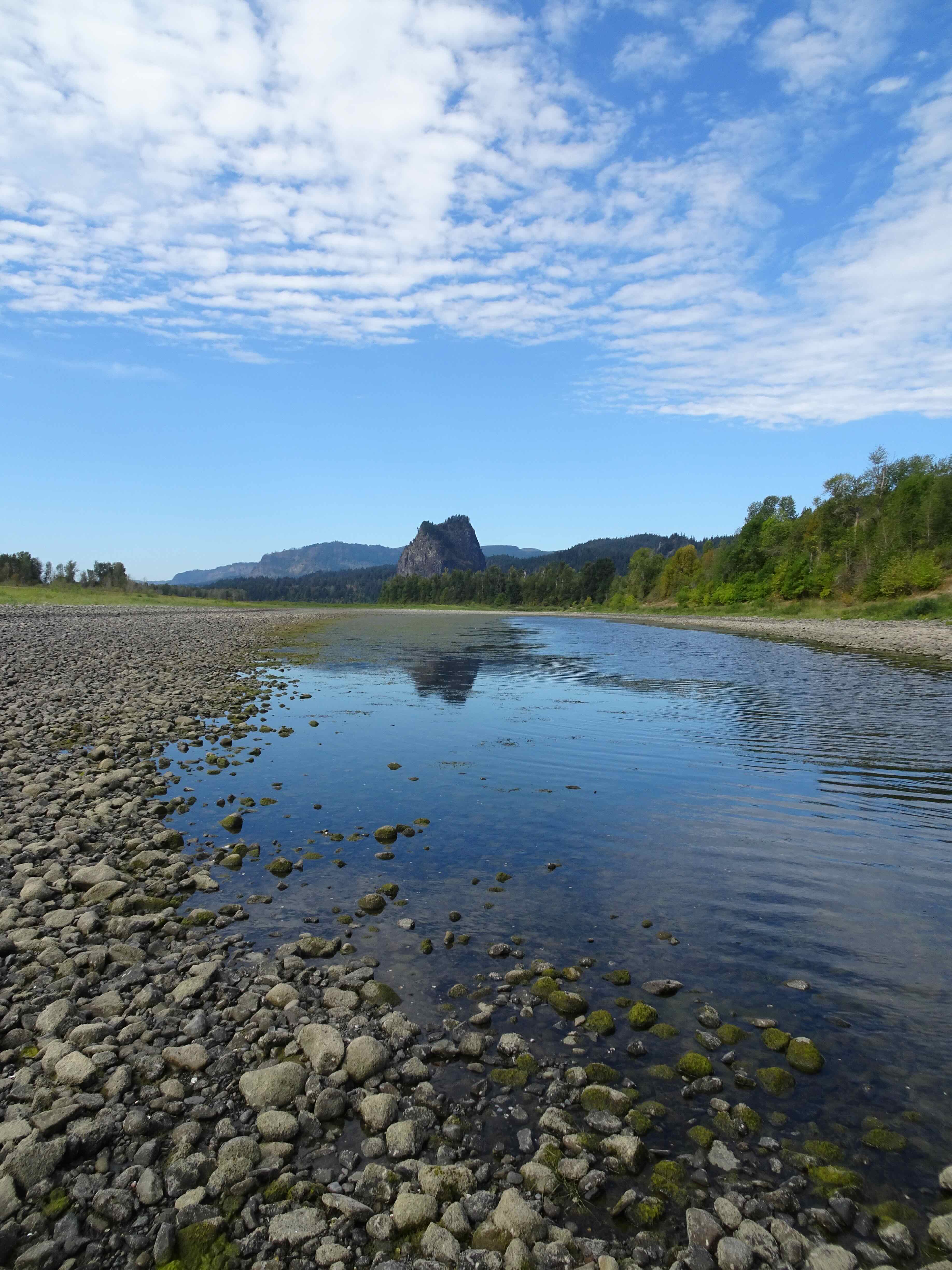
The Waterfall

Goodbye for now…
It was a beautiful evening – not too crowded, hot, or windy. As we drove home, I was completely satisfied with my birthday adventure.
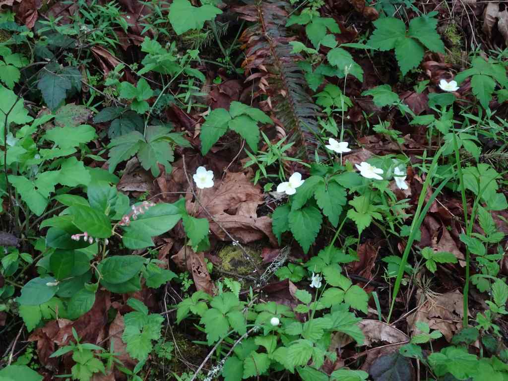
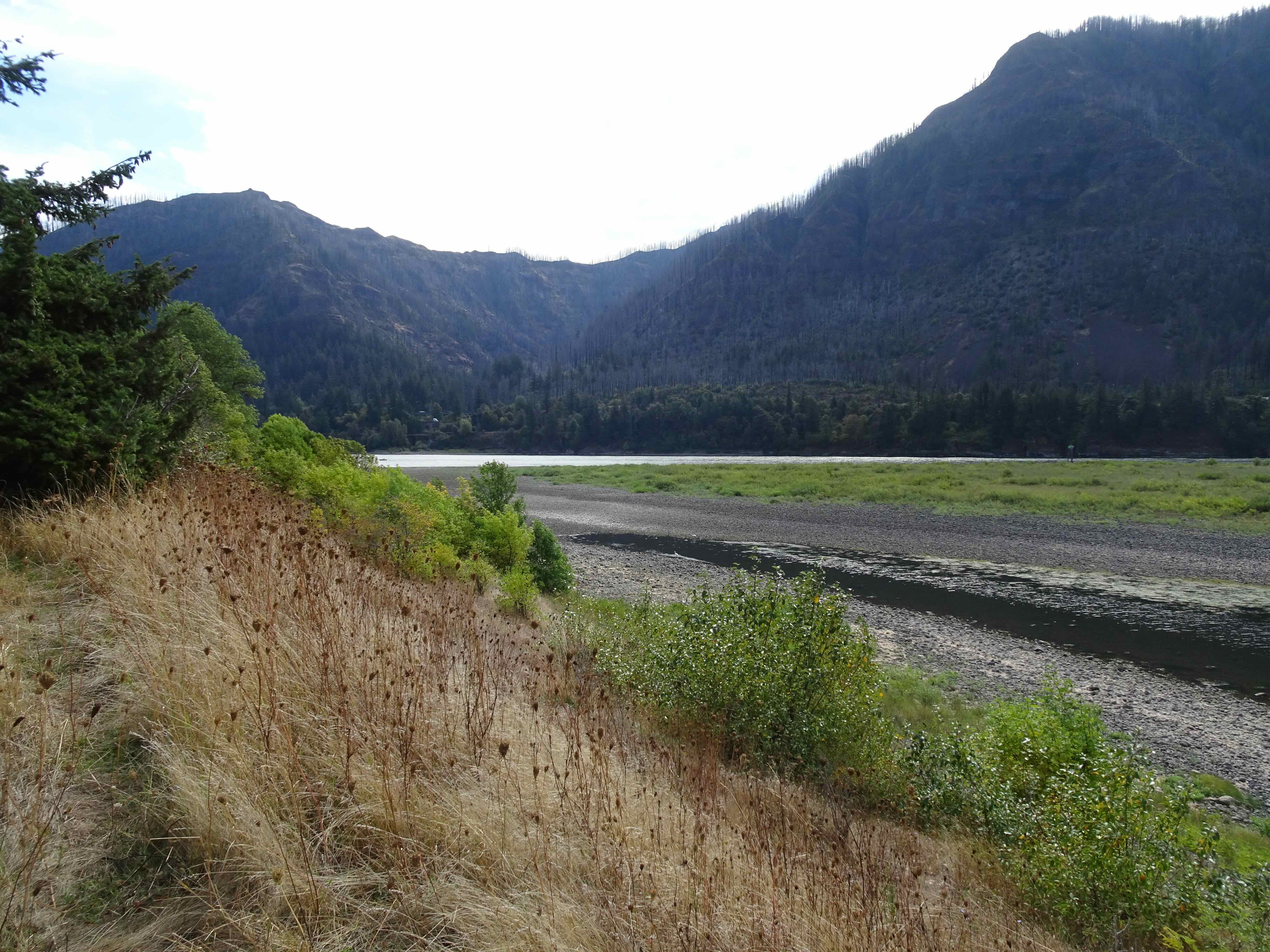
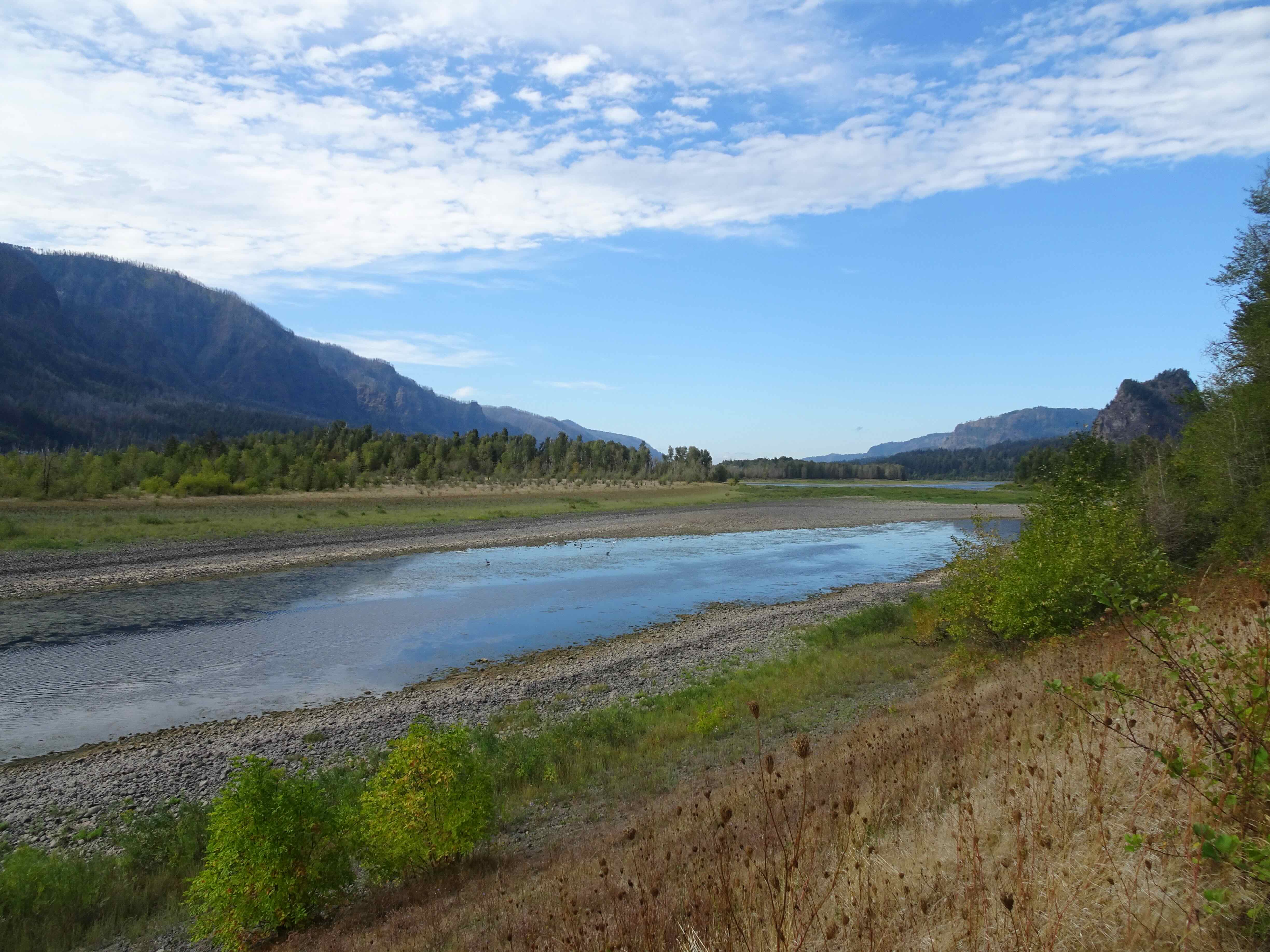
August 8 – Sitka Sedge State Park, Oregon Coast
Another hot day inland, we decided to investigate this relatively new State Park near Pacific City, a little farther down the coast from our usual spots.

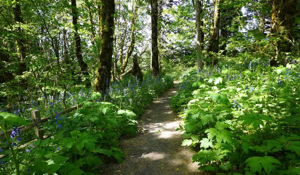
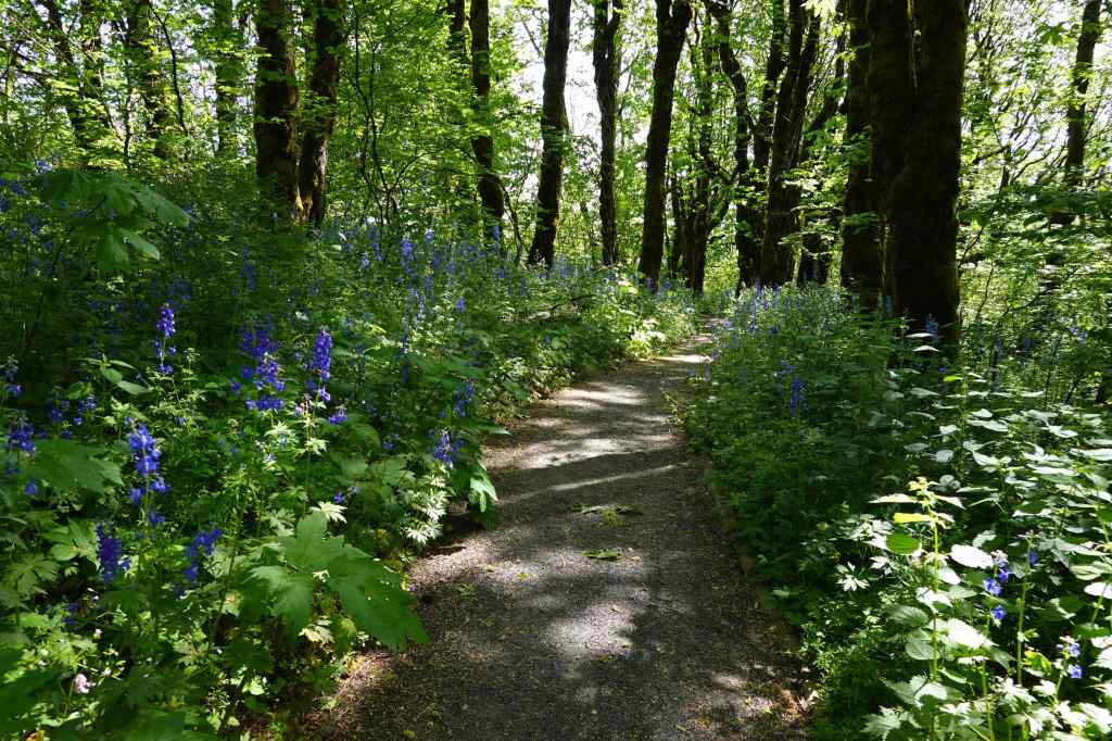
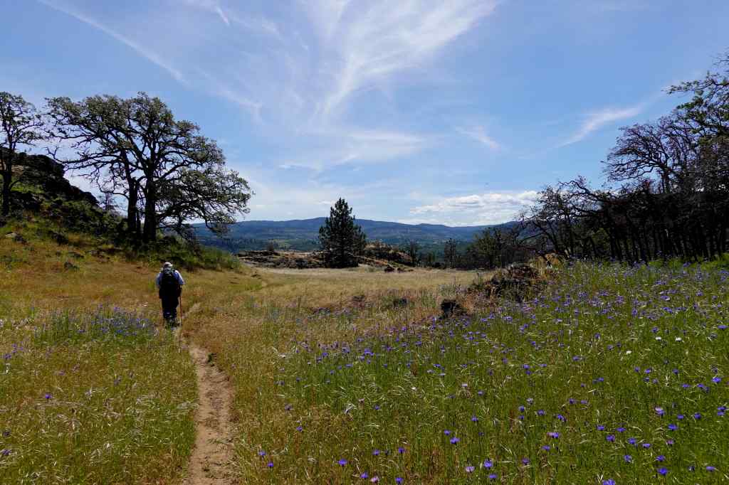
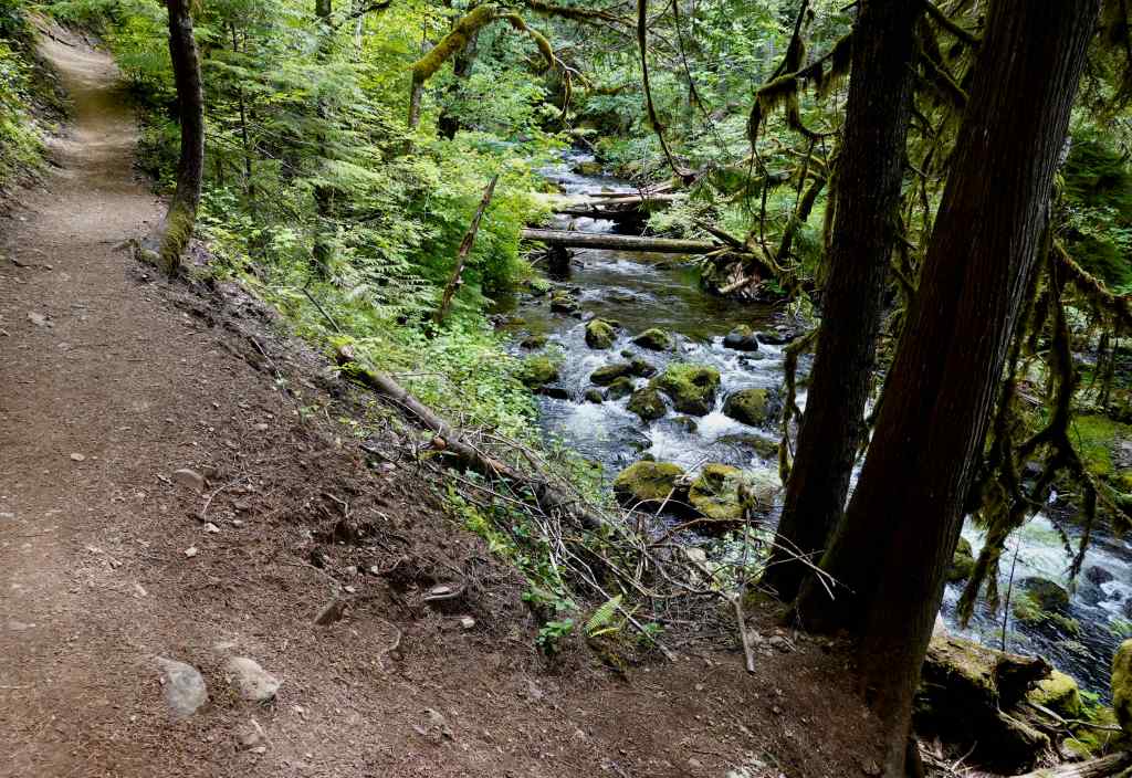
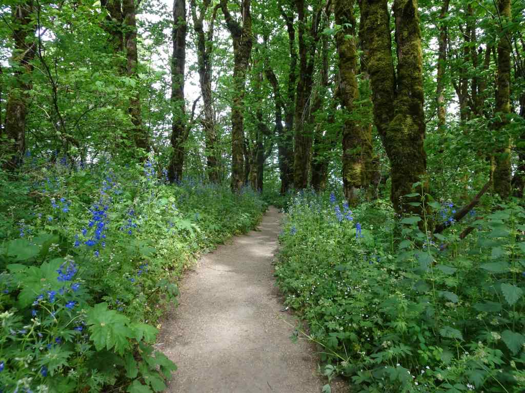
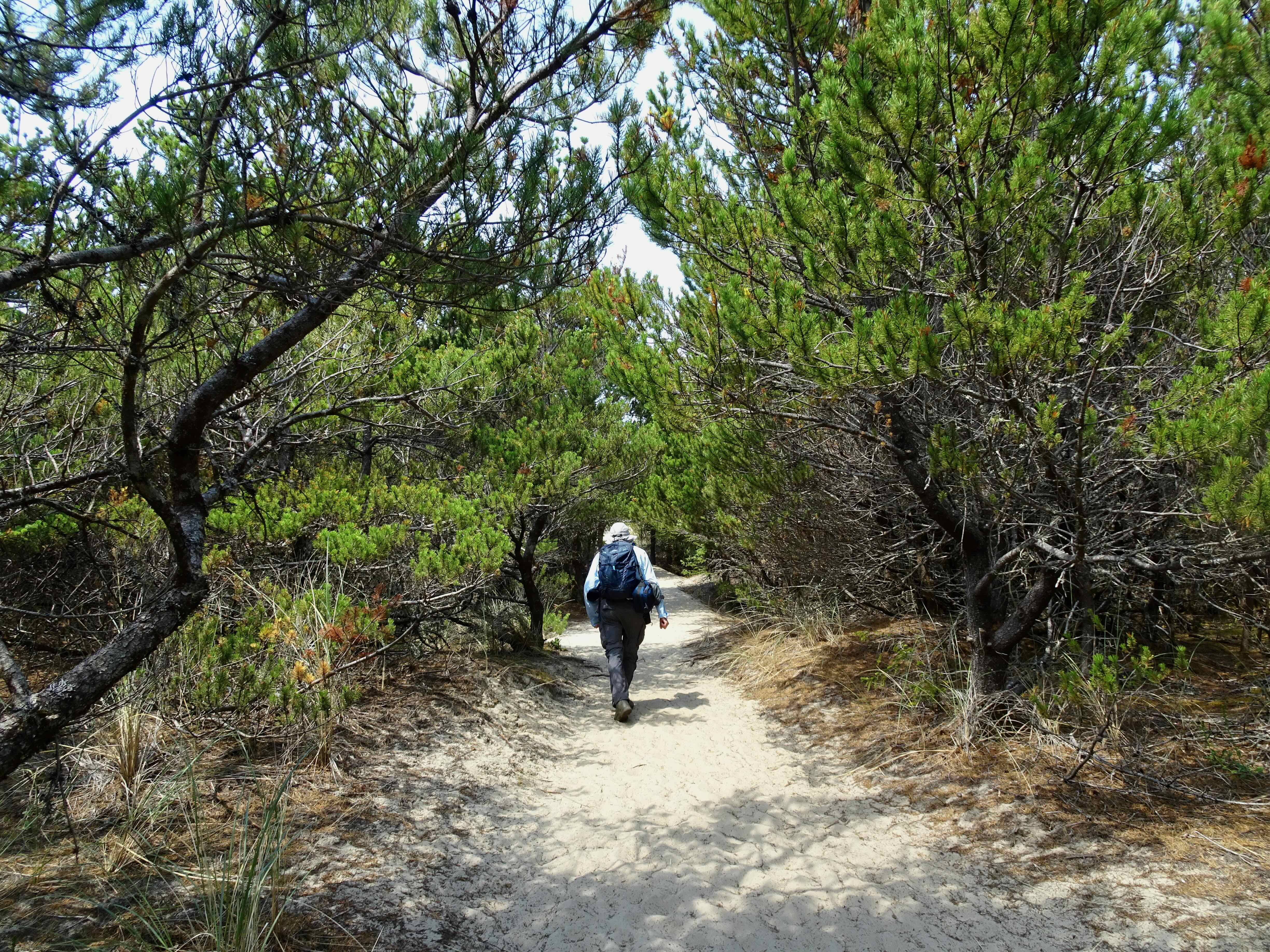
Our trail through Sitka Sedge Natural Area, about 4 miles.
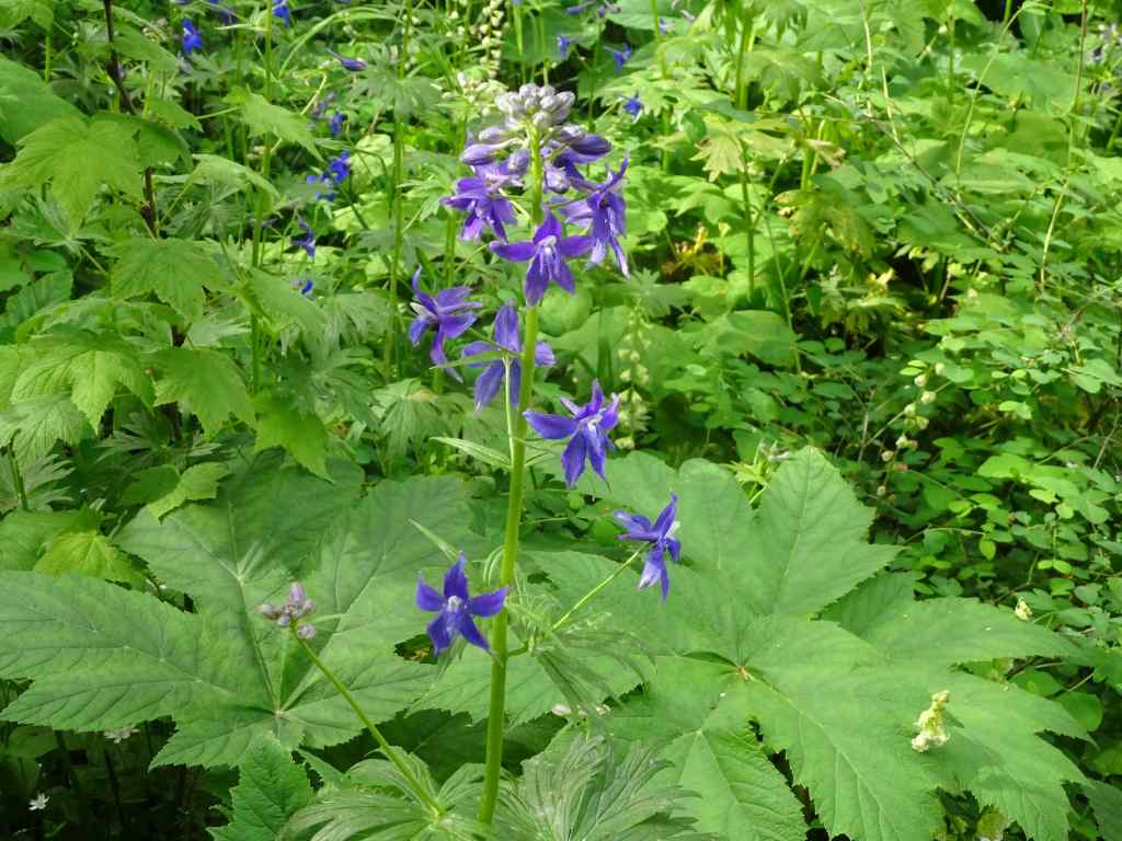
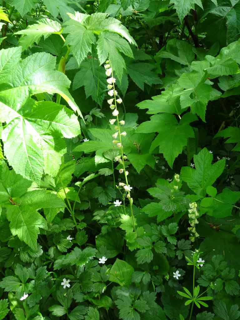
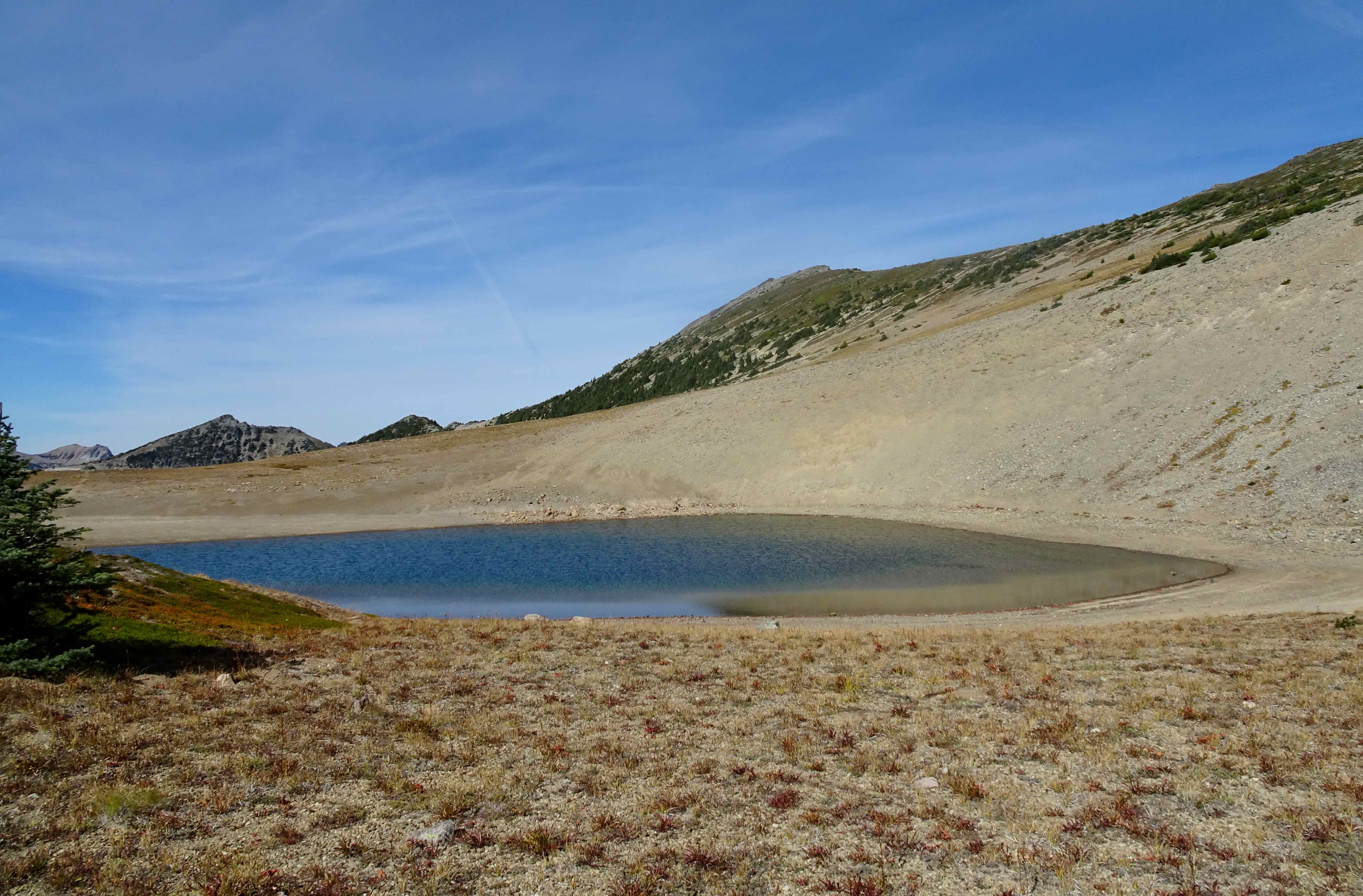
The entry trail along a dike separates the Sand Lake Estuary from a wetland to the south. Then the trail goes through a vegetated dune that runs parallel to the coast. We walked through the forest for a bit, and ate lunch looking back toward the estuary wetlands.
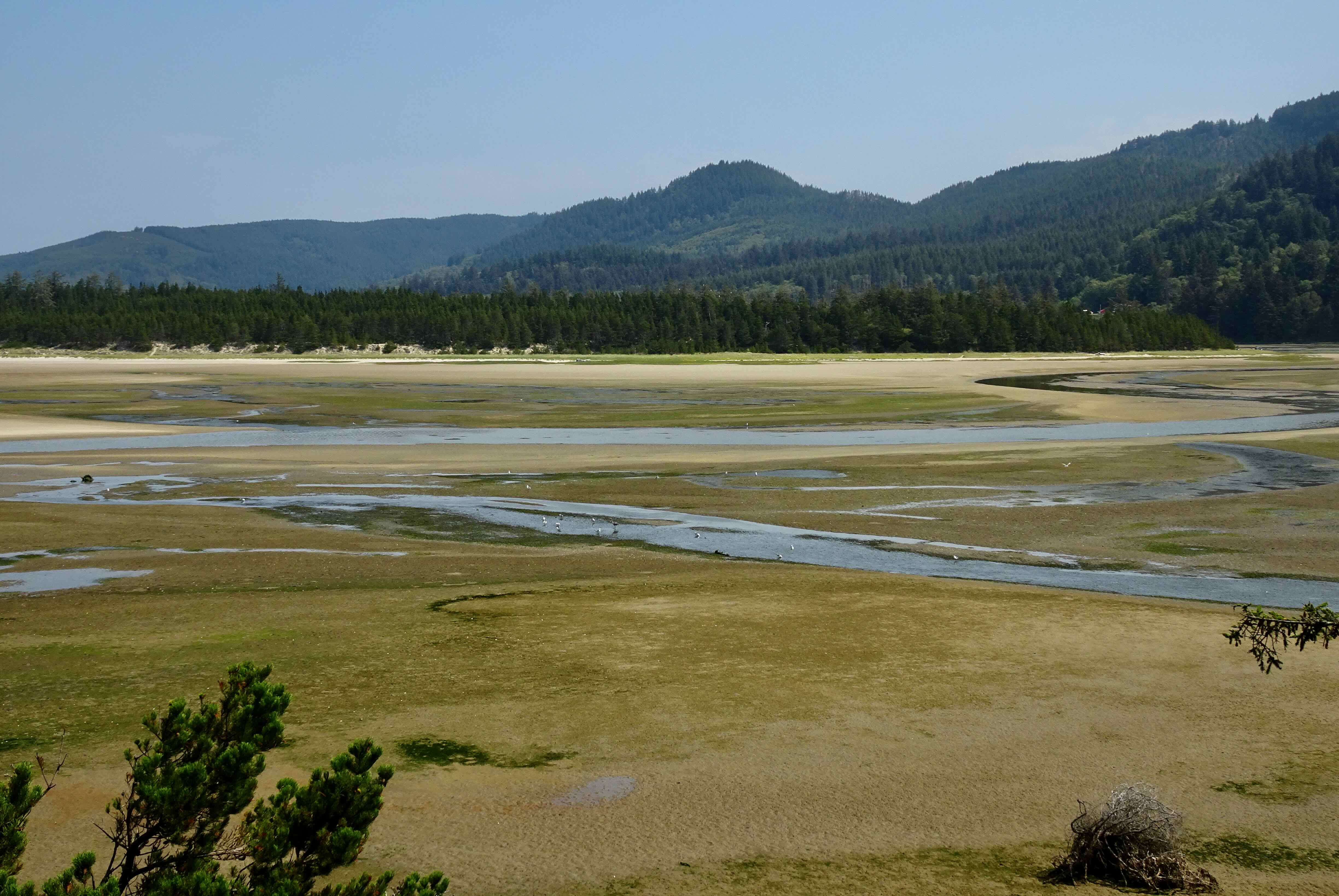
Sand Lake Estuary
Sandy trail over the dunes

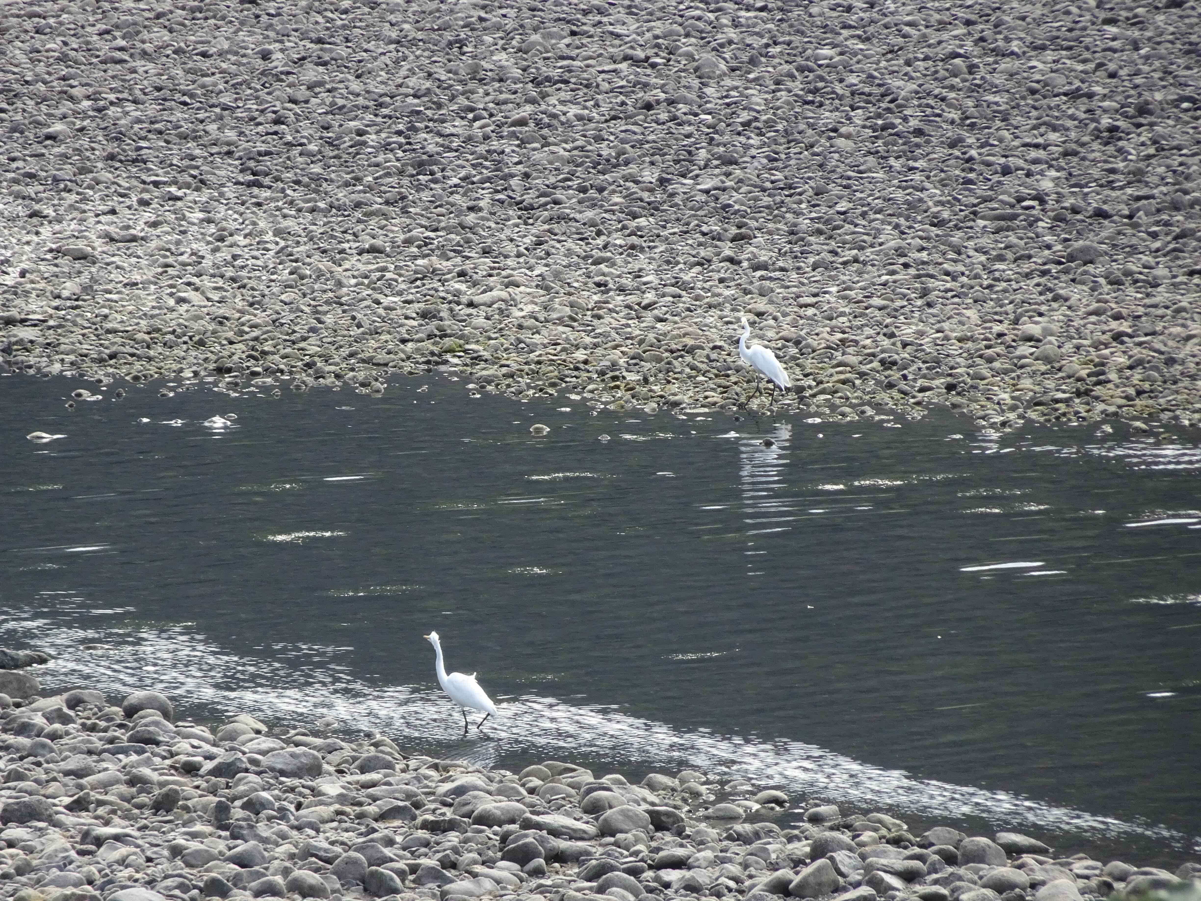
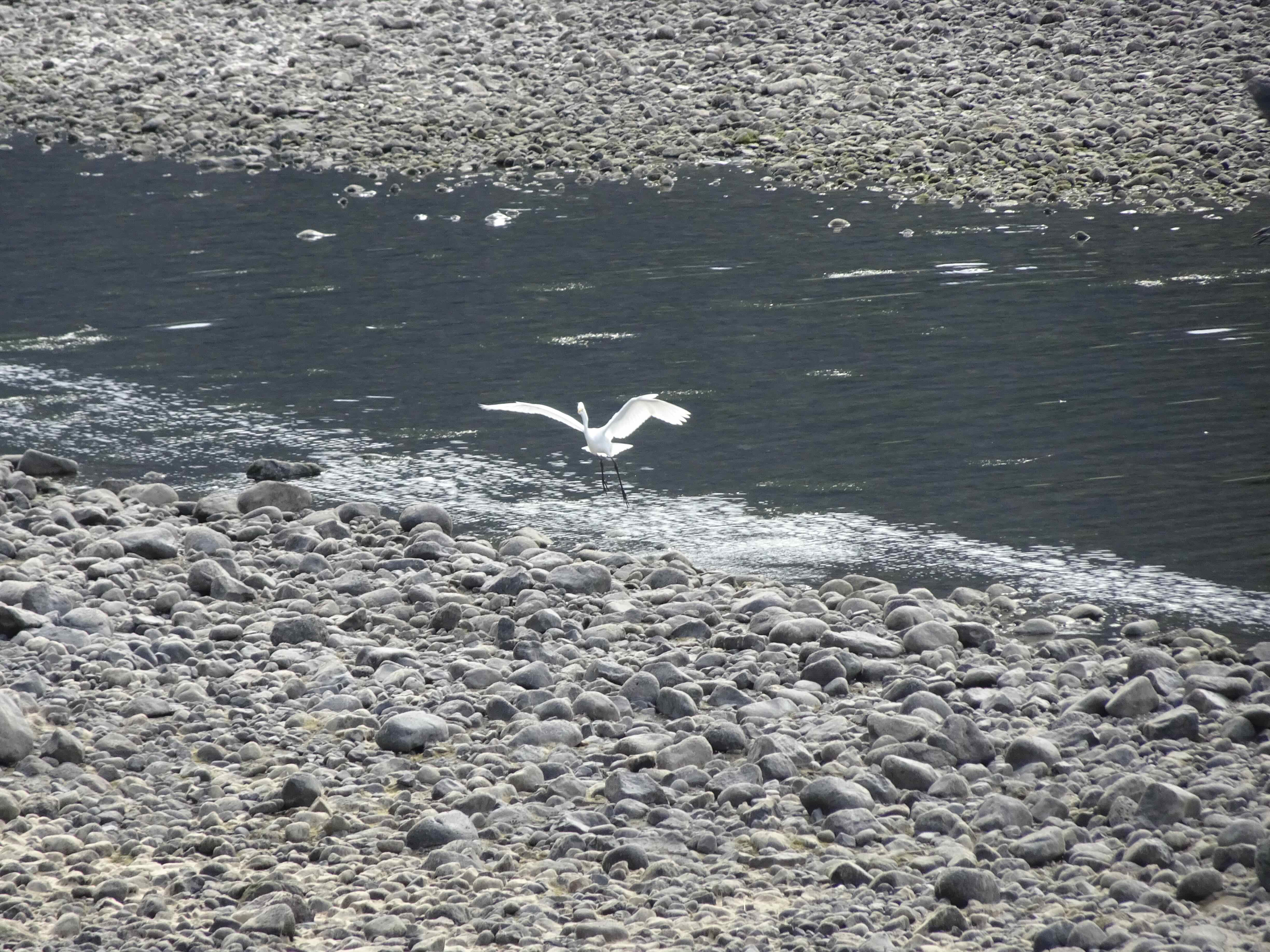
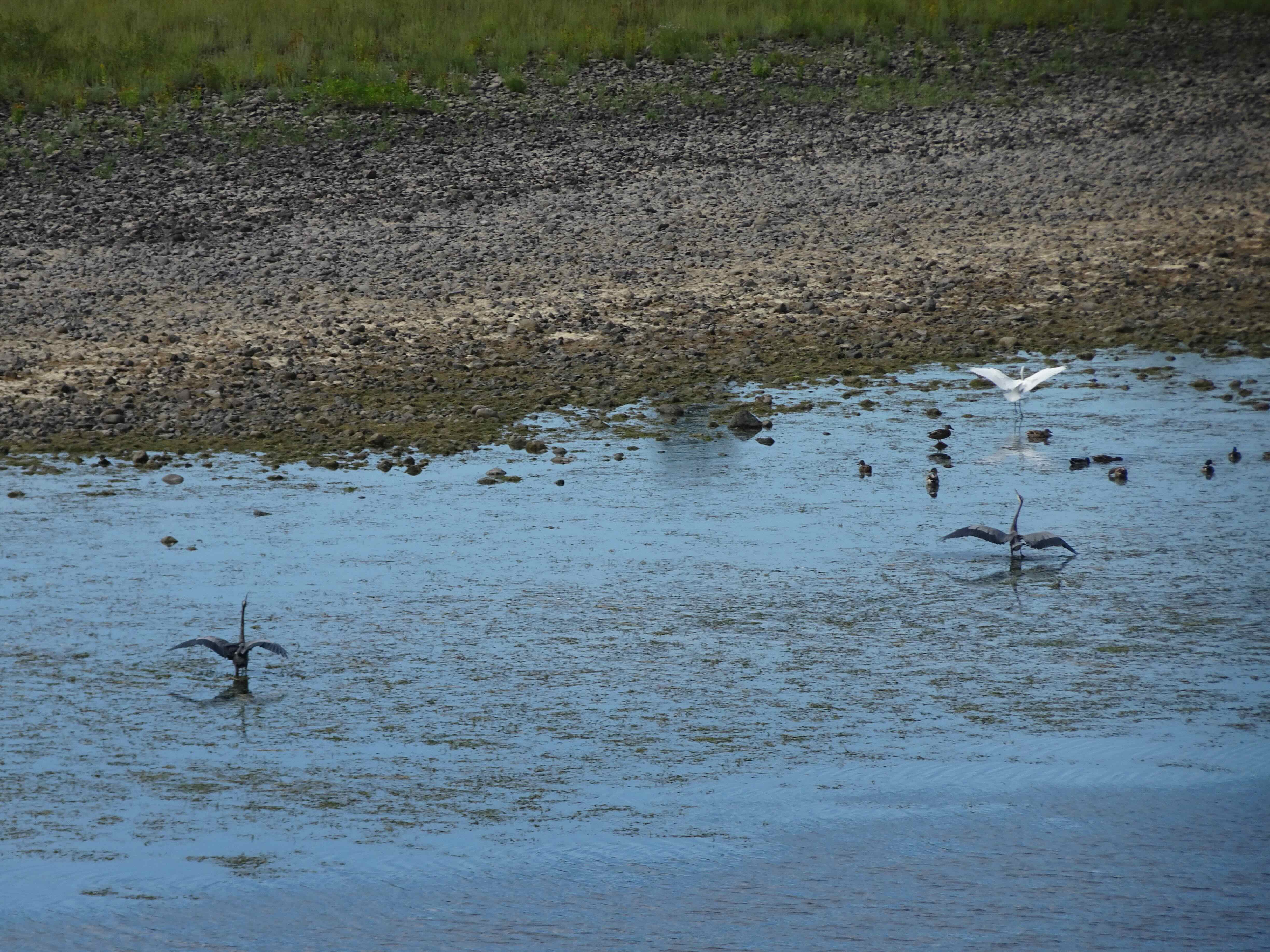
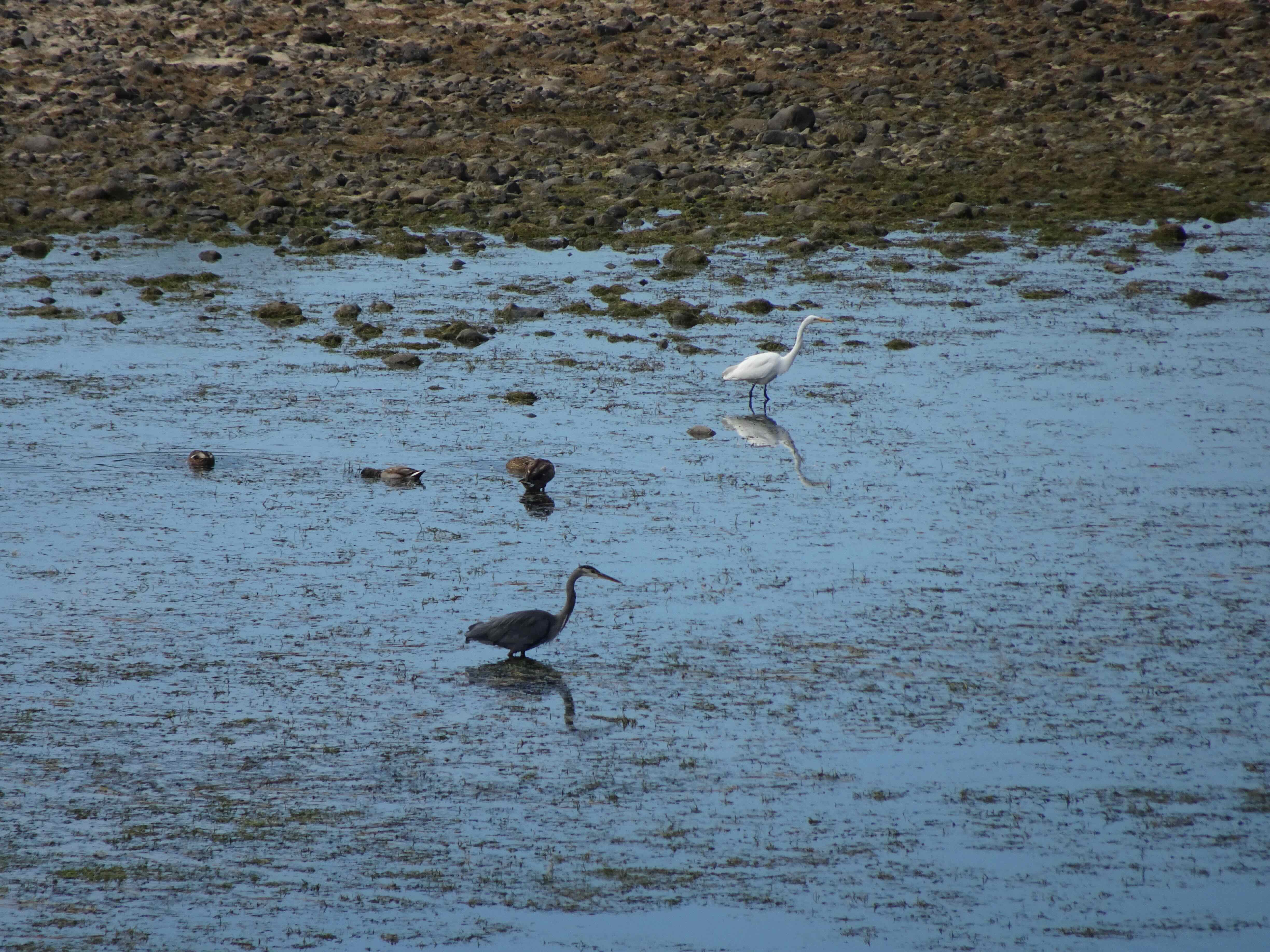
Heron and gulls from our lunch stop
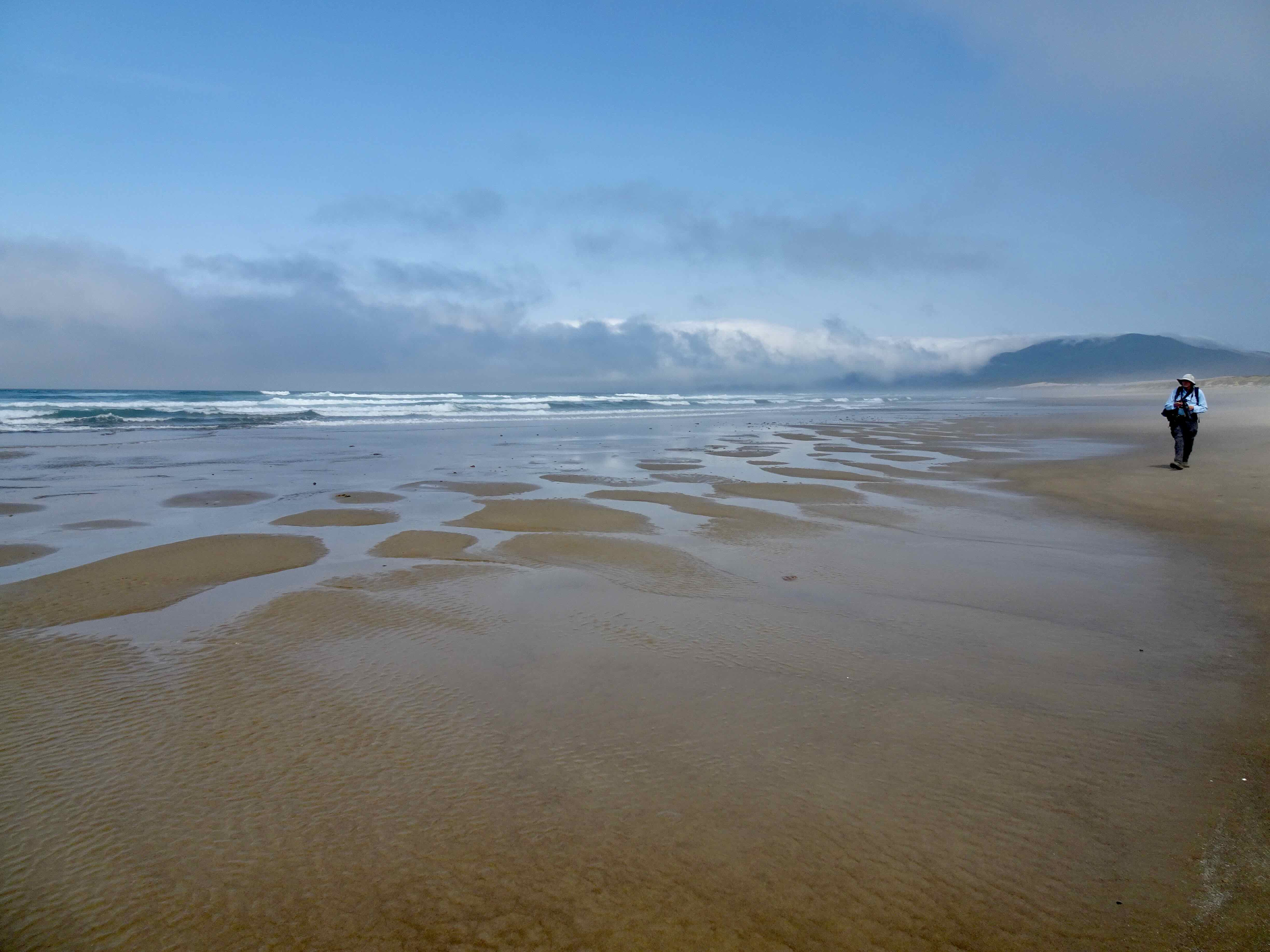
After lunch we emerged onto the foggy beach, and walked south for a ways, before circling back up and over the dune, completing the loop to the entry trail.

Emerging onto the beach
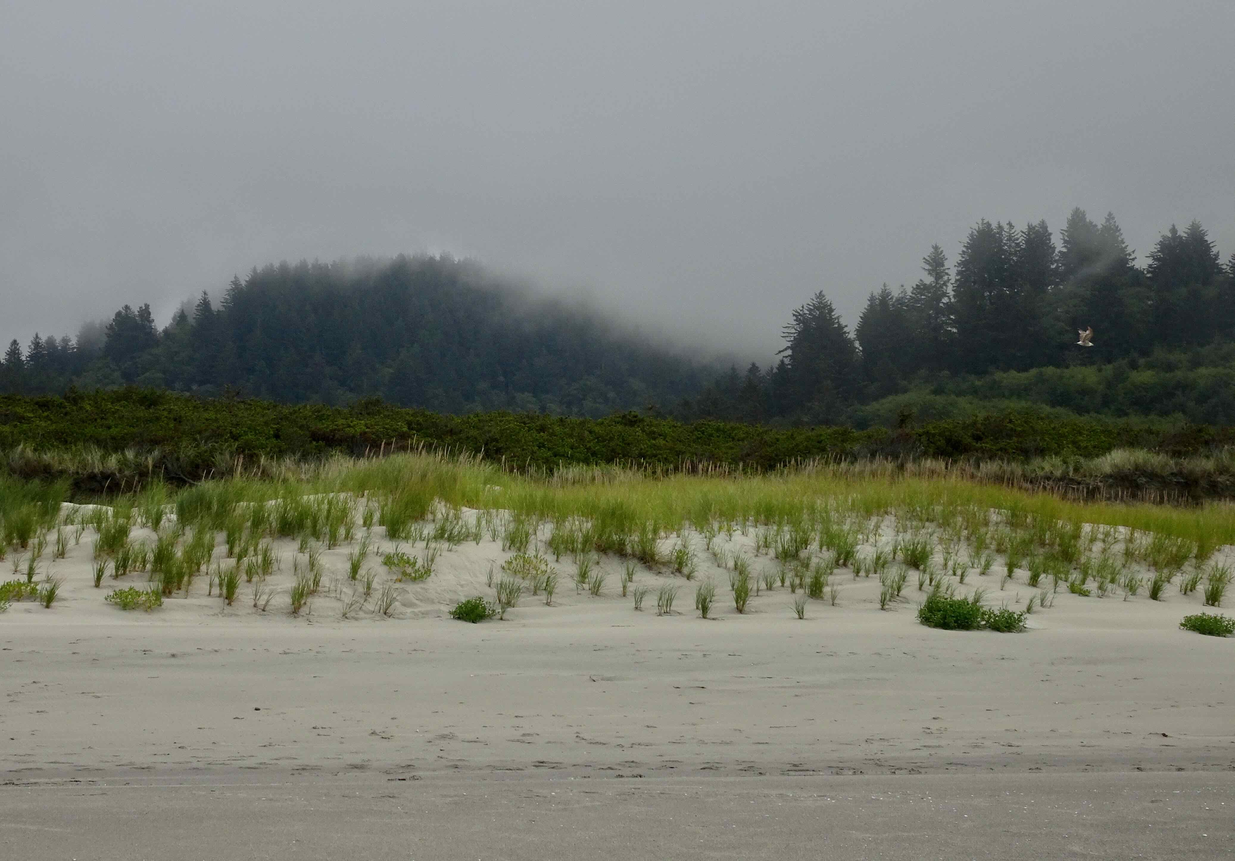
Looking north, beach off limits for now, as it is sand plover nesting season.

Looking south – lots of jellyfish in the flotsam
And back over the dunes…
It was a good place for a walk on a hot day – we saw a few birds and a hang glider, but not many other people.
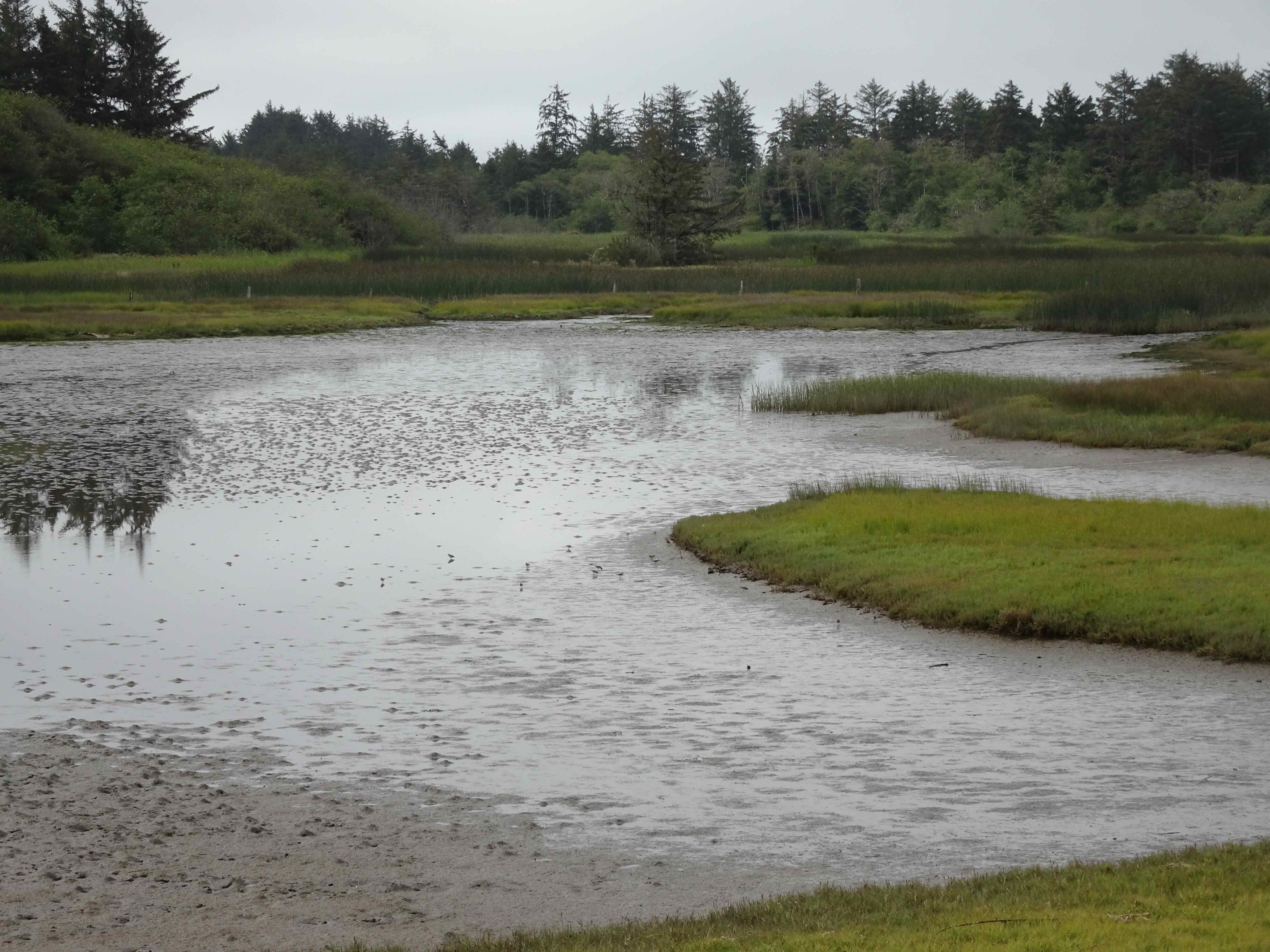
Wetland south of the dike, with sand pipers

Sand pipers
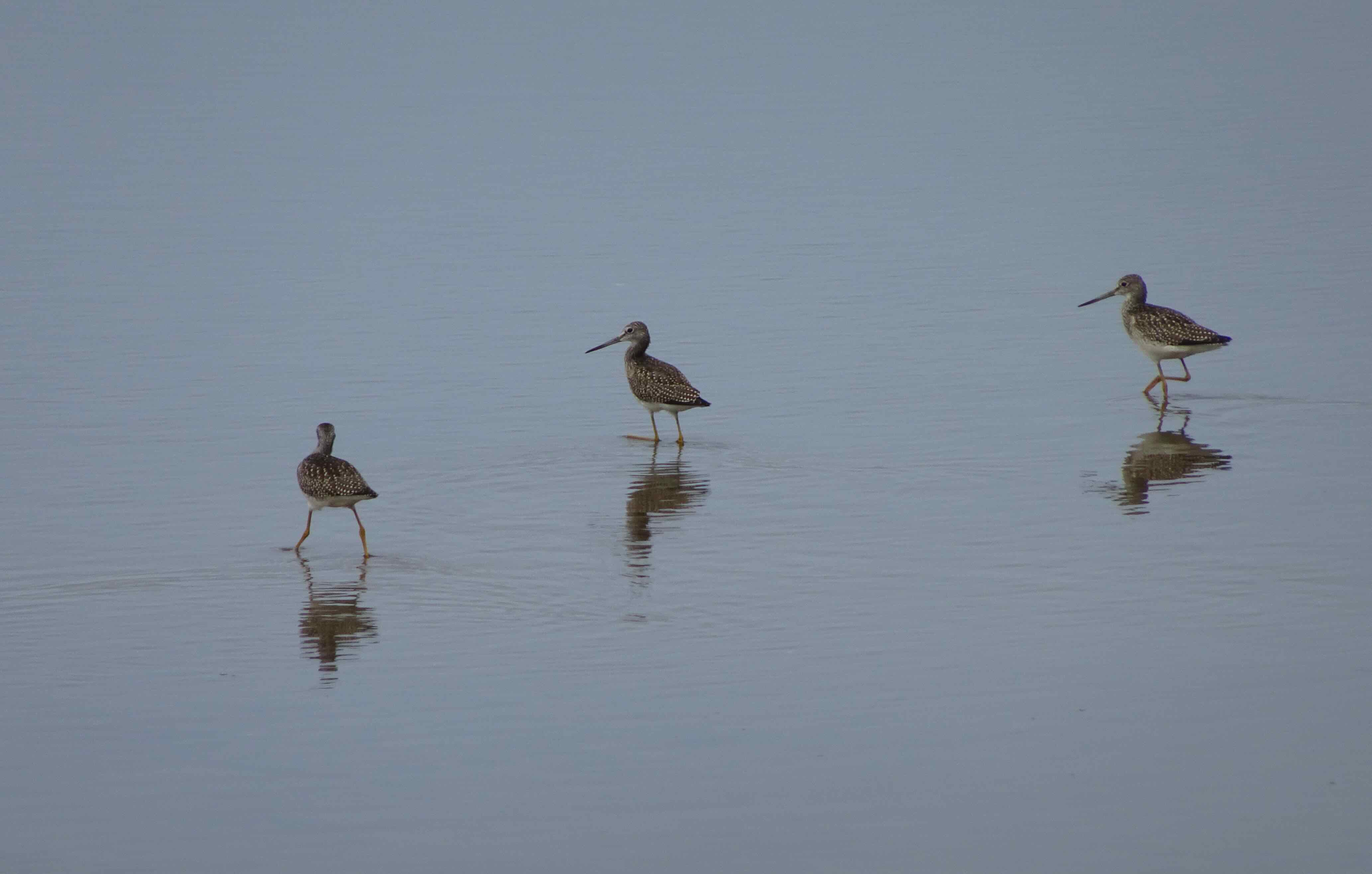
Yellow legs

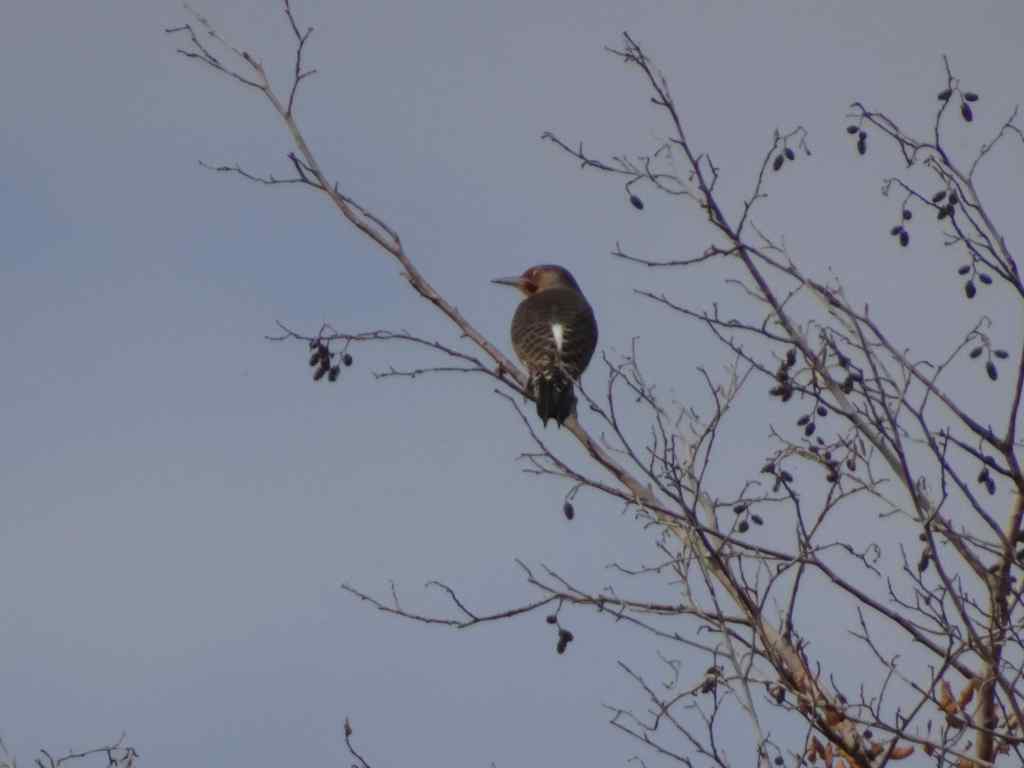
Cedar waxwing
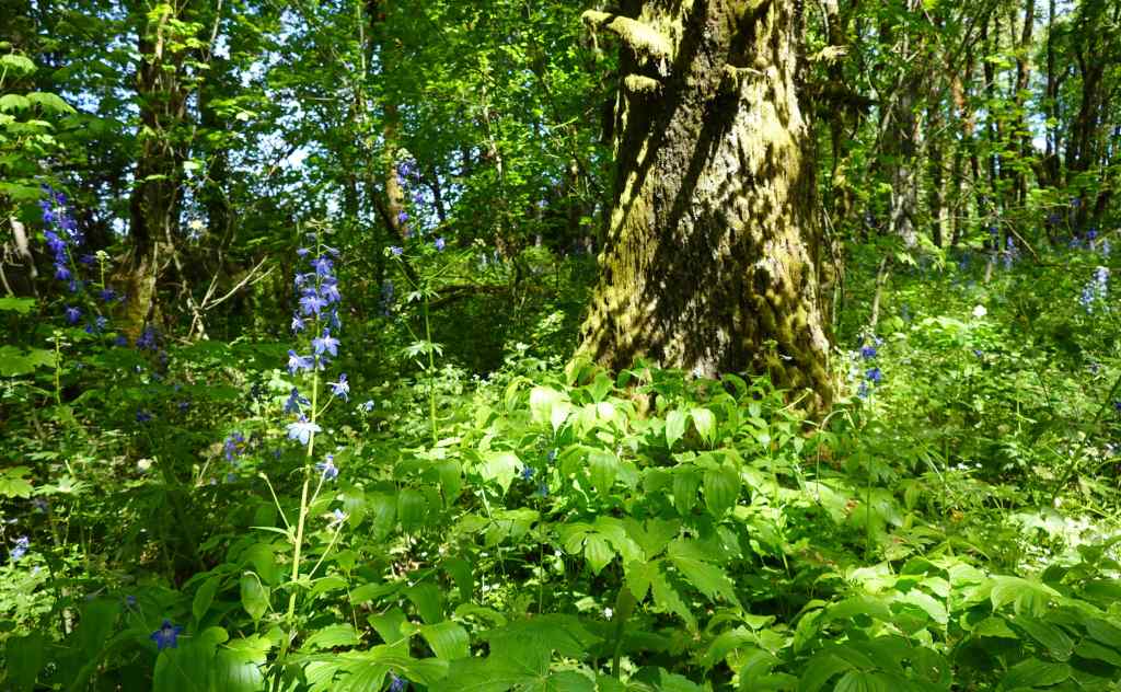
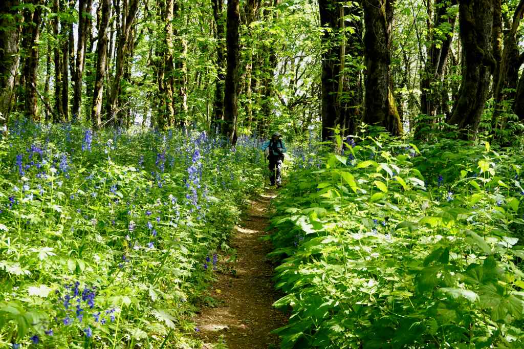
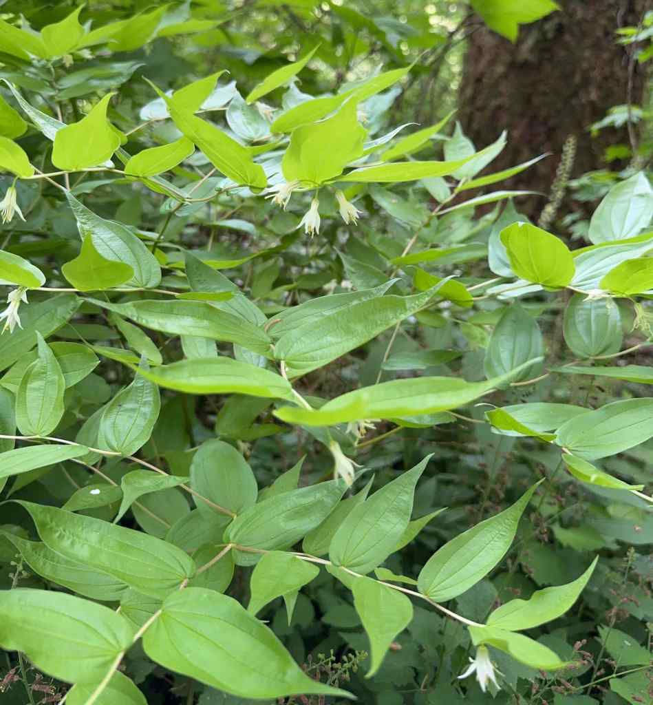
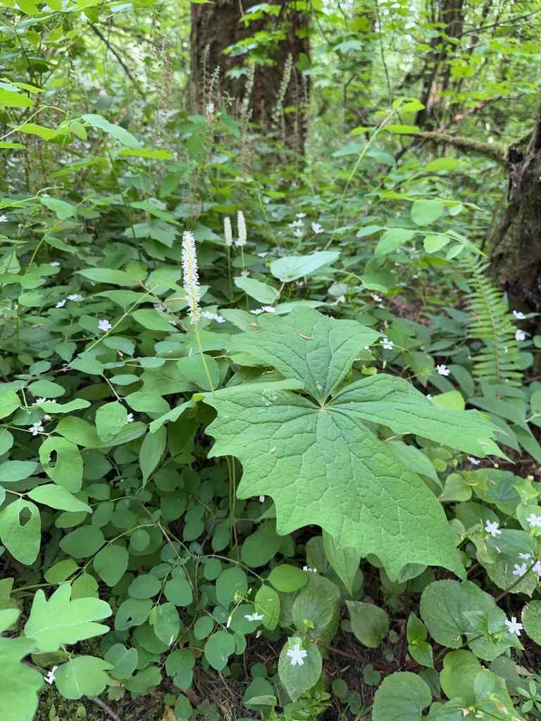
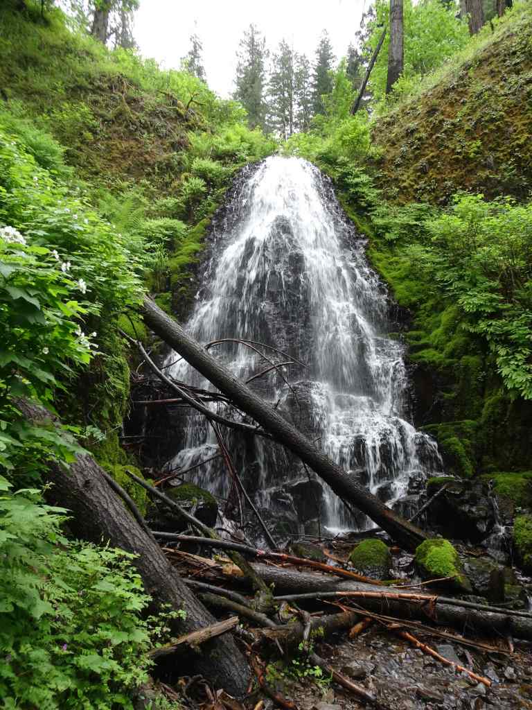
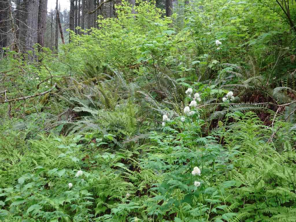
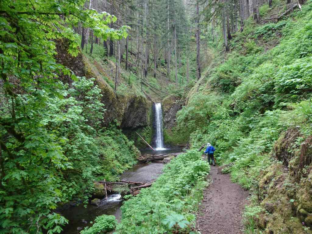
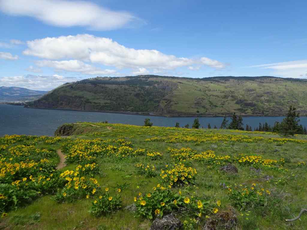
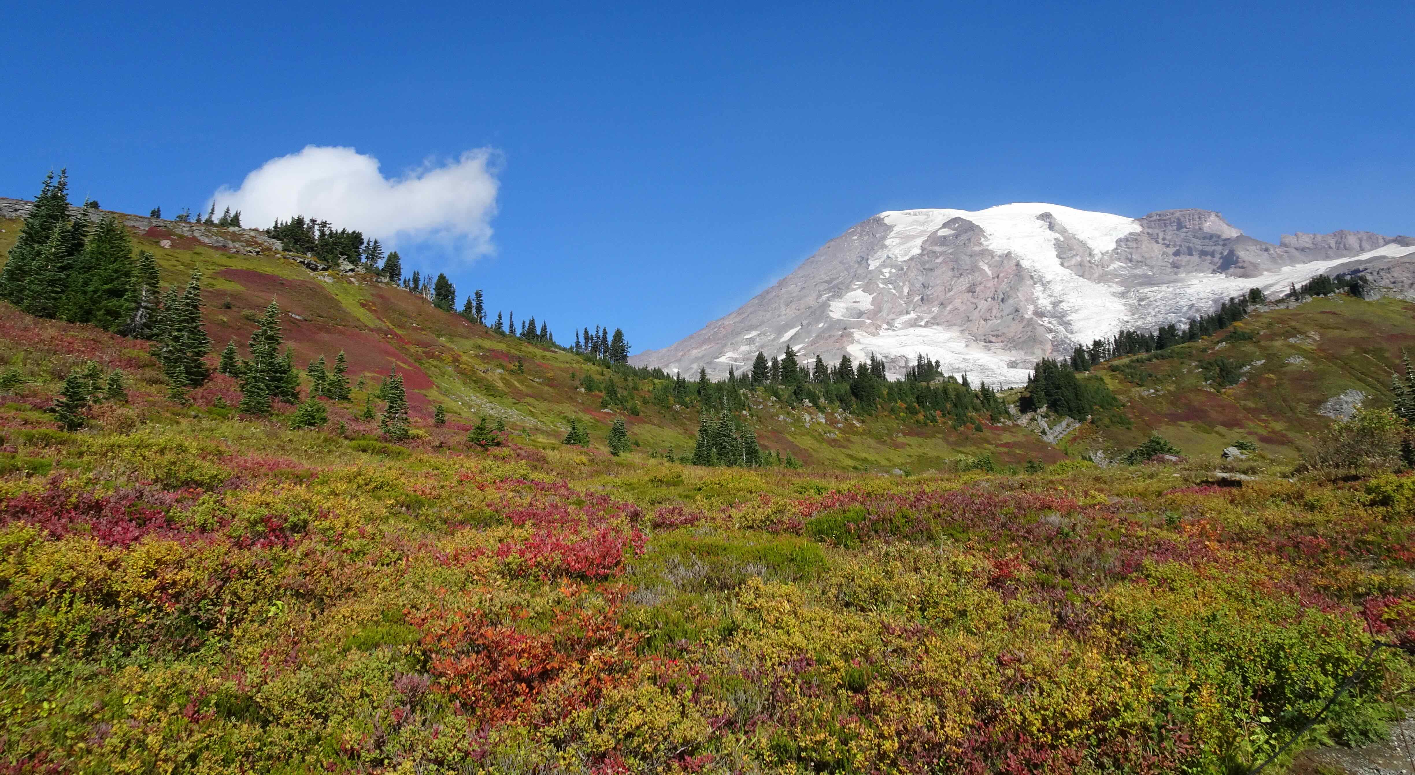
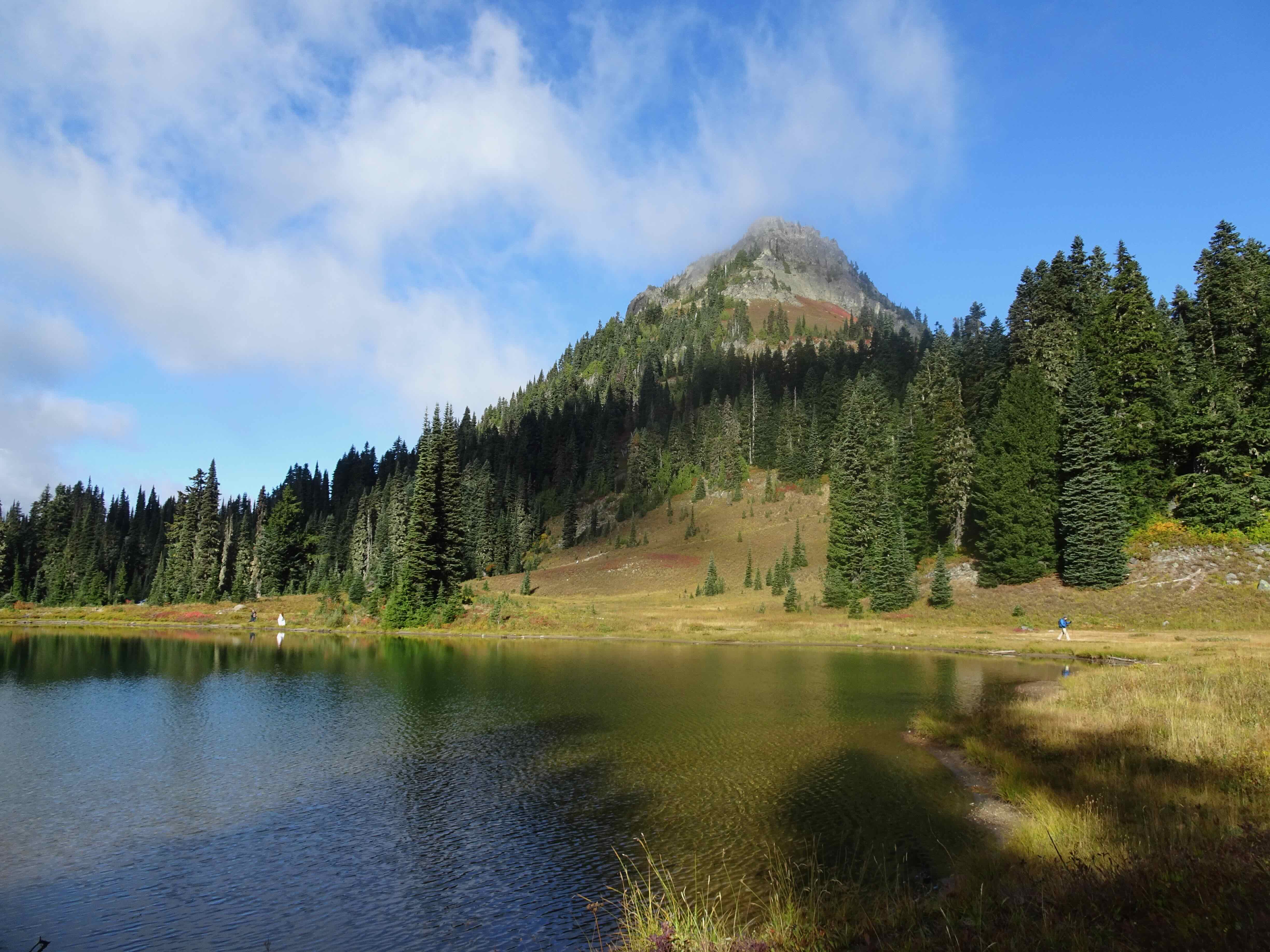
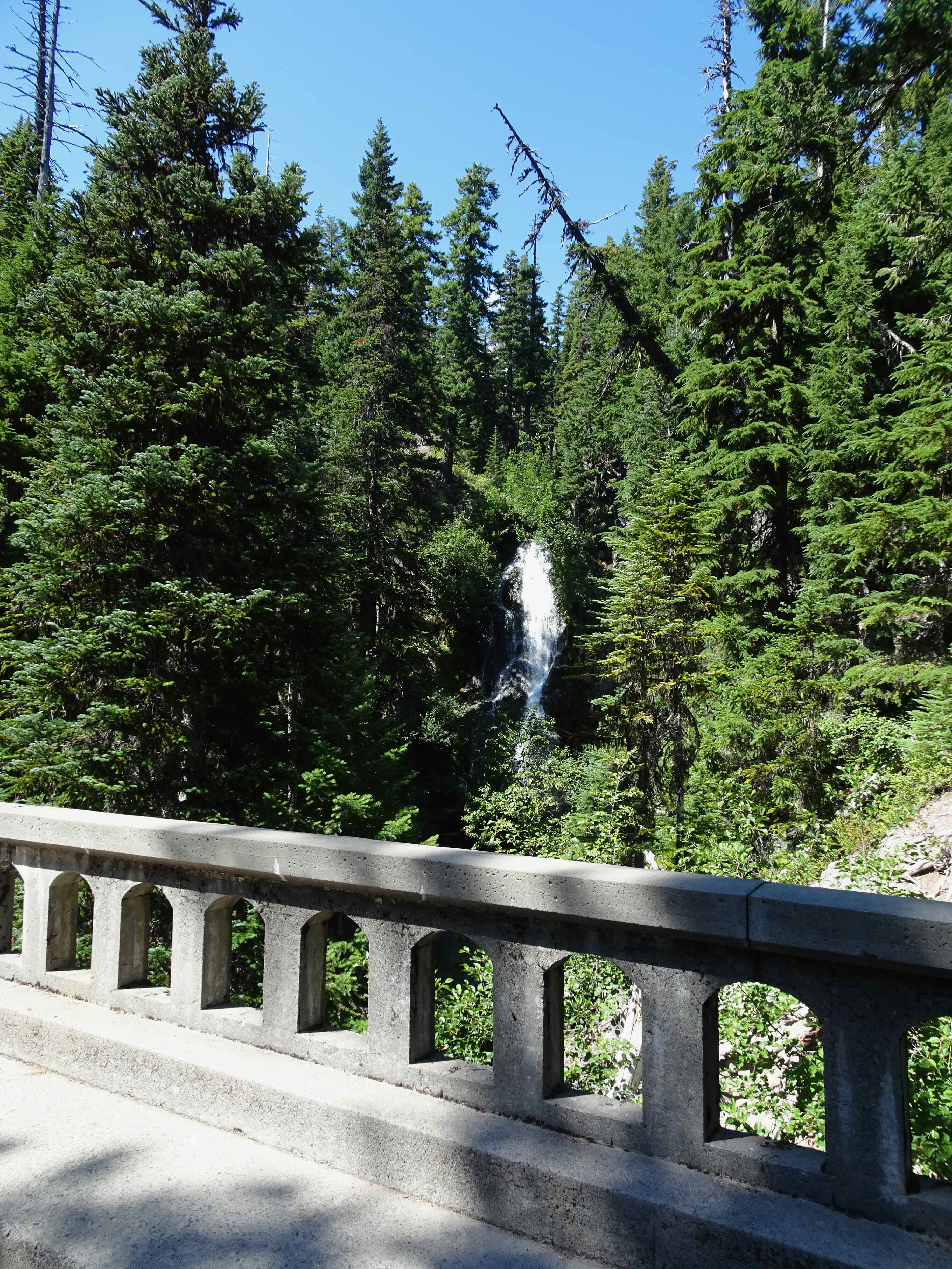
August 14 – Umbrella Falls, Mt Hood
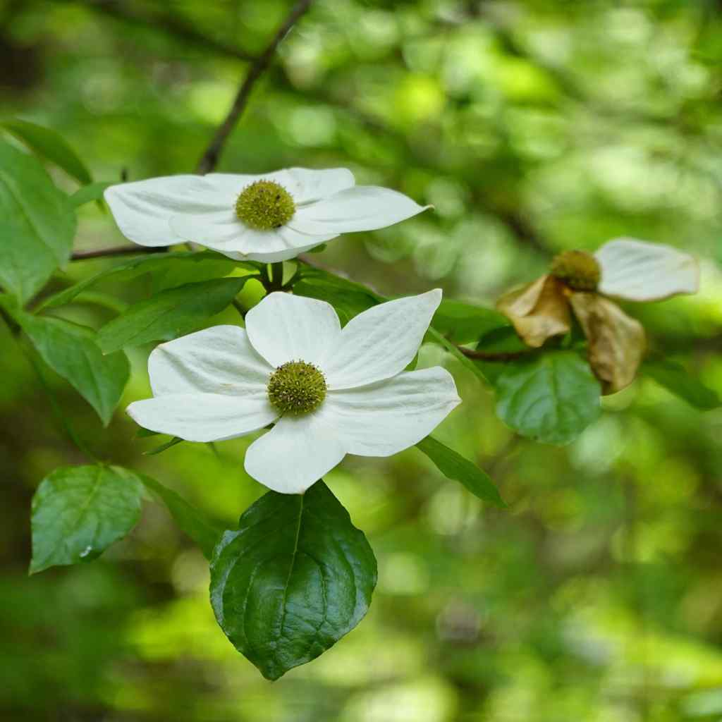
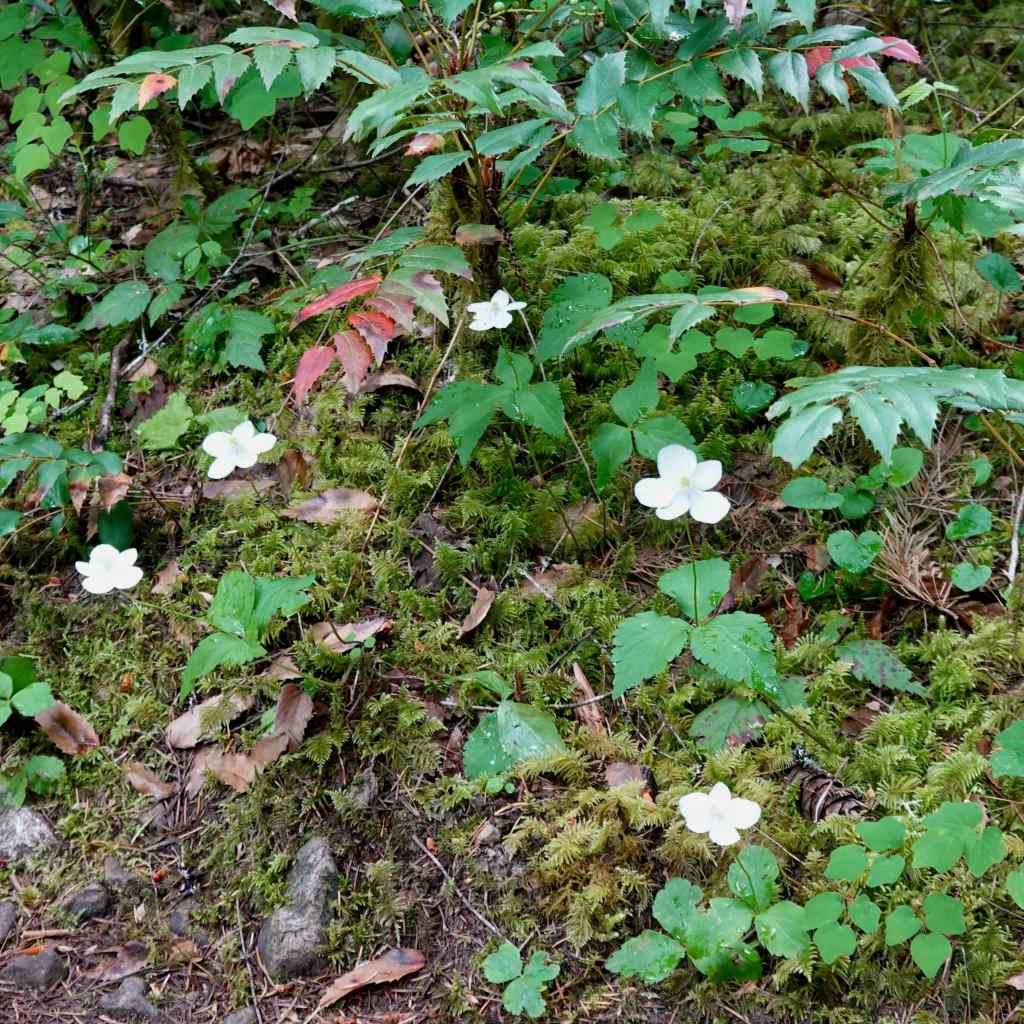
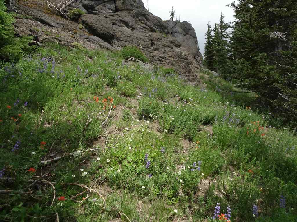
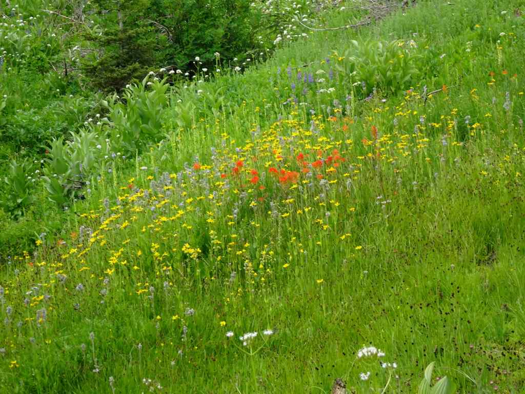
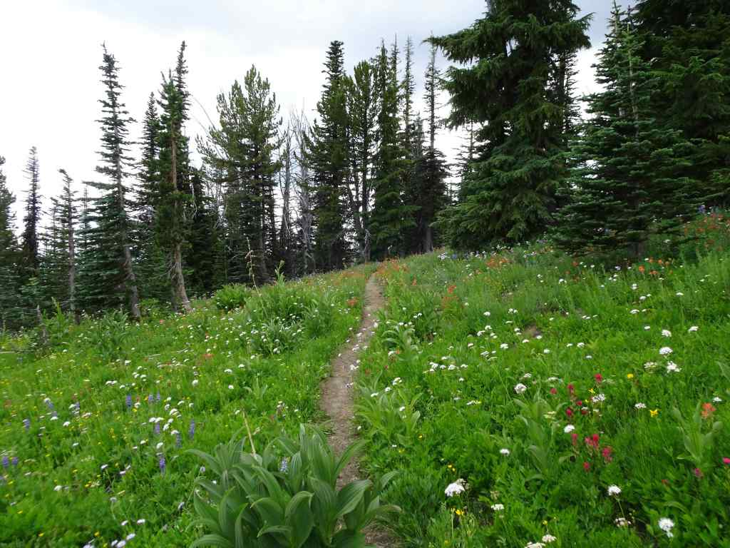
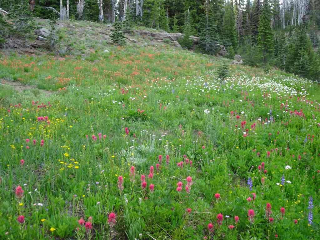
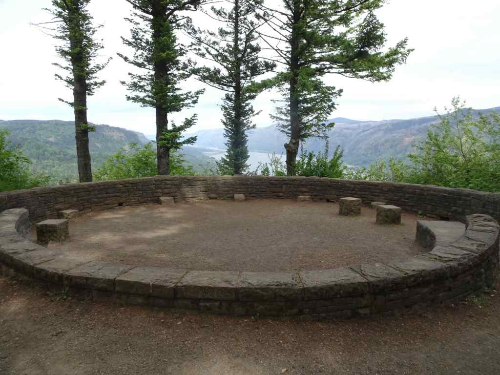
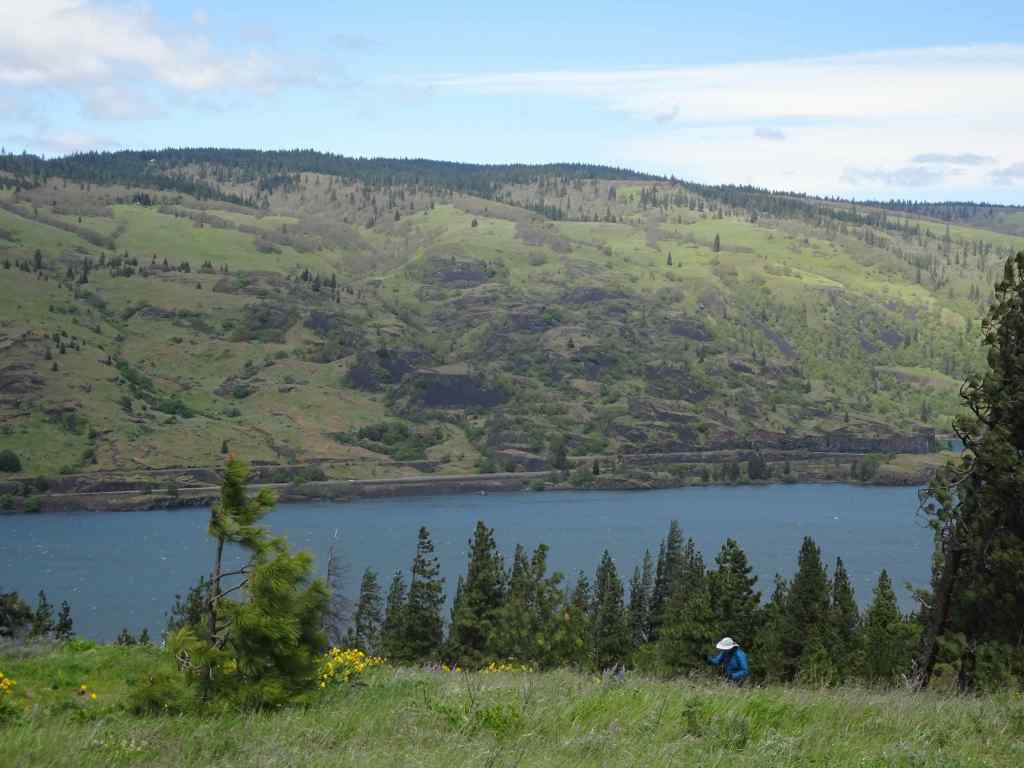
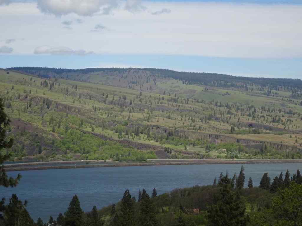
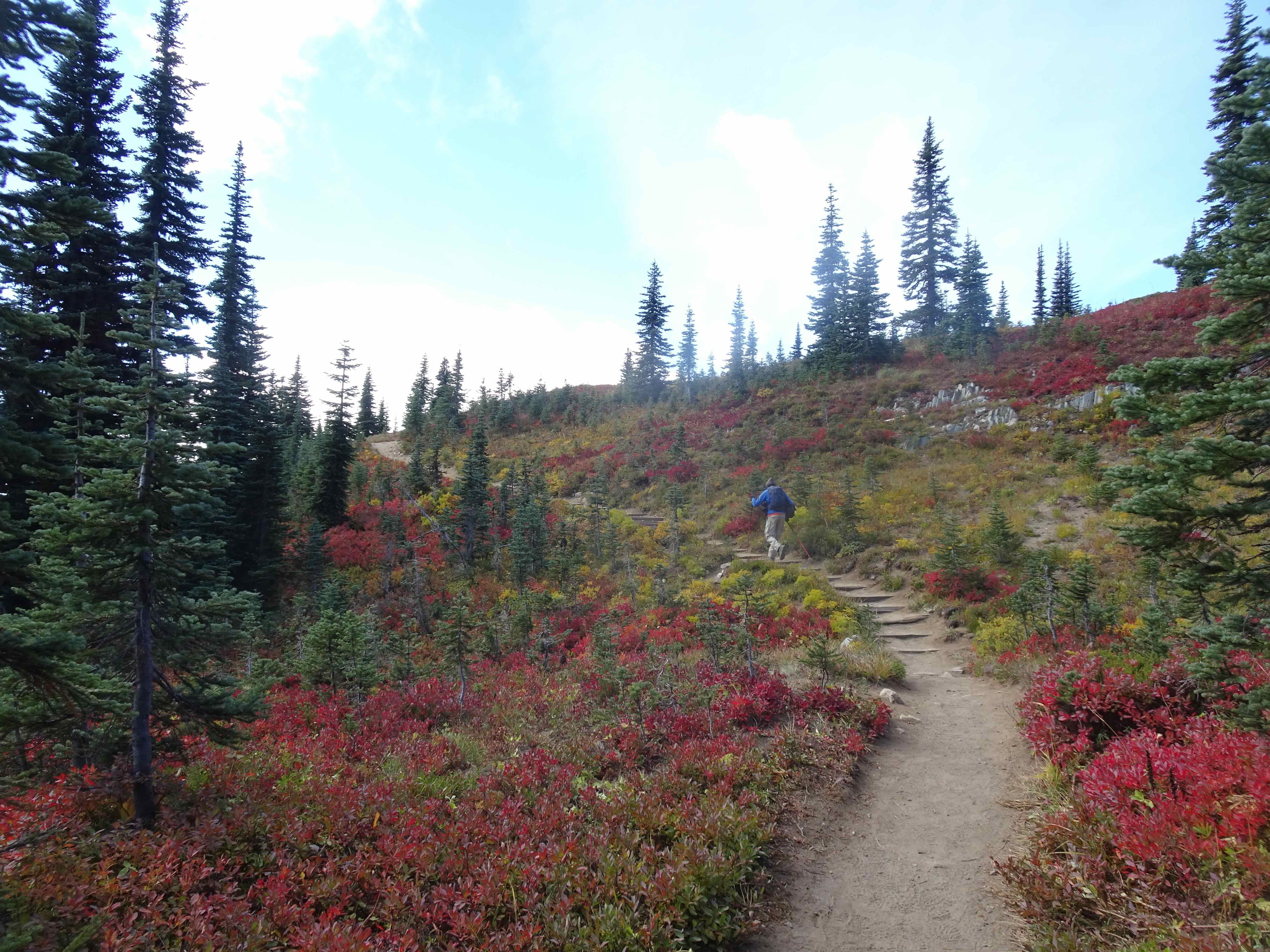
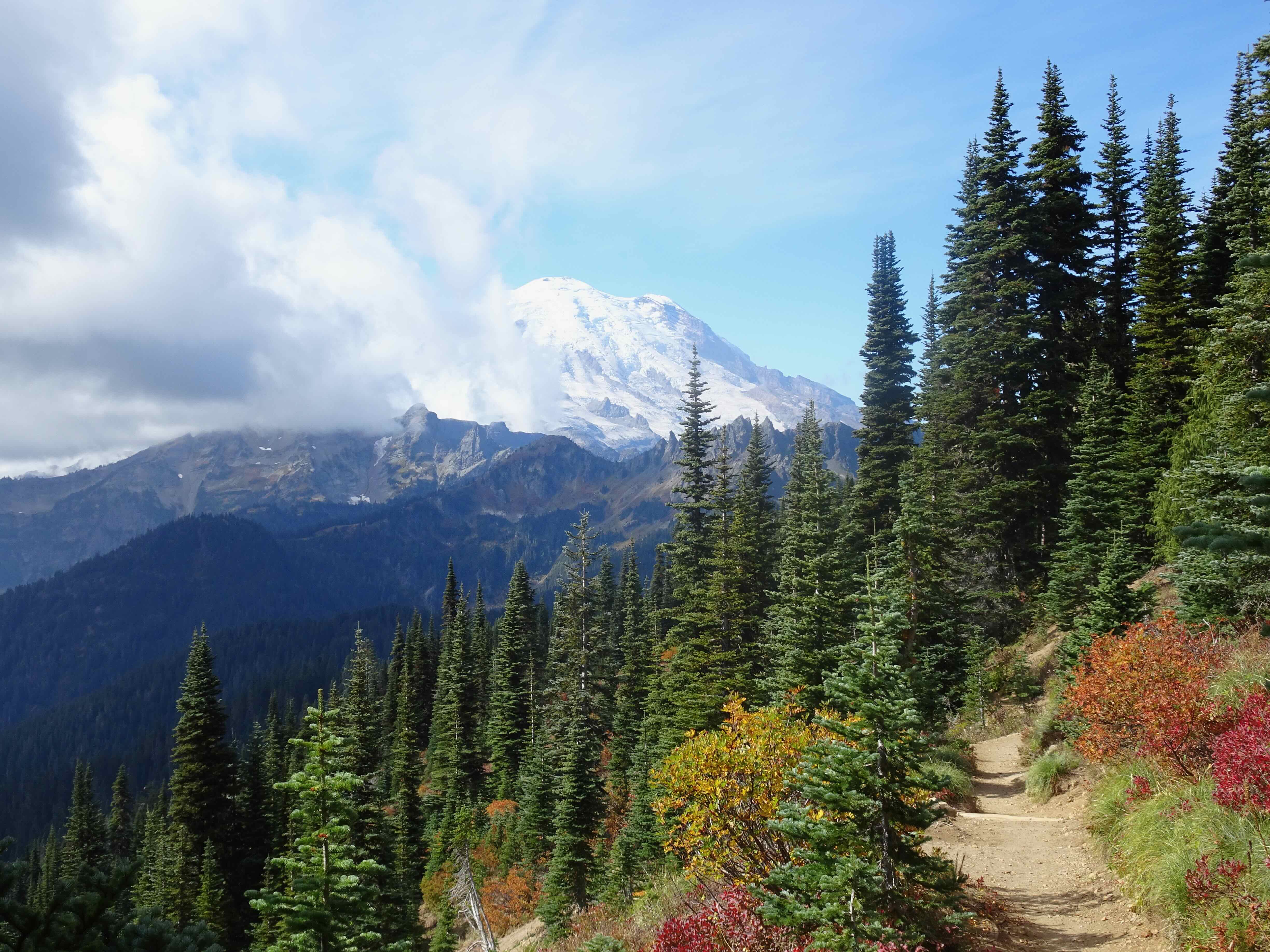
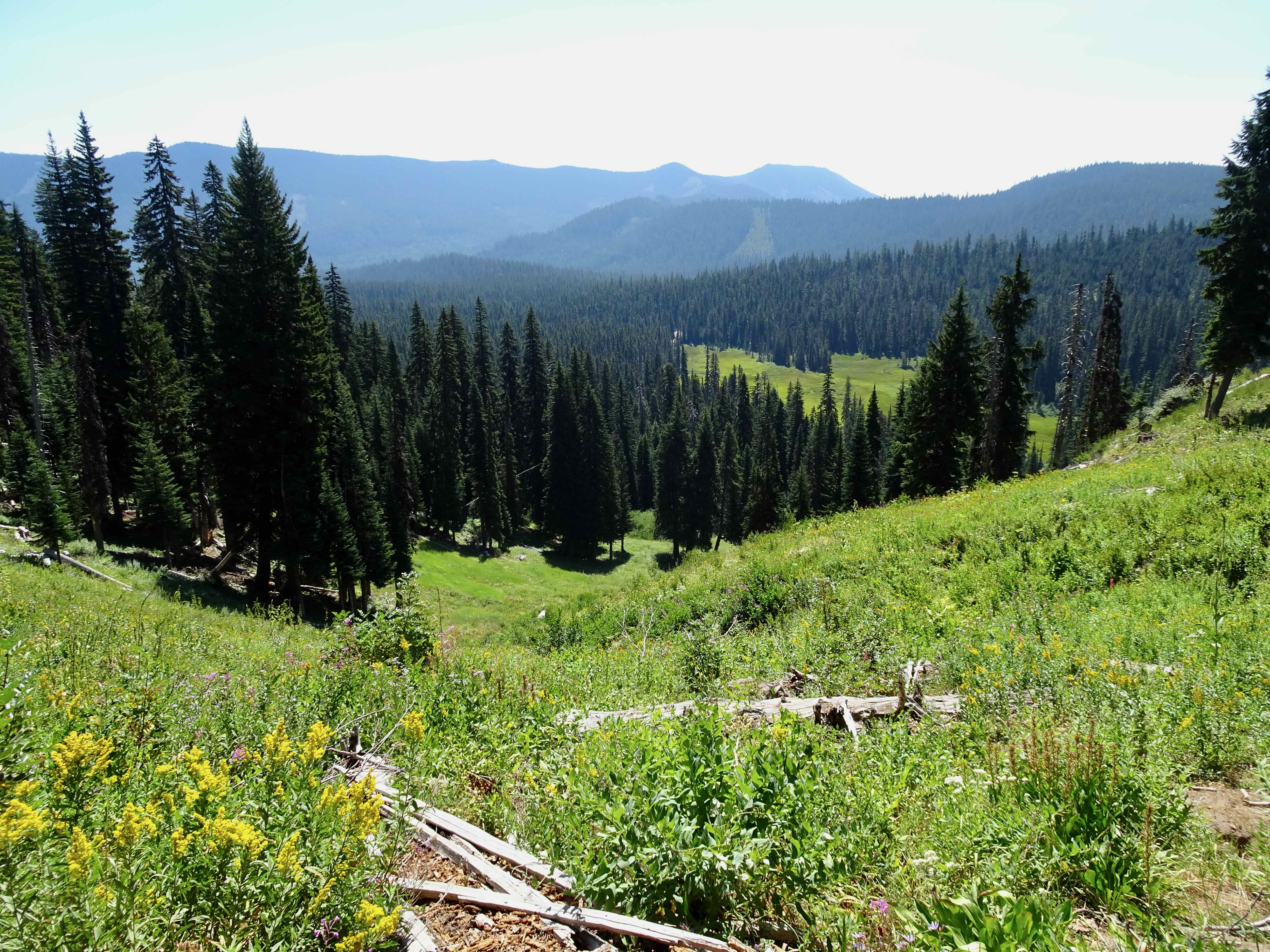
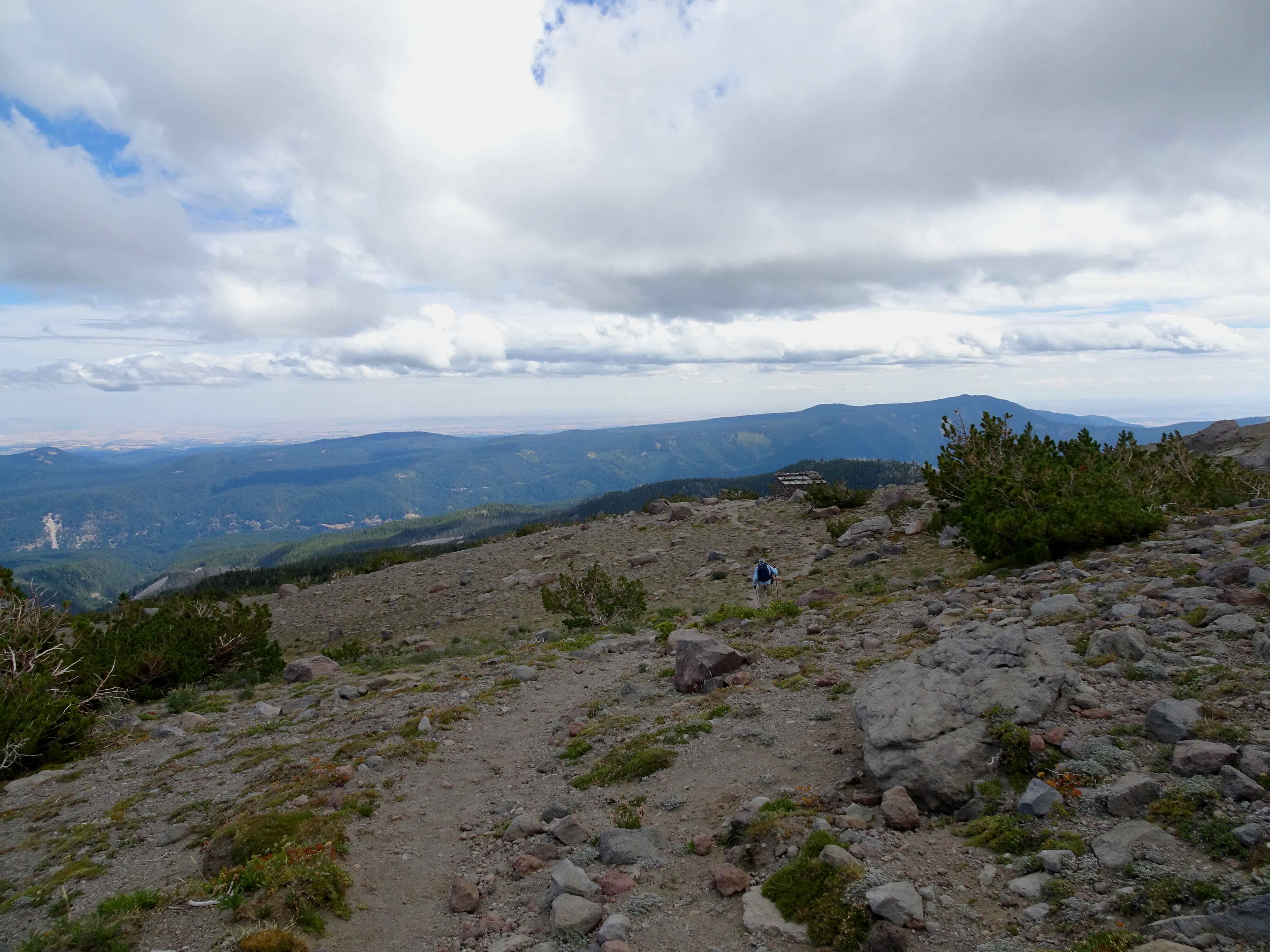
Another hot day, and an easier trail on Mt Hood. I still feel like I am getting my hiking legs back. I had never been to Umbrella Falls, always opting for the harder hikes in the area that go up higher on Mt Hood. Also, one can practically drive to Umbrella Falls from the Mt Hood Meadows parking area, but we wanted to hike. This trail offered a fair amount of shade, some wildflower meadows, a peek at the mountain and two waterfalls.
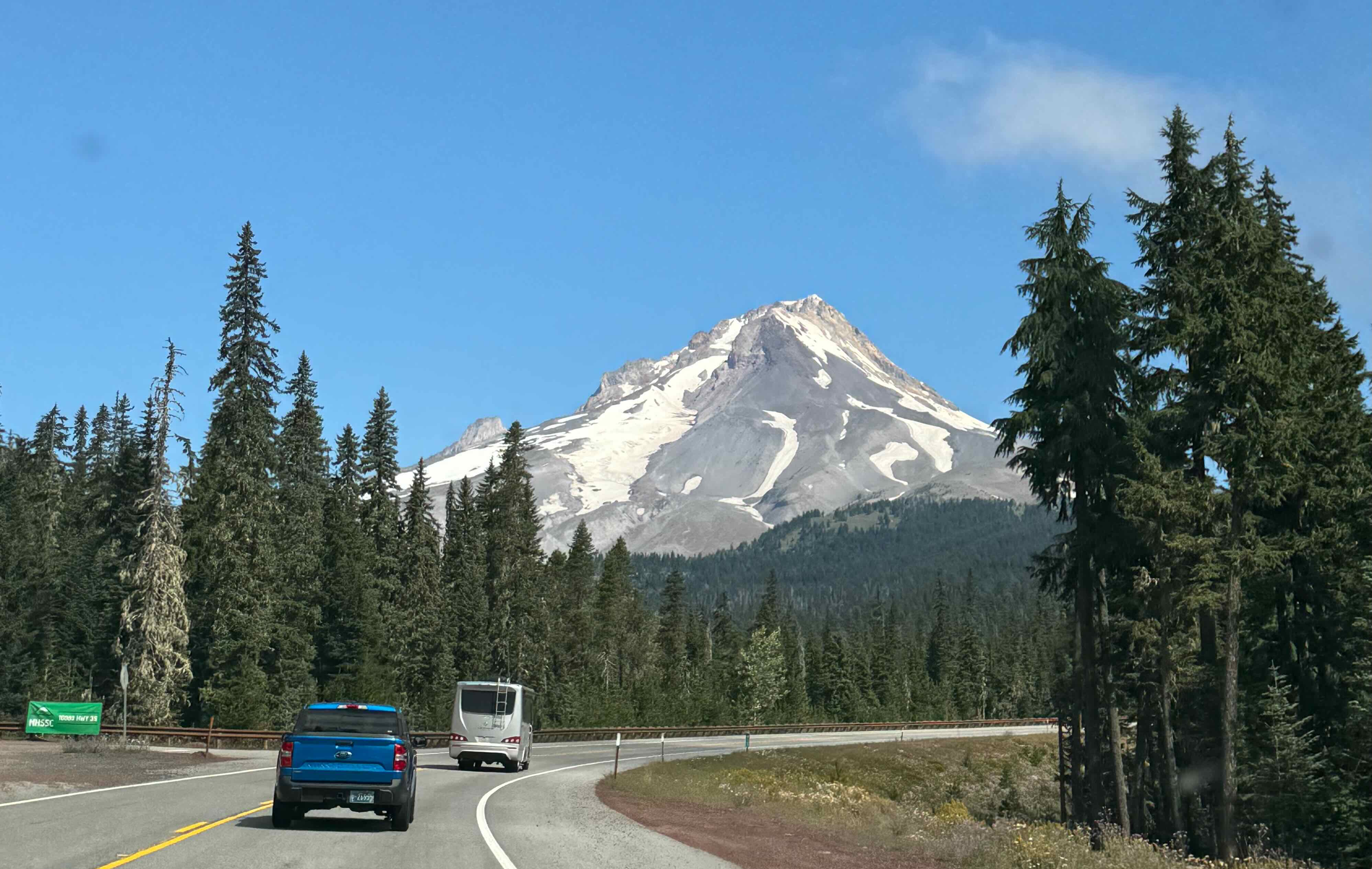
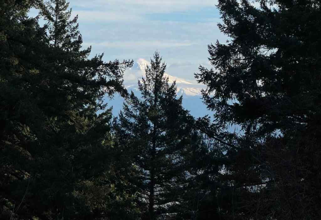
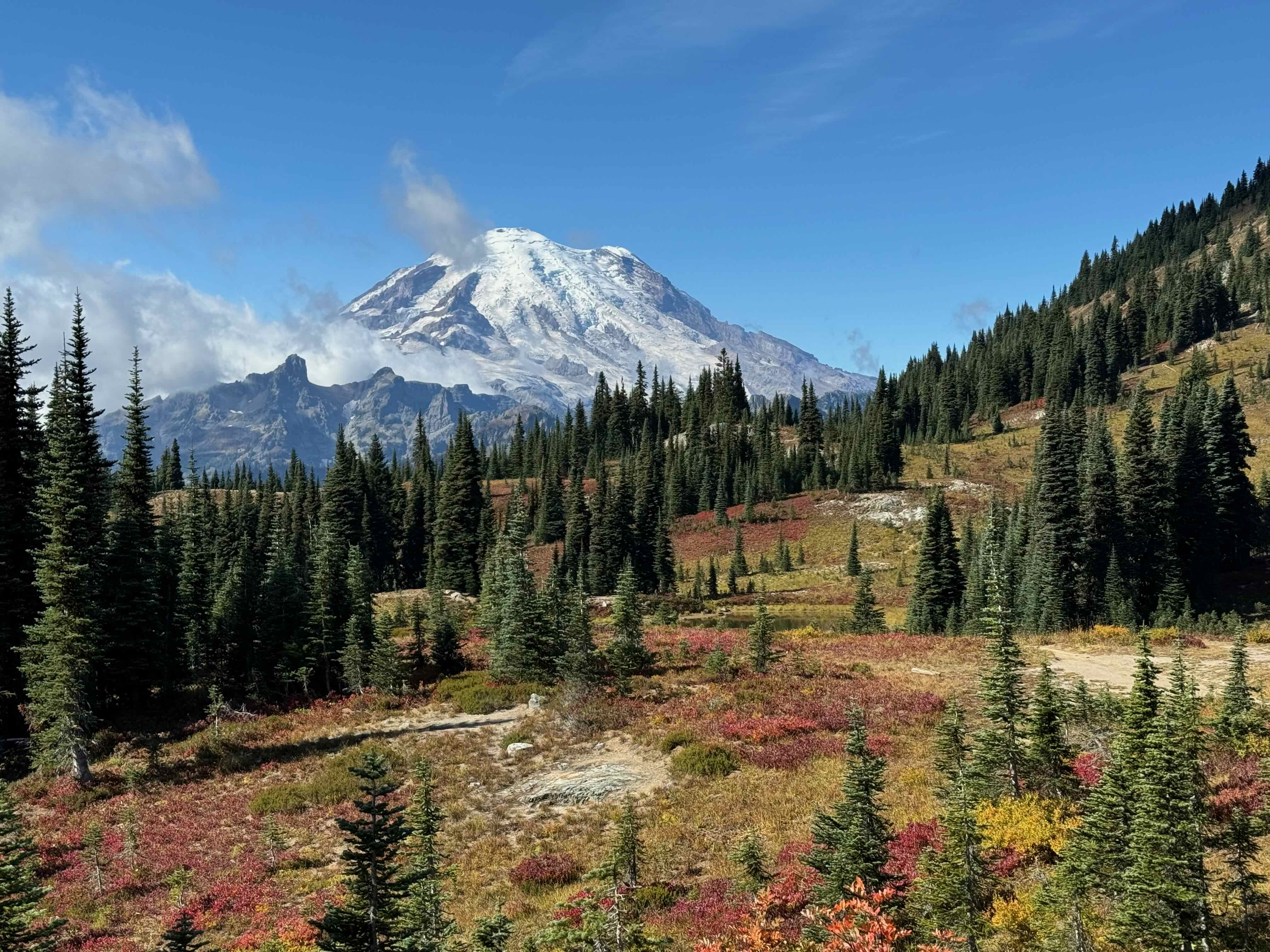
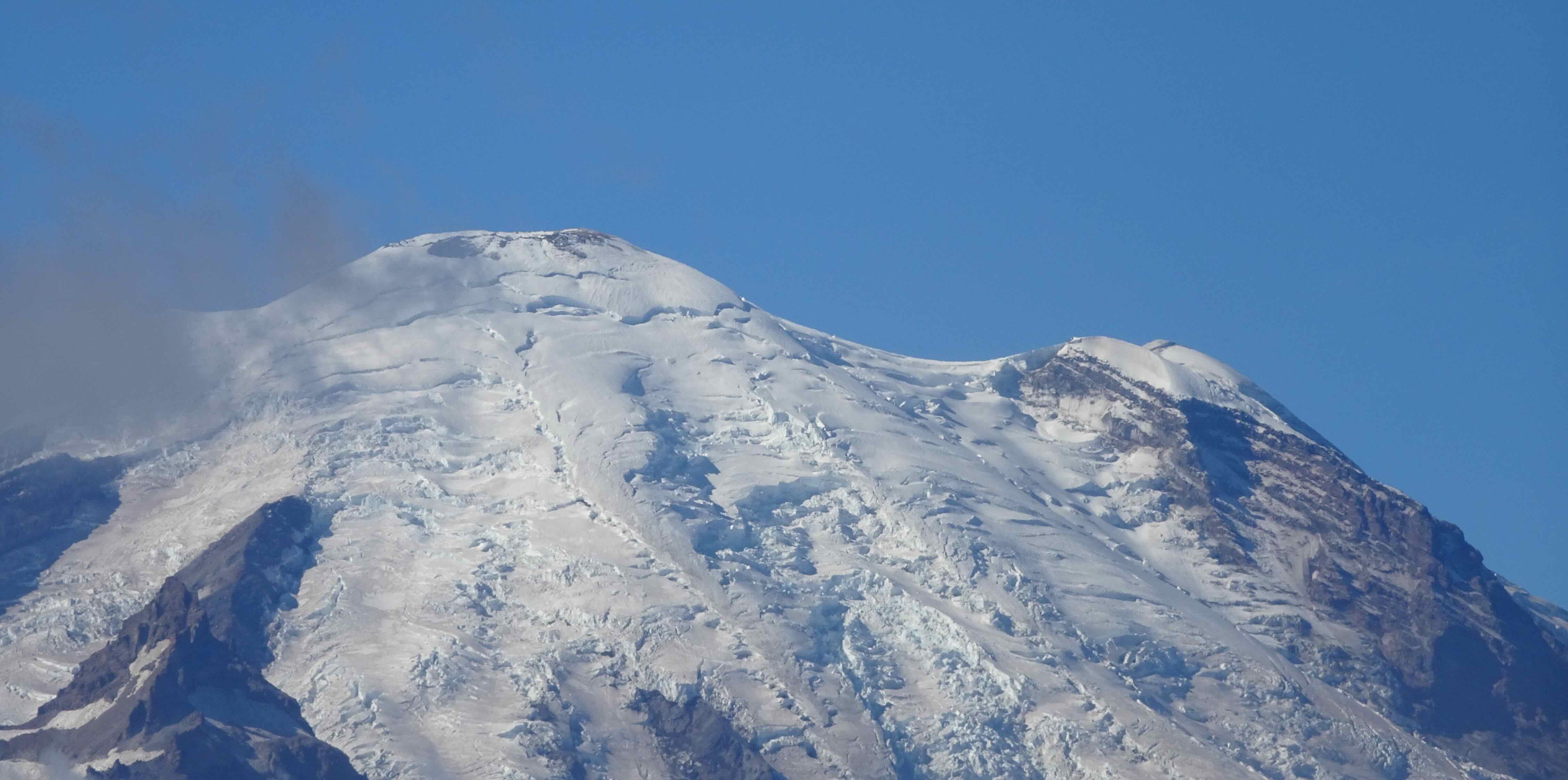
Mt Hood, from Hwy 35

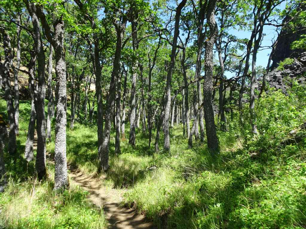
Shady trail junction from the Elk Meadows Trail
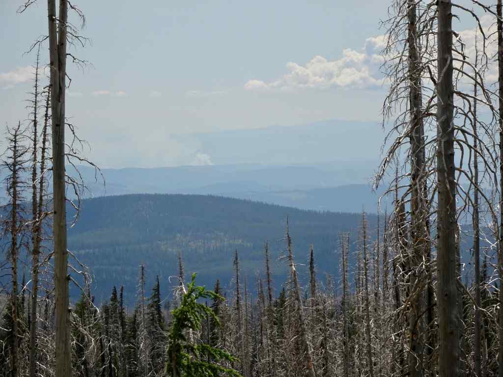
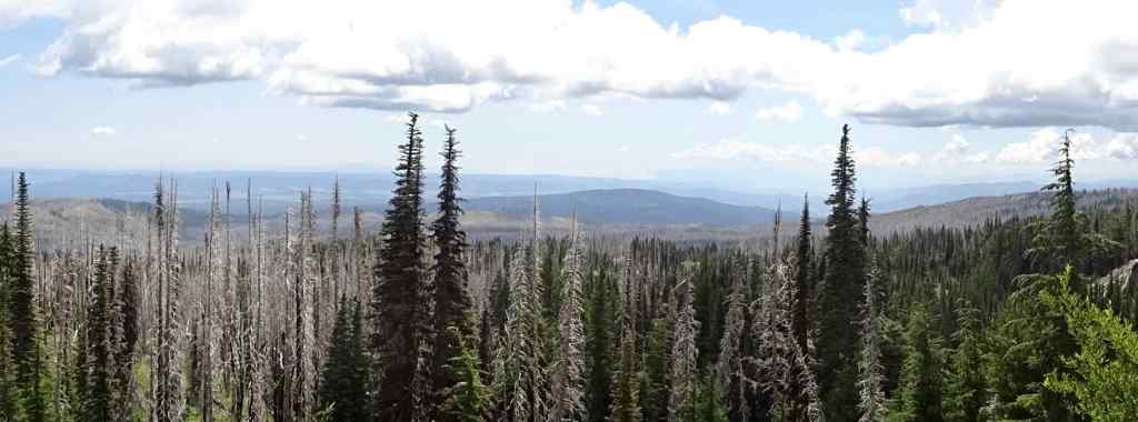
Views across the ski runs of Mt Hood Meadows

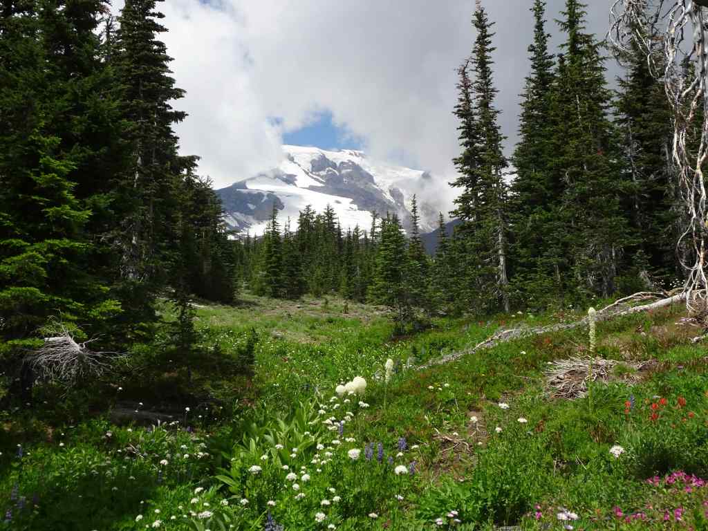
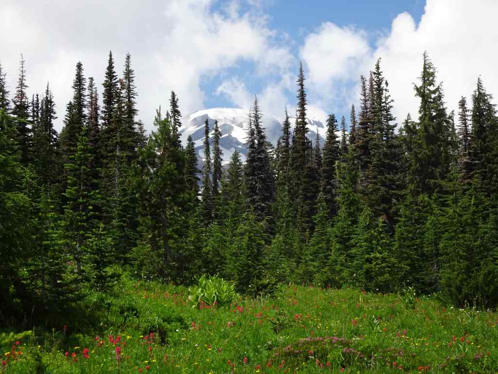
We could see the top of the mountain from our shady lunch spot
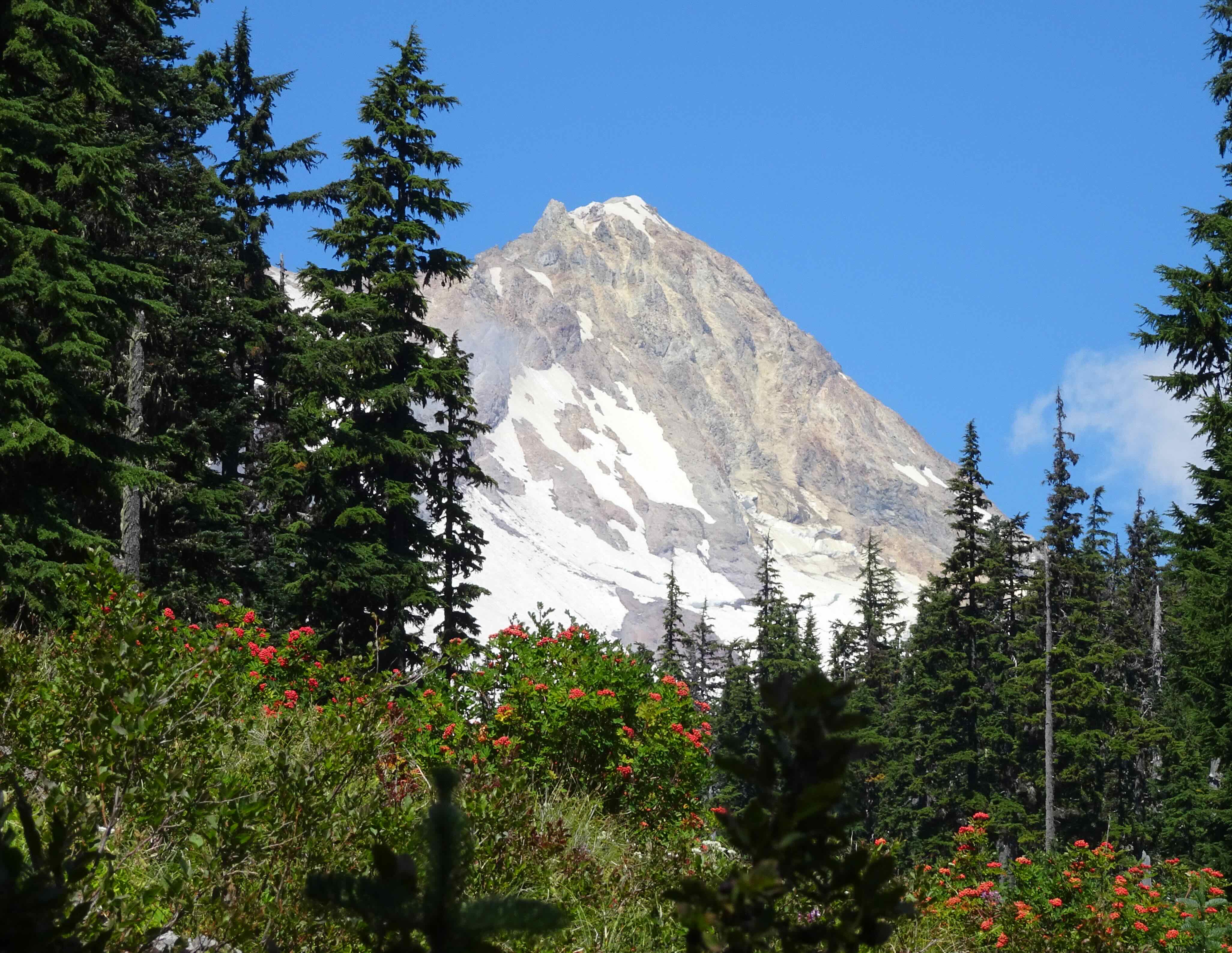
Mt Hood, Sitka Mountain Ash berries

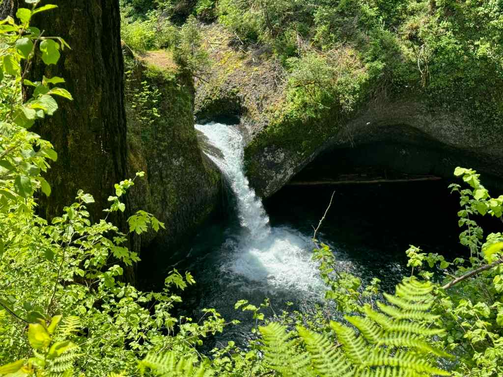
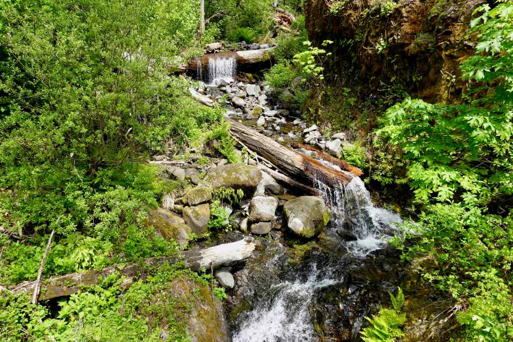
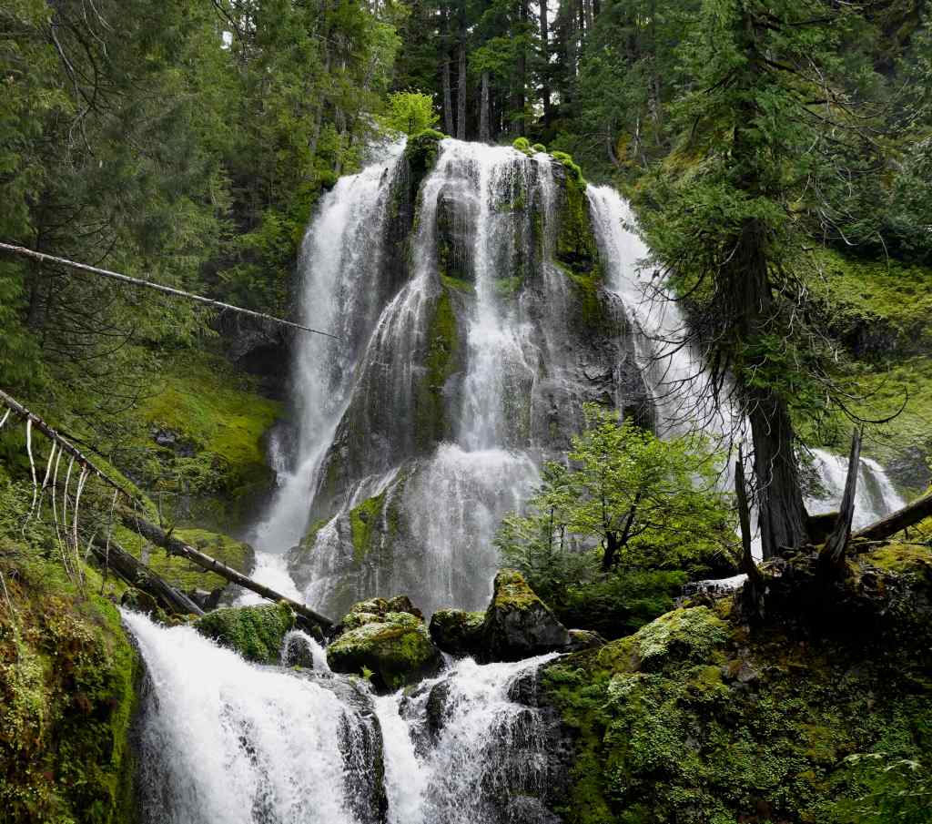
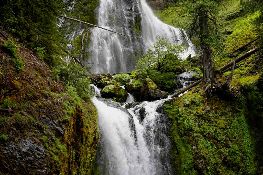
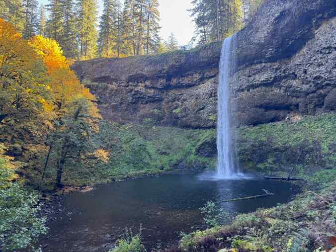
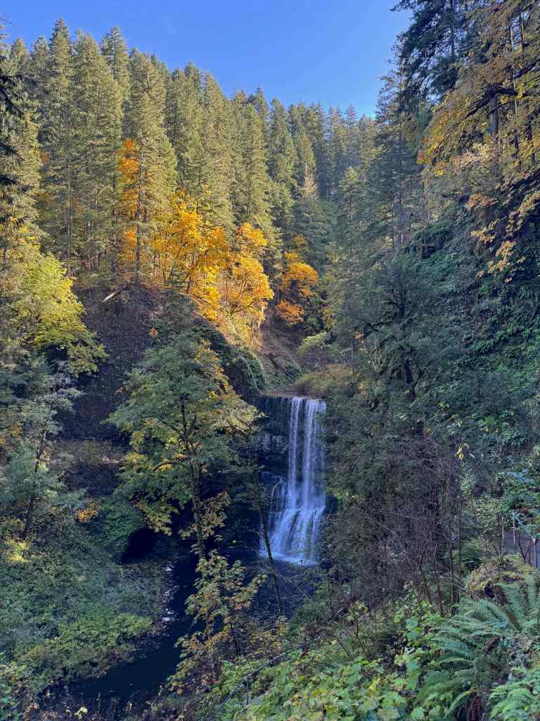
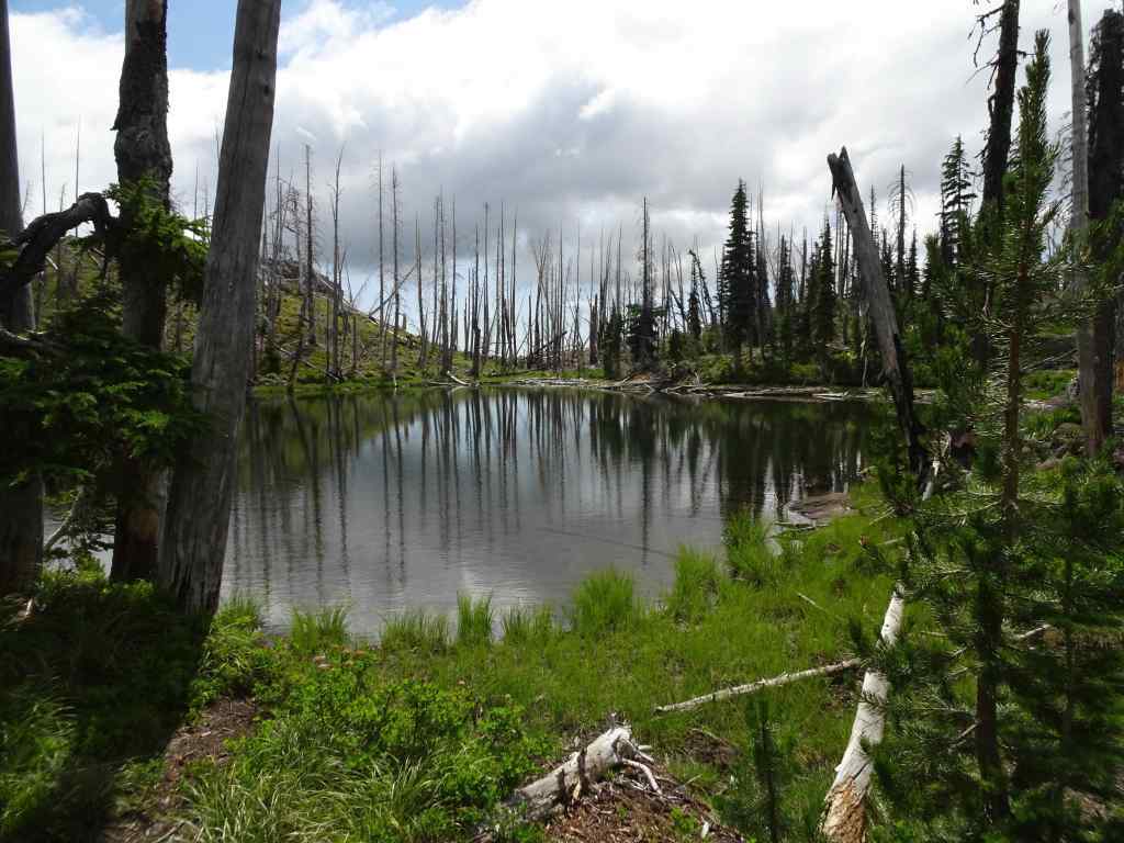
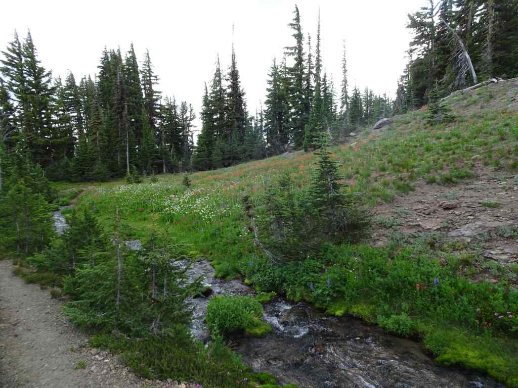
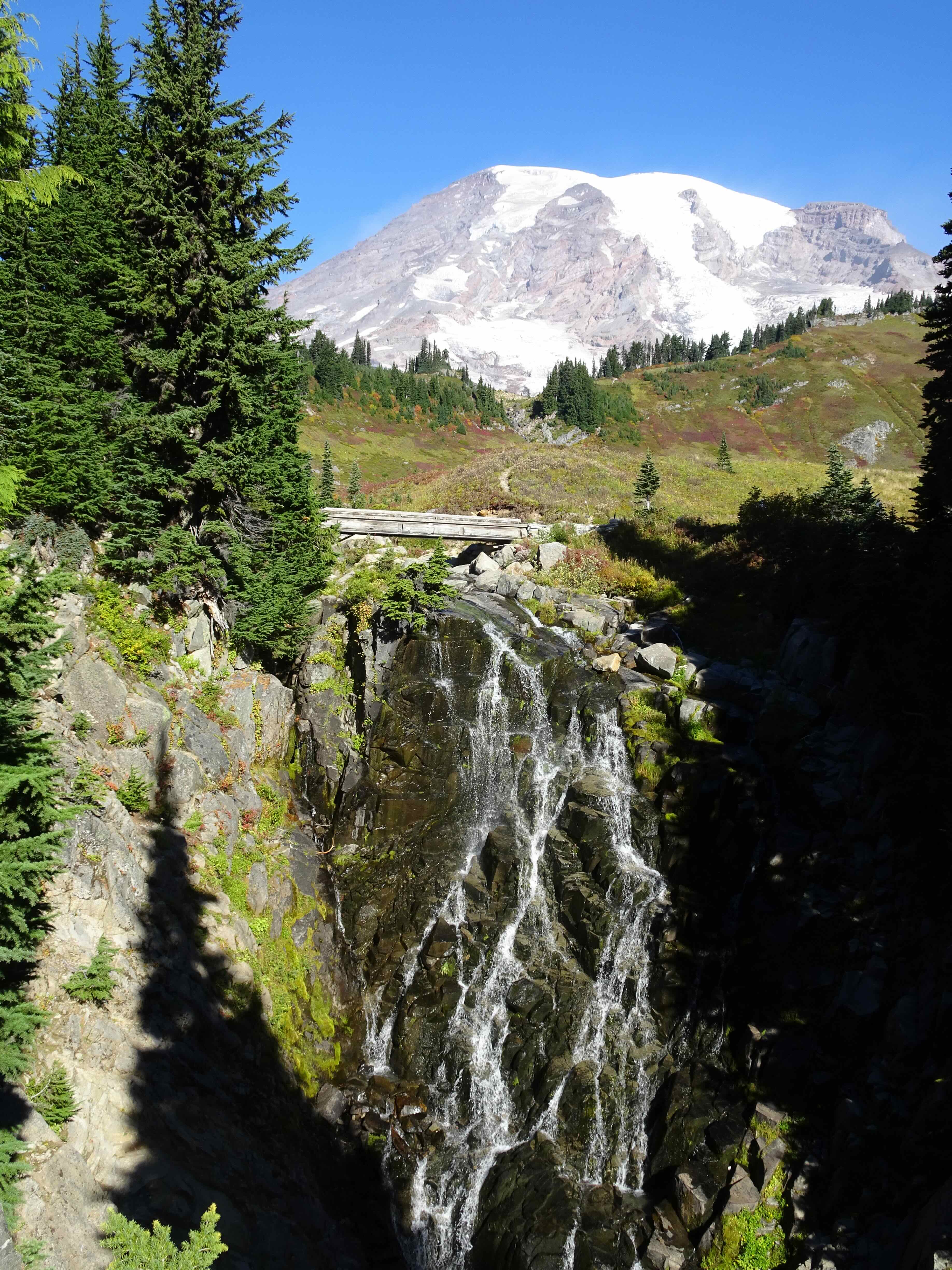
Umbrella Falls

Umbrella Falls

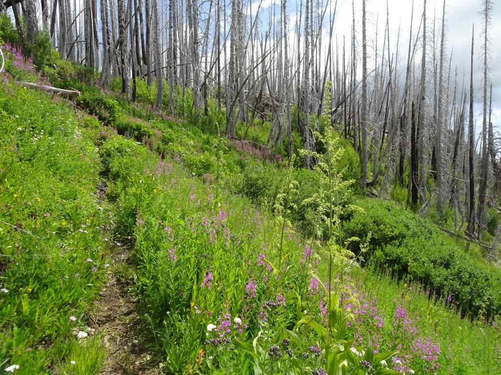
Fireweed
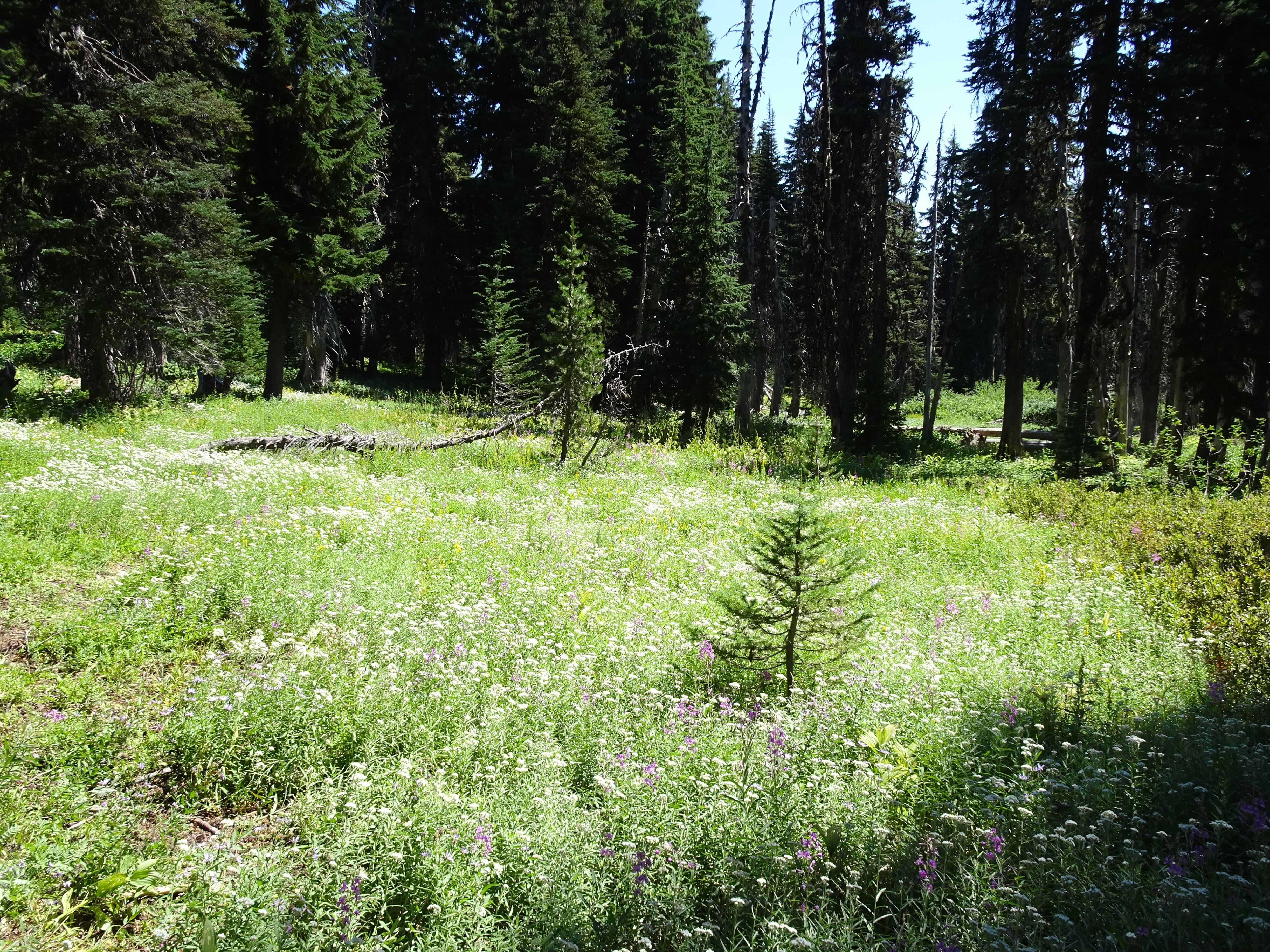
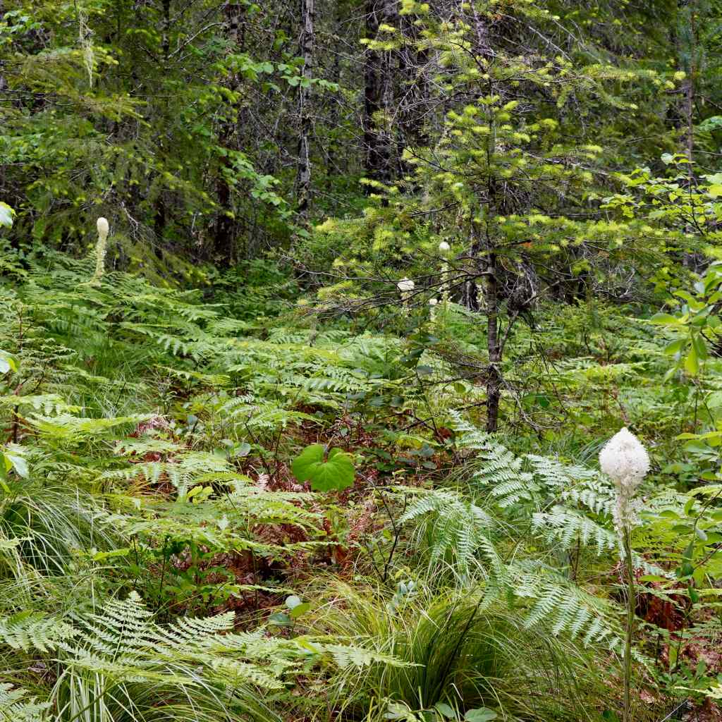
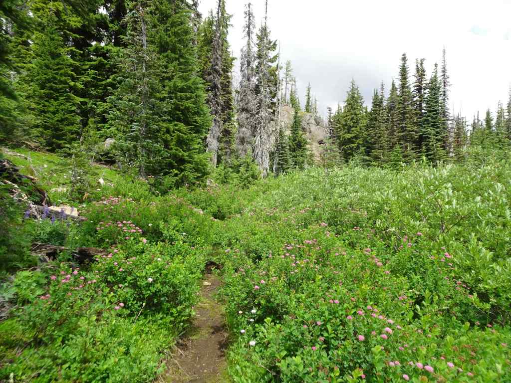
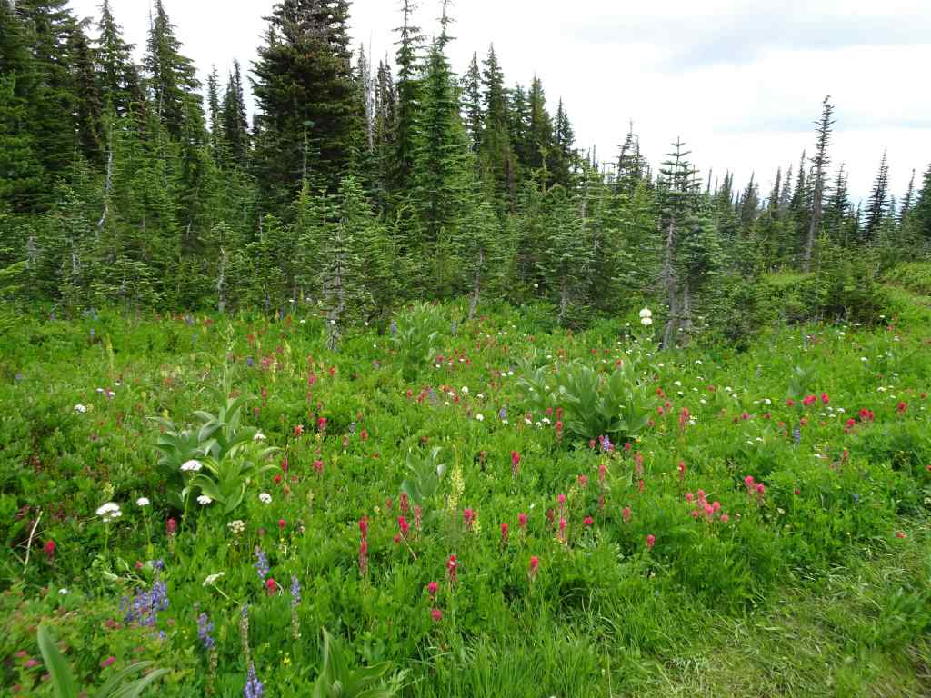
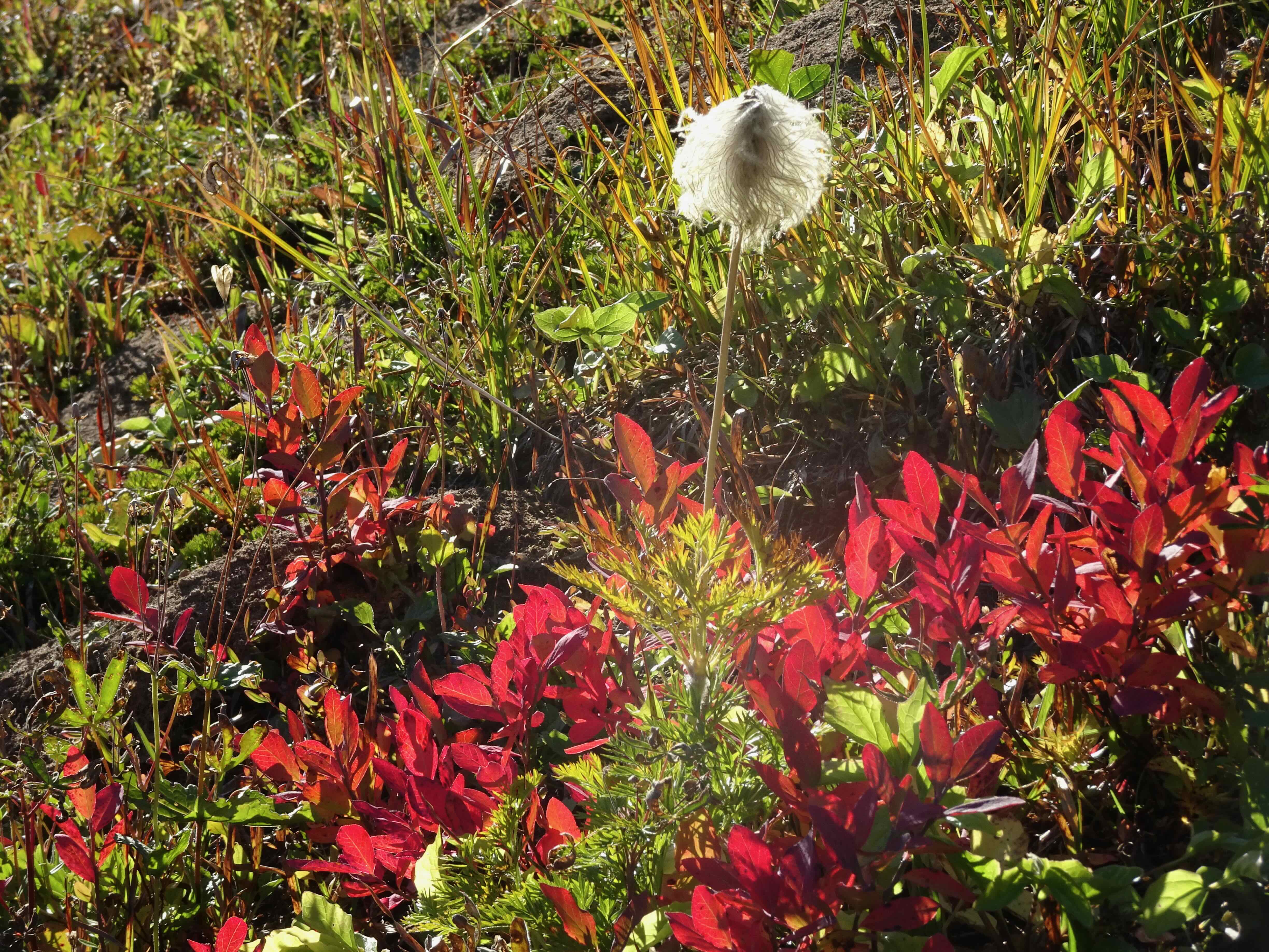
Meadows of pearly everlasting
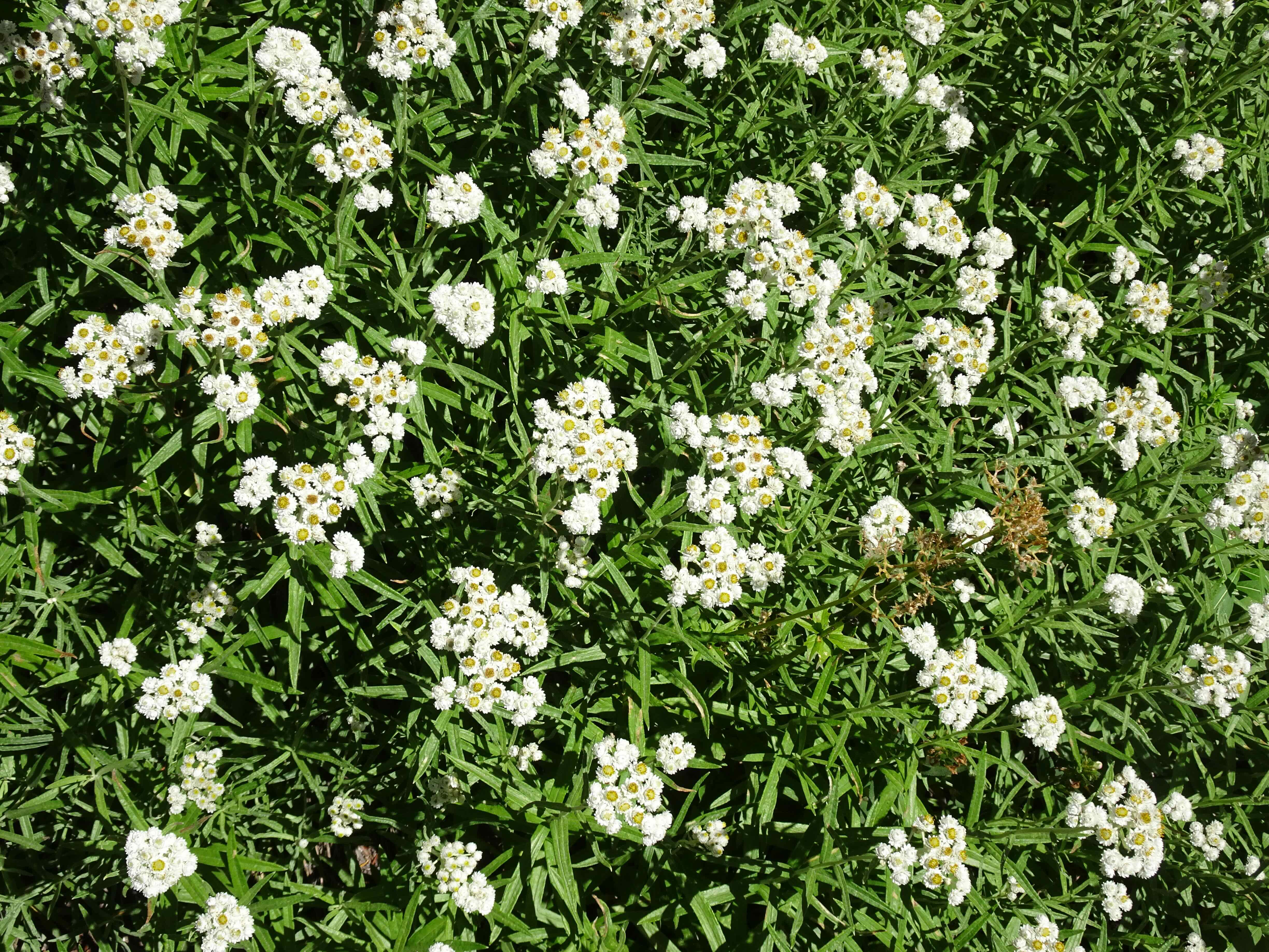
Pearly everlasting
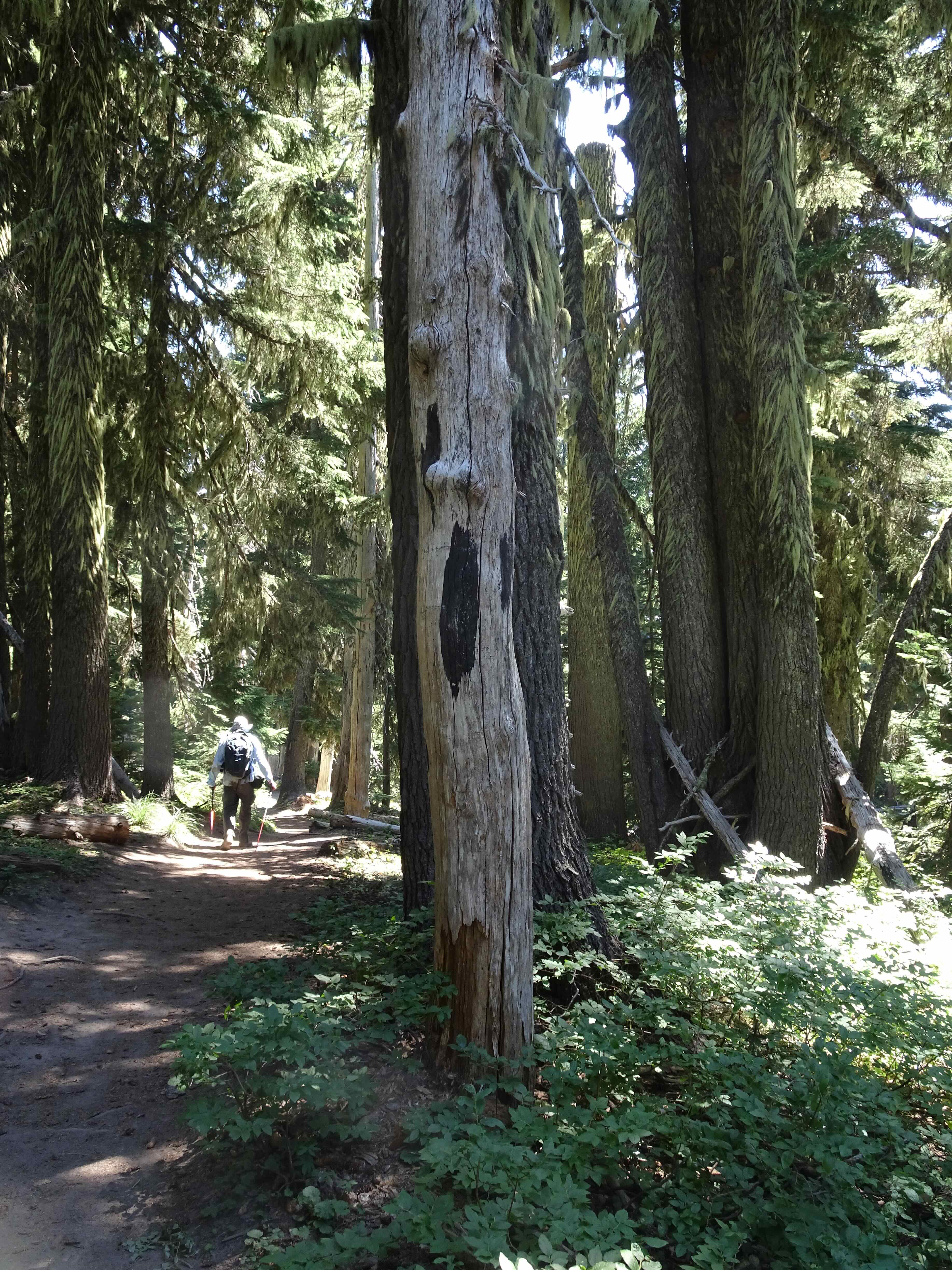
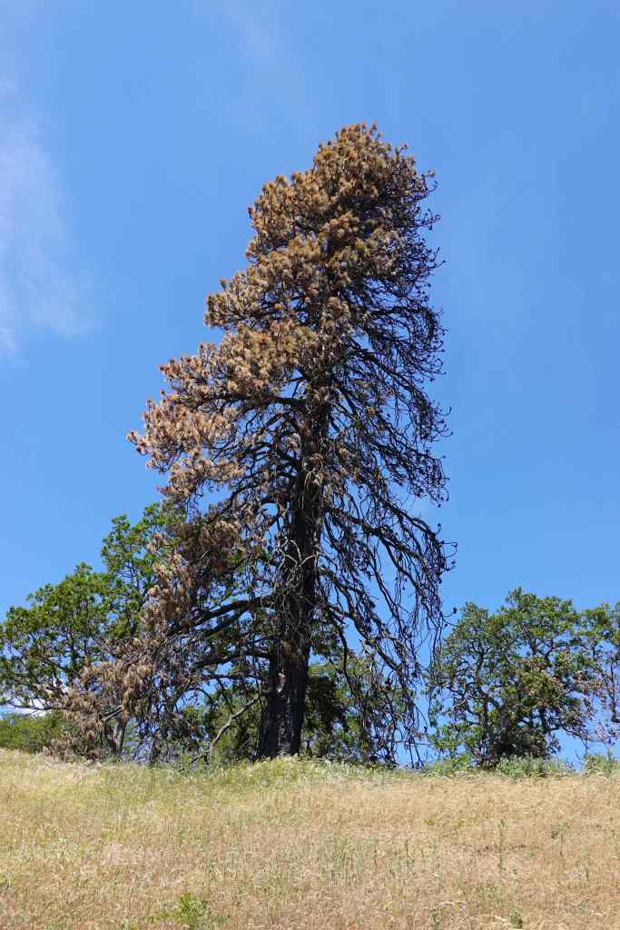
This tree spoke to me on the way down
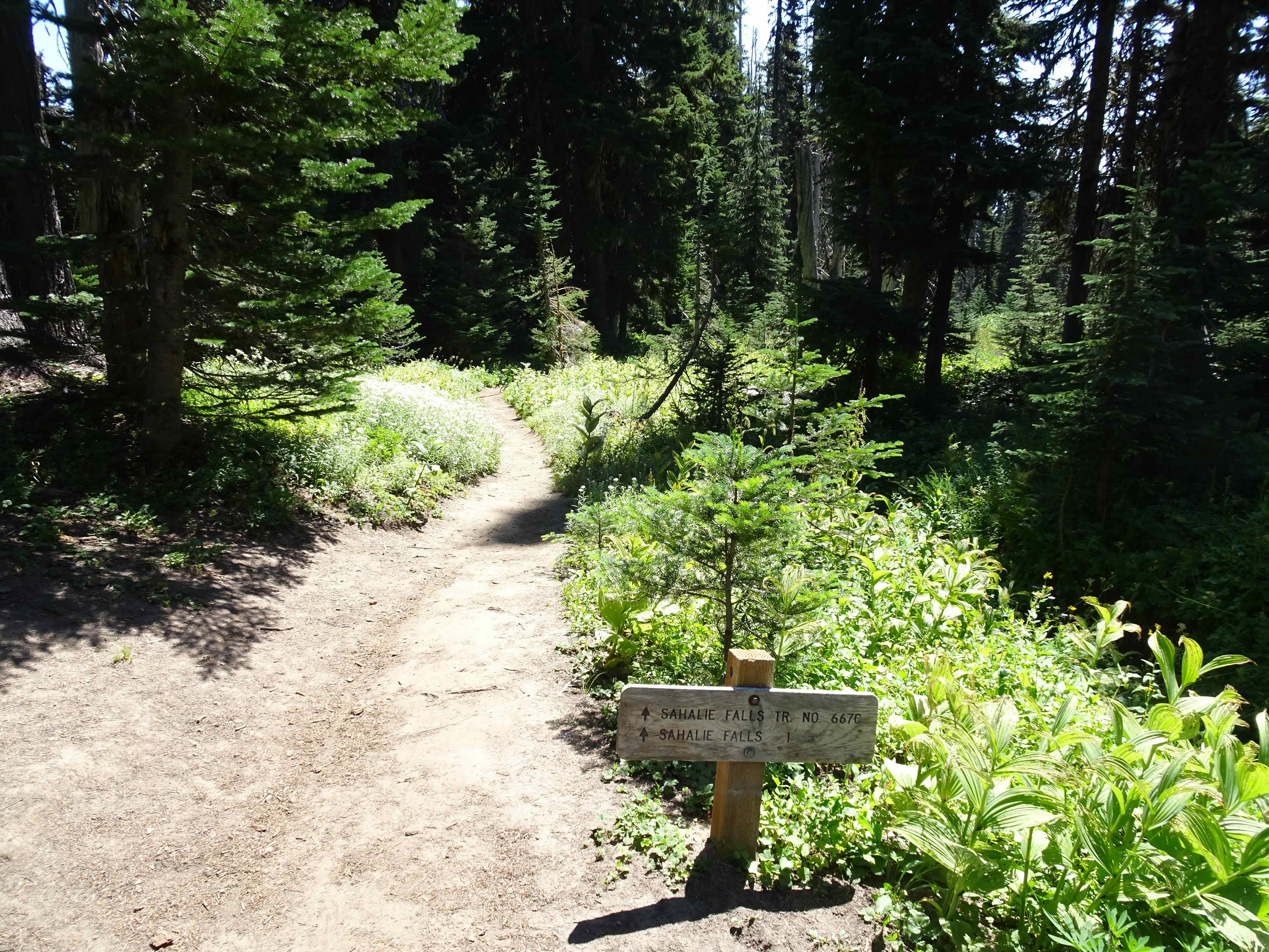
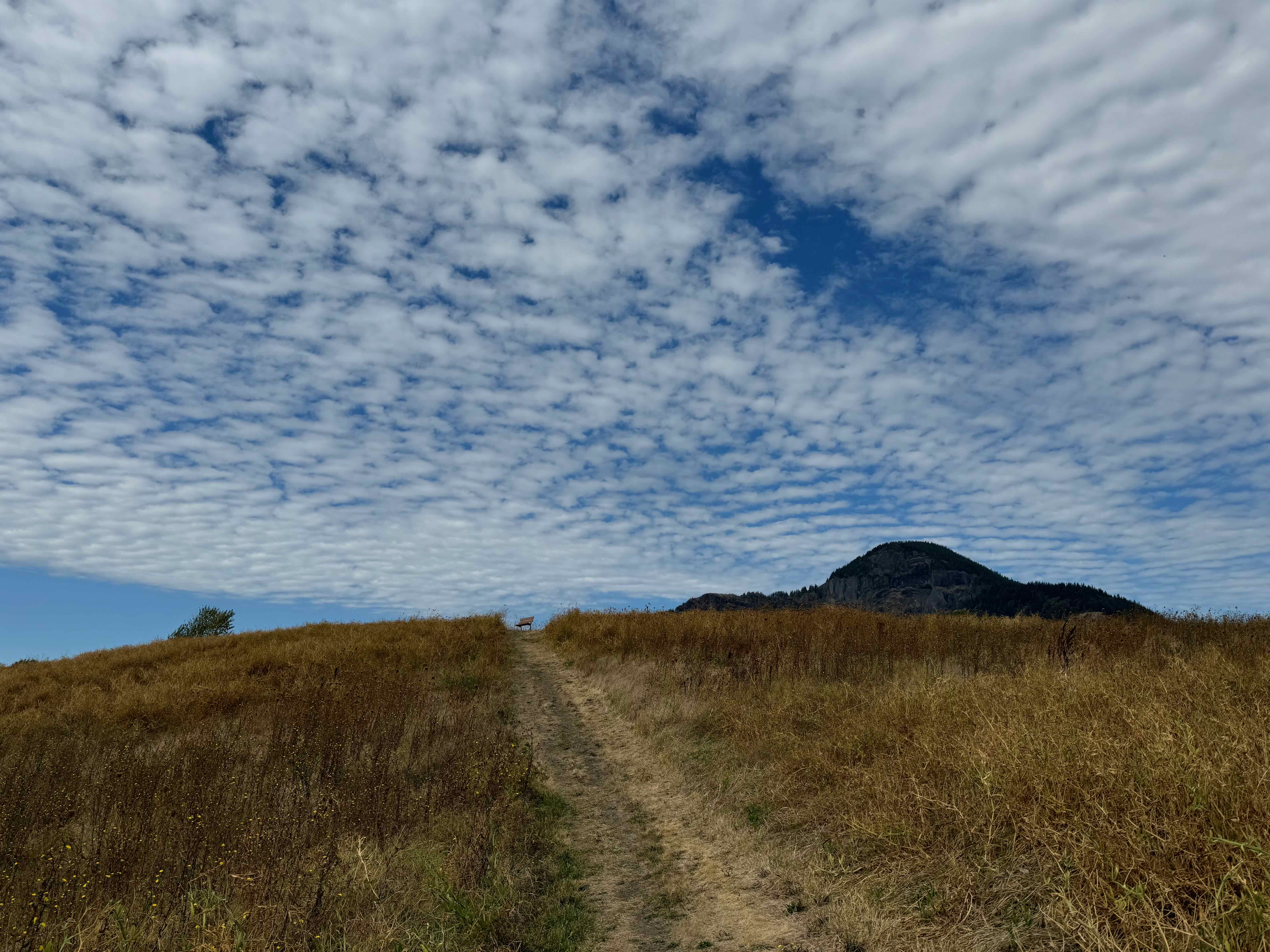
Trail junction
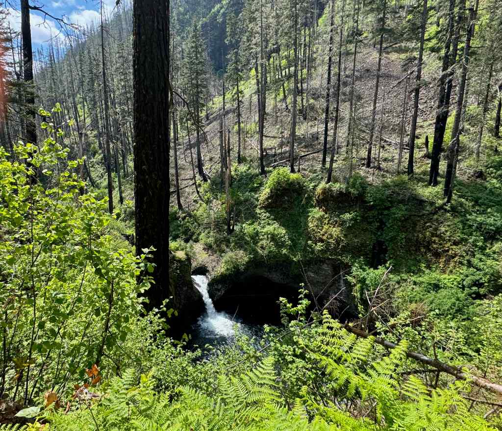
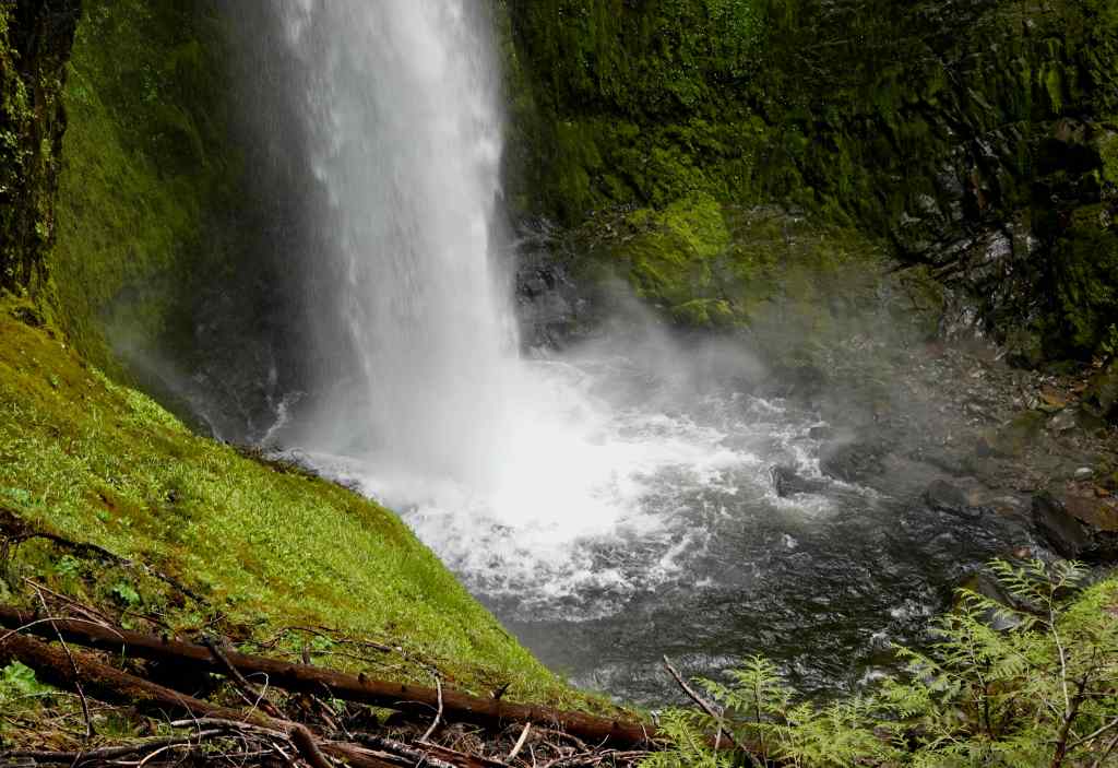
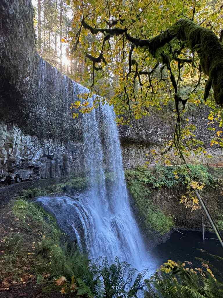
It turns out that the trail viewpoint of Sahalie Falls requires scrambling down a steep cliff, but I could see from the map that we could drive to a better view point along the frontage road.
Sahalie Falls, from the old road

Trail Map – 4.3 miles, 700 feet elevation gain.
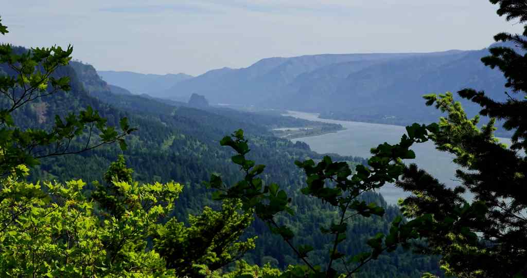
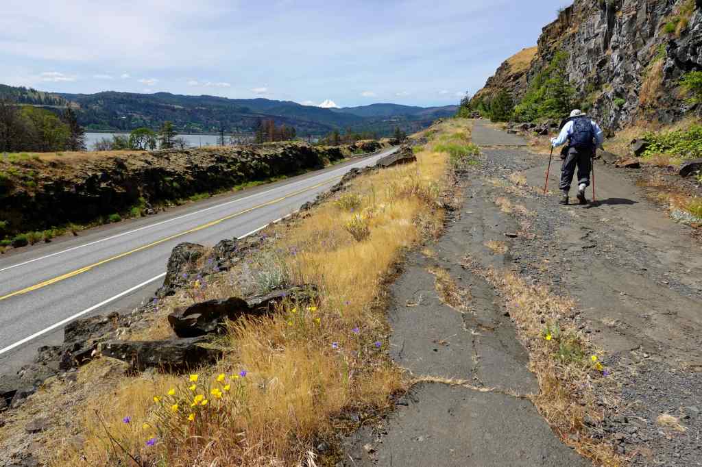
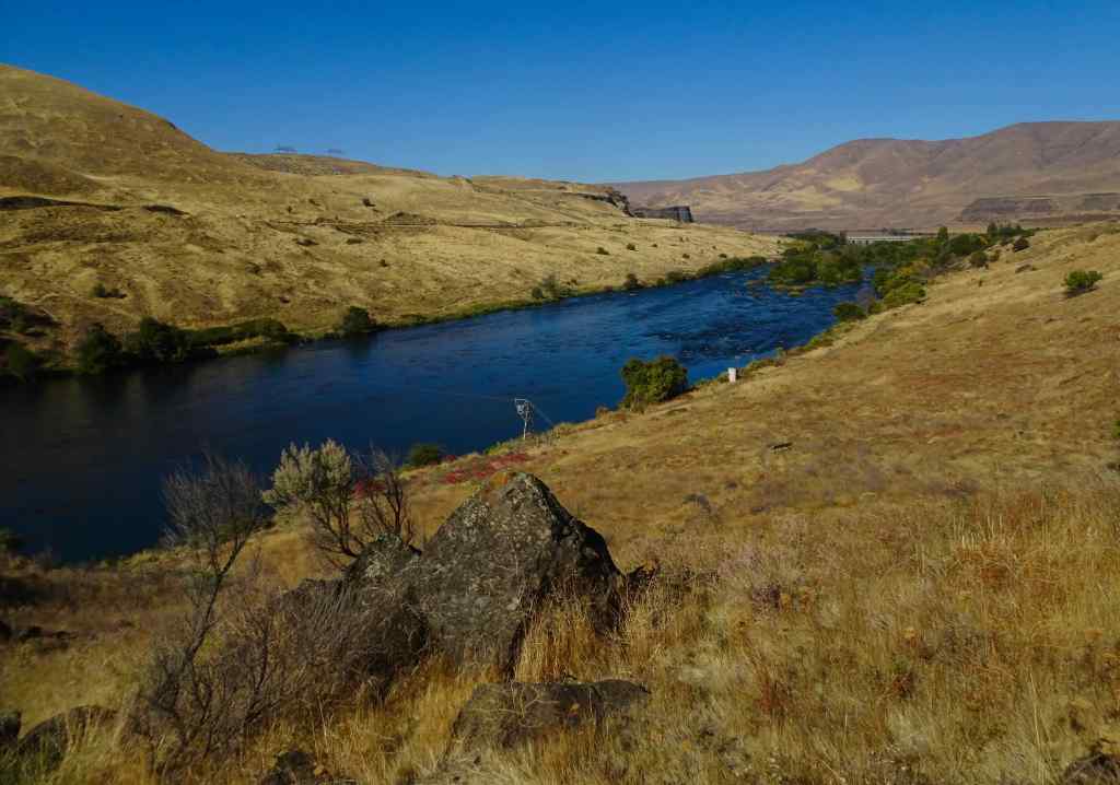
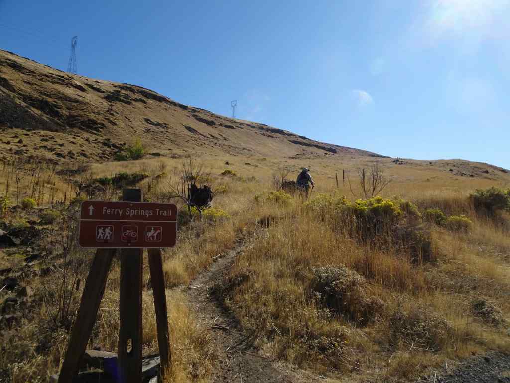
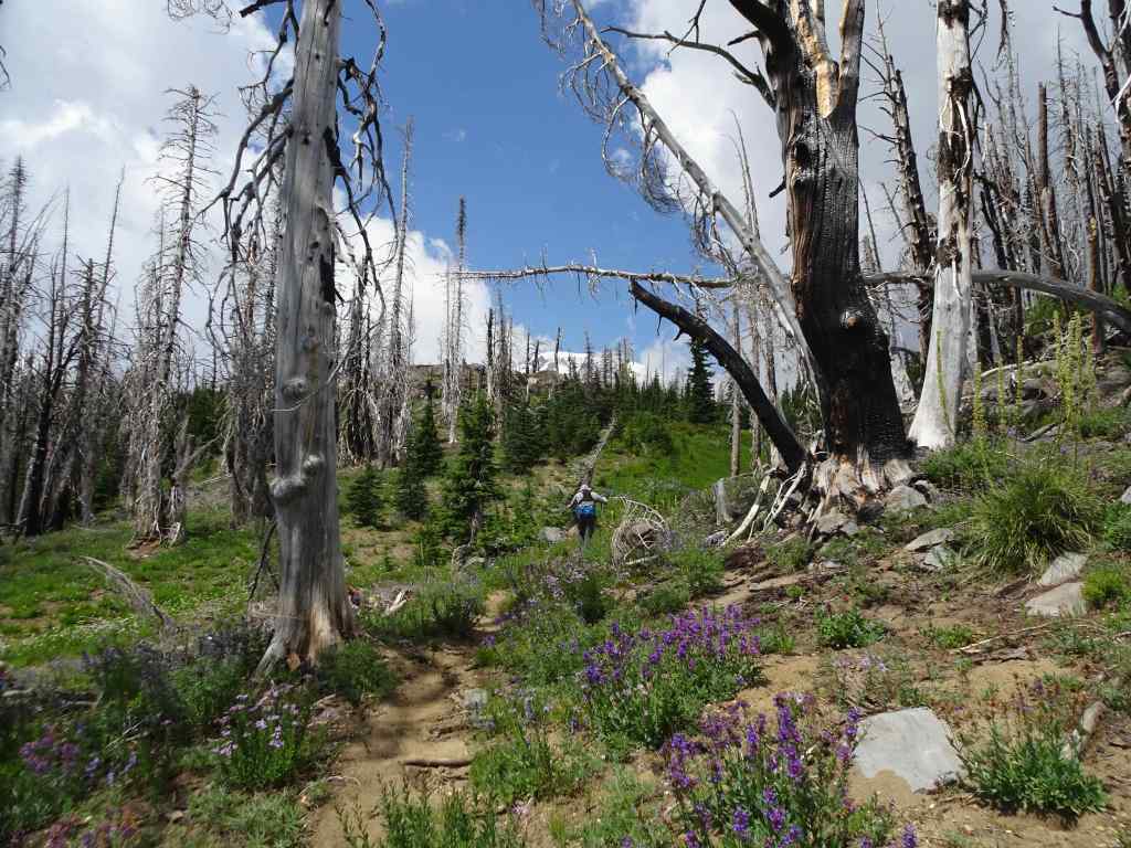
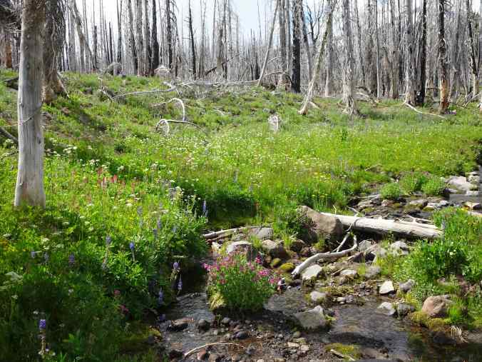
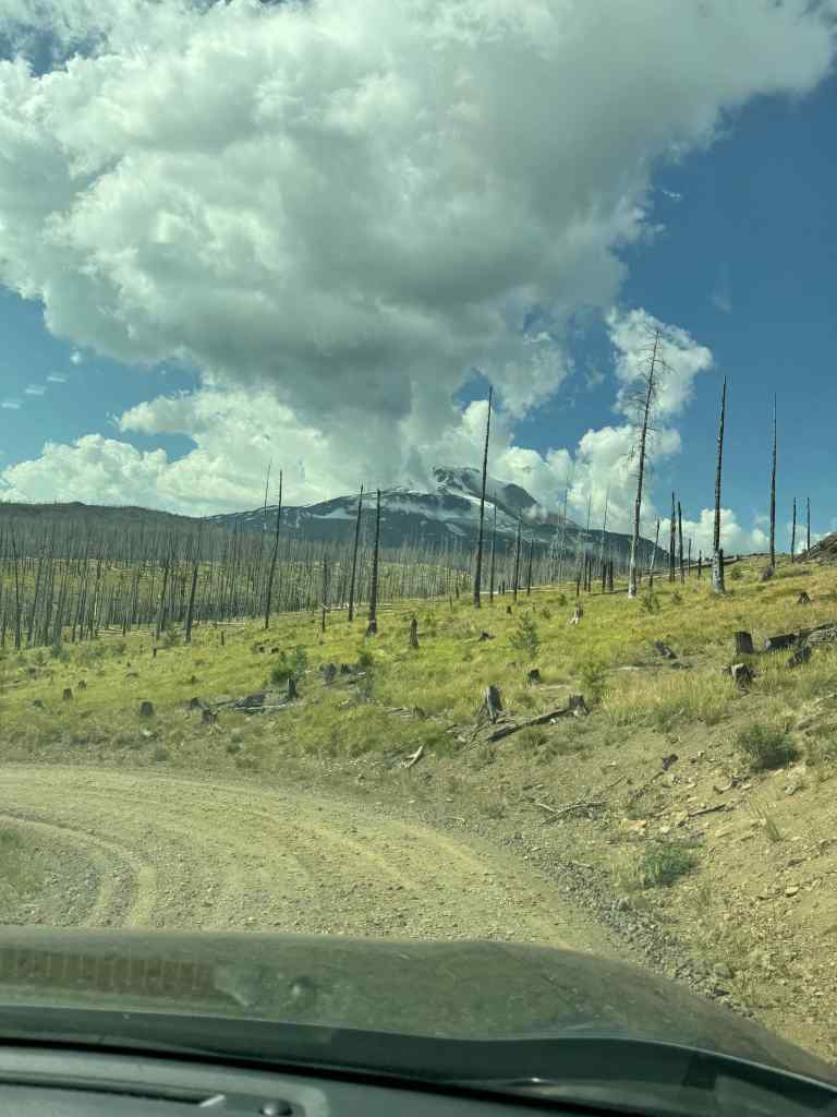
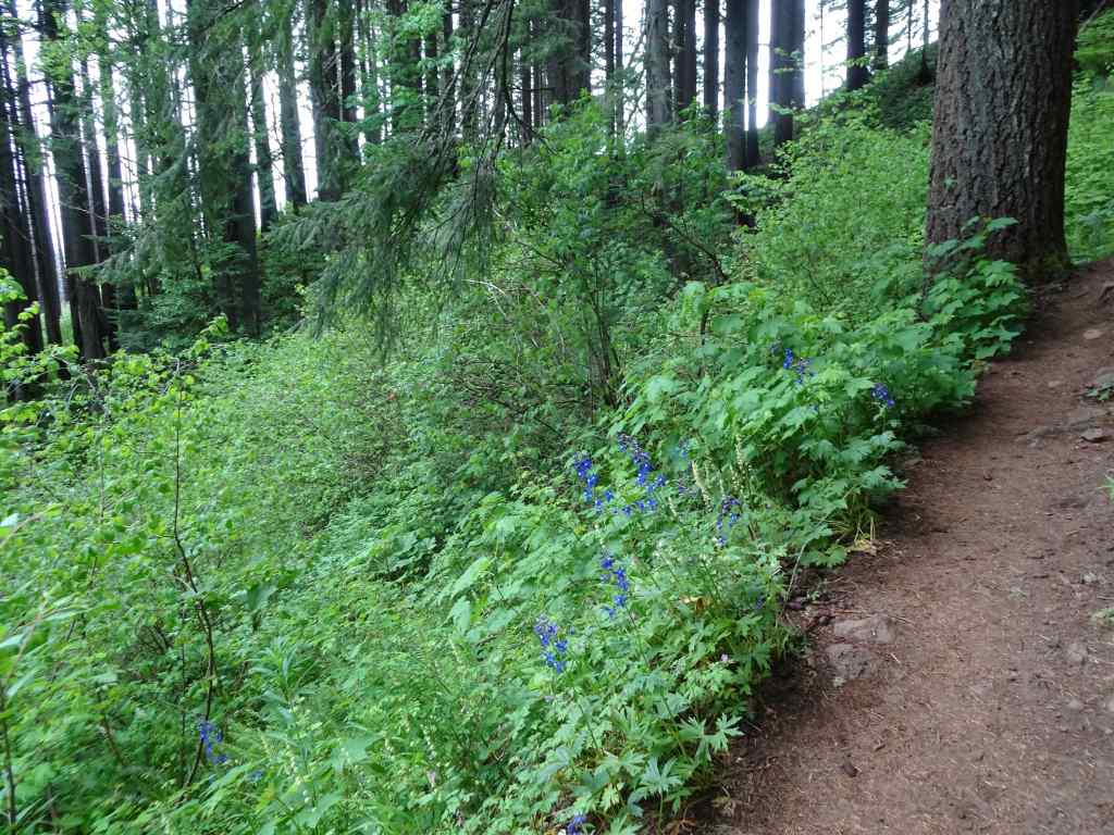
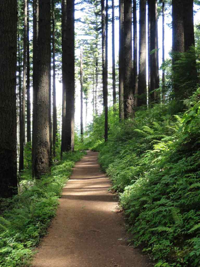
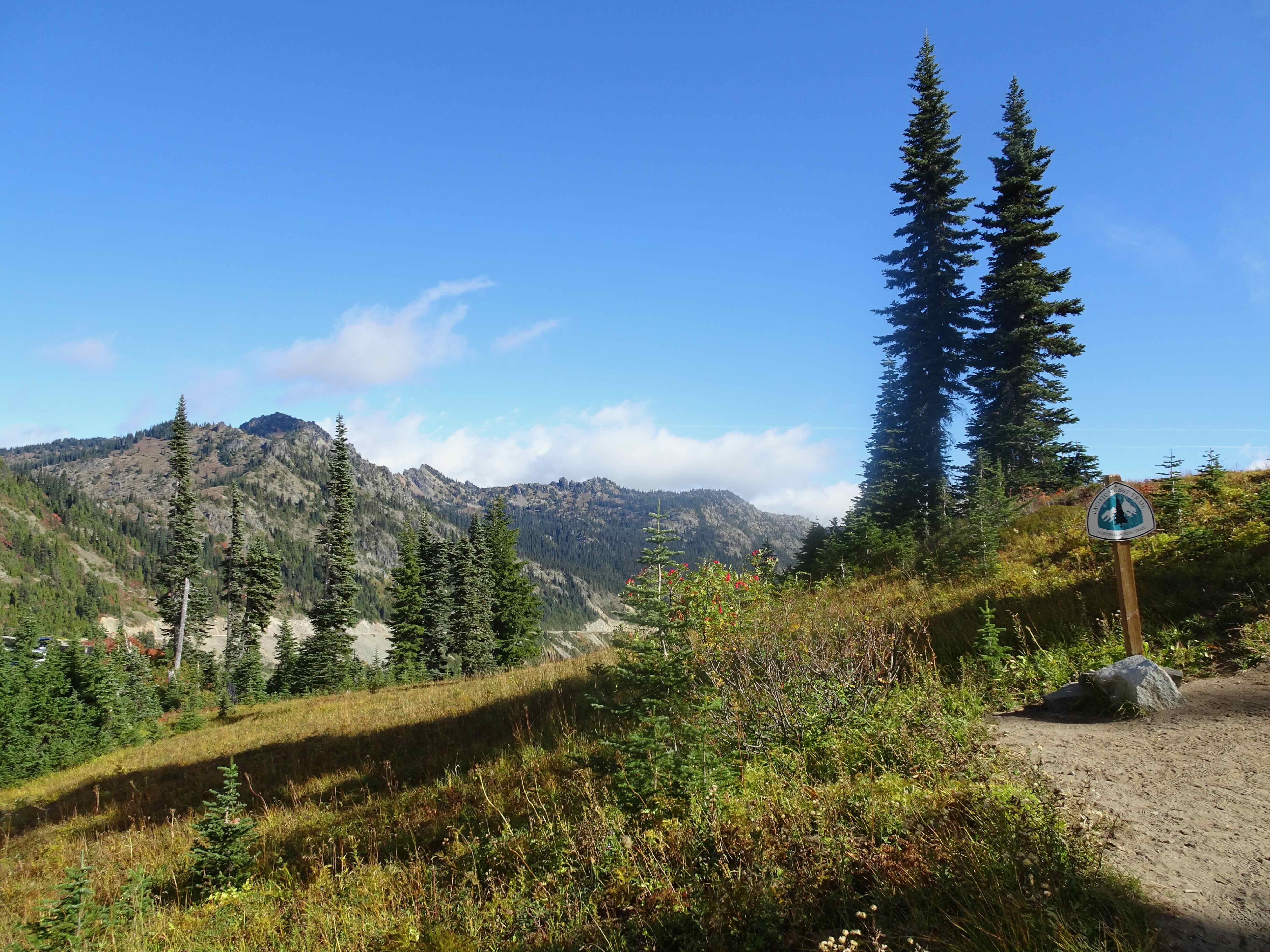
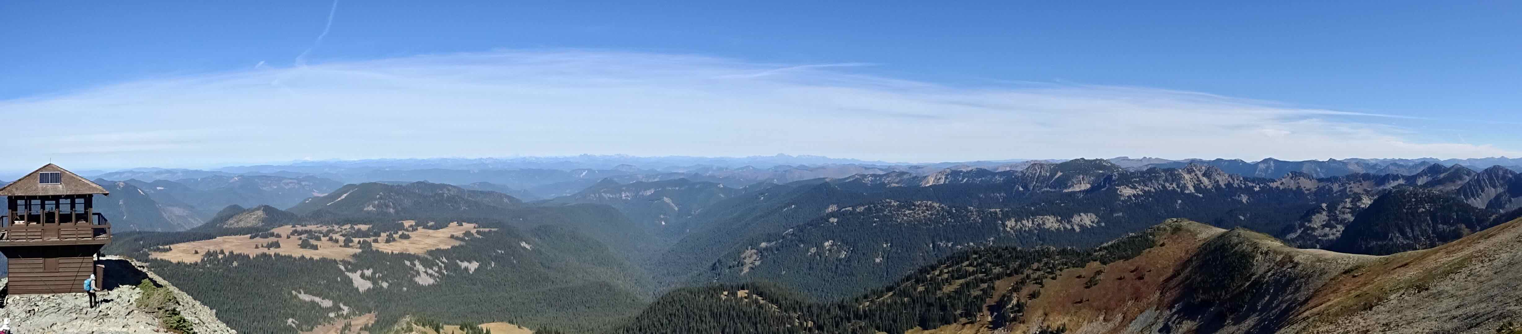
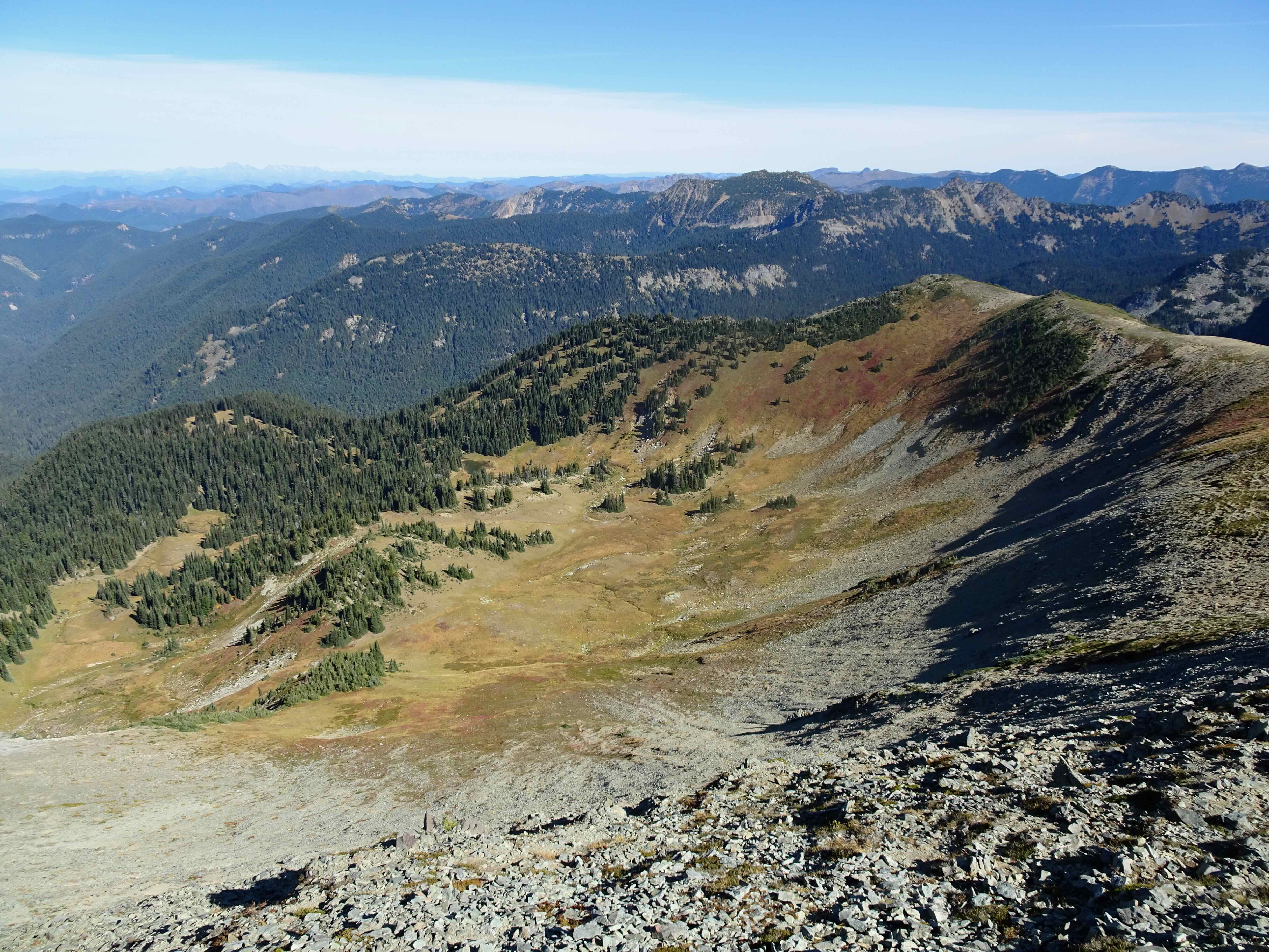
August 20 – Cloud Cap Shelter and TImberline Trail High Point, Mt Hood
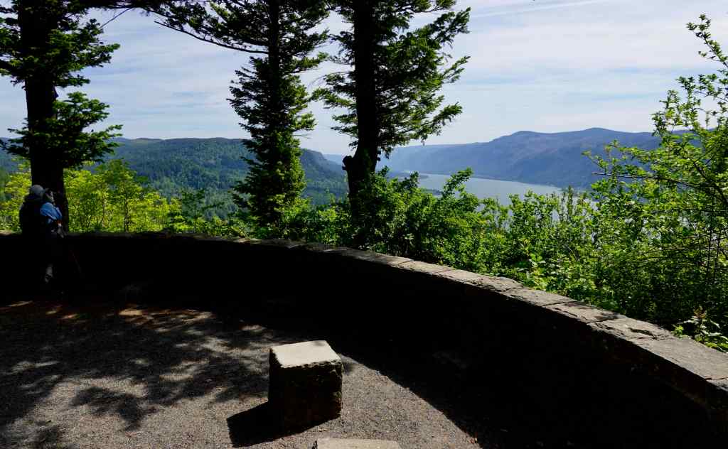
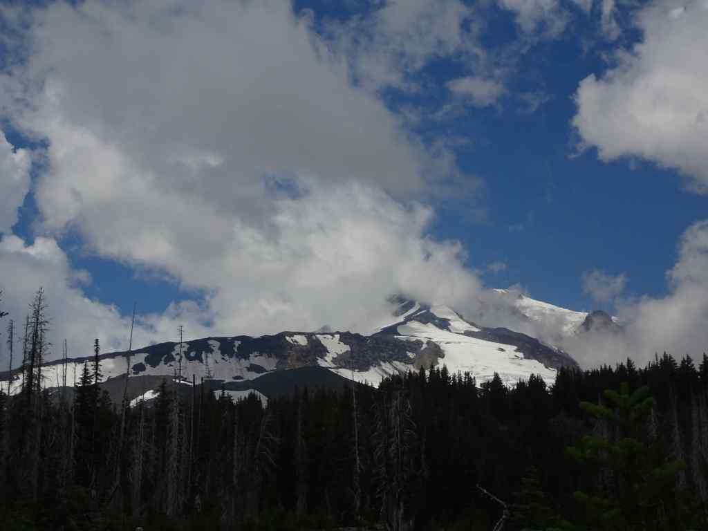
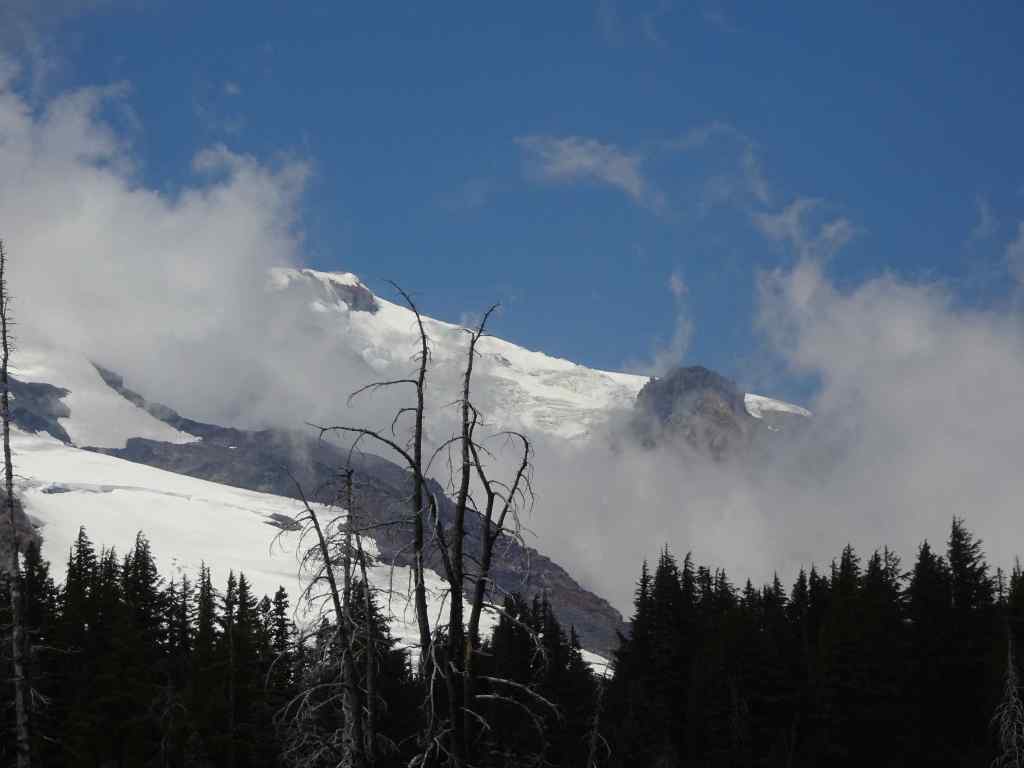
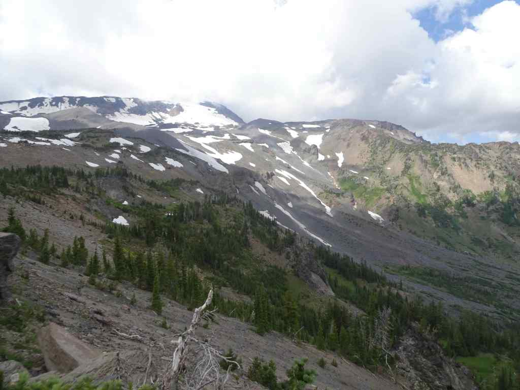
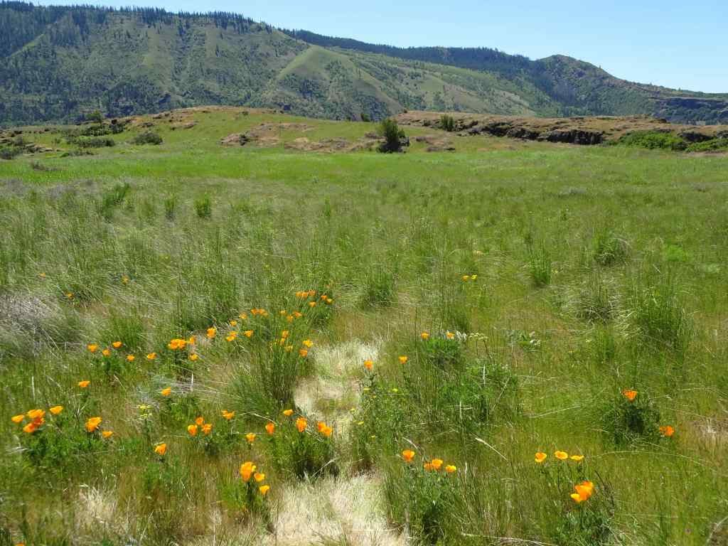
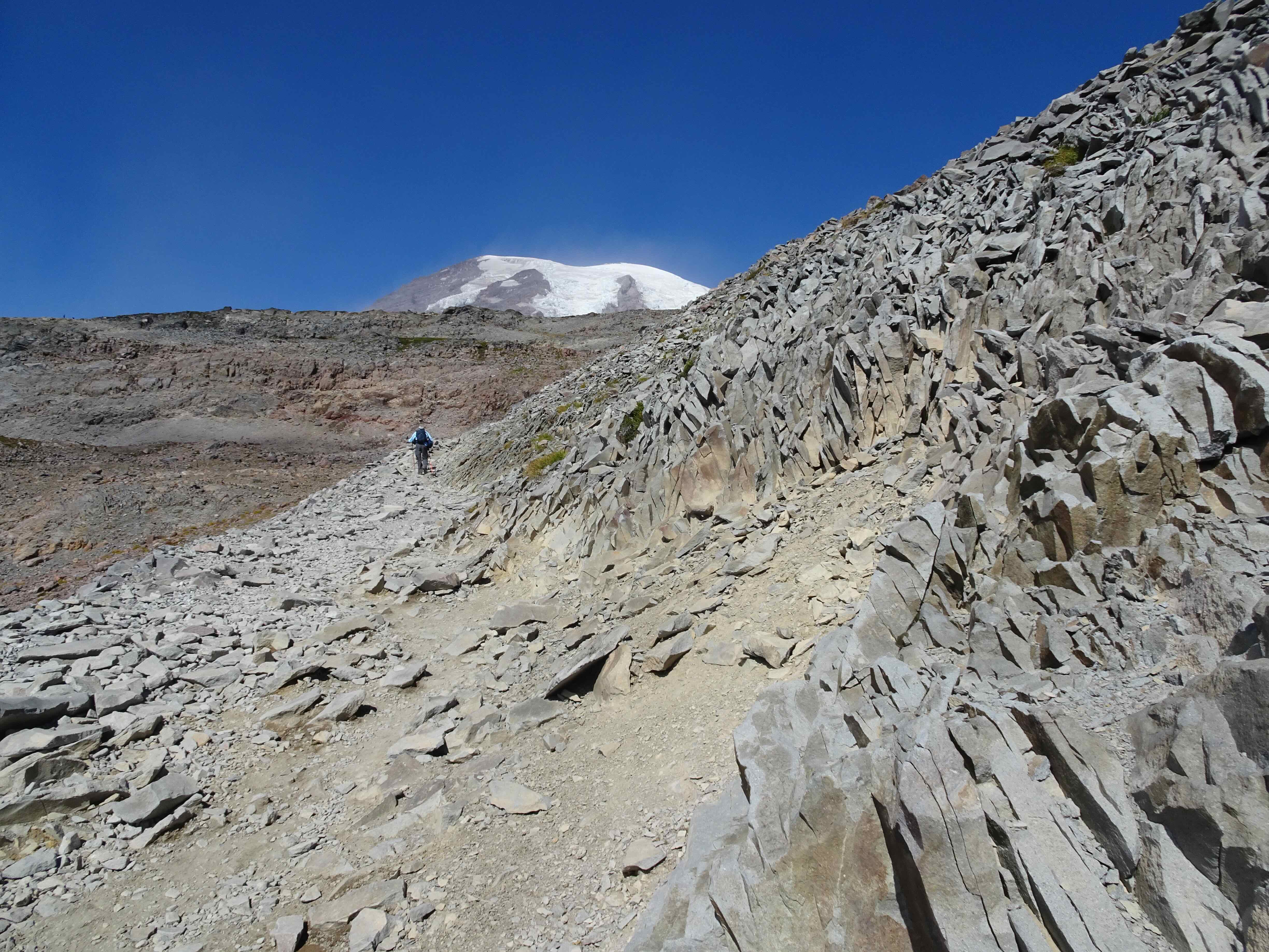
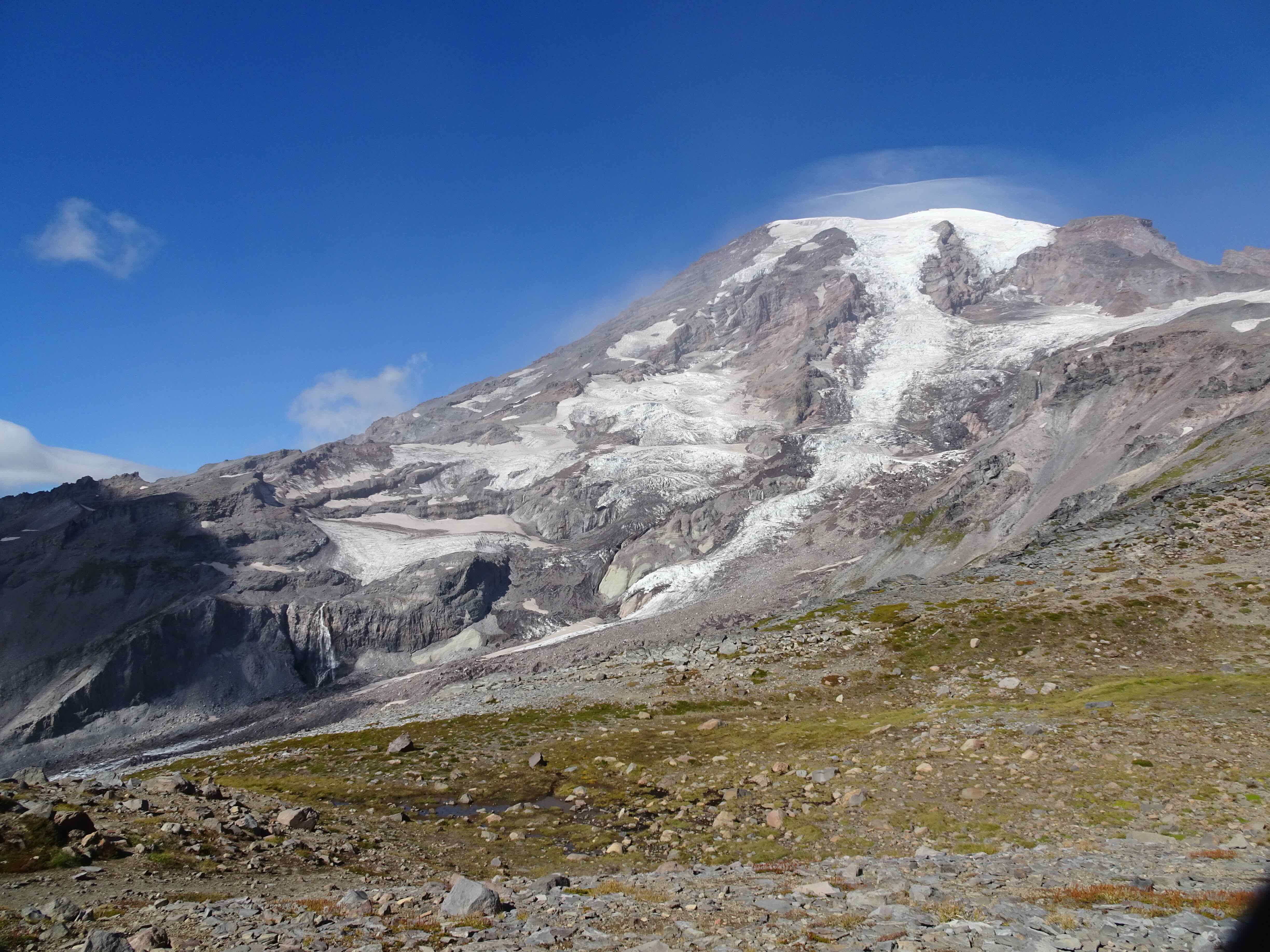
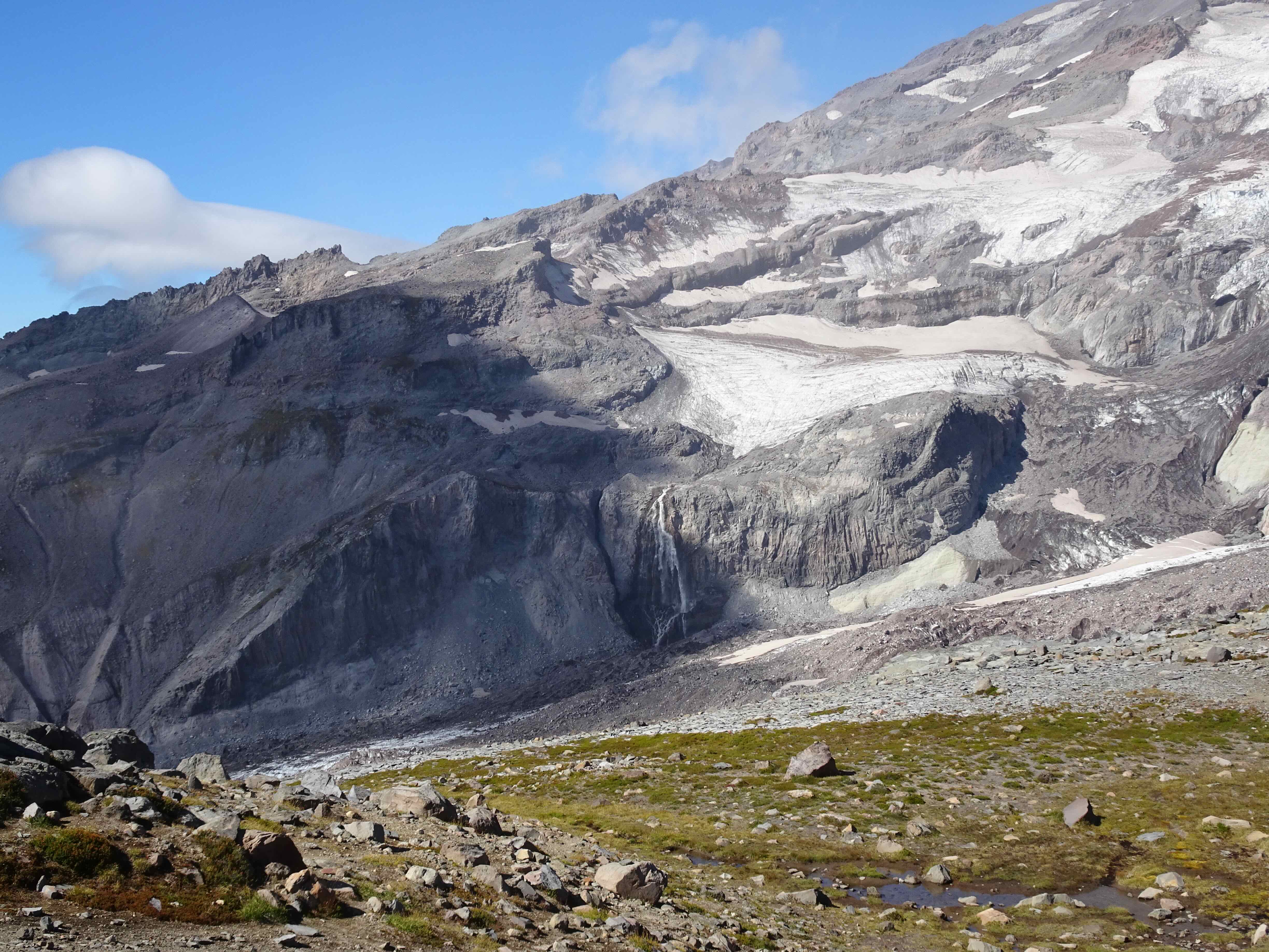
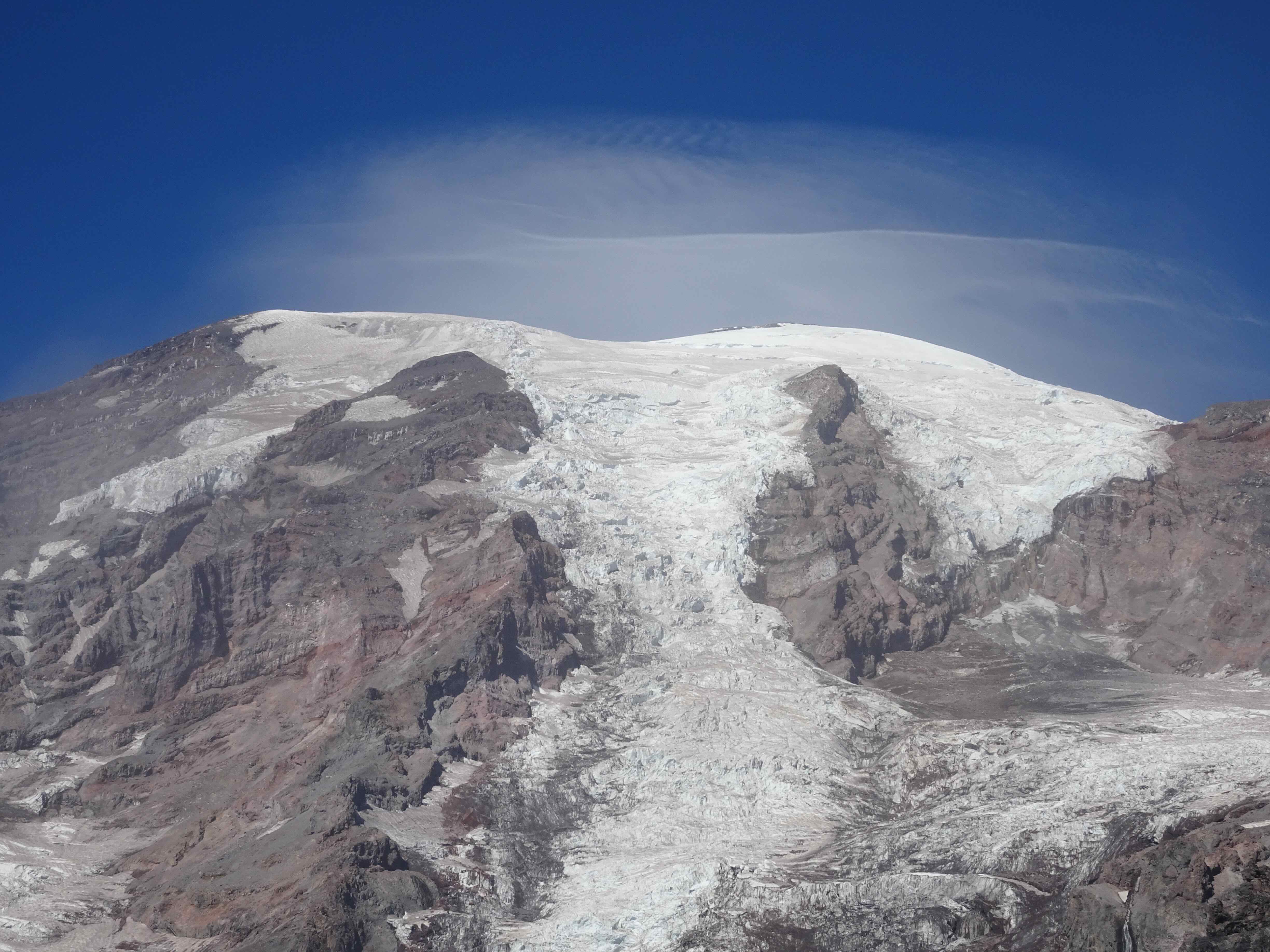
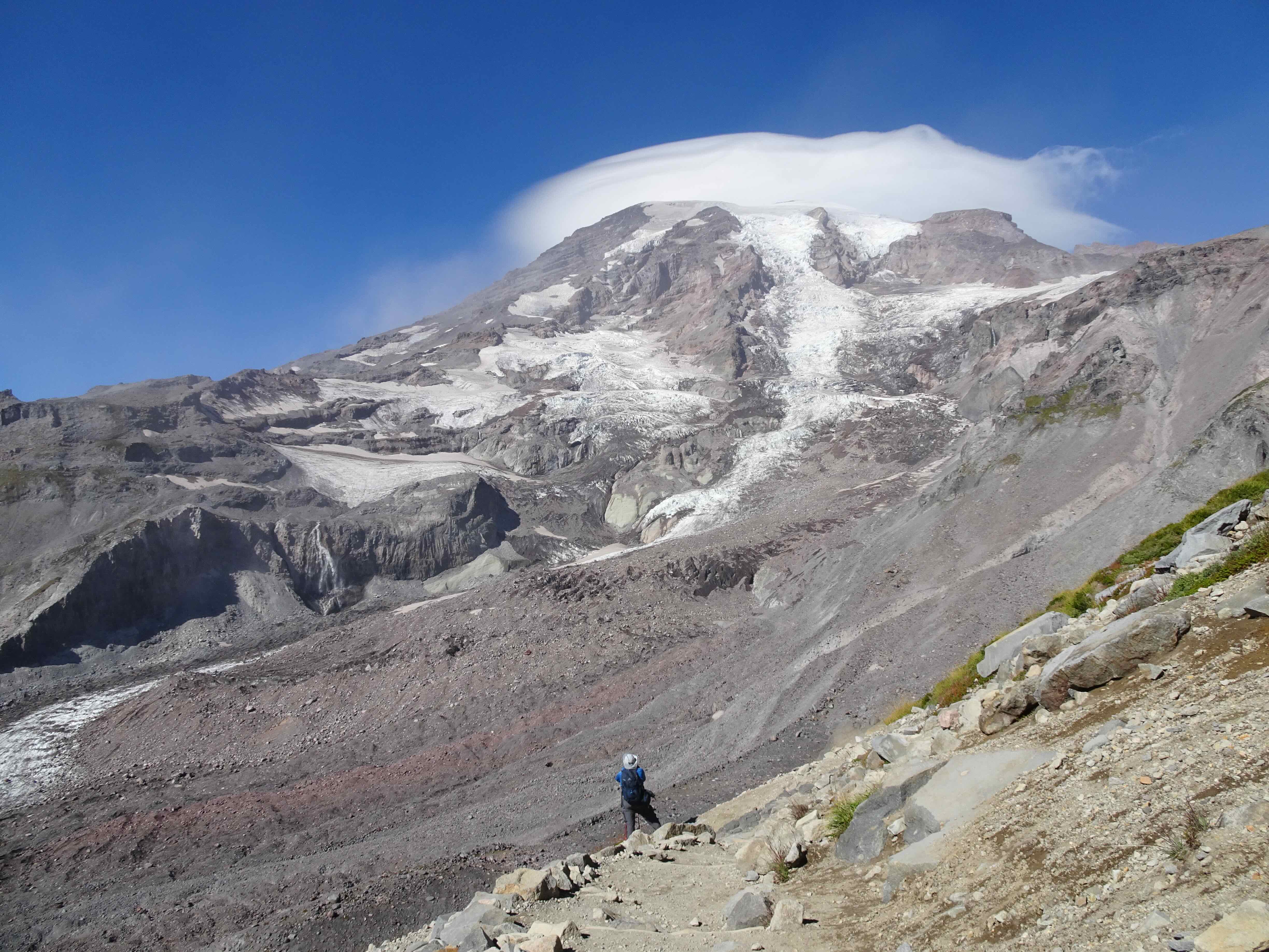
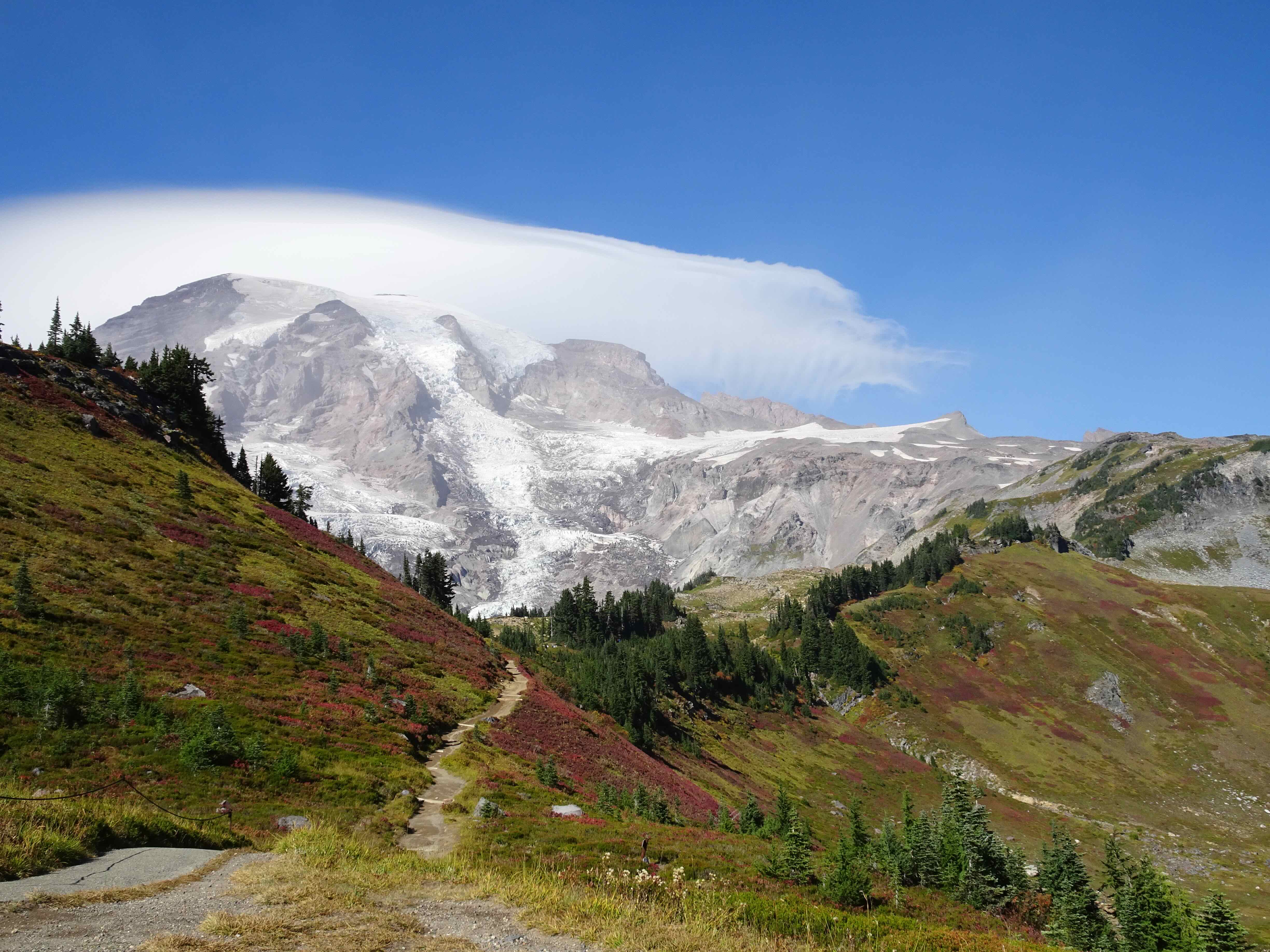
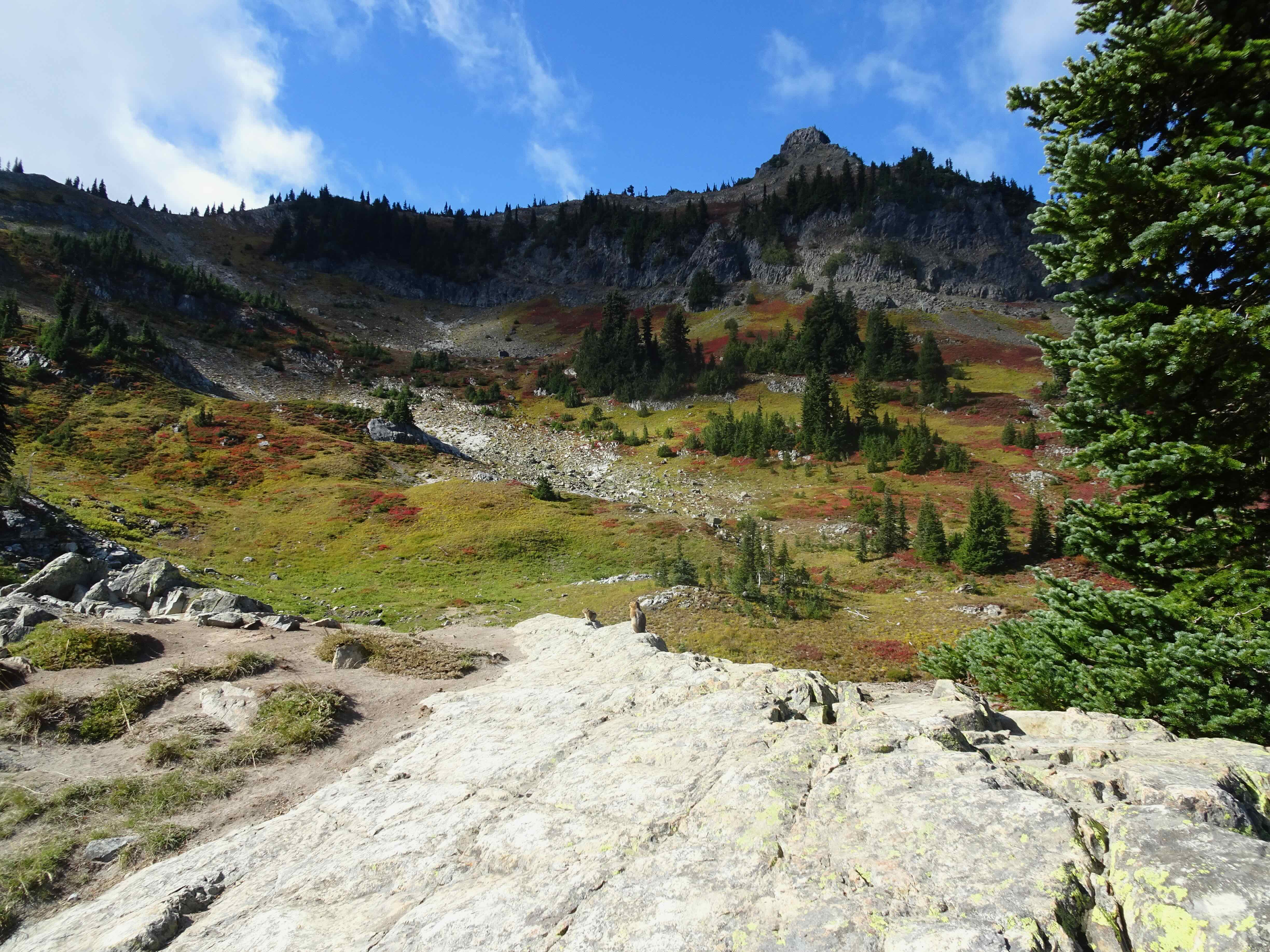
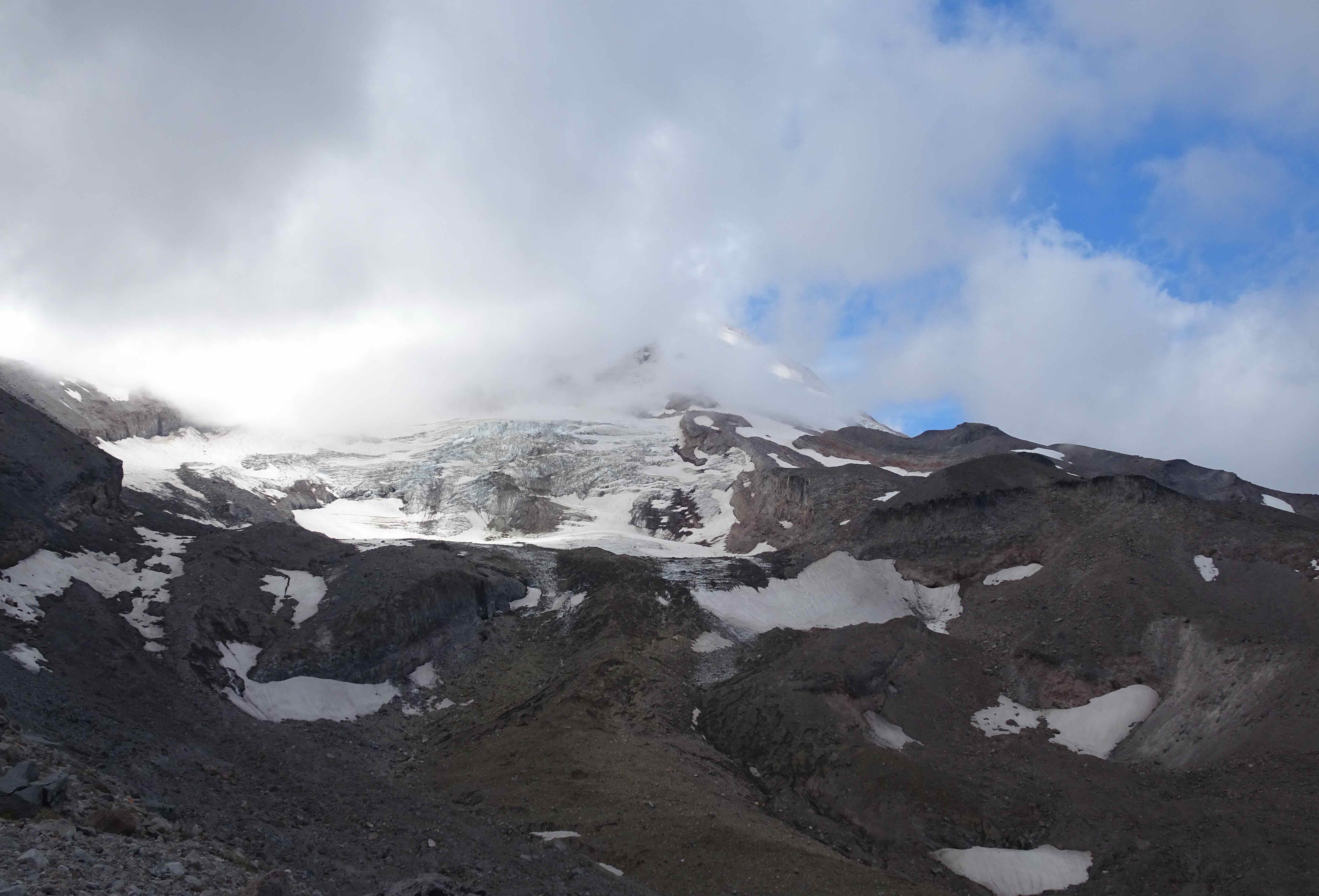
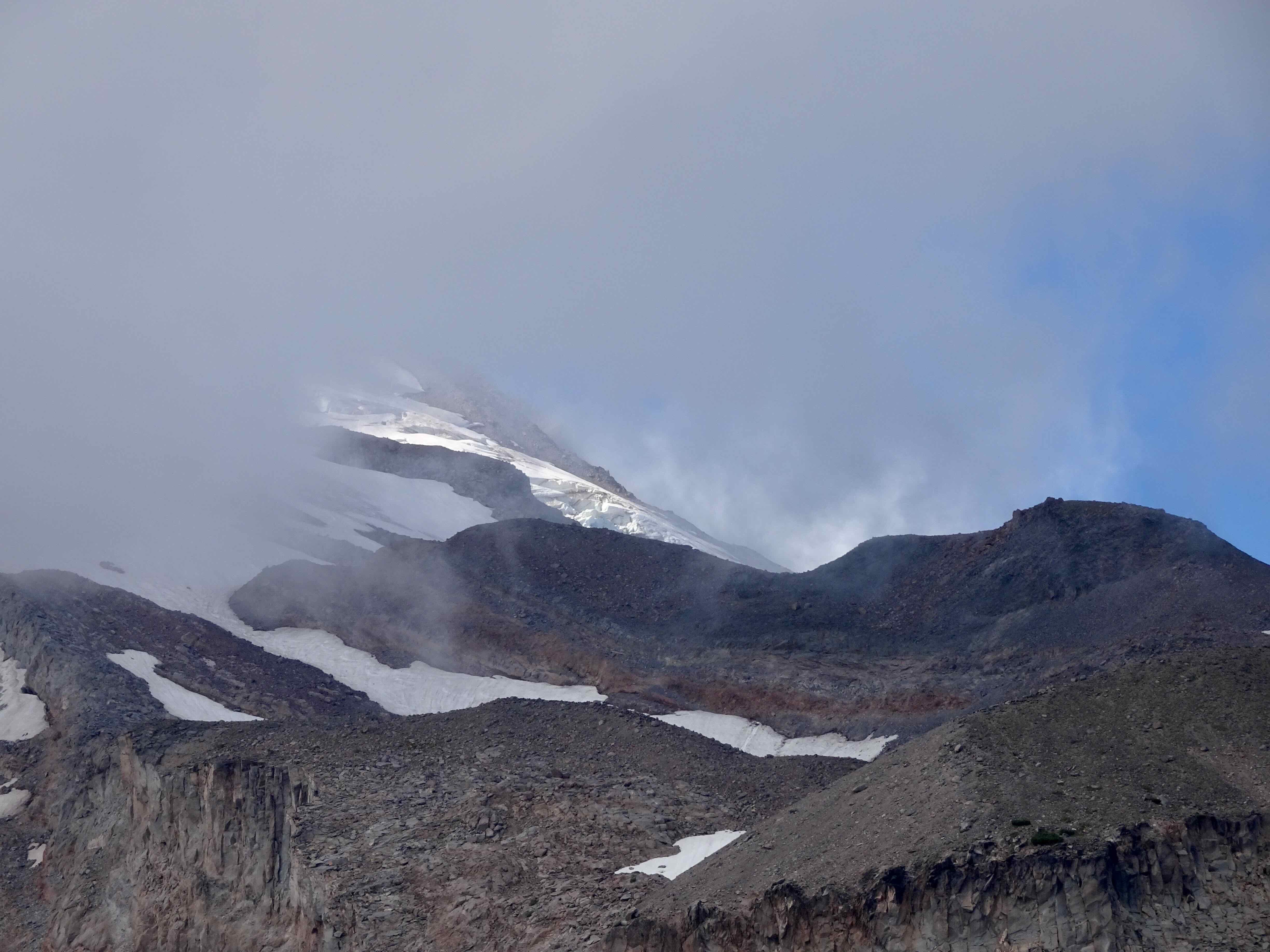
One of my favorite spaces on the edge of the sky…requiring a long drive up a deteriorating road to the trailhead at the Cloud Cap Campground (elev. 5800 feet). Then up the rocky and sandy East Eliot Moraine trail, a few close ups of the Eliot Glacier during our lunch stop, a visit to the Cloud Cap Shelter, then a gradually rising track across the alpine slopes to the 7300 foot high point on the Timberline Trail. The mountain was mostly under the cloud cap today, but I still and always enjoy the elevation and the views!

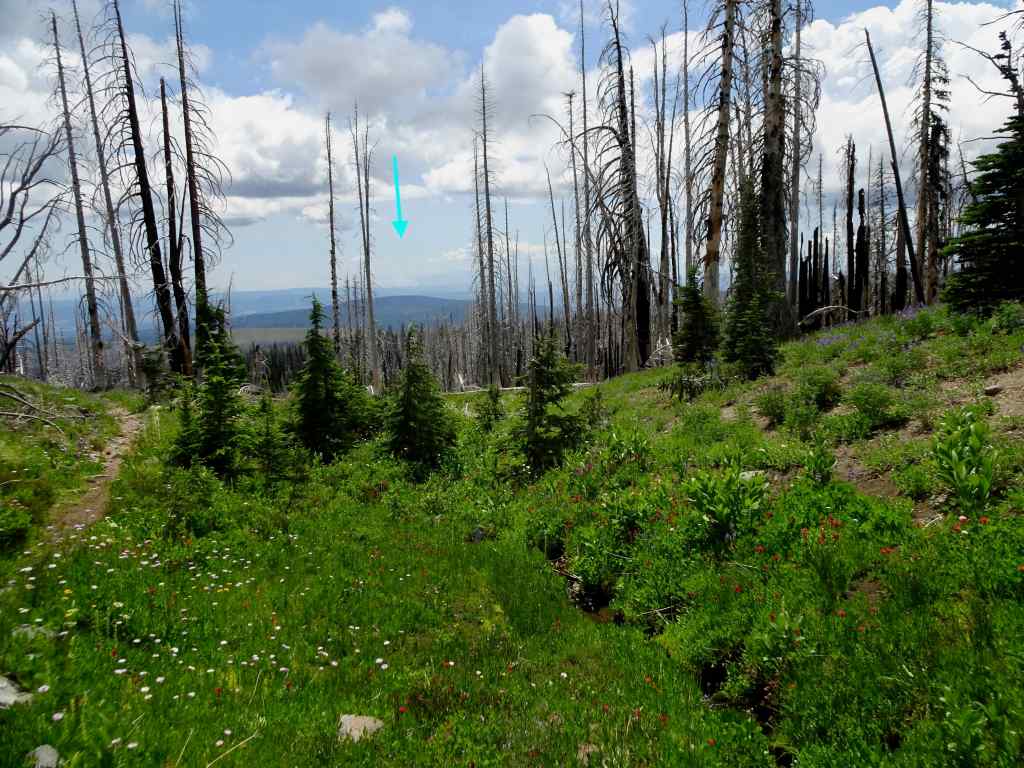
Looking northeast from the East Eliot Moraine – Mt Adams peeking through the clouds, and our starting point from the Cloud Cap Campground. The Cloud Cap Inn/Crag Rats Headquarters has a new roof!
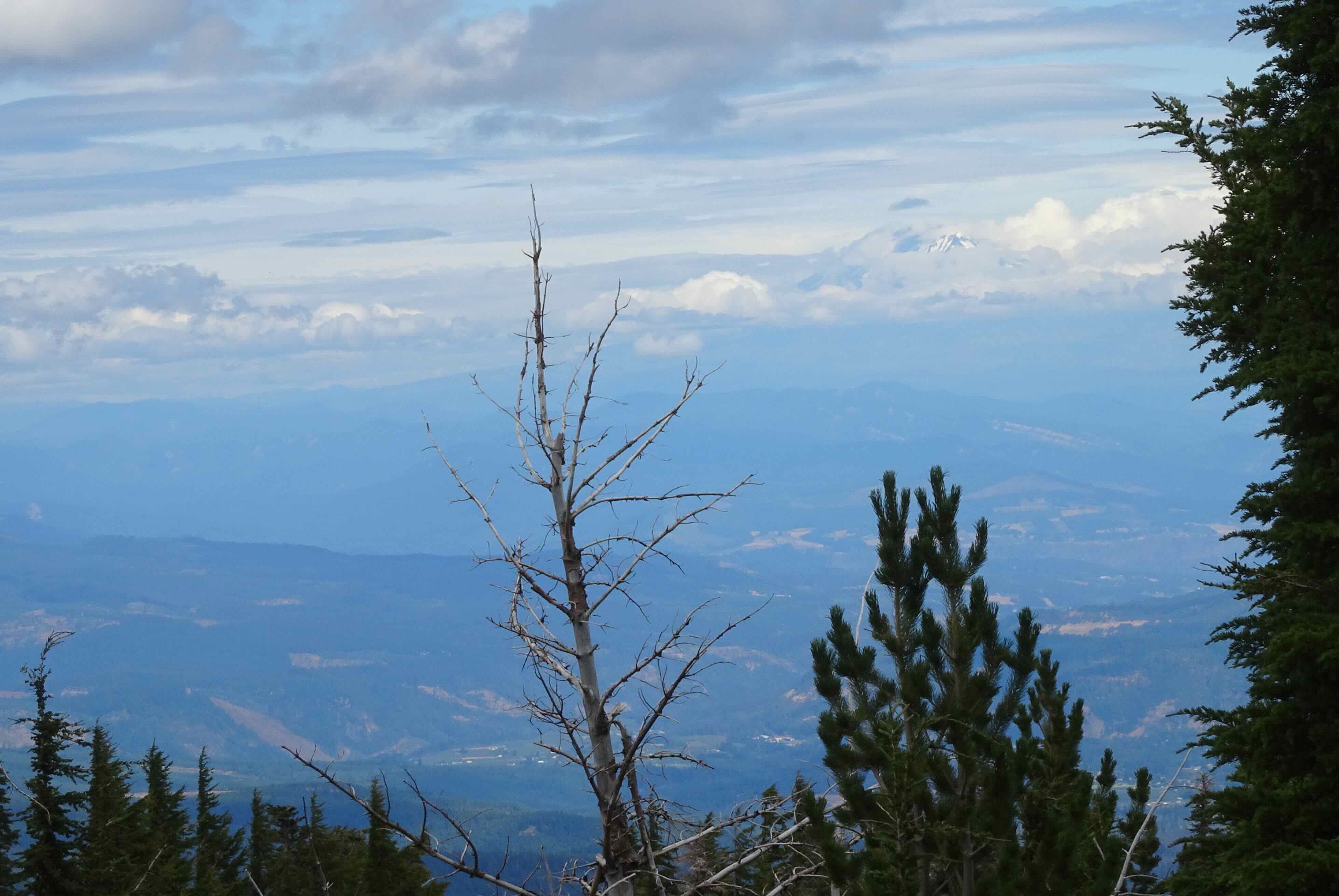
Zooming in on Mt Adams

Looking along our trail up the moraine toward the Eliot Glacier

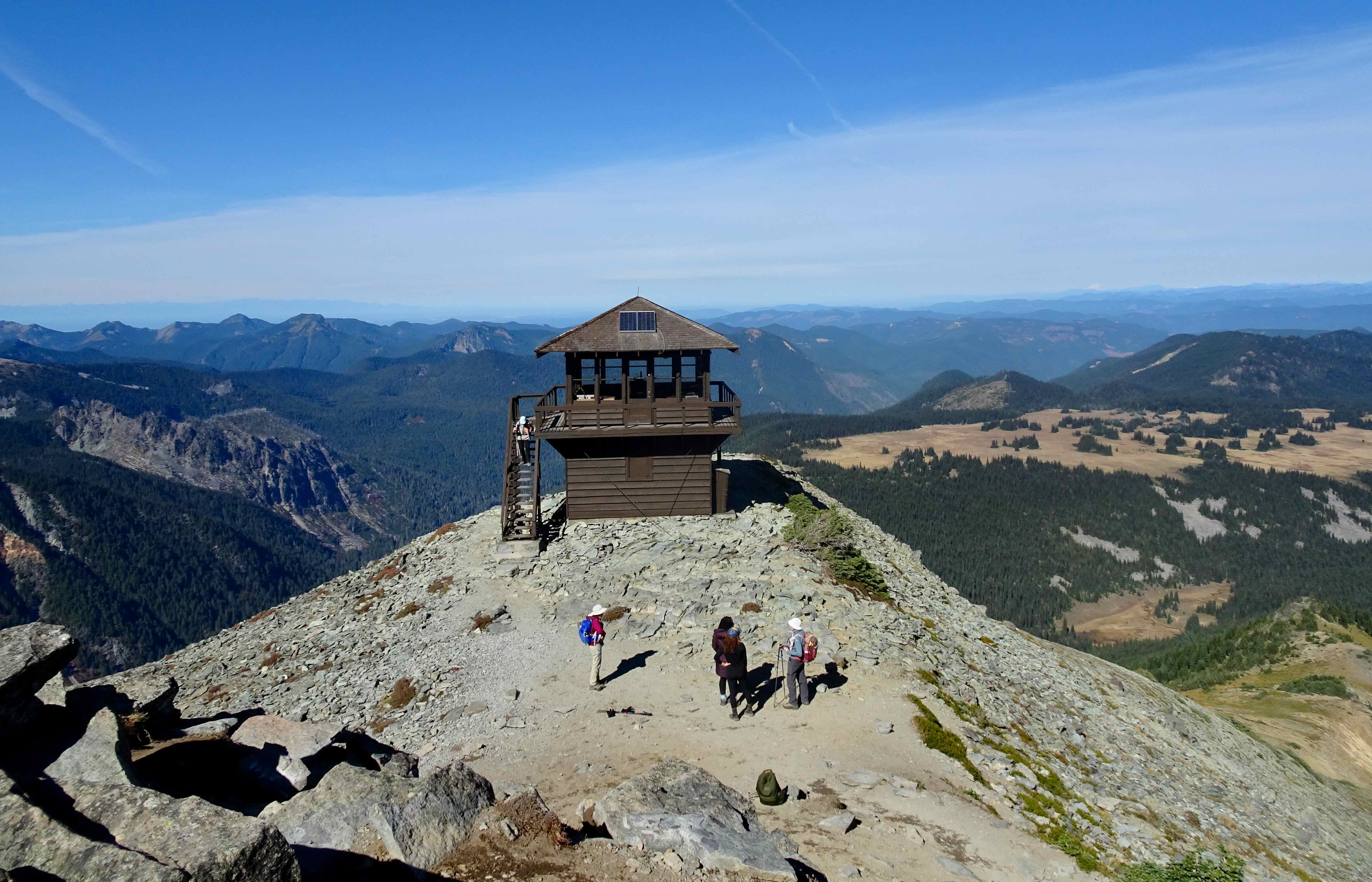
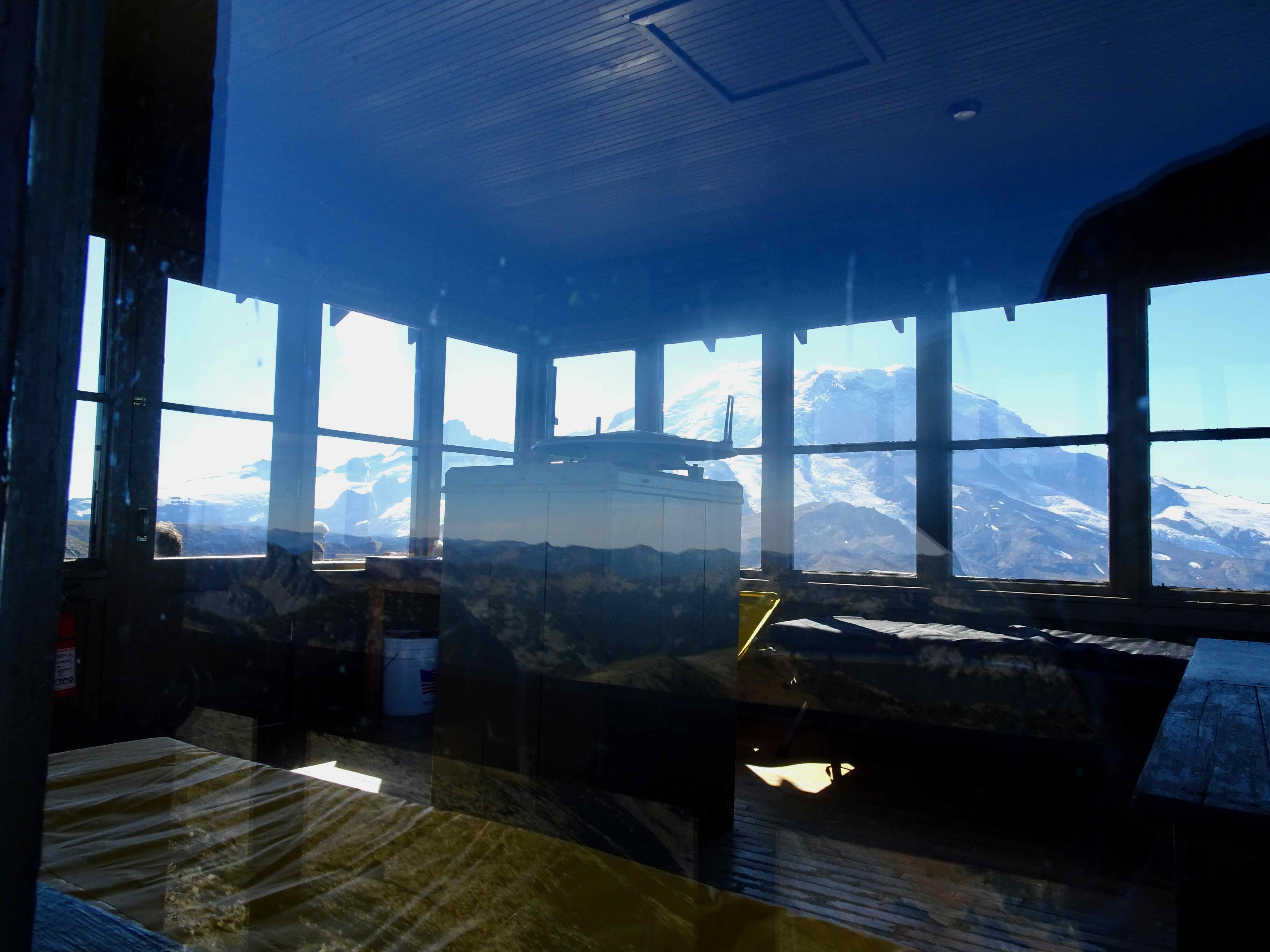
The Cloud Cap Shelter on the skyline
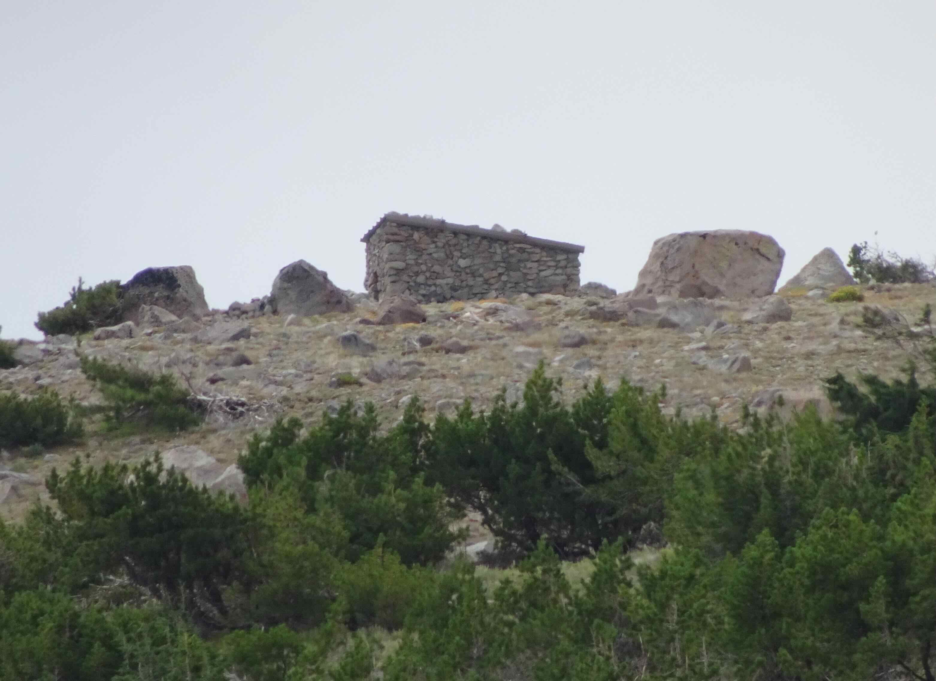
Zoom view
The mountain is trying to come out!

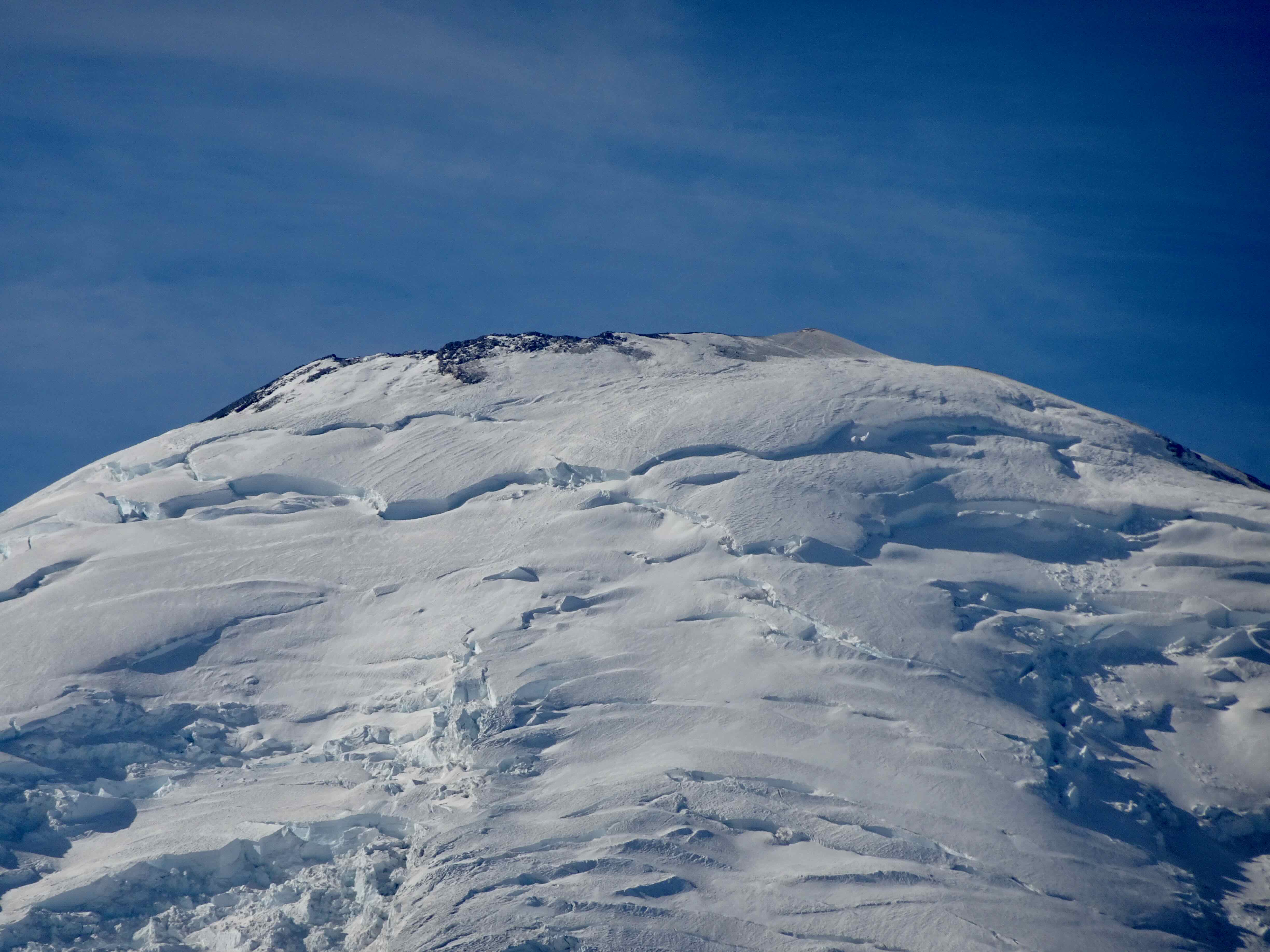
Eliot Glacier close ups…
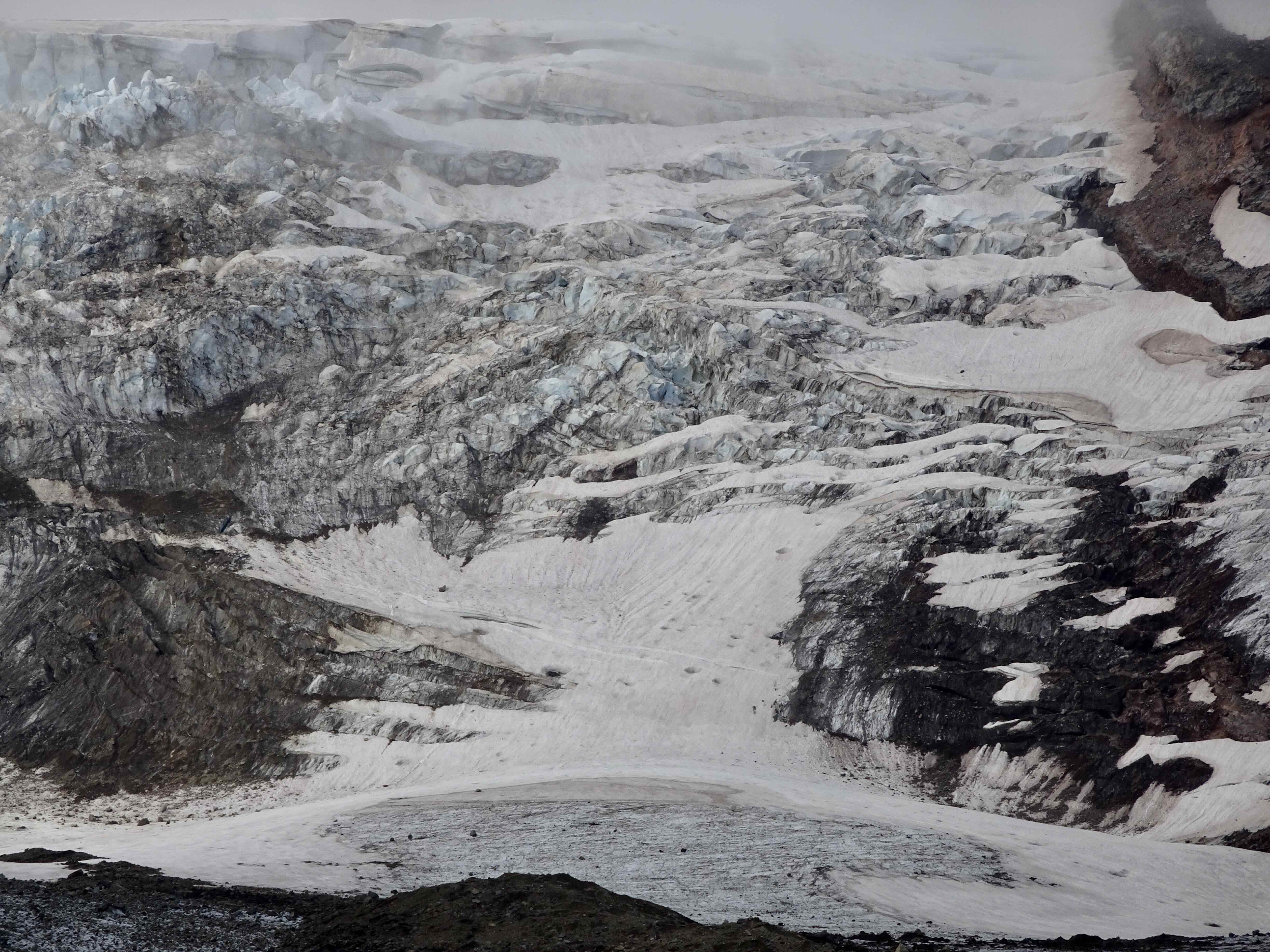
Elliot Glacier
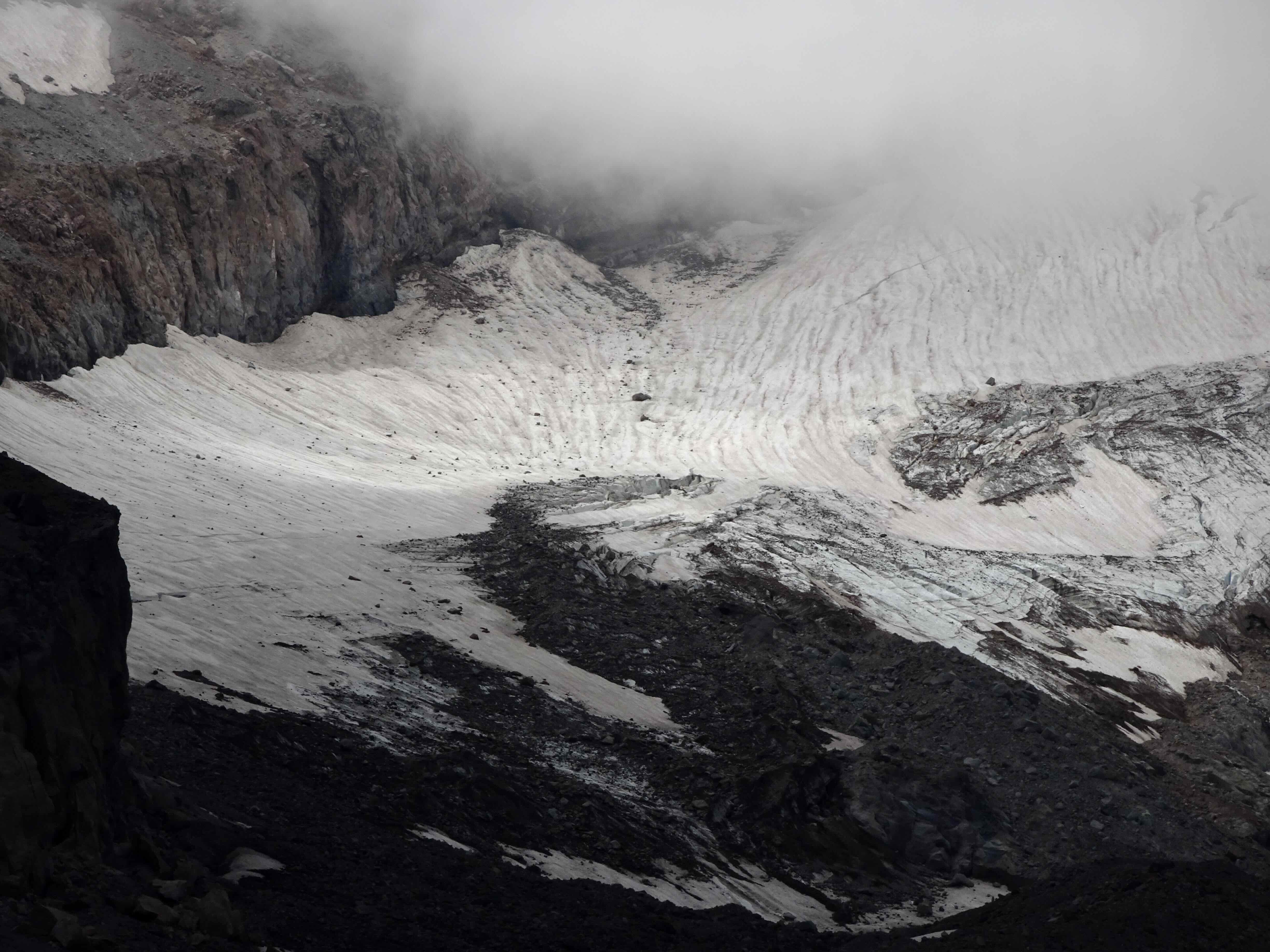
Eliot Glacier
Sun break
Crossing south to the Cloud Cap Shelter
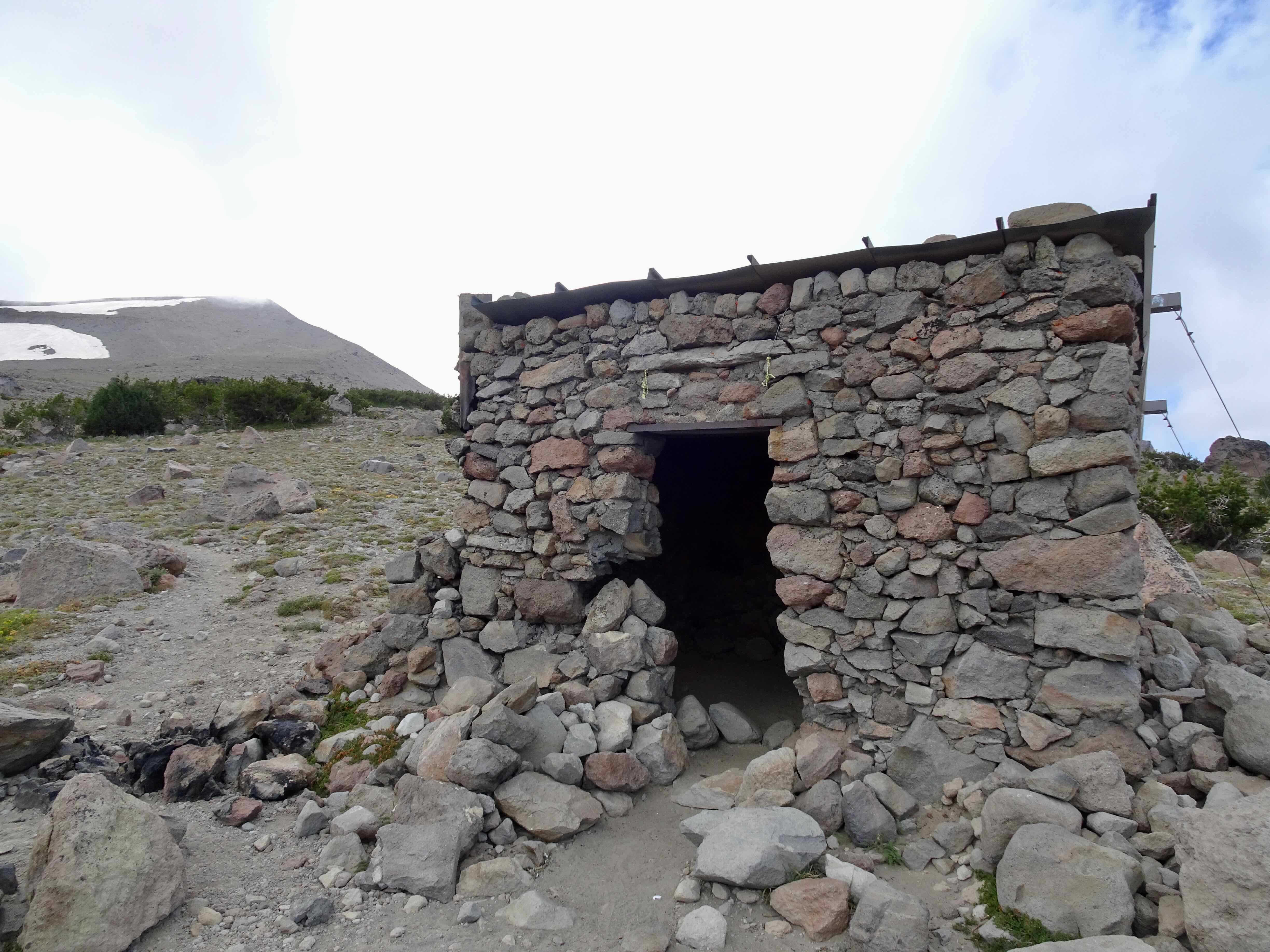
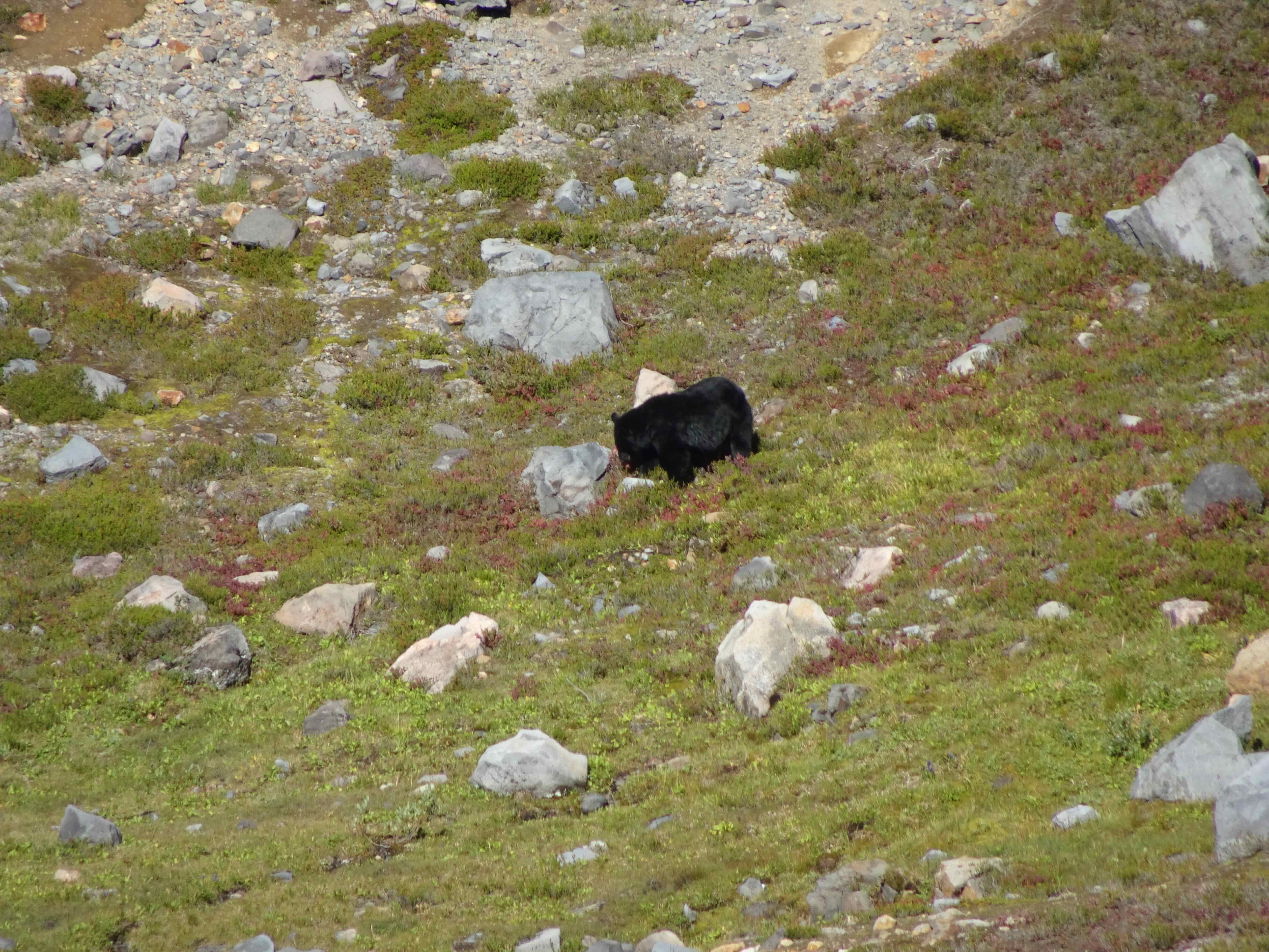
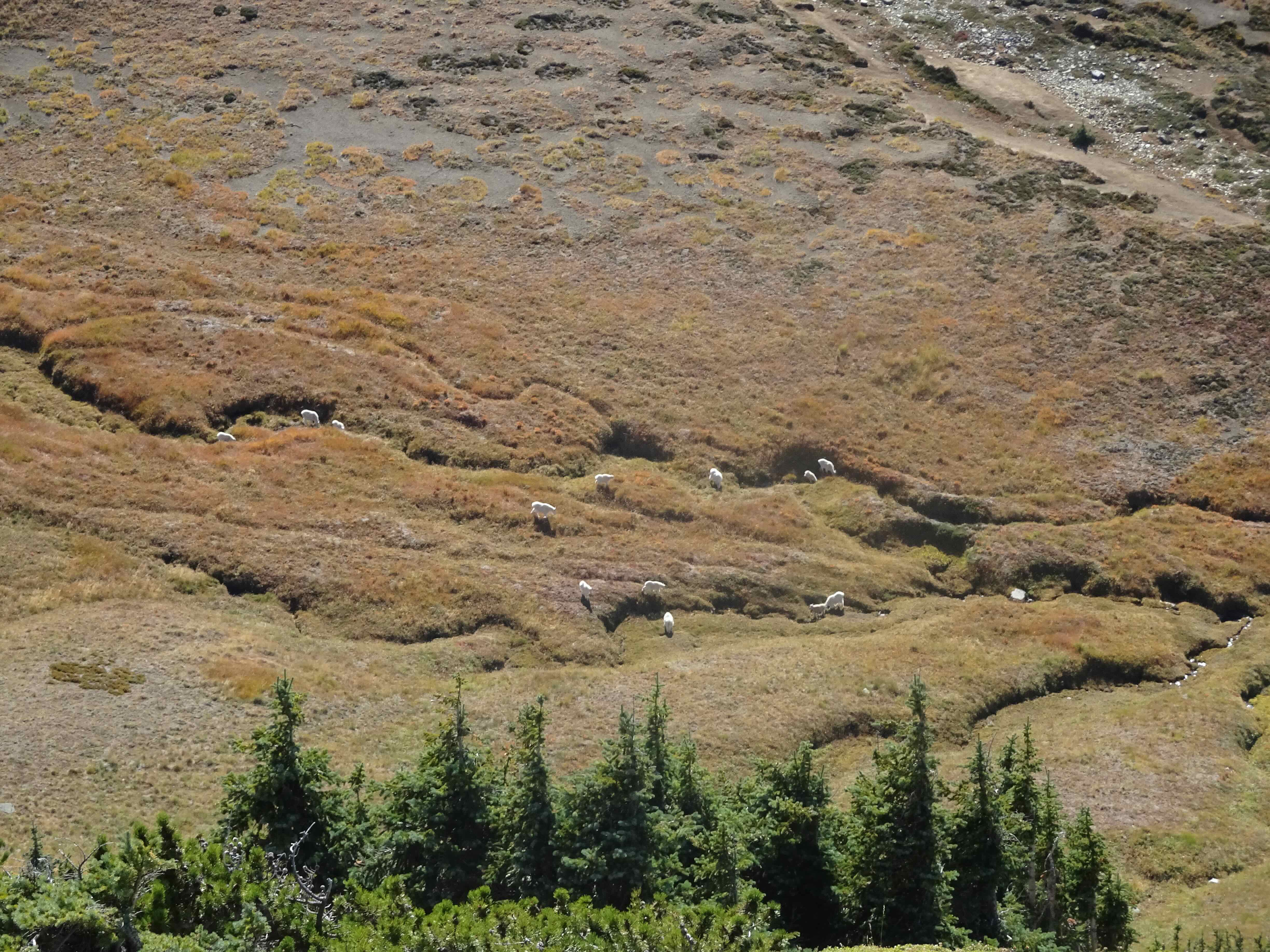
No one else here, though we did pass a few groups of backpackers today.
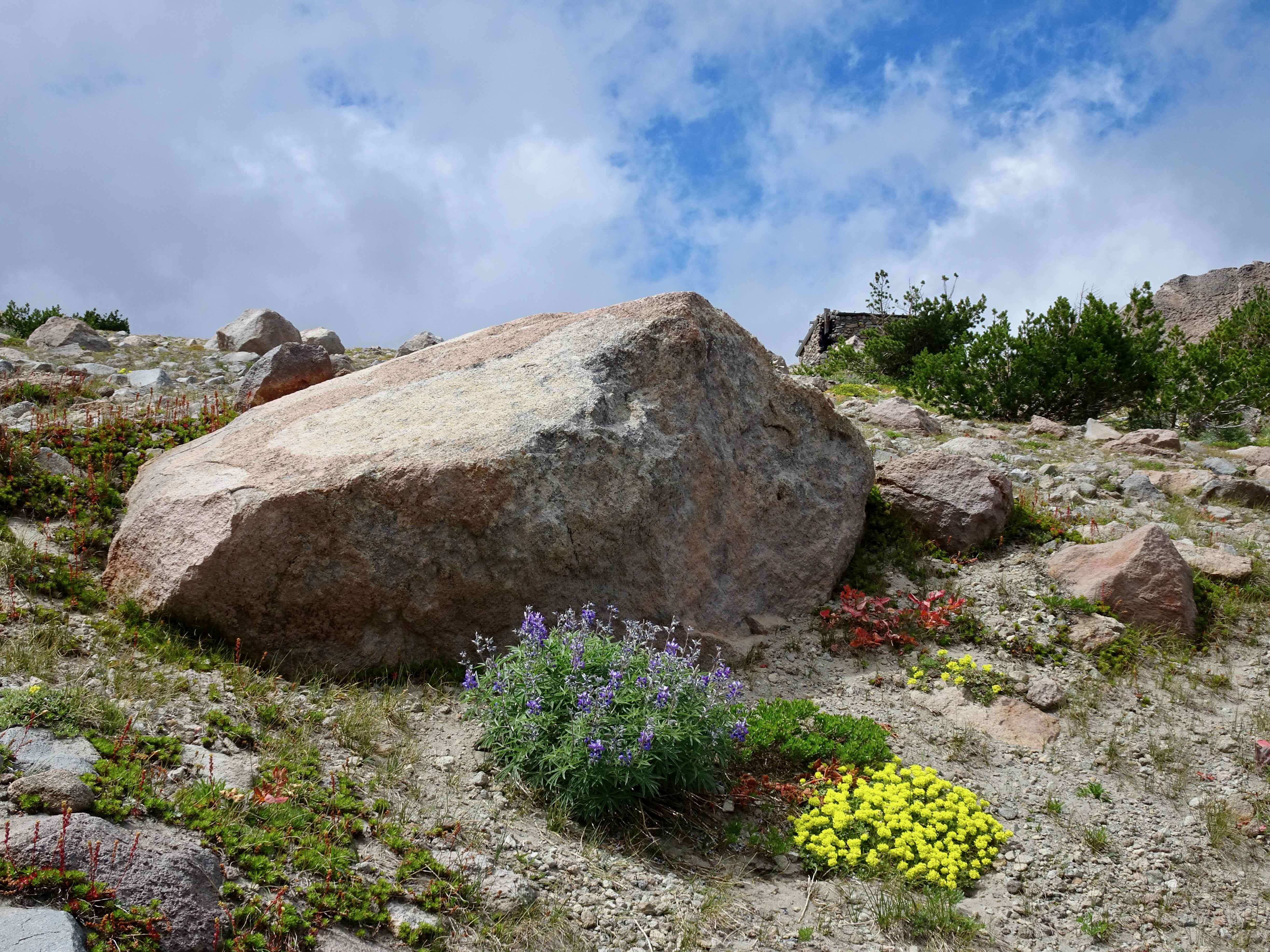
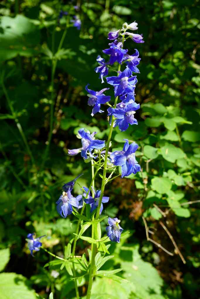
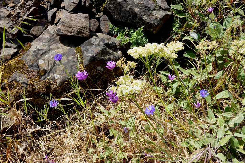
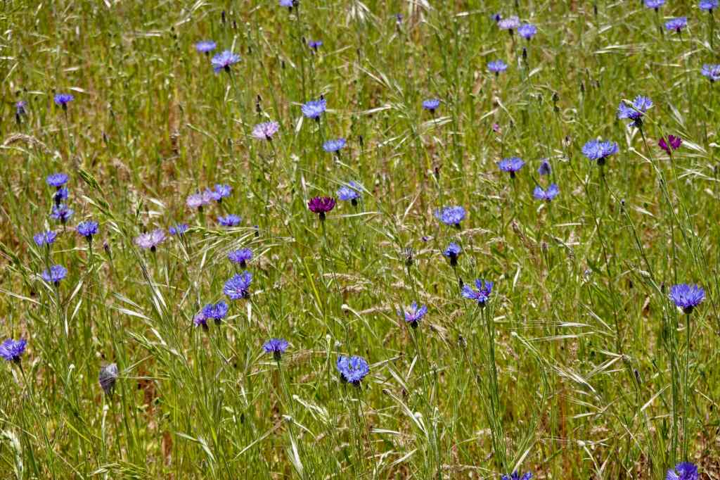
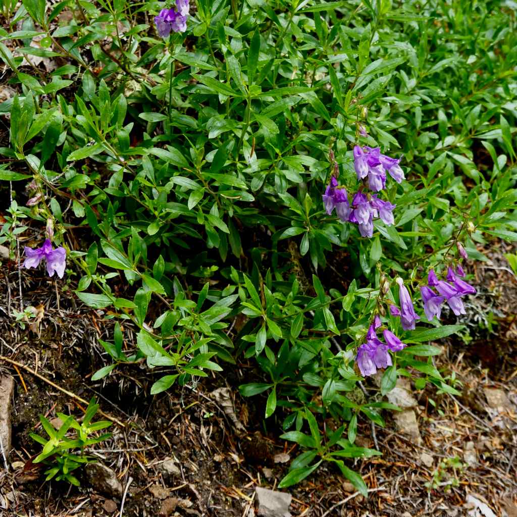
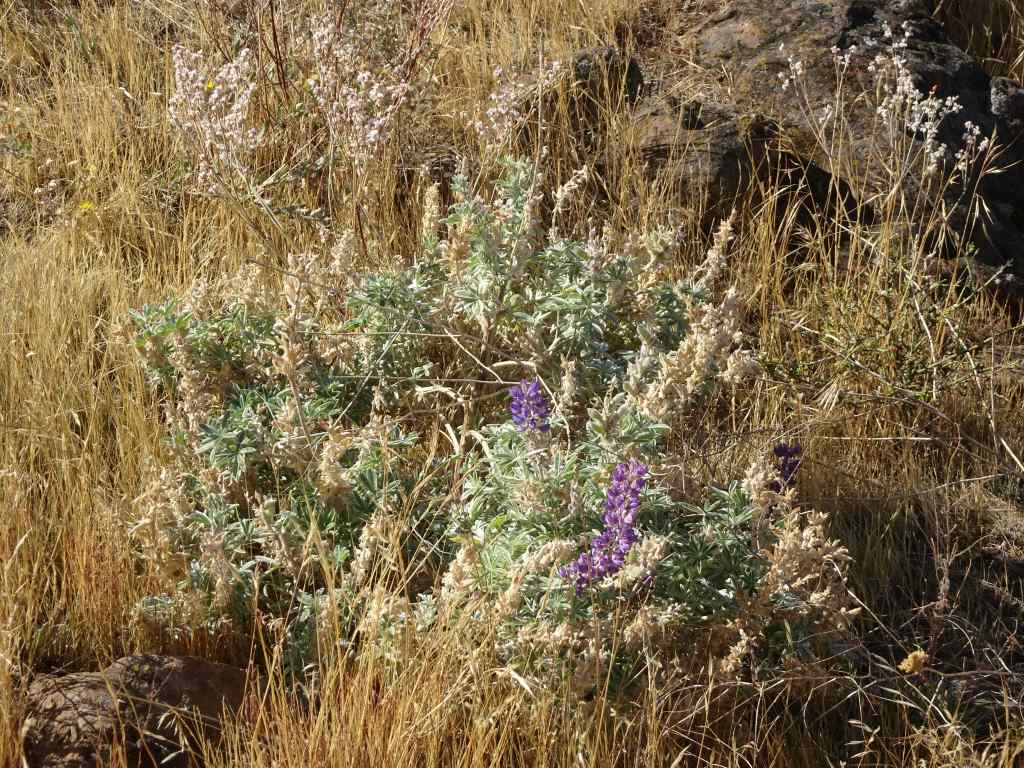
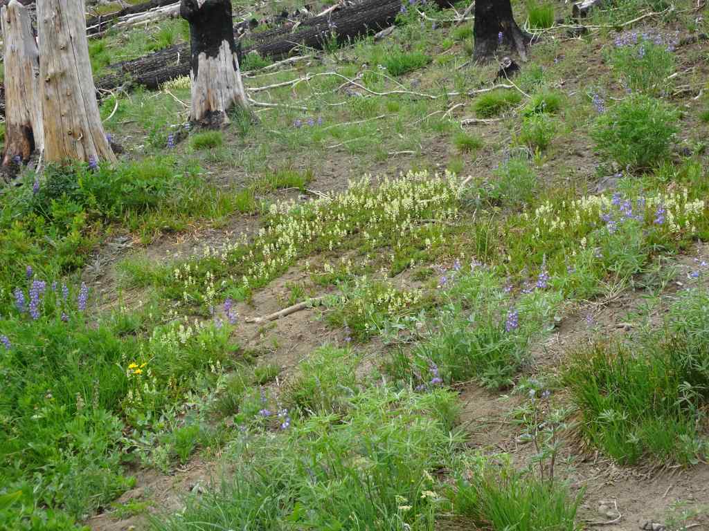
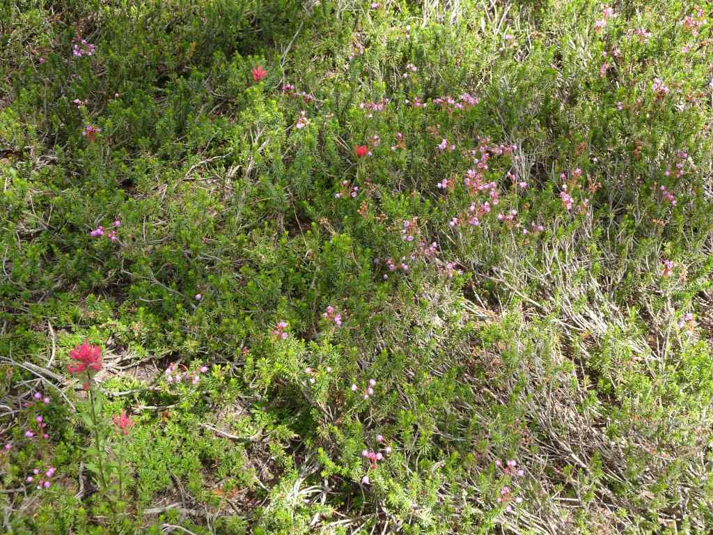
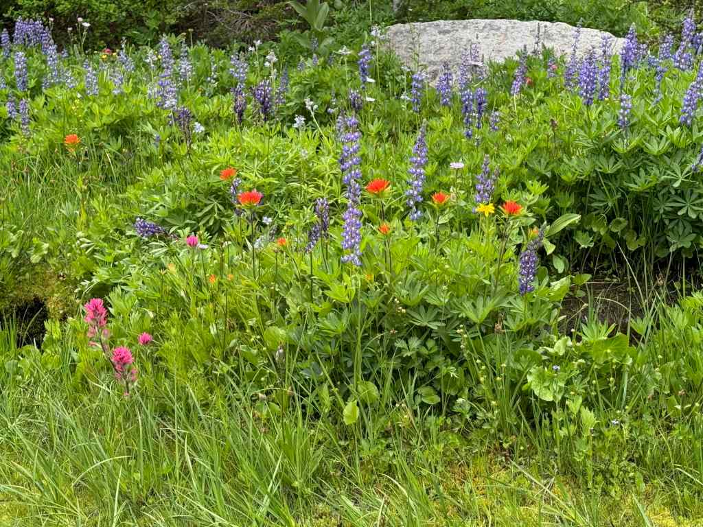
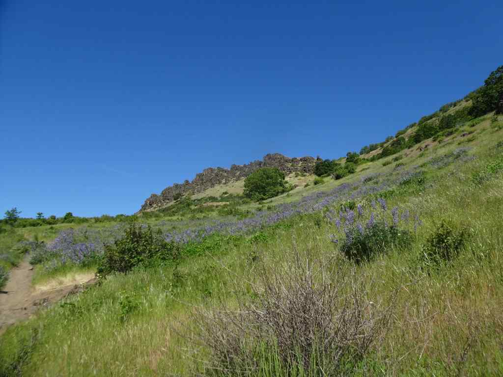
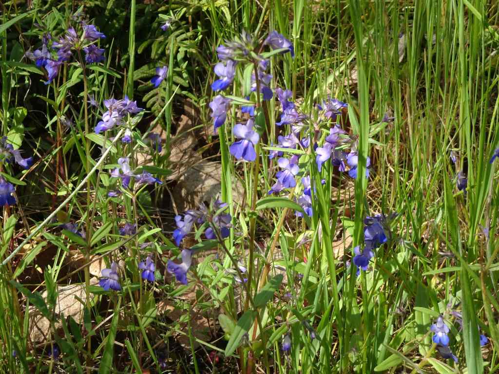
Lupine and buckwheat
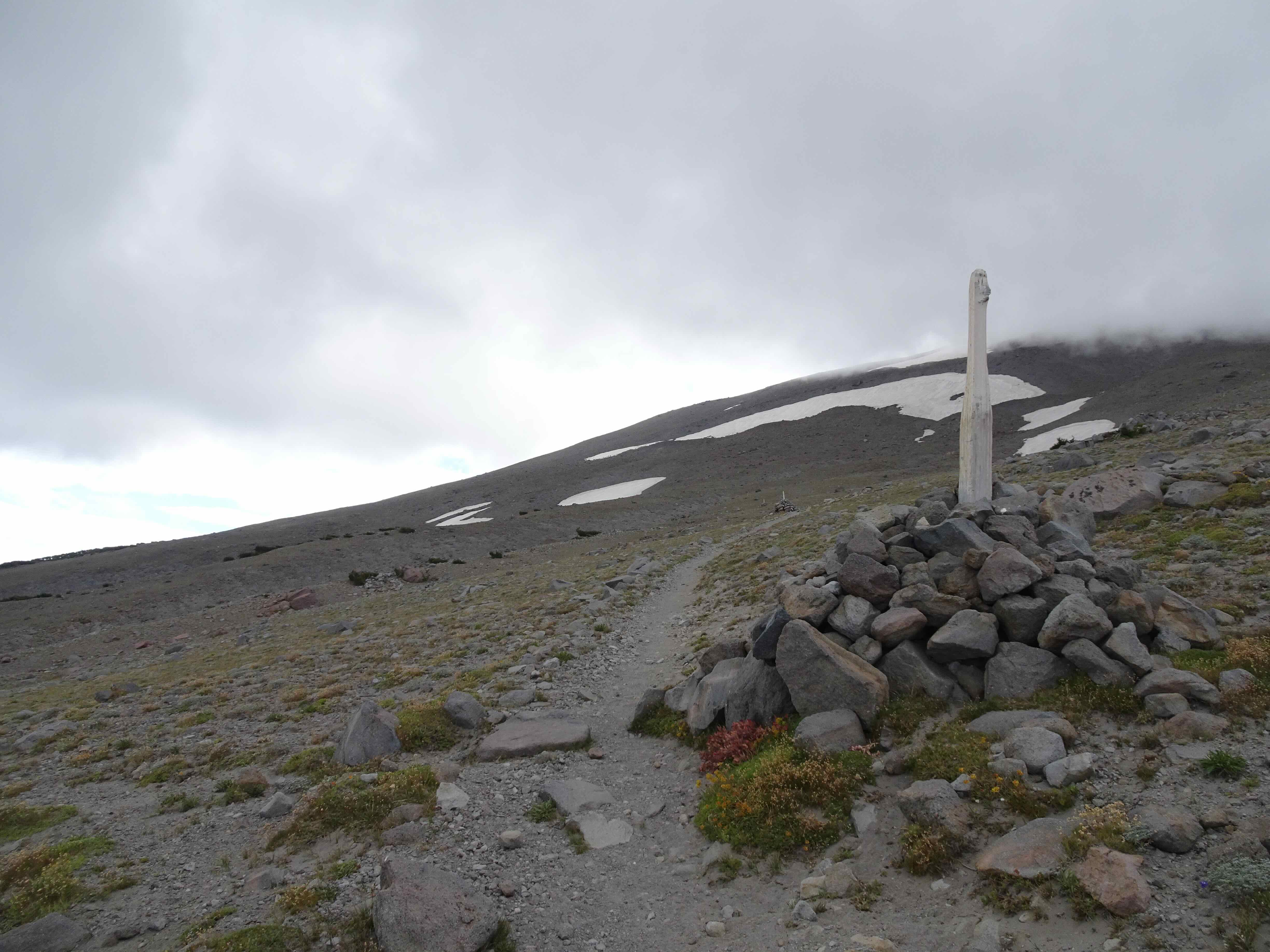
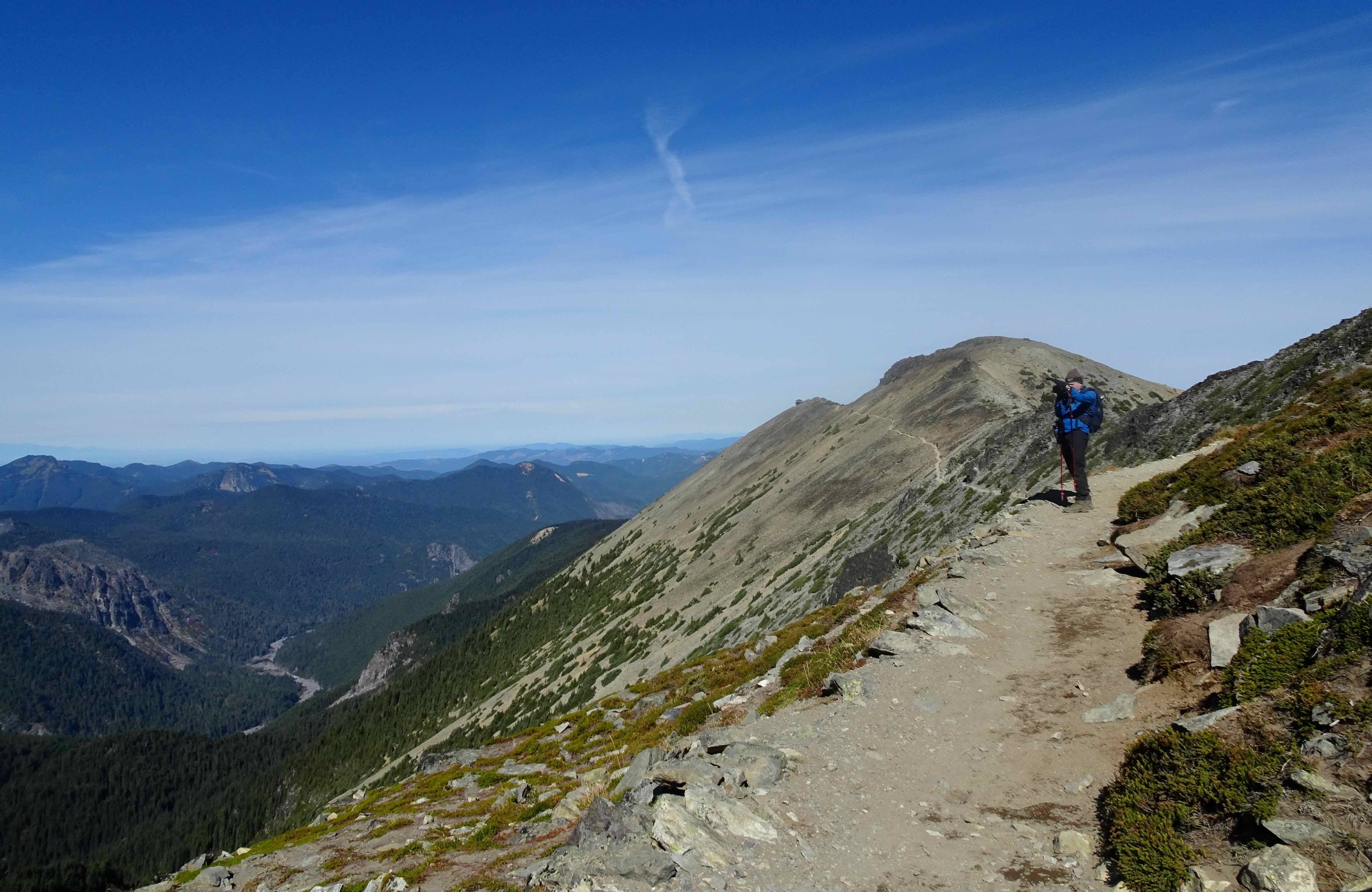
Southbound along the cairn-posted Timberline Trail
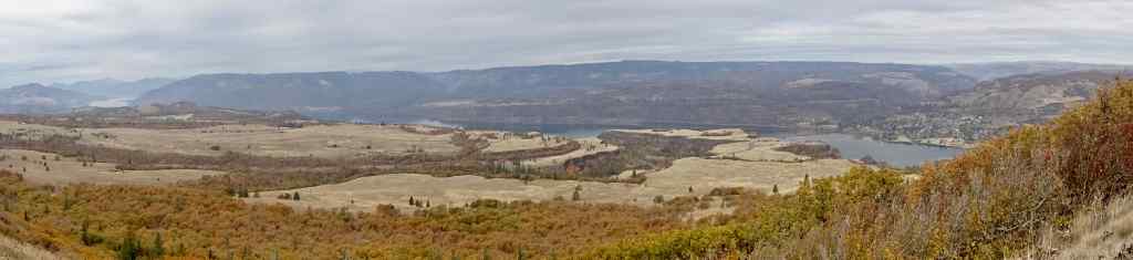
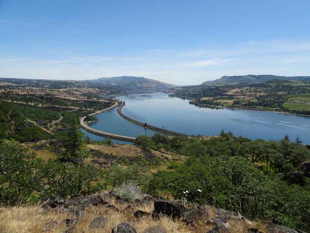
And looking back northeast – the Hood River Valley beyond.
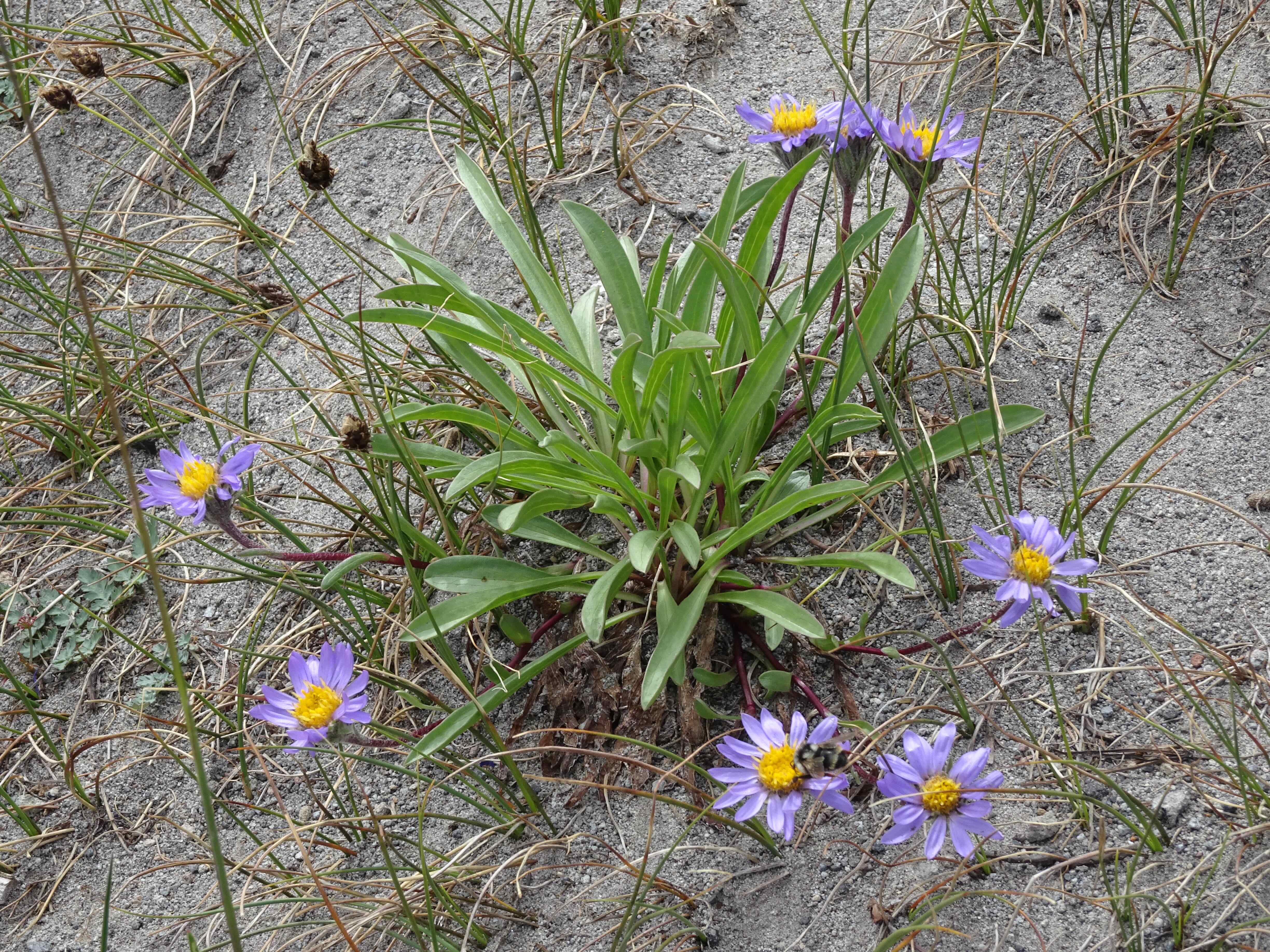
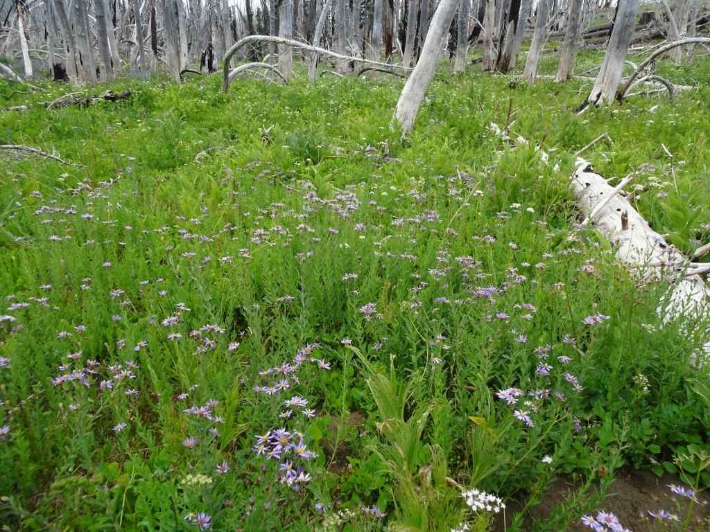
Asters
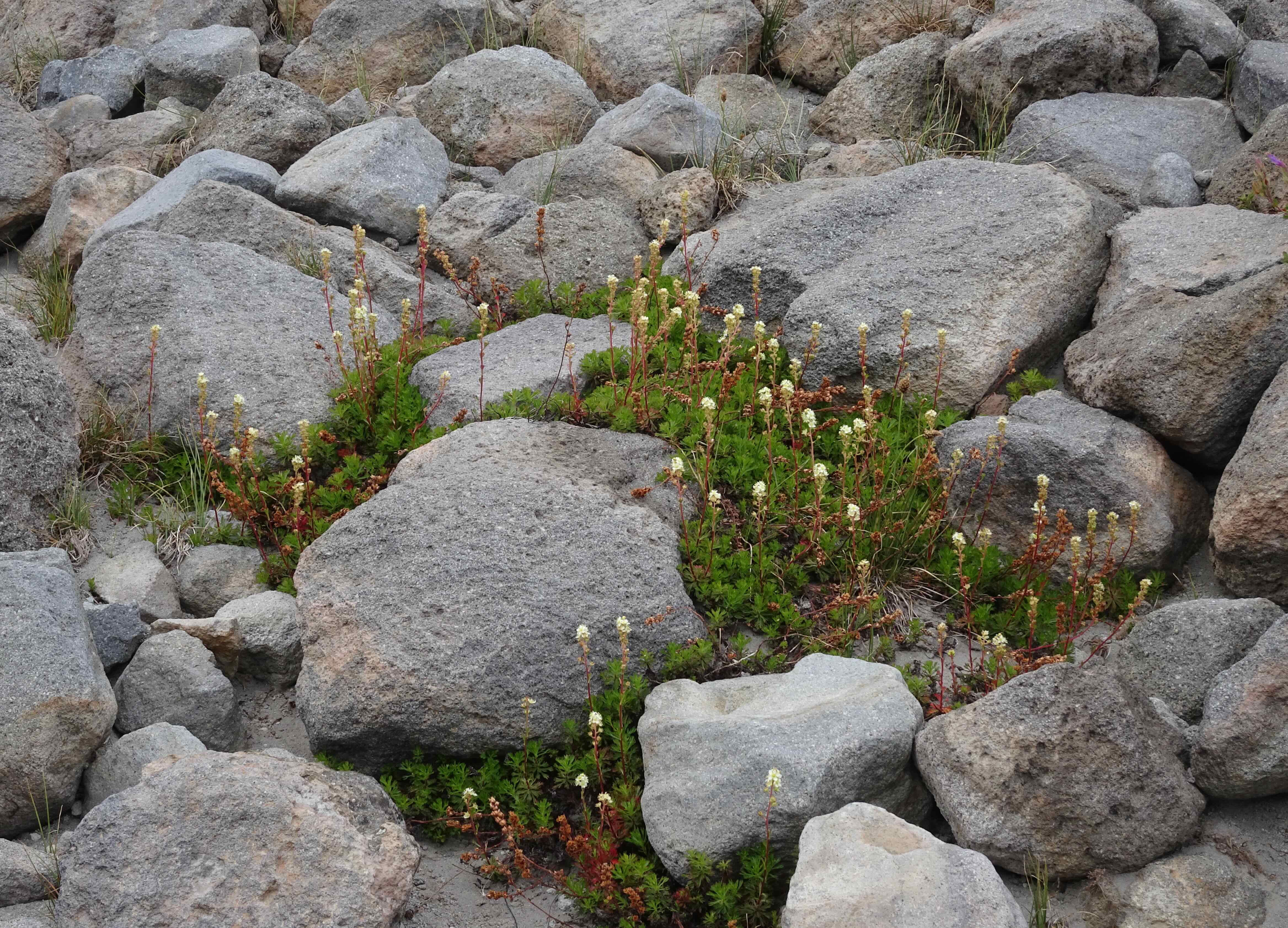
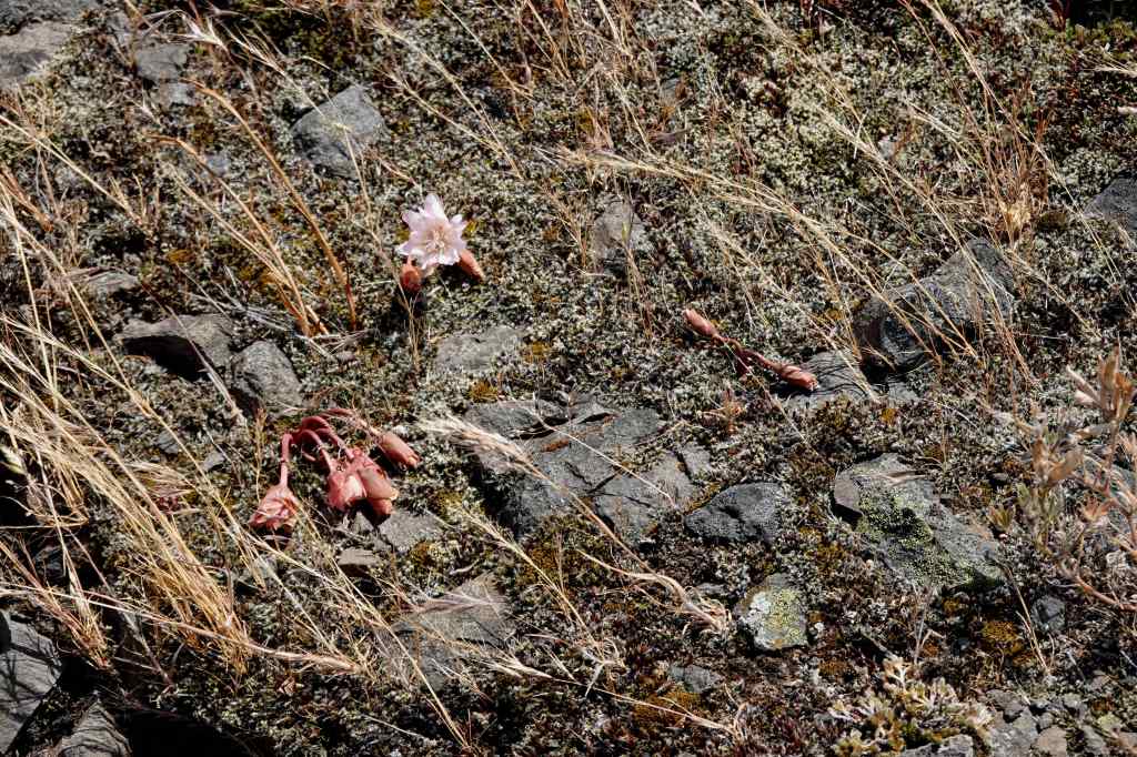
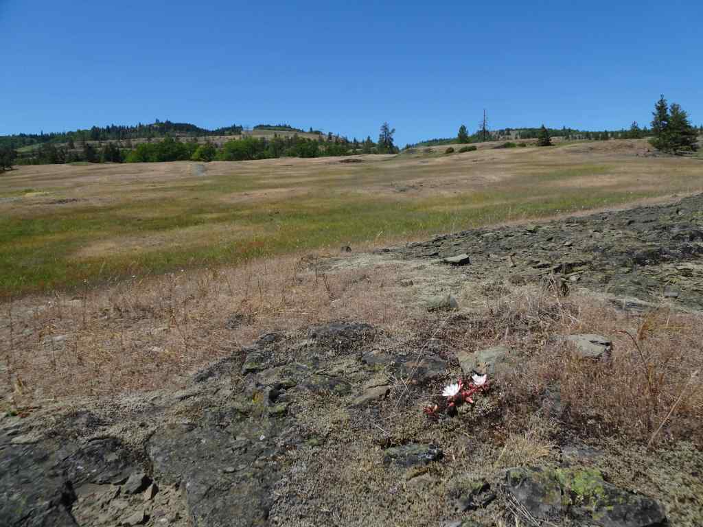
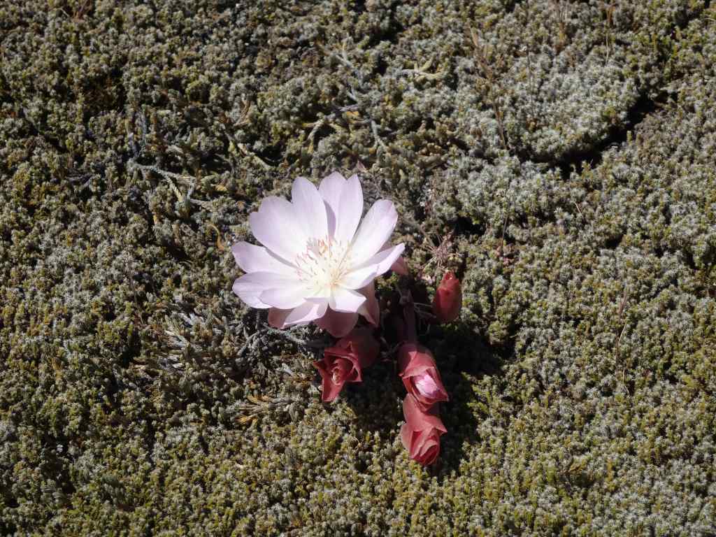
Partridge foot

A few short snow crossings
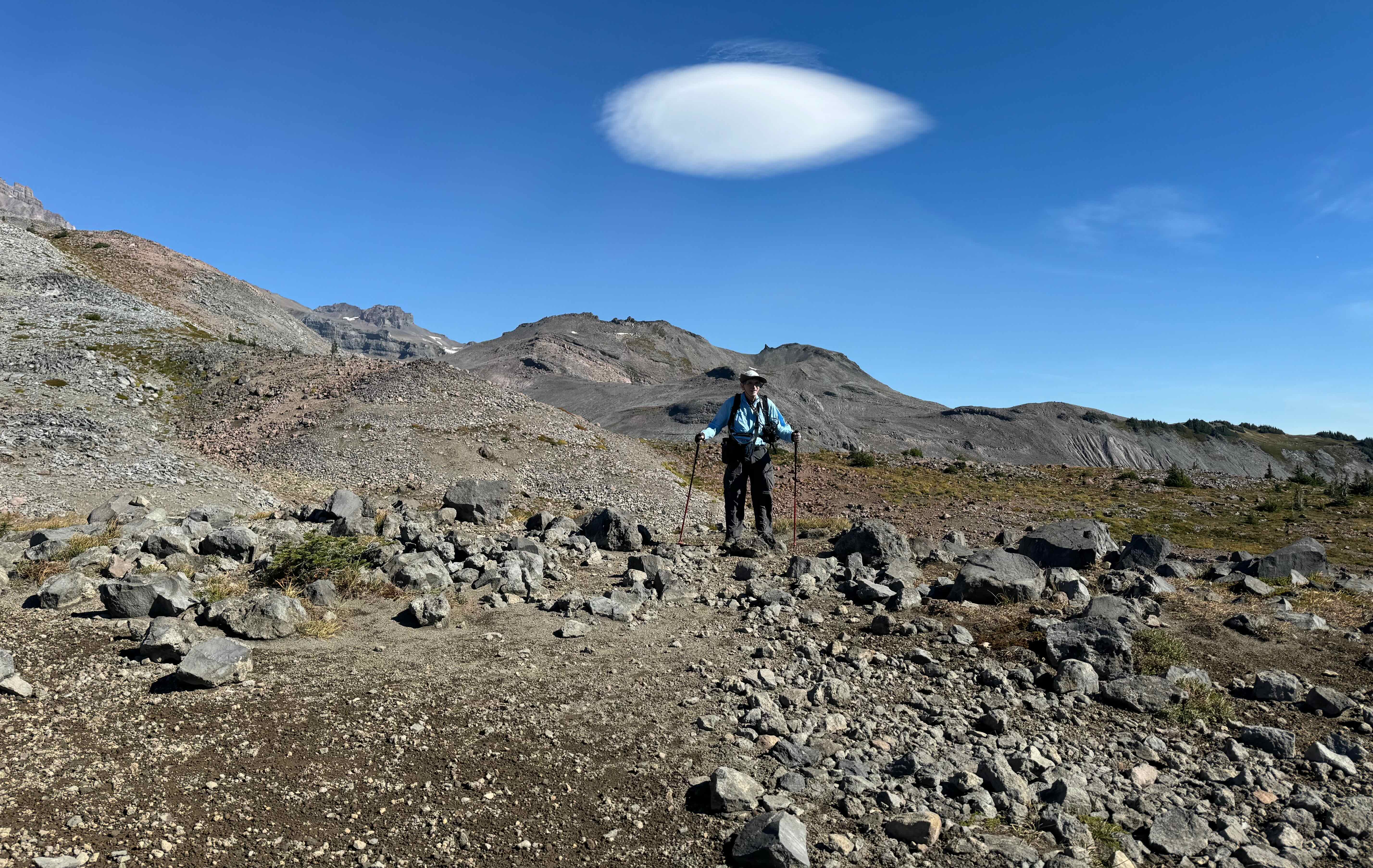
Approaching the high point of the Timberline Trail

My husband took this photo of me walking along the high point ridge to our usual rest stop.

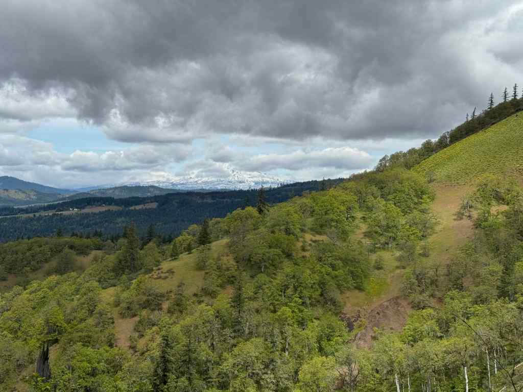
The other side of the ridge – Mt Jefferson on the horizon. The Timberline Trail continues down to Gnarl Ridge.

Mini lupine

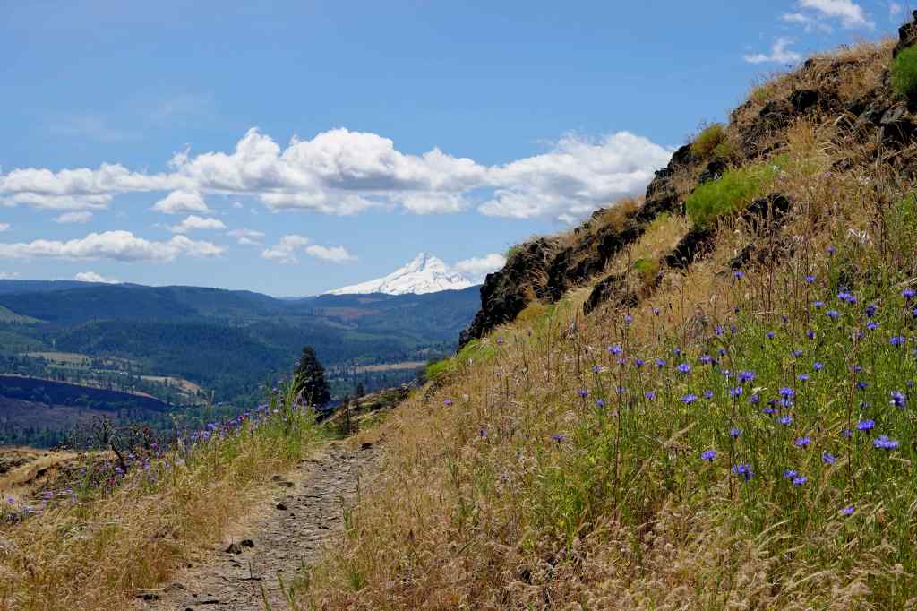
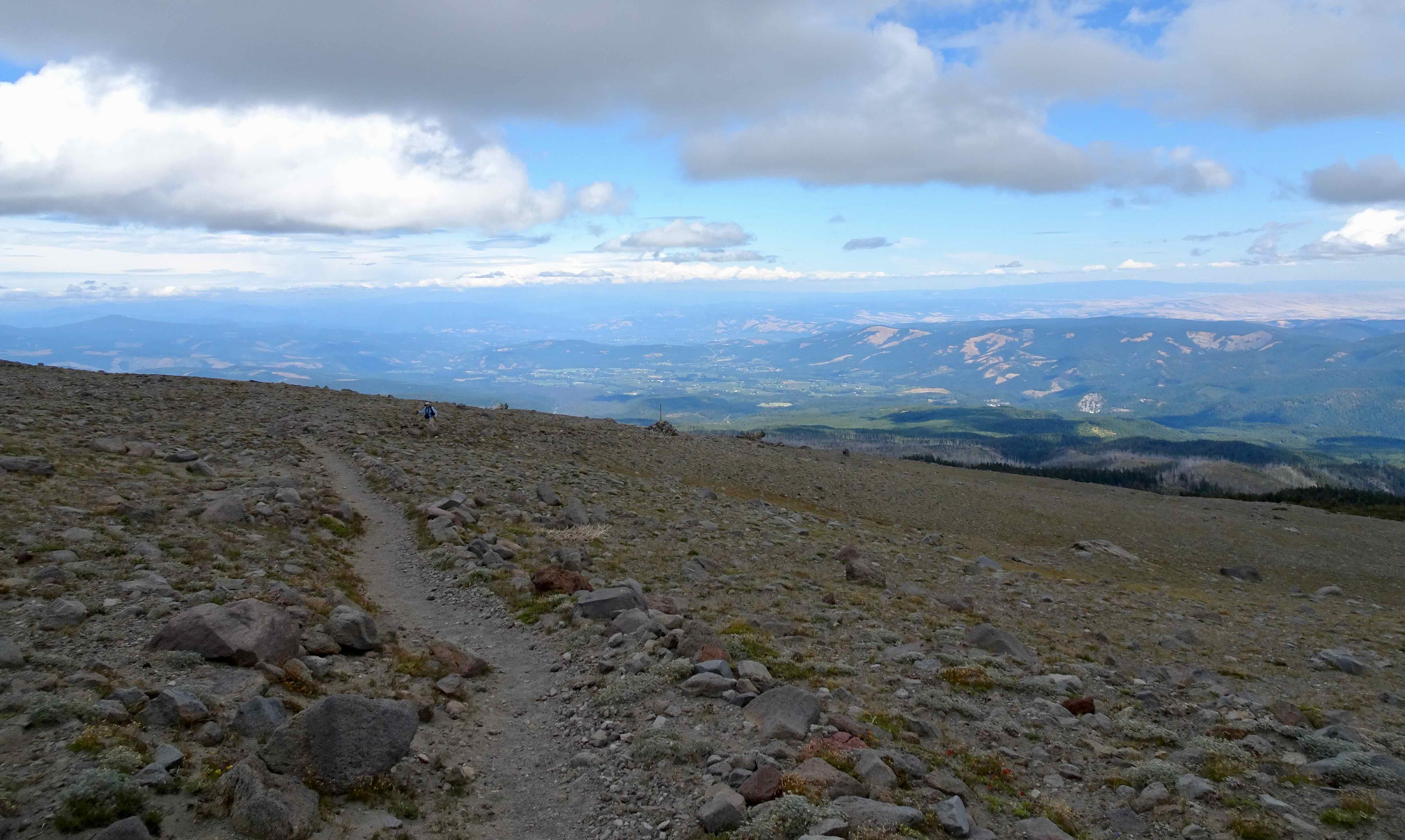
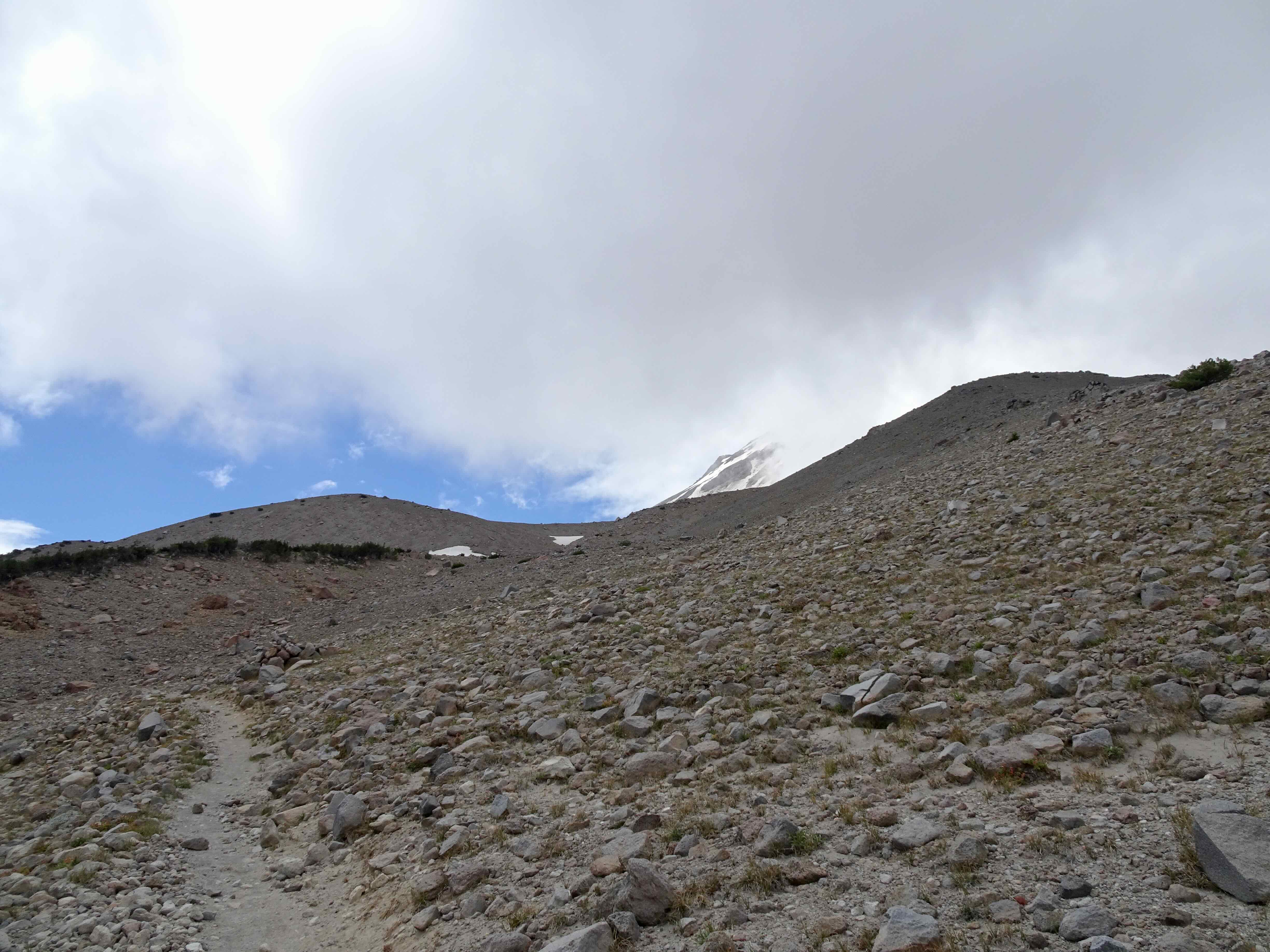
Heading back to the Timberline Trail high point saddle – We can see Cooper Spur, but the top of Mt Hood is still hiding under the cloud.
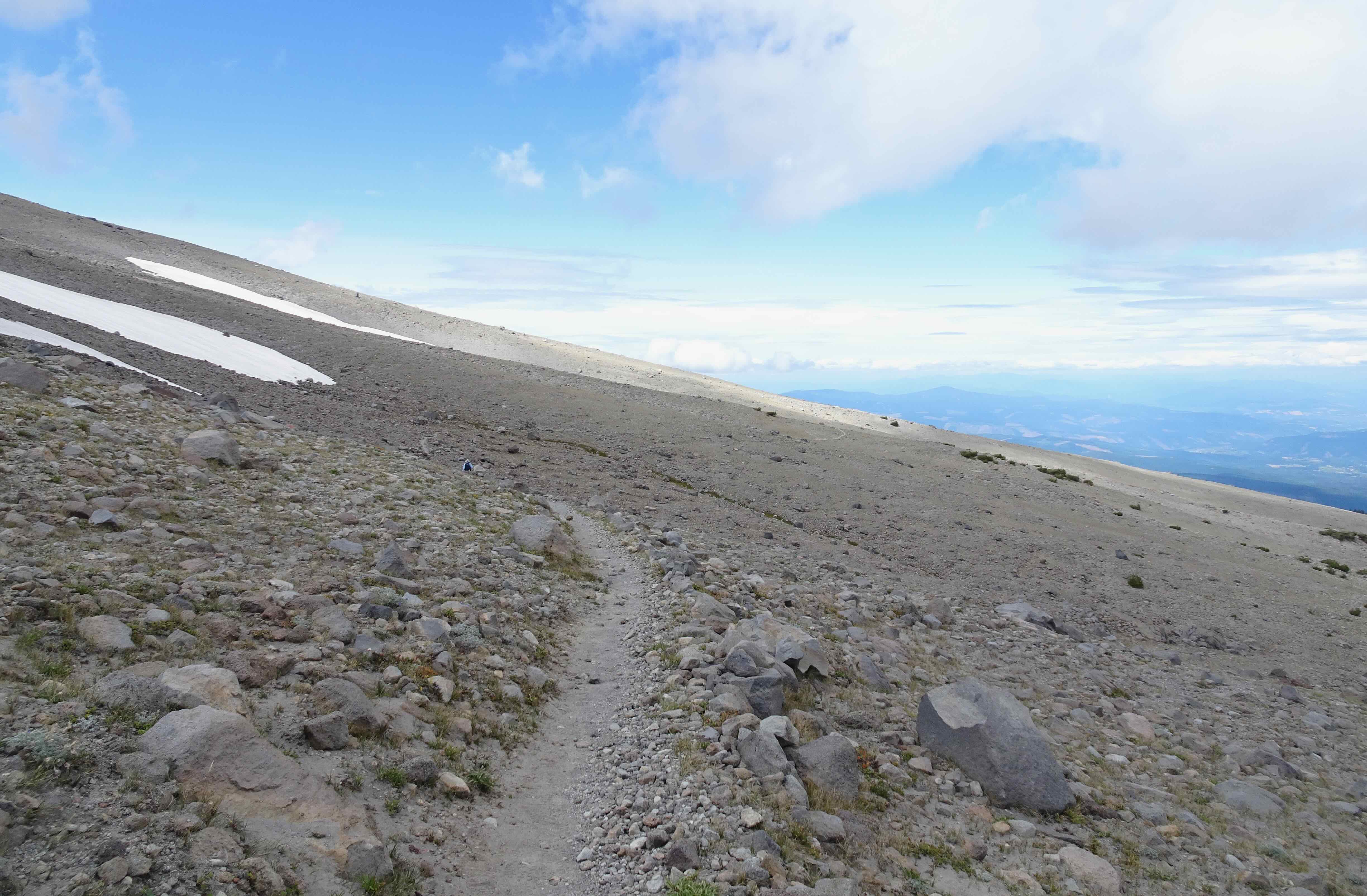
We walk back along the edge of the sky.

We take the main Timberline Trail below East Eliot Moraine on the way down, and I look for the giant boulder that has been teetering on the edge the last few times we have hiked here.

It is still here!
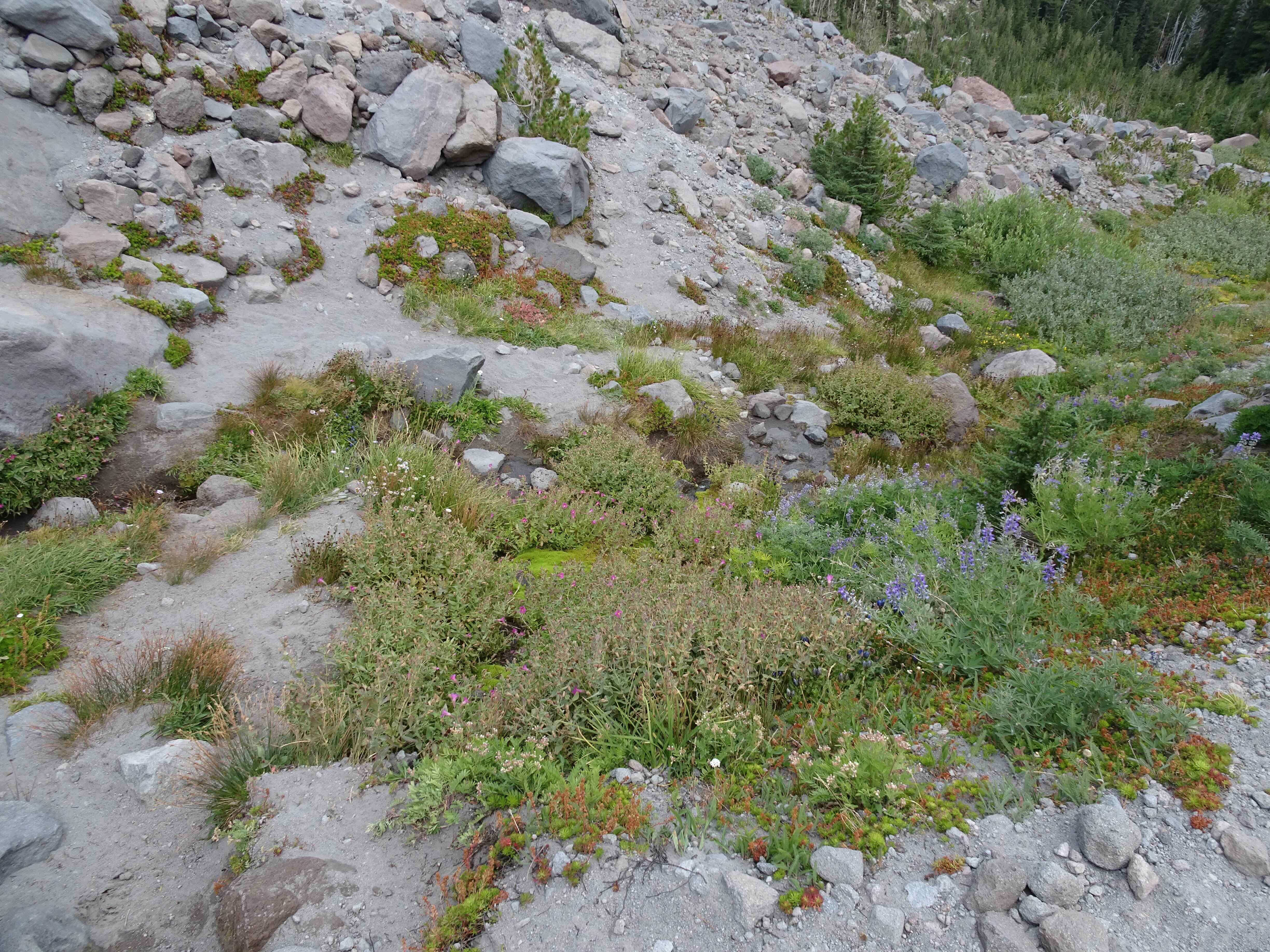
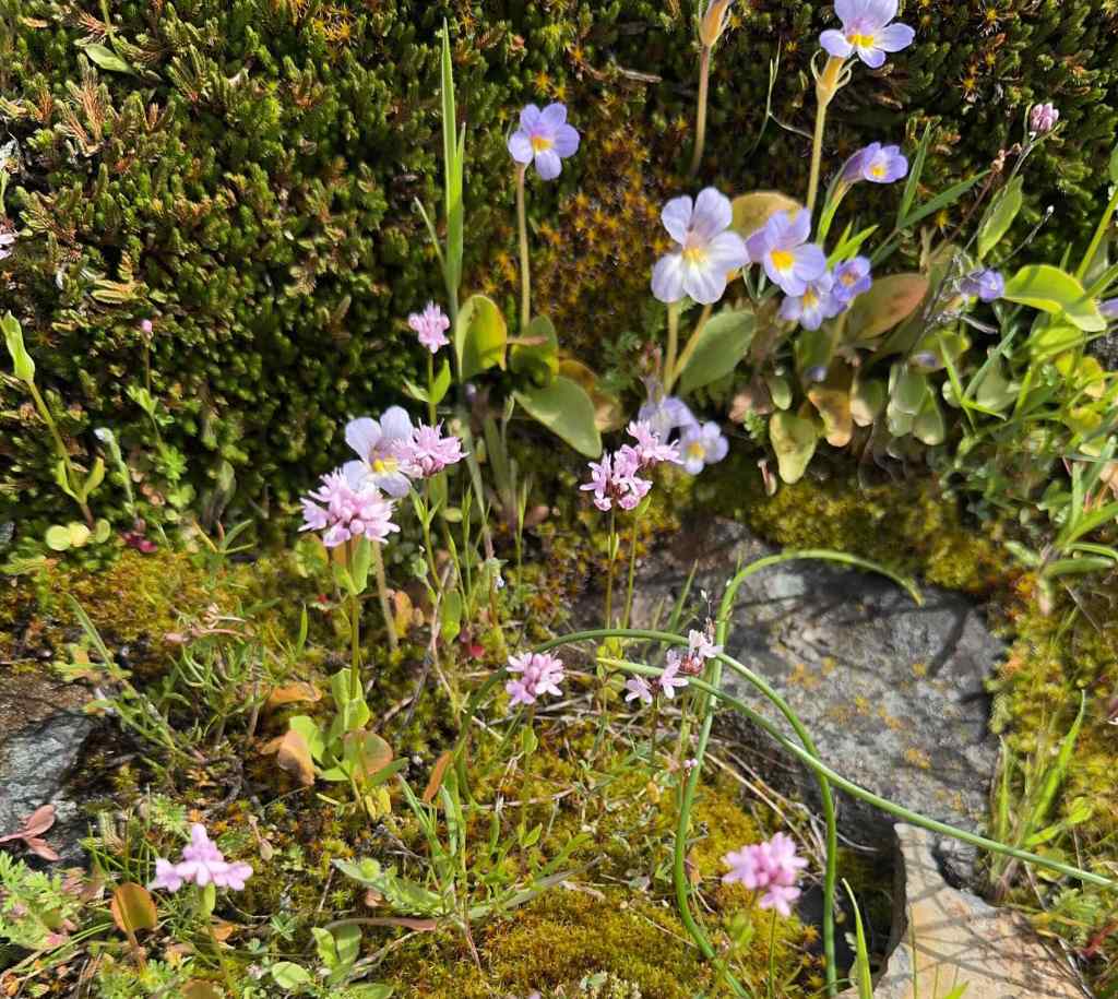
Monkey flowers and lupine in Tilly Jane Creek
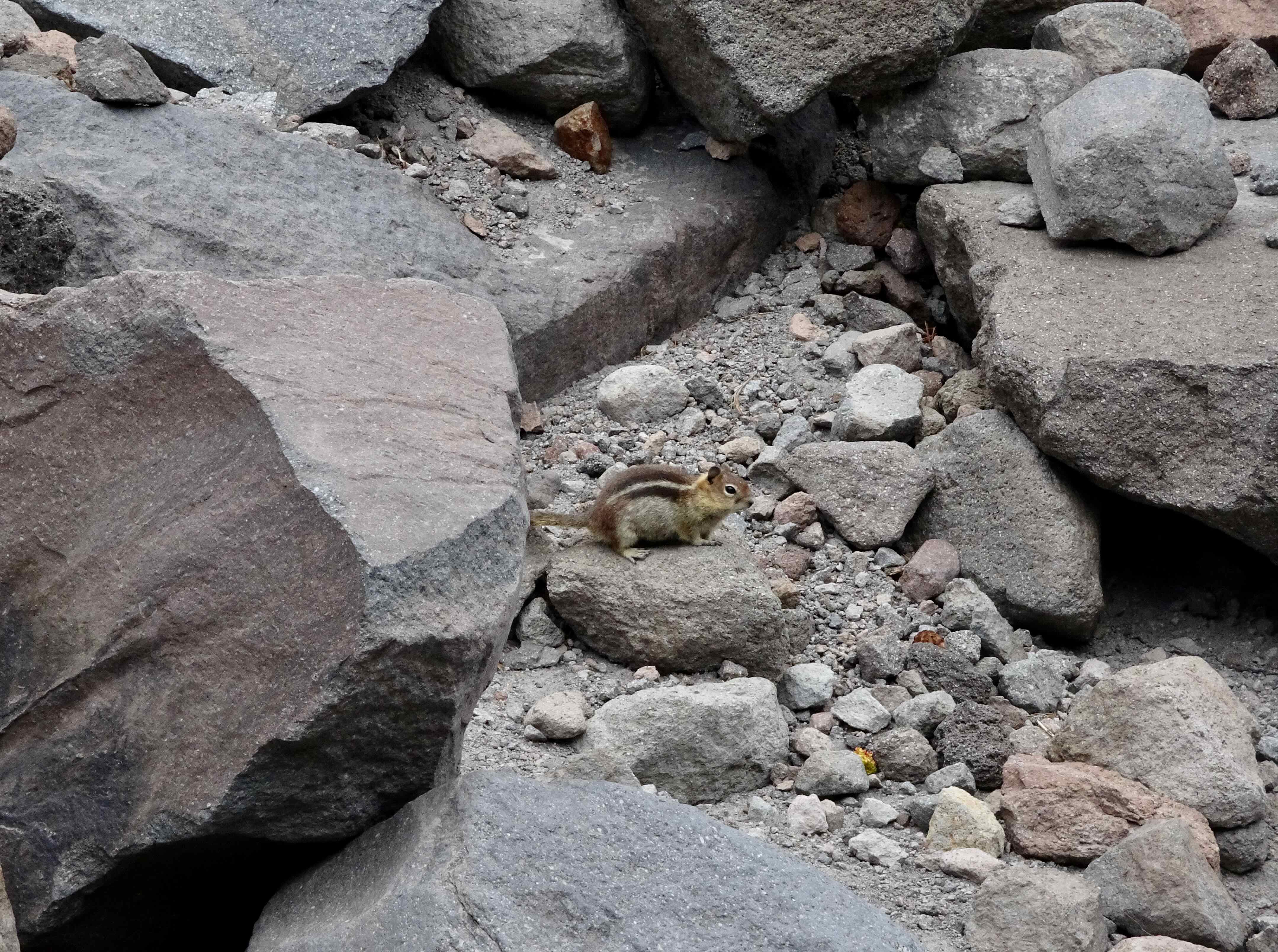
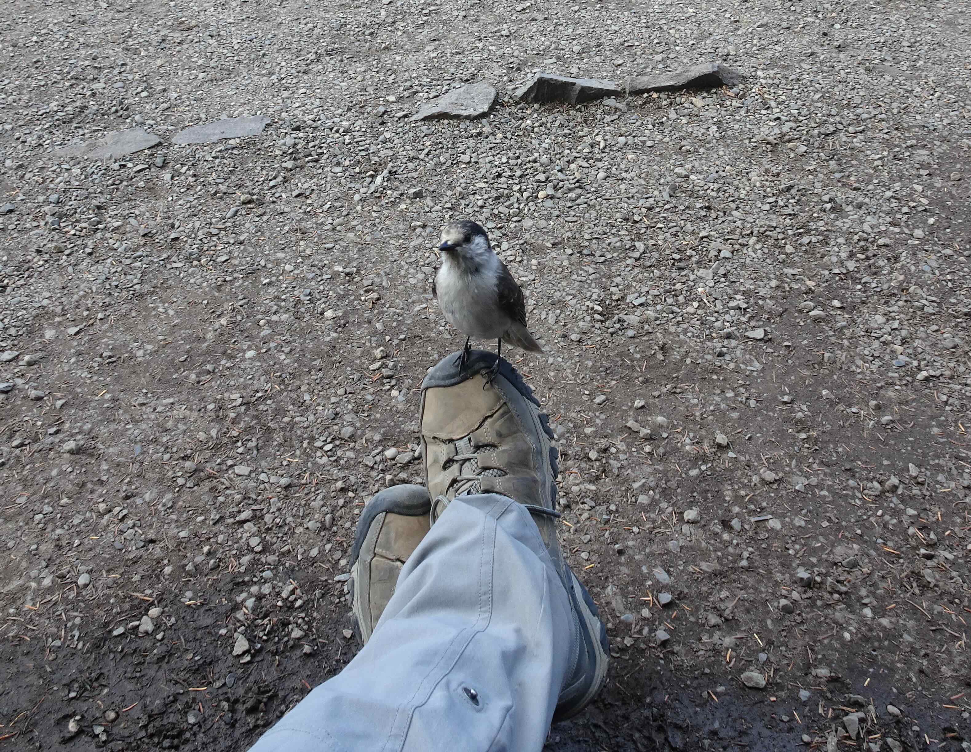
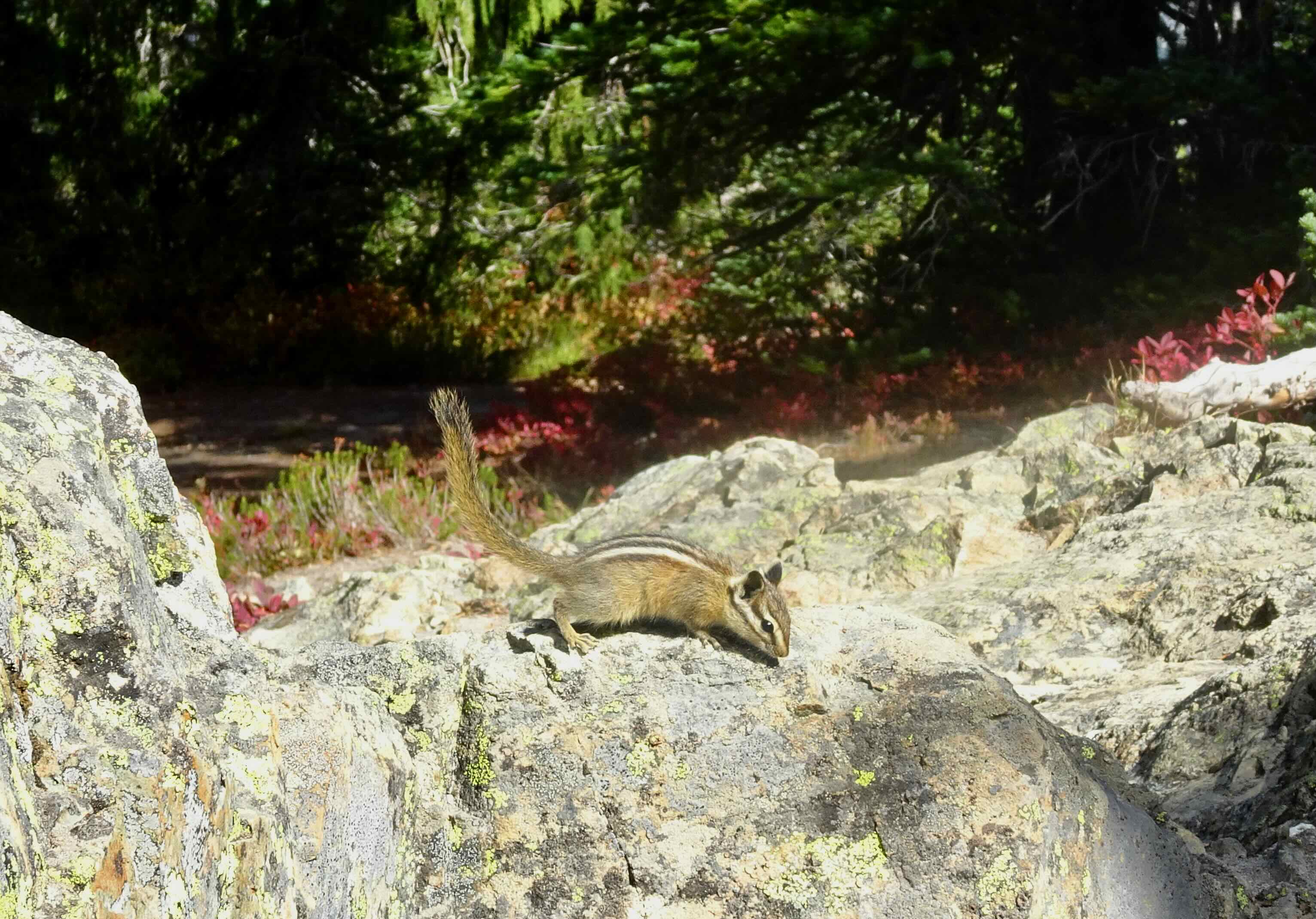
And this little ground squirrel, wishing us farewell until next time…
Later in the month, my husband had a surgery on his hand, so we will be curtailing our hikes for a few weeks. But there will be more adventures soon!