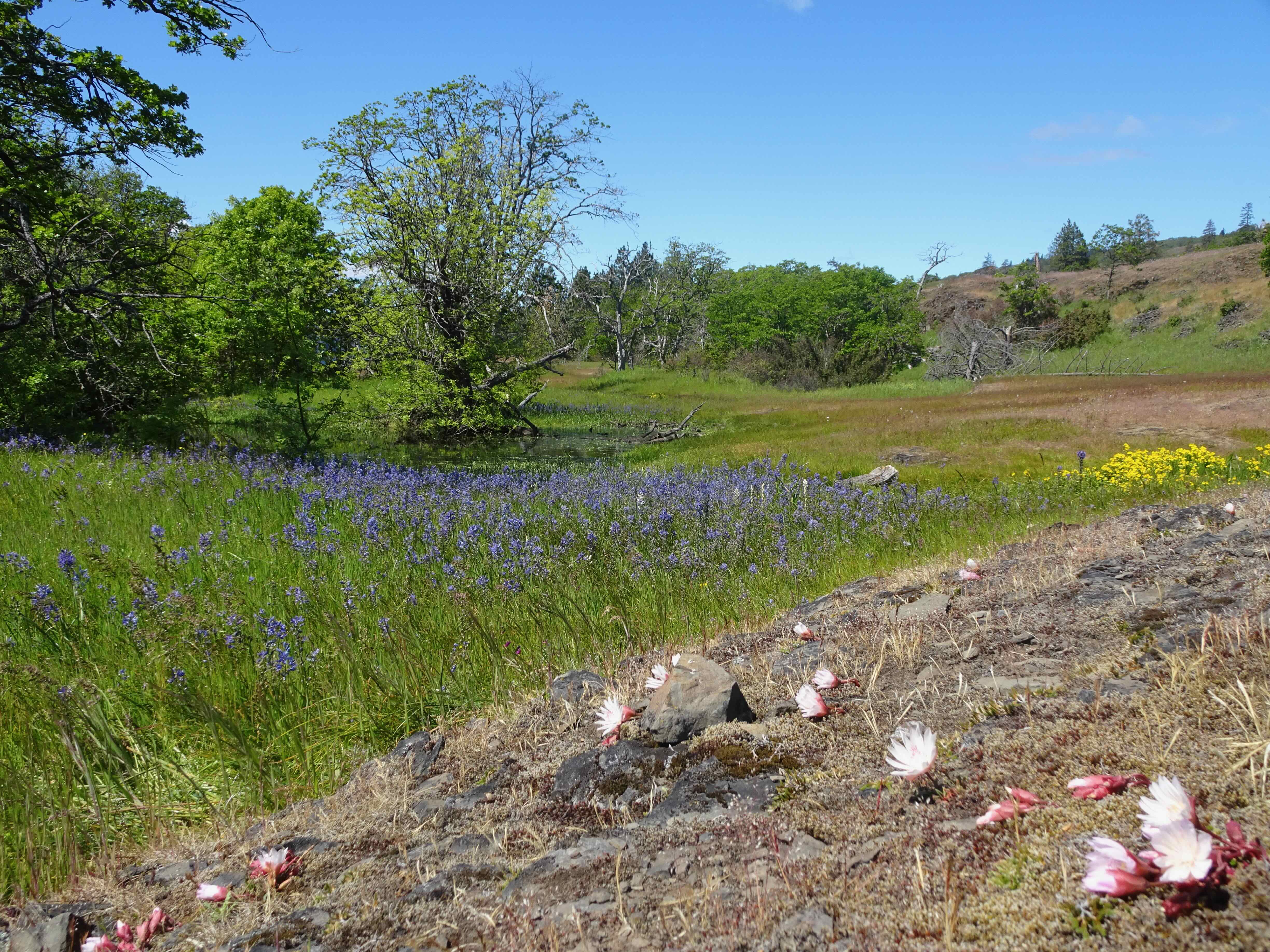
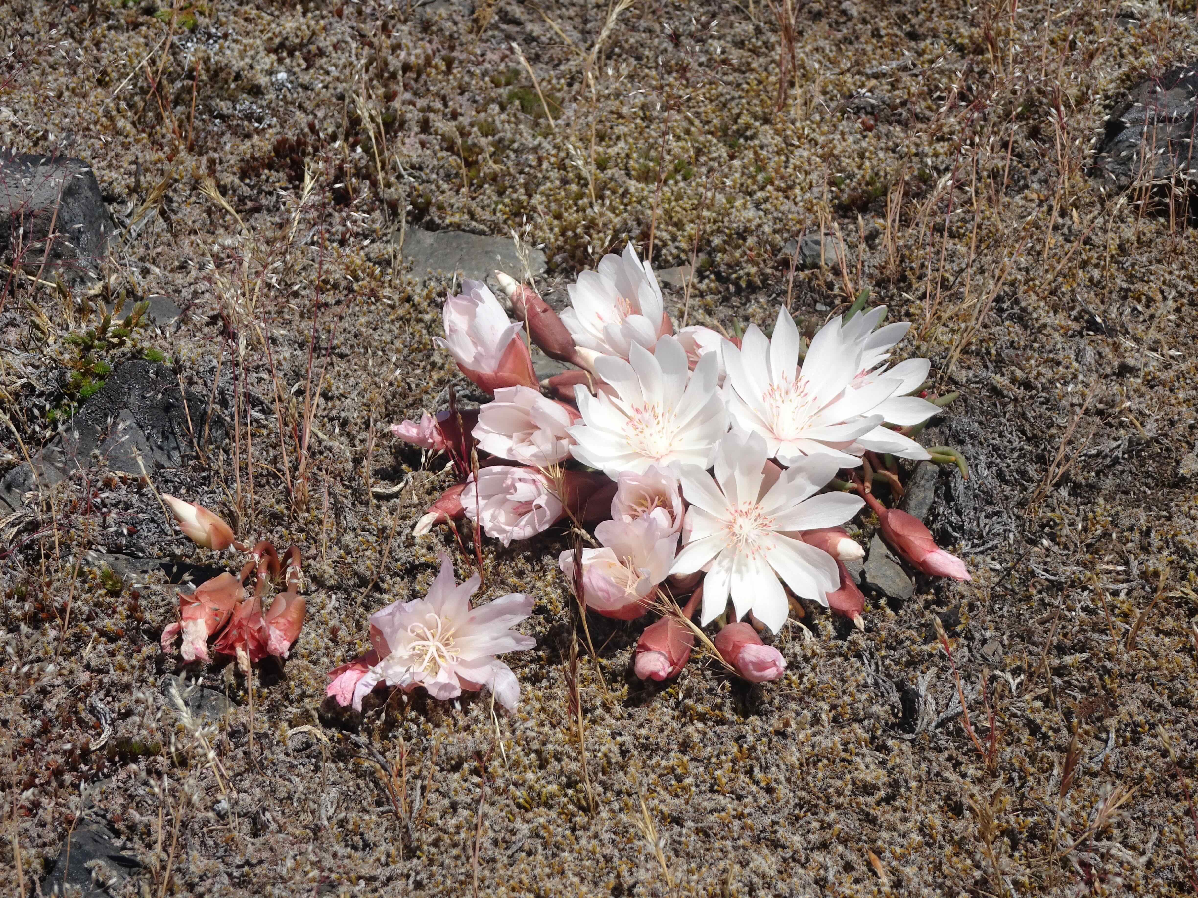
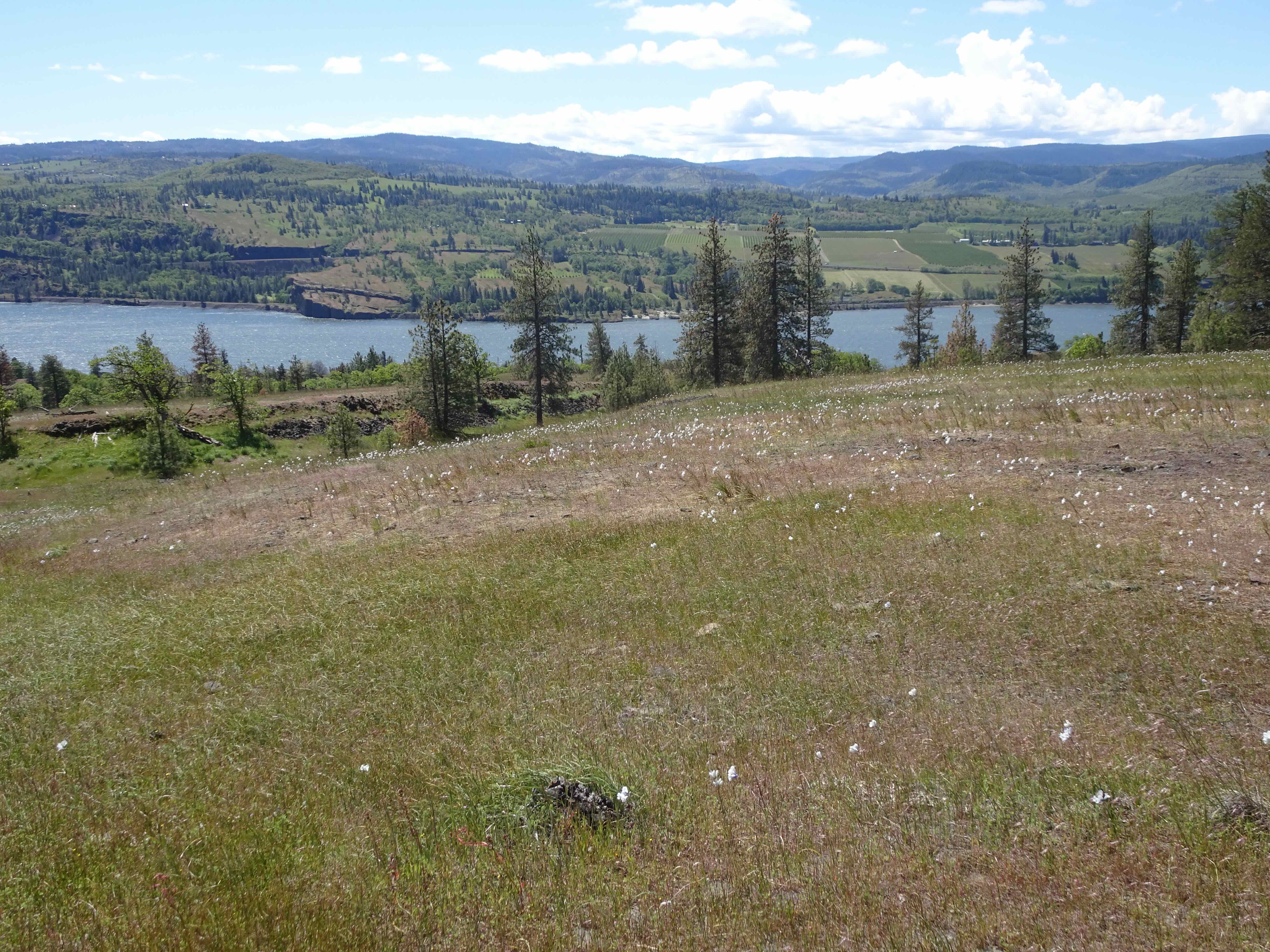
I went on three hikes in September, in Portland, Mt Adams and Indian Heaven.
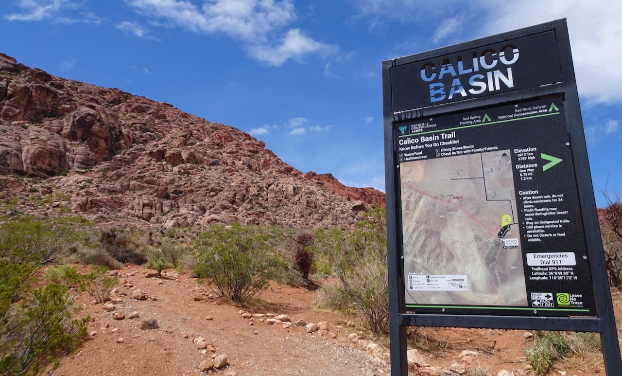
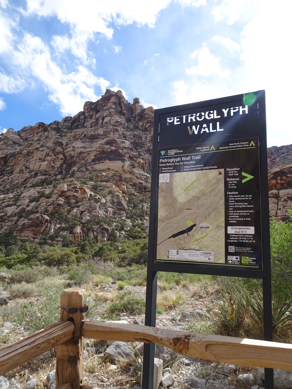
9/14 – Macleay Park to Pittock Mansion: Finishing the Wildwood Trail, Portland, OR
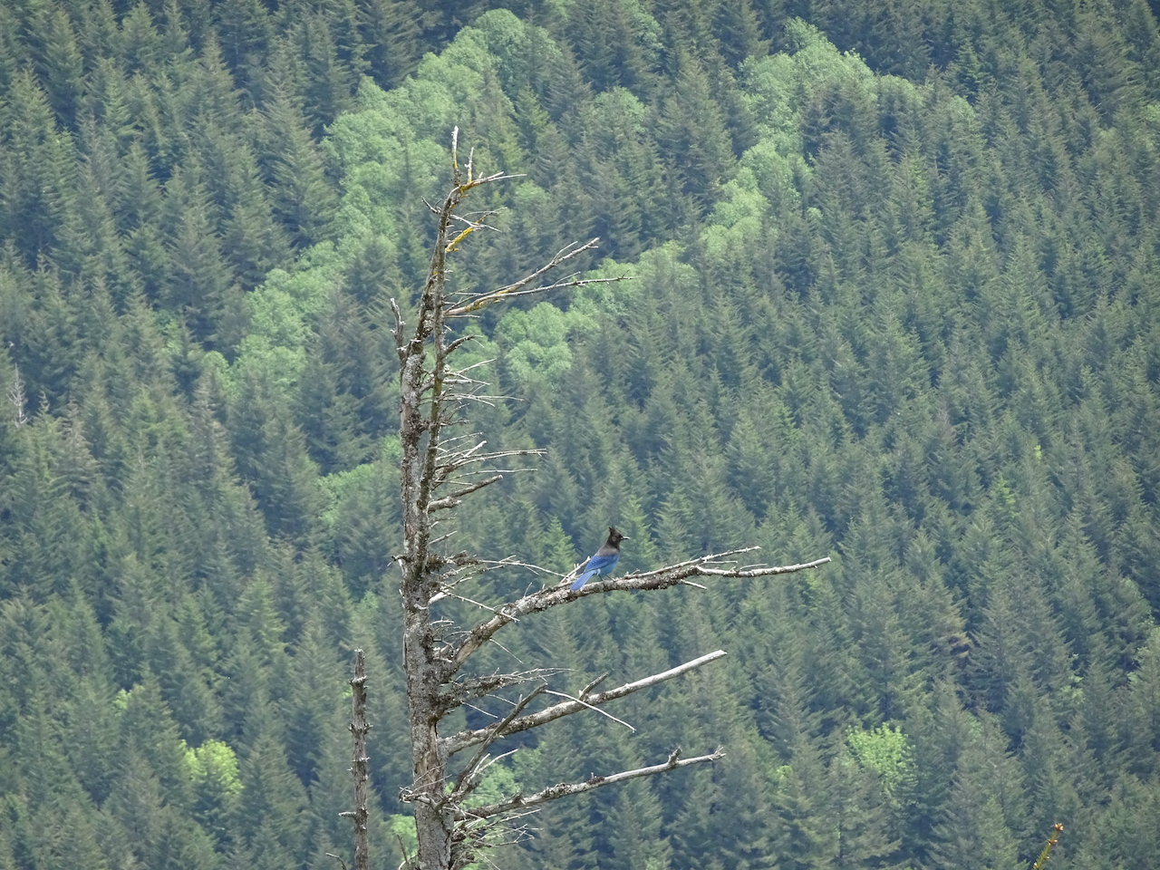
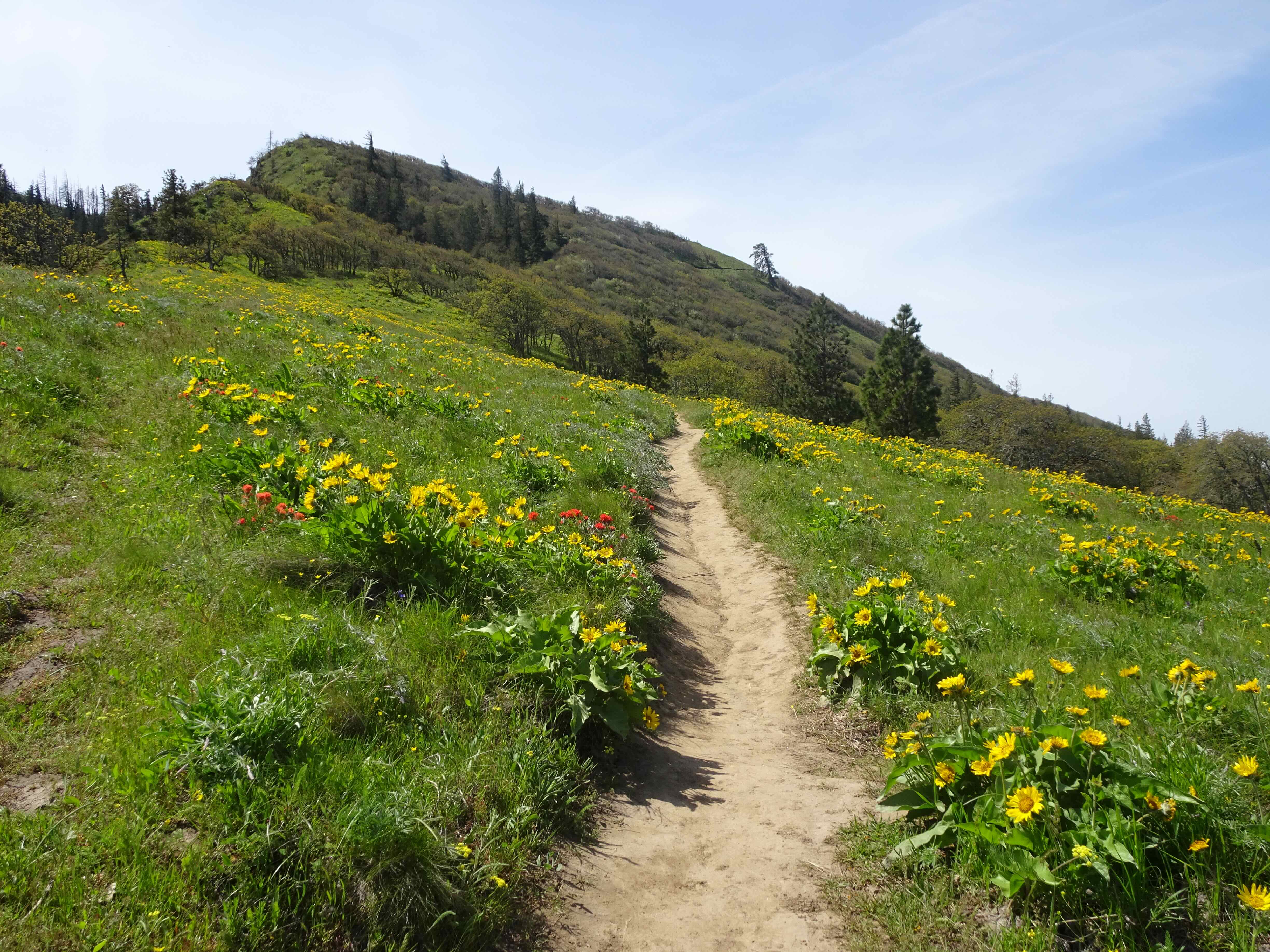
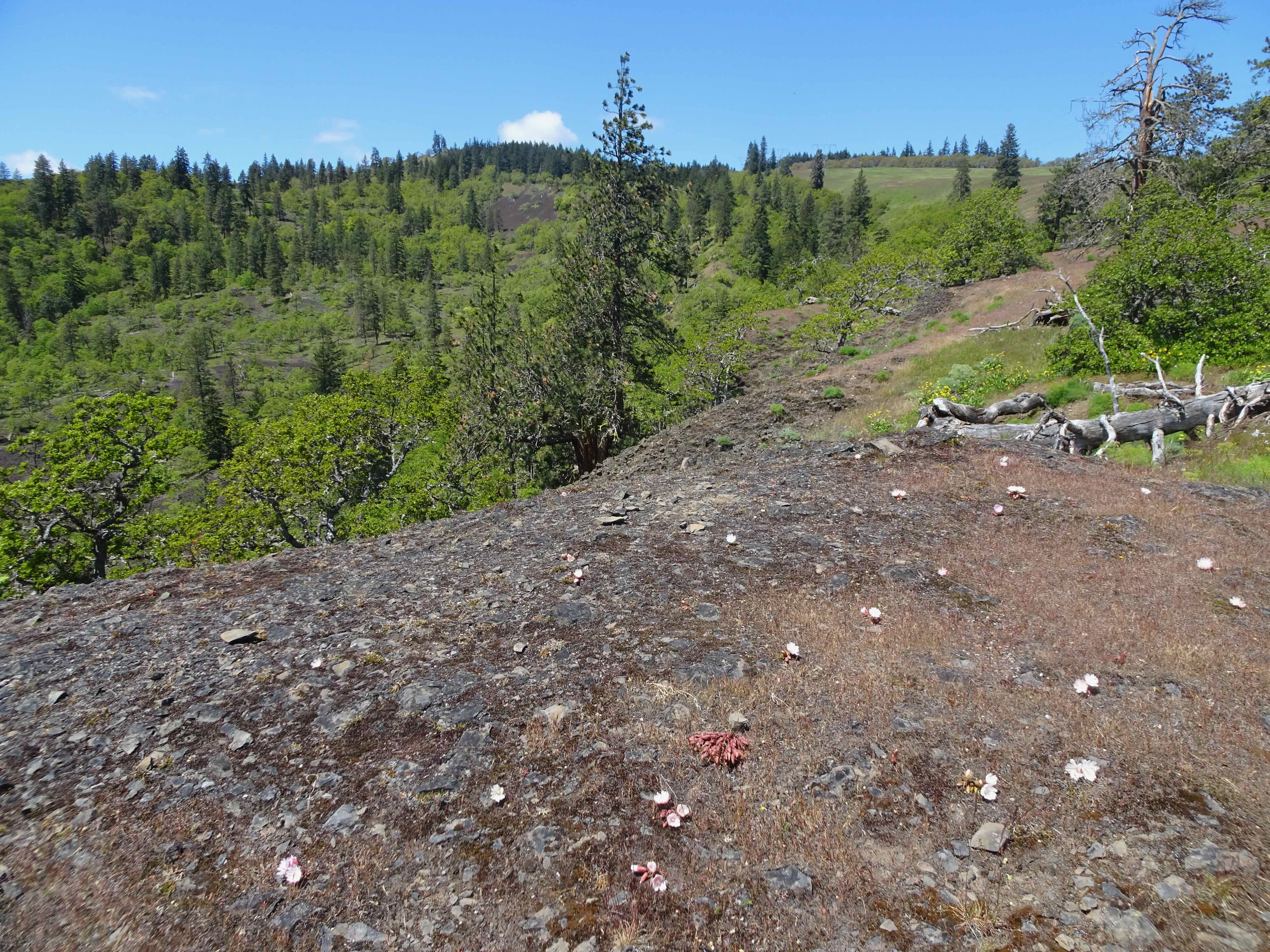
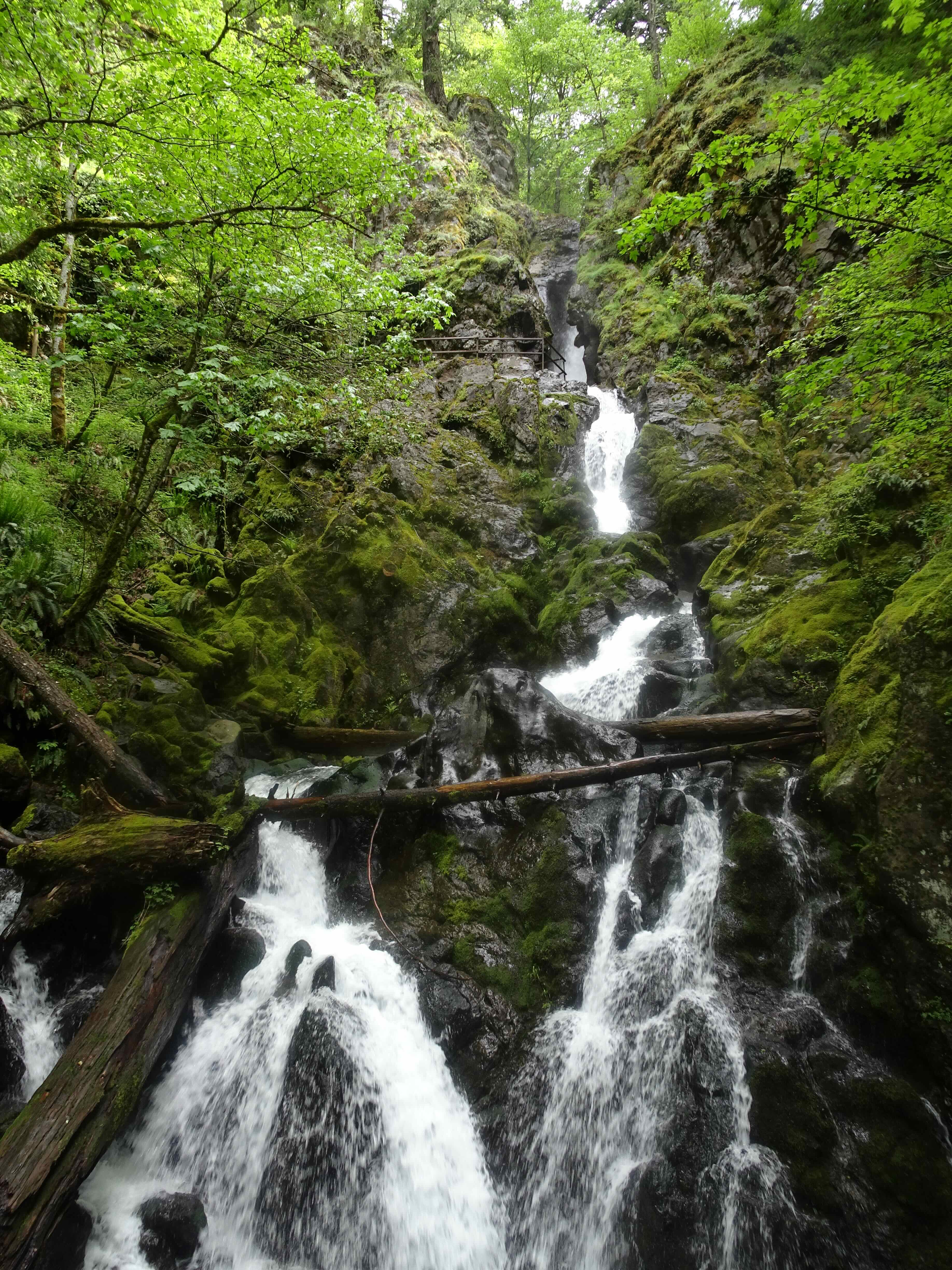
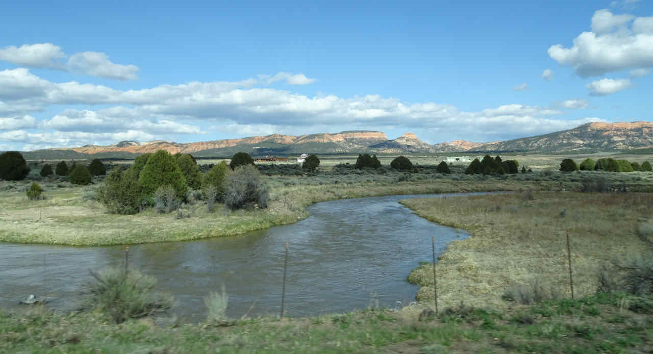
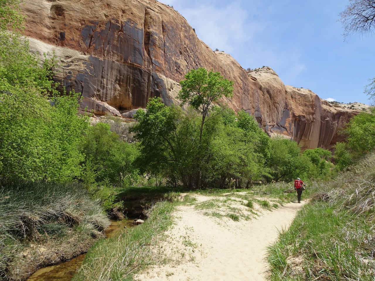
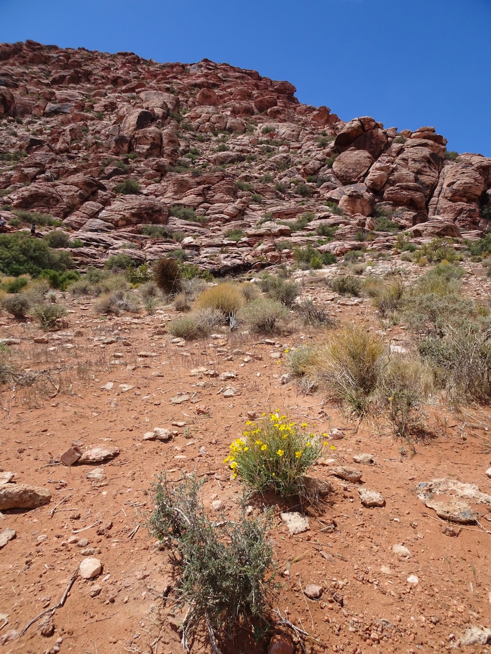
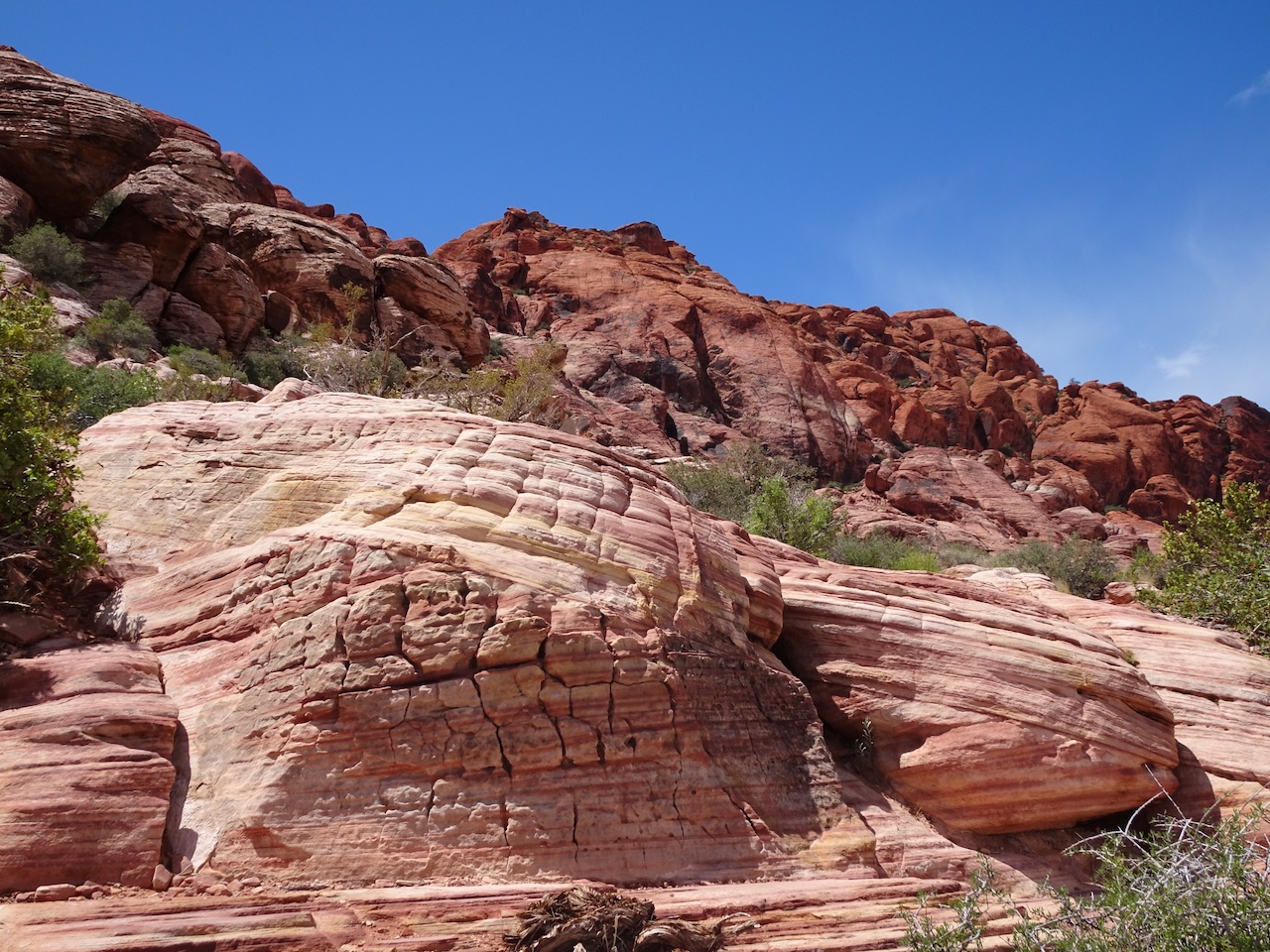
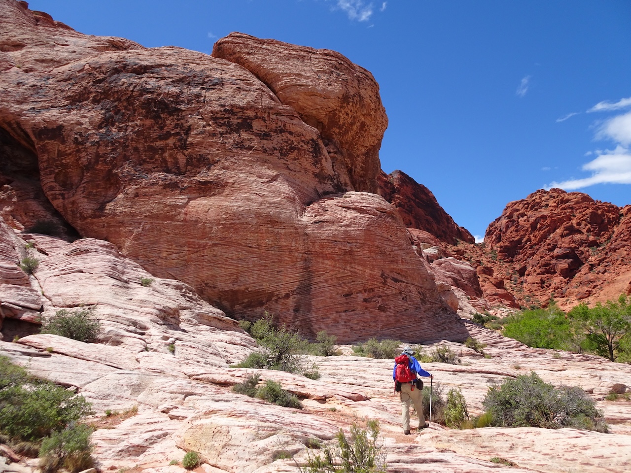
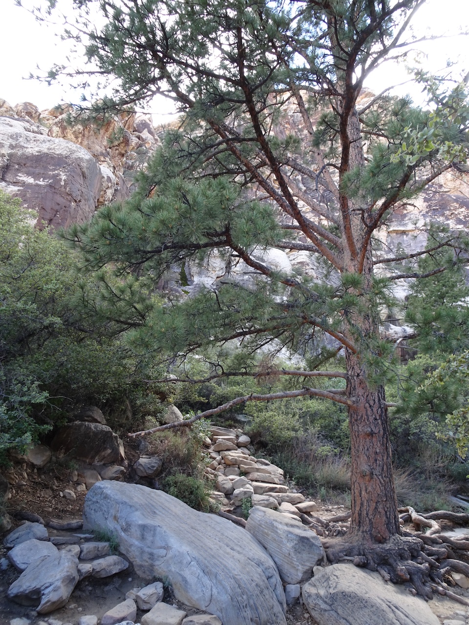
During the early pandemic in the spring of 2020, travel was restricted. Many parks and trails were closed. We tried long neighborhood walks, but concrete is hard on the feet! I missed the dirt trails and nature. When local trails reopened, we turned to the Wildwood Trail in nearby Forest Park to keep our hiking habit going. We had hiked parts of Forest Park over the years, but usually prefer further destinations with views, waterfalls or mountain tops. The Forest Park trails are fine for nearby forest hikes, but are often crowded with trail runners and neighborhood hikers, and there aren’t many views. Nevertheless, we set a goal to try to hike the full 30 mile length of the Wildwood Trail in sections – especially after the realization set in that the pandemic restrictions were going to last longer than we first imagined. As of this month, there was one section left (not counting the section between miles 14 and 15 that is closed for repair). Early September had been too hot and/or smoky in our usual destinations to hike much, but after a day of rain we found time to hike this last section.
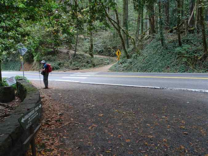
Upper Macleay Park Trailhead
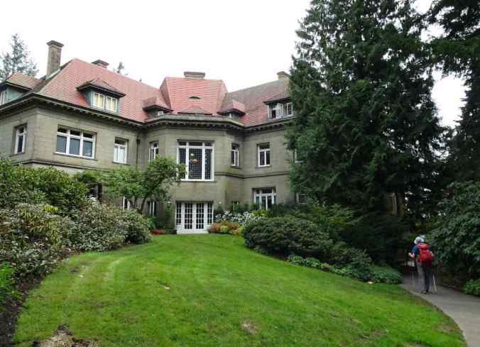
Pittock Mansion
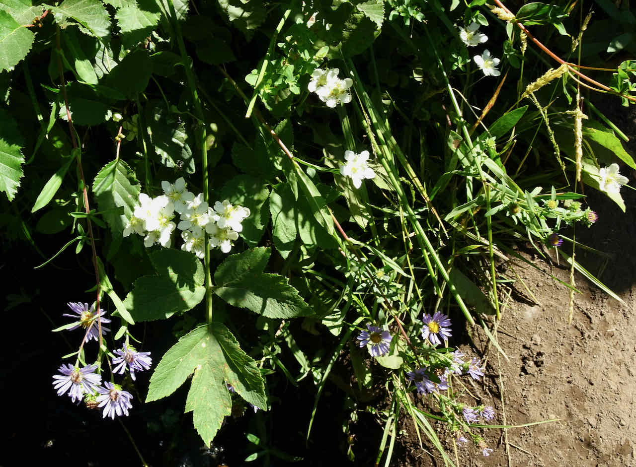
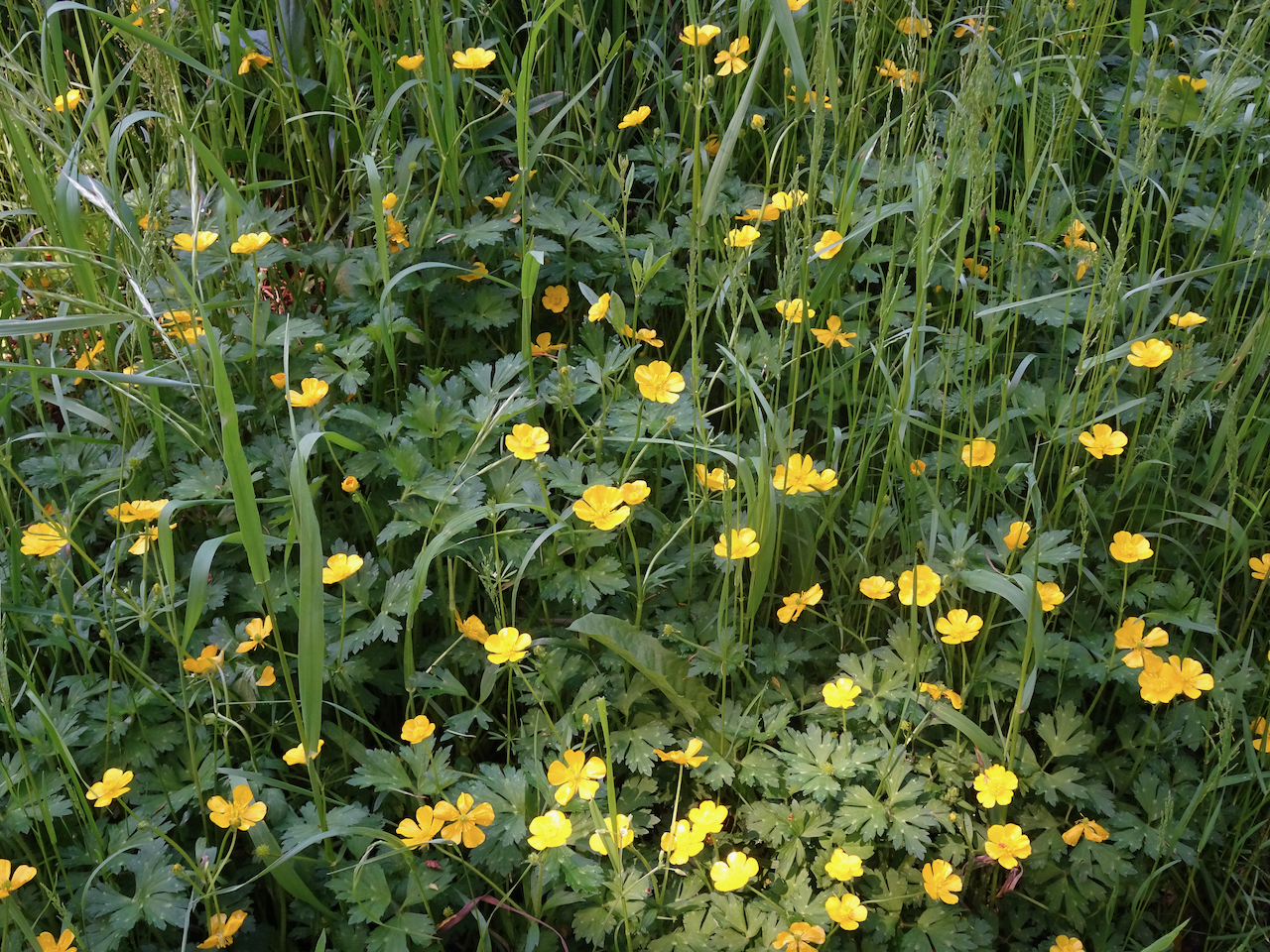
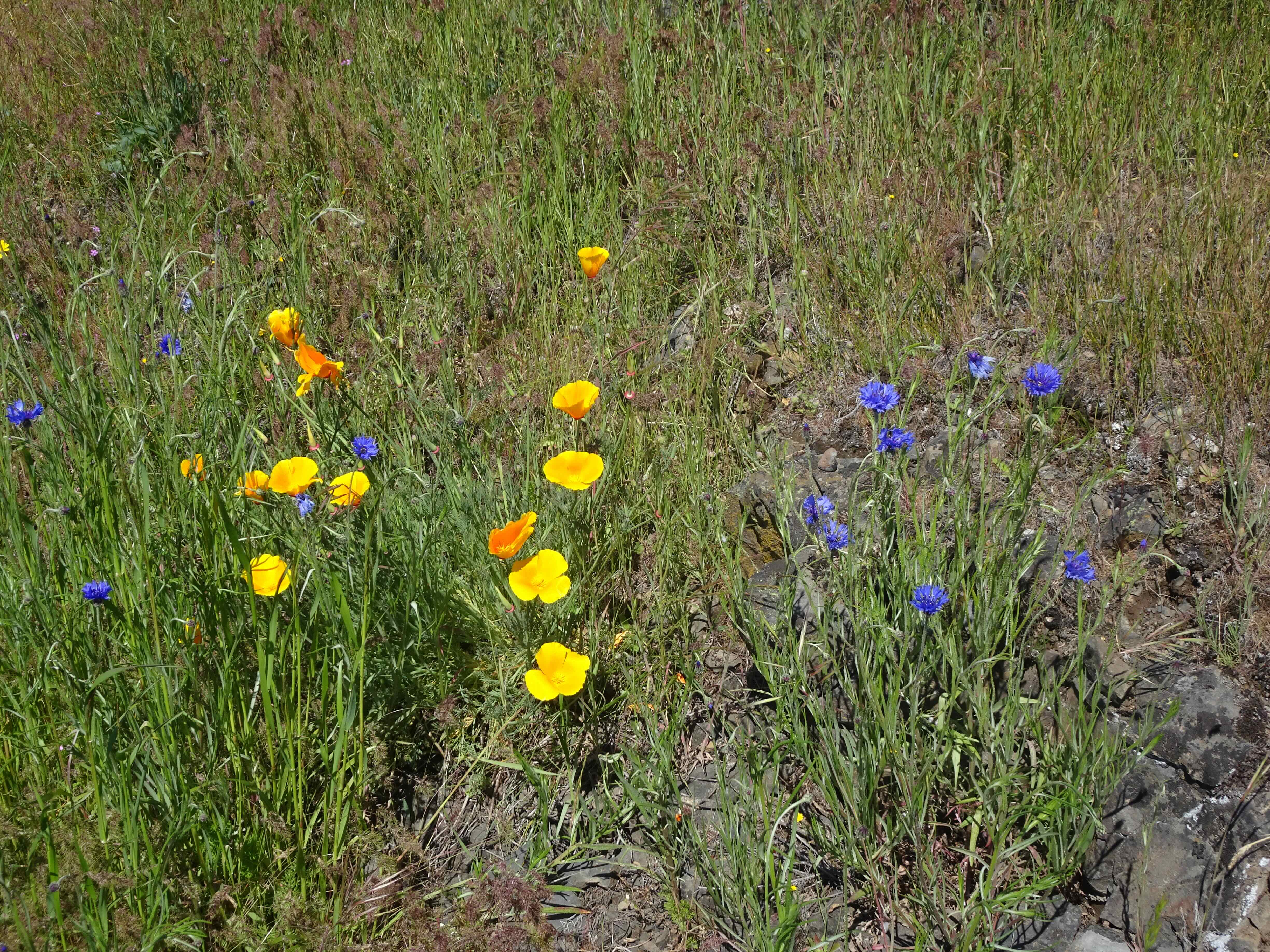
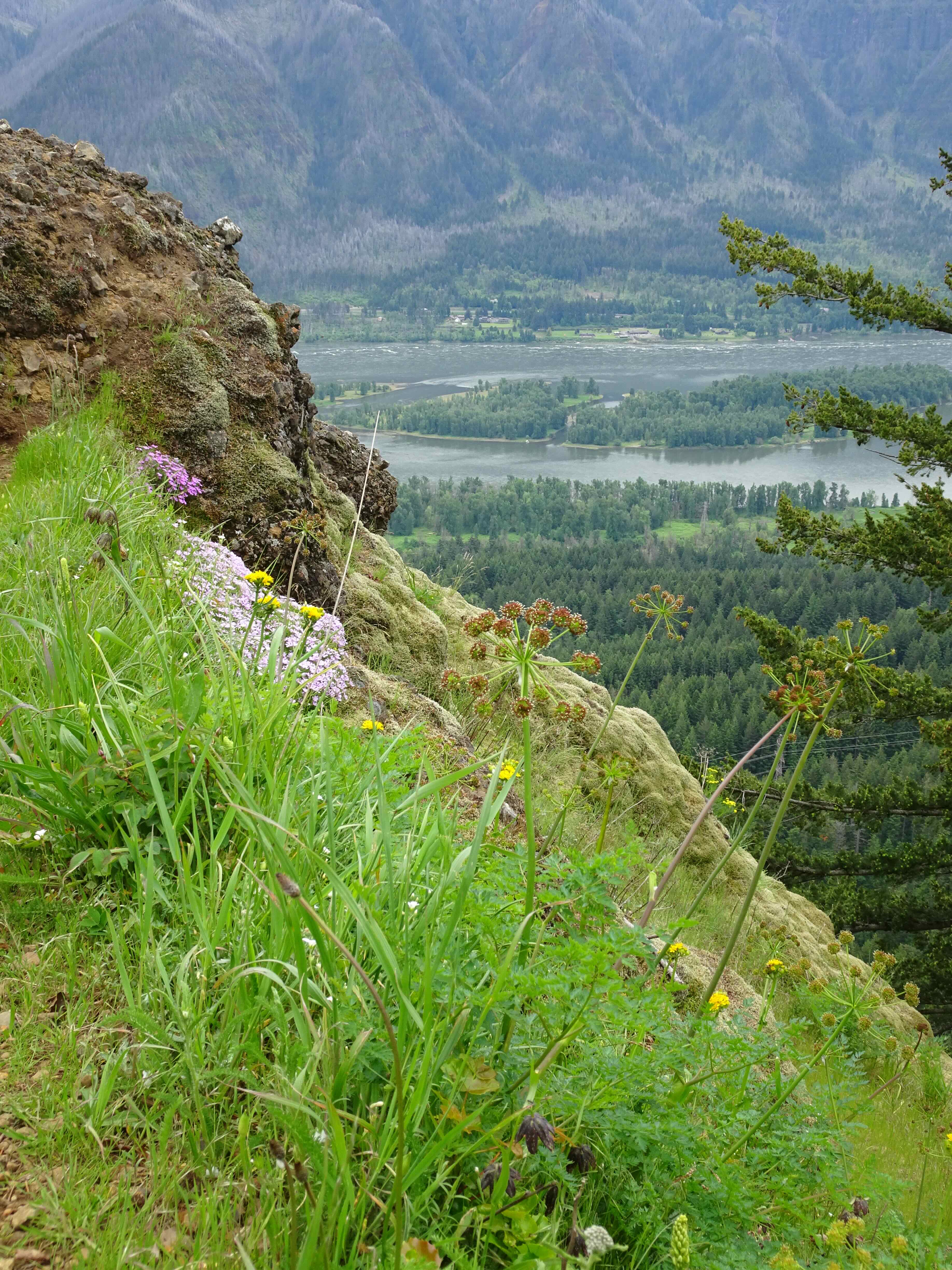
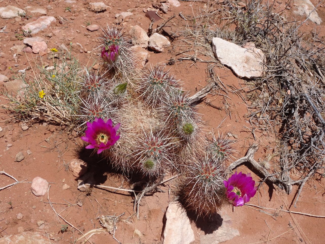
The views were limited on this overcast day, but the seasonal flowerbeds provided some bright colors.
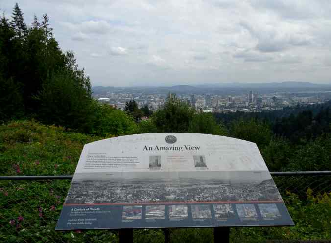
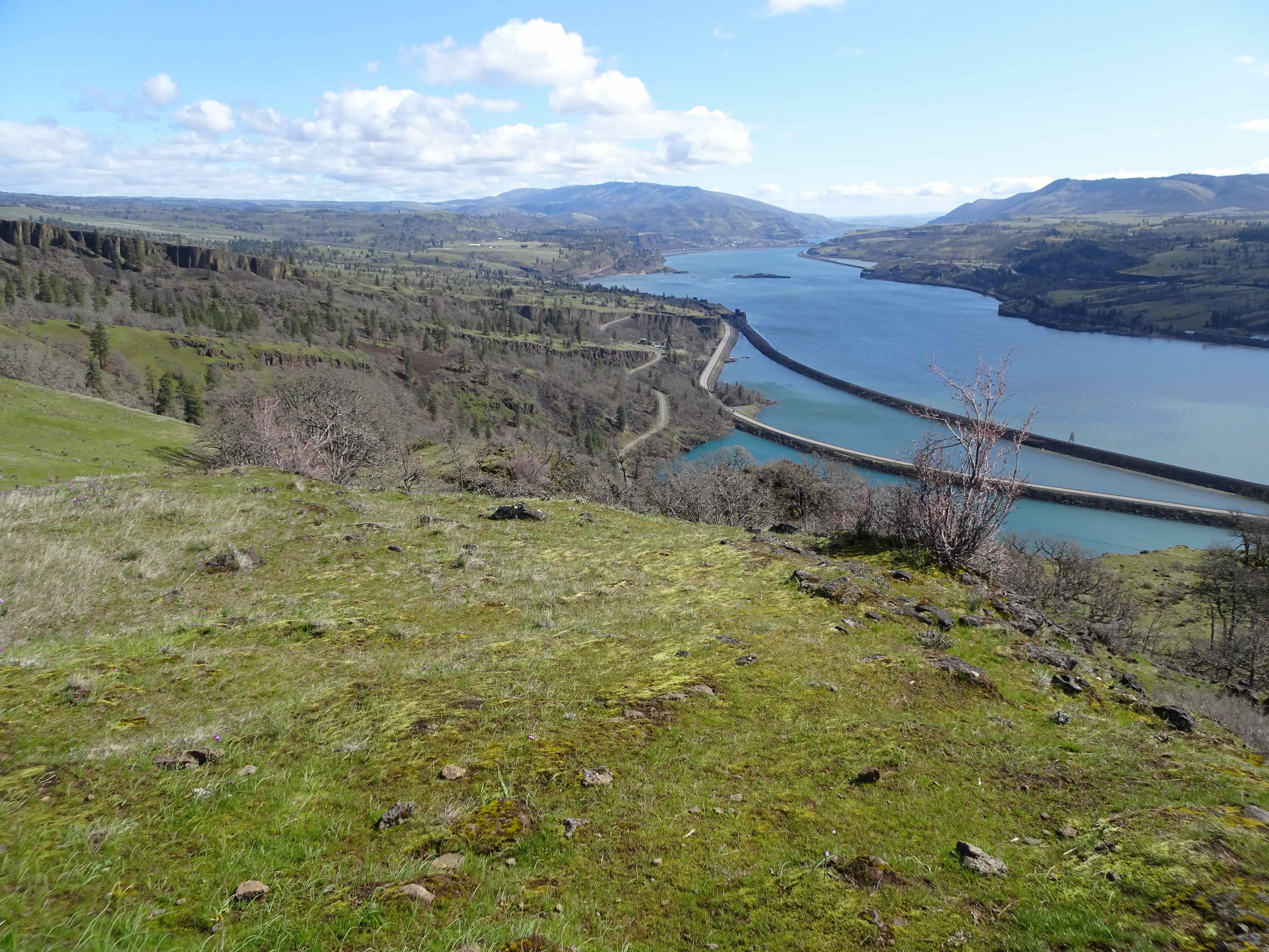
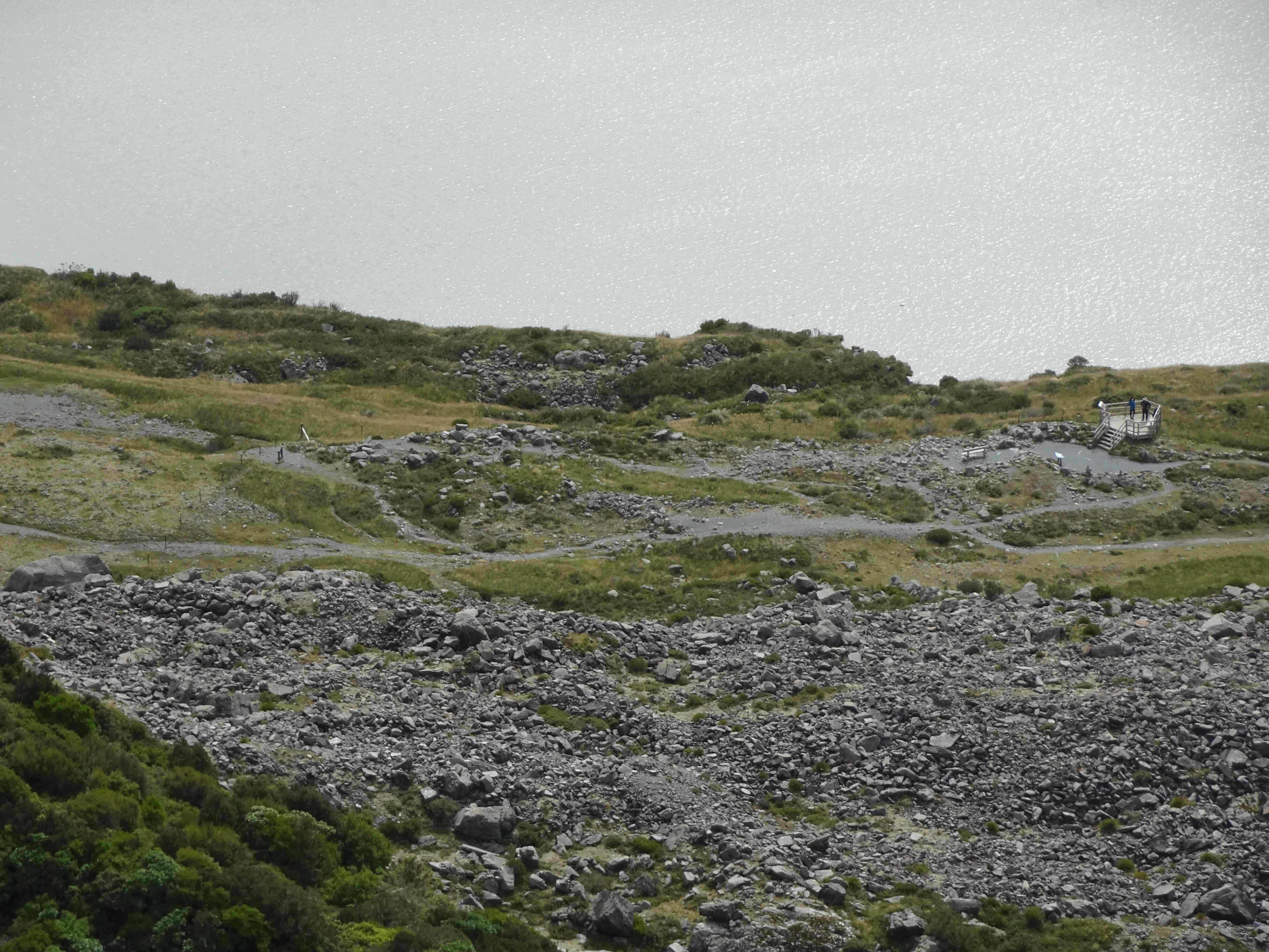
Views to downtown Portland from Pittock mansion

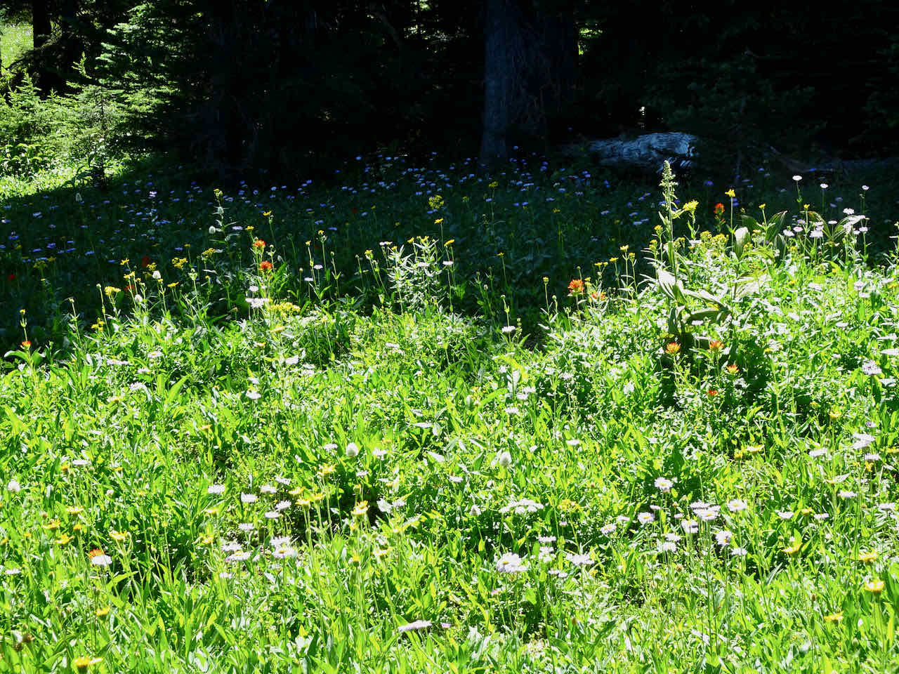
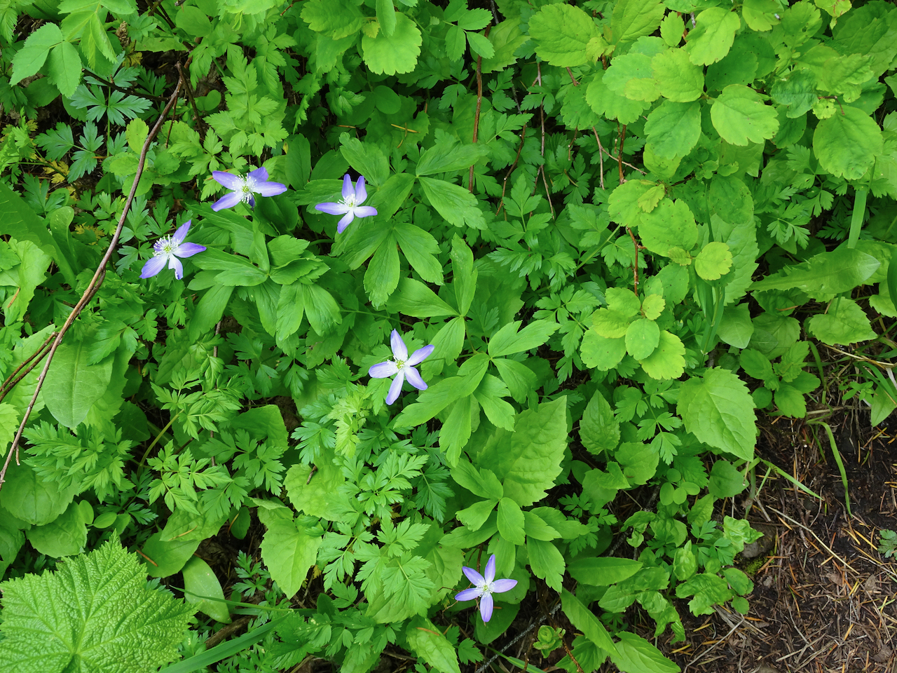
Seasonal flower beds
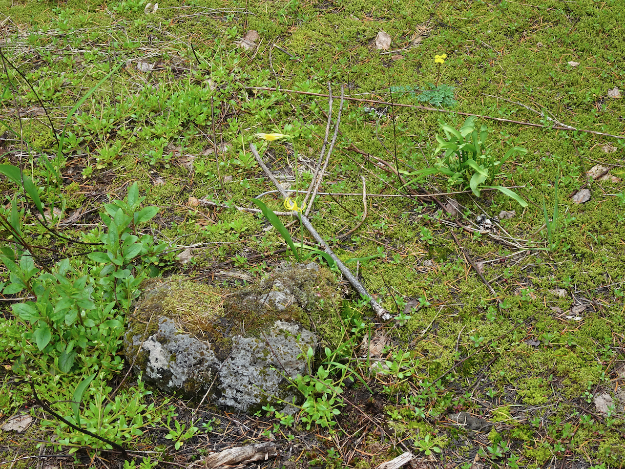
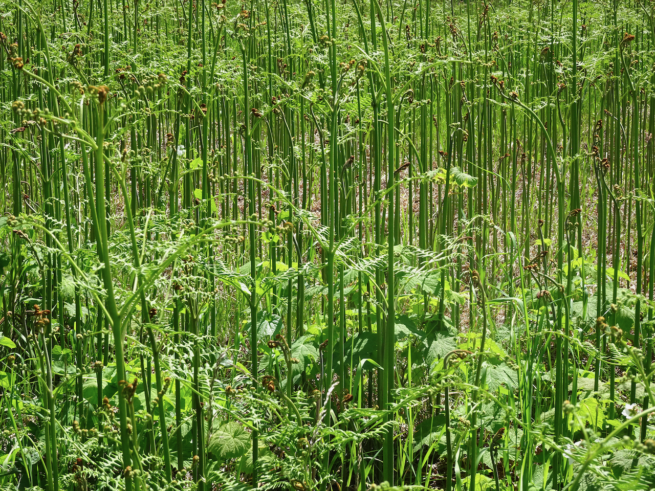
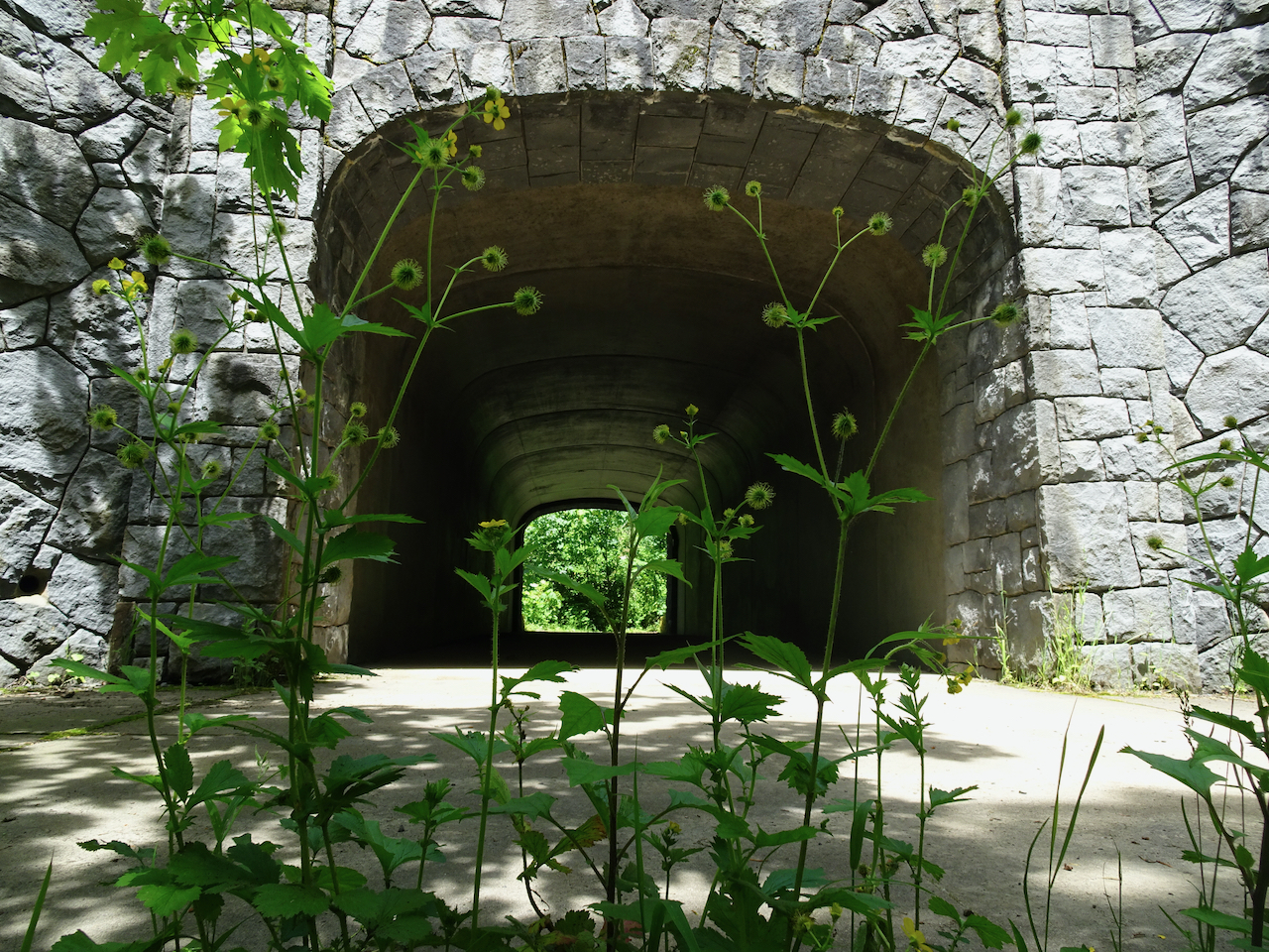
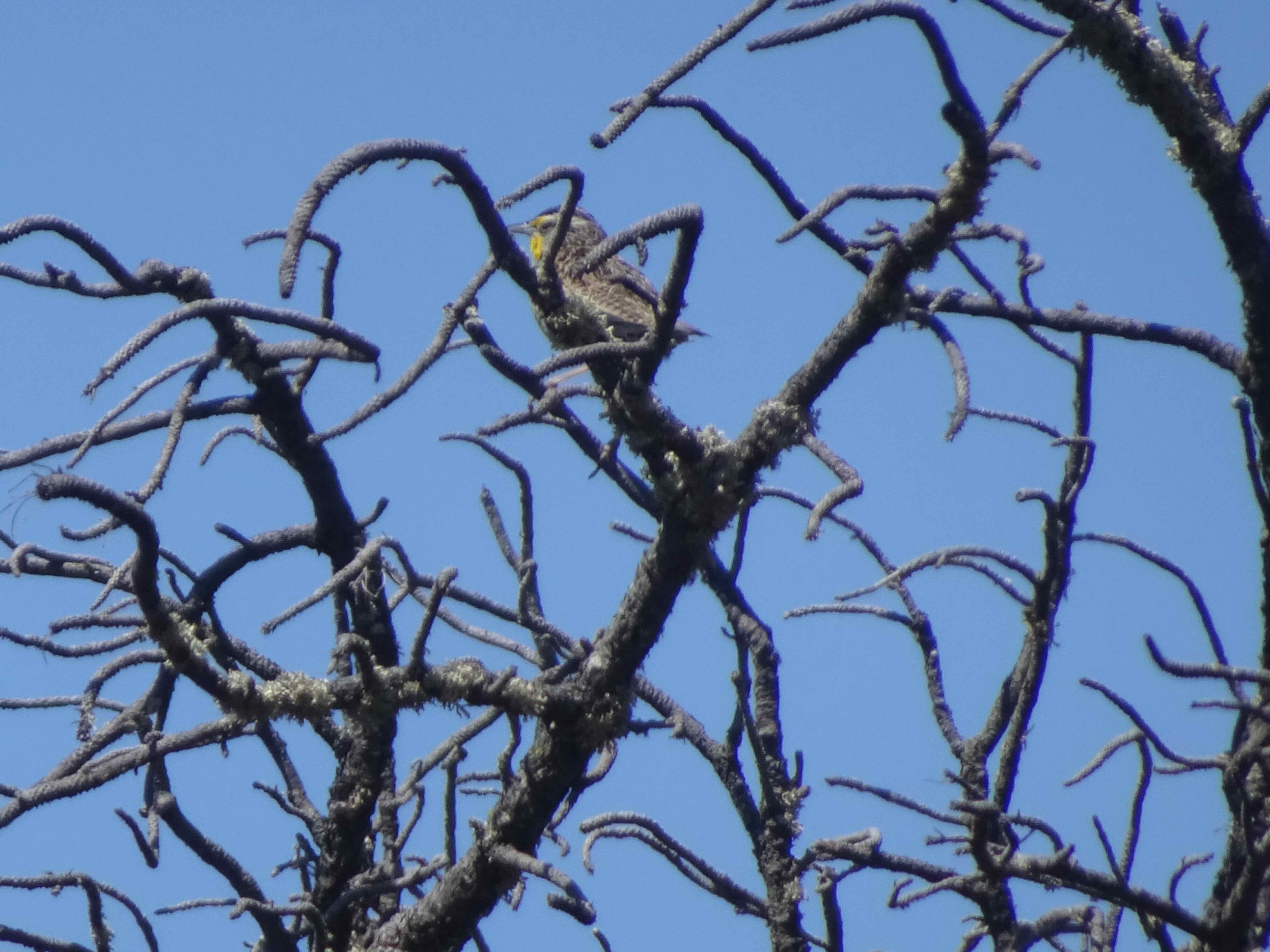
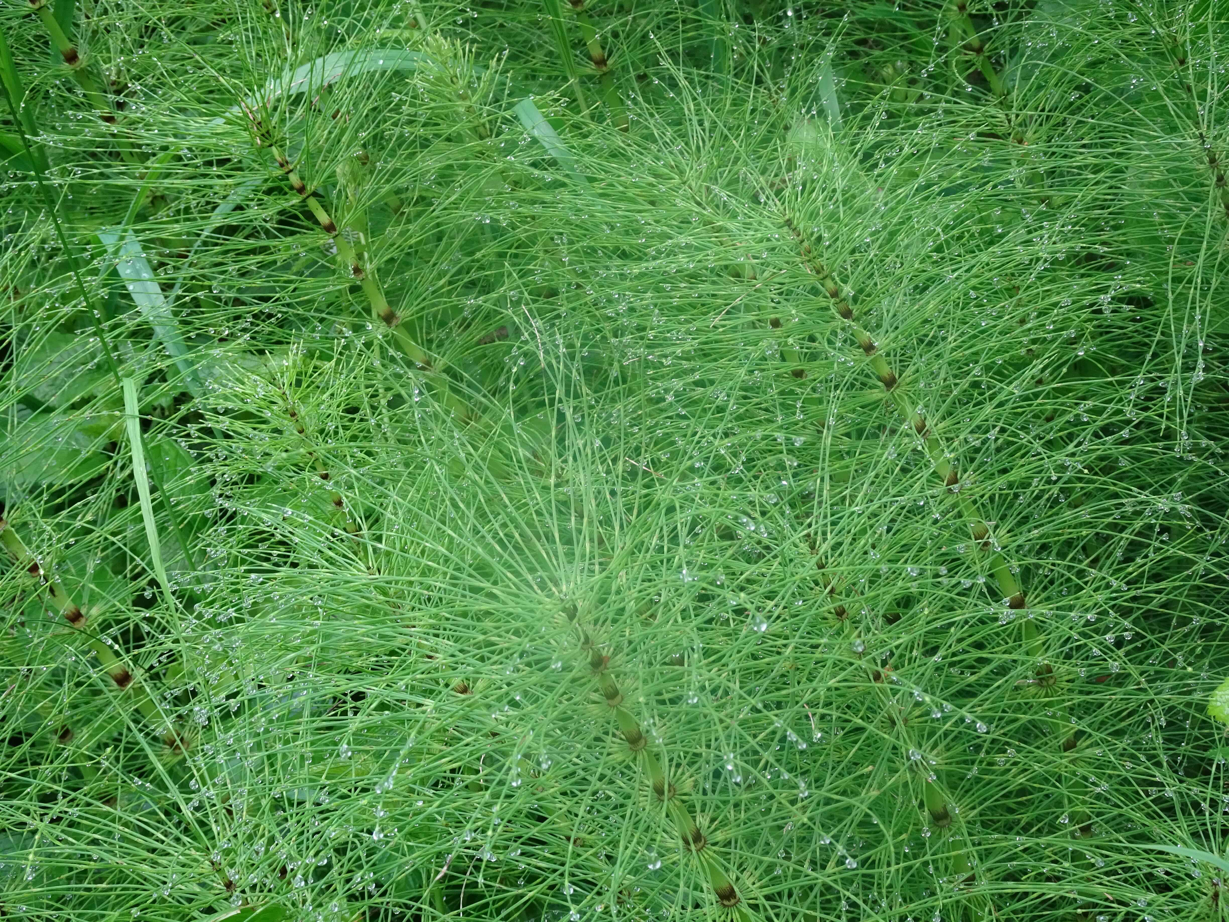
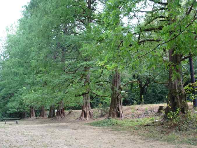
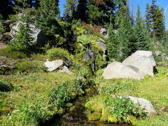
We returned to our starting place, then added to our mileage by hiking a few of the trails on the nearby Audubon reserve – again a bit nondescript on this between seasons day – too late for summer flowers, too early for fall colors. Our total for the day was about 4 miles, and 700 feet.
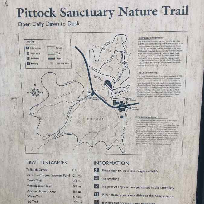
Trail map for the Bird Sanctuary
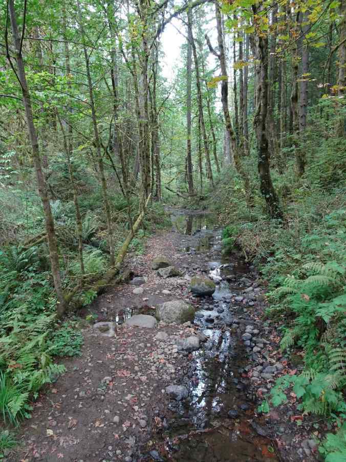
Muddy trails
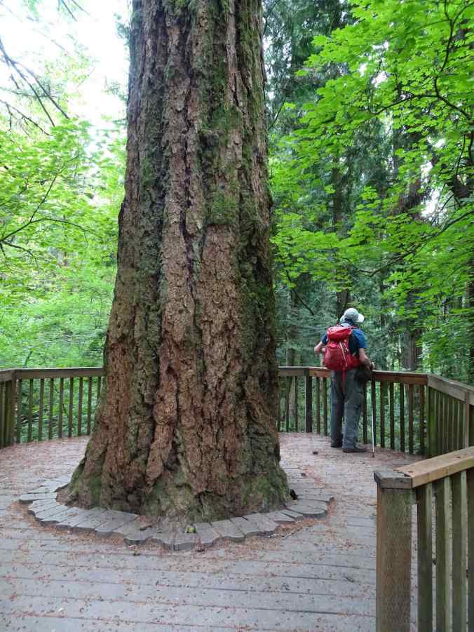
Douglas Fir deck
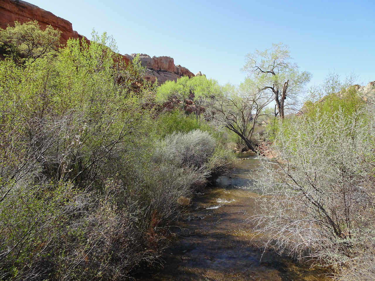
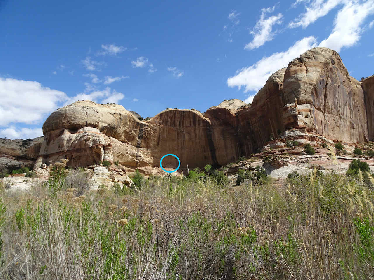
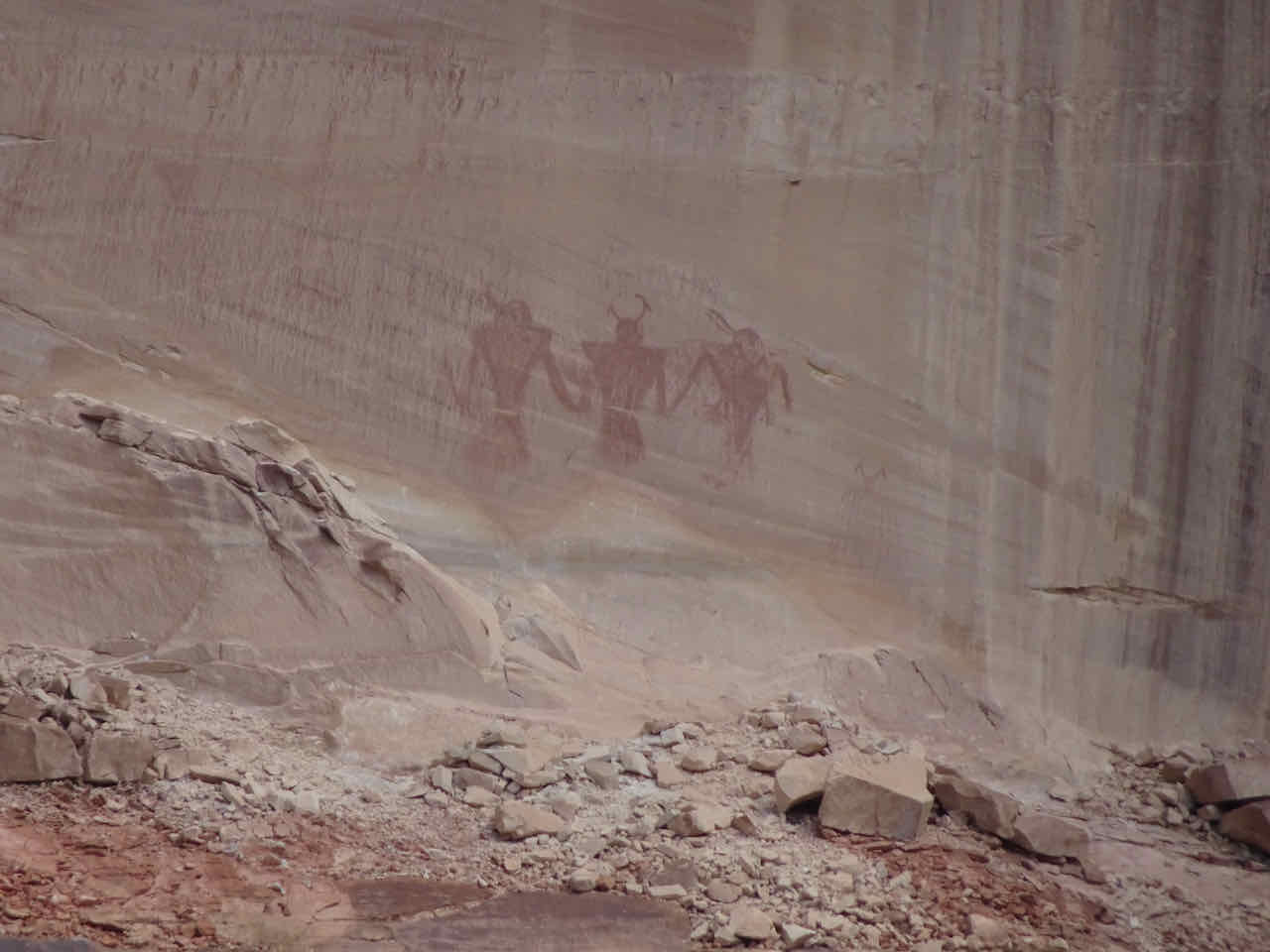
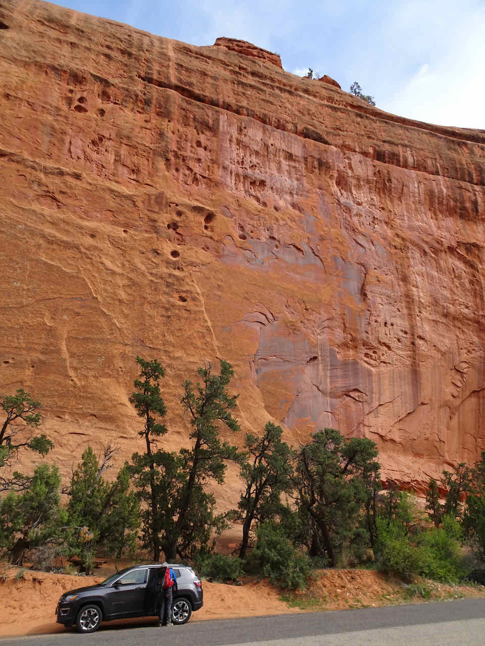
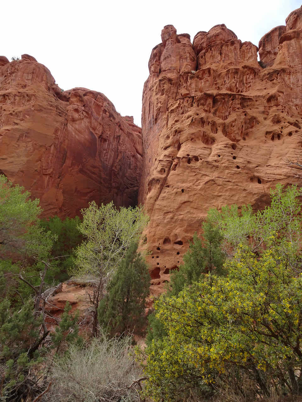
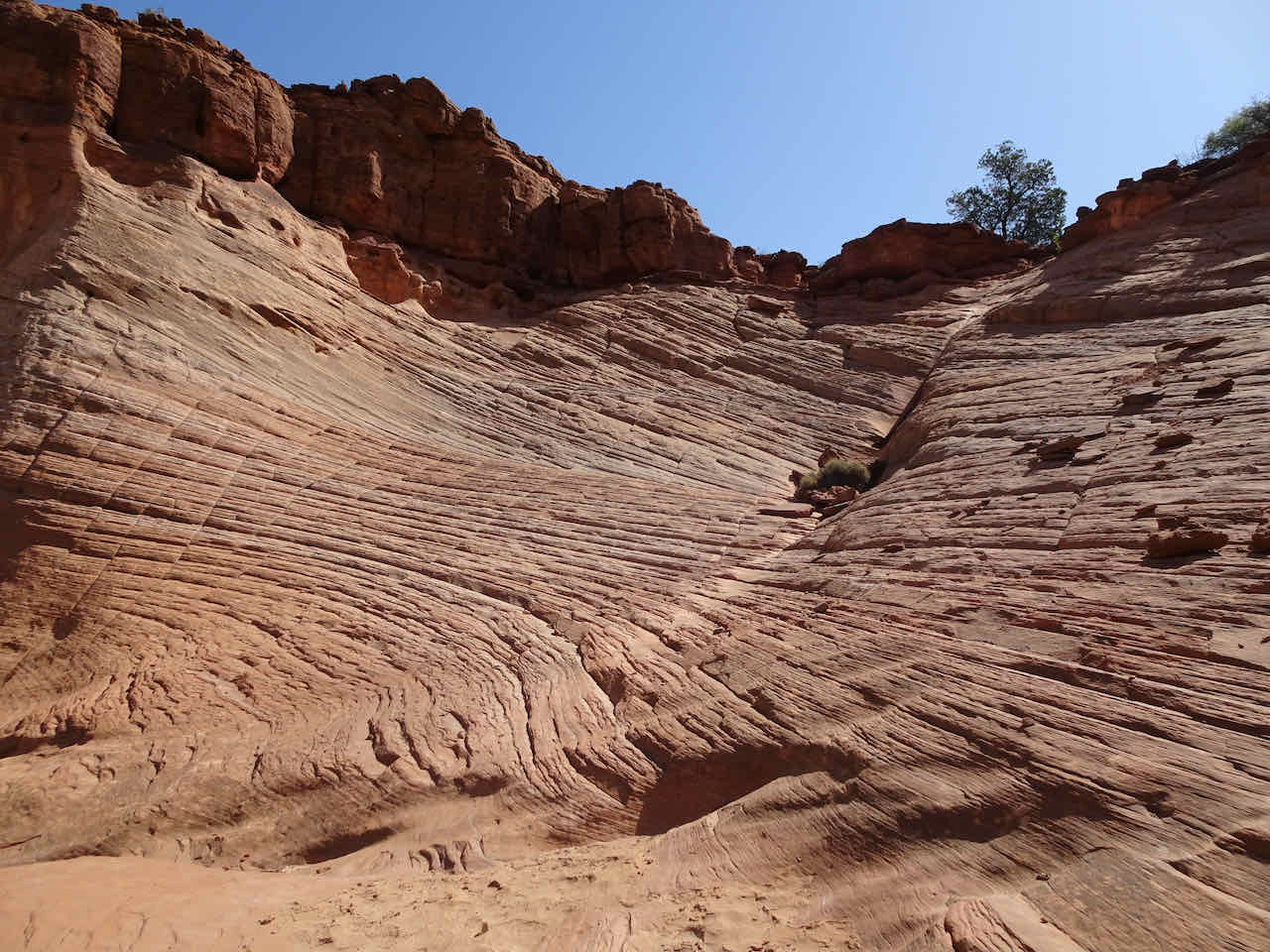
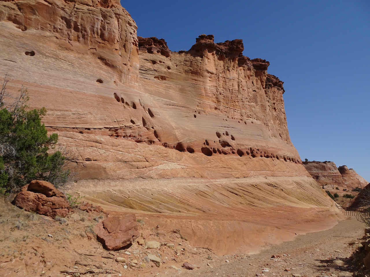
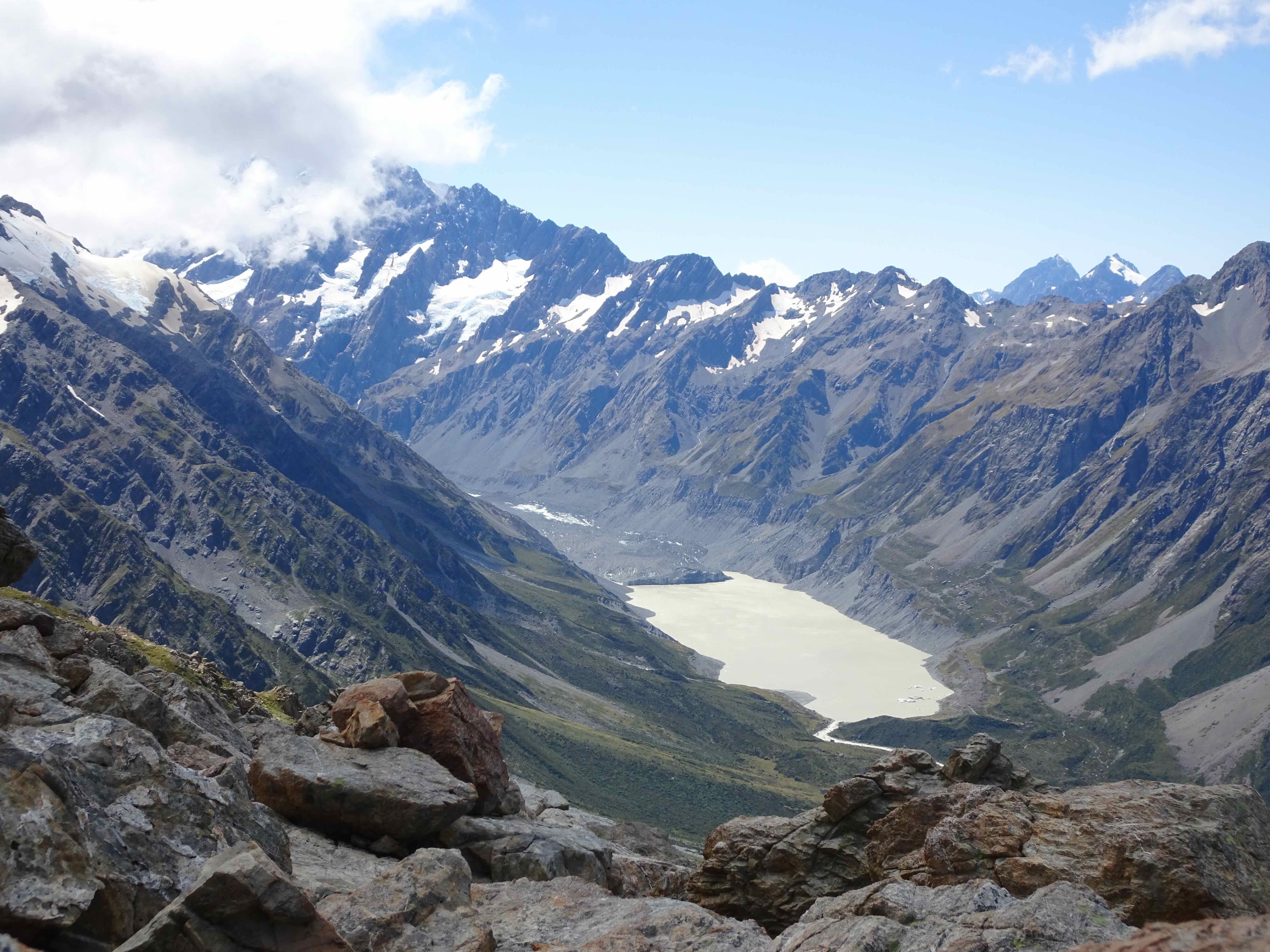
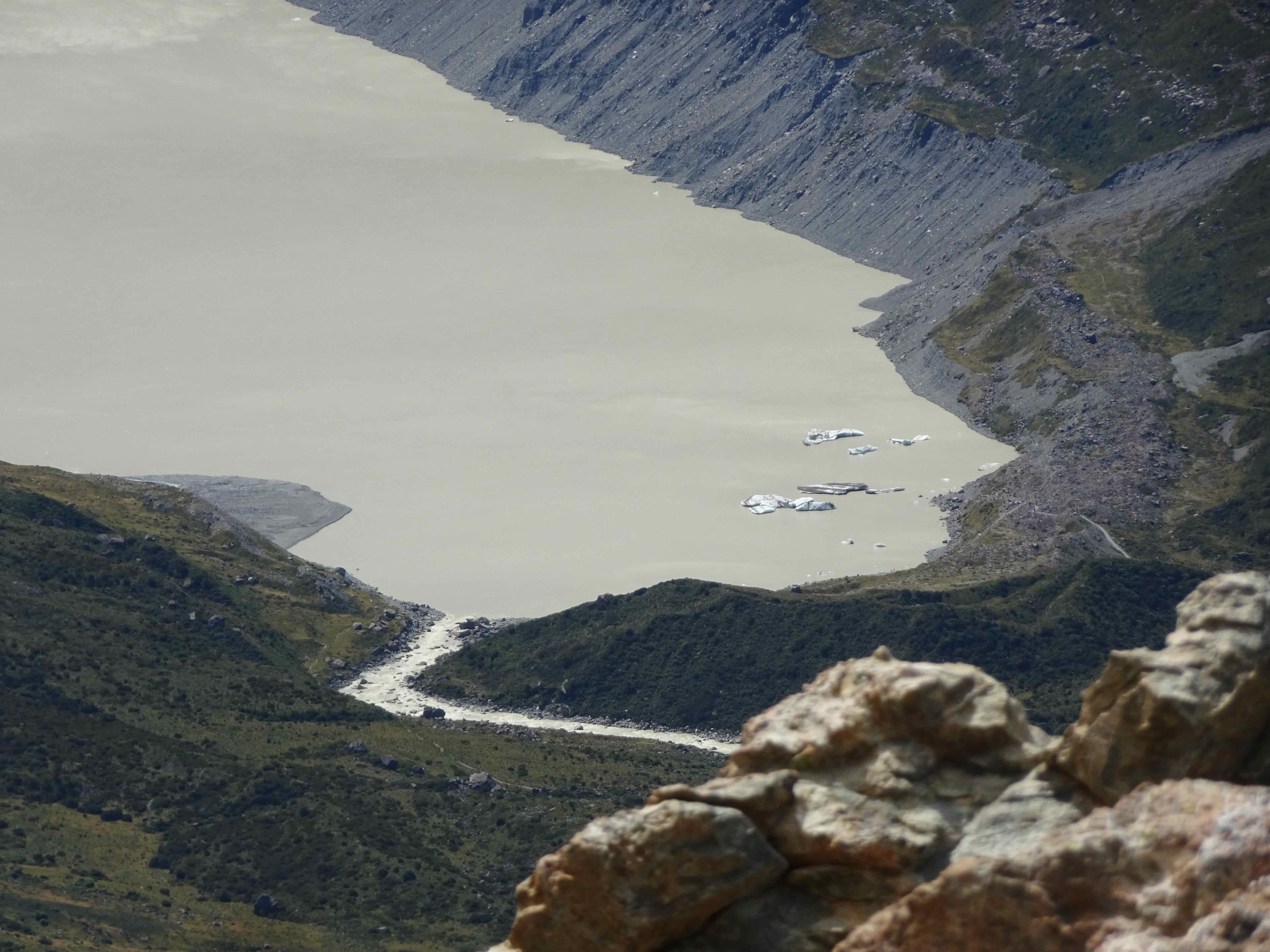
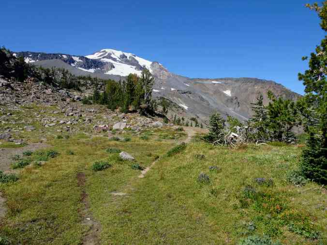
9/20 – Bird Creek Meadows, Mt Adams, WA
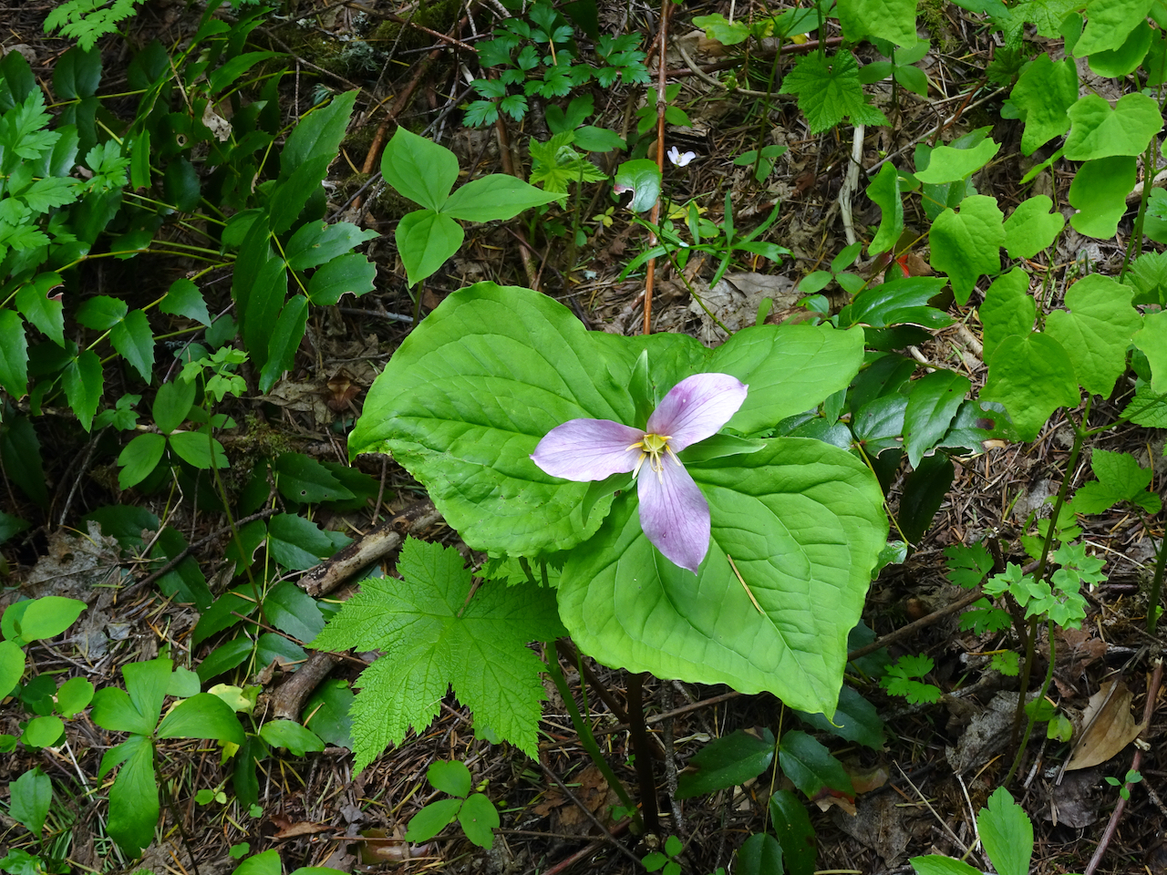
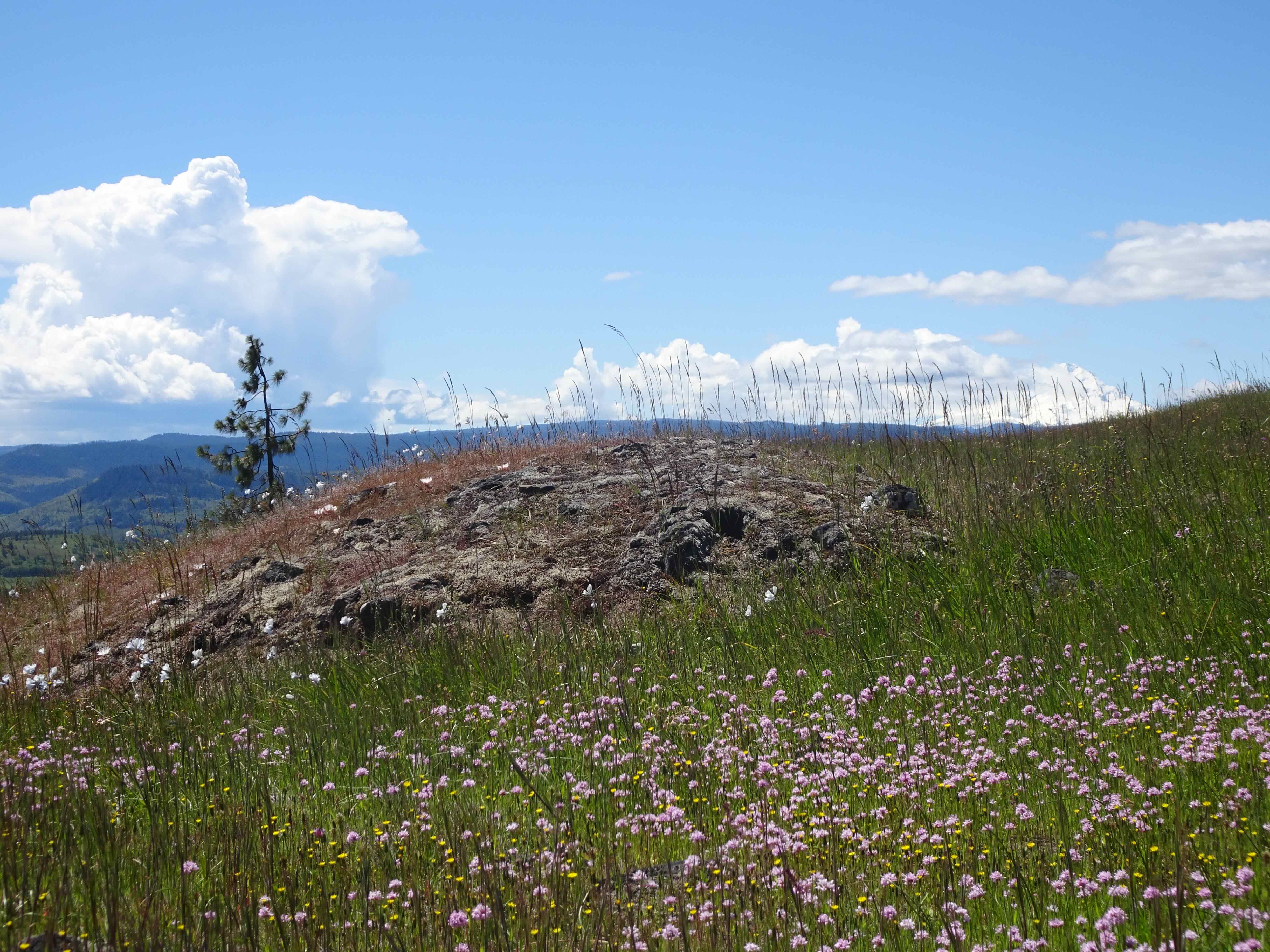
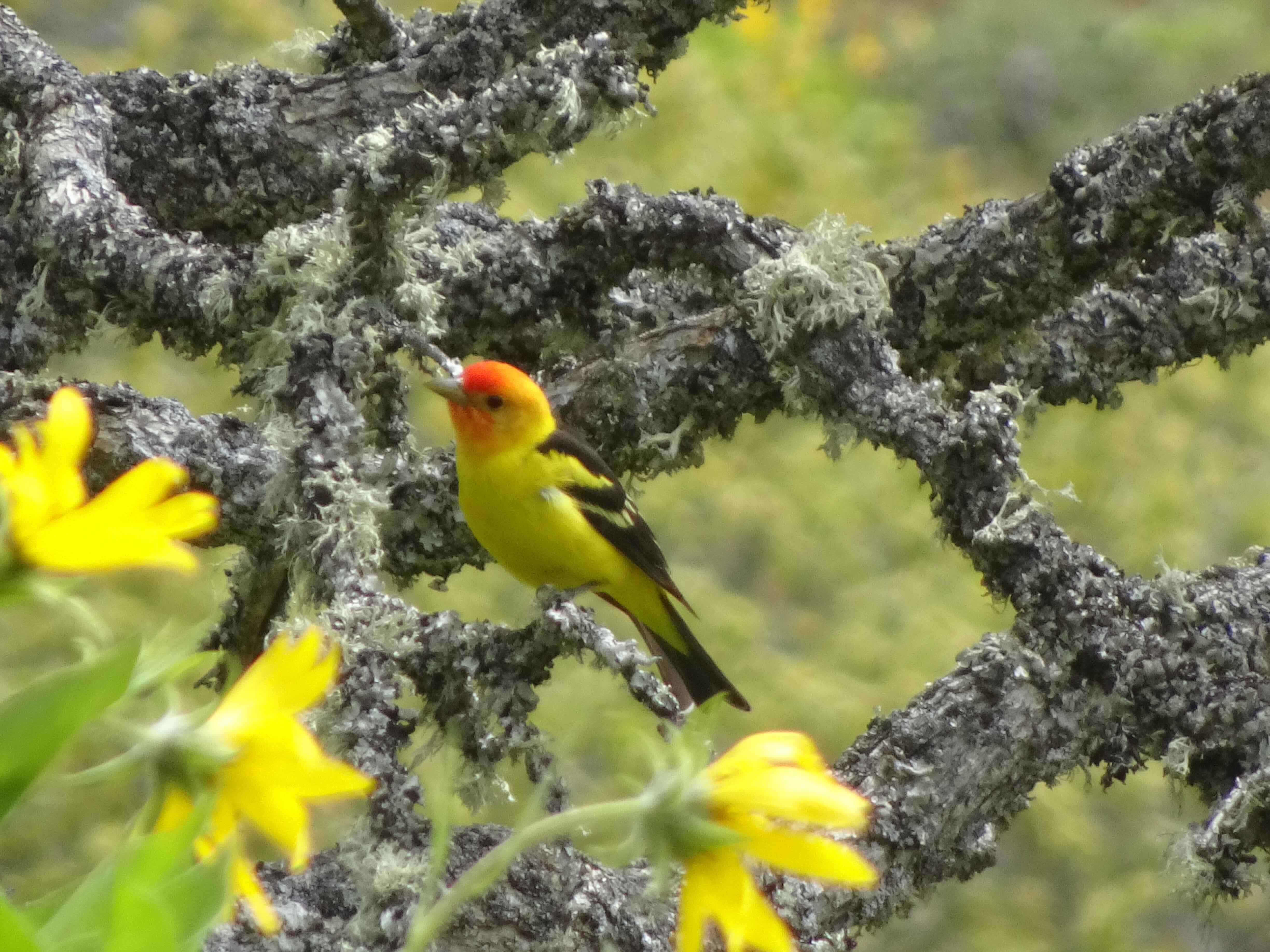
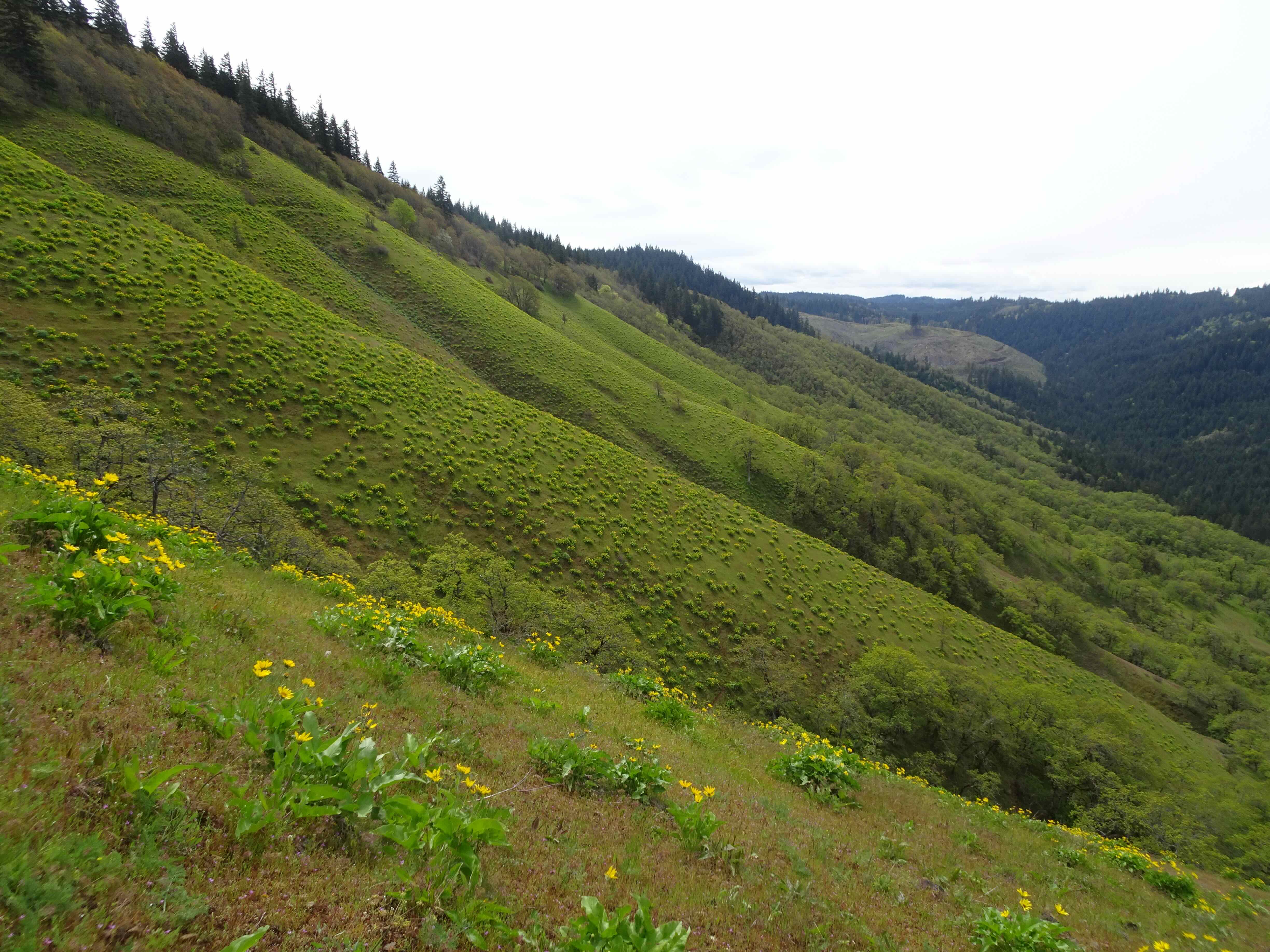
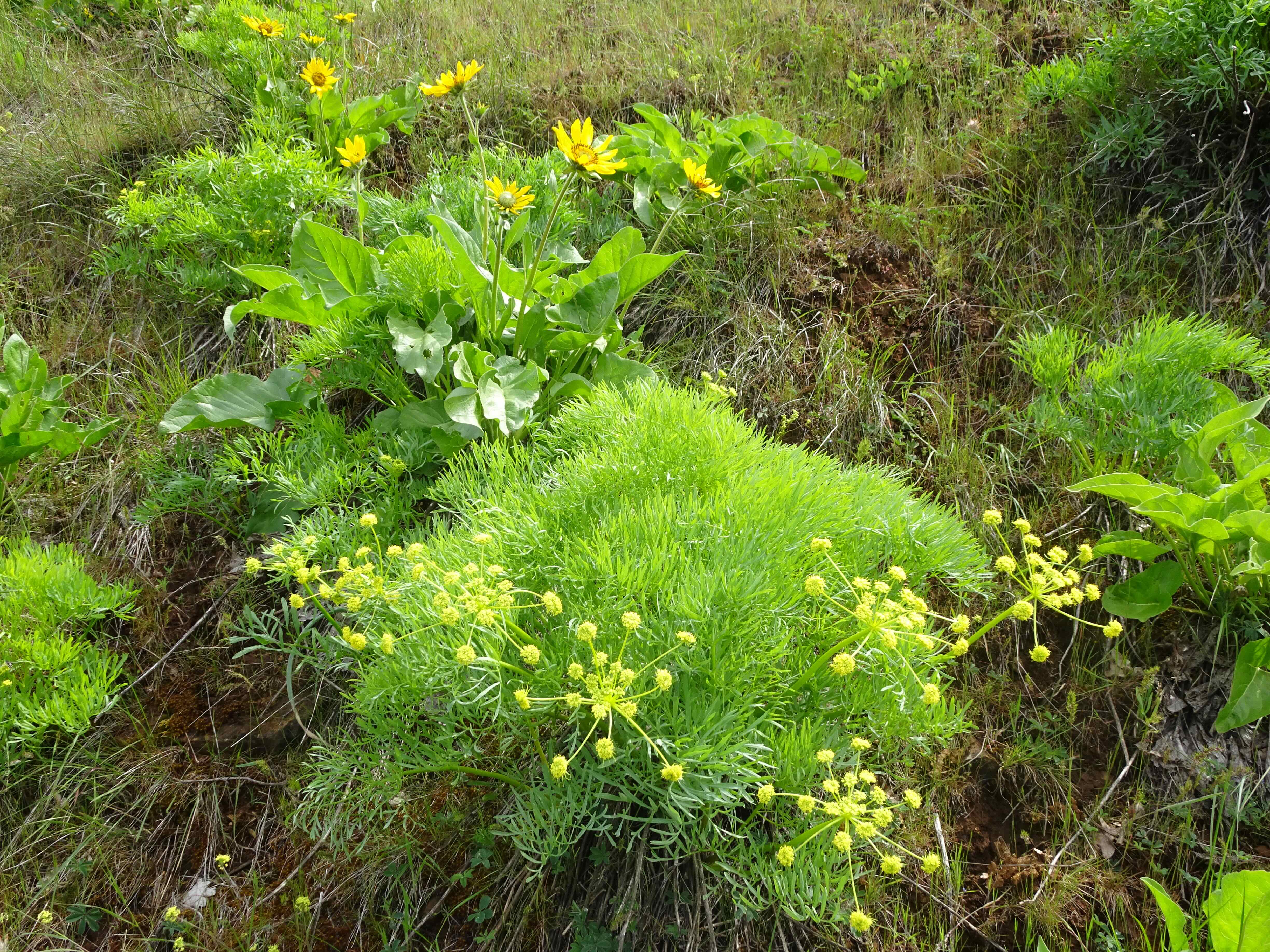
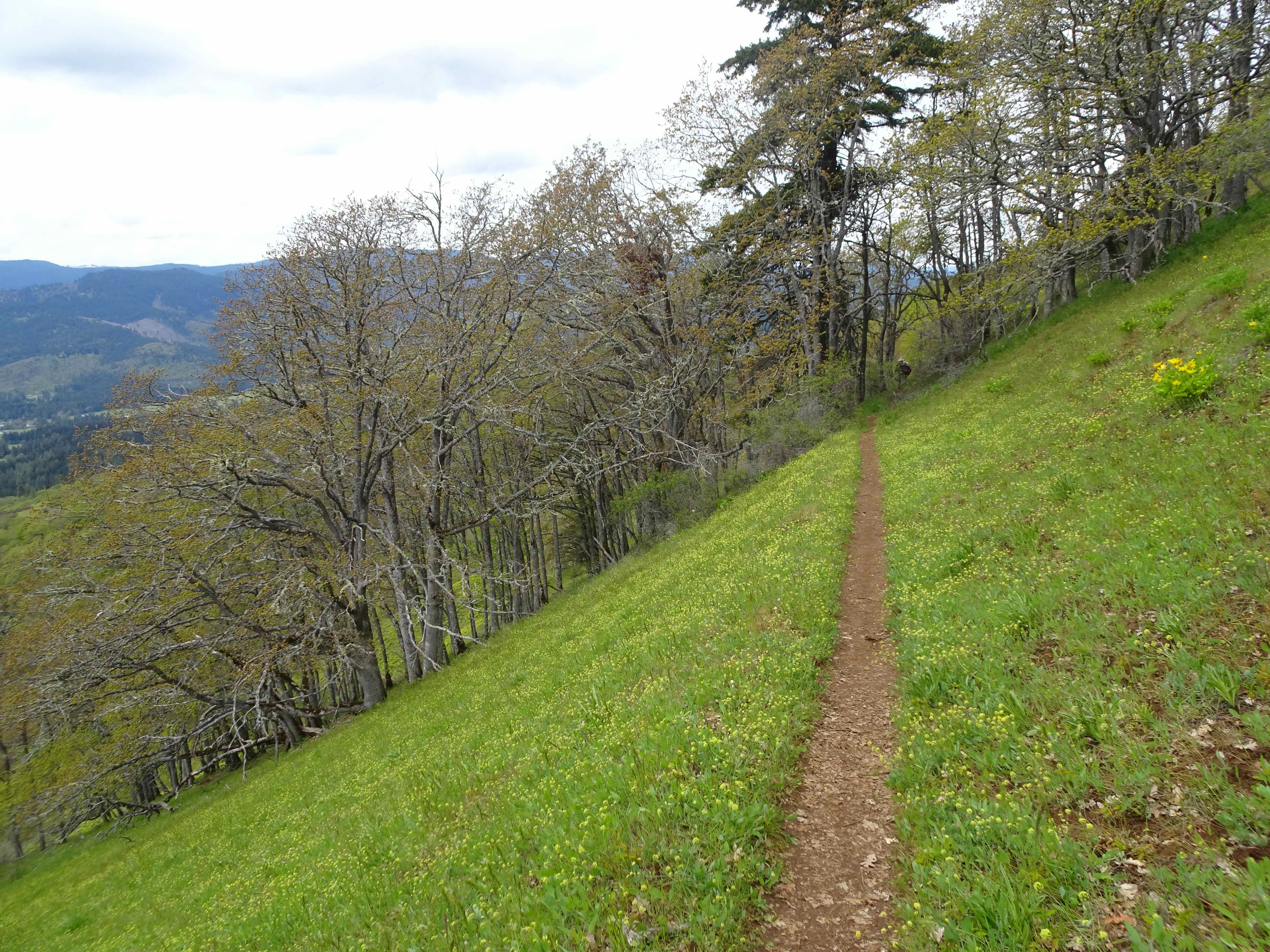
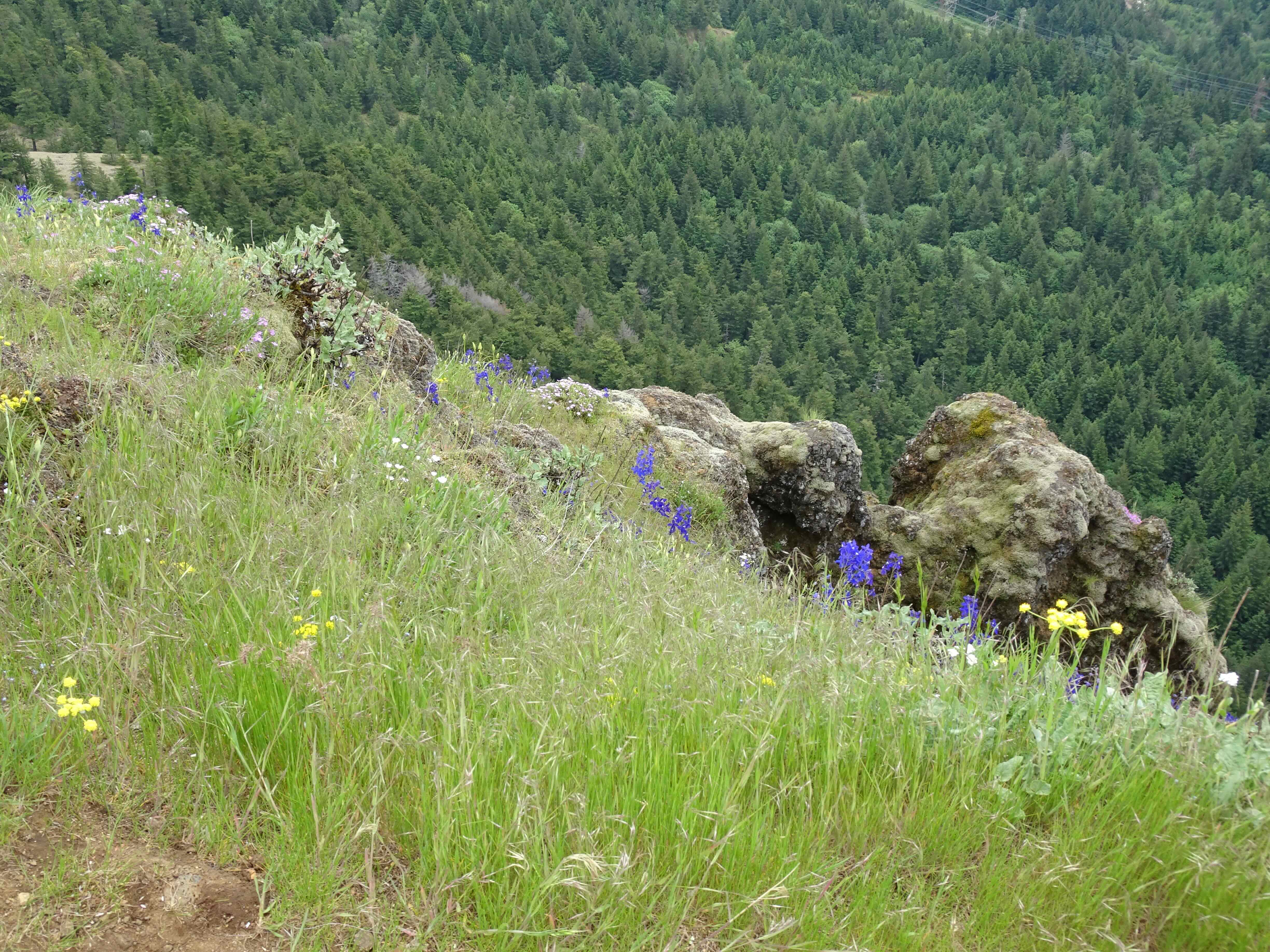
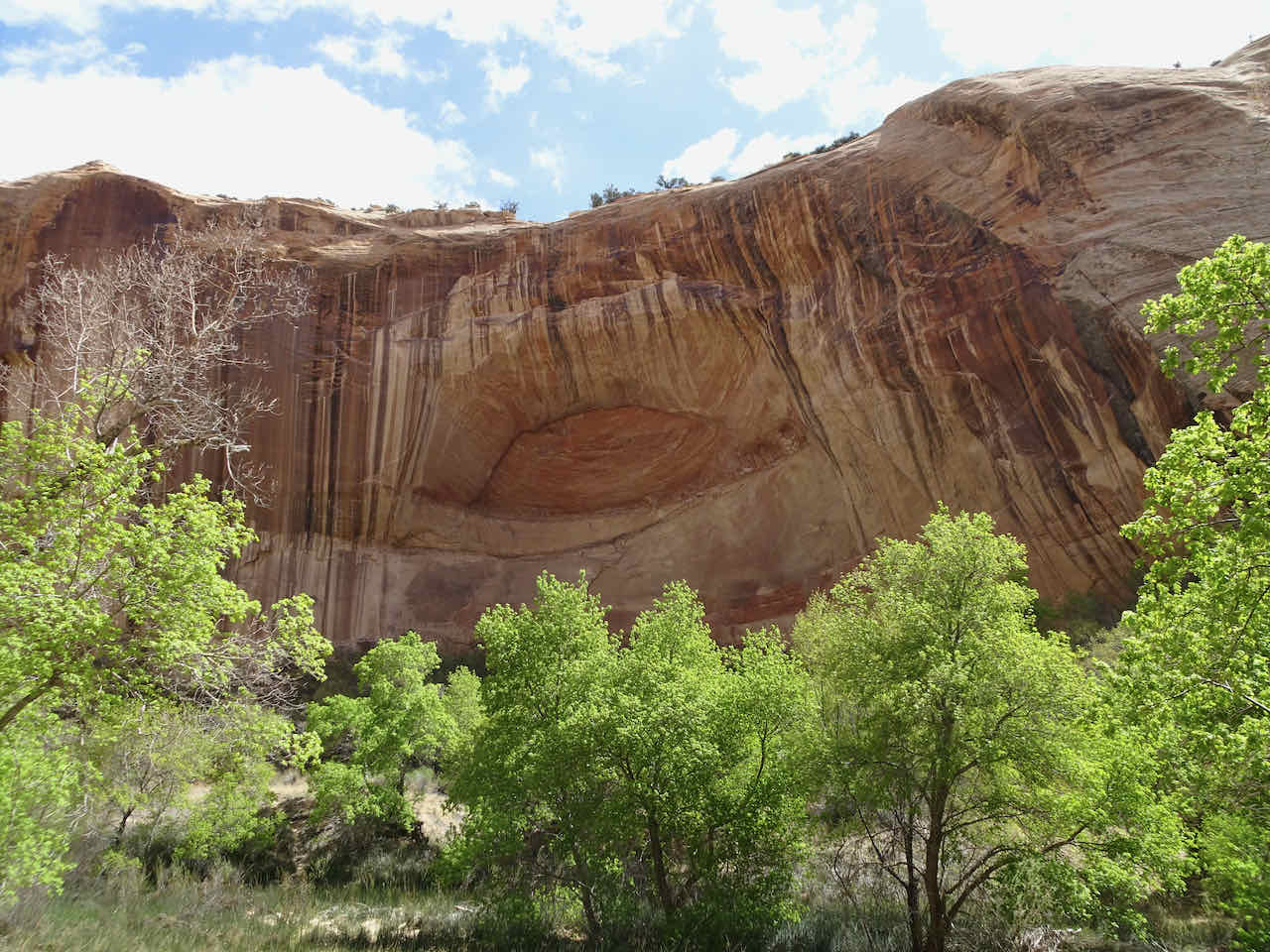
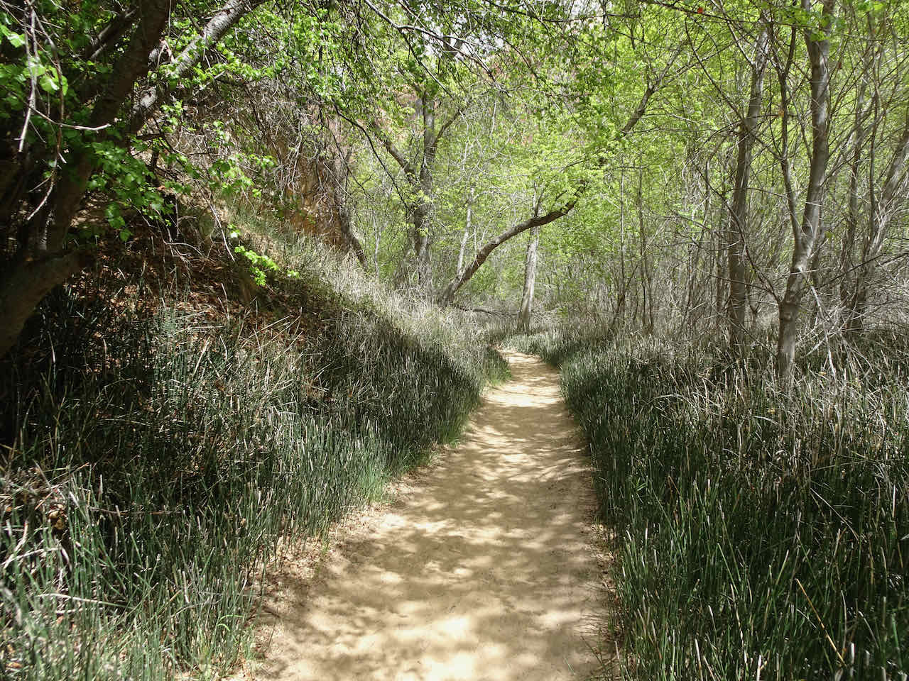
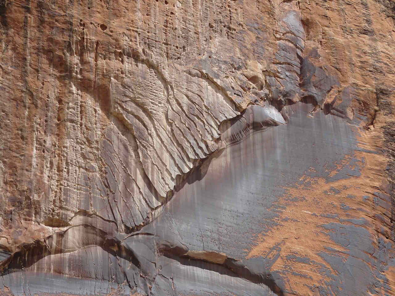
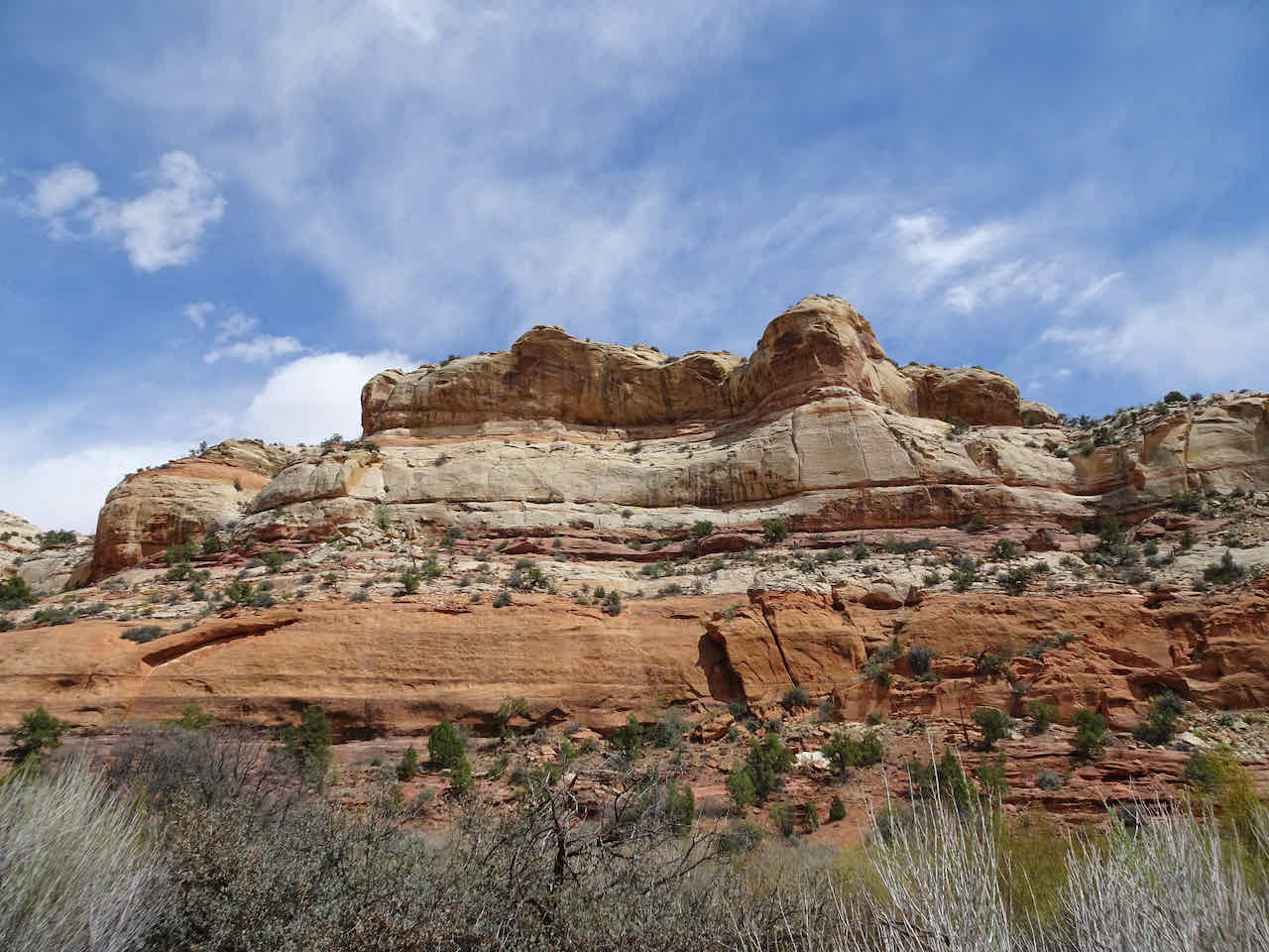
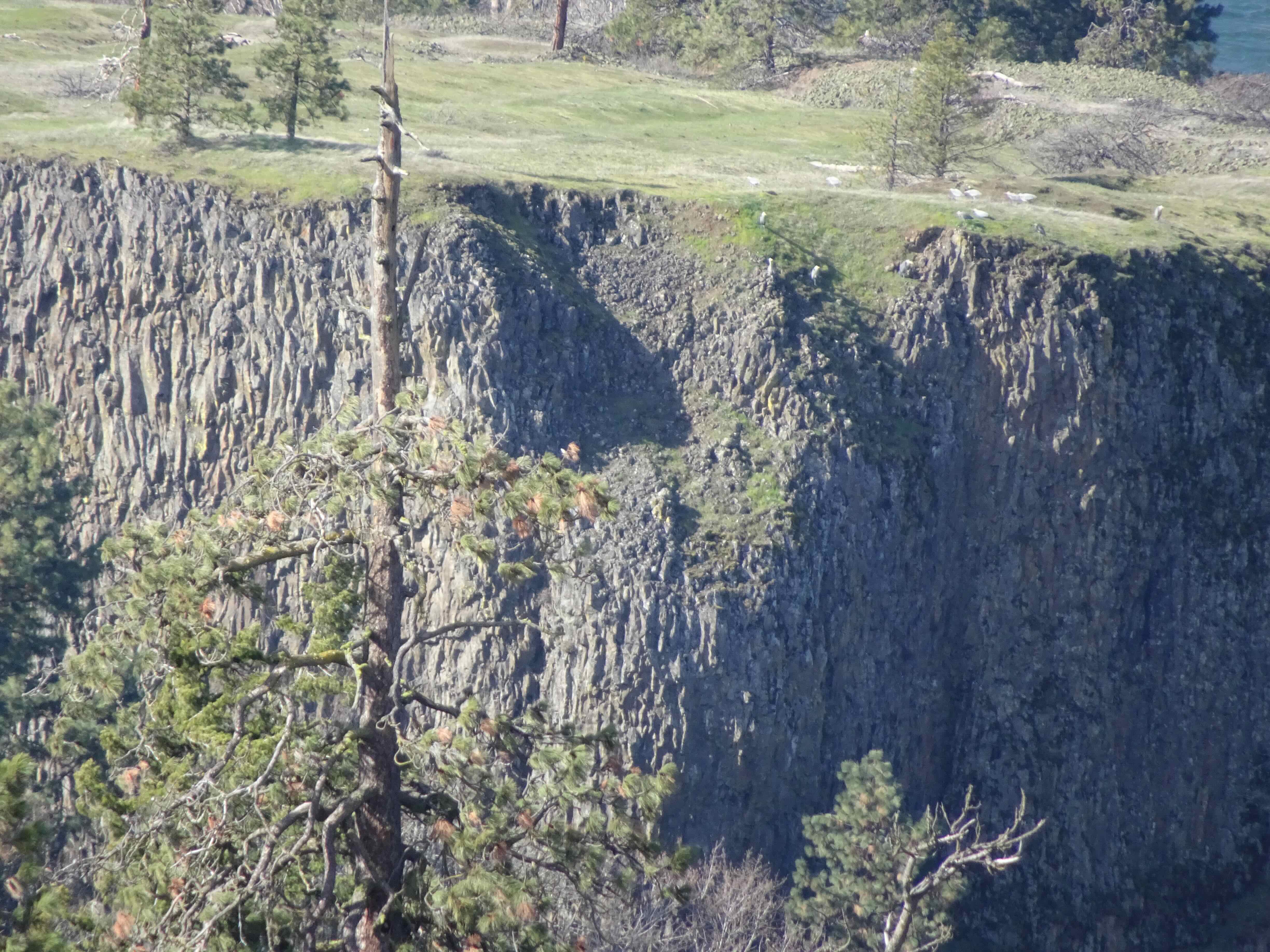
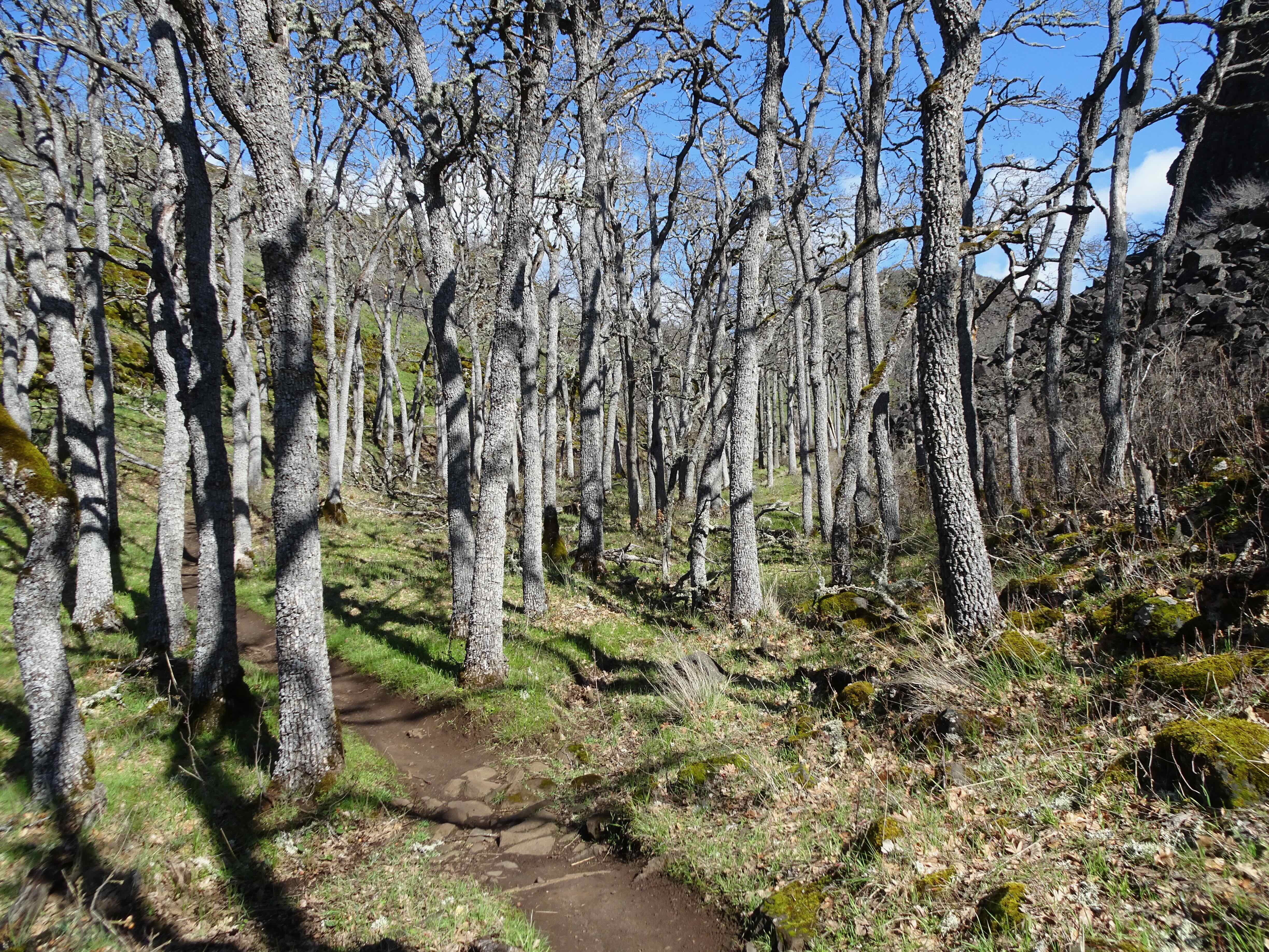
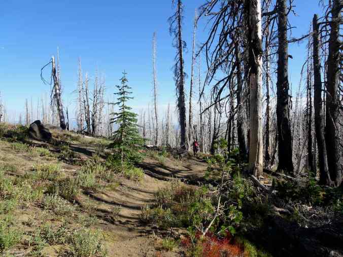
This area has been mostly closed since the 2015 Cougar Creek Fire. The Yakama people have opened the hiking trails for the month of September the last two years, and we finally made it out there this year. Our pre-fire hikes in the area were during peak wildflower season in a place where the bloom is as fine as any in the Cascades. We saw the beginnings of fall color on our hike today, while appreciating the repairs that have been made to the fire damaged trails. It was beautiful!

Our GPS track – 7 miles, 1350 feet
Bird Lake Trailhead, Mt Adams
Up toward Bluff Lake through the 2015 burn zone.

Green undergrowth

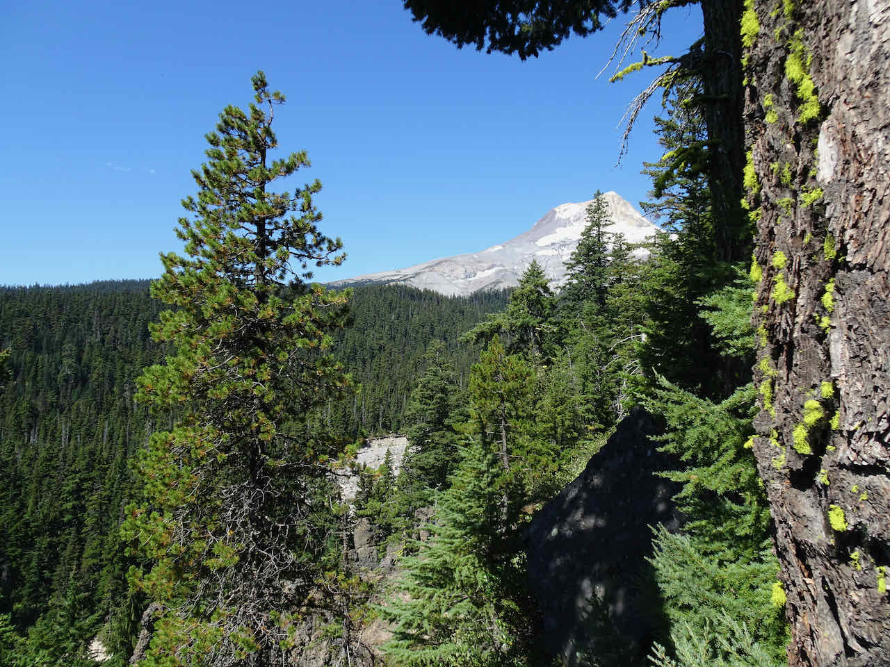
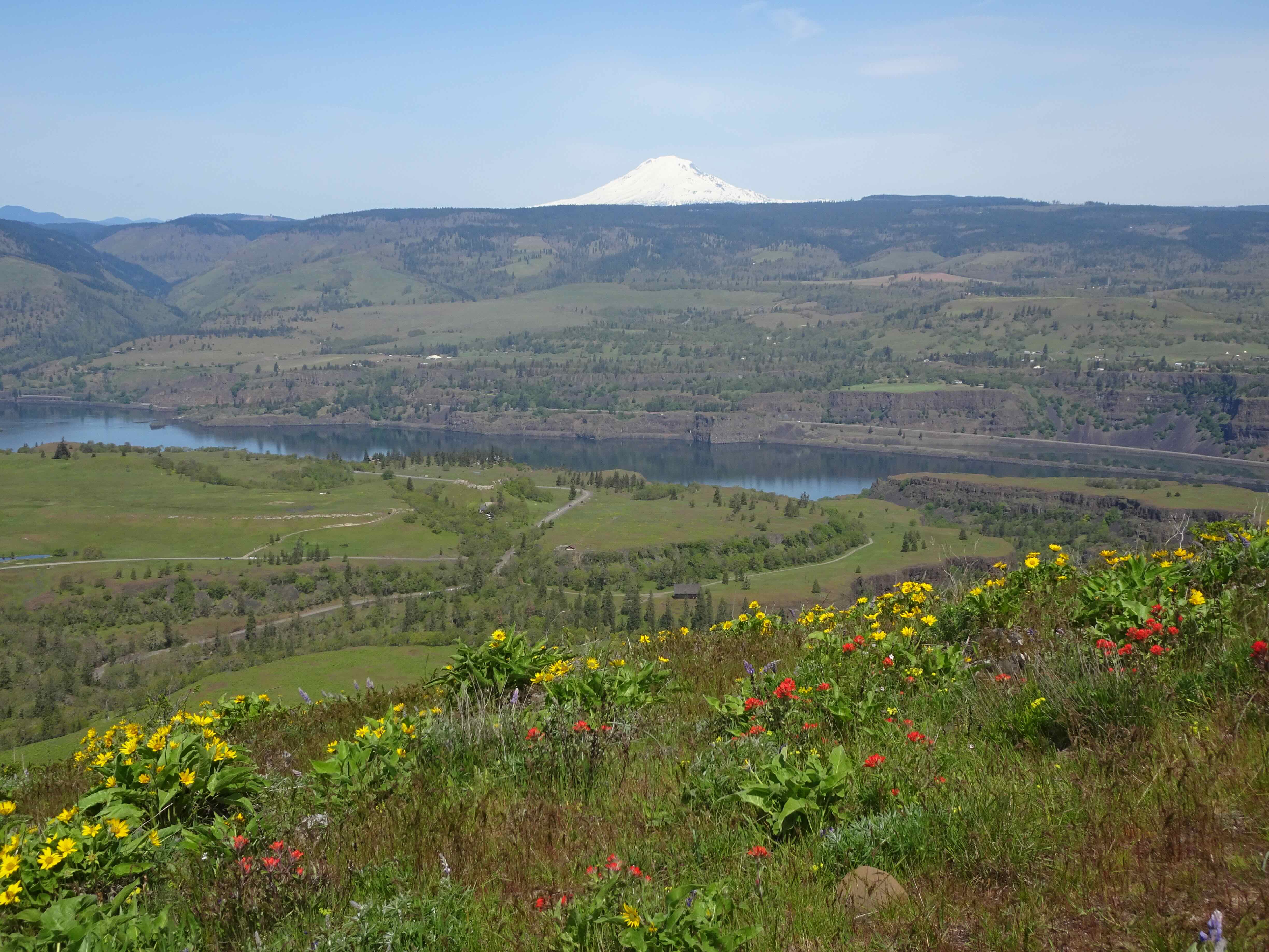
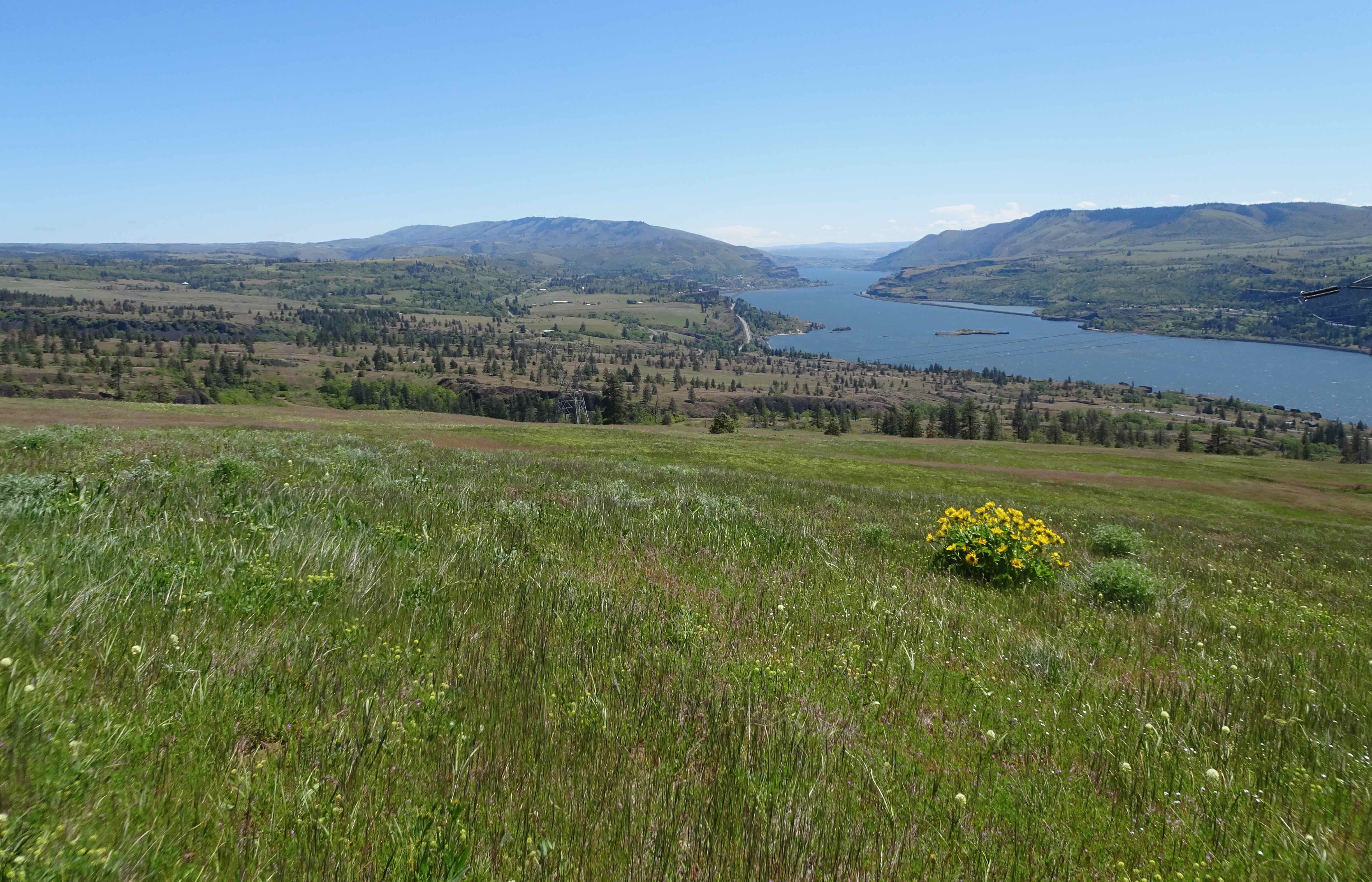
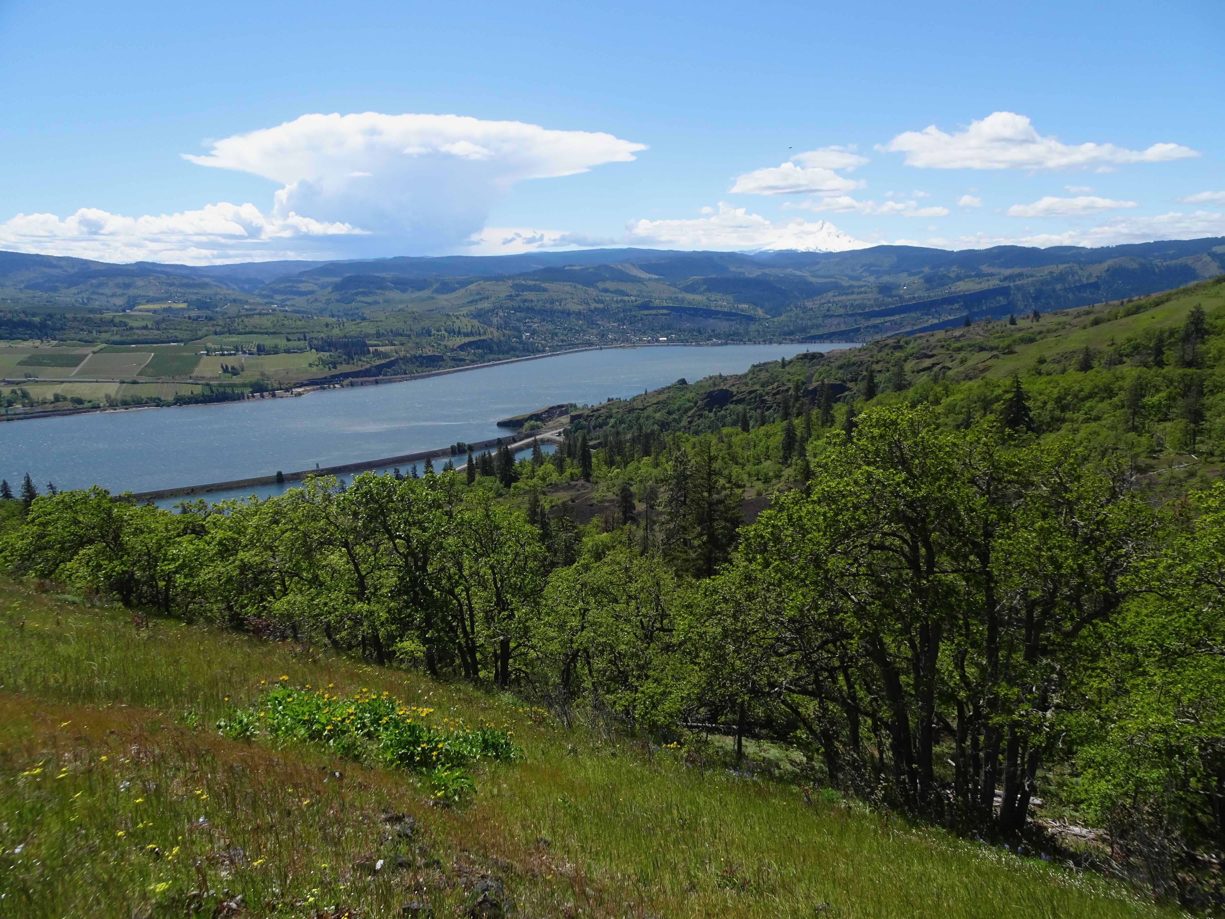
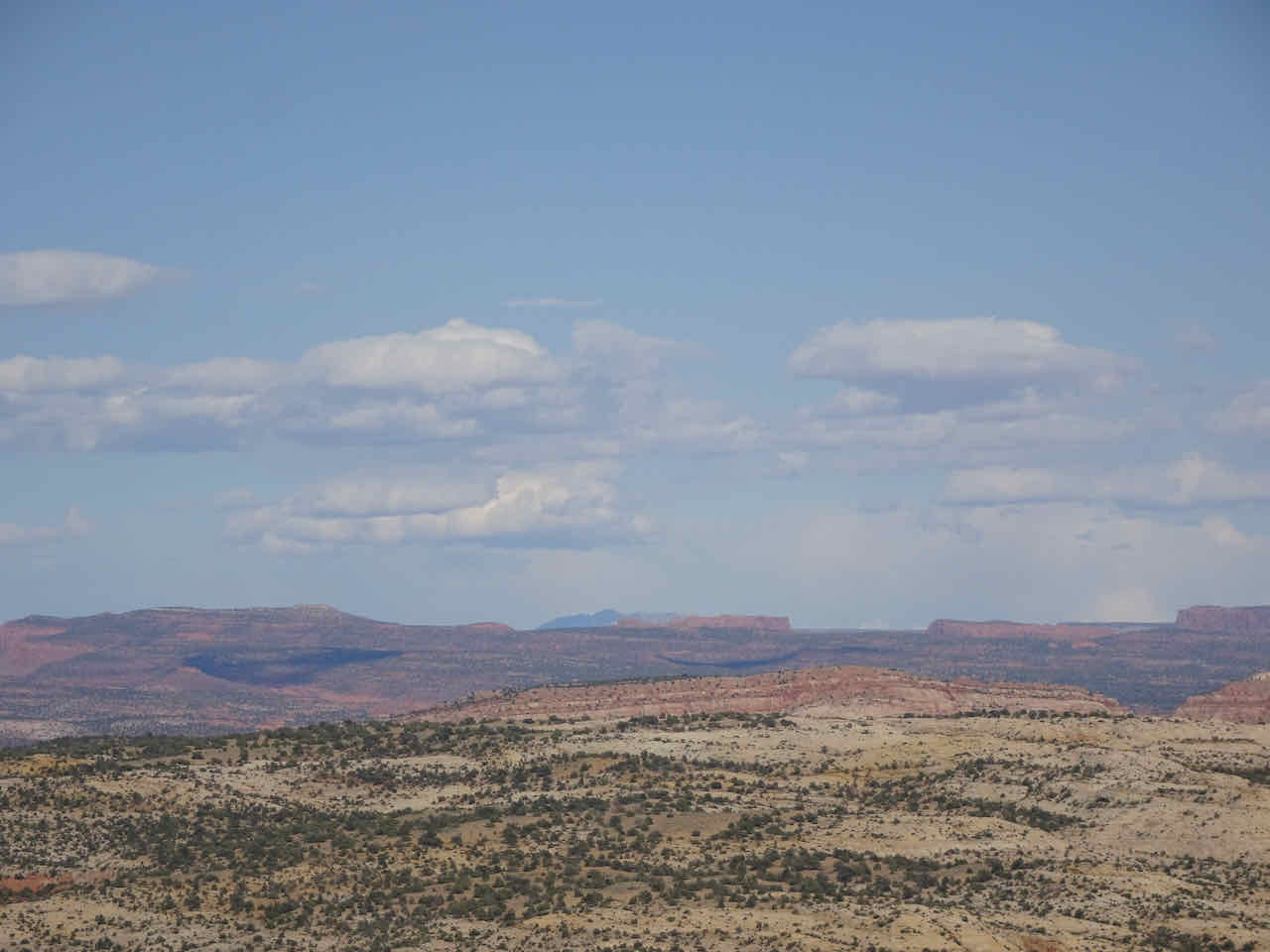
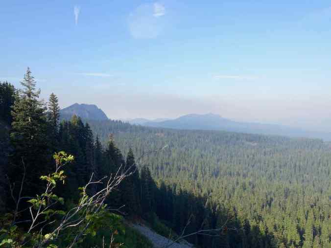
View to Mt Hood through the haze.
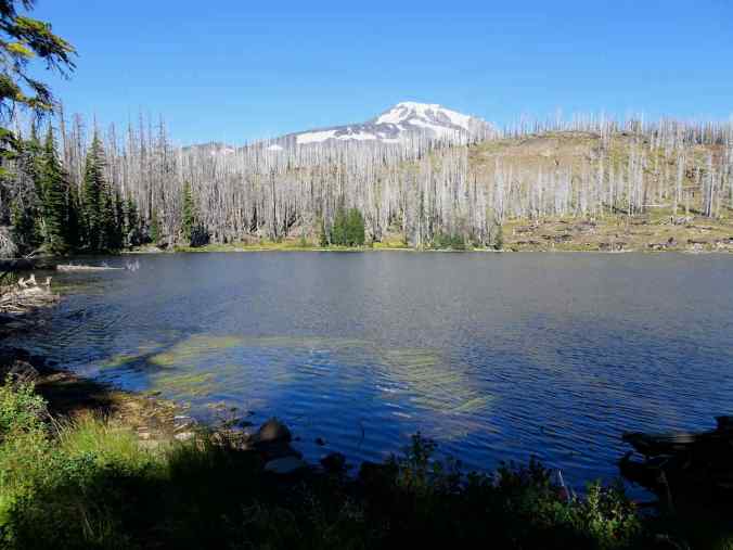
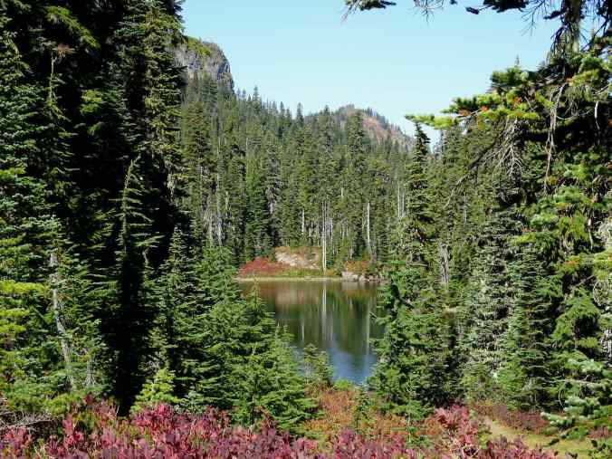
Bluff Lake, Mt Adams through the trees on the left.

Huckleberry foliage
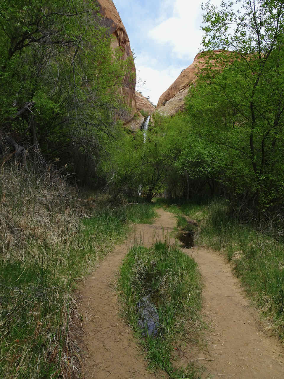
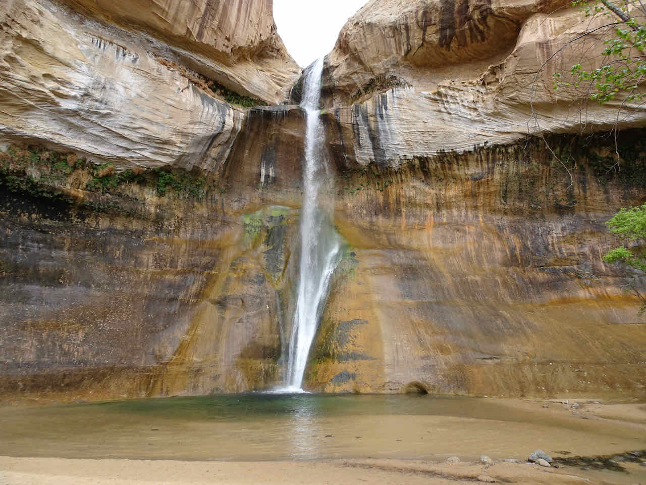
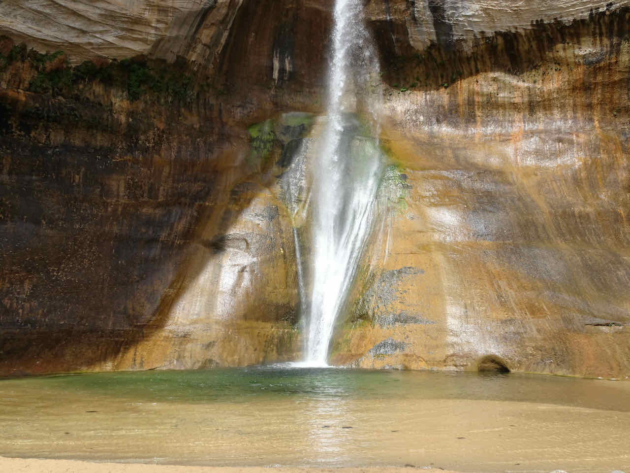
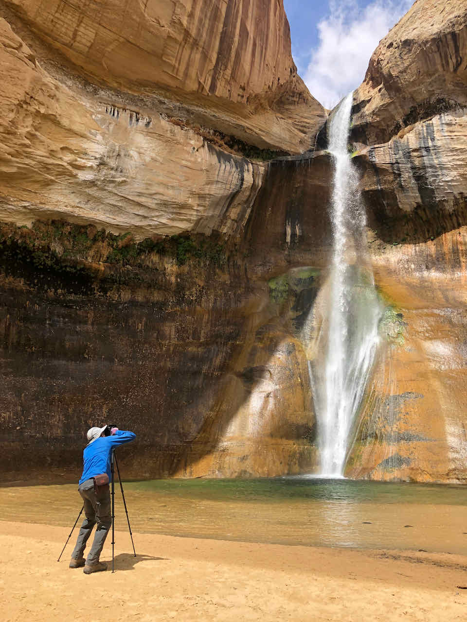
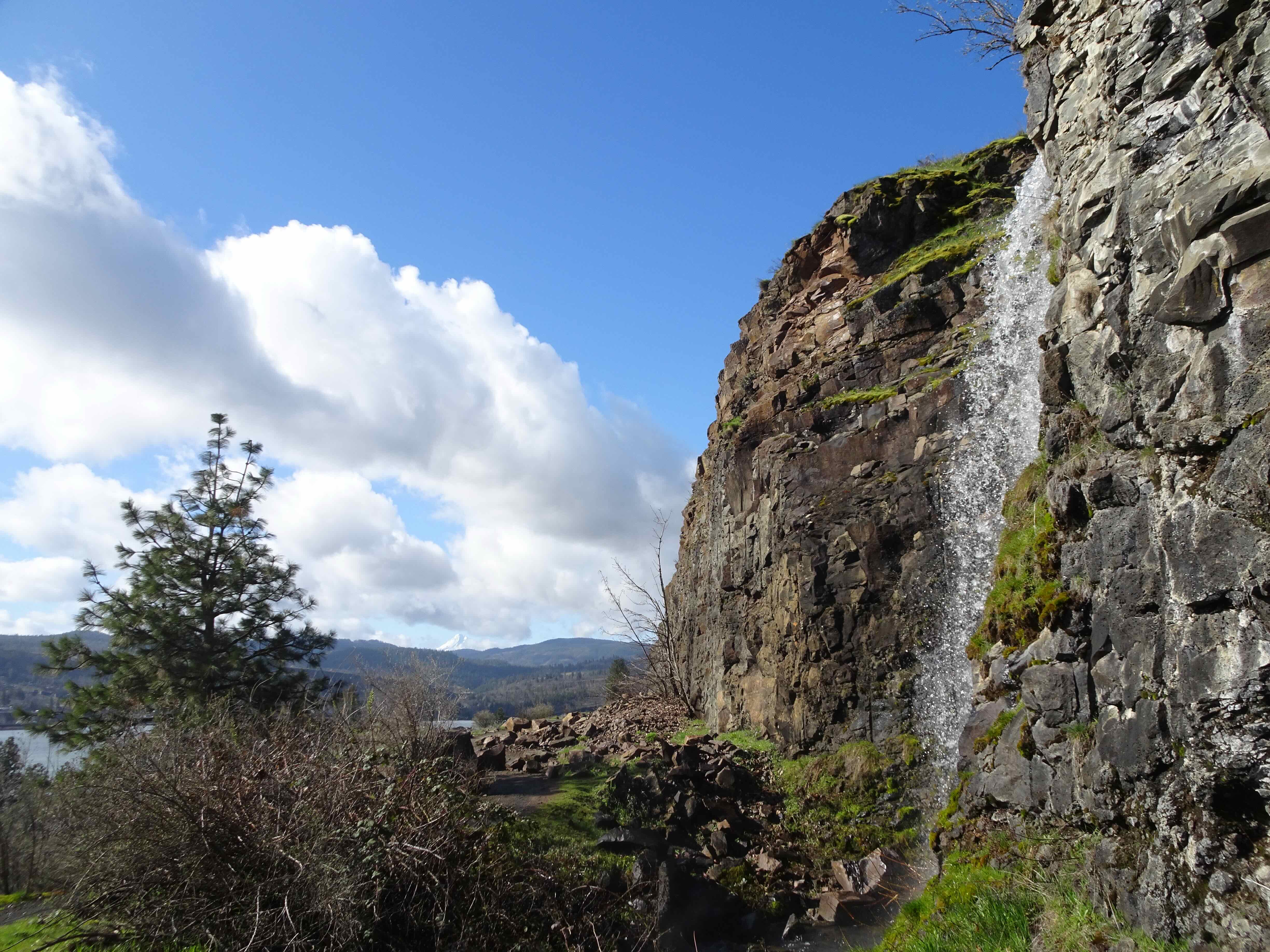
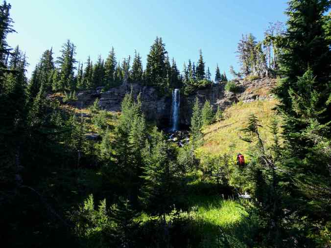
Staircase Falls

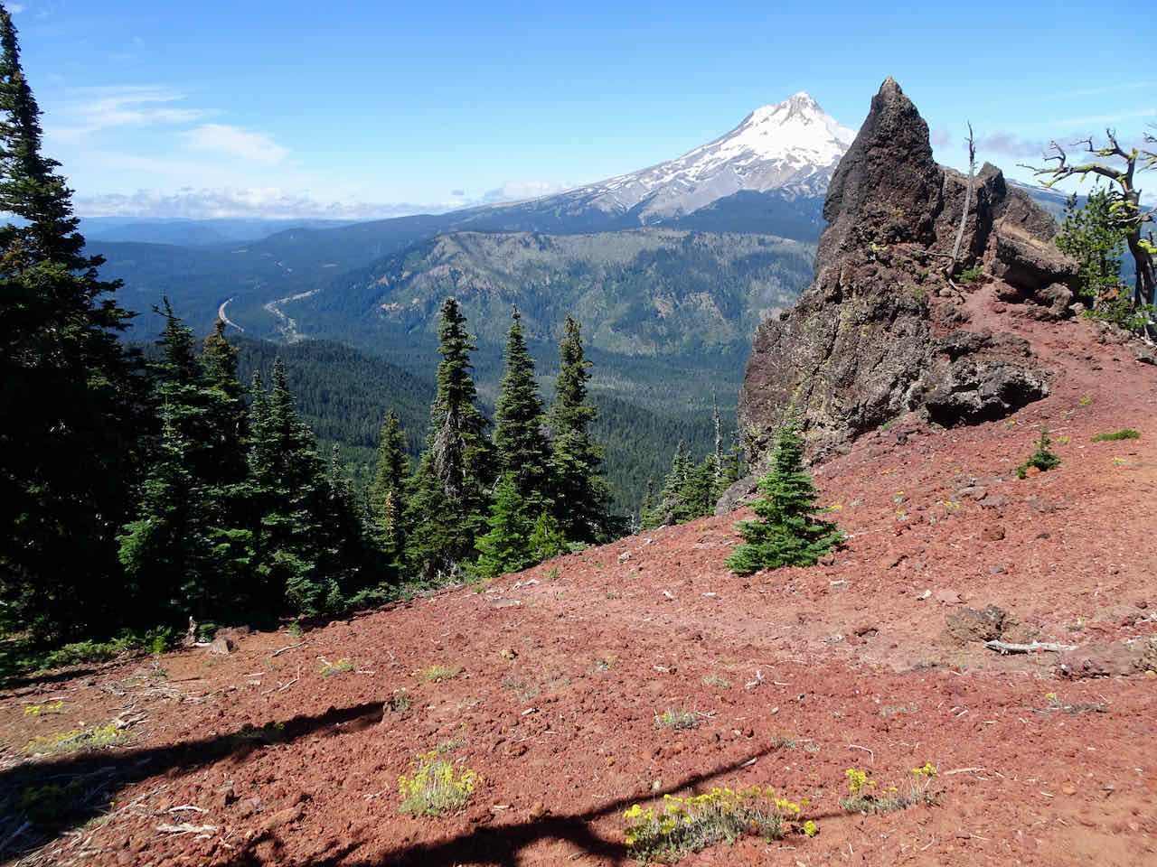
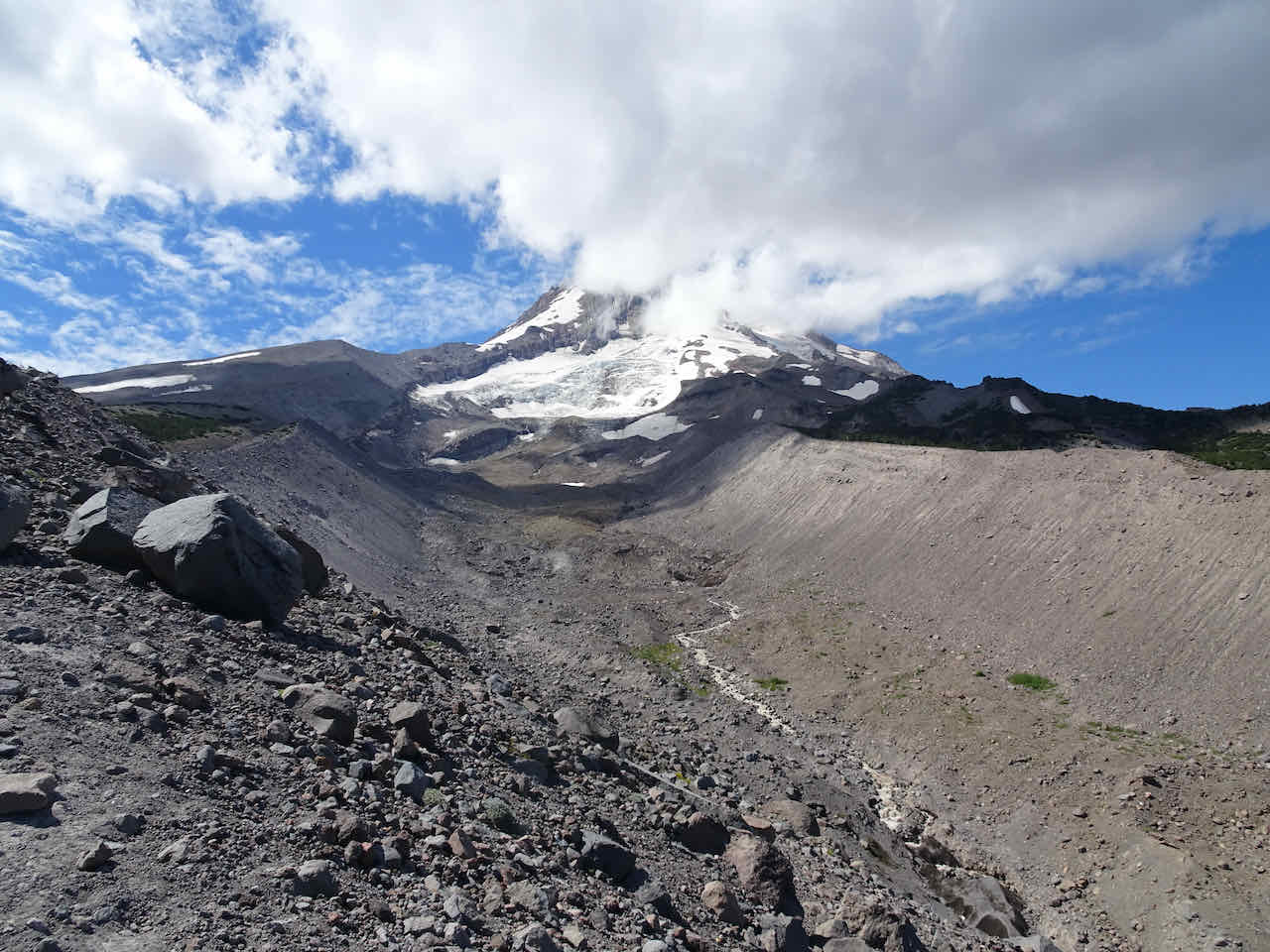
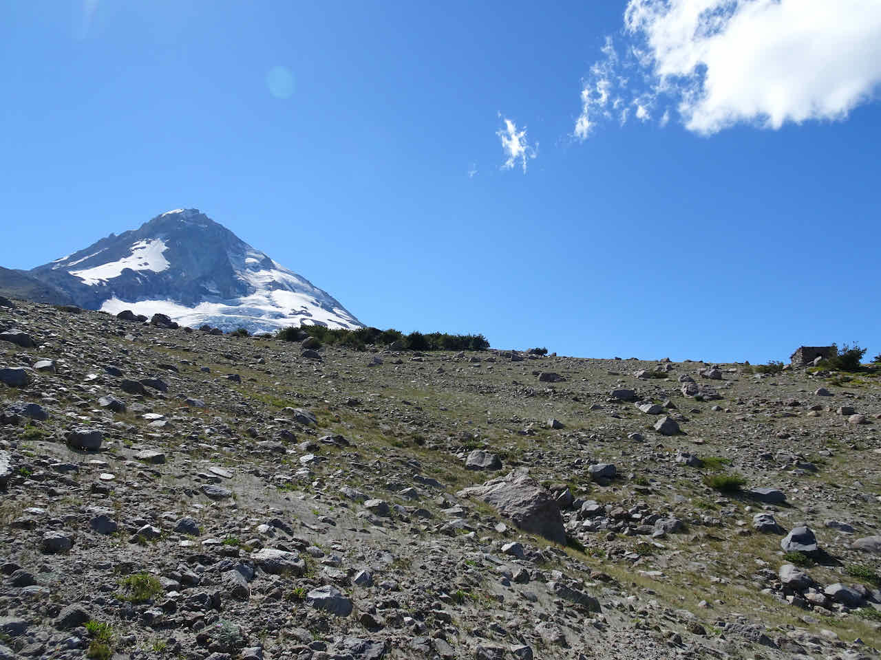
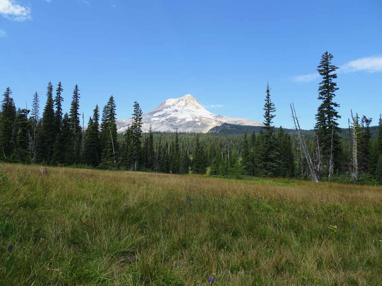
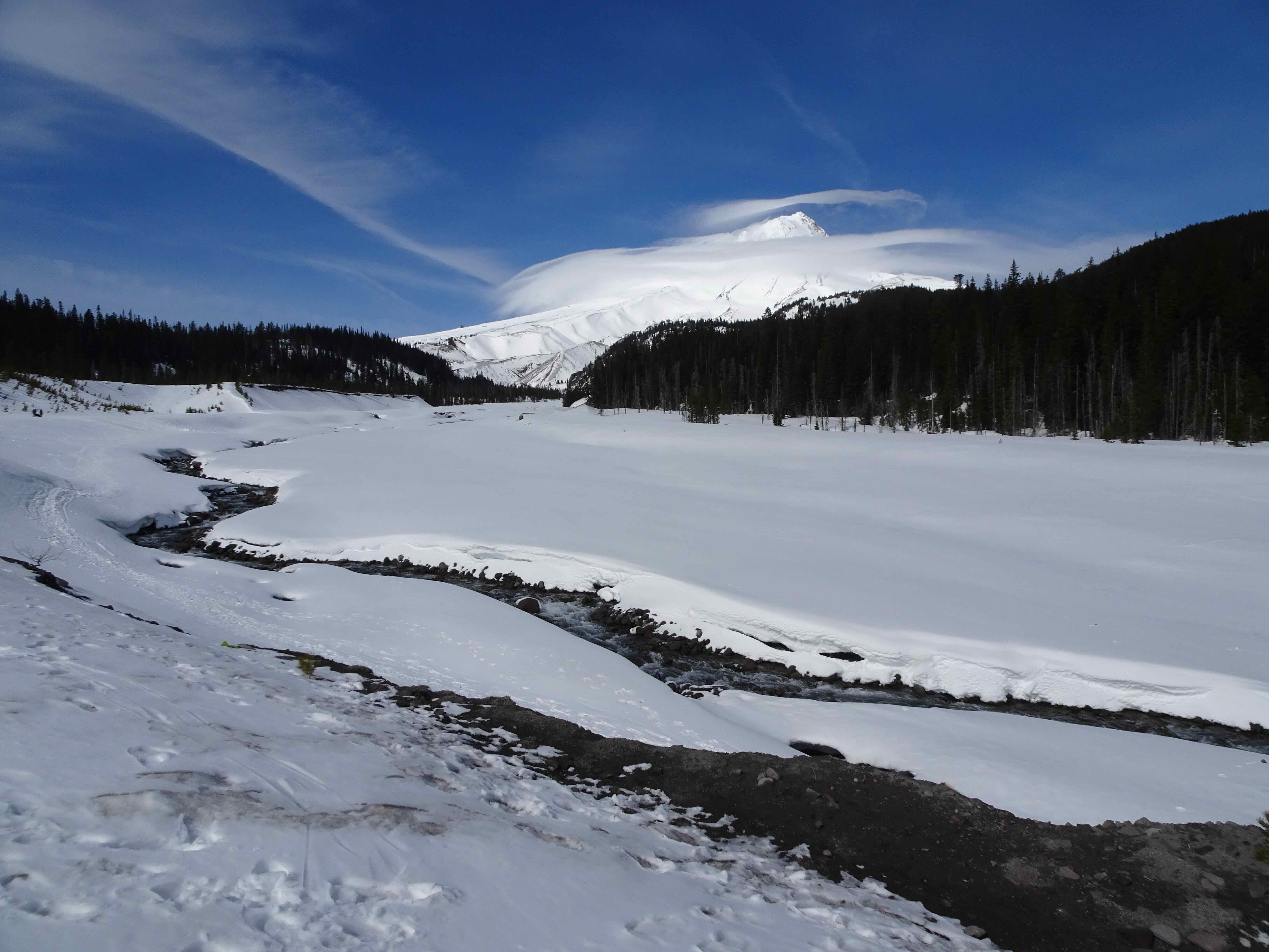
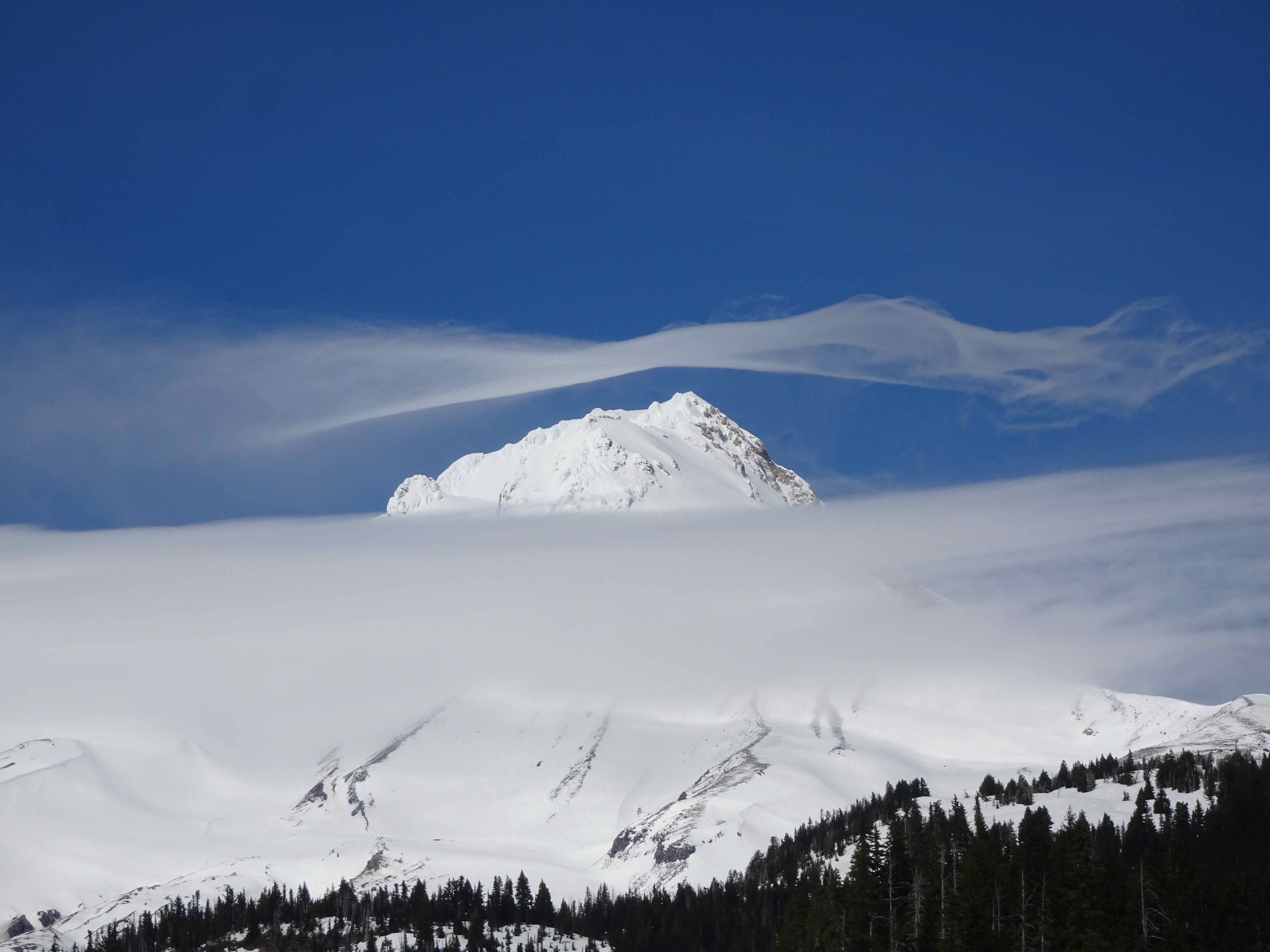
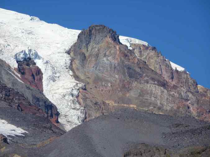
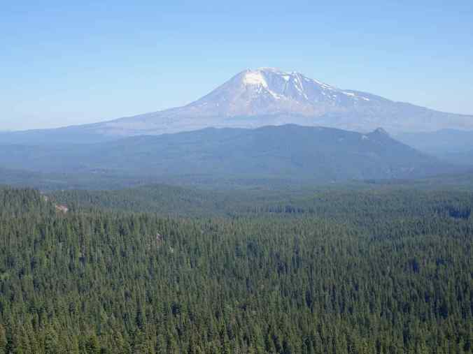
Mt Adams
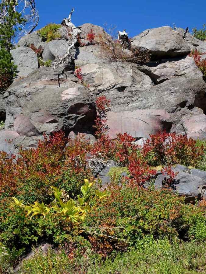
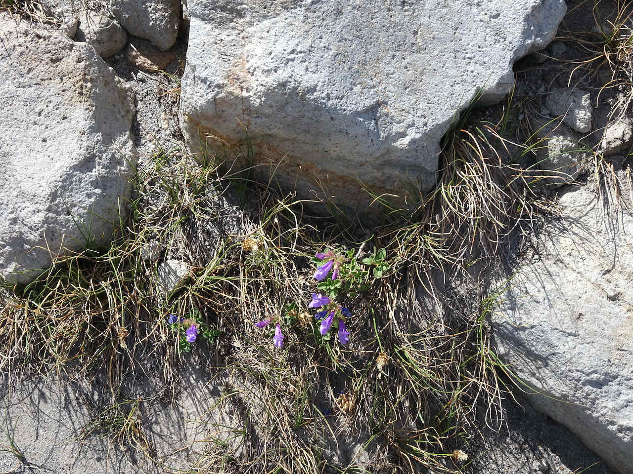
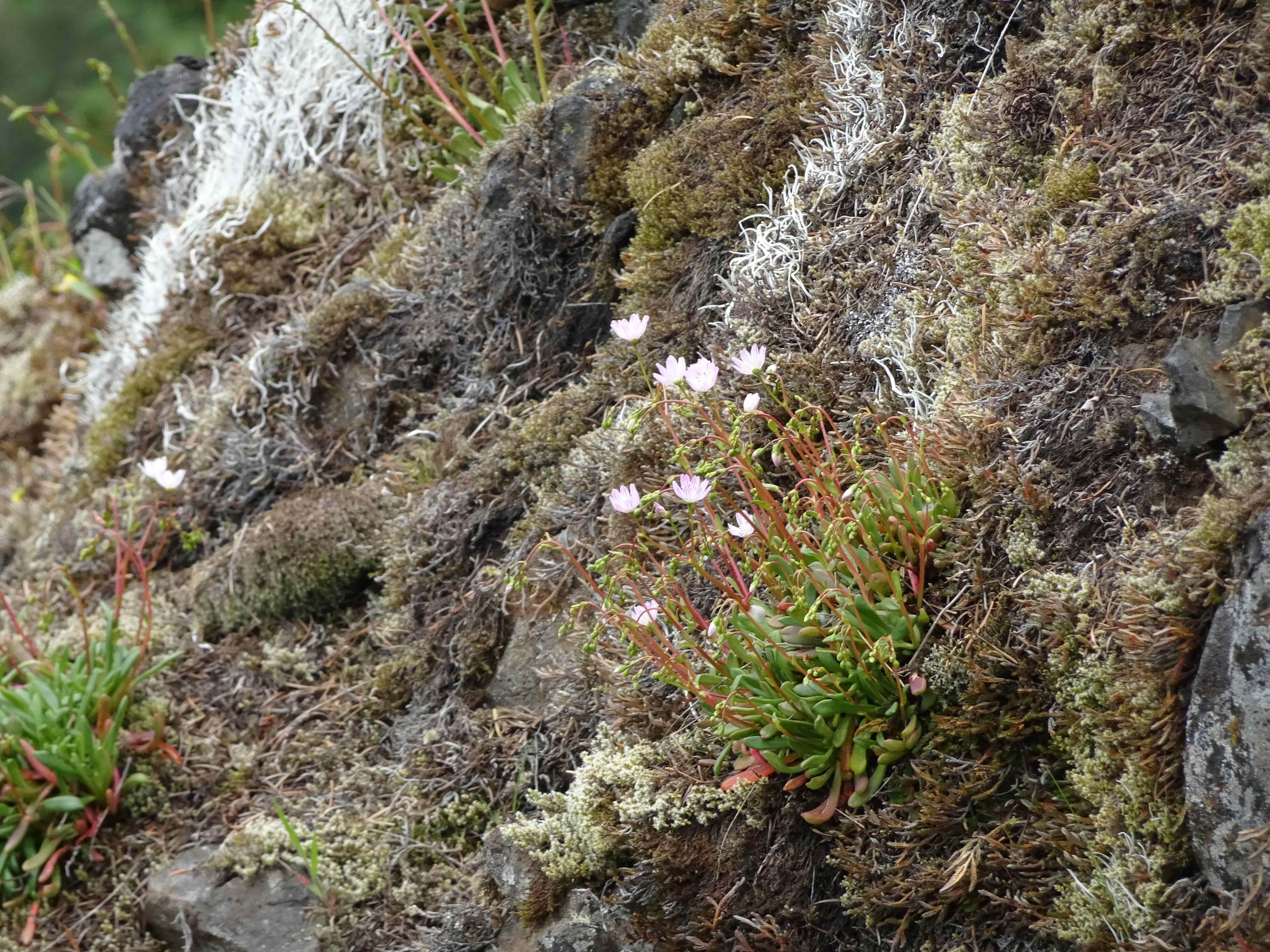
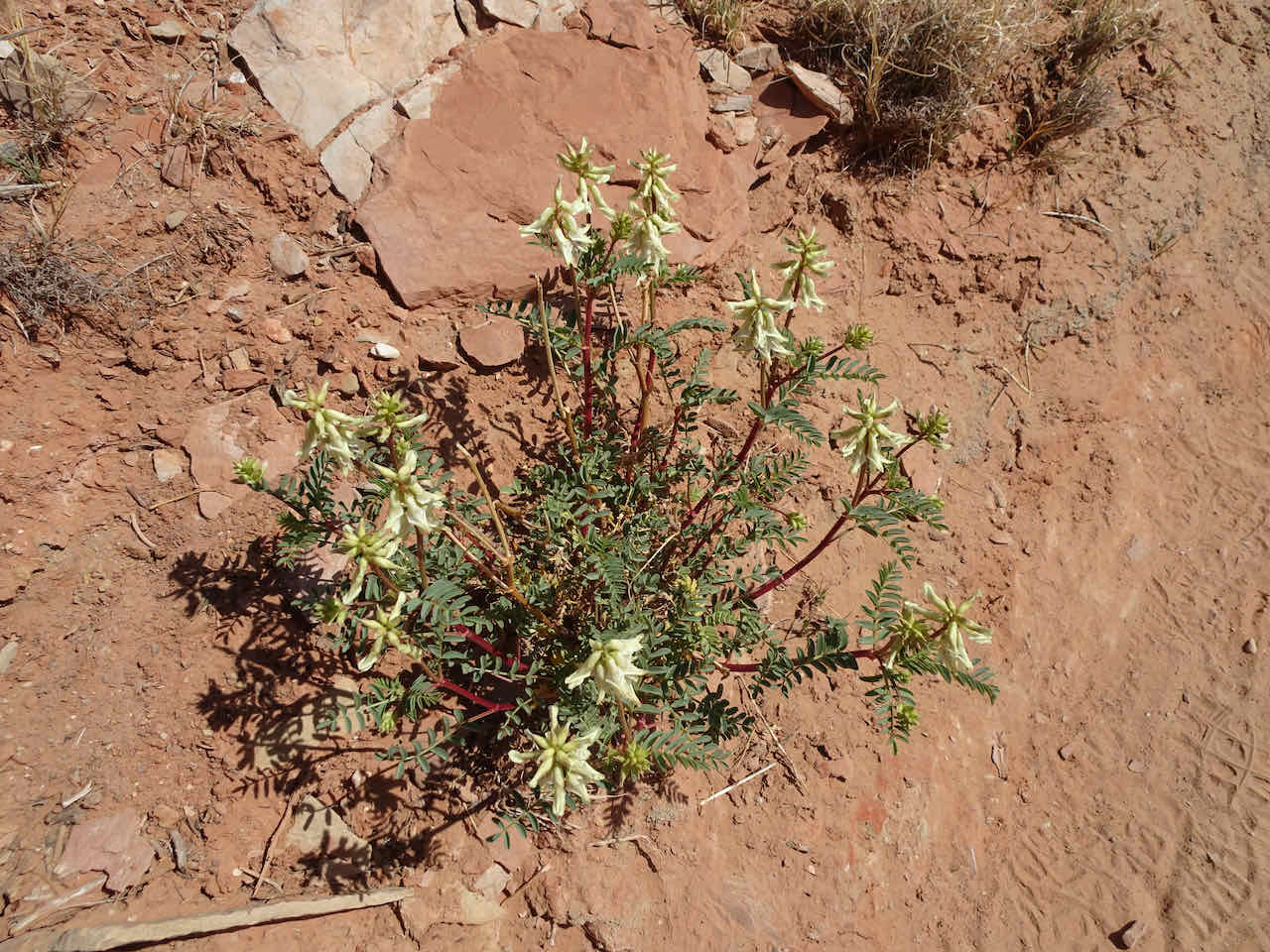
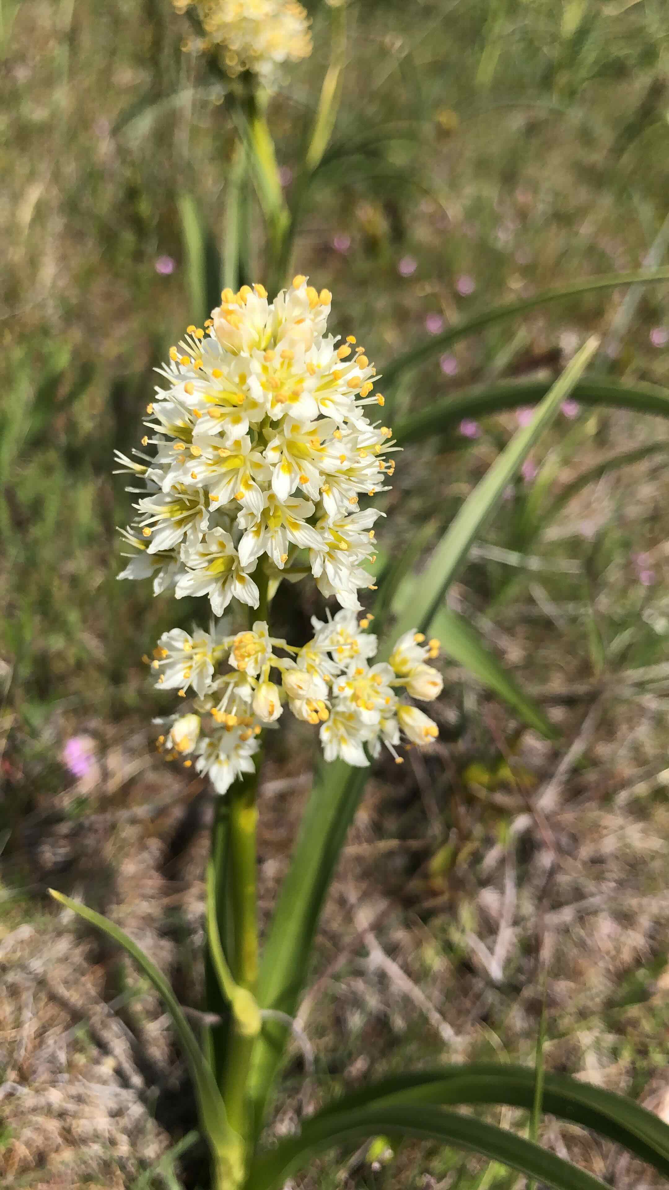
Hellebore, huckleberry
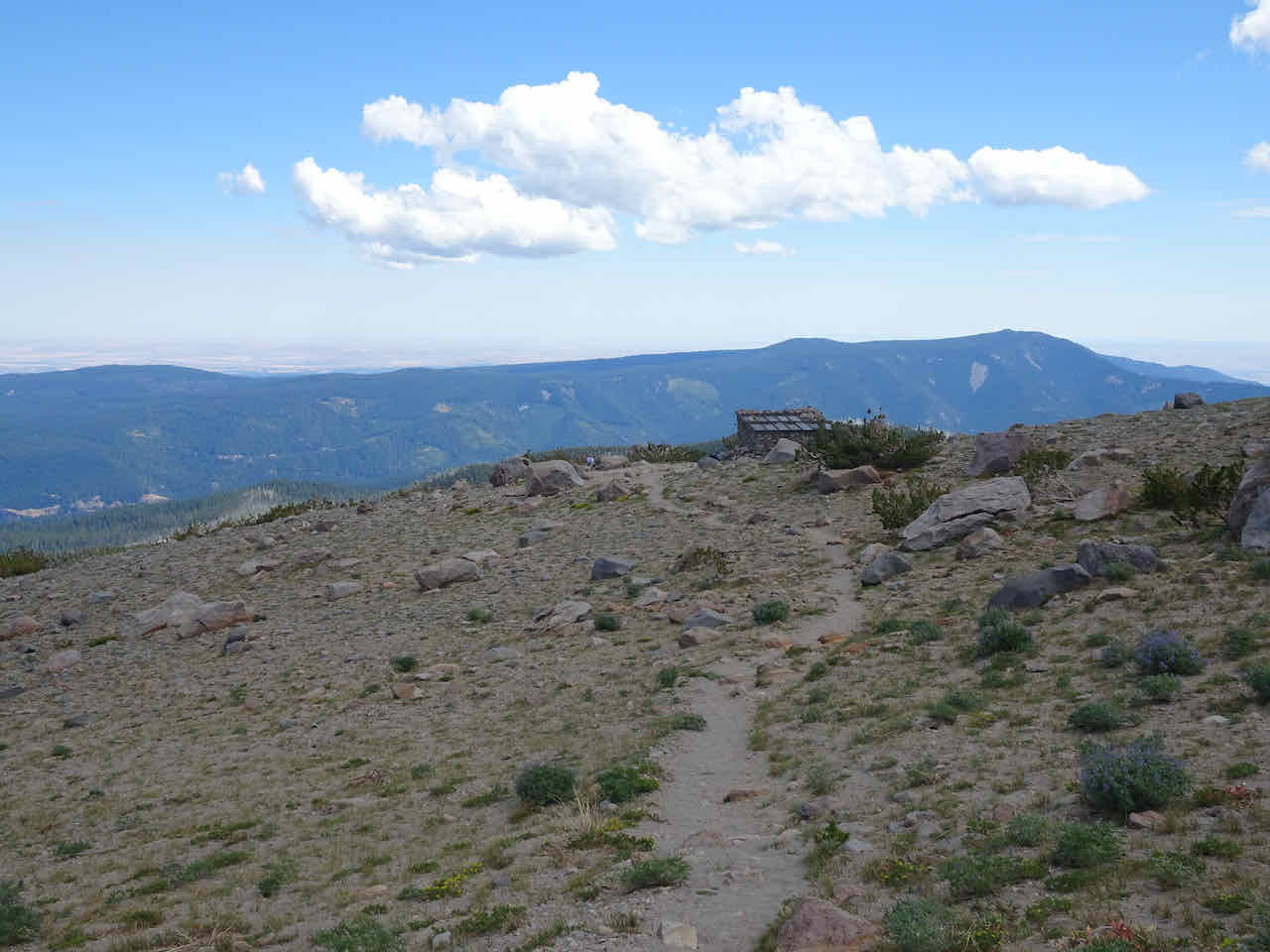
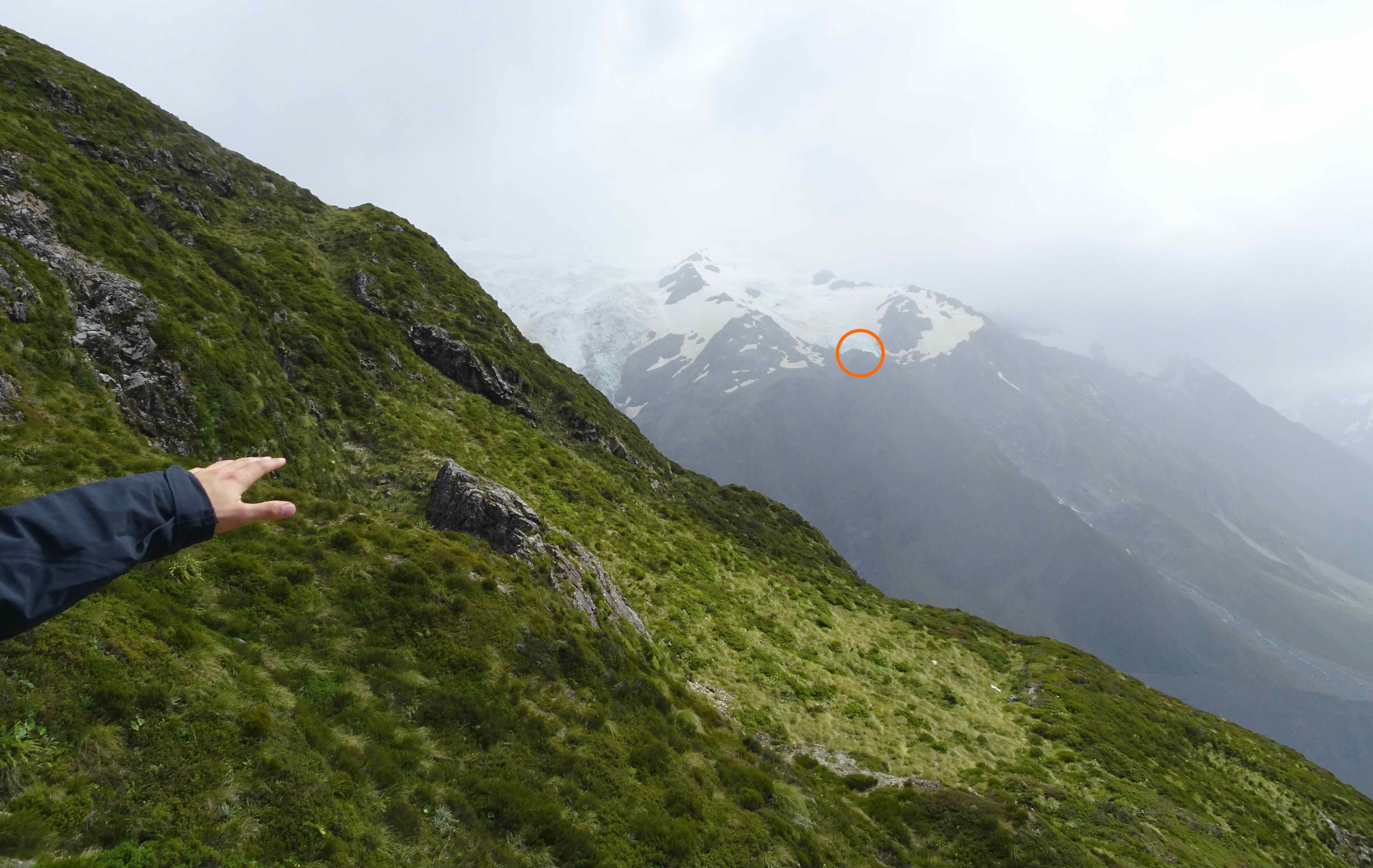
We reached the Hellroaring Viewpoint, then continued upward on the Climber Trail for a short way:

Hellroaring Viewpoint
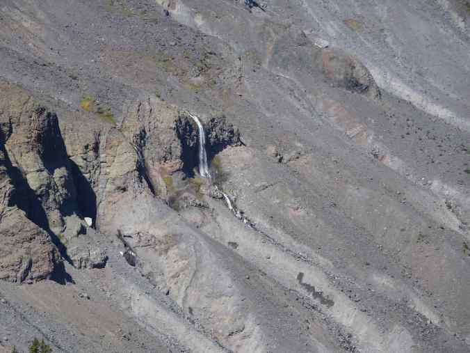
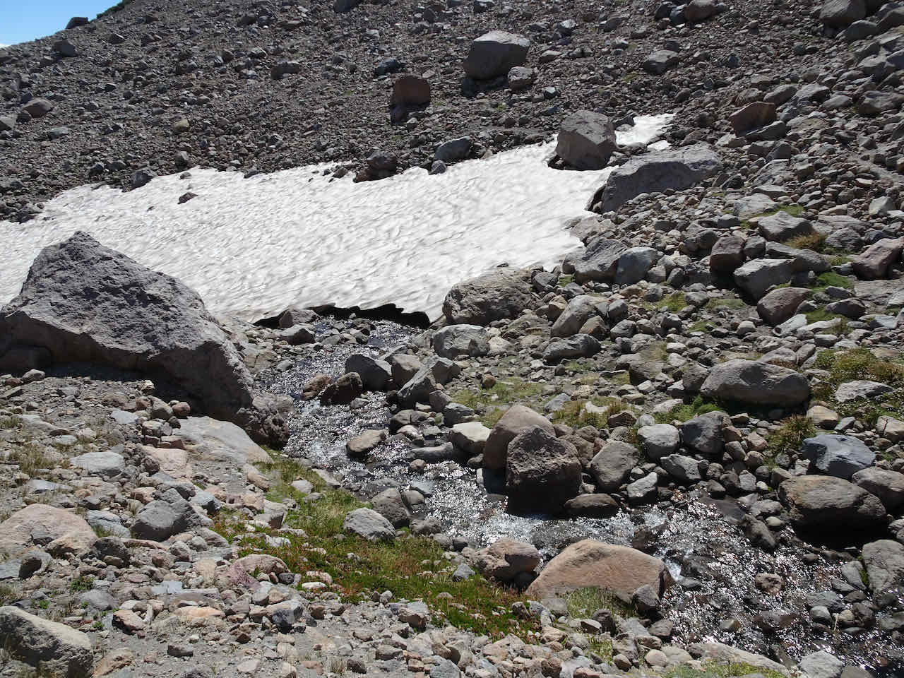
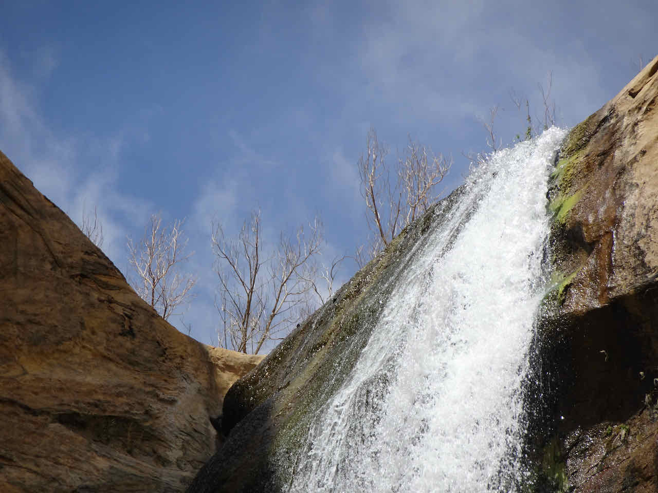
Hellroaring Falls
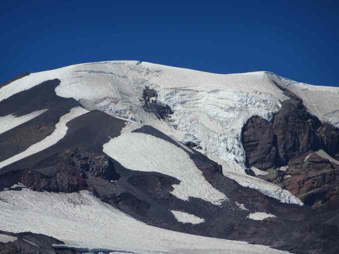
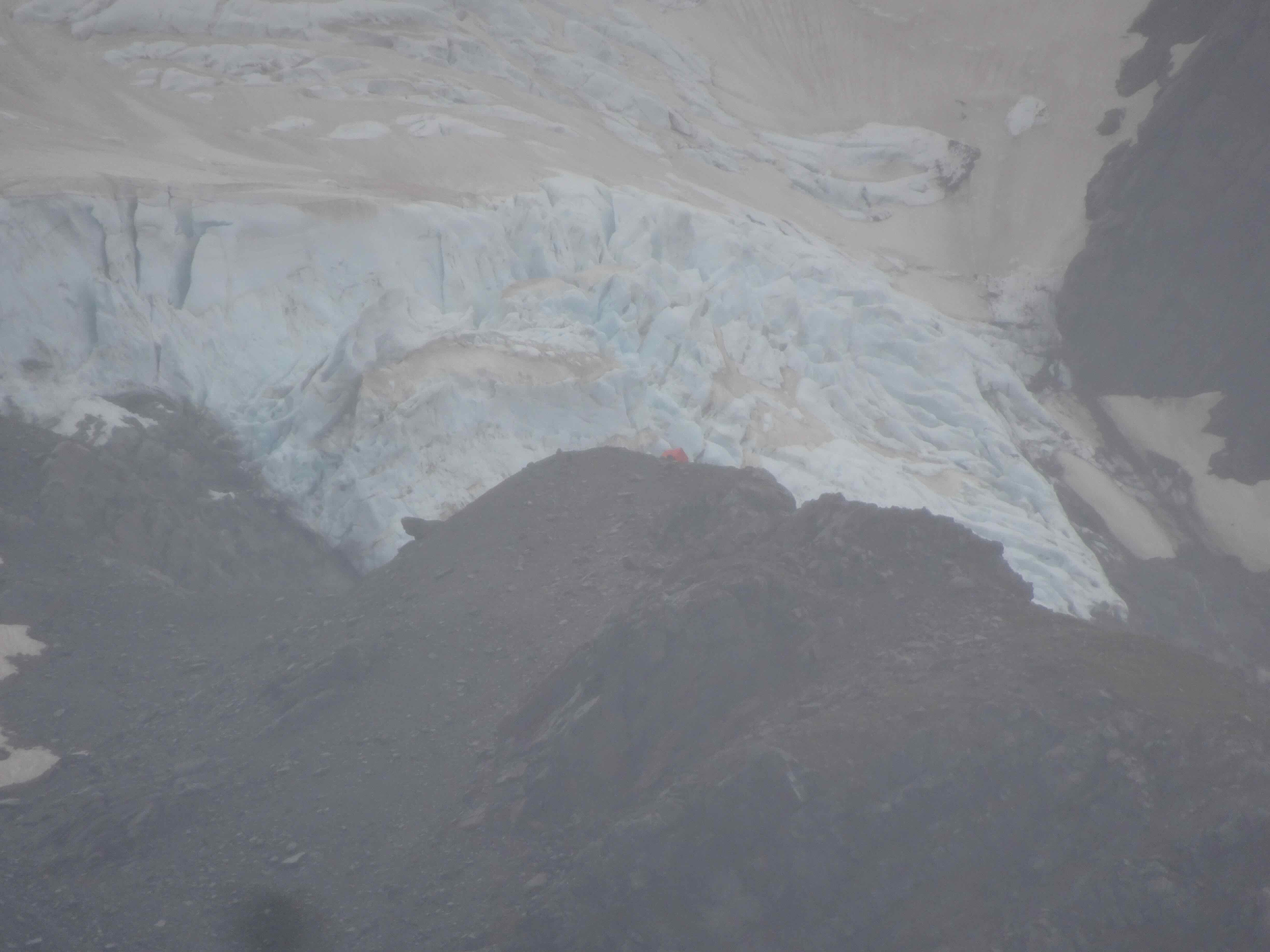
Mt Adams Glaciers
Glacier View

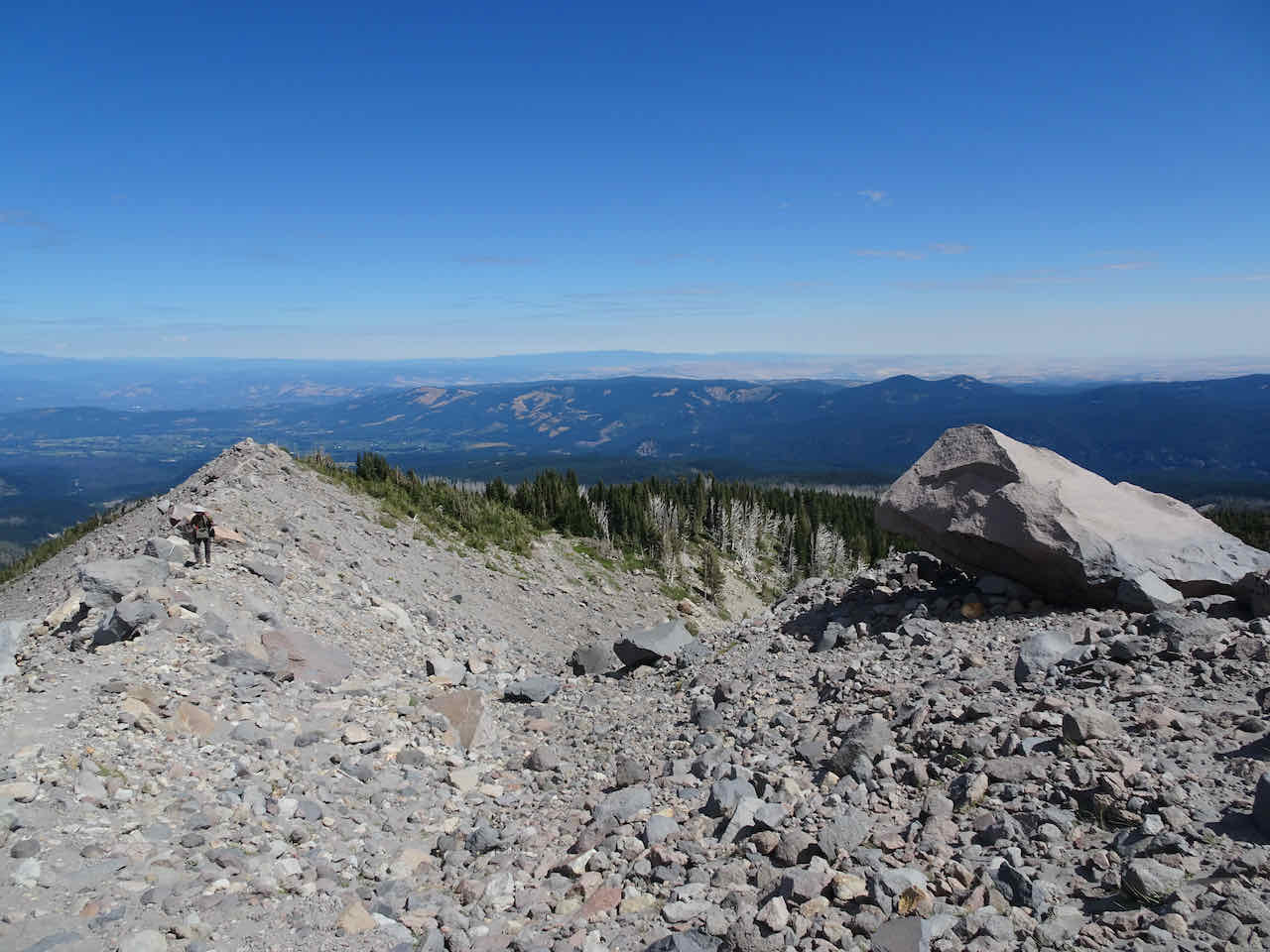
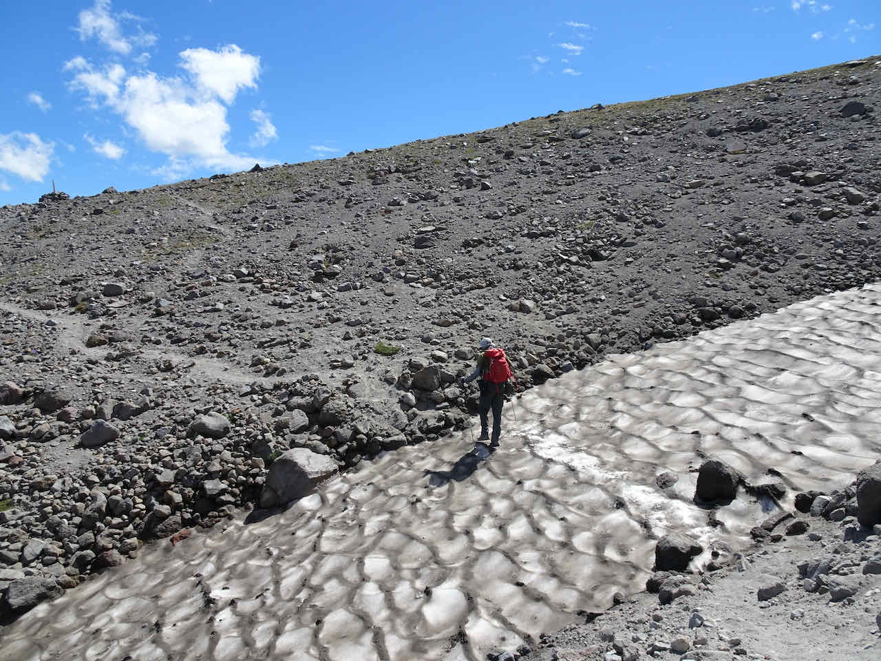
Moraine and ridge toward the Climbers’ trail
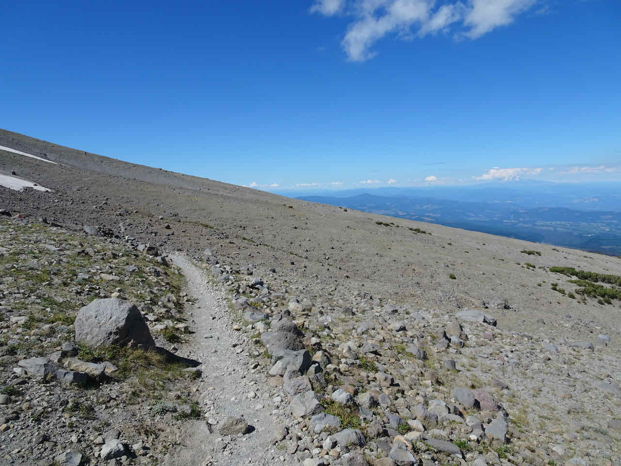
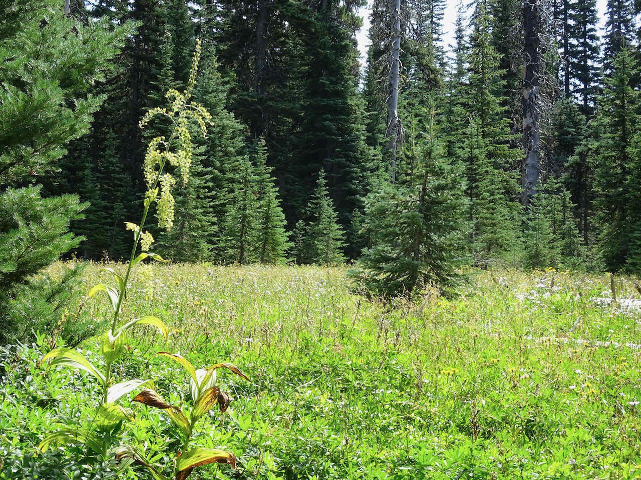
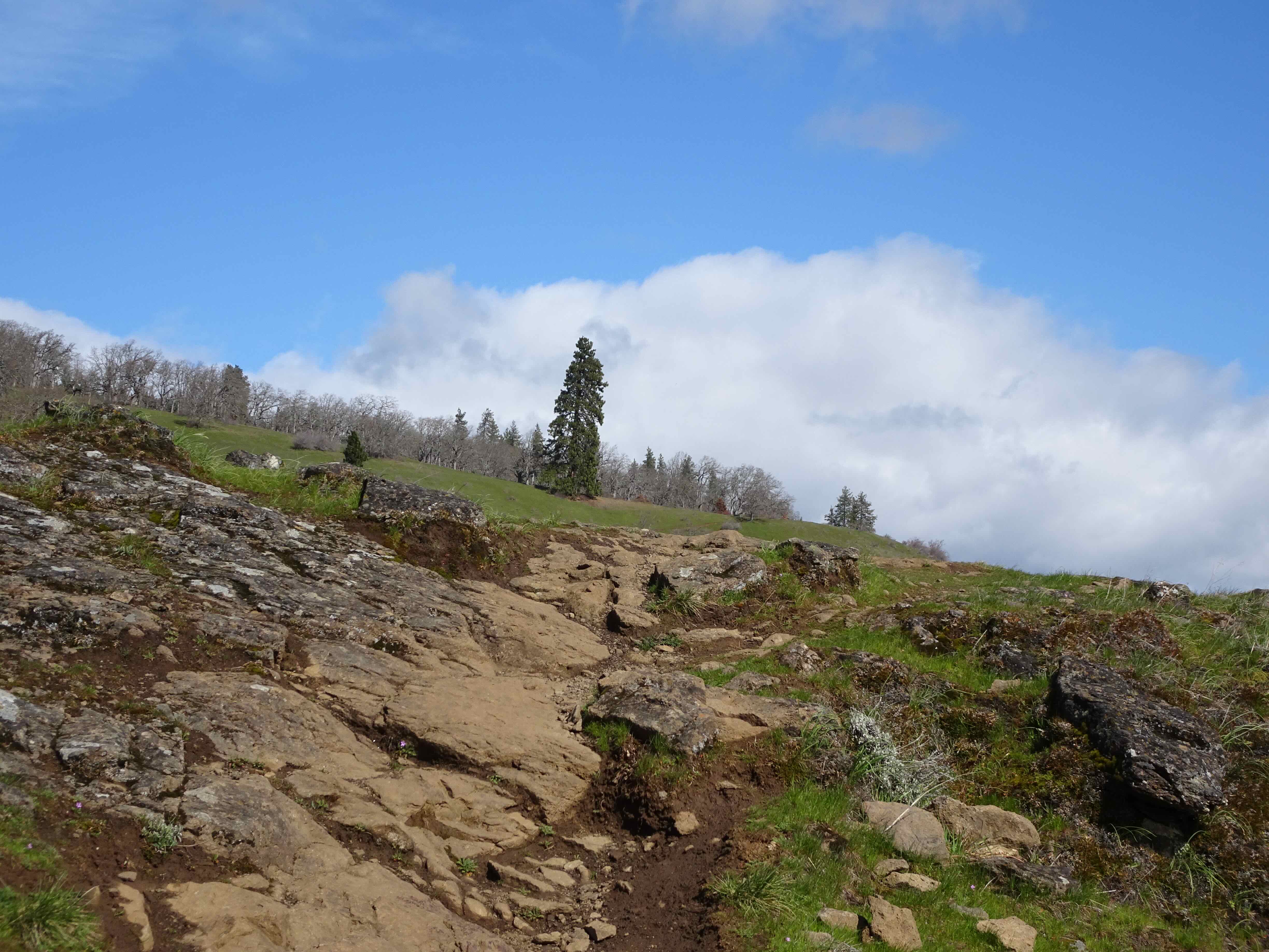
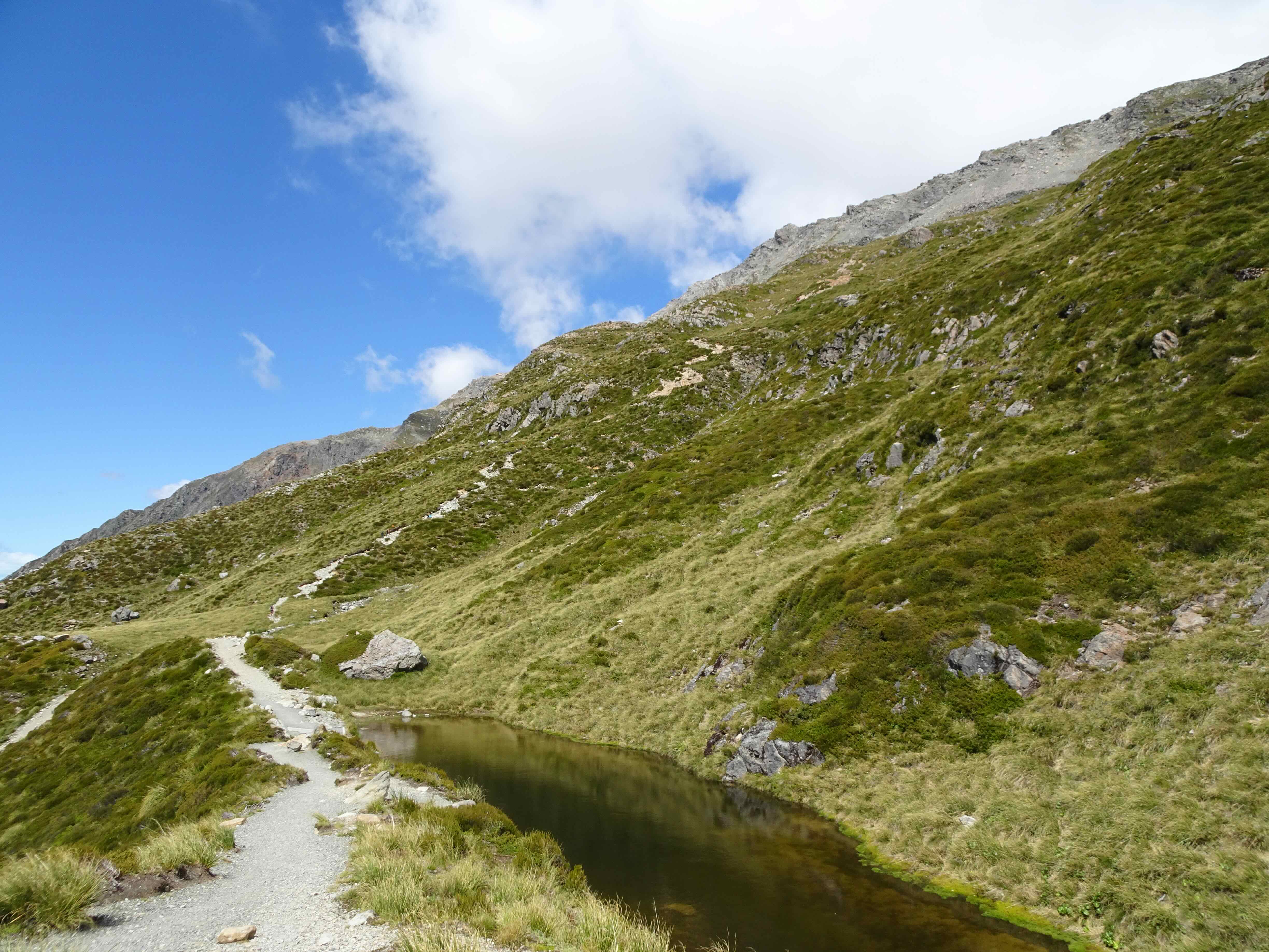
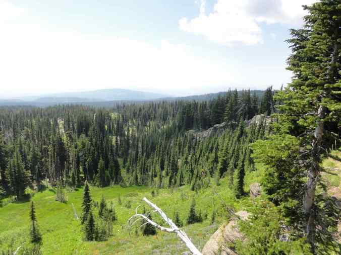
Higher meadows
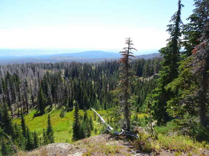
View east – Little Mt Adams and Heart Lake

Our turnaround point, looking north…

and looking east.
Our return hike circled through the western meadows, past Crooked Creek Falls, and then down through the burn zone again, to Bird Lake.
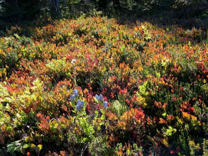
Gentian blooming in the huckleberry patches

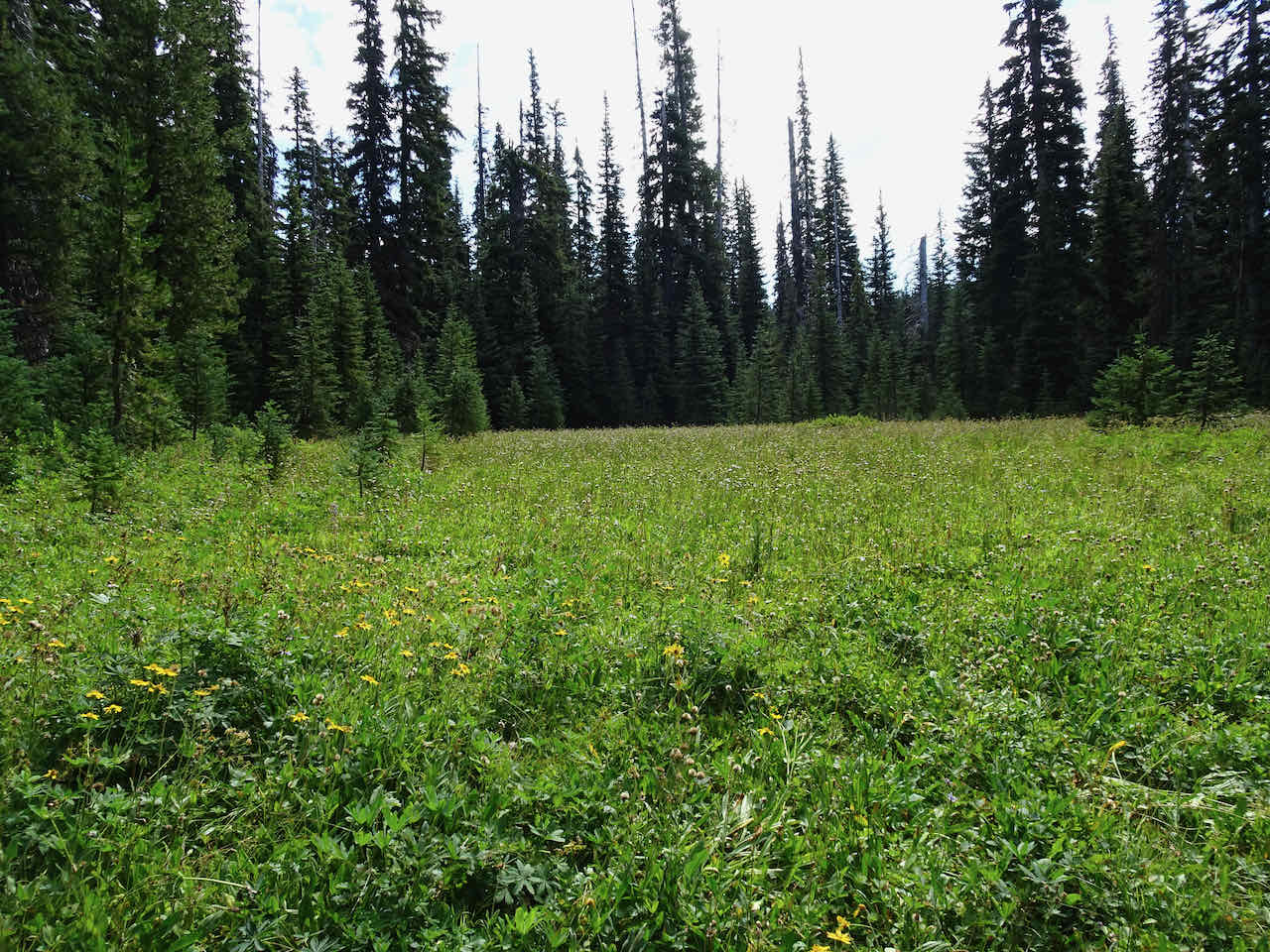
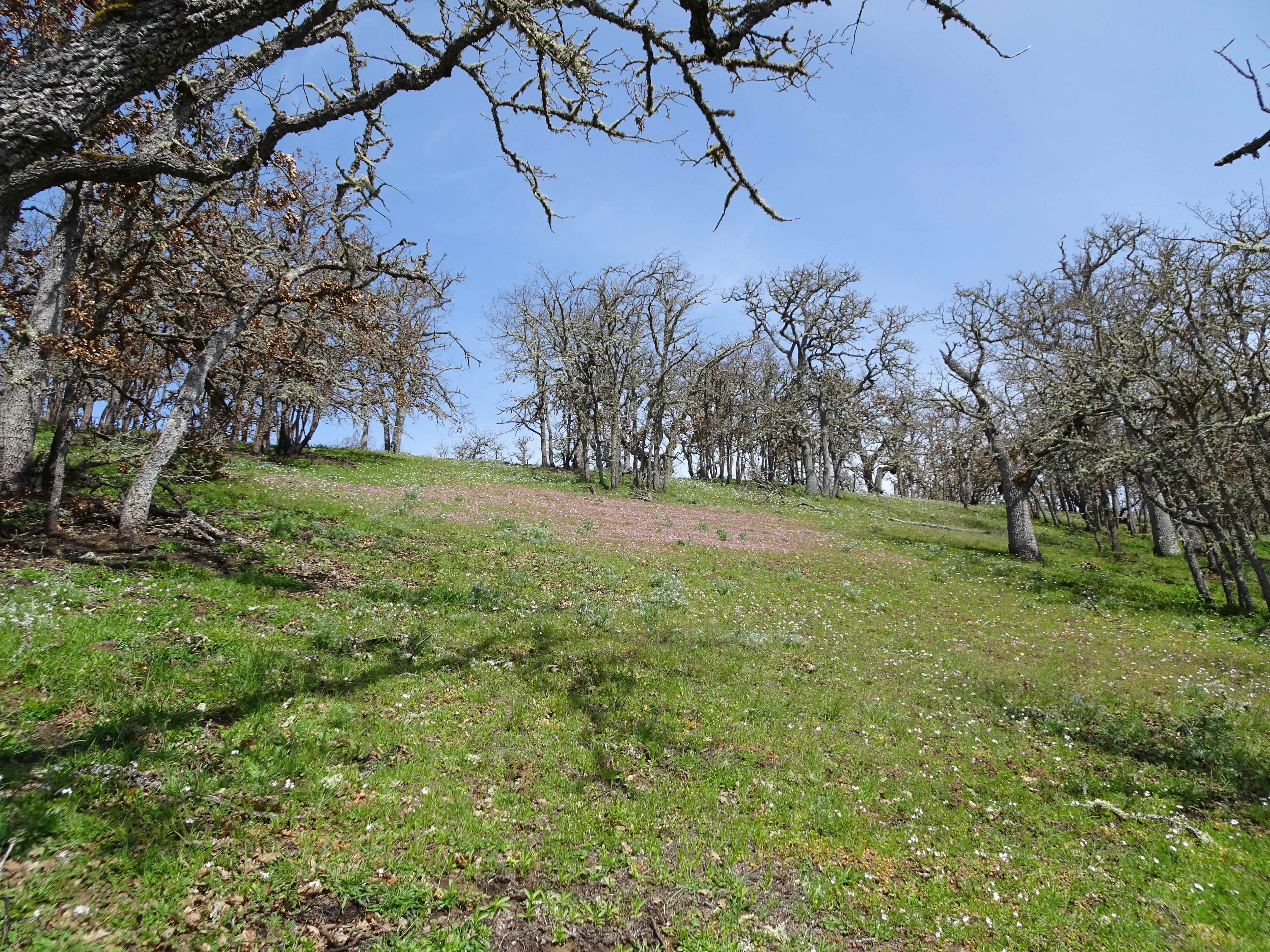
Late season meadows
Crooked Creek Falls
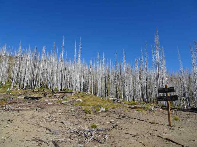
Back down into the burn zone

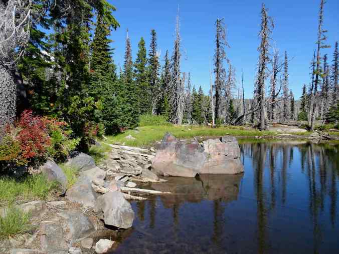
Crooked Creek

Back to Bird Lake
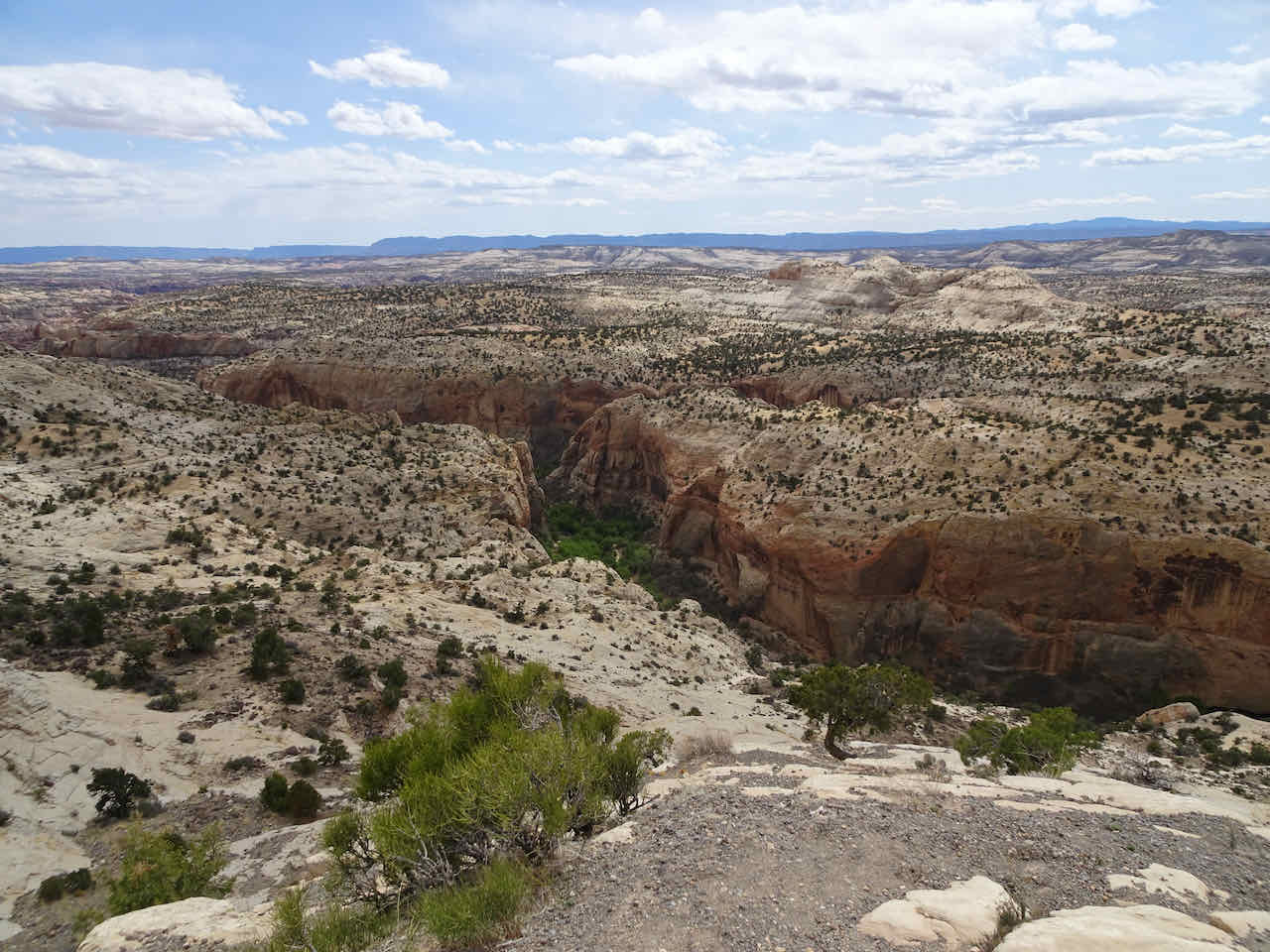
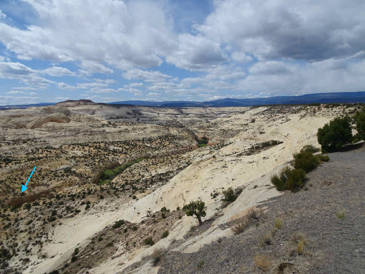
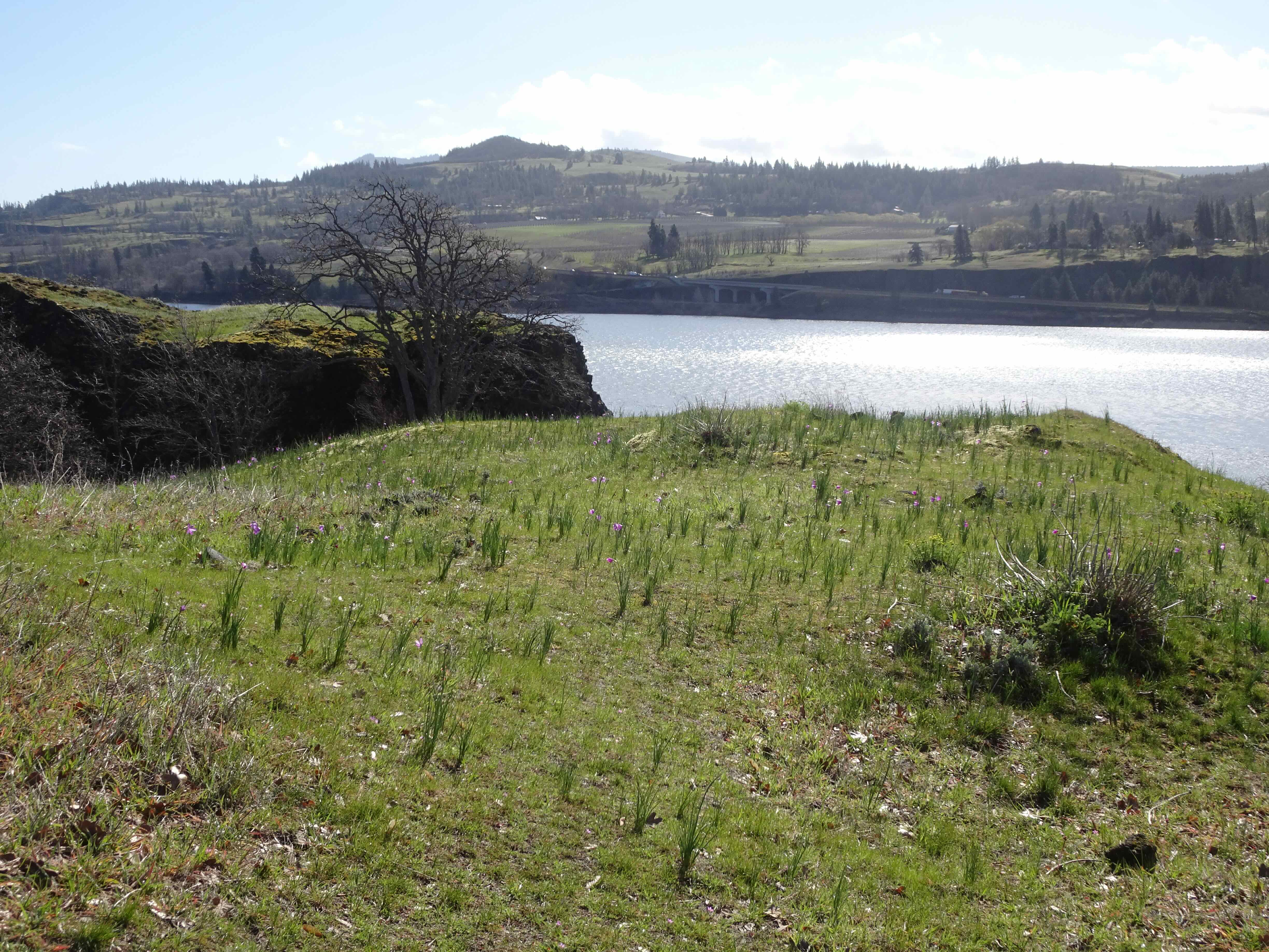
Lookback photos from 2013 compared to 2022, looking south from the below Hellroaring Viewpoint –
August 2013
September 2022
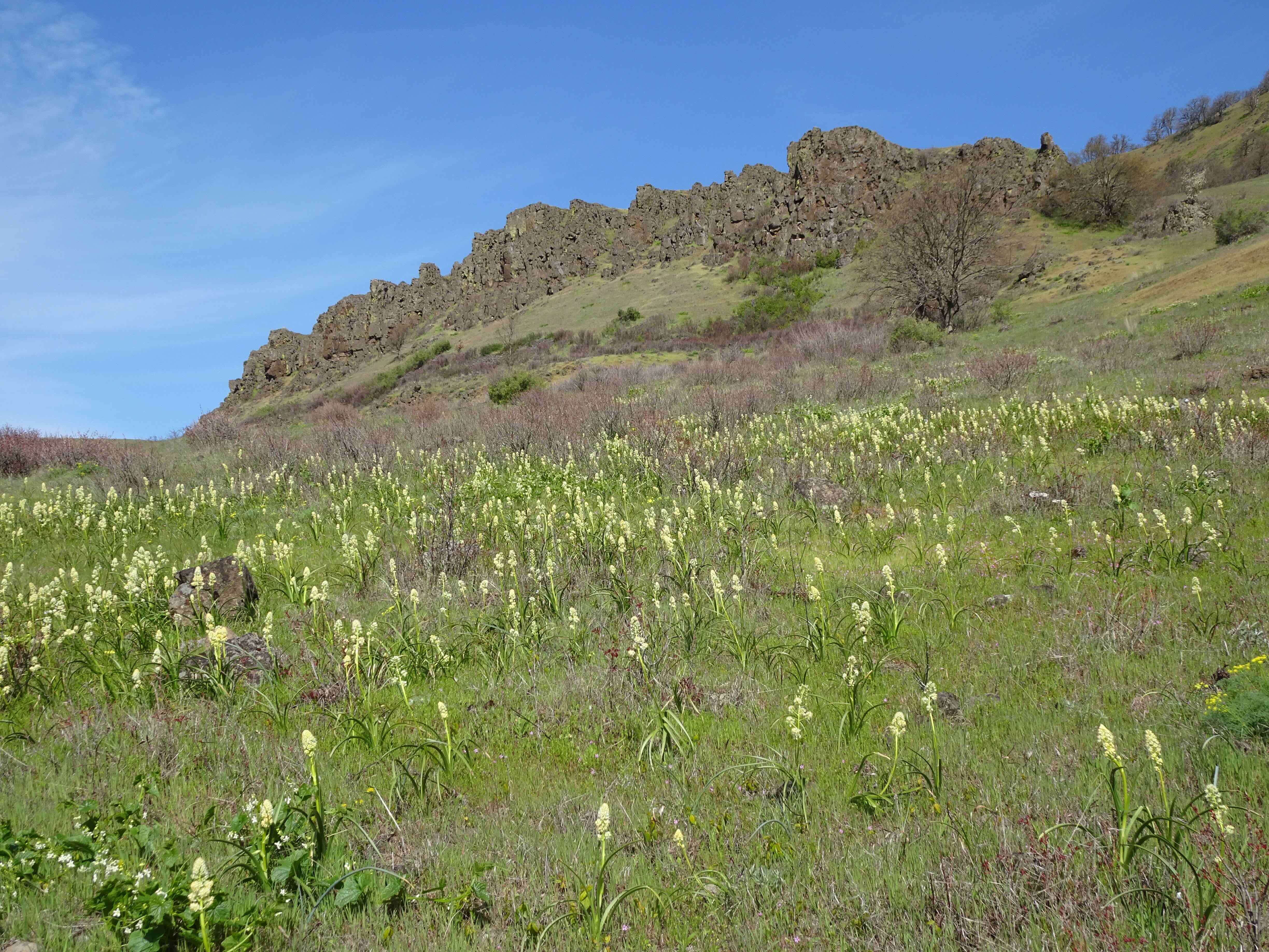
And one of the wildflower meadows of summer 2013:

Bird Creek Meadows, Mt Adams, August 2013
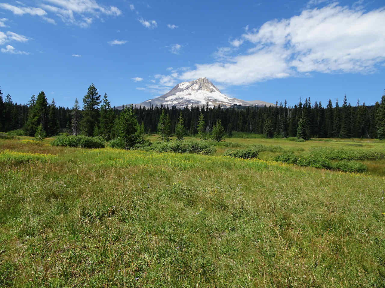
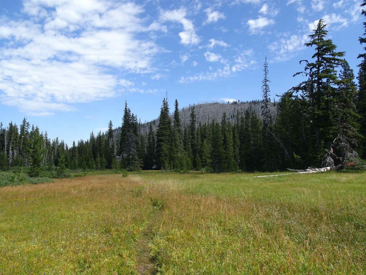
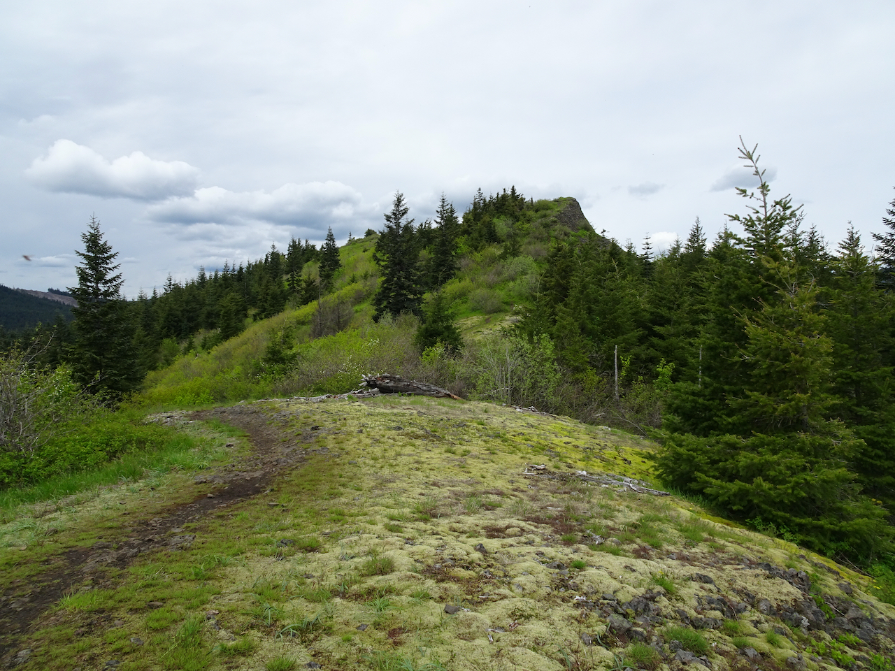
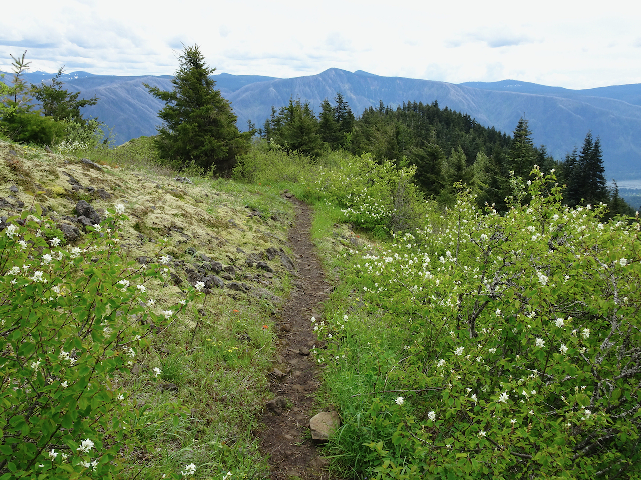
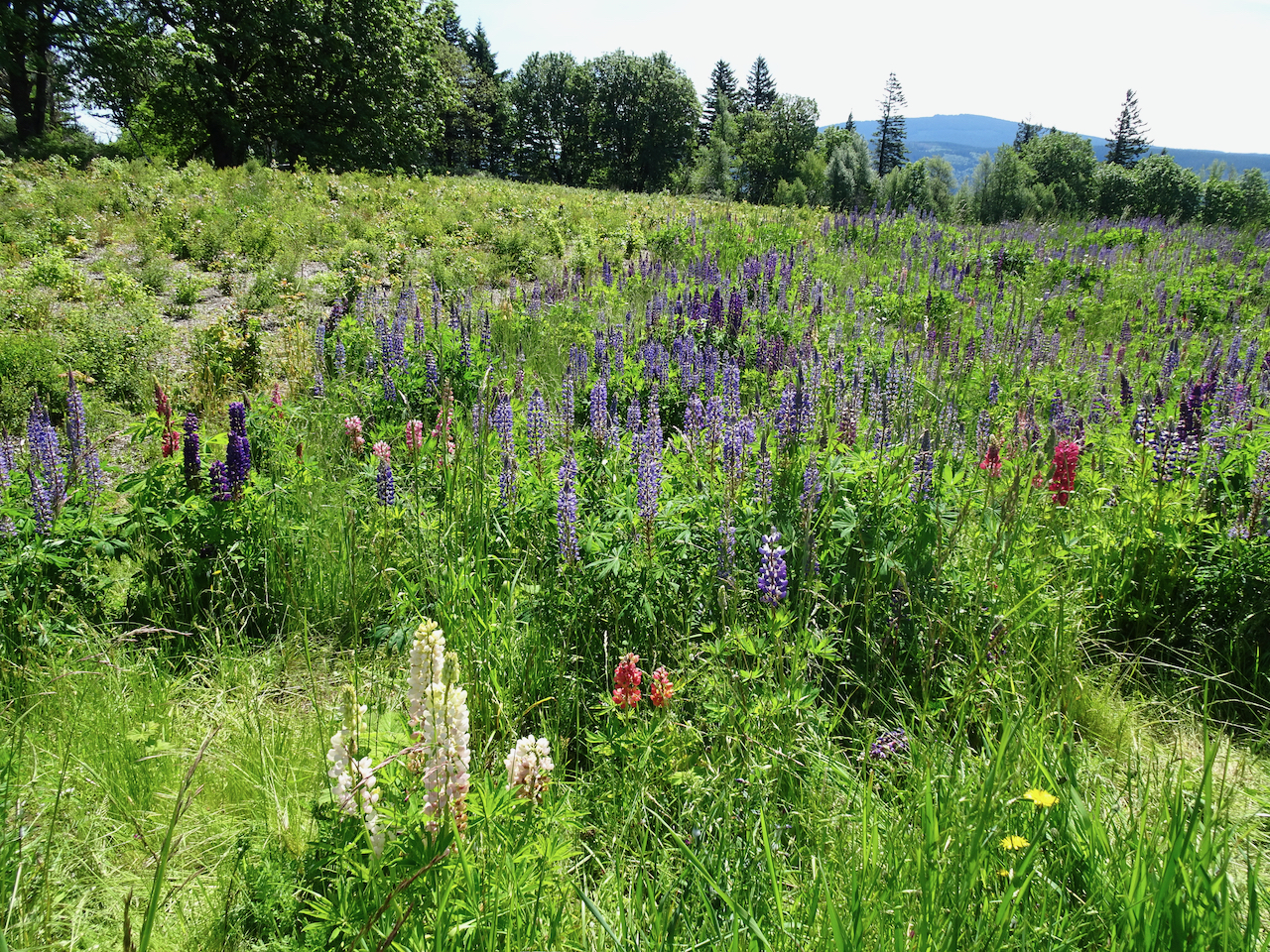
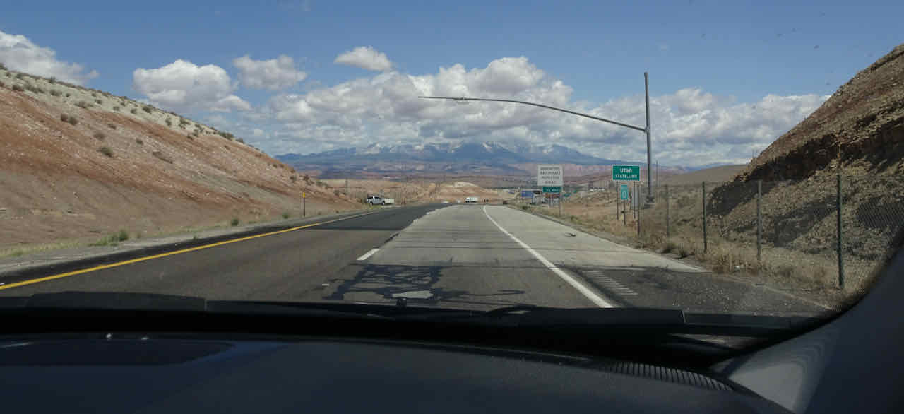
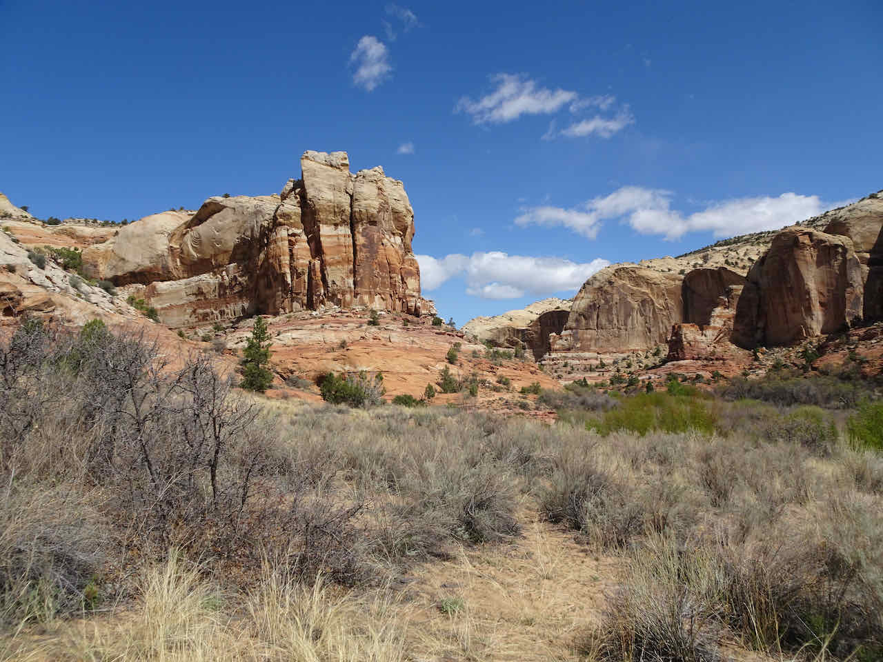
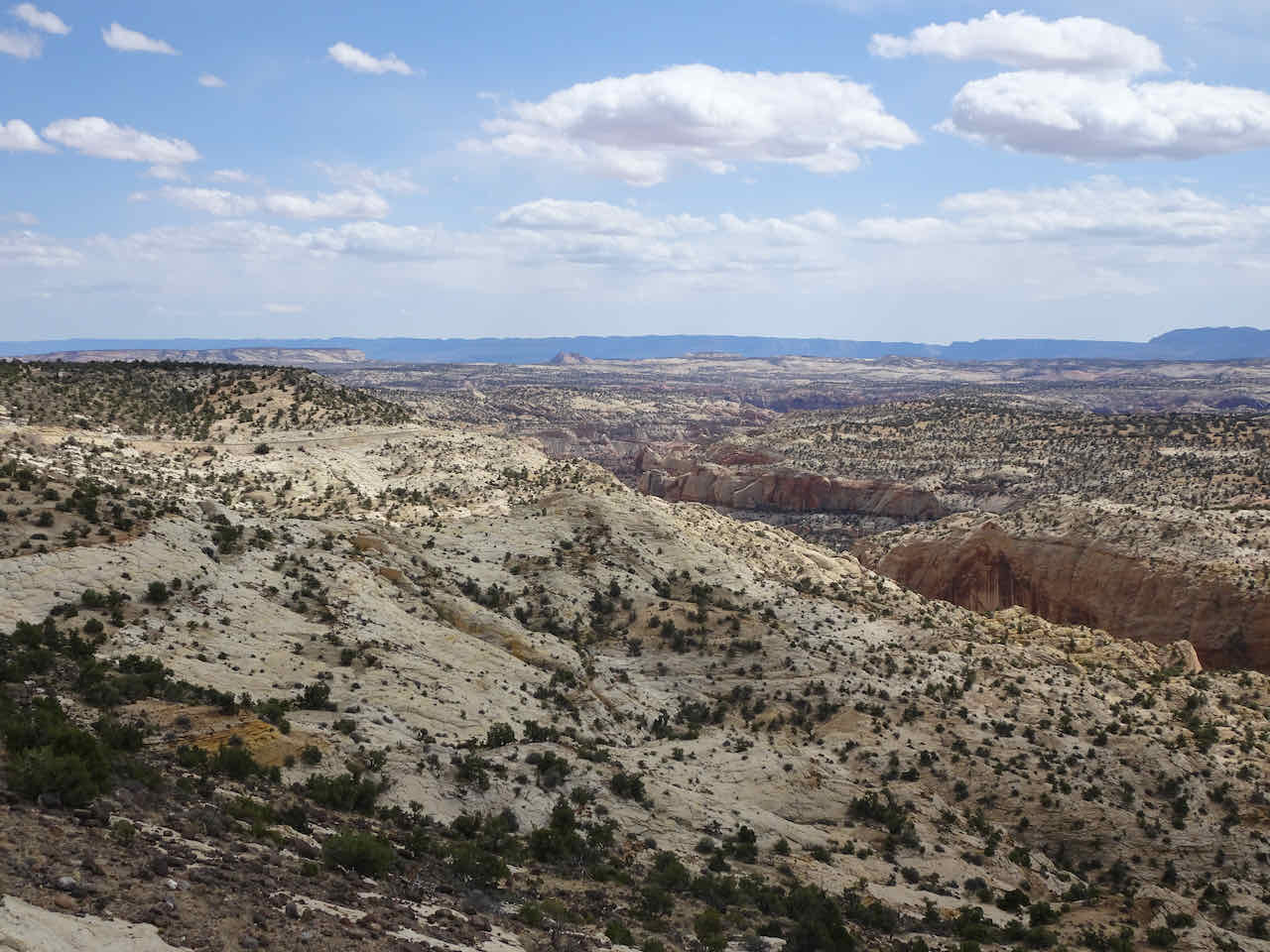
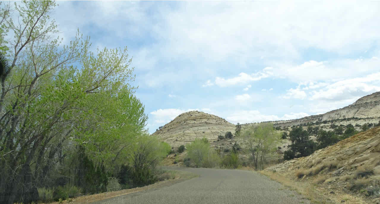
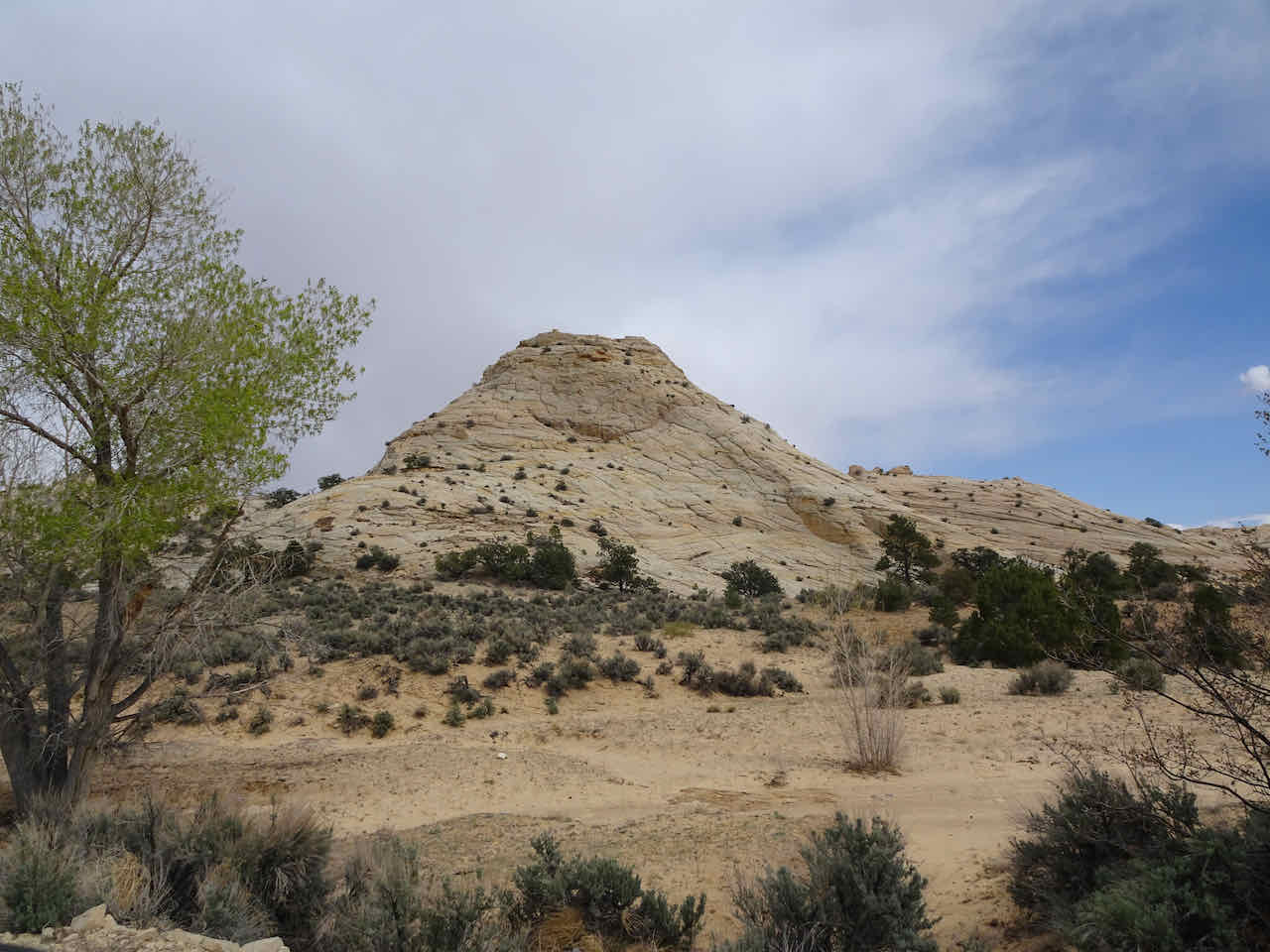
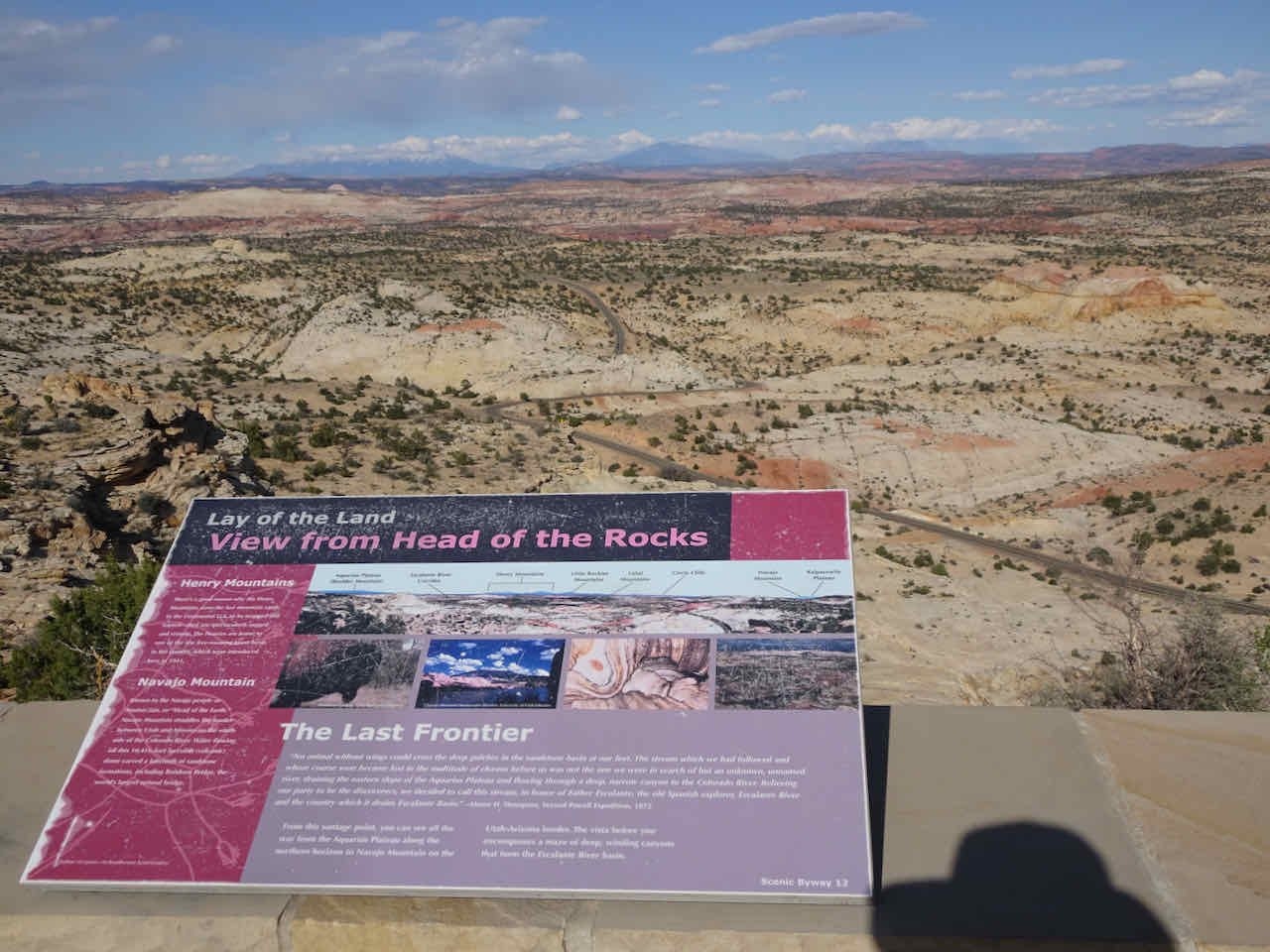
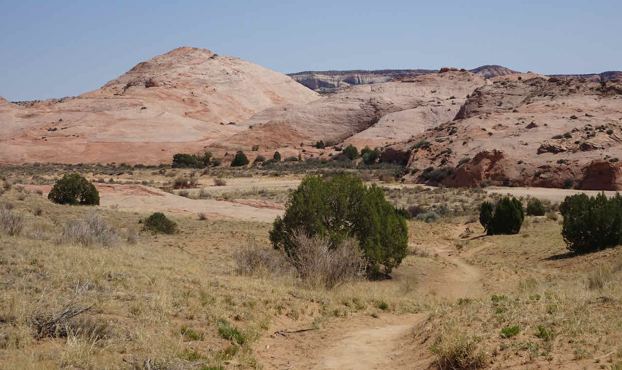
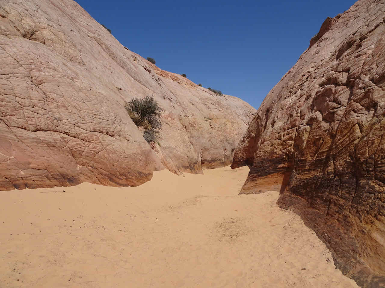
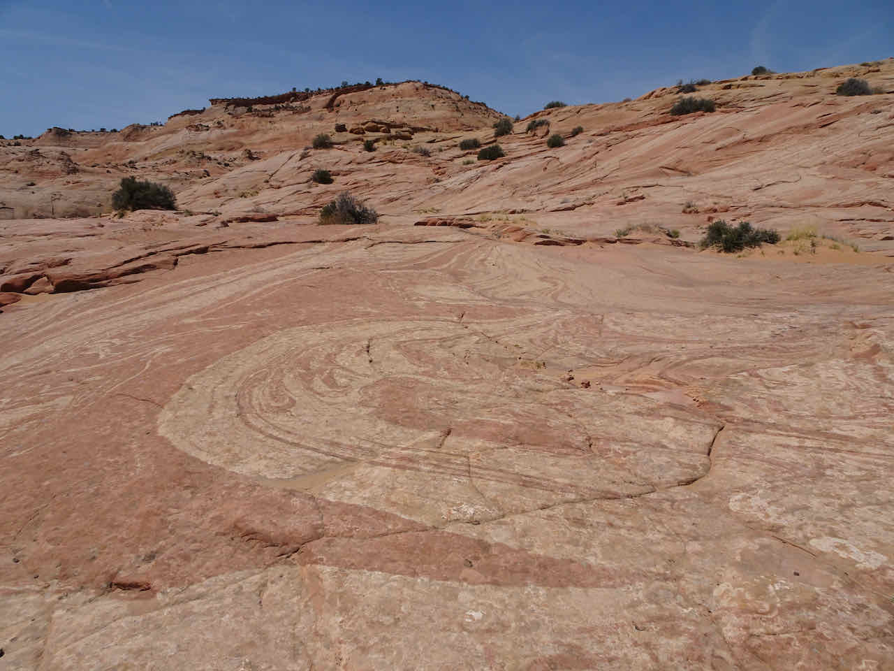
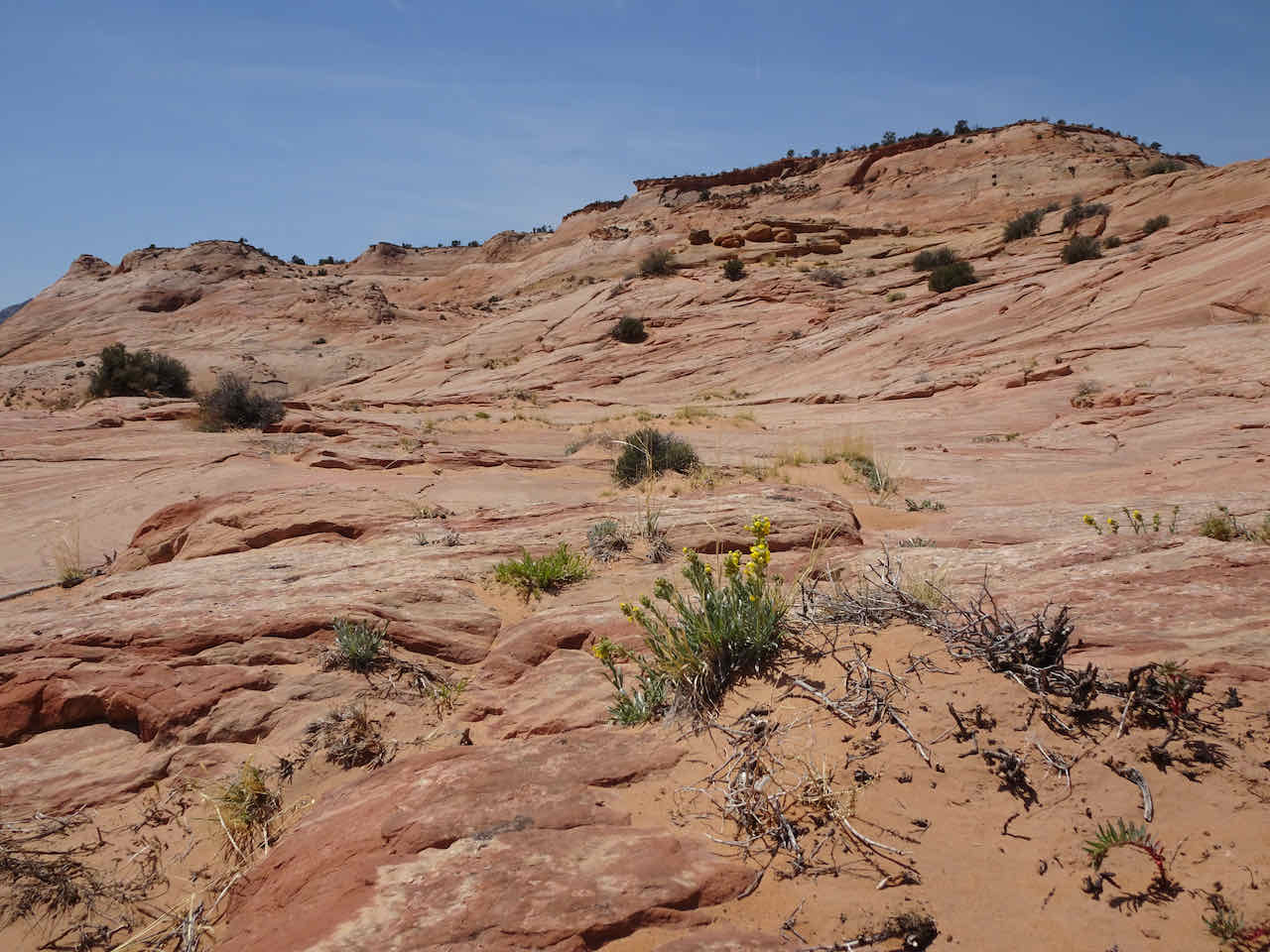
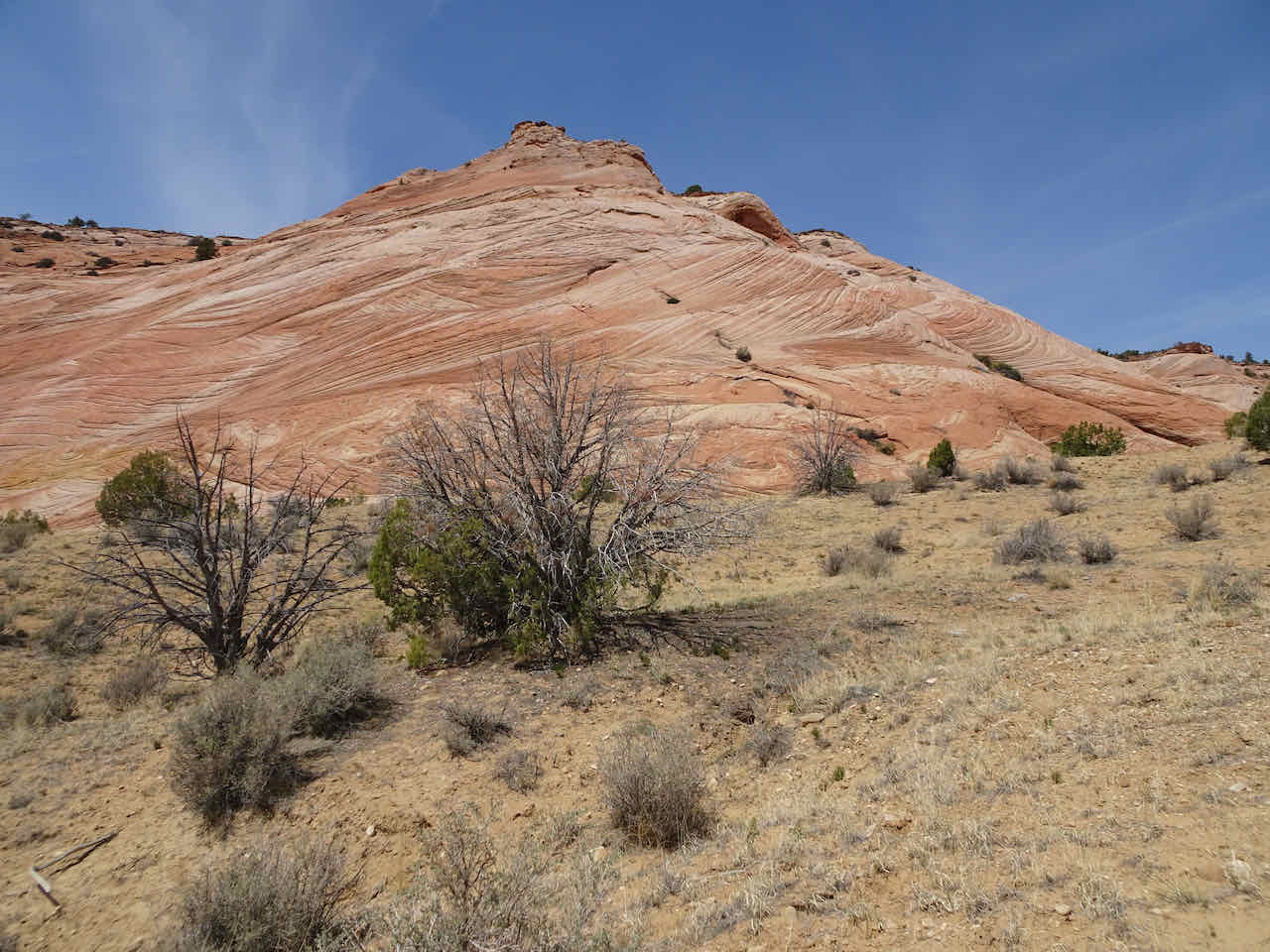
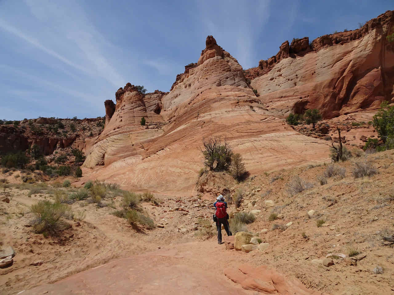
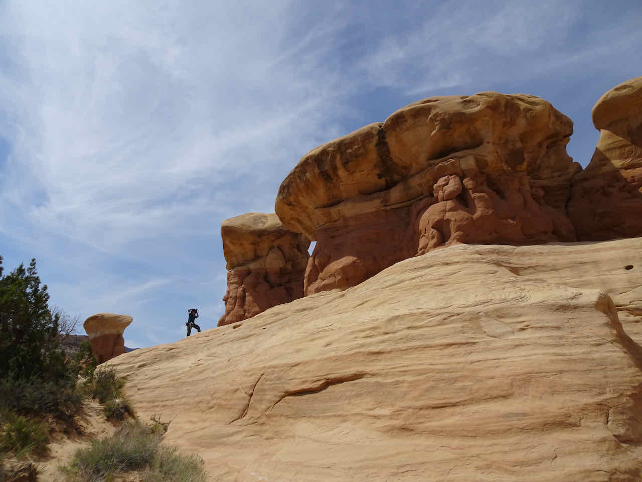
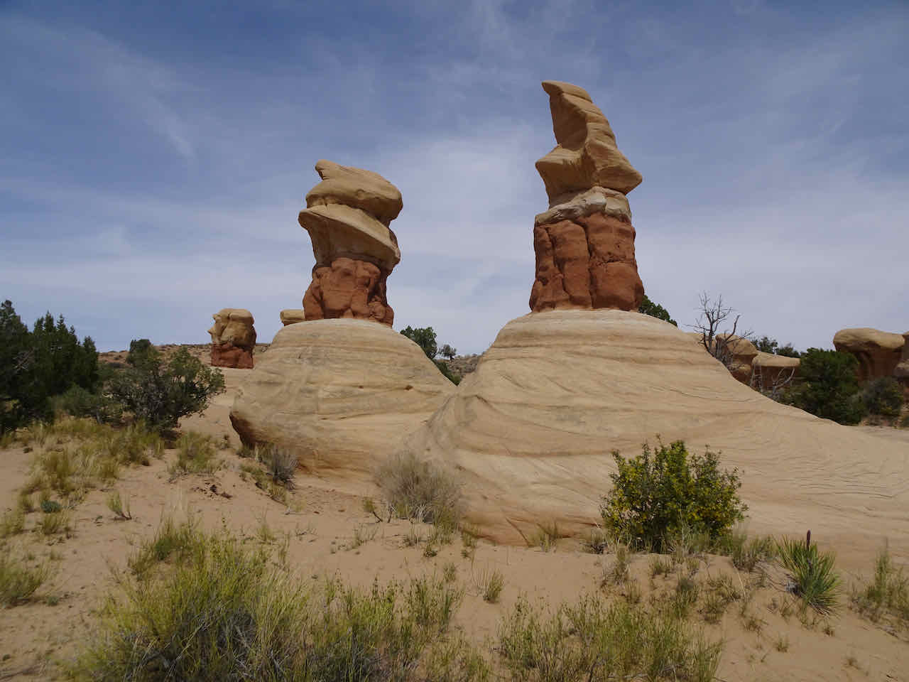
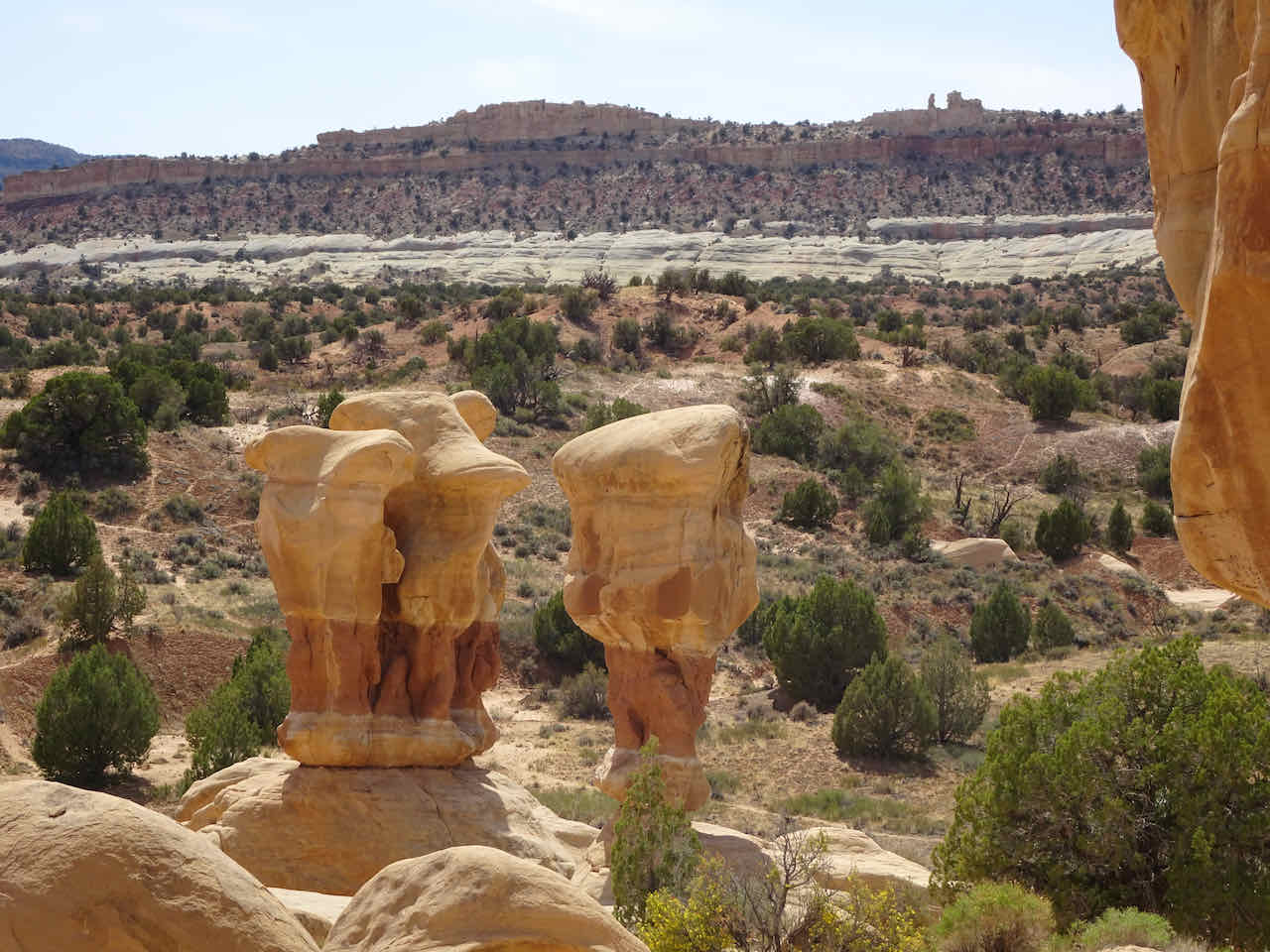
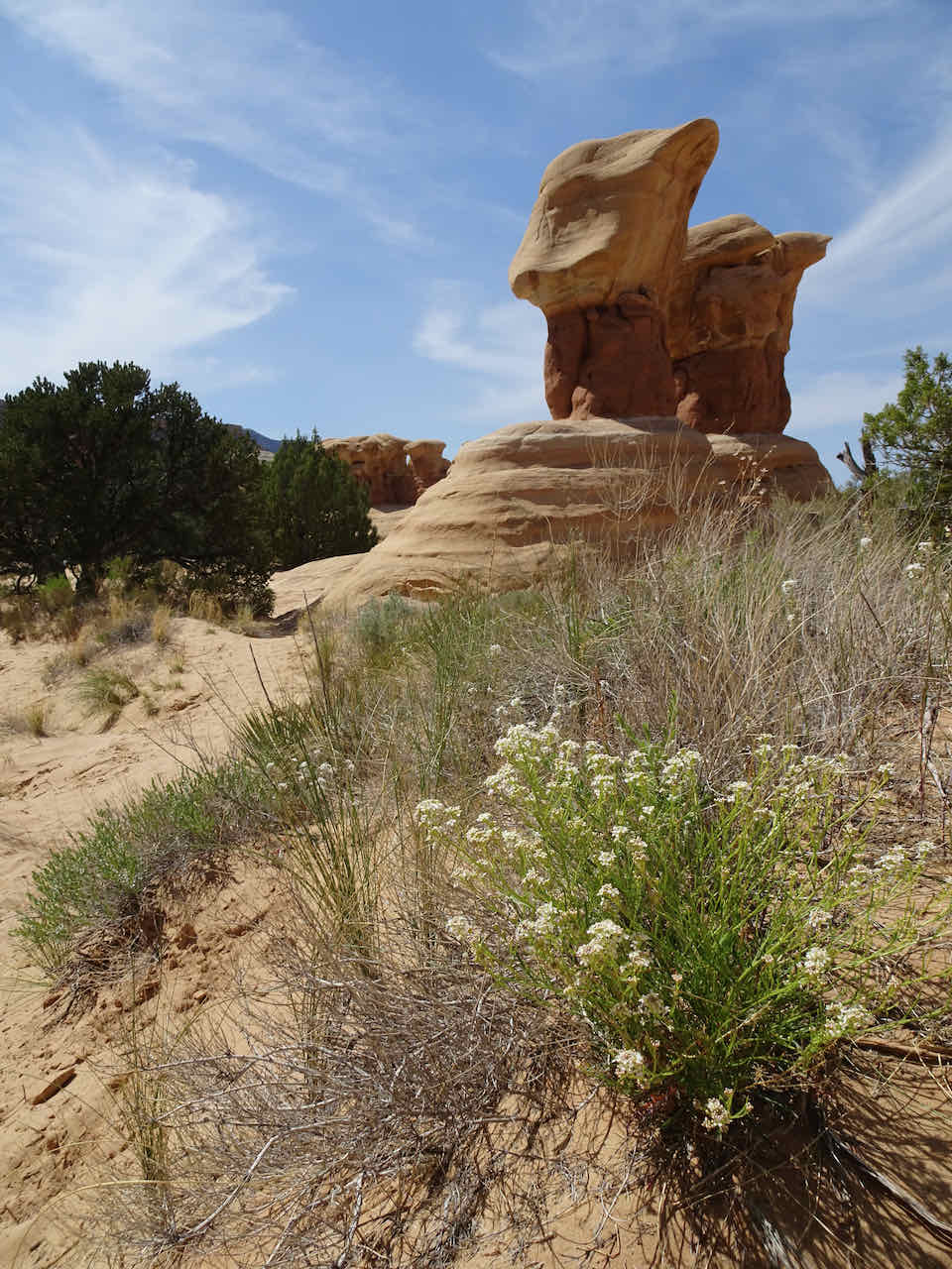
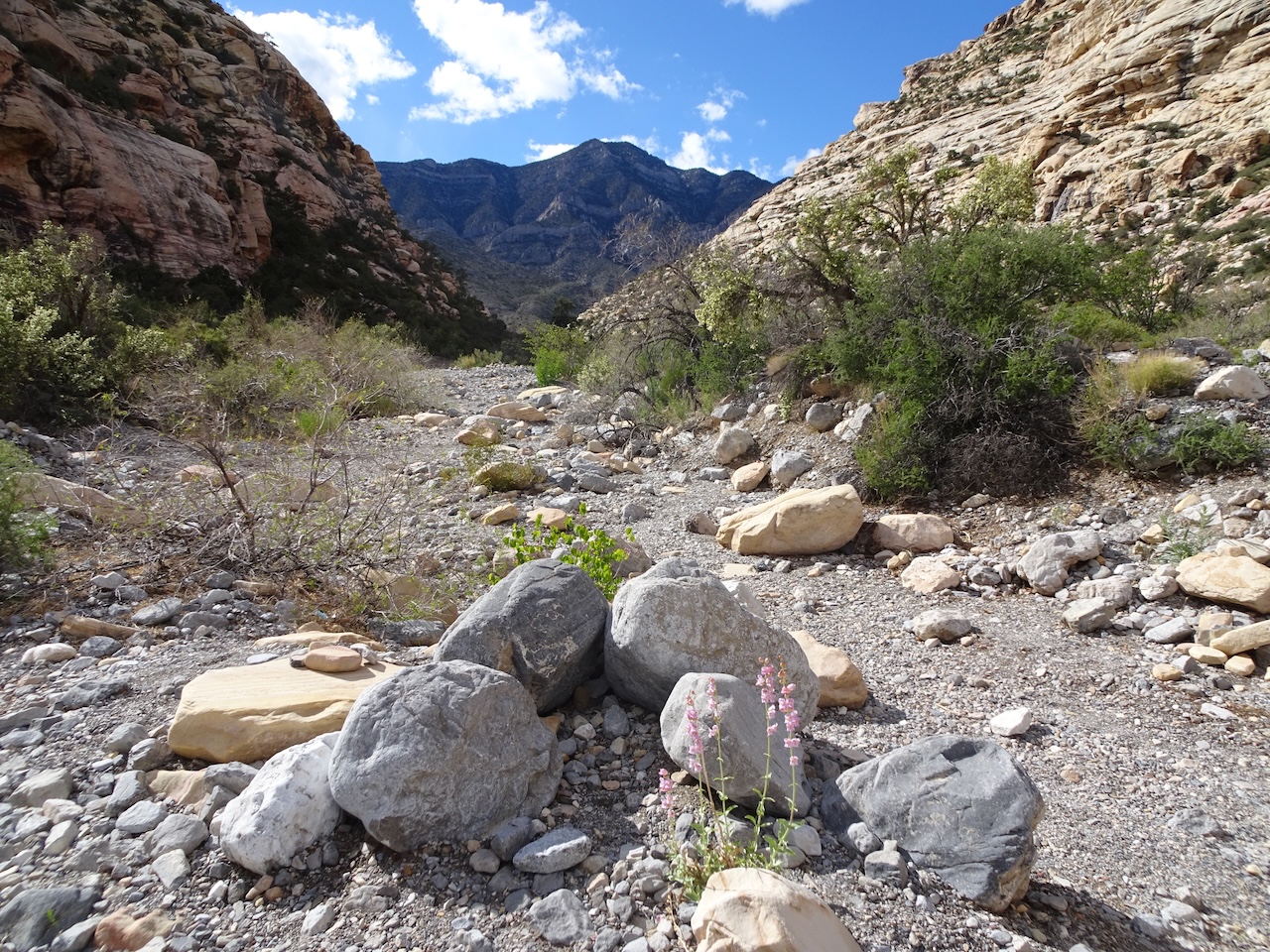
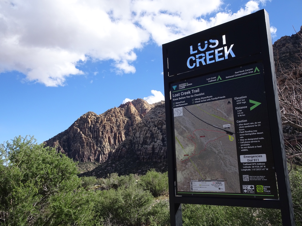
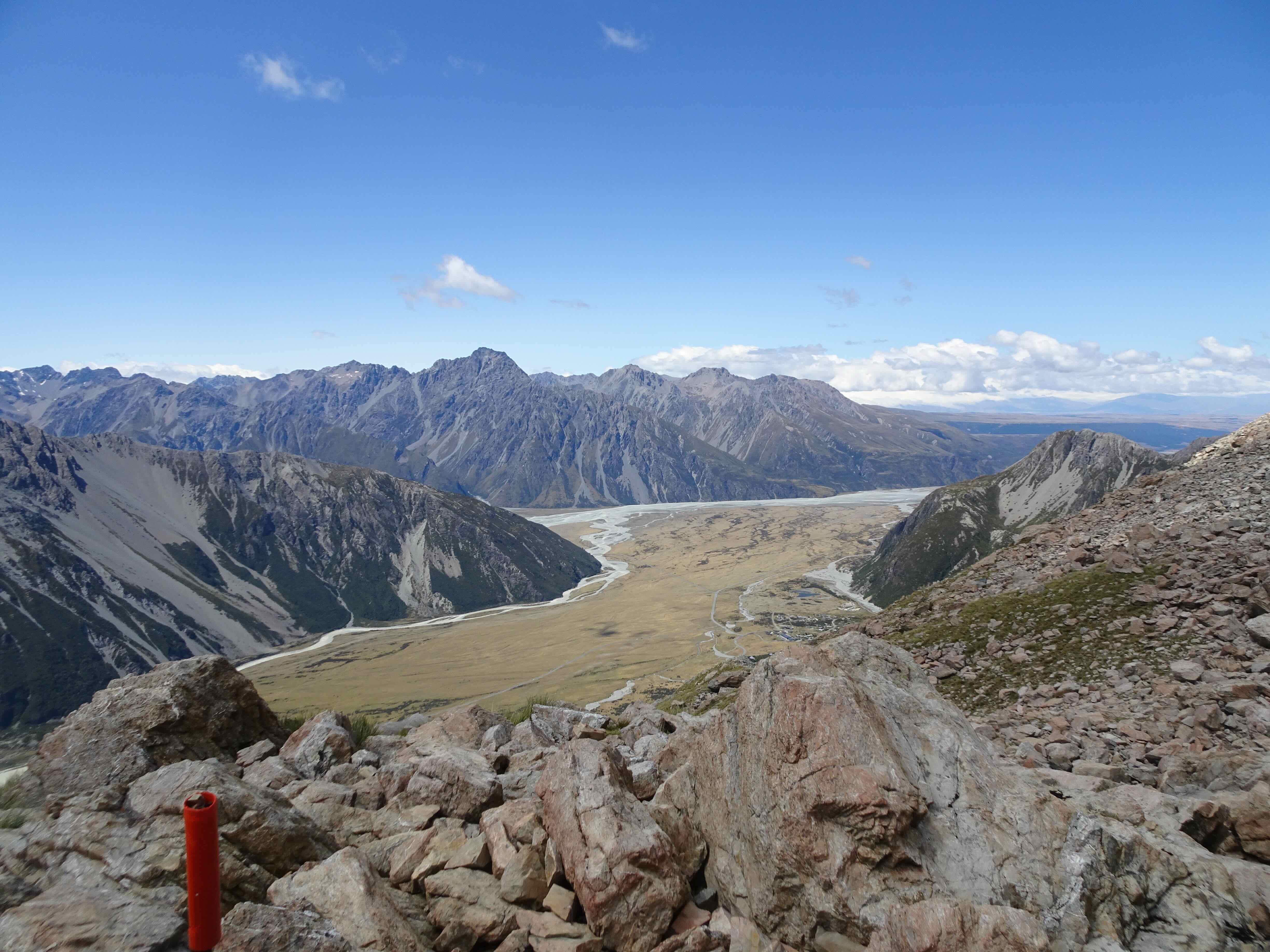
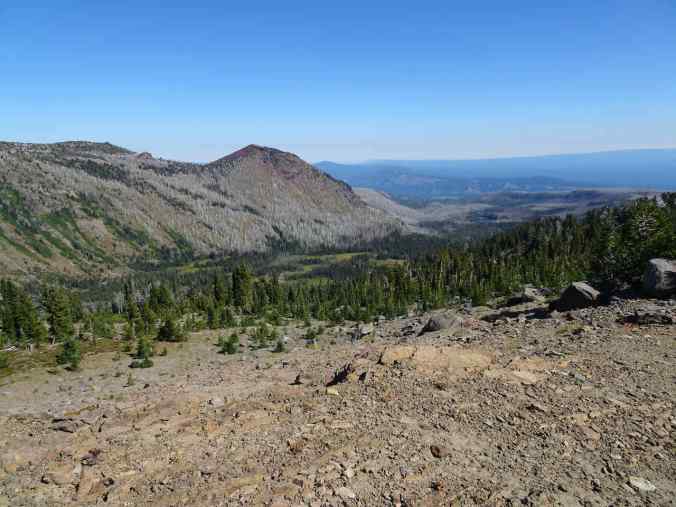
9/27 – Indian Heaven Wilderness – Cultus Campground to Wapiki Lake Overlook

GPS track – about 8 miles, 1700 feet.
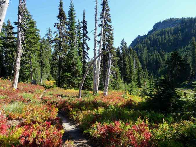
We had also hiked this trail before. Again, we caught the beginnings of the fall colors in the higher elevations, and in the more open meadows and huckleberry fields.

Trailhead
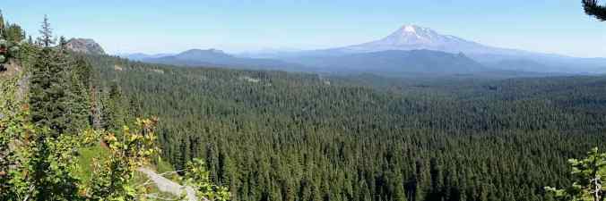
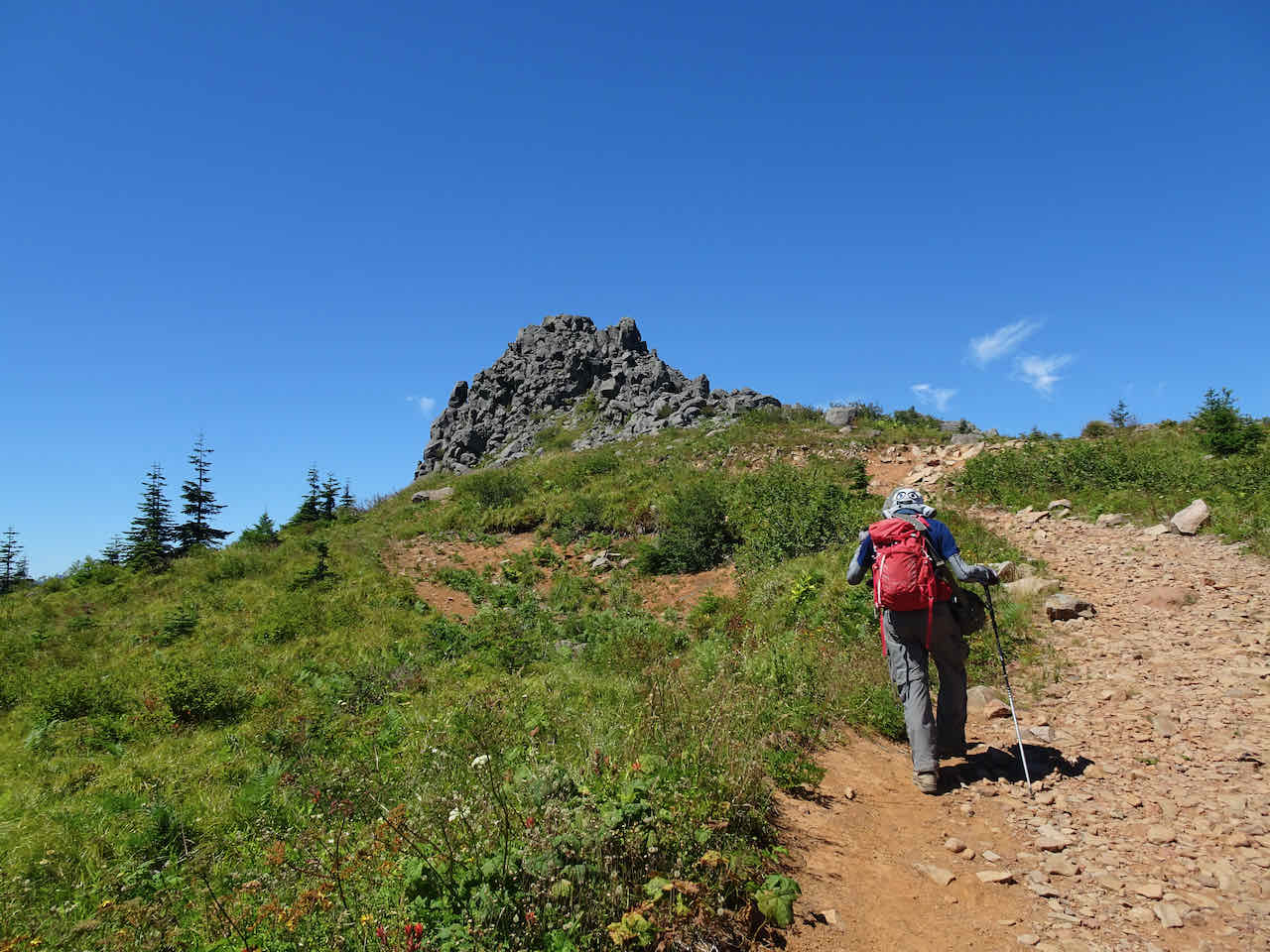
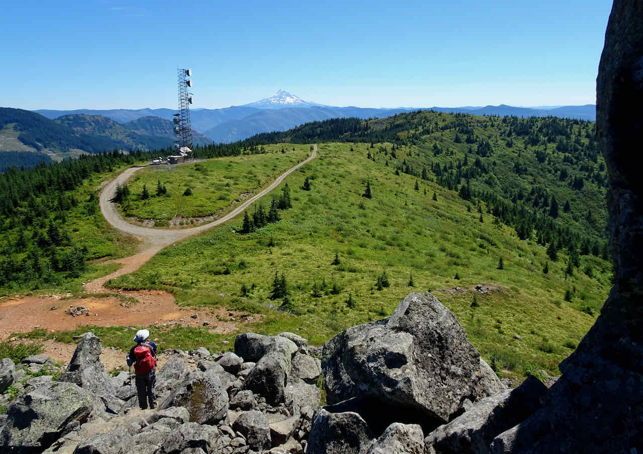
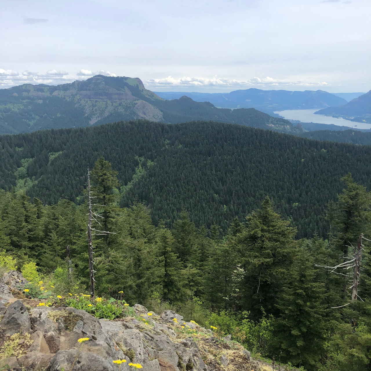
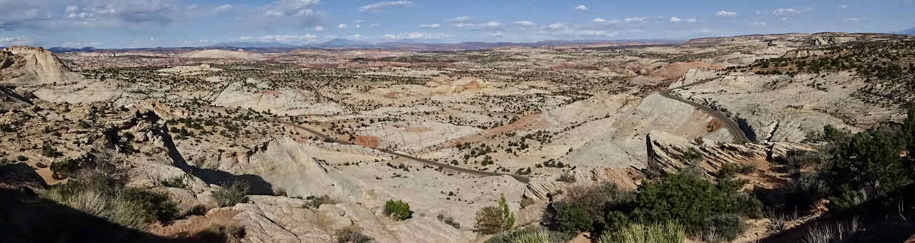
Panorama looking north from the shoulder of Bird Mountain

Sawtooth Mountain and Mt Rainier
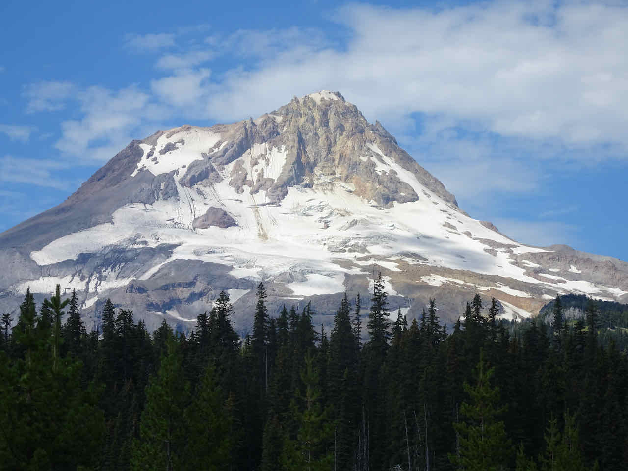
Mt Adams

Mt Adams
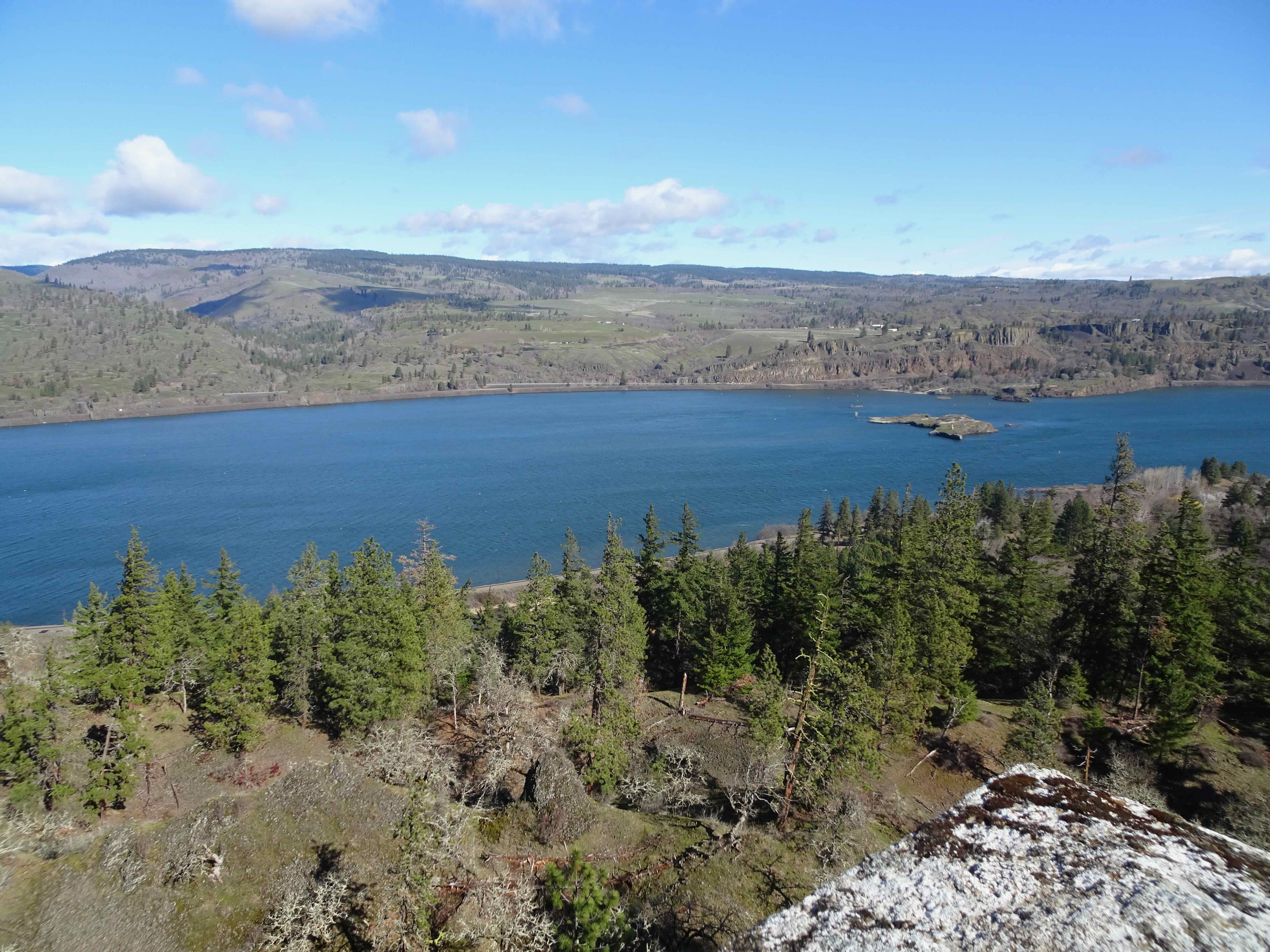
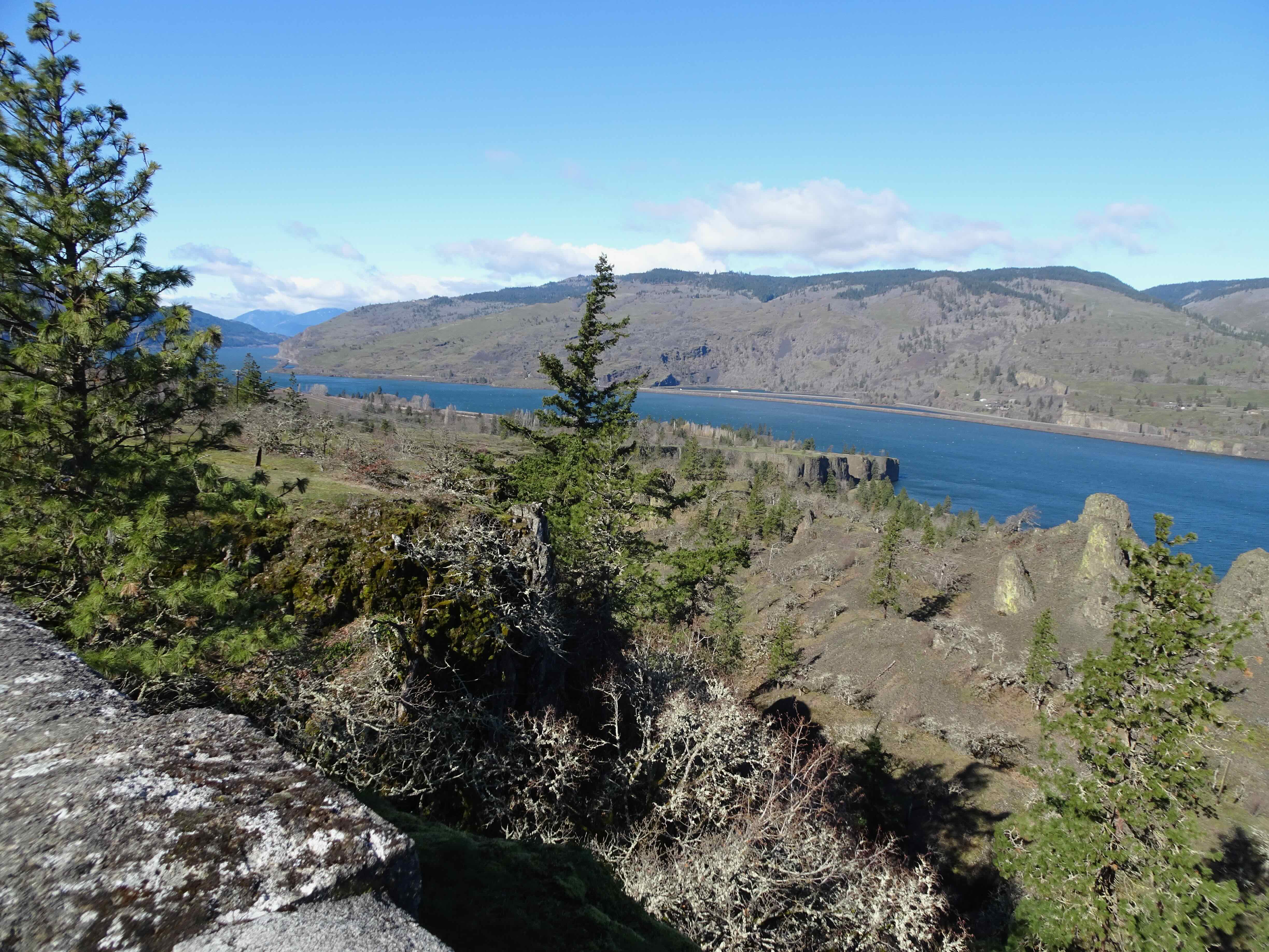
We passed Cultus Lake on our way to the Wapiki Lake overlook:
Cultus lake
Lemei Rock

Huckleberry foliage
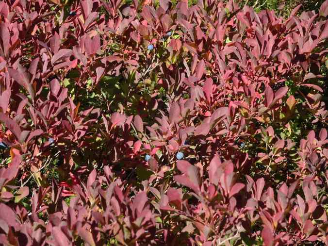
A very few late huckleberries

Wapiki Lake Overlook

Mt Adams

Wapiki Lake
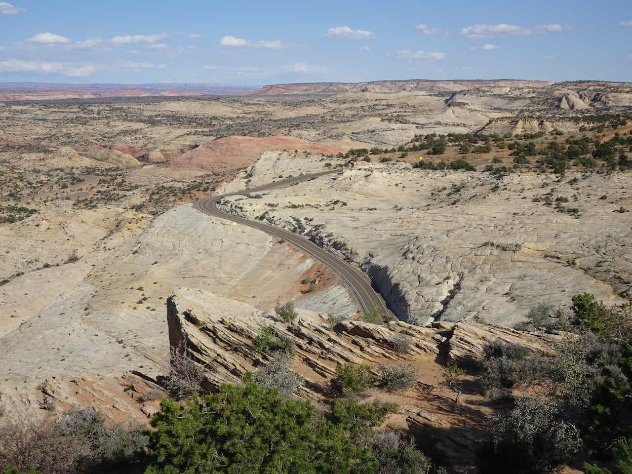
On our return hike, the smoke had blown in from a nearby fire, obscuring the mountain views we had enjoyed earlier…..
Toward Sawtooth and Mt Rainier

Toward Mt Adams
We were too early for full fall color. We passed this same pond near Cultus Lake last year, in early October, after there had been rain. I remember spending a lot of time here marveling at the colors. This year, late September, only a little color and no pond yet.
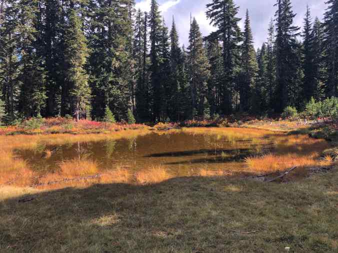
Pond near Cultus Lake, October 8, 2021
Same pond area, September 27, 2022
It is lovely to see these places in different seasons!
I am catching up on blog posts – on to October…