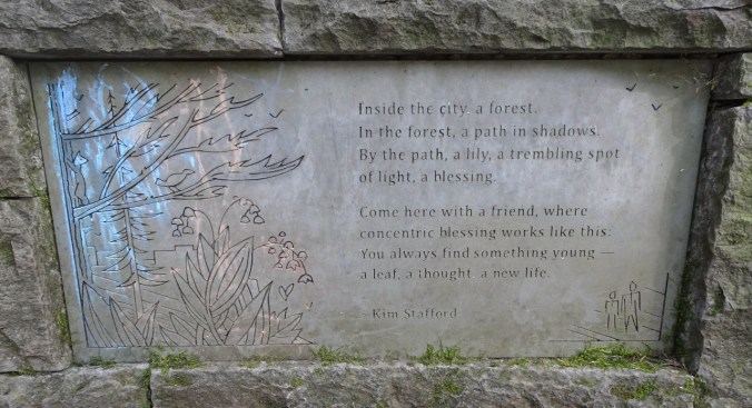
Boundary Trail, Mt St Helens, Washington –
May 27, 2020 – Trails and parks in Oregon and Washington are slowly reopening for careful, “social distance” hiking. We chose a sunny Wednesday to hike at Mt St Helens. The road to the Visitor Center is still closed, so we began our hike on the Hummocks Trail, and continued on to the Boundary Trail. (Hike #42, 8 miles, 1625 feet)
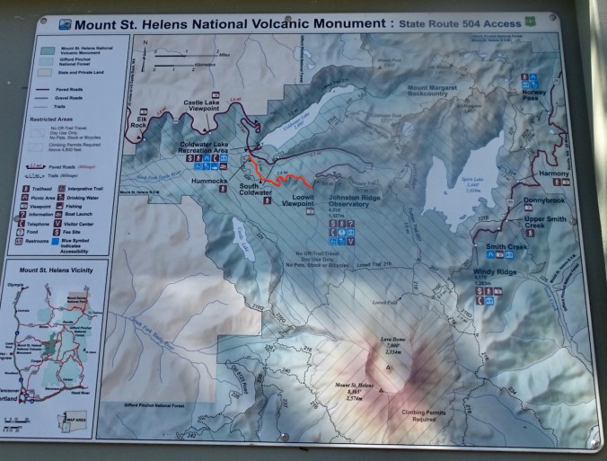
Red marks our route.
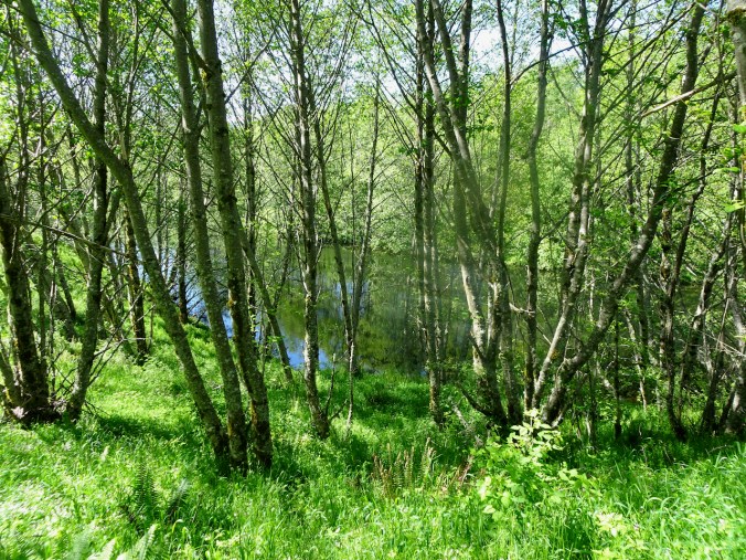
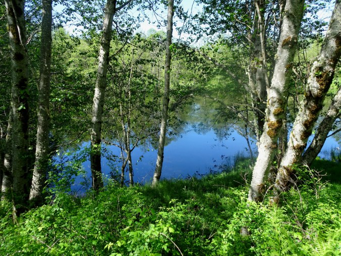
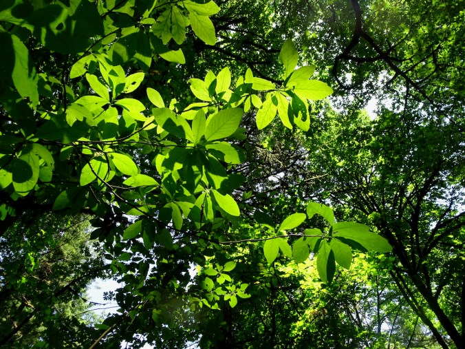
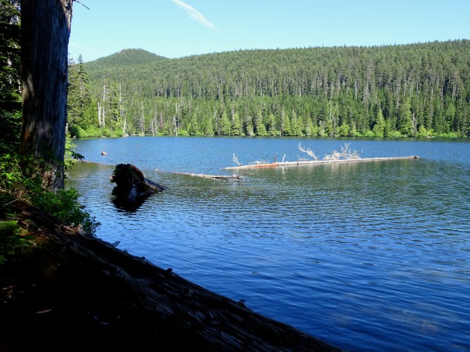
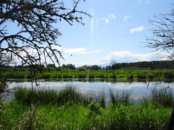
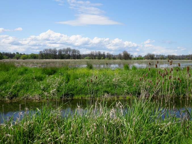
The trail crosses through the hummocks, which are debris avalanche and landslide deposits from the violent May 18, 1980 eruption. Though once a barren moonscape, the hummocks are now lush and green, covered with plants and shady alder groves, and surrounded by ponds and wetlands.
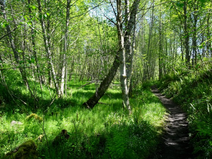
Alder groves and ponds near the trailhead.
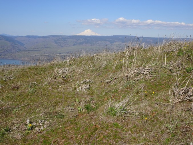
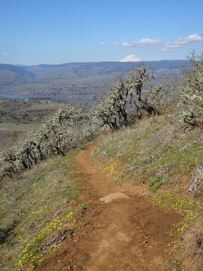
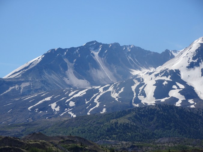
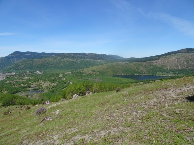
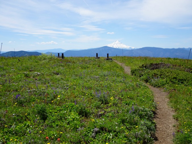
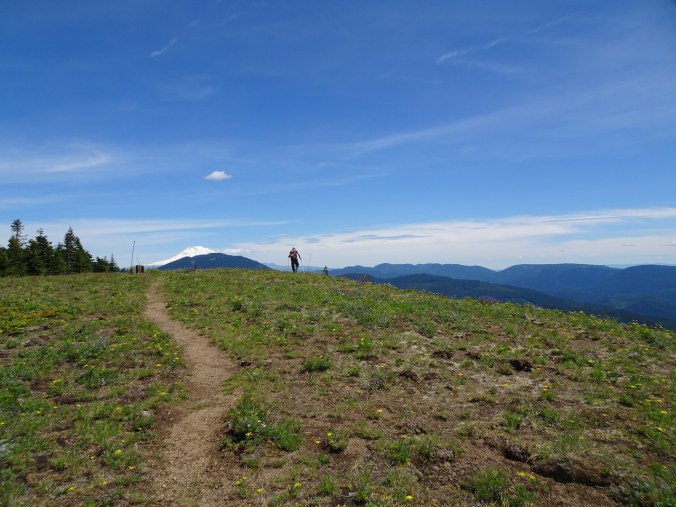
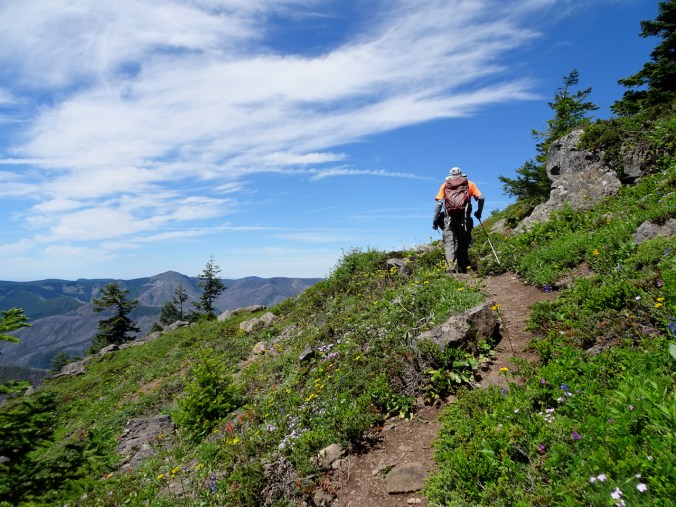
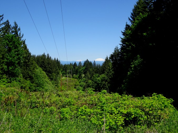
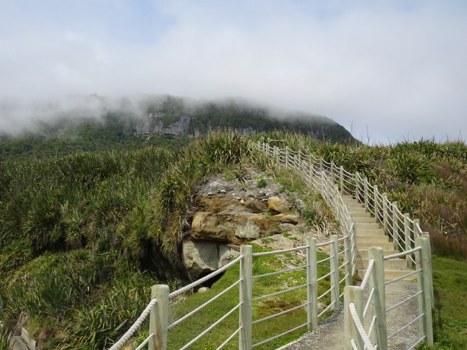
The trail comes out into open landscape at the junction with the Boundary Trail, then heads off into lowlands along the Toutle River, before climbing steeply up the flanks of Johnston Ridge. From here on we almost always had a full on view of the mountain.

Boundary Trail Junction
Zooming in…
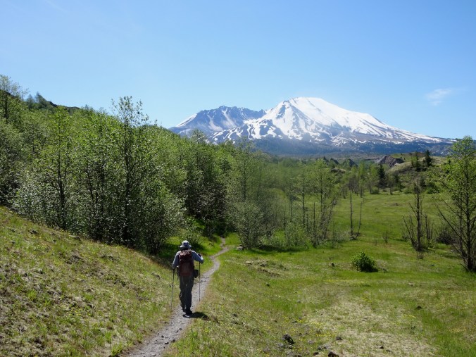
Crossing the Toutle River lowlands.
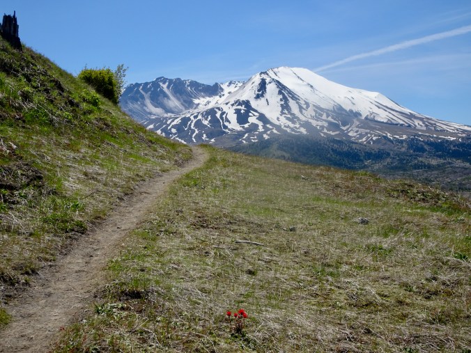
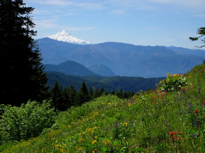
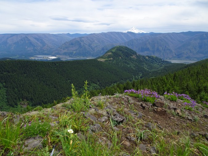
Heading up, Indian paintbrush and Mt St Helens.
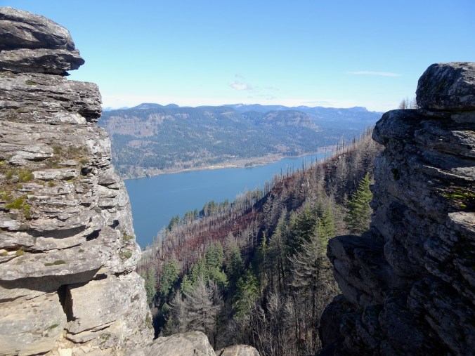
Once high enough, we can see north to the west end of Coldwater Lake, and back to the ponds in the hummocks, our starting point.
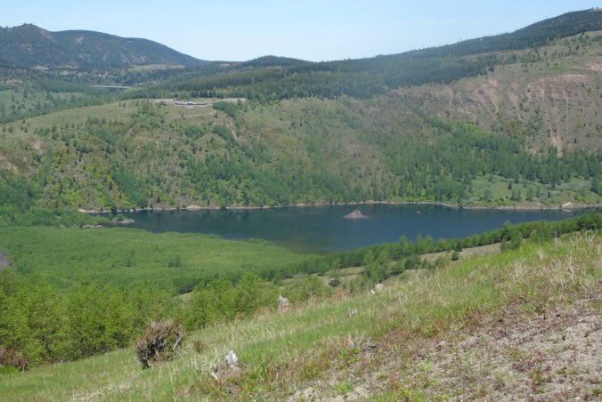
Closer view of Coldwater Lake.

Lovely view from our lunch stop.
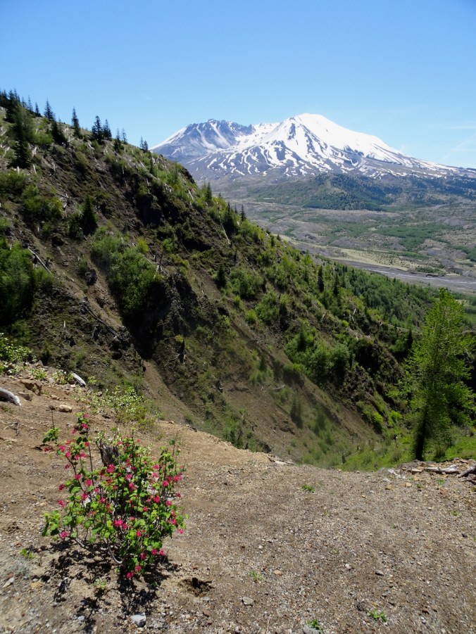
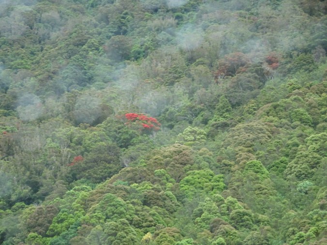
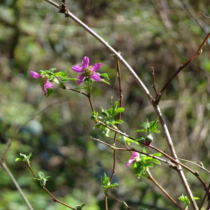
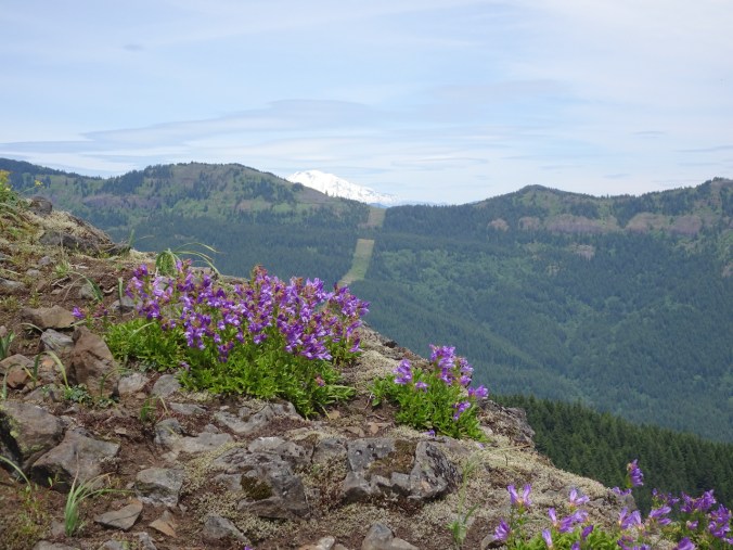
Red current in bloom as we continue eastward.
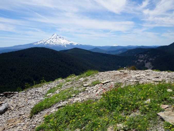
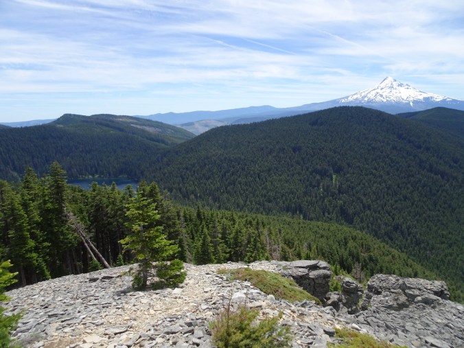
We reached our farthest view point, not quite to the Loowit Turnout on the road.
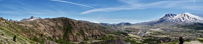
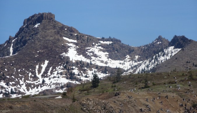
Coldwater Peak
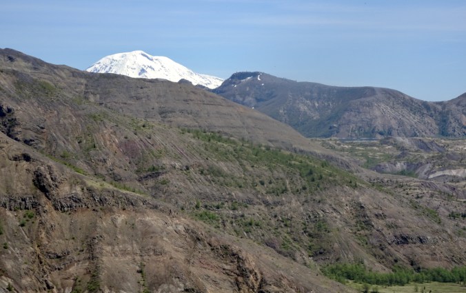
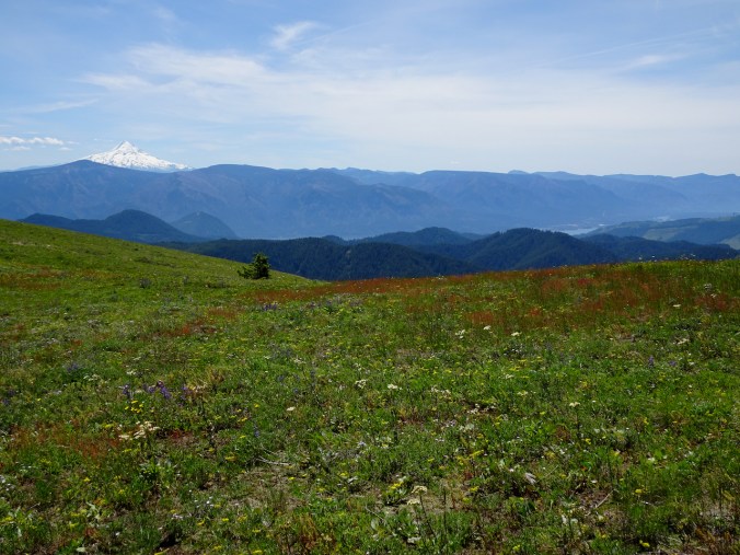
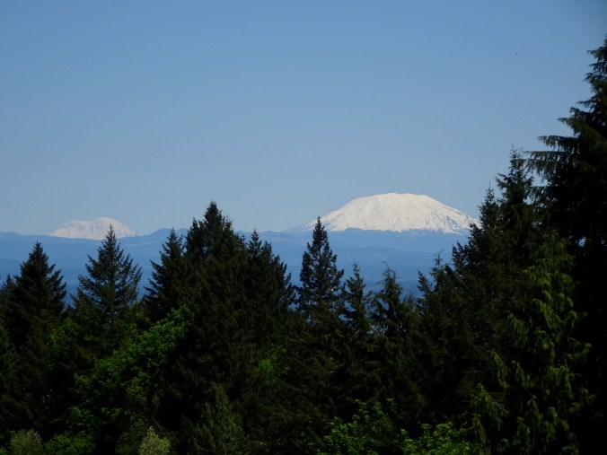
Mt Adams and a glimpse of Spirit Lake
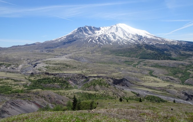
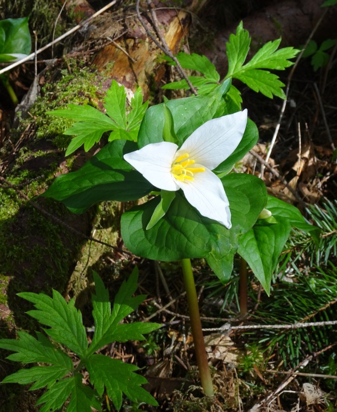
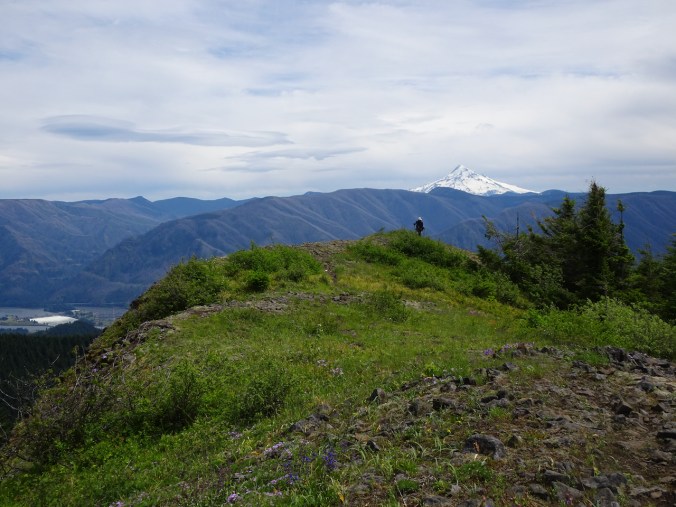
Mt St Helens
I felt a bit out of shape on this hike, so we only went as far as a viewpoint where Mt Adams comes into view, before we reached the Loowit Viewpoint. It was fairly hot, and once out of the hummock zone, there is no shade. What is amazing is how much shade there is in the hummocks area, because everything in sight has regrown since the eruption 40 years ago.
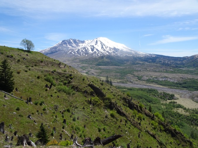
A last look back at the mountain on our return hike:
40 year old stumps, with younger trees in the foreground.

Sheep sorrel, Toutle River
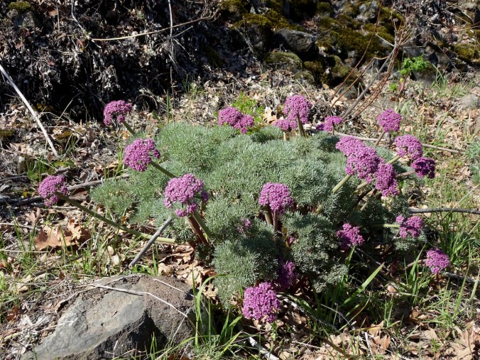
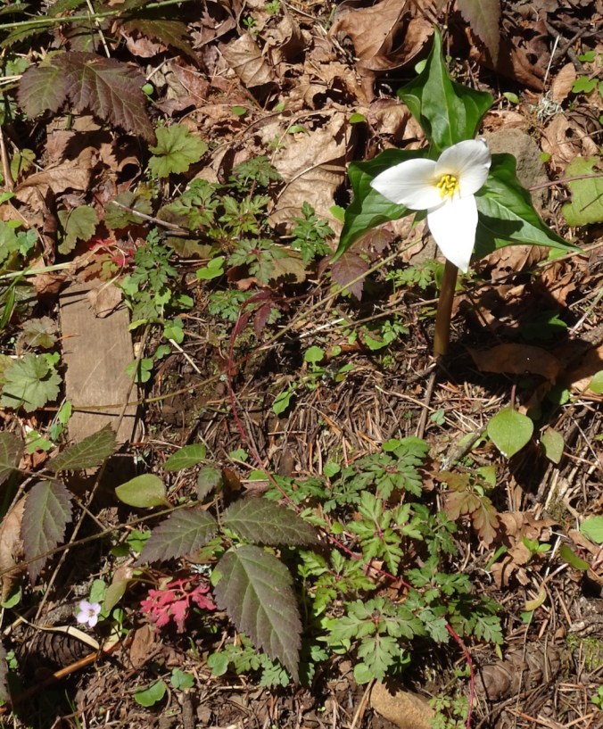
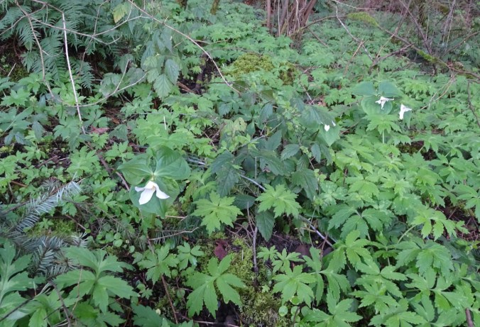
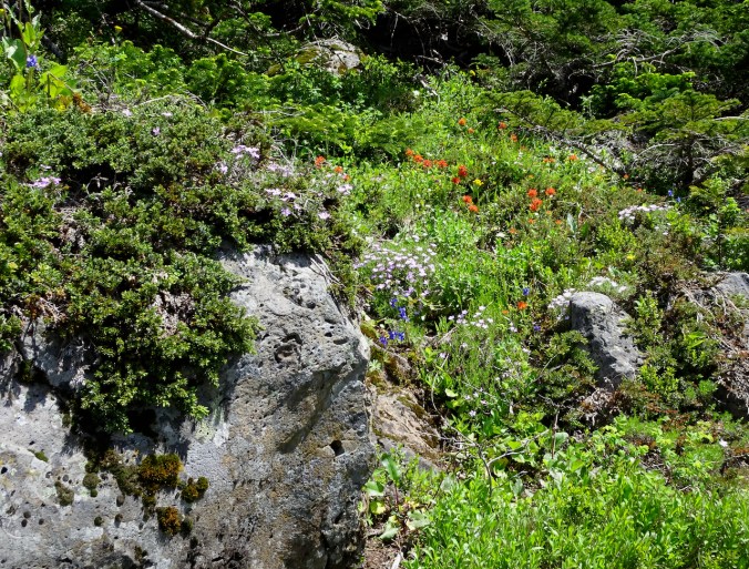
Wildflowers are beginning to bloom – in a couple of weeks it will be very colorful here.

paintbrush

penstemon

lupine

woodland strawberry

miniature lupine

little leaf miner’s lettuce
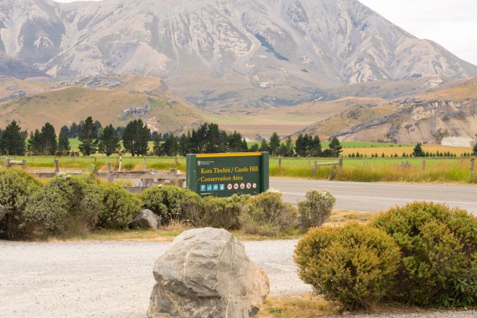
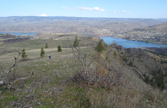
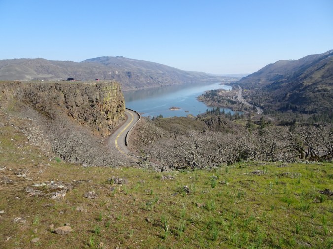
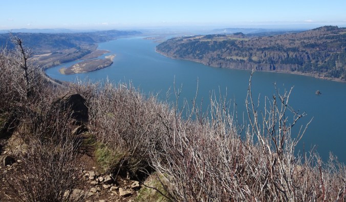
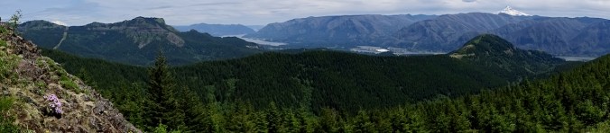
We stopped at the Castle Lake Viewpoint on our drive home for a last look today, with plans to return in the not too distant future.

Castle Lake Viewpoint
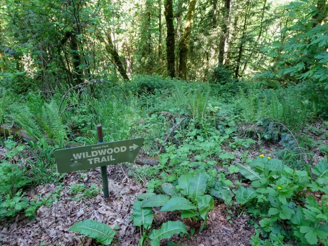
Wildwood Trail Hike 4
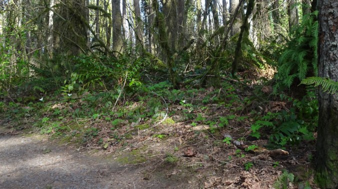
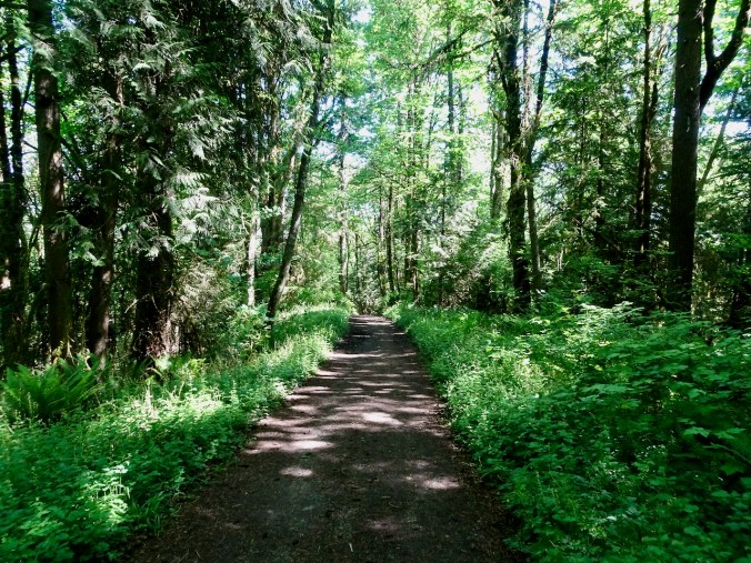
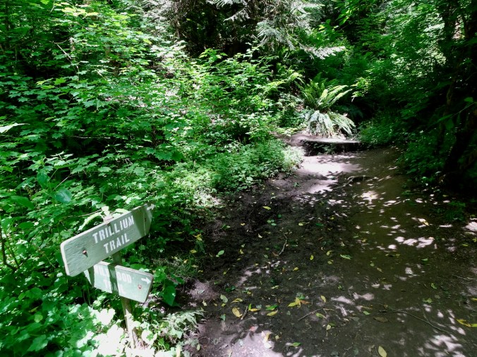
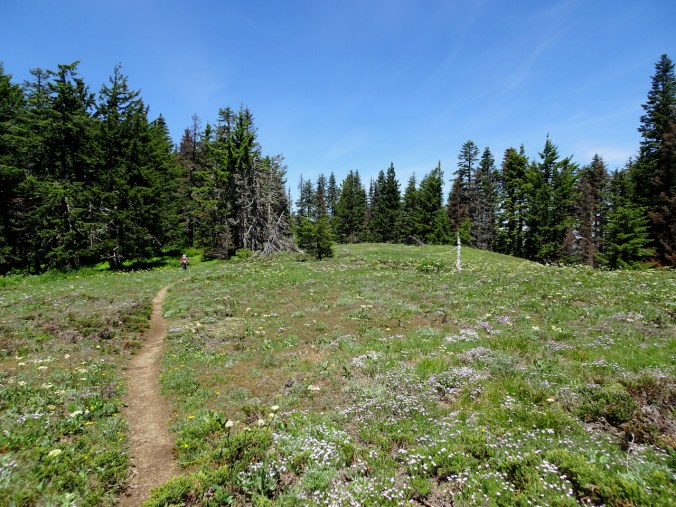
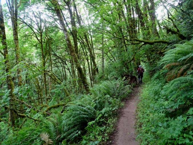
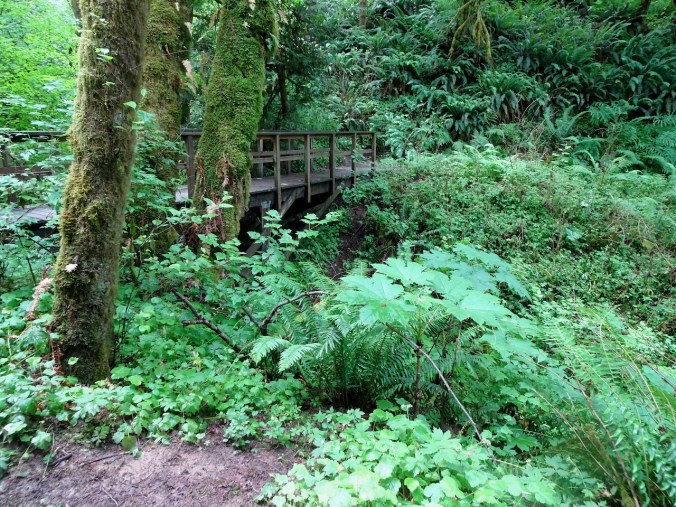
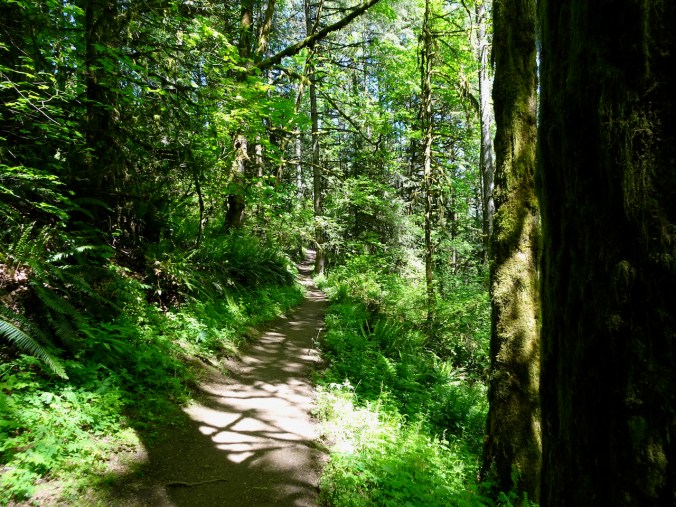
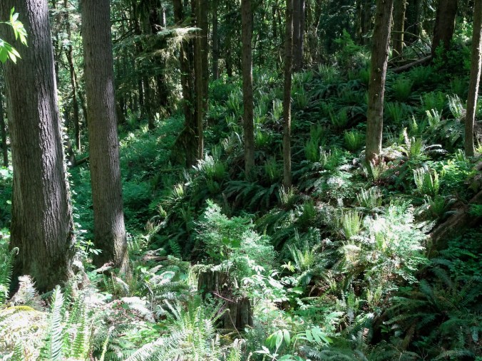
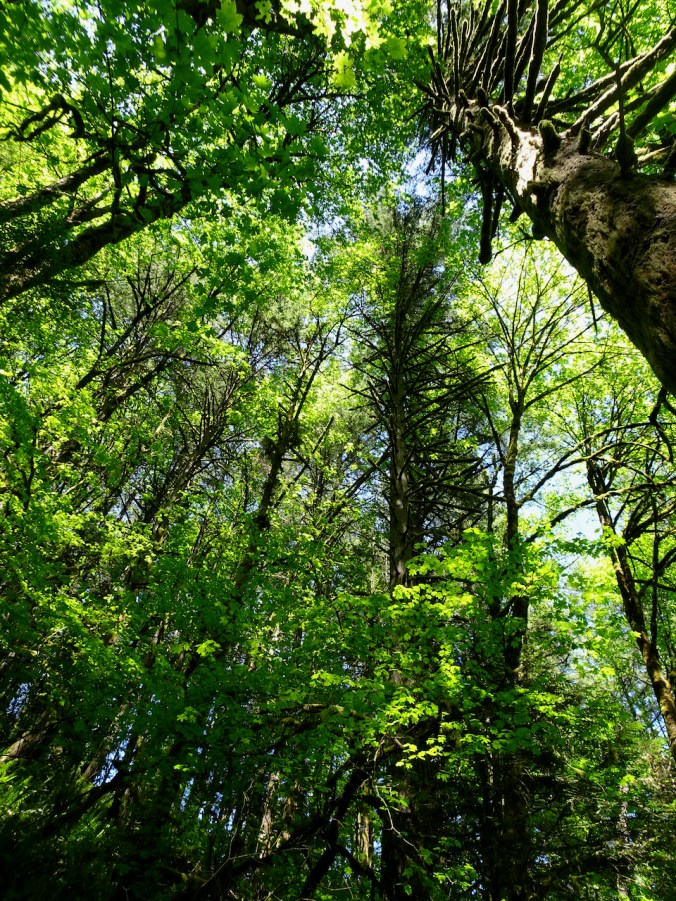
Friday, May 29, 2020 – In continuation of a pandemic goal to hike all of the 30 mile Wildwood Trail in Forest Park, we walked another section, from Springville Road to the Wildwood Trail, to the Trillium Trail and back to our trailhead on Fire Road 7. This section of the Wildwood Trail is cut into the sides of steep forested slopes. It was dry and warm today, but well shaded. We saw a few flowers, a few birds, a lot of trail runners, and a few hiking groups. Most of the hikers pulled masks up when passing. Trail runners mostly did not. We did our best to give them a wide space. We all need the fresh air! (Hike #43, 5.2 miles, 460 feet)

Trailhead
Springville Road
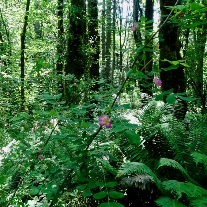
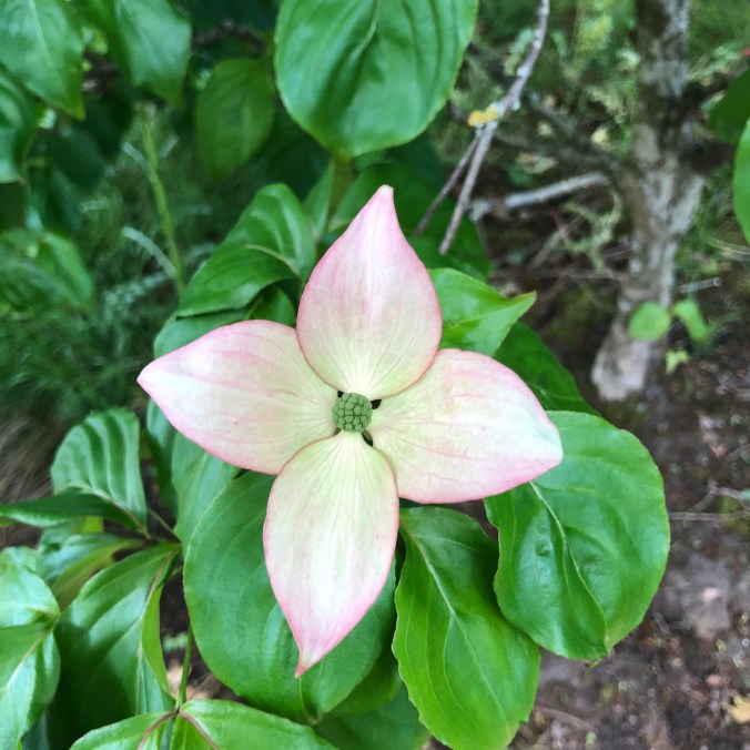
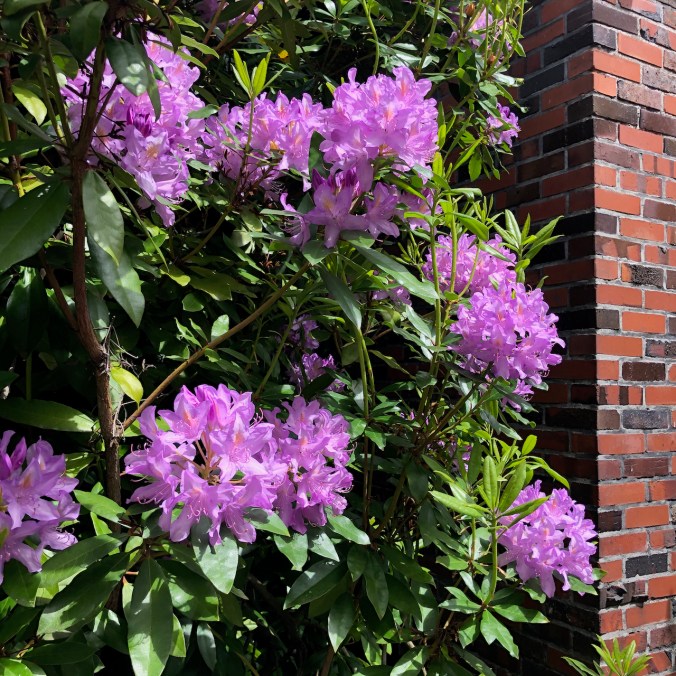
The first wild roses I have seen this year.
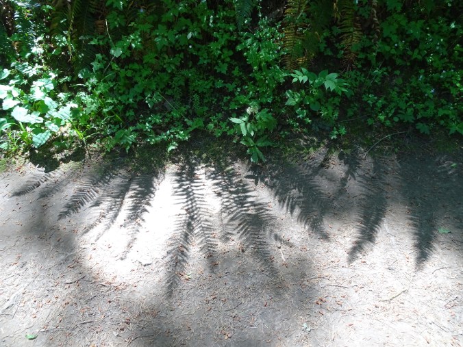
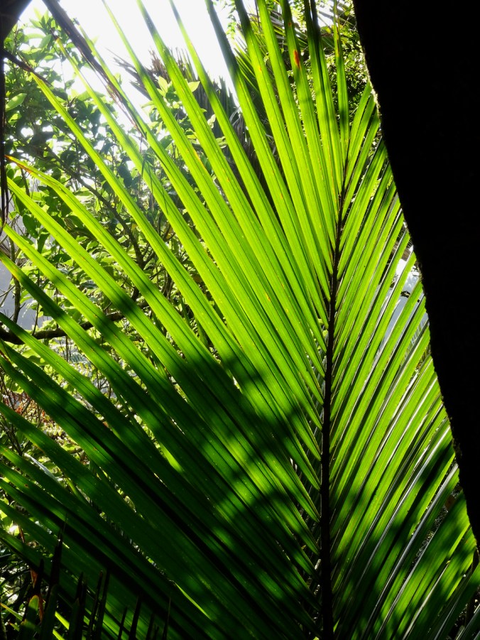
Fern shadows
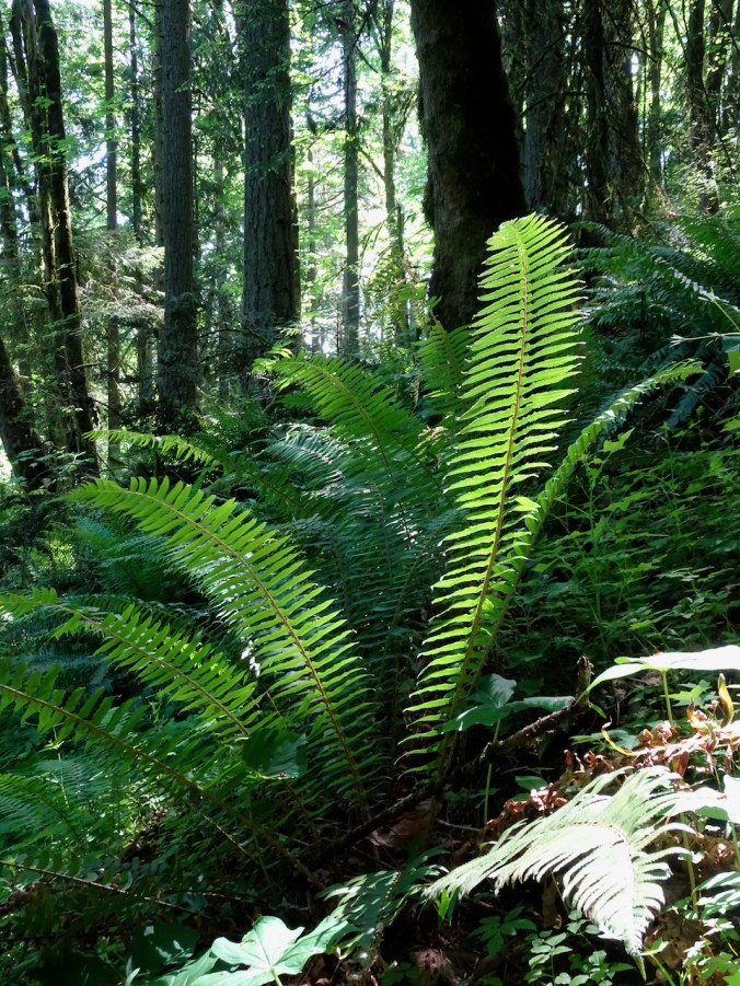
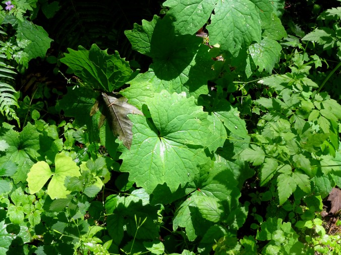
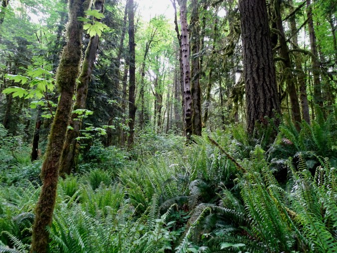
Ferns
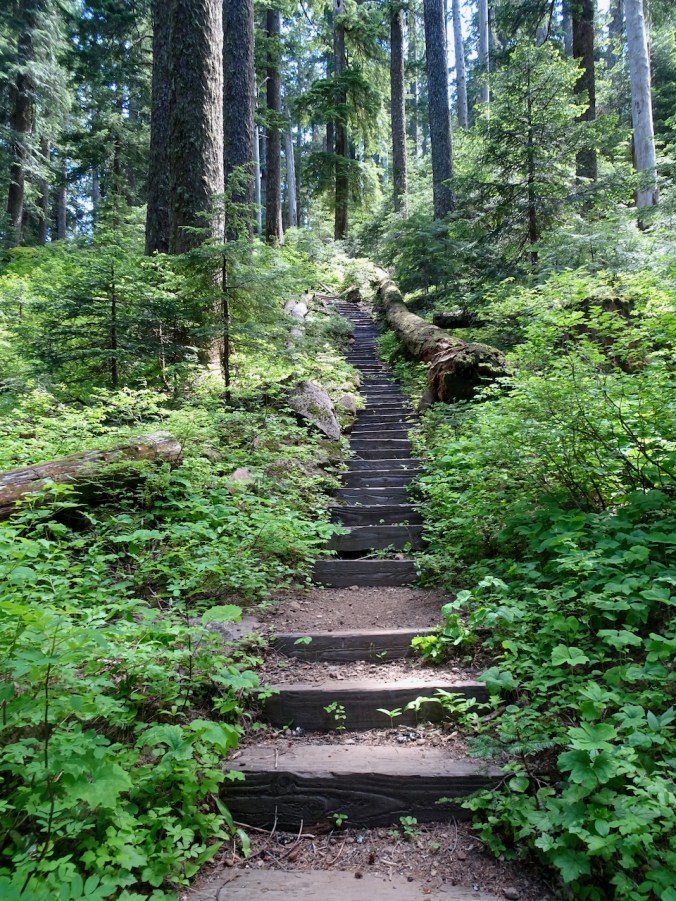
Our return trail is all uphill!
Knitting
I am getting ready to start new projects, so I have been hand winding yarn, knitting a gauge swatch, and spending lots of time searching the glorious Ravelry pattern library, which in my opinion is the very best place in all of the internet. I also cast on a gift knit – fingerless mitts.

A note on the times we are living in – I support the Black Lives Matter protests going on this weekend. It may be a long time before the “all are created equal” spirit of our nation is realized, but I try to live my life in support of it. On a more positive note, I was happy to see the successful SpaceX launch this weekend, furthering work my father participated in as rocket scientist.


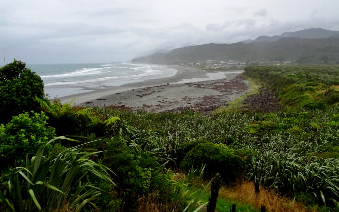


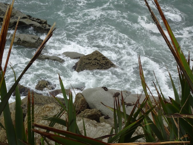

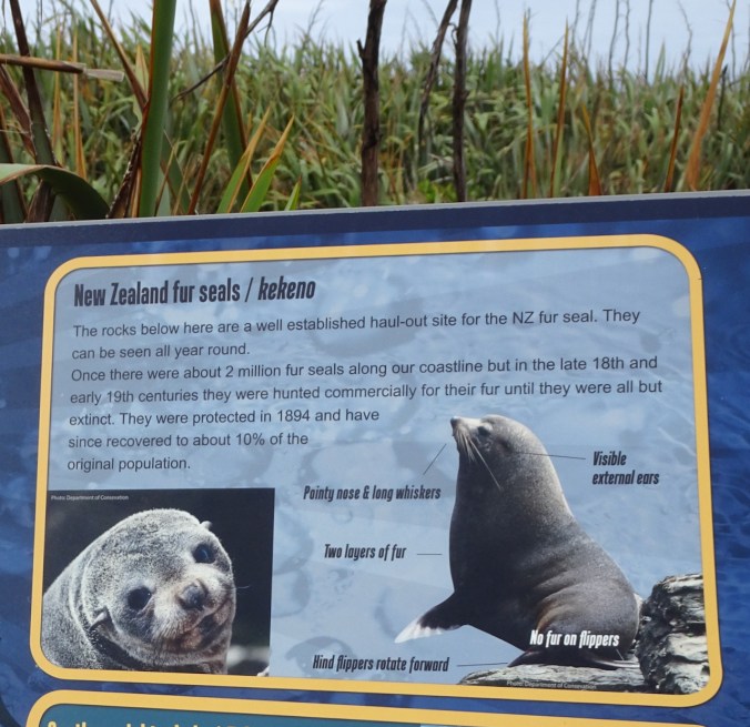
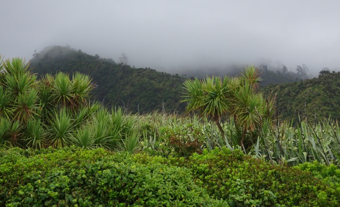
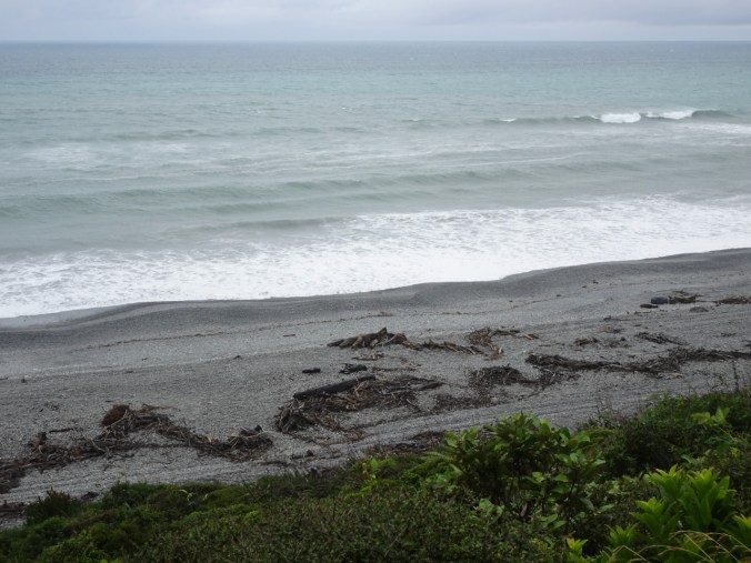


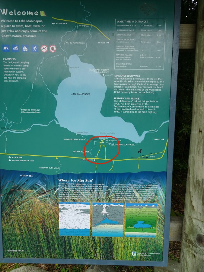
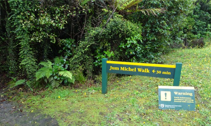


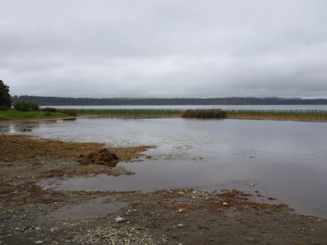

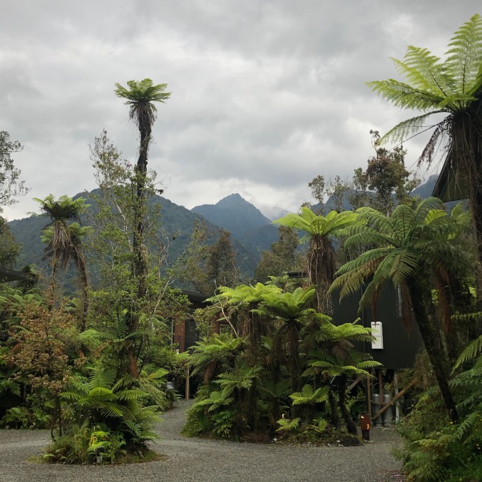
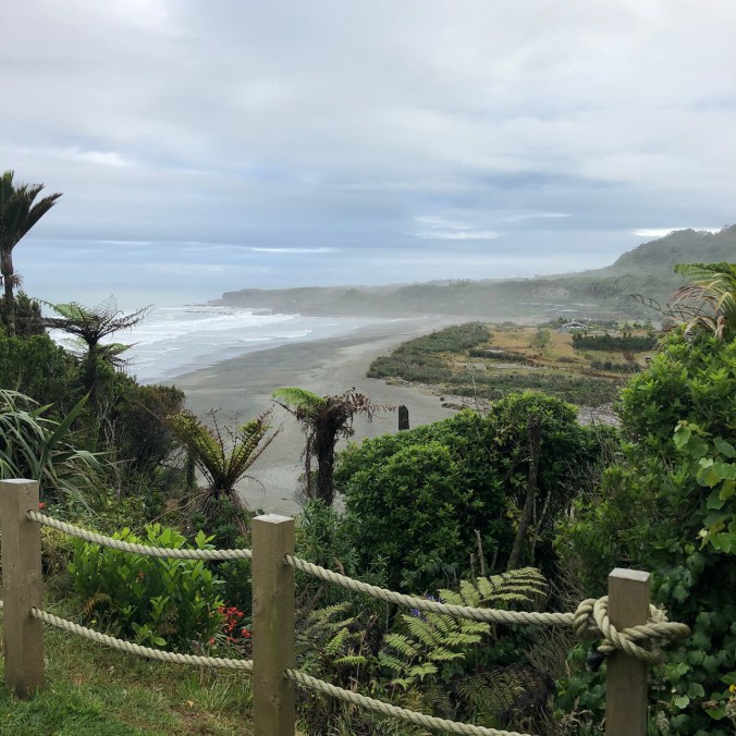
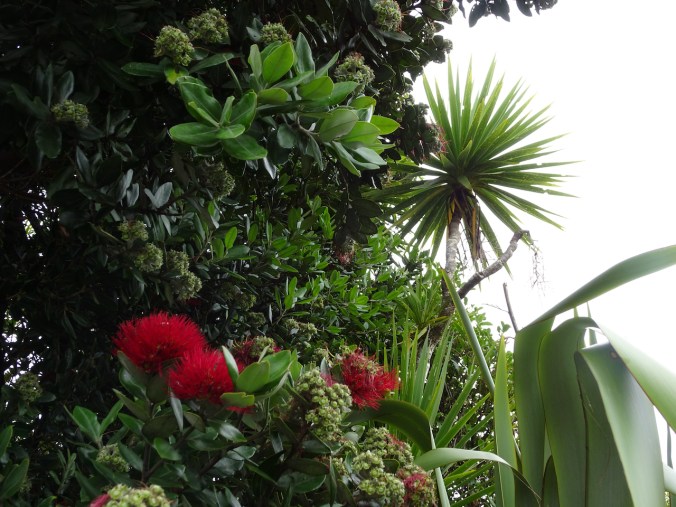
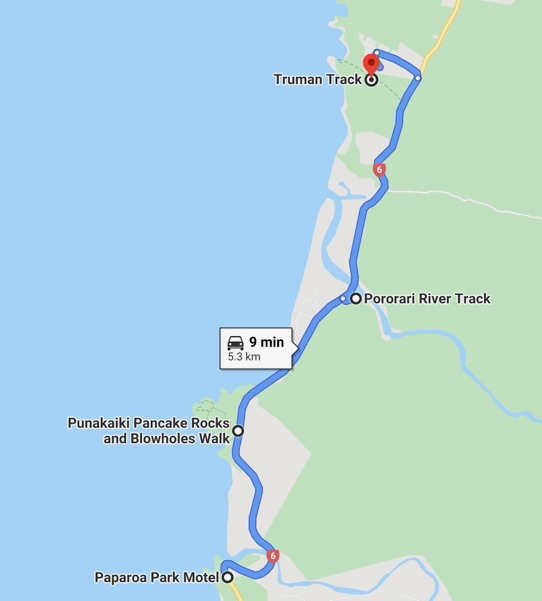
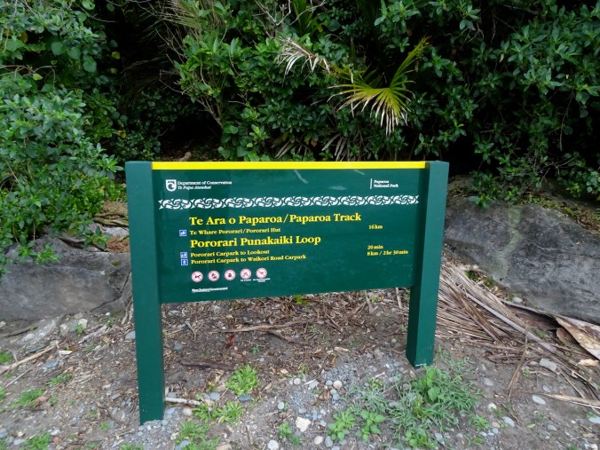

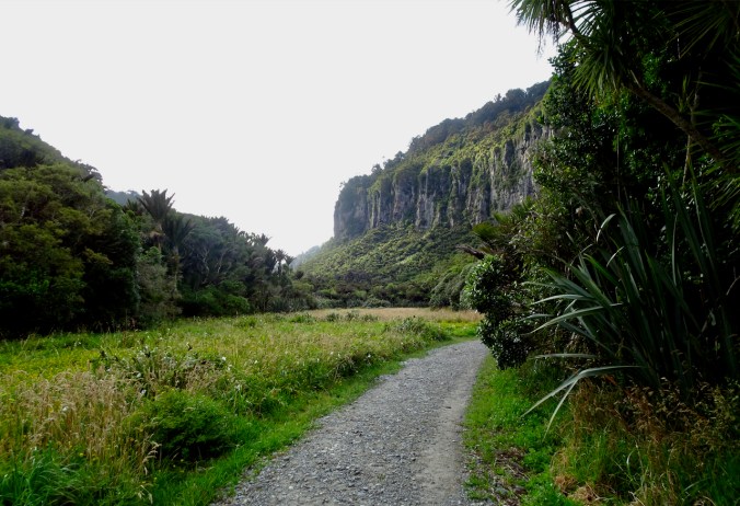


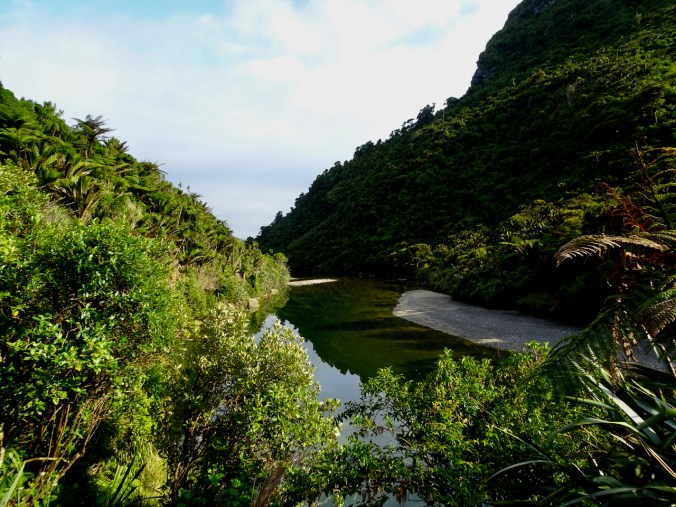


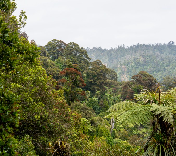


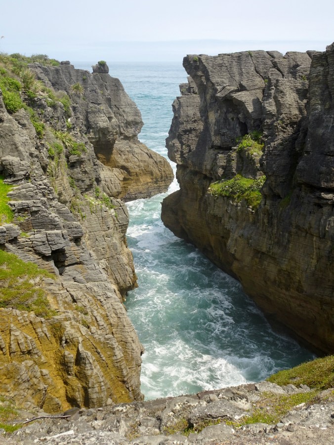


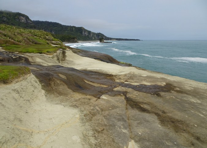


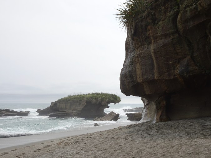


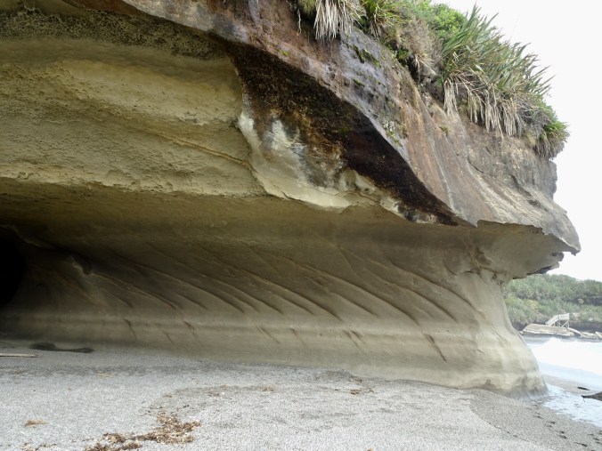
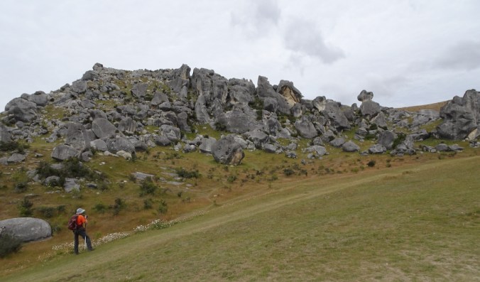
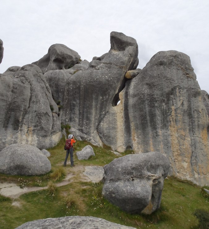
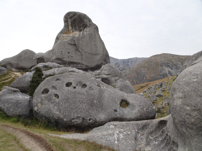
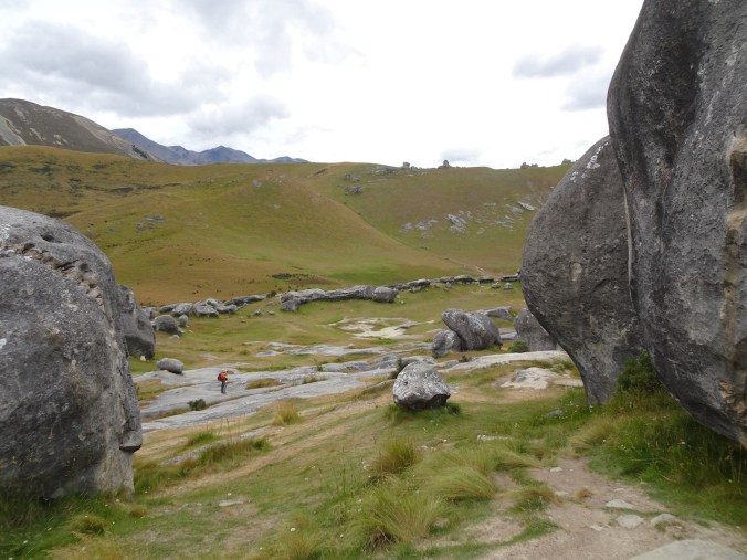
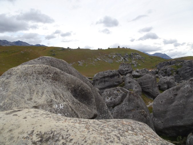
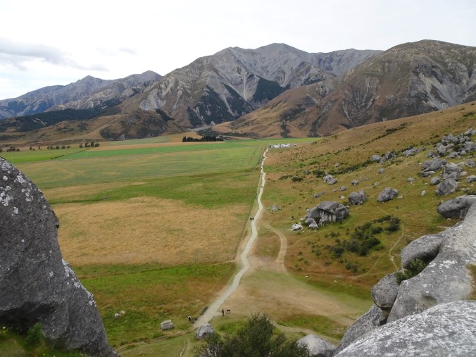
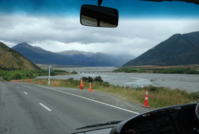
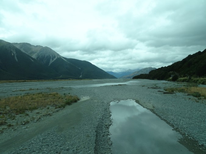
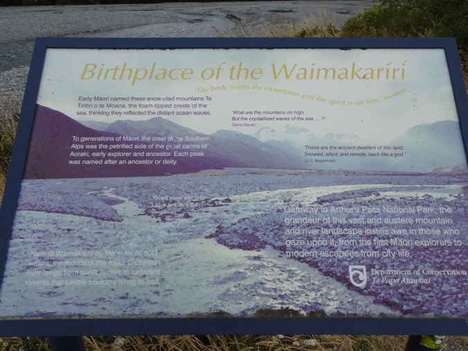
 The South Island is about 500 miles long, and 150ish miles wide, with steep mountains along the west coast. The mountains create a rain shadow for the eastern