Our four August hikes all had views to Mt Hood and to some of the other Cascade volcanoes.

from Lookout Mountain

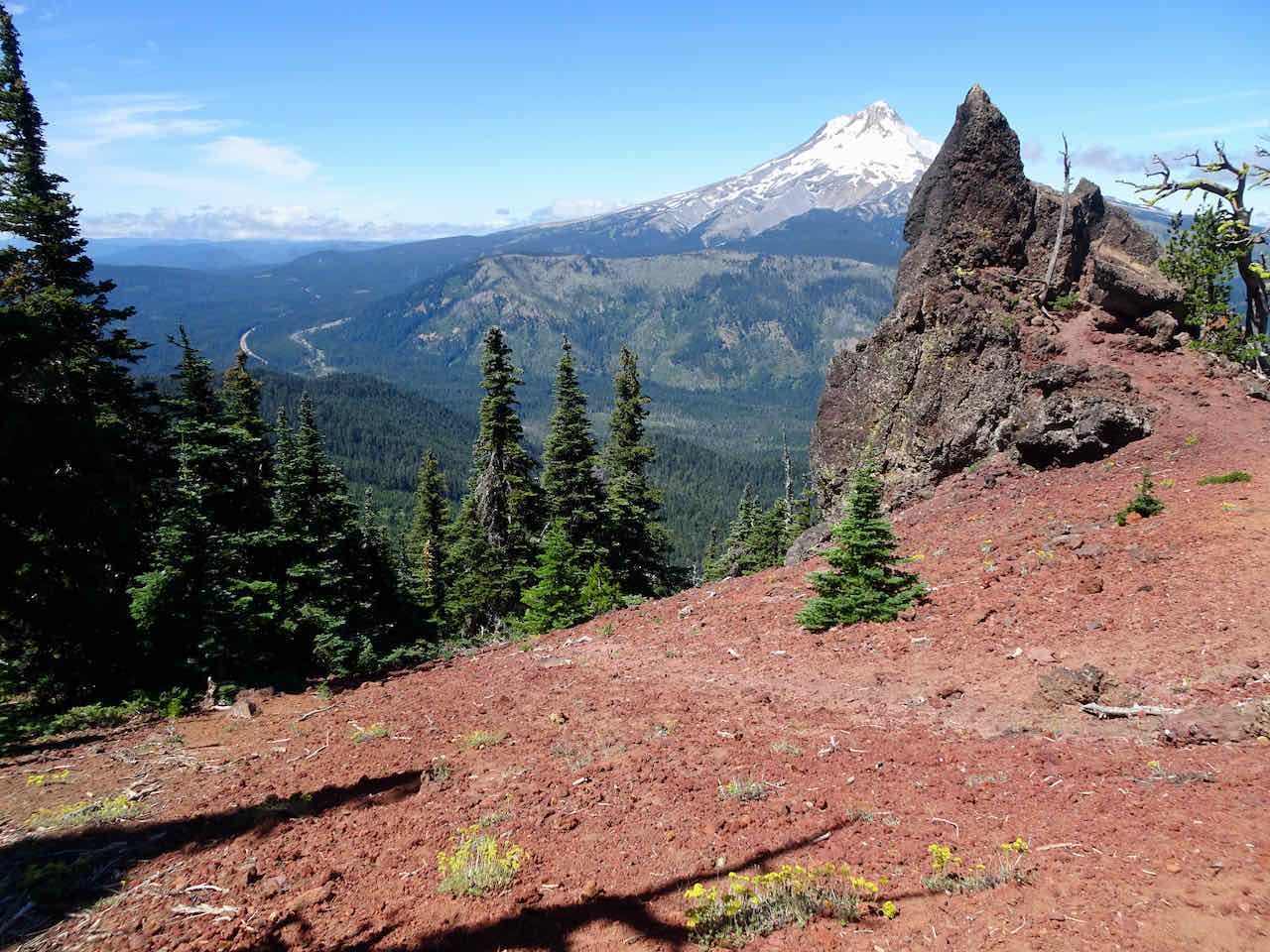
Mts Hood and Jefferson from Three Corner Rock, WA

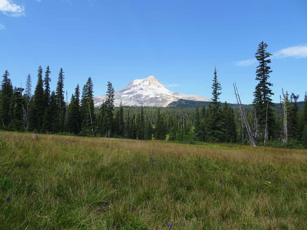
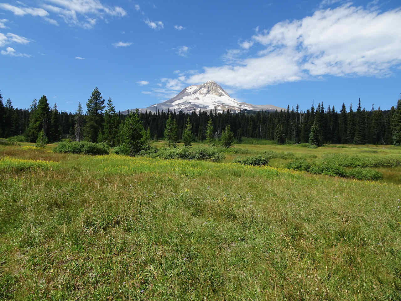
from Elk Meadows

from the East Eliot Moraine near Cooper Spur Shelter

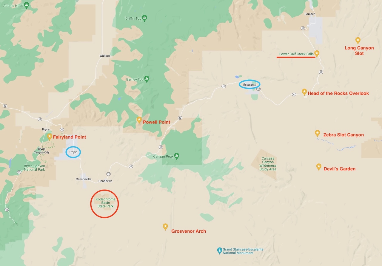
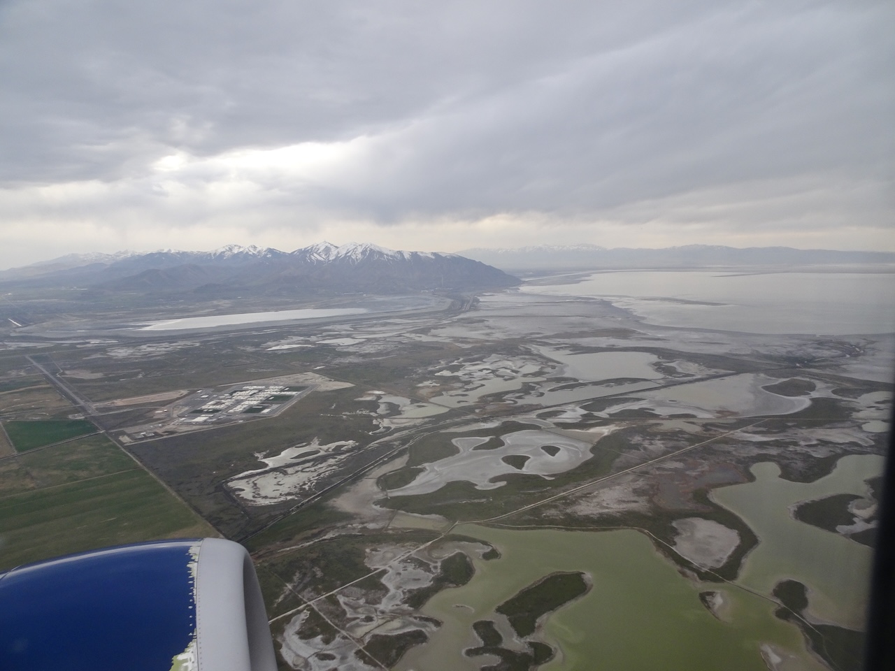
Location Map
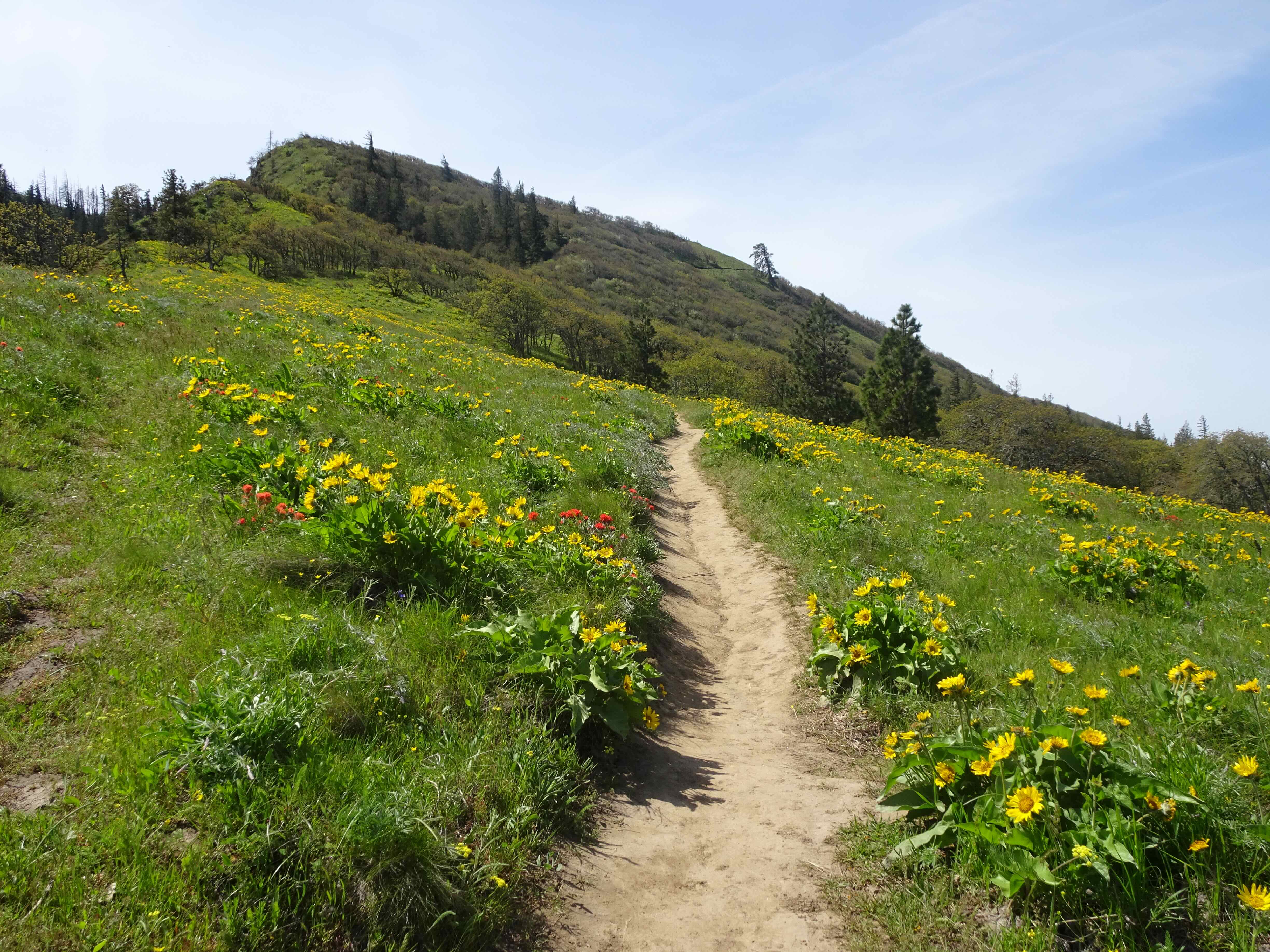
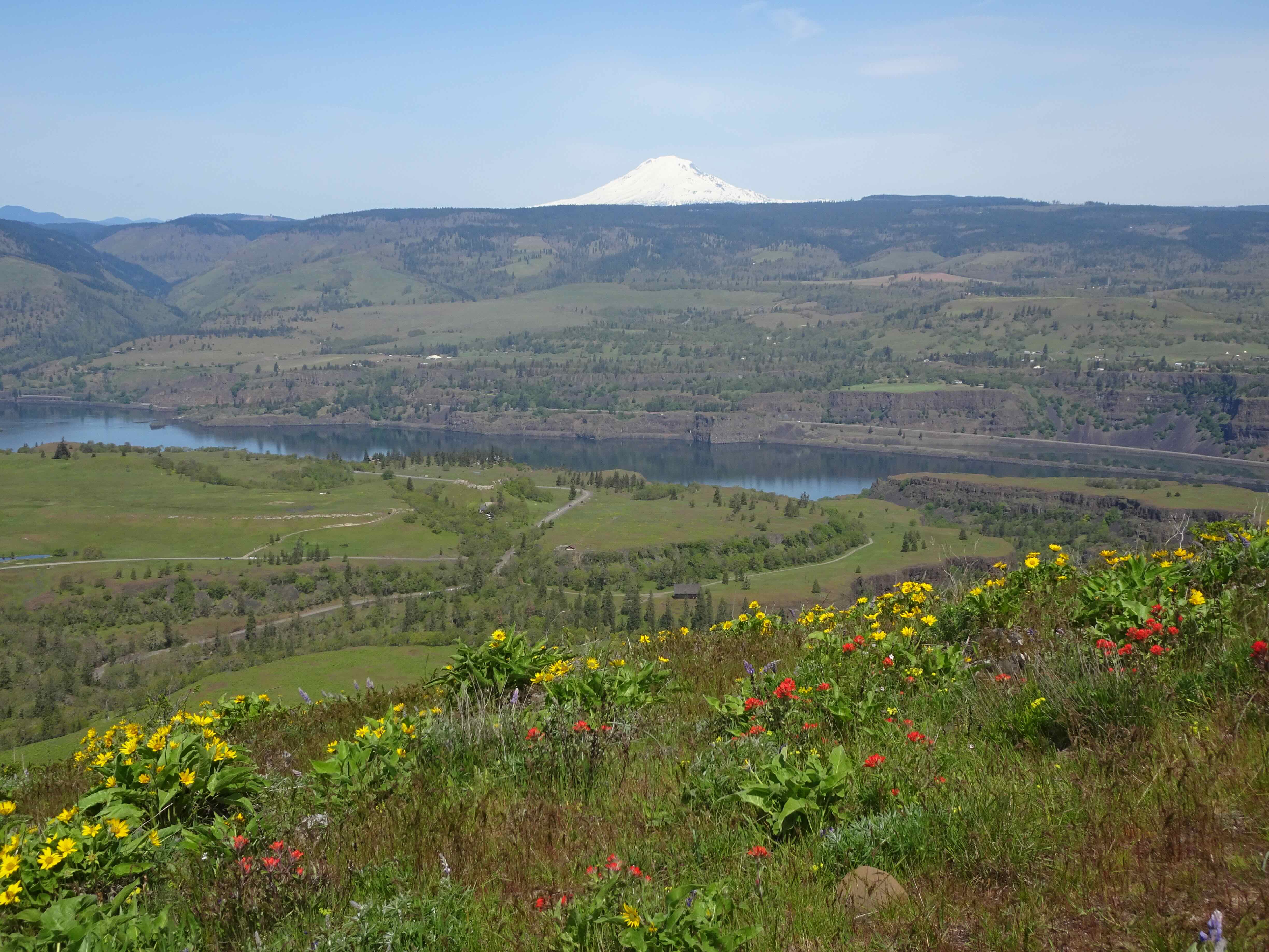
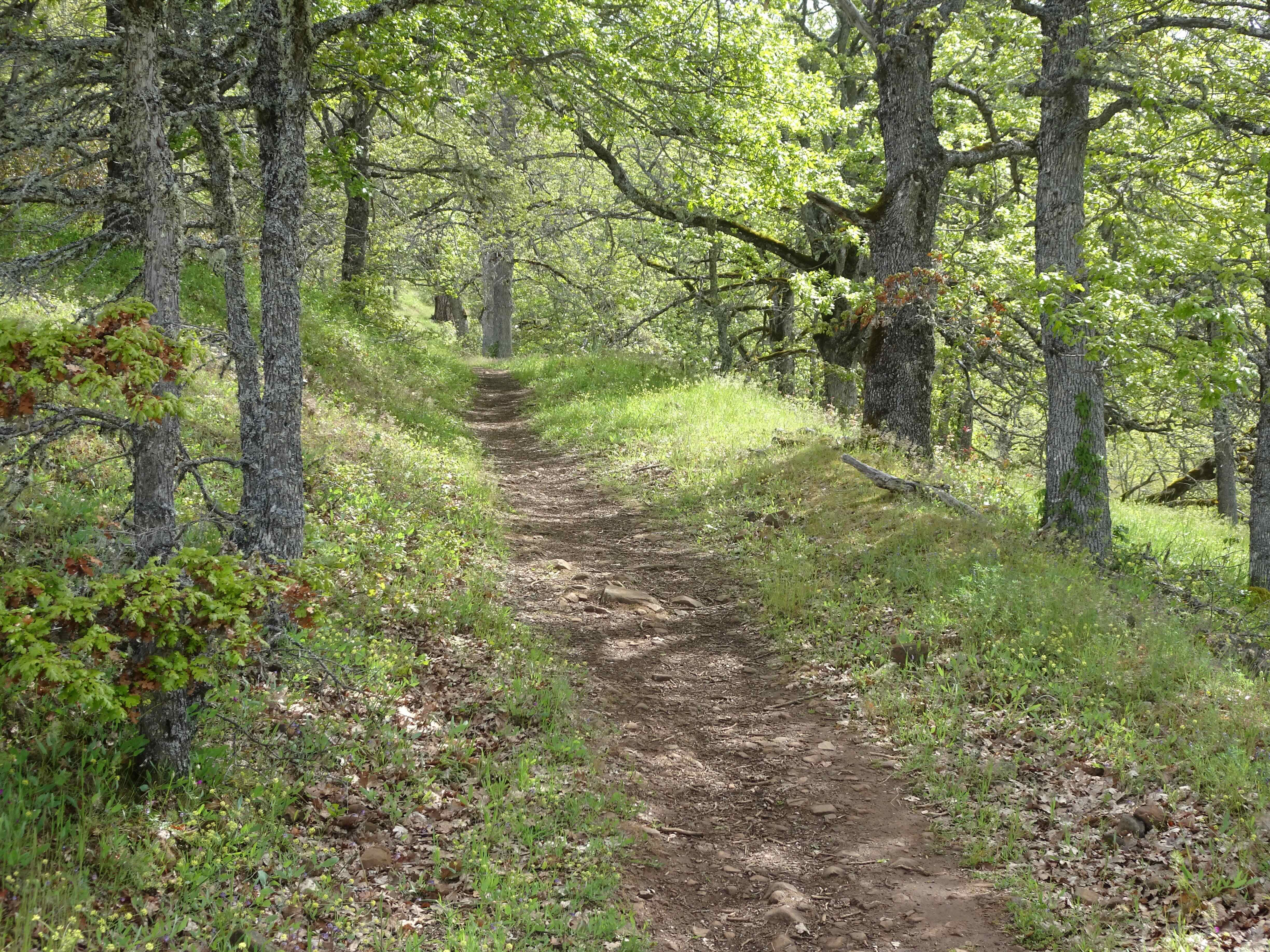
August 4 – Lookout Mountain
We took this short hike with our daughter on a hot day. There were late season wildflowers, views from Mt Rainier to the Three Sisters, and a head on view of the east side of Mt Hood.

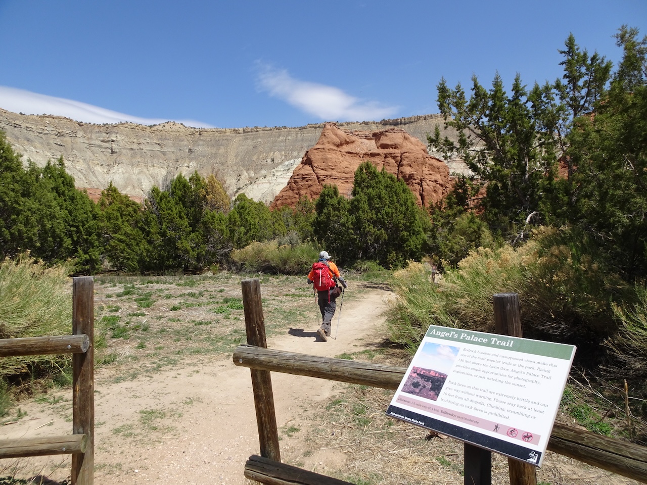
High Prairie Trailhead
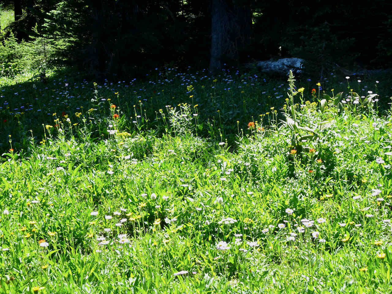
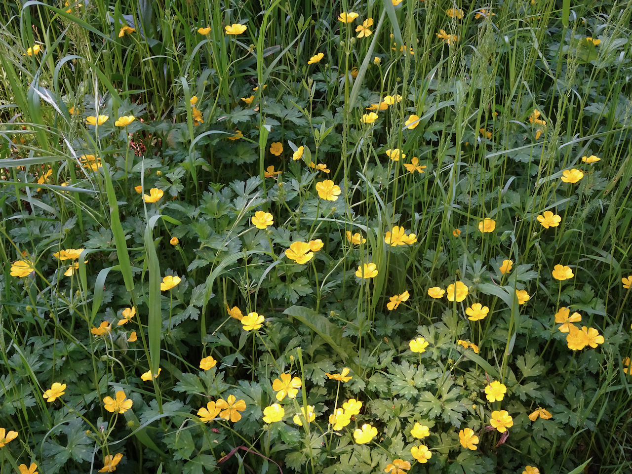
Paintbrush, Sitka valerian, and asters in the meadows
Mt Hood from the trail pinnacle. Elk Meadows are on the other side of the ridge in the middle distance.

Mt Jefferson and the Sisters to the south

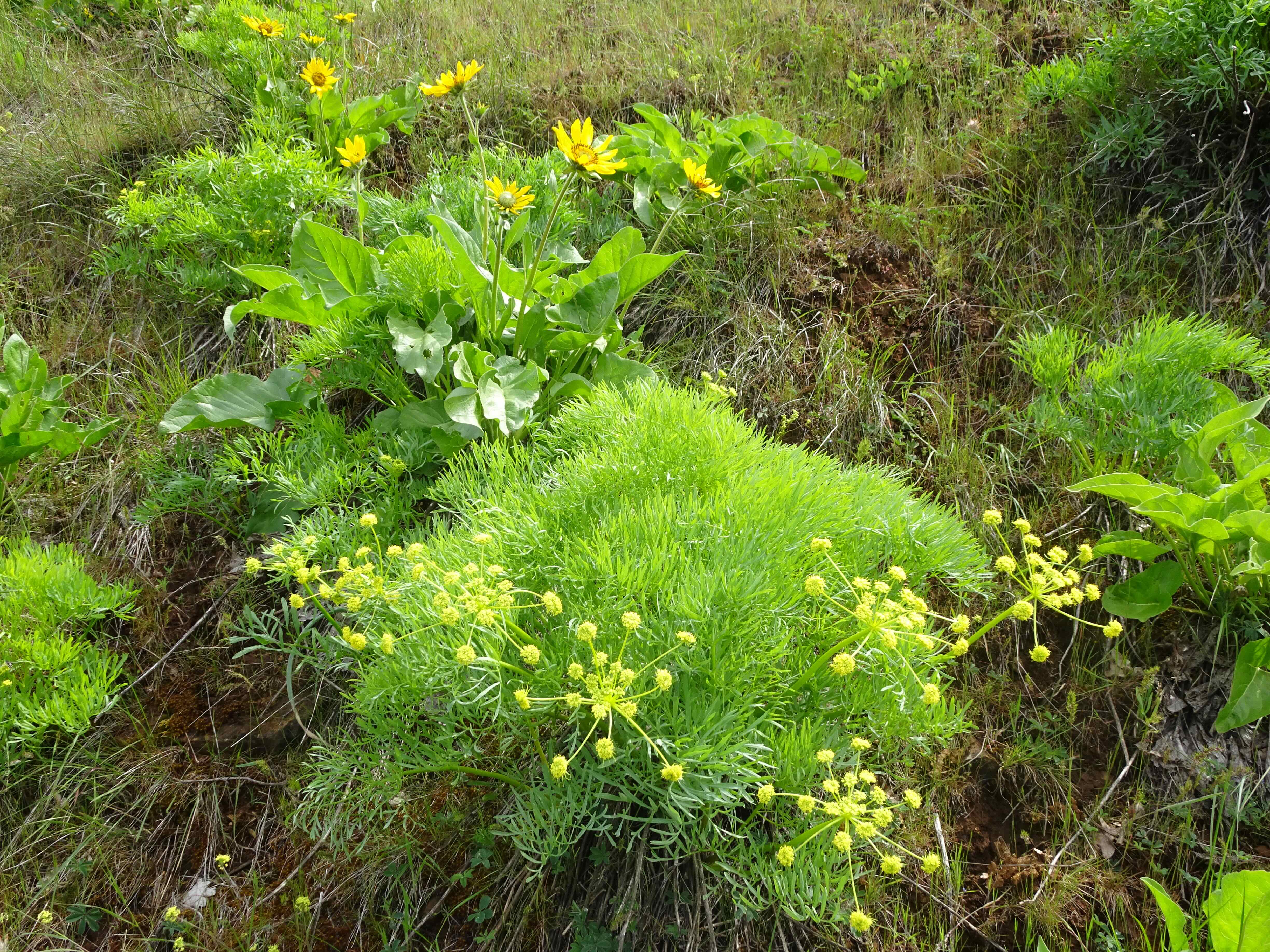
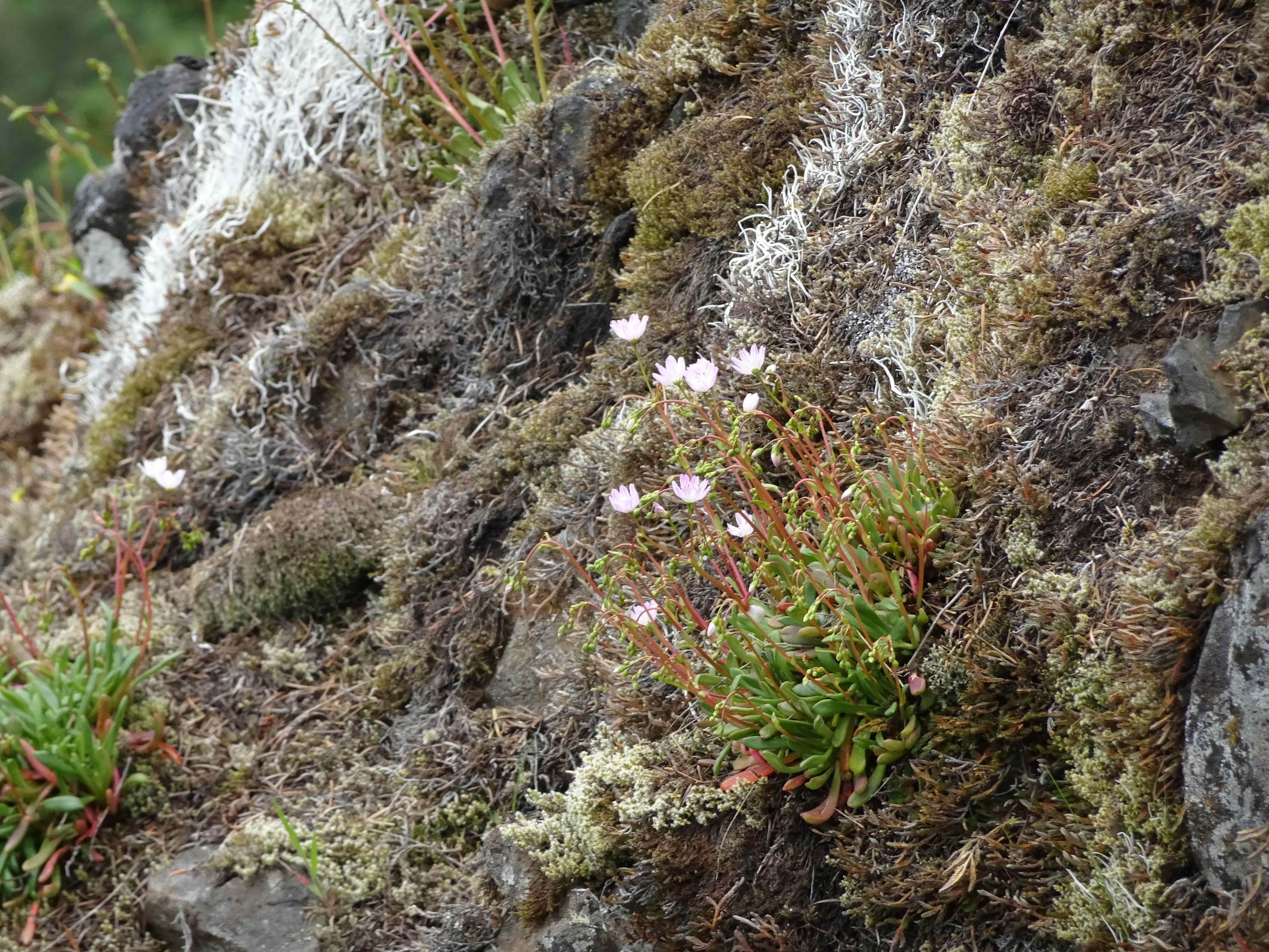
Scarlet gillia, Oregon sunshine, buckwheat and penstemon on the upper slopes
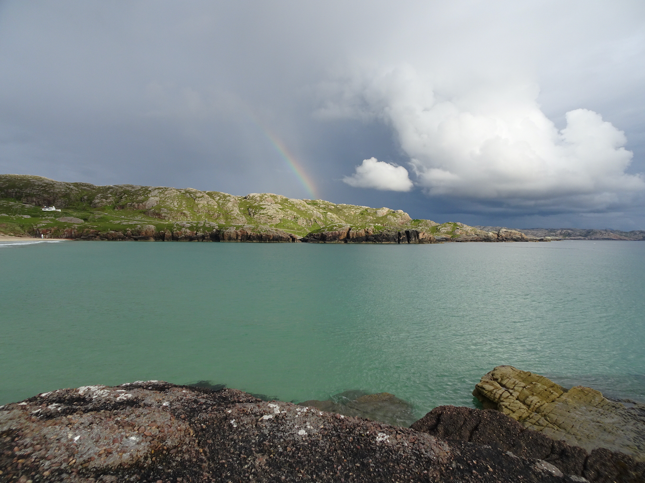
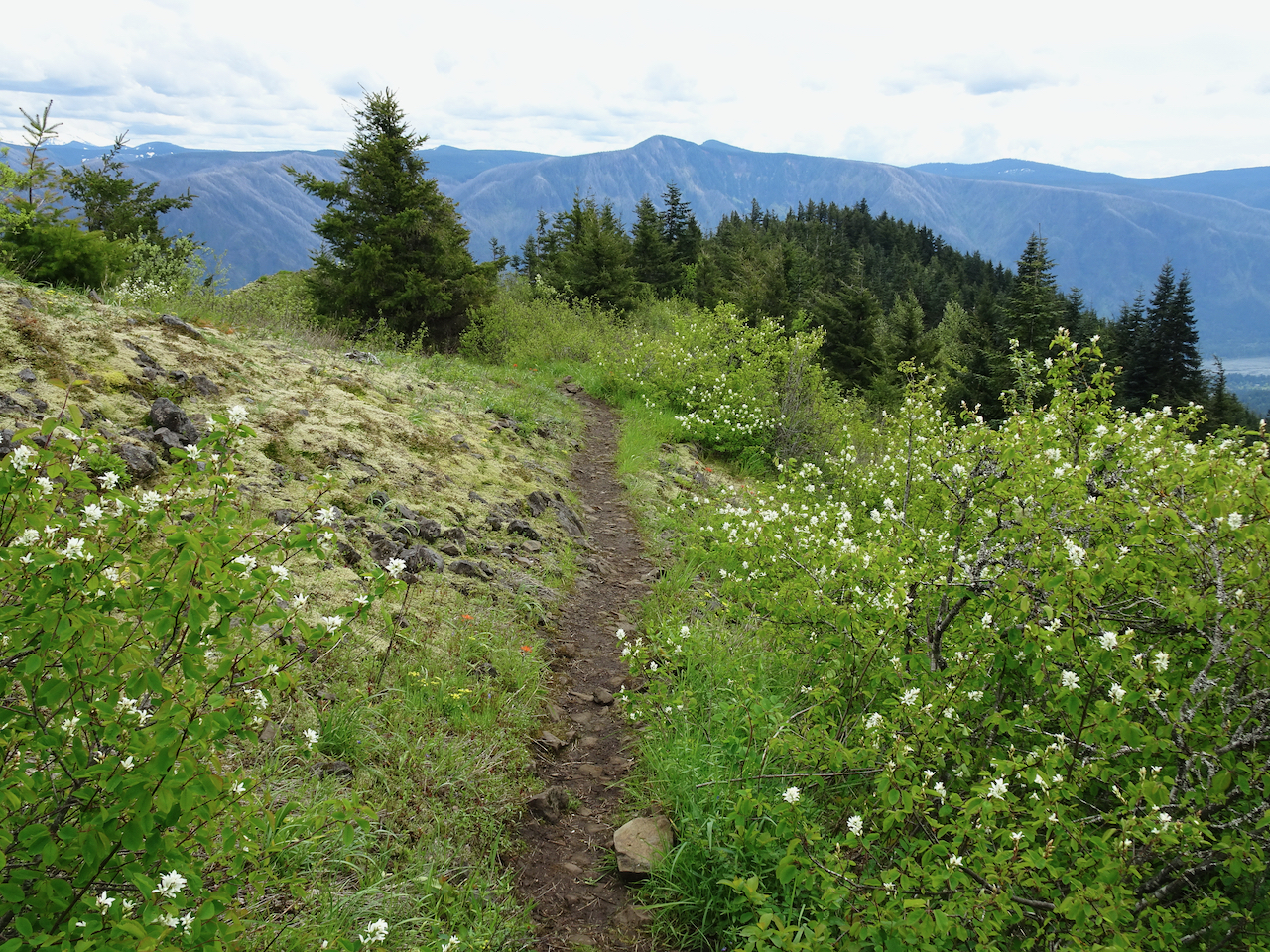
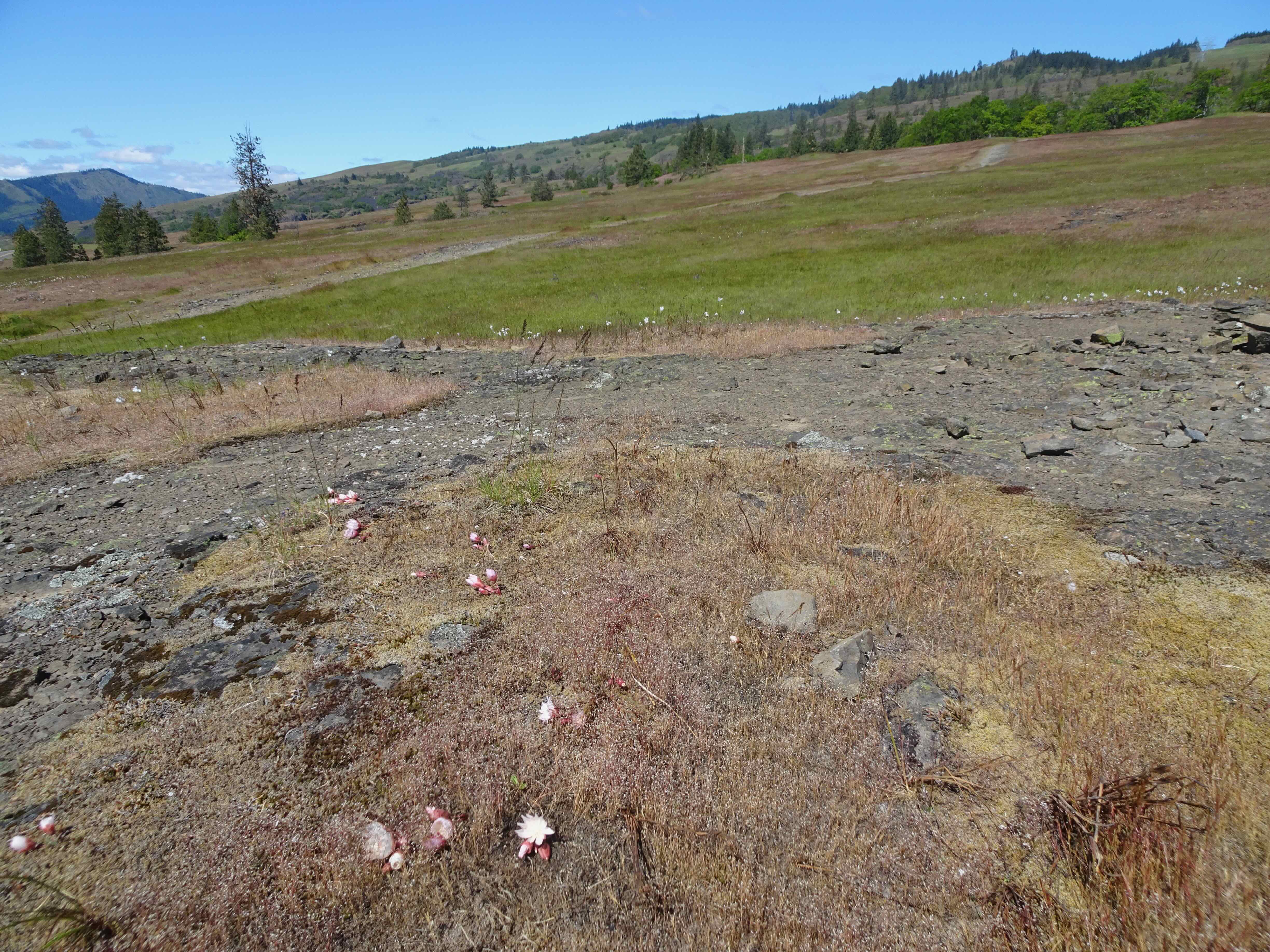
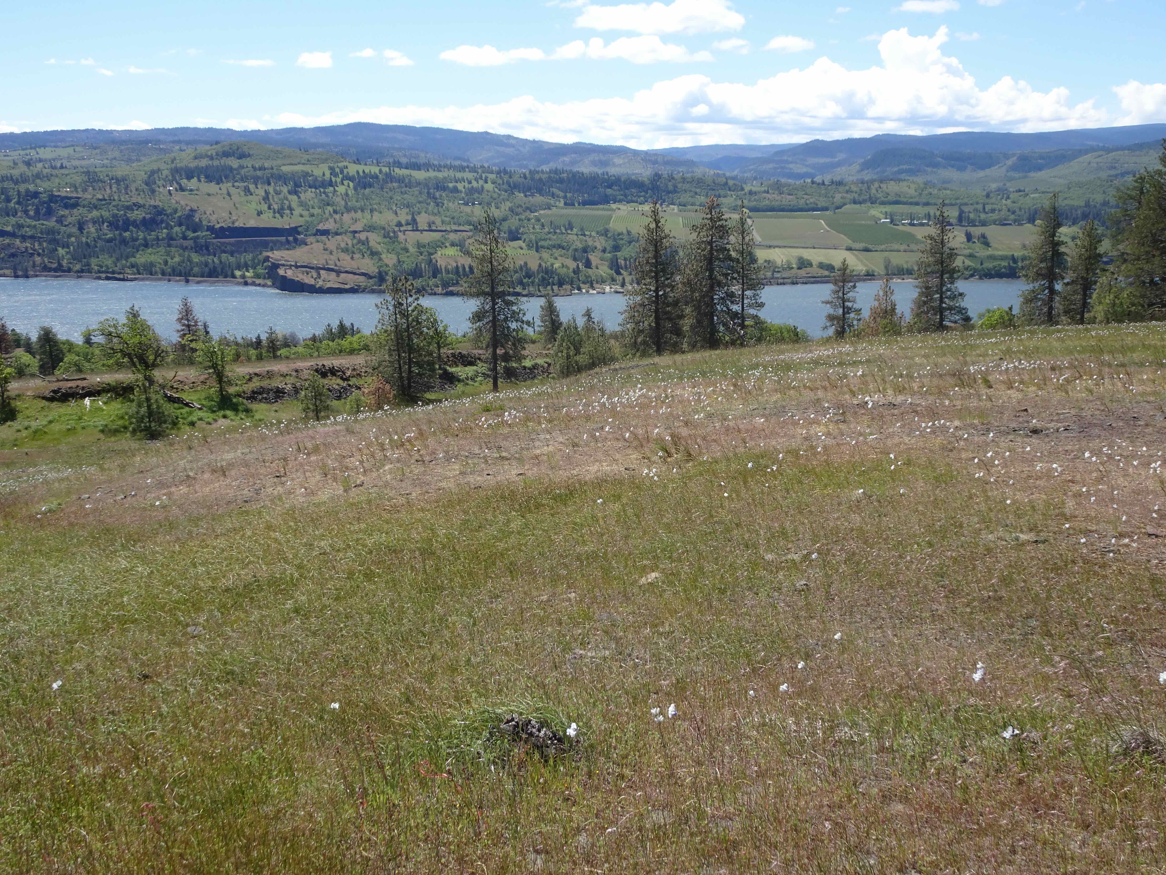
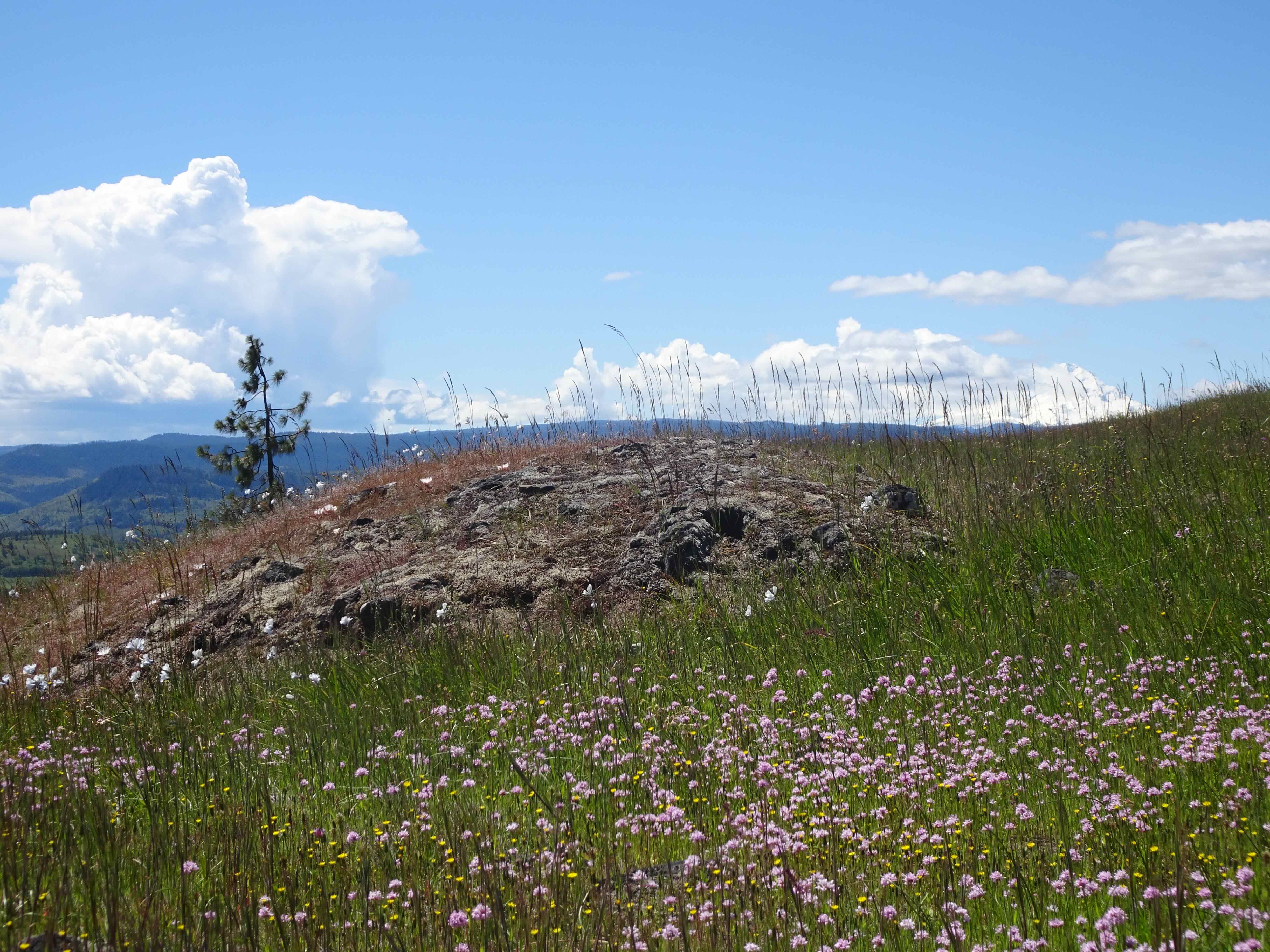
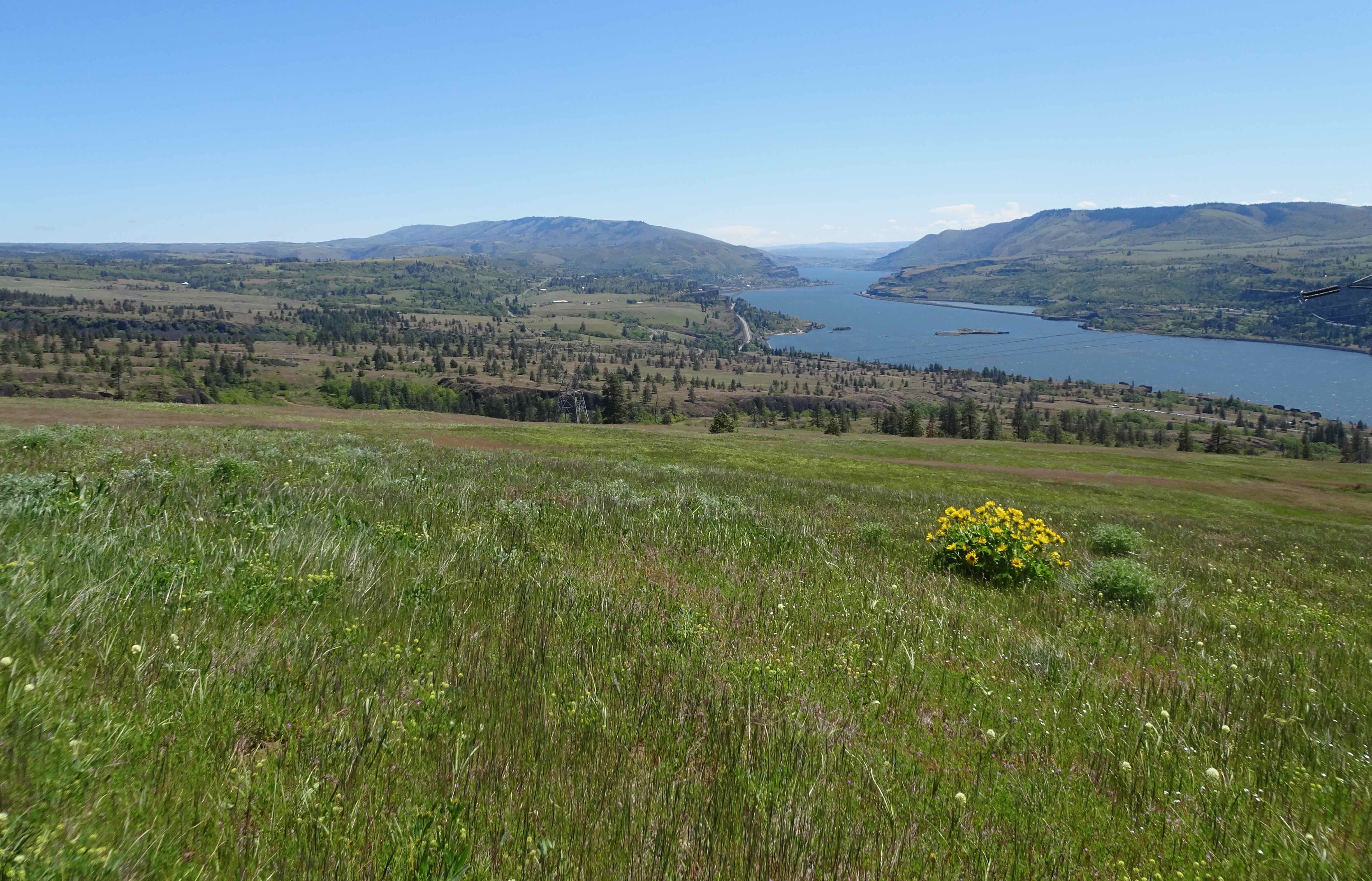
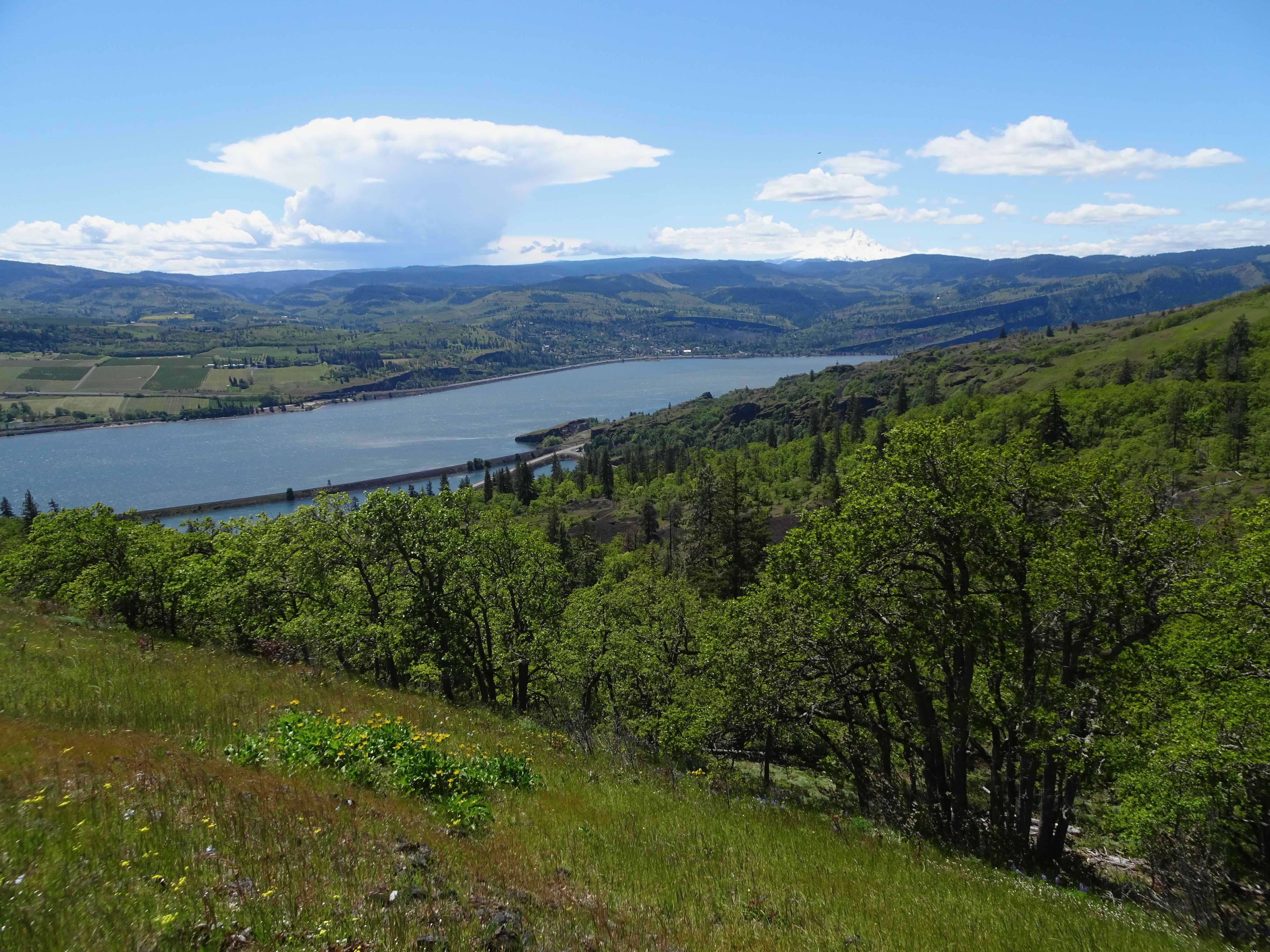
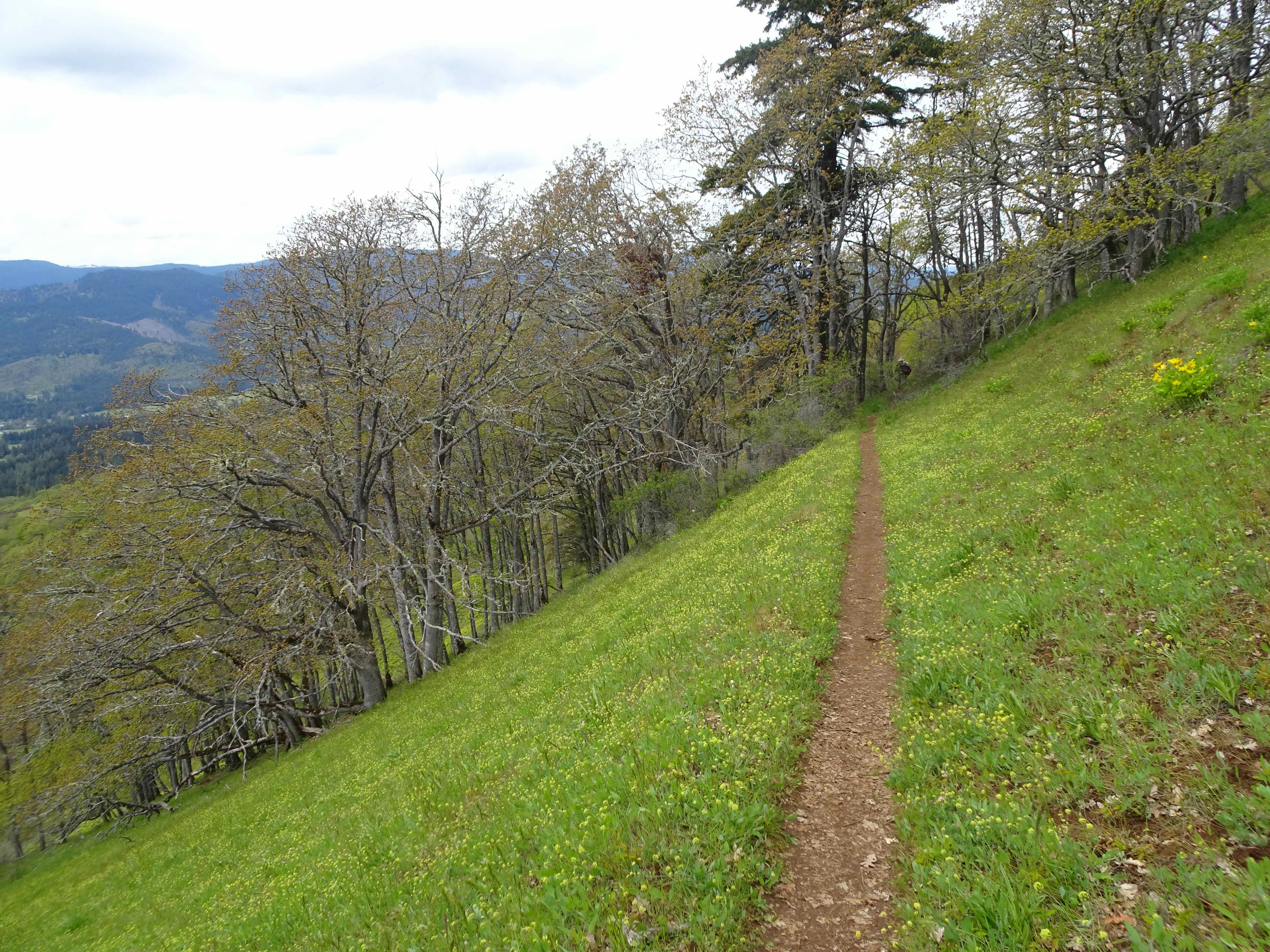
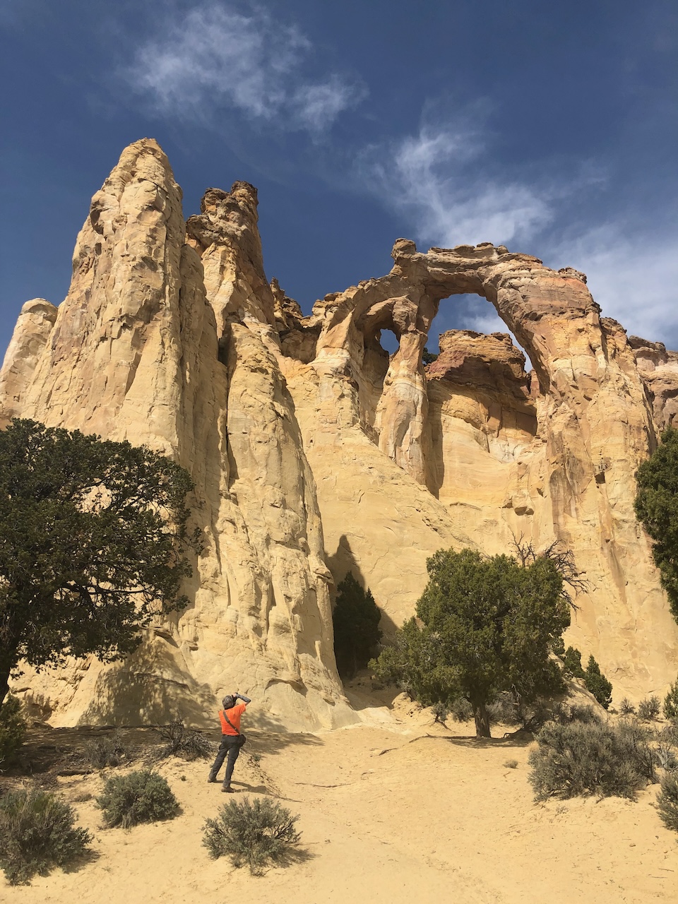
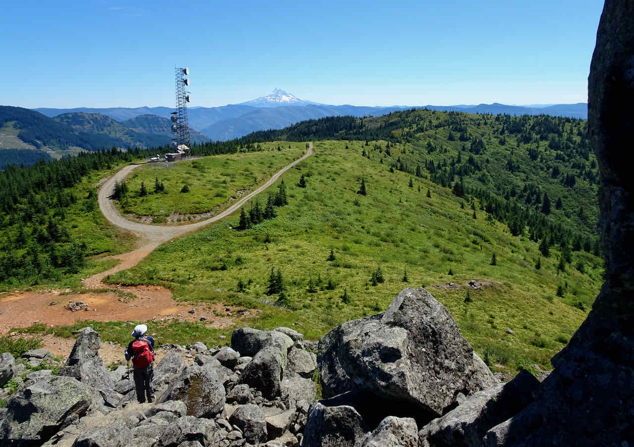
August 16 – Three Corner Rock, WA
Another hot day with a slow pace. Again we could see three Cascade volcanoes to the north, and Mts Hood and Jefferson to the south beyond the telecommunication towers. Most of the way we were on the Pacific Crest Trail. We were passed by about twenty north bound hikers on their first Washington trail section.
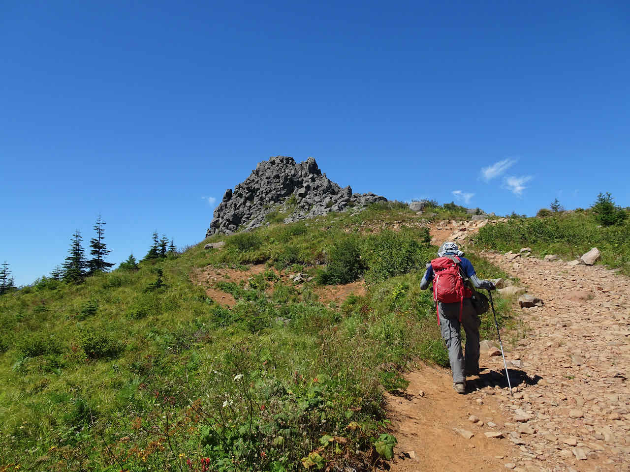
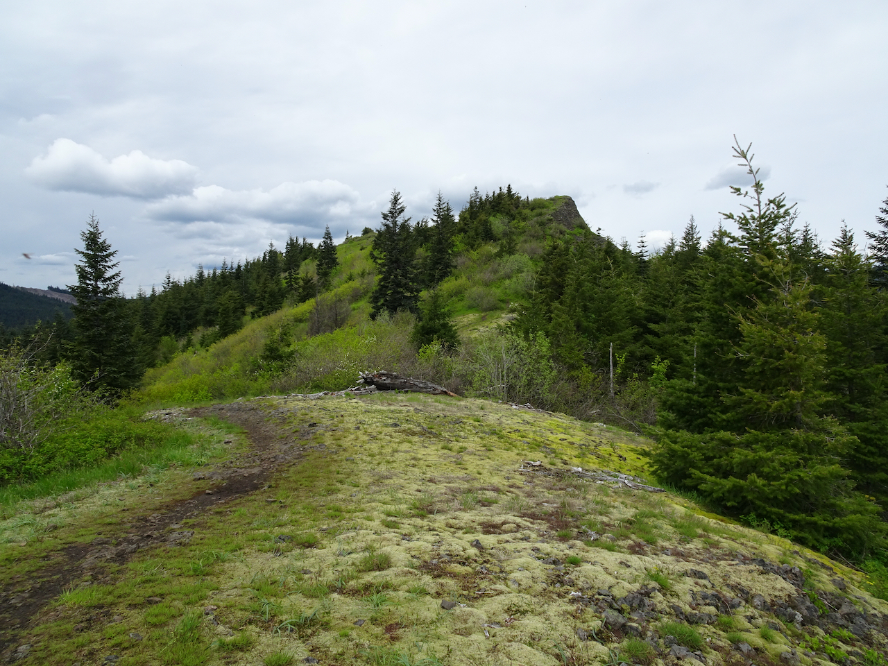
Approaching Three Corner Rock
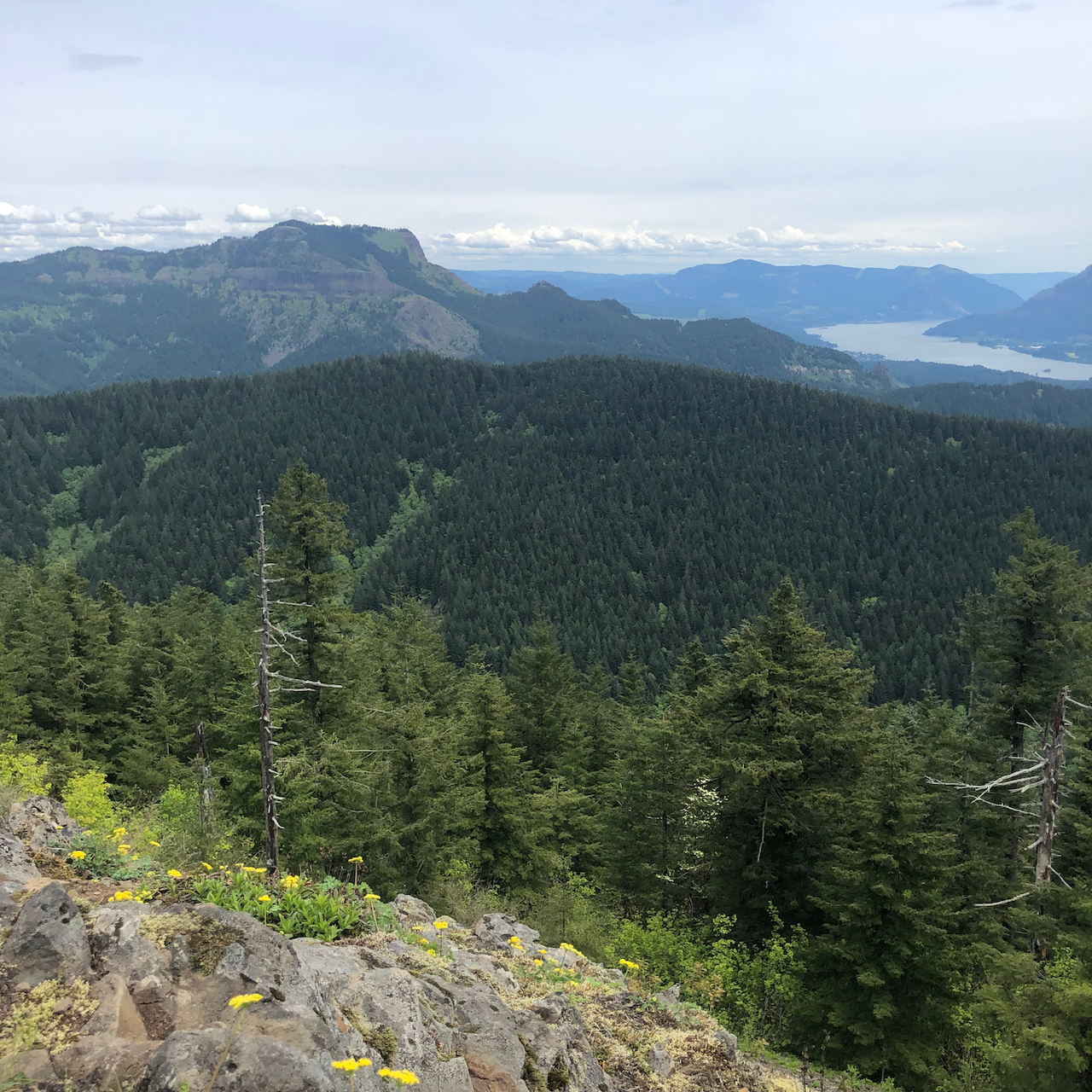
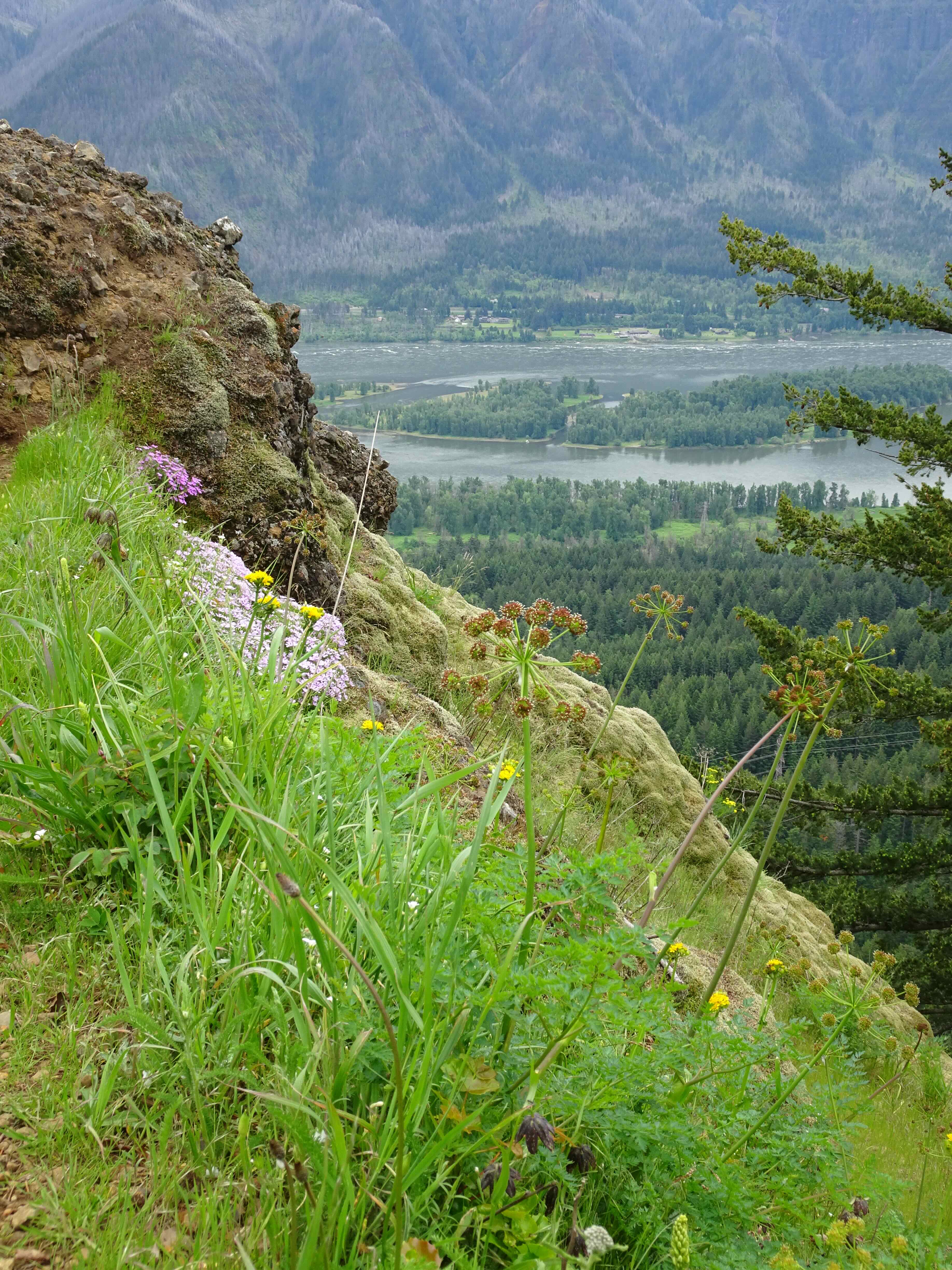
View south to Mts Hood and Jefferson

View north to Mt St Helens, Mt Rainier and Mt Adams
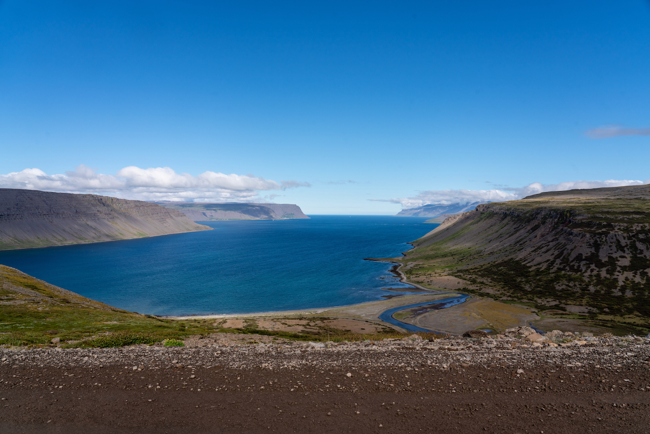
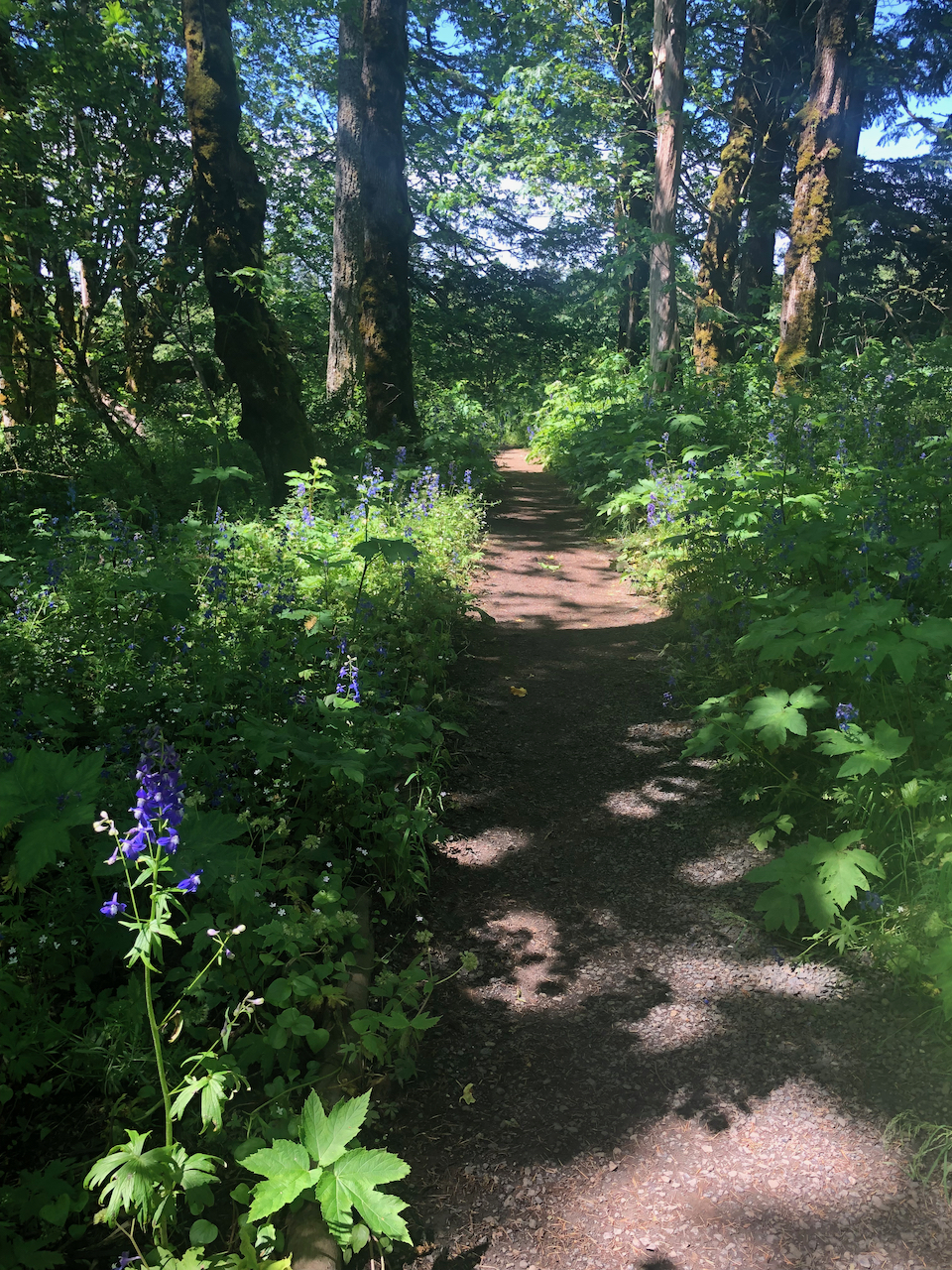
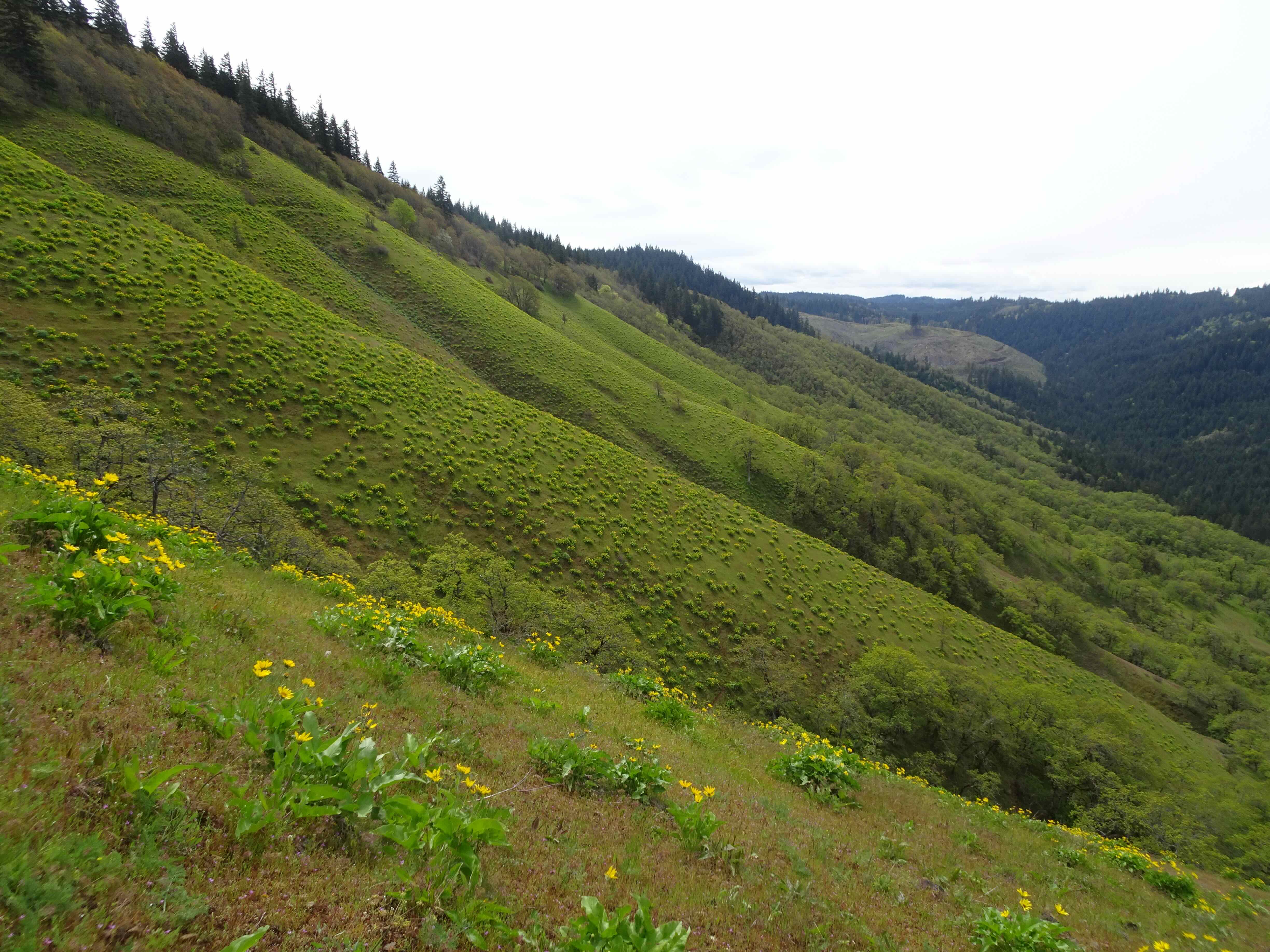
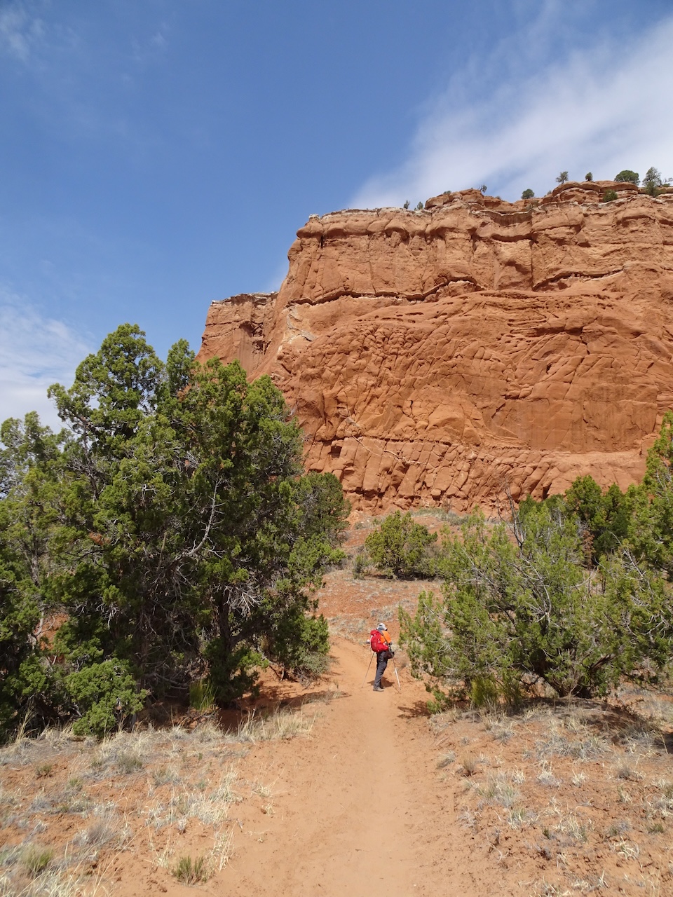
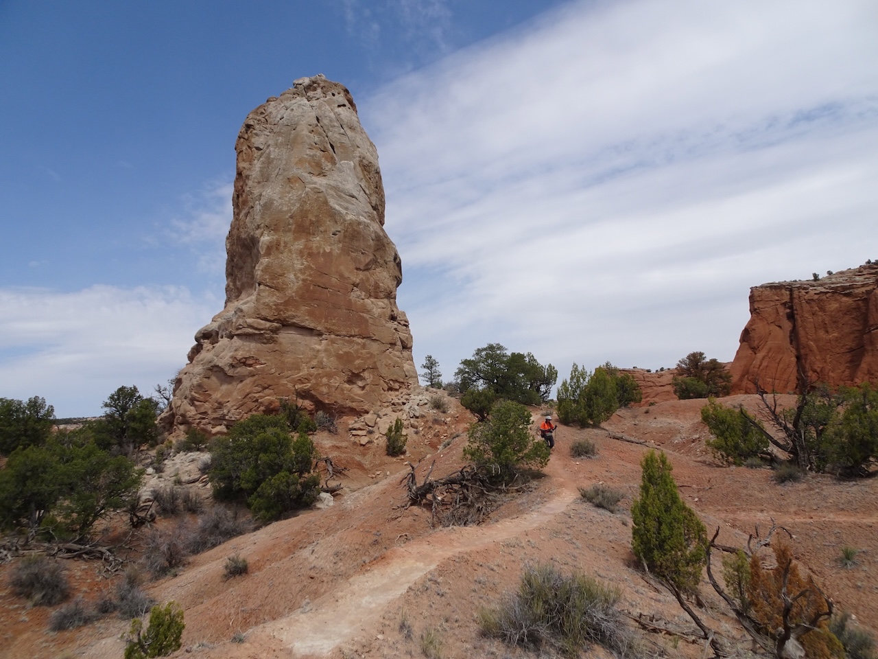
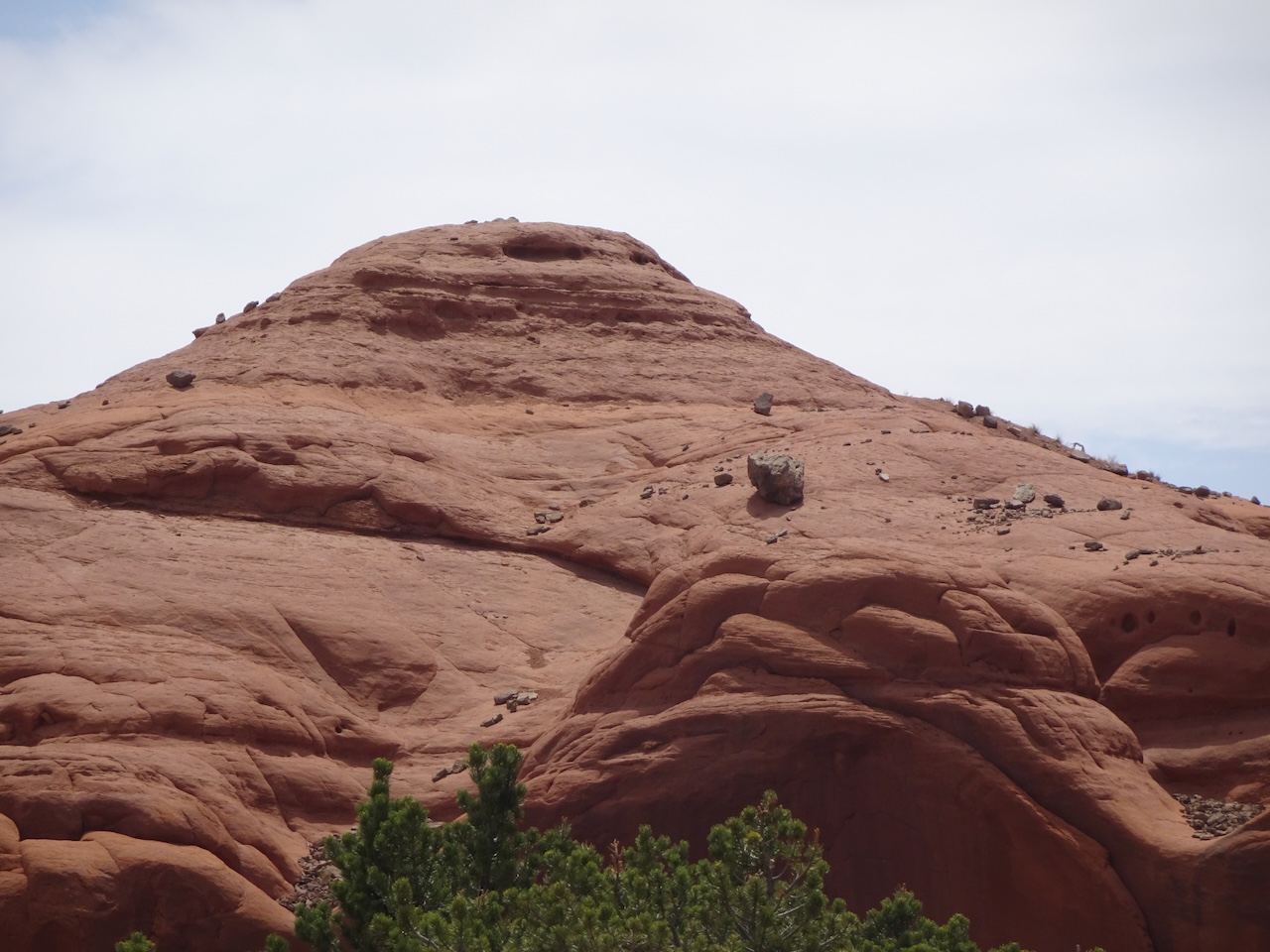
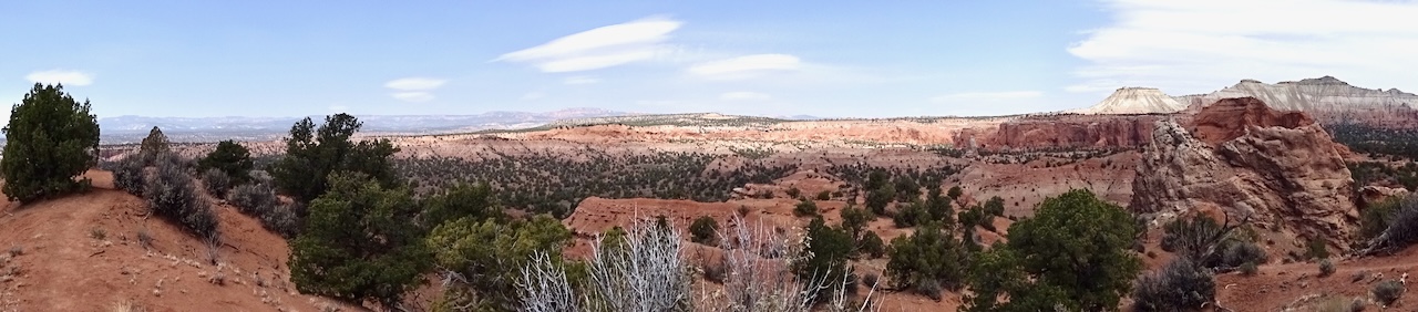
August 22 – Cloud Cap to the Timberline Trail High Point
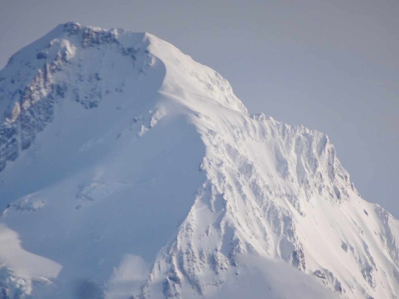
A favorite walk, up the glacier moraine, toward the Eliot Glacier, then along the edge of the sky to the High Point on the Timberline Trail. Every year I that am lucky enough to hike here I take the same pictures, but they are always meaningful to me!
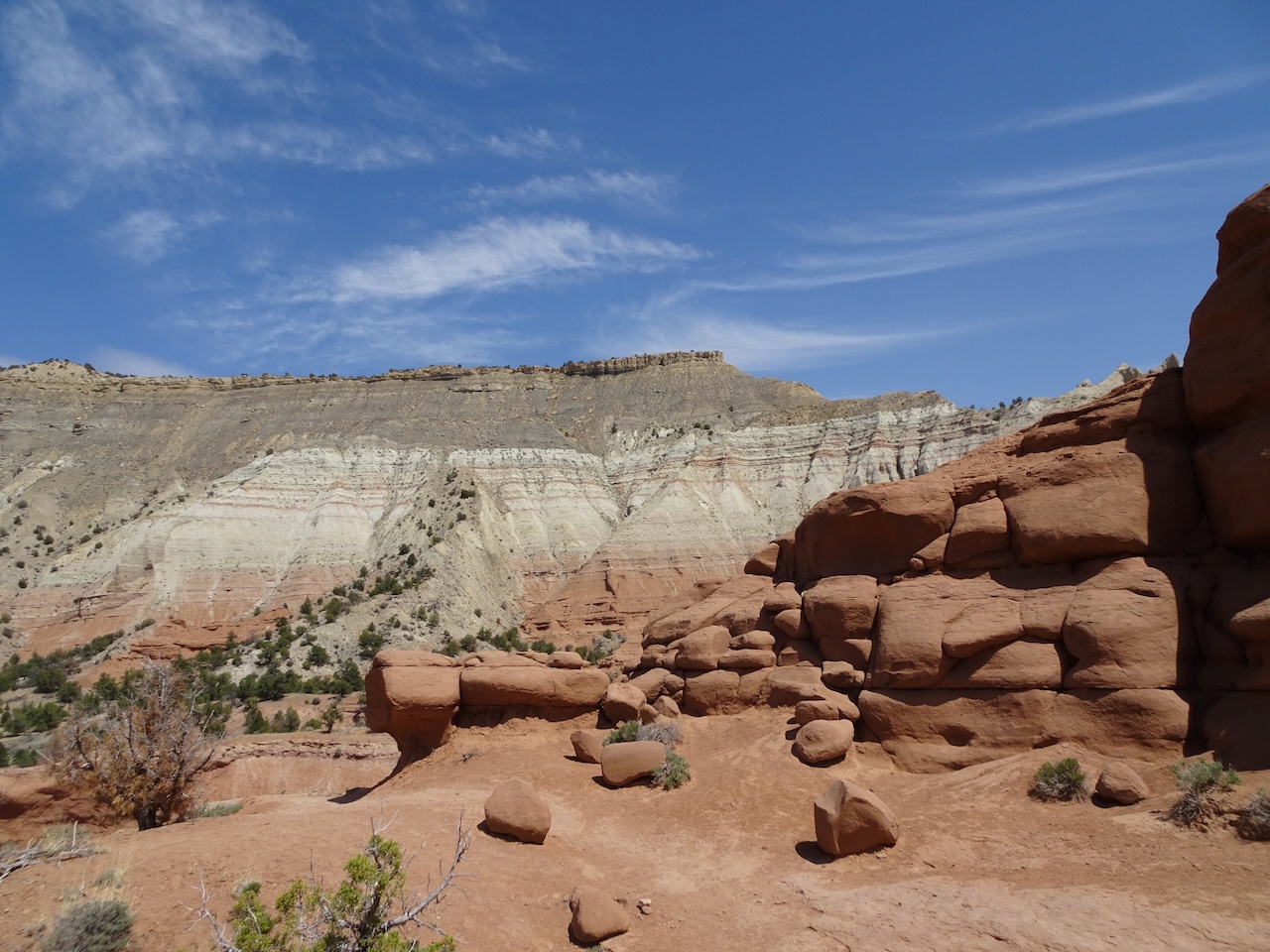
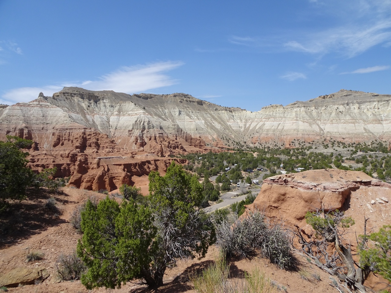
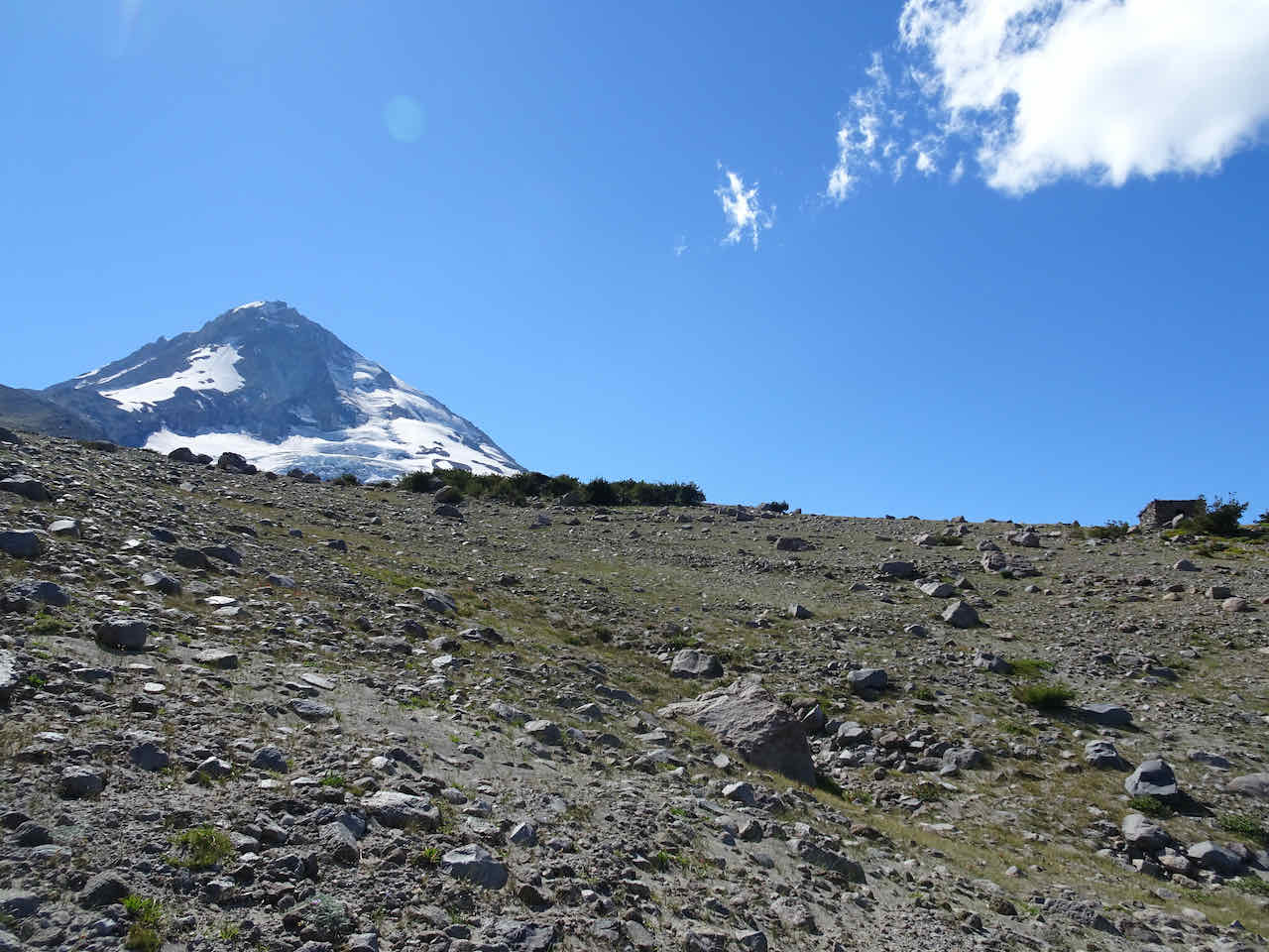
Mt Hood comes into view after a short, steep hike up to the crest of the East Eliot Moraine.
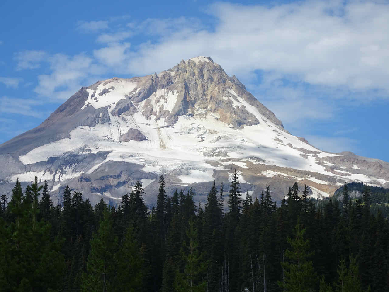
Mt Hood, Eliot Glacier

Washington Cascade Peaks to the north – St Helens, Rainier and Adams.
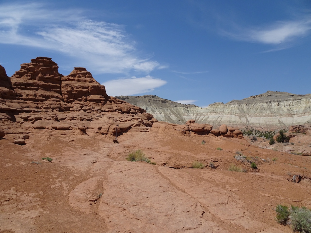
This year I noticed a humongous boulder perched on the edge of the moraine…

We continued up the moraine, taking in the Eliot Glacier views before turning south toward the Cooper Spur Shelter.

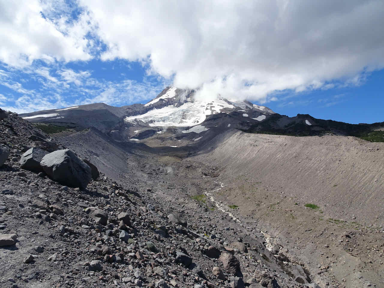
Foot of the Eliot Glacier in the valley

Foot of the mountain glacier

crevasses

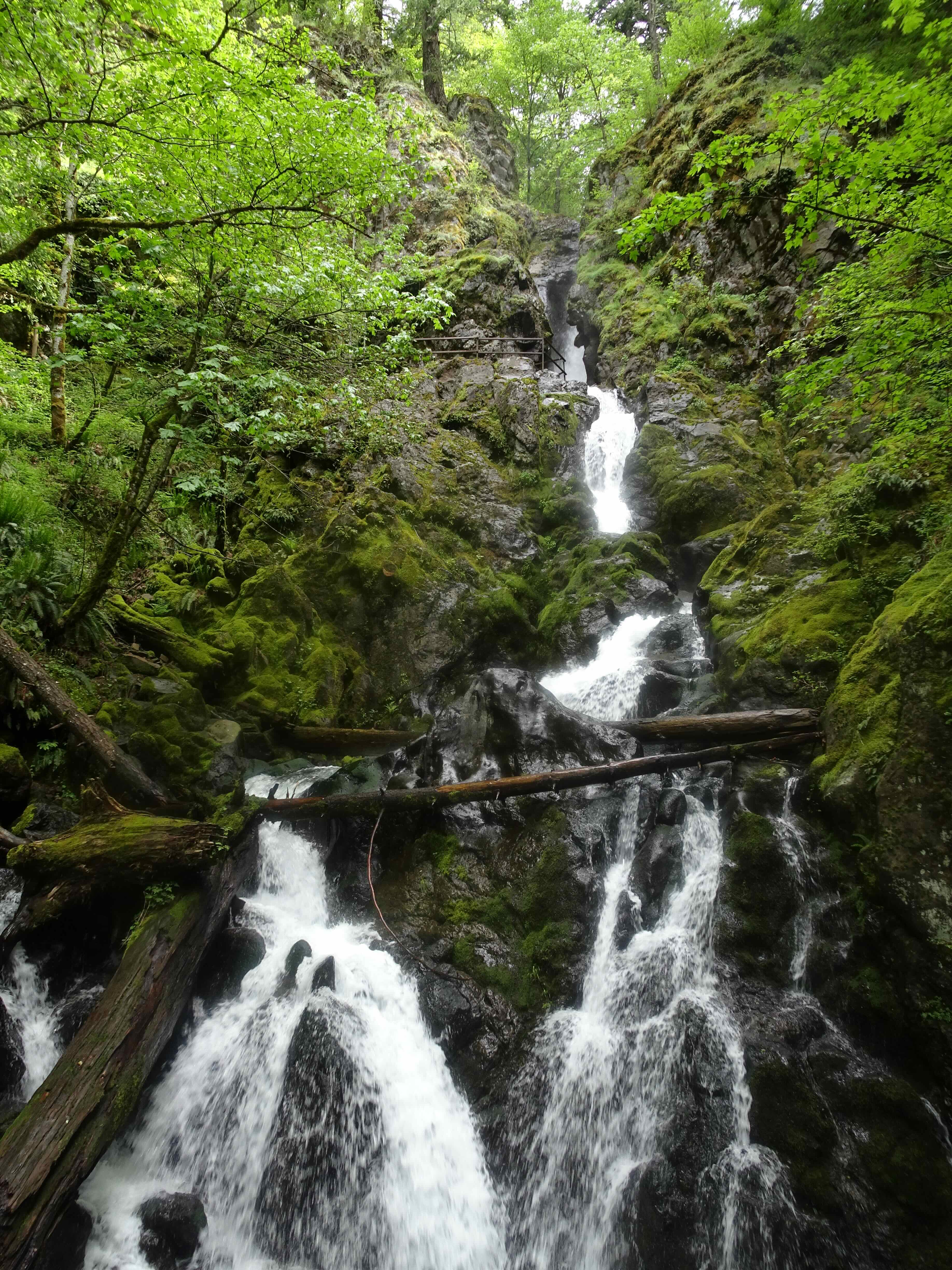
a waterfall

more crevasses

Peak up close
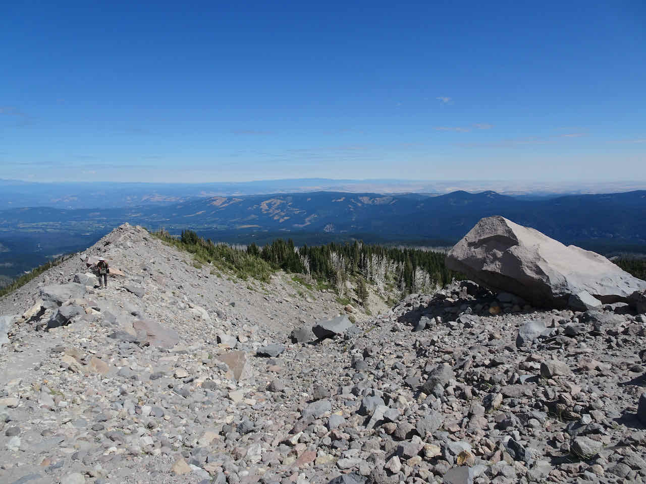
From the Shelter we walked south on the Timberline Trail, up to the high point at about 7400 feet.
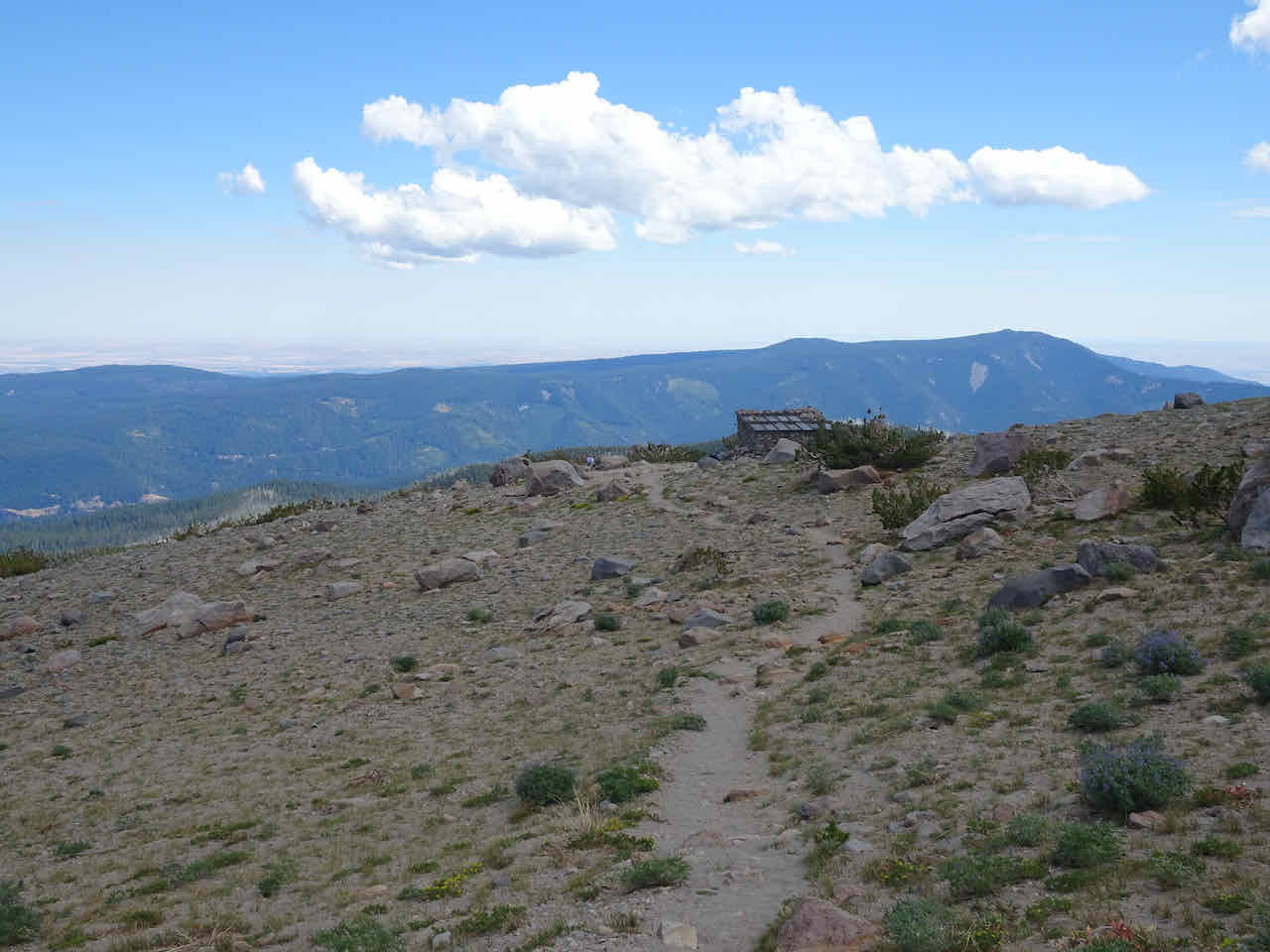
Cooper Spur Shelter
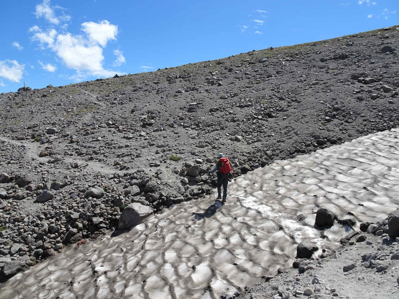
Not much snow left on the trail

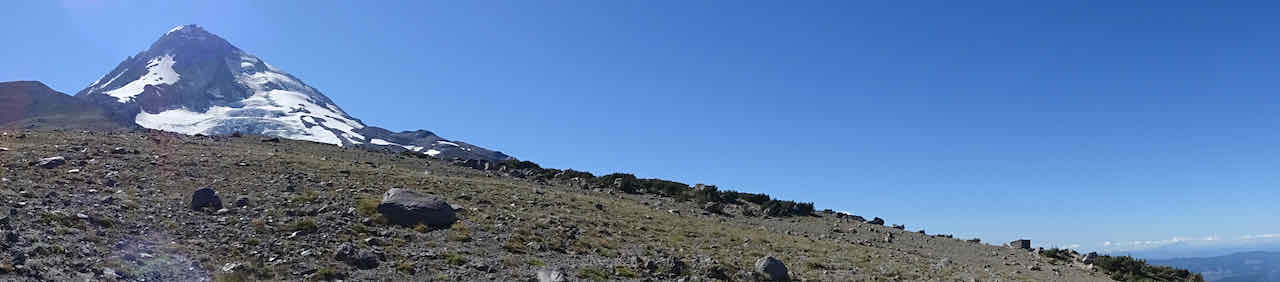
Looking up about 4000 feet to the top of the mountain
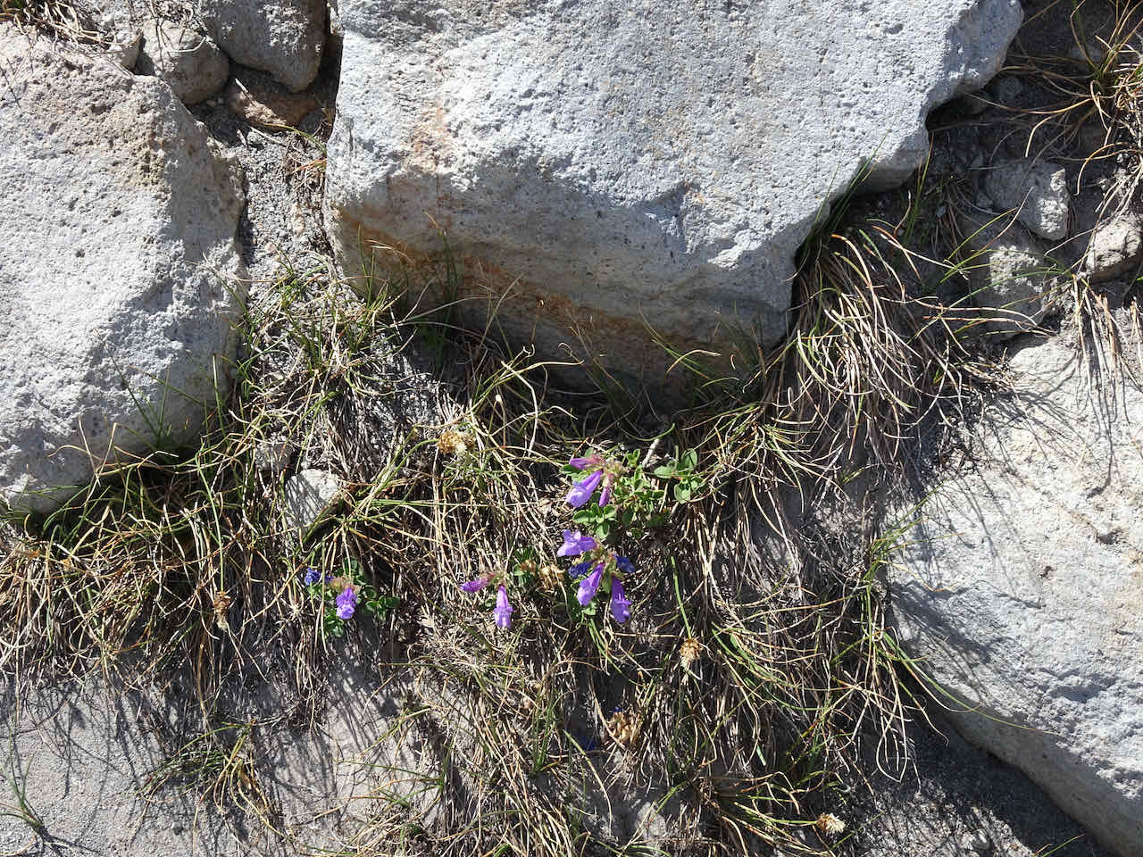
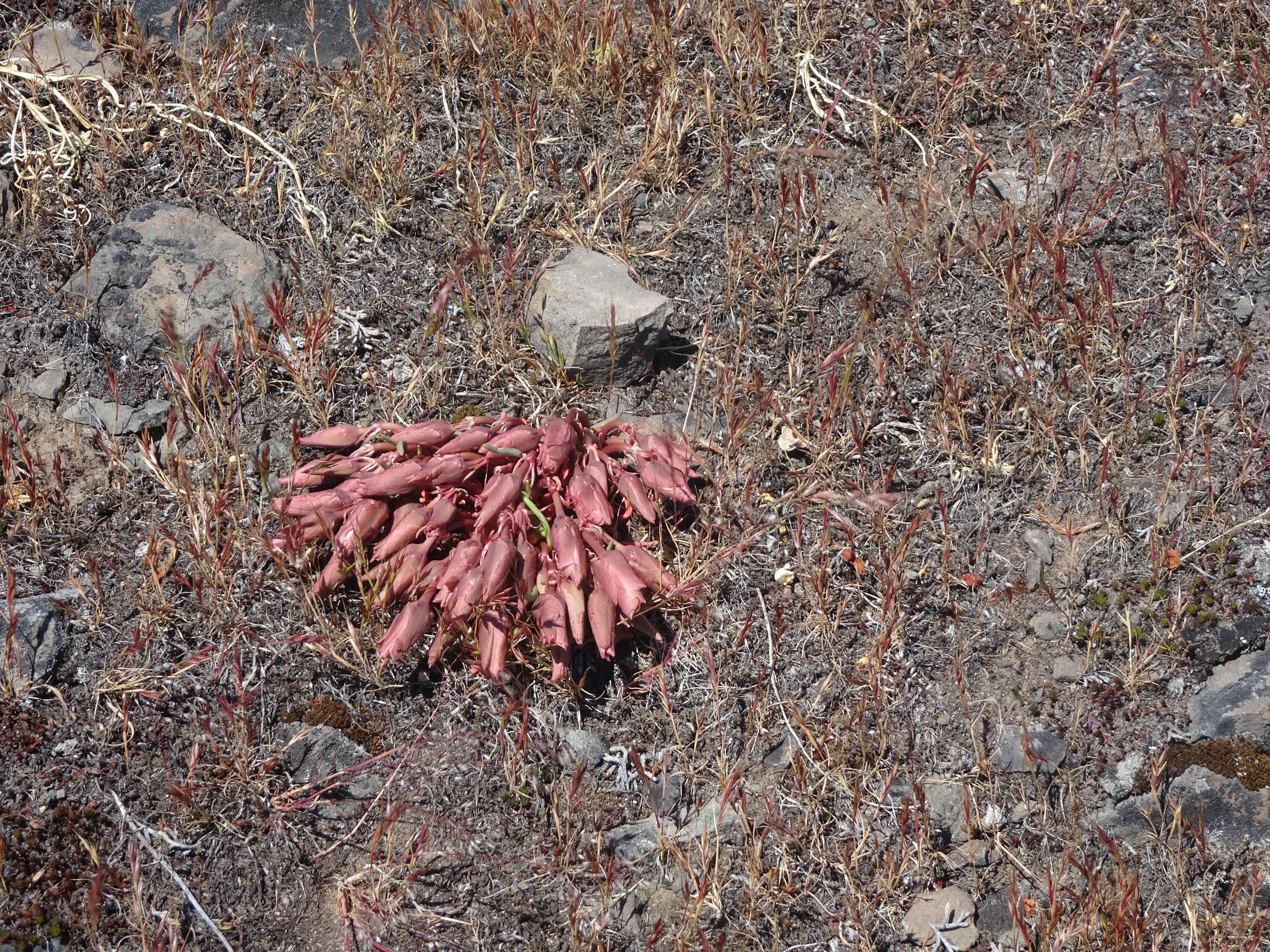
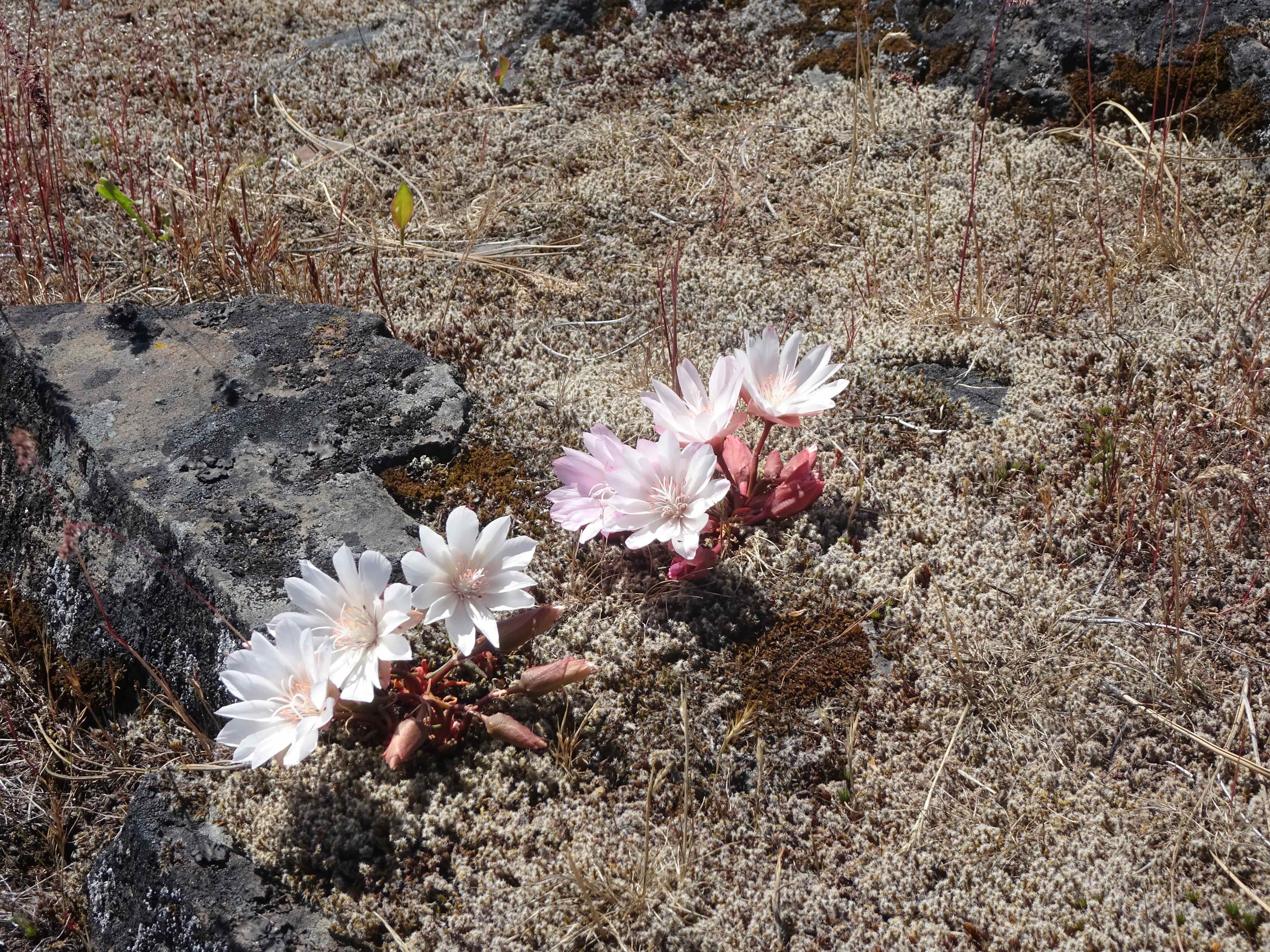
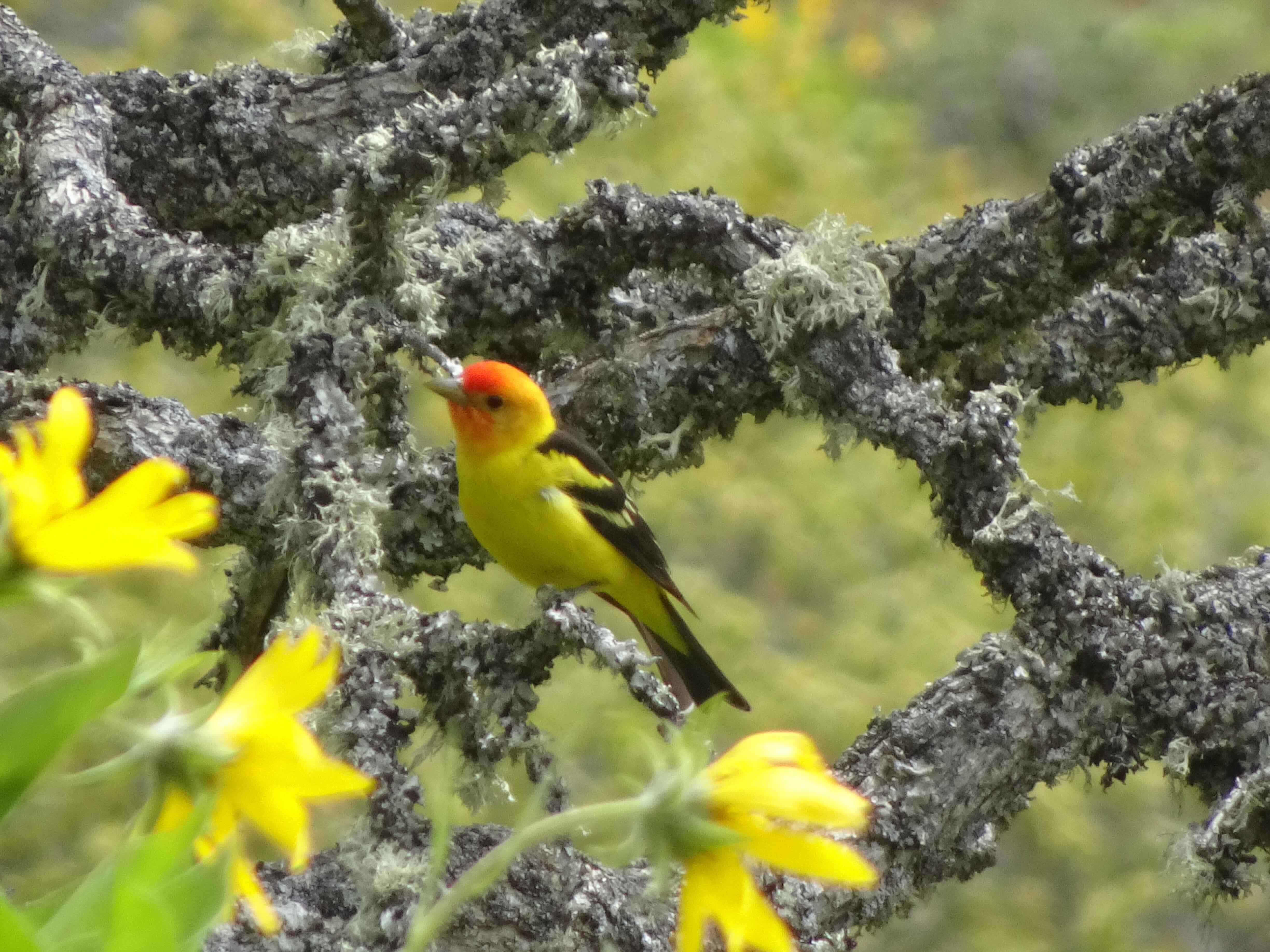
Penstemon

Ground squirrel

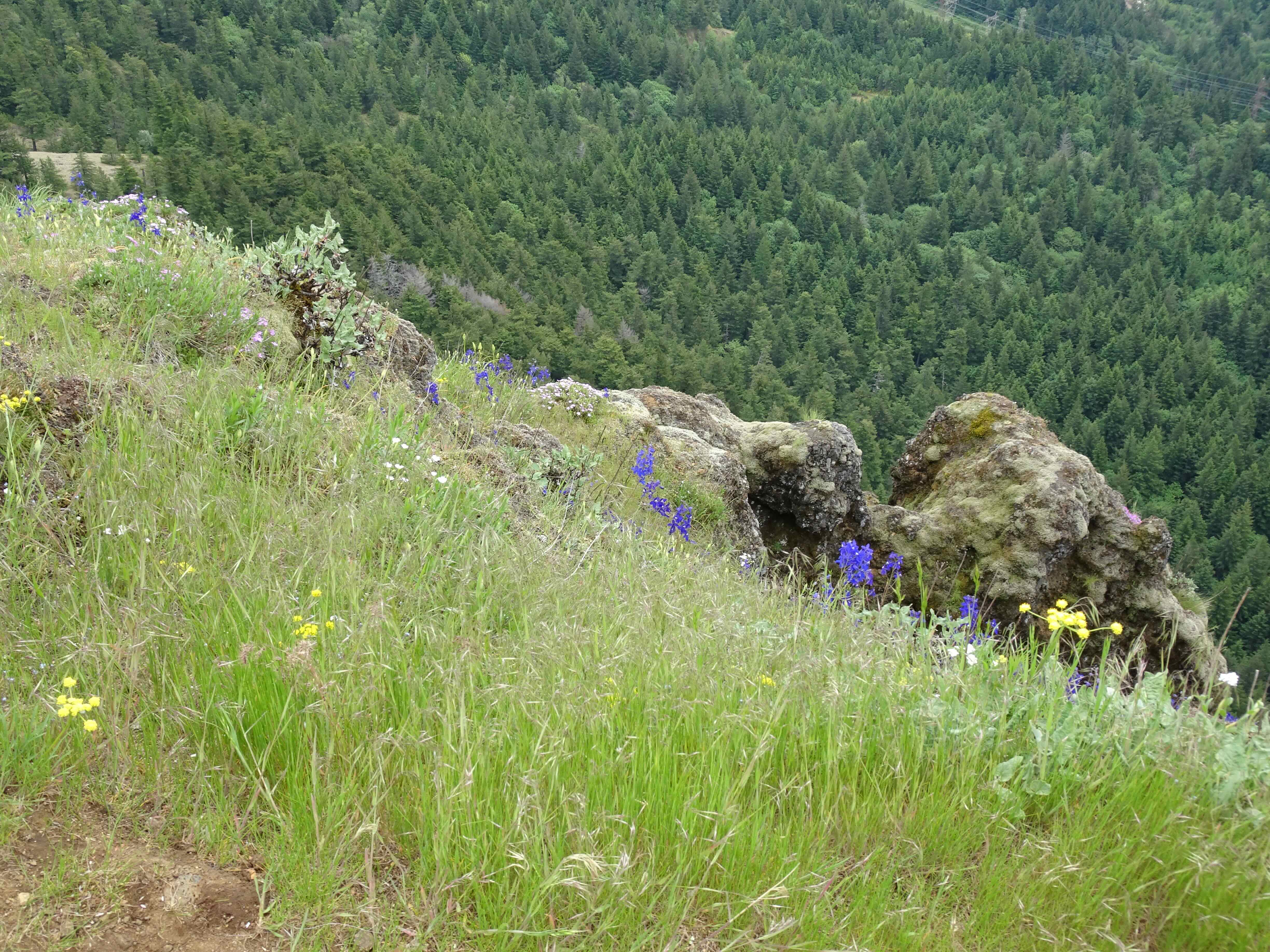
View south from our rest stop on the ridge near the trail high point. The Timberline Trail goes down toward Gnarl Ridge. Mt Jefferson and the Three Sisters are on the horizon.

While looking back up at Mt Hood from the high point I could hear water flowing out from the snow banks.
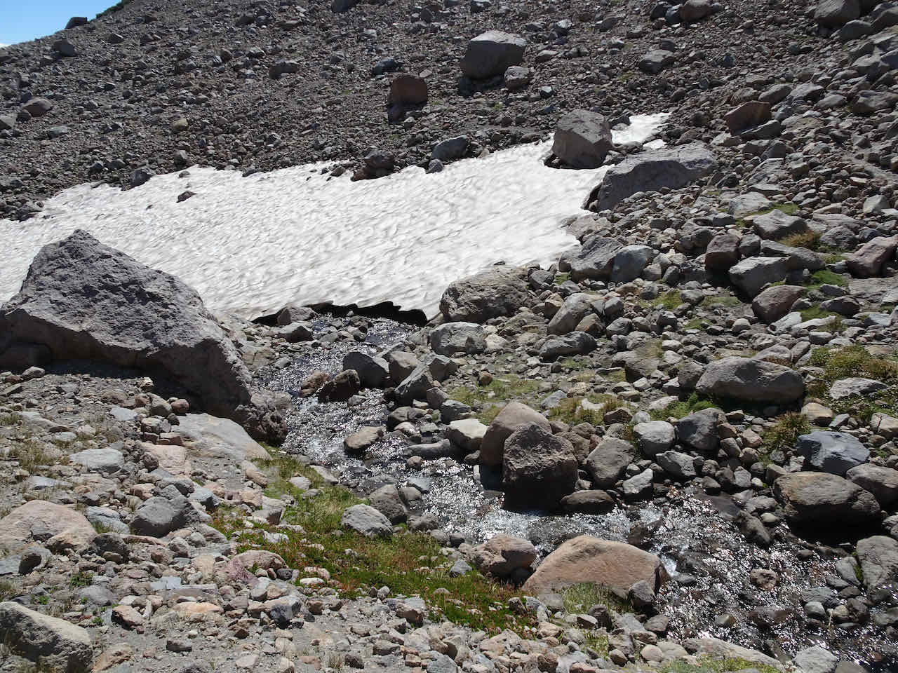
Melting snow on this hot day.
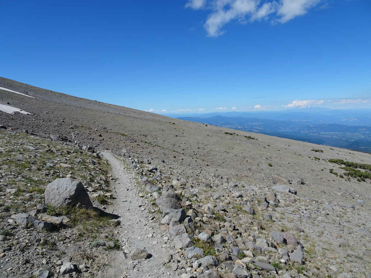
We made our way back along the edge of the sky…
We continued down the Timberline Trail below the shelter instead of going up to the moraine.
Long slope between the peak and Cooper Spur Shelter.
Our down trail goes below the shelter,

toward the Cloud Cap campground.
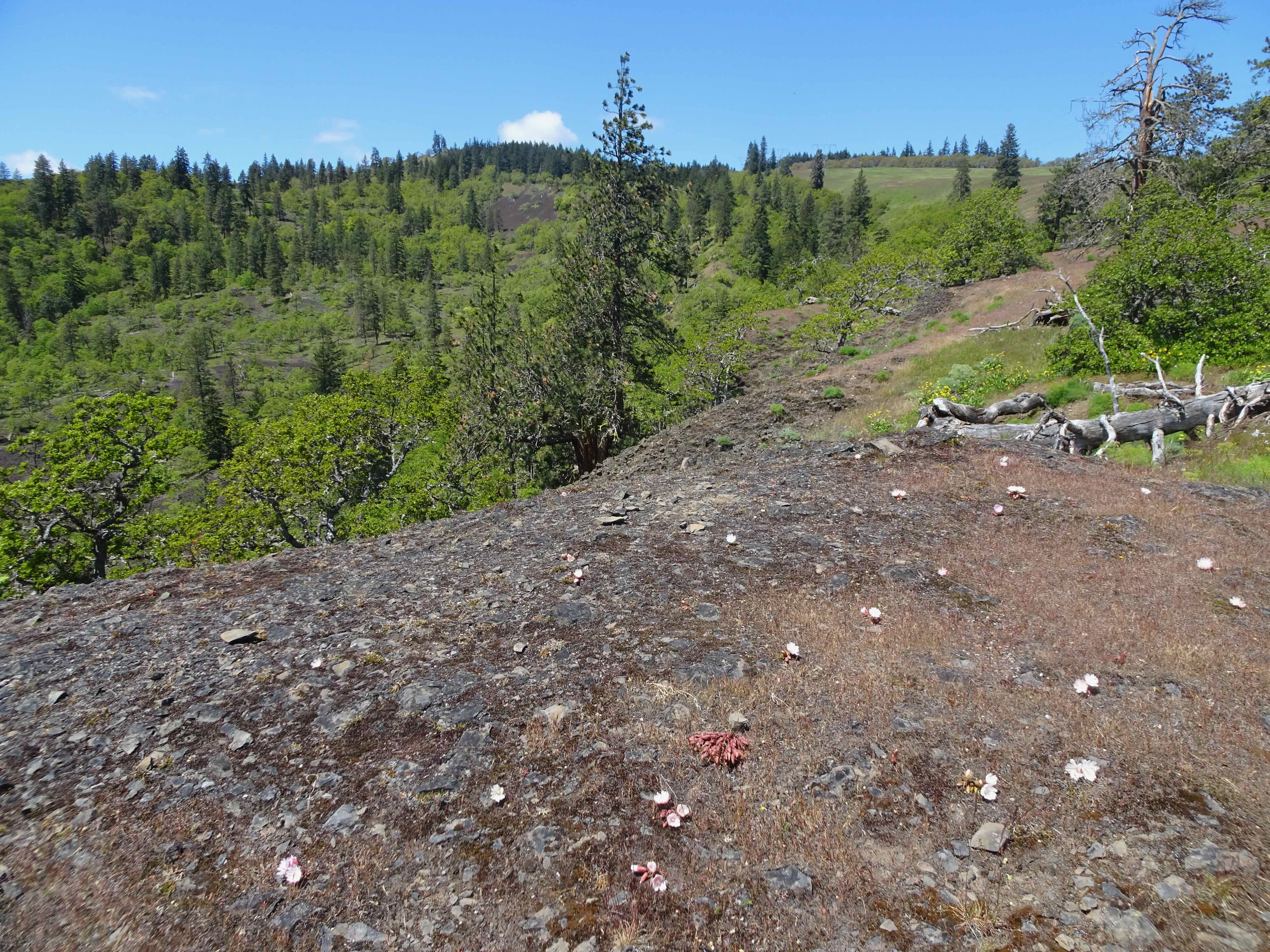
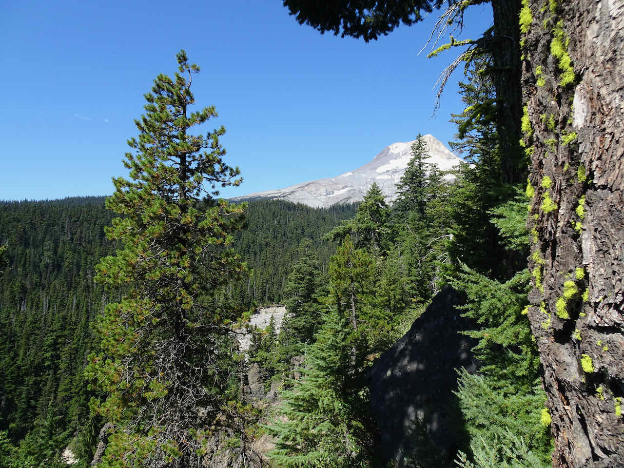
Near Tilly Jane Creek, I looked up at the East Eliot Moraine and saw the precarious boulder I had noticed on the way up.

Precarious boulder perched on the edge of the East Eliot Moraine
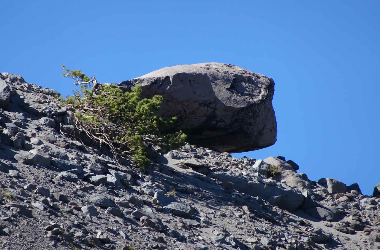
Will it still be here next year?
\

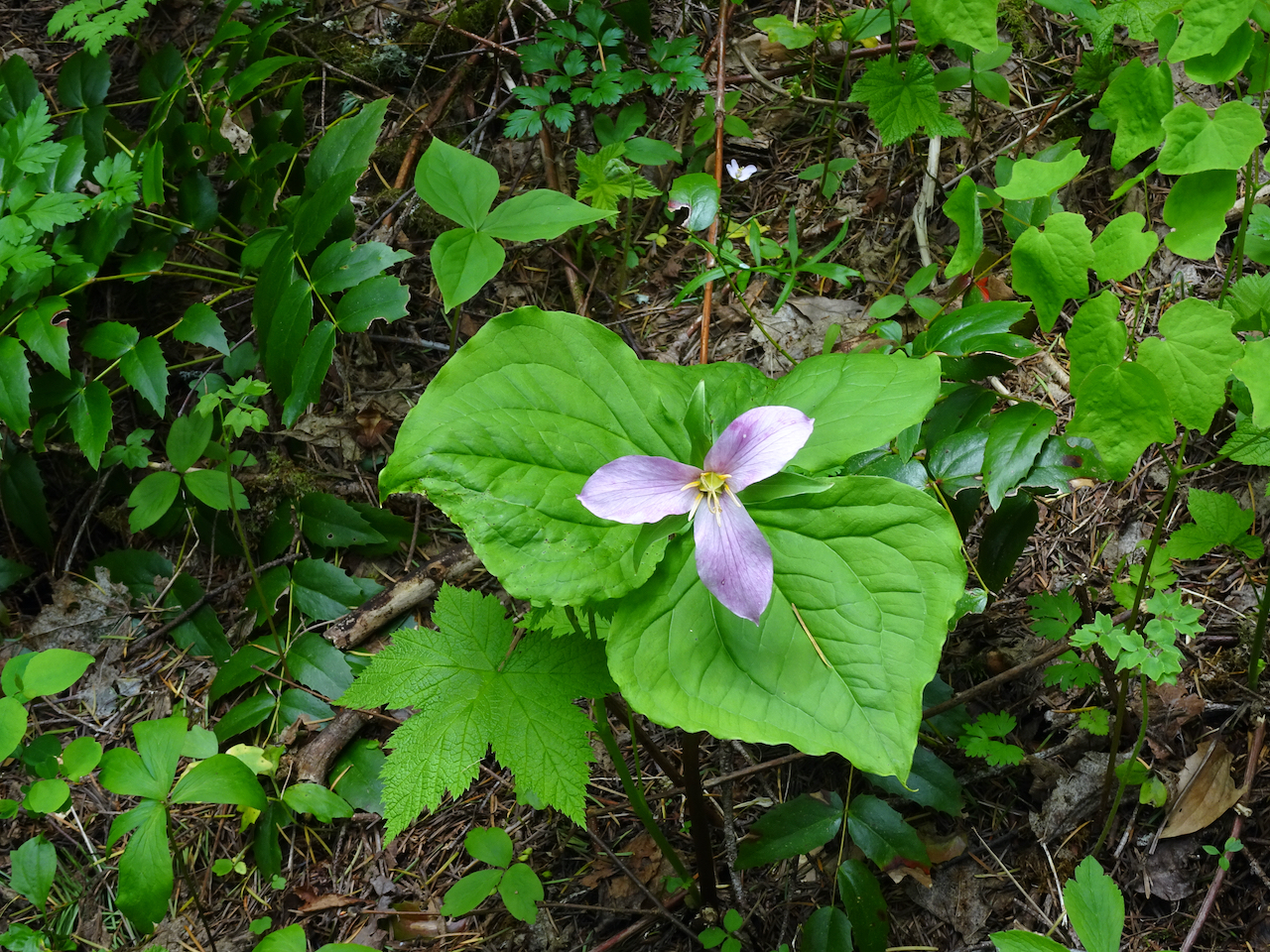
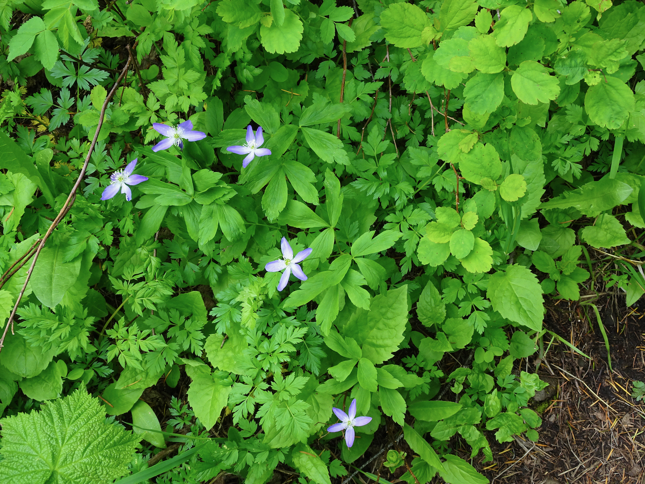
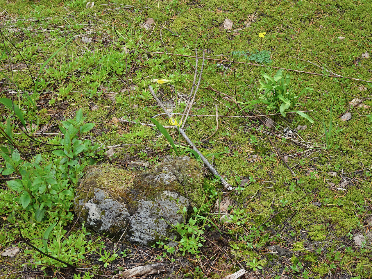
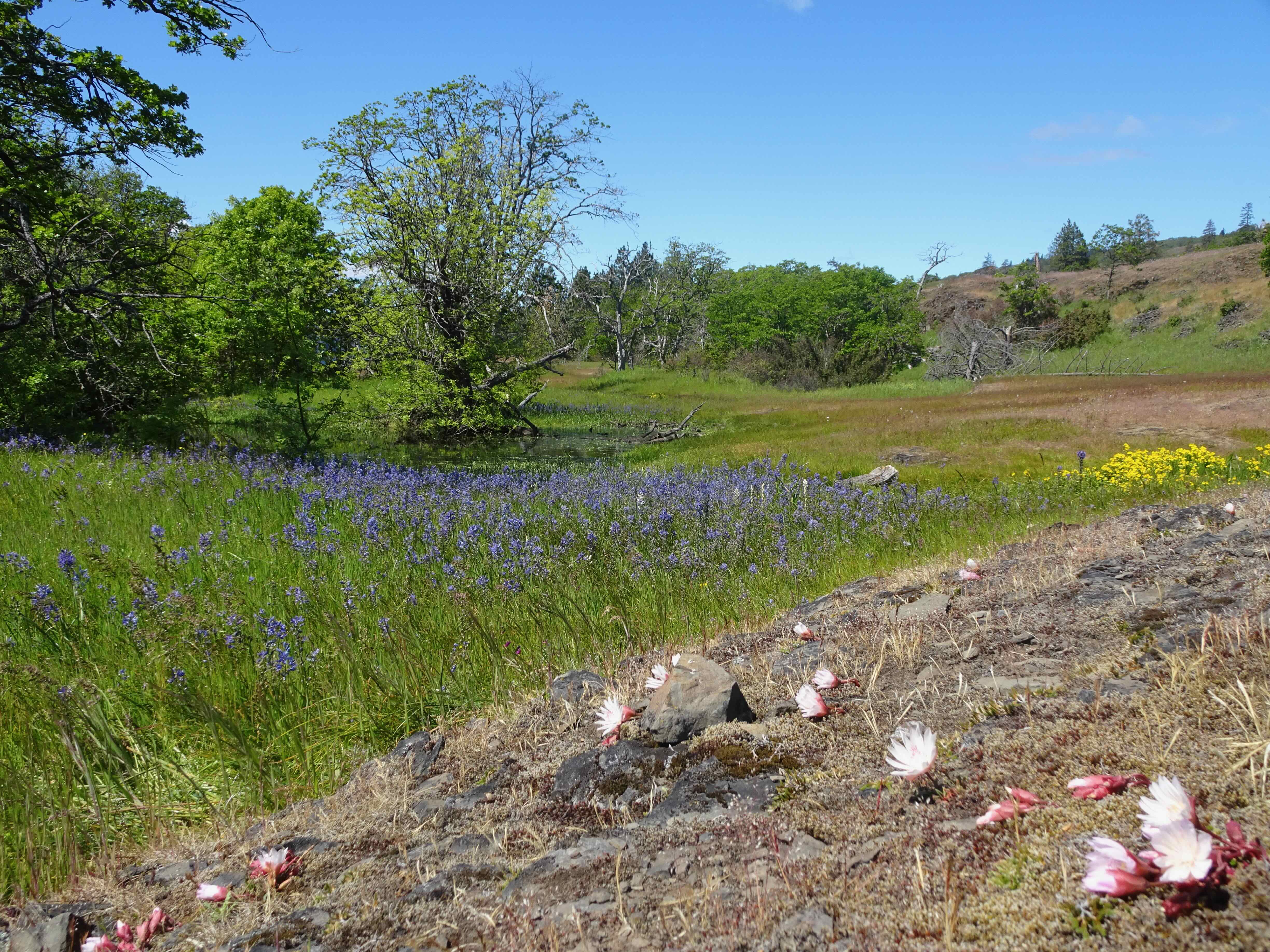
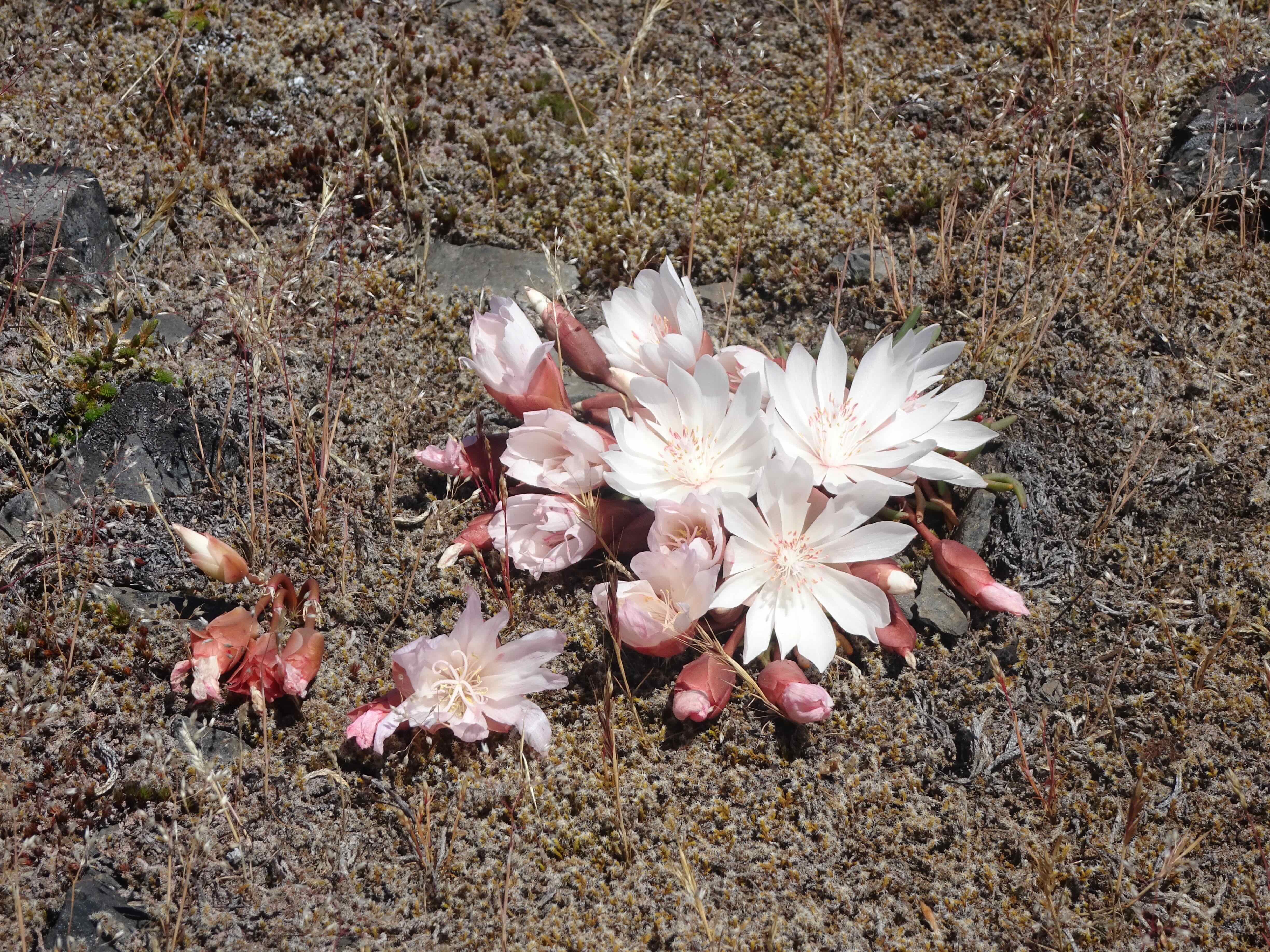
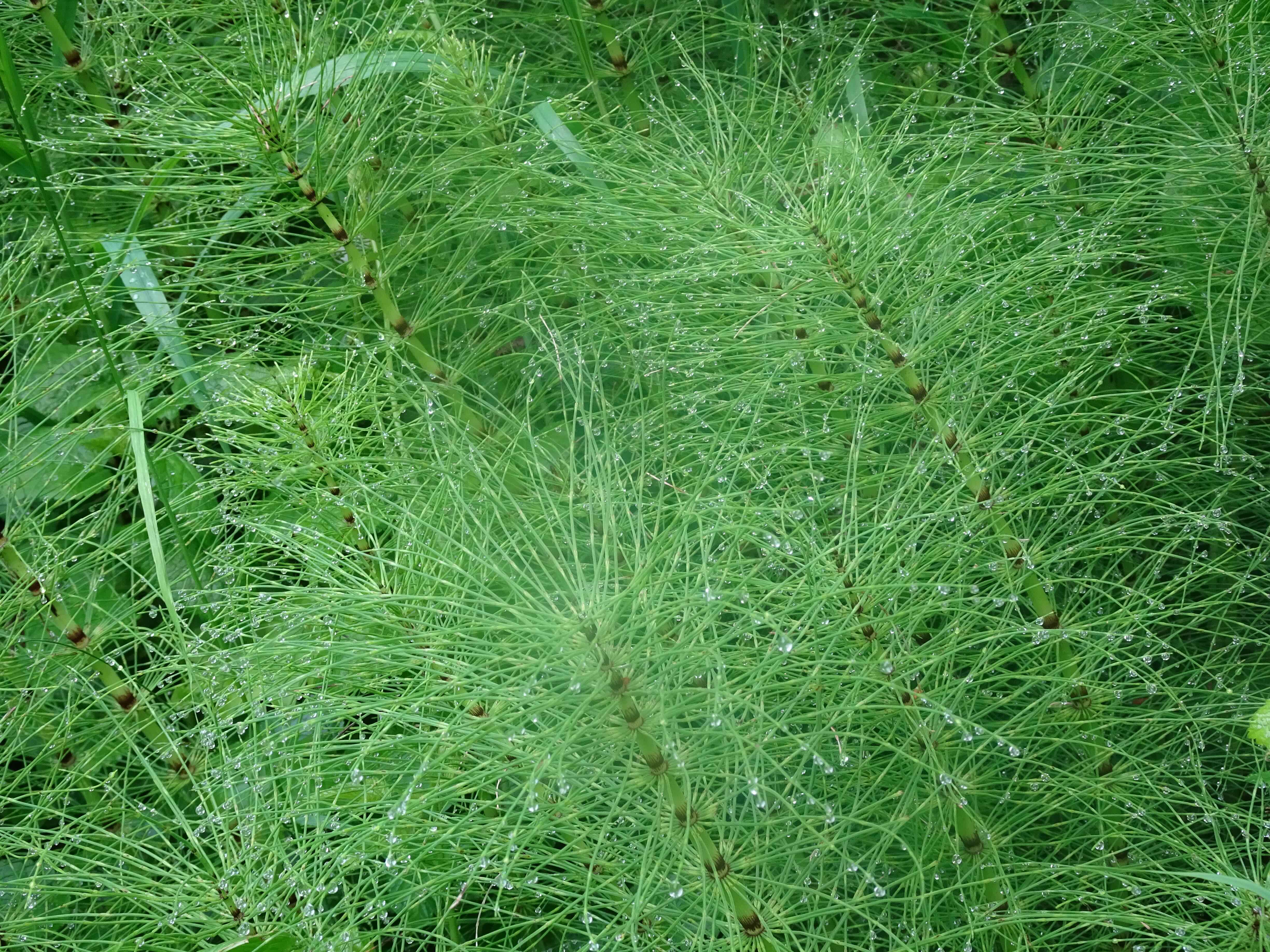
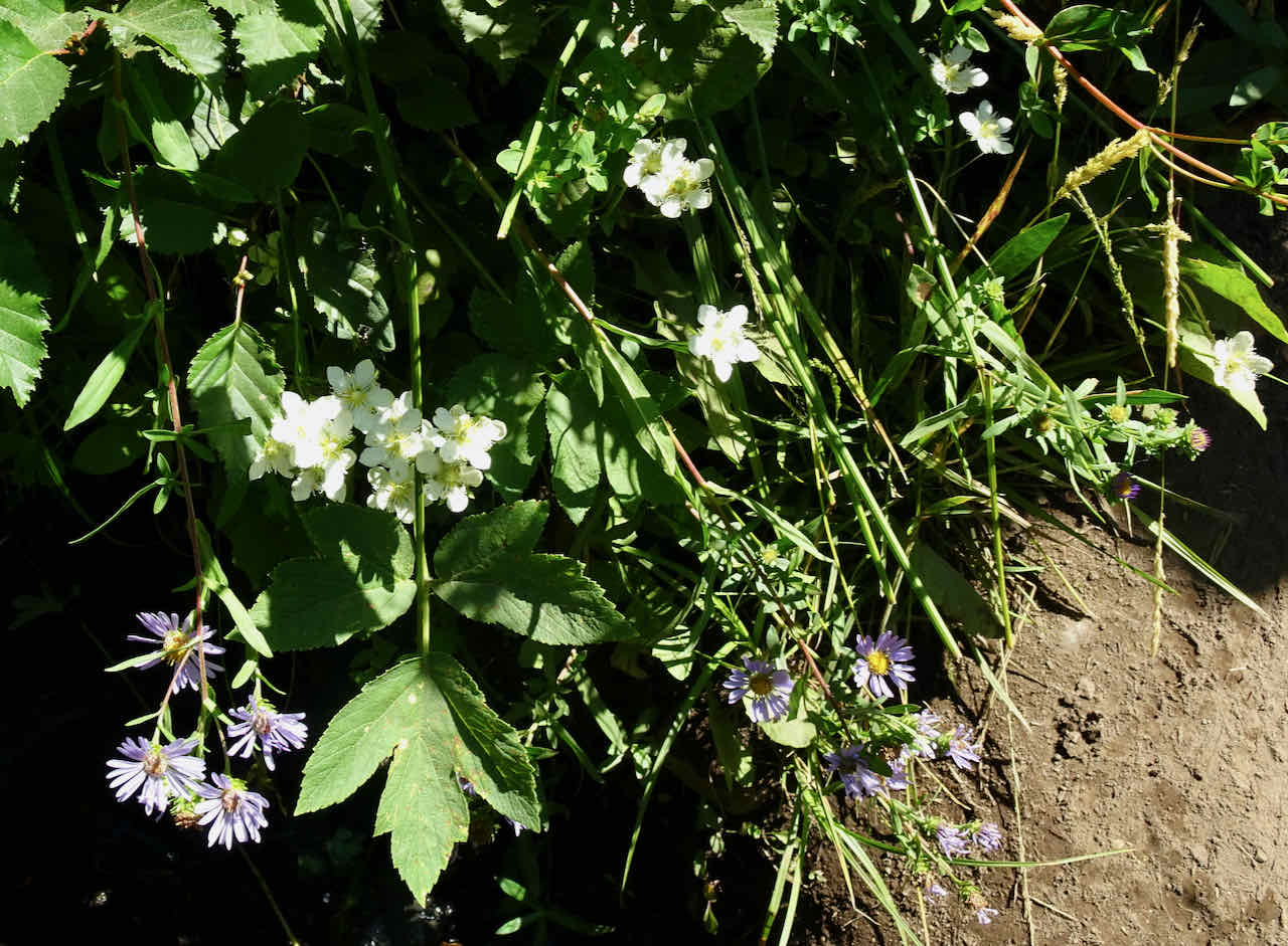
Late season gentian and monkey flowers in Tilly Jane Creek
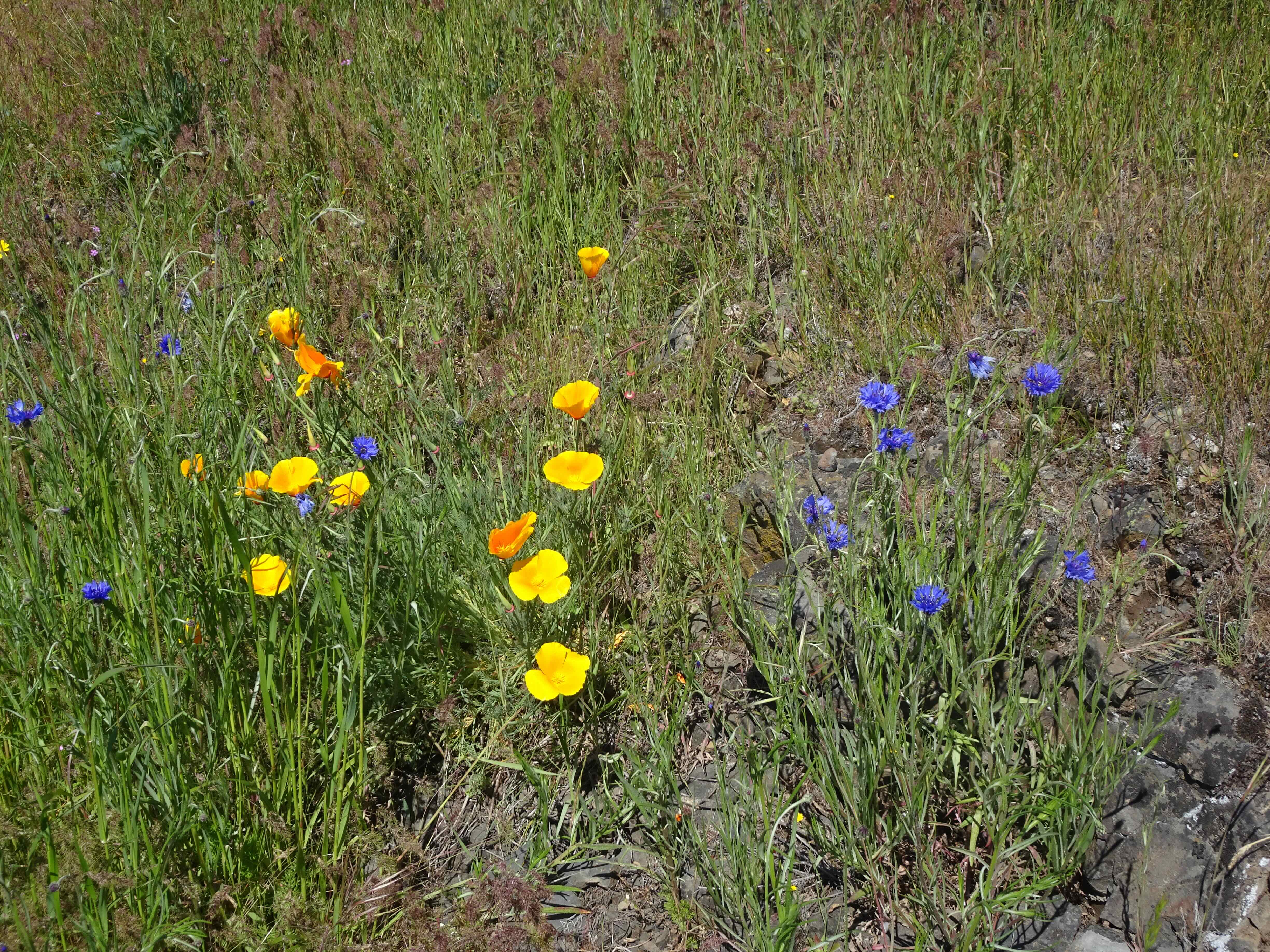
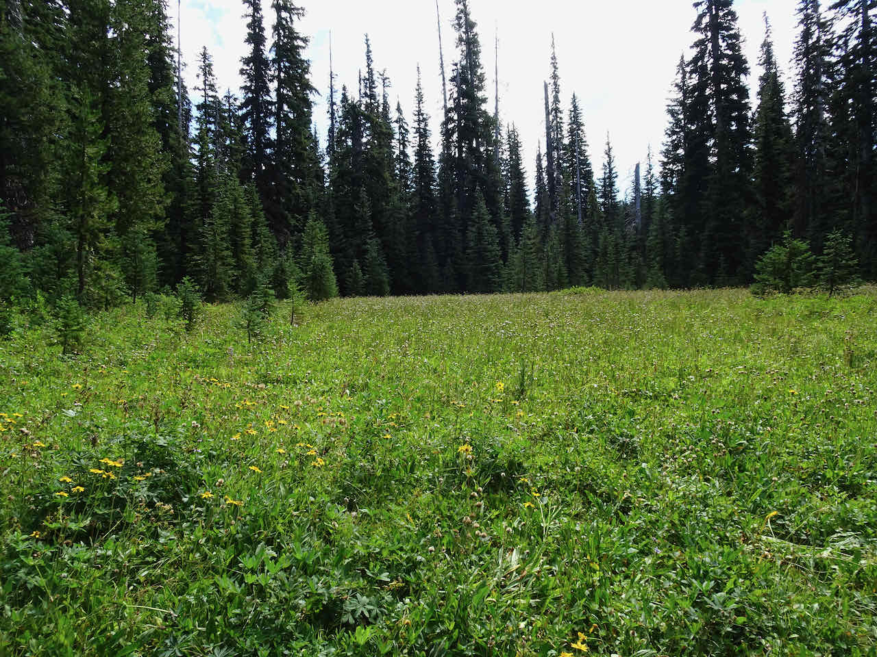
August 30 – Elk Meadows
Our first time to this location in a while. Most of the meadows were beyond bloom, except for late season gentians, fireweed, and goldenrod.
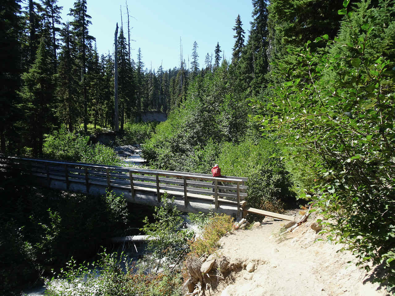
Clark Creek, with a beautiful bridge.

Newton Creek is more difficult to cross.
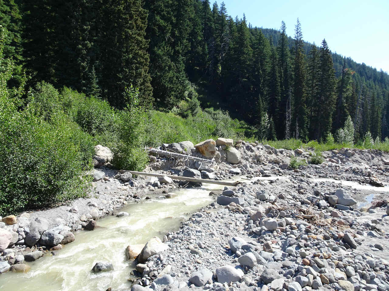
This log was fairly easy to cross, but more difficult if one has fear of heights or balance problems. One of the reasons we haven’t been here for a while.
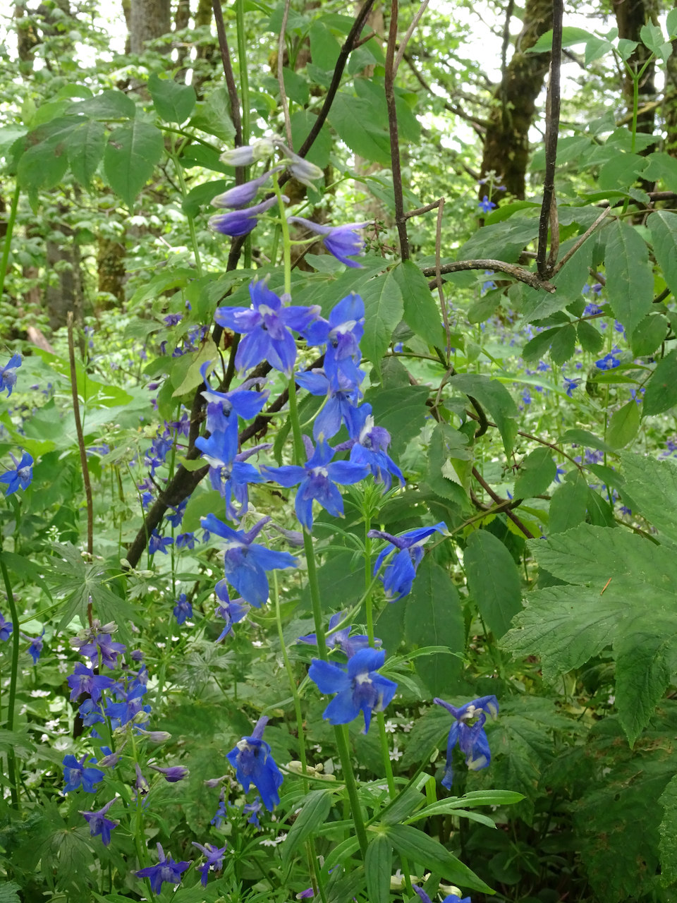
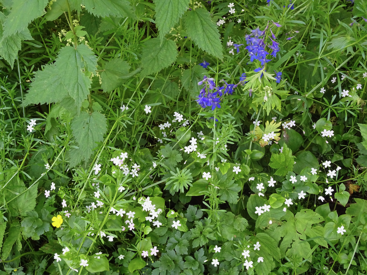
The seven to nine switchbacks after Newton Creek can be a shady hanging garden. On this hot day, most of the flowers were past bloom, but we did appreciate the shade.
Third switchback viewpoint

Nearby crosshatch tree
Fringed grass of Parnassus and aster

Dried out cow parsley, aster and goldenrod
Lunch view from the first meadow opening – plenty of gentian in the mostly dry meadows.

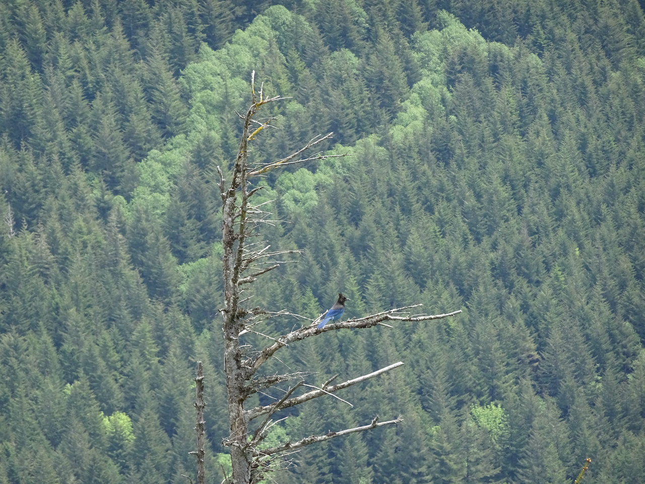
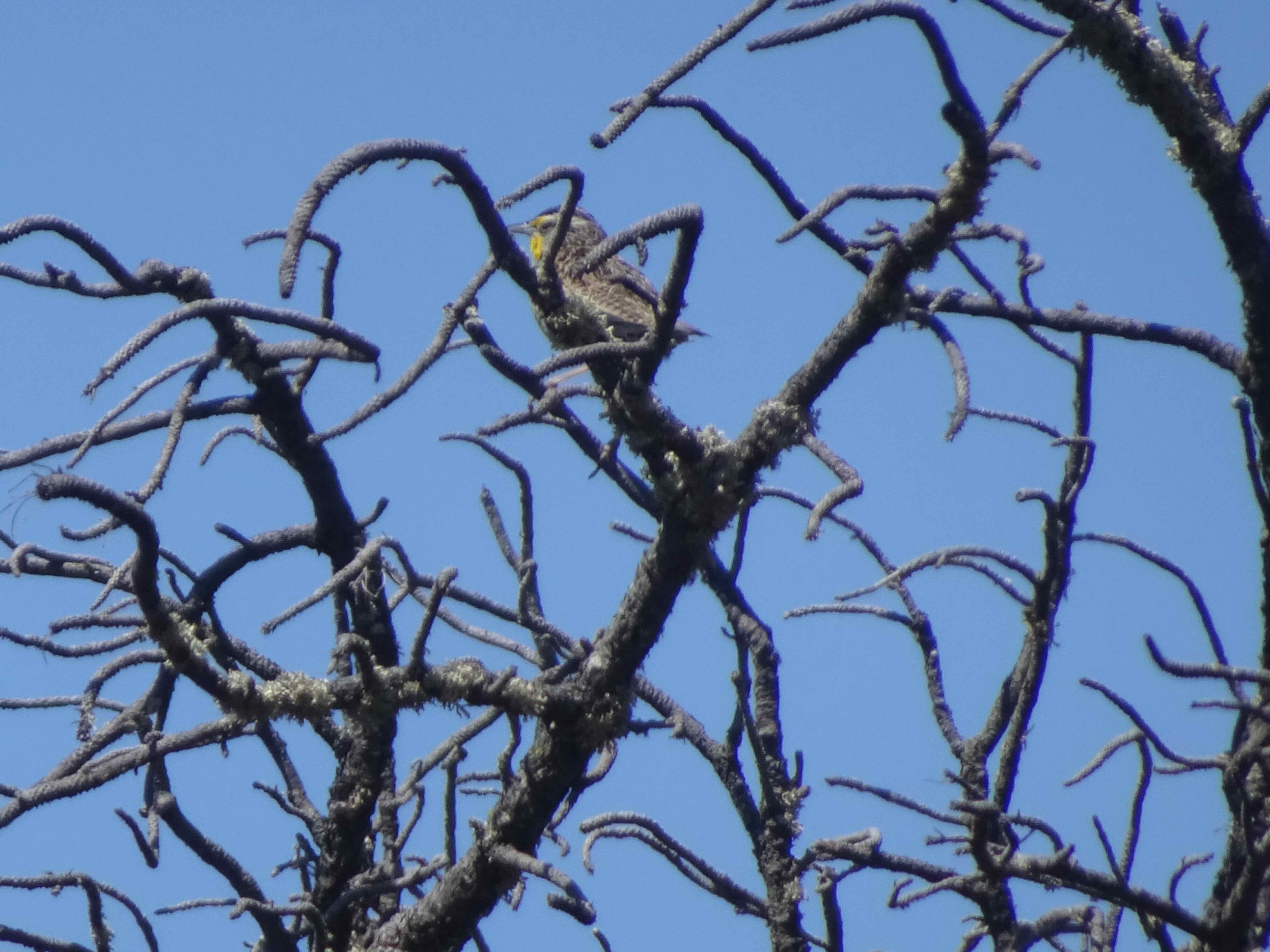
A scrub jay watched us eat lunch.
After lunch we circled round the perimeter trail, then went to the shelter in the middle of Elk Meadows. We saw plenty of aster seed heads, some arnica in the shady areas,

also fireweed,
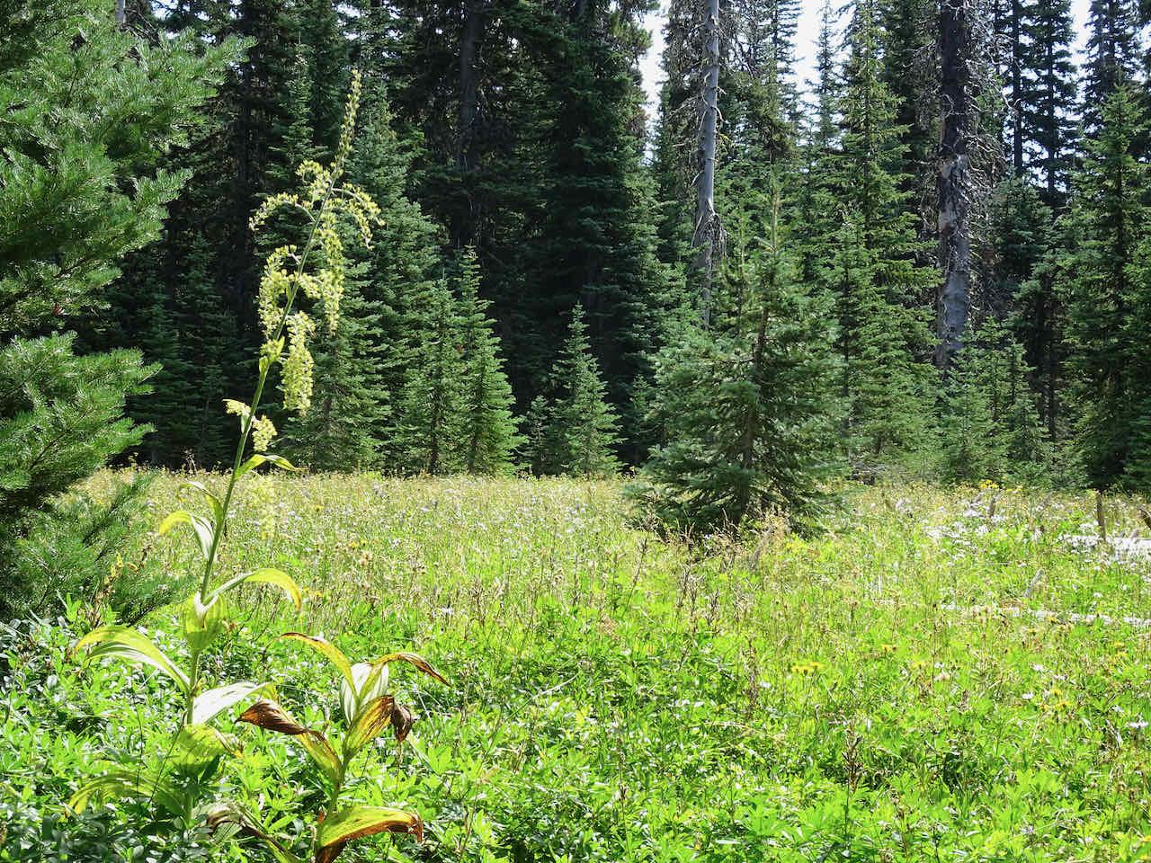
and false hellebore.
Wide meadows near the shelter had swaths of goldenrod.
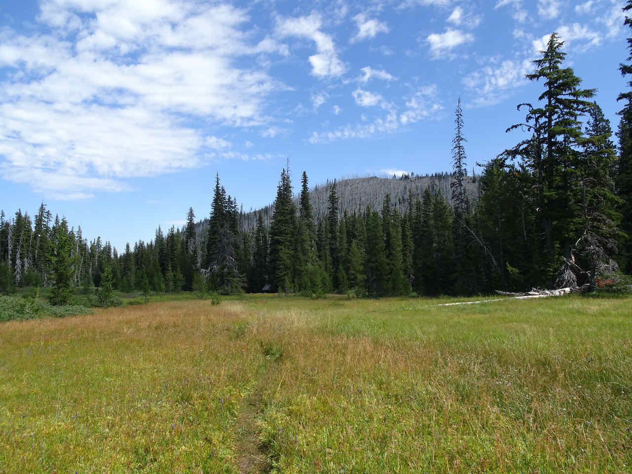
View back to the shelter, and to the burned forest atop Blue Grass Ridge.
Mt Hood close up!
We returned the way we came, back down the switchbacks, over the log bridge, planning to return sometime soon to see fall colors, and maybe to extend our hike up to Gnarl Ridge and the Timberline Trail.