April 26
We spent the day hiking at Kodachrome Basin and nearby Grosvernor Arch.
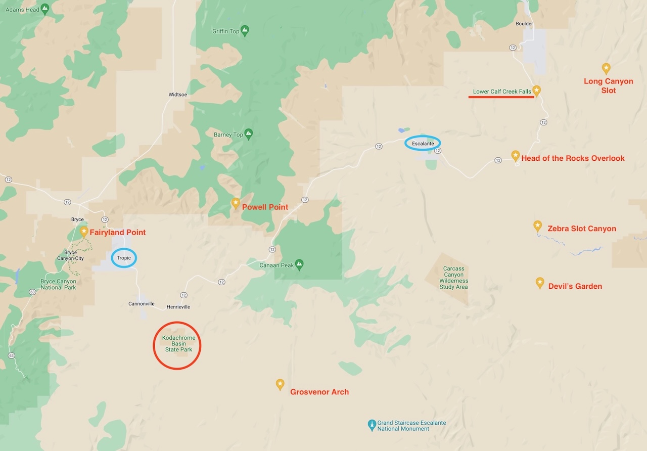
Location map for our hikes and landmarks in southern Utah.
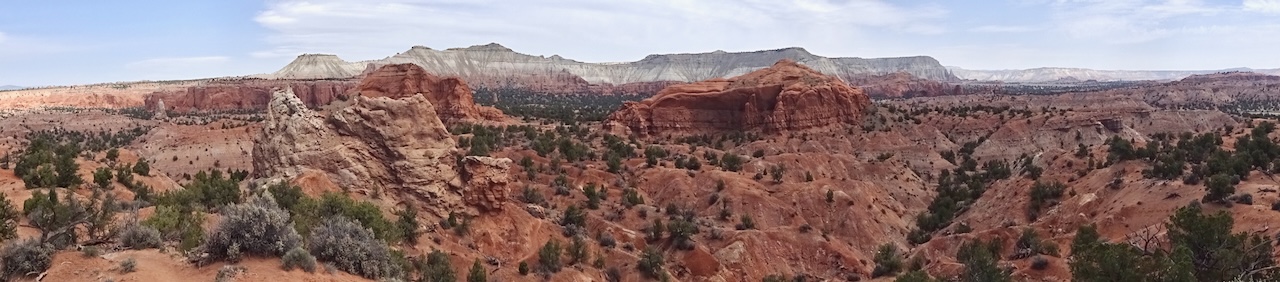
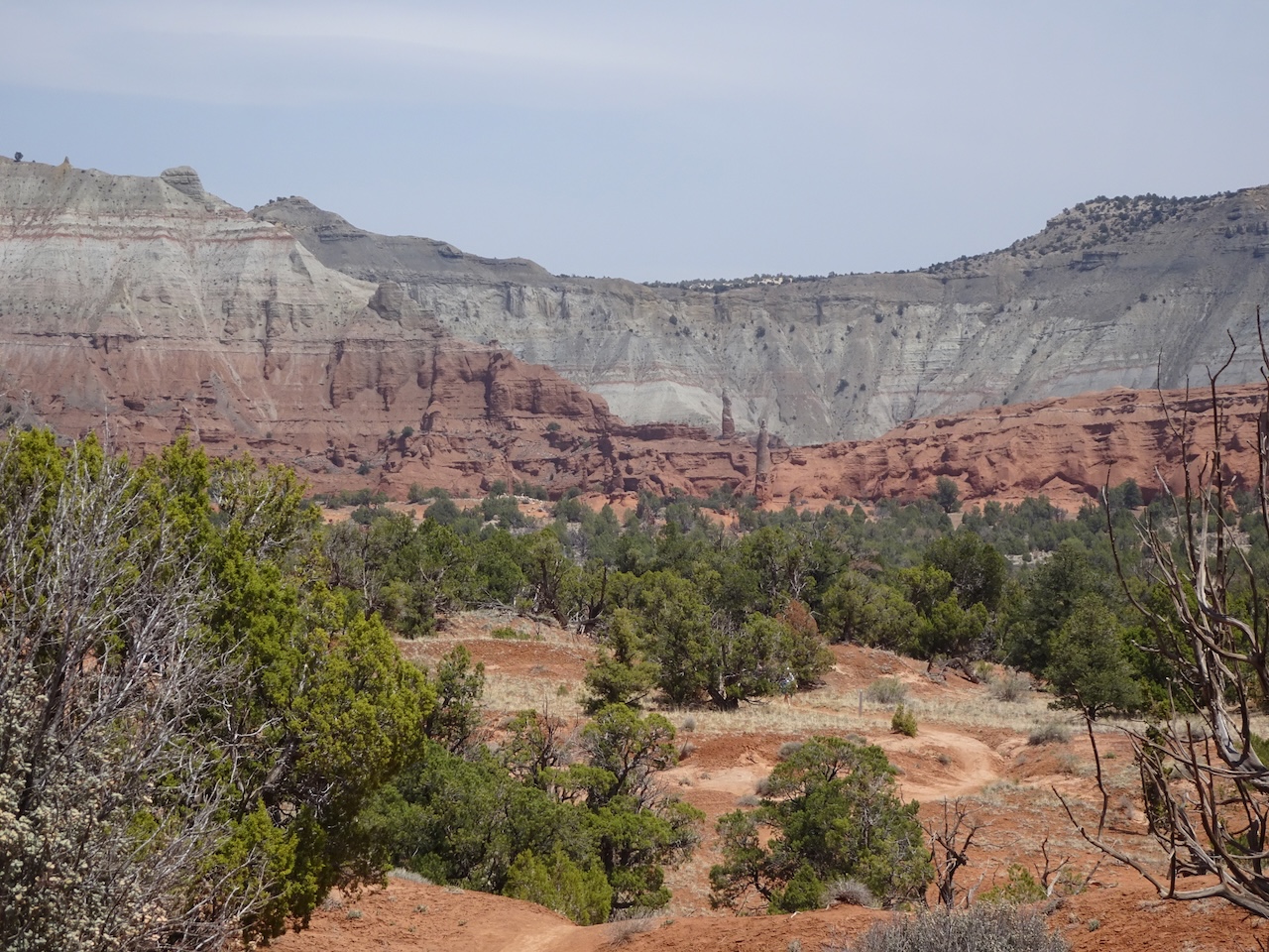
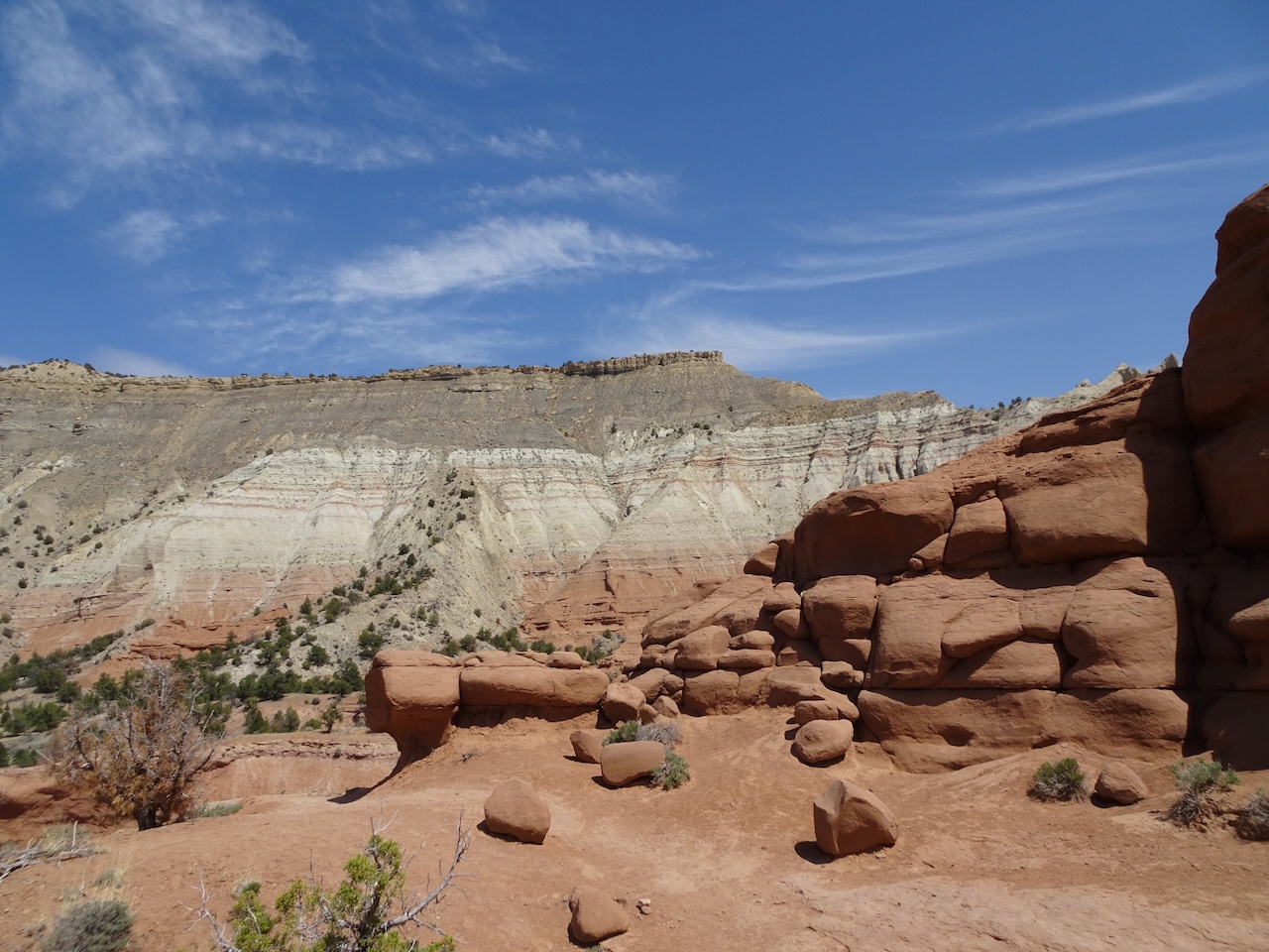
Kodachrome Basin – This State Park, about 12 miles south of Tropic, has its own unusual form of round hoodoos. 67 sedimentary pipes stand up above the landscape, up to 170 feet tall. There are several theories about why the sediment in these spires is more resistant than the surrounding rock that eroded away. It likely has to do with fluid migration, possibly in hot springs or geysers, and differential cementation. The pipes add a spiky element to the already beautiful eroded landscape of Jurassic Carmel and Entrada Formations.
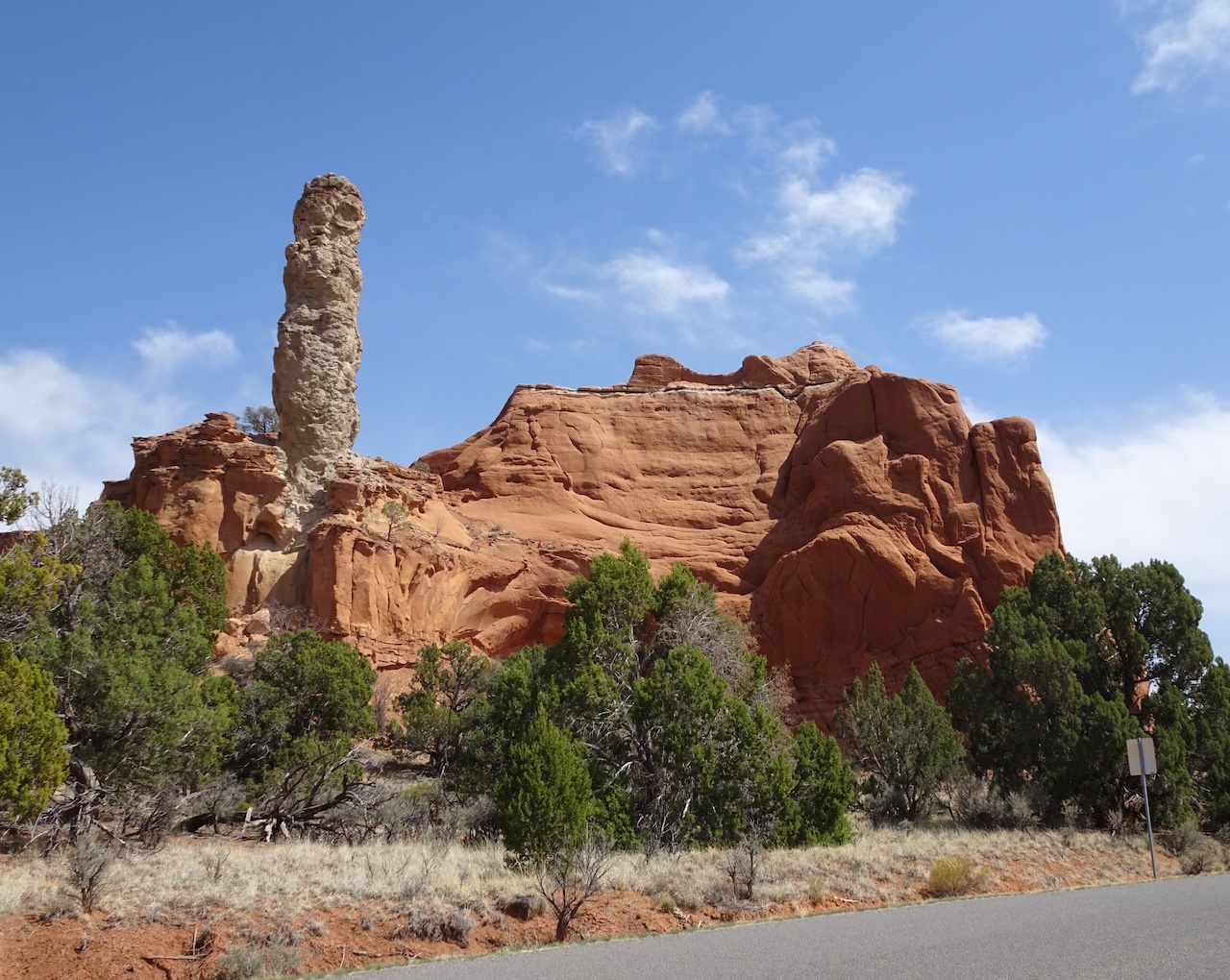
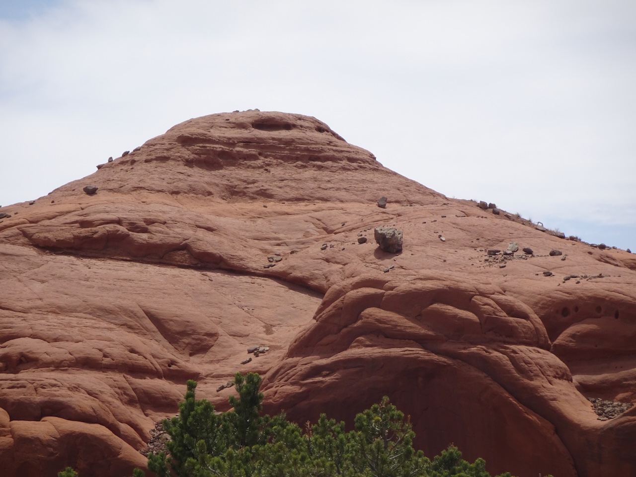
Sedimentary pipe near the entrance station.
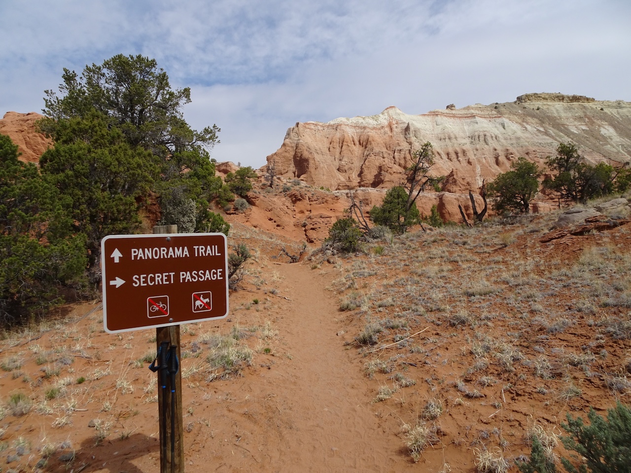
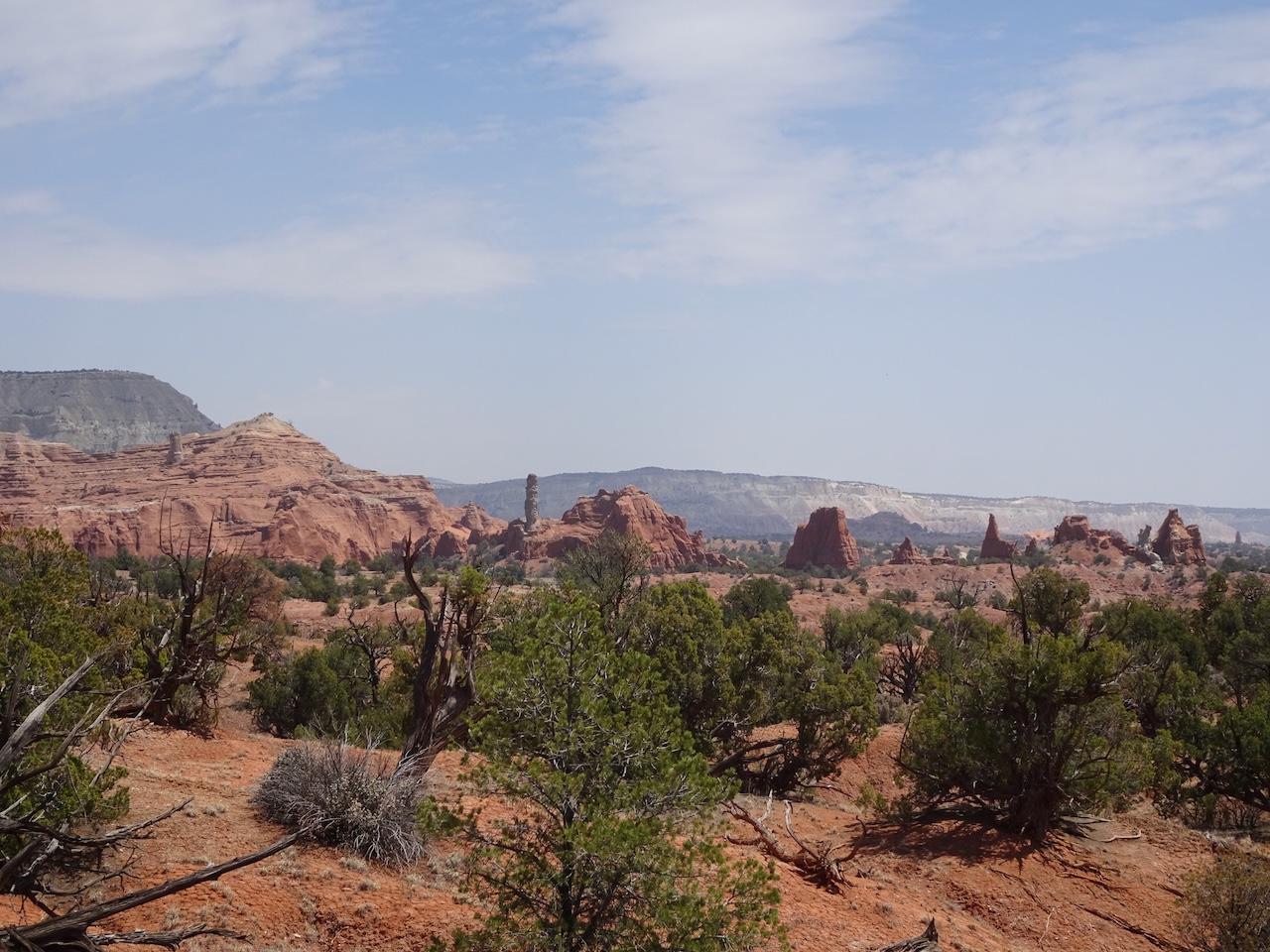
Panorama Trail – There are a few intersecting loops to choose from here. We hiked a 5 mile loop that included The Secret Passage, Mammoth Spire and Panorama Point.
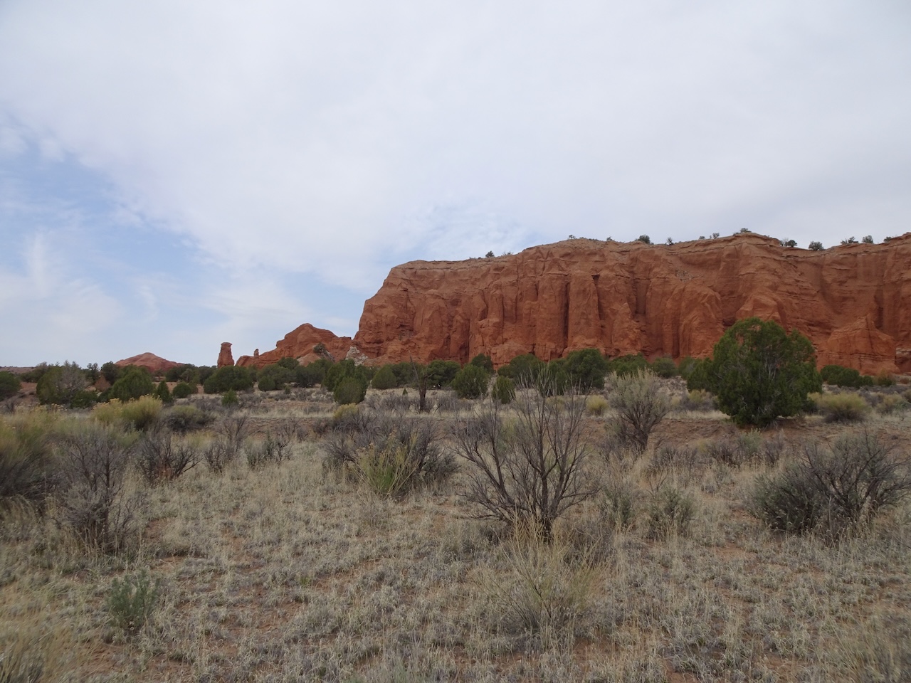
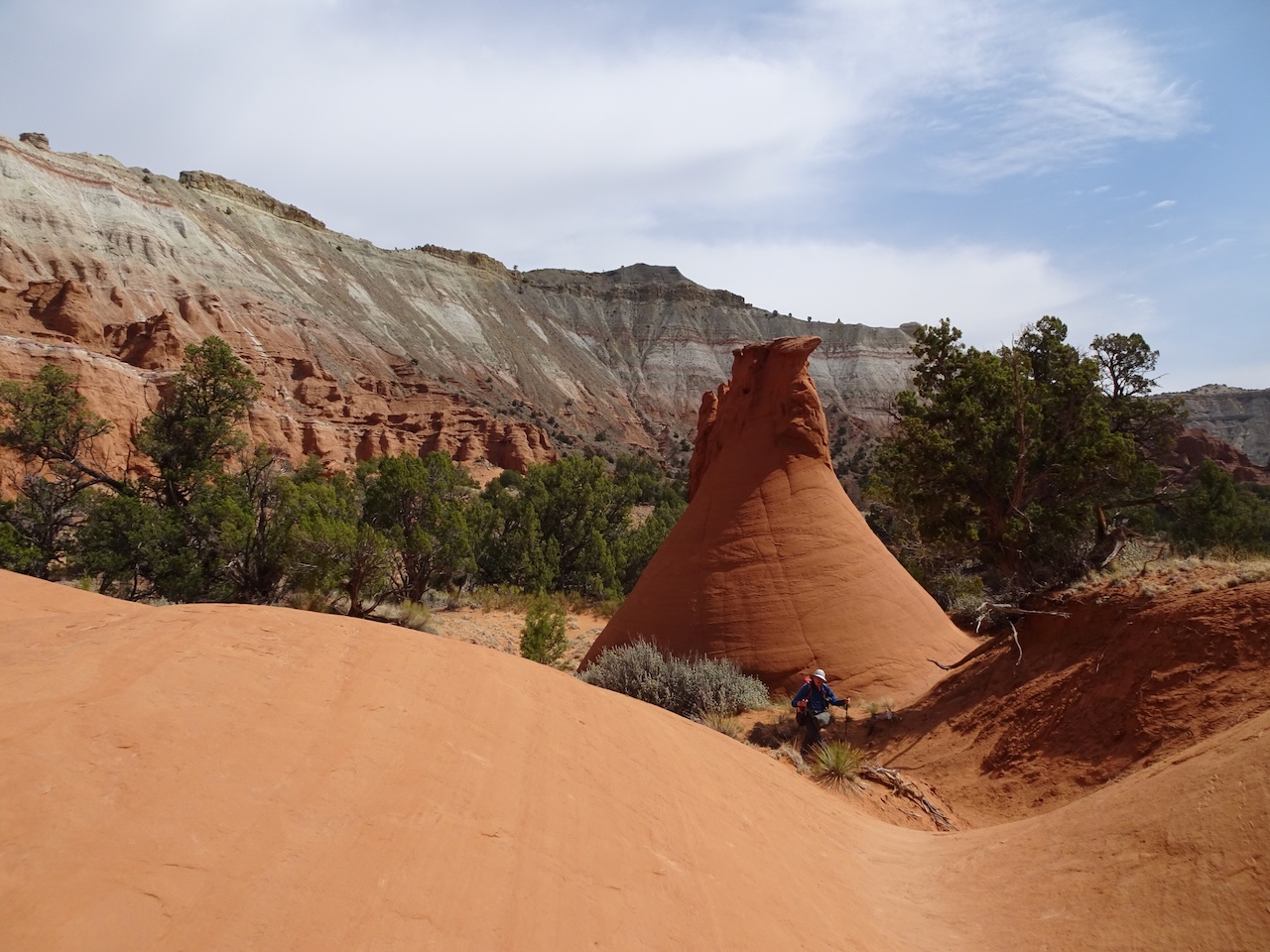
Hiking toward the spires and cliffs of Kodachrome Basin

Fred Flintstone spire is one of the first along the trail.
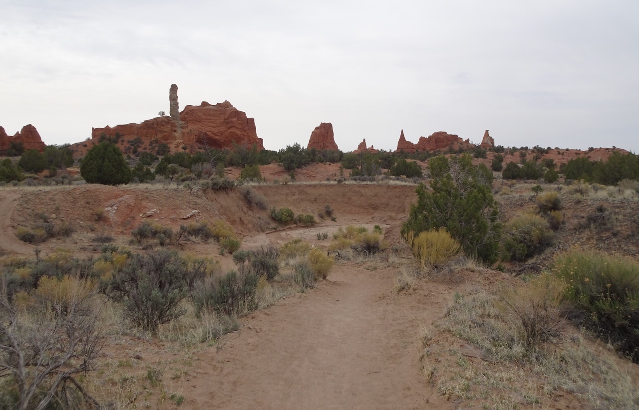
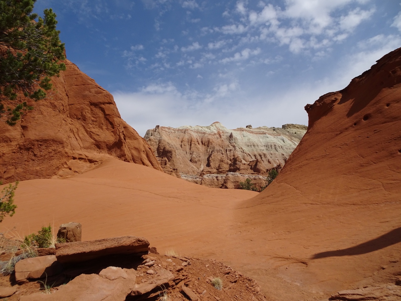
Many spires in the landscape,

and pink cliffs in the distance.

A few wildflowers scattered across the desert floor.
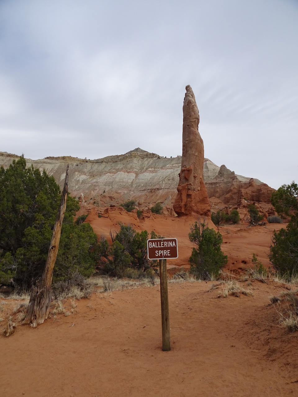
Ballerina Spire – looks like a pointed toe

More hoodoos along the trail.
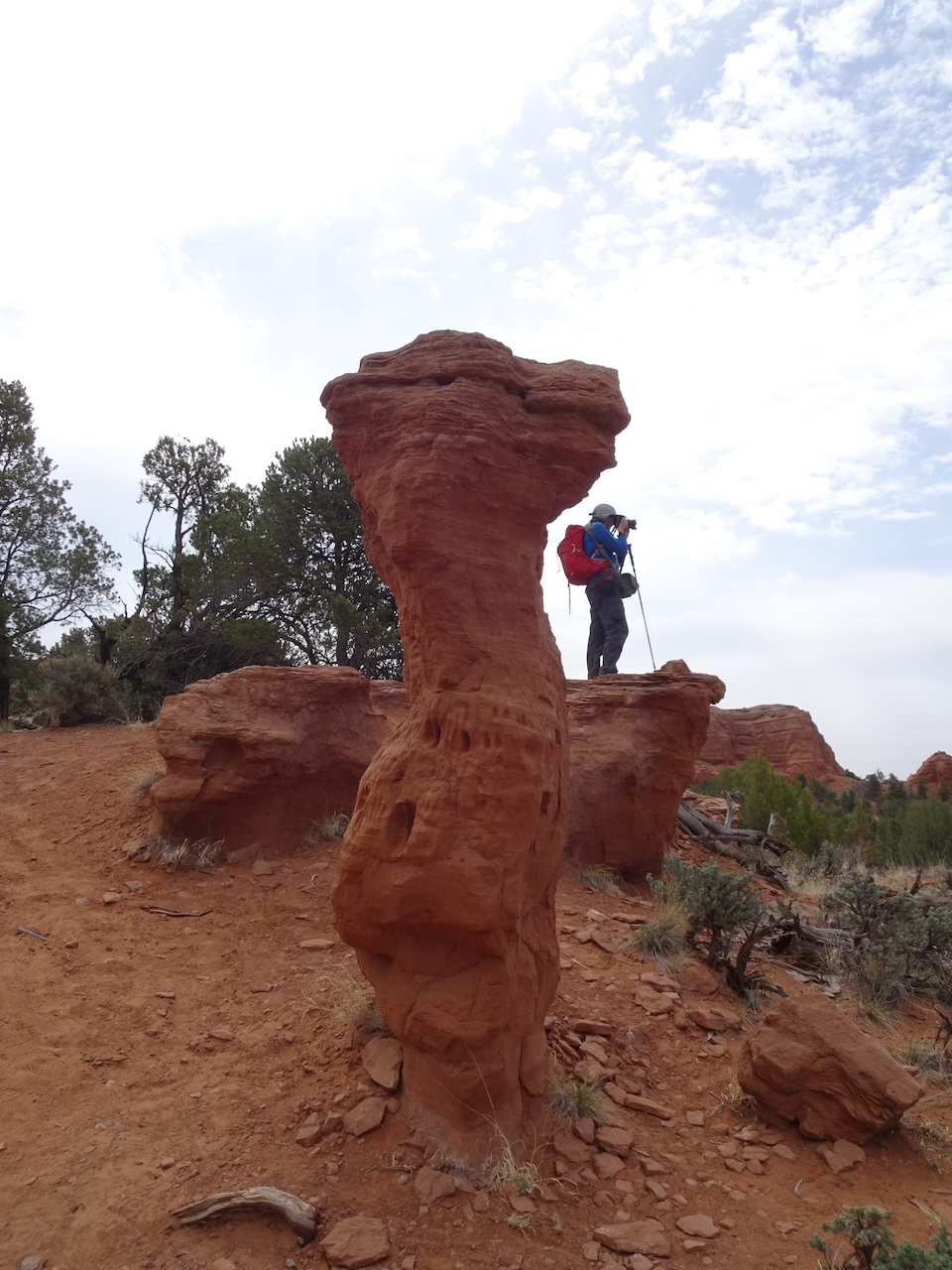
Many photo opportunities…
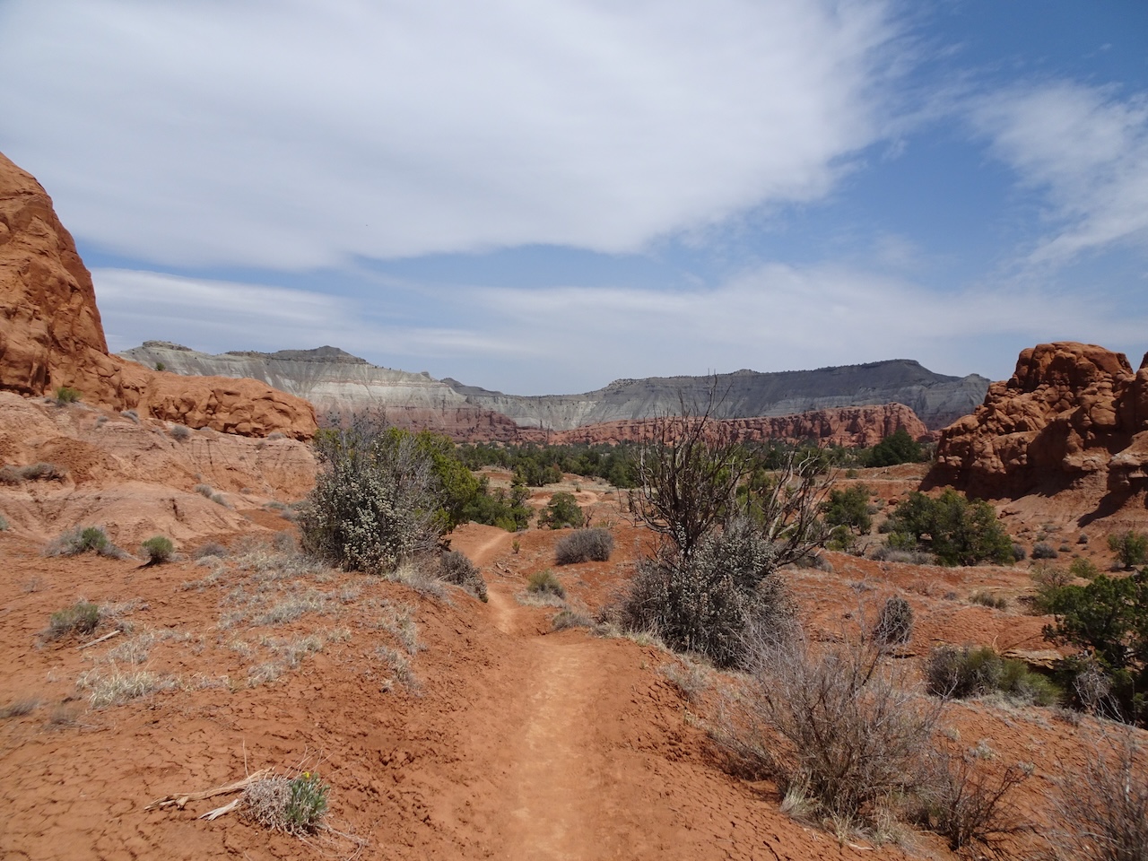
Into the Secret Passage,
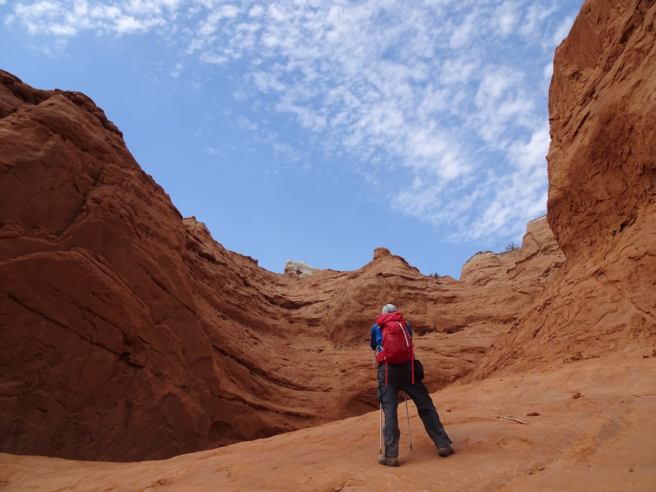
where we could get very close to the cliffs,

and walk on the slick rock surfaces
between oddly eroded landforms.
Looking back….

The trail continued under high red cliffs toward Mammoth Spire.

We were watched by a scrub jay.
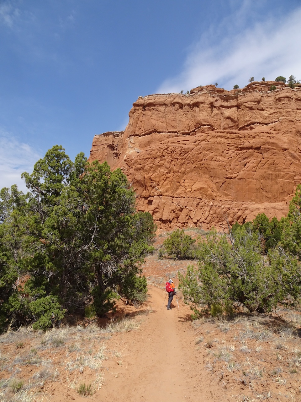
Entrada Formation cliffs
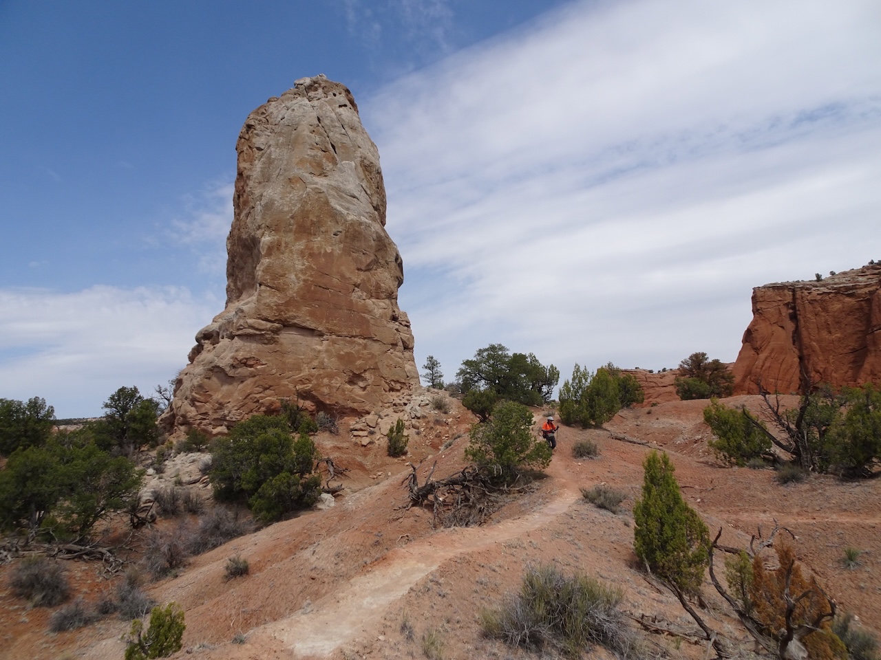
We found a shady spot near Mammoth Spire to eat lunch.

Next, we took the Panorama Point spur…
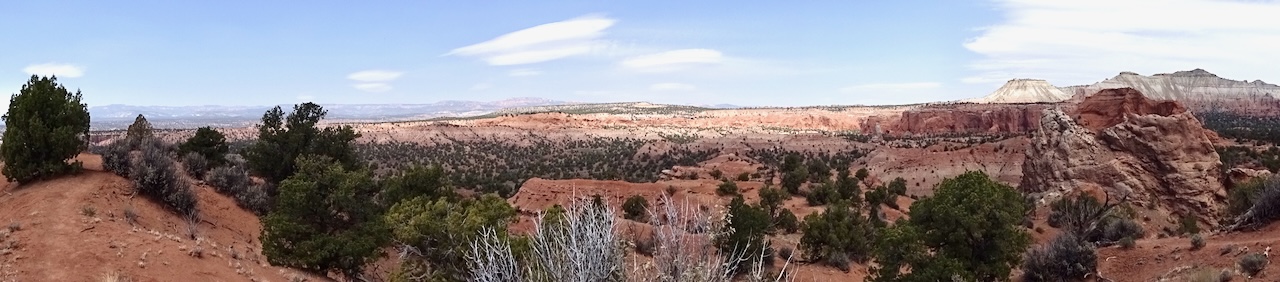
View to the north
View to the east
Returning to the trailhead…

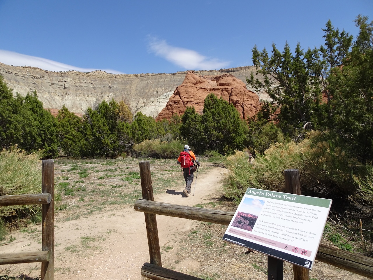
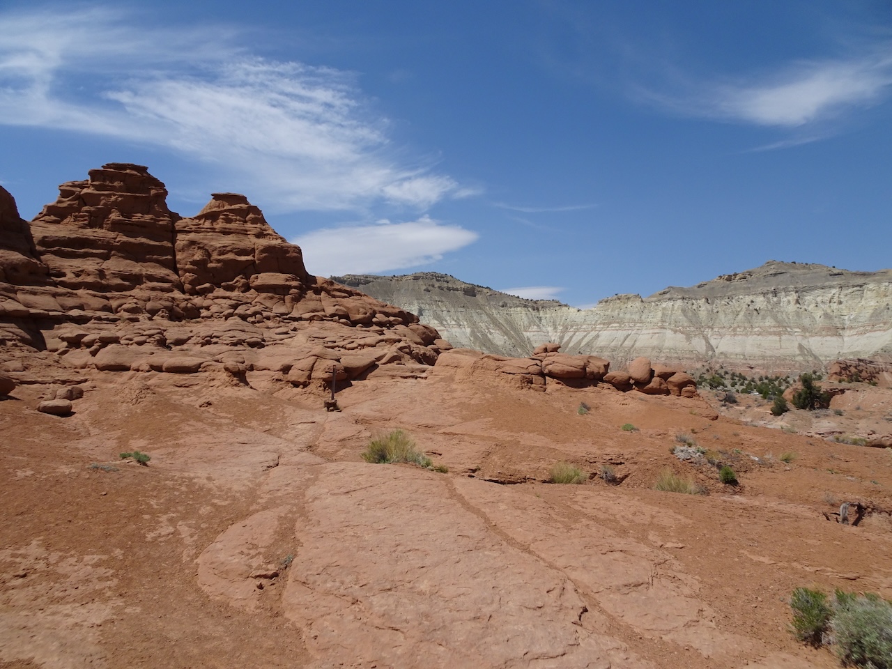
Angel’s Palace Trail – We hiked a little over a mile on this trail that loops around the red clifftops on the east side of the basin.

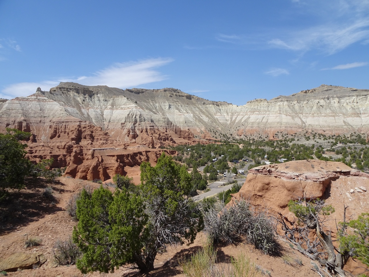
Looking toward the campground.

The ‘Angel’s Rest’ of Kodachrome Basin


Shortcut back down the trail
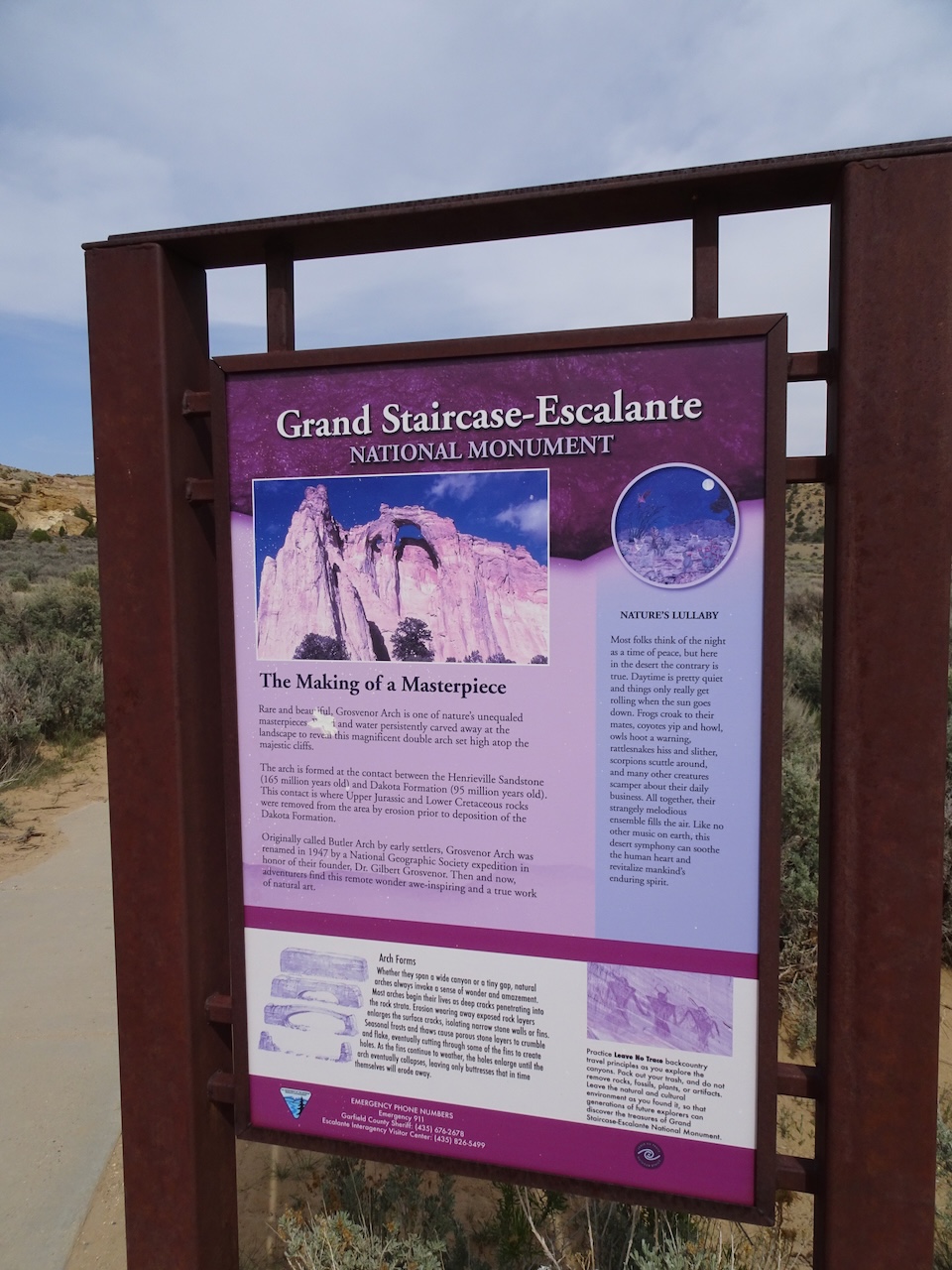
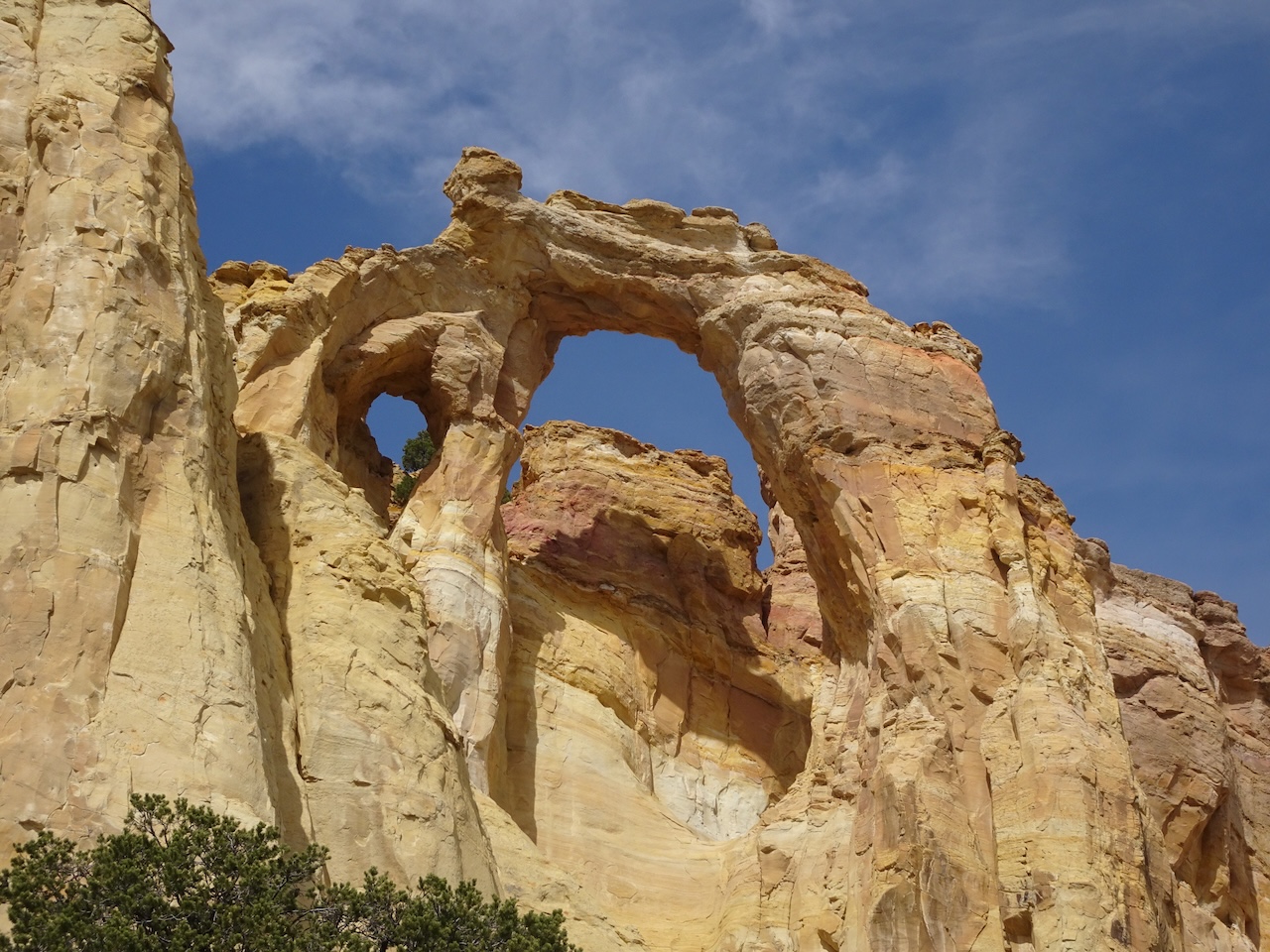
Grosvenor Arch – We had time to drive the 11 miles to this location, and admire the view to the sky through this double arch.

A short trail leads to the foot of Grovesnor Arch
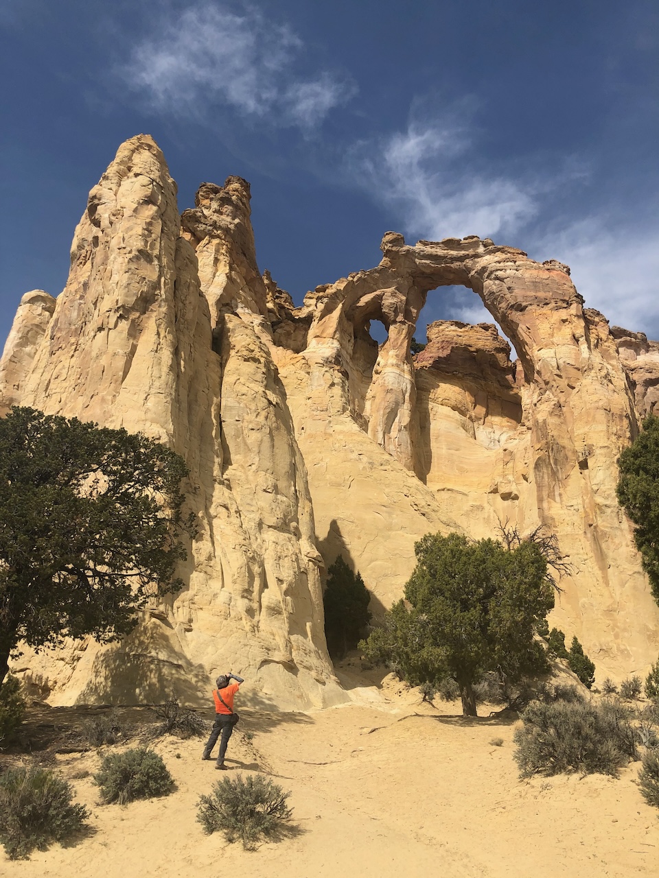
On closer view, we realize it is a double arch.
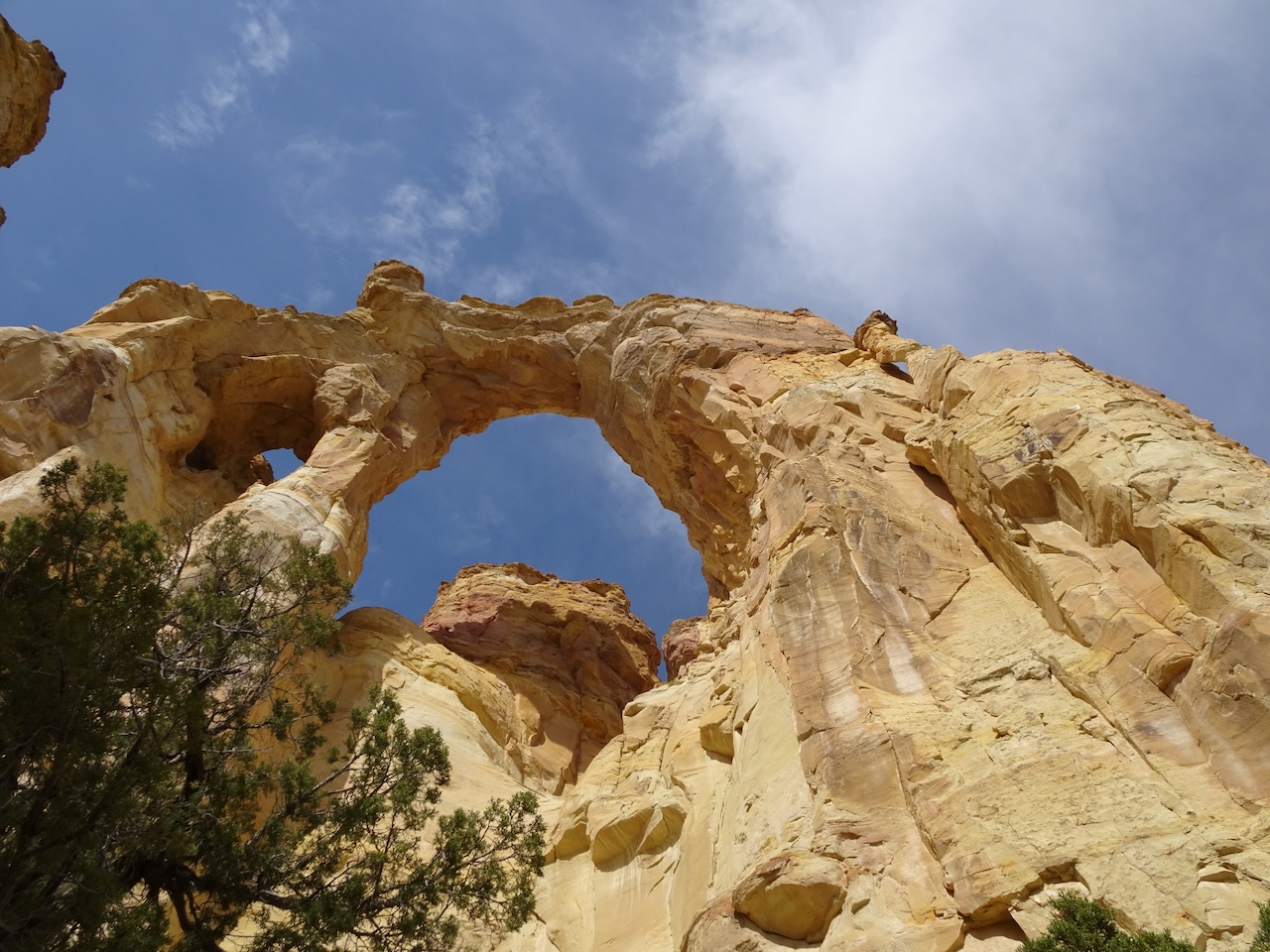
We wandered around the base, taking views from different angles.

On our return drive to Tropic, we once again admired the view to Powell Point in the distance.

April 27
It was time for me to go home to Portland, via a flight from St George, Utah.
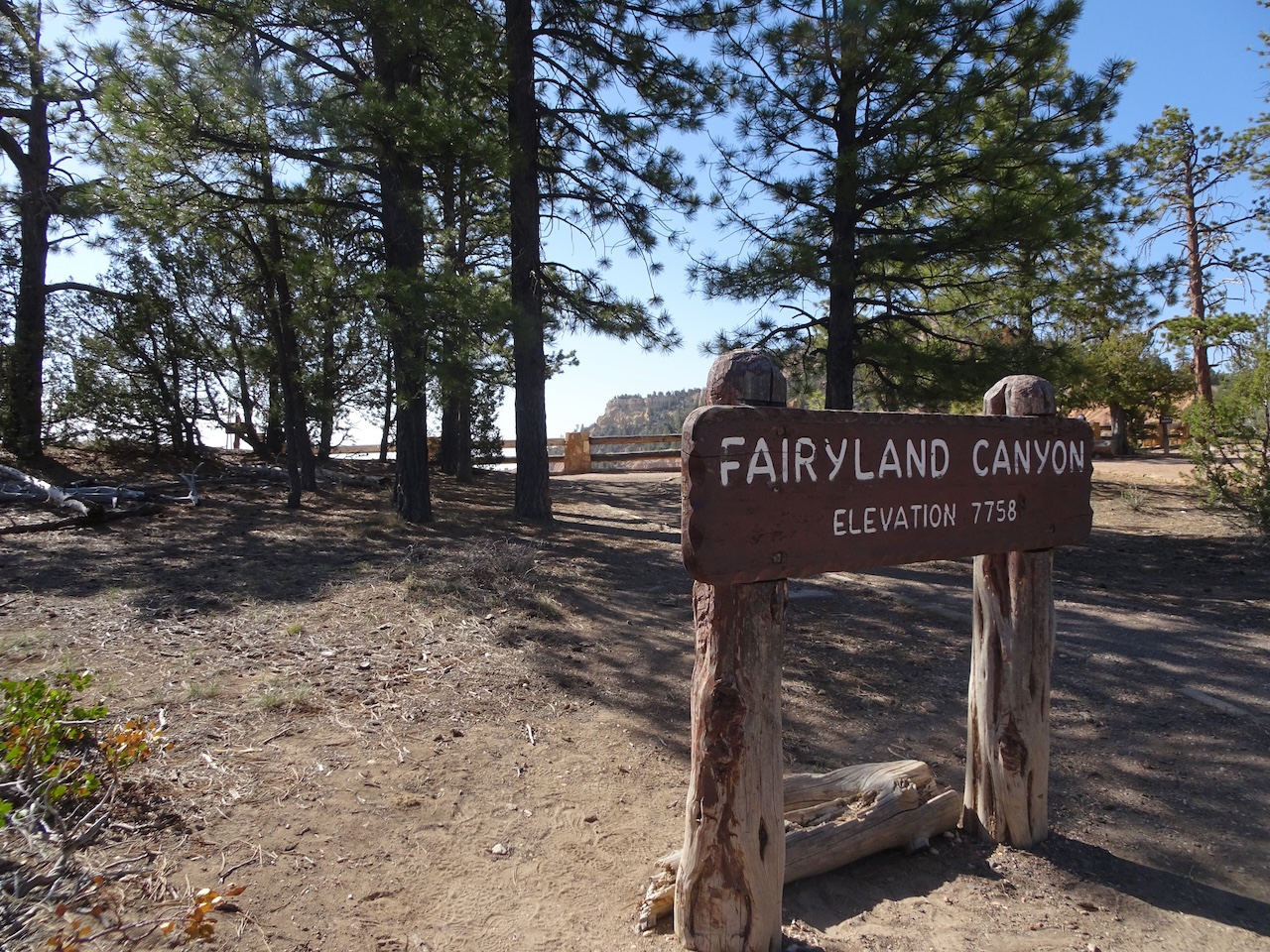
Bryce Canyon – We made a quick stop at the Fairyland Viewpoint on our way.

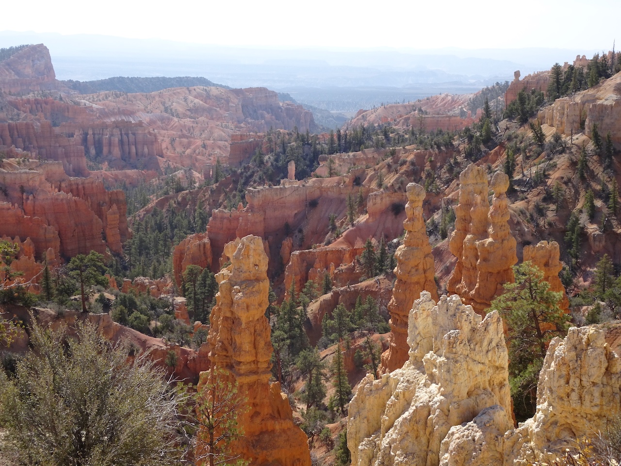
Fairyland Canyon view, Sinking Ship in the distance.
Hoodoos below the rim.

Boat Mesa

Taller than trees
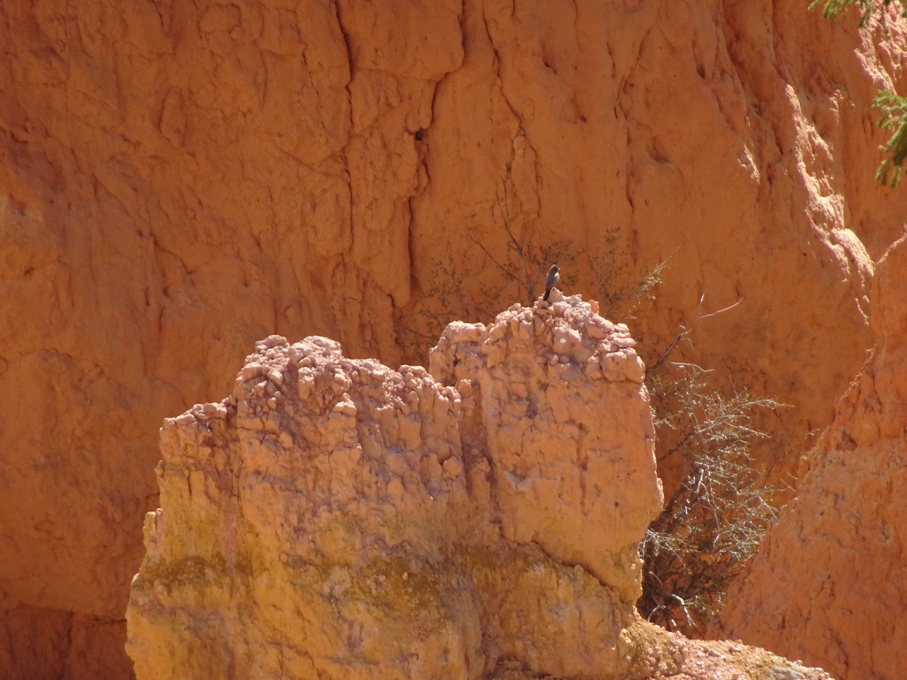
A bird on the hoodoo

Trail into Fairyland; Powell Point on the far horizon.
On to St George….
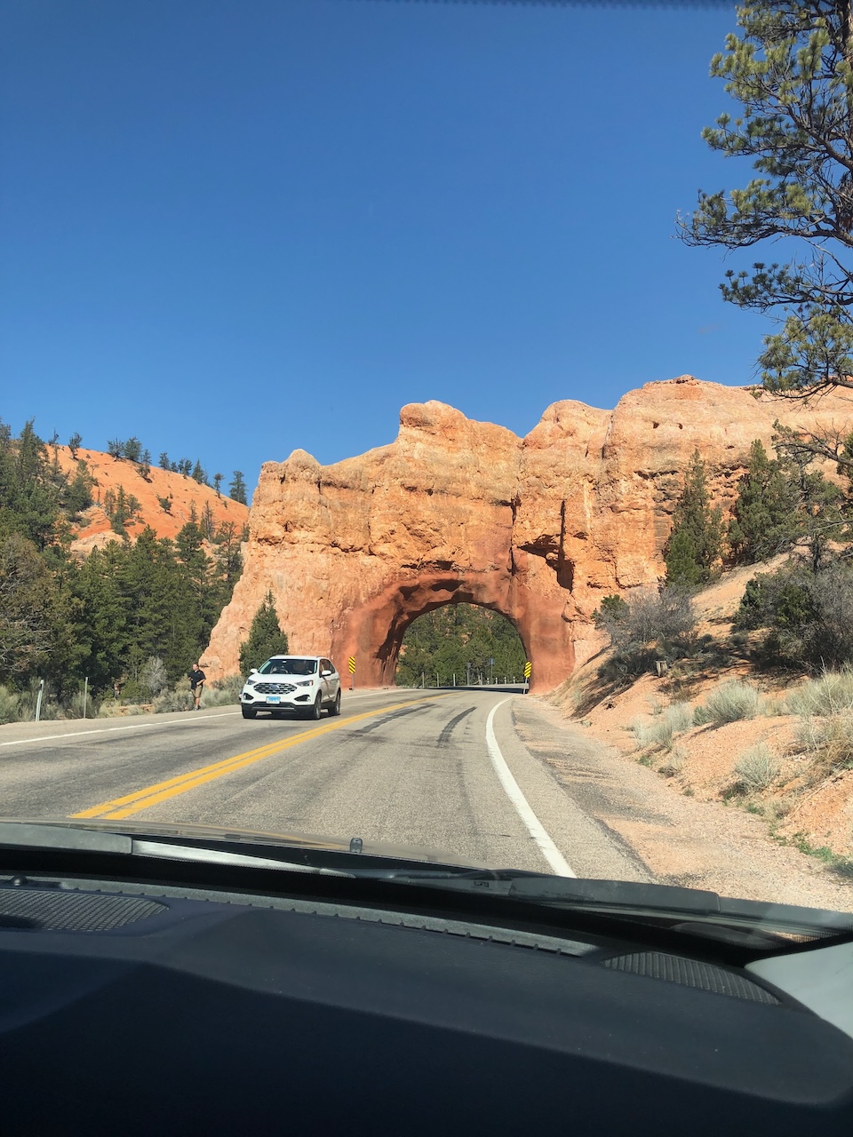
Back through the rock tunnel…
I flew from St George to Salt Lake City to Portland.
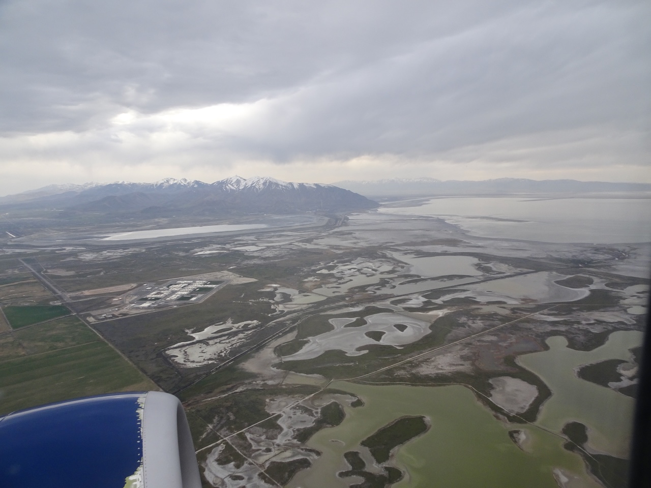
Leaving the Great Salt Lake, flying into the clouds.

Mt Hood peaking out from the clouds,
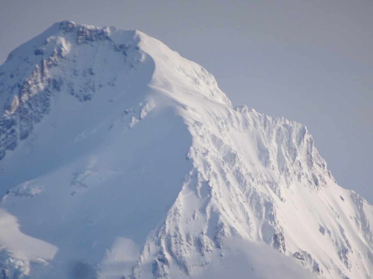
at eye level.
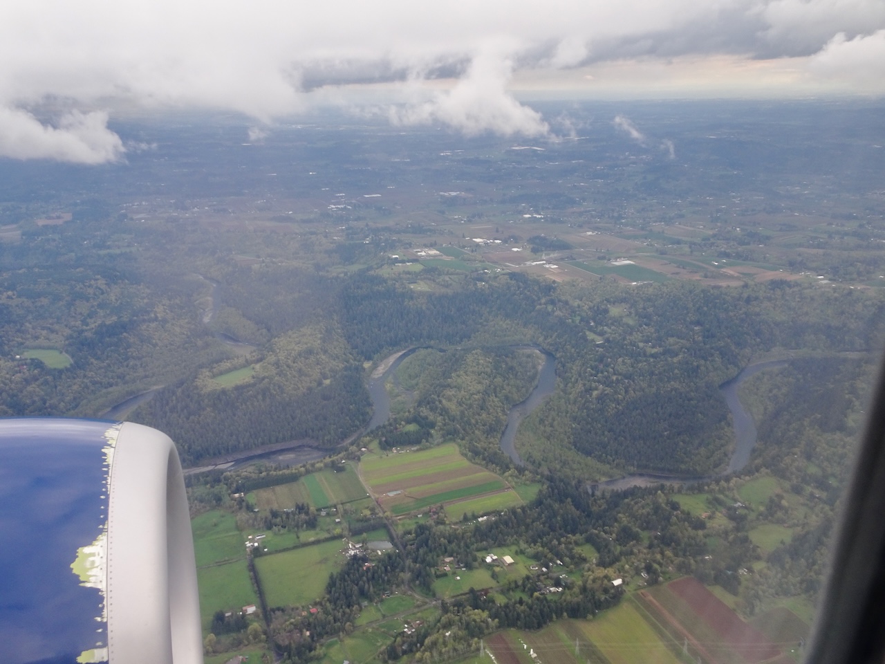
The green green land surrounding the Sandy River, just east of Portland, and home.
I was happy to be home, and would love to explore more of southern Utah another year! Meanwhile, my husband returned to Tropic for his photo class. He took this shot in Bryce Canyon one of the nights.
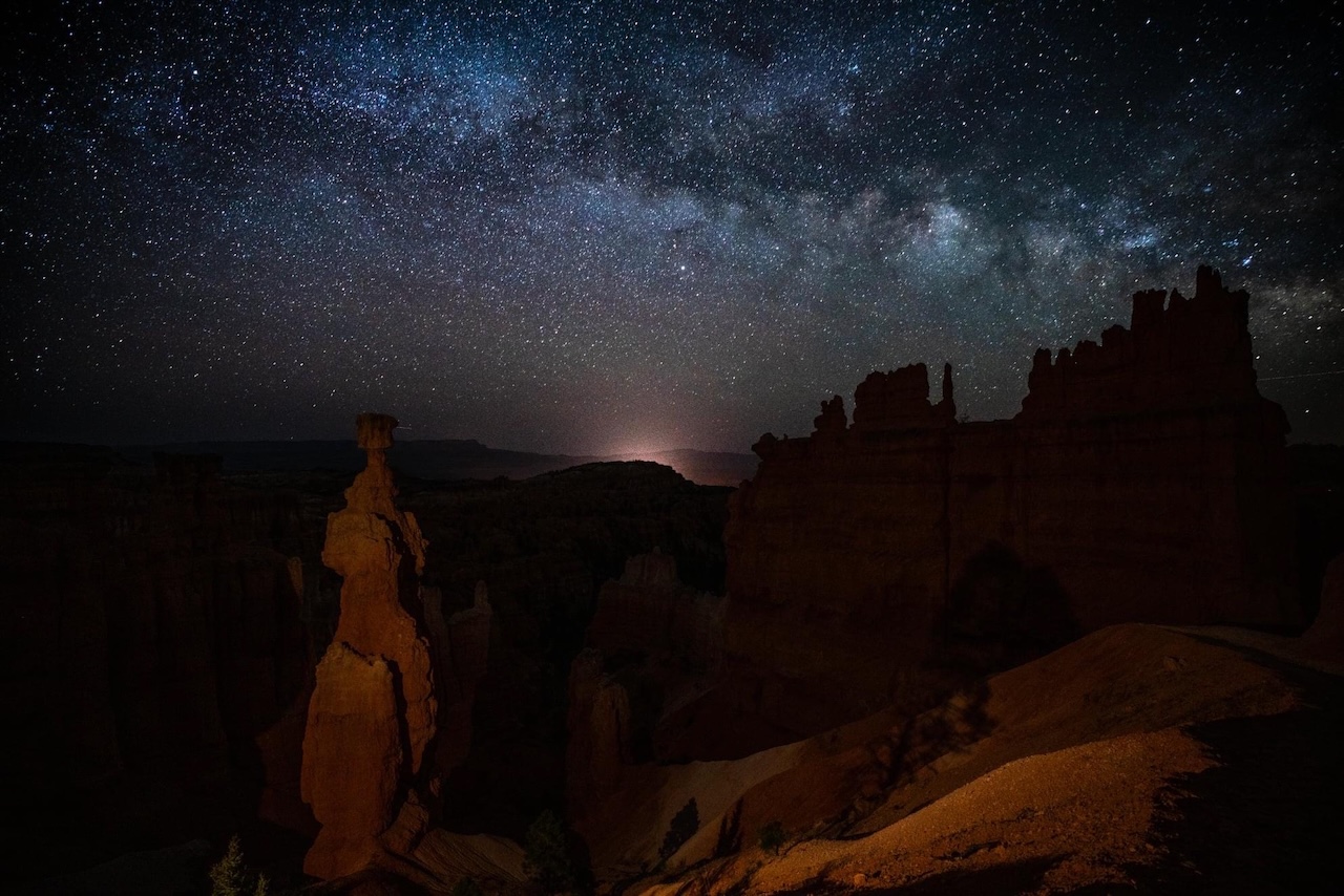
Milky Way above Fairyland Canyon; glow from the town of Tropic in the distance.
