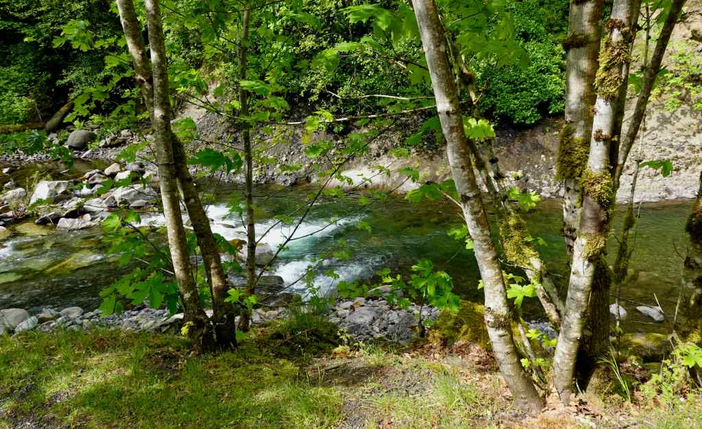
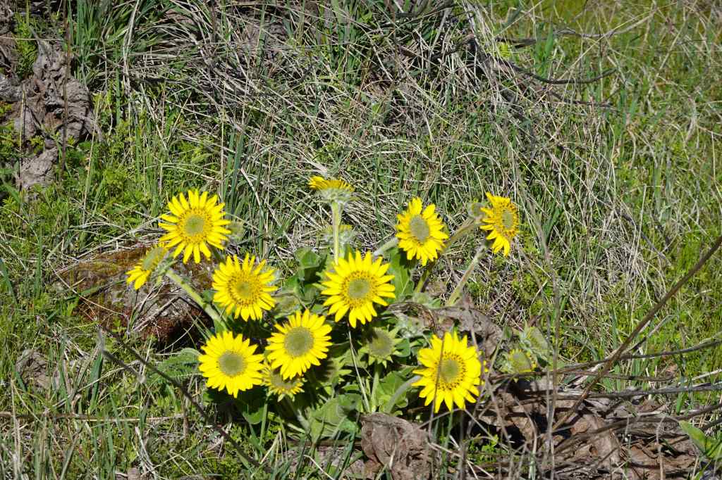
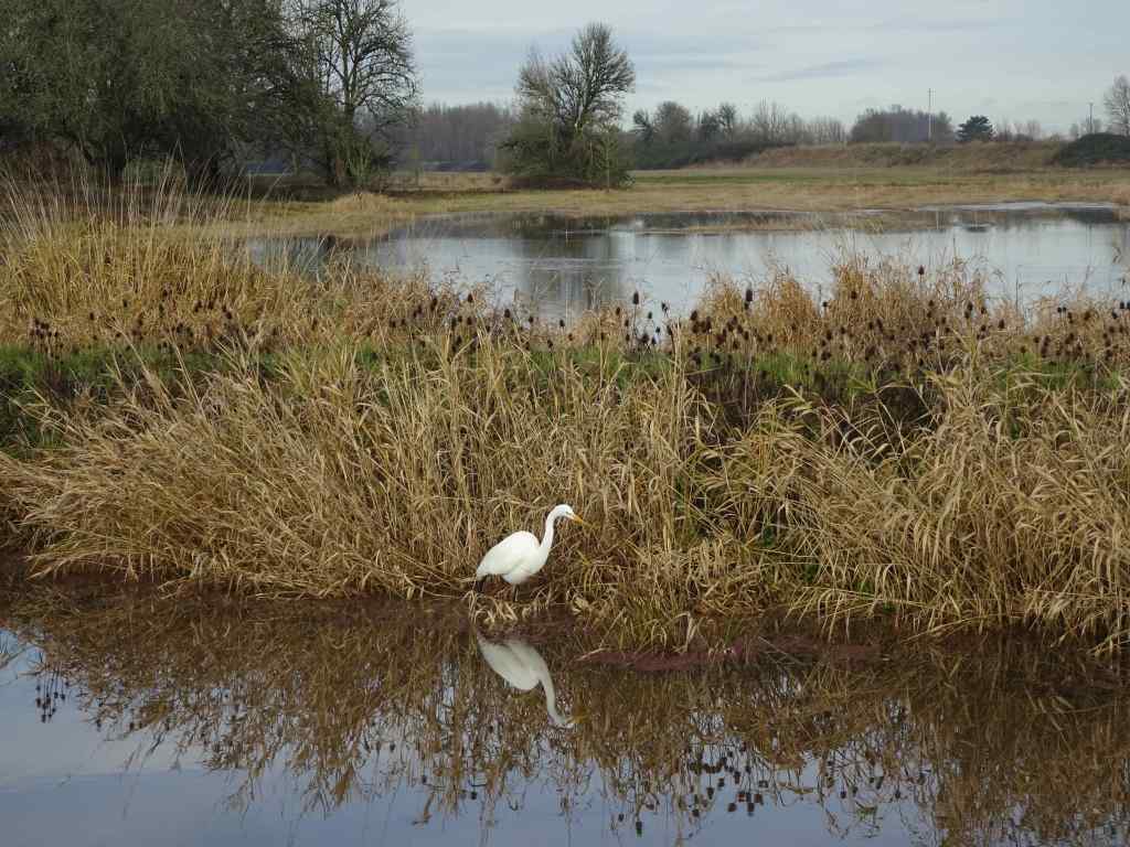
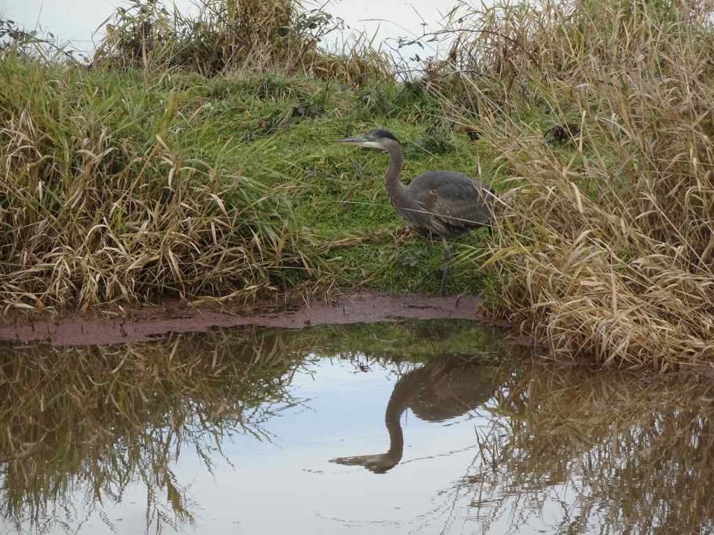
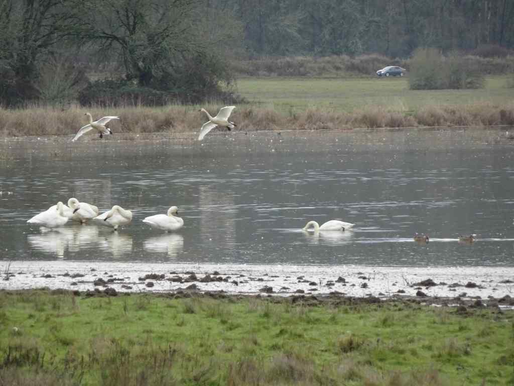
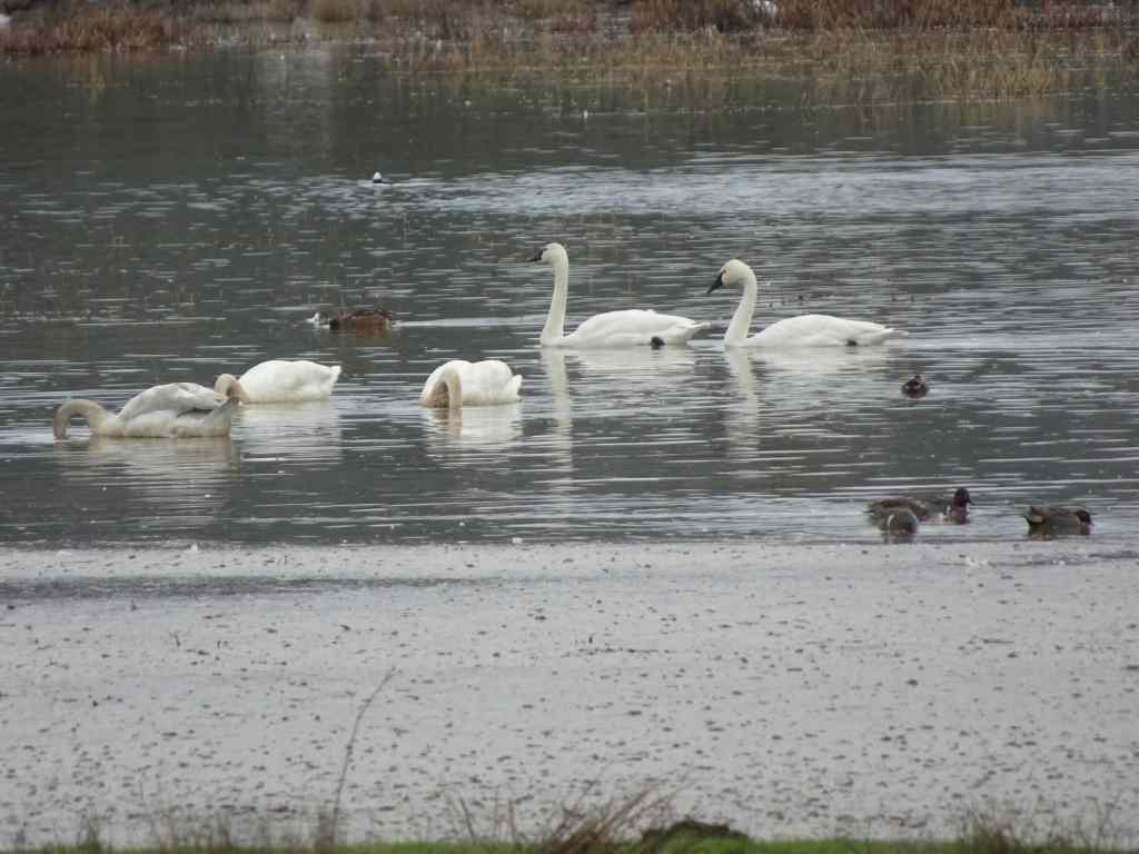
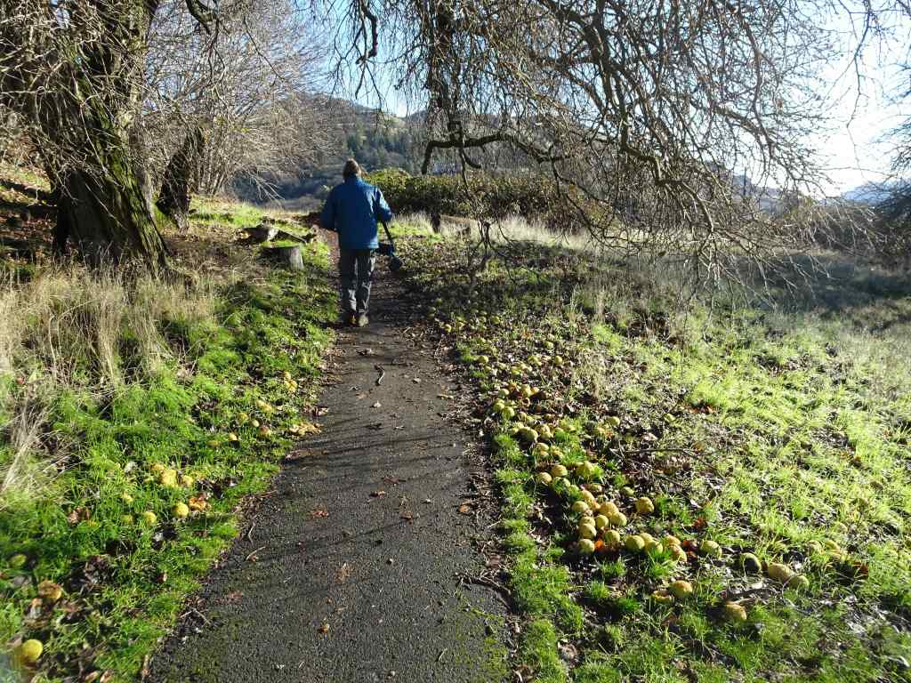
In mid-June, we had an adventure to the Wallowa Mountains in eastern Oregon, and a visit to the Portland Art Museum, described in later posts. Otherwise I was mostly around Portland, knitting, reading, and gardening, and I went on one waterfall hike in the Columbia River Gorge.
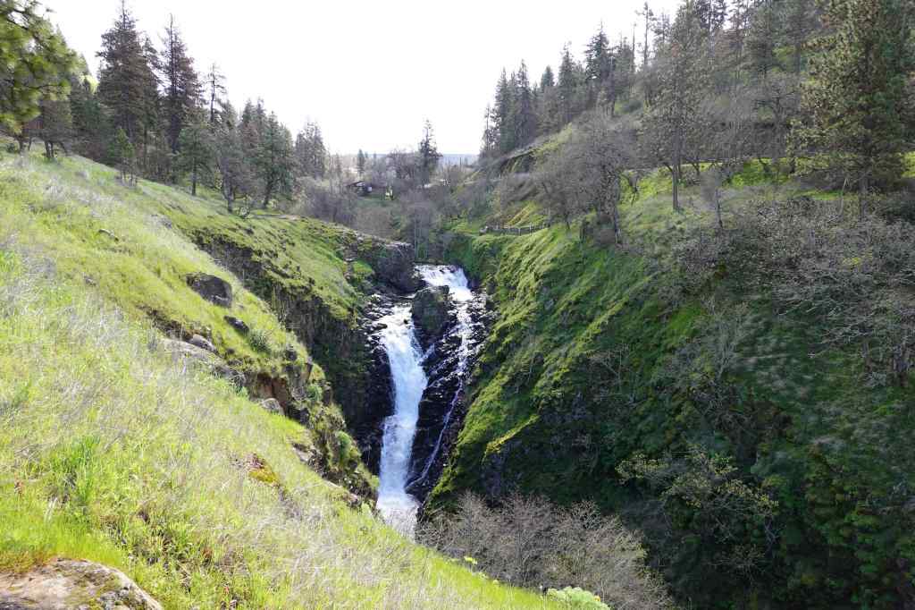
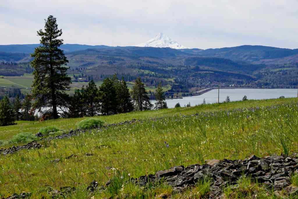
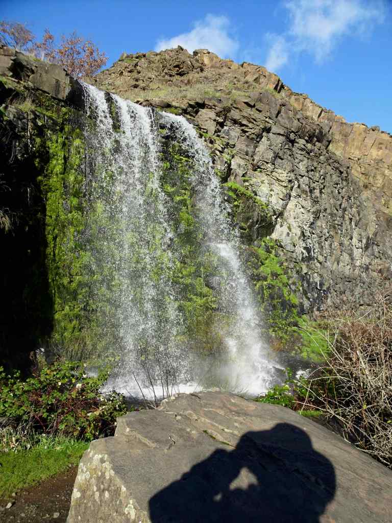
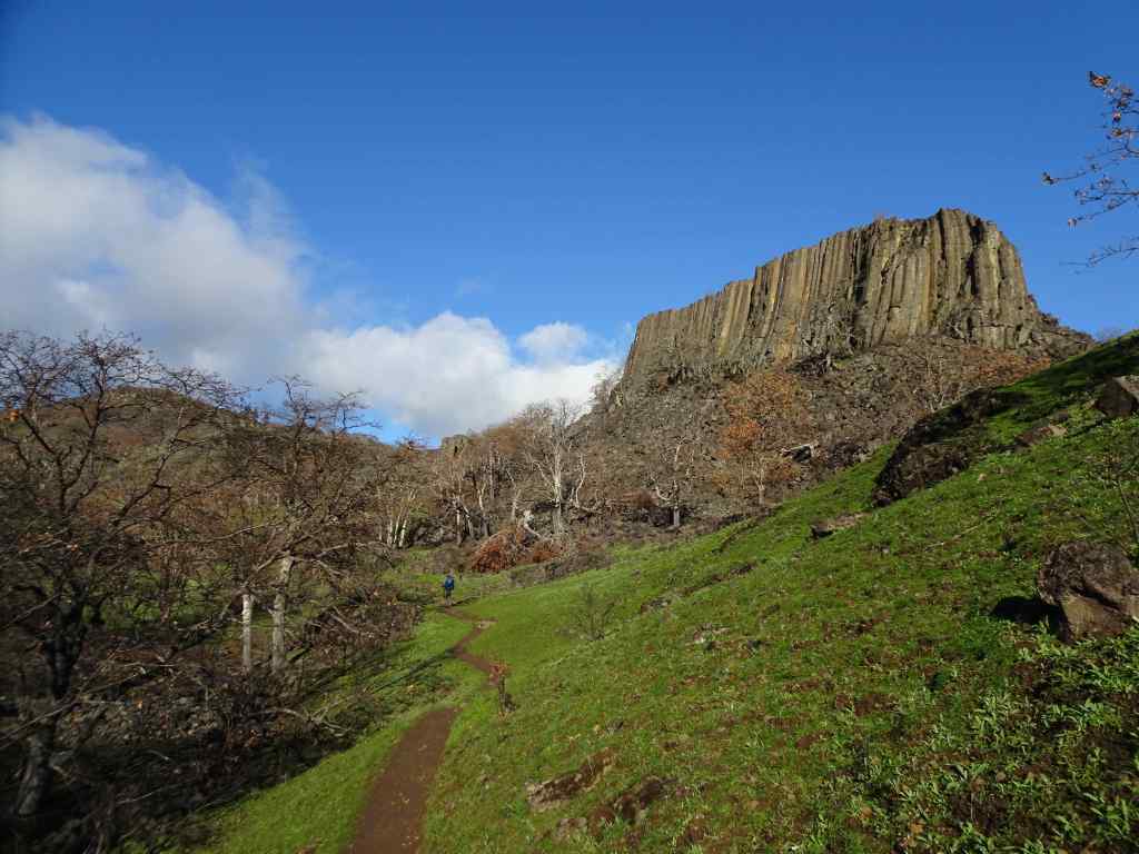
6/4 – Hiking Day – Latourell Falls, OR
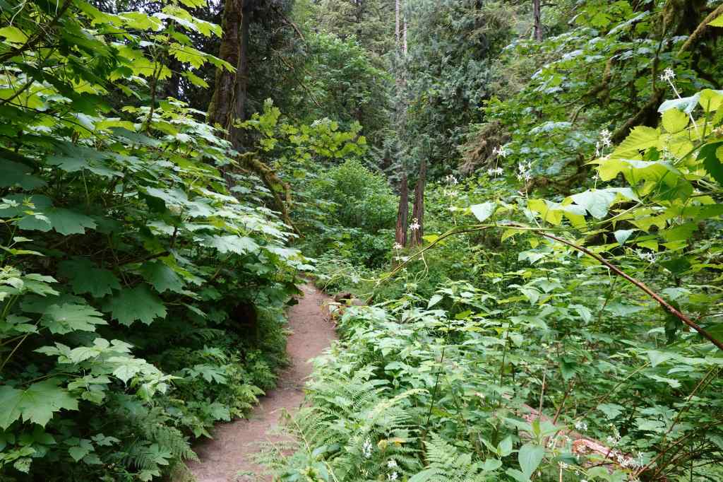
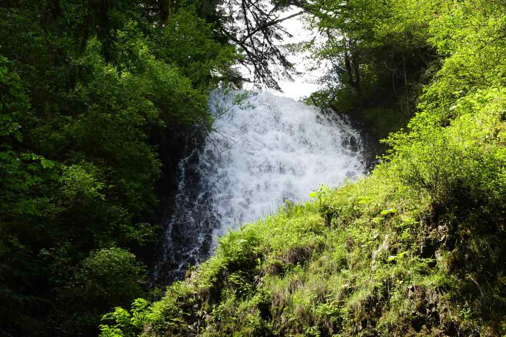
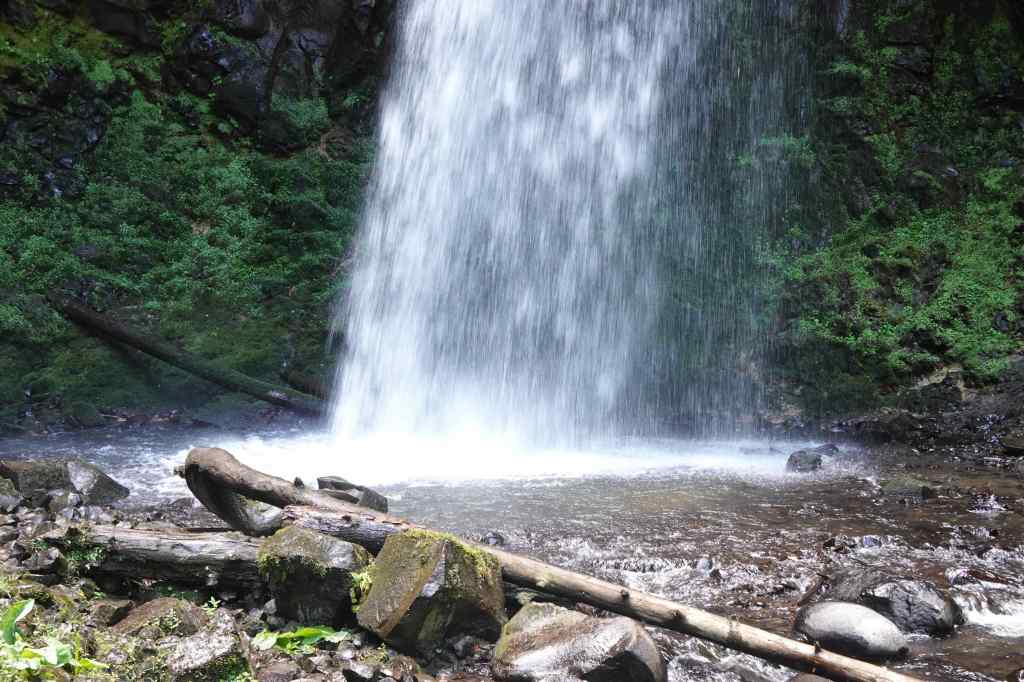
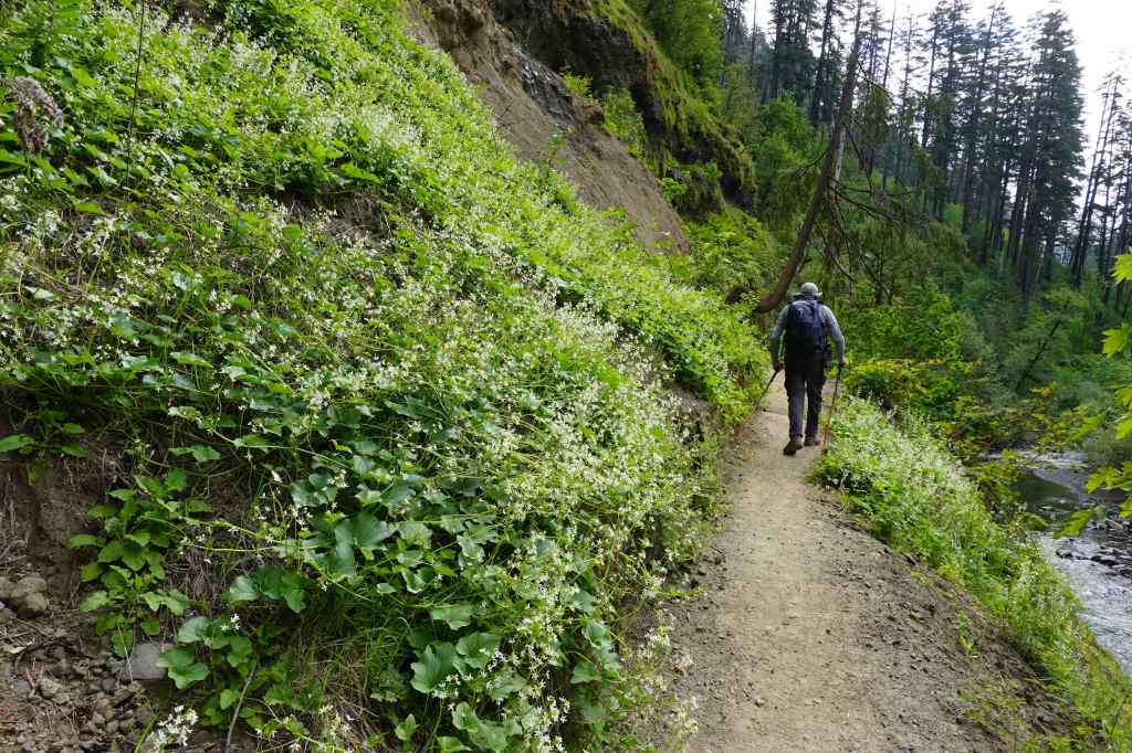
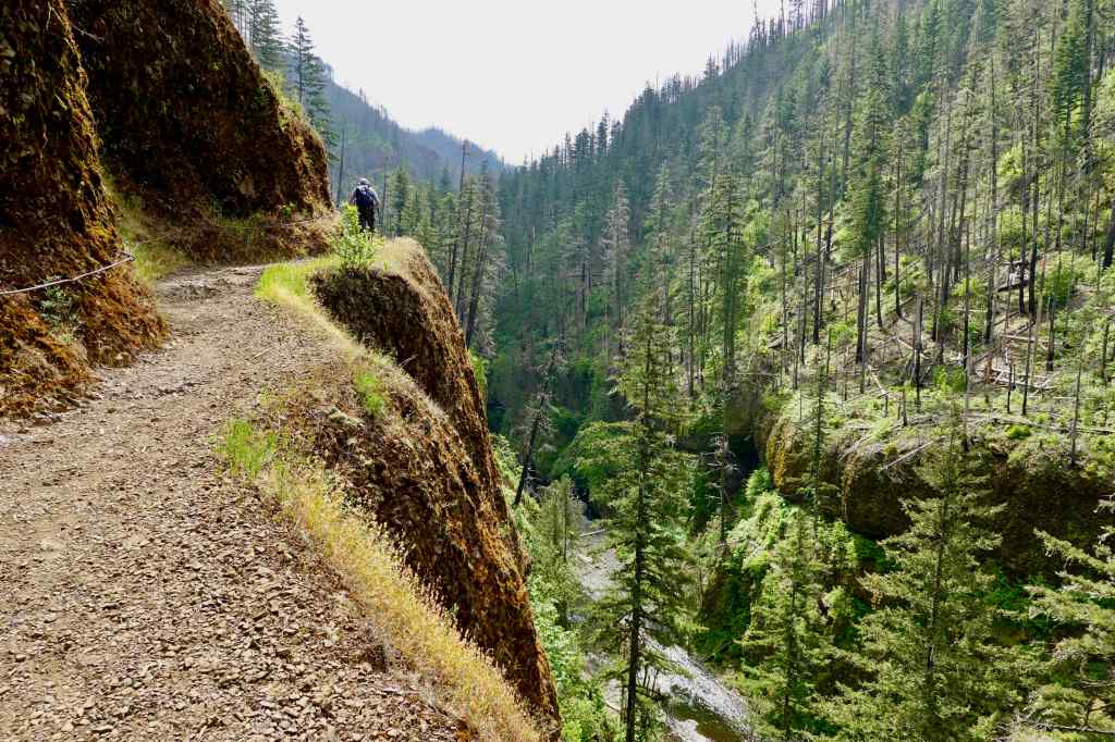
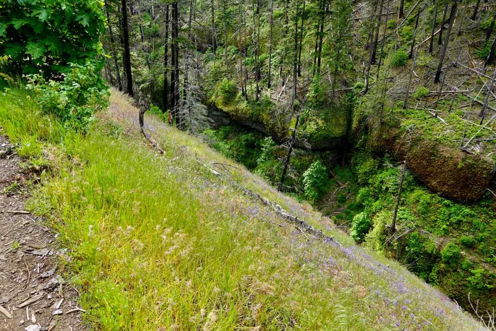
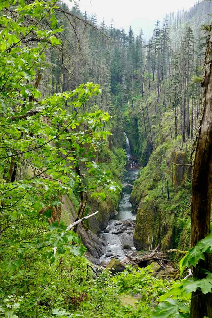
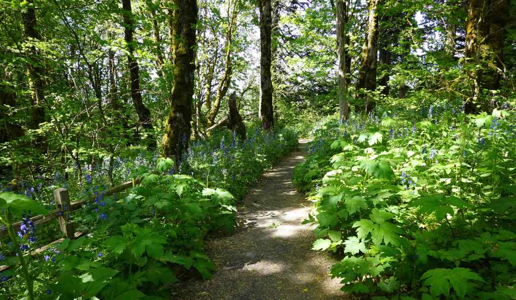
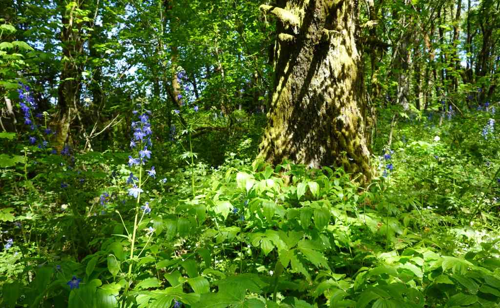
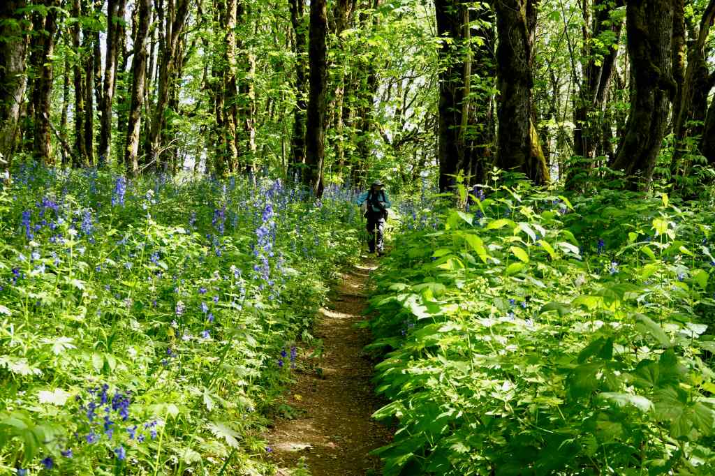
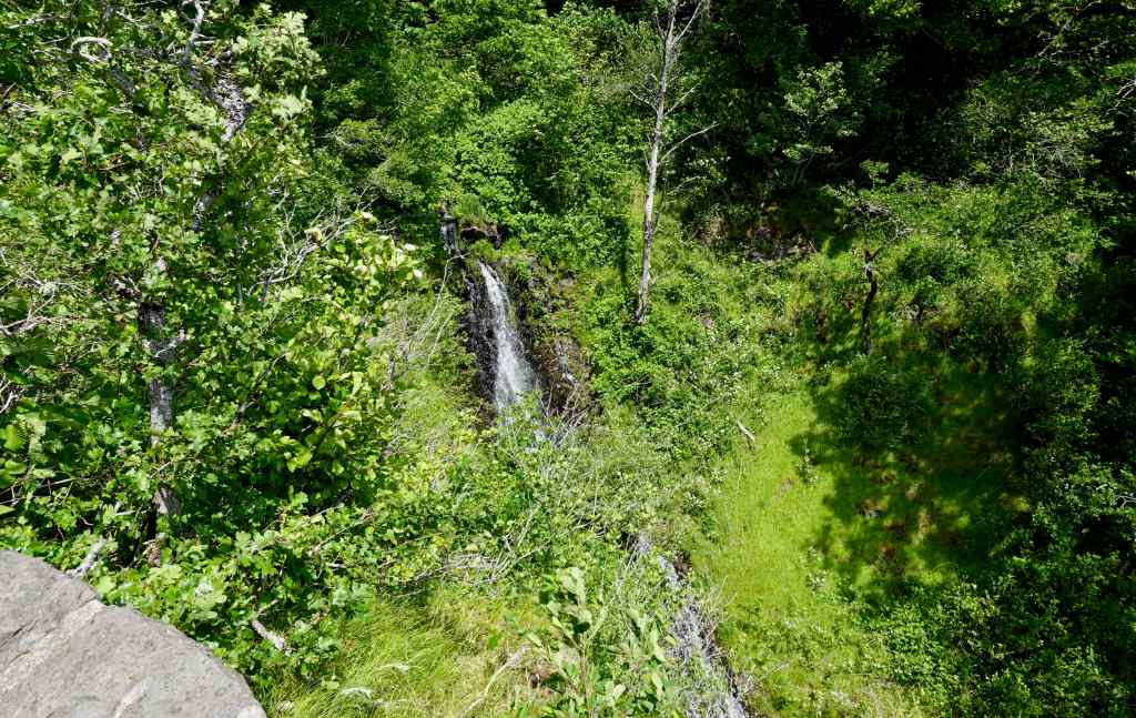
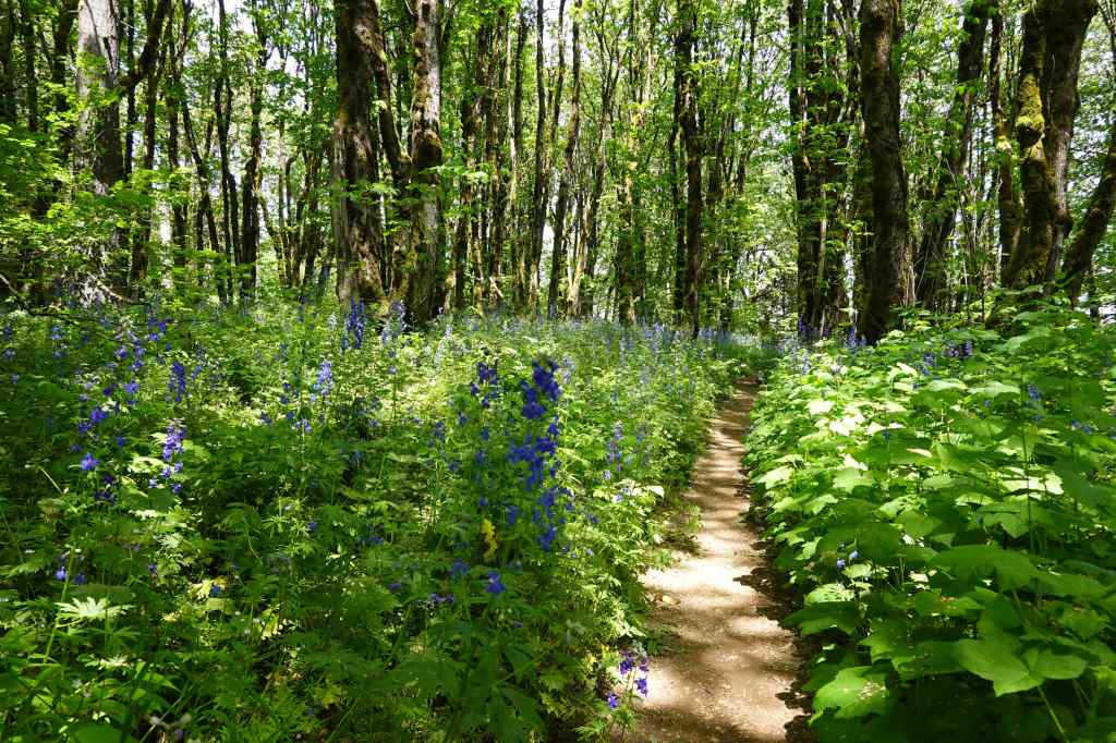
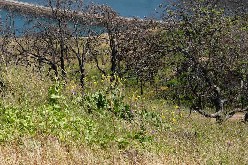
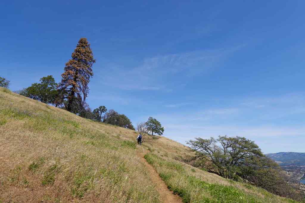
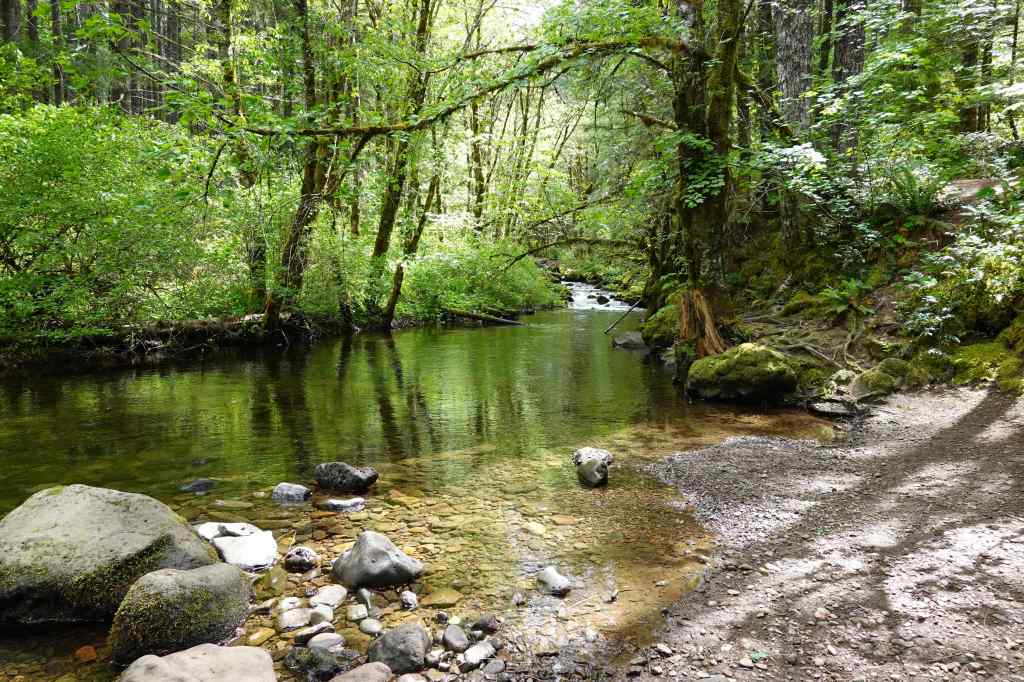
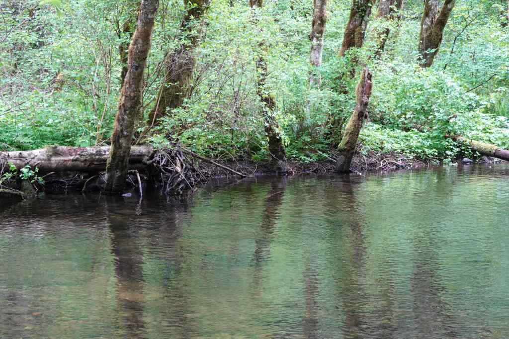
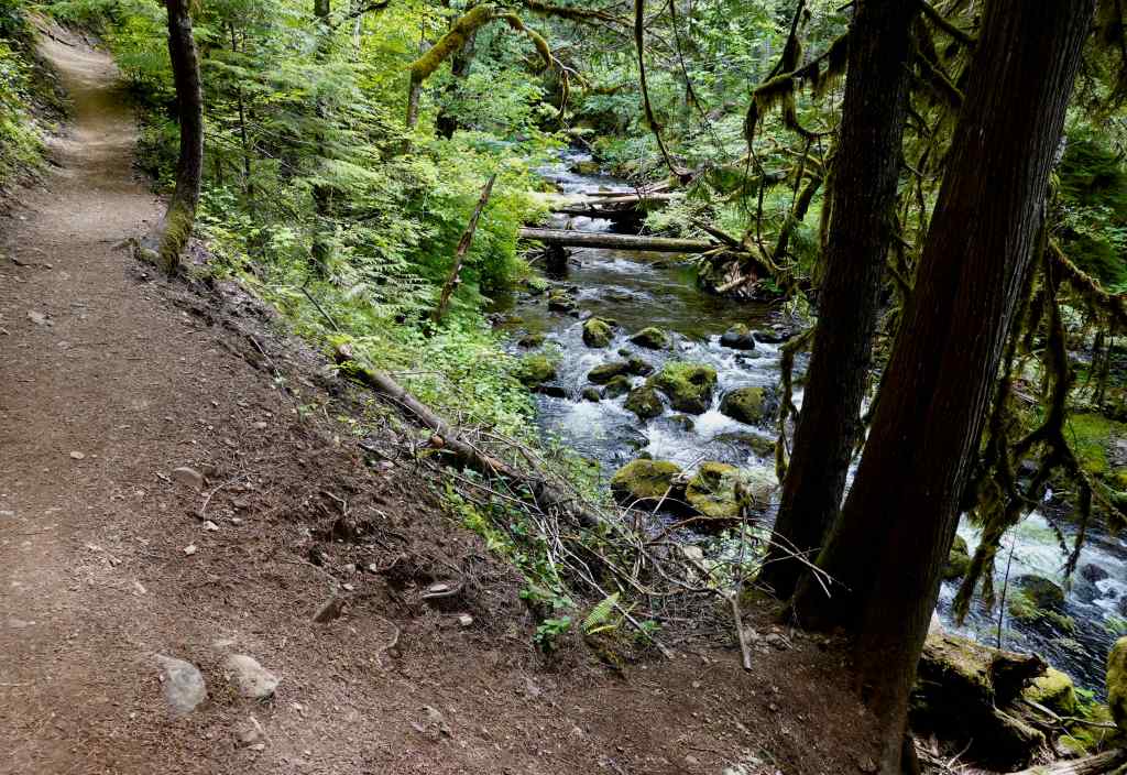
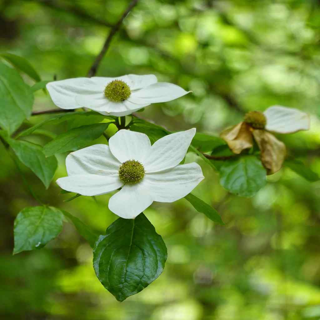
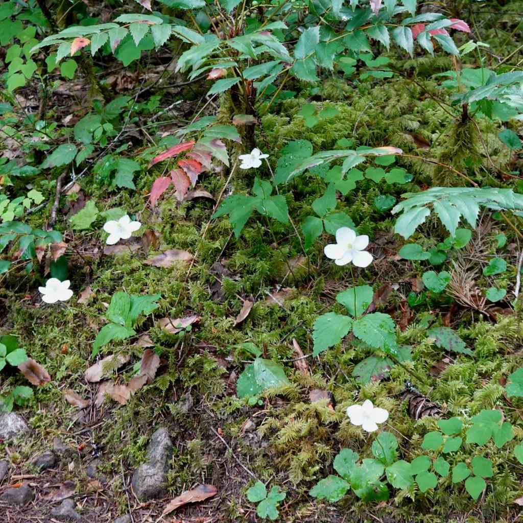
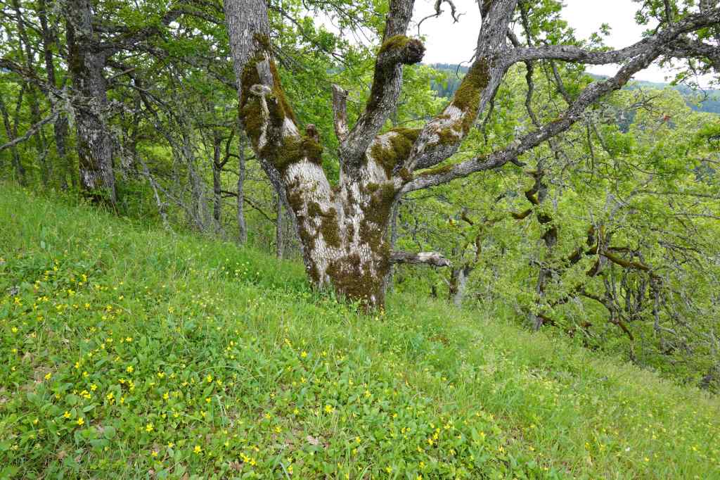
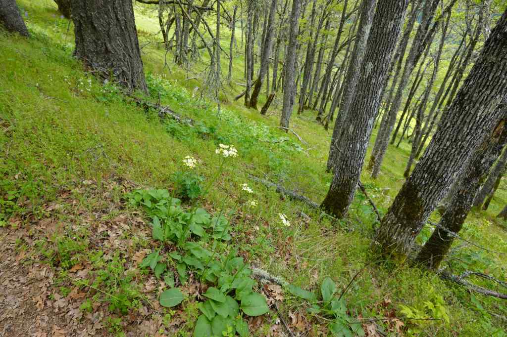
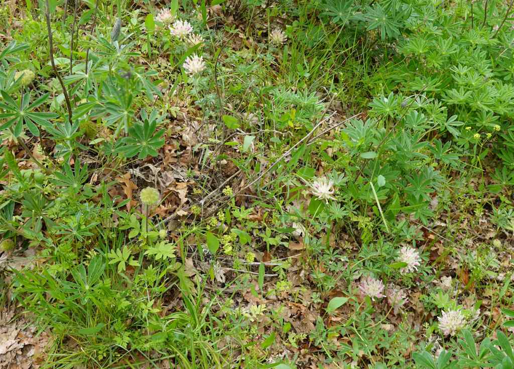
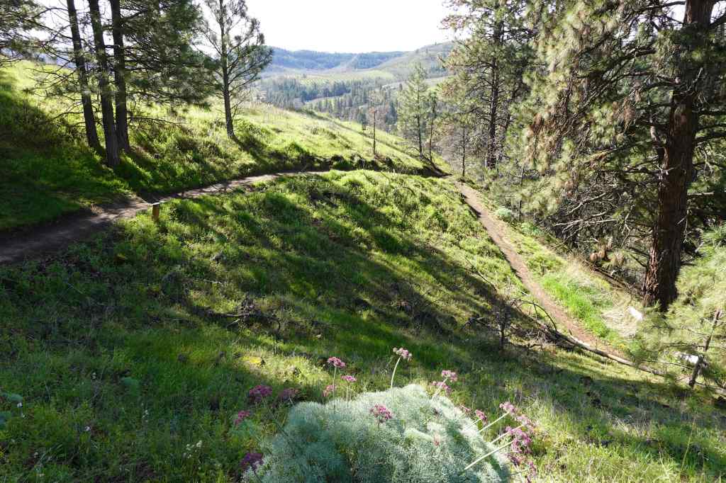
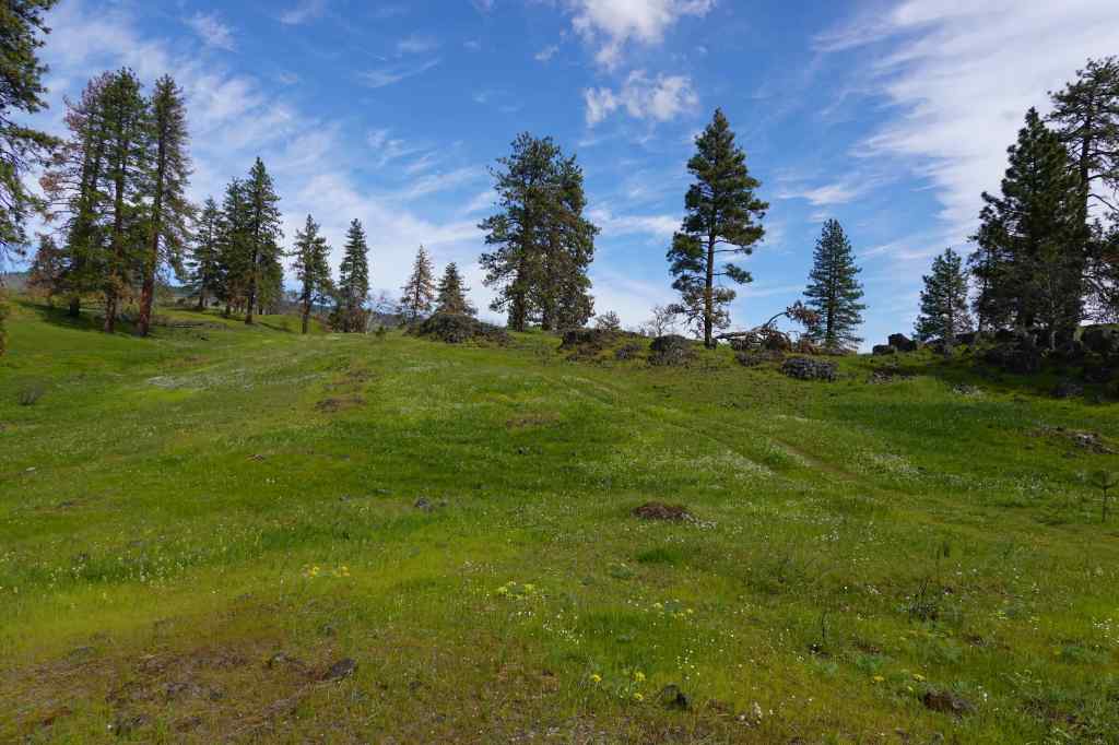
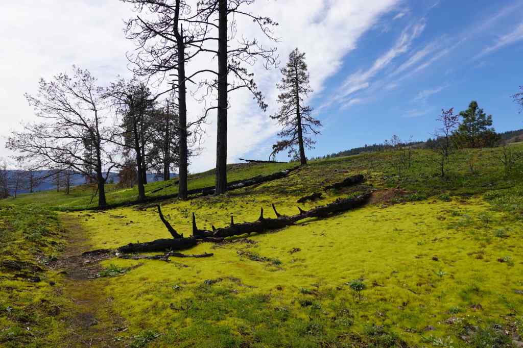
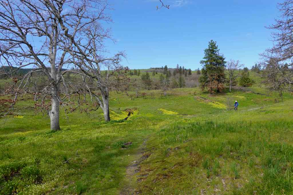
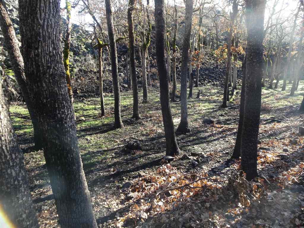
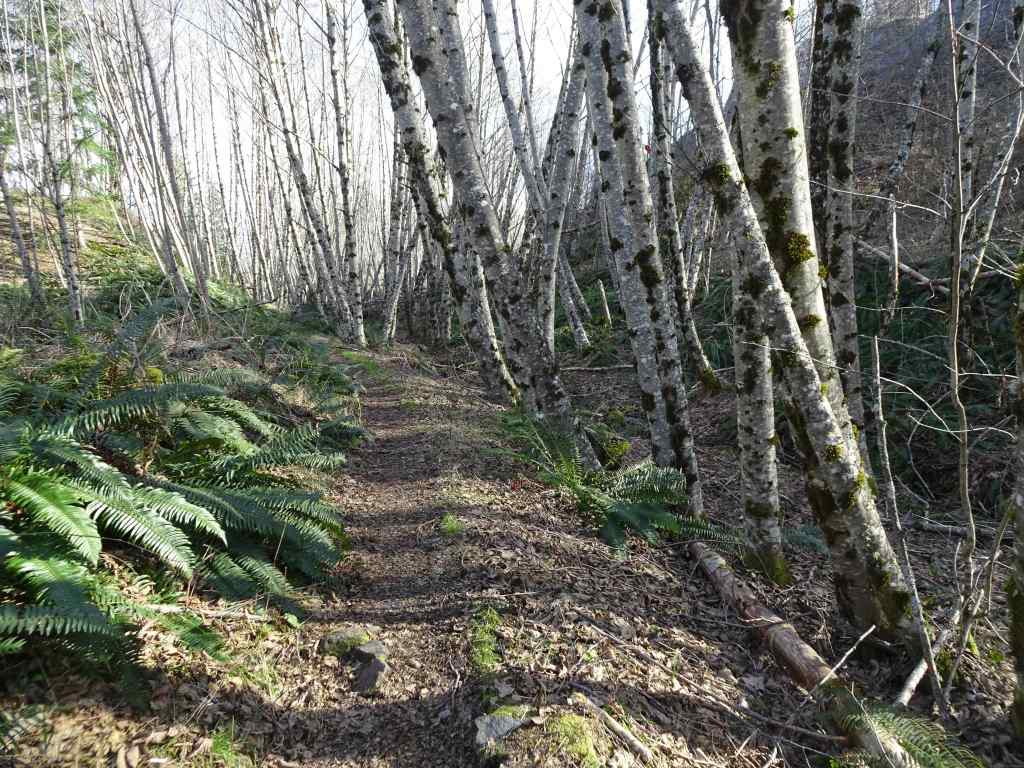
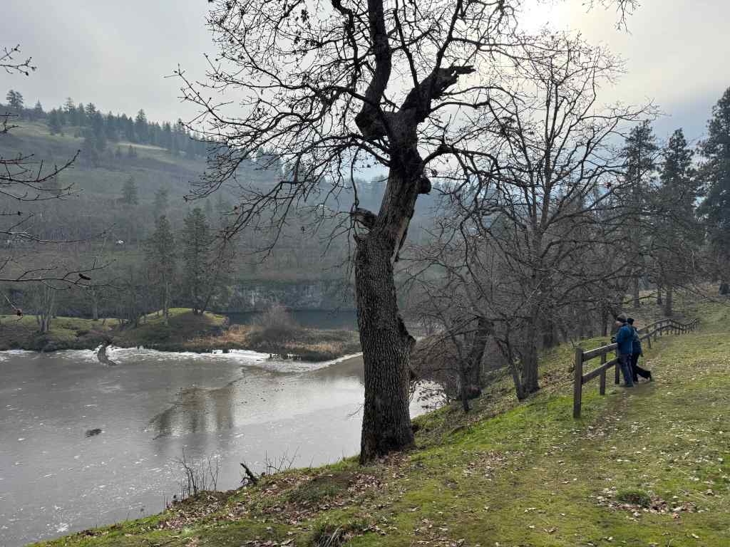
Latourell Falls is one of the easiest waterfall hikes on the Historic Columbia River Highway. I hadn’t been here for a while, but today it suited my purpose – not too steep, as I regain my stamina (2.5 miles, 560 feet). It was lovely in the shady forest. We saw lots of interesting plant life along the way, and the trail was relatively quiet once we hiked past the crowded viewpoint of the Lower Falls.
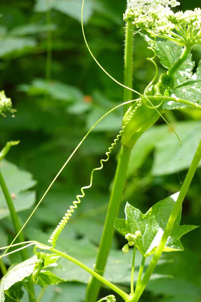
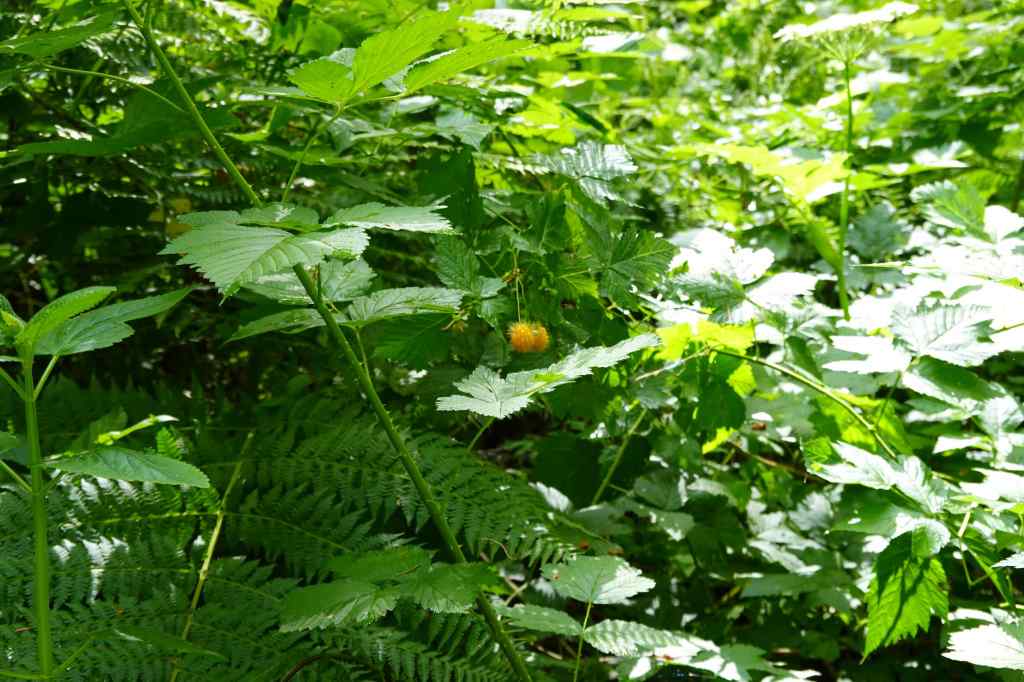
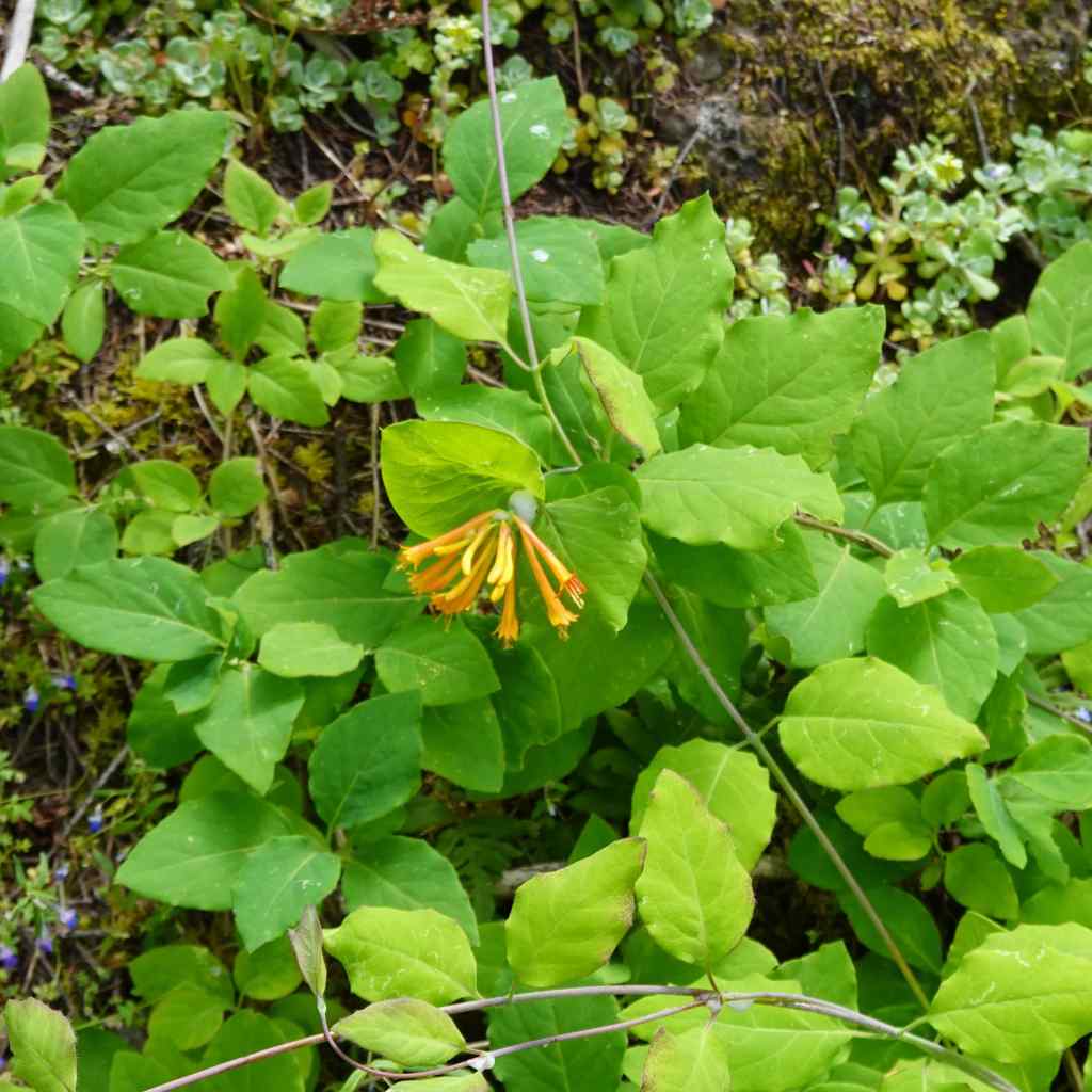
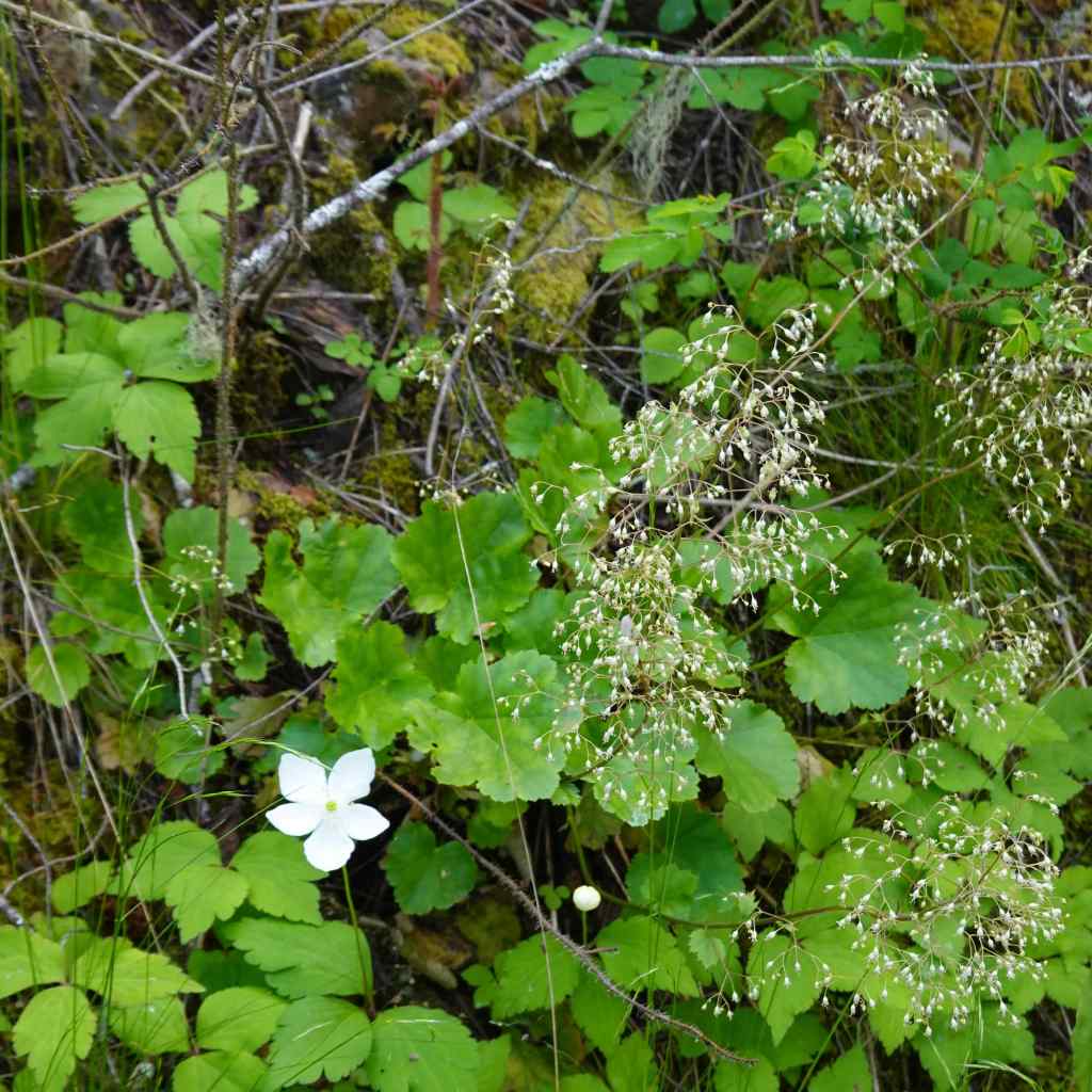
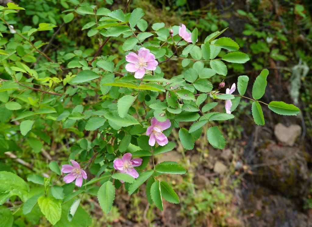
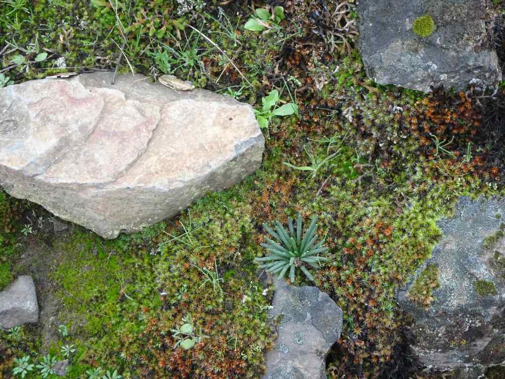
Lower Latourell Falls, 224 feet drop.Typical trail view through the shady forest.Manroot vine tendrils.Manroot flowers, tendrils and leaves; and avens flowers and seedheads.SalmonberriesCedar and fern
Eventually, we reached the Upper Falls, and found a shaded lunch spot near the bridge.
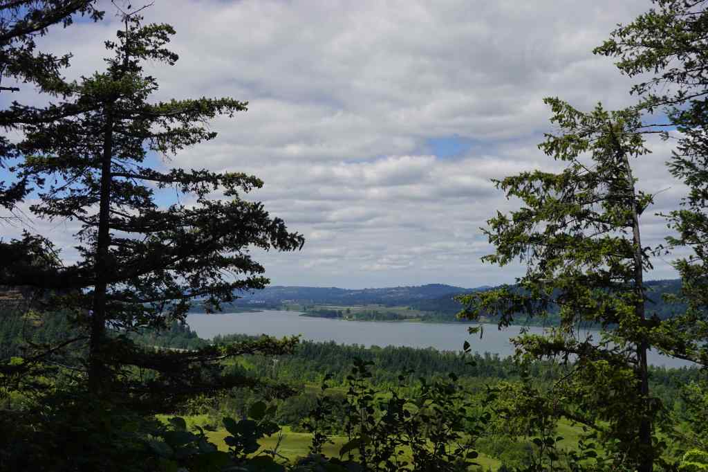
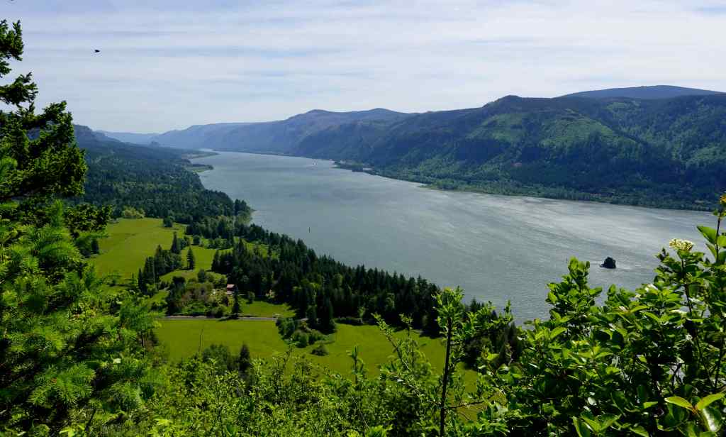
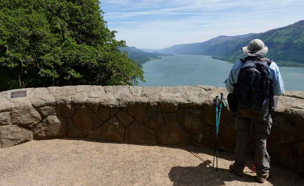
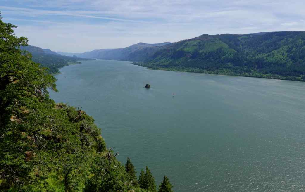
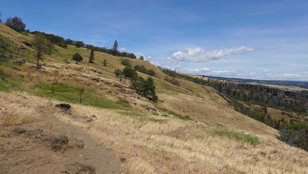
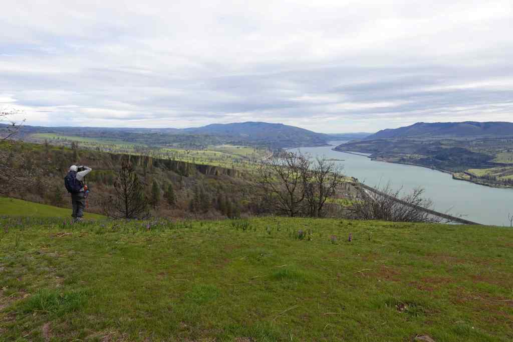
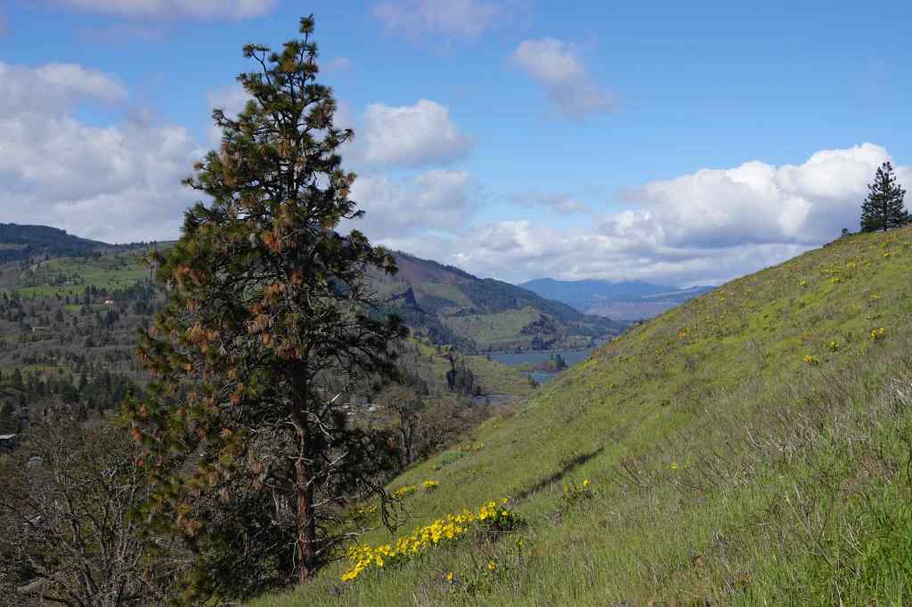
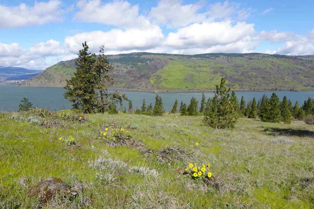
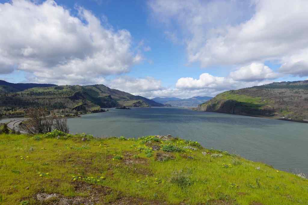
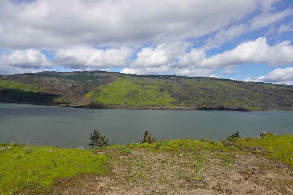
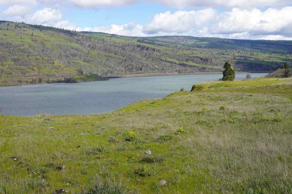
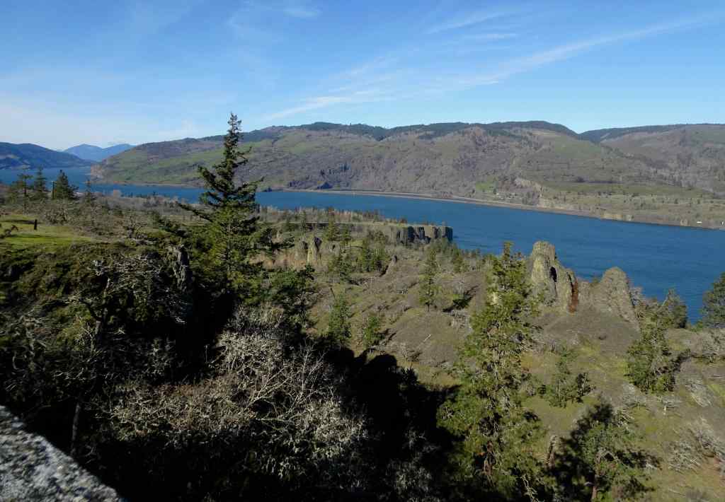
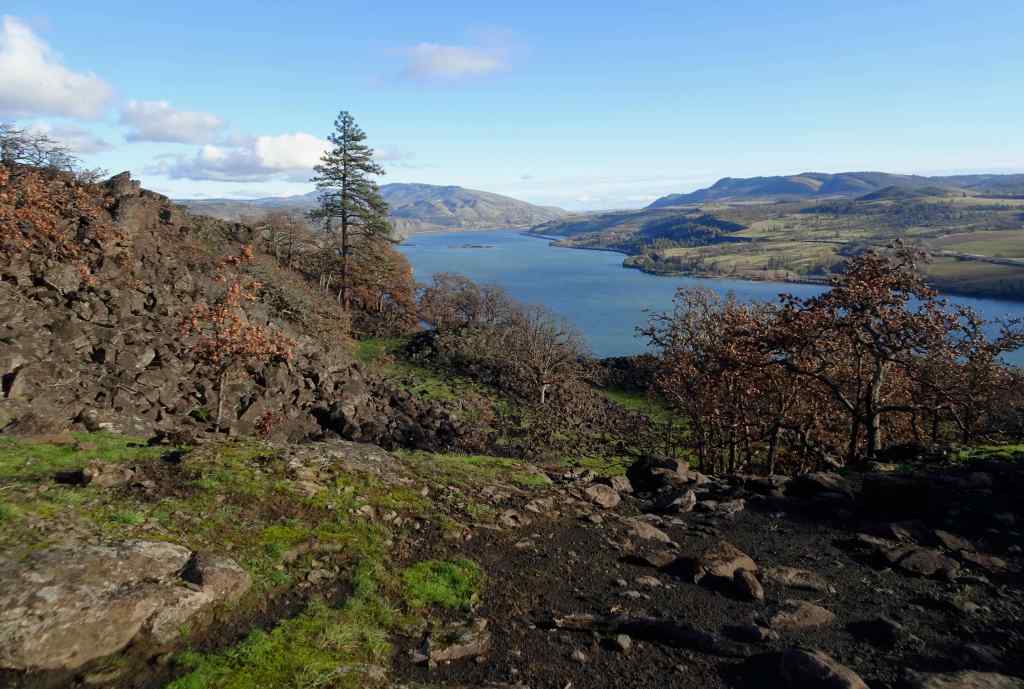
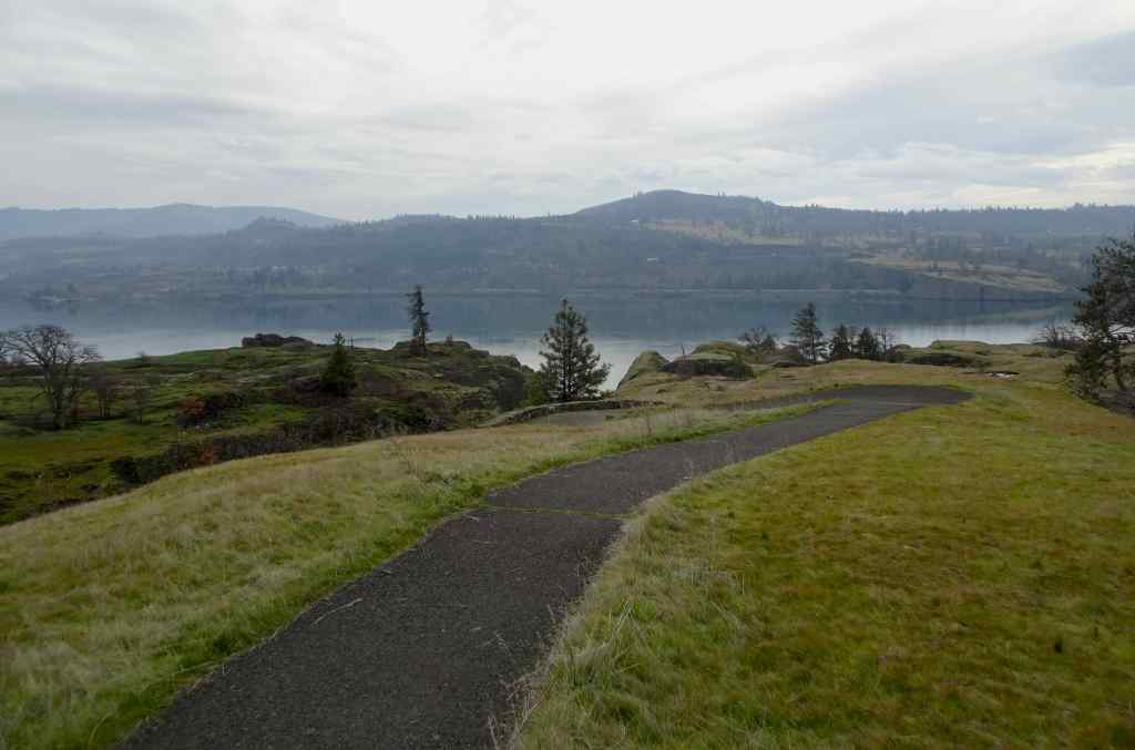
The return trail was mostly down hill, with a view point of the Columbia River Gorge near the bottom.
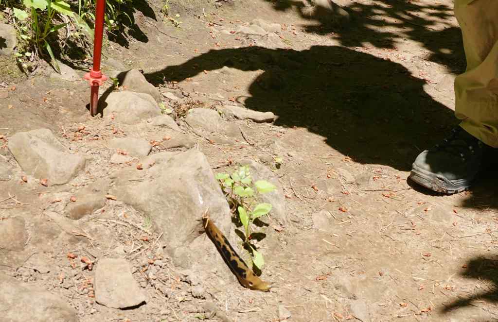
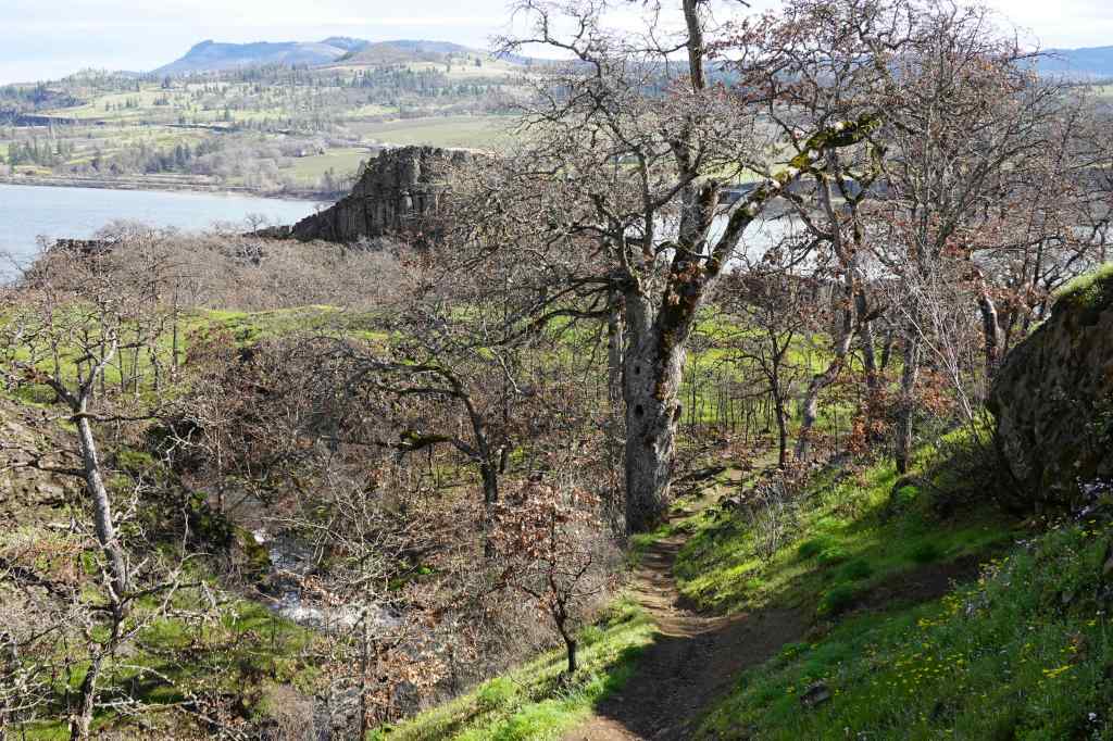
Walking under a canopy of cedar and maple.Banana slug on the trail.Upriver view toward Cape Horn, WADownriver view toward Steigerwald, WA.Back at the Lower Falls, the sun angle was not great for photography, but the columnar basalts and lichen stand out nicely.
6/13 – World Wide Knit In Public Day and other knitting
My knitting group went to Laurelhurst Park and knit in a shady area for a while. (I forgot to take a photo.) Meanwhile, I finished a pair of socks and a market bag this month, and started new socks and a cardigan.
Wooladdicts SocksIlene Bag, Linello yarnNew socks using leftovers of Zauberball Crazy.Slant on Nature cardigan, in progress, Juniper Moon Cumulus yarn.
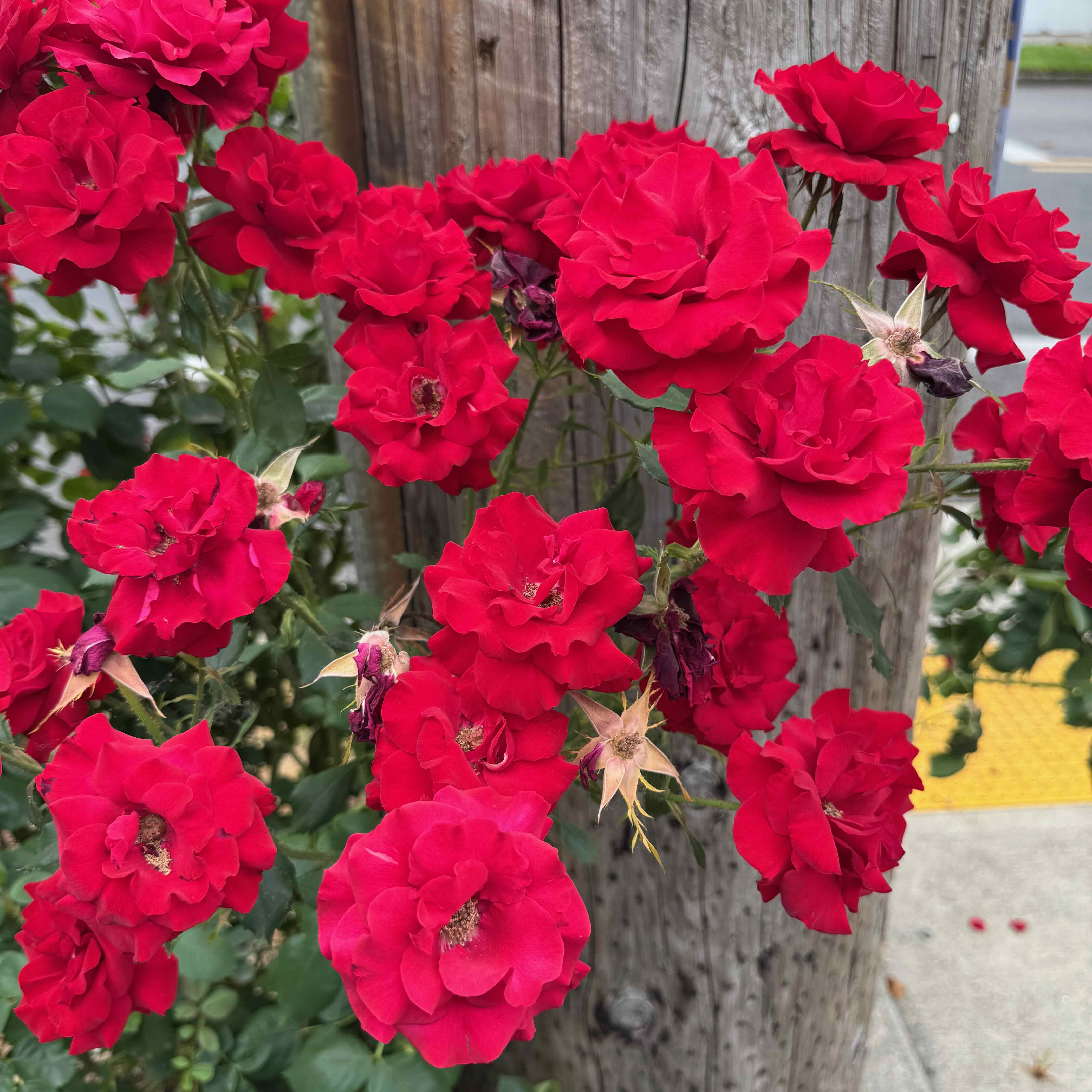
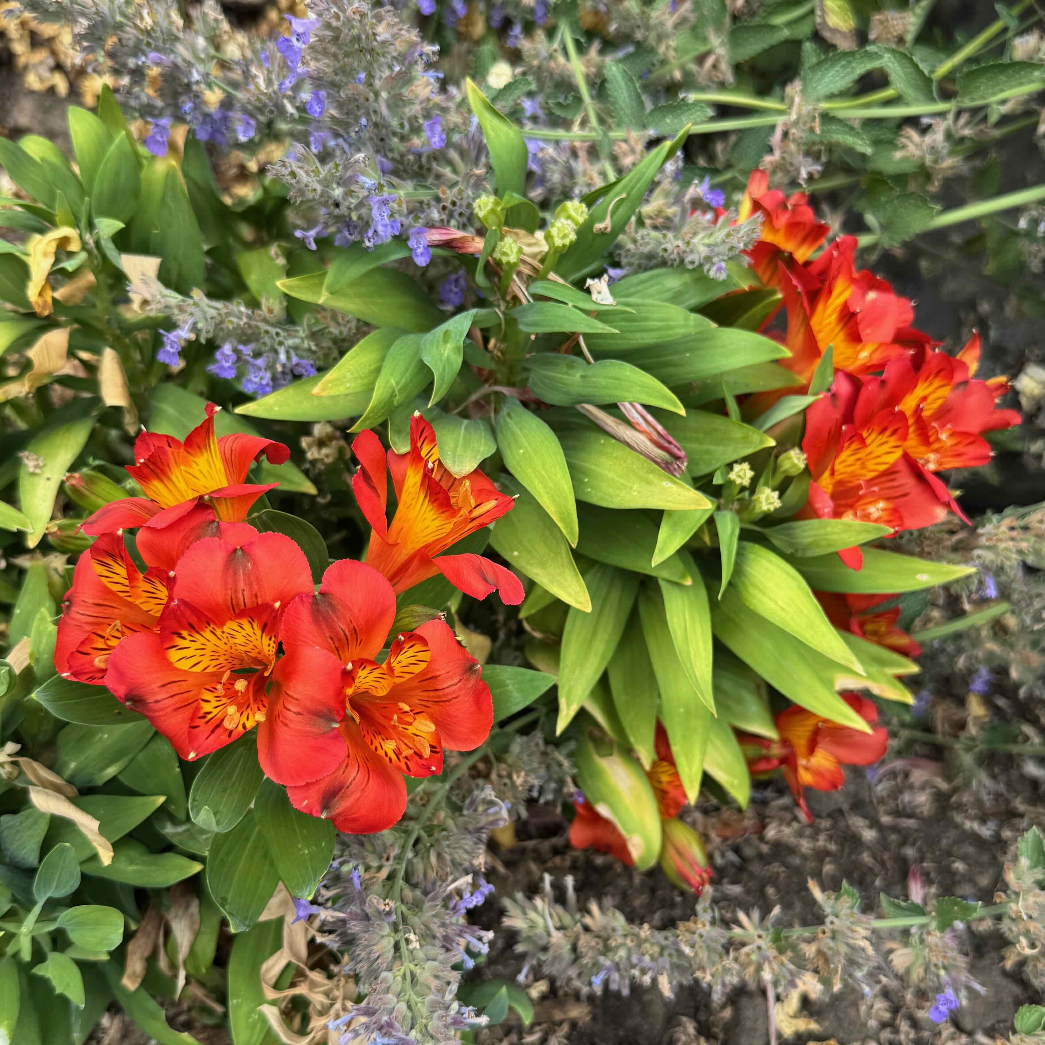
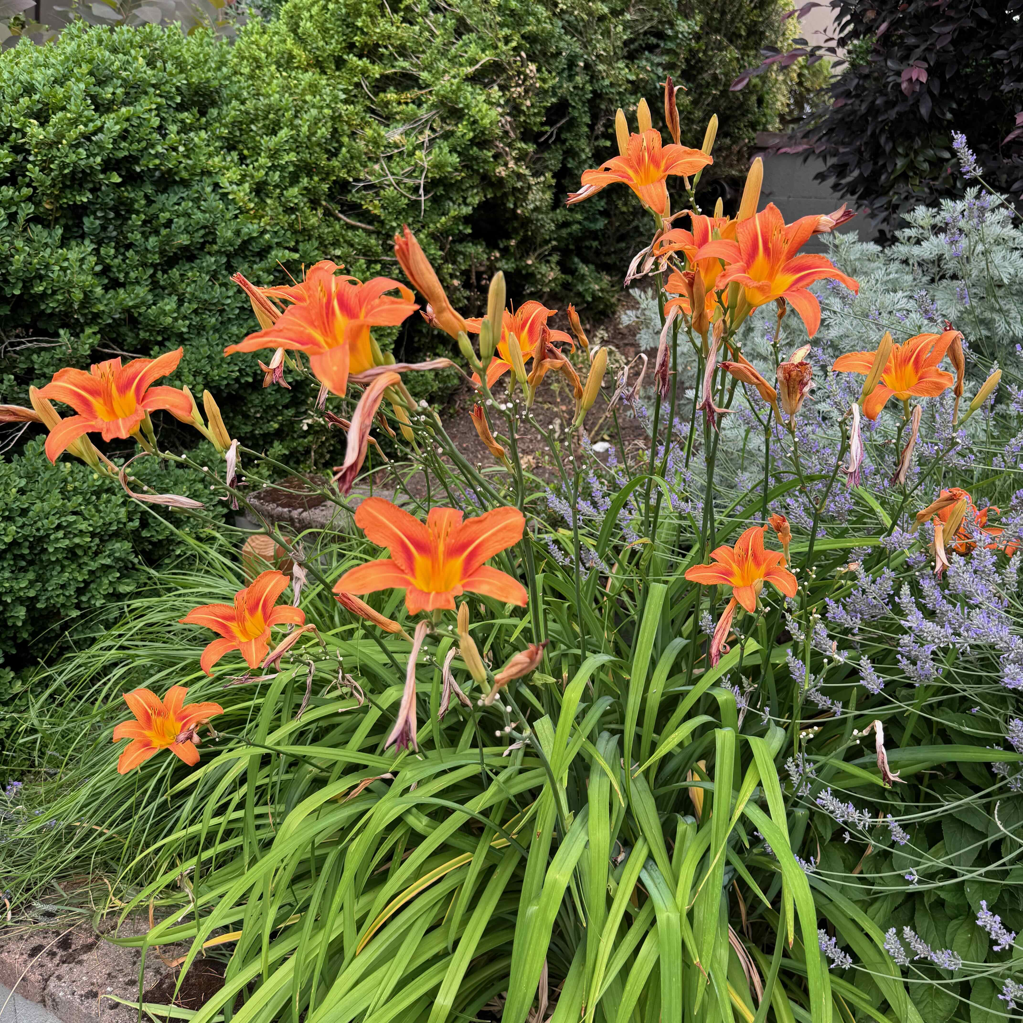
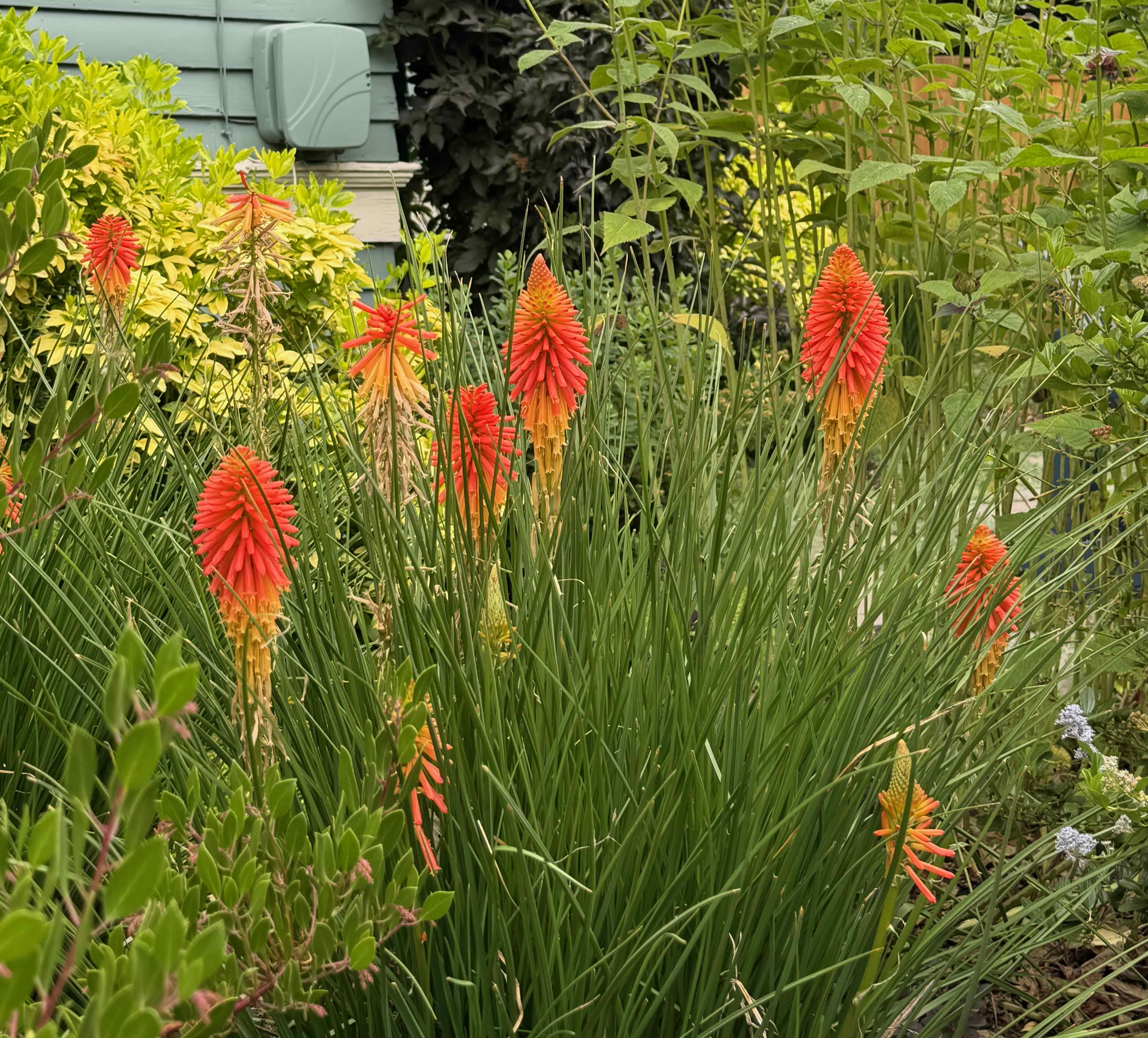
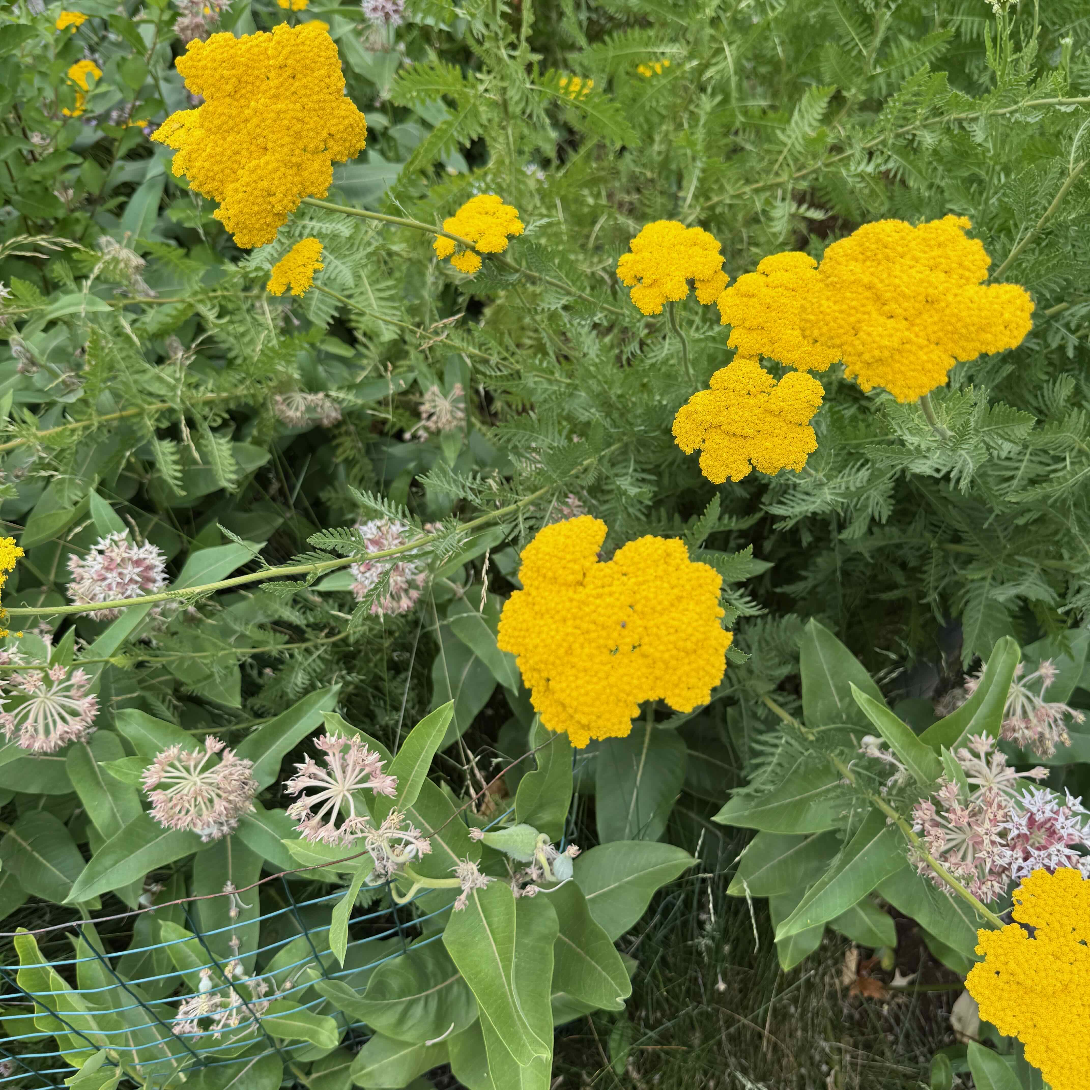
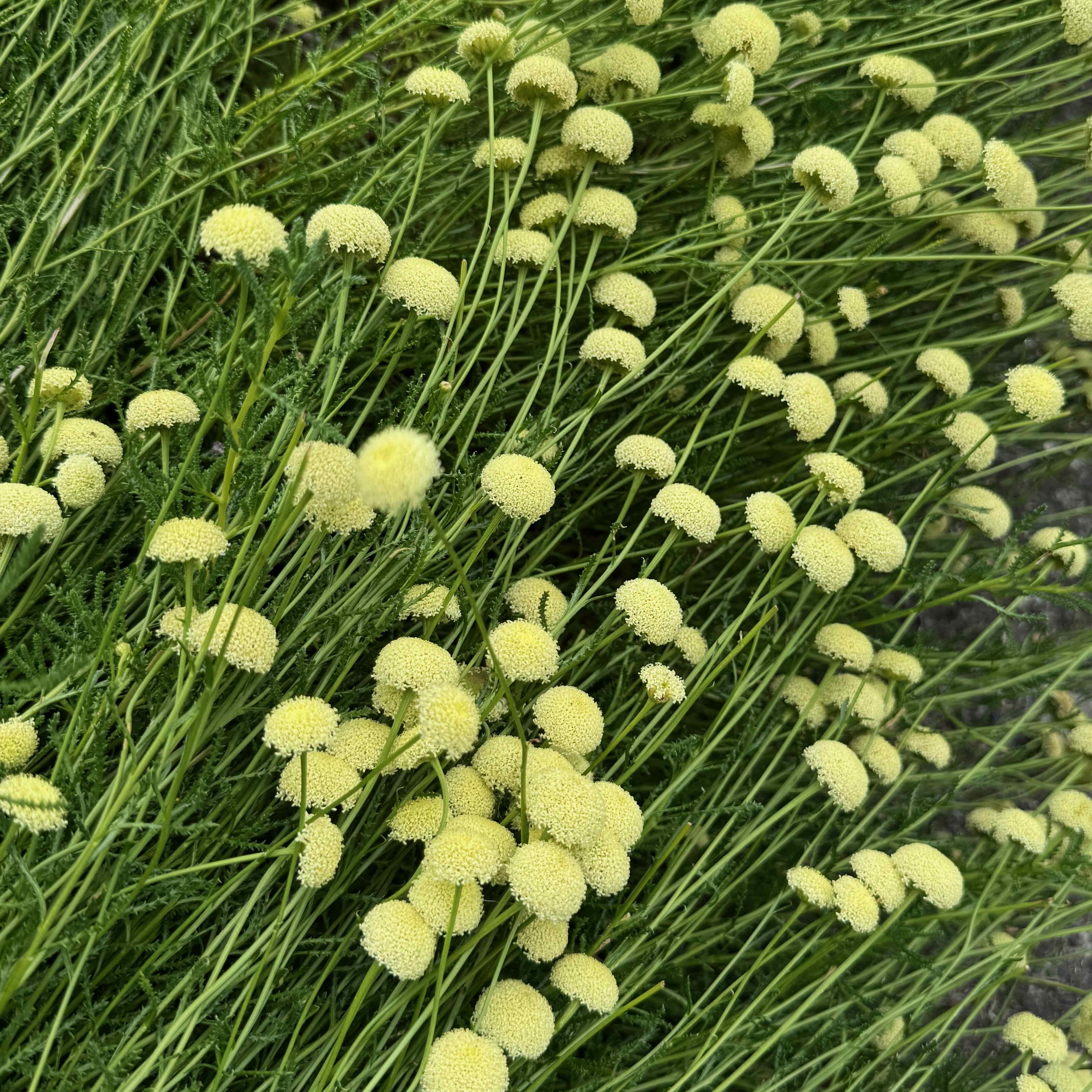
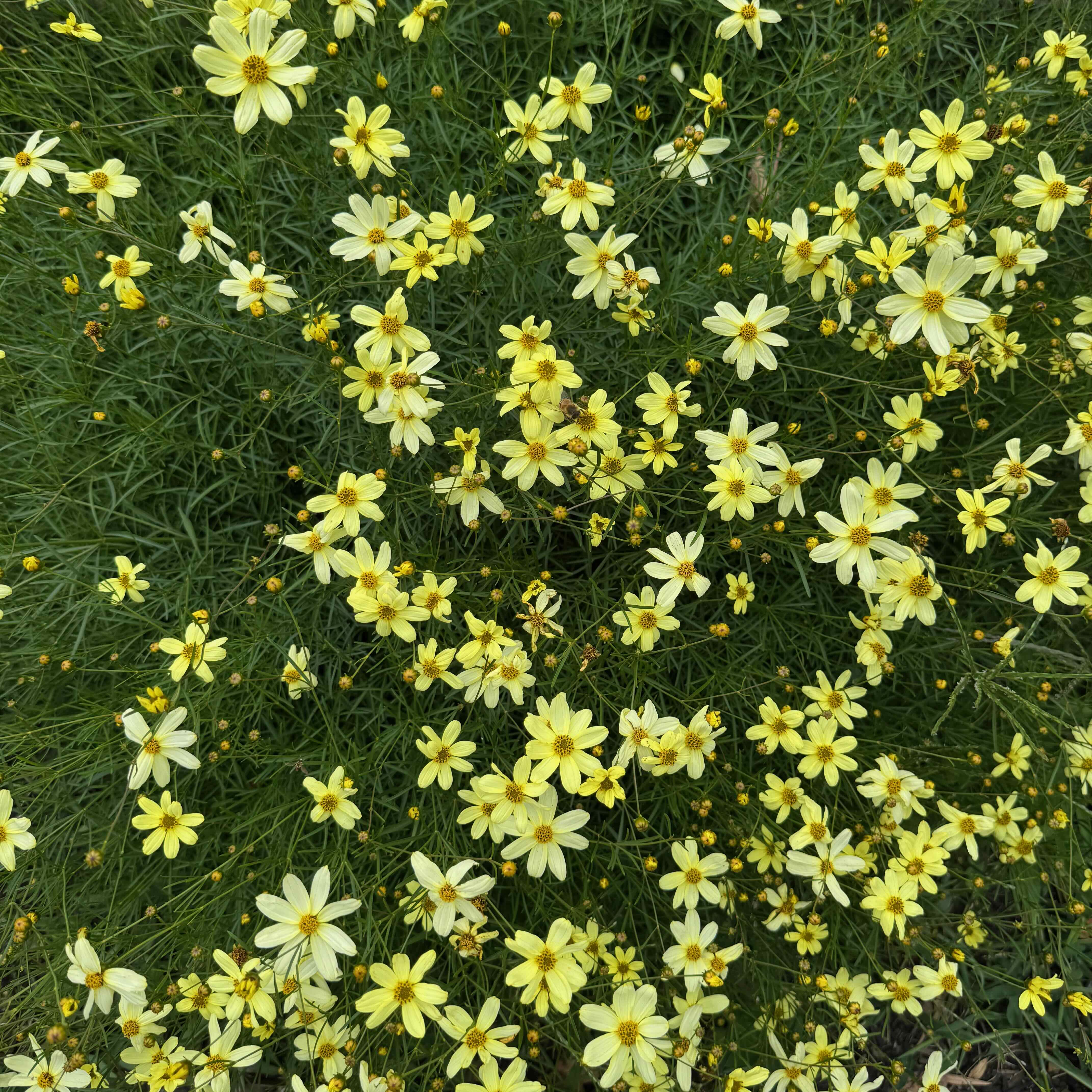
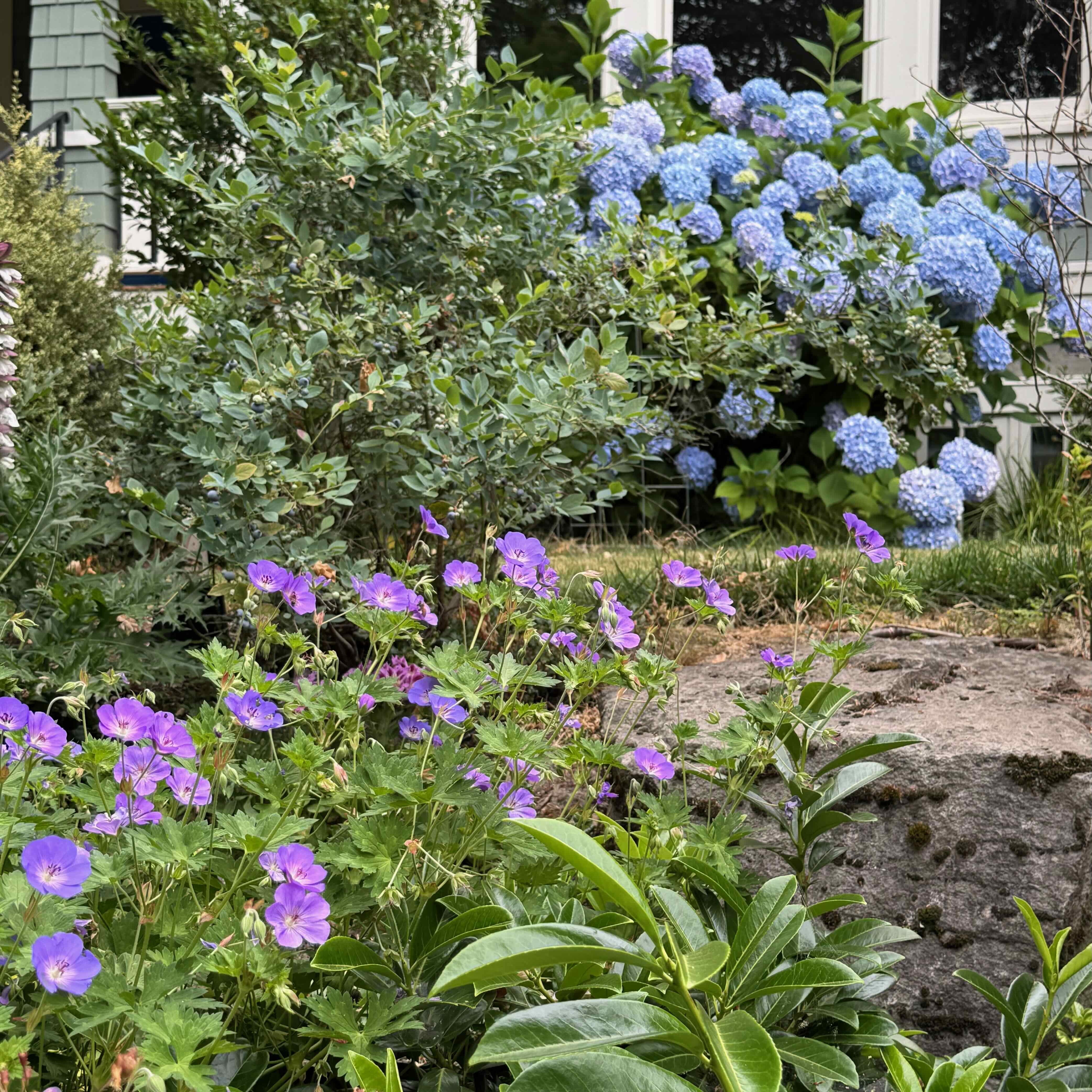
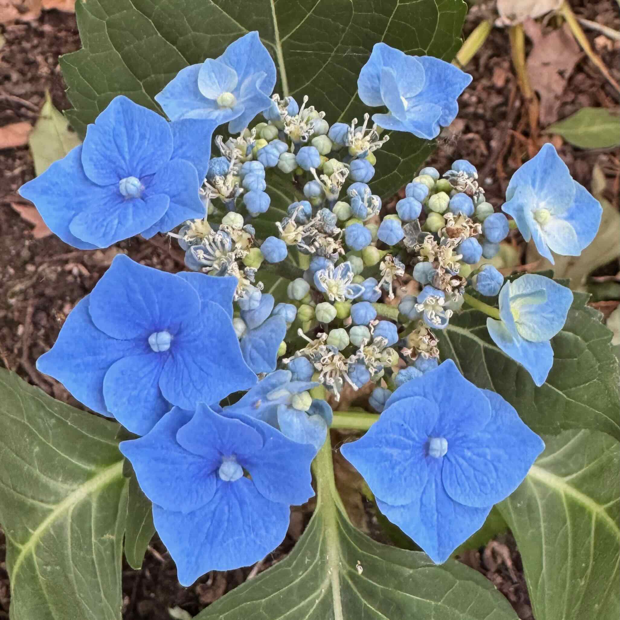
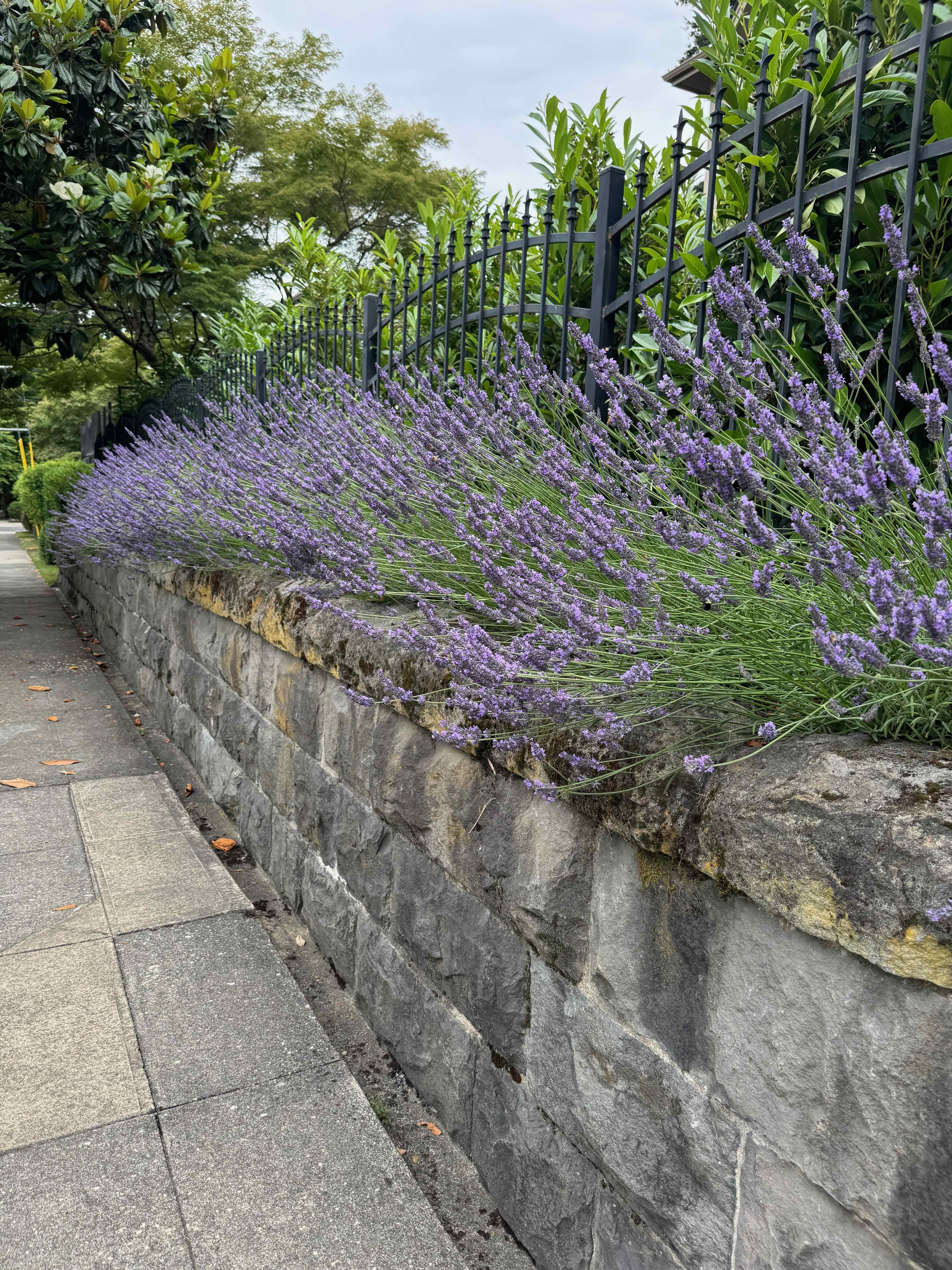
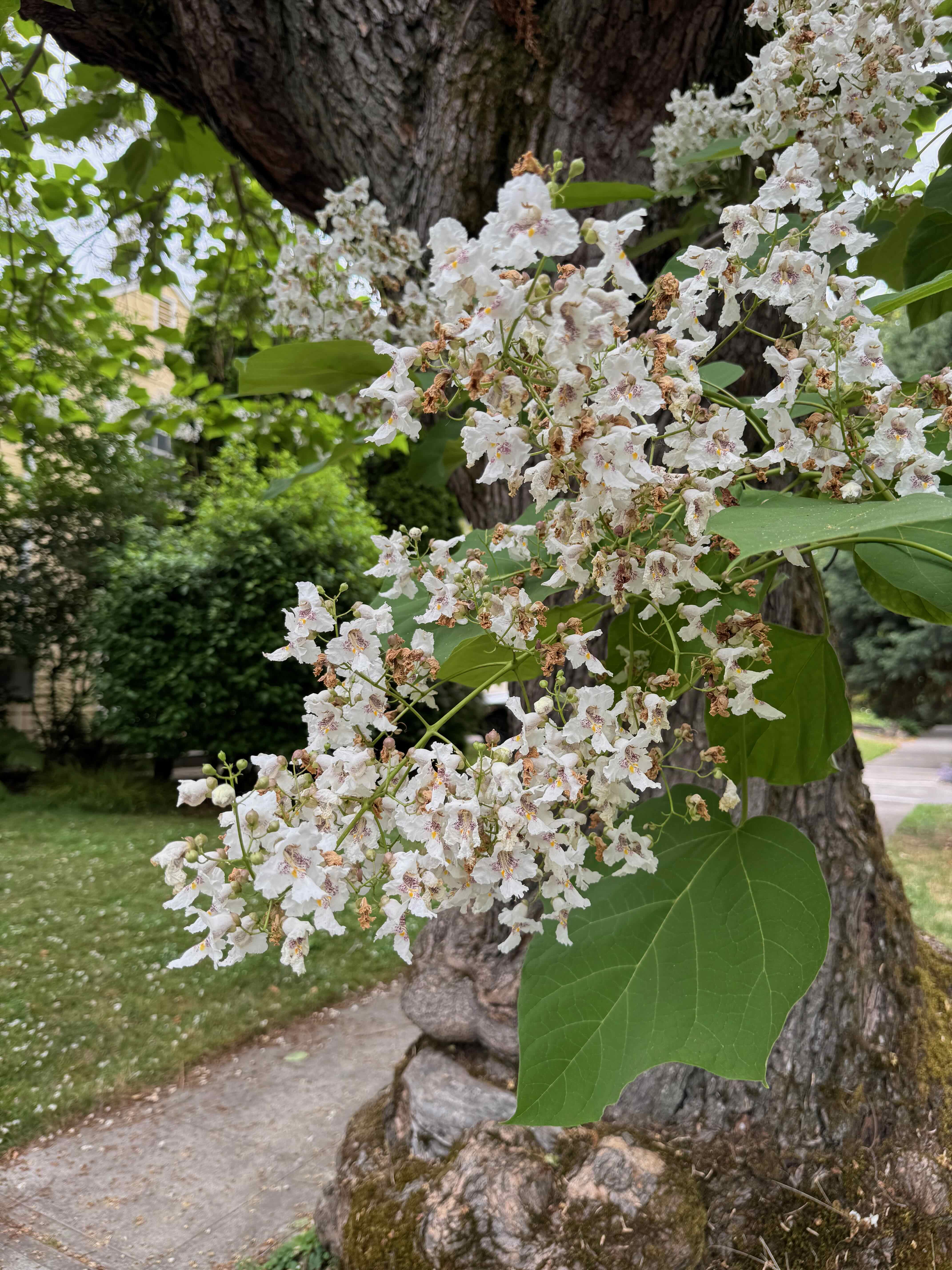
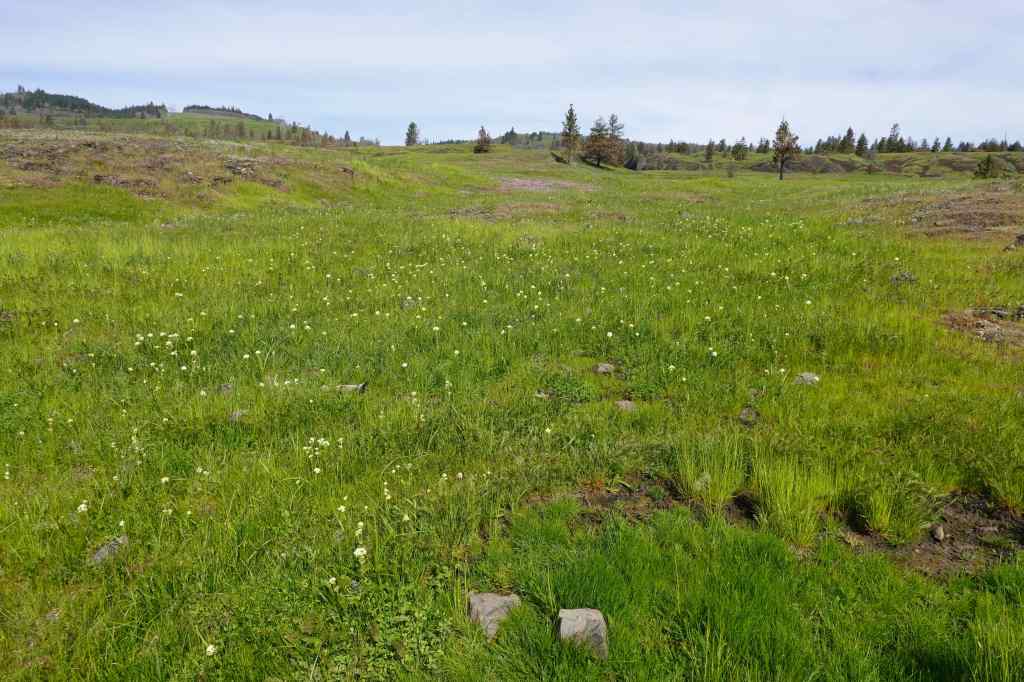
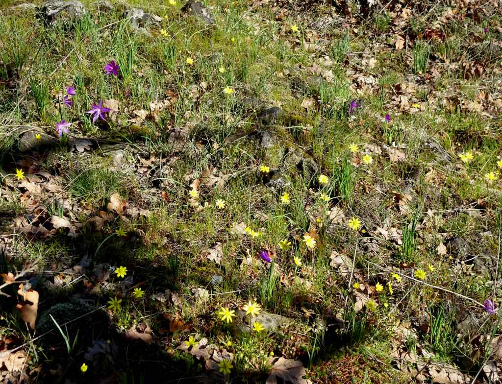
6/25 – Rainbow neighborhood walk
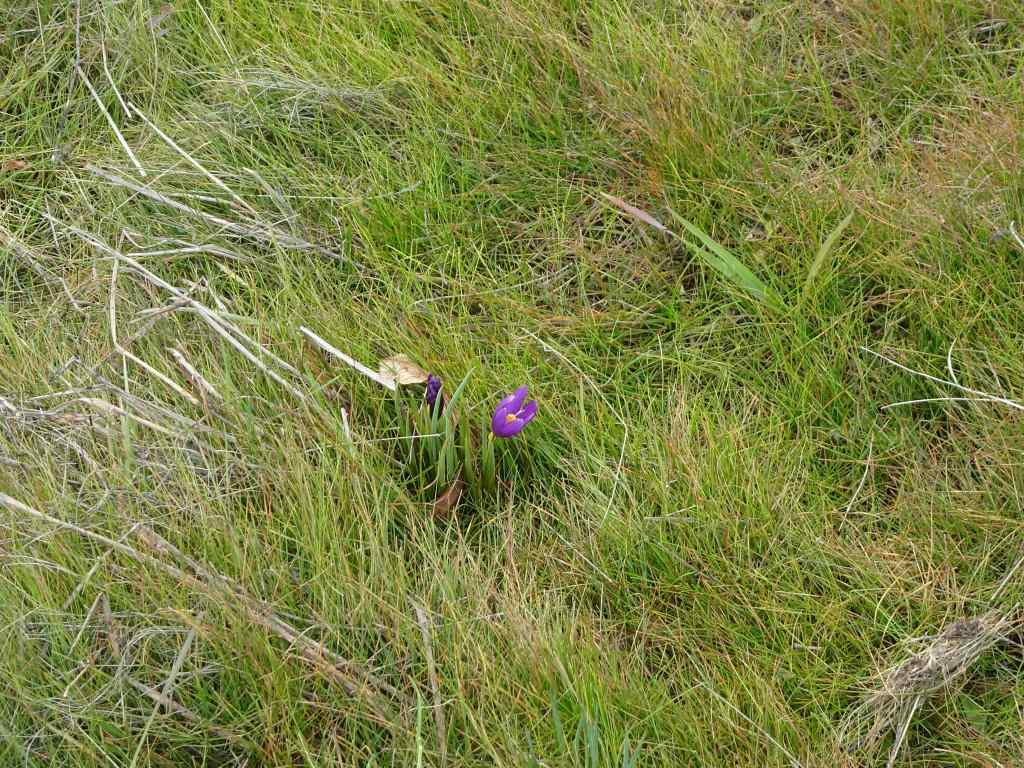
This time of year, when my neighborhood is so colorful with blooming plants, I like to take a rainbow photo walk.
Reading –
I finished reading nine books in June, with only one in the Jane Austen adjacent category. I read two more D.E. Stevenson novels, and two by Molly Clavering – mid-20th century Scottish writers of ‘domestic’ fiction – about people in small villages, with lots of descriptions of the natural surroundings.
June 2026 books
Garden –
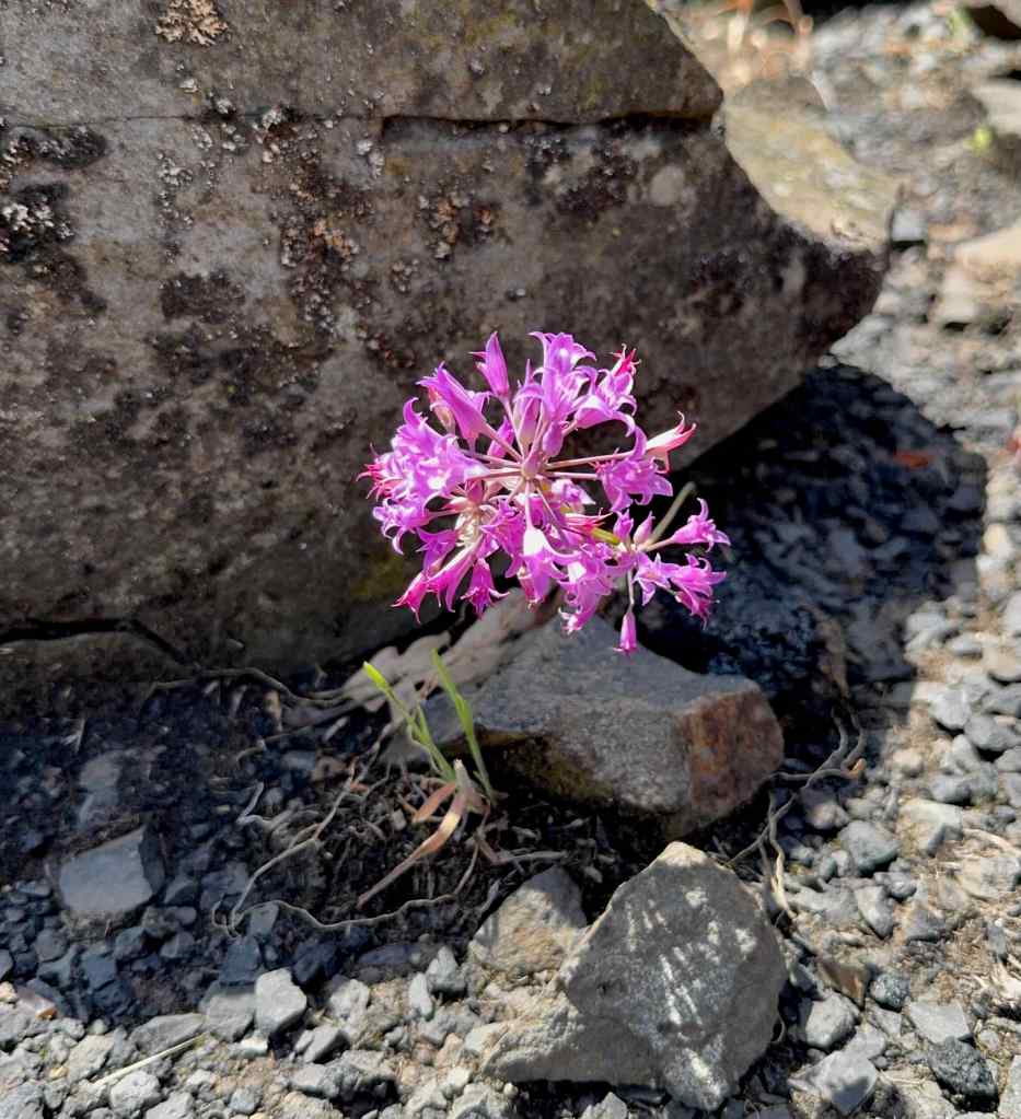
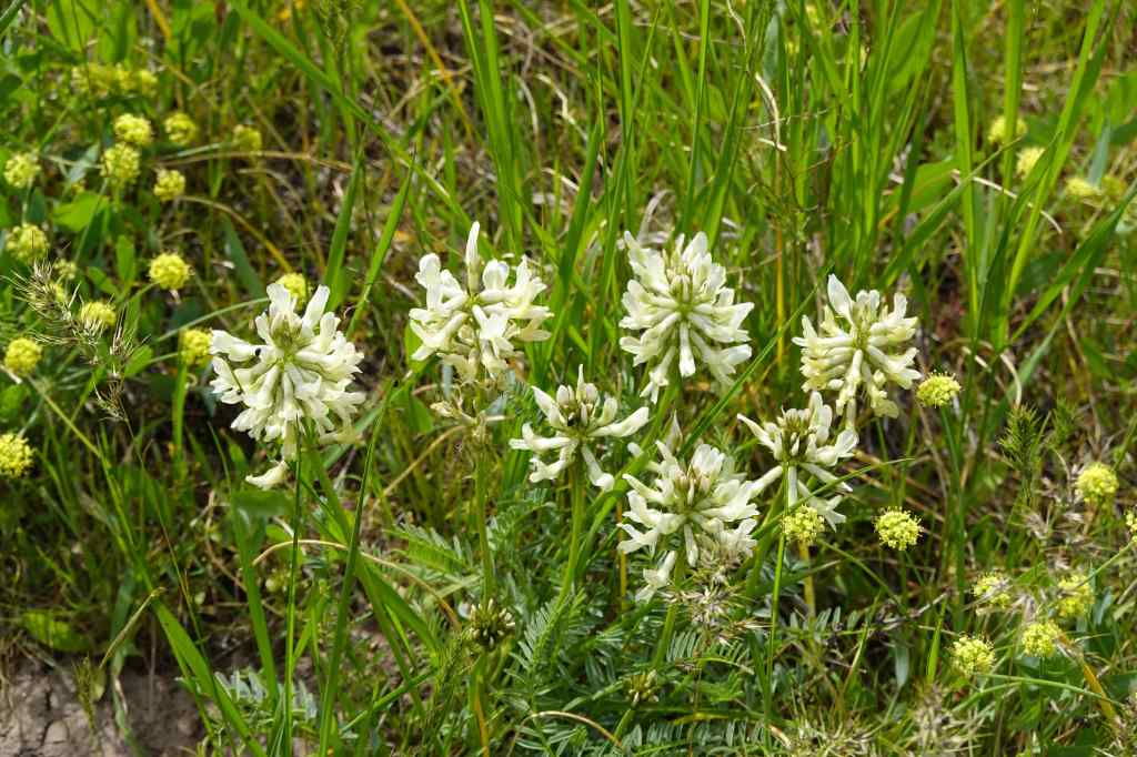
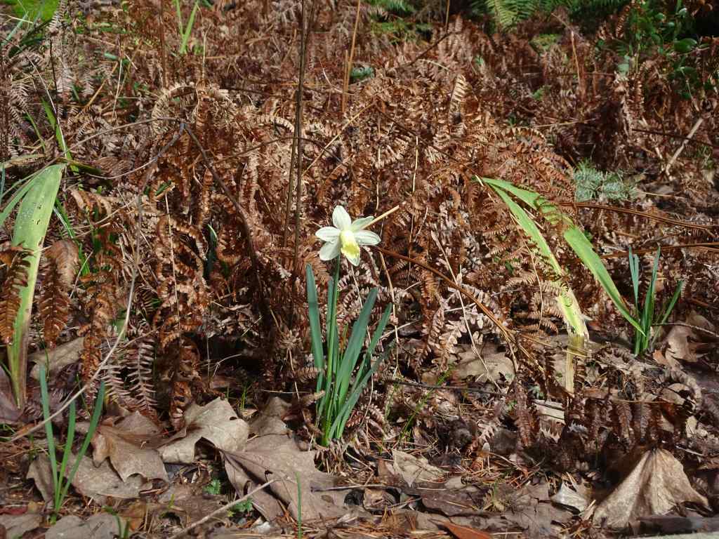
As noted, June is a busy month for plants. Two notable events in our garden – the blooming cluster lilies and the first ripe tomato.
Cluster liliesThe first ripe tomato of 2026!
Etc –
This month I am featuring an old photograph, from my family archives. There are about 400 boxes of slides that one of my brothers has taken charge of, and is having digitized. I had not seen most of these photos since those family slideshows after they were first developed, over 50 years ago, when the world was a carousel of color, and Kodak ruled the photo world. I am very glad I get to see them again, as they show people, places and events long gone, and bring back many great memories.
Family hike, June 1963, Glacier National Park, MT, possibly Baring Falls.
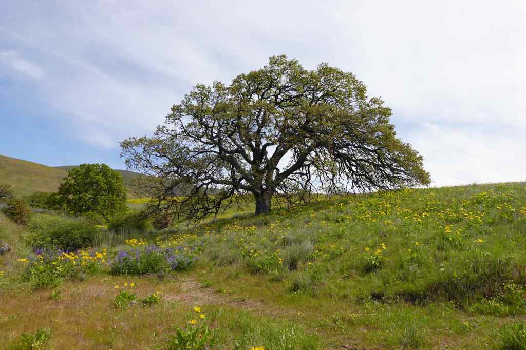
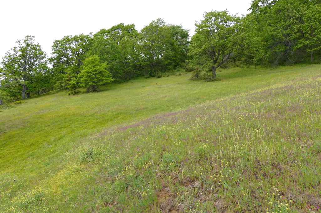
We are back to our usual weekly hiking schedule, with four hikes in May; all repeat hikes, with wildflowers and waterfalls.
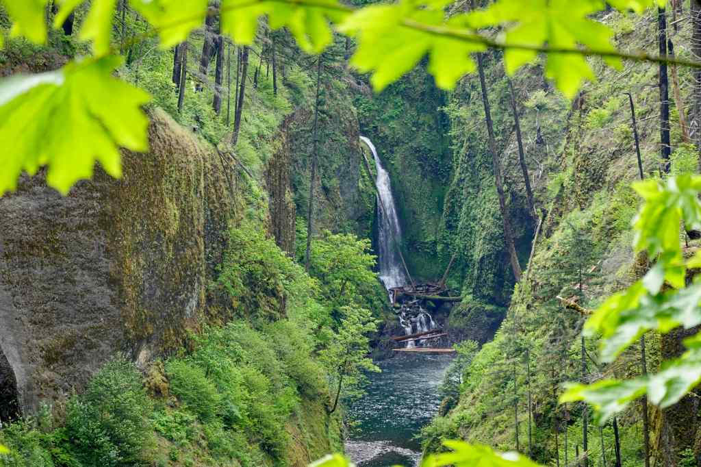
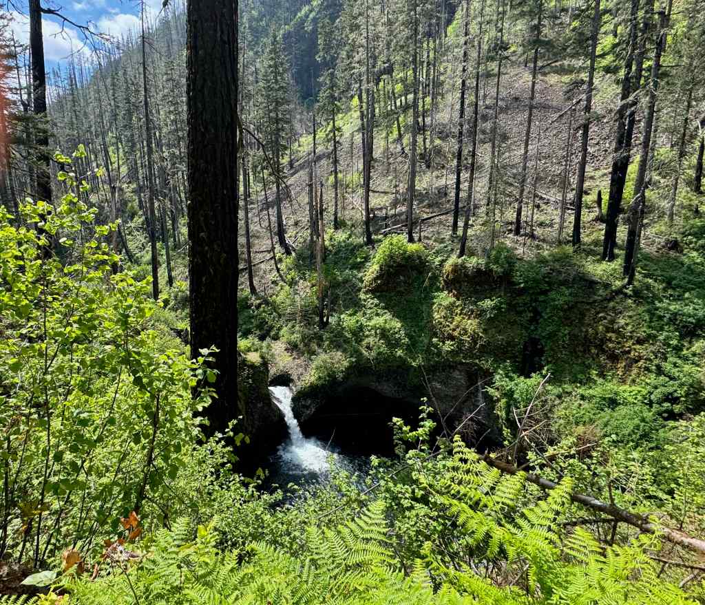
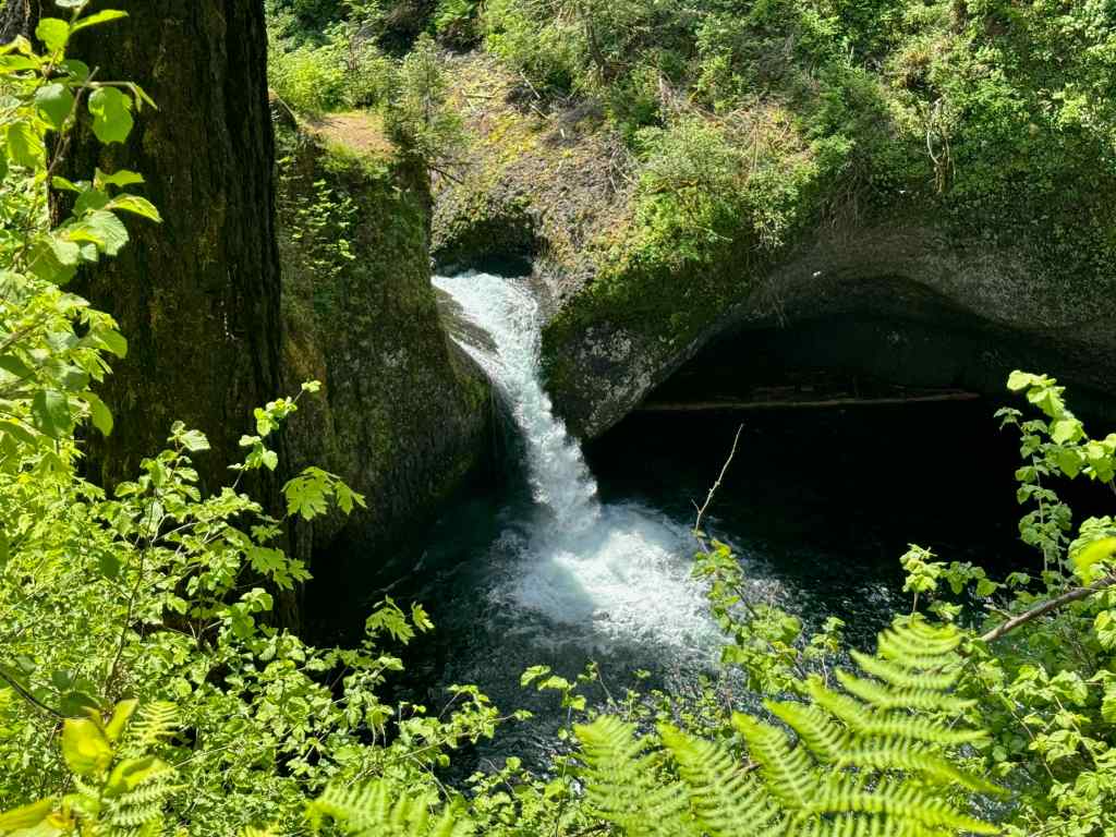
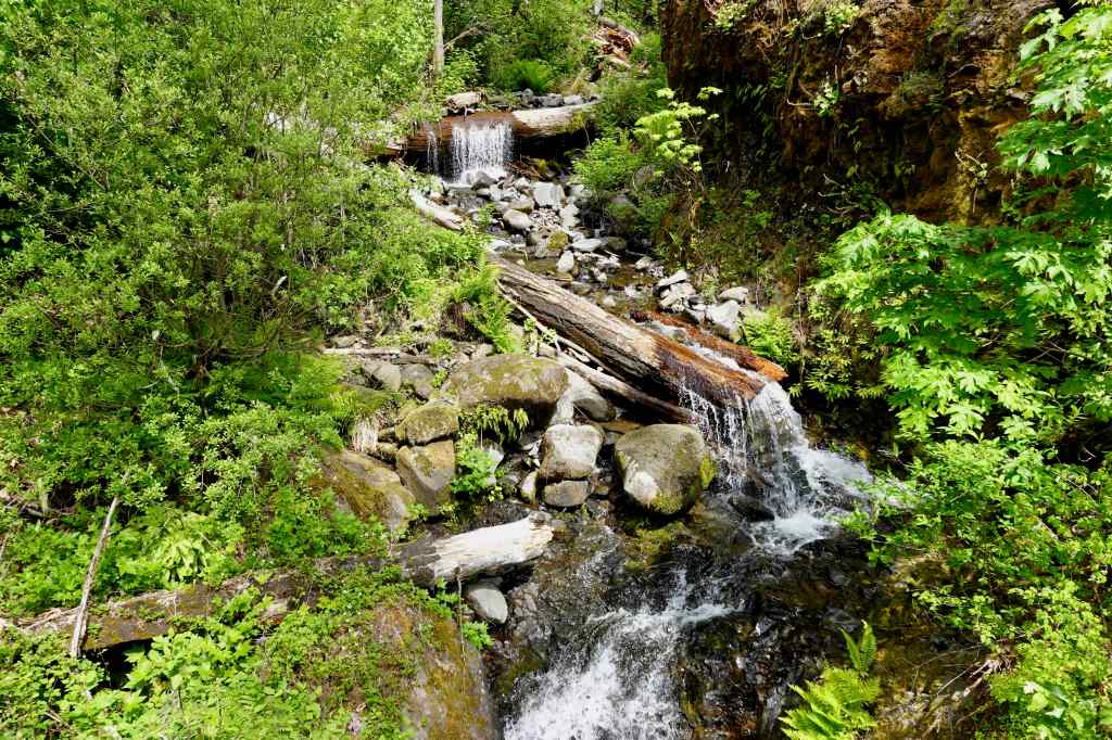
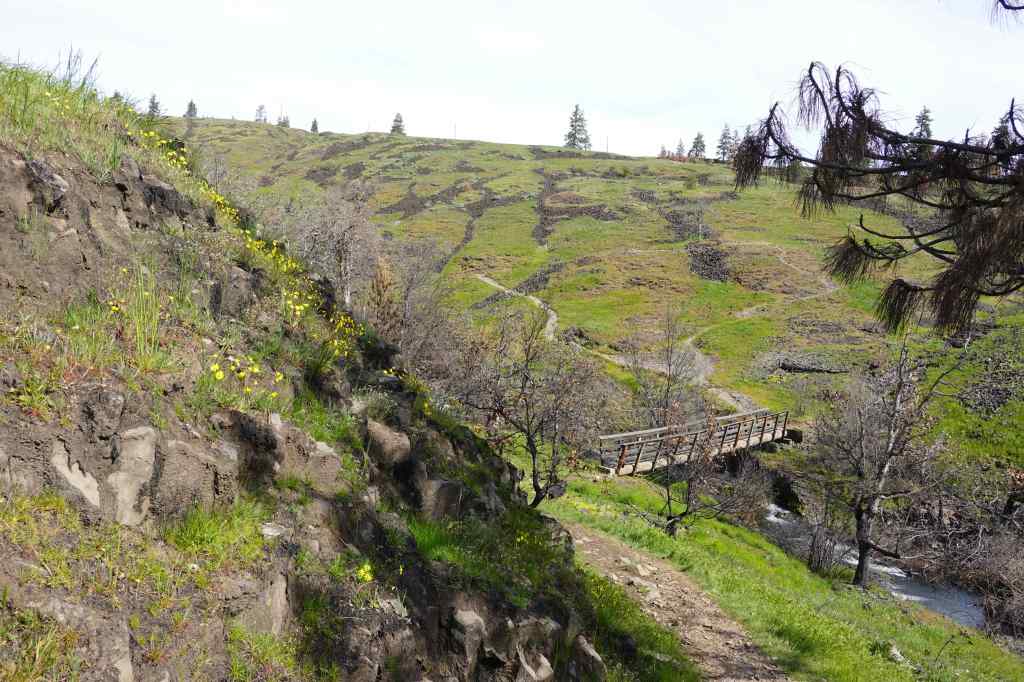
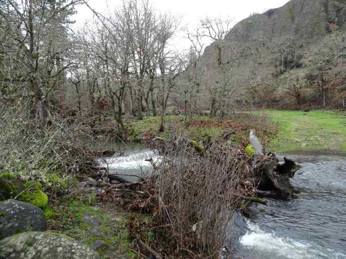
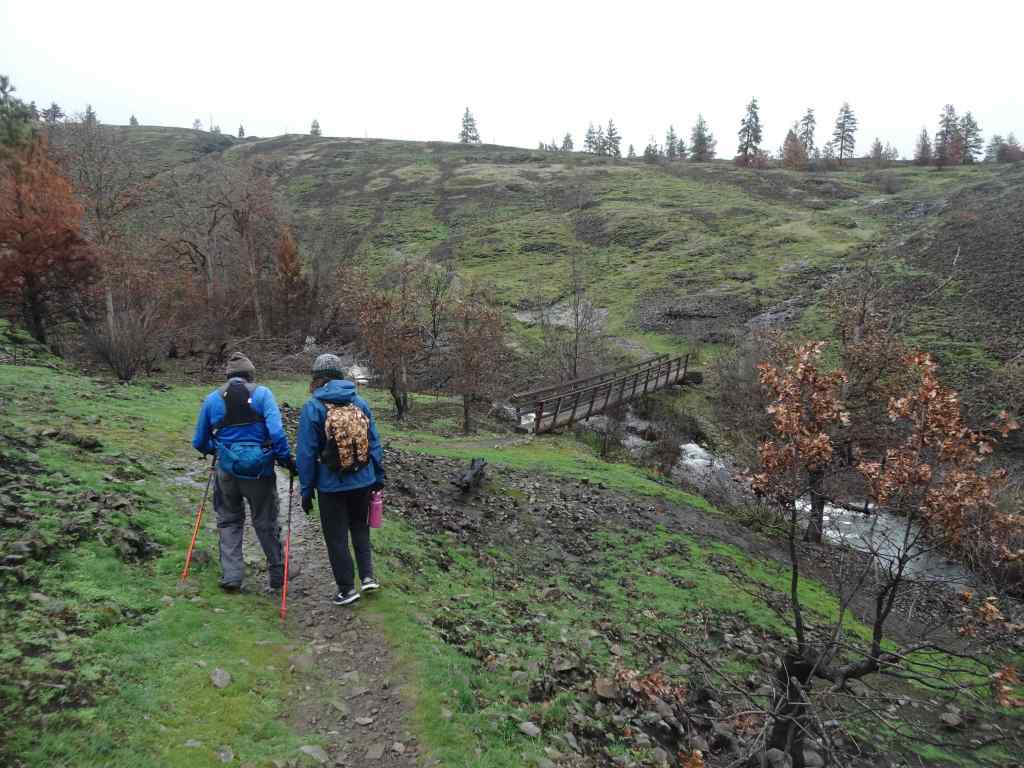
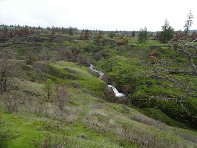
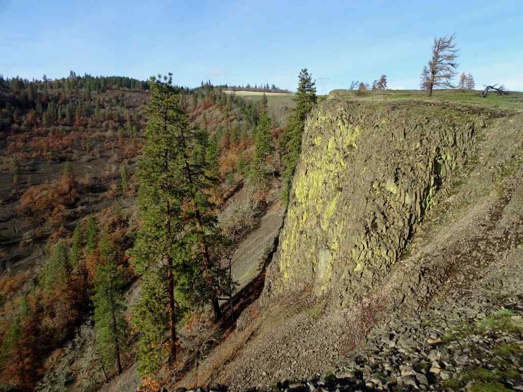
5/6 – Eagle Creek, OR
We walked most of the way to the High Bridge on this warm day (5.8 miles, 600 feet). The trail has been recently reopened after repair of landslide and fallen trees from last winter. Still beautiful, with lots of wildflowers.
Eagle Creek near the trailhead – the water has a distinctive beautiful green color.The trail rises gently above the canyon. Here the rocky slopes are covered with manroot and fringe cup blooms.In places, the trail is cut into the cliff edge, as the gorge deepens.Farther along, the cliff edge is more of a steep slope, in this case, covered with blue-eyed Mary meadows.From the trail edge, the view to Metlako Falls.Zooming in on Metlako Falls.Eventually, we could look down onto Punchbowl Falls, with the burned slopes from the 2017 fire beyond.Closer view of Punchbowl Falls.Cascades on Fern Creek, from a trail bridge across this side stream.
We had to get home for an appointment, so didn’t quite make it to High Bridge, about 3 miles in.
A few more of the many wildflowers we saw today:
HoneysuckleAnemone and foamflowerRose
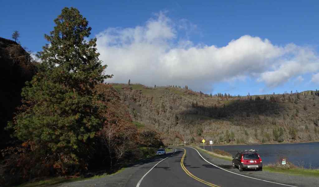
5/12 – Cape Horn, WA
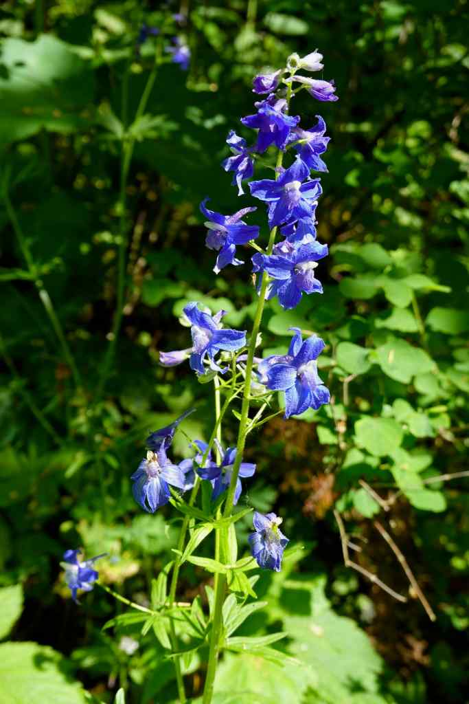
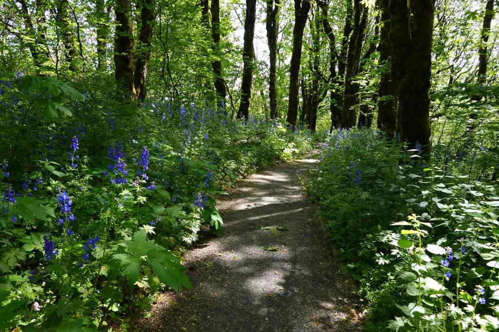
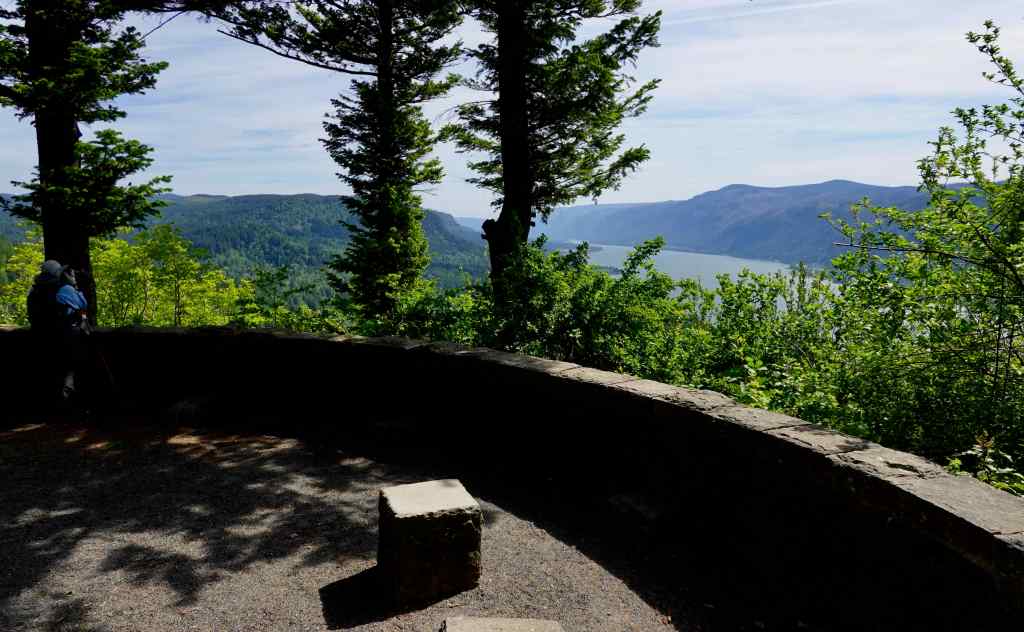
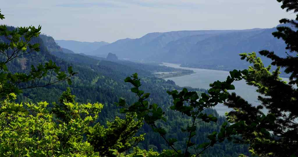
Return to this easy-ish forest bathing walk during tall delphinium bloom season, from Strunk Road down to the Waterfall Overlook, and then back up (3.5 miles, 620 feet).
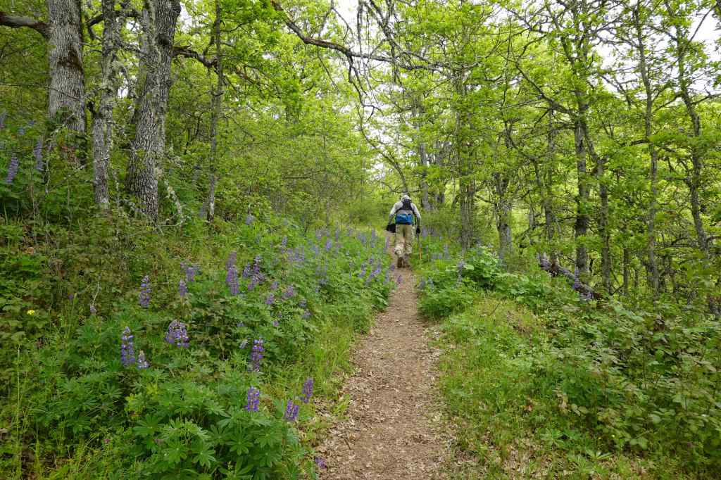
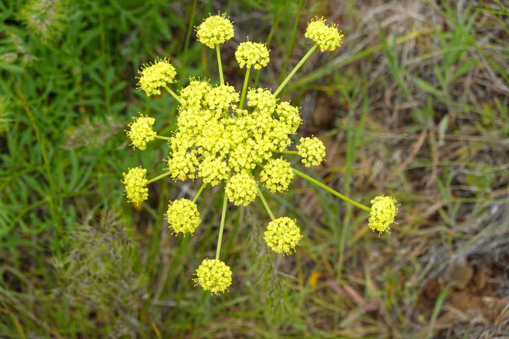
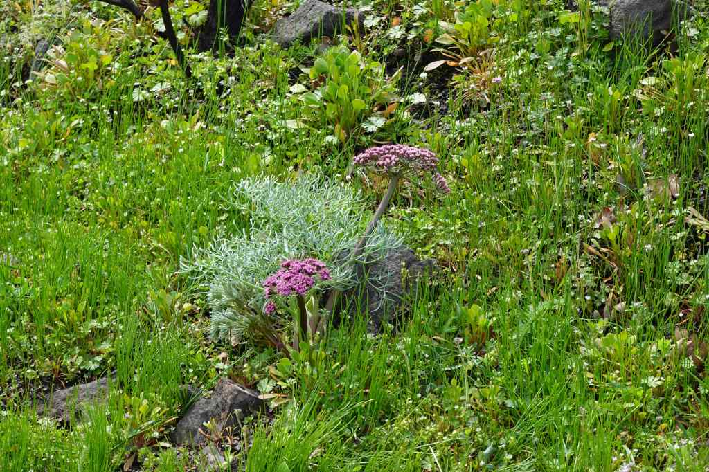
Once into the shady woods, the tall delphinium are blooming on both sides of the trail.DelphiniumAll the way down to the Nancy Russell Overlook…We always pause here to thank Nancy Russell for her lifetime of work preserving this trail area from development, and helping to create the Columbia River Gorge National Scenic Area. Thank you Nancy!The view to the eastern gorge from here.We continue down through more mossy woods,and delphinium-lined trail,to the next trailside overlook.A few irises were blooming in the sun here.We continued down, under the highway, to the Cape Horn Waterfall Overlook.A wide view up the eastern gorge to Beacon Rock.And a leaning over the edge view of the waterfall.Then back up, once again through delphinium blooms, to the trailhead.A fern leaf parsley, one of my favorites, near the end of the trail.
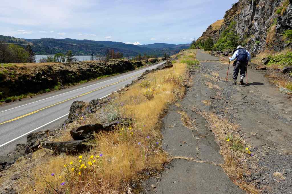
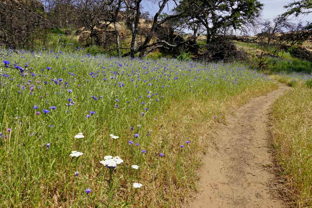
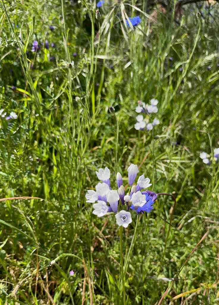
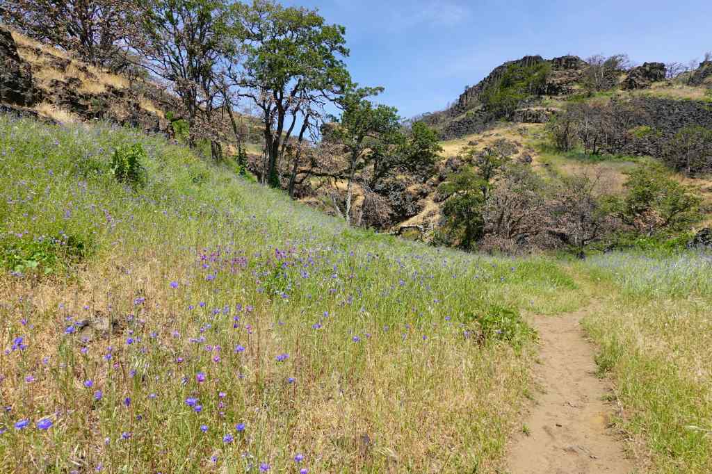
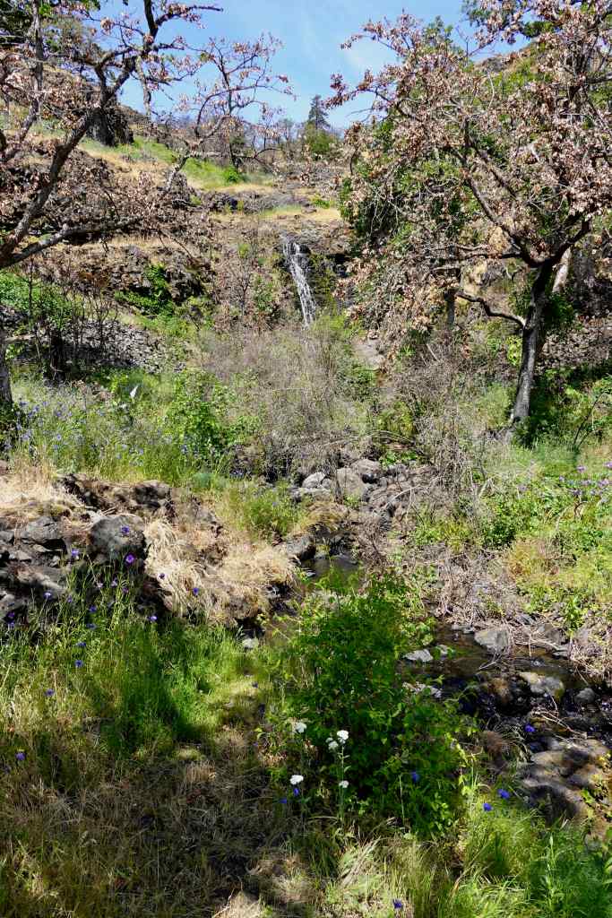
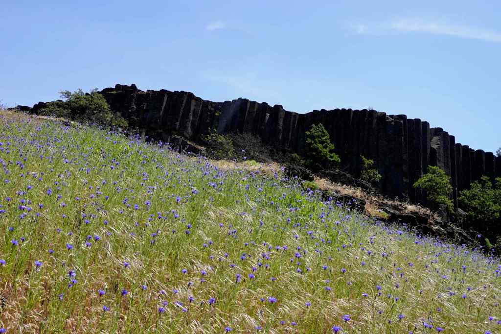
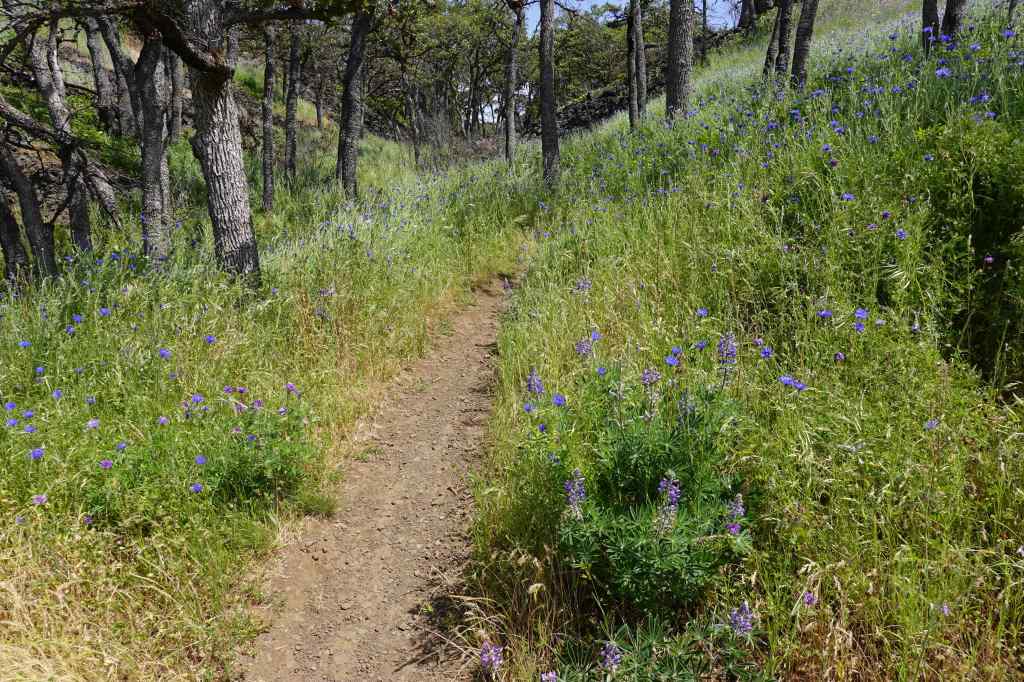
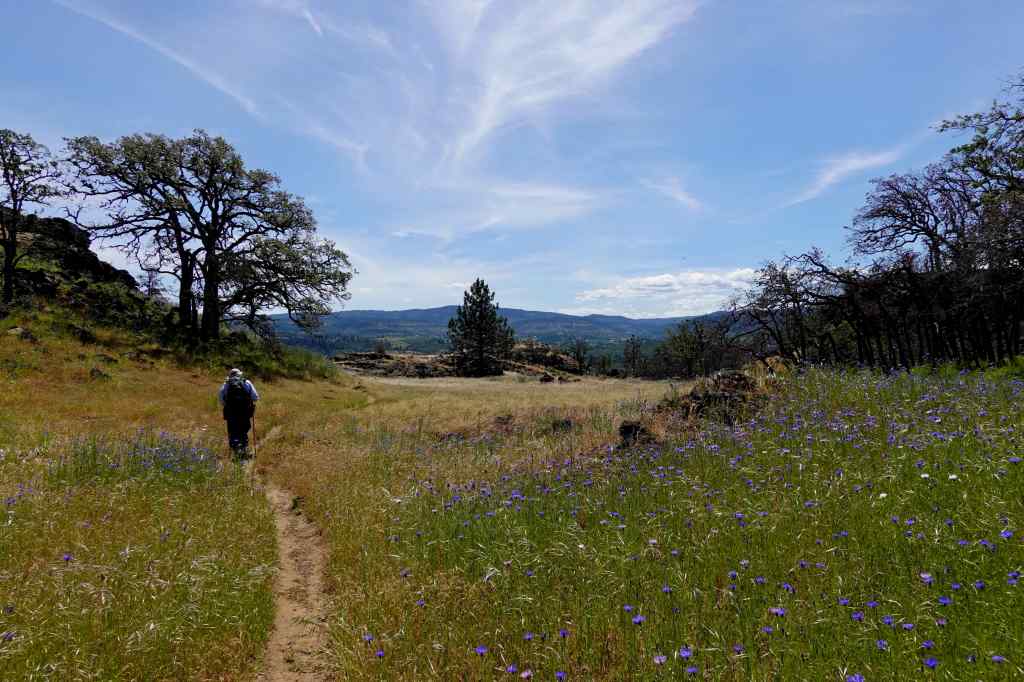
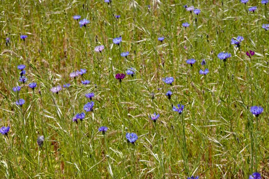
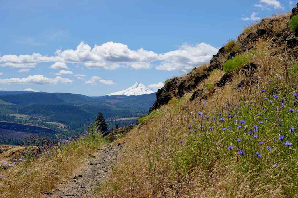
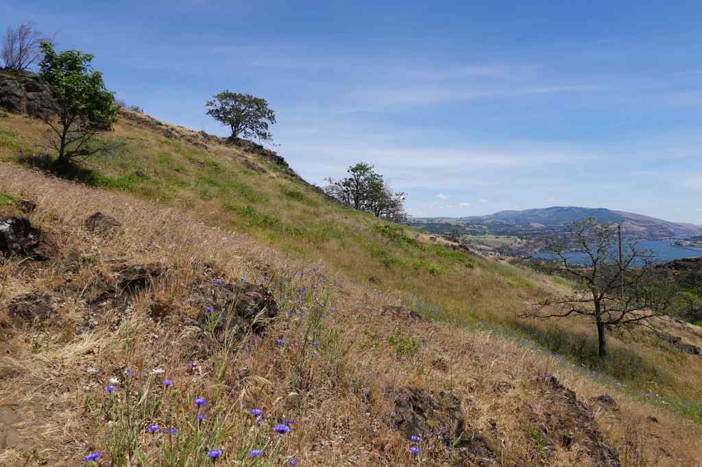
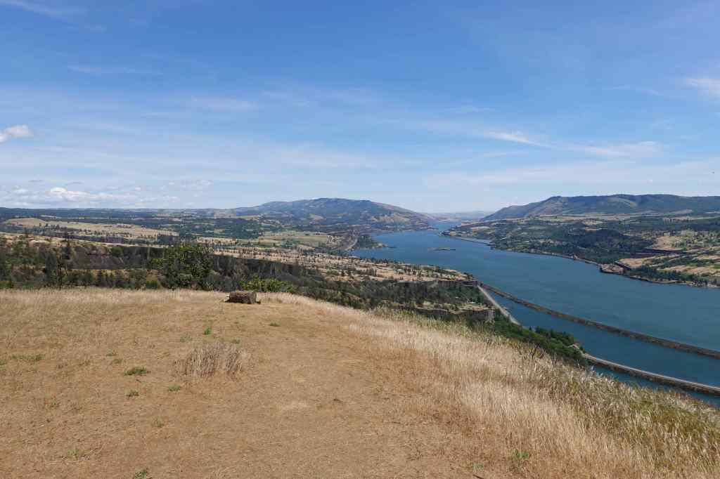
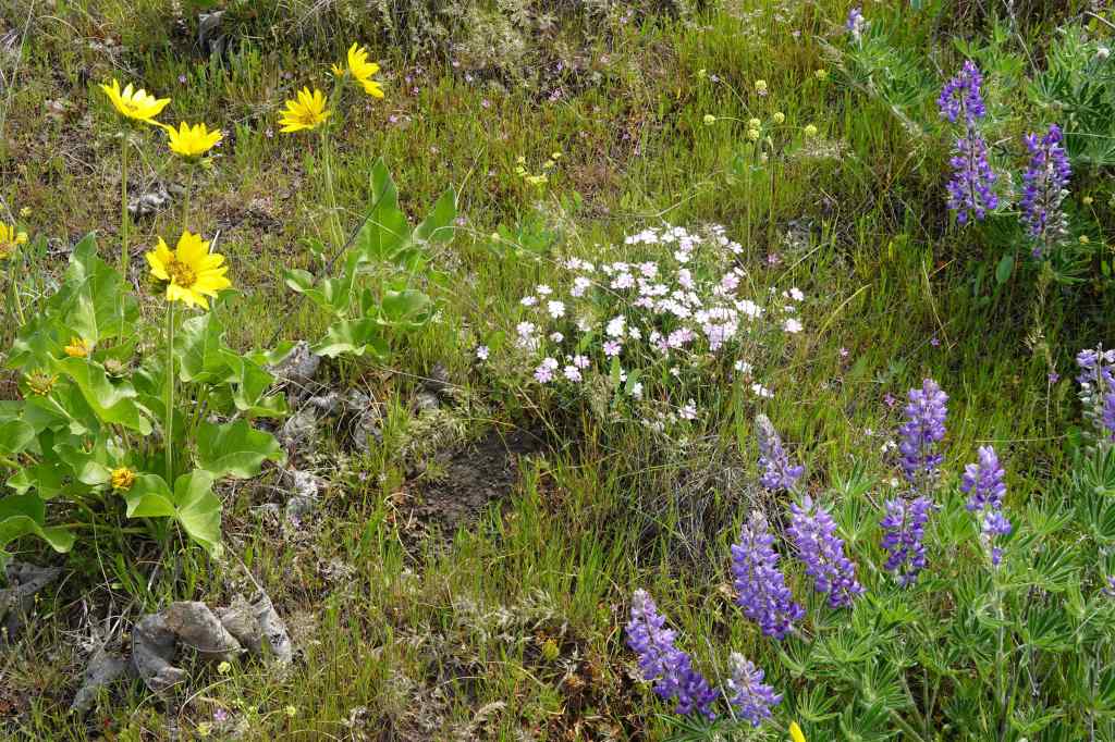
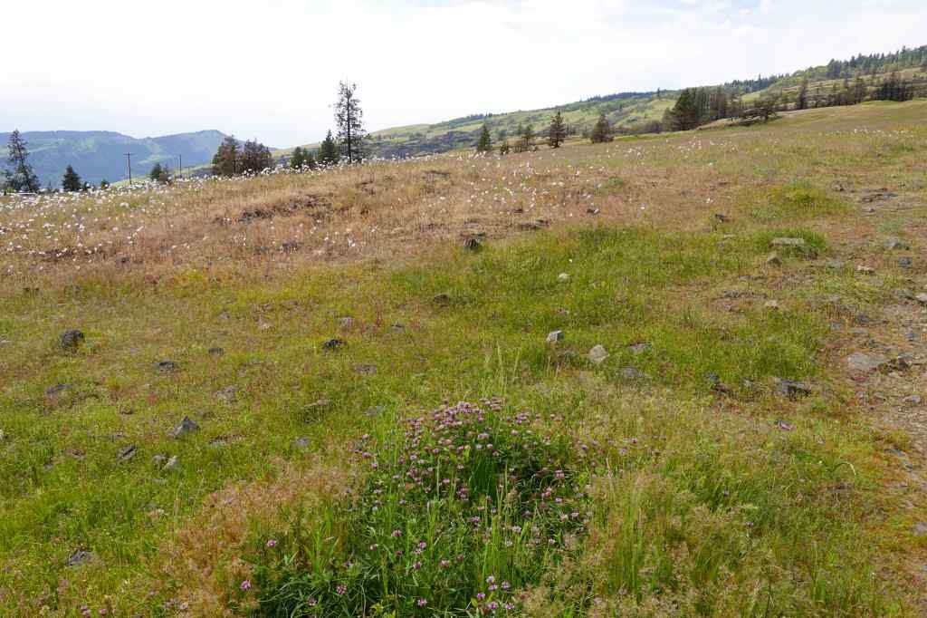
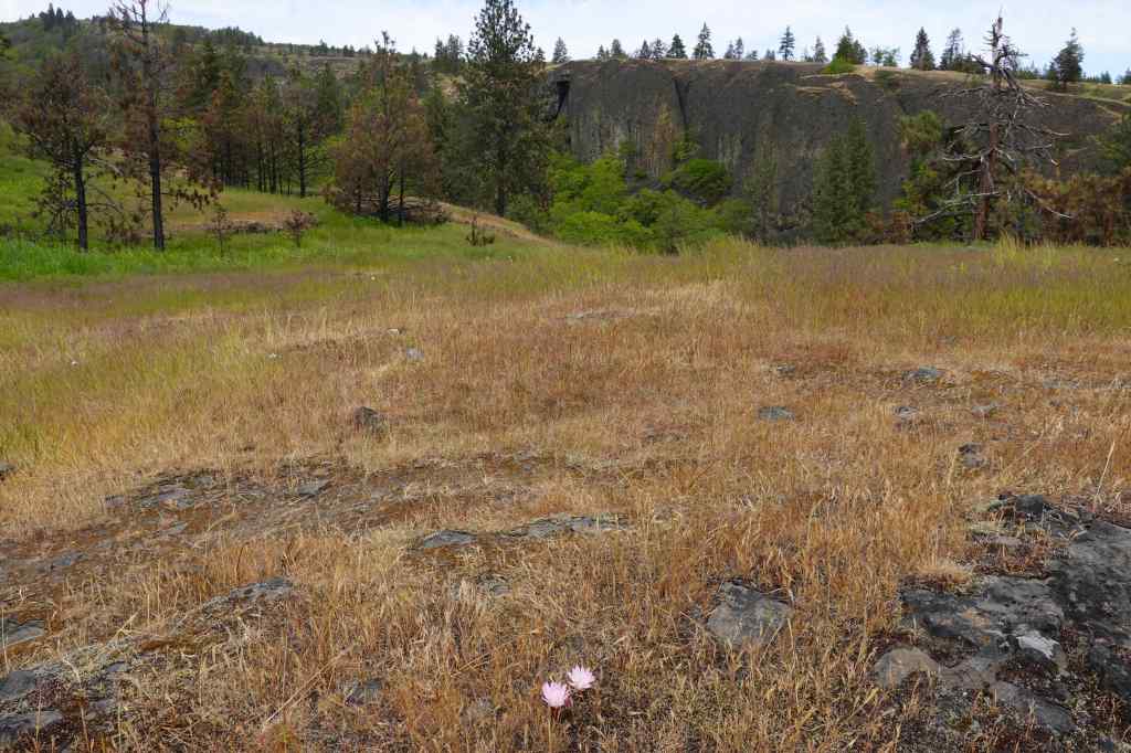
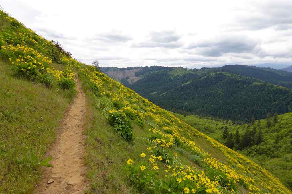
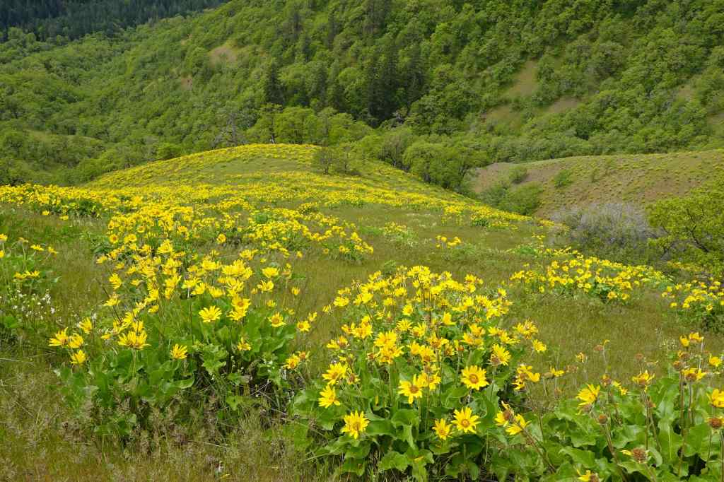
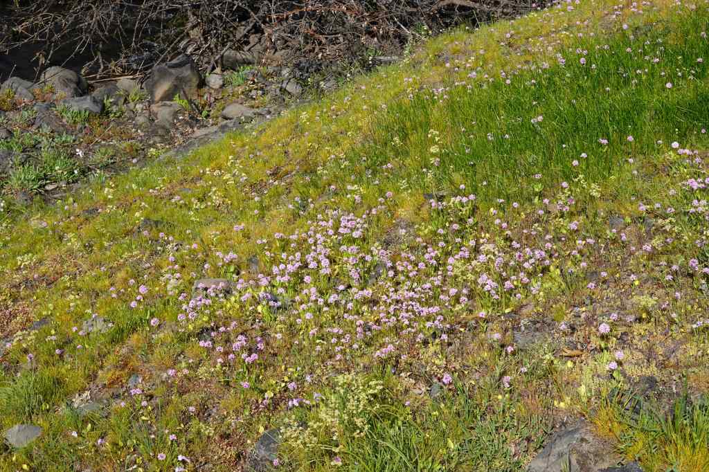
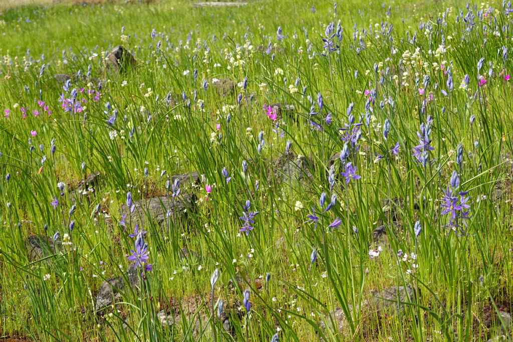
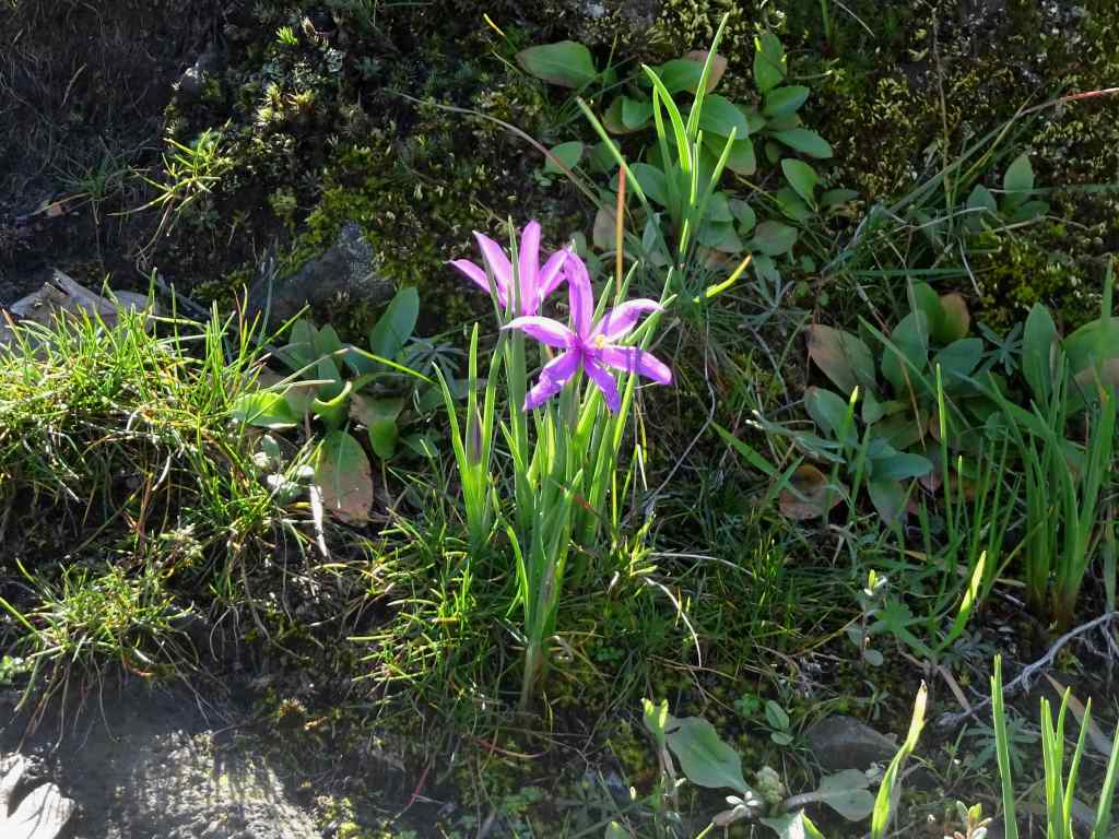
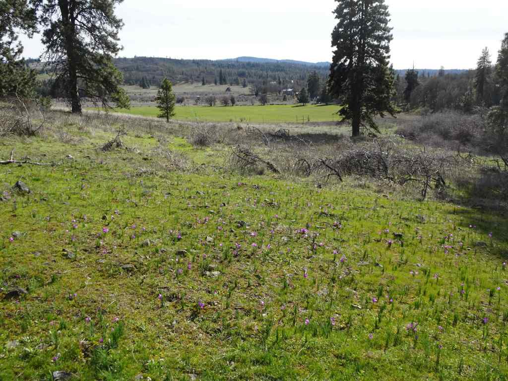
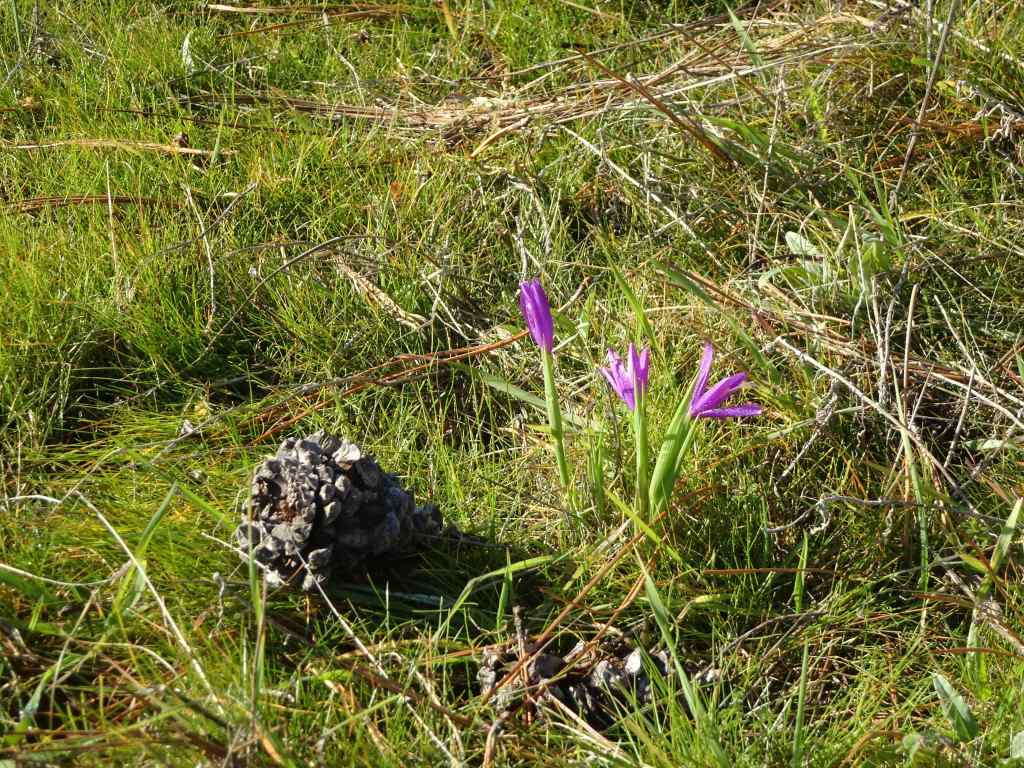
5/18 – Swaths of purple at The Labyrinth, WA
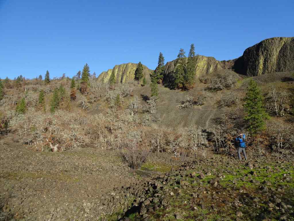
We visited this trail just slightly later in May last year (May 27, 2025). We saw similar flowers, but this year there were so many more. It was very purple there today (4 miles, 820 feet).
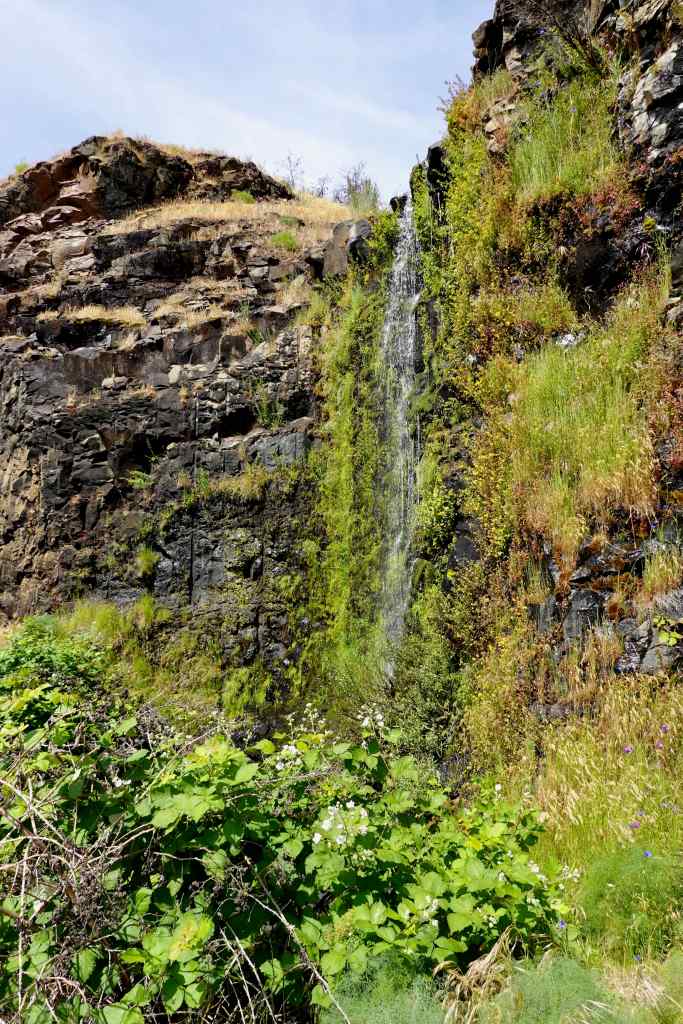
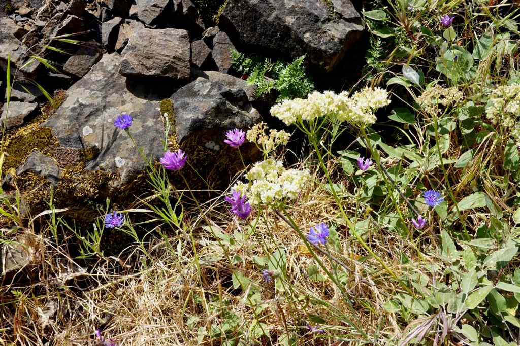
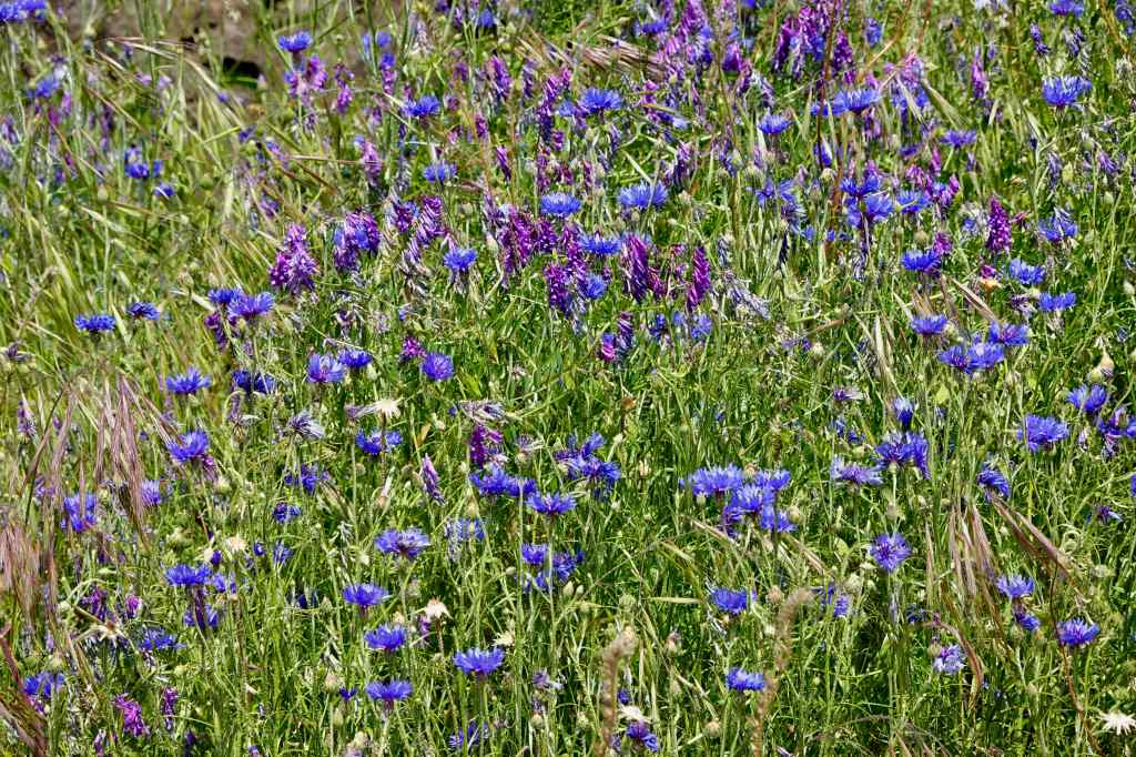
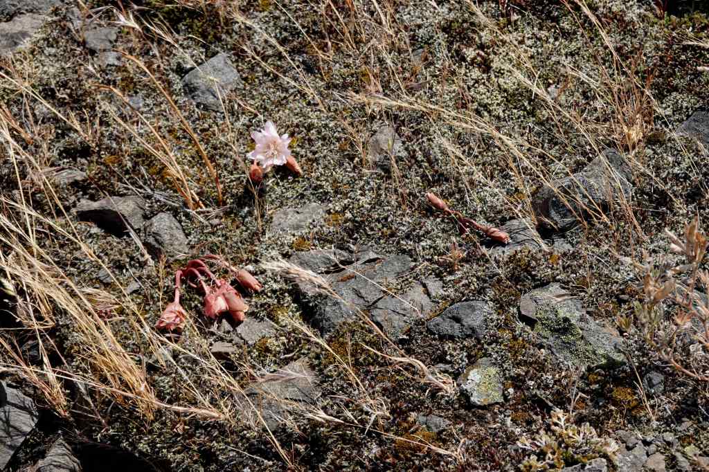
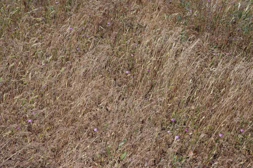
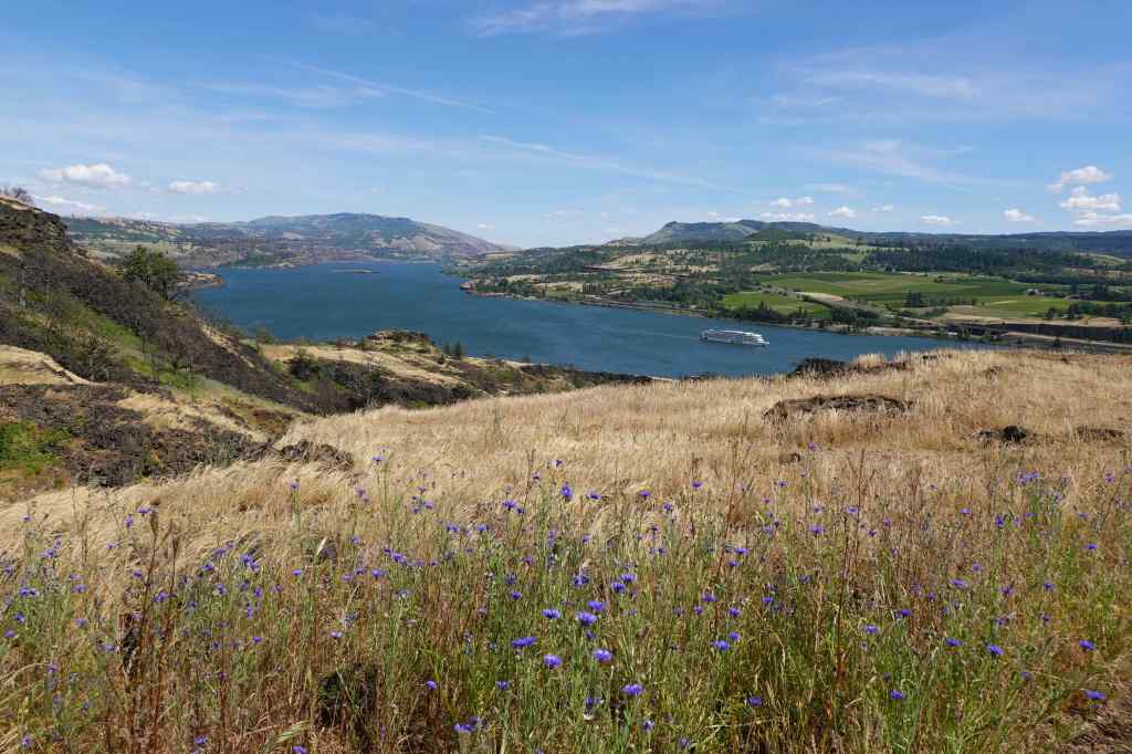
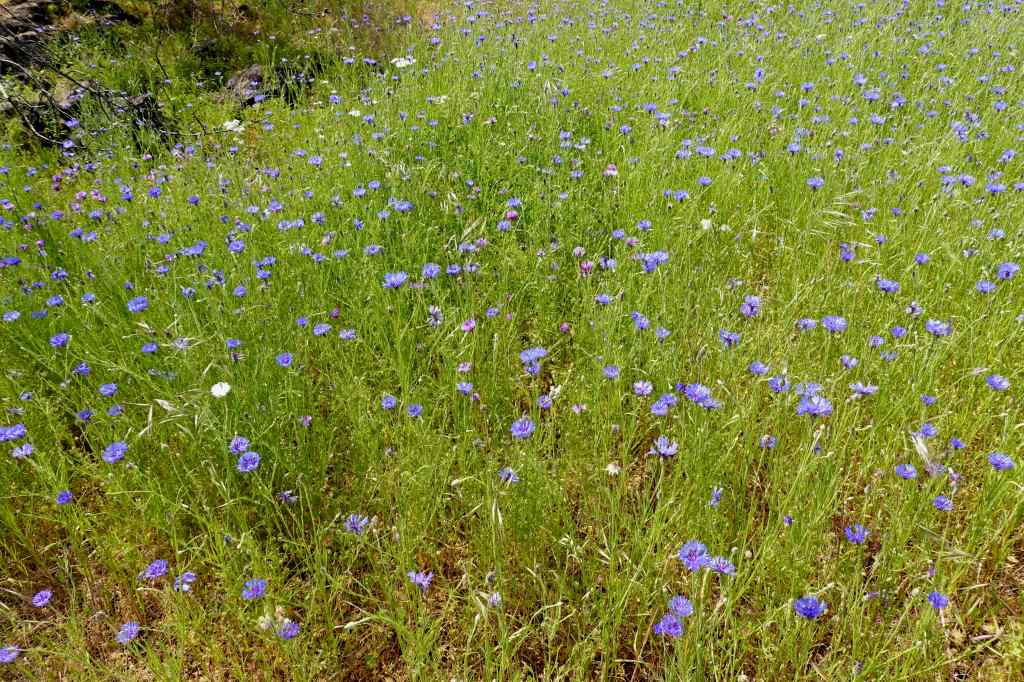
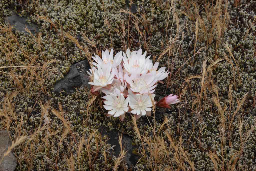
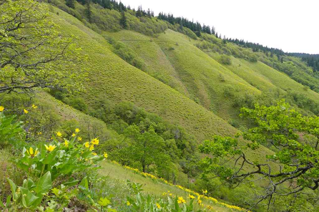
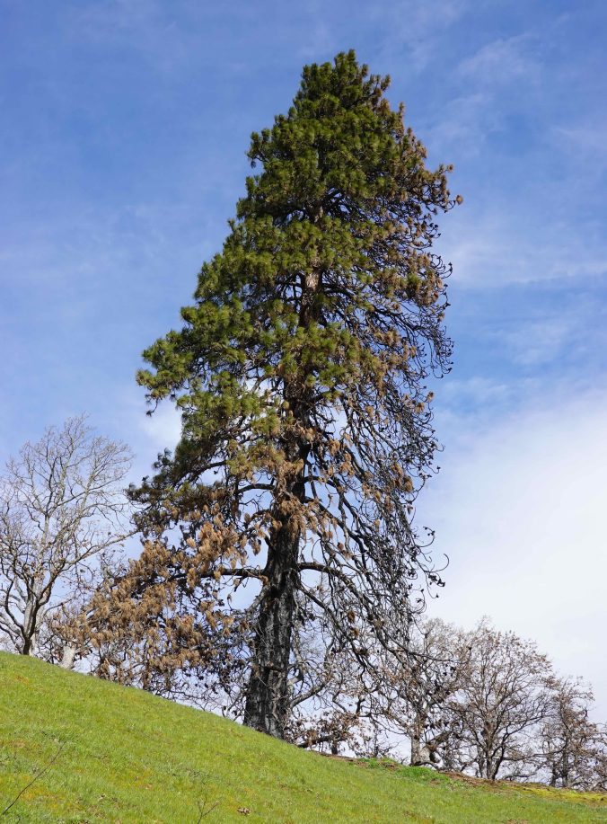
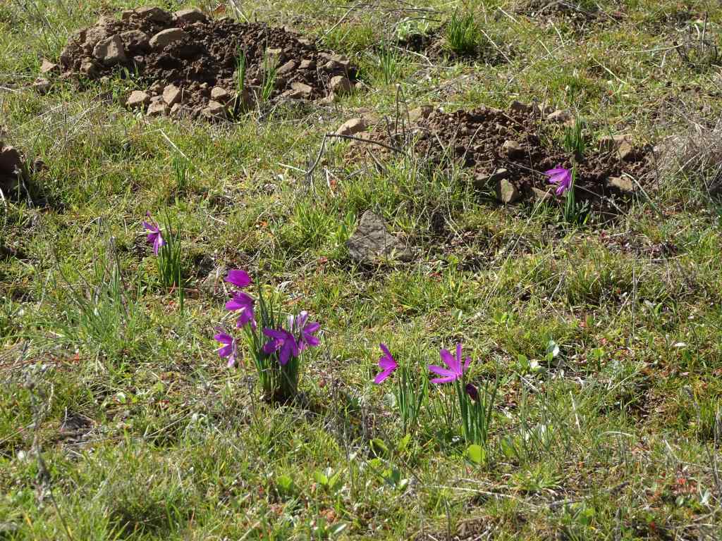
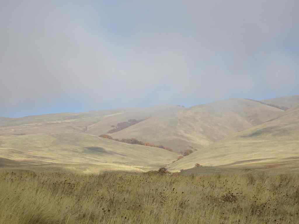
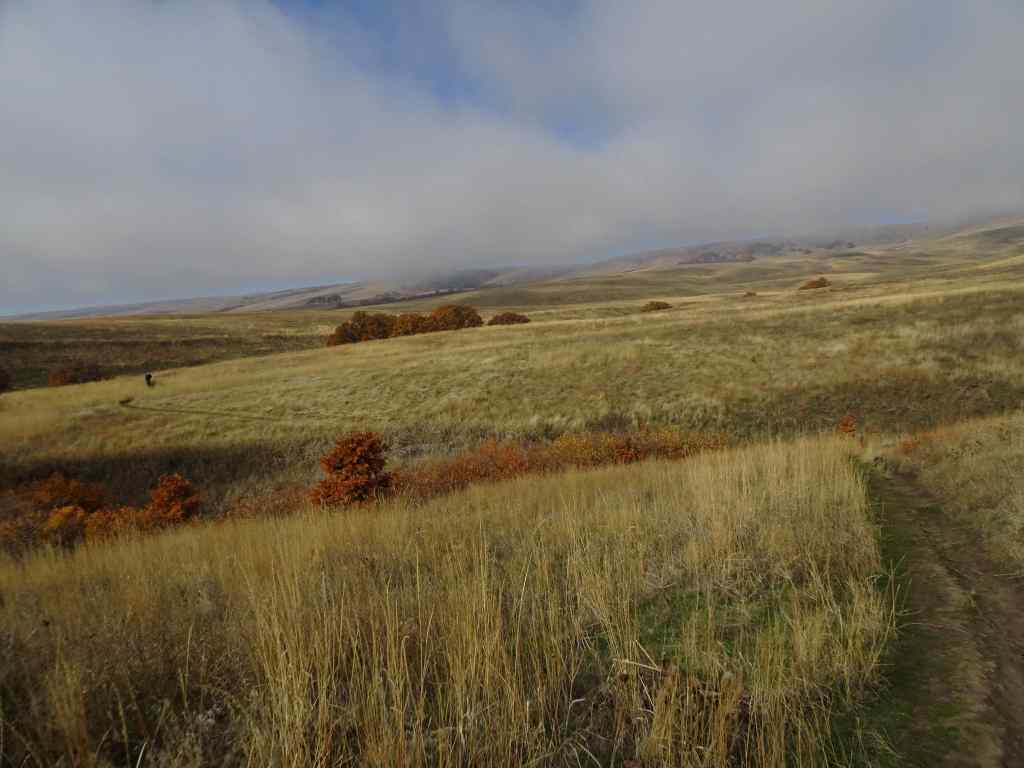
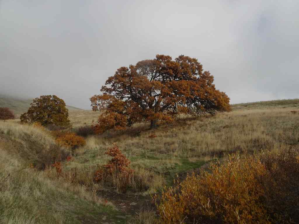
Approach trail along Hwy 8, with Mt Hood on the horizon. Poppies blooming in the verge.Near the lower waterfall, we began to see the flowers that would fill the slopes above.Cornflowers (or bachelor buttons), ookow, and creamy buckwheat.Purple vetch was intertwined with many of the flowers, adding another layer of color.Pink tapertip onions were also scattered along the way.Purple flowers filled the meadows all along the trail, with some white yarrow here.Bicolored cluster lilies also added a pale lavender clumps here and there.More purple fields as we approached the upper waterfall.Upper waterfall still tricking along.Purple fields below the columnar basalt butte.Purple flowers in the oak groves.Trail out to the lunch ledge – meadows that were filled with grass widows in March are now full of cornflowers.We noticed three hues of purple cornflowers.After lunch, we continued upward, still accompanied by the purple flowers, though the grasses are getting drier. Mt Hood ahead.I stopped to check for bitterroot on the rocky outcrop at the turn in the trail. I found the last bitterroot of spring.As we approached the ridgeline oak tree, we passed the last of the purple flowers Down the slope, the last yellow balsamroots of spring were fading.Our destination – the viewpoint near the tall ponderosa.As we got closer, I was hoping to see signs that it would recover from the Burdoin Fire of last summer. In March it still had green needles on this side, and I had a bit of hope that it would survive.As we got closer, I could see no green on the tree, despite the green oak trees all around. I hope it remains standing as a guide snag, at least for a while.From the viewpoint, the whole eastern gorge is on view.Pink winecup clarkia are hiding in the dry grass all over this hill.We hiked back down, through the meadows of purple. Down on the river, a cruise ship was passing through.Can they see the fields of purple from there?
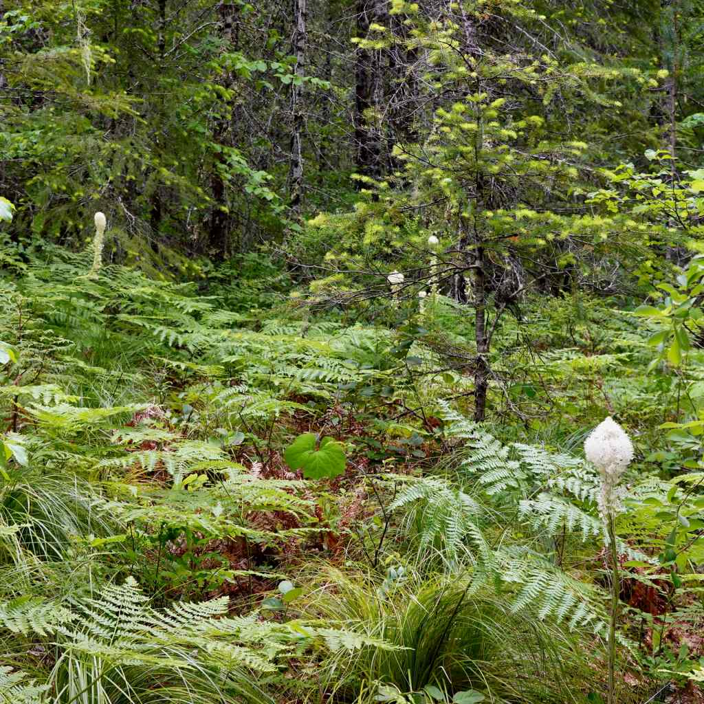
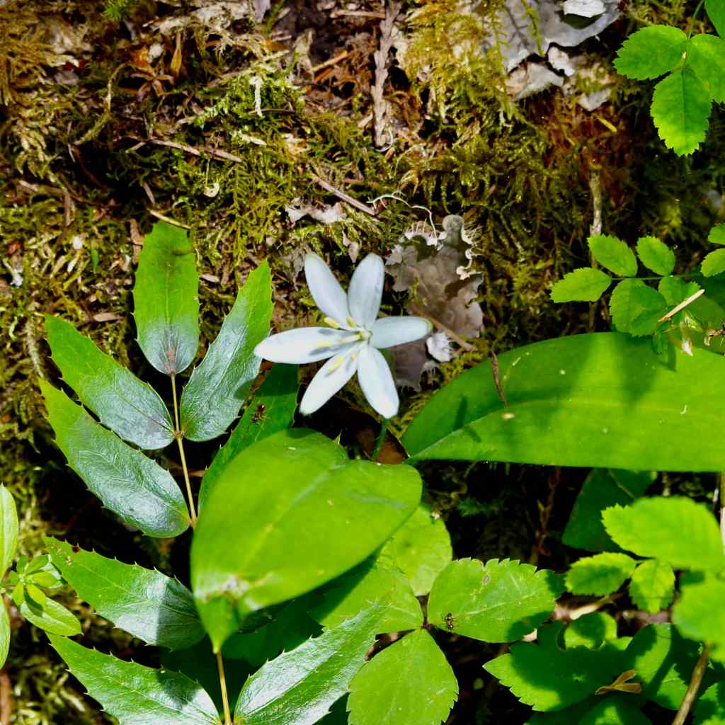
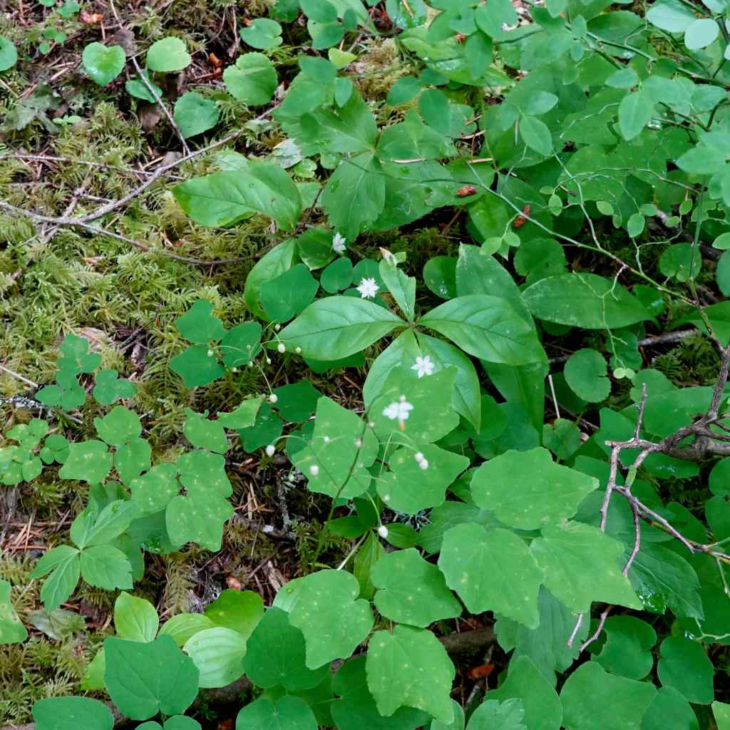
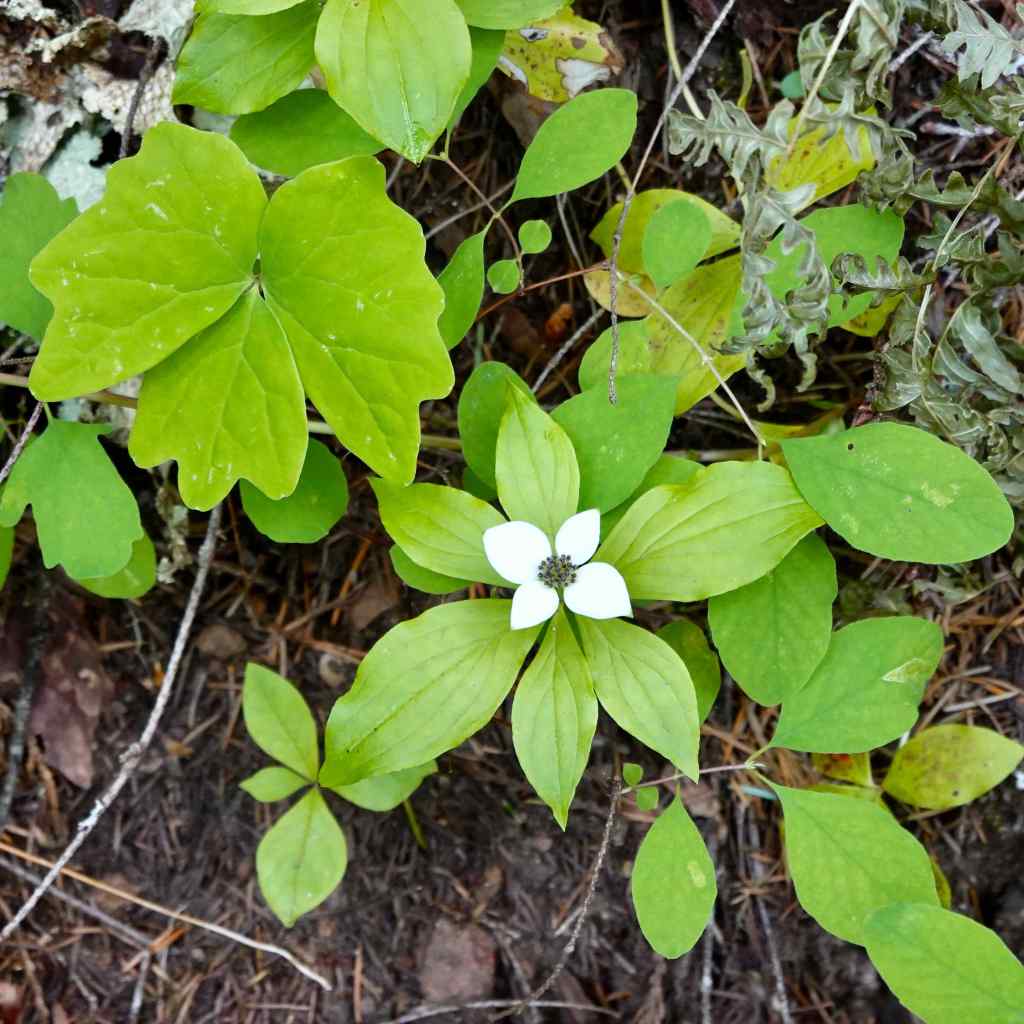
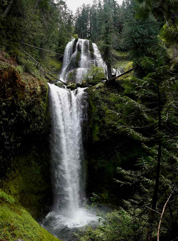
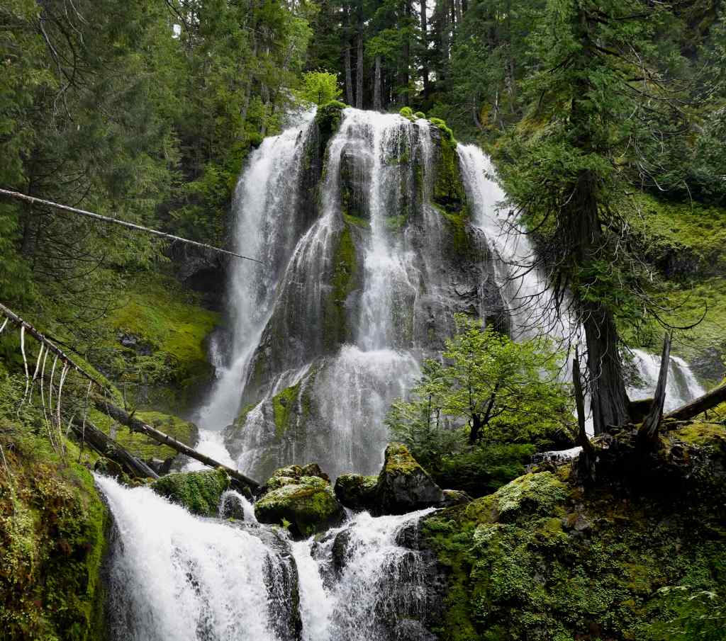
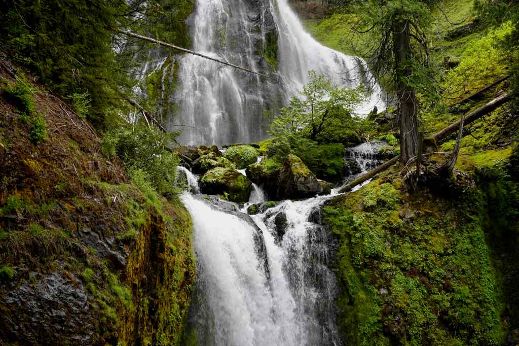
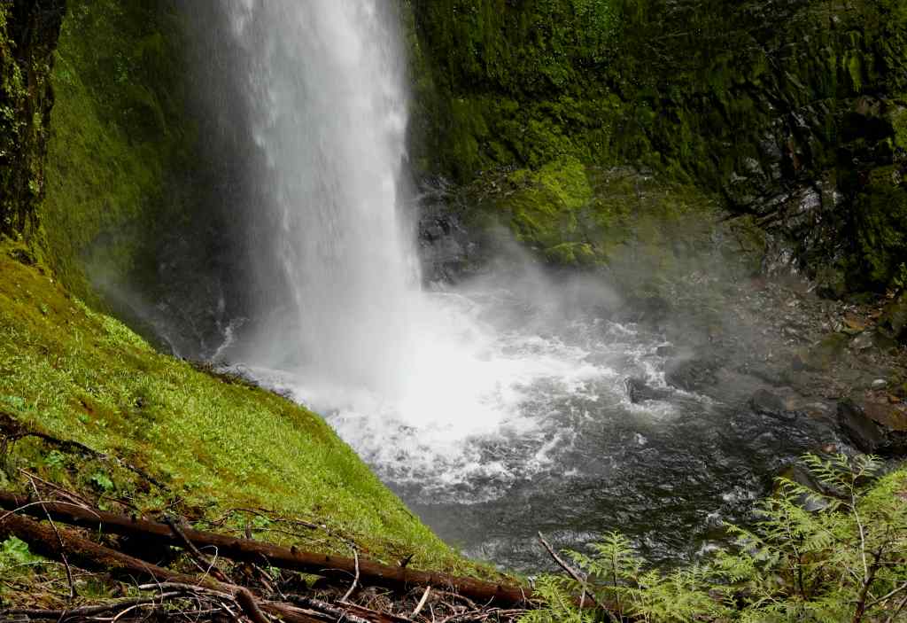
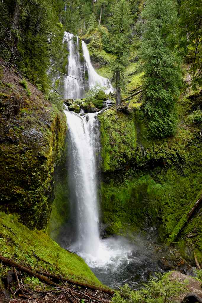
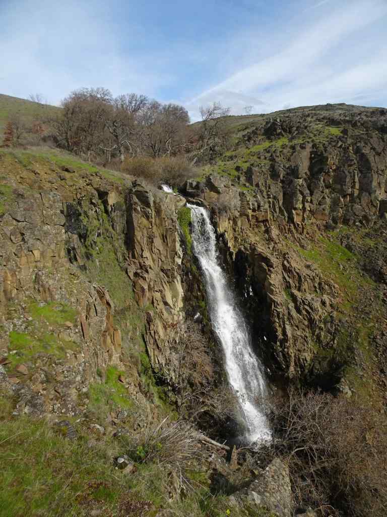
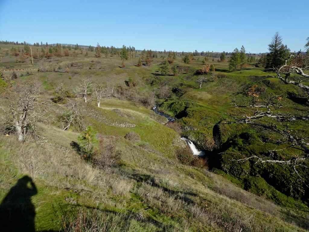
5/26 – Falls Creek Falls, WA
We enjoyed this relatively easy, mostly shaded hike on a warm day (3.4 miles, 620 feet). The last time I was here, in the fall of 2018, fall colors were on display. Today there were white flowers in the forest, a few colorful flowers in the sun, and the sound and glory of this enormous waterfall!!
The trail follows Falls Creek for much of the way.The creek is tree lined and shady.Reflections of green and purple in the water.We passed a few cascading rapids, and crossed a bridge over a small gorge.
White flowers in the shady parts of the forest:
DogwoodAnemoneBeargrassBead liliesStar flowers and upside-down flowersBunch berries
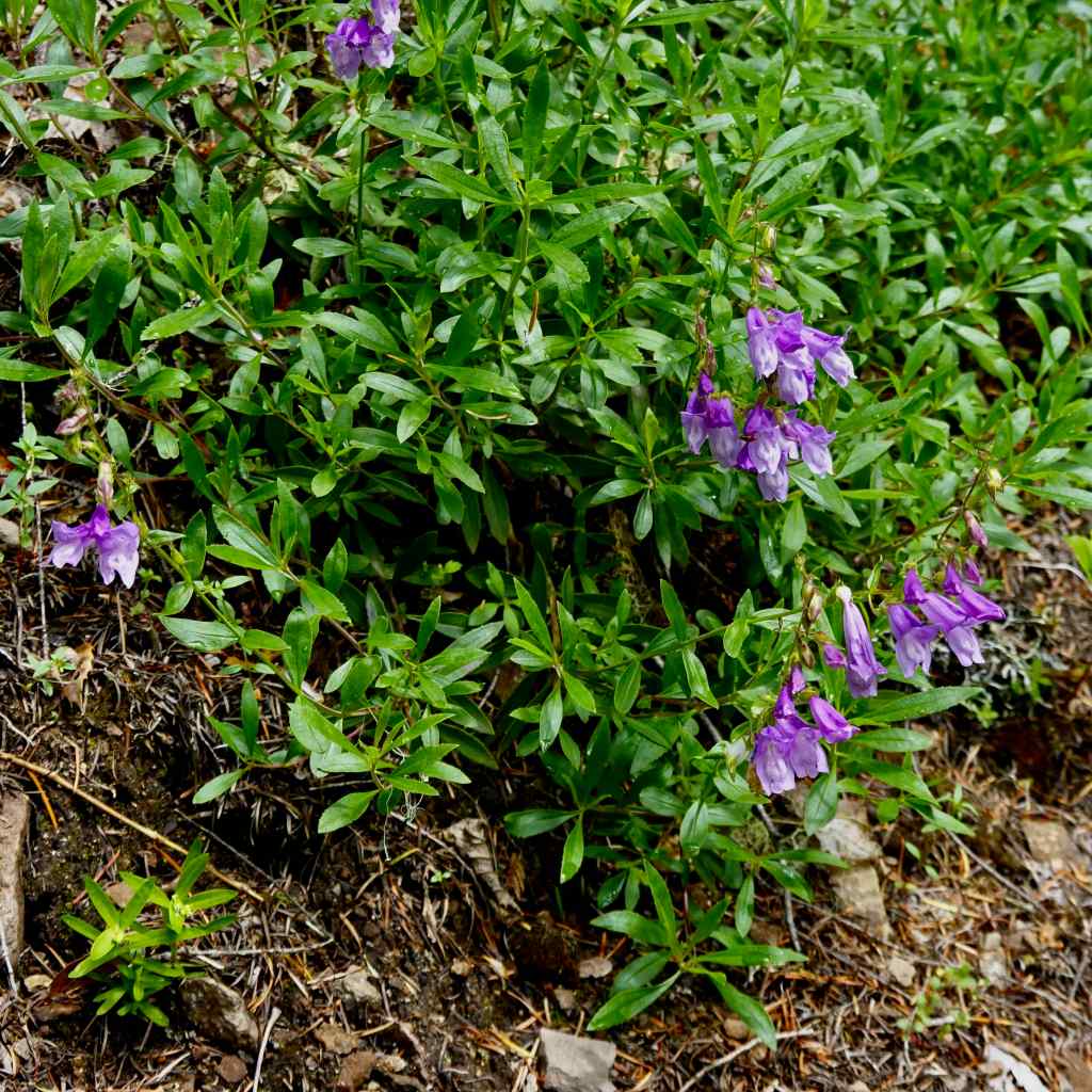
A few more colorful flowers in the sunny spots:
PenstemonColumbine and anemone
And Falls Creek Falls at the end of the trail:
Falls Creek Falls – 335 feet total drop.Upper tierMiddle stepPlunge poolSlightly different view from our lunch perch.
And then a mostly easy downhill walk back along the creek to conclude this pleasant day in the forest.
I only went on two hikes in April. My husband and usual hiking partner was away on a photo trip to Patagonia. When he returned, we wanted to get out in the eastern Columbia River Gorge to see the spring wildflowers, especially the balsamroot, before it got too hot!
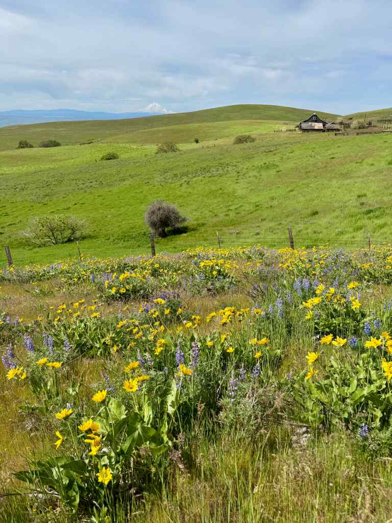
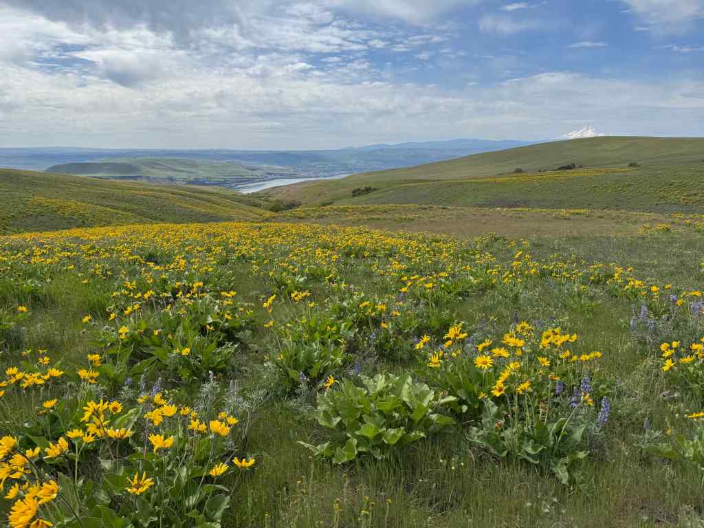
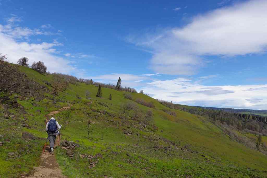
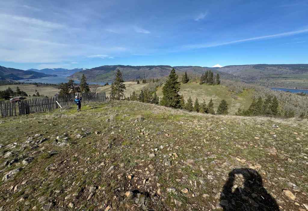
4/20 – Part 1 – Dalles Mountain Ranch, WA
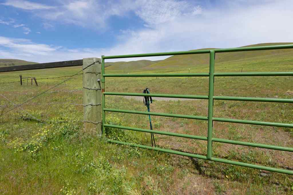
I did an abbreviated version of this hike, as I was still regaining my stamina. After lunch, I returned to the trailhead via a dirt connecting road, while my hiking partner continued the loop. I saw a slightly different version of the usual views, and then had to climb a fence to get back to the main road – all part of the adventure! (2.6 miles, 220 feet)
Approaching the the Columbia Hills, painted yellow with balsamroot.The classic view of Dalles Mountain Ranch and Mt Hood, with balsamroot.Trail viewBalsamroot all the way down to the river…We stopped for lunch at our favorite oak tree.Oak tree
There were other flowers among the yellow…
Phlox, lupine, and desert parsleyMilk vetchBitter cherry, with Mt HoodBalsamroot closeup
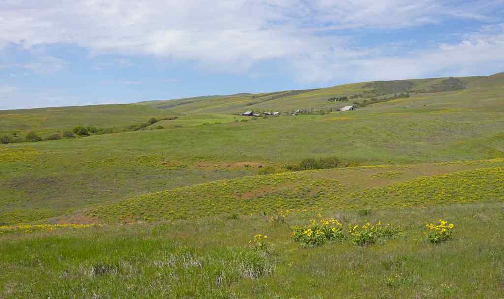
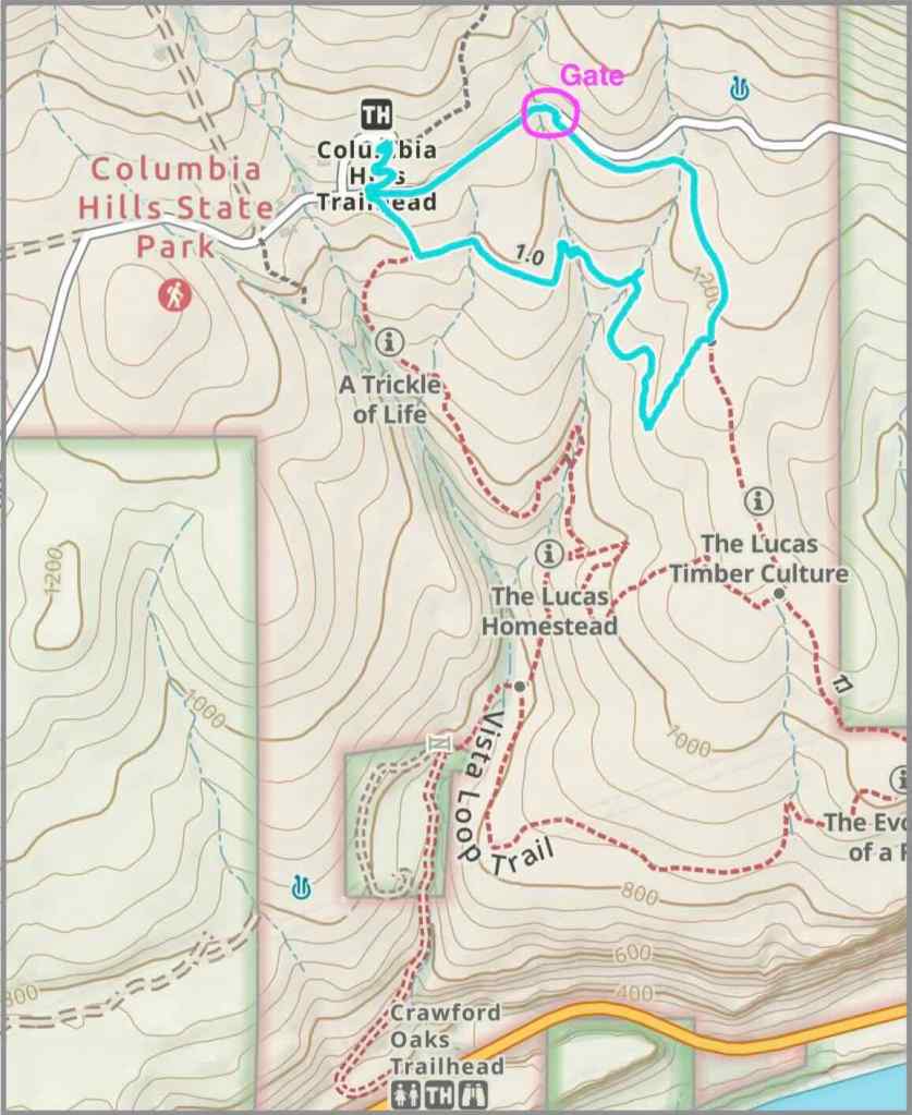
After lunch, I made my way back up the hill along the old road, assuming from my map that it would connect to the Dalles Mountain Road…
Wide view down to the Columbia River, with Mt Hood.And over to the ranch, from the east.My route in blue. It rejoins the road at the gate.The unexpected gate was actually pretty easy to climb, and I was back at the trailhead after a short roadwalk.
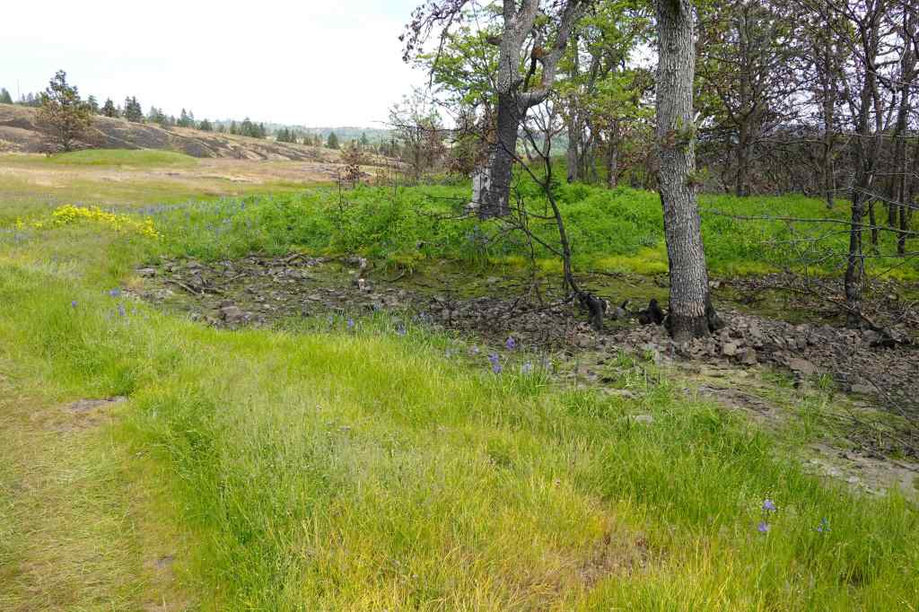
4/20 – Part 2 – Bitterroot at Catherine Creek, WA
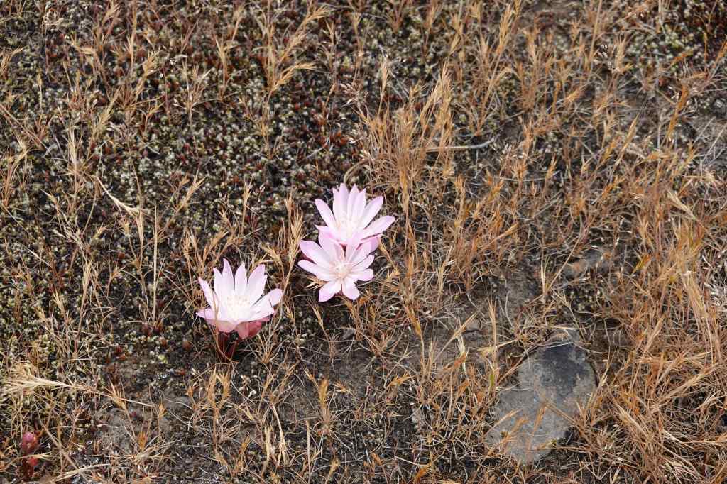
We stopped on the way home for a short hike up to the Fairy Ponds at Catherine Creek – I thought the bitterroot might be blooming, and I did not want to miss them!
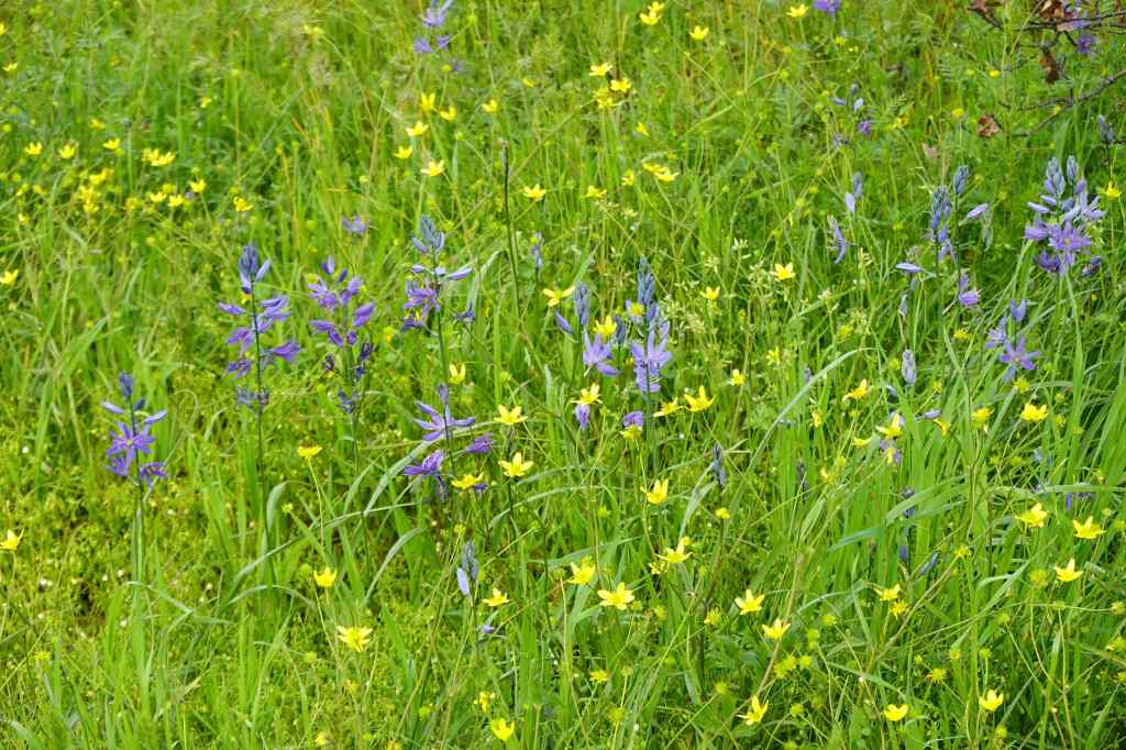
From the trailhead, the wide open meadows are turning brown, with late season flowers – purple tomcat clover and white cluster lilies.The fairy pools under the oak trees are dried up, with monkey flowers and camas blooming in the shade.Buttercups and camasWe found bitterroot blooming on the nearby rocky outcrops.Bitterroot, Catherine Creek Arch in the distance.A large clump of bitterroot.Heading down – eastward view. Westward view, with Mt Hood.
4/28 – Weldon Wagon Road, WA
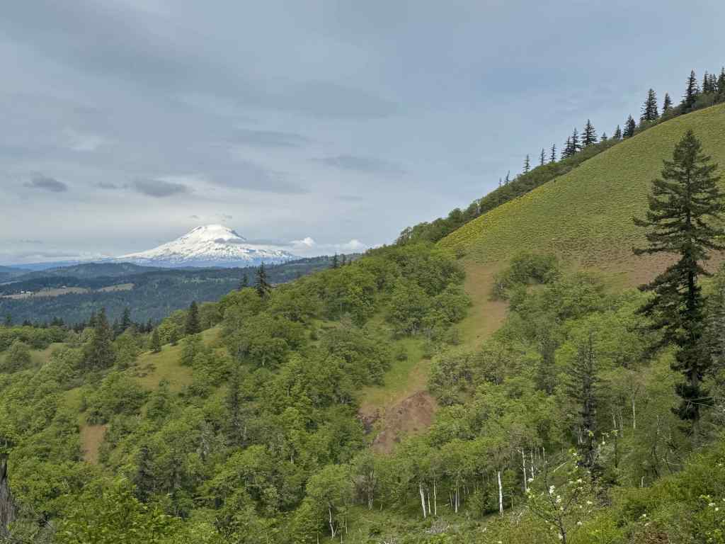
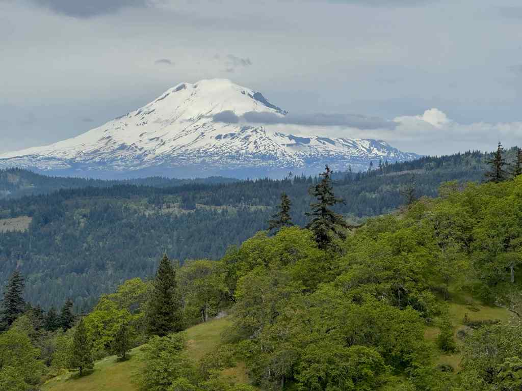
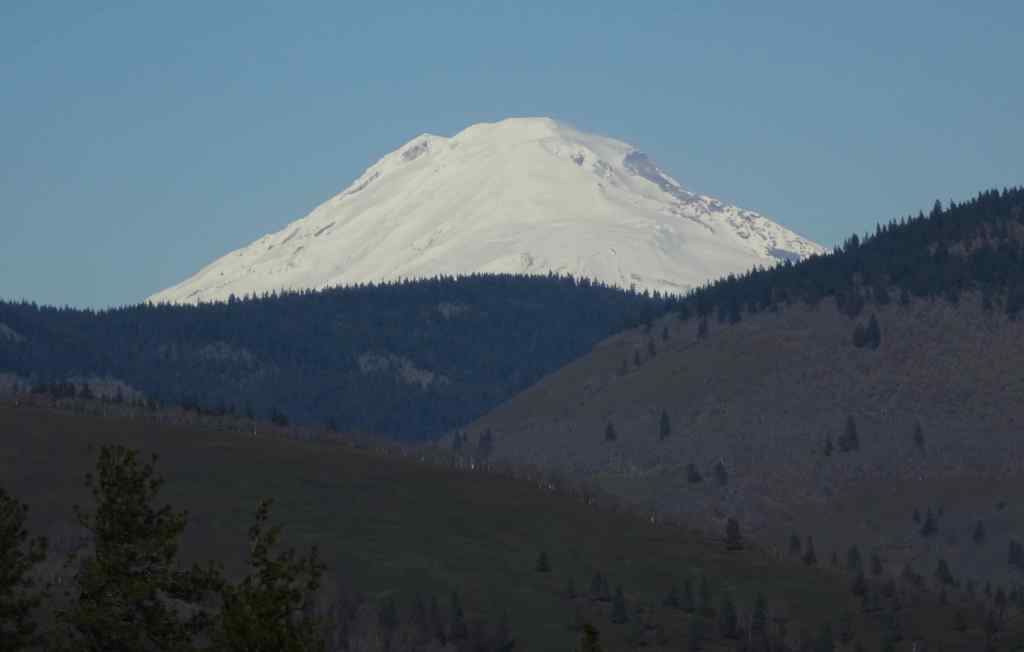
This is another place we go to see huge swaths of balsamroot in bloom, and once again, it was a beautiful hike, with a side view of Mt Adams from the lunch stop. It is steadily uphill, but never too steep, as it was originally a wagon road. (4 miles, 1100 feet)
The lower slopes are shady oak woodland, with meadows full of buttercups, vetch and other tiny flowers – very colorful!Bicolored lupines and barestem biscuitrootA few clumps of lupine in the shade, and lots of poison oak everywhere off trail.Eventually, the view opens up to the balsamroot slopes…Before continuing, we popped over the ridge on a side trail to our lunch stop – with views to Mt Adams.Mt Adams
After lunch we continued upward along the main trail…
Upward on Weldon Wagon Road – clouds covering Mt Hood.Looking down the slope.In the upper woods, tall western groundsel,Large-head clover, and Pacific waterleafEventually Mt Hood started to emerge from the clouds.Hiking back down, noticing the fern leaf desert parsley among the yellow blooms.Fernleaf desert parsleyAnd back down through the painterly lower meadows and oak trees. Another good visit to this trail.
We went to the coast for a few days, to make up for the cancelled (due to illness) trip last month. We were not lucky with the weather, but we enjoyed the change of pace. We have been to these places before, so we knew where to go to make the most of the decent weather intervals. We spent the worst weather day at the Oregon Coast Aquarium.
March 9 and 10 – Cape Perpetua
The evening we arrived, clouds were high and the tide was ebbing. We went to the Thor’s Well Viewpoint at Cape Perpetua to watch the action.
Looking down towards Thor’s Well from above.This hole in the volcanic ledge fills with water as the waves wash in,and then drains as the water recedes.Sometimes there are big spouting splashes.
To the left, another rocky feature sends up puffs of spray when the swash level is just right. It is called The Spouting Horn…
Looking back up toward the highway bridge and Spouting Horn.We hit the tide level just right, and saw plenty of spouting action…Looking out toward the sea, with another spout on display.
We stayed long enough to see this gorgeous sunset from Cape Perpetua.
Sunset, Cape Perpetua
The next morning, the sky was overcast, a bit misty. We went back to Cape Perpetua to do as much as we could before the predicted rain arrived.
We had hiked up to the Overlook Viewpoint before, but this time, we drove to the upper parking area, and walked a short way to the stone viewing shelter, looking down on the coastline as we went.
From the overlook trail we could see the Thor’s Well area, where we had been last night, and the Devil’s Churn area, where we would go after this.Zooming in – there is the highway bridge, the trail, and the rock benches we were walking on last night.Thor’s Well and Spouting Horn, not spouting now.Trail to the shelter, through the forest.The rock shelterAnother view to the south And a view out the other side of the stone shelter. This trail continues all the way to Yachats, but not for us today.
We drove down to the Devil’s Churn area, and took a short hike along the cliffs and beaches there.
Trail of the Restless Waters/Devil’s Churn areaDevil’s ChurnSwitchbacks down into the ChurnWatching the waves splash on the rocks.Landward edge of Devil’s ChurnCircling around through the forest, we saw a few flowers, including this coltsfoot.View south from the small beach on the south end of our hiking loop.
One could continue south along the beach here, but we were starting to feel the raindrops and the wind, so we hiked back to our car and called it a morning. Luckily, our lodging has a lovely indoor soaking pool with a view to the beach, so we enjoyed that while watching the storm come in.
March 11 – Oregon Coast Aquarium
This day looked to be completely rainy and windy. We drove a half hour north to Newport to visit the Oregon Coast Aquarium. We had been a few times before, when we had children in the house. But not for many years. We enjoyed the day!
The first thing I saw in the entry area was the large tank of moon jellyfish, fluttering and floating in a mesmerizing way. Perfect meditation objects…
Moon jelliesMoon jellies – shimmering and floating up and down.Moon jellies – we watched them for a while.
Next, we wandered through the various rooms, looking at sea creatures we don’t usually see up close…
Sea pensSand dollarsScallopsLots of bright, colorful anemones, urchins, and other creatures in the touch pools.Sea stars, anemones, and coral in the touch pools.Rockfish, urchins, and anemones in one of the tanks.
We watched the resident octopus swim laps around the tank. Also mesmerizing…
Sea horsesBright coral and clown fishMany colorful fish in a large tank.Another kind of jellyfish.Spotted eel and spotted fish…
We rushed past the outdoor viewing areas in the rain, stopping just long enough to notice these hunkered down puffins.
Puffins
We went to the Passages of the Deep, walking through large glass tubes in a giant tank that is now populated with the sea creatures that live in the various habitats off the Oregon coast. We brought our kids here to see the orca Keiko, all those years ago, before he was freed (Free Willy).
One of the viewing galleries in this exhibit.Fish swimming around pier posts and kelp.More fish – it’s difficult to get good photos through the very thick tank walls.Shark
We returned back through the main galleries, taking time to look at the moon jellies once more.
Moon jellies
Then we drove back to Yachats, through the wind and rain, over the Art Deco Yaquina Bay Bridge…
Yaquina Bay Bridge
March 12 – 804 Trail, Yachats
This looked to be another rainy day. The 804 Trail passes in front of our hotel, and all along the waterfront of Yachats. We walked in alternating drizzle and mist about 3 miles north and south along the trail.
Walking south on the 804 trail – there are benches for better weather days.Sea spouts among the rocky ledges here.Sea thrift blooming along the shore; our hotel in the mist.Beach at the northern end of the 804 TrailSeabirds – don’t mind the rain.
That afternoon, it was back to the soaking tub and spa, and I had more time to knit with a view…
Knitting and storm watching.
March 13 – Homeward
On Friday we drove home, refreshed from our time at the coast, despite the stormy weather. I appreciated all the coastal-themed art work in our hotel, including a seabird chess set.
Lobby with fireplace and comfortable seating.Seabird chess set
Four hikes in the eastern Columbia River Gorge, with wildflowers and fire recovery notes; and two urban walks.
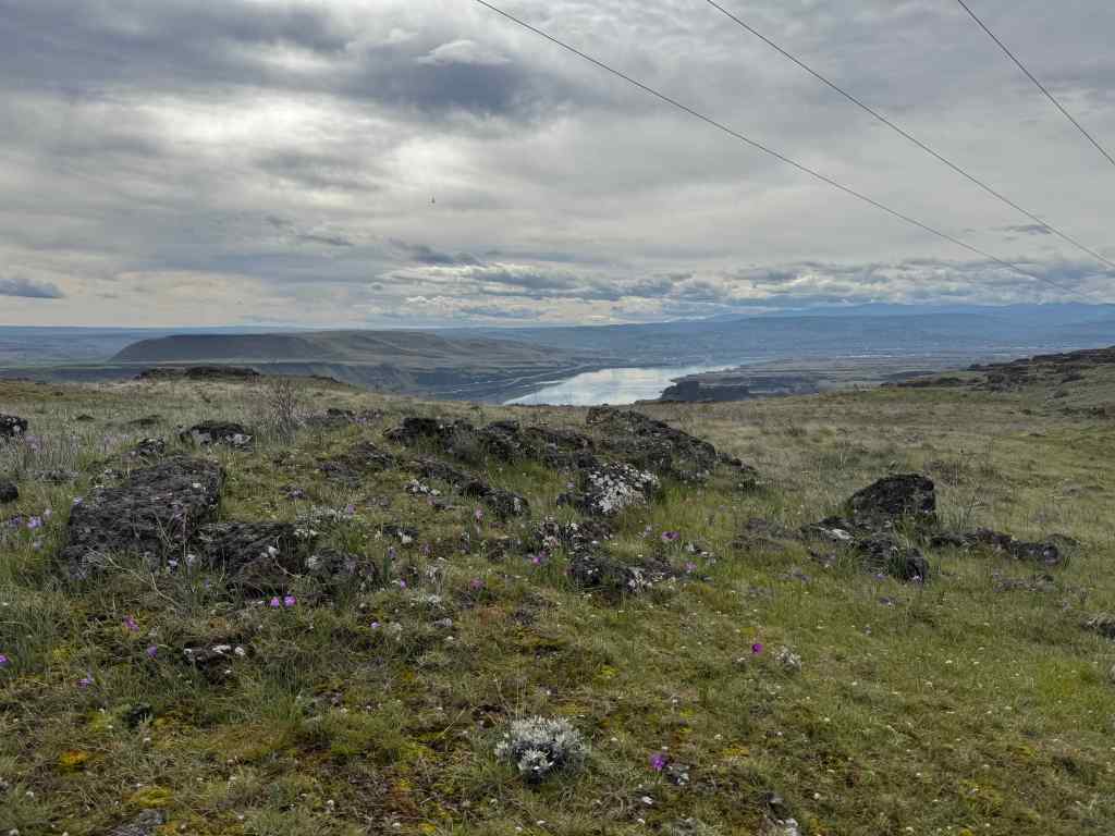
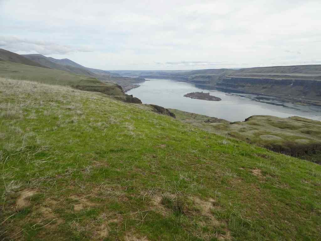
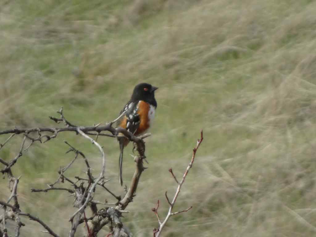
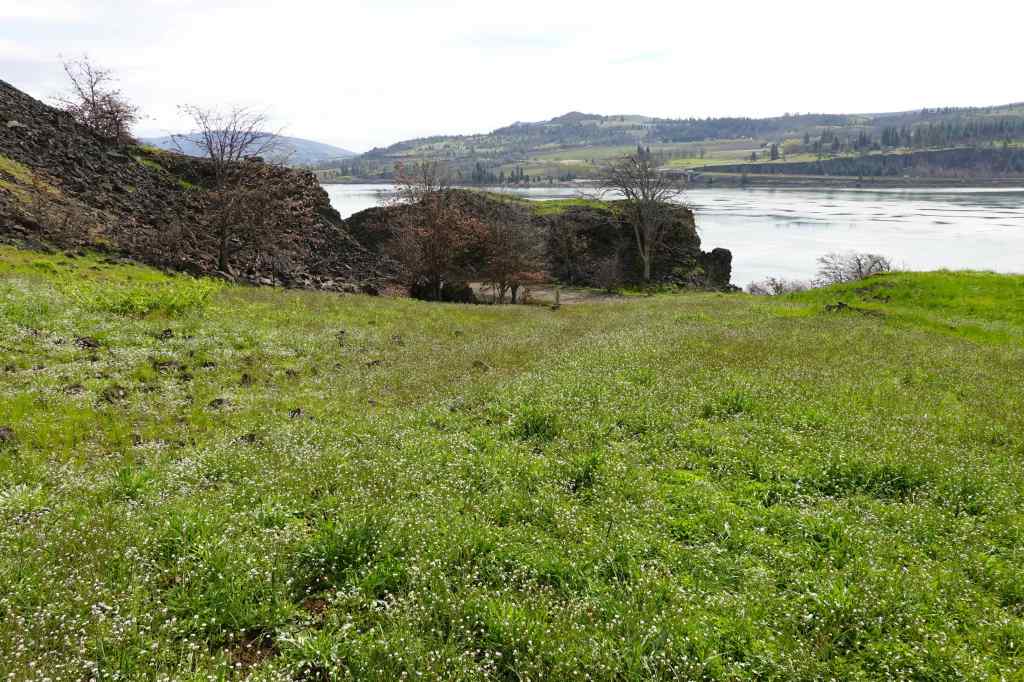
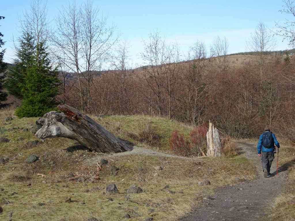
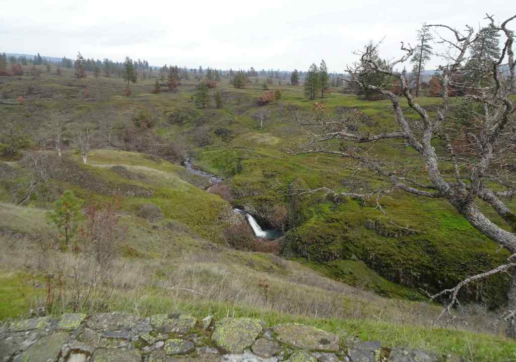
3/3 – Crawford Oaks, WA
On a calm day, we walked the Vista Loop from Crawford Oaks (5 miles, 750 feet). We saw the earliest spring flowers, and the Columbia River reflecting the landscape like a mirror.
Eight Mile FallsGold Stars blooming along the trail.Grass widows and salt and pepper parsley blooming at our lunch stop, looking toward The Dalles.Dalles Mountain Ranch. We saw a few yellow bells blooming in the dry grass.Emerging balsam root bloomsEastward view up the Columbia River toward Celilo.Spotted towhee
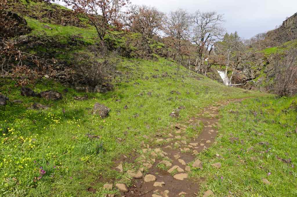
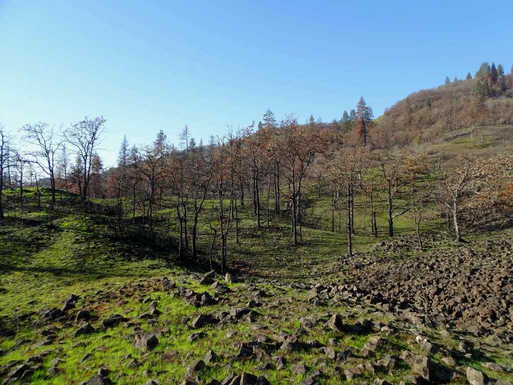
3/17 – The Labyrinth, WA
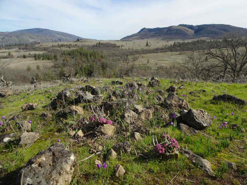
I finally made it all the way up to the guide Ponderosa pine, for the first time since the Burdoin Fire last summer. There was evidence of fire damage along the way, and extremely lush meadows full of flowers. (4 miles, 900 feet)
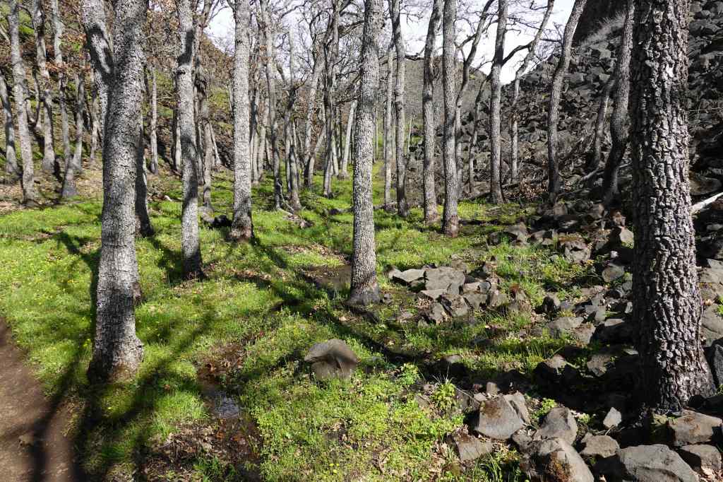
Starting up, green meadows with blooming popcorn flowers and filaree.Swales of white cress flowersGold stars and grass widows near Hidden Falls.Lots of water in the creek, with buttercups.Grass widows, and the orchards of Mosier across the Columbia River.Fire damage in my favorite oak grove.More fields of glowing grass widows as we approach the lunch ledge,And a view of Mt Hood with lenticular cloud.Columbia desert parsleyThe ridgeline oak treeContinuing upward toward the ‘guide’ ponderosa at the turnaround/viewpoint,On closer view, I can see the burn damage, but there is still a lot of green. I’m hoping it will survive.View eastward from near the ponderosa.Saying goodbye to the trail guardian oak on the way down – also still here, and undamaged.
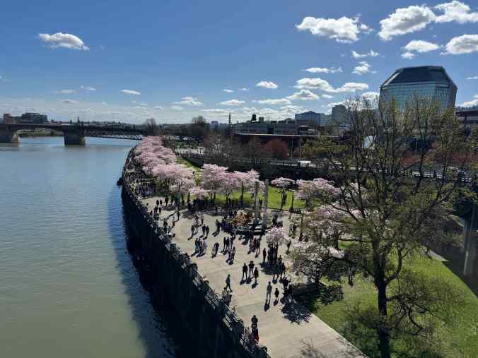
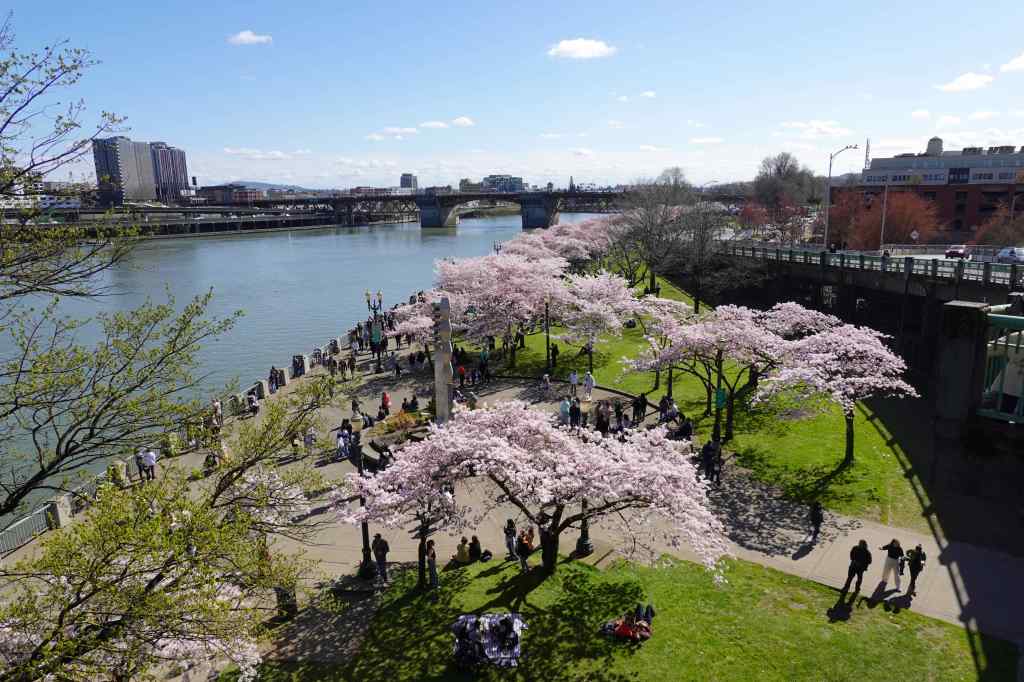
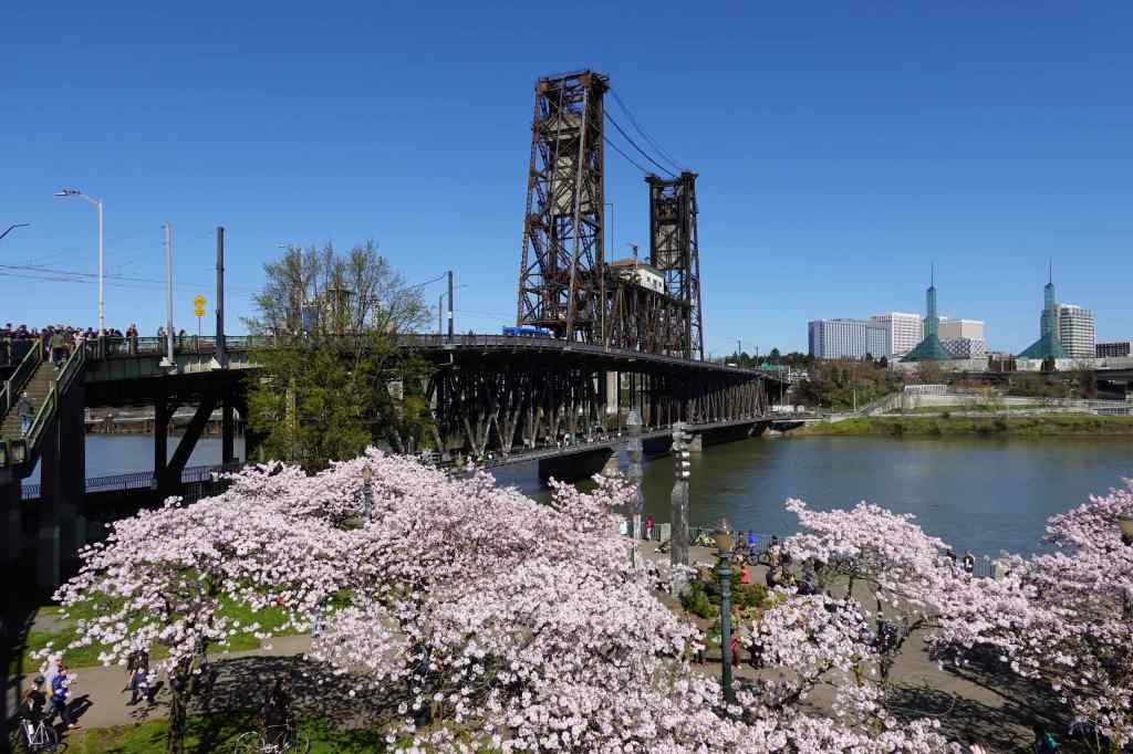
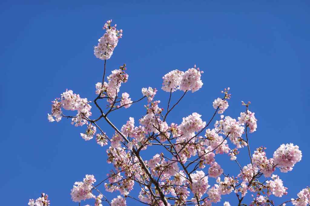
3/21 – Portland Waterfront Cherry Blossoms
We took quick walk, along with thousands of others, to see the blooming cherry trees along the Portland waterfront, on a sunny day. Given all the usual protest vibes we live with, this day was a refreshing break. We were all enjoying the sunshine and the blossoms!
Looking down on the Willamette River waterfront from the Steel Bridge.Cherry trees and the Burnside BridgeLooking back to the Steel BridgeCherry blossoms, Convention Center tower beyondCherry blossoms
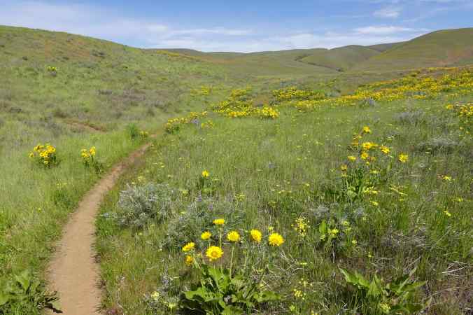
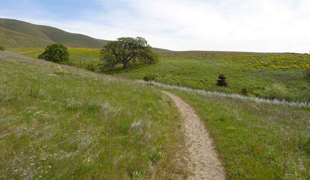
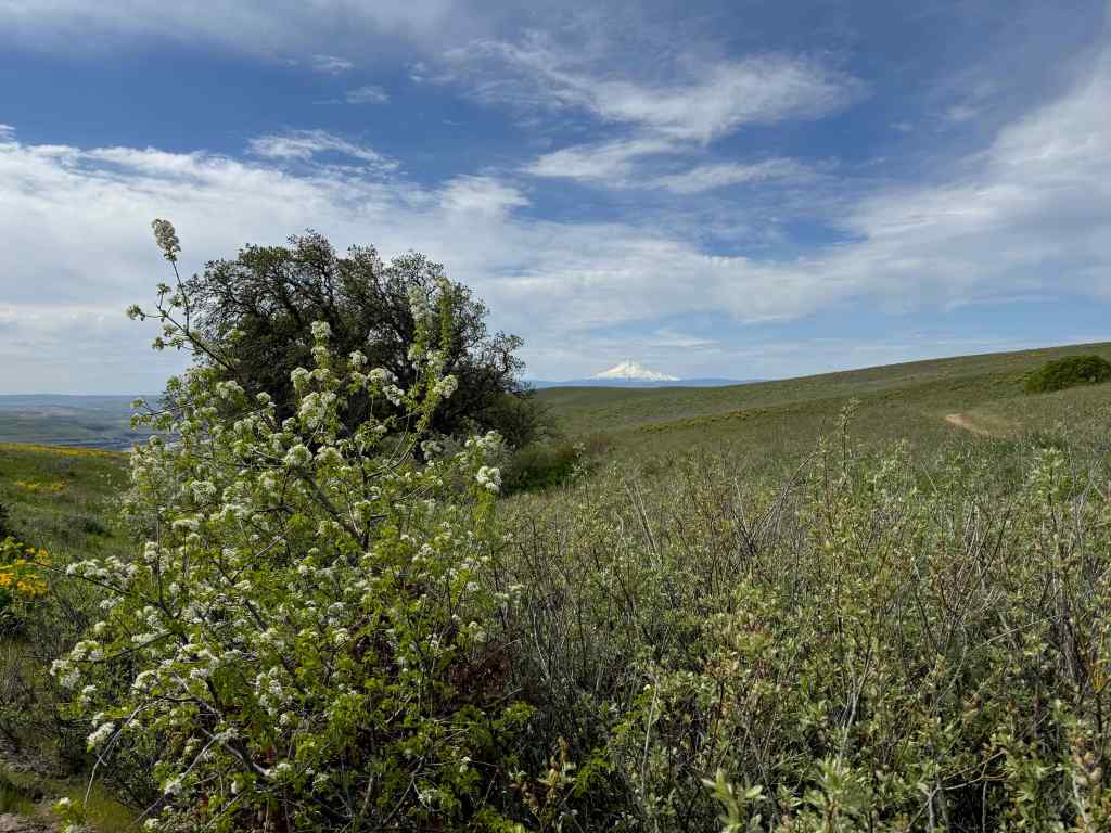
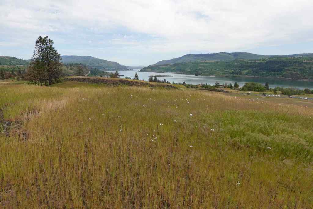
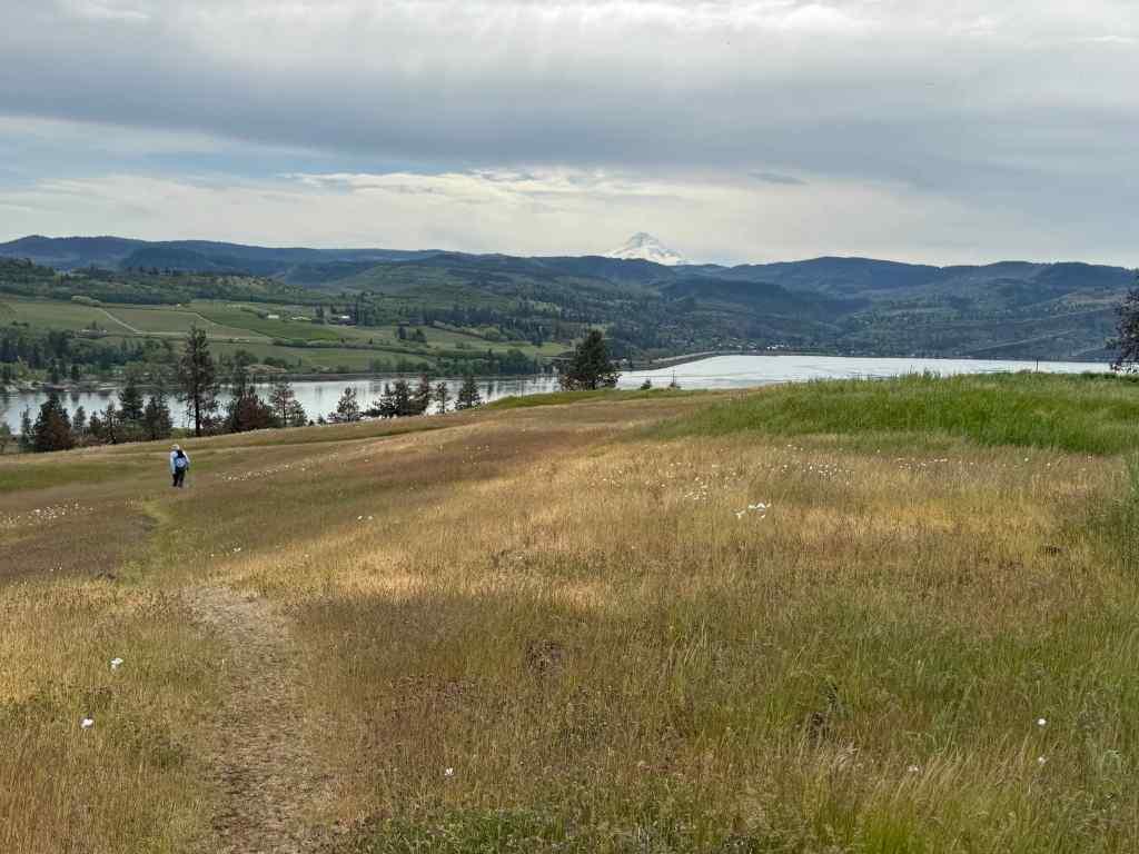
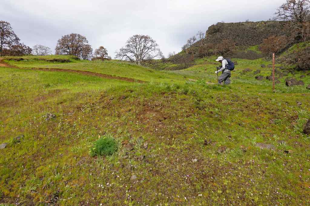
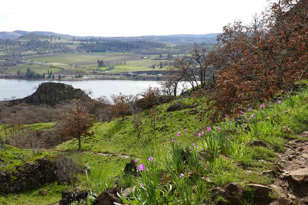
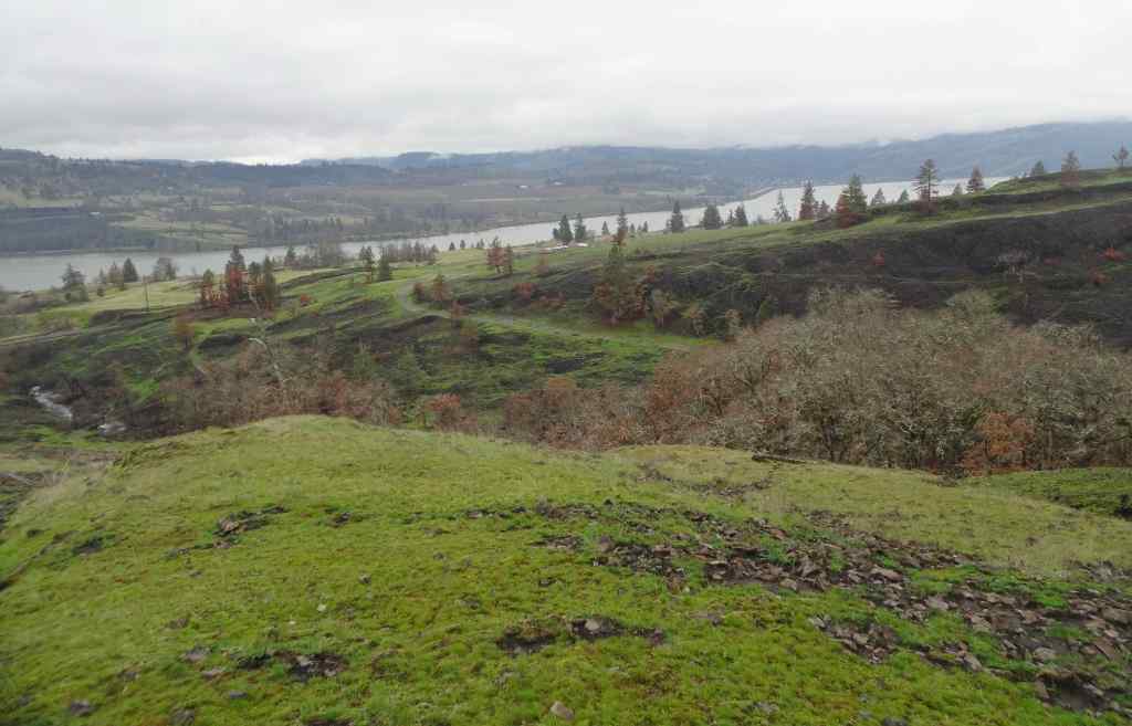
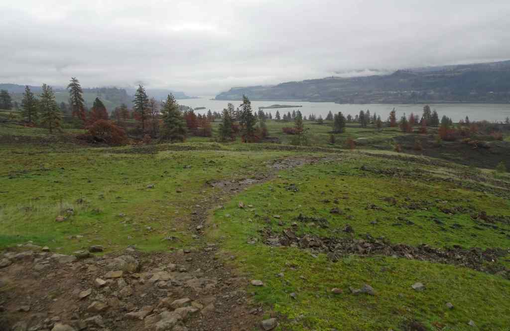
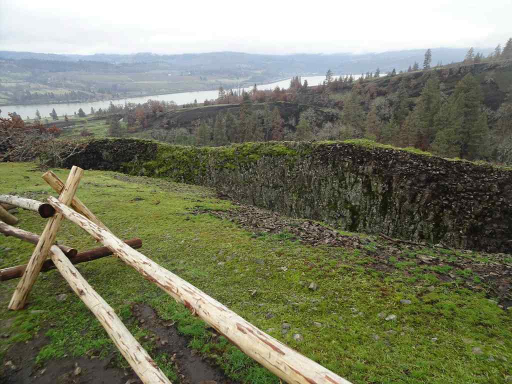
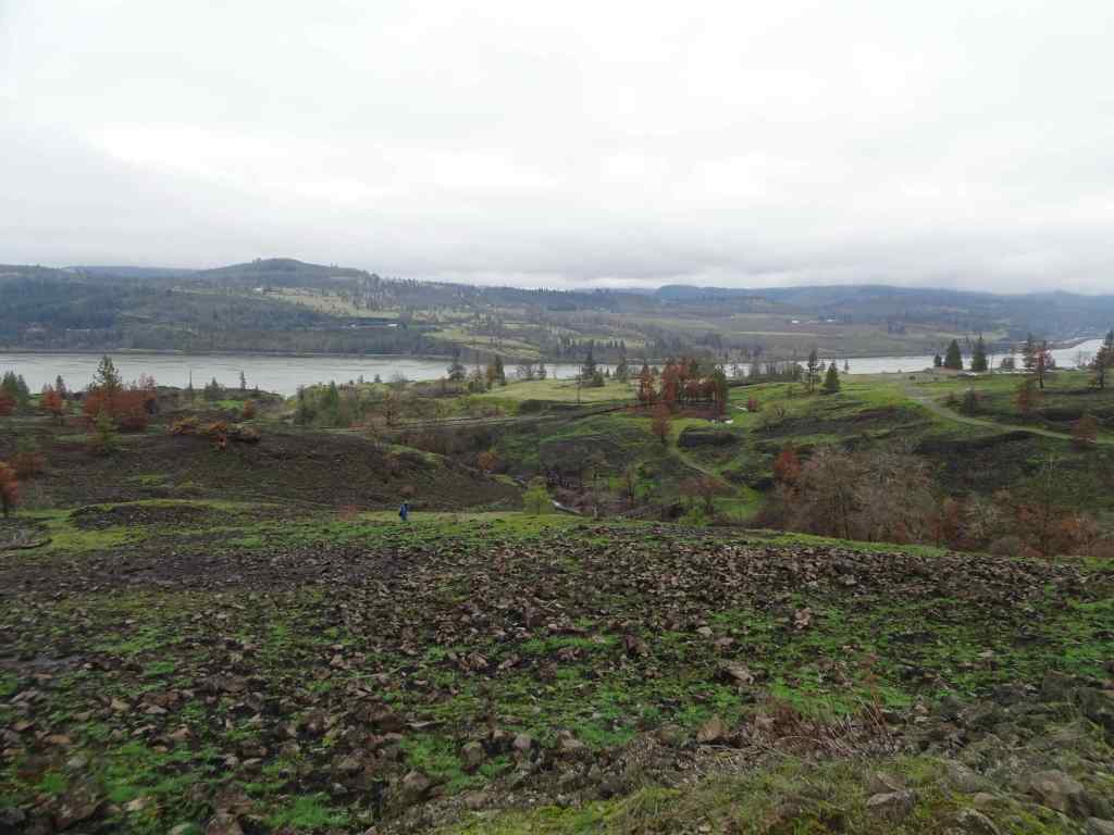
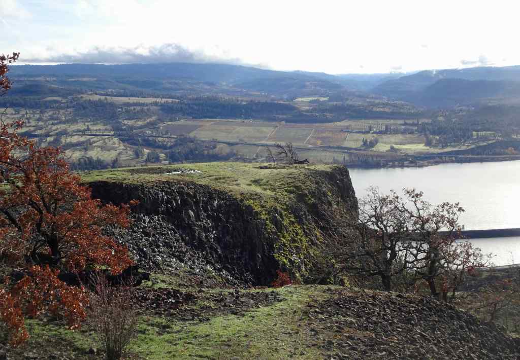
3/25 – Mosier Plateau, OR
We hiked with friends on this windy day, out to the Mosier Plateau, where we could see the first balsam root flowers blooming, and great views across the Columbia River. (3.2 miles, 650 feet)
Walking uphill along Mosier Creek, past Mosier Falls.A few switchbacks and stairs, still protected from the wind; with Columbia desert parsley.Now walking north toward the exposed plateau, balsamroot blooming along the trail.Windy view across the Columbia River, with balsam rootFreshly blooming balsamrootWestward view, down the Columbia RiverNorthward view, directly toward Coyote Wall; Labyrinth to the right. All burned by last summer’s Burdoin Fire, and now all green.Upriver view, toward the Catherine Creek area.
3/30 – Catherine Creek, WA
Our first time doing this eastern loop since the Burdoin Fire. The meadows were full of blooming flowers. There were many remnants of burned trees, and I learned about bonfire moss, a neon green variety that marks the fire areas. I didn’t see my ‘ent’, a snag that I greet every time we hike here. It seems to have vanished in the fire…though if it were a true ent, it would have moved away from the fire. (3 miles, 500 feet)
Meadow full of death camas at the trailhead.Gold stars near the bridge.Rosy plectritis in abundance.Camas, shooting stars and saxifrage.View back to Mt Hood across the Columbia River.Walking uphill along the eastern trail. I don’t see my ent, but it should be somewhere in this view…I did see many remnants of burned trees – blackened logs, surrounded by bonfire moss.Miners lettuce and bonfire moss.We passed many burned logs, each with their bonfire moss halo.View from the cliff edge across Catherine Creek, as we return down the trail. The yellow patches are monkey flowers.RIP to my old ent… perhaps he is wandering out there somewhere. Photo from 2024.
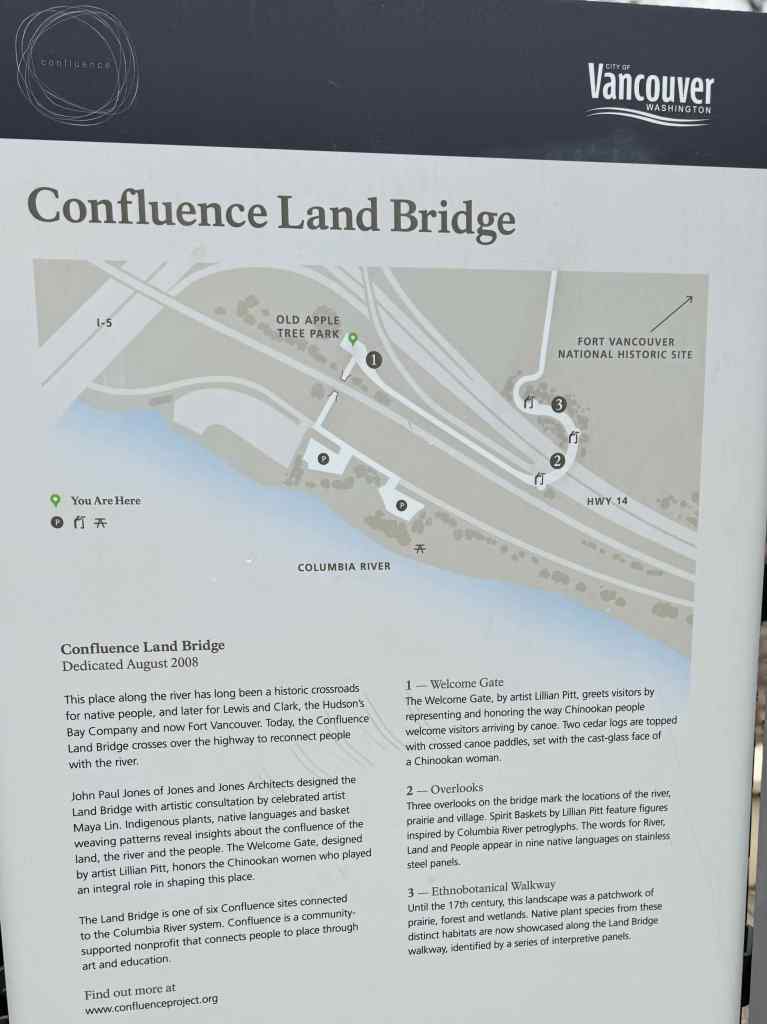
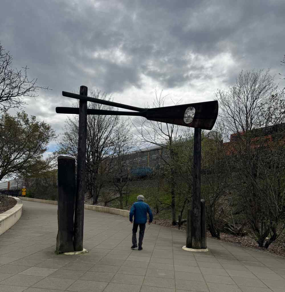
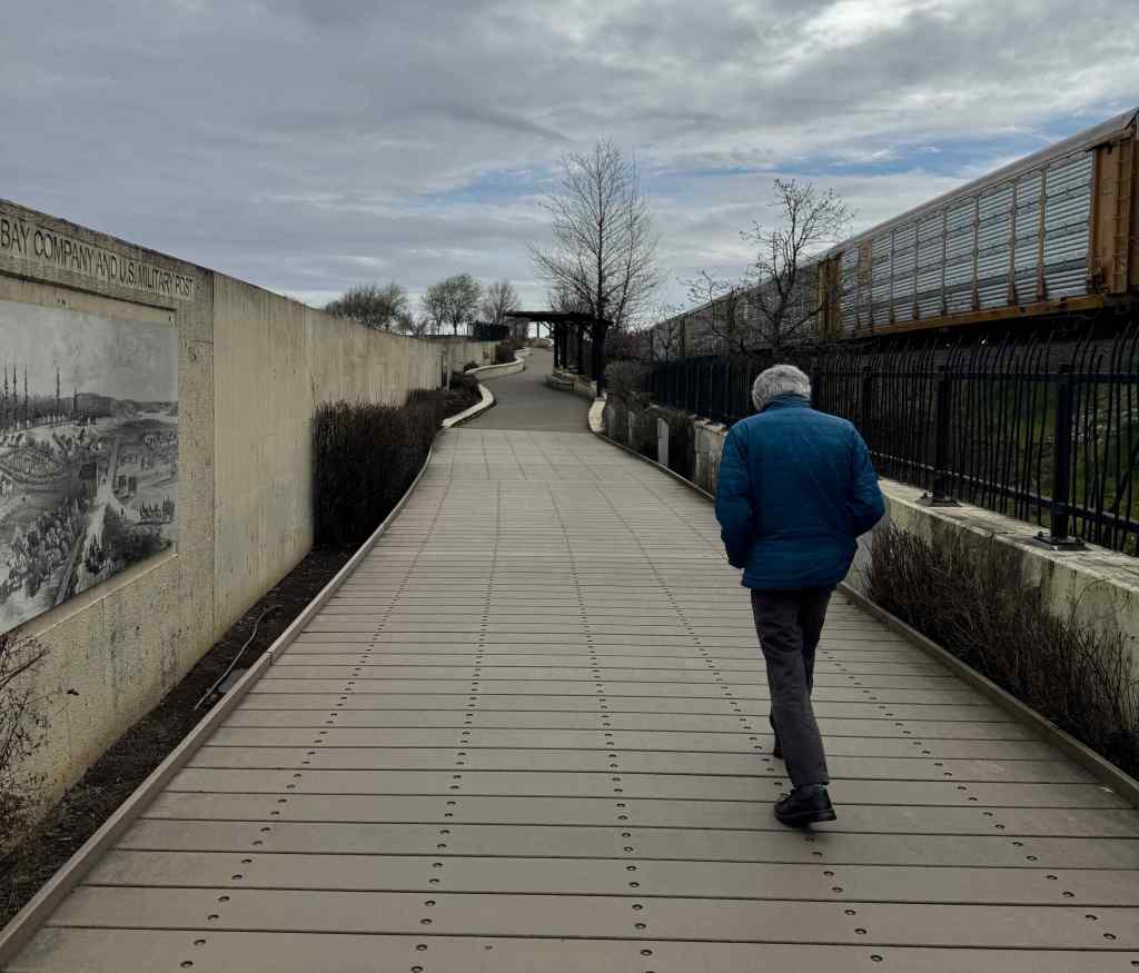
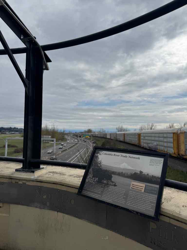
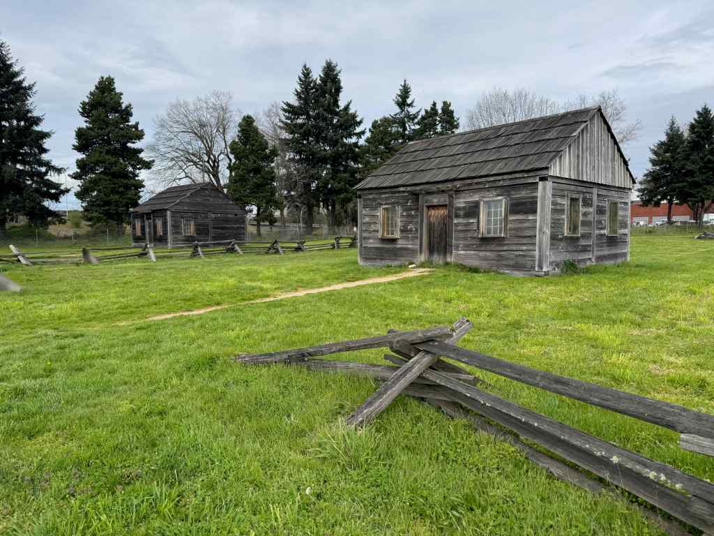
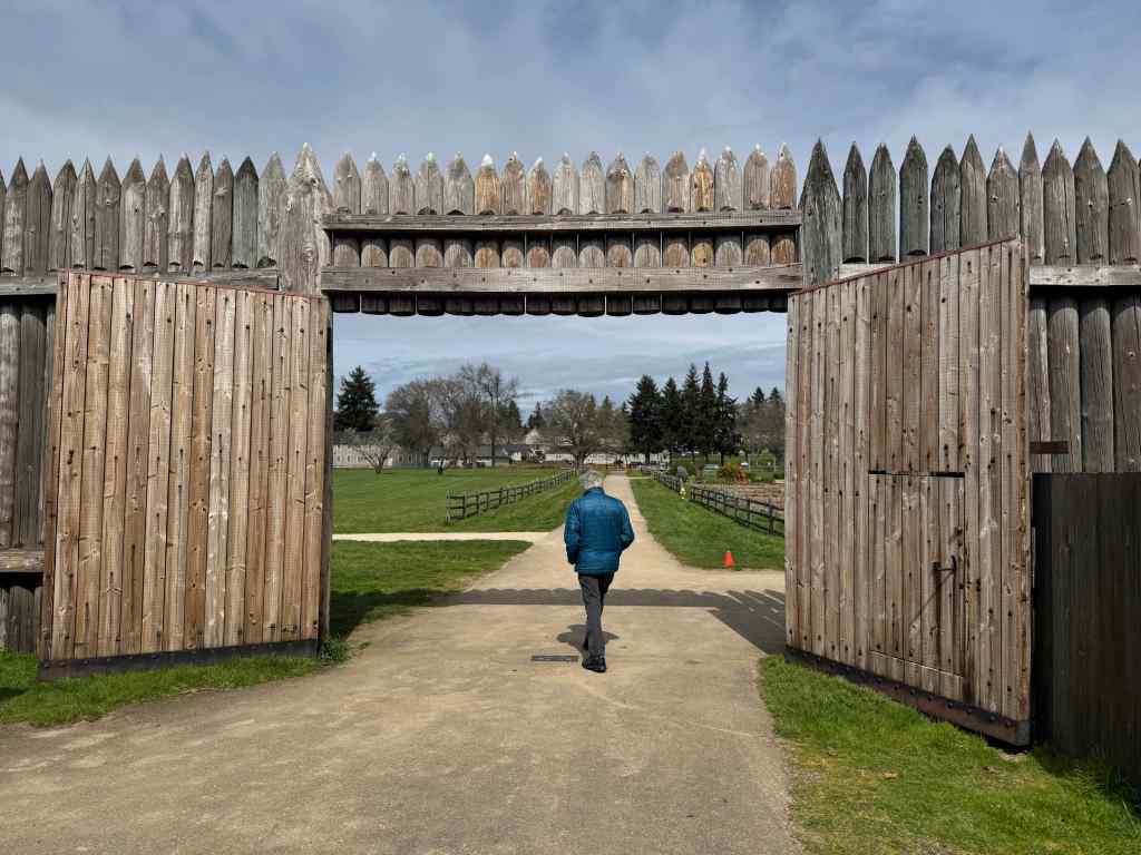
3/31 – Fort Vancouver Land Bridge, WA
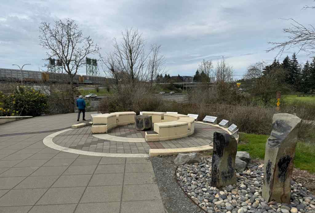
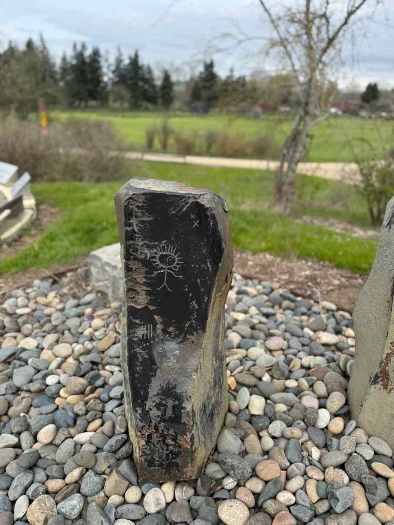
We took a brisk two mile walk over the Confluence Land Bridge near downtown Vancouver, Washington. The bridge and trail trail connect historic Fort Vancouver to the Columbia Riverfront, over the freeway. Art and signage explain historical and natural history. Although it was very noisy near the freeway, and on this day, the view of the river was blocked by a parked train, the bridge does provides a creative and protected way to cross the freeway and the train tracks, and we saw many bikes and people making use of it.
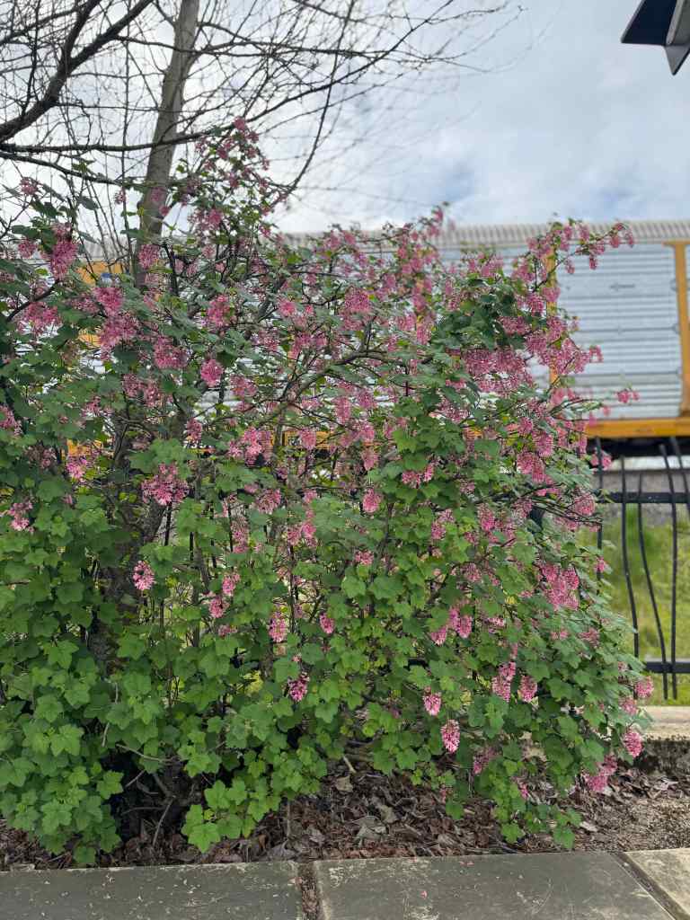
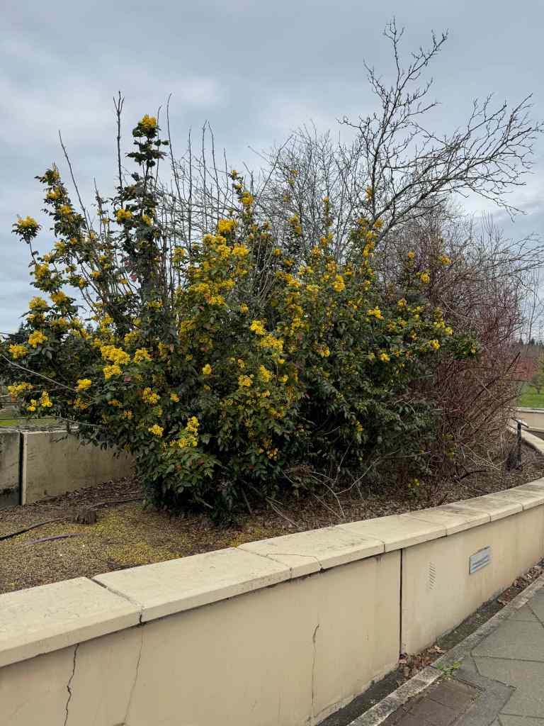
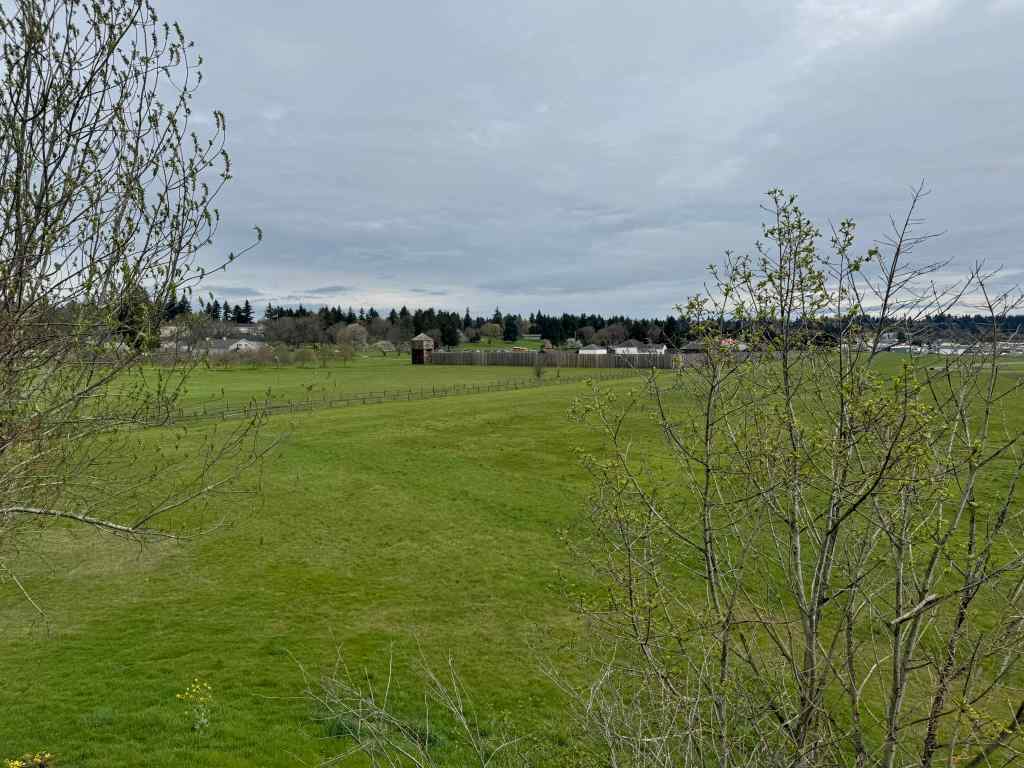
Sign explaining the Confluence Project and this Land Bridge.Entrance to the bridge.Historic placards and native plants along the way.Red currantOregon GrapeA lovely view of Hwy. 14 to the east, and that train blocking the river view.View of Fort Vancouver.Going down the north side – more artwork. Note the towers of the Interstate Bridge and the freeway interchange in the distance.Indigenous art.We walked near these reproduction cabins at the Fort Vancouver site,and then walked over to the Fort.It was quieter here. We had another appointment to get to, so didn’t have time to explore.We attended living history demonstrations here with our kids many years ago, but haven’t been for a long time. Despite being so close to freeways, the interstate bridge, train tracks and a lot of traffic, we appreciated having a green place to walk between appointments on this busy day.
I went on only three hikes in February. We had some down time while my husband recovered from a sudden illness. He is well now. The later walks were in easy, recovery mode.
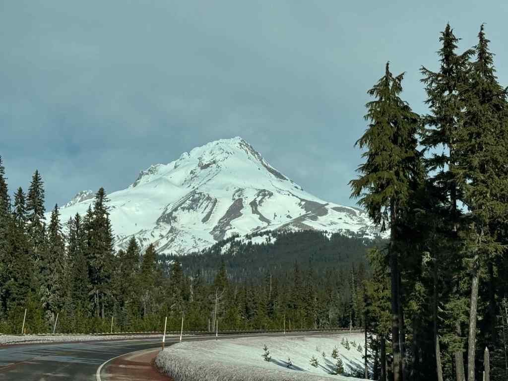
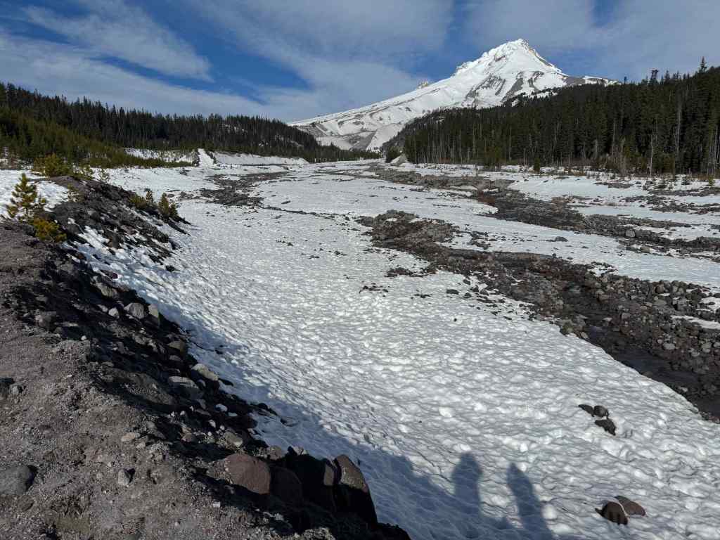
2/5 – White River snow hike, Mt Hood, Oregon
With snow levels still very low, we were able to hike this out-and-back trail, a long time favorite, with just micro spikes on our boots. There was a small amount of post-holing, but it was mostly fine.
Mt Hood from the HighwayHiking uphill along the White River moraine – lots of exposed earth.Our usual lunch spot, about a mile and a half up river, near the Timberline Trail crossing.Boy Scout Ridge, which we sometimes avoid due to avalanche danger, has exposed plants on the surface today.Glamour shot of the top of Mt Hood.
Luckily we had more snow by the middle of the month. There is more snow at this location now than there was in the beginning of February.
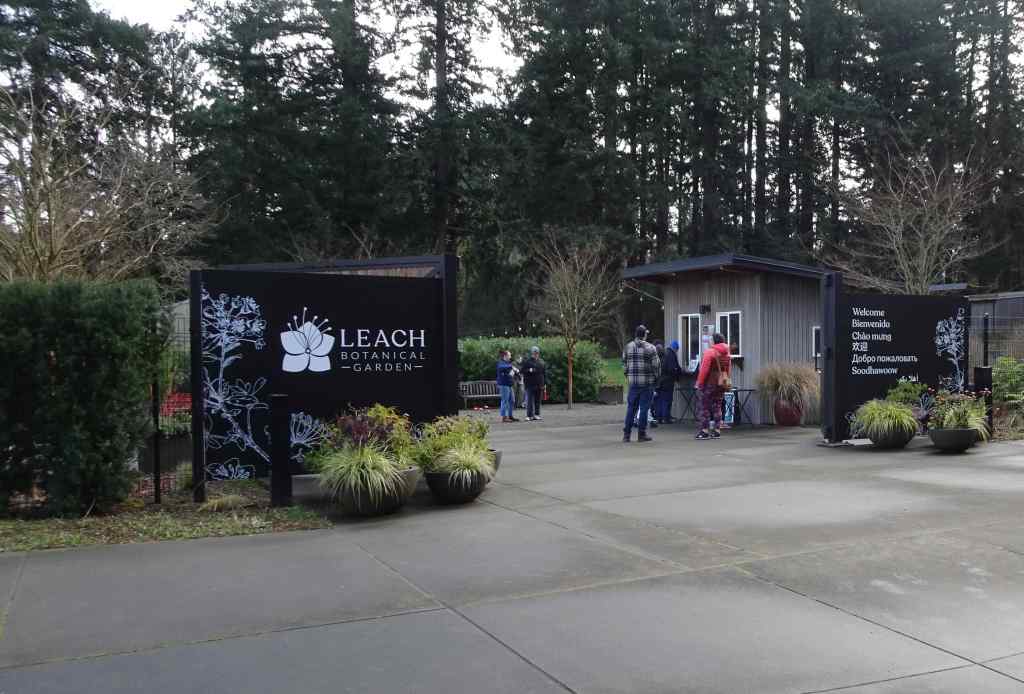
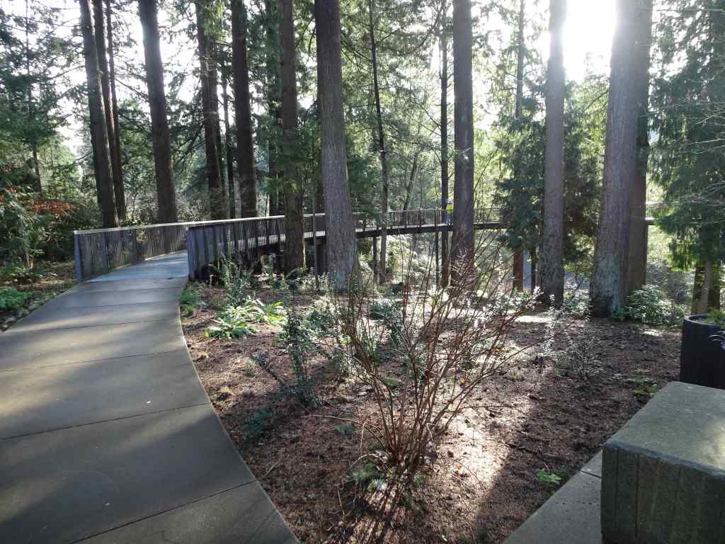
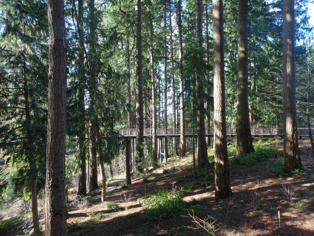
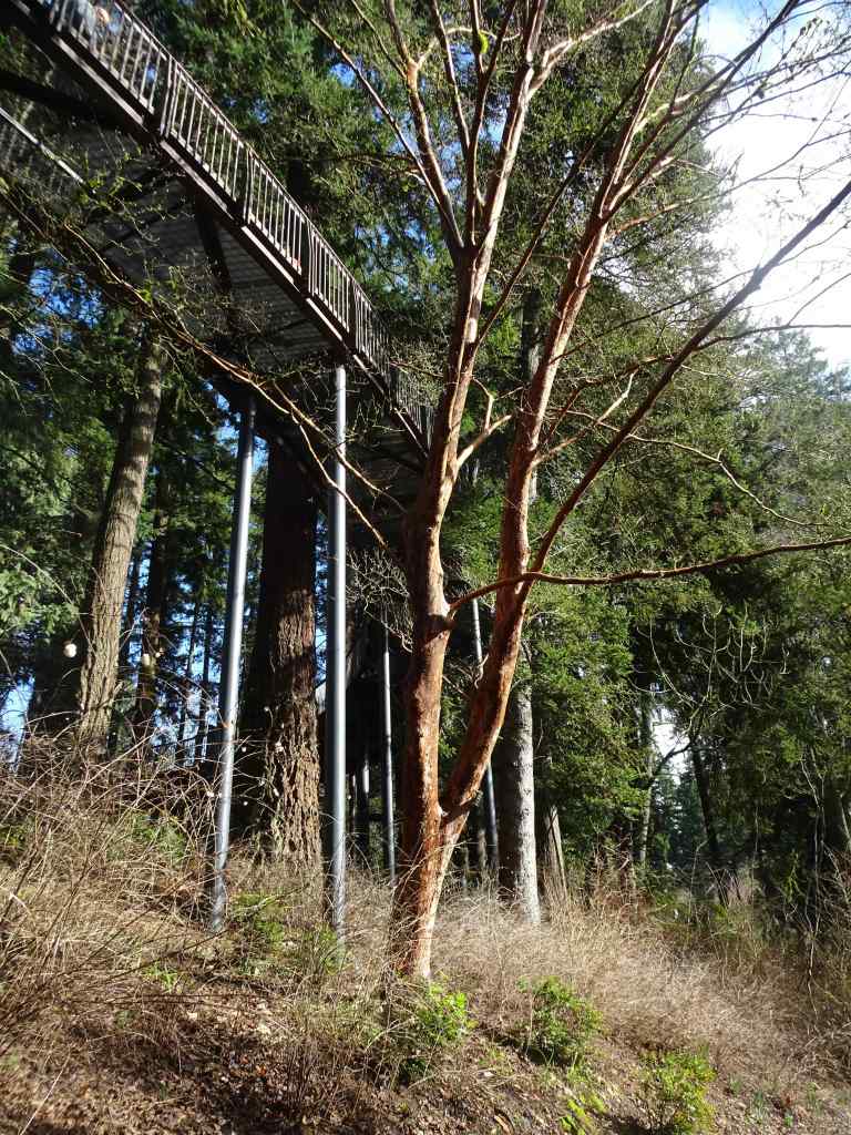
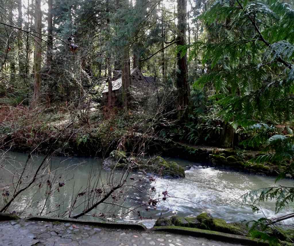
2/15 – Leach Botanical Garden, Portland
This public garden was gifted to the city of Portland by the estate of John and Lilla Leach. We hadn’t been in many years, but I remember taking my children here when they were young, and walking the stony paths between the plants. There was a bit of a Secret Garden feel to the park. I was aware that there had been a huge remodel and accessibility initiative. There is now a lovely Aerial Walkway that floats through the woodland. Today was our first time to try it. We walked less than a mile in total, as we had a time constraint, and also, my husband was still in recovery mode. Spring flowers were popping in a few beds, with more to come. I hope to return later in the spring to see more flowers.
Entry to Leach GardenAerial walkwayFloating through the forestSome trails pass below the walkway.Trails continue down to Johnson Creek, and to the original stone cottage across the creek.
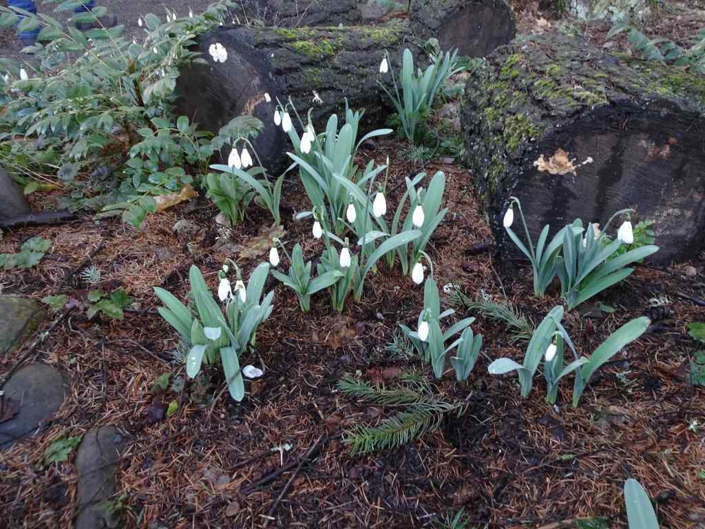
Some flowers in bloom today…
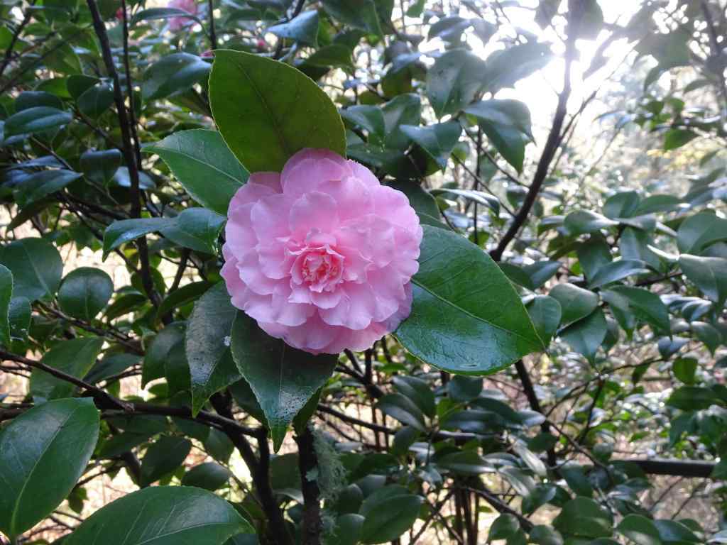
SnowdropsNarcissusCamelliaHellebores
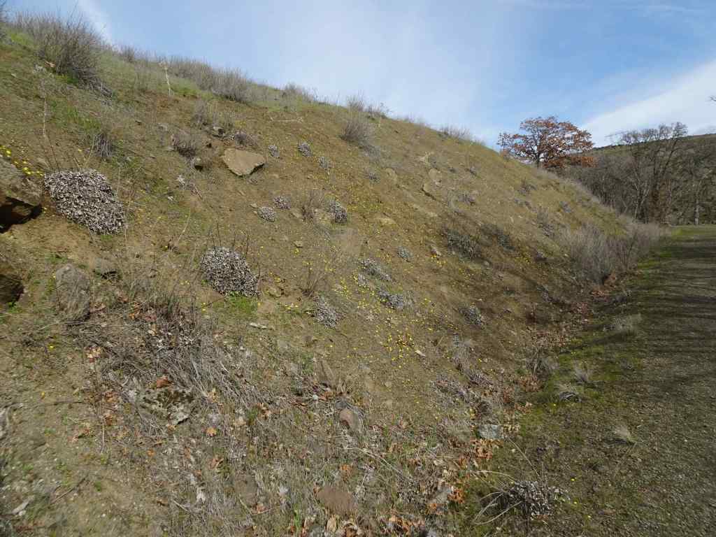
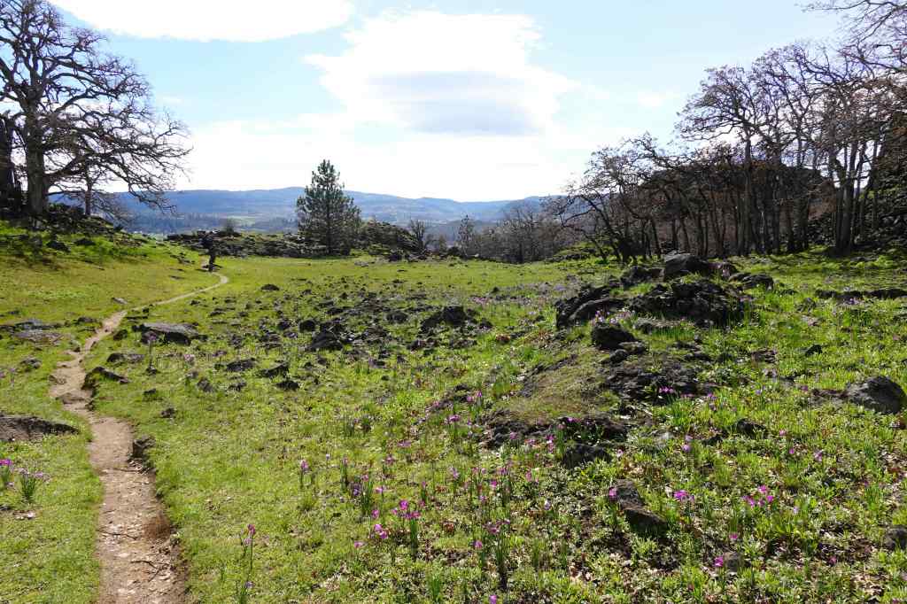
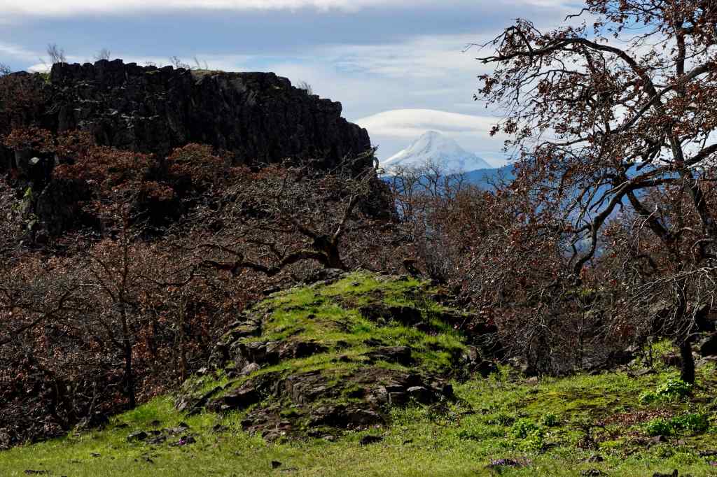
2/26 – Memaloose Hills, Oregon
A windy day in the gorge. Most of this trail is protected from the strongest blasts, and it is a good conditioning hike (3 miles, 550 feet), as we work on our stamina…
Trailhead view across the Columbia RiverGold stars and grass widows on the upward slopesGrass widowSalt and pepper parsleyYellow bellView of the gorge and Mt Adams from the top of Chatfield HillMt Adams
We continued the loop that circles over the top of Marsh Hill…
Nearing the top of Marsh HillView eastward from the top of Marsh Hill toward Tom McCall Point, with Columbia Desert parsley and grass widows among the rocks.Swales of grass widows just beginning to bloom.Grass widows
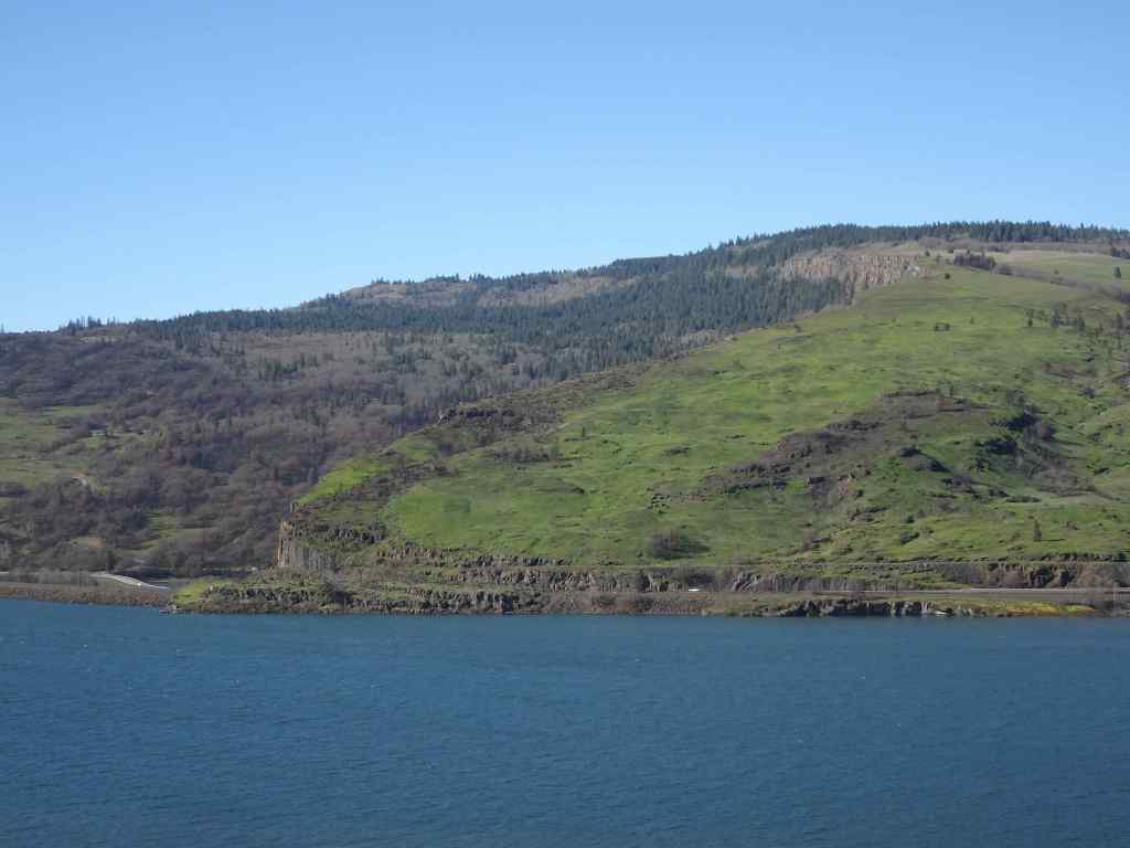
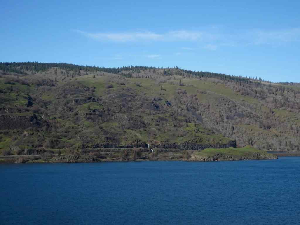
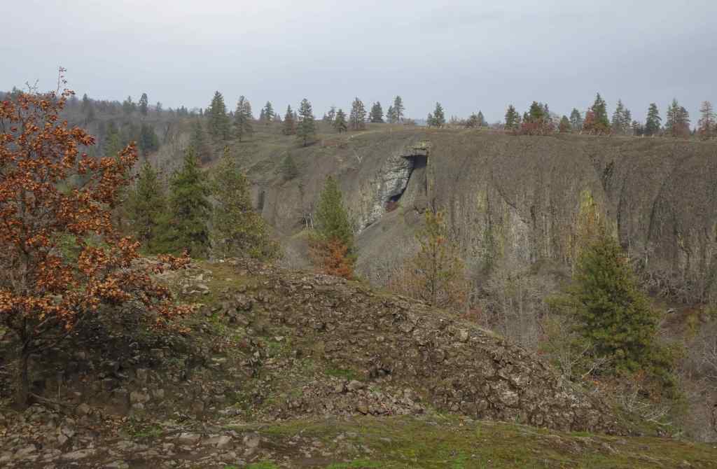
On the drive back toward Mosier, we stopped for a view to the north, to look at the greening slopes of the Coyote Wall and Catherine Creek areas, all burned last summer by the Burdoin Fire.
Coyote Wall, Little MauiThe Labyrinth
The good news is that, despite all the chaos in the political world, the flowers of spring are blooming again this year in the Columbia River Gorge!
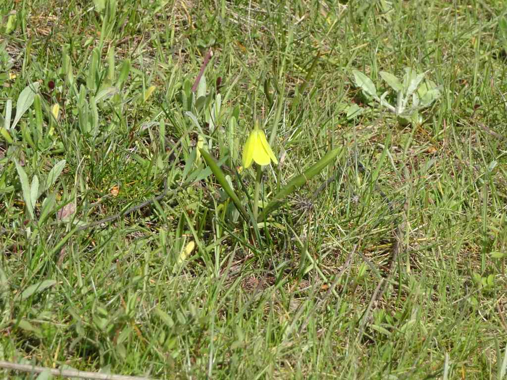
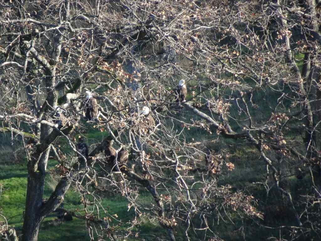
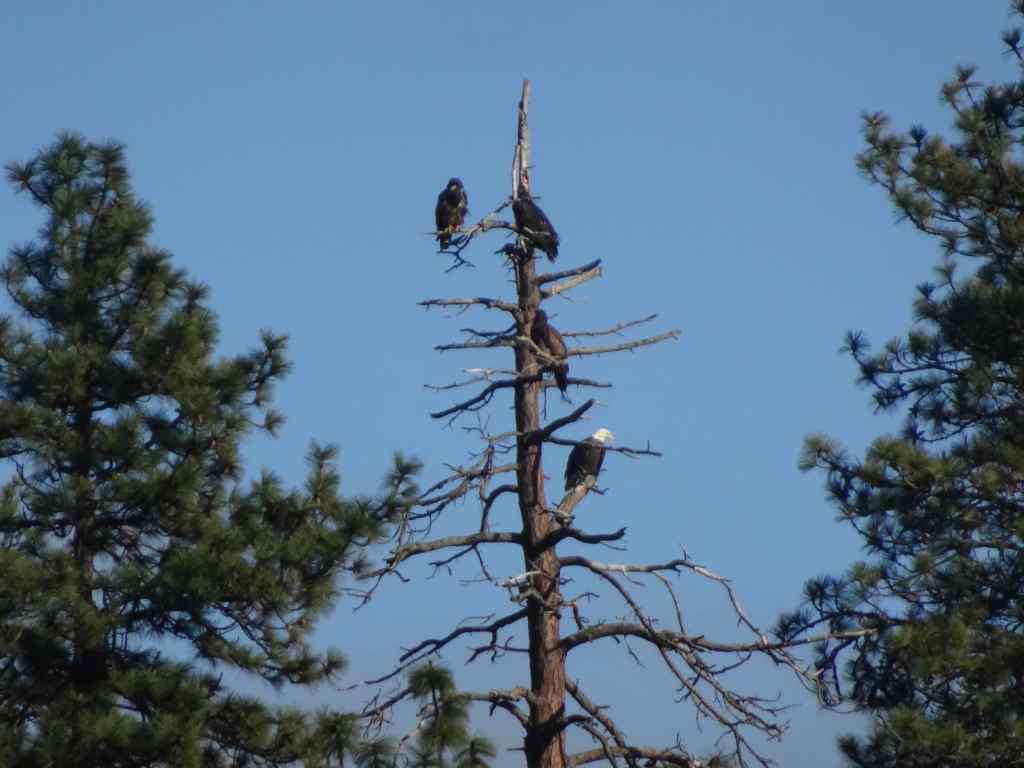
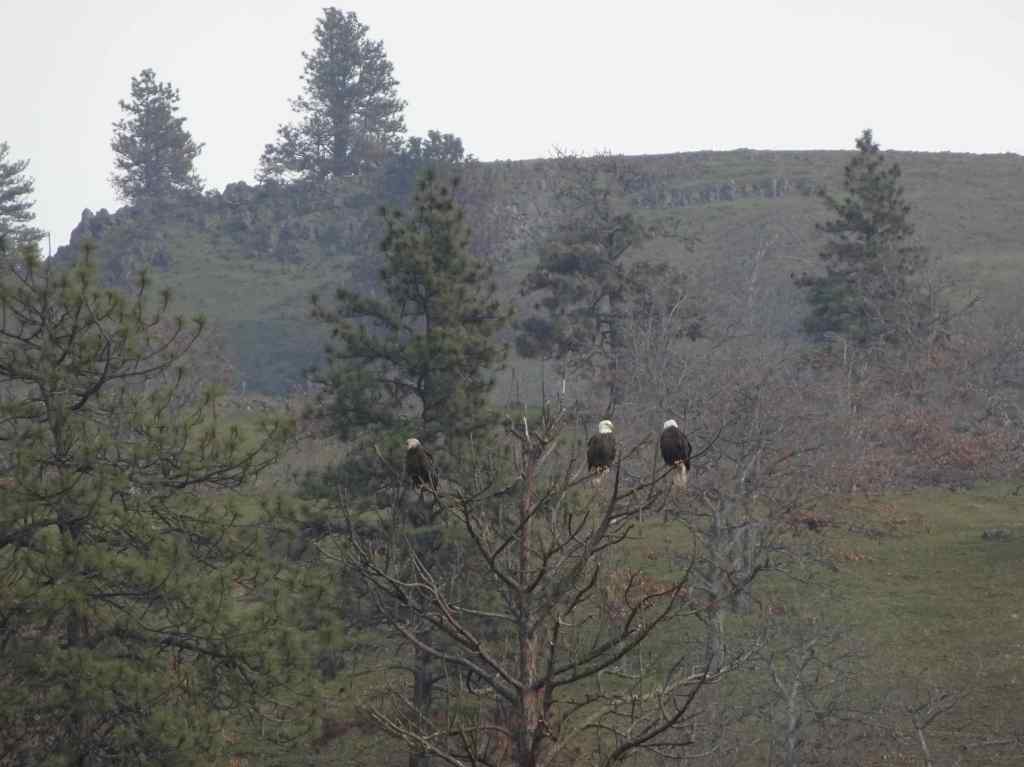
1/5 – Balfour/Klickitat Eagles, and Labyrinth Trail, WA
Our annual visit to this eagle nesting area near Lyle, Washington…
Osage oranges on the trail to the eagle overlook,Lagoon with salmon, ducks, and eagles hiding in the trees. We saw about 20 while watching for a half hour.EaglesEaglesZooming in on the snag in the distance – more eagles.
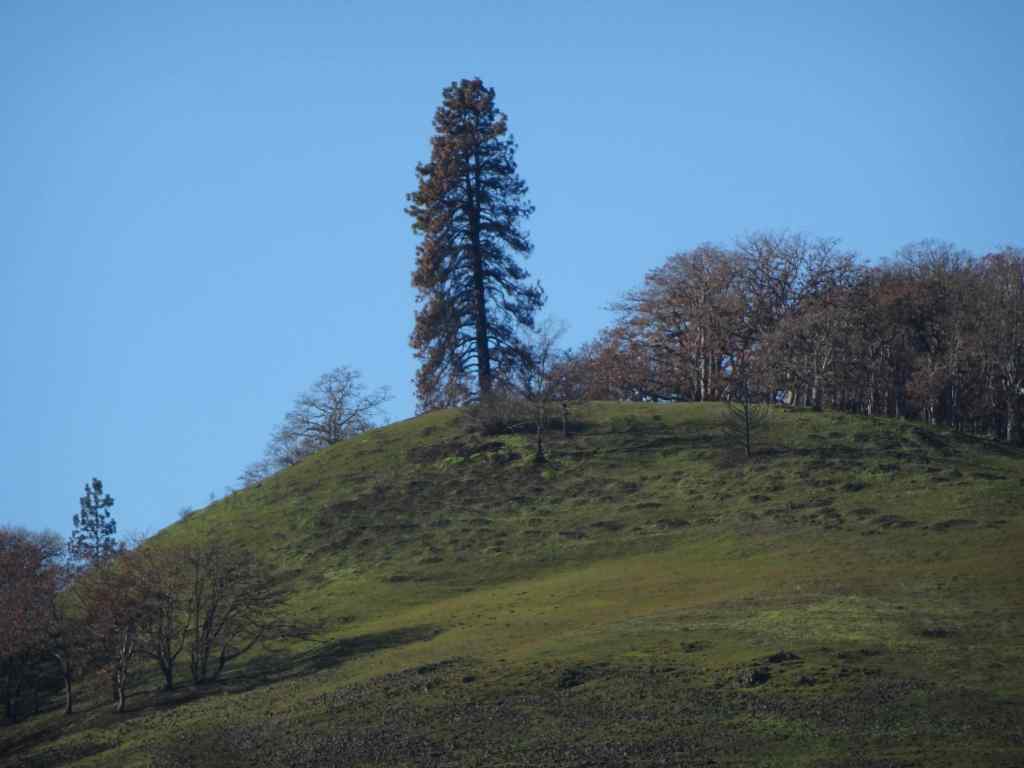
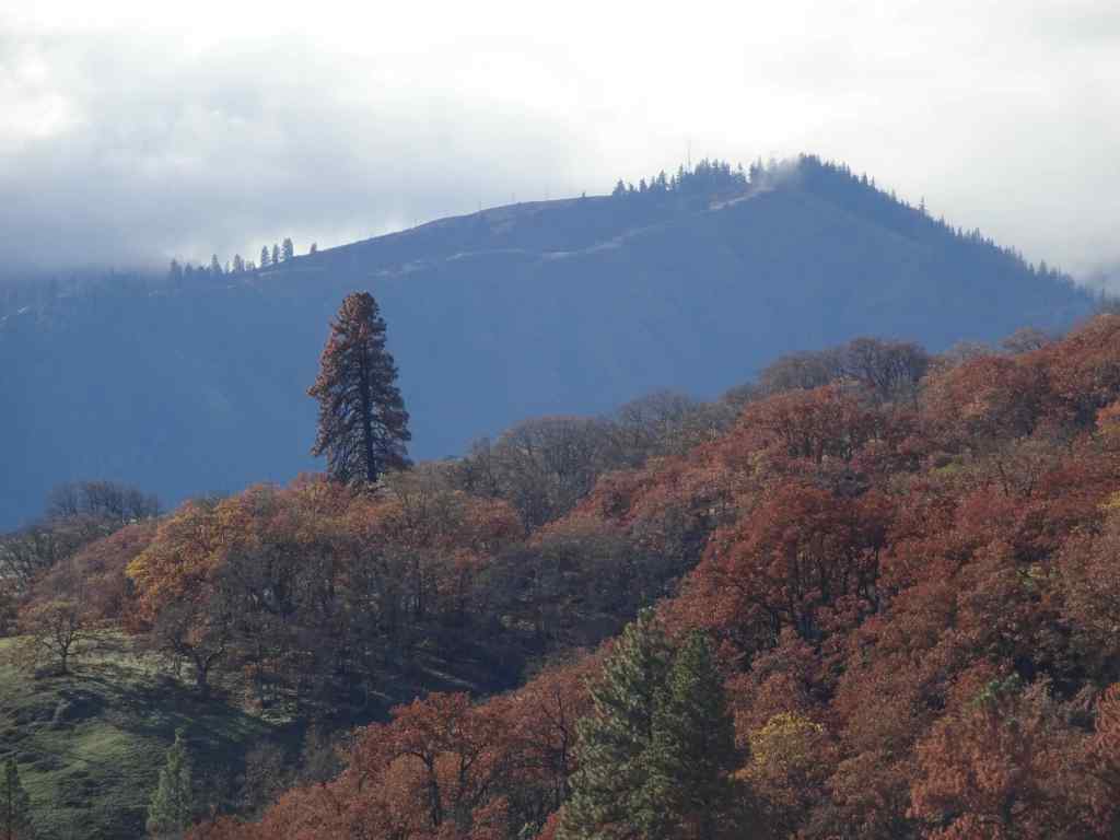
Next we went to the Labyrinth Trail, our first time here since the fires last summer…
Looking up to the guide Ponderosa Pine tree above the Rowland Lake Trailhead.Zooming in, I can see it is partially burned.The waterfall – quite full this time of year.Hiking upward through the mosaic burn…The burned areas are sprouting new grass.My favorite oak grove is scarred, but trees are still standing.View upriver from our lunch ledge.The ridgeline oak tree is intact.We didn’t get all the way to the guide tree on this day, but zooming in, I can see it is less burned on the west side.
1/14 – Catherine Creek and Rowland Basin, WA
Another rainy day in Portland, but nice and sunny in the eastern Columbia River Gorge…
First we walked the lower loop at Catherine Creek, looking for the first grass widows, which we had seen reports of…
Trailhead. The burned slope here is turning green.We found a few clumps of early grass widows along the ADA trail south of the road. This area did not burn.Catherine Creek waterfall viewpoint.
Next, we walked up the trail that starts at the base of Rowland Wall, and walked about a mile up into Rowland Basin, having never started our hike from this point before, just to see what we would see.
TrailheadUphill, again, plenty of burned landscape, all in recovery mode…And we can see the guide tree from here.Another zoom in on my favorite ponderosa.All the usual undergrowth is gone under the oak treesLooking back eastward toward Rowland WallWe found a few clumps of grass widows out hereAnother view of Rowland Basin, before we start back.Hiking back down.
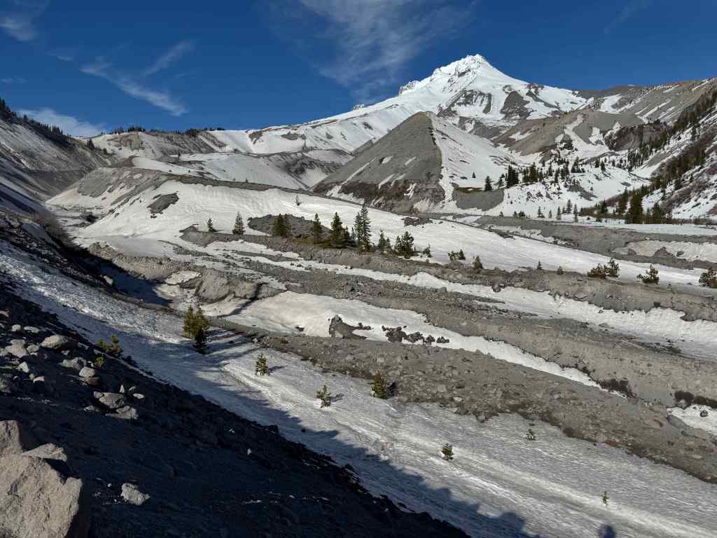
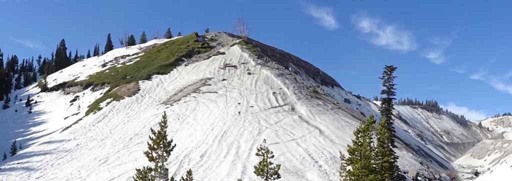
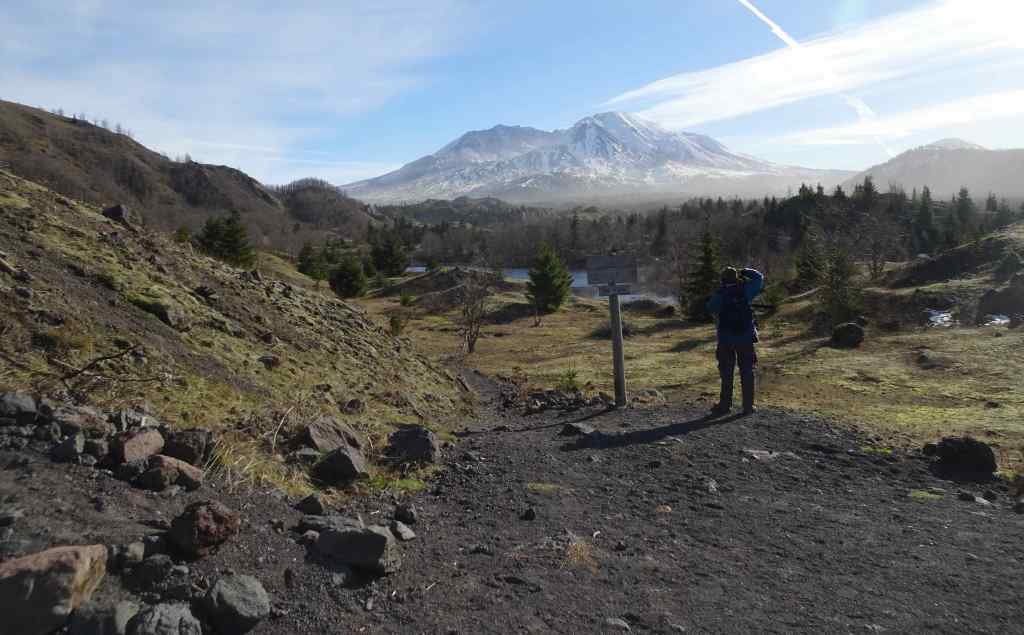
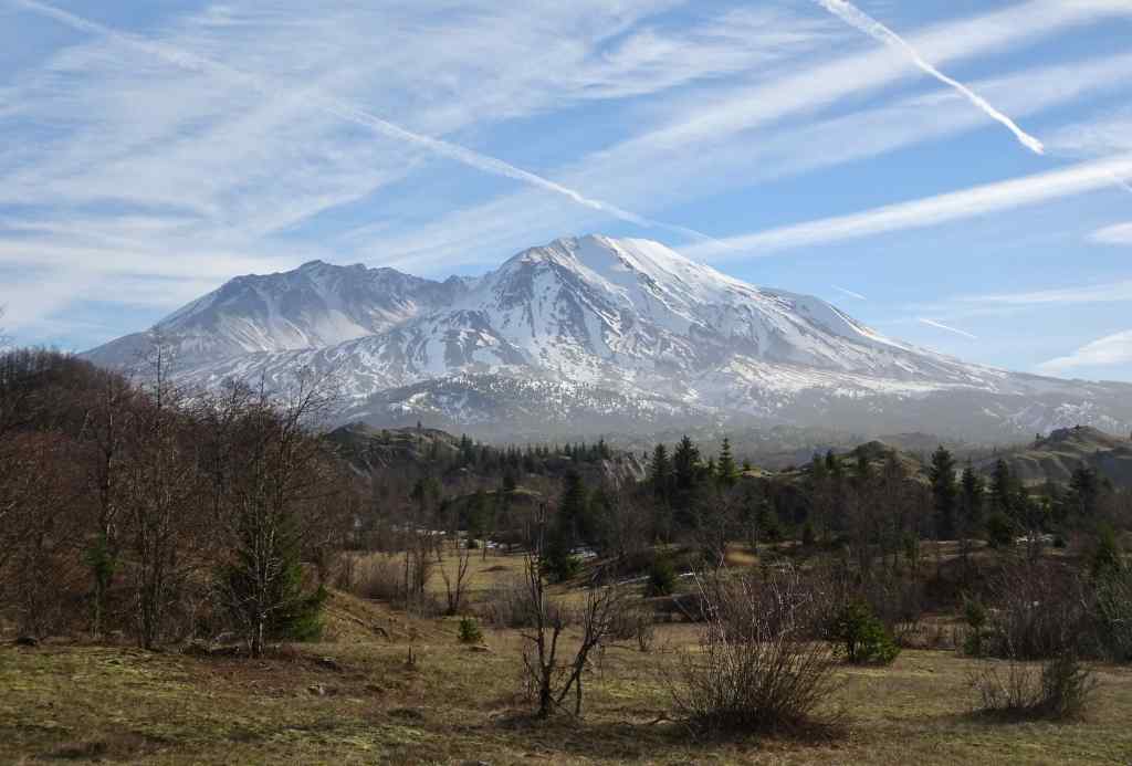
1/20 – Hummocks and Boundary Trails, Mt St Helens, WA
And now for something different – It had been a low snow January, so we drove up to Mt St Helens to try the Hummocks and Boundary Trails. As long as we stayed among the hummocks, we could enjoy the day. There was a cold wind blowing along the Boundary Trail, so we only walked a short way up…but we had great views, and a real change of scenery from the Columbia River Gorge.
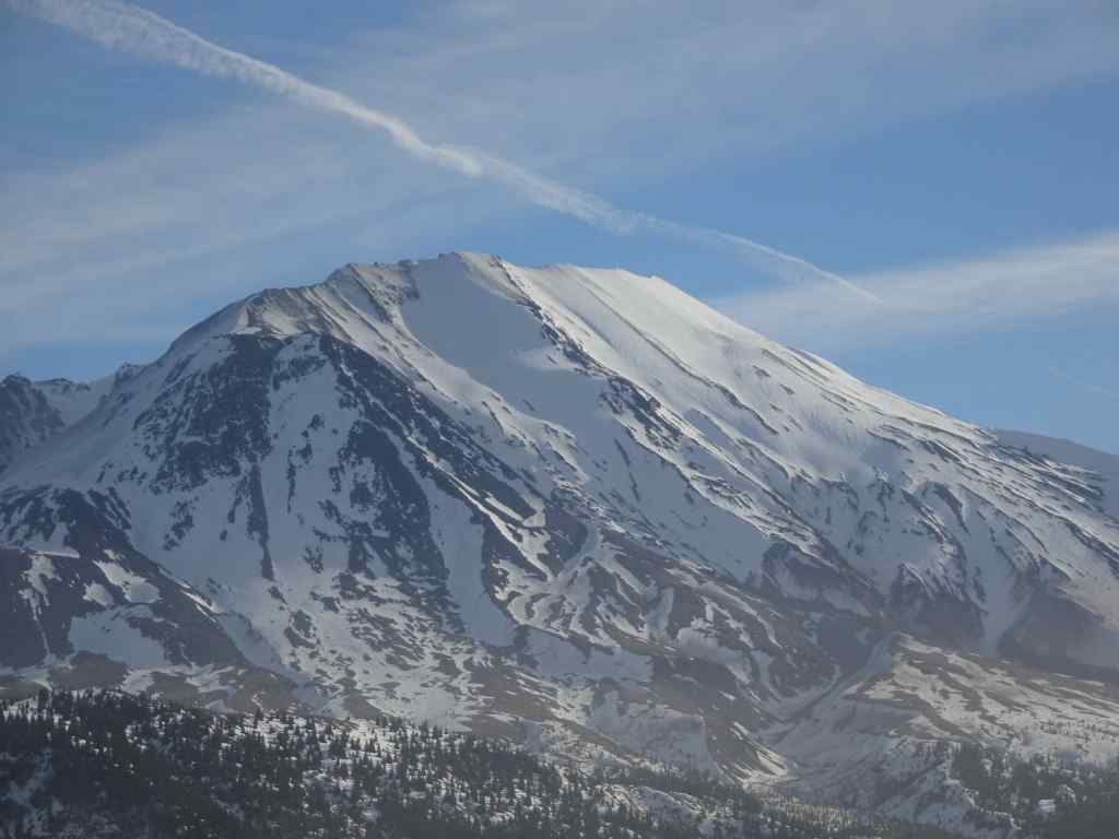
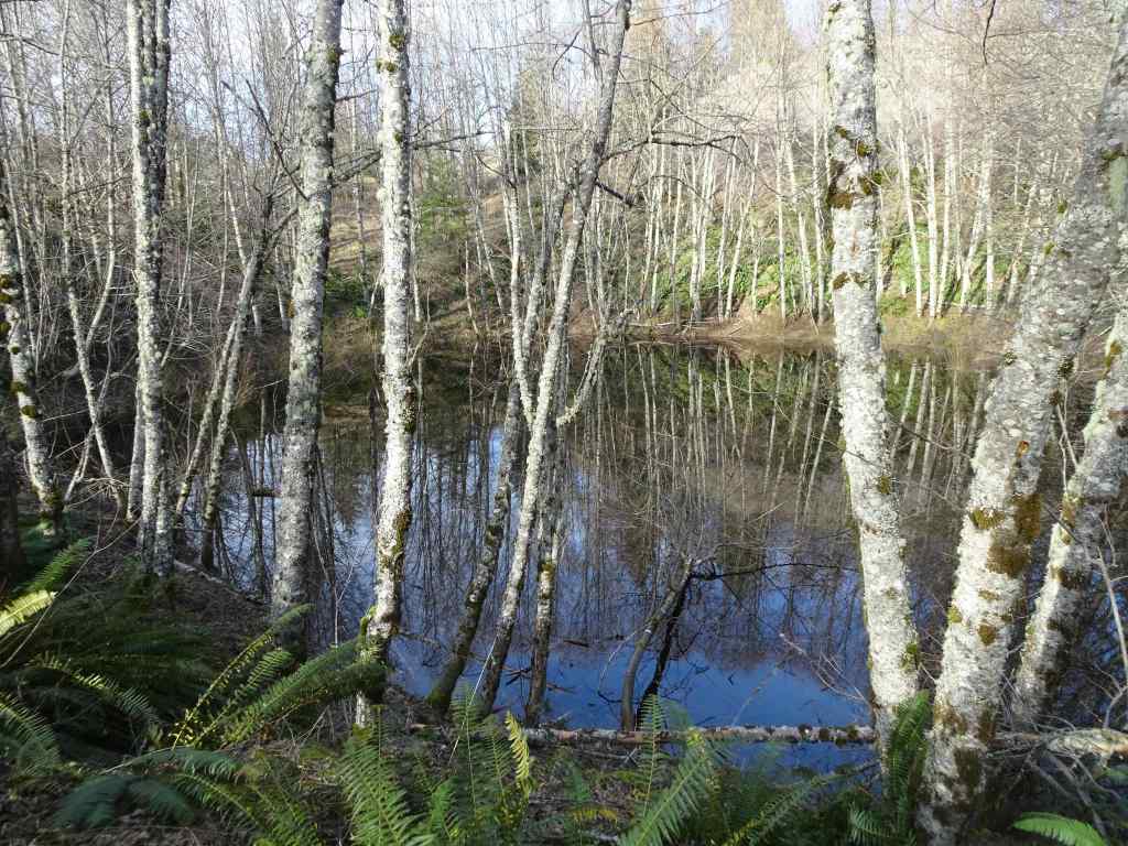
Mt St Helens, as seen from I-5 as we drove north.Snow in the parking lot. The trail was mostly clear. The trail winds around through hills of volcanic debris that were completely barren after the eruption in 1980. Forty five years later, the hummocks are covered with vegetation and there are many lakes and ponds throughout this landscape.On this day the lakes were partially frozen.I was fascinated by geometric patterns in the ice, apparently caused by differential melting due to plant shadows.More ice patternsSnow patches along the trail.Groves of alder trees have filled in much of the landscape.Alder treesToutle River Overlook – this downstream landscape is unstable and constantly changing.Another pond with tree reflections.Tree reflectionsJunction with the Boundary Trail, toward Johnston Ridge…into the wind we go.The trail switchbacks up onto the ridge on the left, toward Johnston Observatory, with great views of the northwest side of Mt St Helens.View from our turnaround point…the wind was getting stronger the further east we went.Closer view of the summit on this side.The return loop passes by this inverted tree, still buried where it landed in May, 1980.And one more reflective pond picture…
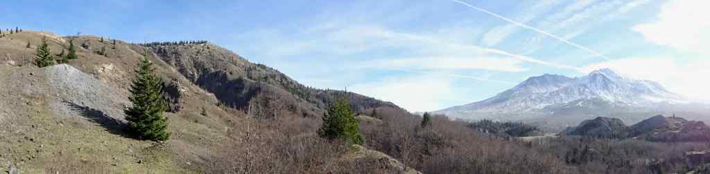
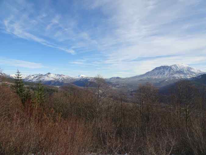
We stopped for a last look from the Elk Rock viewpoint on Hwy 504 on our drive home.
Panorama of the Mt Margaret backcountry, Mt Adams, and Mt St Helens.
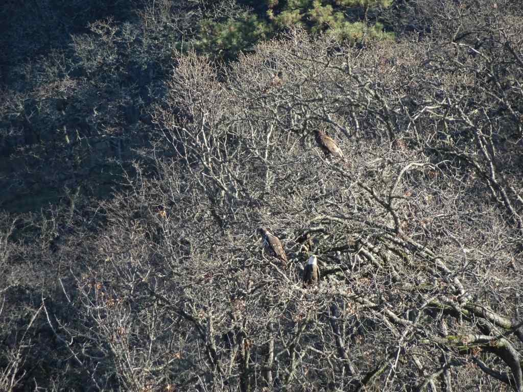
1/28 – Eagles and Catherine Creek, WA, again; with a side of Multnomah Falls, OR
My sister was visiting, and interested in an easy hike, so we took her back to a couple of our favorite places in the Columbia River Gorge.
We could see a few bright white spots in the trees as we approached the overlook at the Balfour/Klickitat Reserve.Three bald eagles. We saw about a dozen this day.The pond is icier than it was earlier in the month.
Next we walked the lower ADA Trail at Catherine Creek, and found just a few of the early flowers.
Catherine Creek ADA trailGrass widowBudding Columbia Desert ParsleyWaterfall OverlookWe walked up to the fairy ponds, now frozen around the trunks of slightly burned oak trees,and looked over to the Arch.
And finally, we drove back through the rainy Gorge, and made a quick stop at Multnomah Falls.
Multnomah Falls
I am gald to be back out on the trails, though I have some work to do to regain my stamina!
We only went on two hikes in December, one in town, and one out in the eastern gorge.
12/1/2025 – Mt Tabor, Portland
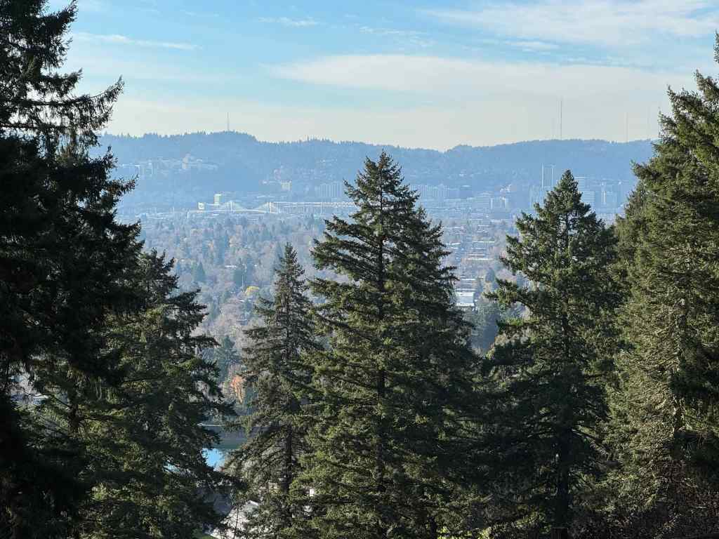
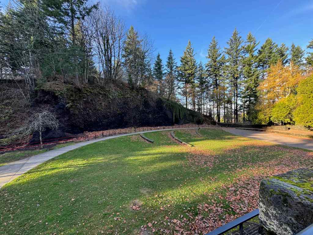
On a sunny day, we drove to our nearest extinct volcano, and walked around its circumference and up to the top, taking in views, and getting a good leg stretch (2 miles, 200 feet). There are many trails that circle around and through the park, and many users, running, walking, and stair climbing. It is a great public space on the east side of Portland.
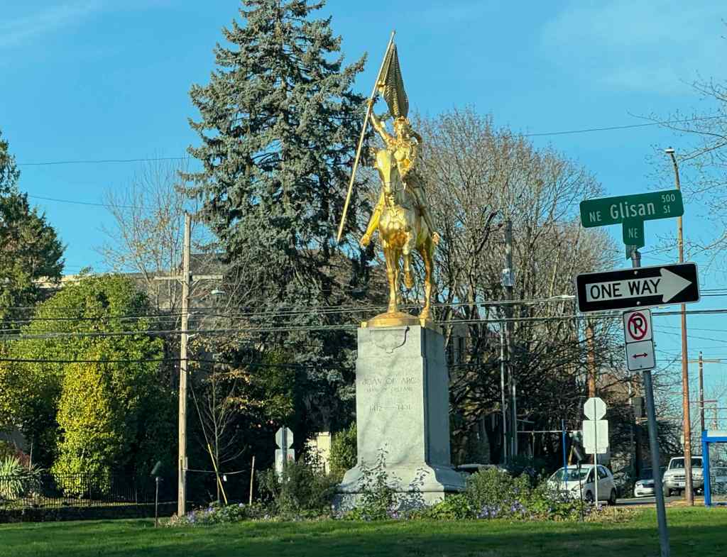
As we gained elevation, we got a western view toward downtown Portland across one of the reservoirs.We continued upward on one of the forested trail to the top.There is a view to Mt Hood through the trees near the summit.And another view toward downtown.We hiked down the northern slope, and got a peek at Mt St Helens.The amphitheater near the parking lot has an outcrop of the volcanic layers.We passed Joan of Arc, glittering defiantly in the sun, in her traffic circle, on the drive home.
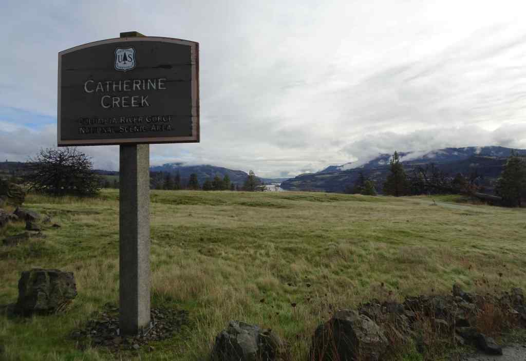
12/23/2025 – Catherine Creek, WA
We went with our daughter to this favorite winter hiking spot. This is our second time here since the Burdoin Fire last July. This time, we walked the East Loop above the Arch, and also made a quick trip down to the waterfall viewpoint on the lower ADA trail. (3 miles, 450 feet).
At first we planned to walk the loop that returns by crossing the creek below the Arch, but we wanted to be sure the creek crossing was possible, so we went to look.
Catherine Creek crossing on the lower Arch trail. The waterfall-like step is actually the plank bridge, now broken and underwater. The road/trail was not accessible without serious wading. So we took the trail above the Arch, and then the eastern return loop.Walking across the burned slopes toward the lower bridge across Catherine Creek. This one survived the fire.Once we reached the slopes near the Arch, we could see across the Columbia River to the west,And to the east.Bitterroot foliage coming up through a rocky, mossy area that likely escaped burning. There were a few unburned areas within this mostly burned slope.View from the top of the Arch, new fence in place.We ate lunch on the rocky outcrop just north of the Arch, then continued our loop to the east, passing scorched pine trees.We returned back across the lower bridge.
Then we took a quick walk down the paved ADA trail south of the parking area, to see the waterfall.
Catherine Creek Waterfall. This side of the road has dead, dry grasses on the slopes because it didn’t burn along the paved trail. But it looks like it did burn across the river.
We enjoyed this hike on an overcast but not rainy day. It was nice to spend some outdoor time with our daughter. And it will be interesting to watch the land here as it recovers from the fire damage.
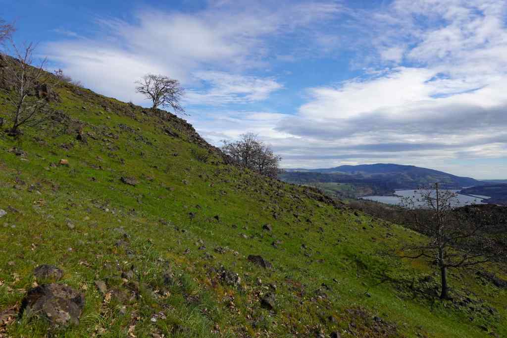
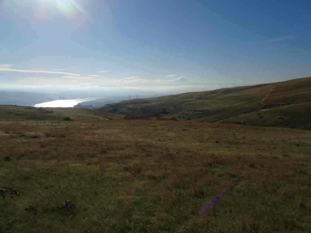
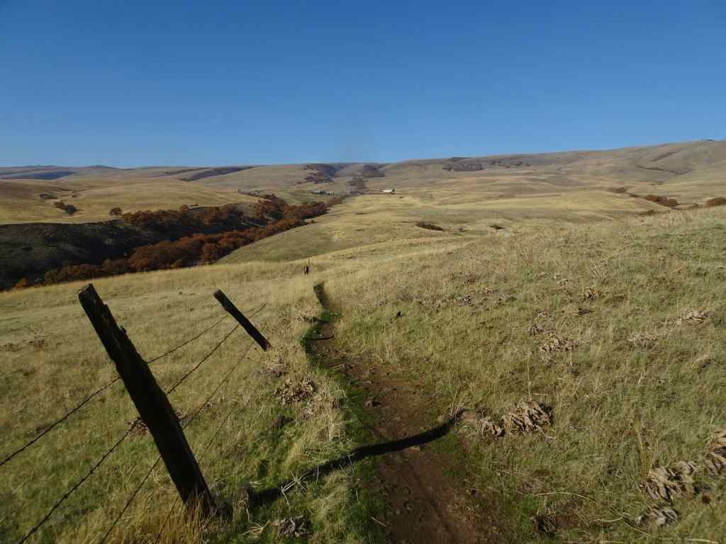
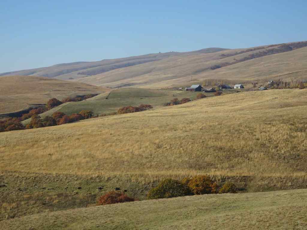
We hiked the upper loop from the ranch ( 4 miles, 450 feet). We began the day with fog and mist, which evaporated by lunch time, and we finished our hike under clear blue skies. We visited the ‘one tree’, and had a quiet day on the trail.
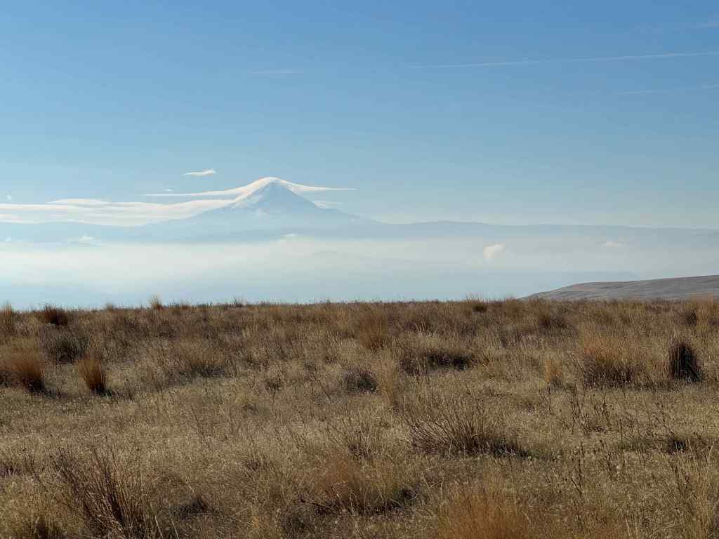
Looking up into the Columbia Hills at the start of the hike. Lots of dried balsam root foliage in the foreground.The hills were still misty when we sat down for our lunch break,right near my favorite oak tree.I watched a flock of towhees in the nearby bushes,By the time we finished our lunch, the mists had evaporated, and the oak tree was illuminated under a blue sky,its leaves glowing in the sun.After lunch, we continued our hiking loop, which circles down to a view of the Columbia River and The Dalles. The sun angle was wrong for photography, but we could see Mt Hood under its cloud cap on the far horizon.We hiked back up to the Ranch along Eight Mile Creek.A satisfying hike on an autumn day, with very few other trail users today.
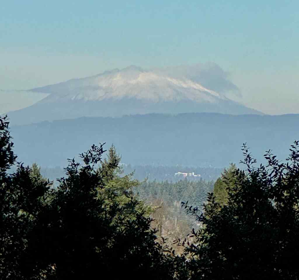
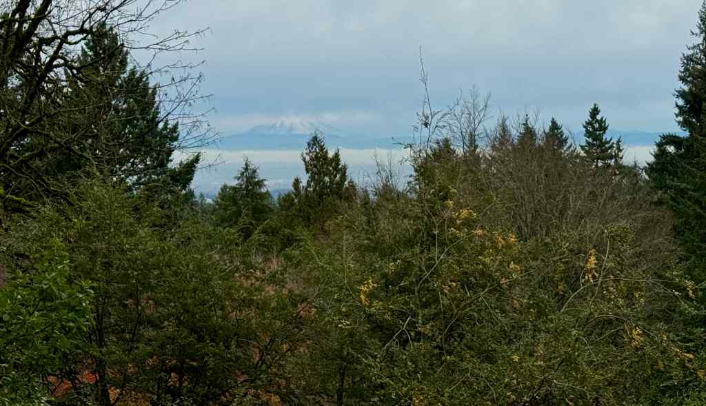
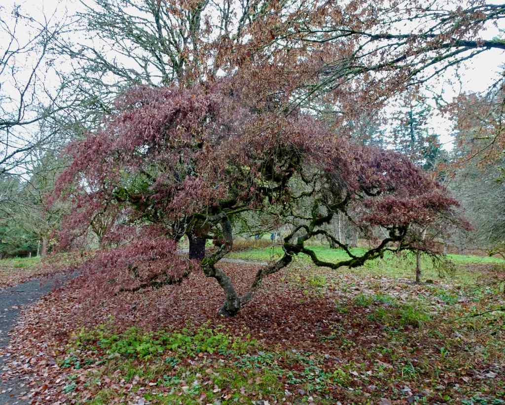
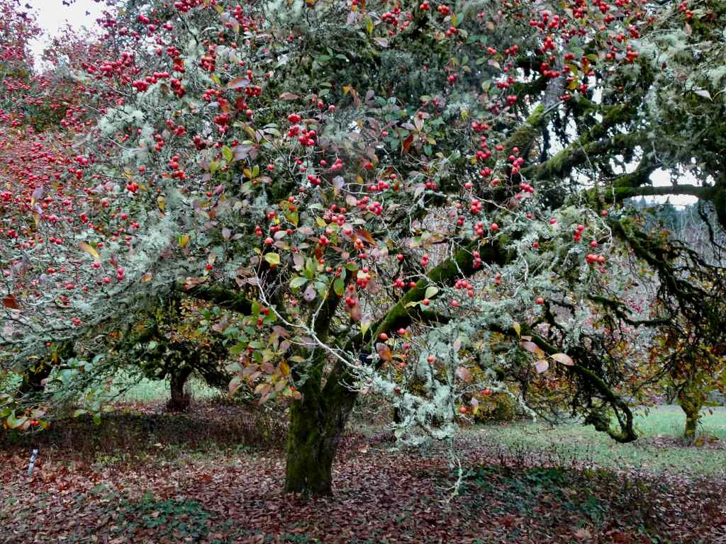
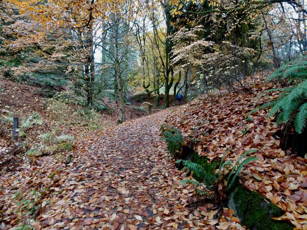
11/25 Portland Arboretum
We hiked a short loop (2.5 miles, 200 feet), past the view of Mt St Helens and our favorite Japanese maple tree, through the Winter Garden, and then back up the Beech Trail.
The snowy top of Mt St Helens was floating like a cream puff on the horizon.The maple tree was past its prime, color faded, but not yet leafless.Red hawthorne berries were glowing, as were the camellias and some of the foliage in the Winter Garden.Beech leaves lined our trail back to the start.
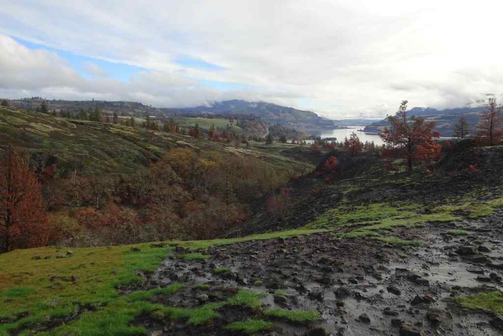
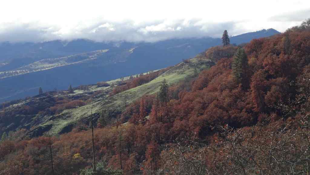
11/28 Catherine Creek/Rowland Wall
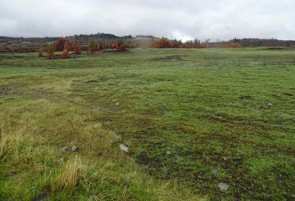
This was our first return to this favorite hike since the Burdoin Fire in July (2.7 miles, 720 feet). The blackened slopes have become green with newly sprouting grass. We passed many charred trees, and many that survived the conflagration.
The area of Lower Trail, south of Old Highway 8, did not burn, so looks same as it ever does in winter, with dried grasses fringing the landscape.
Unburned landscape south of the highway.
North of the highway, where the fires swept through, most of the golden grasses and shrubs were completely removed, and the landscape is covered with blackened earth and newly sprouted grasses.
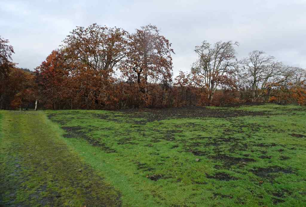
Looking north from the parking area across the burned slope.We began by walking up to the Fairy Ponds.Trees near the Fairy Ponds show fire damage.
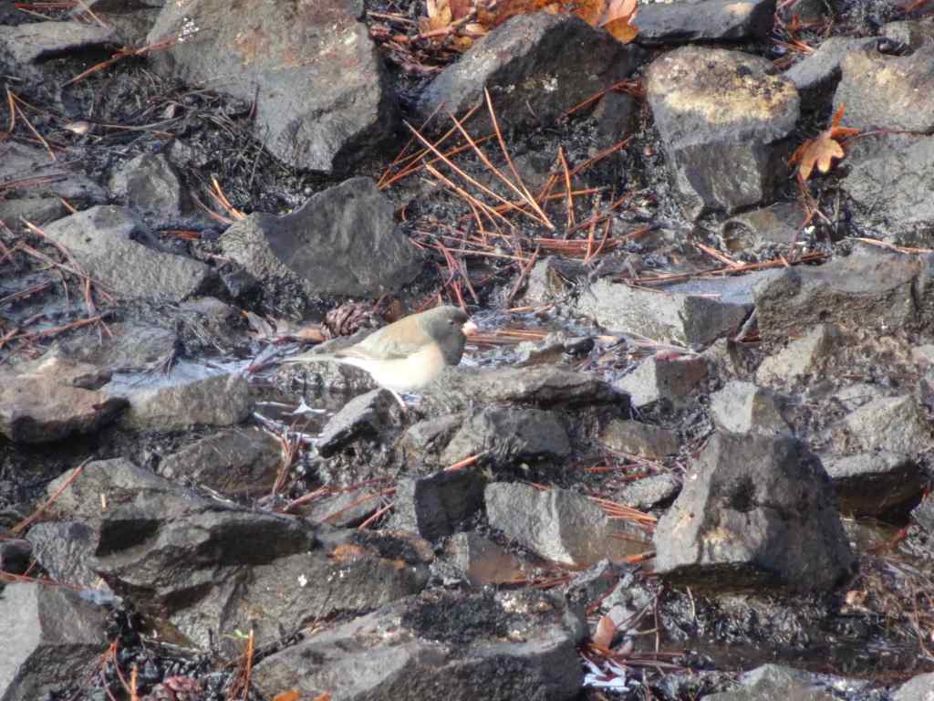
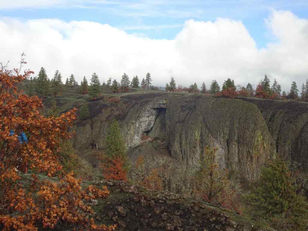
We continued walking up the Bitterroot Trail, to the ridge just west of Catherine Creek.Looking upriver from the ridge, all the way to the town of Lyle, where the fire stopped at the Klickitat River.Blackened soil and trees.Juncos were pecking around in the dirt here.Looking across to the Arch, which already has new fencing in place.Wider view of the Arch, and the lower trail in front of the Arch.
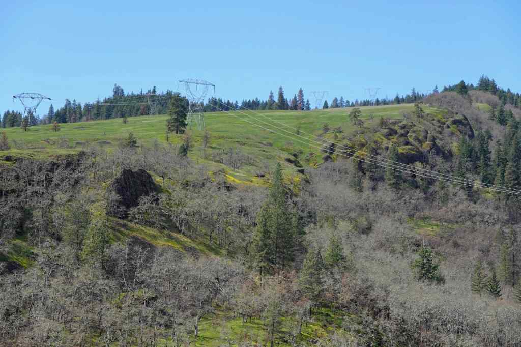
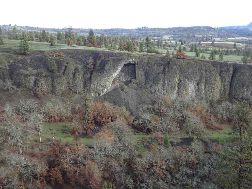
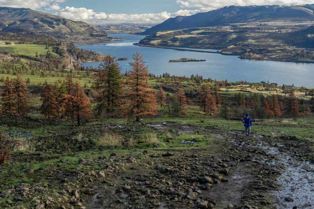
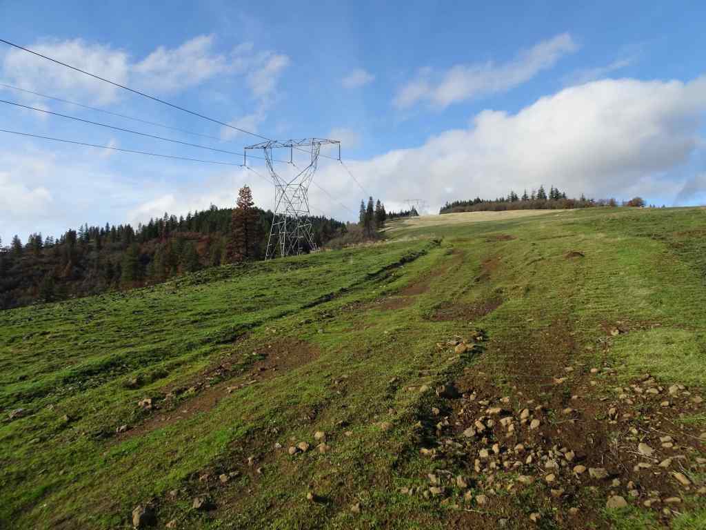
We walked up slope, and past the power pylons to the edge of Rowland Wall.
Looking eastward across the landscape, up the Columbia River. Oddly, green areas are burned, golden areas are unburned. Orange pine trees are fire damaged.Continuing uphill toward the power pylons.Near our turning place – the golden, unburned area at the top was burned in last year’s controlled burn of the area, and I guess they held a fire line there in July.Eastward from our high point. It was a gorgeous day!
From the edge of Rowland Wall, we looked at our familiar landmarks to the west to see how they fared.
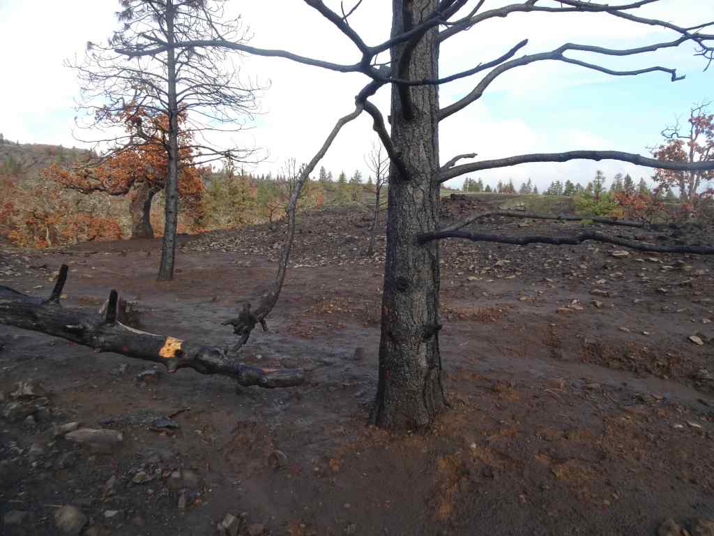
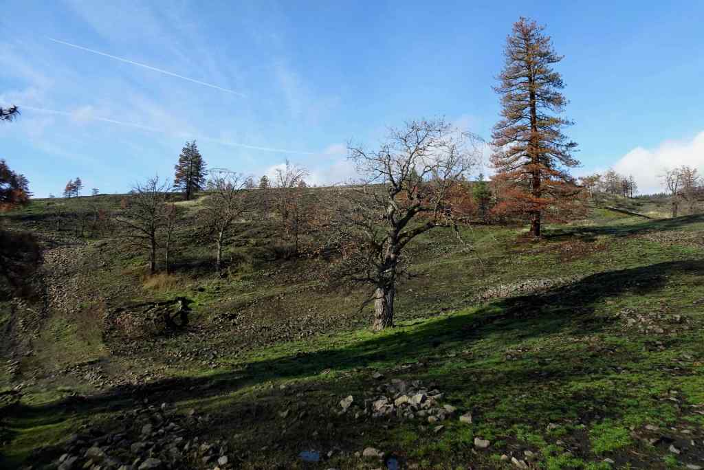
The tall tree here can be seen from many of the trails in the area – I think of it as the ‘guide’ tree.Zooming in – it is still standing, but appears to have some fire damage.Next, we hiked down the Rowland Wall cliffs…I found bitterroot foliage in the usual places – a good omen!Chartreuse lichen on the cliffs – not burned.Wider view: guide tree on the skyline. Lots of burned trees in the volcanic landscape below the wall.
Next, the trail takes us back east toward our parking area. Some of the lower tree stands in this area were very badly burned.
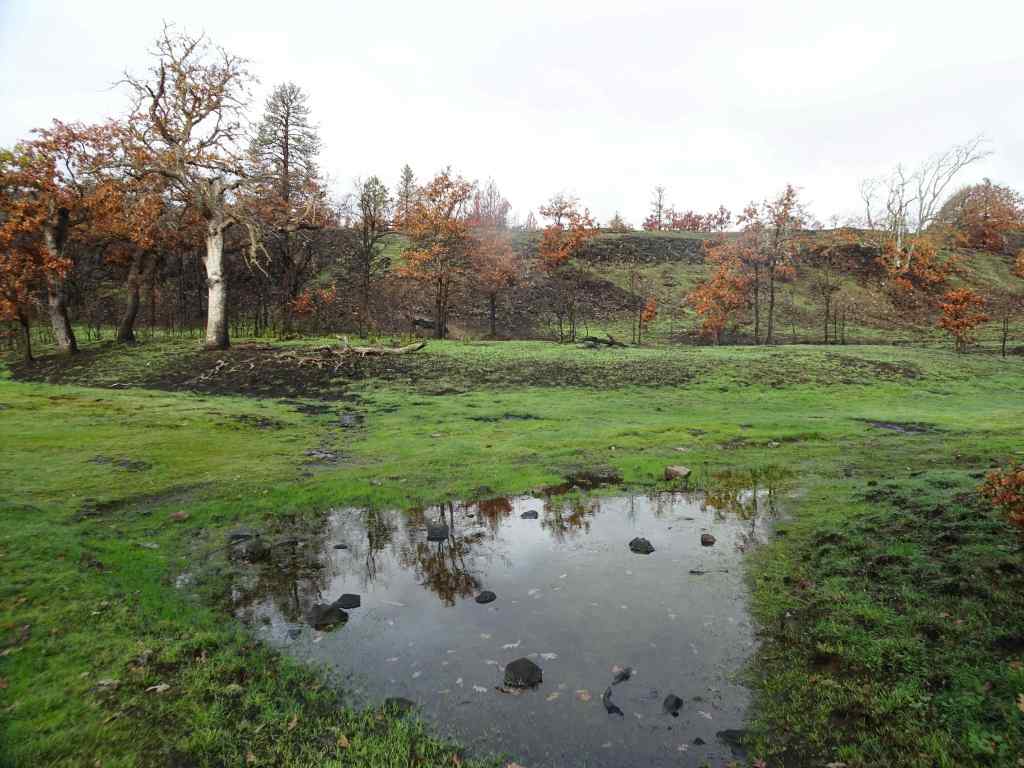
View back toward the parking area.Many burned pine trees.I hope the frogs will be back in this pond, where we often hear them.This is the first time I have seen the rock cliffs behind these trees – all the undergrowth is gone.The ponds are still reflective on this beautiful day.
The experience was a little heartbreaking, but also hopeful – there were still birds, and some of the wildflowers were beginning to sprout up in the blackened dirt. We will return in spring to monitor the changes. I’m glad we can continue to hike here on rainy days in Portland!
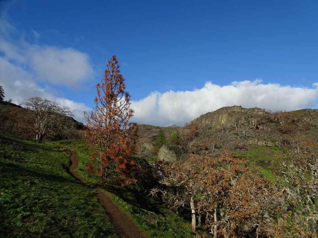
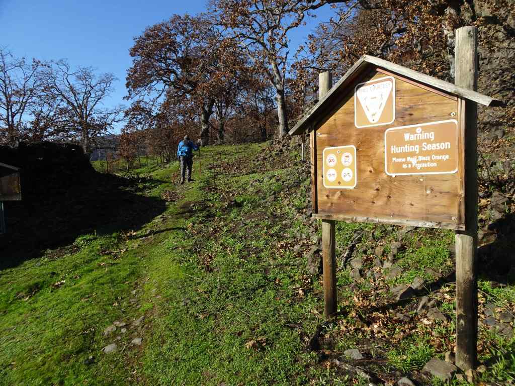
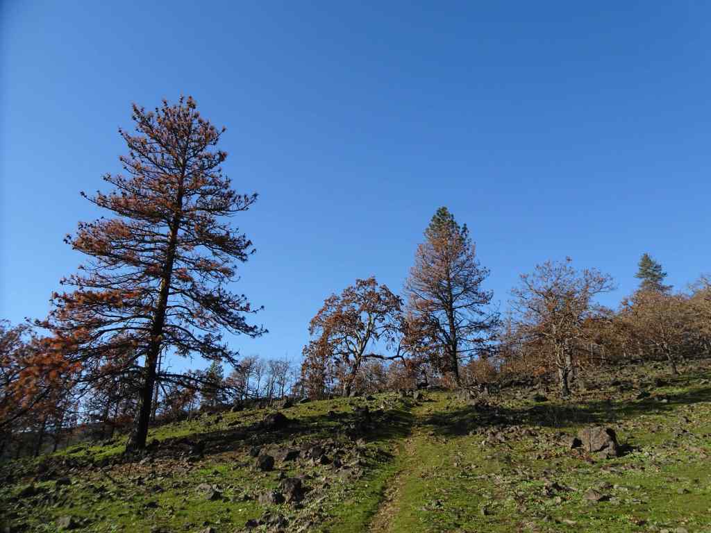
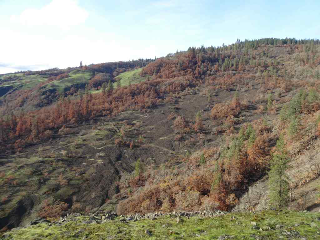
Three hikes this month. Our fall hiking areas on the Washington side of the eastern Columbia River Gorge are still impacted by Burdoin Fire damage. We hiked twice on the Oregon side, and once in the Cascade foothills east of Salem.
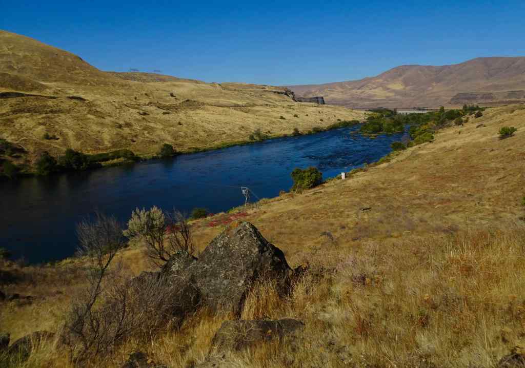
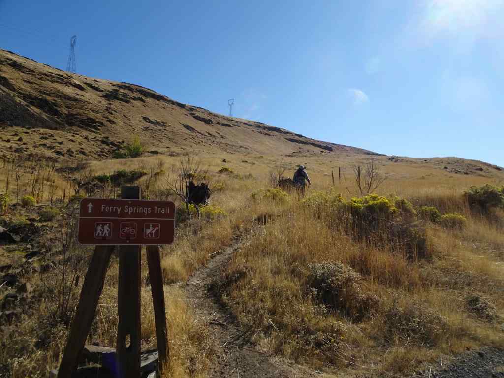
10/14 – Deschutes River Trail, Oregon
Our usual loop, up to Ferry Springs, and then return along the Deschutes River (4.5 miles, 600 feet).
Blue sky today, a light breeze.
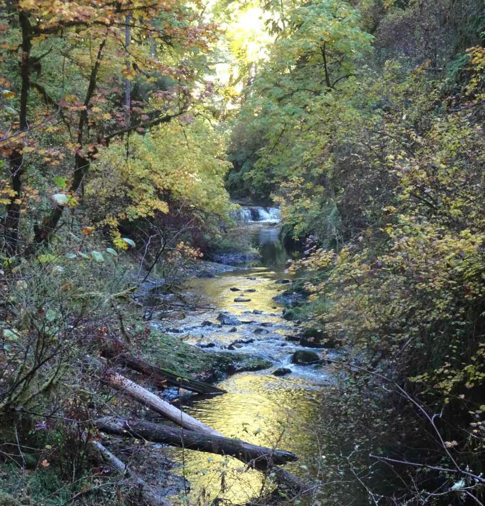
Walking along the Deschutes River. Reflections, a few water birds.Rising up above the river, view to the confluence with the Columbia River.Upstream viewUphill toward Ferry Springs.
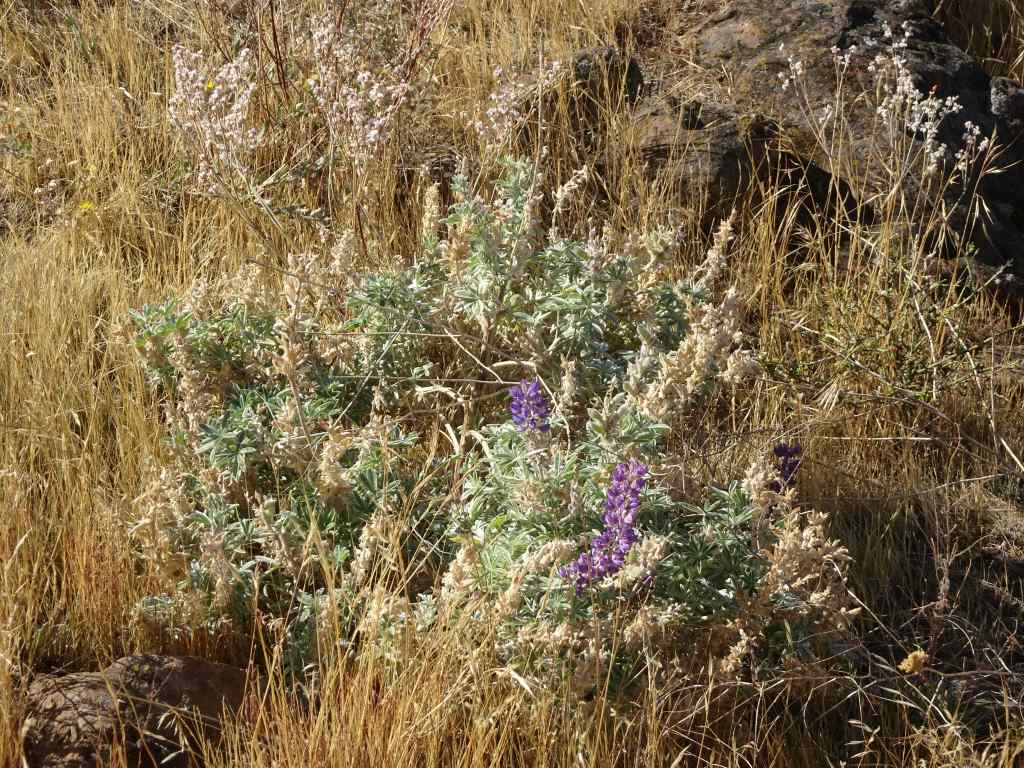
Still losing my breath on the uphill. There are clumps of white and pink blooming buckwheat, yellow rabbit brush, and a few scrabbling lupines. Dried out balsamroots and thistles punctuate the slopes of golden grass where it was blackened and burned a few years ago. Very little sign of the fires now, so much has regrown. Once again, it is peaceful out here – down by the river there are many people fishing for steelhead; we saw one train on the western bank; otherwise a rock wren, a raven call, and us.
RabbitbrushSnow buckwheatLupine
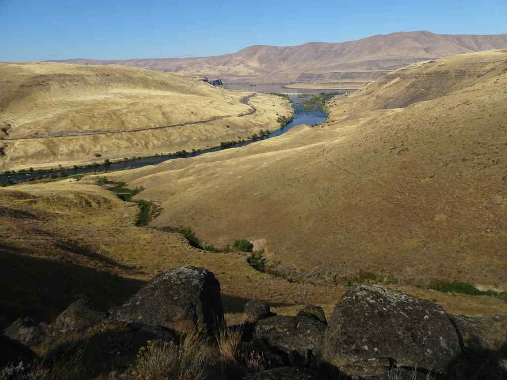
We crossed over Ferry Springs, then looked down toward the river.
The Ferry Springs CrossingLooking down on Ferry Springs as it joins the Deschutes River.And the view to the Columbia River and Columbia Hills.Almost back to river level, looking through the arch.
Back along the river, walking north –
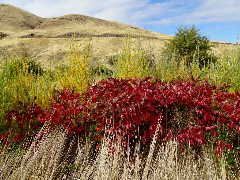
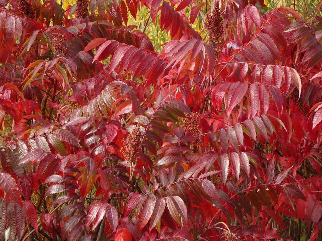
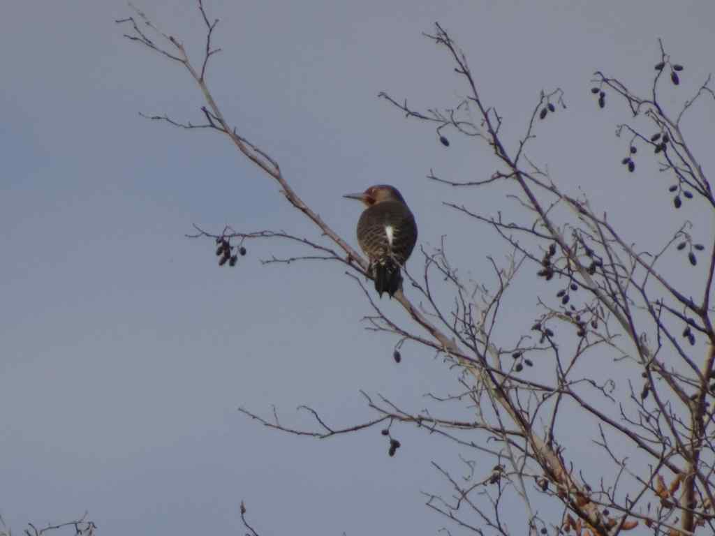
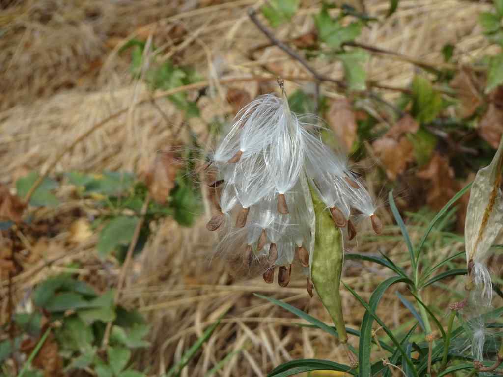
SumacSumacRiver viewDucksNorthern flickerMilkweed seeds getting ready to disperse.Milkweed seed
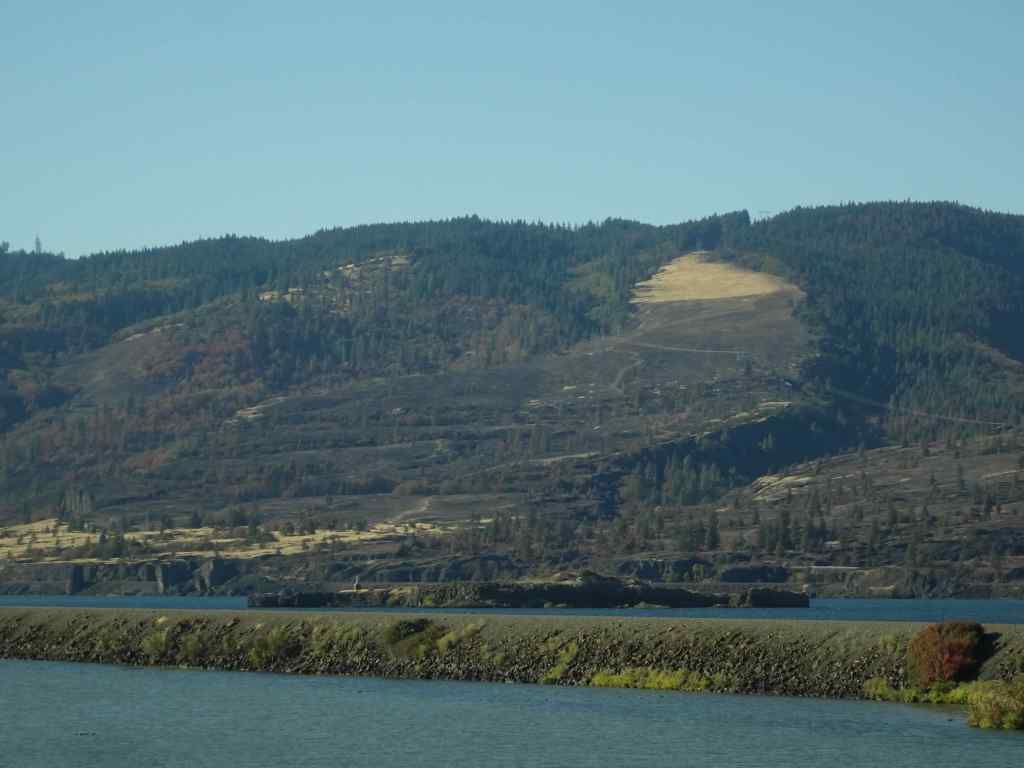
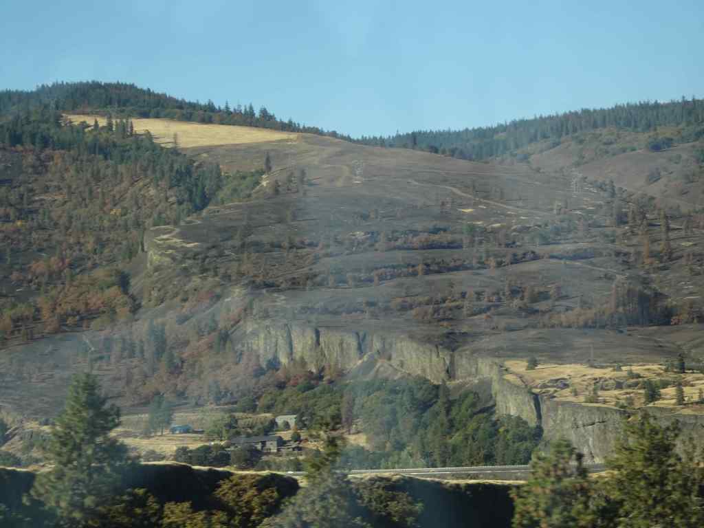
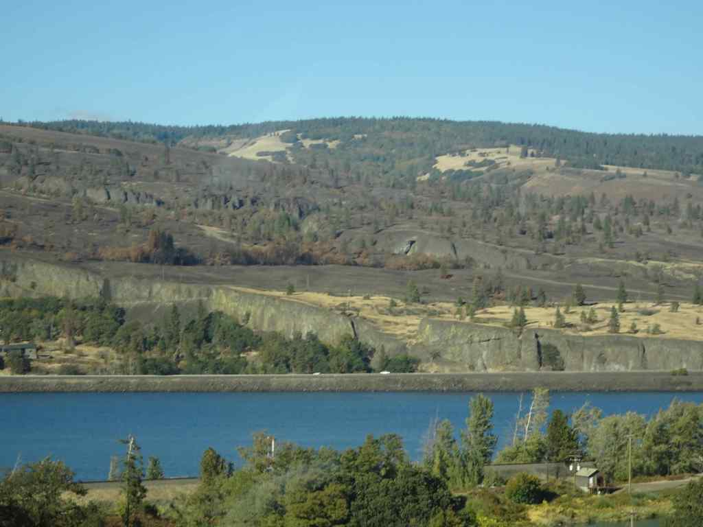
We appreciated the golden slopes we just walked down, especially after seeing the blackened slopes at Catherine Creek. As we drove back west along south side of the Columbia River, I took a few shots of the Burdoin Fire area in Washington that was burned last summer. There are some very black slopes, but also some unburned areas. I can’t quite see my favorite trees from this view.
Catherine Creek hiking area, from I-84, westbound.Catherine Creek areaCatherine Creek area. The Arch and Tracy Hill.
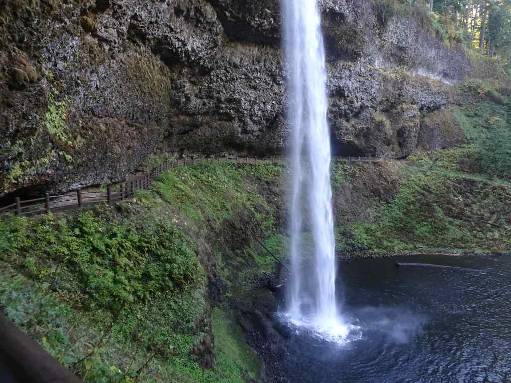
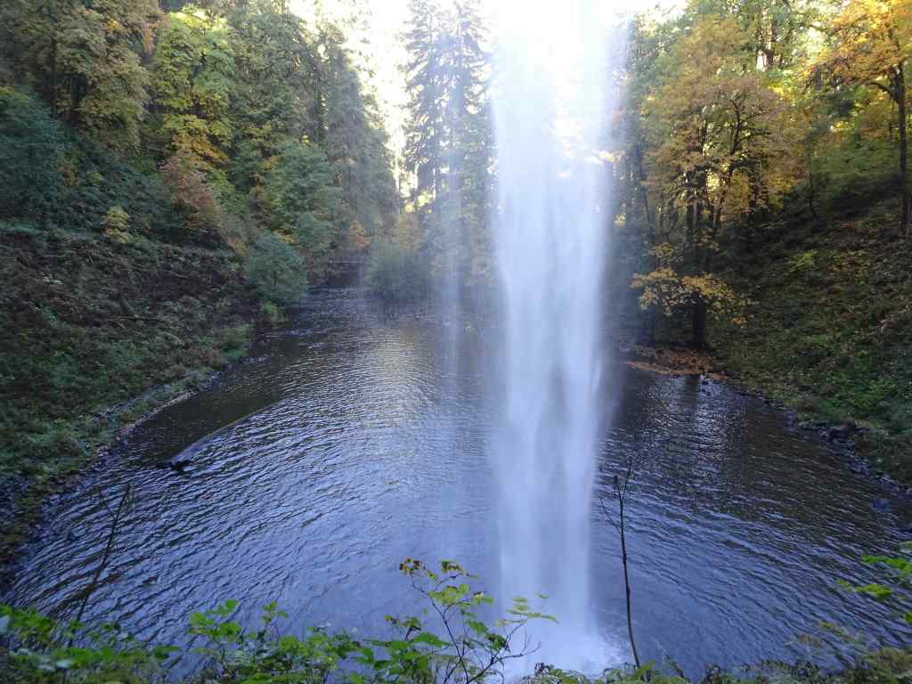
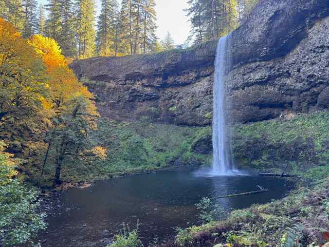
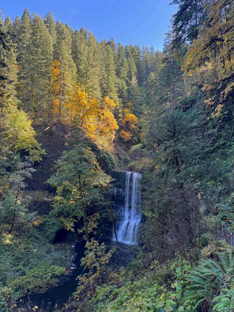
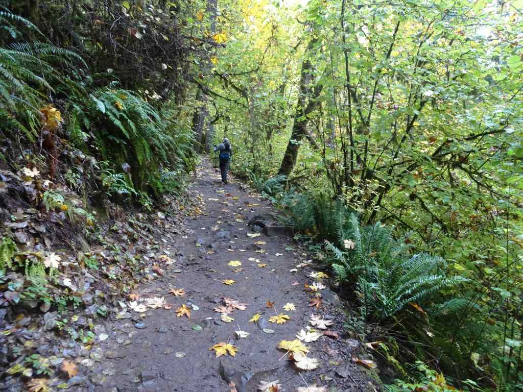
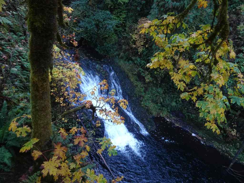
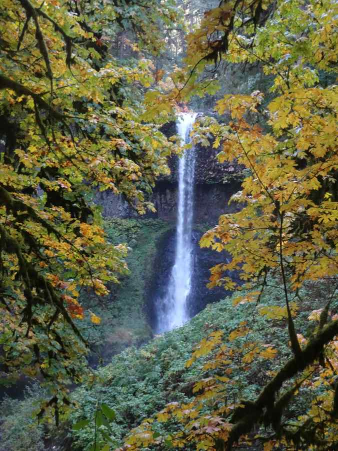
10/20 – Silver Falls State Park, Oregon
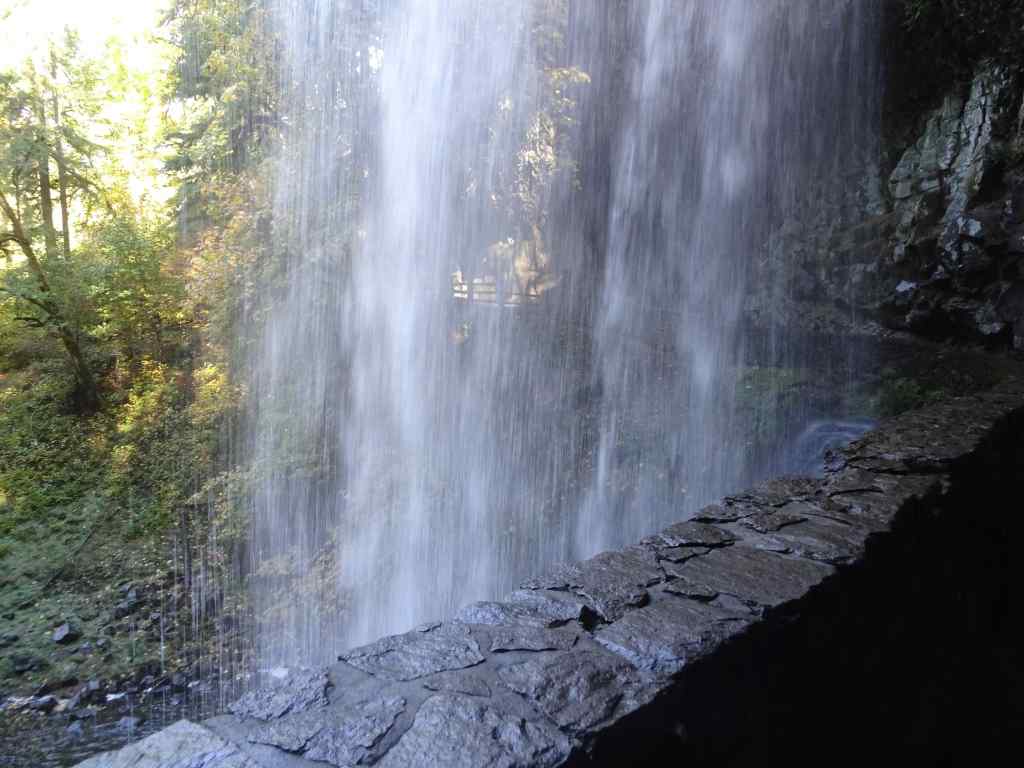
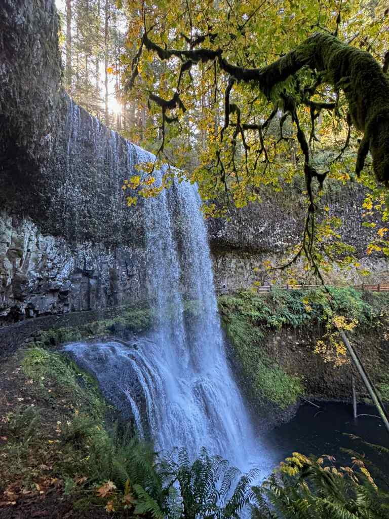
Another place we have hiked many times. Today we saw six of the ten famous falls (5.8miles, 600 feet).
South Falls
Looking down toward South Falls.Our trail goes behind the falls.Looking downstream from behind the falls. This time of year the spray doesn’t soak us.Looking up toward the rim.And looking back from the other side.
Lower South Falls – We continued downstream along the South Fork of Silver Creek, eventually descending switchbacks and staircases to walk behind Lower South Falls.
Descending toward Lower South Falls.Walking behind the falls.Downstream view.Looking back from the other side.
Lower North Falls – Next, we passed the confluence of the North and South Forks of Silver Creek, and began walking upstream along the North Fork.
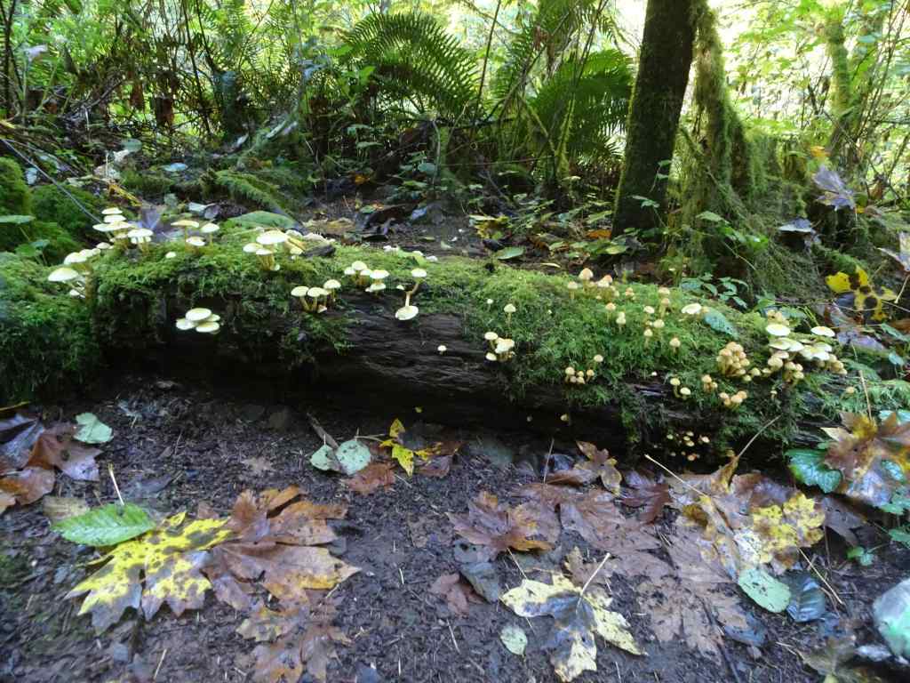
Mushrooms and mossCrossing the North Fork.Lower North Falls
Drake Falls – Continuing upstream along the North Fork…
Autumnal trail – lots of big leaf maple leaves drifting down.We only get a sideways view of Drake Falls from the viewing platform.
Middle North Falls – A side trail goes under the falls, but we didn’t take it today.
Middle North Falls
Winter Falls – From here, we crossed the river again, and passed the nearly dry Winter Falls while ascending to the rim and walking back to our starting point.
Winter Falls trickling down.
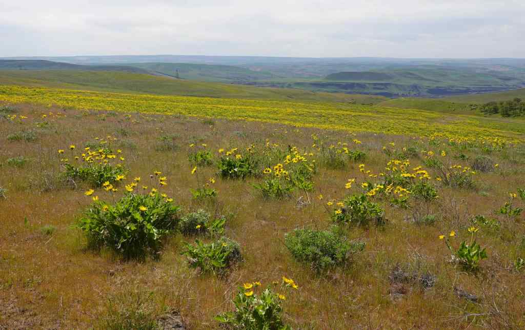
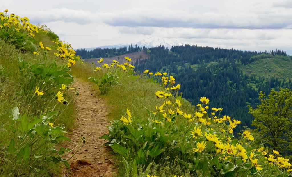
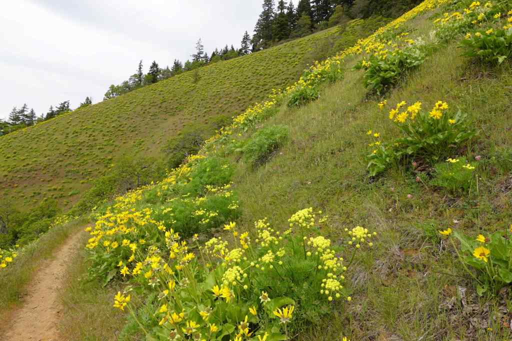
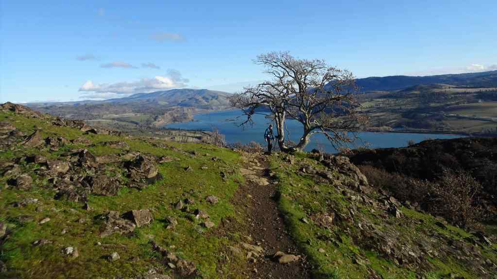
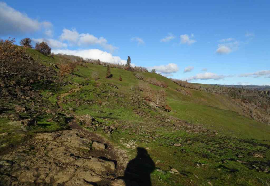
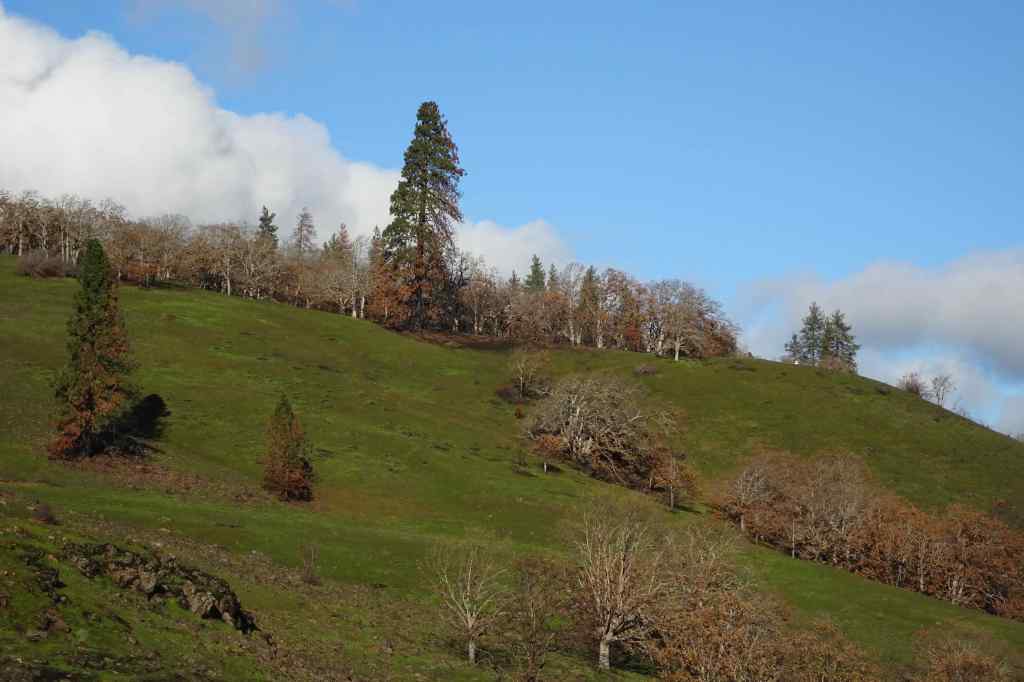
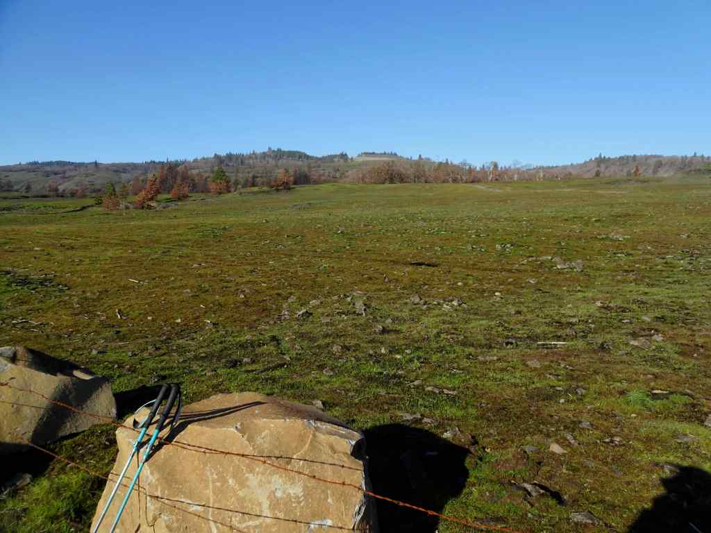
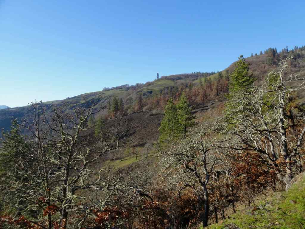
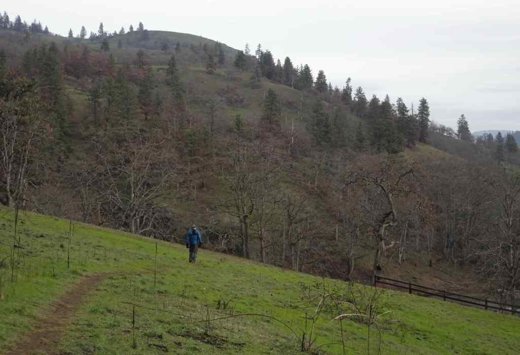
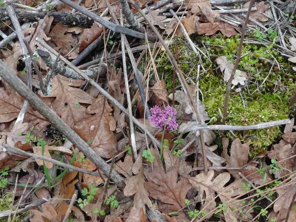
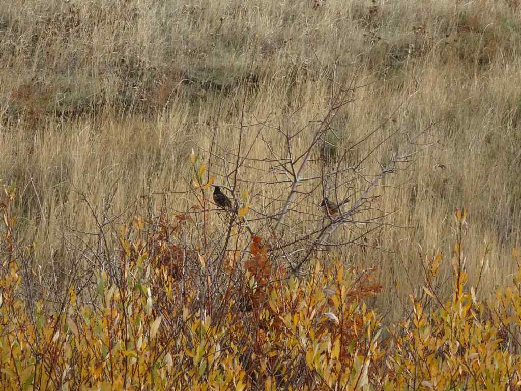
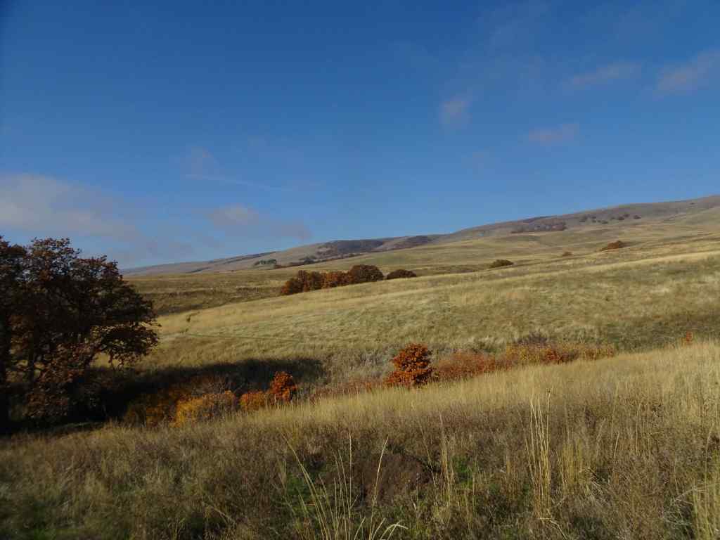
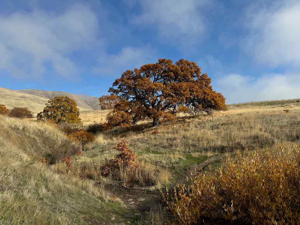
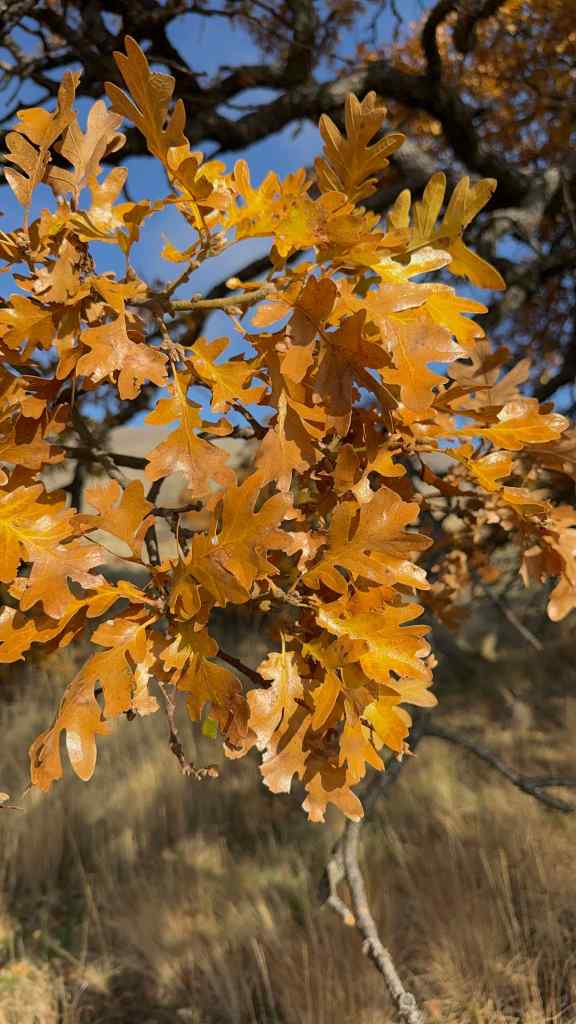
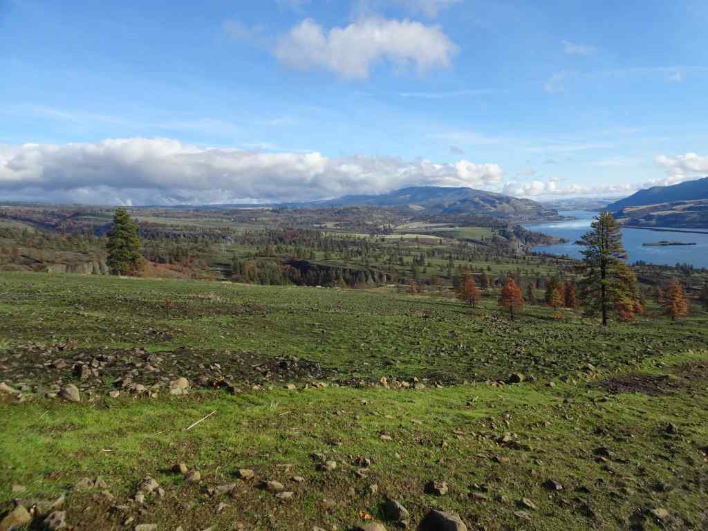
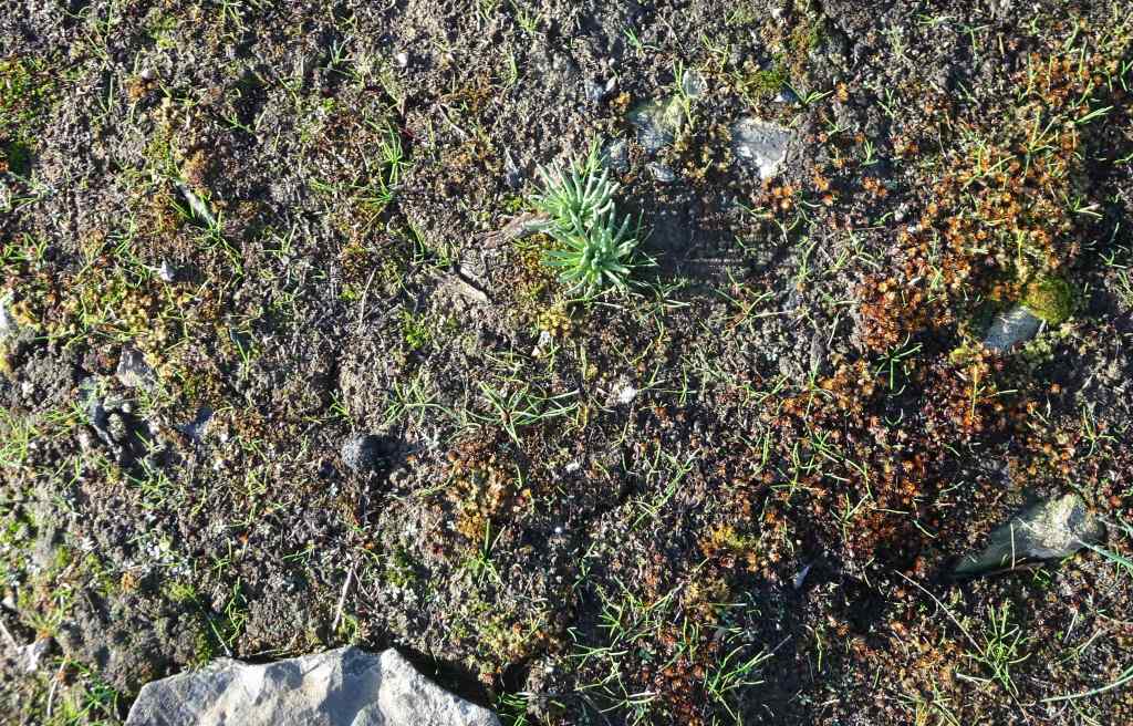
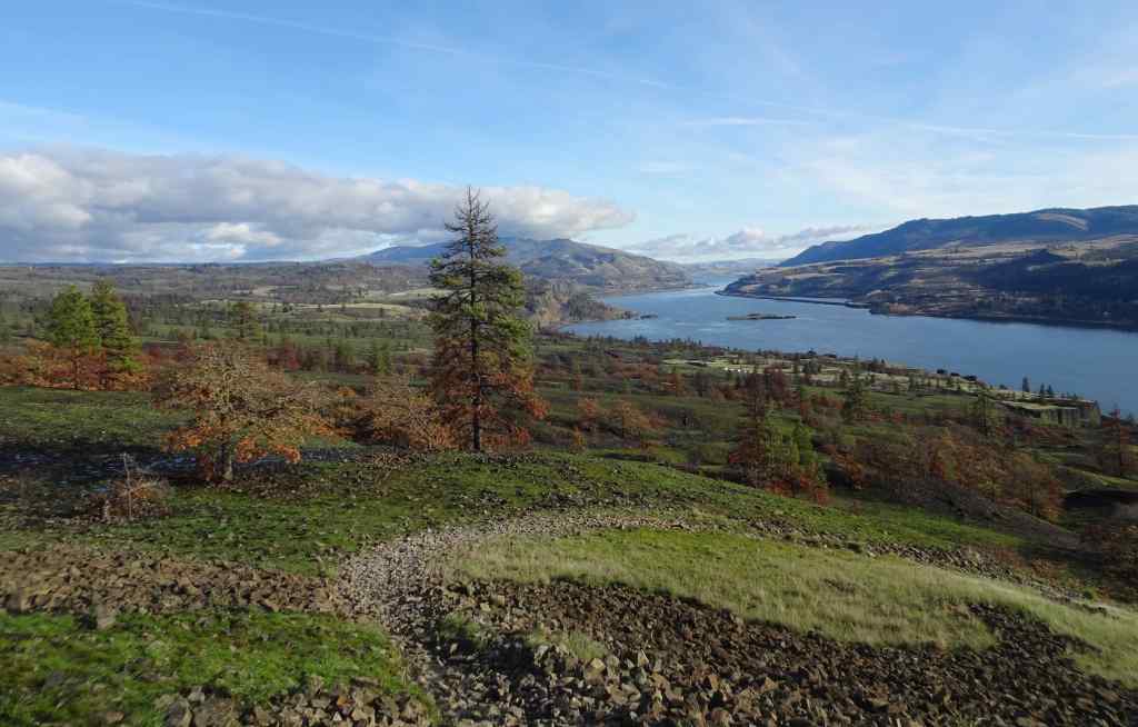
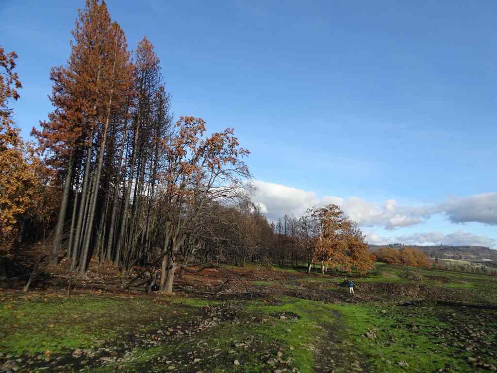
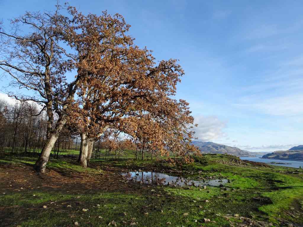
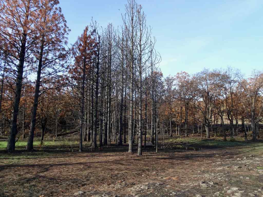
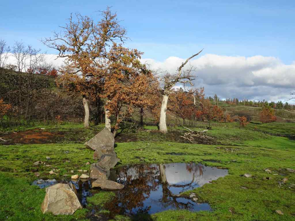
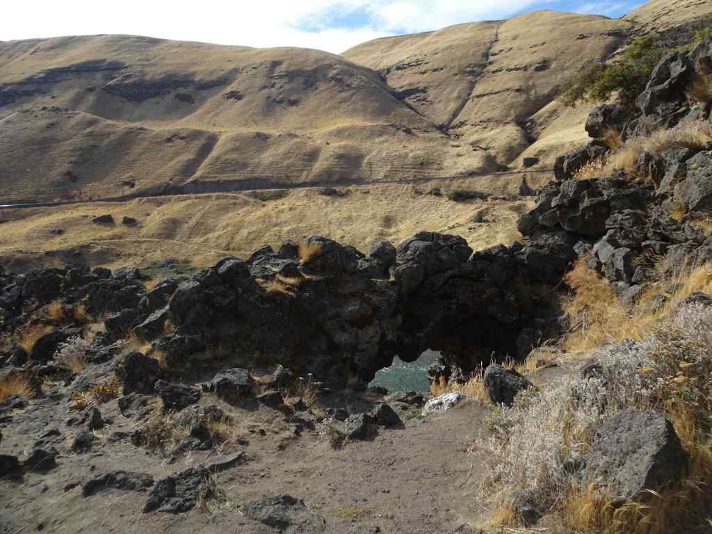
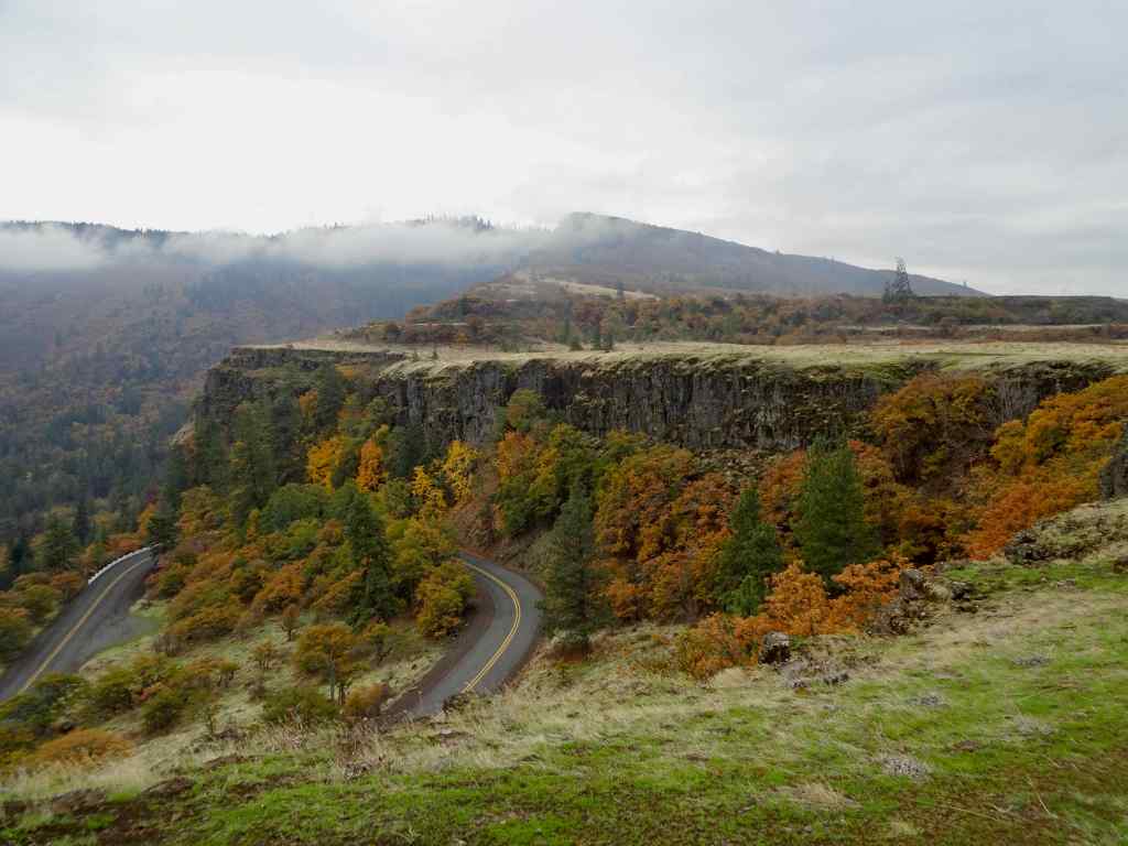
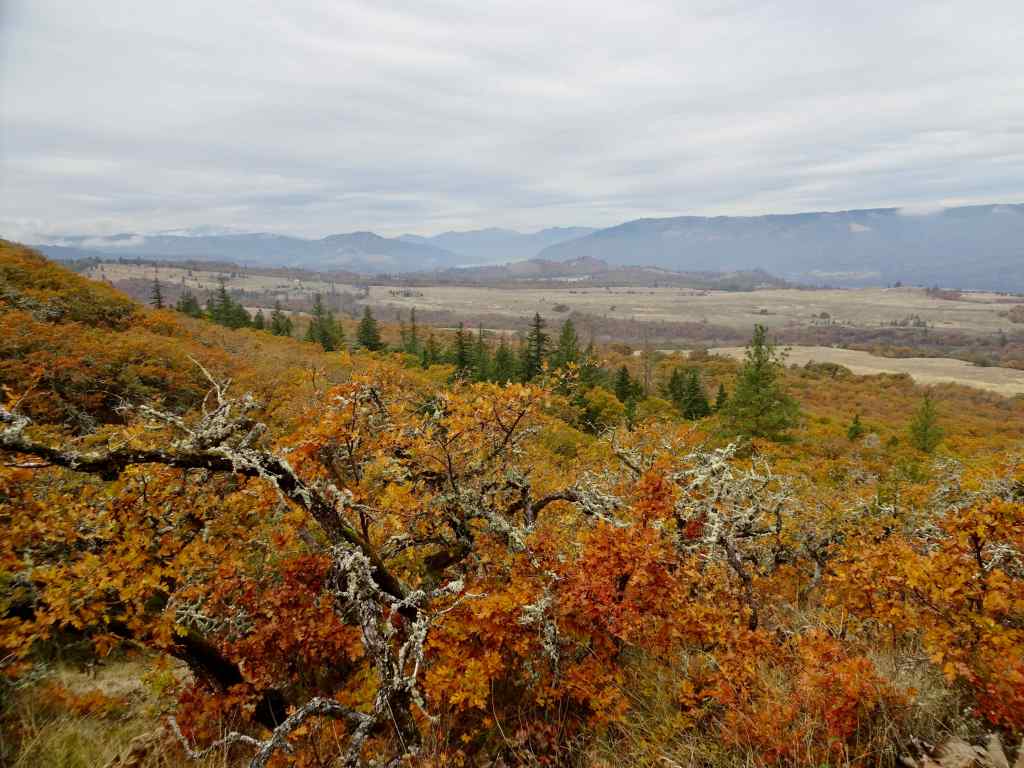
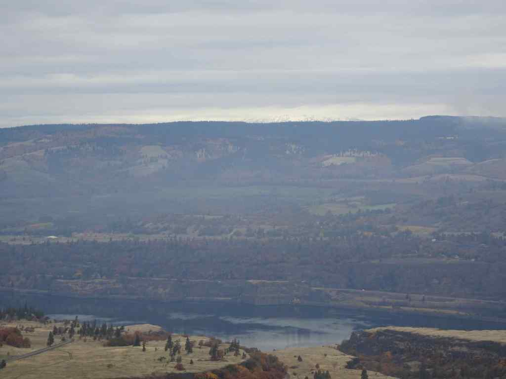
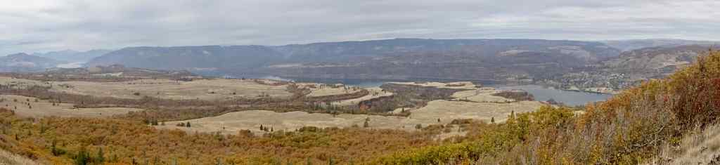
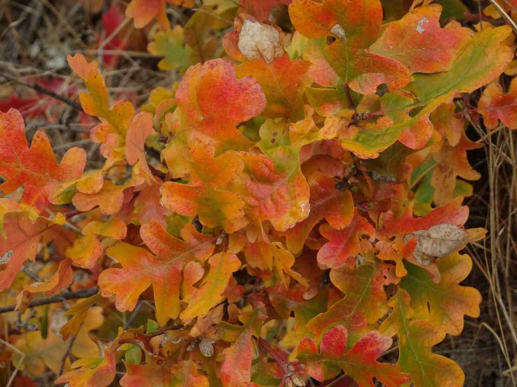
10/28 – Tom McCall Point, Oregon
One of the prime wildflower locations of spring; orange oak leaves color the slopes on this quiet autumn day (3.6 miles, 1000 Feet).
Our destination – Tom McCall Point, through the mist.Parsley alley is rather bare.Looking north from the lower plateau – Rowena Curves below; Lyle, Washington across the Columbia River.Bright orange oak leaves; Memaloose Hills to the west.Zooming in on the shoulders of Mt Adams – the most we would see of it today.
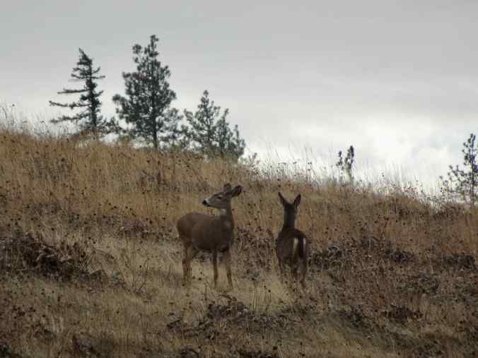
We startled a small family of deer near the summit.
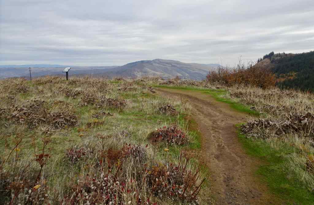
Mule deerMule deerSummit of Tom McCall Point, covered with clumps of dried balsamroot foliage.View toward the Columbia HillsPanorama from this top of the world…The neon orange oak leaves that brightened our day.