Four hikes in the eastern Columbia River Gorge, with wildflowers and fire recovery notes; and two urban walks.
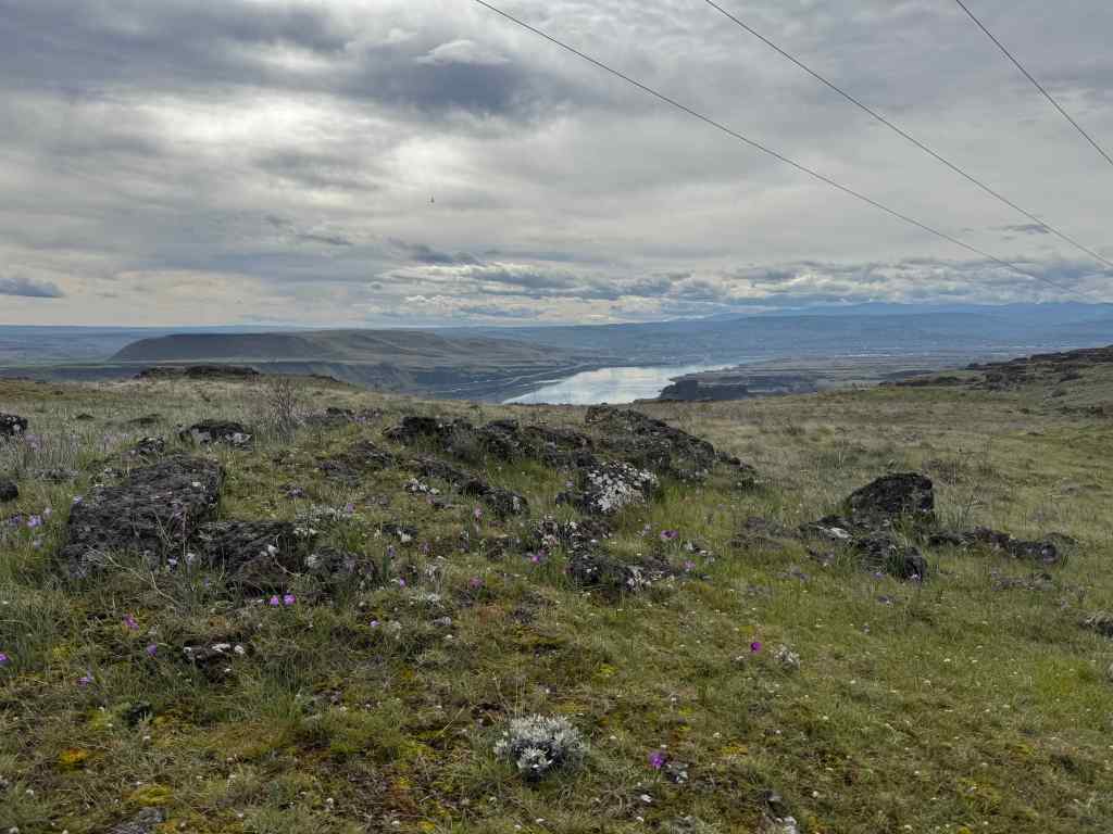
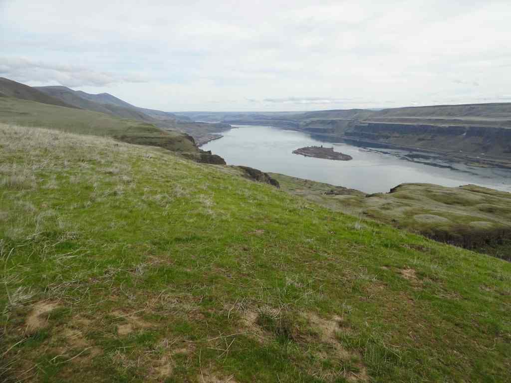
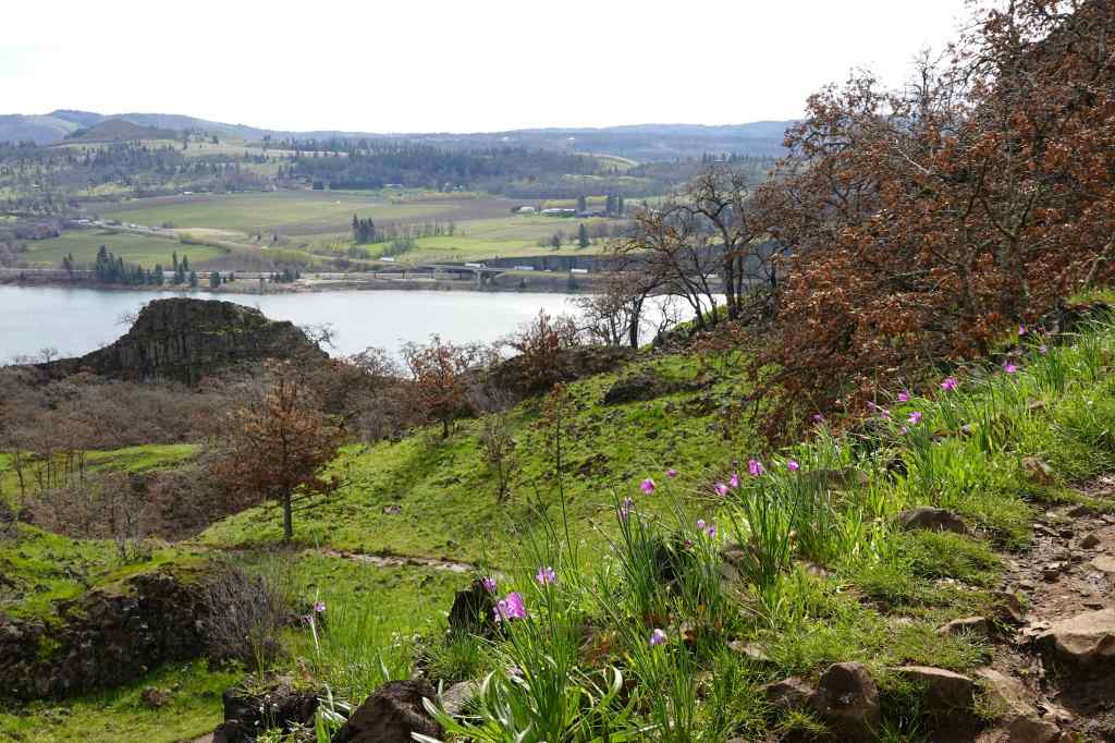
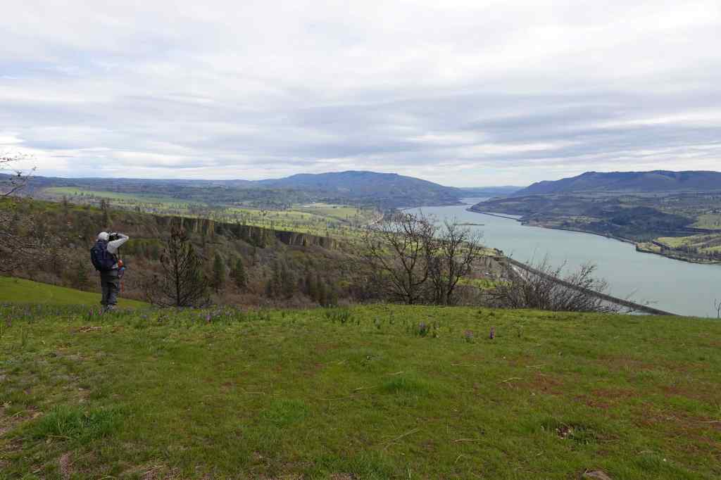
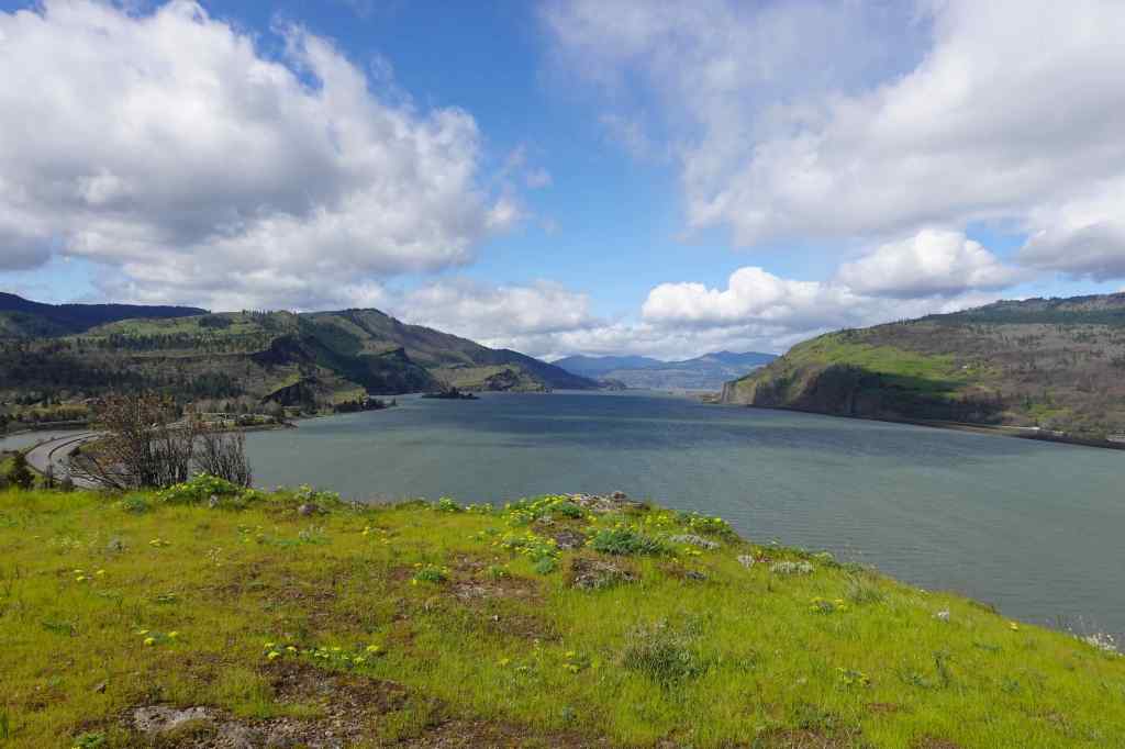
3/3 – Crawford Oaks, WA
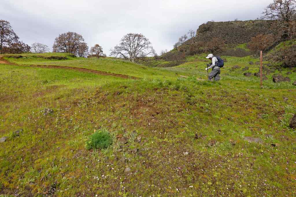
On a calm day, we walked the Vista Loop from Crawford Oaks (5 miles, 750 feet). We saw the earliest spring flowers, and the Columbia River reflecting the landscape like a mirror.
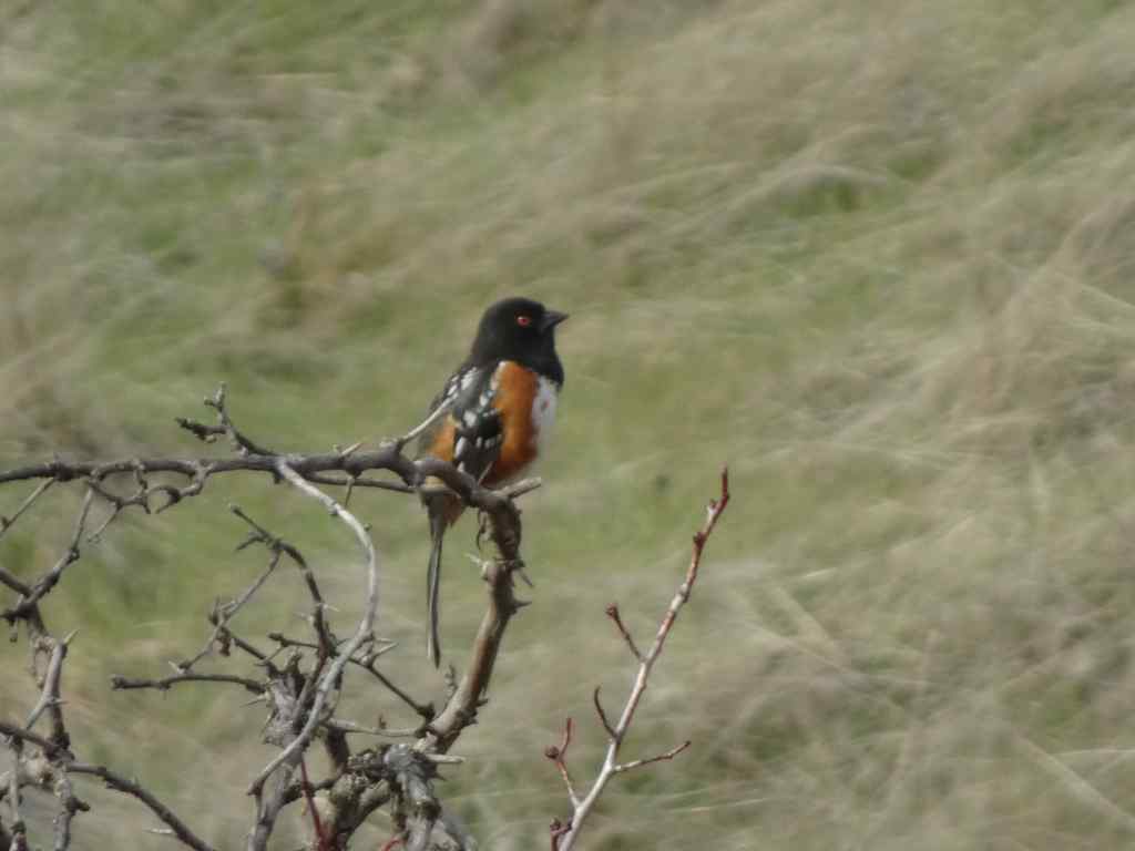
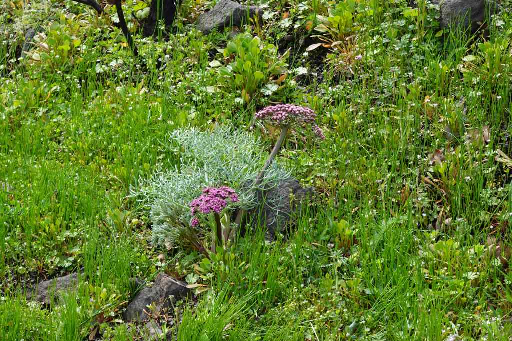
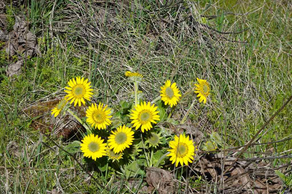
Eight Mile FallsGold Stars blooming along the trail.Grass widows and salt and pepper parsley blooming at our lunch stop, looking toward The Dalles.Dalles Mountain Ranch. We saw a few yellow bells blooming in the dry grass.Emerging balsam root bloomsEastward view up the Columbia River toward Celilo.Spotted towhee
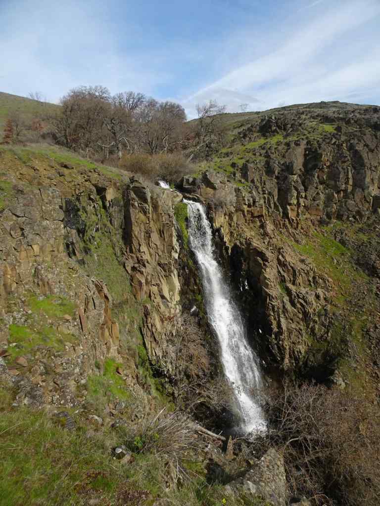
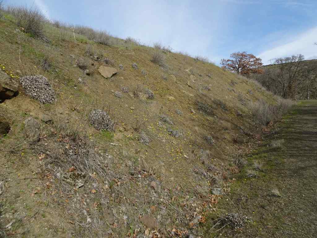
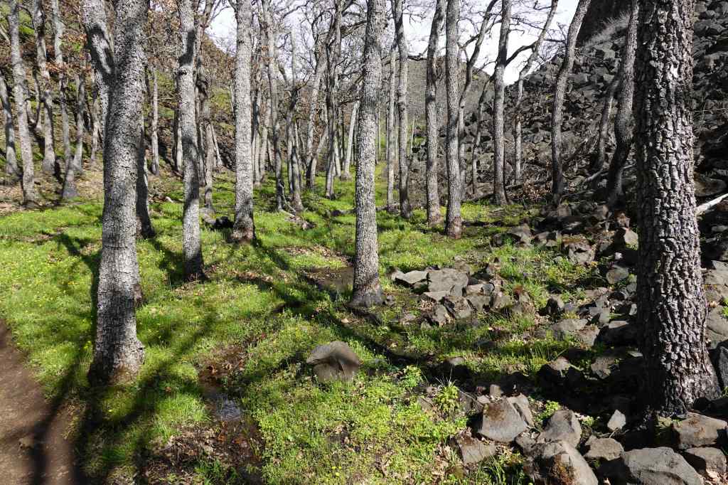
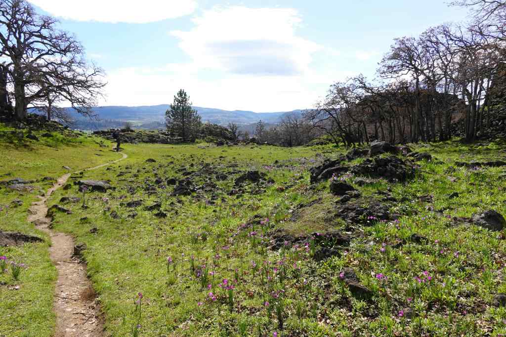
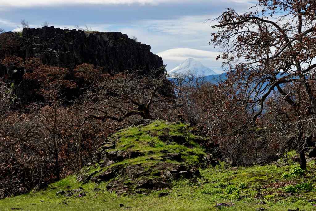
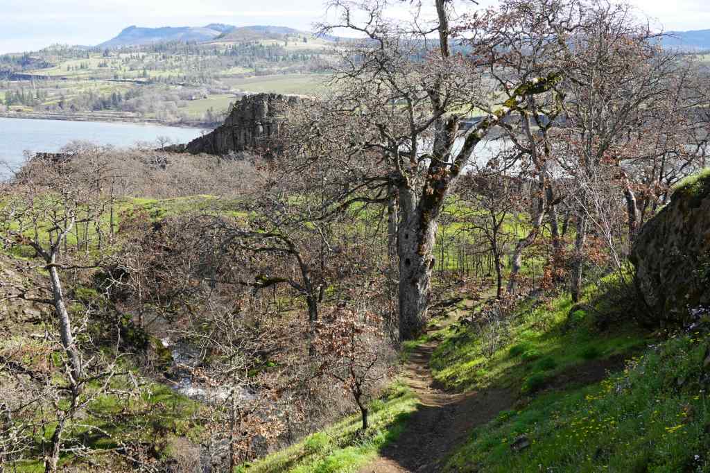
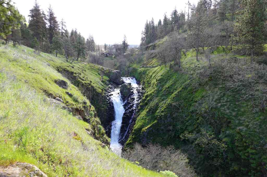
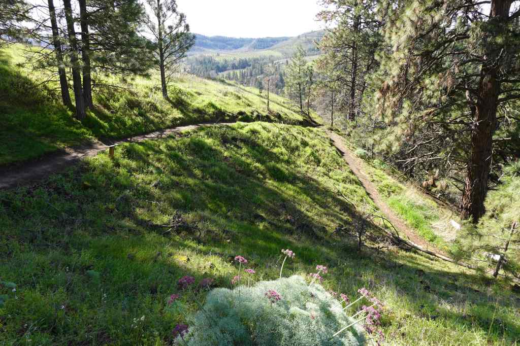
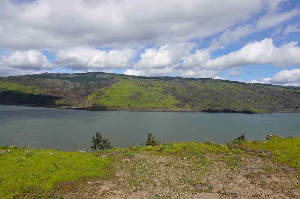
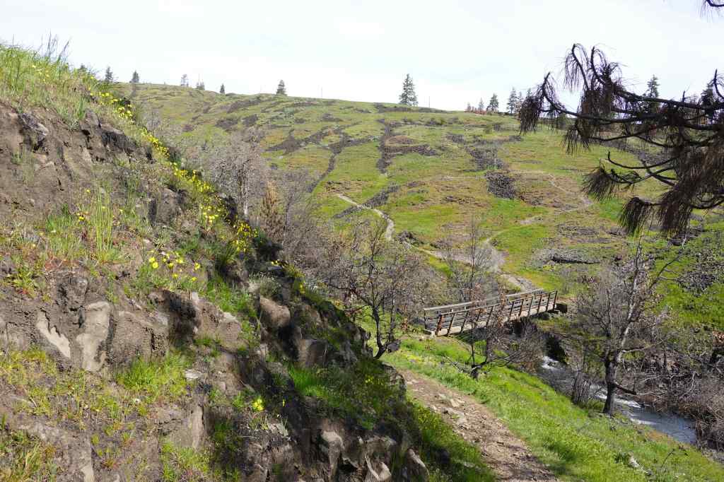
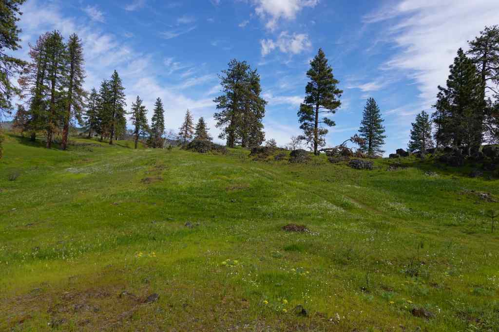
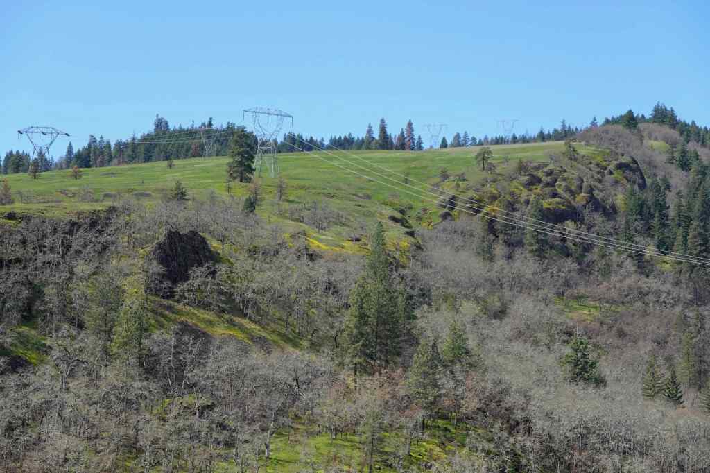
3/17 – The Labyrinth, WA
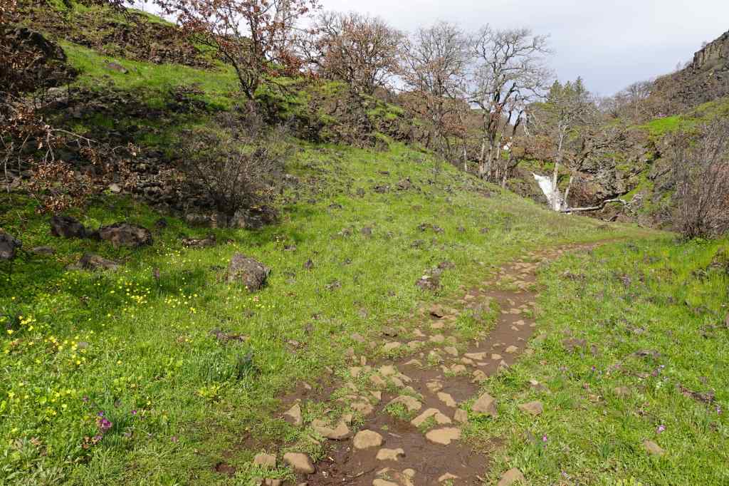
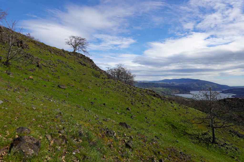
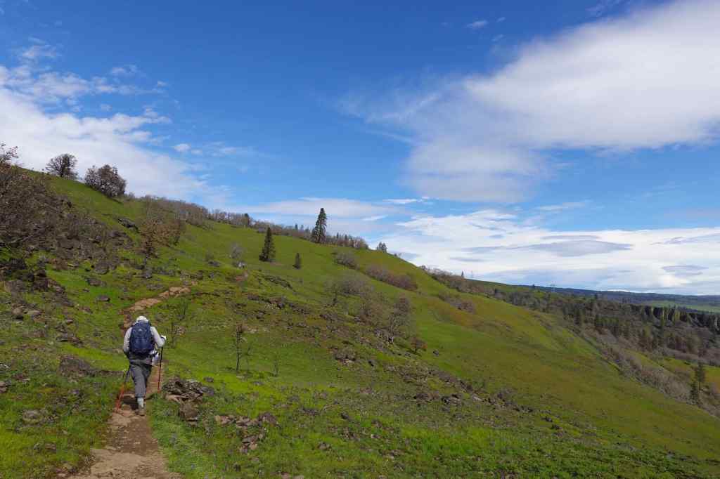
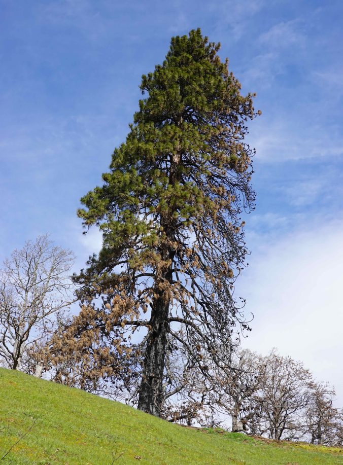
I finally made it all the way up to the guide Ponderosa pine, for the first time since the Burdoin Fire last summer. There was evidence of fire damage along the way, and extremely lush meadows full of flowers. (4 miles, 900 feet)
Starting up, green meadows with blooming popcorn flowers and filaree.Swales of white cress flowersGold stars and grass widows near Hidden Falls.Lots of water in the creek, with buttercups.Grass widows, and the orchards of Mosier across the Columbia River.Fire damage in my favorite oak grove.More fields of glowing grass widows as we approach the lunch ledge,And a view of Mt Hood with lenticular cloud.Columbia desert parsleyThe ridgeline oak treeContinuing upward toward the ‘guide’ ponderosa at the turnaround/viewpoint,On closer view, I can see the burn damage, but there is still a lot of green. I’m hoping it will survive.View eastward from near the ponderosa.Saying goodbye to the trail guardian oak on the way down – also still here, and undamaged.
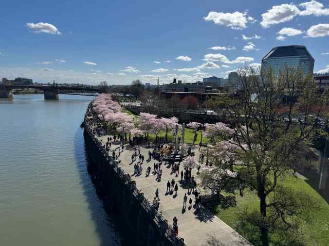
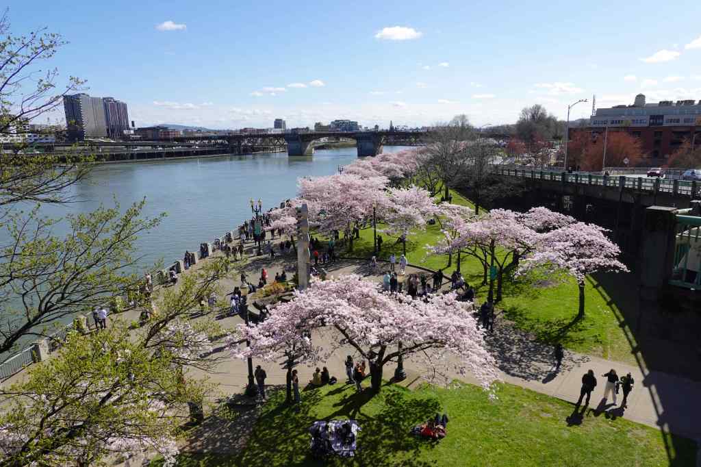
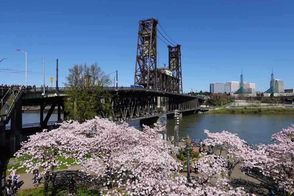
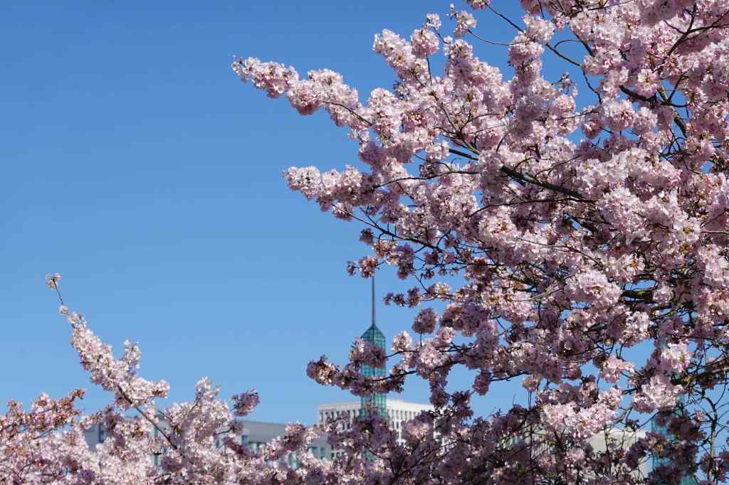
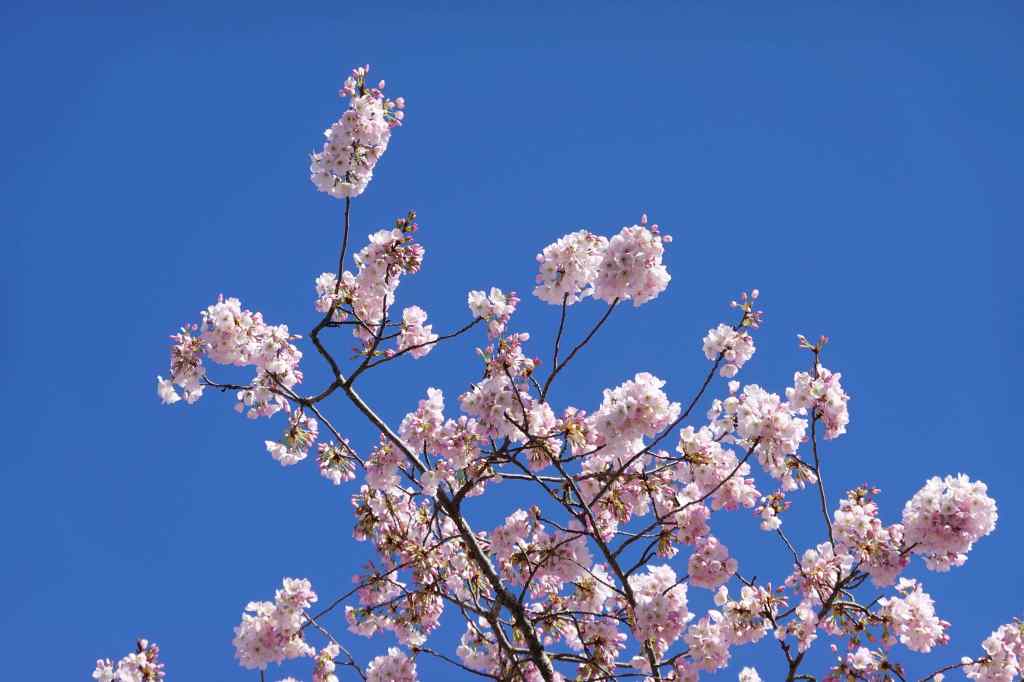
3/21 – Portland Waterfront Cherry Blossoms
We took quick walk, along with thousands of others, to see the blooming cherry trees along the Portland waterfront, on a sunny day. Given all the usual protest vibes we live with, this day was a refreshing break. We were all enjoying the sunshine and the blossoms!
Looking down on the Willamette River waterfront from the Steel Bridge.Cherry trees and the Burnside BridgeLooking back to the Steel BridgeCherry blossoms, Convention Center tower beyondCherry blossoms
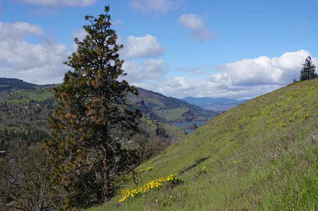
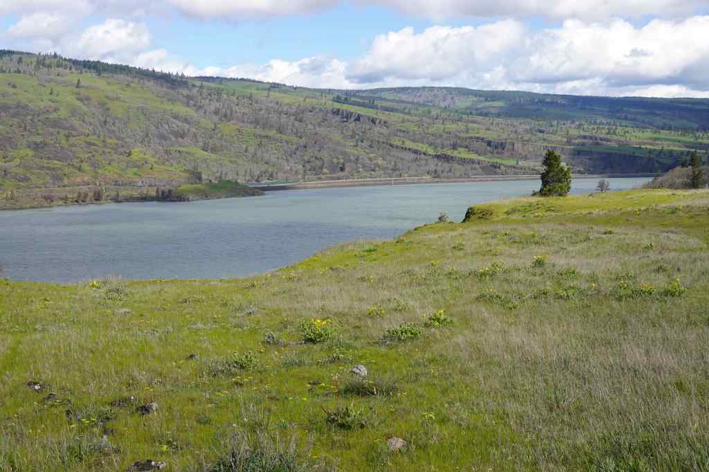
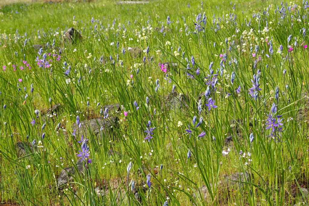
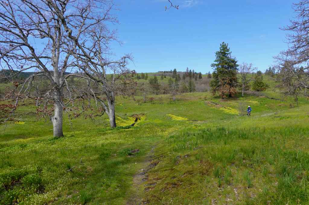
3/25 – Mosier Plateau, OR
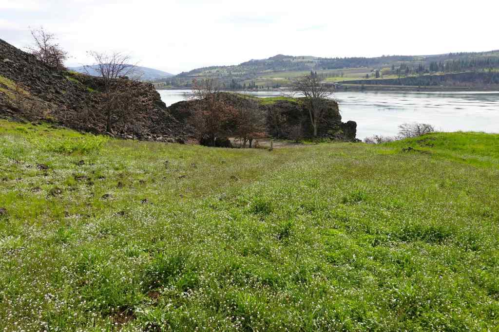
We hiked with friends on this windy day, out to the Mosier Plateau, where we could see the first balsam root flowers blooming, and great views across the Columbia River. (3.2 miles, 650 feet)
Walking uphill along Mosier Creek, past Mosier Falls.A few switchbacks and stairs, still protected from the wind; with Columbia desert parsley.Now walking north toward the exposed plateau, balsamroot blooming along the trail.Windy view across the Columbia River, with balsam rootFreshly blooming balsamrootWestward view, down the Columbia RiverNorthward view, directly toward Coyote Wall; Labyrinth to the right. All burned by last summer’s Burdoin Fire, and now all green.Upriver view, toward the Catherine Creek area.
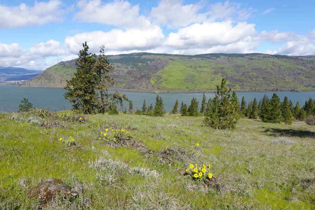
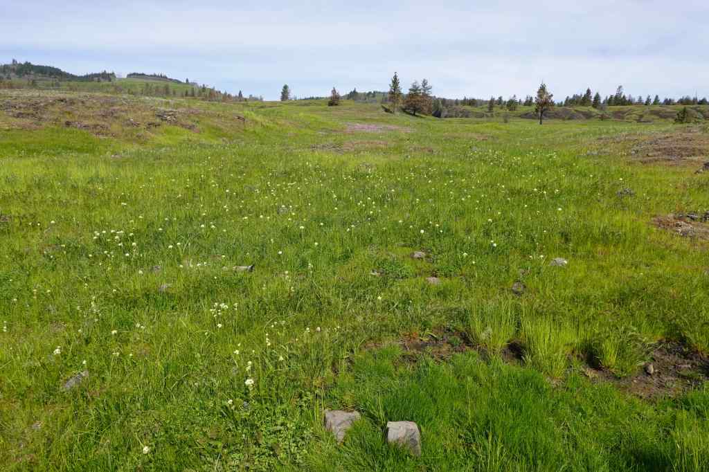
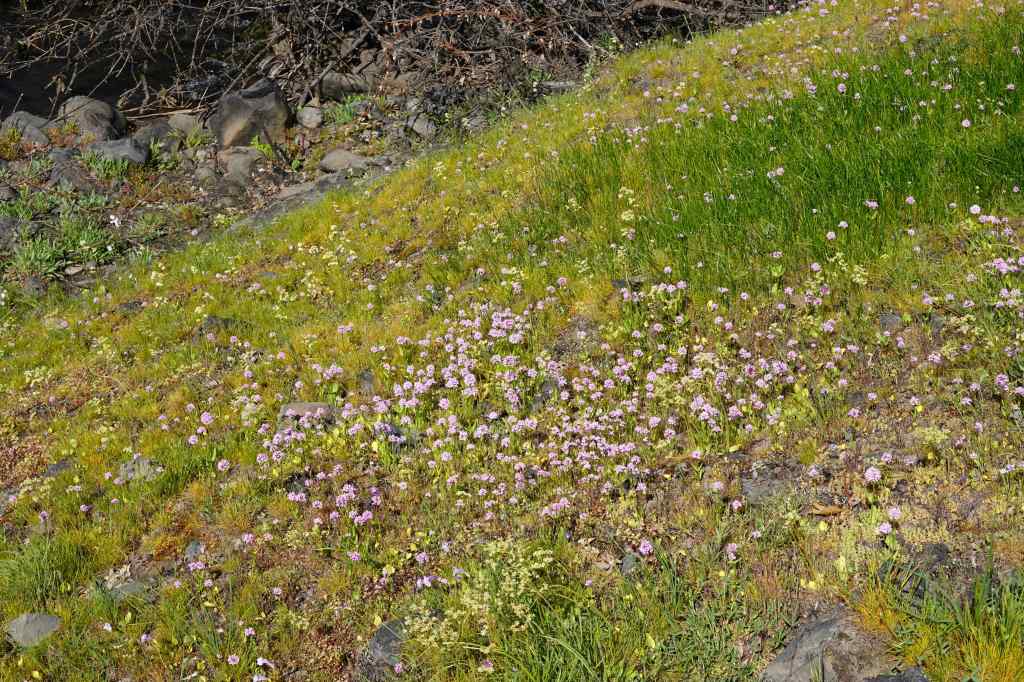
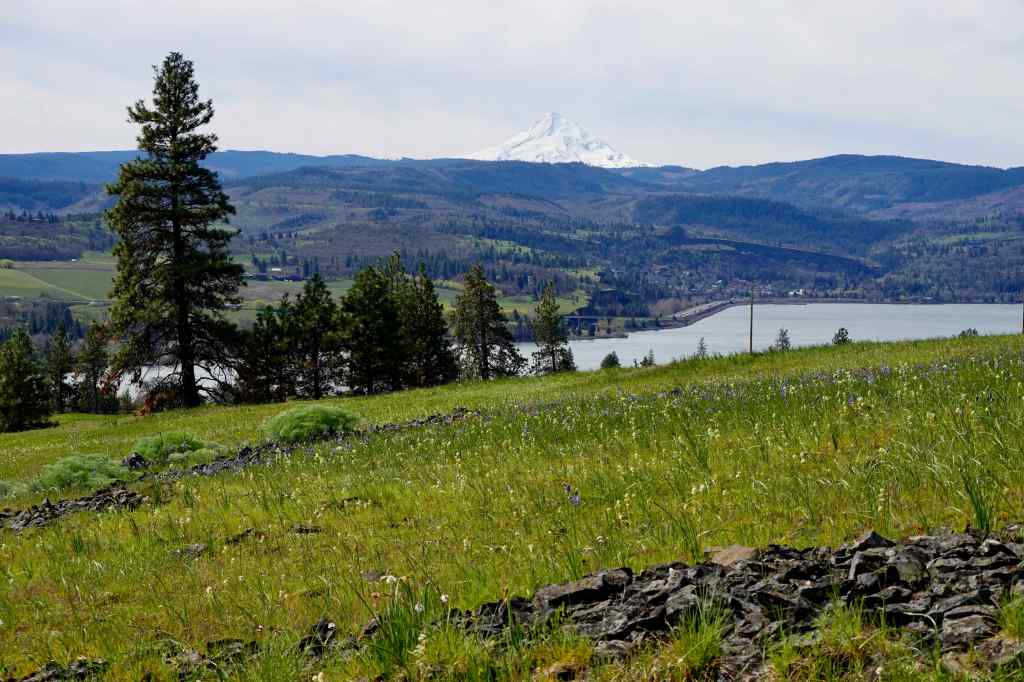
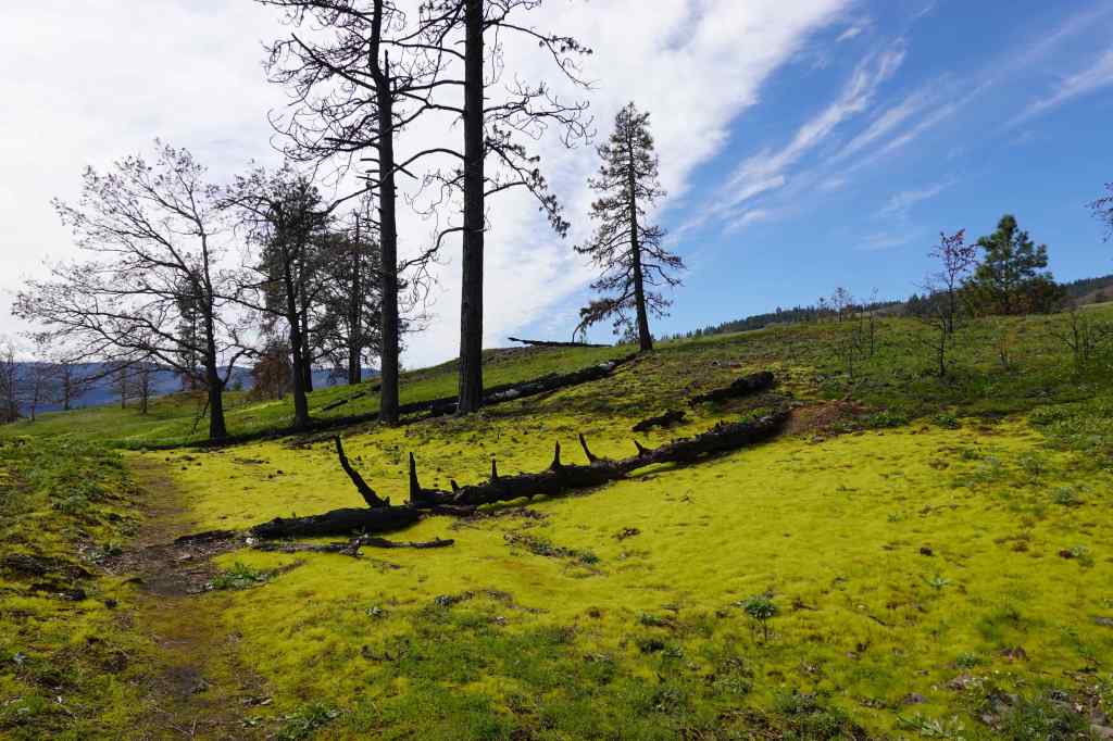
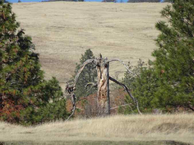
3/30 – Catherine Creek, WA
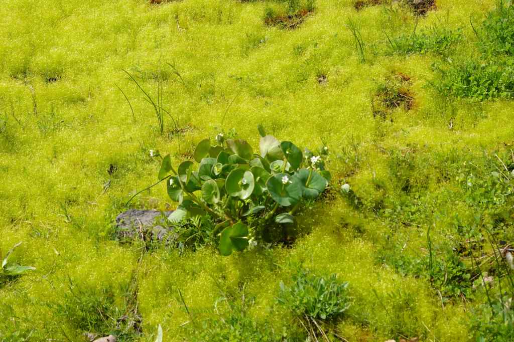
Our first time doing this eastern loop since the Burdoin Fire. The meadows were full of blooming flowers. There were many remnants of burned trees, and I learned about bonfire moss, a neon green variety that marks the fire areas. I didn’t see my ‘ent’, a snag that I greet every time we hike here. It seems to have vanished in the fire…though if it were a true ent, it would have moved away from the fire. (3 miles, 500 feet)
Meadow full of death camas at the trailhead.Gold stars near the bridge.Rosy plectritis in abundance.Camas, shooting stars and saxifrage.View back to Mt Hood across the Columbia River.Walking uphill along the eastern trail. I don’t see my ent, but it should be somewhere in this view…I did see many remnants of burned trees – blackened logs, surrounded by bonfire moss.Miners lettuce and bonfire moss.We passed many burned logs, each with their bonfire moss halo.View from the cliff edge across Catherine Creek, as we return down the trail. The yellow patches are monkey flowers.RIP to my old ent… perhaps he is wandering out there somewhere. Photo from 2024.
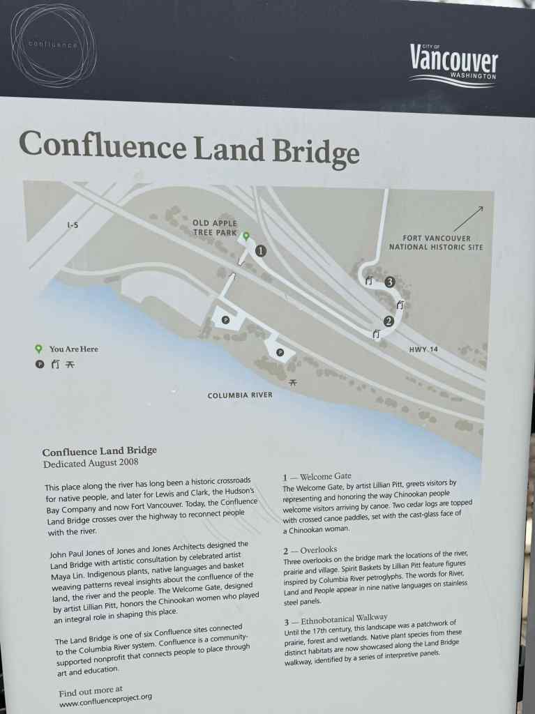
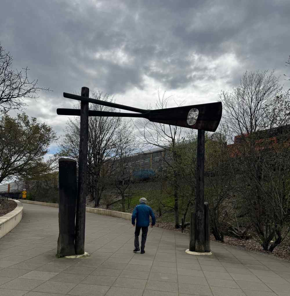
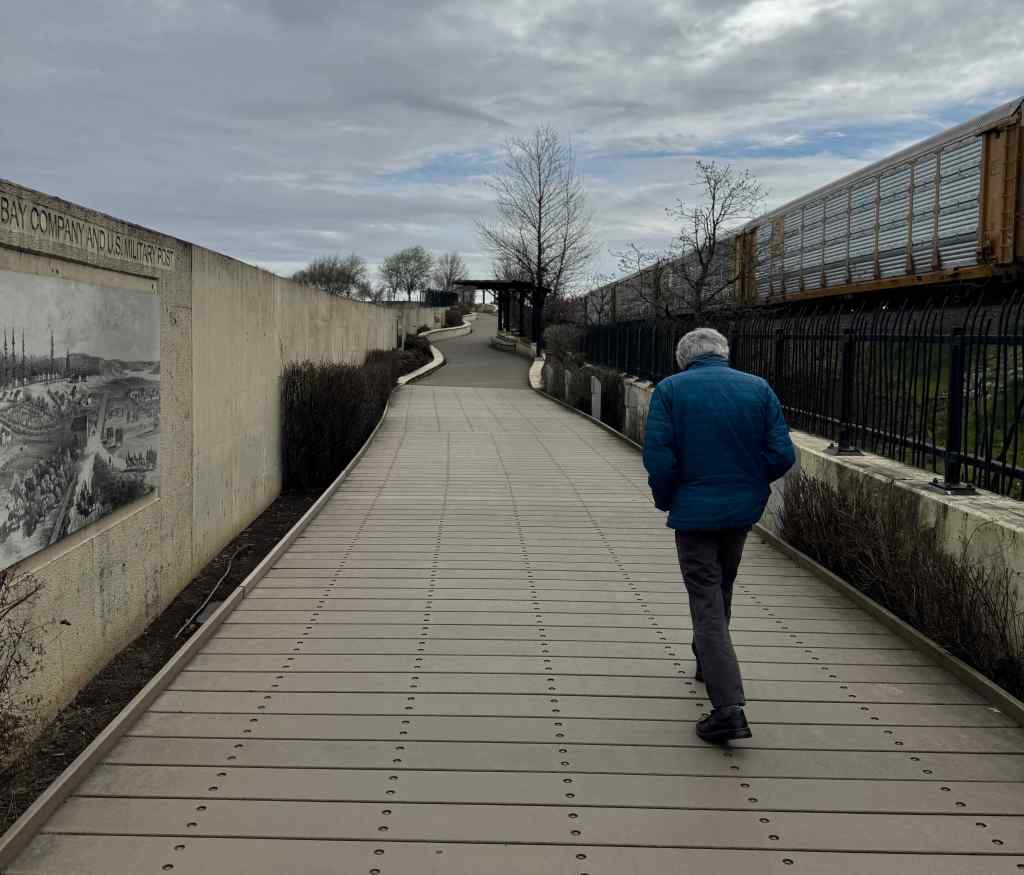
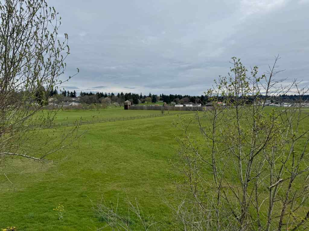
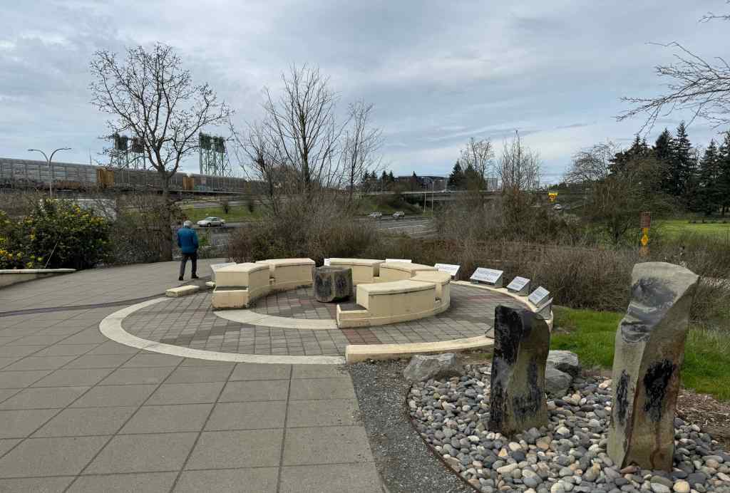
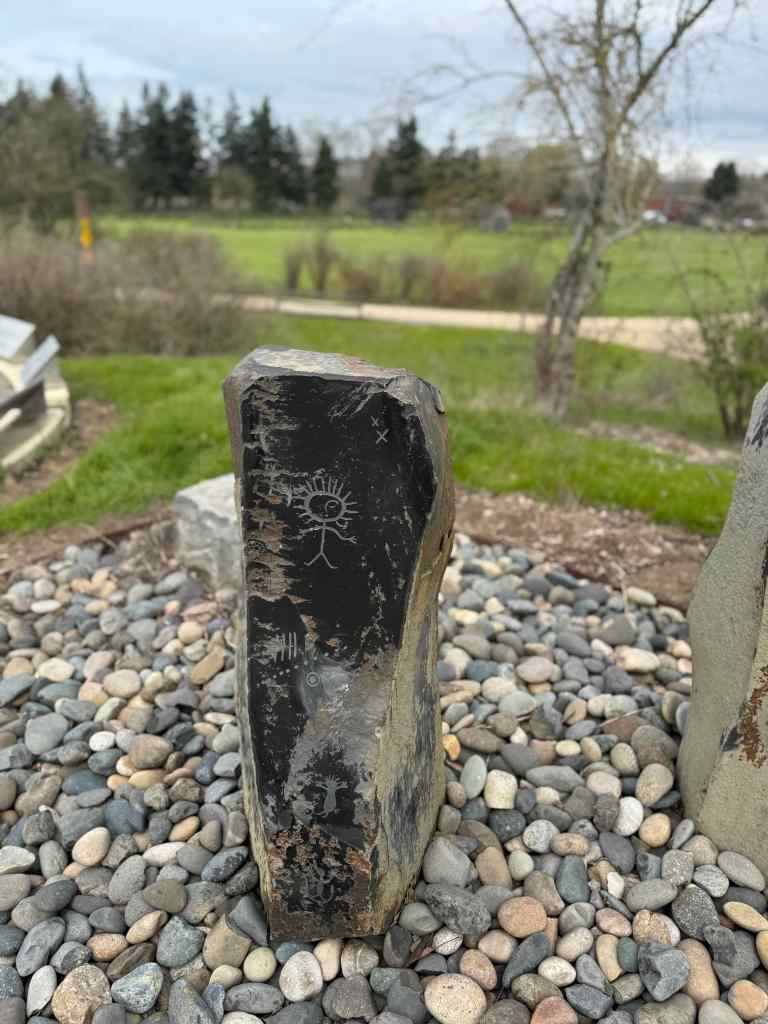
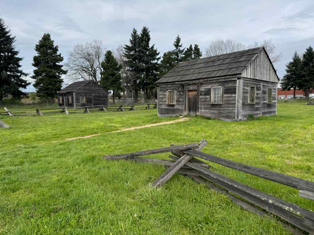
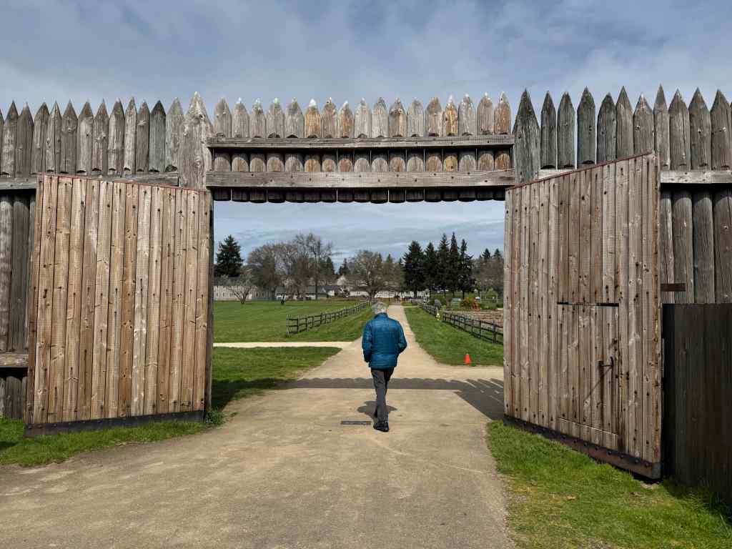
3/31 – Fort Vancouver Land Bridge, WA
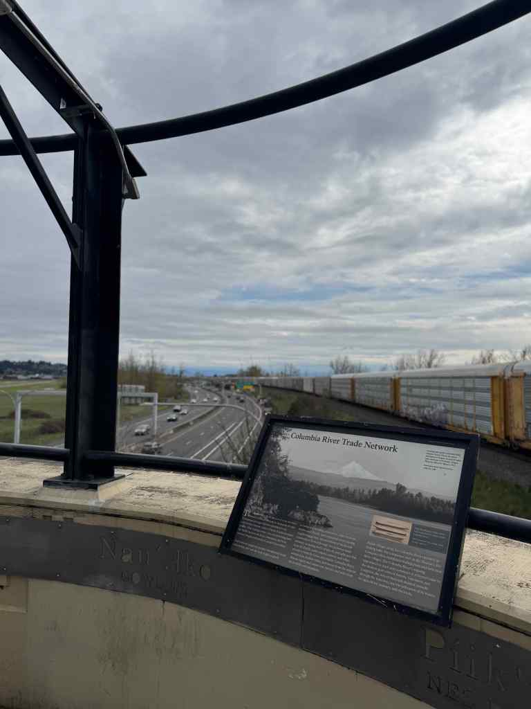
We took a brisk two mile walk over the Confluence Land Bridge near downtown Vancouver, Washington. The bridge and trail trail connect historic Fort Vancouver to the Columbia Riverfront, over the freeway. Art and signage explain historical and natural history. Although it was very noisy near the freeway, and on this day, the view of the river was blocked by a parked train, the bridge does provides a creative and protected way to cross the freeway and the train tracks, and we saw many bikes and people making use of it.
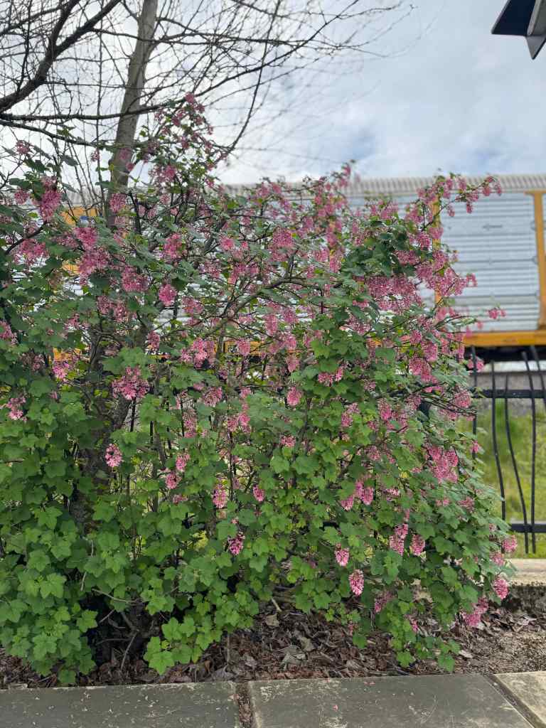
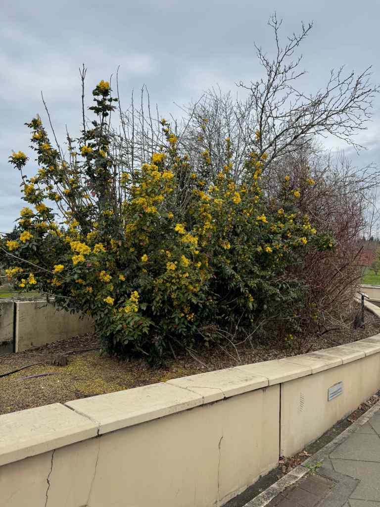
Sign explaining the Confluence Project and this Land Bridge.Entrance to the bridge.Historic placards and native plants along the way.Red currantOregon GrapeA lovely view of Hwy. 14 to the east, and that train blocking the river view.View of Fort Vancouver.Going down the north side – more artwork. Note the towers of the Interstate Bridge and the freeway interchange in the distance.Indigenous art.We walked near these reproduction cabins at the Fort Vancouver site,and then walked over to the Fort.It was quieter here. We had another appointment to get to, so didn’t have time to explore.We attended living history demonstrations here with our kids many years ago, but haven’t been for a long time. Despite being so close to freeways, the interstate bridge, train tracks and a lot of traffic, we appreciated having a green place to walk between appointments on this busy day.