Steigerwald Lake, WA (18-44)

Steigerwald National Wildlife Refuge    10-7-2018

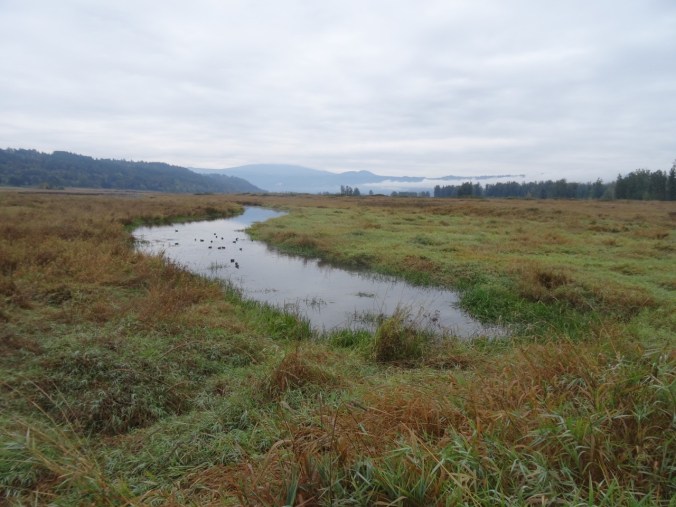
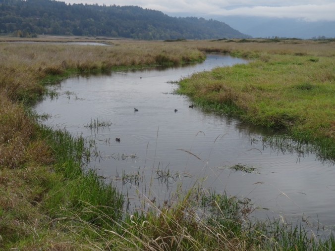
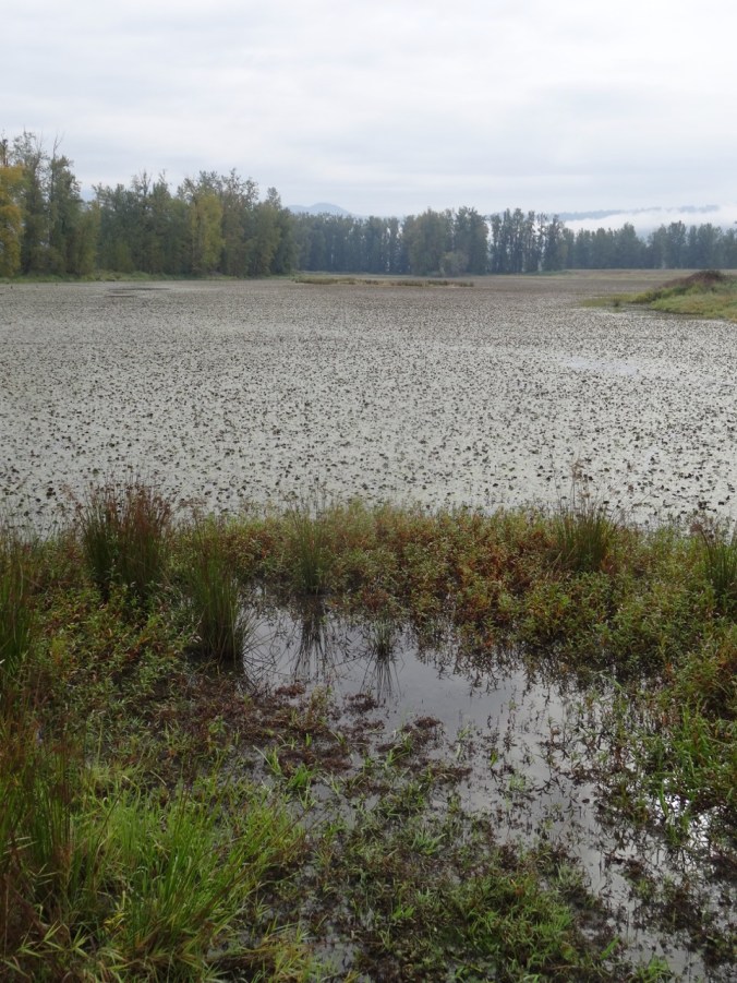
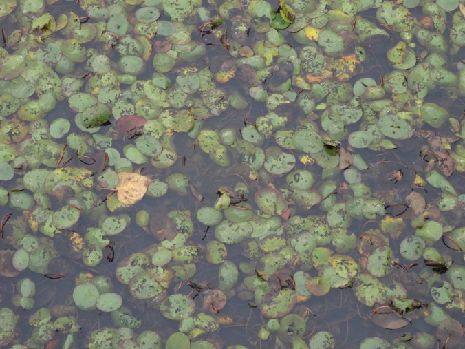
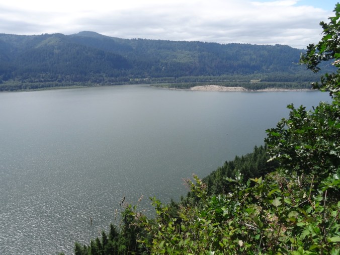
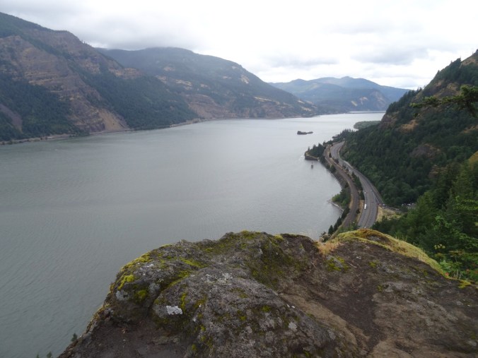
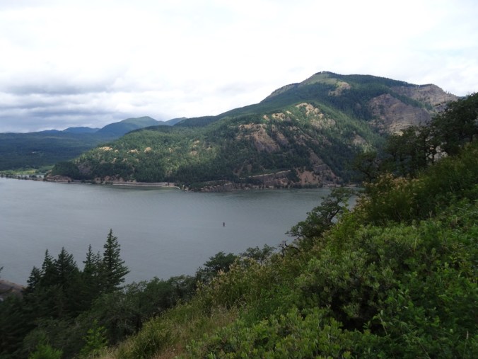
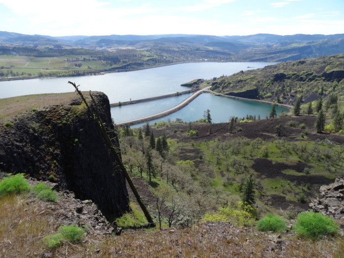
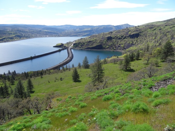
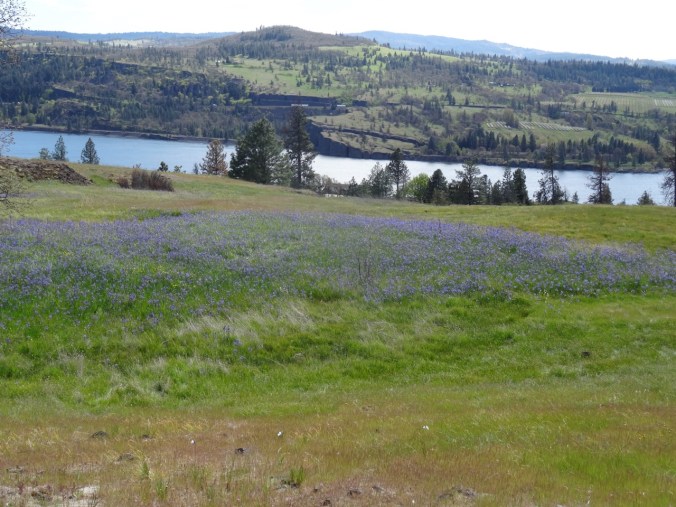
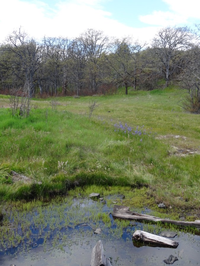
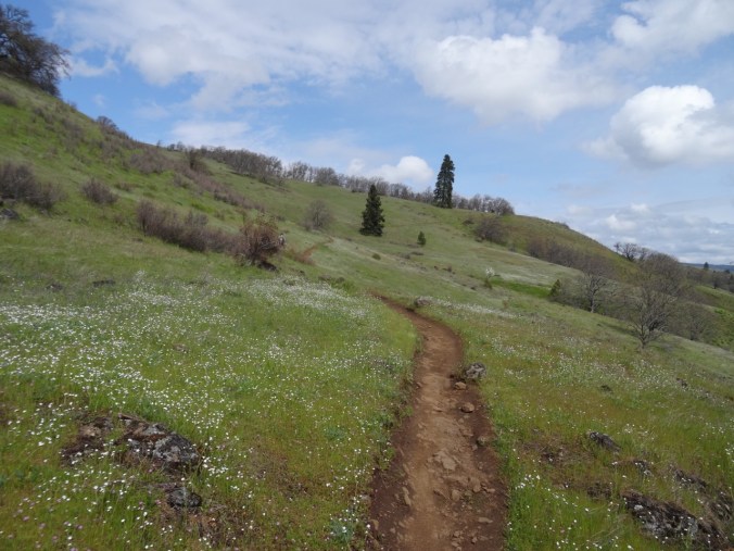
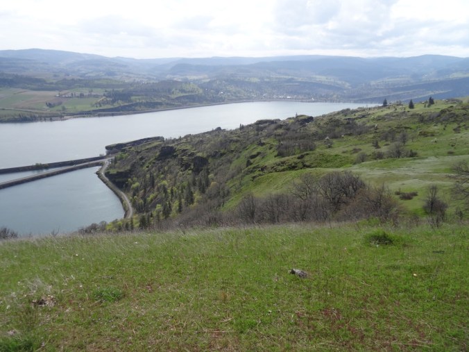
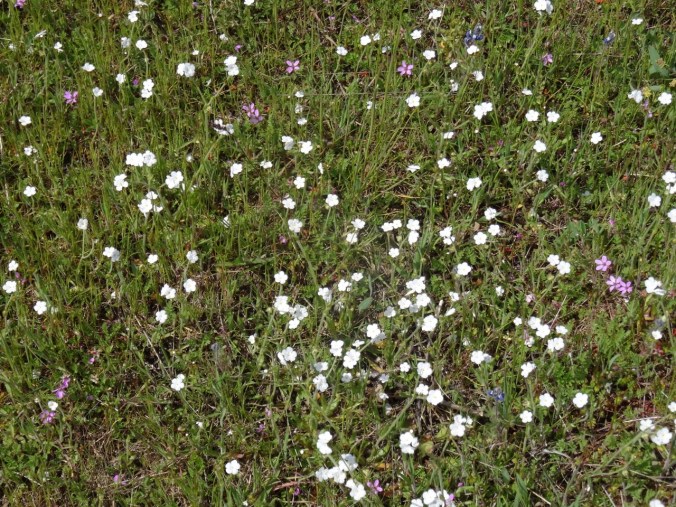
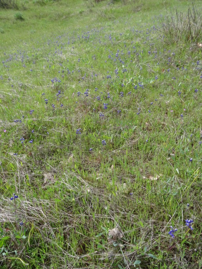
Rainy weekend. We were too early for the migrating birds, but saw foggy cliffs across the Columbia River, a few waterbirds and reflections in Gibbons Creek and Redtail Lake, late season flowers, berries and a few fall colors.   (hike#55)  4.4 miles
DSC09575

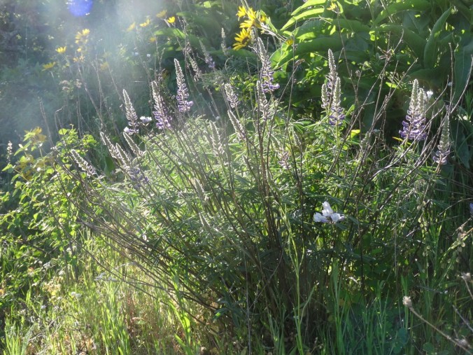
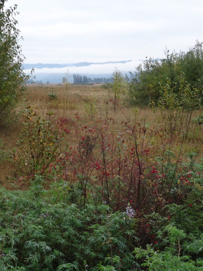
Late lupine, berries, fog on the cliffs across the river.

DSC09579

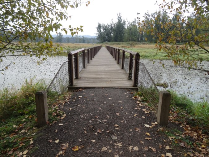
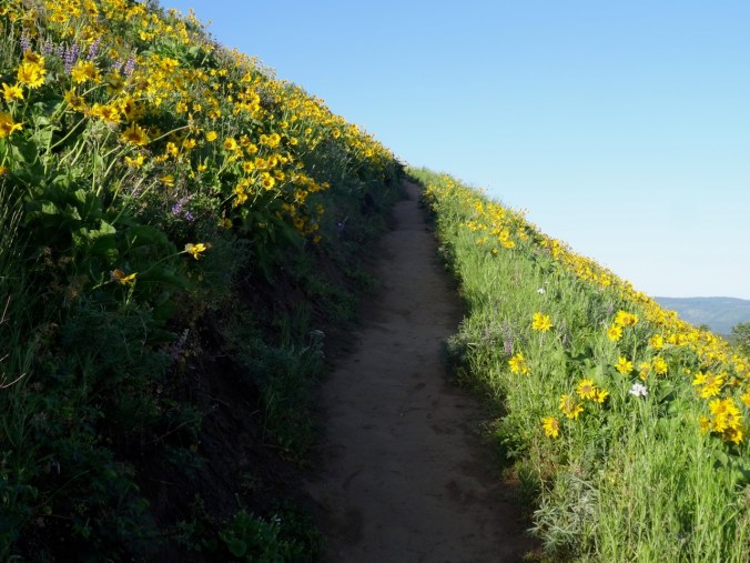
I always appreciate the welcoming path entrance.

DSC09583DSC09703

DSC09587

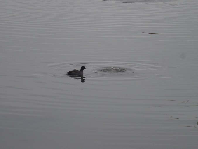
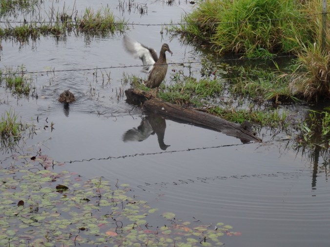
Water birds on Gibbons Creek

DSC09602DSC09610DSC09608DSC09611

DSC09641

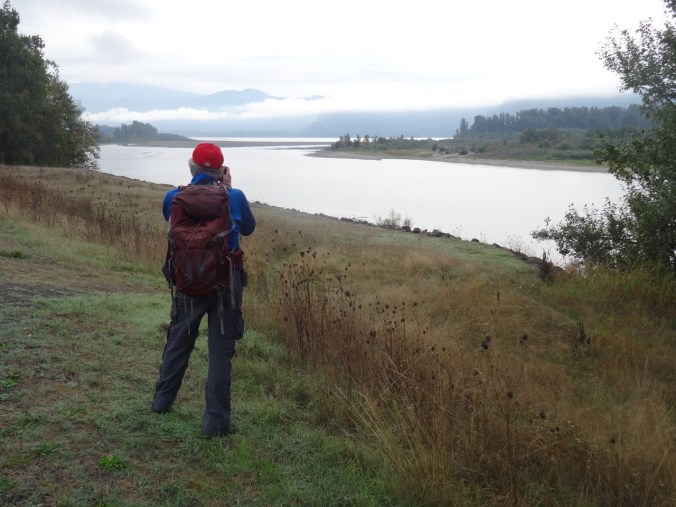
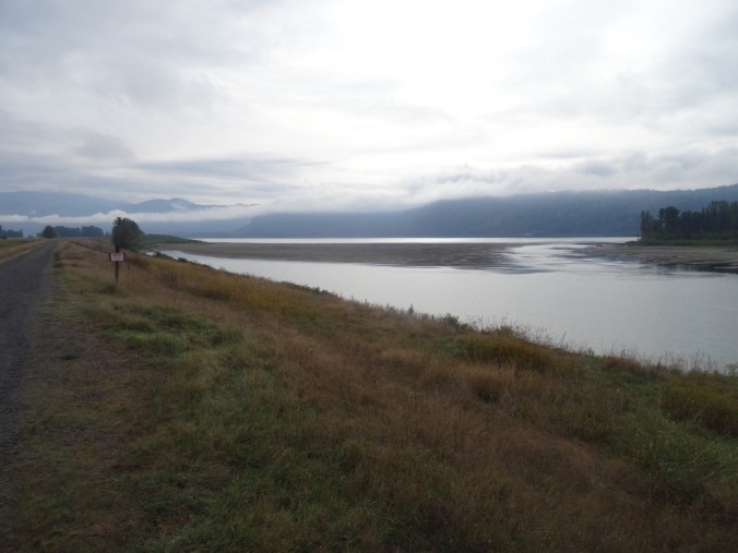
Views of Vancouver Point and Reed Island from the dike path.
DSC09640

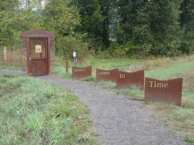
The door to the art trail is closed for winter nesting season. Time for the birds to come home.
DSC09639

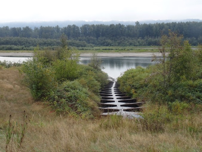
Fish ladder

DSC09665

We walked to the end of the refuge.

DSC09667

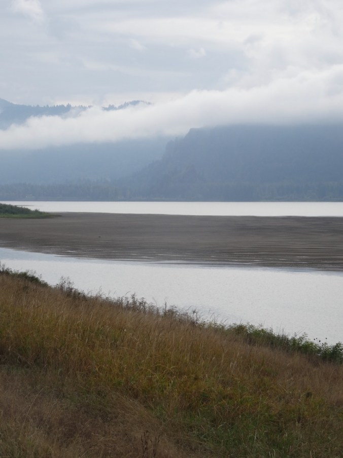
Sand bars between Reed Island and the Washington shore.
DSC09668

Vista House under the fog on the Oregon cliffs.

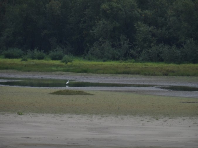
On our return walk we saw a few more birds.
DSC09670

Snowy egret across the channel

DSC09685

We learned from a trail steward that the refuge is planning to breach the dikes to the Columbia River to reestablish the natural flood plains and wildlife habitat, beginning sometime next year.

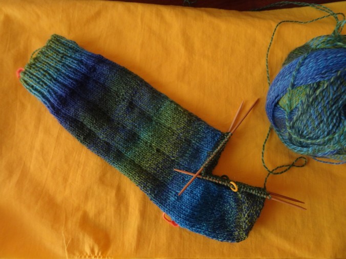
Knitting

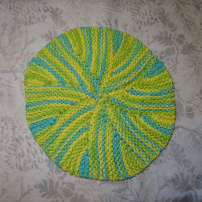
I finished another round dish cloth.
DSC09570

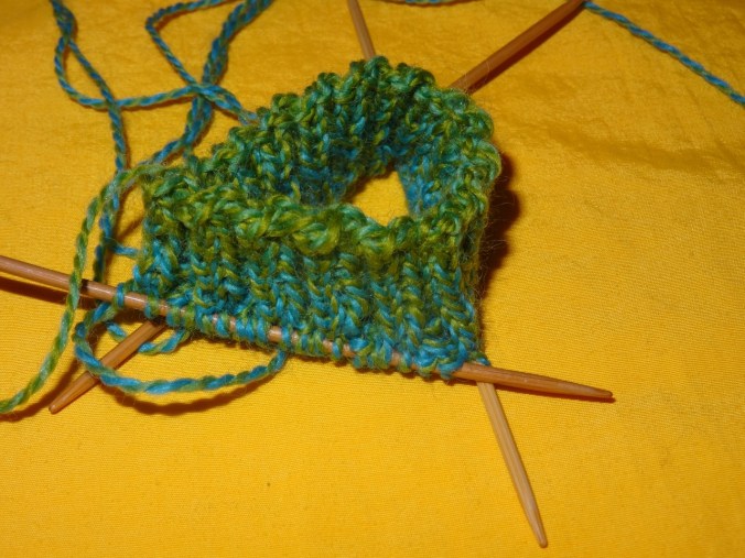
I started knitting a Fiore washcloth. I learned the picot cast on, and I am relearning stranded knitting and catching floats for this project.
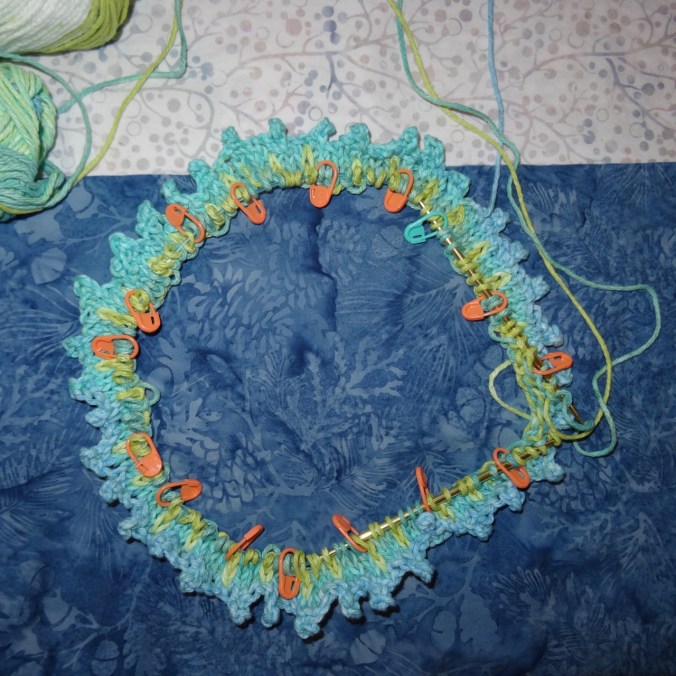
DSC09573

Garden

IMG_1040

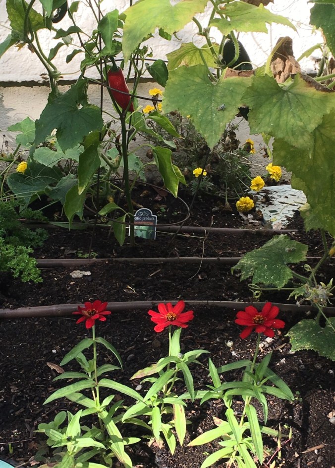
Zinnias and peppers

IMG_1045

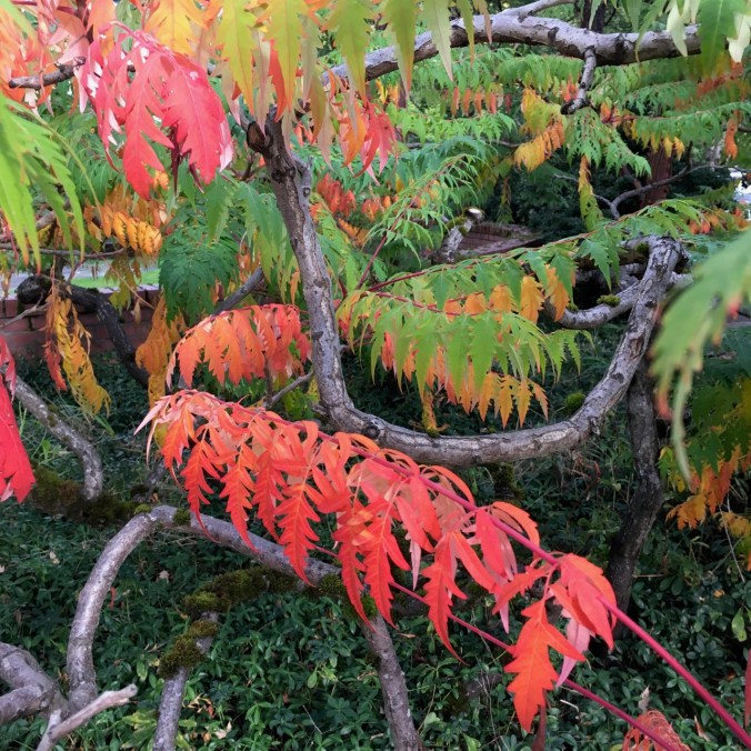
Sumac

IMG_1035

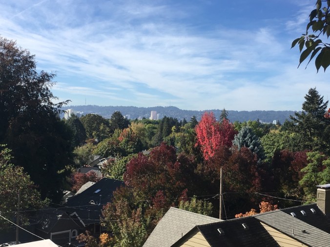
NE Portland changing colors. View from a walk up Alameda Ridge.

Red, White and Purple at Three Corner Rock, WA (18-28)

Three Corner Rock   4th of July, 2018    (Hike#40)

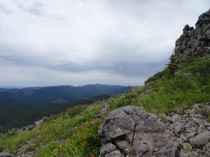
This easy hike follows the Pacific Crest Trail south from the 2090 road in Gifford Pinchot National Forest. The beautifully maintained and graded trail switchbacks up a ridge lined with a variety of summer wildflowers. DSC06569The last 3/4 mile is on a rutted red access road which goes to the saddle – and to the volcanic pile of Three Corner Rock that is holding down the ridge from blowing away on this windy July 4th.
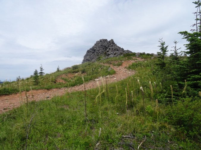
DSC06579

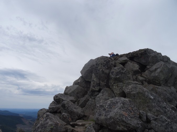
We scramble part way up the rock to a windbreak and have lunch – only one of our hiking party braves the blast to scramble all the way to the top.

DSC06582

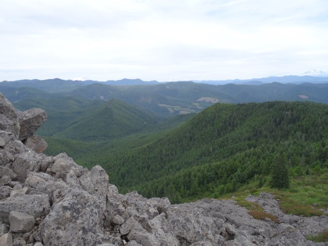
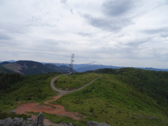
Meanwhile, we admire our five volcano view: Jefferson, Hood, Adams, St Helens, Rainier, along with views of the Columbia River all the way to Portland to the west. This was a good place for a lookout back in the day!

DSC06583

Mts Hood and Jefferson beyond the cell tower.

DSC06585

Mts St Helens, Rainier and Adams.

DSC06587

Silver Star Mountain

Among the flower palette are tons of red paintbrush, white bunch berry, and purple penstemon – nothing blue blooming up here today.

Other wildflowers – some are first sightings this year:

The map and June flower comparison is on my blog post from last year. 4.4 miles/1200 feet.

We stopped in Cascade Locks on the way home to buy fresh salmon for our 4th of July barbecue dinner.

DSC06599

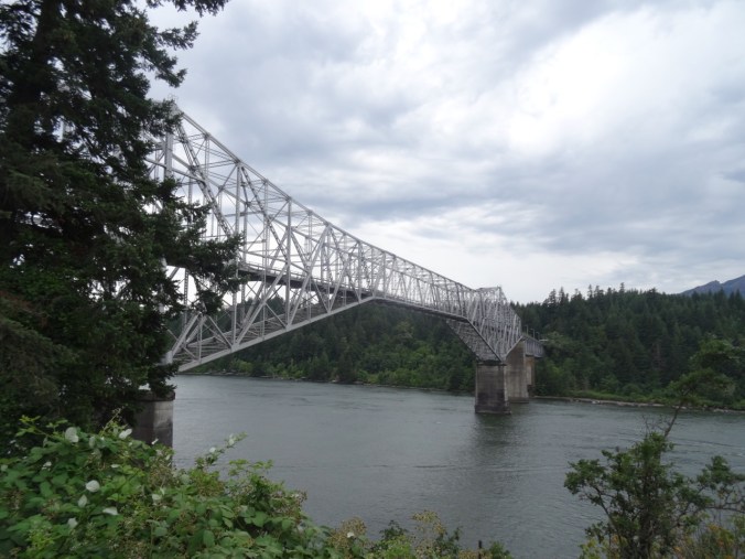
Bridge of the Gods over the Columbia River.

DSC06600

Native fish market at Bridge of the Gods. The burned skyline shows how close the Eagle Creek fire was to Cascade Locks.

CRAFTING

Pinwheel Quilt completed and just waiting for baby:

DSC06609

Fabric baskets for a sister’s birthday:

IMG_0725

I started a quilt for the Welcome Blanket project:

DSC06605


Some quilting! and Chinidere Mtn hike (18-26)

Quilting!

I started the Pinwheel Baby Quilt I am making for an expected family member.

Chinidere Mountain    6/22/2018     (Hike#38)

This trail starts at Wahtum Lake, on the upper end of the Eagle Creek fire zone. The area has been off limits since last September, but this particular trail recently reopened to public use. Connecting trails down Eagle Creek are still closed.

Screen Shot 2018-06-22 at 10.35.35 PM

6 miles/1200 feet

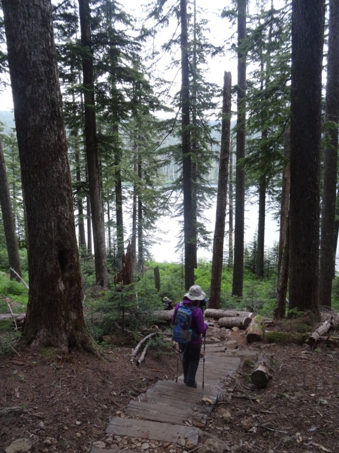
The trail immediately descends down 250 steps to Wahtum Lake.

DSC06321

From the shore we can just see the rocky promontory that we are hiking to – Chinidere Mountain.

DSC06420

(Photo taken on the return trip after the fog had lifted)

We continued on the Pacific Crest Trail around the east side of the lake, through an area with several hanging gardens and lots of flowers.  The Chinidere cutoff at about 2.5 miles switchbacks up the side of this rocky promontory that stands above the forest. When we arrived, the top was still covered in fog and a cold wind swept the spine of the mountain.

DSC06355

Approaching the top

DSC06357

Cliff penstemon

DSC06359

Summit

DSC06362

Flowers, fog, wind

DSC06368

Mt Hood beyond the clouds

Just 10 feet away we could sit comfortably in the windless sunshine and enjoy our lunch, hoping for the clouds on Mt Hood to lift.

DSC06360

Wahtum Lake from the summit

DSC06367

Wahtum Lake after the clouds lifted

Below us to the north, we could see the mosaic burn of the upper part of the Eagle Creek fire.

DSC06364

Brown areas burned by the Eagle Creek Fire

As we headed down the trail we walked out onto the ridge viewpoints to admire the wildflowers growing in the sunny rocky meadows and watched the clouds blow across Mt Hood.

DSC06392

DSC06413

Lots of wildflowers today – lovely.


By the time we drove down the road the mountain was free and clear!

DSC06431

Lookback:

On a clear day we could see all the volcanoes, north and south, from the top of Chinidere Mt.

DSC05757

June 2016 – Mt Hood and Mt Jefferson

DSC03181

June 2015 – Mt St Helens, Mt Rainier and Mt Adams


Cape Horn again, June 16th, 2018 (18-23)

Cape Horn Trail, Washington,  June 16, 2018,  (Hike # 37)

We hiked the upper section of the Cape Horn trail, from Strunk Road to the Waterfall Overlook, with stops at the Nancy Russell Overlook. The last of the larkspur and lupine were hanging on. Prolific flowers were cow parsnip, tiger lily, candy flower, columbine and penstemon. 3.5 miles, 600 feet. Previous hikes: May and November, 2107.

DSC06212

Upper trail

DSC06222

Into the woods

DSC06245

Tiger lilies and cow parsnip

DSC06267

Waterfall

The views:

DSC06271

East along the Columbia River toward Beacon Rock

DSC06270

West toward Sand Island

The flowers:

CRAFTING

I’ve turned the heel on the first of the Cornwall socks:

DSC06301

I began the Jane Austen House cross stitch kit, a souvenir from my visit there in April.

DSC06302DSC06305

GARDEN

We have planted tomatoes, basil, jalapeño, cucumber and parsley – time tested and always consumed in our household.

DSC06294

Garden flowers in bloom:

Starvation Creek again (18-22)

Lower Starvation Loop Hike, June 10, 2018      (hike #36)

We did this hike in early May last year, in the rain, with rainbows, and with early spring flowers. This year it was still a bit rainy, but we managed to hike on a wet weekend when Mt Hood actually received more snow! We saw the late spring flowers – always interesting to see what blooms next. And our daughter, temporarily home from college before heading off for her summer adventures, joined us. I got to practice my uphill in a steep section, but the hike was much shorter than last week. And I don’t think my new treatment regimen gave me any setback at all, so Yay!  (3.2 miles, 800 feet)

Views from the high point:

DSC06137

East – Columbia River and trailhead parking below

DSC06160

North to Dog Mtn

DSC06150

West, Wind Mtn, no rainbows this year

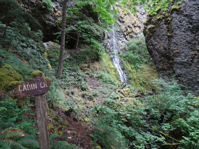
Cabin Creek crossing, a fairy glen:

DSC06111

Photo shoot with Dad:

DSC06152

Wildflower suite:

Wet foliage:

DSC06144

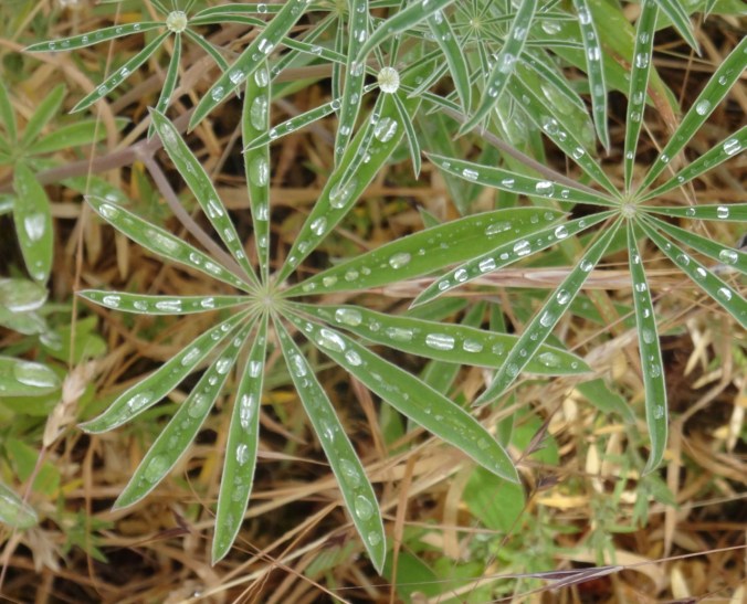
lupine

DSC06113

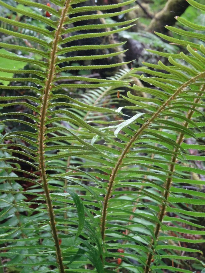
ferns

Waterfalls:

DSC06175

Lancaster Falls

DSC06182

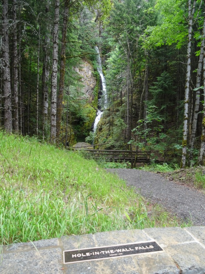
Hole In The Wall Falls

DSC06187

Cabin Creek Falls

Wildflower Lookback:

DSC04105

May 2017 – monkey flower, rosy plectritis, blue eyed Mary and shooting stars in the meadow

DSC06166

June 2018 – dry meadow

CRAFTING

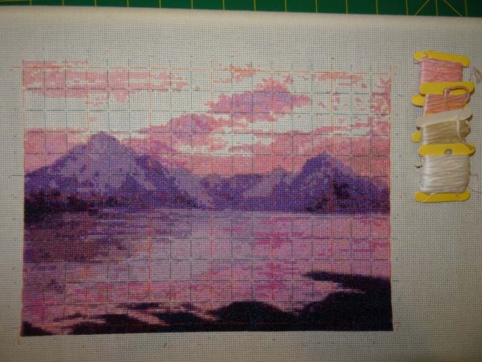
I finished cross stitching the Elgol scene, and removed the guidelines.

DSC06189

Next I will decide how to frame it. And get started on one of two new cross stitch projects waiting in the wings.

DSC06194DSC06199

I find the focused attention of counted cross stitching soothing these days. I also ordered fabric to make a baby quilt for our niece.

Phlox Point in Bloom (18-20)

Hardy Ridge/Phlox Point, WA    June 1, 2018    (Hike#35)

This hike was my hardest yet, post surgery – 8.2 miles/2200 feet.  The first part is a road walk through beautiful forest along equestrian trails in Beacon Rock State Park.  Then steep switchbacks lead up to the saddle of Hardy Ridge where the ridge walk to Phlox Point is lined with flowers and views of the Columbia River, Mt Hood and Mt Adams. I thoroughly enjoyed the hike, but am still feeling the last 2 miles – it was just a bit long for my stamina. I am glad I did it, as my next stage of treatment begins next week, and I don’t know if I will have a physical setback.  And I love hiking through lush blooming wildflower meadows!

DSC05983

Lower trail

Views from the top:

DSC05999

West, Columbia River

DSC06062

South, Mt Hood

DSC06028

Southeast, Hamilton Mountain

DSC06049

Southeast, Bonneville Dam

DSC06088

East, Mt Adams, Table Mountain

Phlox Point ahead –

DSC06021

DSC06042

North from Phlox Pt

Our first bear grass of the season:

DSC06041DSC06060

So much Indian Paintbrush!

I tallied at least 51 different flowers, not counting varieties of each.

Of note, lupine, larkspur, mariposa and tiger lilies, and nodding onions were mostly in bud form, and should be blooming profusely soon.

CRAFTING:

Just a bit of knitting, and I am down to cream and white on the Elgol cross stitch – filling in the empty spaces seems to be the best soother of my current anxiety about upcoming treatment.

DSC06102

MEANWHILE:    The garden is almost ready for planting. And I have decided to add the England trip reports in separate posts.


Re-entry/Tom McCall Point (18-17)

After two and a half weeks in London, Cornwall, Devon, and a visit to Jane Austen’s  house and quilt in Chawton, we are back home in Portland, Oregon. I barely had time to jot notes of our adventures, let alone write  blog posts. Historical sites, museums, hiking, and travel days; navigating narrow hedgerows via Lady Google. Wildflowers were in bloom, and the weather mostly cooperated when it really mattered. I am writing this at 4 am because I am still adjusting to the 8 hour time shift. I plan to add blog posts about our adventures as I go through my photos.

Tom McCall Point, OR     5/13/2018       Hike #30 

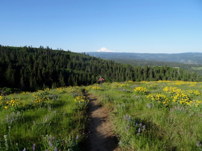
Meanwhile, we took advantage of our jet lag by going on a hike at sunrise on our first day back. Tom McCall Point is a favorite seasonal wildflower hike in the eastern gorge (3.6 miles/1100 feet).

The early morning low light gave a luminous glow to the landscape.

DSC05329

Tom McCall Point – our goal

DSC05331

Looking back toward the Rowena Plateau trailhead and the Columbia River

DSC05349

Deer in the meadow below

DSC05371DSC05374DSC05458

The views opened up as we climbed higher.

DSC05391DSC05406

DSC05393

Mt Hood

DSC05440

Early spring flowers were mostly past, but the balsam root at the top was splendid, along with lupine, penstemon, and bicolored cluster lilies.

There were only a few other people hiking that early.

DSC05424

Dan approaching the summit, Mt Hood beyond

DSC05418

Mt Adams

We had the summit to ourselves for twenty minutes before heading down.

DSC05419

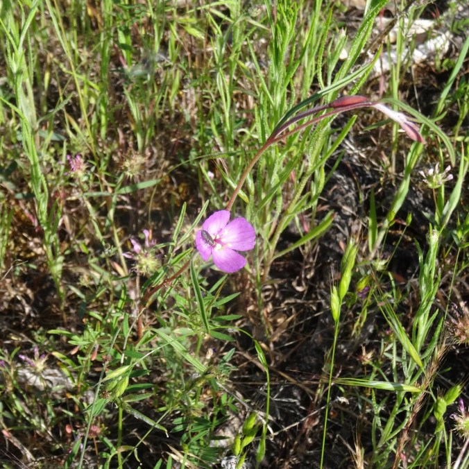
We also took a short hike at the nearby Memaloose Overlook – I had read that bitterroot (Lewisia) can sometimes be seen blooming on the rocky cliffs nearby. We didn’t find any, but did spot some pink Clarkia blooms for the first time this season, so it seemed a worthwhile side trip.

DSC05487

Clarkia near Memaloose Overlook

Knitting

I knit a couple of inches on my Cornwall socks while on the plane. It turns out I chose a color that reflects well the fields and seas of Cornwall.

DSC05505

Garden

And while we were gone, the spring turned to summer. The yard is a bit overgrown, and new flowers are blooming.

Catherine Creek, WA and Blogiversary! (18-16)

Bitterroot Trail- Rowland Wall Loop  4/20/18      (hike#16)

The Bitterroot Trail branches off north of the vernal pools/fairyland swales that are just above the main parking area.

DSC02425

View up Sunflower Hill, where we are going.

DSC02440

Fairy ponds with camus

The trail follows the steep western edge of Catherine Creek, and we get great views of the arch as we continue north.

DSC02454

Bitterroot Trail

DSC02453

Catherine Creek Arch

Long distance views appear as we gain elevation.

DSC02444

Mt Hood to the west

DSC02448

View to the east of the Columbia River

A variety of spring flowers line the trail all the way up to our destination above the power line corridor on Sunflower Hill (named before cattle grazed away all the balsamroot).


The first clump of balsamroot we see marks a trail junction.

DSC02486

DSC02491

We have gone up to the top of the hill from here in the past. Today we decide to head downhill on the Rowland Wall trail.

DSC02493

We find a rocky promontory for a lunch perch. On this beautiful blue sky day we have a clear view of Mt Hood.

DSC02496

View to the west – the Labyrinth area and Mt Hood

As we continue down the rocky cliffs atop the wall east of Rowland Creek

DSC02514DSC02515DSC02519

we see our first blooming paintbrush of the season, and bitteroot foliage whorls, one of which is massive!

DSC02502

paintbrush

DSC02505

bitterroot foliage

DSC02510

buckwheat

I note the trails that criss cross Rowland basin below us, spying out options for future hikes.

DSC02520

DSC02525

Camus swale

DSC02530

Vernal pool

DSC02529

3.5 miles, 1000 feet.


CRAFTING

The Elgol Cross Stitch is getting closer to completion; just the sky colors of pale pink, cream and white remain to be filled in.

DSC02534

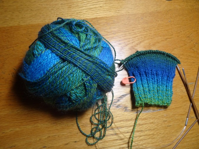
I cast on the Cornwall socks for travel knitting; k2p2 ribbing, top down vanilla sock.

DSC02538

Blogiversary!

My first post, April 22nd, 2017, documented a hike up Coyote Wall. I have posted just about every week since then. I will be traveling for the next three weeks, so there will most likely be a delay in posting about our upcoming adventures.

The Labyrinth in bloom with a side of Poison Oak (18-15)

Labyrinth Trail, WA      4/15/2018      (#15)

So many hikers in the eastern gorge today – predicted to be the best weather day of the weekend. We opted for the Labyrinth trail, teased by the blooming balsamroot near the waterfall off Hwy 14.  We were not disappointed.

From the trailhead, we could see our destination – a tall fir tree on the cliff above.

DSC02287

We began by hiking along the old highway, then up the trail through the basalt labyrinth:

DSC02294

Waterfall on the old highway

DSC02301

Balsamroot near the trailhead

We hiked up past the upper waterfall,

DSC02330

Through the oak woodlands,

DSC02353

Over the desert parsley rocky balds,

DSC02359

Desert parsley cliffs

DSC02368

Bitter root foliage – to bloom next month

From here we could see west to the Coyote Wall meadows:

DSC02363

Our trail continued east, toward the prominent oak tree on the cliff edge:

DSC02367

Above here the views to the east,

DSC02379

and toward our destination (that tall fir tree) opened up:

DSC02380

When we reached the viewpoint near the fir tree, we could see our car parked below, near Rowland Lake:

DSC02384

Swaths of small flowers tinted many of the grassy areas:

DSC02388

Popcorn flower and filaree

DSC02387

Two-colored lupine

DSC02329

Miner’s lettuce and buttercups

DSC02315

Tomcat clover

Many other spring flowers were blooming along the trail:

On the way down, we looked back in the lovely afternoon light at the glowing landscape.

DSC02408


And just to add an element of risk to the venture, in addition to the (mostly polite) mountain bikers bombing down the trail, every nearly bare stick and twig, from the vines on the rock walls,

DSC02291

climbing poison oak

to the trail side shrubs,

DSC02418

glowing red poison oak leaf buds

to the grassy swathes,

DSC02394

chocolate lilies, buttercups, larkspur and poison oak

even the bare rocky talus piles,

DSC02404

poison oak shoots

were sporting the shiny deep red oily gloss of newly budding poison oak leaves. We tiptoed around them, knowing this place is my nemesis for the rash. Despite a lifetime of hiking and many years of of bushwhacking with geologists through the scrublands of the western US, and being exposed but never reacting, I finally got the rash after a hike here a few years ago, and have gotten it twice since, each time a little worse. This is my favorite trail in the eastern gorge, so I proceed with caution! Hopefully no rash this week.

DSC02421

One-eyed ghost tree along the trail – ogling the waterfall, or fleeing the poison oak?

New sock yarn for travel knitting –

DSC02286

Klickitat Trail; Poetry to the Rescue (18-14)

Swale Canyon, Klickitat Trail, WA     4/8/2018         (Hike #14)

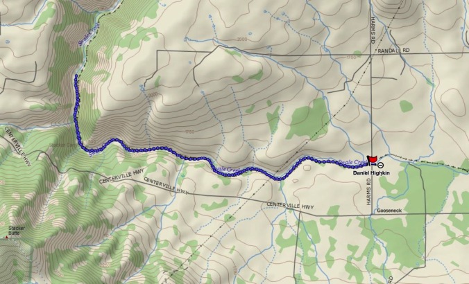
Chasing east out of the rain, we started from the Harms Road trailhead north of Lyle, WA, and walked 8 miles round trip on this nearly flat former rail bed.  We began on a high grassy plateau, then slowly dropped between rim rock cliffs.

DSC02191DSC02195DSC02228

Bright yellow parsley lined the trail and slopes, and other spring flowers were blooming locally.

DSC02210

yellow parsley with gold stars

DSC02211

grass widows

DSC02194

a duck

DSC02230

Oregon grape

DSC02248

Columbia desert parsley

DSC02244

shooting stars and saxifrage

DSC02233

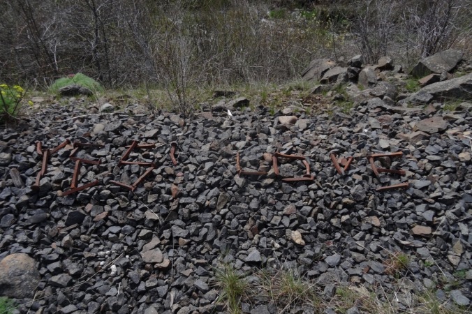
message written with old nails

DSC02255

Dutchman breeches

DSC02260

yellow parsley, red shrub

DSC02259

golden currant

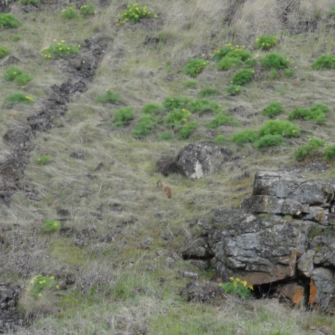
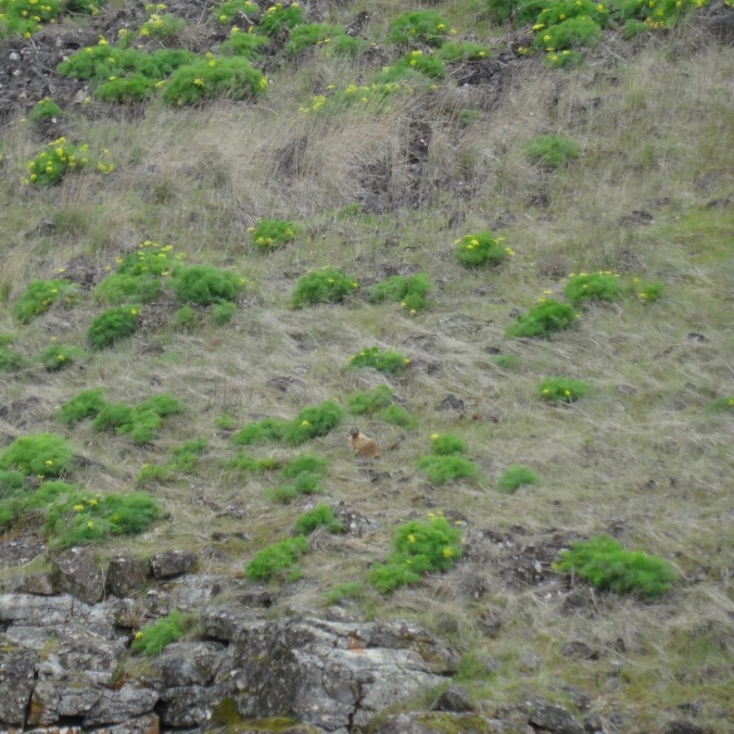
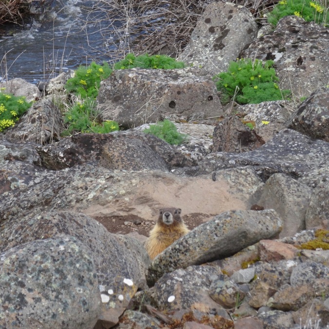
We saw large marmots on the cliffs across the river

DSC02207

marmot in the center

DSC02203

the marmot across the river

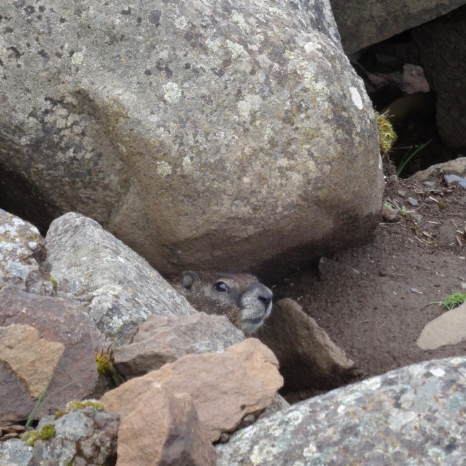
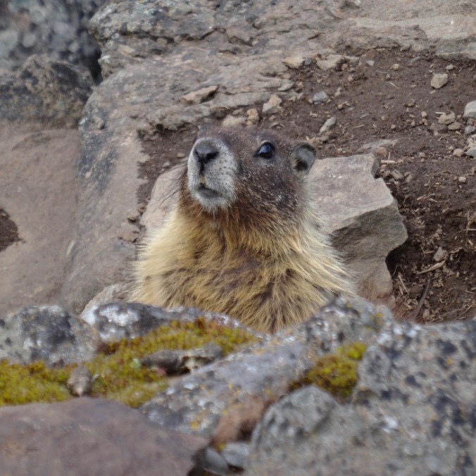
and a couple of smaller ones near the trail.

DSC02216DSC02268DSC02272

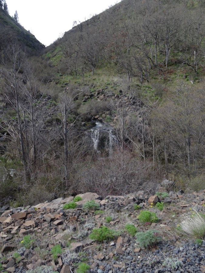
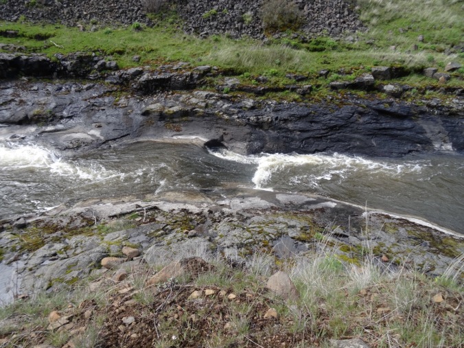
A waterfall and some rocky pools marked our turnaround point, about 4 miles in.

DSC02235

waterfall

DSC02240

rock pools

DSC02253DSC02252

DSC02241

The trail continues, but we turned around here.

This was a great trail for a long walk with friends on an overcast windy day.

DSC02265

My first post-surgery 8 mile day, a good omen for the upcoming trip to Cornwall.

Screen Shot 2018-04-08 at 10.17.08 PM

GPS track – Swale Canyon trail

Crafting:

I have been playing with leftover Smithsonian reproduction fabrics, including a feathered star and a lot of four patches that I pieced before I was inspired to use the collection for the Jane Austen quilt.

DSC02188

I have been filling in cross stitches on Elgol.

I need to choose a knitting project for upcoming travel – probably socks.

Garden:

DSC02177

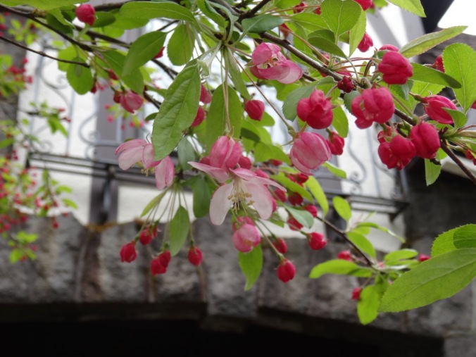
Crabapple blooming

Other Adventures:

Another trip through the MRI this week – the neurosurgeon was able to show me the small void in my brain where the tumor had been. I am grateful for a good outcome and still contemplating additional medication going forward.

Poetry to the rescue!

I silently recite verses memorized long ago to take my mind off of the enclosed space and noise inside the MRI.

Lochinvar rides by my side, then I walk along the beach with the Walrus and the Carpenter as the clanging alternates between jack hammer and diesel engine.

I compose bad haiku to describe the experience-

dissociation/I pretend all is normal/while the machine clangs

or

poetry verses/distract from the jack hammers/of the MRI

Time passes. I wonder how Emily completed mental tasks while inside an MRI machine and participating in a scientific study.

Then Alexander Hamilton drops in from a forgotten spot in the middle of the Caribbean to keep me company.

I don’t mind the journey so much with my poetry companions, but I also think I need to learn some new verses before the next trip in six months.