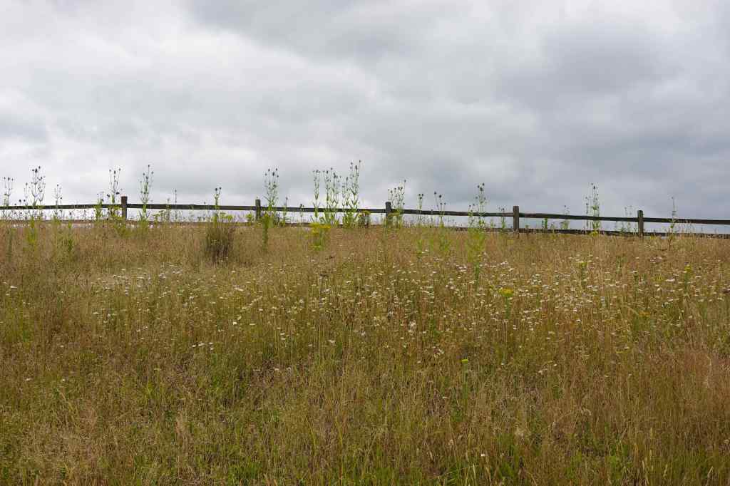
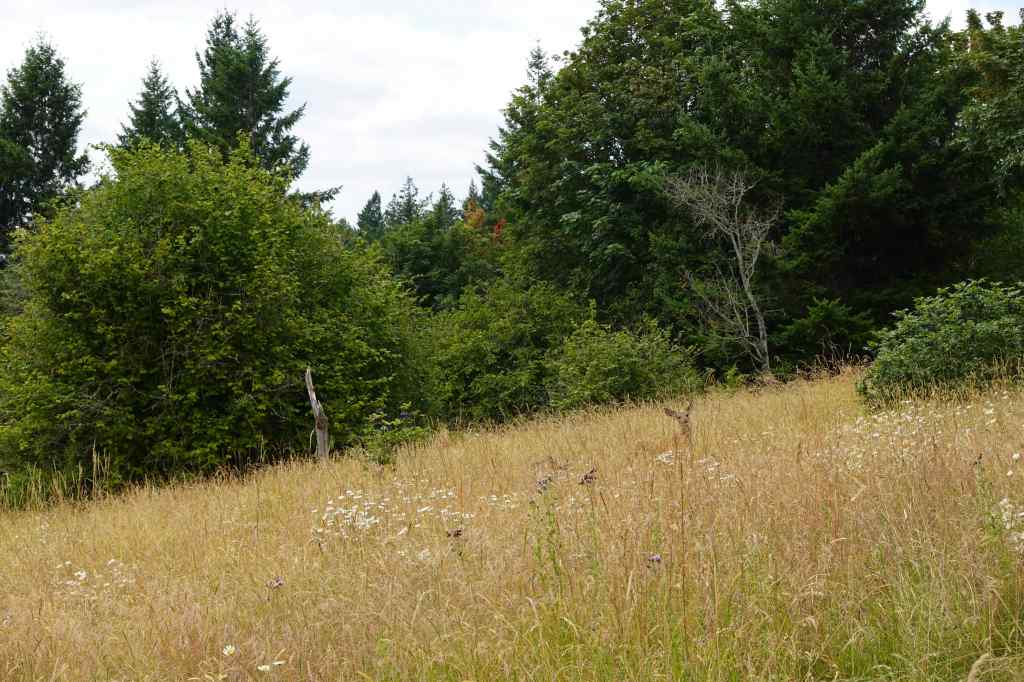
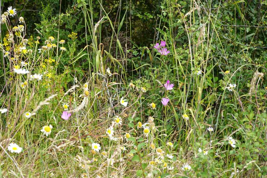
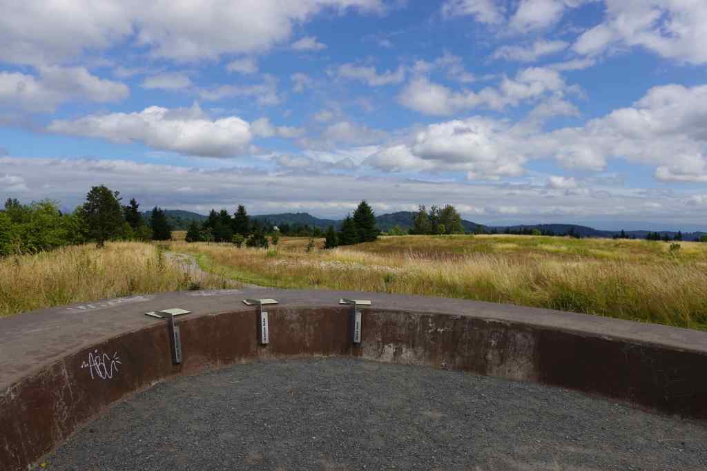
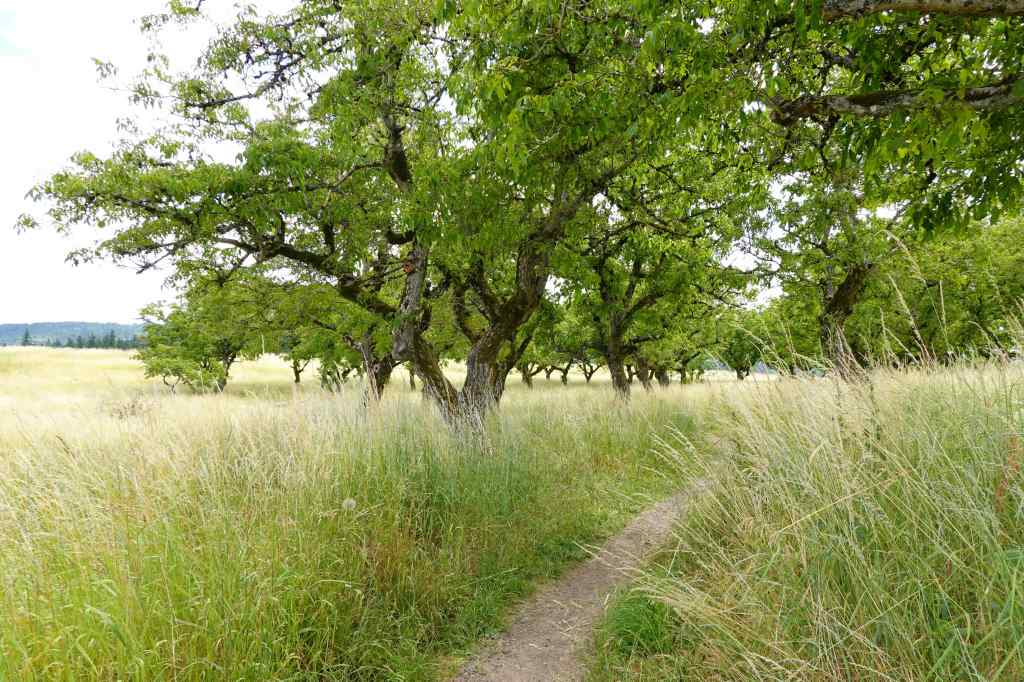
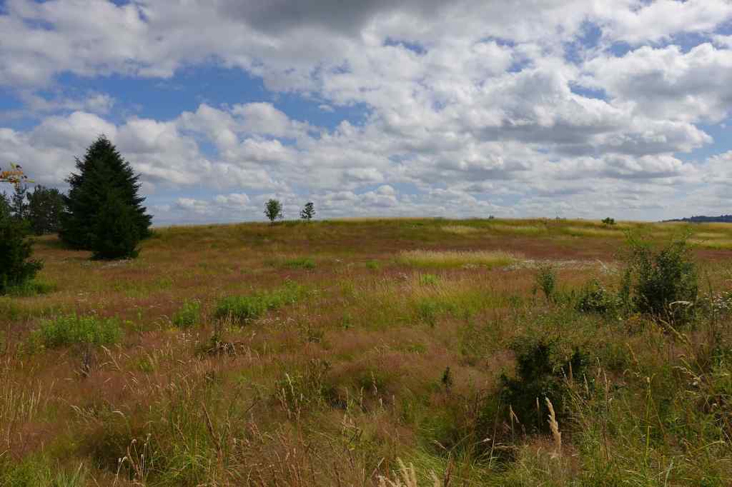
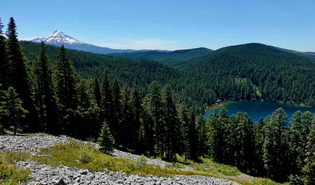
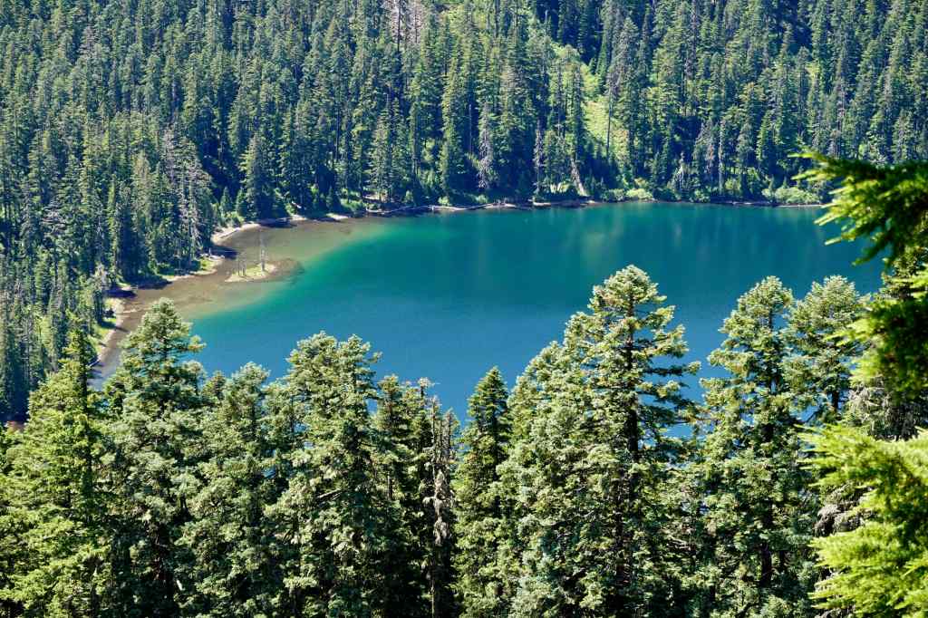
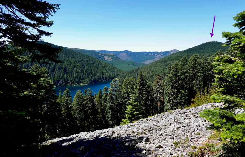
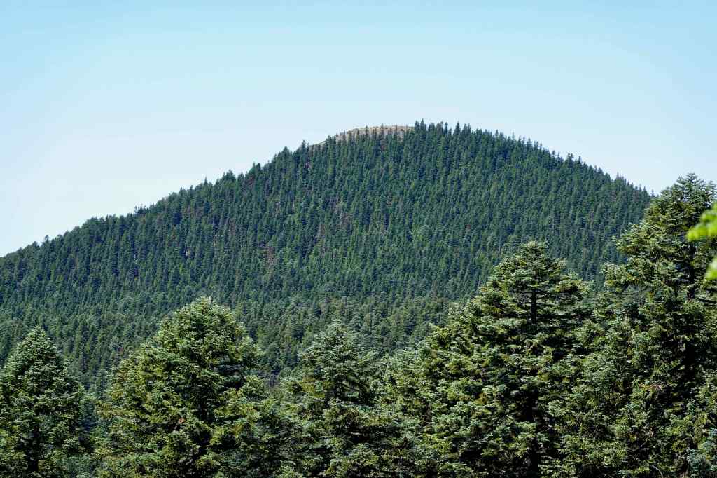
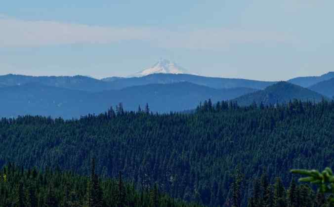
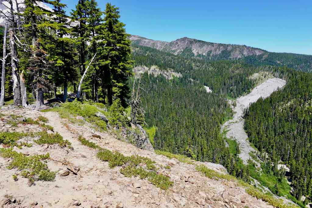
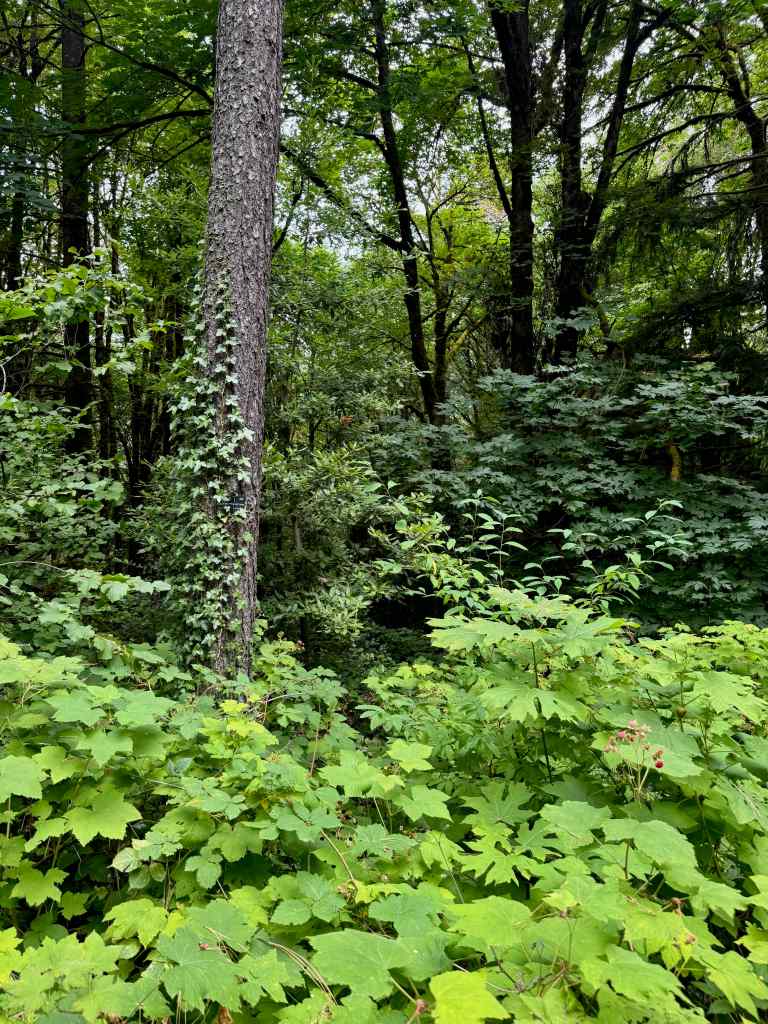
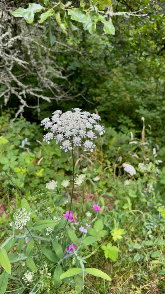
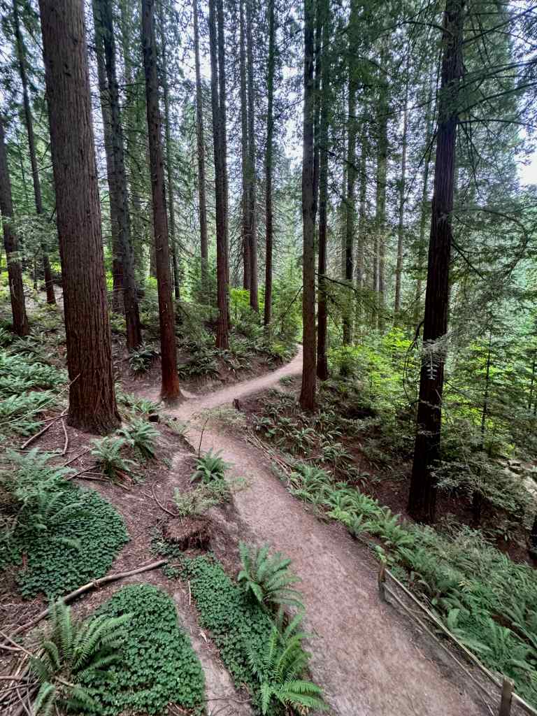
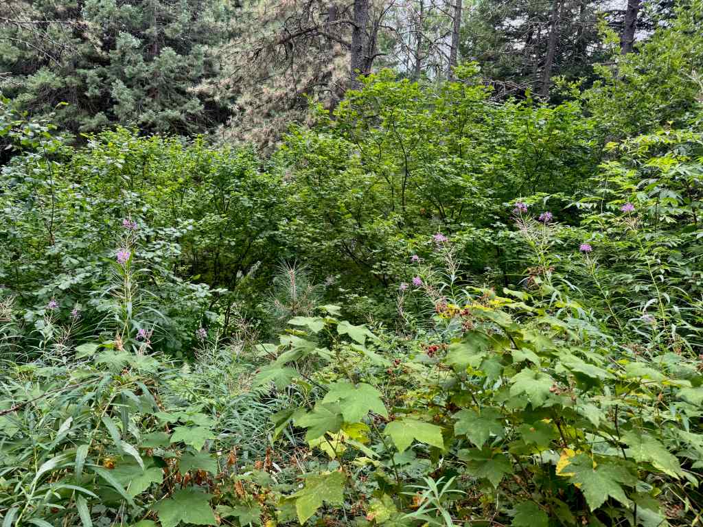
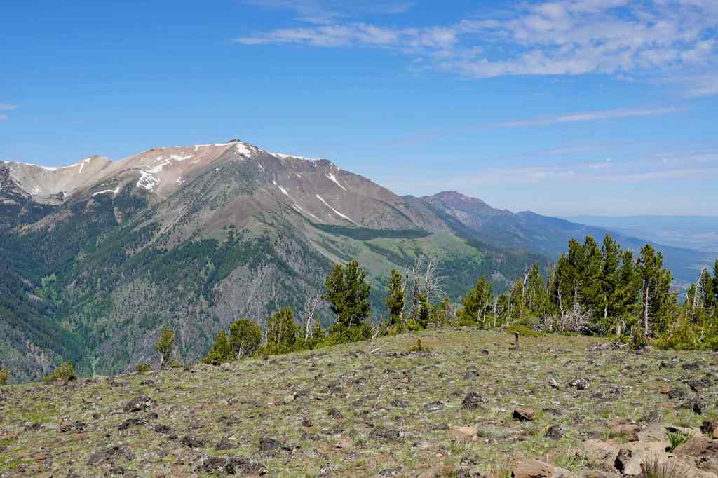
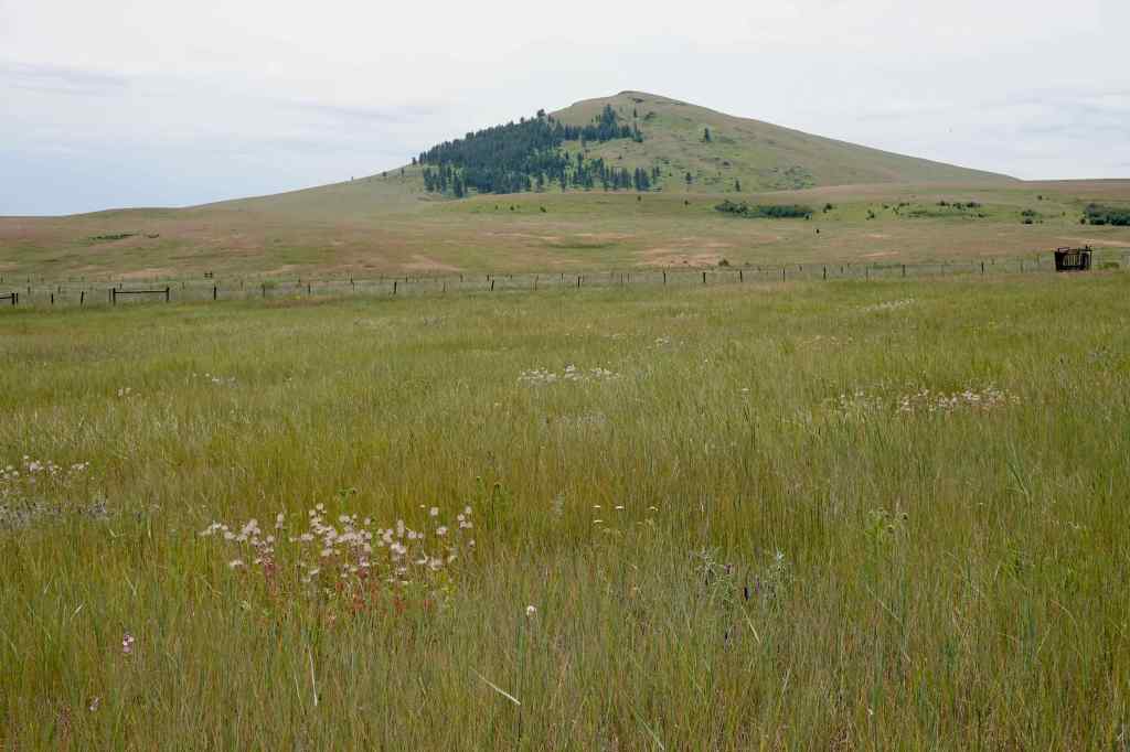
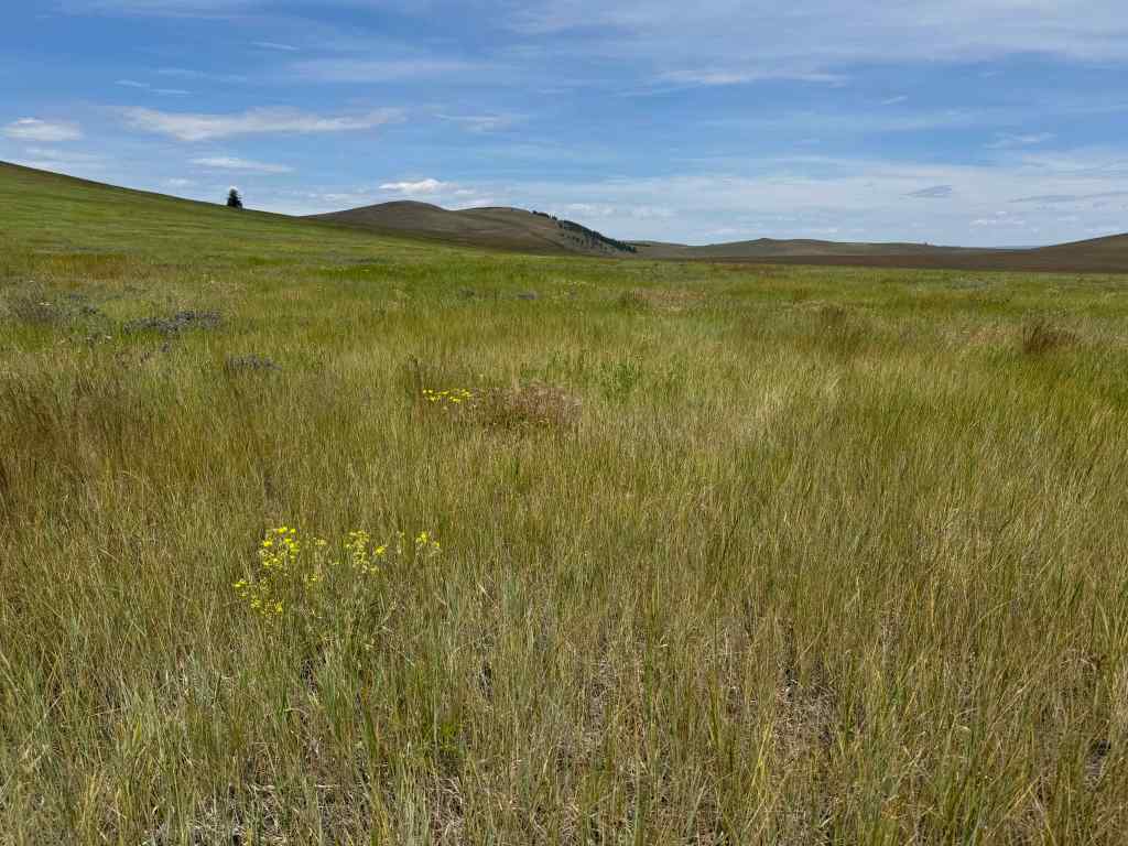
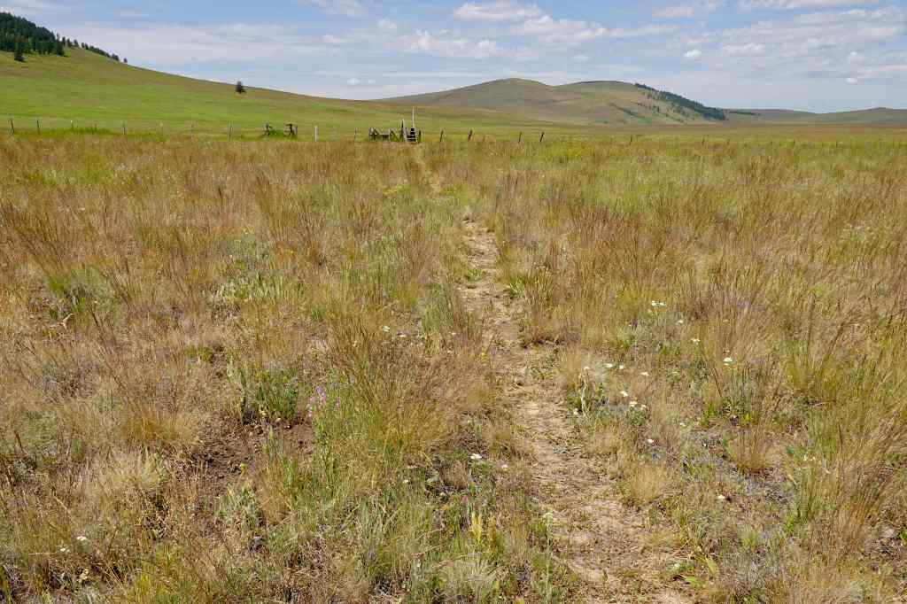
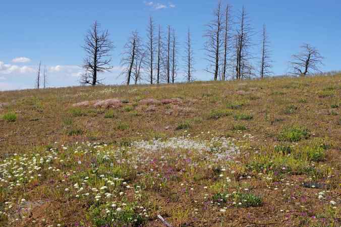
We went for a short hike on this nearby volcanic butte on a warm day (4.3 miles/400 feet).
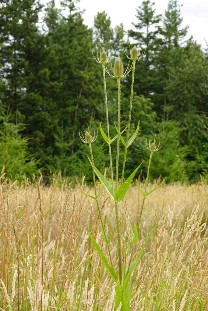
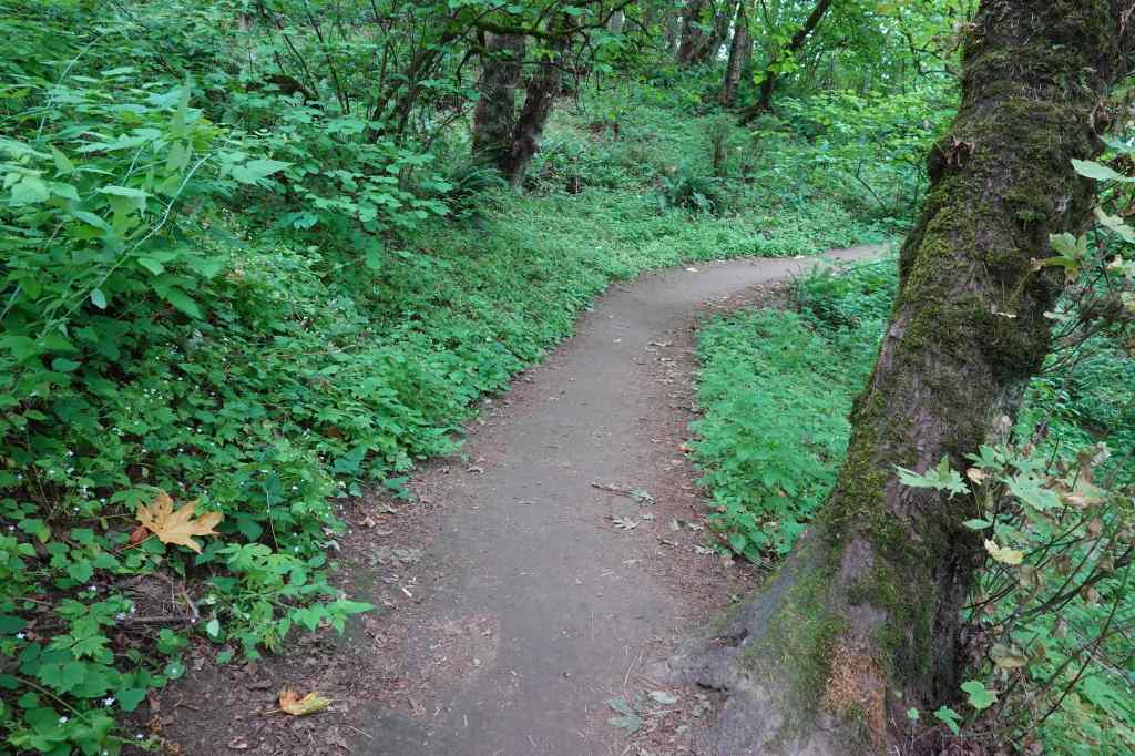
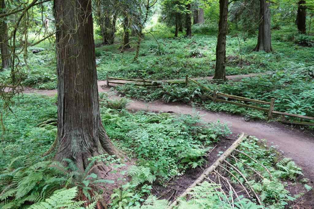
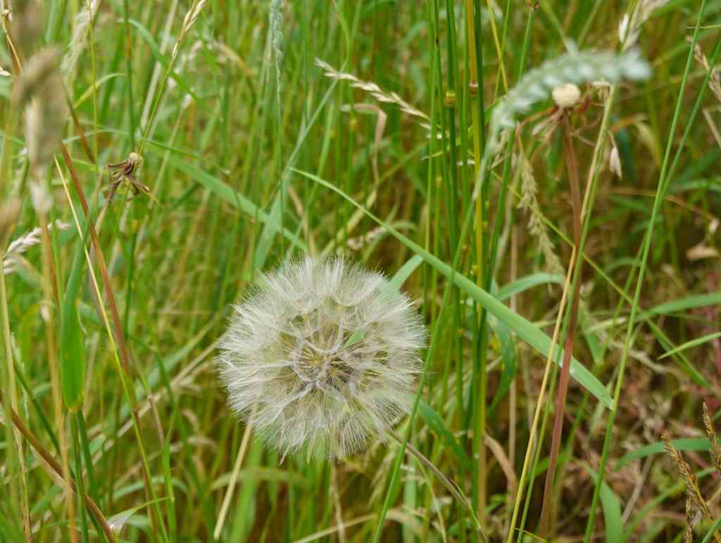
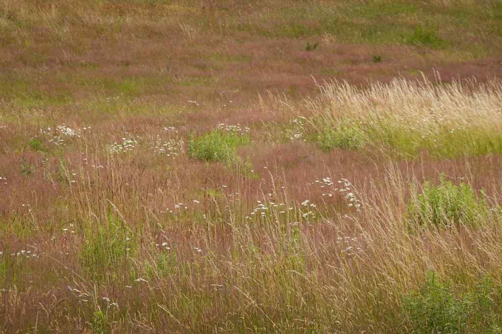
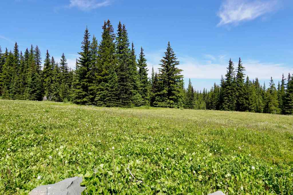
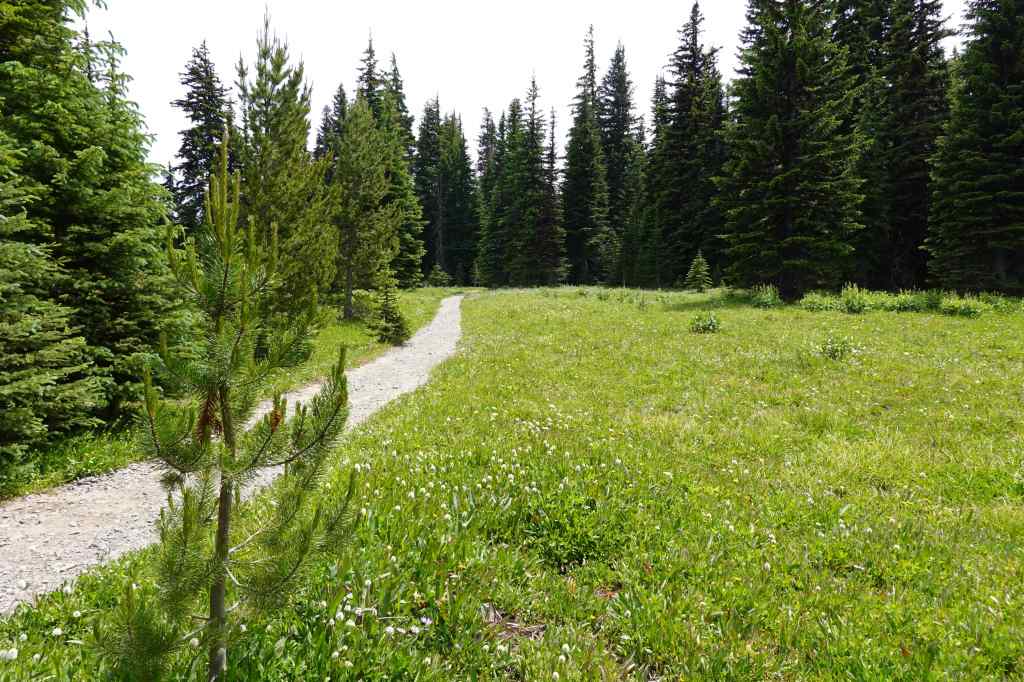
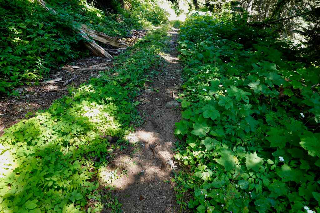
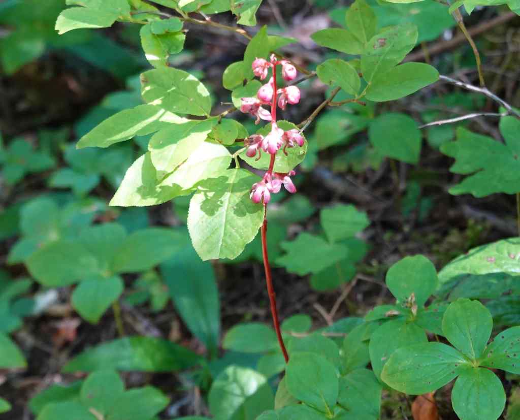
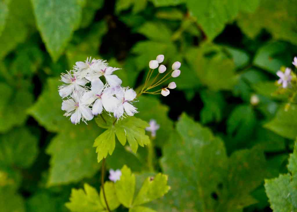
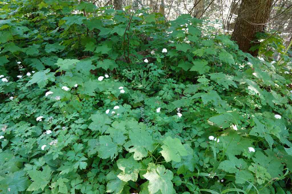
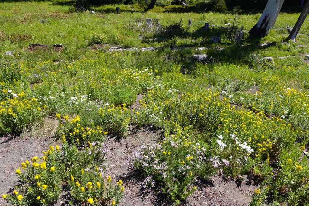
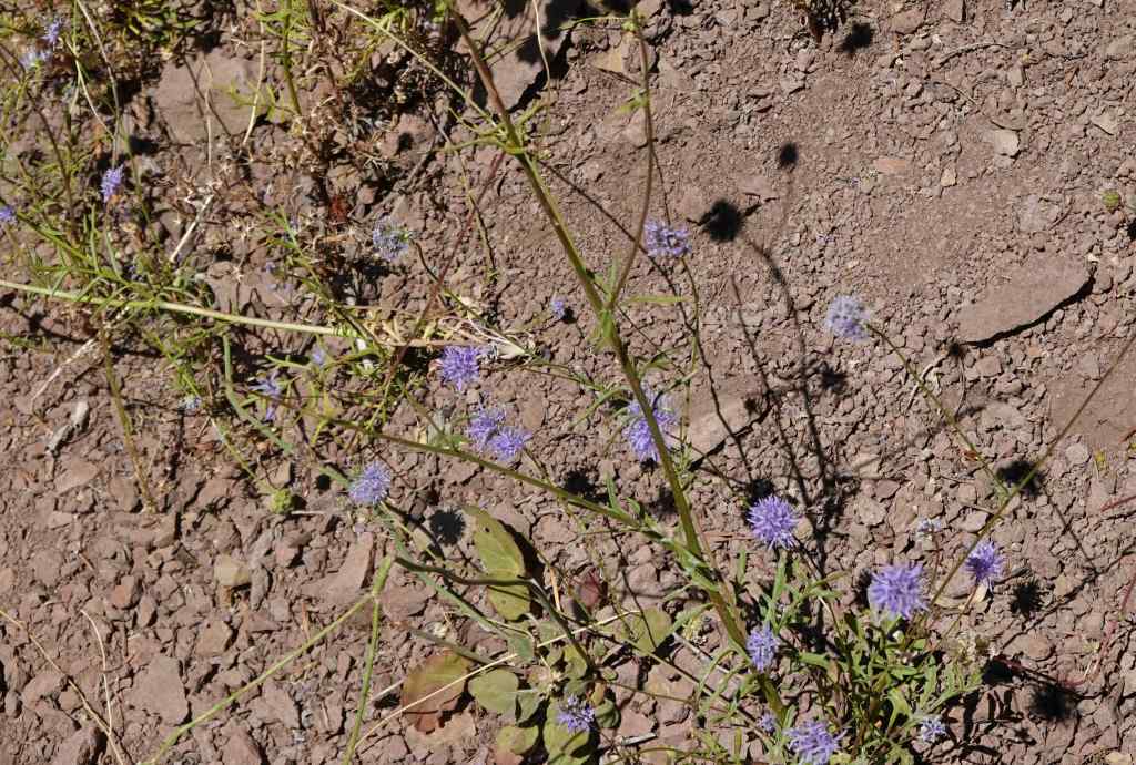
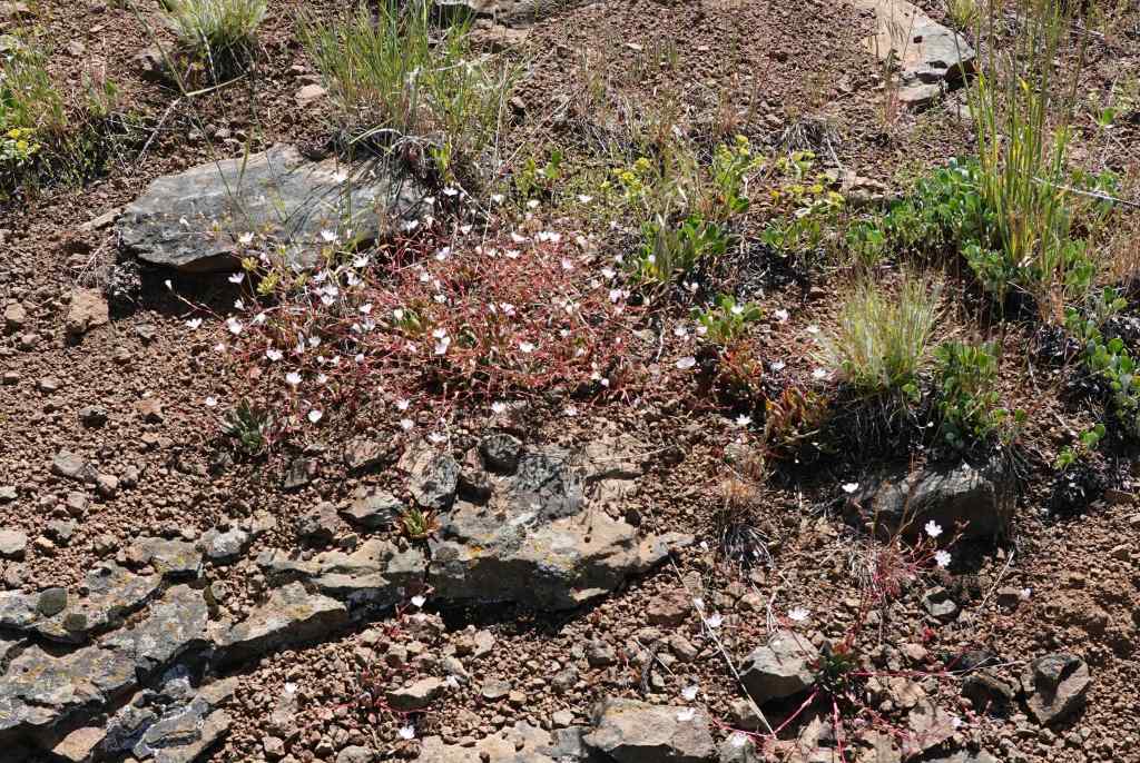
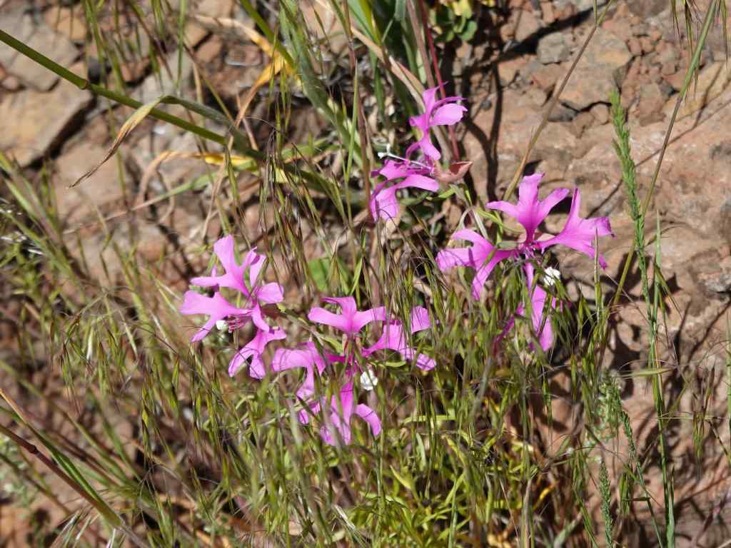
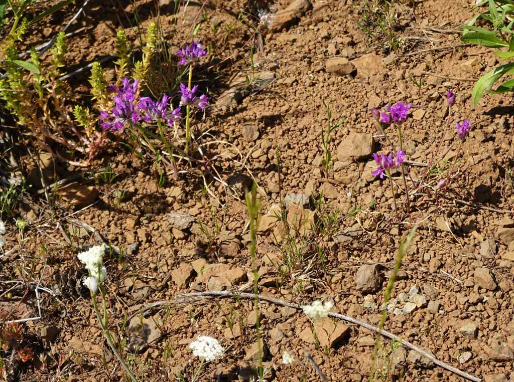
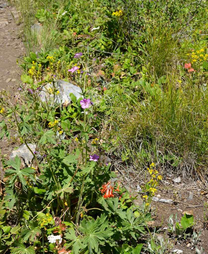
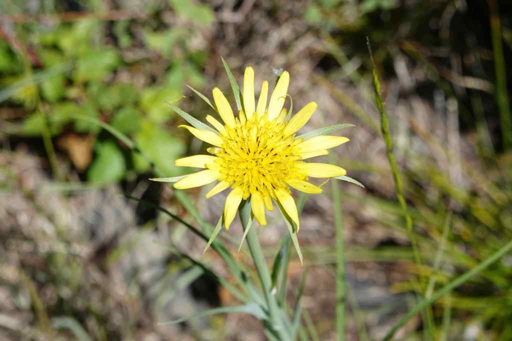
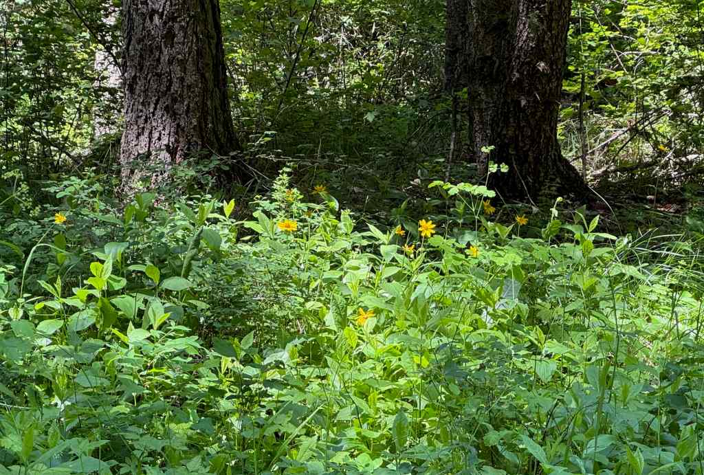
We started in grasslands on top of the butte.Teasels were abundant.We descended to the cooler forest on slopes that surround the butte.Cedar, fir, and ferns along the well-groomed trail.Eventually we ascended back up to the top, startling a few deer in the meadow.Late season flowers – clarkia and daisies.The mountain finder viewpoint – no mountains out today.We walked through the upper orchard,SalsifyAnd then back across these colorful grasslands to the trailhead.Painterly grasslands…
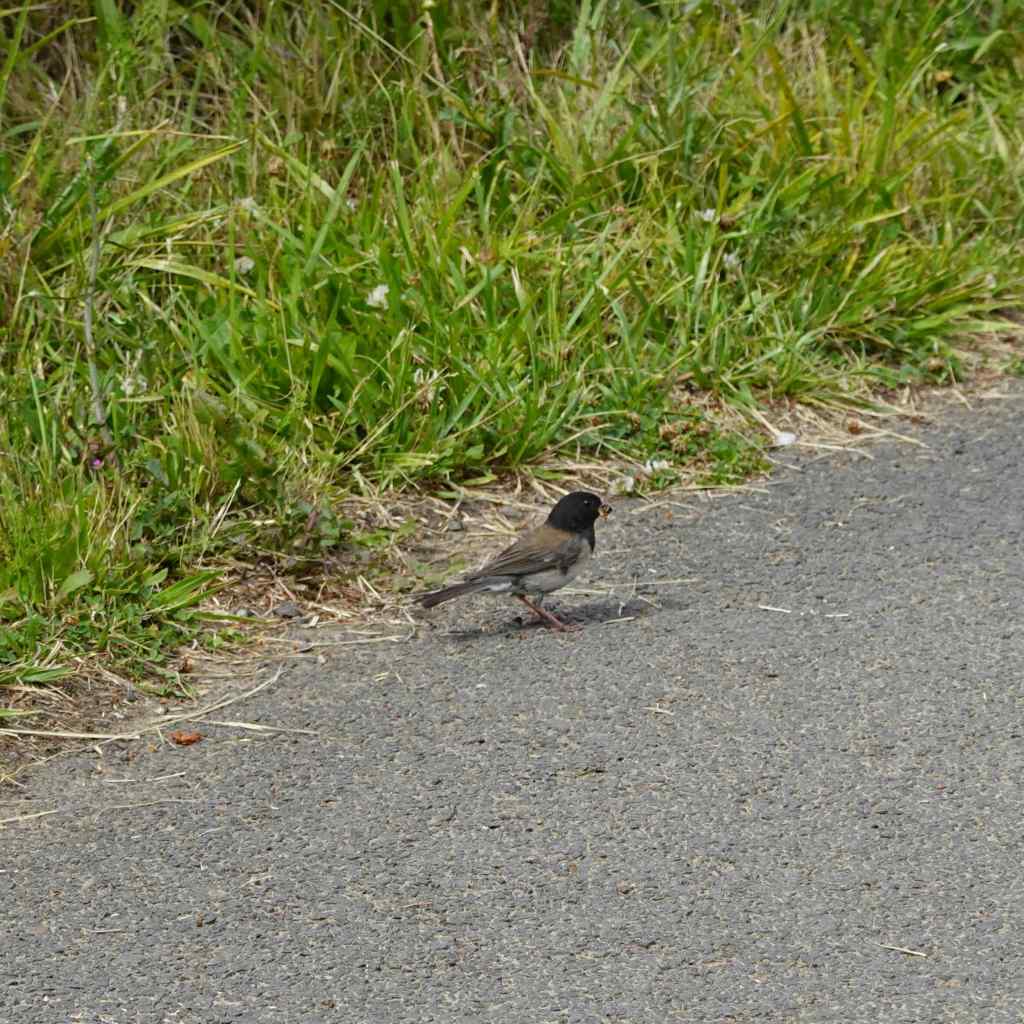
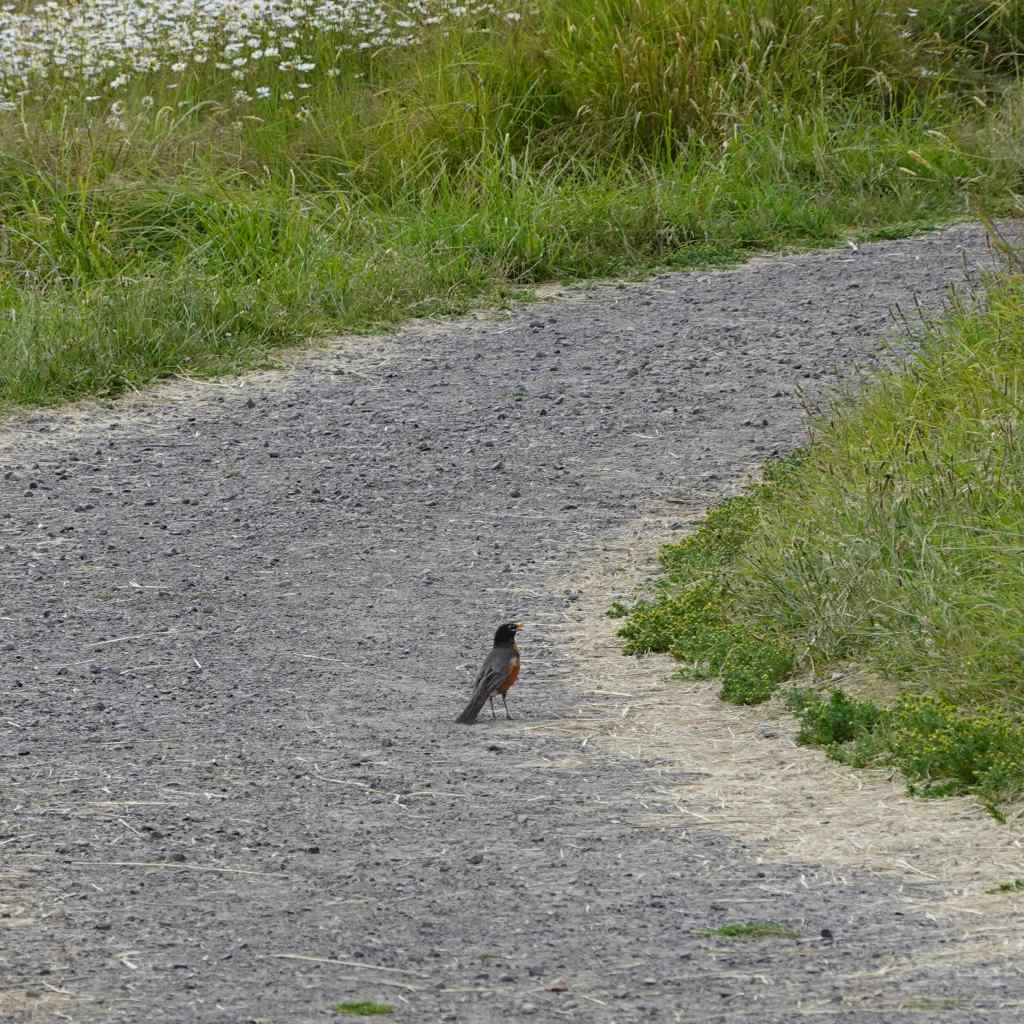
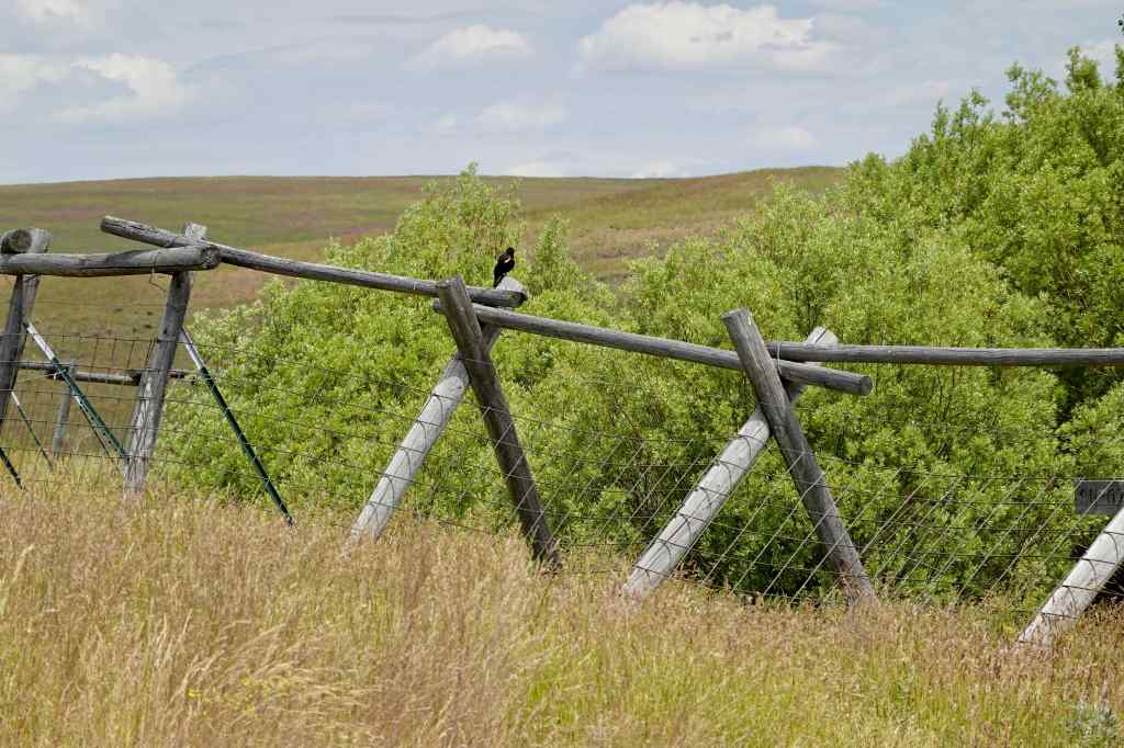
A couple of birds hopping ahead of me on the path.
Dark-eyed juncoRobin
7/6 – Lookout Mountain
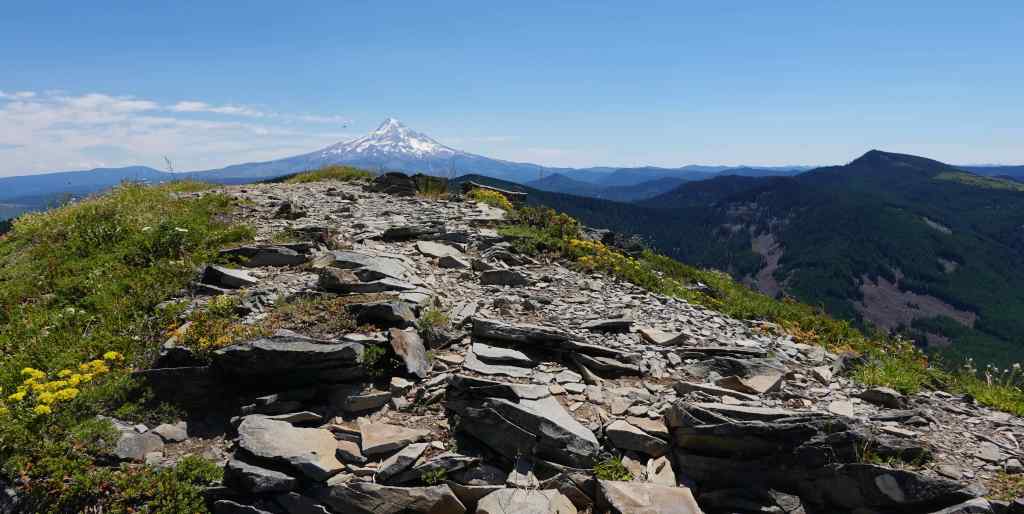
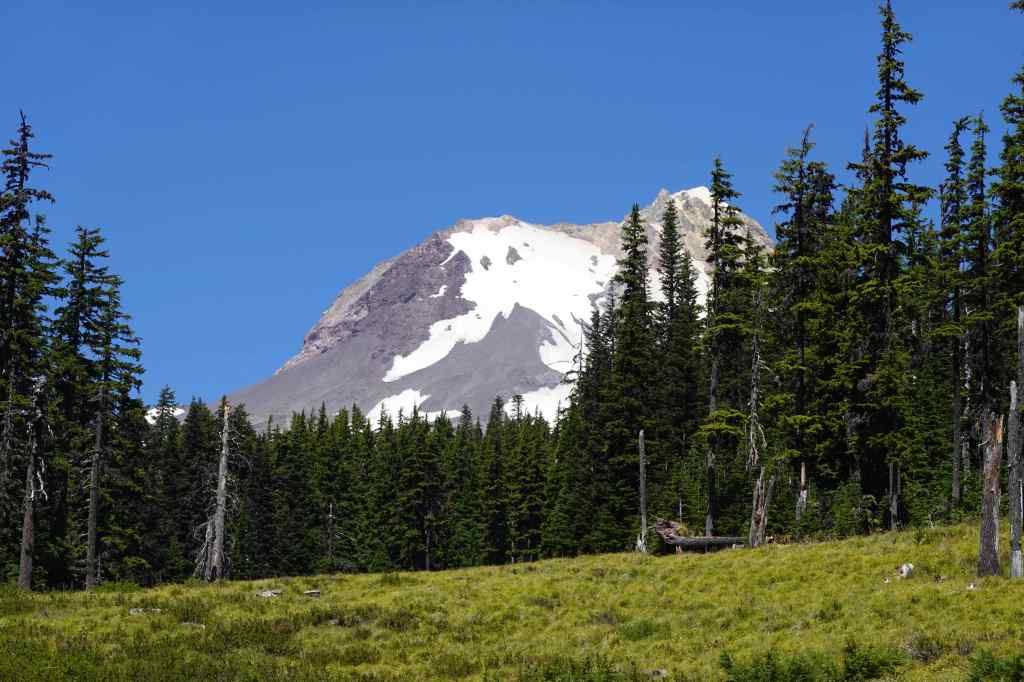
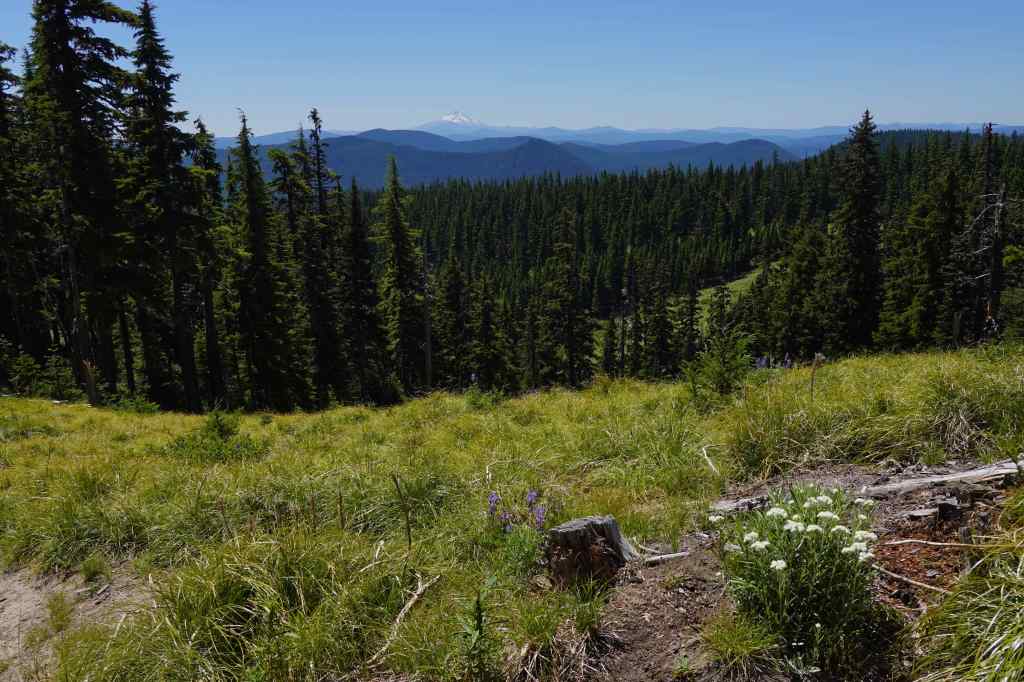
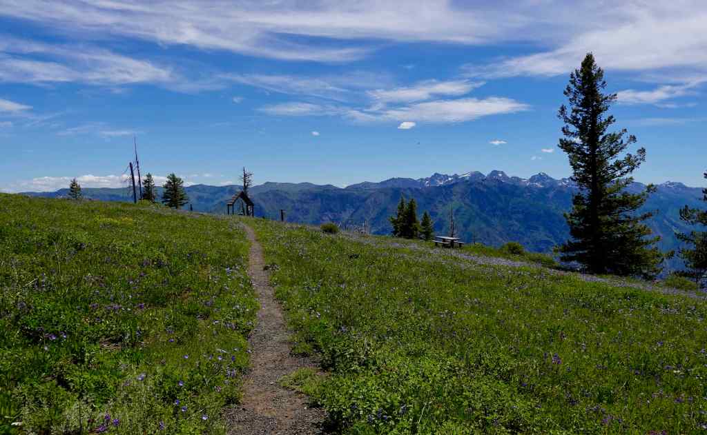
A favorite hike to an old Fire Lookout site on a ridge crest east of Mt Hood. There are views to the High Cascade peaks north and south, and high desert to the east. Wildflowers galore are in bloom this time of year! As I write this in September, it is bittersweet, knowing that the Grasshopper Fire swept through this whole area about a month later (3 miles/525 feet).
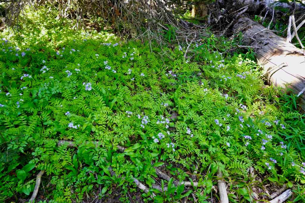
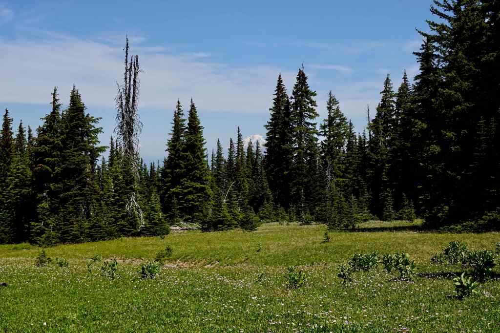
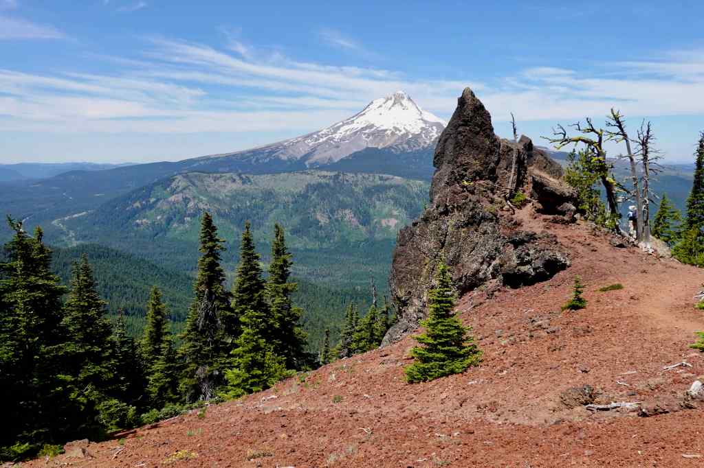
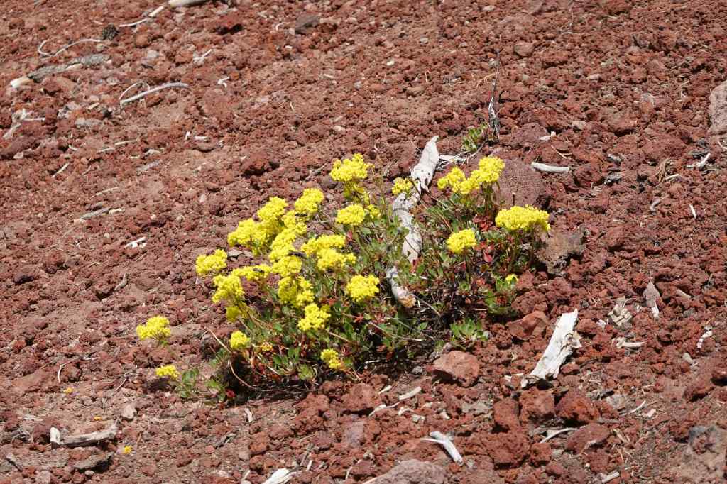
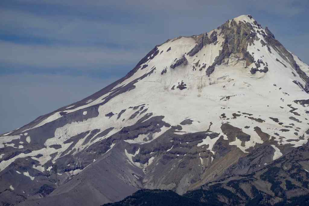
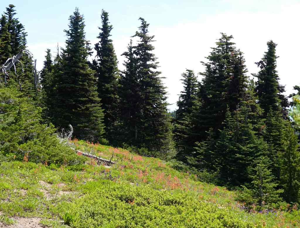
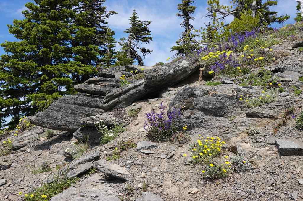
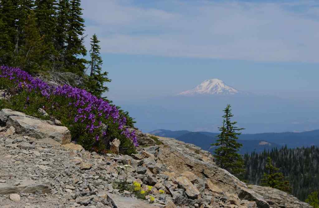
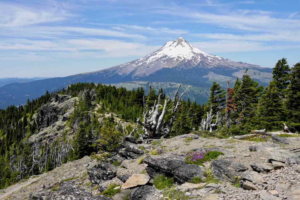
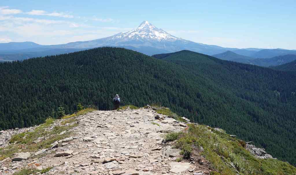
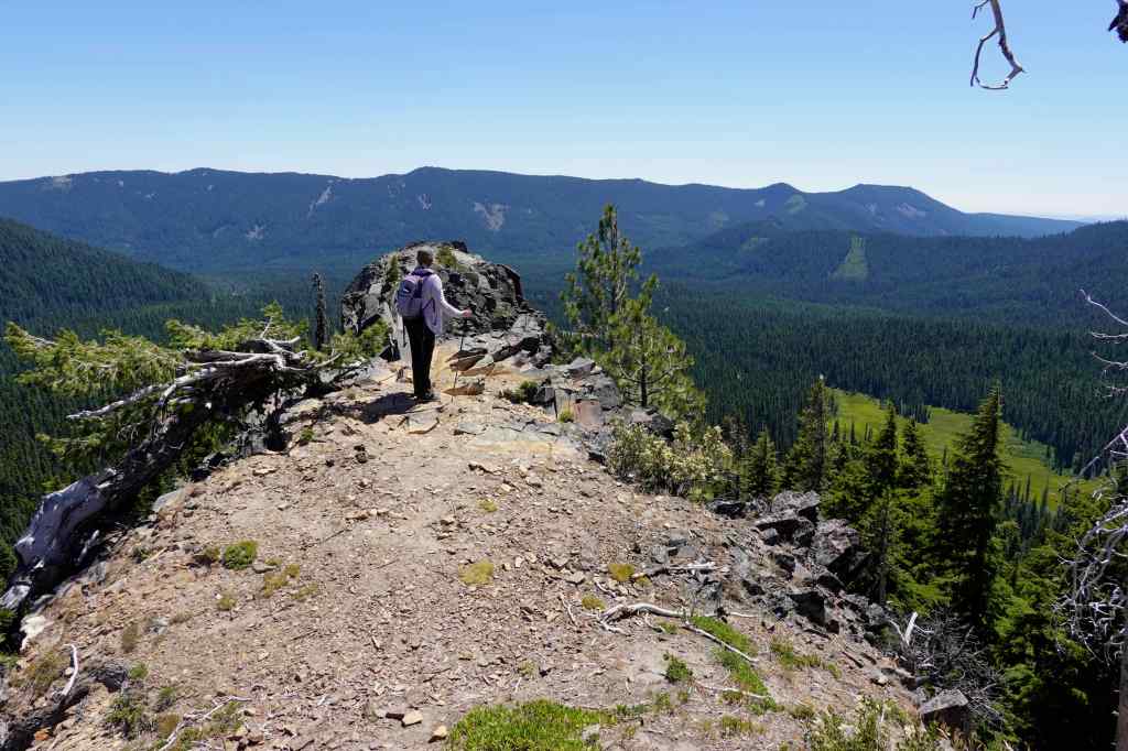
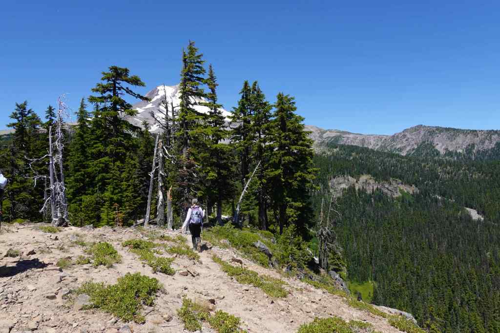
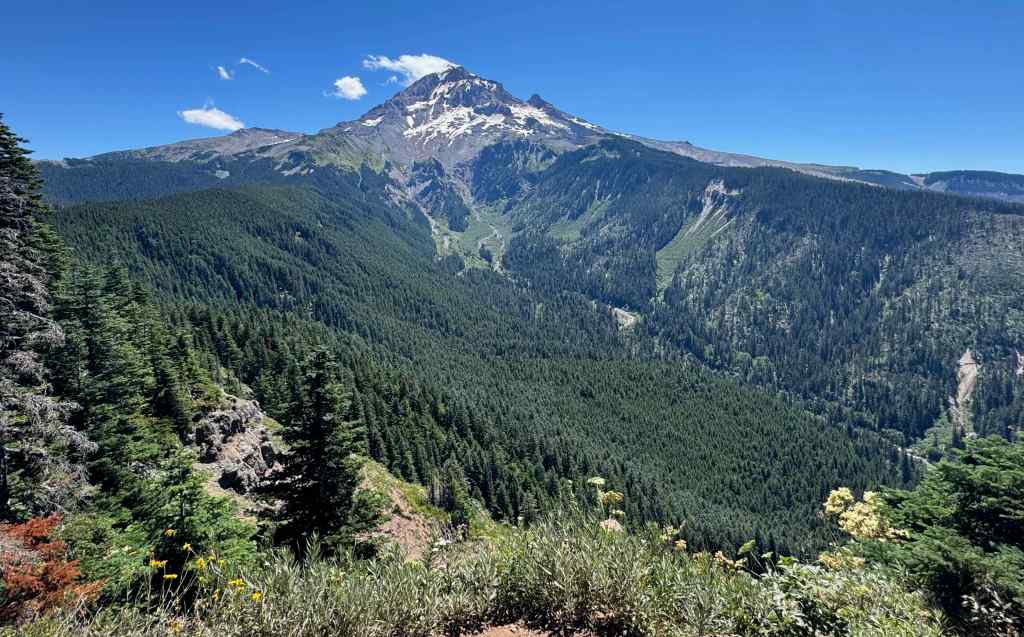
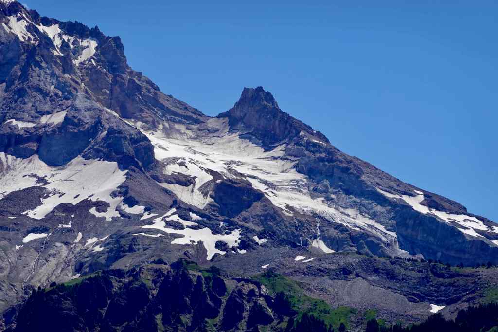
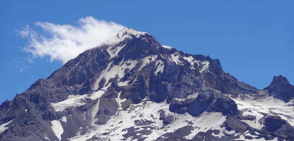
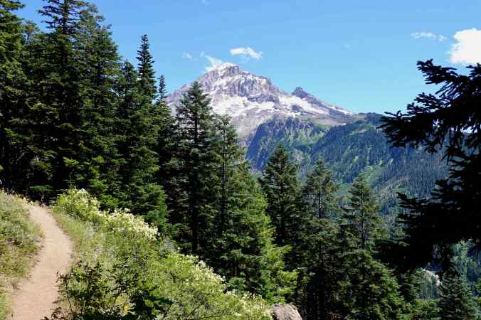
Meadow near the High Prairie Trailhead, elevation about 6000 feet.Jacob’s ladder, blooming in the shade along the trail.Meadow midway up the trail, with view of Mt Adams.Volcanic pinnacle, Mt Hood beyond.Buckwheat and red cinders.Closer view of the east face of Mt Hood, and its dwindling glaciers.
We continued upward along the rocky crest of the ridge that leads to Lookout Mountain.
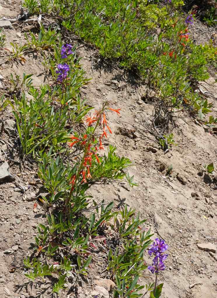
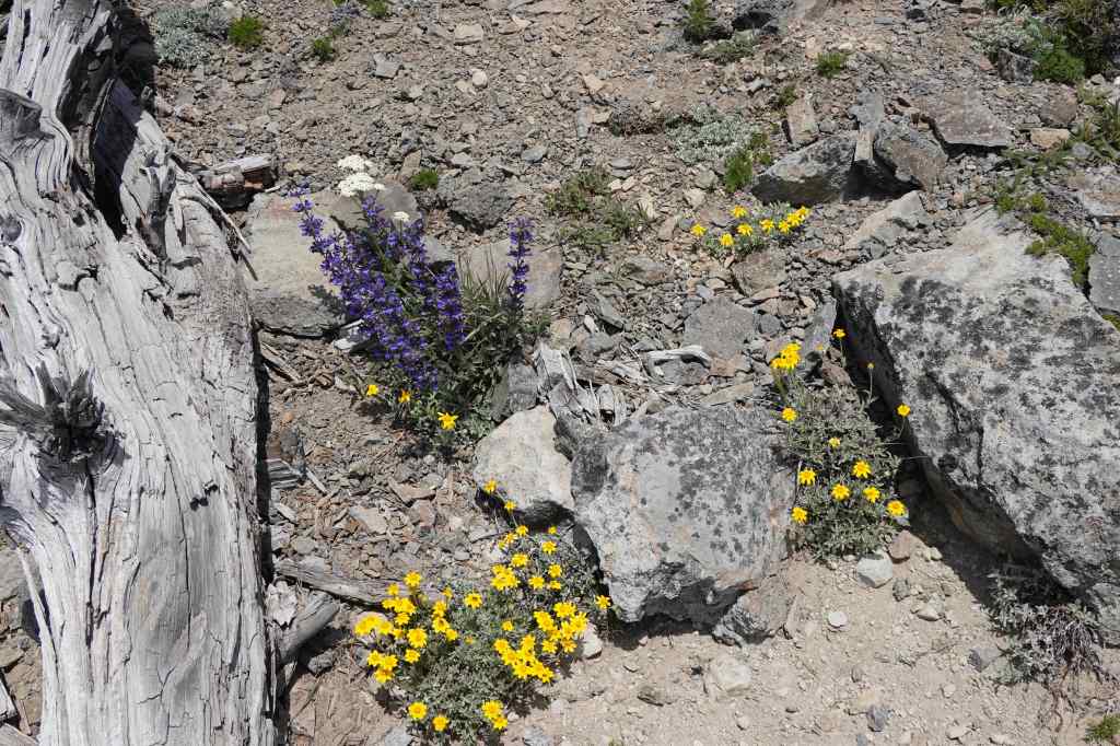
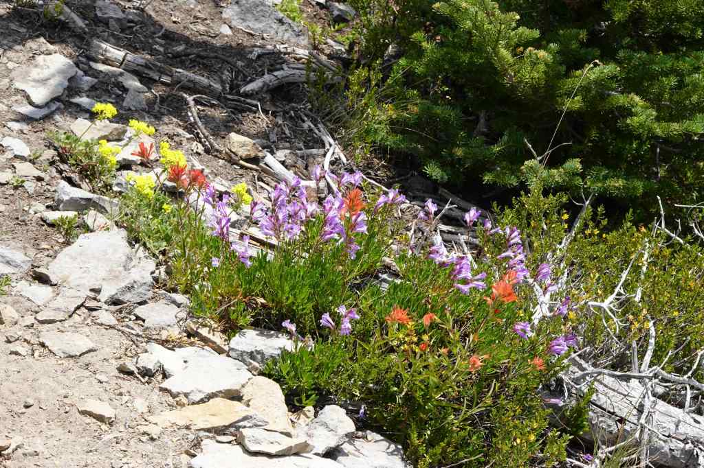
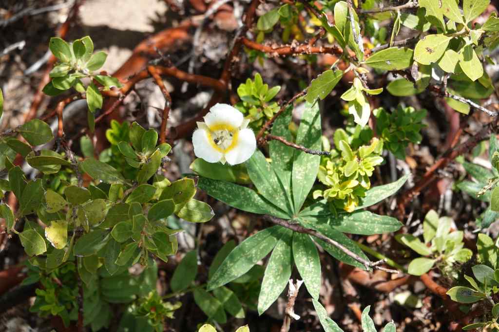
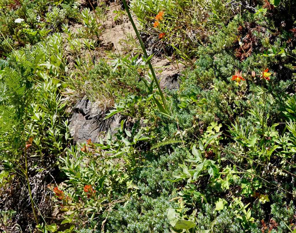
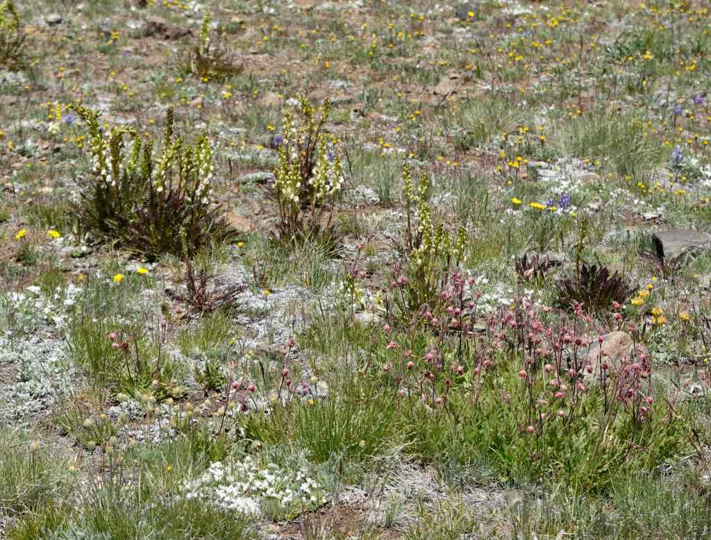
Scarlet gilia meadowScarlet gilia and penstemonOregon sunshine and penstemonPaintbrush, penstemon, buckwheatMariposa lilyThe slope just below the peak is rocky and scattered with clumps of flowers.Mt Adams and penstemon
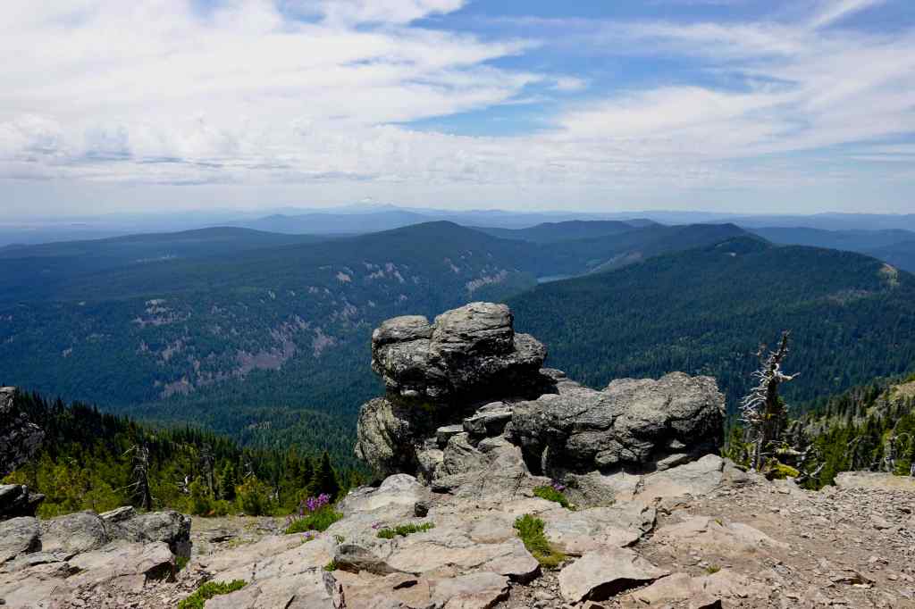
Views from the top:
The classic lunch view of Mt Hood.Cascade peaks to the south float in the haze. The Badger Creek Wilderness lies to the east, and most of what I can see from here is within the footprint of the Grasshopper Fire.
The lower meadows again… I’m sure they will recover…we shall see…
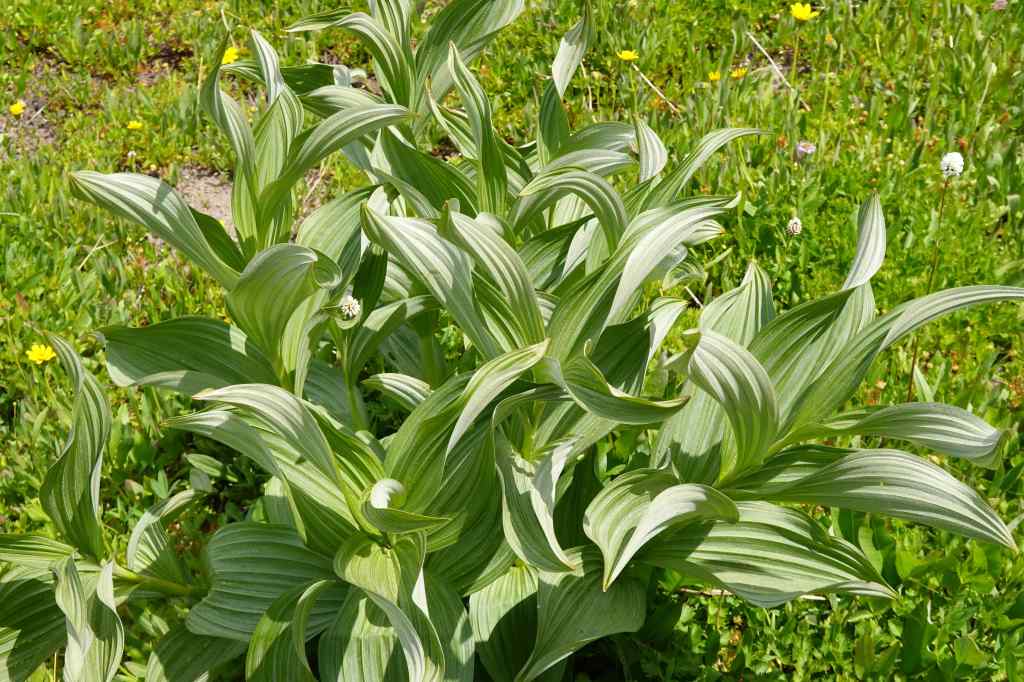
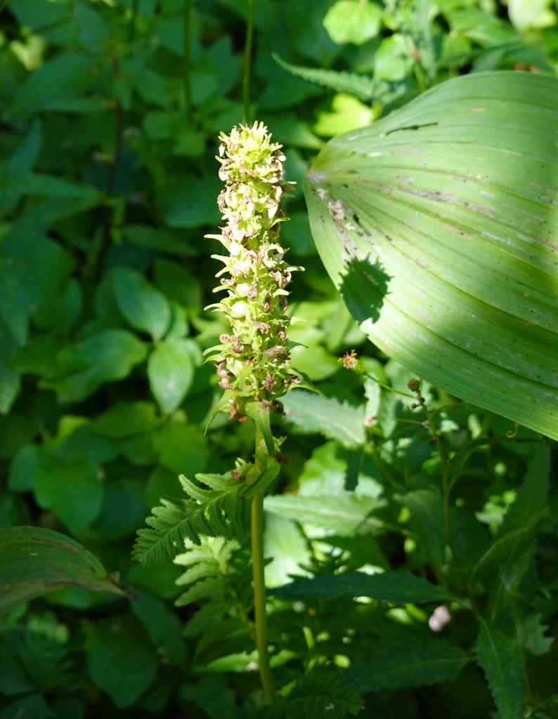
High Prairie meadowsFalse hellebore
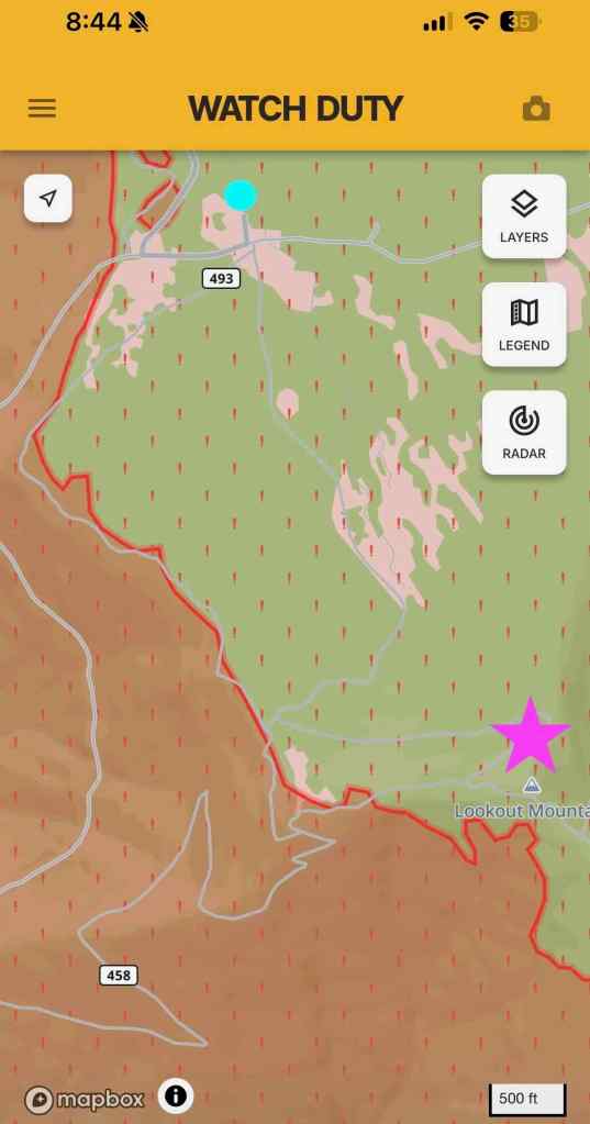
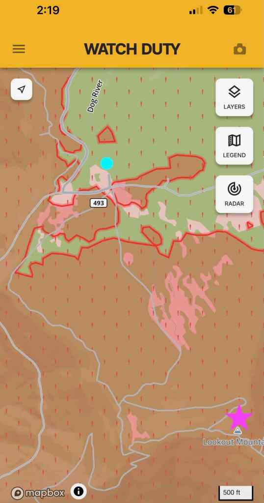
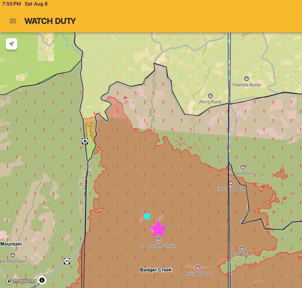
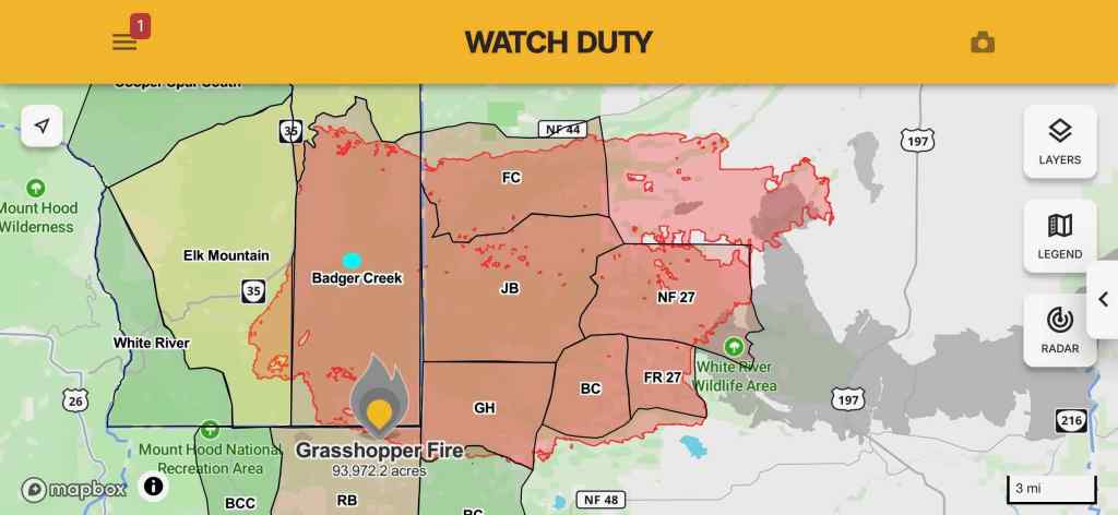
In early August, as the Grasshopper Fire spread, I took screenshots of the perimeter from the Watch Duty App as the fire spread. The fire became huge, and is still being monitored, listed as 98% contained in September.
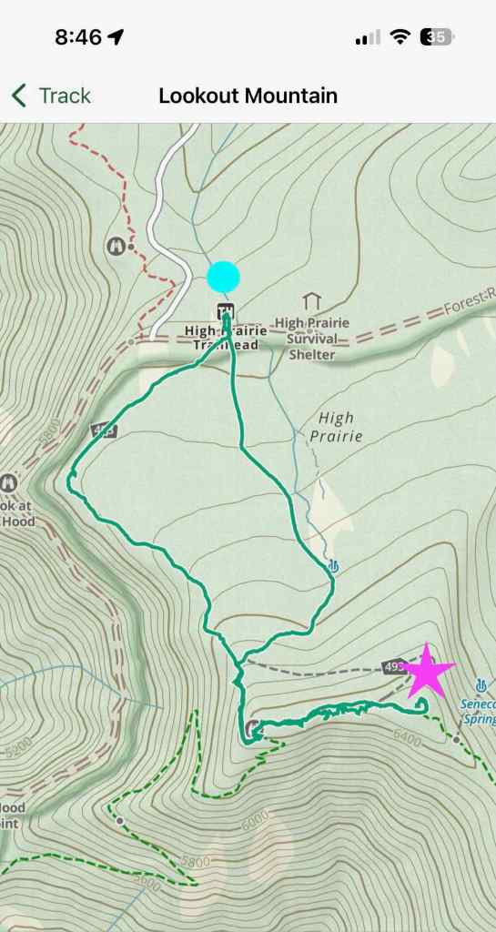
Our hiking track, from the Gaia App. I added a bright blue dot to the High Prairie Trailhead, and a purple star to the top of Lookout Mountain.August 5, 2026 – The top of Lookout Mountain and most of the meadows have not yet burned. August 7, 2026 – Lookout Mountain is burned, but the trailhead area is not.August 8, 2026 – The fire has completely overrun this area. September 2, 2026 – Grasshopper Fire Perimeter, The bright blue dot is the Lookout Mountain area.
7/13 – Chinidere Mountain
Last year I didn’t have the stamina to make it to the top of this peak on the north side of Mt Hood, where we have been many times. I was very happy to have made it to the summit today. Again, with wildflowers and mountain views (5.6 miles/950 feet).
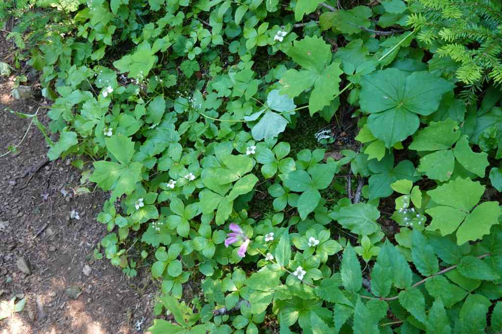
We started up the Anthill Trail again, instead of going down to Wahtum Lake. The trail was shaded, with white forest flowers blooming along the way.Eventually, we attained the ridge with views to Mt Hood, and to Wahtum Lake.Wahtum LakeArrow points to Chinidere Mountain, our goal for the dayThe rocky top of Chinidere Mountain.We could also see Mt Jefferson through the haze.
We continued around the ridge, and up the switchbacks to the top of Chinidere Mountain…
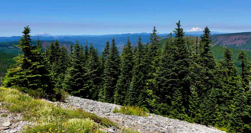
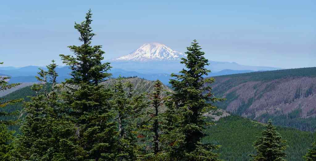
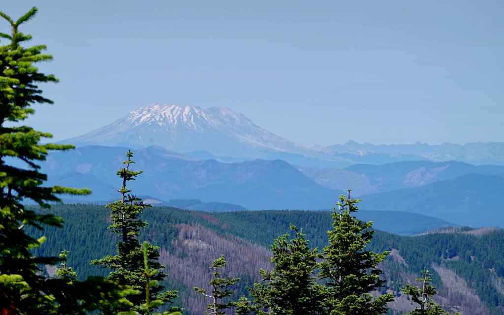
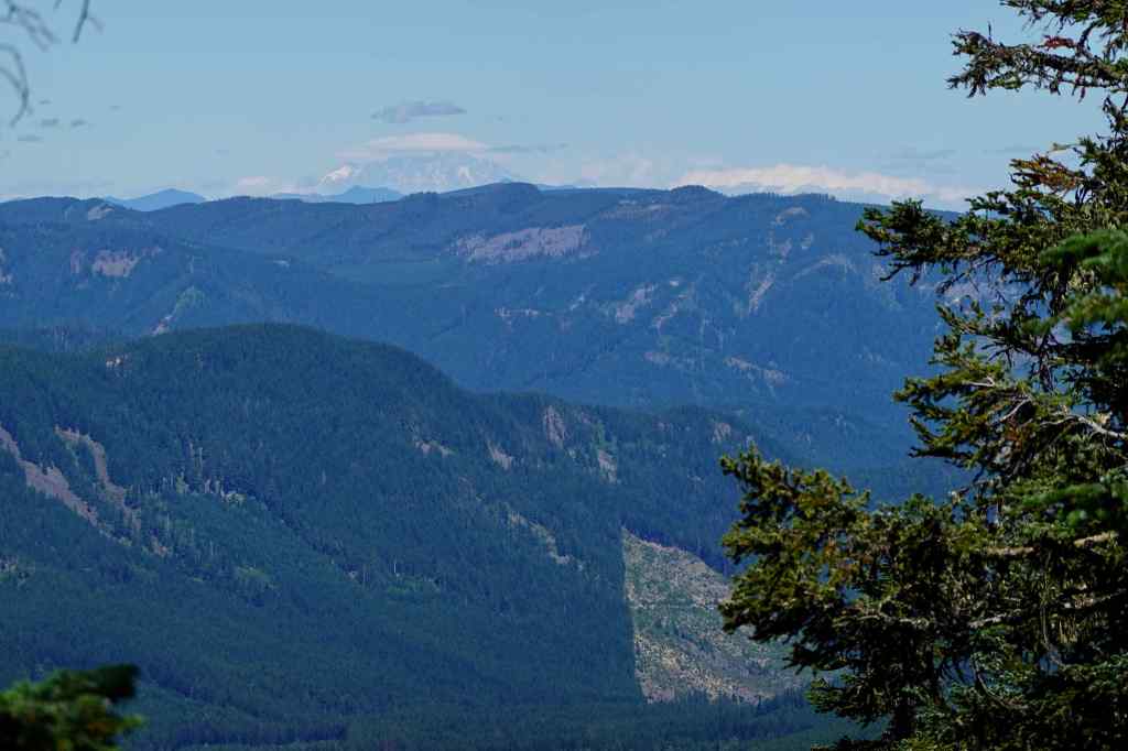
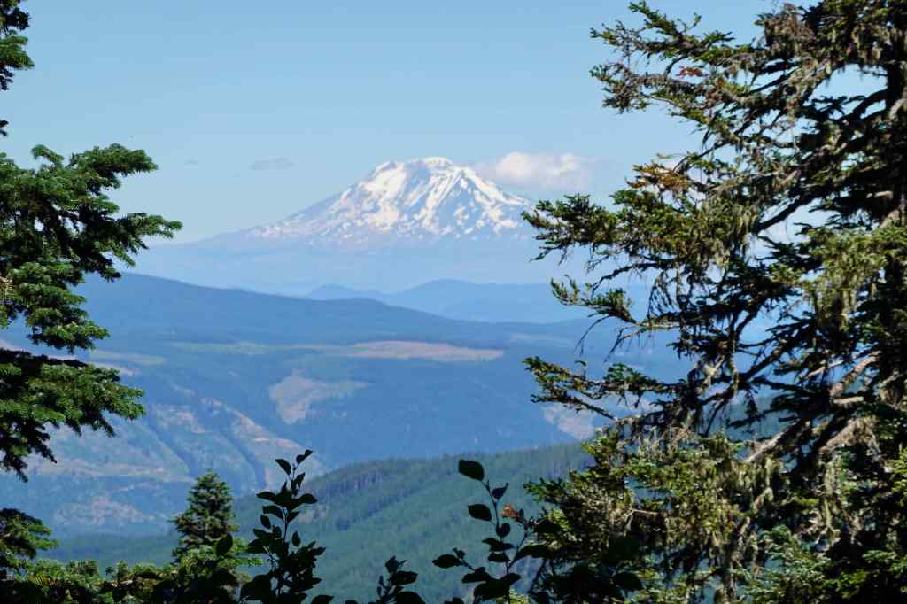
The top of Chinidere Mountain, with view to Mt Hood. Hoorah!To the north, the Cascade peaks in WashingtonMt AdamsMt St HelensAnd another look at Mt Hood, before descending.
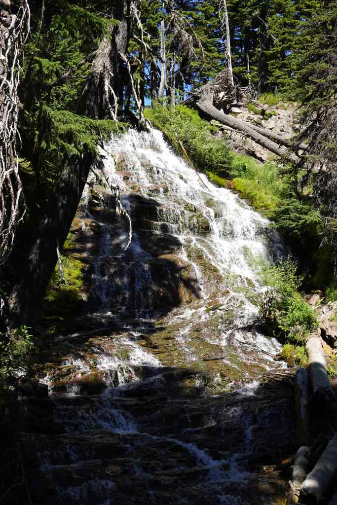
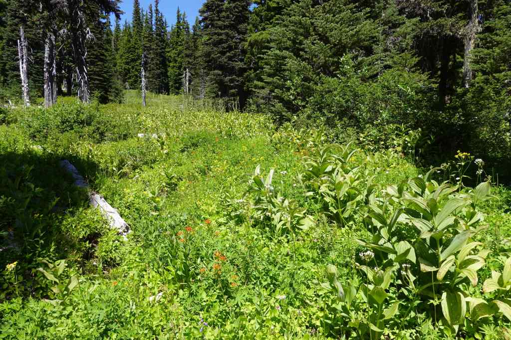
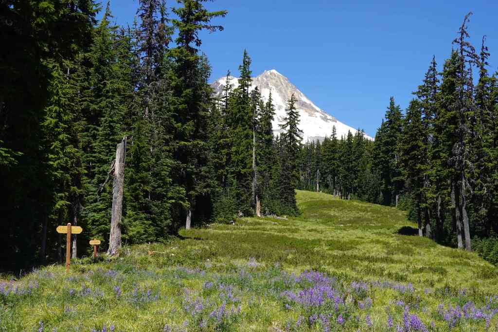
My sister Helen joined us for this hike. We started at the Mt Hood Meadows Trailhead (5200′) to minimize elevation gain. It is a great choice for a relatively easy hike high on Mt Hood that has a waterfall, wildflowers and a view (3.2 miles 300 feet).
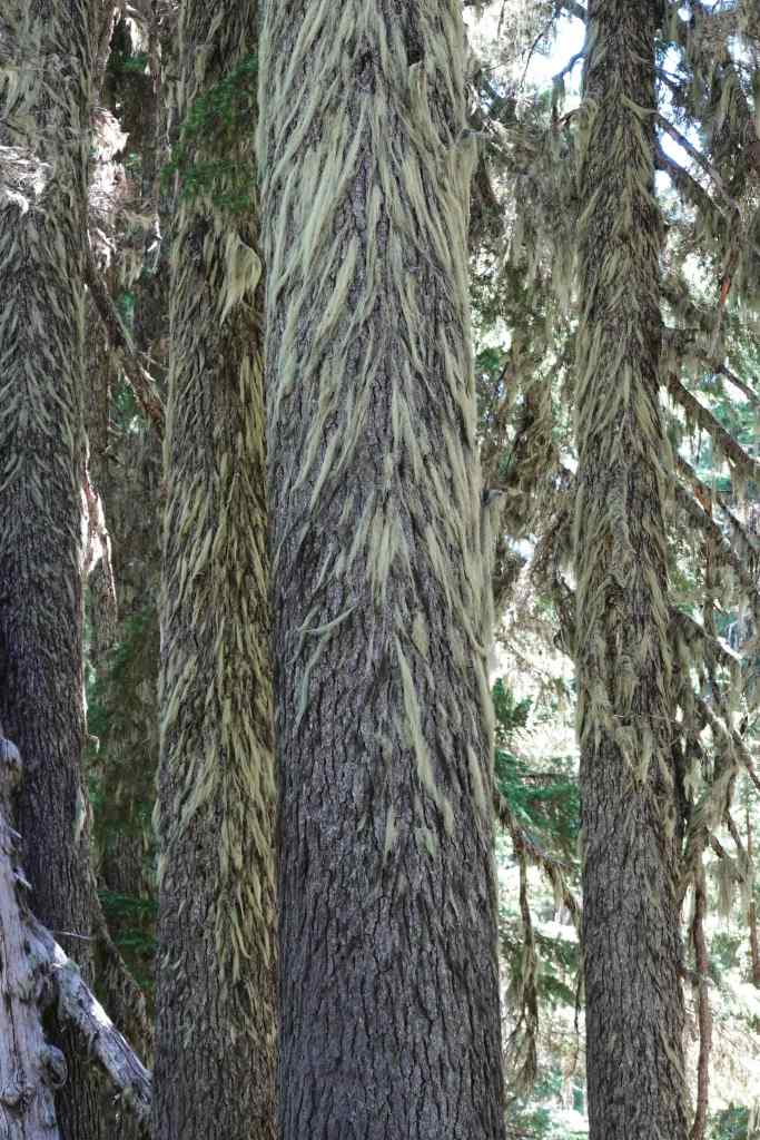
Wildflower meadows near the trailhead.Umbrella FallsMore wildflower meadows Lichen on the fir treesView to Mt Hood across the ski run, with lupine.And another angle. Mt Jefferson in the distance.Picnic RockHeading back to the shade for lunch. Clark Creek below the ridge.
And a few more wildflowers:
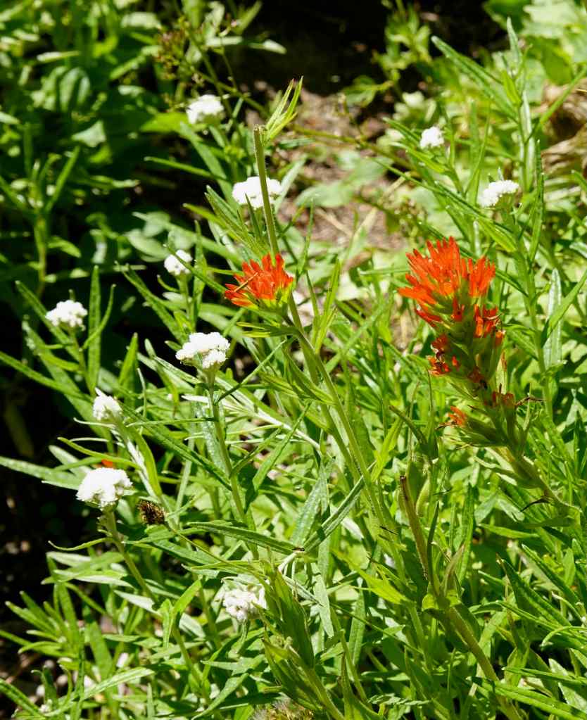
Bracted lousewortPaintbrush and pearly everlastingWoodland pinedrops
7/25 – Wildwood Trail, Forest Park, Portland
Another hike with Helen, who wanted more forest time. We walked a shady loop on the Wildwood and Yellow Pine Trails on a warm afternoon (2.2 miles/275 feet).
Nice and shady on the Wildwood Trail.Queen Anne’s LaceA few redwoodsFireweedFerns and yellow pinesVine maples and a convenient bench.
7/27 – Bald Mountain
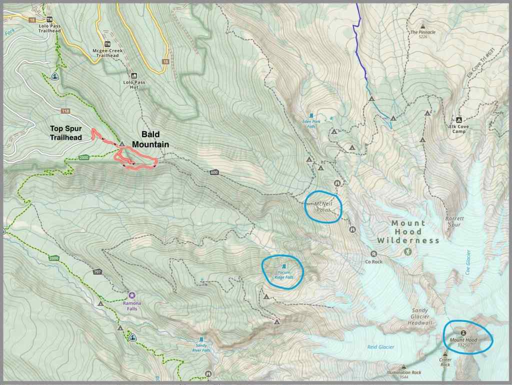
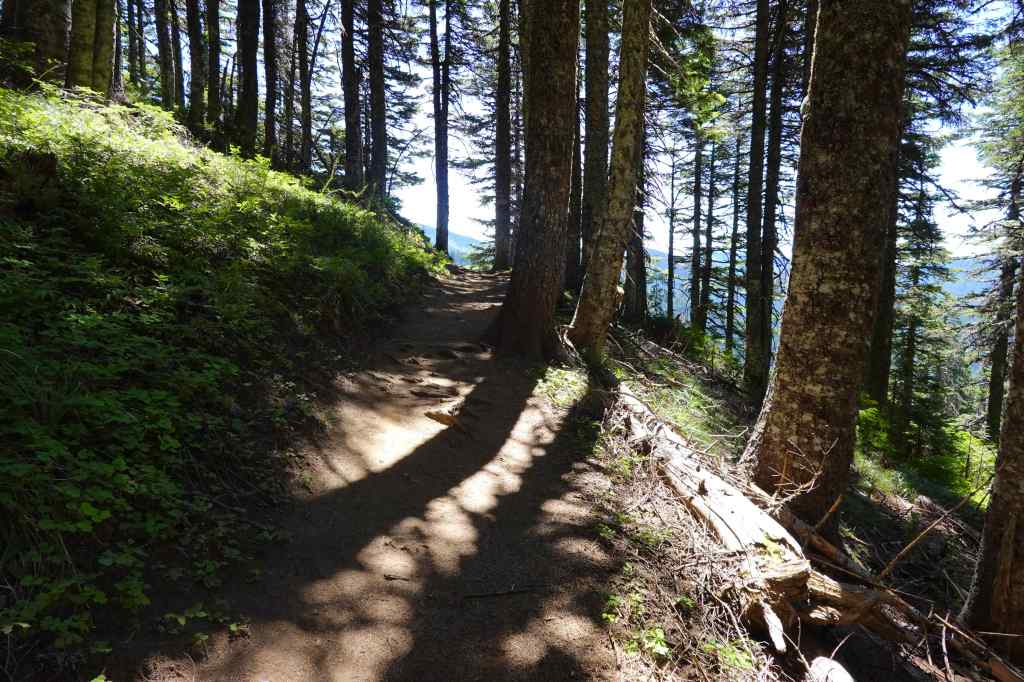
This hike starts at the Top Spur Trailhead on the west side of Mt Hood. In the past, we have gone all the way to McNeil Point, but that is beyond me just now. Instead, we went to the top of Bald Mountain for the views, than walked the circuit around the Bald Mountain, for more views and wildflowers. The south side is exposed to the sun, and gets lots of colorful wildflowers. The return loop is through shady woods. It was very satisfying, the perfect level of difficulty for me at this point (3.2 miles/730 feet).
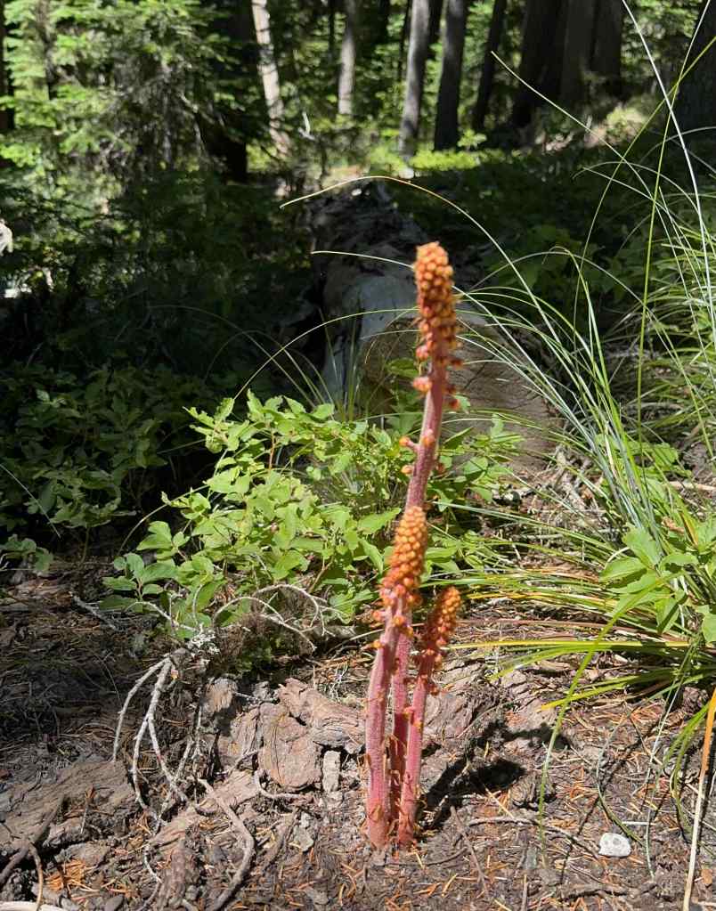
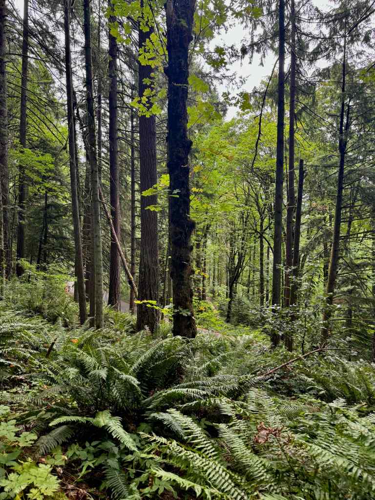
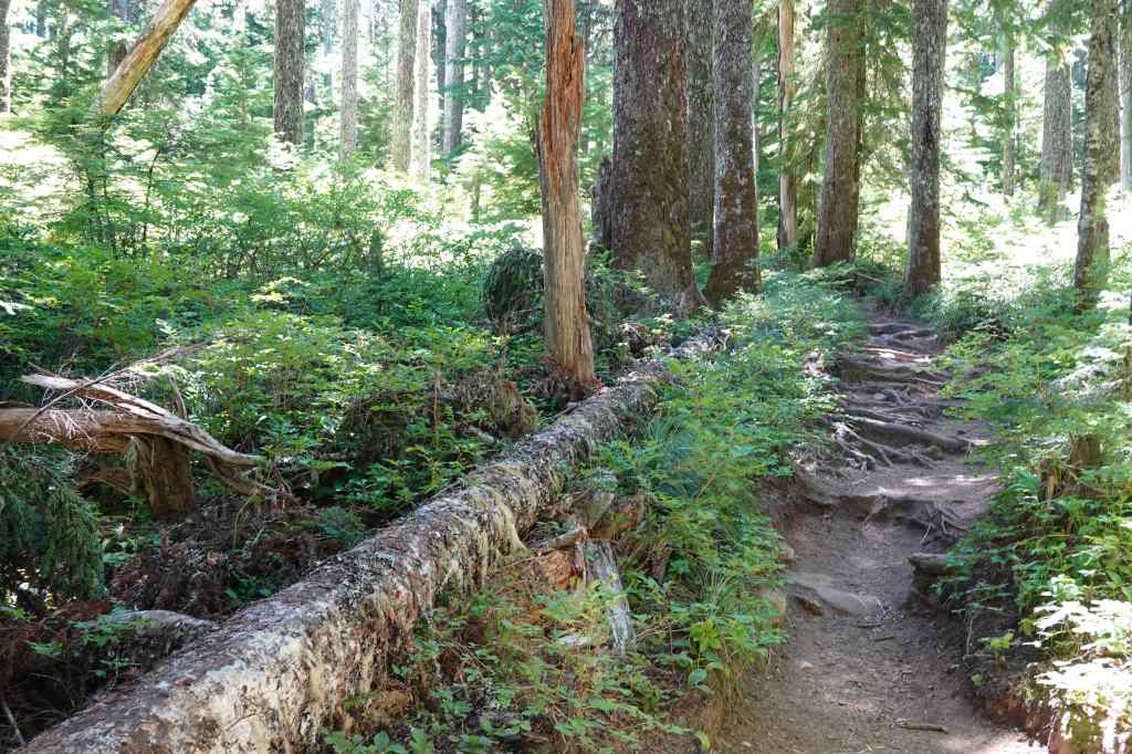
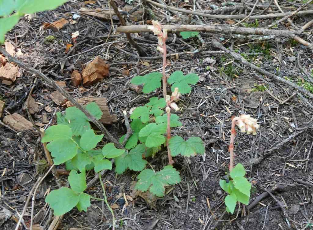
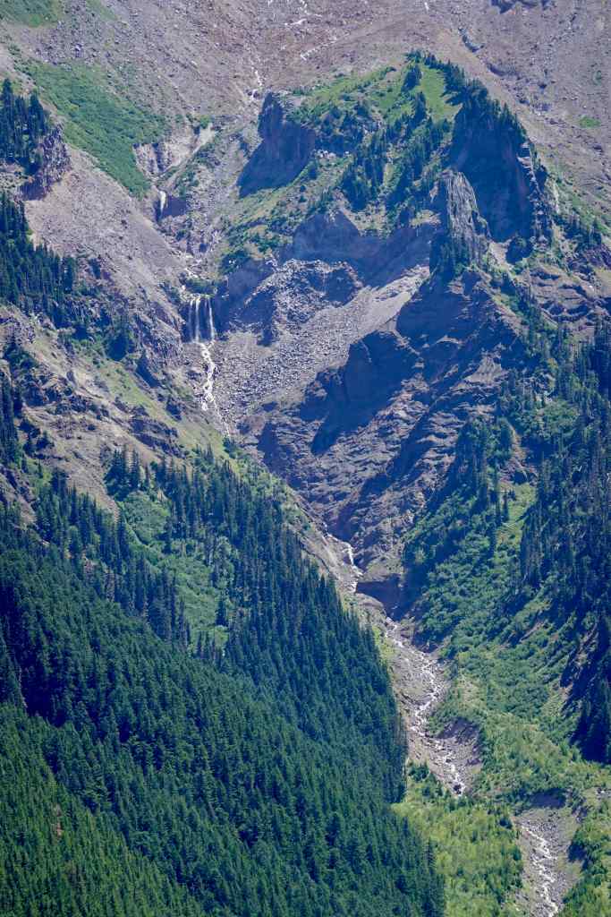
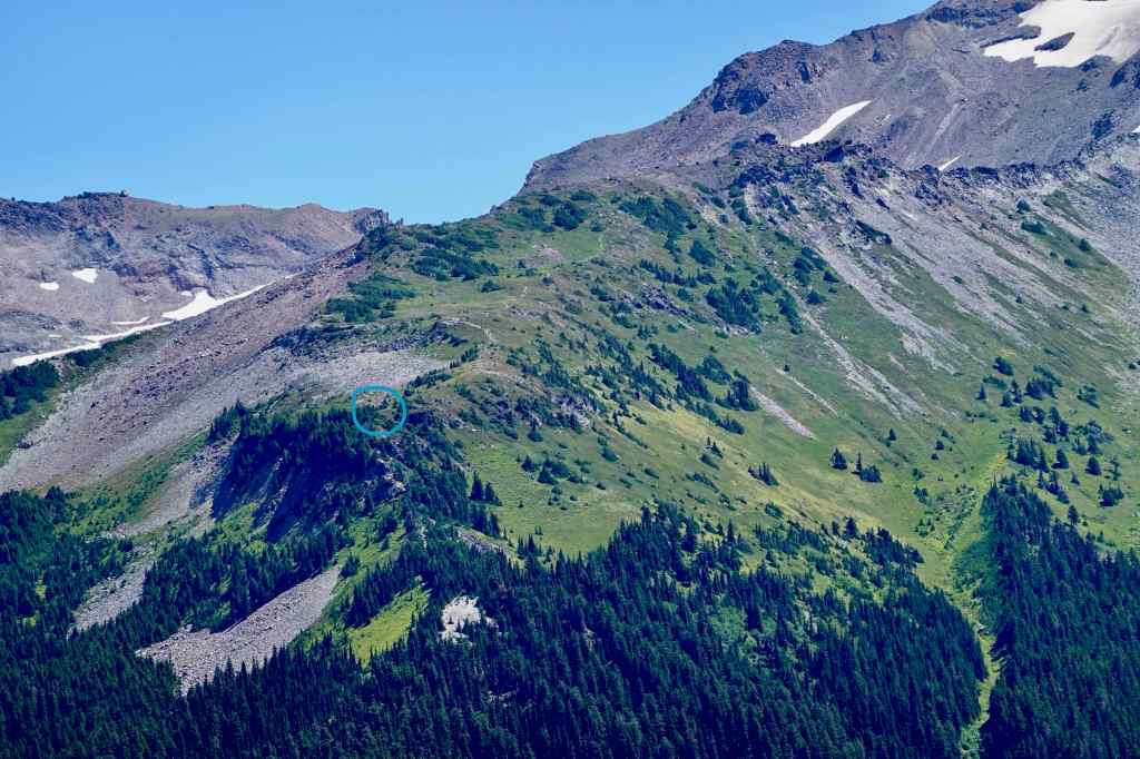
Gaia track of our hike around Bald Mountain, showing other key locations on Mt Hood.The first half mile ascends steeply upward, with lots of roots and rocks on the trail.We saw Ghost Pipes in the forest here.Lunch view: looking toward Mt Hood from the east summit of Bald Mountain.Yocum Falls and Muddy Fork of the Sandy RiverIllumination Rock and Reid GlacierMt Hood Summit, and Sandy GlacierMacNeil Point (hut circled in blue).Mt St Helens, seen looking to the north through the trees.Mt Adams, also looking through trees from the narrow summit of Bald Mountain.
We returned down to the main trail that circles Bald Mountain, first hiking through shady forest again.
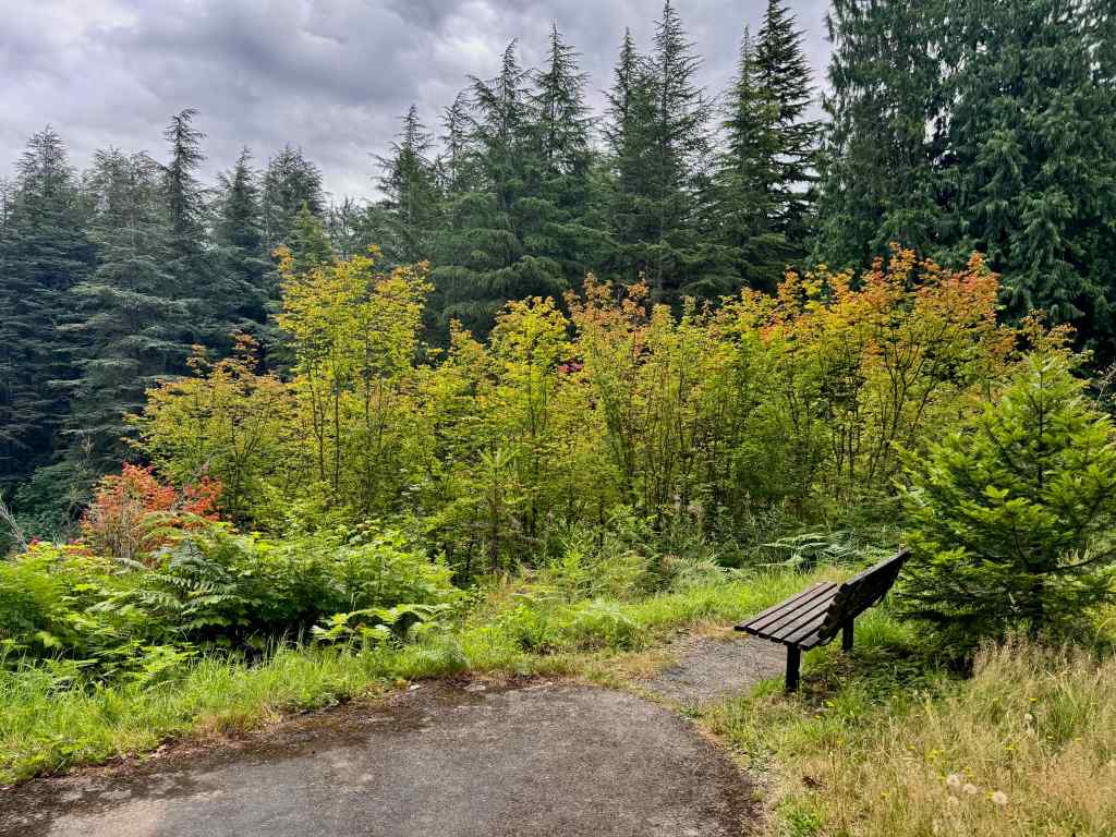
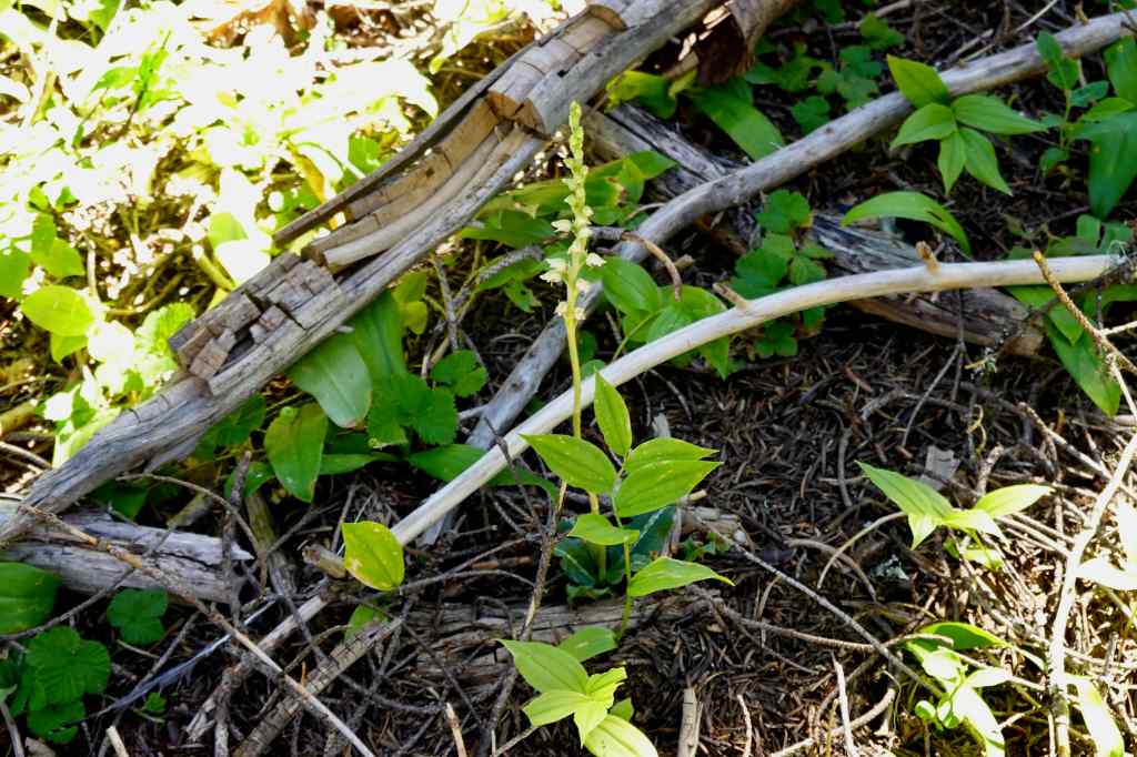
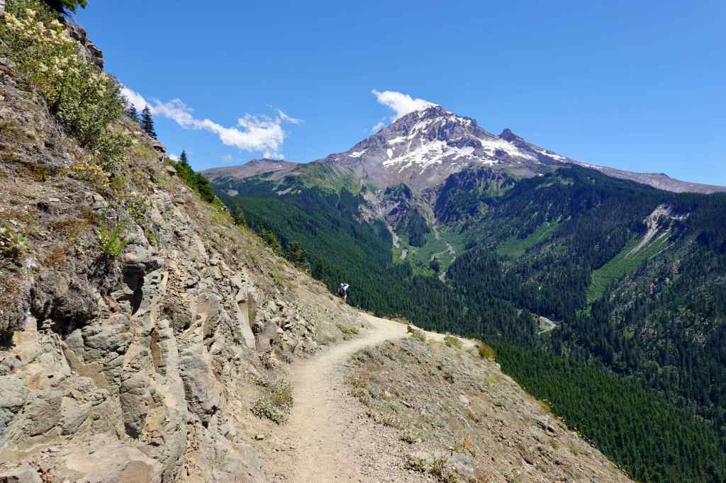
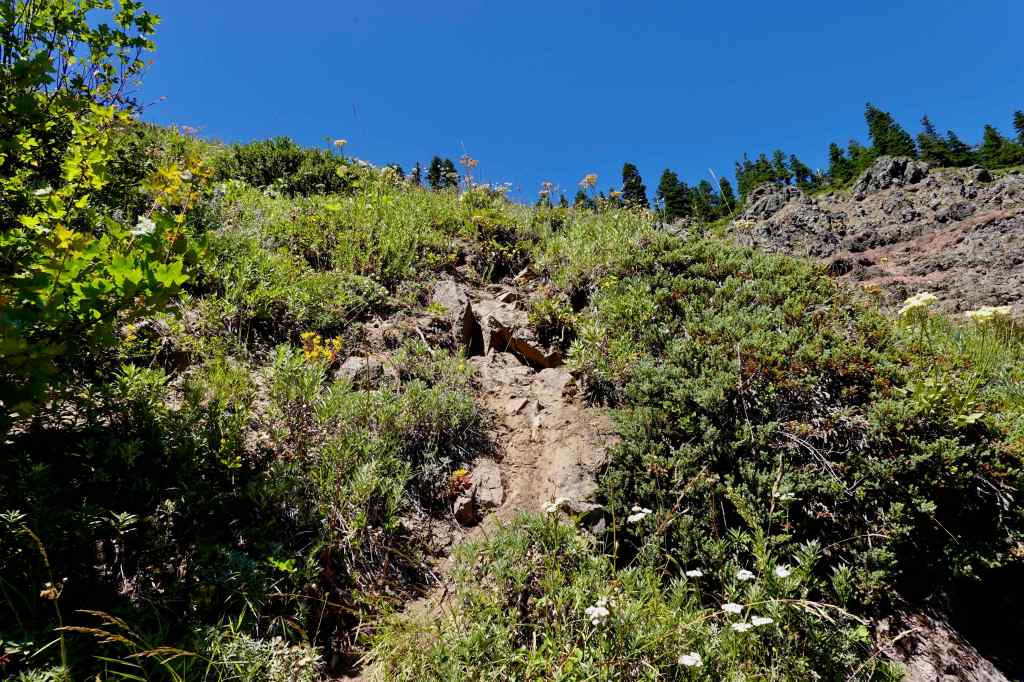
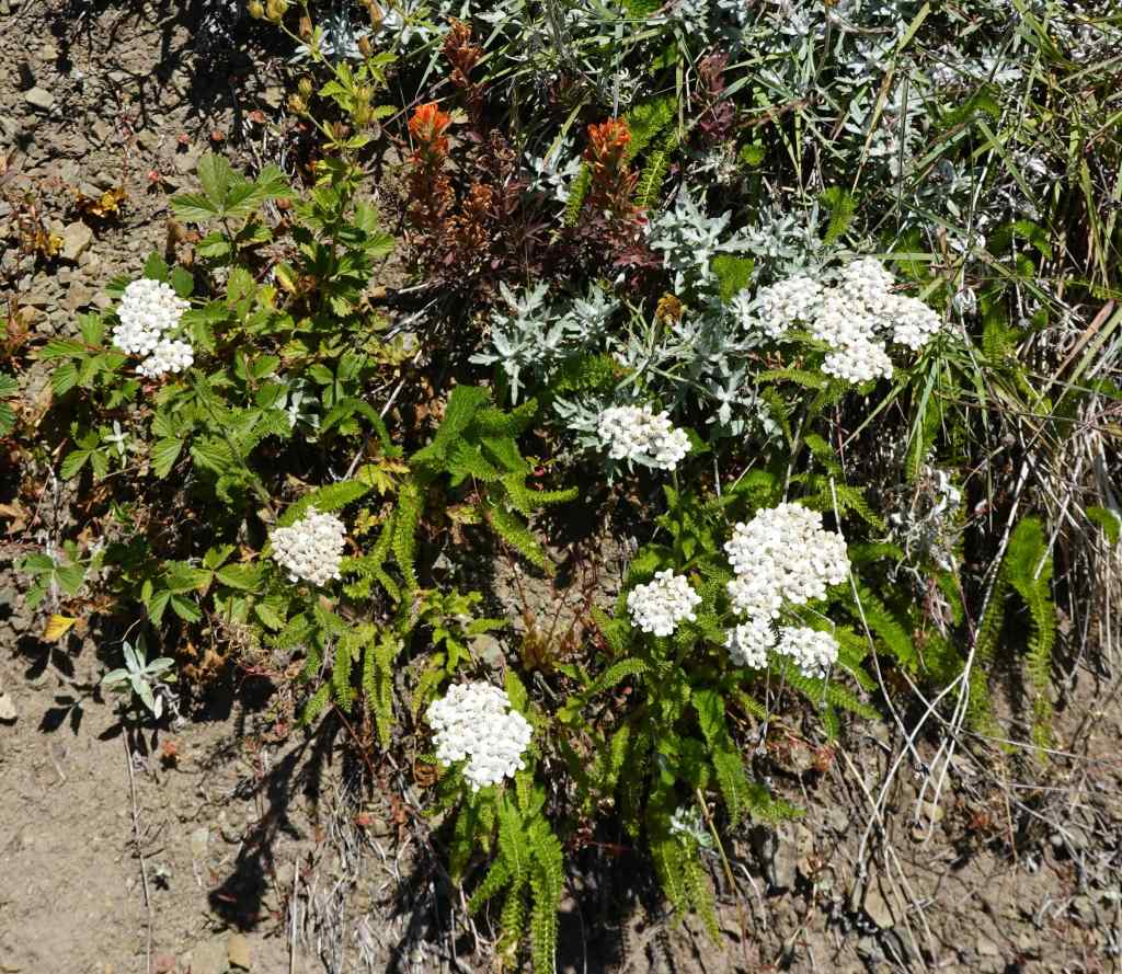
In the forest, approaching the bald side of Bald Mountain.Bog orchids were plentiful along the trail here.Once out in the open, the rocky slopes provided continuous views to Mt Hood and the Muddy Fork of the Sandy River.This view is looking up from the trail toward the summit of Bald Mountain, with rocky slopes and sun-loving wildflowers.Bluehead giliaYarrow
Eventually, the trail returns to a forested section, and we returned to the trailhead.
Last view of Mt Hood before heading back into the forest, with frothy blooms of ocean spray along the trail.Paintbrush and columbine were also blooming here.And there were swaths of Scouler’s bluebell in the shade, which I have only seen one other time.
I enjoyed this day on Mt Hood. The approach trail from Top Spur was not as steep as I remembered. I hope to make it all the way to MacNeil Point again someday…
My sister Helen visited for a mini-quilt retreat. There were lots of neighborhood walks and a few other other Portland adventures.
Quilting with Helen:
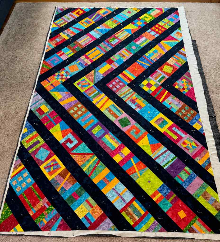
She finished her Lighthouse Quilt, and I prepared one of my tops for quilting.
Lighthouse QuiltModern Quilt Studio Summer Camp Mystery Quilt, 2024 – pin-basted, and ready to quilt.
Portland Excursions with Helen:
7/16 – Leach Botanical Garden
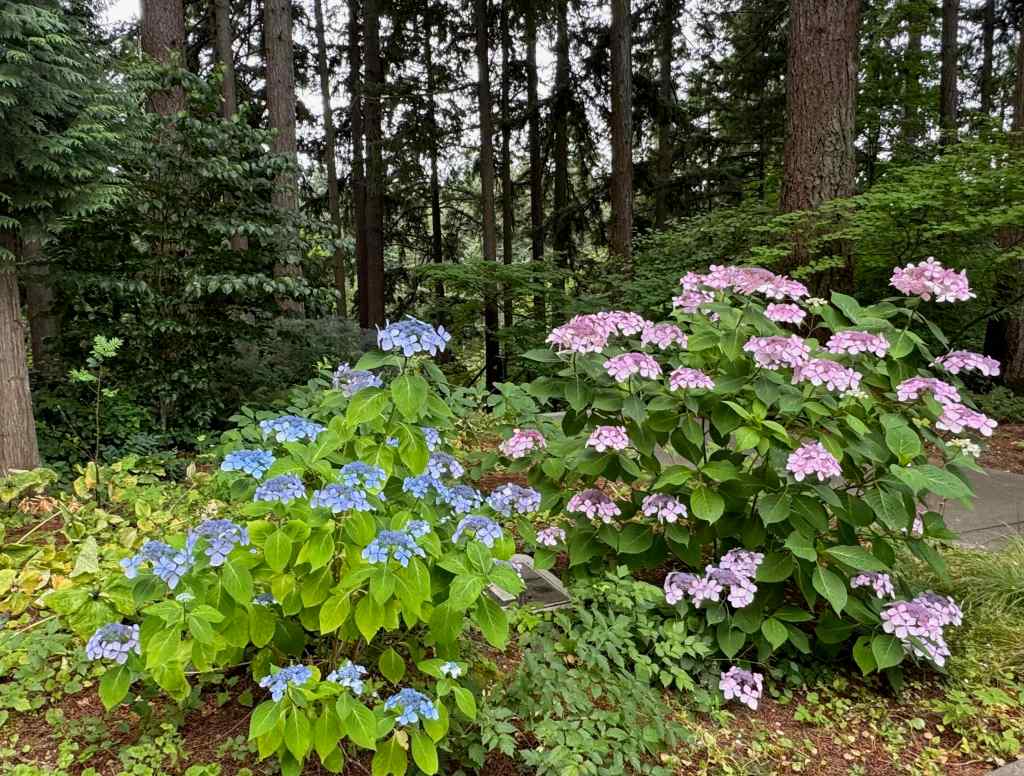
We walked many of the trails to see the seasonal blooms.
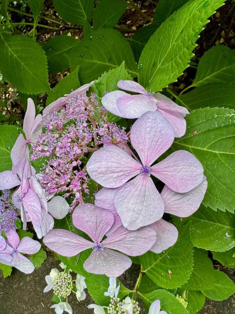
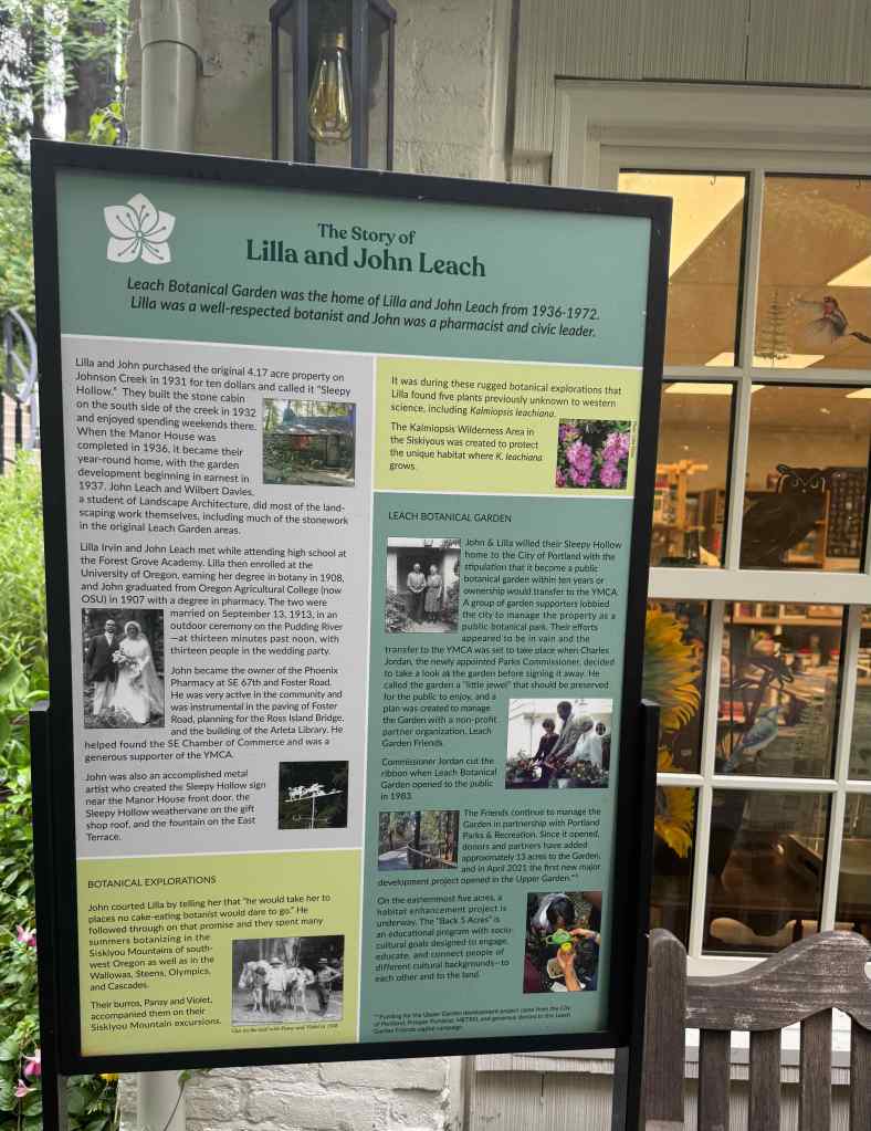
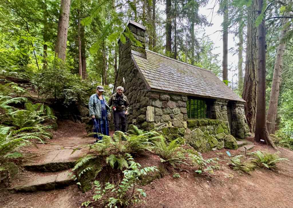
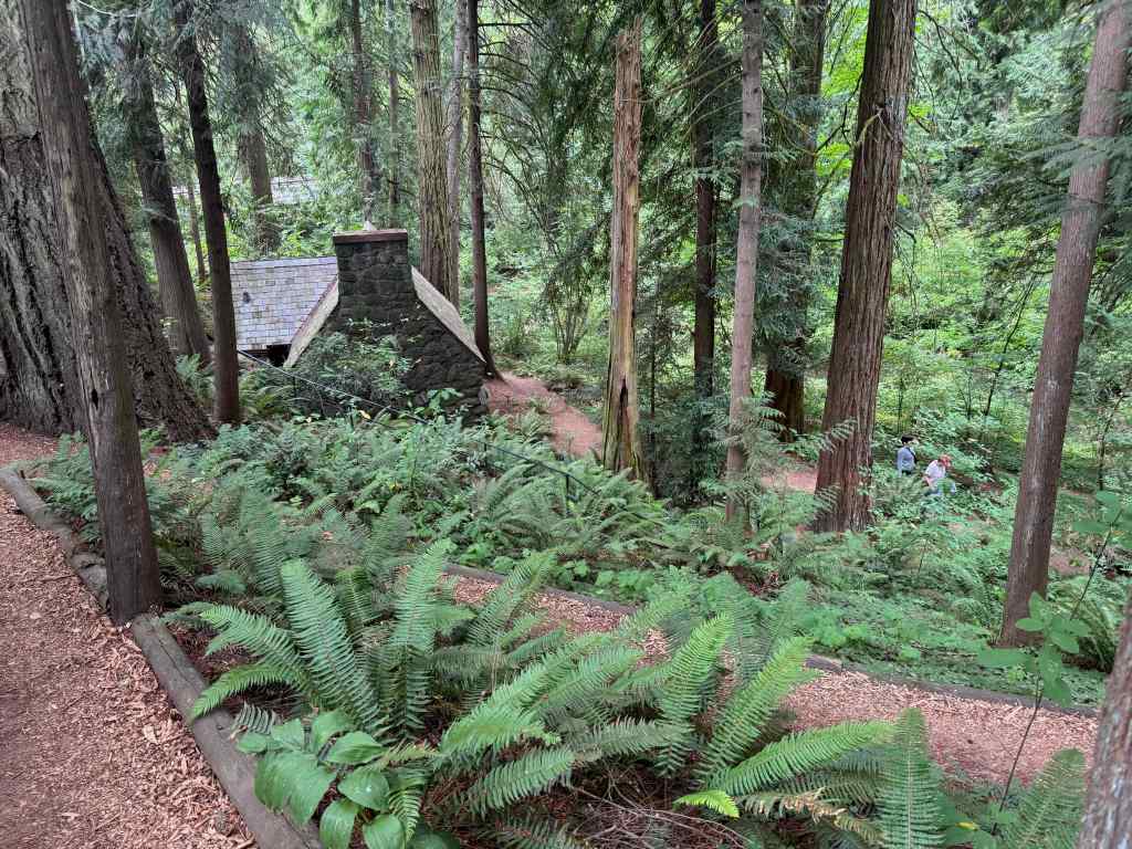
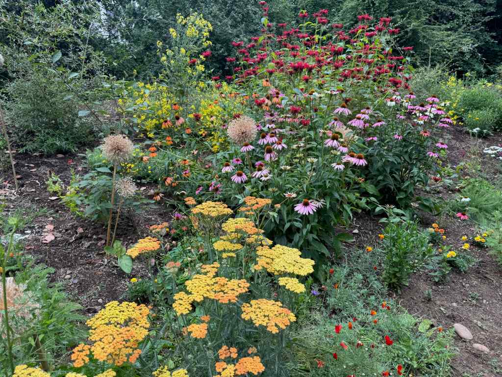
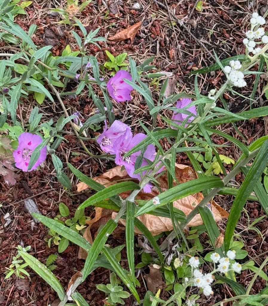
The hydrangeas were particularly colorful today.This variety has very wide petals.The Leach Garden story.The bridge has reopened, so we walked in the natural area by the old stone cabin.Cabin in the forest.The pollinator garden was in full bloom.Wine cup clarkia and pearly everlasting – a couple of my favorite wildflowers.
7/21 – Portland Art Museum
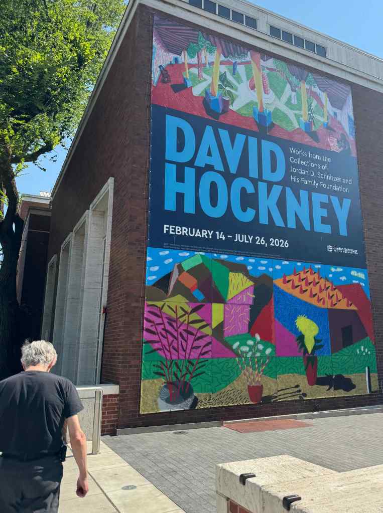
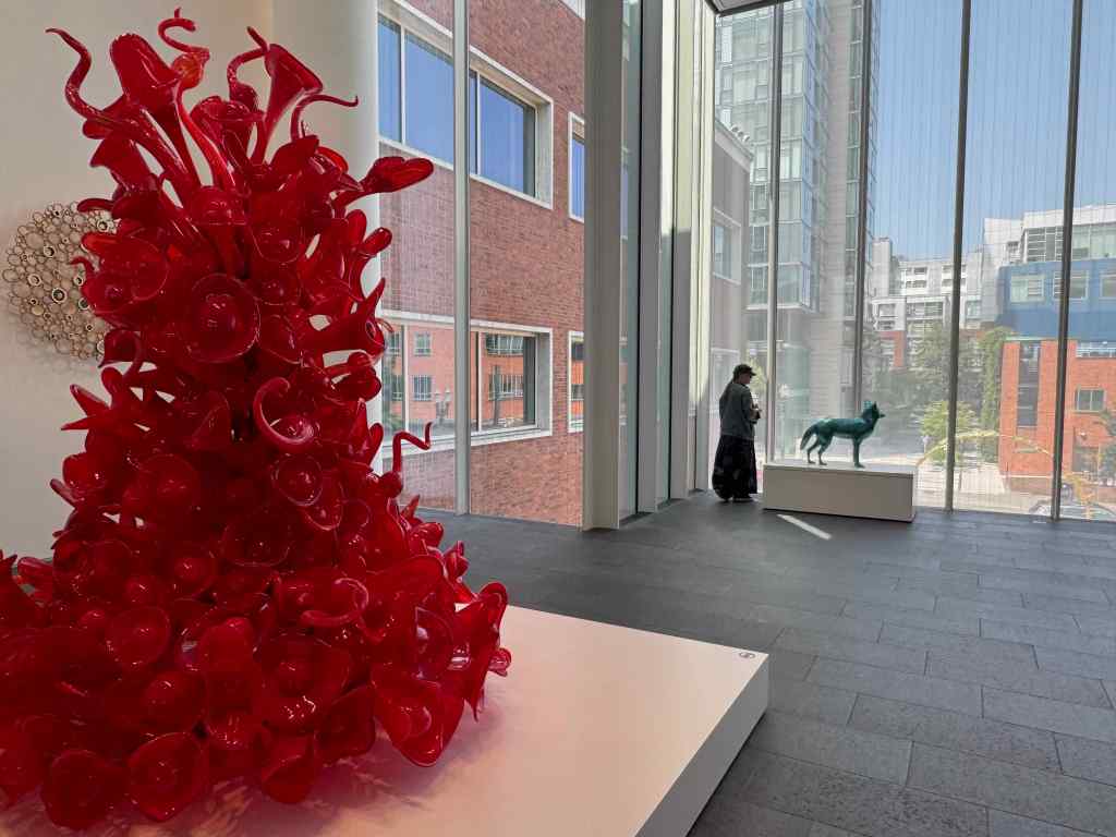
Helen wanted to see the David Hockney Exhibit, so I got to walk through it for the third time. So much still to see! I was thinking about how people paint water – I will save those thoughts for another time. She also wanted to see the Monet Waterlilies, and the Chihuly Glass.
Portland Art MuseumWaterlilies, by Claude MonetGallery with Chihuly glass
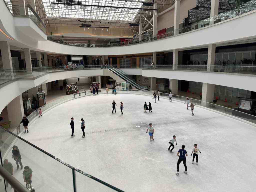
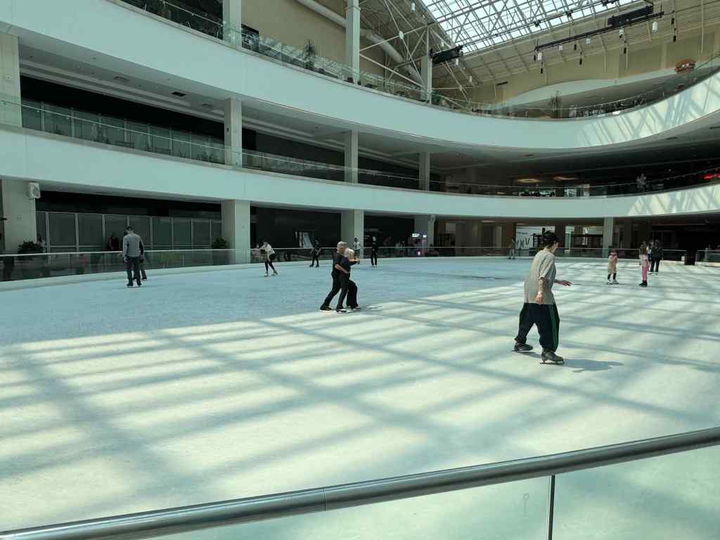
7/22 – Lloyd Center Farewell Walk
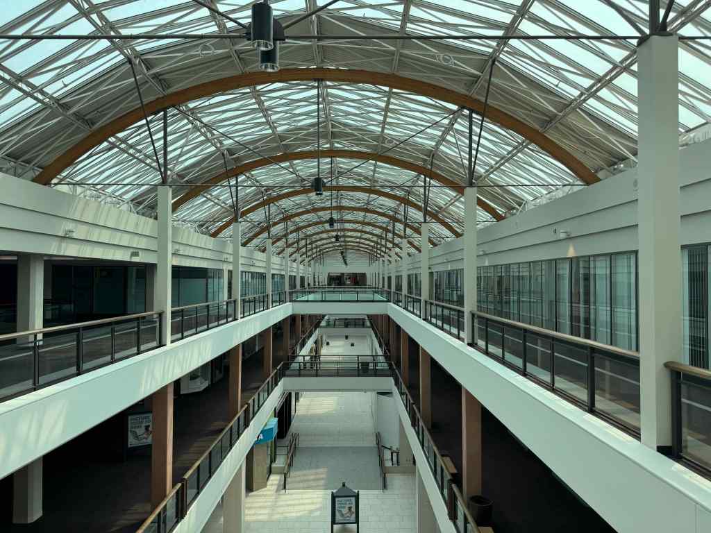
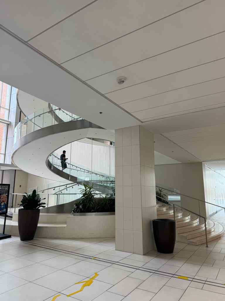
We made a farewell circuit of the Lloyd Center Mall one hot day. The mall was slated to close for good in early August. It has been an anchor in this neighborhood since the 60’s, and a good resource on days that are too hot or too rainy to be outside. I have spent many hours at this mall, especially with my children, taking them ice skating, to movies, to visit Santa, to the ear piercing studio. We used to watch the professional skaters while eating lunch, and they are the people who will miss this space the most, since there is no other skating rink in Portland. The parking garages used to be full during the holidays. Helen sometimes visited the mall when she was in town, so she also felt a bit of sadness for the end of this space. Internet shopping, and then the pandemic, led to anchor stores leaving. The future supposedly holds a lot of new affordable inner city housing with easy access to transit – we shall see…
Few people, mostly empty stores.ReflectionsIce skaters using the rink until the last minute!The ice dancing couple has been skating here since the rink opened. Where will they go now? The developer first promised to keep a rink in the complex, but has since changed their mind.All to be demolished…Colorful mural.
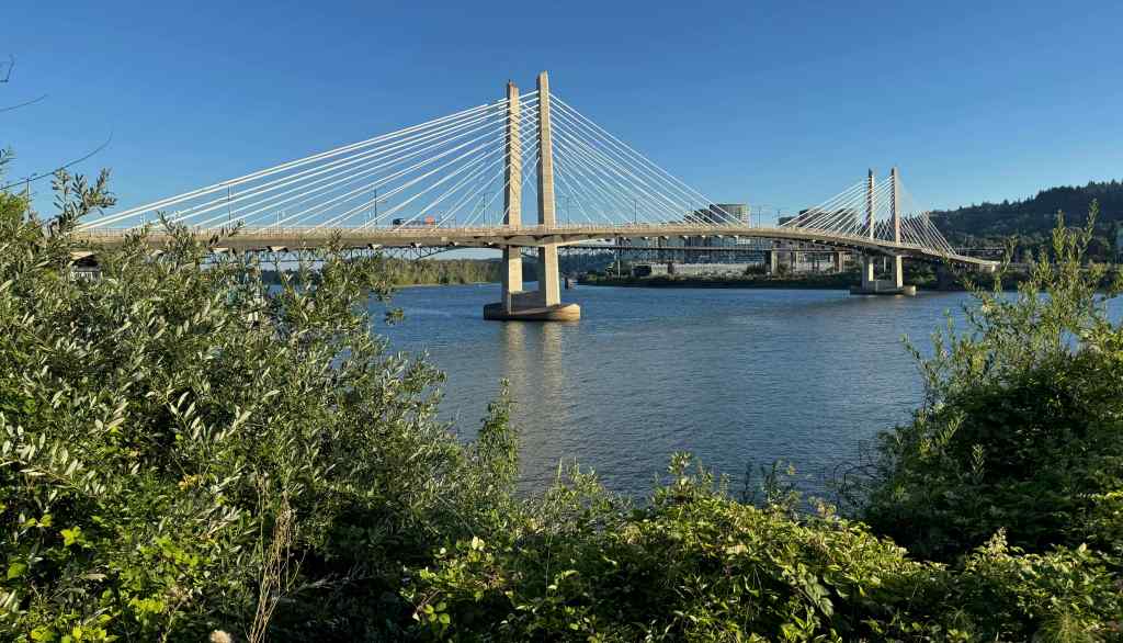
7/24 – Tilikum Crossing Bridge Walk
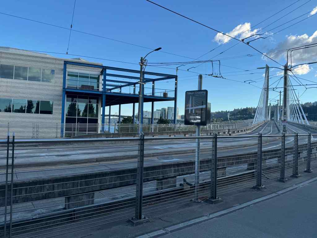
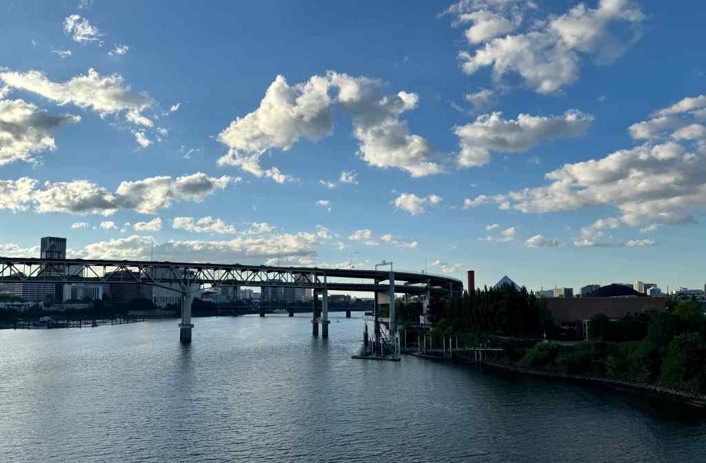
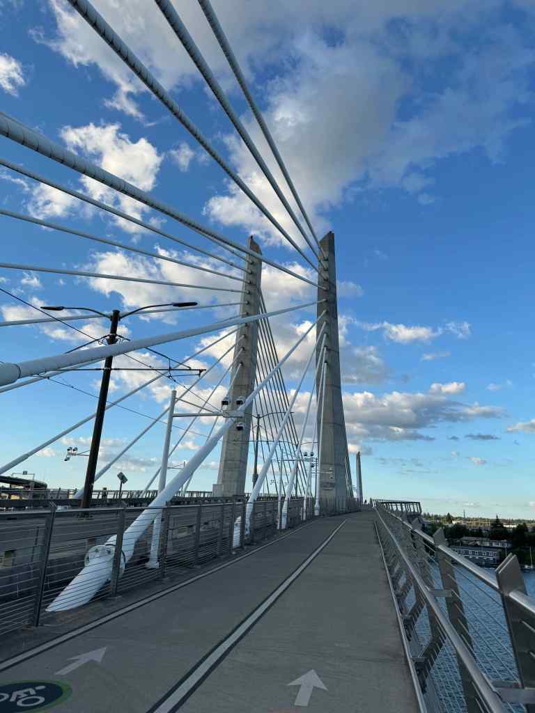
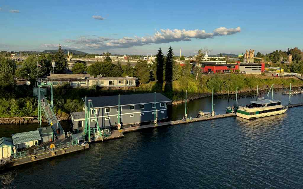
One evening we were near the Willamette River after dinner, so strolled across this bike/pedestrian/bus/streetcar bridge, to enjoy the view.
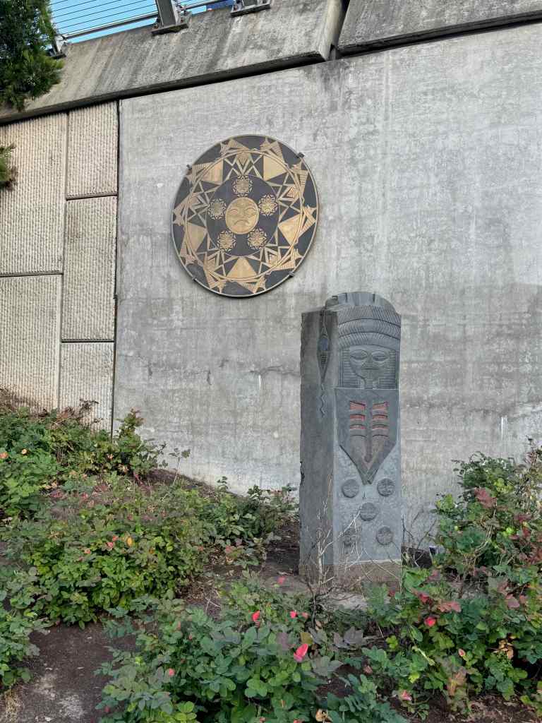
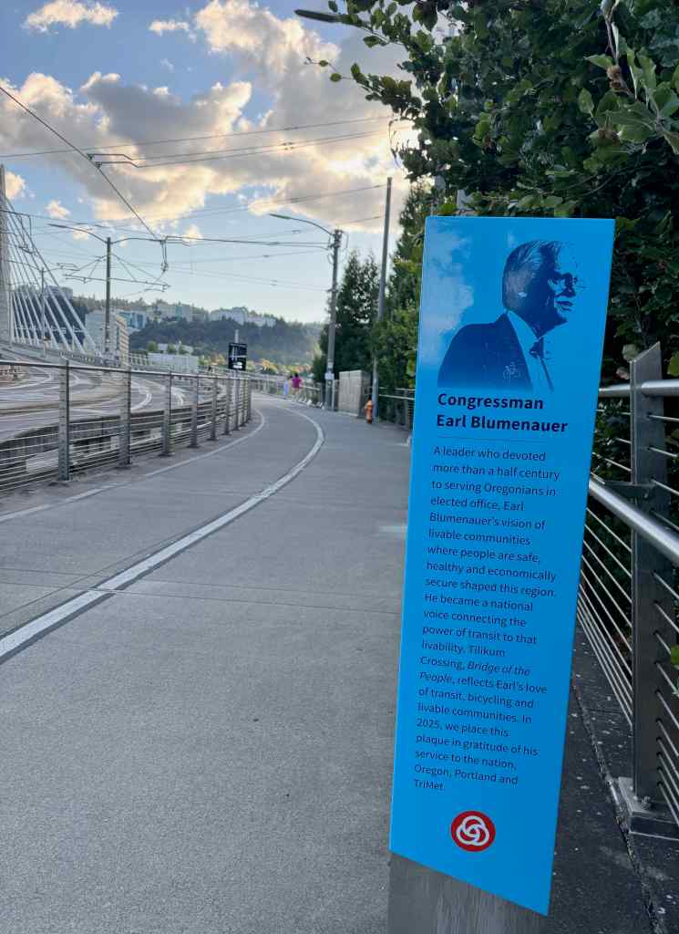
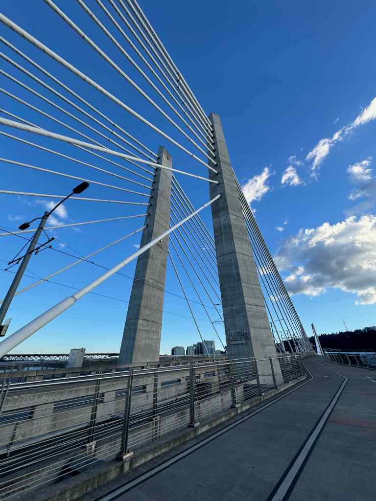
Looking toward the Tillikum Crossing from the East Bank Esplanade.Artwork on the bridge ramp.Tribute to our Congressperson/neighbor who helped make it happen.Walking west on the north side of the bridge. There are pedestrian, bicycle, and transit lanes on both sides of the bridge.Cables, piers, and clouds.Looking north toward downtown on the west bank; the Marquam Bridge; and OMSI on the east bank. Walking back east on the southside of the bridge.Sourheast bank of the Willamette River.
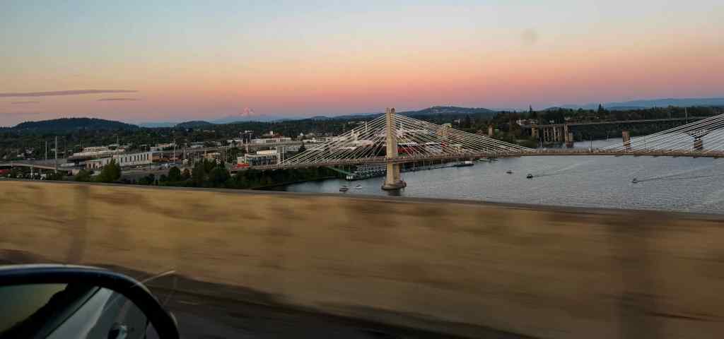
Bonus photo of the Tilikum Crossing – taken on 4th of July while driving east over the Marquam Bridge.
The Tilikum Crossing over the Willamette River, Mt Hood beyond.
We also went on two ‘real’ hikes with Helen, included in my July hiking post.
Also this month:
Knitting:
I finished a pair of socks, and acquired some new yarn:
Crazy Zauberball scrap socks – using remains of 3 skeins.
Echoes sock yarn by Gusto WoolKoigu KPPM Mini skein, sock weight
Reading:
I finished reading 13 books in July. Only one was in my Jane Austen theme for the year. My husband and I finished a re-listen of To Kill A Mockingbird as our road trip listening. It is still relevant, and it still makes me cry. I also appreciated relistening to the classic A Room of One’s Own, by Virginia Woolf, also unfortunately, still relevant. Memorial Days by Geraldine Brooks is a thoughtful grief-processing memoir, also unfortunately relevant and meaningful to me at this season of my life.
Books read in July 2026.
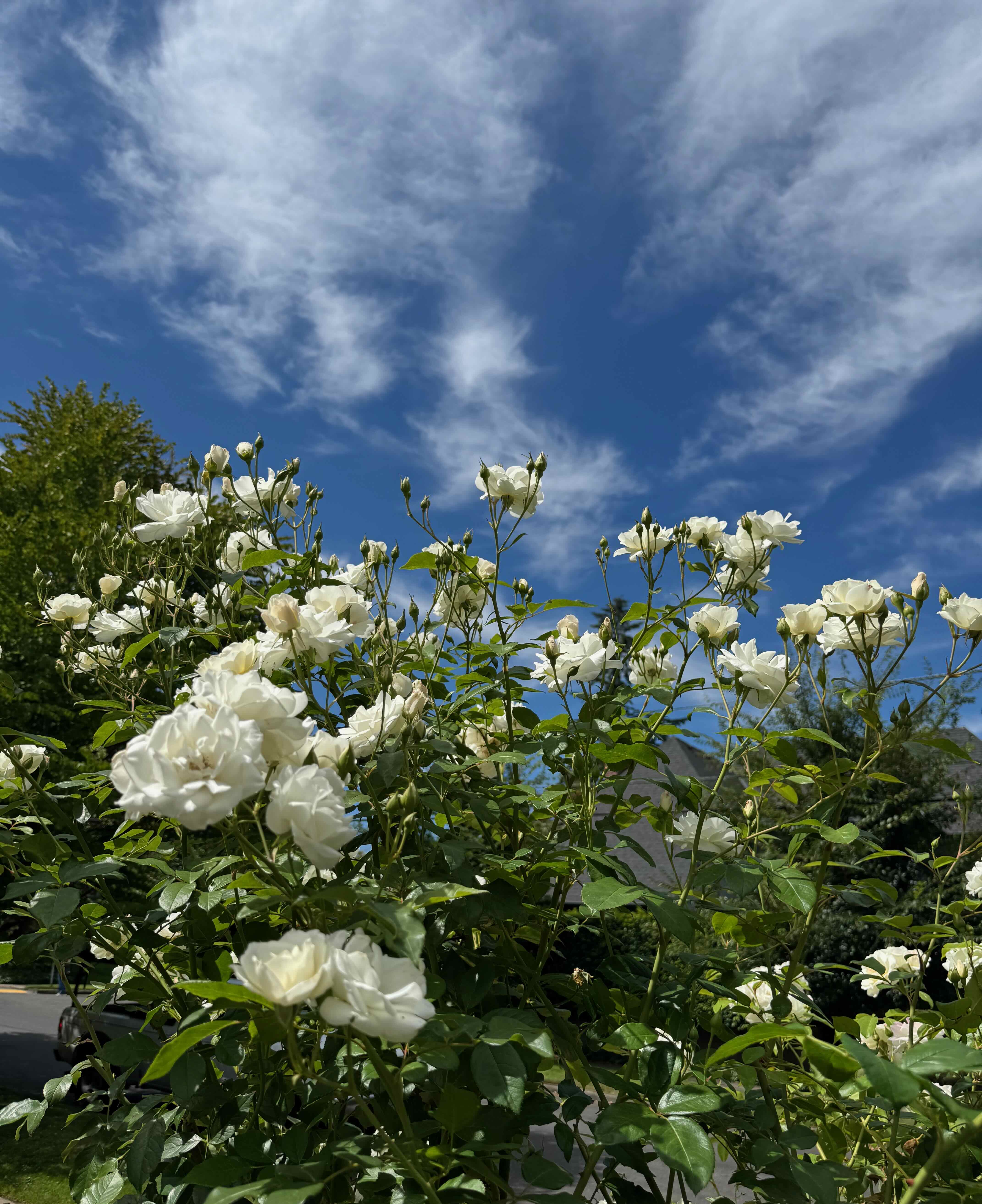
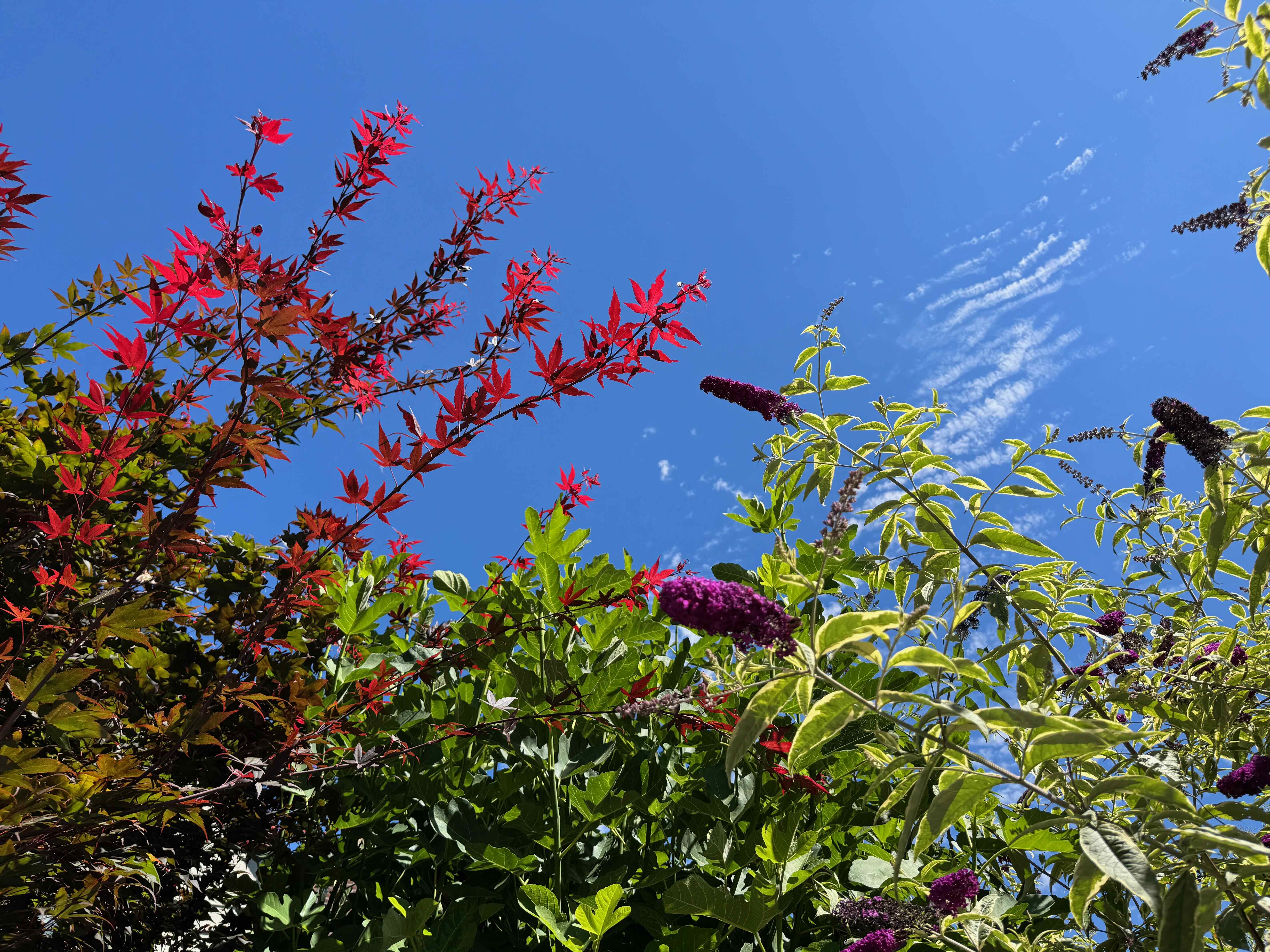
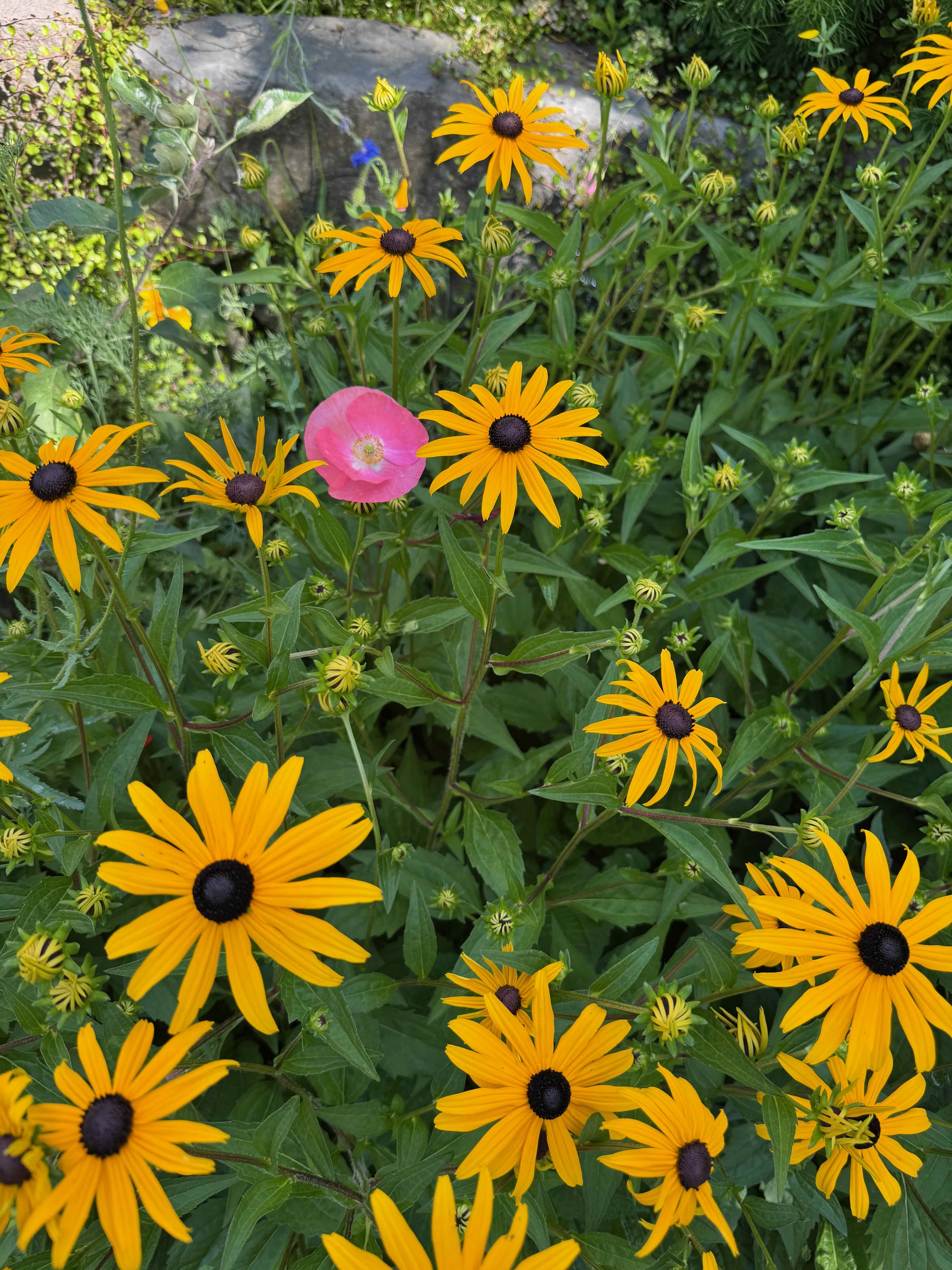
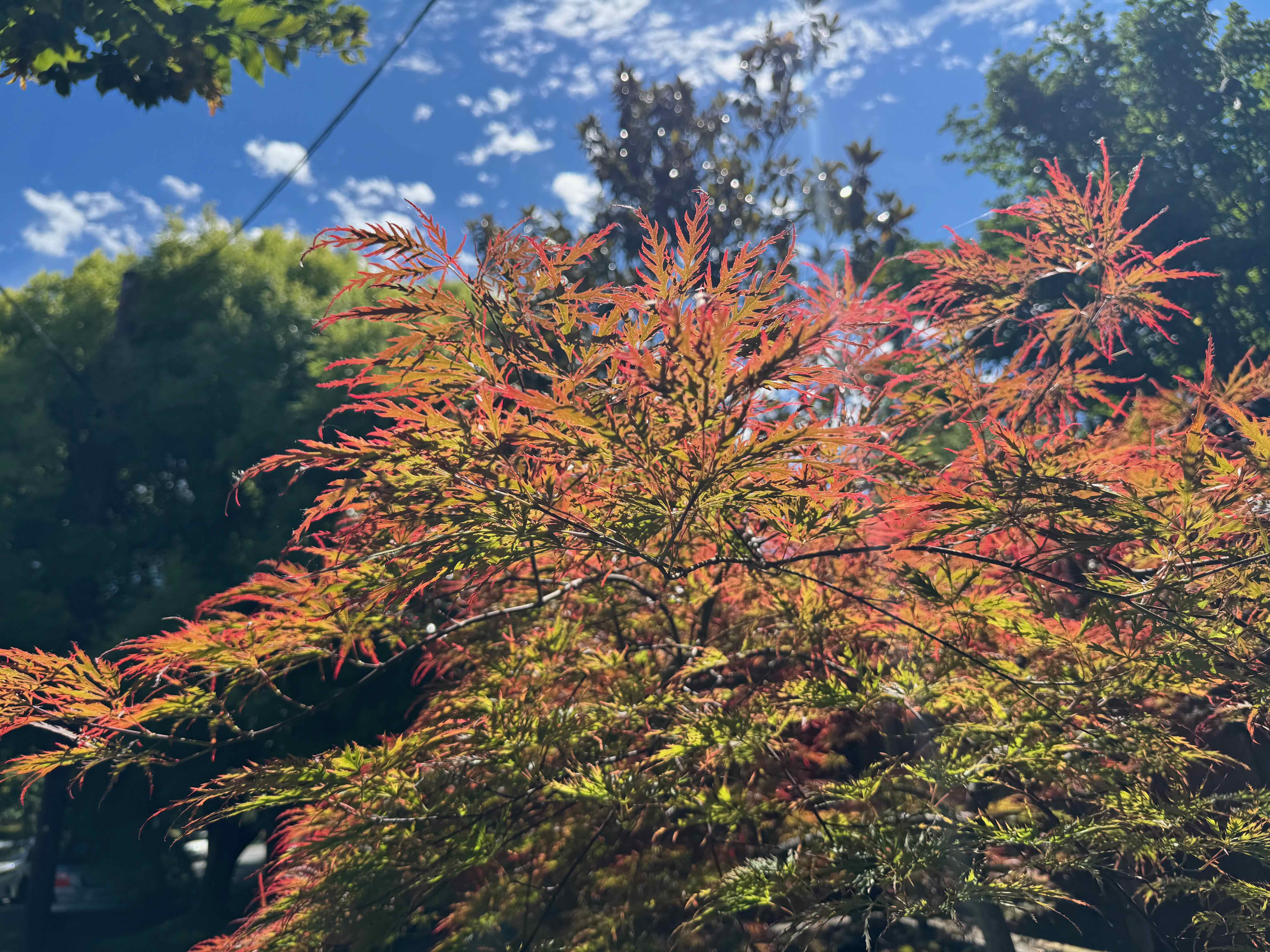
Neighborhood blooms, flowers, shadows:
Meanwhile…
Family members were enjoying life in Chicago and Philadelphia:
All four shows…Cygnus X-1 and Barney joined the extended family.
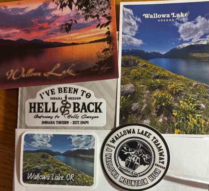
We drove to Enterprise, Oregon, to stay for five nights while we visited locations in the Wallowa Mountains and nearby Zumwalt Prairie. It was a bit warm, and I am still regaining my stamina, so we didn’t try any of the more challenging hikes there, but we managed to see some amazing views of mountains, wildflowers and sunsets. We were here briefly once before, over 30 years ago, and have long been wanting to return, to see these special places.
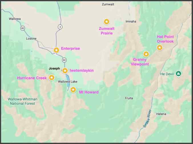
Locations visited.
6/18 – Enterprise Sunset
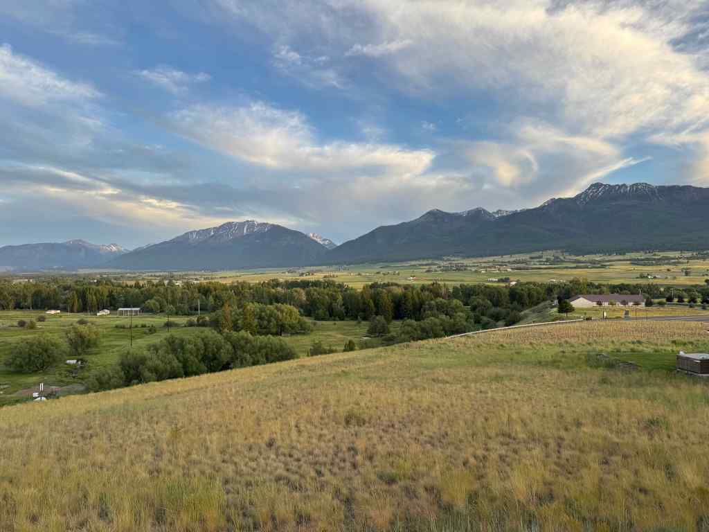
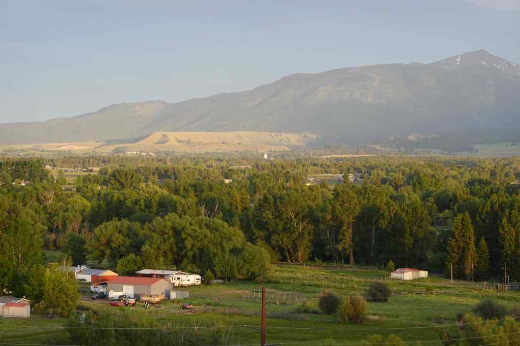
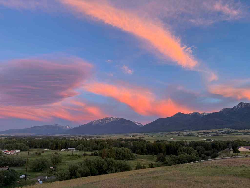
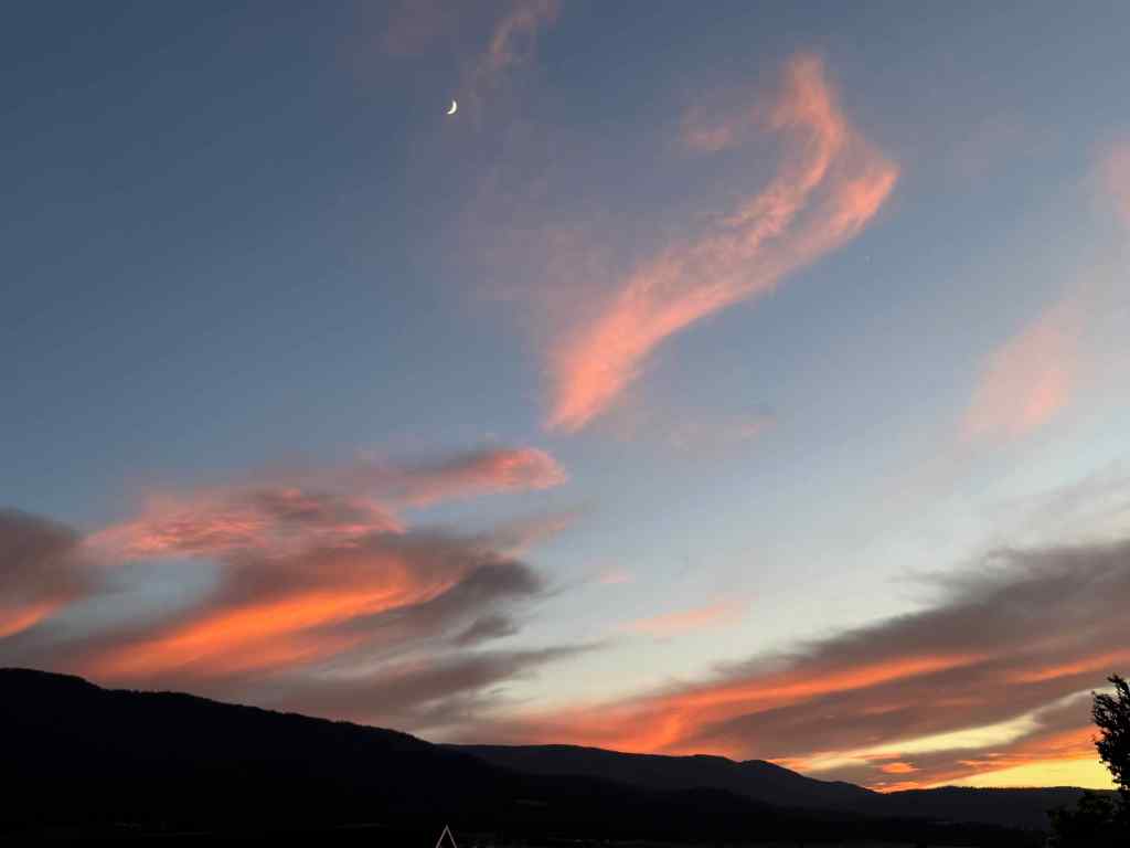
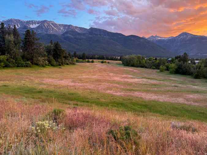
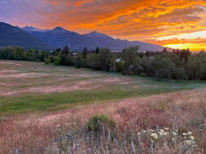
Our hotel is on a butte above town with a view of the Wallowa Mountains. We noticed the sky turning pink, then spent an hour watching the light over the mountains, the crescent moon, and the glowing pink sky.
View from our hotel toward the Wallowa Mountains.The East Moraine near Lake Wallowa began to glow in the western sunlight.Brilliant pink sky for the next hour or so…And a crescent moon.
6/19 – Mt Howard
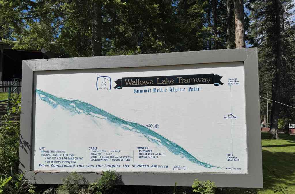
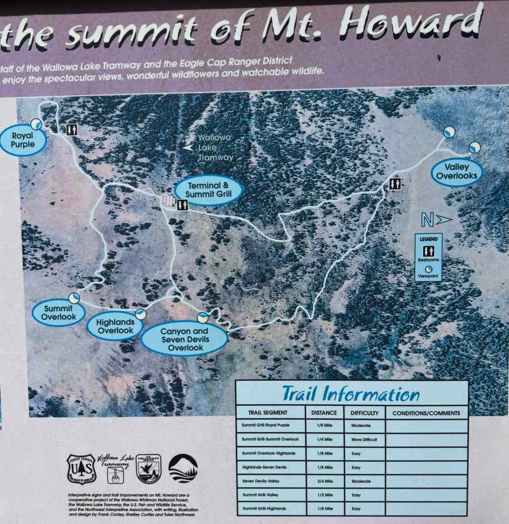
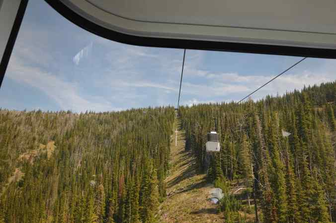
The Mt Howard Gondola is the only easy way to get up into the high country of the Wallowa Mountains, with its beautiful alpine lakes and glaciated peaks – an echo of the High Sierra of my youth. Most of the Wallowa Mountains are roadless wilderness, so people backpack or horsepack to see the really beautiful interior. The day we visited this area 30 years ago, the gondola was closed. Today I finally had my chance to see what I could see from this high perch. We rode the gondola up 3700 vertical feet, and 1.83 miles, from 4450 feet to 8150 feet in about 15 minutes.
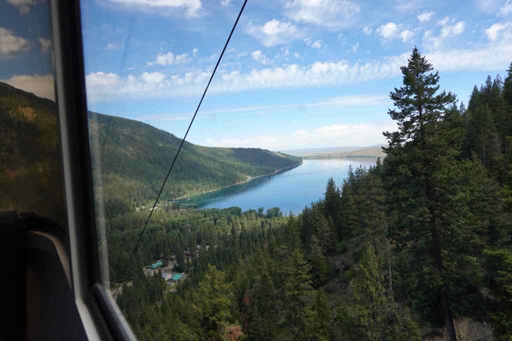
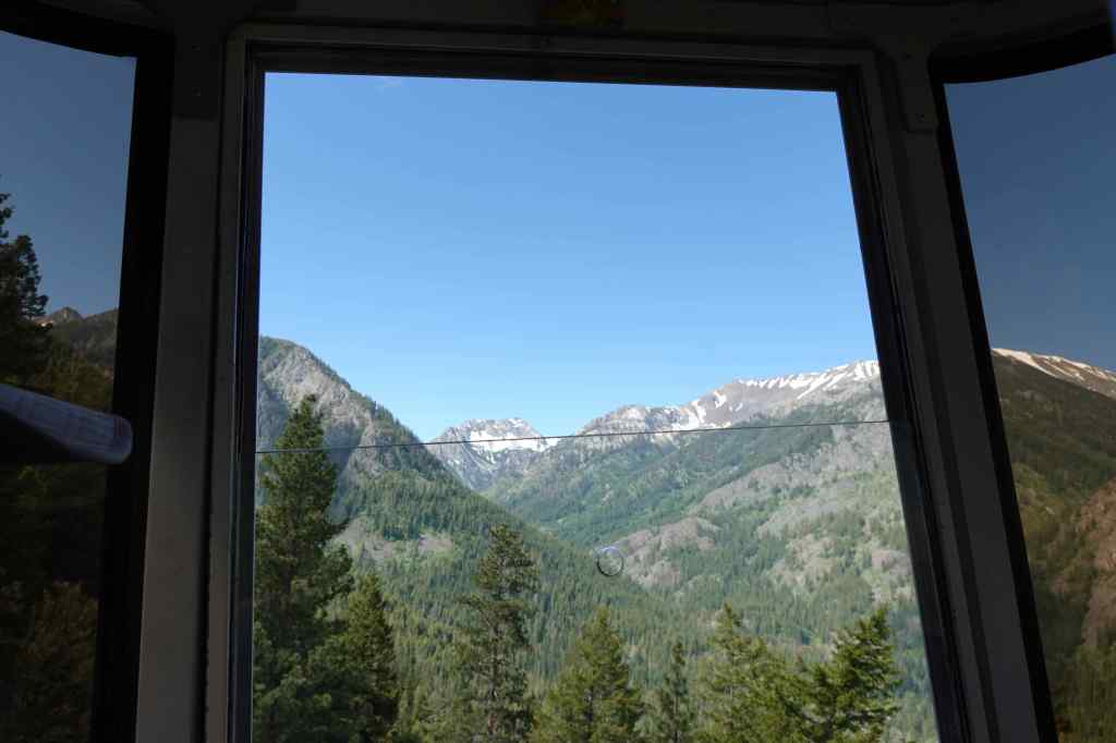
Gondola FactsView toward Wallowa Lake as we rise.View into the Wallowa Mountains from the gondola.Trail system at the top of Mt Howard.
From the top we looked into the heart of the mountains, and walked all the summit trails to the viewpoints. It was hot, with a slight breeze, and we were in no hurry, so took our time. We went counterclockwise, first stopping at the Royal Purple Overlook.
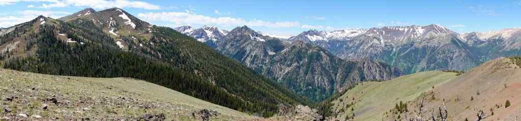
Stairs up to the Royal Purple Overlook.Panorama of the Wallowa Mountains, from the Royal Purple Overlook.
Next will be closer views into the heart of the mountains, from southeast to northwest…
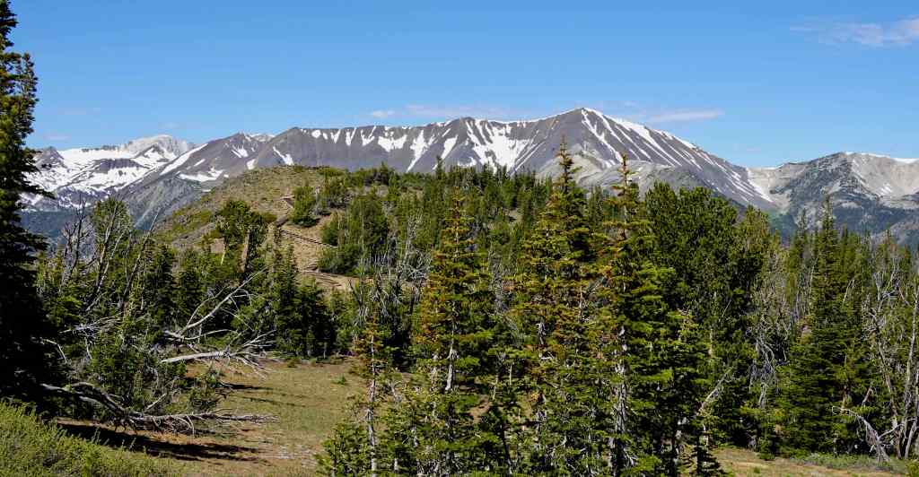
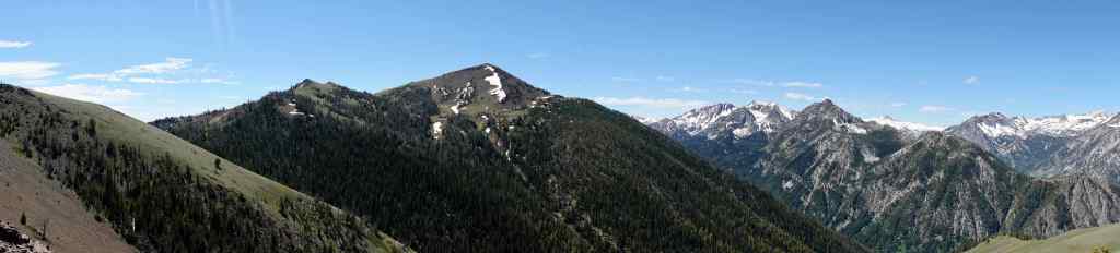
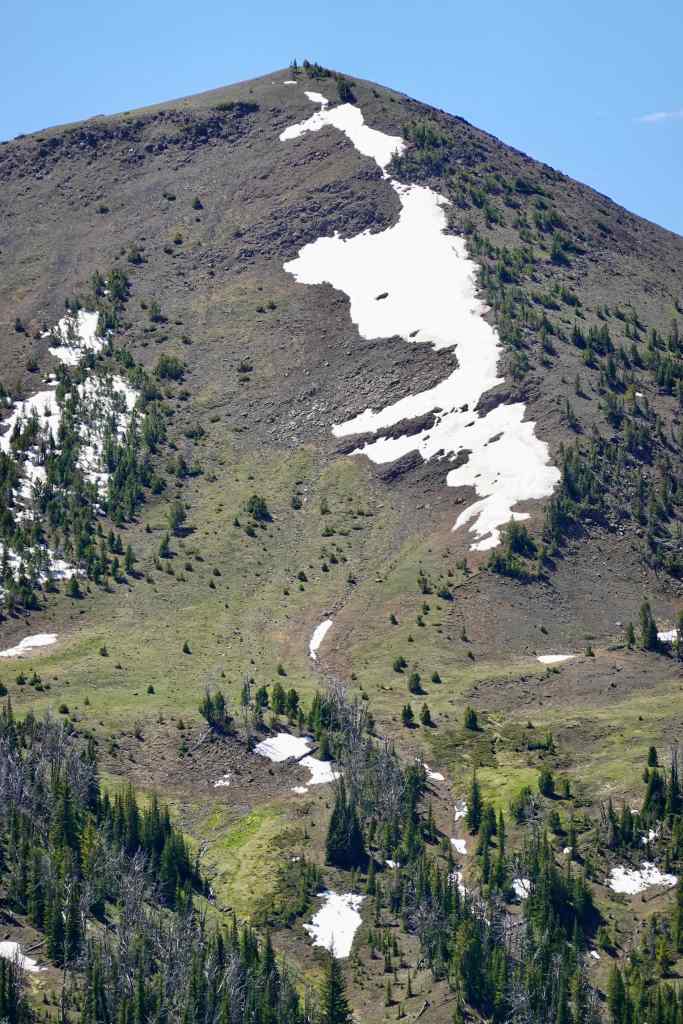
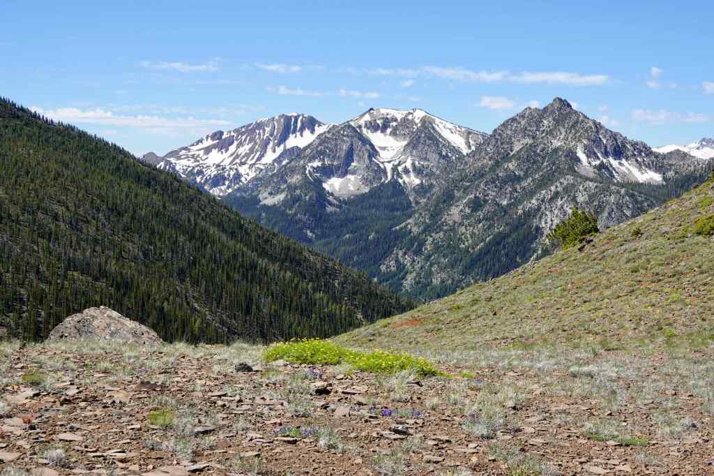
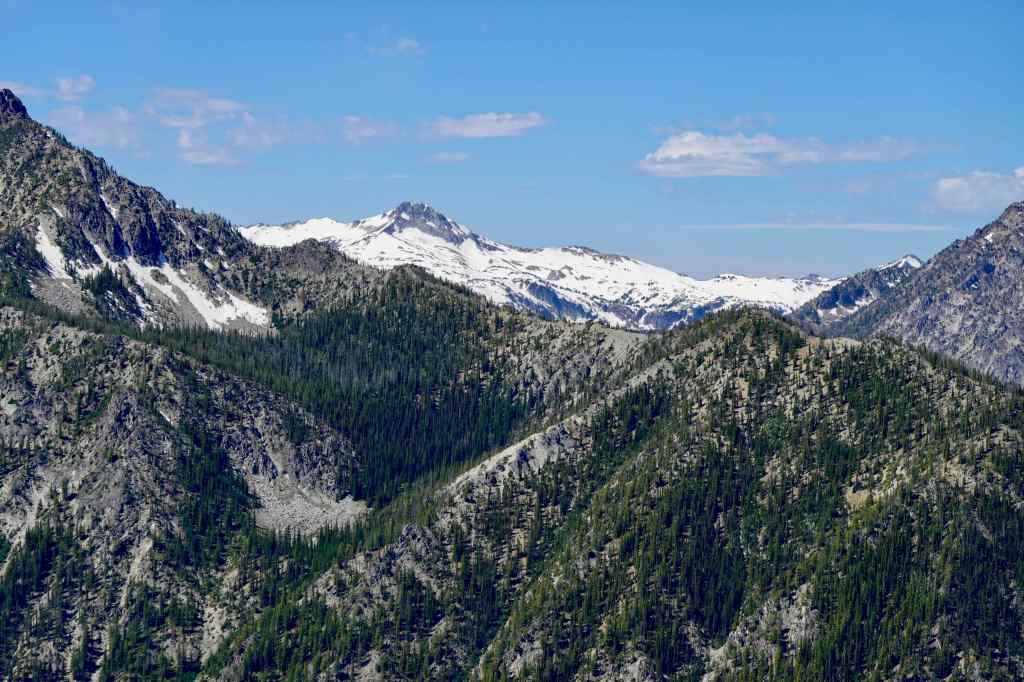
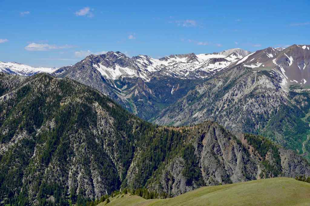
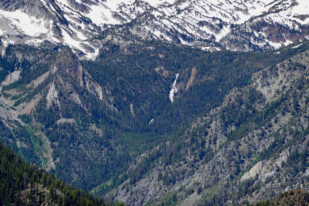
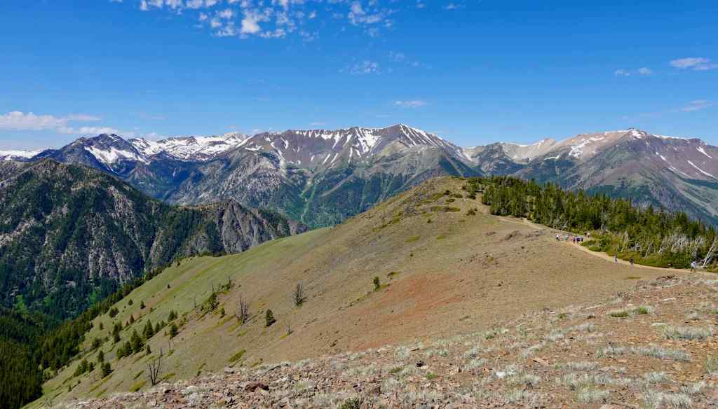
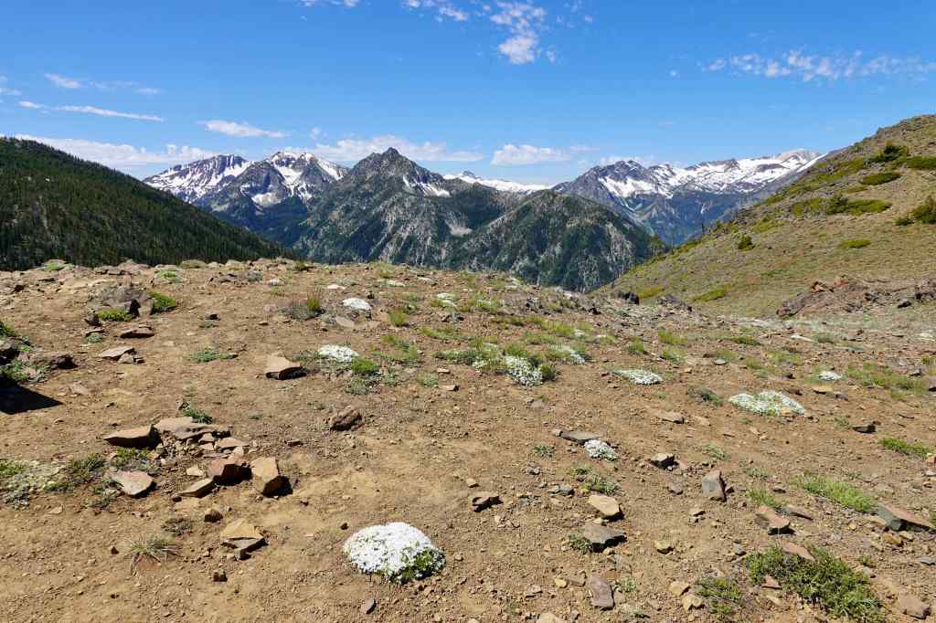
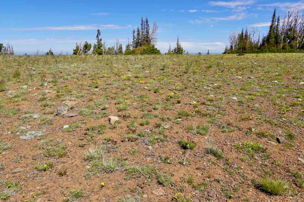
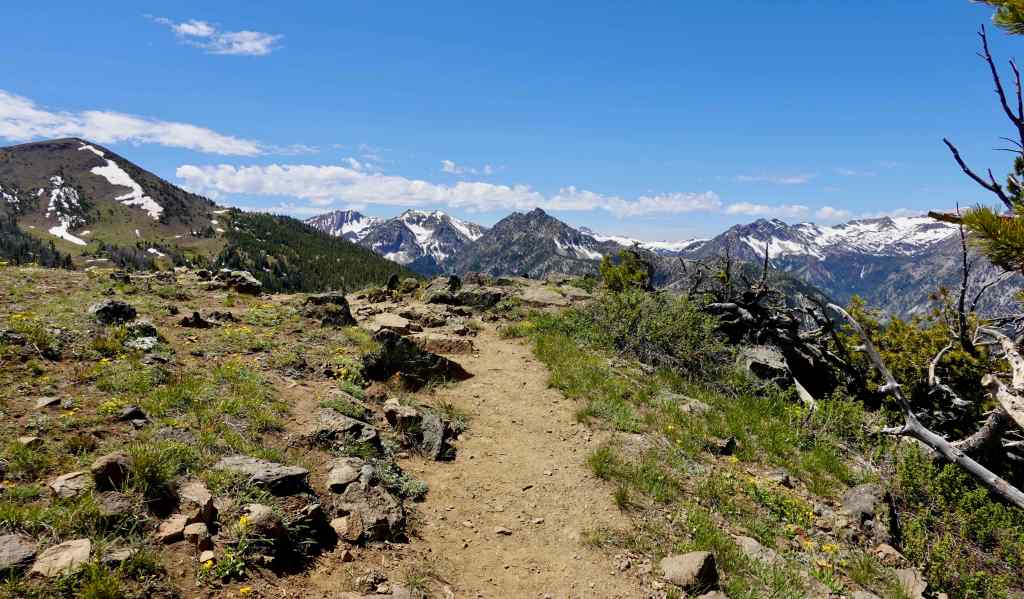
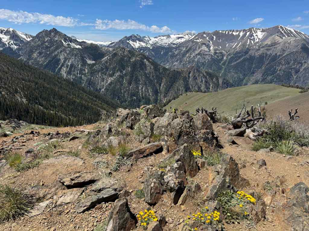
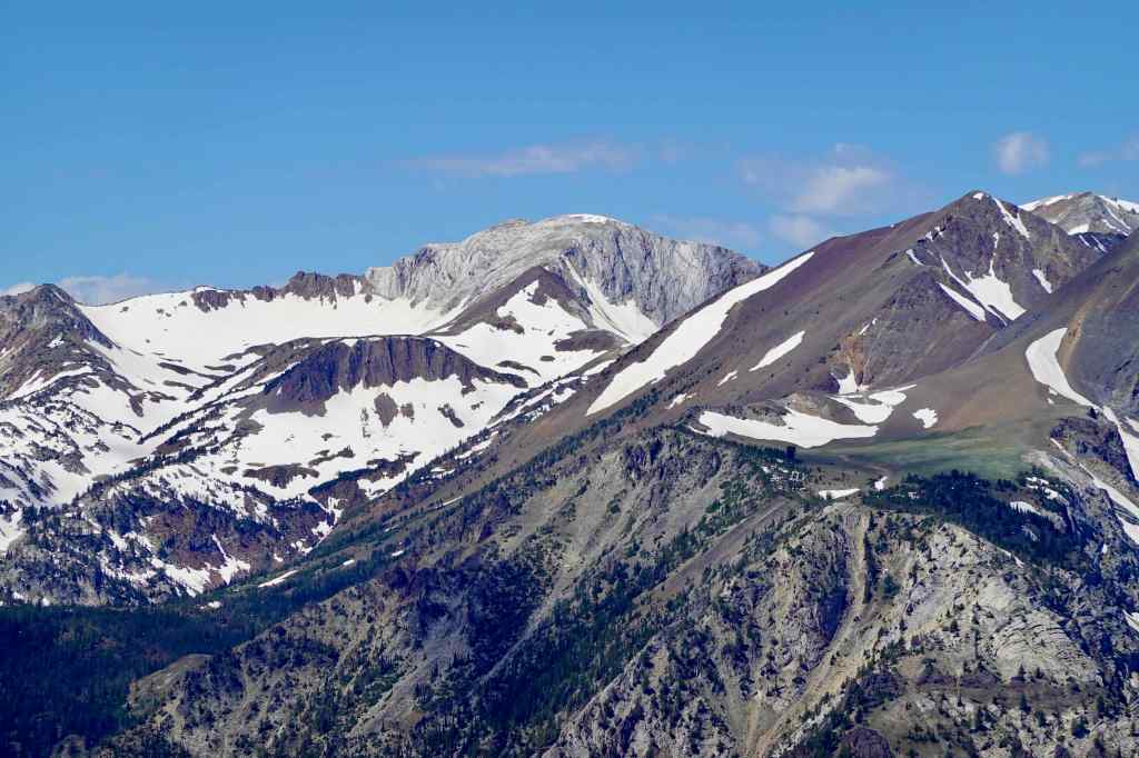
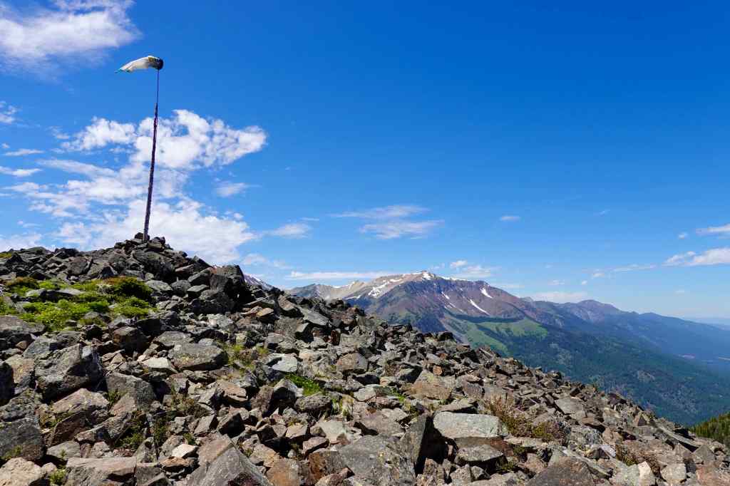
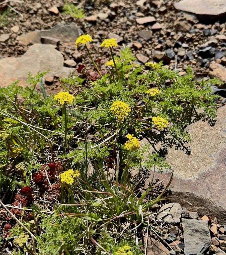
Lingering snow – some years there would still be snow on Mt Howard, but not this year.Continuing detail to the south and west, with yellow desert parsley in the foreground.More snow on these peaks, further into the range.More mountains, with giant waterfall.Closer view of the waterfall.The range tapers off to the northwest. I wish there had been some sort of peak finder up here, to name the mountains, but I could not find one.We saw one tiny patch of snow on the shady side of the Royal Purple Overlook.Next we walked to the Summit Overlook, here looking back toward people hiking up to the Royal Purple Overlook.The high alpine ground looks barren from a distance, but there were many small alpine flowers just about anywhere we looked, if we looked closely. Here, large clumps of phlox were blooming on the ridge.Here, the reddish alpine surface was rocky and speckled with wildflowers.Approaching the Summit Overlook.Panorama from the Summit OverlookLunch view toward the heart of the Wallowa Mountains.Closer view of a granite dome. I believe this is Sacagawea Mountain, 9844′, the highest mountain in the Wallowas.
Next stop was the Valley Overlook.
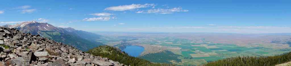
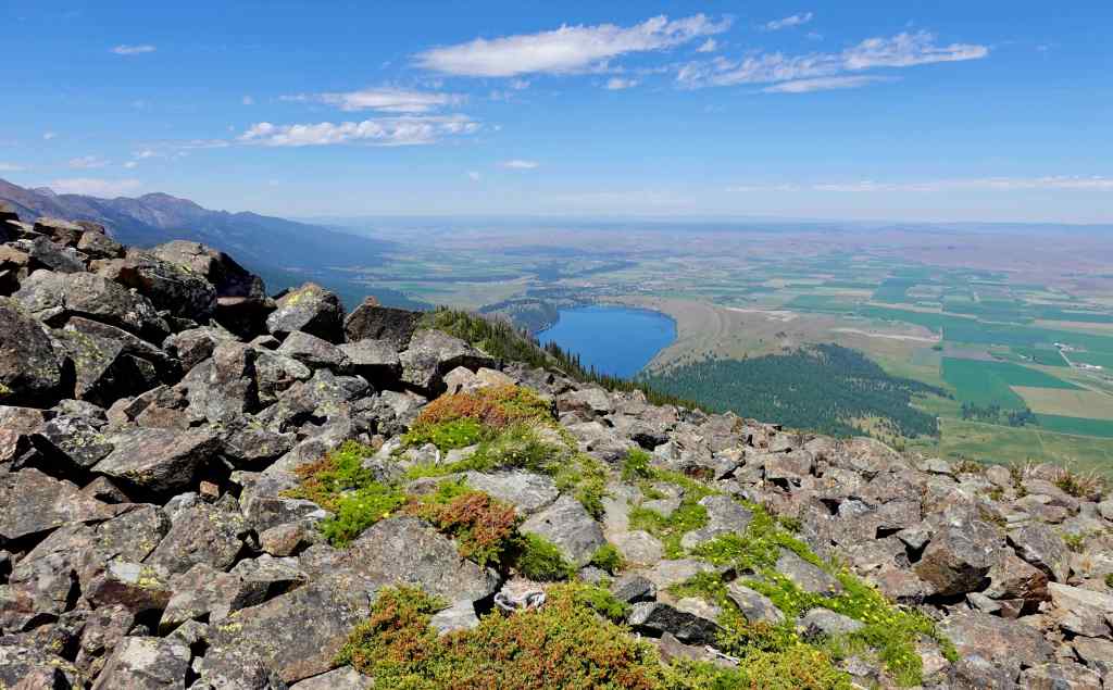
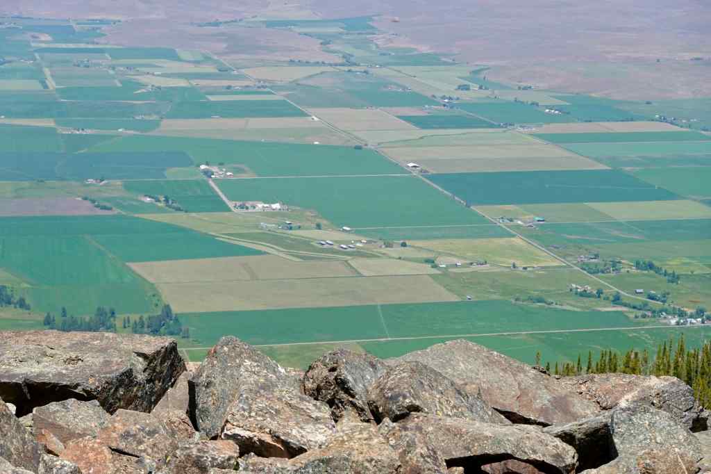
The Valley Overlook is also a hang gliding launch spot.Panorama to the northWallowa LakeFarmlands to the north.Seven Devils Mountains in Idaho, across the Snake River.
A variety of alpine wildflowers were scattered over the summit.
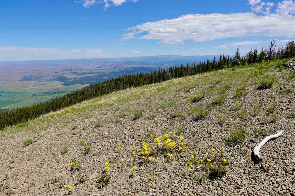
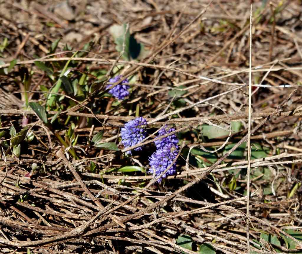
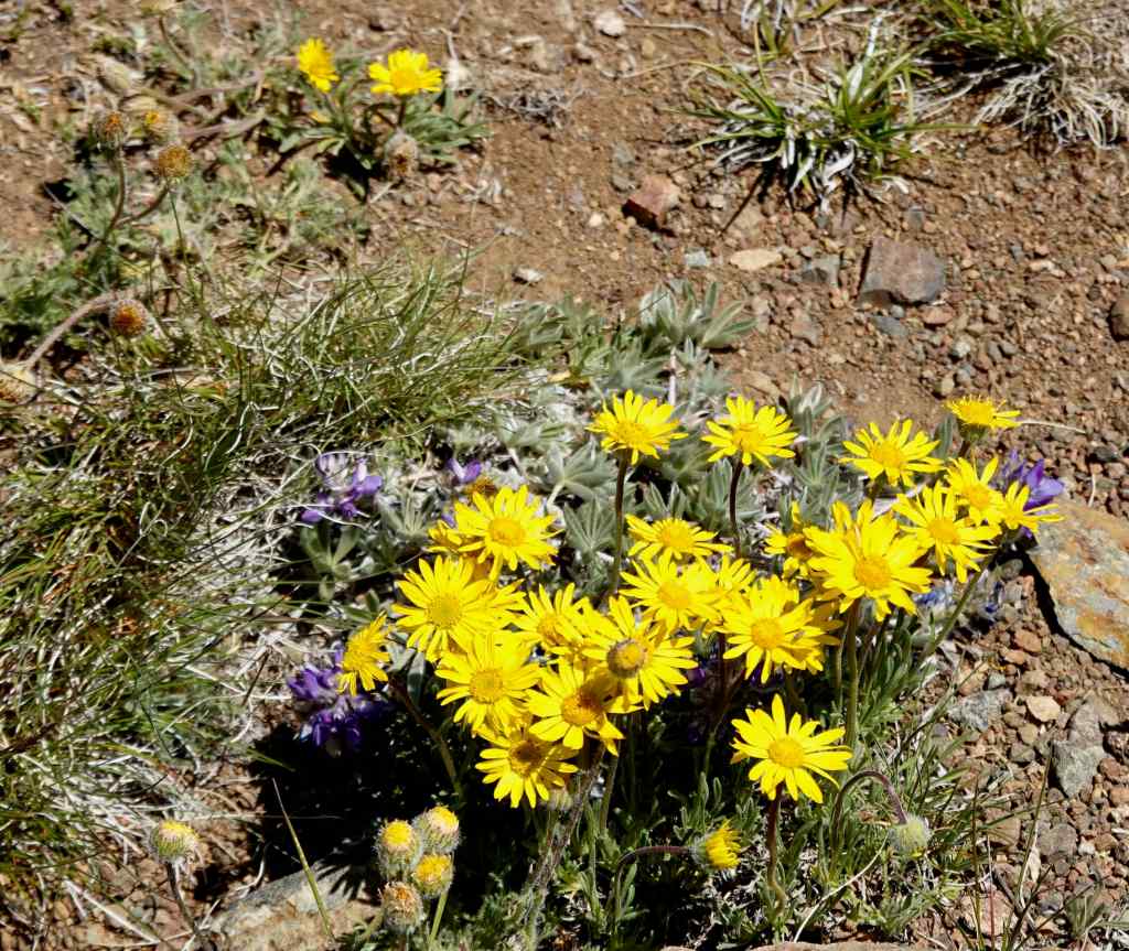
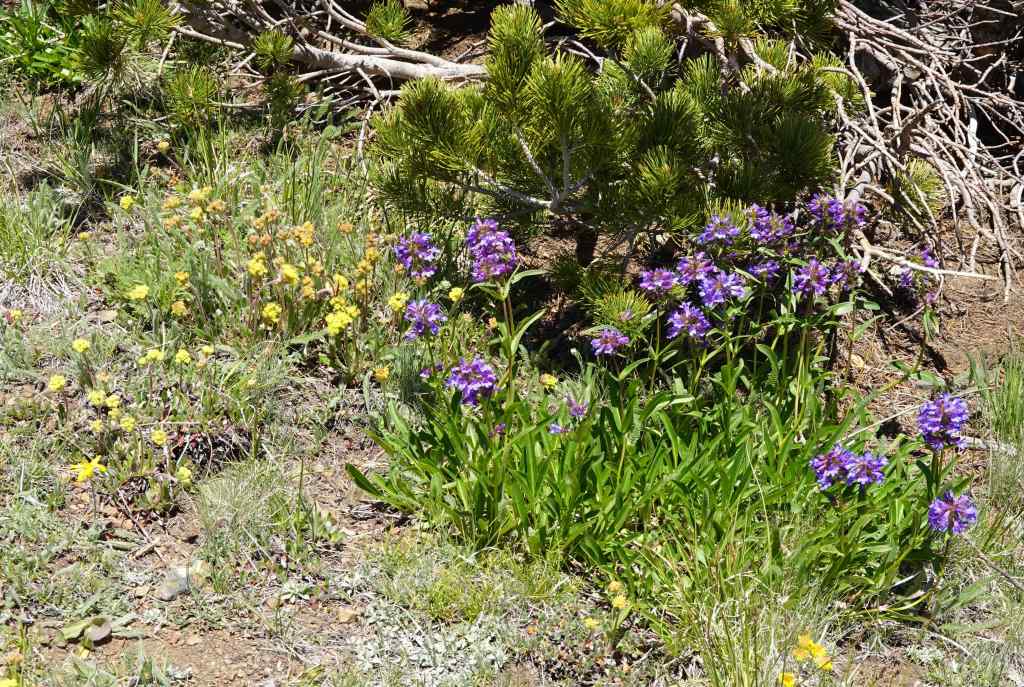
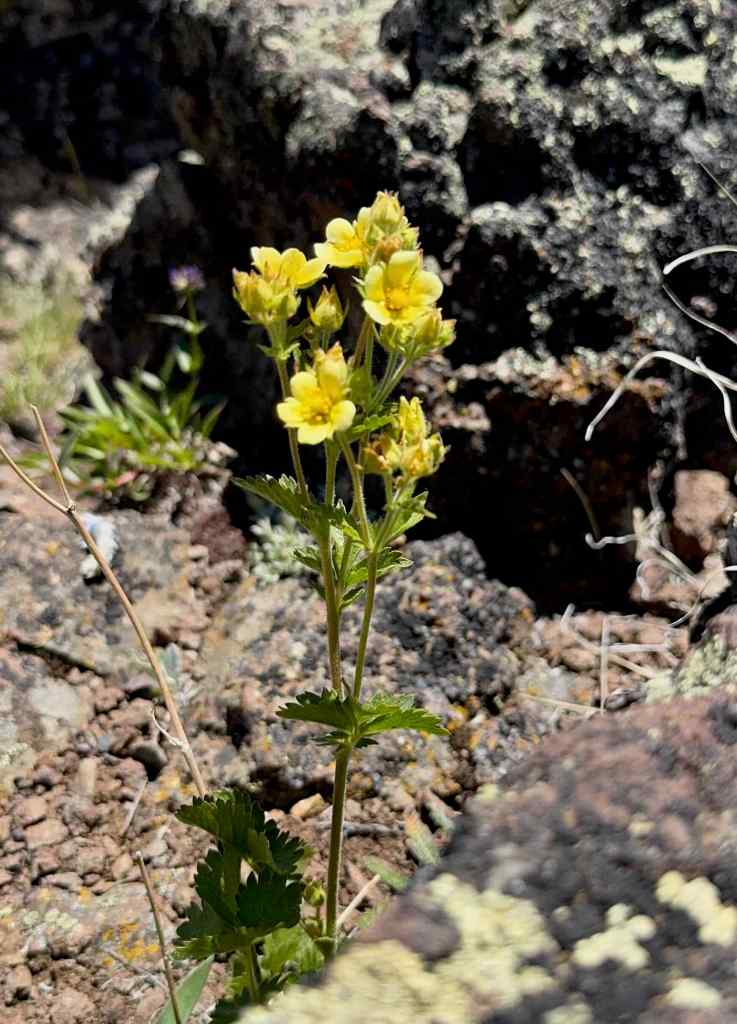
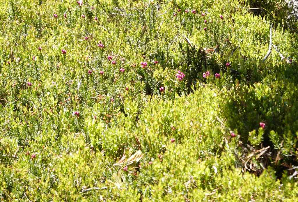
Kittentails, found near that one snow patch.Oregon SunshineDesert parsleyPrairie smoke, lousewortPenstemon, cinquefoilCinquefoilHeather, where the soil was a little deeper.
The top of Mt Howard gives only gives a glimpse into the alpine wilderness here, and I suppose that is just as well, for the environmental protection of it all. I’m glad I finally got to see all the views from the top.
Going down.
6/19 – Iwetemlaykin Sunset
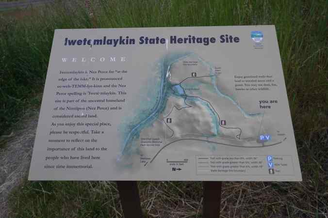
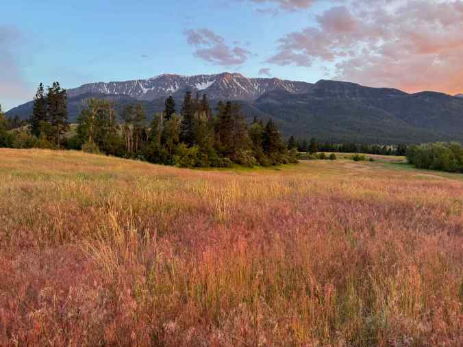
We walked a short way into this heritage site that is just north of Wallowa Lake, and saw another gorgeous sunset!
Heritage site historyGolden grasses, changing color with the light.Snow capped peaks,Neon streaks in the sky.
6/20 – Zumwalt Prairie Preserve
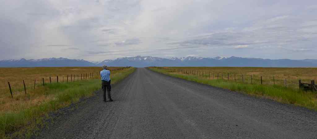
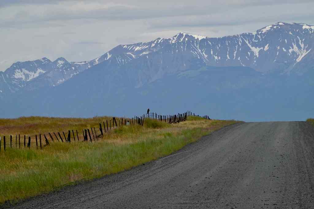
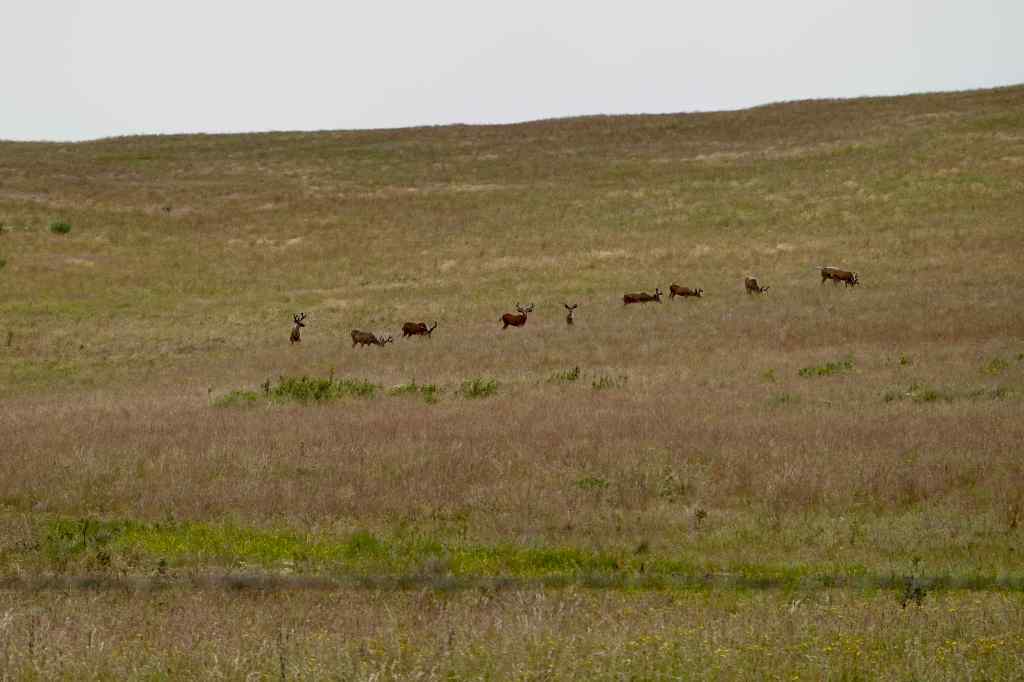
We stopped to look at hawks and elk on our drive to this high prairie preserve.
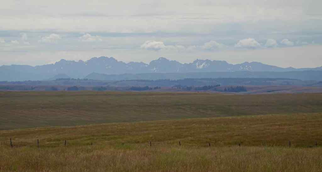
Looking behind us at the Wallowa Mountains, and a hawk on the fence.Hawk, Wallowa MountainsLooking east toward the Seven Devils in Idaho.Elk
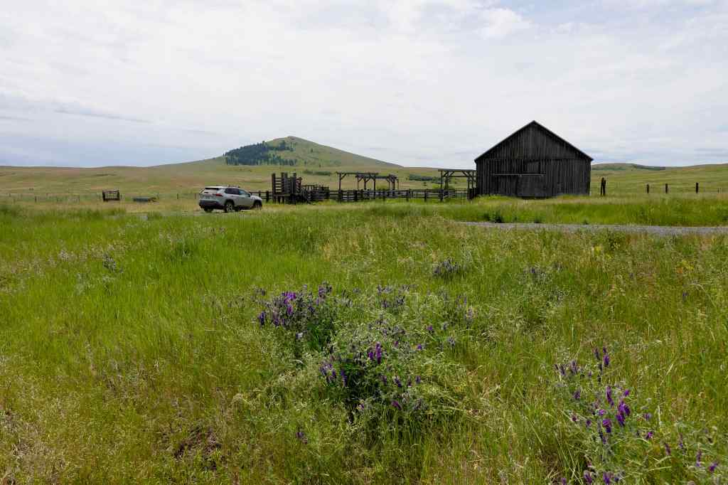
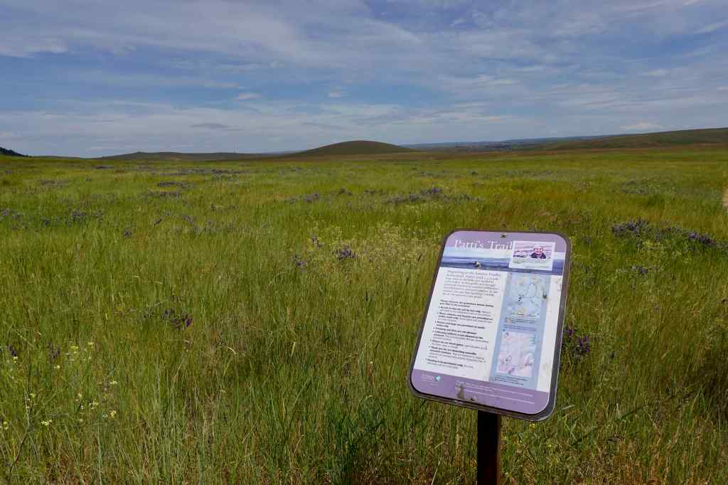
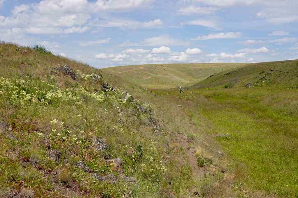
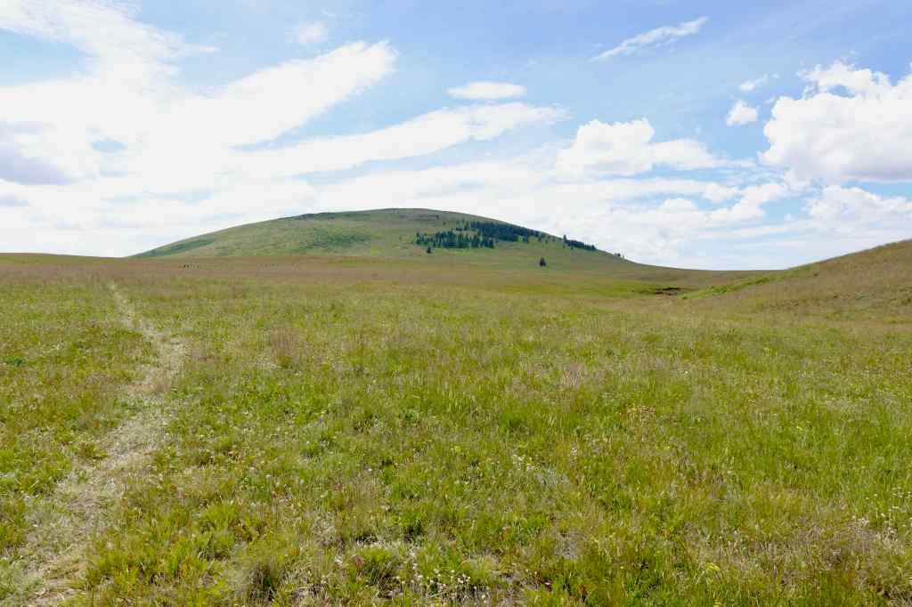
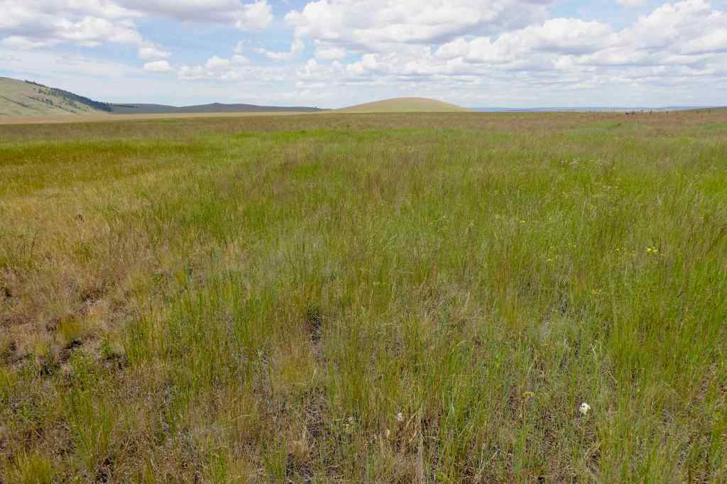
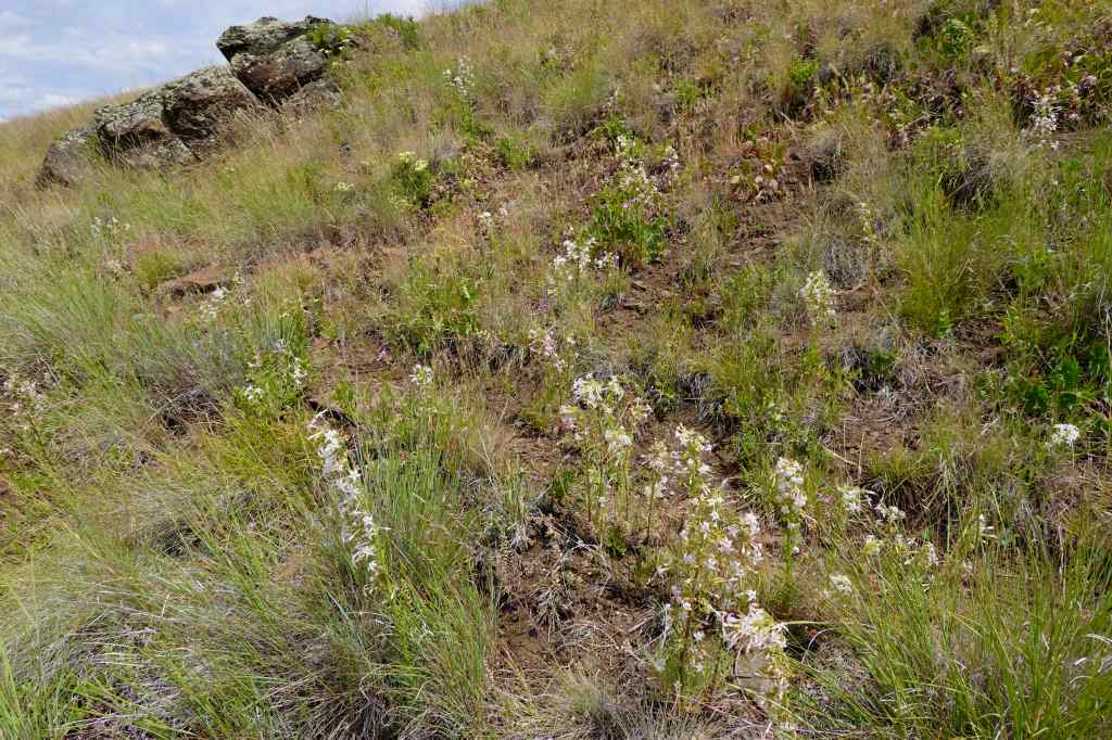
We parked at the Duckett Barn Trailhead, elevation about 4600 feet, and walked the 2.6 mile Patti’s Loop Trail. Swathes of flowers were still blooming in the prairies, but the grasses were drying out, and many of the flowers had gone to seed. A couple of weeks earlier likely would have been more colorful!
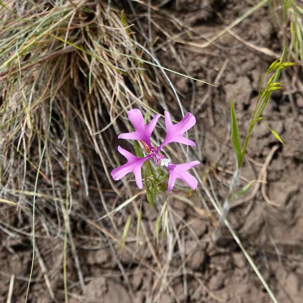
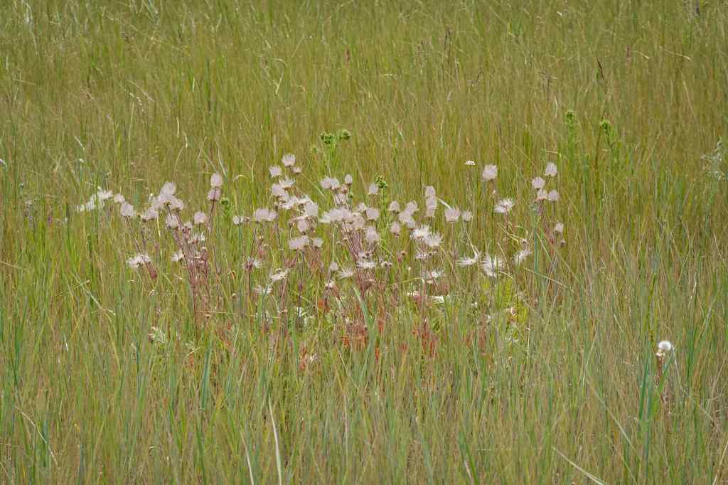
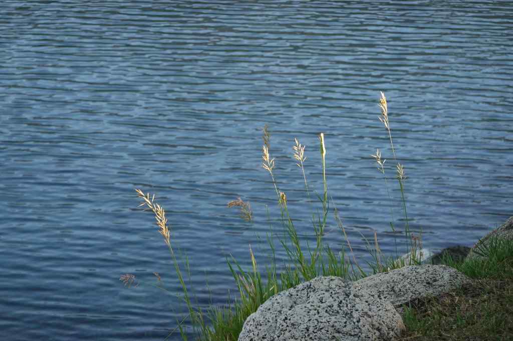
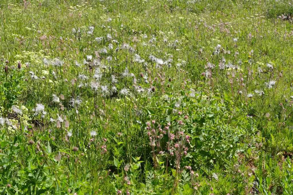
Duckett Barn, purple vetch in the foreground.Patti’s TrailPrairie smoke. I had seen this only rarely before this trip, but it was prolific throughout the prairies here, and I gained appreciation for the completely appropriate name, as the hairy seed heads create clouds floating in the grass.Many clusters of yellow cinquefoilPatches of yarrow and Ragged Robin Clarkia hiding in the grass.Redwing blackbirds were perching and flying in the meadows near the spring.Clumps of buckwheat along the trail.Circling back toward the barn,The puffy clouds and the blue sky were shifting the light quality throughout the day – sometimes the grass was glowing! It was beautiful, but getting quite warm!
More flowers:
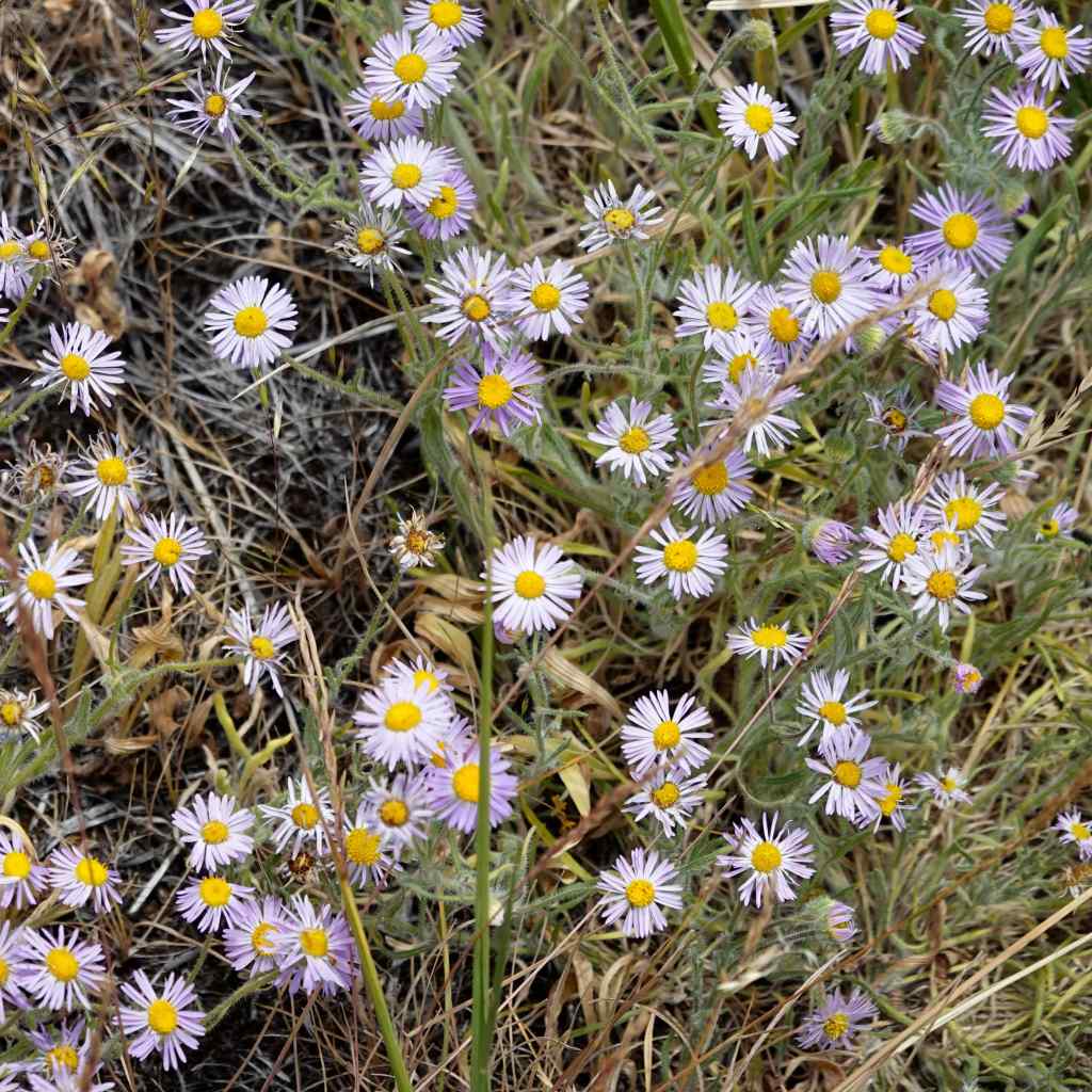
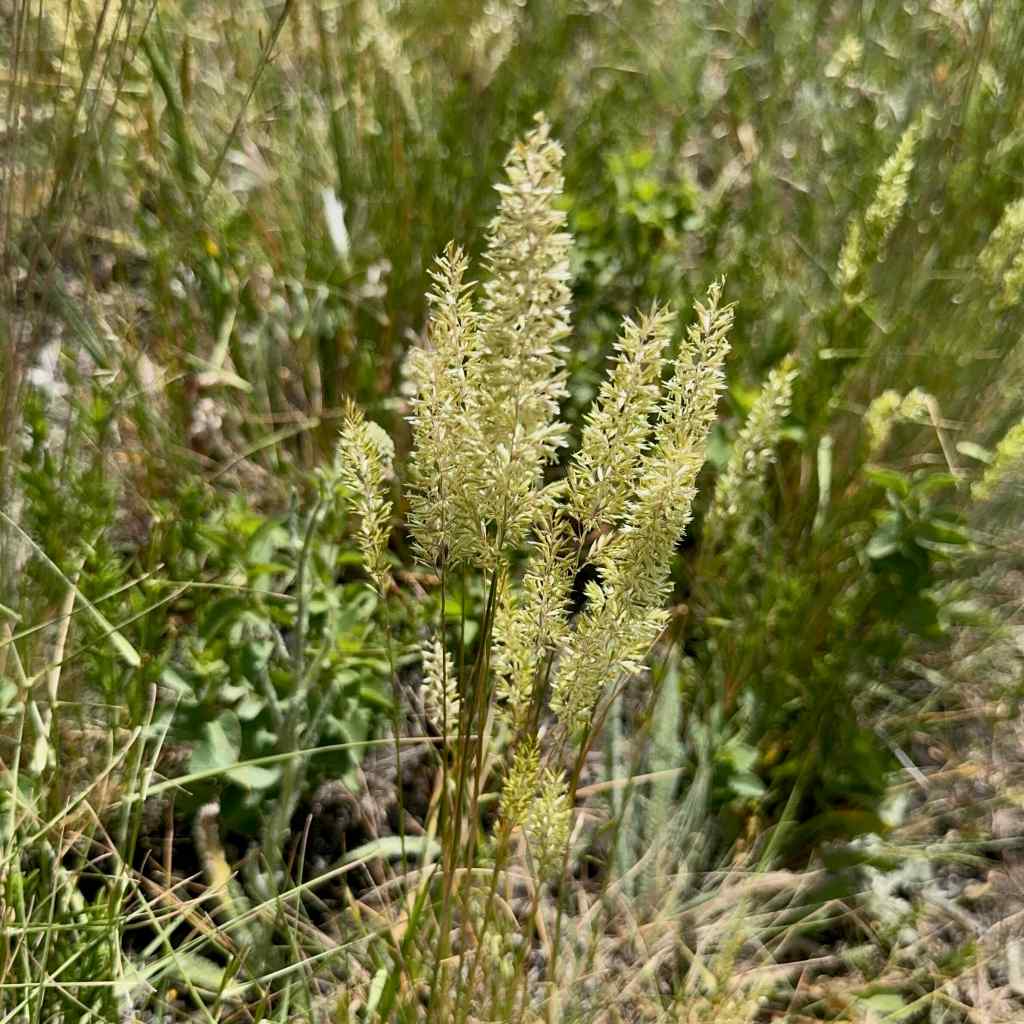
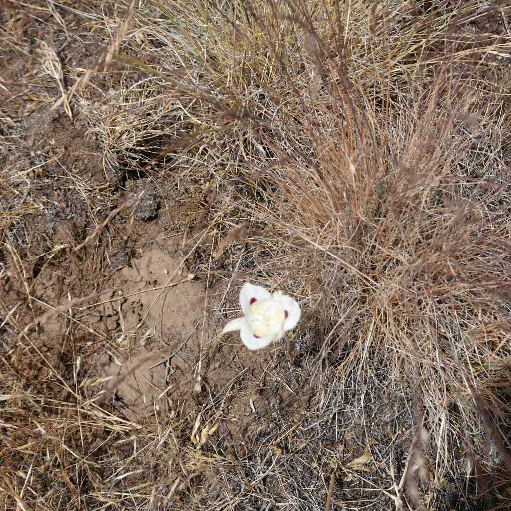
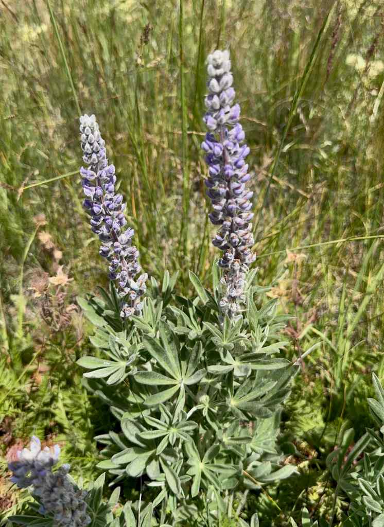
Pale pink skyrockets – first time I’ve seen them this color, they are usually scarlet.FleabanePrairie JunegrassMariposa LilyLupineRagged Robin ClarkiaPrairie smoke
We had planned another short hike in the area, but it was too hot to continue in this shadeless landscape for me. Instead, we went back to Enterprise for dinner, then out again to watch another sunset.
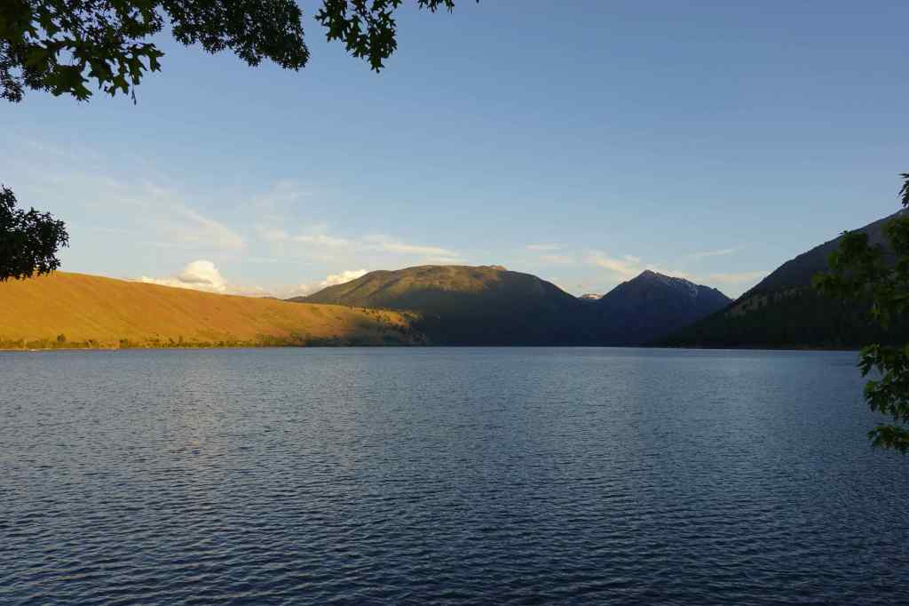
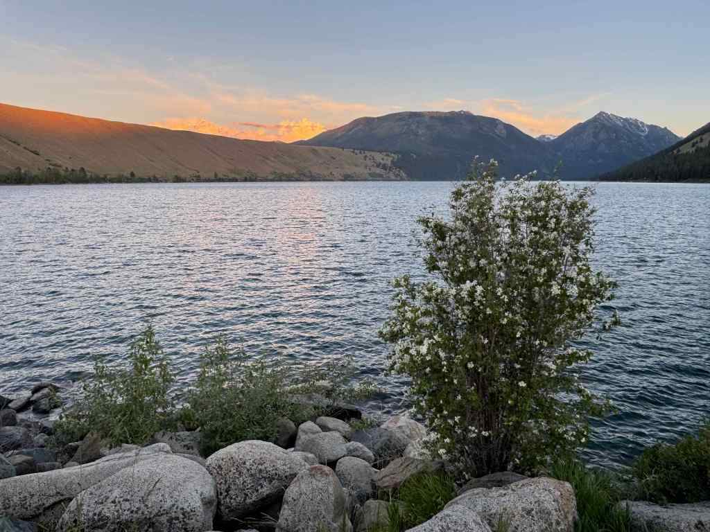
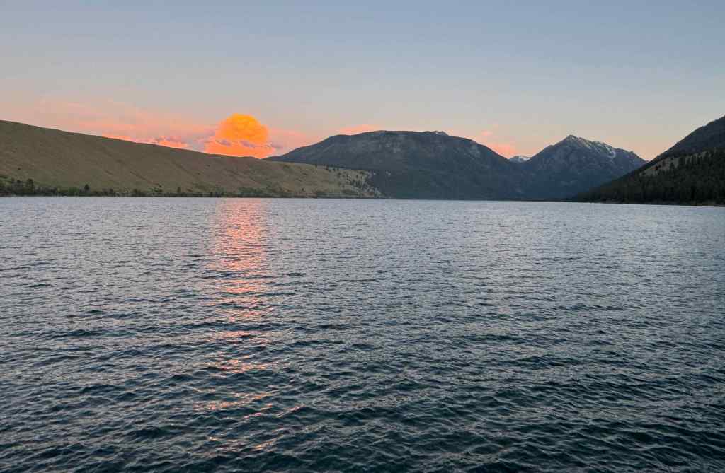
6/20 – Lake Wallowa Sunset
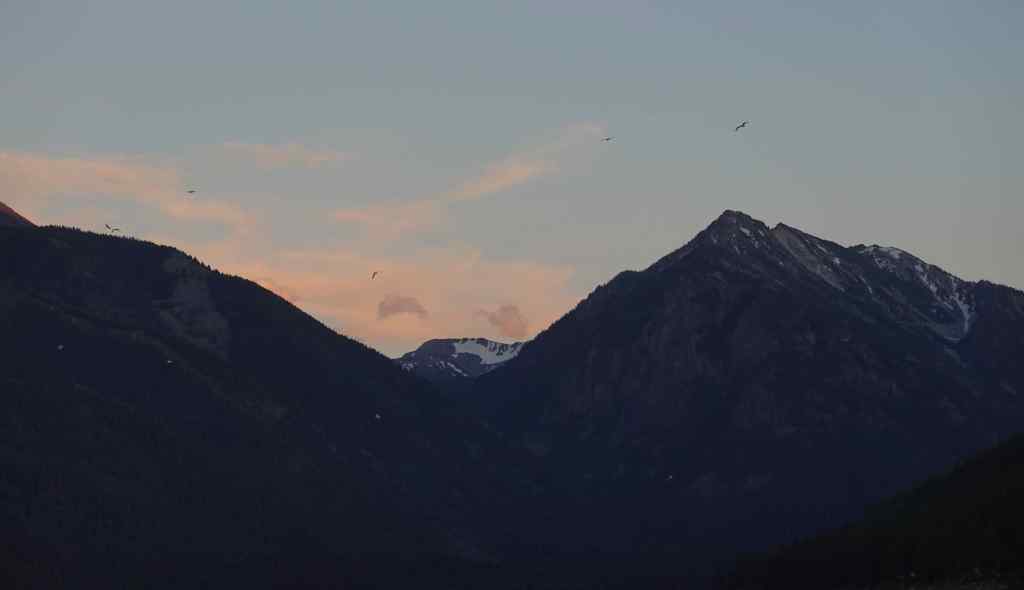
We found a spot on the north shore of Lake Wallowa, and waited for the show. Fish jumping, a flock of geese? circling and flashing in the low light, alpenglow, a large thunderhead turning pink as the dark settled around us. I actually put on my light fleece layer for the only time this week.
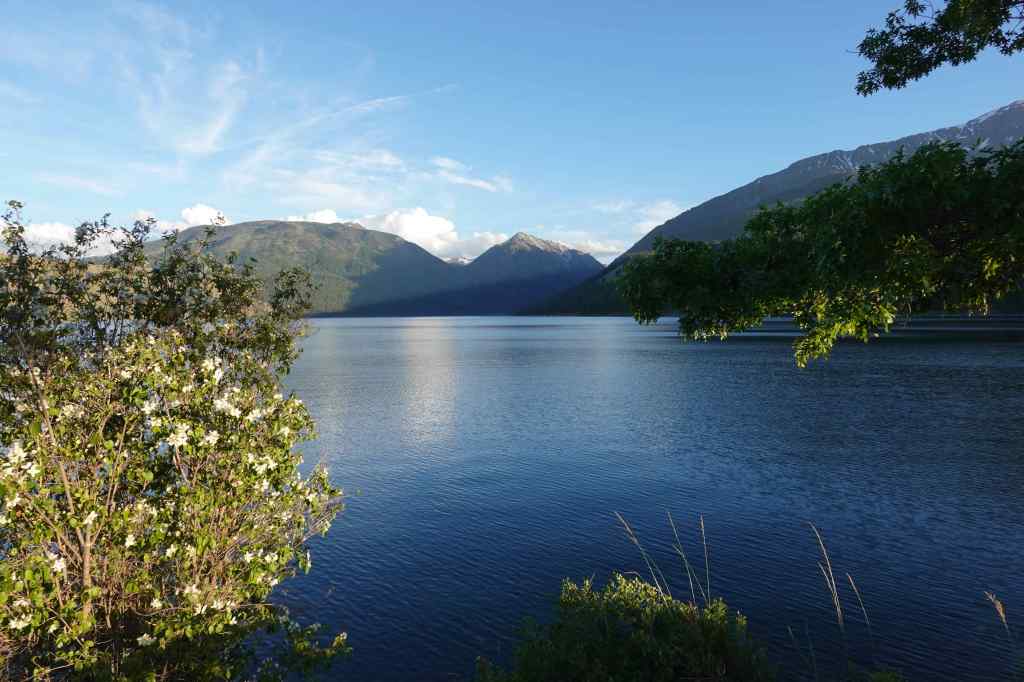
Wallowa Lake and Mountains, mock orange bushGlowing grassesEast Moraine lighting up again.Clouds beginning to turn pink.Geese flying in the low light.Bright pink thunderhead
6/21 – Hat Point/Hells Canyon
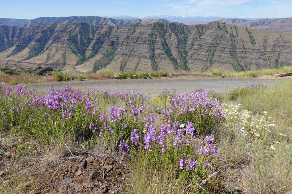
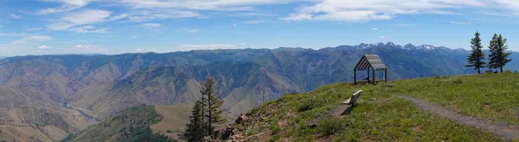
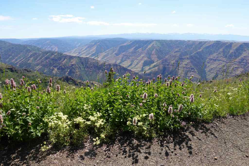
Driving the steep, sometimes single-lane road, up about 5000 feet in 25 miles, was not as scary as we’ve always heard, though there are occasional steep cliffs below the roadway. At the Five Mile Viewpoint, we stopped to look at the Imnaha River Canyon, and to look closer at the flowers we had been passing – penstemon, cinquefoil, paintbrush…
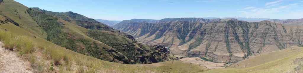
Penstamon flowers were blooming all along the road.Panoramic view of the Imnaha Canyon, and the Wallowa Mountains to the west.
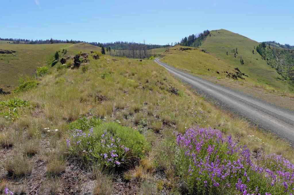
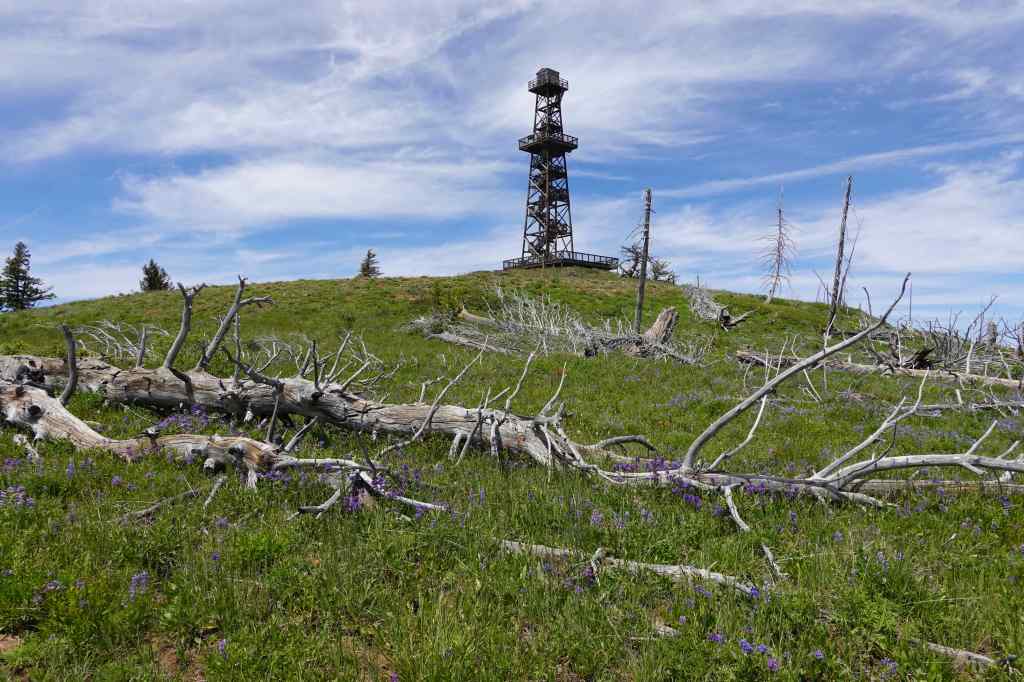
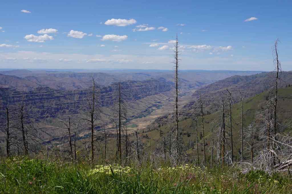
The road continues south along this partially burned ridge (fires in 1989, 2007, 2022).
This ridge top road is scarred by wildfires.
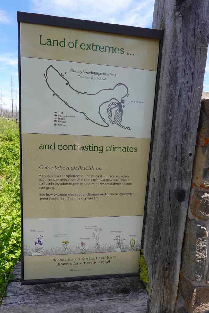
We continued past the Granny Viewpoint Overlook. We decided to save the loop walk there for our return drive – we wanted to eat lunch at Hat Point Overlook.
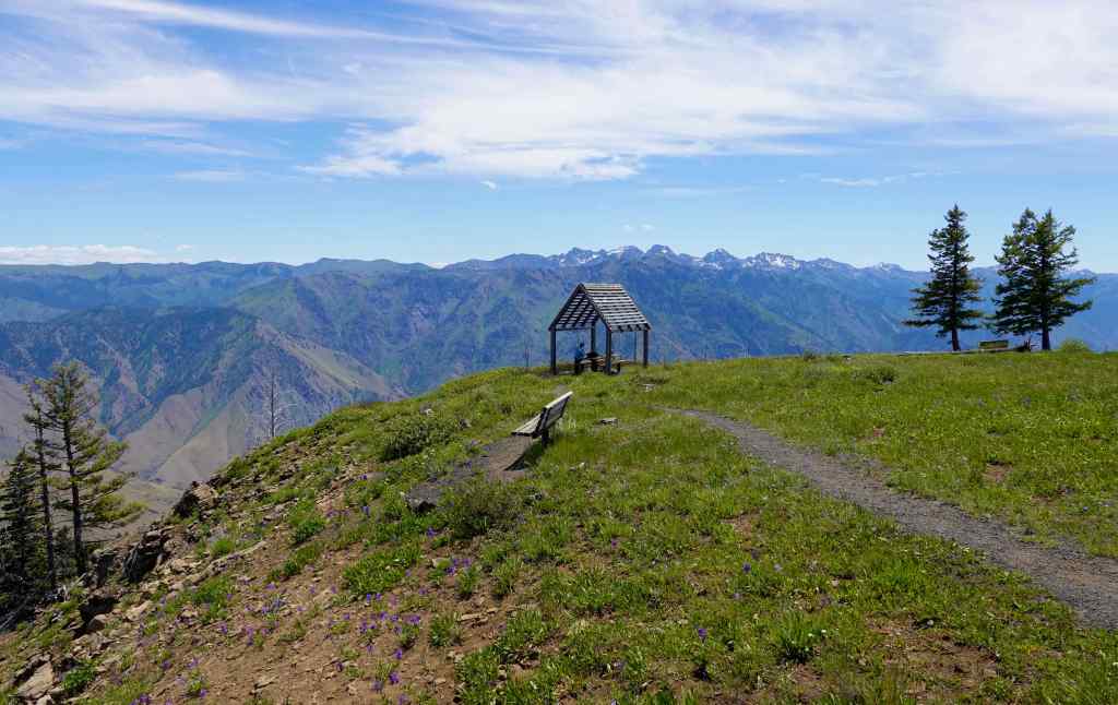
Hat Point Overlook – We were the only people there for about an hour. We found a table with a perfect view in every direction for our lunch.
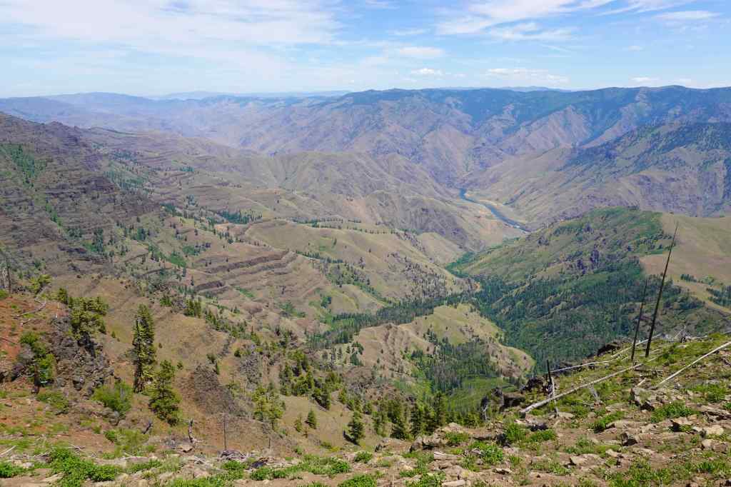
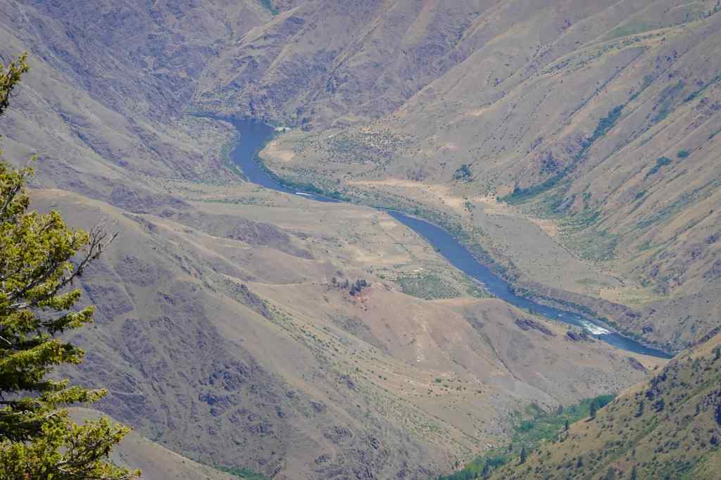
Walking through wildflower meadow to the Snake River Overlook area.Panorama view, Snake River on lower left, Seven Devils Mountains in Idaho on the right.Closer view of the Snake River Canyon, flowing to the north.Snake River; there is a jet boat in the farther reach.Lunch with a view…
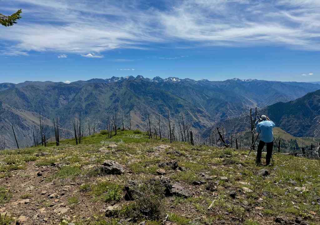
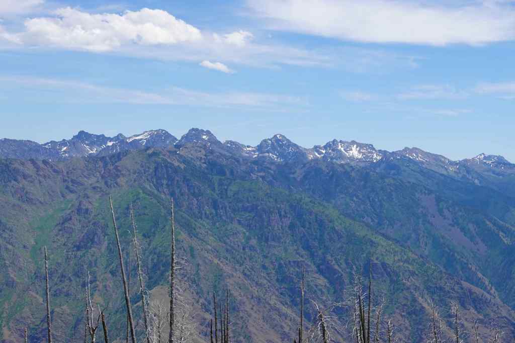
After lunch, my husband practiced photography toward the Seven Devils Mountains in Idaho.
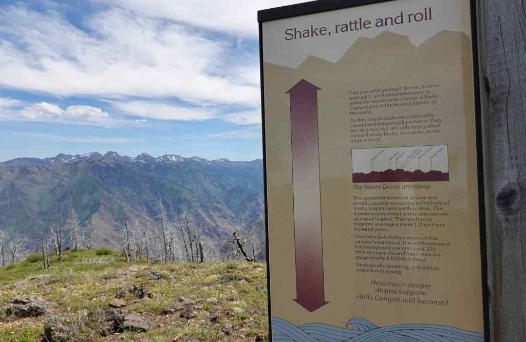
Seven Devils MountainsSeven Devils MountainsNames and geology info
I had recently listened to the book Astoria, by Peter Stark, in which he describes in detail the difficulties of an overland expedition the across the continent in 1811, to establish the fur trade on the west coast. The expedition was particularly challenged in this area around the Snake River, which I could well imagine, as we gazed upon this harsh yet beautiful landscape on a warm summer day.
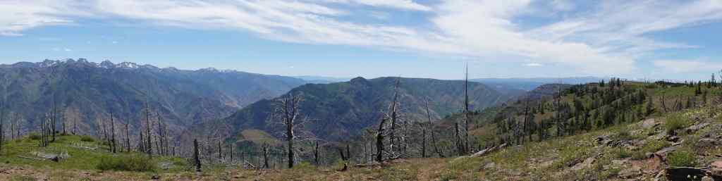
Panorama circling to the south – Seven Devils to the left, Wallowa Mountains to the right.
We walked the trails around the Hat Point Lookout Tower (closed), looking at flowers around us and canyons below us.
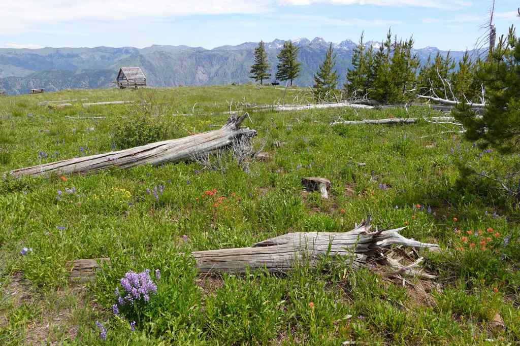
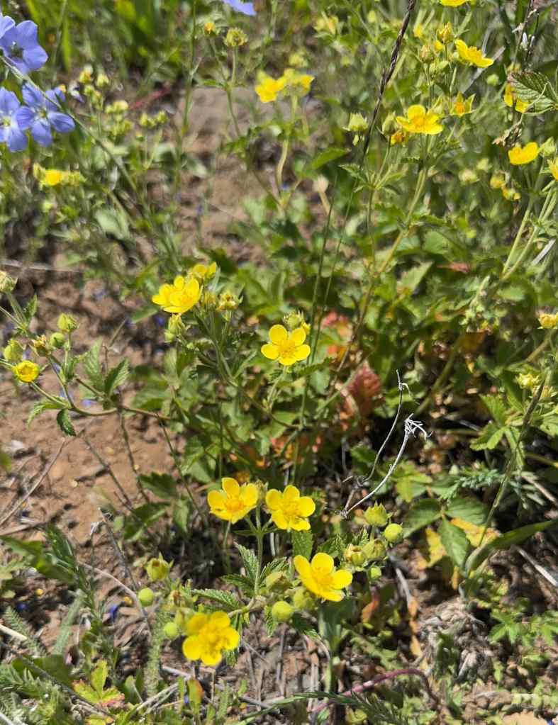
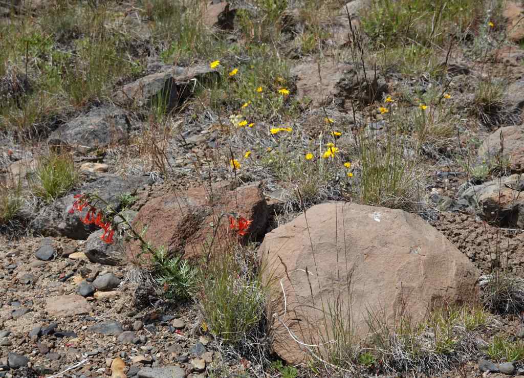
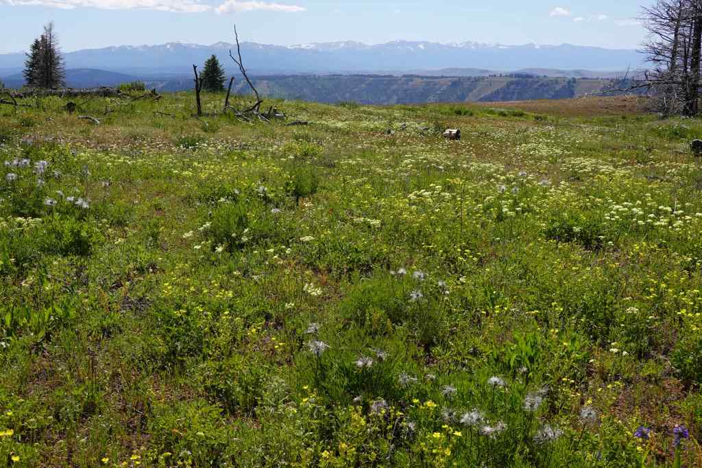
Hat Point Fire Lookout Tower – was wrapped in protective materials when the wildfires burned this area.Wildflower meadows with a view – paintbrush, penstemon, cinquefoil…CinquefoilGiant hyssop and penstemonJessica’s stickseedScarlet gilia and Oregon sunshineWildflower meadows with a view.
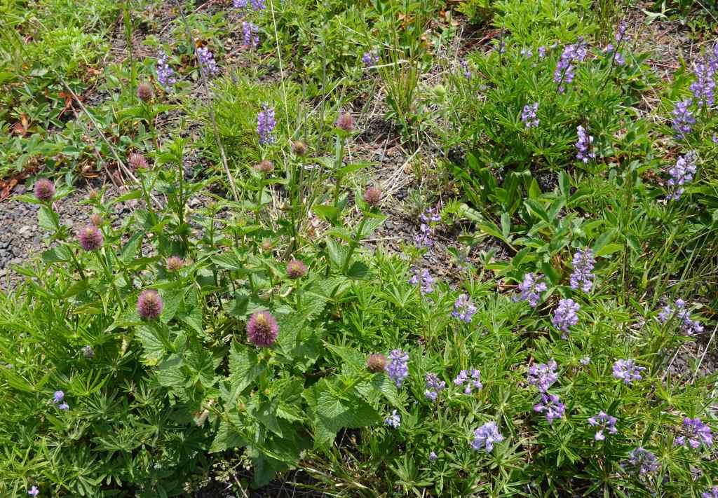
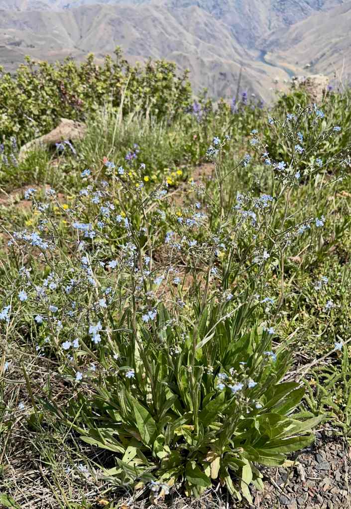
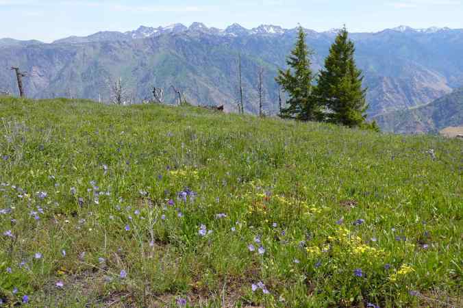
On our return drive, we stopped at Granny Point for the half mile loop walk, more flowers and views. An abundance of flowers were in bloom: scarlet gilia, penstemon, mock orange, ceanothus, lupine, clematis, prairie smoke, Columbian lewisia, and Ragged robin clarkia…
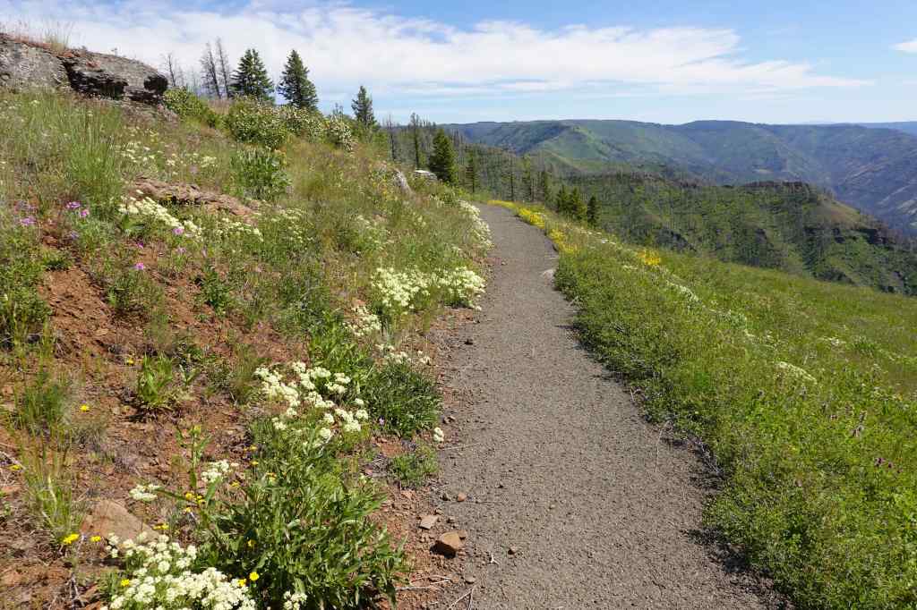
Granny’s Viewpoint on the Hat Point Road, overlooking Imnaha Canyon.Imnaha Canyon, looking north.Looking west, toward the Wallowa Mountains across wildflower meadows.View to the south, toward the Imnaha Canyon.Buckwheat and ragged robin-lined trail back to start.Prairie smoke, clematis, cinquefoil, and many more.
More wildflowers:
Columbian LewisiaRagged robin ClarkiaWild onionsPrairie smoke, clematis and more
Back in Enterprise, there was no colorful sunset on this cloudless hot night.
6/22 – Hurricane Creek
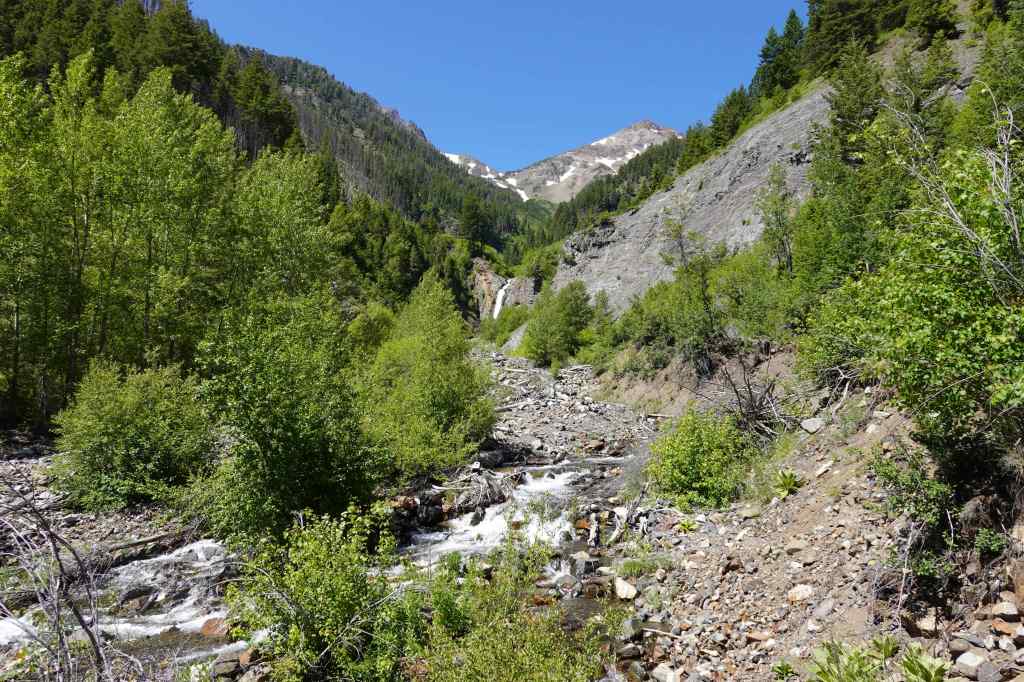
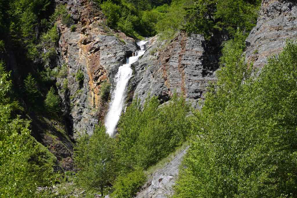
Another warm day. Most of the trails near here go straight up, and are more suited to overnight trips. It was hot at these lower elevations! We walked along lower Hurricane Creek, then took the side trail up to the Falls Creek Falls viewpoint. We found a shady spot near the confluence of Falls Creek and Hurricane Creek to eat lunch.
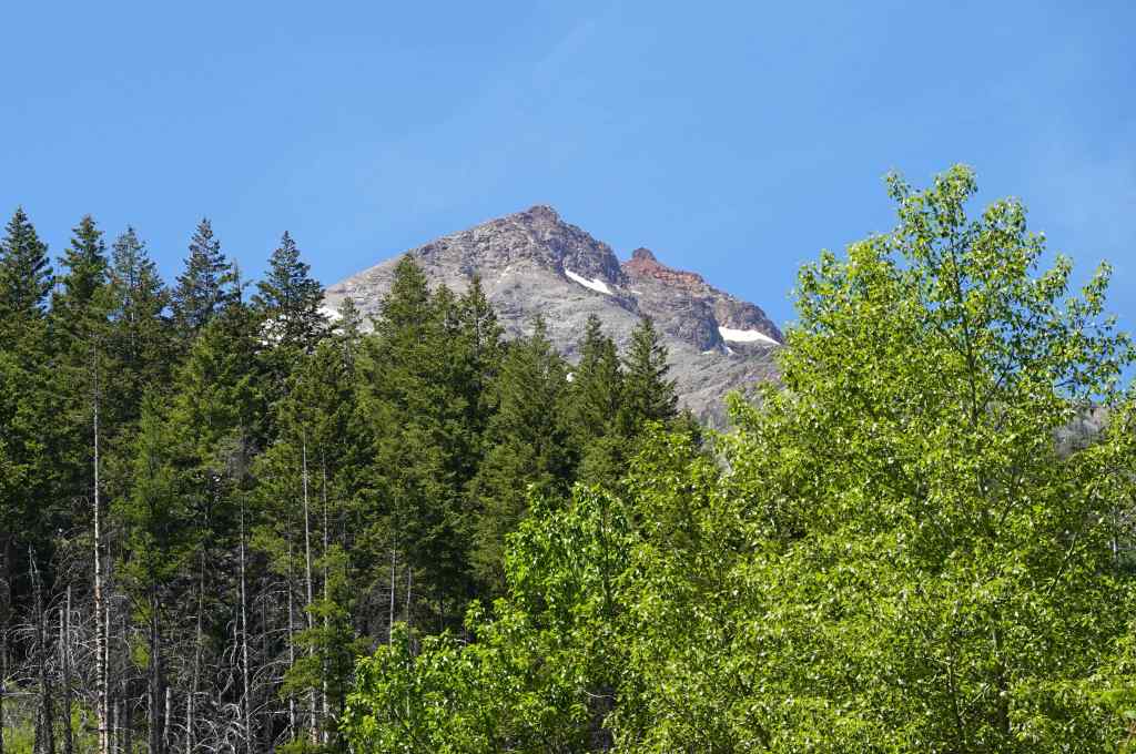
Falls Creek Falls, Wallowa MountainsCloser view of Falls Creek FallsNearby lava-capped peak
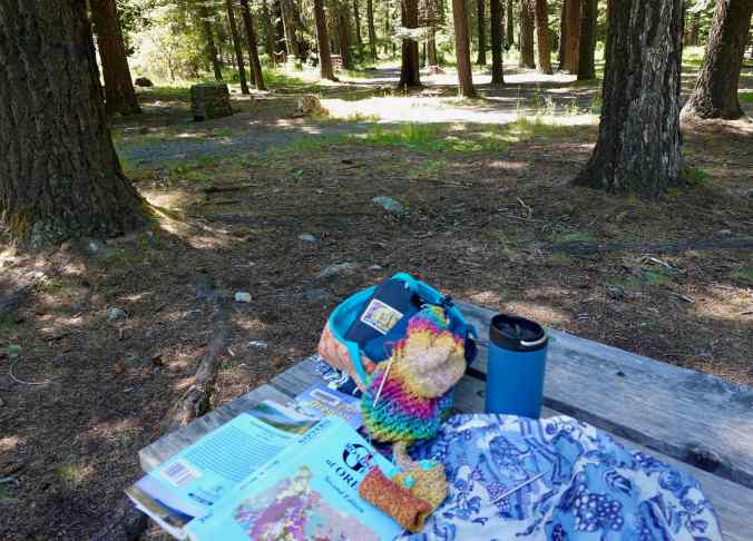
Later, I sat in the shady picnic area enjoying peaceful forest shade, while my husband took the trail to BC Falls. It was peaceful, a good place to sit on a hot afternoon, reading, writing, listening, knitting.
Little Alps picnic area near the Wallowa Lake Trailhead.
In all, we enjoyed this early summer eastern Oregon interlude. We got to see the tail end of the spring wildflower season, and the views of the Snake River from Hat Point. And we saw it all before the terrible wildfires that have ravaged eastern Oregon this summer began. These particular areas did not burn this year, but there has been so much smoke and many travel restrictions. We are glad to have finished our trip uneventfully in that respect. Not all of our summer travel plans were so lucky…