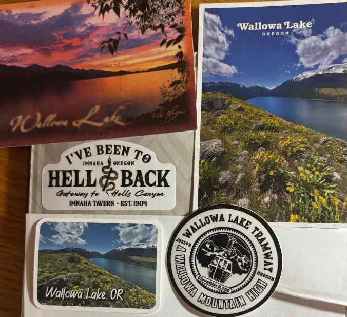
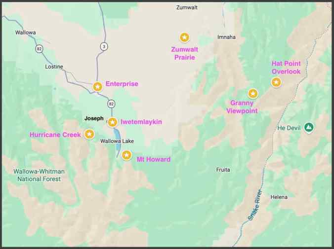
We drove to Enterprise, Oregon, to stay for five nights while we visited locations in the Wallowa Mountains and nearby Zumwalt Prairie. It was a bit warm, and I am still regaining my stamina, so we didn’t try any of the more challenging hikes there, but we managed to see some amazing views of mountains, wildflowers and sunsets. We were here briefly once before, over 30 years ago, and have long been wanting to return, to see these special places.
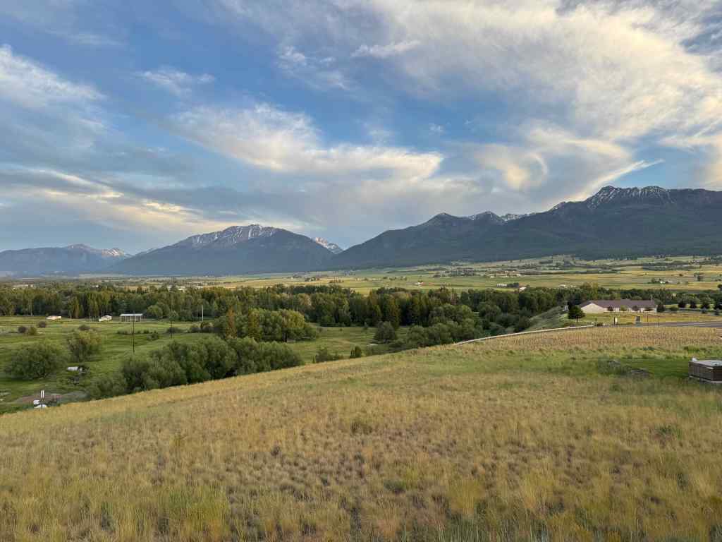
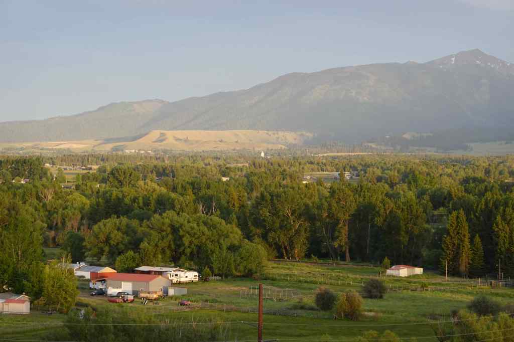
6/18 – Enterprise Sunset
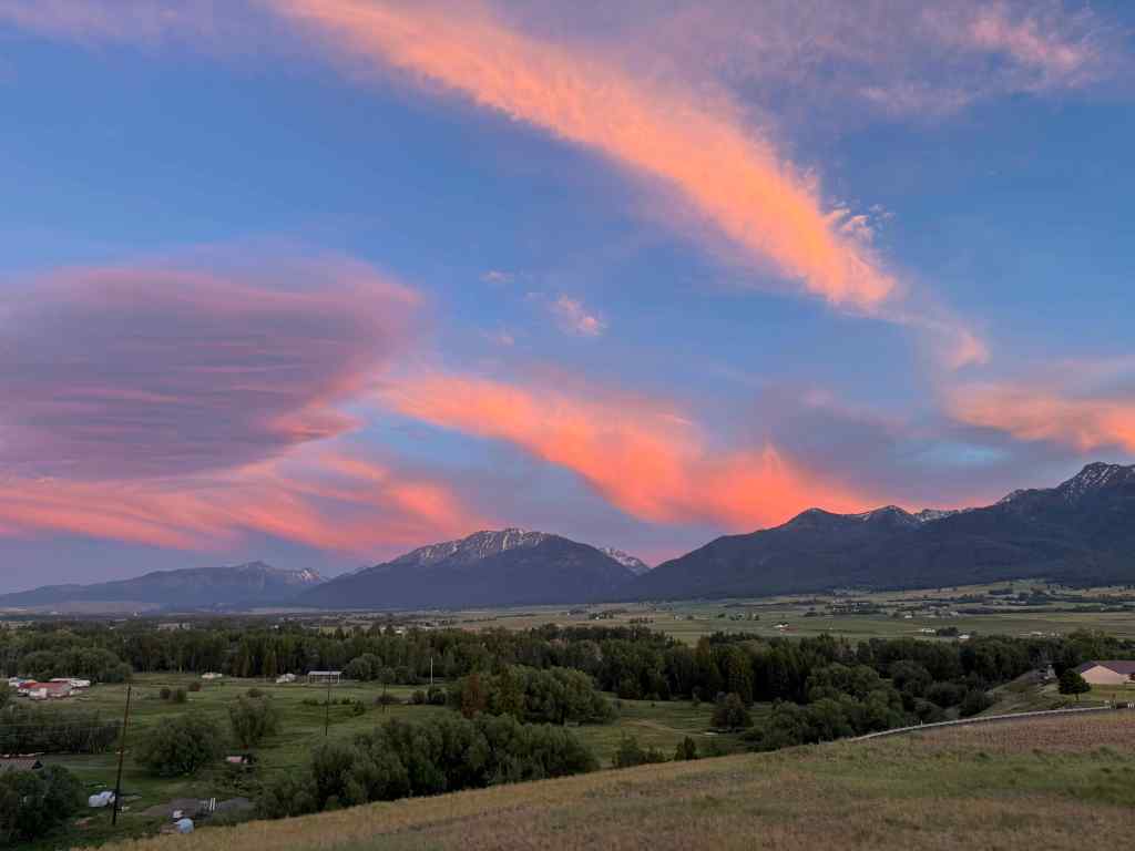
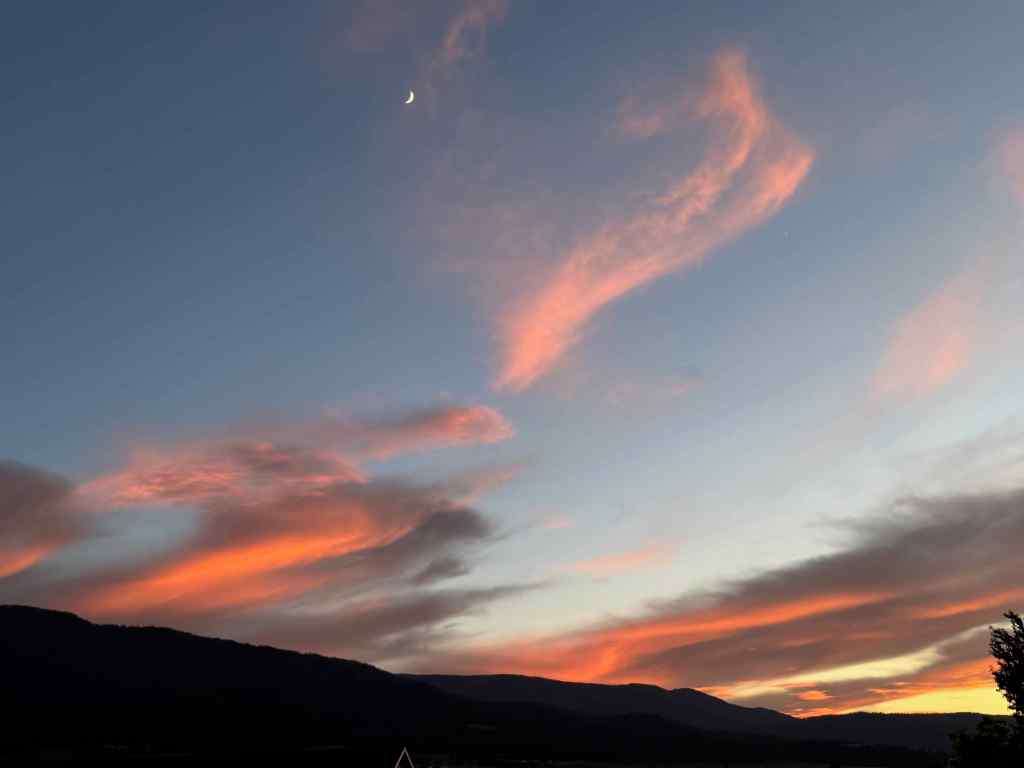
Our hotel is on a butte above town with a view of the Wallowa Mountains. We noticed the sky turning pink, then spent an hour watching the light over the mountains, the crescent moon, and the glowing pink sky.
6/19 – Mt Howard
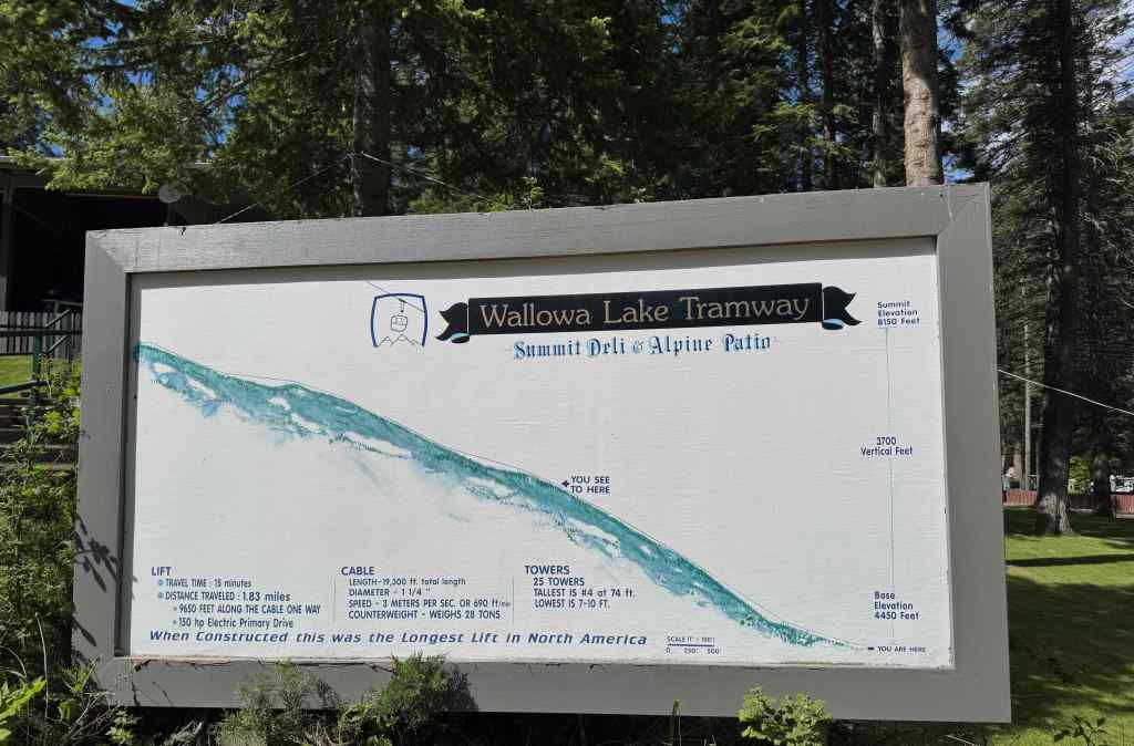
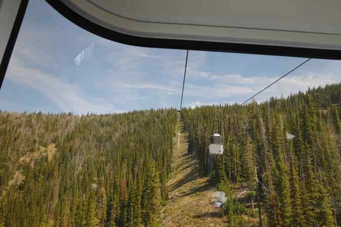
The Mt Howard Gondola is the only easy way to get up into the high country of the Wallowa Mountains, with its beautiful alpine lakes and glaciated peaks – an echo of the High Sierra of my youth. Most of the Wallowa Mountains are roadless wilderness, so people backpack or horsepack to see the really beautiful interior. The day we visited this area 30 years ago, the gondola was closed. Today I finally had my chance to see what I could see from this high perch. We rode the gondola up 3700 vertical feet, and 1.83 miles, from 4450 feet to 8150 feet in about 15 minutes.
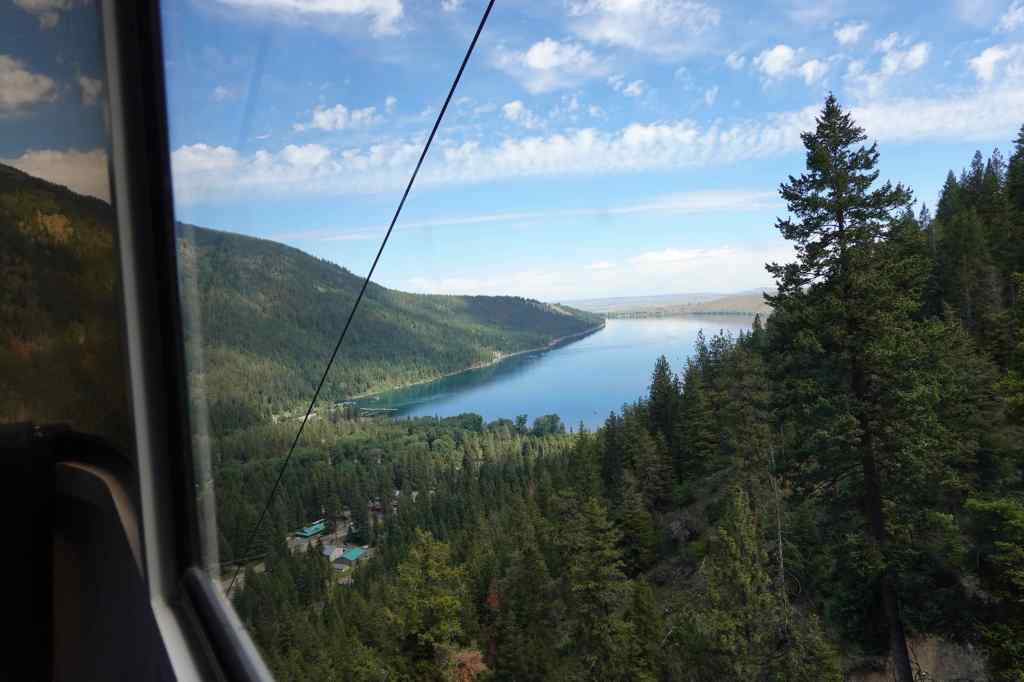
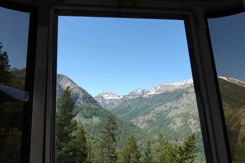
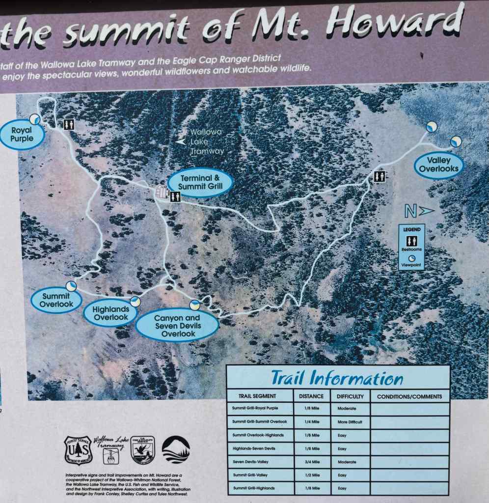
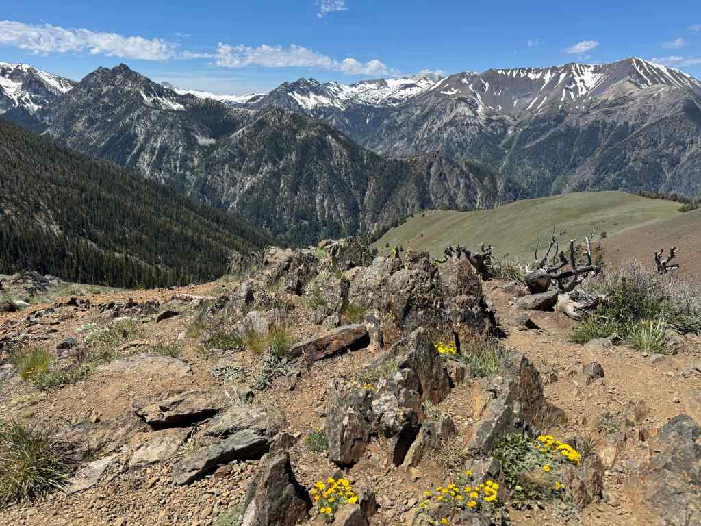
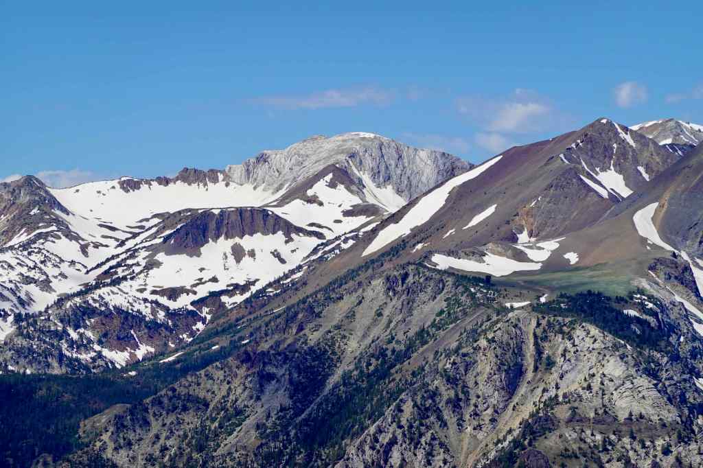
From the top we looked into the heart of the mountains, and walked all the summit trails to the viewpoints. It was hot, with a slight breeze, and we were in no hurry, so took our time. We went counterclockwise, first stopping at the Royal Purple Overlook.
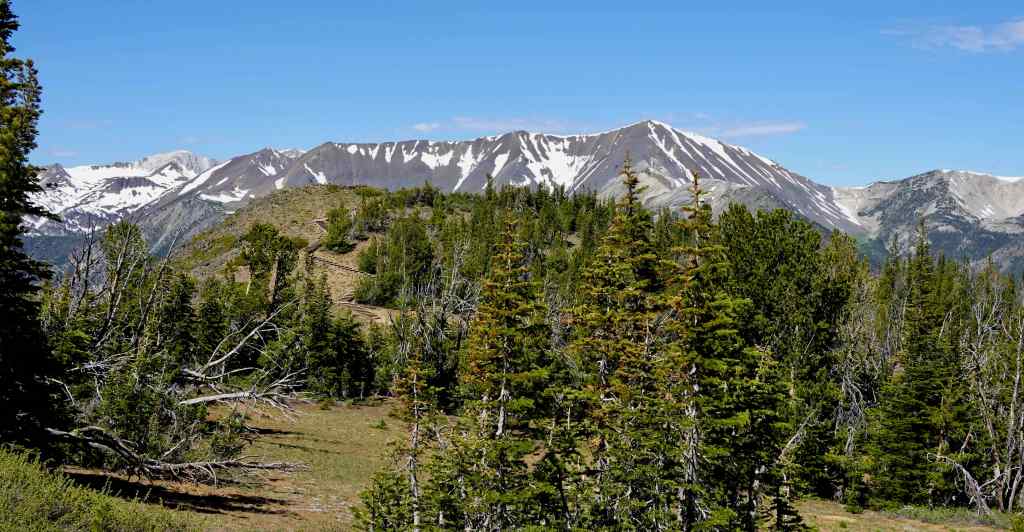
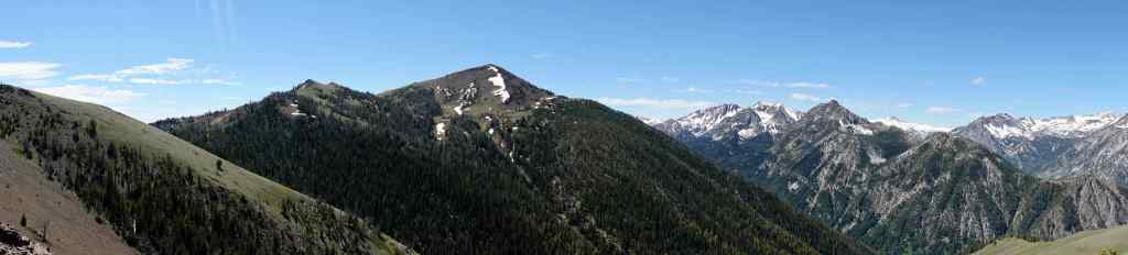
Next will be closer views into the heart of the mountains, from southeast to northwest…
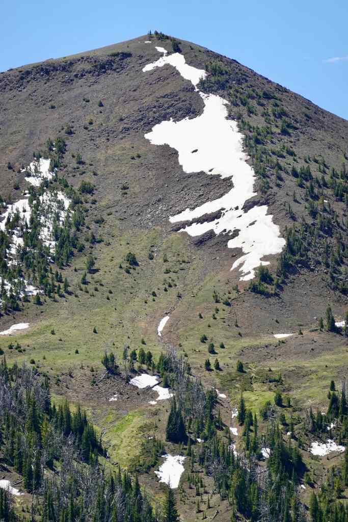
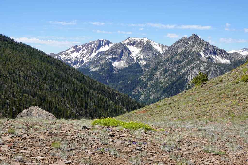
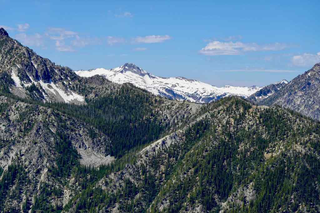
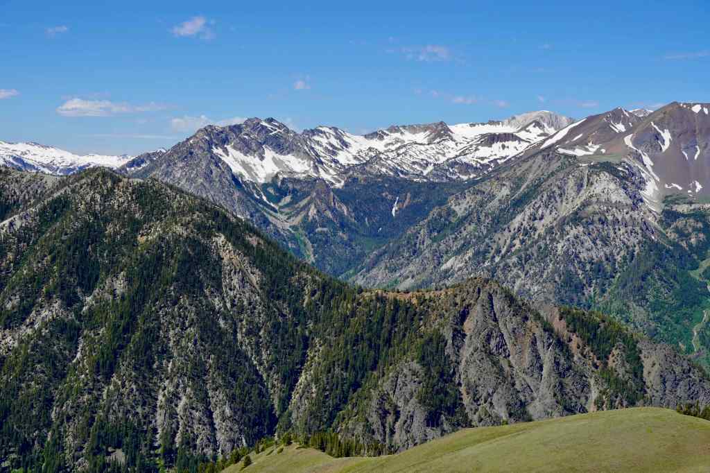
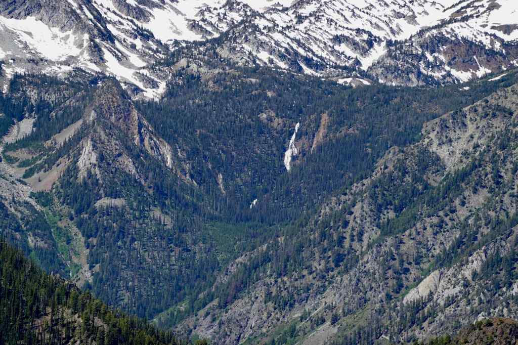
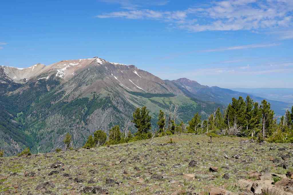
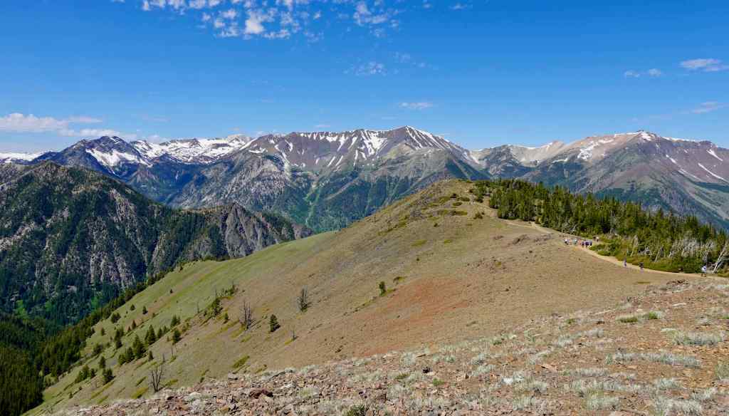
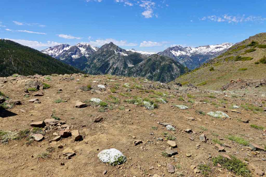
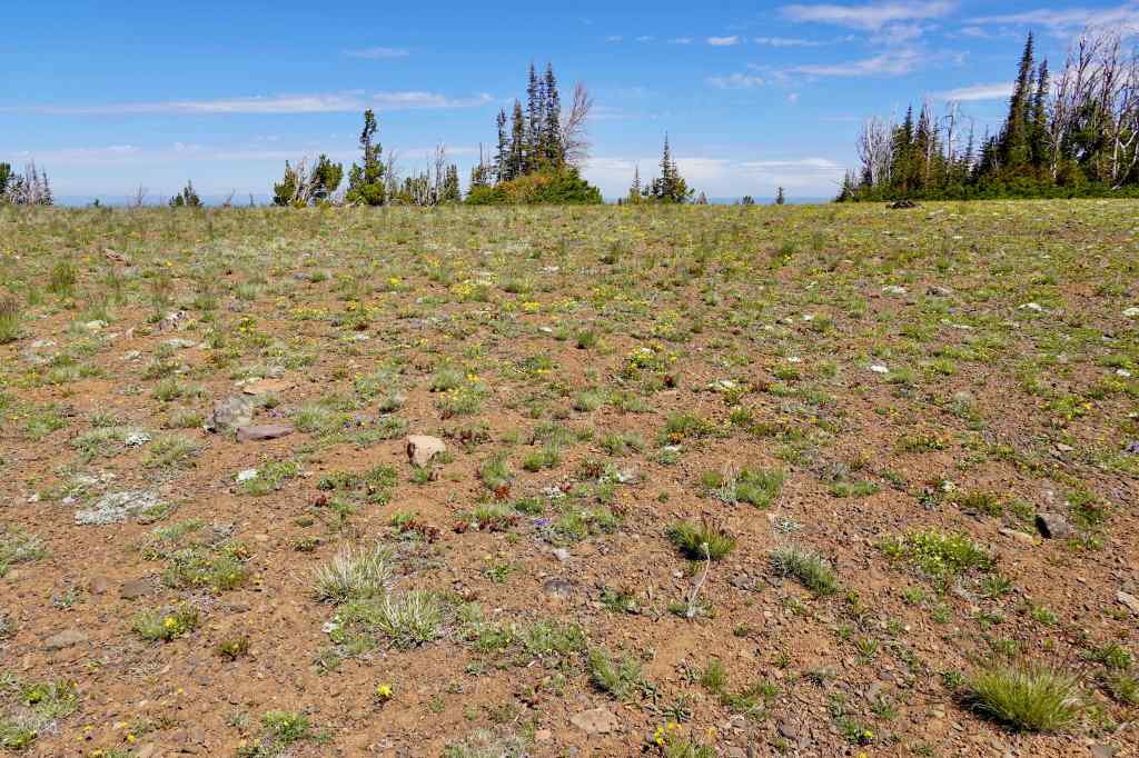
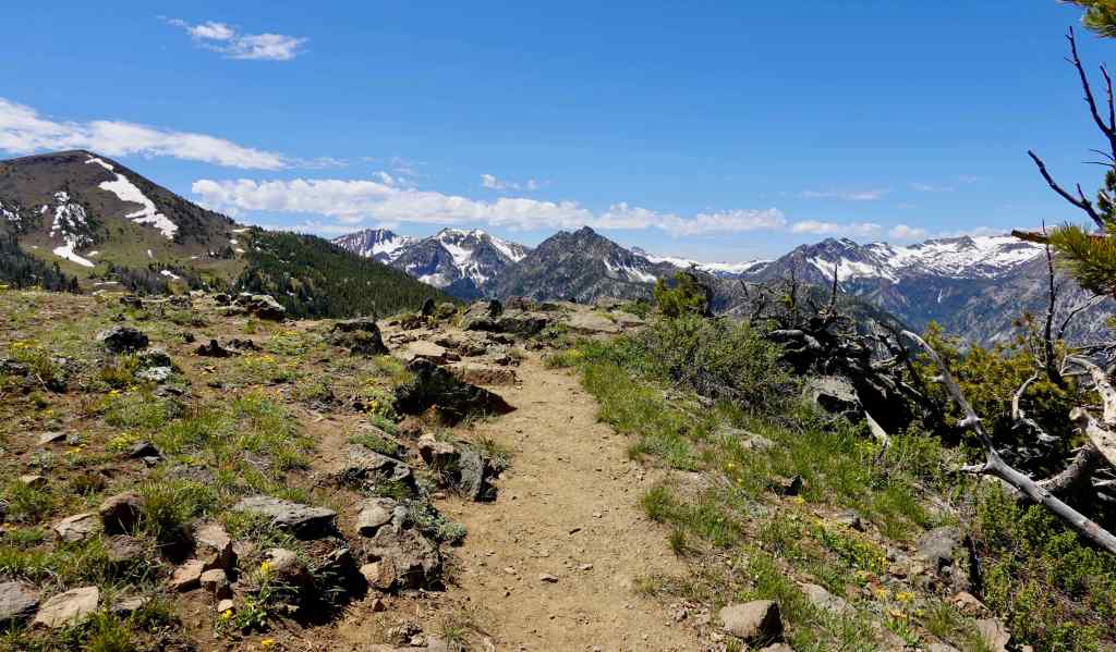
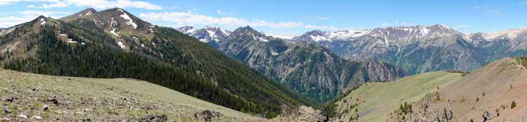
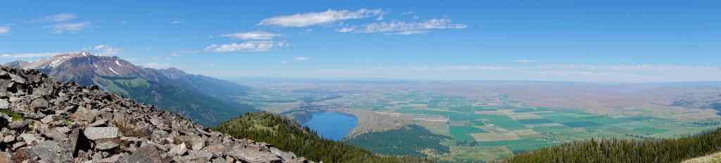
Next stop was the Valley Overlook.
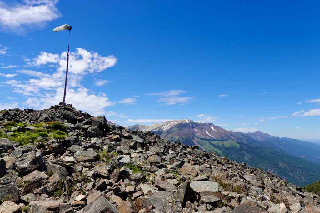
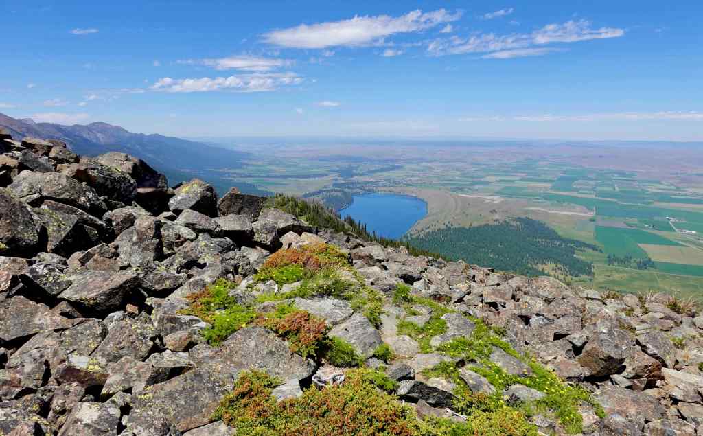
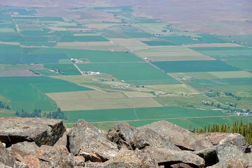
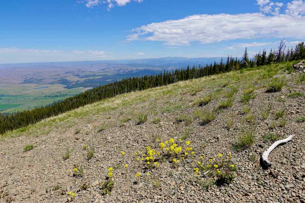
A variety of alpine wildflowers were scattered over the summit.
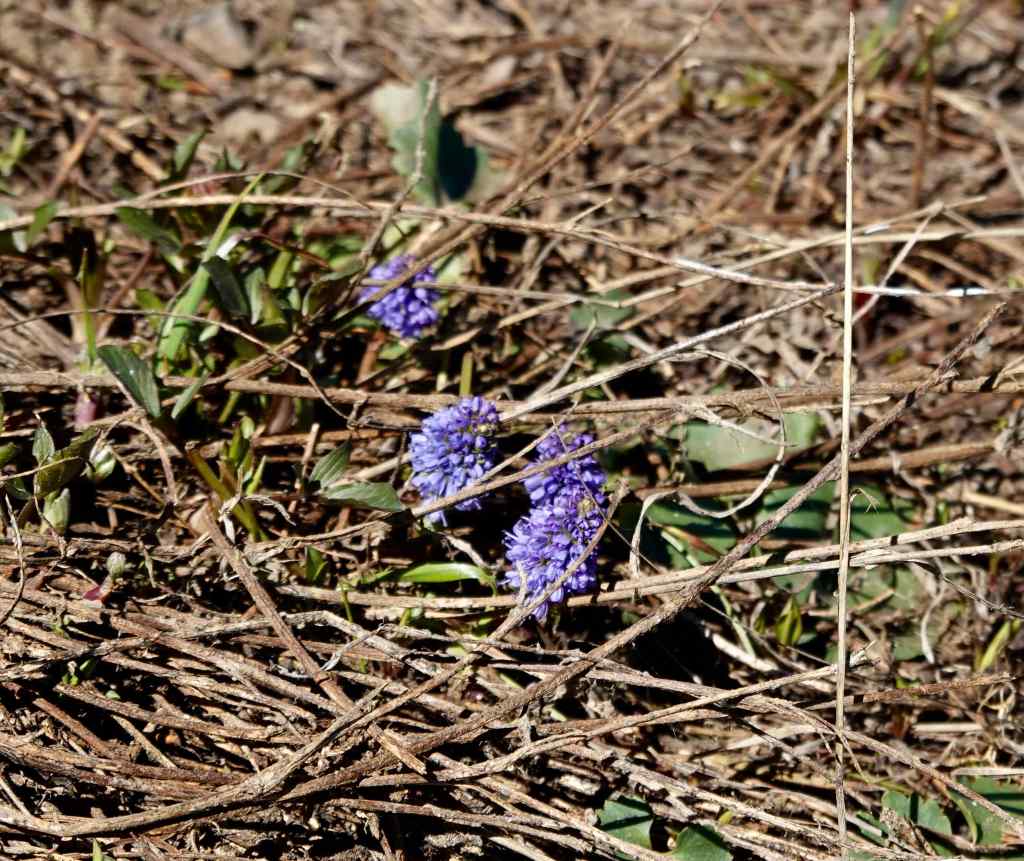
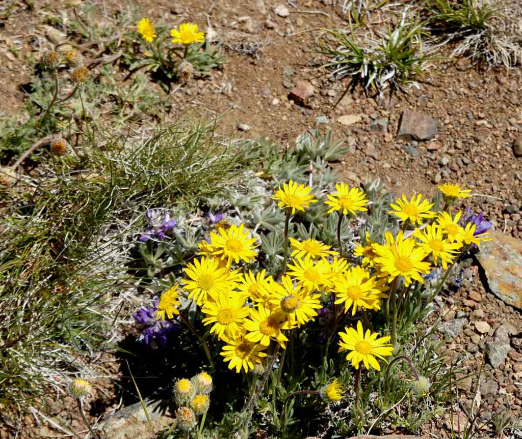
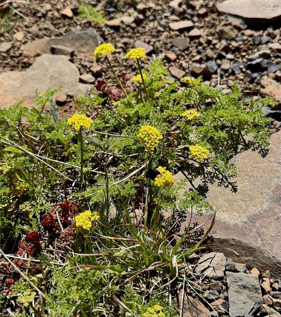
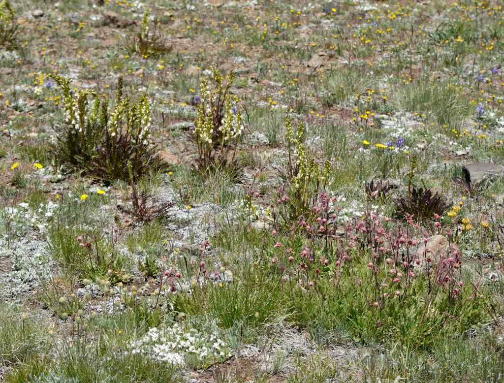
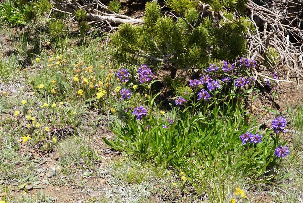
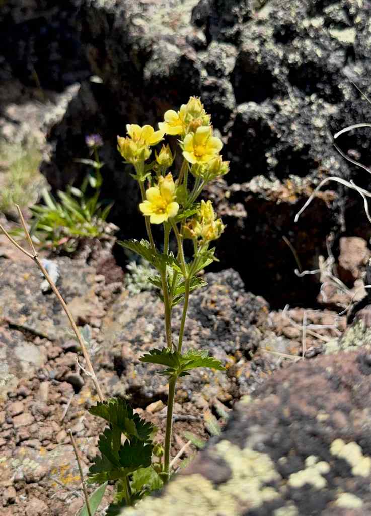
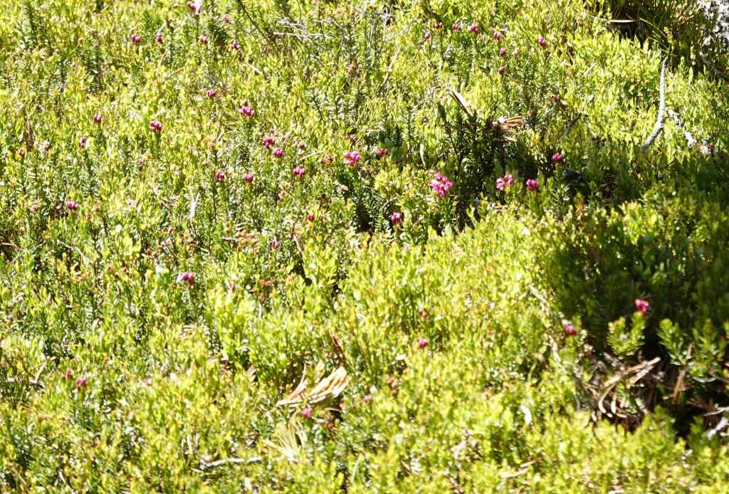
The top of Mt Howard gives only gives a glimpse into the alpine wilderness here, and I suppose that is just as well, for the environmental protection of it all. I’m glad I finally got to see all the views from the top.
6/19 – Iwetemlaykin Sunset
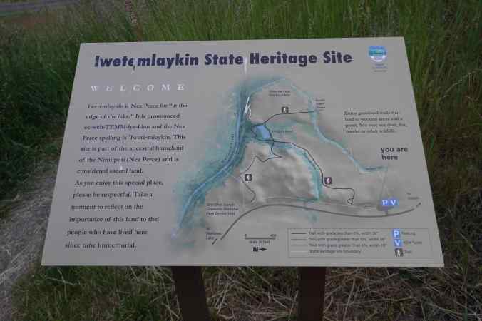
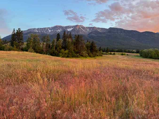
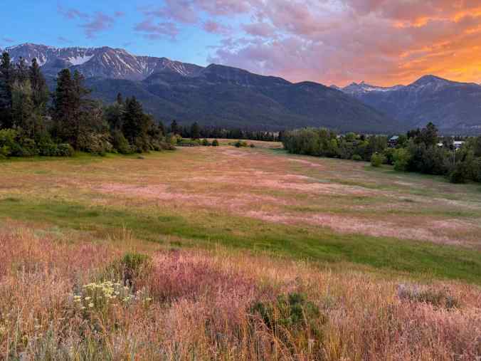
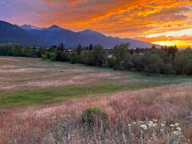
We walked a short way into this heritage site that is just north of Wallowa Lake, and saw another gorgeous sunset!
6/20 – Zumwalt Prairie Preserve
We stopped to look at hawks and elk on our drive to this high prairie preserve.
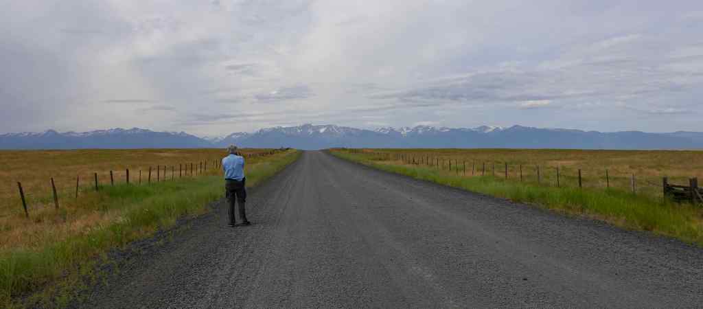
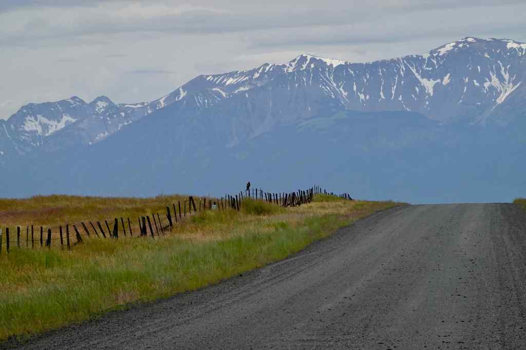
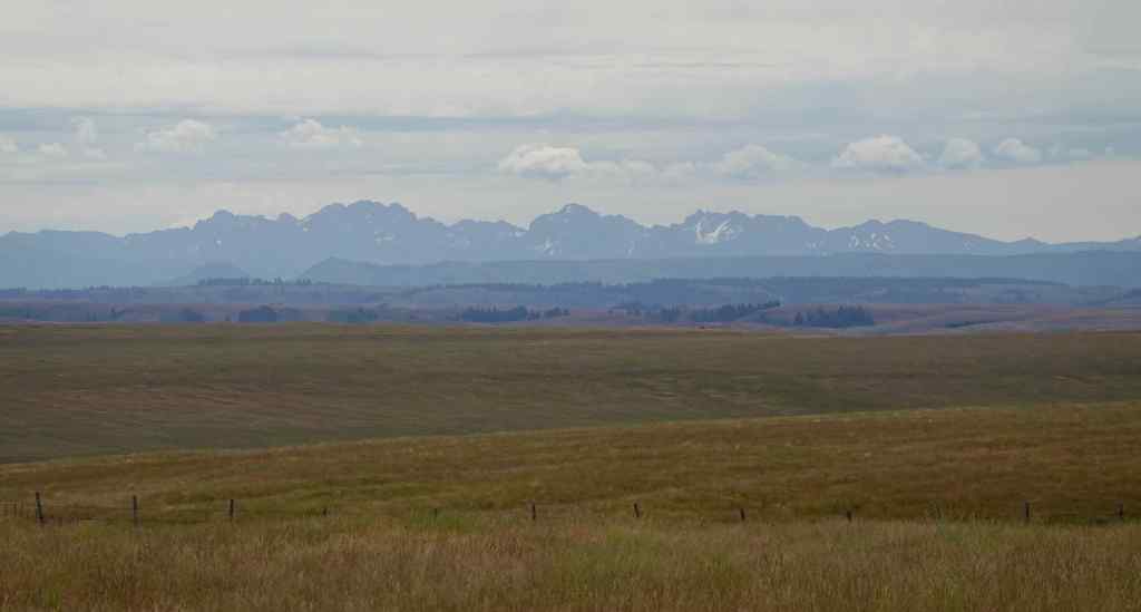
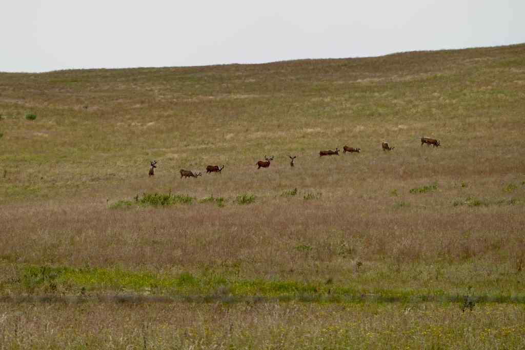
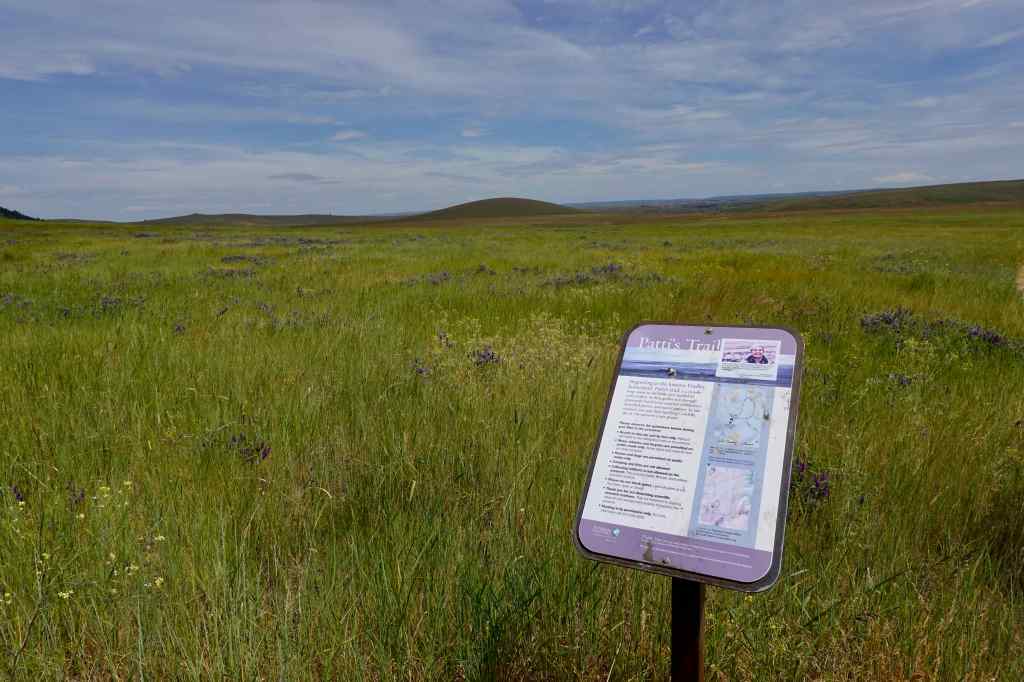
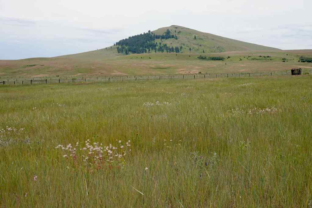
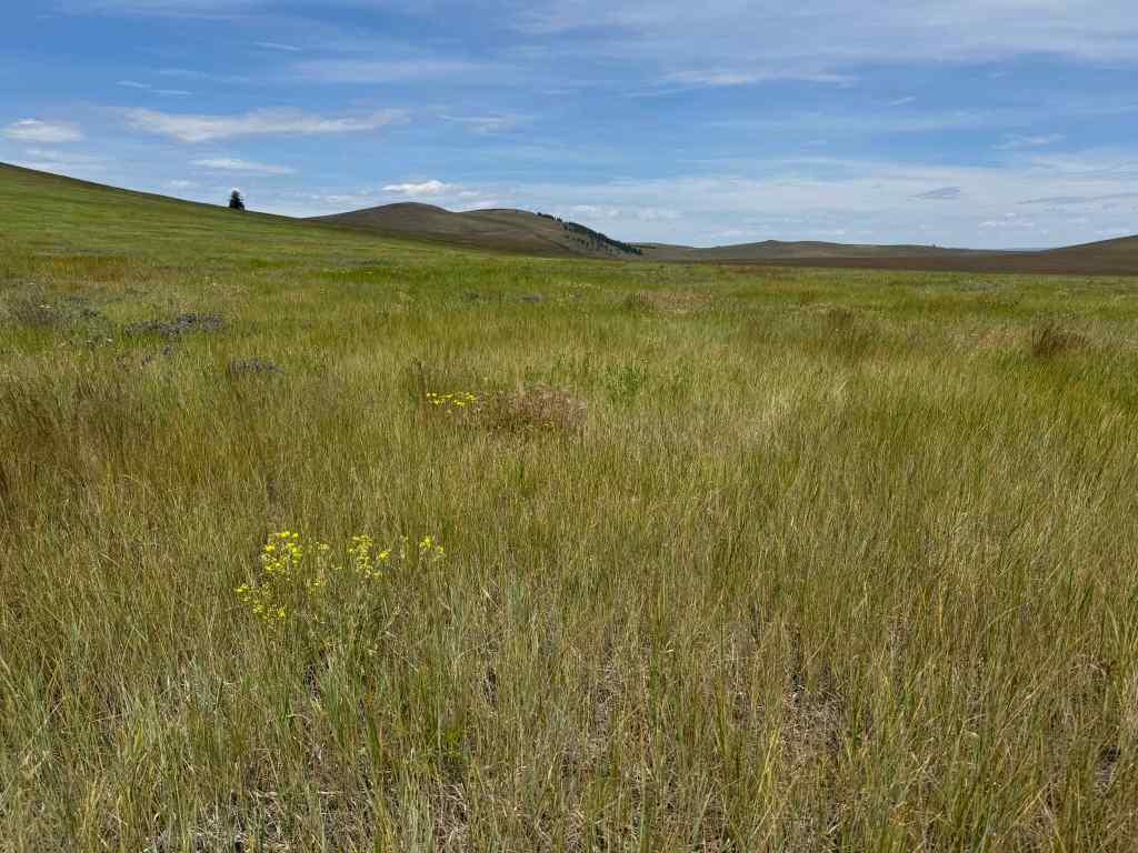
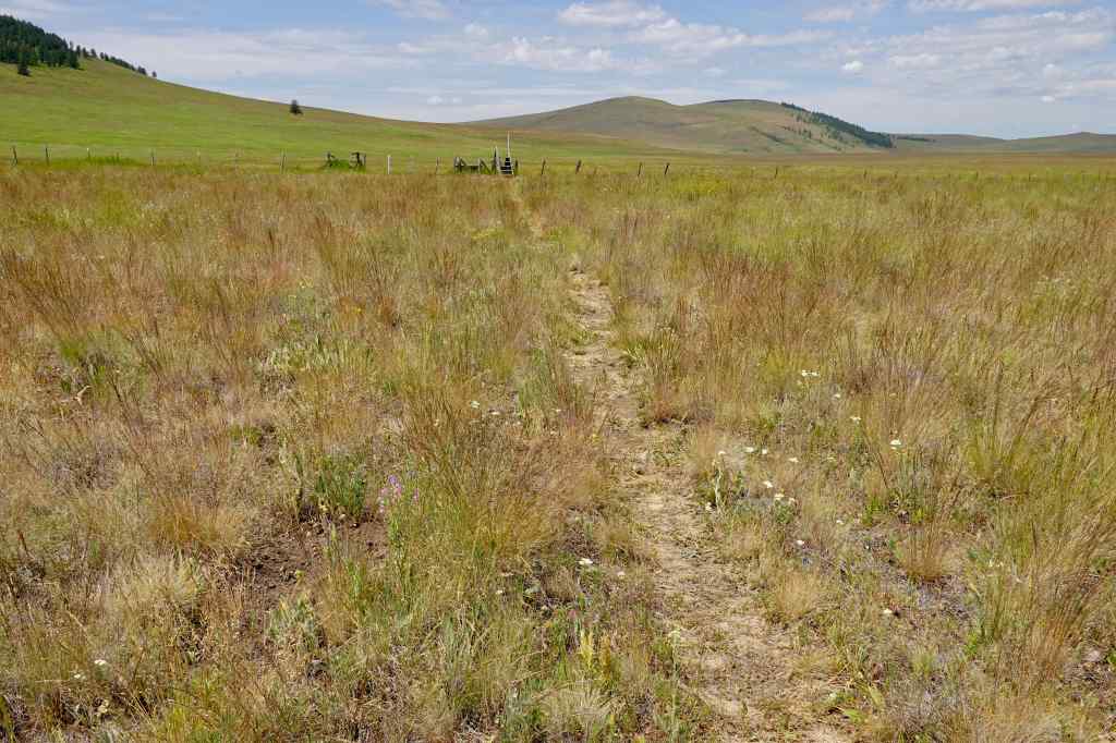
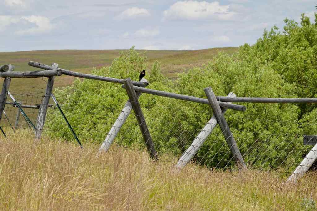
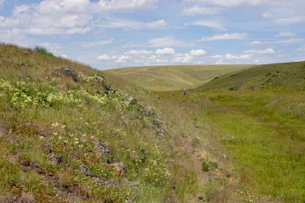
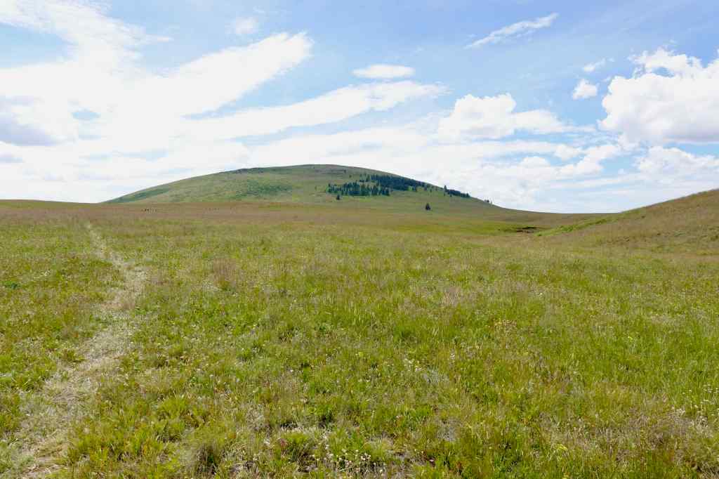
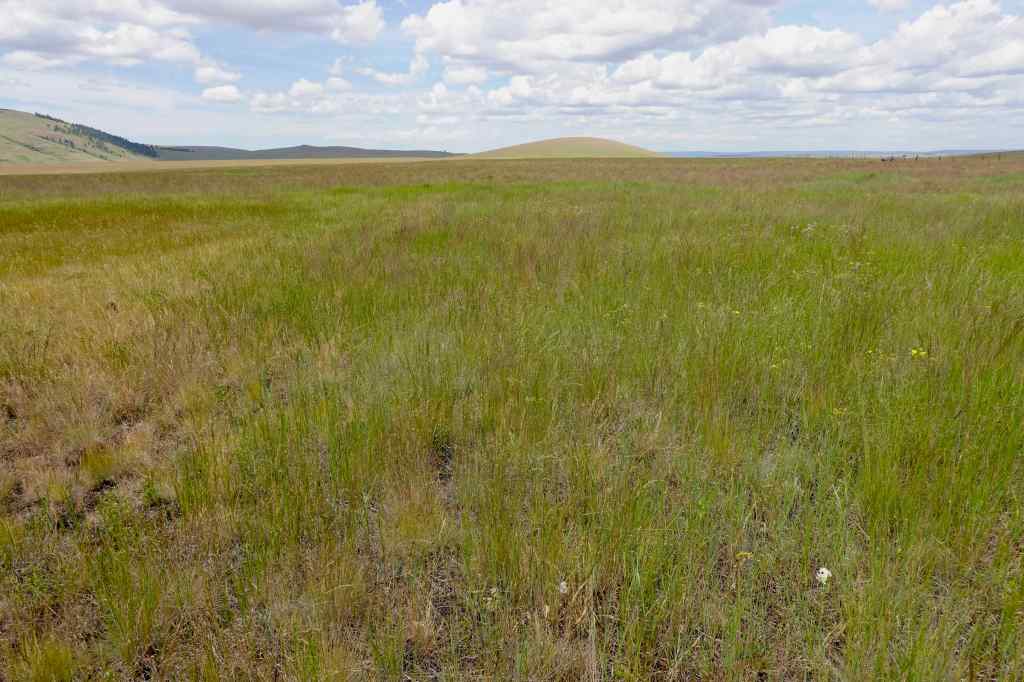
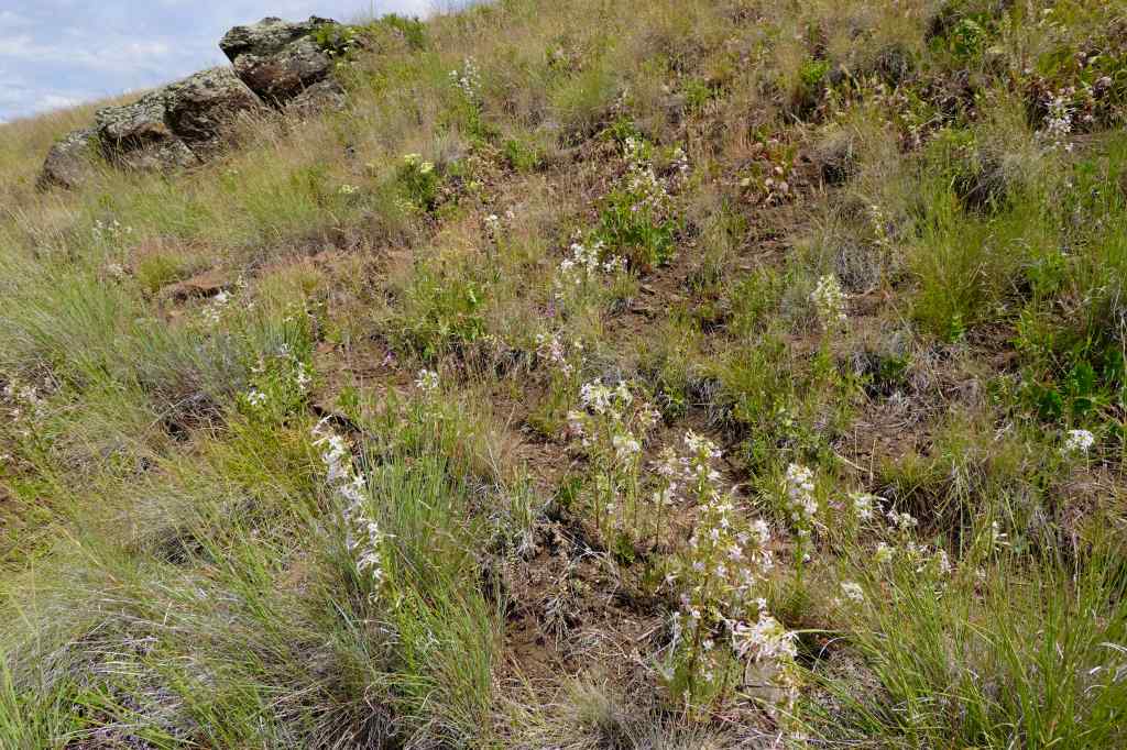
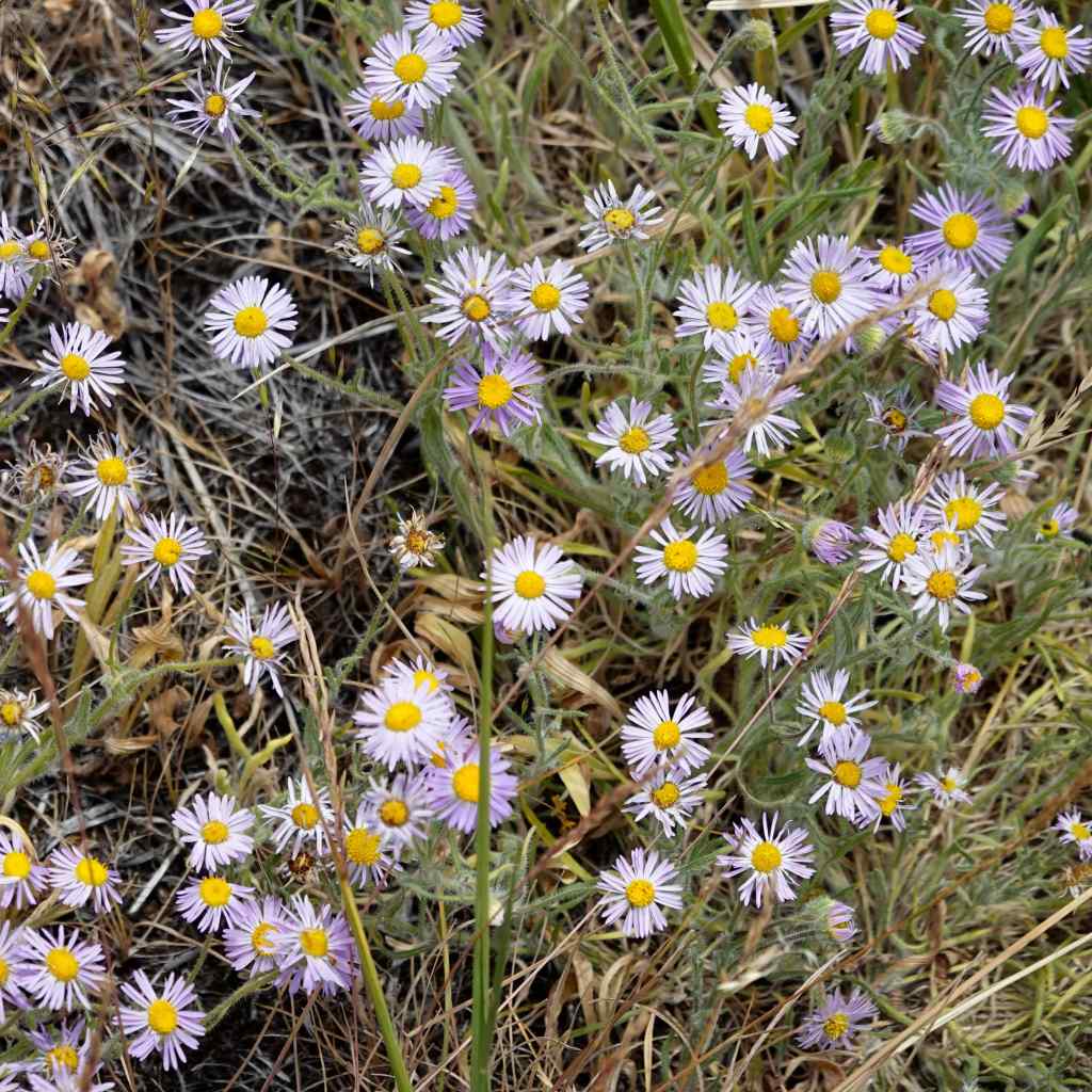
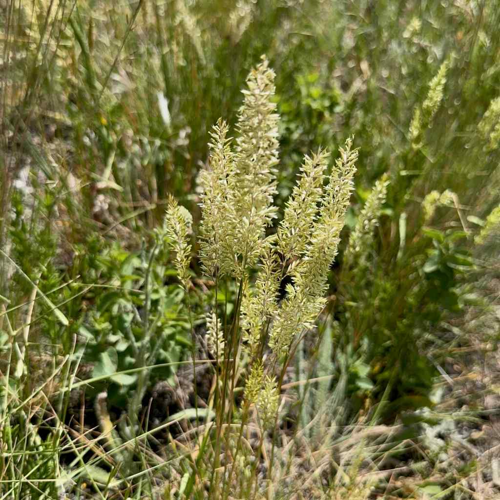
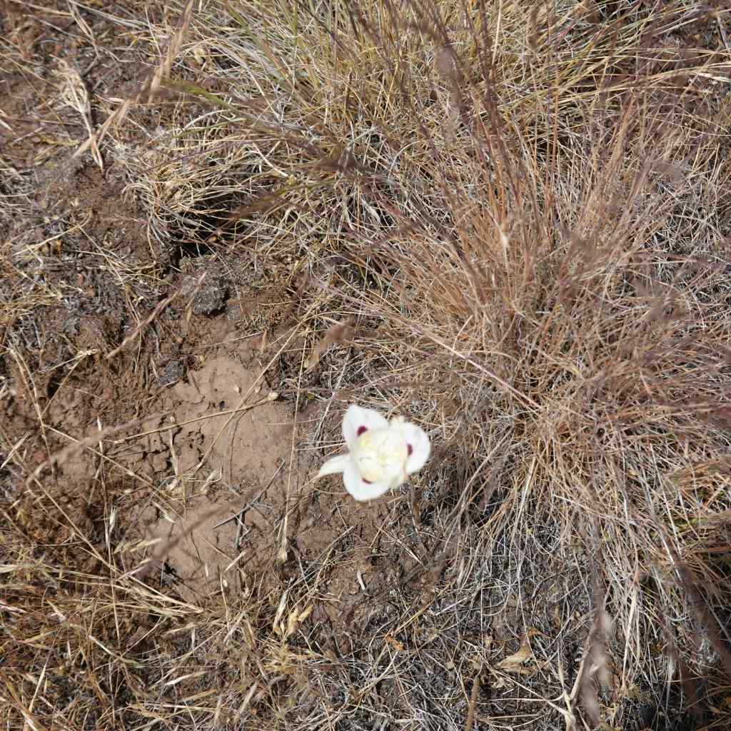
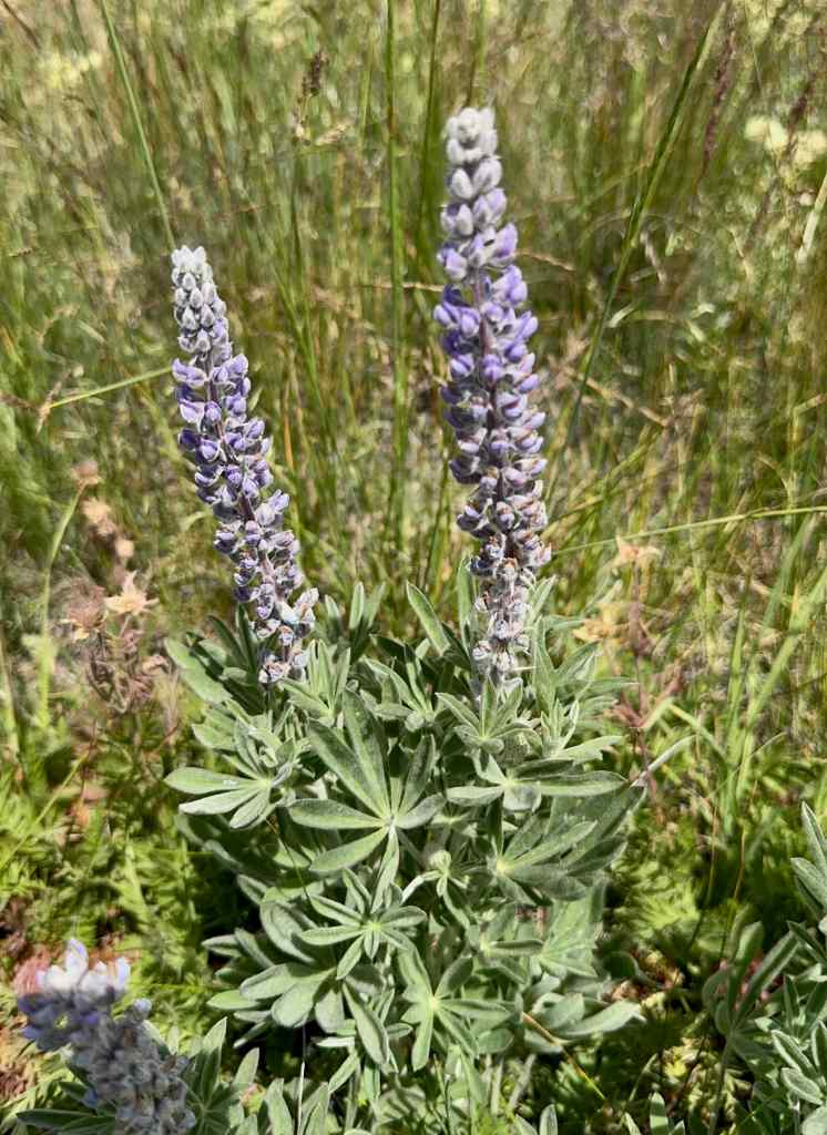
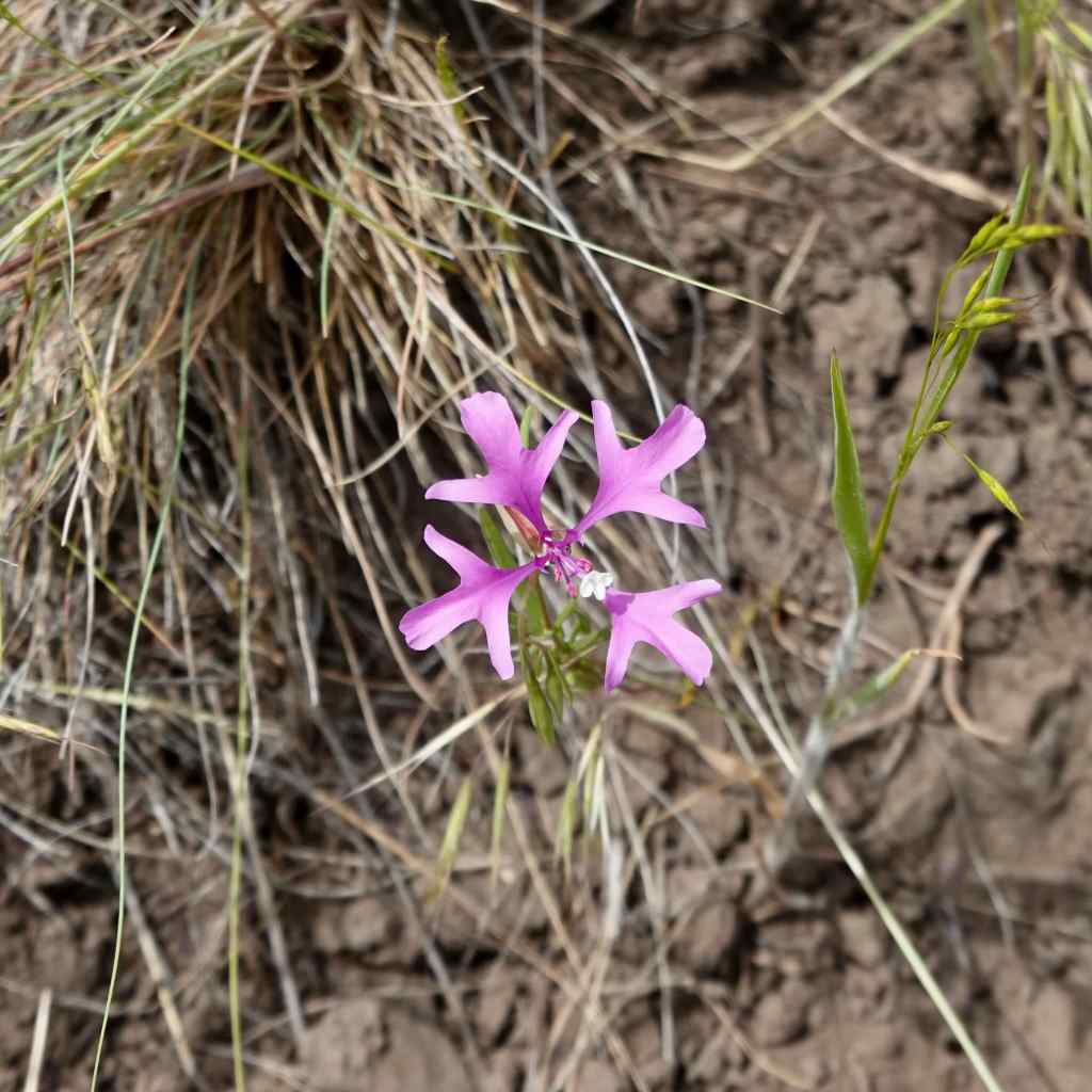
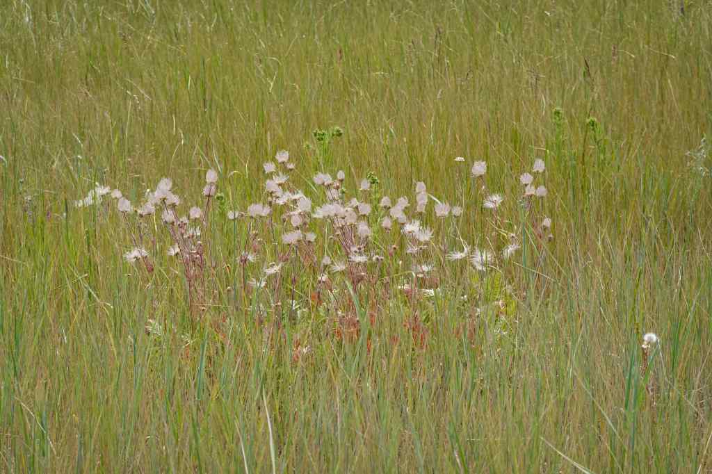
We parked at the Duckett Barn Trailhead, elevation about 4600 feet, and walked the 2.6 mile Patti’s Loop Trail. Swathes of flowers were still blooming in the prairies, but the grasses were drying out, and many of the flowers had gone to seed. A couple of weeks earlier likely would have been more colorful!
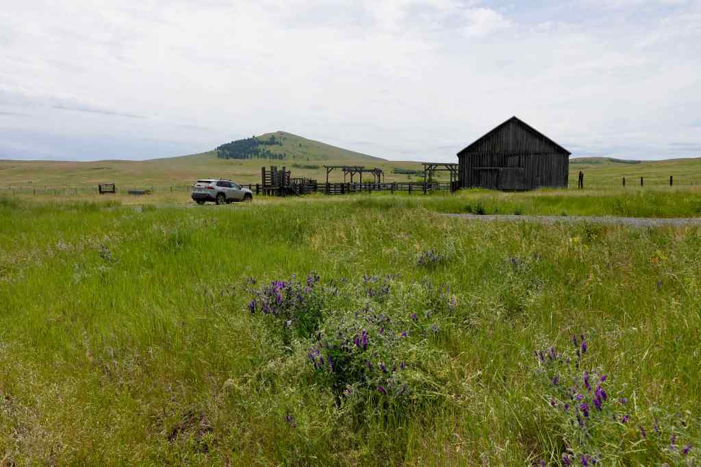
More flowers:
We had planned another short hike in the area, but it was too hot to continue in this shadeless landscape for me. Instead, we went back to Enterprise for dinner, then out again to watch another sunset.
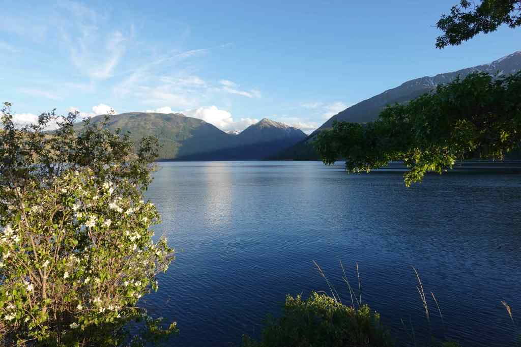
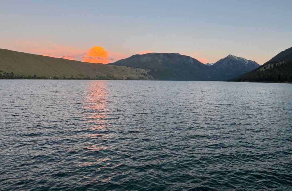
6/20 – Lake Wallowa Sunset
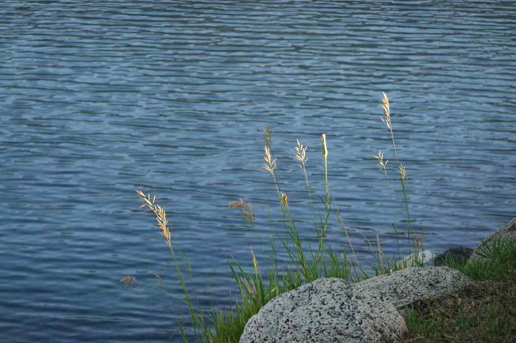
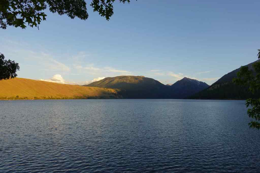
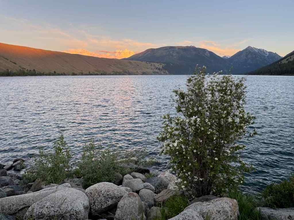
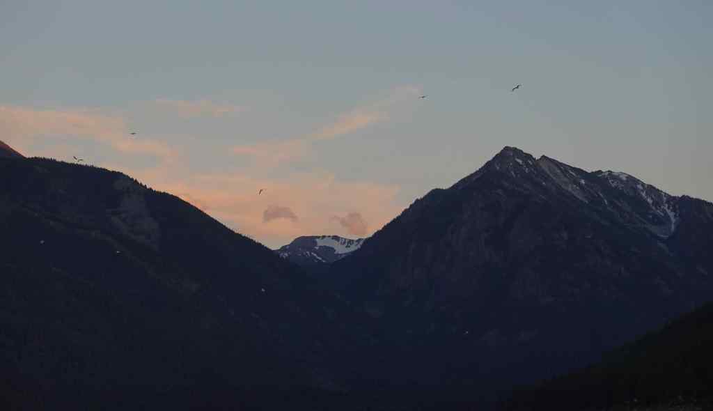
We found a spot on the north shore of Lake Wallowa, and waited for the show. Fish jumping, a flock of geese? circling and flashing in the low light, alpenglow, a large thunderhead turning pink as the dark settled around us. I actually put on my light fleece layer for the only time this week.
6/21 – Hat Point/Hells Canyon
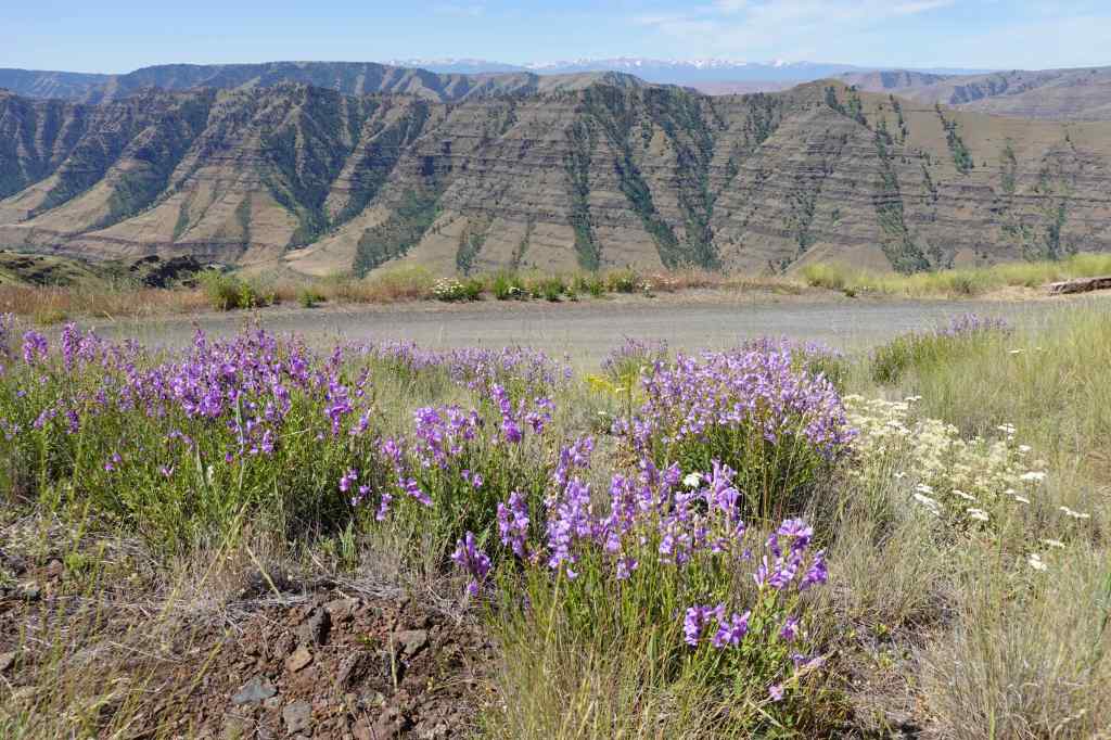
Driving the steep, sometimes single-lane road, up about 5000 feet in 25 miles, was not as scary as we’ve always heard, though there are occasional steep cliffs below the roadway. At the Five Mile Viewpoint, we stopped to look at the Imnaha River Canyon, and to look closer at the flowers we had been passing – penstemon, cinquefoil, paintbrush…
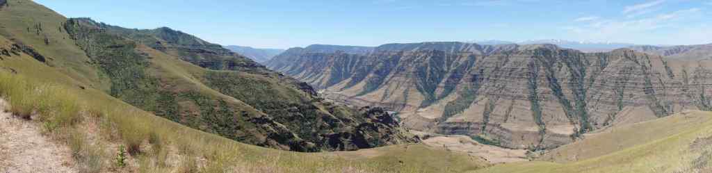
The road continues south along this partially burned ridge (fires in 1989, 2007, 2022).
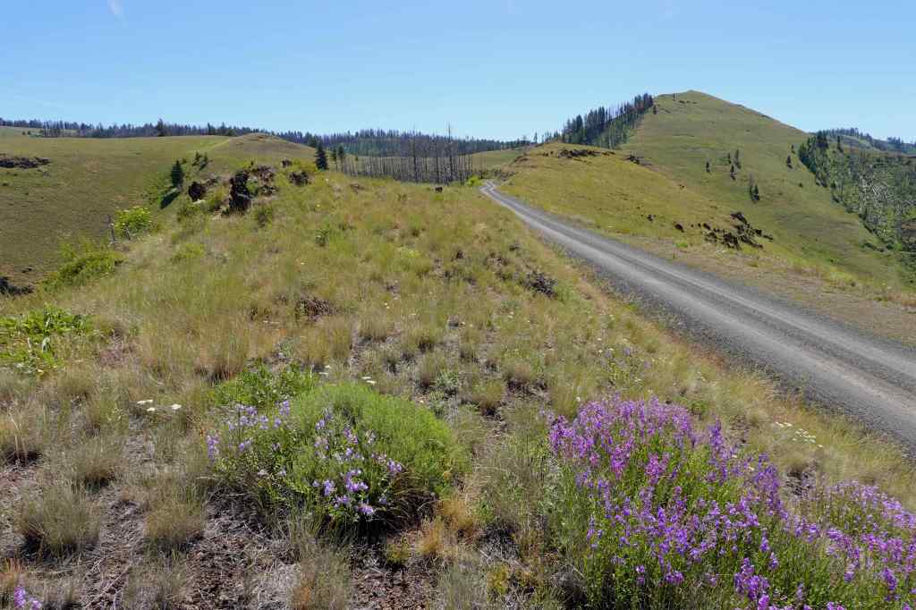
We continued past the Granny Viewpoint Overlook. We decided to save the loop walk there for our return drive – we wanted to eat lunch at Hat Point Overlook.
Hat Point Overlook – We were the only people there for about an hour. We found a table with a perfect view in every direction for our lunch.
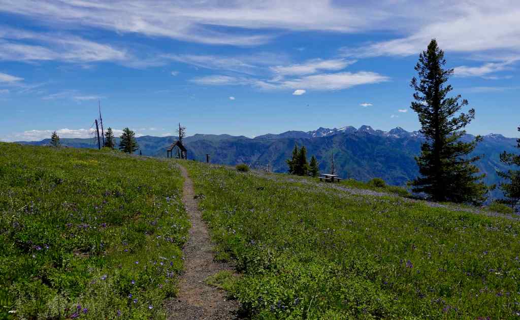
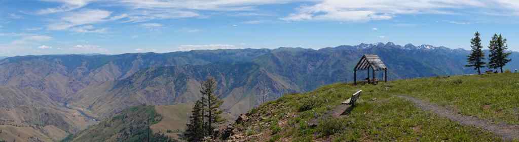
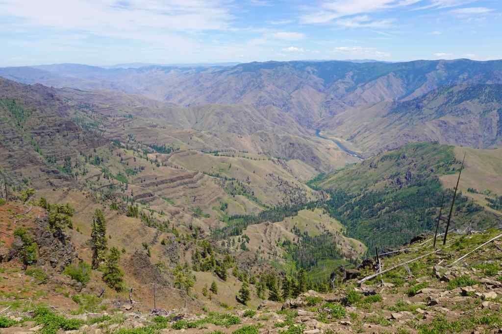
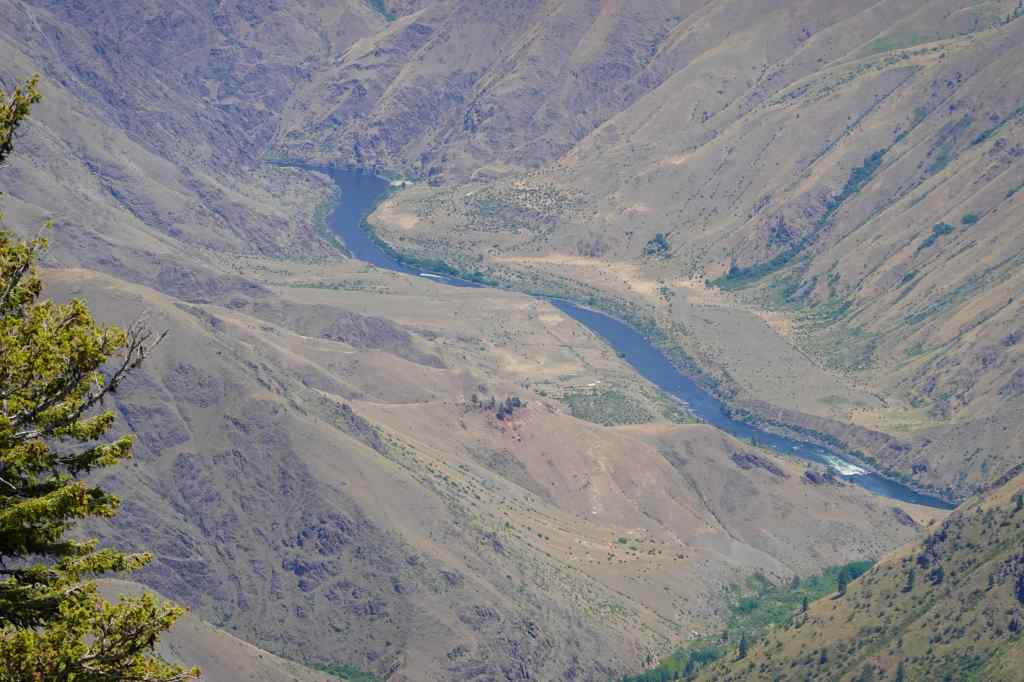
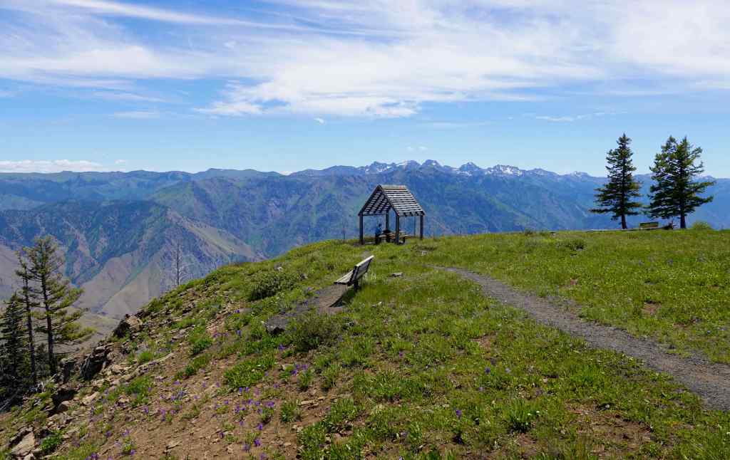
After lunch, my husband practiced photography toward the Seven Devils Mountains in Idaho.
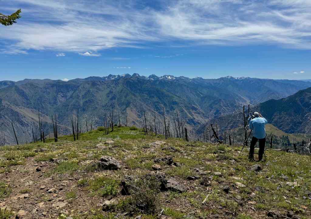
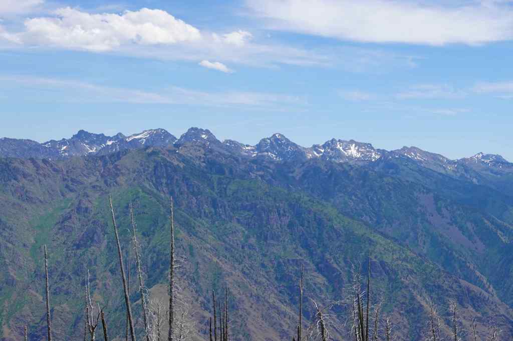
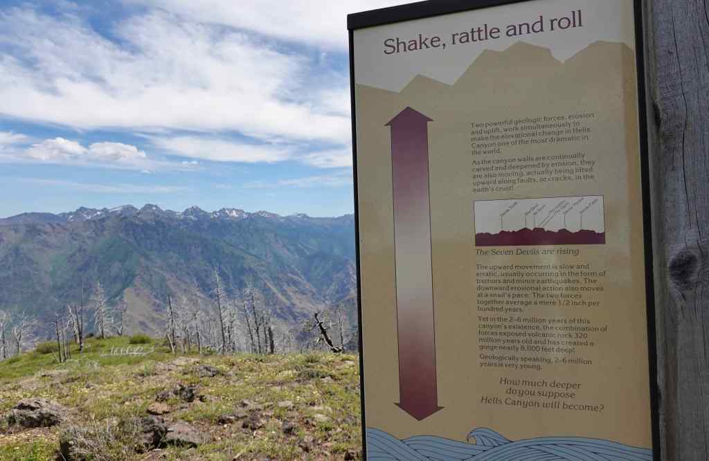
I had recently listened to the book Astoria, by Peter Stark, in which he describes in detail the difficulties of an overland expedition the across the continent in 1811, to establish the fur trade on the west coast. The expedition was particularly challenged in this area around the Snake River, which I could well imagine, as we gazed upon this harsh yet beautiful landscape on a warm summer day.
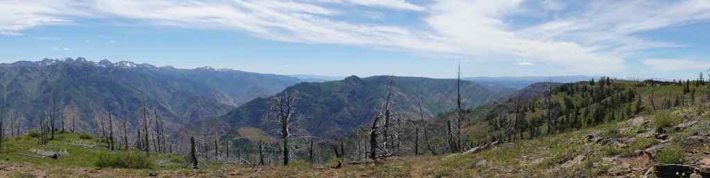
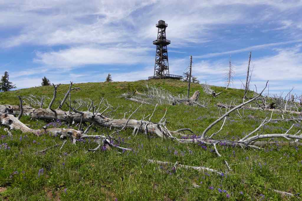
We walked the trails around the Hat Point Lookout Tower (closed), looking at flowers around us and canyons below us.
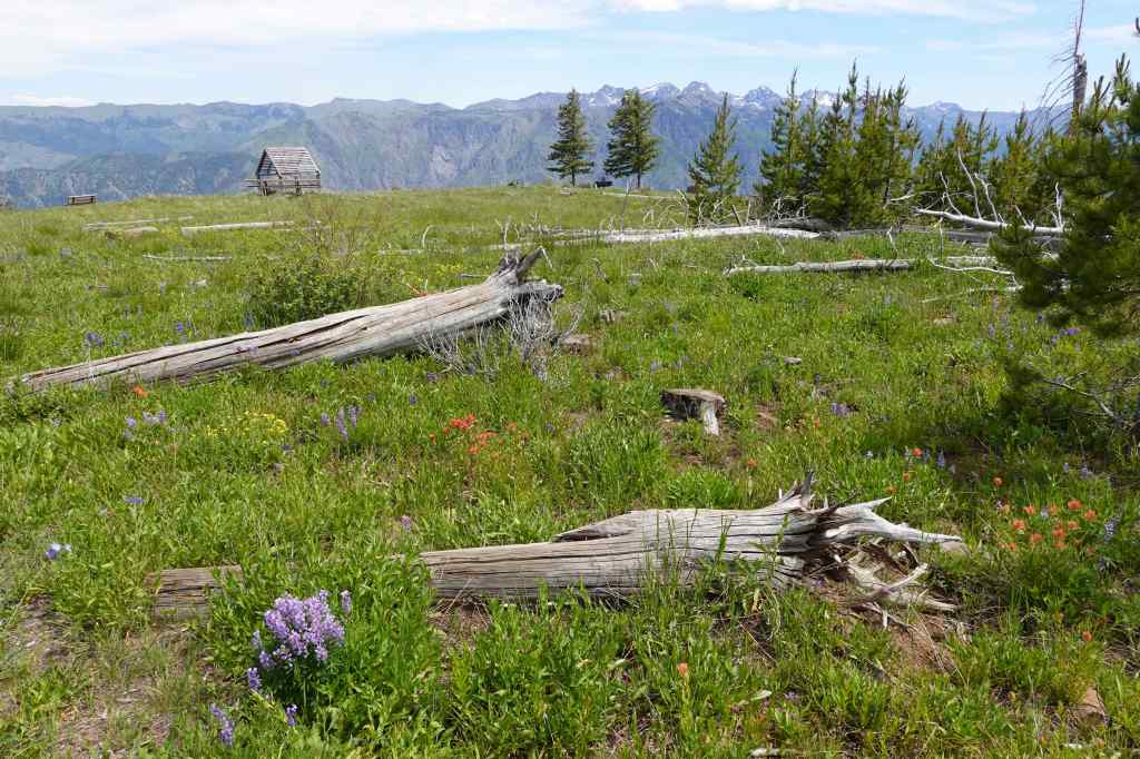
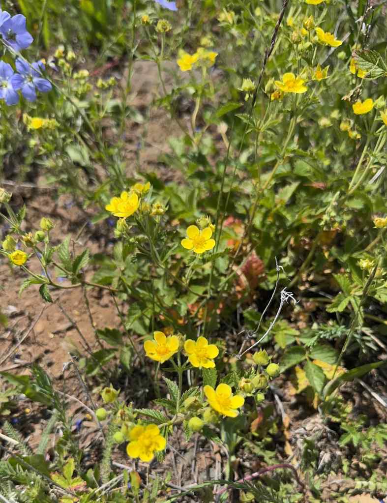
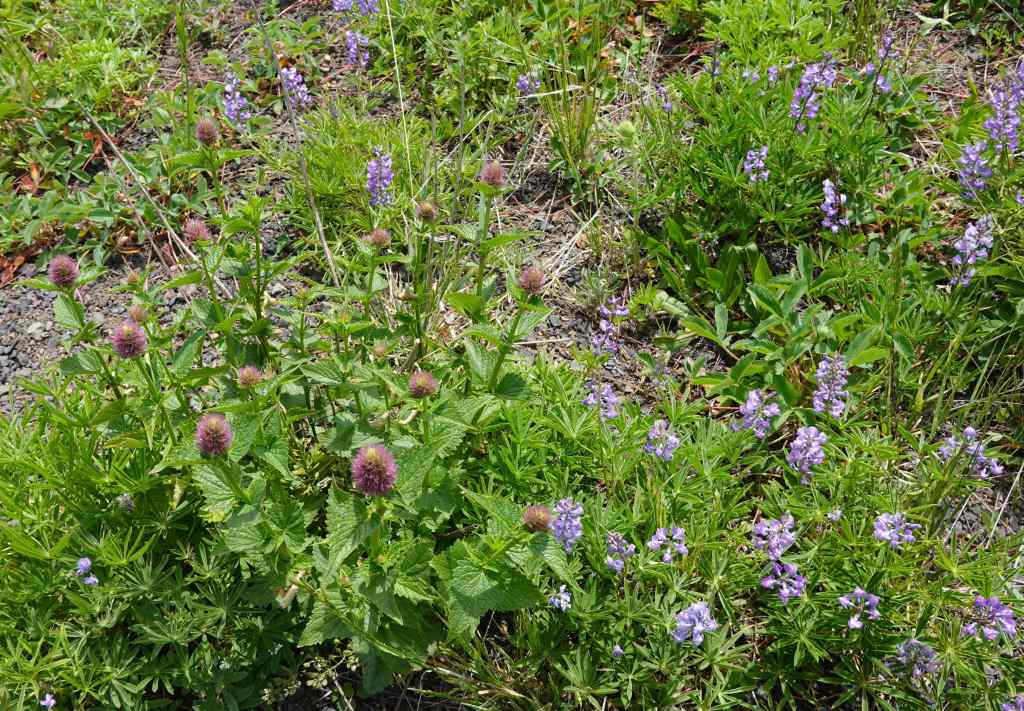
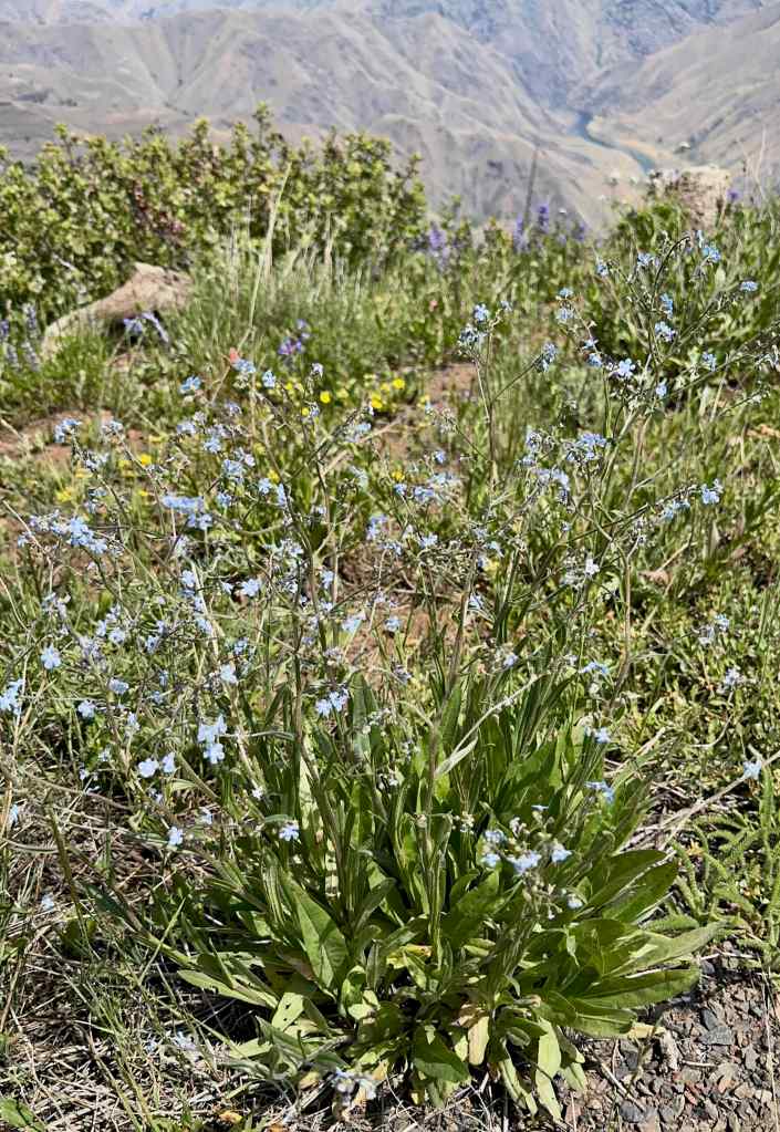
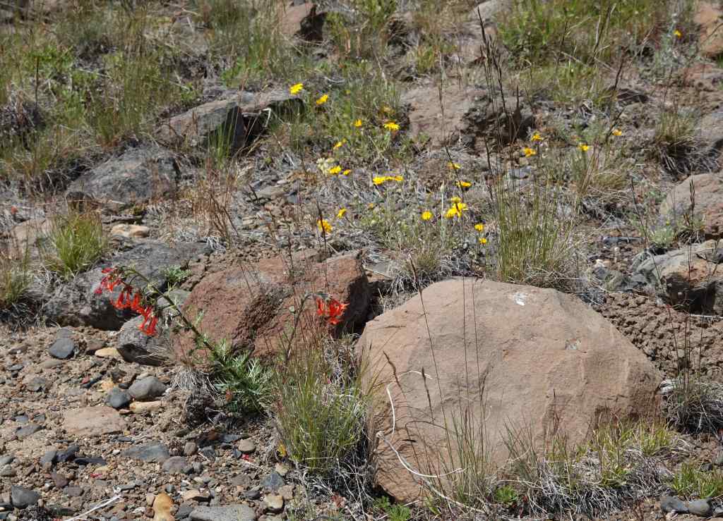
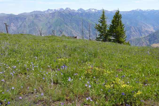
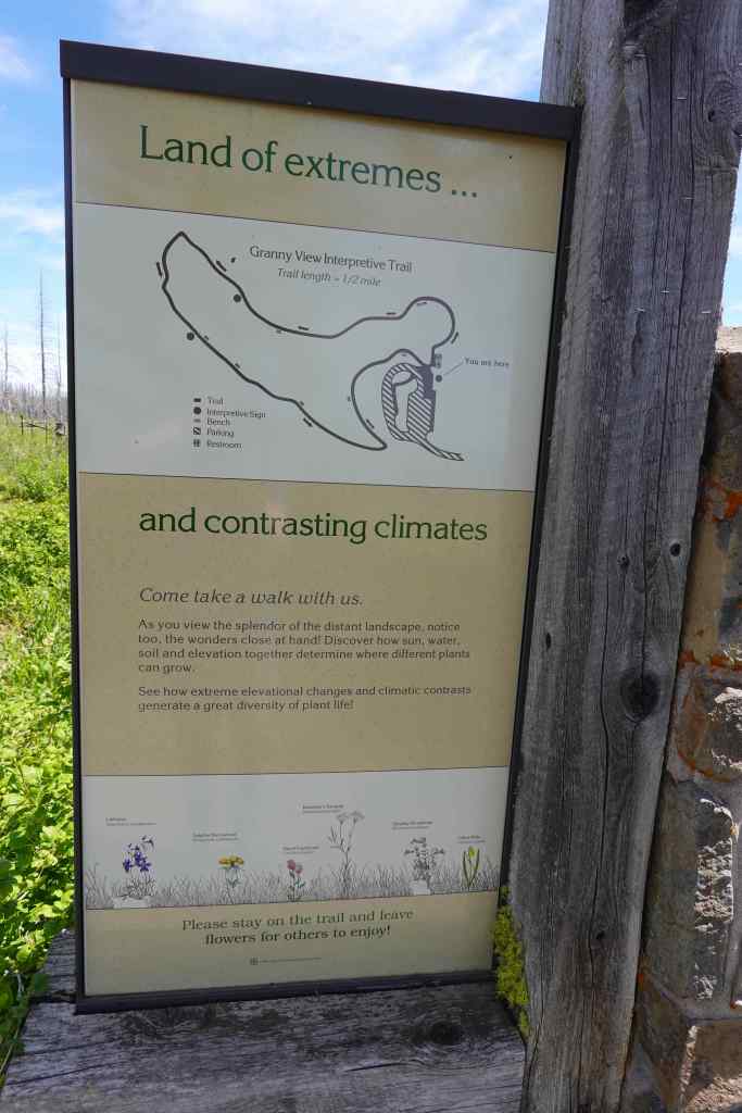
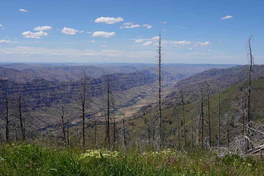
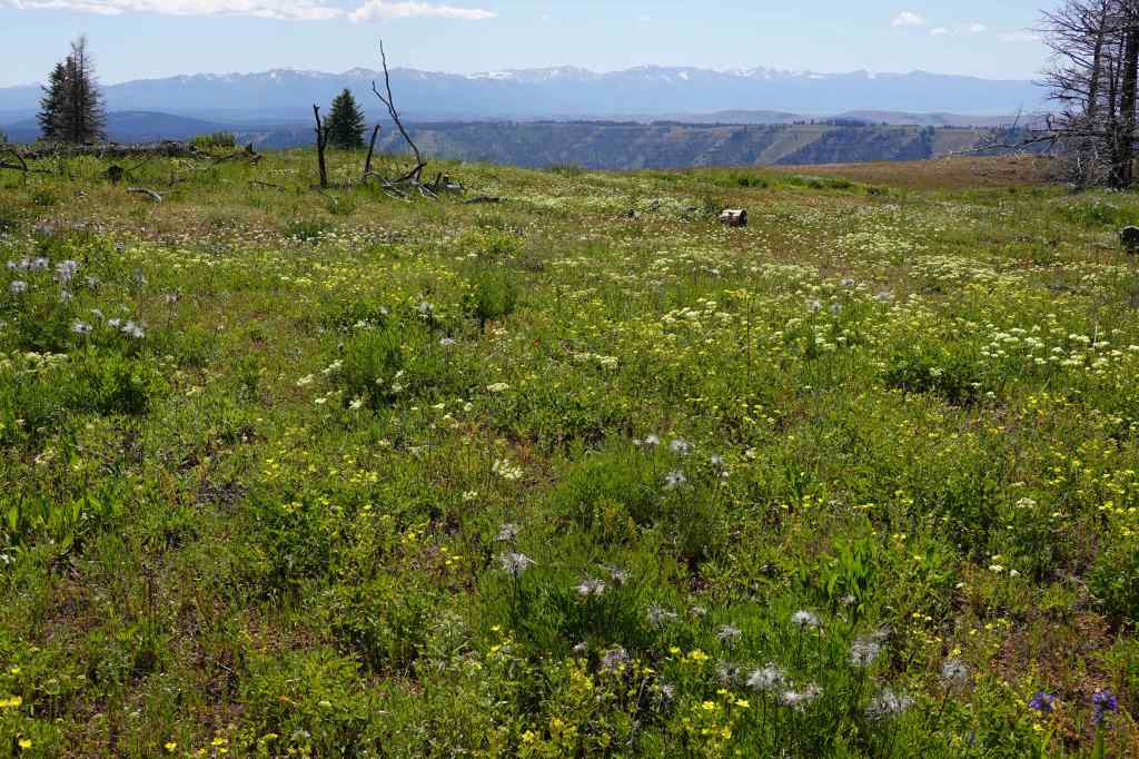
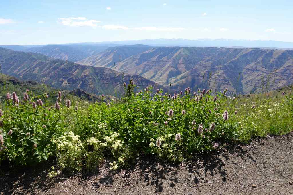
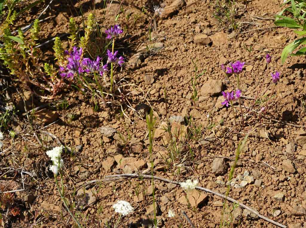
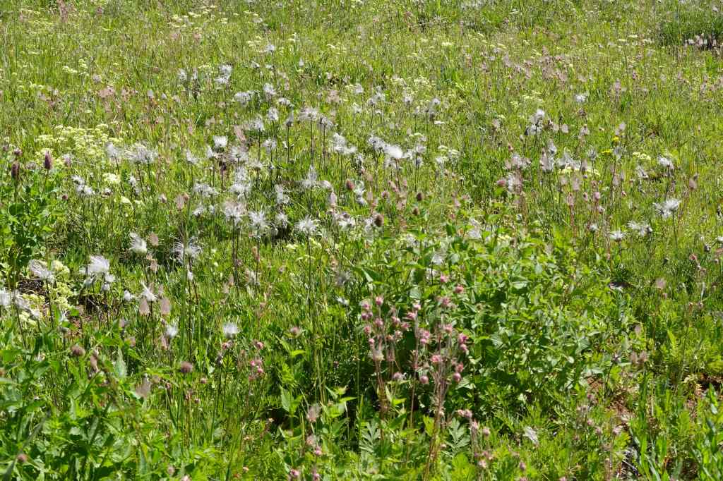
On our return drive, we stopped at Granny Point for the half mile loop walk, more flowers and views. An abundance of flowers were in bloom: scarlet gilia, penstemon, mock orange, ceanothus, lupine, clematis, prairie smoke, Columbian lewisia, and Ragged robin clarkia…
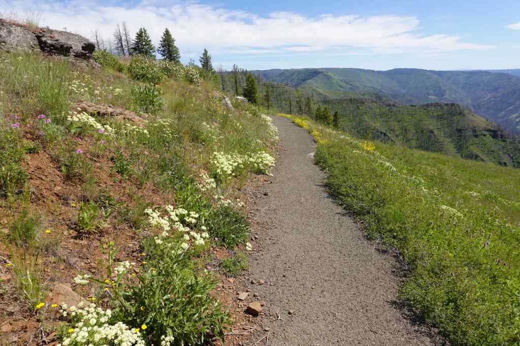
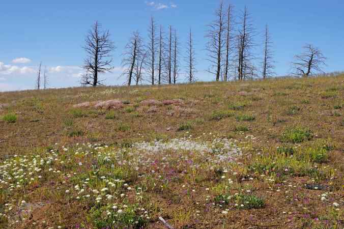
More wildflowers:
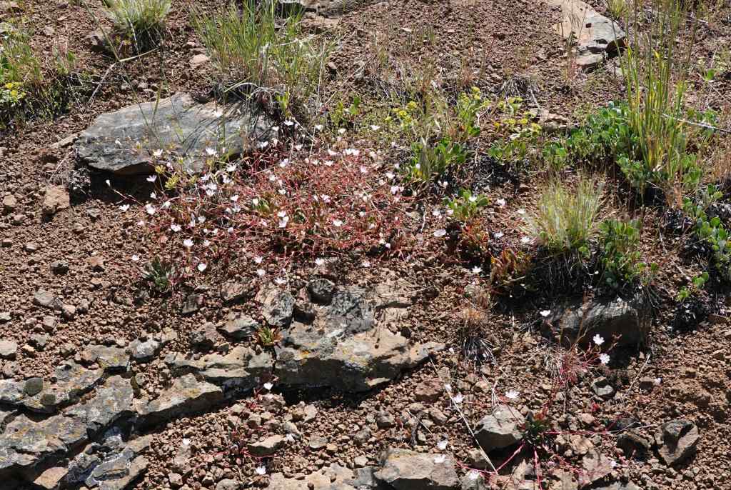
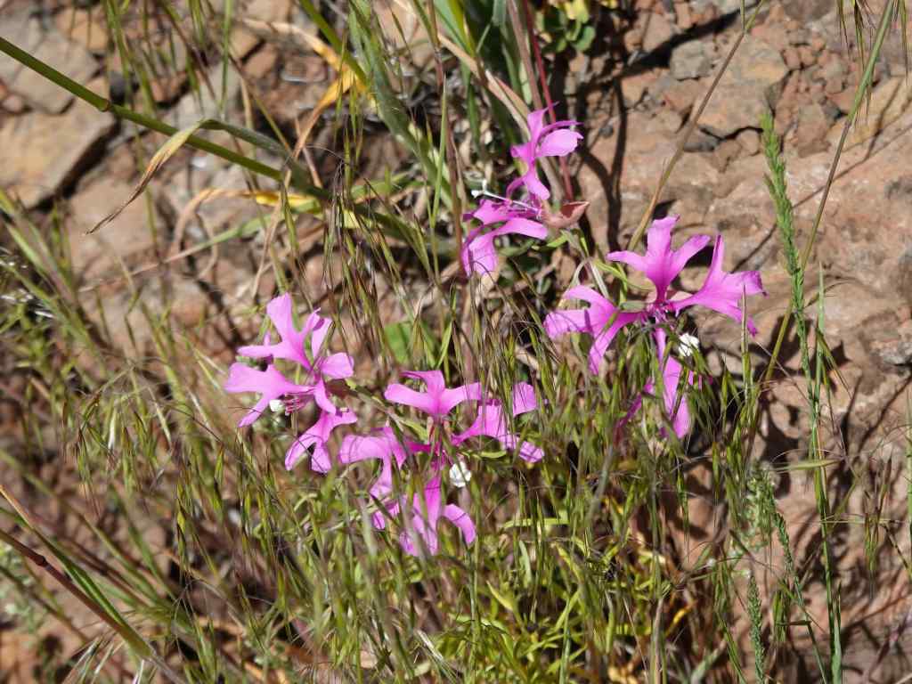
Back in Enterprise, there was no colorful sunset on this cloudless hot night.
6/22 – Hurricane Creek
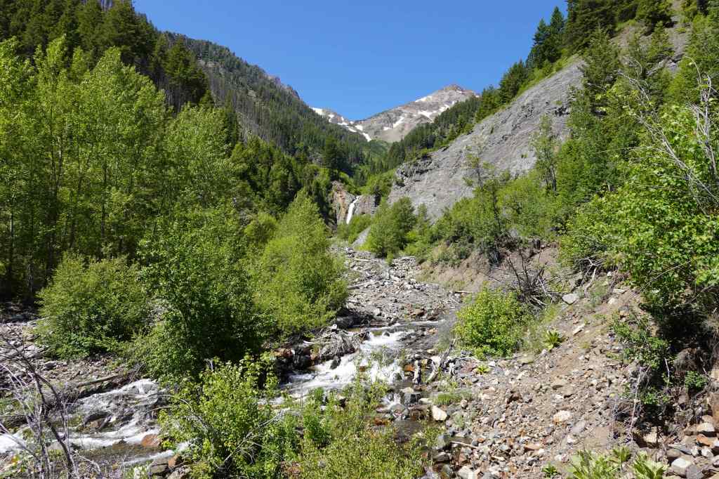
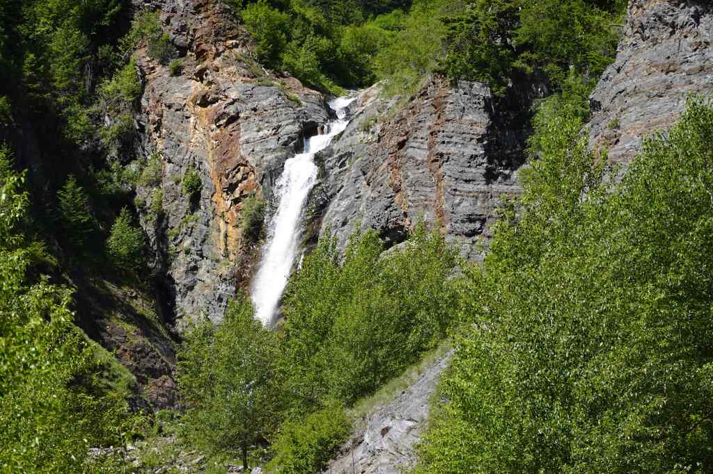
Another warm day. Most of the trails near here go straight up, and are more suited to overnight trips. It was hot at these lower elevations! We walked along lower Hurricane Creek, then took the side trail up to the Falls Creek Falls viewpoint. We found a shady spot near the confluence of Falls Creek and Hurricane Creek to eat lunch.
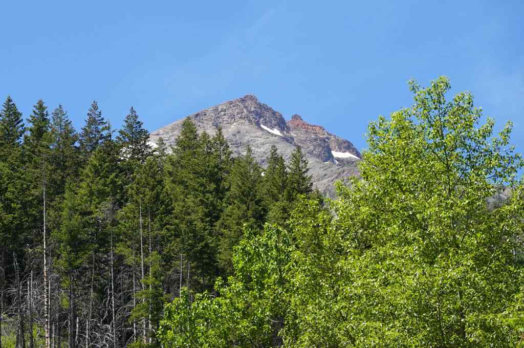
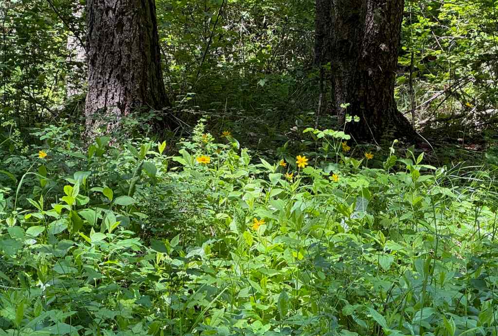
Wildflowers along the way…
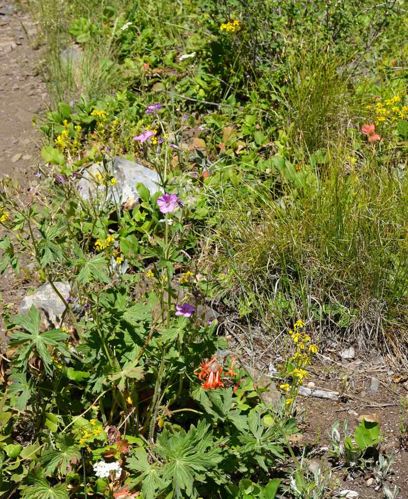
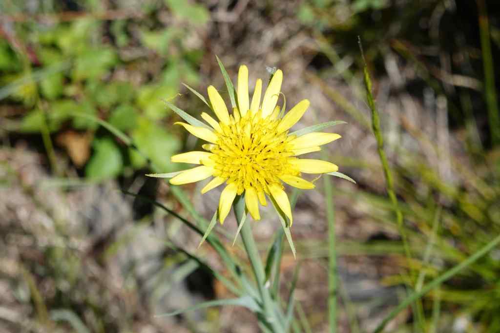
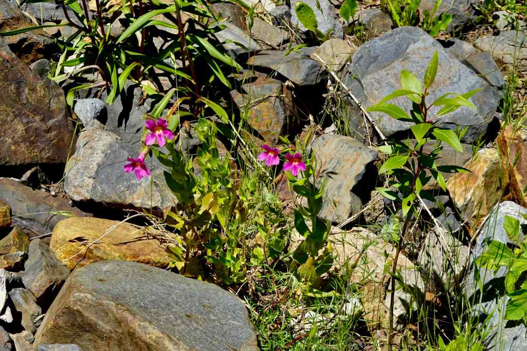
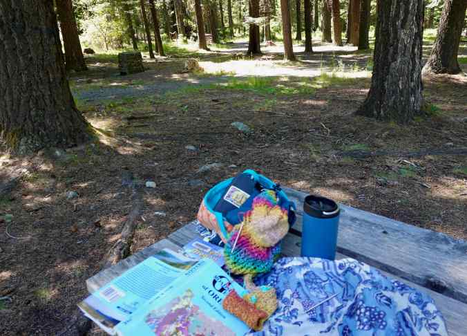
Later, I sat in the shady picnic area enjoying peaceful forest shade, while my husband took the trail to BC Falls. It was peaceful, a good place to sit on a hot afternoon, reading, writing, listening, knitting.
In all, we enjoyed this early summer eastern Oregon interlude. We got to see the tail end of the spring wildflower season, and the views of the Snake River from Hat Point. And we saw it all before the terrible wildfires that have ravaged eastern Oregon this summer began. These particular areas did not burn this year, but there has been so much smoke and many travel restrictions. We are glad to have finished our trip uneventfully in that respect. Not all of our summer travel plans were so lucky…