We went for a short hike on this nearby volcanic butte on a warm day (4.3 miles/400 feet).
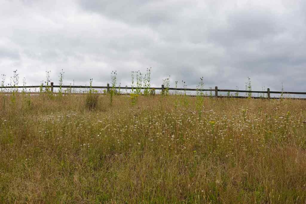
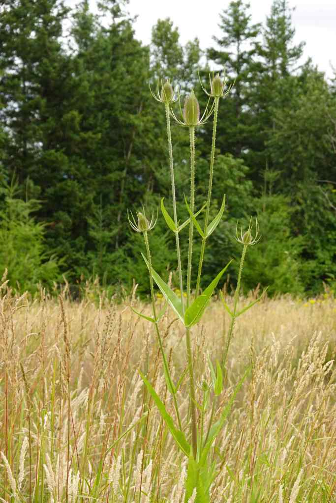
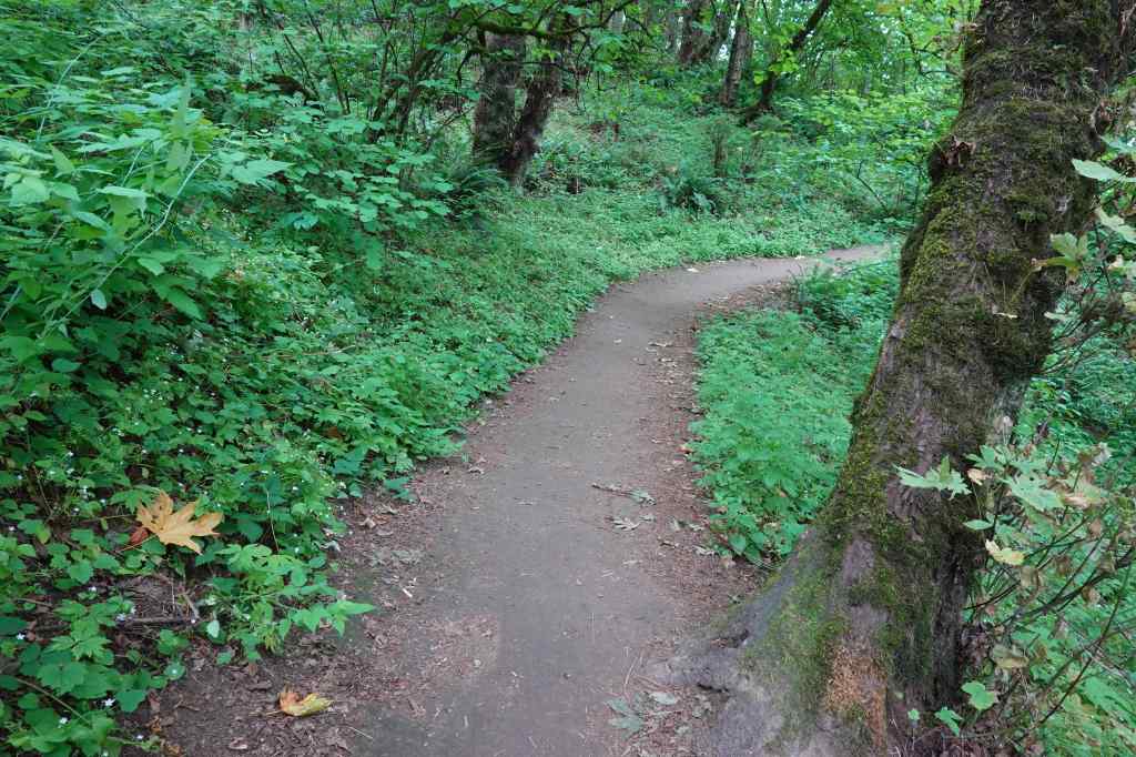
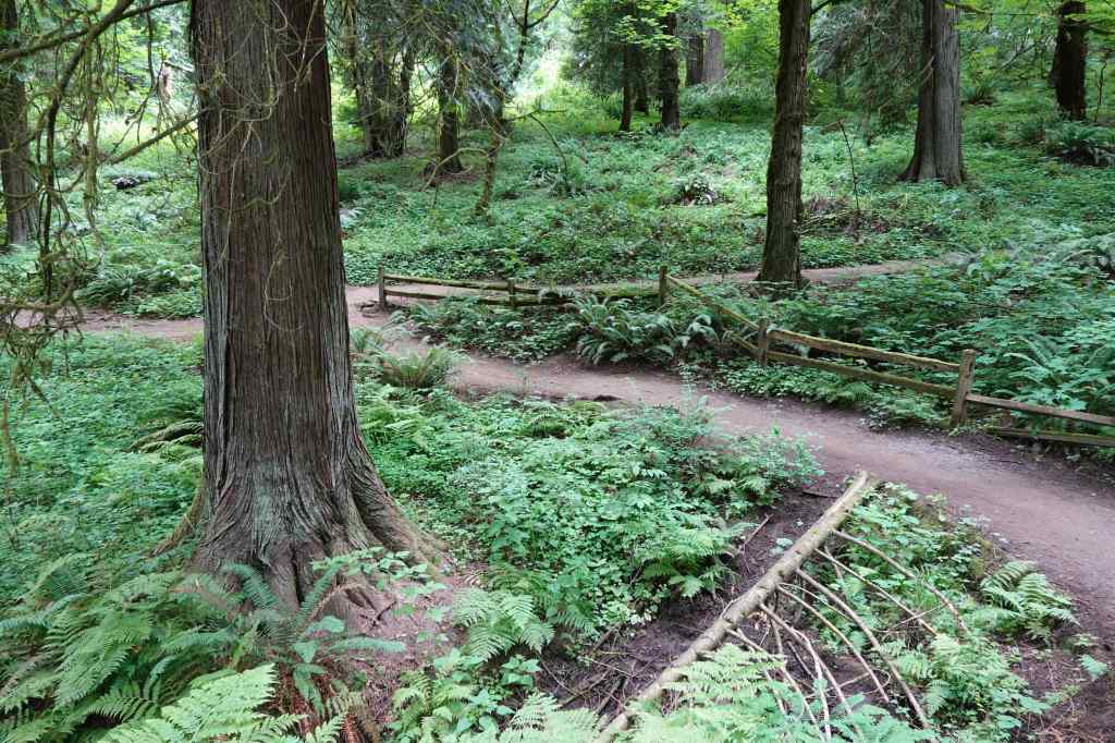
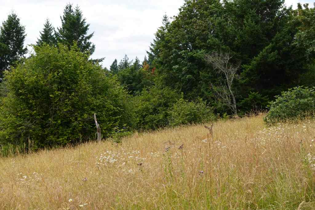
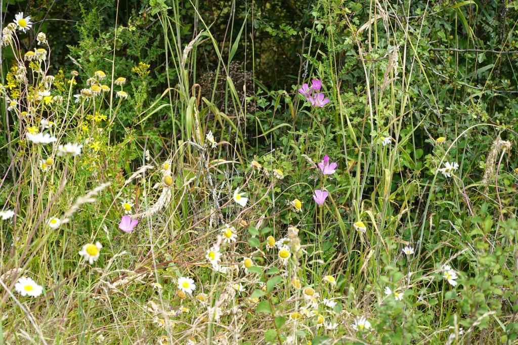
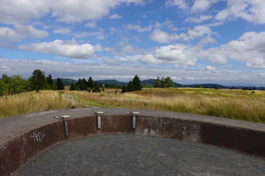
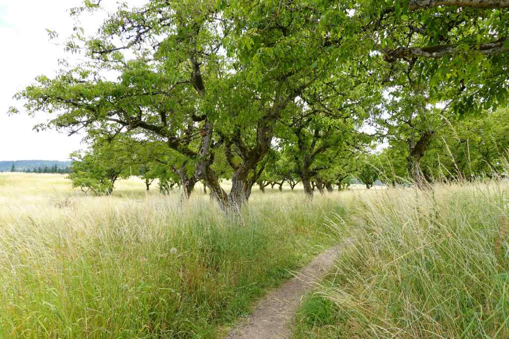
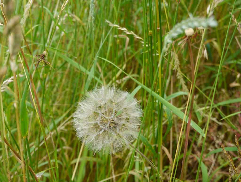
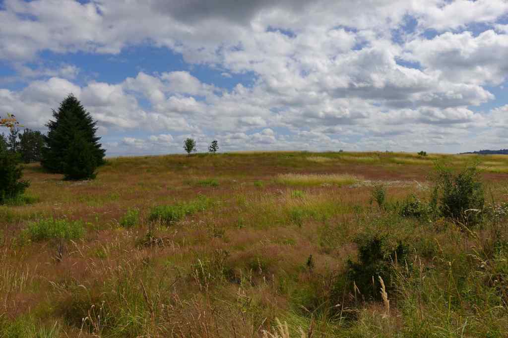
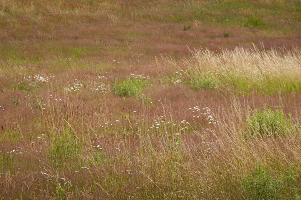
We started in grasslands on top of the butte.Teasels were abundant.We descended to the cooler forest on slopes that surround the butte.Cedar, fir, and ferns along the well-groomed trail.Eventually we ascended back up to the top, startling a few deer in the meadow.Late season flowers – clarkia and daisies.The mountain finder viewpoint – no mountains out today.We walked through the upper orchard,SalsifyAnd then back across these colorful grasslands to the trailhead.Painterly grasslands…
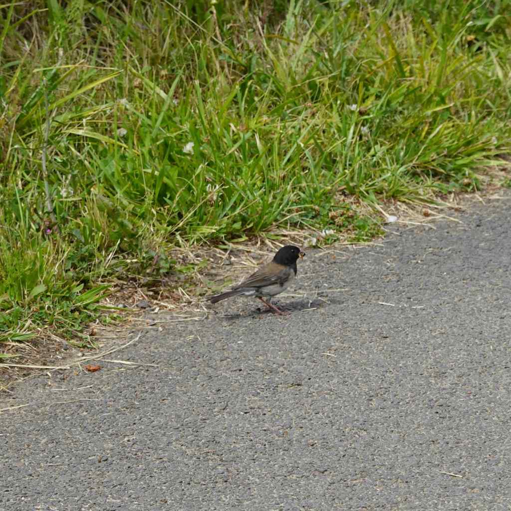
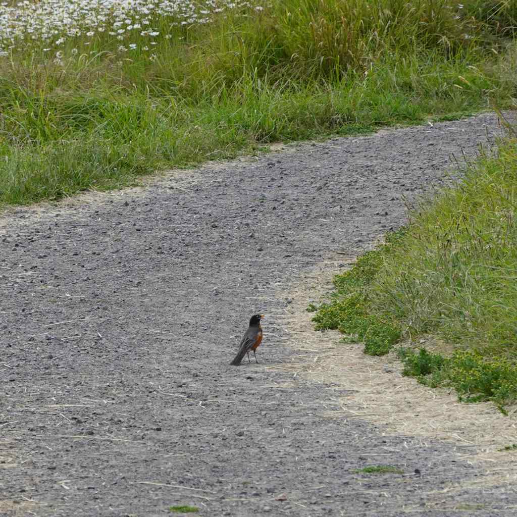
A couple of birds hopping ahead of me on the path.
Dark-eyed juncoRobin
7/6 – Lookout Mountain
A favorite hike to an old Fire Lookout site on a ridge crest east of Mt Hood. There are views to the High Cascade peaks north and south, and high desert to the east. Wildflowers galore are in bloom this time of year! As I write this in September, it is bittersweet, knowing that the Grasshopper Fire swept through this whole area about a month later (3 miles/525 feet).
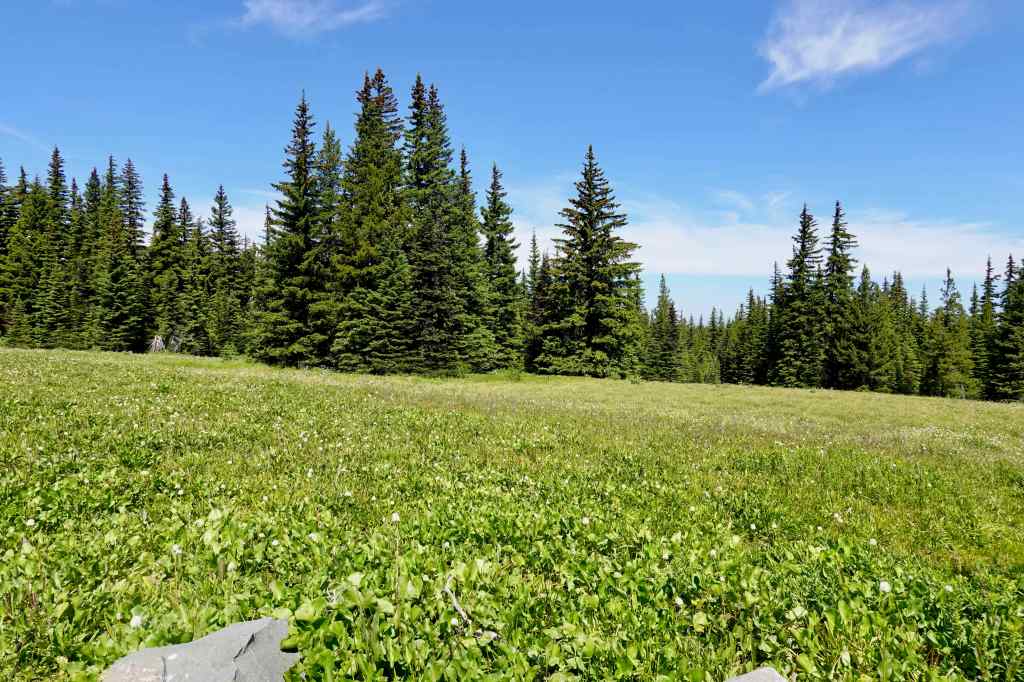
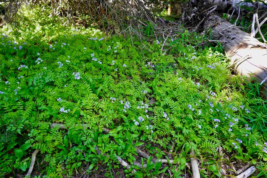
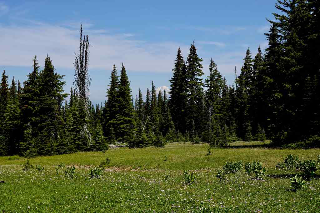
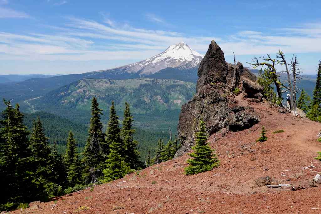
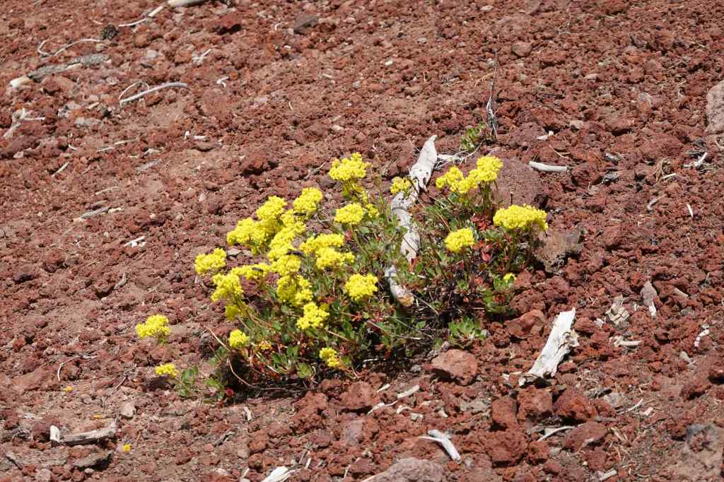
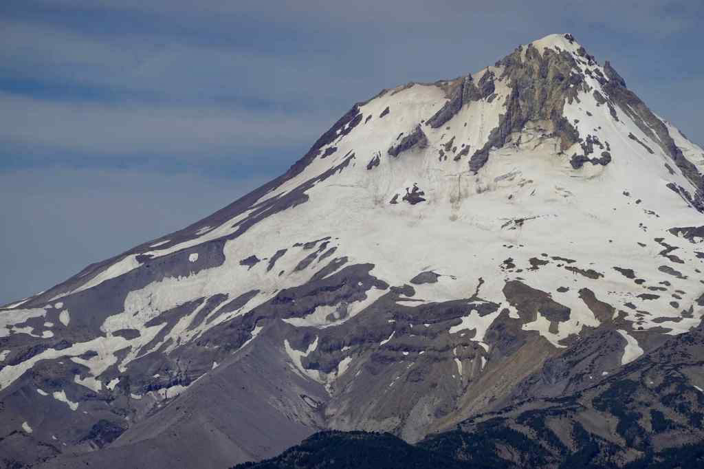
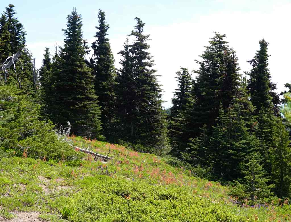
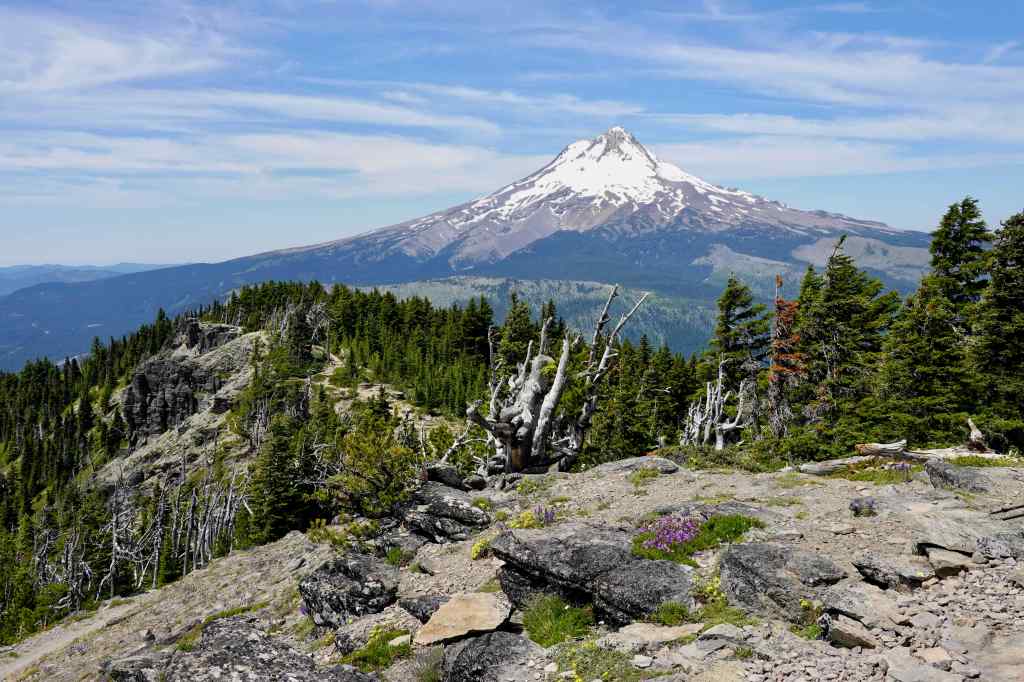
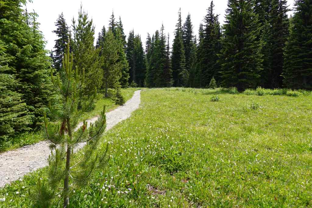
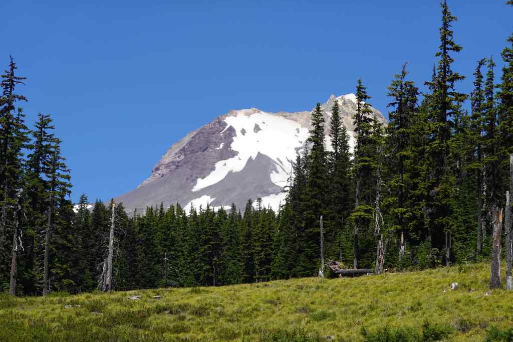
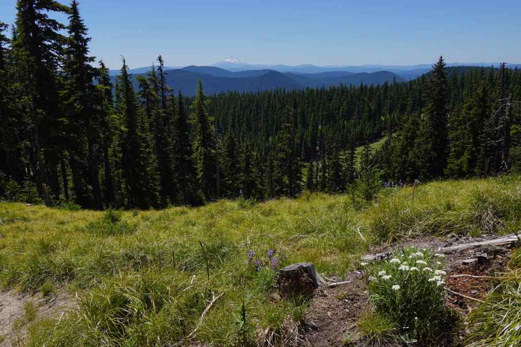
Meadow near the High Prairie Trailhead, elevation about 6000 feet.Jacob’s ladder, blooming in the shade along the trail.Meadow midway up the trail, with view of Mt Adams.Volcanic pinnacle, Mt Hood beyond.Buckwheat and red cinders.Closer view of the east face of Mt Hood, and its dwindling glaciers.
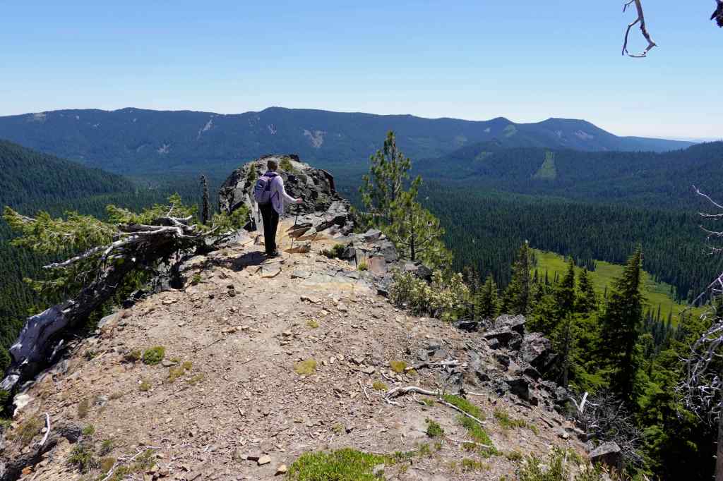
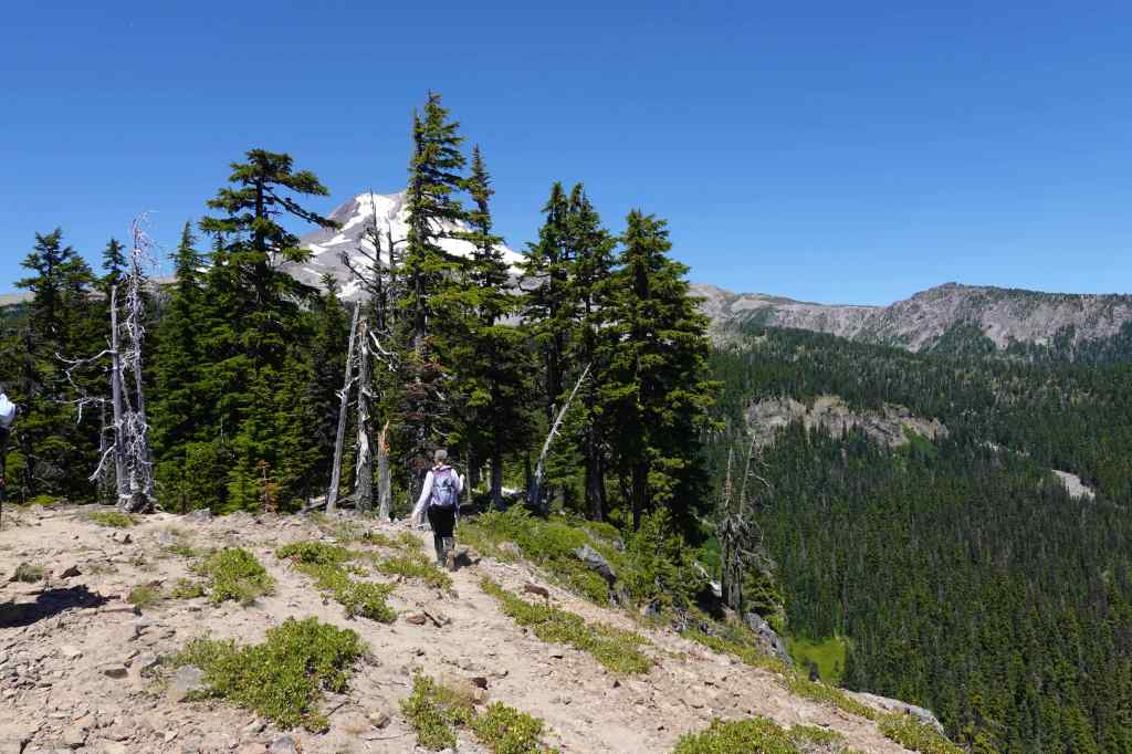
We continued upward along the rocky crest of the ridge that leads to Lookout Mountain.
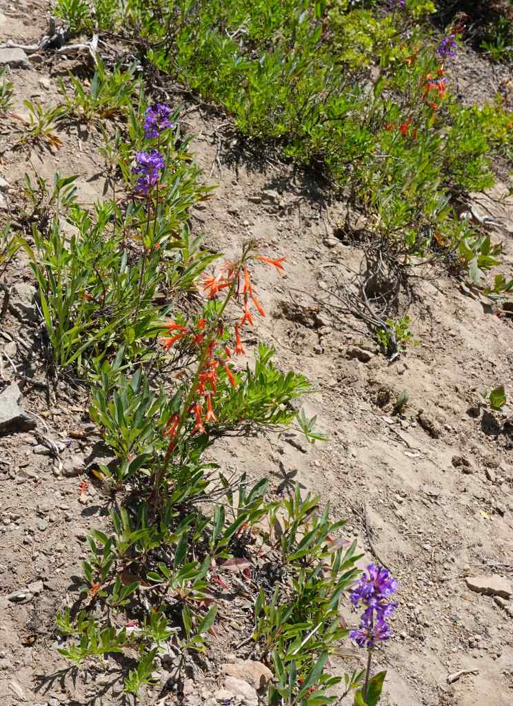
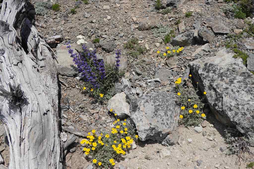
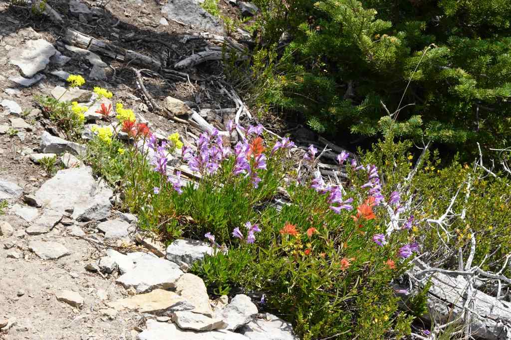
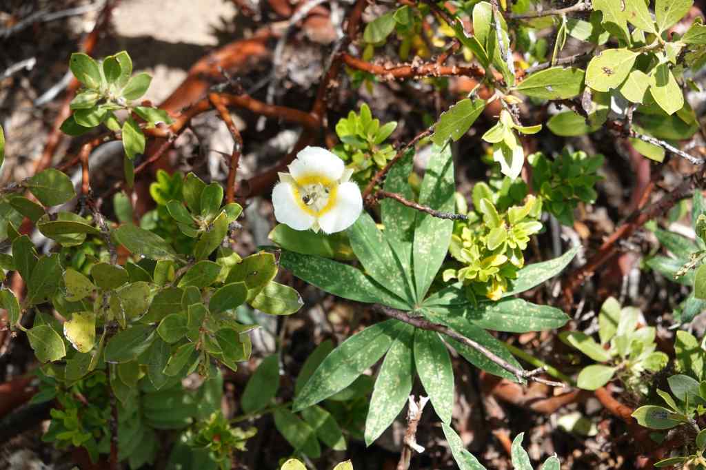
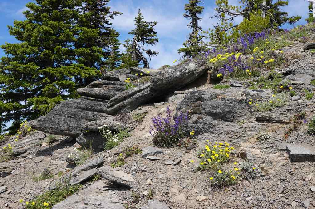
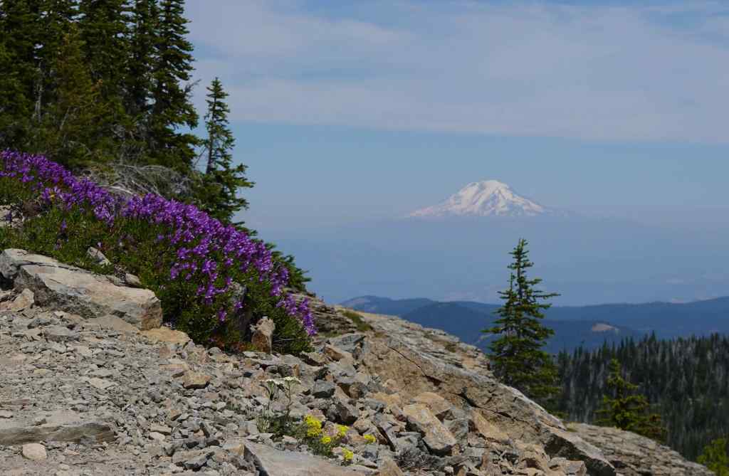
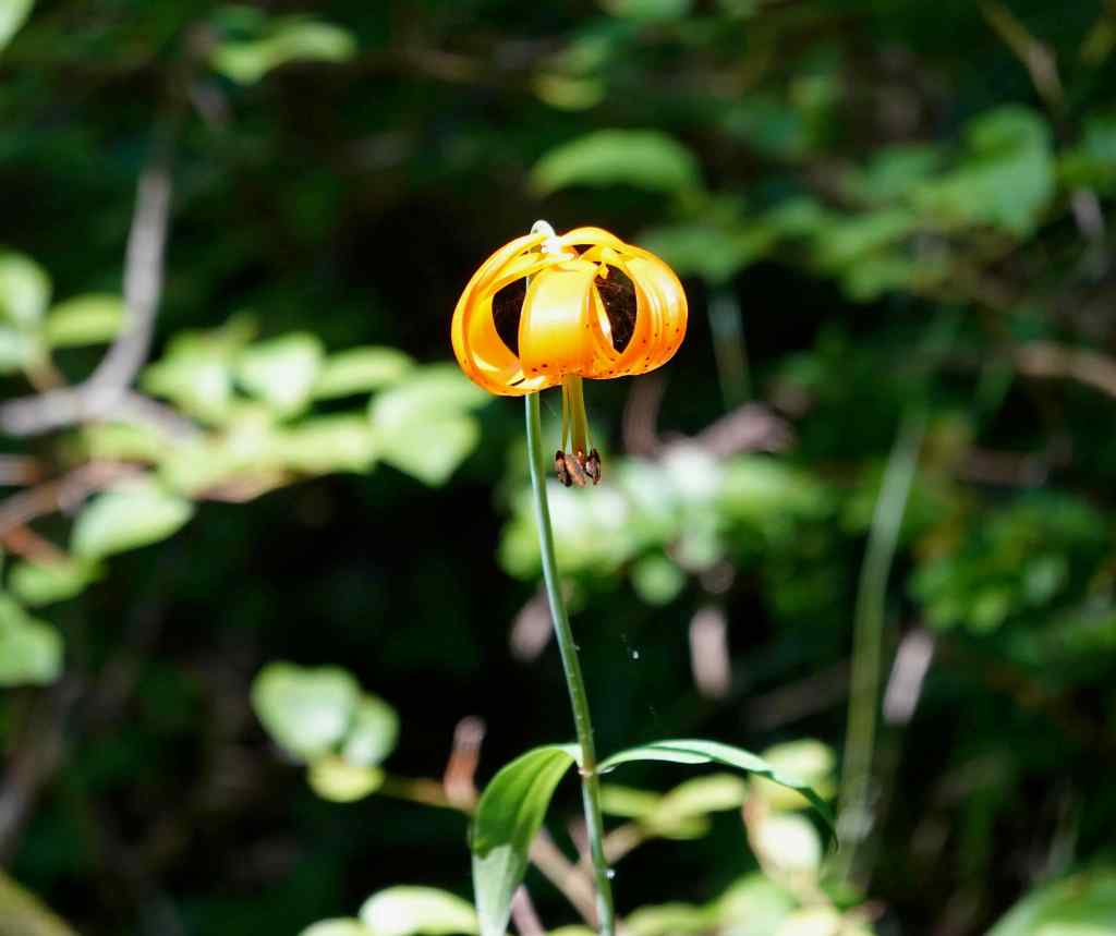
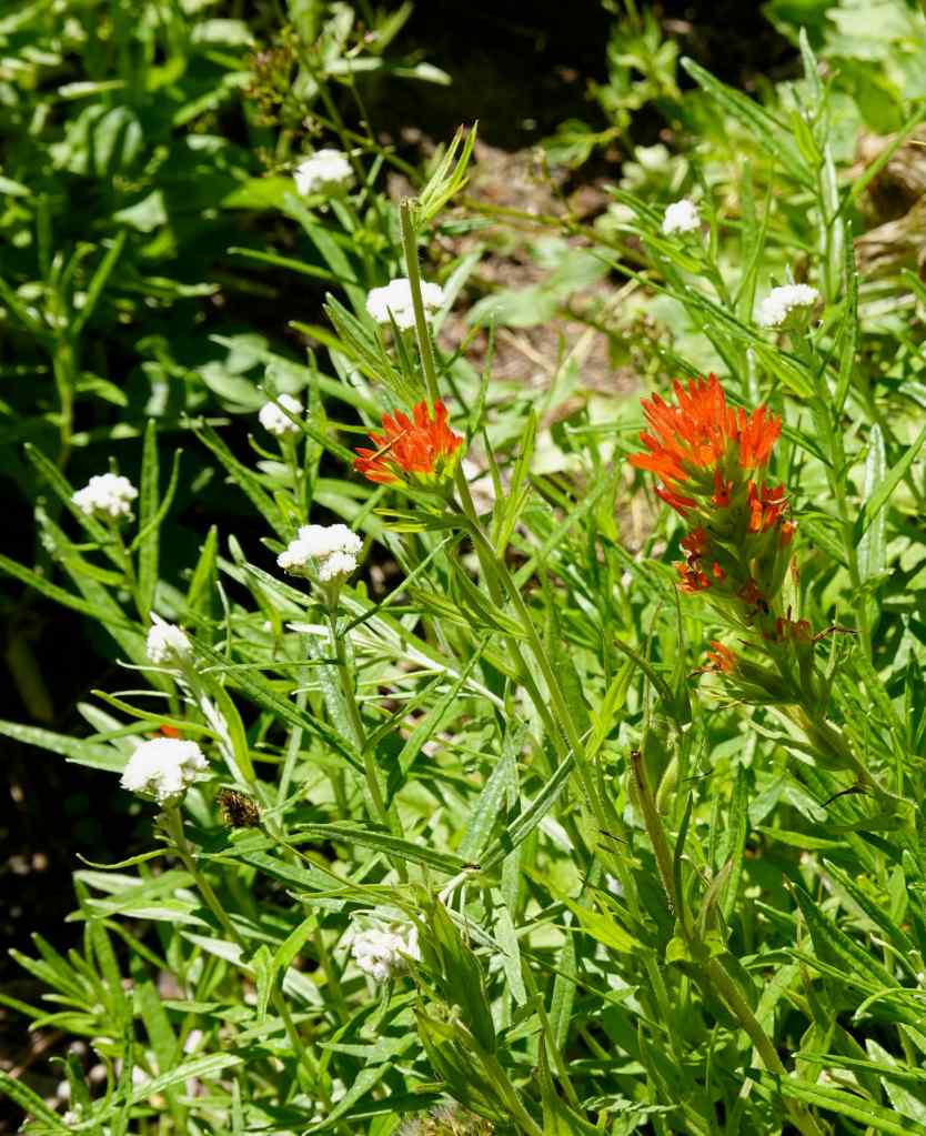
Scarlet gilia meadowScarlet gilia and penstemonOregon sunshine and penstemonPaintbrush, penstemon, buckwheatMariposa lilyThe slope just below the peak is rocky and scattered with clumps of flowers.Mt Adams and penstemon
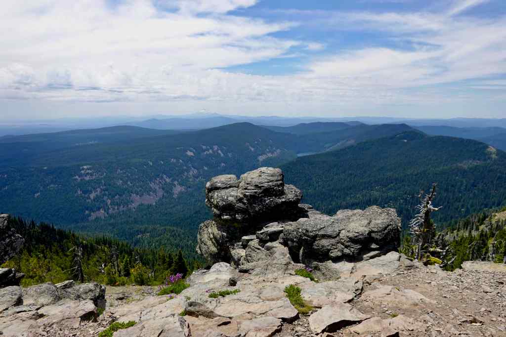
Views from the top:
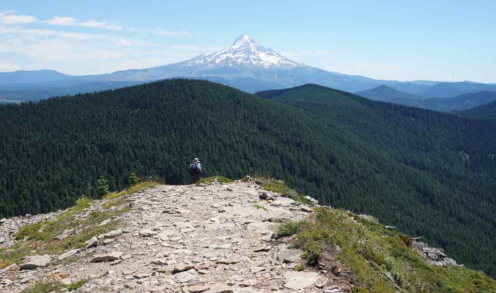
The classic lunch view of Mt Hood.Cascade peaks to the south float in the haze. The Badger Creek Wilderness lies to the east, and most of what I can see from here is within the footprint of the Grasshopper Fire.
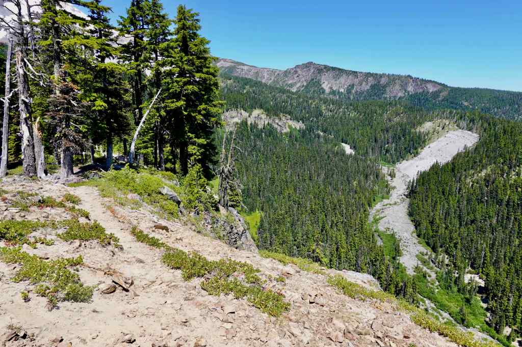
The lower meadows again… I’m sure they will recover…we shall see…
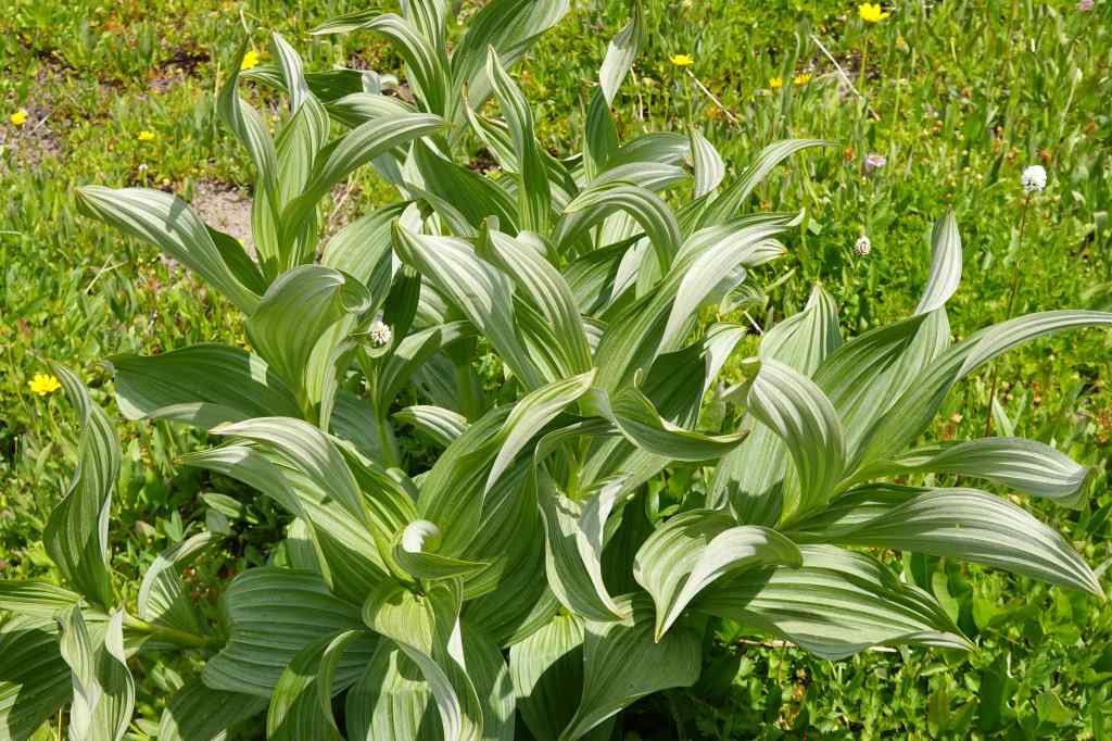
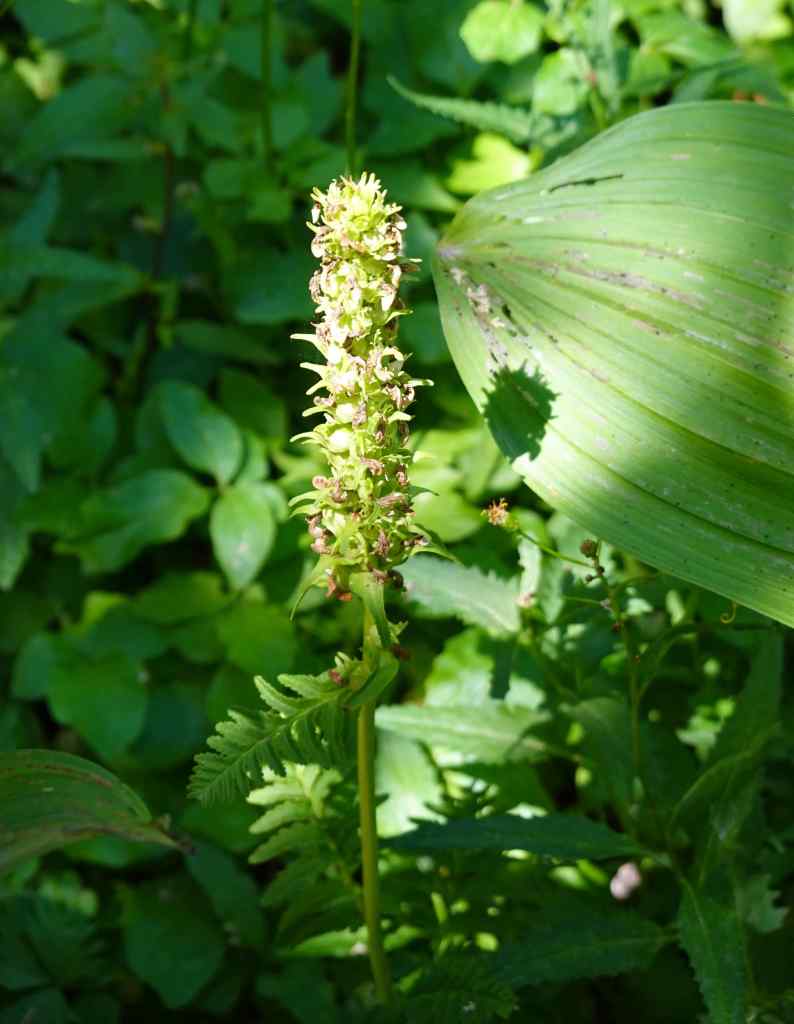
High Prairie meadowsFalse hellebore
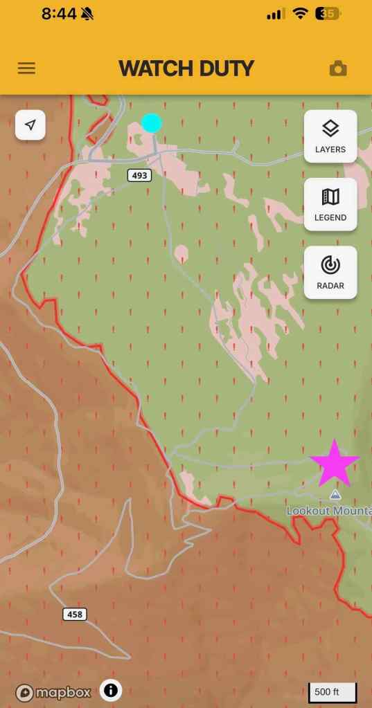
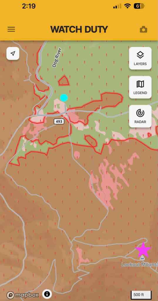
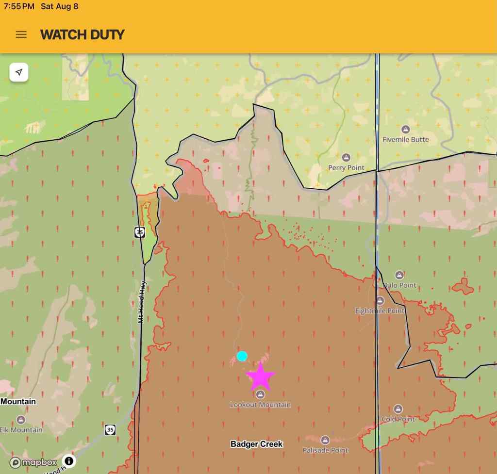
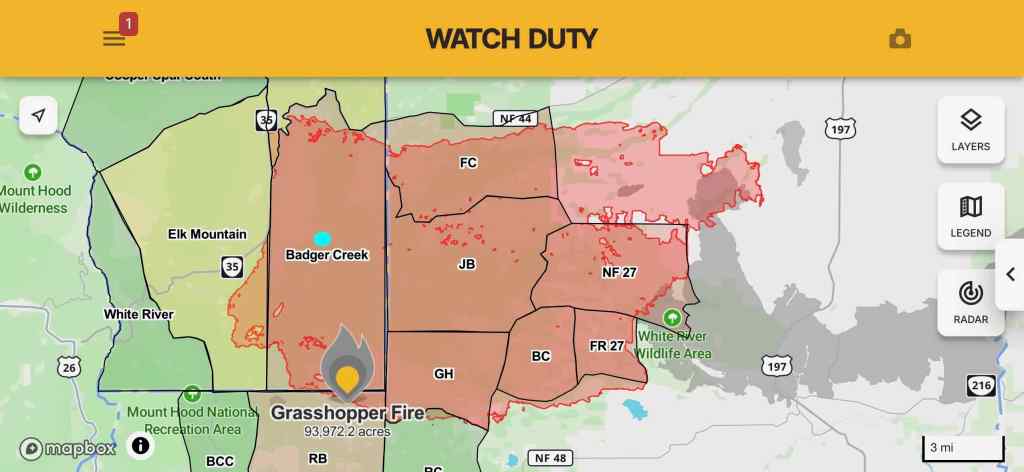
In early August, as the Grasshopper Fire spread, I took screenshots of the perimeter from the Watch Duty App as the fire spread. The fire became huge, and is still being monitored, listed as 98% contained in September.
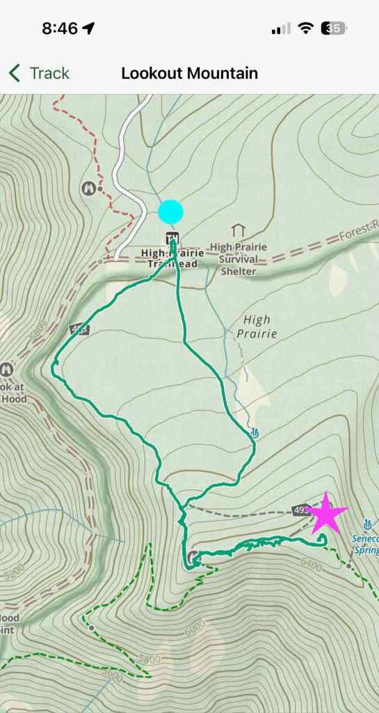
Our hiking track, from the Gaia App. I added a bright blue dot to the High Prairie Trailhead, and a purple star to the top of Lookout Mountain.August 5, 2026 – The top of Lookout Mountain and most of the meadows have not yet burned. August 7, 2026 – Lookout Mountain is burned, but the trailhead area is not.August 8, 2026 – The fire has completely overrun this area. September 2, 2026 – Grasshopper Fire Perimeter, The bright blue dot is the Lookout Mountain area.
7/13 – Chinidere Mountain
Last year I didn’t have the stamina to make it to the top of this peak on the north side of Mt Hood, where we have been many times. I was very happy to have made it to the summit today. Again, with wildflowers and mountain views (5.6 miles/950 feet).
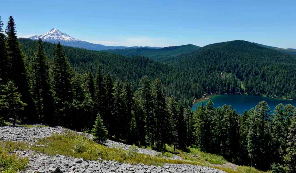
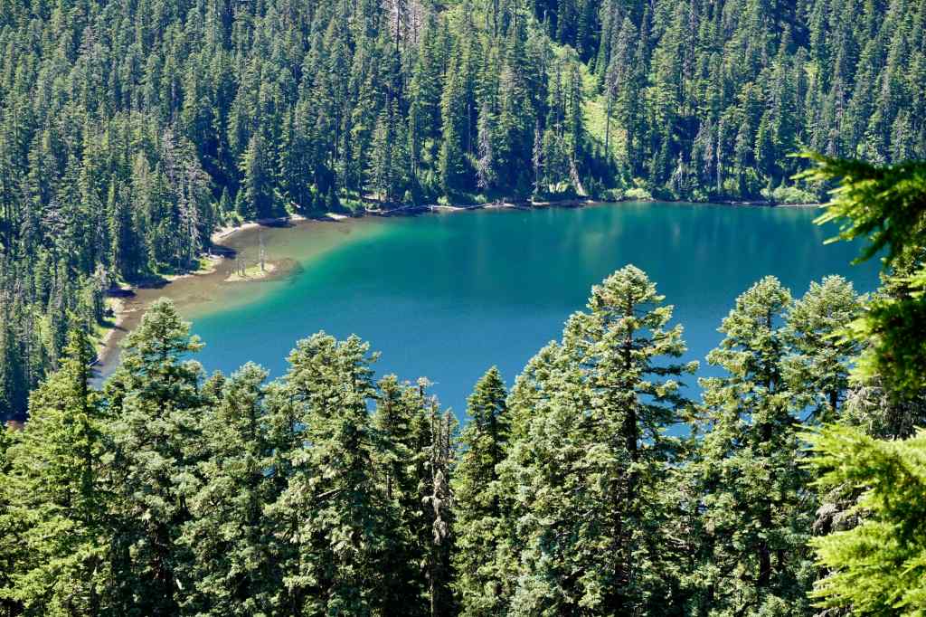
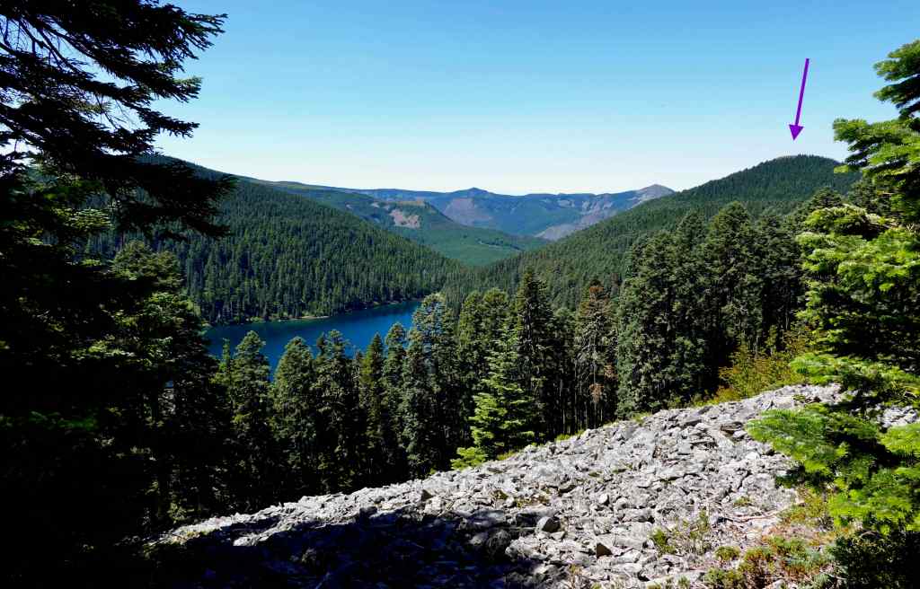
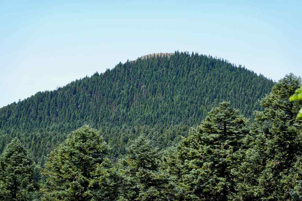
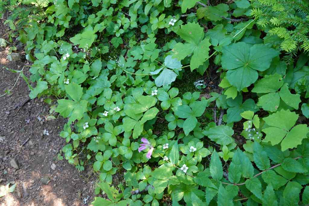
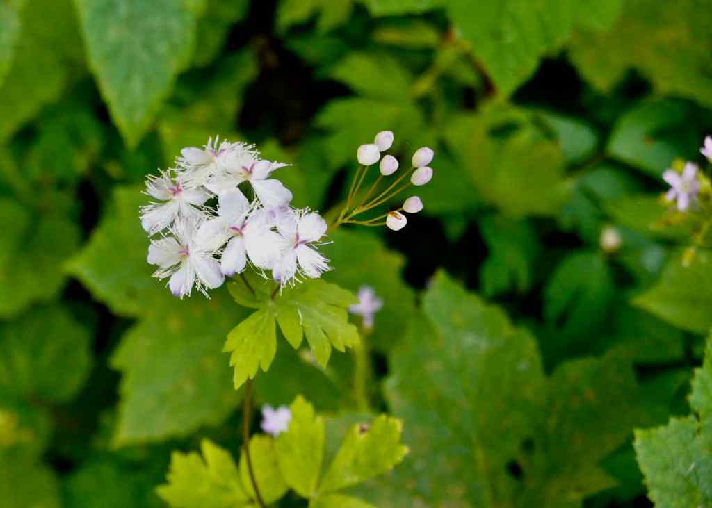
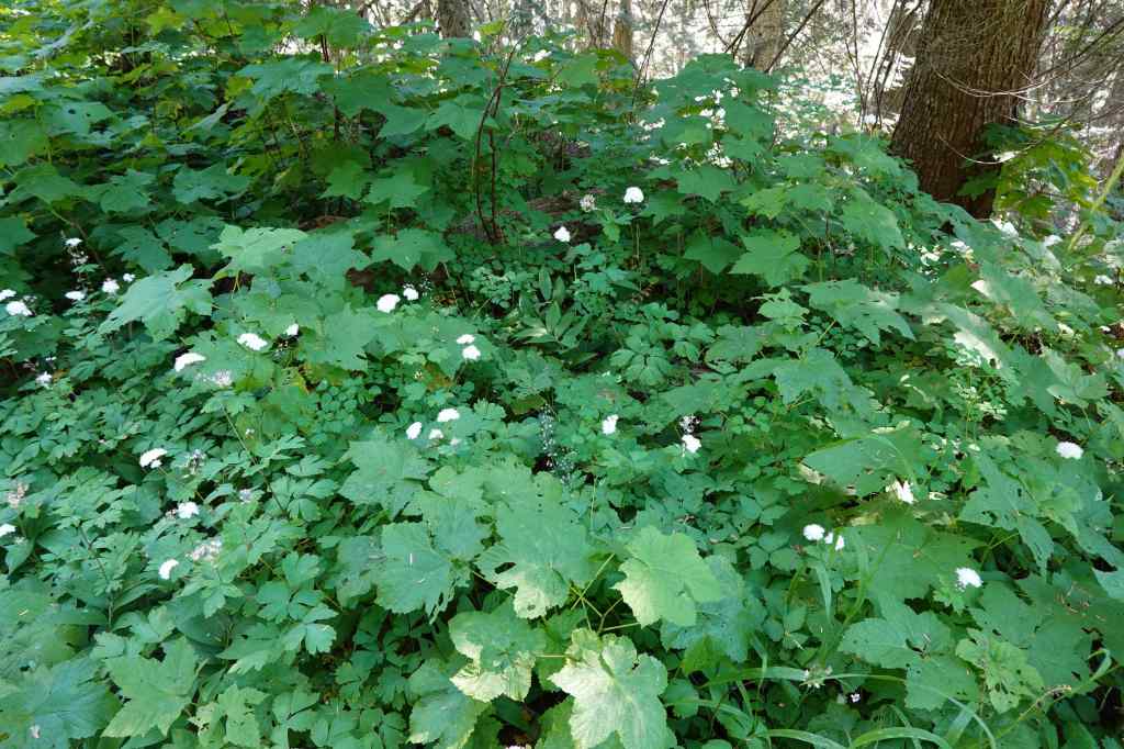
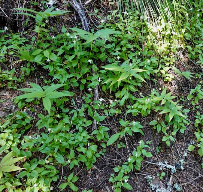
We started up the Anthill Trail again, instead of going down to Wahtum Lake. The trail was shaded, with white forest flowers blooming along the way.Eventually, we attained the ridge with views to Mt Hood, and to Wahtum Lake.Wahtum LakeArrow points to Chinidere Mountain, our goal for the dayThe rocky top of Chinidere Mountain.We could also see Mt Jefferson through the haze.
We continued around the ridge, and up the switchbacks to the top of Chinidere Mountain…
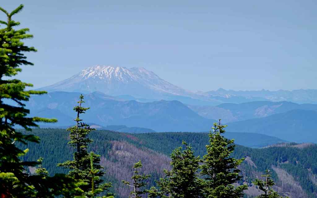
The top of Chinidere Mountain, with view to Mt Hood. Hoorah!To the north, the Cascade peaks in WashingtonMt AdamsMt St HelensAnd another look at Mt Hood, before descending.
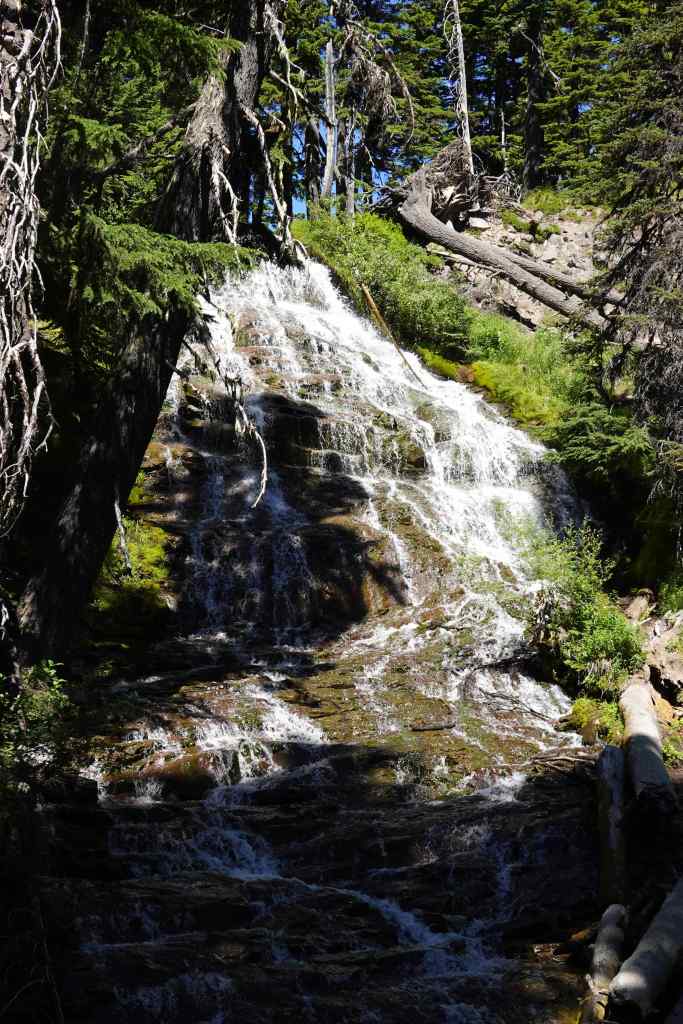
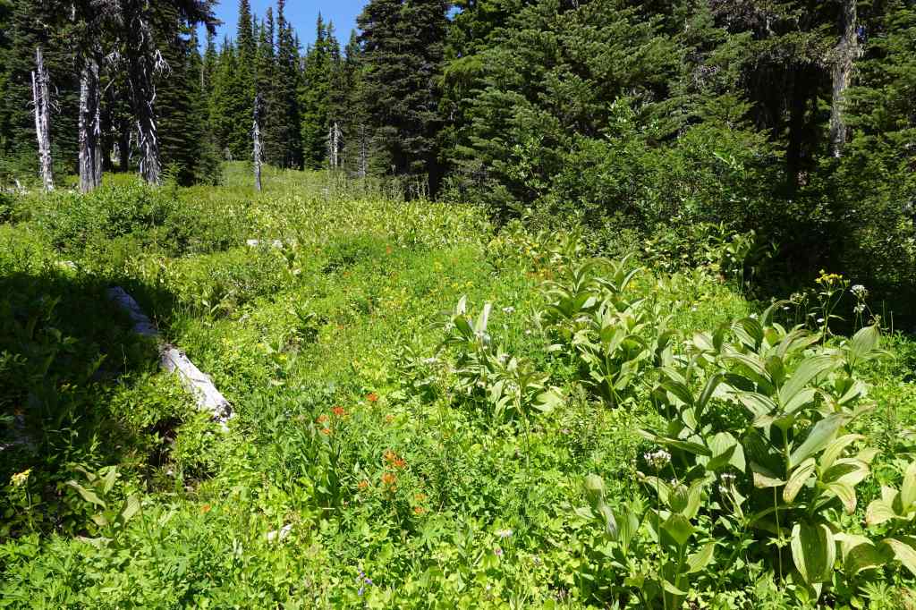
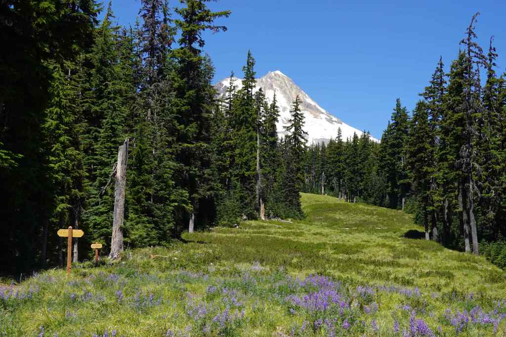
My sister Helen joined us for this hike. We started at the Mt Hood Meadows Trailhead (5200′) to minimize elevation gain. It is a great choice for a relatively easy hike high on Mt Hood that has a waterfall, wildflowers and a view (3.2 miles 300 feet).
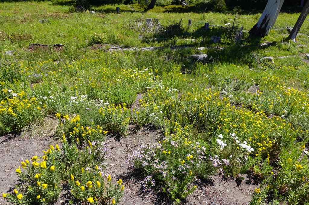
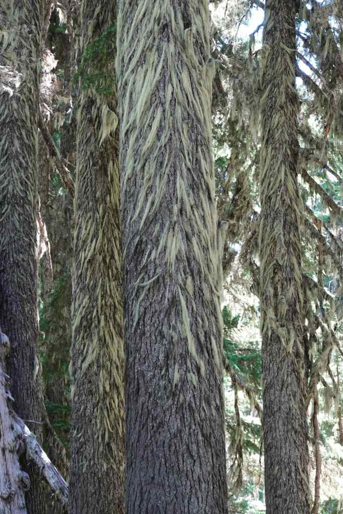
Wildflower meadows near the trailhead.Umbrella FallsMore wildflower meadows Lichen on the fir treesView to Mt Hood across the ski run, with lupine.And another angle. Mt Jefferson in the distance.Picnic RockHeading back to the shade for lunch. Clark Creek below the ridge.
And a few more wildflowers:
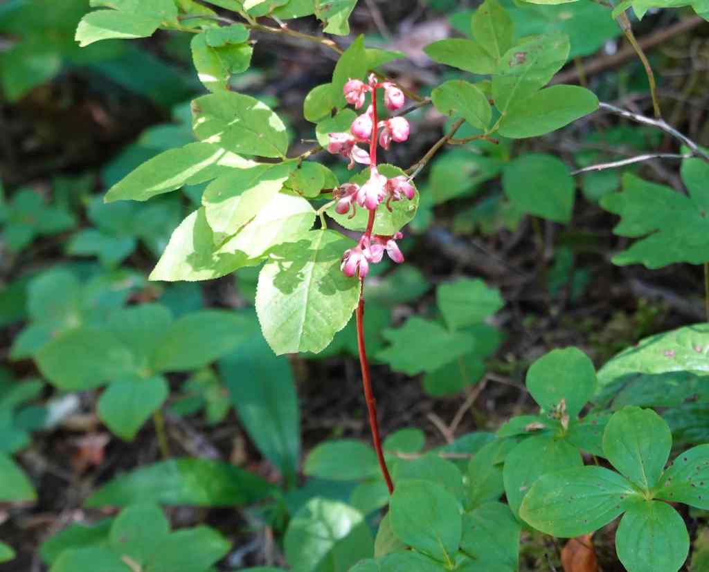
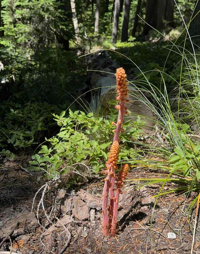
Bracted lousewortPaintbrush and pearly everlastingWoodland pinedrops
7/25 – Wildwood Trail, Forest Park, Portland
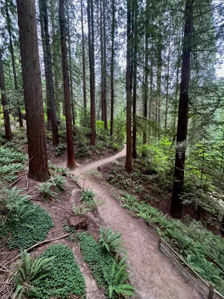
Another hike with Helen, who wanted more forest time. We walked a shady loop on the Wildwood and Yellow Pine Trails on a warm afternoon (2.2 miles/275 feet).
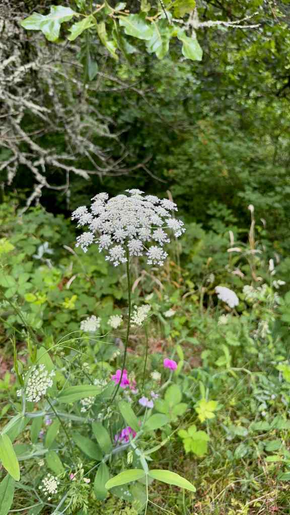
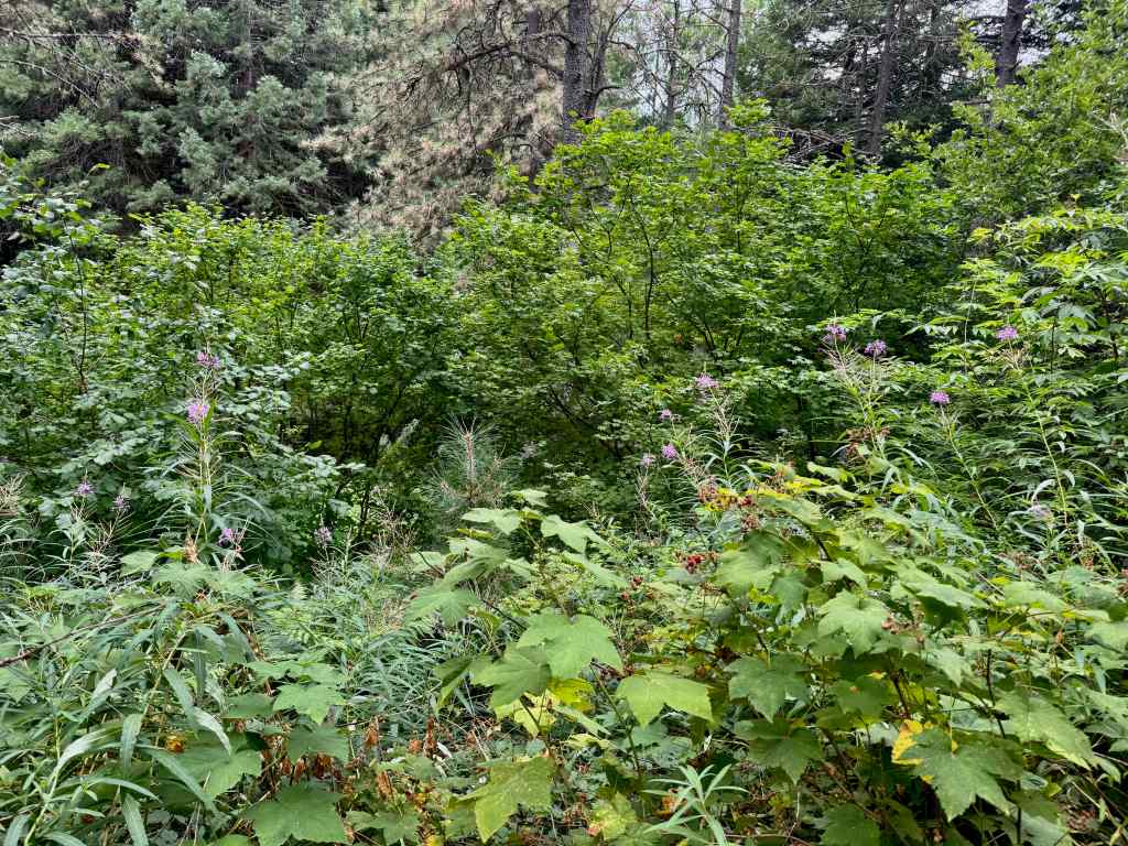
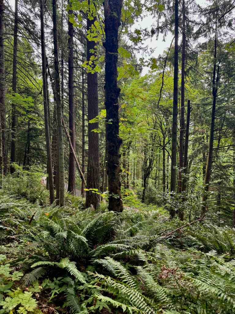
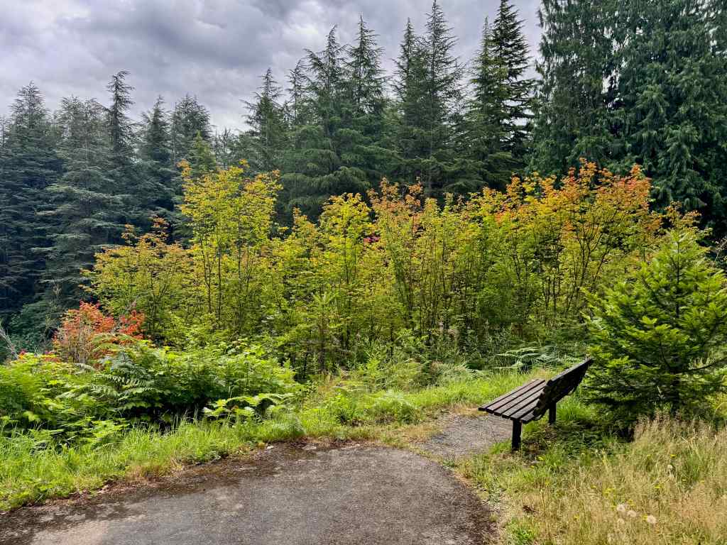
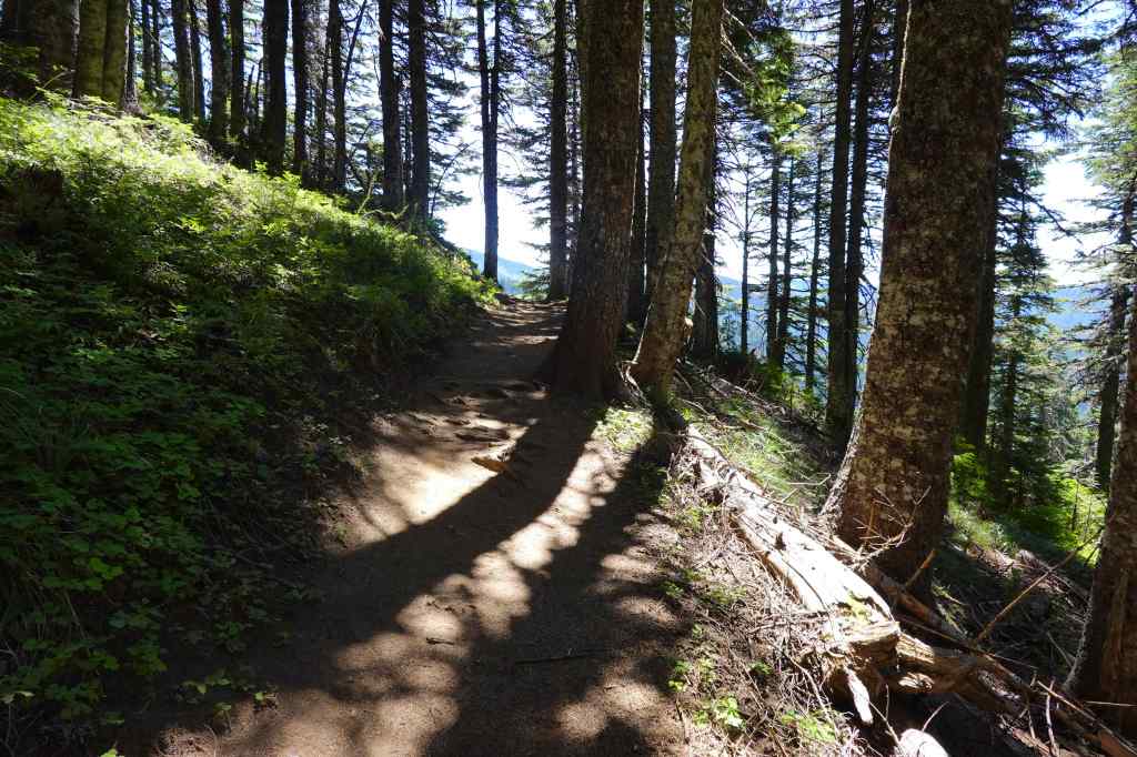
Nice and shady on the Wildwood Trail.Queen Anne’s LaceA few redwoodsFireweedFerns and yellow pinesVine maples and a convenient bench.
7/27 – Bald Mountain
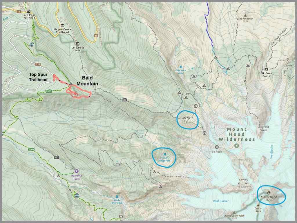
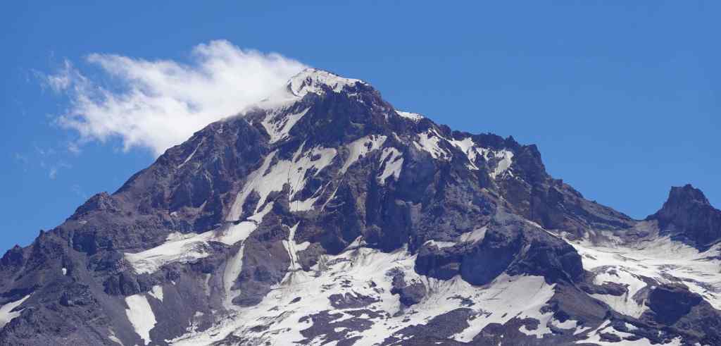
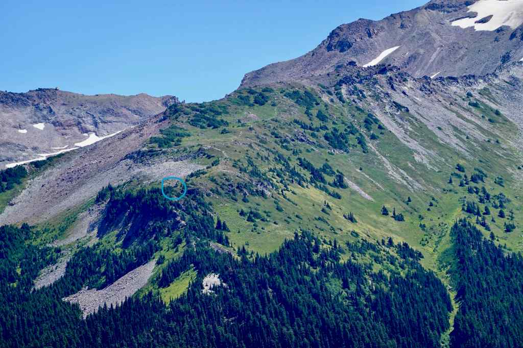
This hike starts at the Top Spur Trailhead on the west side of Mt Hood. In the past, we have gone all the way to McNeil Point, but that is beyond me just now. Instead, we went to the top of Bald Mountain for the views, than walked the circuit around the Bald Mountain, for more views and wildflowers. The south side is exposed to the sun, and gets lots of colorful wildflowers. The return loop is through shady woods. It was very satisfying, the perfect level of difficulty for me at this point (3.2 miles/730 feet).
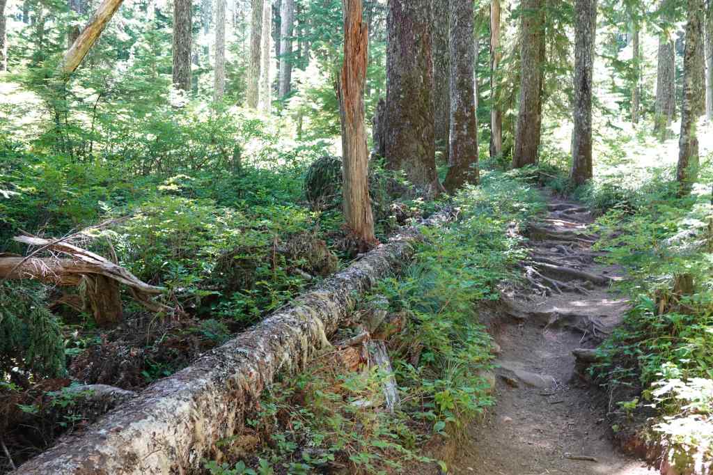
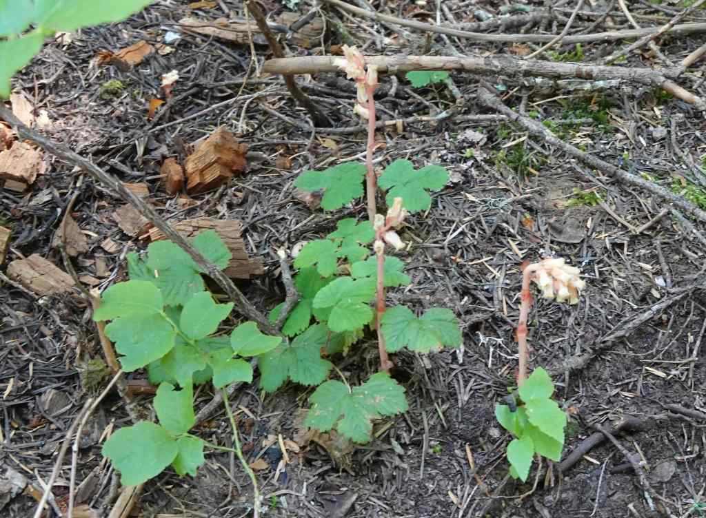
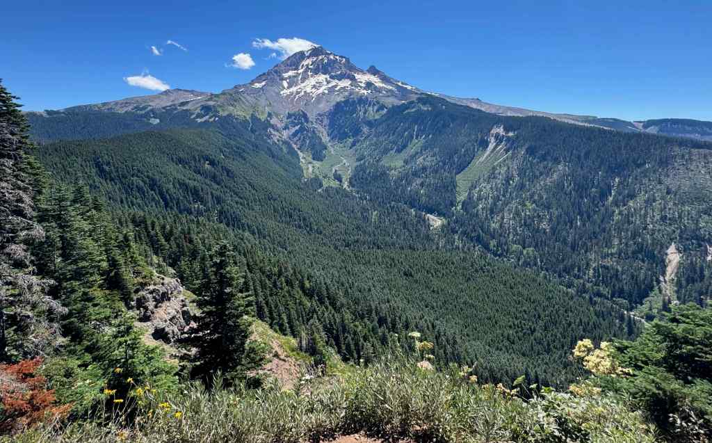
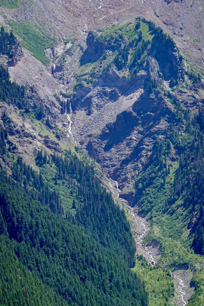
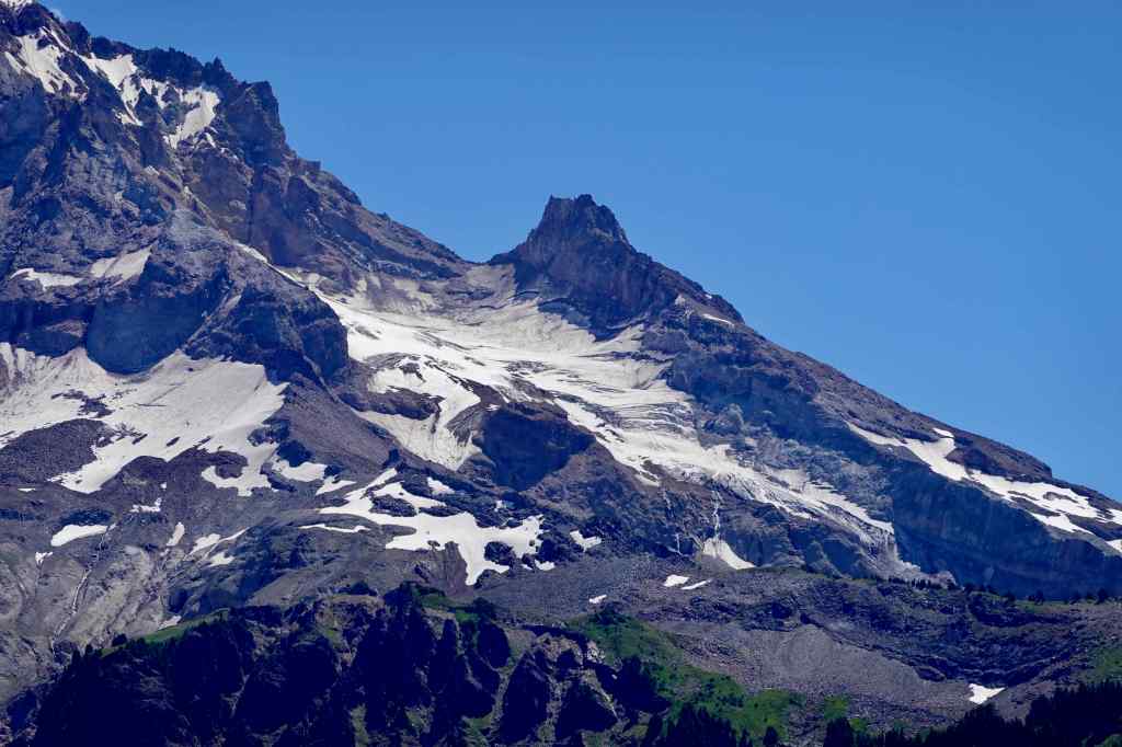
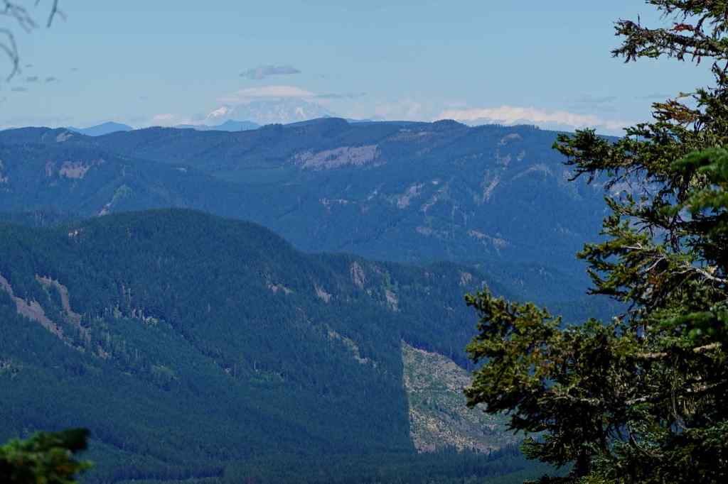
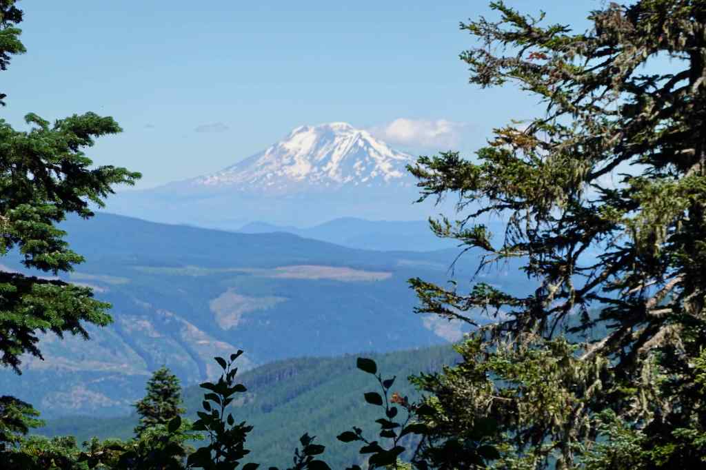
Gaia track of our hike around Bald Mountain, showing other key locations on Mt Hood.The first half mile ascends steeply upward, with lots of roots and rocks on the trail.We saw Ghost Pipes in the forest here.Lunch view: looking toward Mt Hood from the east summit of Bald Mountain.Yocum Falls and Muddy Fork of the Sandy RiverIllumination Rock and Reid GlacierMt Hood Summit, and Sandy GlacierMacNeil Point (hut circled in blue).Mt St Helens, seen looking to the north through the trees.Mt Adams, also looking through trees from the narrow summit of Bald Mountain.
We returned down to the main trail that circles Bald Mountain, first hiking through shady forest again.
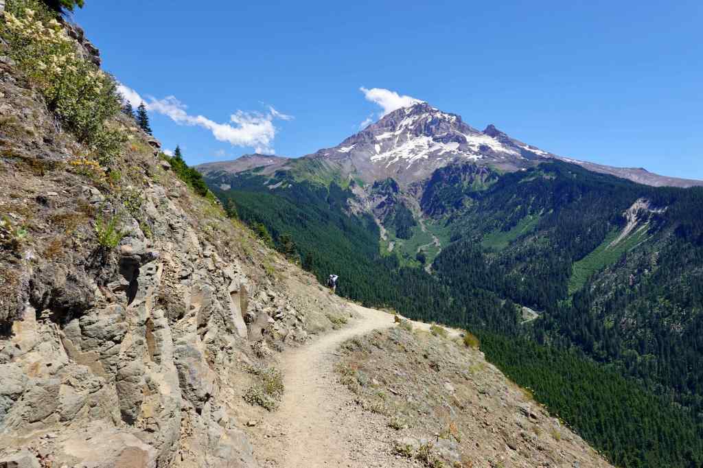
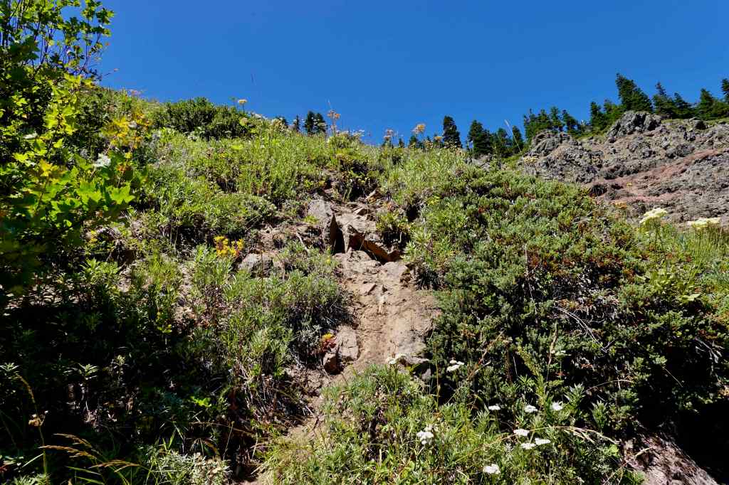
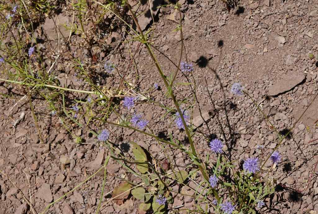
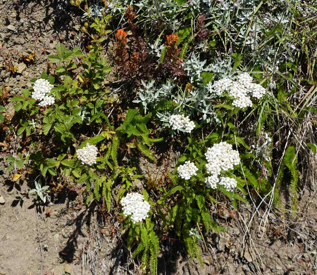
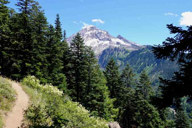
In the forest, approaching the bald side of Bald Mountain.Bog orchids were plentiful along the trail here.Once out in the open, the rocky slopes provided continuous views to Mt Hood and the Muddy Fork of the Sandy River.This view is looking up from the trail toward the summit of Bald Mountain, with rocky slopes and sun-loving wildflowers.Bluehead giliaYarrow
Eventually, the trail returns to a forested section, and we returned to the trailhead.
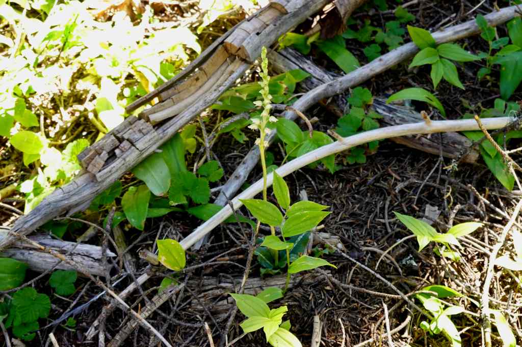
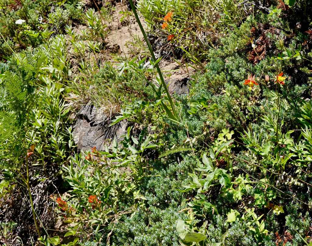
Last view of Mt Hood before heading back into the forest, with frothy blooms of ocean spray along the trail.Paintbrush and columbine were also blooming here.And there were swaths of Scouler’s bluebell in the shade, which I have only seen one other time.
I enjoyed this day on Mt Hood. The approach trail from Top Spur was not as steep as I remembered. I hope to make it all the way to MacNeil Point again someday…
Thank you for reminding me how beautiful northern Oregon can be. I was, however, devastated when the Grasshopper Fire got most of the Badger. It was a special place. 😢
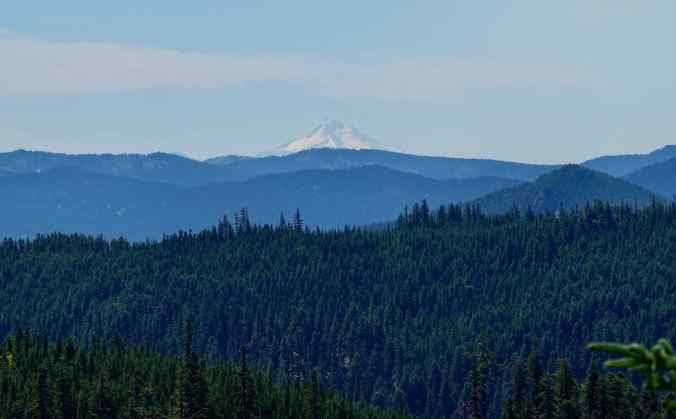
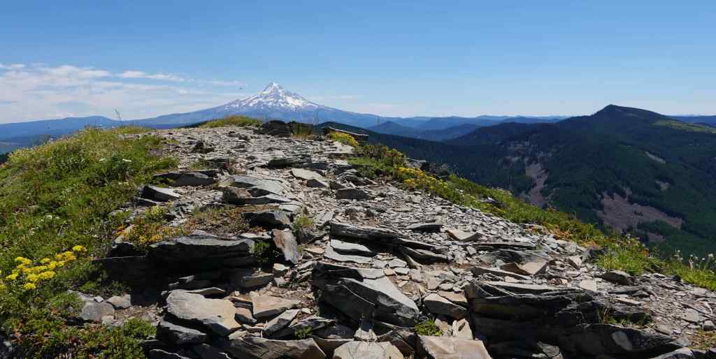
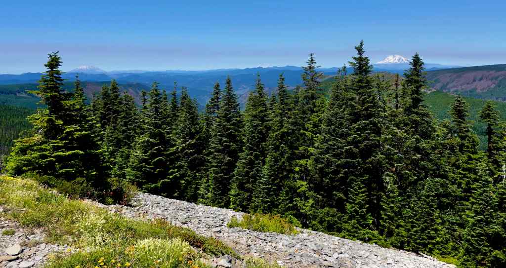
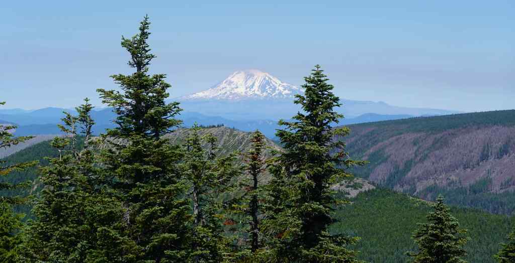


Thank you for reminding me how beautiful northern Oregon can be. I was, however, devastated when the Grasshopper Fire got most of the Badger. It was a special place. 😢
LikeLike
I never got closer than peeking in from Lookout Mountain – I’m hoping it was a mosaic burn…
LikeLike