We returned from our California/Thanksgiving road trip on the first of December, with the Winter Solstice, Christmas, Hanukkah and home repair to look forward to. In the neighborhood, some folks went all in on their decor – a few of my favorites:
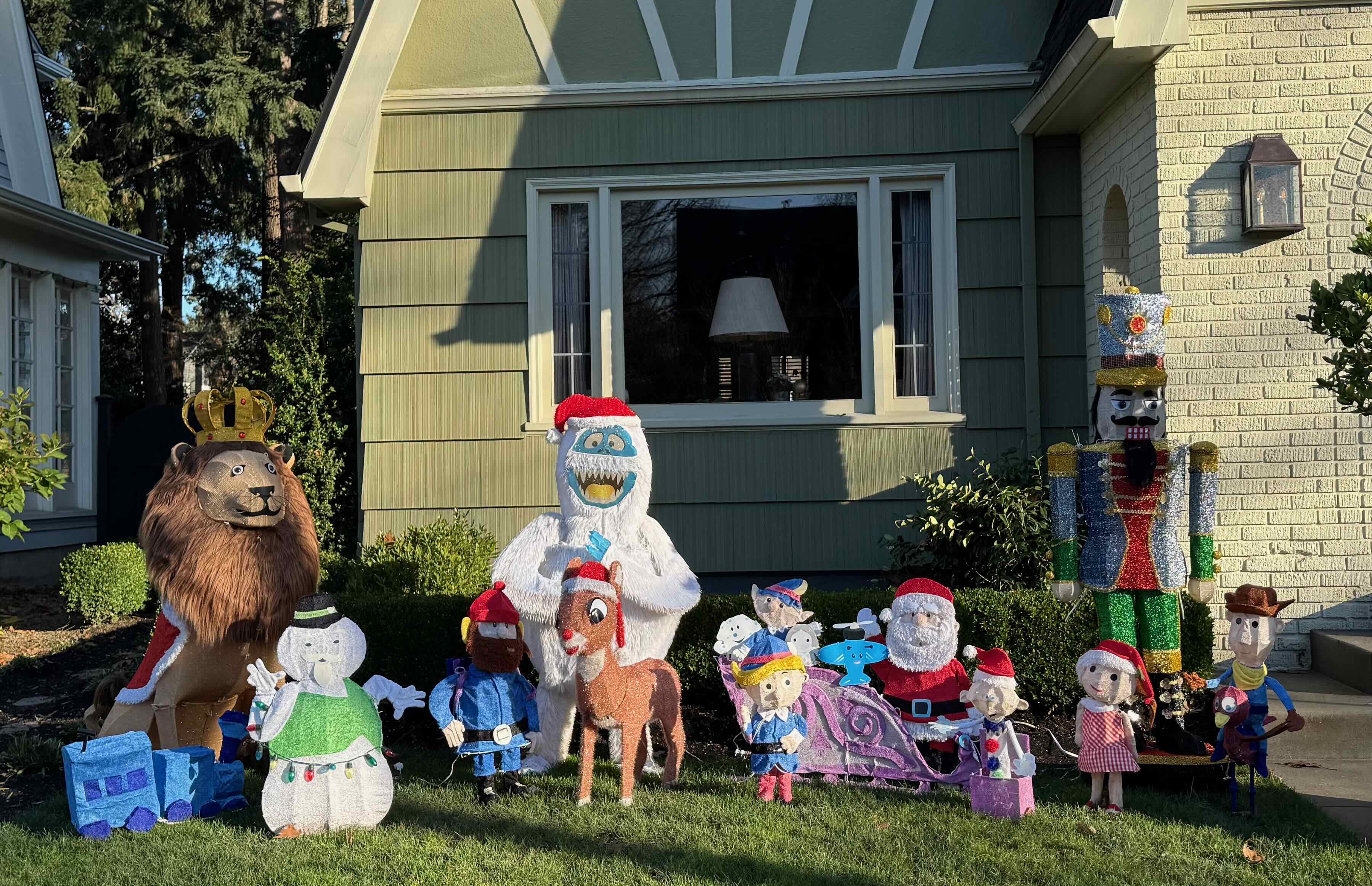
Rudolph and friends
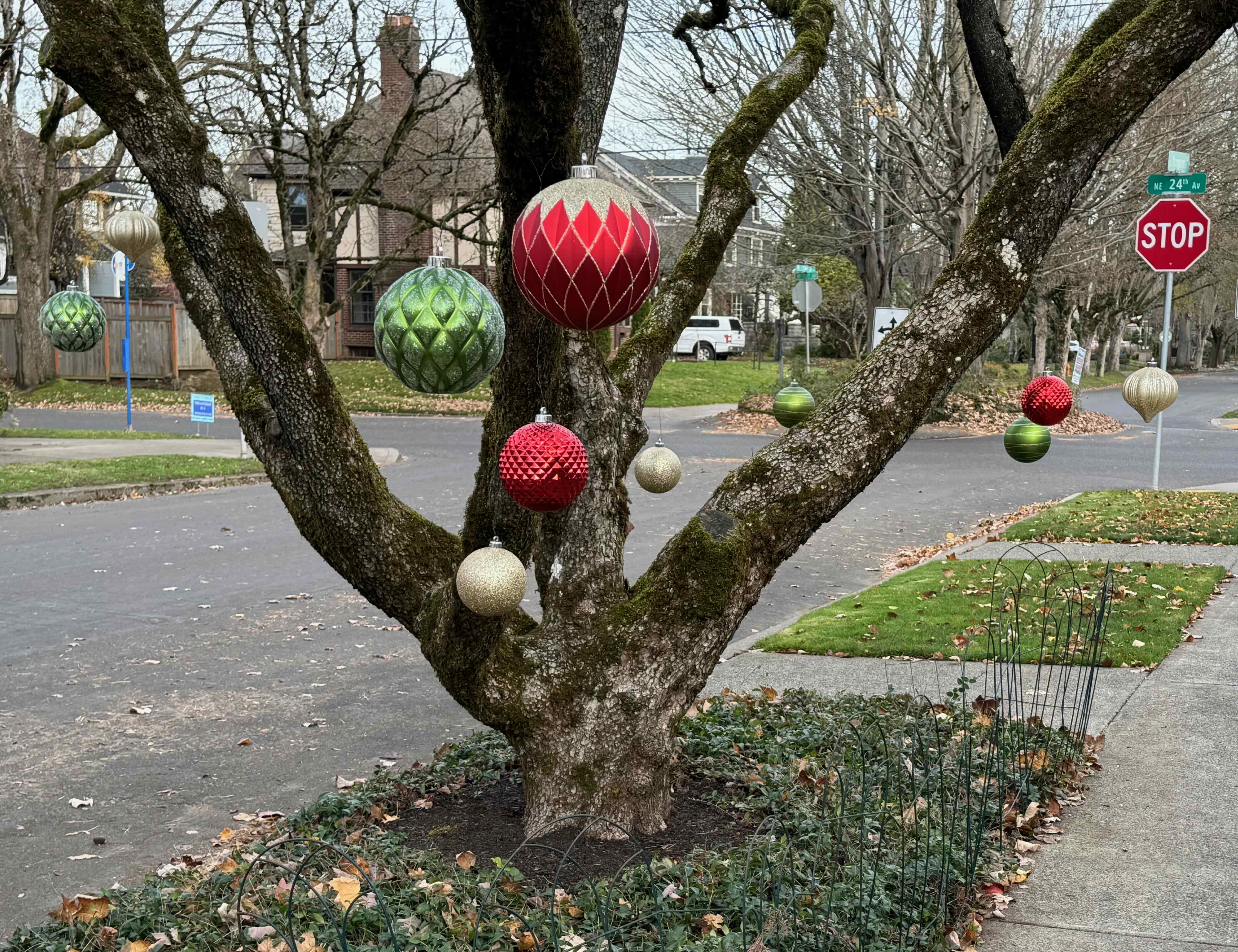
Giant ornaments
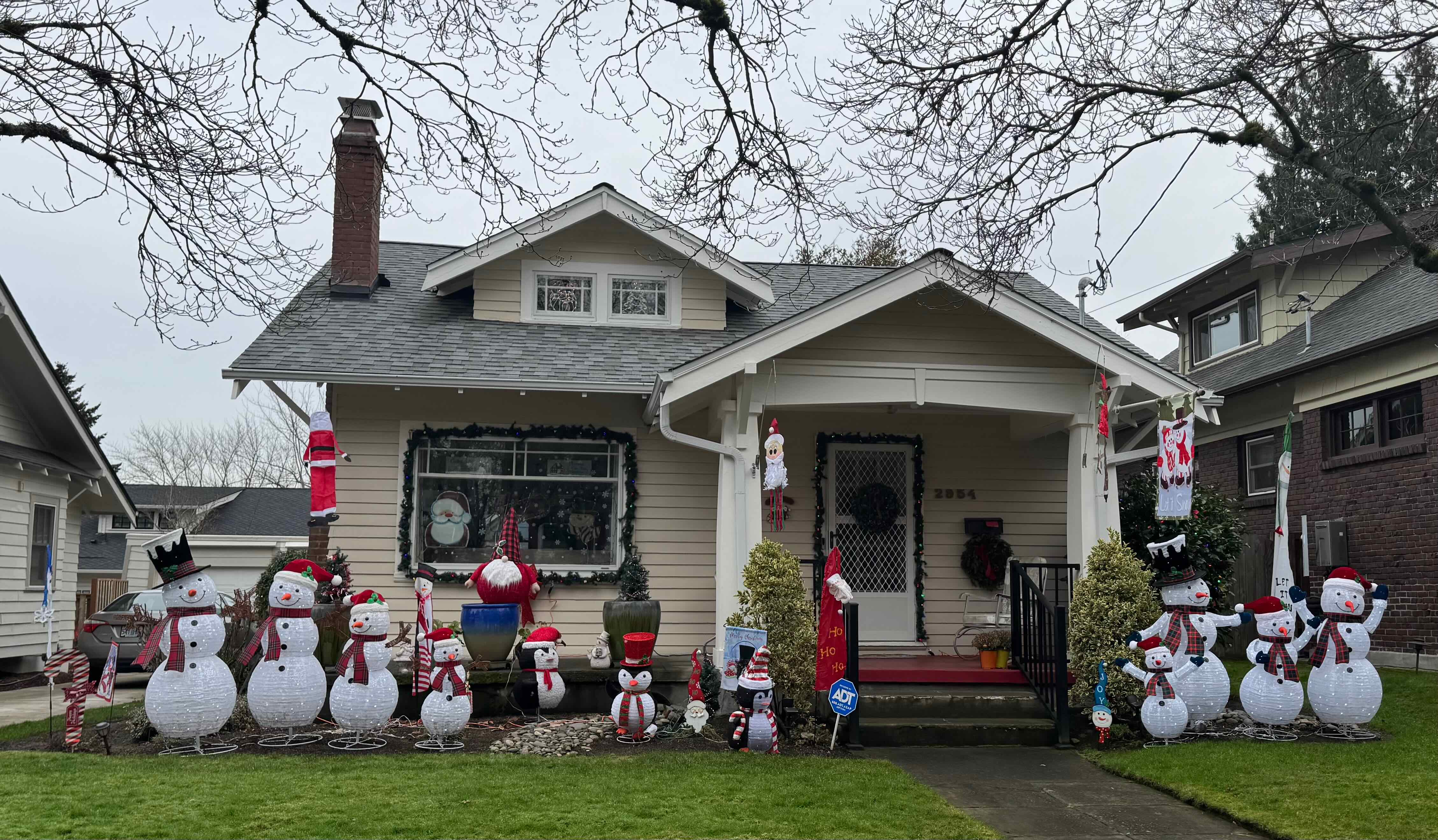
All the snow people
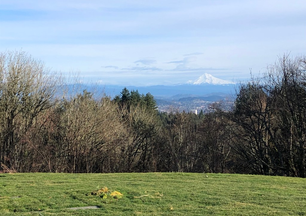
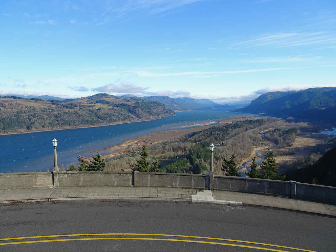
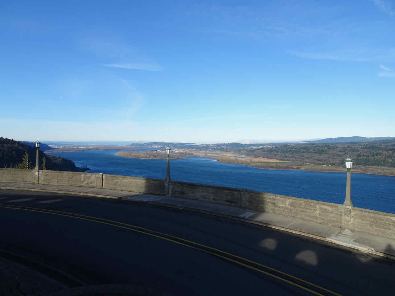
We had a stretch of cold, clear days, one of which was an appointment at OHSU for me – all well, for the moment, and I got a great 7th floor view of Portland.
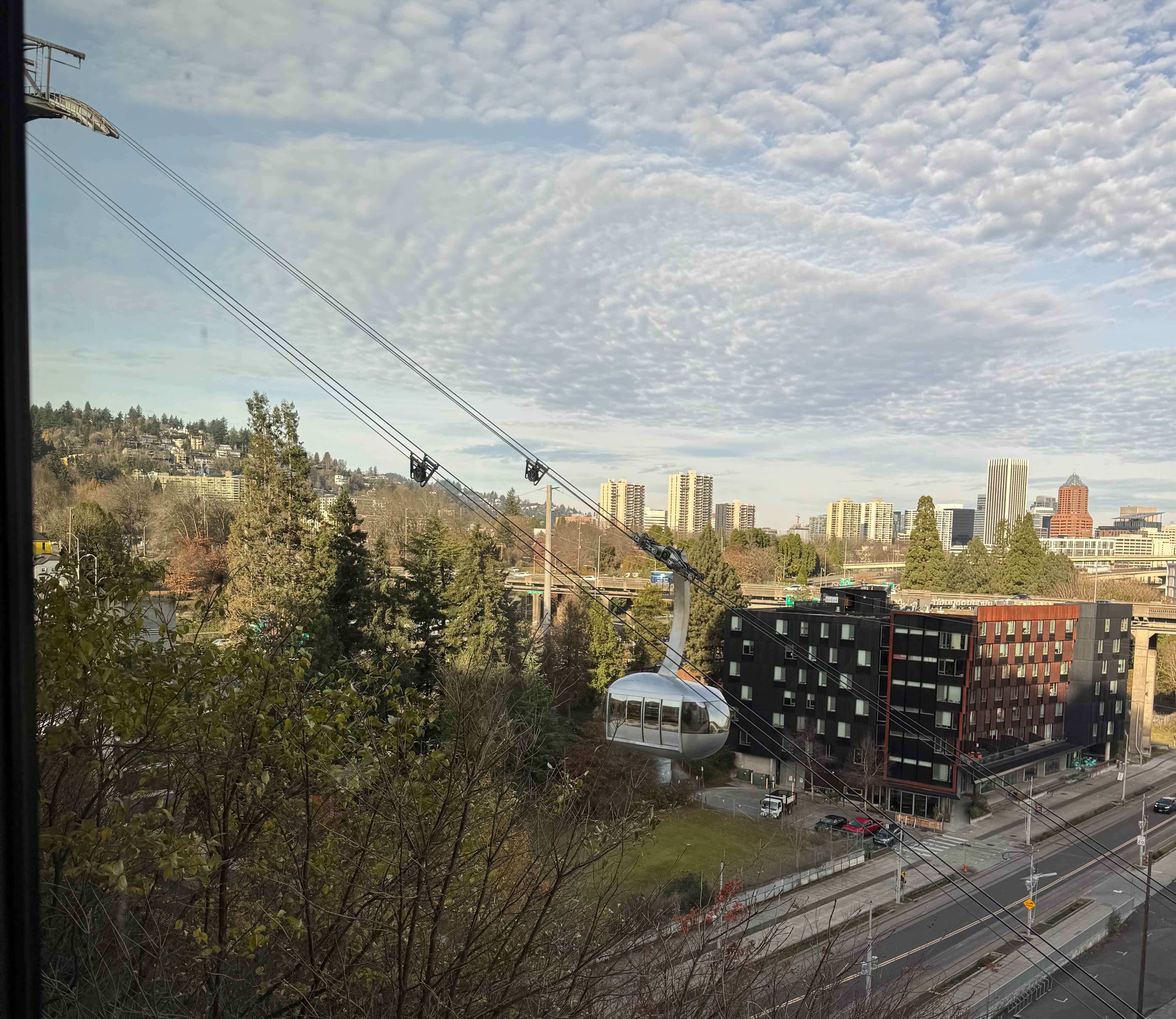
Tram, Downtown Portland

Willamette River, Mt St Helens
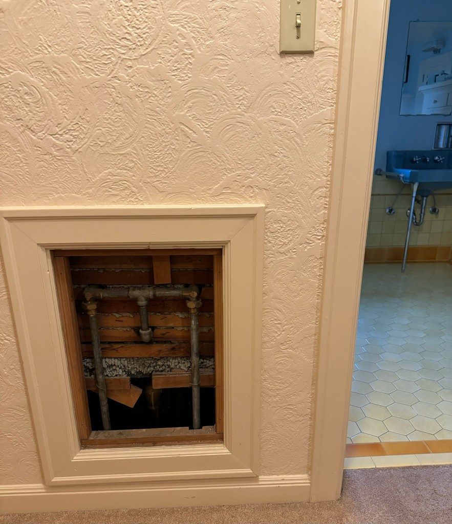
And, during that clear weather stretch, the roofing crew we hired put a new roof on our very steep roof.
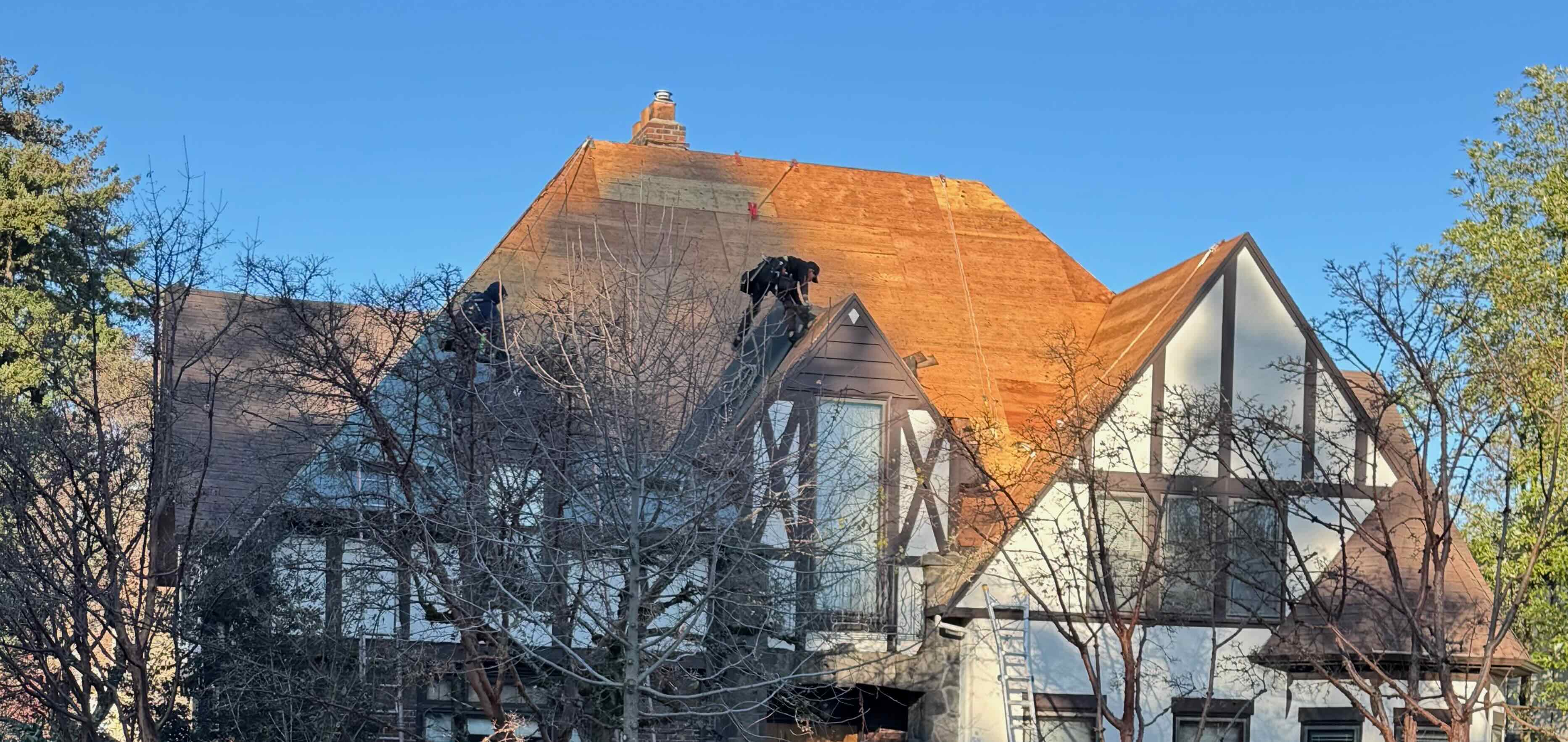
New plywood
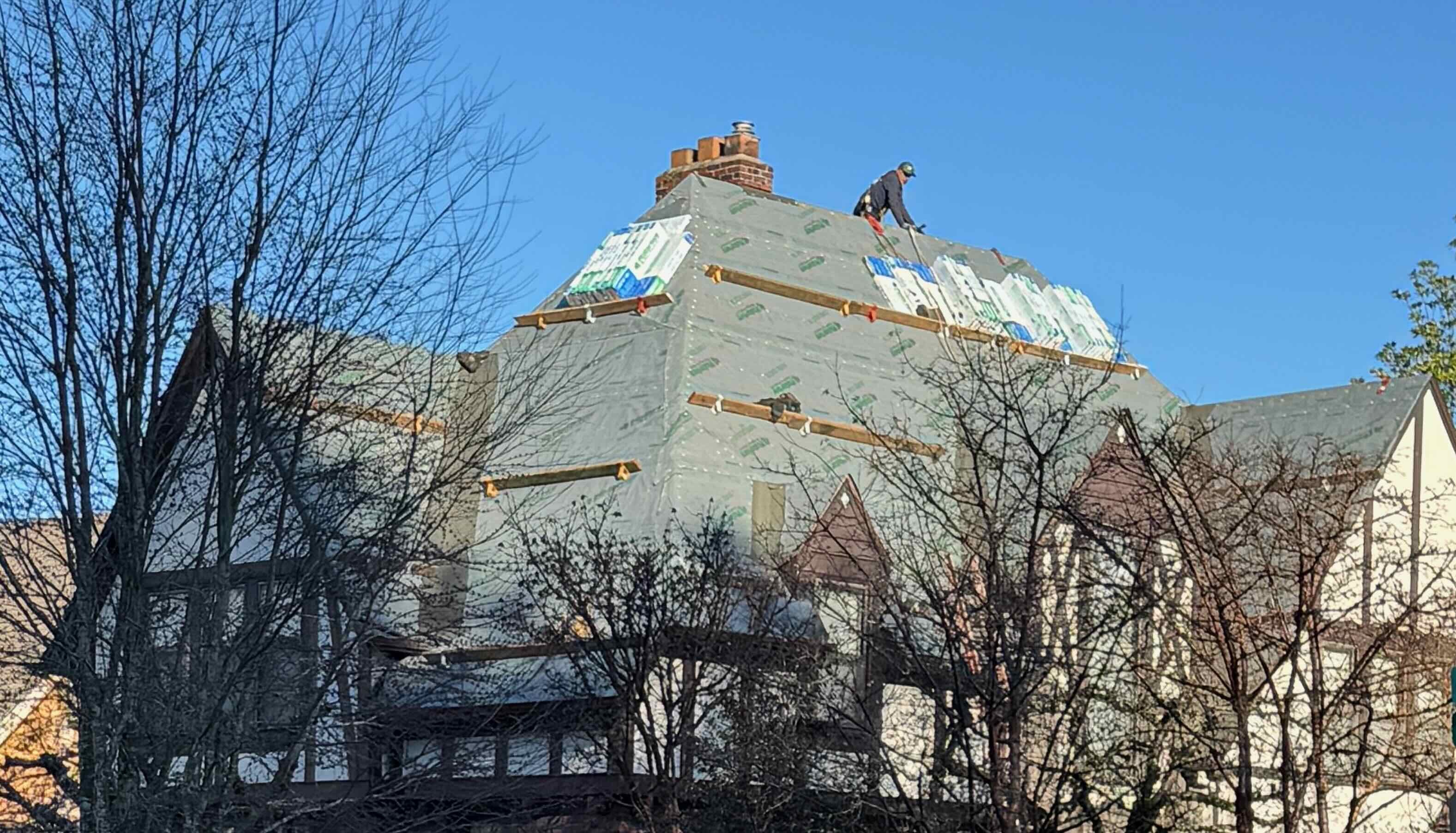
Tar paper

Shingles
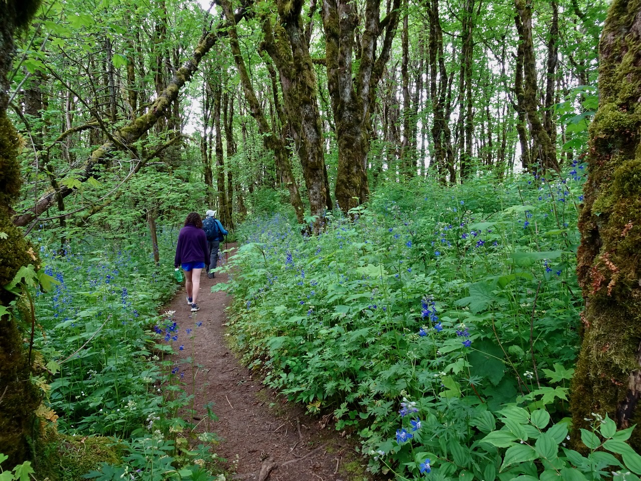
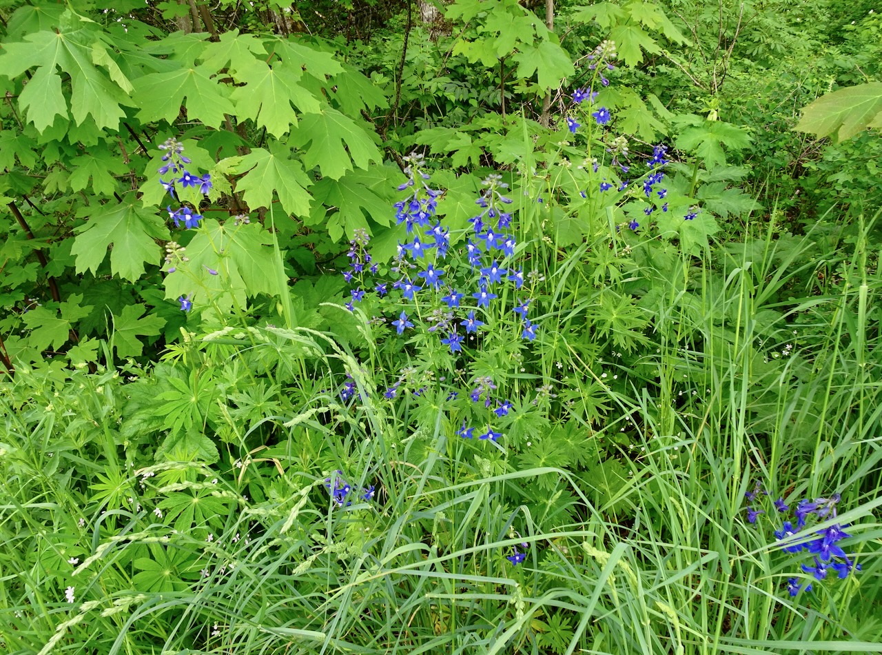
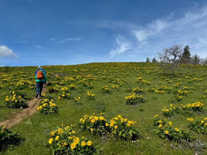
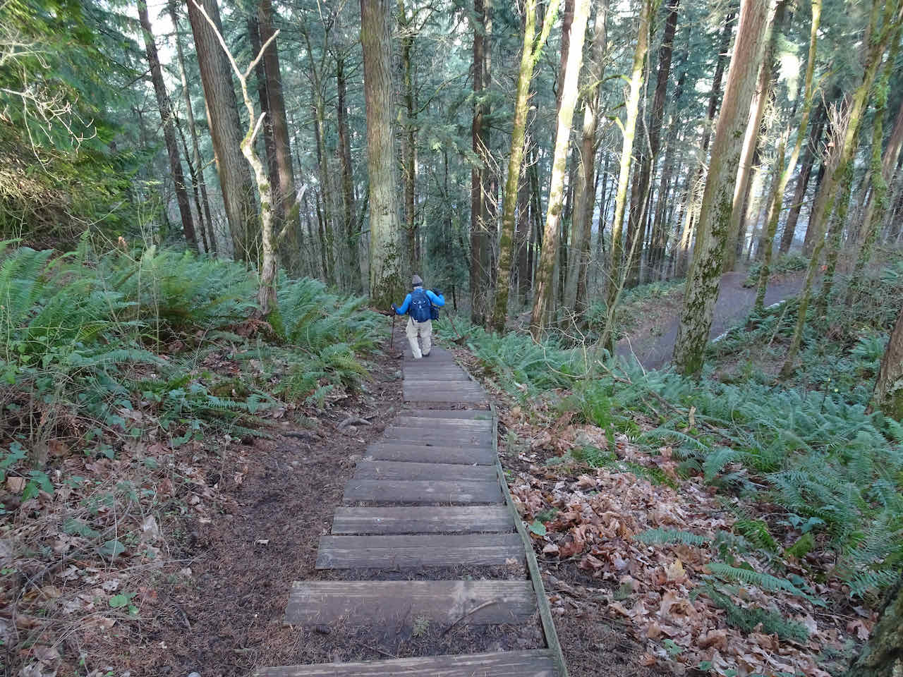
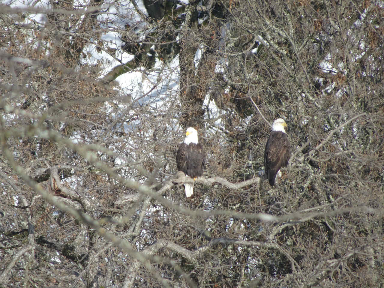
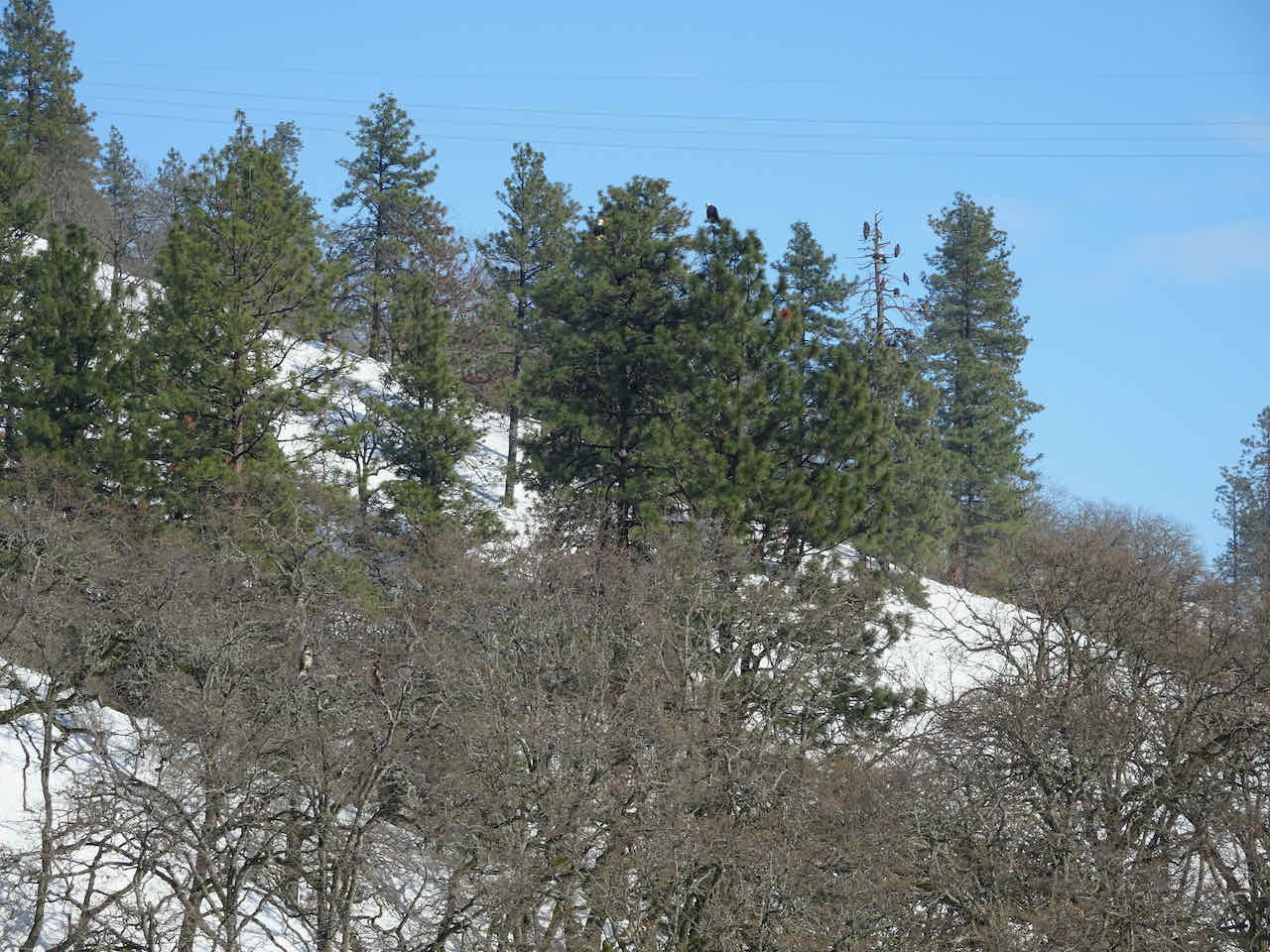
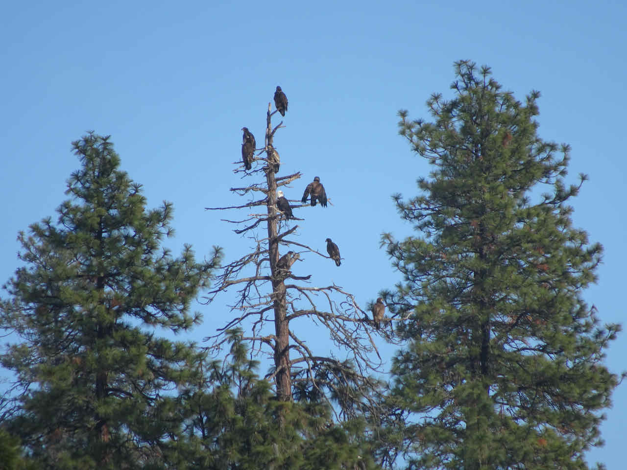
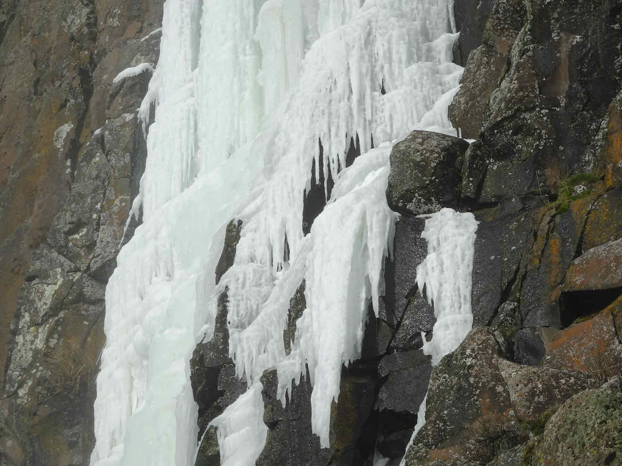
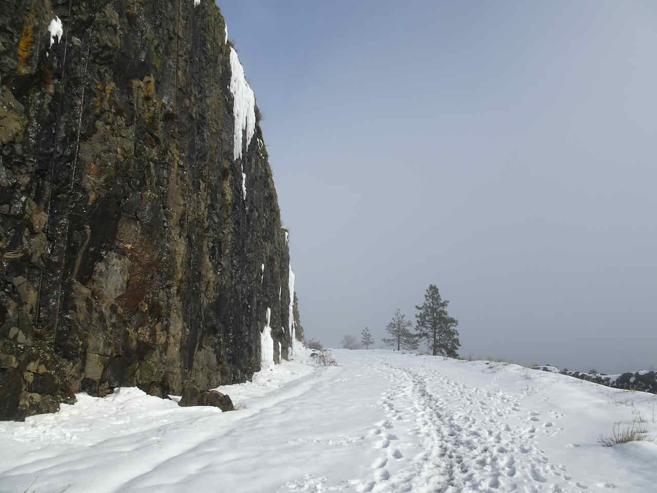
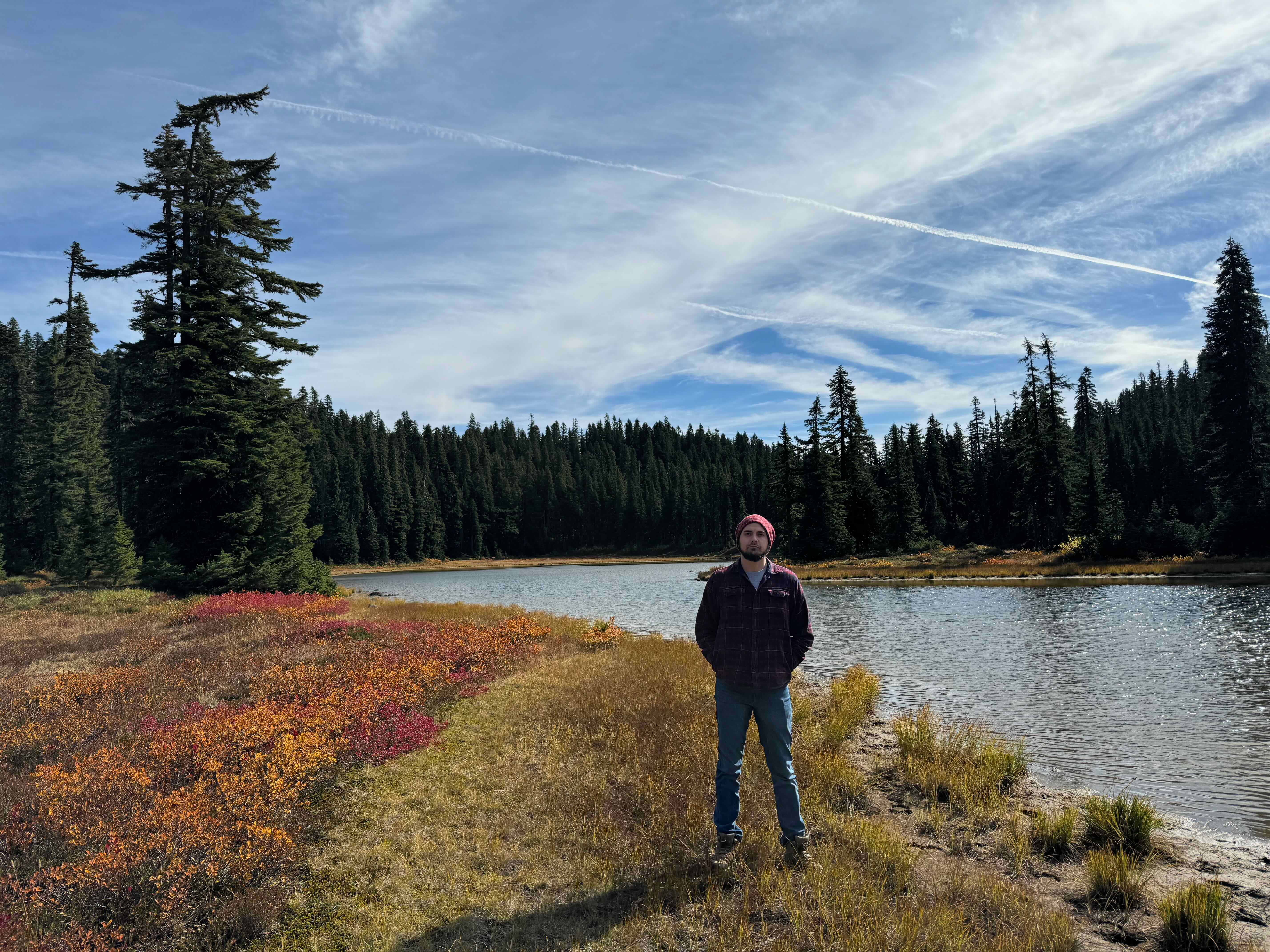
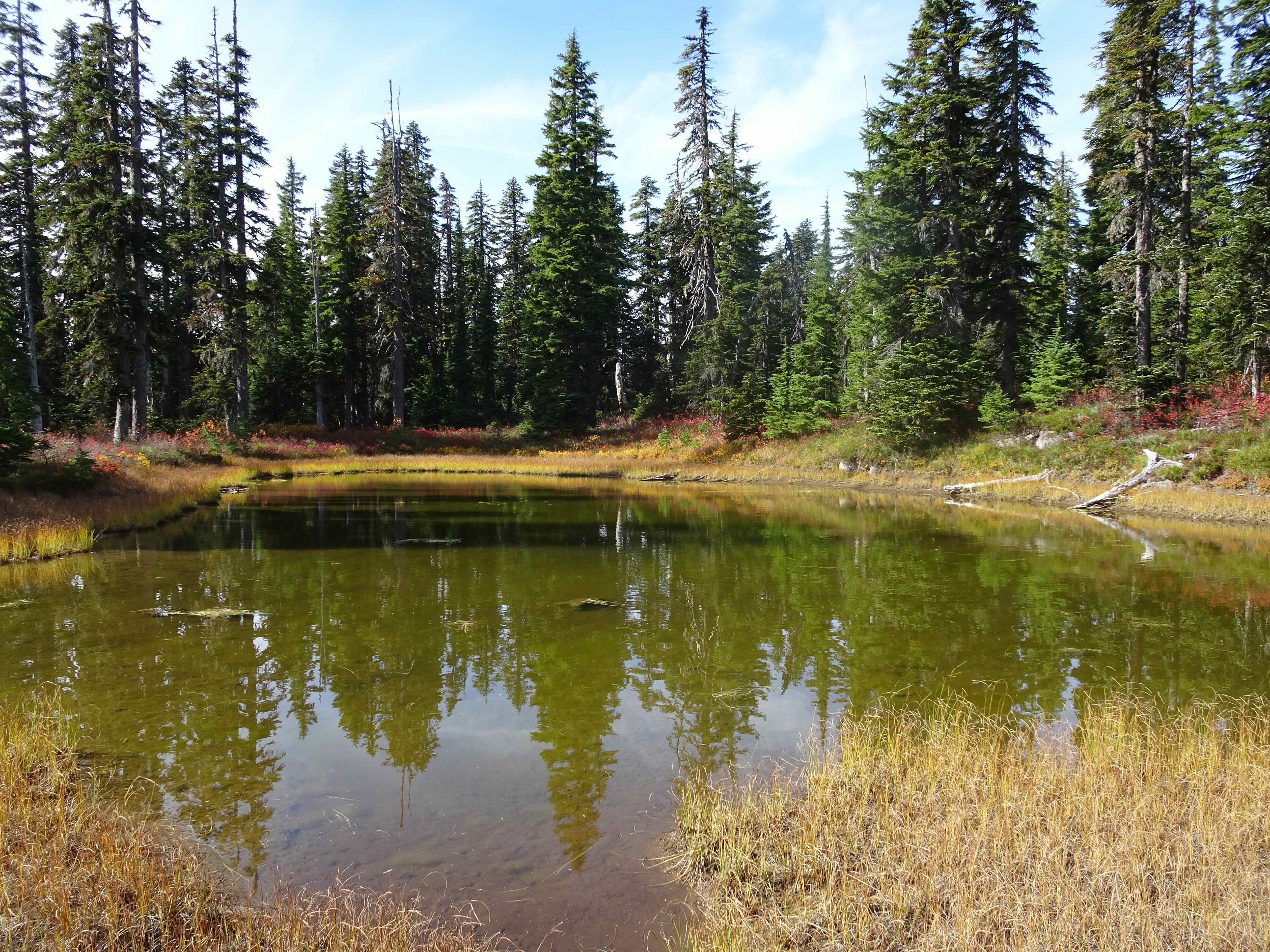
Hiking
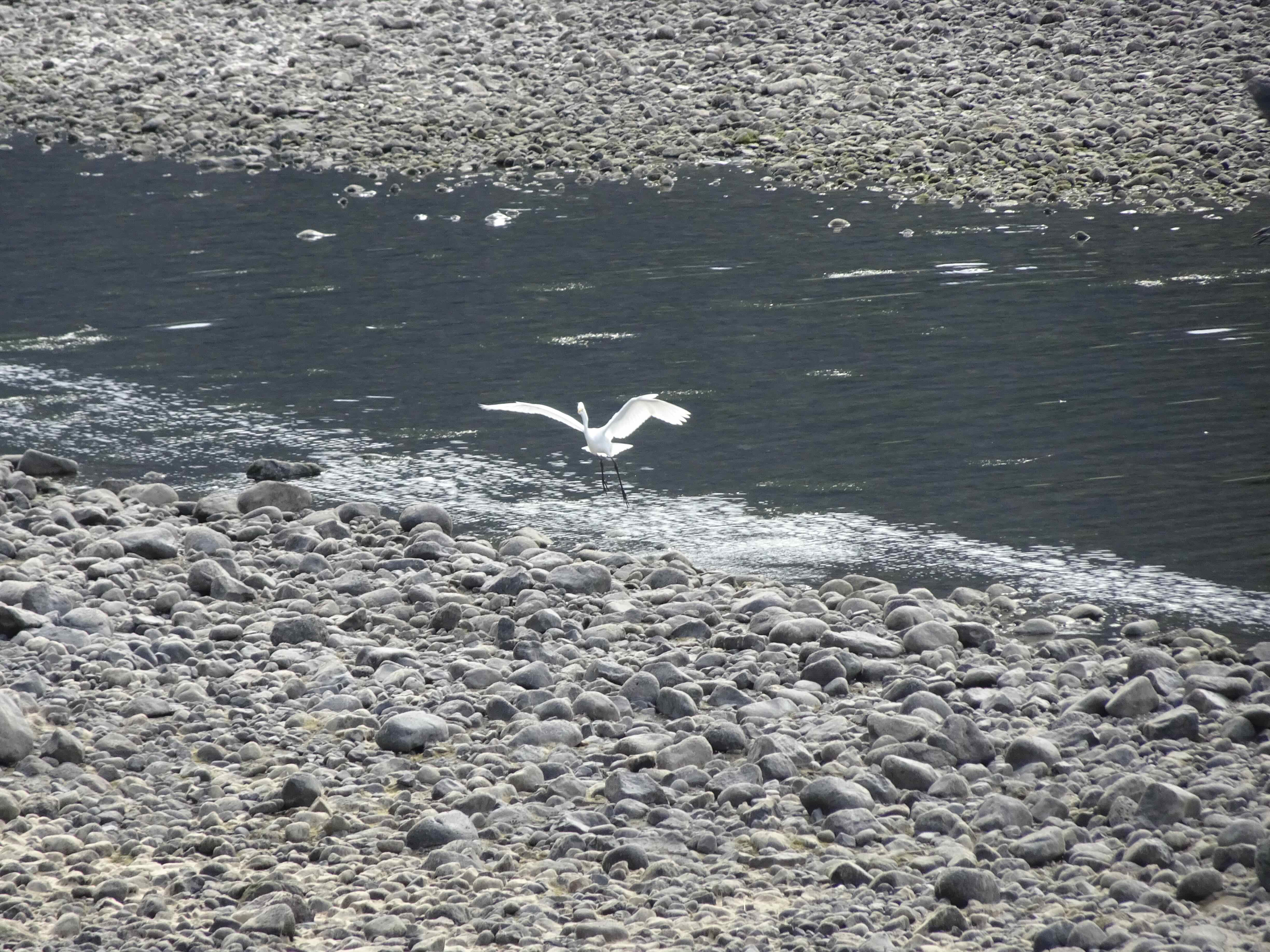
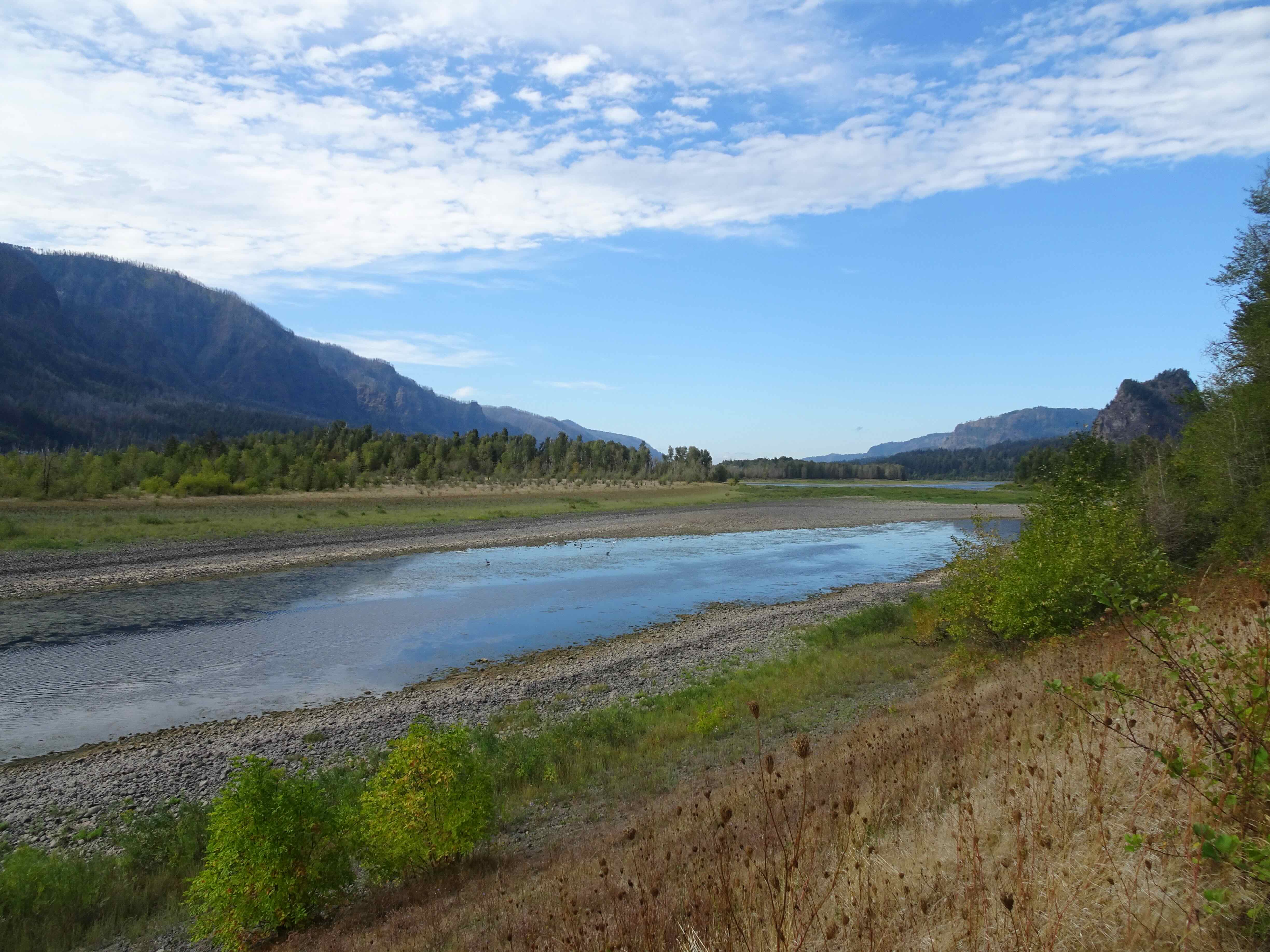
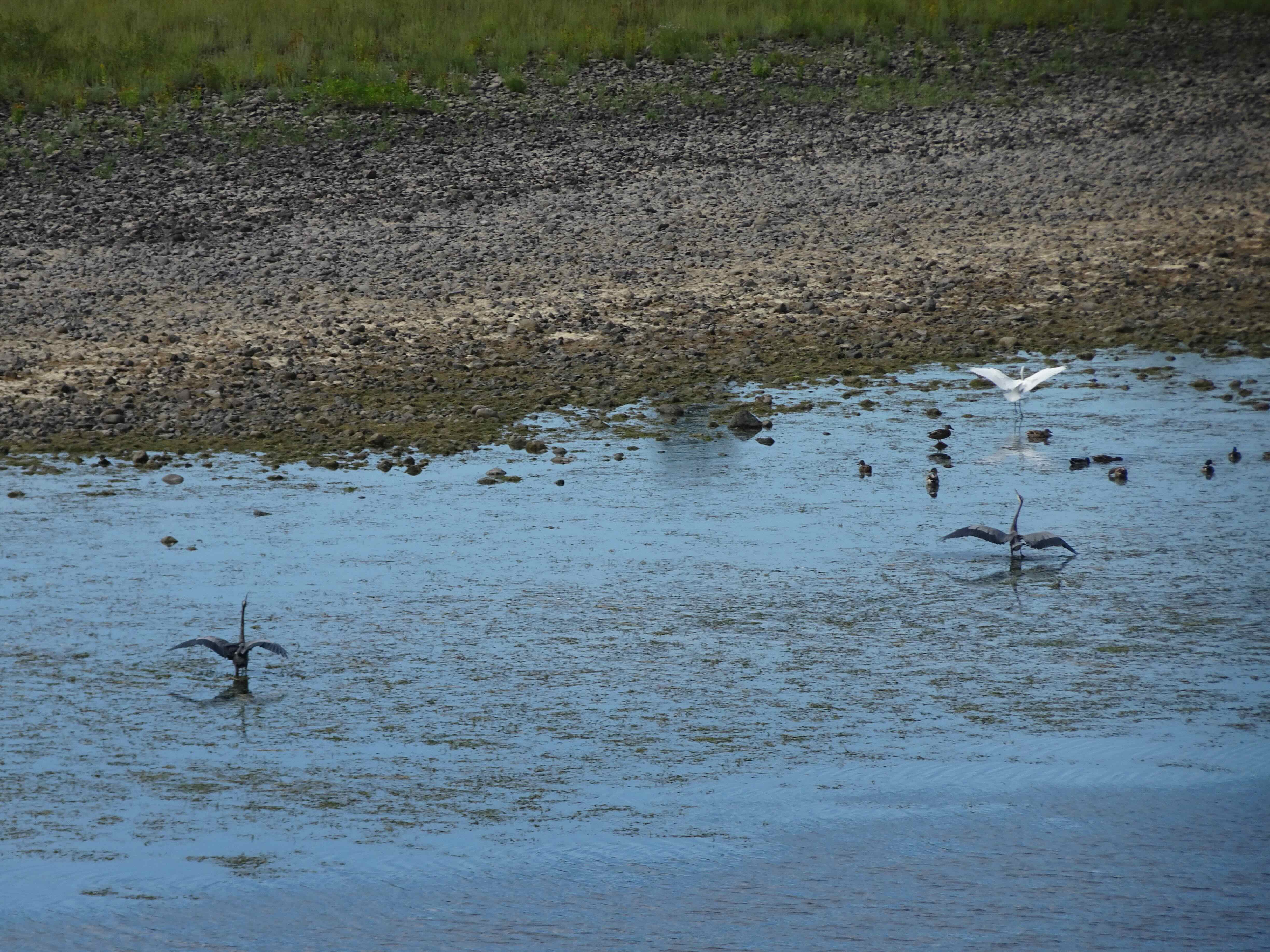
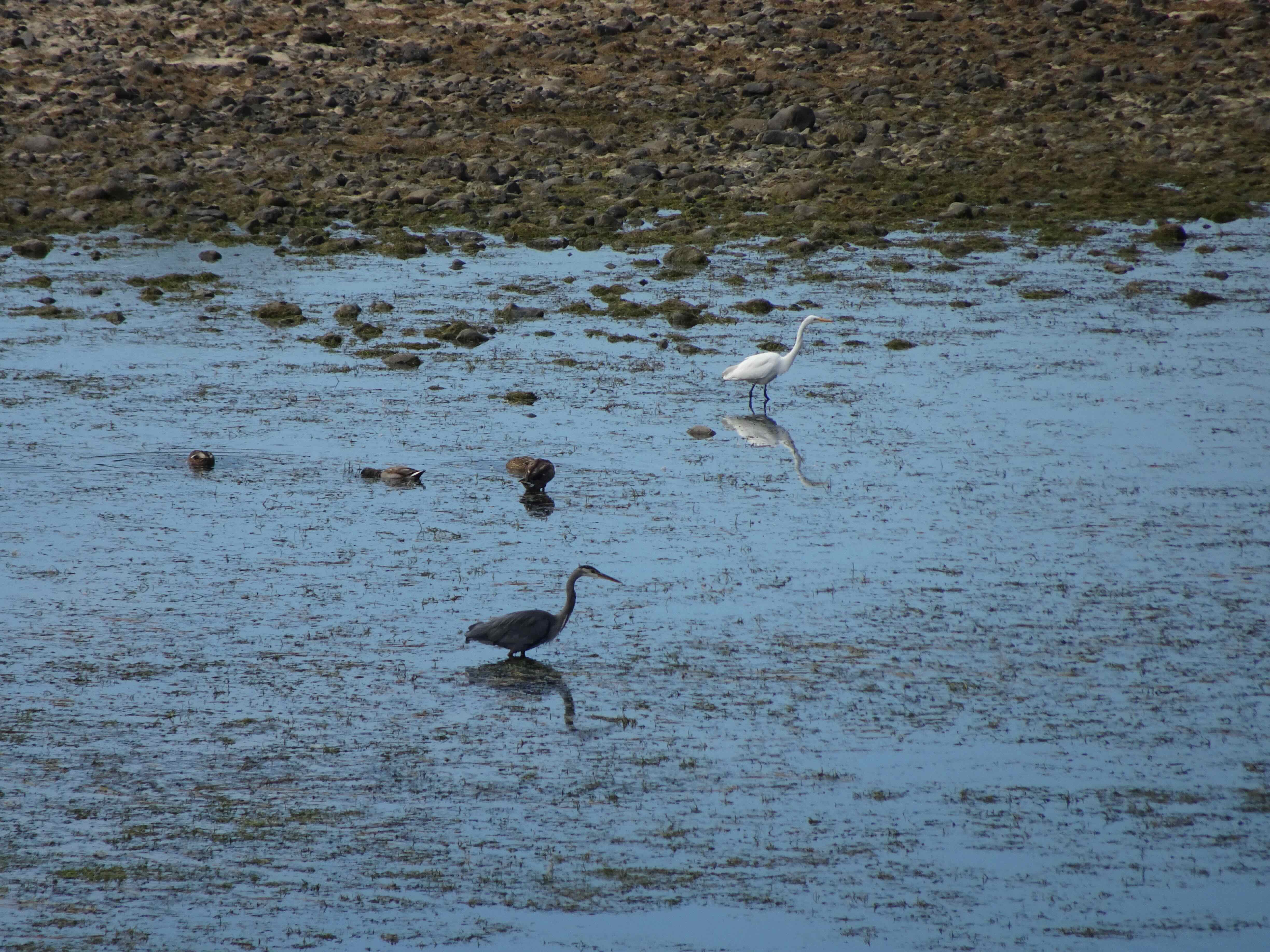
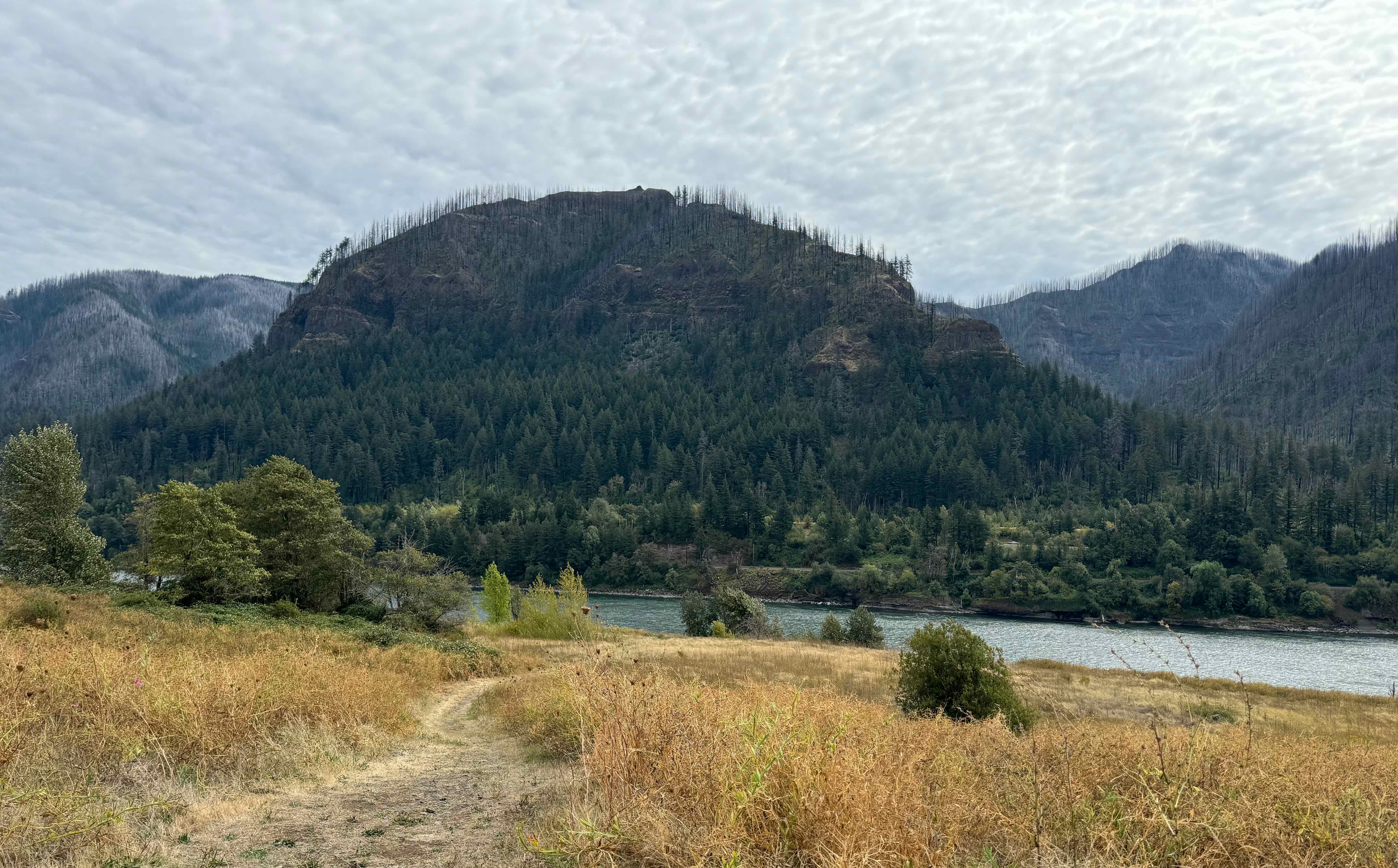
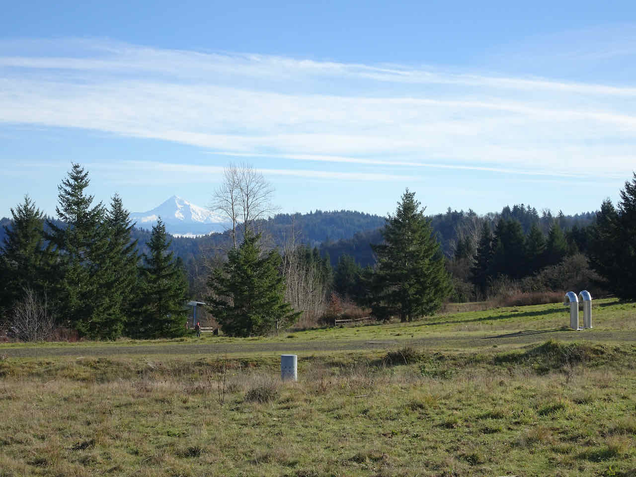
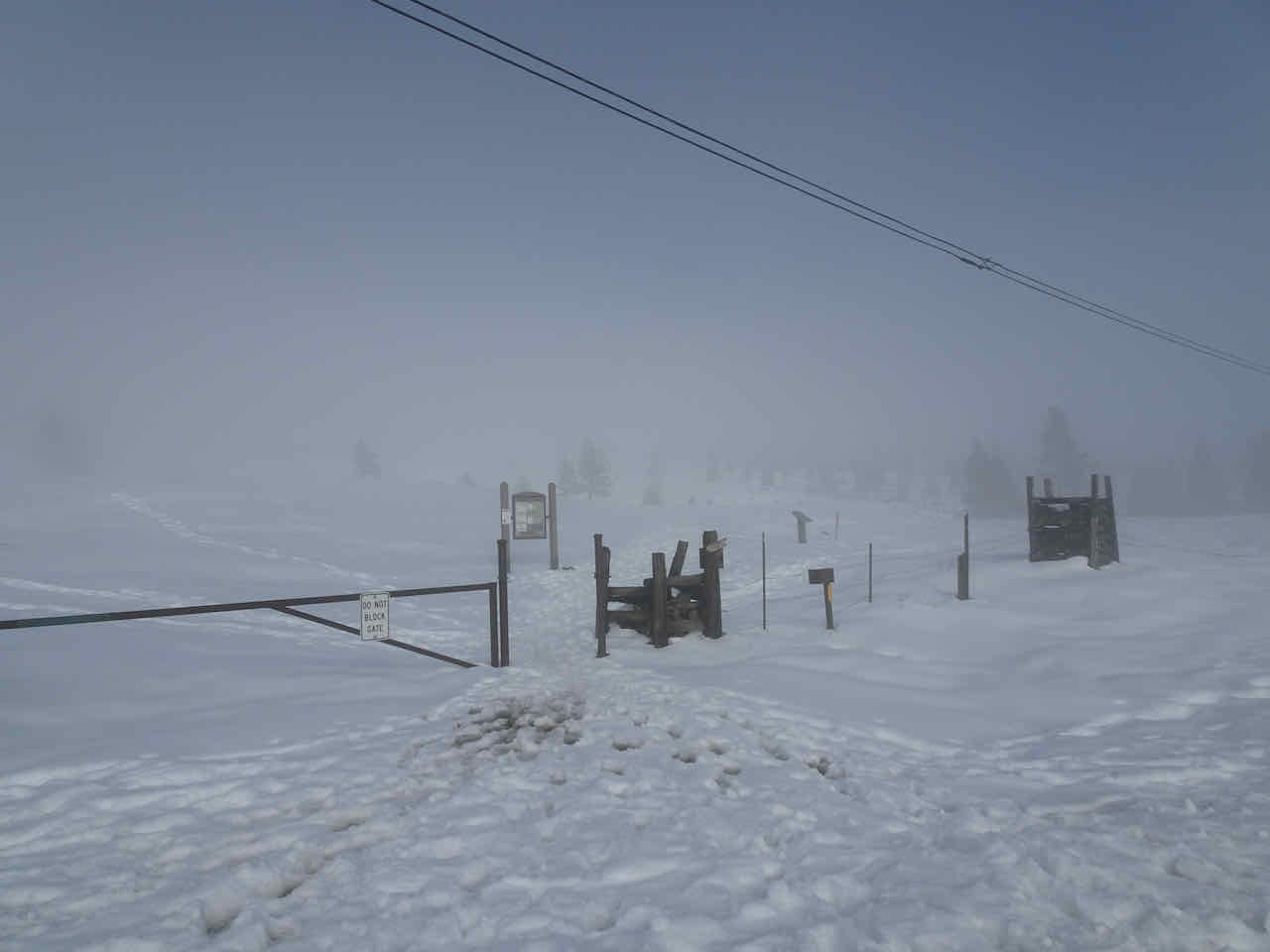
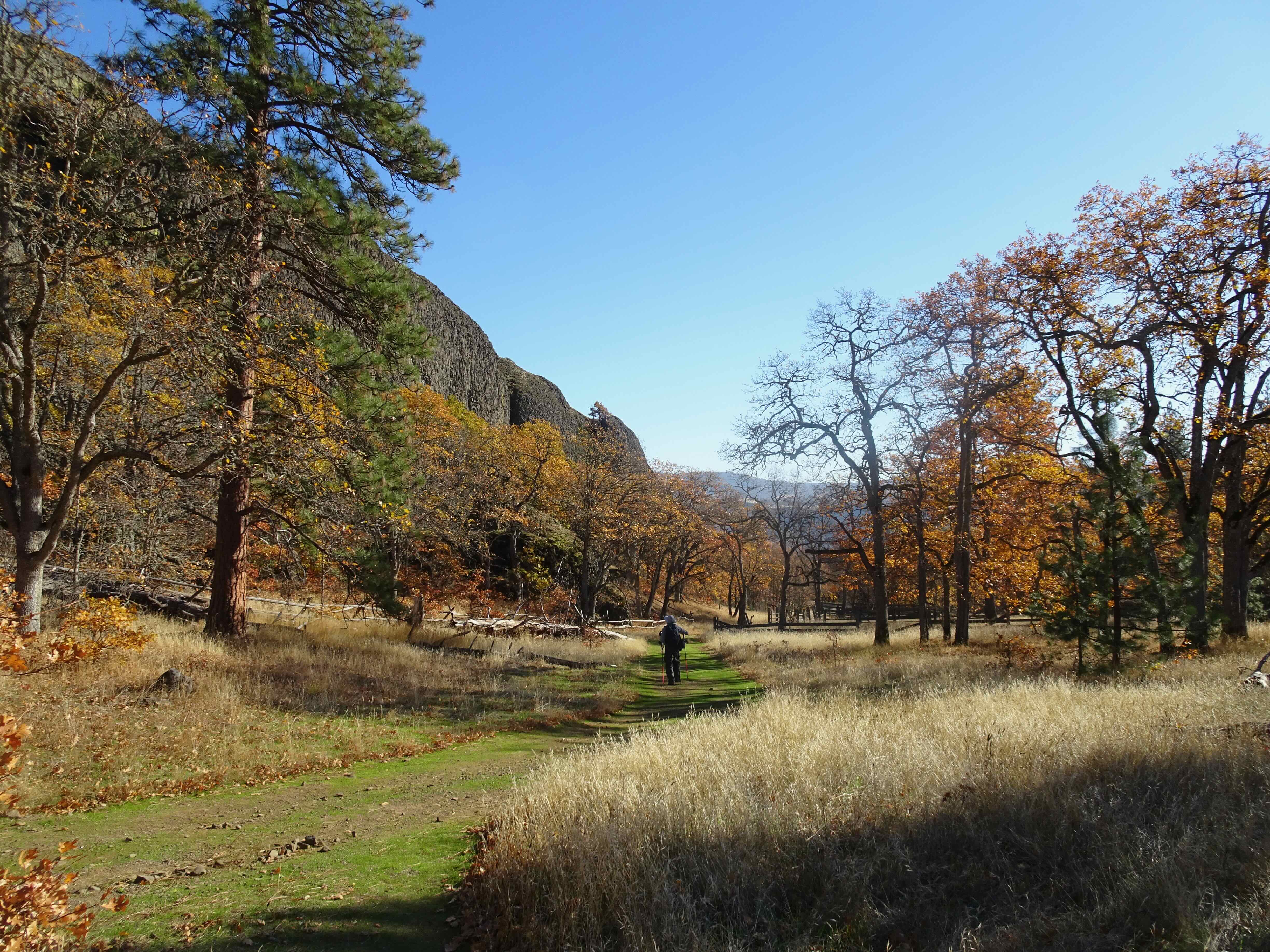
I went on two hikes – one out to Catherine Creek, WA, on a foggy day, and one to Powell Butte, in Portland.
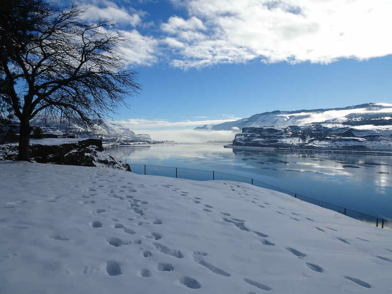
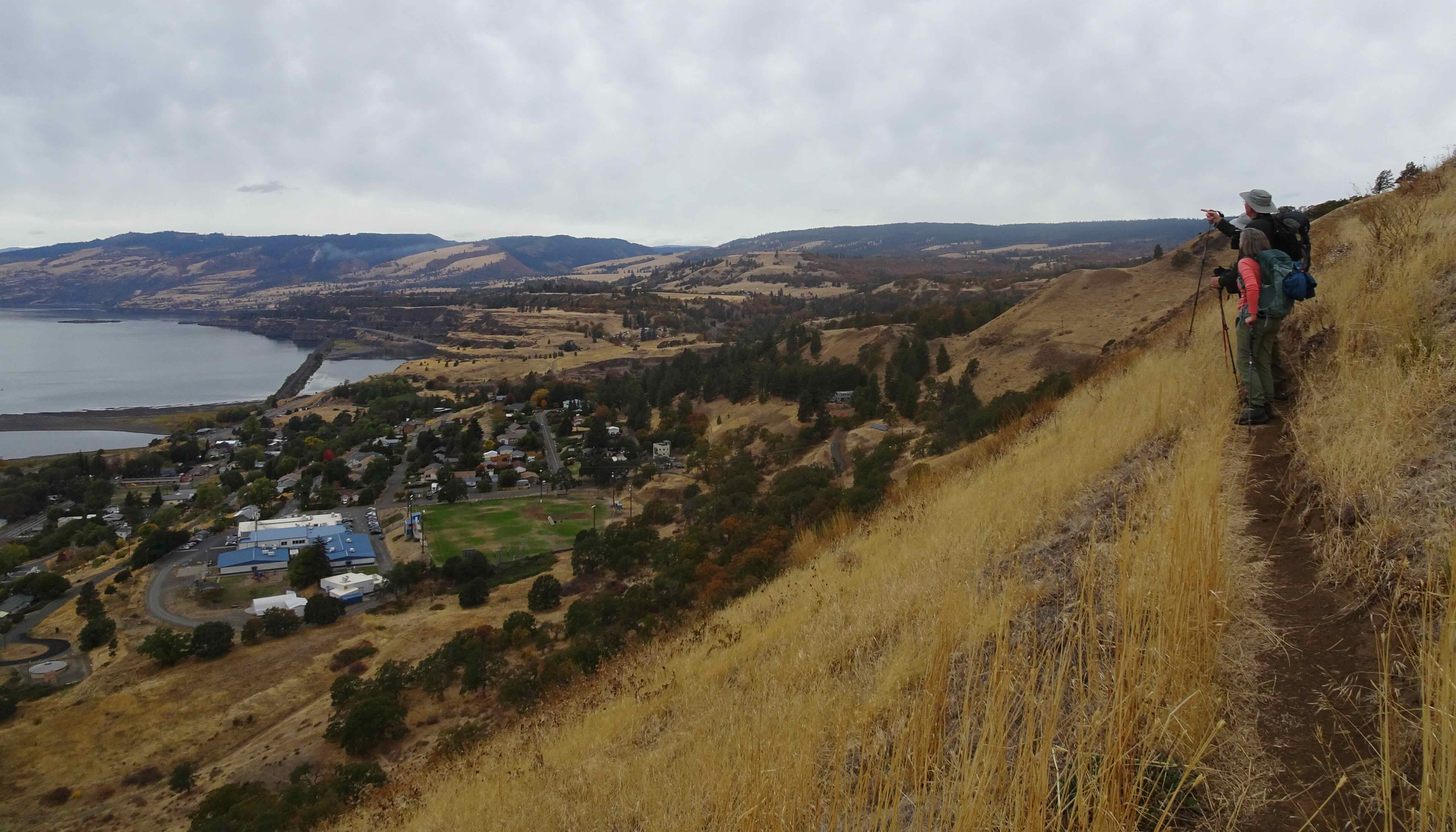
December 10th – Catherine Creek, WA –
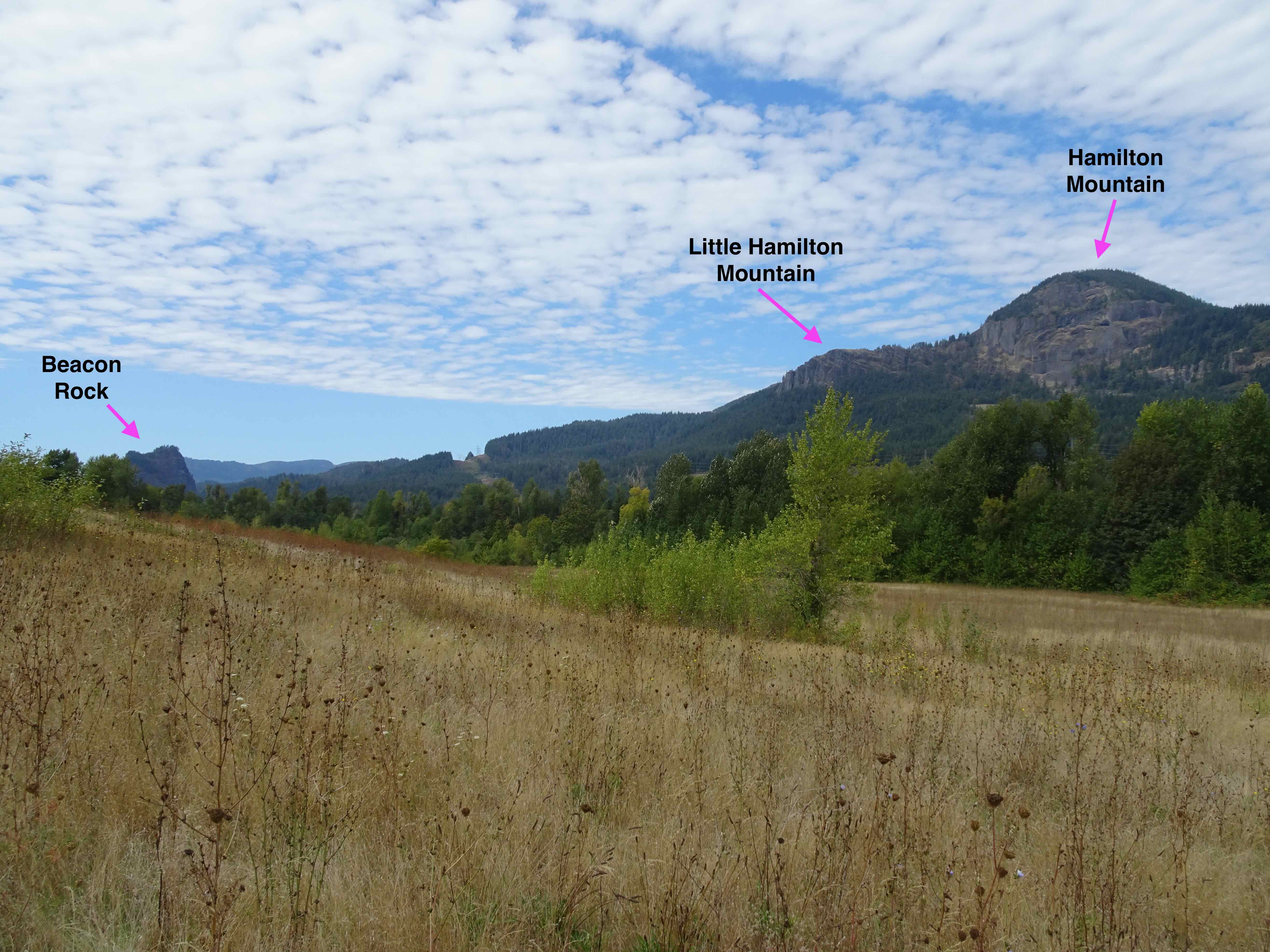
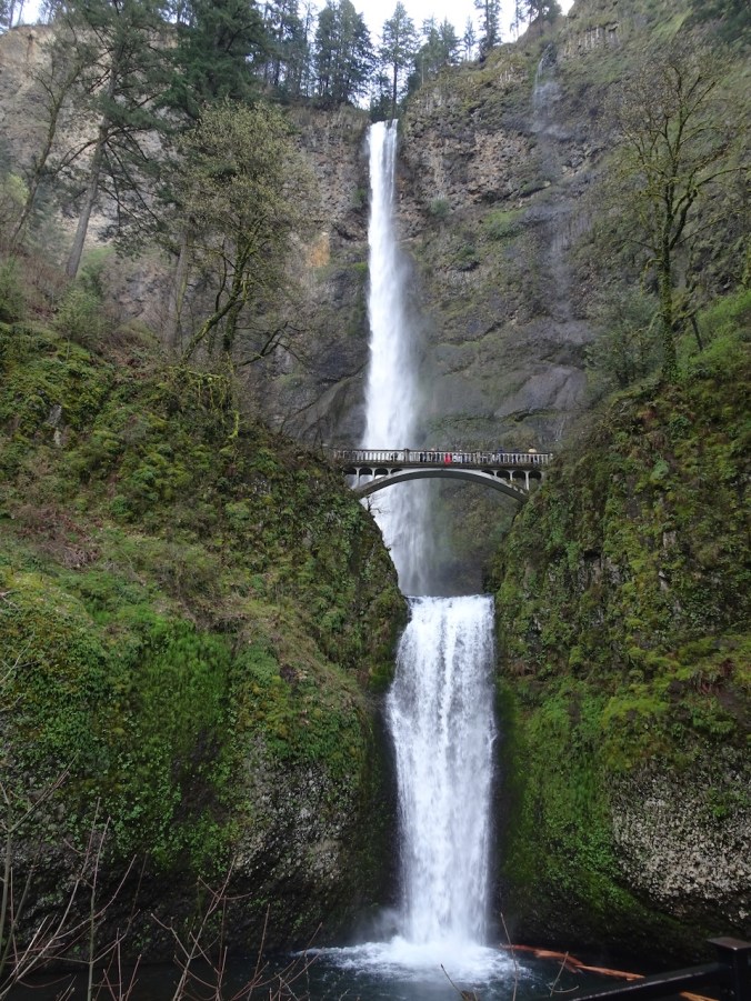
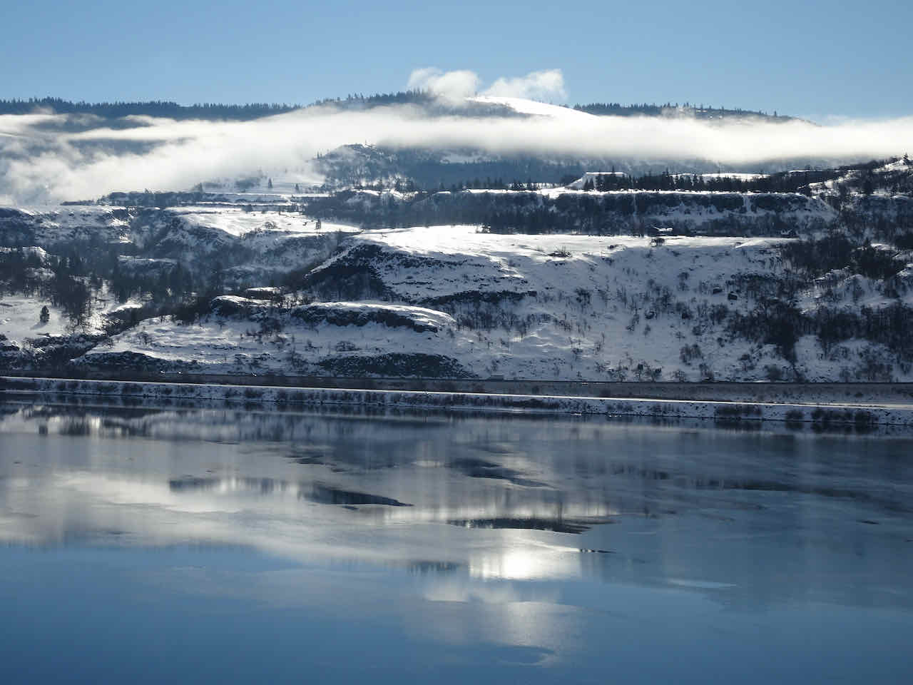
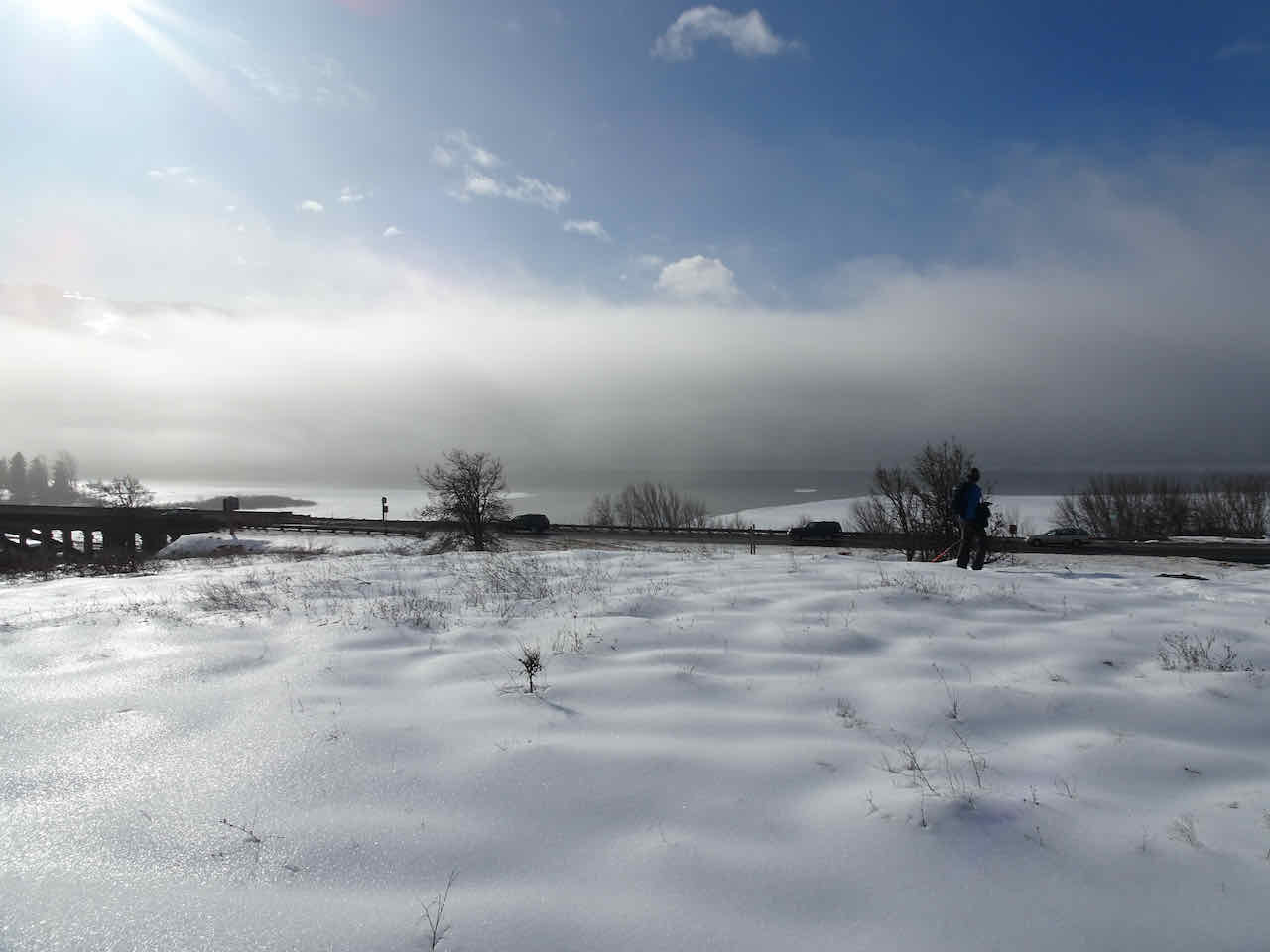
We stopped at the Starvation Creek Rest Area on our drive. The sun was out, and we could see the frosted trees at the top of Wind Mountain.
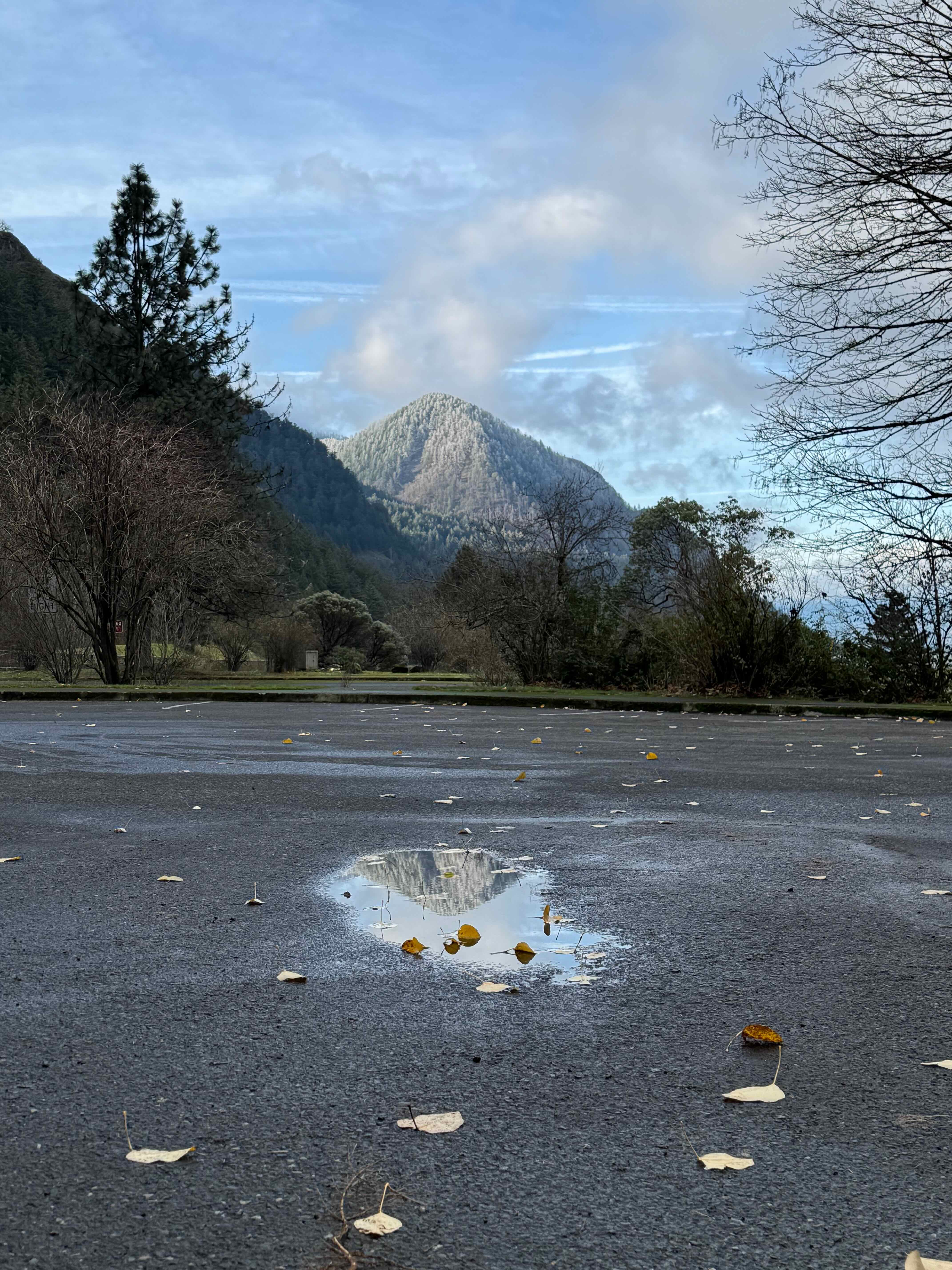
Wind Mountain from Starvation Creek
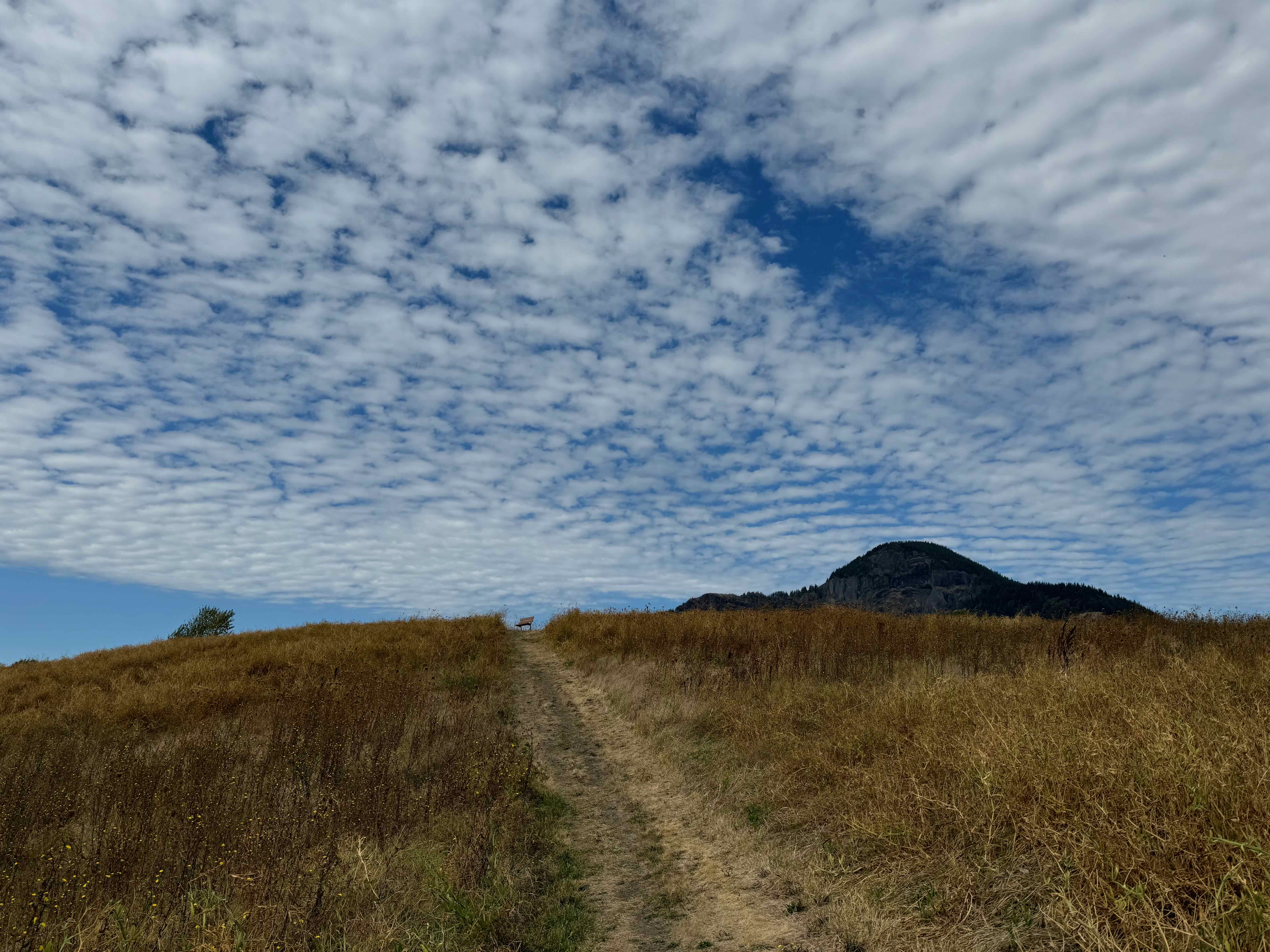
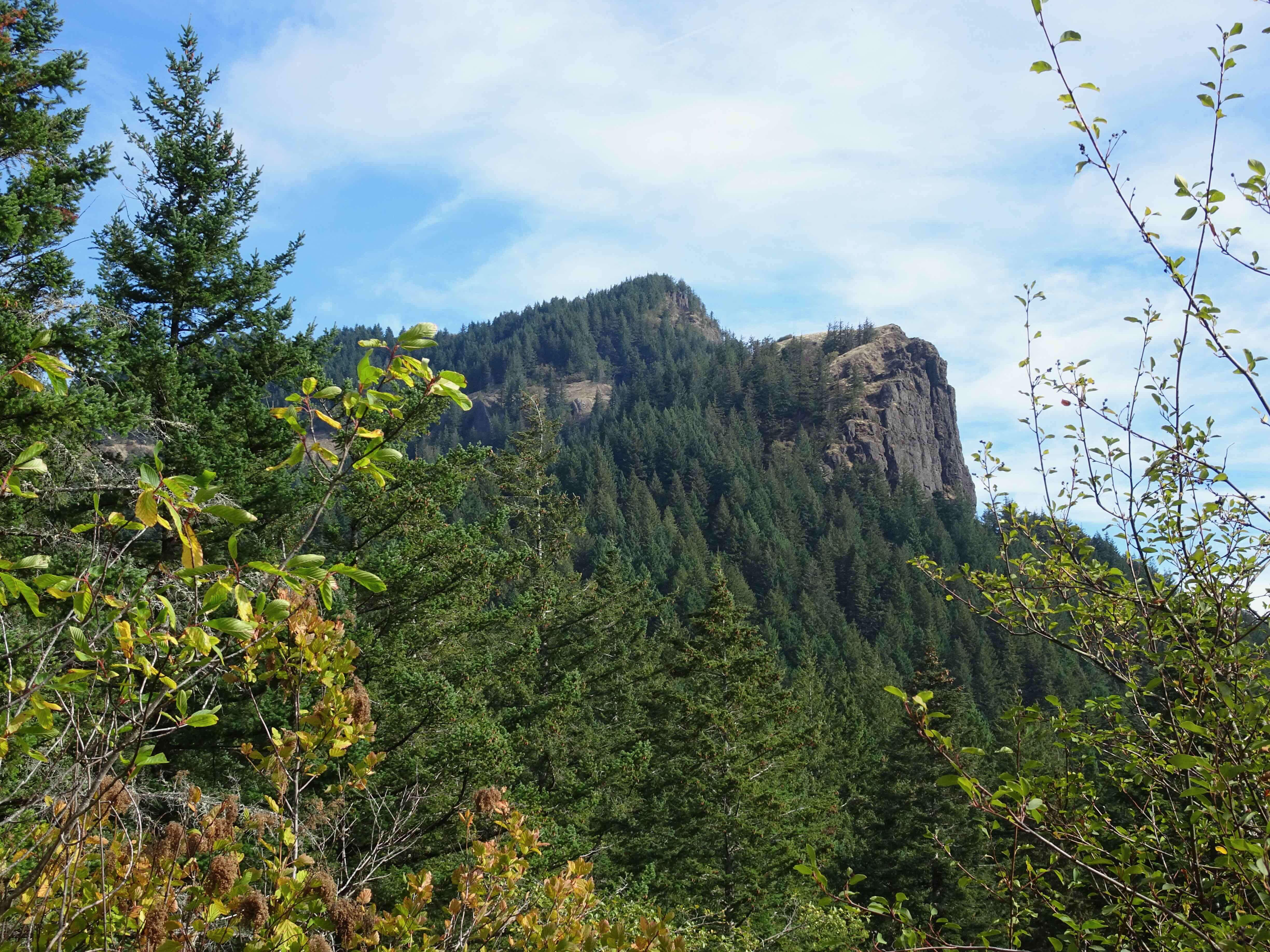
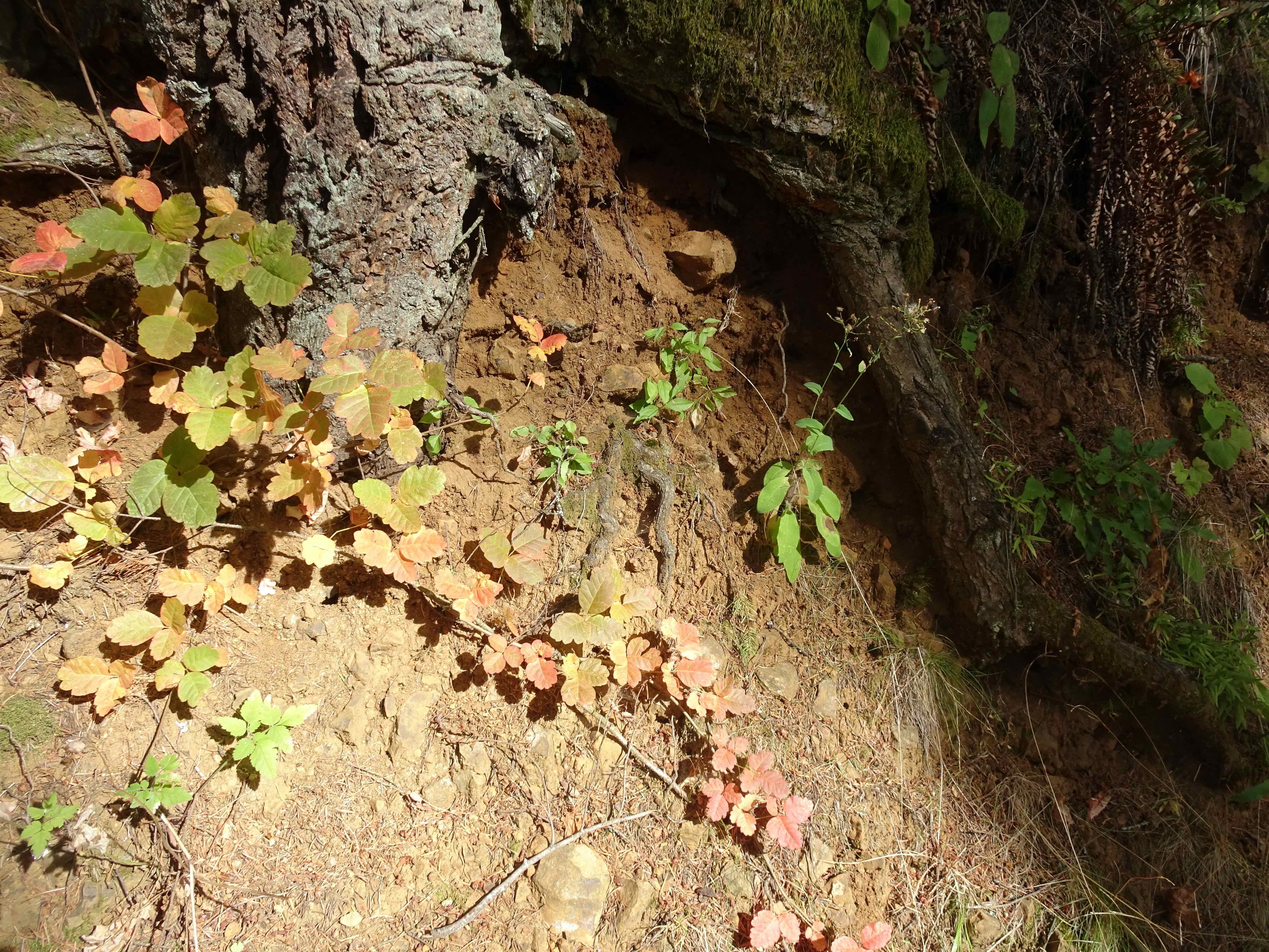
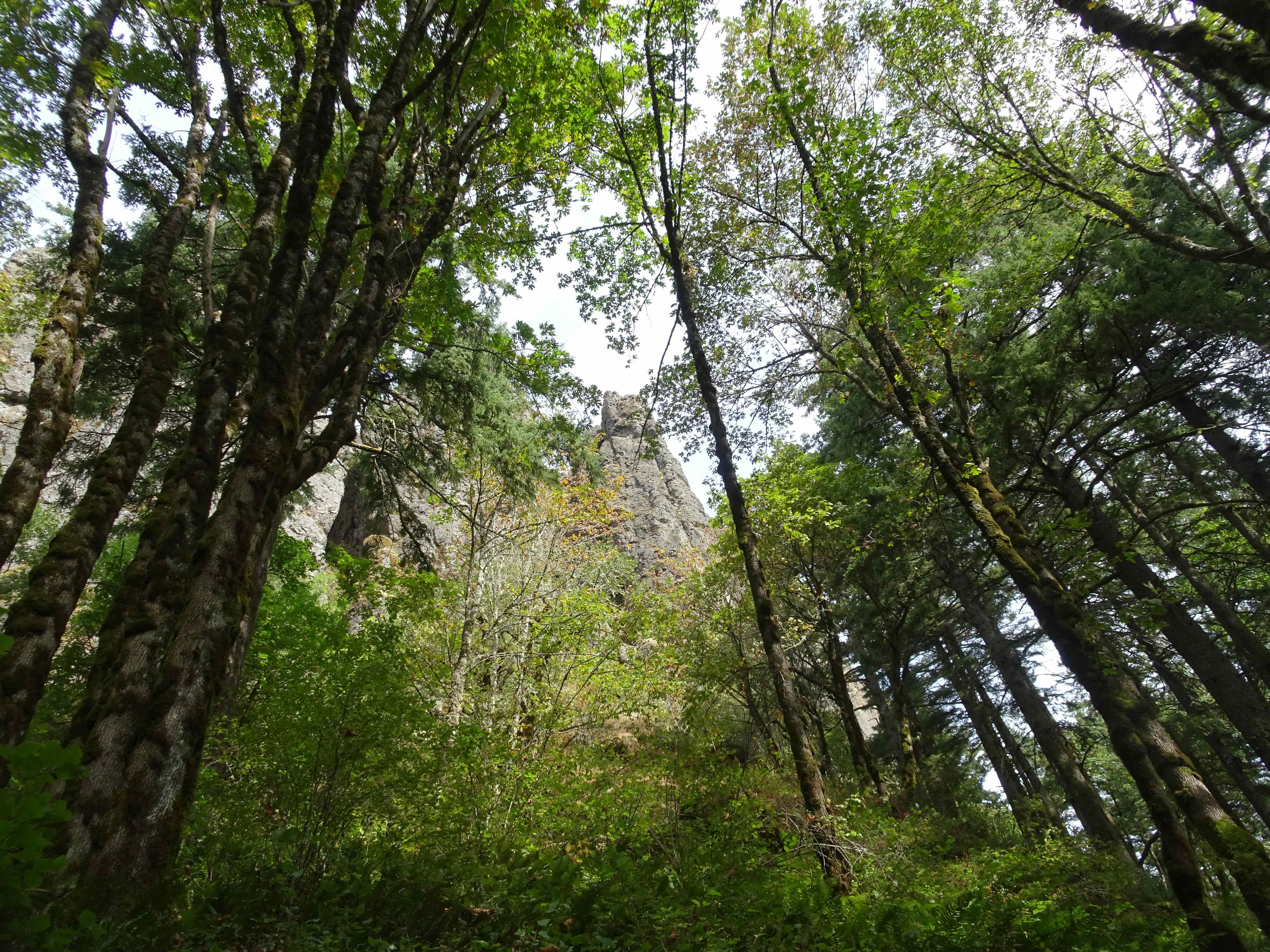
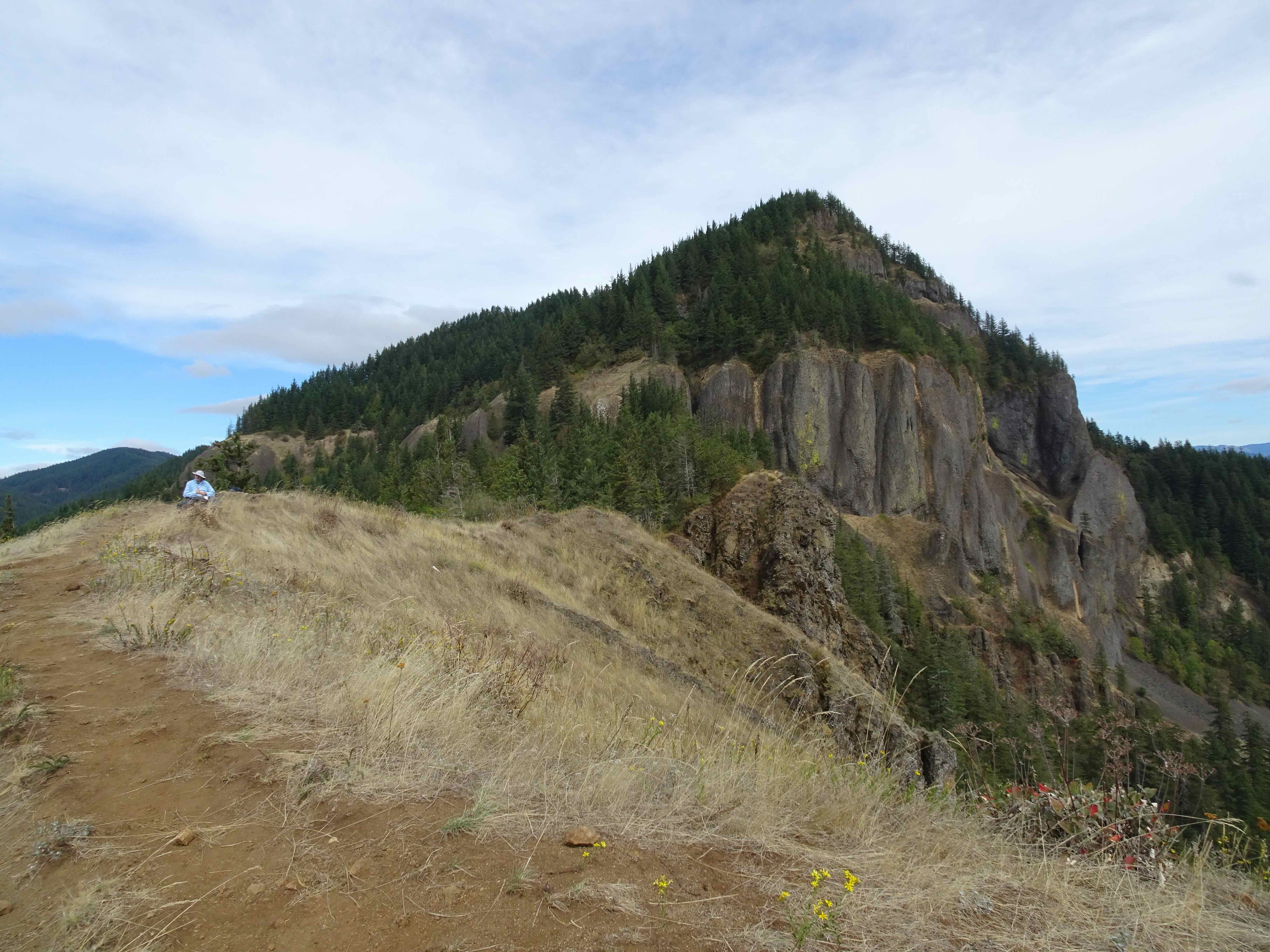
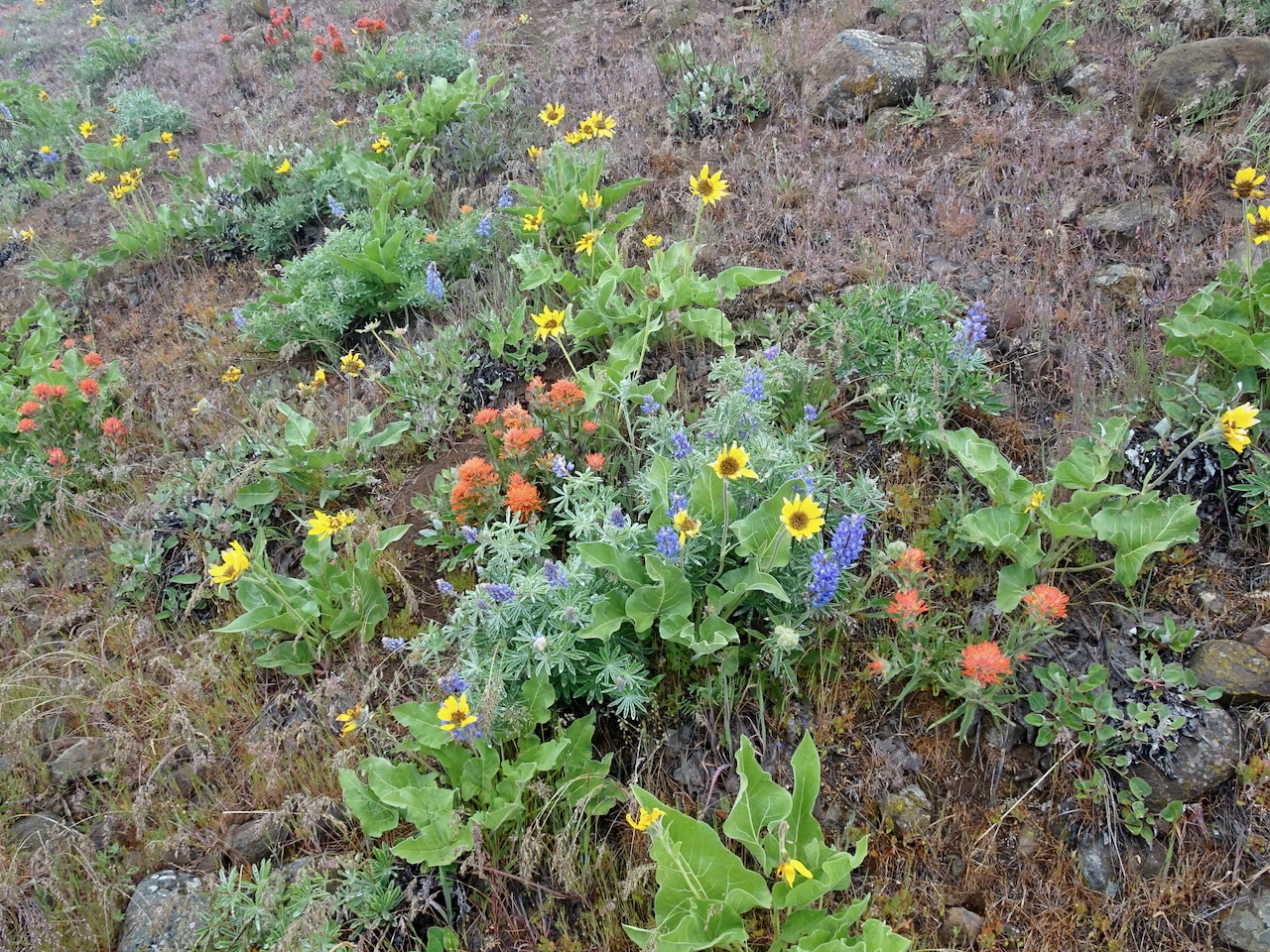
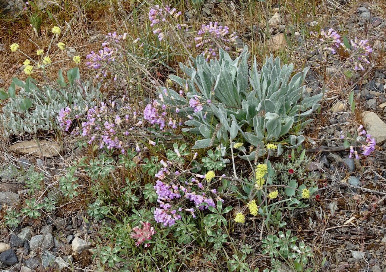
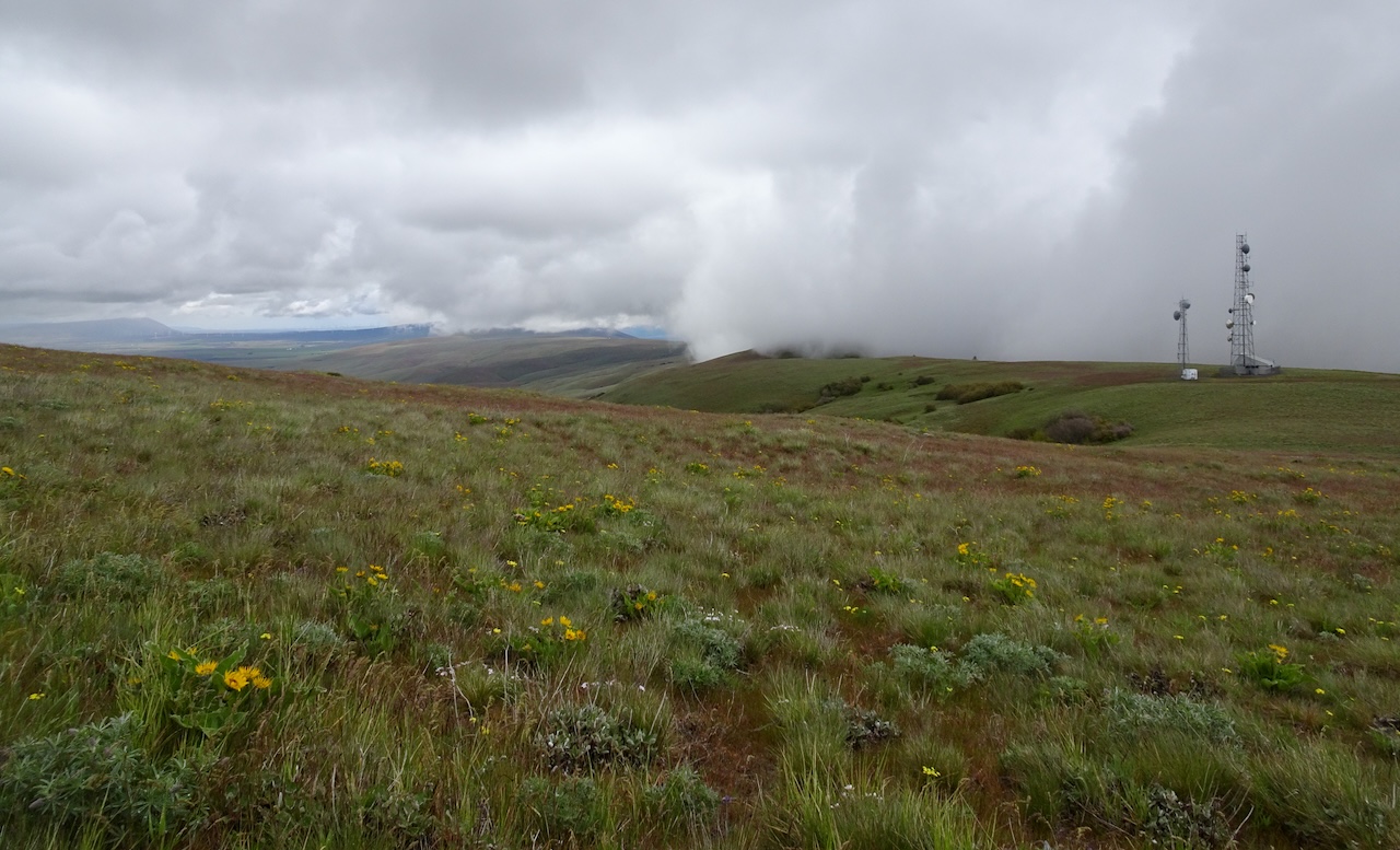
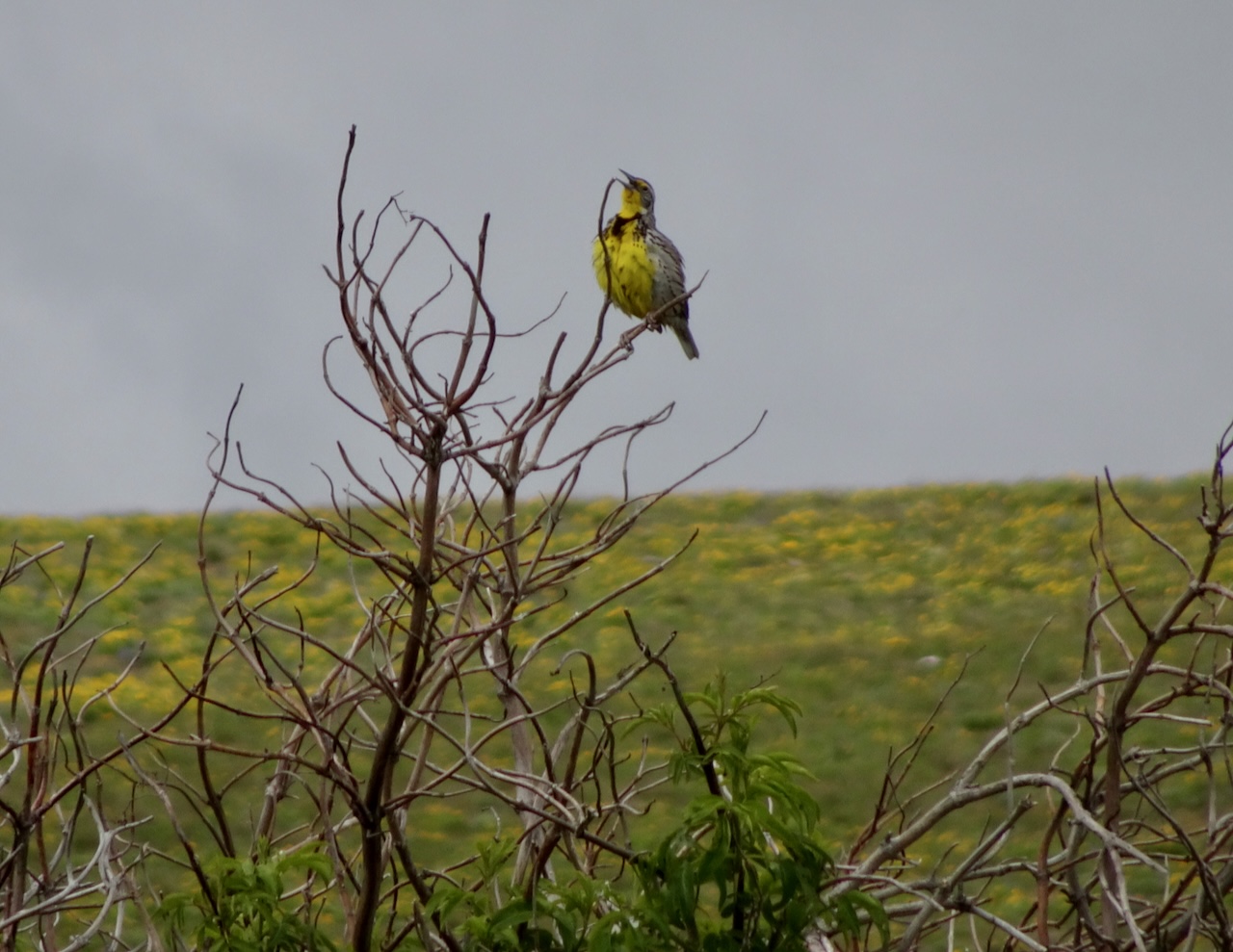
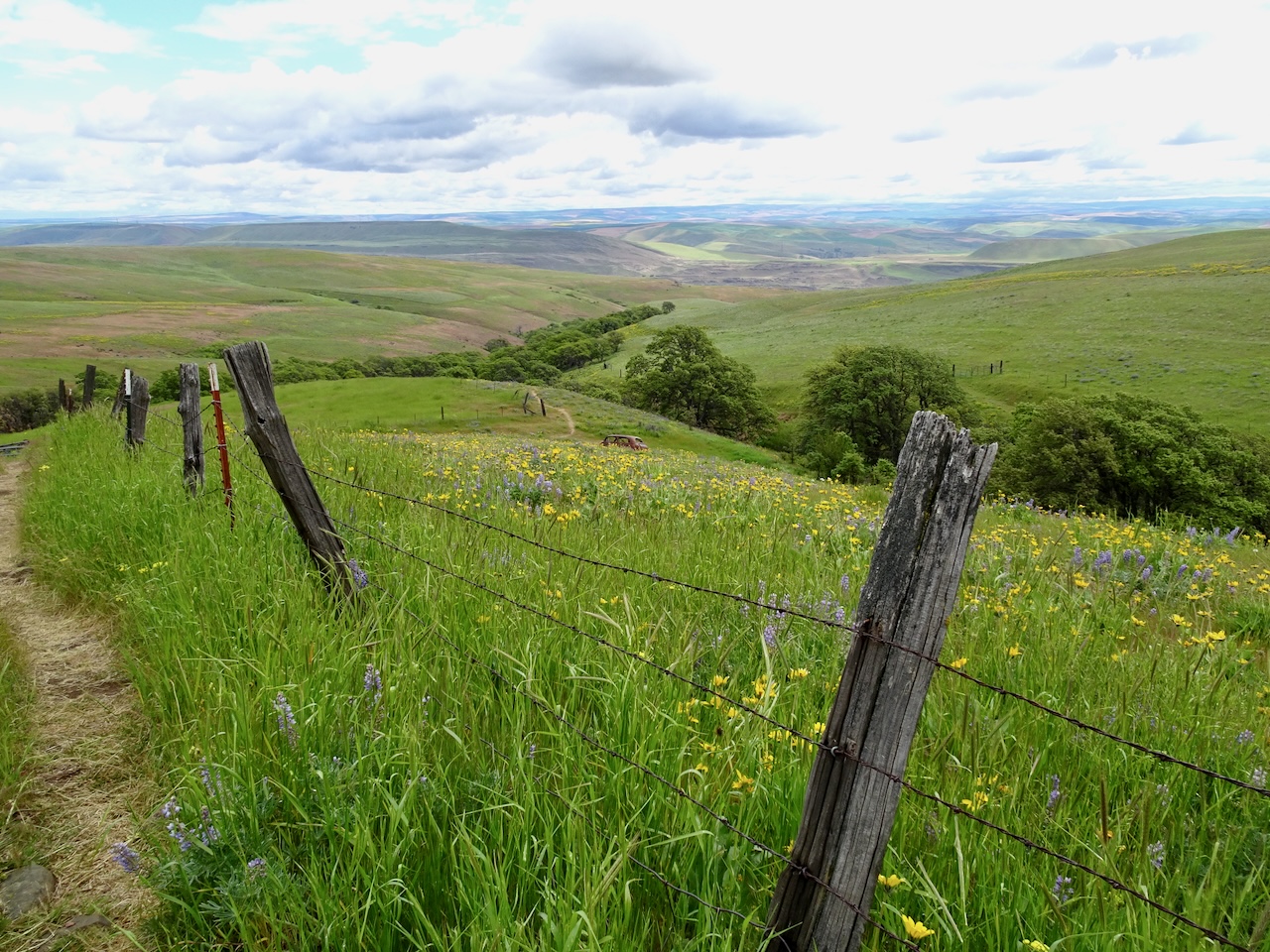
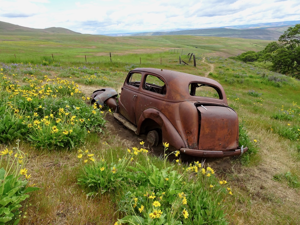
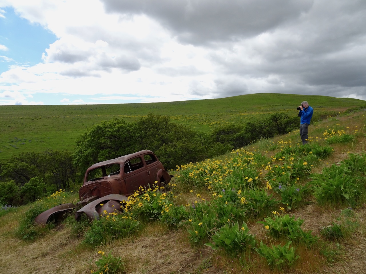
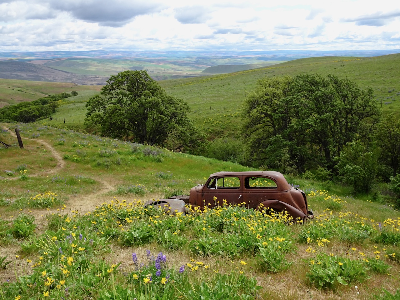
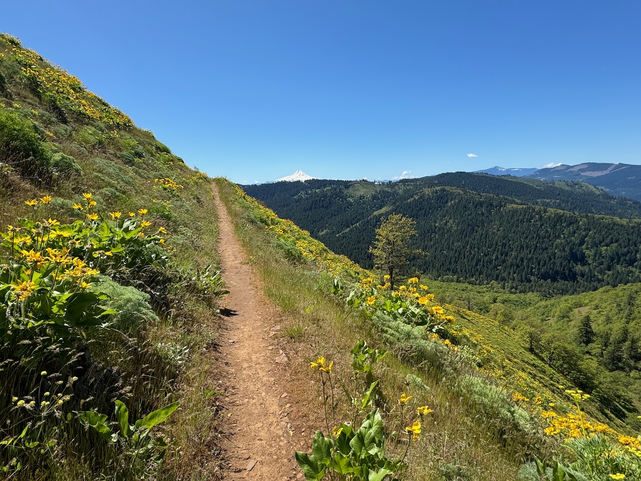
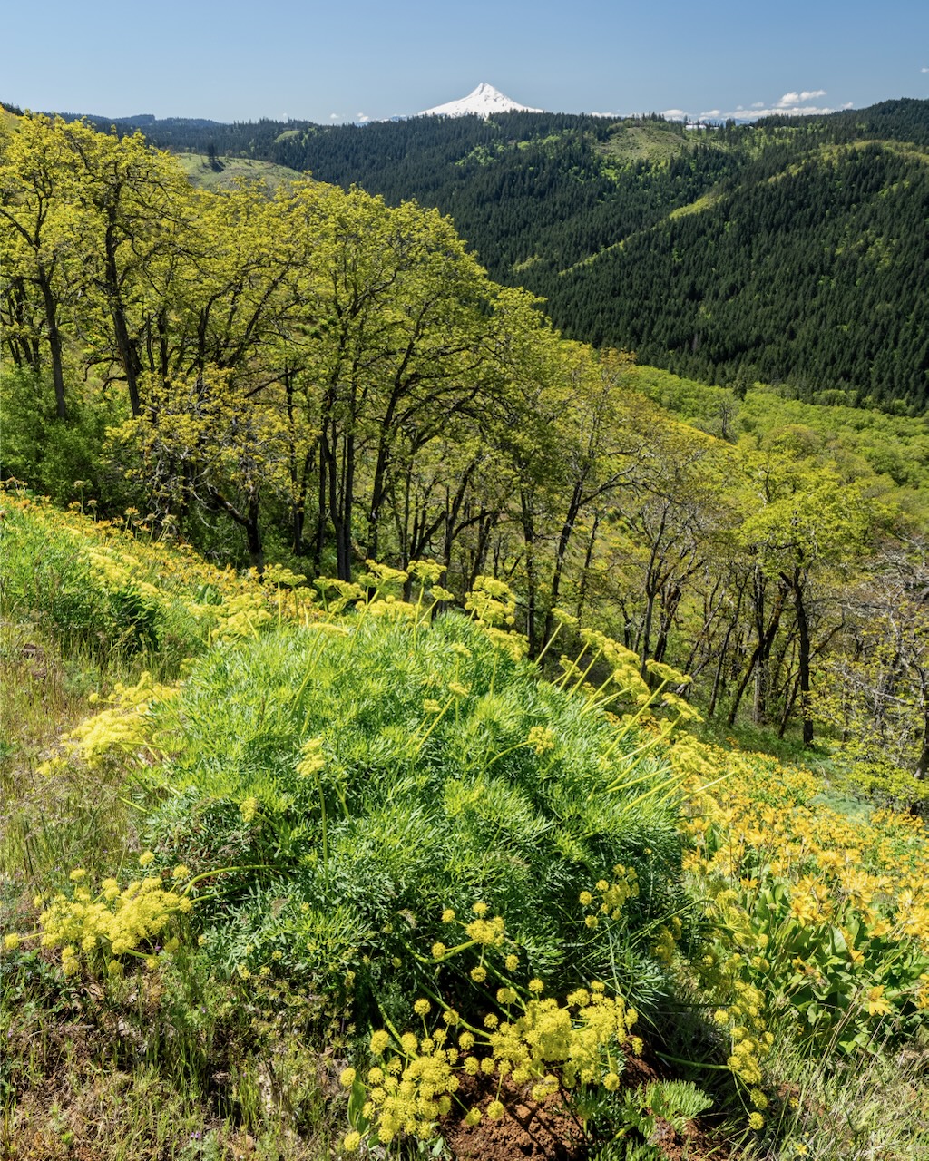
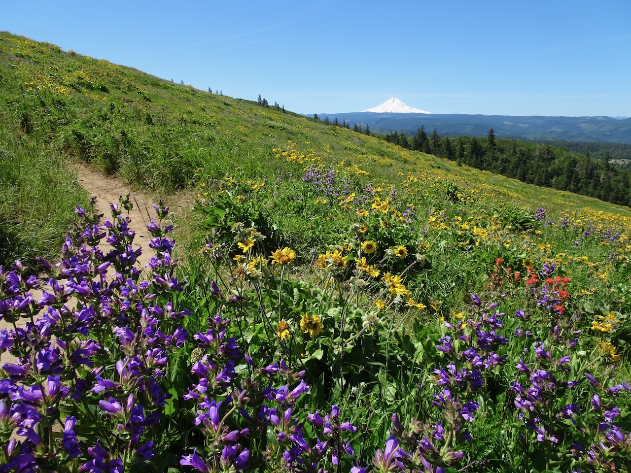
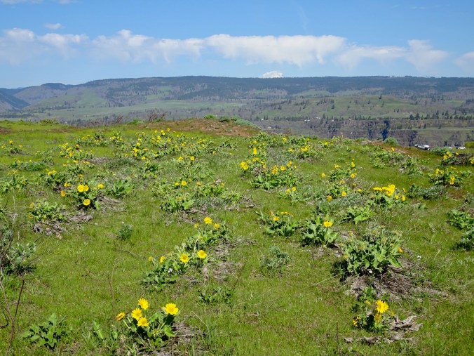
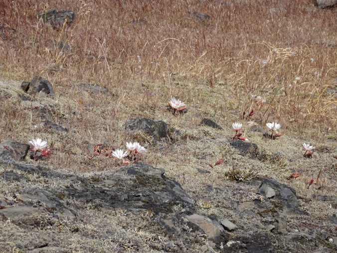
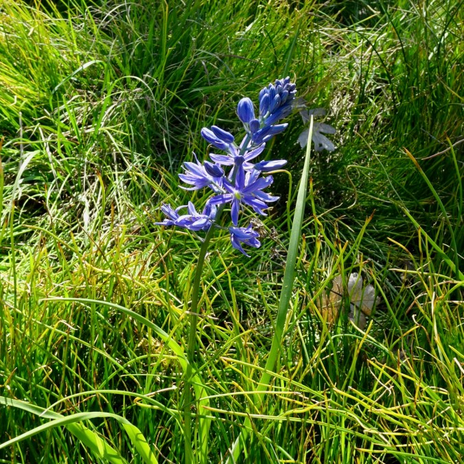
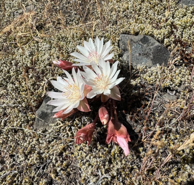
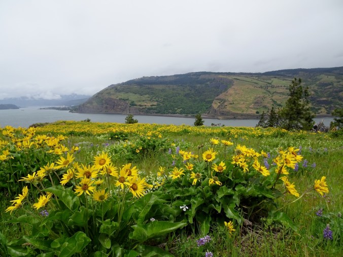
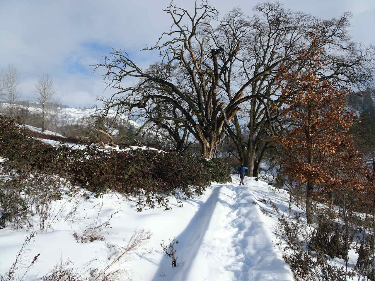
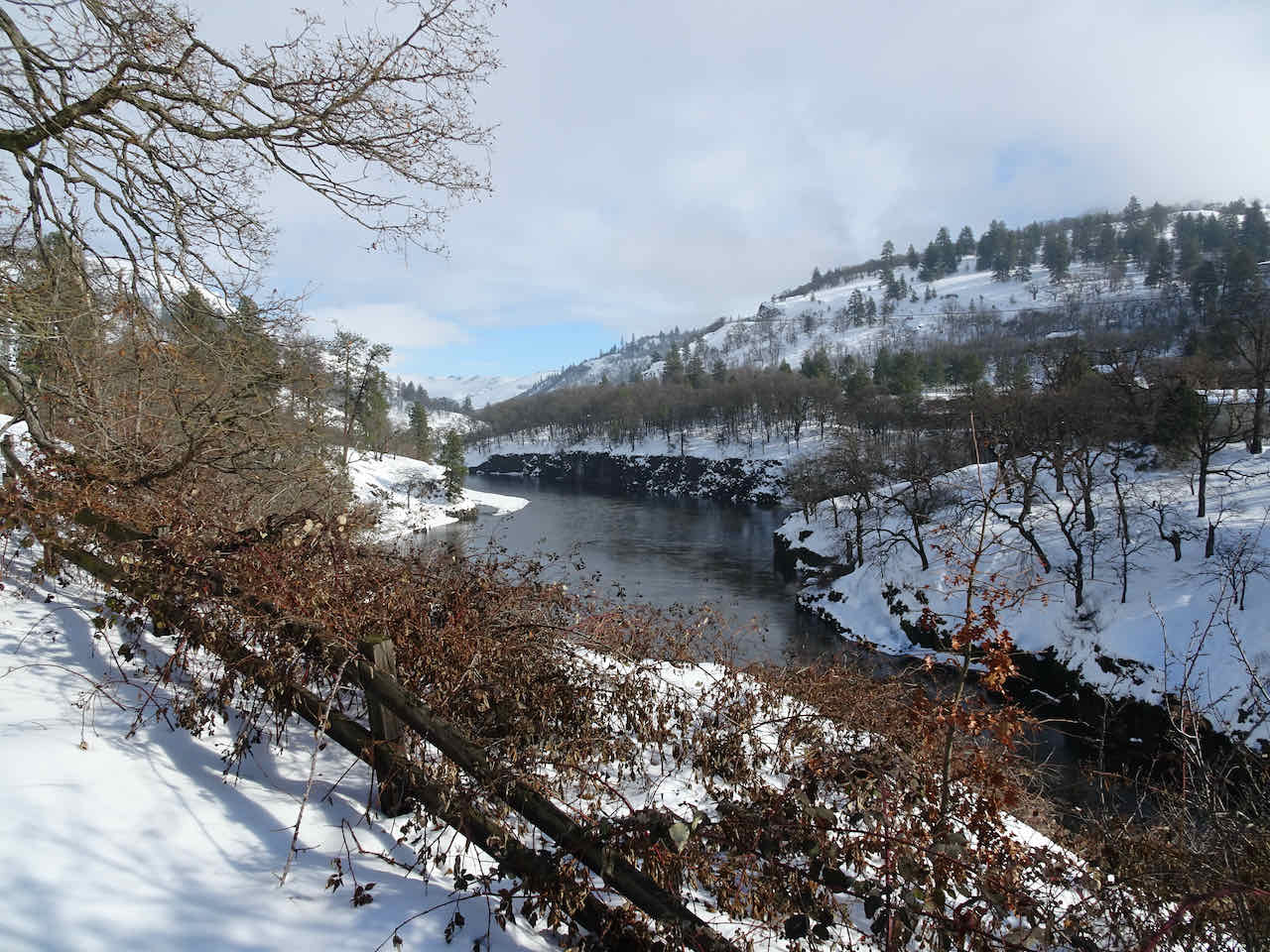
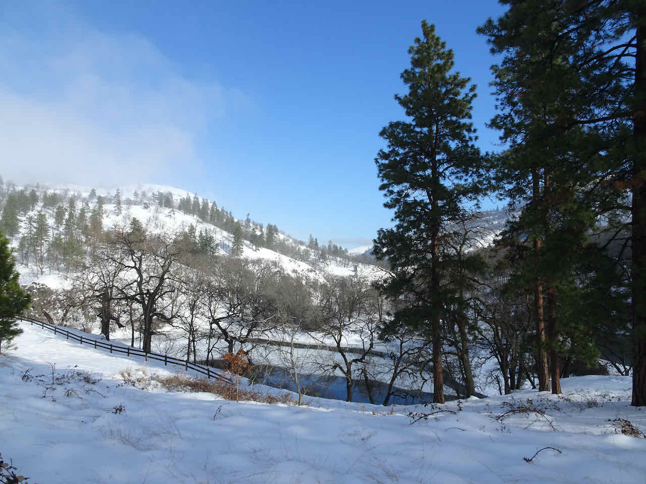
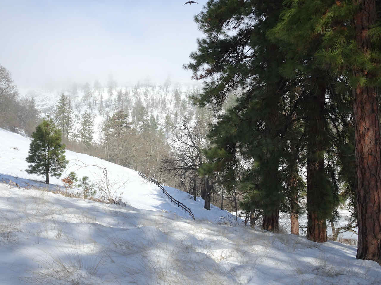
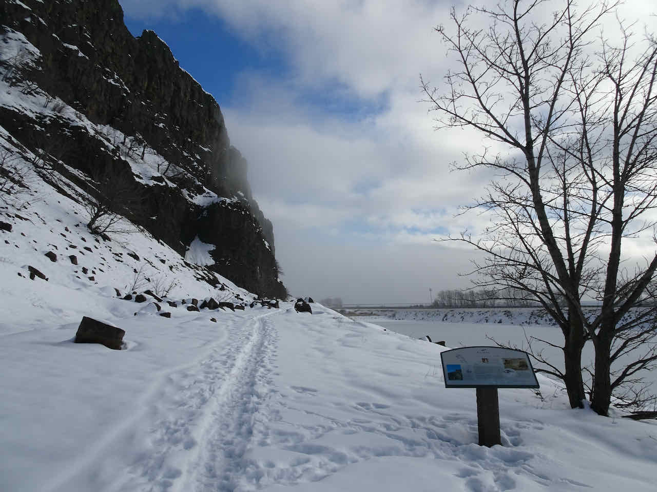
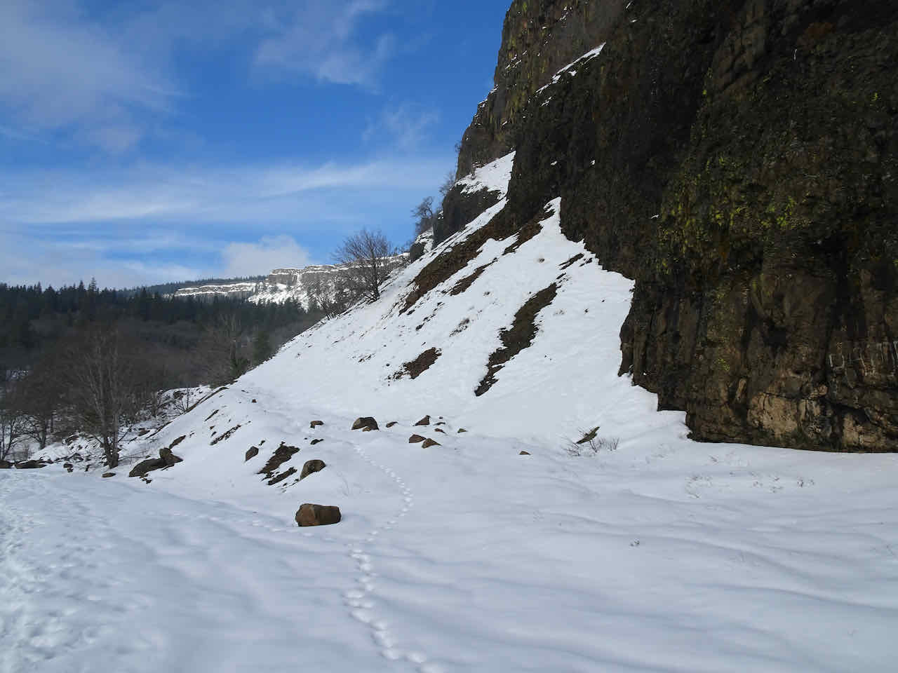
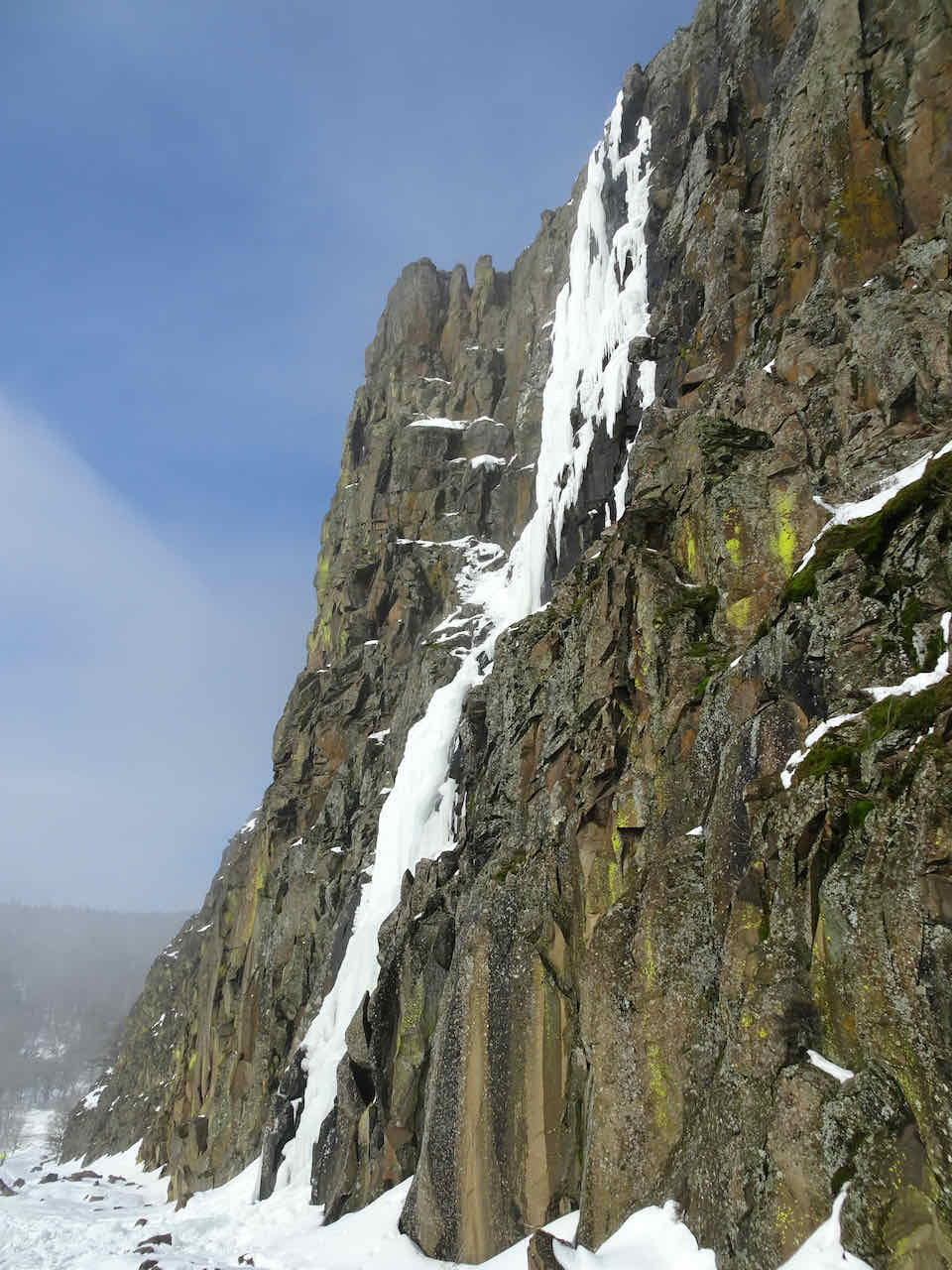
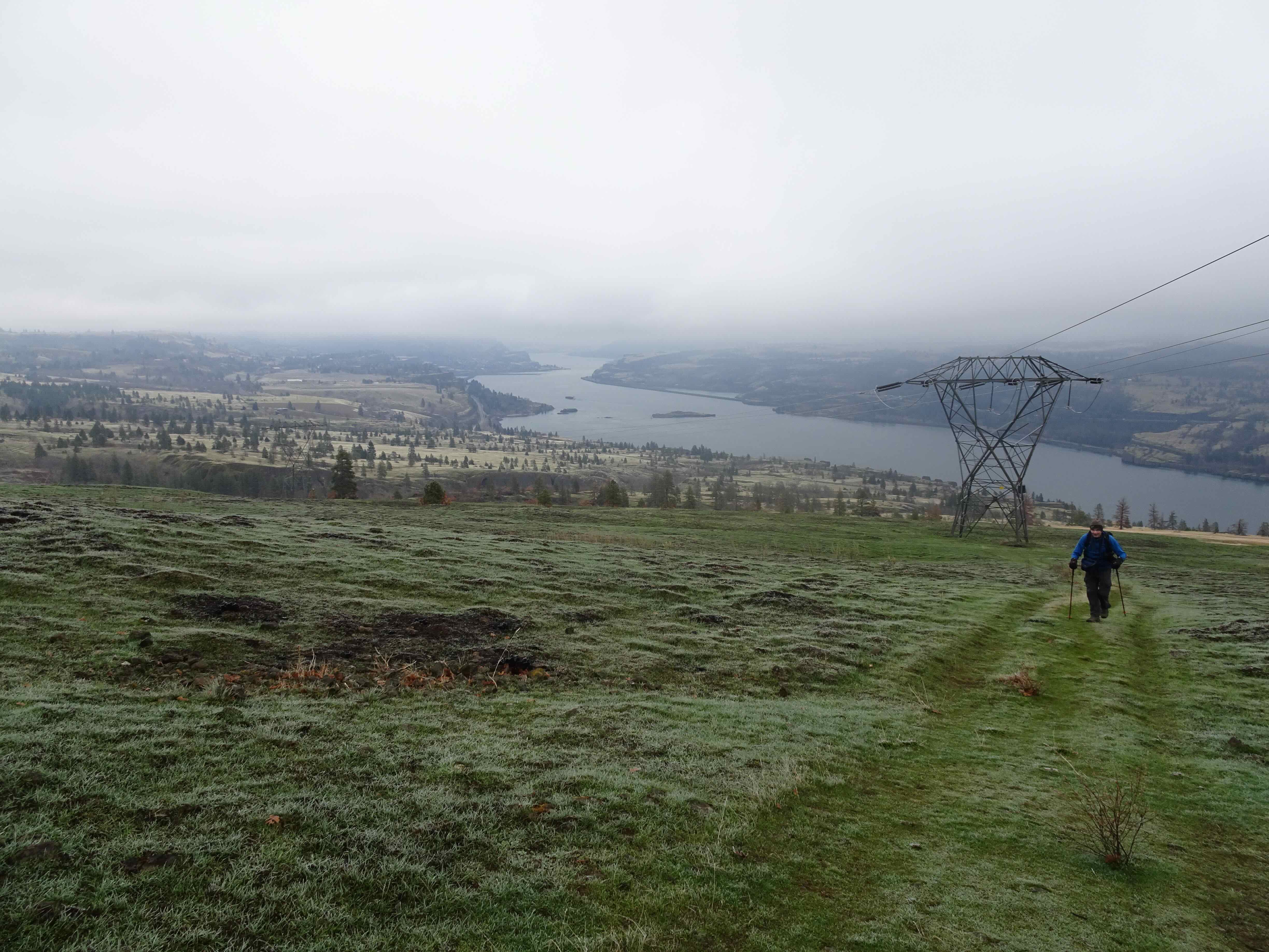
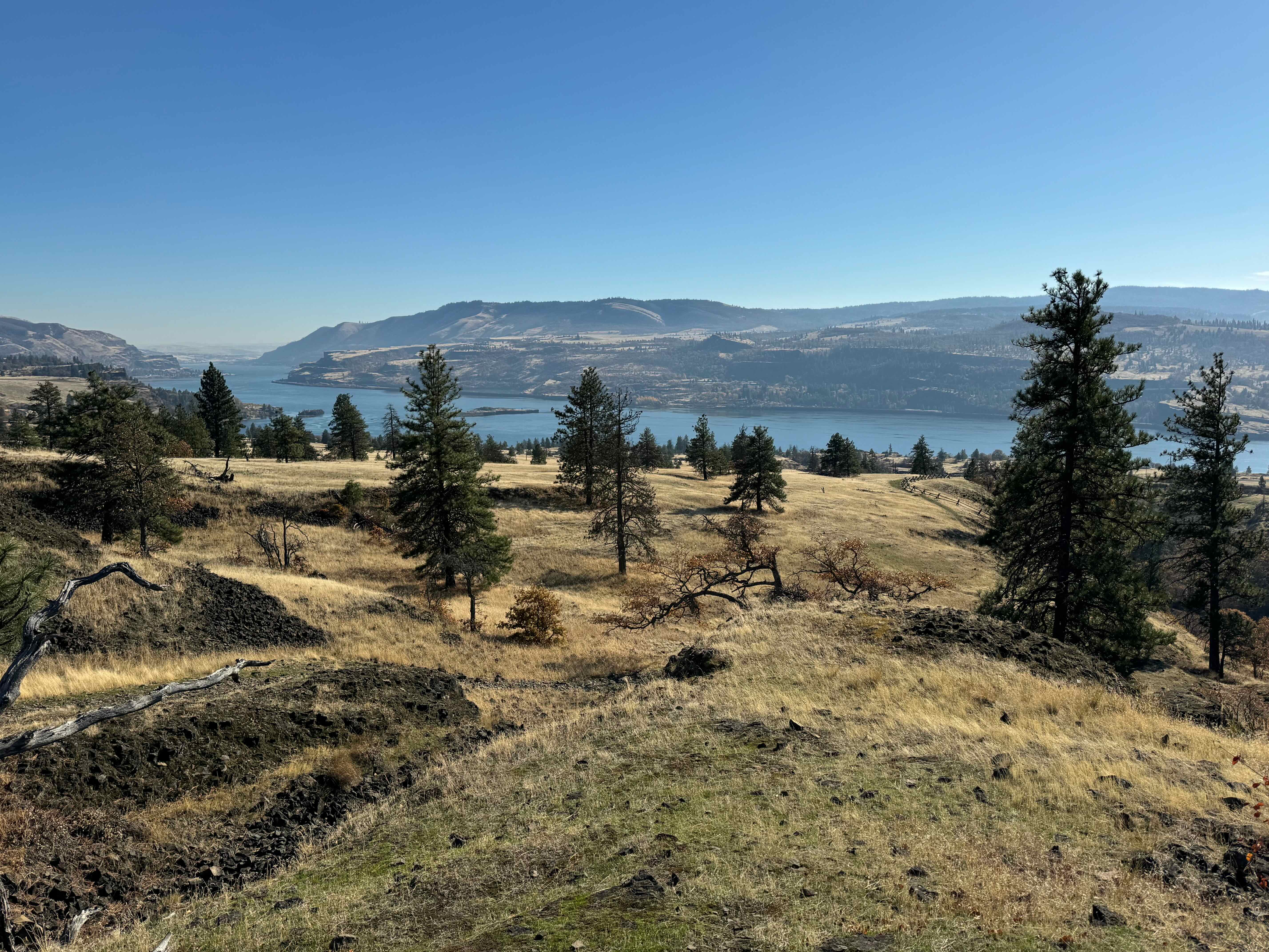
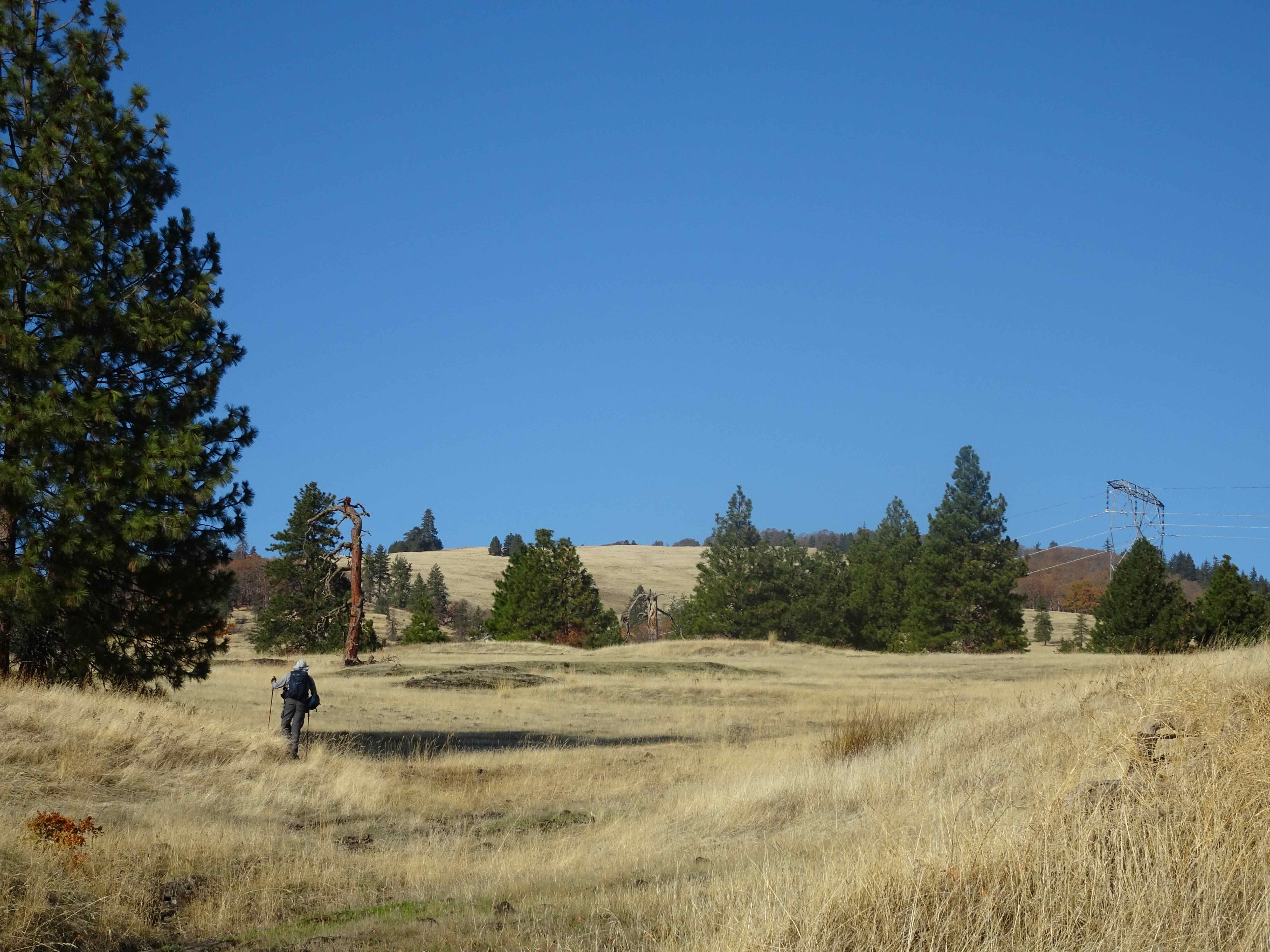
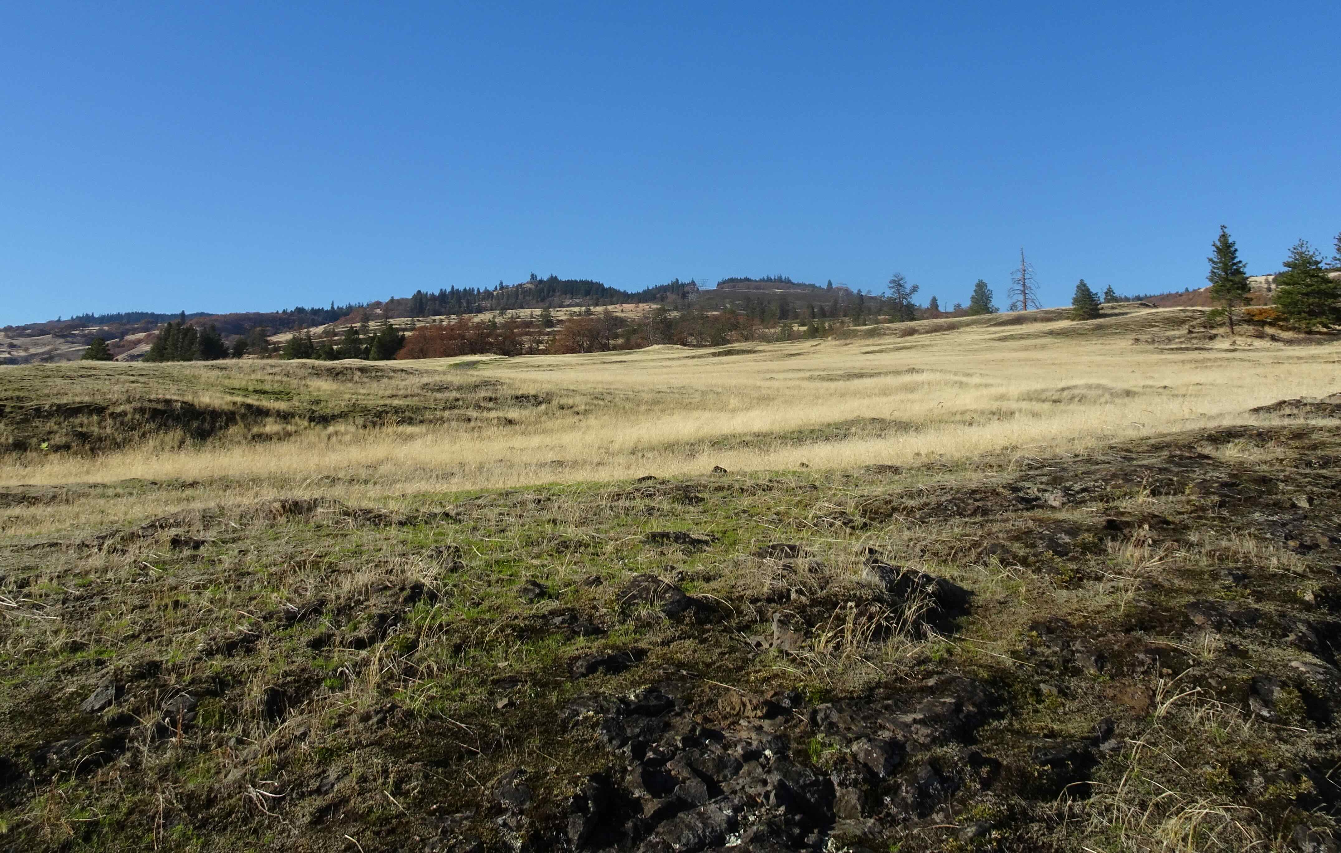
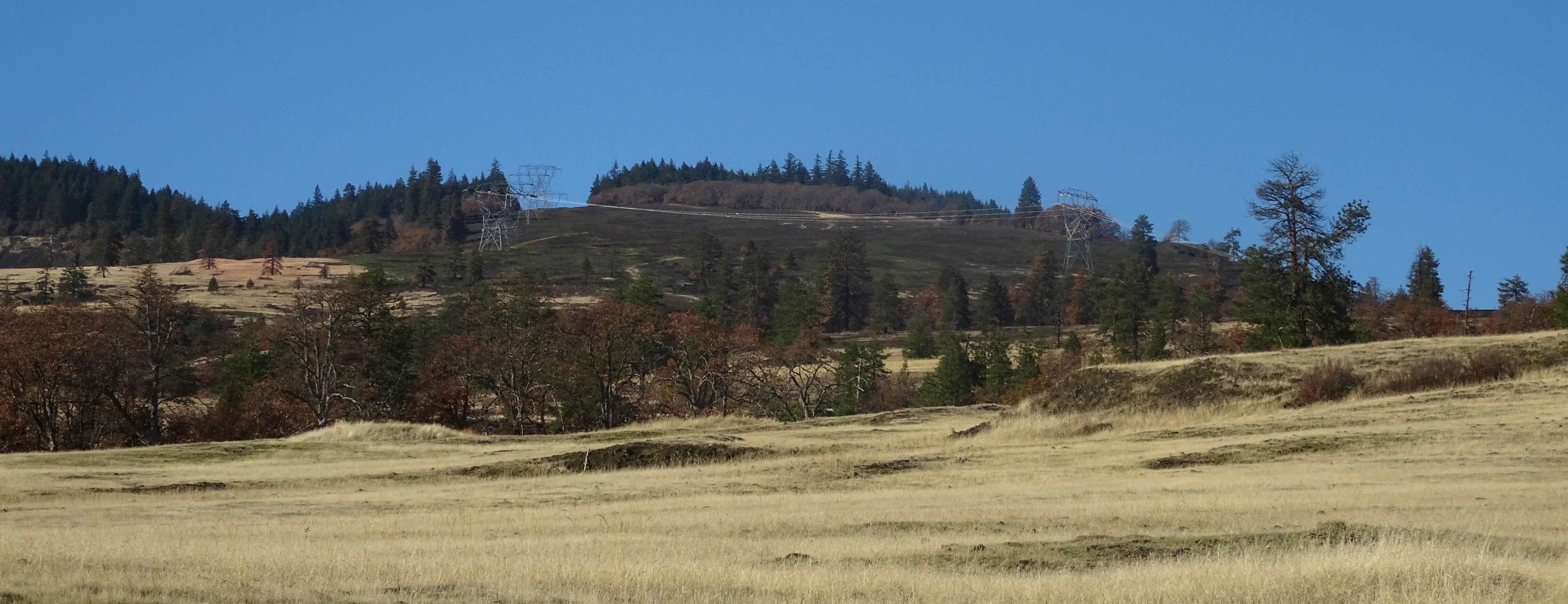
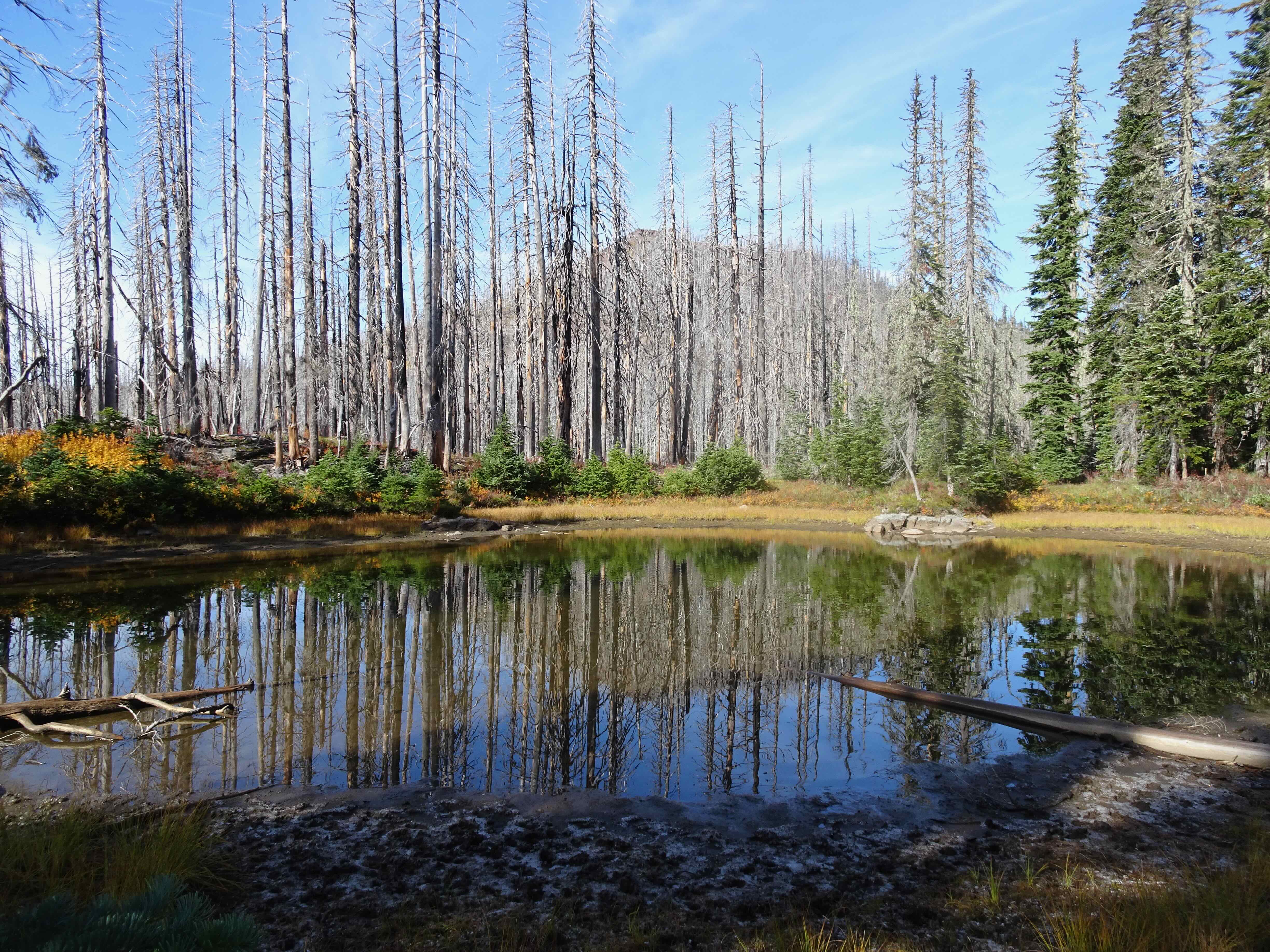
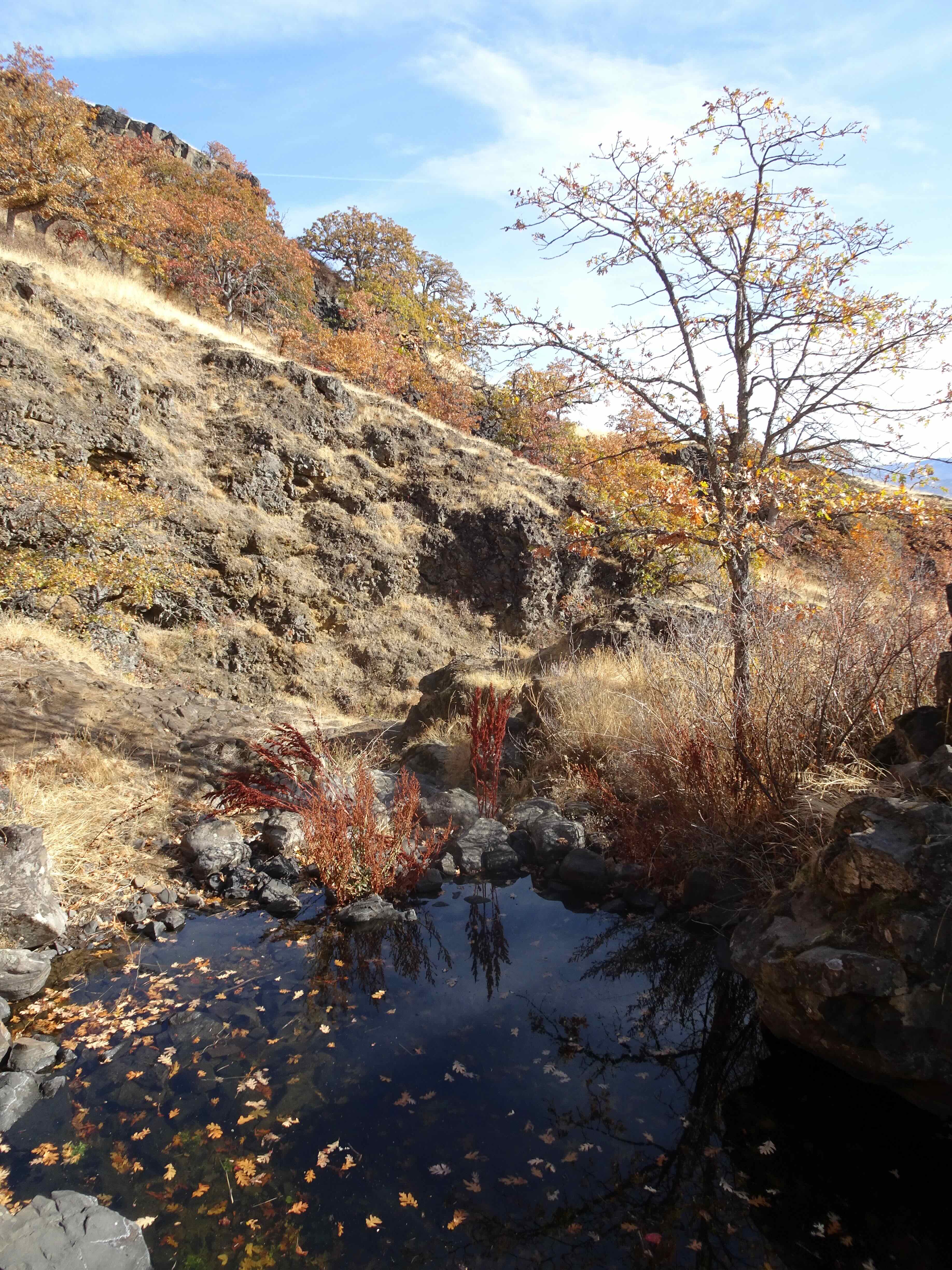
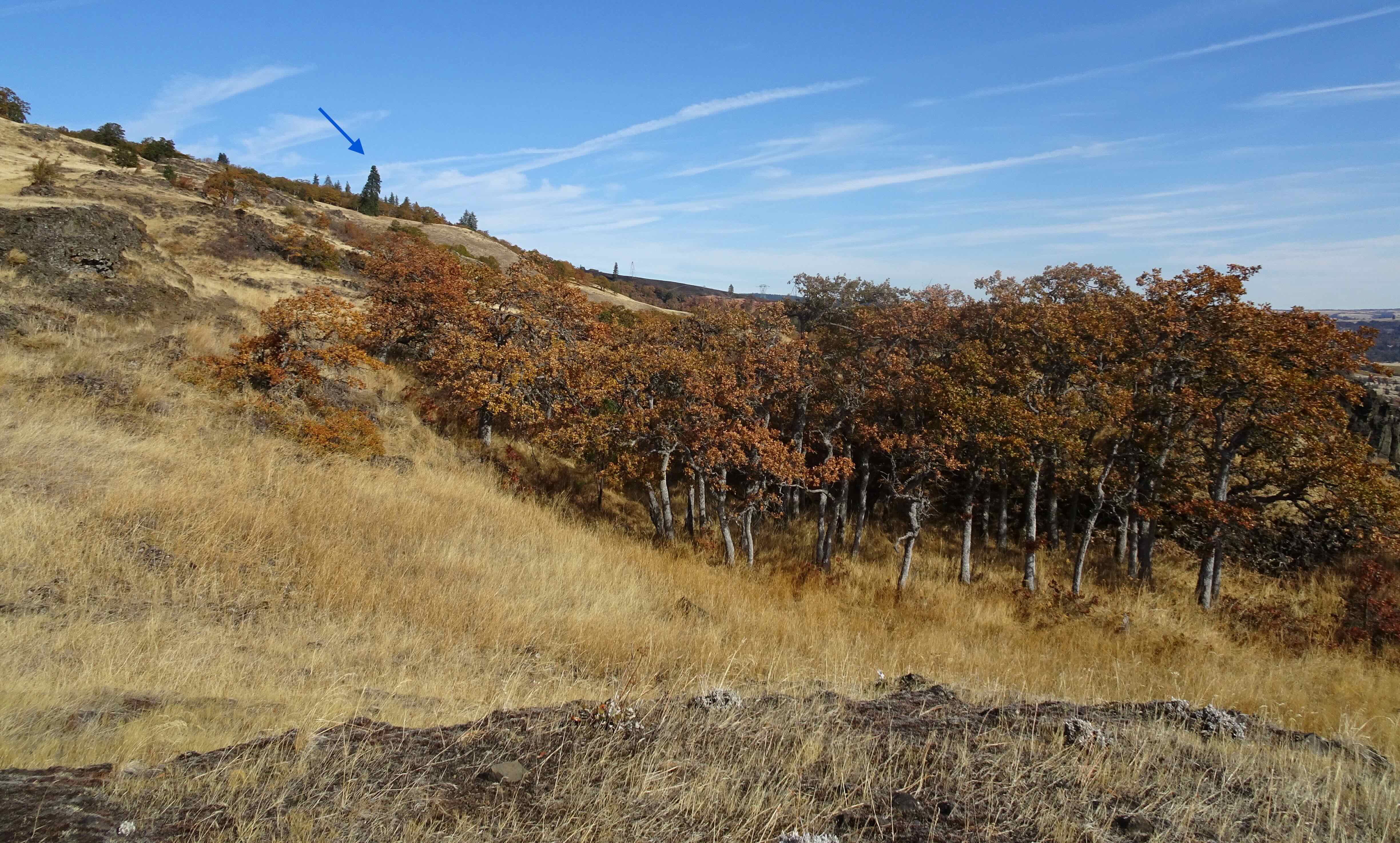
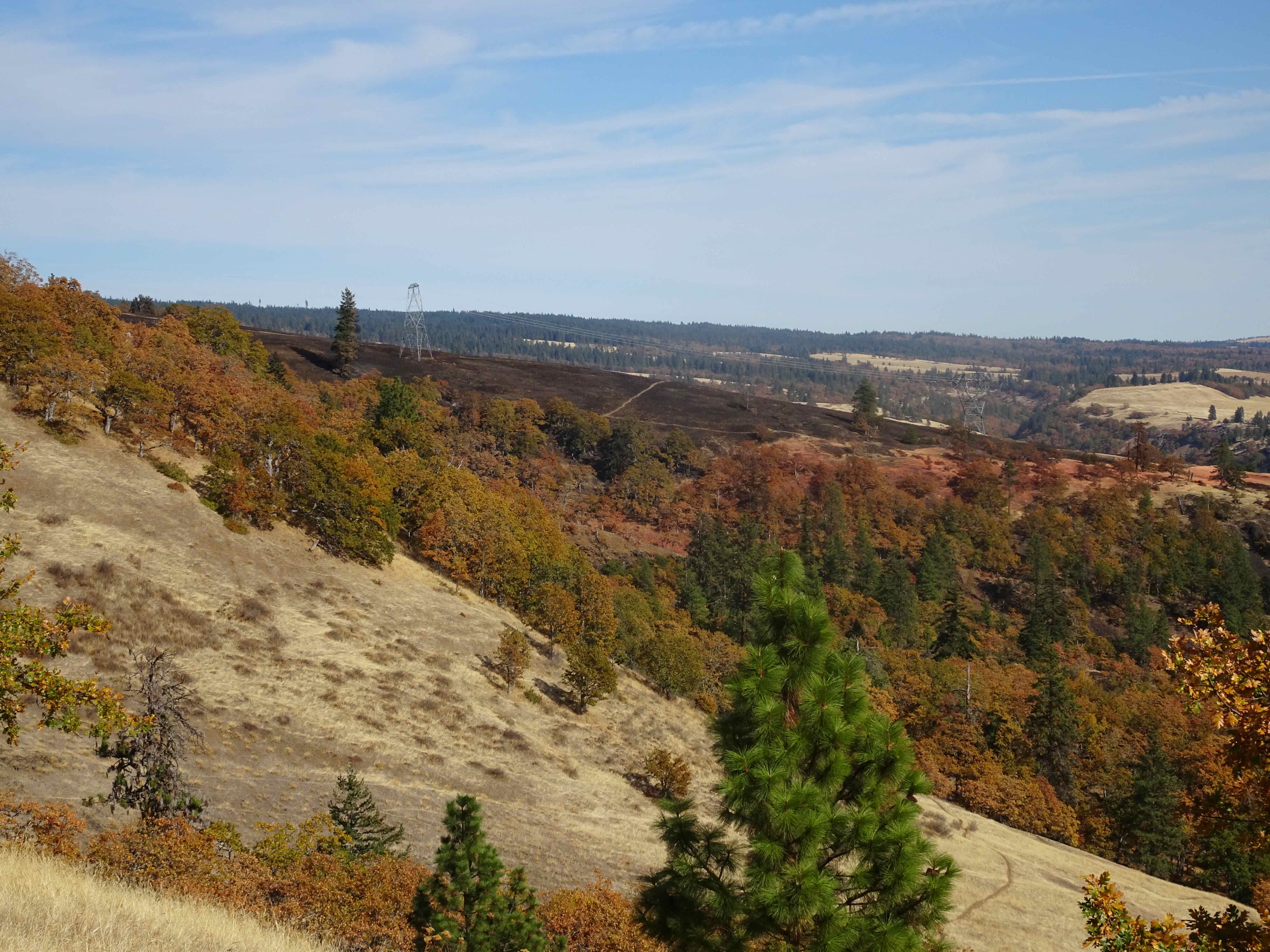
Clouds were sitting on the hills at Catherine Creek. We walked up Sunflower Hill through the recent controlled burn zone, then back down along Rowland Wall. The sun never came out here…
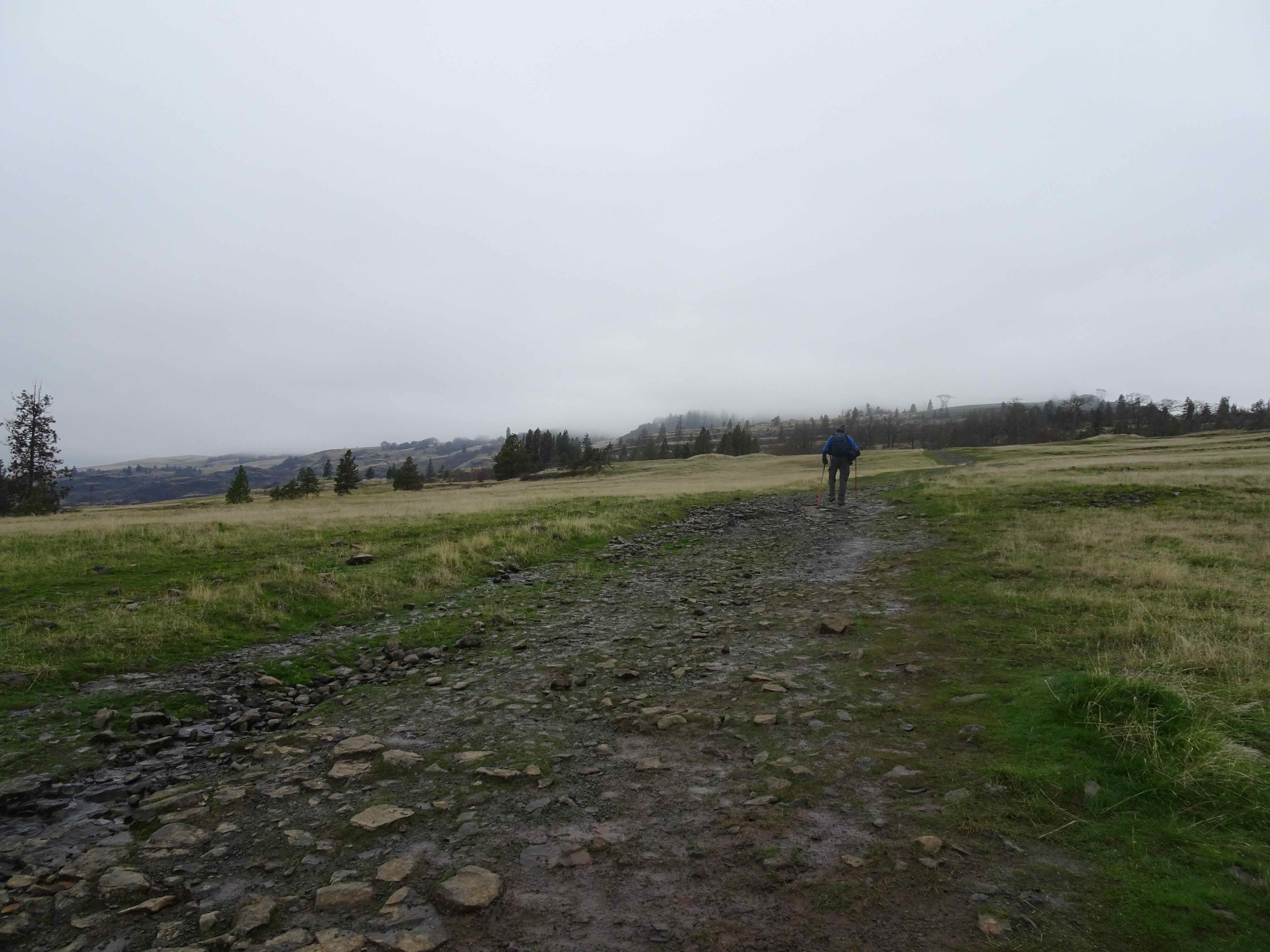
Walking up Sunflower Hill toward the burn zone.
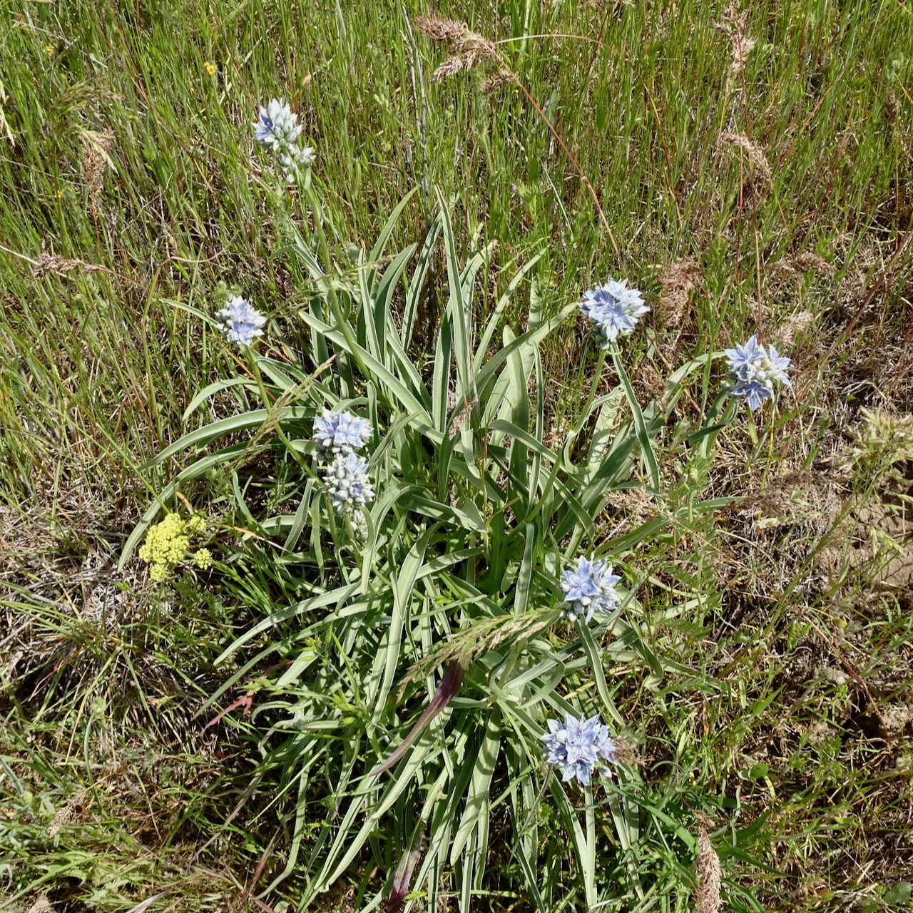
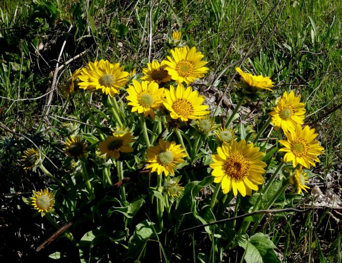
Green coming up through the blackened soil.

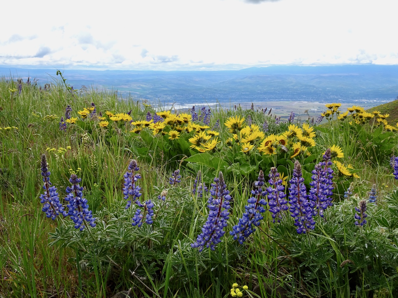
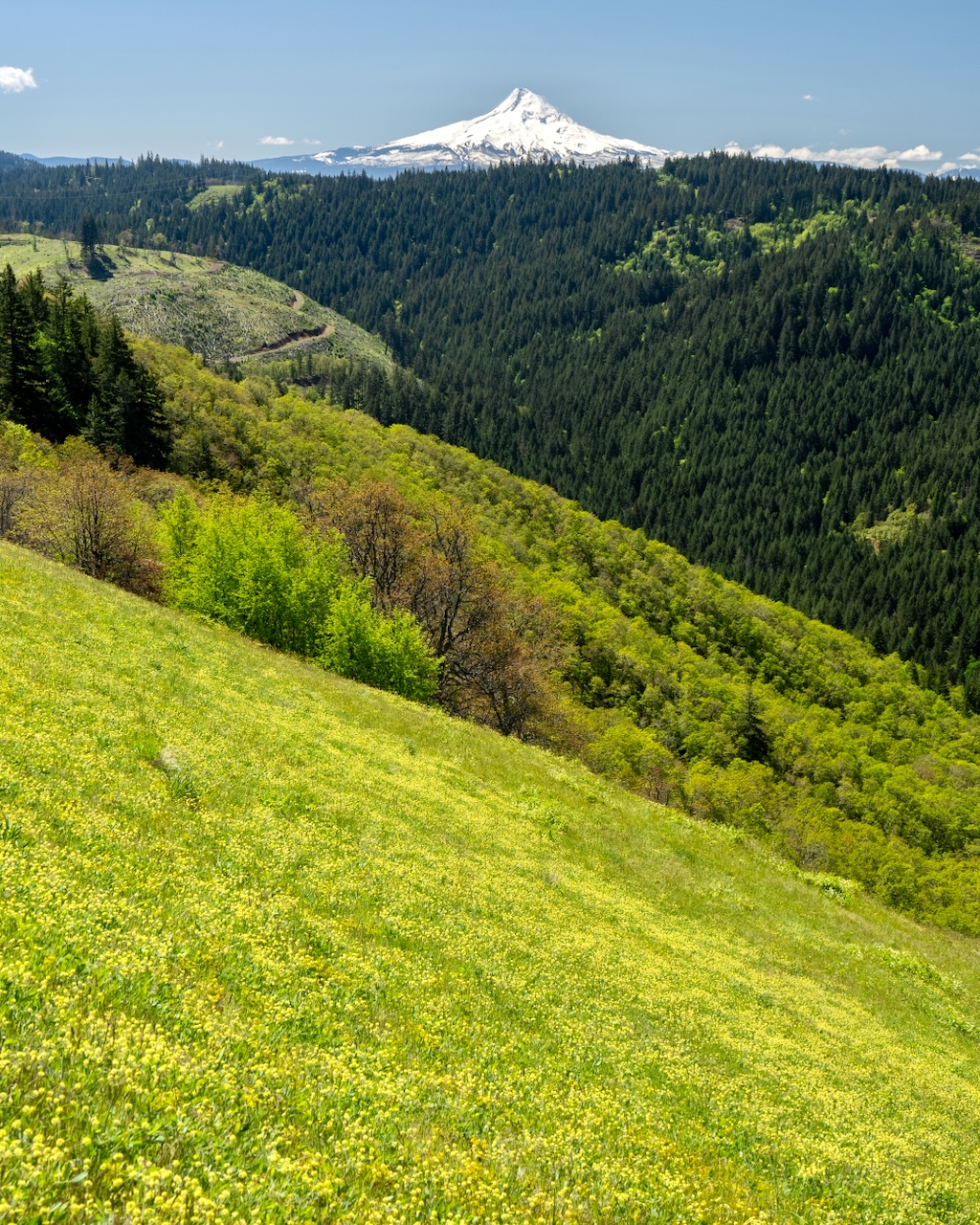
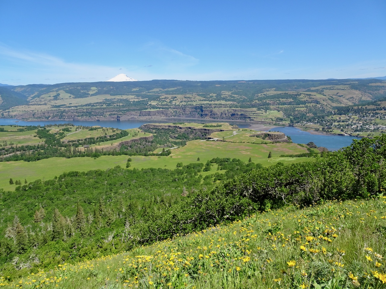
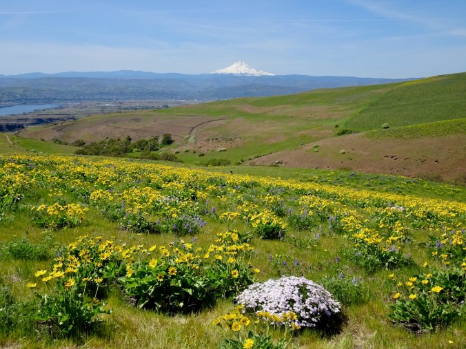
Springtime view of that same slope – 2023

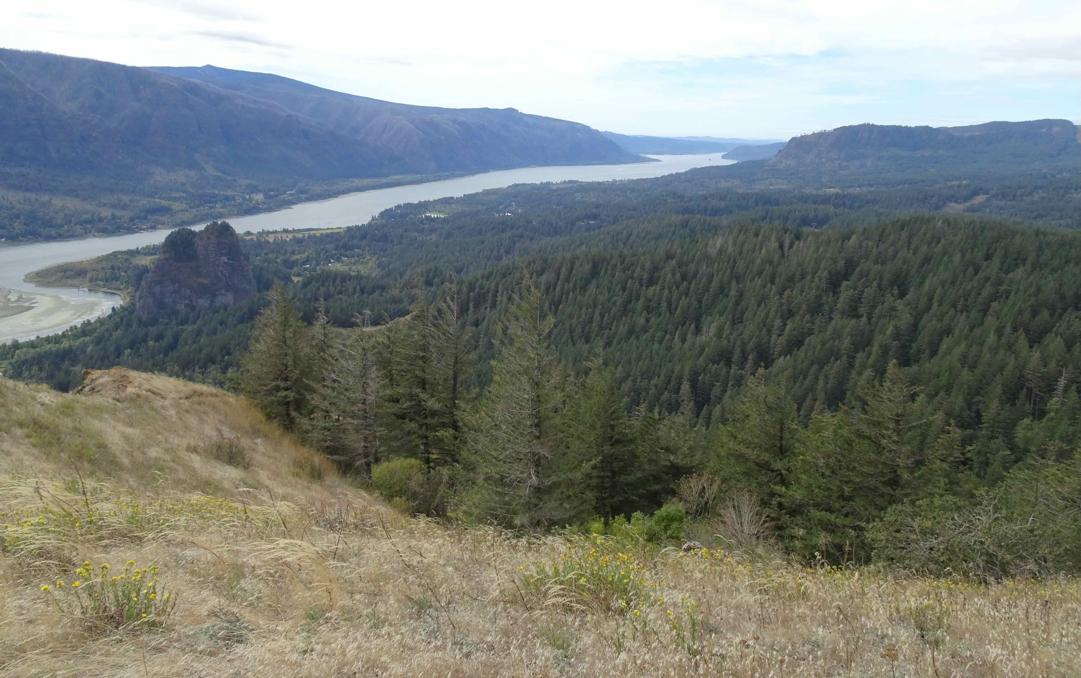
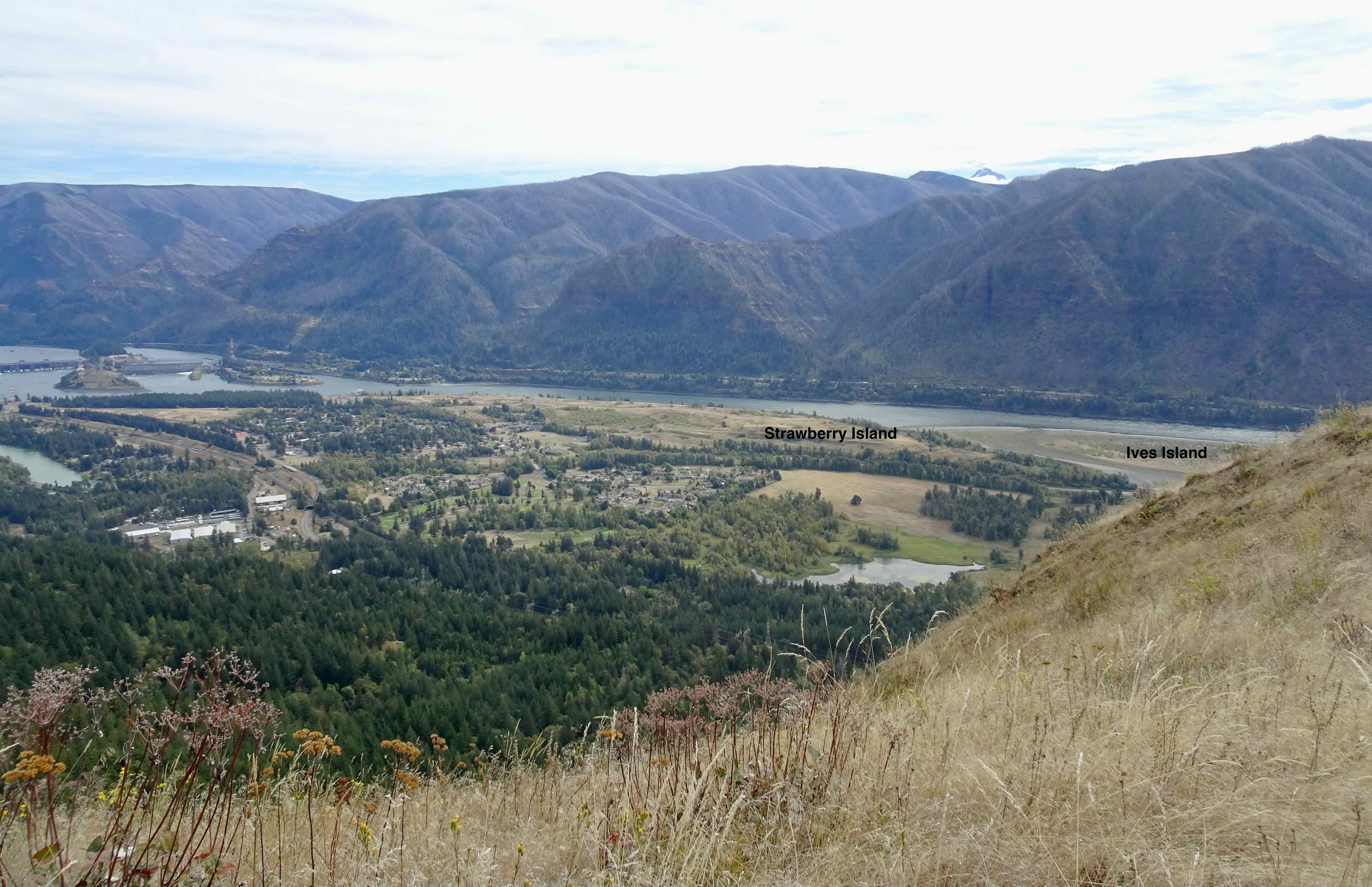
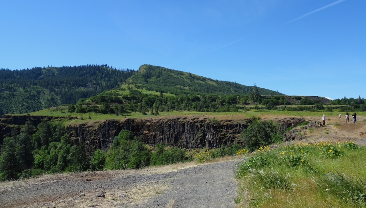
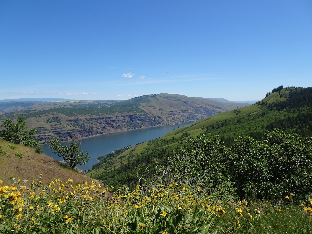
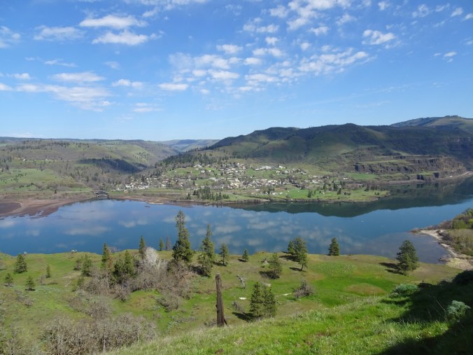
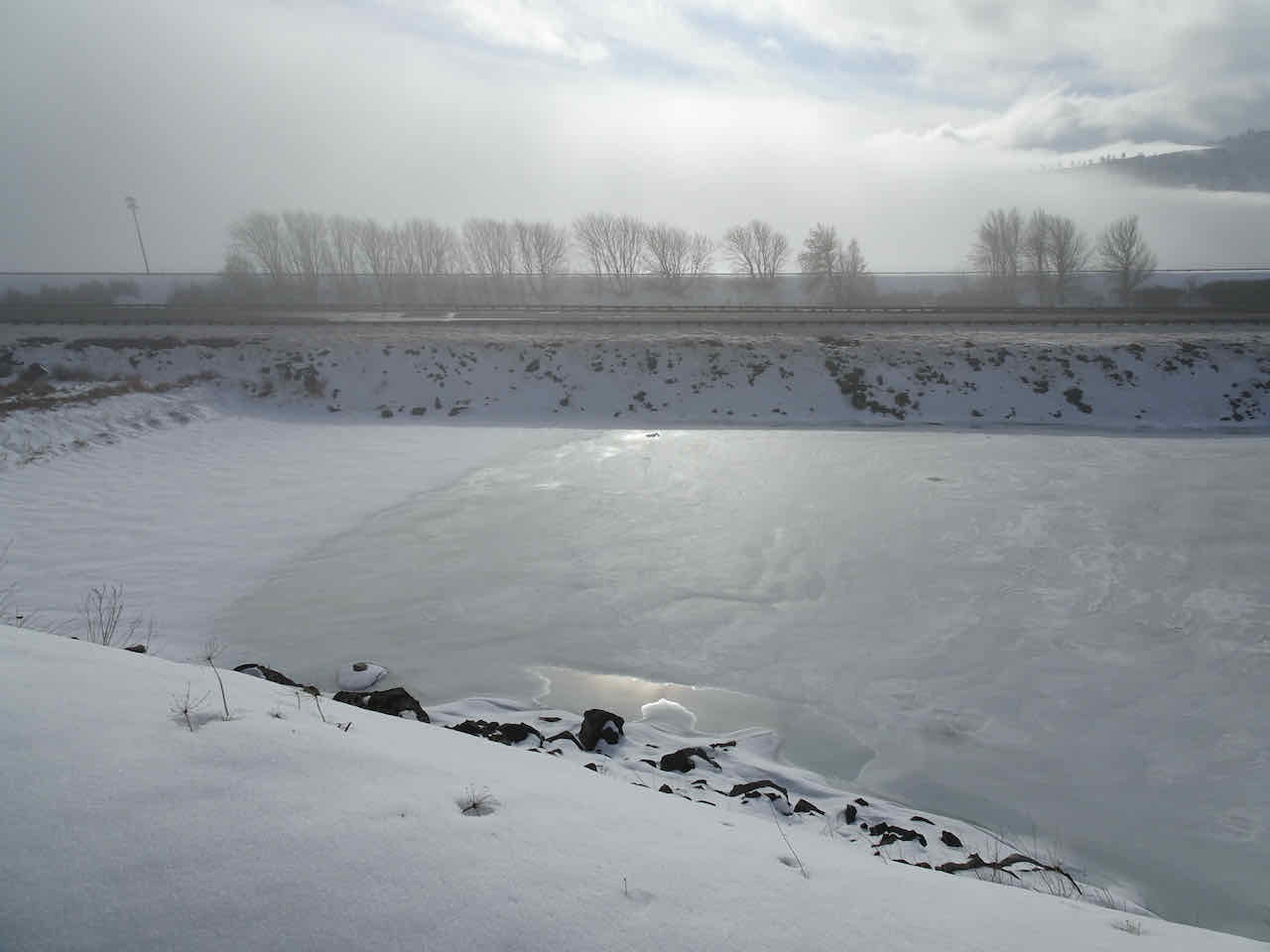
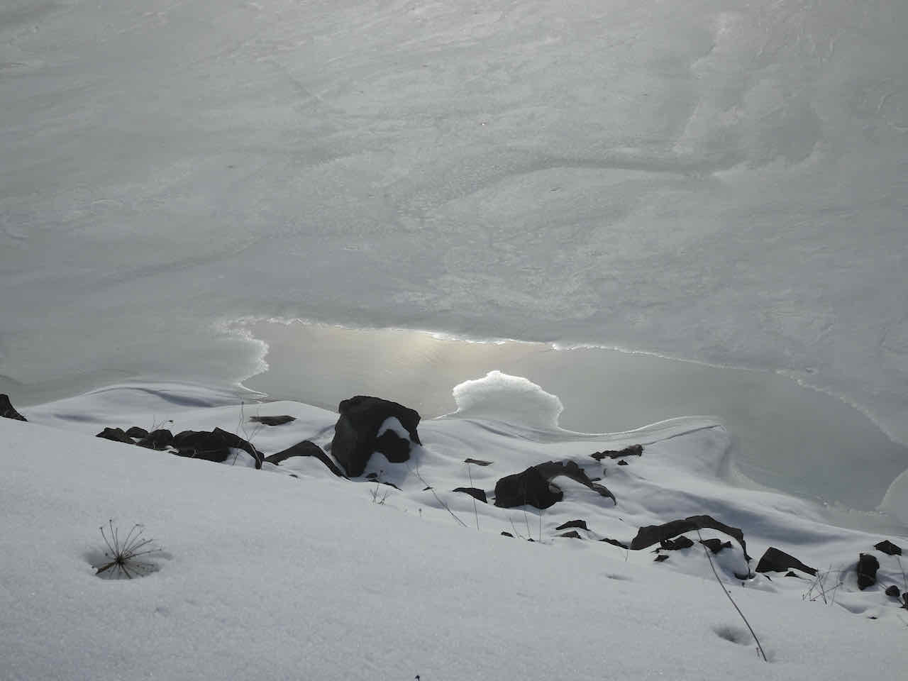
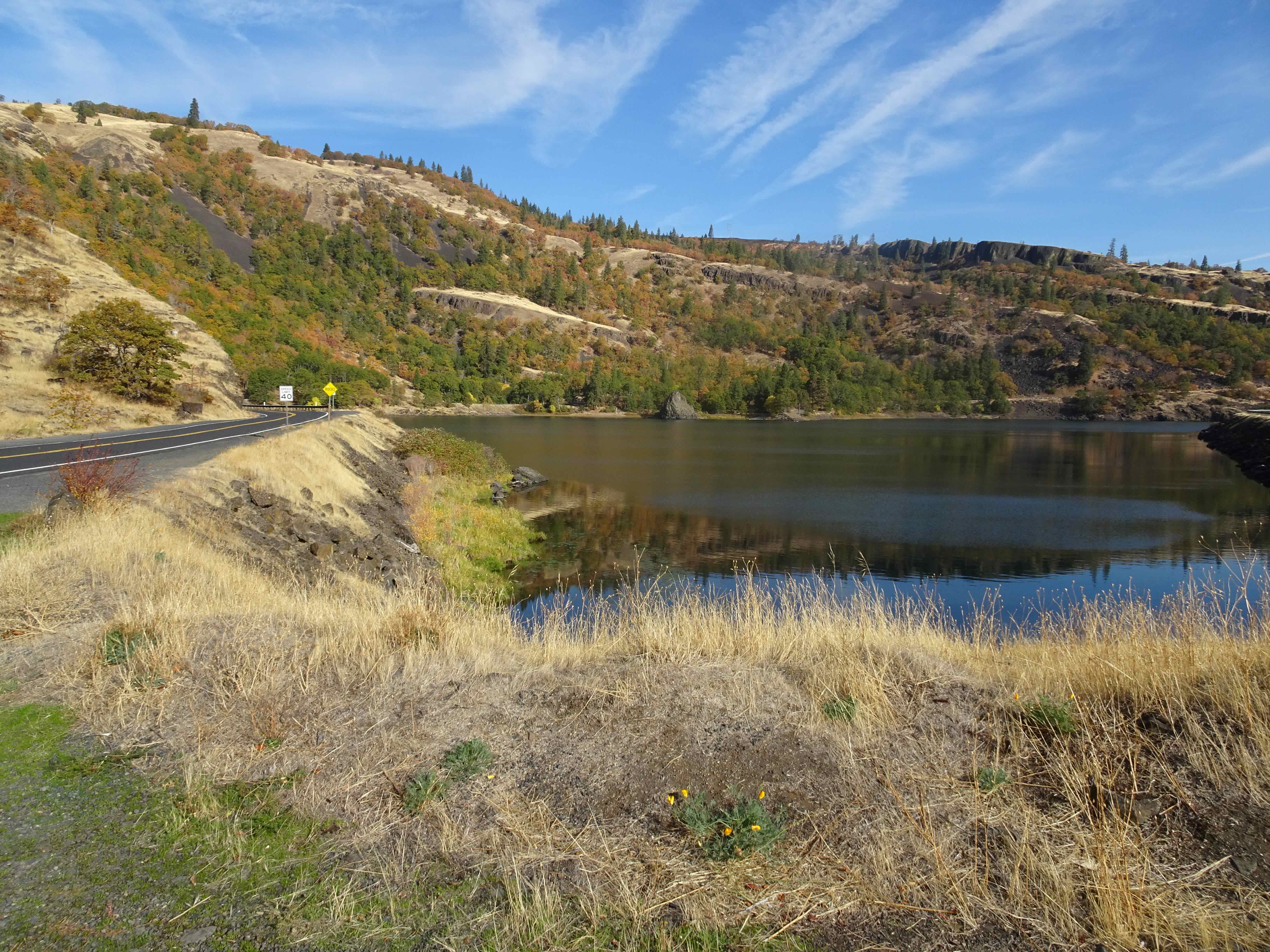
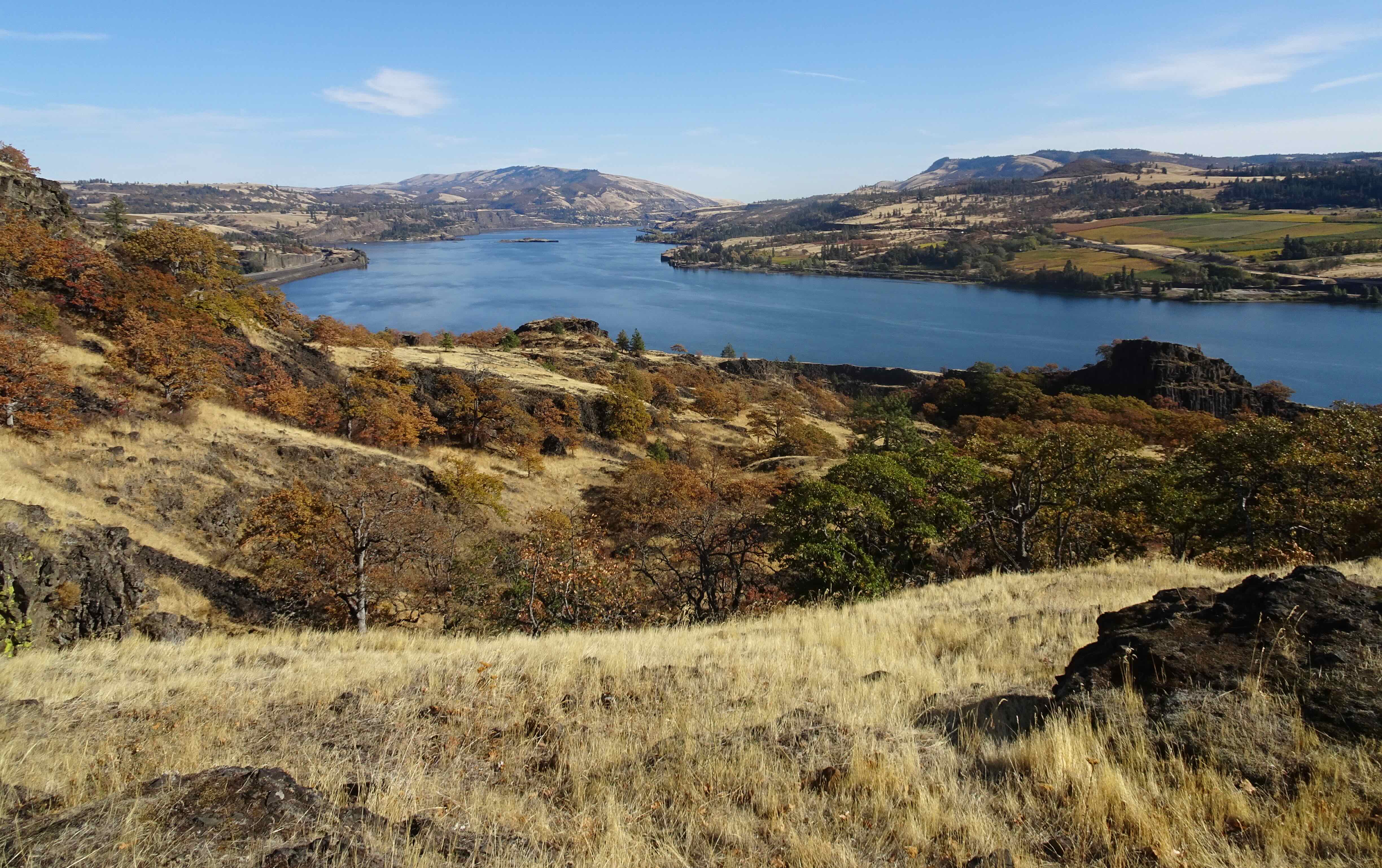
Walking down Rowland wall

The leaning tree and Rowland Lake

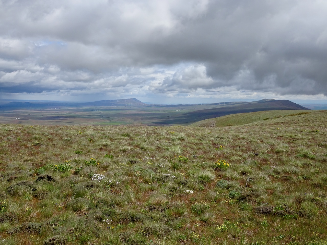
Fields of Mosier beyond

Golden grass of winter
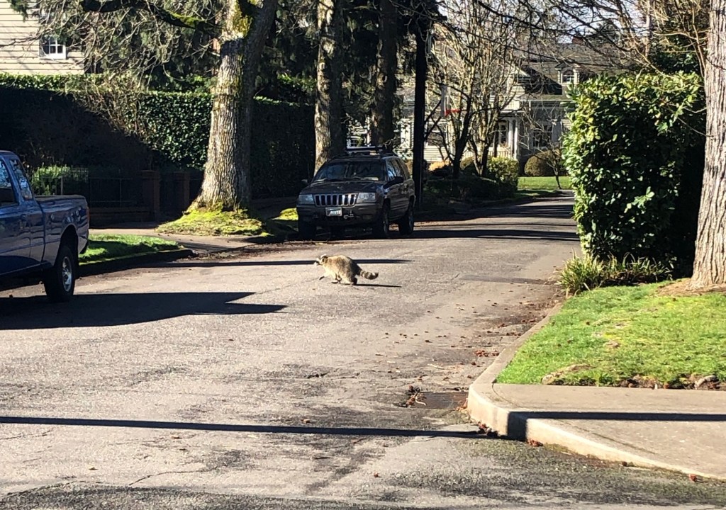
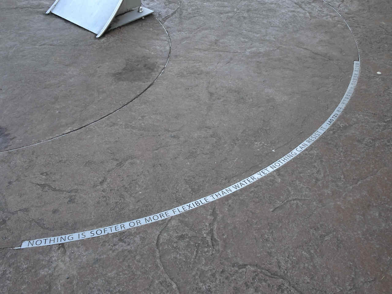
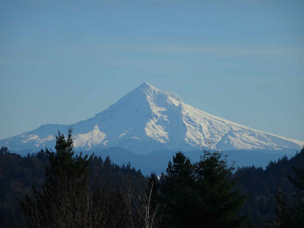
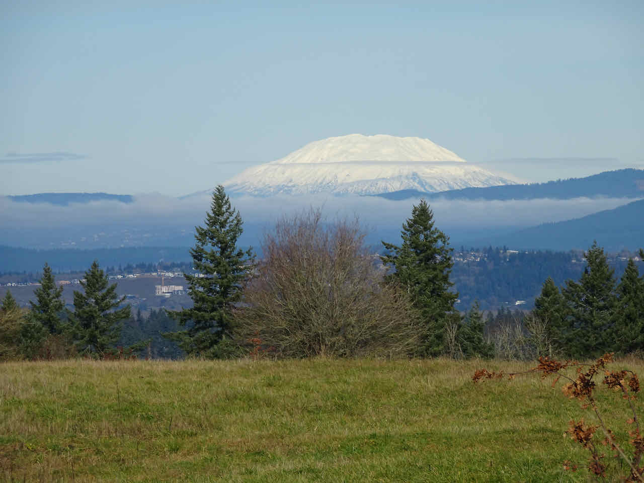
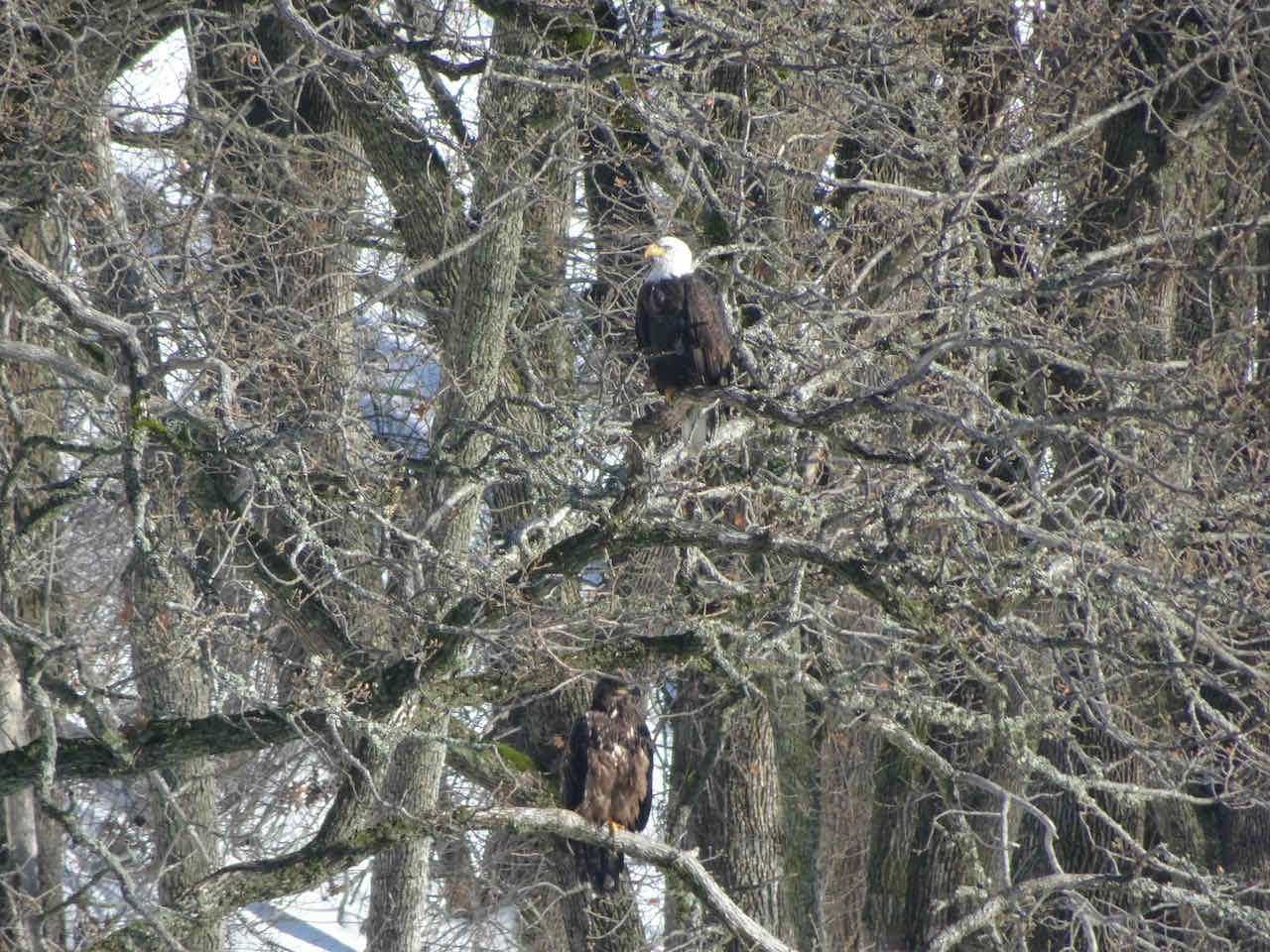
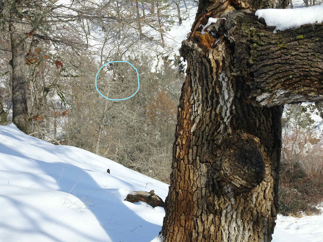
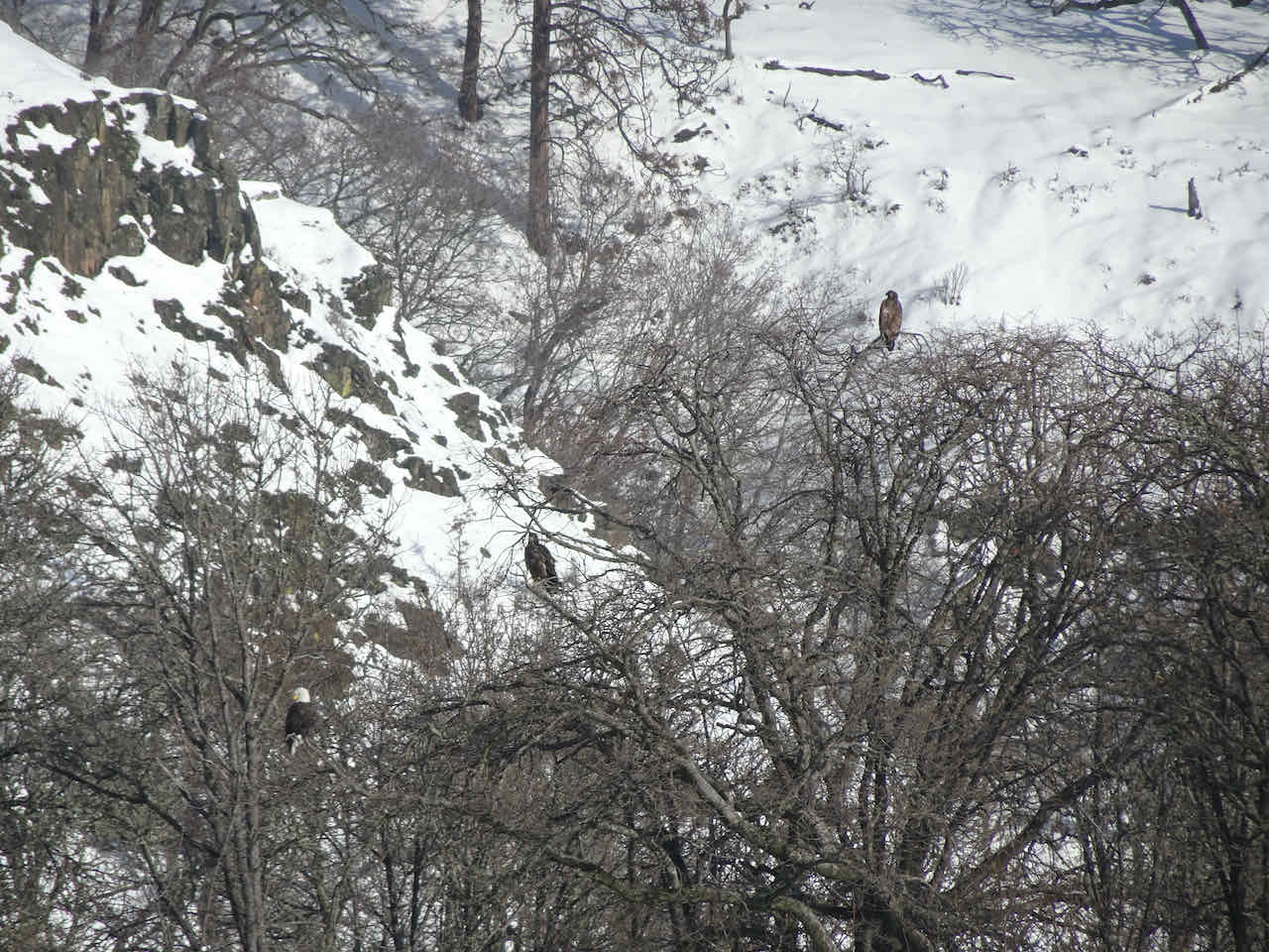
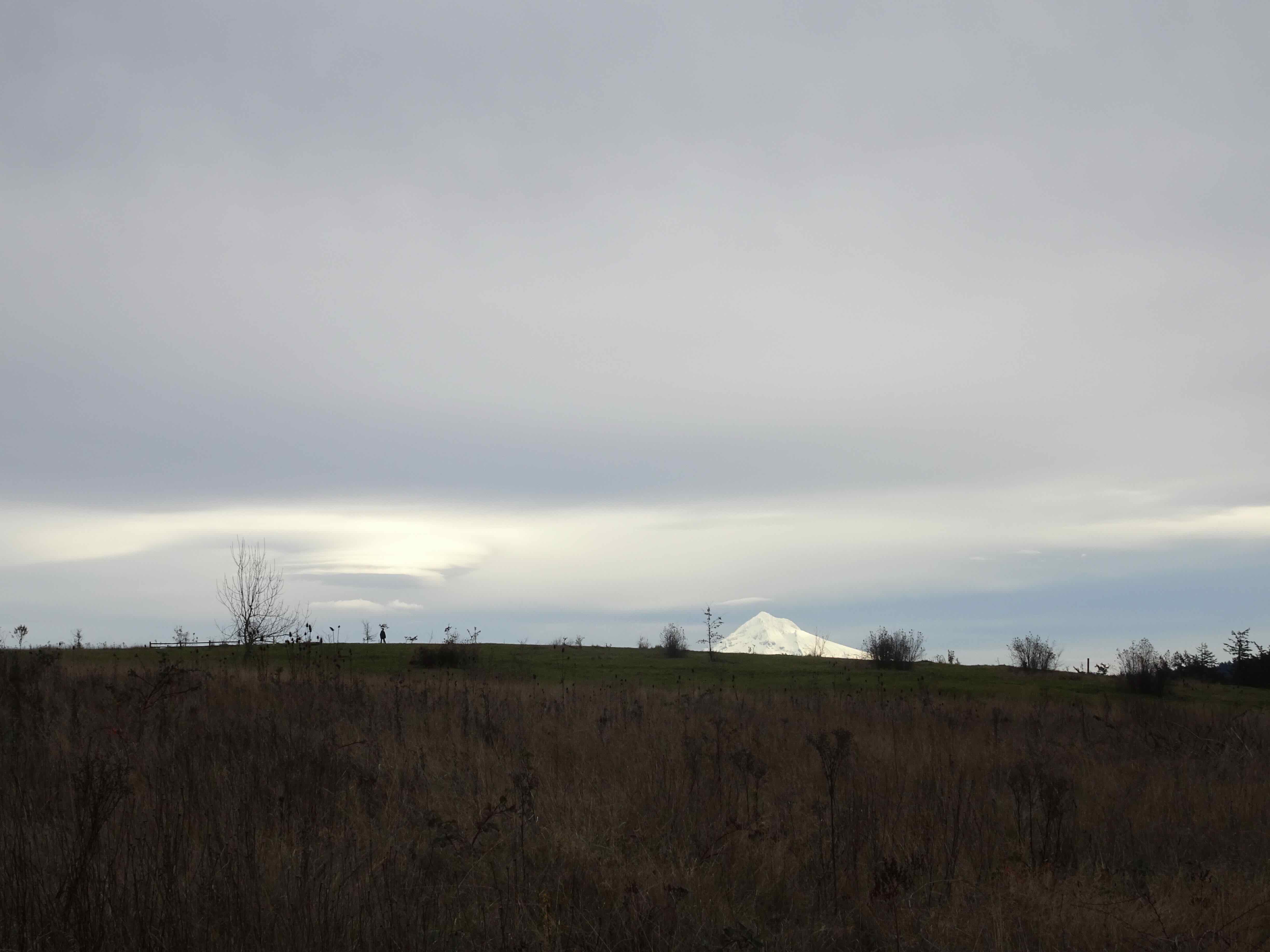
December 19th – Powell Butte – We could see Mt Hood, Mt St Helens, and a few deer.
We watched the lenticular cloud forming over Mt Hood

Mt Hood
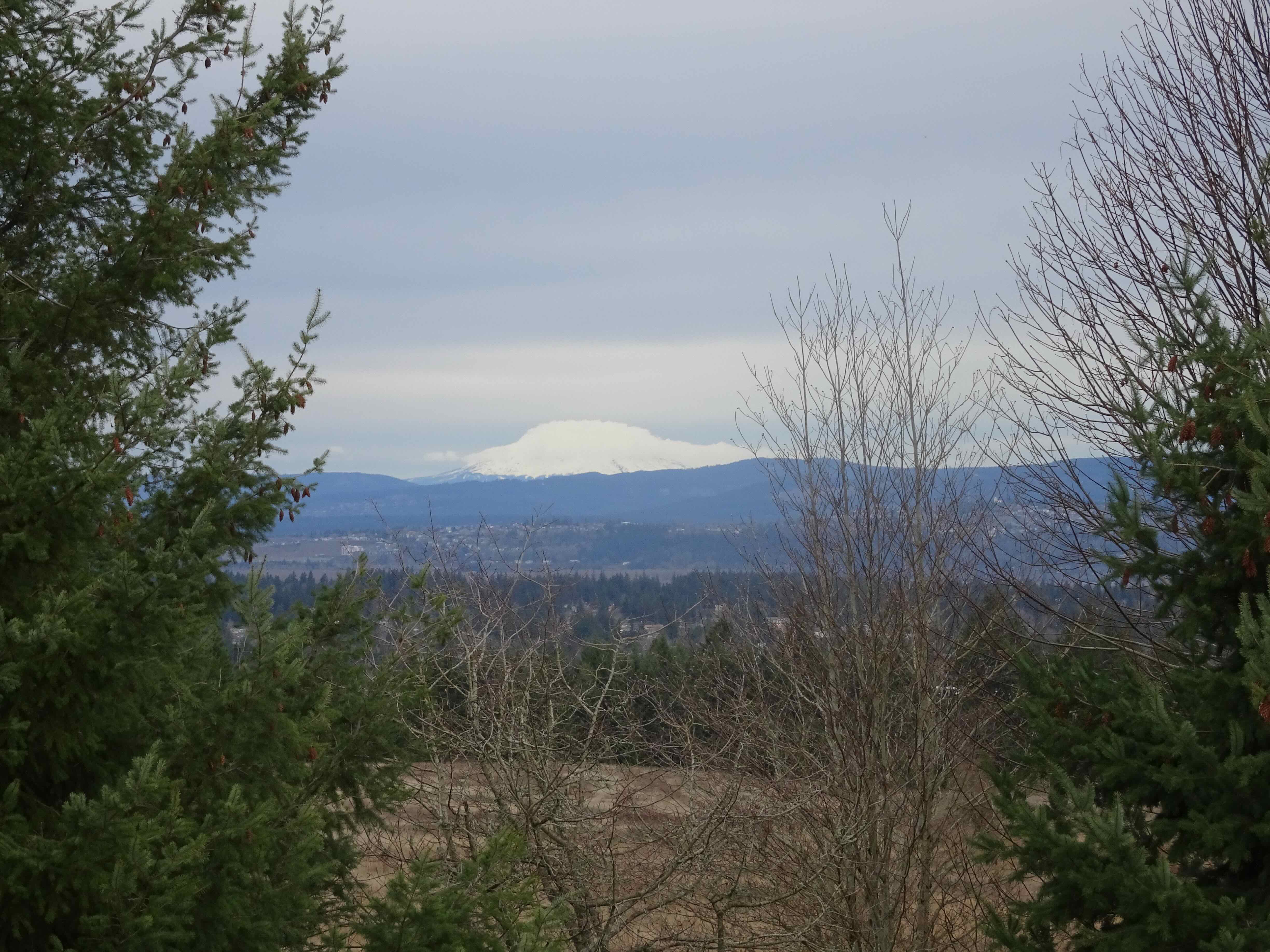
Mt St Helens had already donned her own cloud cloak
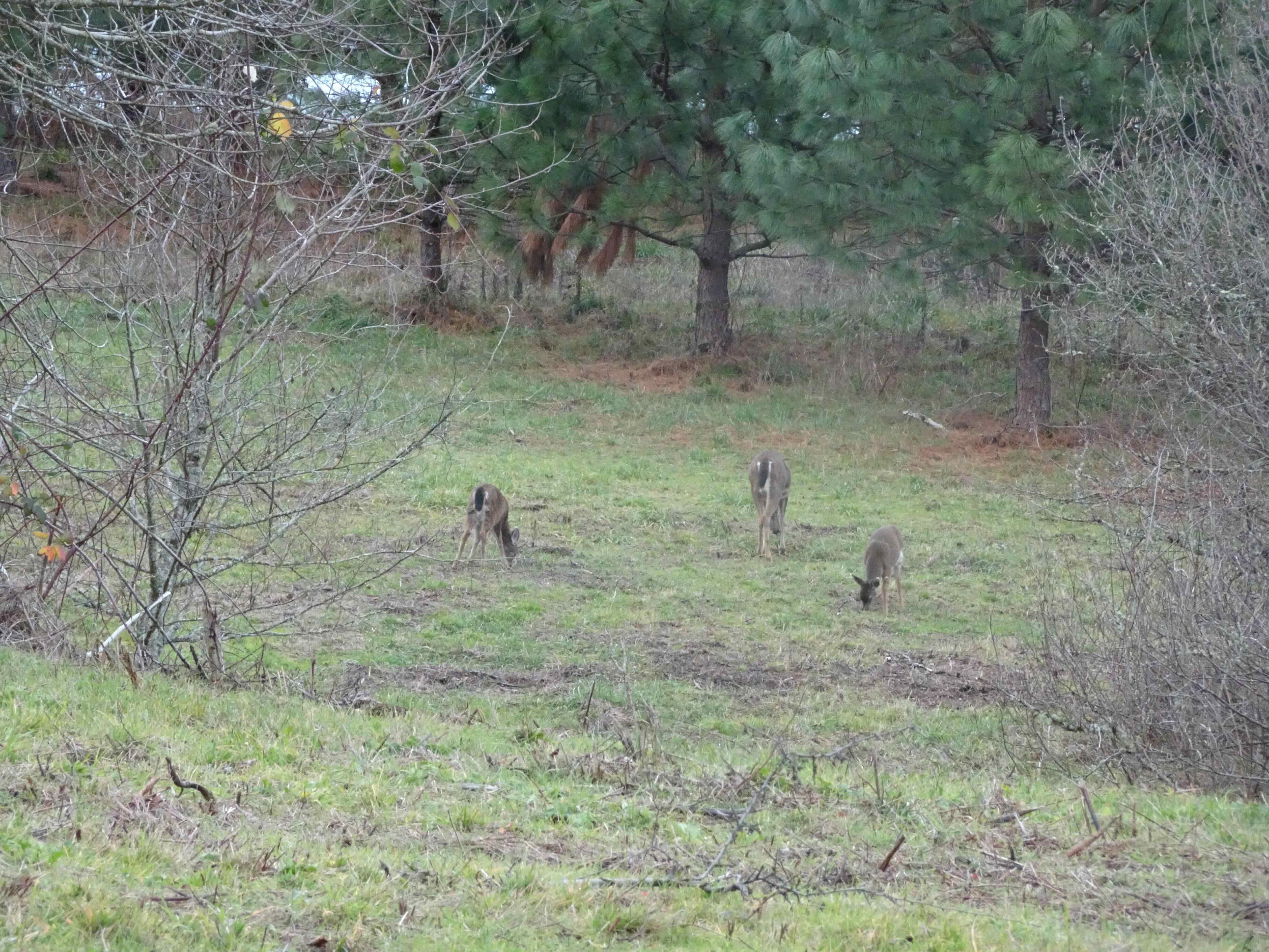
A few deer in the forest

And a sentiment from the Bard…
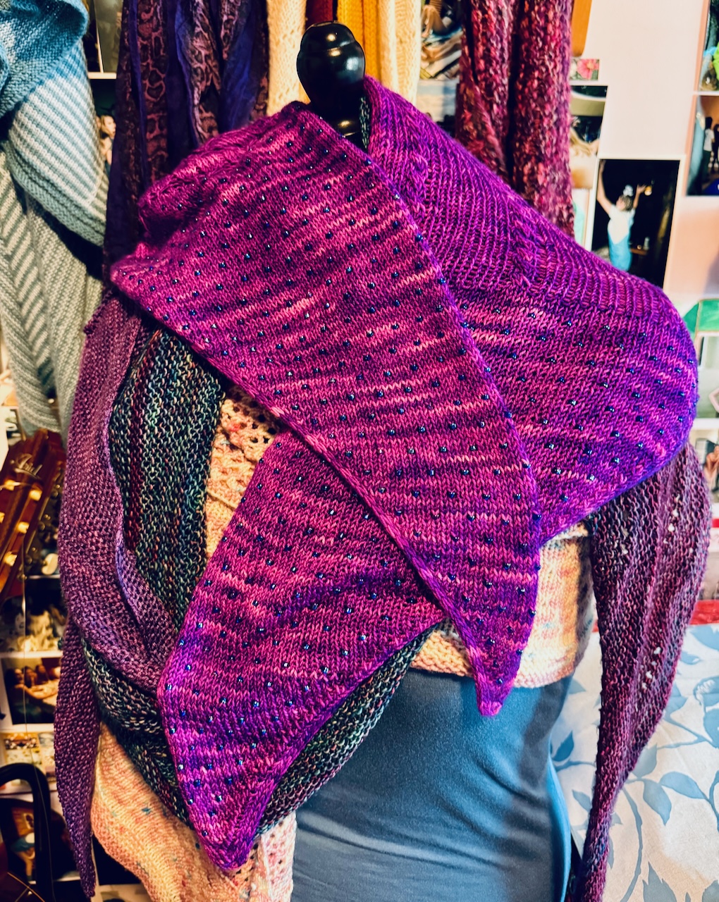
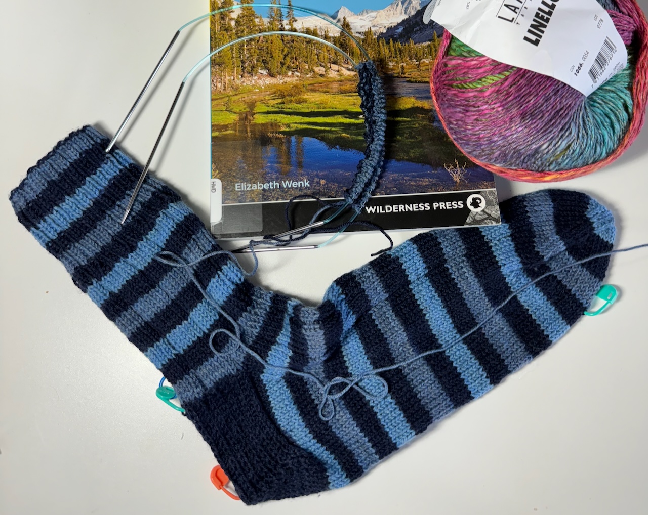
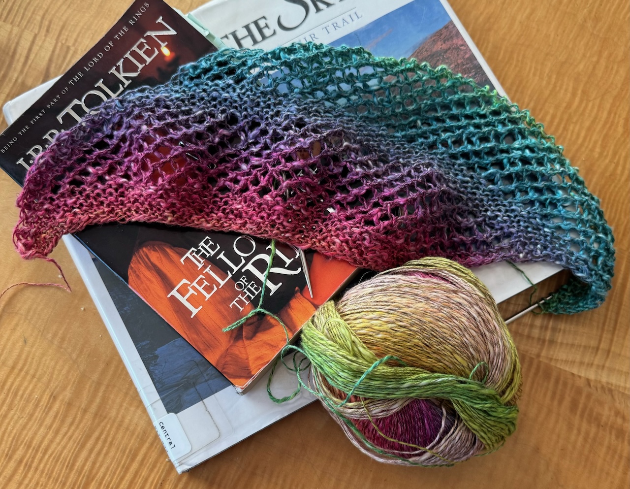
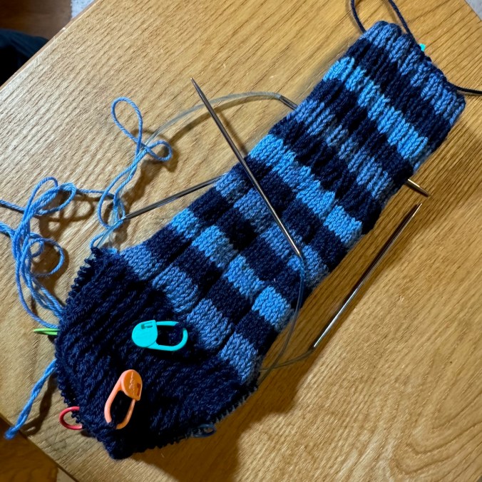
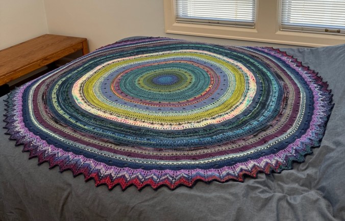
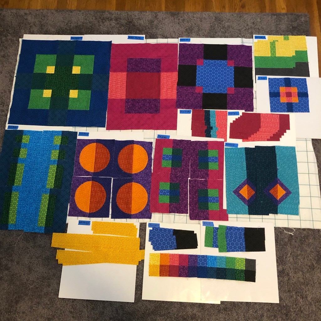
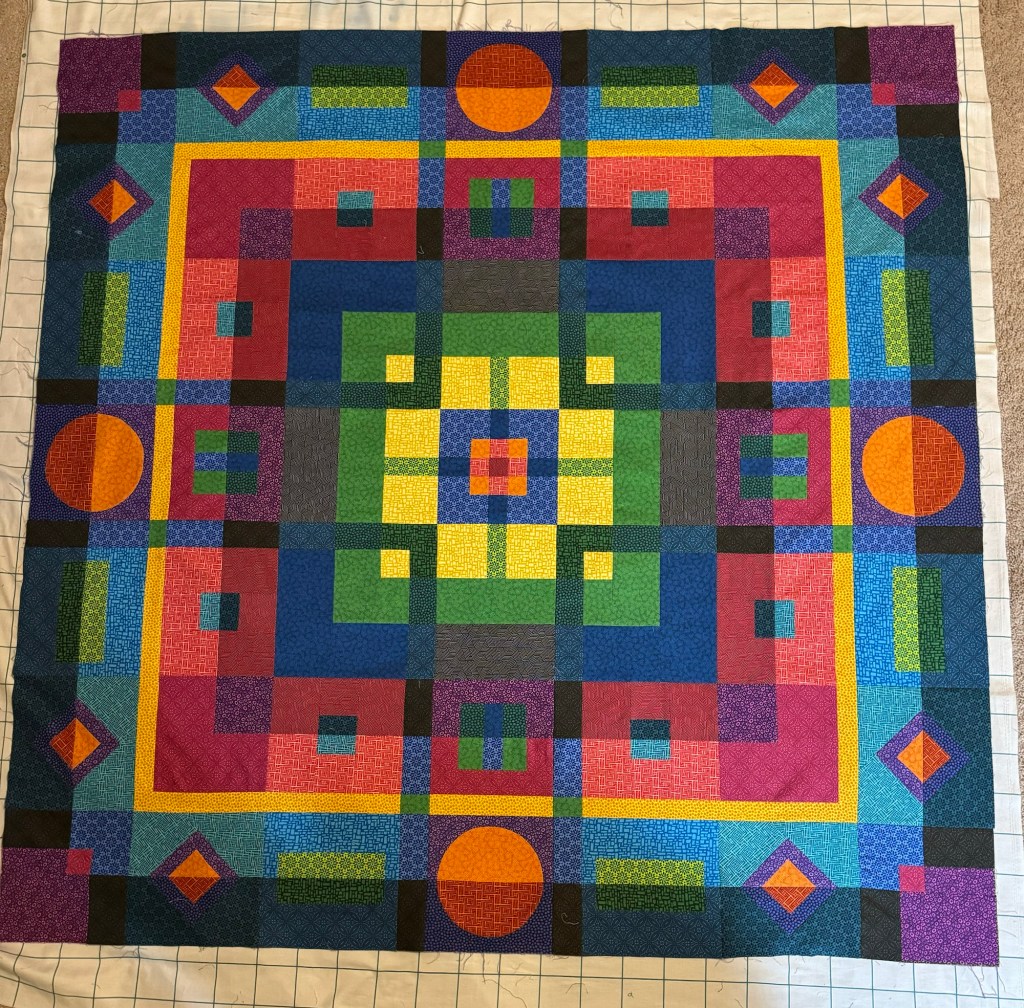
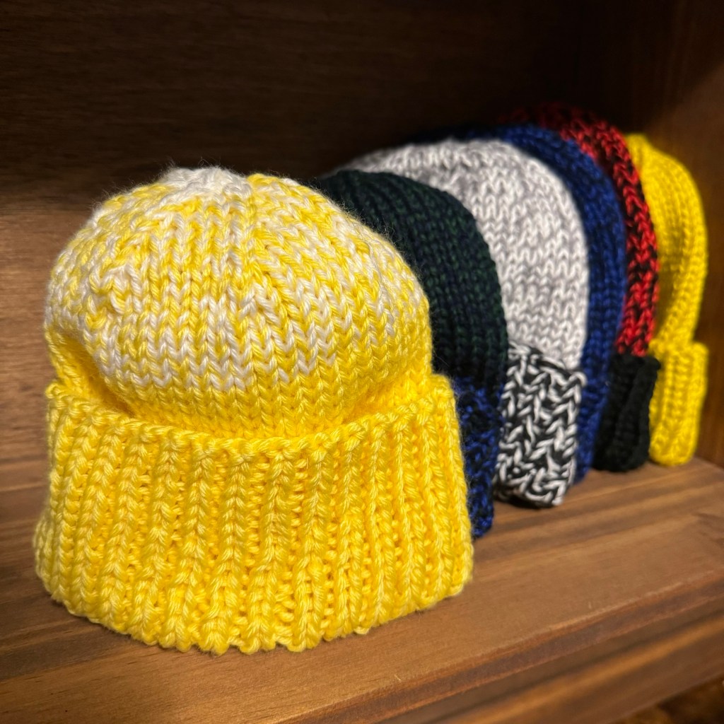
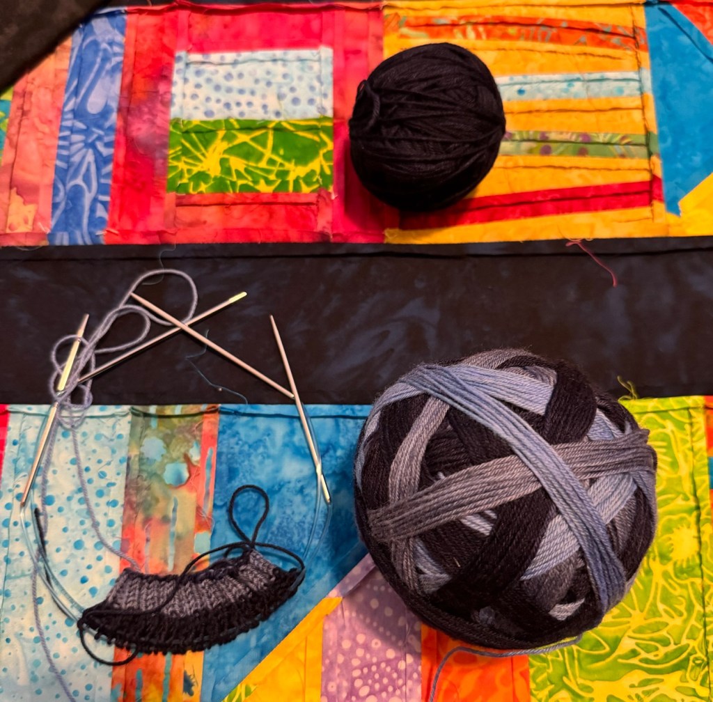
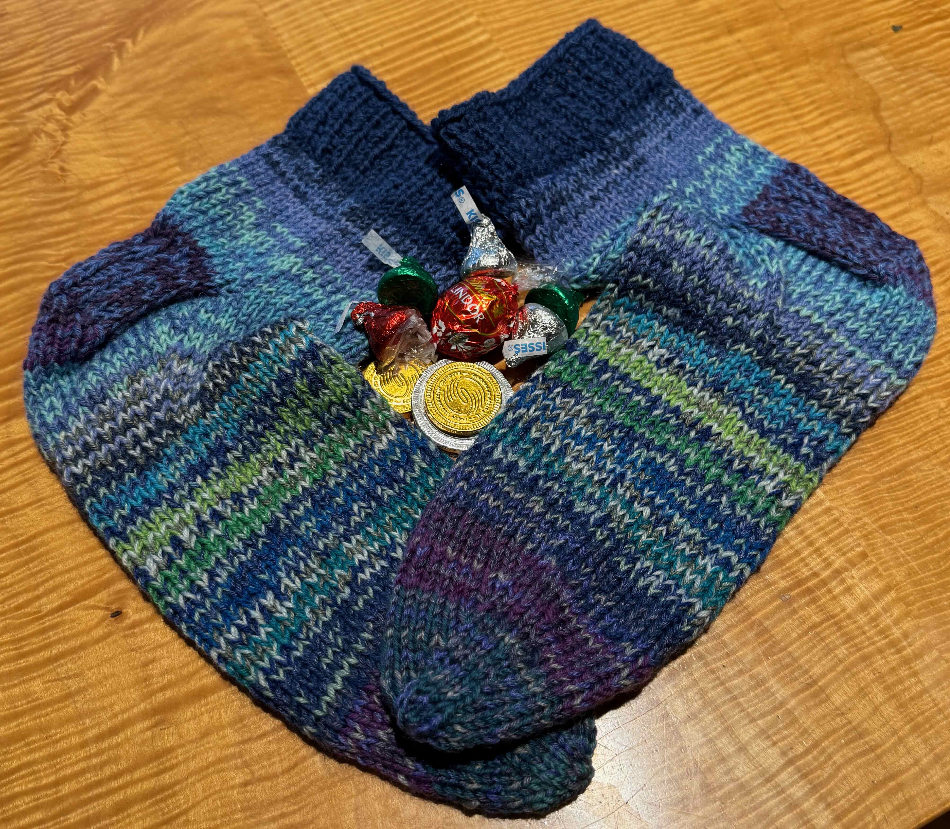
Knitting
I finished my Christmas gift knitting, and then made a new cowl after Christmas.

Socks, mitts, hat
More socks

Lancelot Cowl
Winter Solstice
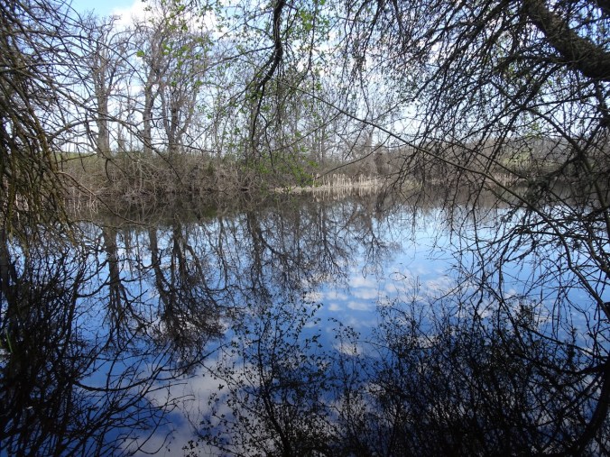
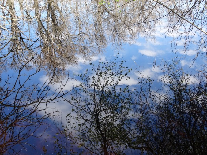
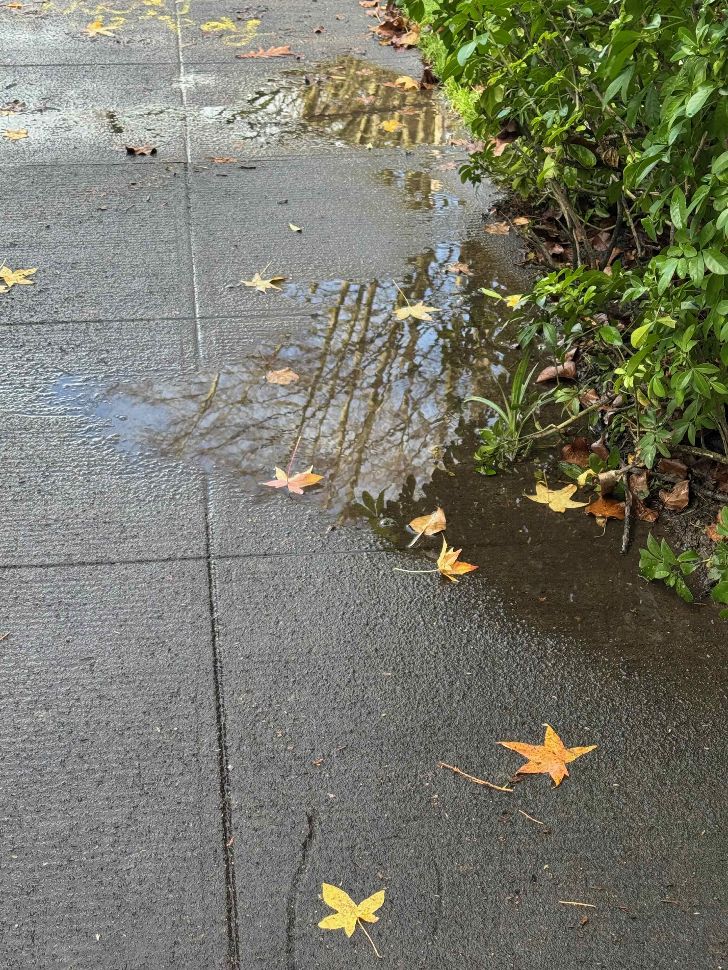
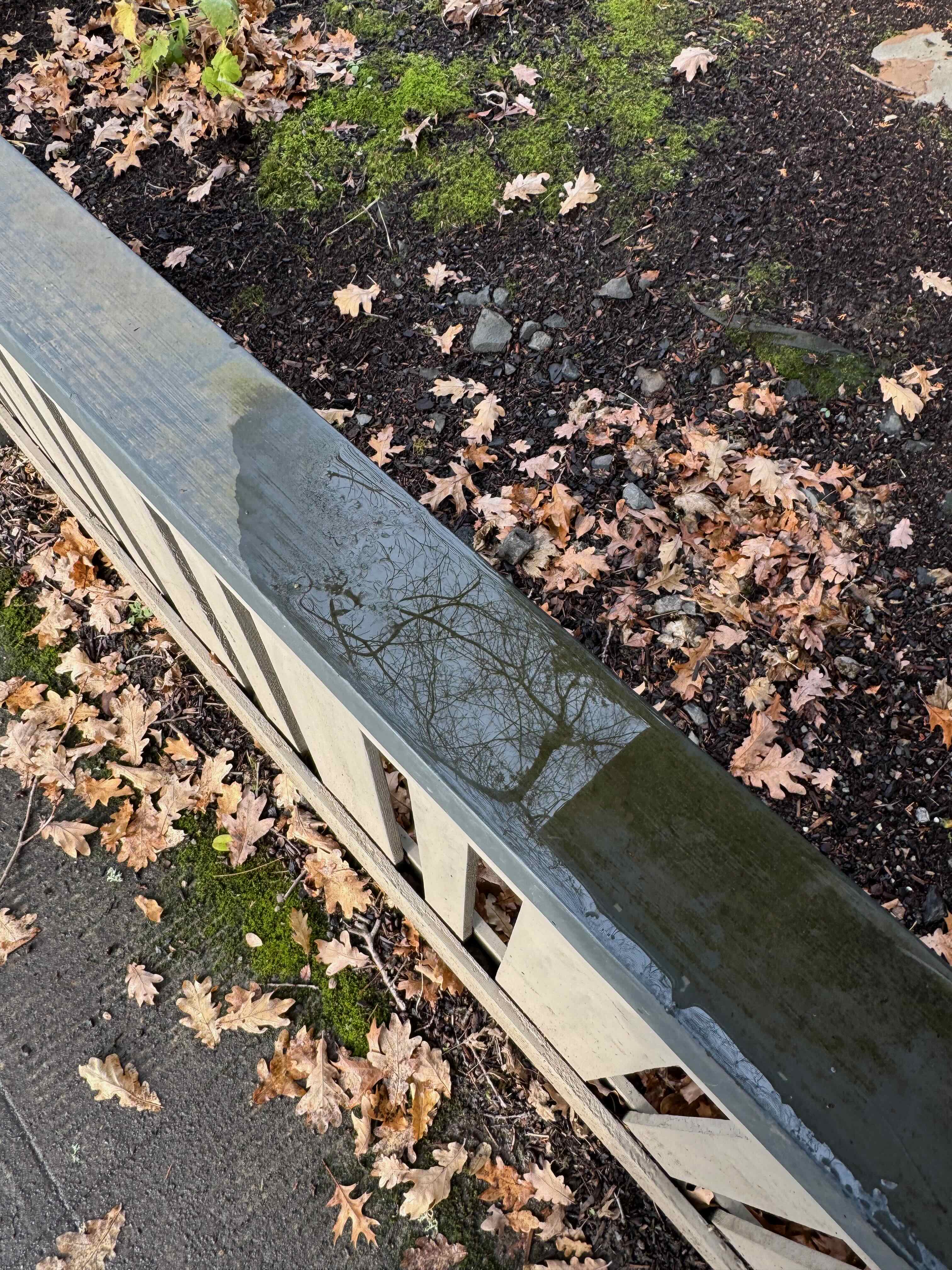
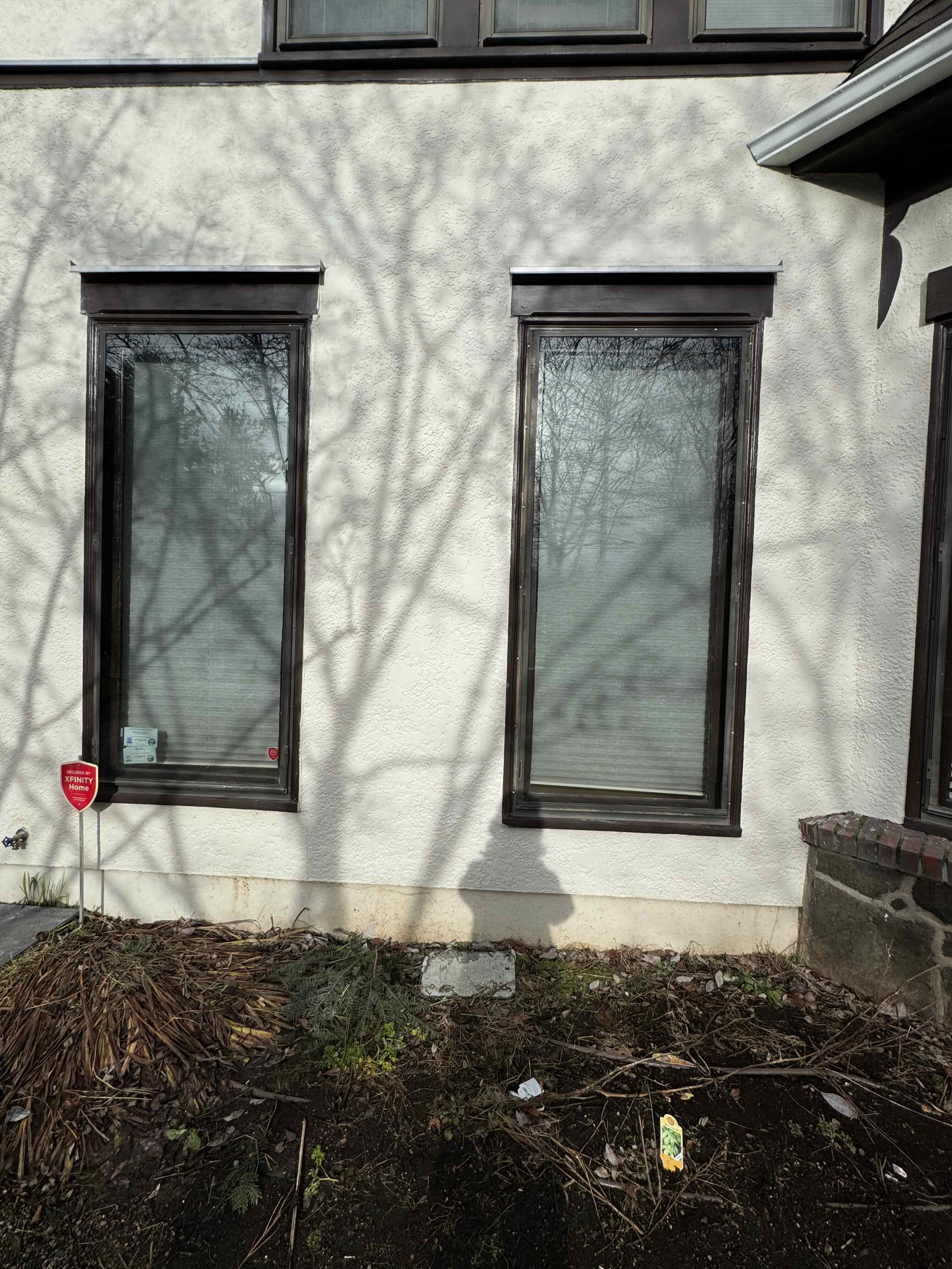
The sun was out. I walked through the neighborhood looking at shadows and puddle mirrors in the low bright light.


Christmas
Christmas arrived, a little quieter this year, with no out of town company. We celebrated with local family and our usual trappings – tree, gifts, cookies, tamales…


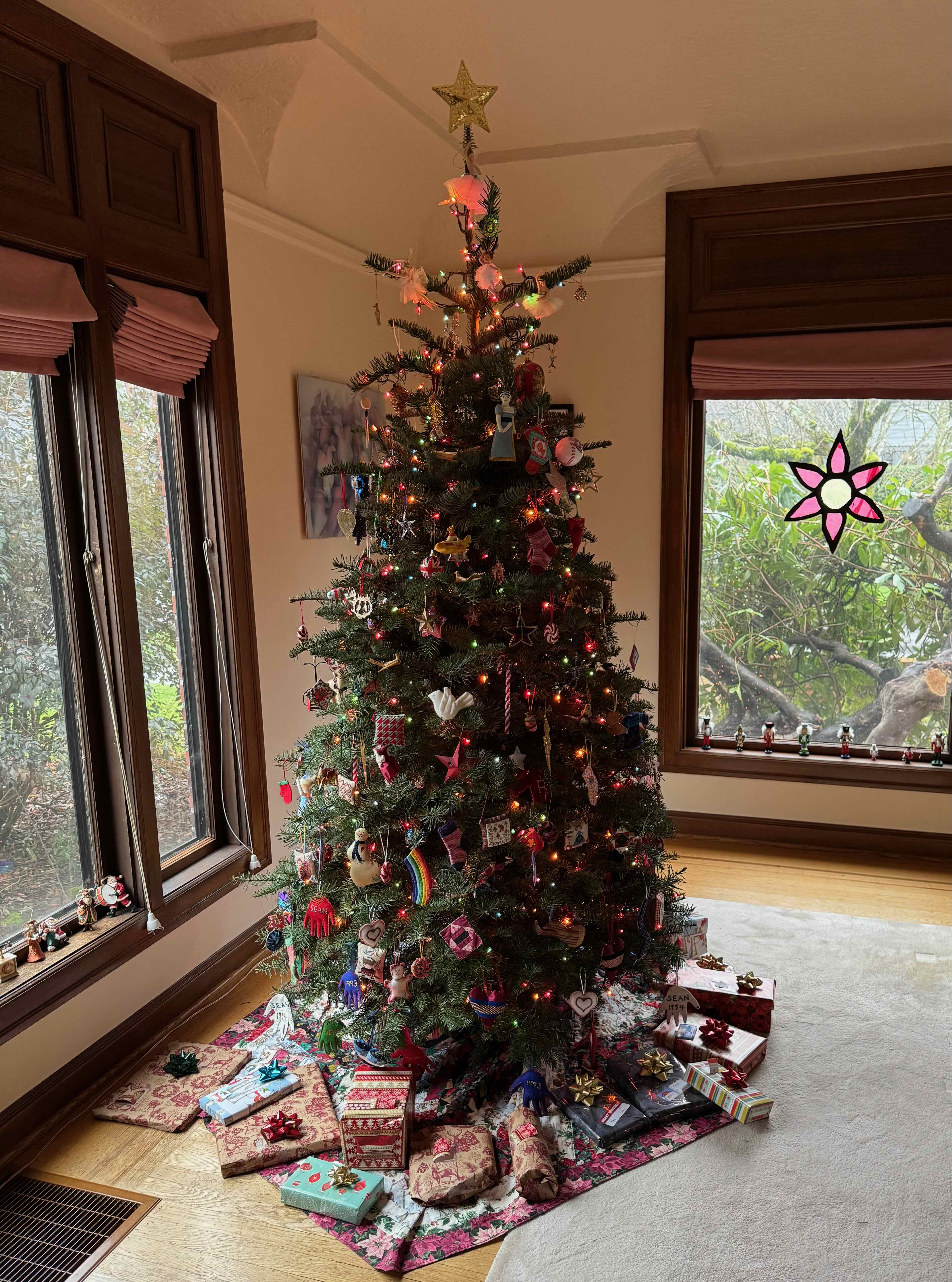
2024 Christmas Tree
Hanukkah
The first night was Christmas evening this year. The next day, we went with friends to the old Hollywood Theatre, not too far from us in Portland, to see the new Bob Dylan biopic – which we thoroughly enjoyed. I grew up listening to that music as a child, because my older sister played it non stop on the record player in our shared room.

First night
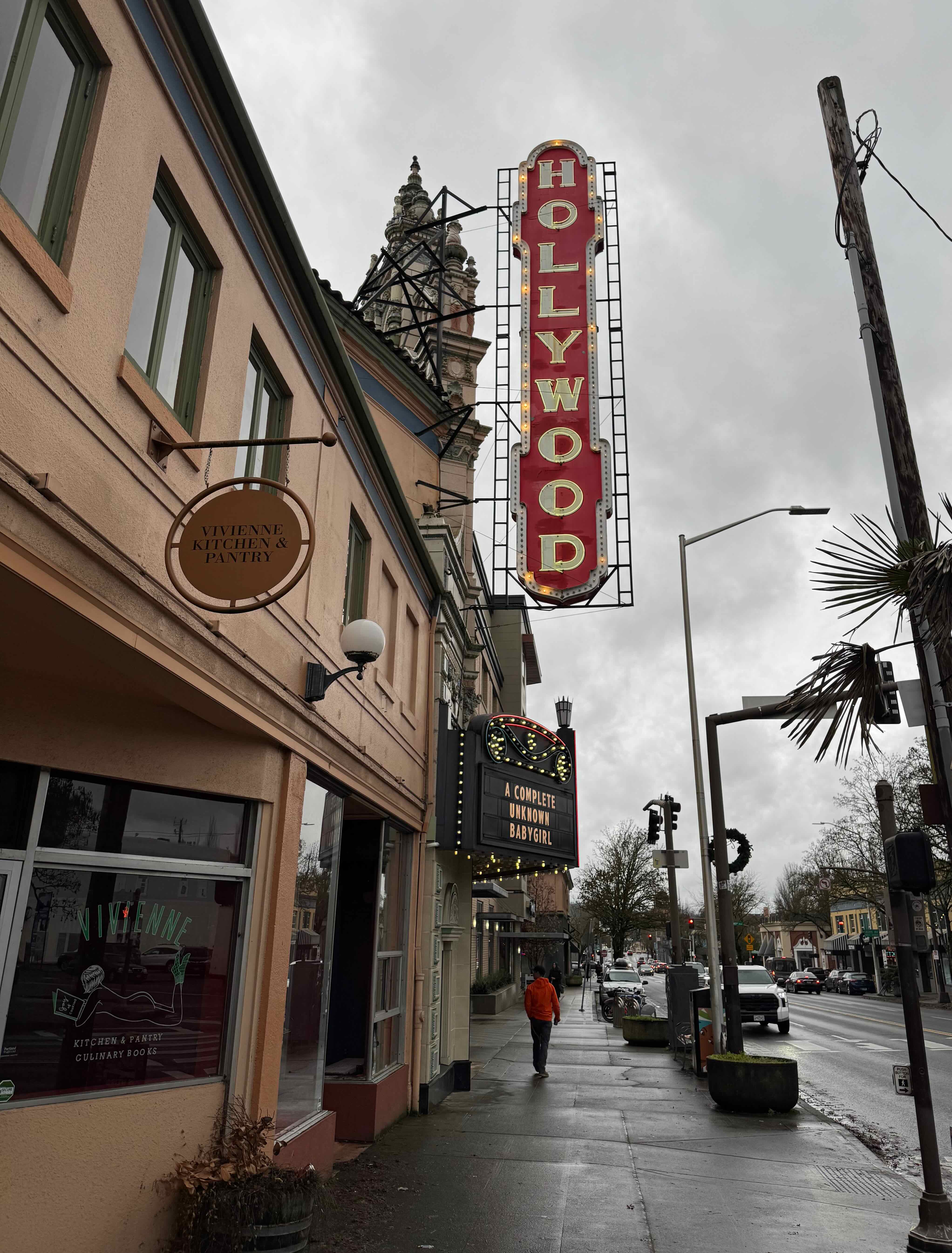
Hollywood Theater, Sandy Boulevard
New Years’ Eve
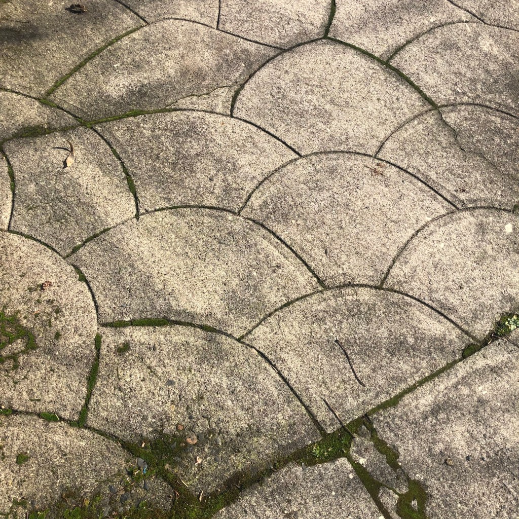
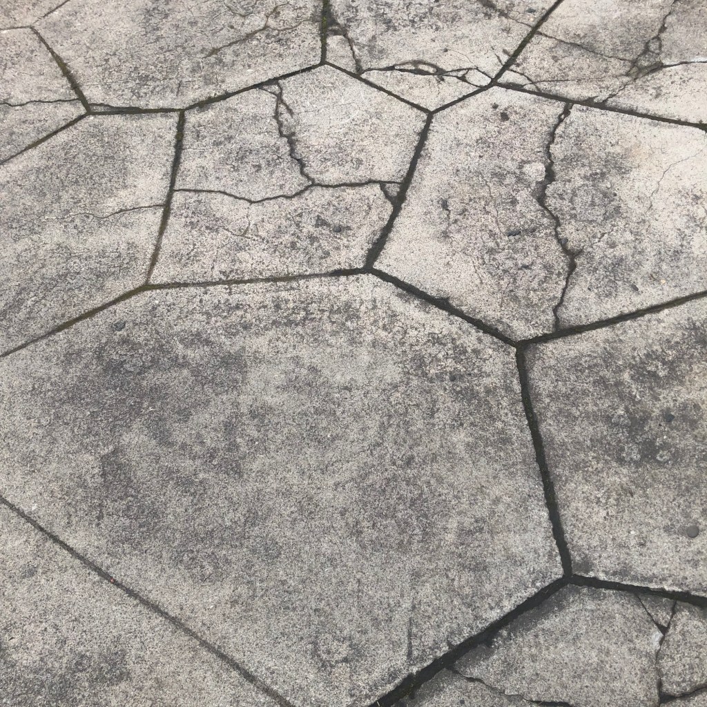
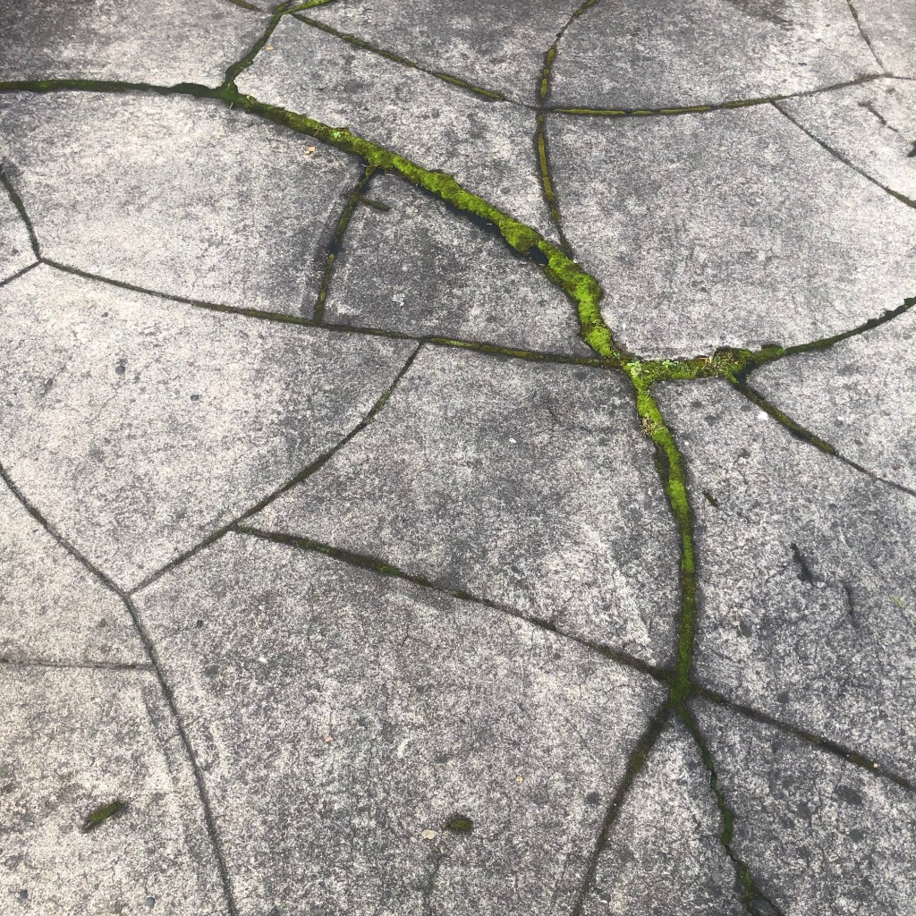
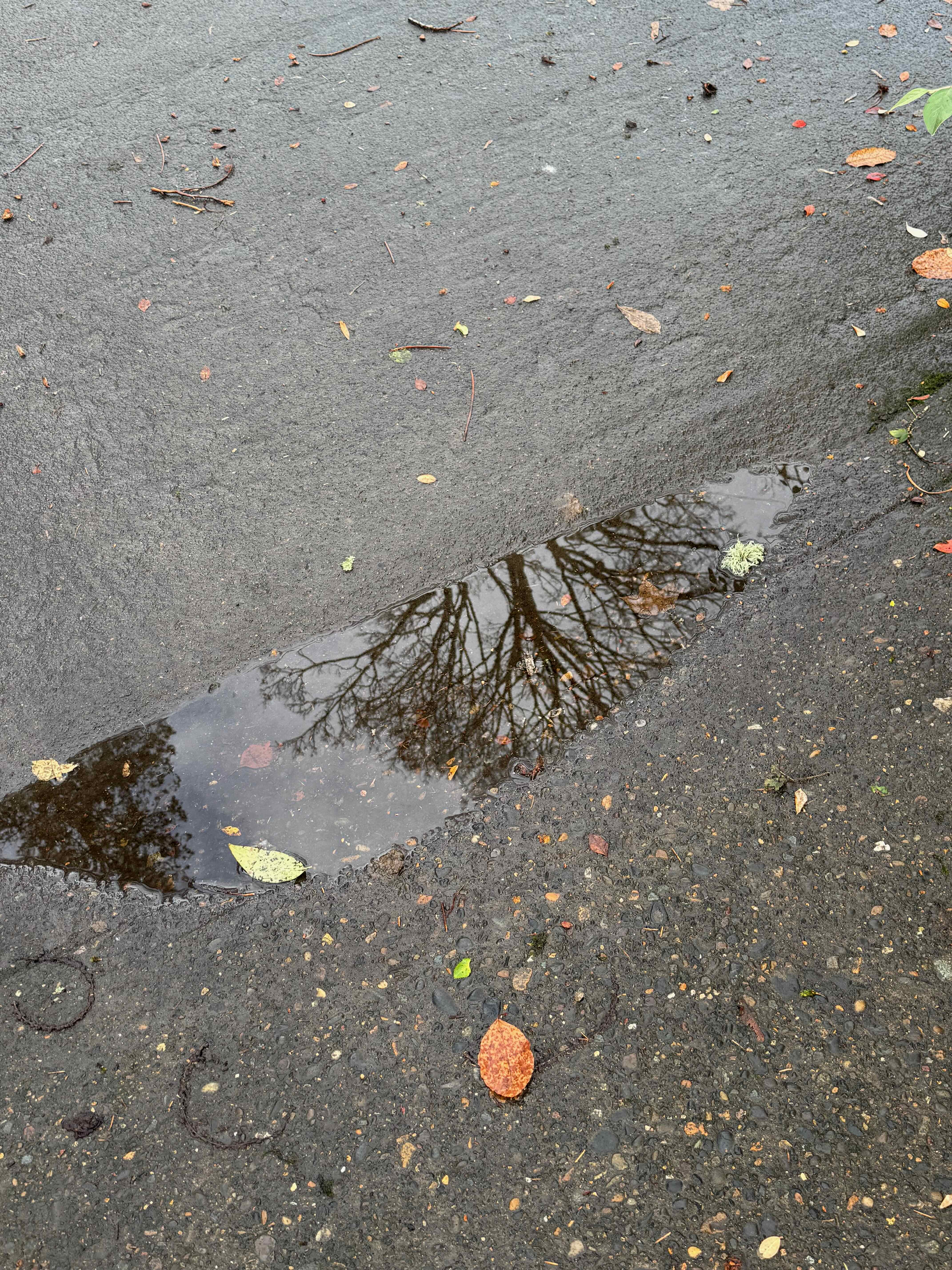
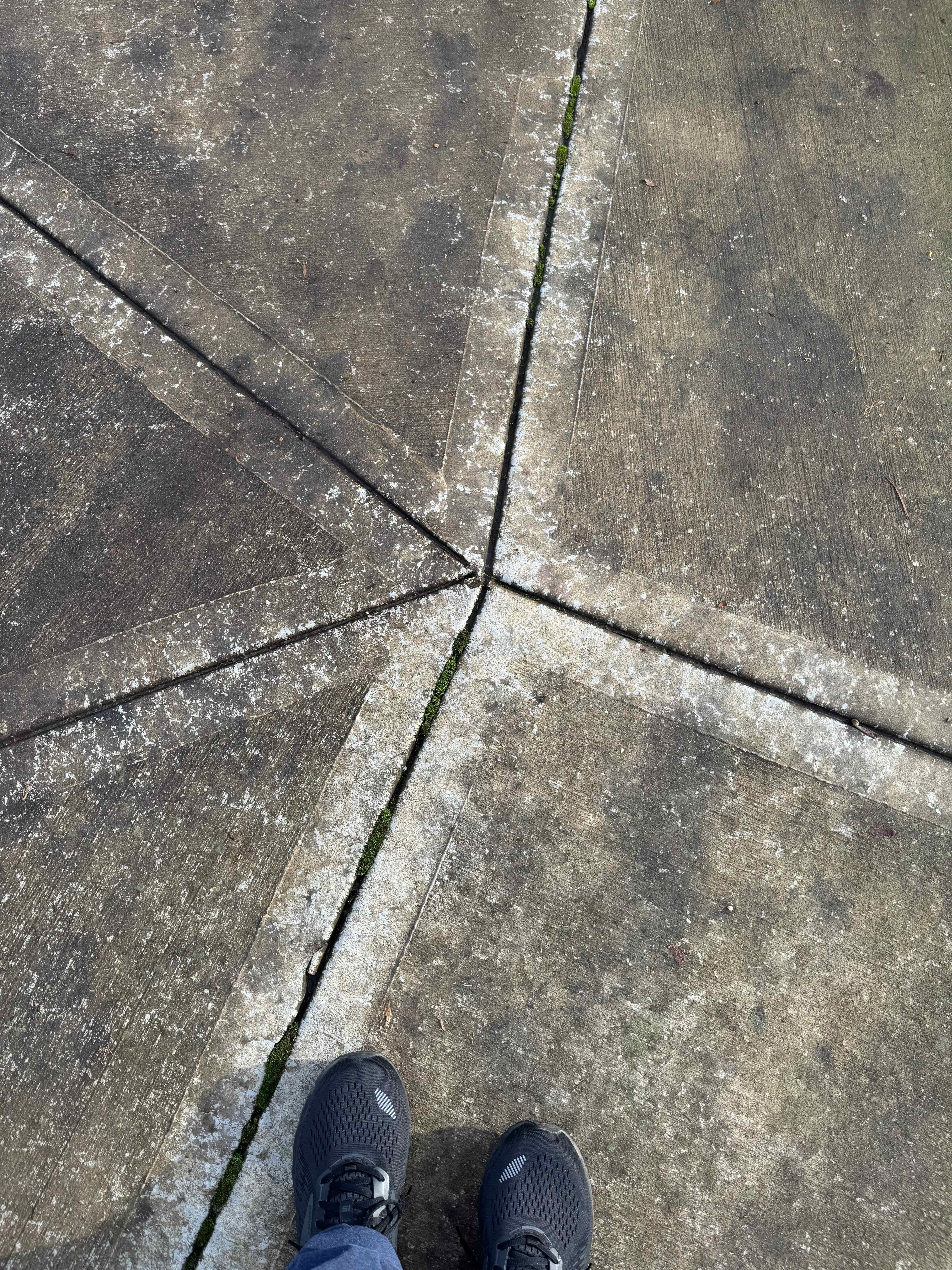
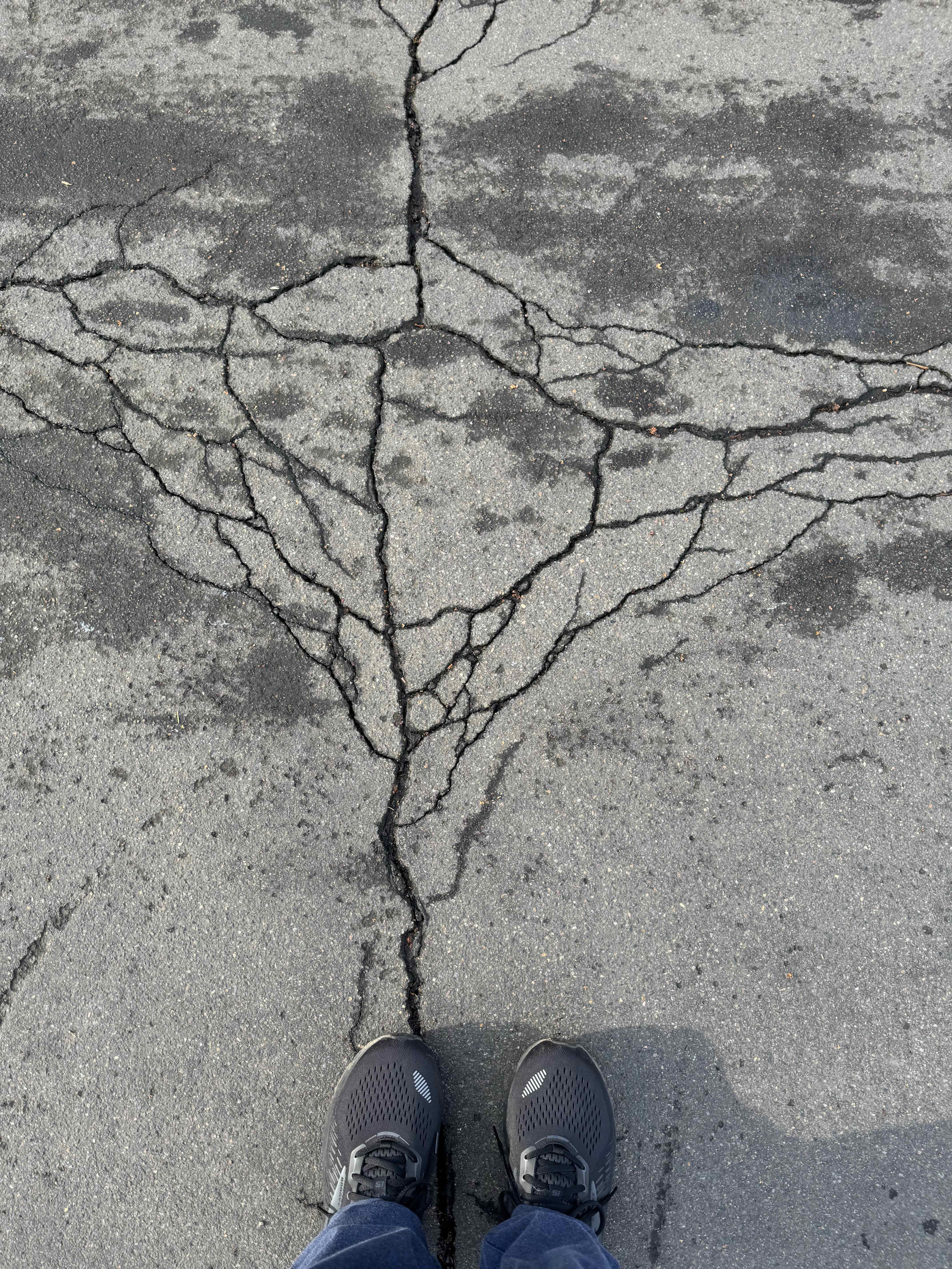
Another sunny day. I walked through the neighborhood, thinking about choices for next year as I passed some of my favorite shadows and cracks, and found some new shadows and reflections…

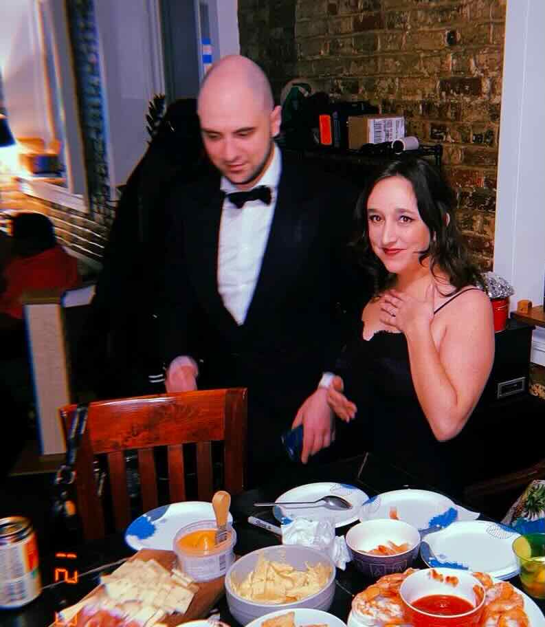
We lit the seventh night candles at sunset, than enjoyed a phone call with our son, who had just gotten engaged to his partner – a splendid, cheerful moment to end the year!

Seventh night
New Year’s Eve in Philadelphia


")

")
")