Hiking, reading and crafting, goals and accomplishments, life in pandemia….
We begin 2023, adapted to the new ‘ordinary’ life. We are injected with as many booster shots as we can get, and masking whenever in crowds of people. We will probably go on this way for a while. With the best of intentions we move on in our world, acknowledging privileged survival and a relatively easy life here, now.
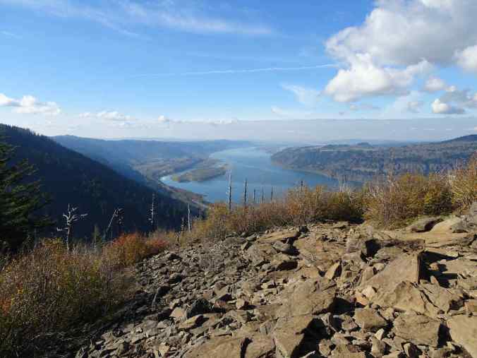
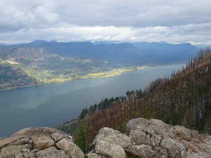
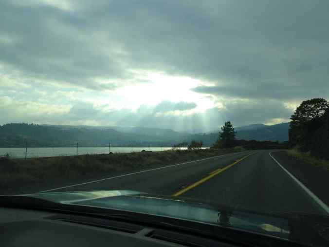
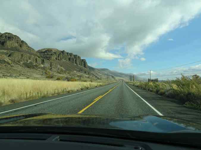
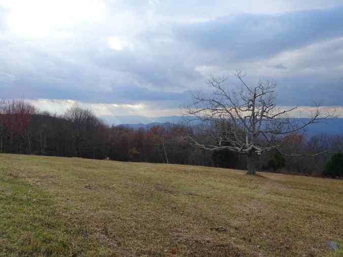
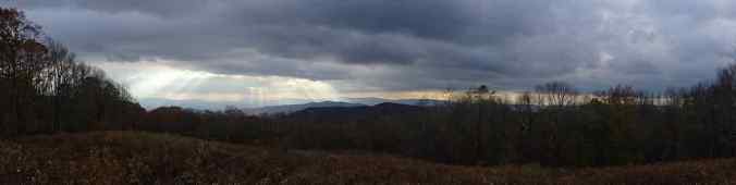
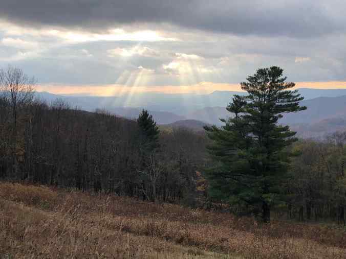
TRAVEL: We returned to international travel in 2022, hiking in Scotland and Iceland during long summer days. We also traveled to Joshua Tree and southern Utah for hiking, and went twice to Washington DC, to see our daughter, and other east coast relations.


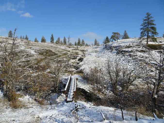
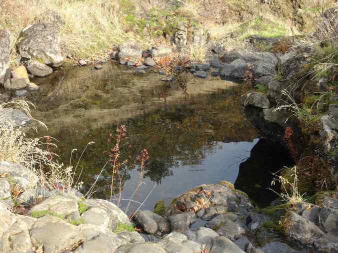
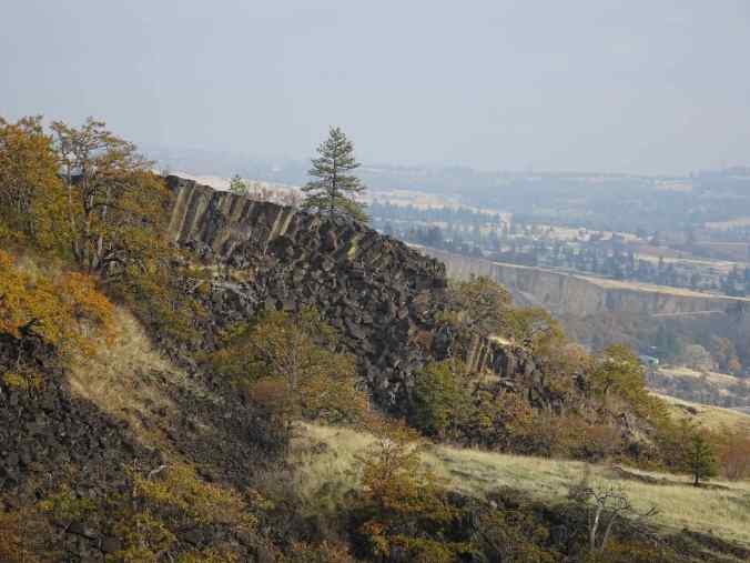
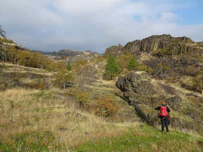
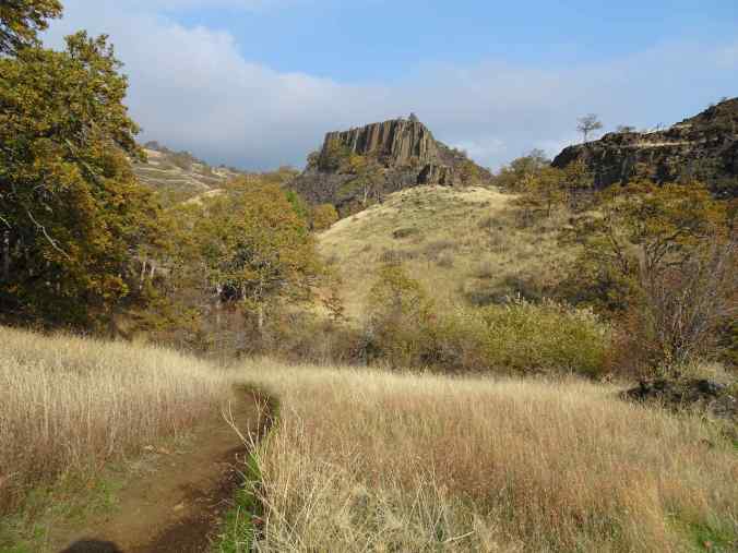
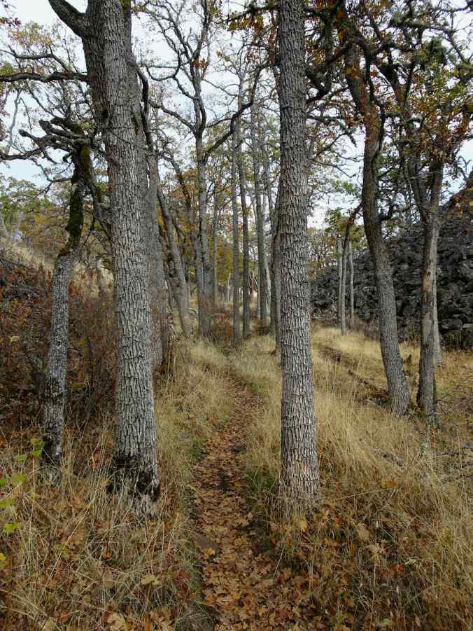
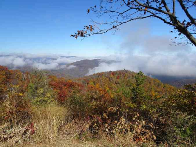
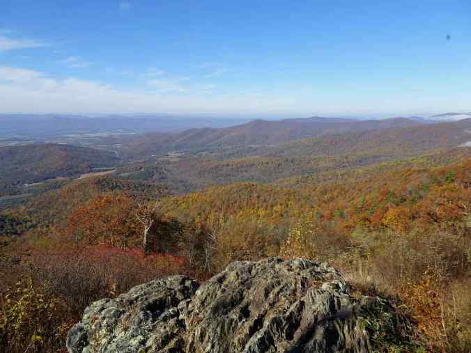
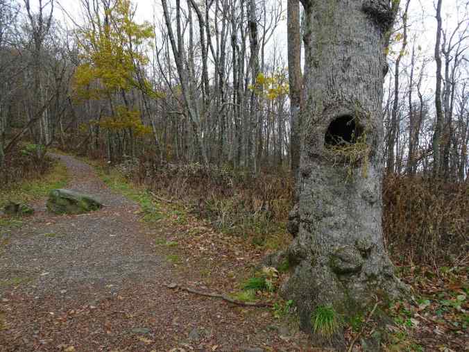
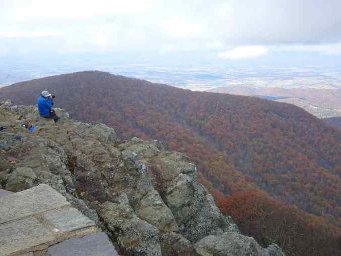
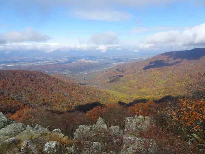
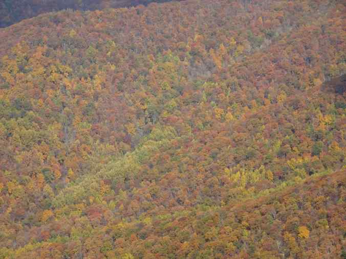
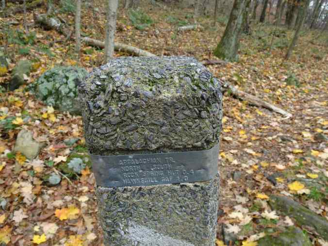
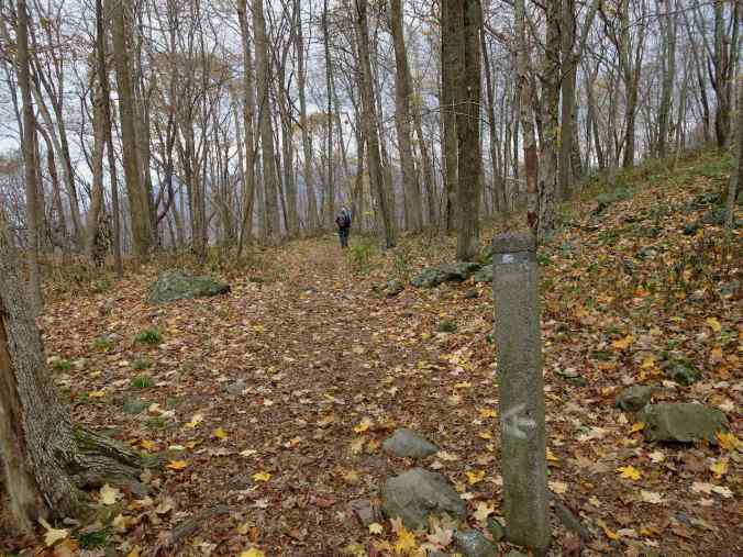
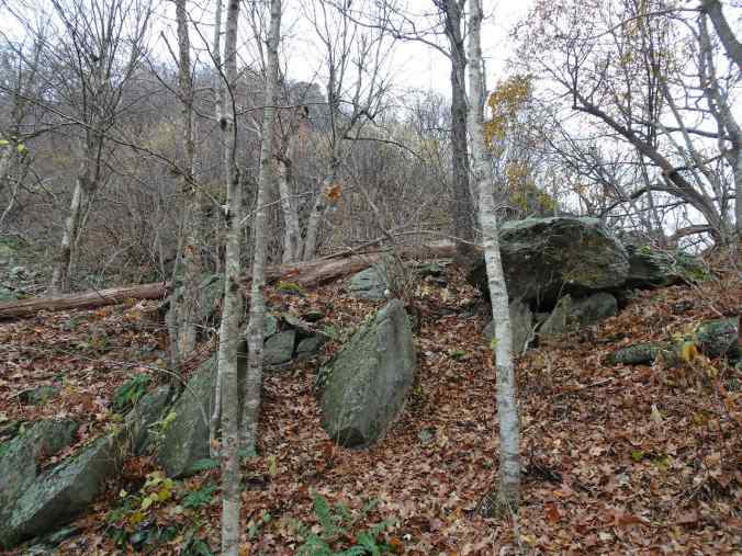
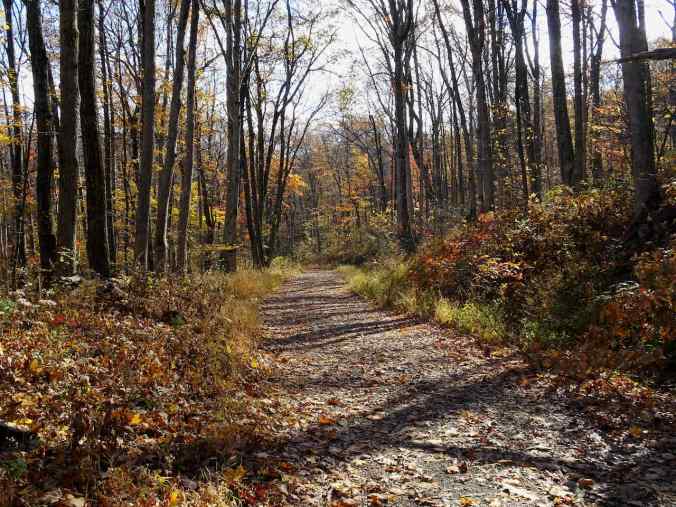
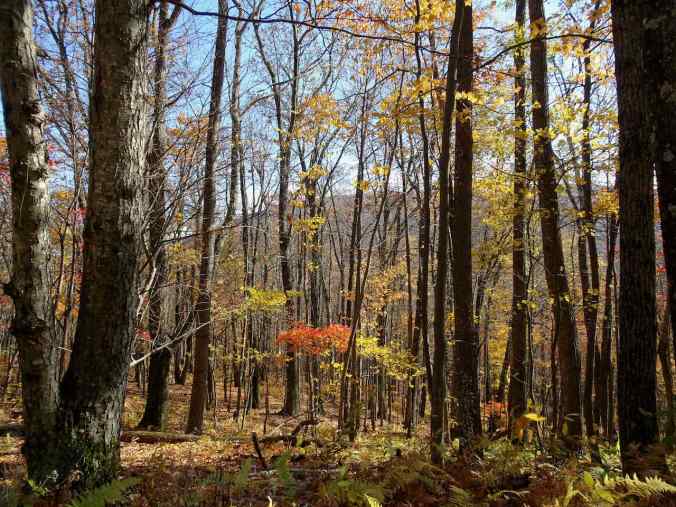
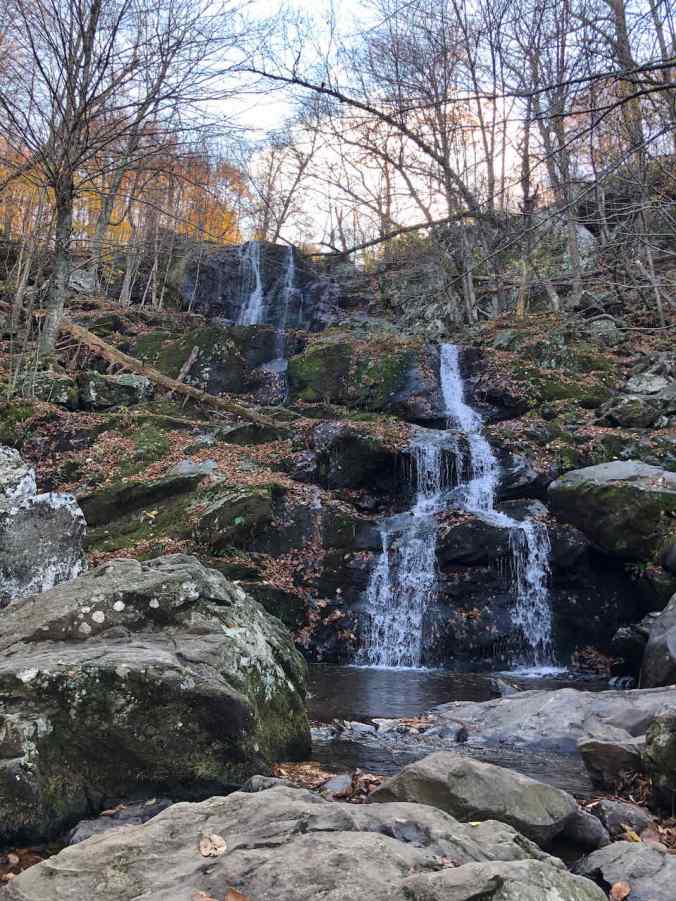
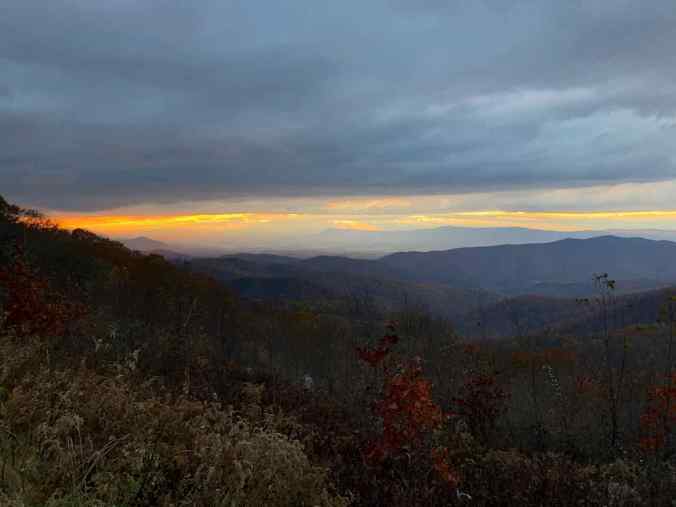
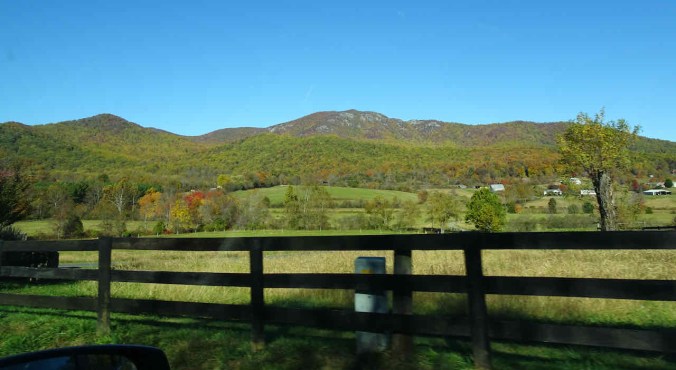
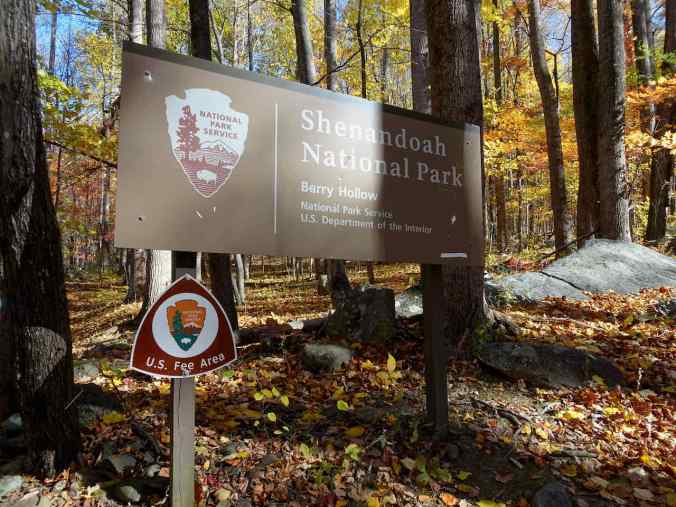
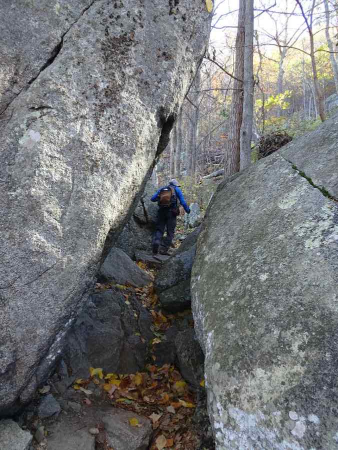
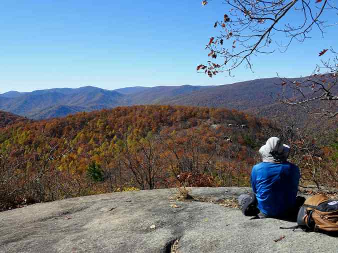
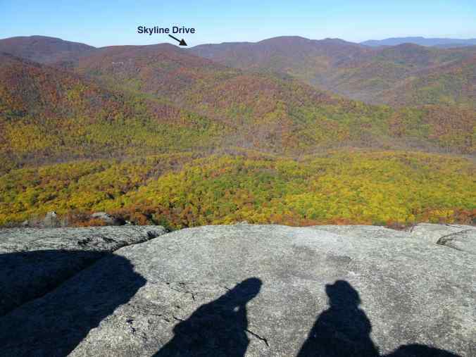
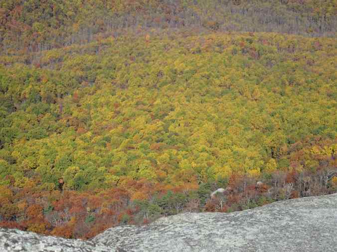
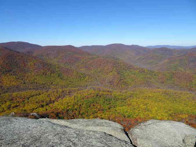
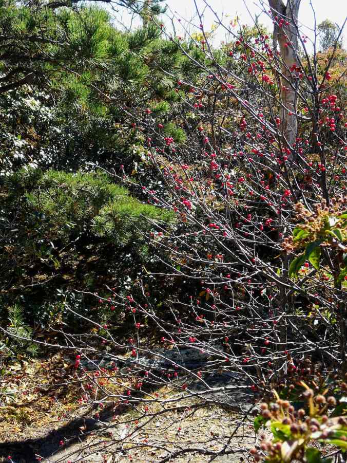
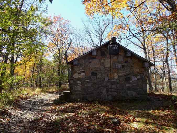
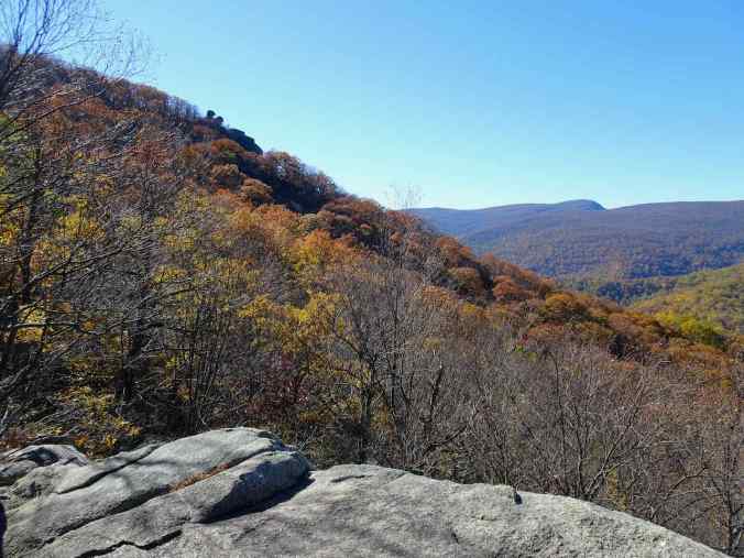
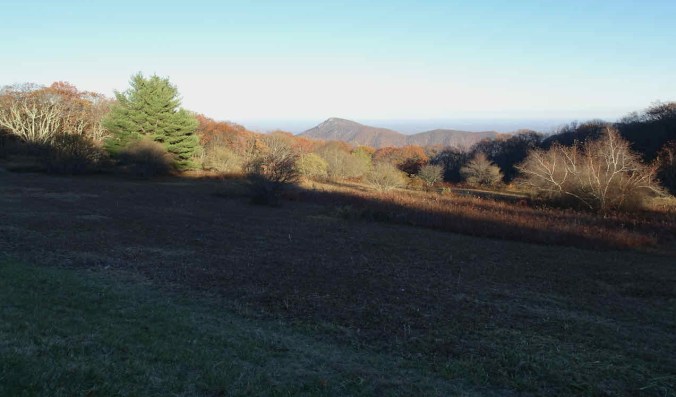
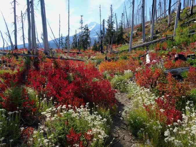
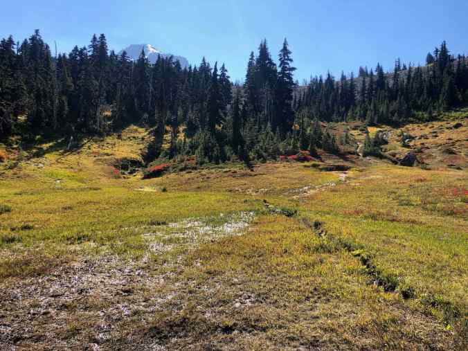
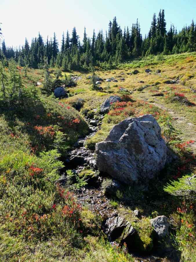
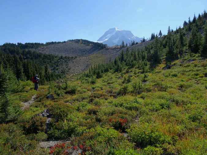
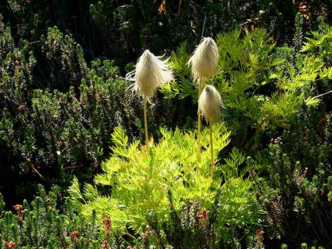
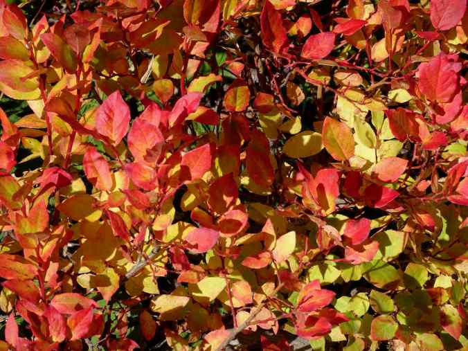
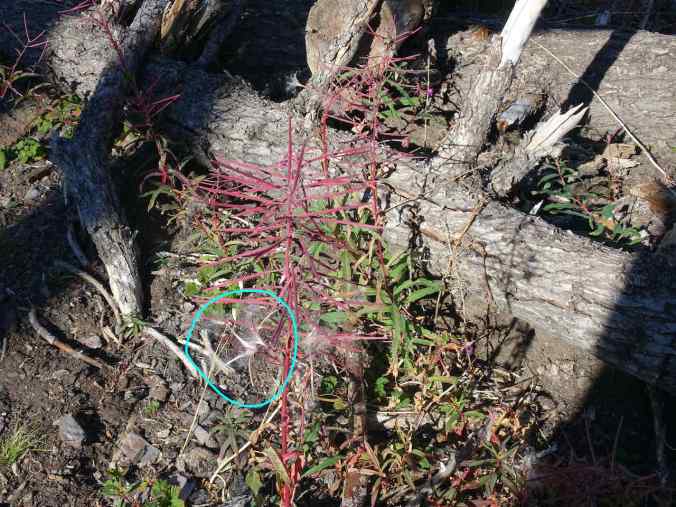
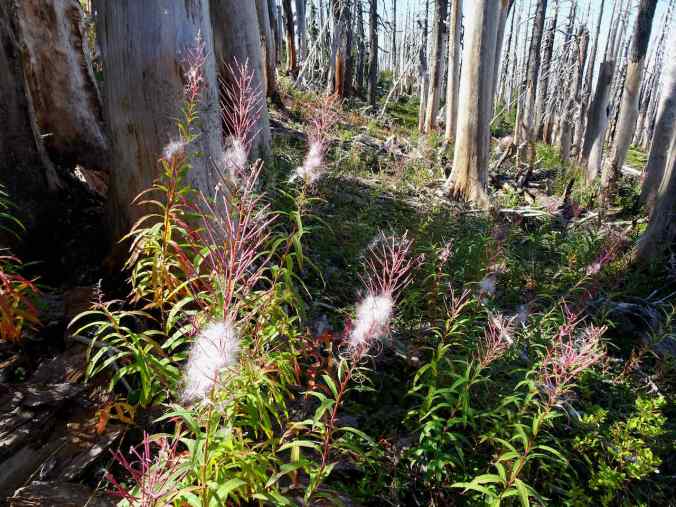
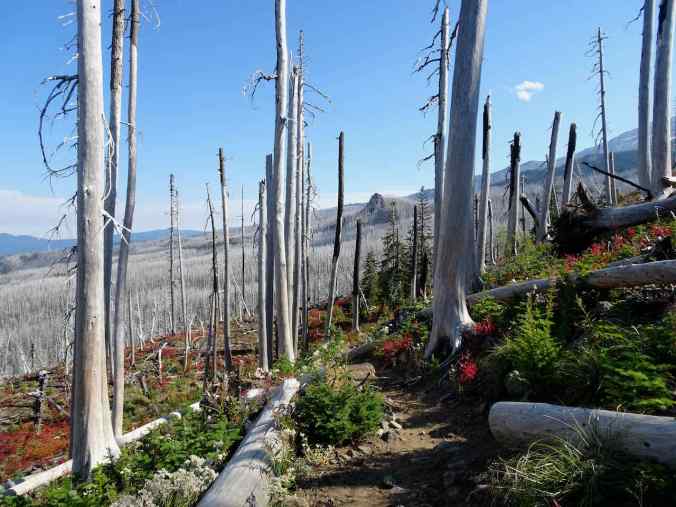
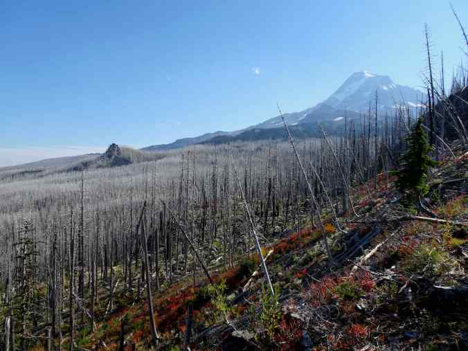
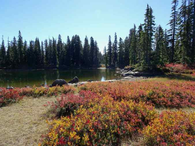
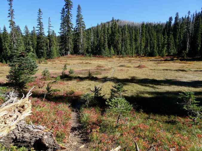
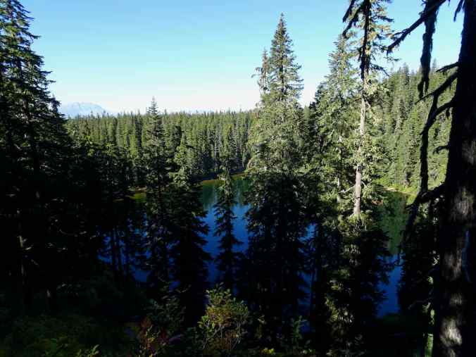
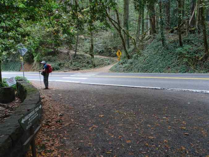
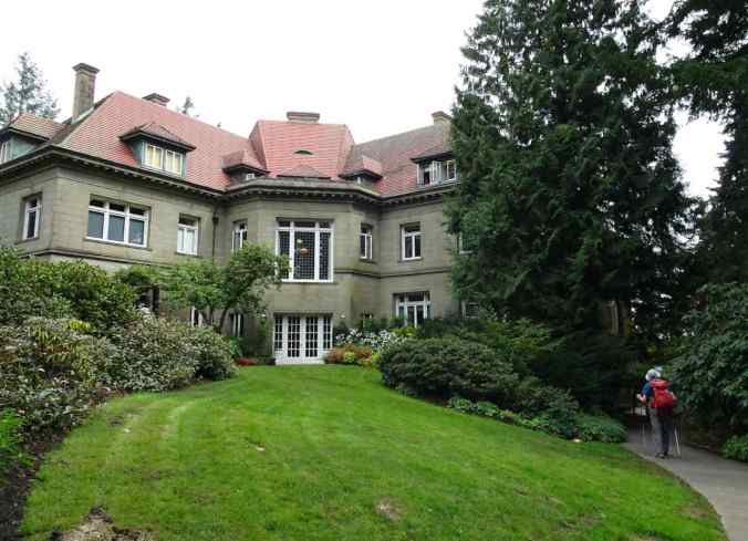
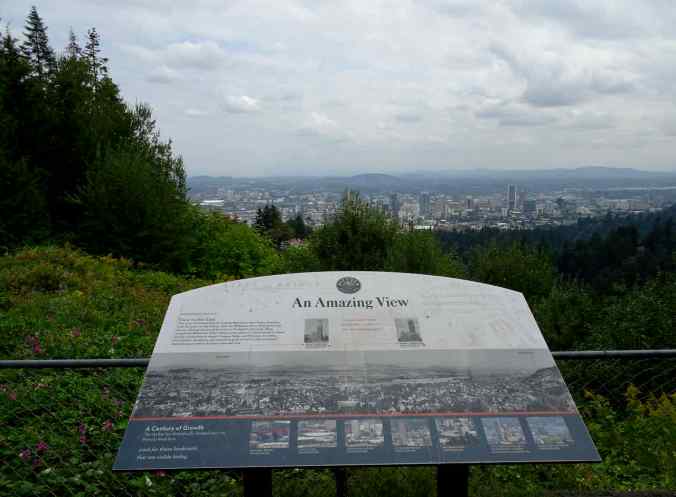
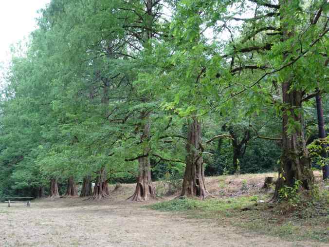
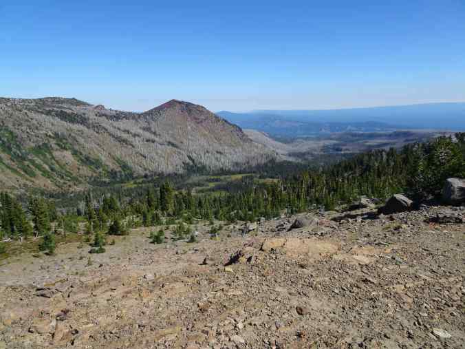
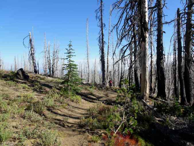
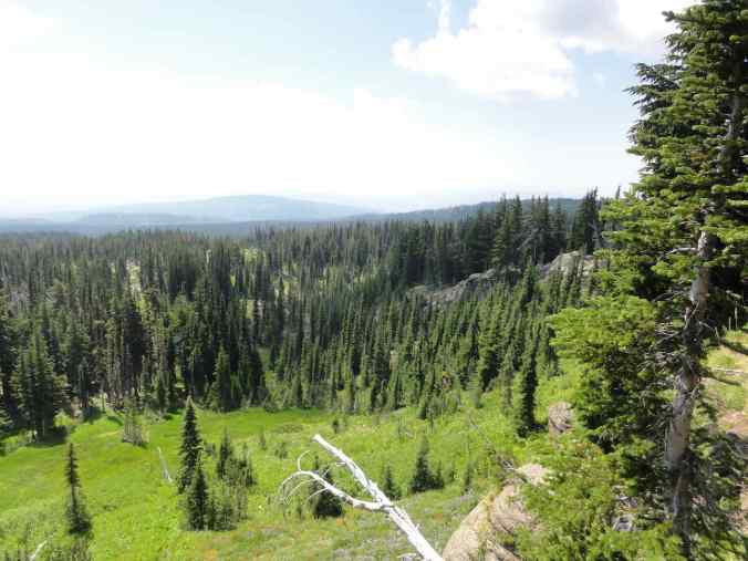
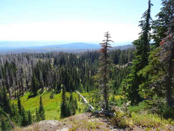
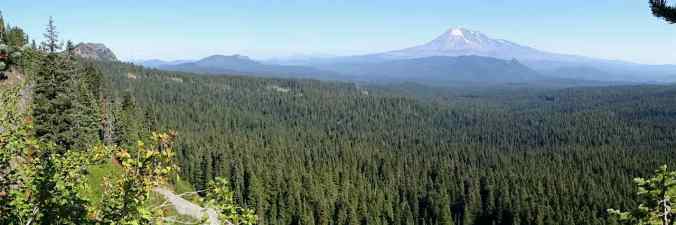
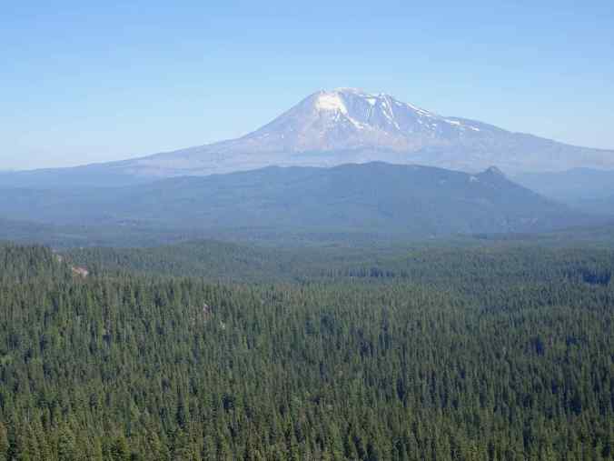
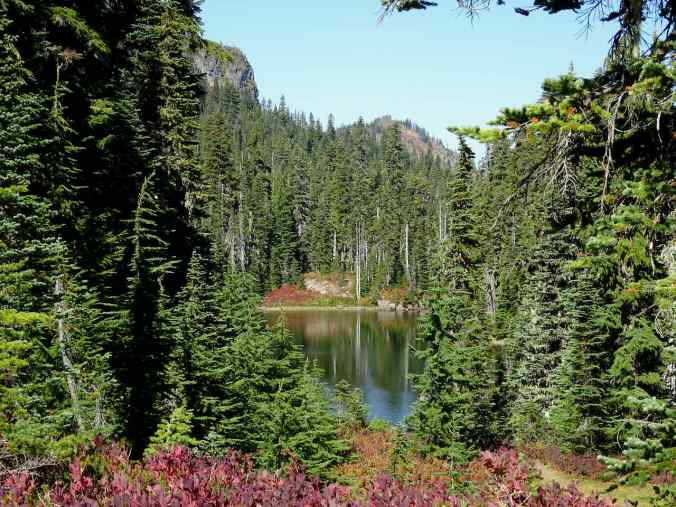
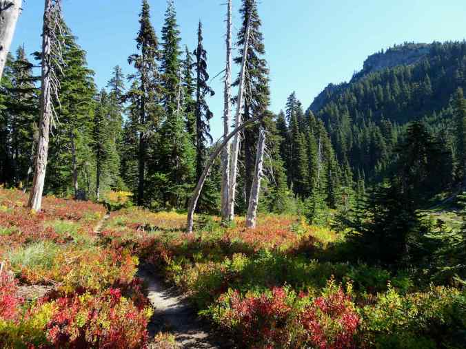
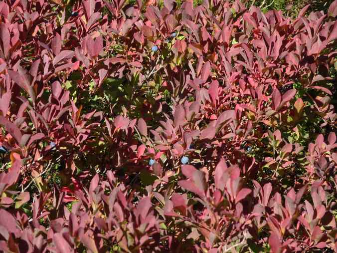
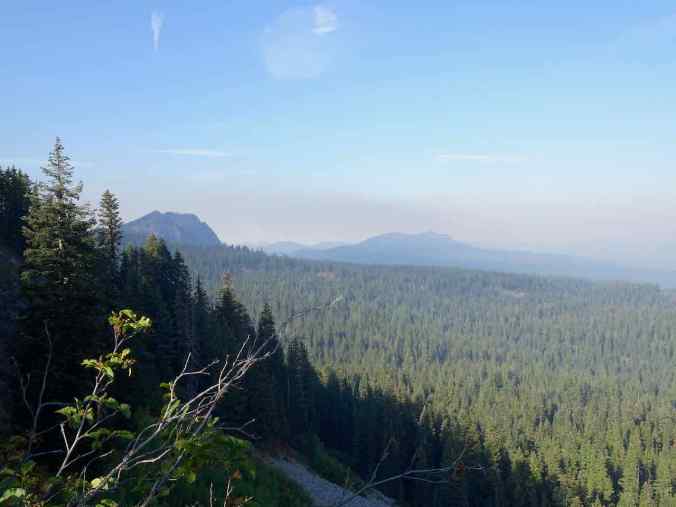
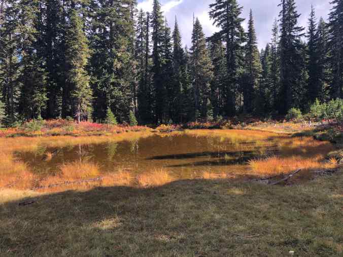
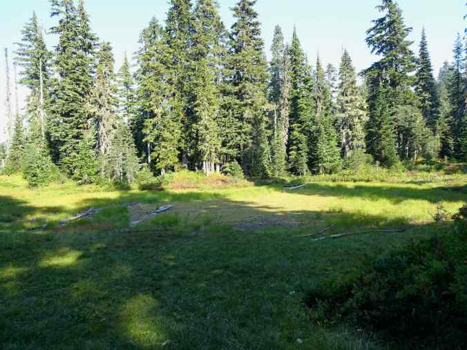
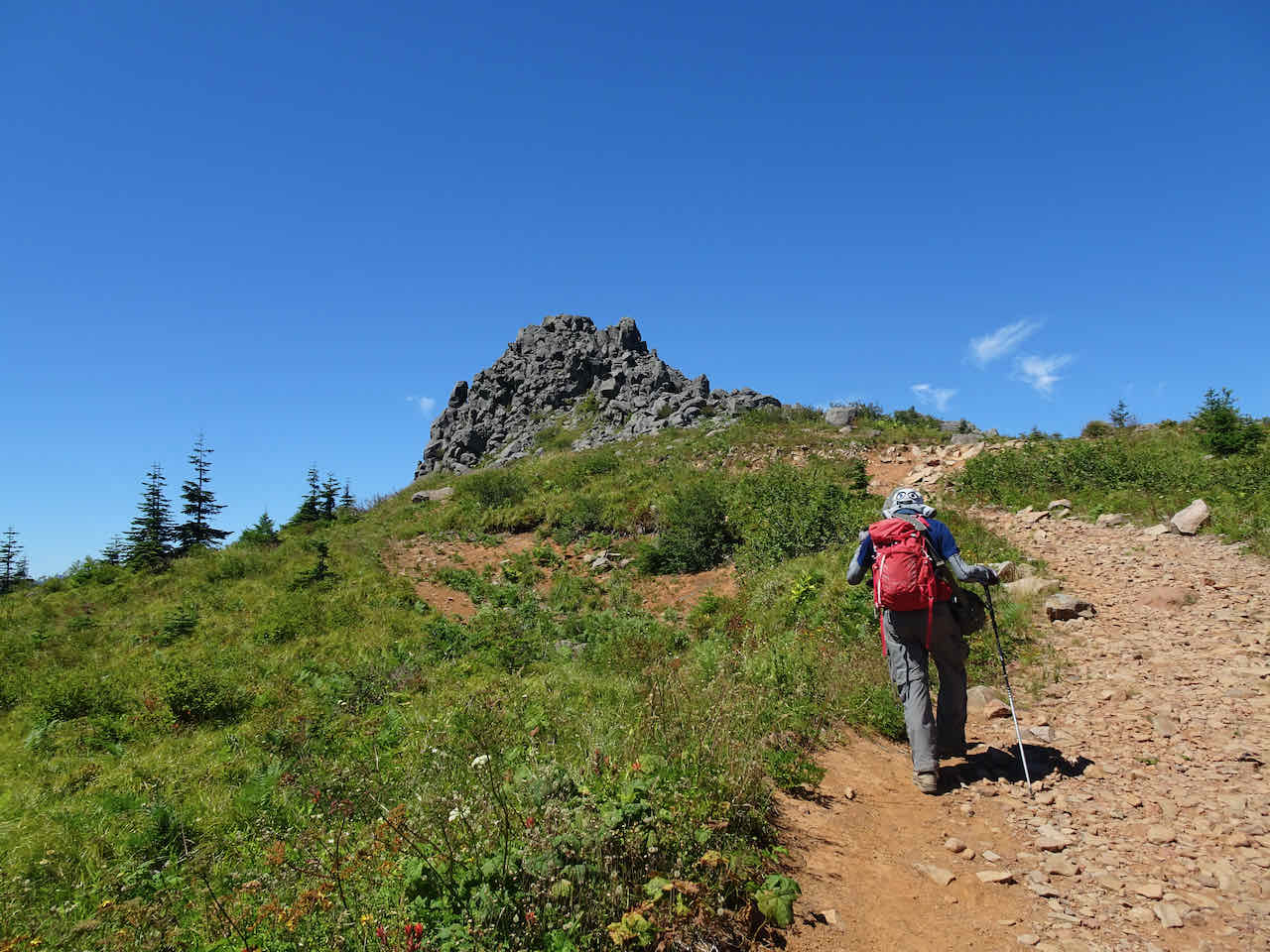
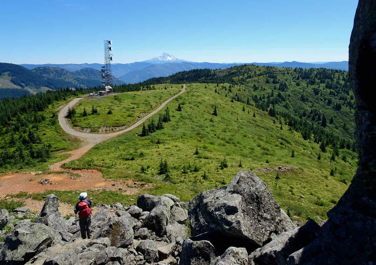
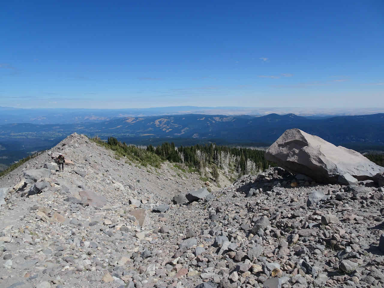
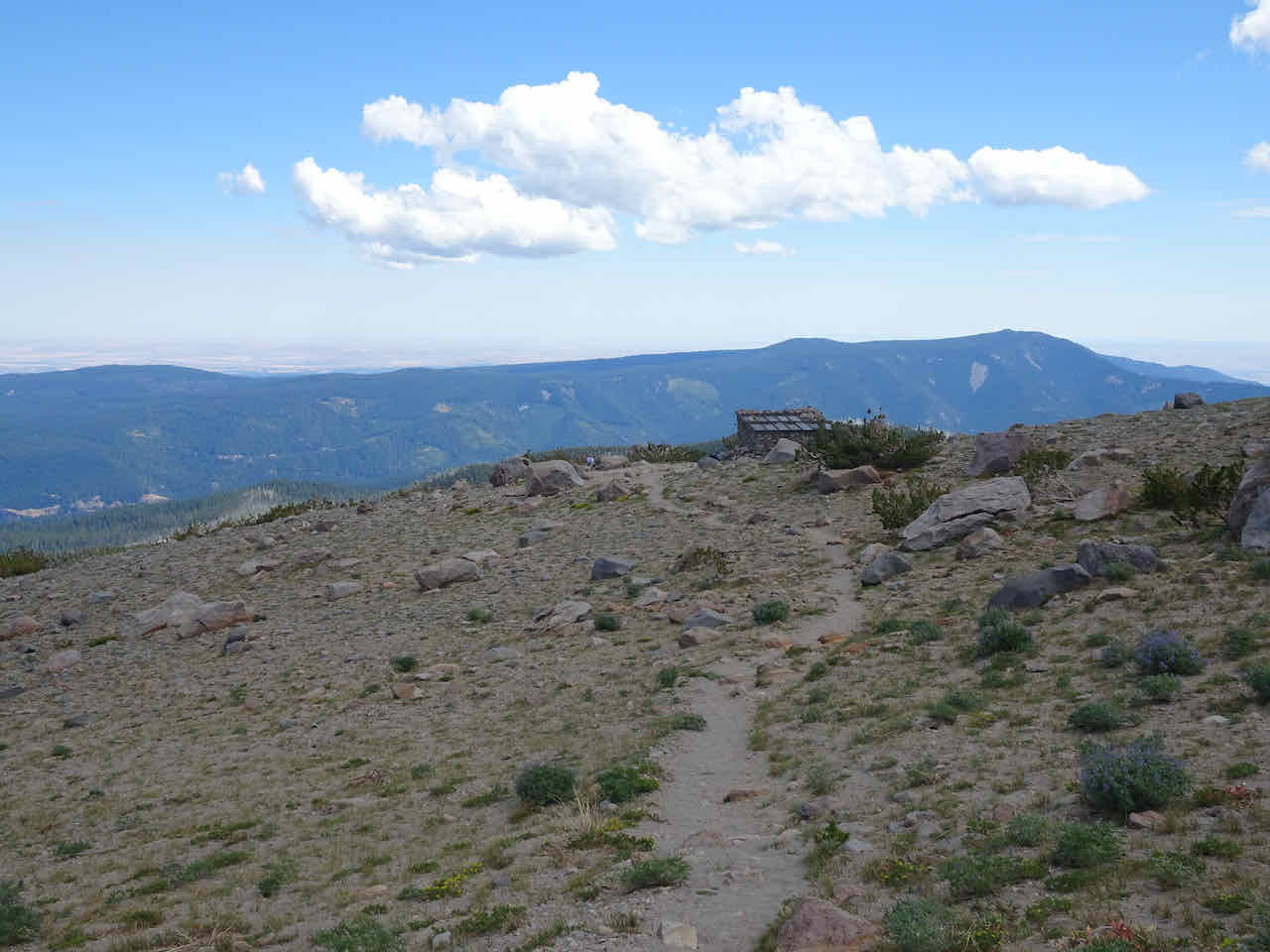
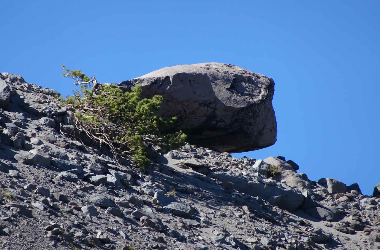
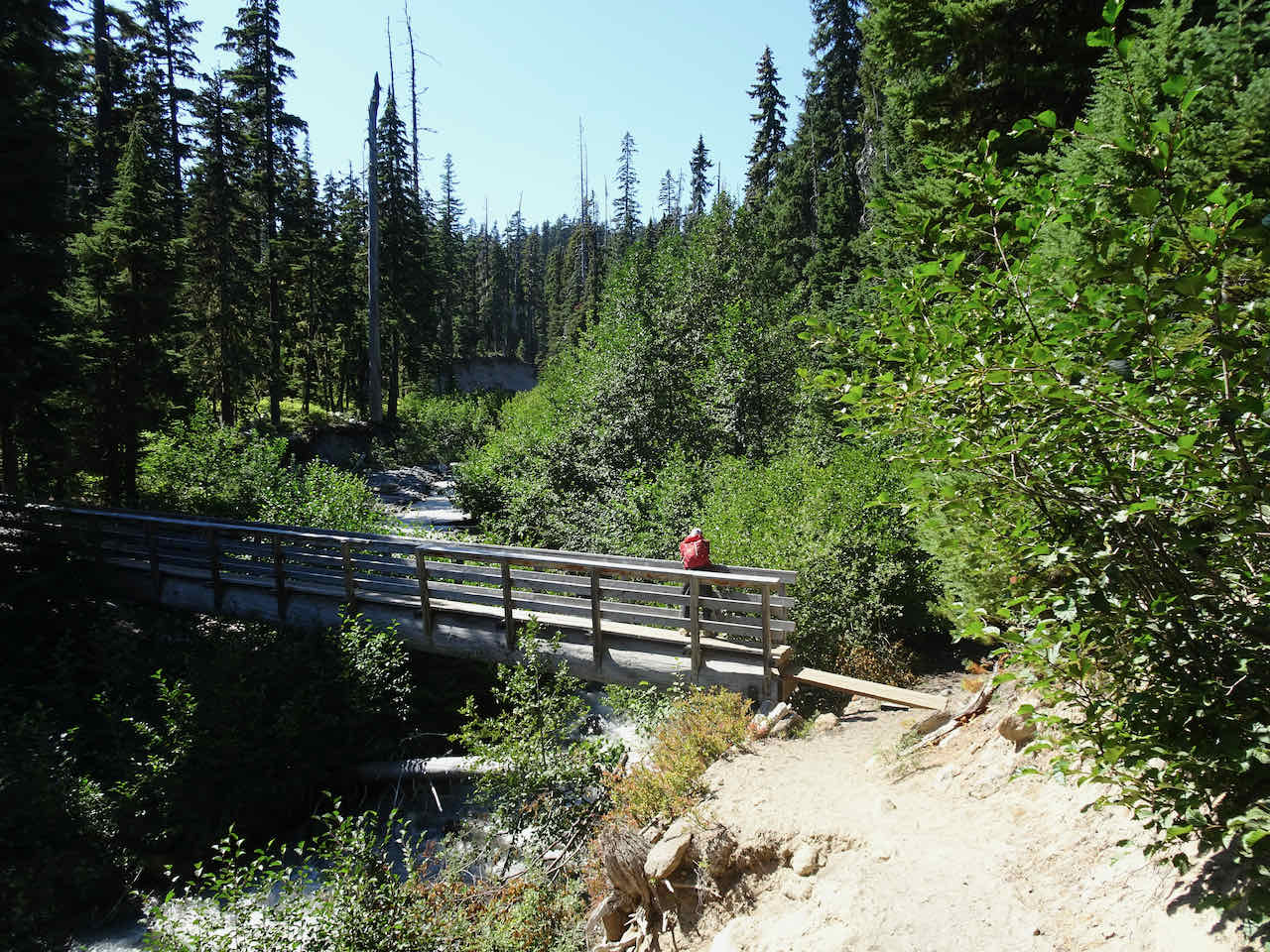
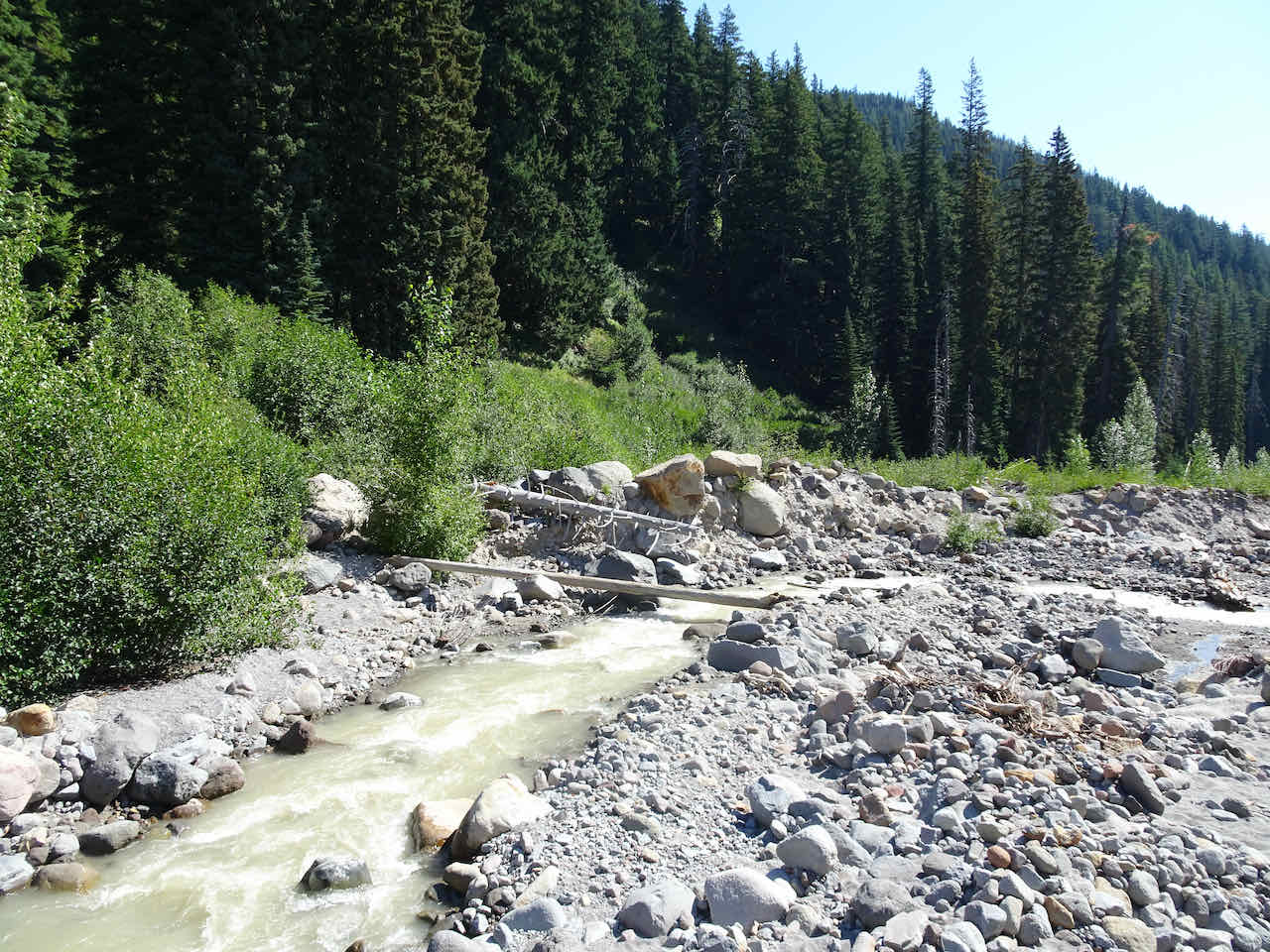
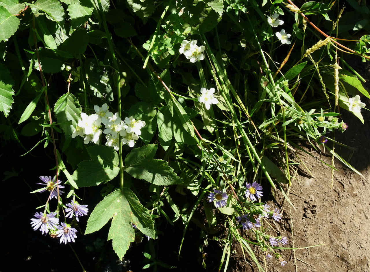
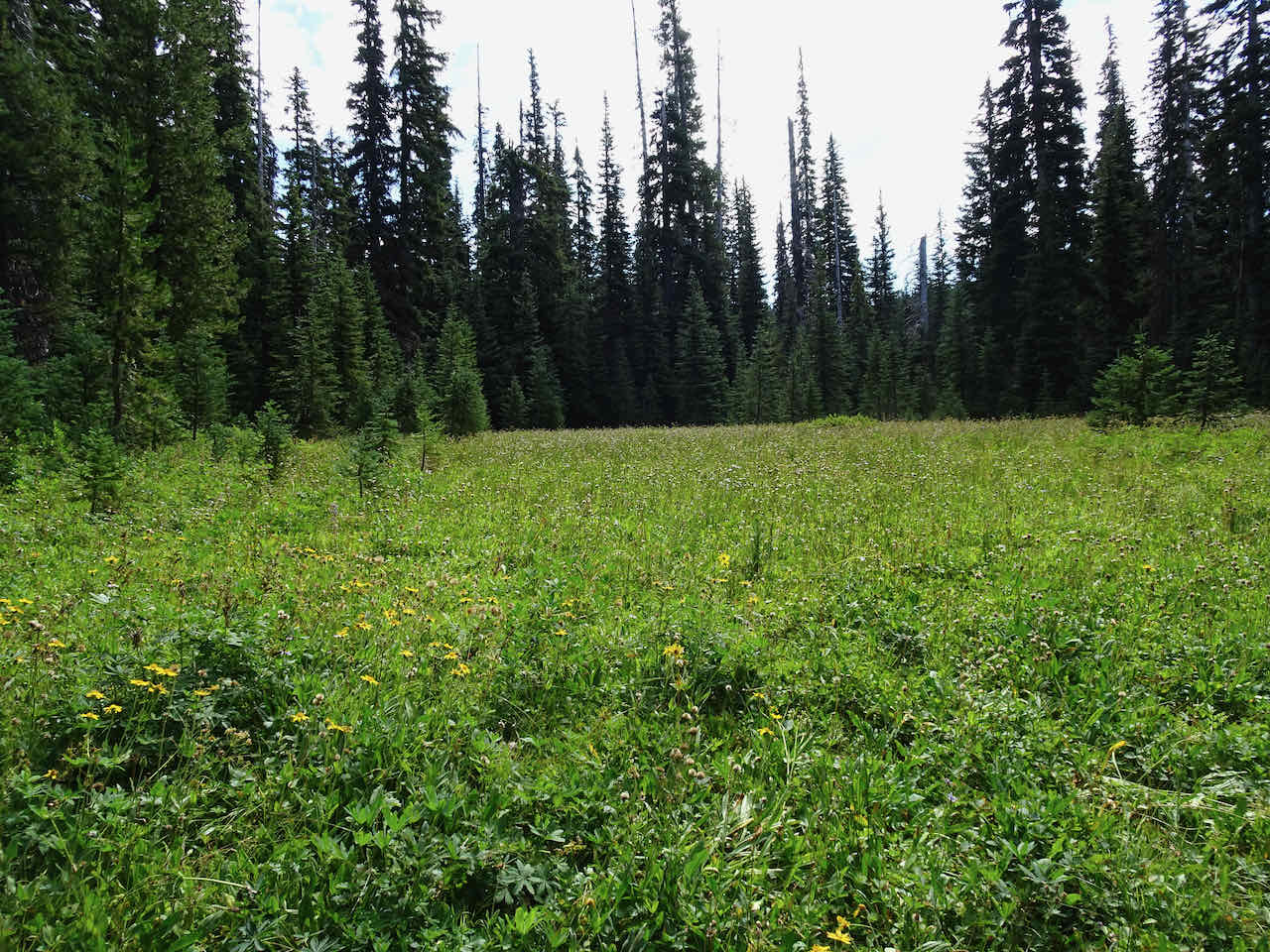
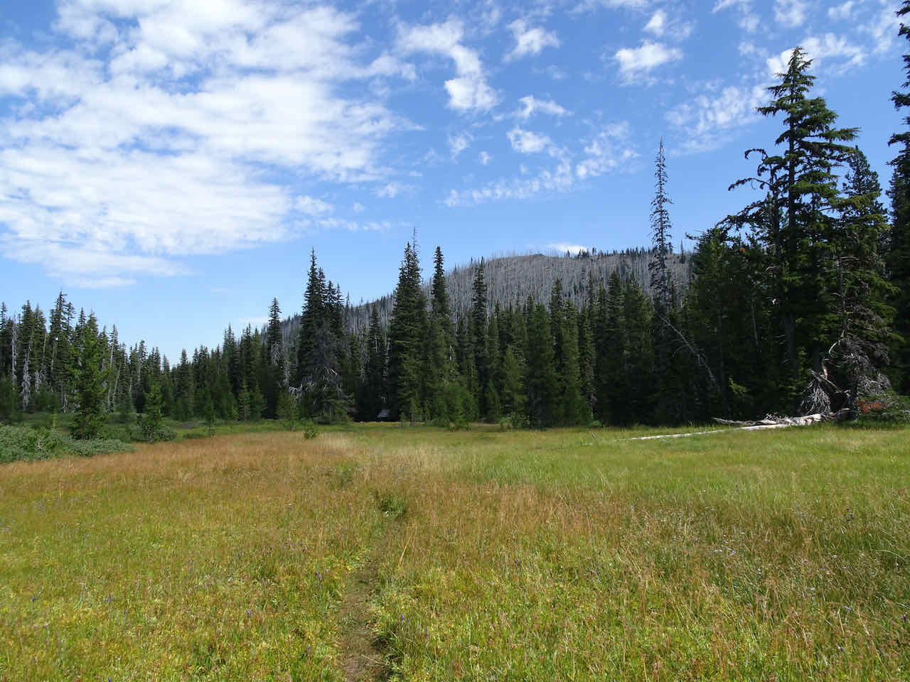
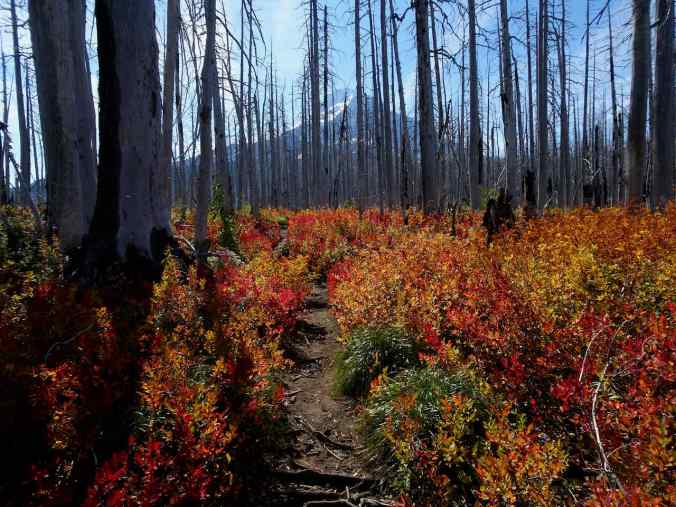
HIKING: My 76 hiking and walking adventures added up to 332 miles, and 52,272 feet in elevation, many of these while on our travels. New notable local hikes: finishing the last few miles of Portland’s 39 mile long Wildwood Trail, a pandemic project; the return to fire-scarred Bird Creek meadows on Mt Adams; and our first time to walk around Bayocean Spit on the Oregon coast.
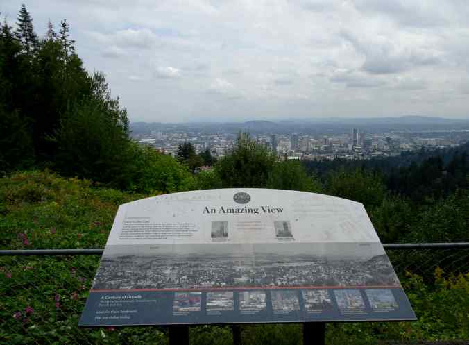
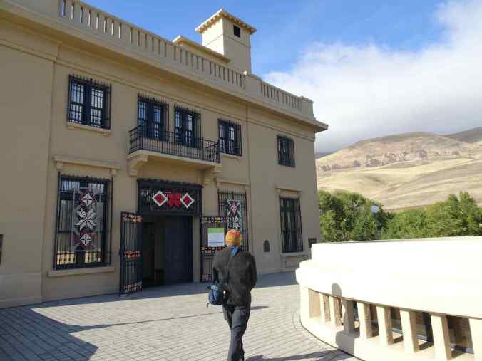
View from Pittock Mansion over Portland after finishing the Wildwood Trail.

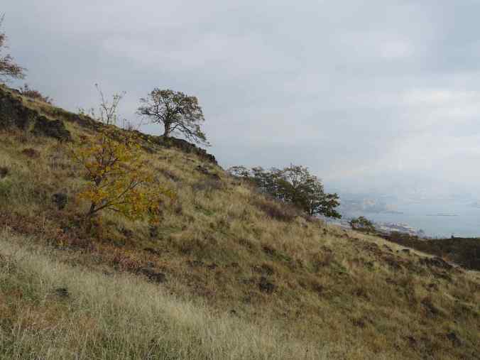
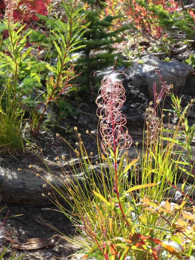
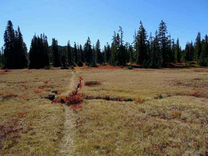
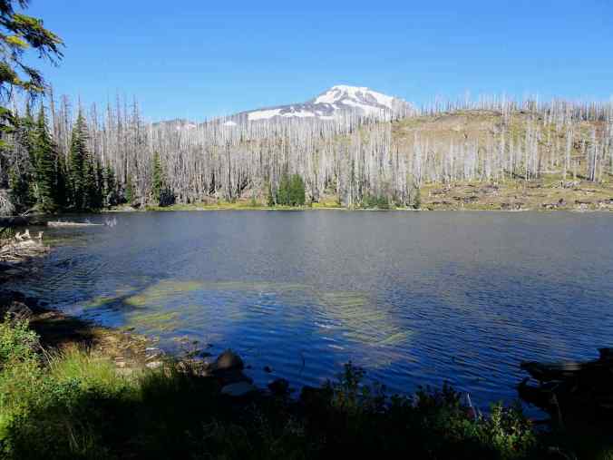
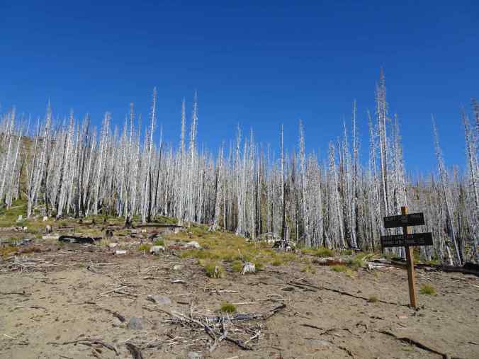
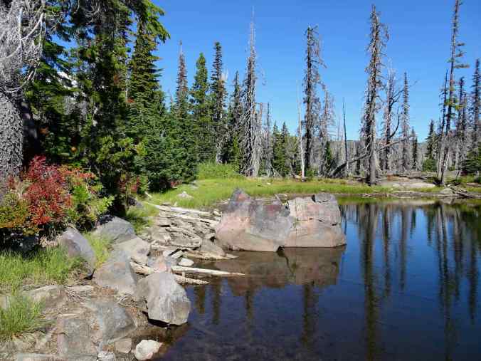
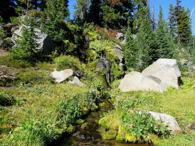
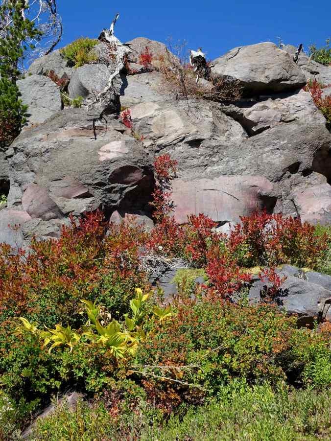
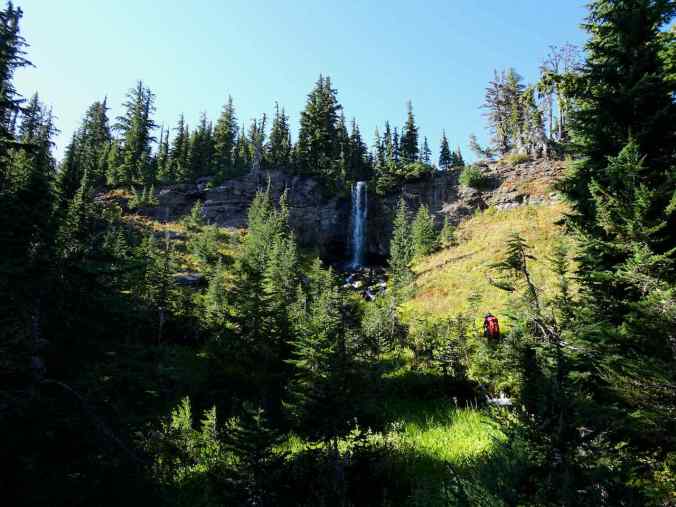
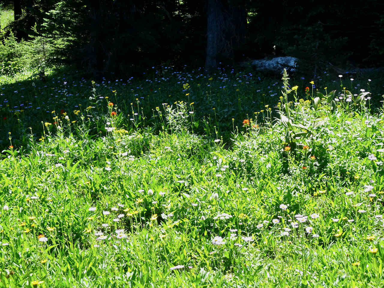
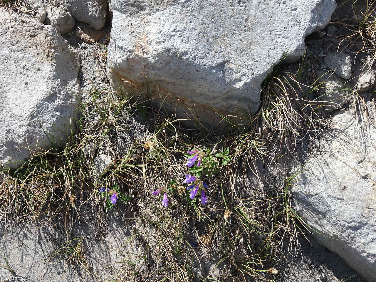
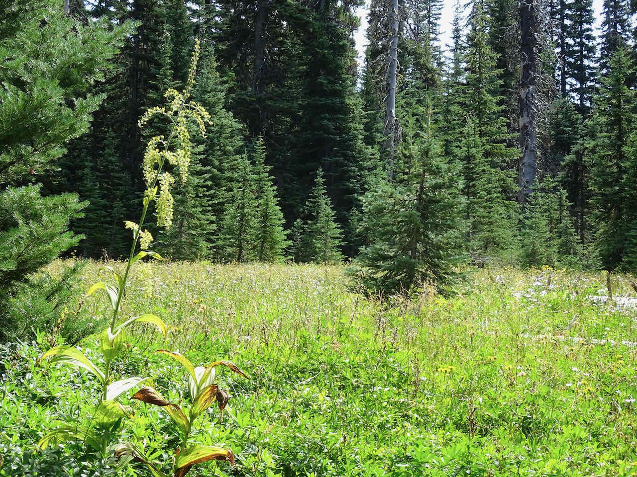
Bird Creek Meadows, Mt Adams
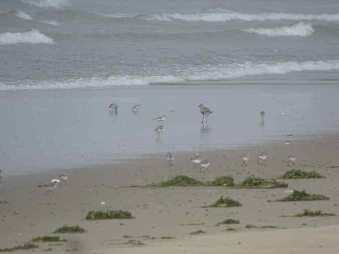
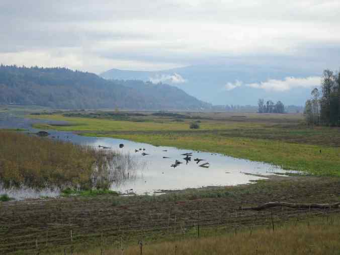
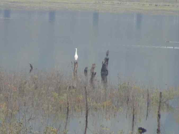
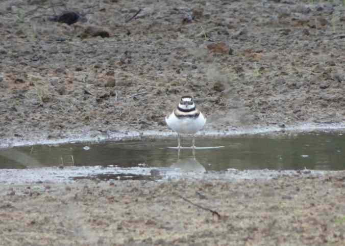
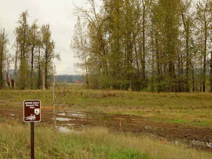
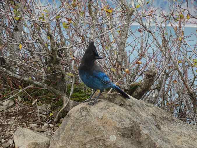
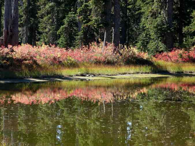
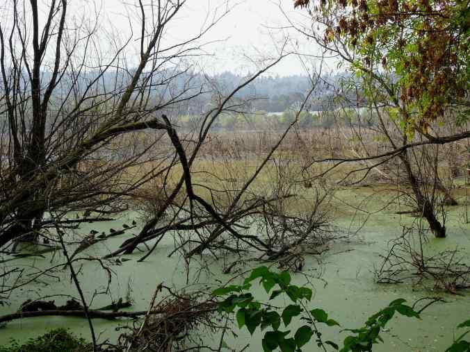
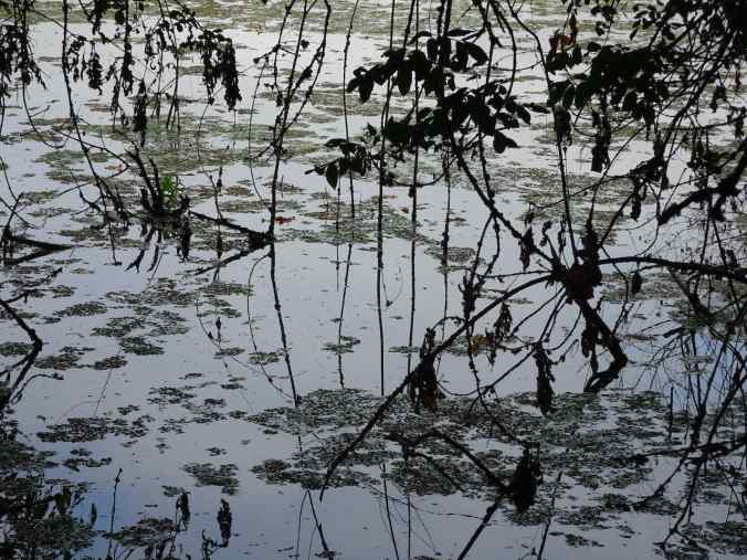
Sand pipers and plovers on Bayocean Spit
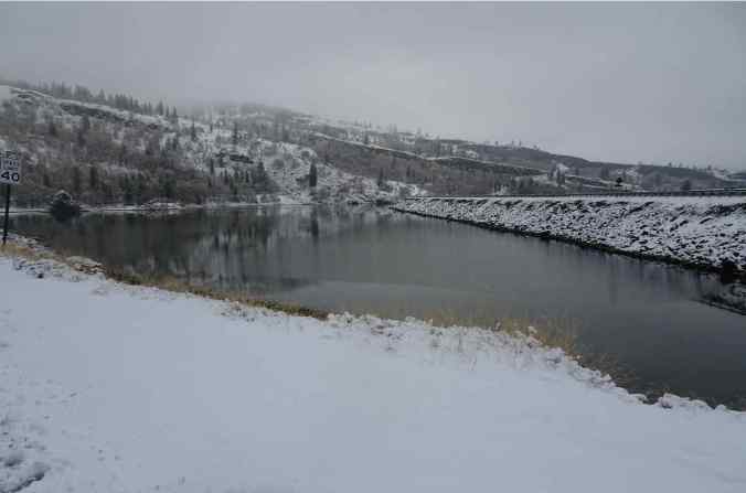
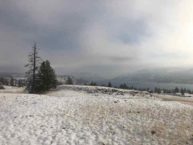
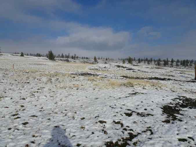
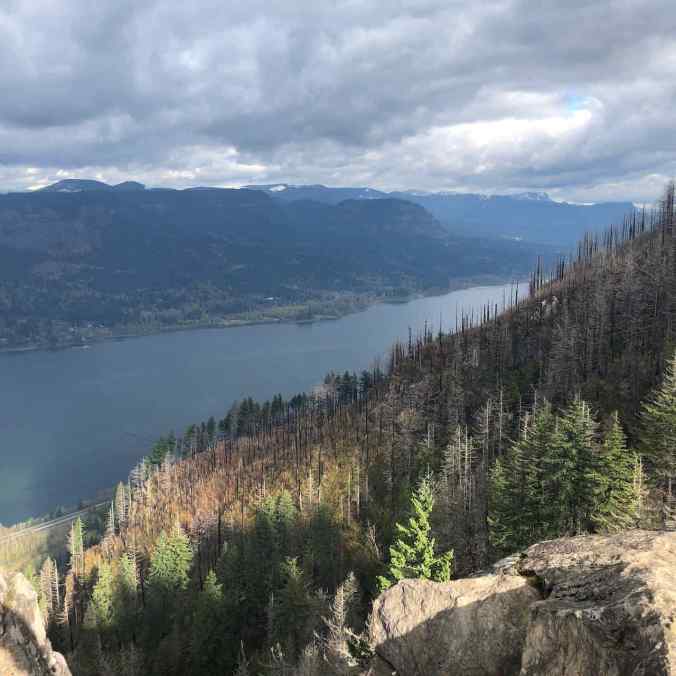
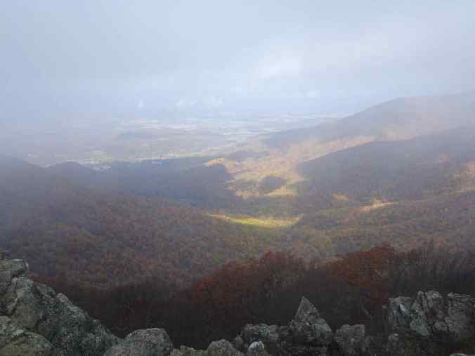
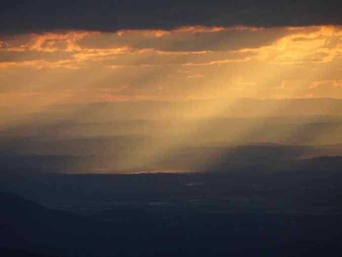
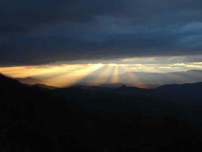
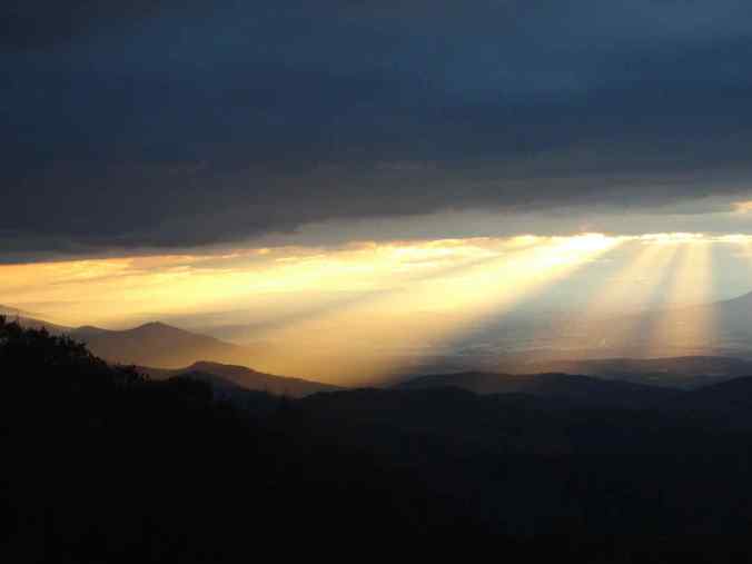
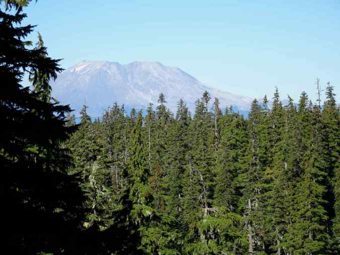
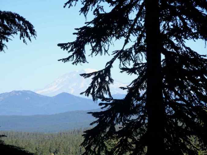
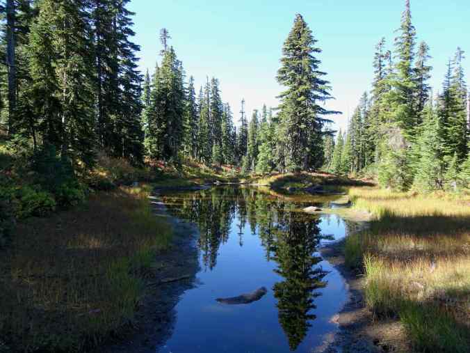
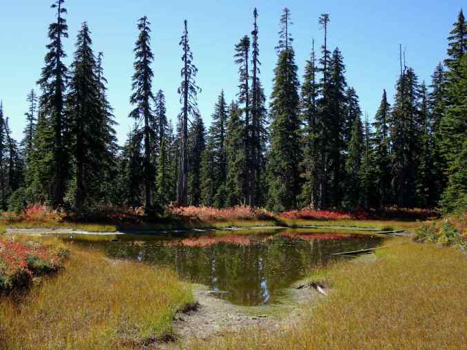
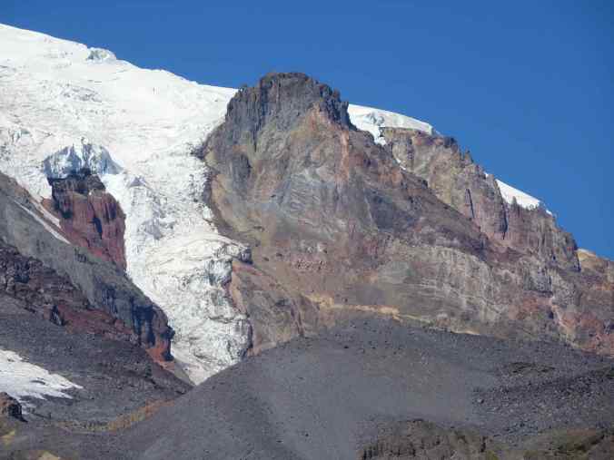
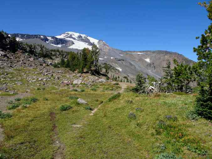
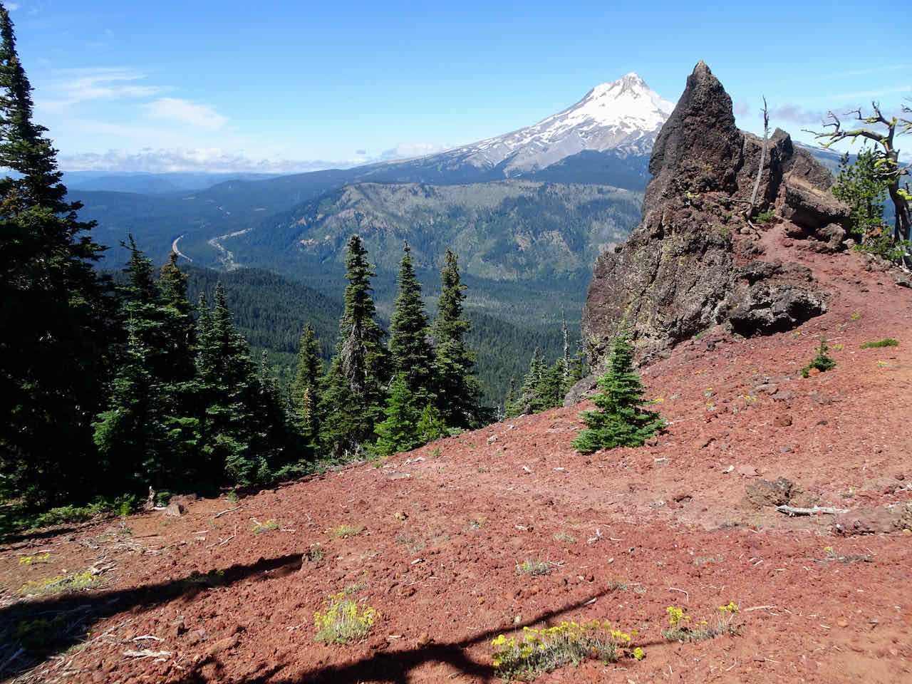
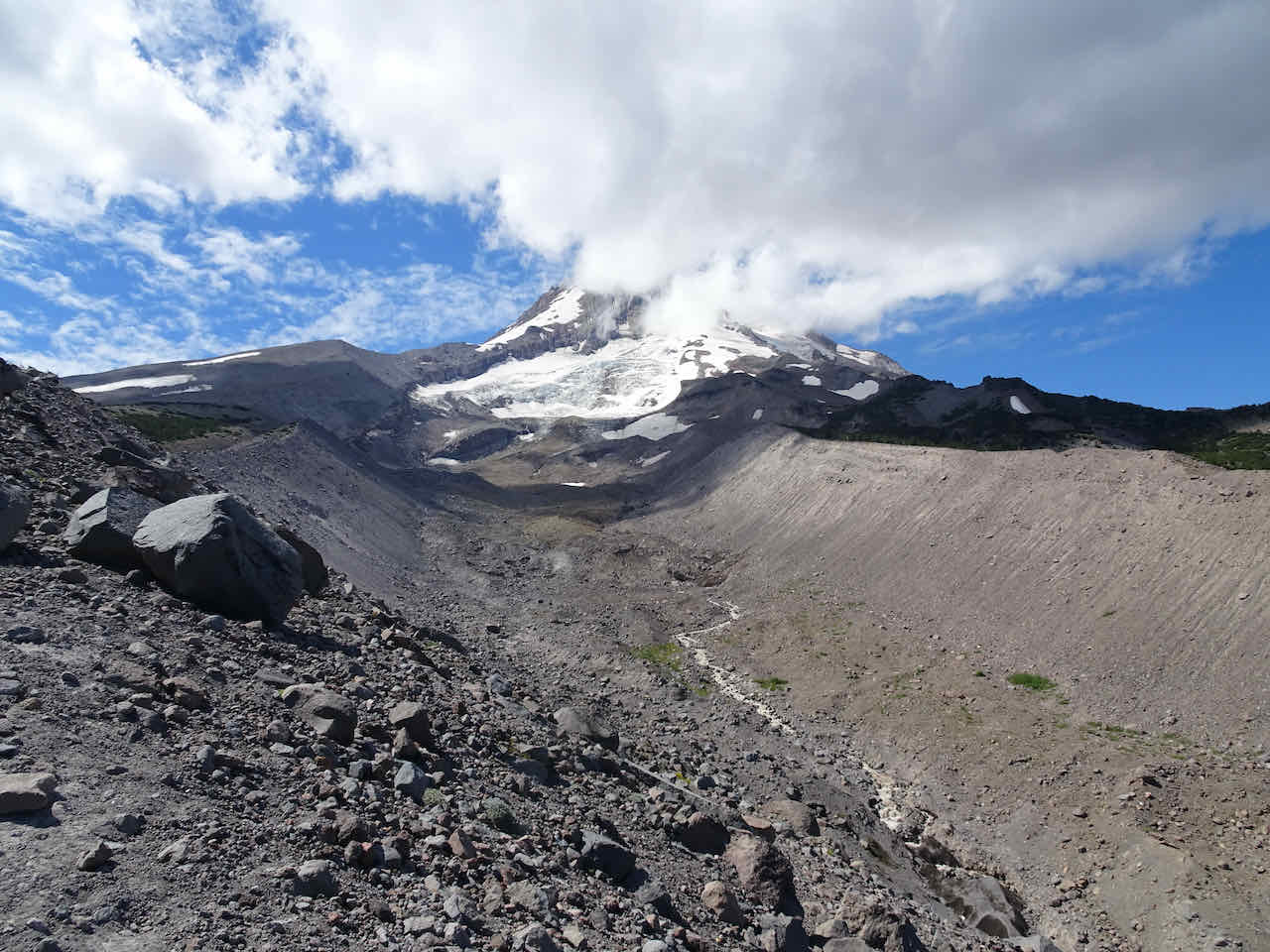
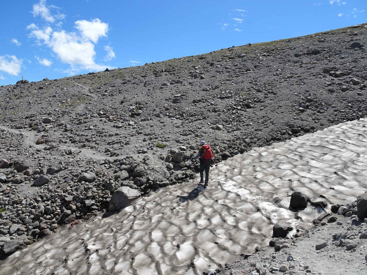
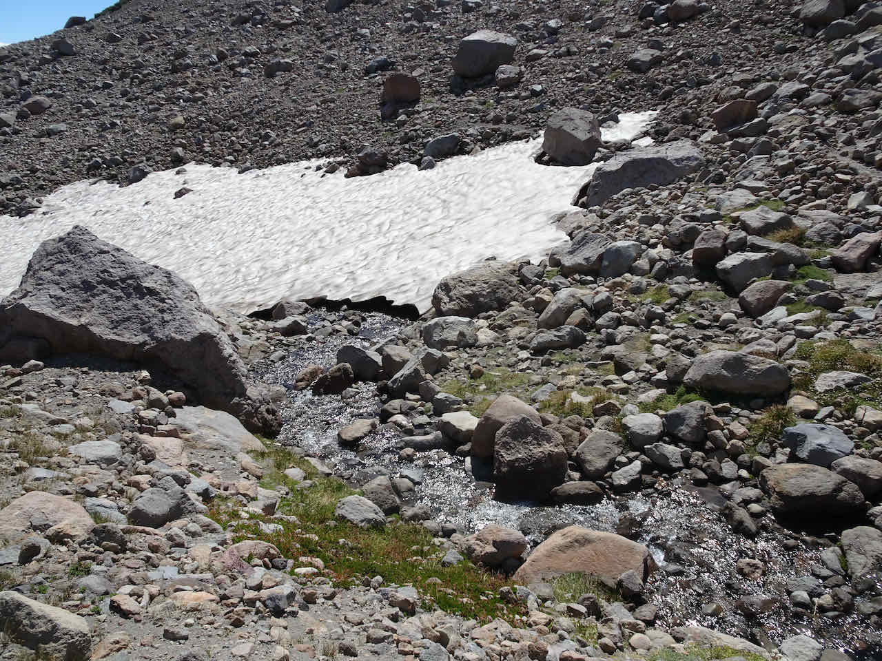
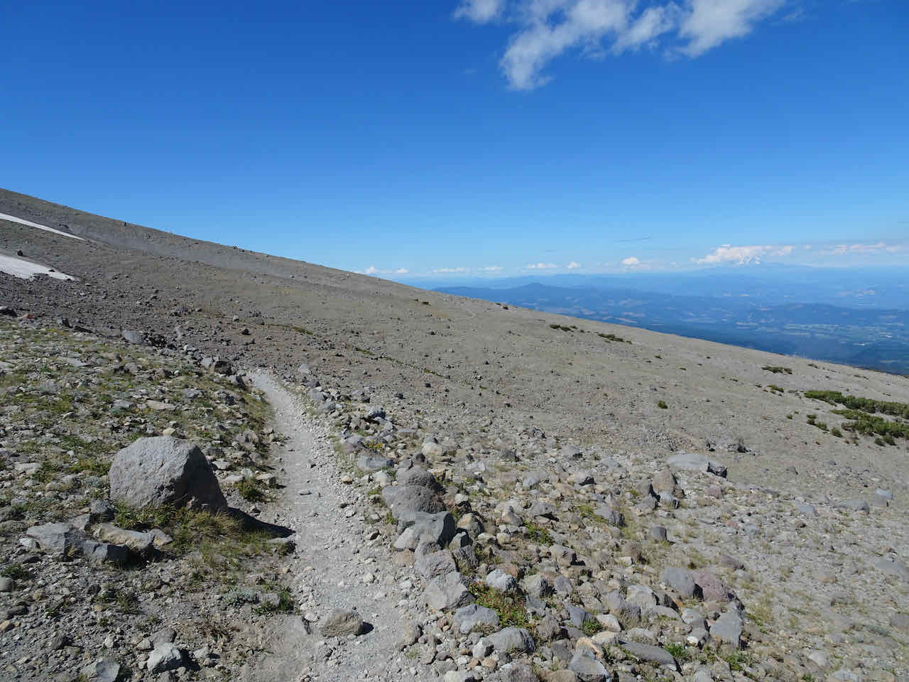
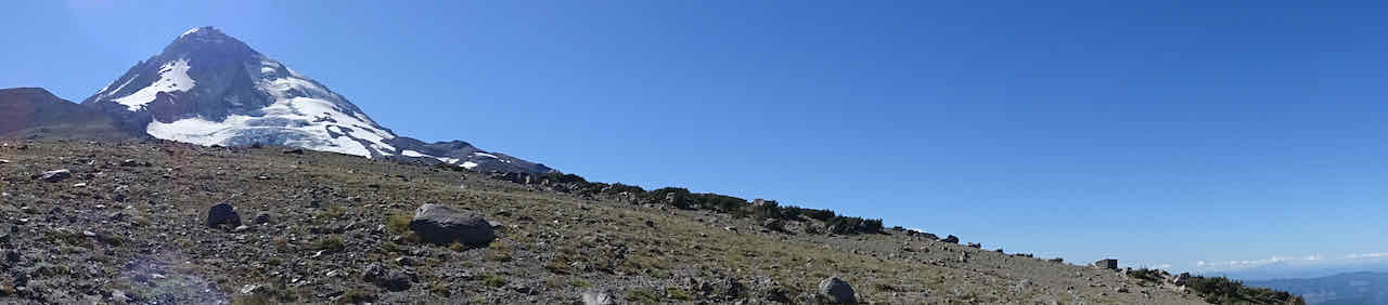
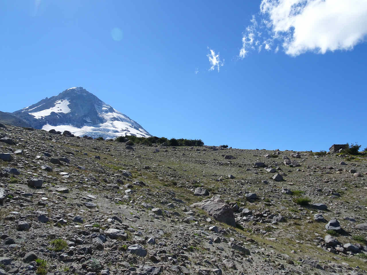
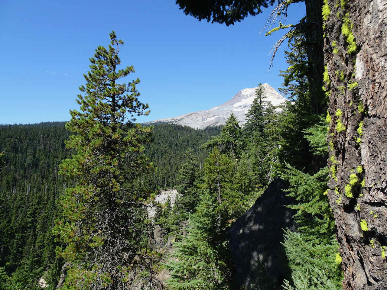
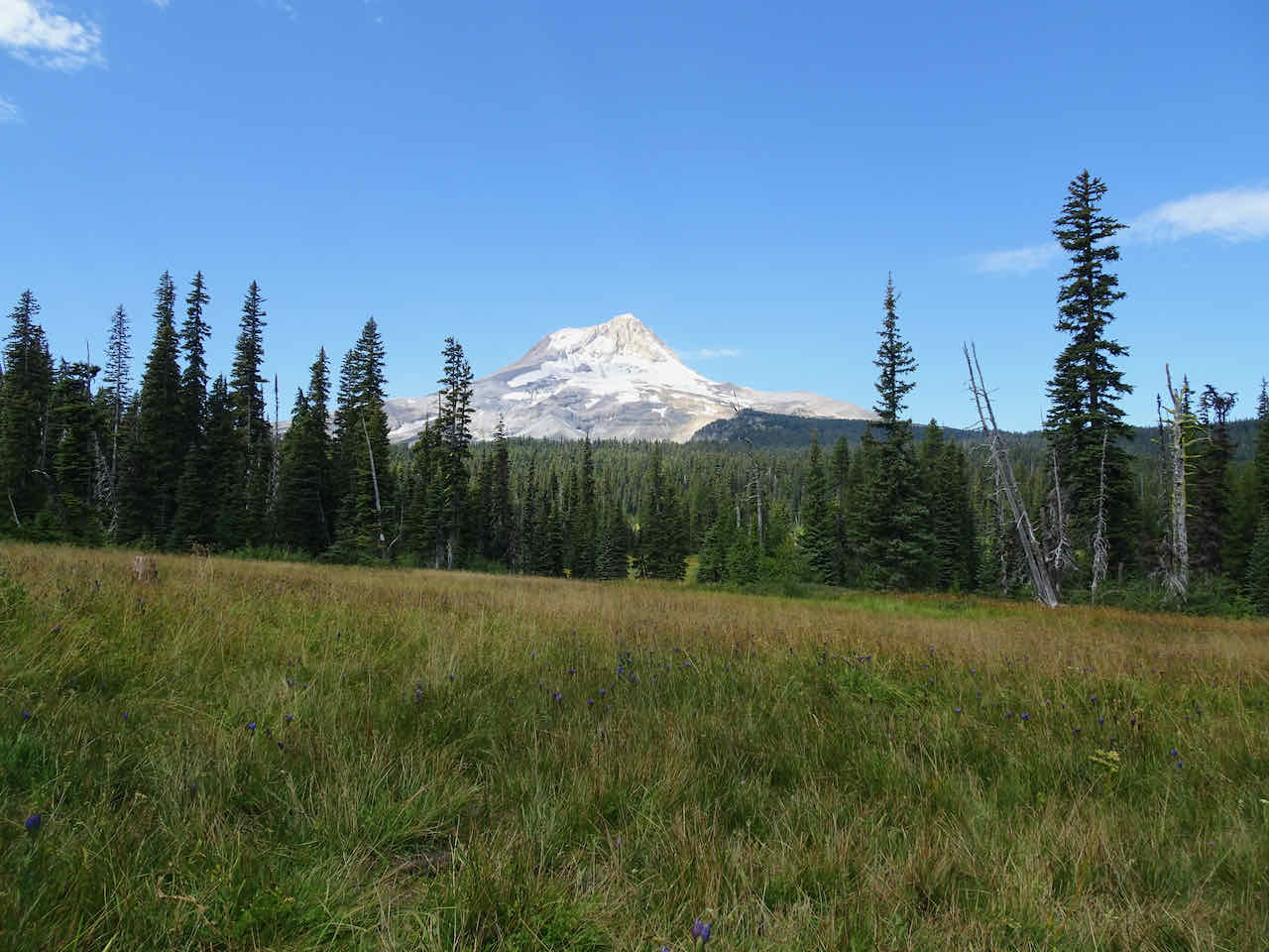
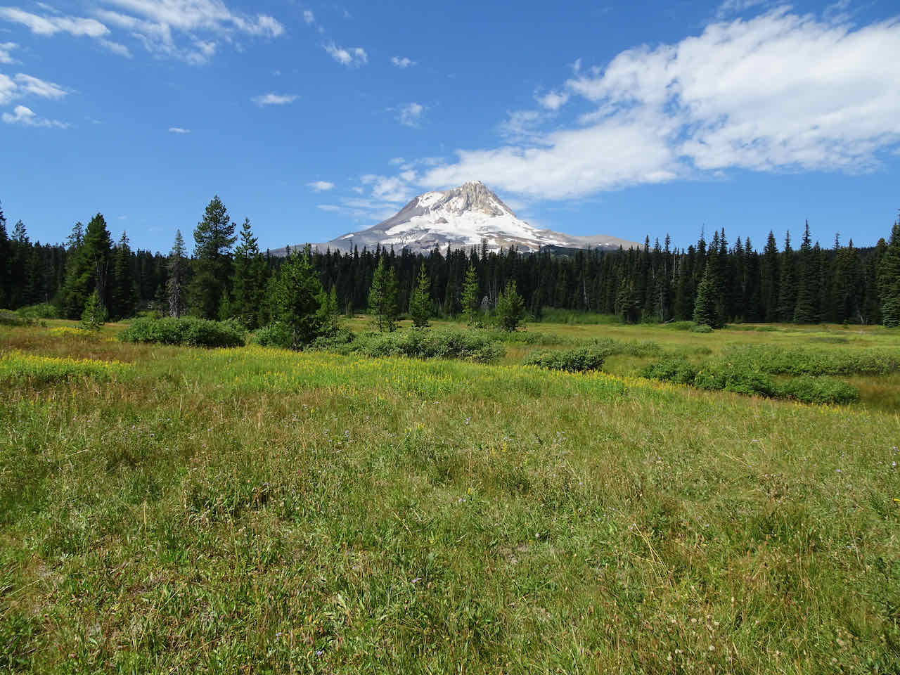
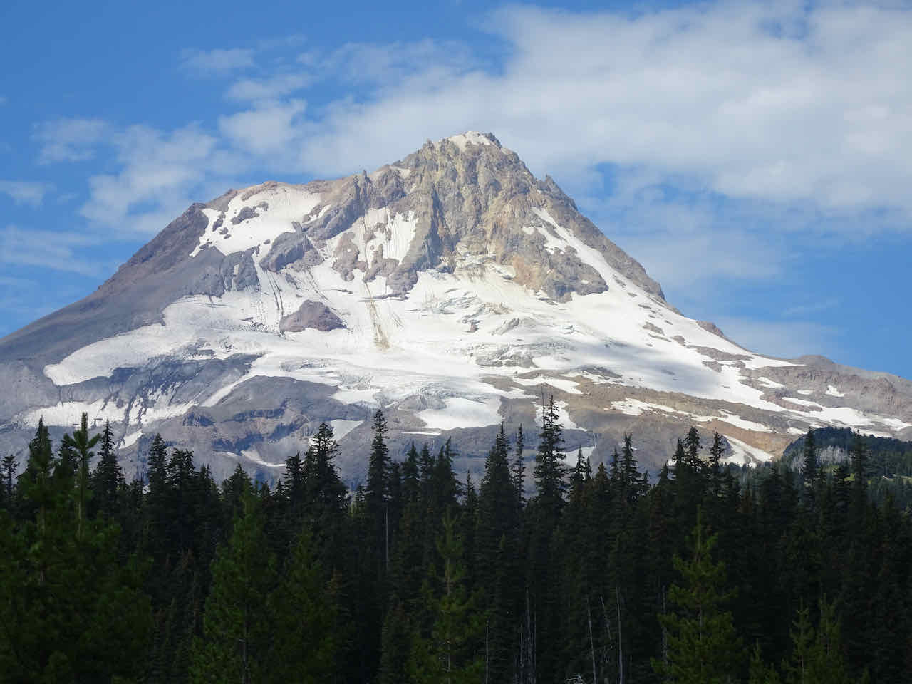
Our many repeat hikes were satisfying for monitoring seasonal changes, exemplified by these views of Mt Hood:
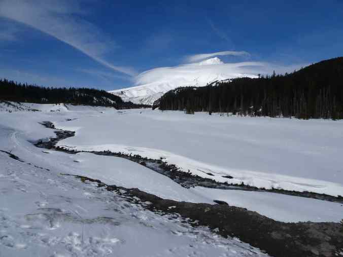
March, White River

August, East Eliot Moraine
October, Vista Ridge
READING: I finished 88 books last year. I learned the most from nonfiction and memoirs (red stars), written by diverse authors, mostly women: a thru hiker, a mountain climber, a senator, musicians, writers, and even an astrophysicist. My favorite fiction books were: Lessons in Chemistry by Bonnie Garmus, Demon Copperhead by Barbara Kingsolver, and Shadows on the Rock by Willa Cather. I also enjoyed rereads of classics and old favorites.


QUILTING: I made one baby quilt.
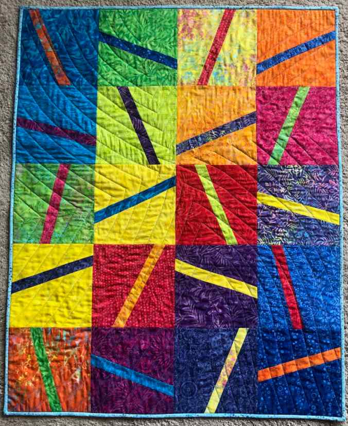
Baby quilt for a new great niece, March
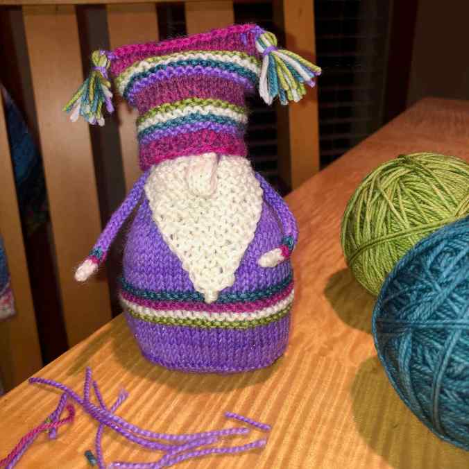
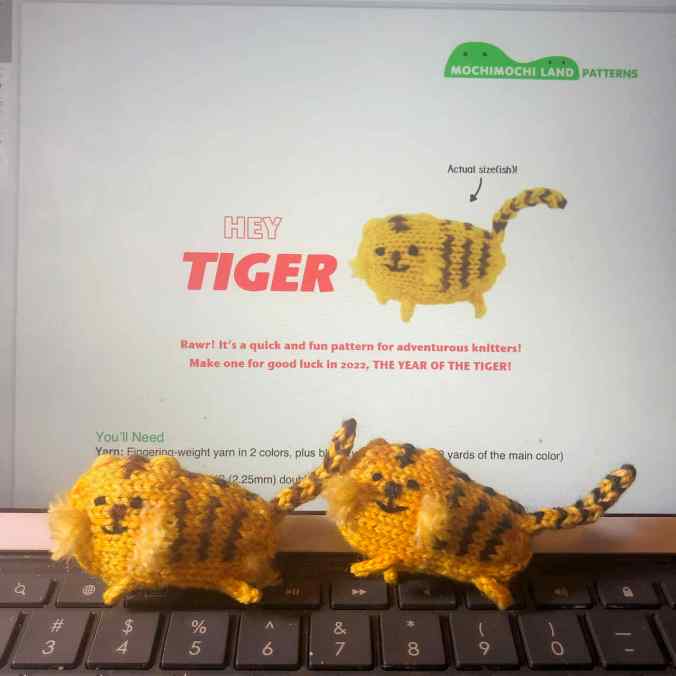
KNITTING: I knit my way through 9933 yards of yarn, the largest quantity into 15 hats for our guild service project. I also knit at least one gnome every month, for the Year of Gnomes. I made hats and socks for family, and a couple of scarves and gift critters.
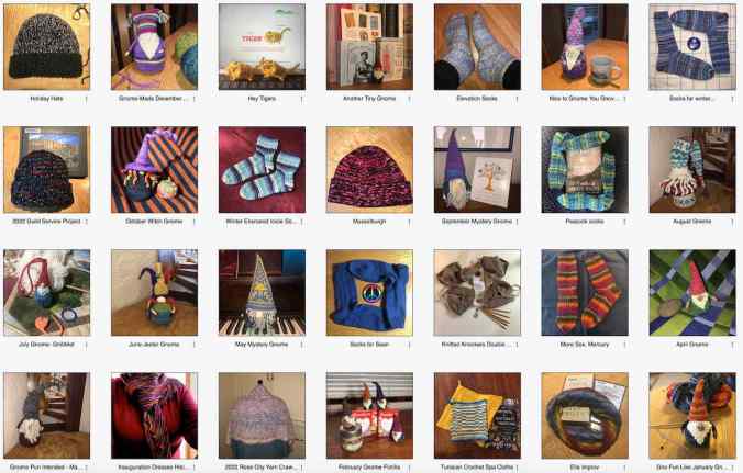
Ravelry 2022 project thumbnail pictures
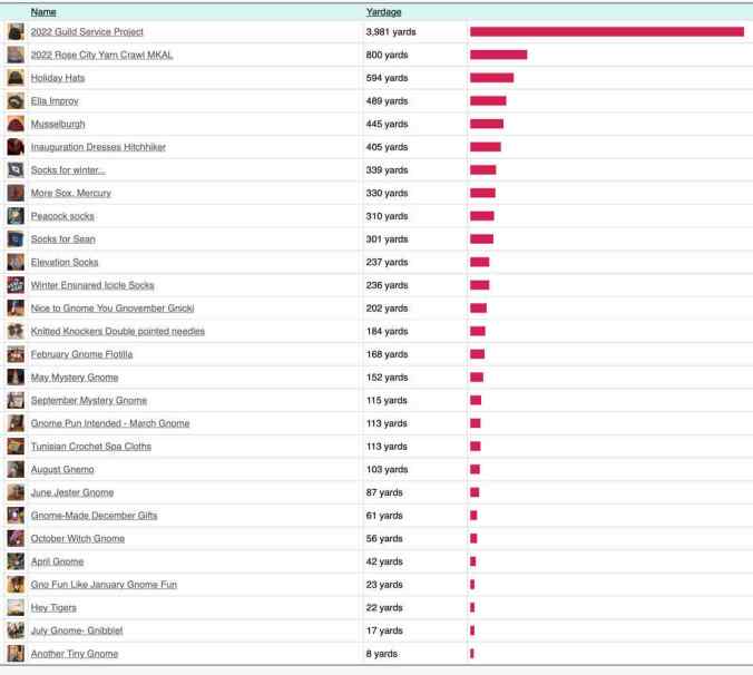
Ravelry 2022 knitting stats
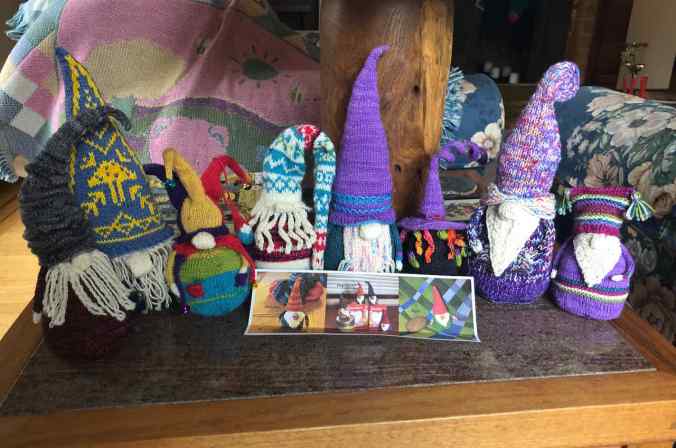
12 gnomes, for the Year of Gnomes
FAMILY: Both of our sons, who had been temporarily living at home, moved out: one nearby, the other to Philadelphia. So we are fully empty nest for now. We were able to visit our daughter in DC twice last year, and she came home twice. She is in a gap year, and may be relocating to a new city for grad school next year. We were able to see some extended family members for the first time since the pandemic, but they live far enough away that regular visits are not easy.
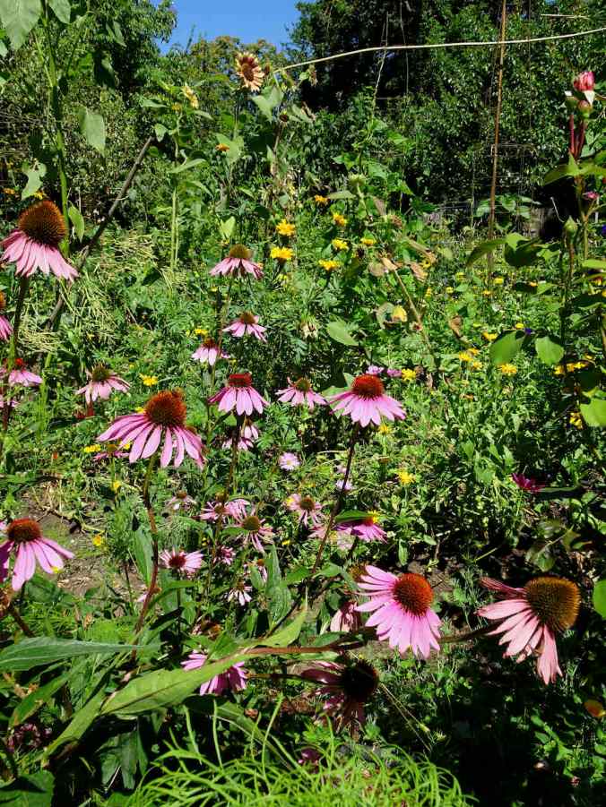
A favorite garden in Eugene, OR, August
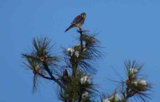
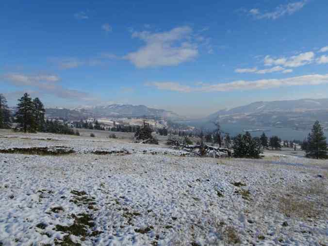
More of my favorite photos from 2022:
Portland cherry trees:


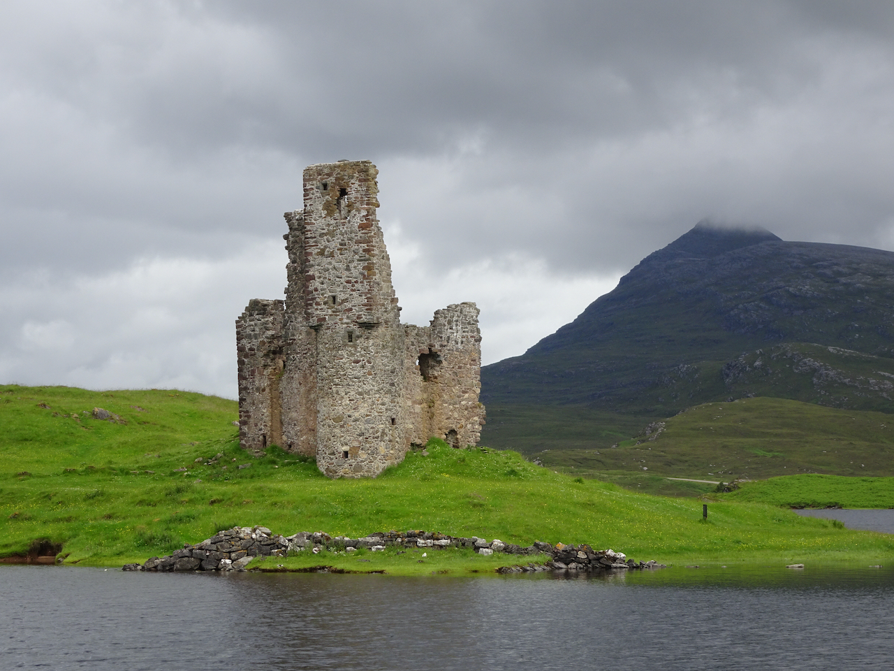
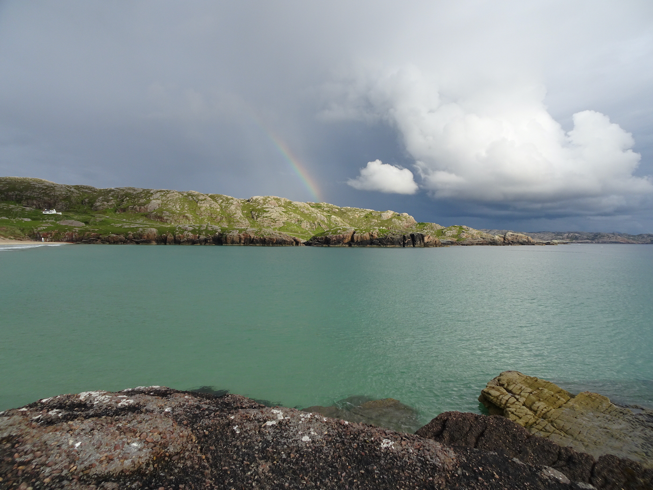
Scotland, June:

New Zealand Tree Fern in the Glasgow Botanical Gardens

Climbing Stob Dubh

Solstice near Glencoe

On the slopes of Stac Pollaidh
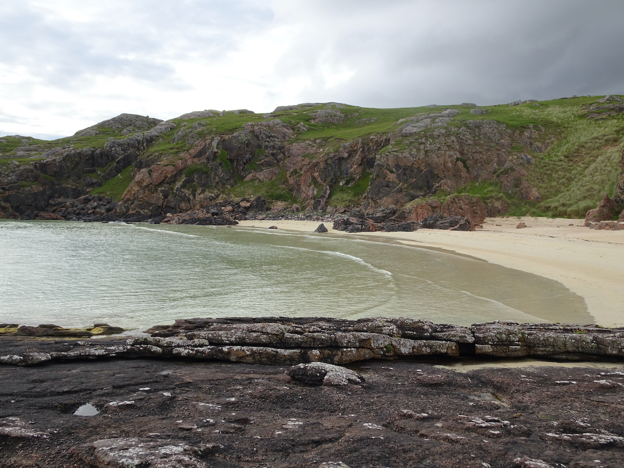
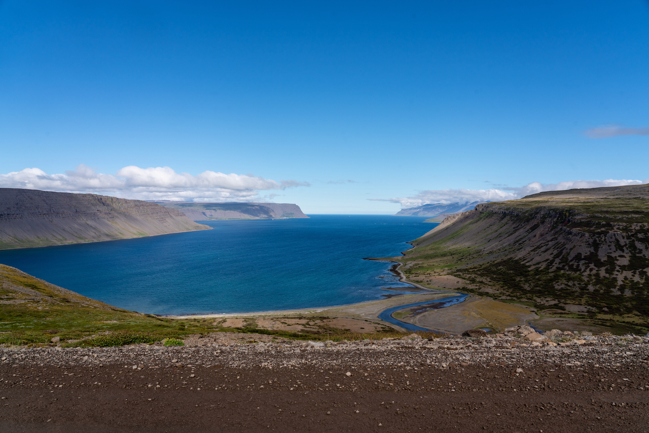
Iceland, July:
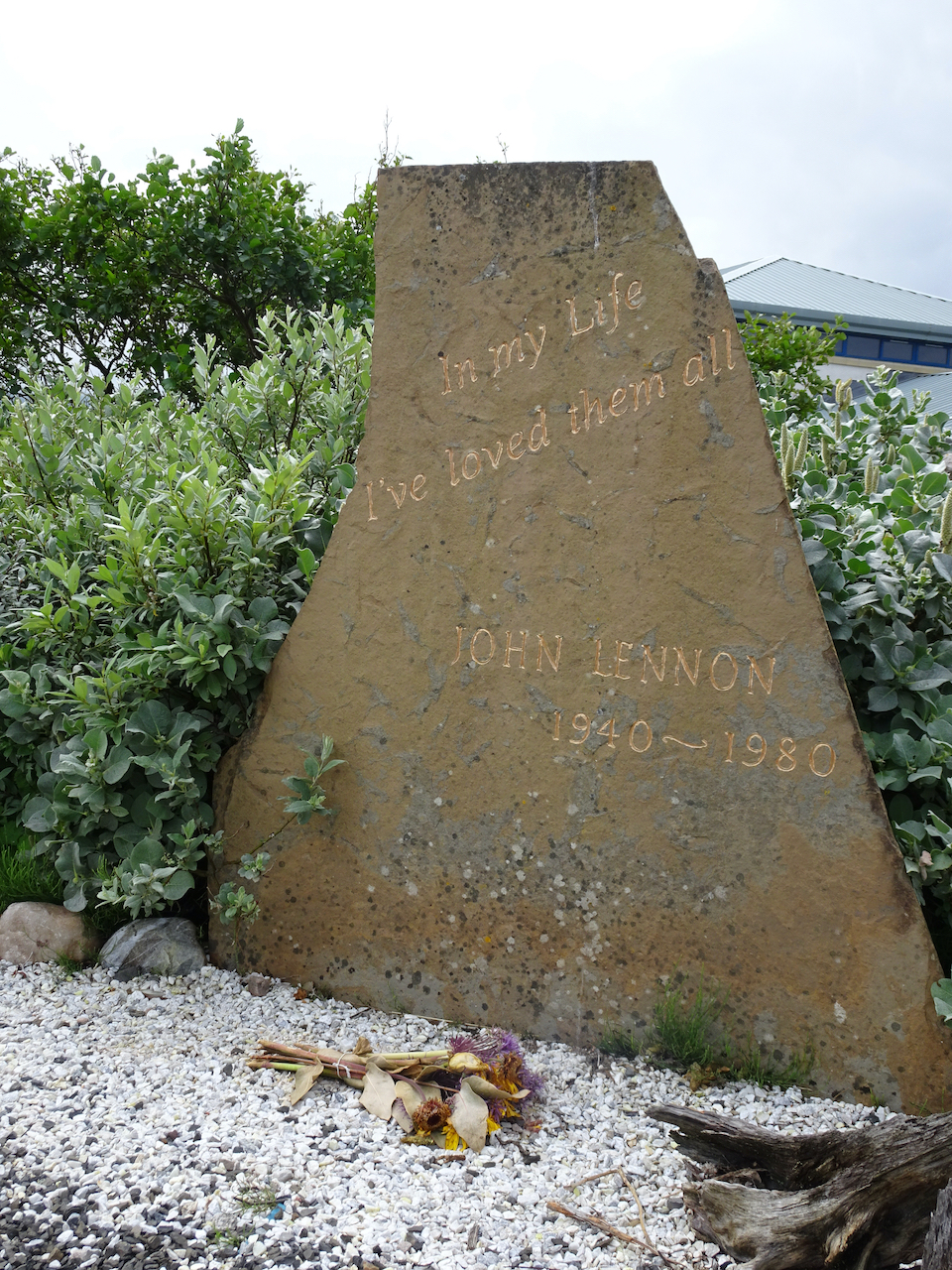
Street Art in Reykjavik:


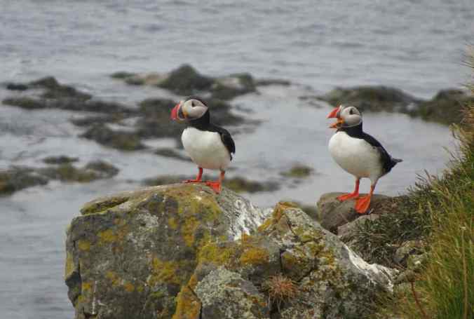
Waterfalls and puffins:
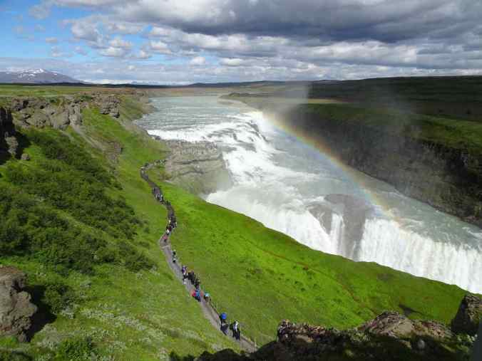
Gullfoss
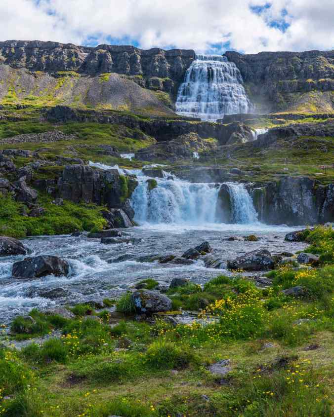
Dynjandi

Kirkjufellsfoss
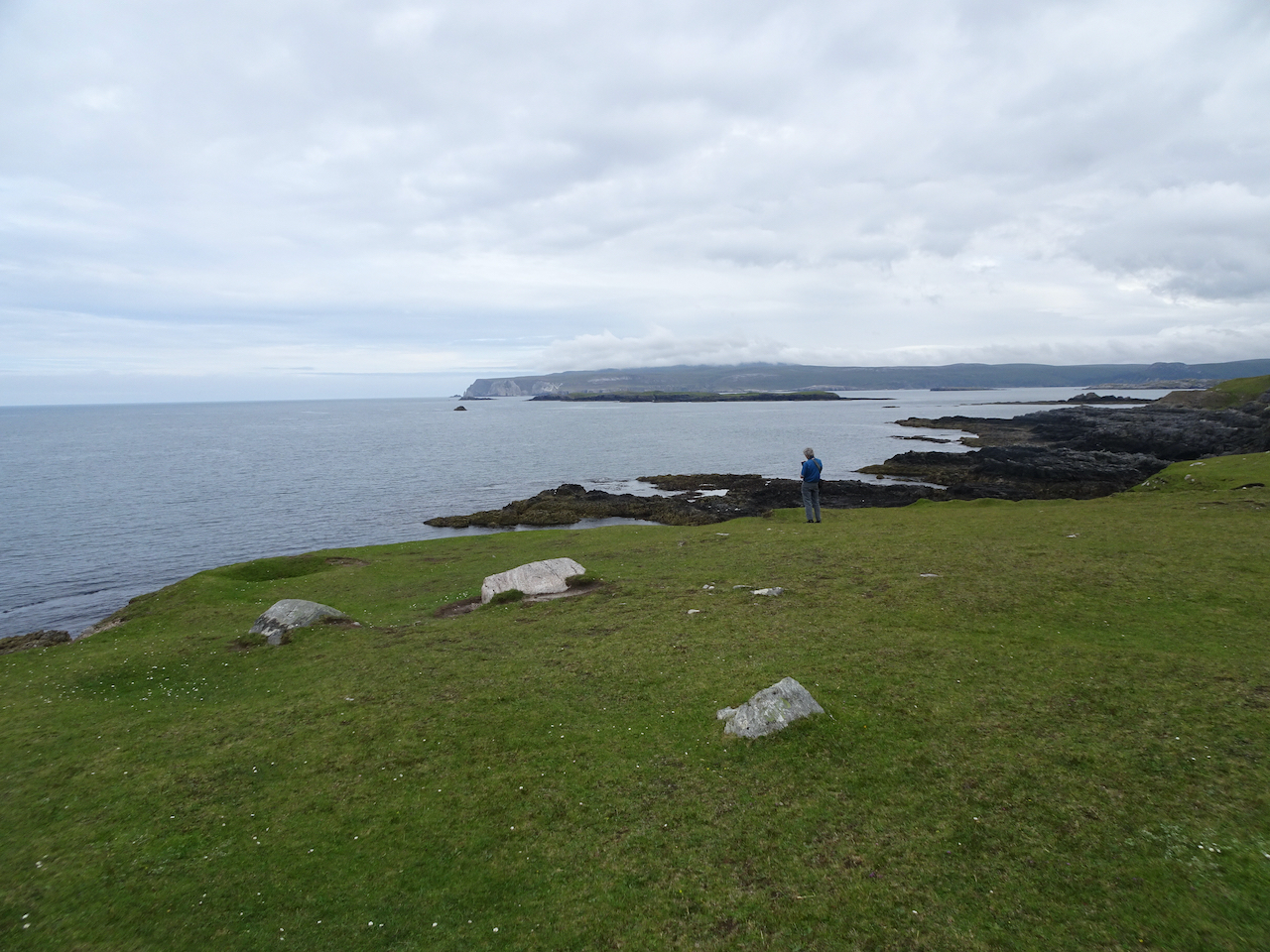
Latrajbarg cliffs
Plans for 2023: I am relearning crochet so that I can make a blanket for the Guild service project, and a coral for the Coral Reef project. I am midway through knitting a slip stitch blanket. I have started the Modern Quilt Studio Mystery Quilt, and am having fun using my stash again. I hope to see more of family, but that is not always up to me. I plan to continue monthly blog updates, with expected travel interruptions. I am working on about a dozen posts from our 2020 New Zealand trip, and from 2022 Scotland and Iceland trips, and quilt documentation posts. I have to resize pictures in older posts to fit storage limits, adding a layer of time consuming work.
We will continue weekly local hikes, and expect to hike almost daily on our upcoming trips to New Zealand and Italy.
My general wish for the New Year is for good health, and for living in a way that honors diversity and contributes to ecological repair, with kindness, honesty, and generosity.