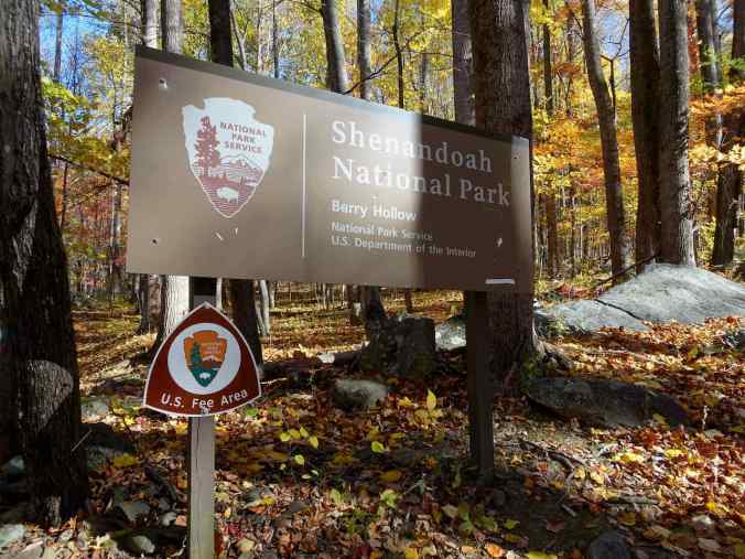
During our Washington DC trip, we spent three days in the middle of the week exploring the Shenandoah Mountains of Virginia.

Location Map for our Shenandoah National Park trip.
10/25 – First Looks
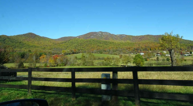
We drove west, toward the Shenandoah Mountains, admiring the fall colors along the way.


Westbound on Hwy 211
We entered the park at Thornton Gap. We stopped at a few overlooks on Skyline Drive before checking into our room at the Skyland Resort.

Tunnel Parking Overlook
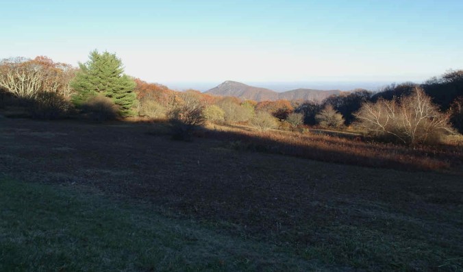
Buck Hollow Overlook
Jewell Hollow Overlook

Jewell Hollow Overlook
10/26 – Hawksbill Summit, Deer Hollow Falls, a gorgeous sunset
The misty morning gave way to a few sun breaks.

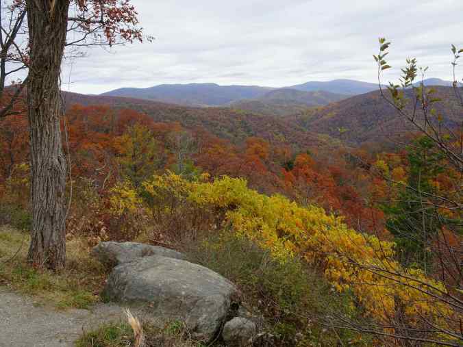
Crescent Rock Overlook

Crescent Rock Overlook
We decided to hike the Hawksbill-Salamander-Appalachian Trail Loop and hope for the best.
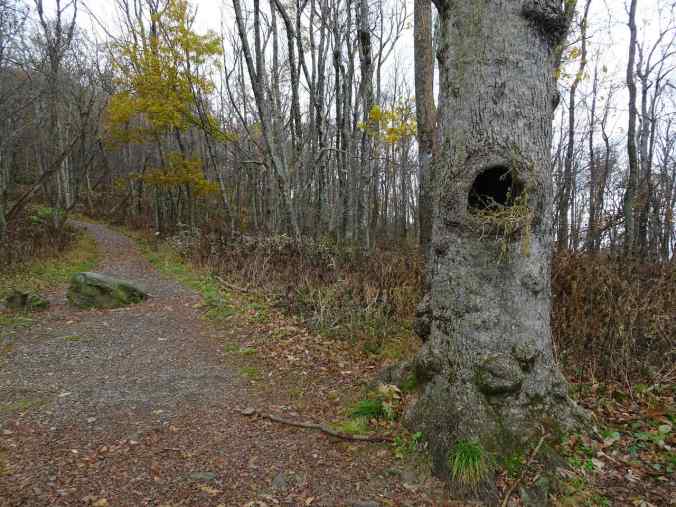
Hawksbill Summit Trailhead, nest in the tree hollow

Upward into the mist…
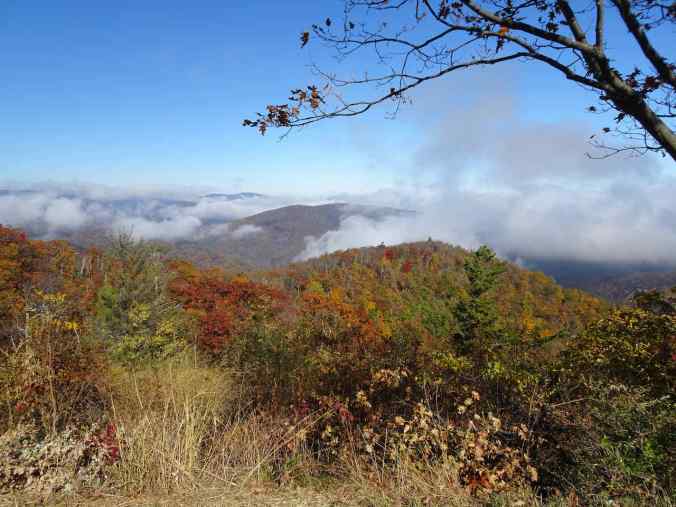
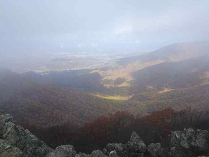
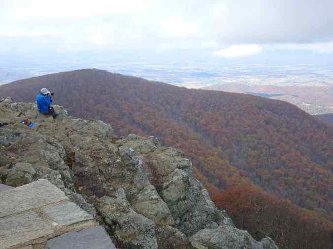
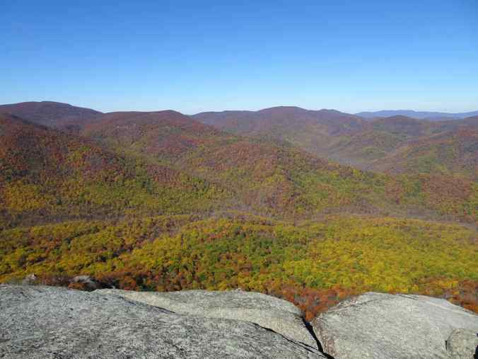
Hawksbill Summit was fogged in, but while we ate our lunch, the clouds cleared, and we had a lovely westward view to the Shenandoah River Valley.

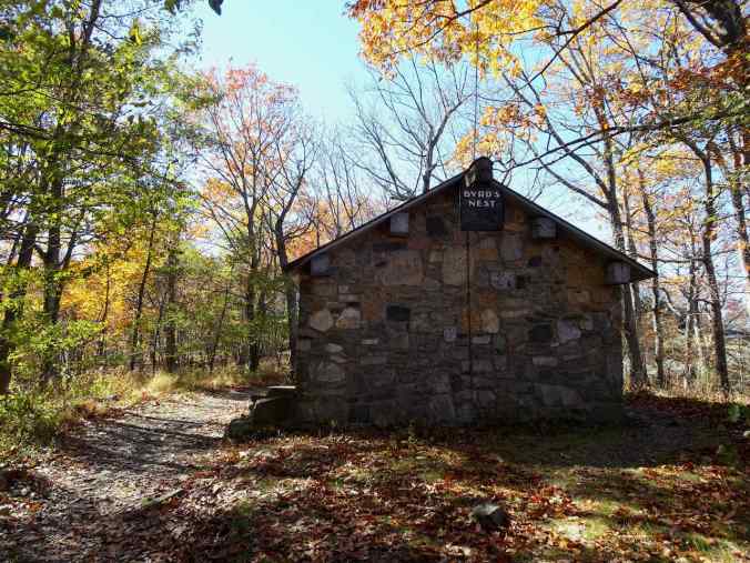
Shelter near the summit

The last section of trail

Disappointing summit views…

The mist began to rise…
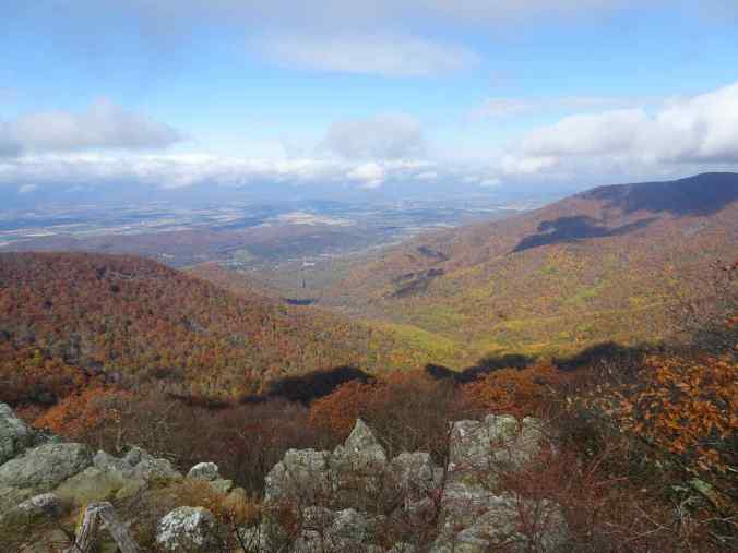
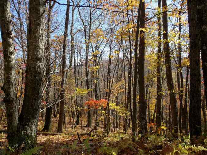
More sun breaks and color…
Shenandoah River Valley
Beautiful foliage

and more clearing…
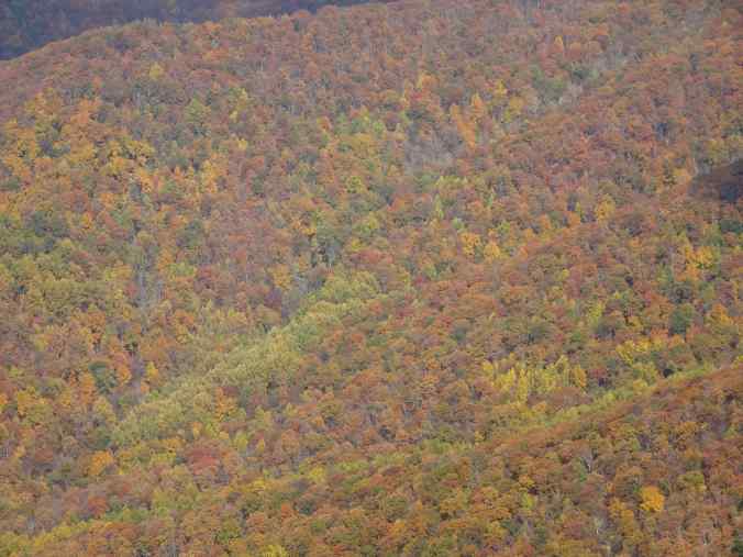
Foliage color wash
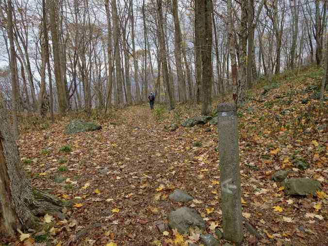
We descended via the Salamander Trail, to an intersection with the Appalachian Trail, which we walked along for about a mile.
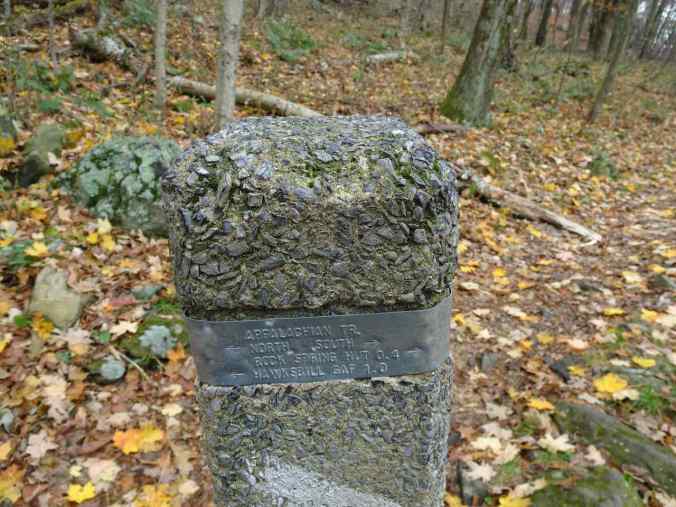
Appalachian Trail Junction
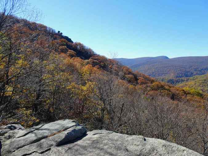
Walking along the west side of Hawksbill
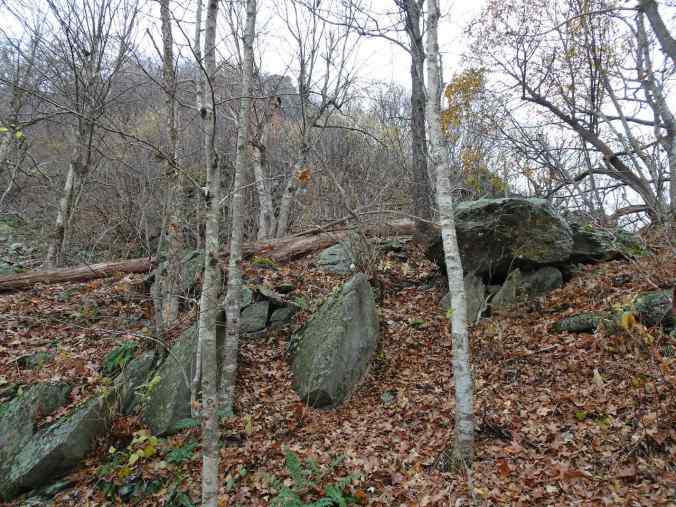
We could see the summit crags through the bare trees.

Red foliage and scree slopes.
The Hawksbill hike was about 2.7 miles, 600 feet. After our hike, we stopped at the Big Hollow Visitor Center and learned a bit about the history of the park. Then we hiked about 3 miles to Dark Hollow Falls from the Rose River Trailhead, once again, admiring the foliage colors, and then the tiers of the waterfall.
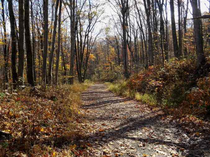
Rose River Trail
Rose River Trail

Dark Hollow Falls, lower tier

pool between tiers
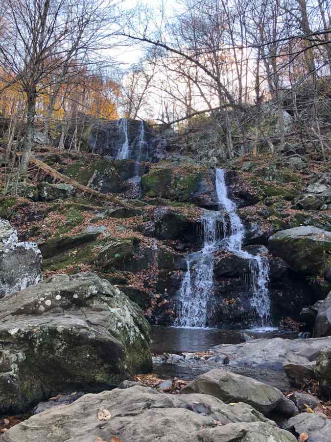
Dark Hollow Falls, upper tiers
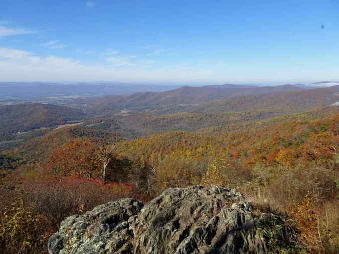
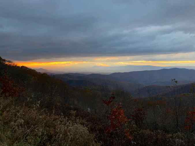
Later in the afternoon, we stopped at Tanners Ridge Overlook, just south of Big Meadow.
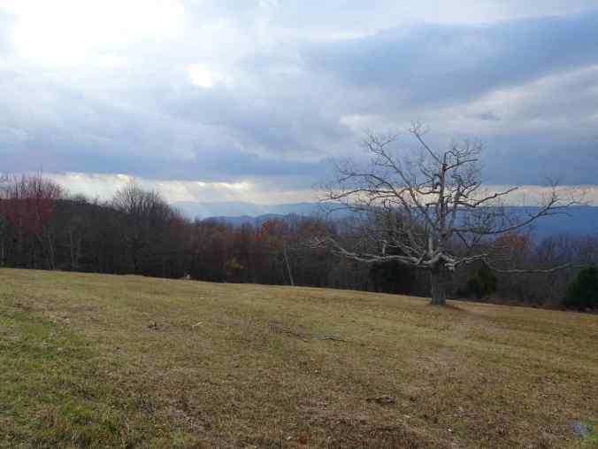
Tanners Ridge Overlook

Shenandoah Valley from Tanners Ridge
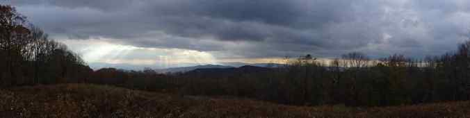
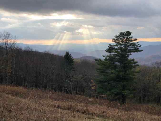
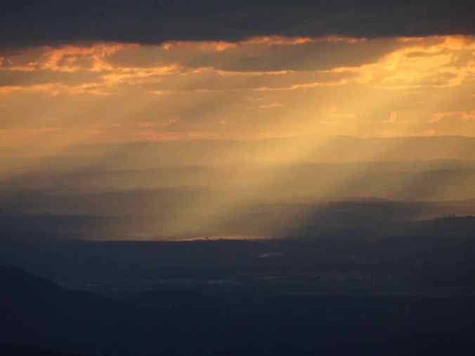
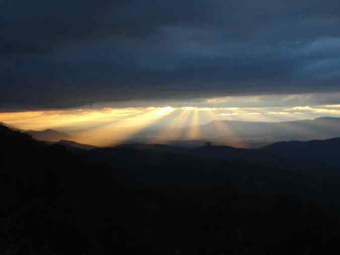
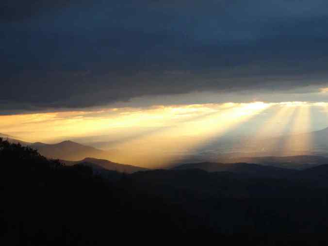
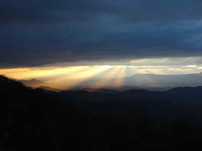
We noticed the clouds and sunbeams were looking promising for a great sunset. We hurried to The Point Overlook, known for excellent vistas. For the next hour, the rolling waves of mountain silhouettes, clouds and sunbeams put on a stunning display, nearly impossible to capture (but we tried!)
10/27- Old Rag hike from Berry Hollow
Old Rag (3274′) is a craggy mountain to the east of the main ridge of Shenandoah National Park, and a popular hiking destination. This was our longest hike for the week (6 miles, 1750 feet). The trailhead was about an hour’s drive from our lodging. We had purchased limited access permits online ahead of time, and passed three ranger check points along the trail. Many hikers choose the challenging Ridge scramble trail up the eastern rocky slopes. We opted for the slightly shorter, nonscrambly route from the Berry Hollow Trailhead.
Old Rag, as seen from the road to the trail head
Berry Hollow Trailhead
We hiked upward through beautiful fall foliage.

The lower trail follows roads

Old Rag Shelter, the rockier trails begin here

yellow foliage

A glimpse of the top
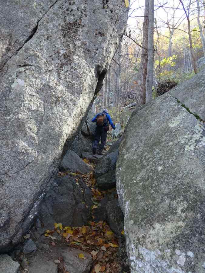
Through the slabs

Another view toward the summit, and an overhanging boulder
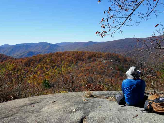
Large slab just below the summit, where we stopped for a lunch break.
The summit is covered with rocky boulders and slabs that more intrepid hikers scrambled up. We settled for circling the perimeter, and viewing the landscape to the west, north and east.

Panorama of the Shenandoah Mountains from Old Rag Summit
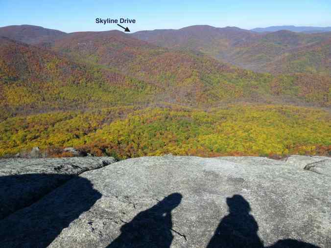
The scar of Skyline Drive is visible along the ridgeline
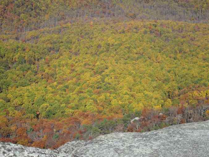
Colorwash of foliage…

Green, yellow, orange, red

Rocky outcrops on the summit
Panning to the east

The flat eastern seaboard comes into view

Farther east

Balancing boulder
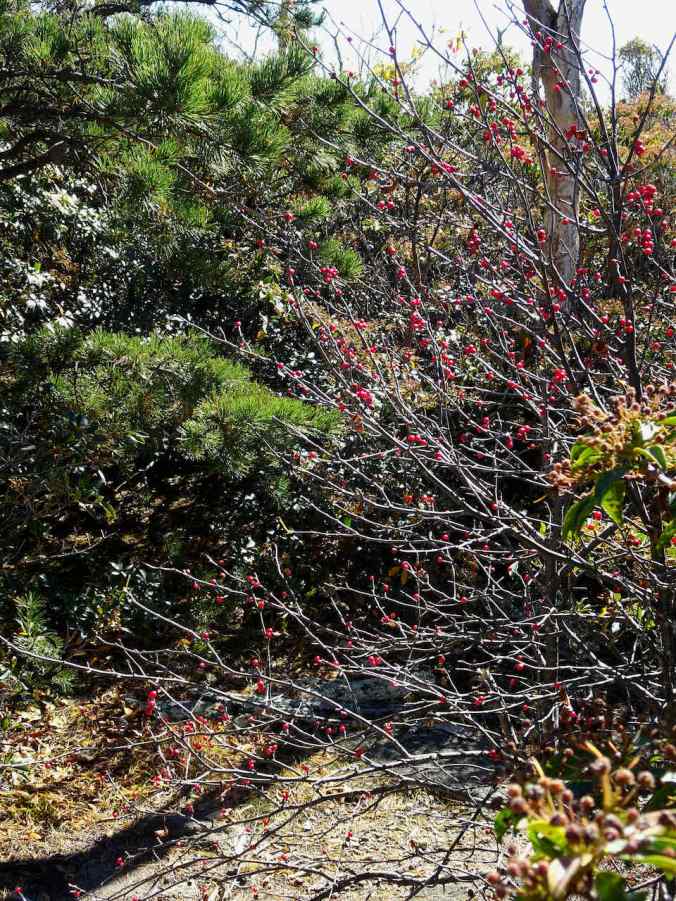
Berries along the downward trail
We returned the way we came, the steep downward trail challenging to my recently injured knee, but we made it, thank you hiking poles!
Shelter below the summit
Last view toward the top

And back through the colorful forest
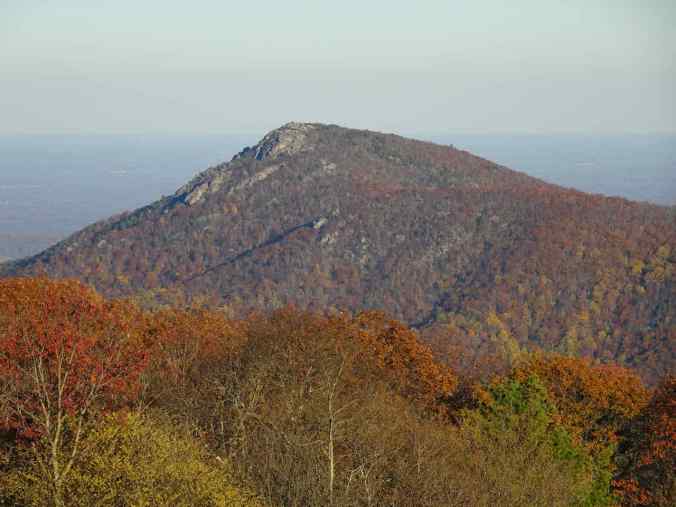
We drove back up to Skyline Road and stopped at the Old Rag Overlook, to look back at where we had been:
Old Rag from the Old Rag Overlook on Skyline Drive
Zooming closer
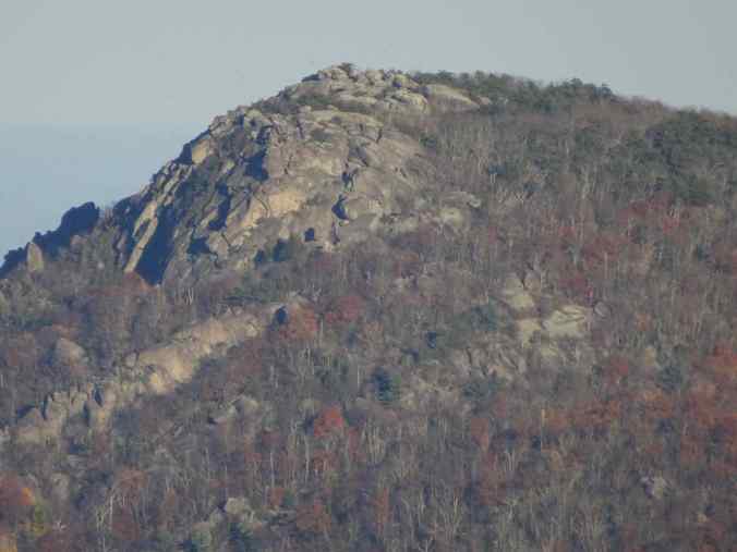
and closer
This was a successful trip. We wanted to see the fall foliage. The peak foliage was a little past at the top of the mountains, especially in Big Meadow, but was still sweeping in waves down the slopes, and is much more colorful than what we see in our home evergreen forests in Oregon.
The next morning we stopped for a last look from the Buck Hollow Overlook before driving back to Washington DC…
View from Buck Hollow Overlook
