We had five outdoor adventures in August.
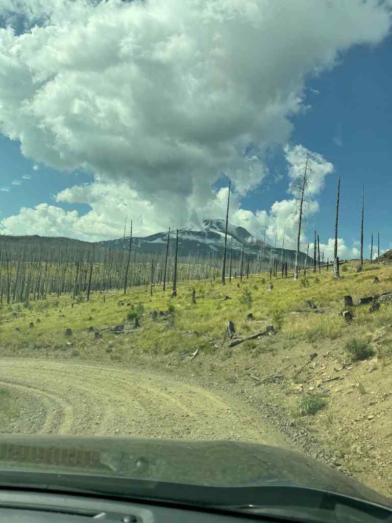
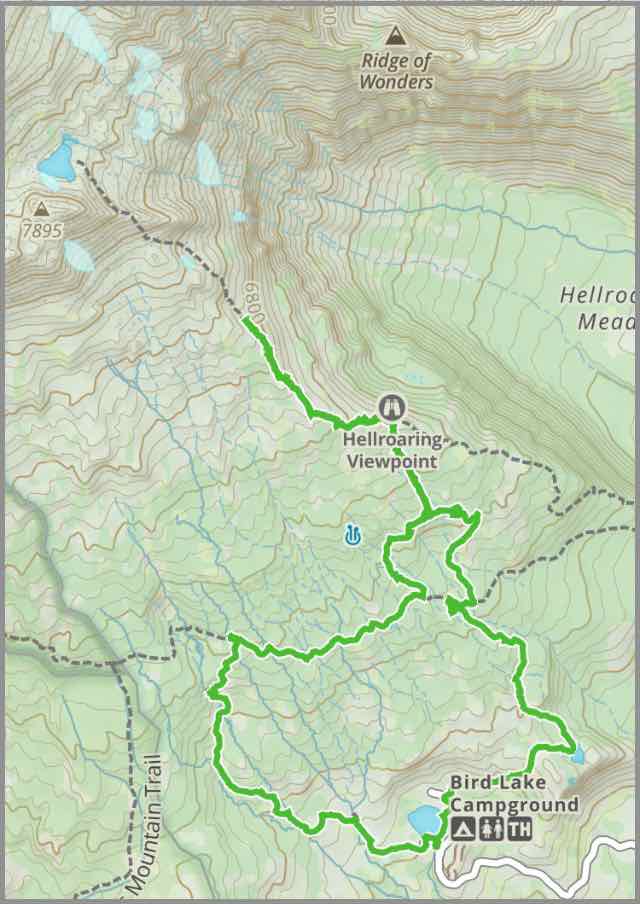
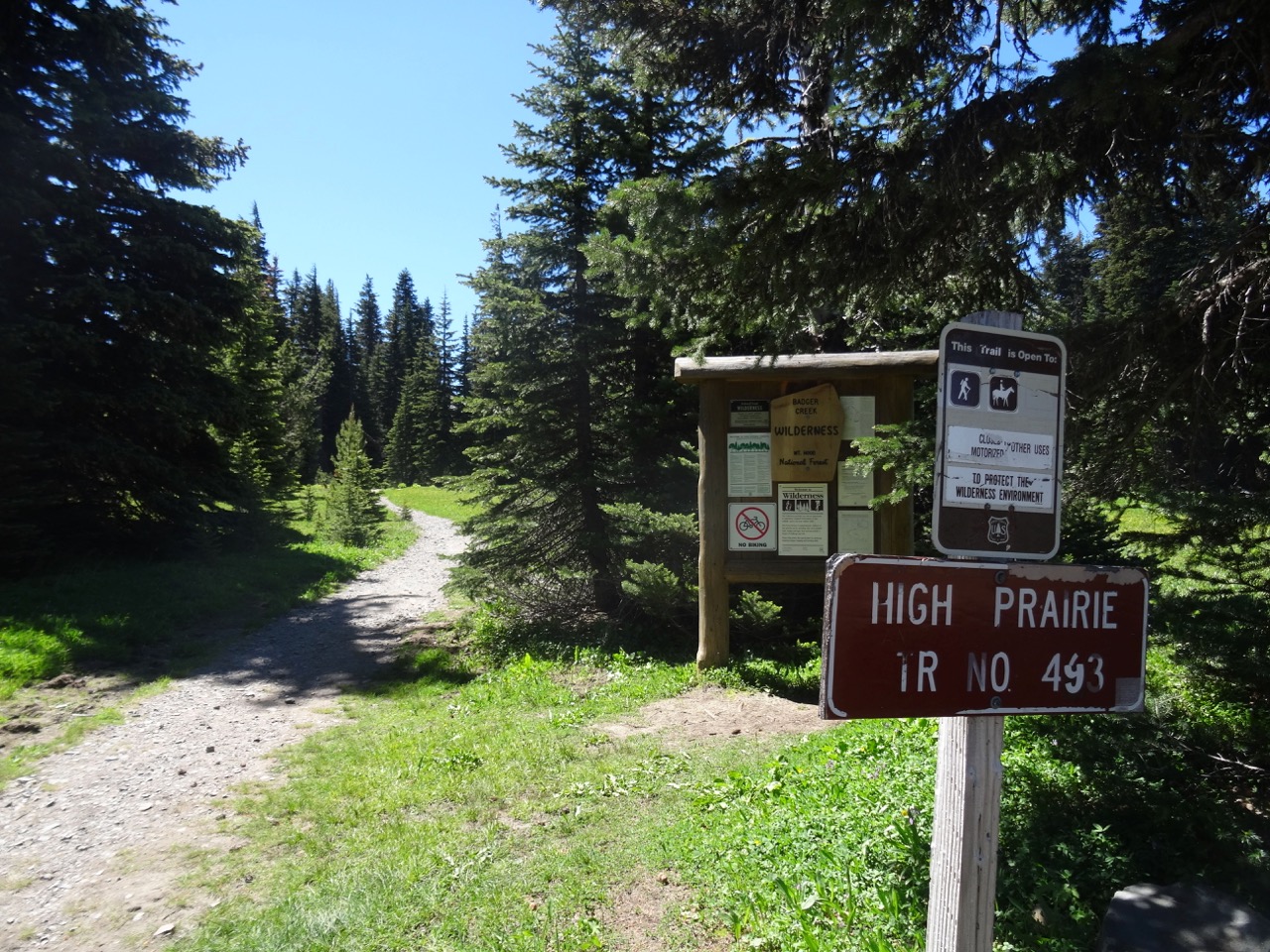
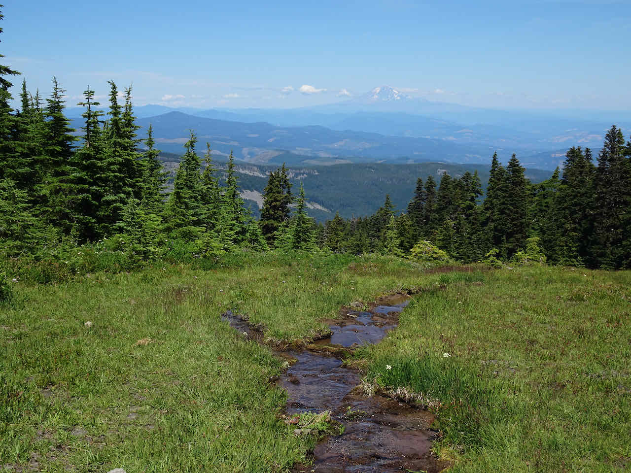
August 1 – Bird Creek Meadows, Mount Adams, WA
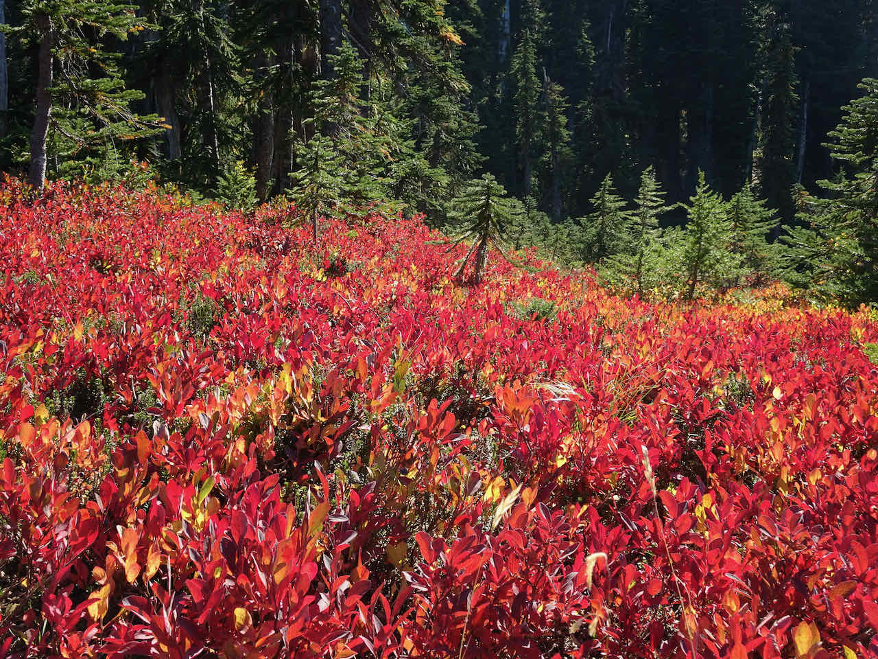
The hiking trails in the Yakama Nation Track D were opened earlier this year, in good time to see the lush wildflower meadows the area is famous for. We repeated the loop we hiked in September last year, this time seeing the full midsummer display.
We began again at Bird Lake:

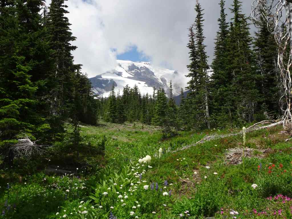
Mt Adams and Bird Lake

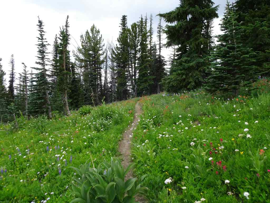
Bird Creek Meadows hike track
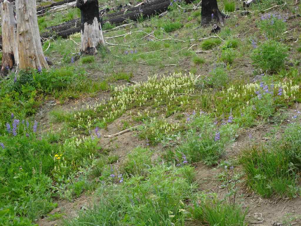
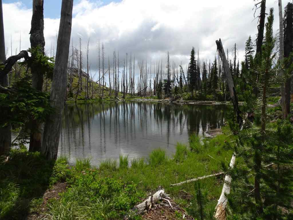
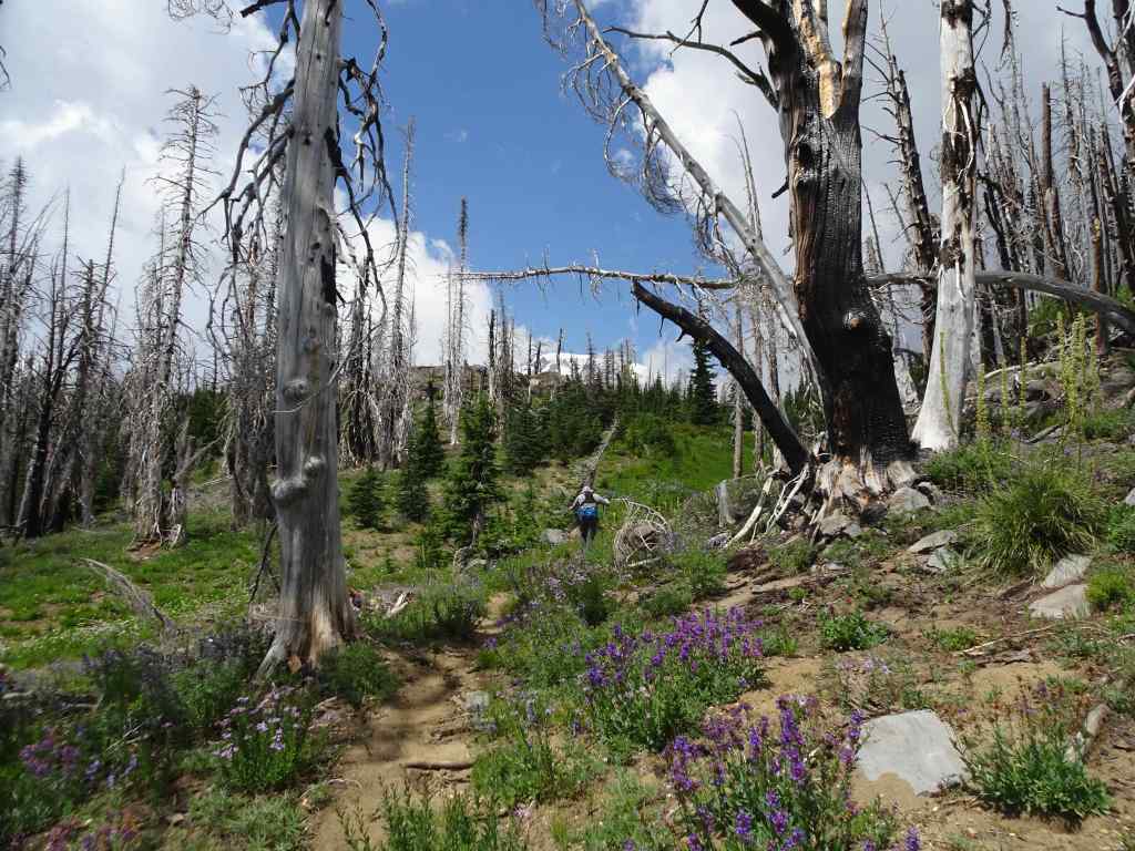
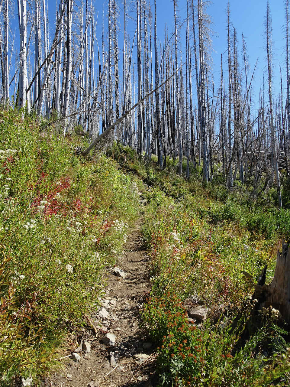
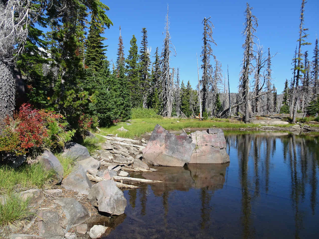
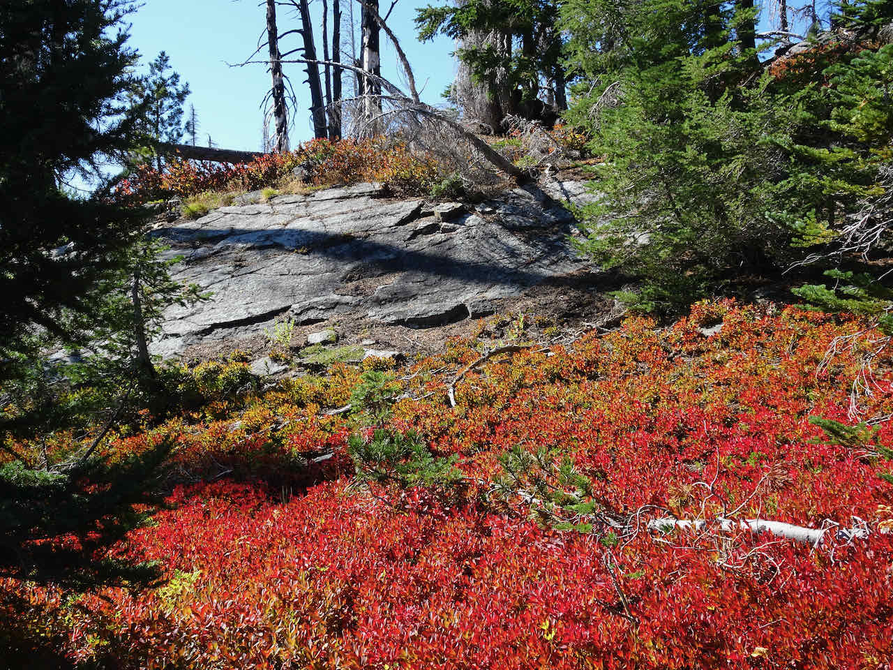
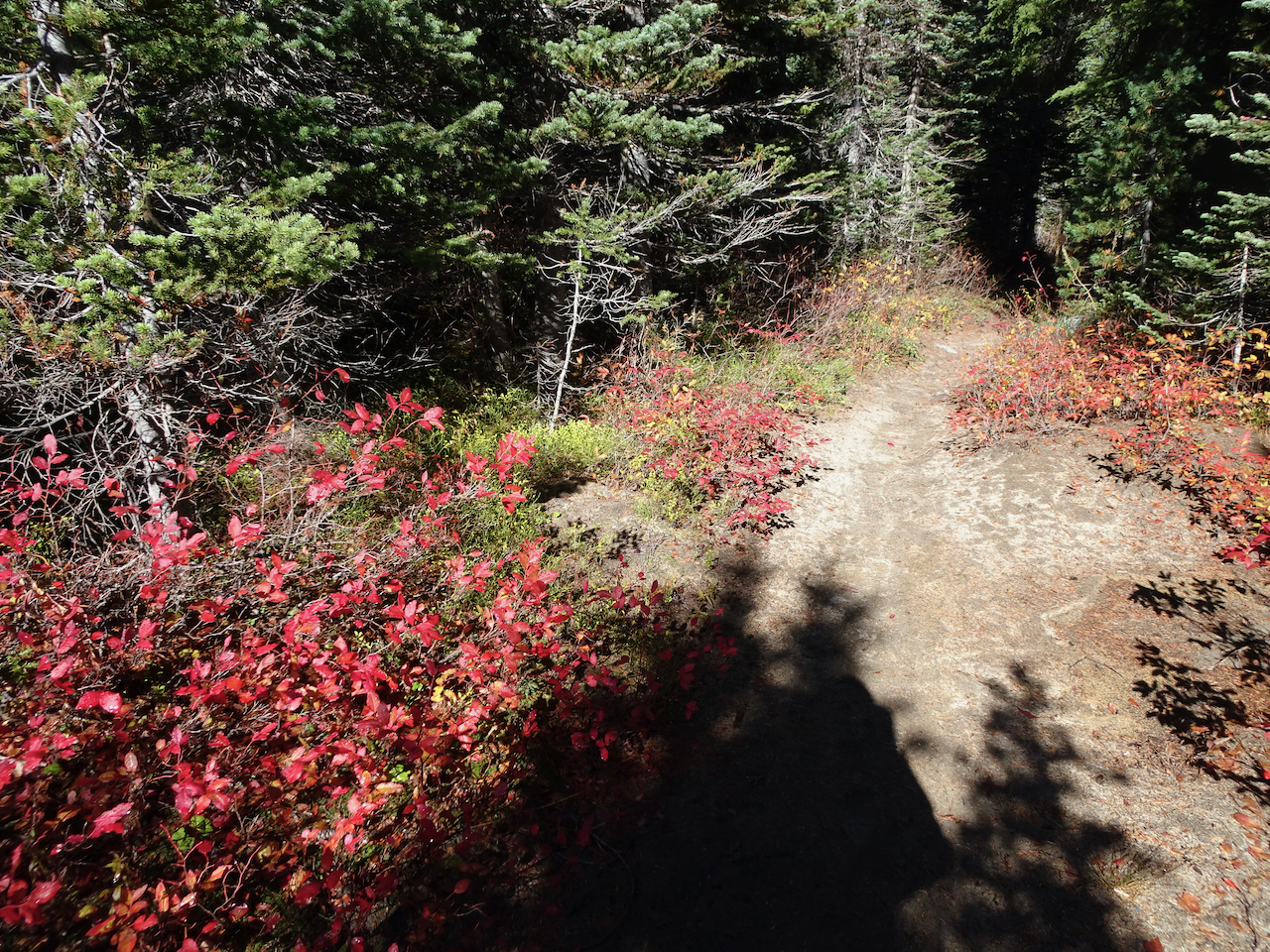
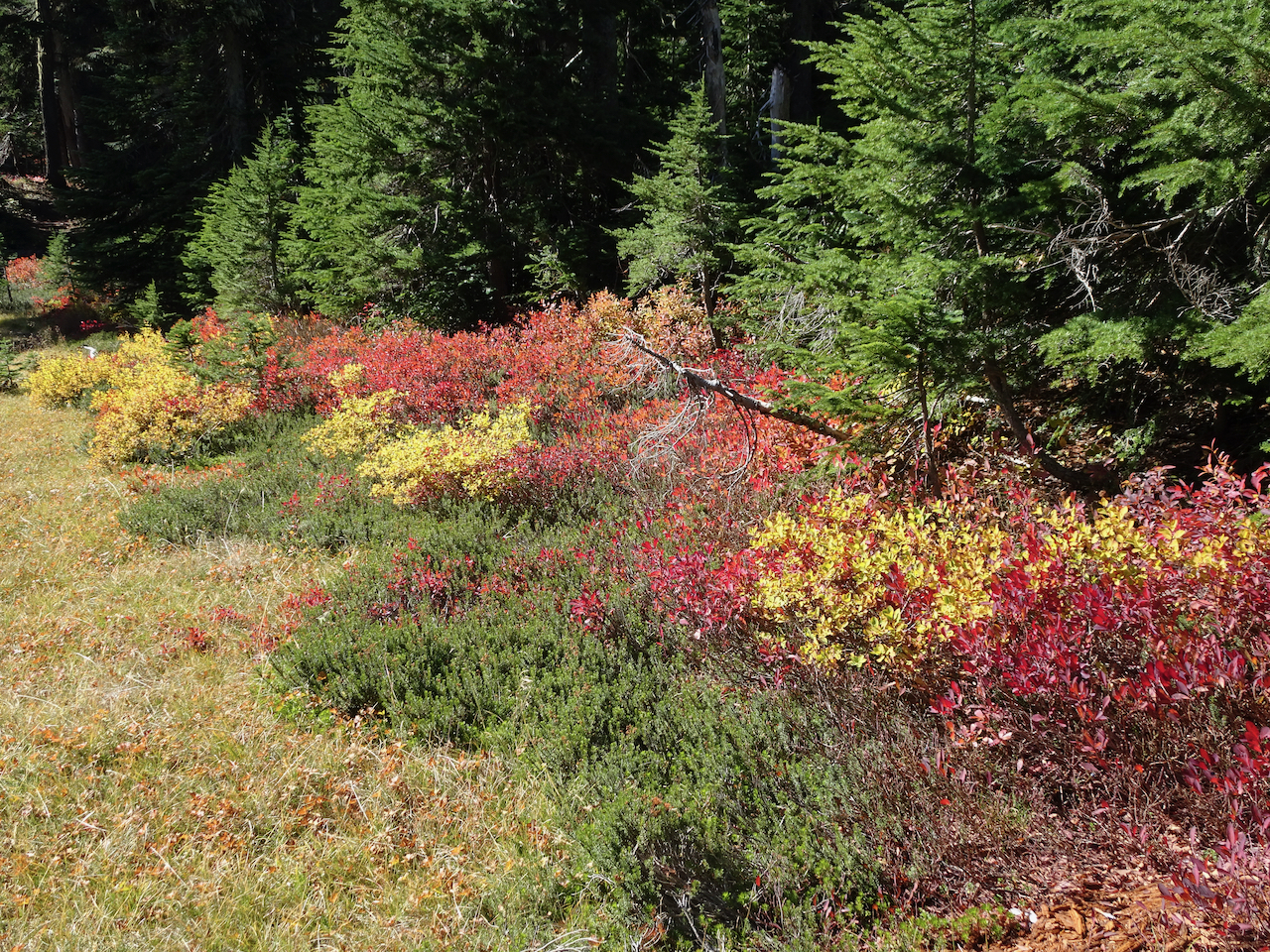
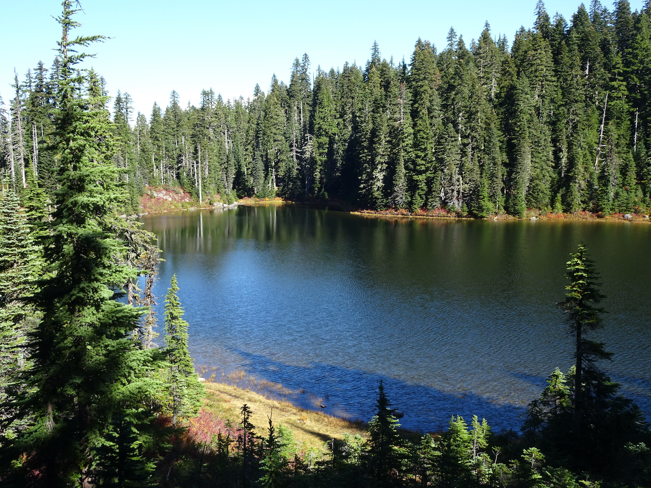
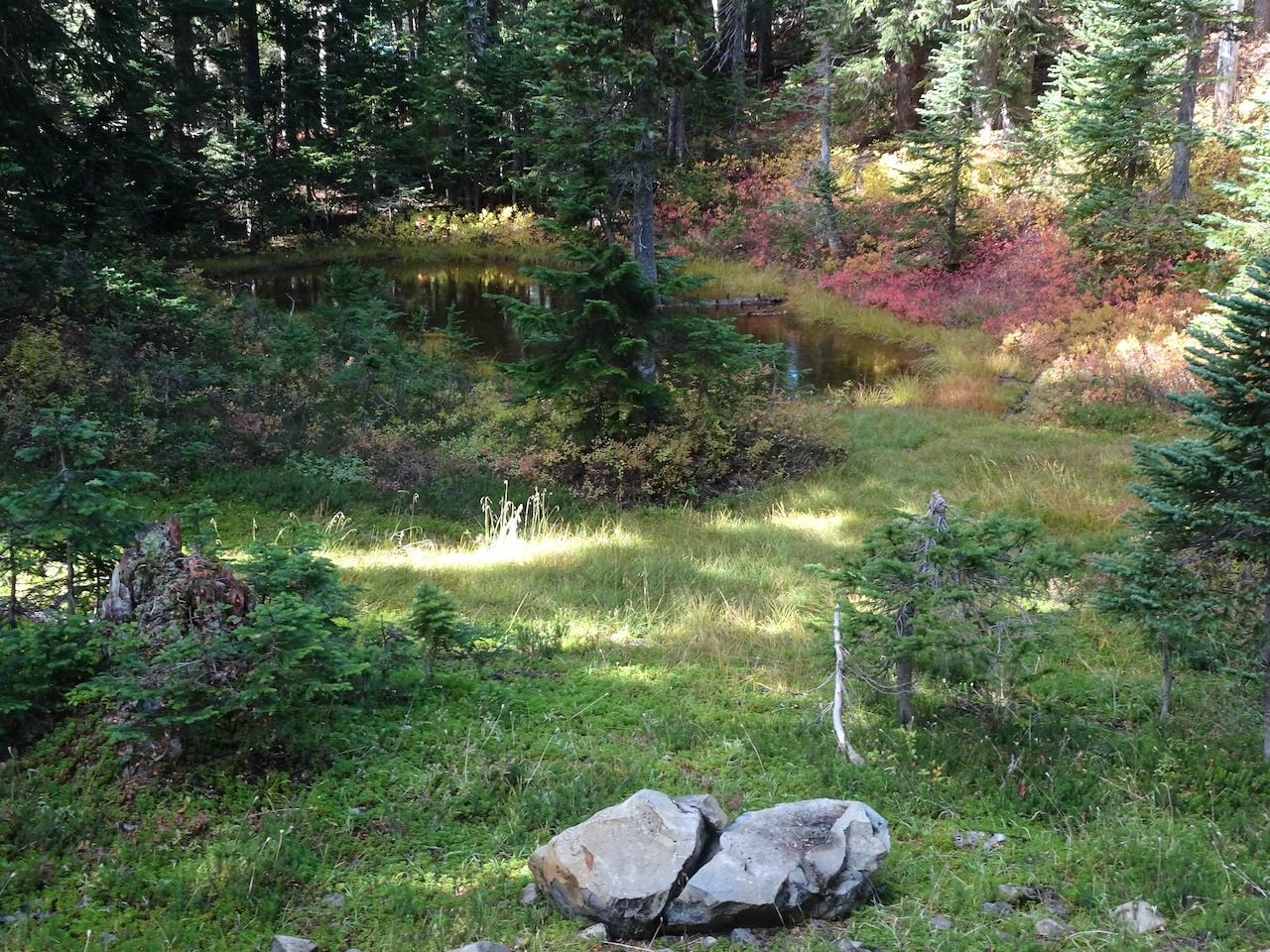
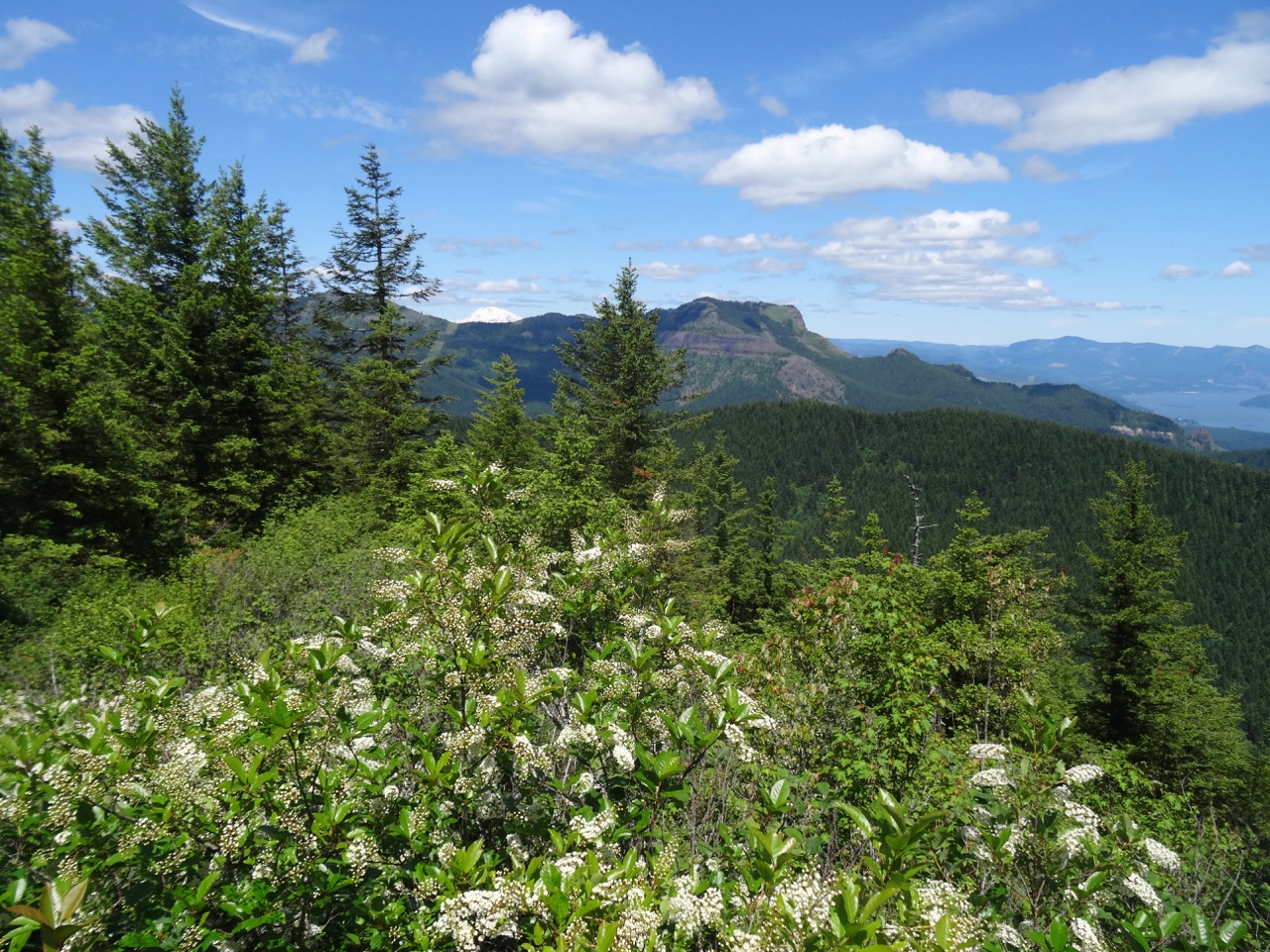
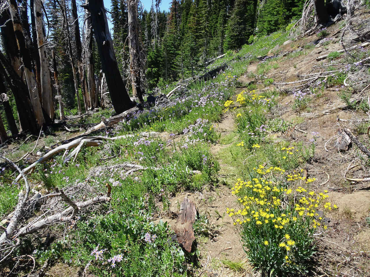
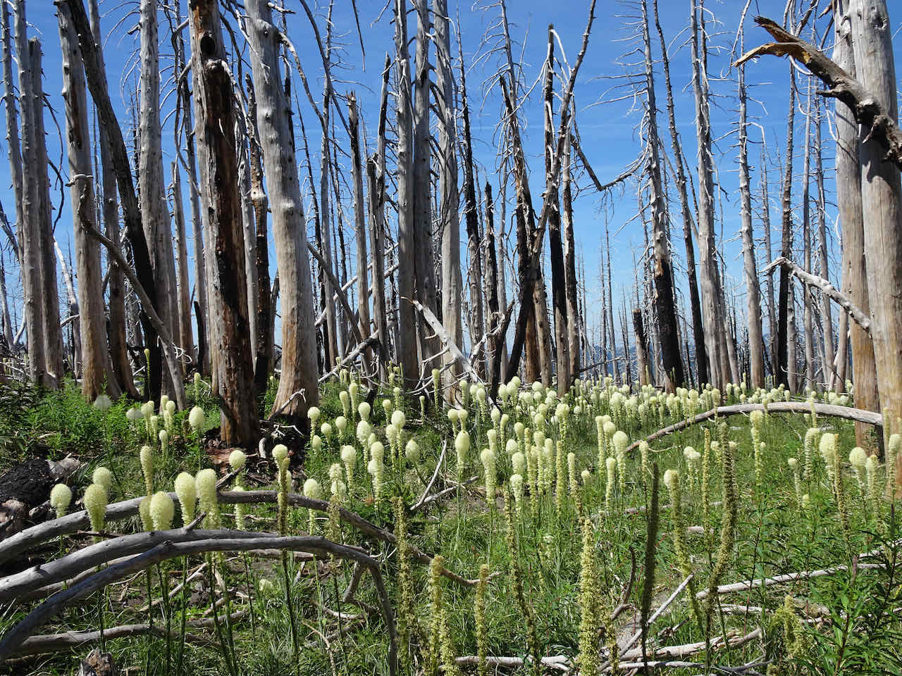
We started uphill through the burn zone toward Bluff Lake, lush flowers along the trail:

Bluff Lake
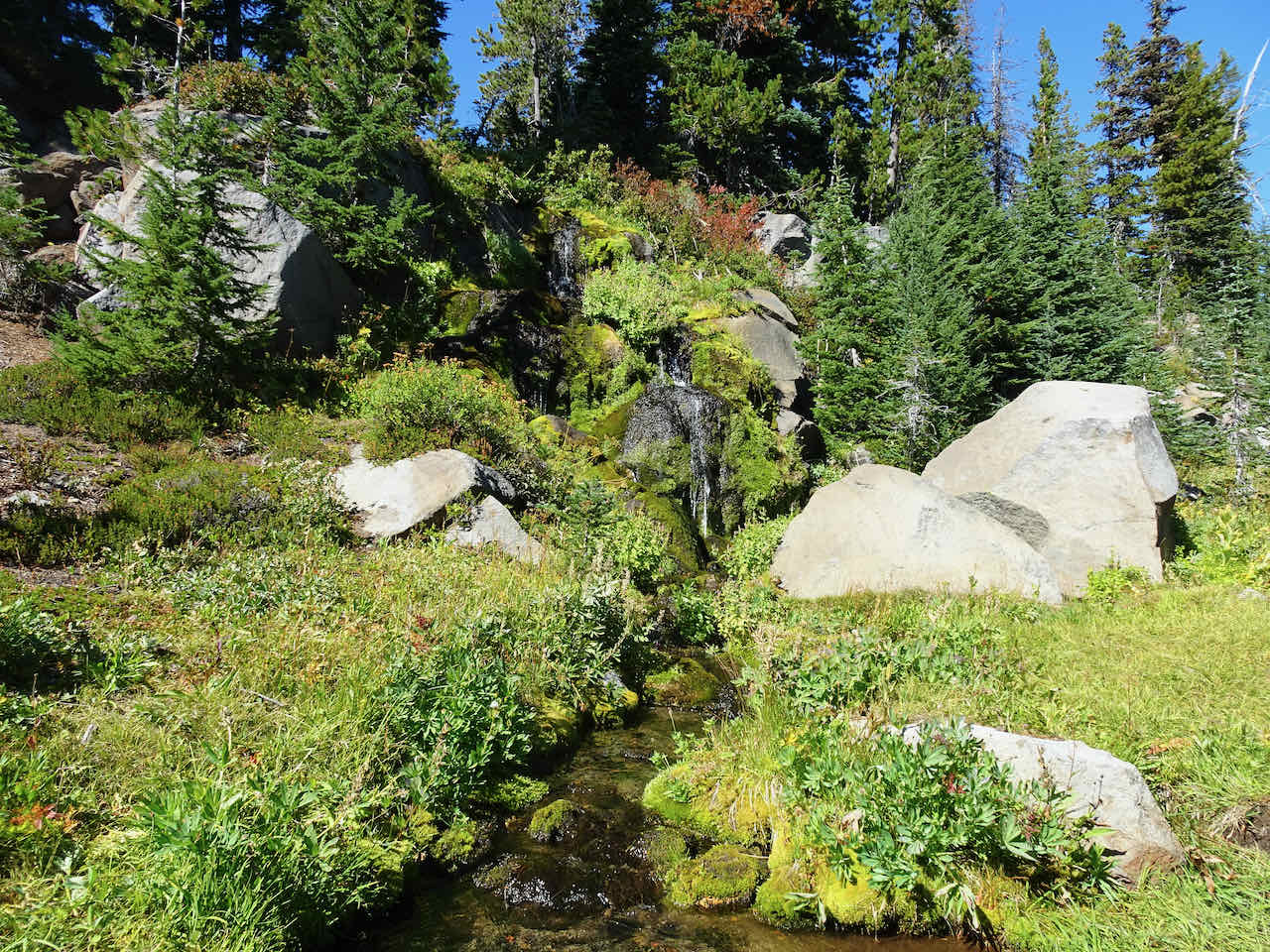
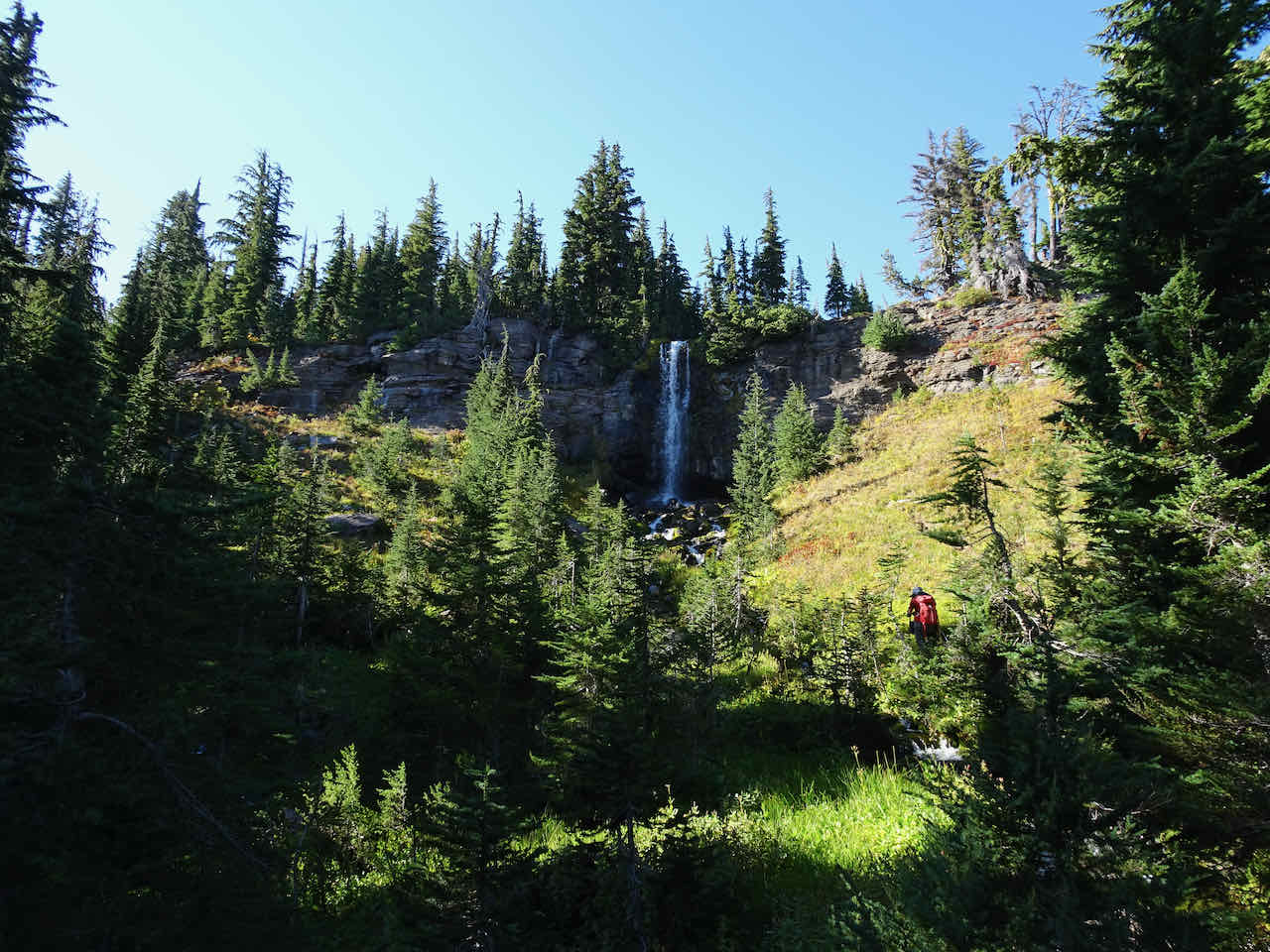
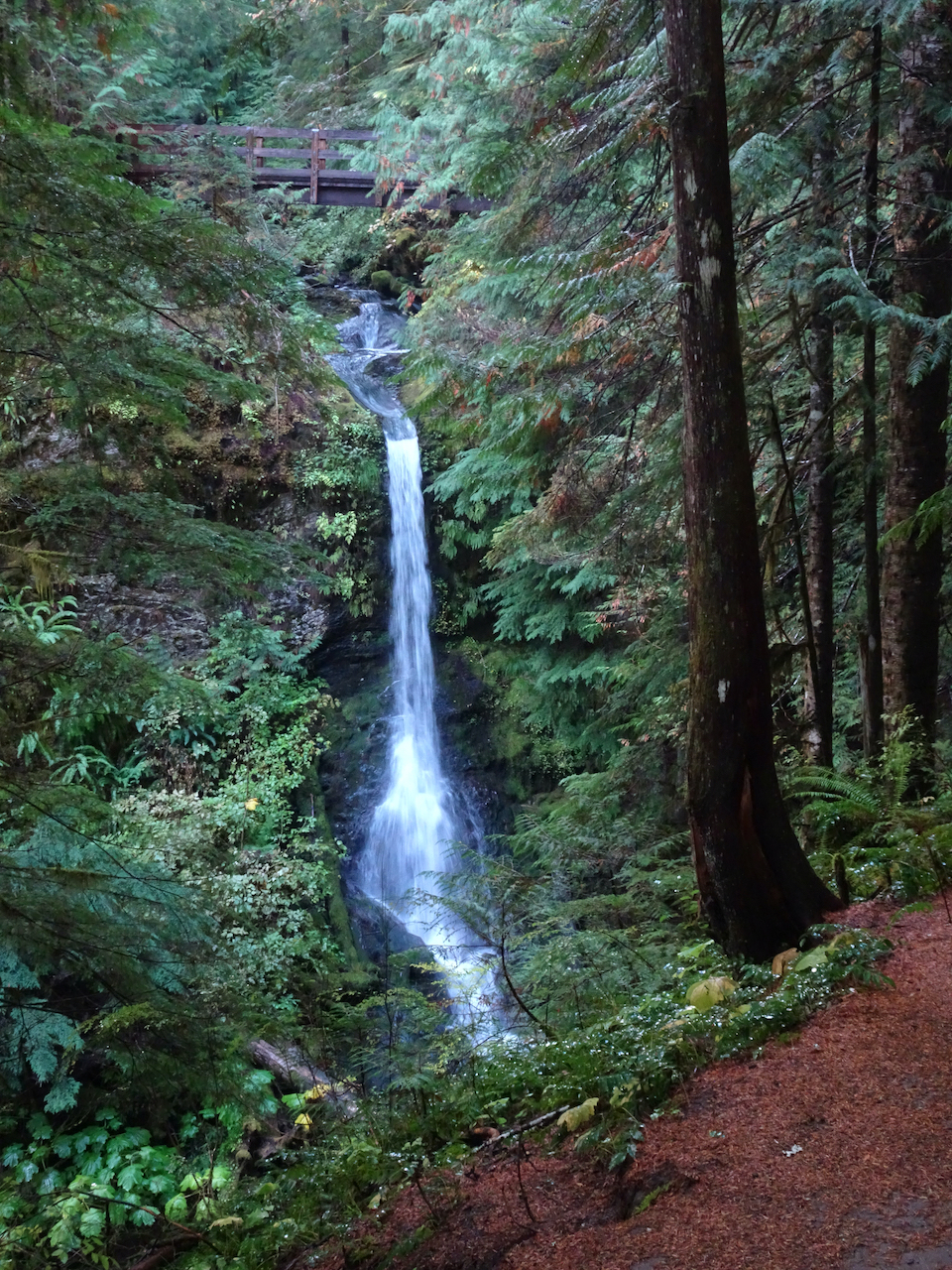
We continued upward toward the Trail of Flowers, passing Staircase Falls on the way.
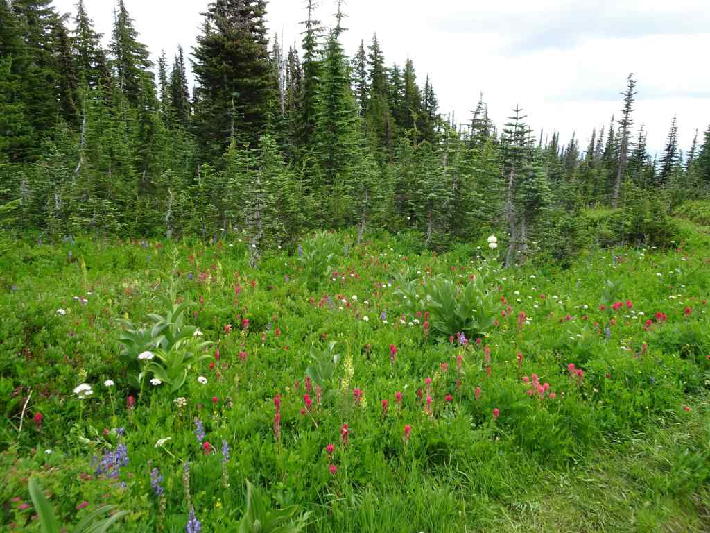
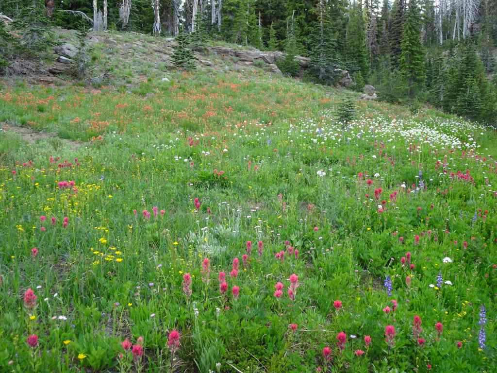
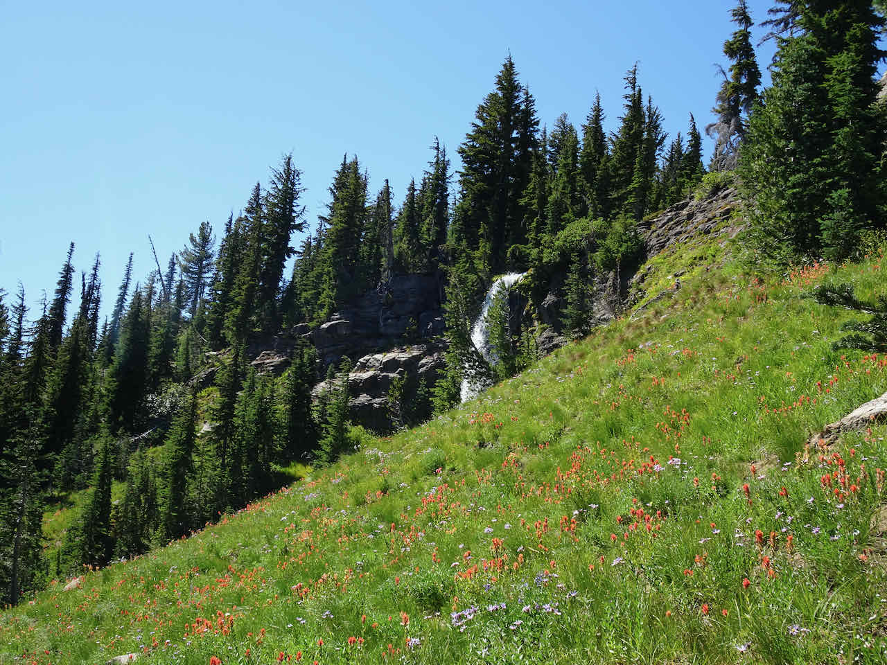
Wildflower meadows all the way up.

Staircase Falls
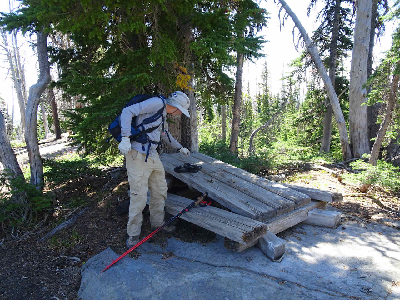
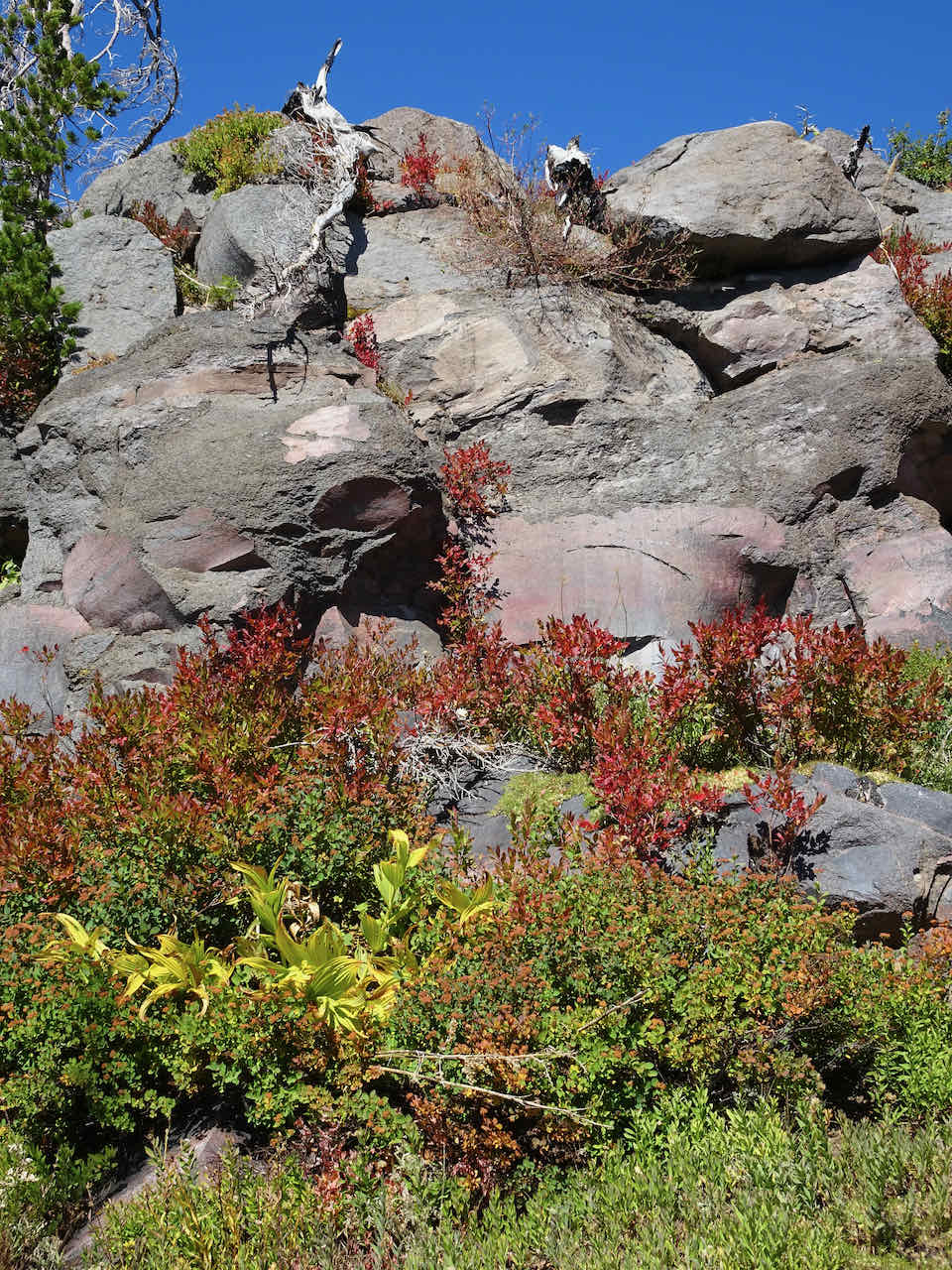
Remnants of the picnic area along the Trail of Flowers
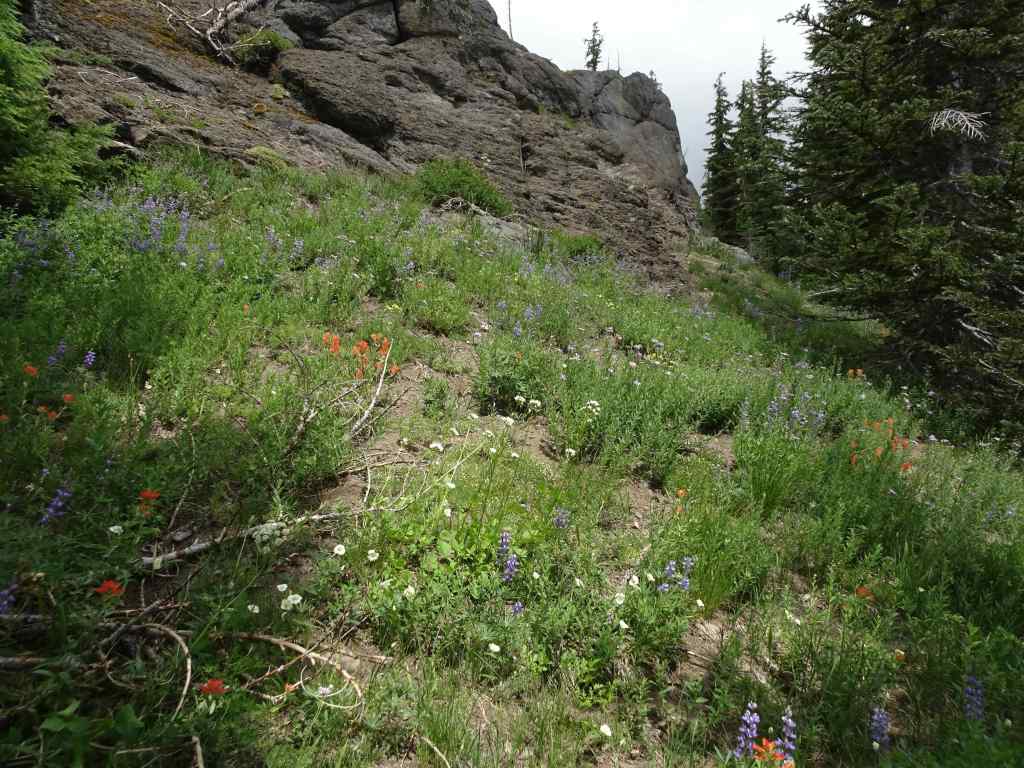
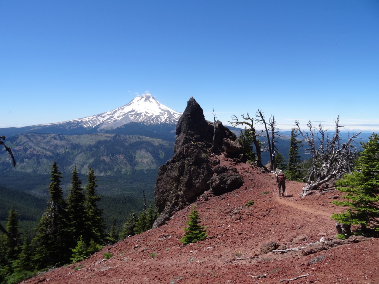
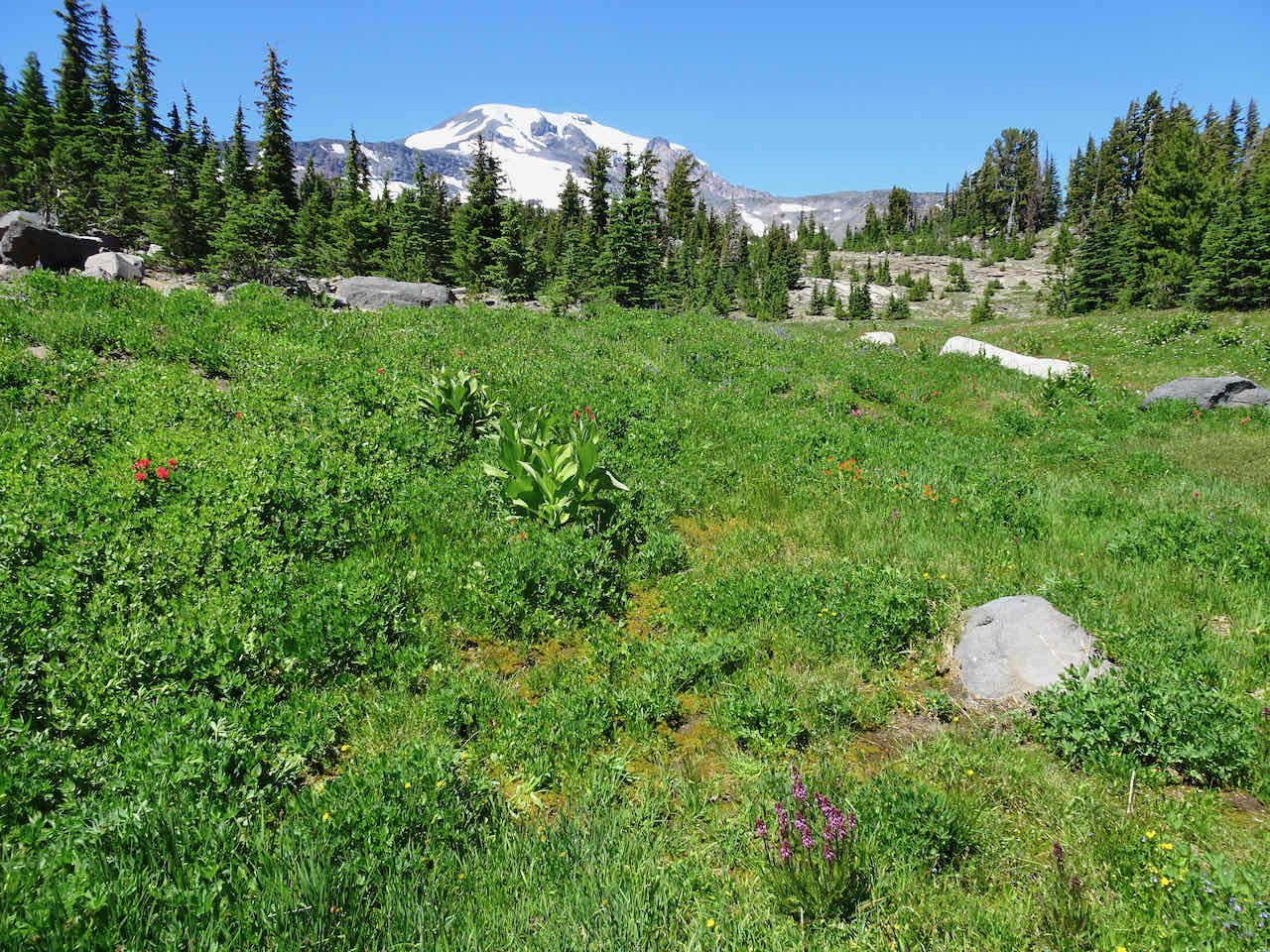
We continued upward, along trails through dryer slopes, also lined with flowers, to the Mt Hood viewpoint.


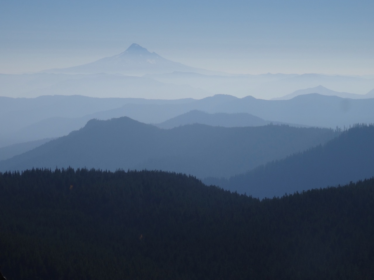
Mount Hood to the south
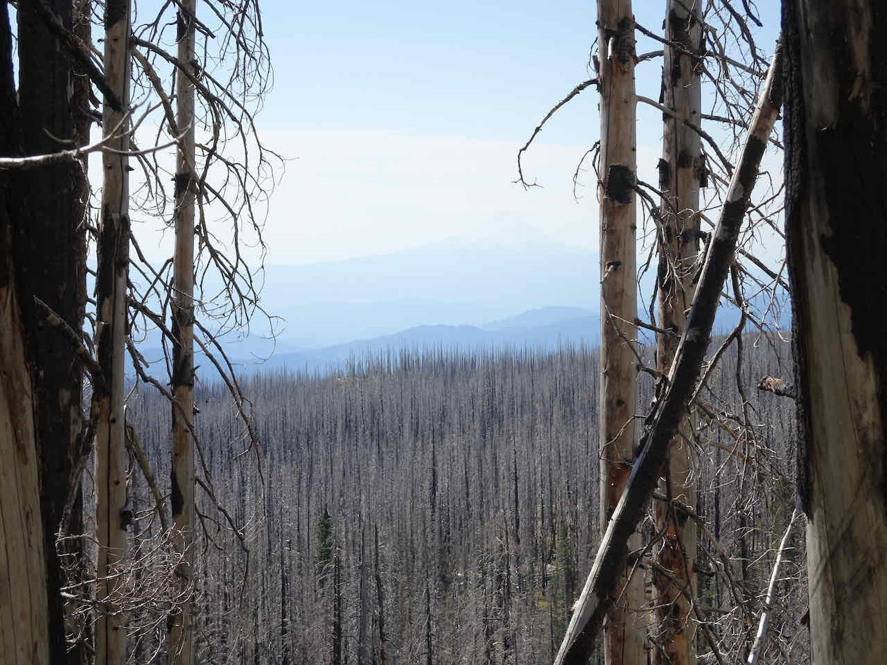
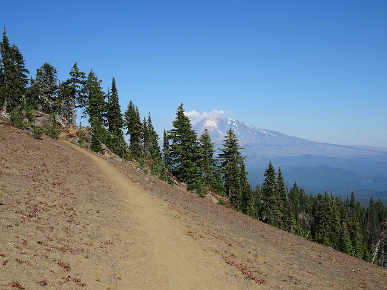
Continuing upward, through more wildflower meadows, to the Hellroaring Viewpoint…
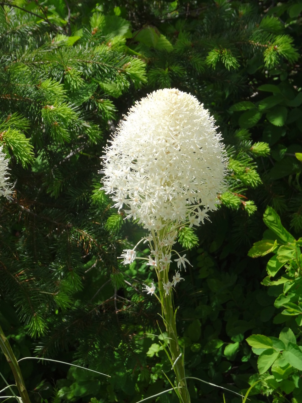
Elephanthead lousewort in the meadows on the way to Hellroaring Viewpoint
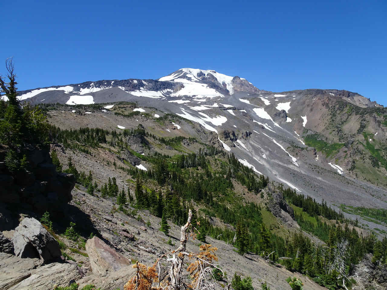
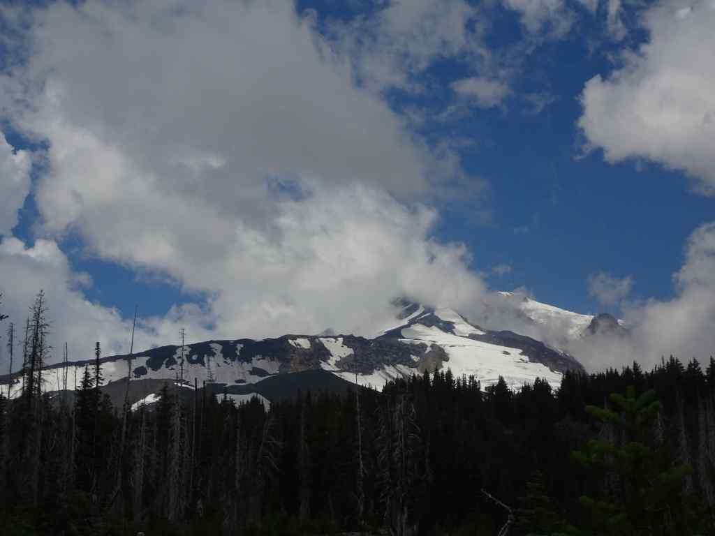
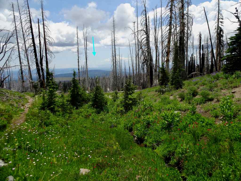
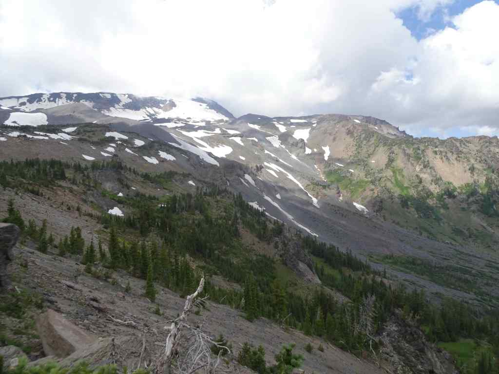
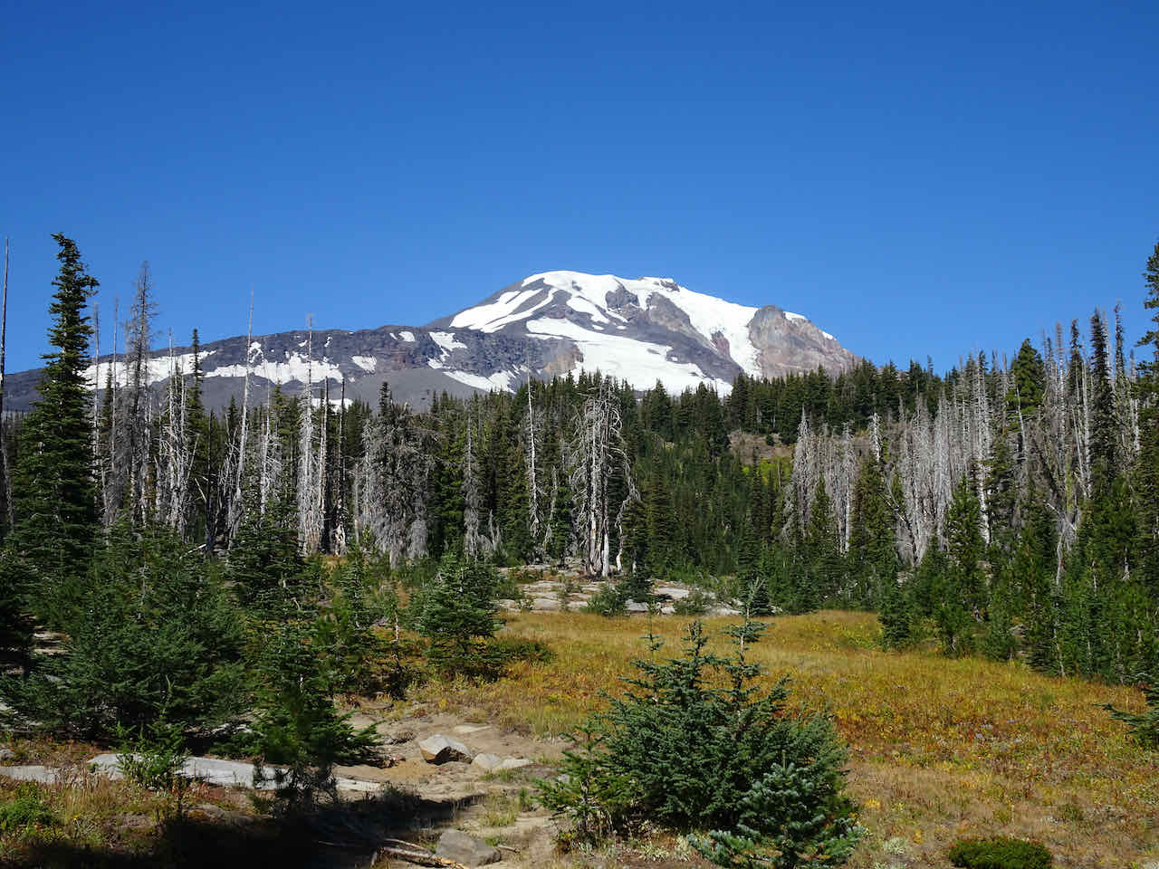
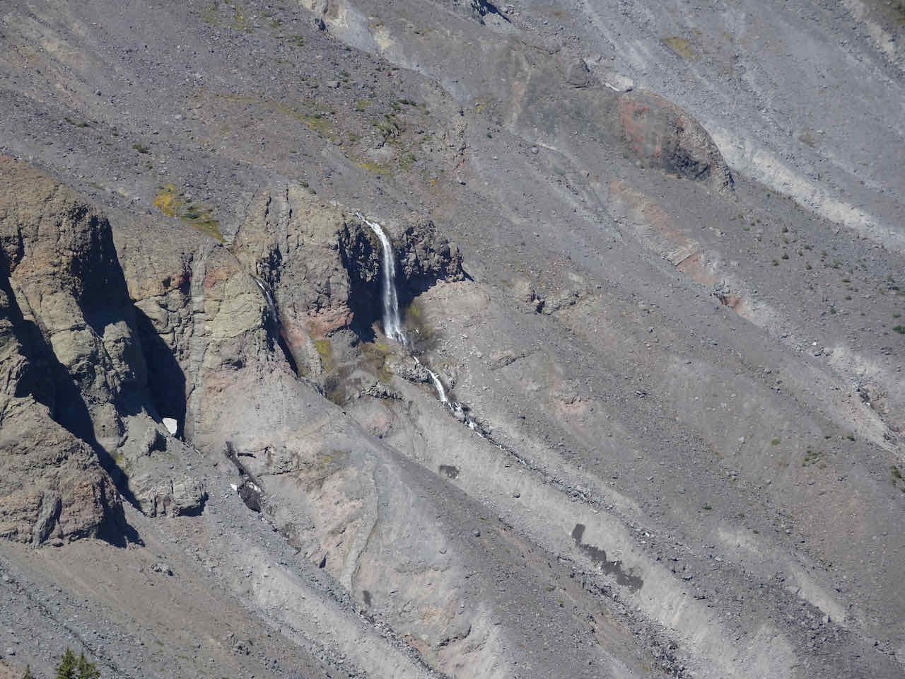
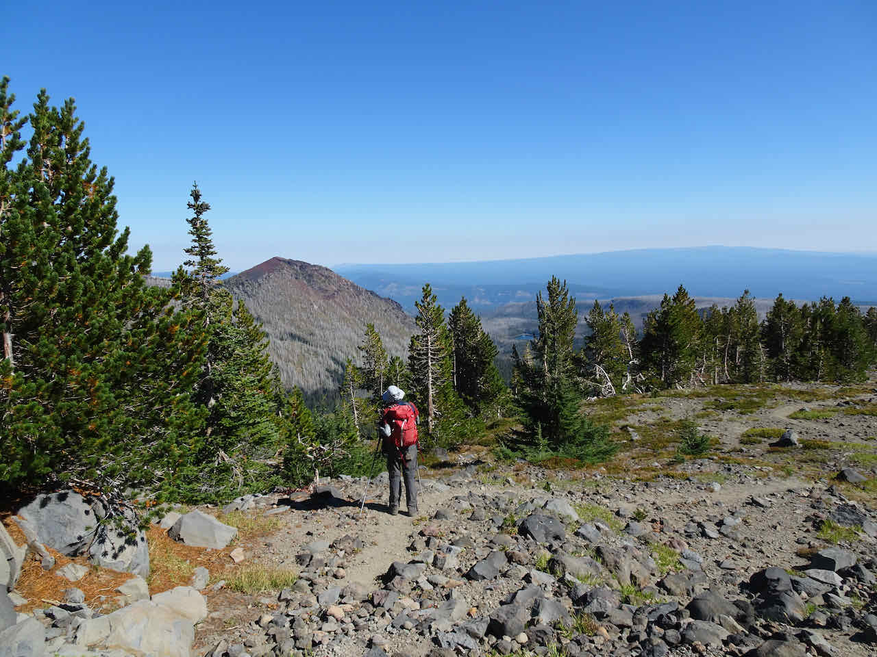
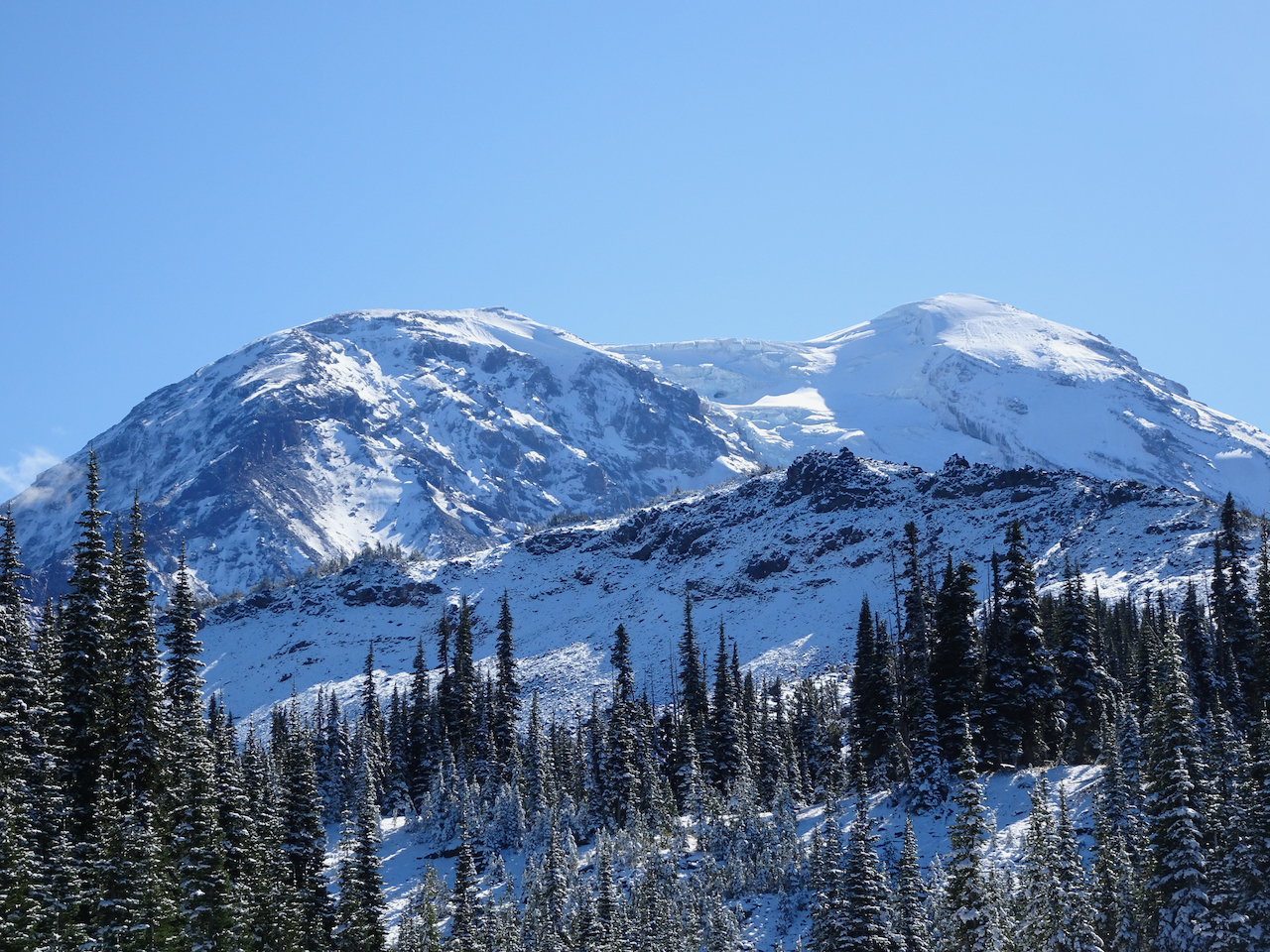
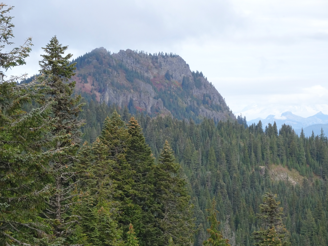
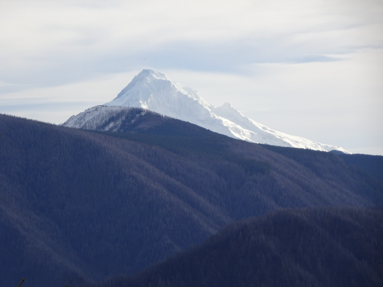
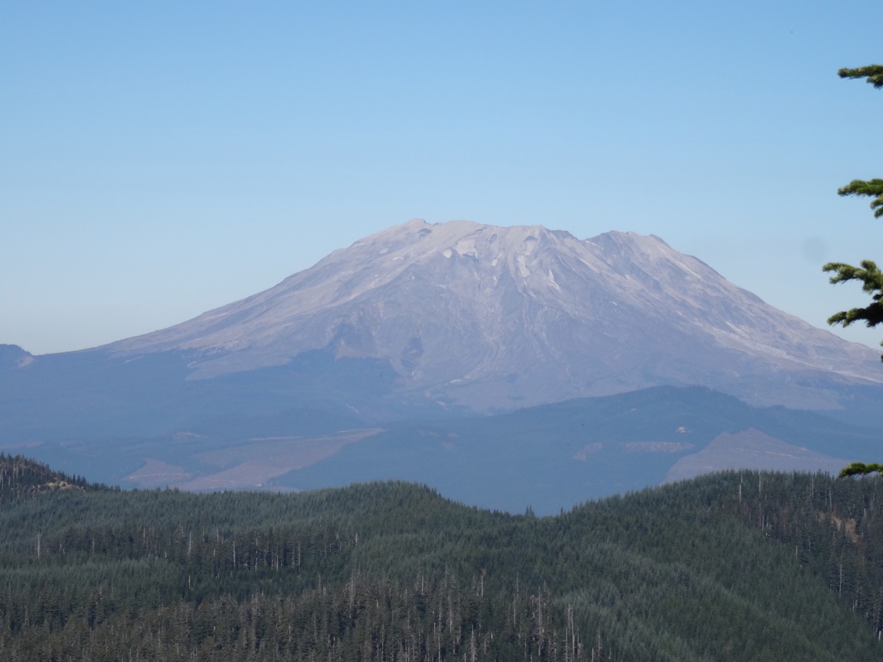
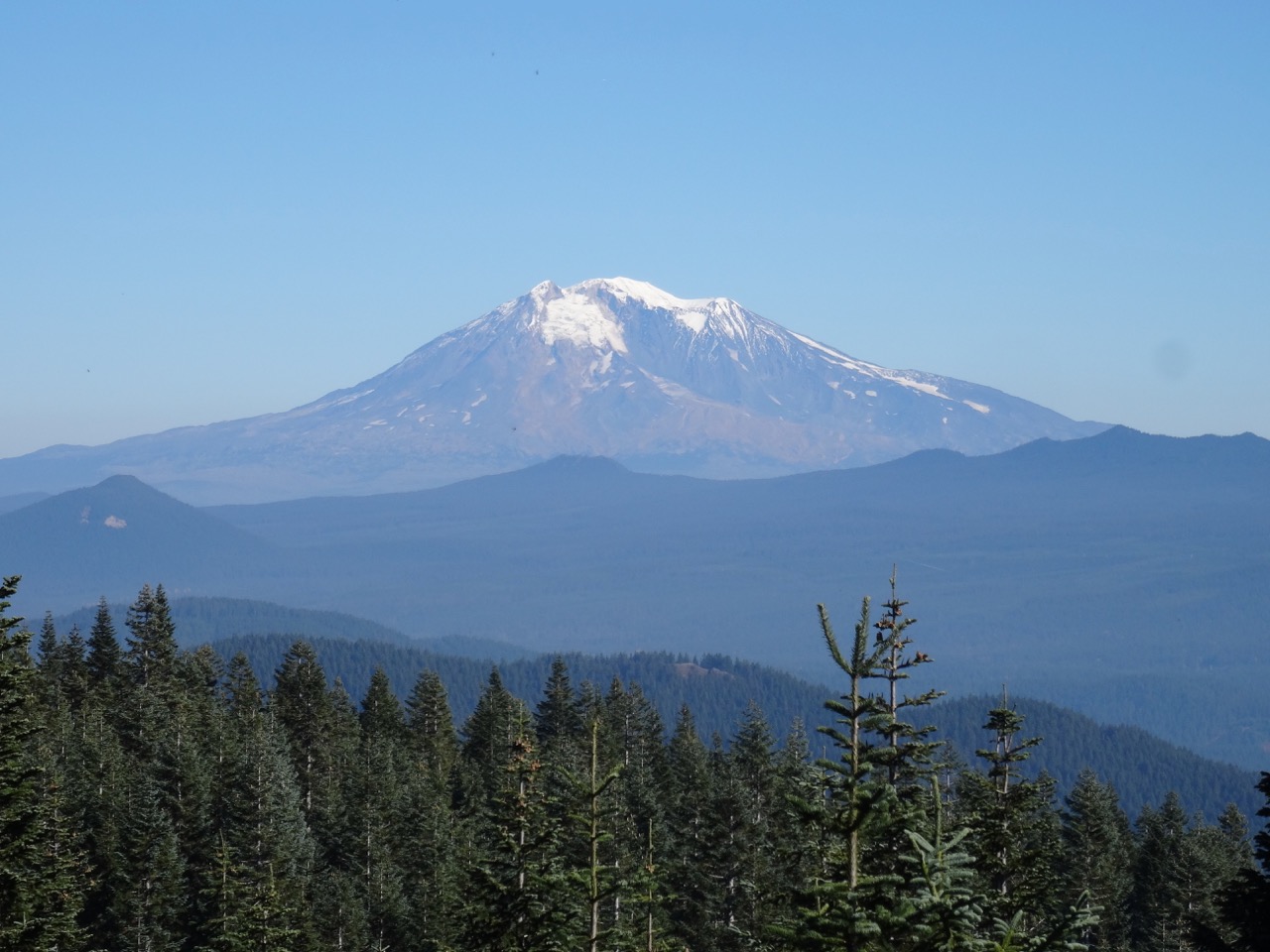
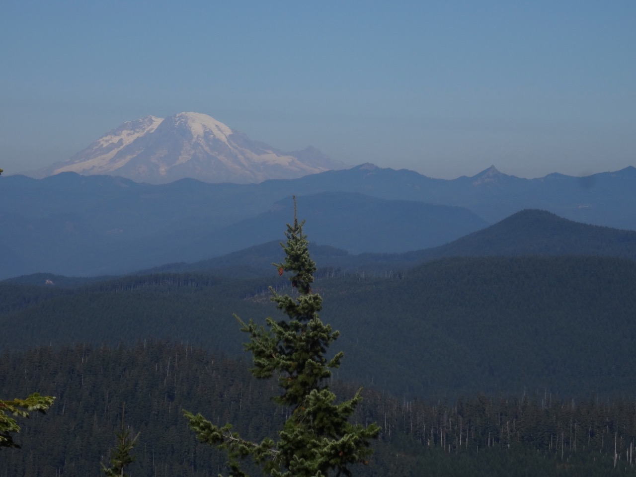
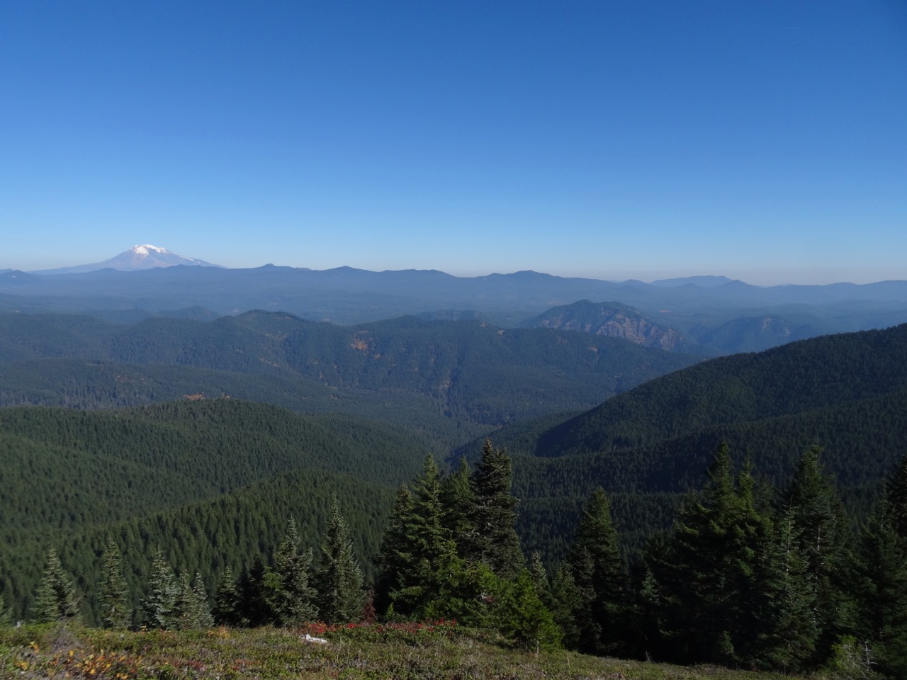
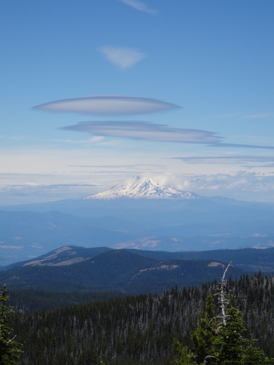
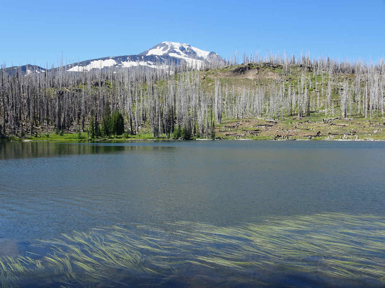
Mt Adams from Hellroaring Viewpoint

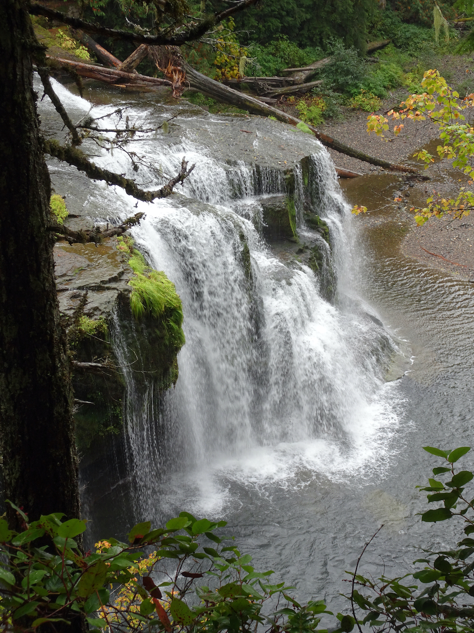
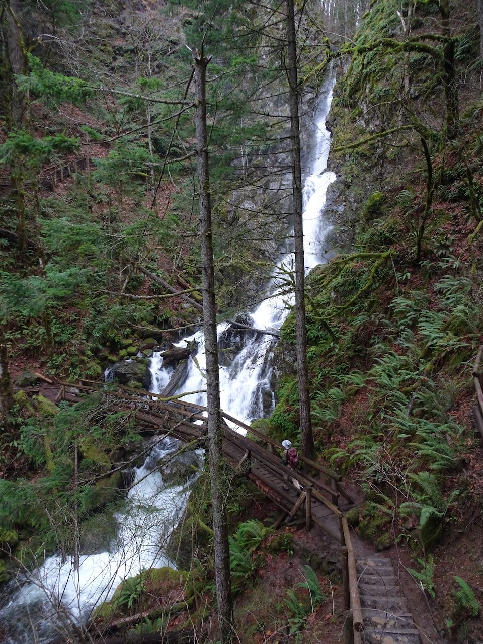
Hellroaring Falls
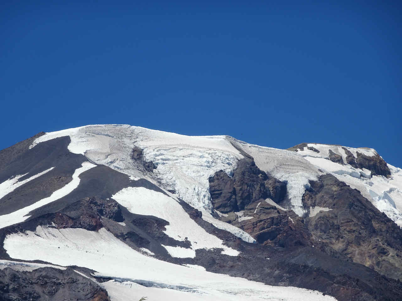
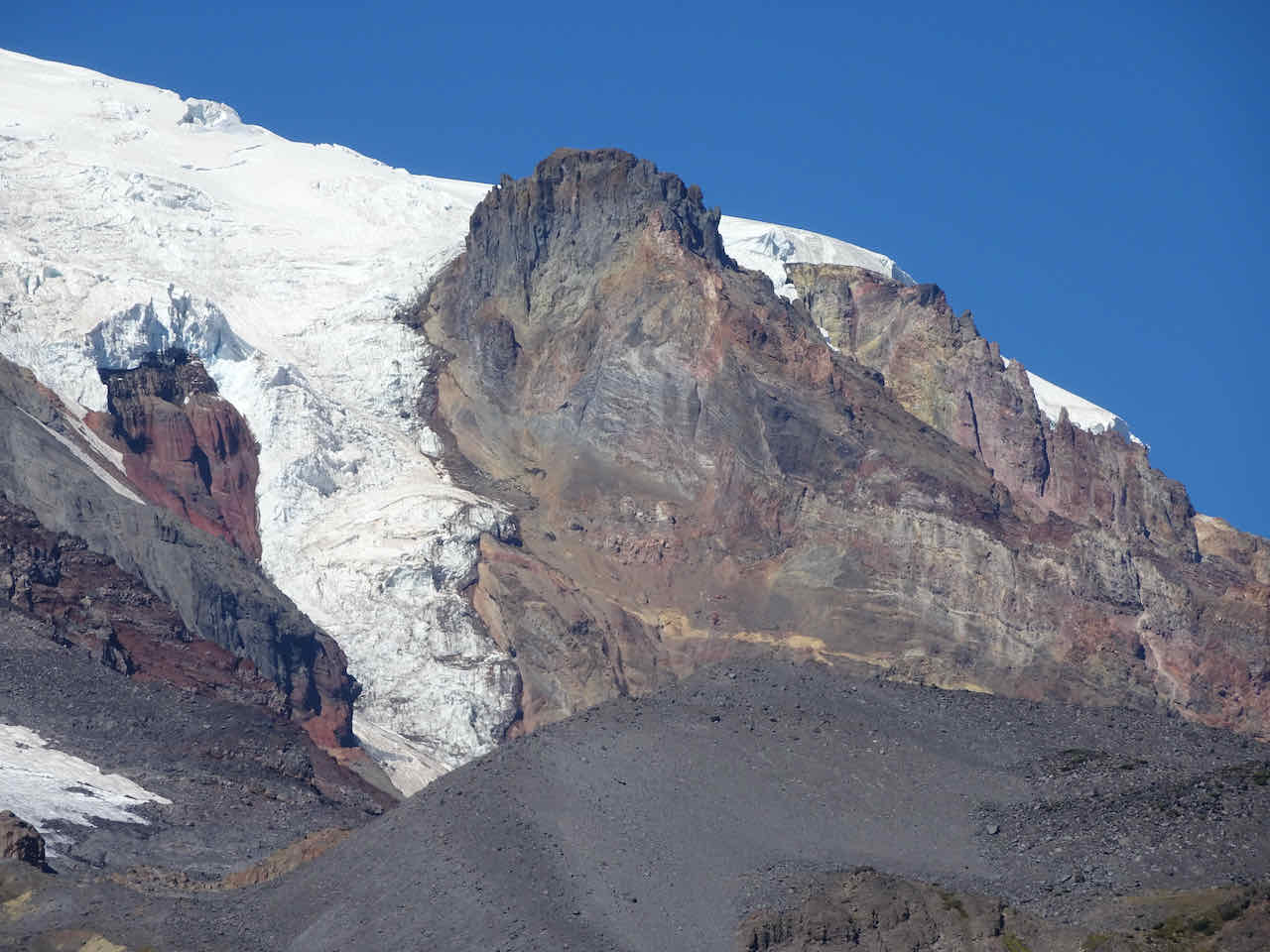
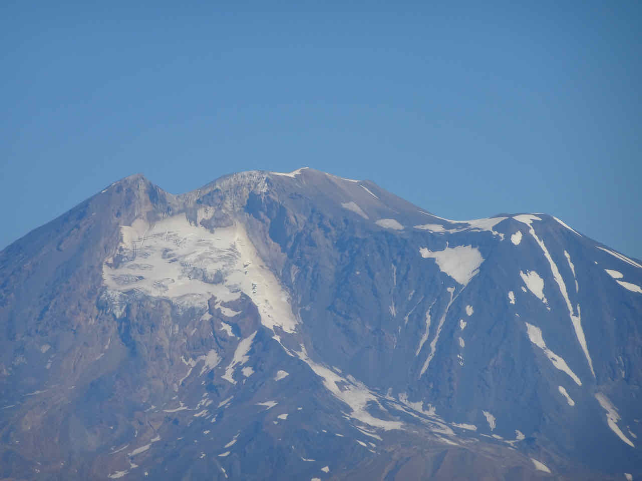
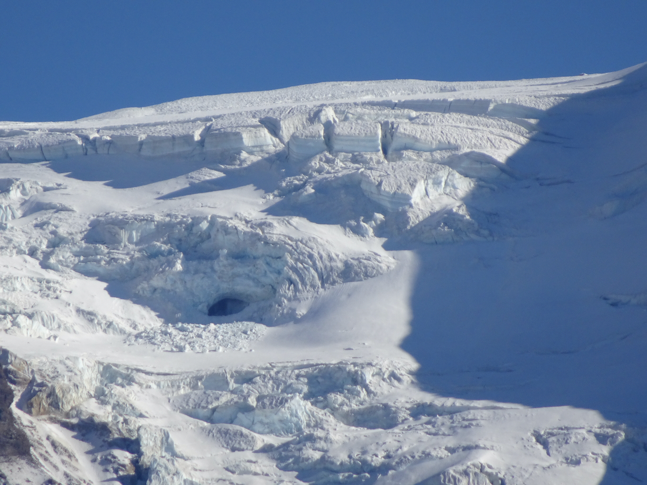
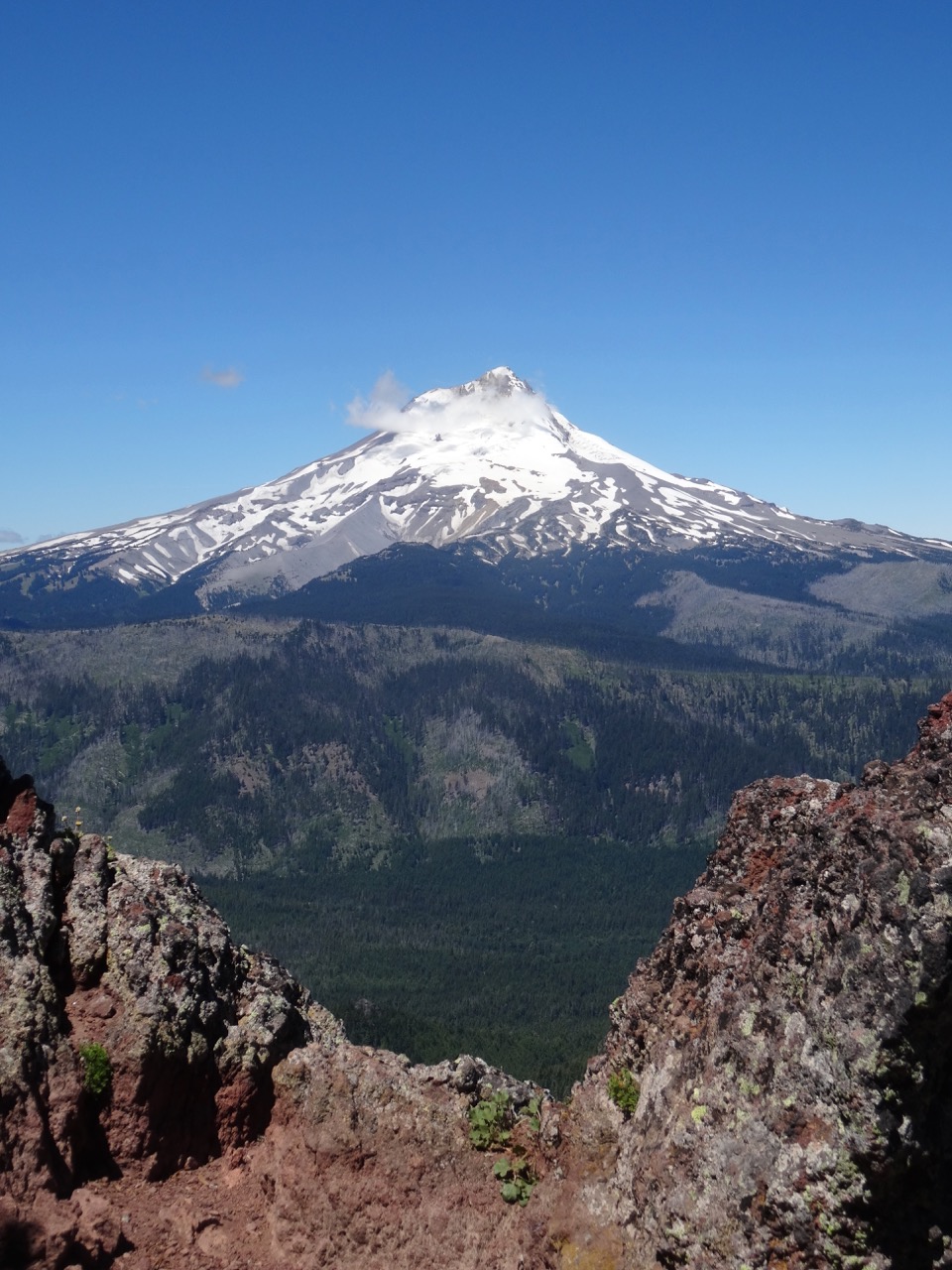
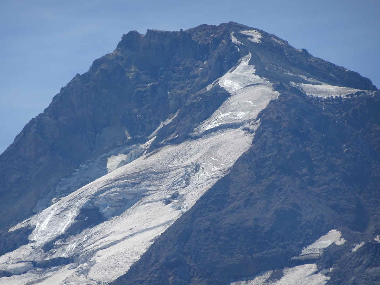
Top of Mt Adams, with glaciers
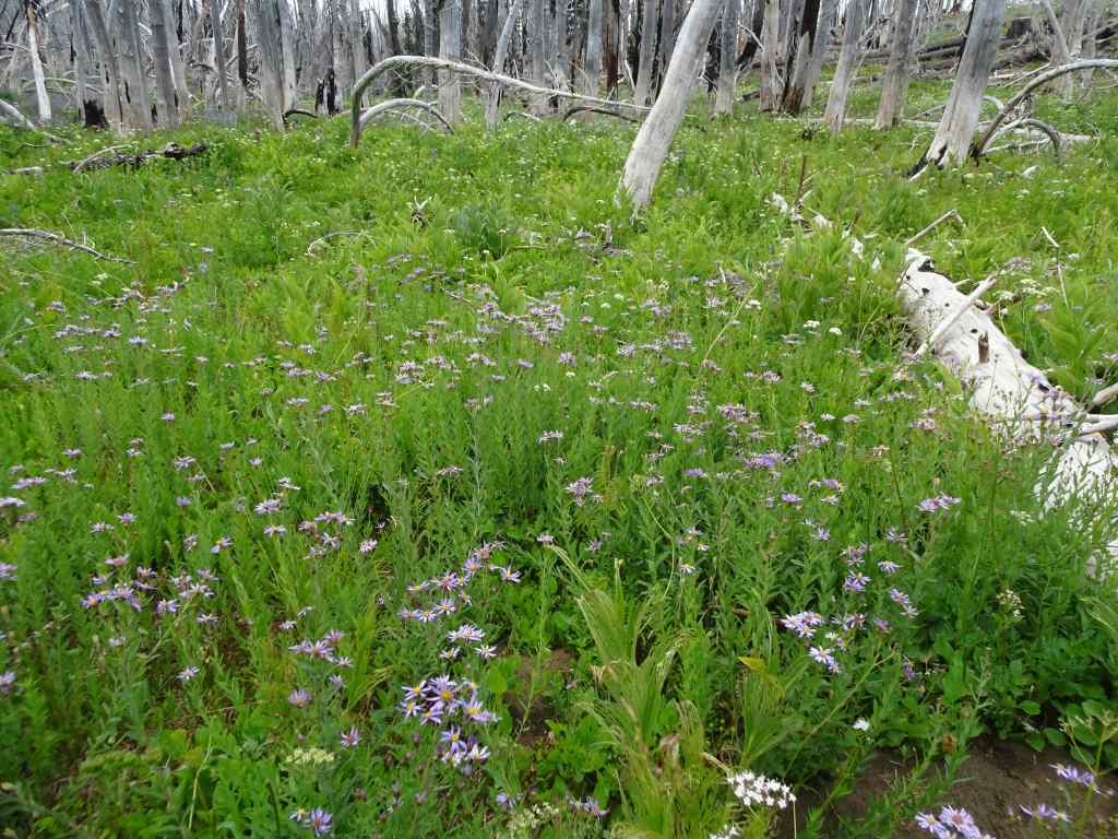
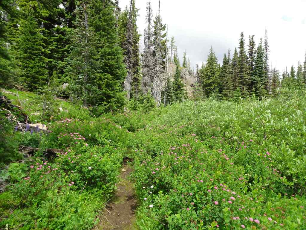
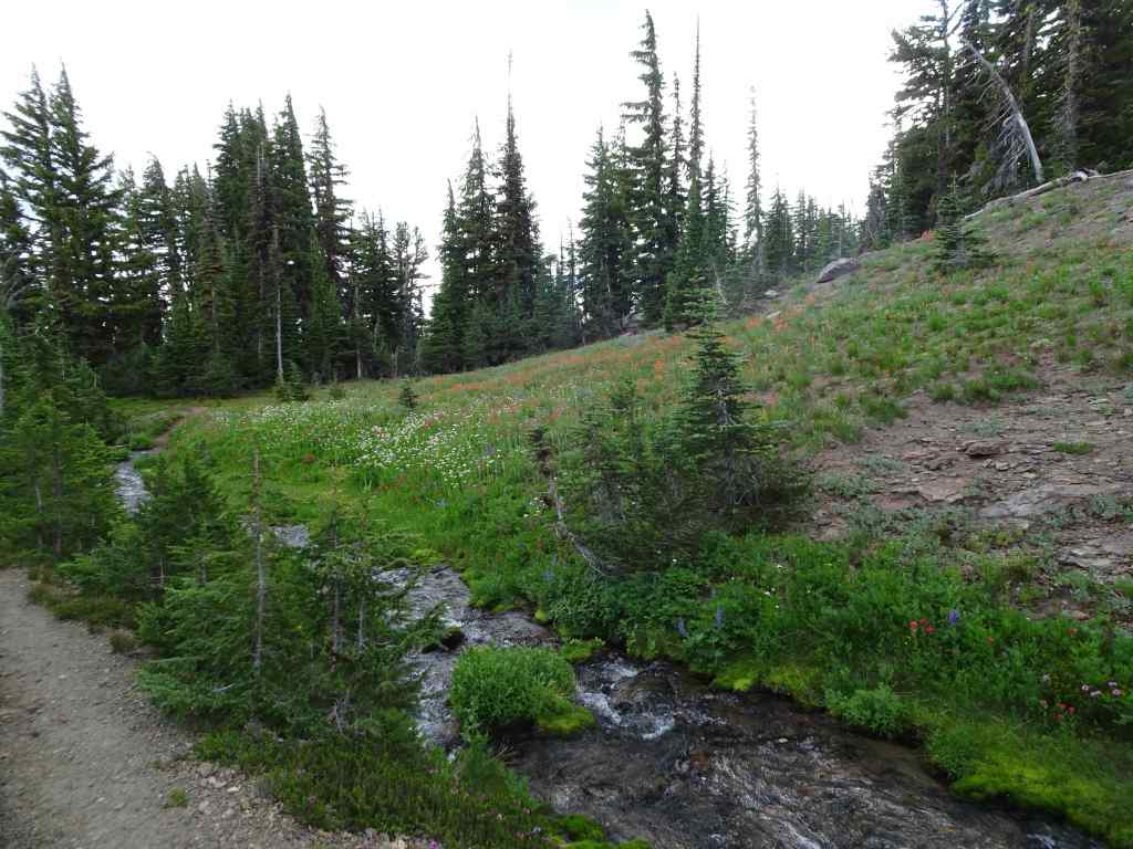
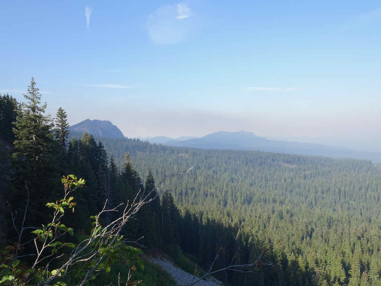
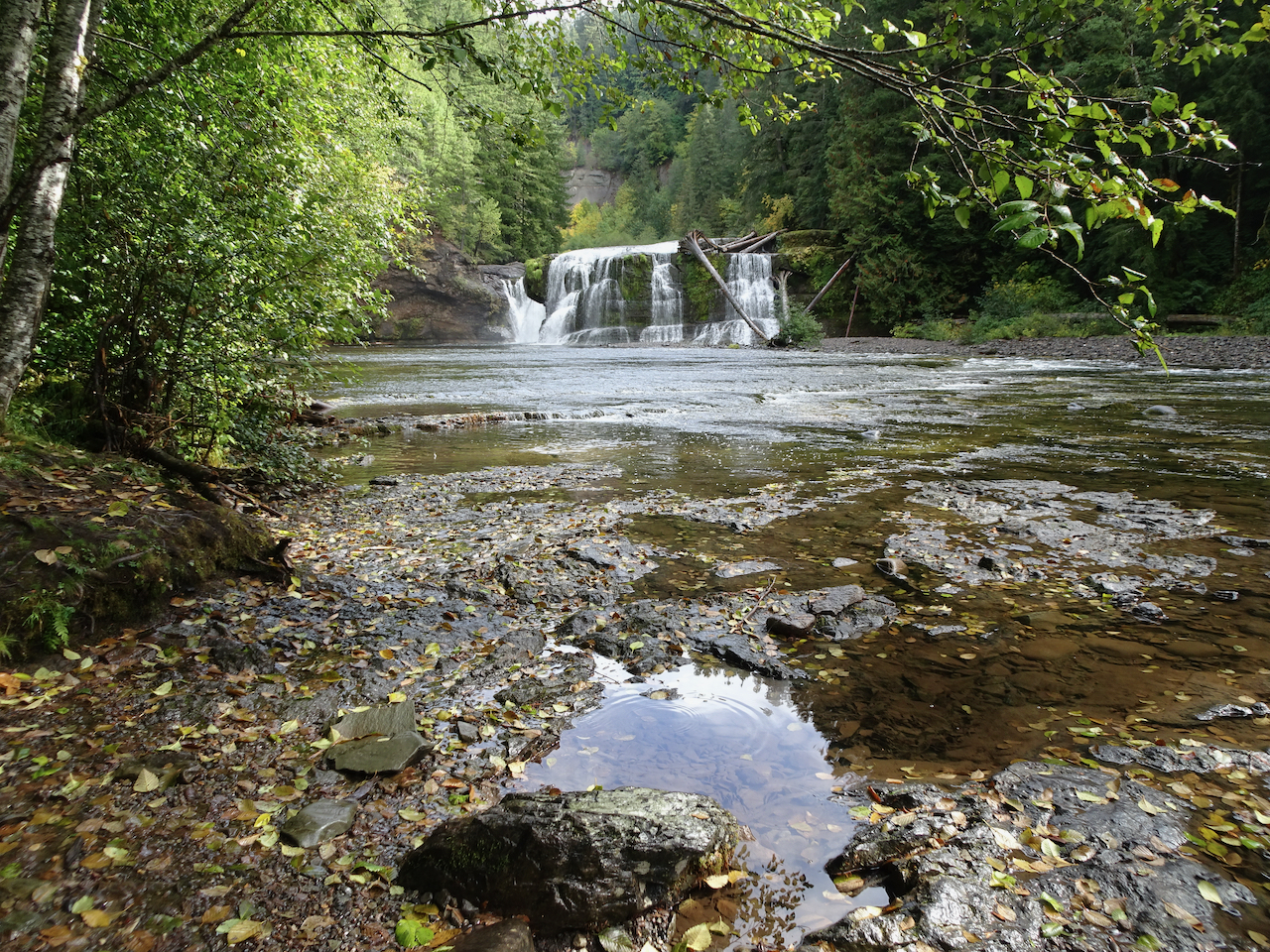
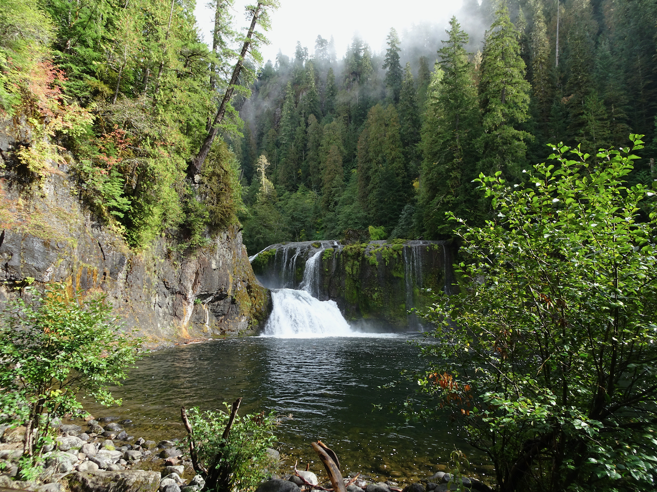
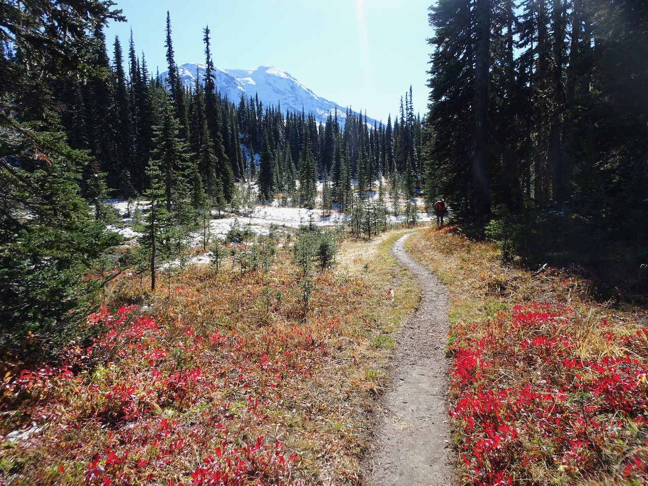
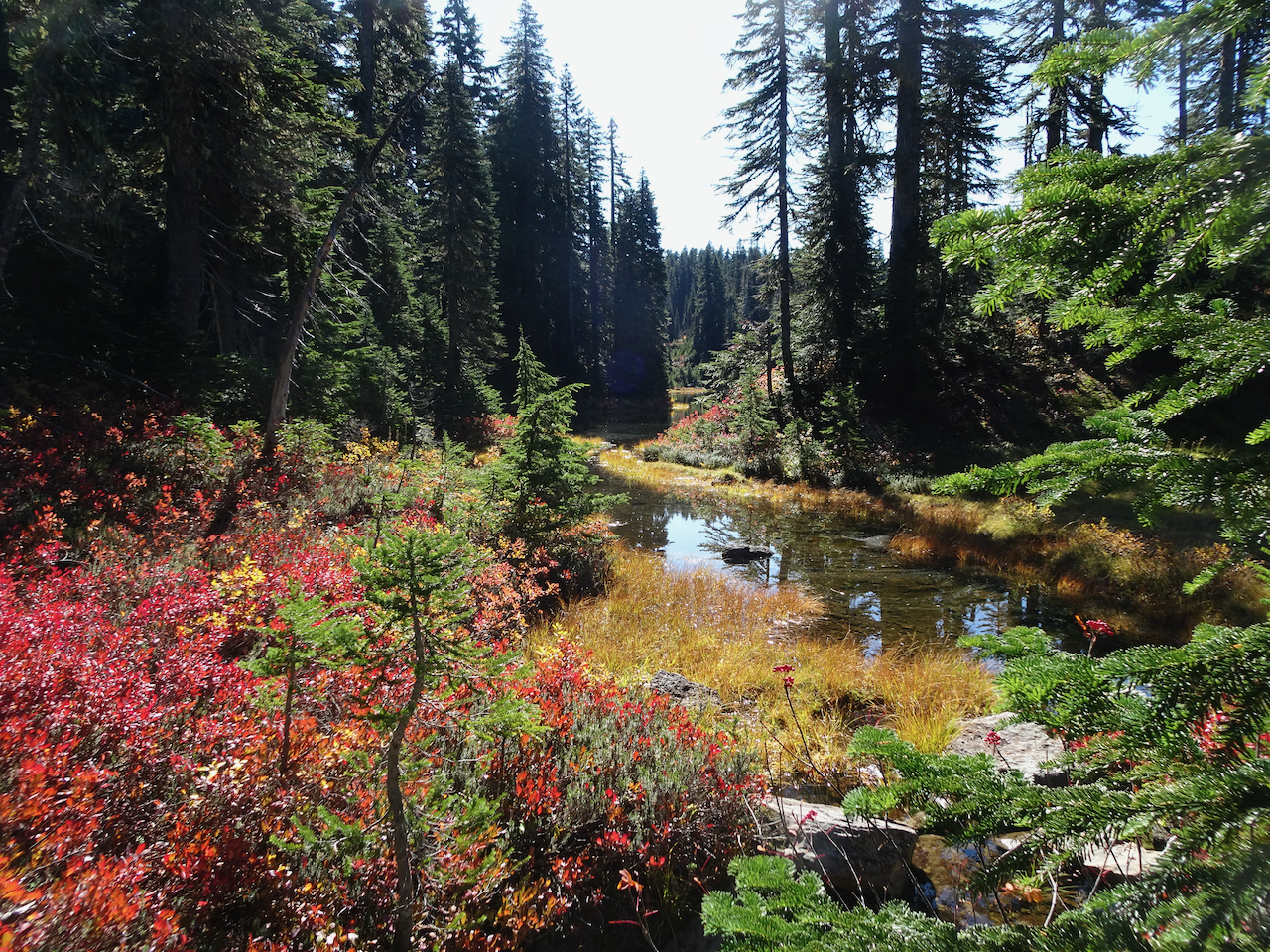
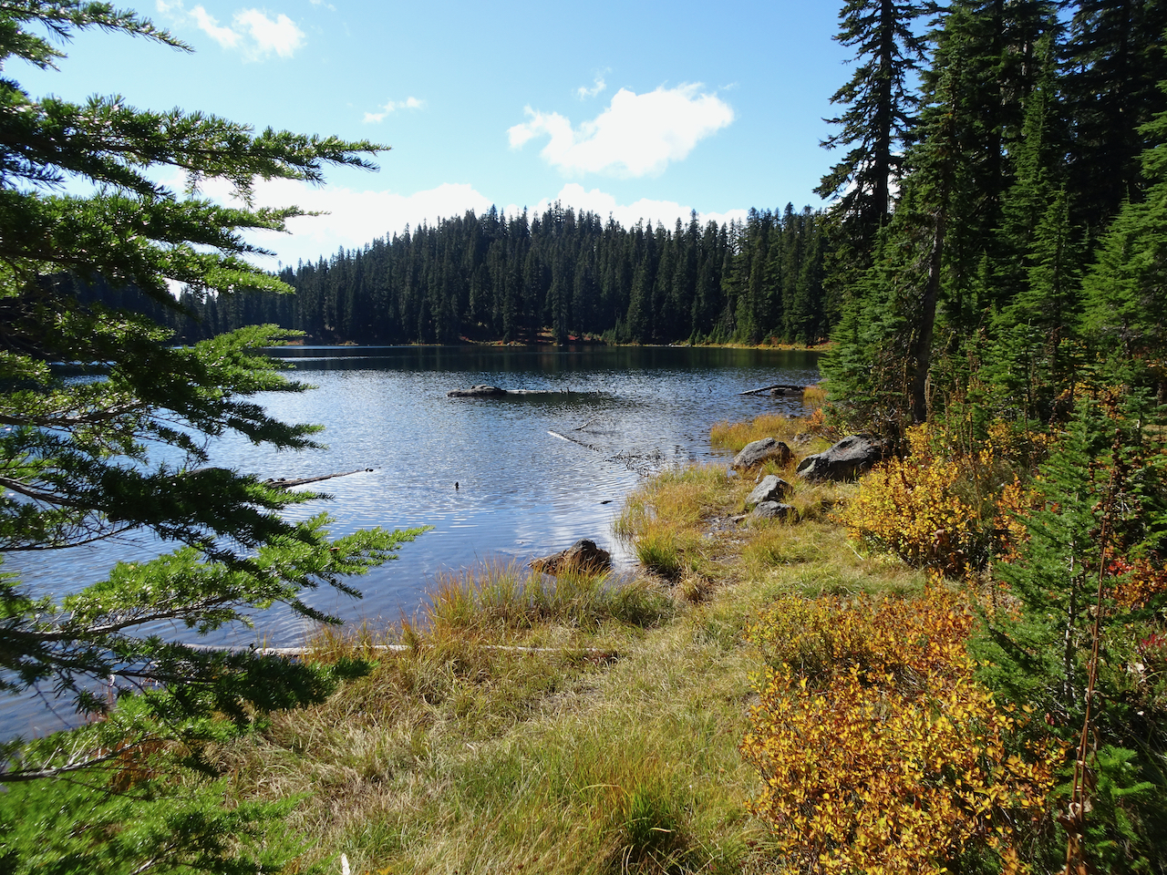
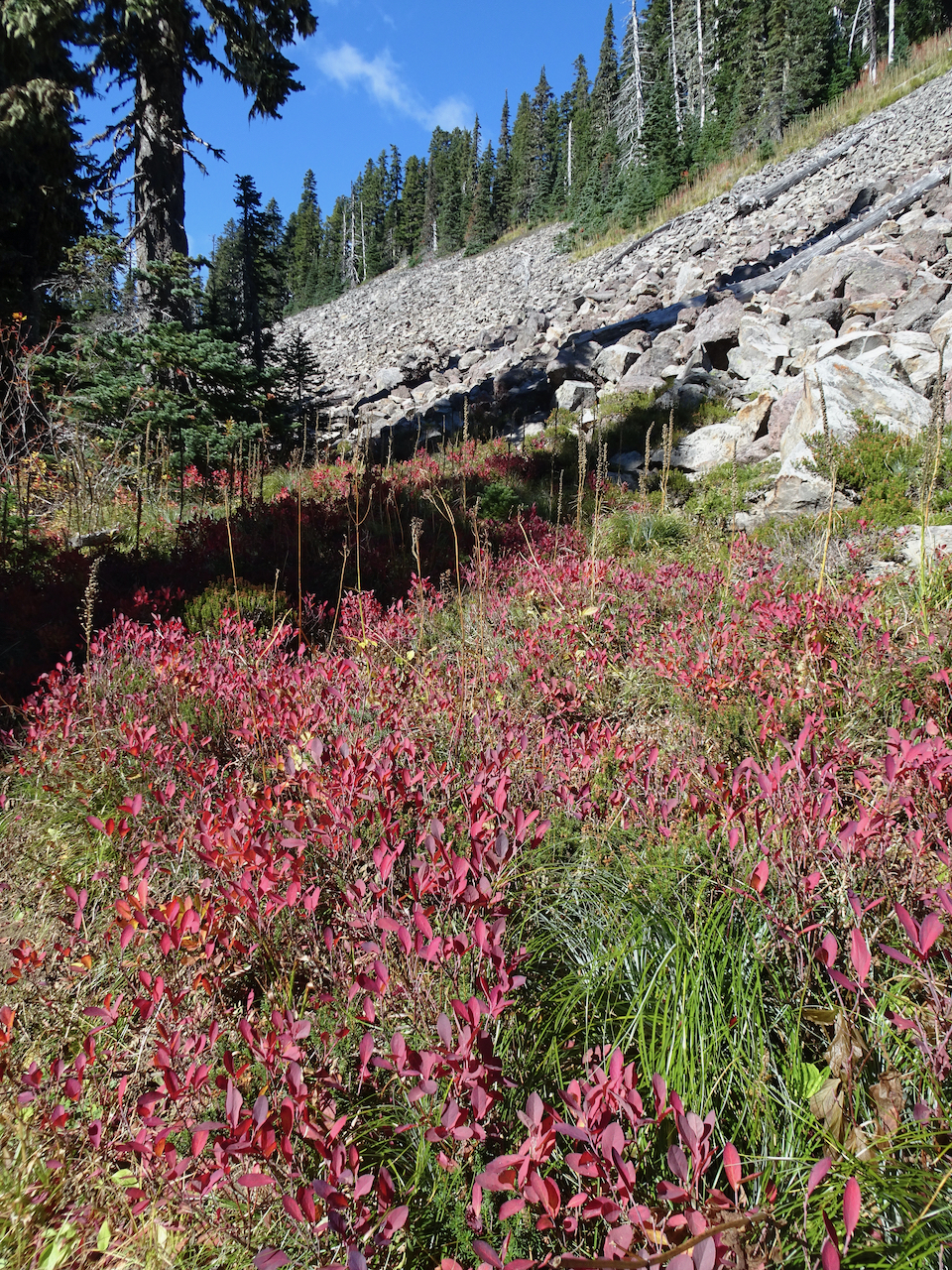
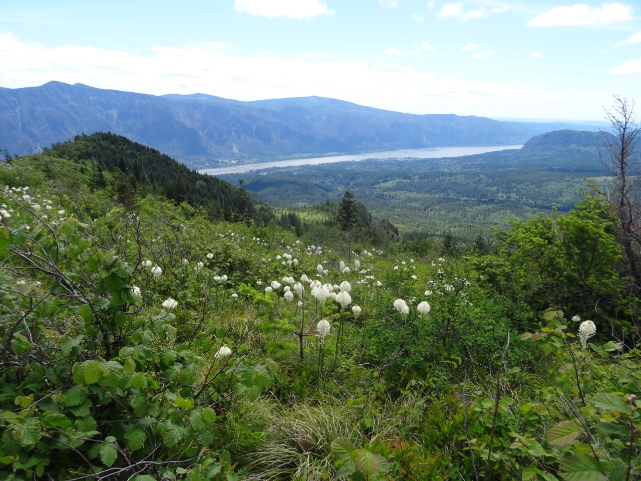
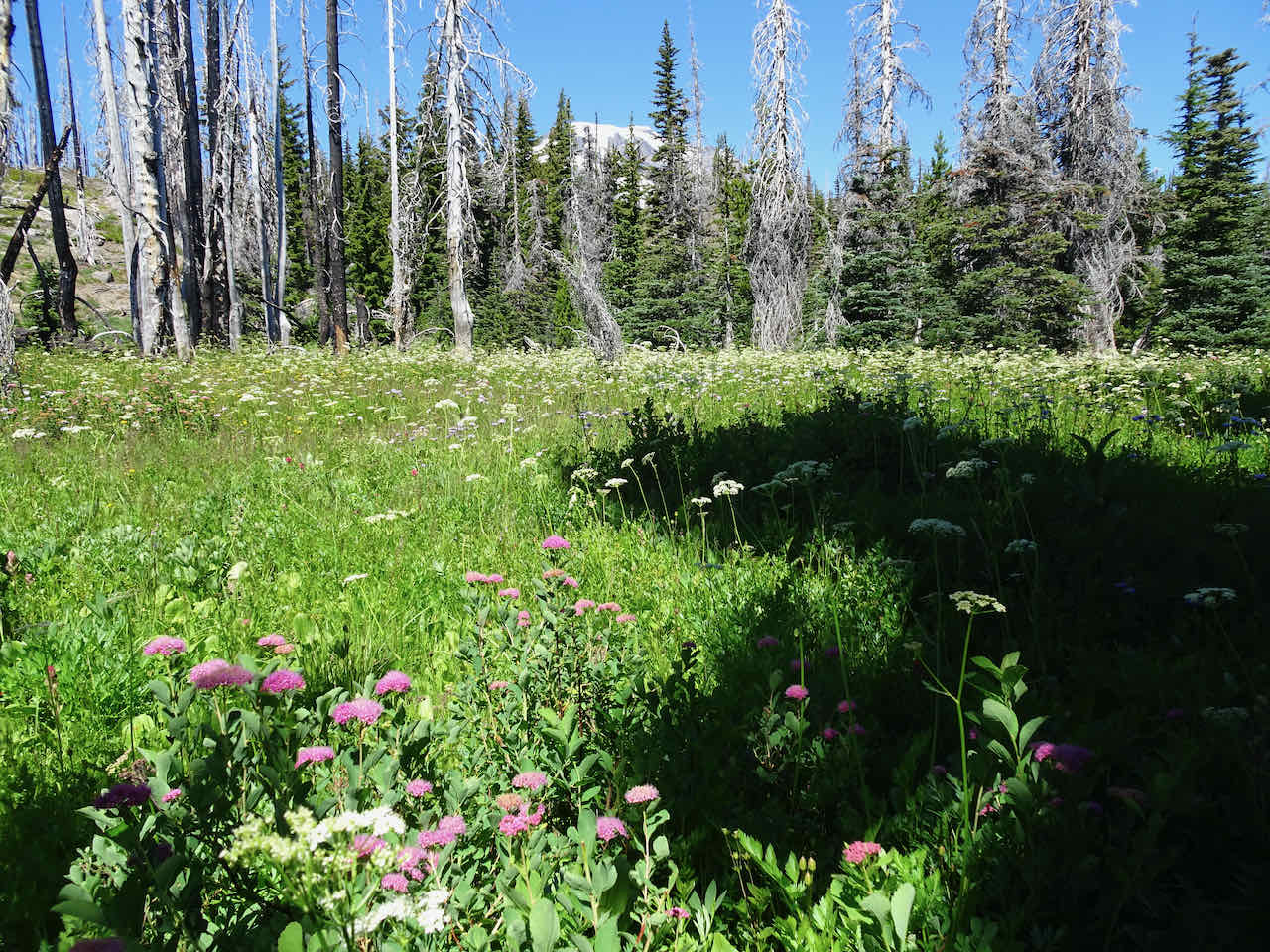
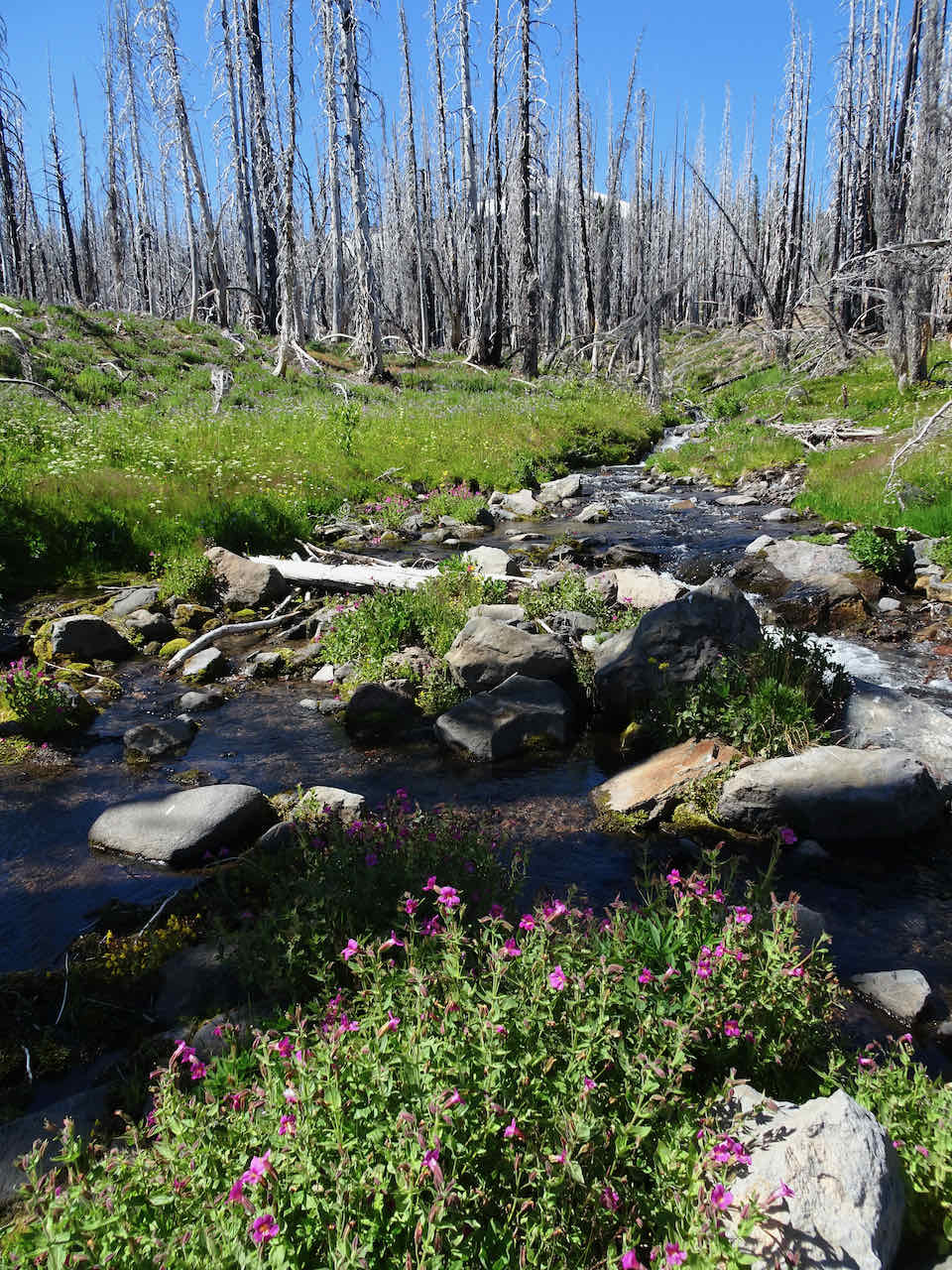
We returned down, then west along the Round the Mountain Trail, then down to Crooked Creek Falls, through wildflower meadows all the way…


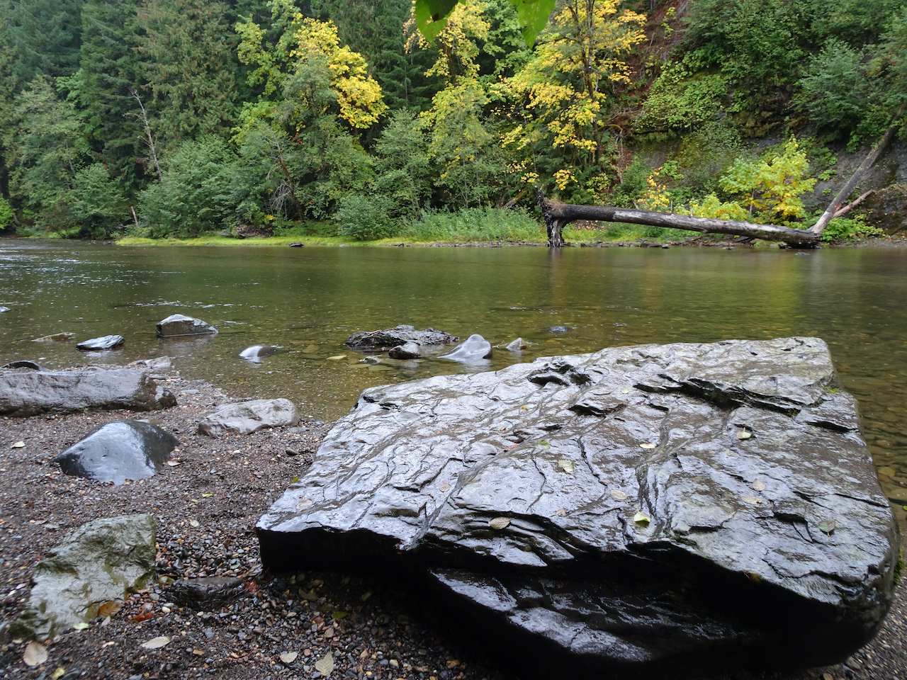
Crooked Creek
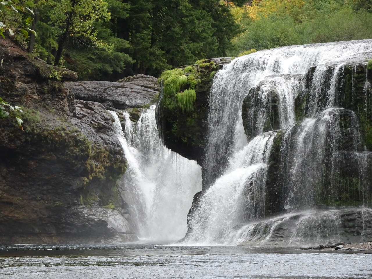
Approaching Crooked Creek Falls

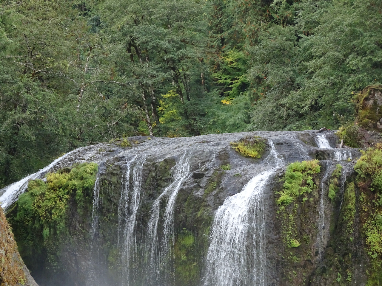
Crooked Creek Falls
We completed the 6 mile/1000 foot loop, hiking back down through the burn zone, and back to Bird Lake.
These meadows were beautiful in their fall colors last year, but I am glad I got to see them in full summer wildflower bloom again!
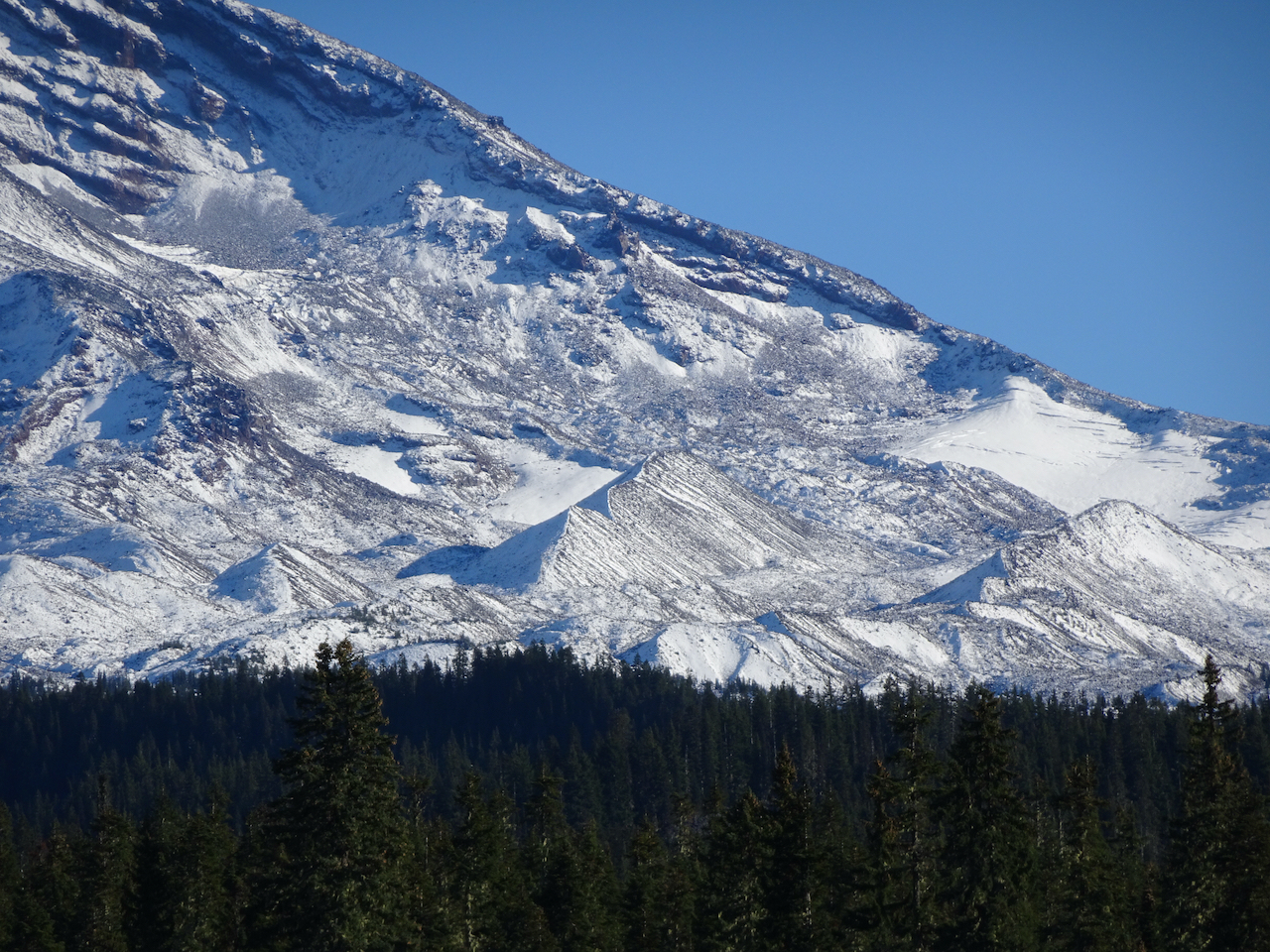
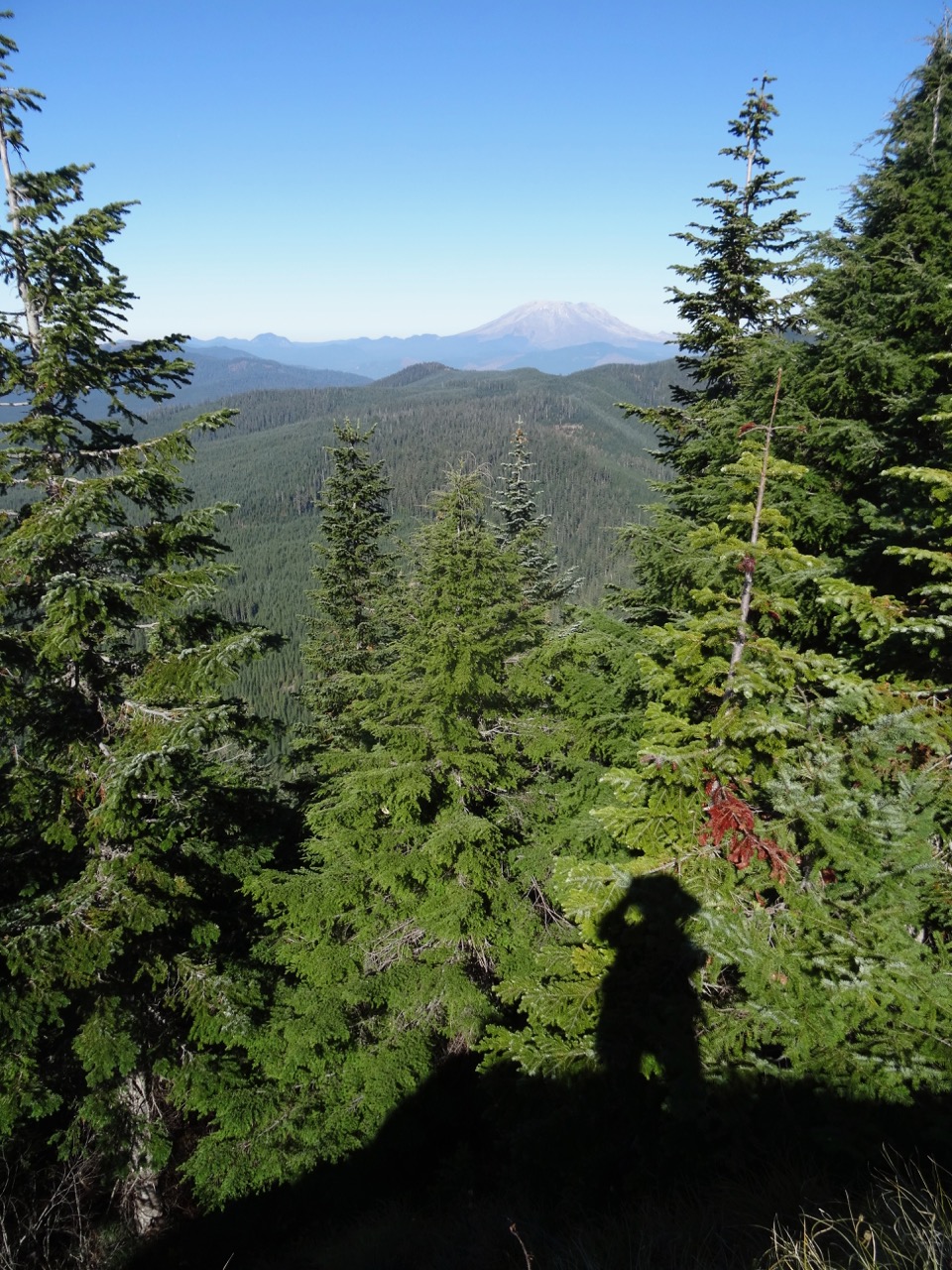
August 8 – Vista Ridge, Mt Hood, OR
Another trip up to Wy’east Basin from the Vista Ridge Trailhead, one of my favorite hikes on Mt Hood.

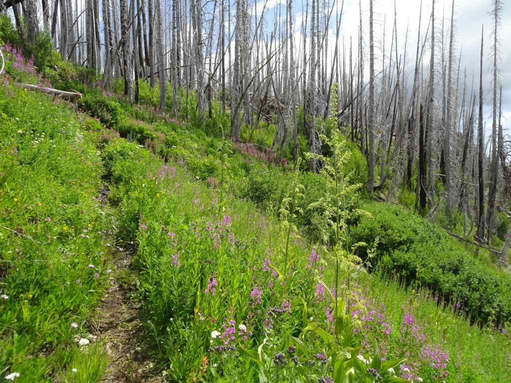
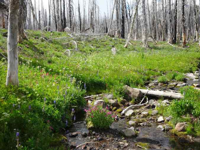
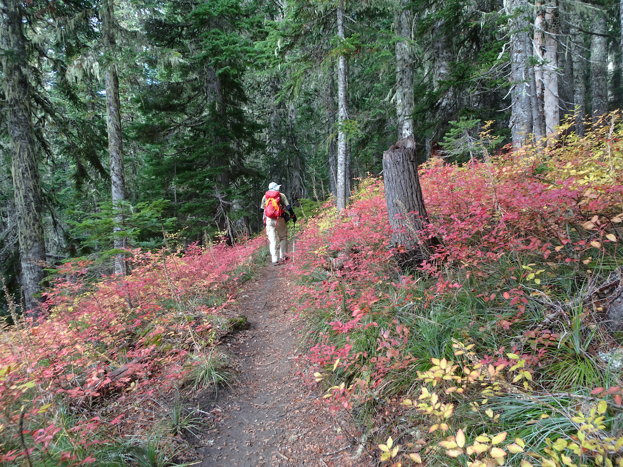
Hiking up Vista Ridge through the burn zone, trail lined with pearly everlasting.
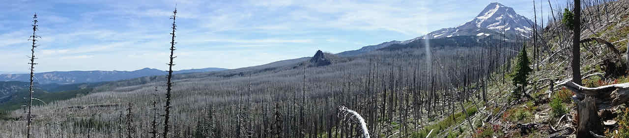
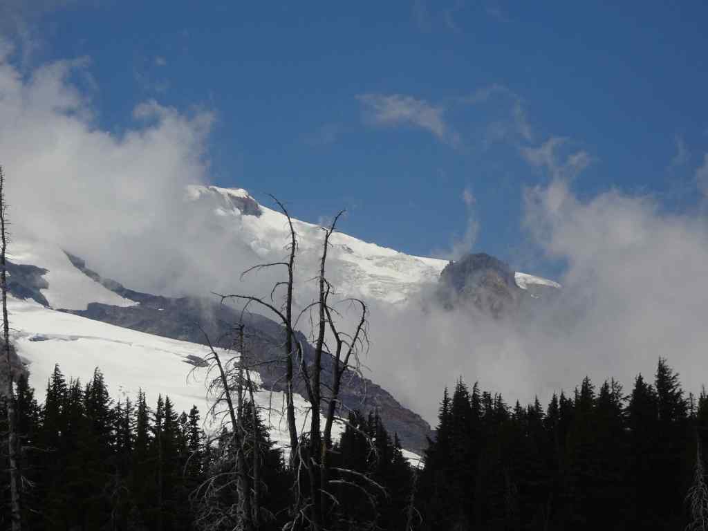
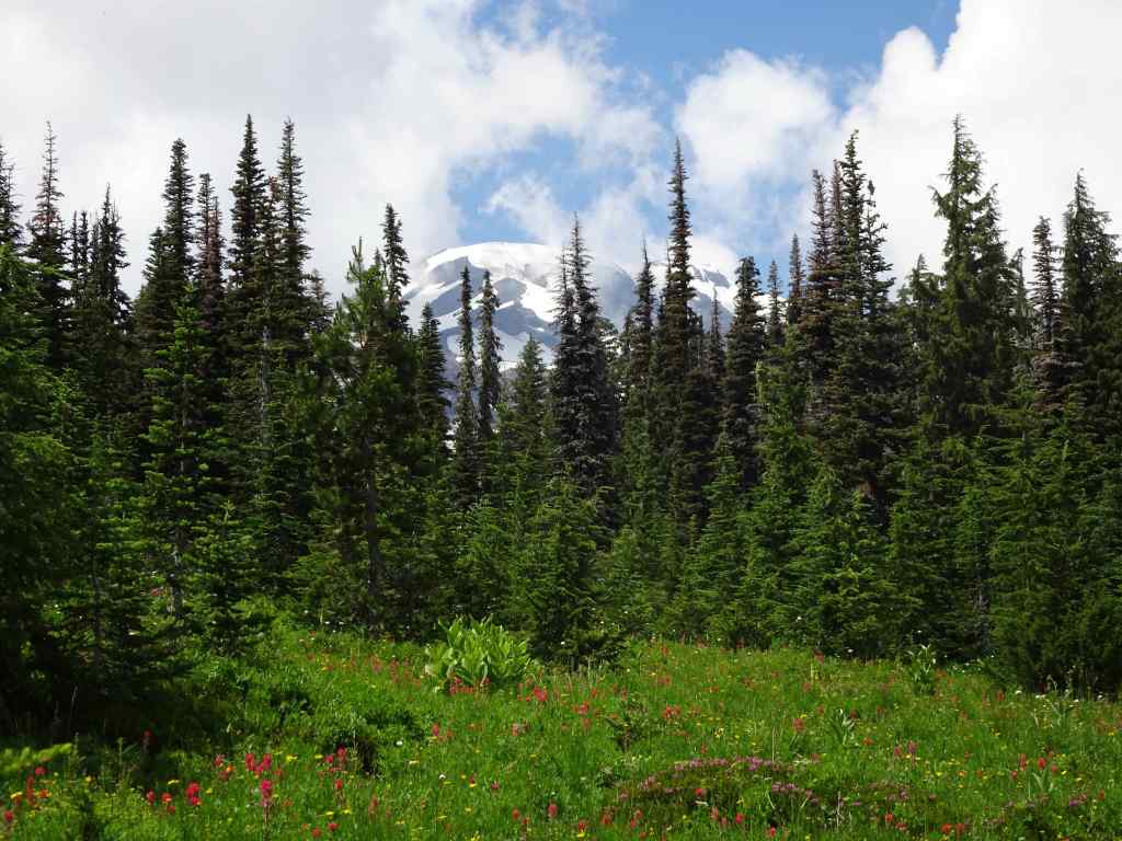
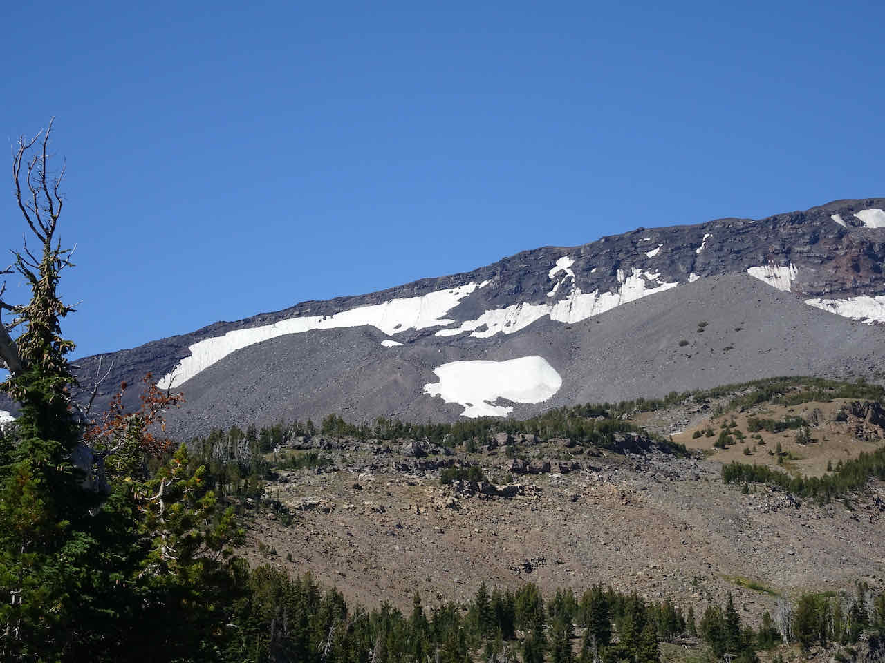
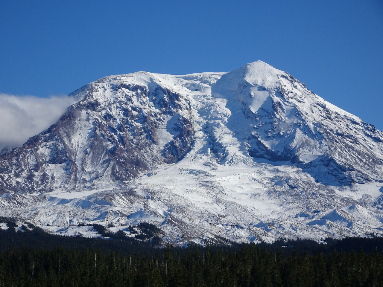
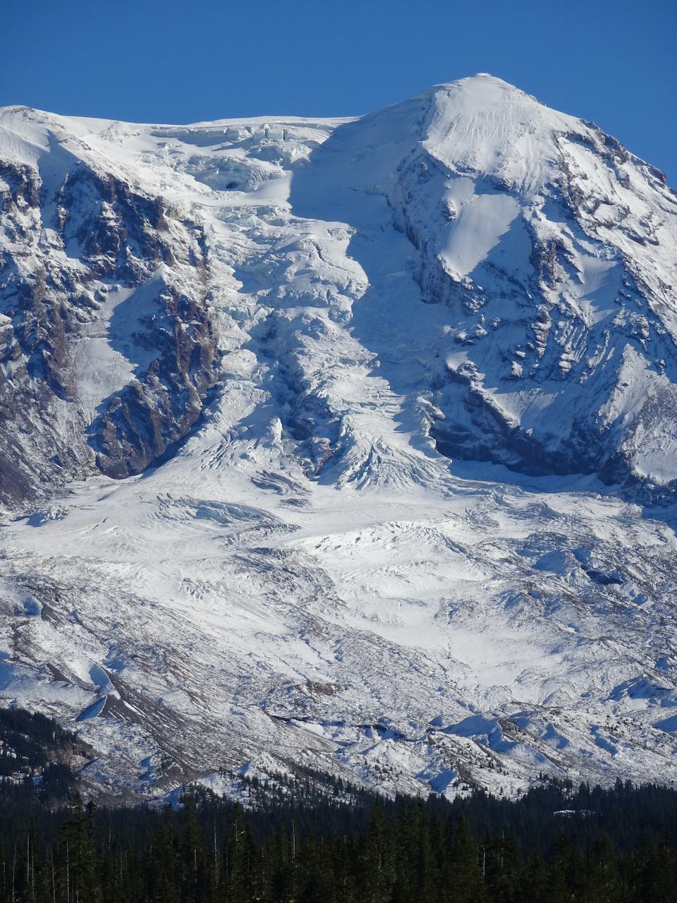
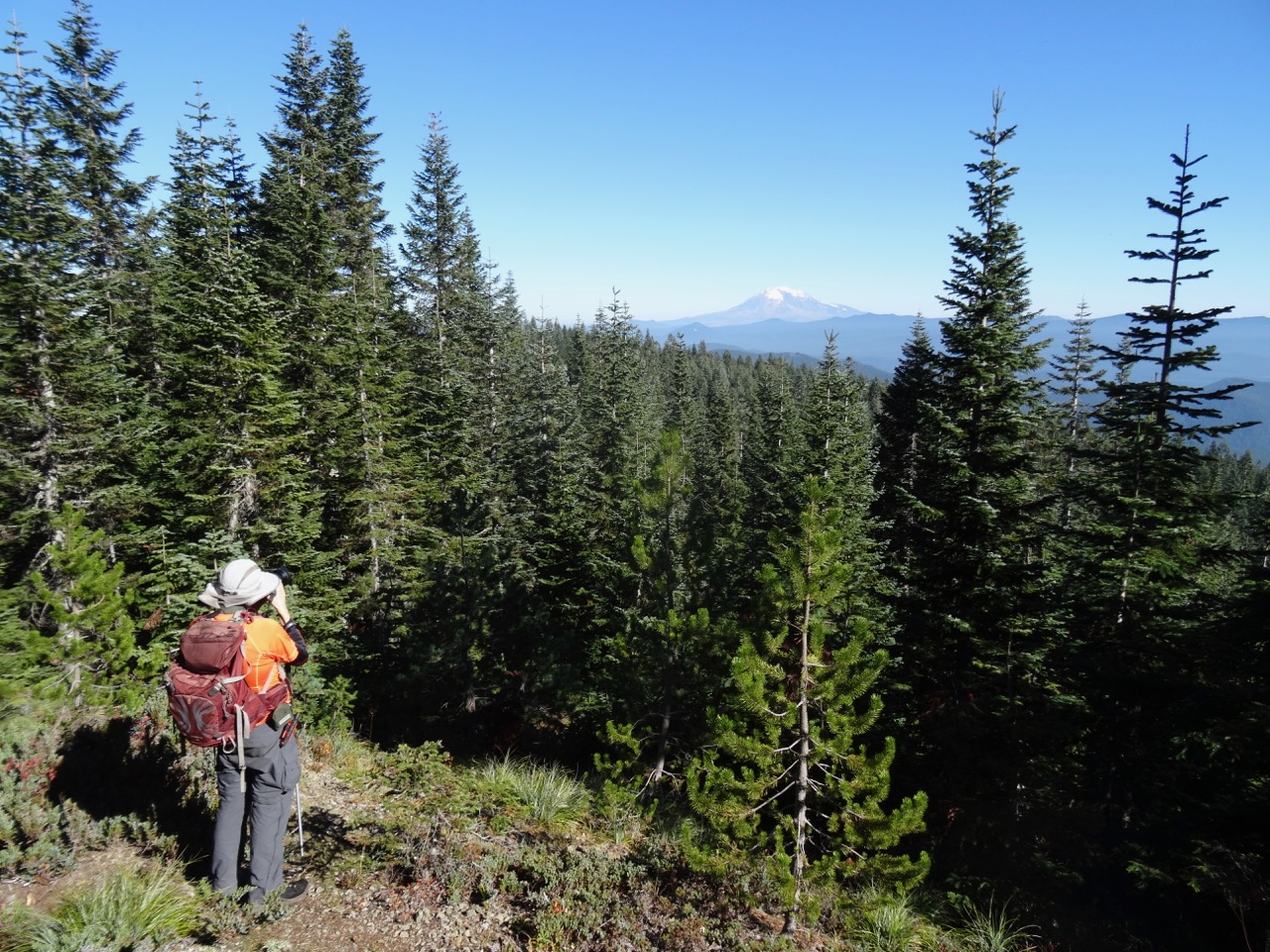
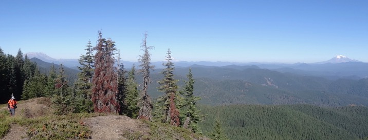
Panorama view of Mt Hood, the Pinnacle, the Dollar Lake Fire burn zone
Coe Glacier, Mt Hood summit
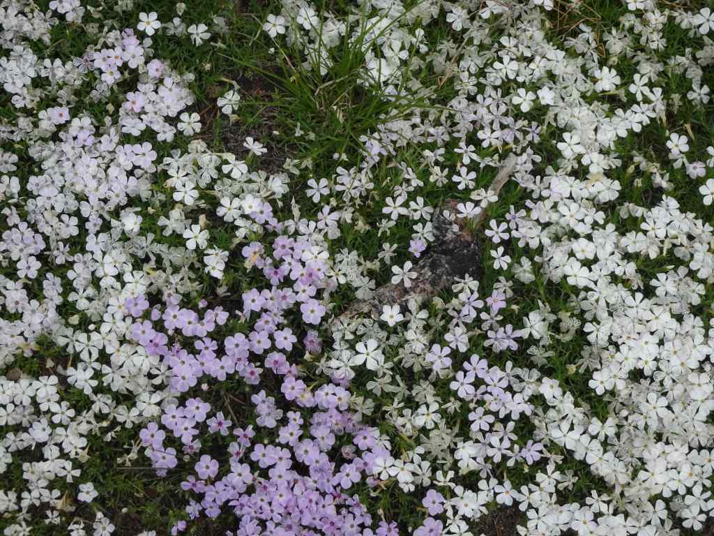
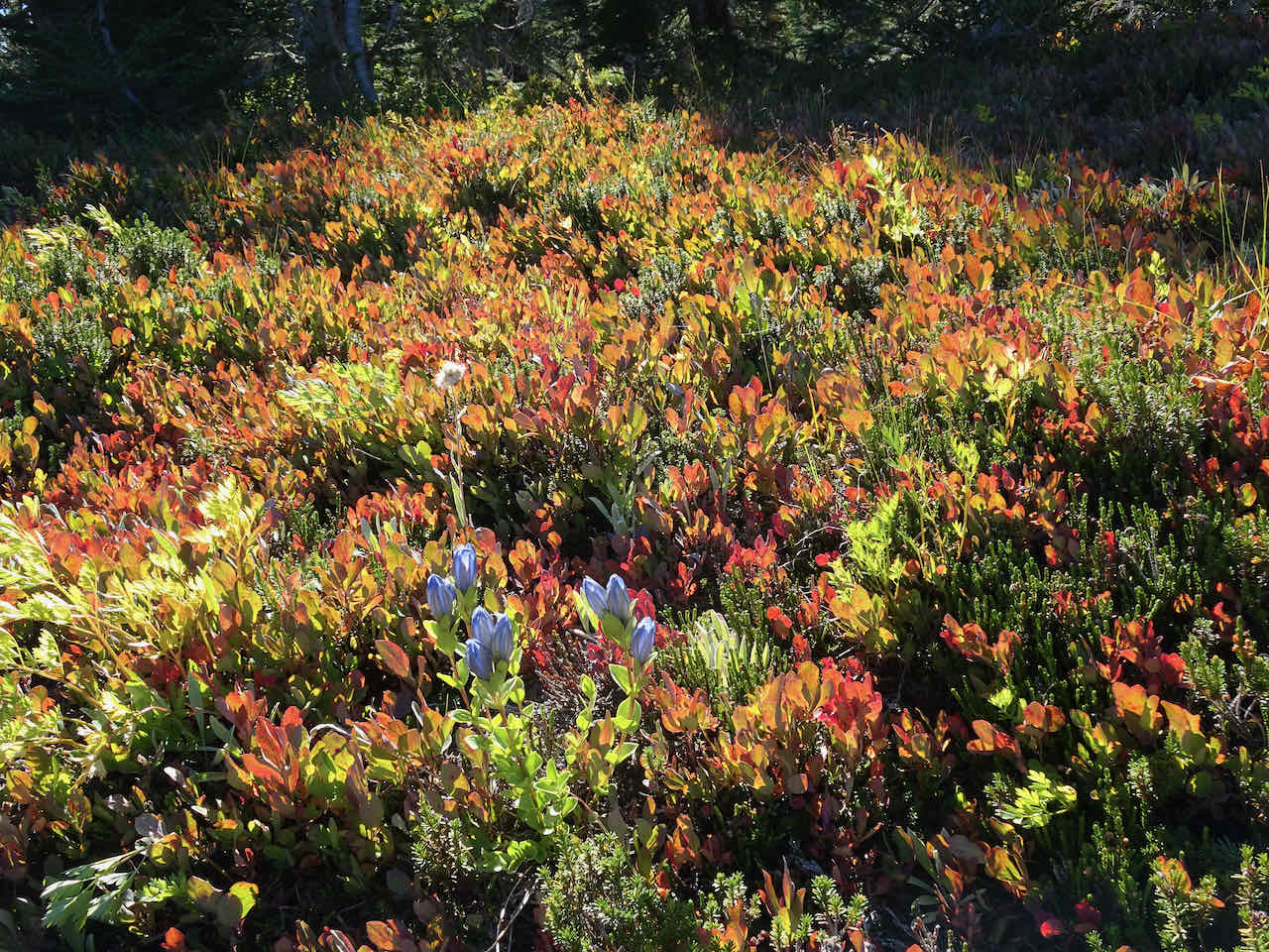
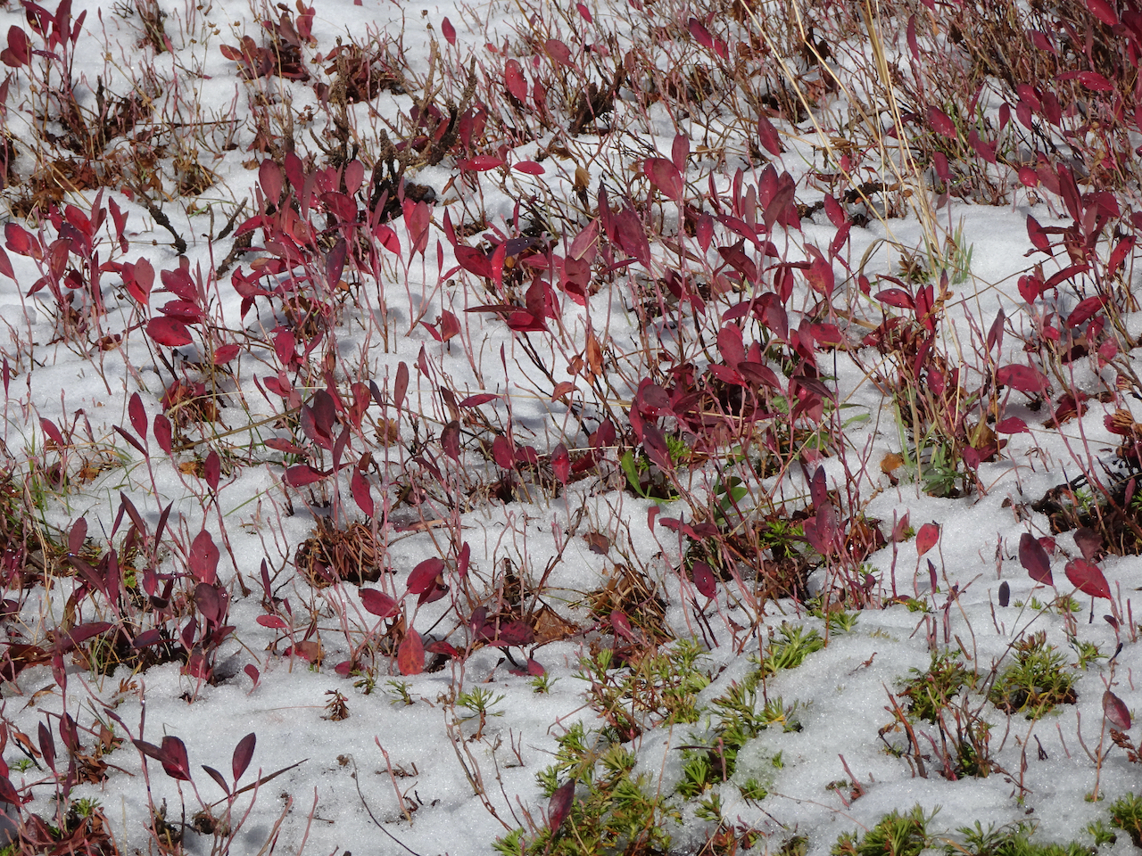
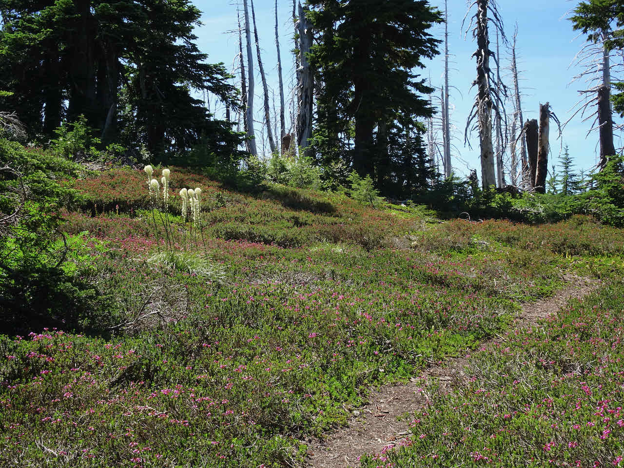
At about 5600 feet, we came across patches of avalanche lilies and beargrass, and the beginning of the alpine flowers.
Beargrass
Avalanche lilies
Heather and beargrass
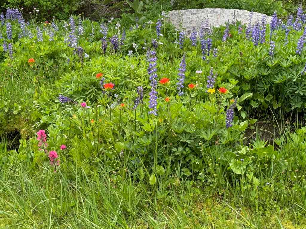
More alpine flowers:

avalanche lilies

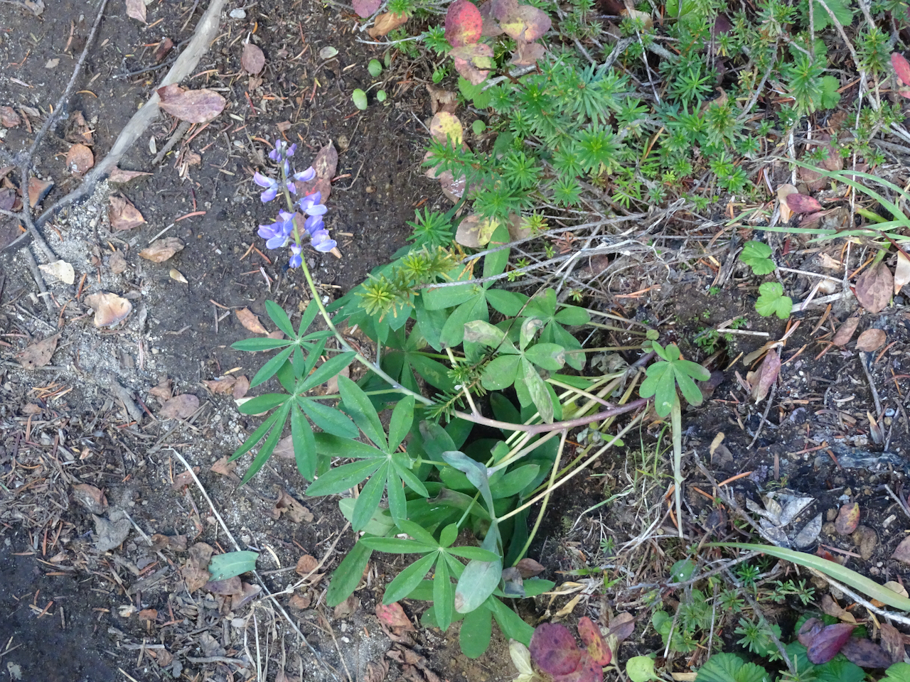
lupine

paintbrush

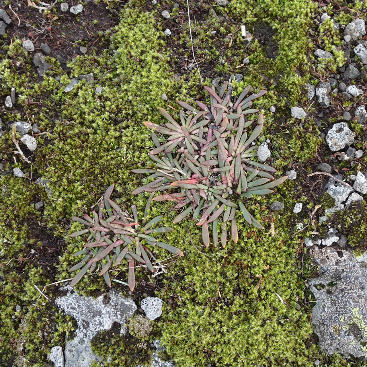
pasque flowers
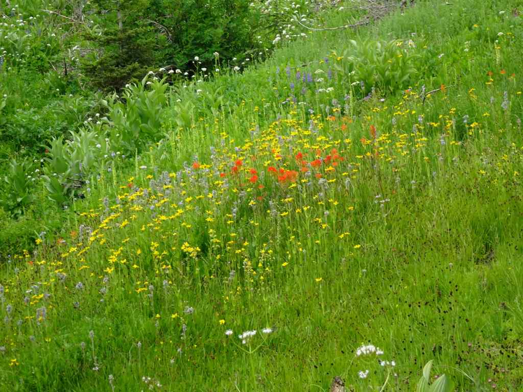
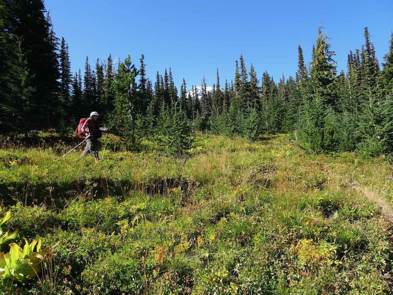
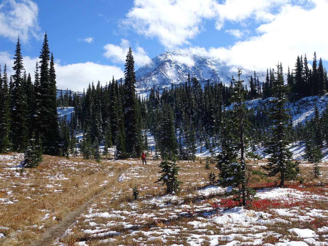
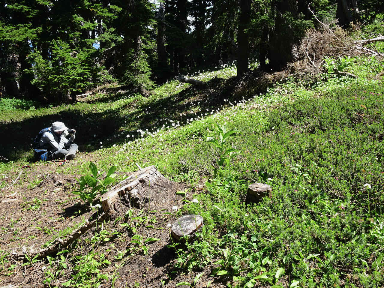
We reached the Timberline Trail, then continued a little further uphill into Wy’east Basin, admiring the flowers.
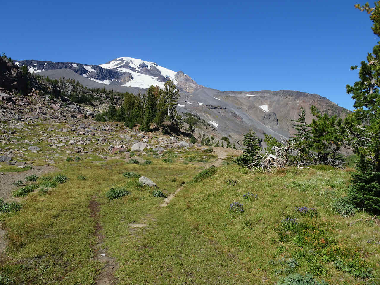
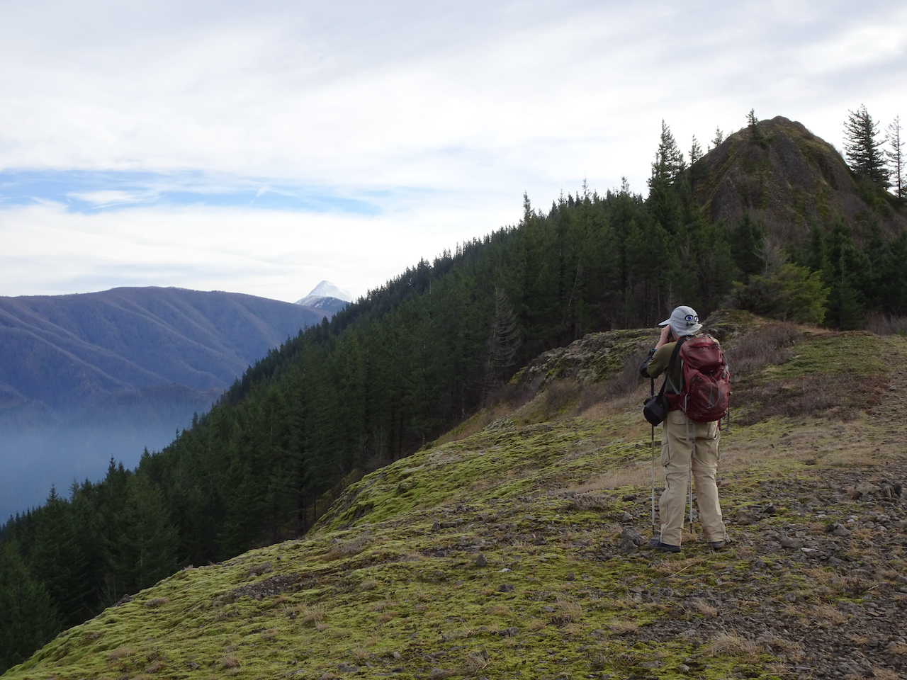
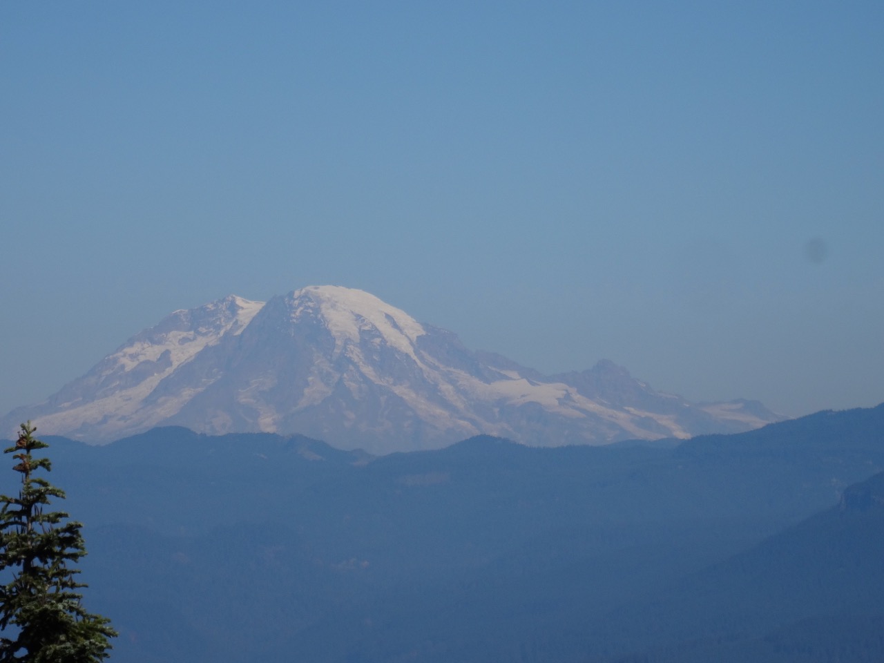
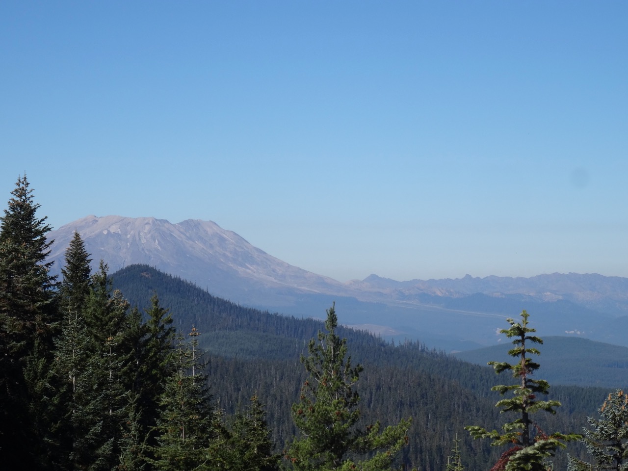
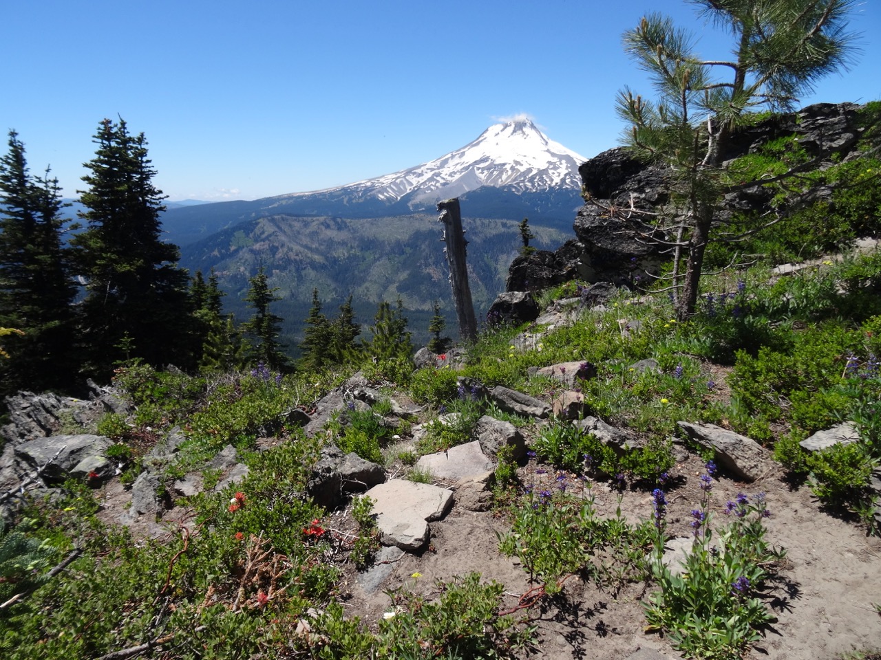
Looking north from the Timberline Trail towards Mt Adams
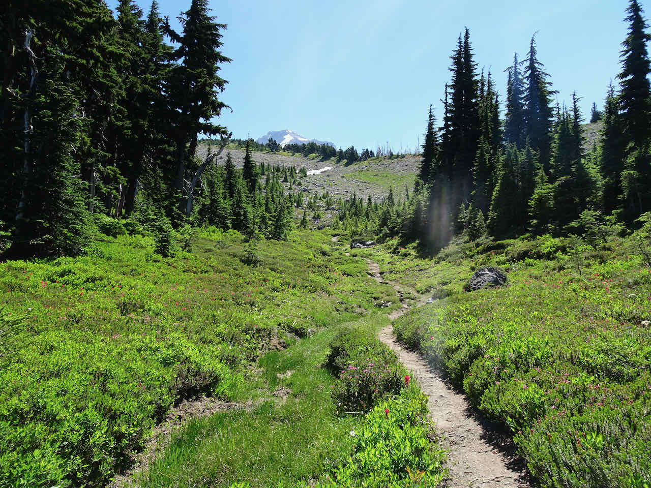
Looking up toward Mt Hood and Barrett Spur

Shooting stars

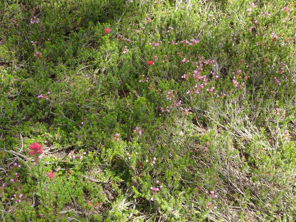
Partridge foot, paintbrush and heather
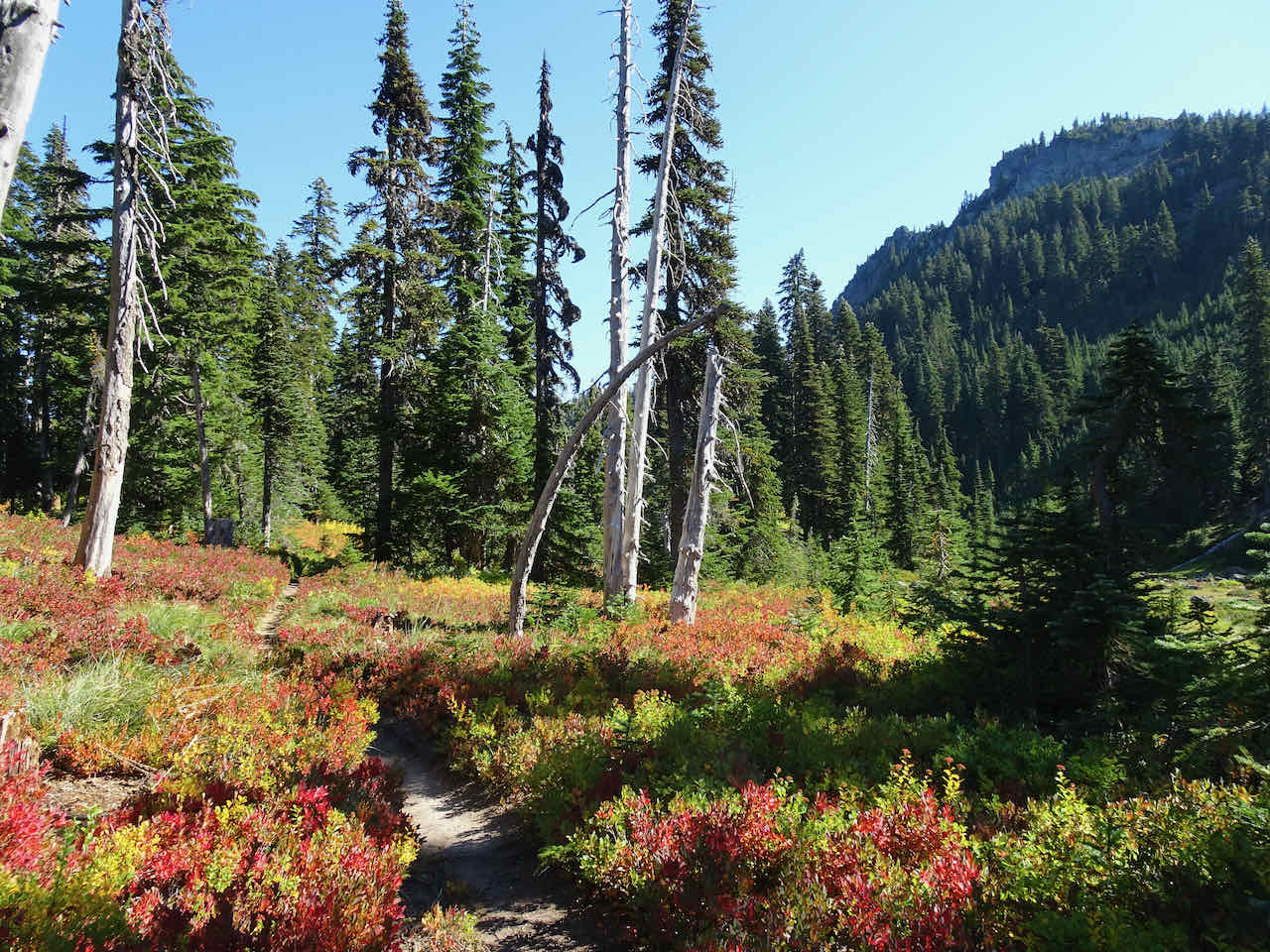
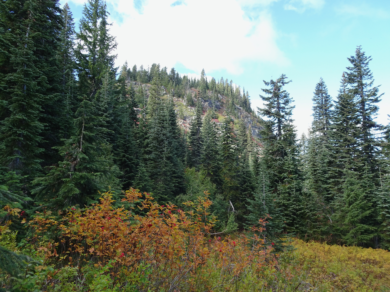
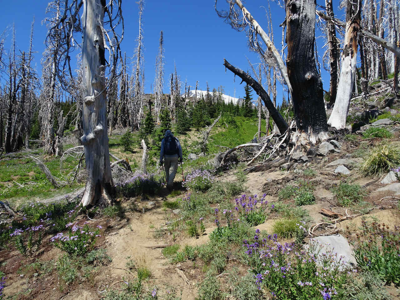
Eventually we returned down Vista Ridge. The fireweed was just beginning to bloom, and we noticed lots of new fir trees in the burn zone.

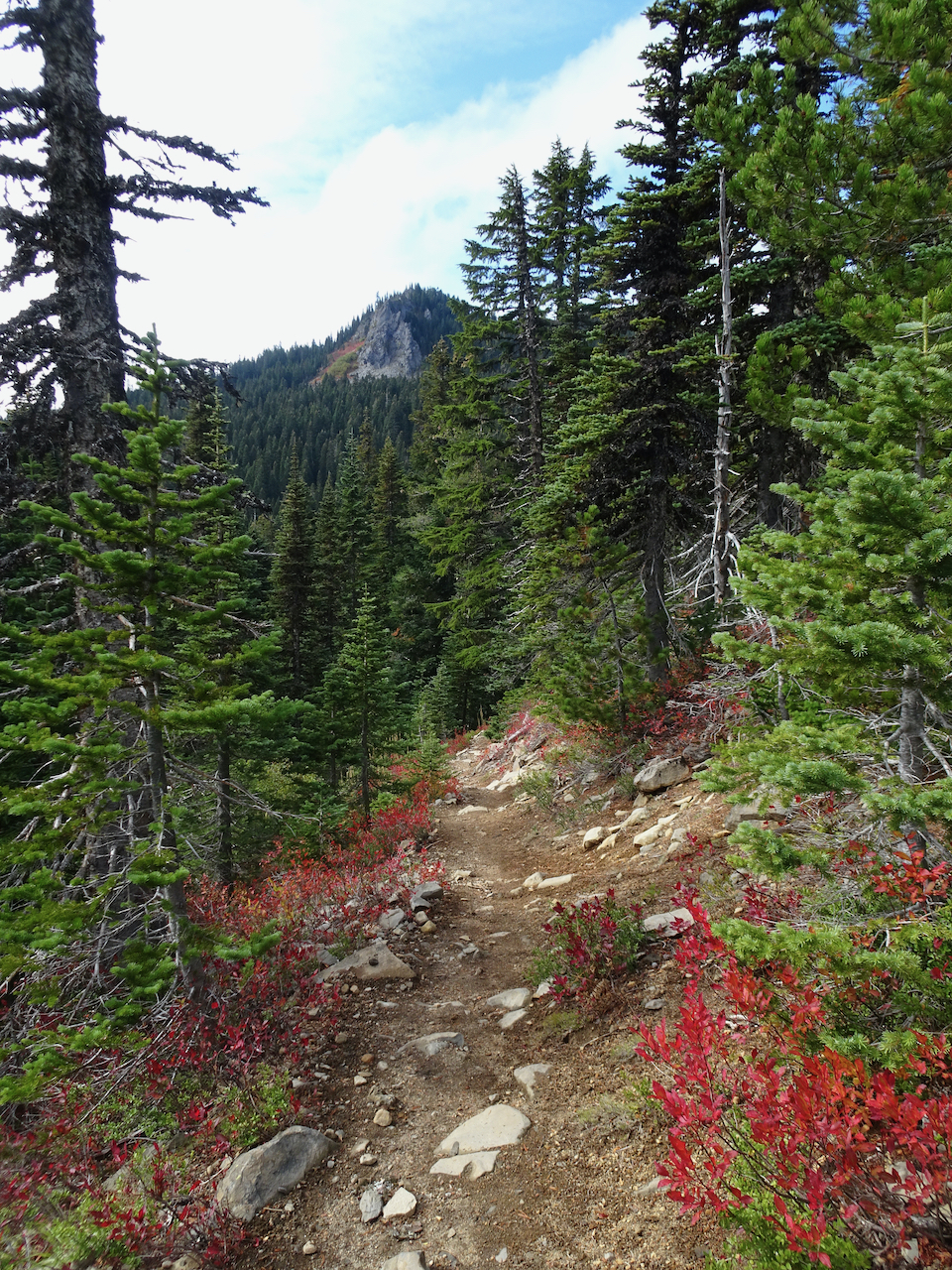
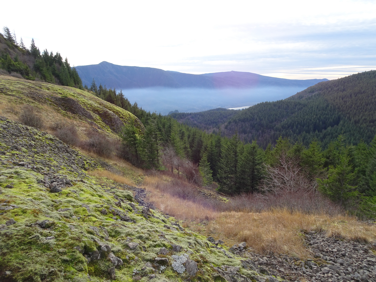
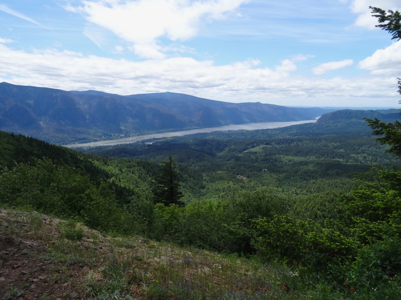
Vista Ridge
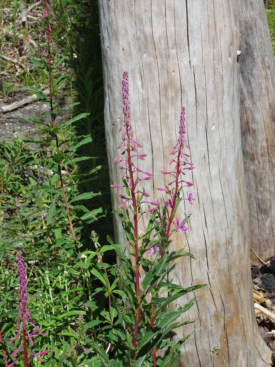
Fireweed buds
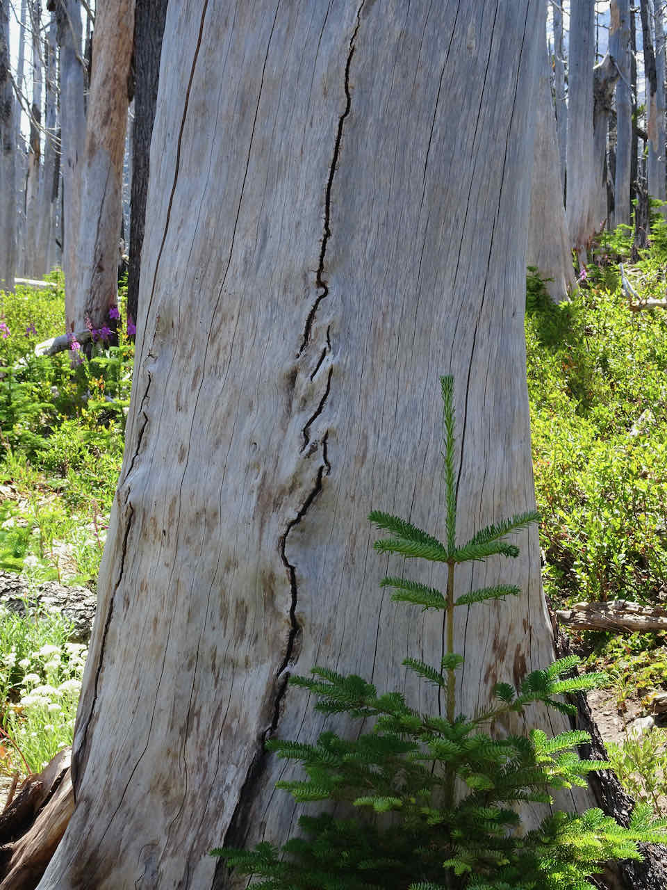
Tiny fir tree
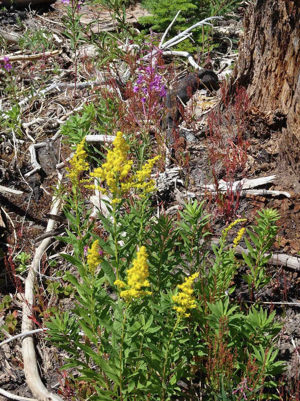
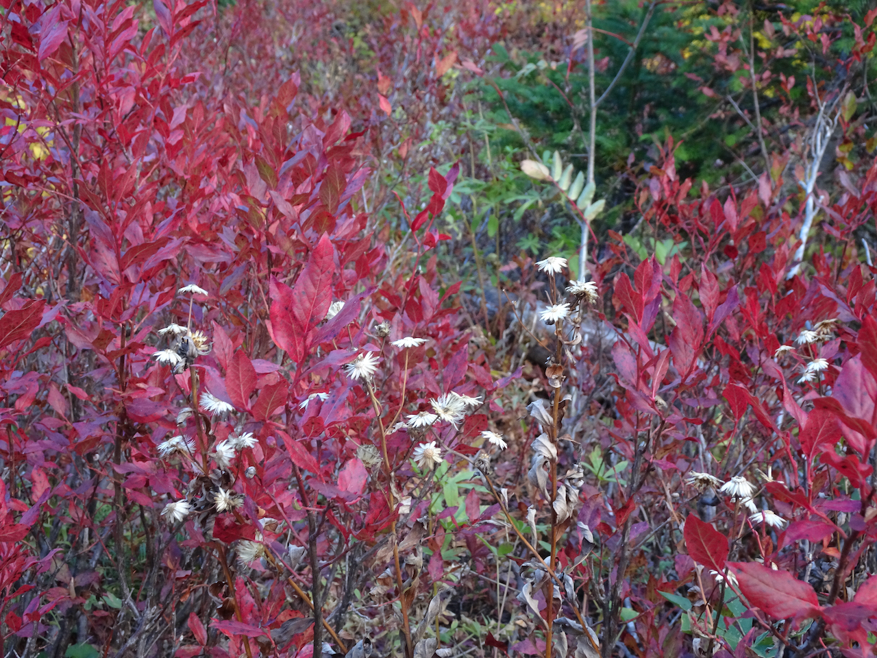
Golden rod and fireweed
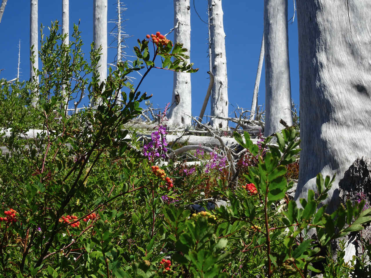
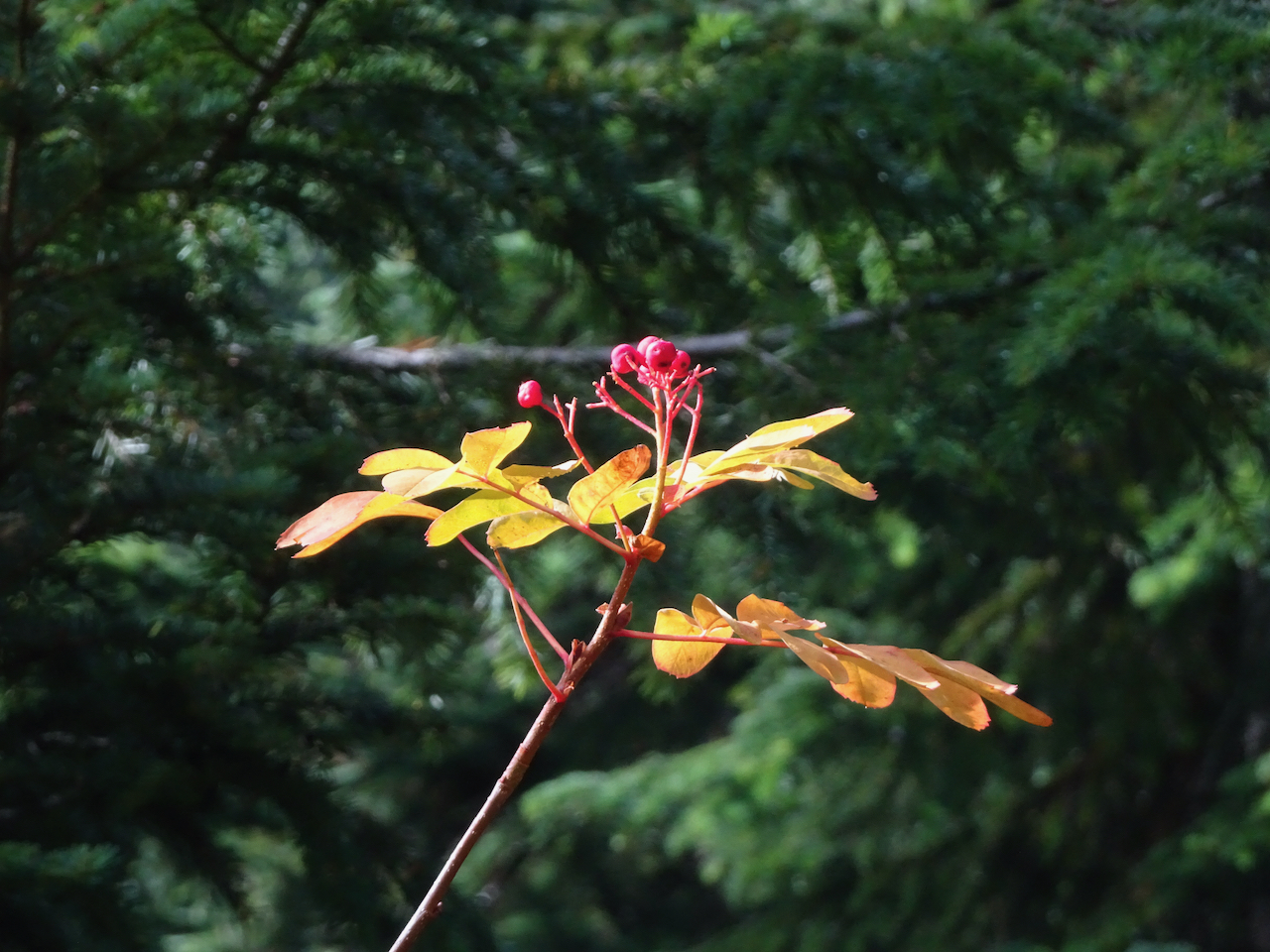
Mountain ash berries and fireweed – I love the color contrast!
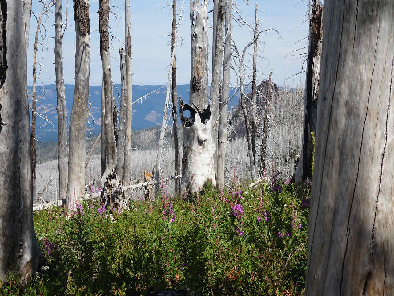
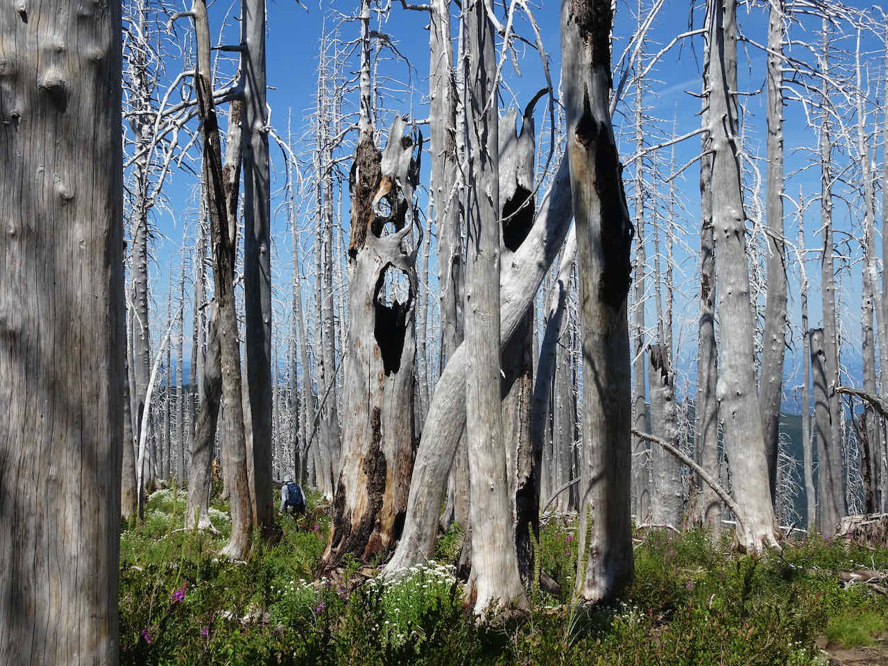
And of course I greeted my favorite haunted trees!


August 16-18 – Beach Walks, Cannon Beach, OR
A HOT week in town! On fairly short notice, we were able to book a room for two nights in the Tolvana area of Cannon Beach. The room was expensive, even though the view was to the backside of Mo’s Restaurant. However, it was within a short walk or drive to some of our favorite beaches. Our timing for low tide wasn’t great – around sunrise and sunset, but we made the most of our three days on the coast.
Our first afternoon, sunny and beautiful, we walked south from Tolvana Beach:

Our first pod of pelicans

sand plovers

Our favorite pizza restaurant. We bought a pie big enough to feed us for two dinners!

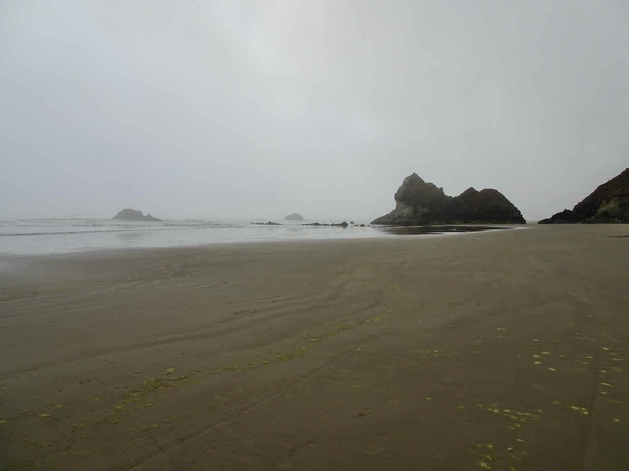
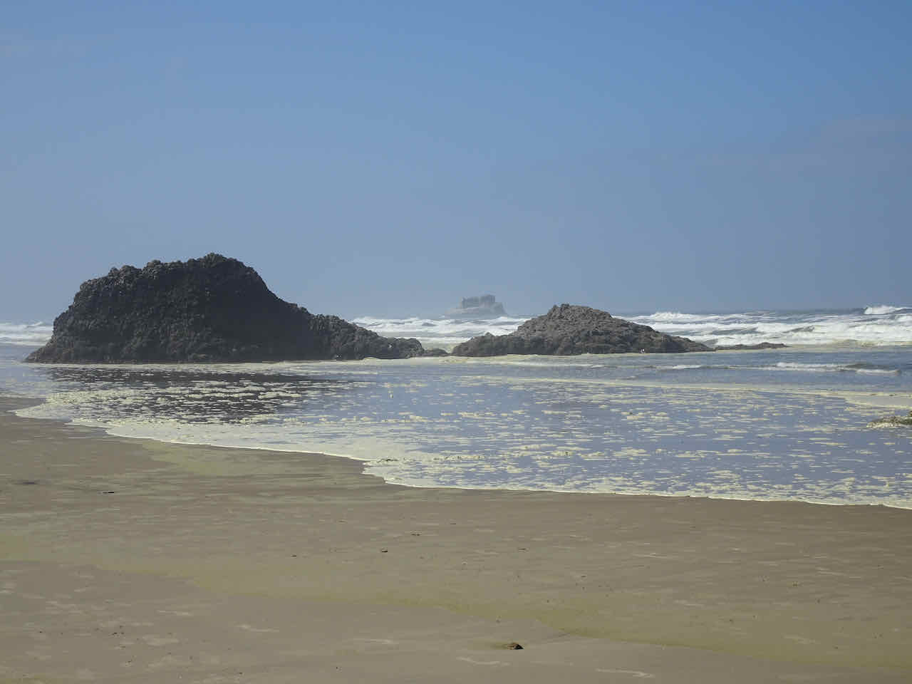
South Cannon Beach
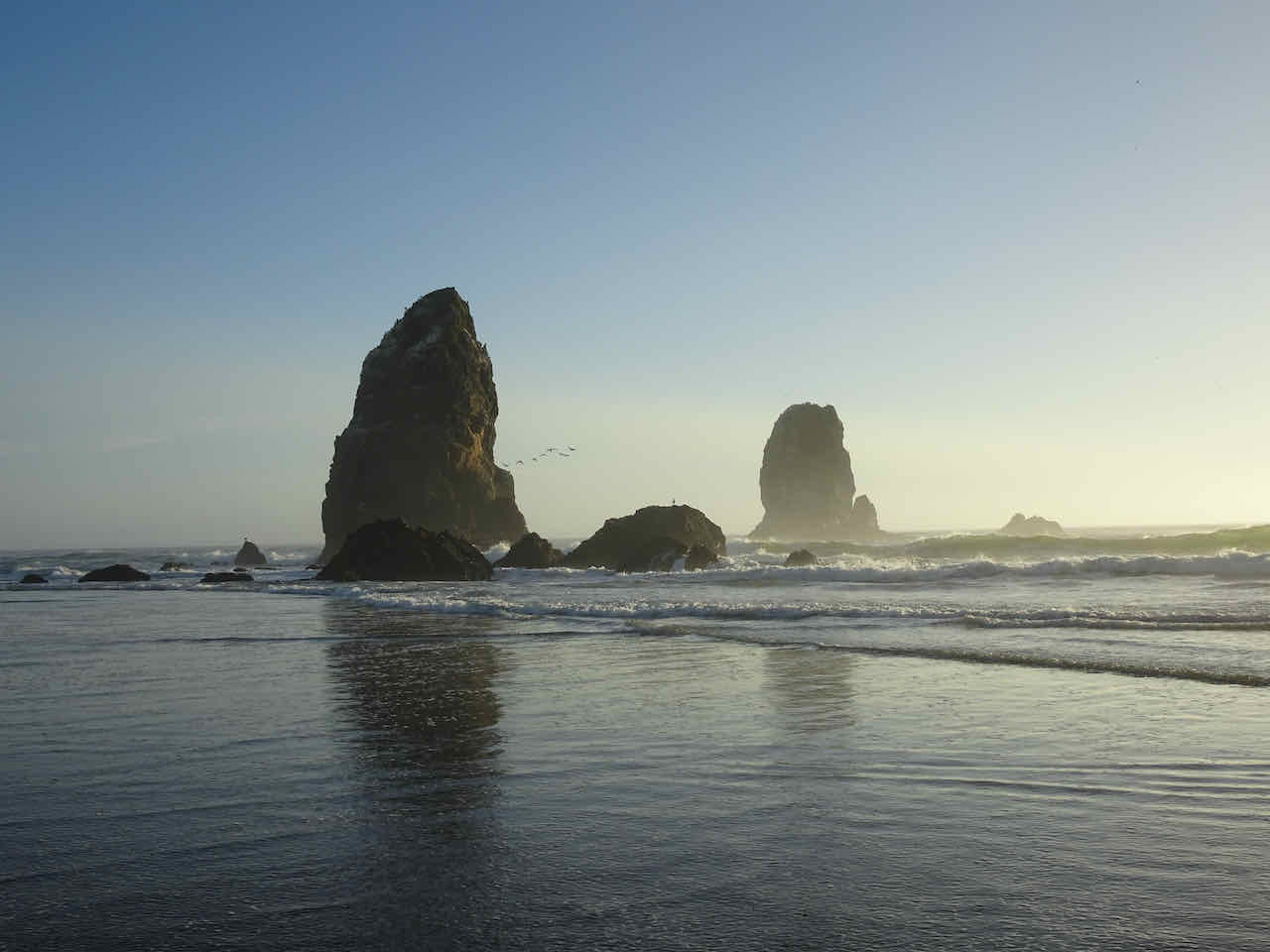
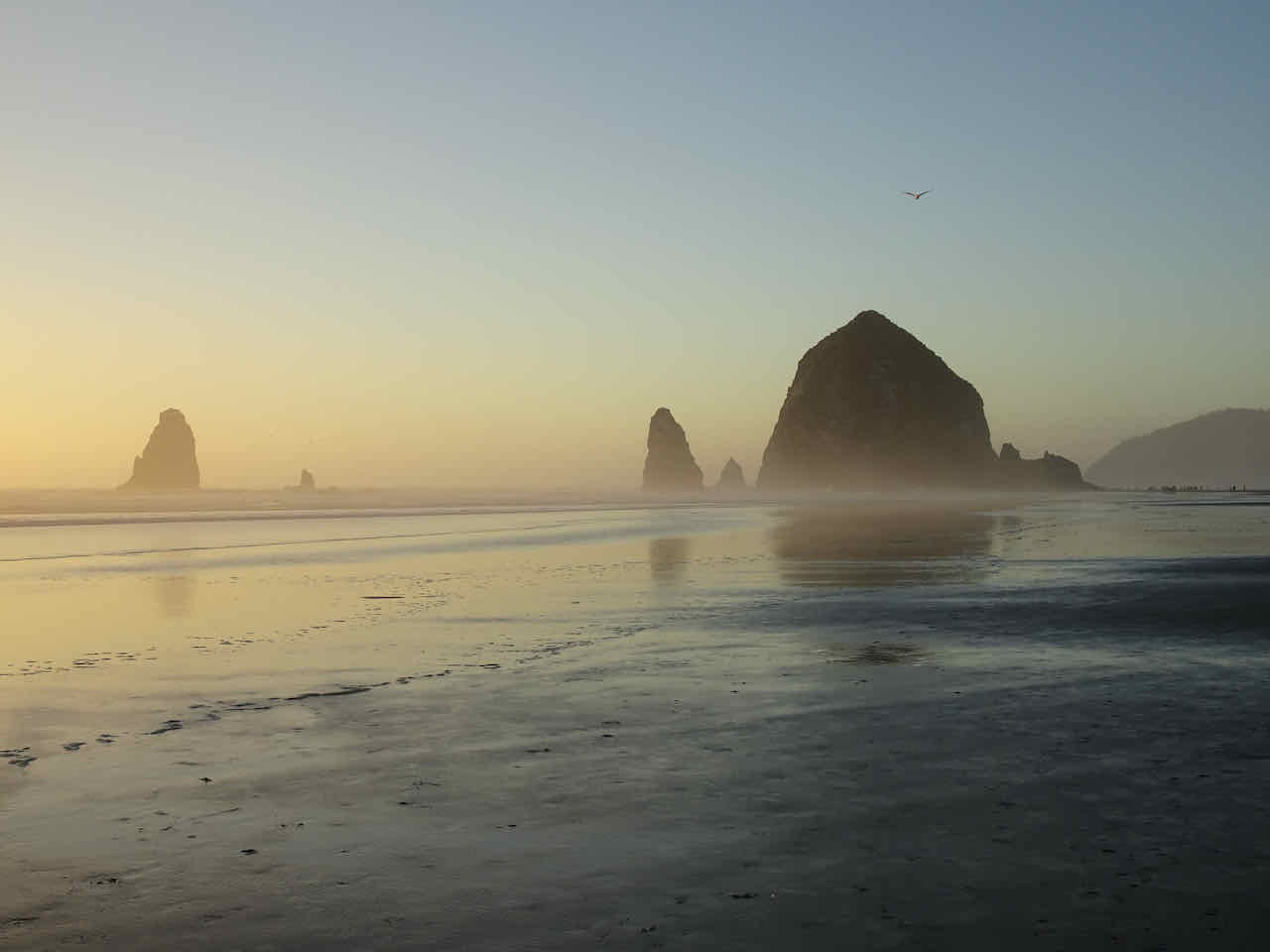
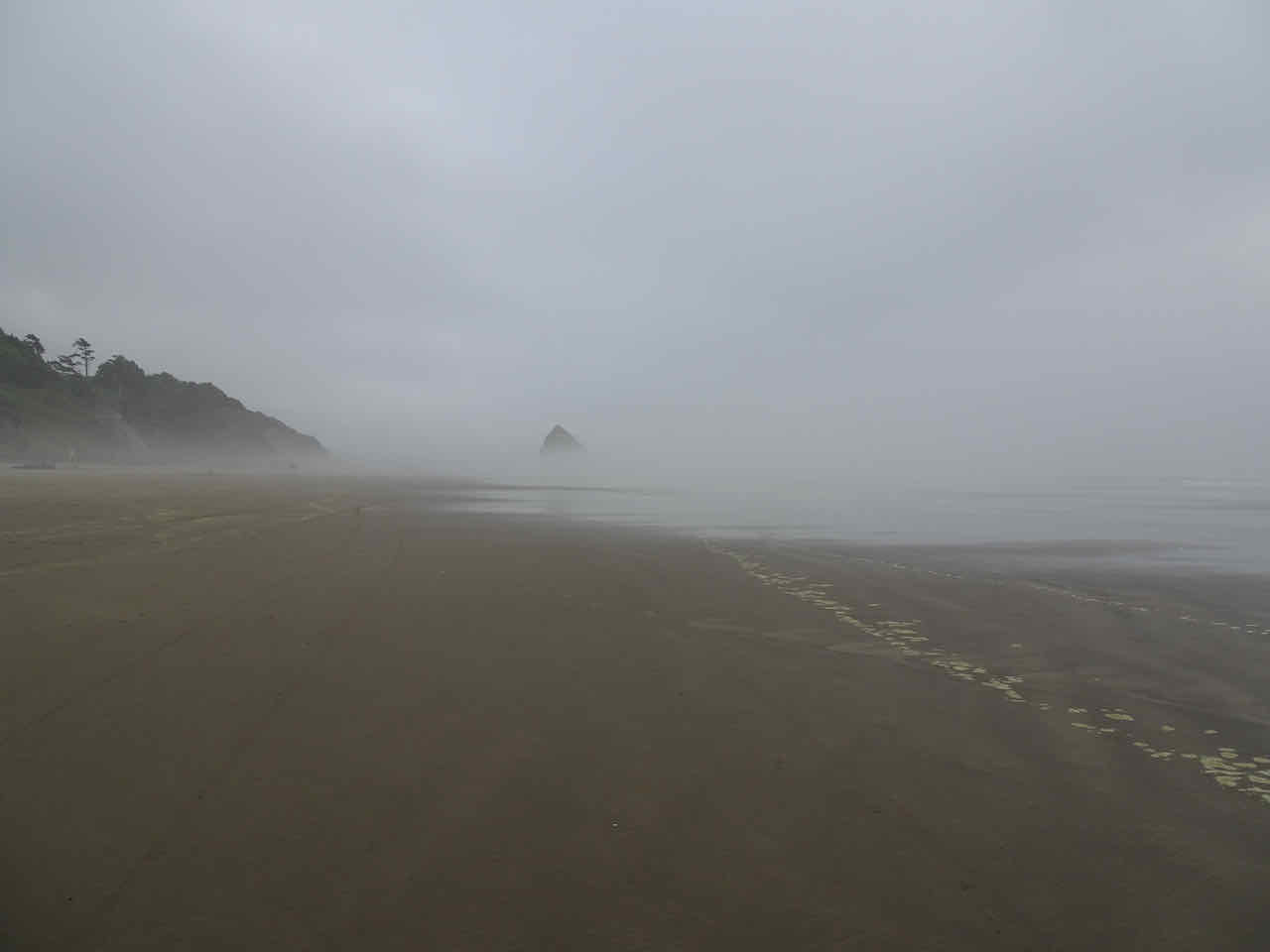
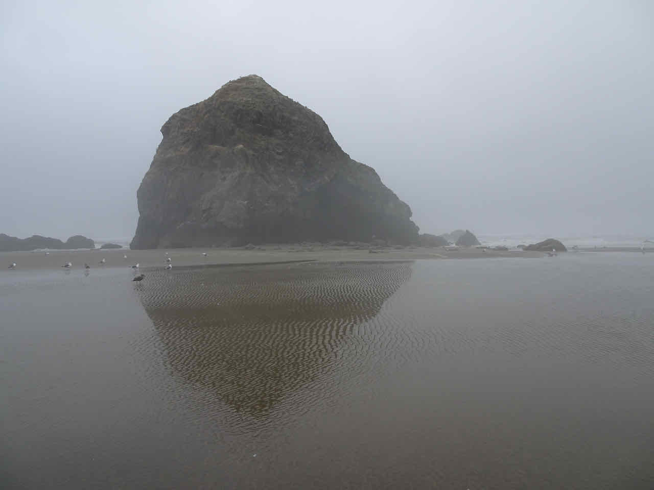
After dinner, we walked north to Haystack Rock as the tide ebbed.

Haystack Rock

anemones

sea stars

The Needles, photobombed by a sea gull!
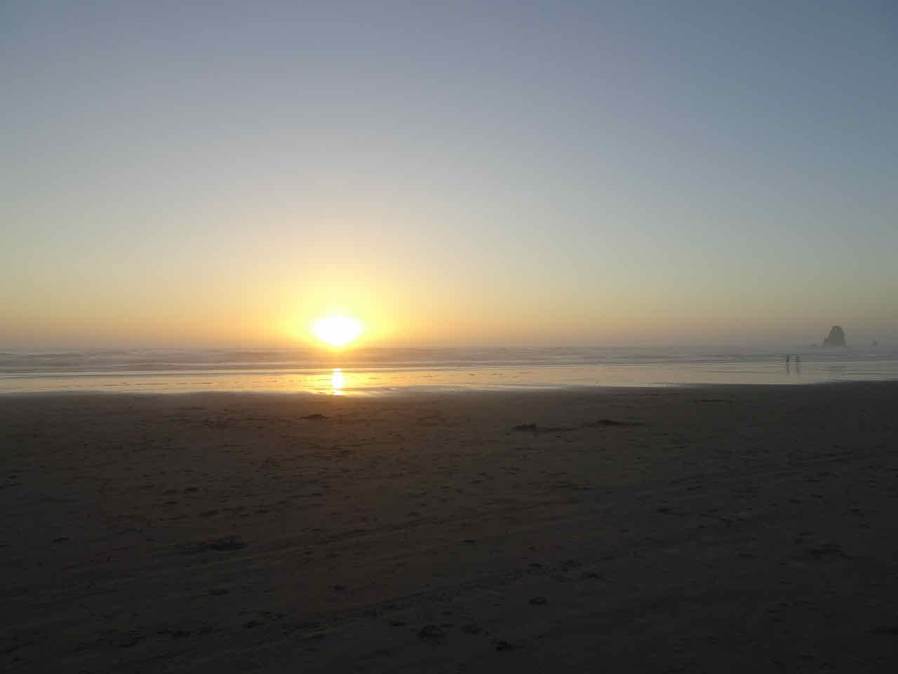
We saw more pelicans and a lovely sunset:
Pelicans again!

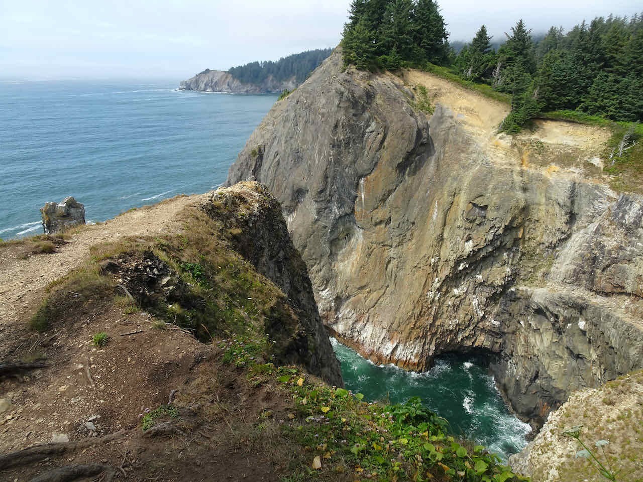
The next day, during high tide, we hiked at Oswald West State Park, out to Cape Falcon…

Into the woods toward Cape Falcon

Looking south from Cape Falcon
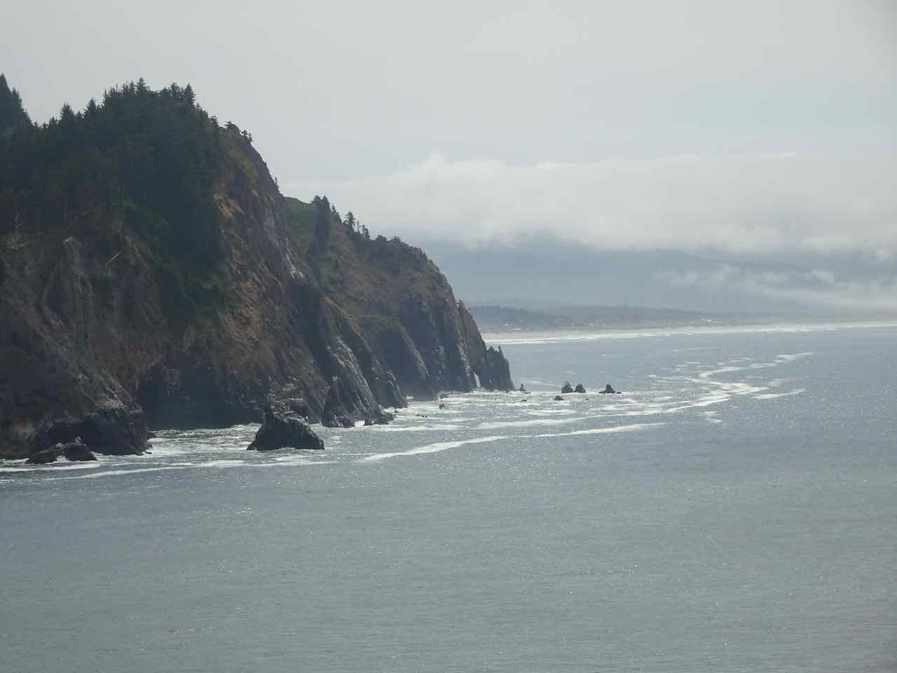
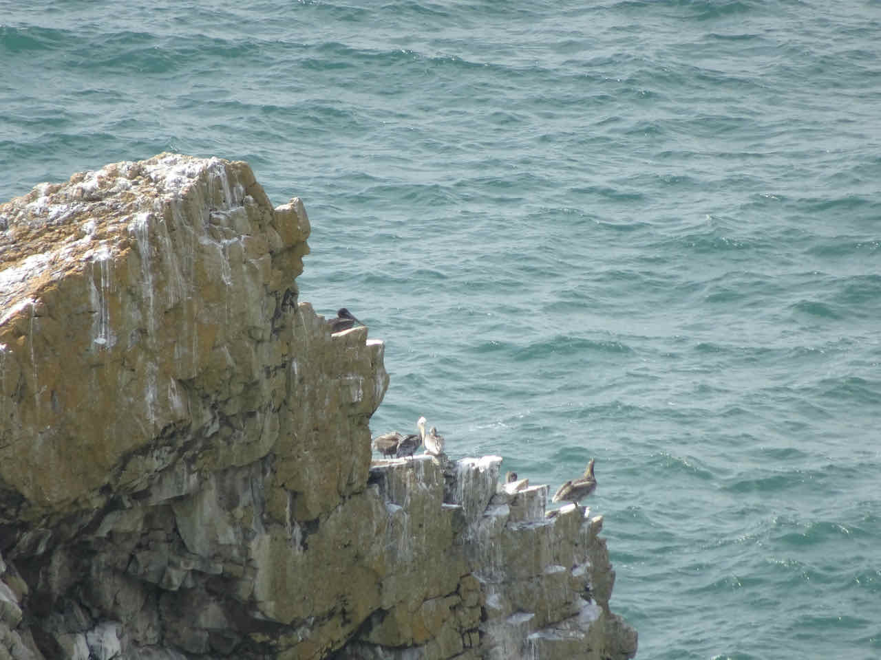
Zooming in to the southern headlands
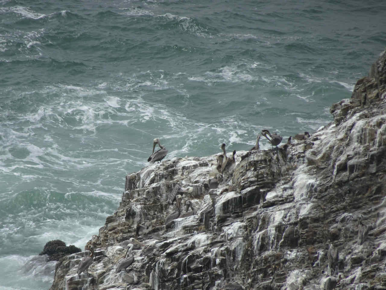
Pelicans on the headlands
Looking down to surfers at Short Sand Beach on the return hike…


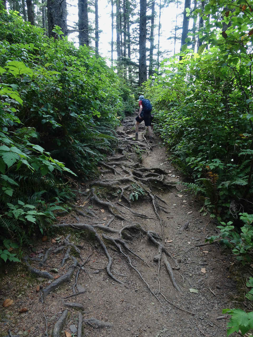
The trail is a bit rooty…
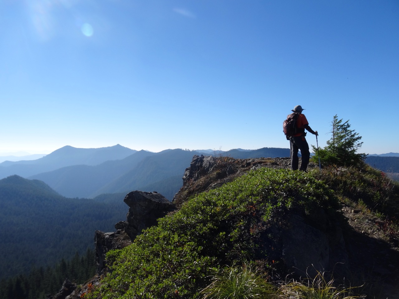
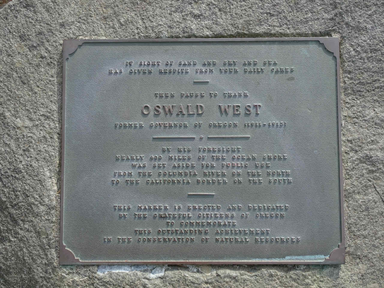
Then we drove south to the Neahkahnie Lookout above Manzanita, and as always, paused to say, “Thank You!” to Oswald West, for preserving access to our beaches!
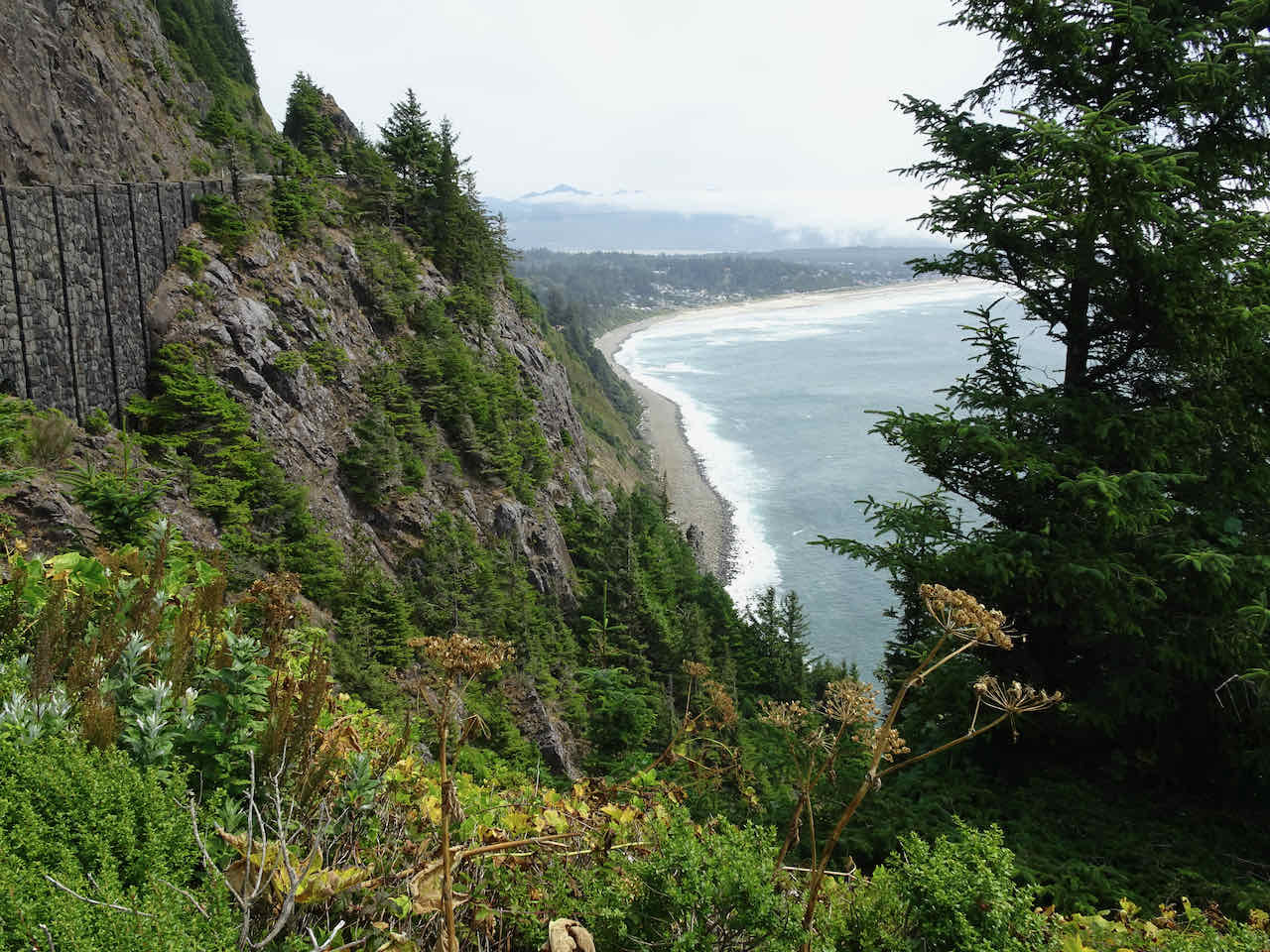
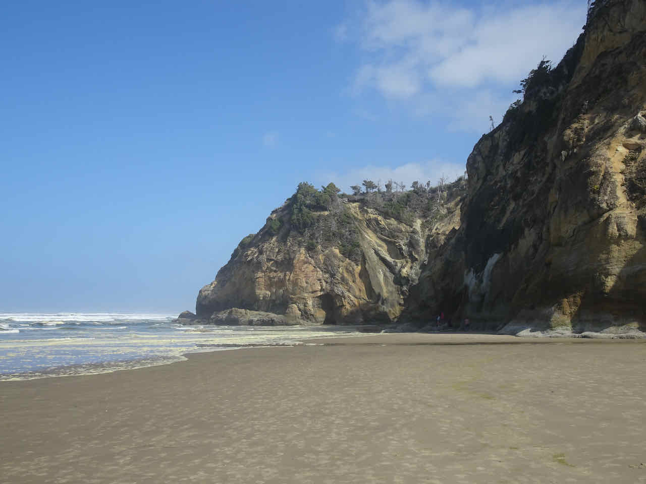
Then we took the short walk to Devil’s Cauldron Overlook, and looked back north to Cape Falcon.
Devil’s Cauldron and Cape Falcon

More pelicans on the headlands near Devil’s Cauldron.
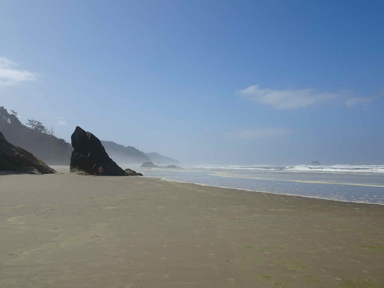
After a second pizza dinner, we took a long evening walk to the south toward Silver Point.
Silver Point in the distance

The kids always called it “Big Starfish Rock” because we found so many sea stars the first time we went there.
Low tide

Oyster catchers
The Sphinx of Arcadia
The next morning, after packing up, we visited another favorite beach, Hug Point, even though the tide was coming in.

Hug Point Beach
We could see the tide coming in at the foot of the road that is carved into Hug Point.

My husband opted to wade through, and visit the point.
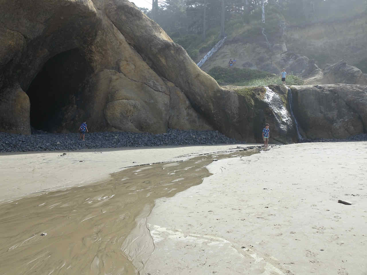
I visited the nearby waterfall, still a favorite spot for children…

Hug Point stream meets the sea…
We turned and walked south toward Arch Cape, along the lovely wide beaches where we spent many family holidays.
South toward Arch Cape
Big Barnacle Rock and Castle Rock
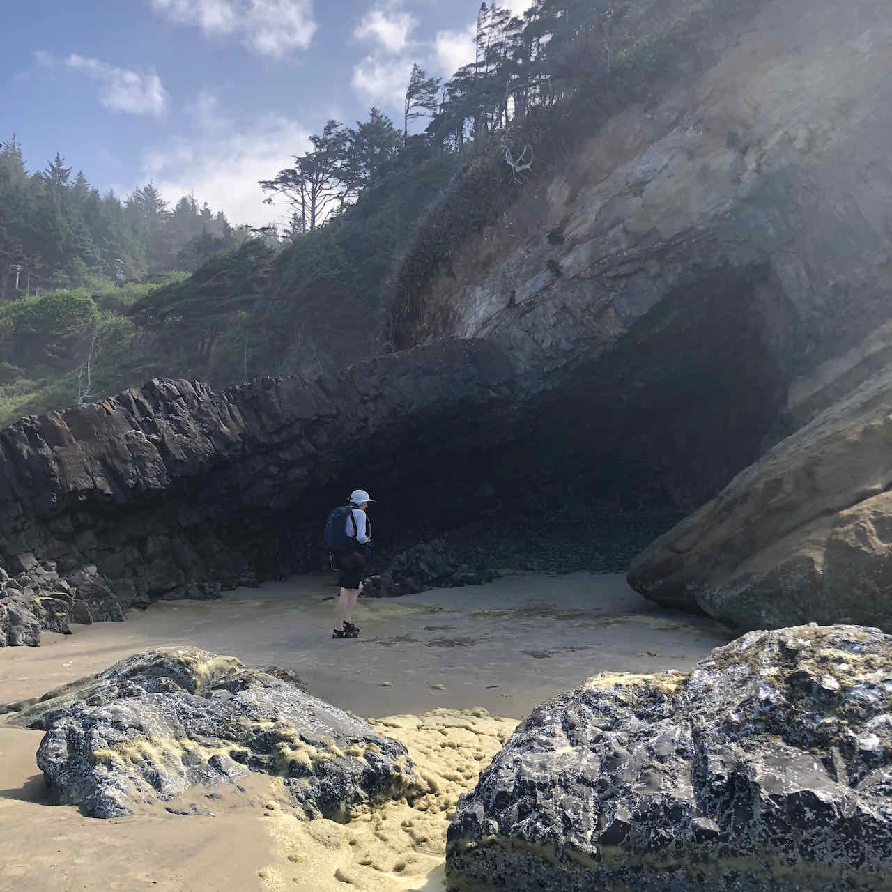
The Cave
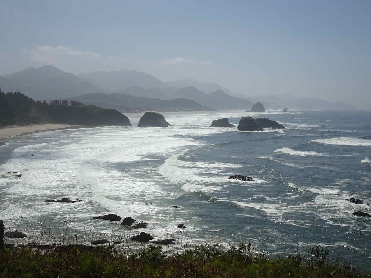
Before driving inland, we stopped for a picnic lunch at Ecola Point, and for a last look at the beaches we had visited. We had walked almost 20 miles on the beaches and headlands within this view, and enjoyed our time on the edge of the continent.

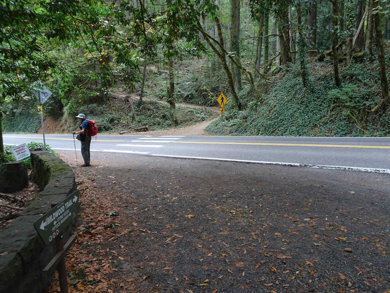
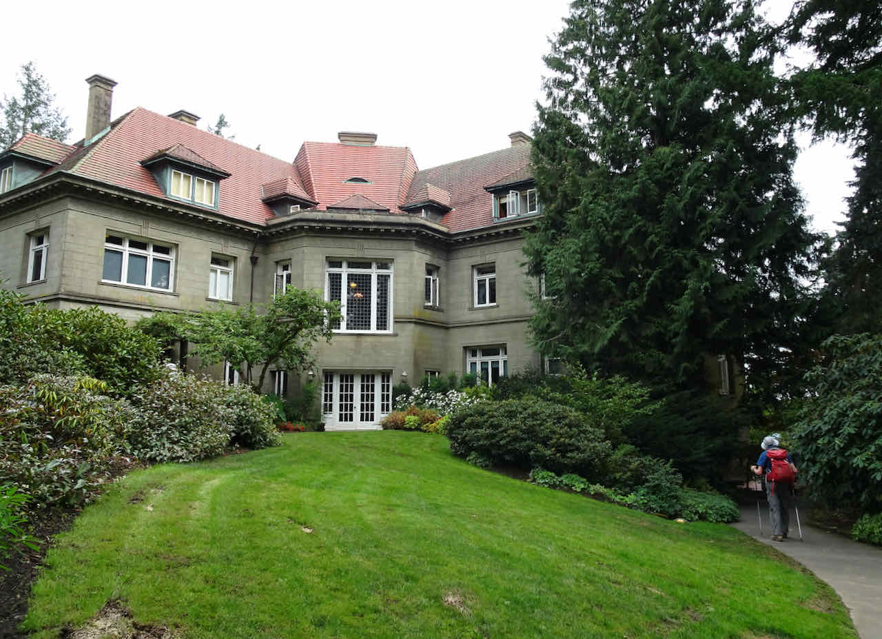
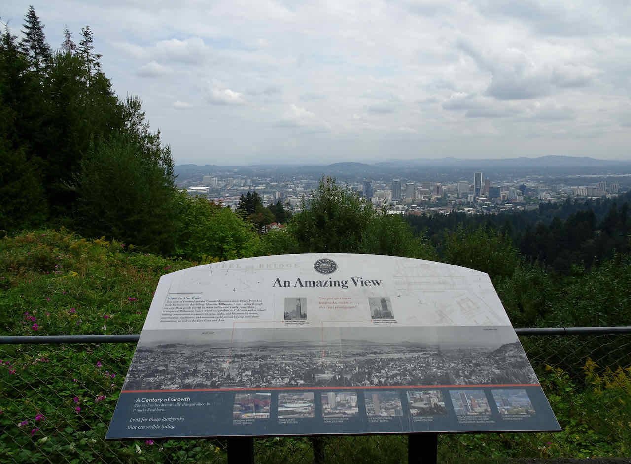
August 22 – Wildwood Trail, Portland, OR
On a hot day we hiked a three mile loop on the Wildwood Trail in Hoyt Arboretum.

Into the woods, looking for shade.

Found some on the Redwood Trail

Vine maples

Took a rest on the Redwood Deck.
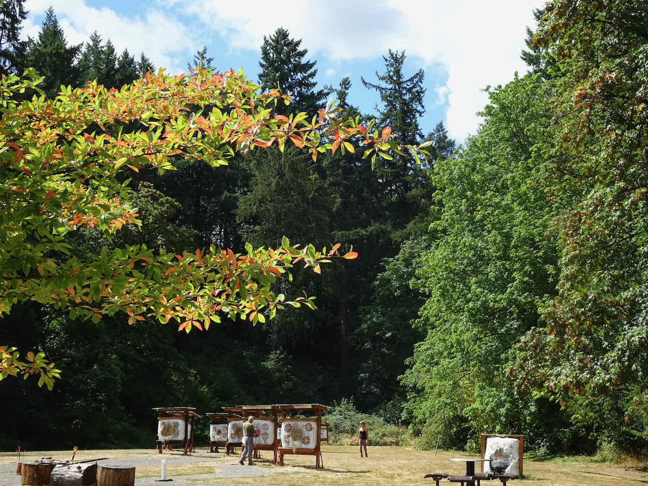
Tupelo trees beginning to turn near the archery grounds

No view of Mt Hood from the Viewpoint
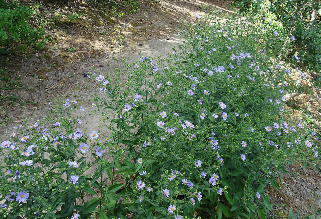
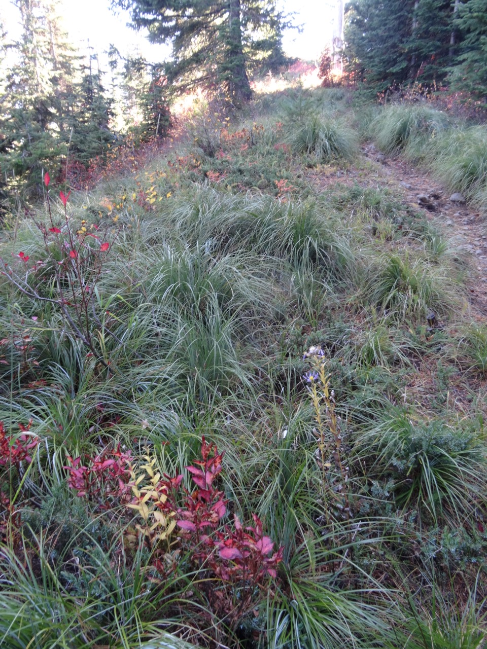
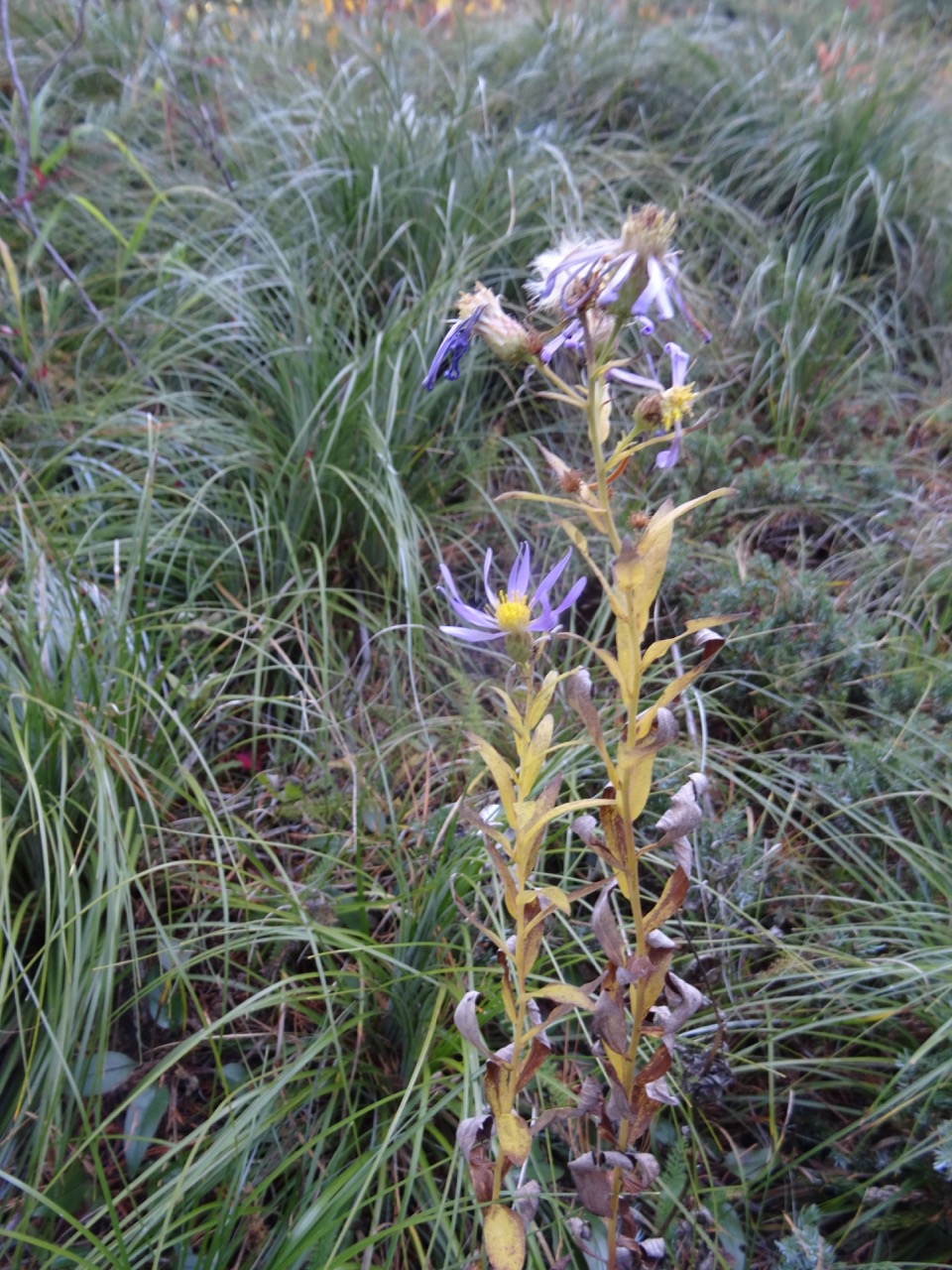
Asters
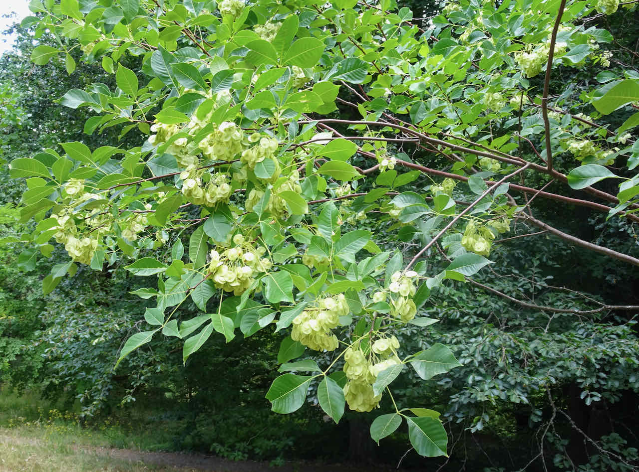
Beech seedpods
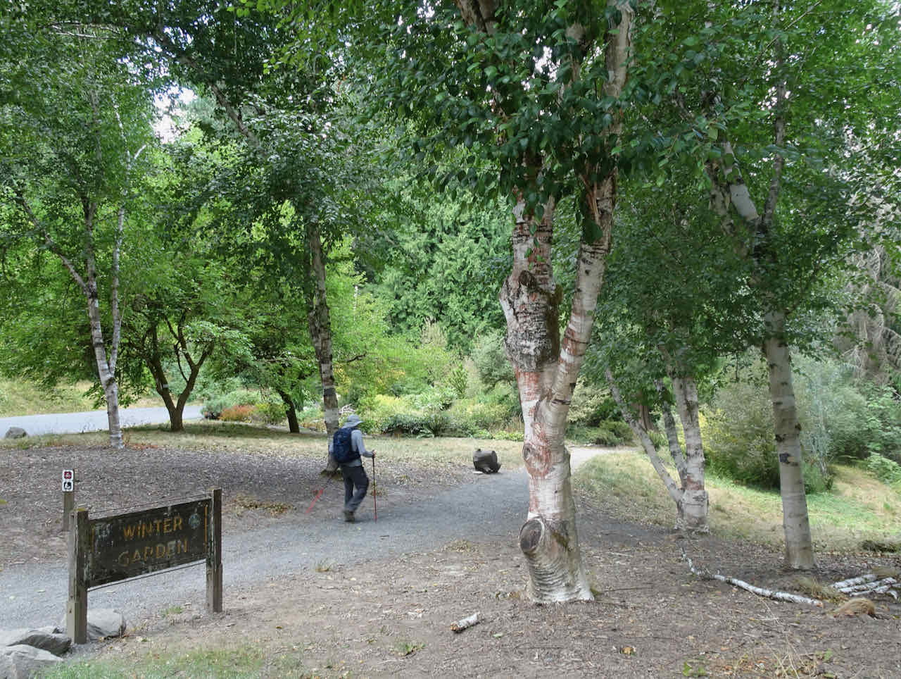
Beech trees in the Winter Garden
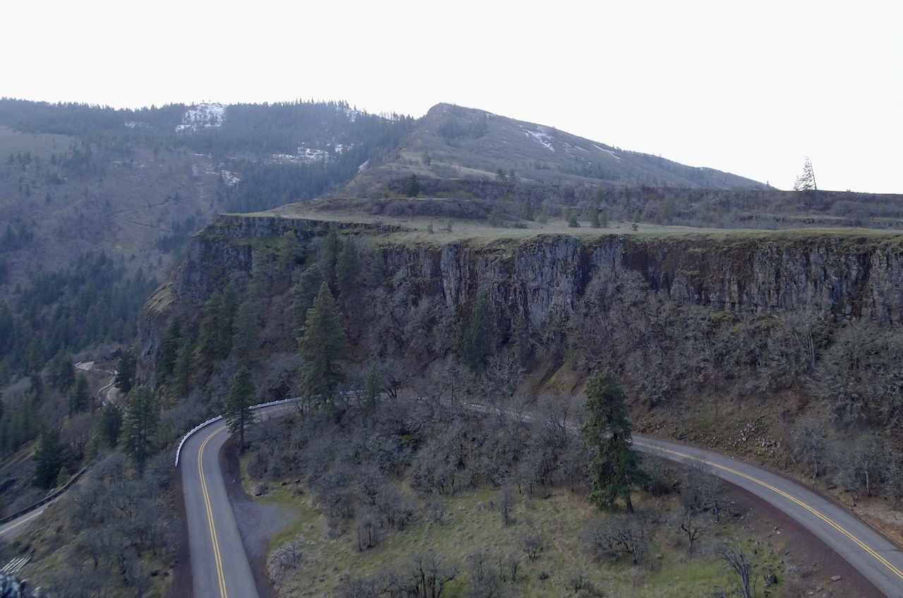
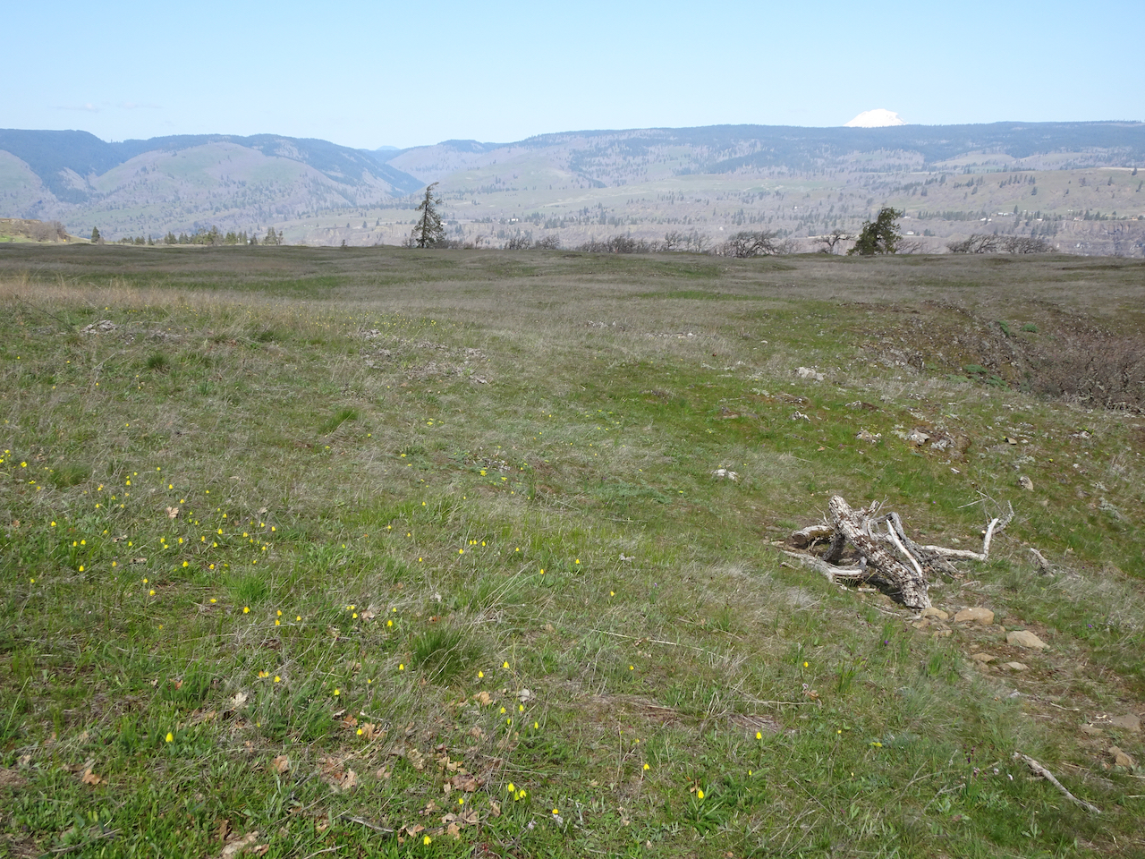
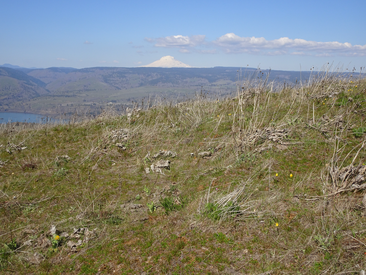
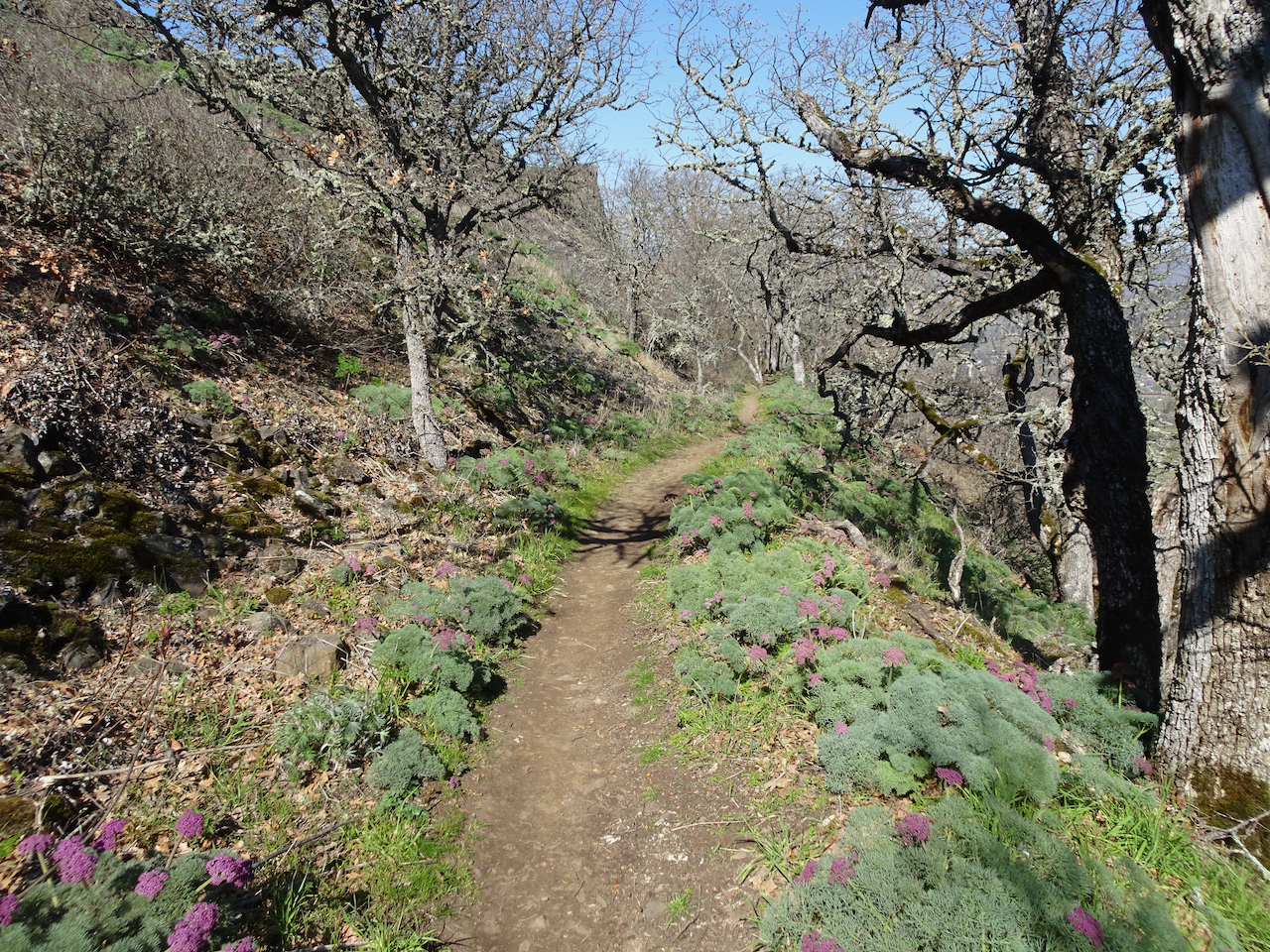
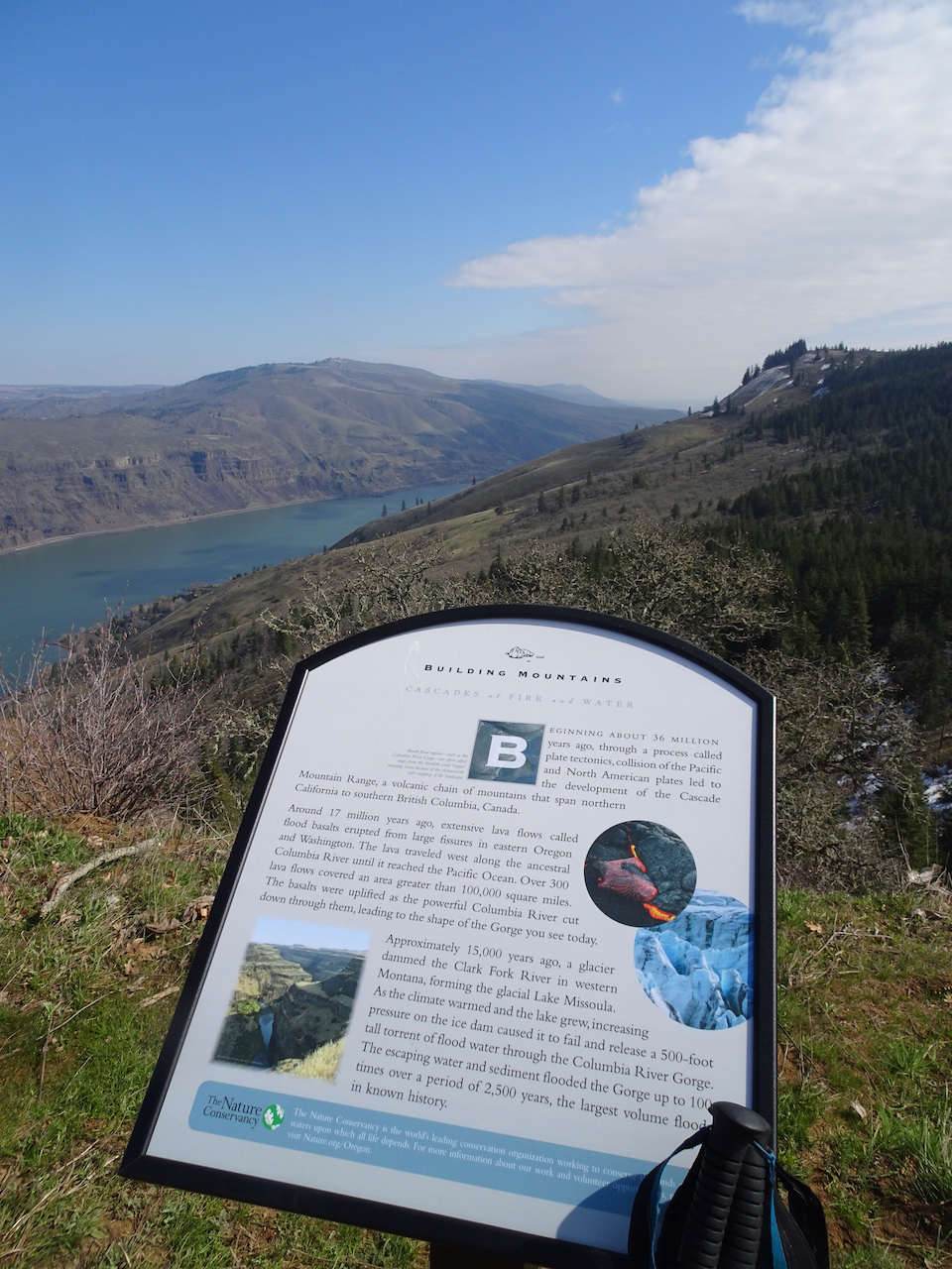
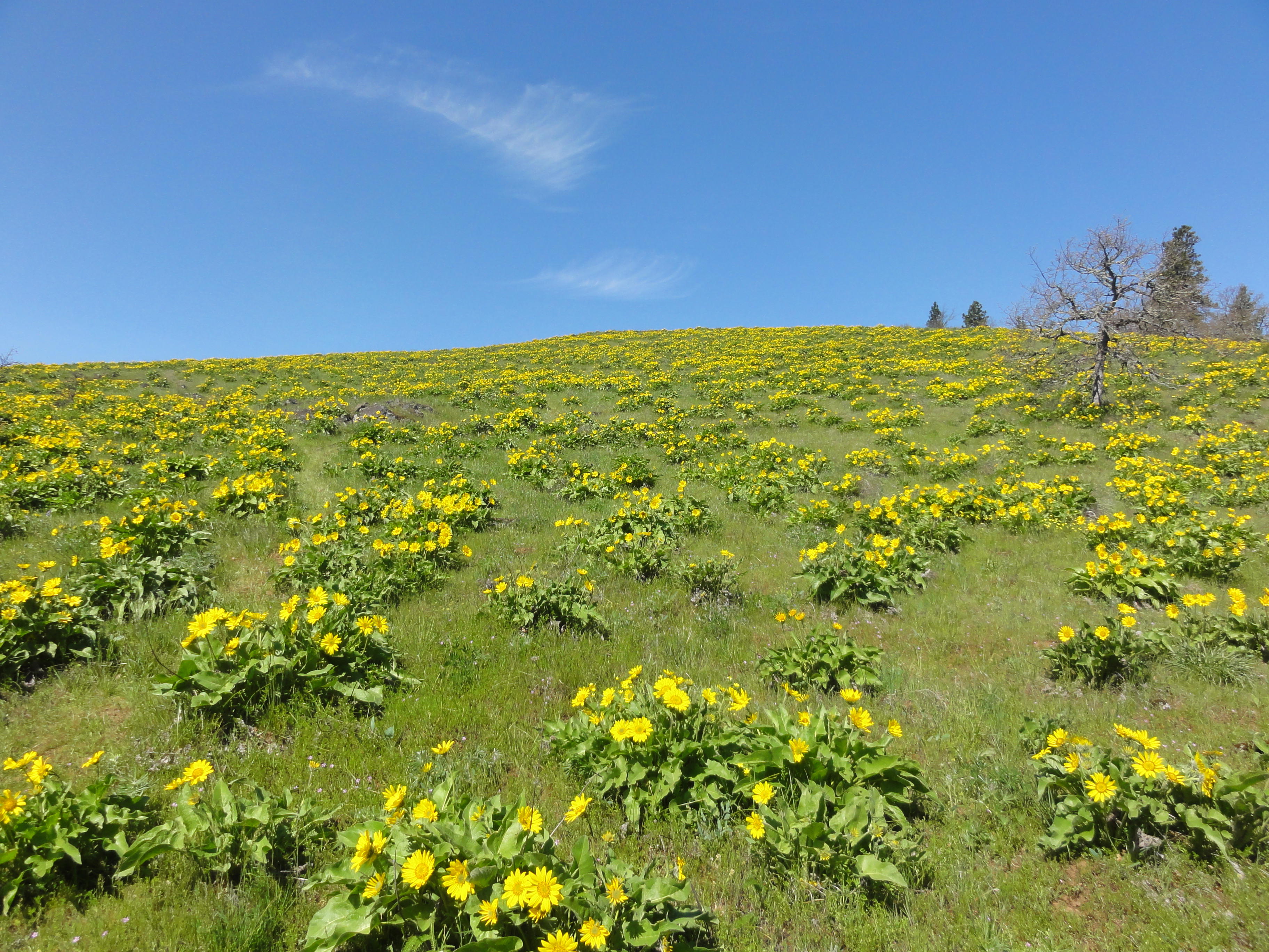
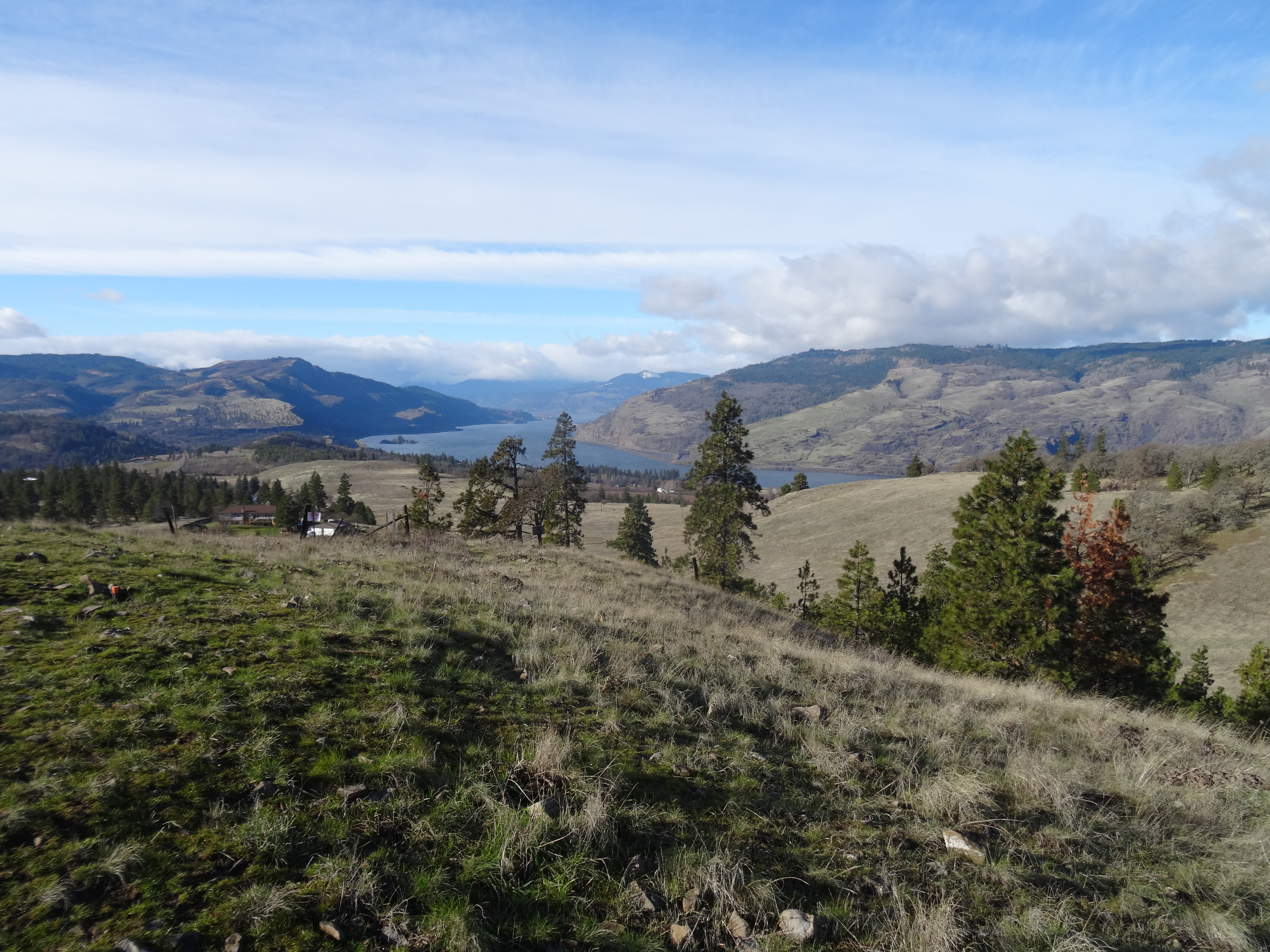
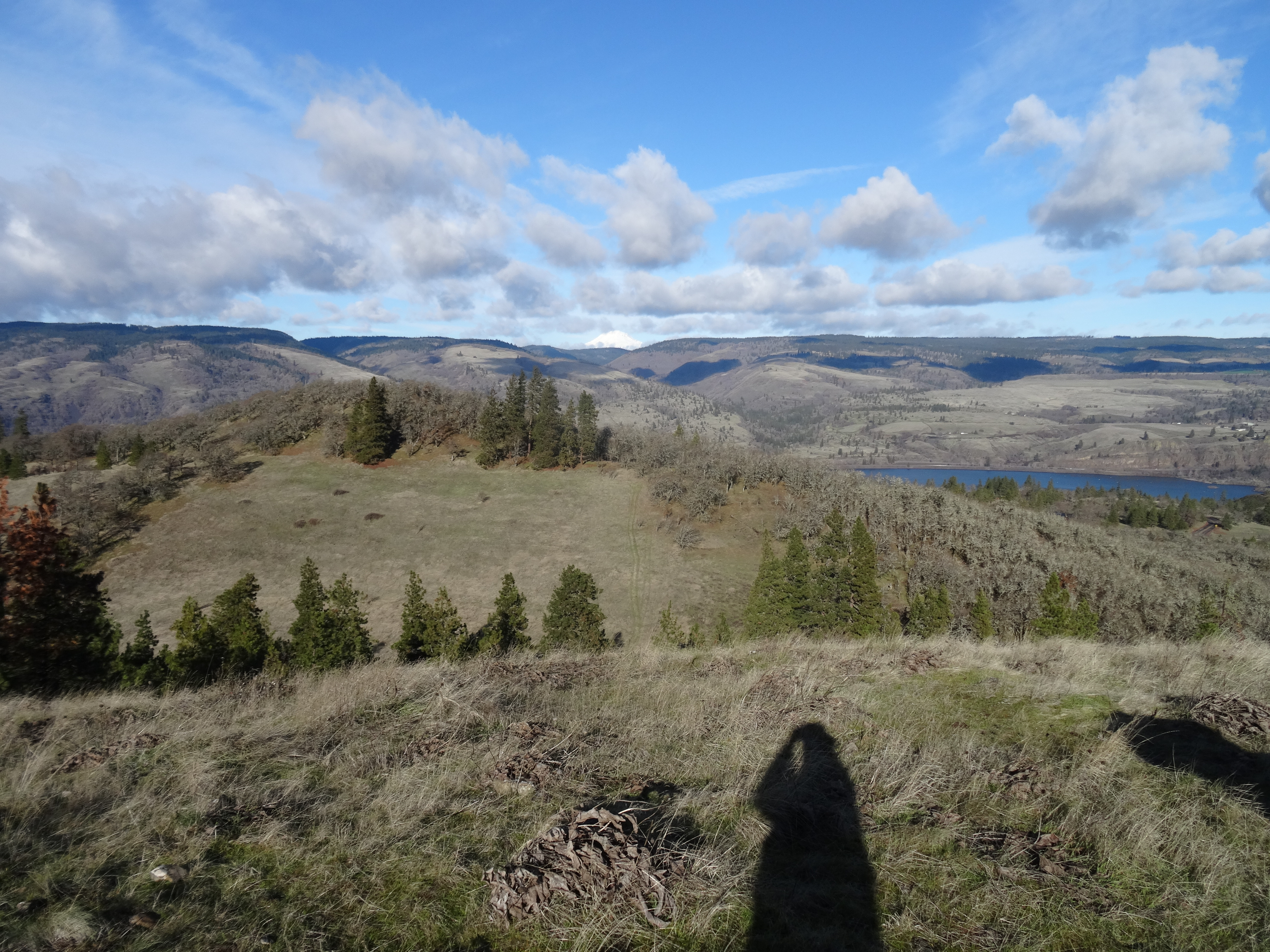
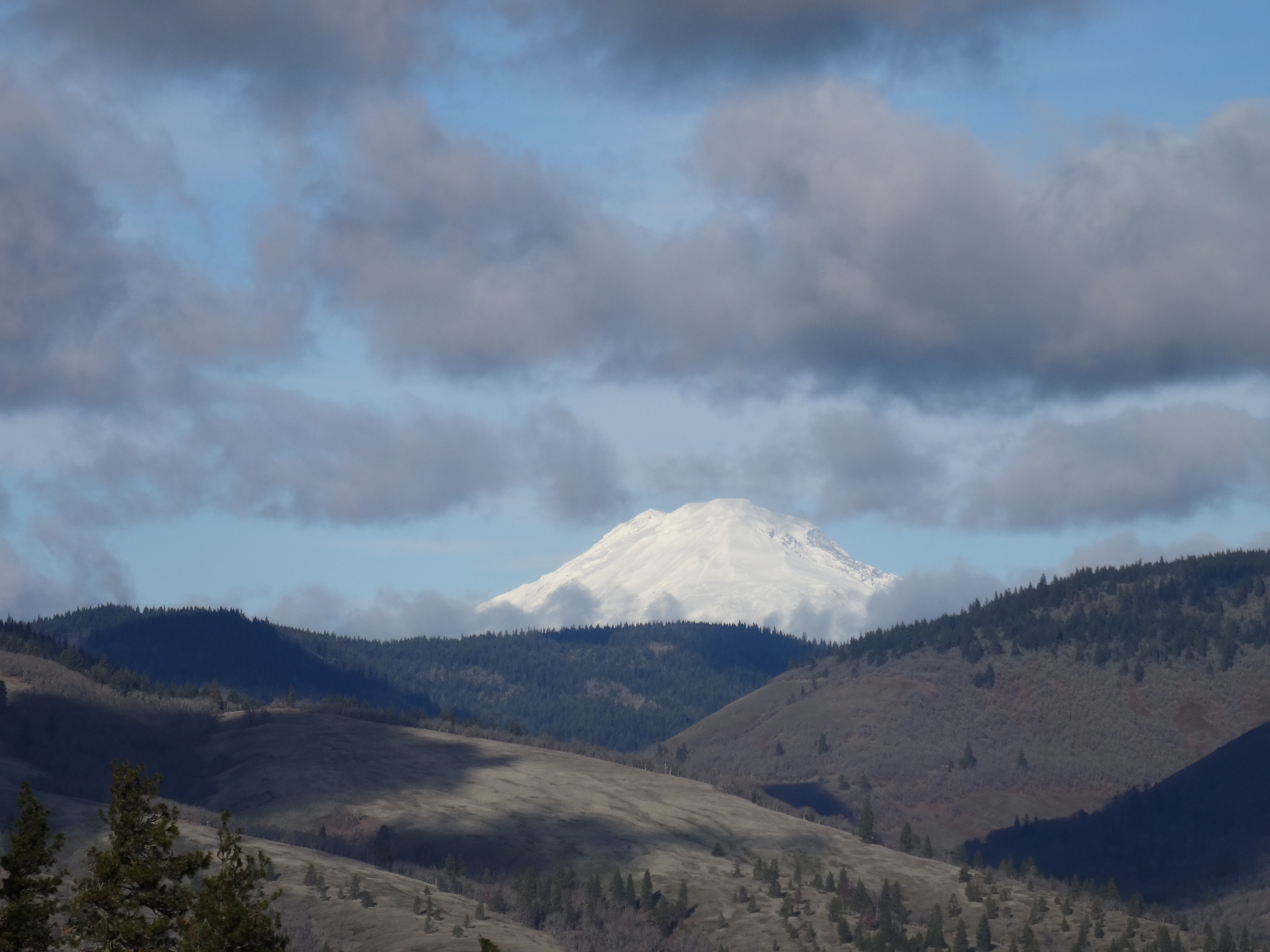
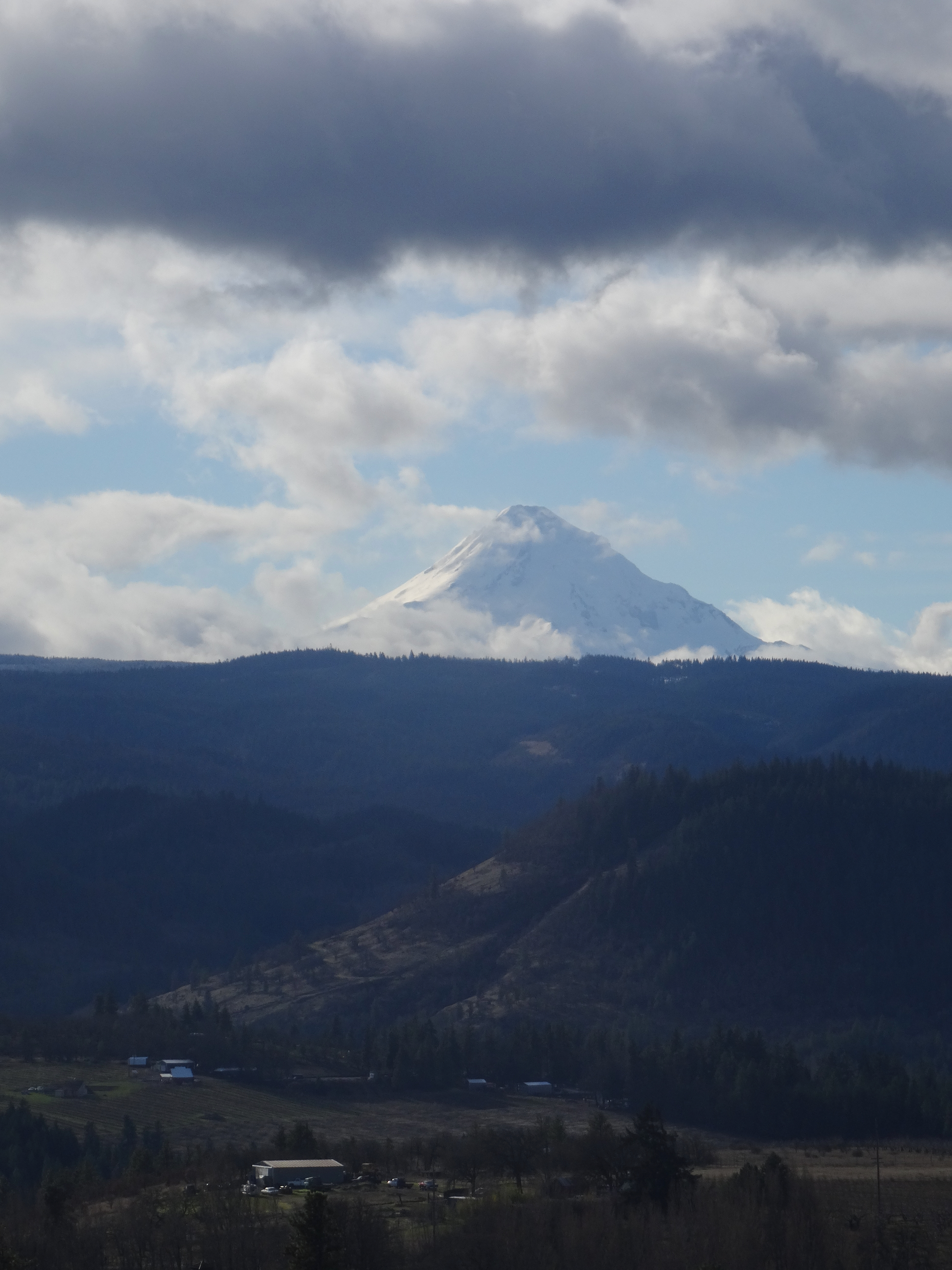
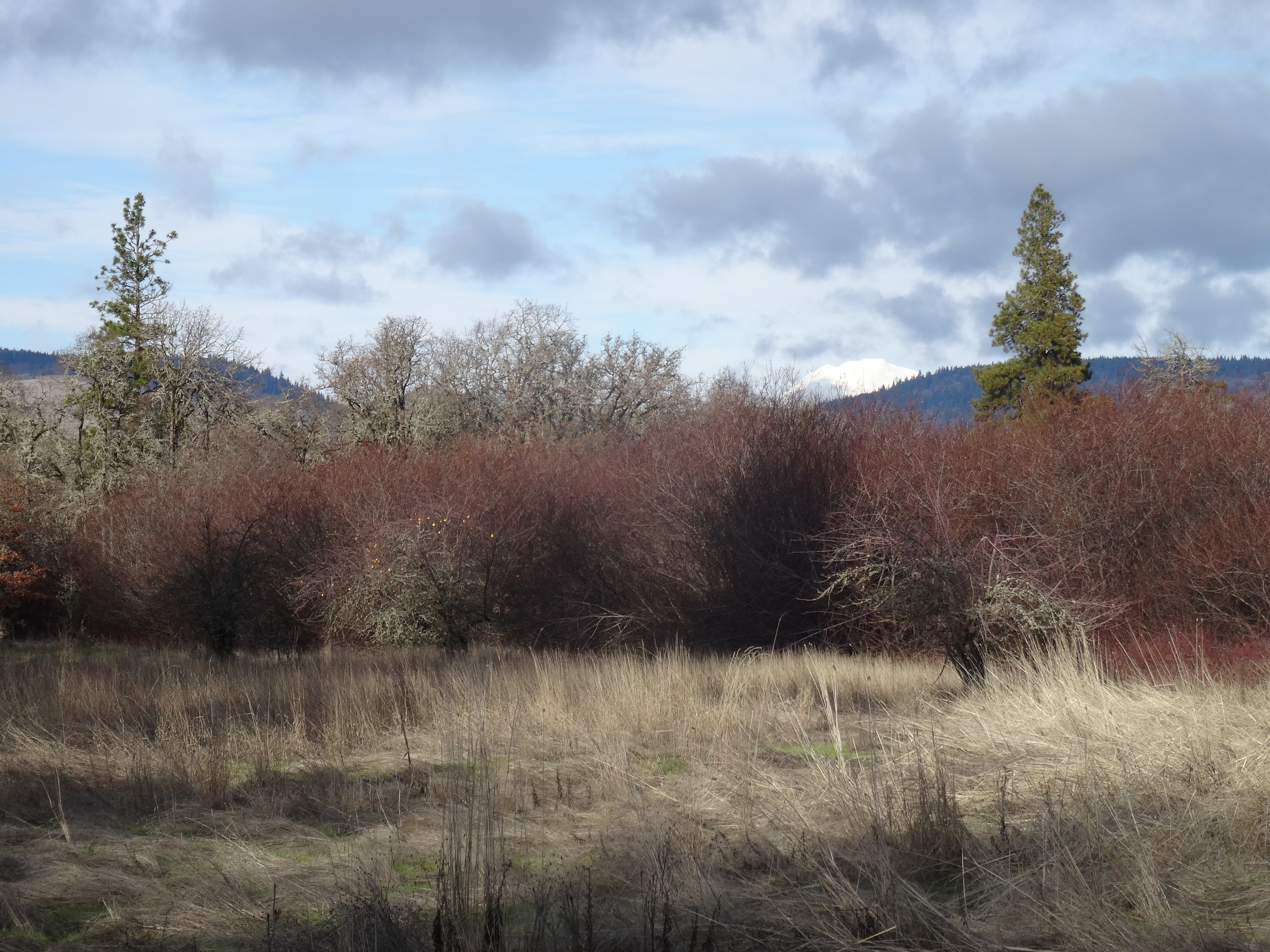
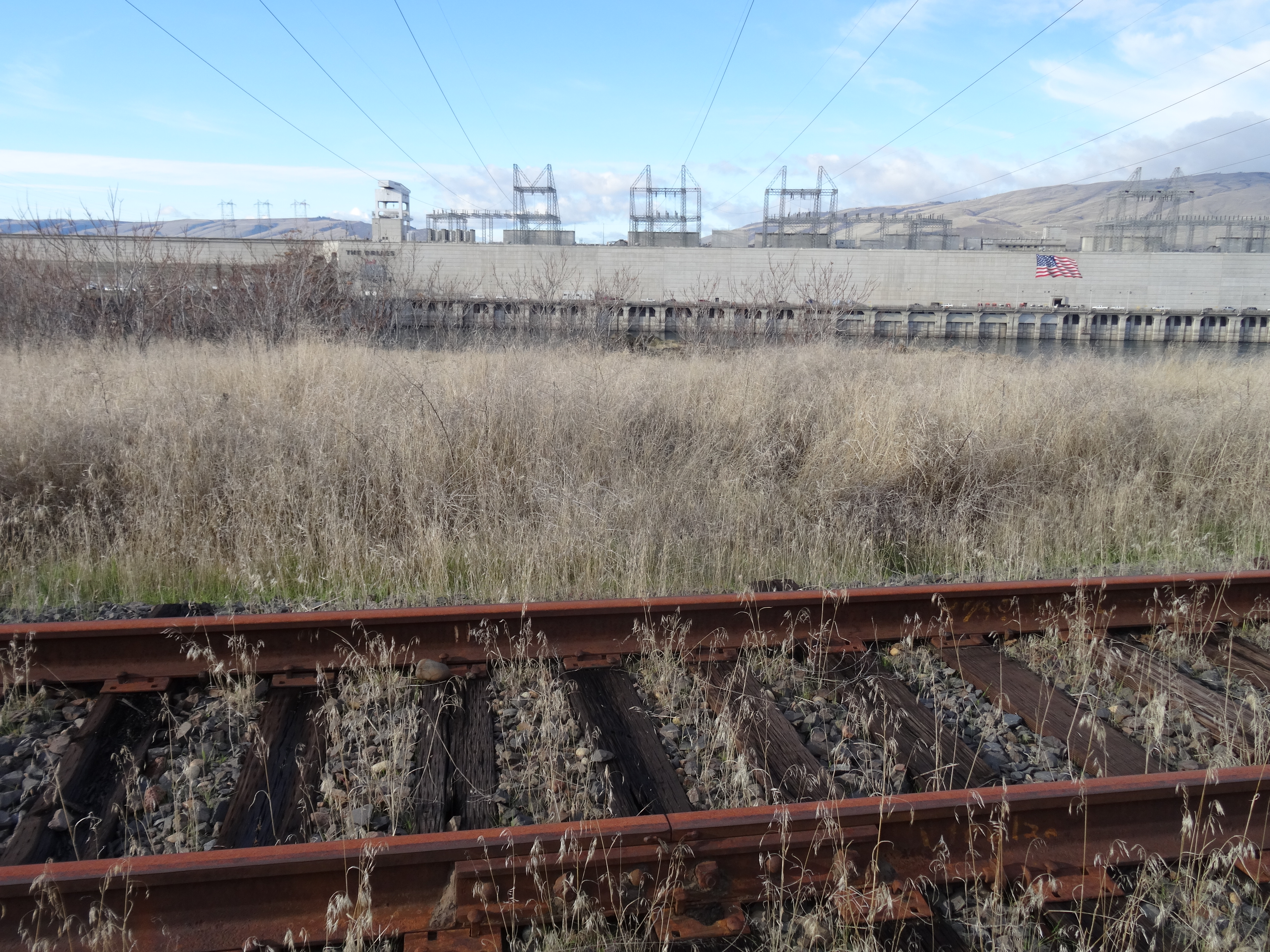
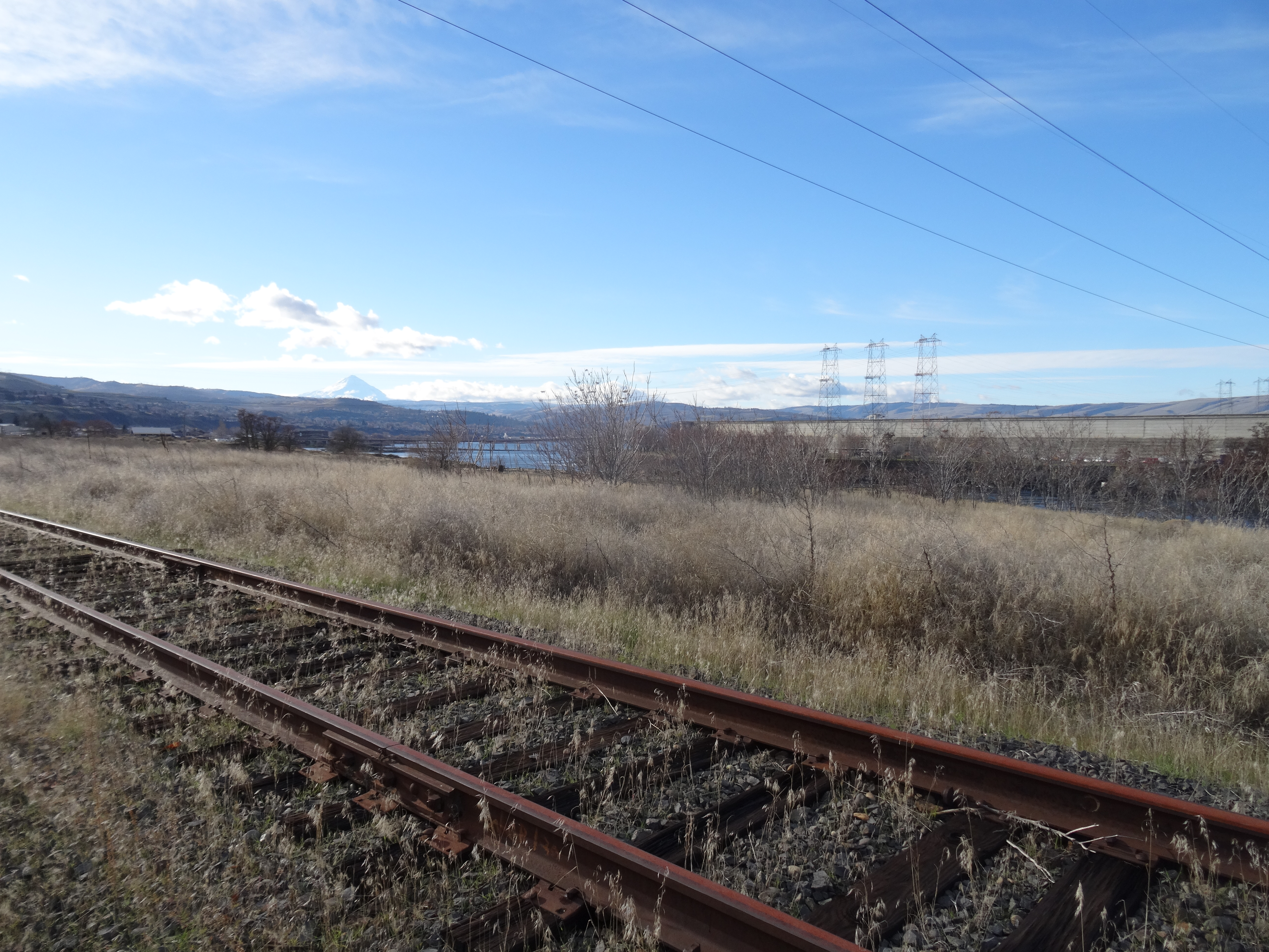
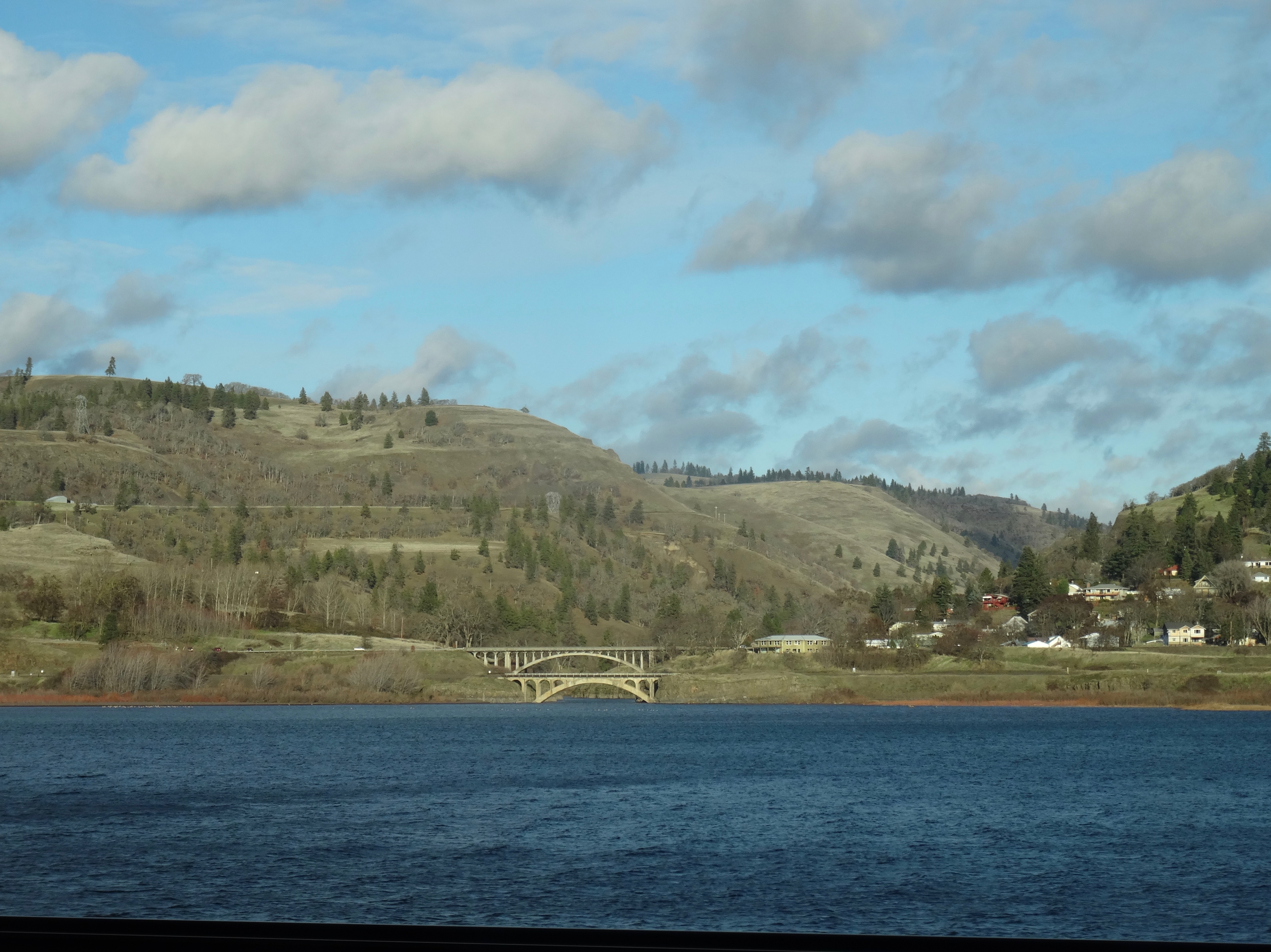
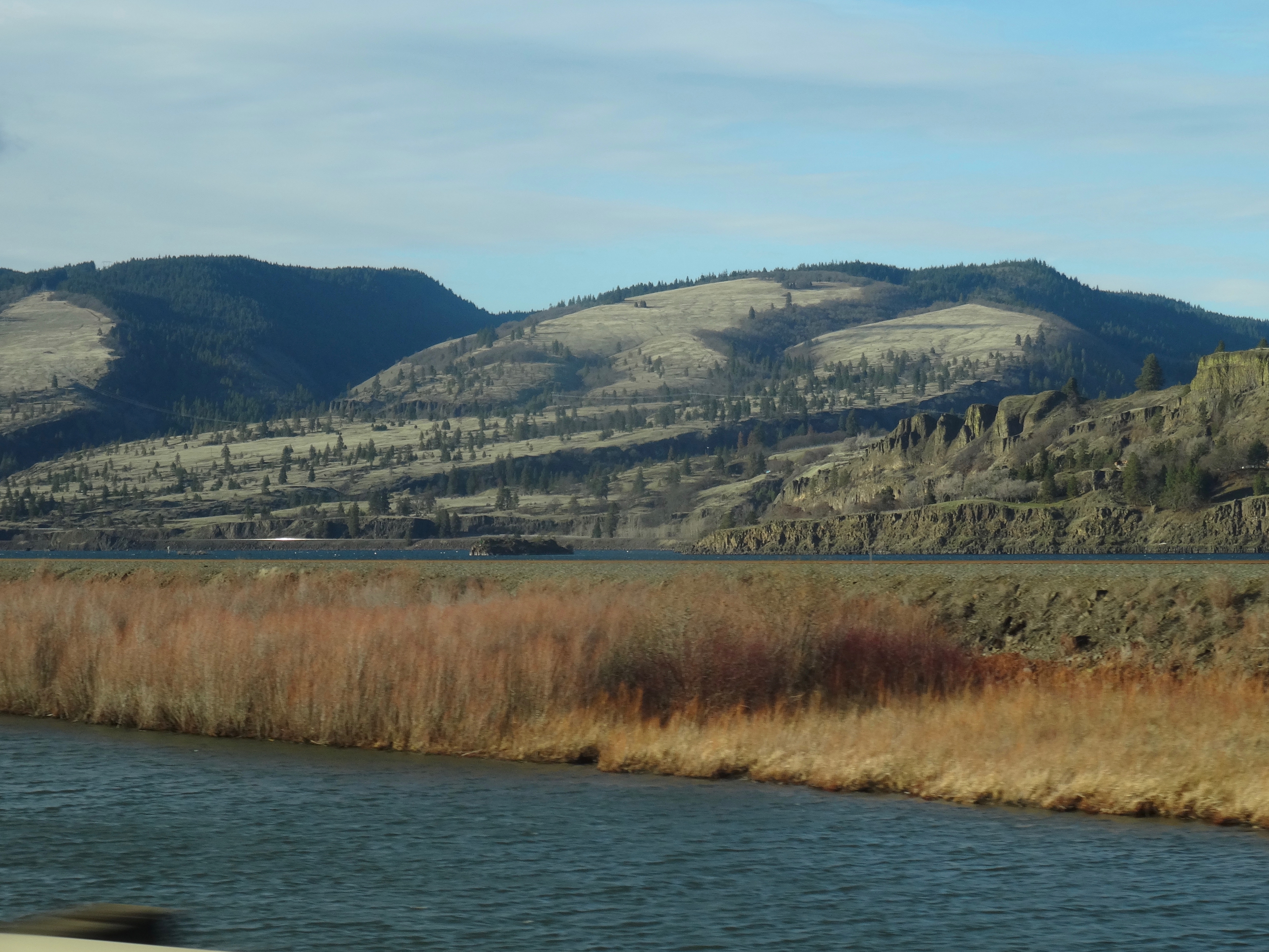
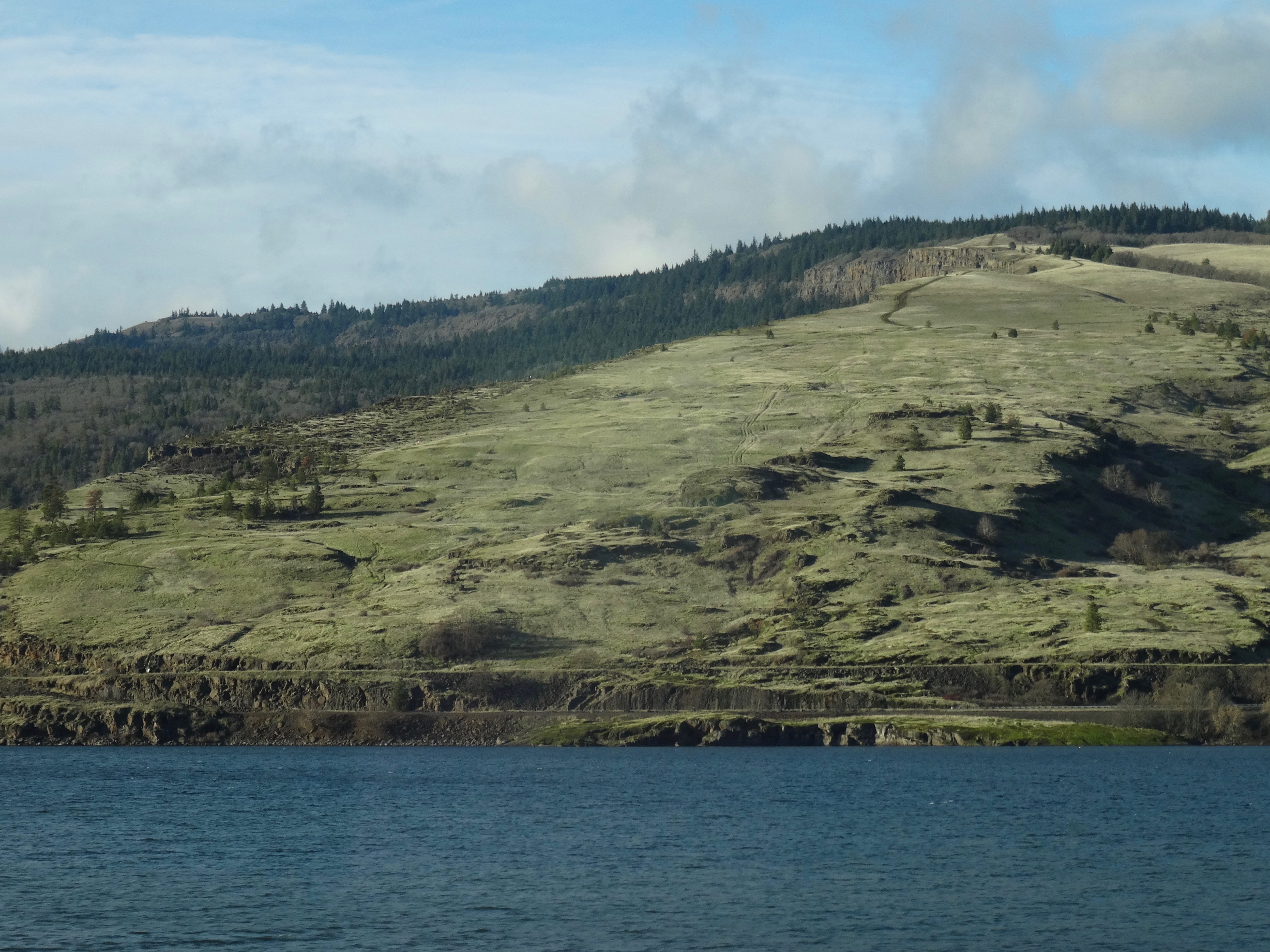
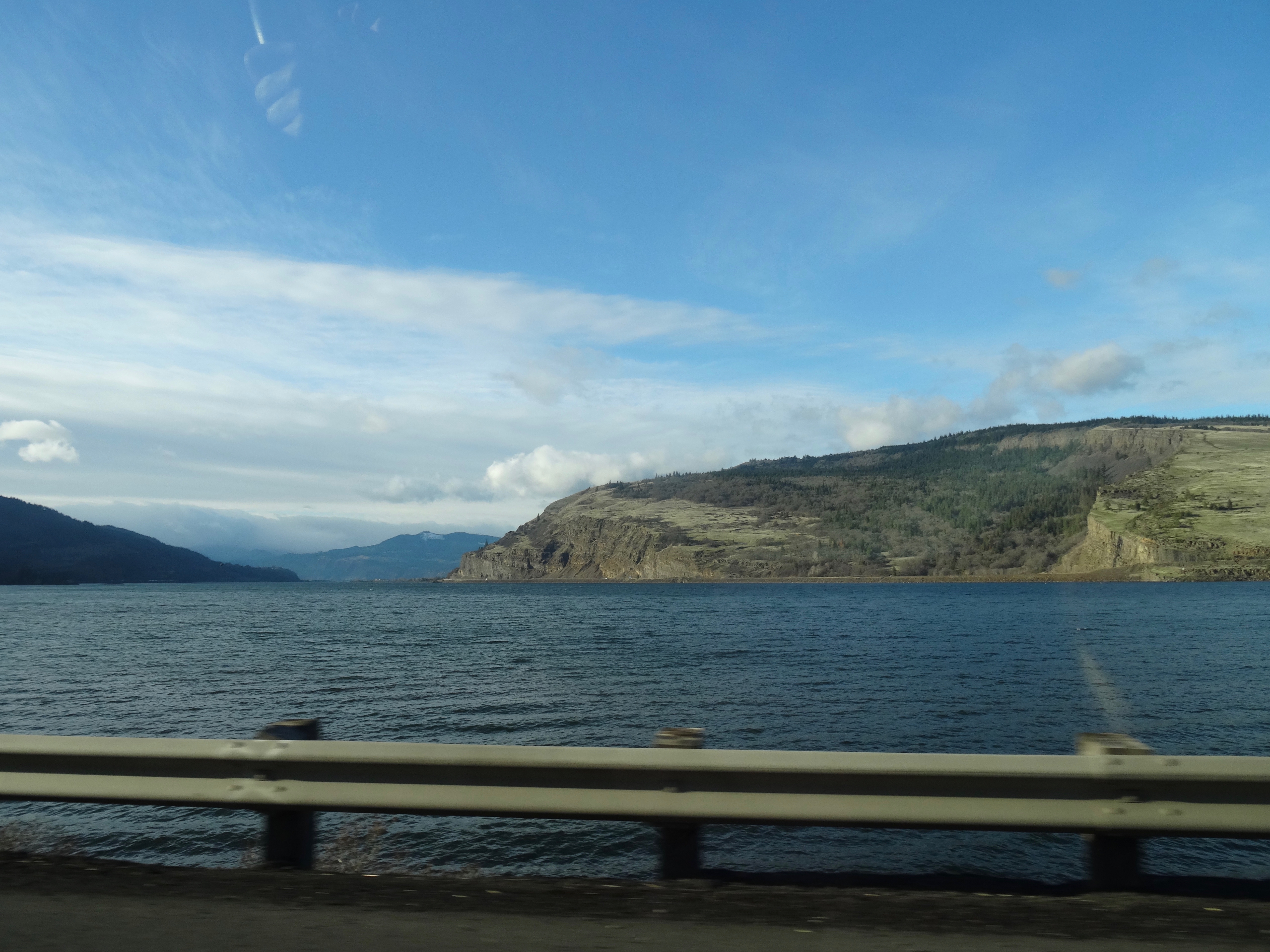
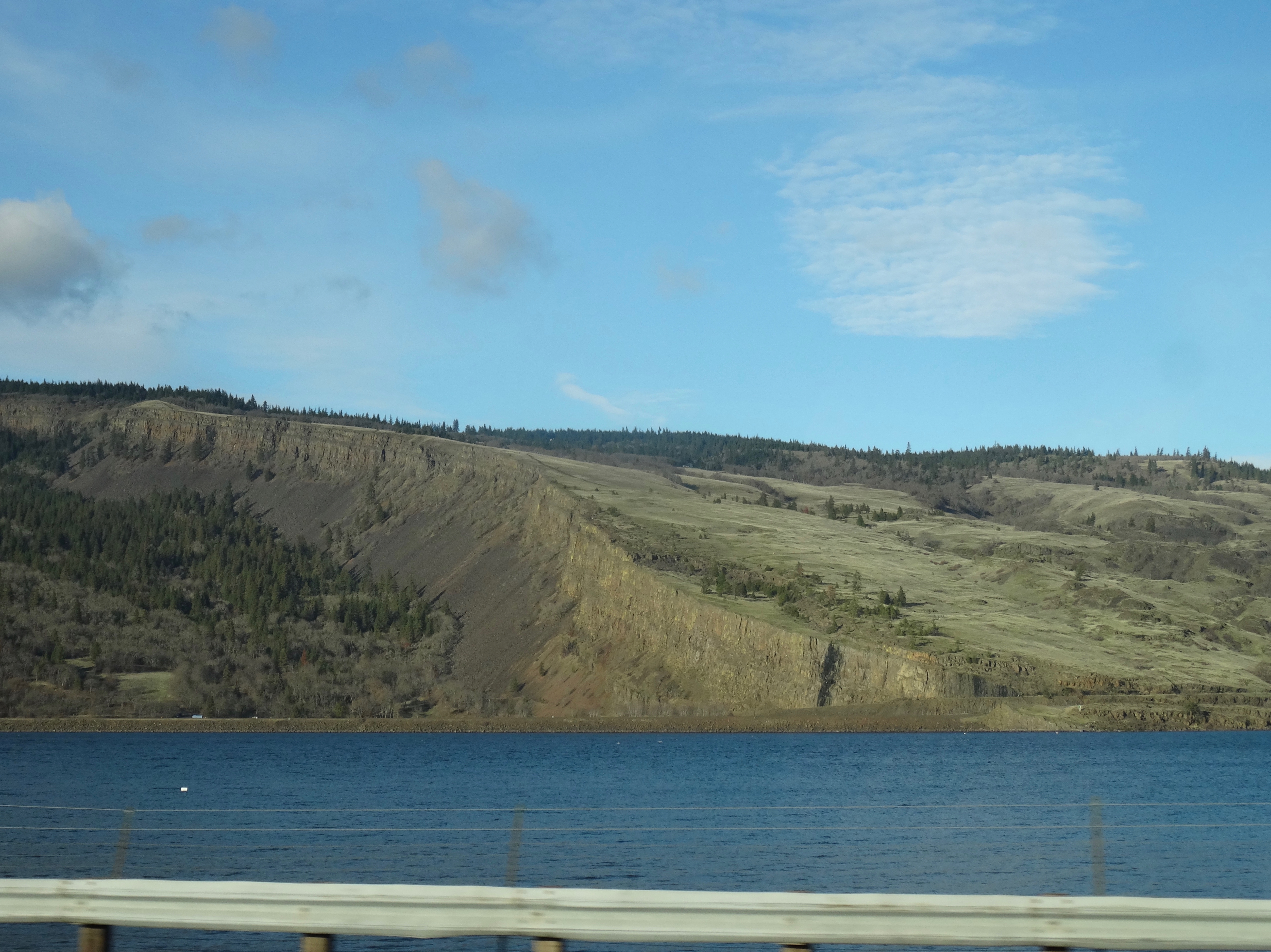
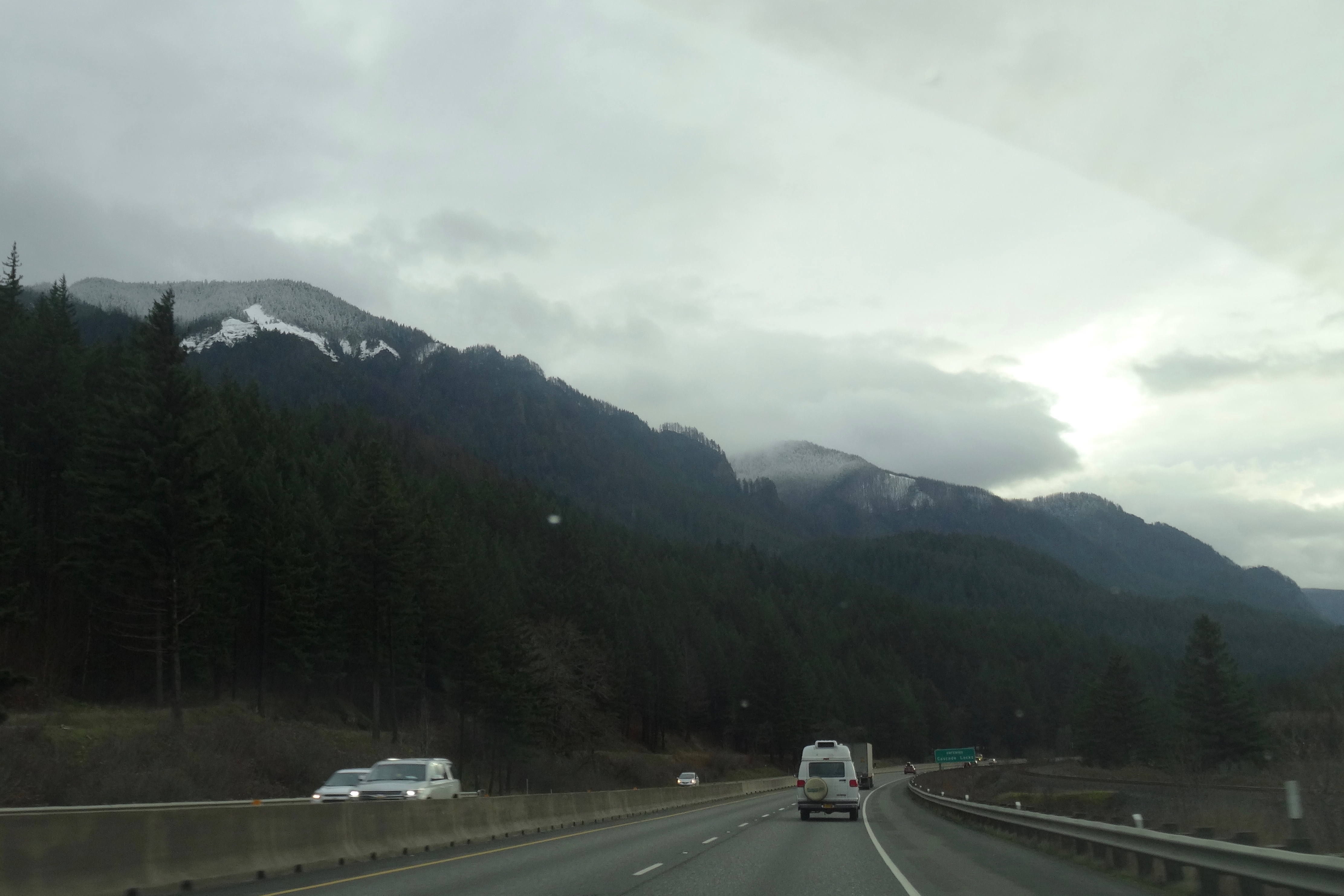
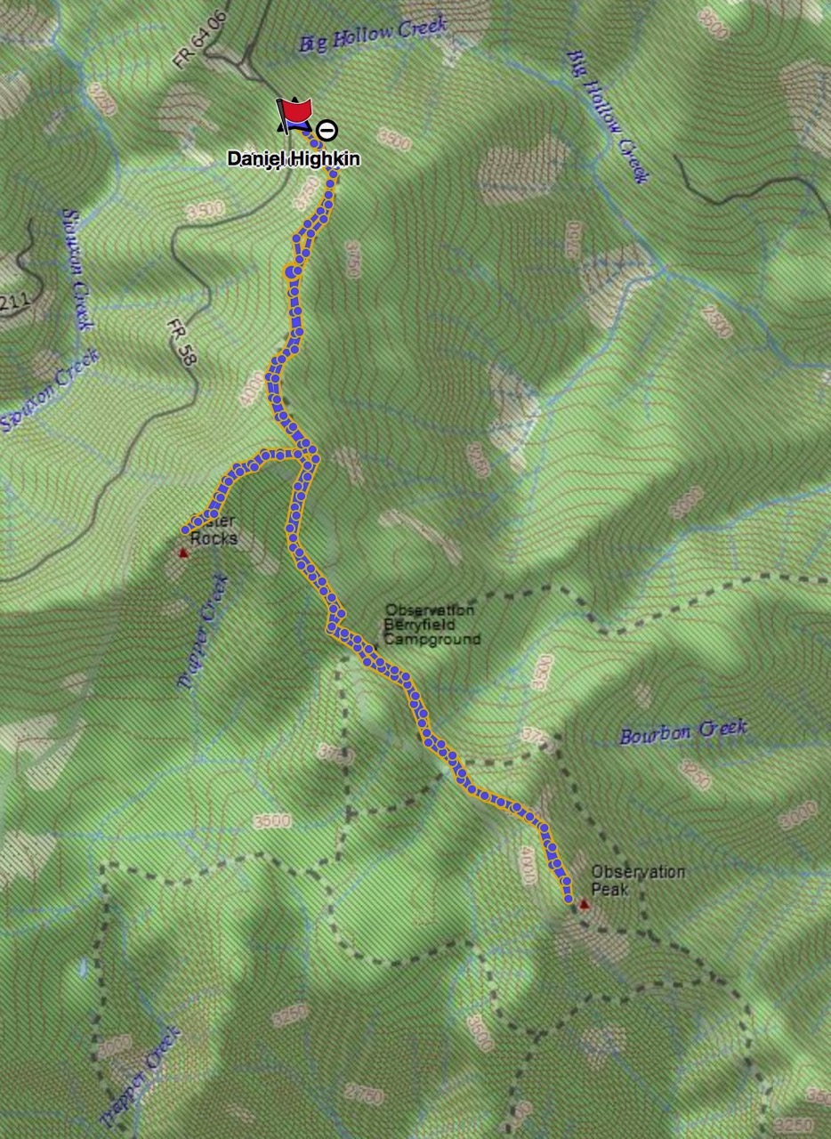
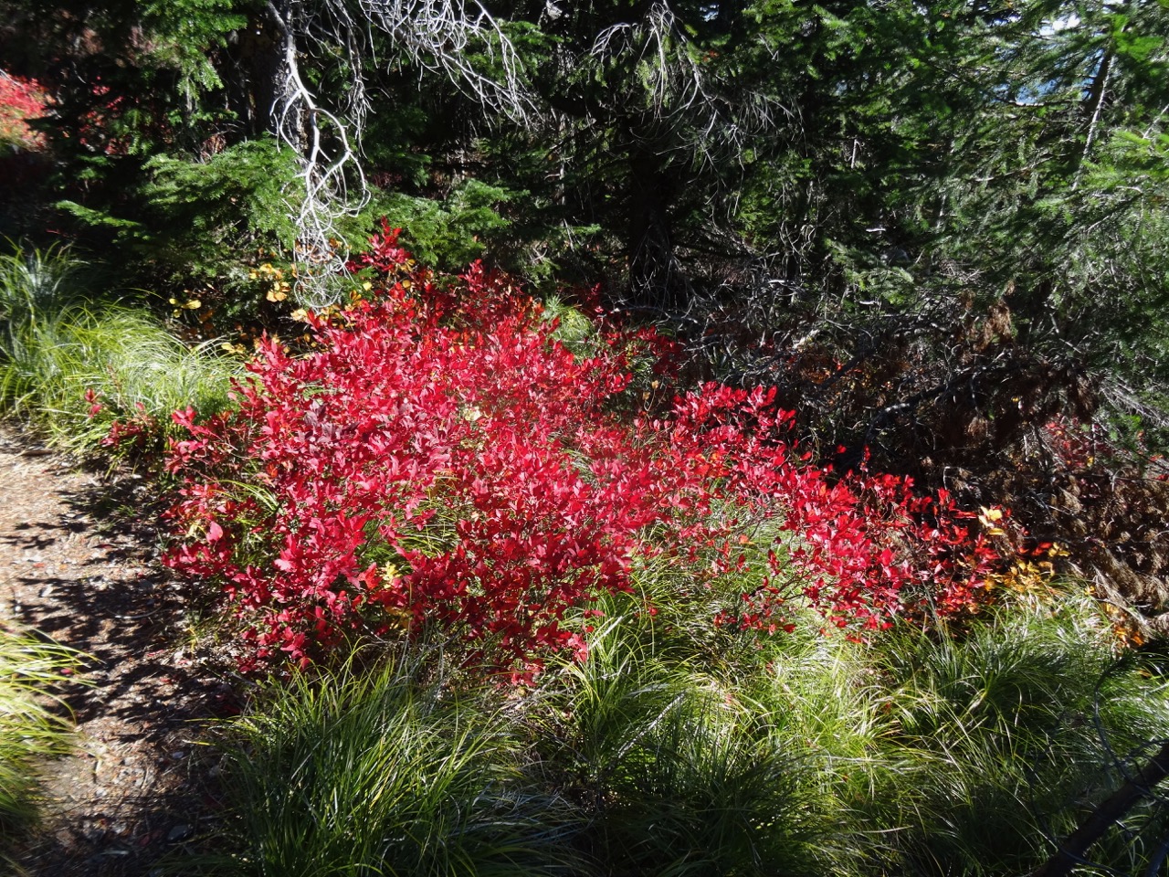
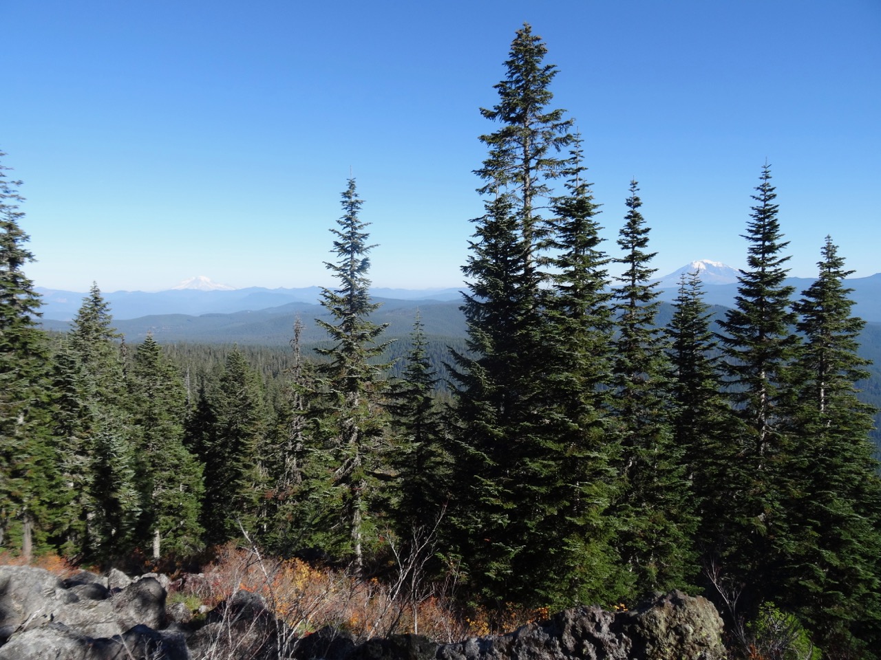
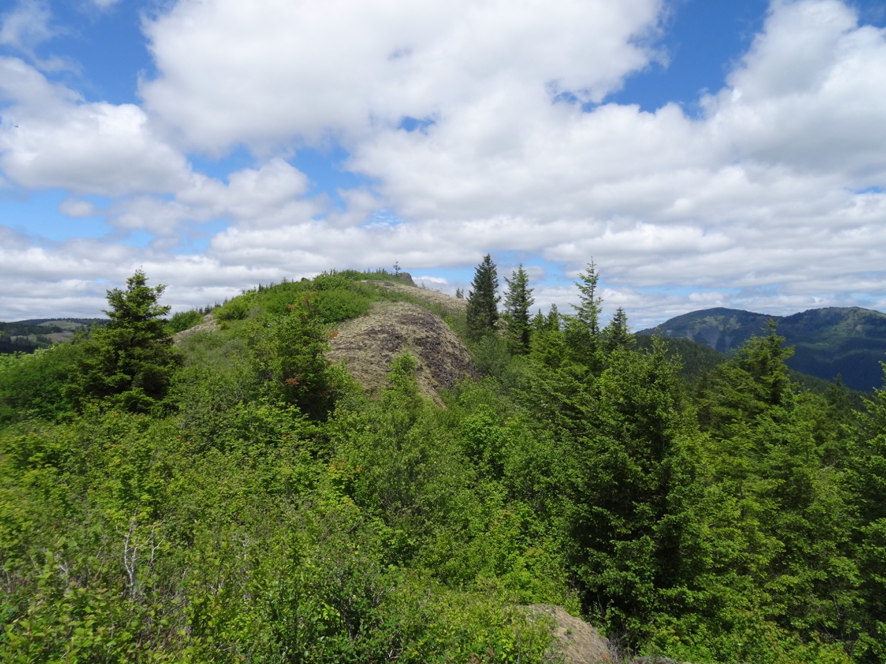
August 31 – Coyote Wall, WA/Multnomah Falls, OR, in the rain
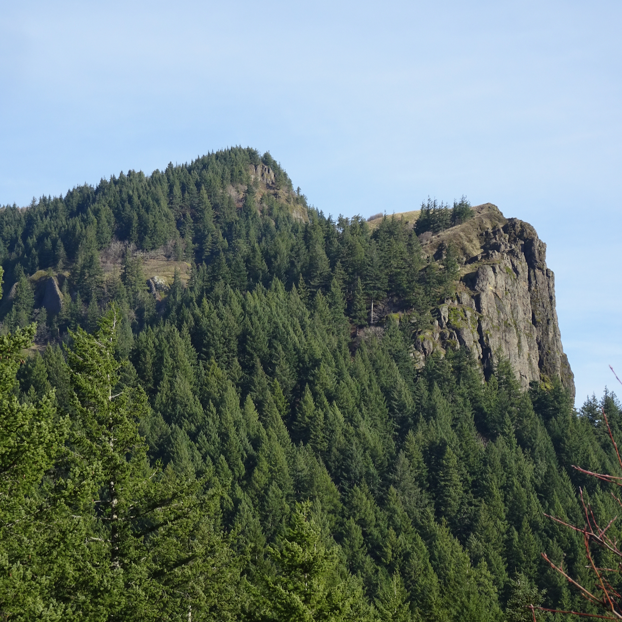
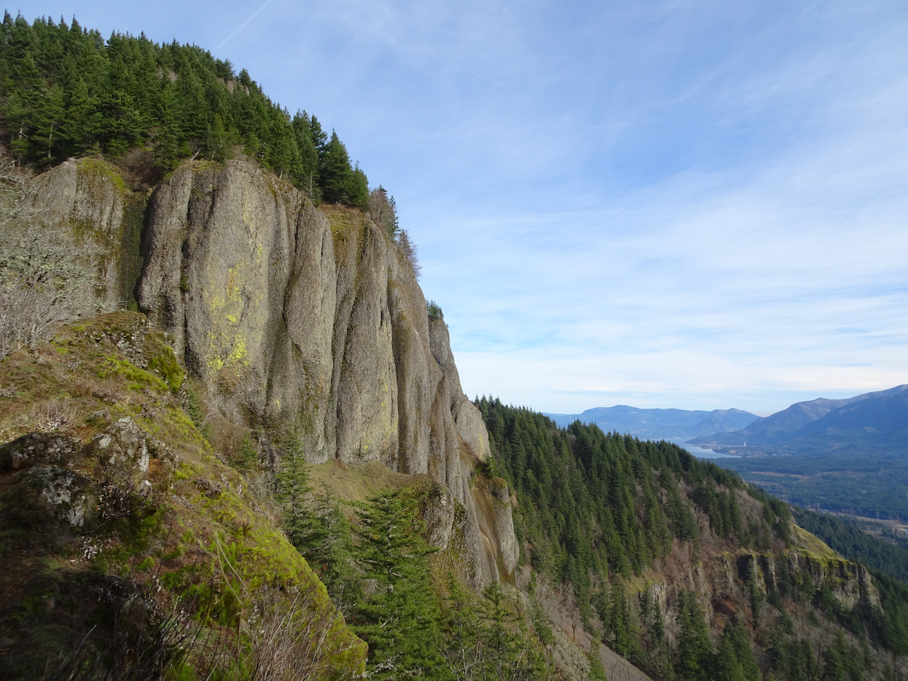
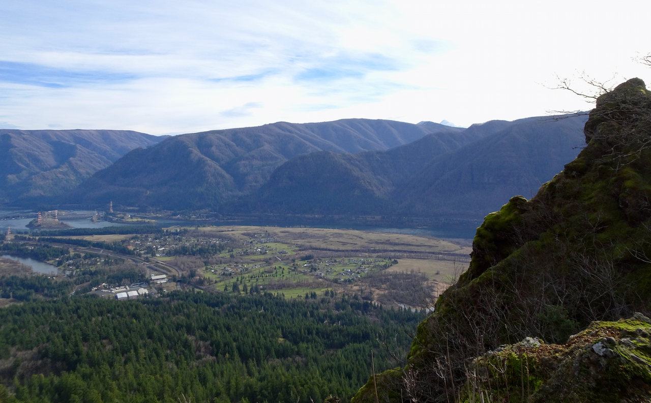
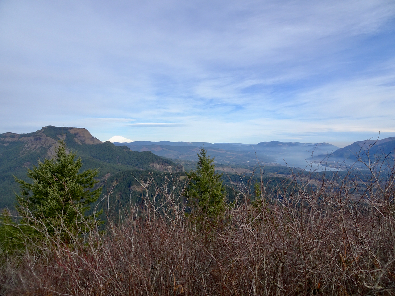
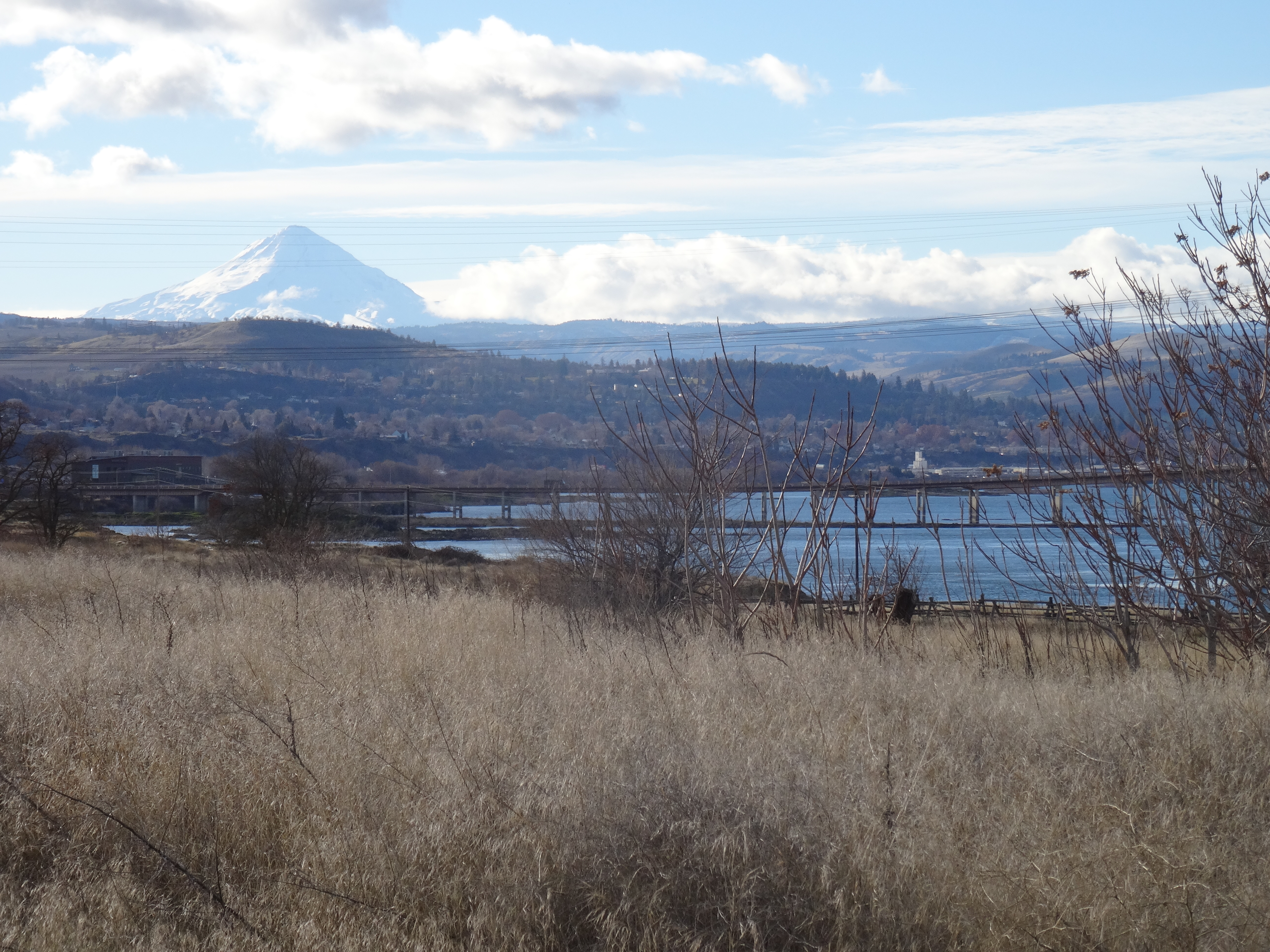
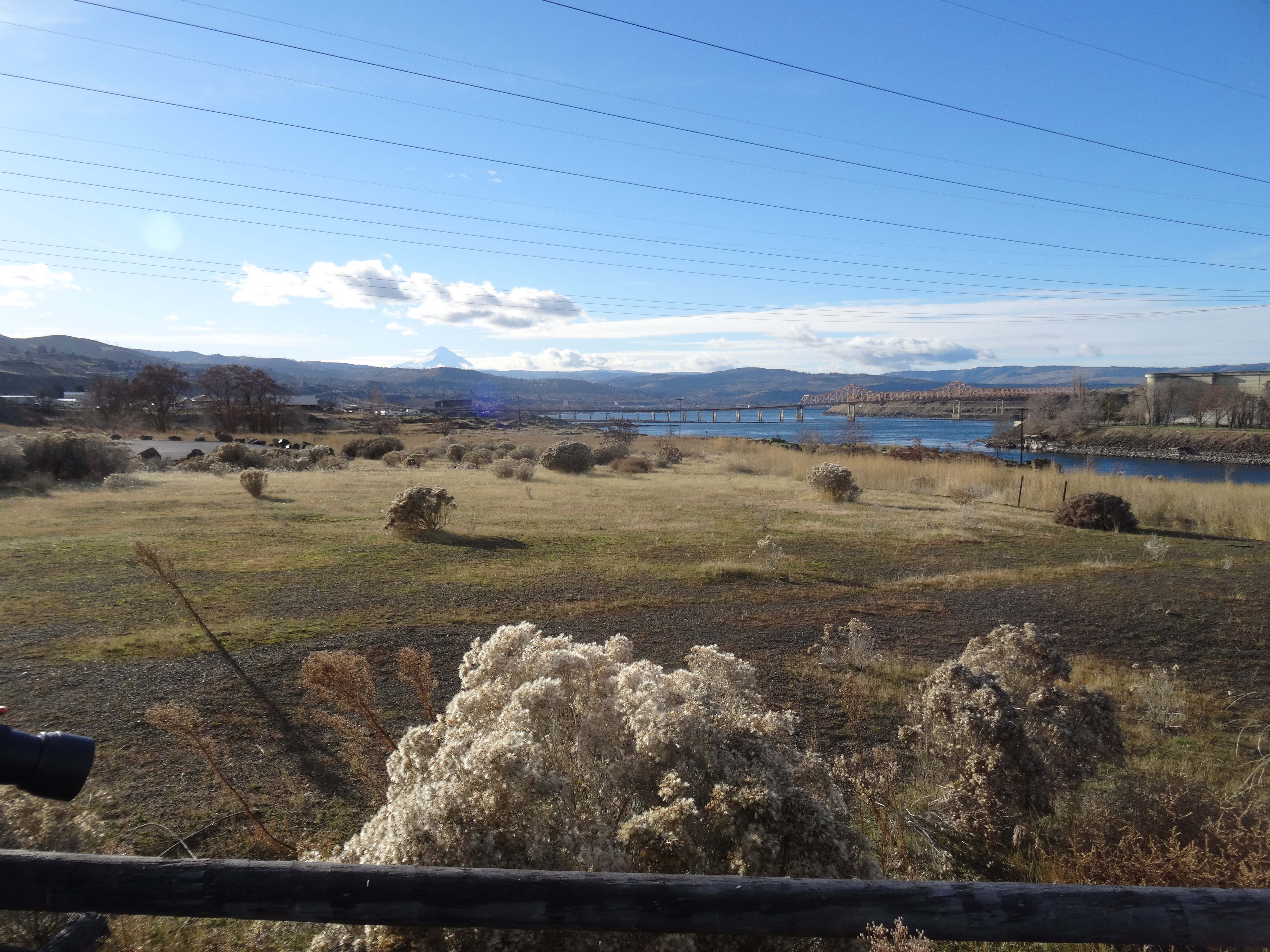
Our son visited from Philadelphia, and brought a friend. She had never been here before, and as luck would have it, her week coincided with a spell of old school Portland summer – lots of overcast and/or drizzly days, which seem to be more of an anomaly in recent years. She didn’t even see Mt Hood until the day she flew home. We drove to the eastern Columbia River Gorge to look for sun, and took a slightly rainy hike at Coyote Wall.

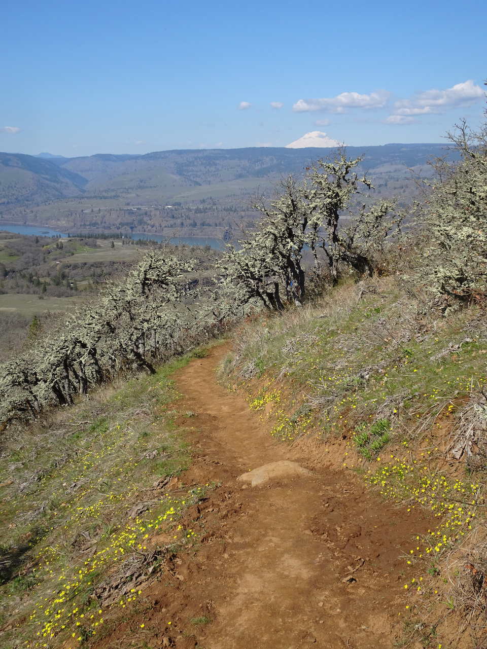
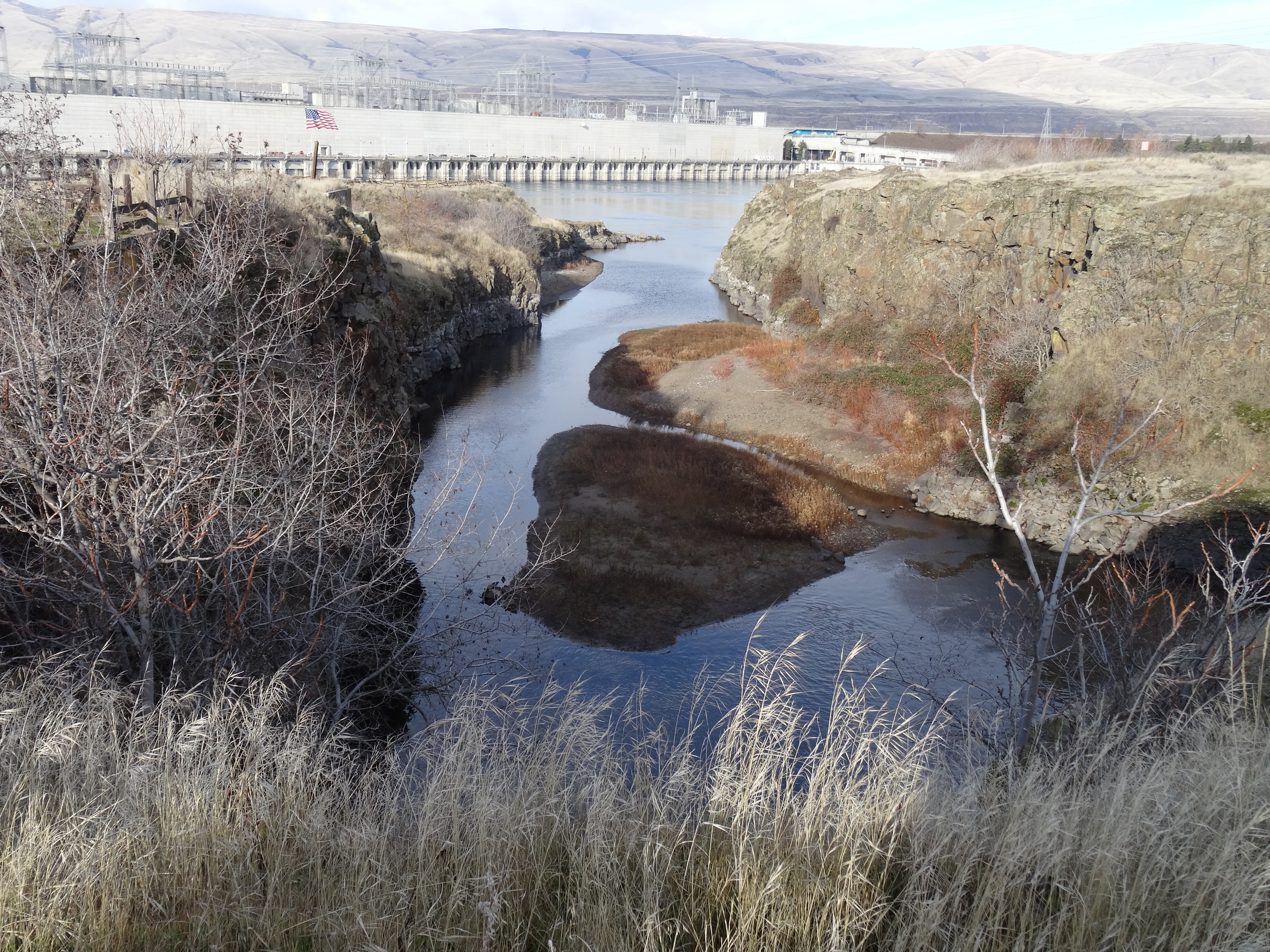
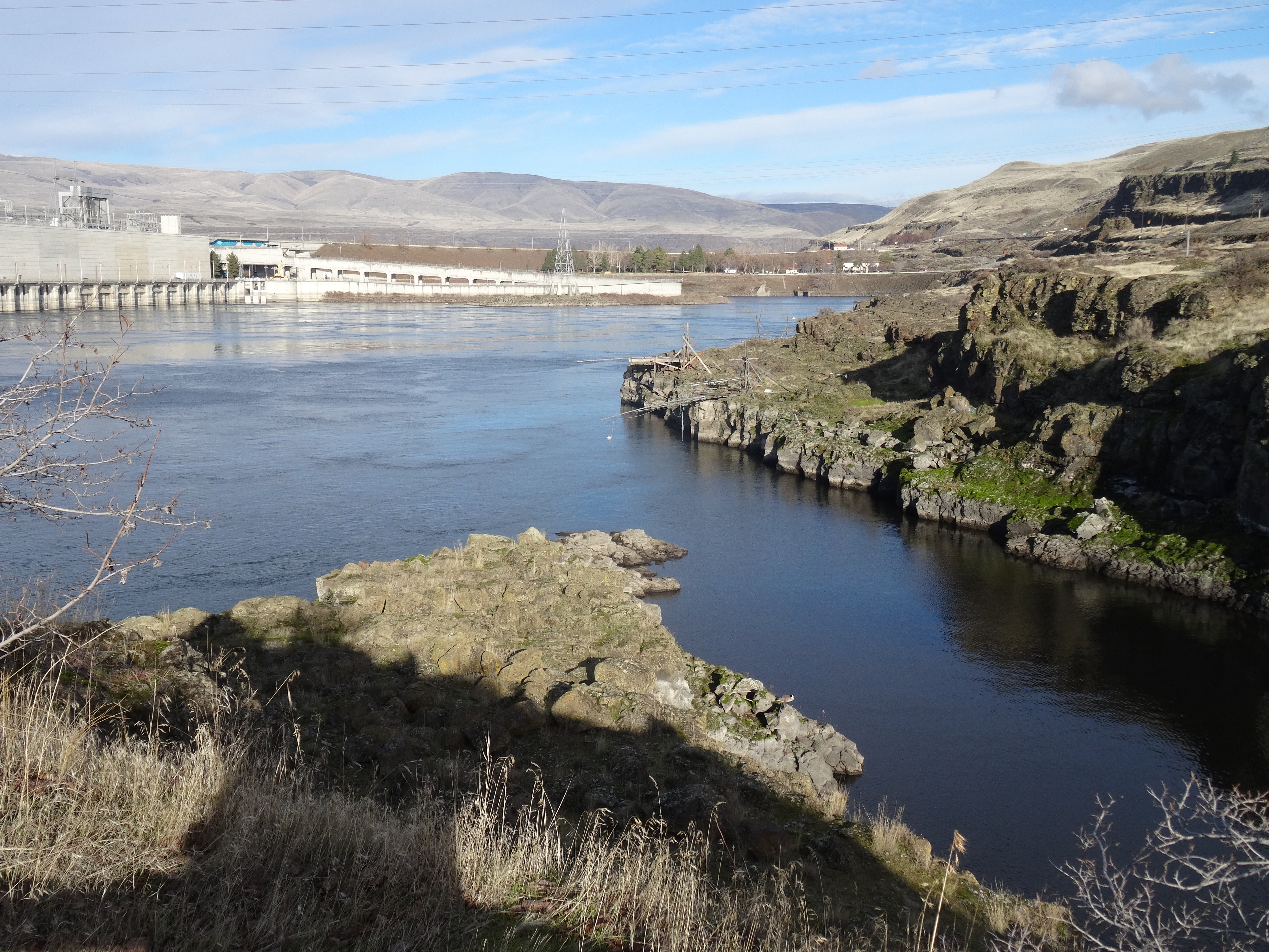
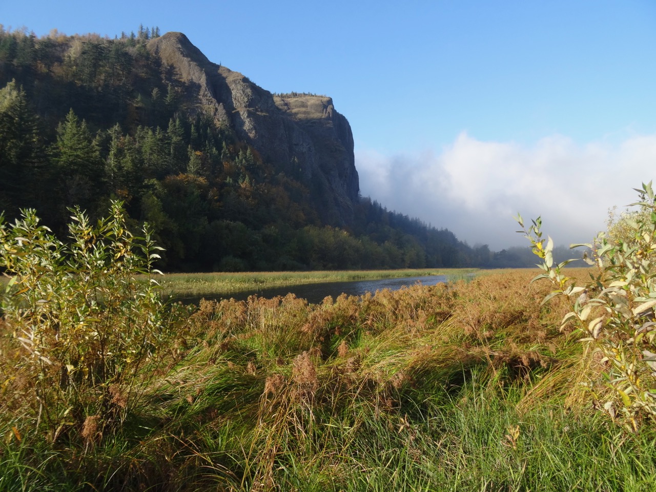
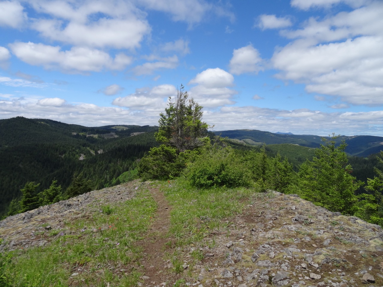
Coyote Wall – not crowded today!
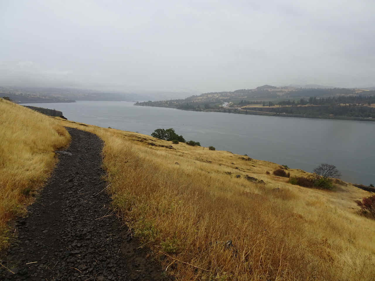
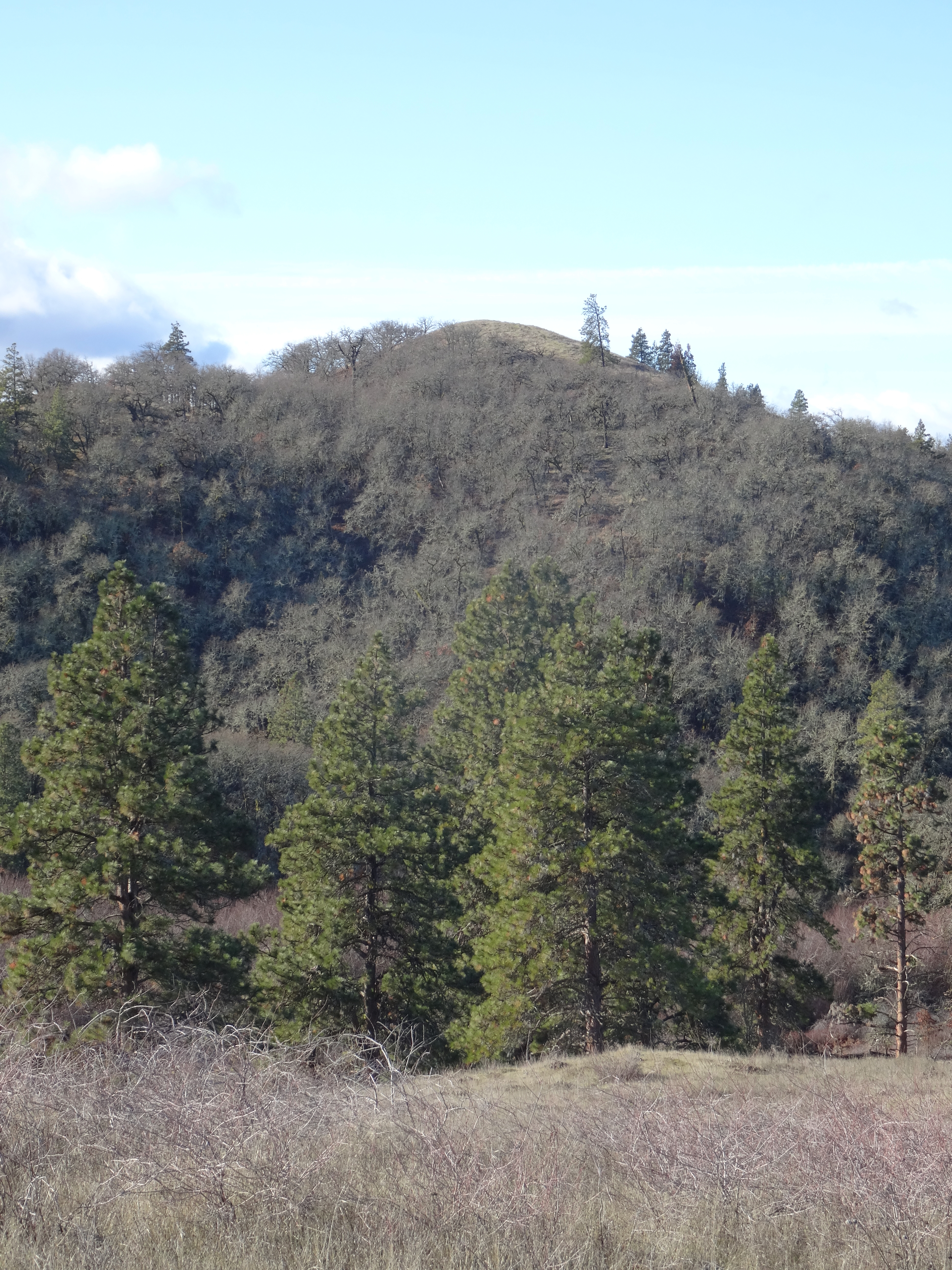
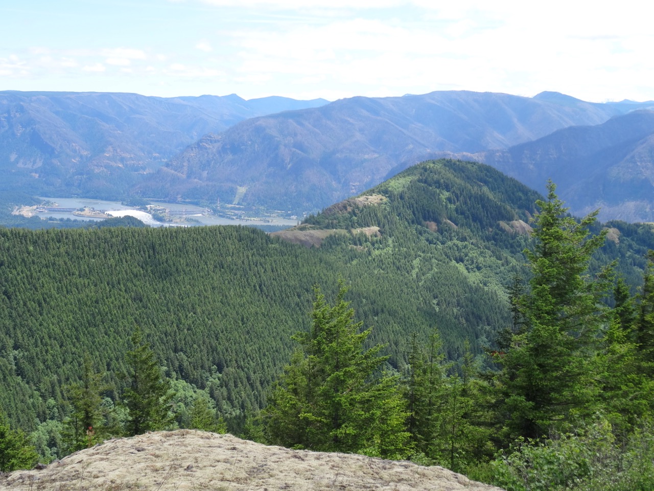
Looking east across the golden grasslands

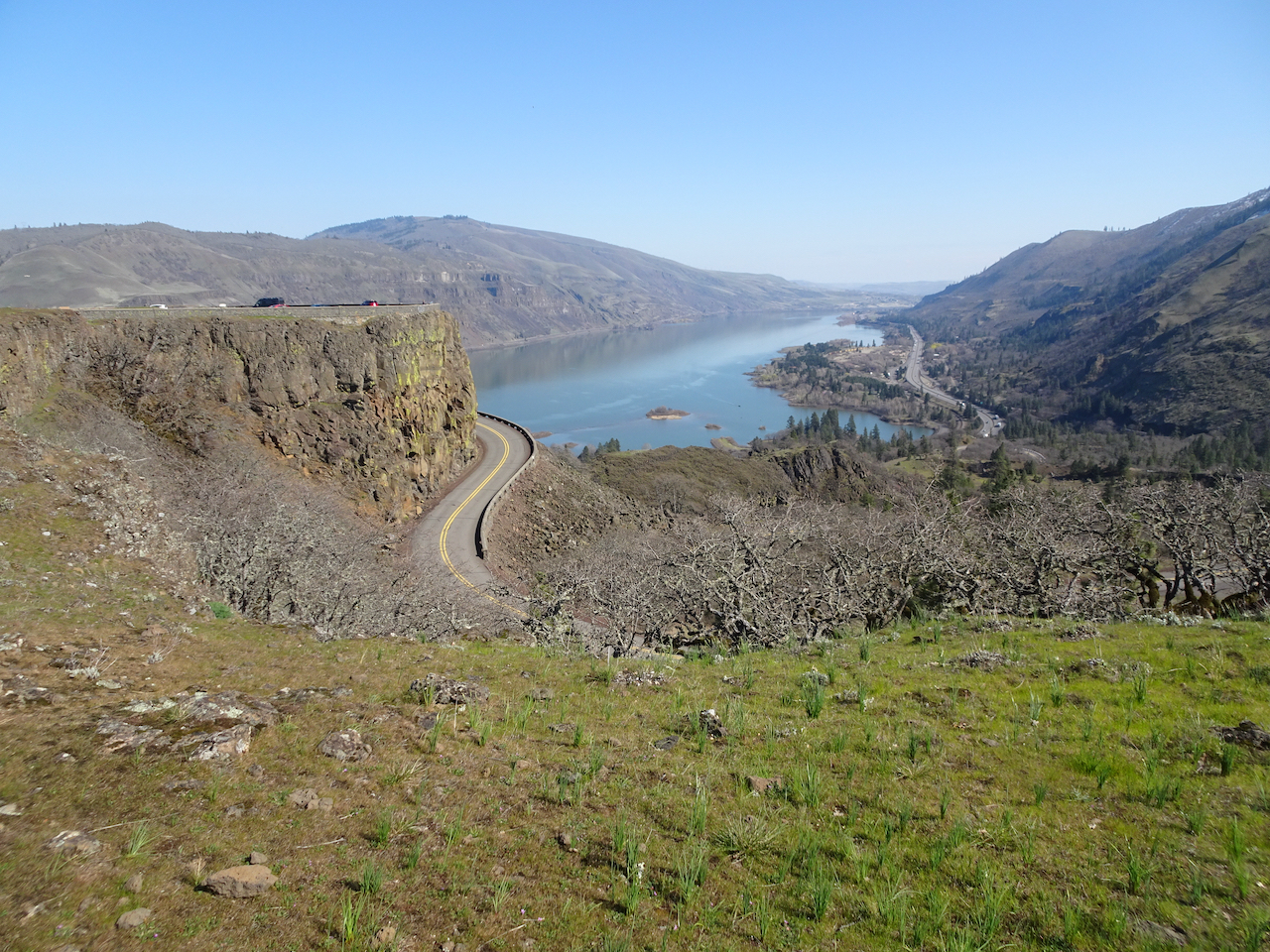
Looking down over the wall at our trailhead
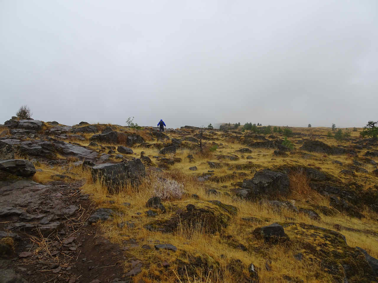
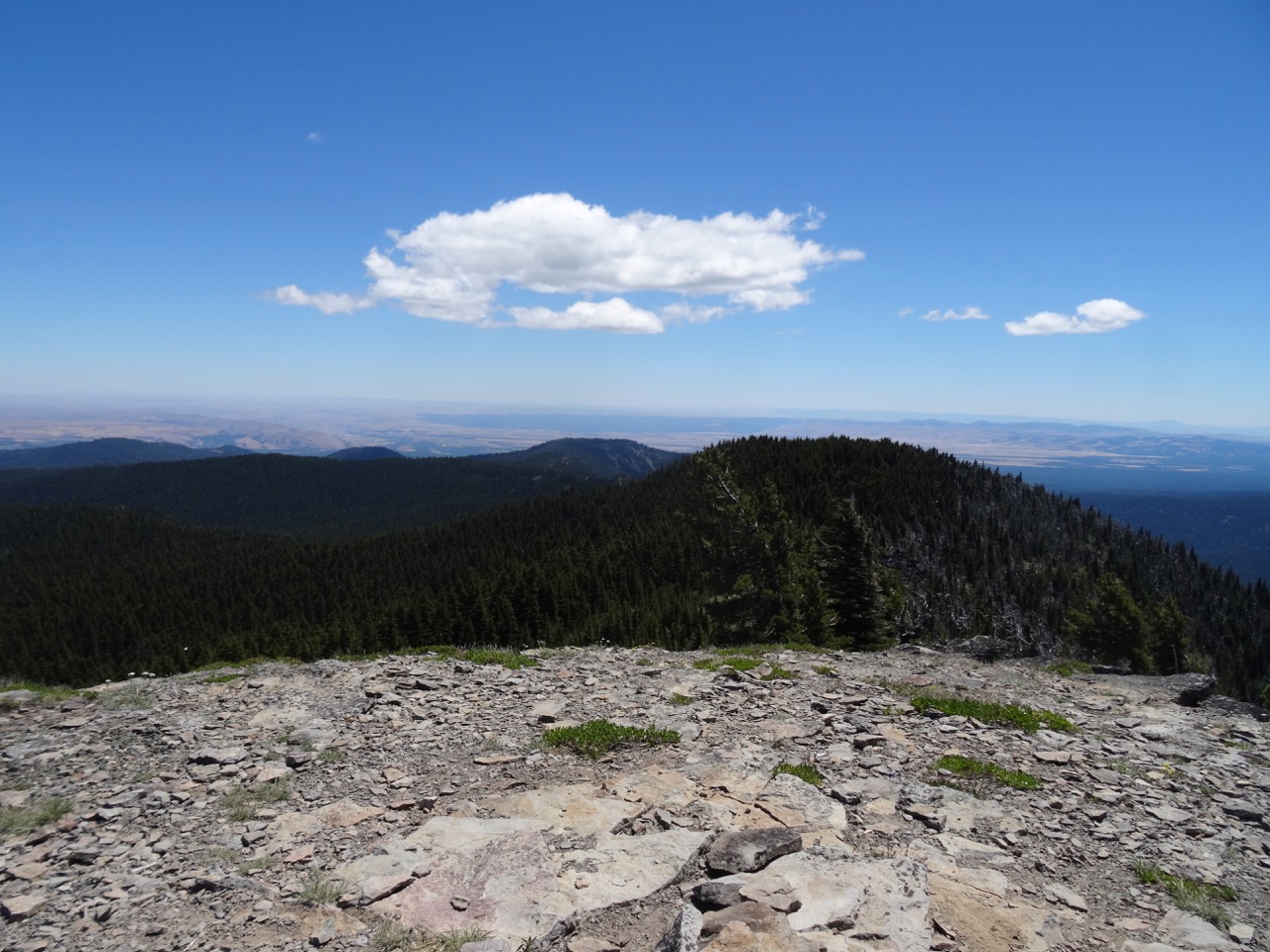
Turnaround point – we went about 2.5 miles, round trip.

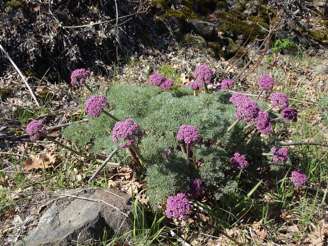
Silvery buckwheat among the golden grasses
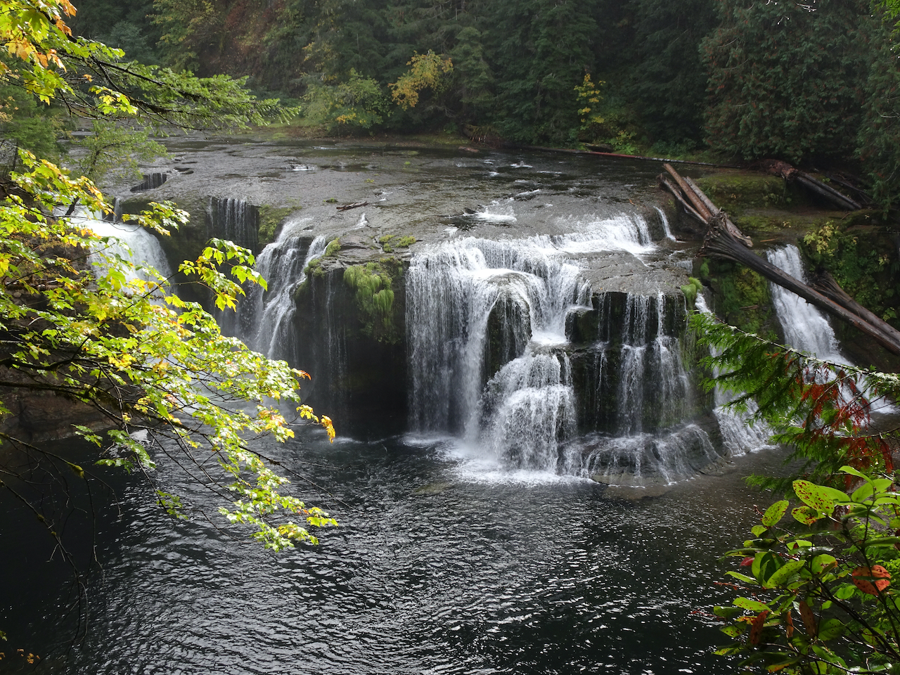
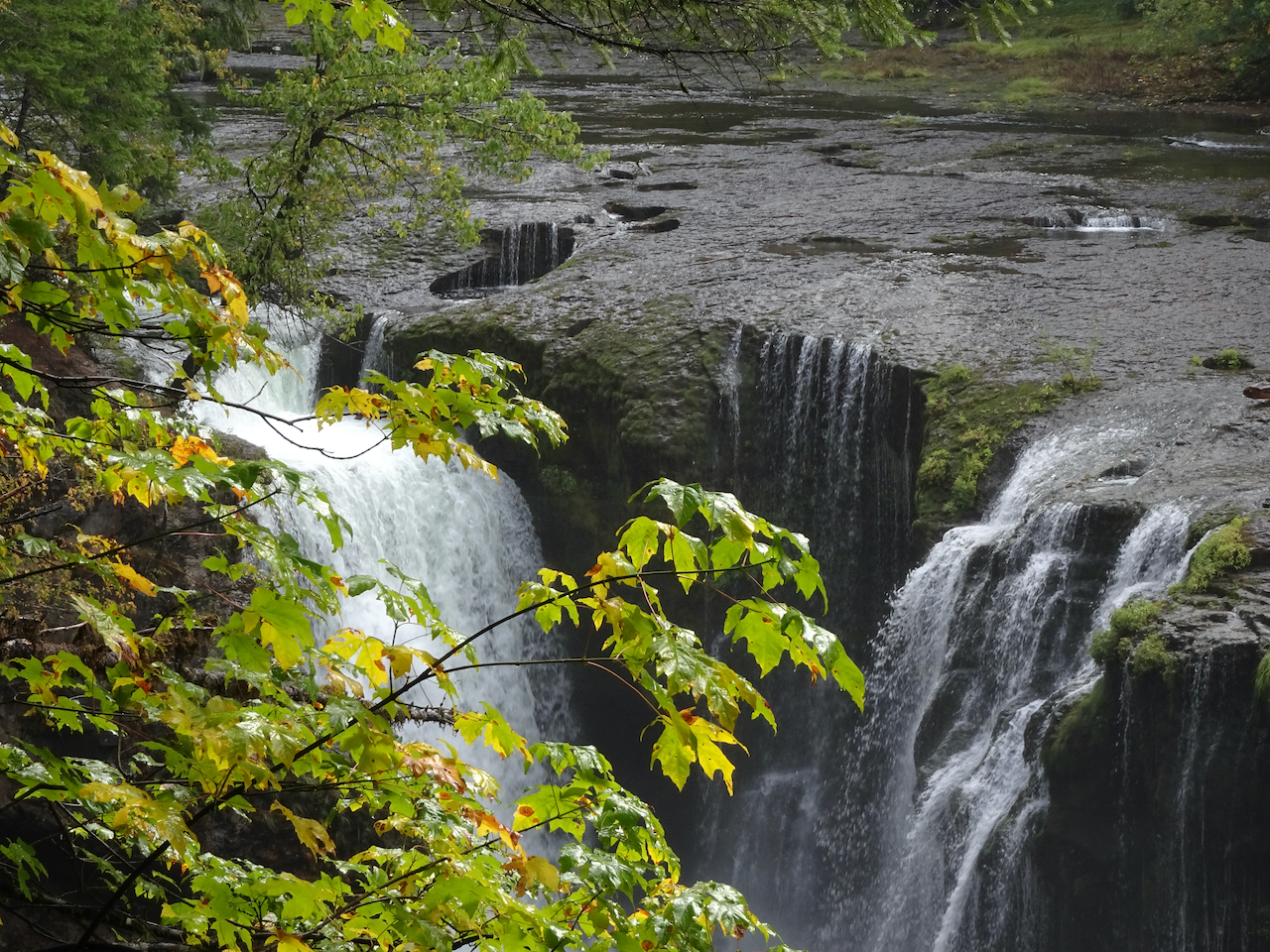
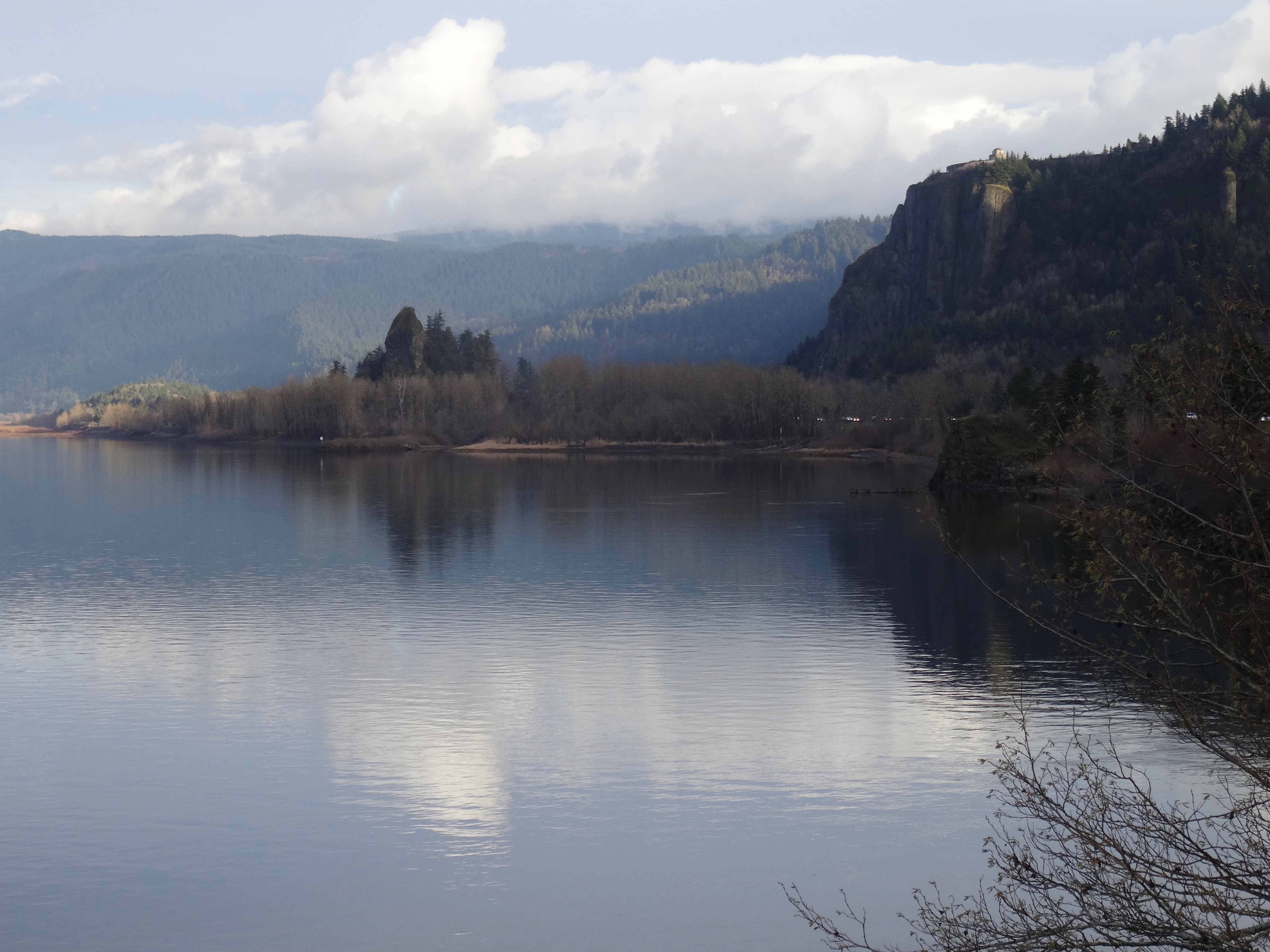
We made the mandatory stop at Multnomah Falls on the way home; still a bit rainy, but also, relatively uncrowded as a result.

Multnomah Falls