Silver Falls and Steigerwald

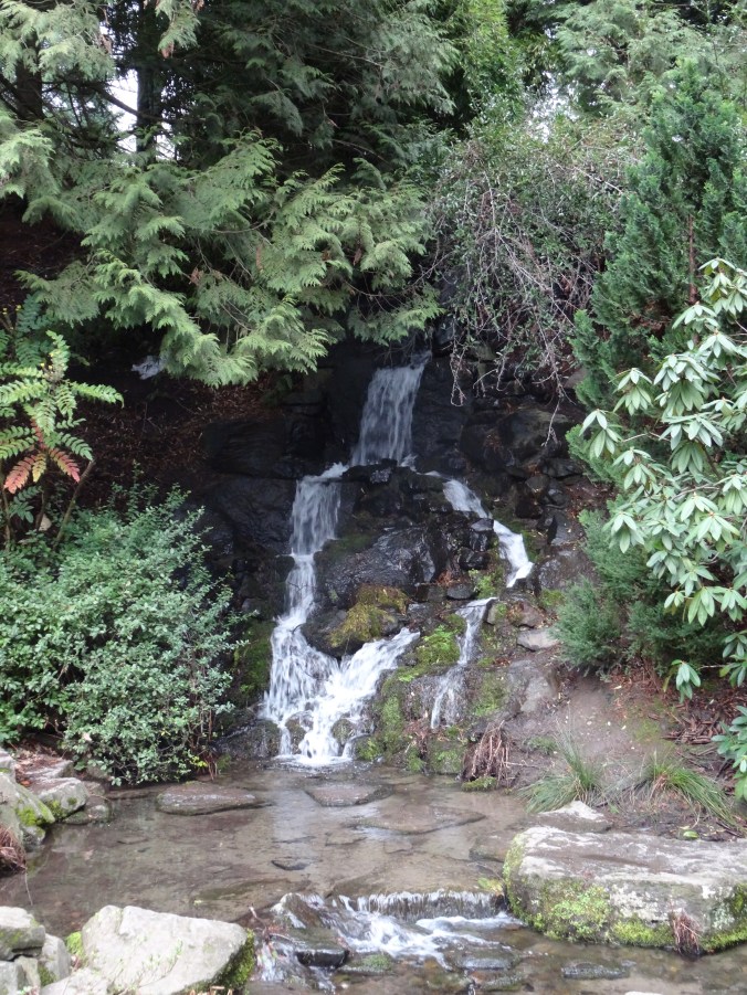
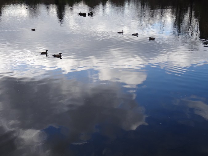
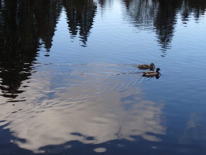
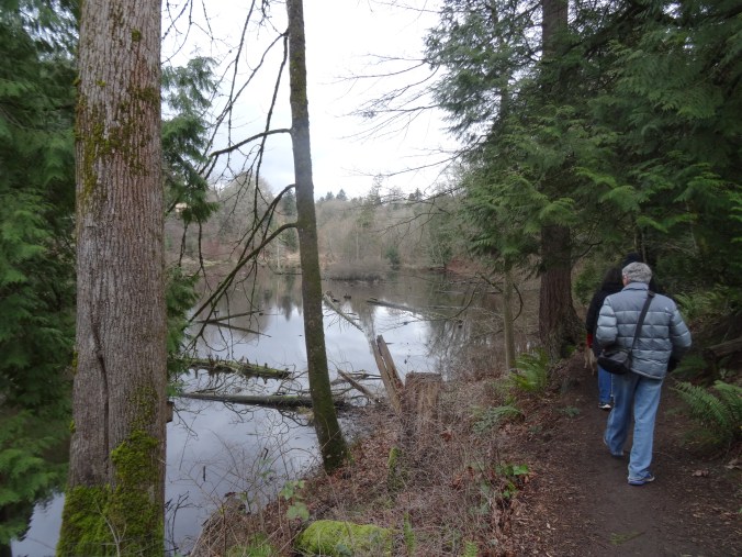
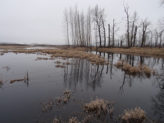
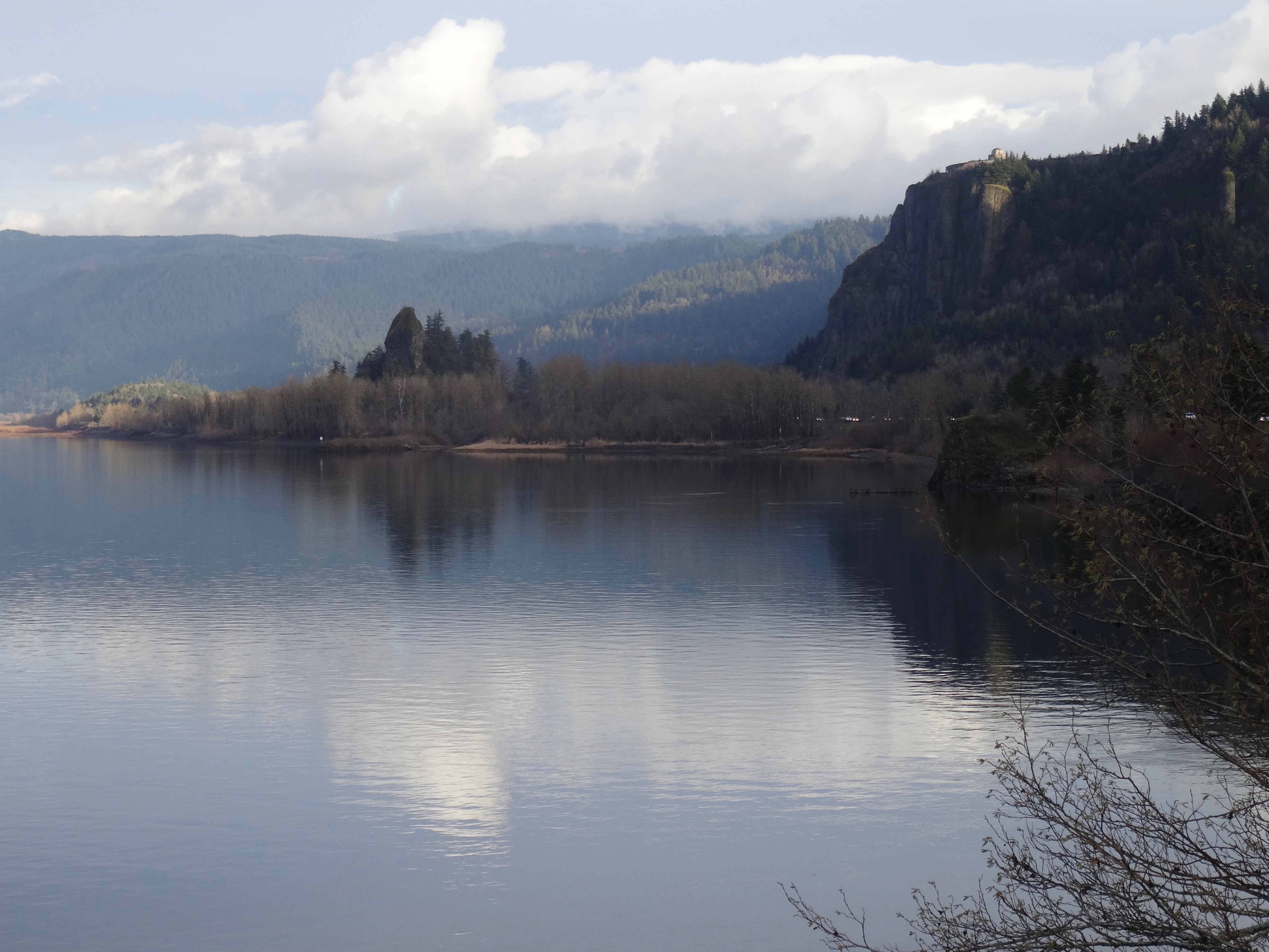
1/27/2019 Steigerwald Wildlife Refuge, WA

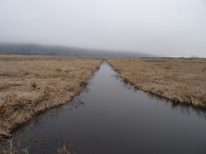
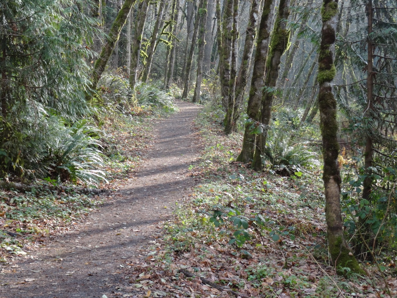
A short walk on a foggy day with one of our sons.

DSC01373DSC01375

DSC01378

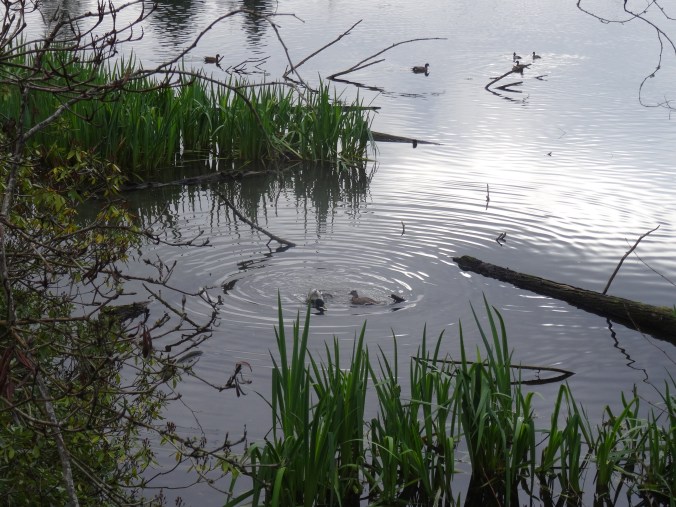
Ducks

DSC01446

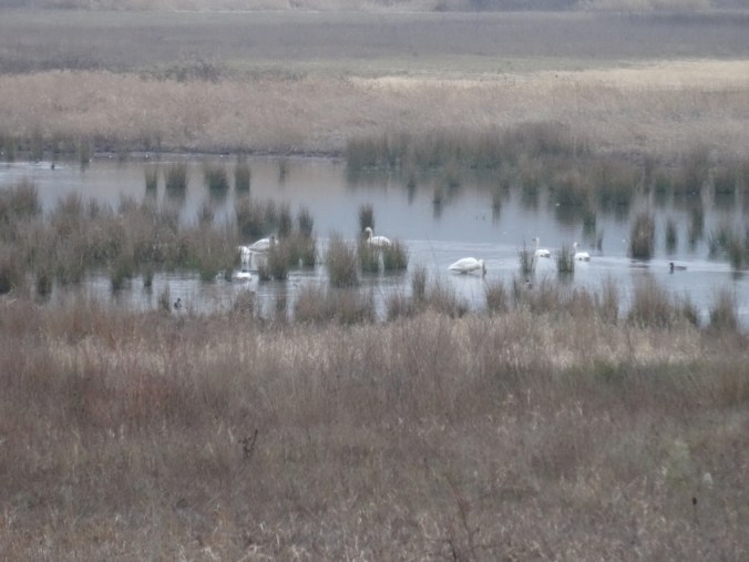
Swans

DSC01390DSC01396

DSC01440

Great Blue Heron near the bridge

DSC01424

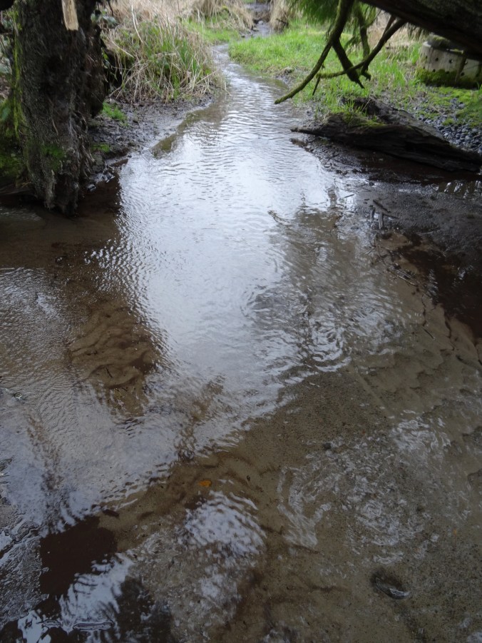
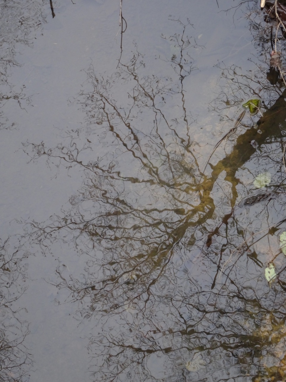
Ephemeral reflections

DSC01425DSC01429DSC01430DSC01432DSC01433DSC01423

DSC01437

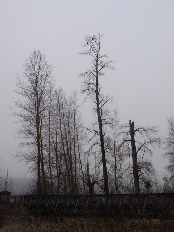
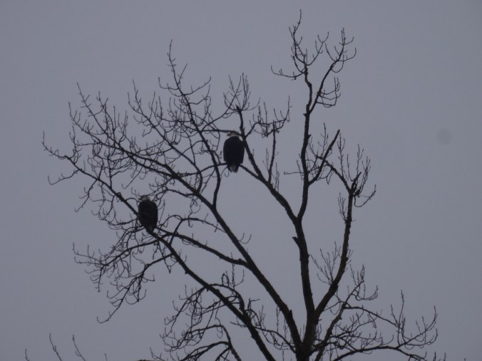
Bald eagle pair watching over all.

DSC01443

2.3 miles, hike #5 for 2019.

1/28/2019 Silver Falls, OR

Windy and cold in Portland, but warmer to the south. We drove to Silver Falls State Park in the Cascade foothills east of Salem, Oregon, where the North and South Forks of Silver Creek fall in steep drops or shorter cascades over ledges of volcanic rock. We hiked the Trail of Ten Falls, though we skipped one – so the Trail of Nine Falls. One or more waterfalls every mile of the seven mile loop keeps the trail interesting. Lots of water in the falls, compared to my last visit in August of 2017!

South Falls 177 ft

We started at South Falls, but skipped the path behind the falls as I didn’t want to start out the hike wet.

DSC01454

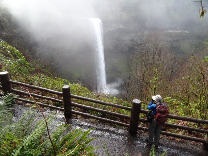
South Falls from the upper viewpoint

DSC01467

DSC01472

South Falls from the bridge.

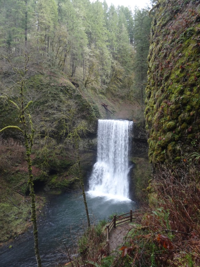
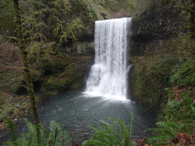
Lower South Falls 93 ft

DSC01484

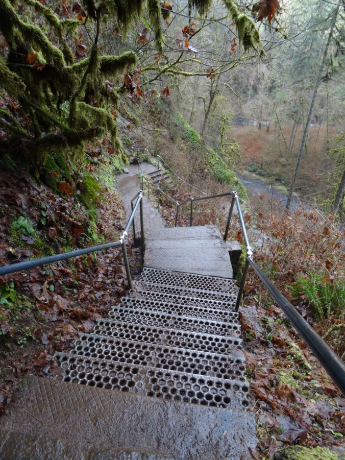
Stairs down the cliff.

DSC01485DSC01493DSC01497

DSC01503

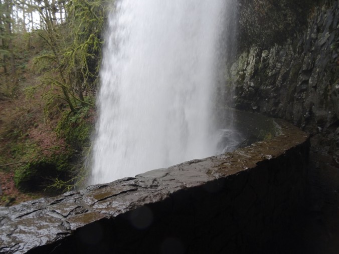
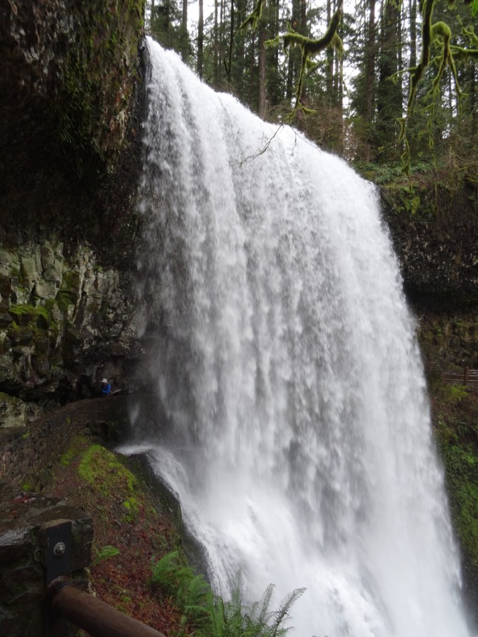
Walking behind the falls.

DSC01509

Dan on the left, emerging from behind the falls.

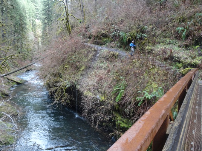
The trail follows the river, with occasional bridge crossings.

DSC01512

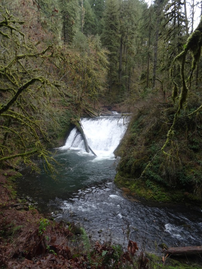
Lower North Falls 30 ft

DSC01518

Double Falls 178 ft

DSC01525

Drake Falls 27 ft

DSC01528

Named for the man who created the park.

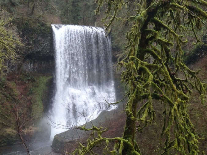
Middle North Falls 106 ft

DSC01540DSC01545

Twin Falls 31 ftDSC01557

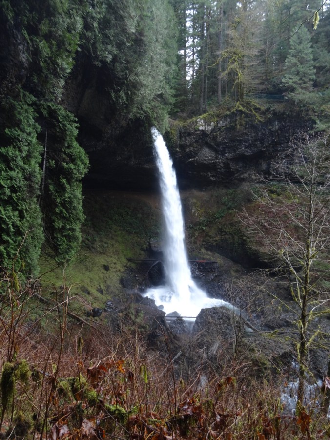
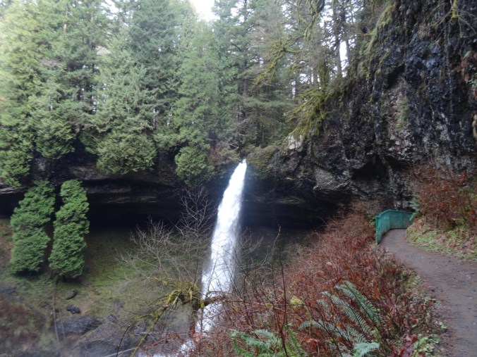
North Falls 136 ft

The trail leads behind North Falls.

DSC01576DSC01584

DSC01590

Behind the falls.

DSC01593

DSC01602

Looking back.

DSC01607

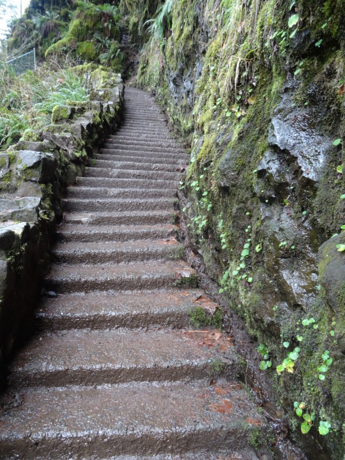
And now we have to climb up out of the canyon.

DSC01608

Looking back down at North Falls.

We did not walk the extra distance to Upper North Falls (65 ft), but followed the Rim Trail toward –

Winter Falls 134 ft

We only saw the upper lip of this one, though there is a trail down to the base.

DSC01620

Winter Falls rim.

This was the last waterfall of the hike (7.0 miles, 1200 feet, hike #6 for 2019).

Wildlife

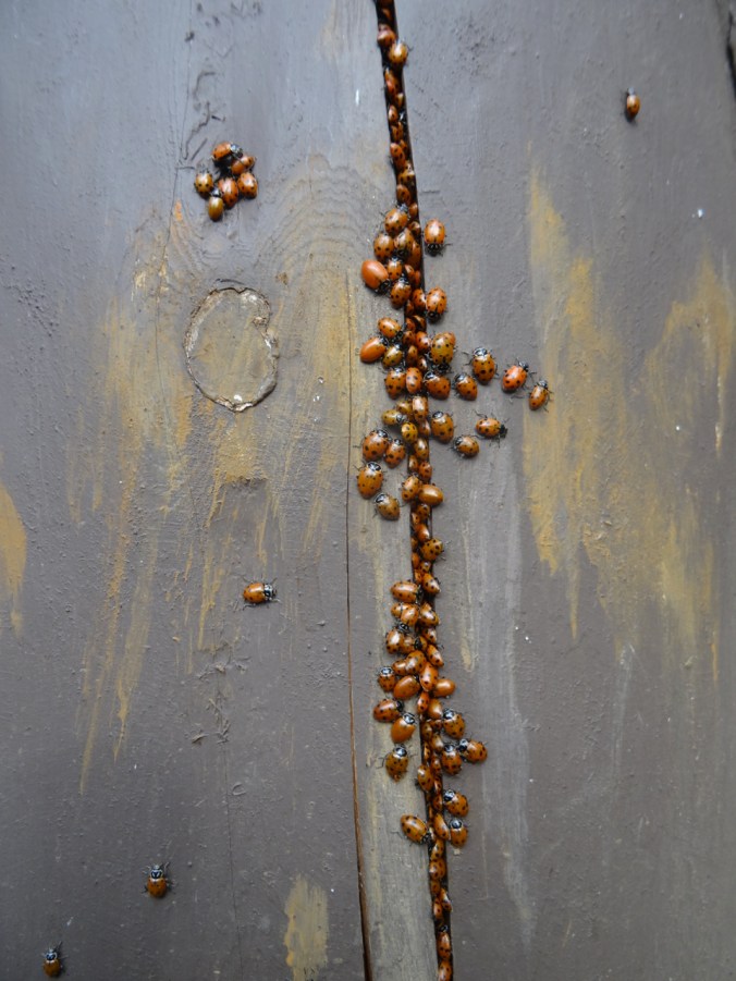
There was a ladybug picnic on one of the fence posts:

DSC01463DSC01465

White River, first crocus

1/24/2019 White River Snowshoe, Mt Hood, OR

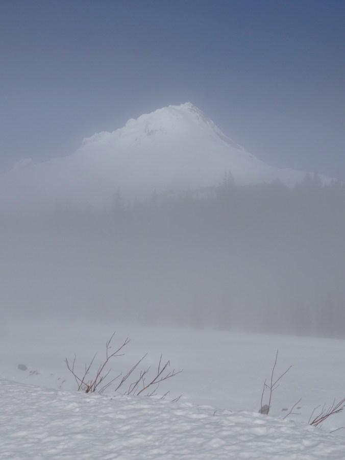
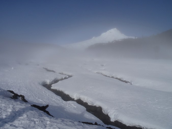
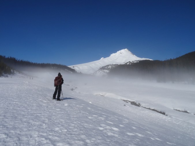
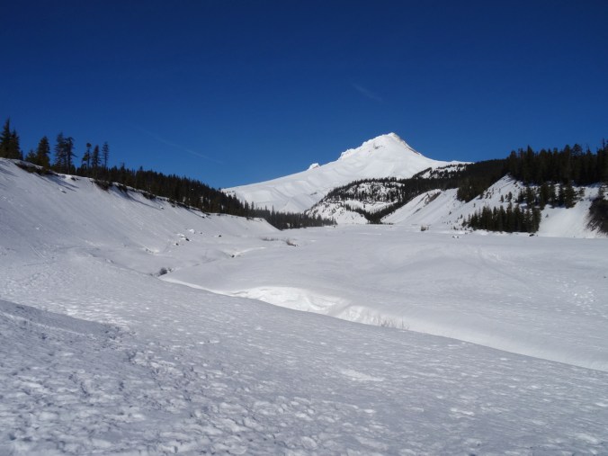
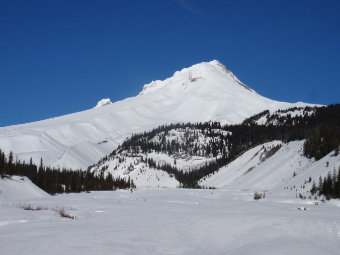
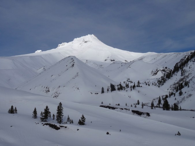
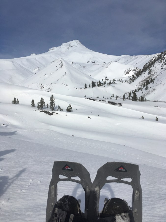
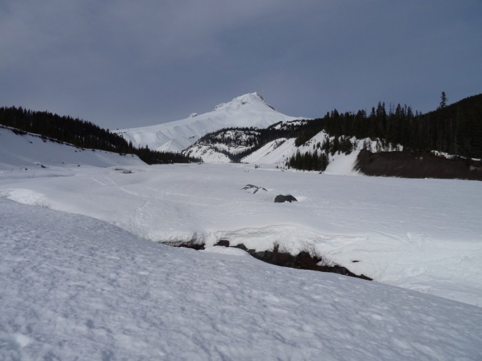
We started in mist with promise of sun breaking through. As we walked up the snow covered braid plain of the White River, the glowing peak of Mt Hood showed in silhouette, then in clarity against clear blue sky.

dsc01318dsc01320dsc01321dsc01324dsc01327

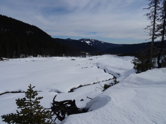
Looking back to the start point, fog lifting.

dsc01330

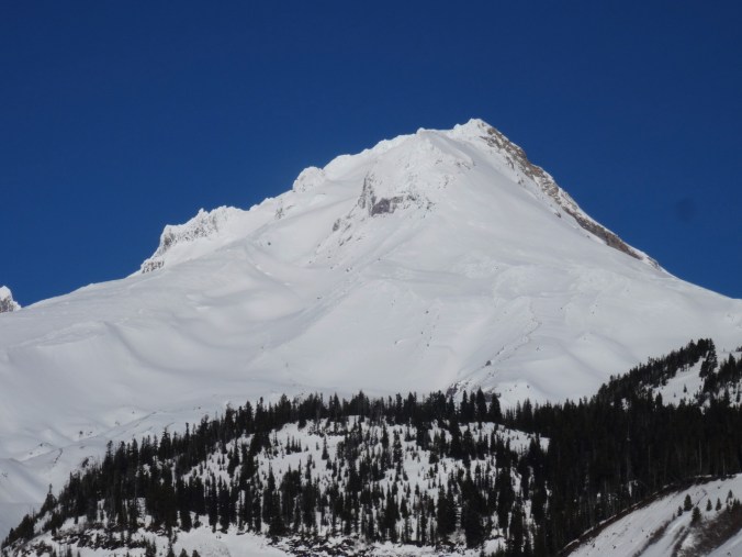
Clear blue skies over Mt Hood.

dsc01332dsc01333dsc01334

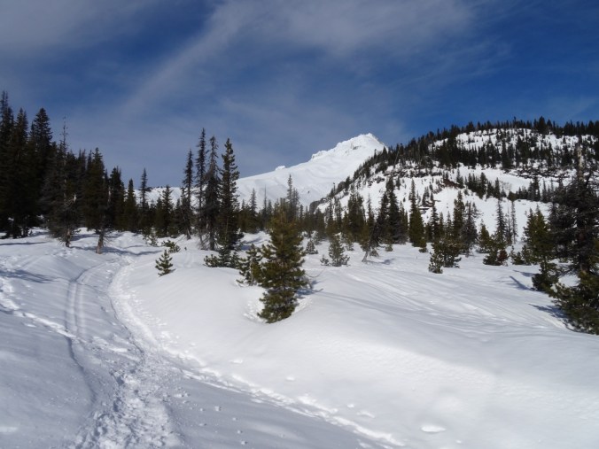
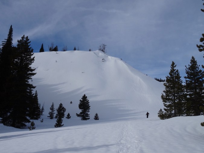
We hiked up onto the ridge and continued toward the mountain.

dsc01335

Approaching Boy Scout Ridge, near our lunch stop.

dsc01337

Lunch stop view point. A large group was already there, and the mountain peak was glowing ethereally as the sun came in through the clouds.

dsc01339dsc01342dsc01343

57005428396__db402ac3-7088-4100-ab2d-2ee01ae59d47

Lunch view.

Return down the White River, high clouds forming.

dsc01352

dsc01356

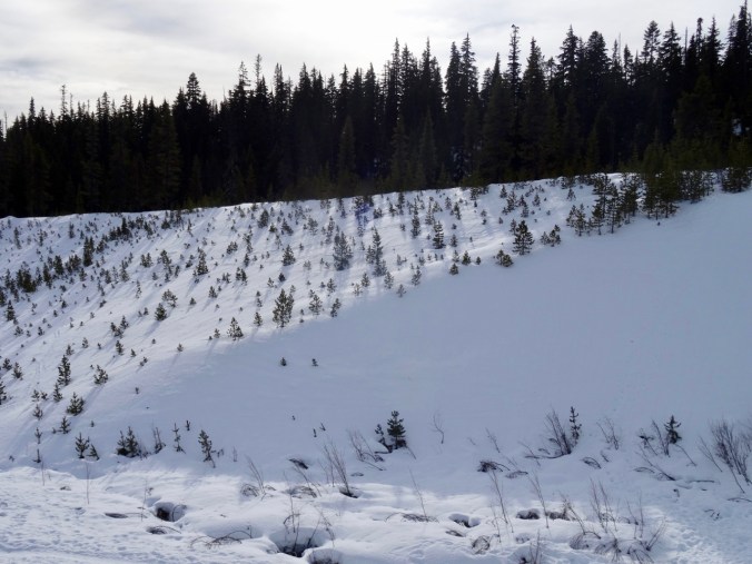
Tree shadows on the snowy moraine surface.

dsc01359

Last look back at Mt Hood.

(Hike # 5, 3.3 miles, 750 feet)

Winter Bulbs Blooming

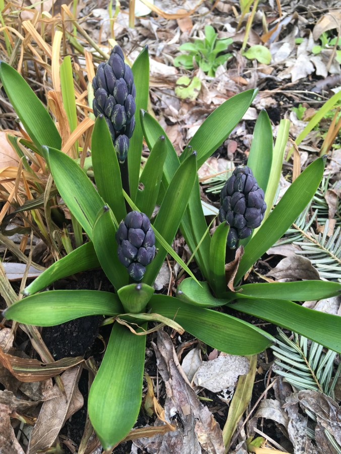
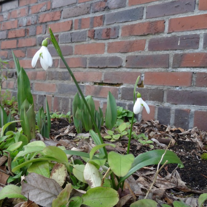
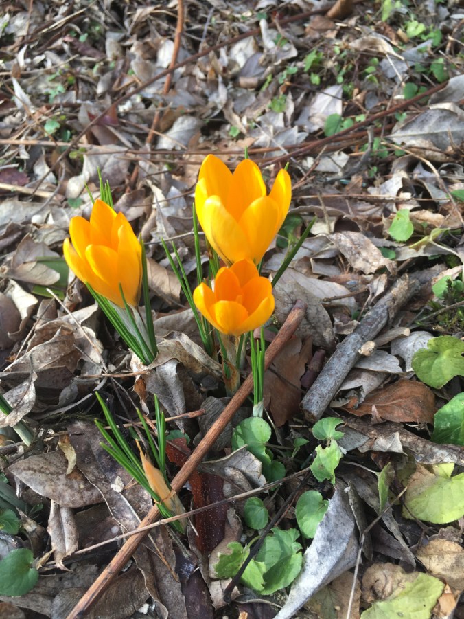
The first snowdrop and crocus bulbs have opened in the garden this week.dsc01372img_1836

img_1810

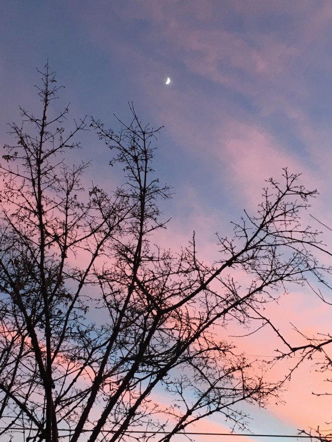
Pink and blue striped sky, half moon hanging above. From January 12, 2019.

Happy New Year 2019!
First Hike of the New Year: Ferry Springs Trail, Deschutes River State Park, Oregon – January 5, 2019 

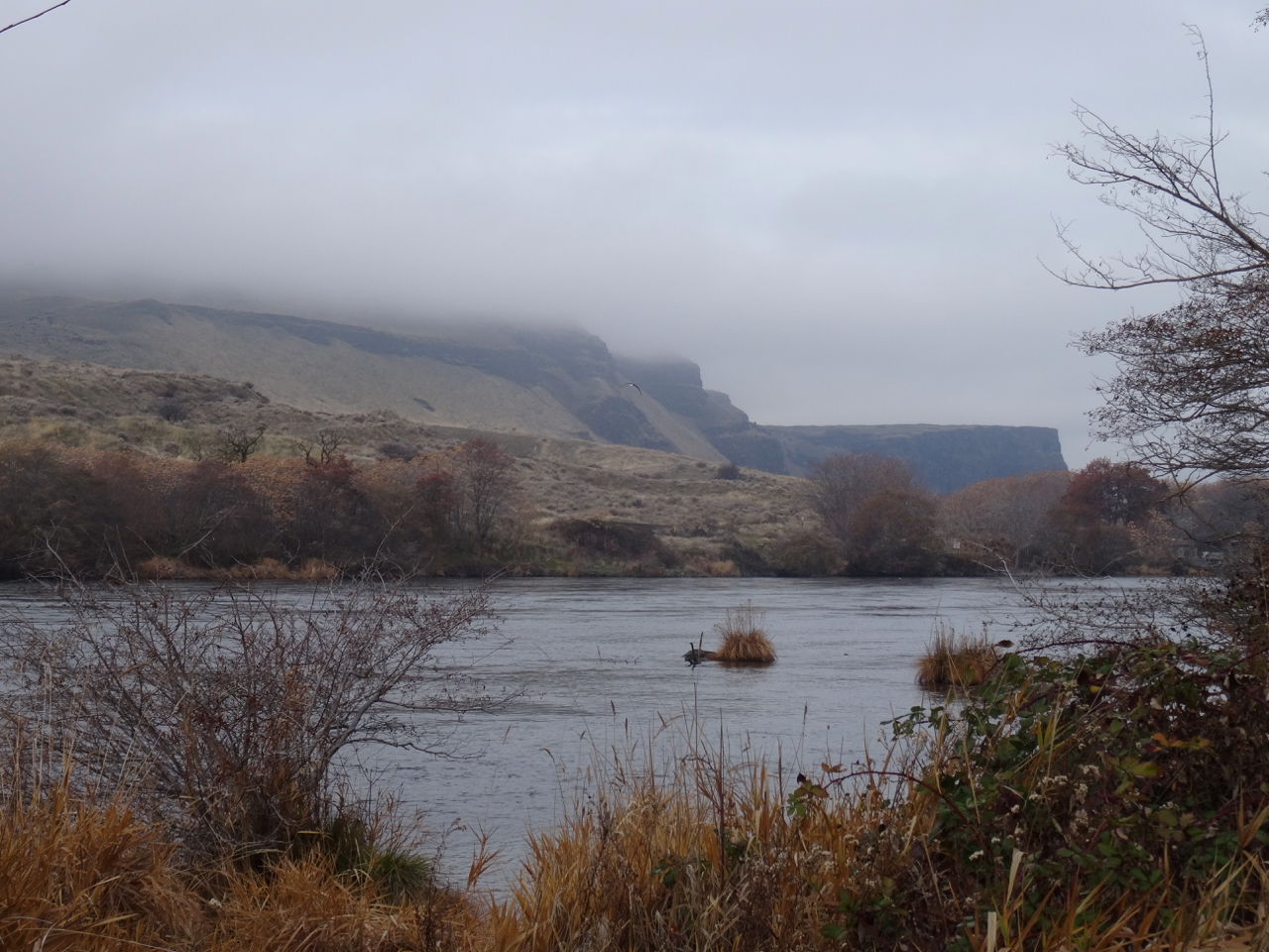
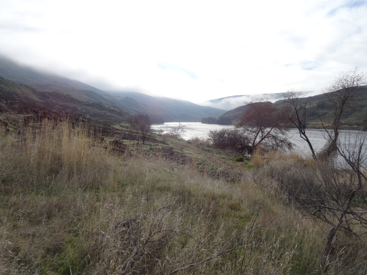
We did this same hike almost exactly one year ago – January 6th, 2018.  It was a beautiful day with blue sky and long reaching views. Today, was a cloud covered day with no actual rain. We saw the effects of the July 2019 Substation Fire that burned both river banks for about 20 miles upstream from the park.

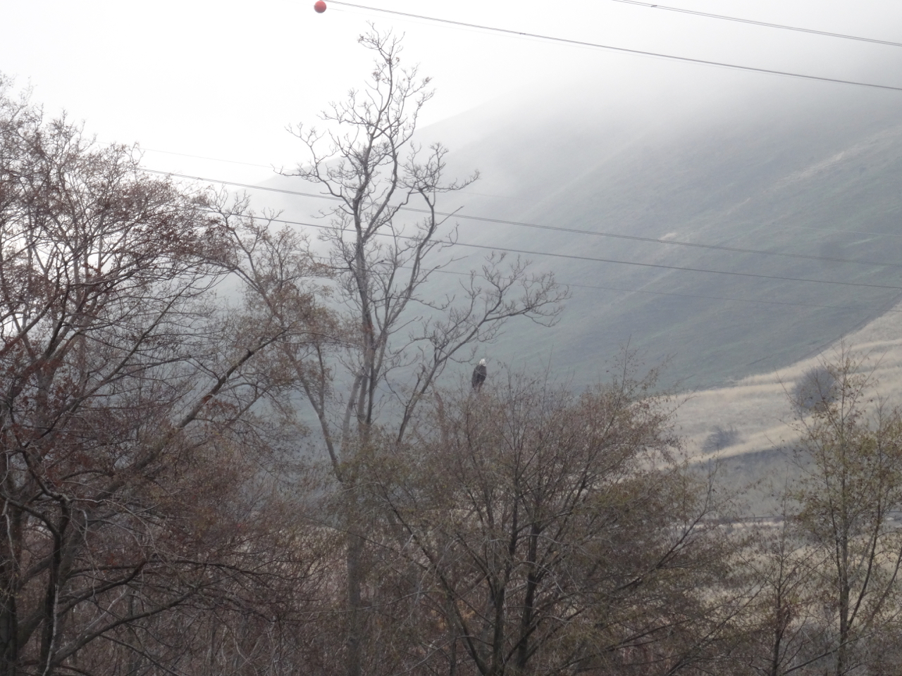
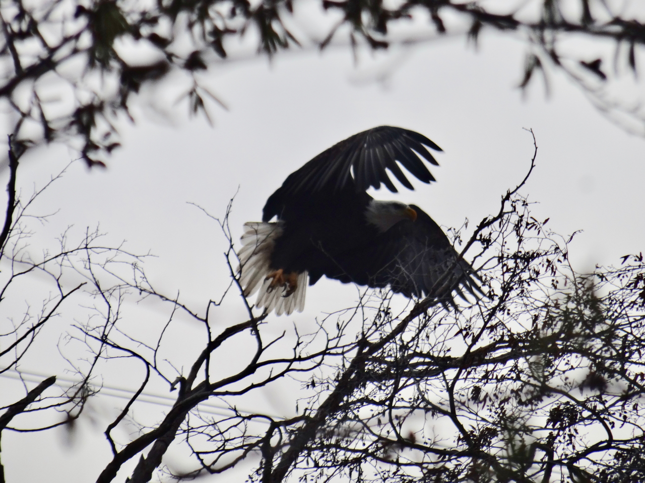
There was a bald eagle near the trailhead, but it flew off as I watched it.

dsc00827

Bald eagle near the trailhead.

dsc00828

dsc00830

Bald eagle – the white tail visible in the center of the photo, flying downstream.

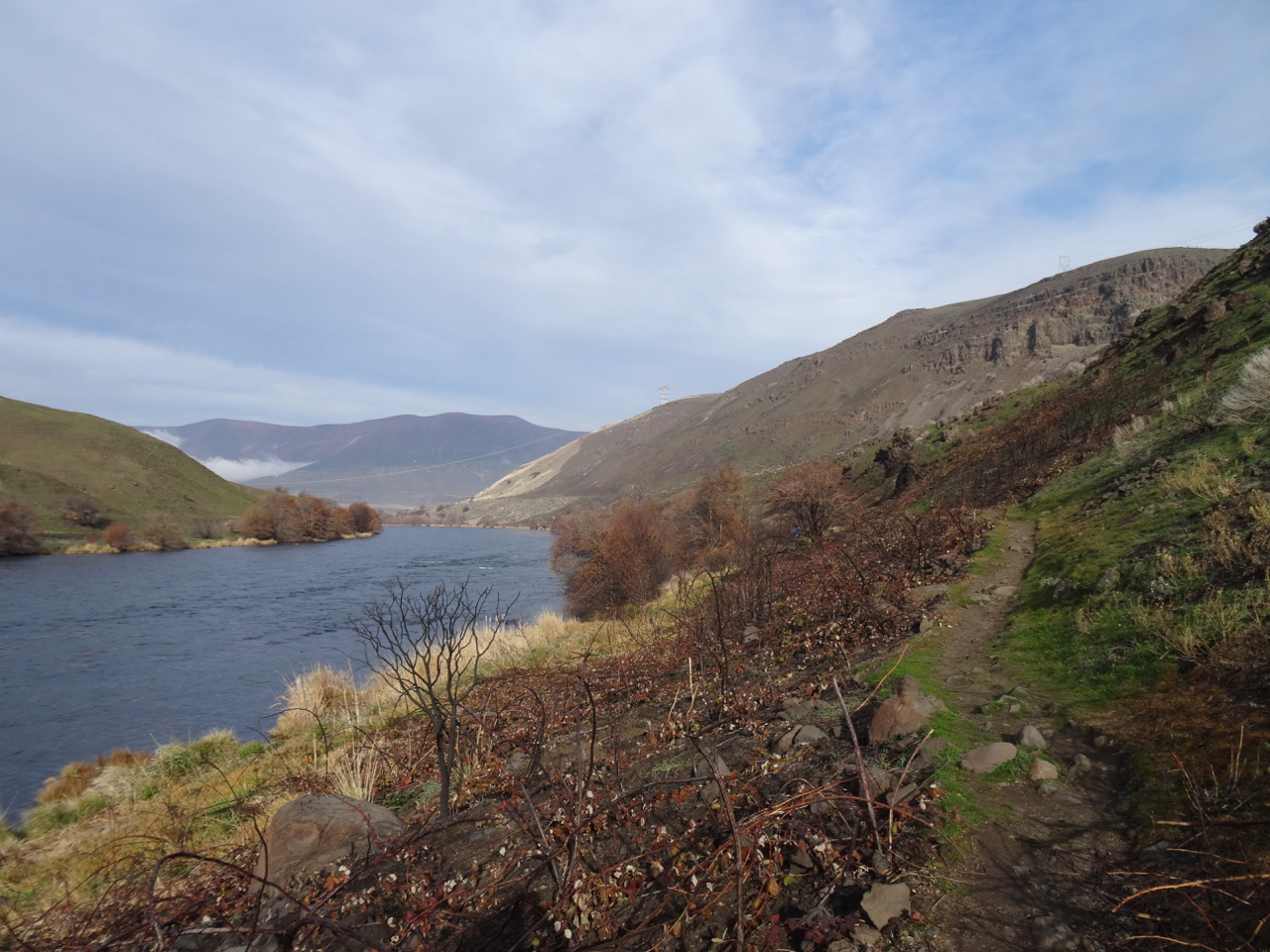
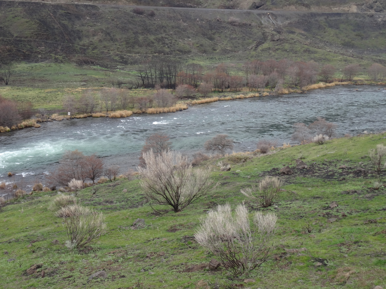
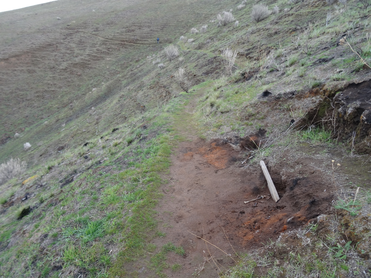
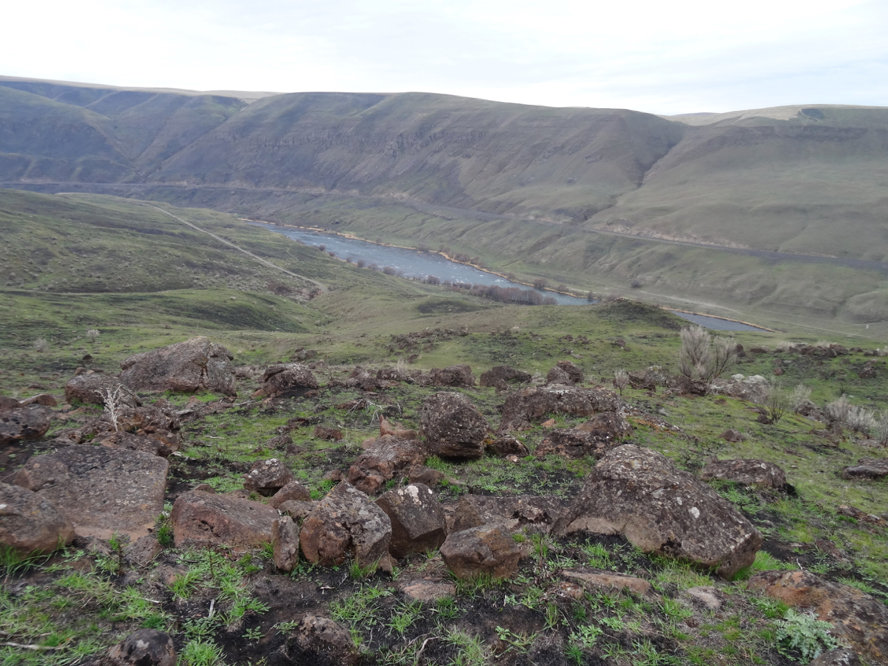
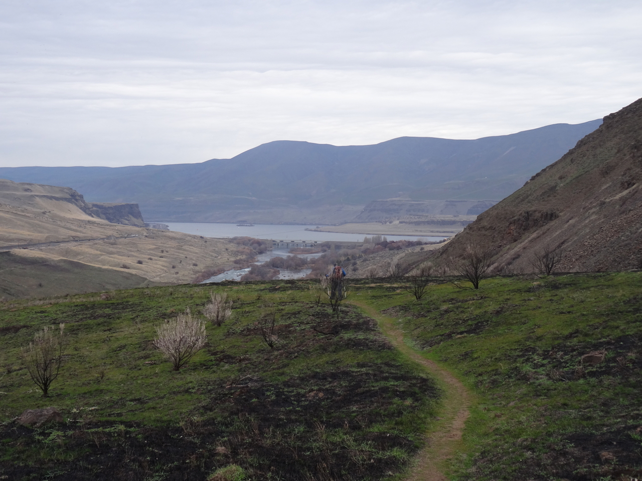
Our trail started along the river, through riparian vegetation, but then we crossed the fire line and saw before us nearly completely denuded and blackened landscape through which grass in now emerging, a green/black palette. In some ways it reminded us of the highlands of Scotland.

dsc00846

From dry grass to burn zone, though the bench is intact, as were the other benches along the lower trail.

dsc00857dsc00868

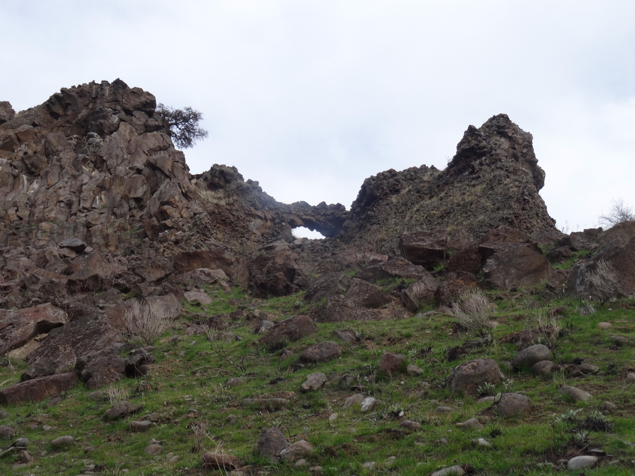
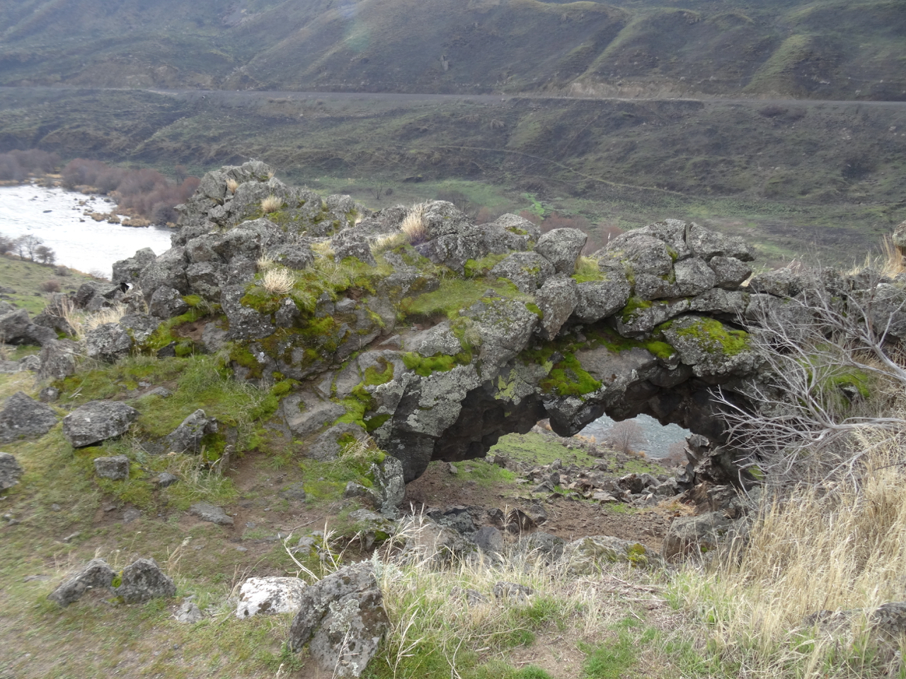
We passed below, then above the arch as the trail looped back north and uphill towards Ferry Springs.


dsc00879

Looking up at the arch.

dsc00888

Looking down through the arch.

dsc00883

I was looking forward to resting on the bench on the upper trail, but it was burned. 

dsc00892

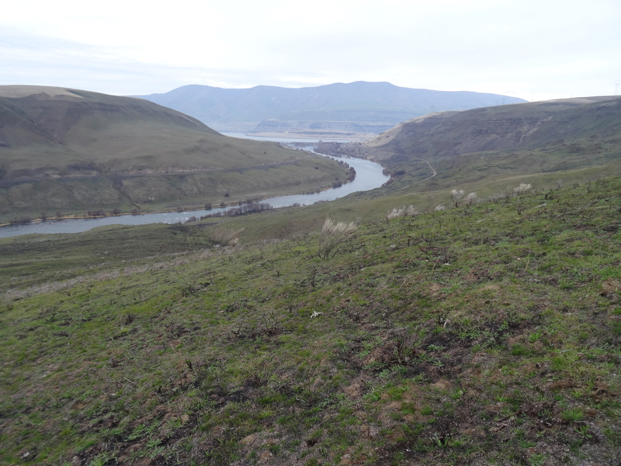
Lookback: Two views from the Upper Trail toward the mouth of the Deschutes River and Columbia River. In 2018 we were walking through dry grass. This year, the edge of the burn is well defined.

dsc00617

January 2018, pre-burn

dsc00890

January 2019, post fire

After crossing Ferry Springs, we headed back to the trailhead, looking down at the fire scars along the way.

dsc00905

This wooden gate survived, though the area around was scorched.

dsc00908

Looking back upriver.

dsc00913

The dry waterfall

dsc00914

More scorched earth, then back to dry grass.

This landscape is renewed by fire. I don’t think all the green grasses emerging are native grasses, but we did see new growth on some of the native plants. It will be interesting to return next year to see what happens. (5 miles, 560 feet, Hike #1 for 2019)

dsc00909

A yellow composite flower

dsc00918

New foliage on burned shrubs.

Crafting

dsc00926

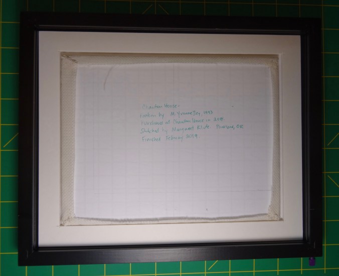
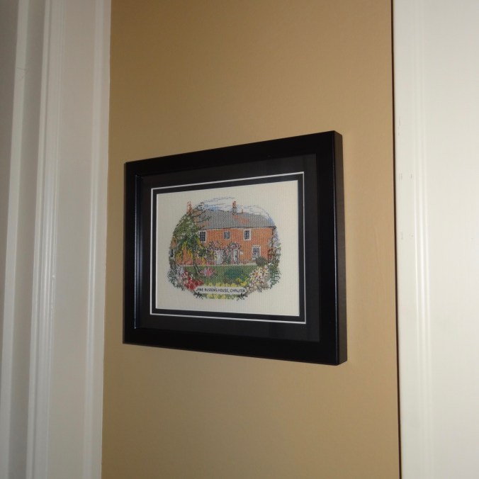
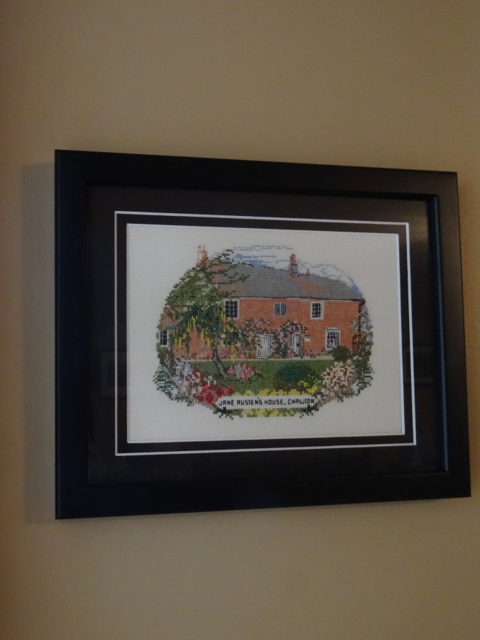
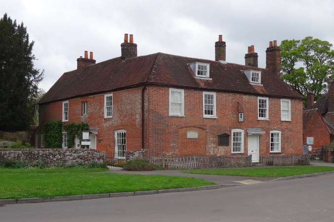
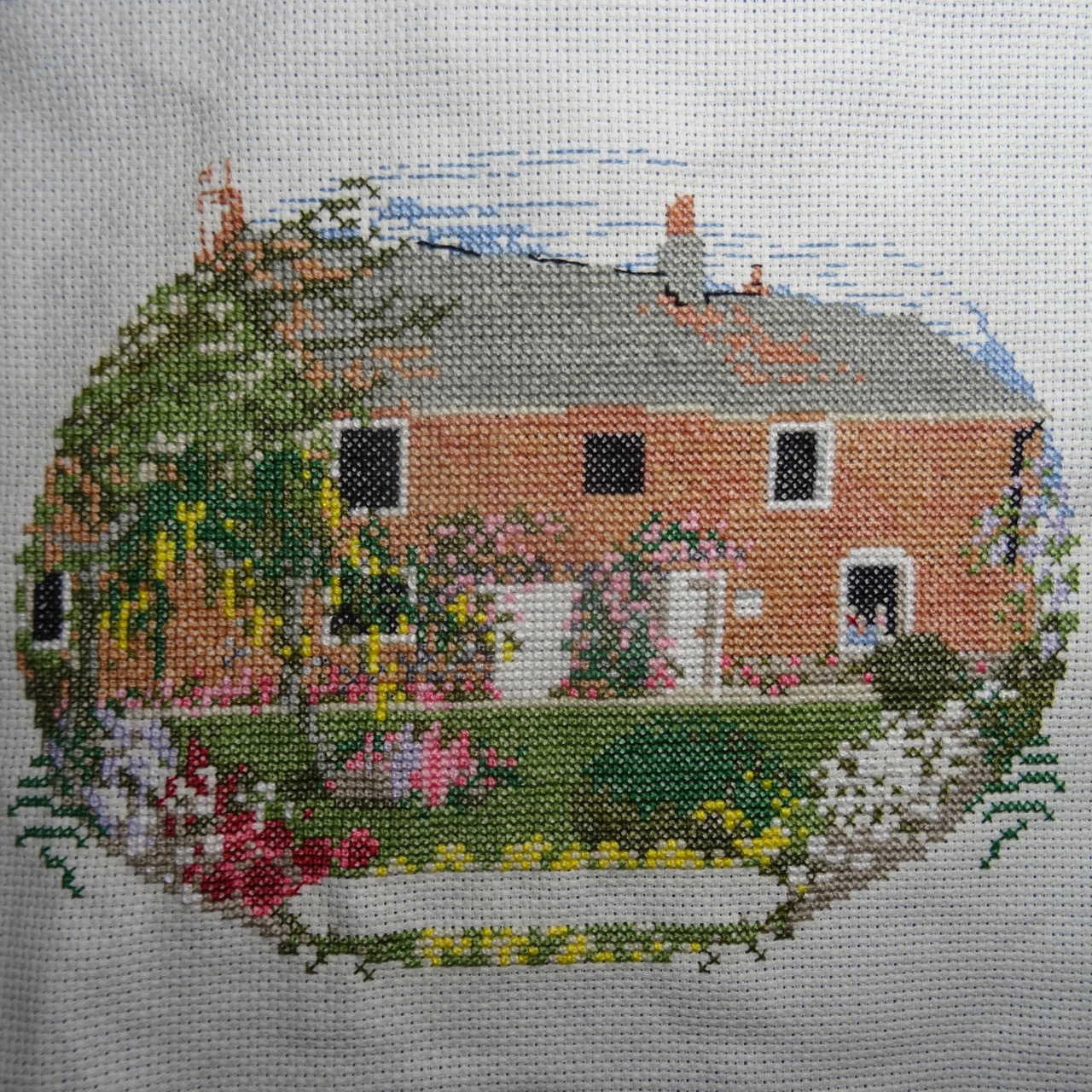
Cross stitch of Jane Austen’s house – I just need to add the windowpanes and french knot flower centers.

dsc00930

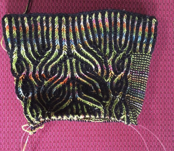
I finished the second sock, now I have to find the place in the stripe sequence that will match the place where the knot was in the first sock.

Other Adventures 

It has been a busy couple of weeks of the New Year, winding down from the holidays, and getting my daughter and her things sent back to college. I note that today is one year exactly since my surgery. I am adjusting to all my new medications, and am healthier for not having excess growth hormone secretly running around in my body and creating future problems. I am grateful for my recovery. My husband has just stepped down to half time work, with full retirement planned for a year from now. Thus we will likely have many more hikes and adventures in the years to come, including having just booked a hiking trip in New Zealand for a year from now! I am used to hiking at my own pace, but I will need to increase the difficulty of my hikes as the year goes on to prepare for the trip. A good goal, one of many, for 2019. (2019-1)


Memaloose Hills Hike, and Christmas (18-59)

Memaloose Hills Hike, Oregon 12/27/2018

We went east through the gorge again to the sunny Memaloose Hills, and walked 3.2 miles, 600 feet, through the dormant winter landscape. (Hike #65 for 2018). This area is known for abundant wildflowers in spring.

DSC00612

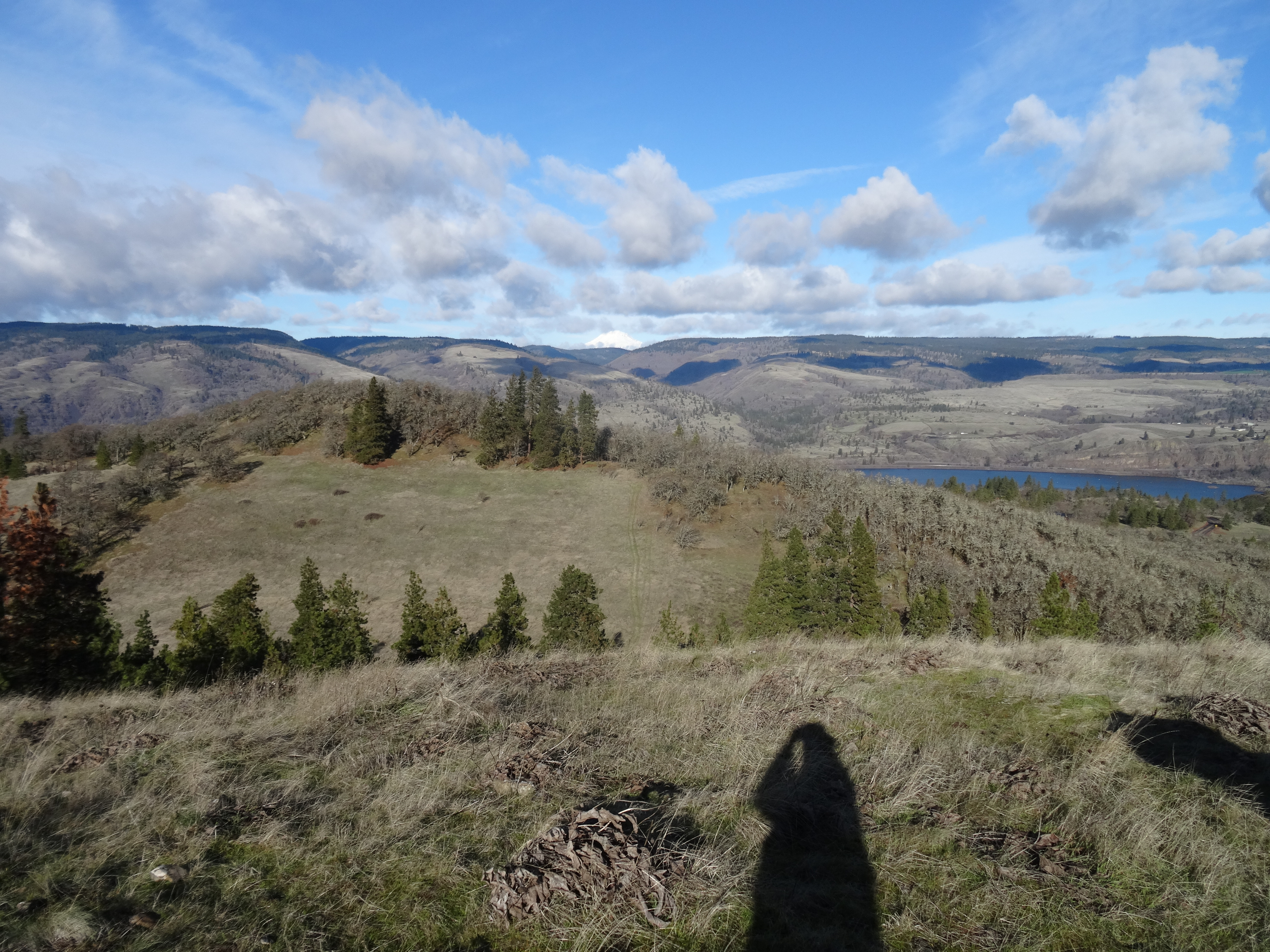
View north, with a peak at Mt Adams, from the upper trailhead on old highway 30.

DSC00626

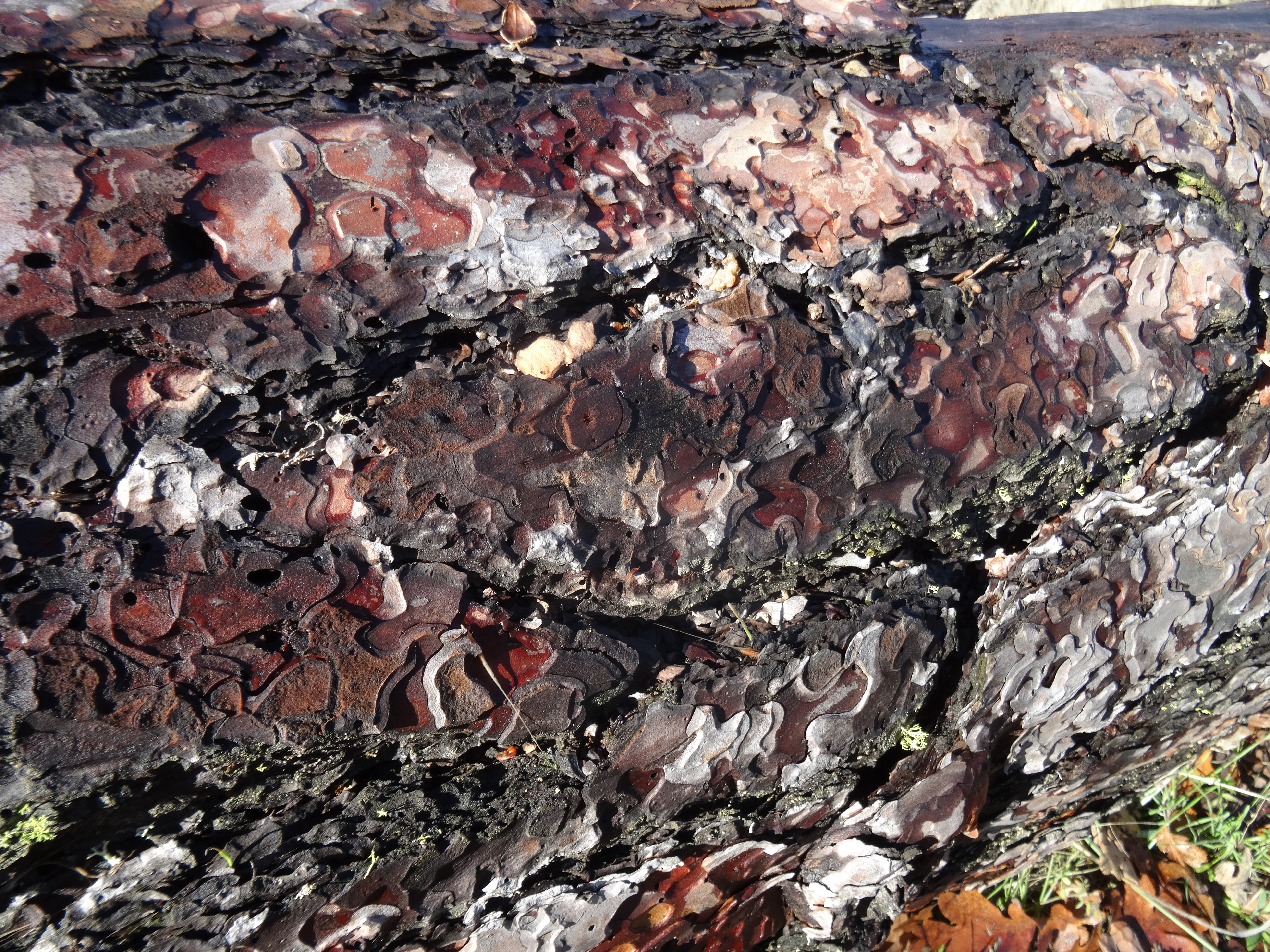
Ponderosa bark

DSC00627

Trail up to the lower viewpoint.

DSC00635

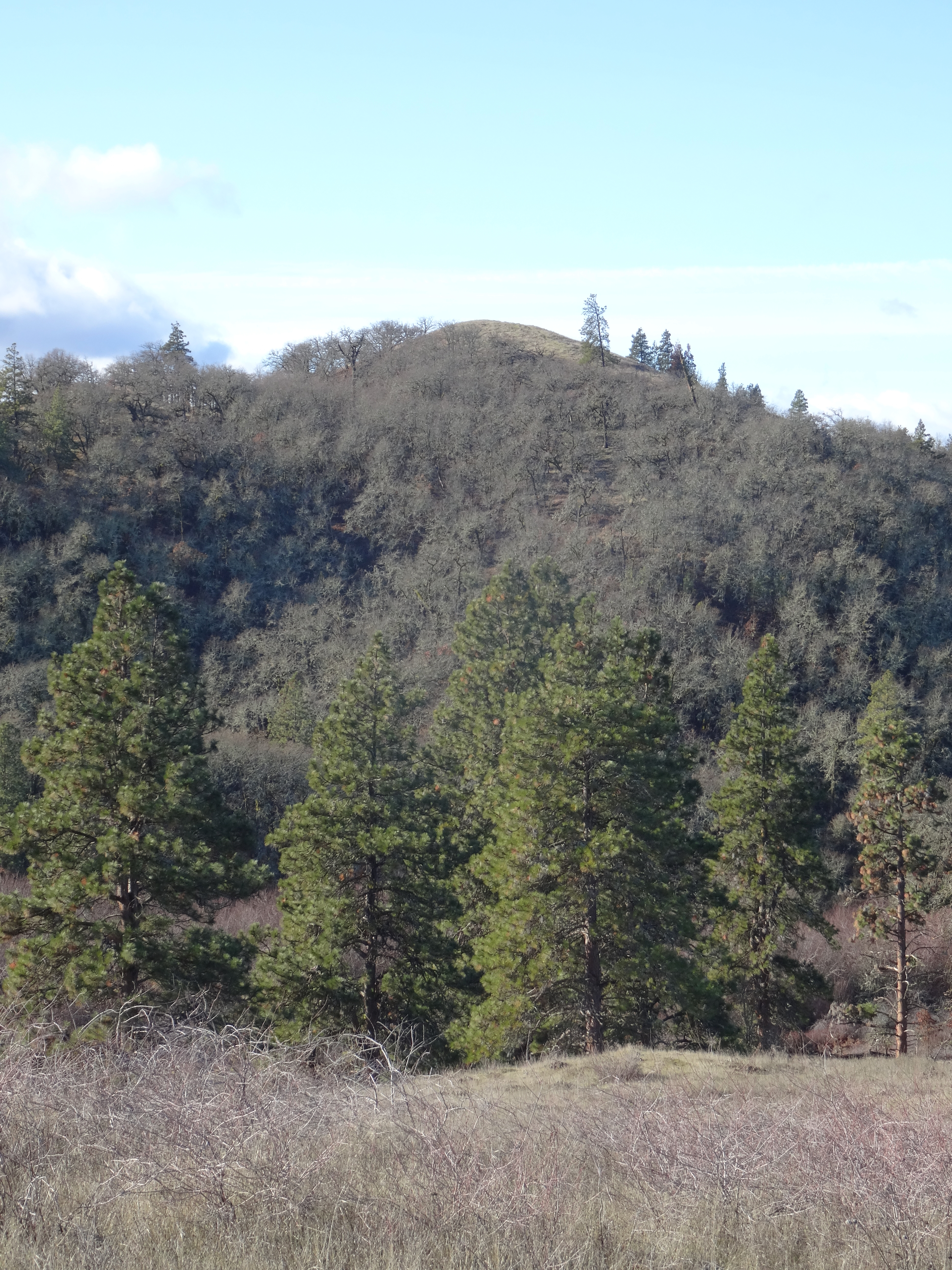
Chatfield Hill – our upper destination

DSC00642

Dan heading up Chatfield Hill in the dormant winter.

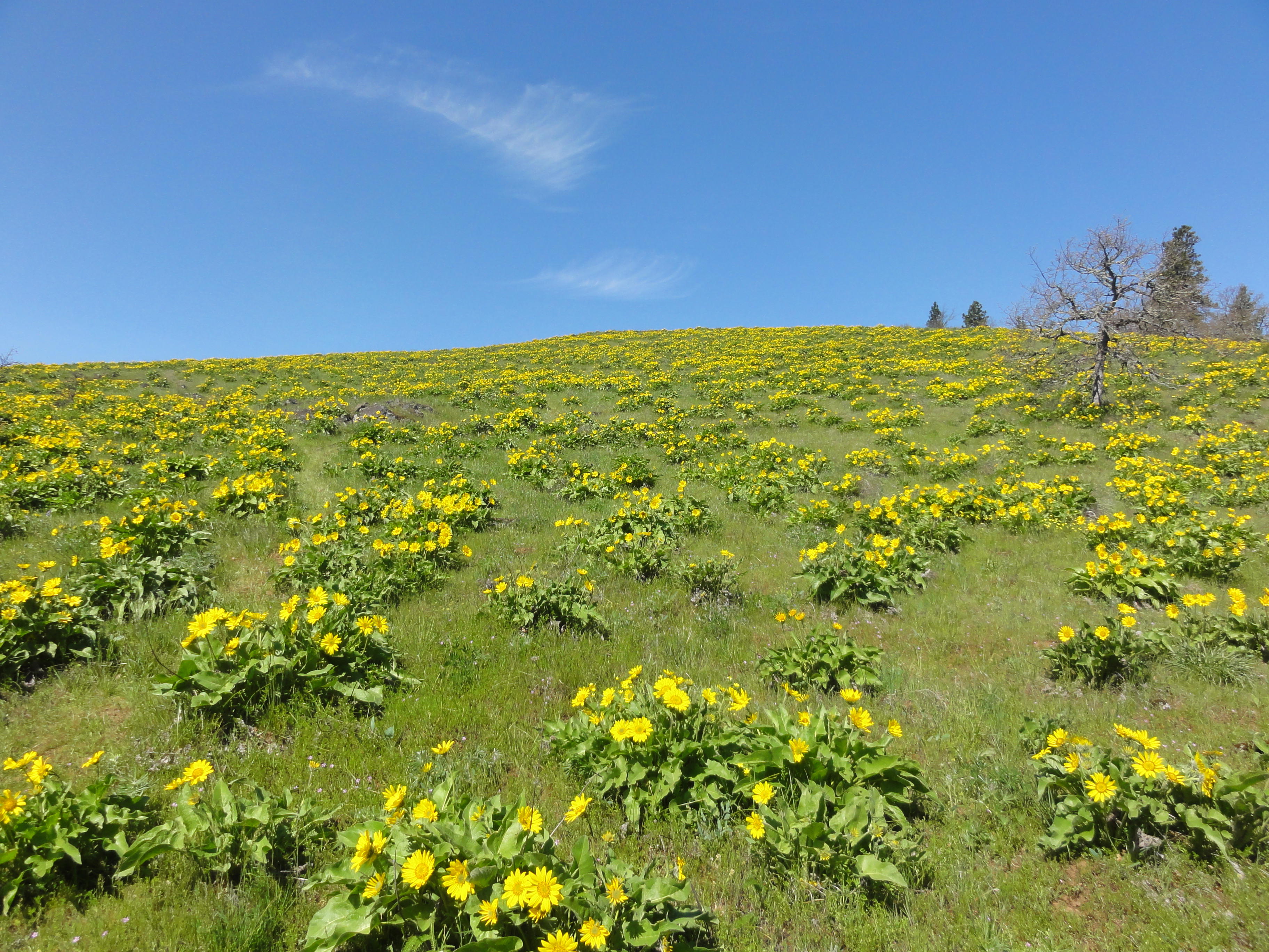
DSC06911

Same view in springtime….

DSC00649

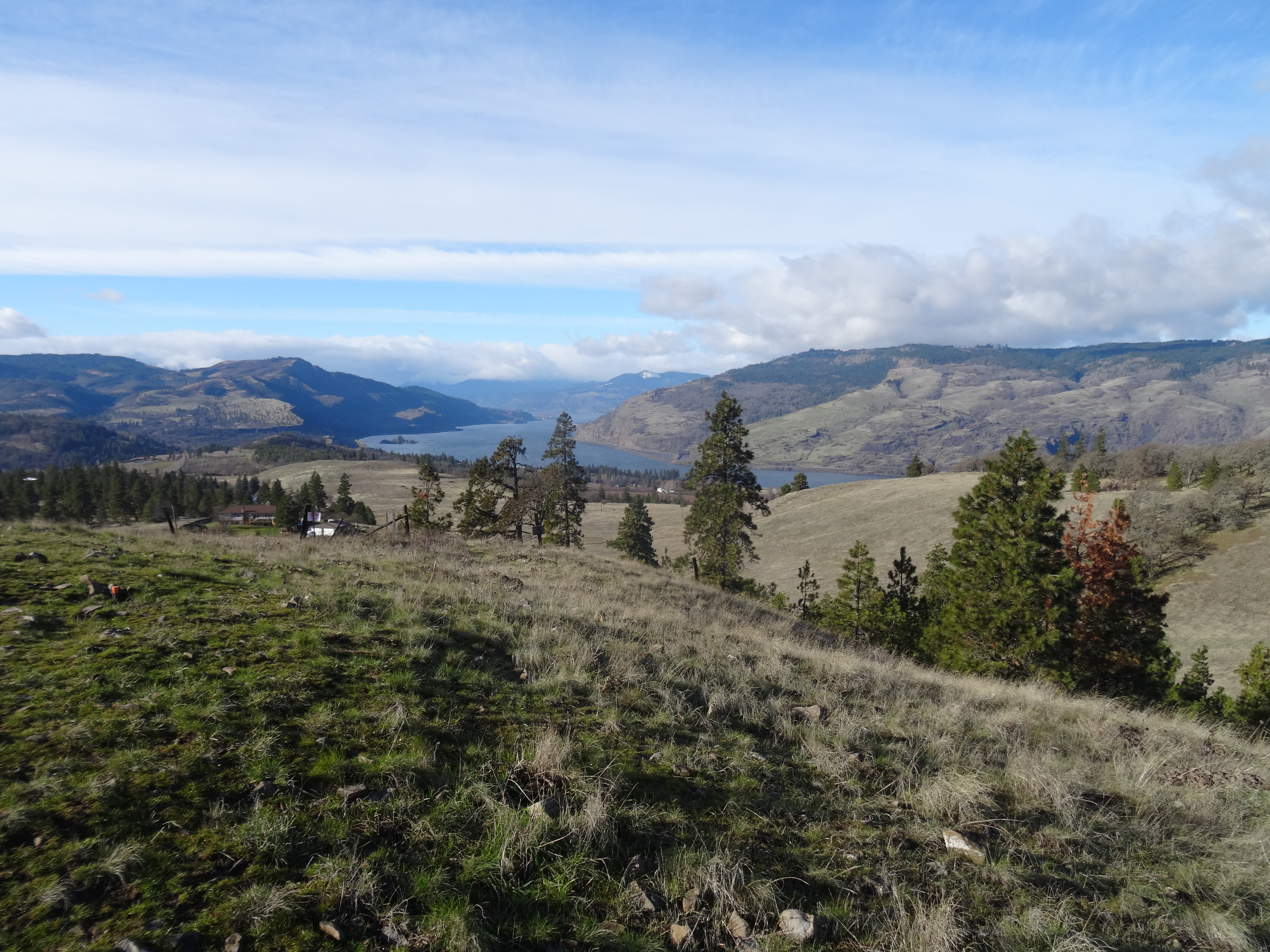
View to the east and lower viewpoint.

DSC00655

View to the west from the top

DSC00663

Northern view toward Mt Adams

DSC00660

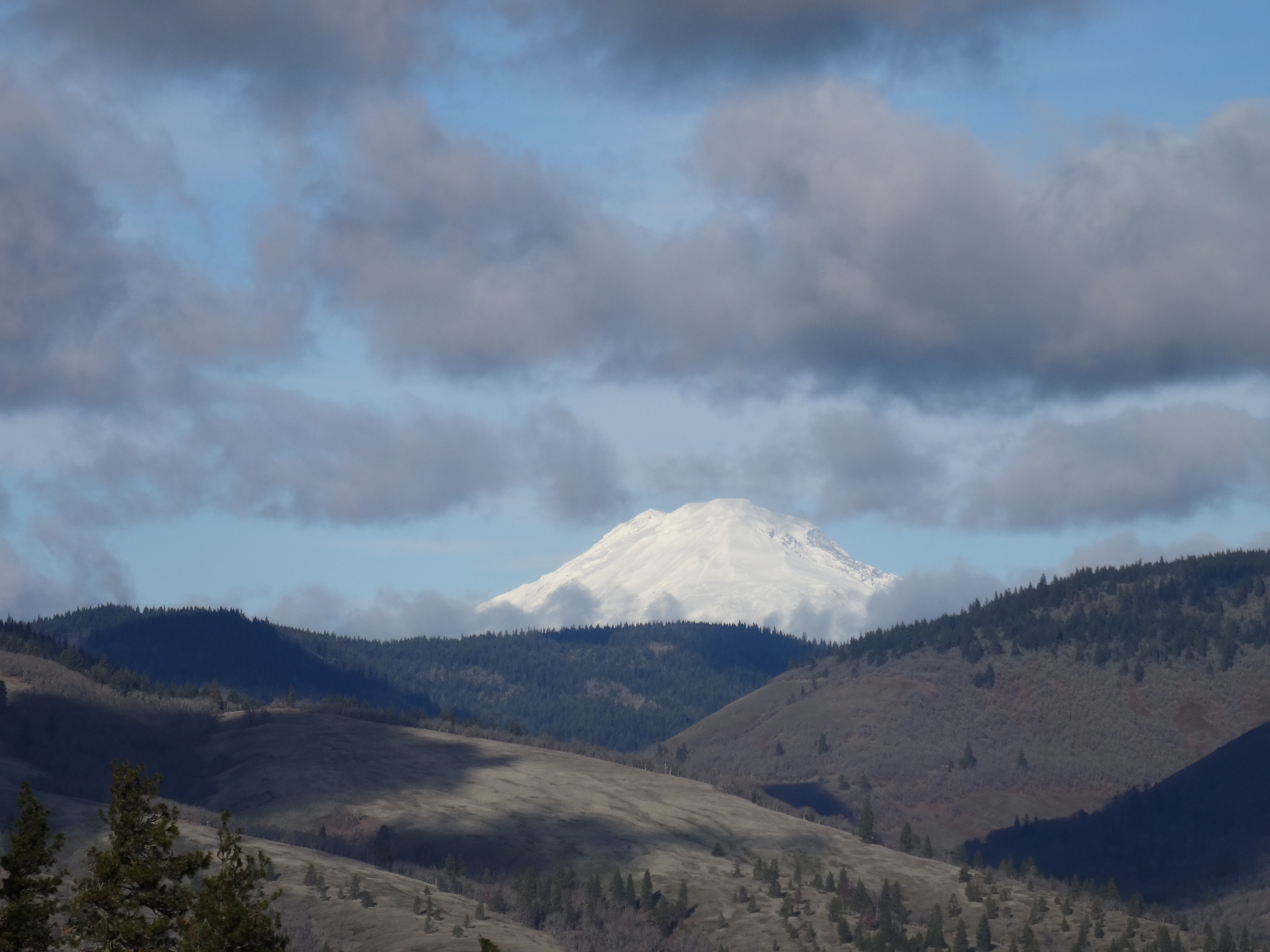
Mt Adams

DSC00665

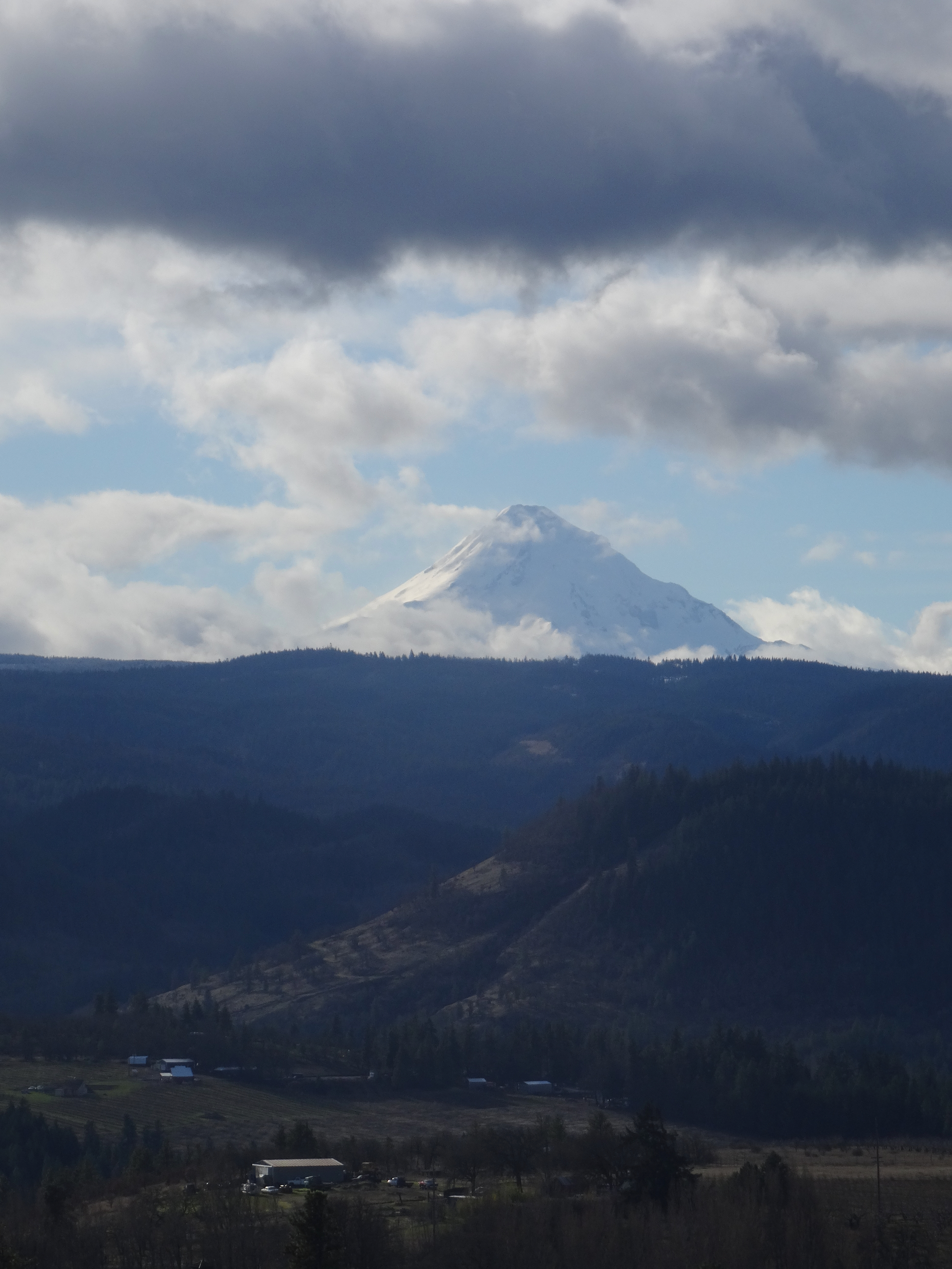
Mt Hood

DSC00667

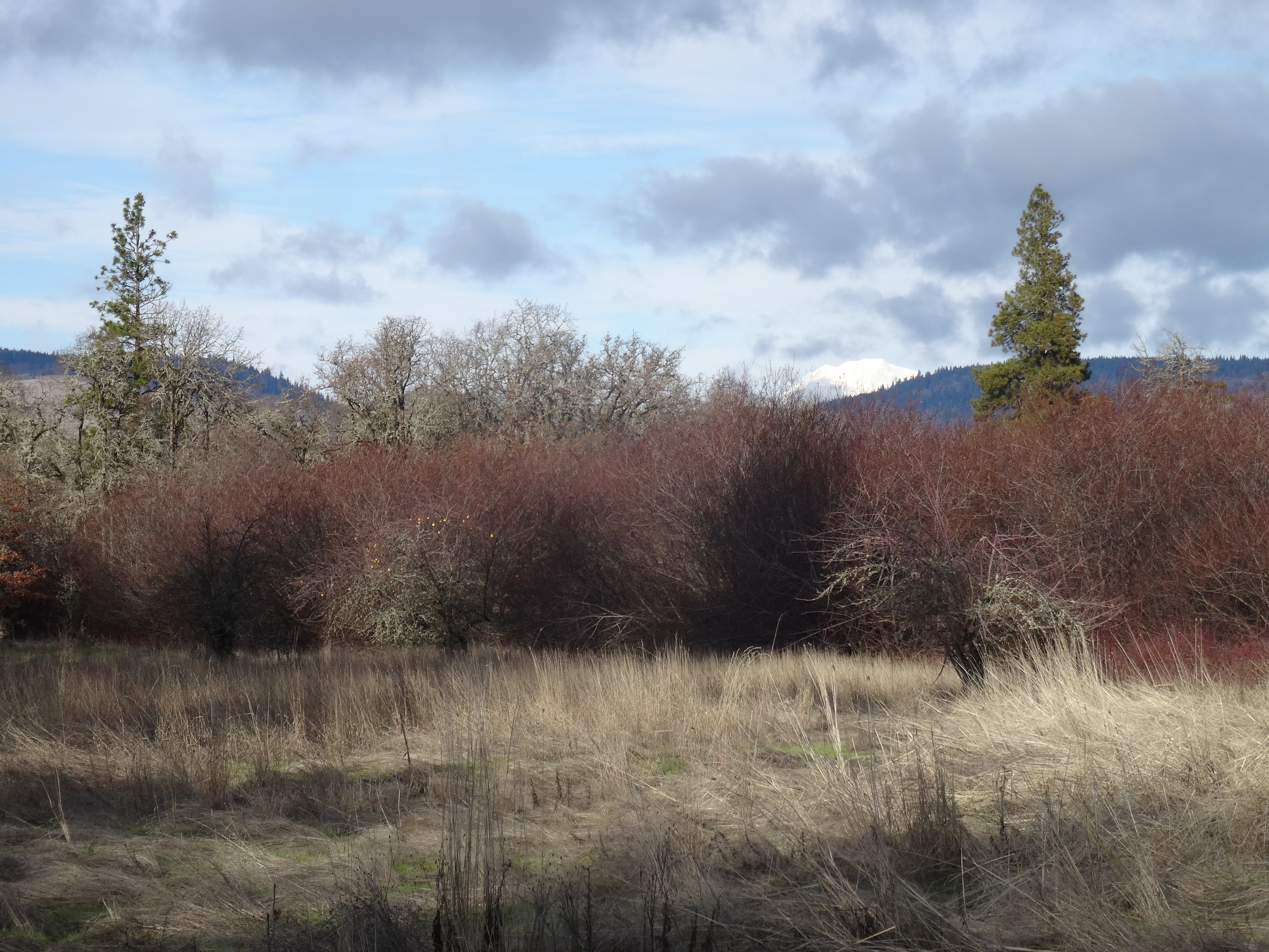
An apple tree and Mt Adams, on the return hike.

DSC00671

Apple tree

Dalles Dam

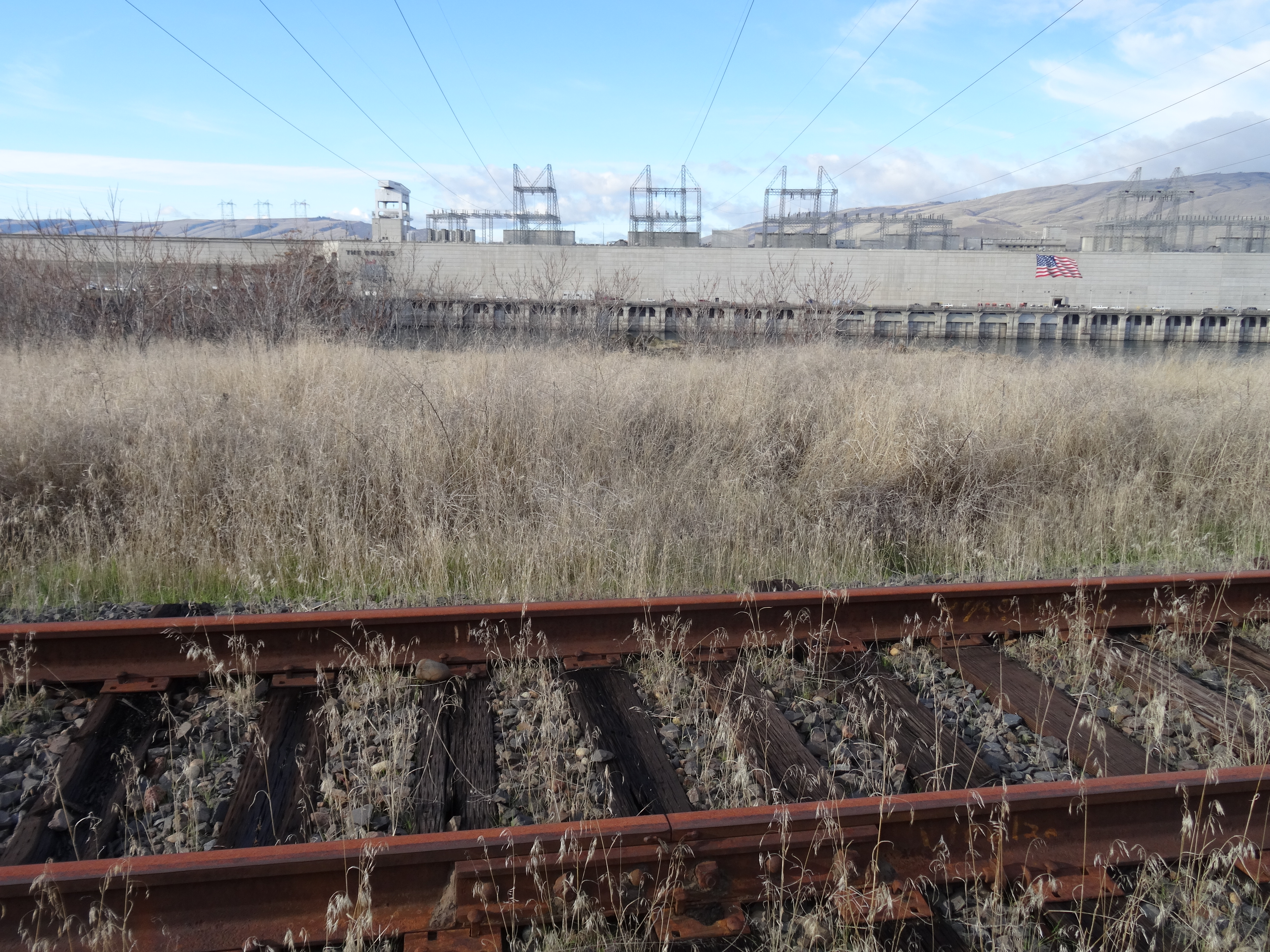
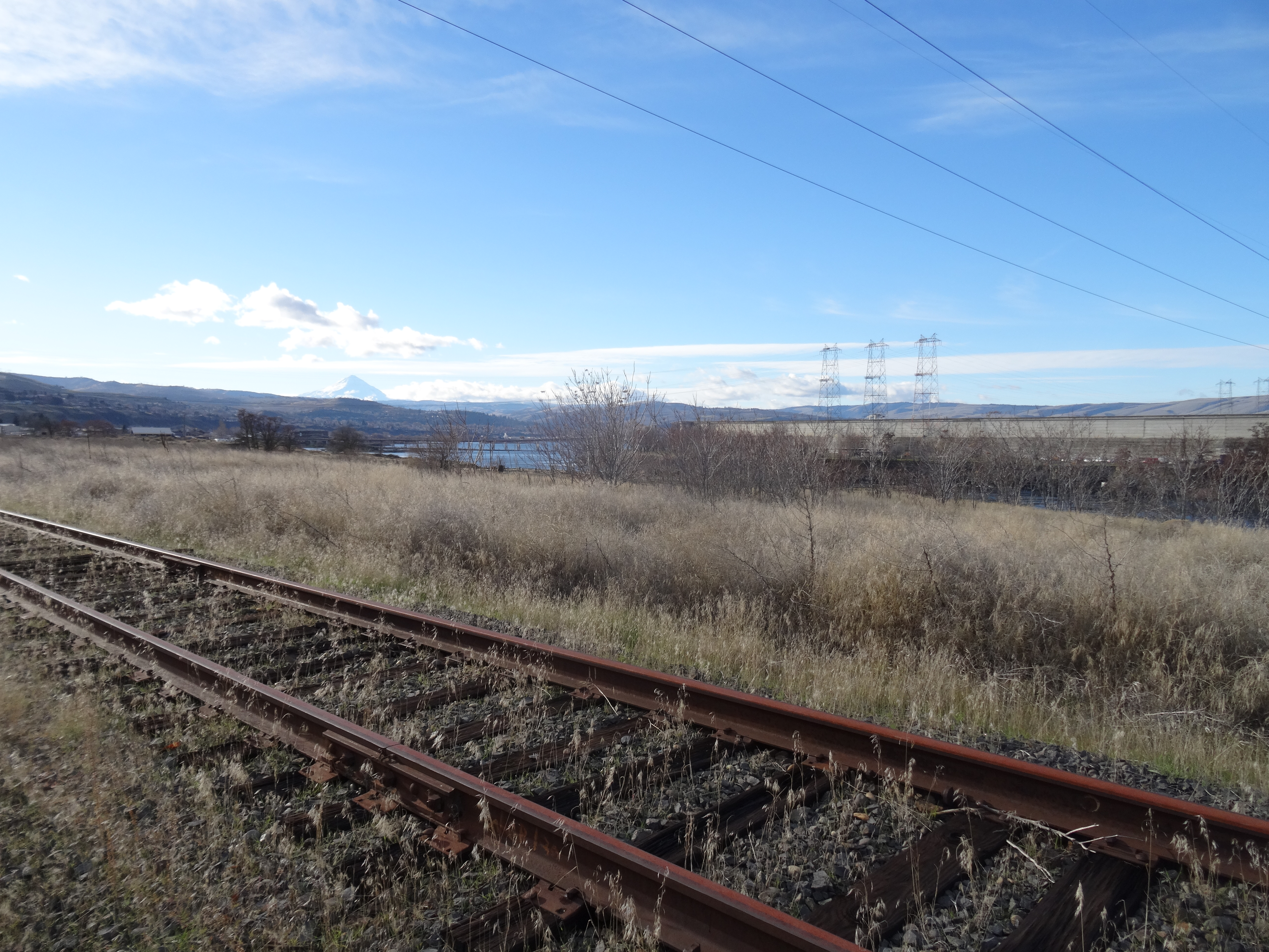
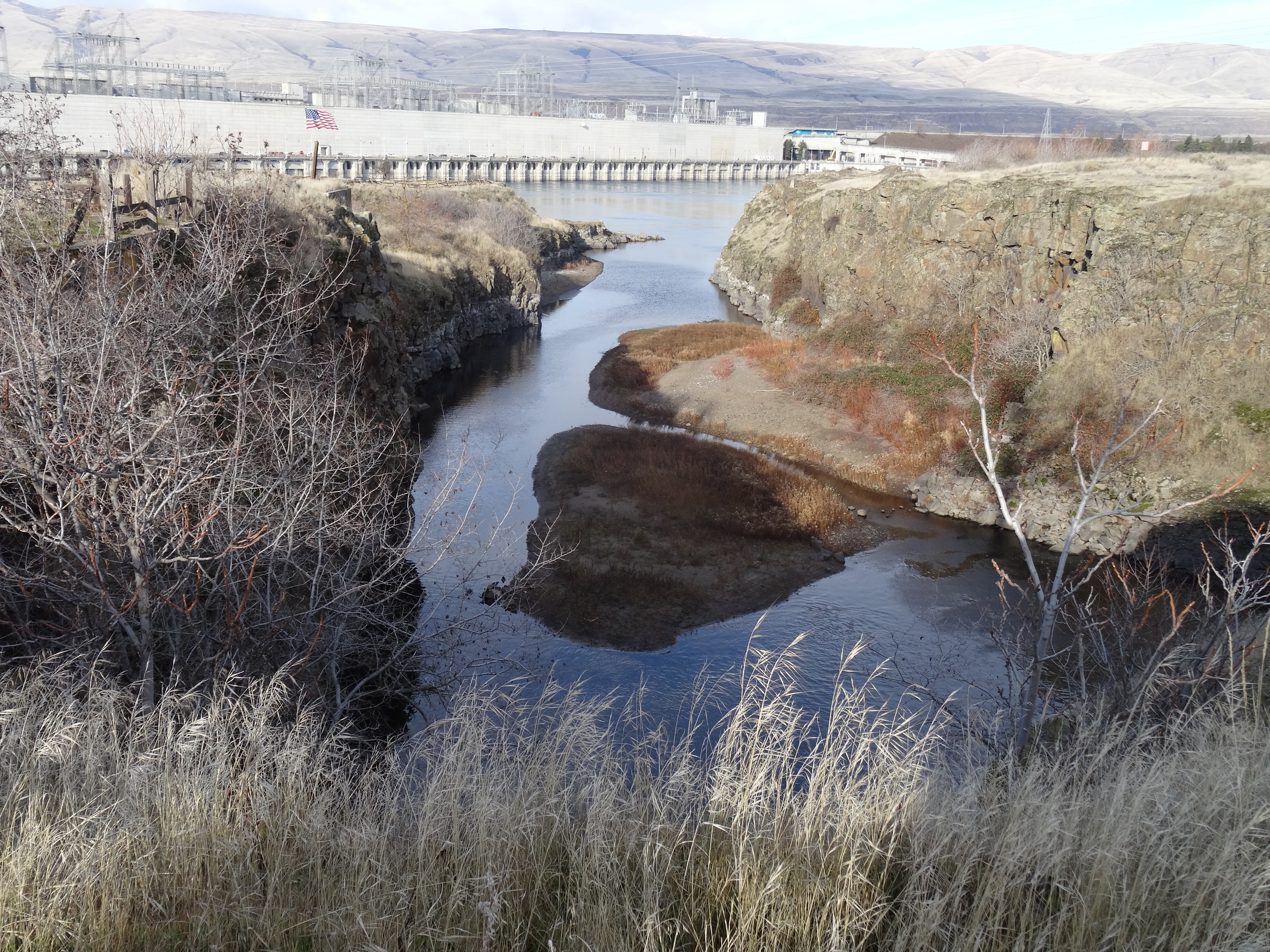
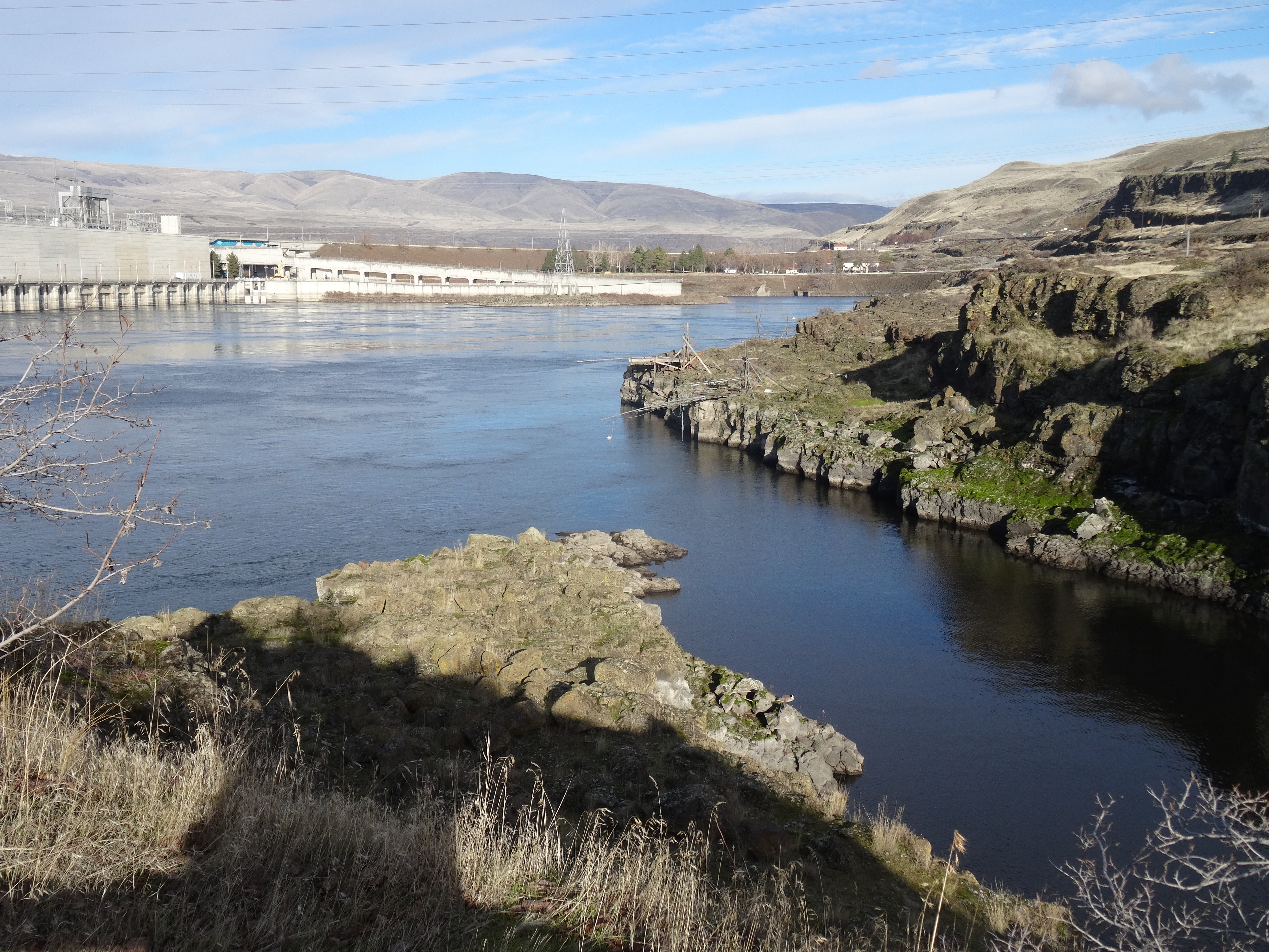
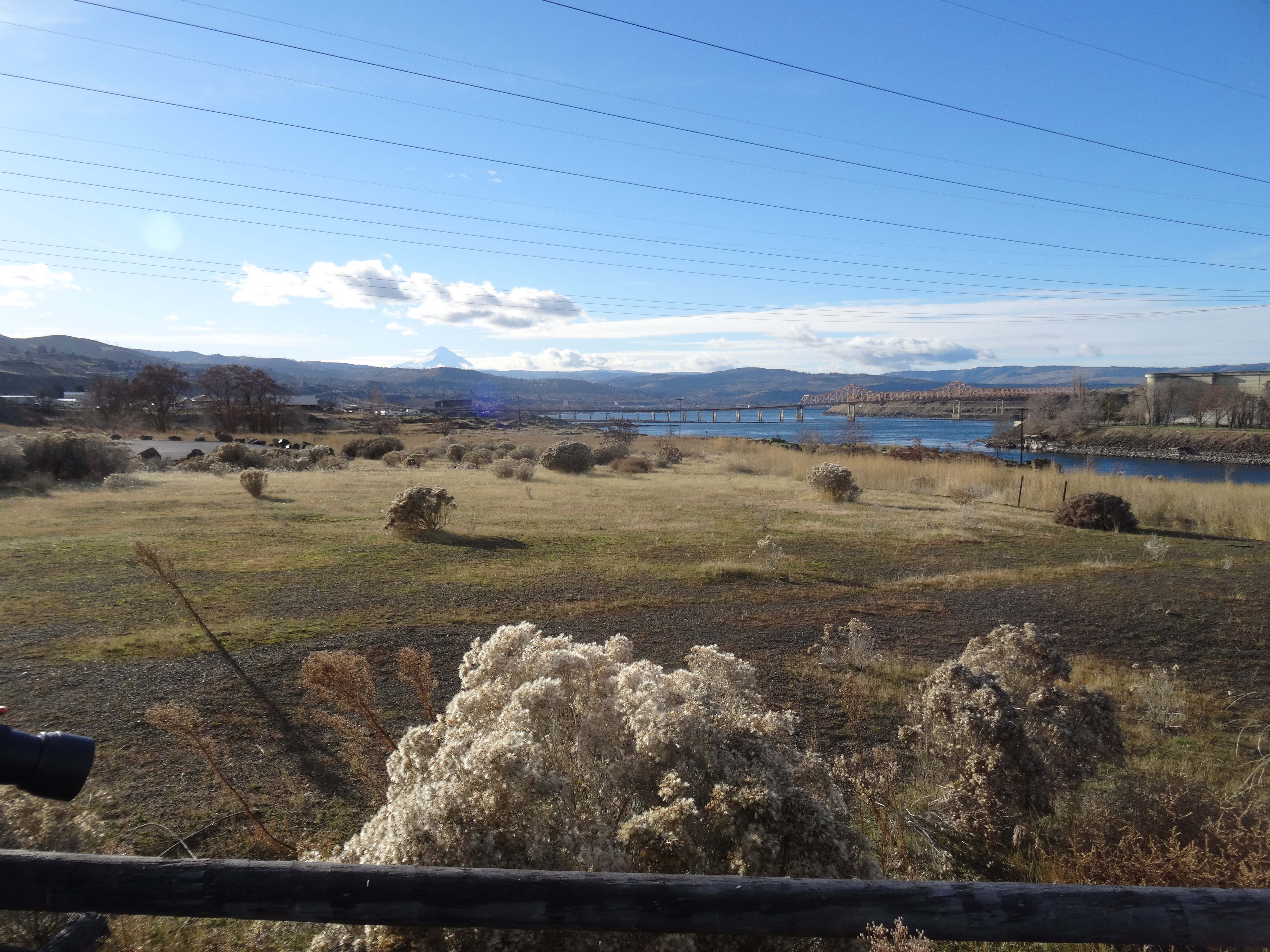
Another hiker reported seeing bald eagles at the Dalles Dam, so we drove to the Visitor Center to see them. We walked some of the paths in that area and saw interesting views of the infrastructure, but no bald eagles.

DSC00676

Under the freeway bridge

DSC00682

Looking toward the dam

DSC00684

A dusting of snow in the hills

DSC00686

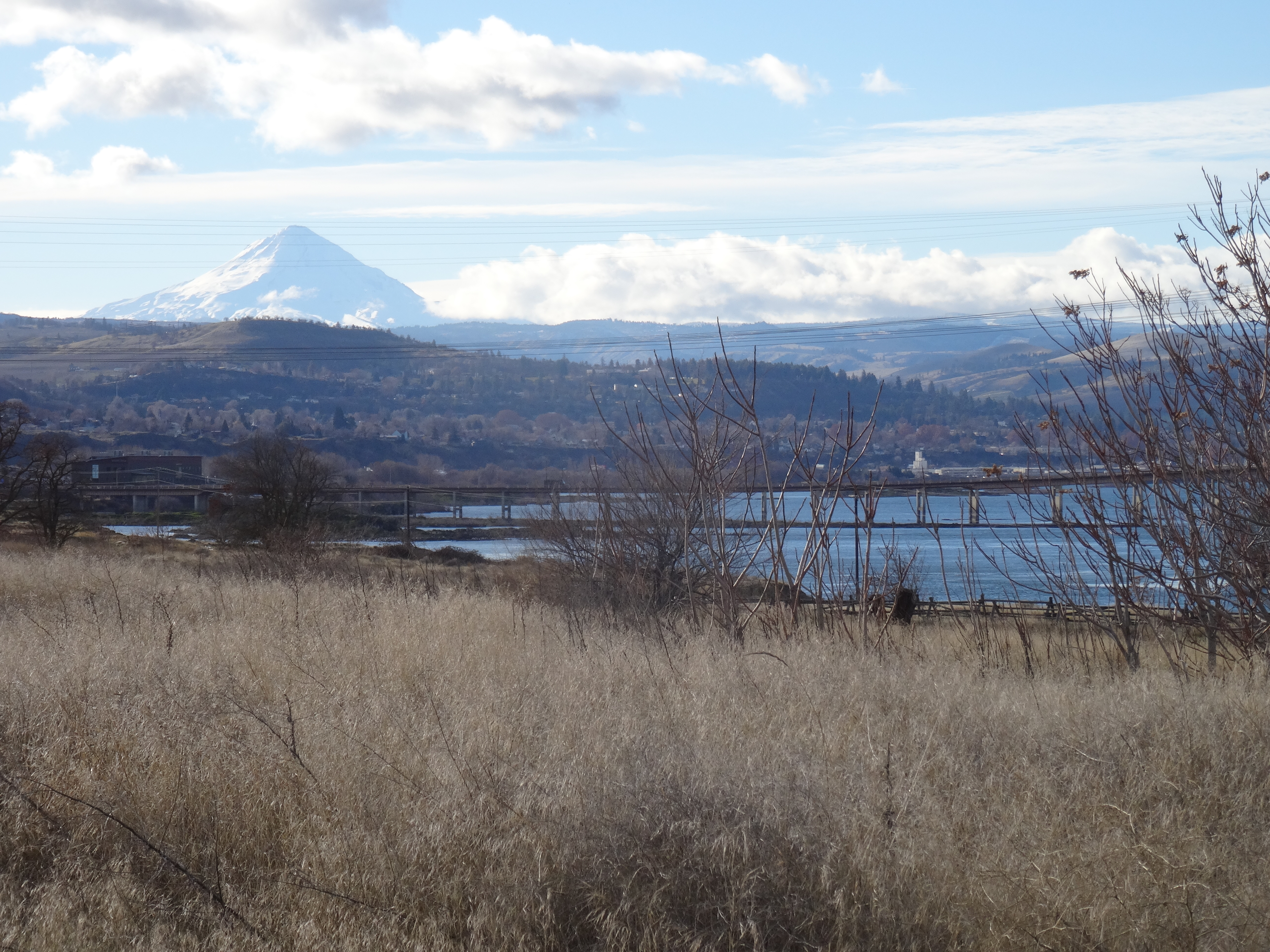
Mt Hood in the distance

DSC00687

Zooming in – Mt Hood and The Dalles.

DSC00689

Bald eagles should be here

DSC00692

Fishing platforms

DSC00696

Another westward view in the low winter light.

Driving Landscape Views

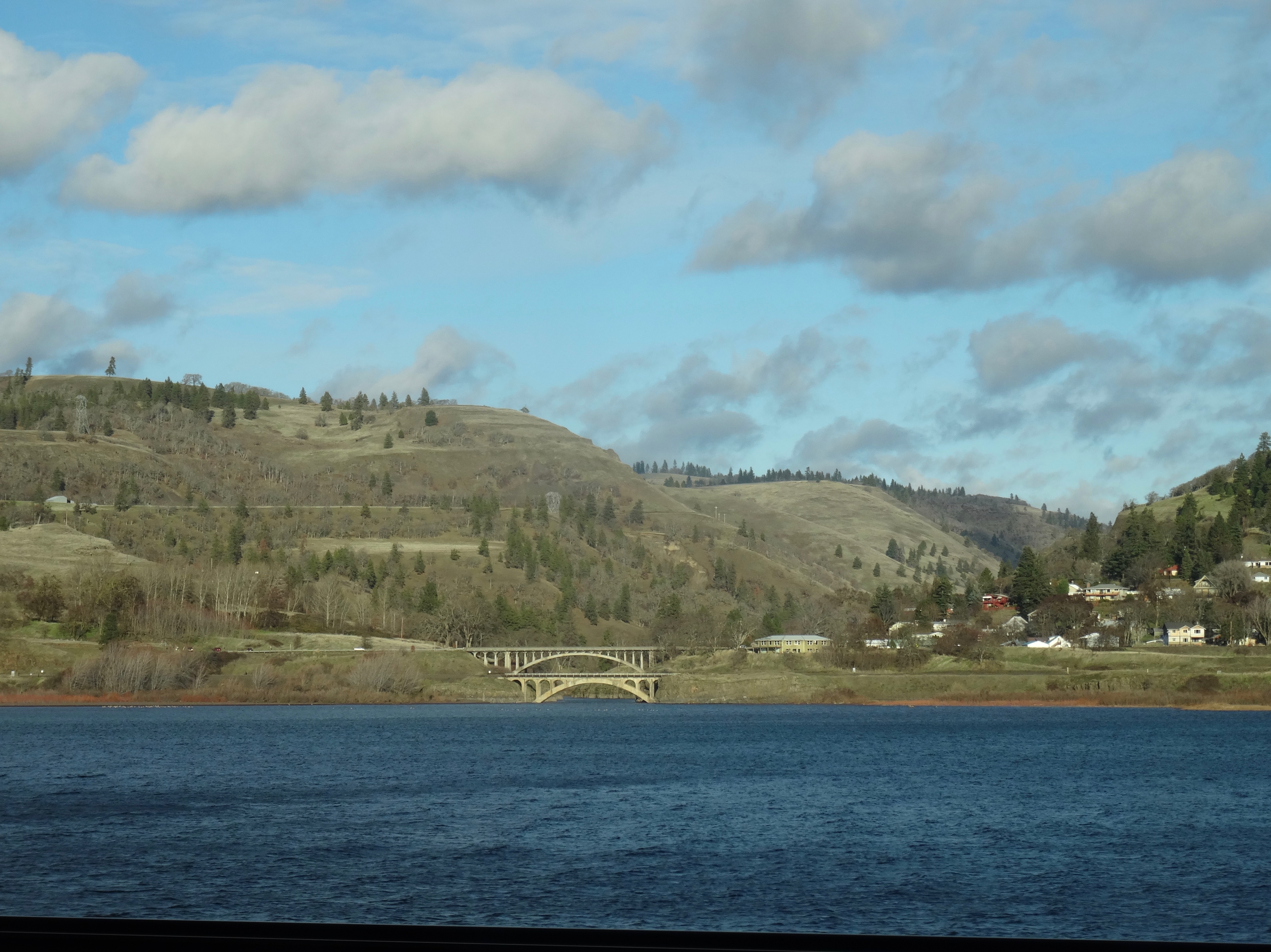
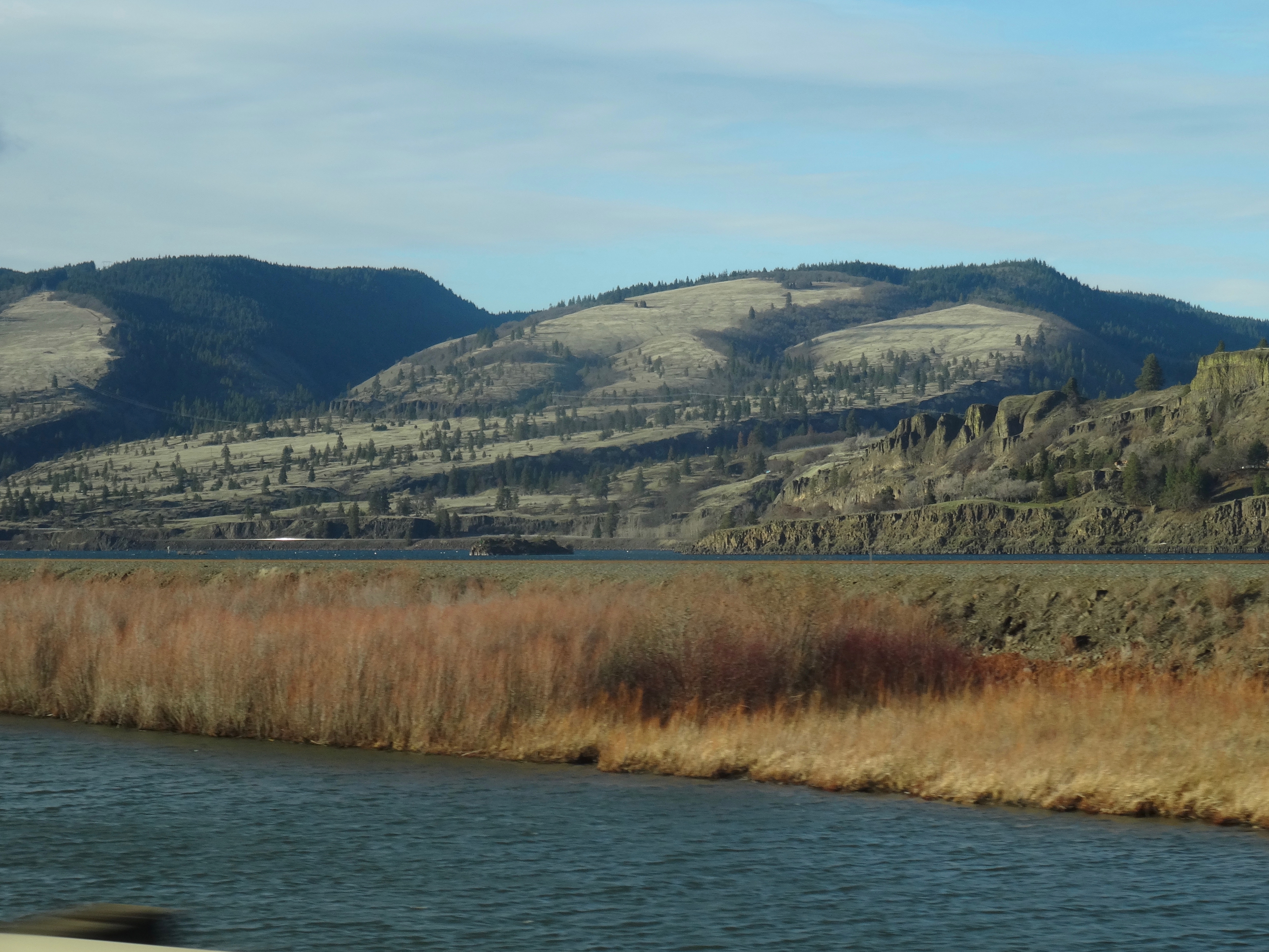
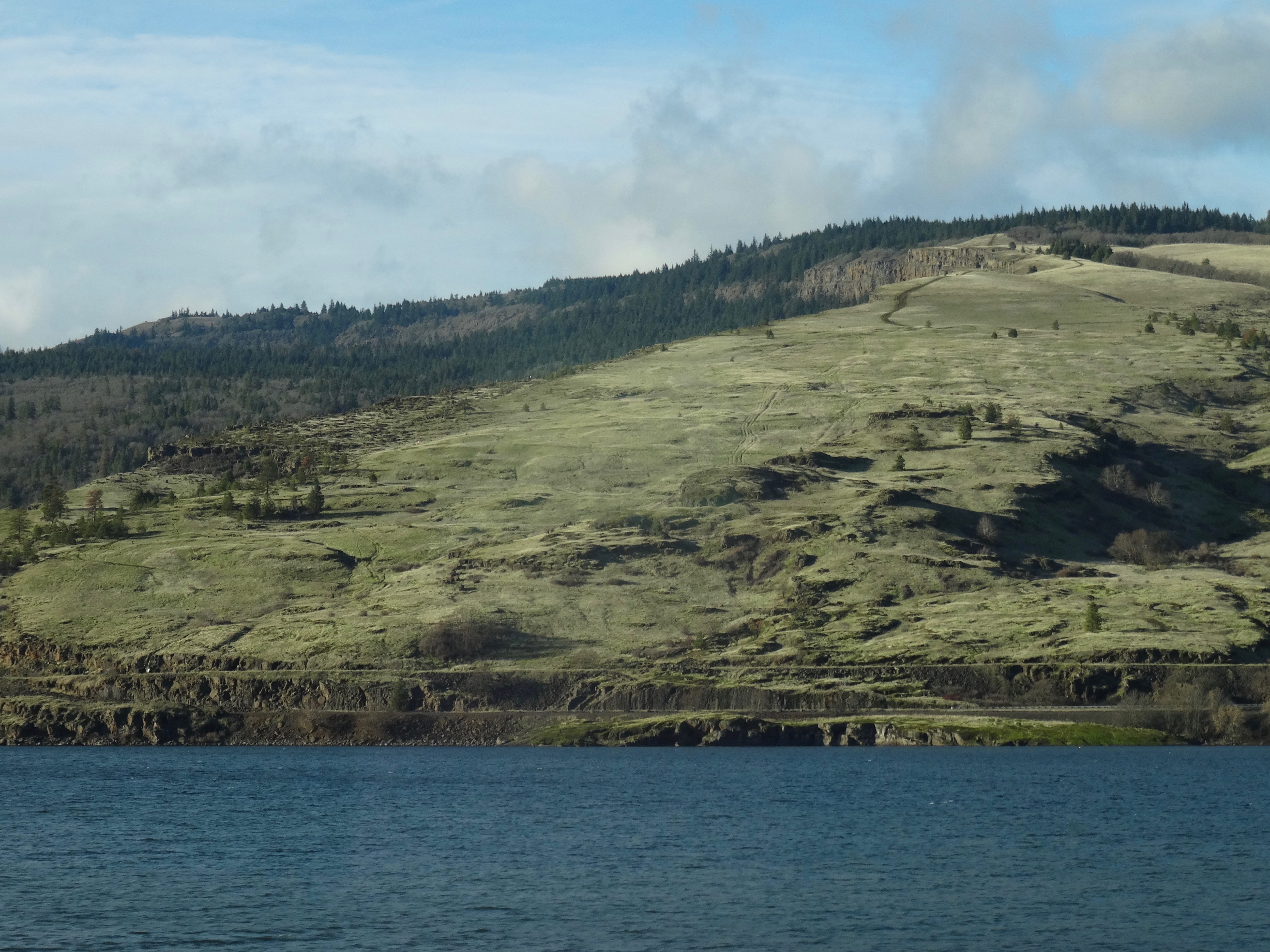
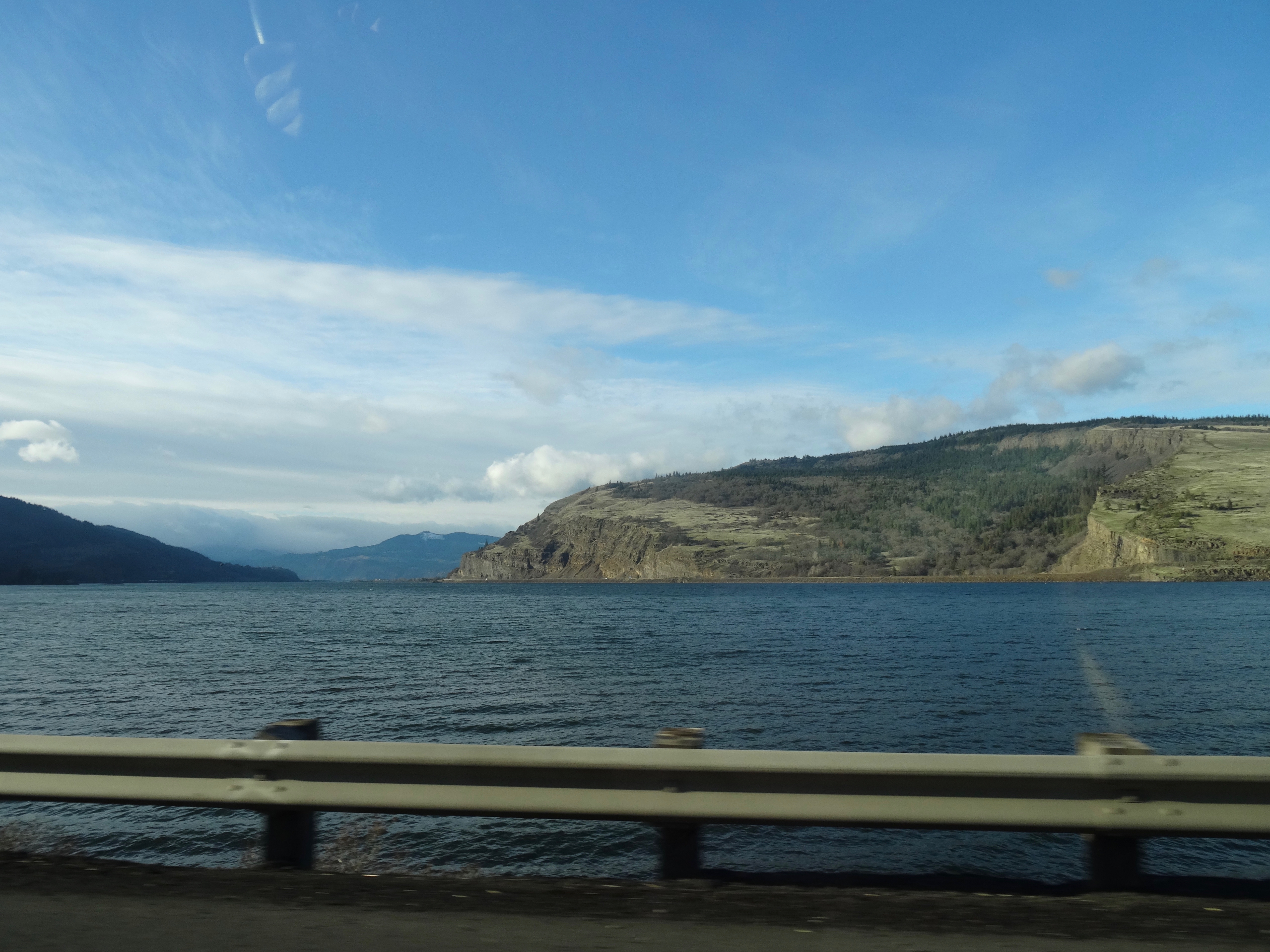
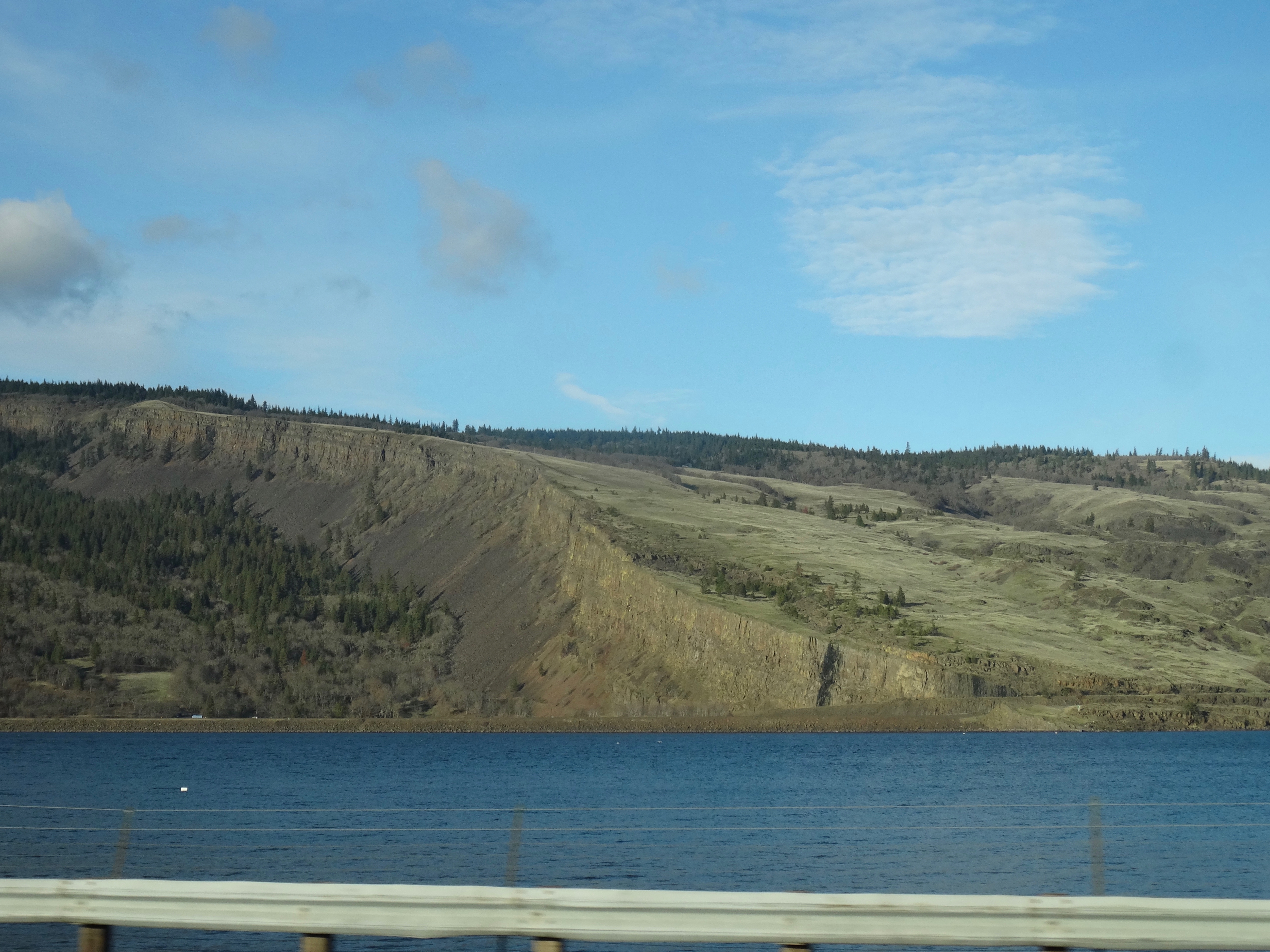
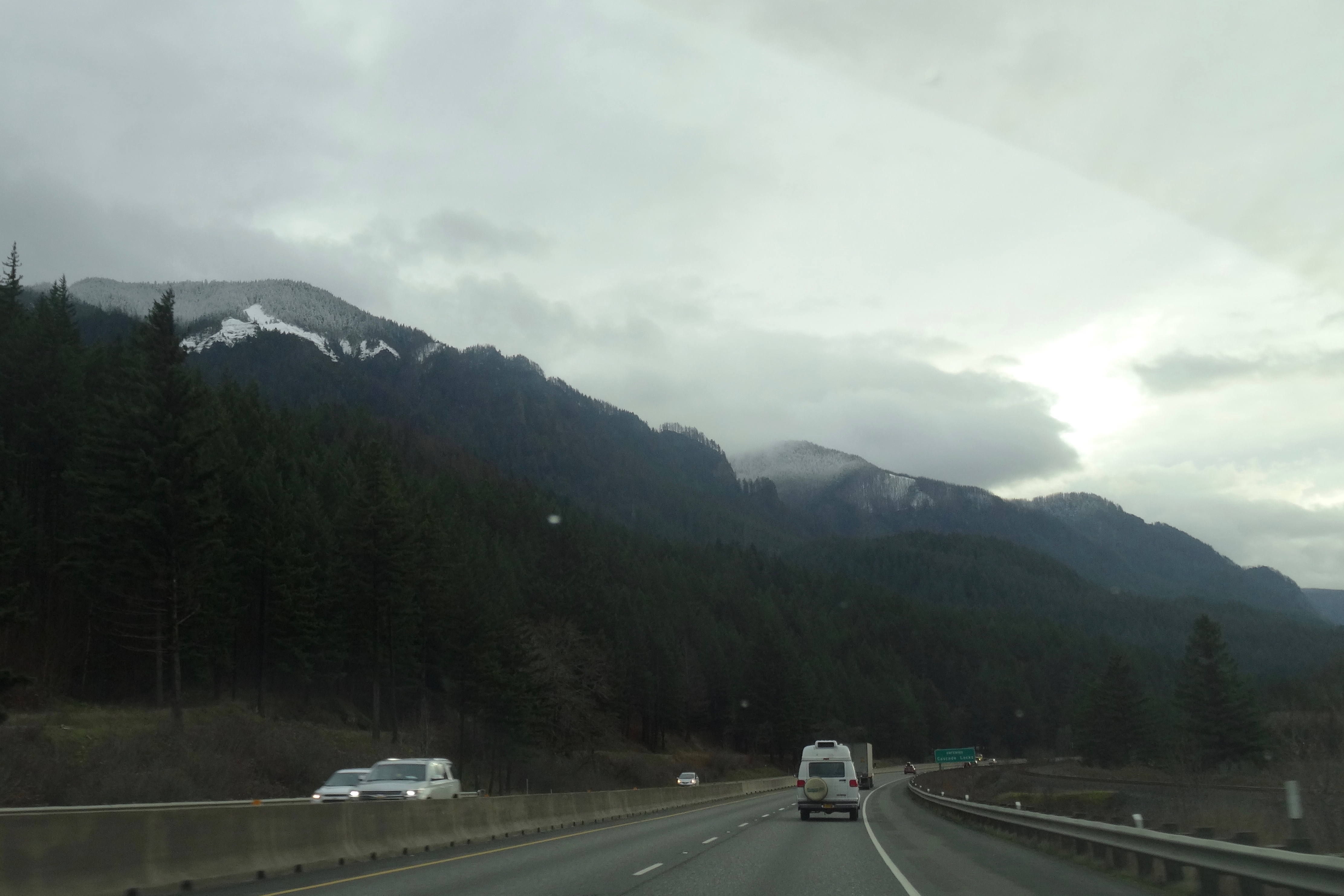
I snapped photos from the freeway as we drove back through the gorge. There are great views of our hiking spots on the Washington side of the Columbia River, and I thought I did fairly well at freeway-speed photography!

DSC00712

Lyle Cherry Orchard

DSC00716

Lyle, Washington

DSC00722

Catherine Creek

DSC00725

Rowland Wall

DSC00730

The slope above Coyote Wall

DSC00735

Coyote Wall

DSC00740

Coyote Wall

DSC00754

Snow dusting the black-fringed cliffs above Cascade Locks

DSC00771

Corbett Point

DSC00773

Closer view of Vista House

Knitting

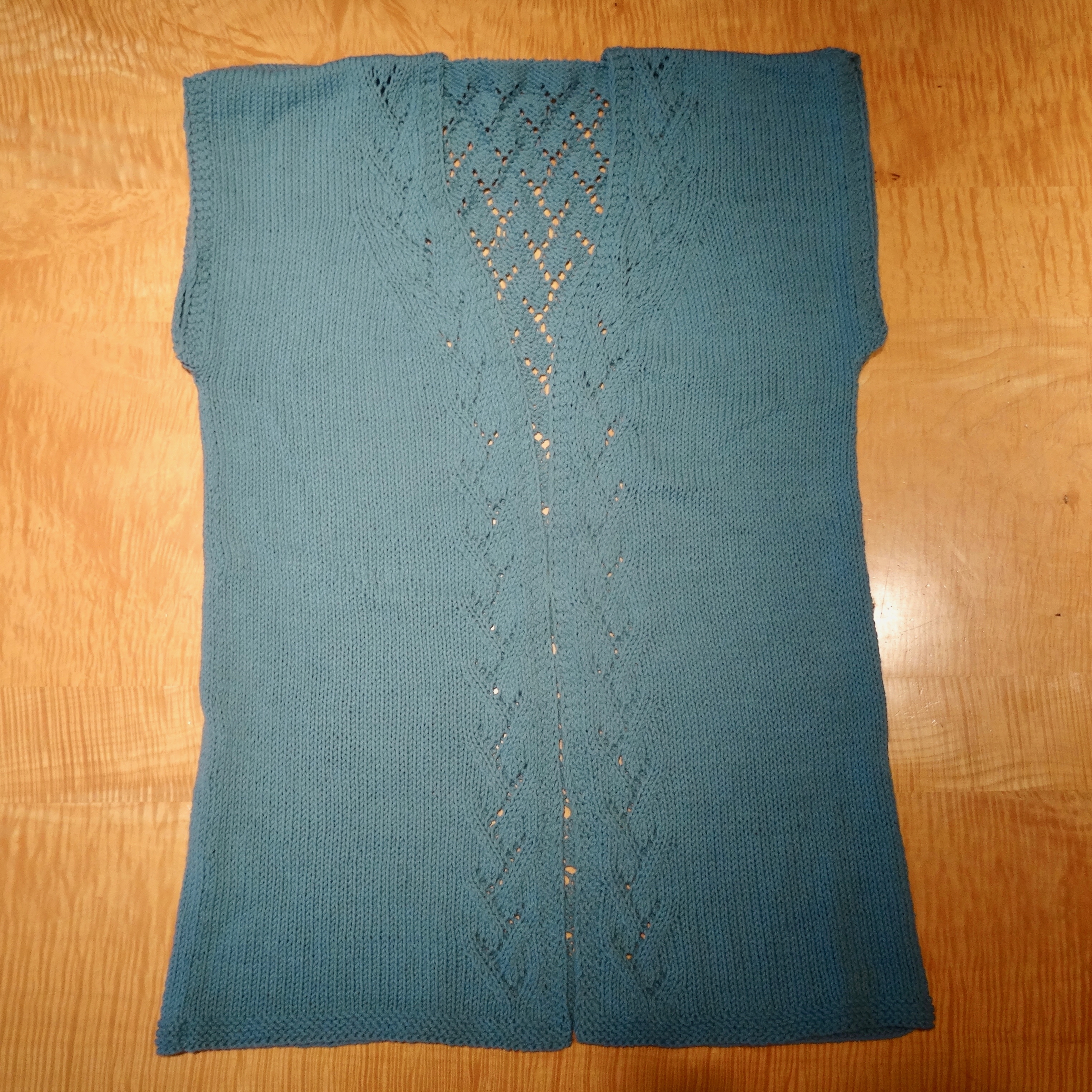
I knit a star ornament for my friend who has made the costumes for a local production of Mary Poppins, I finally finished seaming the Ivy Cardigan, and I finished another round washcloth.

DSC00573

Mary Poppins Star

DSC00783

Ivy Cardigan

DSC00789

Wash cloth

Christmas

Lovely quiet Christmas with family and friends.

DSC00599

Our tree.

DSC00593

My only new ornament – from the Jane Austen Museum in Bath, England.

DSC00559

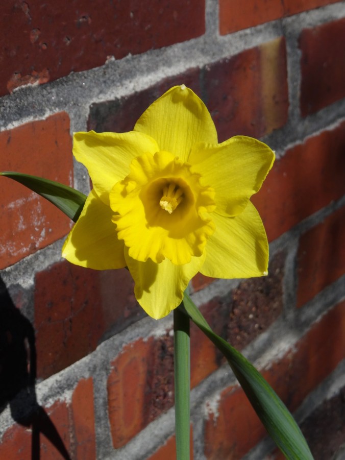
Viburnum in my garden


Winter trees at Tryon Creek, OR (18-56)

December 9, 2018  Tryon Creek State Park

After two weeks of clear, cold, windy days our clouds have returned, warming us up enough for a short hike through Tryon Creek State Park. It was mostly empty on the trails, unlike in spring when the trillium are in full bloom. Bare trees, stream reflections and a sunbreaks marked the woods this day. (2.2 miles, 200 feet, #63)

DSC00444DSC00446DSC00460DSC00441DSC00461DSC00466DSC00465DSC00453

Crafting, etc

I finally cast on a new pair of socks.

DSC00471

I have finished the cross stitching on Jane Austen’s House – that has been my evening work lately. Next, back stitching and french knots.

DSC00467

I have done some pre-winter clean up in the garden. We have our Christmas tree standing in the living room, as yet unadorned. I went to see the latest Fantastic Beasts movie with one of my sons at a midweek matinee, and we were the only viewers in the theater. We both enjoyed the movie. Otherwise, I am trying to finish up my blog posts about our UK trip last spring by the end of the year – there are so many photos to sort through – it really was an amazing trip! I am enjoying reliving those experiences.

Return to Angel’s Rest (18-53)

Angel’s Rest Trail, Oregon   November 24, 2018

A few trails in the Columbia River Gorge that have been closed since the September 2017 Eagle Creek Fire were reopened for the first time this past weekend. We went to Angel’s Rest on Saturday morning, along with hundreds of other local hikers. It was with care, scrutiny, appreciation, and gratitude that we made our way up 1500 feet to the iconic views over the gorge. The trail was in great shape, thanks to the many trail keepers who have worked on recovery.

DSC00428

Into the woods

DSC00312

Views of Cape Horn, the Columbia River and Phoca Rock emerge on the lower trail.

DSC00315

Coopey Falls

DSC00330

Angel’s Rest – our destination.

The trail begins to switchback up the front of Angel’s Rest.

DSC00339

Burned tree trunks and open views line the trail.

DSC00347

First view west toward the trailhead.

DSC00349

Well repaired trail surface next to blackened trees.

DSC00351

Blackened stump.

Nearing the top, the views unfold:

DSC00361

To the west, from near the top.

DSC00370

The Hilary Step of Angel’s Rest – leads to the ridge crest. Sometimes there is a line of hikers waiting to go up or down.

DSC00411

From the top, looking toward the overlook where many rest.

DSC00380

Open view west – toward Portland, Cape Horn in Washington and Phoca Rock.

DSC00387

Open view east – toward Hamilton Mountain in Washington.

We wandered around on top for a while, admiring the view from various perspectives, and found a place to eat lunch.

DSC00394

Closer view of Cape Horn in Washington.

DSC00395

The bench is still there.

DSC00397

We saw a single blooming white yarrow near our lunch stop.

DSC00396

Yarrow

We headed down, stopping for a few more views along the way.

DSC00404

Looking back toward the top, where the first views are seen.

DSC00407

My shadow in the low November light.

DSC00413

My favorite sculpted shoreline of the Columbia River.

DSC00415

View through the rock piles.

DSC00416

Seasonal berries

DSC00417

Trees that are burned, dying, no longer evergreen.

Looking back as we hiked down:

DSC00420

Where we were – and much more visible with all the undergrowth burned away.

DSC00422

White berries lined this part of the trail – not sure what they are – possible snowberries, or the dreaded poison oak.

Image 11-28-18 at 1.18 PM

Golden Hike of the year, #62, 5.2 miles, 1500 feet.

Look back:

I found a couple of comparison photos from previous hikes – this one in January of 2013:

DSC00623

January 2013 – the white tree trunks are left from a fire in 1991.

DSC00368

November 2018 – the white trunks are blackened, and the green trees are now dying.

A closer view:

DSC00628

January 2013

DSC00400

November 2018

An image taken in 2017 from Cape Horn looking over to today’s hike to Angel’s Rest.

Version 2

Angel’s Rest, October 2017, From Cape Horn, WA.

Pumpkin Pie

A lovely Thanksgiving dinner with a small gathering of family and friends.

56455561396__6DC3EE2D-A9BB-4FCC-907B-ADFF24C3AD45

Knitting

Another round cloth. Some new sock and hat yarn acquired from my LYS on Black Friday.

DSC00434IMG_1726

Jane Austen House Cross Stitch

I have been rather obsessively cross stitching in the evenings.

DSC00438

Neighborhood

Leaves fully gone from the flame ash tree.

IMG_1724

Other Adventures

It has been about a year since I was diagnosed with a pituitary tumor. I had another trip through the MRI this week to evaluate the tumor surgery site, accompanied by a Joni Mitchell soundtrack in my head this time. Fortunately, all appears well. And I could see all three mountains from the OHSU tram view patio.

IMG_1709

Mt St Helens on the left; the top of Mt Adams just right of center on the horizon. Tillikum Bridge over the Willamette River on the right.

IMG_1710

Tillikum Bridge on the left; Mt Hood on the horizon – looking east from the OHSU tram patio.

Coyote Wall, WA (18-49)

As we drove toward Hood River to cross the bridge to the Washington side of the gorge, we noticed fire burning high on the slopes above White Salmon. We realized it must be a controlled/slash burn, not a wildfire, thankfully.

DSC00119

Little Moab and Old Ranch Road Trails, November 3, 2018 (#60)

We walked up Coyote Wall about half way on an overcast day.

DSC00123

Walking along Old Highway 8 to the trail up Coyote Wall.

DSC00129

First view to the east – a different perspective on the fruit orchards east of Mosier from our Catherine Creek hike last week.

DSC00130

Approaching one of the viewpoints over Coyote Wall on the Little Moab Trail.

DSC00138DSC00139

DSC00160

Looking over the wall and up. The sky is a bit smoky from the fire above White Salmon, just over the hill.

DSC00163

We begin to see the shoulders of Mt Hood under clouds to the south.

DSC00166

Junction of Little Moab and Old Ranch Road trails. We are headed up.

IMG_1672

Lunchtime view to the east

DSC00178

Lunchtime view to the south

DSC00176

Lunchtime view up Coyote Wall

We decided to head down, as the wind was picking up and blowing more smoke toward us. 4.3 miles, 1000 feet for the day.

DSC00202

Looking back up to where we had been on Coyote Wall from the trail head.

Lookback:

Comparing fall and spring views:

DSC00193

View to the east, October 2018

DSC03347

April 2017

DSC00186

View toward Mt Hood, October 2018

DSC03354

April 2017

Knitting

I am blocking the Ivy Cardigan, and I finished another round dishcloth.

DSC00210IMG_1688

Neighborhood

The fall colors have been a pleasure to walk through – my camera can’t quite catch them and yet I try.

IMG_1644IMG_1649IMG_1666IMG_1671

A Crisp Fall Day at Catherine Creek, WA (18-48)

Catherine Creek Arch Trail, October 27, 2018  (#59)

We walked a loop above the arch and part way up Tracy Hill, then dropped down into the oak and big leaf maple-lined canyon in front of the arch. Windless day, river like glass, slanting sun through the clouds enhancing the fall colors.

DSC09991

First stop near the trail head – looking across the Columbia River to the fruit orchards east of Mosier, Oregon.

DSC09992

Our path along the far side of the canyon.

DSC09993

Walking upward toward Tracy Hill.

DSC09996

Looking over dry flower heads back to the river.

DSC00005

Lunch view from the knob just north of the arch.

DSC00008

Lunch view to the eastern gorge, Rowena Plateau and Memaloose Island.

DSC00018

From our high point on Tracy Hill the lowest shoulders of Mt Hood can be seen under the clouds.

DSC00025

Heading down to Catherine Creek.

DSC00034

DSC00047

Orange oak trees, yellow big leaf maple trees.

DSC00048 (1)

The pinnacles of Catherine Creek.

DSC00032DSC00033

We walk by the Arch….DSC00058DSC00062DSC00065

And continue our way back to the trail head, feeling refreshed, before heading back to the rest of our rainy weekend in Portland. 3 miles, 600 feet.

DSC00068DSC00067

On our way to the hike today, we stopped at the Women’s Forum Viewpoint on the Historical Columbia River Highway to look at the view of Vista House, Beacon Rock and beyond.

DSC09983

Knitting

DSC00105

The back and one and a half front panels of the Ivy Cardigan.

Fall Colors at Home

Trapper Creek Wilderness, WA (18-46)

October 20, 2018 – Observation Peak and Sister Rocks

We hiked up and down this roller coaster trail, through autumn light and sun, to viewpoints of the surrounding Cascade mountain peaks rising above a bluish haze.

Screen Shot 2018-10-22 at 8.29.52 PM

7 miles, 1575 feet (#58)

Driving to the trailhead on Dry Creek Road we passed through a tunnel of yellow trees.

DSC09898

View through the front windshield…

Bunchberry and huckleberry along the trail provided some color.

DSC09902DSC09936

At the top of the first ridge, the views from the rocky outcrop are to Mt Rainier and Mt Adams.

DSC09910

DSC09908

Mt Rainier

We then took the side trail to Sister Rocks, with a great view of Mt St Helens and Mt Hood. Lunch stop.

DSC09913

DSC09914

Dan atop Sister Rock; Soda Peaks on the left.

DSC09920

My shadow and Mt St Helens

DSC09923

Closer view

DSC09925

Mt Hood

The intermediate high point on the Sister Rocks spur provides an excellent view of Mt Adams.

DSC09944DSC09942

DSC09940

Mt Adams

DSC09941

Returning to the main trail, we headed down hill, then back up to the views from Observation Peak of four tall volcanoes rising above the forested landscape.

Version 2

Mt St Helens, Mt Rainier, and Mt Adams from Observation Peak.

DSC09955

Mt St Helens and the Mt Margaret backcountry

DSC09958

Mt Rainier

DSC09966

Mt Adams

DSC09961

Mt Hood

As we departed Observation Peak I spotted what may be the last blooming aster of the year.

DSC09972DSC09971

Mirror Lake

The lake is at the base of Vista Point in Rooster Rock State Park. As we drive through the Columbia River Gorge on I-84 we sometimes see swans here in winter. This morning, no swans, but the fog was lifting poetically, so we stopped to look at the light.

DSC09888DSC09897

Knitting

Another dishcloth finished, and I frogged and am reknitting the front of the Ivy Lace Cardigan.

DSC09974


Owl Point and Hoyt Arboretum, OR (18-45)

Owl and Alki Points and the Rockpile from Vista Ridge   October 12, 2018

This was our first hike on the Owl Point trail, which follows the northern edge of Vista Ridge and leads to views of the north side of Mt Hood and the Clear Branch valley below. Much of the lower elevation landscape was burned by the Dollar Lake Fire in 2011.

Screen Shot 2018-10-13 at 12.16.43 PM

The first views from the 0.3 mile trail junction display the luminous seed heads of abundant fireweed at the edge of the burn zone.

DSC09706DSC09707

DSC09710

Pearly everlasting and fireweed

The trail leads along the ridge, mostly through forest with a few viewpoint and meadow openings.

DSC09726

A meadow

DSC09736

Fungus along the trail

DSC09738

DSC09740

Beargrass and huckleberry

The first major viewpoint along the trail is called The Rockpile:

DSC09741

Approaching The Rockpile

DSC09748

Dan at The Rockpile

We went on a short way to Owl Point where we had lunch and signed in at the trail register.

DSC09754

DSC09757

Owl Point

DSC09770

Dan at Owl Point

The next views are a panorama from northeast to south:

DSC09764

Upper Hood RIver valley in the distance

DSC09765

Laurance Lake

DSC09766

Continuing south – Clear Branch Valley

DSC09767

Lower flanks of Mt Hood and the Dollar Lake burn

DSC09768

Mt Hood

Leaving Owl Point:

DSC09782

Finally we went on to Alki Point which let us look north into Washington on this brilliant blue day.

Version 2

DSC09793

Alki Point – first Mt Rainier (behind Mt Defiance) and Mt Adams come into view.

DSC09802

Farther out on the point, we can also see Mt St Helens.

On our return, we stopped at the 0.8 mile overlook with a better sun angle. The one yellow tree, possibly a larch, stood out in front of The Pinnacle in the grey foothills leading up to the mountain.

DSC09824DSC09822

DSC09814

Barrett Spur in front of Mt Hood

DSC09815

Coe Glacier close up

We enjoyed this trail for great views of Mt Hood from a new aspect.

DSC09721

Huckleberry foliage

5.4 miles. 800 feet.  (#56)

Hoyt Arboretum   October 14, 2018

We also took a three mile wander with our son along trails in Hoyt Arboretum in the west hills of Portland to see the fall colors. (#57)

DSC09838DSC09839

Aralia with birds eating the berries:

DSC09854DSC09851DSC09848

DSC09841DSC09870DSC09873

DSC09877

Sassafras

DSC09885

CRAFTING

I finished the Fiore Washcloth.

DSC09831