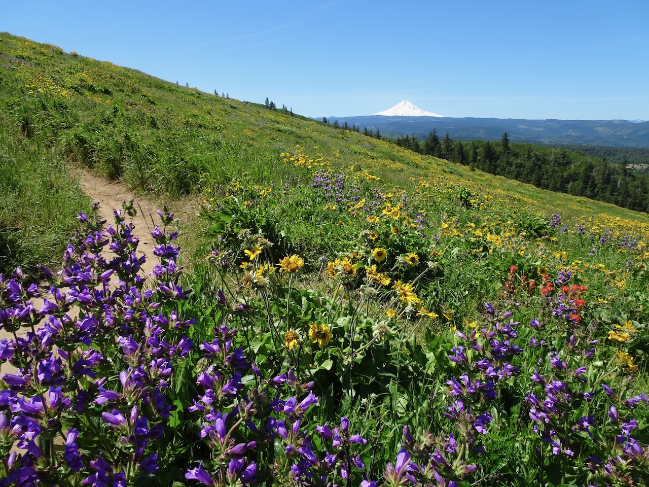
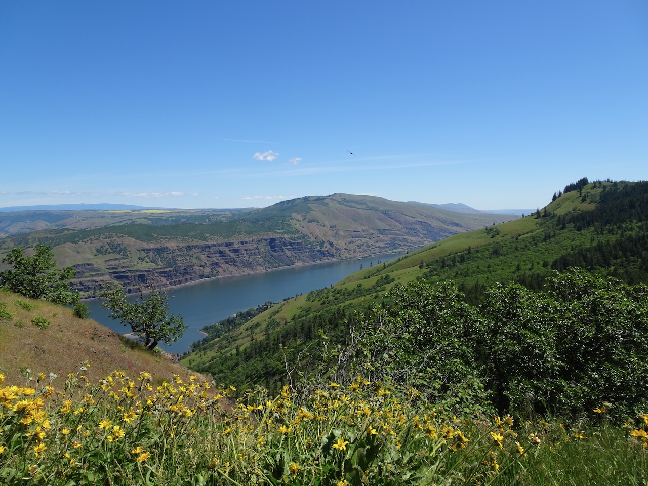
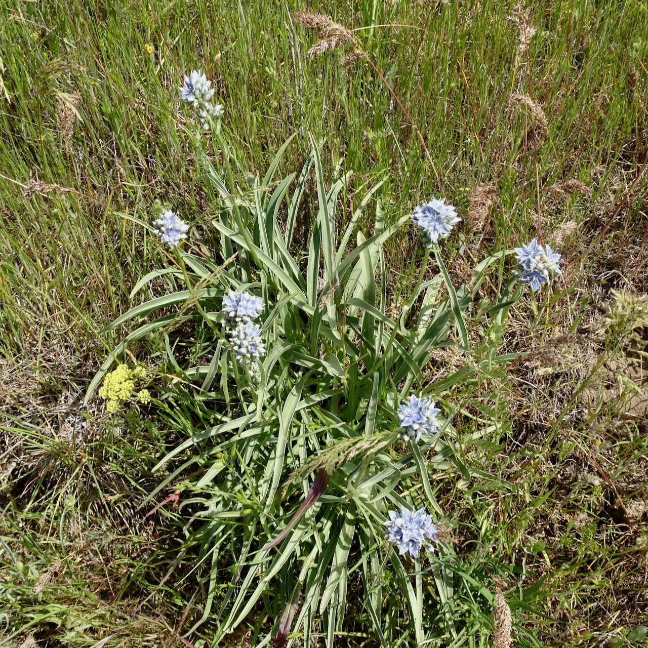
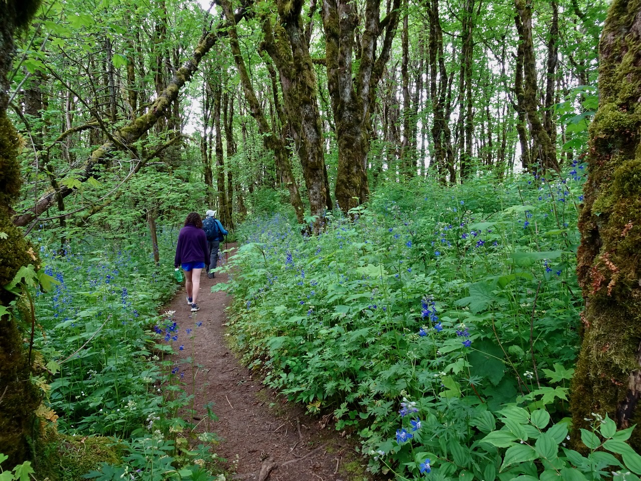
August 2024 Hiking

I went on four hiking adventures in August – two to the coast on very hot days, and two to the slopes of Mt Hood.

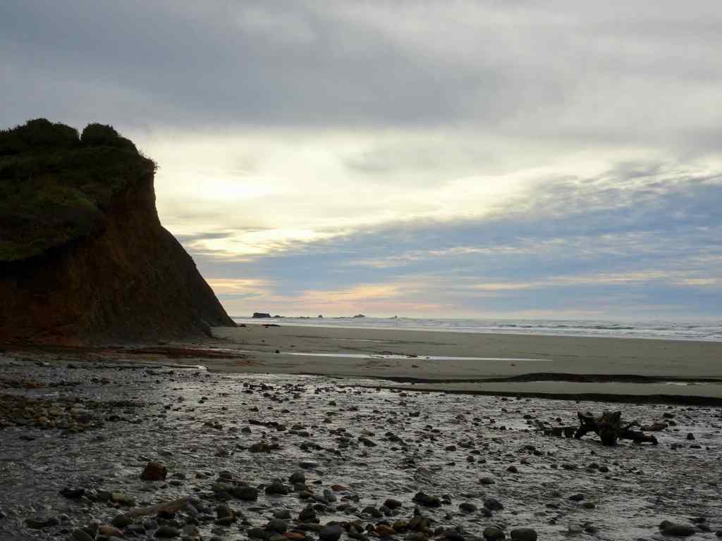
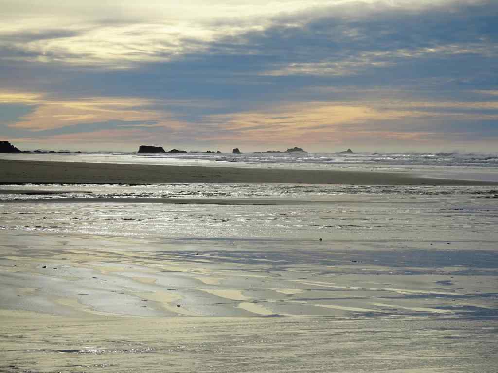
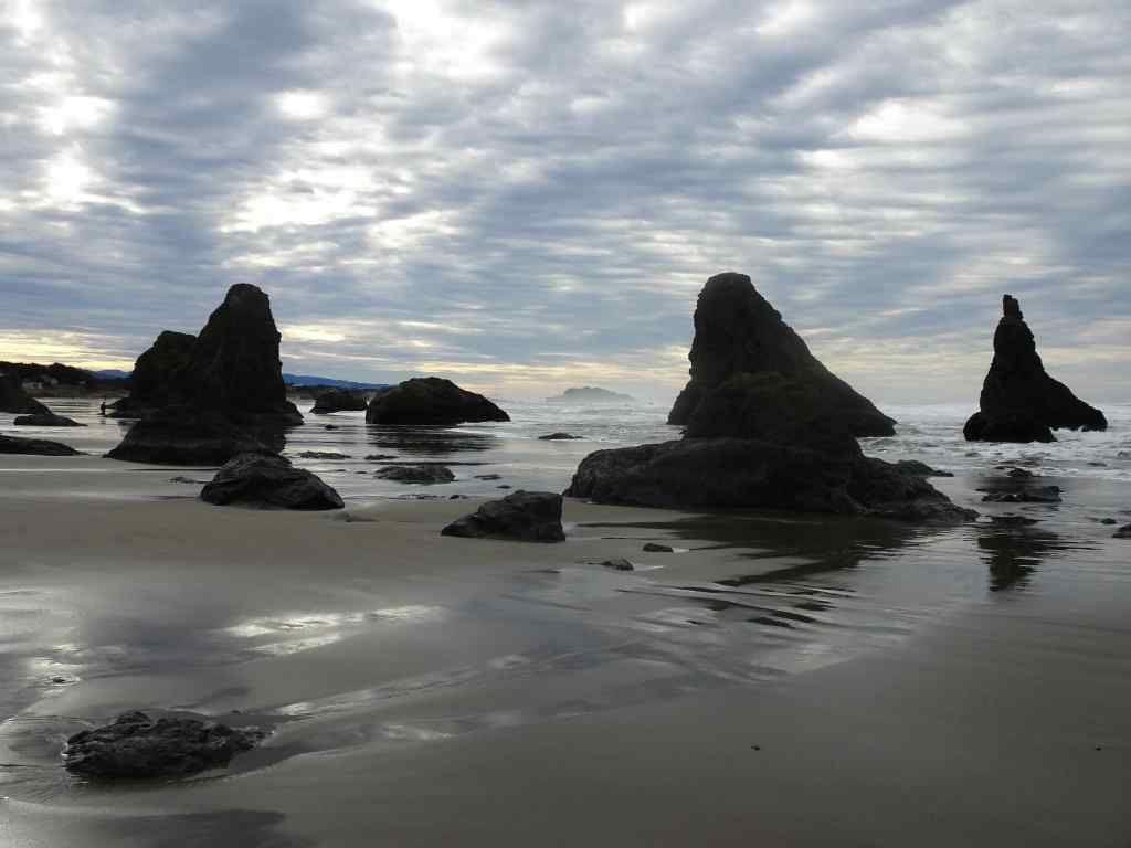
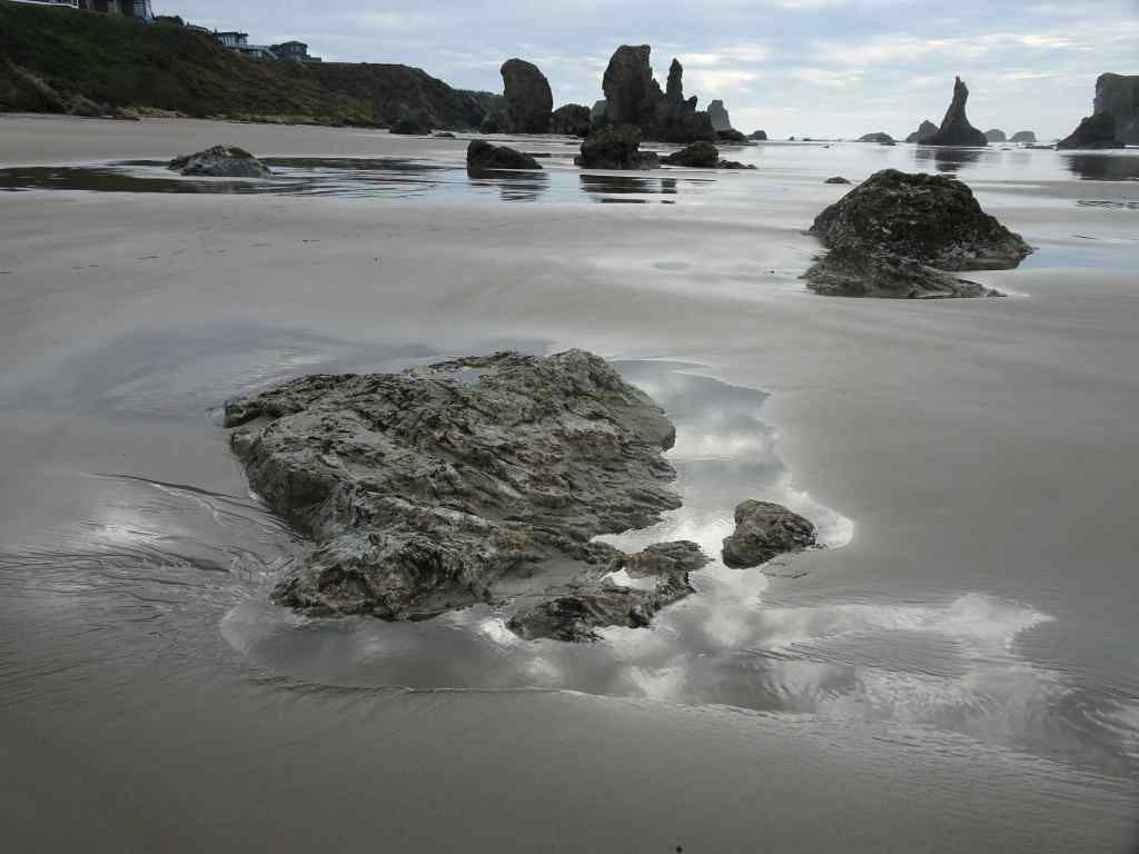
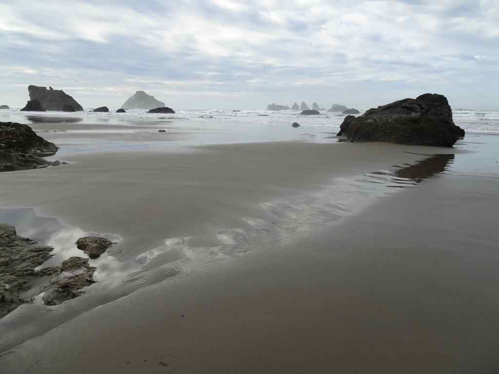
August 5 – Ecola State Park and Hug Point, Oregon Coast

I like to spend my birthday in nature. It was too hot for hiking inland, so we headed to the coast for the day. We started at Ecola State Park, had a picnic lunch with a view, and took a  3 mile hike down to Crescent Beach and back.

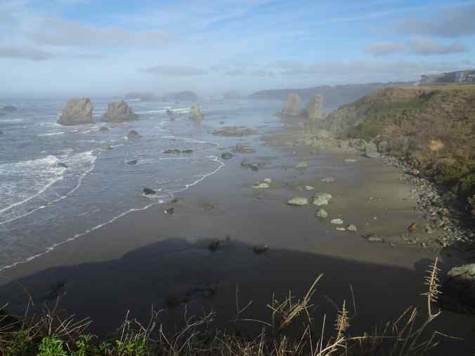
DSC09704

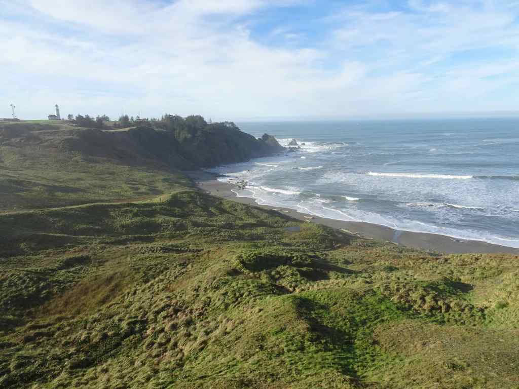
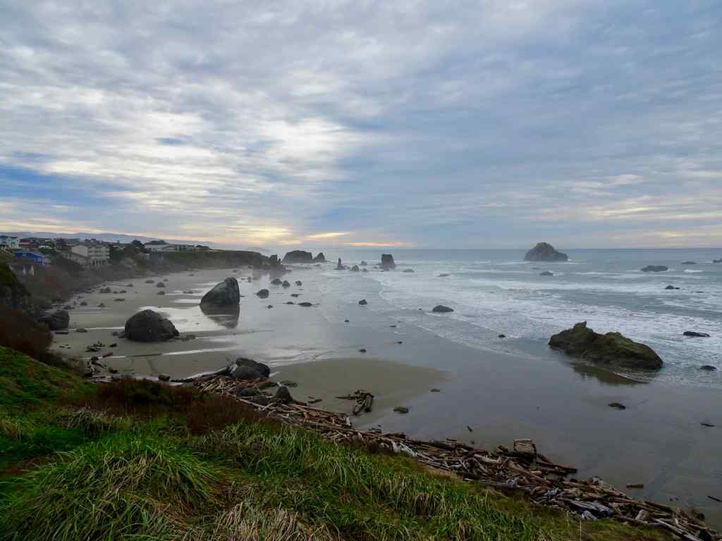
View south from Ecola Point

DSC09723

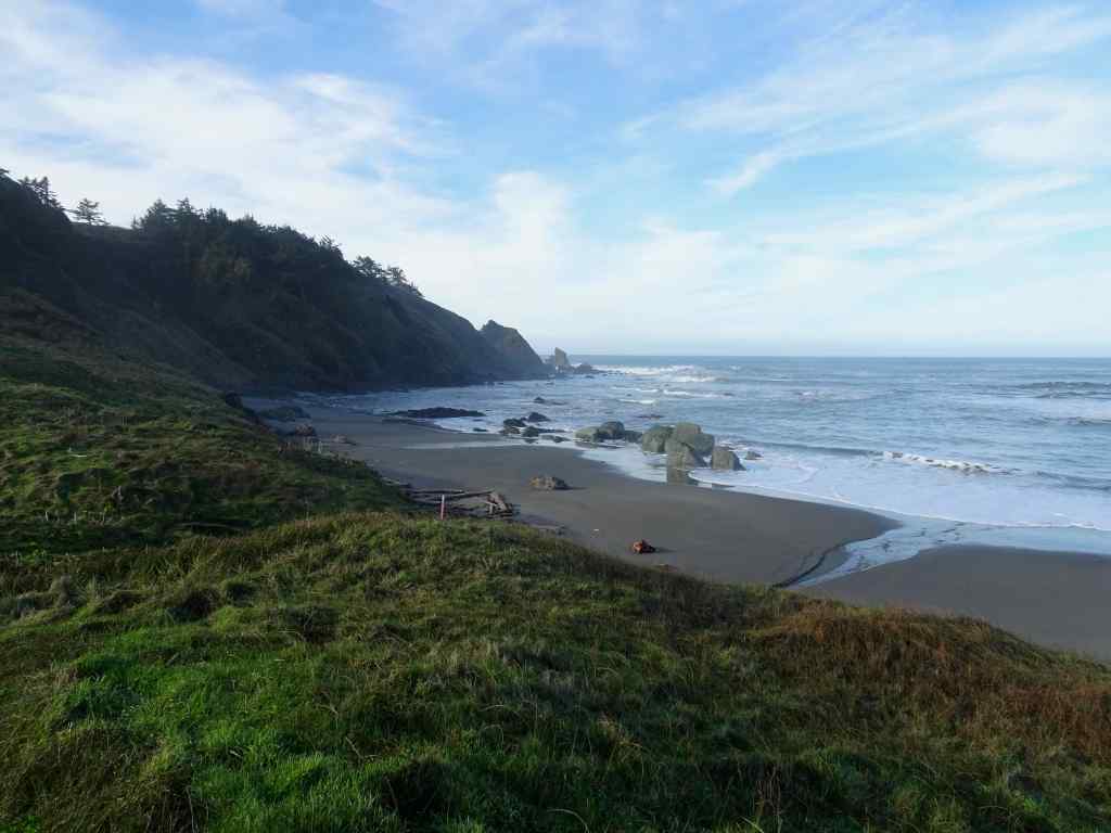
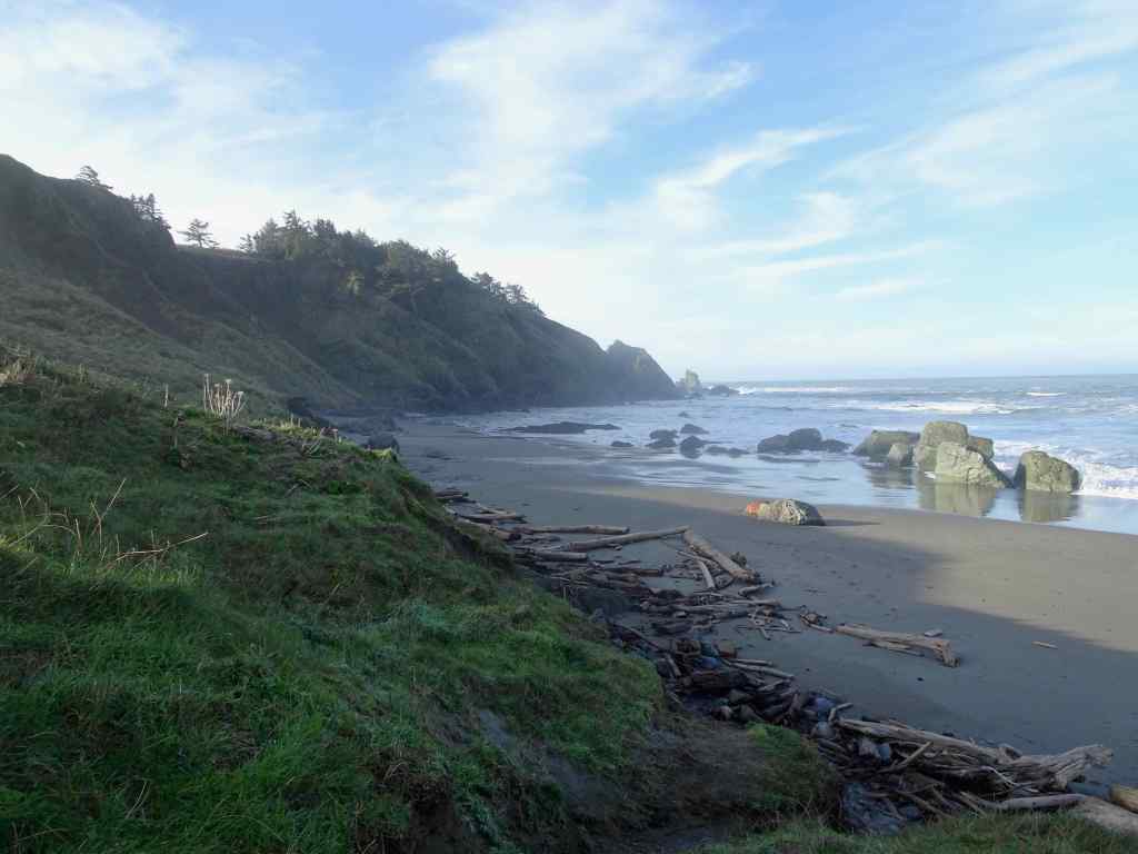
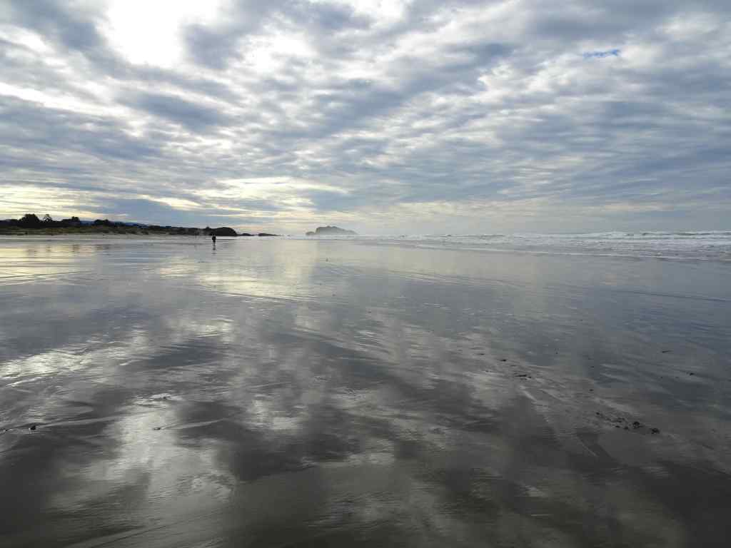
Looking north from Crescent Beach toward Ecola Point

High tide was in the middle of the afternoon, so we wandered around Cannon Beach for a bit. I treated myself to a few quilting fabrics at Center Diamond, then we had an early dinner in town.

IMG_2185

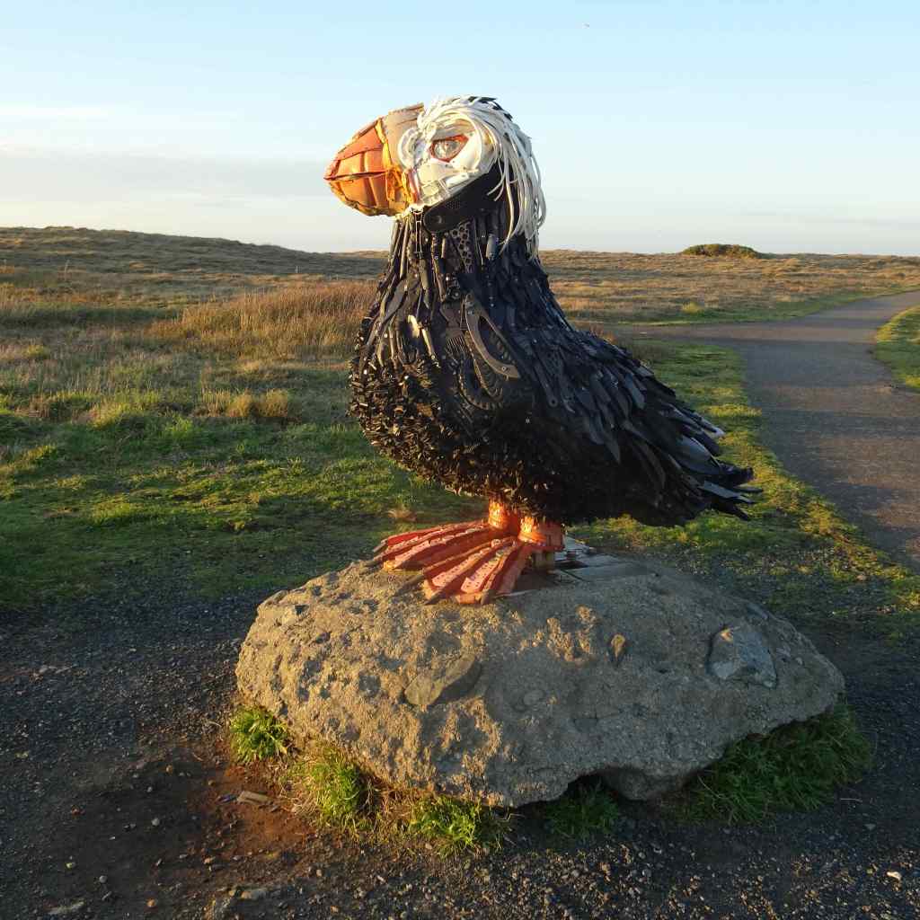
Birthday fabric, including puffins that remind me of Iceland.

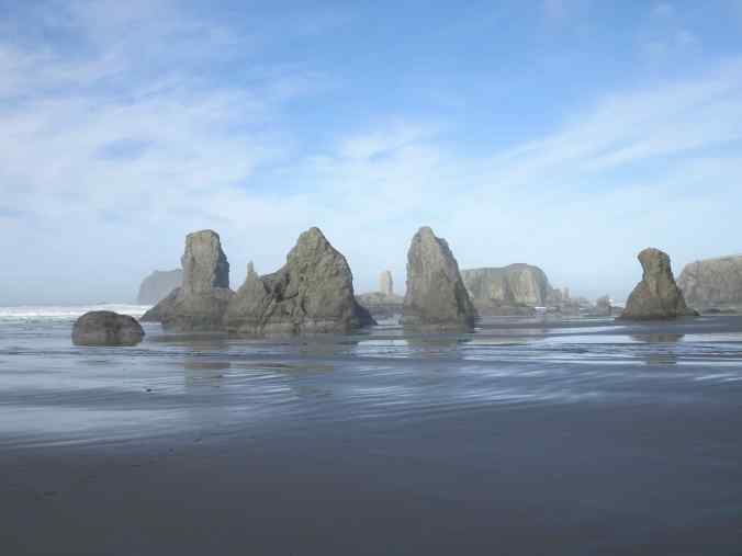
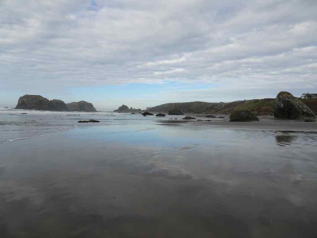
Next, we went to one of our favorite beaches – Hug Point. First we walked south, looking at all the landmarks from the summers we spent entire weeks here with our kids.
DSC09736

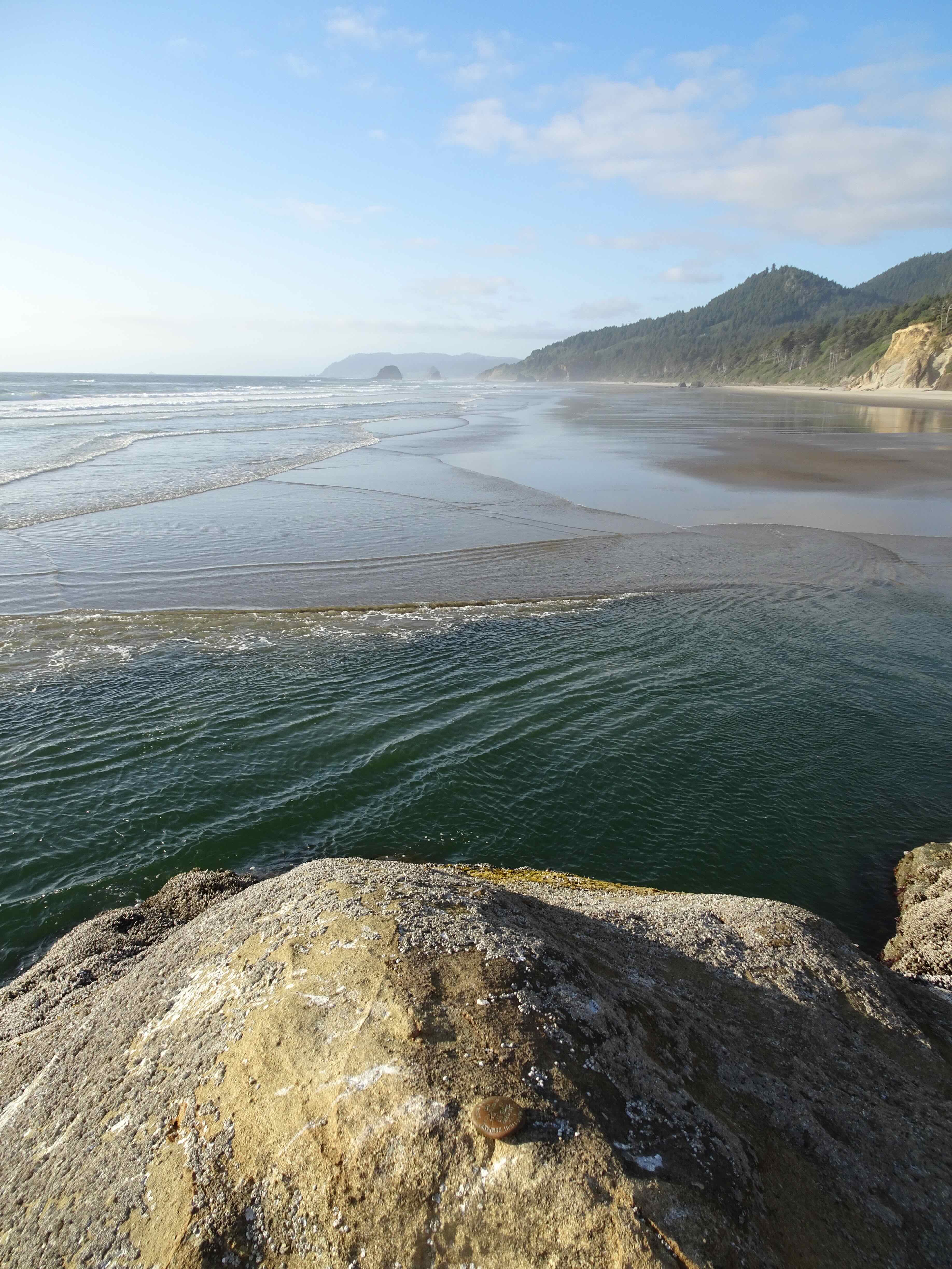
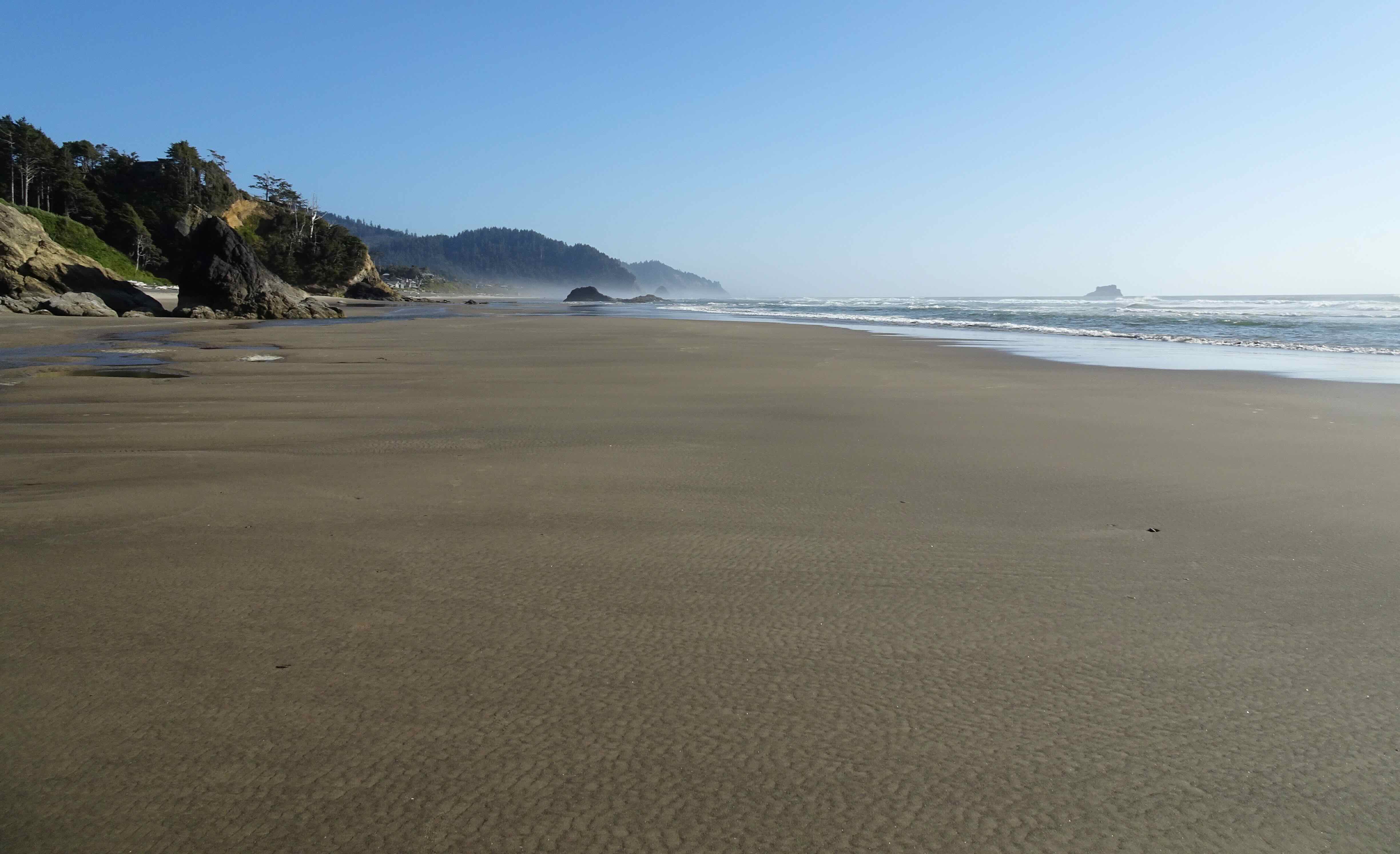
View south from Hug Point

DSC09740

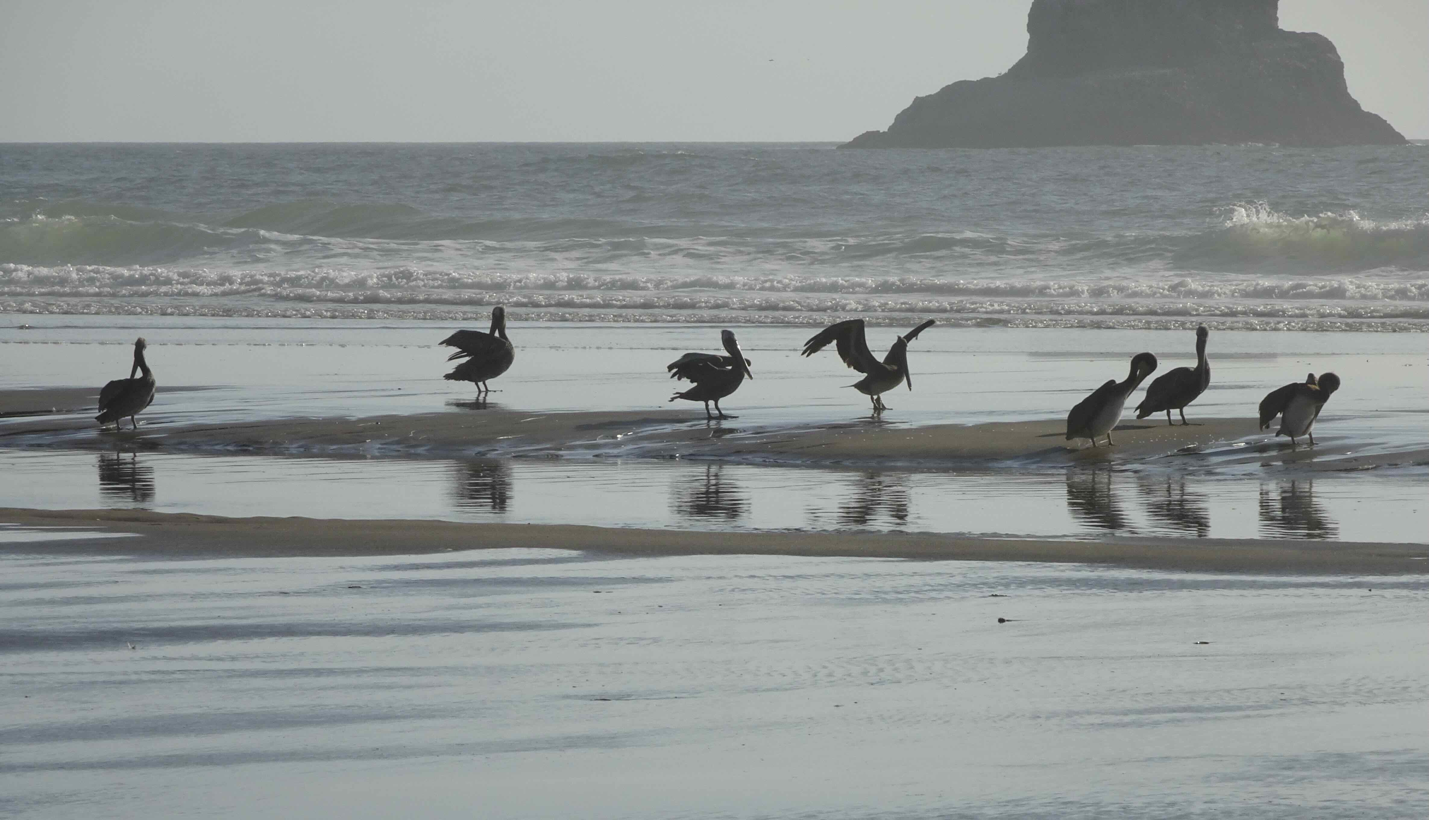
I was pleased to see pods of pelicans flying along the surf line.
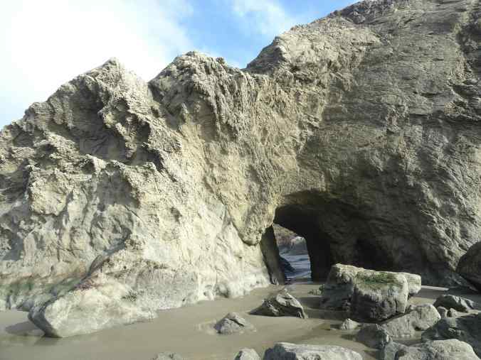
DSC09747

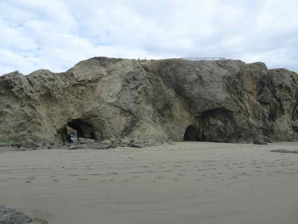
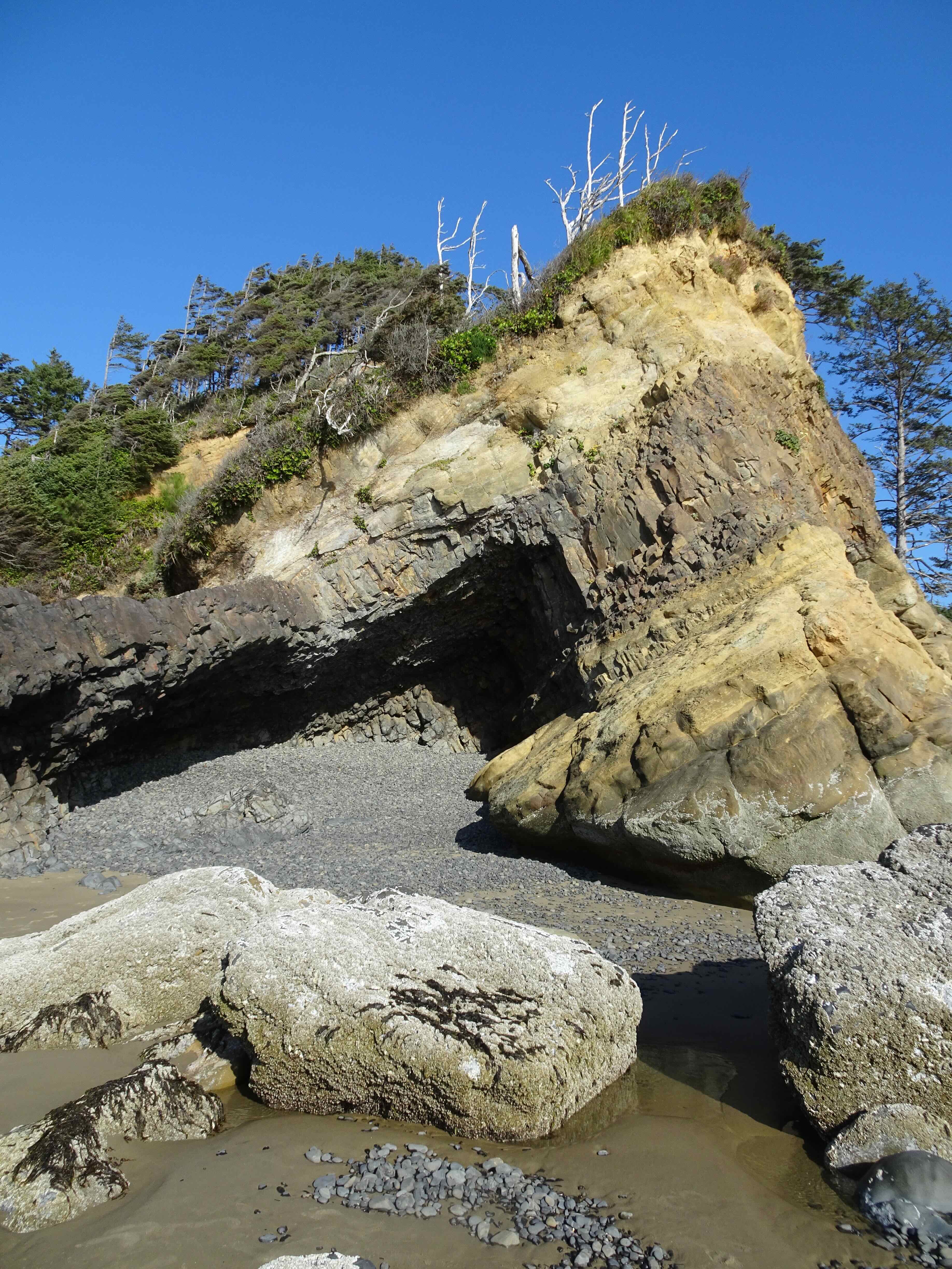
The Cave

IMG_2163

Big Barnacle Rock and Castle Rock

DSC09752

The little blue cottage on the bluff where we spent many a happy summer week
DSC09761

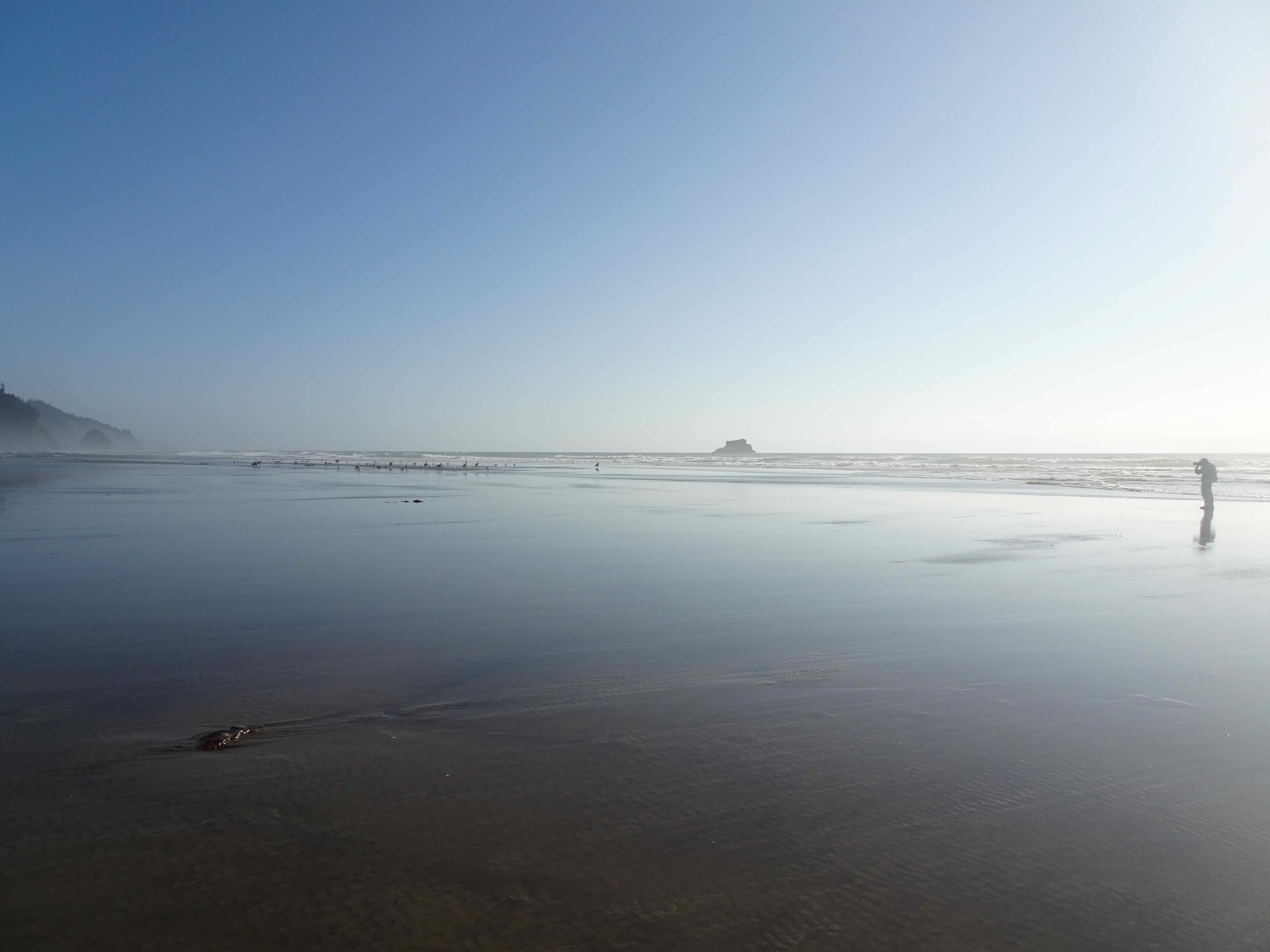
Farther south, more pelicans on a sand bar
DSC09785

Pelicans!

Then we walked north, up over Hug Point.
DSC09798

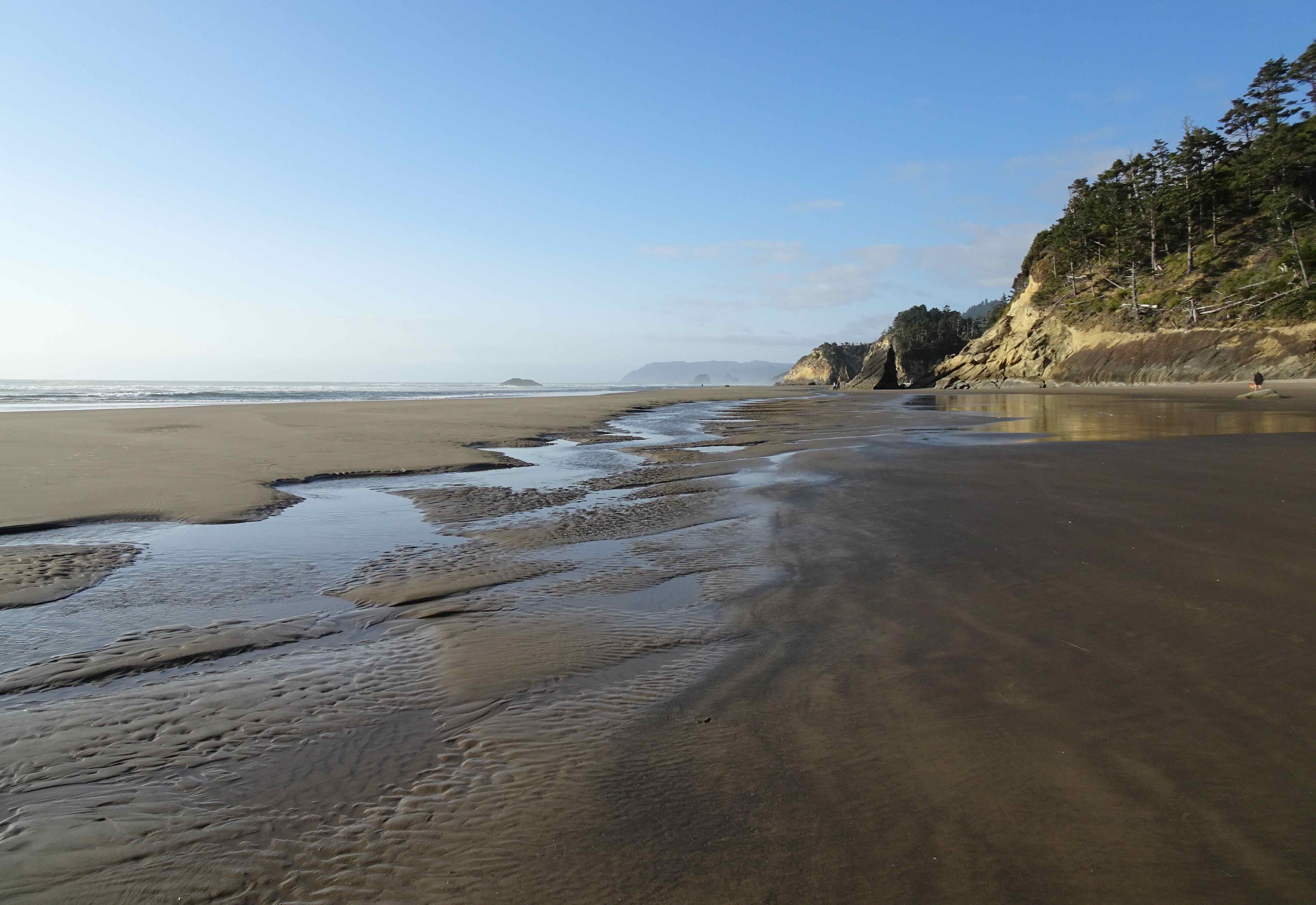
Walking toward Hug Point,

DSC09801

as the tide is going out.

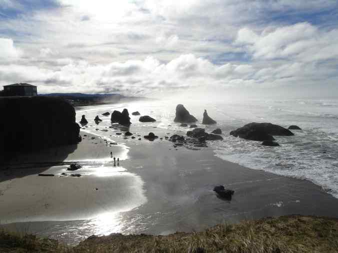
DSC09806

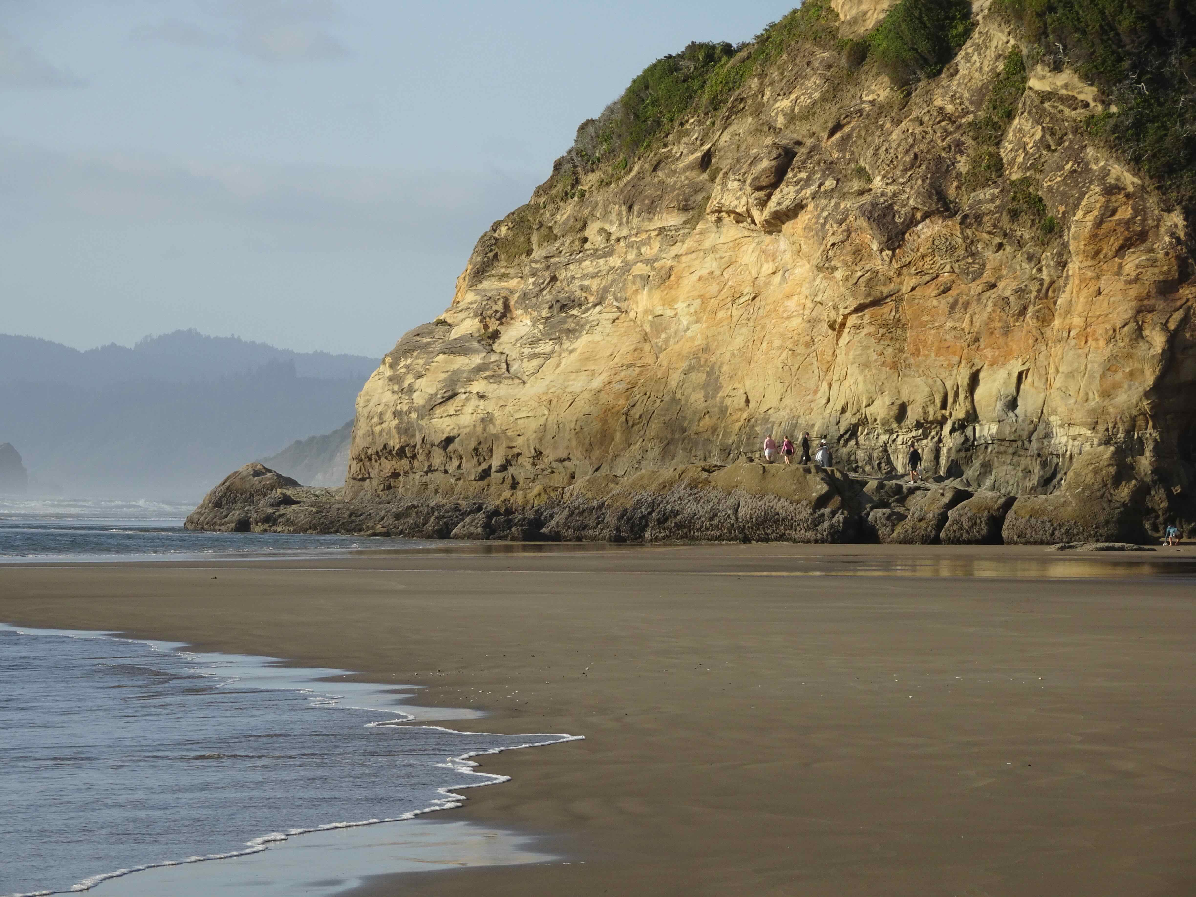
View north from Hug Point

DSC09810

and looking toward the beach just on the other side
DSC09820

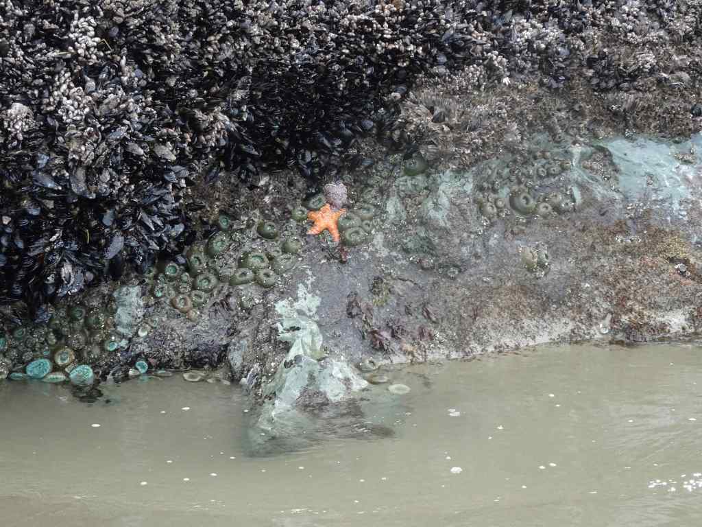
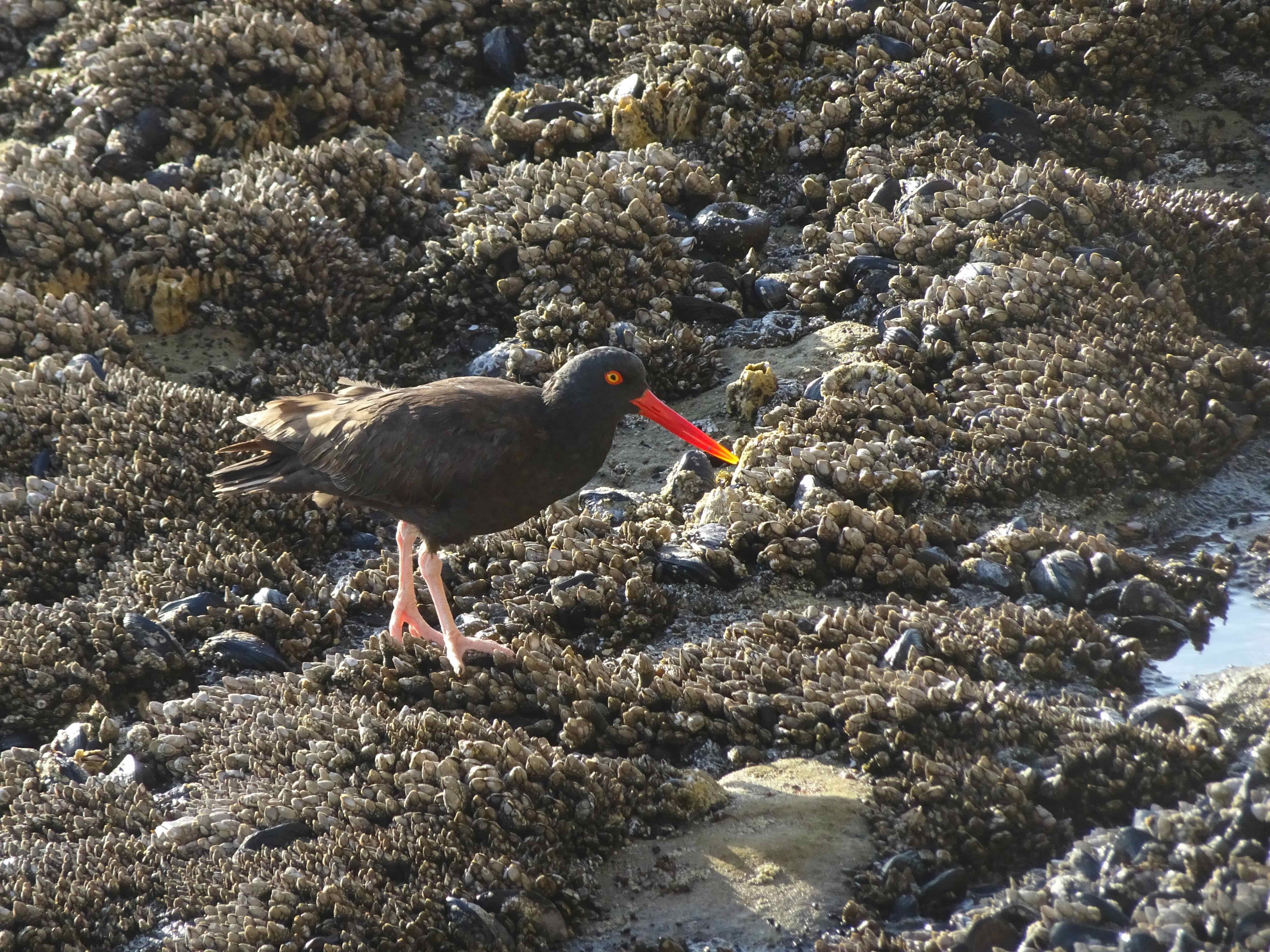
Oyster catcher among the mussels, barnacles and anemones on the Hug Point road bed
DSC09822

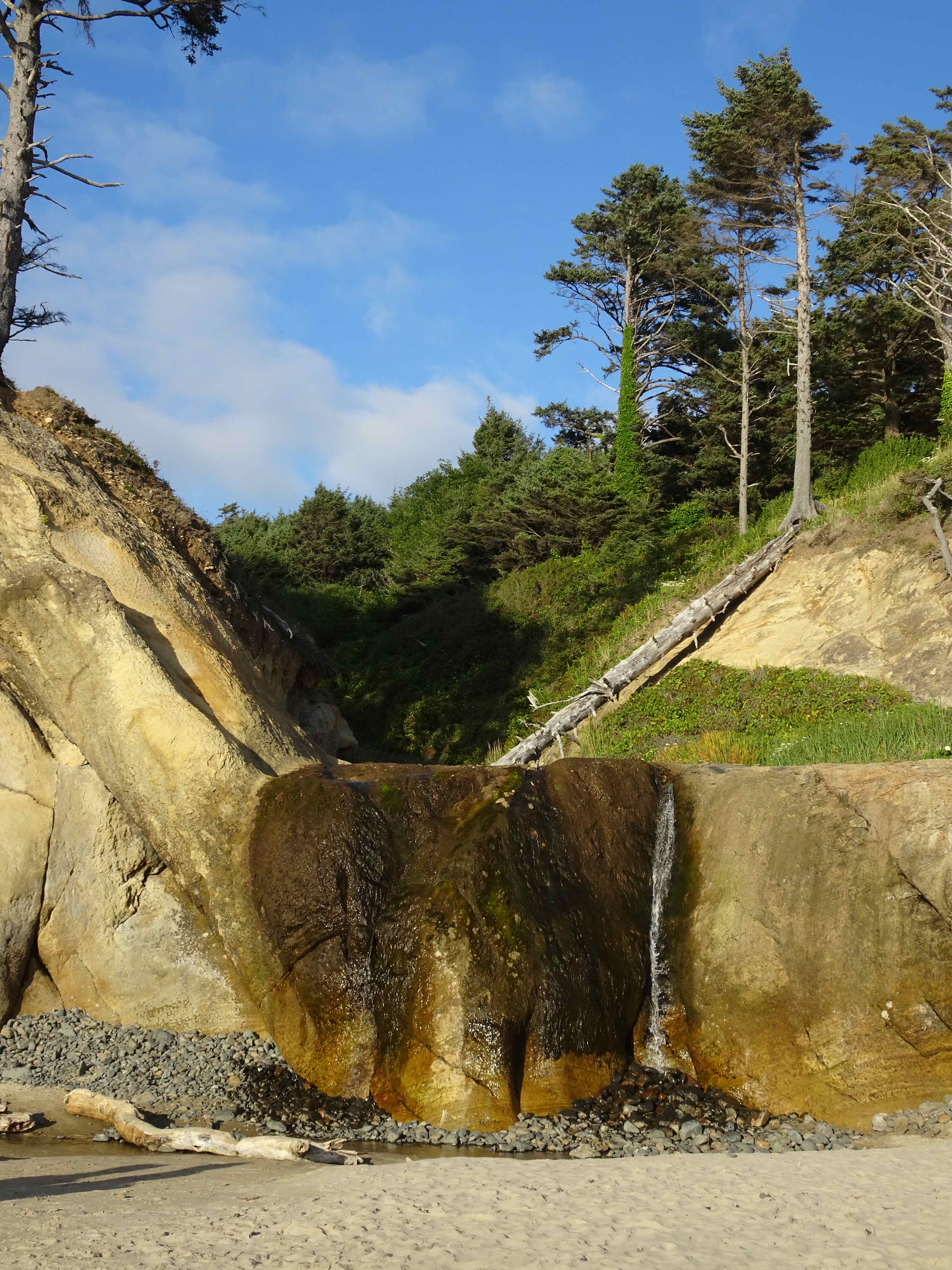
The Waterfall

DSC09825

Goodbye for now…

It was a beautiful evening – not too crowded, hot, or windy. As we drove home, I was completely satisfied with my birthday adventure.

August 8 – Sitka Sedge State Park, Oregon Coast

Another hot day inland, we decided to investigate this relatively new State Park near Pacific City, a little farther down the coast from our usual spots.

Screenshot

Our trail through Sitka Sedge Natural Area, about 4 miles.

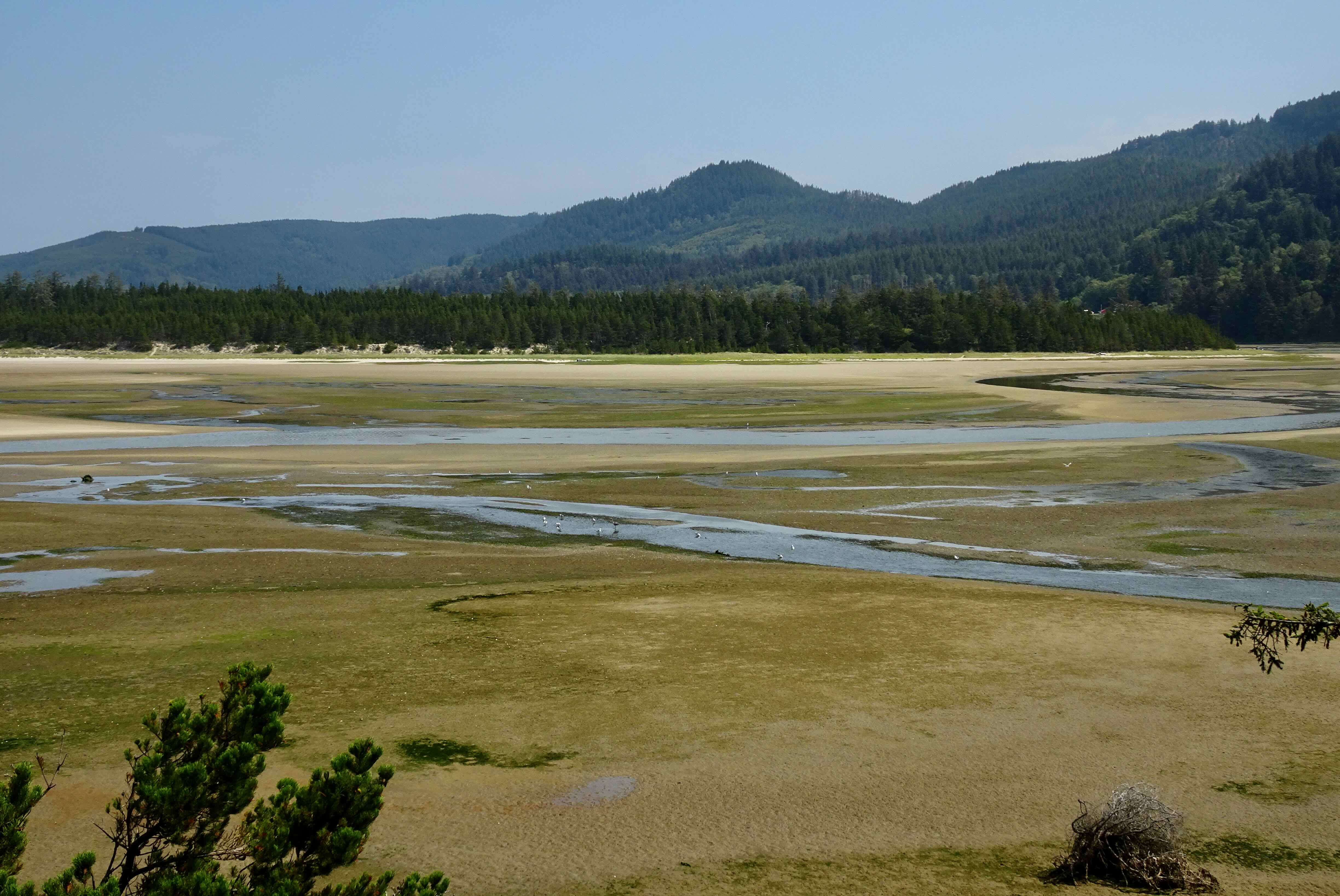
The entry trail along a dike separates the Sand Lake Estuary from a wetland to the south. Then the trail goes through a vegetated dune that runs parallel to the coast. We walked through the forest for a bit, and ate lunch looking back toward the estuary wetlands.
DSC09844

Sand Lake Estuary

DSC09866

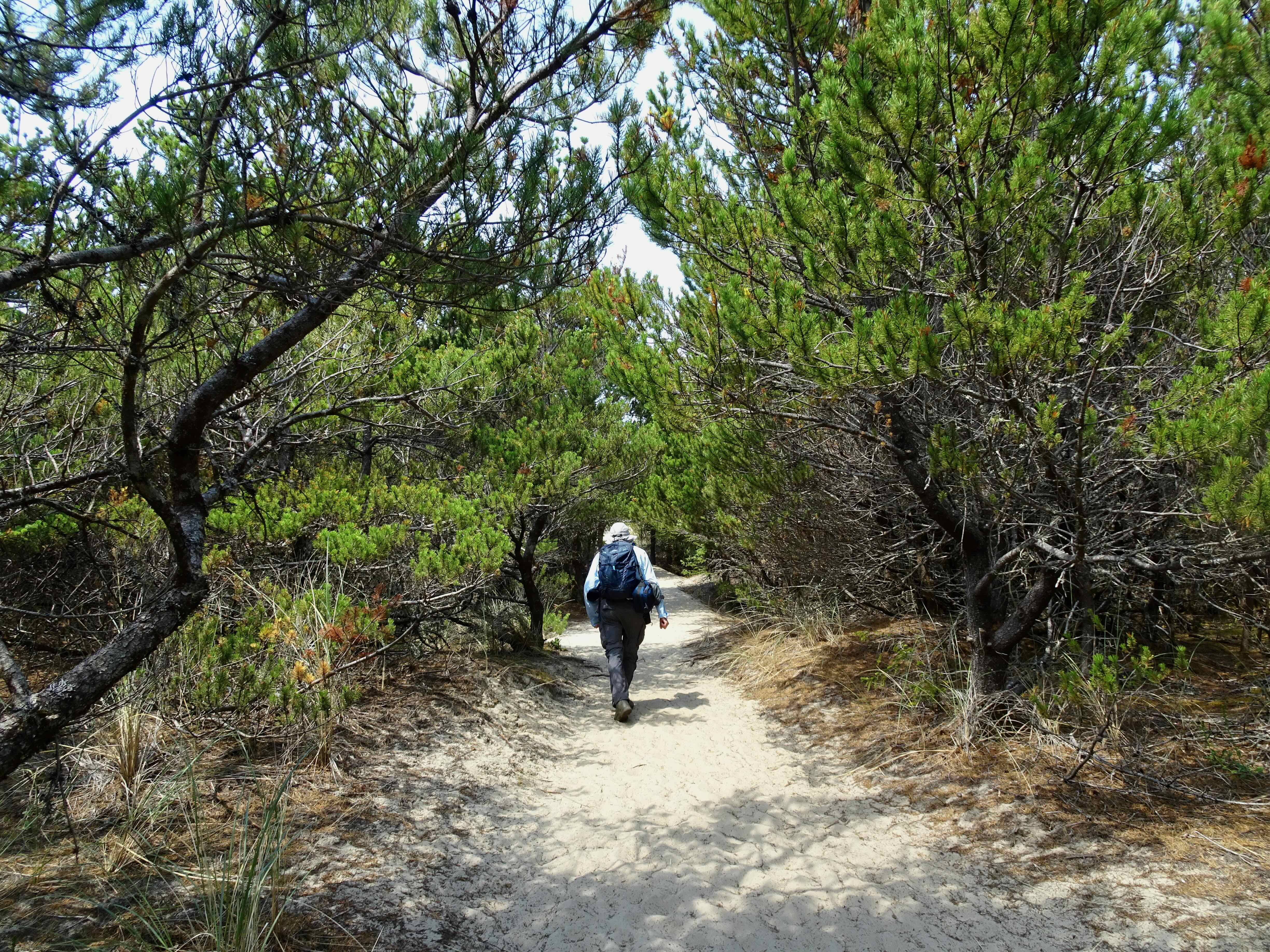
Sandy trail over the dunes

DSC09849

Heron and gulls from our lunch stop

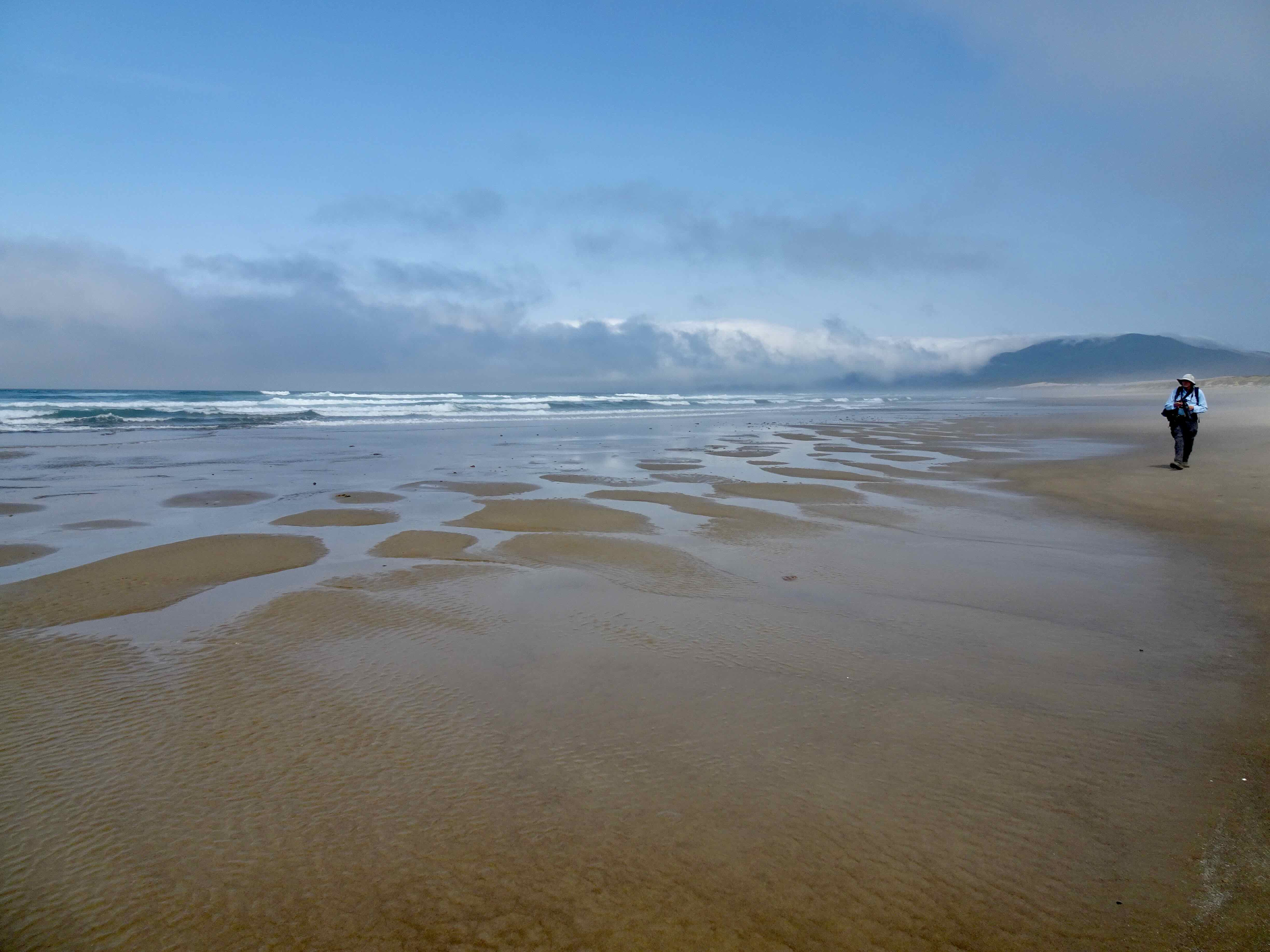
After lunch we emerged onto the foggy beach, and walked south for a ways, before circling back up and over the dune, completing the loop to the entry trail.

DSC09867

Emerging onto the beach

DSC09881

Looking north, beach off limits for now, as it is sand plover nesting season.

DSC09873

Looking south – lots of jellyfish in the flotsam
DSC09893

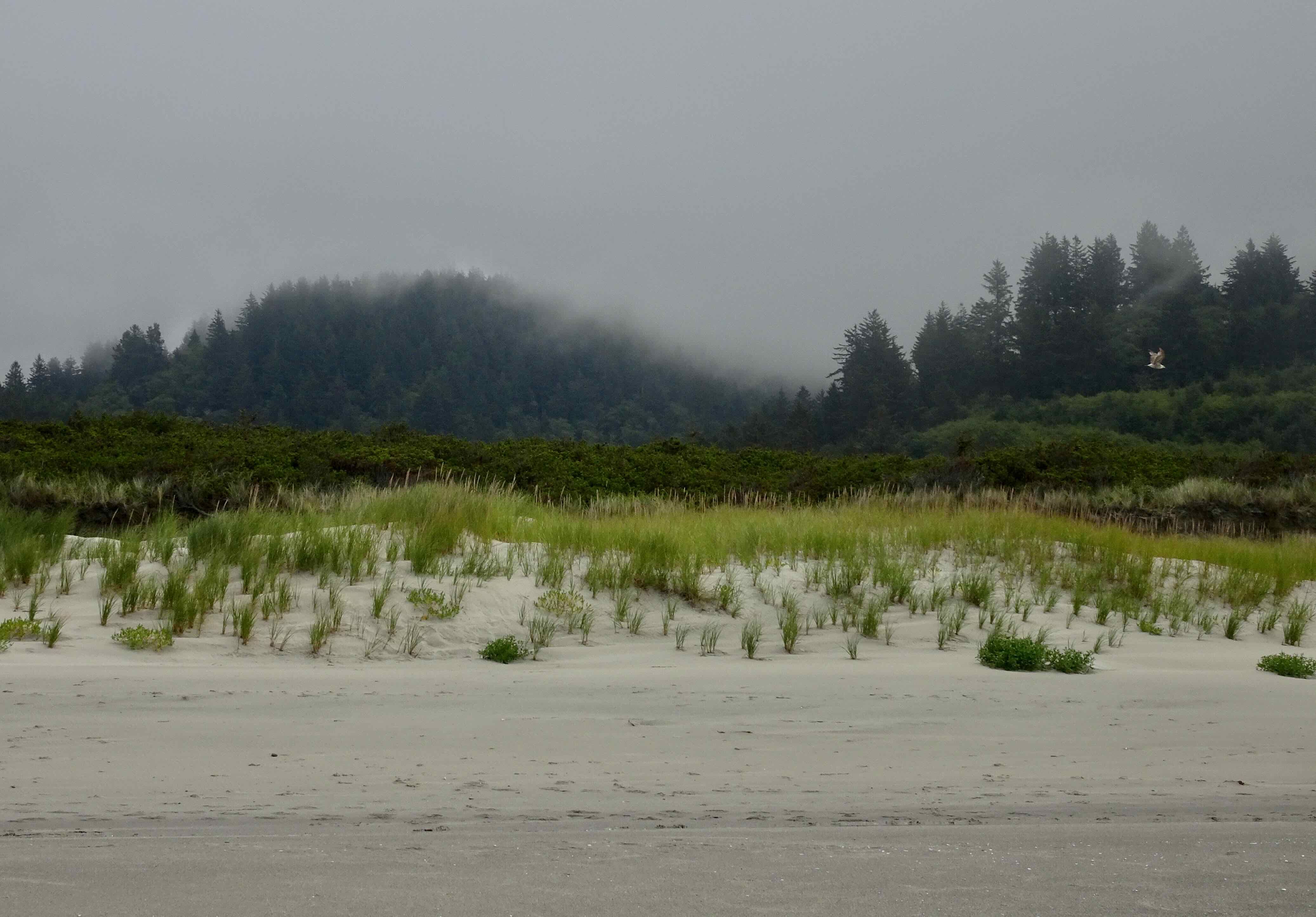
And back over the dunes…

It was a good place for a walk on a hot day – we saw a few birds and a hang glider, but not many other people.
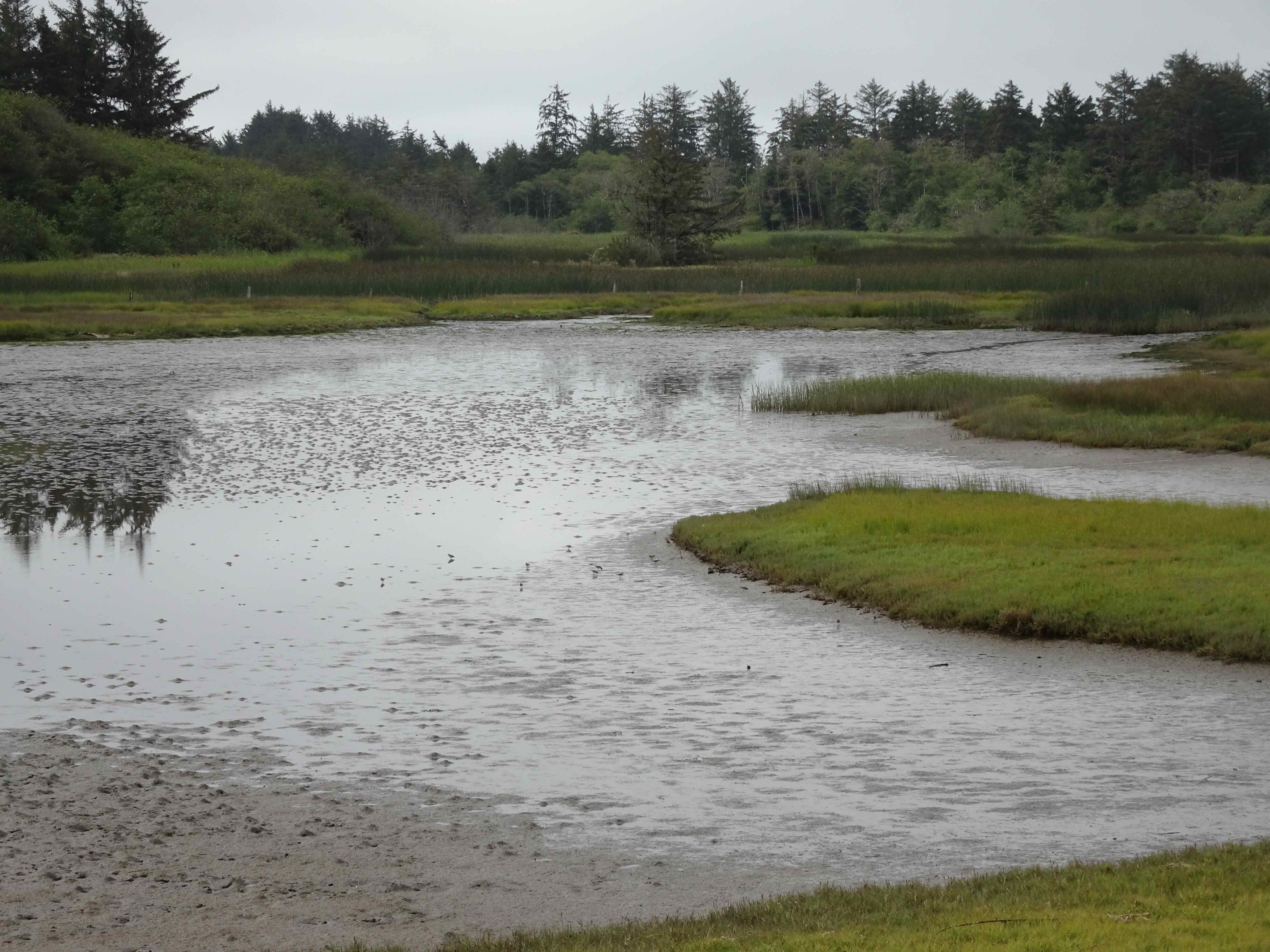
DSC09833

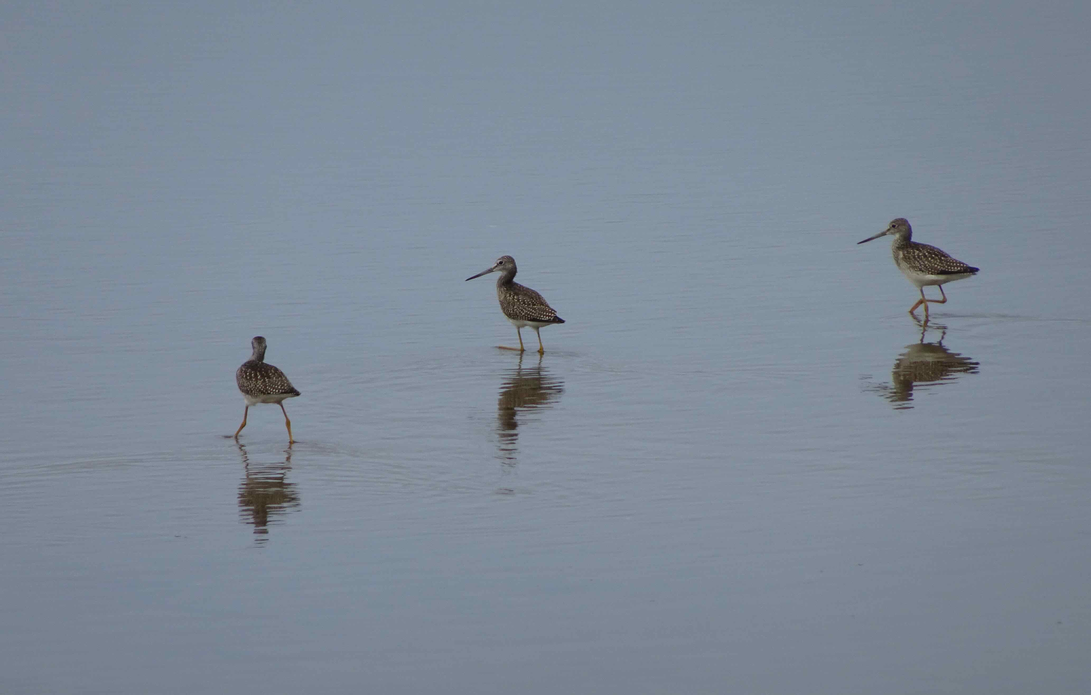
Wetland south of the dike, with sand pipers
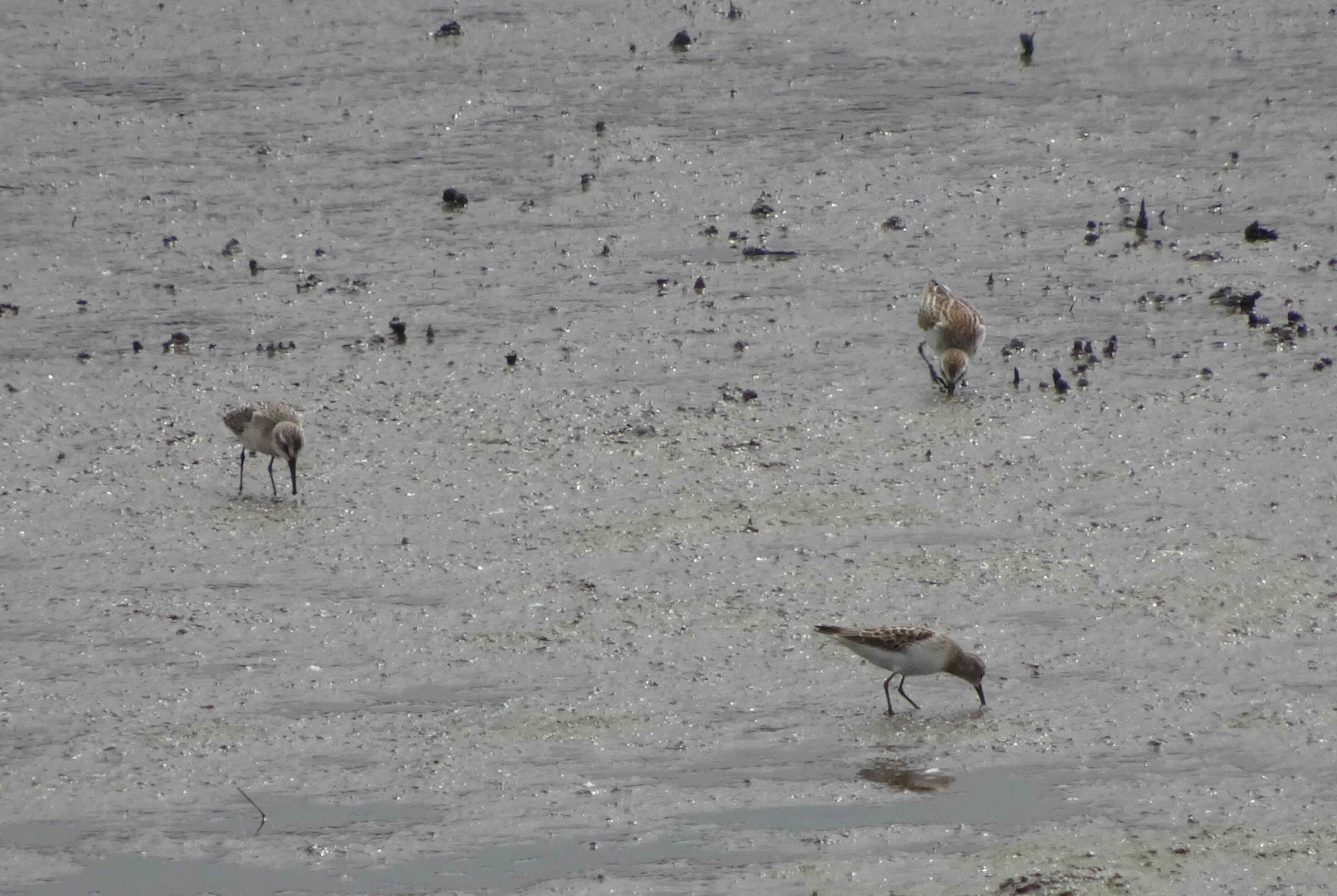
DSC09926

Sand pipers

DSC09952

Yellow legs

DSC09940

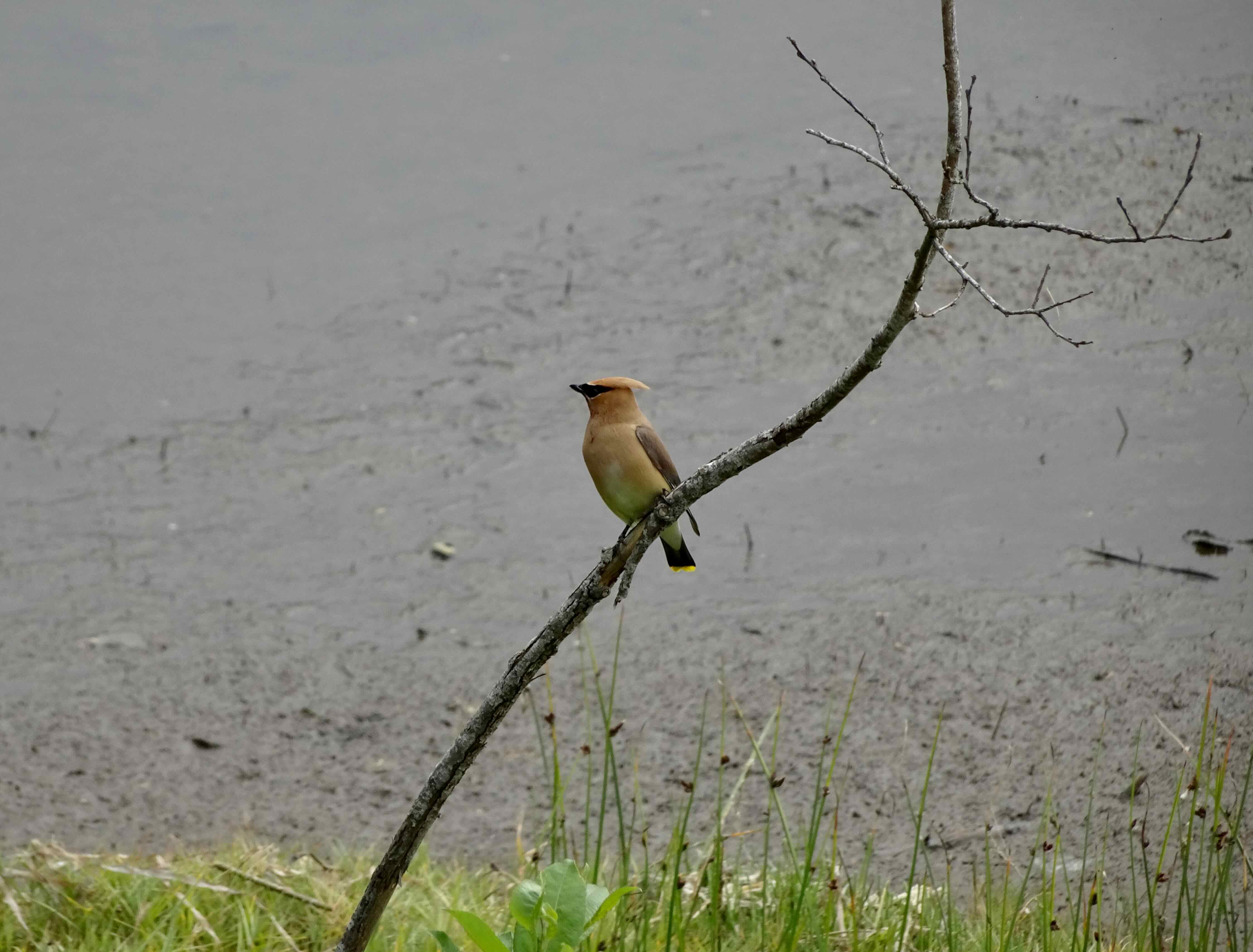
Cedar waxwing

August 14 – Umbrella Falls, Mt Hood

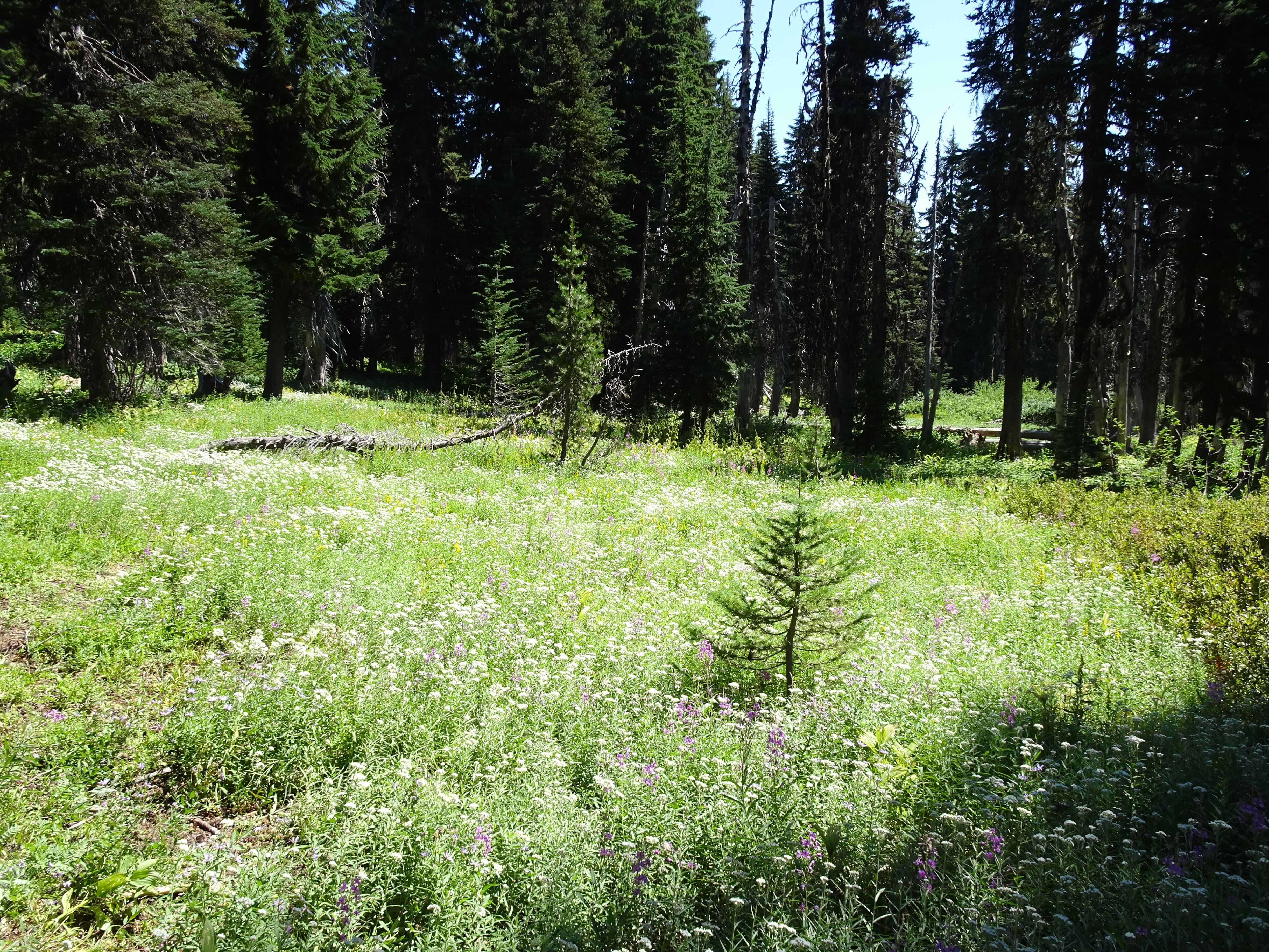
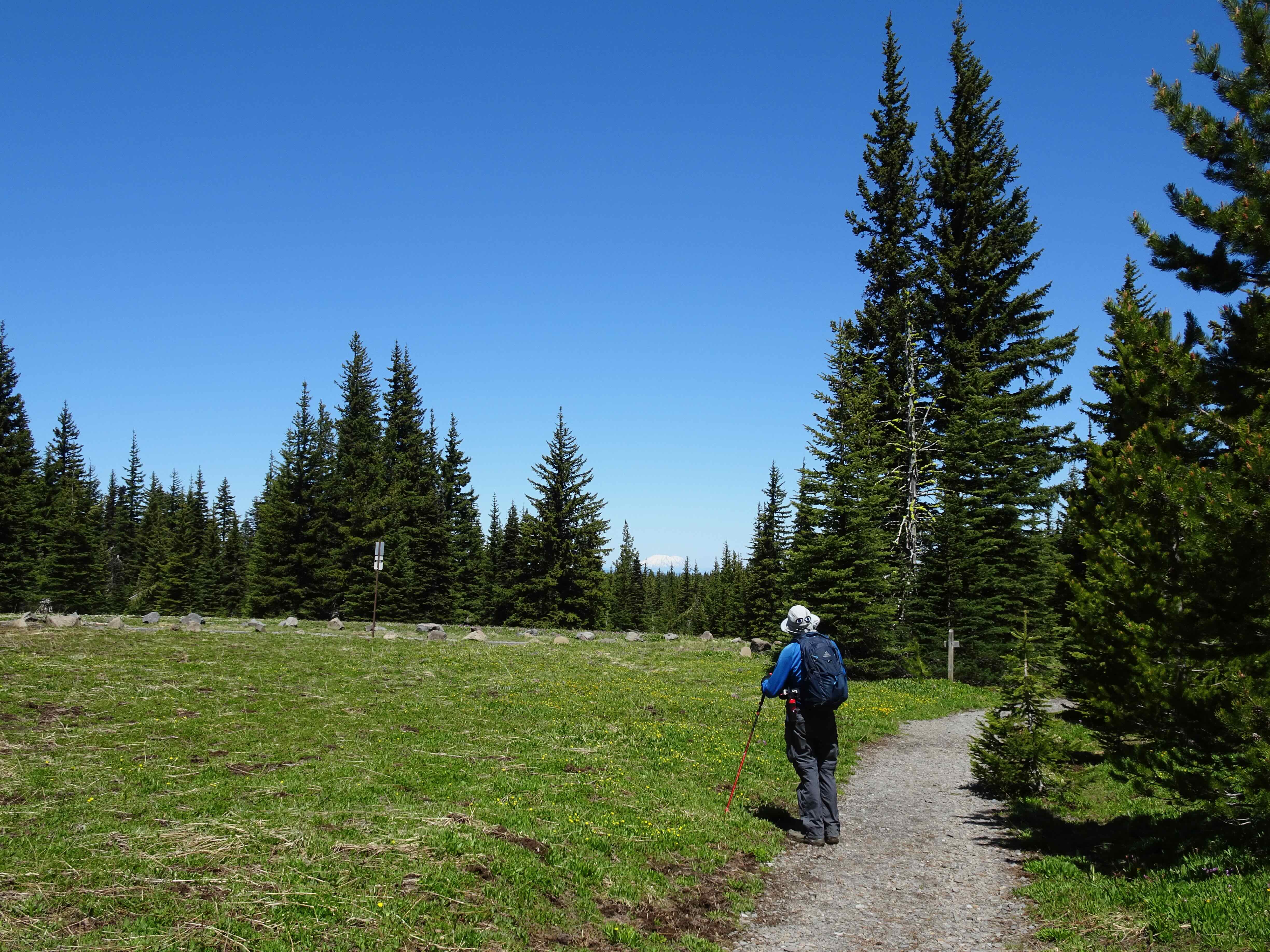
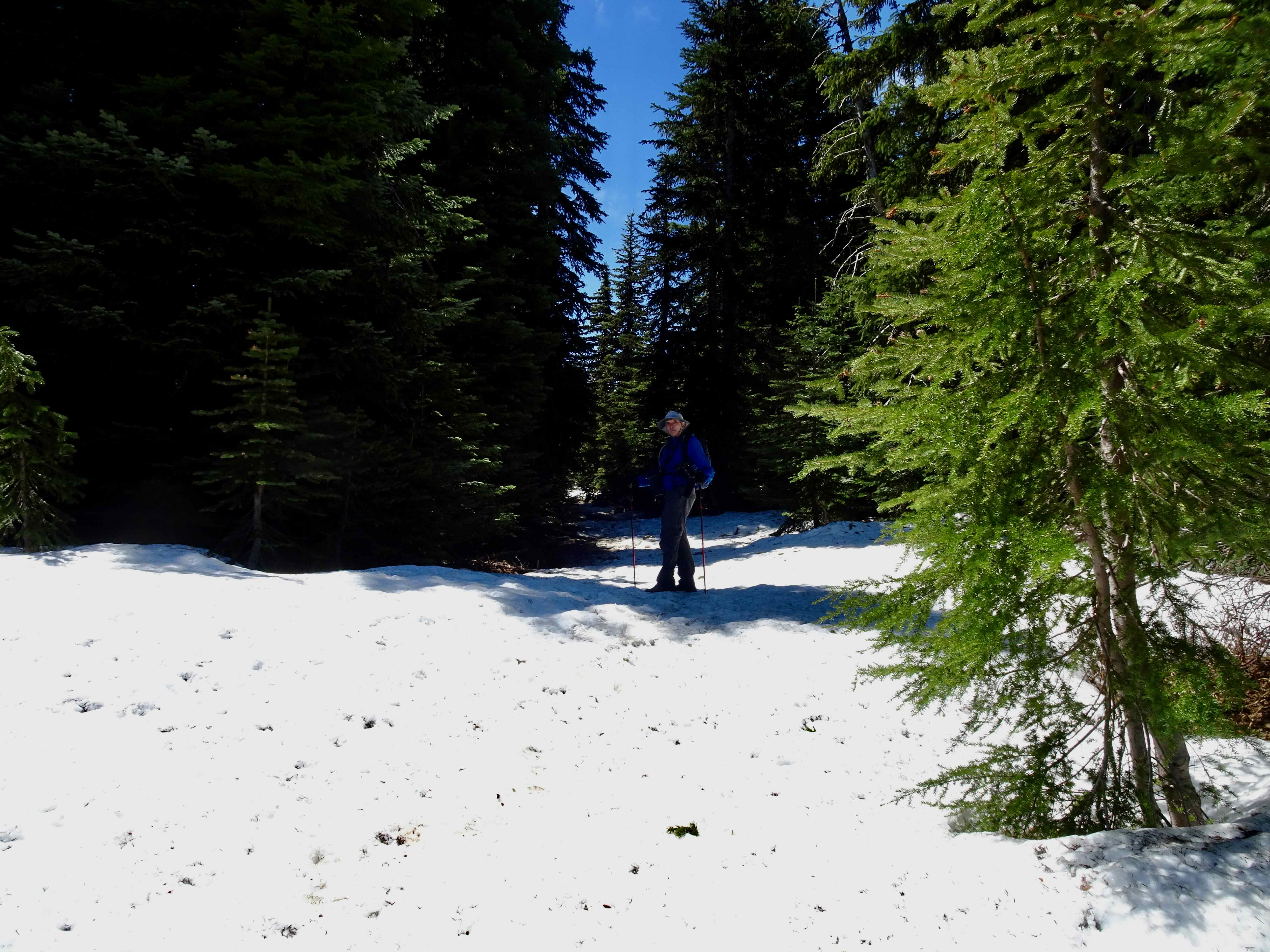
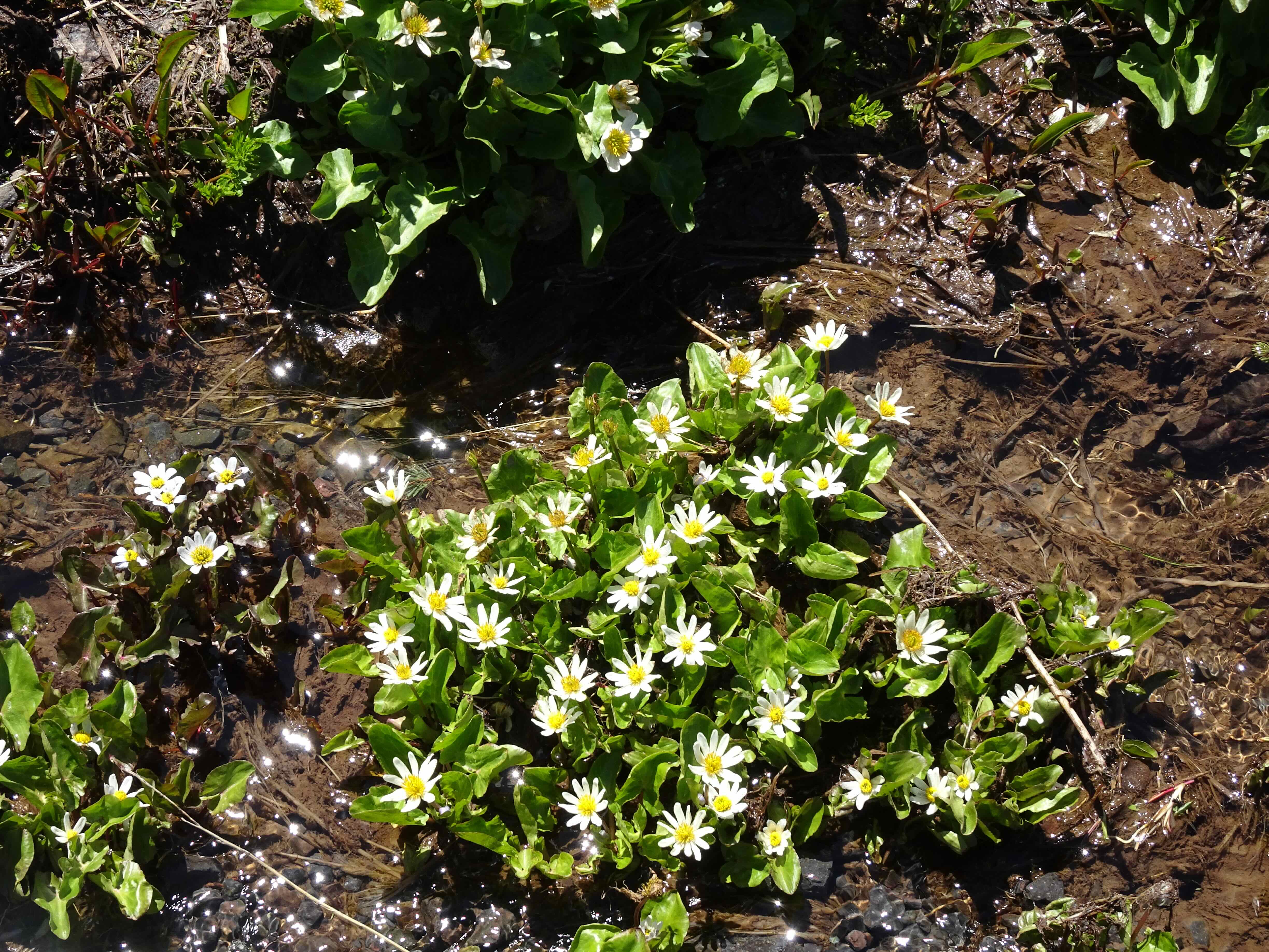
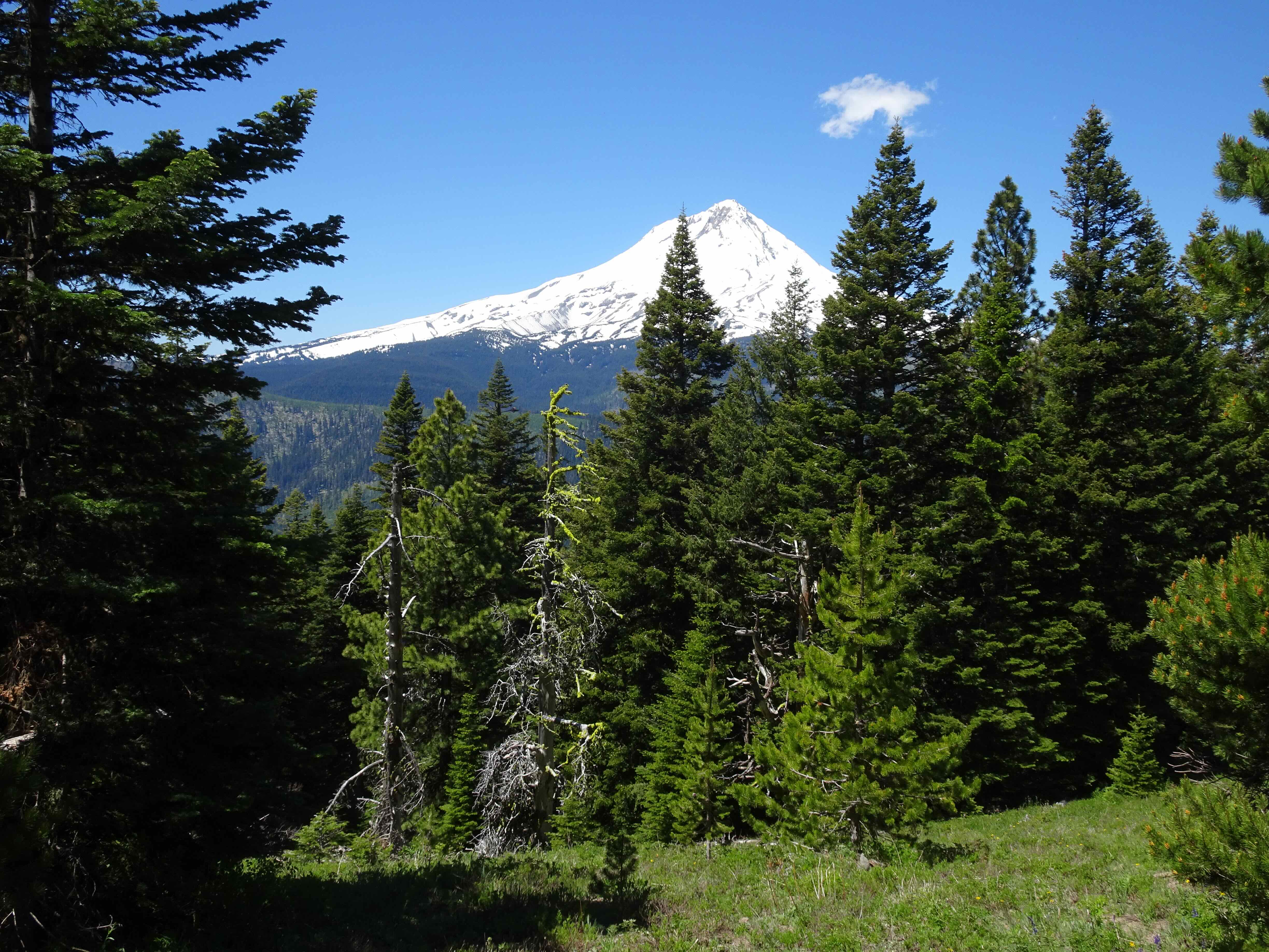
Another hot day, and an easier trail on Mt Hood. I still feel like I am getting my hiking legs back. I had never been to Umbrella Falls, always opting for the harder hikes in the area that go up higher on Mt Hood. Also, one can practically drive to Umbrella Falls from the Mt Hood Meadows parking area, but we wanted to hike. This trail offered a fair amount of shade, some wildflower meadows, a peek at the mountain and two waterfalls.
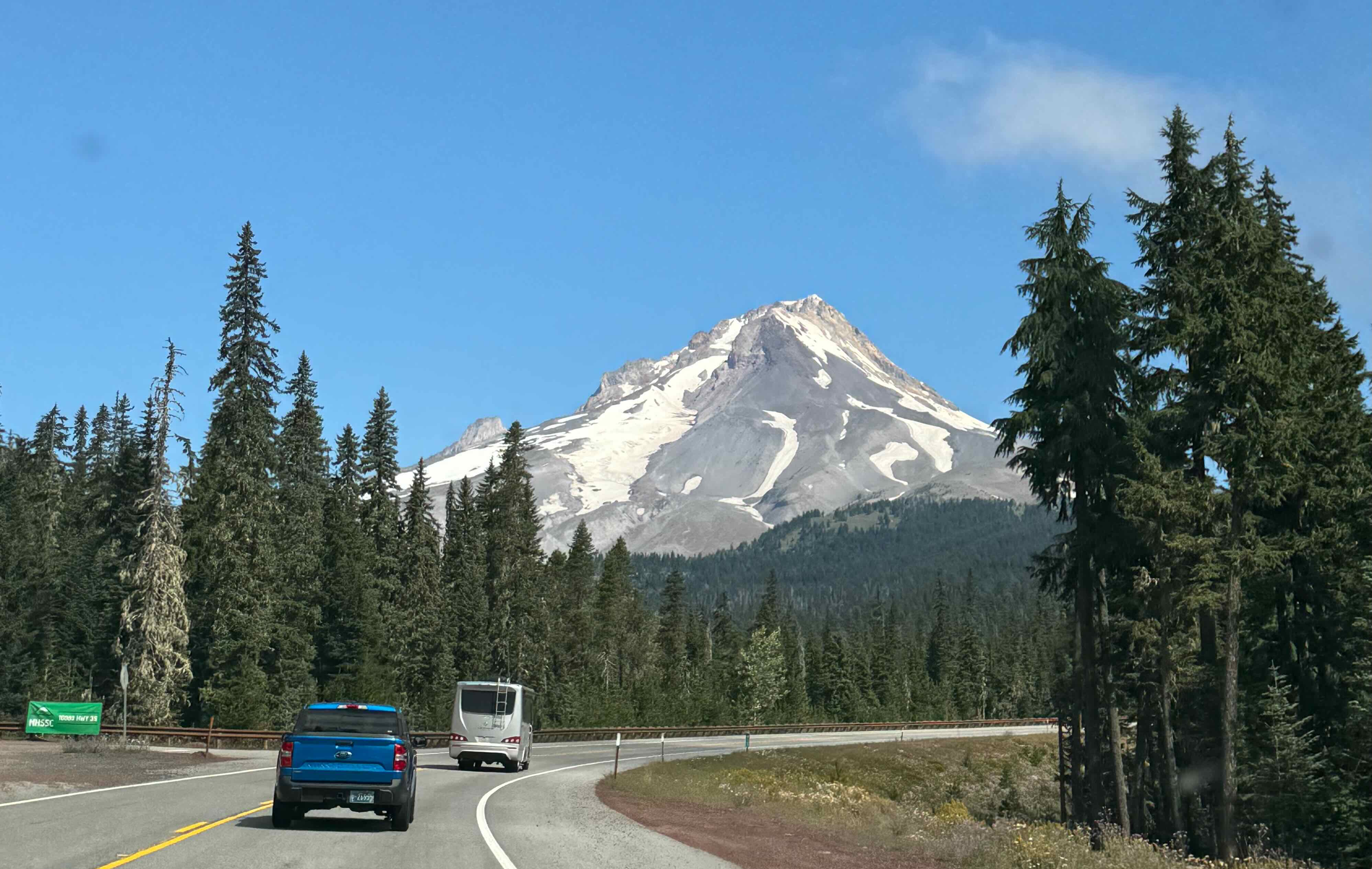
IMG_2214

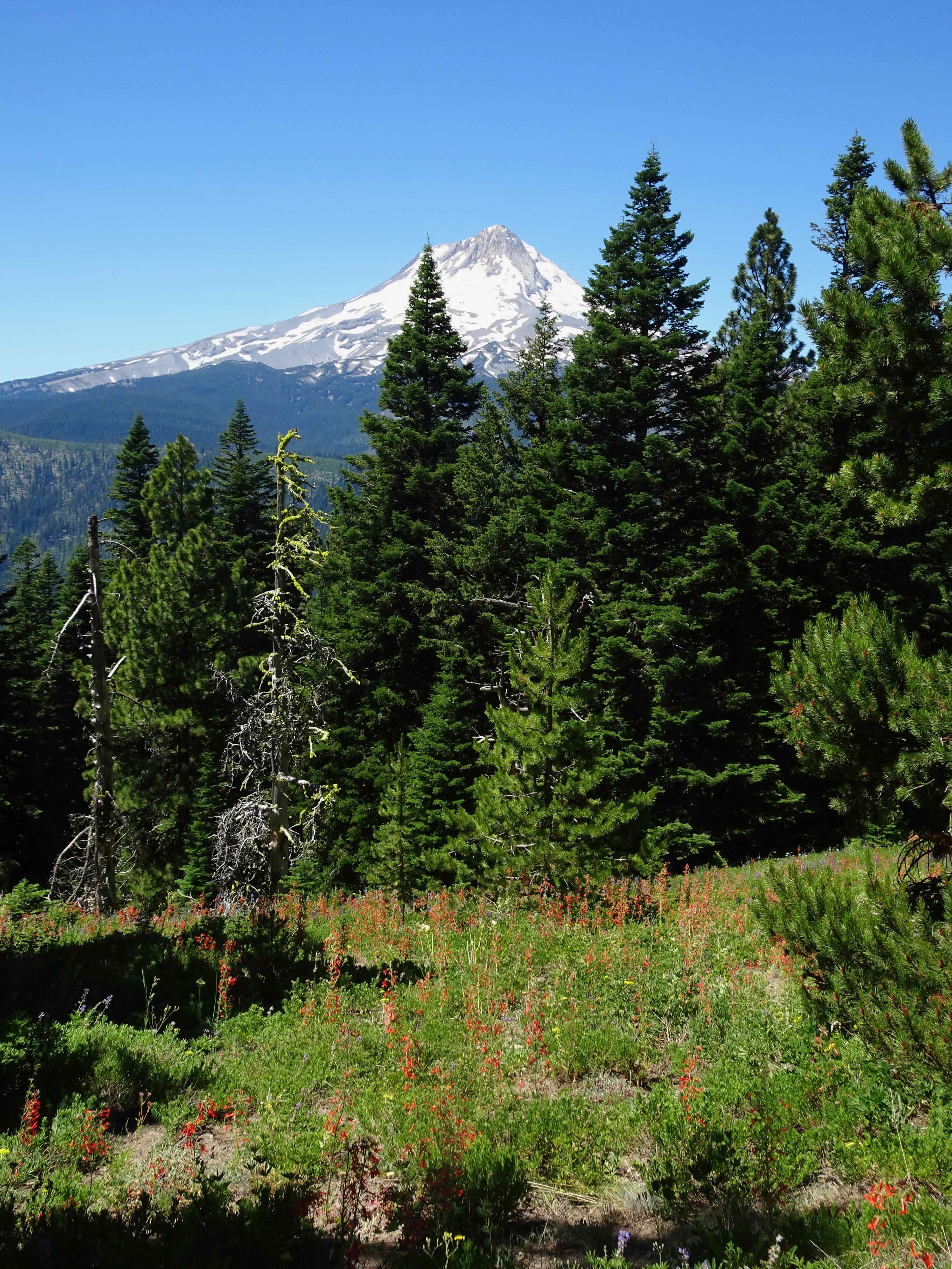
Mt Hood, from Hwy 35

DSC09962

Shady trail junction from the Elk Meadows Trail
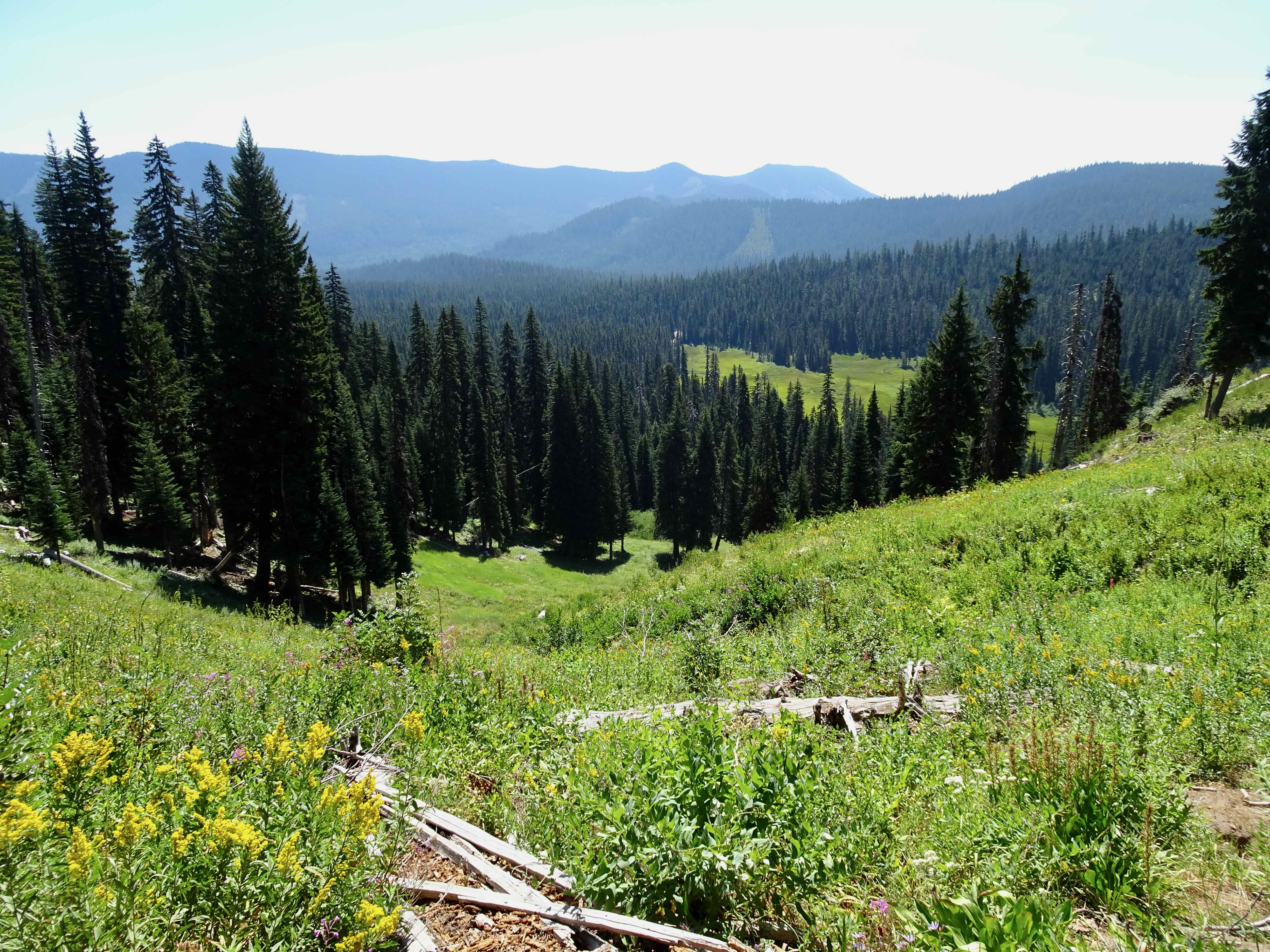
DSC09970

Views across the ski runs of Mt Hood Meadows

IMG_2218

We could see the top of the mountain from our shady lunch spot
DSC09980

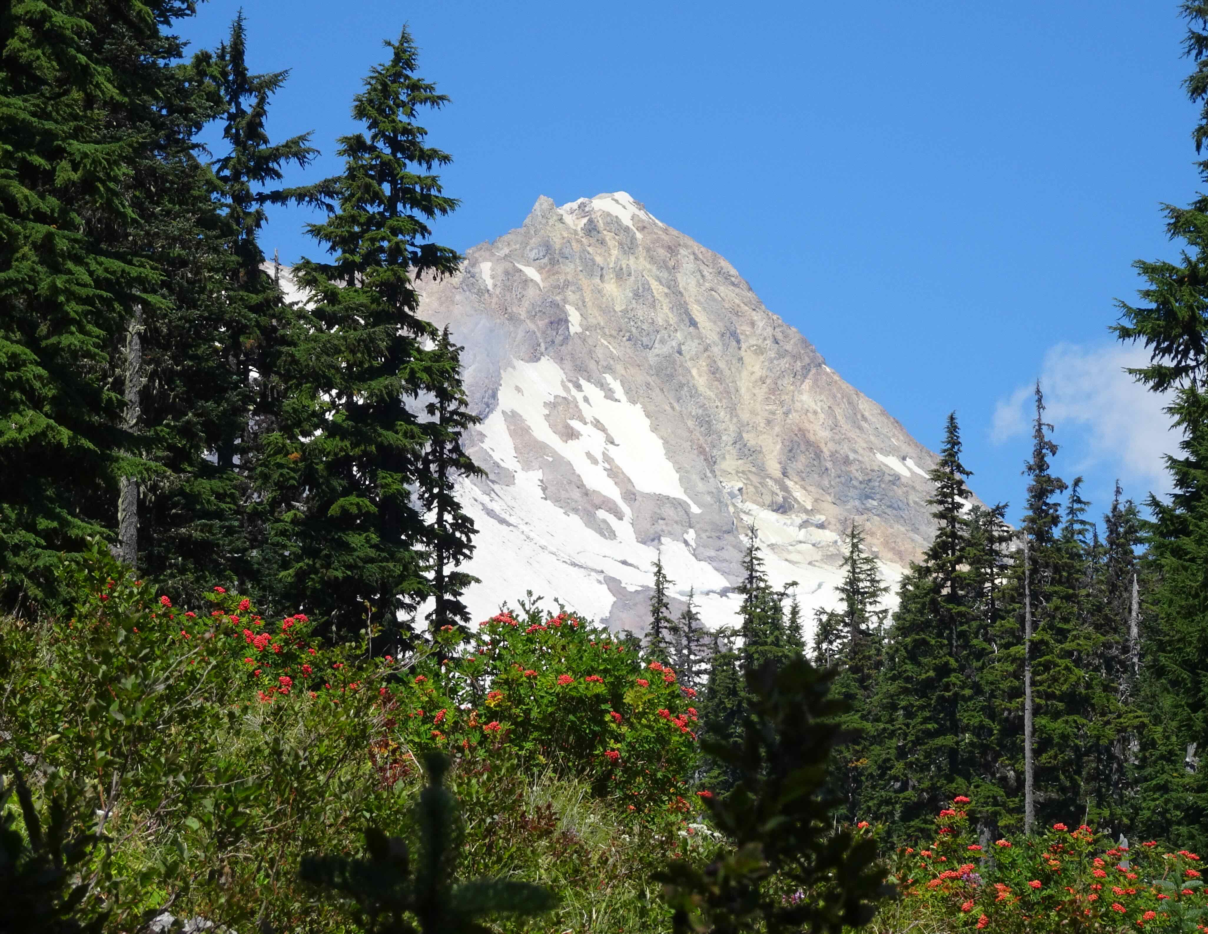
Mt Hood, Sitka Mountain Ash berries

IMG_2220

Umbrella Falls

DSC00001

Umbrella Falls

DSC00003

Fireweed

DSC00011

Meadows of pearly everlasting

DSC00019

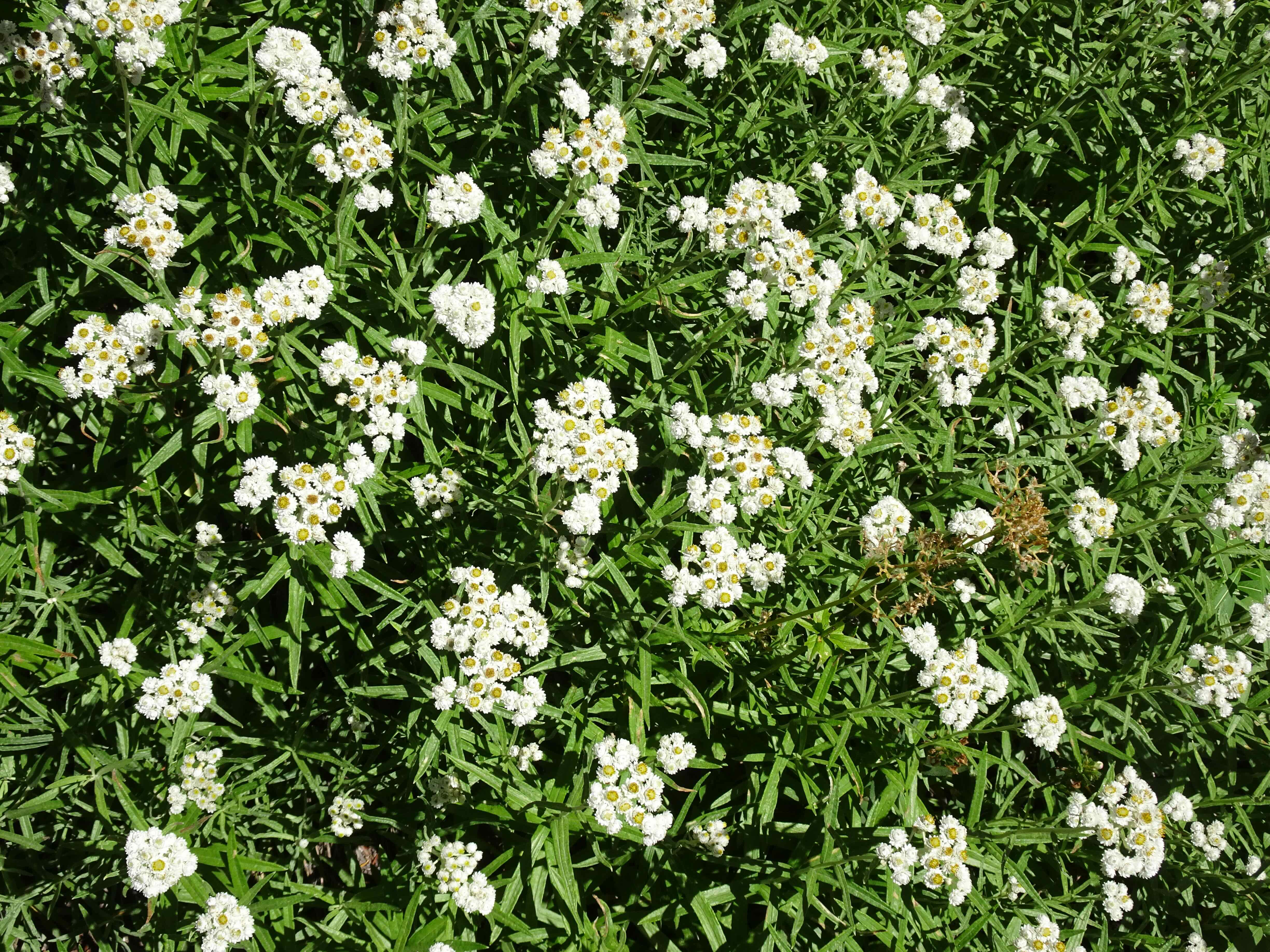
Pearly everlasting

DSC00013

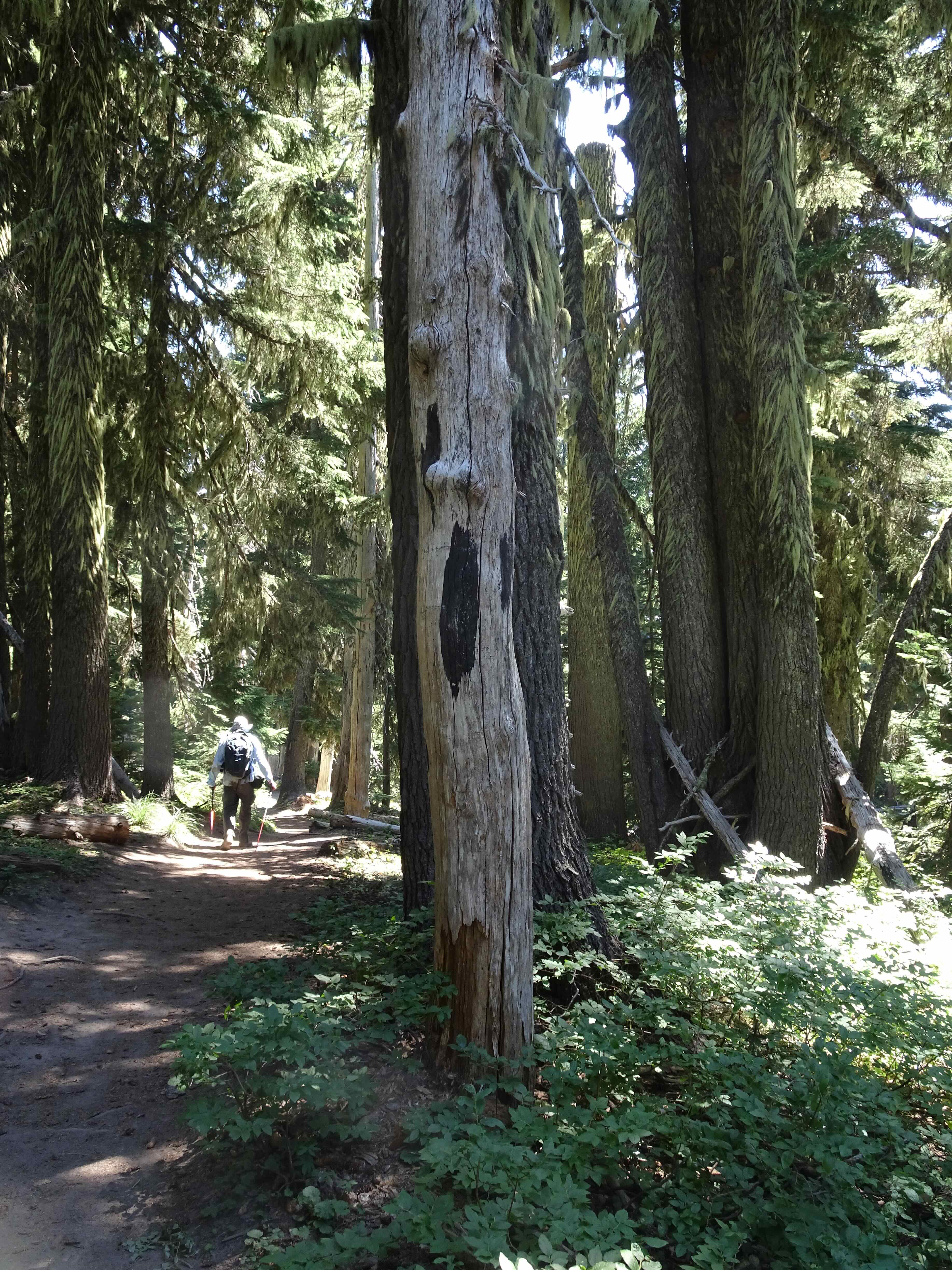
This tree spoke to me on the way down
DSC00018

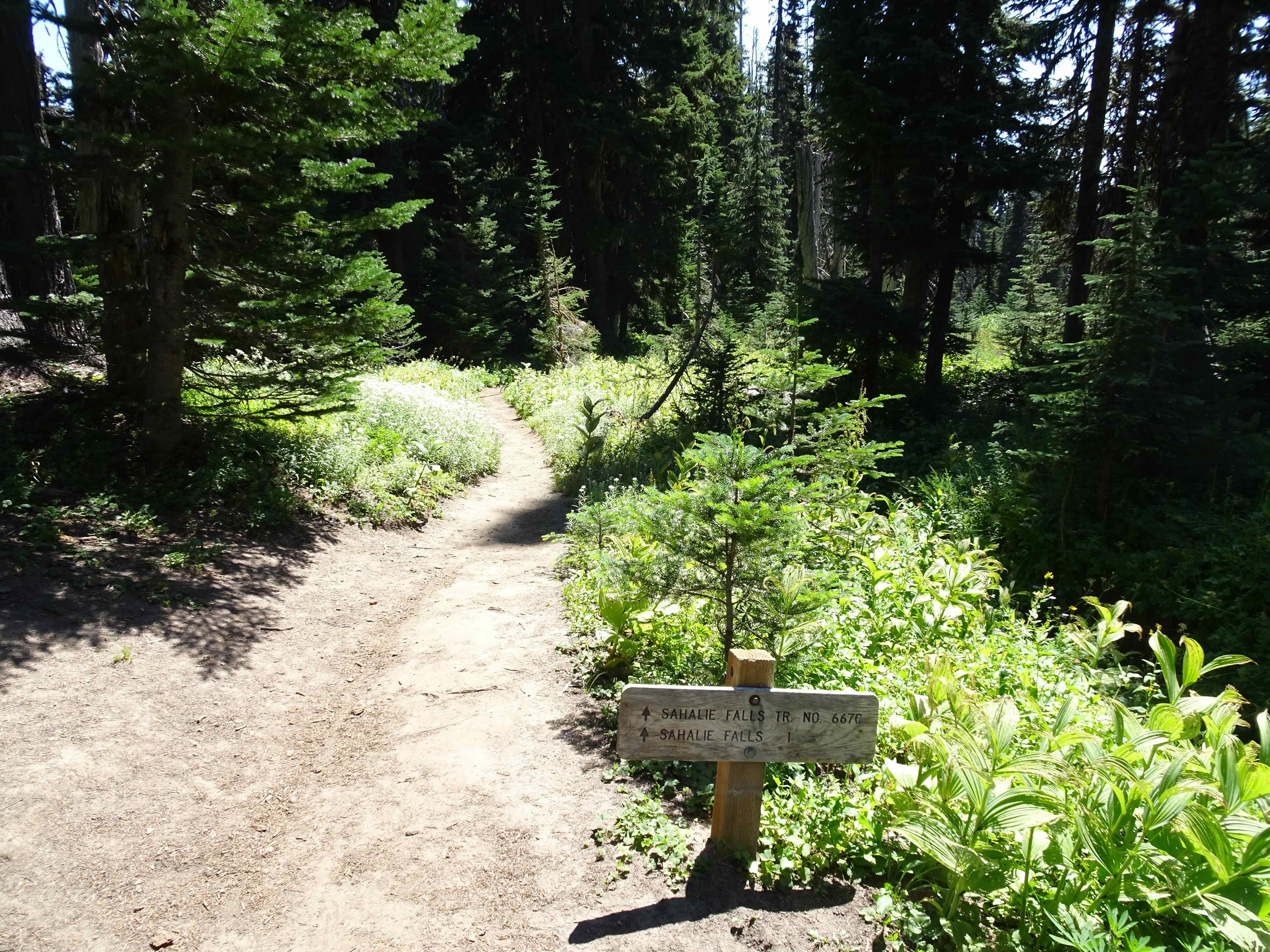
Trail junction

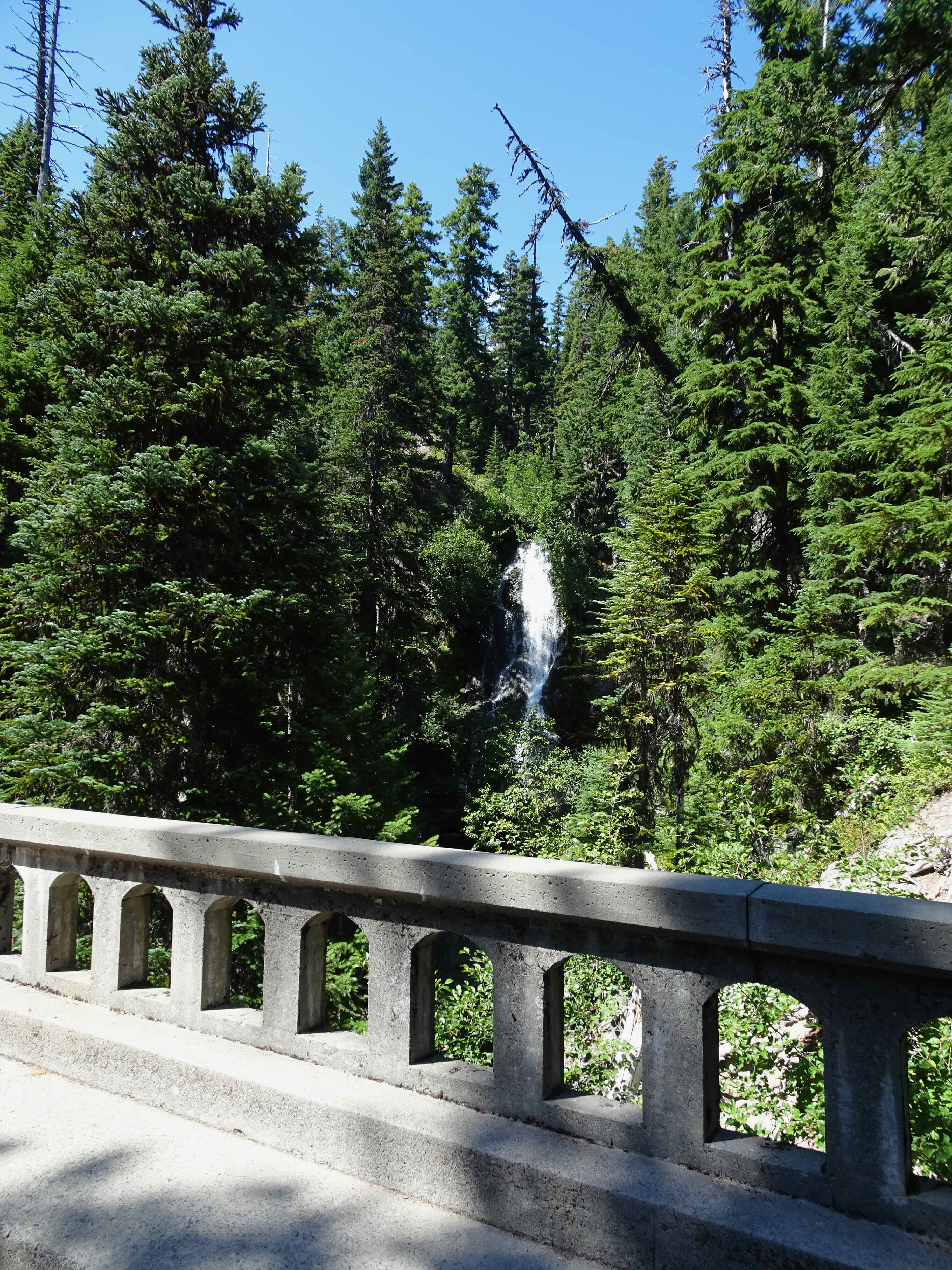
It turns out that the trail viewpoint of Sahalie Falls requires scrambling down a steep cliff, but I could see from the map that we could drive to a better view point along the frontage road.
DSC00036

Sahalie Falls, from the old road

IMG_B388B9086D2D-1

Trail Map – 4.3 miles, 700 feet elevation gain.

August 20 – Cloud Cap Shelter and TImberline Trail High Point, Mt Hood

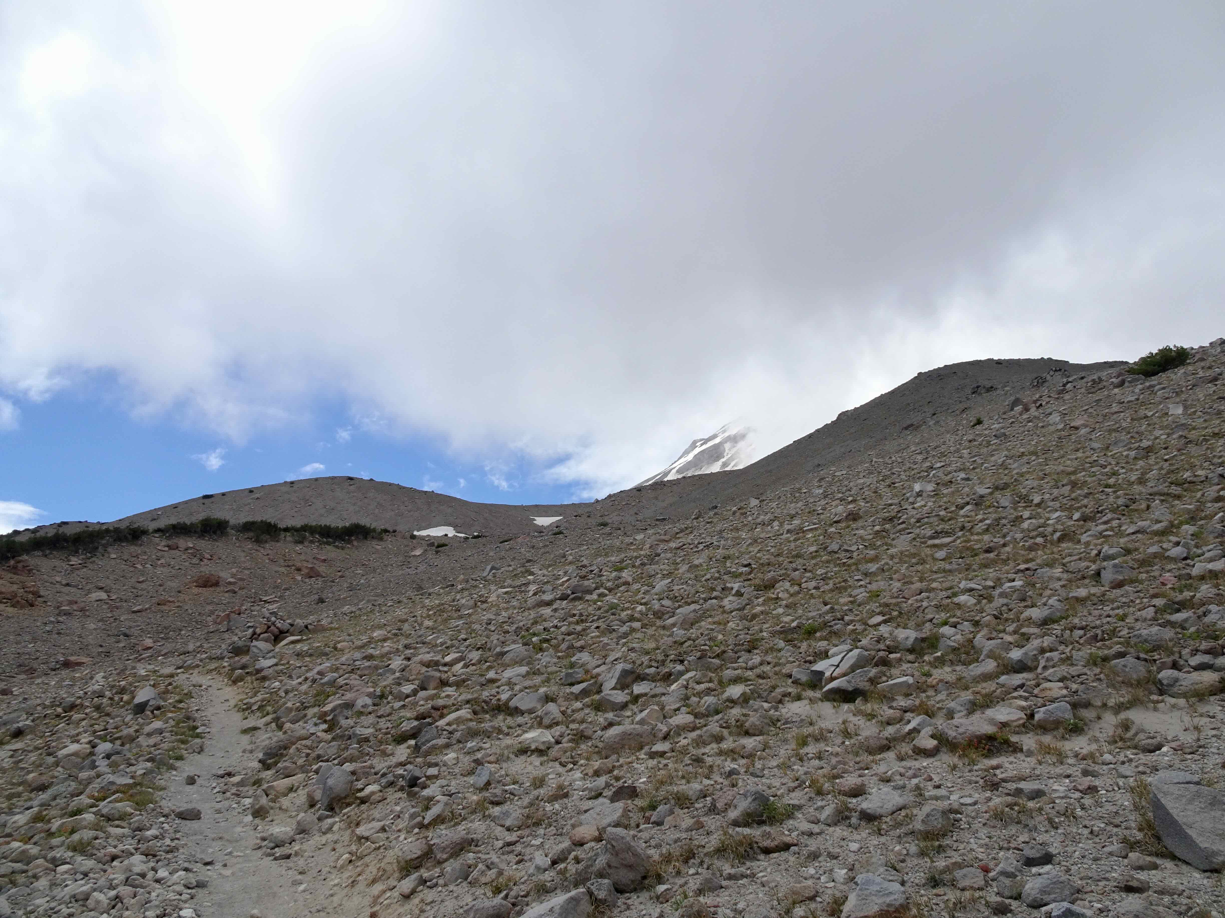
One of my favorite spaces on the edge of the sky…requiring a long drive up a deteriorating road to the trailhead at the Cloud Cap Campground (elev. 5800 feet). Then up the rocky and sandy East Eliot Moraine trail, a few close ups of the Eliot Glacier during our lunch stop, a visit to the Cloud Cap Shelter, then a gradually rising track across the alpine slopes to the 7300 foot high point on the Timberline Trail. The mountain was mostly under the cloud cap today, but I still and always enjoy the elevation and the views!

DSC00046

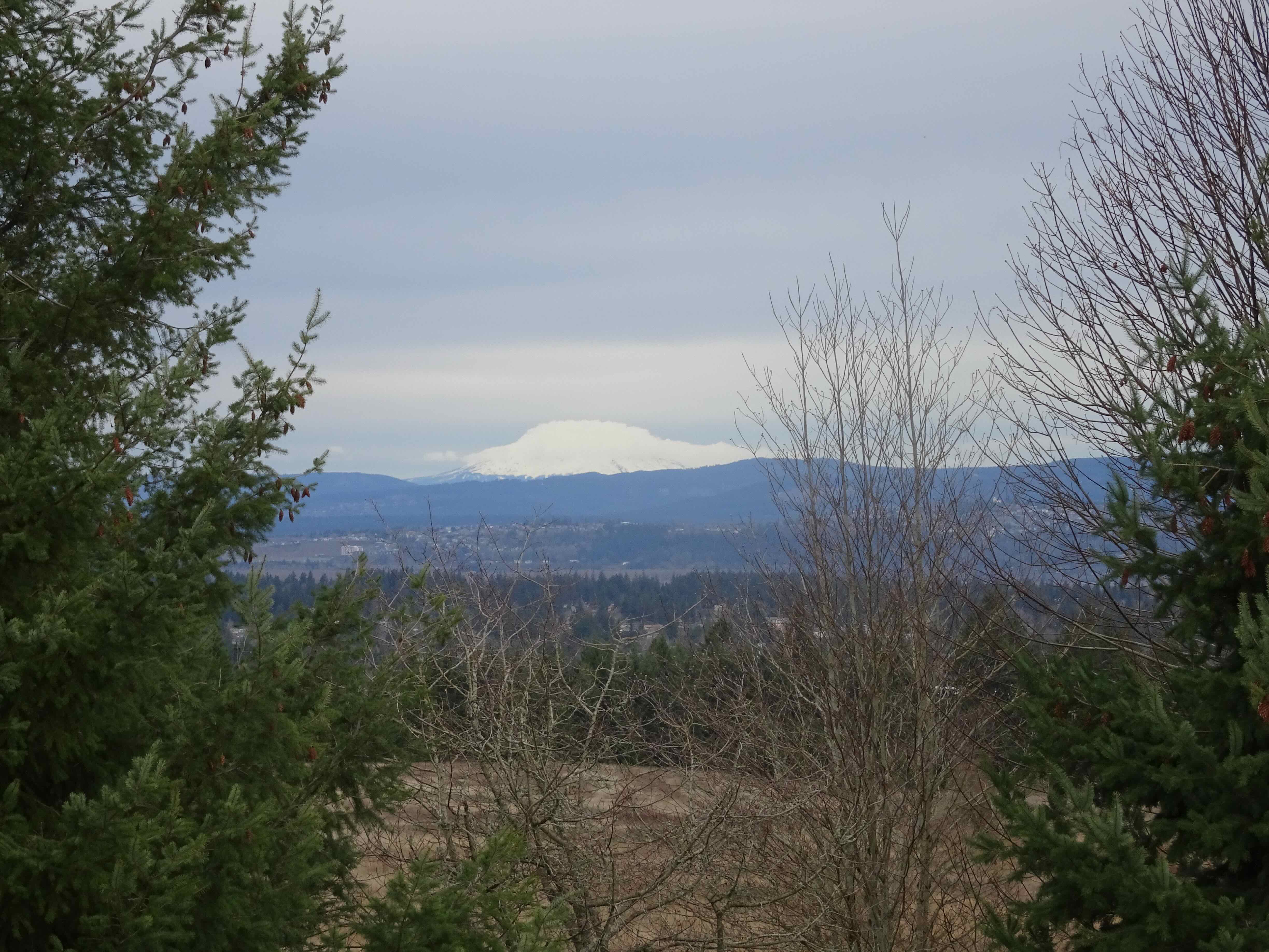
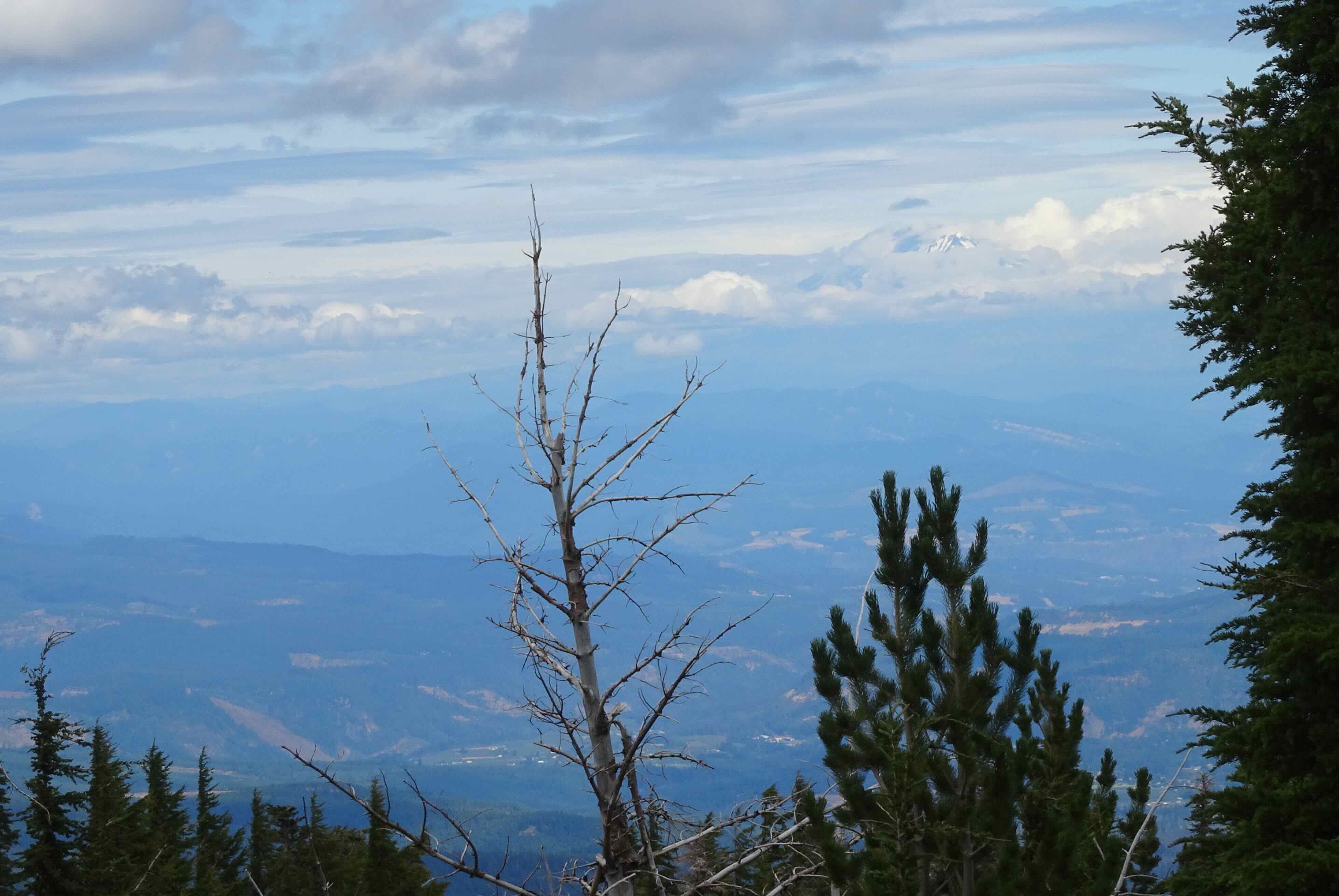
Looking northeast from the East Eliot Moraine – Mt Adams peeking through the clouds, and our starting point from the Cloud Cap Campground. The Cloud Cap Inn/Crag Rats Headquarters has a new roof!
DSC00040

Zooming in on Mt Adams

DSC00052

Looking along our trail up the moraine toward the Eliot Glacier

DSC00056

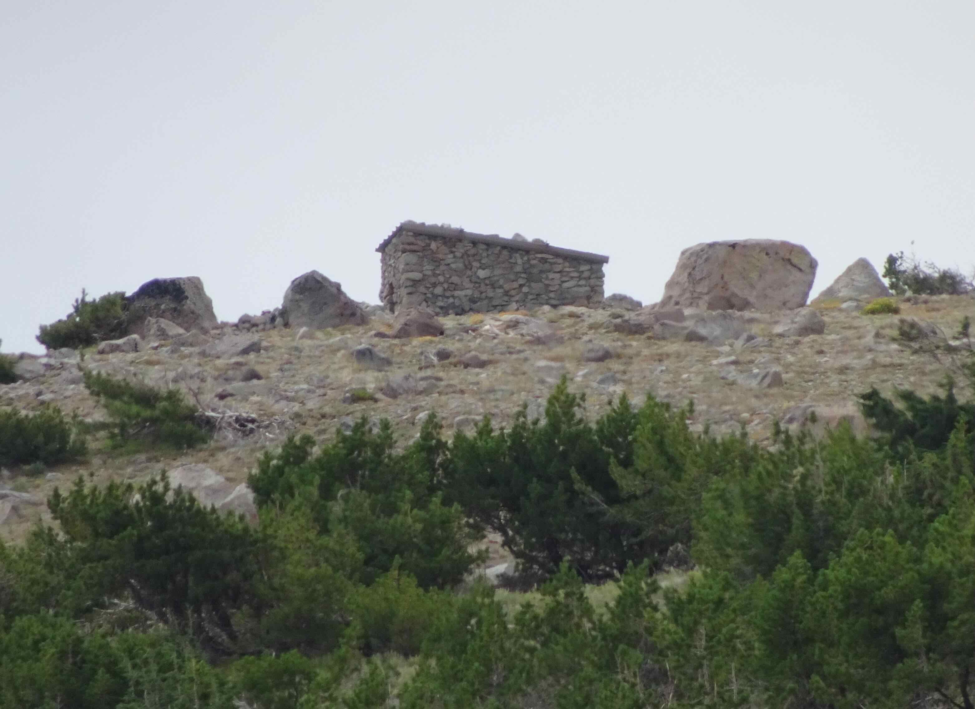
The Cloud Cap Shelter on the skyline

DSC00057

Zoom view

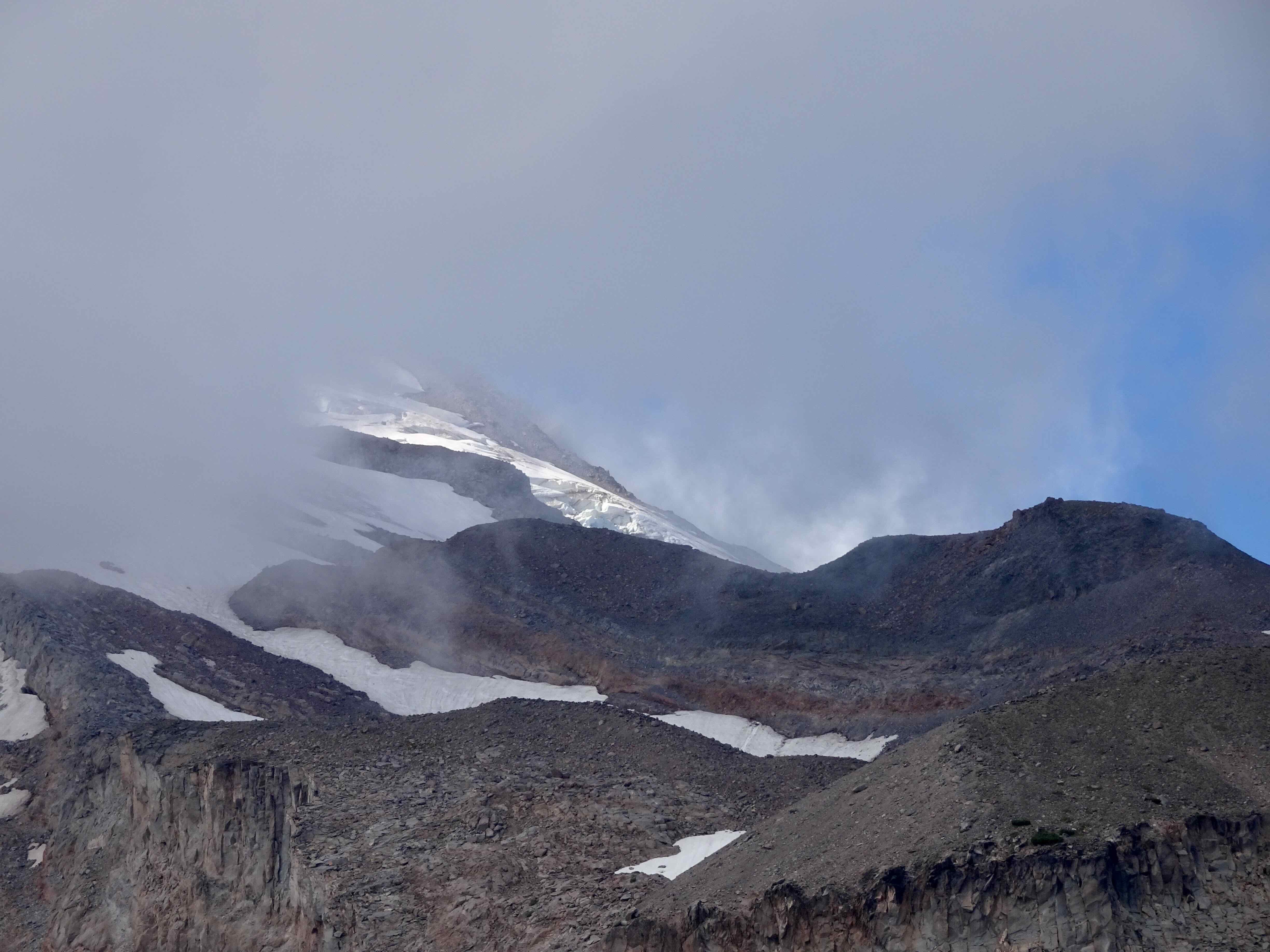
DSC00074

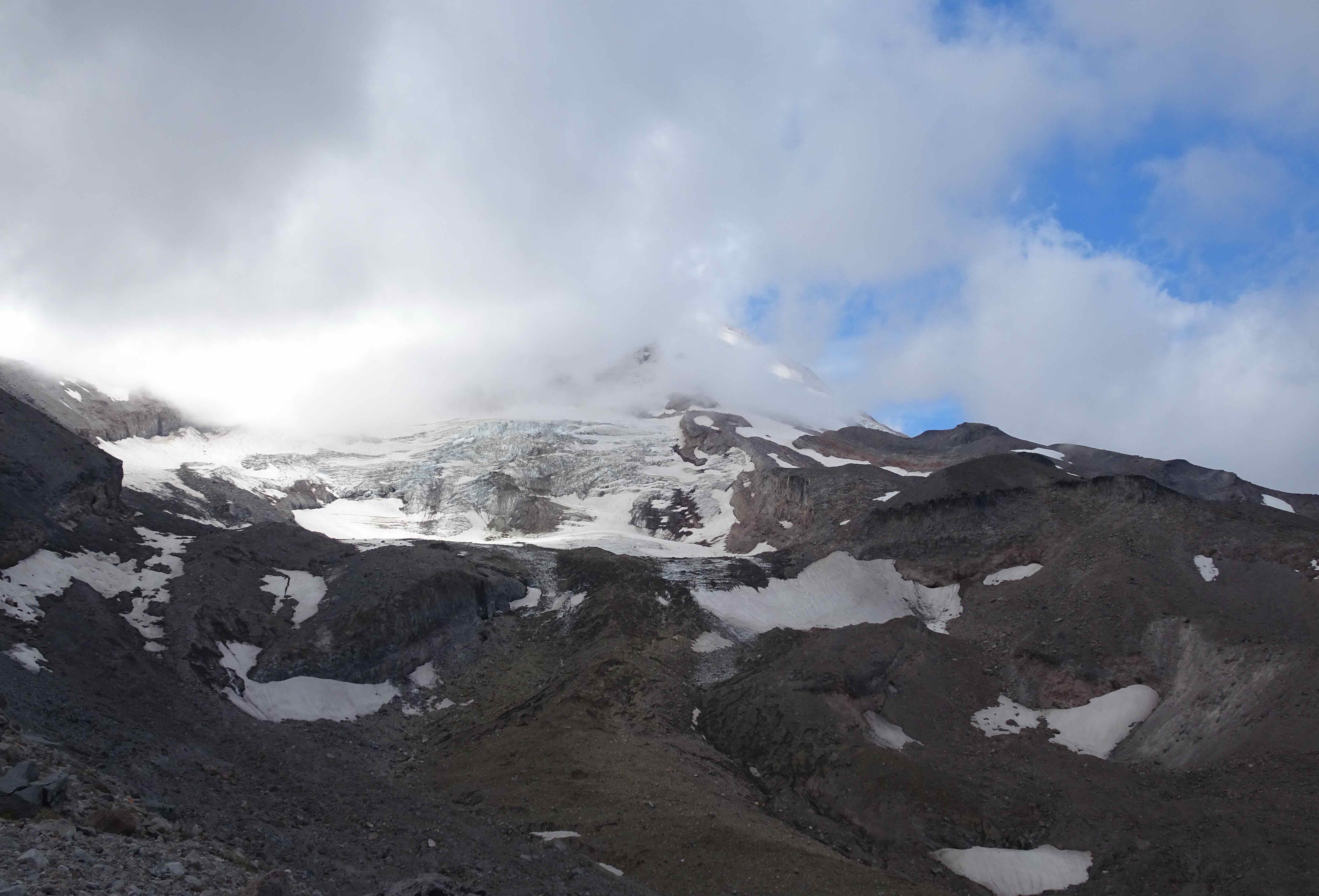
The mountain is trying to come out!

DSC00064

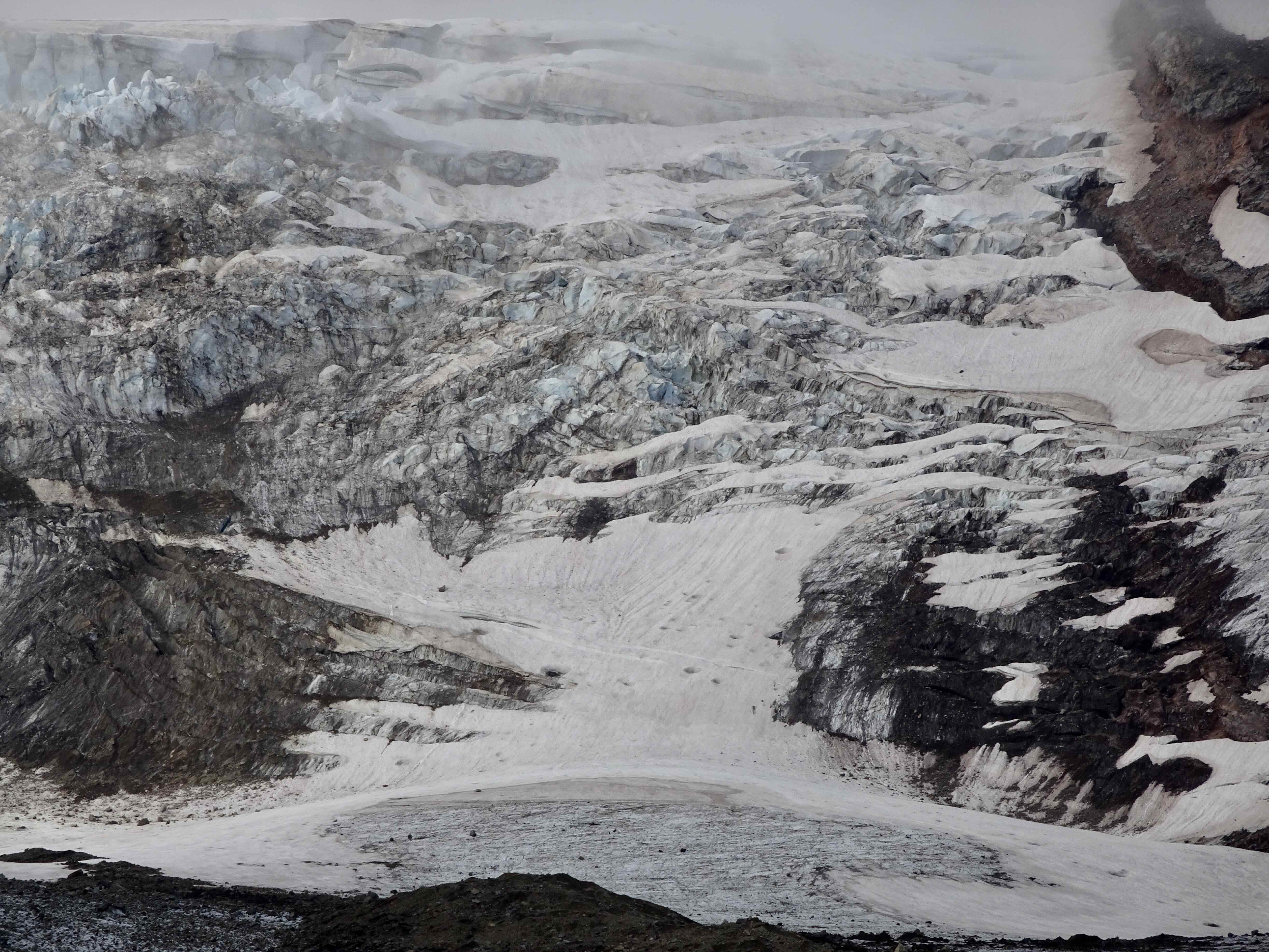
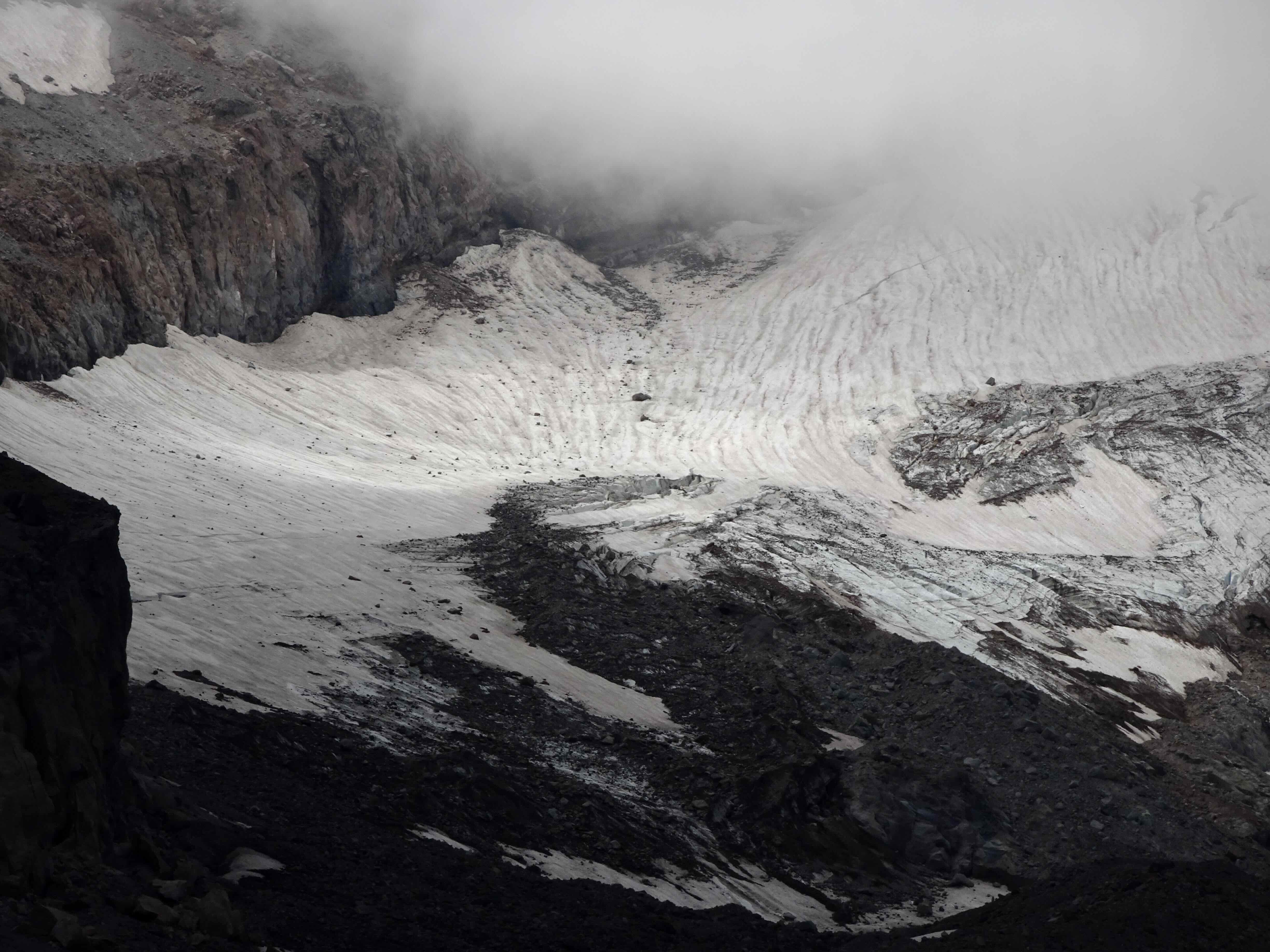
Eliot Glacier close ups…

DSC00071

Elliot Glacier

DSC00073

Eliot Glacier

DSC00065

Sun break

DSC00078

Crossing south to the Cloud Cap Shelter
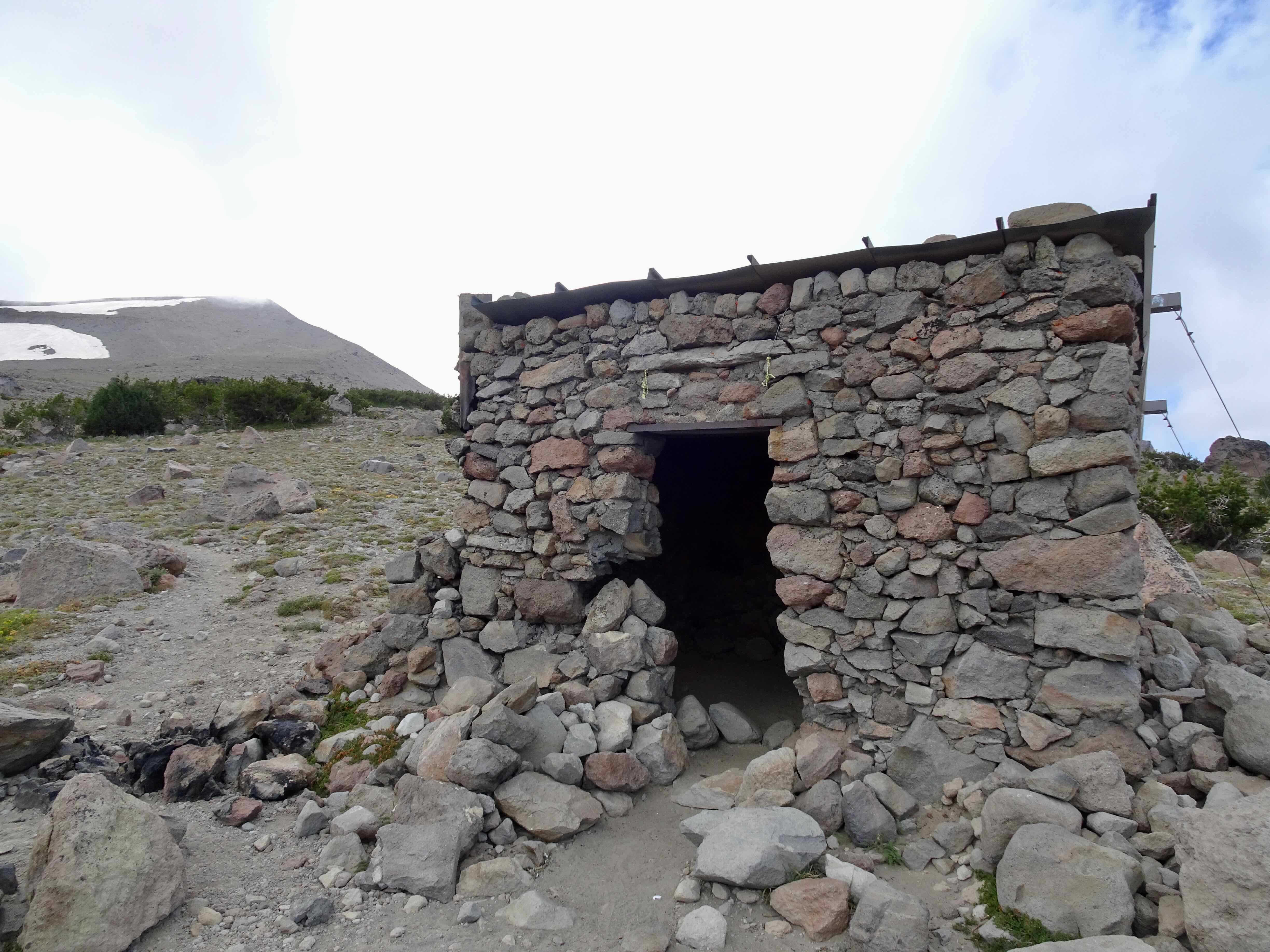
DSC00079

No one else here, though we did pass a few groups of backpackers today.
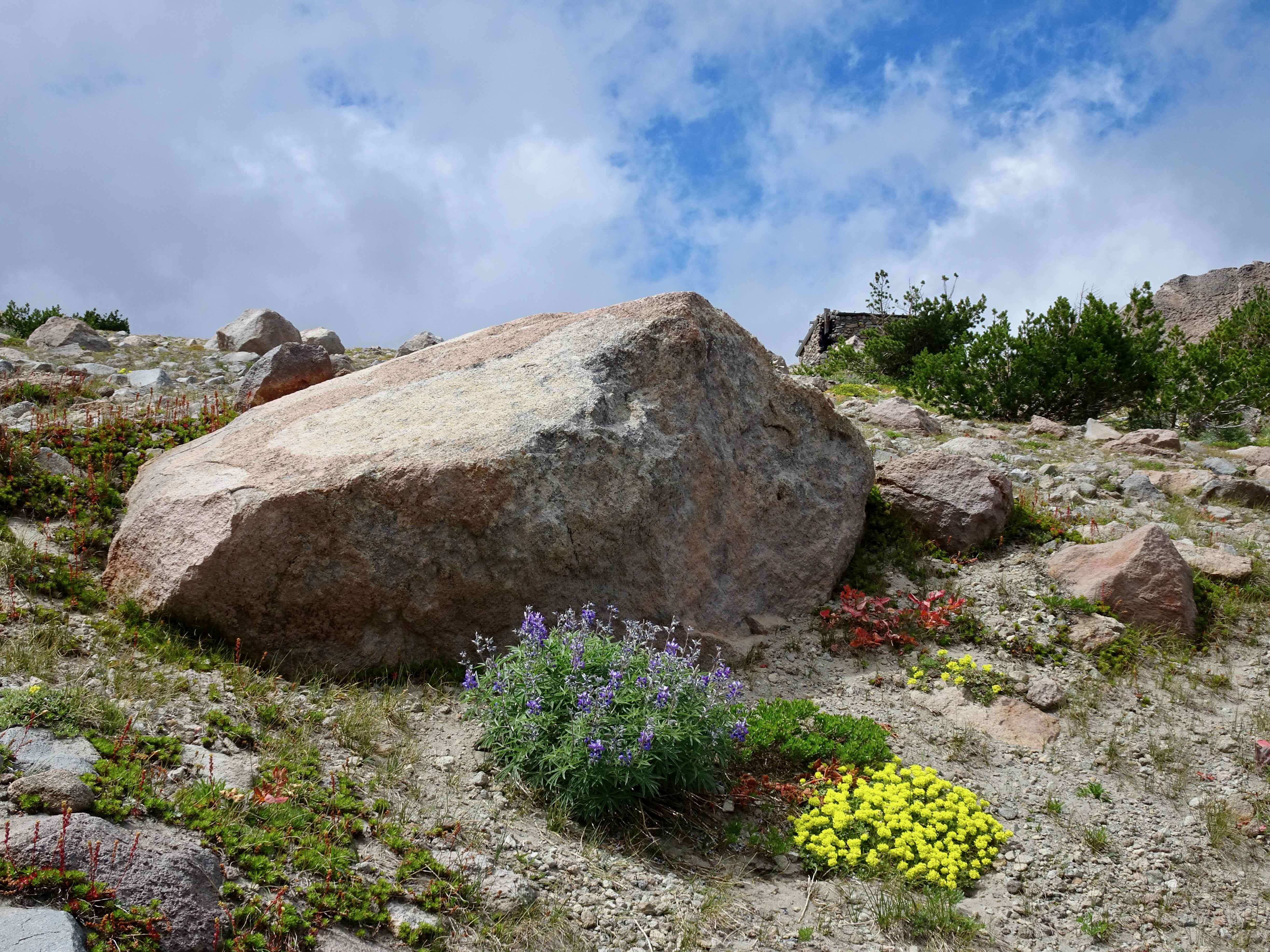
DSC00089

Lupine and buckwheat

DSC00092

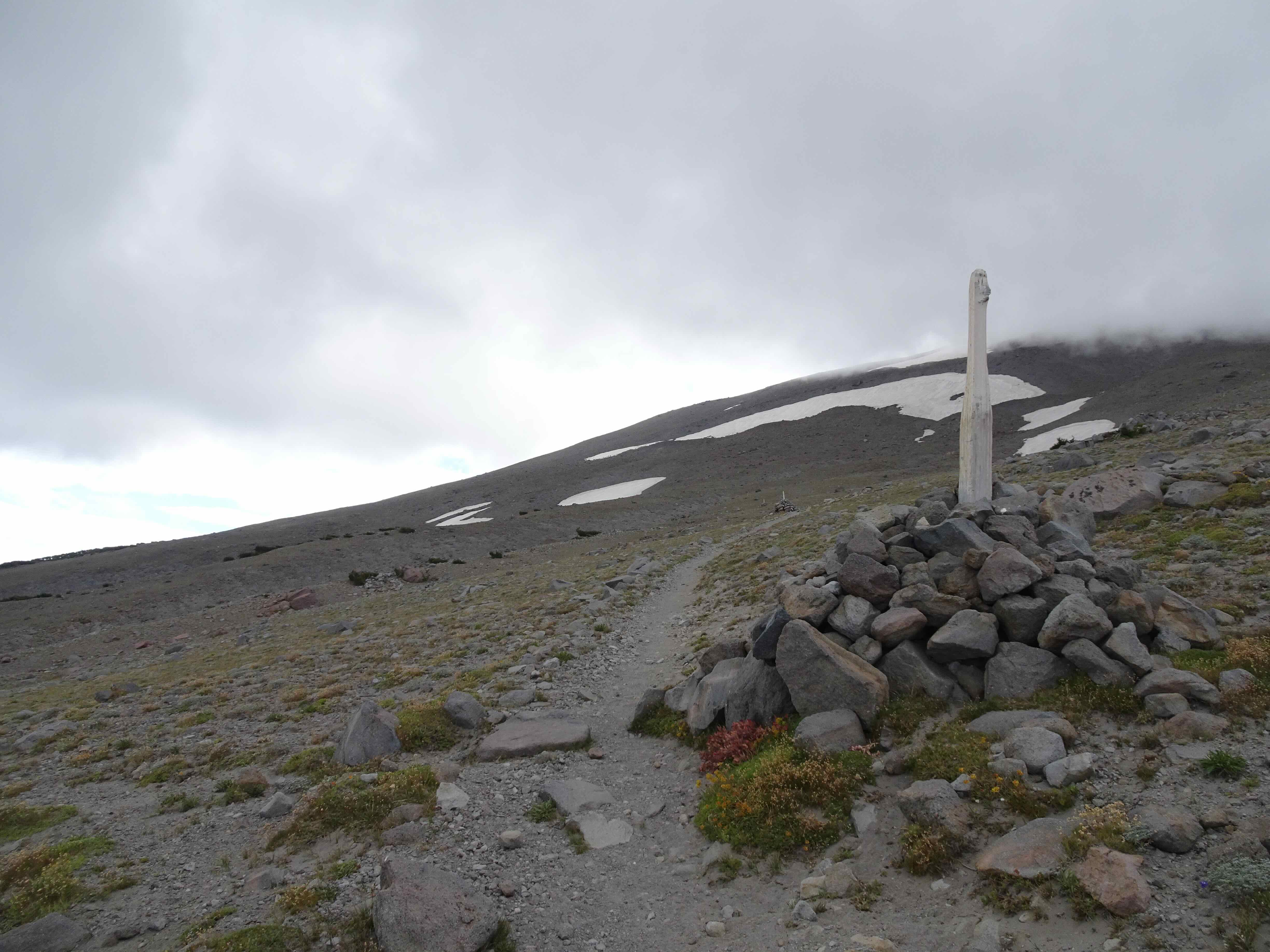
Southbound along the cairn-posted Timberline Trail
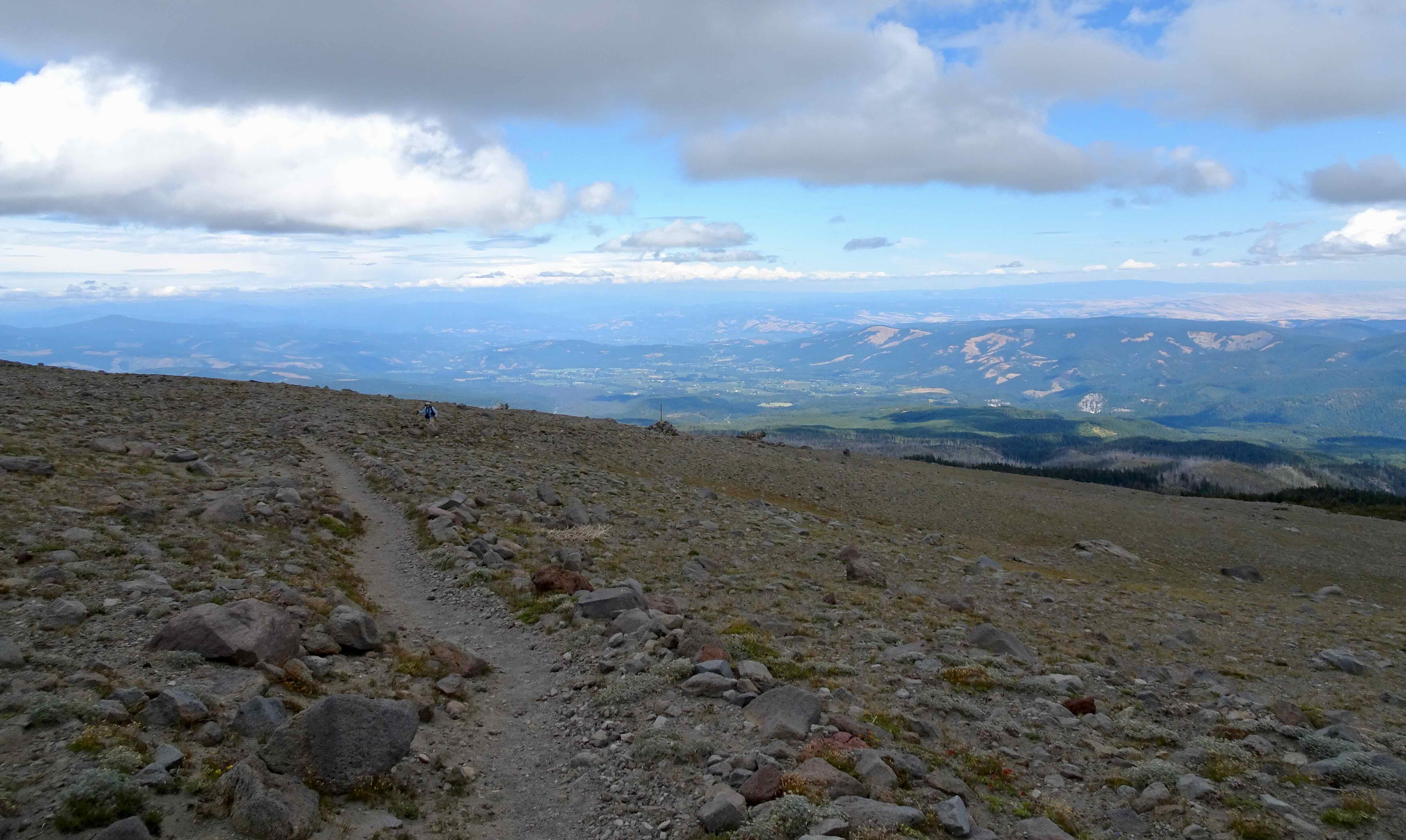
DSC00094

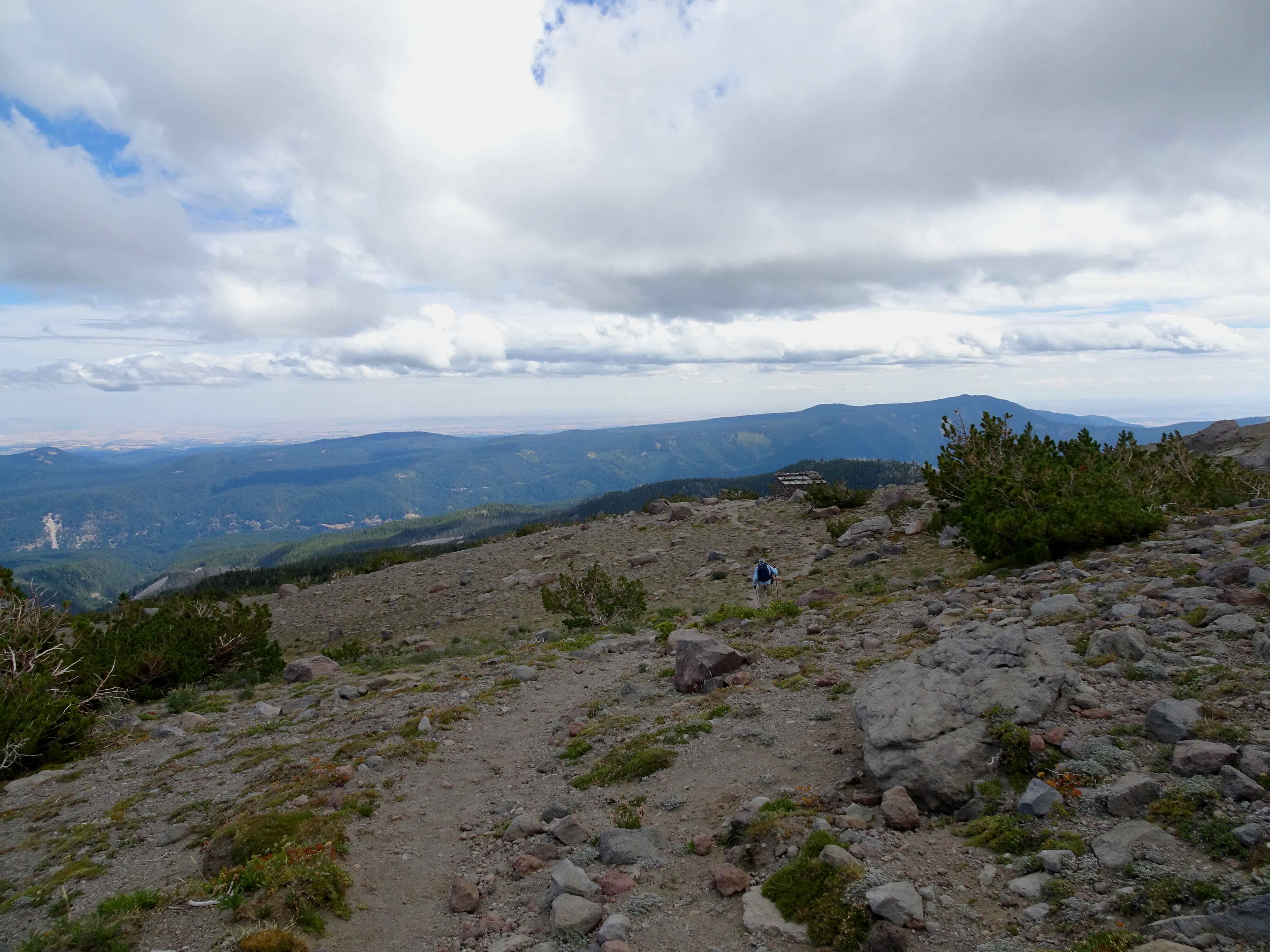
And looking back northeast – the Hood River Valley beyond.
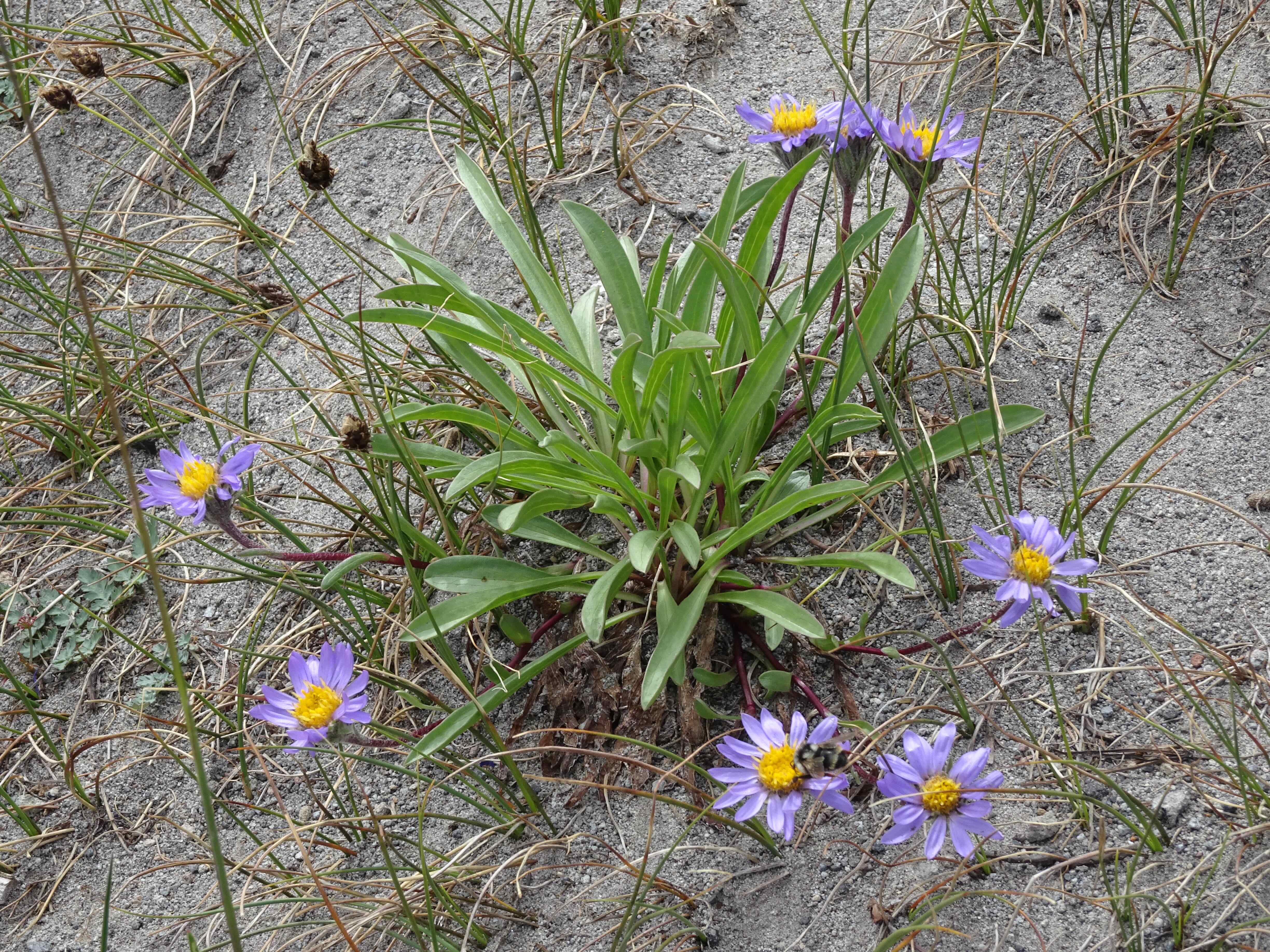
DSC00091

Asters

DSC00097

Partridge foot

DSC00098

A few short snow crossings

DSC00099

Approaching the high point of the Timberline Trail

IMG_2275

My husband took this photo of me walking along the high point ridge to our usual rest stop.

DSC00100

The other side of the ridge – Mt Jefferson on the horizon. The Timberline Trail continues down to Gnarl Ridge.

DSC00114

Mini lupine

DSC00119

Heading back to the Timberline Trail high point saddle – We can see Cooper Spur, but the top of Mt Hood is still hiding under the cloud.
DSC00127

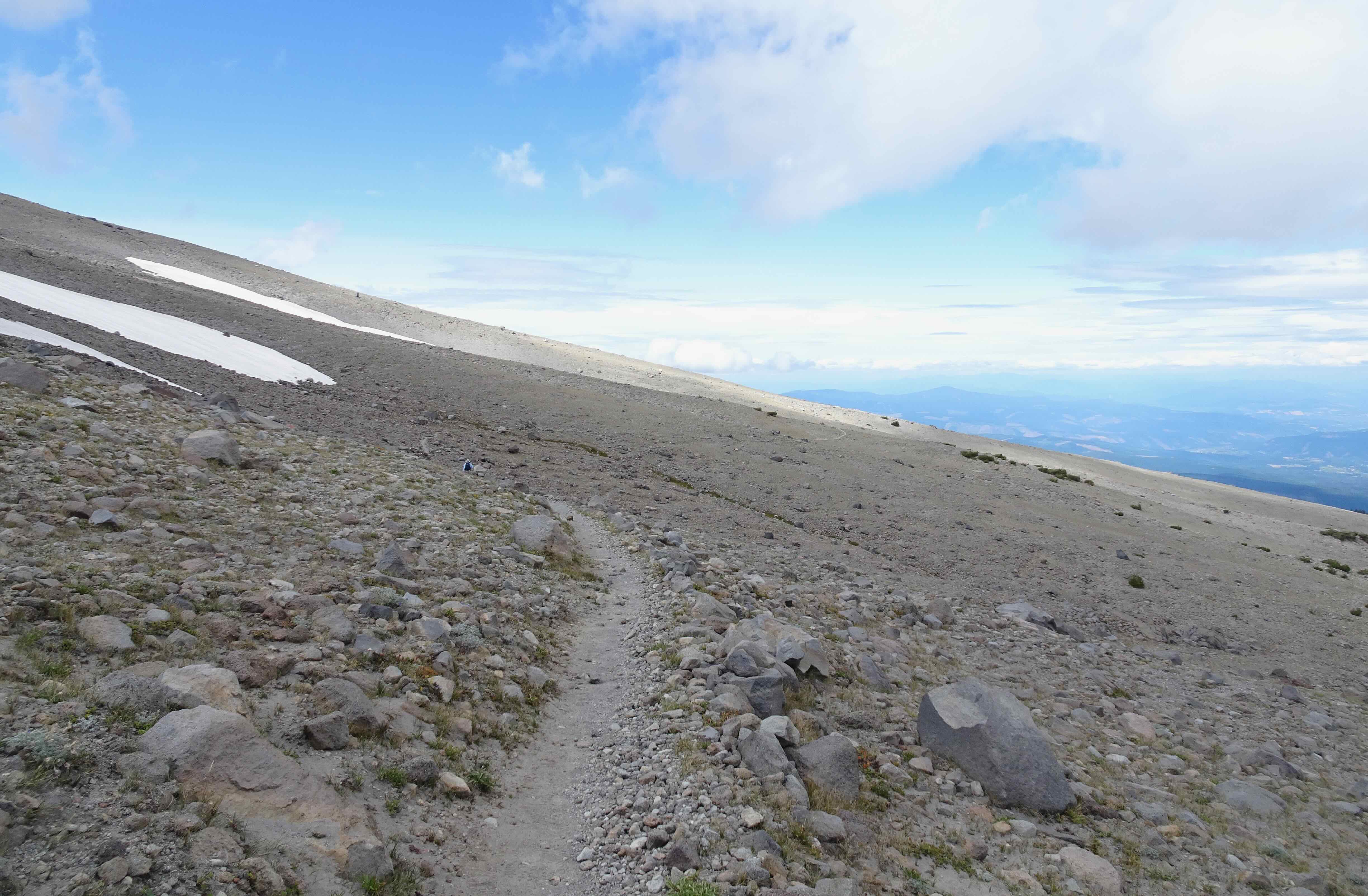
We walk back along the edge of the sky.

DSC00149

We take the main Timberline Trail below East Eliot Moraine on the way down, and I look for the giant boulder that has been teetering on the edge the last few times we have hiked here.

DSC00148

It is still here!

DSC00150

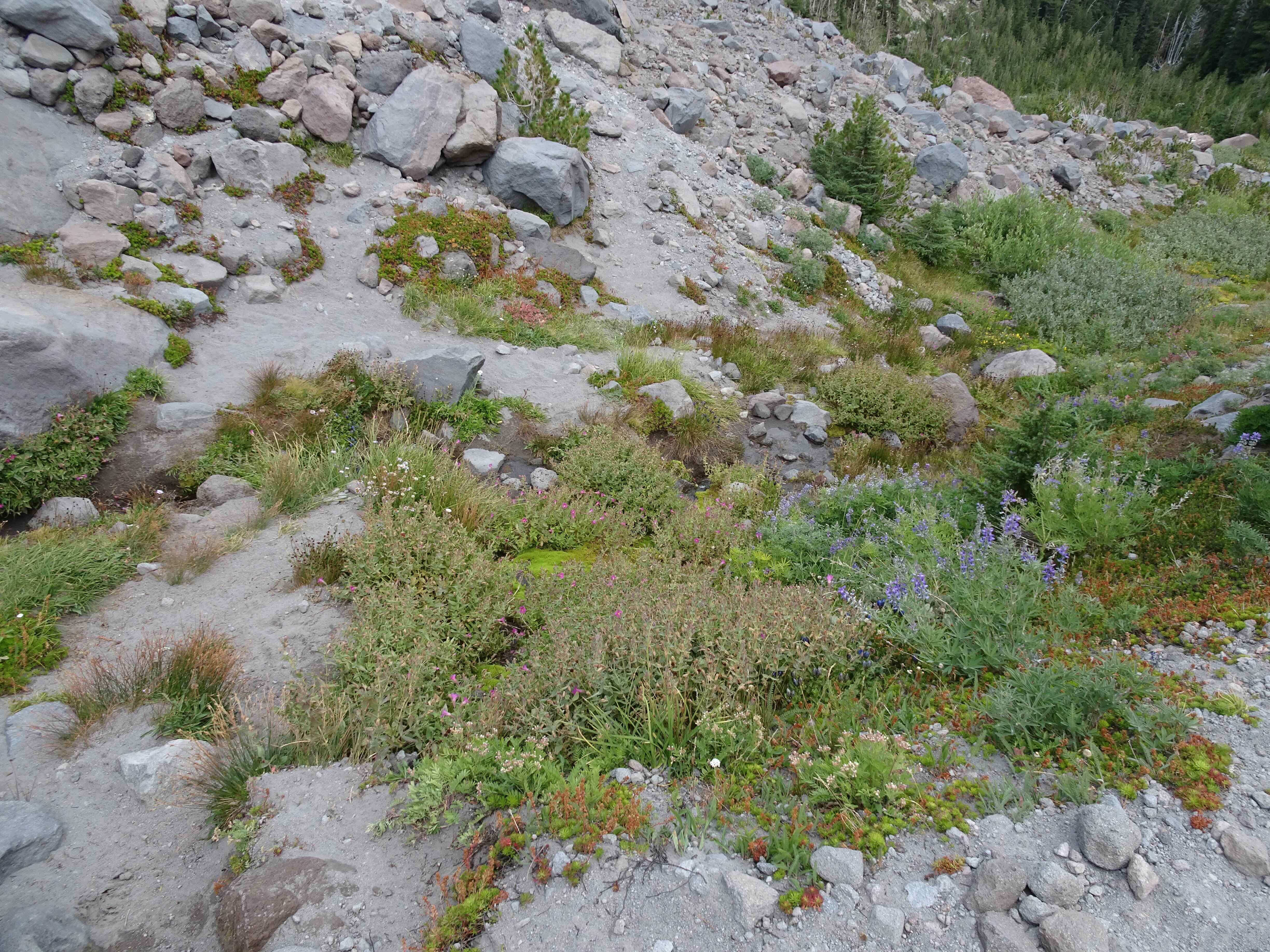
Monkey flowers and lupine in Tilly Jane Creek
DSC00152

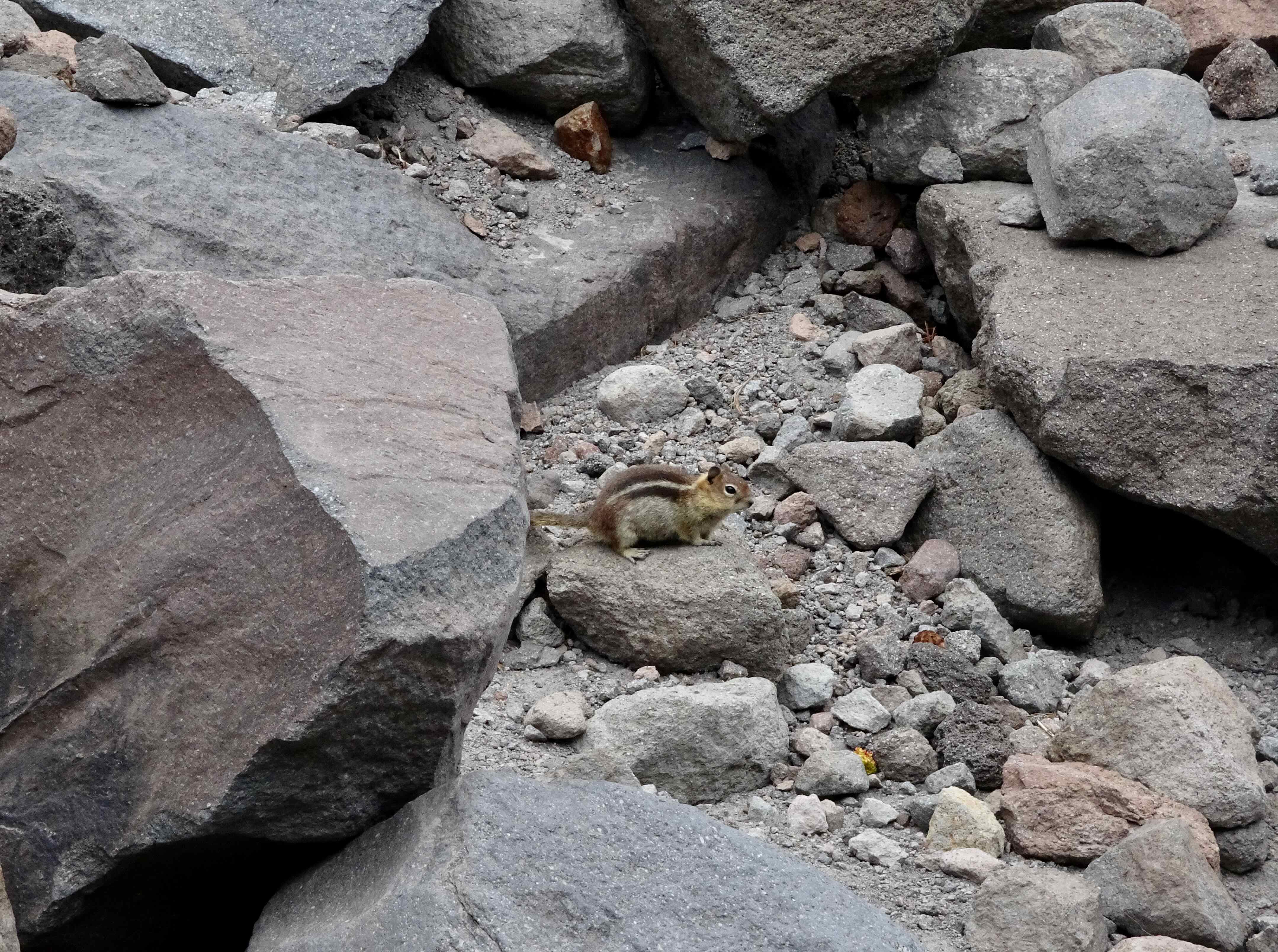
And this little ground squirrel, wishing us farewell until next time…

Later in the month, my husband had a surgery on his hand, so we will be curtailing our hikes for a few weeks. But there will be more adventures soon!
July 2024 update…

We were in Iceland for the last week of June and first two weeks of July. When I returned, I had a 24 hour travel day, a nine hour time shift, and a very mild case of Covid as part of my re-entry process. I made it through all, and then was able to share some time with visiting family members.

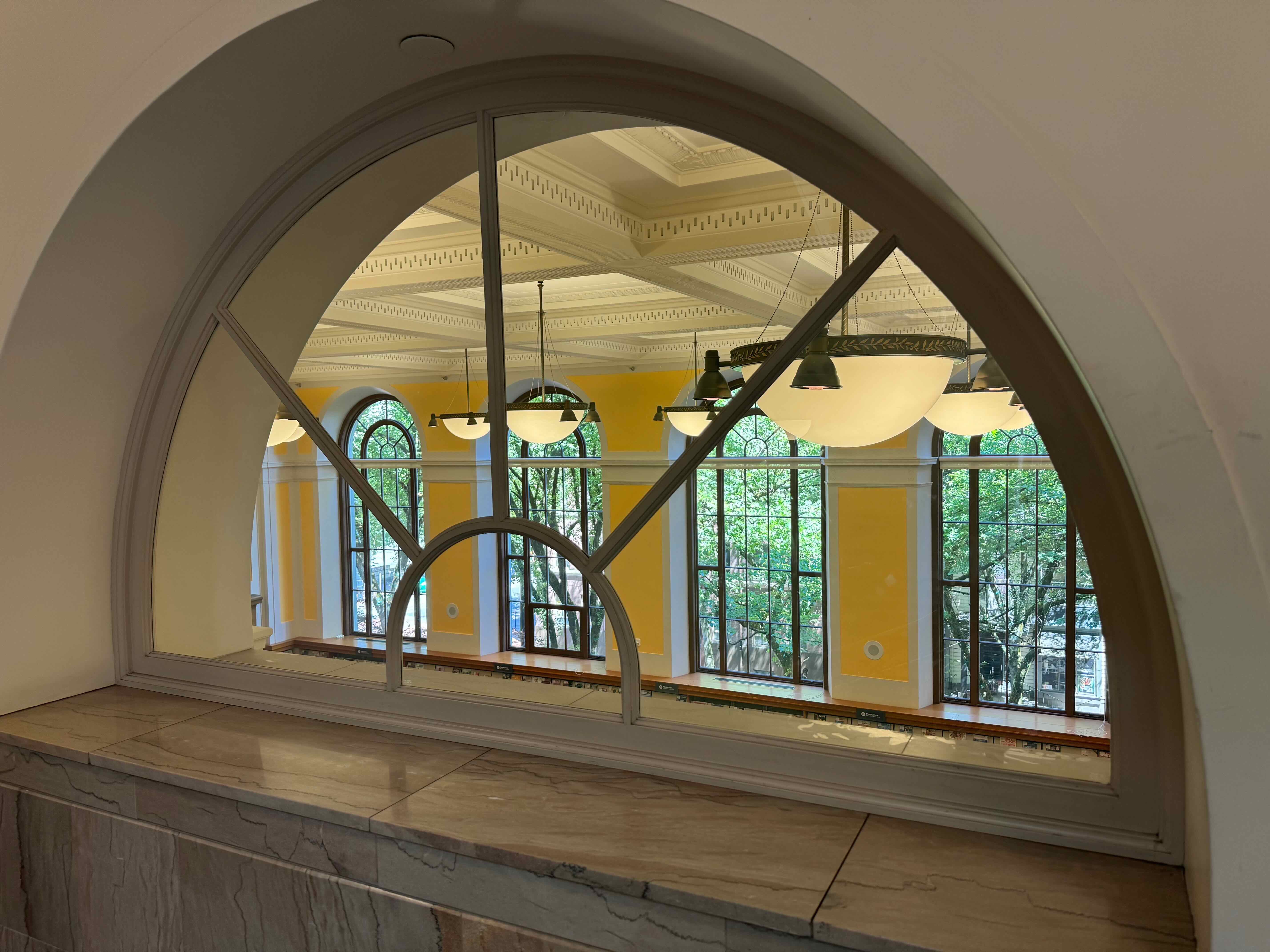
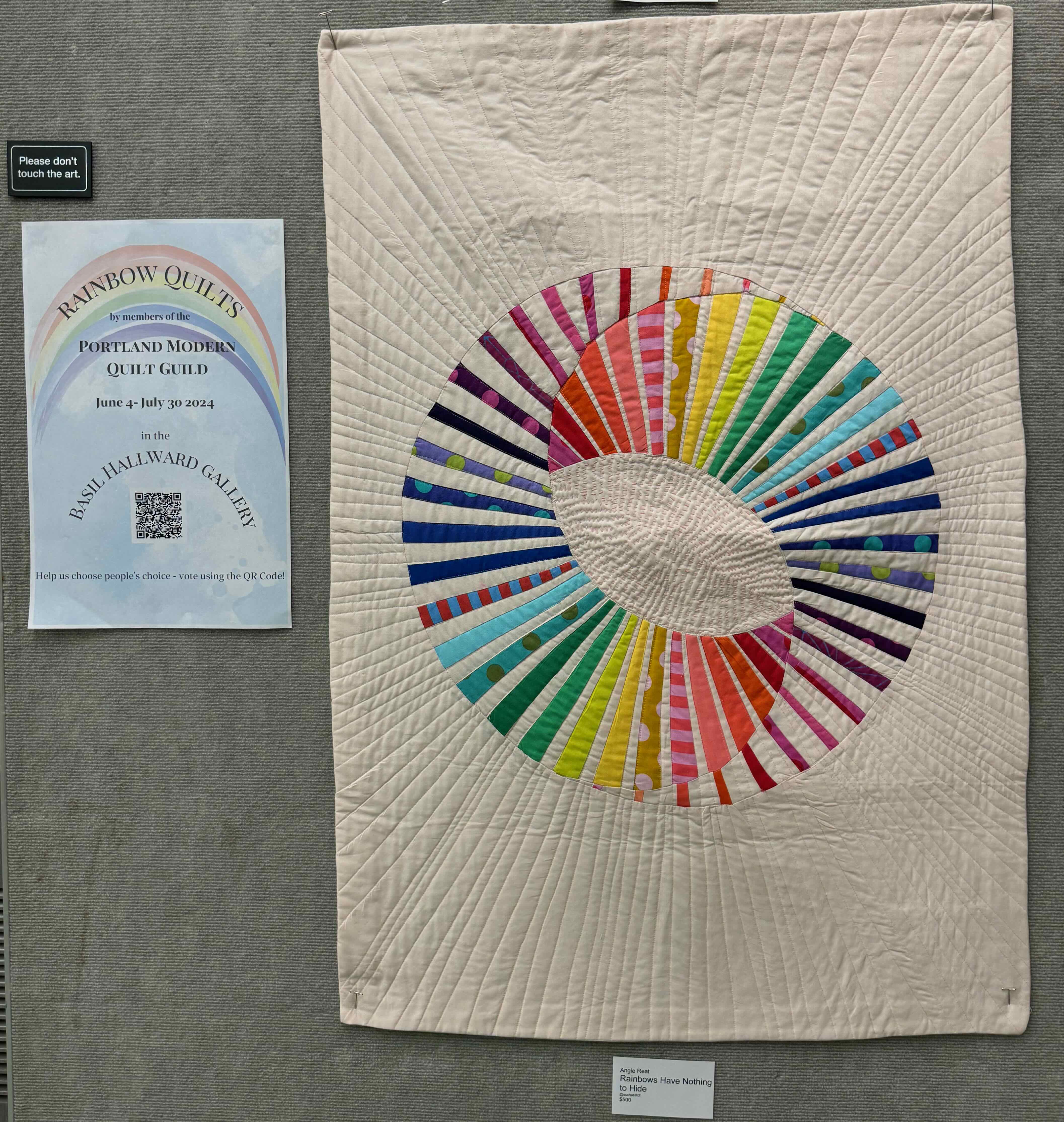
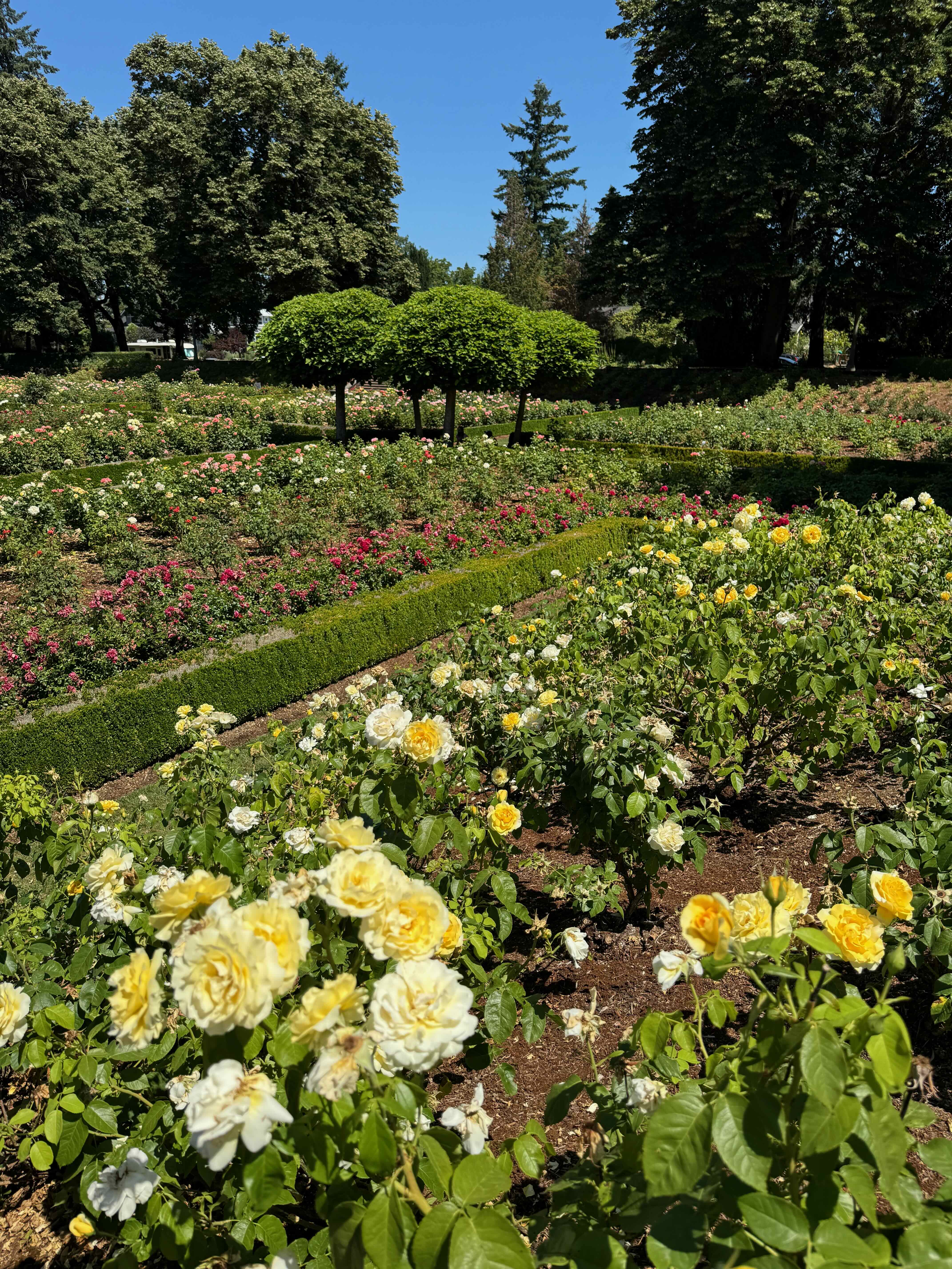
July 18-23 – Visiting with my family in Portland and Eugene. We spent a few days in Portland, and came across quilt shows in the Portland Central Library, and at Powell’s Books. We also visited the Peninsula Park Rose Garden.

Portland’s beautiful Central Library, with art show:

IMG_2010IMG_2005IMG_2006IMG_2007IMG_2002IMG_2003

Quilt show at Powell’s Books:

FullSizeRenderFullSizeRender (1)IMG_2020IMG_2018IMG_2015

Peninsula Park Rose Garden:

IMG_2044IMG_2040IMG_2043

Family events in Eugene and Portland:

IMG_2082

A favorite garden in Eugene

IMG_2129

A belated birthday party

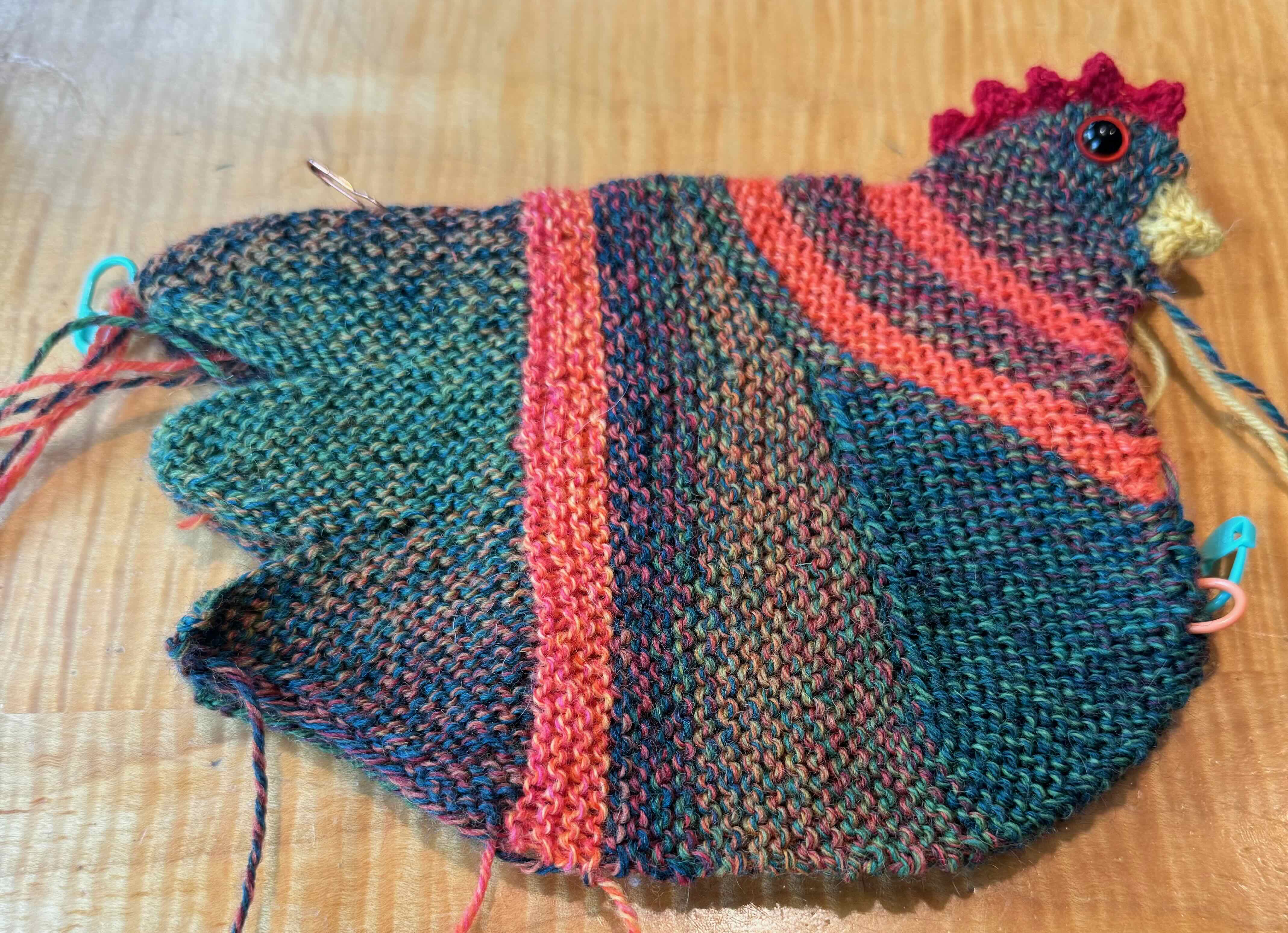
Knitting – I made progress on the Emotional Support Chicken, very fun! And started knitting a vest with the Allafoss Lopi yarn I bought in Iceland.

FullSizeRender

Emotional Support Chicken, in progress

IMG_1686

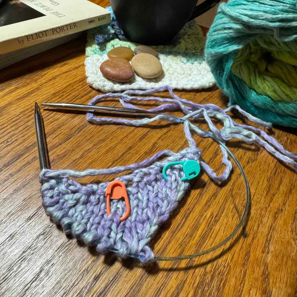
Vest swatch

Hiking – Larch Mountain, Oregon – July 30th – I went on one short hike at the end of the month. It was cloudy, so no mountain views today. Lovely to be in the forest and see a few wildflowers.

DSC09681

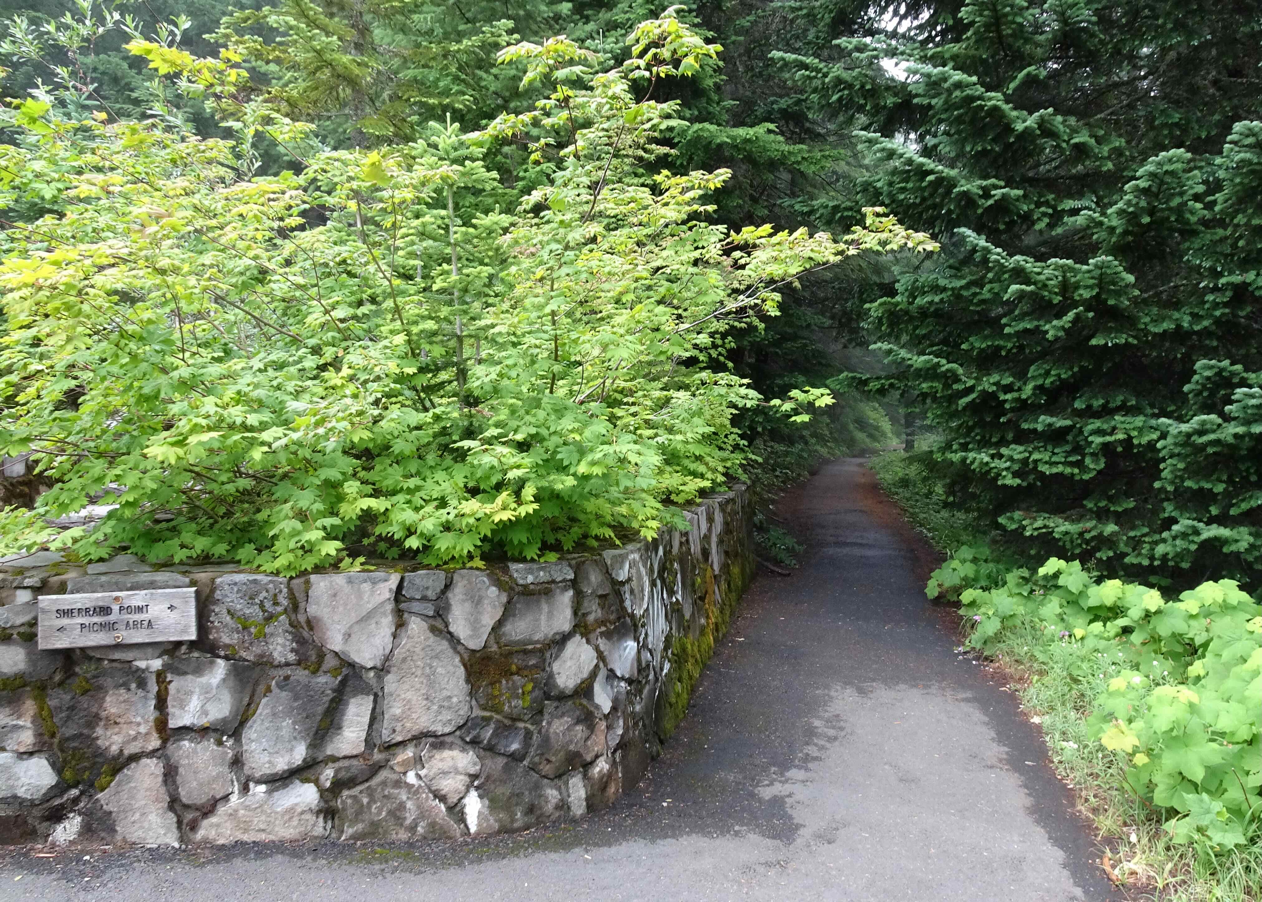
Sherrard Point Trailhead – only a third of a mile, less than 200 feet, to the top.

DSC09683

Stairs to the top of Larch Mountain

DSC09686

Views to the south – Mts Hood and Jefferson behind all those clouds.

DSC09690

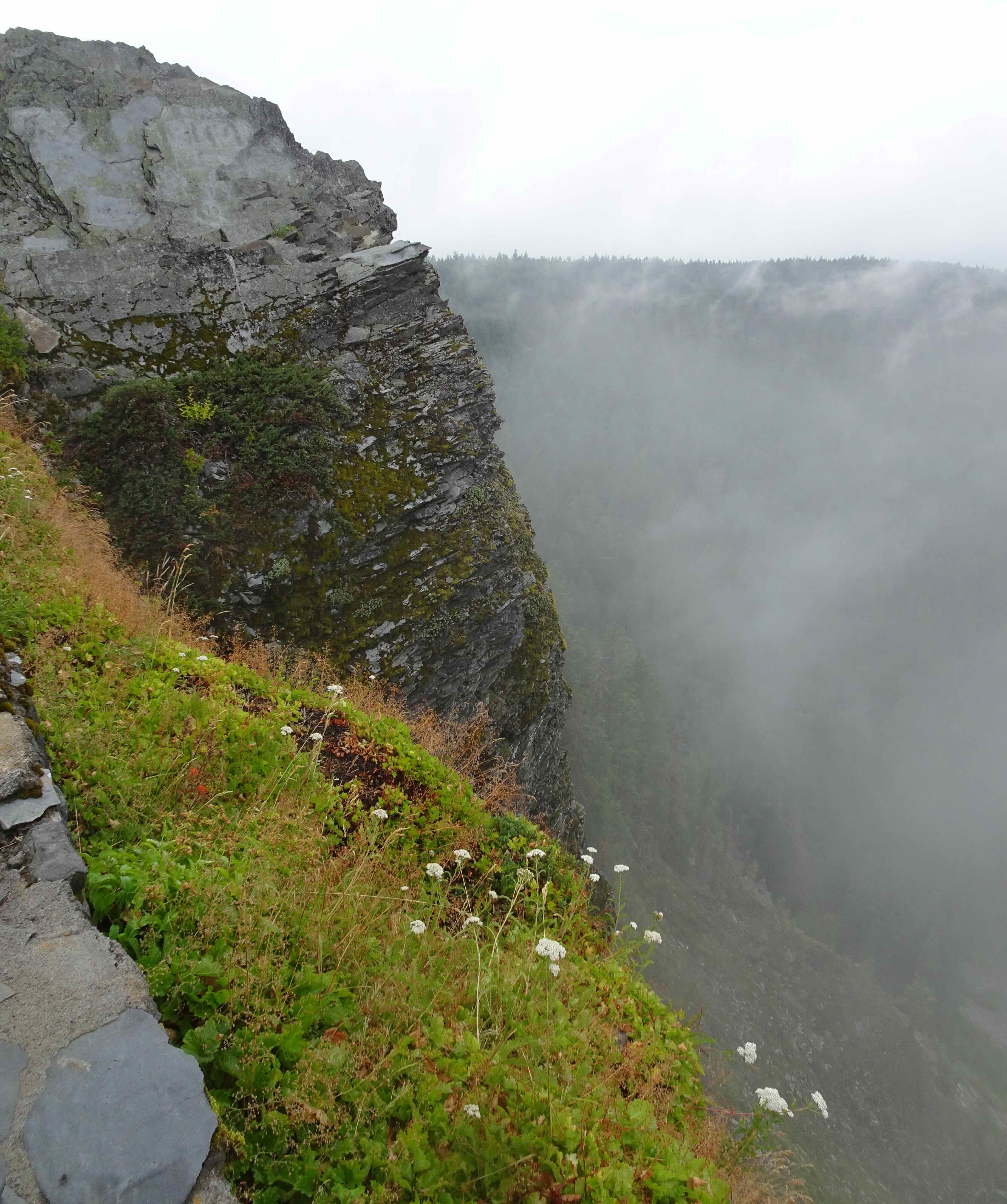
Looking north – clouds, rocks, wildflowers

Traveling – June 23 – July 13 – We drove completely around Iceland, more than 1200 miles of driving, and more than 50 miles of hiking. We visited every size and shape of waterfall; also, volcanic rocks, geothermal fields, glaciers, fjords, black sand beaches, birds, and wildflowers. I plan to create a more detailed post in the future. Below is a highlight photo collage.

Meanwhile, a couple of family members were also traveling:

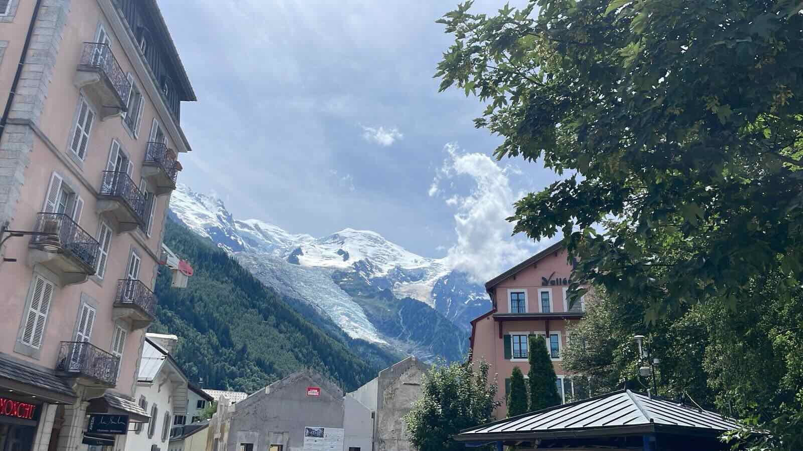
From Iceland, my husband continued eastward to Chamonix, France. He completed an 80 mile hiking tour of Mont Blanc with a tour company!
08aafff2-f94e-439a-9653-172263dbe458

Mont Blanc

And my daughter was able to travel with friends to Portugal, then on to Paris for a bit of Olympics!

Looking forward…with hope…

ScreenshotIMG_2078

June 2024

June, so far…Three hikes, watching the tomatoes grow, pulling weeds, checking off the medical and dental appointments, some home maintenance, and getting ready for travel. Then off we went to Iceland for three weeks… (See next post)

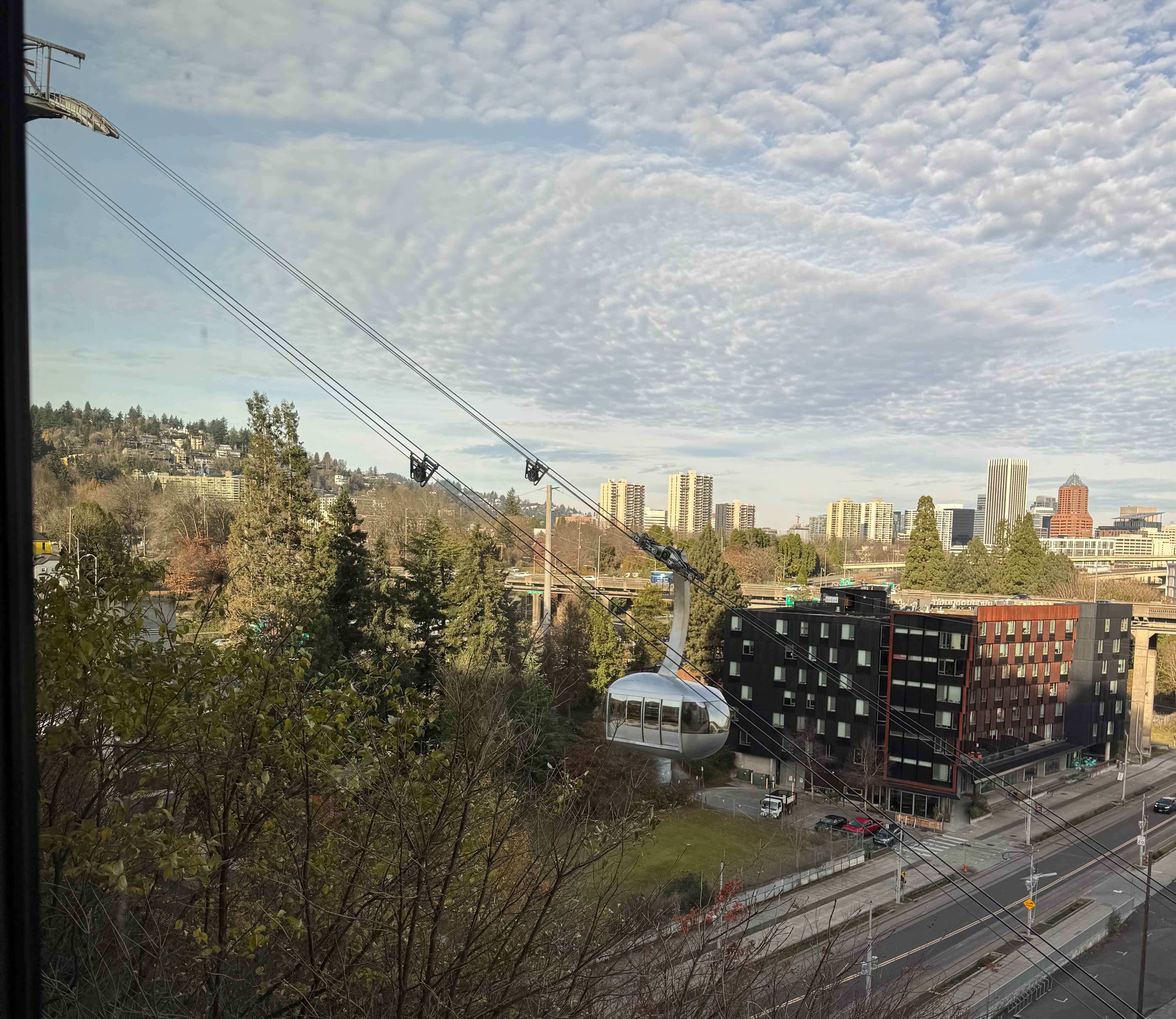
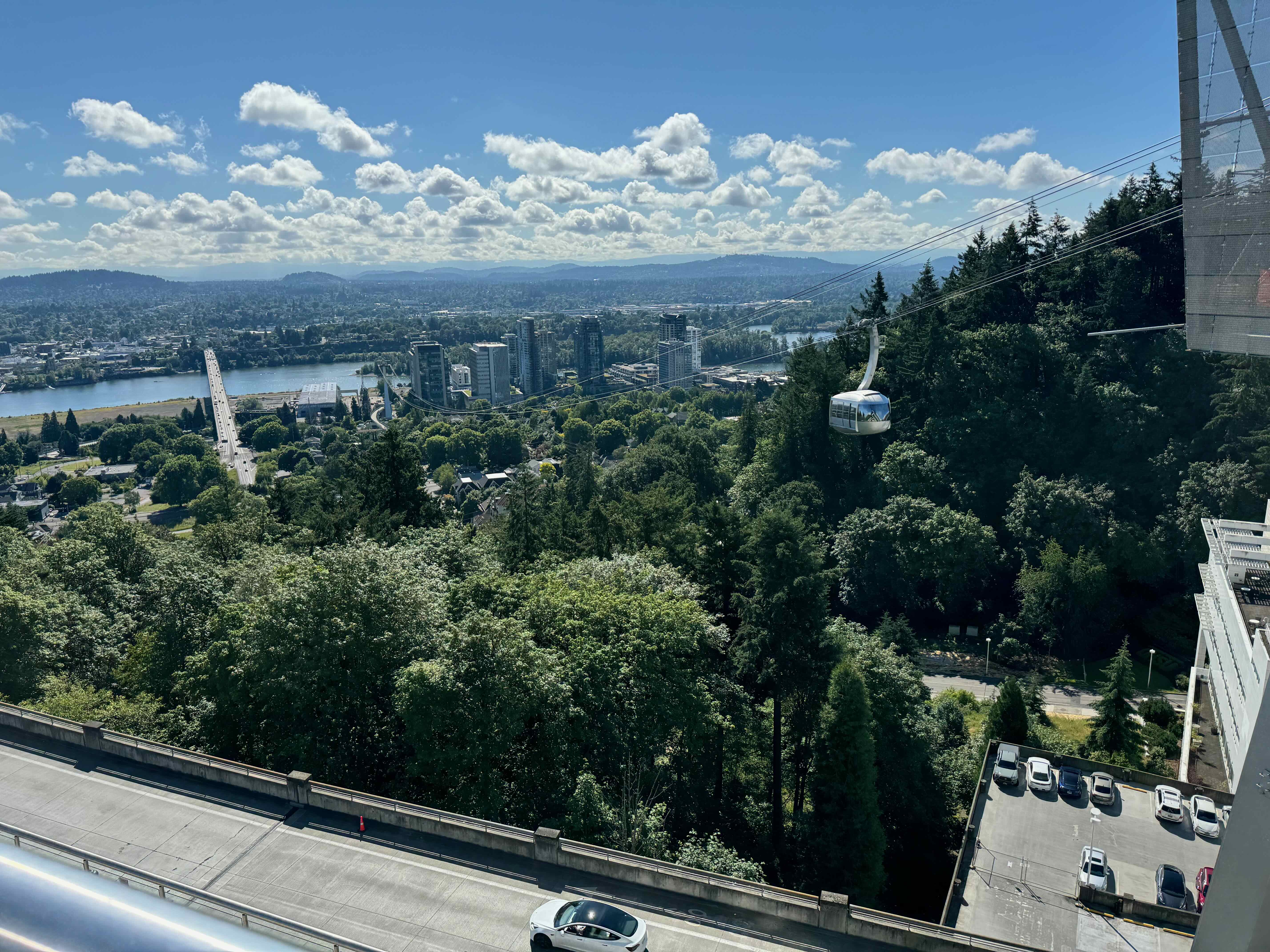
Some views from the tram plaza at OHSU:

IMG_1554 2IMG_1558 2IMG_1551 2

Knitting – I’m making slow but pleasant progress on my Garter Mesh scarf, using the Linello yarn I bought in Innsbruck last summer. I enjoy watching the rainbow unfurl as I go. And I’ve got the second sock of a pair ready for airplane knitting.

IMG_1548

Knitting in progress…

I started knitting an Emotional Support Chicken, using leftover sock yarn. So fun! This one really calls to me, even though I have other things to work on.
IMG_1583

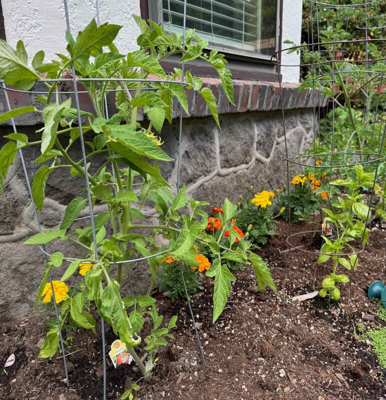
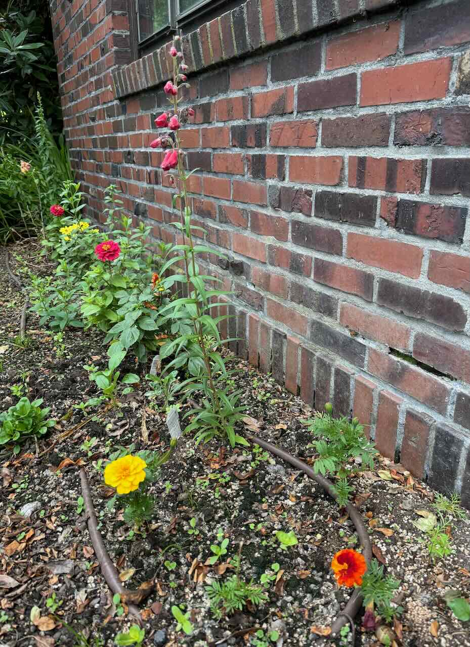
Garden – The tomatoes, basil, and flowers are growing – I have foiled the snails and squirrels so far. I’m hoping for an overgrown profusion of flowers and tomatoes when we return.

IMG_1545

Tomatoes, basil and marigolds

IMG_1543

Snapdragons, zinnias, cosmos, dahlias, and pentstemon.

IMG_1511

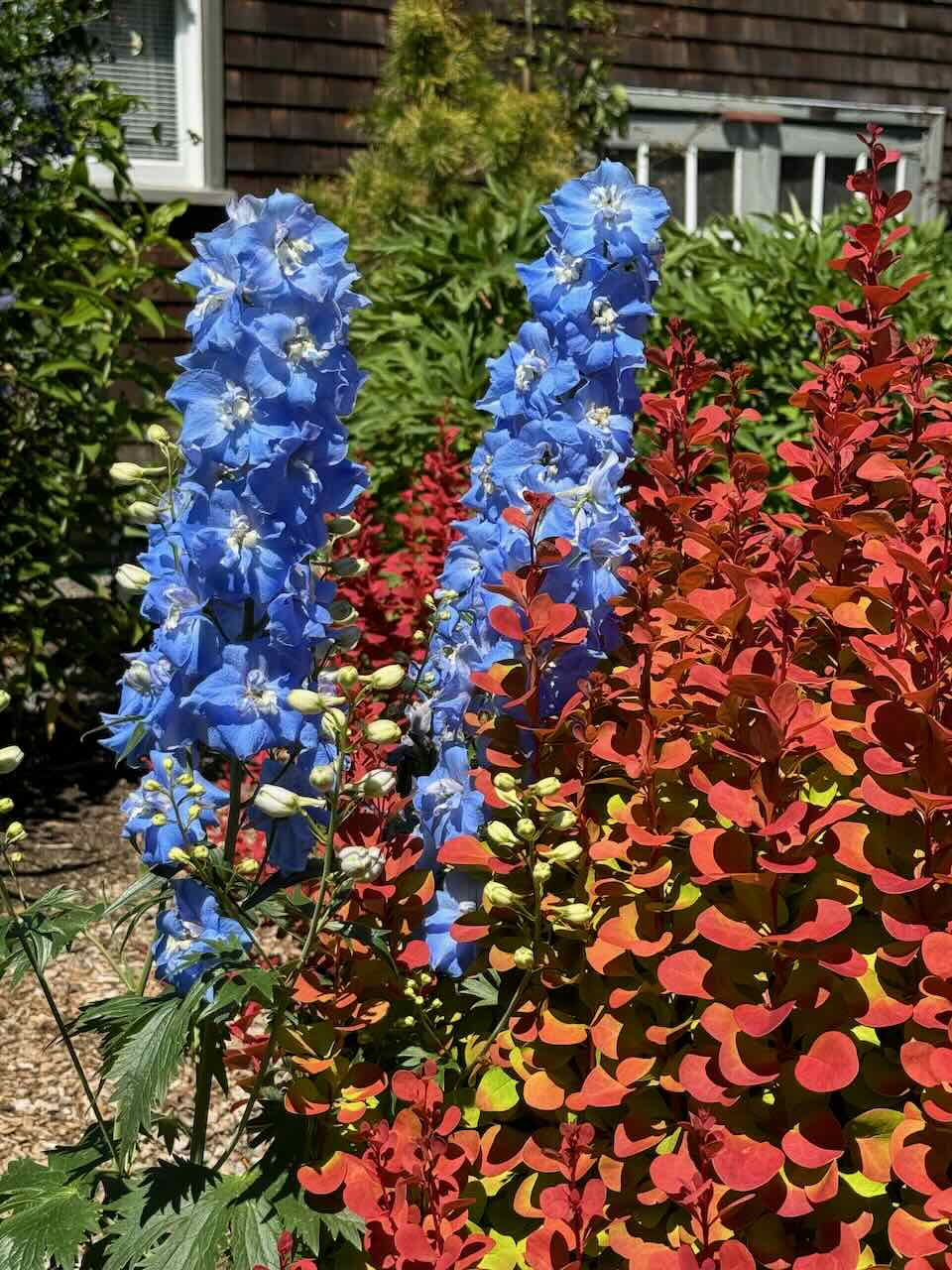
Delphinium in the neighborhood

Hikes –

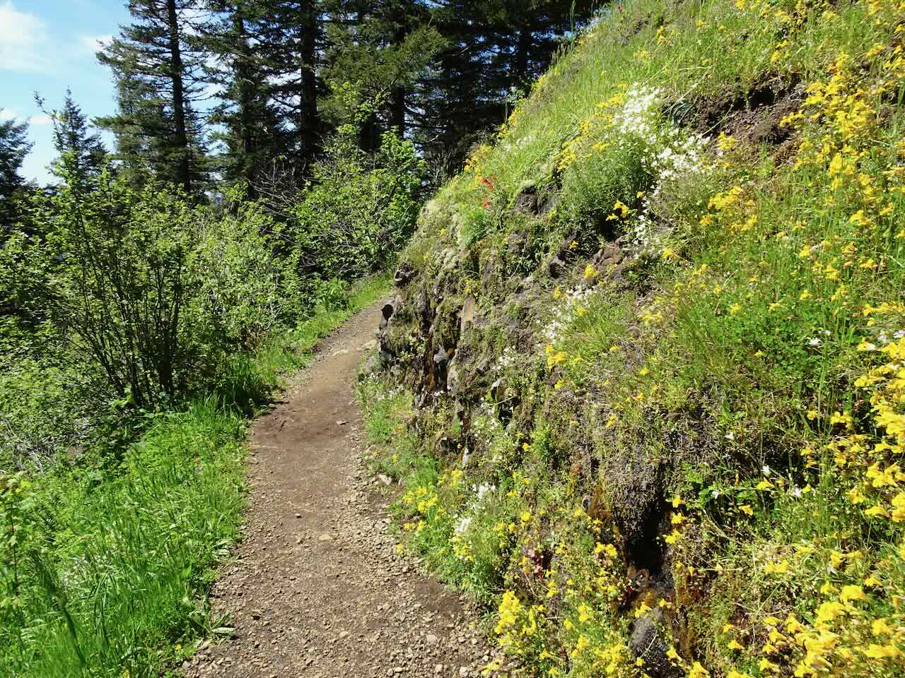
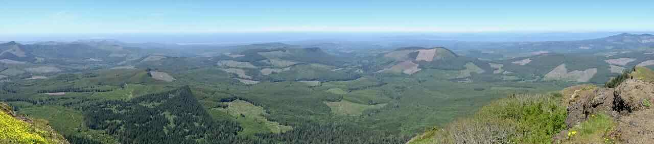
June 6 – Saddle Mountain, OR – We love this hike, though it seems steeper each year. The yellow monkey flowers were particularly bright this year, and I found the first of the Lewisia columbiana, just starting to bloom. All the Cascade Mountain peaks were out today.

DSC05568

Saddle Mountain from the trailhead, and a meadow of candy flowers

DSC05586

Monkey flowers along the trail

DSC05591

Topknot Rock

DSC05601

Meadows, approaching the penultimate high point.

DSC05607

But we still have to go down the saddle and then up to the summit; fortunately, the wildflowers pull me up.

DSC05620

Mts Rainier, St Helens and Adams from the top

DSC05622

Panorama – west to north – Pacific Ocean, Astoria

DSC05621

Panorama –  north to east – The High Cascades: Mts Rainier, St Helens, Adams, Hood and even Jefferson in the haze south of the lower summit.

Some of the flowers:

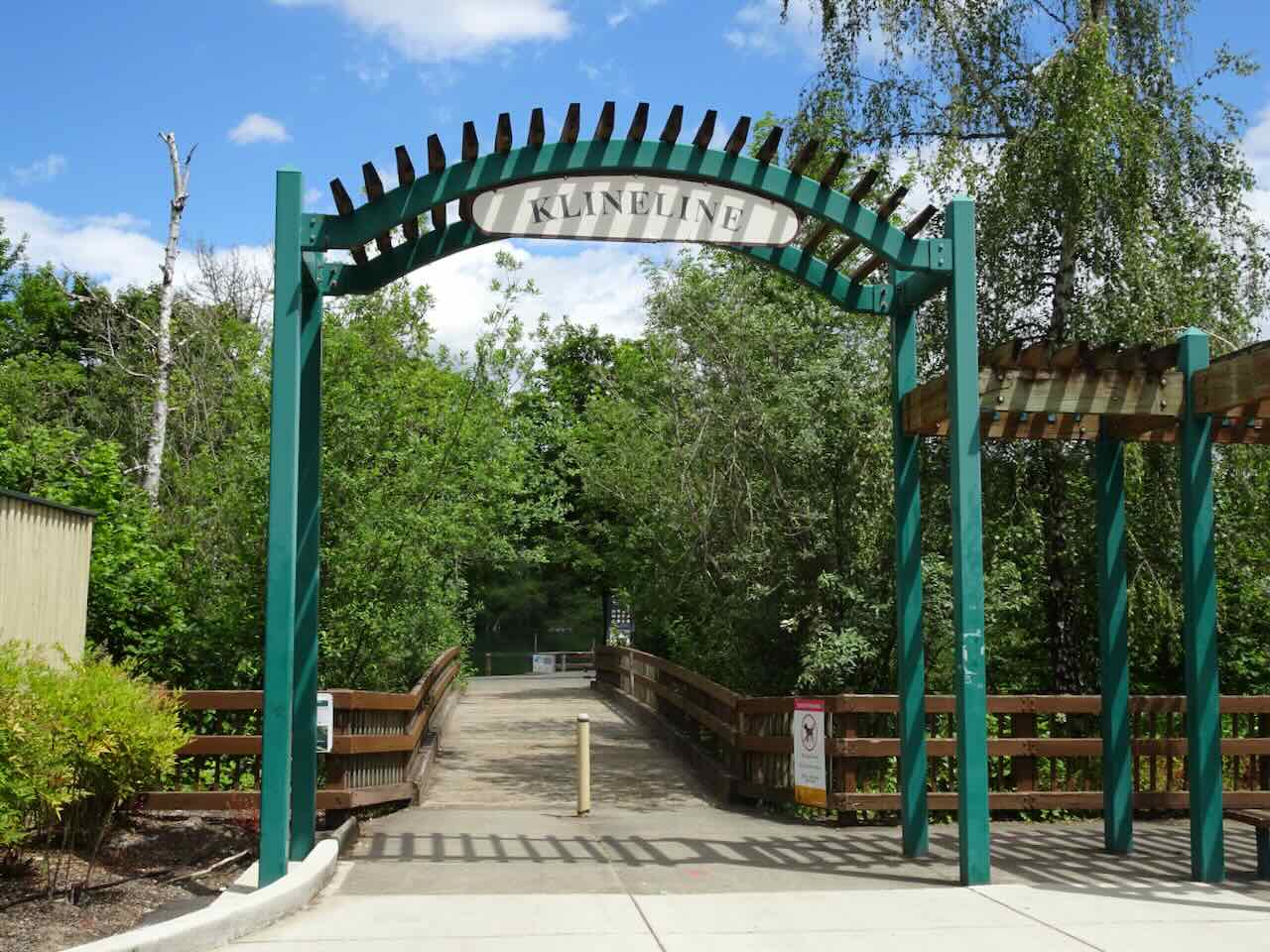
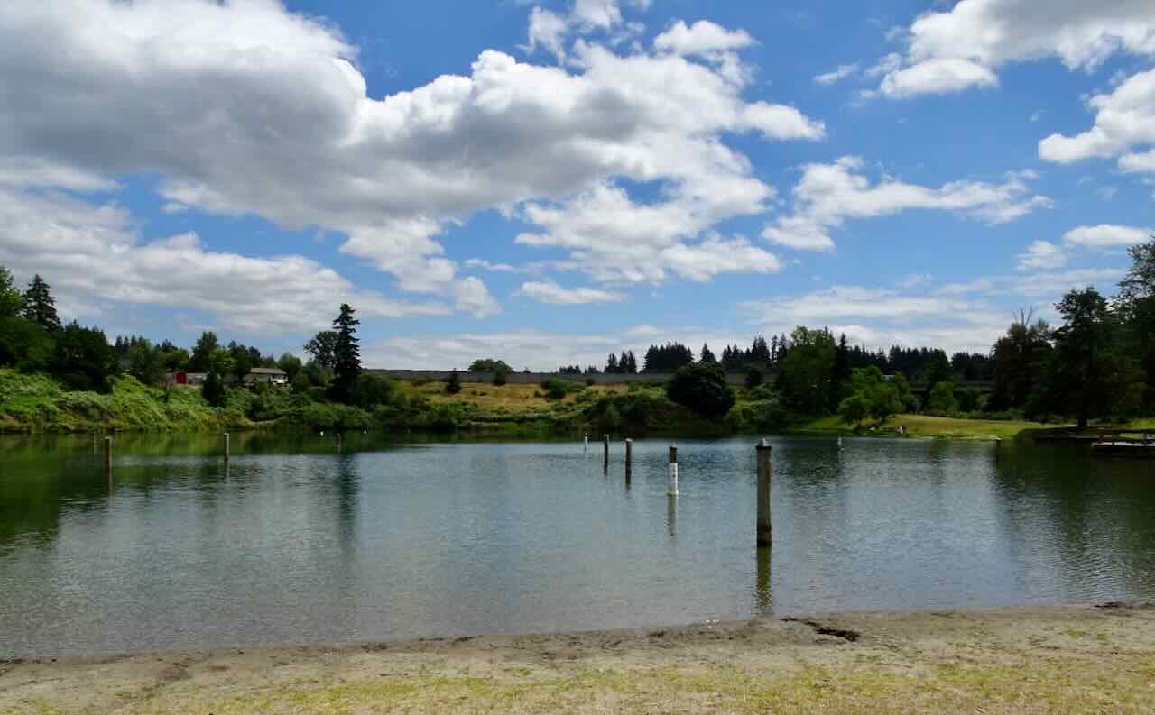
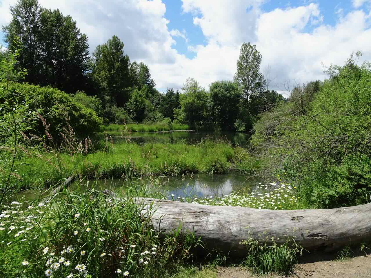
June 11 – Salmon Creek Greenway Trail and Klineline Pond, WA – One day our appointments were near Salmon Creek in southwest Washington, and we had some extra time for a walk here. It was okay – a bit too hot to walk very far on this unshaded trail, and far enough into the summer that things were getting a little weedy and dry – not a wilderness experience, but a valuable resource for locals – a swimming and fishing pond, a bike path along the creek, and nearby sports fields. We could hear lots of birds in the trees.

DSC05646

Bridge over Salmon Creek

DSC05648

Salmon Creek from the bridge

DSC05650

Klineline Pond

DSC05651

Another pond along the greenway

June 19 – Lookout Mountain, Oregon –  Somehow we got the idea that this hike was accessible, and the trailhead (6000 feet) is, but half a mile and 400 more elevation feet up the trail, and it was all snow. We weren’t really equipped for that, so we spent a little time looking at the abundant shooting stars, marsh marigolds and buttercups in the High Prairie Trailhead meadow.

DSC05662

High Prairie Trailhead

DSC05661

400 feet higher – the trail disappeared under snow.

DSC05669

High Prairie Meadow, Mt St Helens beyond

DSC05663

Shooting stars and buttercups

DSC05667

Marsh Marigolds

On our return drive, we took a short walk on the Cook Meadows side trail that we explored last summer in July when it was bursting full of wildflowers. We saw just the beginnings of the bloom there.

DSC05674

Cook Meadows view of Mt Hood, June 2024

DSC00468

Same view, July 2023, with scarlet gillia

Some of the flowers we saw today:

The first of the season King/Coho salmon was available from a native fish market in Hood River, making our trip worthwhile, even if our hike was abbreviated.

And of course, Happy Solstice and Happy Pride Month!

IMG_1541

Next stop, Iceland!

May 2024 Hiking, wildflower season…

We went on five hikes in May. Though most were repeat hikes, we return for good reason – to see the wildflowers. And we found a new trail with mountain lady slippers in bloom!

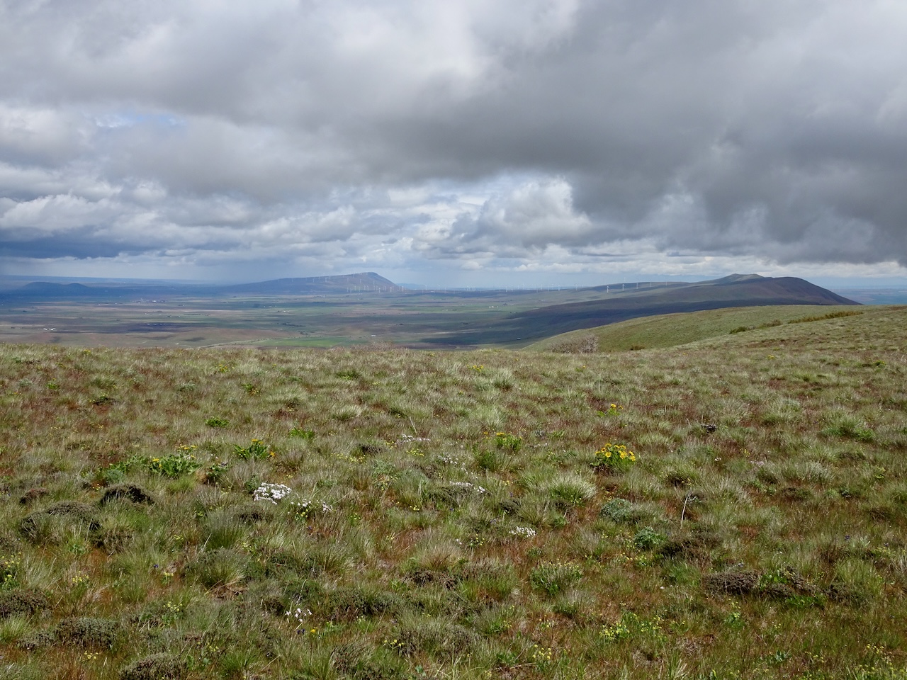
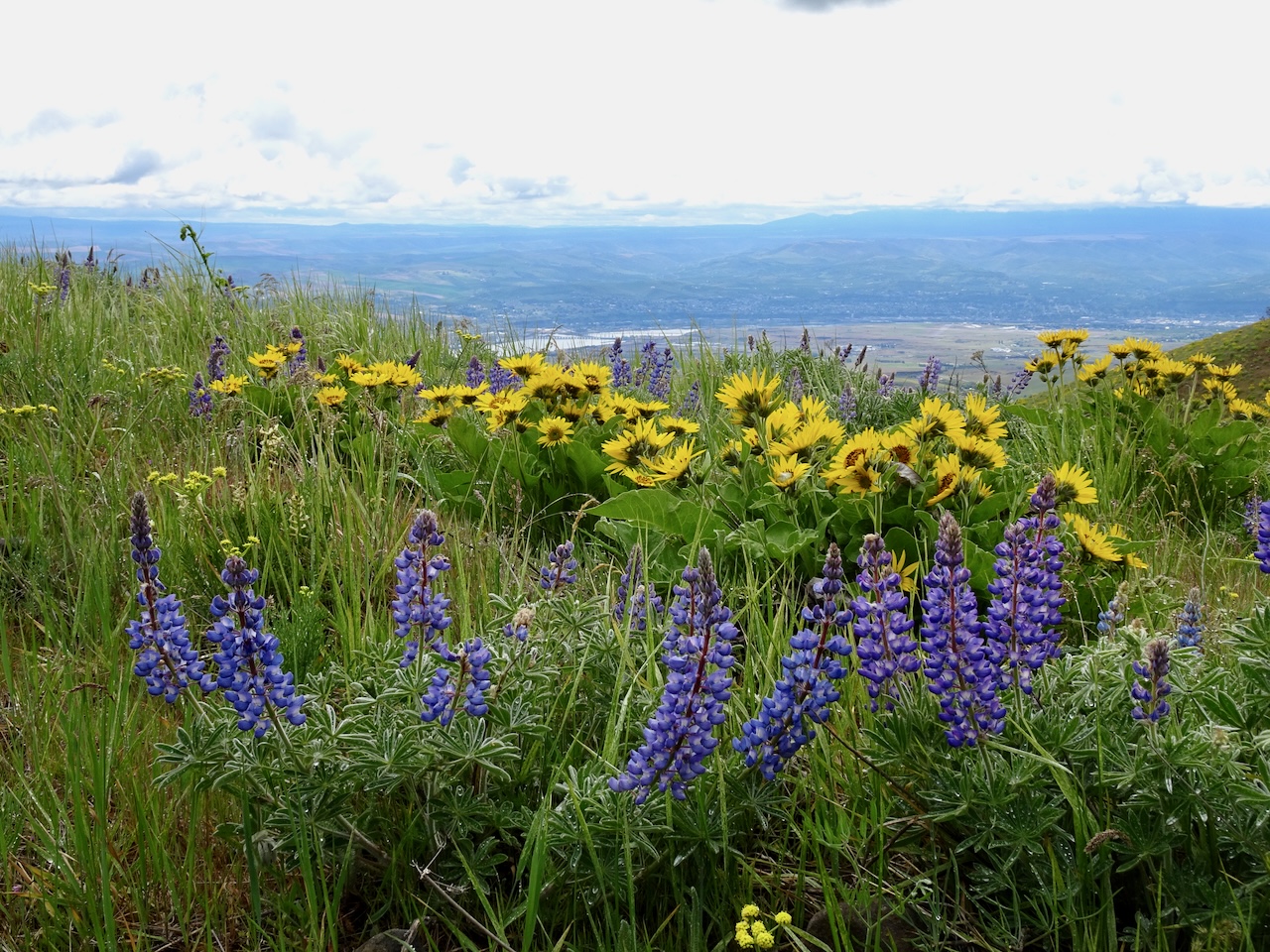
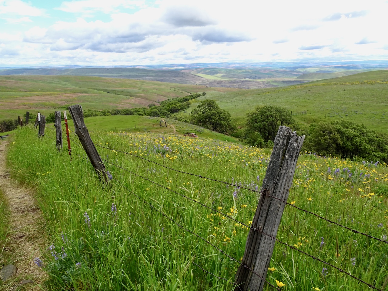
May 2, Stacker Butte, WA – We hiked along the road above Dalles Mountain Ranch to the top of Stacker Butte on a foggy day – the clouds lifted and did not rain on us. All the wildflowers were out! (5 miles, 1000 feet)

DSC05291

Looking up from the trailhead…

DSC05294

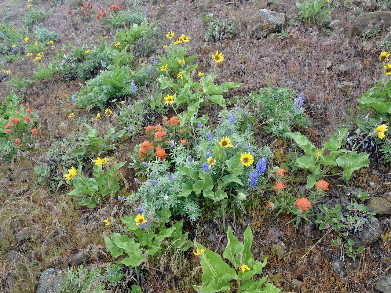
Paintbrush, lupine, and balsamroot

DSC05297

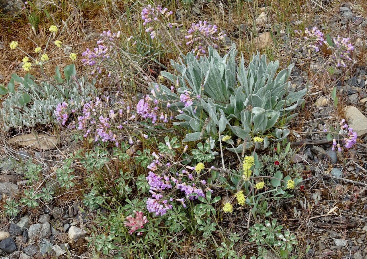
Daggerpod, desert parsley, large head clover, and buckwheat

DSC05299

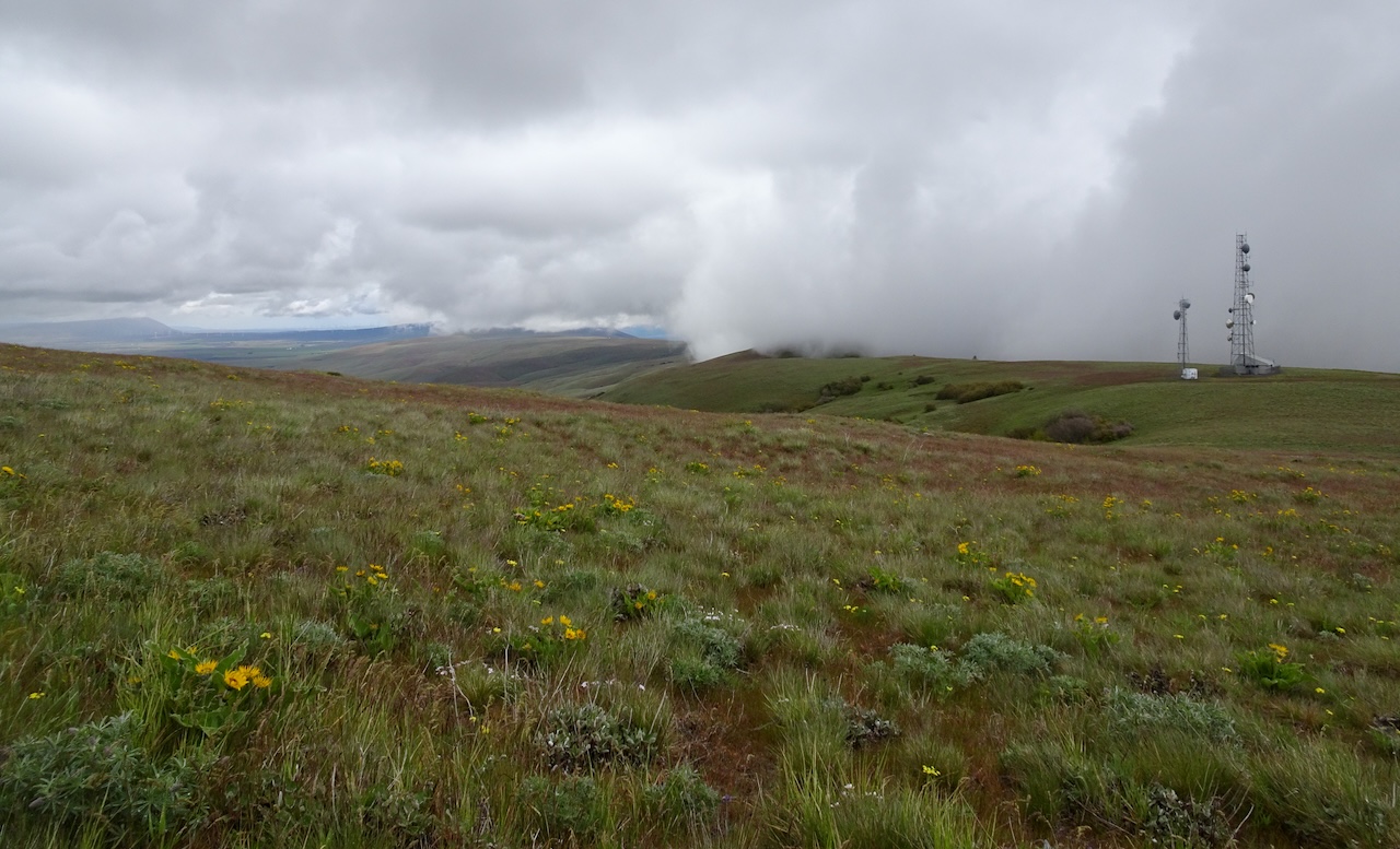
Looking toward the crest and some of the many cell towers at the top

DSC05301

Paintbrush, phlox, and all the rest

DSC05306

Lunch view from the top, looking north.  Clouds blocked our view of Mt Adams; bight yellow wildflowers painting the slopes above Swale Canyon.

DSC05318

Long view to the east, with wind turbines.

DSC05322

And looking south, back to the river, The Dalles, and Dalles Mountain Ranch.

DSC05331

Lupine and balsamroot

DSC05344

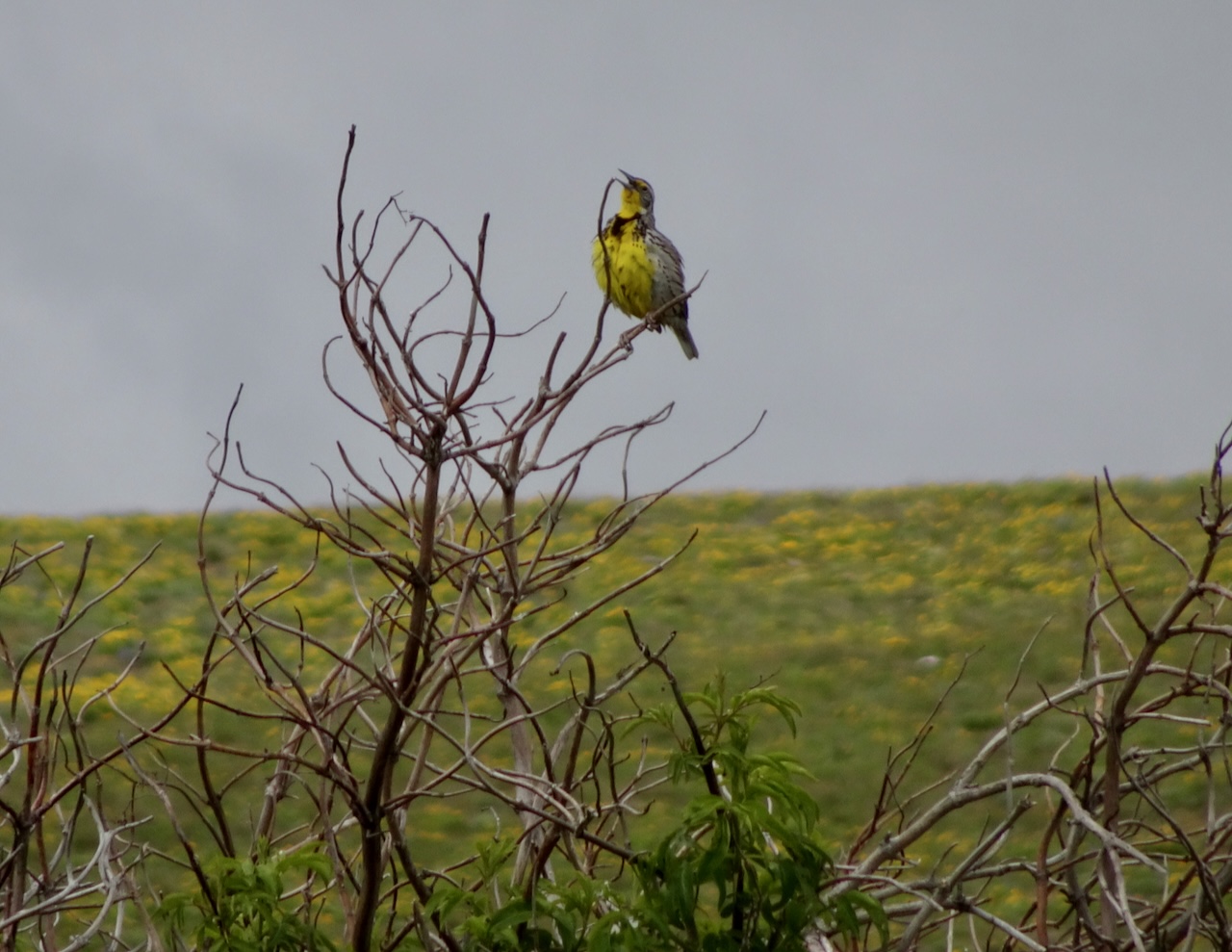
One of many meadow larks, singing.

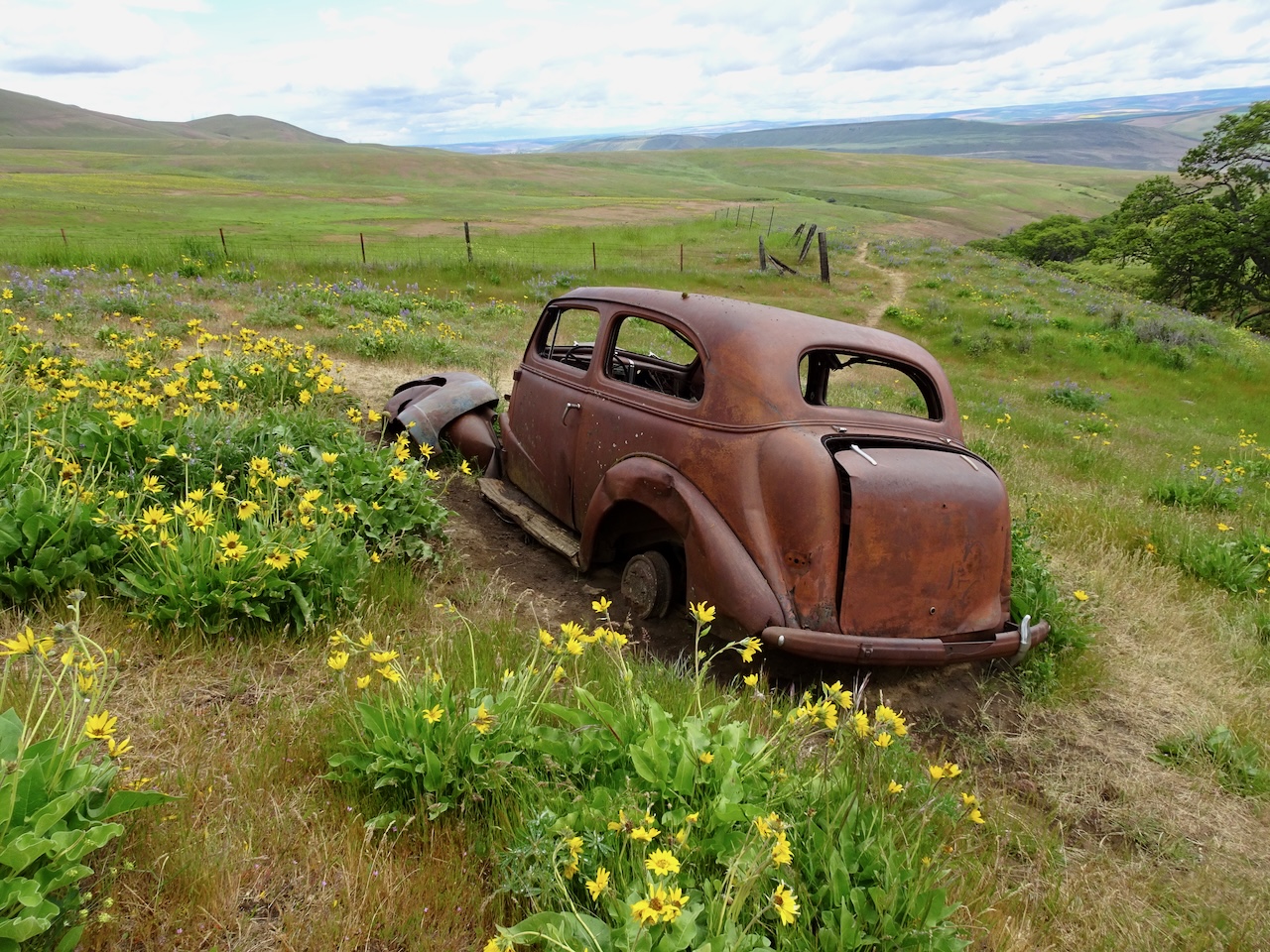
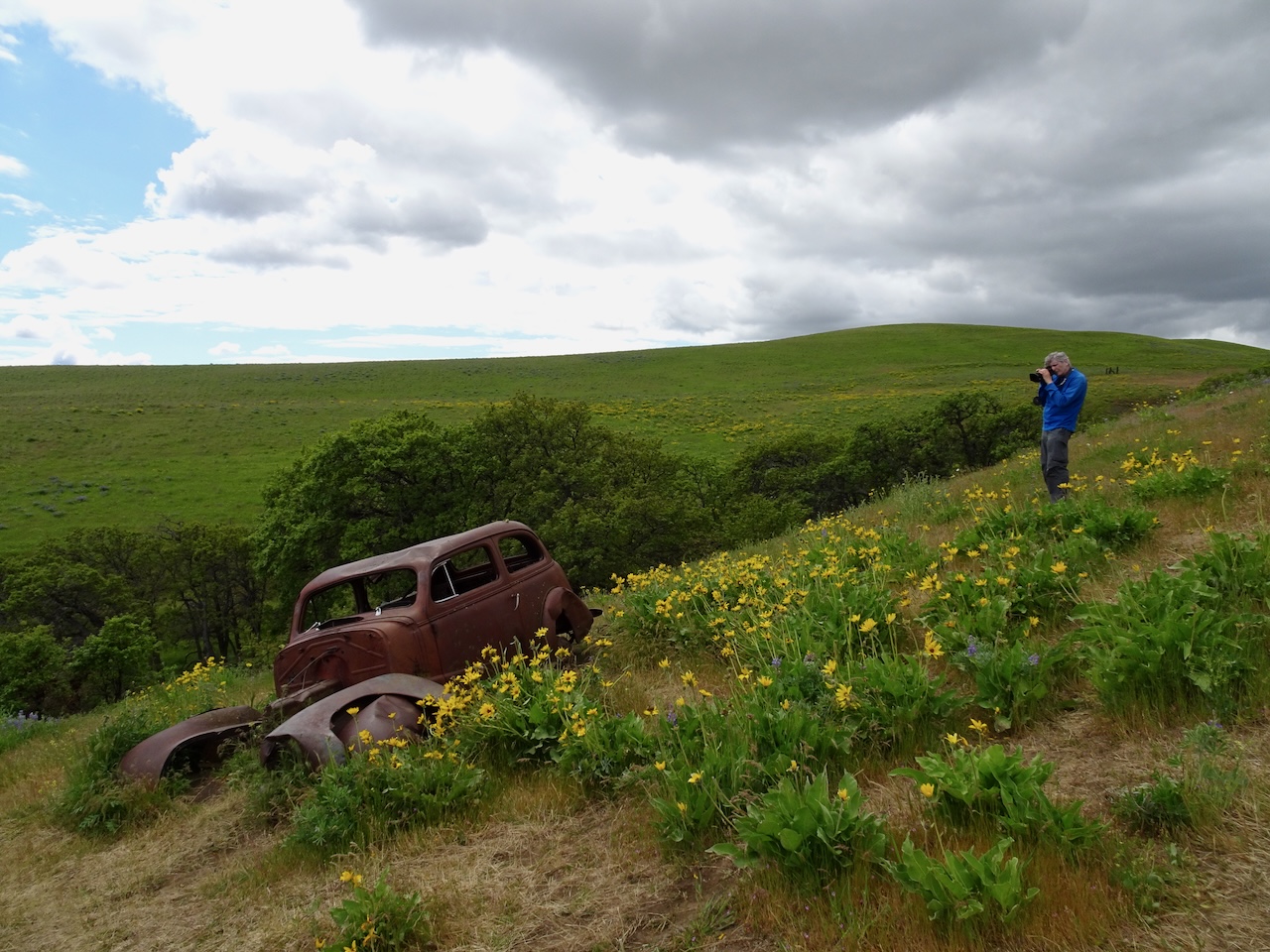
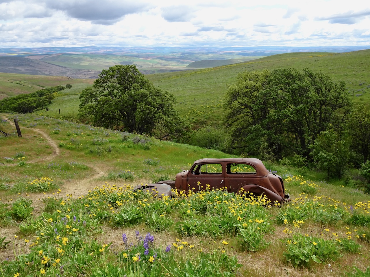
There is a famous rusted out jalopy near Dalles Mountain Ranch – often seen in flower-filled photographs this time of year. The short trail usually has lots of visitors, but there were none today, so we visited for the first (and likely the last) time, and took our share of photographs.

DSC05353DSC05359DSC05364DSC05362DSC05366

May 8, Weldon Wagon Road, WA – We took the usual hike up through the forest to the open slopes painted yellow with balsamroot and desert parsley (4.7 miles, 1200 feet).

untitled-44

The open slopes, and Mt Hood

IMG_1266

Along the trail

untitled-53-Edit

Fern leaf parsley

untitled-83

Bare stem biscuitroot/parsley

May 14, Tom McCall Point, OR – Again, our usual hike to the top, on an almost too warm day, with some later season blooms near the top (4 miles, 1000 feet).

DSC05372

Our objective – Tom McCall Point from Rowena Crest trailhead; Mt Hood peeking up on the right.

DSC05391

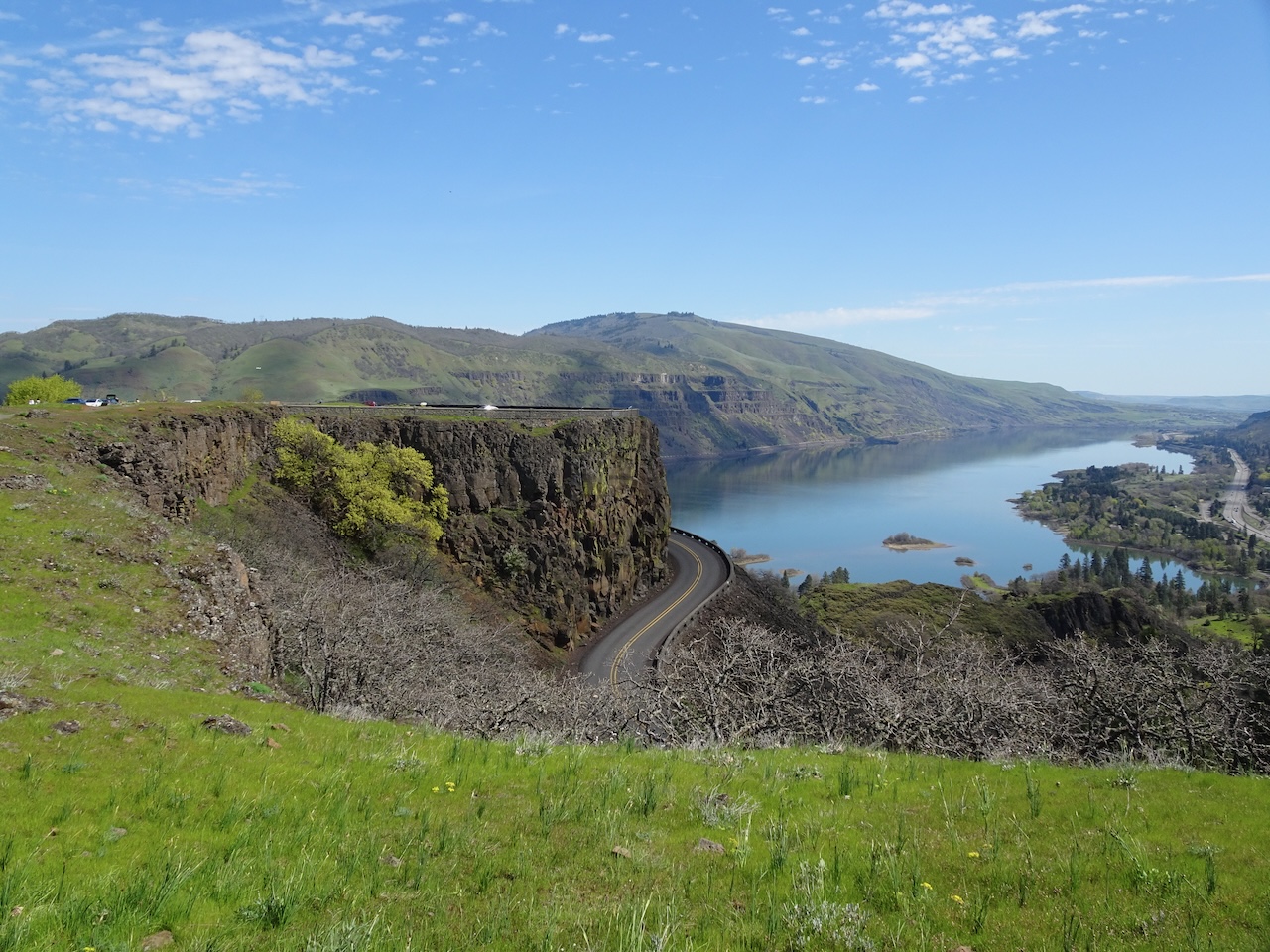
Looking back at Rowena Crest, the Columbia River and Mt Adams.

DSC05396

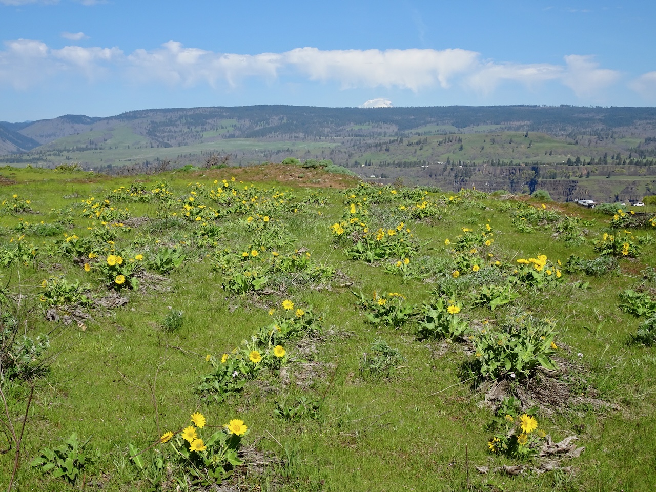
Penstemon, balsamroot, paintbrush and Mt Hood.

DSC05398

Looking toward Lyle Cherry Orchard from the top, and a distant yellow canola? field. We’ve never noticed that before.

DSC05404

Another view down river, with Mt Adams.

DSC05403

Blue flax

DSC05413

Clarkia

DSC05418

Whitestem frasera

DSC05424

And another pass through parsley alley on the return.

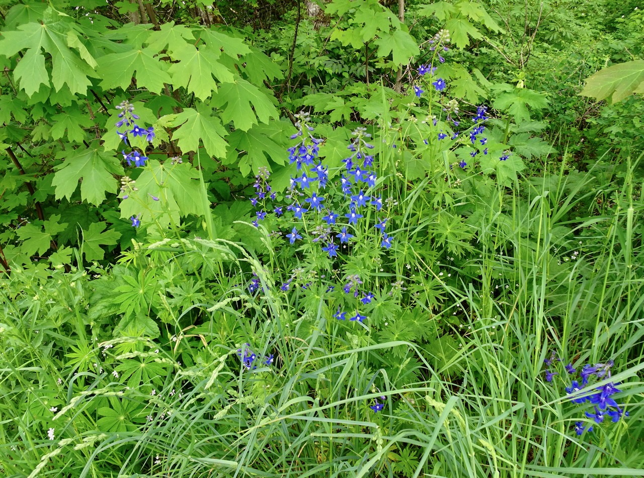
May 20, Cape Horn, WA – Our daughter joined us for this hike through the tall larkspur-lined trail – a seasonal treat! (3.3 miles, 600 feet)

DSC05438

Much of the trail looks like this – shady forest and tall larkspur, this time of year.

DSC05429

Larkspur

DSC05448

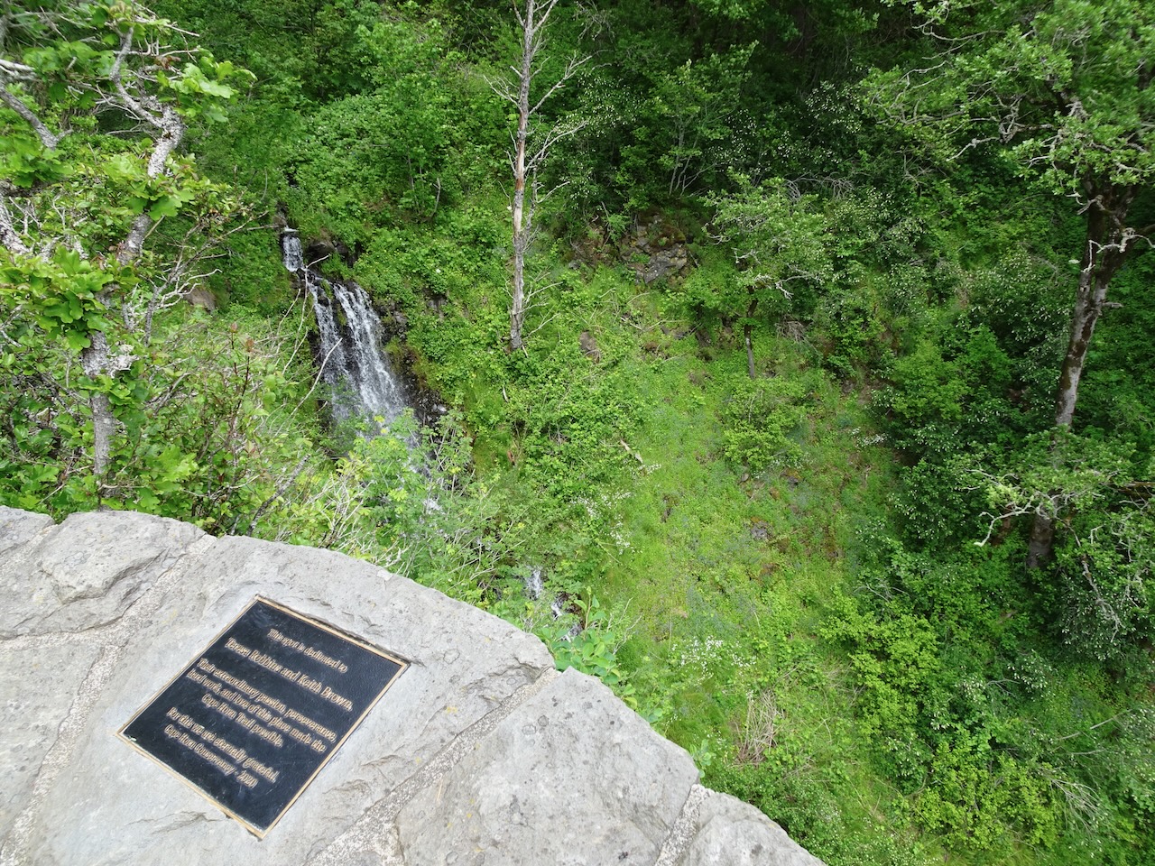
We walked all the way down to the waterfall viewpoint.

DSC05446

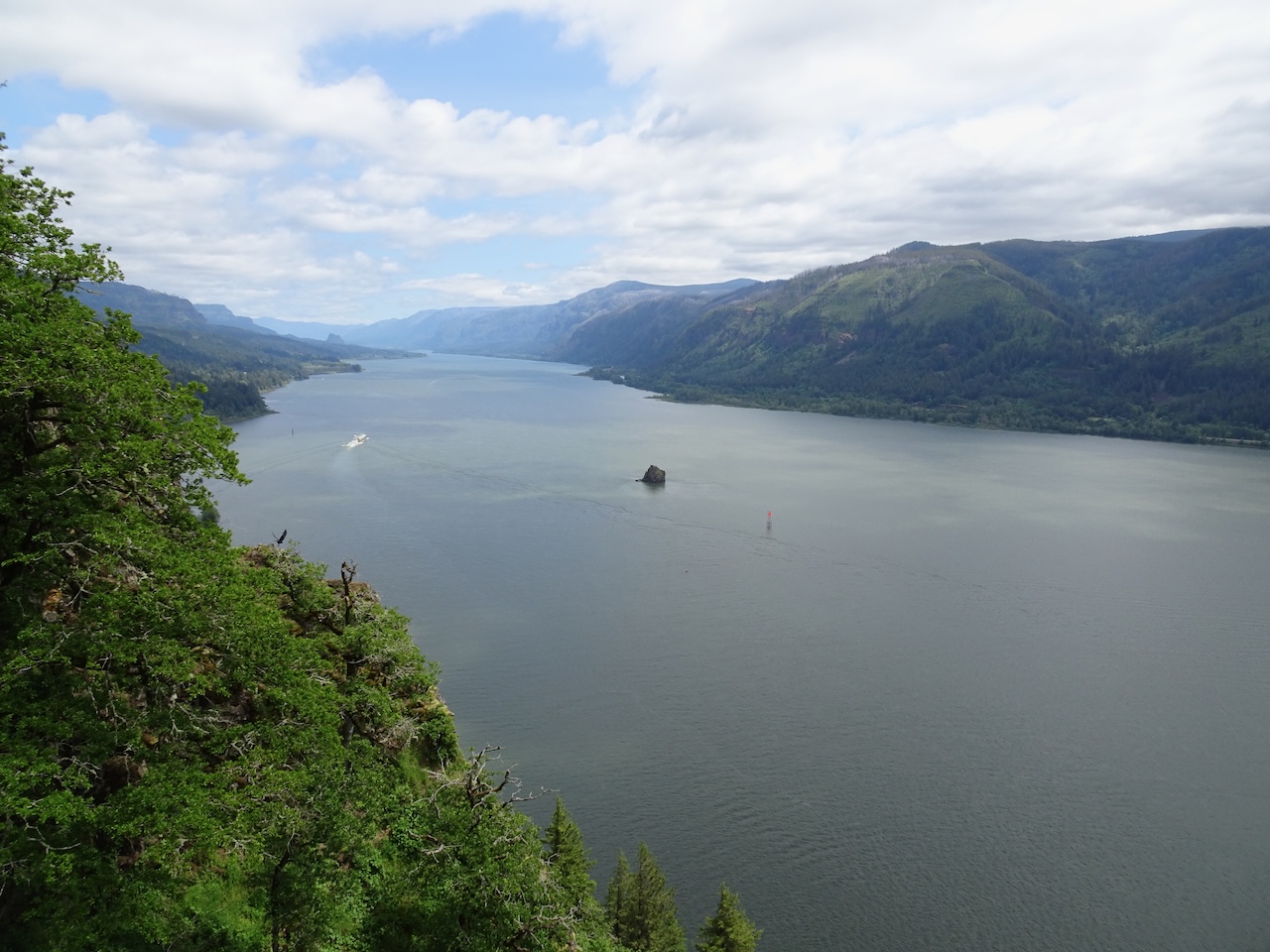
View up the Columbia River to Beacon Rock from the Waterfall Overlook.

A few other wildflowers seen today…

DSC05450

Red columbine, blue-eyed Mary, purple iris, white thimbleberry

DSC05454

Fringecup and larkspur

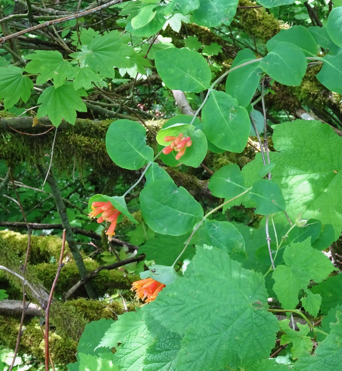
DSC05455

Honeysuckle

DSC05459

And more larkspur!

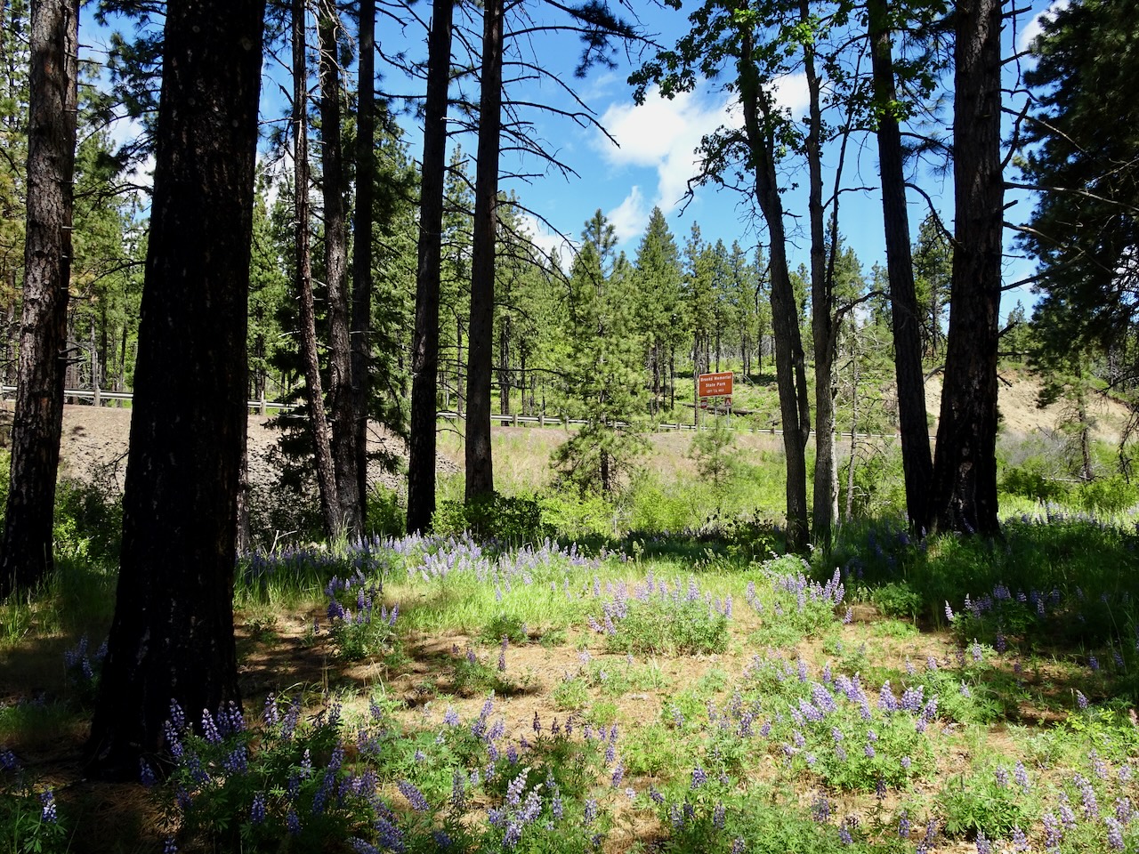
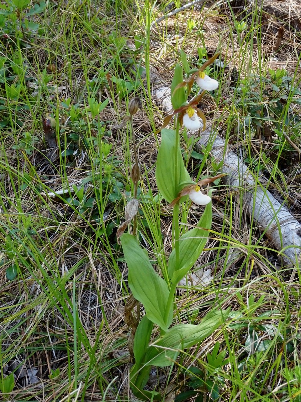
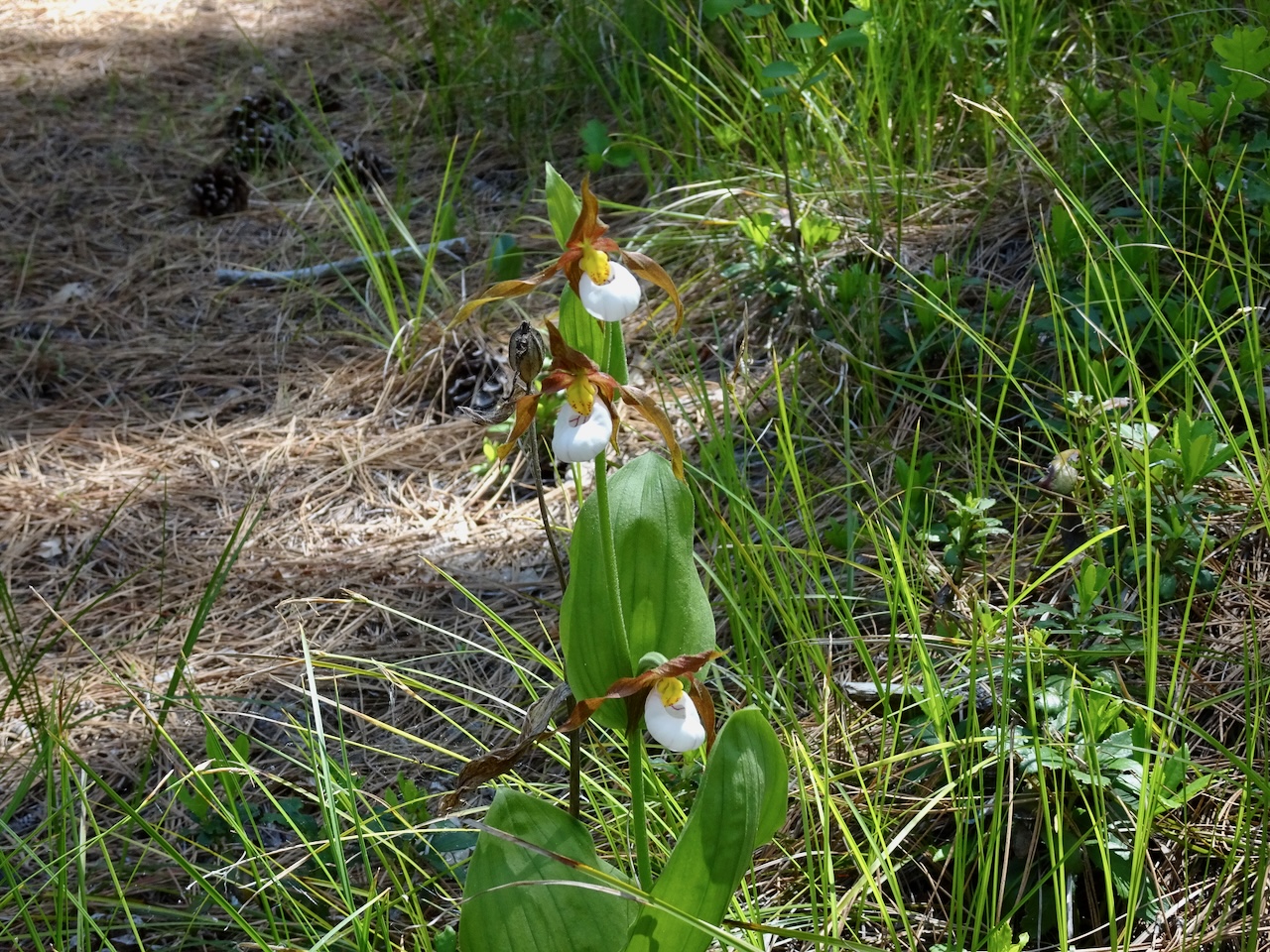
May 30, Lady Slipper Trail, Brooks Memorial State Park, WA – This was a new trail for us, about a two hour drive from Portland, in the Simcoe Mountains north of Goldendale, WA. We had heard that the Lady Slipper Trail here was a place one can see the elusive mountain lady slipper orchids. The plants are rare and endangered, so locations are not publicized. The park ranger told us approximately where to look.

DSC05467

Lupine in the picnic area, about 2600 feet elevation.

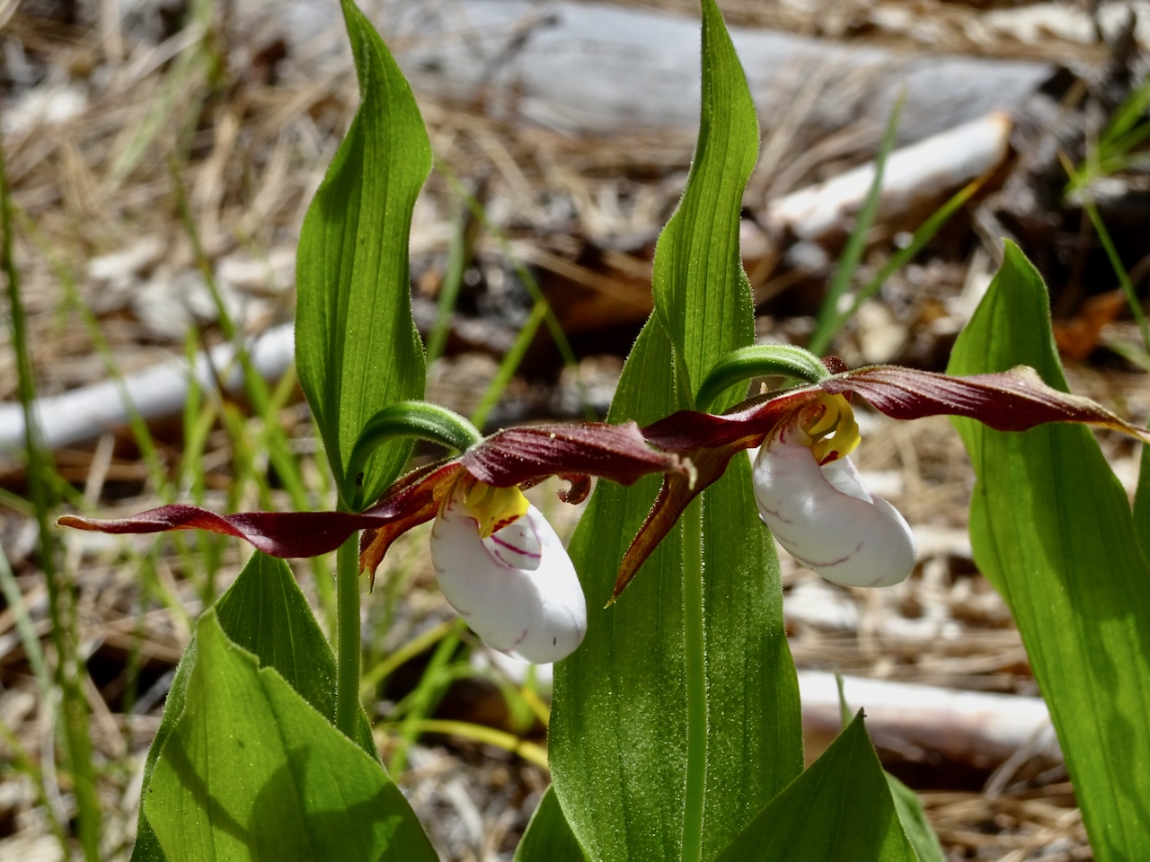
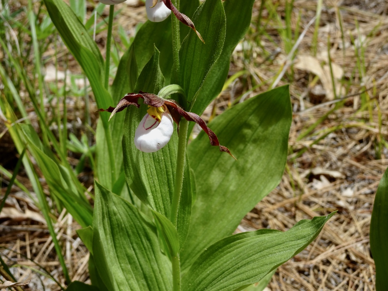
After lunch in the picnic area, we slowly hiked along the Lady Slipper Loop, looking carefully. We eventually found one patch of about a dozen blooming plants! (1.5 miles, 200 feet)

DSC05470

Mountain lady slippers near the trail

DSC05475

Another few clumps in a nearby clearing

DSC05477

Closer view

DSC05478

The other cheek

DSC05490

With forest beyond

DSC05494

Very pretty!

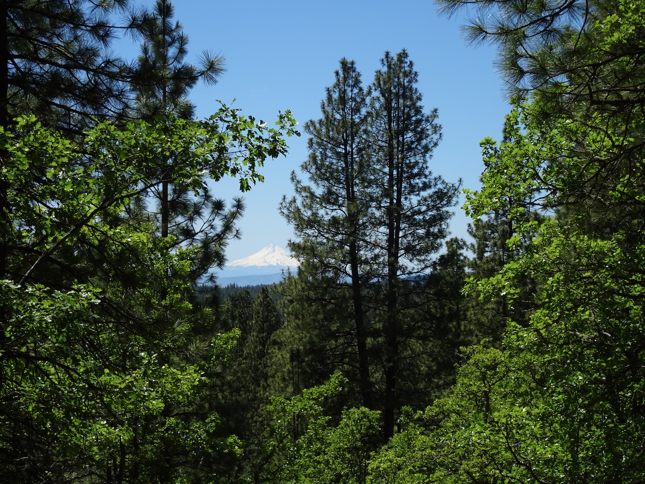
And we could see Mt Hood in the distance on the return trail.

DSC05499

After our hike, we stopped at the Maryhill Art Museum, as described in the previous post, before driving home.  We have certainly seen our share of the wildflowers in May!

April 2024, hiking, etc…

April is prime wildflower season in the eastern Columbia River Gorge. Before and after our road trip to California in the middle of the month, we hiked some of our favorite wildflower trails.

April 2nd – Tom McCall Preserve/Rowena Crest, OR – We walked the lower section of Tom McCall Preserve, and then a loop on Rowena Plateau, on a day when the balsamroot were just opening, and unusual clouds were reflected in the Columbia River.

DSC03781

Looking back at the Rowena Crest viewpoint

DSC03730

Popcorn flowers in the meadow

DSC03733

Glacier lilies

DSC03750

Balsamroot just starting to bloom at the lower elevations

DSC03742

Fresh balsamroot

DSC03760

Parsley alley, with purple Columbia desert parsley

DSC03775

and fern leaf parsley

Over on Rowena Plateau…

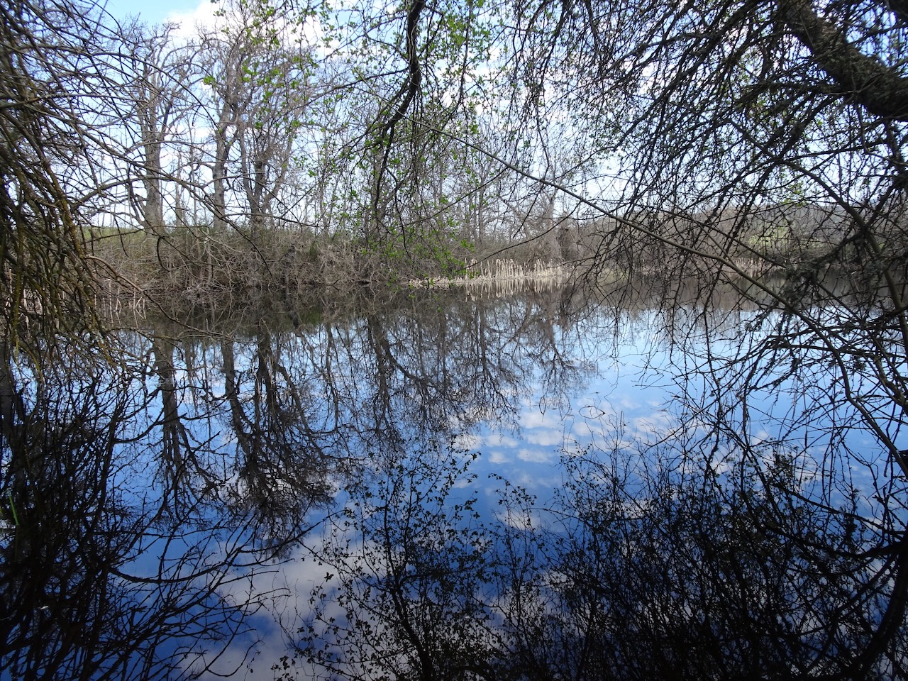
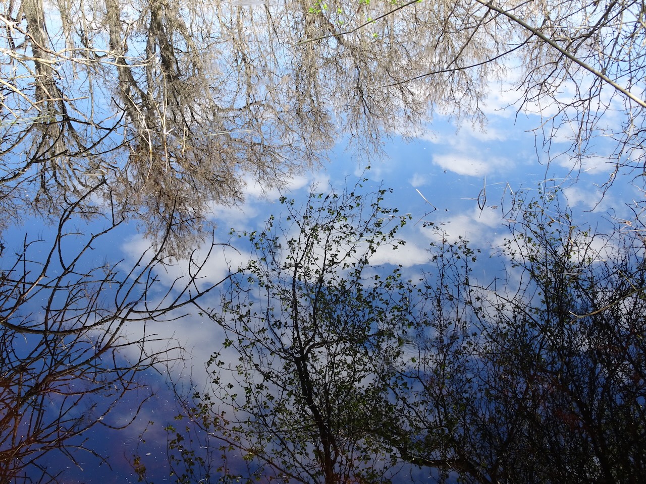
DSC03833

Clouds reflected in the glassy Columbia River

DSC03813

And in the pond on the plateau

DSC03828

April 5th – Memaloose Hills, OR – My childhood friend Susan visited for the first time since the pandemic. We took her to see the balsamroot in the Memaloose Hills, on a slightly rainy and windy day.

IMG_0983

Walking up the southside of Chatfield Hill with freshly blooming balsamroot.

More flowers of the day…

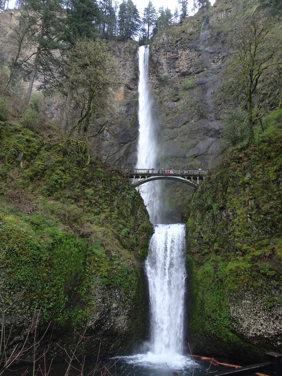
And we stopped to show her Multnomah Falls on the way home…

DSC03885

Multnomah Falls

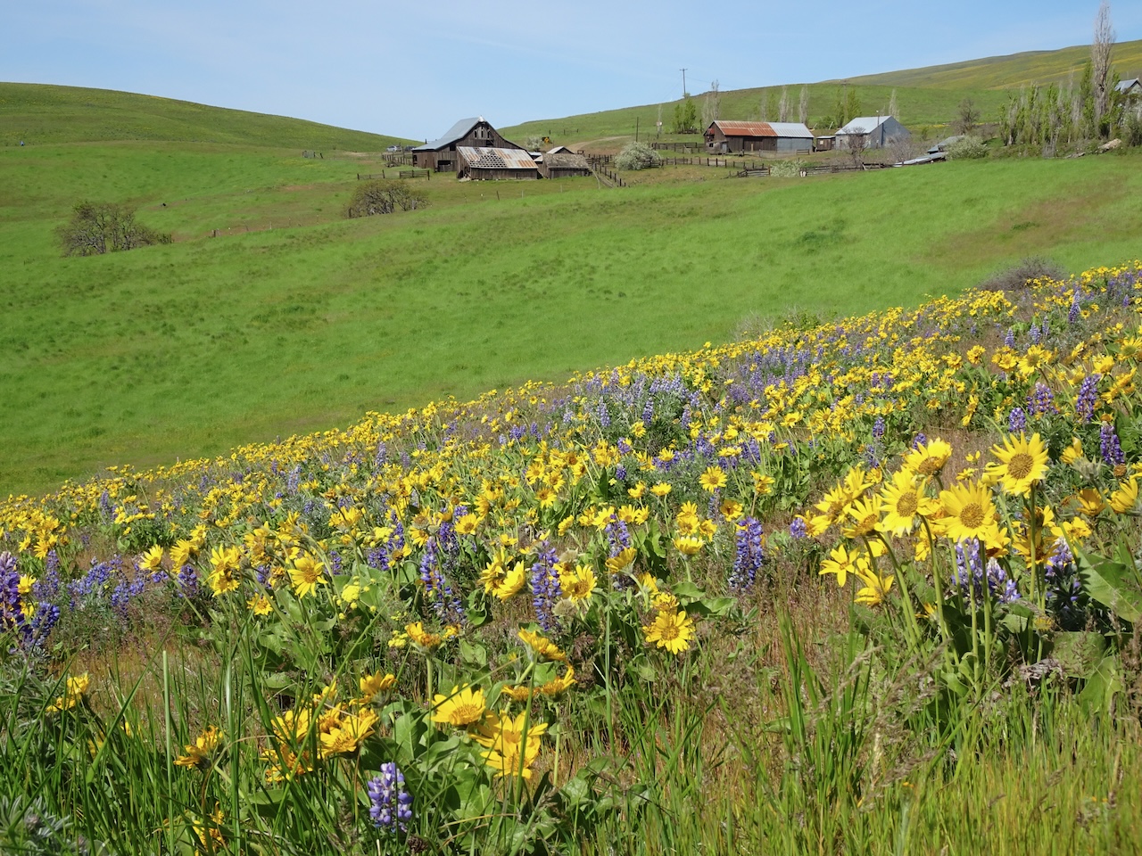
April 22nd – Dalles Mountain Ranch, WA – We hiked the Upper Loop near the ranch through these famous blooming fields…

DSC05085

Balsamroot and lupine, Dalles Mountain Ranch

DSC05102

Balsamroot

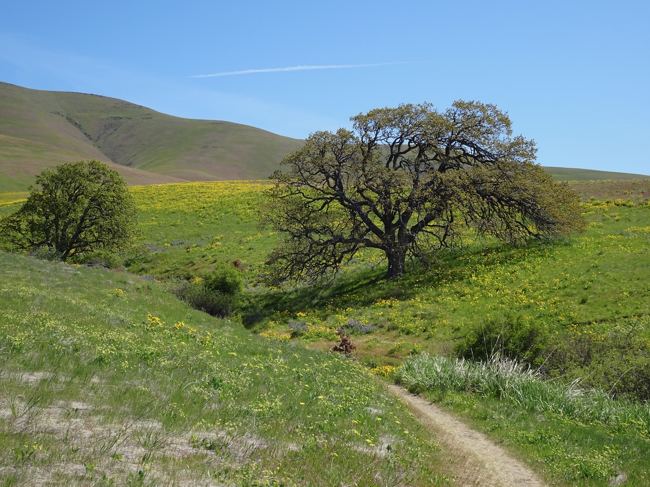
DSC05122

One tree to rule them all!

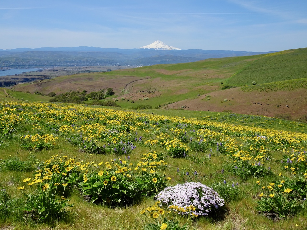
DSC05160

Phlox, Mt Hood

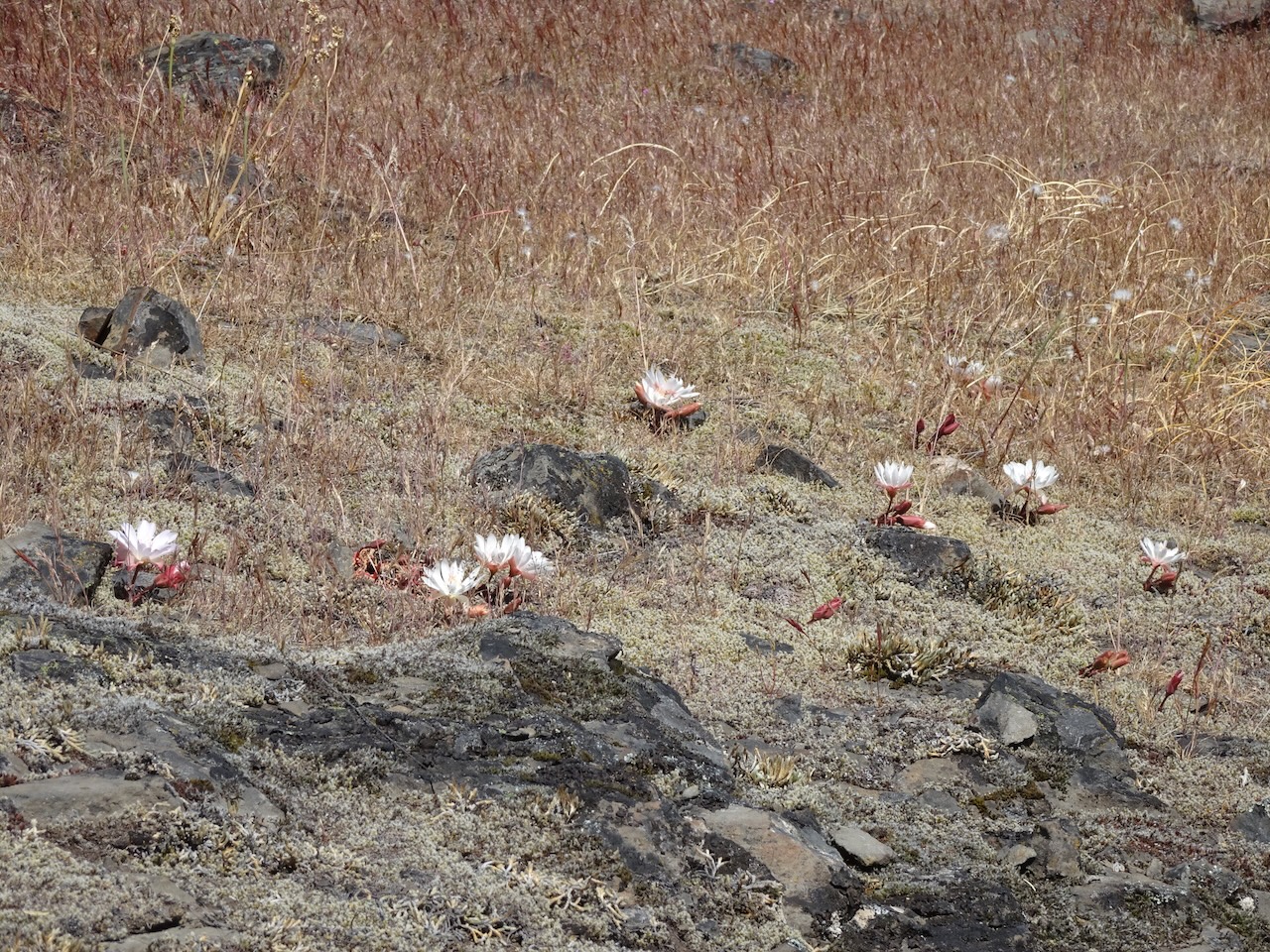
April 22nd – Catherine Creek, WA – And we heard that the Lewisia had begun blooming at Catherine Creek, so we made a short side trip up to the Fairy Ponds on our way home.

DSC05226

Bitterroot on basalt

DSC05230

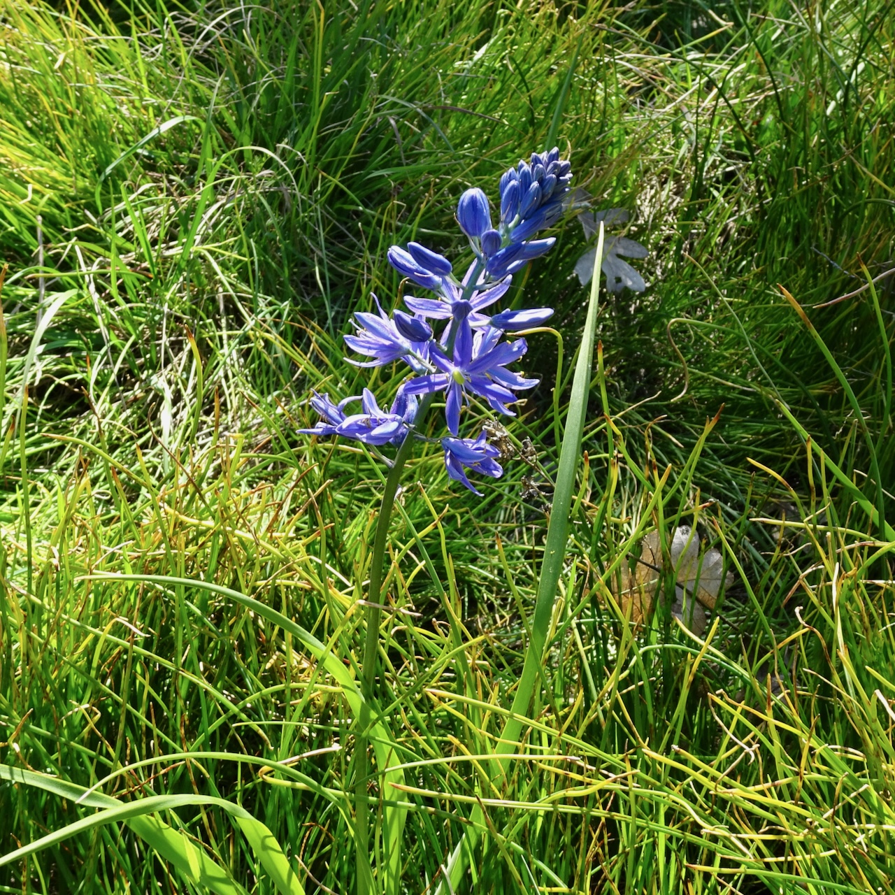
Camas

DSC05239

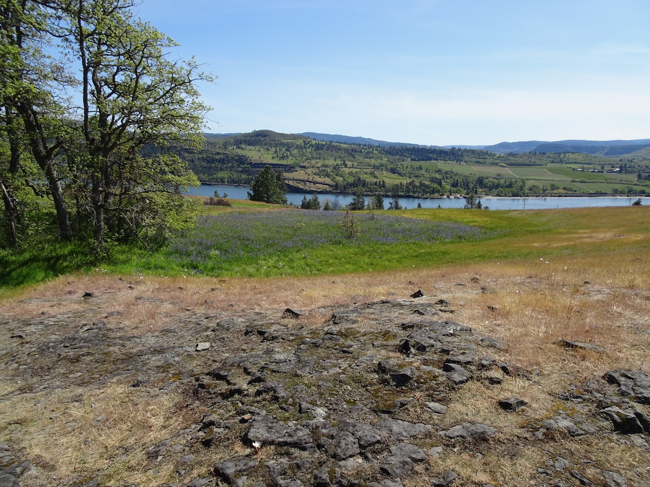
Swales of camas and orchards of Mosier

IMG_1232

Bitterroot

April 30th – Mosier Plateau, OR – A short hike on a slightly rainy day.

DSC05273

Mosier Plateau, and the S curve of Coyote Wall across the Columbia River

Meanwhile, in Portland …

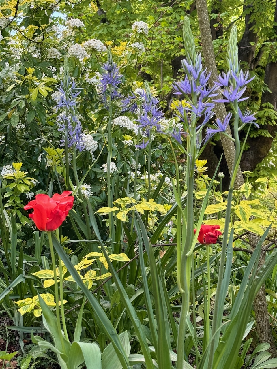
Dogwood and camus were blooming in the neighborhood….

IMG_1203

Dogwood

IMG_1209

Giant camas

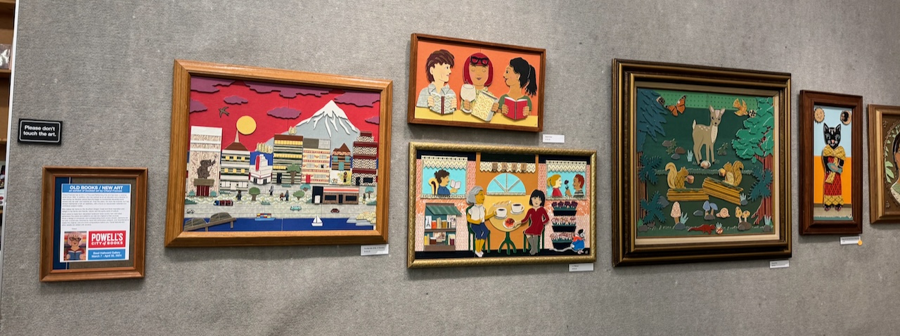
I took my friend to Powell’s Books, where the small art gallery had a display of book art….

IMG_0979IMG_0978IMG_0980

I finished knitting a cowl, and made progress on my travel socks…

IMG_1248

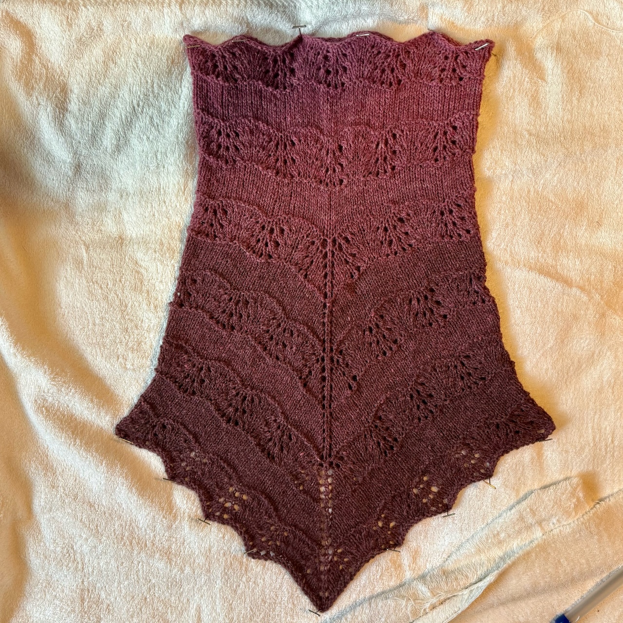
Ebb and Flow Cowl, pattern by Michele Bernstein; Barrett Wool Company Evenfall yarn

IMG_1251

Travelling sock

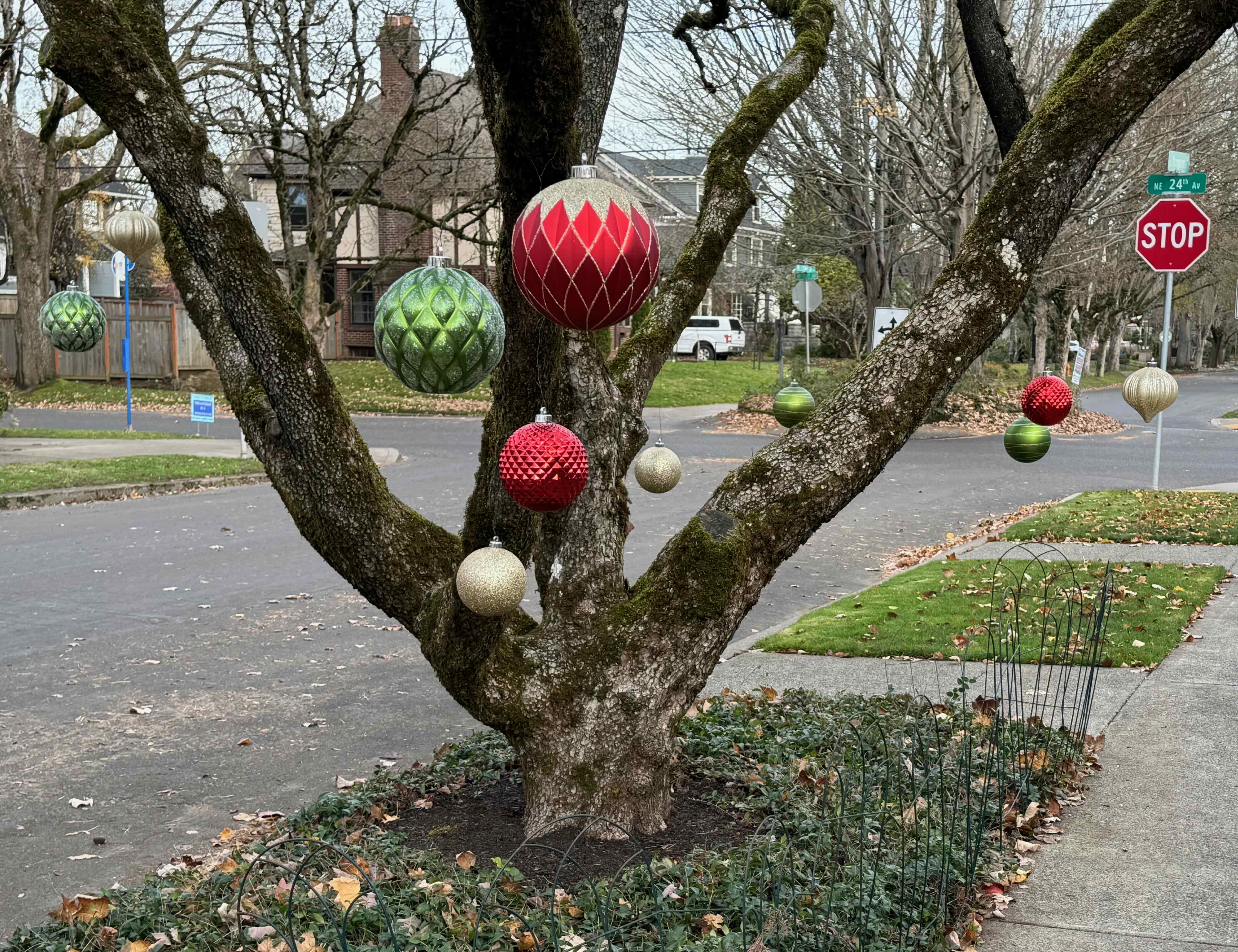
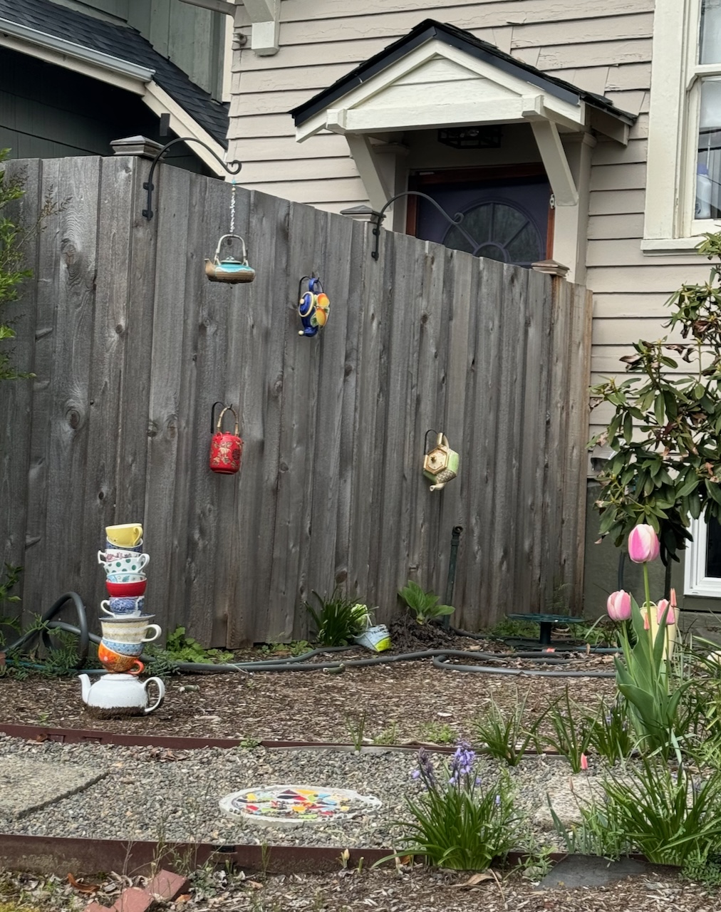
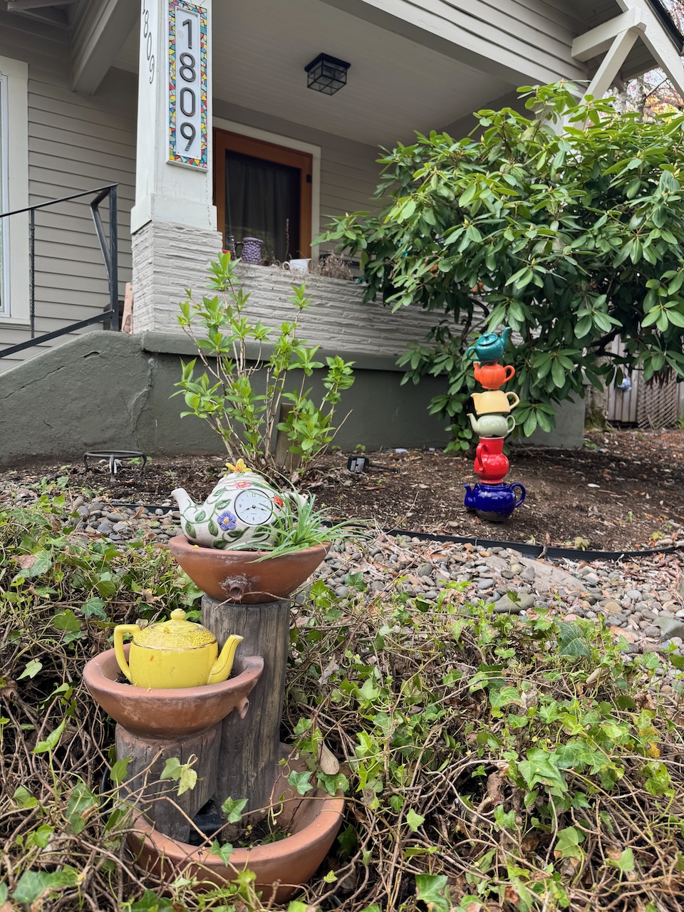
And in the spirit Keeping Portland Weird, someone in my neighborhood has gone full Mad Hatter’s Tea Party with their yard decor…I love it!

IMG_0969IMG_0976IMG_0972IMG_0971

Meme of the month…

Screenshot

Oh, California! southbound…April 2024, part 1

Road trip! My husband’s 40th Med School Reunion was in San Francisco, so we planned a road trip through Northern California and back, and had a very fun adventure. Part of my heart will always be in California. I was born and raised in southern California, then went to college and worked in northern California, before going to grad school in Arizona, then ending up here in Oregon. California is complicated because it is crowded, traffickey and hot, but my word, it has some of the most beautiful landscape in the world! Here we live an easier life, a good life, but dipping back into a the Golden State for a visit was pure pleasure…

Image 5-13-24 at 10.22 AM

Location Map, California Road Trip, April 2024

April 7th – We drove south as far as Dunsmuir, CA, about 6 hours. We had one planned stop for a short hike in the Cathedral Hills just outside of Grants Pass to see the famous Indian Warrior flowers. And there they were, right in the parking lot of the trail head, in plain sight. Very rewarding!

DSC03894

Cathedral Hills, Grants Pass, Oregon

DSC03913

Indian Warrior and Shooting Stars

DSC03916

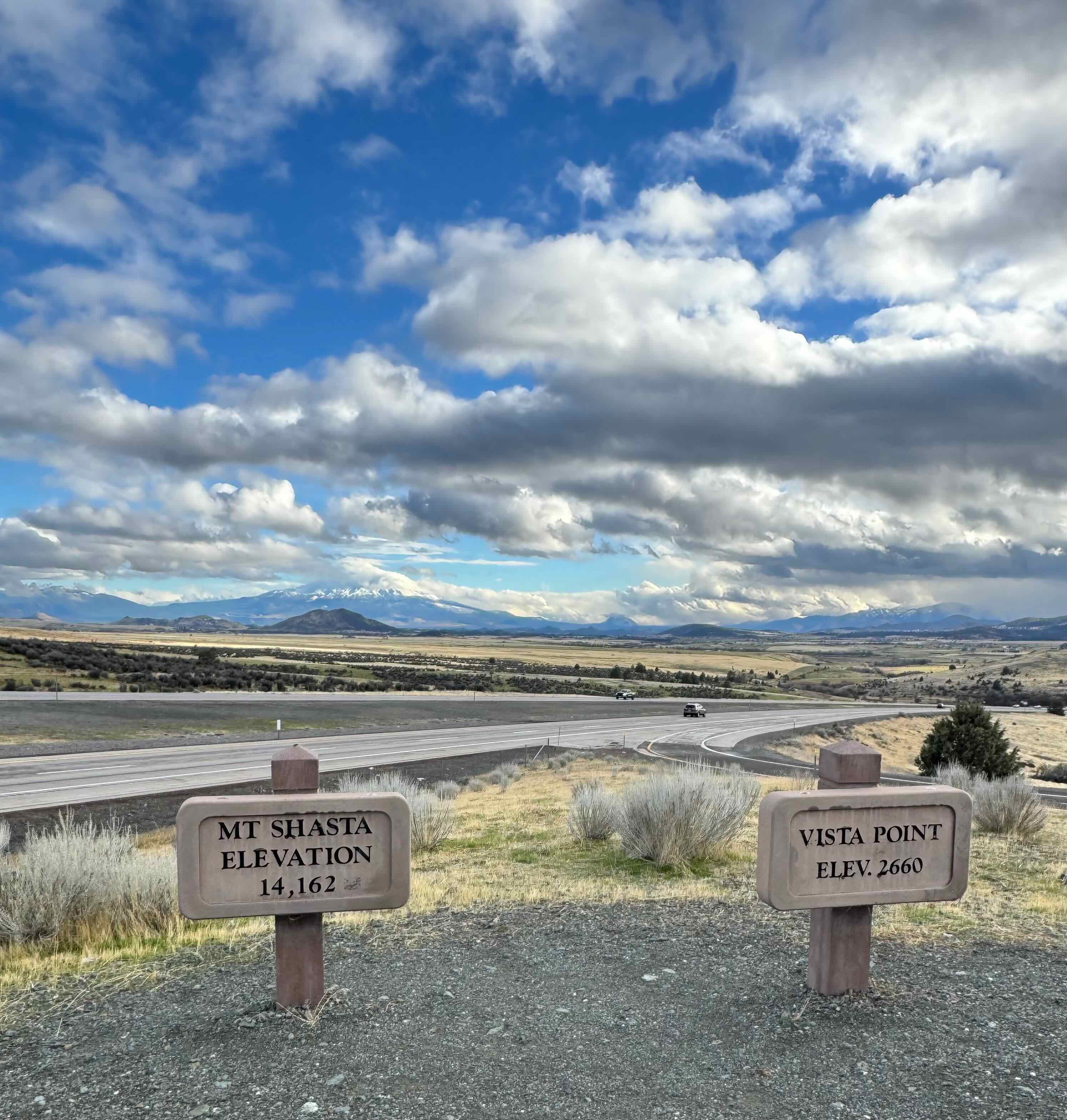
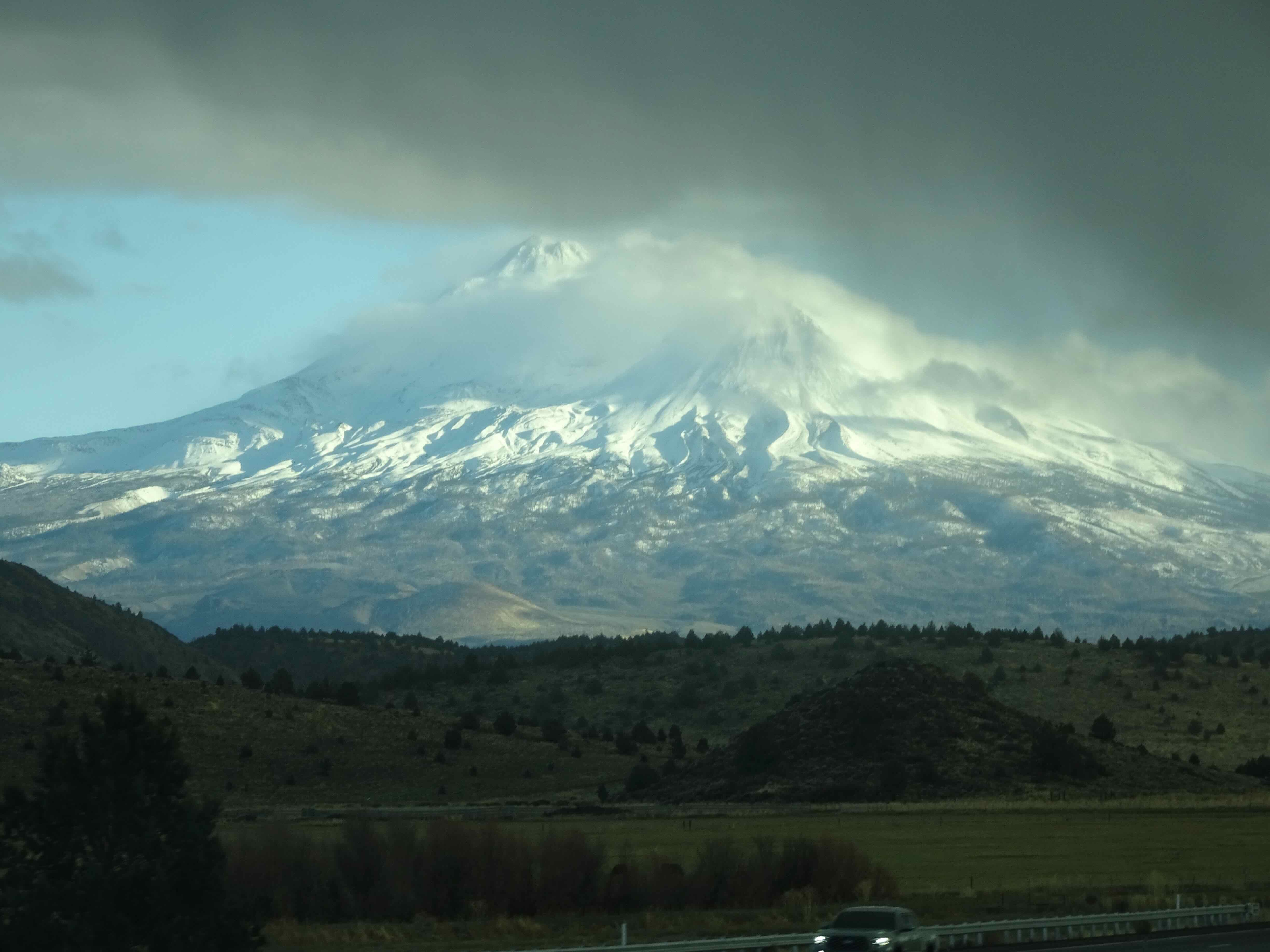
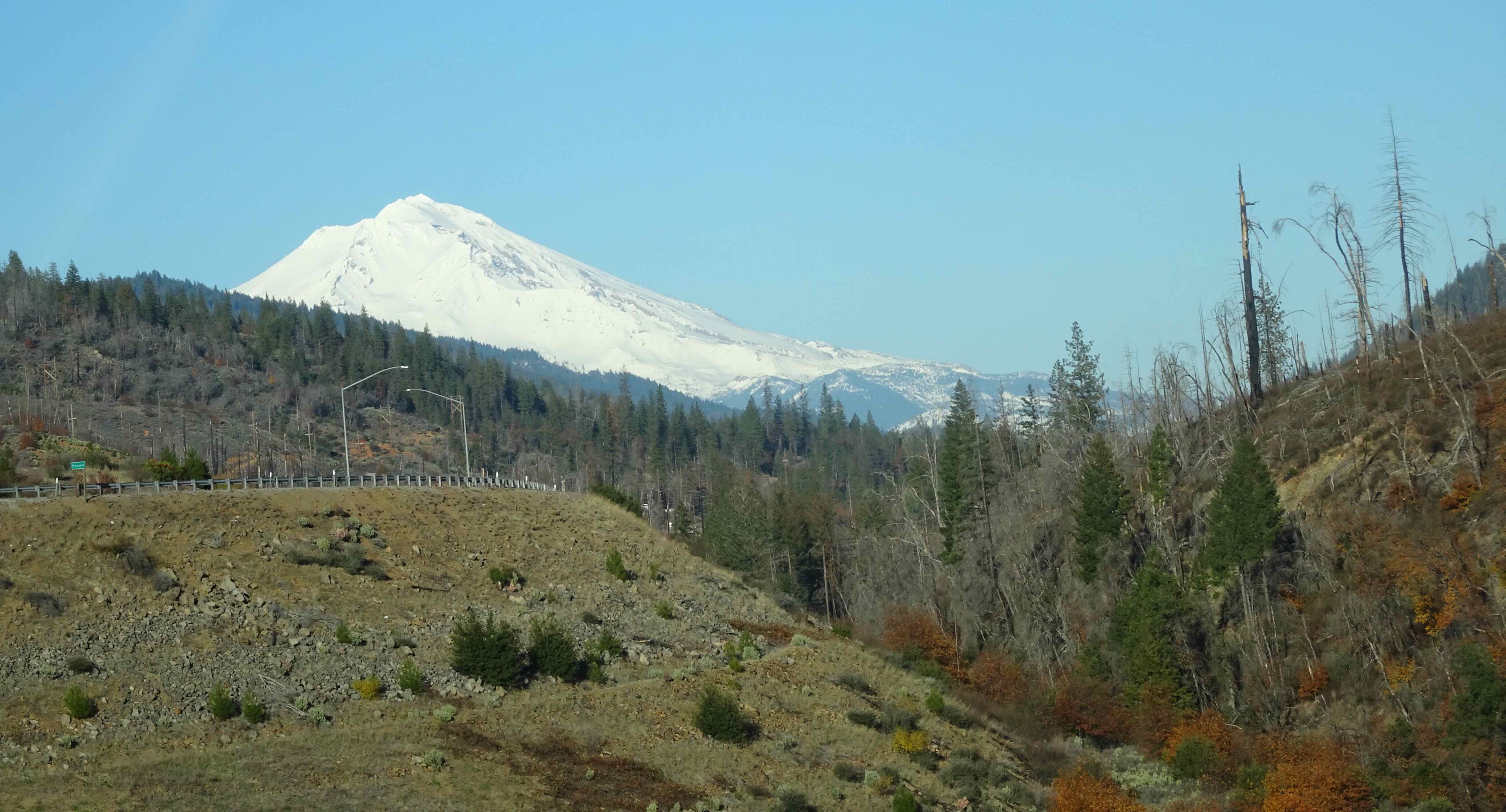
We continued south into California, with our first views of Mt Shasta…

DSC03949

Here we come…

DSC03951

Mt Shasta under clouds

DSC03963

Black Butte

April 8th, also eclipse day…We planned our stay in Dunsmuir, CA, so that we could hike in nearby Castle Crags State Park in the morning. I had never had time to stop here before – we always whizzed by on our way to a farther place. We were in luck with great weather and a clear view of the surrounding mountains from the Castle Crags Viewpoint. We took a short hike along Castle Creek while occasionally looking at the sun through our Eclipse Glasses. The 28% bite migrated from south to north across the bottom of the sun over the couple of hours that we were walking. Nothing like the totality experienced elsewhere, but still an interesting phenomenon to observe.

DSC03966

Castle Crags from the viewpoint.

IMG_1024

Mt Shasta from the viewpoint.

IMG_1026

Grey Mountain, from the viewpoint.

DSC03971

Walking along Castle Creek, during the eclipse.

From there we drove south, passing Mt Lassen, and the extremely green hills along I-5 that will turn into Kate Wolf’s “golden rolling hills” as soon as it gets hot. There were many miles of almond groves, and clusters of poppies blooming on the verge. Eventually we reached San Francisco Bay. We crossed over the Bay Bridge, pierced the heart of the city before rush hour, and checked into a hotel near the airport for the night.

DSC03988

Crossing the Bay Bridge

DSC03993

San Francisco skyline and the Golden Gate from the Bay Bridge

April 9th – to Carmel by the Sea…Our good friend K flew in from Chicago, and we scooped her up at the airport, and headed south and west to Carmel. We had so much fun catching up during our drive that the miles went by quickly, and soon we were eating our lunch at the beach on Carmel Bay. Turquoise blue water and lovely cliffs. After a walk on the beach, we checked into our hotel in Carmel Valley.

DSC03998

Carmel Beach, looking north

DSC04001

Flowers at the beach

IMG_1035

Tide coming in

DSC04365

Carmel Valley from our patio

April 10th – Point Lobos State Reserve – We hiked along the rocky coast from Whalers Cove to Point Lobos in the morning.

DSC04045

Whalers Cove

DSC04061

Oyster catcher

DSC04070

Ceanothus

DSC04072

Sea gull

DSC04107

Giant miner’s lettuce

DSC04147

Wave action on the rocks

DSC04152

Rocky view point

DSC04153

Zooming in on the cormorants

DSC04157

Up to the high point of Point Lobos

DSC04159

Looking north

DSC04181

Looking south

DSC04127

Blue jay

DSC04192

Otter

DSC04205

Seal and pup

After lunch, we drove a bit south of Point Lobos to Calla Lily Valley – a stream lined with the lilies, apparently very popular with the “influencers”, but not too crowded when we were there.

DSC04227

Dropping into Calla Lily Valley

DSC04230

View downstream, to the beach

DSC04232

Upstream, toward the highway

DSC04235

Calla lilies

DSC04249

Mustard

DSC04241

Calla Lily Beach

We returned to Point Lobos, and walked the short Bird Island Trail at the south end of the preserve, where we saw birds, otters, seals, and more poppies. Lovely!

DSC04285

Trailhead

DSC04286

Rocky coast, turquoise water

DSC04288

Sea arch

DSC04295

Seal

DSC04307

Seals sunning in China Cove

DSC04309

Seals

DSC04313

The next cove south, overlooked by private properties. Thank goodness for the foresight to preserve Point Lobos!

DSC04340

Bird Island as the fog rolls in

DSC04323

Cormorants

DSC04335

Cormorant

DSC04344

Poppies, Cypress, seals

DSC04353

Weston Beach – with gently dipping sandstone…

April 11th – Time to head north again. We drove up Highway 1, passing strawberry fields, and stopping at a few of the beaches along the way.

IMG_1069

Fresh strawberries for lunch…

DSC04384

Bean Hollow Beach

DSC04376

Wave cut bench

DSC04387

Ice plants at Bean Hollow Beach

DSC04368

Diving pelican

Our last stop was Devils Slide, where the old Hwy 1 was abandoned in 2012 and replaced by tunnels. We walked along the old road, admiring the Pacific Ocean and the wildflowers. From there, we drove through the tunnels and into the city.

DSC04391

Devil’s Slide, tunnels on Hwy 1

DSC04394

Ice plant and cliffs

DSC04401

Wildflowers along the road/trail

DSC04409

Mustard

DSC04416

Poppies

DSC04423

Last look before driving inland

DSC04424

Driving through the tunnel to Pacifica, then San Francisco…

Next stop…San Francisco!

February, 2024…

I’m trying something new here. My desktop computer is temporarily unavailable to me, along with most of my photo library. This month I will try to create my post using only my iPad, and the photos on my phone…

Around the neighborhood…

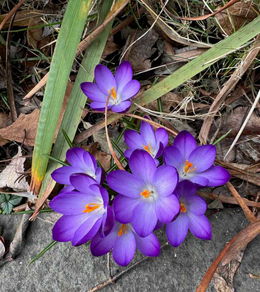
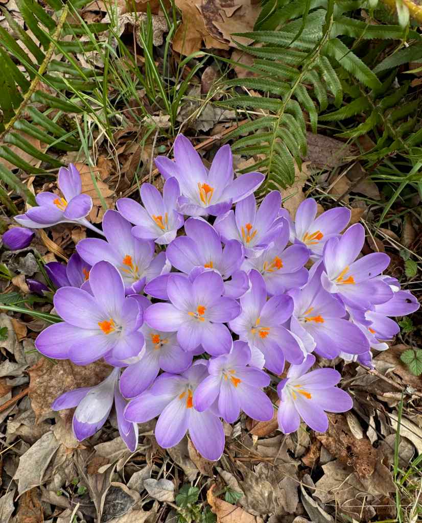
Crocuses are blooming…

My monthly collection of shadows and cracks…

Wildlife in the neighborhood…

Raccoon

Street art, Northwest Portland

Hiking…

I only managed two hikes this month…have I mentioned it has been particularly cold and rainy this year? One urban hike, with friends, and one out in the Columbia River Gorge, at Catherine Creek.

February 4, West Hills Long Walk – It was almost seven miles, and 900 feet elevation, all on pavement, sometimes on busy roads, sometimes across one of several cemeteries that are on the tops of the West Hills. Our friends who live in the neighborhood guided us, as this is their regular walking area. Not my favorite kind of walking, because of the traffic and the pavement, and it turned out to aggravate my hip bursitis, which I am still feeling, darn it! But we did enjoy the time with our friends, and the views across the city.

Gaia track of our West Hills Walk.

February 12, Bitterroot Trail at Catherine Creek – We walked about 4 miles, on both the lower and upper trails, looking for grass widows, and we found them. We also saw a few salt and pepper parsleys, and lots of water everywhere. This is my one phone picture of the fairy pools. There are a few purple grass widows in the foreground – though the exposure, looking toward the midday sun, is not ideal.

Fairy pools at Catherine Creek, Washington

Quilting – I finished the top of my Modern Quilt Studio Transparency Quilt – Mystery Quilt. I also made the back, and it is now in my queue for quilting.

I am improv piecing the back for my Lodge Quilt, which I made from the Modern Quilt Studio summer mystery quiltalong, using the leftovers from that top. I enjoy the process of improv piecing so much more than the extremely precise sewing and point matching required for the Transparency quilt, but both techniques have their place.

Lodge Quilt back, in progress…

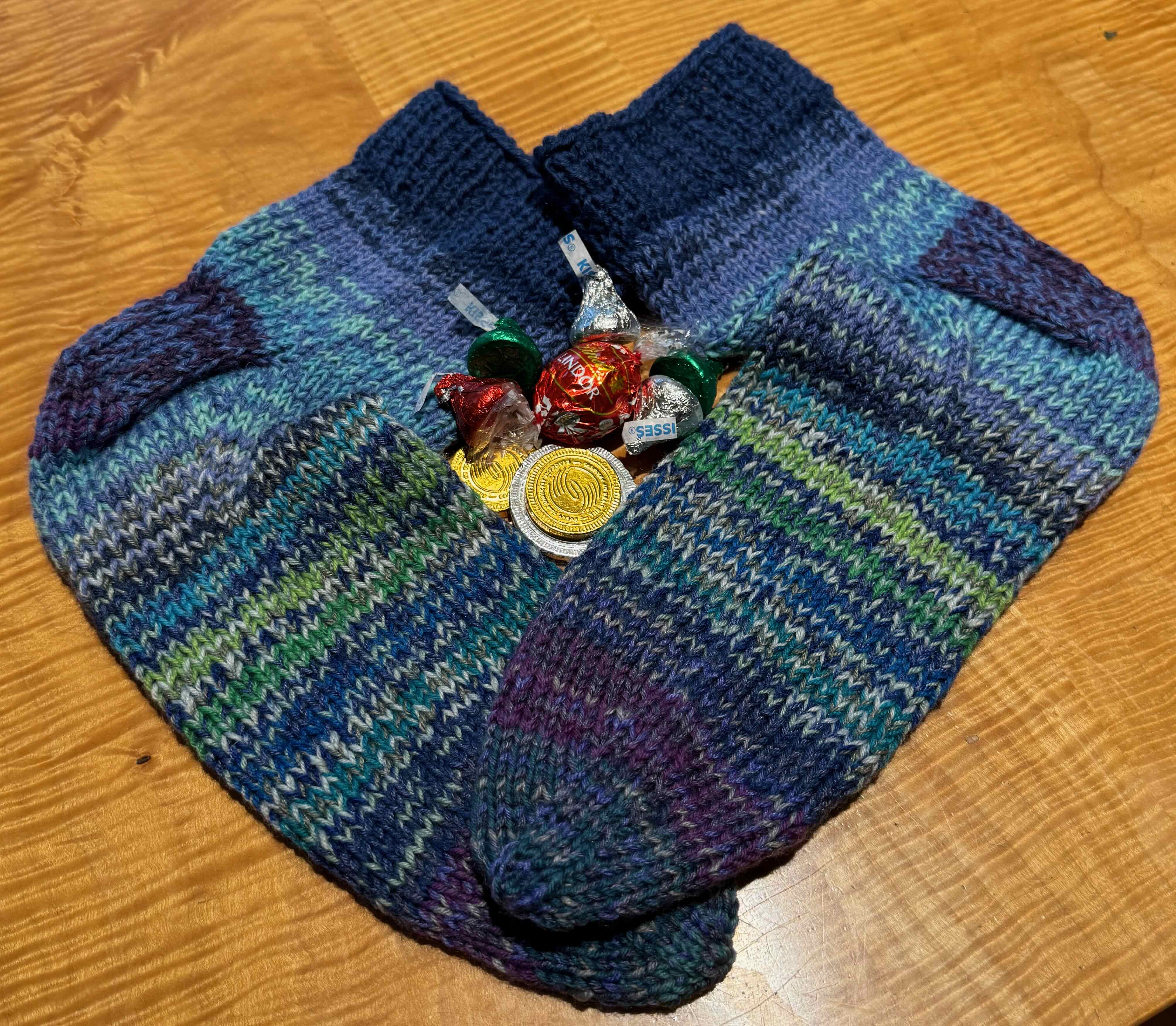
Knitting I finished a few items – hats for the Puddletown Knitters Guild Service Project, the Mystery Shawl for The Rose City Yarn Crawl Mystery Knitalong, and the most recent pair of socks, and I started a new pair of socks for some upcoming travel knitting…

Six “Warm One” hats for donation, made of Knit Picks Mighty Stitch, held double.

Finished socks
New socks

Plumbing!… In December we had a leaky pipe that created a small flood in our basement – we found it and had it fixed before too much damage was done, but it prompted us to replace the 92 year old pipes that run through most of our house. We are currently experiencing the dust and noise created by cutting through plaster and tile – very efficiently, but still not pleasant. Then there will be the patching and painting. Meanwhile, we get a peek inside the walls of our house, which has very good bones…

While preparing for the plumbing work, I took down this twenty year old dragon from the laundry room wall to keep it out of the dust zone.

Dragon by Emily, 2nd grade

Quilts in the News….

I did not attend the Quilt Con show in North Carolina. I enjoyed looking at the images on Instagram, and was moved to tears by their Best in Show quilt. The artist, a teacher, crowd sourced the items shown from other teachers, and created this piece. (Images from Instagram)

I think the IPad format worked, though a bit time consuming having to learn the new touch prompts. One of the many things I am upgrading this month.

December 2023 – all about the light..

December is a month for hibernating, preparing for holidays and family visits, rooting for the solstice, and trying to get all the knitting done for holiday gifts. I only went on two hikes this month.

Early December...sun getting lower, shadows longer, I was counting down to the solstice with two advent-style knitting projects and a few walks on dry days.

A little bit of knitting every day on the stocking and the mystery gnome…

IMG_0172

Arne and Carlos Mystery Stocking

IMG_0133

Imagined Landscapes Mystery Gnome

Hanukkah was early this year. We lit candles and had friends over for latkes on one of the nights.

December 12 – Hike – Lyle Cherry Orchard Discovery Trail, WA – We hiked the 4.5 mile loop on an overcast day – taking in the views and getting some good exercise.

DSC02682

Looking east as we ascend

IMG_0183

View west from our lunch stop

DSC02731

Circling back below the Lyle town sign

DSC02735

And almost back to the Convict Road.

December 15th – We passed Joan of Arc on our way to lunch and bead shopping with the knitters…

December 20th – Hike – Dry Creek Falls, OR – Another dry weather window – we hiked a past Dry Creek on the Pacific Crest Trail to one of the pinnacles, but not all the way to the main pinnacles. It was a good seven mile hike.

DSC02738

Starting up the trail at Cascade Locks.

DSC02755

The pinnacle near our lunch stop. All the forest we have hiked through today has 2017 burn scars

DSC02751

Slight view across the Columbia River from our lunch stop.

DSC02747

Back to the PCT bridge over Dry Creek,

DSC02763

and upstream a short way to the falls —

DSC02771

Dry Creek Falls, pouring out of a notch in the columnar basalt.

DSC02773

They are quite beautiful!

DSC02774

Splash pool at the base.

And back at the trailhead, the park at the Bridge of the Gods is adorned with festive light displays.

DSC02782DSC02788DSC02789

On the Solstice, I took an enjoyable walk through the neighborhood – happy to know that longer days are ahead.

Christmas week – House guests, finishing the knitting, decorating the tree, wrapping and unwrapping presents, tamales on Christmas Eve and dinner with friends on Christmas day. A little bit of baking, but not too much. It was a relaxed and enjoyable week.

Some of the Knitting:

The month ended with more clouds and rain. I found a version of the Christmas story on instagram that resonates with me for its inclusiveness, and the reminder that although history repeats itself in terrible ways, there are always people who step up and help.

IMG_0280

Weak sun through clouds

IMG_0288

Rain wet streets and sparkling lights

IMG_2653

Message of hope

November 2023 Hikes

We had five walking adventures in November, four in the wilderness and one in town.

November 1 – Deschutes River Trail, OR –

We’ve taken this trail many times, especially on days like today when it is raining everywhere else within a two hour drive of home. This area had a fire several years ago, and another brush fire last summer, which we could see evidence of along the way.

DSC01972

Deschutes River near the trailhead

DSC01975

Looking upstream as we walk uphill towards Ferry Springs.

DSC01979

Looking downstream toward the confluence with the Columbia River.

DSC01988

Approaching the Ferry Springs crossing.

DSC01990

Ferry Springs – burned by a brushfire last July.

DSC01995

A few wildflowers flowers hanging on.

IMG_9813

View upriver from our lunch spot near the rock arch.

DSC02011

Walking back along the Blackberry Trail, the Columbia Hills appear like a mirage from the mist.

DSC02020

Sumac

DSC02026

Heron

And the rain didn’t start until we were on our drive home (5 miles, 500 feet).

November 8 – Portland Arboretum and Crystal Springs Garden, Portland –

We wanted to see the beautifully curated gardens, including the spectacular Japanese maple, at Portland’s Japanese Garden in Washington Park. On this sunny Wednesday it seemed many had the same idea. The parking lots were packed and lots of people were walking toward the garden entrance  – it seemed less than ideal. So we drove around to the other side of the park to the Arboretum, and there found a beautiful Japanese maple and many other trees in excellent fall colors with much less crowded paths.

DSC02031

White Mexican Orange flowers near the Arboretum headquarters.

DSC02036

Walking toward the Maple Trail…

DSC02041DSC02049

DSC02042

Approaching the sumac grove

DSC02050

Sumacs

DSC02094

A selection of leaves and berries…

And a beautiful Japanese Maple…

DSC02063

After lunch, we decided to check out the fall colors at Crystal Springs Garden, on the east side of town. It was also beautiful there, with colorful reflections in the lakes, and also not very crowded.

DSC02106

We passed the Portland Tram, that I rode in last week, on our way across town.

DSC02108

A pink azalea blooming very late

DSC02111

Japanese Maple near the entrance

DSC02144

Northern lake, with technicolor reflections…

DSC02170DSC02168

DSC02181

Cherry tree

DSC02183

And another upside down tree

Crossing over to the southern part of the garden…

DSC02195DSC02196

DSC02197

Ducks on a log

DSC02213

Party meadow

DSC02241

Waterfall

The reflections in the southern lake were mesmerizing

DSC02211DSC02254DSC02258DSC02268DSC02273DSC02276

November 14 – Cape Horn, WA –

It has been a while since I have walked the full seven mile loop, but we decided try it on this windy day (7.4 miles, 1460 feet).

DSC02294

We started clockwise, downhill, a one and a half mile roadwalk.

DSC02298

Highway 14 viaduct across Cape Horn above.

DSC02309

Crossing the lower scree slopes.

DSC02315

Lower cliffs, upstream view to the Needle and Beacon Rock

DSC02318

Several hundred feet higher on the trail – one of the viewpoints that has had a wall and viewing platform added in recent years.

DSC02326

Upper viewpoint to the east along the Columbia River.

DSC02329

Through the woods near the top of Cape Horn.

DSC02335

View to the south from the uppermost viewpoint.

DSC02337

Whitecaps on the Columbia River below, and a horse in the meadow.

DSC02338

View to Silver Star Mountain, to the north, as we switchback down to the Salmon Falls Road Trailhead.

November 20 – Horsetail, Ponytail and Triple Falls, OR –

This trail is in the heart of the Columbia River Gorge waterfall zone, and was very hard hit by the 2017 fire. We have not been on this trail since before the fire, but had seen recent trip reports that the trail was repaired and open, so went to see how it fared. We hiked the clockwise loop, starting at Horsetail Falls, then up hill to Ponytail Falls, then across Oneonta Gorge, past the Oneonta Falls, then uphill to Triple Falls, and circling back down to the Highway, and to our start point. We walked through a lot of burned forest, and across several repaired trail sections. The very cliffy trail up to Triple Falls had several obvious washouts that had been repaired, but seemed somewhat fragile. With the local downpours last week, I would not be surprised if the trail were washed out again. (5.0 miles, 1000 feet).

IMG_0174

Horsetail to Triple Falls trail

DSC02342

Horsetail Falls

DSC02350

The trail ascends the cliffs above the falls

DSC02358

Top of Horsetail Falls

DSC02360

Ponytail Falls – the trail passes behind the falls

DSC02370

View from behind the falls

IMG_0015

Looking back at Ponytail Falls

DSC02387

Looking east at the viewpoint before heading up to Oneonta Gorge

DSC02388

Westward view from the viewpoint

DSC02400

Heading upstream toward the new bridge over Oneonta Gorge

DSC02407

A peak from the trail down into Oneonta Gorge

DSC02415

Crossing the bridge

DSC02418

View down stream from the bridge

DSC02421

Middle Oneonta Falls upstream from the bridge

DSC02440

Looking down at Oneonta Creek from Oneonta Trail

DSC02441

Burned forest on the slopes above Oneonta Creek

We reached the Triple Falls viewpoint after walking along the repaired trail through the severely burned forest. For comparison, I’m adding a similar view from September 2013.

DSC02445

Triple Falls, Nov. 2023

DSC08059

DSC02451

Walking back along the Oneonta Trail through the burned landscape.

DSC02459

Circling back along the highway, toward the Oneonta Tunnel, which was completely burned in 2017.

DSC02460

View from the tunnel bridge up the Oneonta Gorge, trail closed since before the fire because of hazardous log jams in the gorge.

DSC02470

Back to Horsetail Falls.

November 28 – Hummocks and Boundary Trails, Mt St Helens, WA –

We have hiked the Hummocks Loop here a few times, but gone farther along the Boundary Trail toward Johnston Ridge one other time, in May of 2020, when they first reopened the trail after the initial pandemic shutdown. We encountered only a few other people out on the trail today (5.7 miles, 1100 feet).

DSC02483

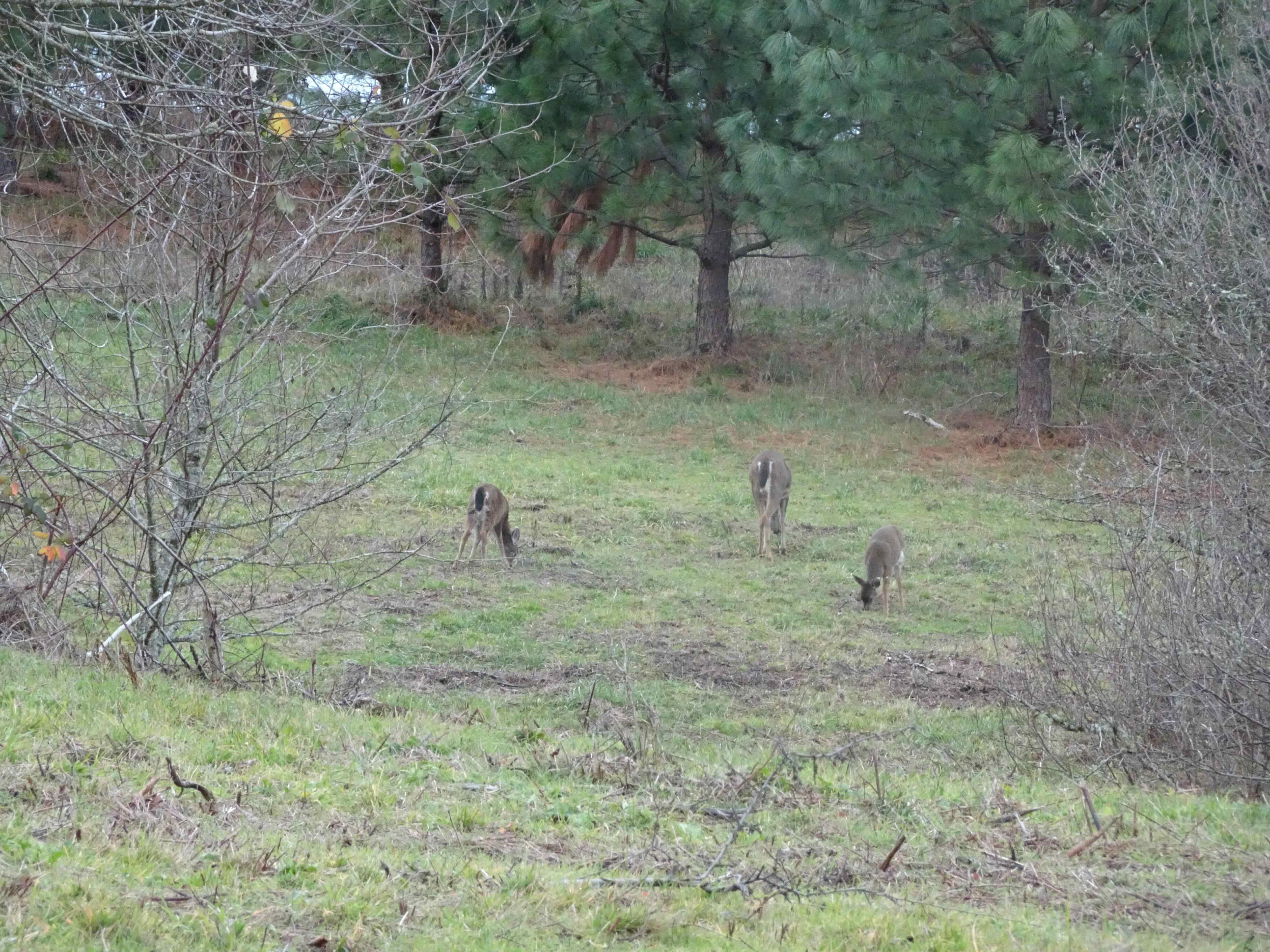
Welcoming party at the Trailhead – white tail deer, Mt St Helens beyond.

DSC02507

Walking along the lakes that have formed between the hummocks.

DSC02501

Partially frozen lake

DSC02510

Frost on the trail

DSC02513

The famous upside down log, still in depositional position from the eruption in 1980.

DSC02518

View of Mt St Helens from the trail junction with the Boundary Trail.

DSC02538

The trail rises above the hummocky plain, and switchbacks up Johnston Ridge, past sheered-off tree stumps, to the ridge crest. From the top are views in all directions, and we can see the mountain all the time.

DSC02616

To the north – Coldwater Lake and Visitor Center.

DSC02551

Eastward panorama – Mt Margaret backcountry and Mt St Helens

Some closer views:

DSC02562

Mt Whittier

DSC02556

Coldwater Peak

DSC02595

Zoom in on the volcano monitoring equipment on top of Coldwater Peak

DSC02565

Mt St Helens Crater

DSC02564

Mt St Helens – snowy high point

DSC02581

Toutle River Valley

Here is a set of photos from nearly the same spot on the ridge, one from May of 2020, when the hillsides were green:

DSC02600

November 28, 2023

DSC01126

May 27, 2020

Heading down, I realized we had a good view over to the Windy Pass area on the east side of the mountain, which we were looking toward from the south side on our hike to June Lake in October.

DSC02623

Shadows growing long in the crater as we hike down.

DSC02610

Closer view of the Windy Pass area

DSC02628

And an excellent view of some of the hummocks in the afternoon light.

DSC02654

Back at the Boundary Trail Junction

DSC02657

The top of the mountain is glowing.

We stopped on our drive out at the Castle Lake Viewpoint for a last look at the area as the sun was setting…

DSC02669

Castle Lake Viewpoint

October 2023 adventures…

Our five hikes in October ranged from urban Portland, to wilderness areas at Mt St Helens and Indian Heaven, and to our reliable dry trails in the eastern Columbia River Gorge in Washington.

October 1st, Oaks Bottom, Portland

An oft-repeated sunny walk around the Willamette River bottomlands just south of downtown Portland. Not much wildlife today, but there was new artwork on the railroad underpasses since the last time we were here (3.4 miles, 150 feet).

DSC01426

New artwork on the southern railroad underpass

DSC01431

We could hear the screams from upside down people at Oaks Park today.

DSC01432

View of the giant mural and the lake along the bike path.

DSC01436

A few cormorants

DSC01445

New artwork on the northern railroad underpass,

DSC01446

on both sides.

DSC01449

Early fall colors and

DSC01452

reflections in the lake.

DSC01454

The train, and the hills of SW Portland.

October 4, Indian Heaven, WA

We repeated one of my favorite loops in Indian Heaven, from Thomas Lake to Rock Lakes, to the less trodden path through the lakes and high huckleberry meadows along the Old Cascade Crest Trail (6.4 miles, 750 feet).

DSC01465

Colorful foliage from the trailhead on…

DSC01469

Thomas Lake

DSC01472

Heather Lake

IMG_9484

Mt St Helens from the viewpoint above Eunice Lake

DSC01481

Mt St Helens

DSC01492

High meadows of huckleberry foliage

DSC01502

Naha Lake

DSC01506

Reflections

DSC01510

More reflections

DSC01517

Bright red foliage

DSC01522

High meadows

DSC01525

A glimpse of Mt Adams through the trees

We arrived at our lunch stop, Rock Lakes.

DSC01530

Rock Lakes

DSC01531

Rock crossing

DSC01546

Reflections

DSC01559

Moss

DSC01566

More red

After lunch we continued a little farther east, then south through the high meadows and unnamed lakes along the Old Cascade Crest Trail – all water reflections and colorful foliage. A delight! These are just a few of the images.

DSC01573

Unnamed lake

DSC01581

Magenta foliage, with a few last huckleberries

DSC01583

Lakes and huckleberry bushes along the trail

DSC01584

South toward Gifford Peak

DSC01588

Looking back at partly burned East Crater

DSC01613

Gradients of color in the foliage

DSC01600

And in the reflective lake water…

DSC01601

Monet water

We also caught a glimpse of Mt Rainier through the trees on our return hike…

DSC01619

Eastern flanks of Mt Rainier, and the Tatoosh Range?

On our drive home, I took this photo as we crossed the Bridge of the Gods. The burned zone in the Gorge is starting to look like fuzzy grey hair on the slopes.

IMG_9486

Crossing the Bridge of the Gods, looking toward Oregon.

October 12, June Lake, Mt St Helens, WA

Our only new hike this month. We have been to June Lake before, but this was the first time we continued to the east on the Loowit Trail, the 30 mile loop around Mt St Helens. The mountain top remained covered in clouds all day. We saw fall colors on the slopes below the snow line (6.5 miles, 1200 feet).

IMG_D8C4185535D2-1

Trail map

DSC01624

The first mile through the forest along June Creek is relatively flat.

DSC01625

Glimpse of the cloud-covered mountain from near the trail head

DSC01631

Approaching the lava flow that has dammed the creek to form June Lake. Tiny hiker on the lower left.

DSC01640

June Lake

DSC01669

Lower cascade

DSC01660

Reflections

DSC01664

Fall colors mirrored

DSC01671

More reflections…

DSC01670

More Monet water

Past June Lake, the trail ascends steeply to join the Loowit Trail around the mountain. We went eastward this time, through forested trail, and over the toes of lava flows, ascending to an eventual viewpoint of the mountain.

DSC01676

Lava flow along the trail

DSC01679

A view of the mountain flank

DSC01718

View from our lunch stop, where we waited for sun breaks to illuminate the fall colors.

DSC01698

Huckleberry oranges and reds. The Ape Canyon trail junction is in the notch

DSC01717

Colorful foliage on lava flows… the trail continues through here, but we did not take it today.

DSC01692

Volcano monitoring equipment

DSC01722

Snowy slopes

DSC01711

Mt Adams occasionally appeared behind the clouds to the east.

DSC01710

Mt Adams

We returned back over the lava flows…

DSC01731

Loowit Trail over the Worm Flows

DSC01735

Larch trees glowing golden in the autumn sun.

Some of the trees and plants…

Mt St Helens today, still capped by clouds as we drove away.

And a lookback comparison of June Lake from previous trips, autumn, summer and winter…

DSC01775

October 12, 2023

DSC01938

July 4, 2019

DSC00565

February 20, 2016

October 17, Labyrinth Trail, WA

Another visit to one of our favorite viewpoints on a dry day in the eastern Columbia River Gorge (4.2 miles, 900 feet).

DSC01806

Up the basalt labyrinth

DSC01804

Oregon grape

DSC01831

Buckwheat, eastern view

DSC01845

Rose hips, ponderosa viewpoint

IMG_9646

Lunch near the ponderosa

DSC01859

Return trail; Mt Hood and the oak tree

DSC01871

Oak grove

DSC01886

Columnar basalt mesa

DSC01893

Looking down the labyrinth

DSC01898

Raptor above the cliffs

DSC01899

Greeting one of my oak tree friends on the way down.

October 27,  Coyote Wall, WA

A walk with friends up the basalt cliffs and down the dry meadows of the eastern Gorge (5.8 miles, 1230 feet).

DSC01906

Bald eagle above the Columbia River

DSC01924

Dry slopes above Coyote Wall

DSC01931

Looking across to the Oregon side, the orchards of Mosier

DSC01932

Oak trees

DSC01937

Oak leaves

DSC01940

Cloud mirror to the east

DSC01948

Coyote Wall

DSC01954

Looking east toward the Labyrinth

DSC01959

Walking back along Look Lake

DSC01960

Coyote Wall