Portland Art Museum 3/3/2019
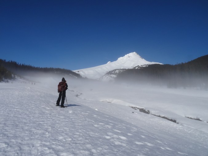
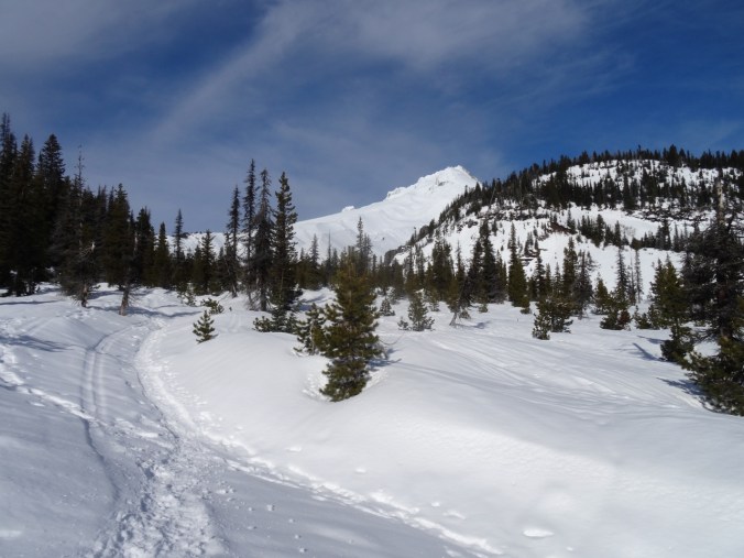
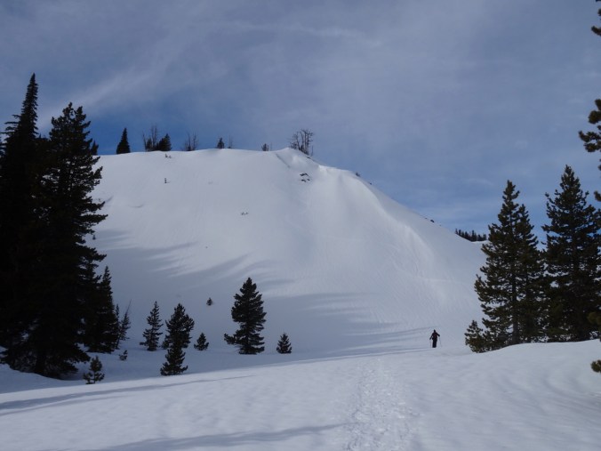
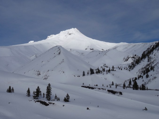
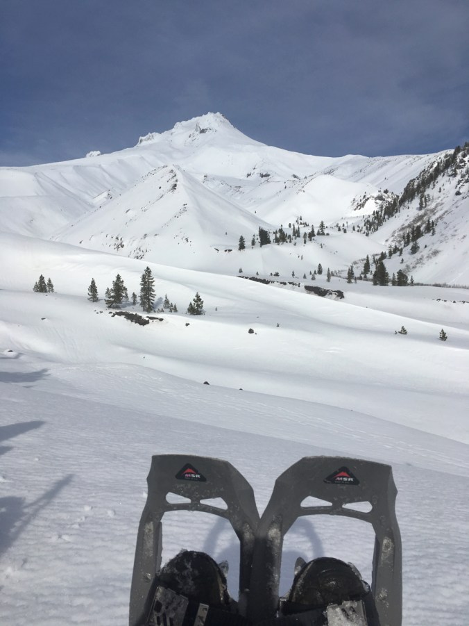
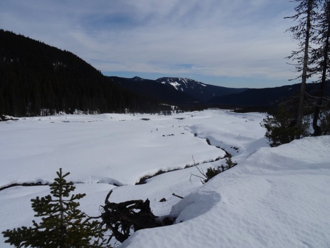
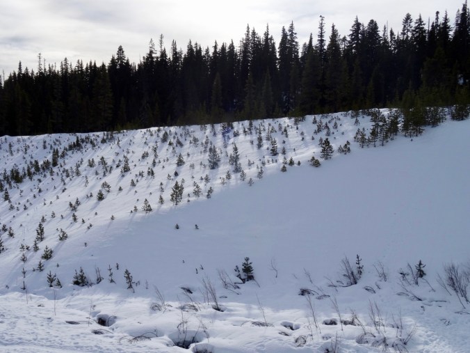
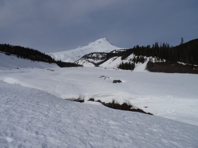
I visited the Portland Art Museum instead of going for a hike last weekend, as it is still snowy and too cold out for me. There were three exhibits I wanted to see.
The Map Is Not The Territory
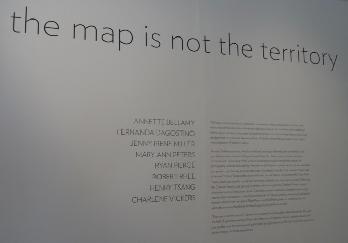
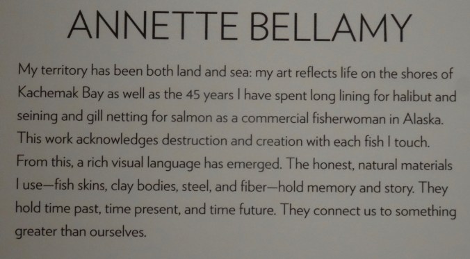
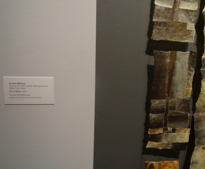
This exhibit focuses on relationship to geography by artists who are Indigenous people. The floating rocks piece has been advertised all around town, and certainly appealed to me, with my past as a geologist, and my love of hiking in the natural world. The artist Annette Bellamy had three striking pieces that I contemplated for a while:


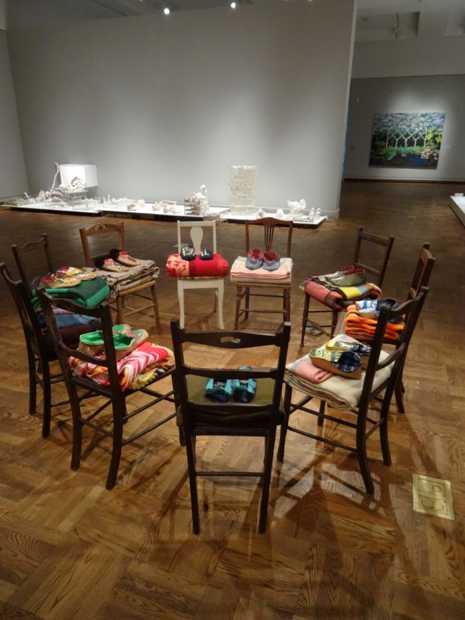
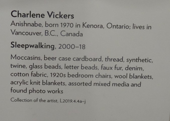
The circle of chairs, blankets and shoes by Charlene Vickers created a sense of community.
Modern American Realism
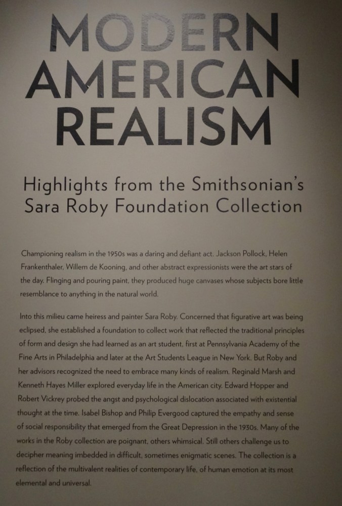
This collection had some beautiful images that reminded me of places I have been.
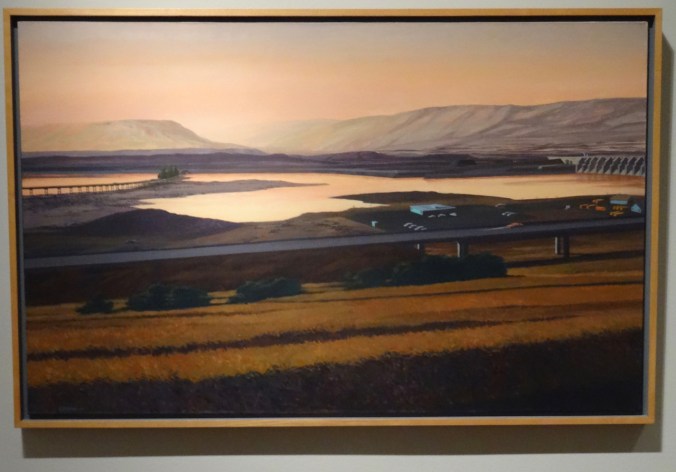
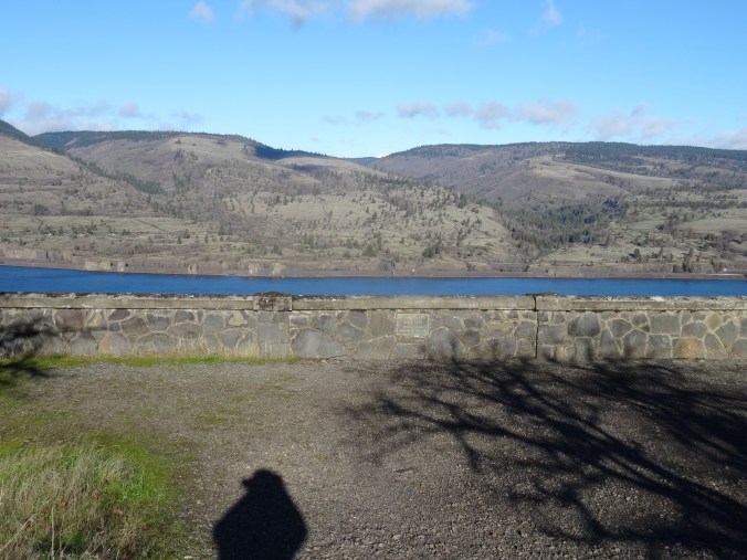
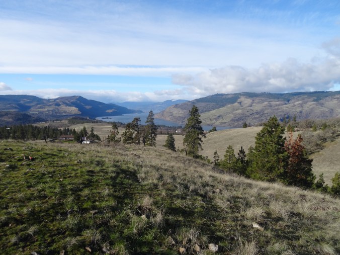
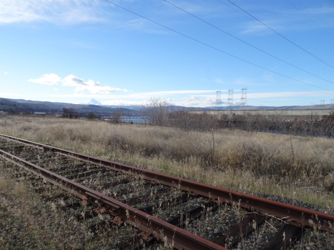
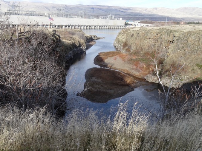
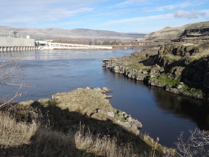
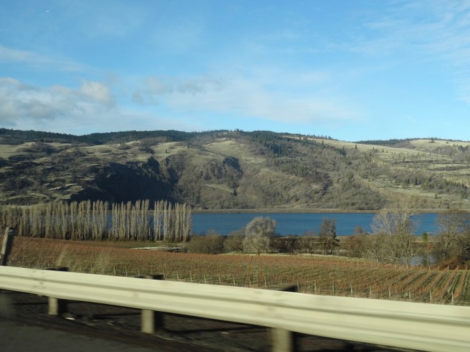
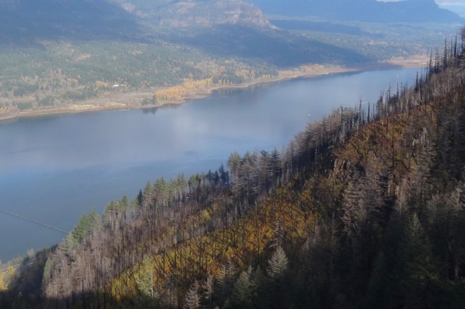
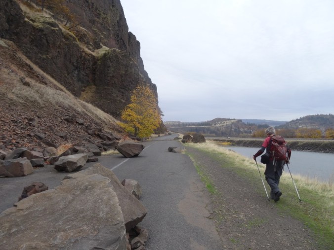
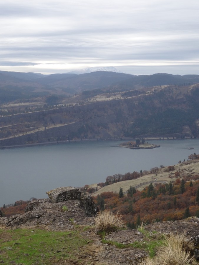
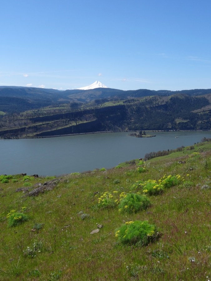
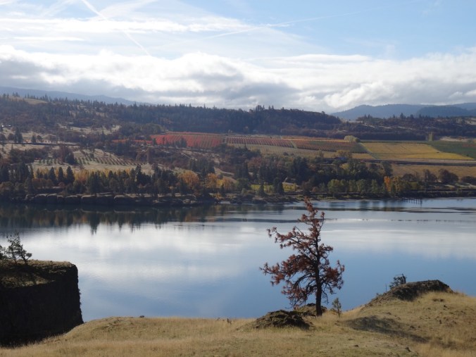
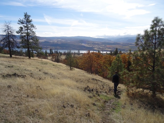
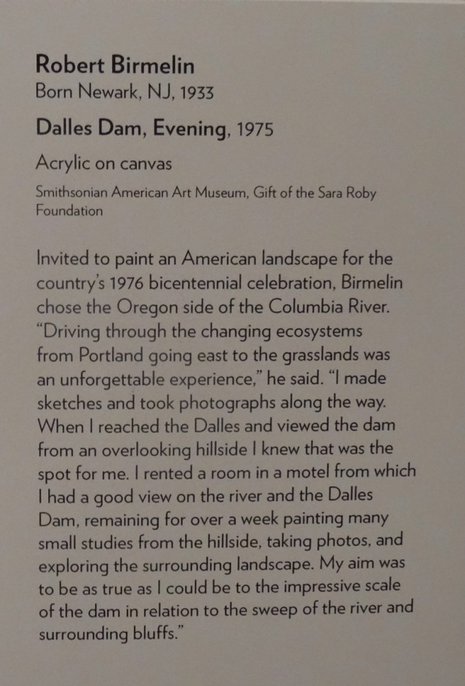
We visited the Dalles Dam about a month ago, so when I saw this picture glowing across the gallery I immediately recognized the place.
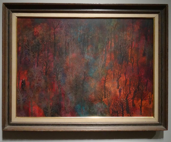
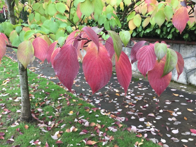
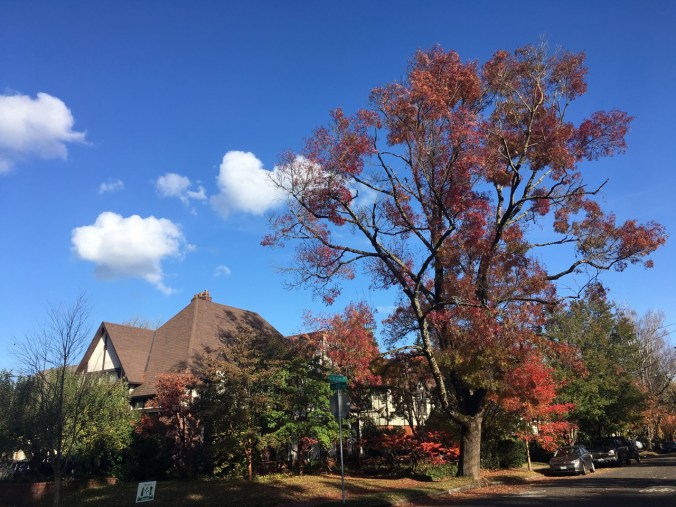
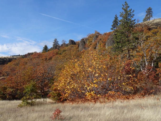
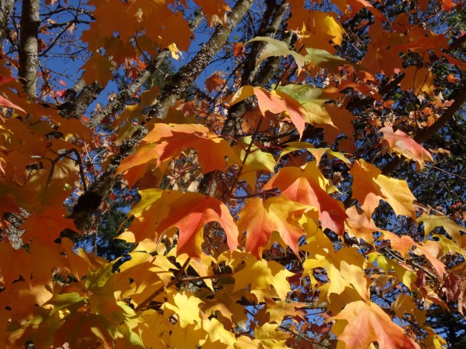
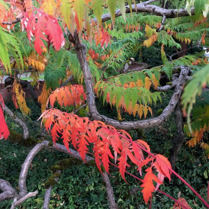
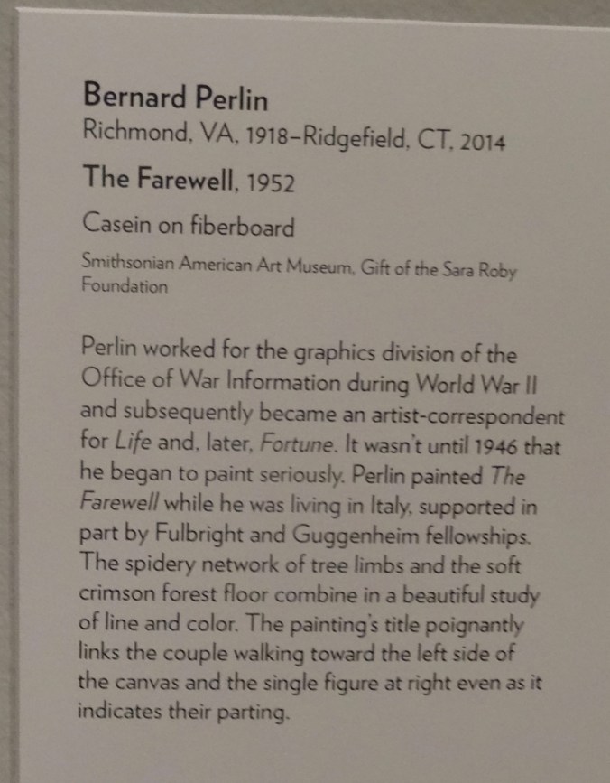
The vivid colors attracted me to this painting of a forest in autumn.
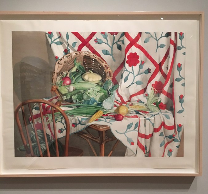
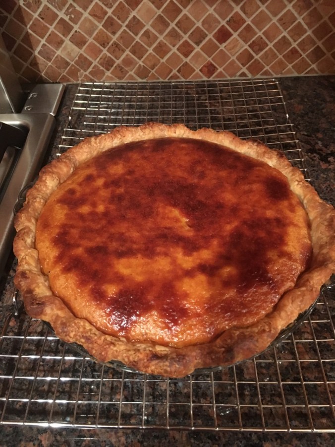
A family member’s kitchen could have been the inspiration for this painting.

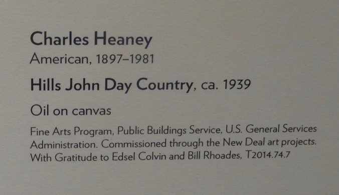
Picturing Oregon

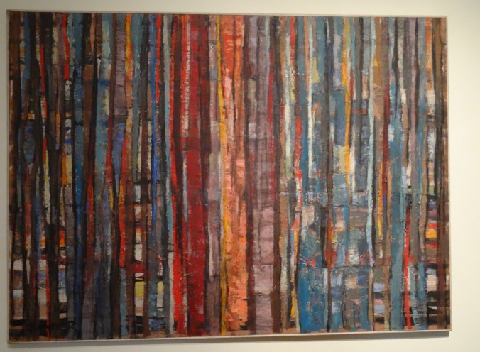
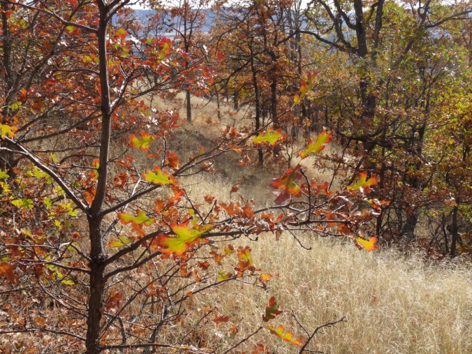
The vivid colors in this painting immediately reminded me of the forest painting in the previous exhibit.

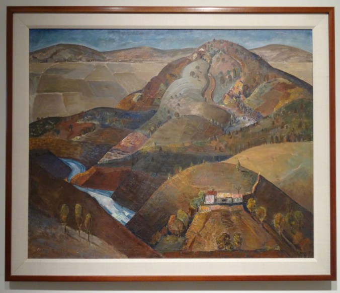
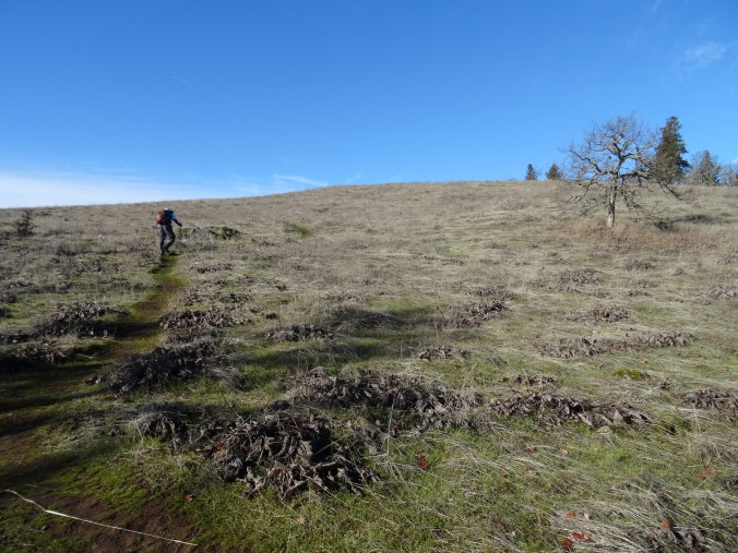
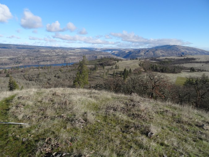
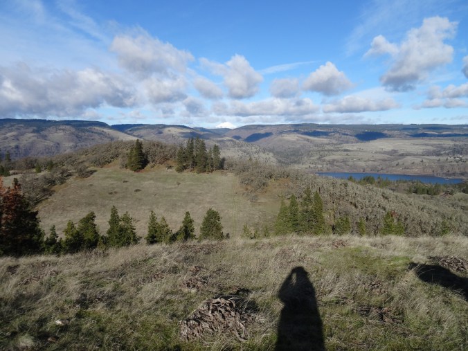
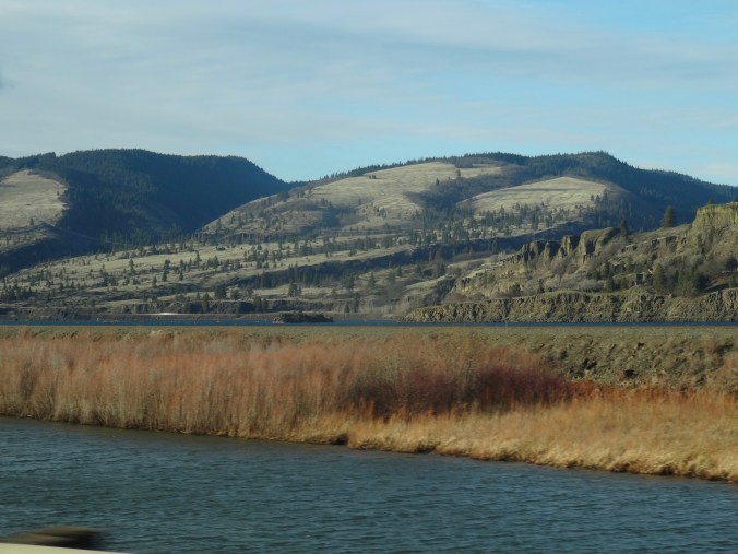
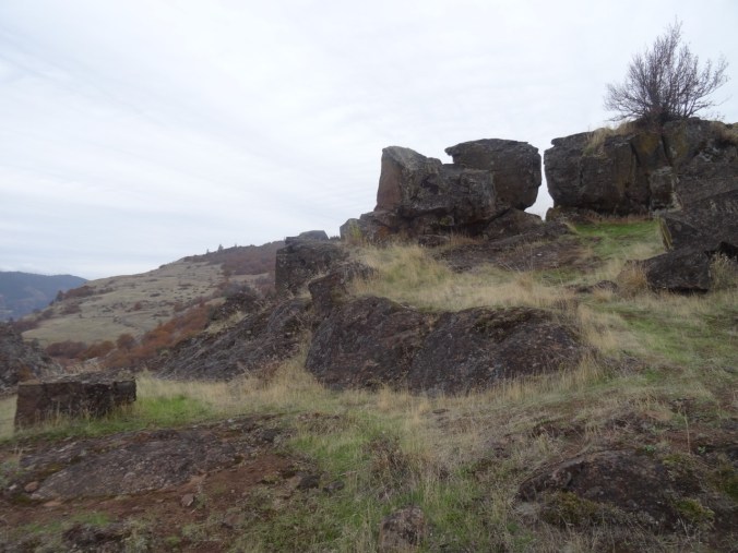
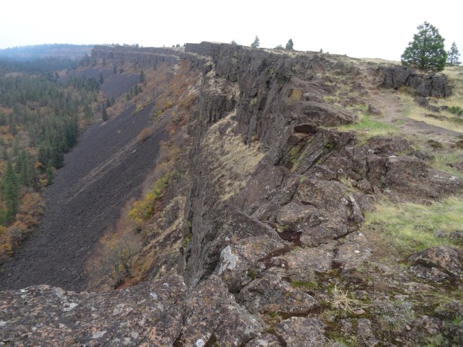
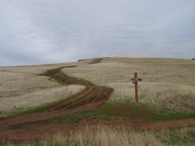
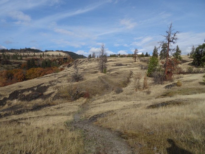
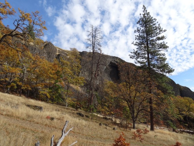
We have enjoyed hiking in the John Day country.
A stroll through the art gallery provided lots of inspiration, and mental traveling, out of the cold. The photos never quite do the artworks justice but at least remind me of my journey. There were many more pieces in the museum. These were the images that caught my attention that day.
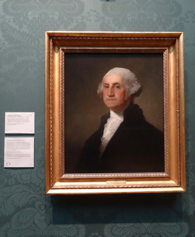
I also visited a portrait of George Washington, who was scrupulous about even the perception of conflict of interest while in office. Here it is, compared to his portrait in the British National Portrait Gallery, which we saw last April.


Portland Art Museum
British National Portrait Gallery
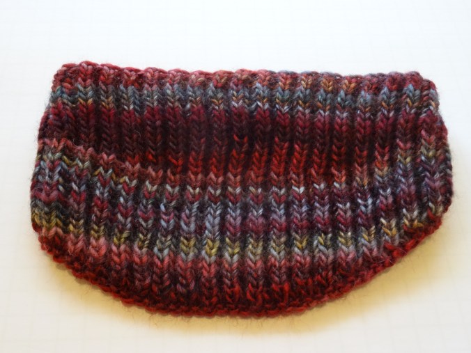
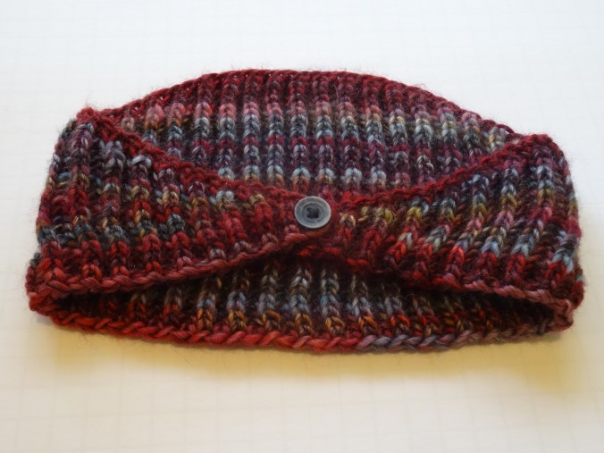
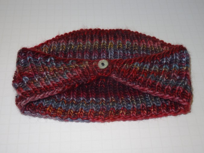
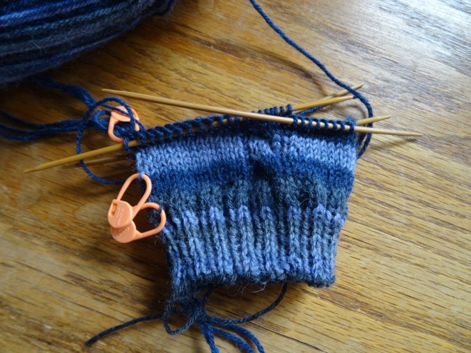
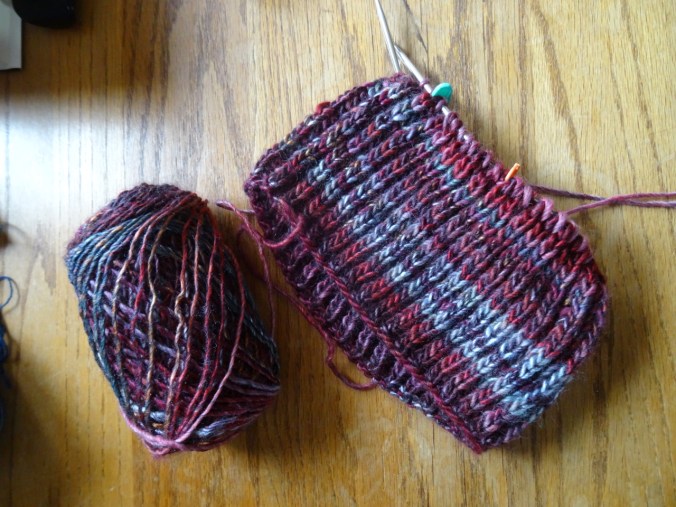
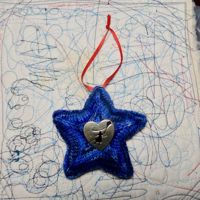
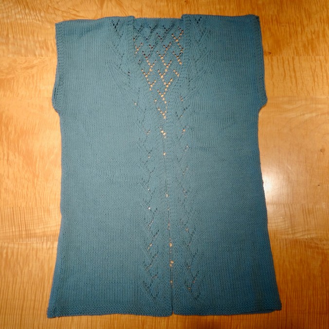
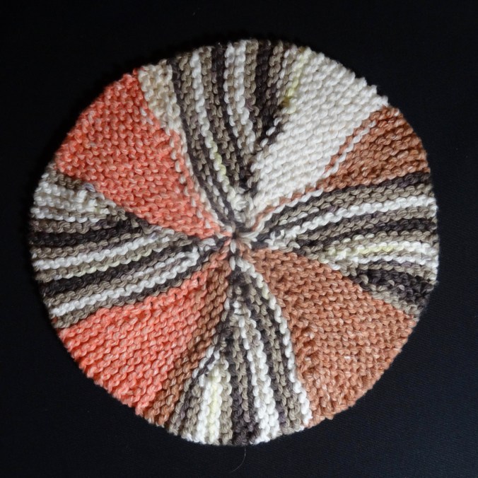
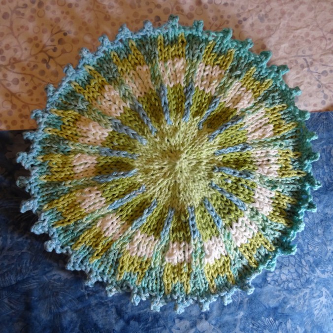
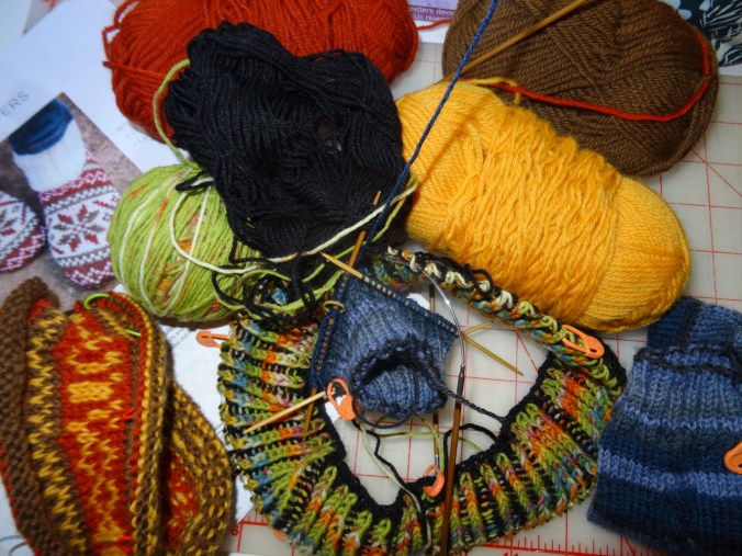
Knitting
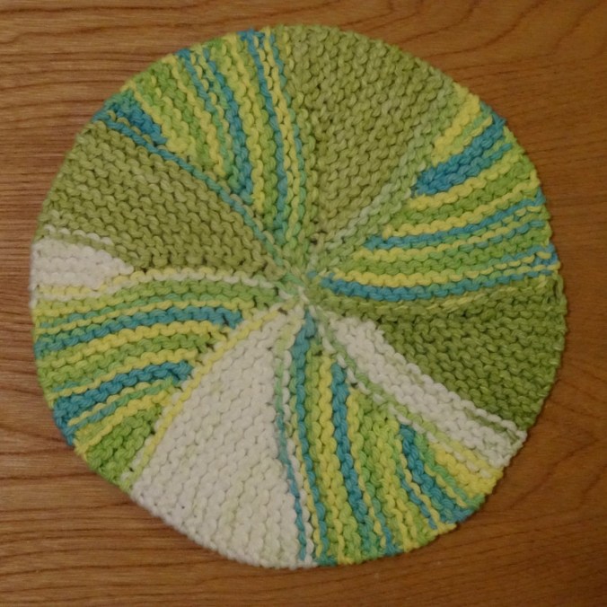
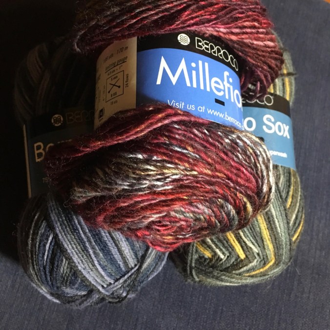
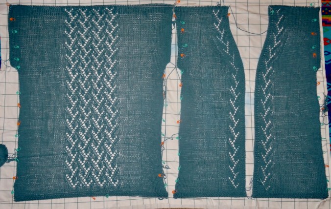
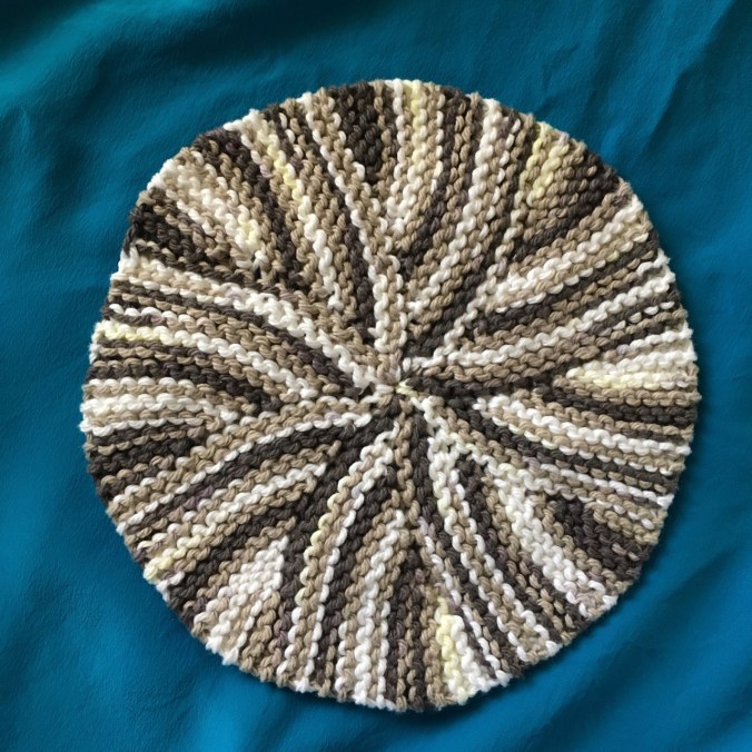
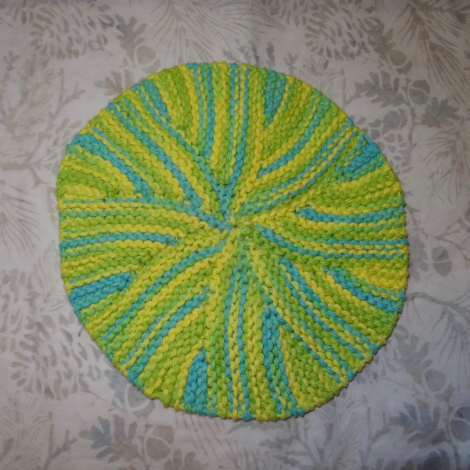
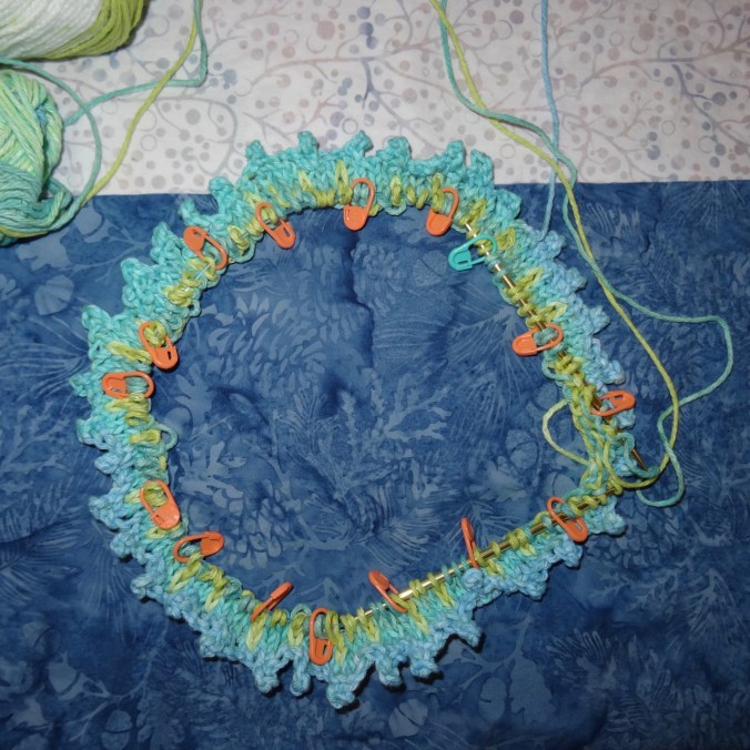
I cast on another brioche hat and some stranded knit slippers, both out of leftover stash yarn, and still have an ongoing sock.
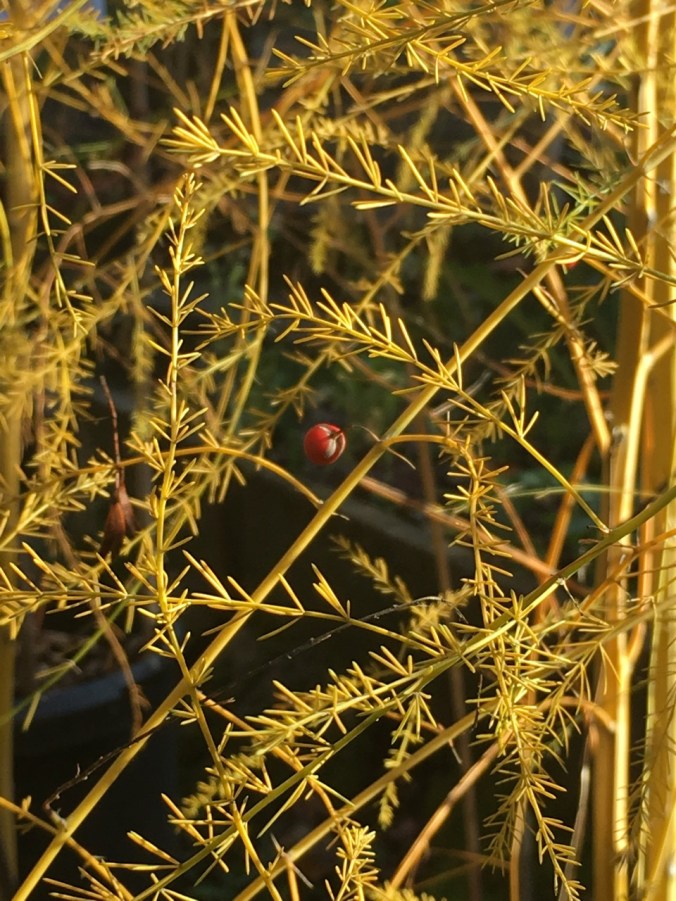
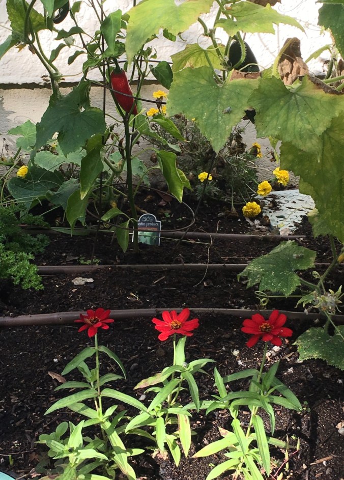
Garden
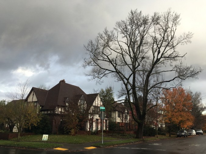
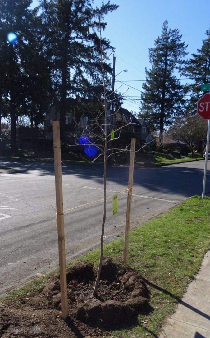
We planted a Black Tupelo street tree where our flaming ash had been on the parkway, with help from Friends of the Trees.
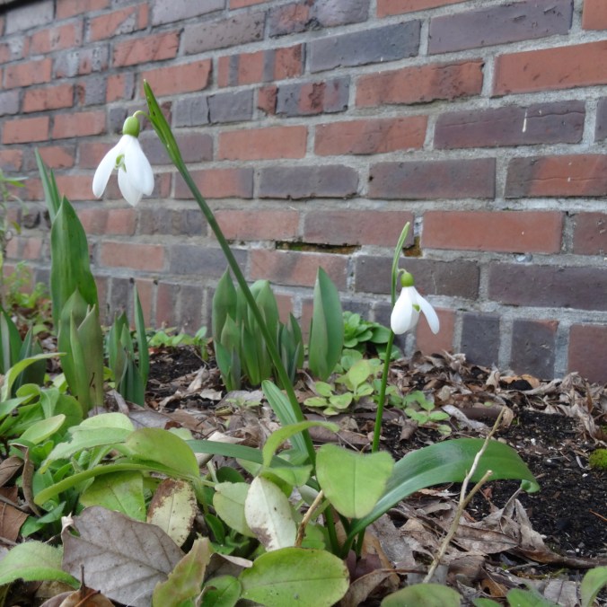
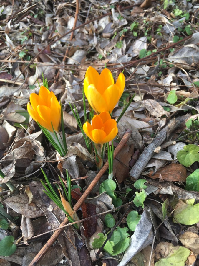
Our spring flowers are trying to bloom, but it is snowing again!!!
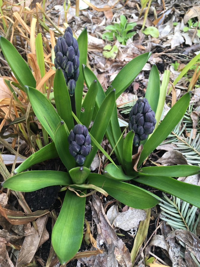
hyacinths

crocuses