February 7, 2020
Today began with an easier hike (than yesterday) near Queenstown, then we drove north to the vicinity of Aoraki/Mt Cook.

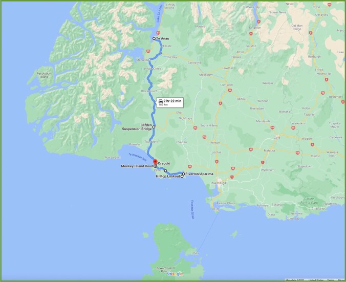
Driving route to Lake Ohau
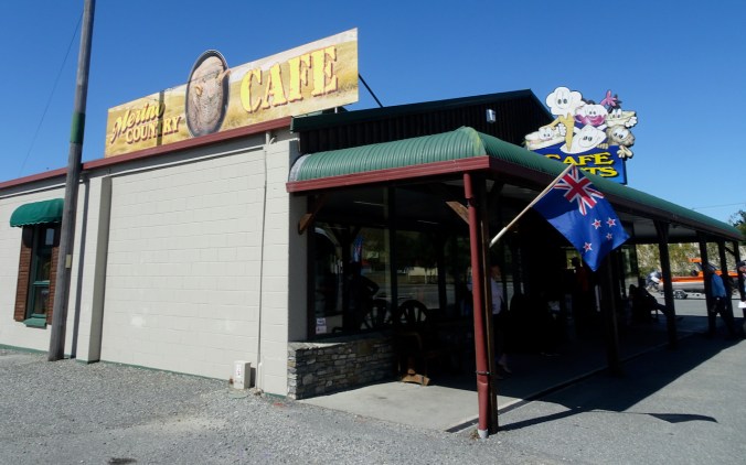
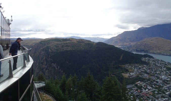
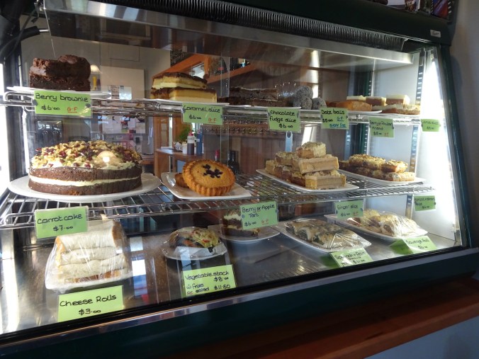
Queenstown: After breakfast at a local cafe, we took a last walk through Queenstown and along the Lake Wakatipu waterfront.
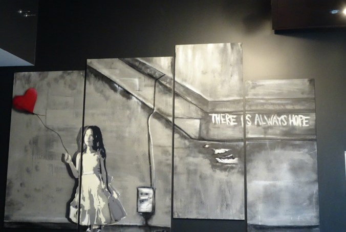
Wall art in our breakfast cafe
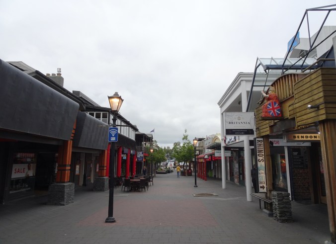
Quiet morning in Queenstown

Queenstown waterfront

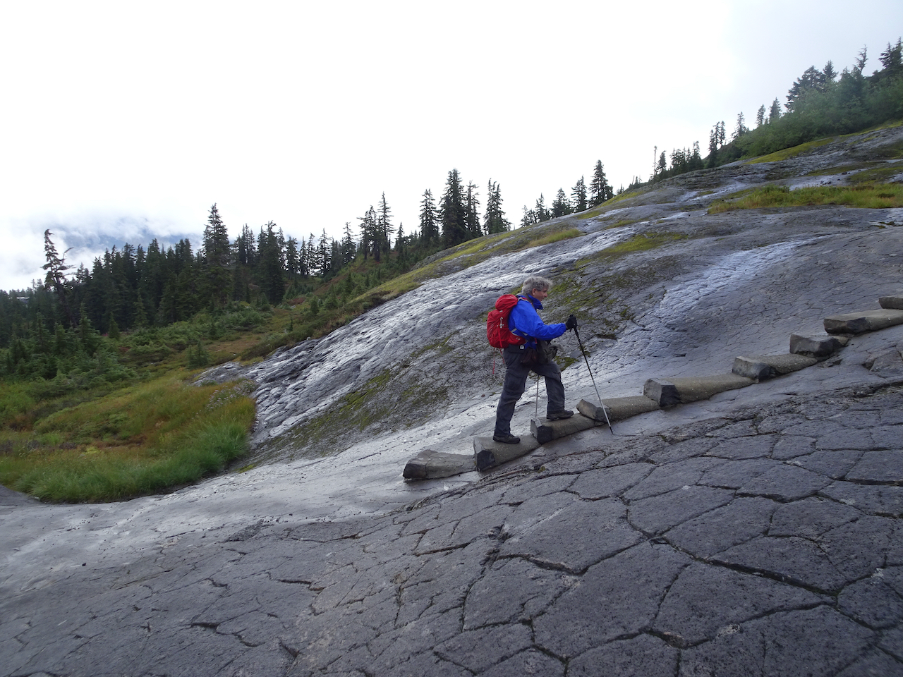
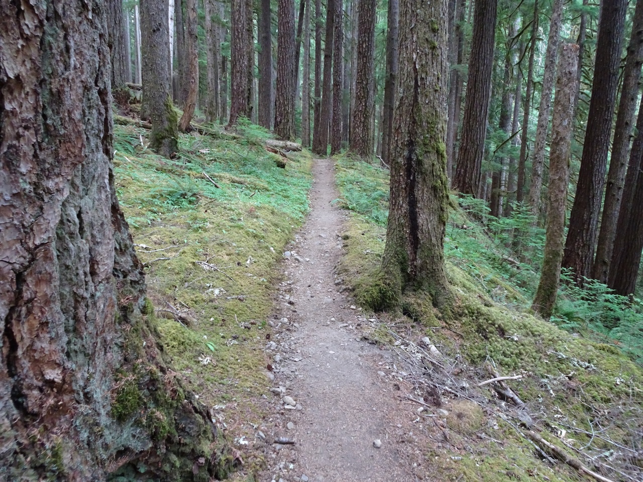
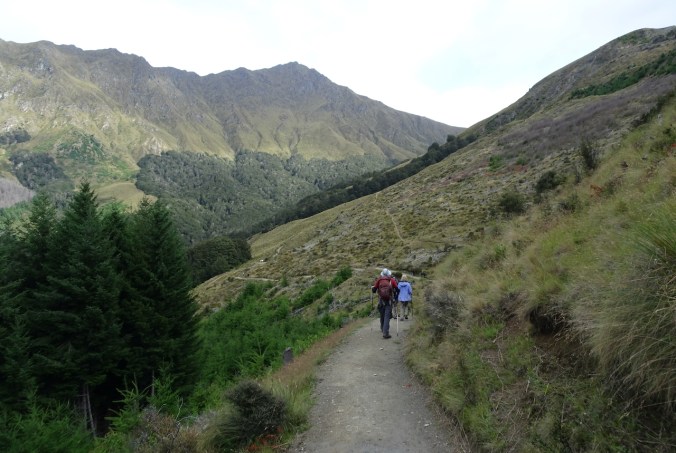
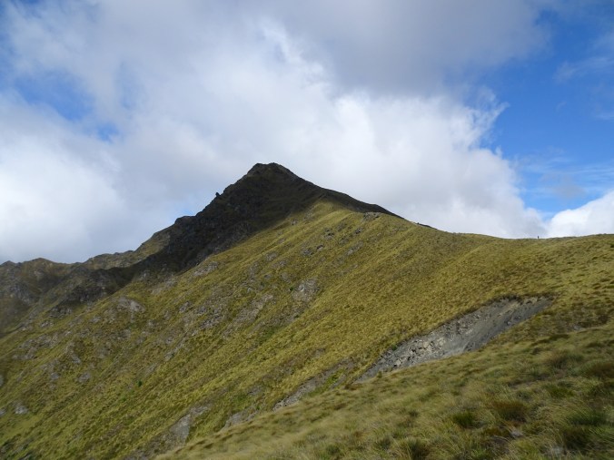
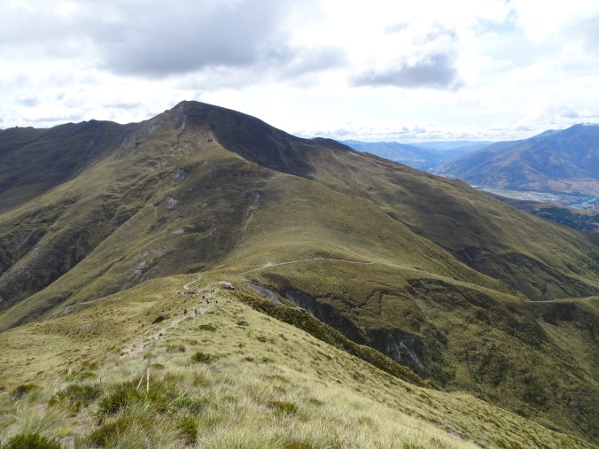
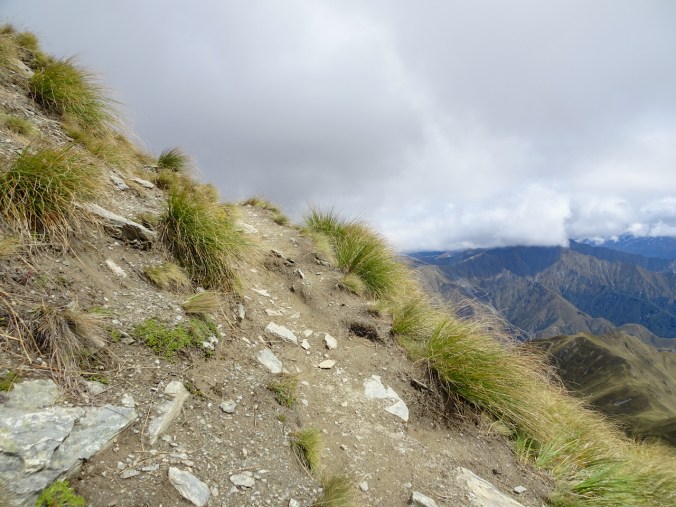
Sam Summers’ Hut Hike – 5.4 miles, 800 feet
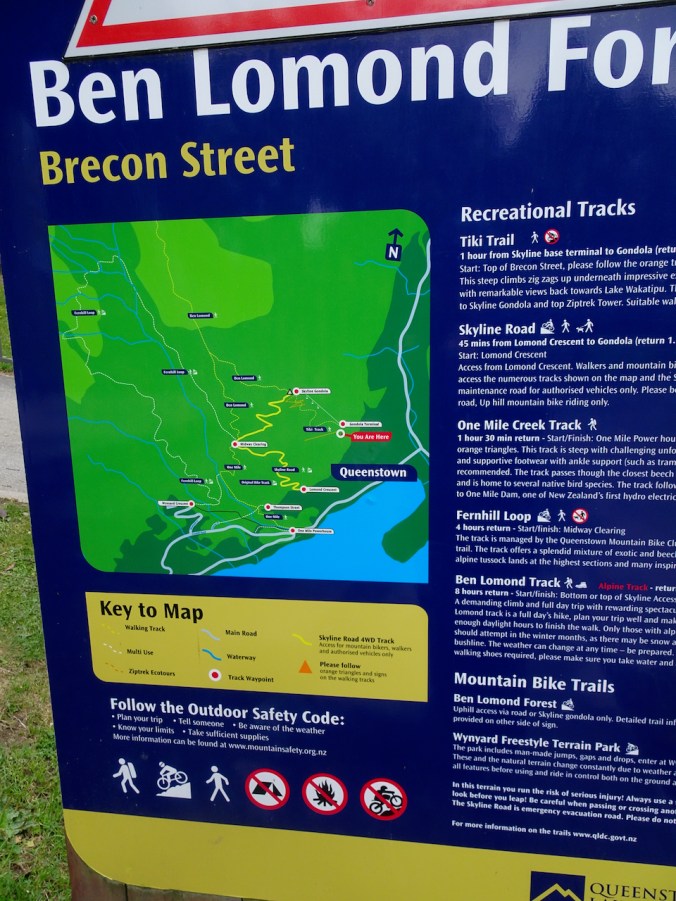
Then we drove west along the shores of Lake Wakatipu to the Mt Crichton Loop Track trailhead.
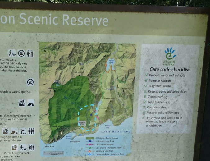
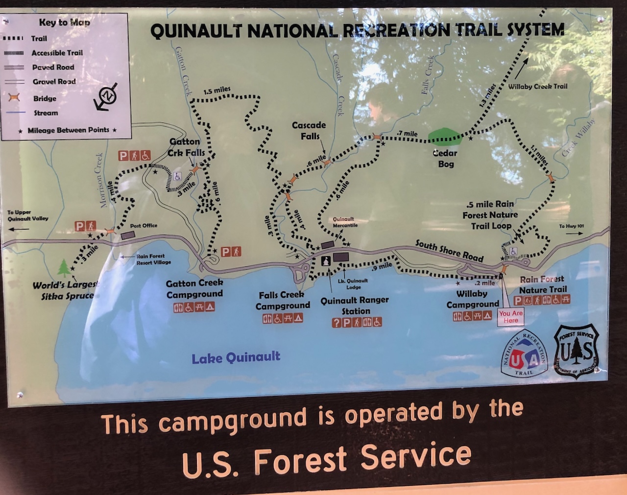
Trailhead map – our trail circled in light blue

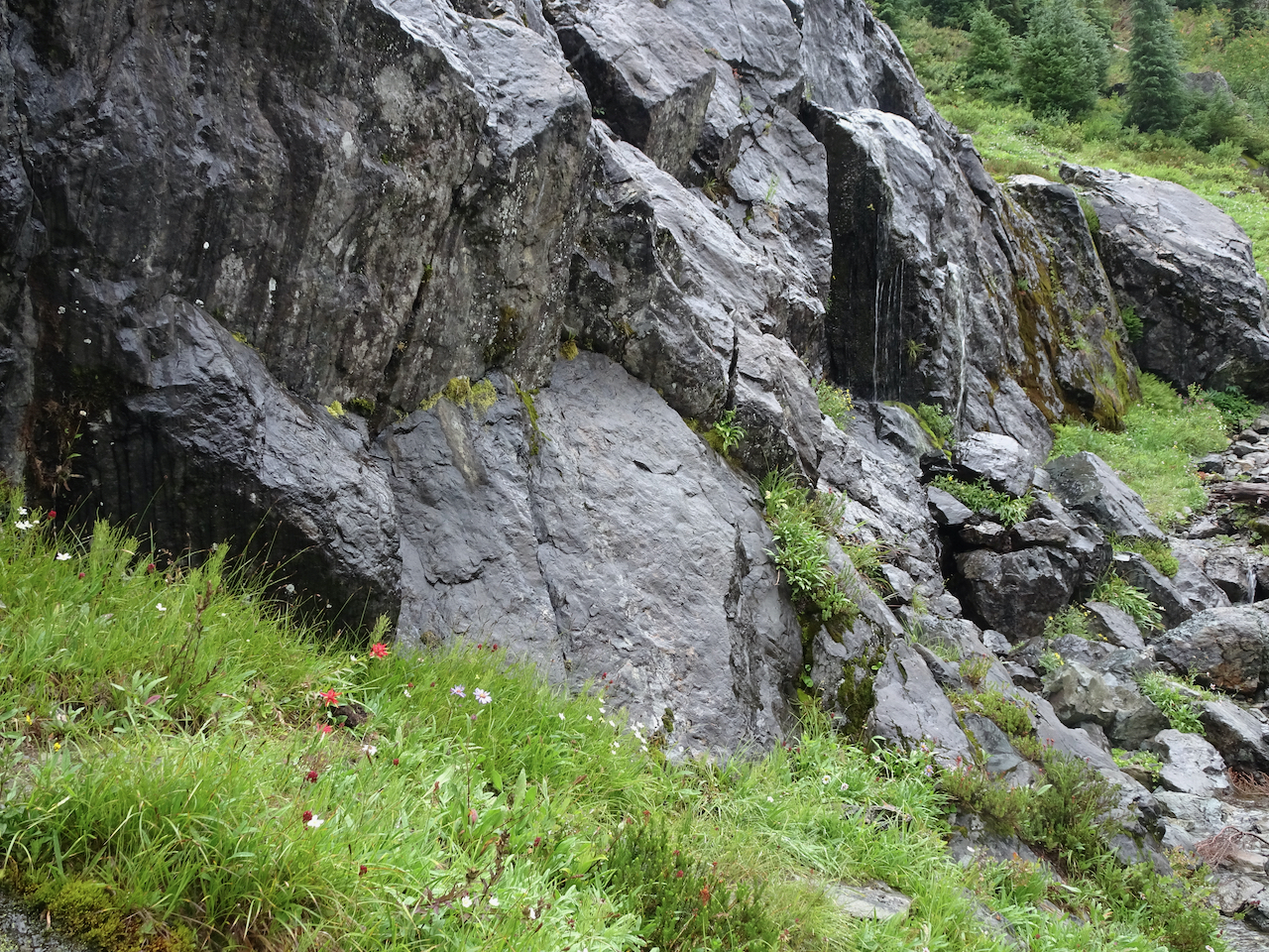
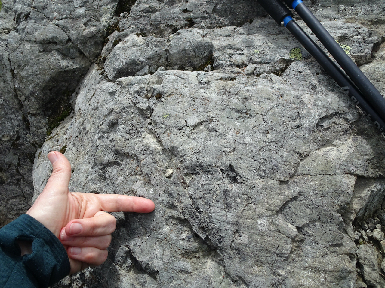
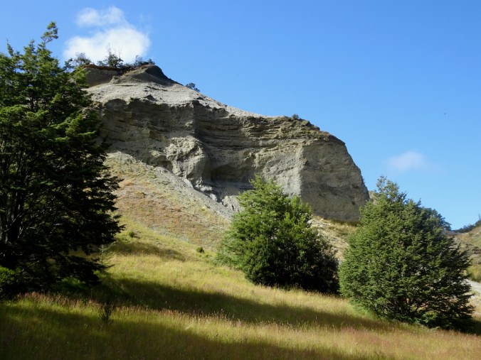
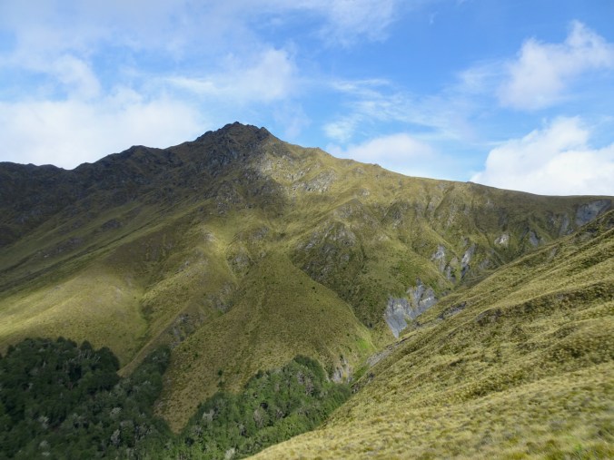
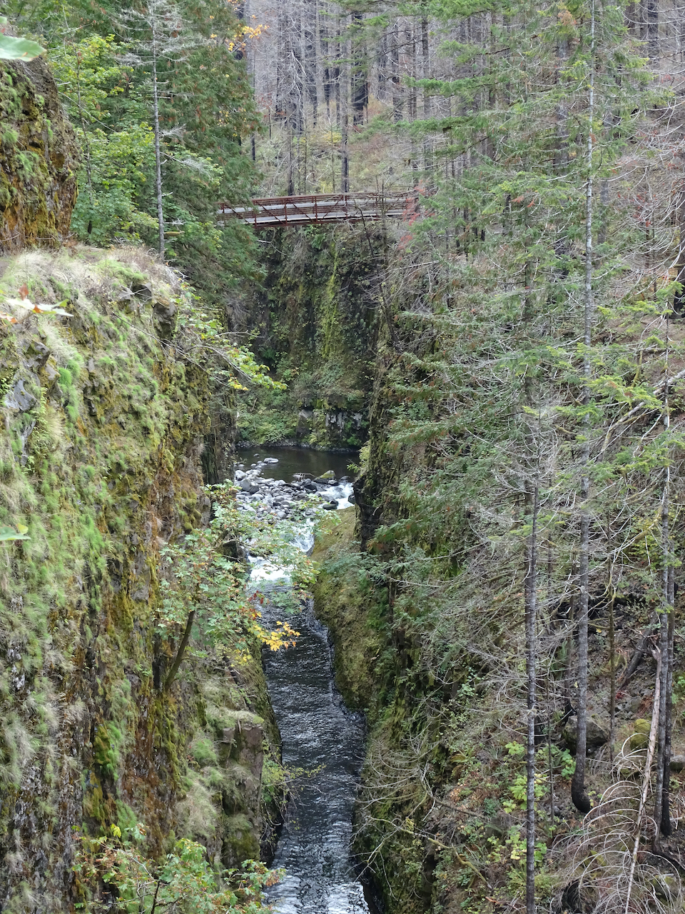
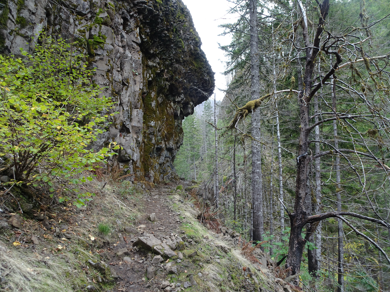
Dipping schist along the trail
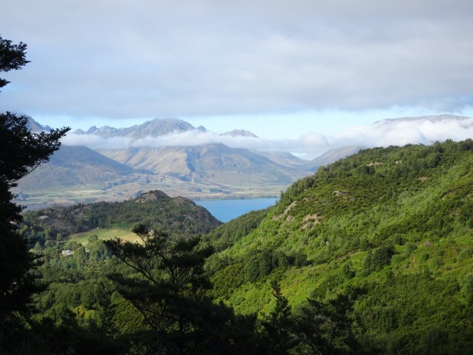
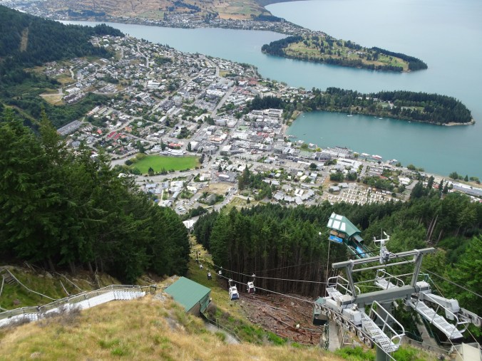
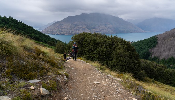
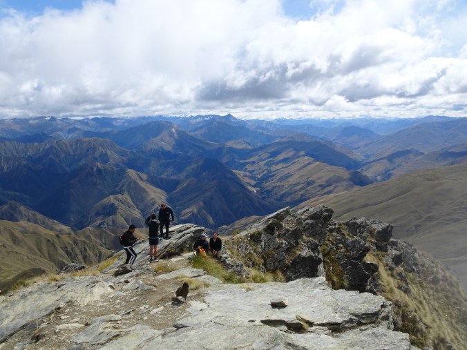
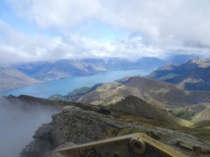
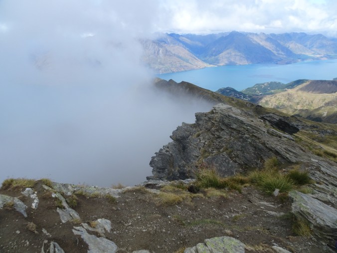
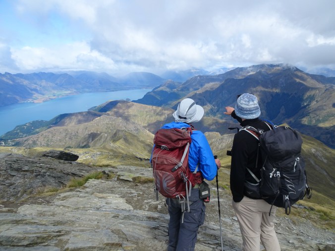
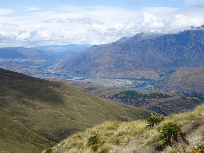
View back to Lake Wakatipu

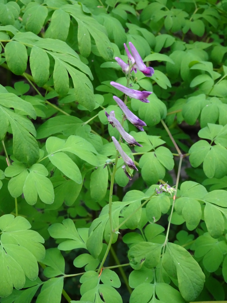
Juvenile lancewood, or horoeka

Adult lancewood

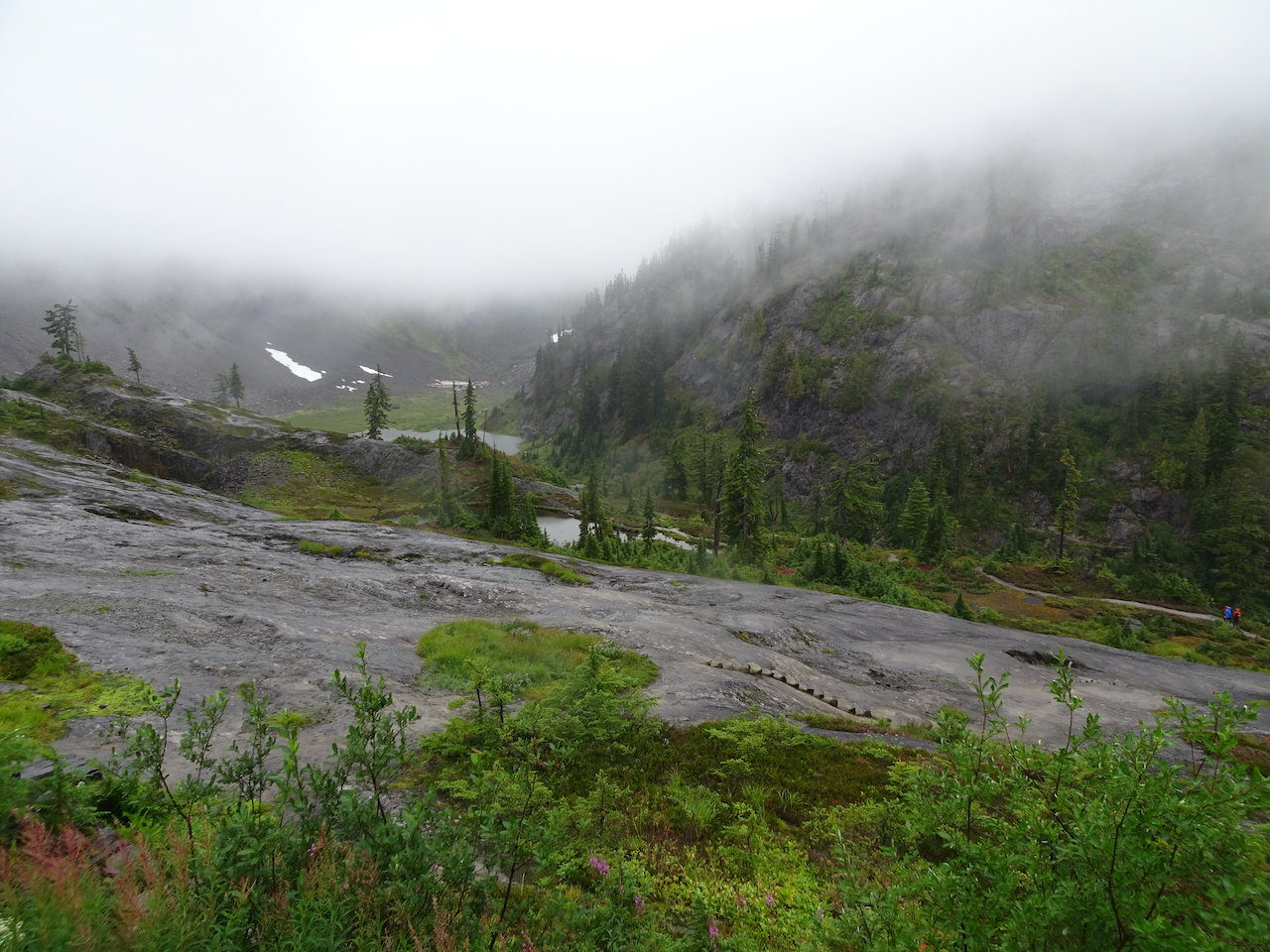
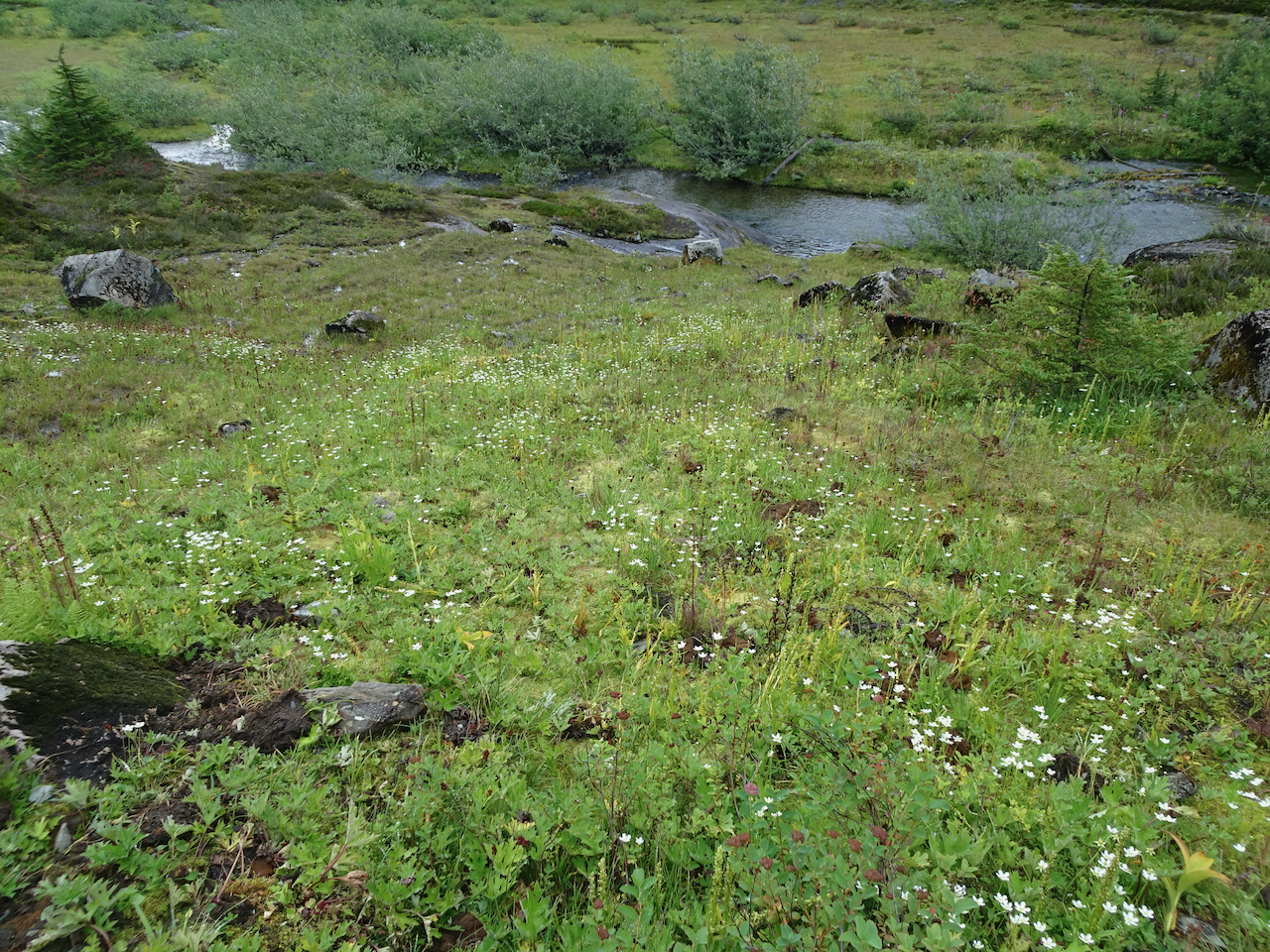
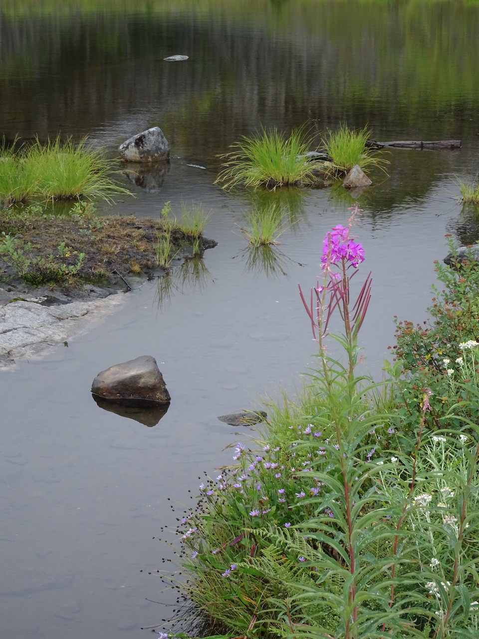
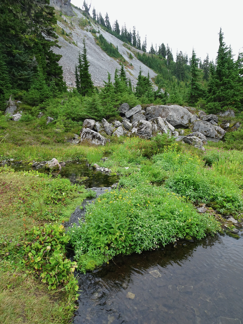
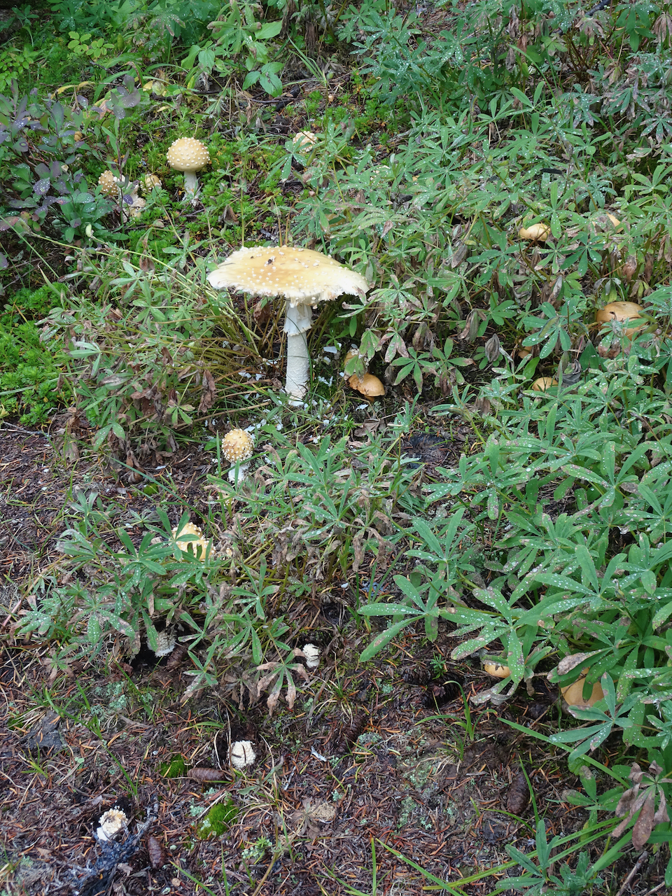
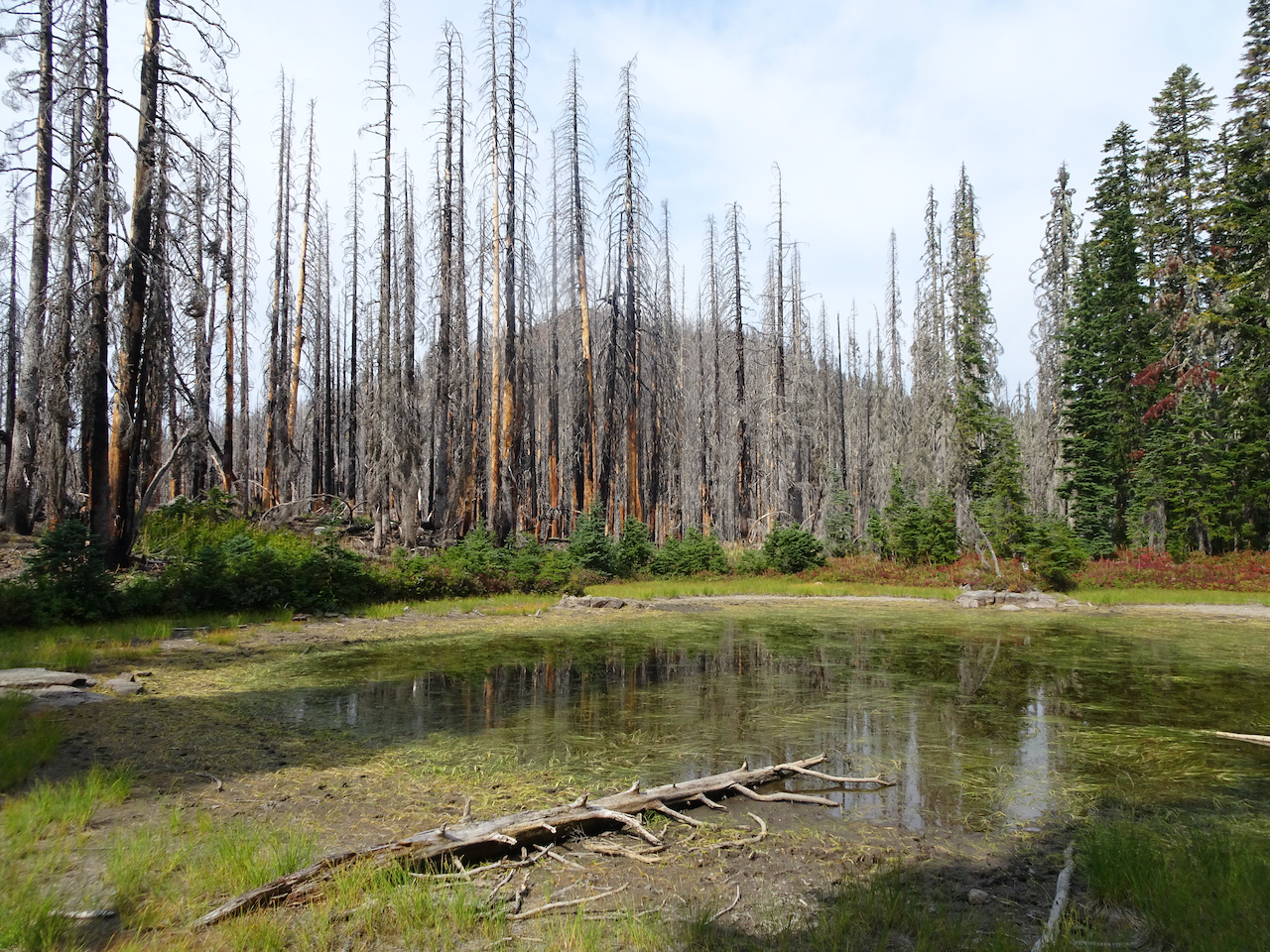
A bog near our turnaround junction
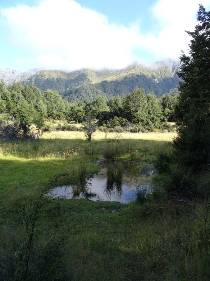
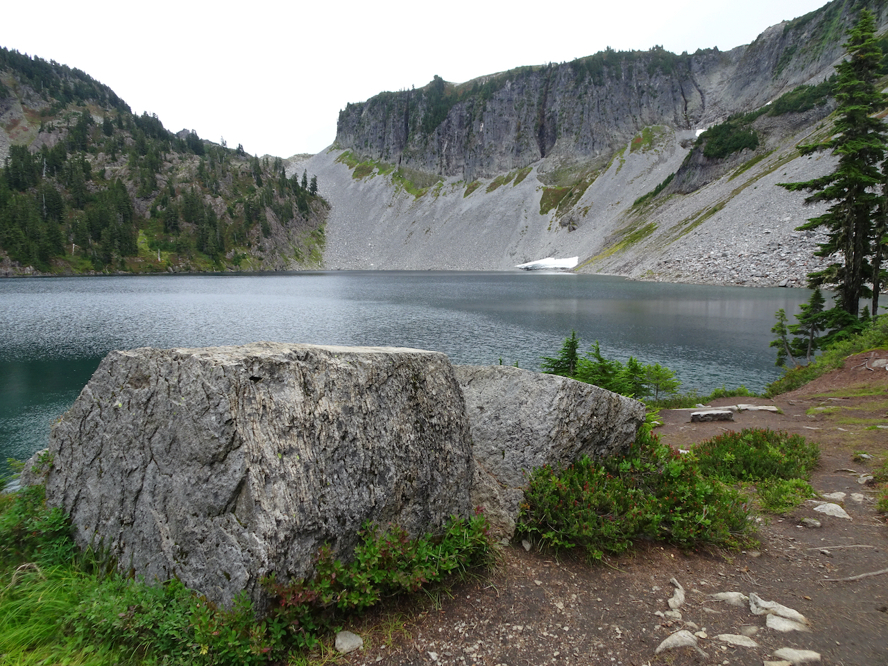
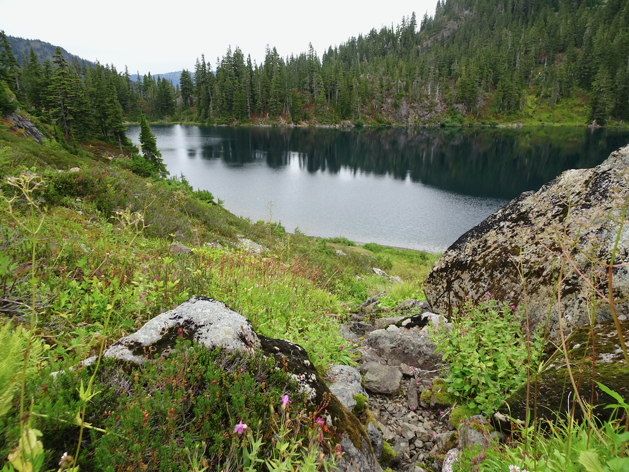
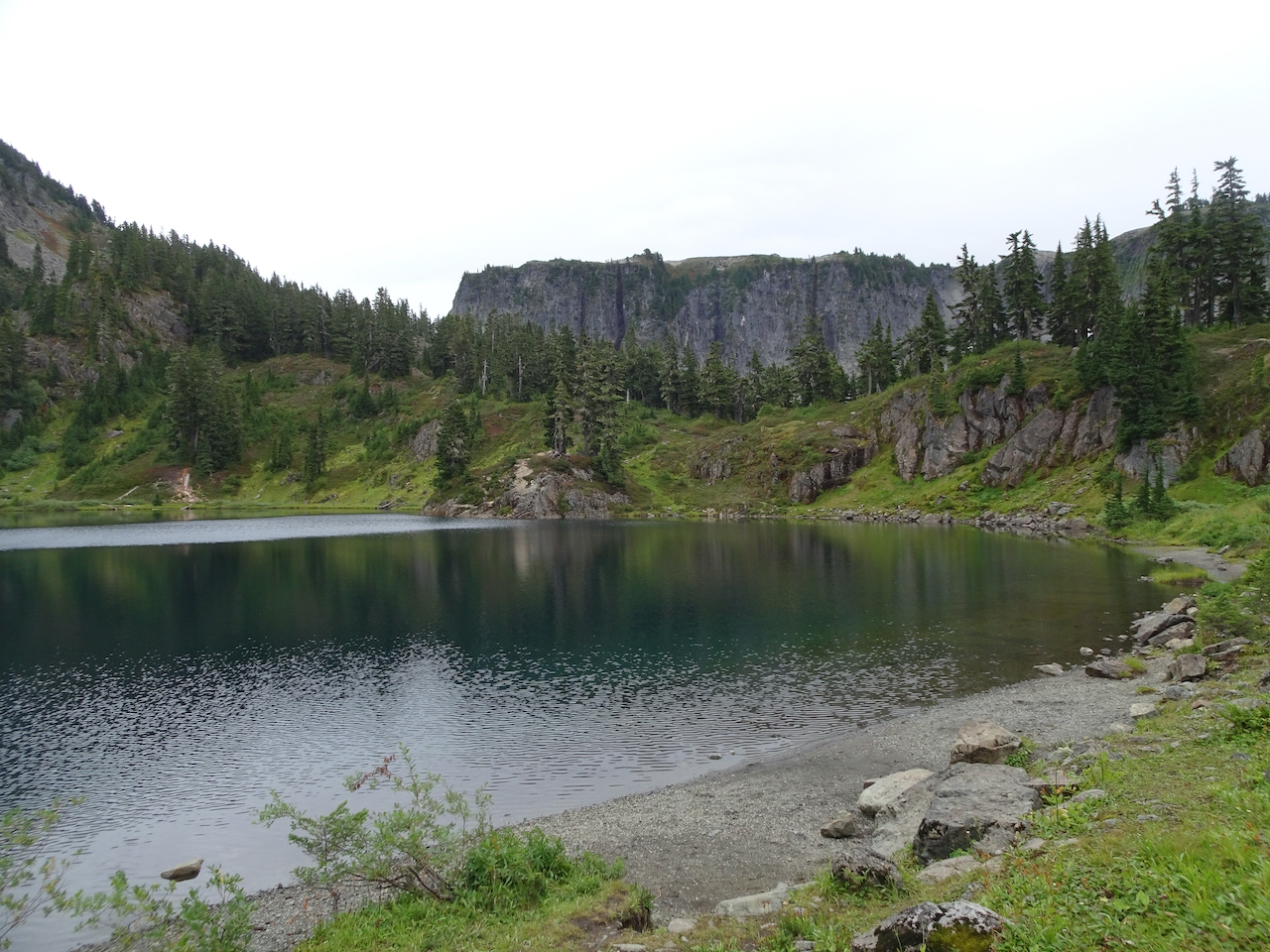
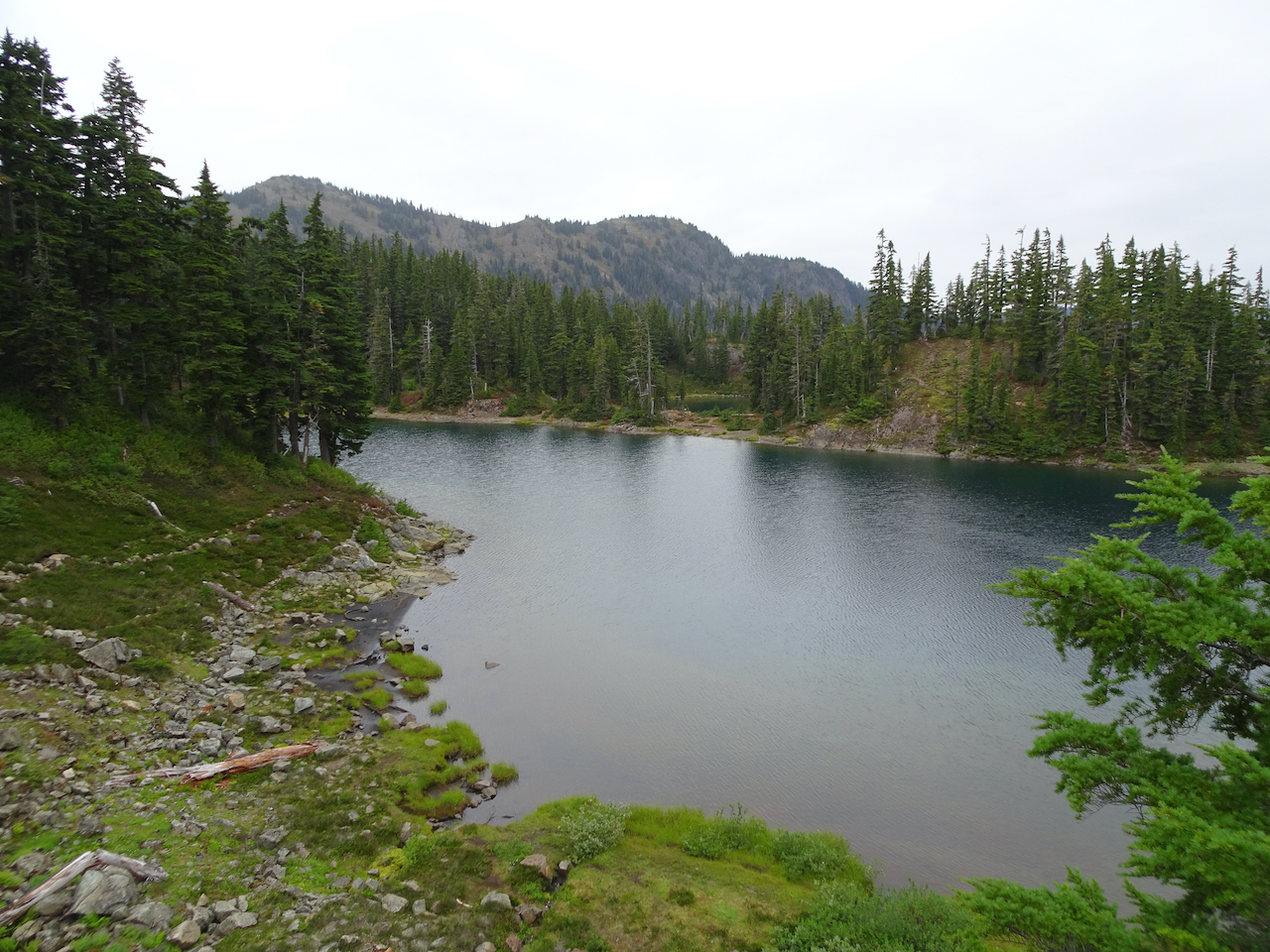
Small lake
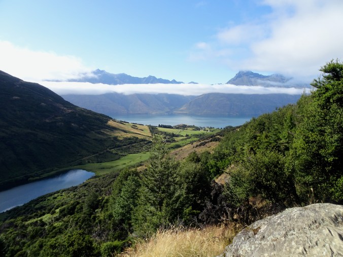
Lake Dispute, Lake Wakatipu
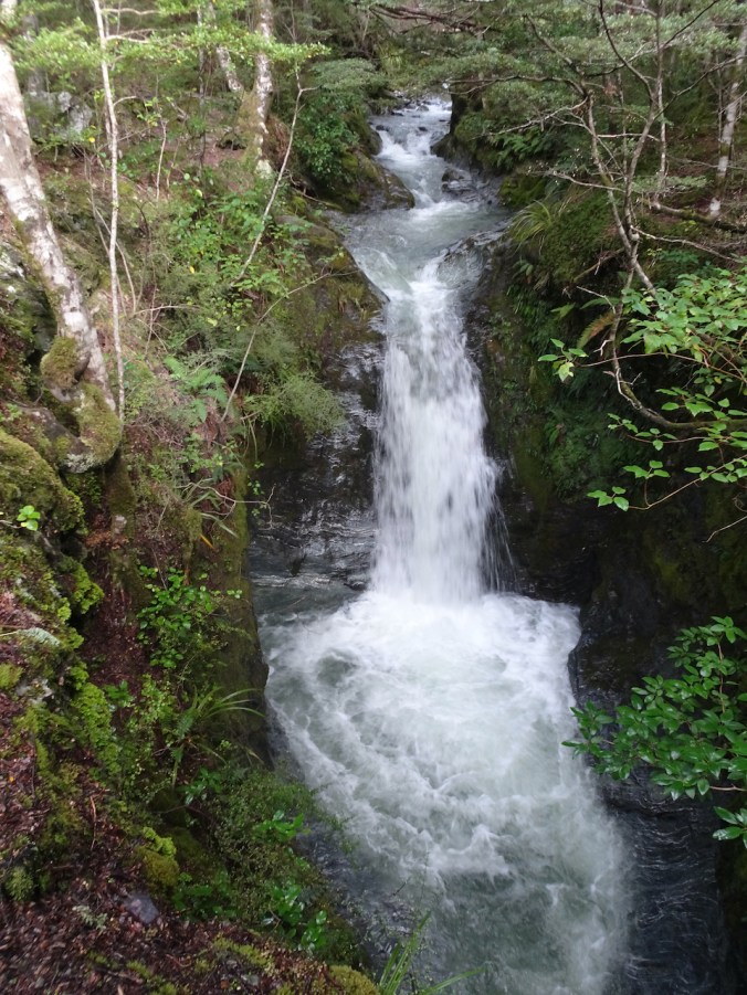
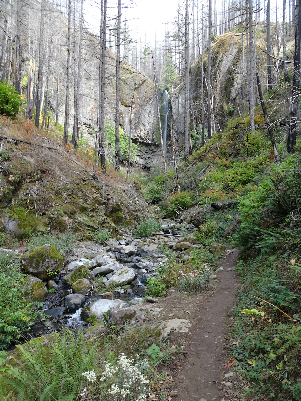
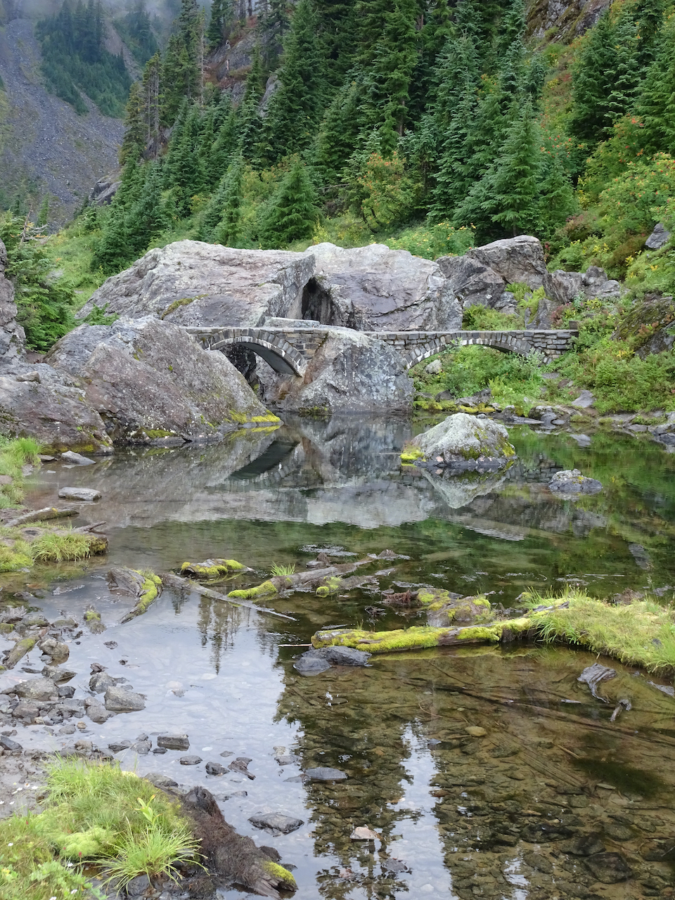
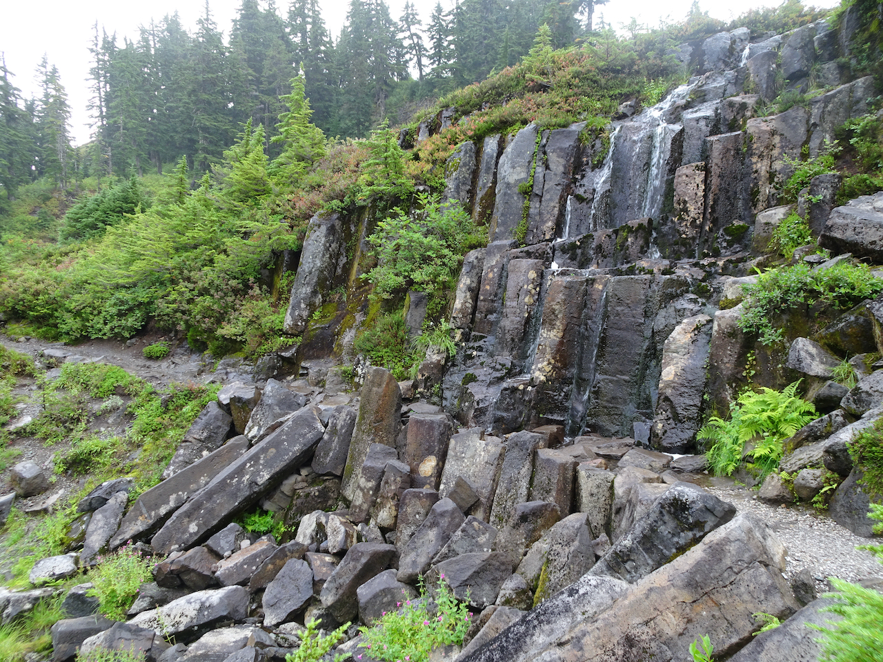
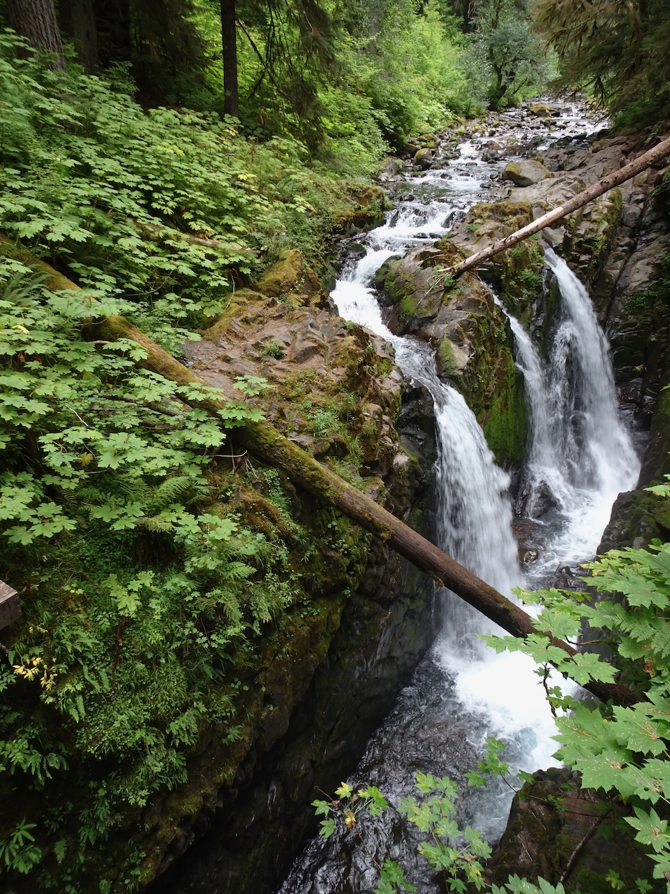
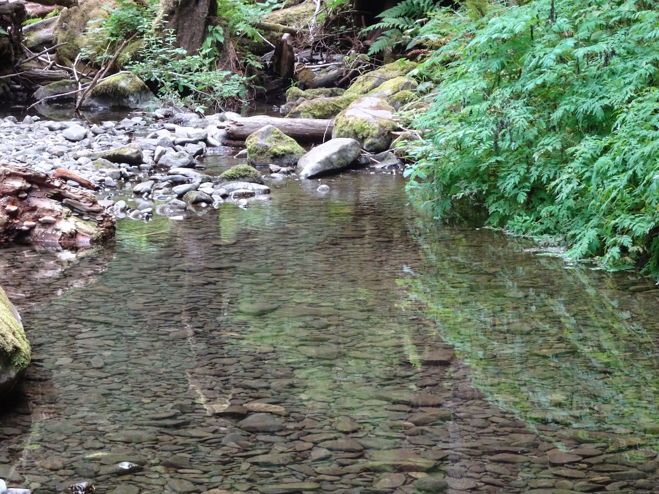
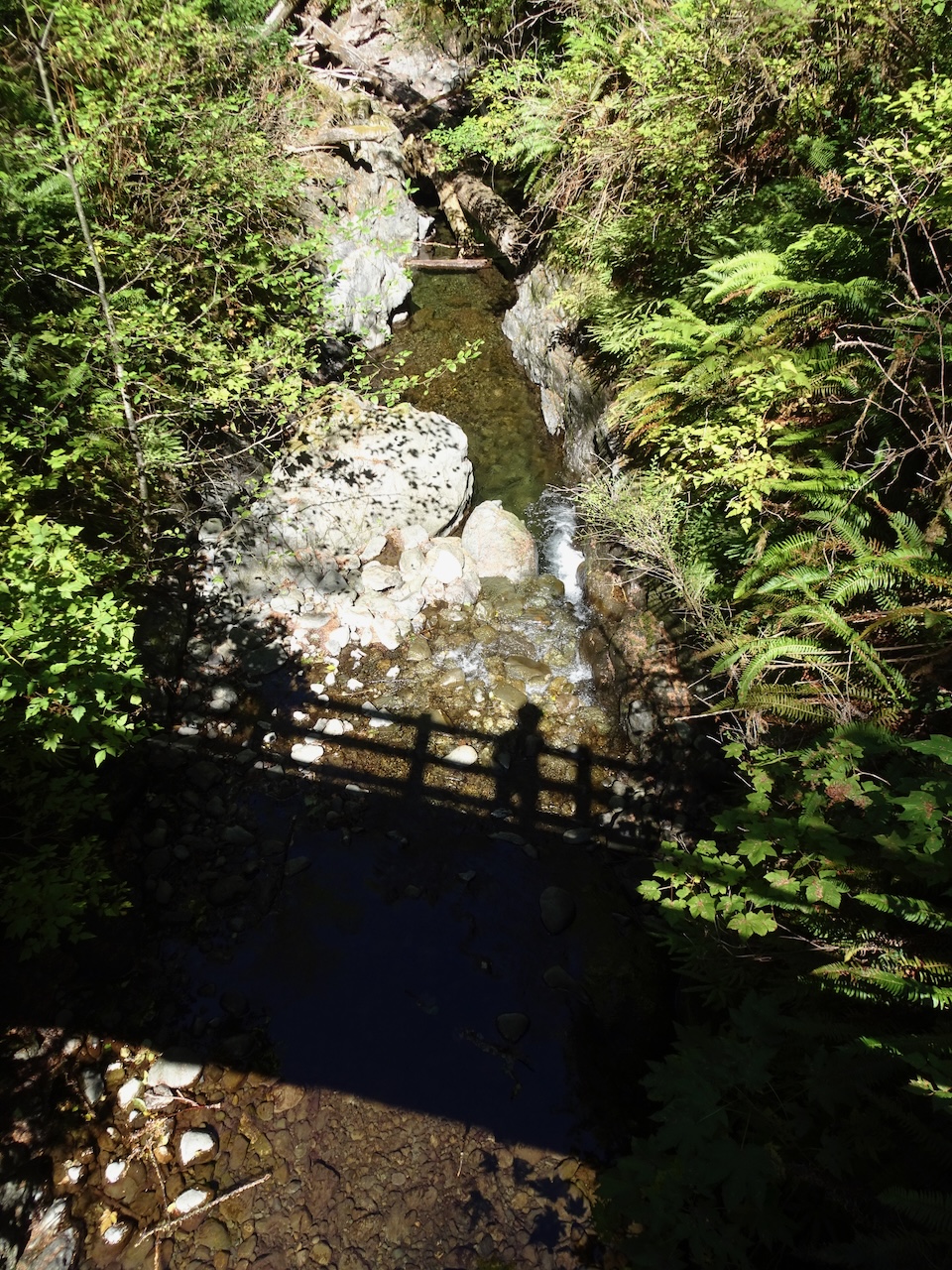
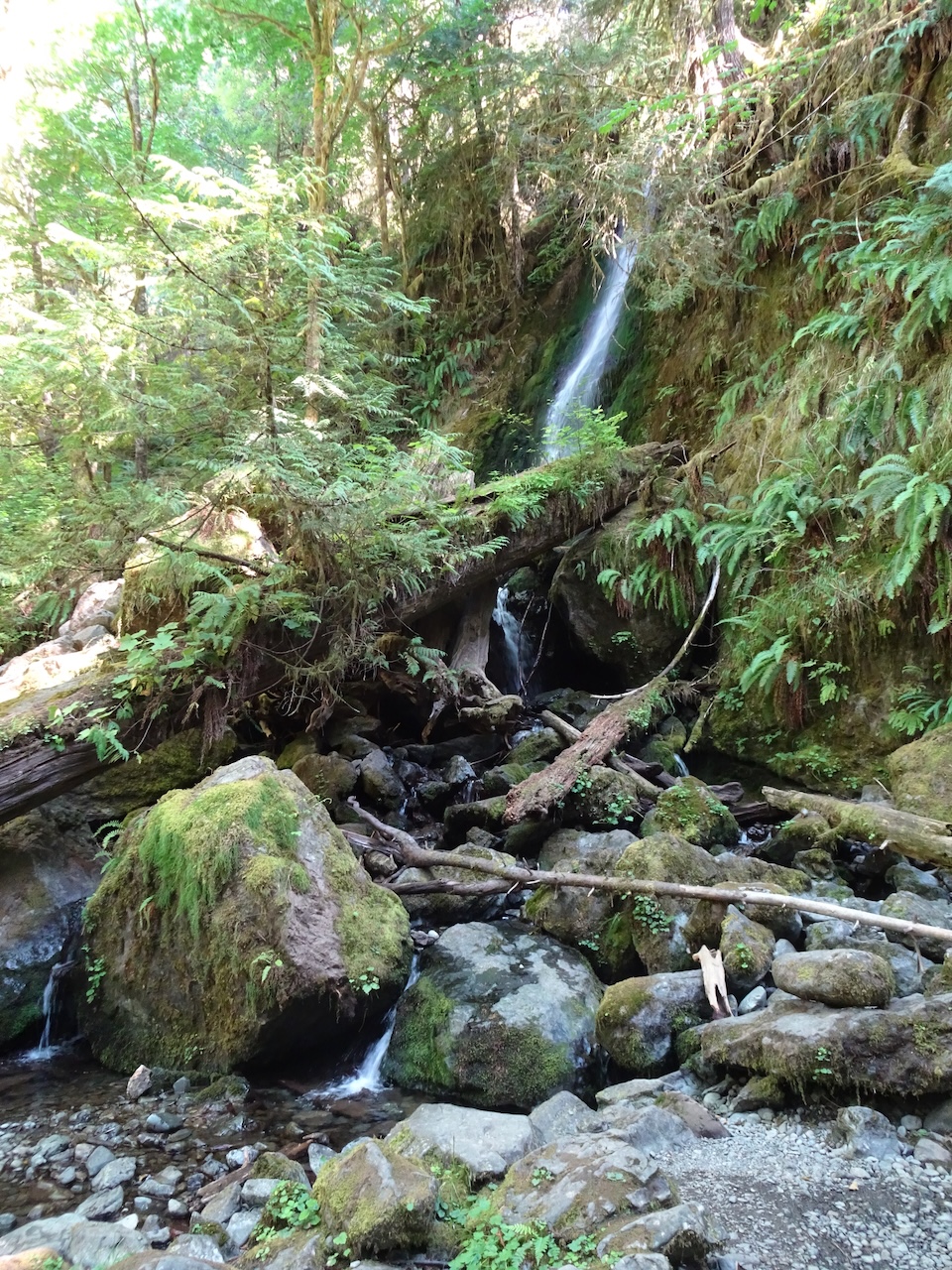
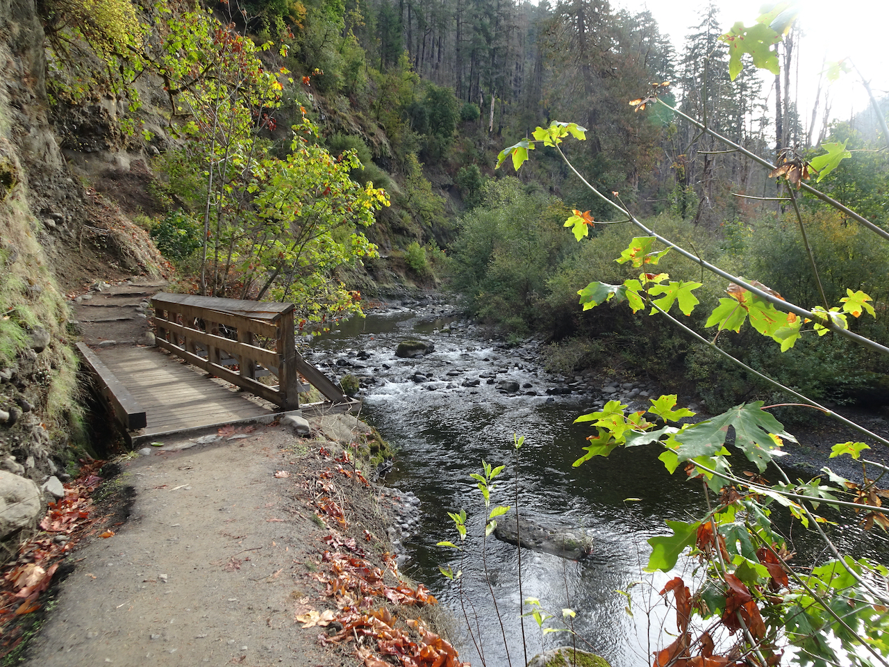
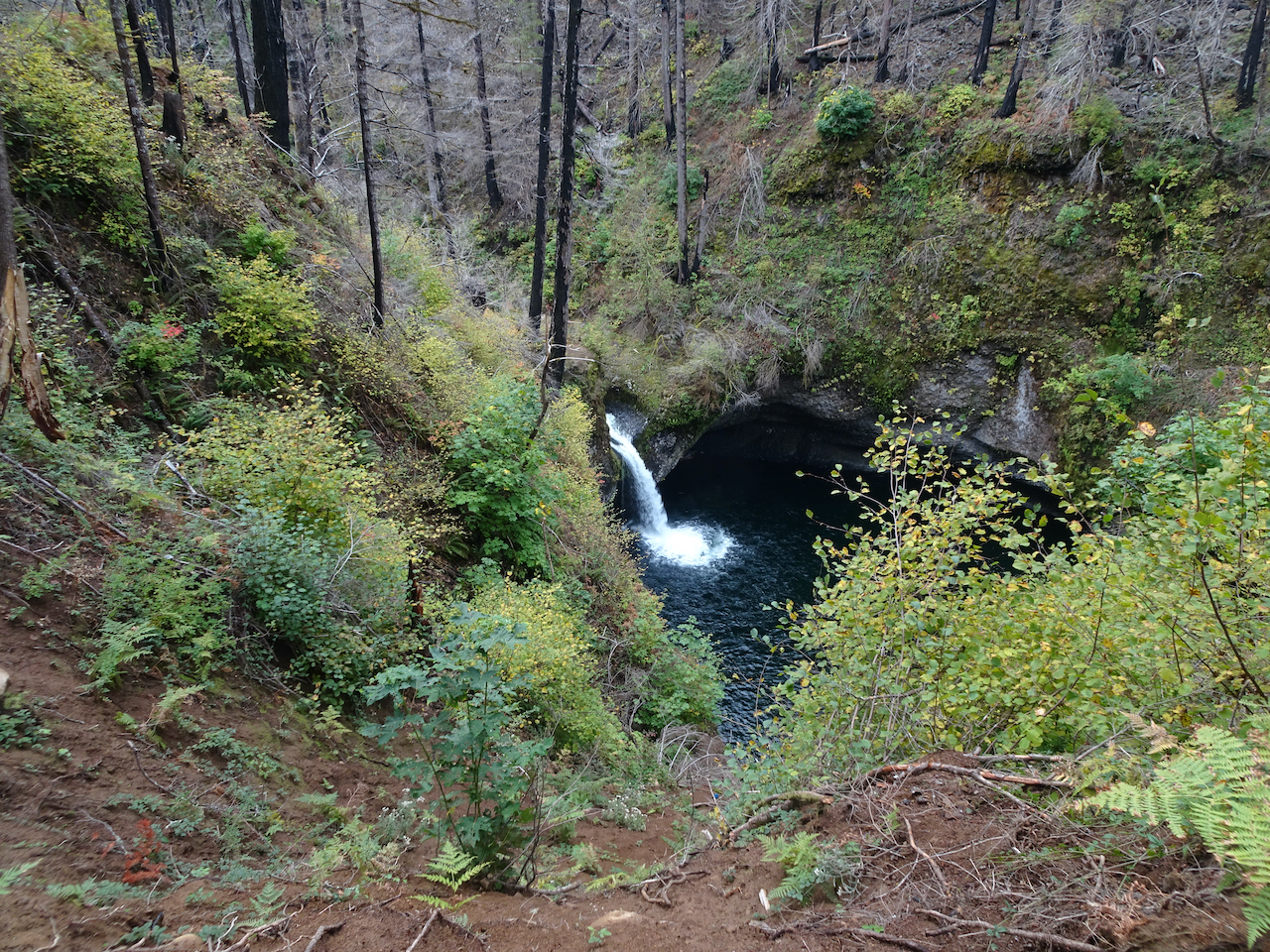
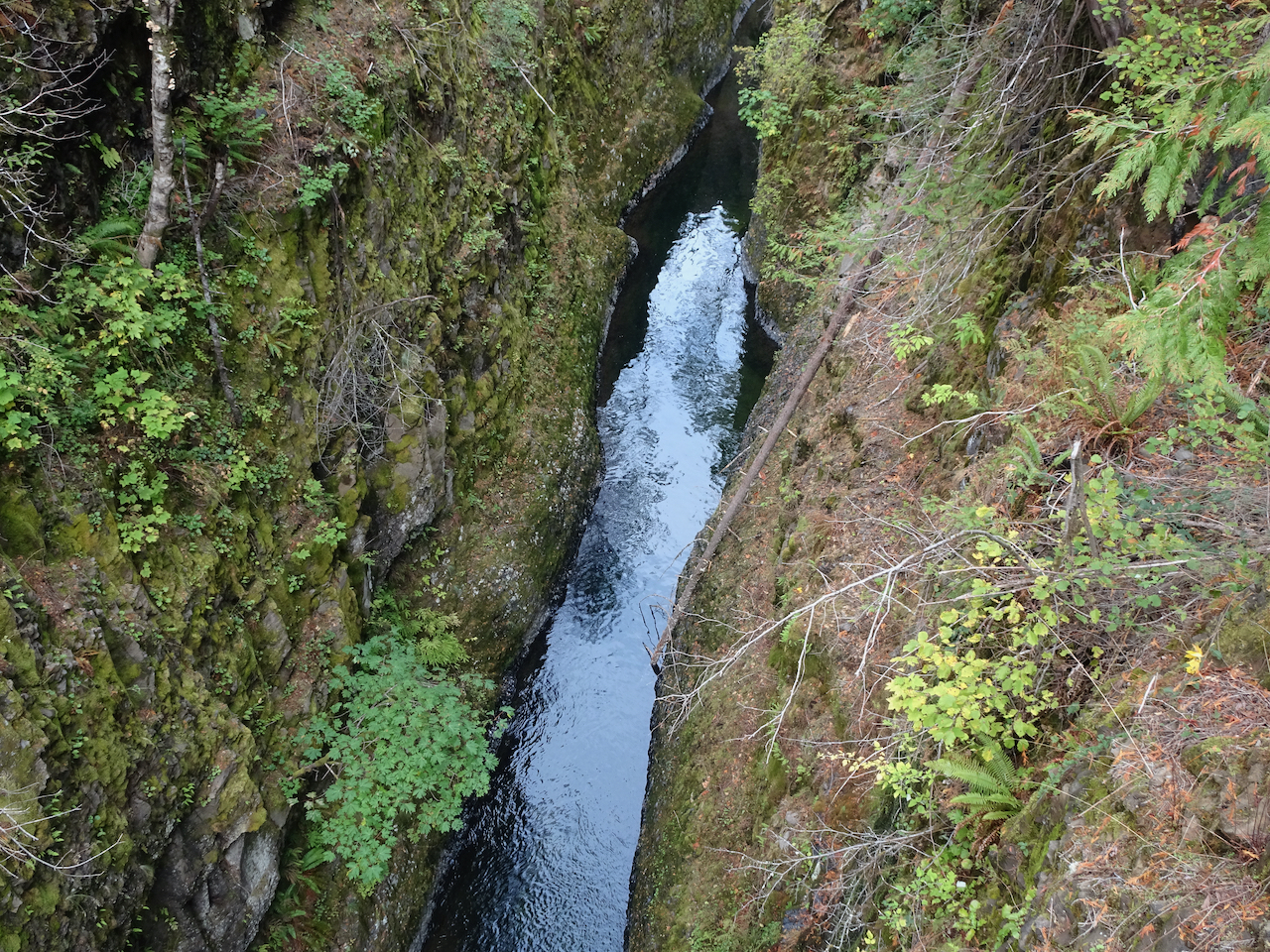
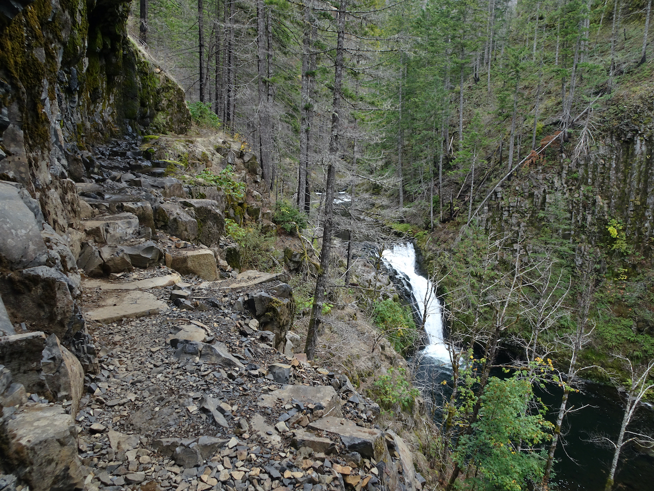
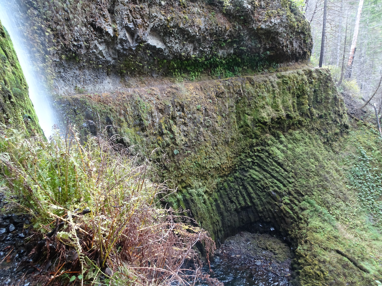
Waterfall on Twelve Mile Creek

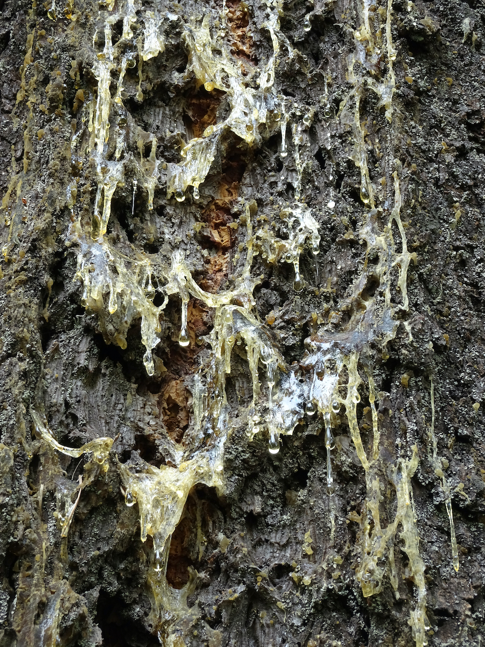
Quartz layers in the rocks behind the waterfall
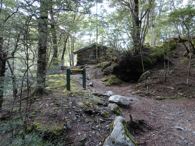
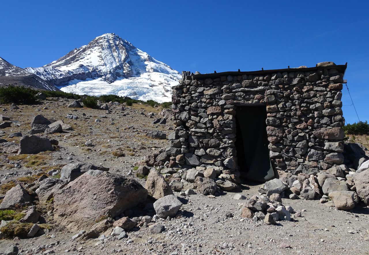
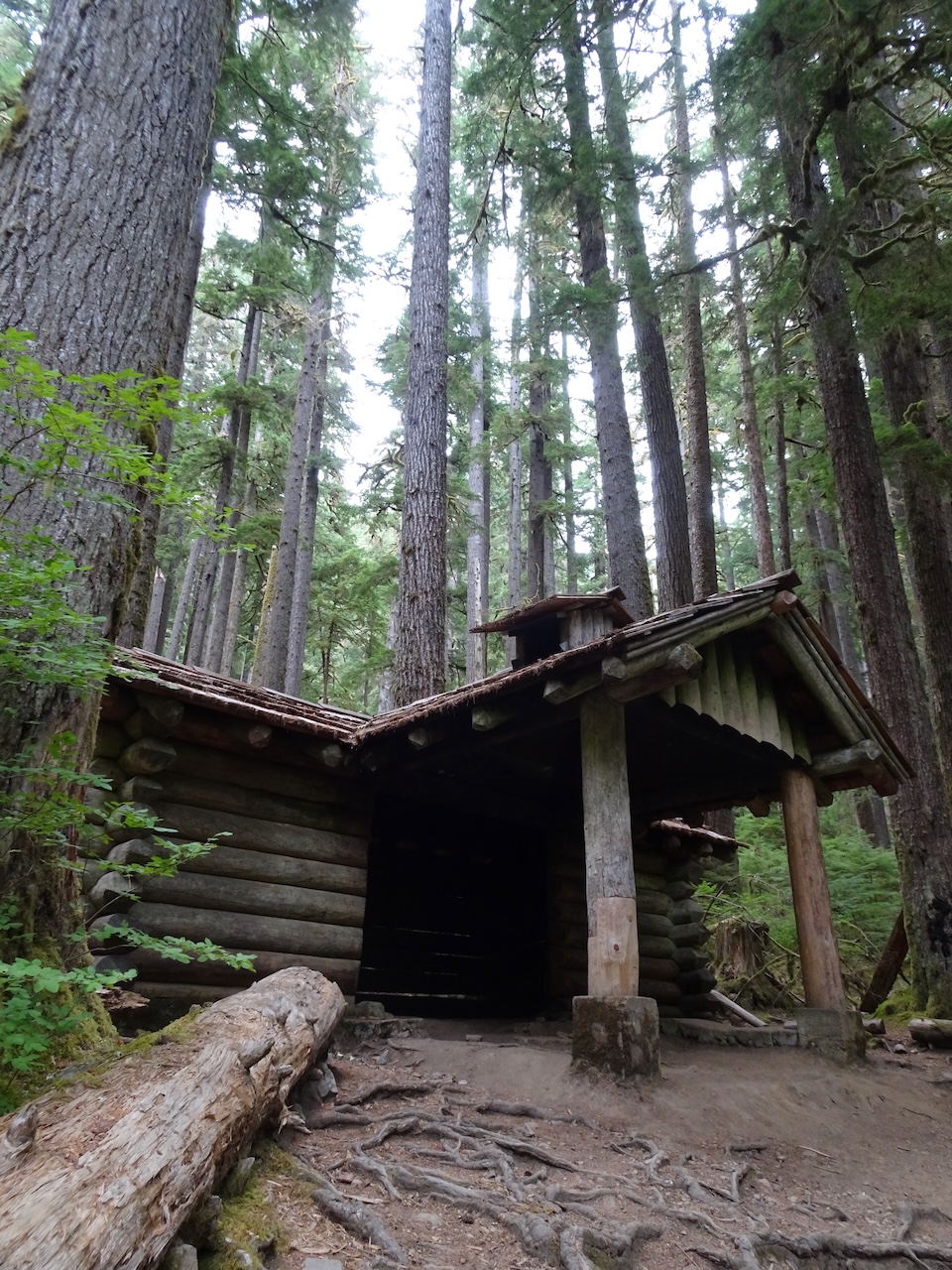
Sam Summers’ Hut
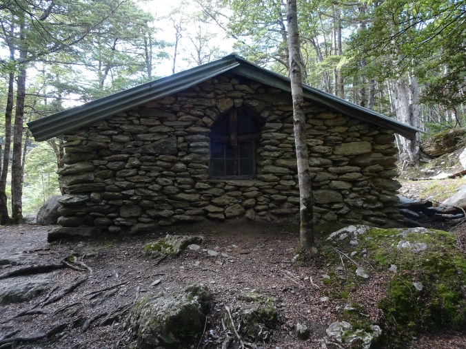
An old gold mining lodging

Rustic…
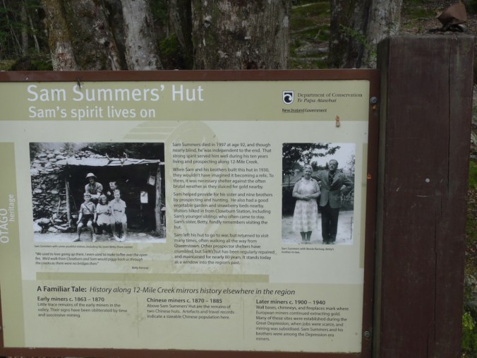
The history
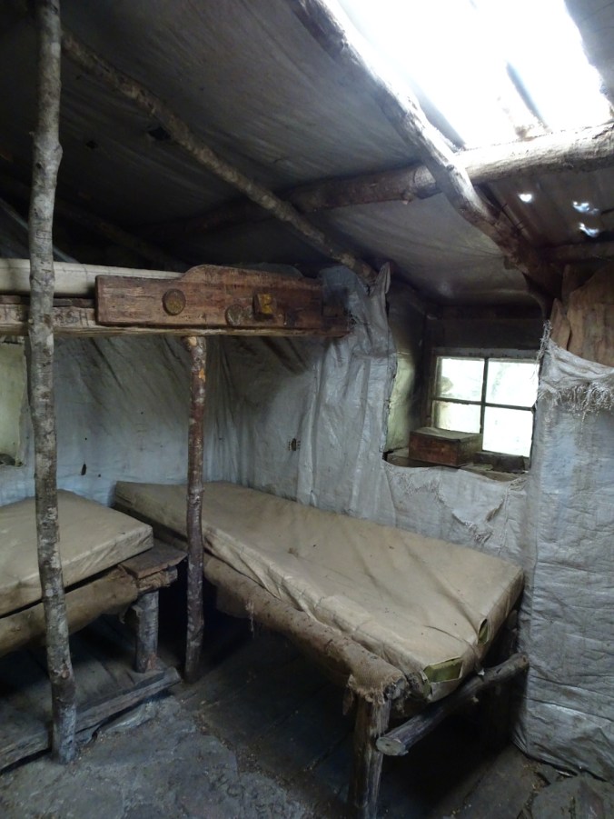
Interior…
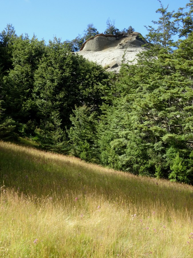
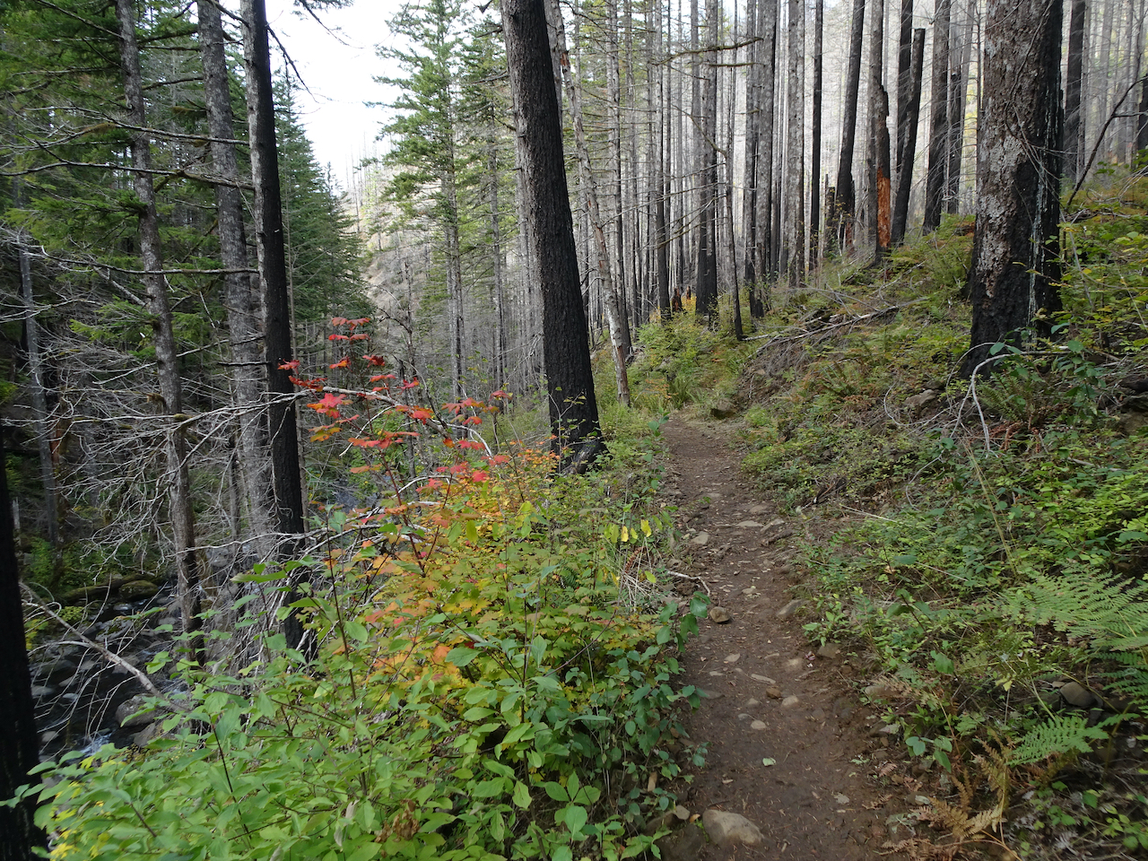
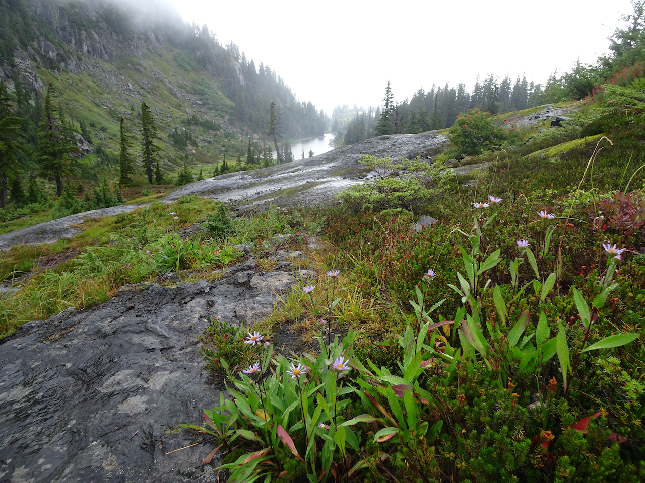
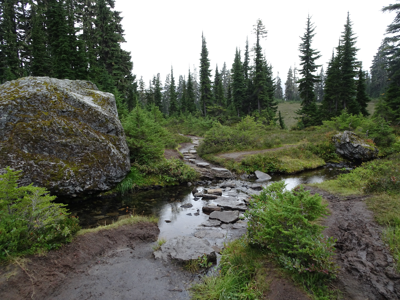
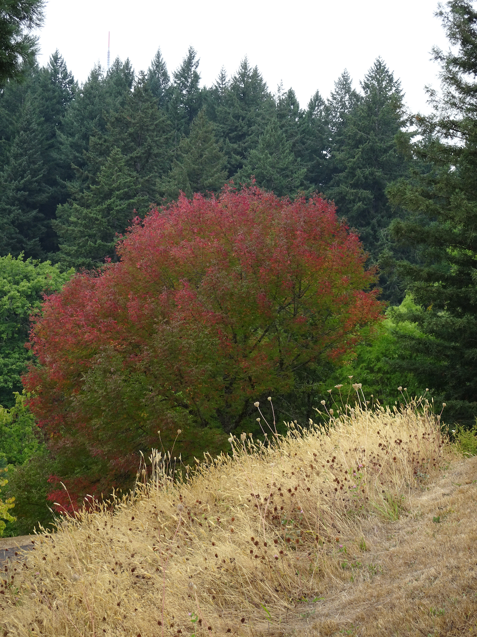
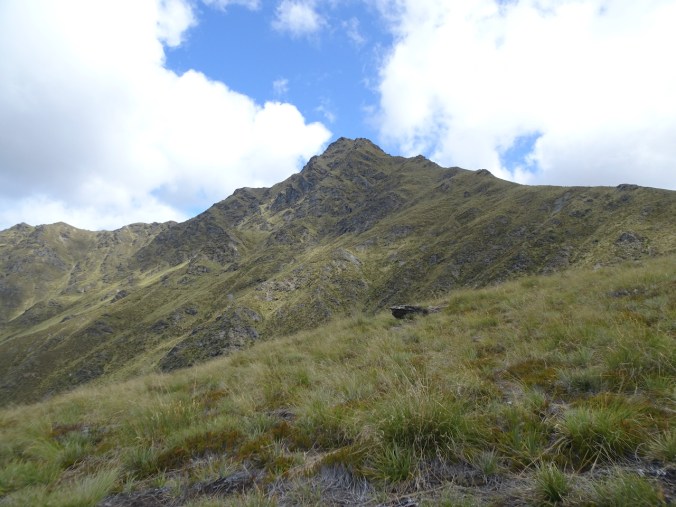
Meadows and sandstone outcrops on the return hike

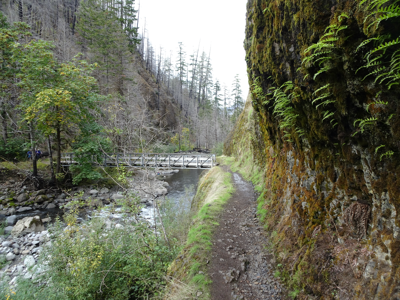
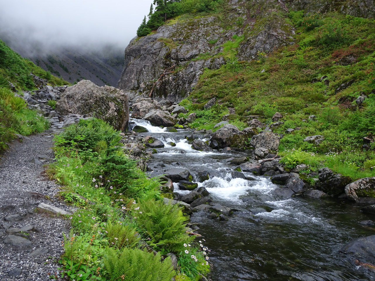
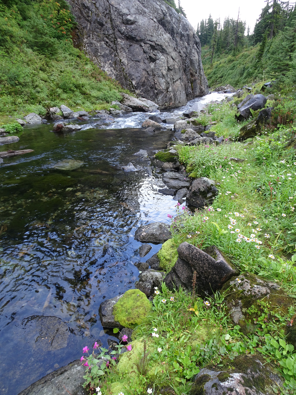
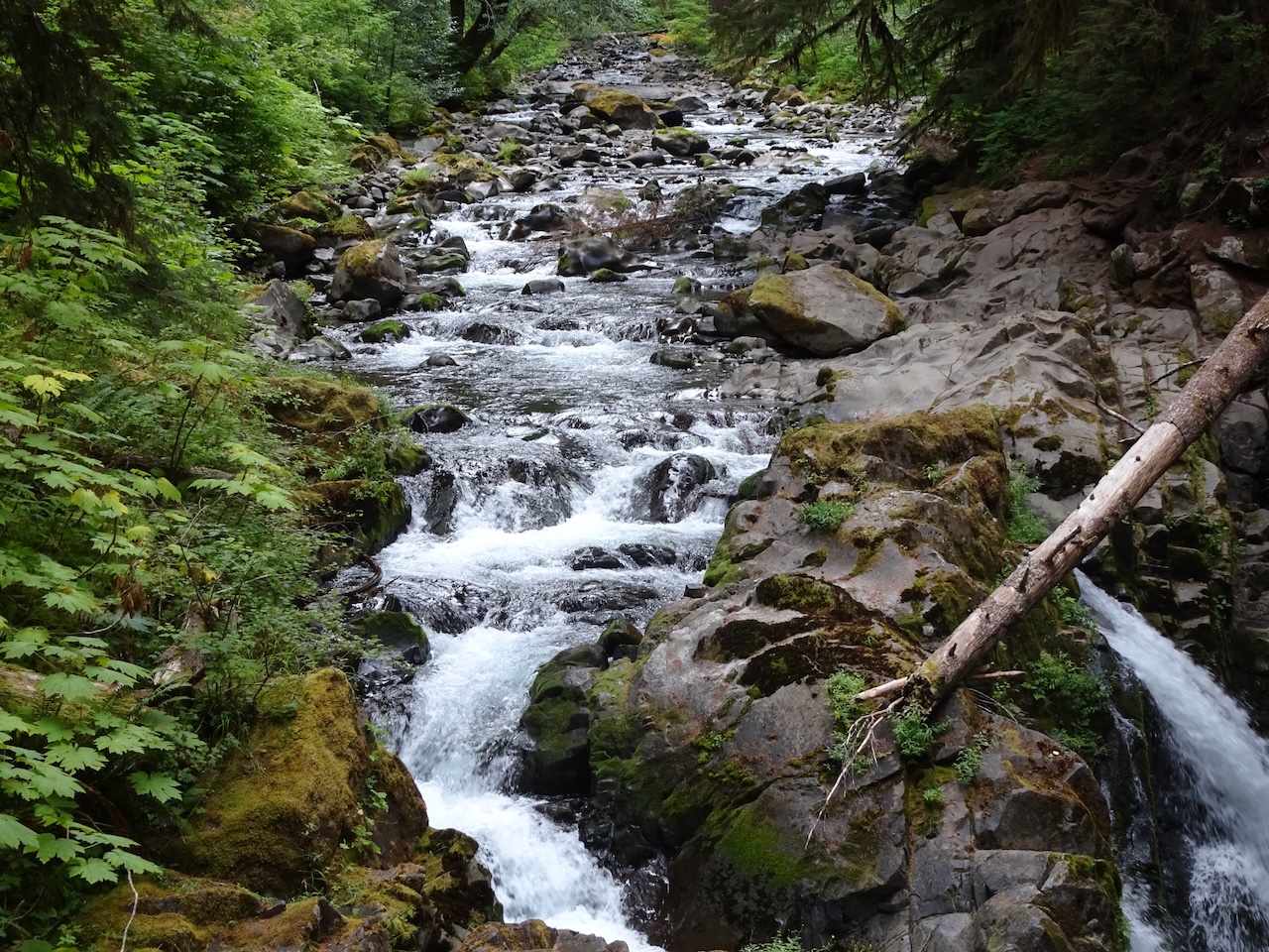
Twelve Mile Creek
I enjoyed the hike, and it was good to stretch our legs on an easier trail, after the challenging hike yesterday, and another challenging hike planned for tomorrow.
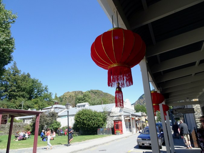
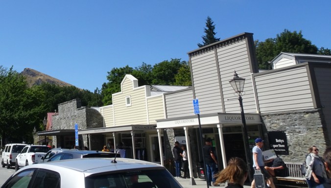
Arrowtown: Next, we drove back through Queenstown, and on to Arrowtown, where we stopped for a picnic lunch in the park, and a short wander around the western style gold rush town.

Western facades in Arrowtown
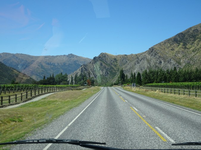
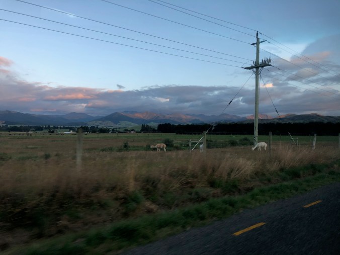
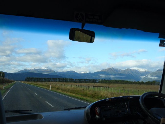
 Driving north: For the next few hours, we drove north along Hwys 6 and 8, with several short stops, and lots of interesting scenery along the way.
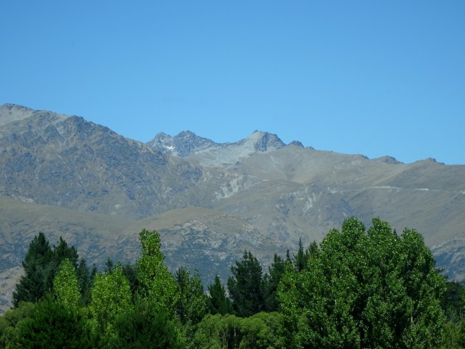
Last glimpse of The Remarkables as we leave Arrowtown
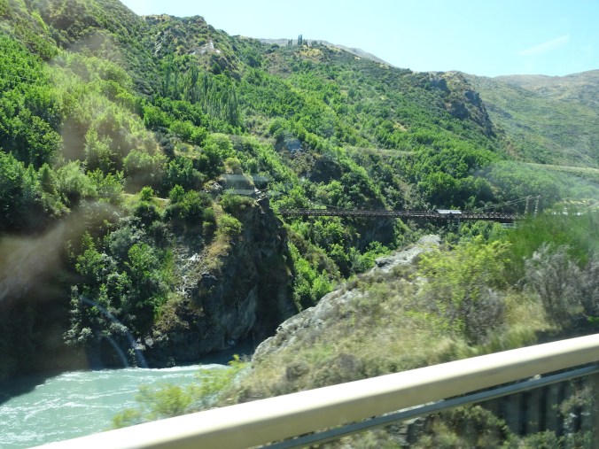
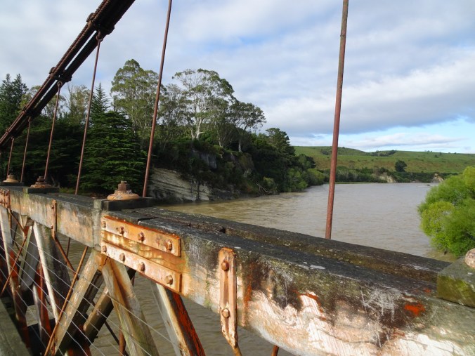
Kawarau Gorge Suspension Bridge
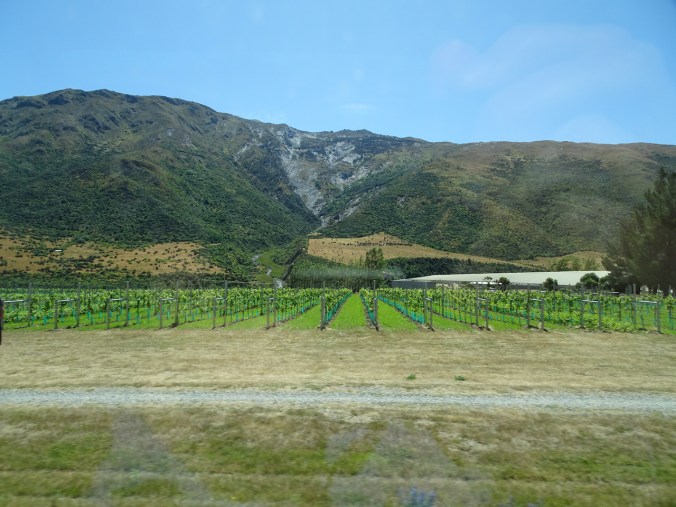
Wine country near Gibbston
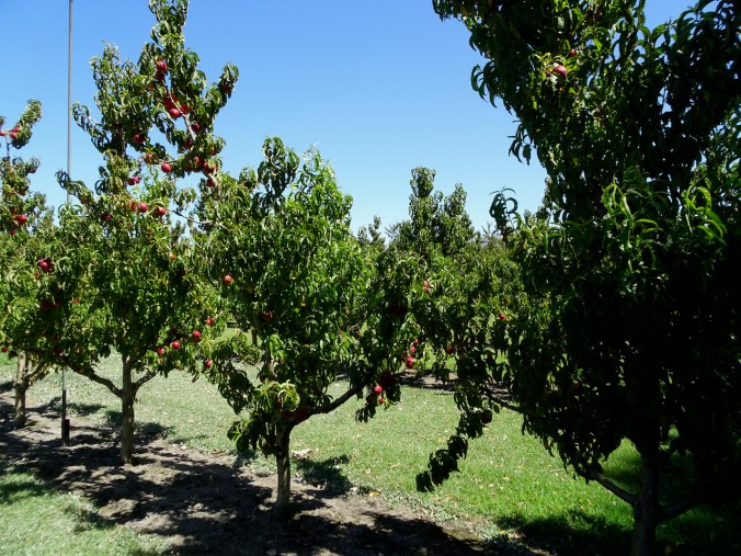
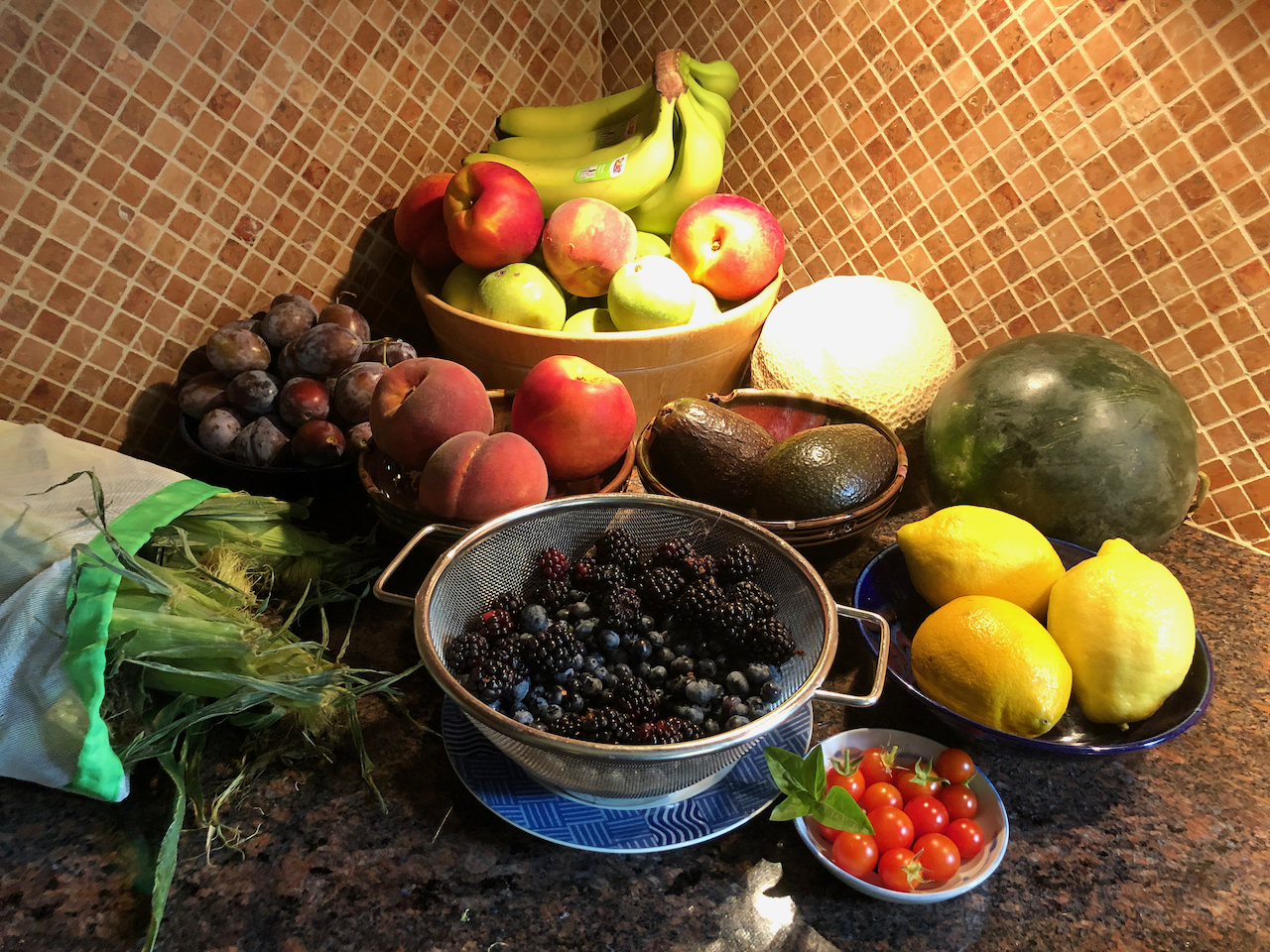
We stopped at a fruit stand near Cromwell, with orchards of ripe nectarines (southern summer!), and delicious homemade ice cream.
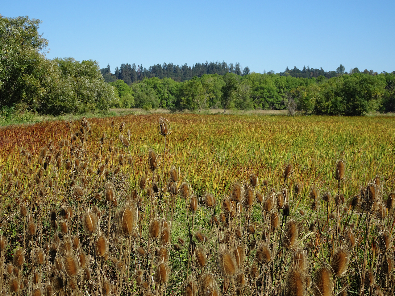
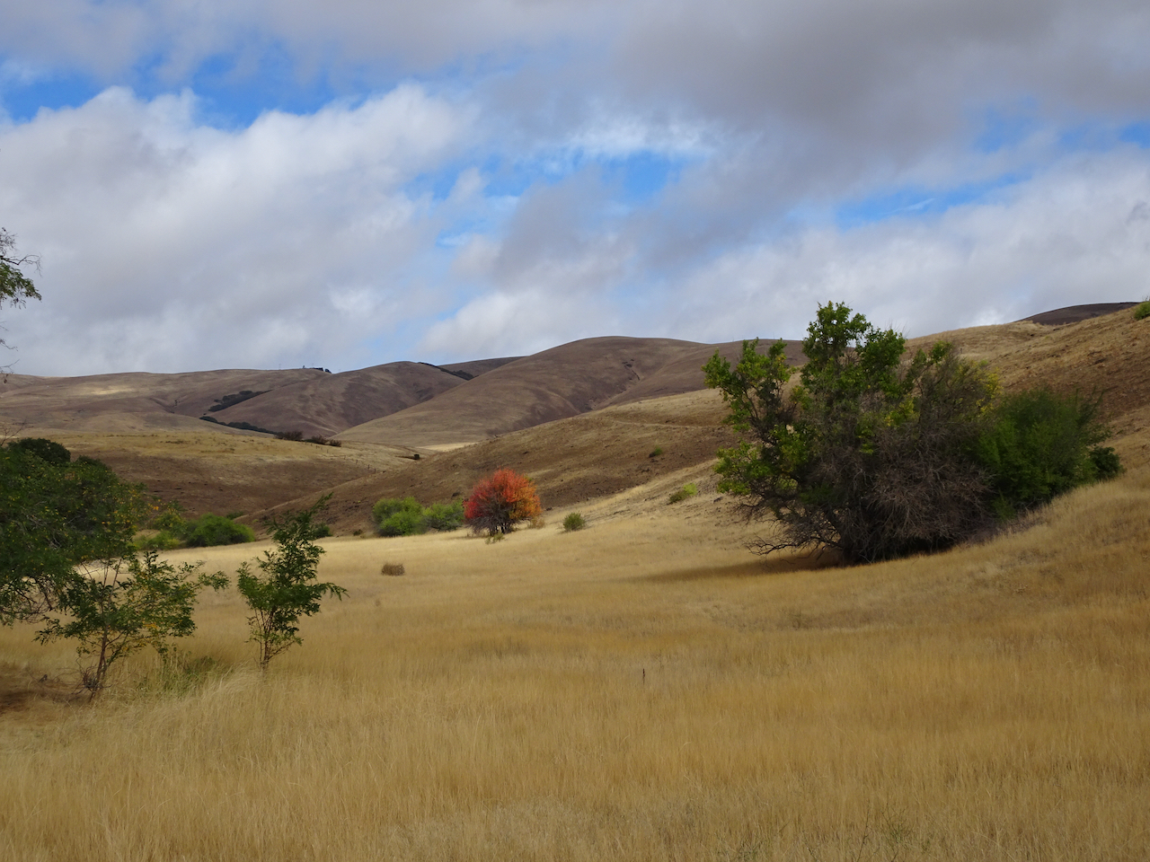
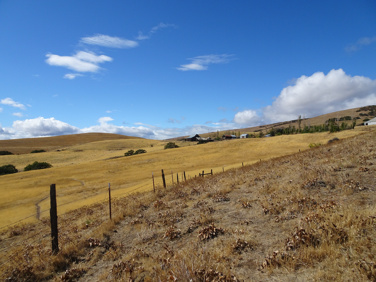
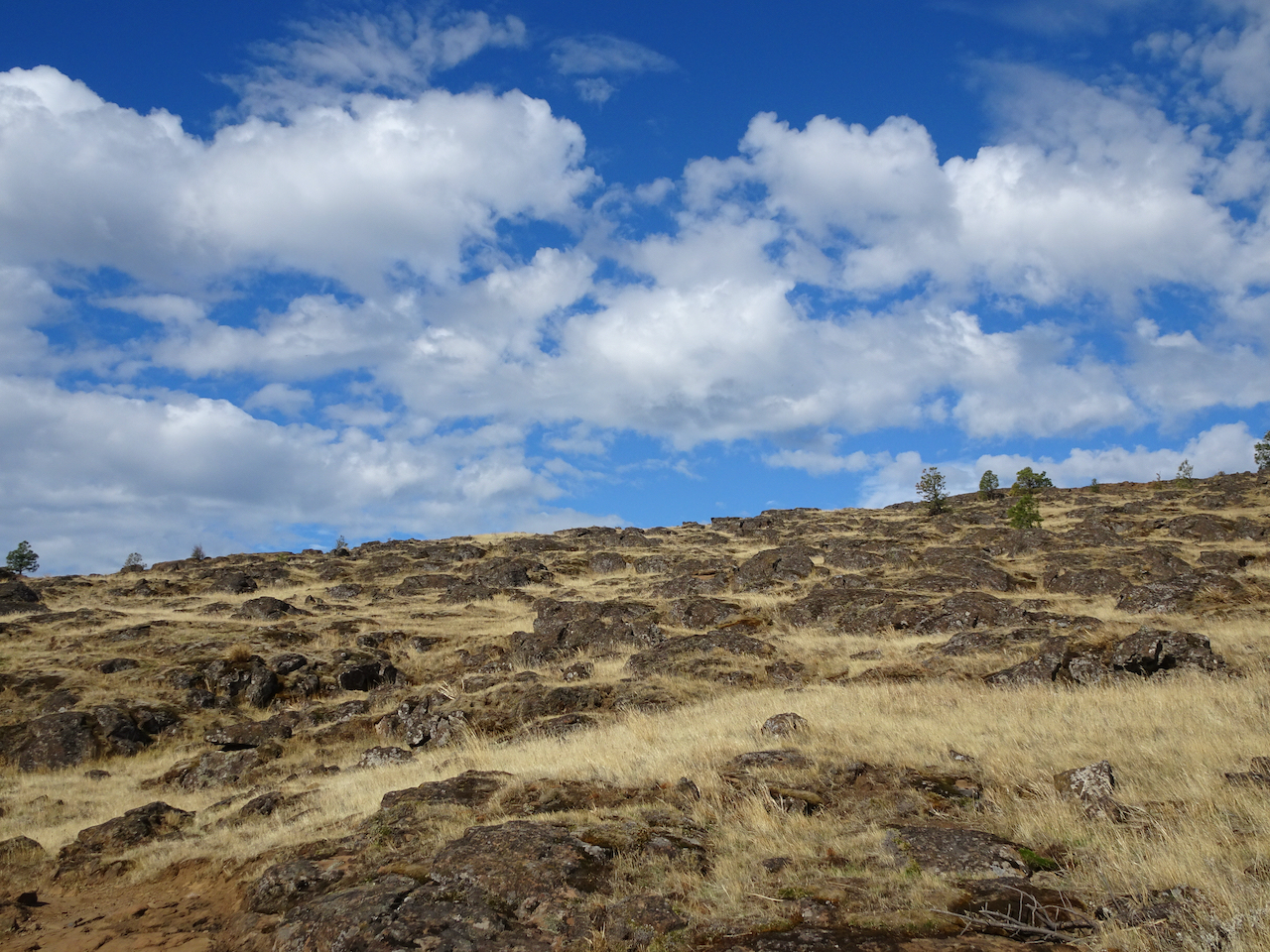
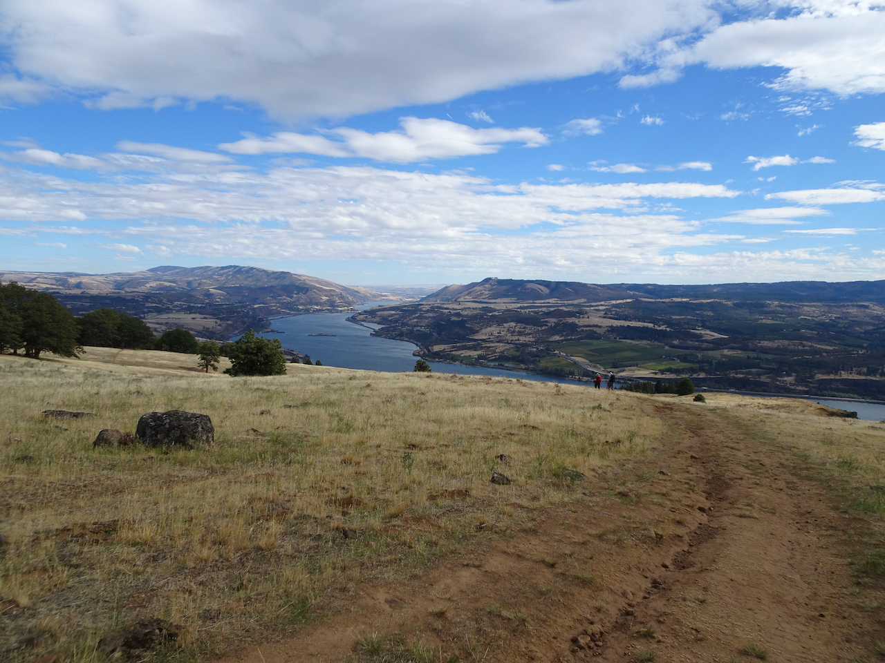
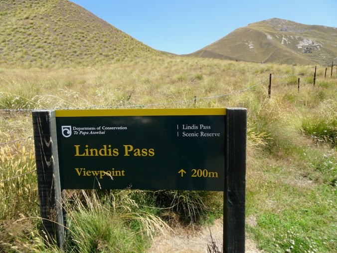
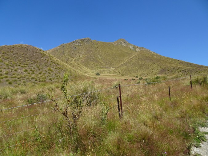
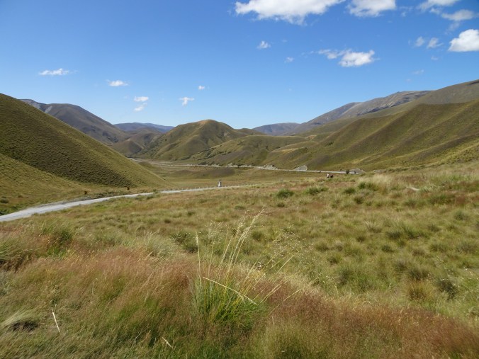
At Lindis Pass, over 3000 feet in elevation, we walked up to a viewpoint over the dry tussock landscape. The golden rolling hills reminded me of the high deserts of eastern Oregon and California.
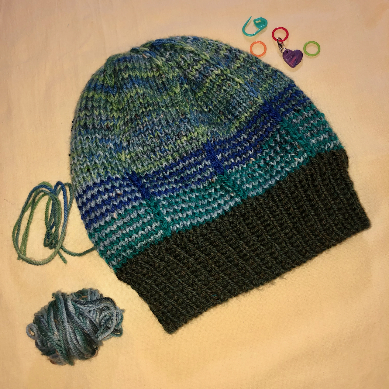
 We took one last break in Omarama, where I found a few post cards, but no knitting wool.
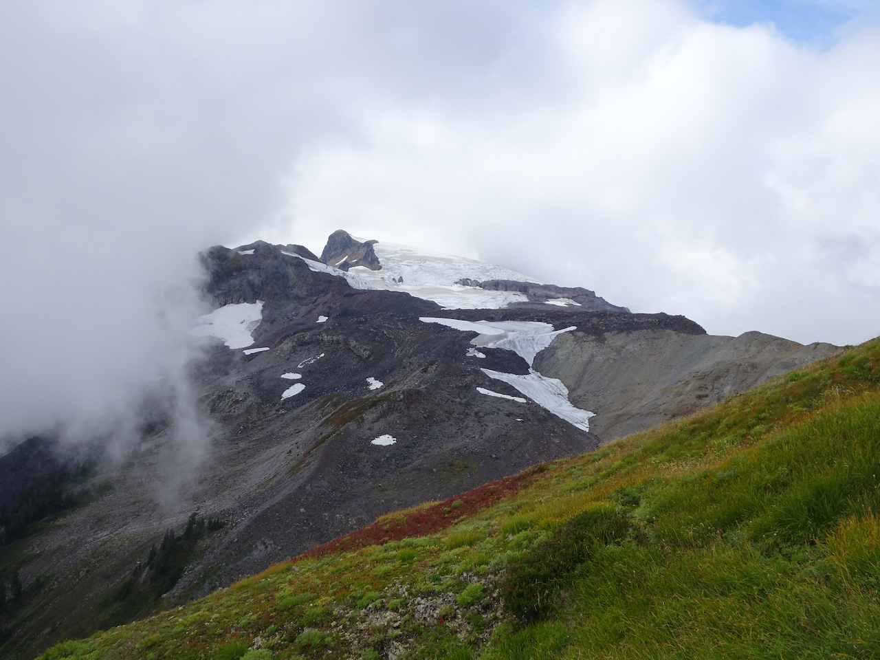
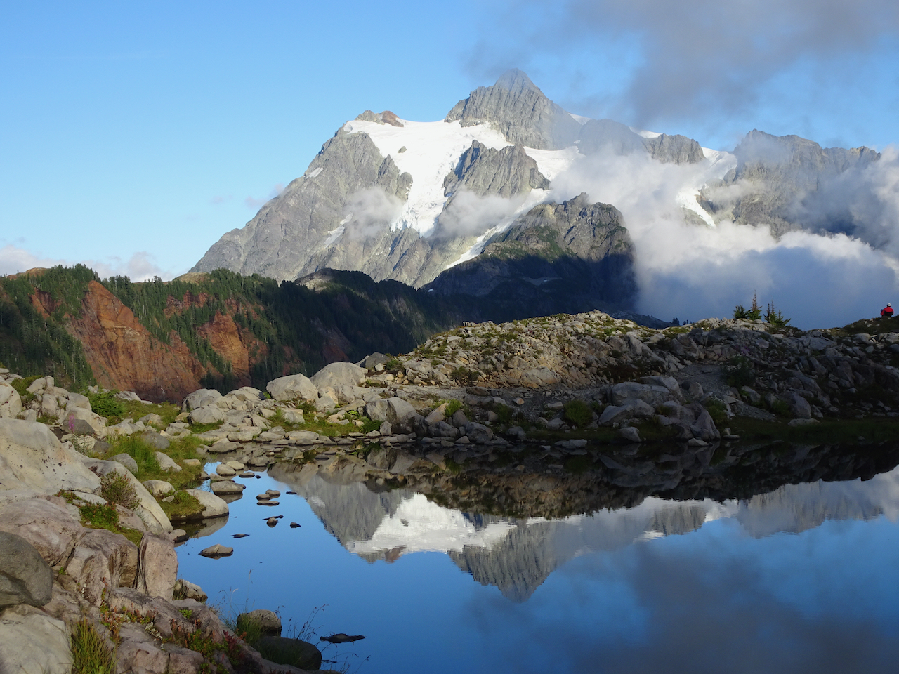
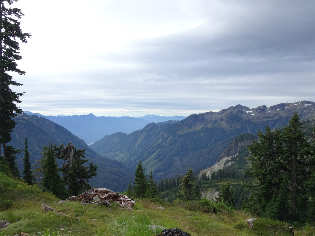
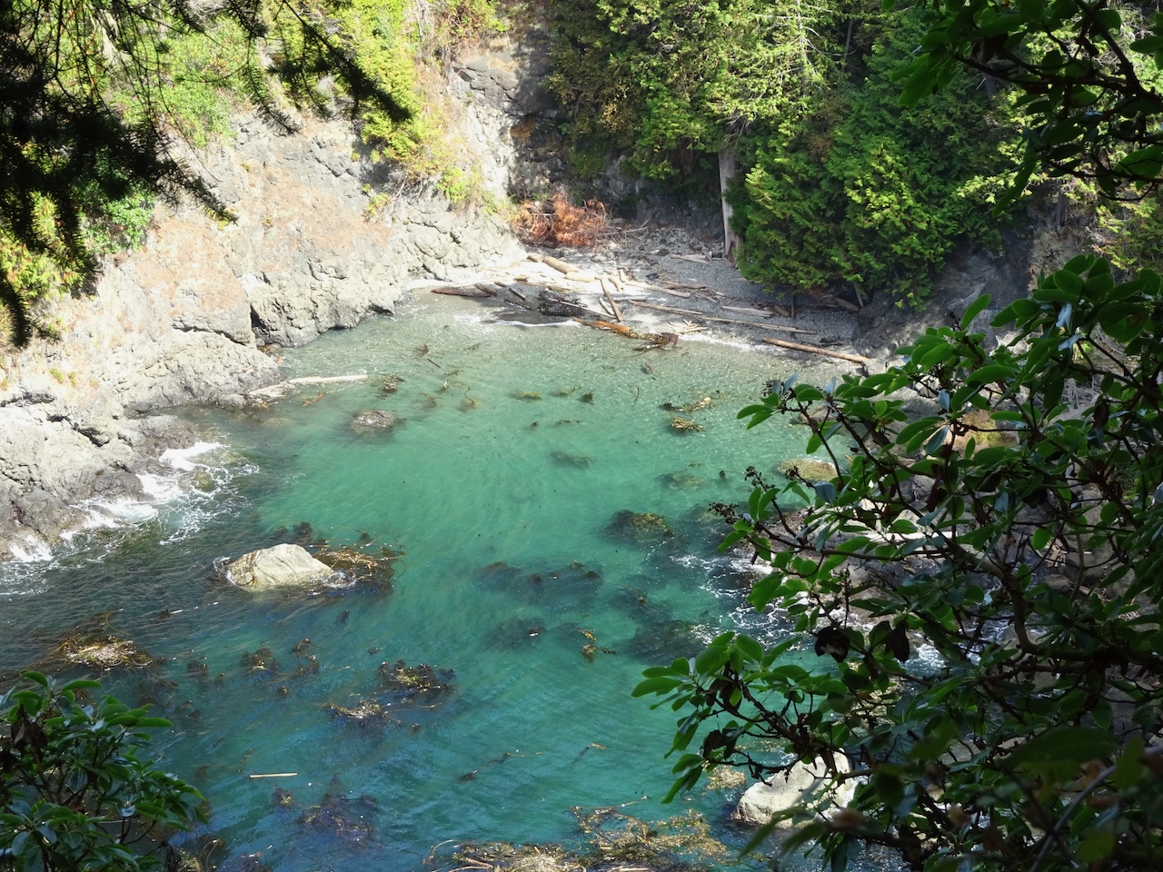
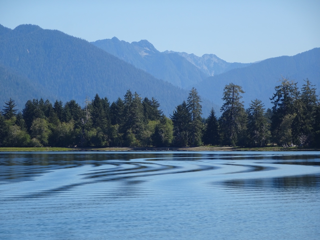
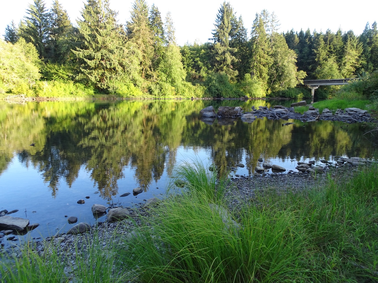
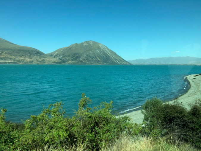
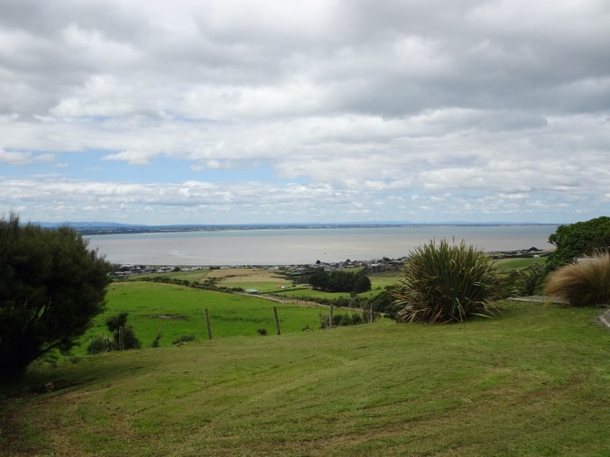
Lake Ohau: We arrived at Lake Ohau around 5 pm. Once again, I was taken by surprise, by the startlingly turquoise blue of the lake, and the barren mountain slopes streaked with colorful landslips beyond. I was not expecting anything so stunning, as we had just been passing through the dry summer landscape of the Mackenzie Basin. And into my mind came memories of the southwestern US, where I spent a fair amount of time geologizing in my younger days. Here in New Zealand, I was seeing glacial lakes such as those that filled many of the basins of western North America in the ice ages. It was like going back in time, in a way, and I was grateful to see a version of this ‘geologic setting’ in real life. So striking in starkness and color. Another of the amazing experiences I would have on this trip. And there would be more beautiful images later today!

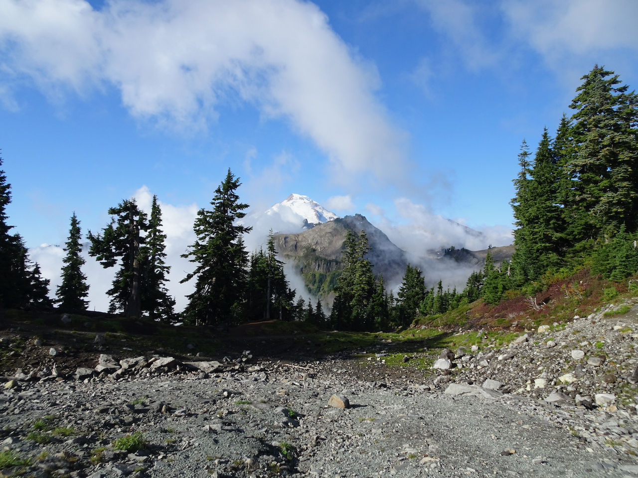
Lake Ohau, Ben Ohau
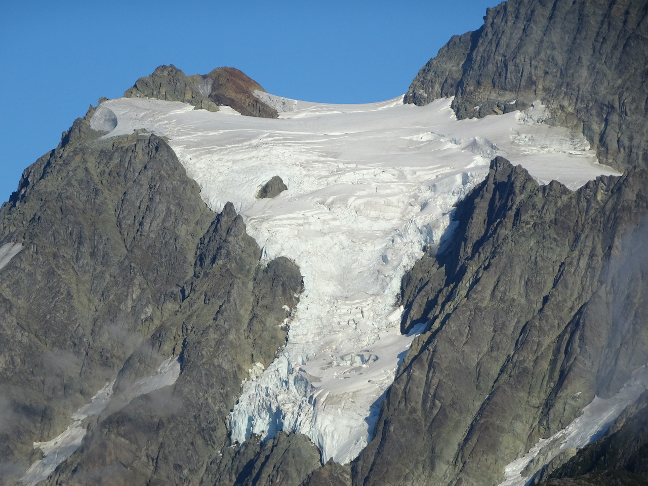
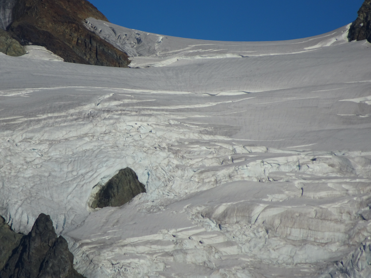
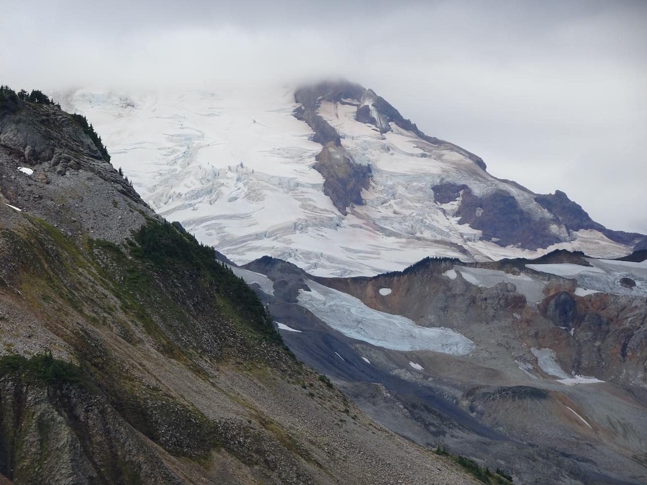
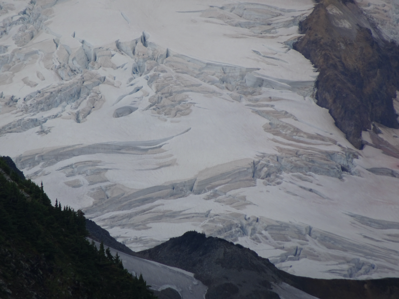
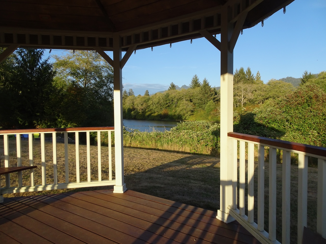
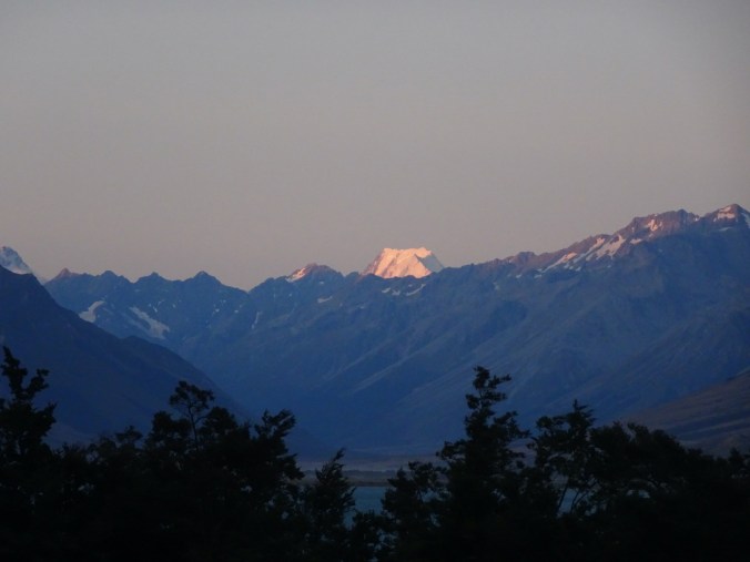
Our lodge room had ‘picture’ windows overlooking Lake Ohau and the near and distant mountains. Standing beyond but higher than all was the stunning Aoraki/Mt Cook, 12,218 feet tall, the highest mountain in New Zealand. From our vantage, it was a giant chunk of glistening white, it’s peak plateau about a mile long, it’s faceted shear white slopes facing us, calling attention to itself, and I felt lucky to see it.
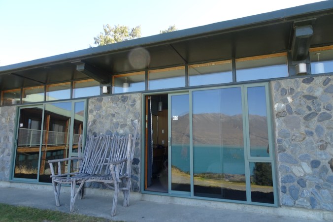
Our lodge room

Lake Ohau
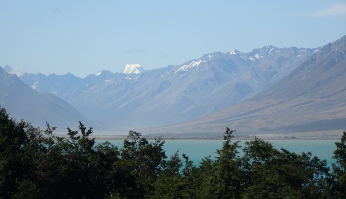
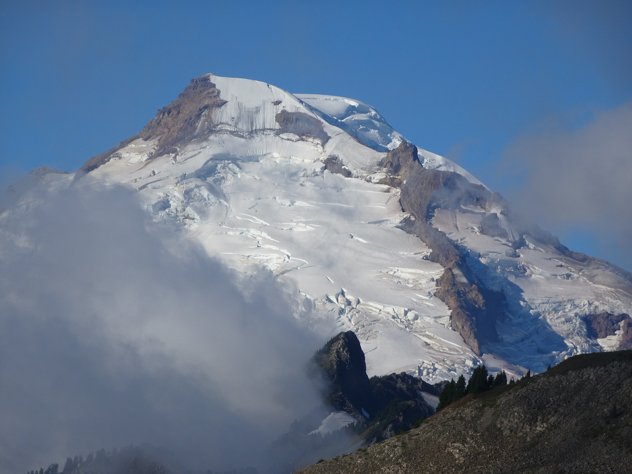
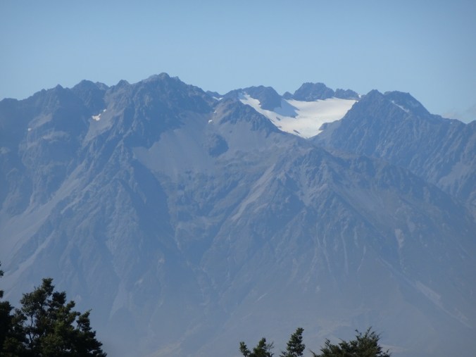
Aoraki/MtCook
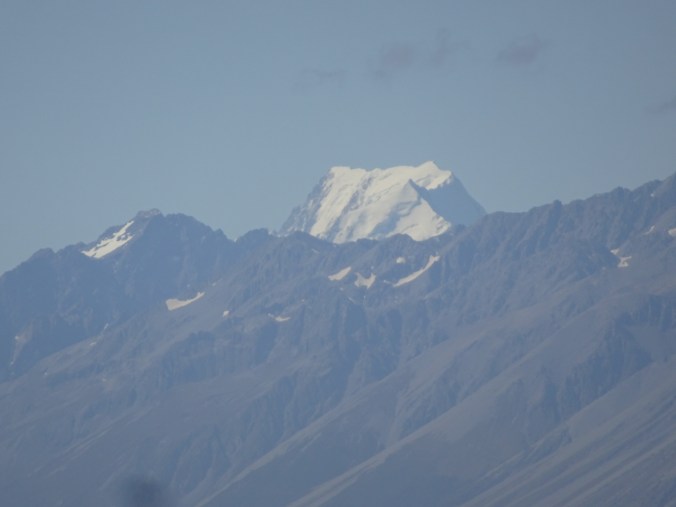
Aoraki/MtCook
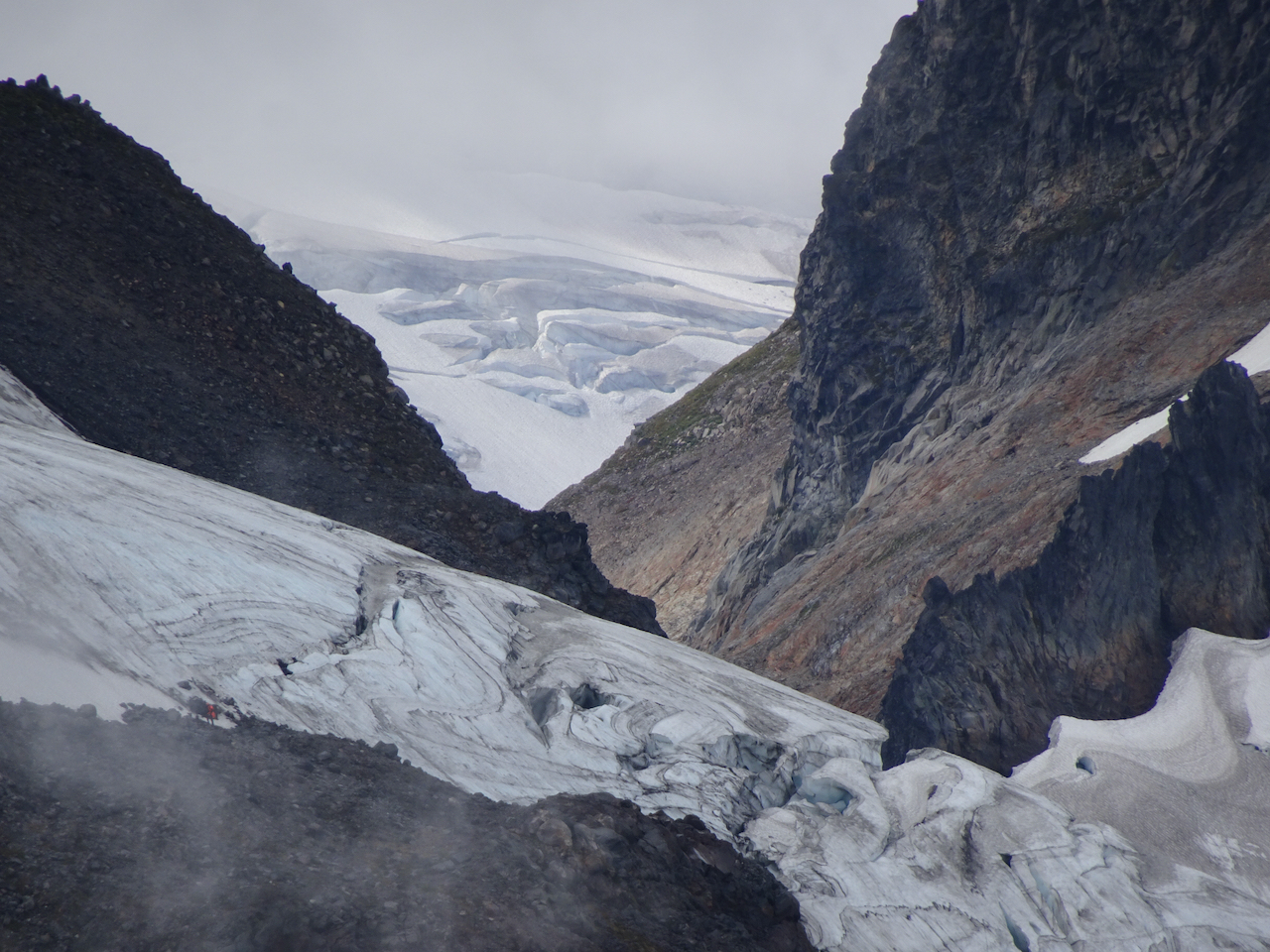
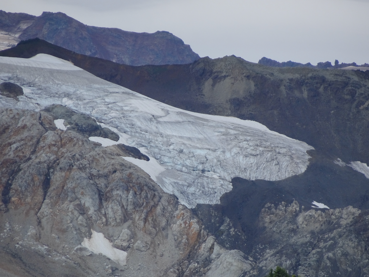
The other glaciated mountain at the end of Lake Ohau
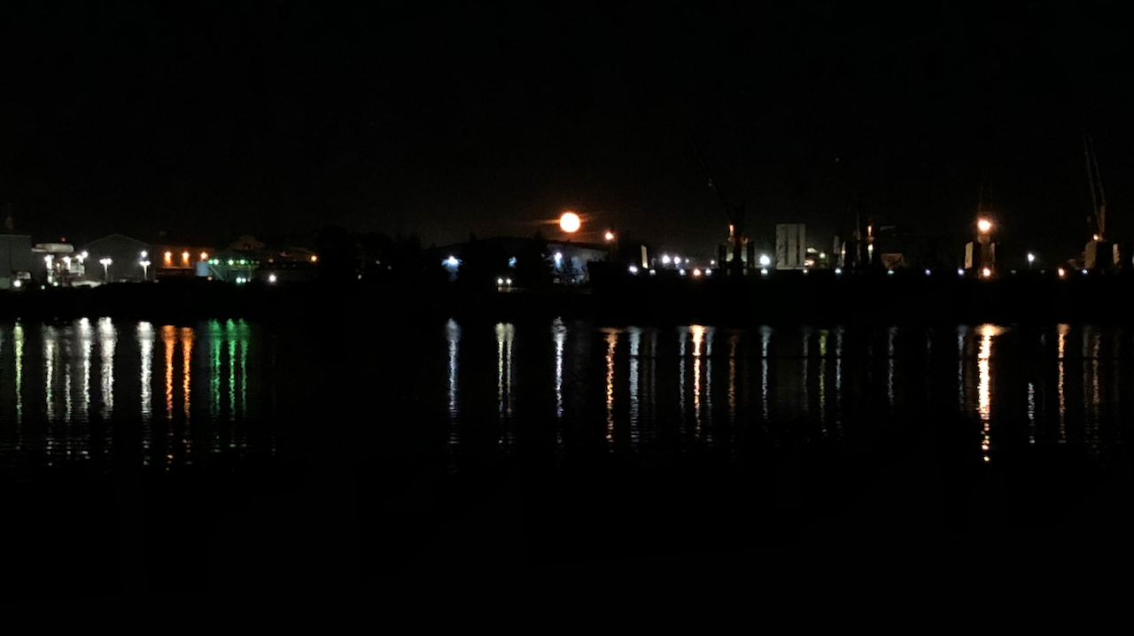
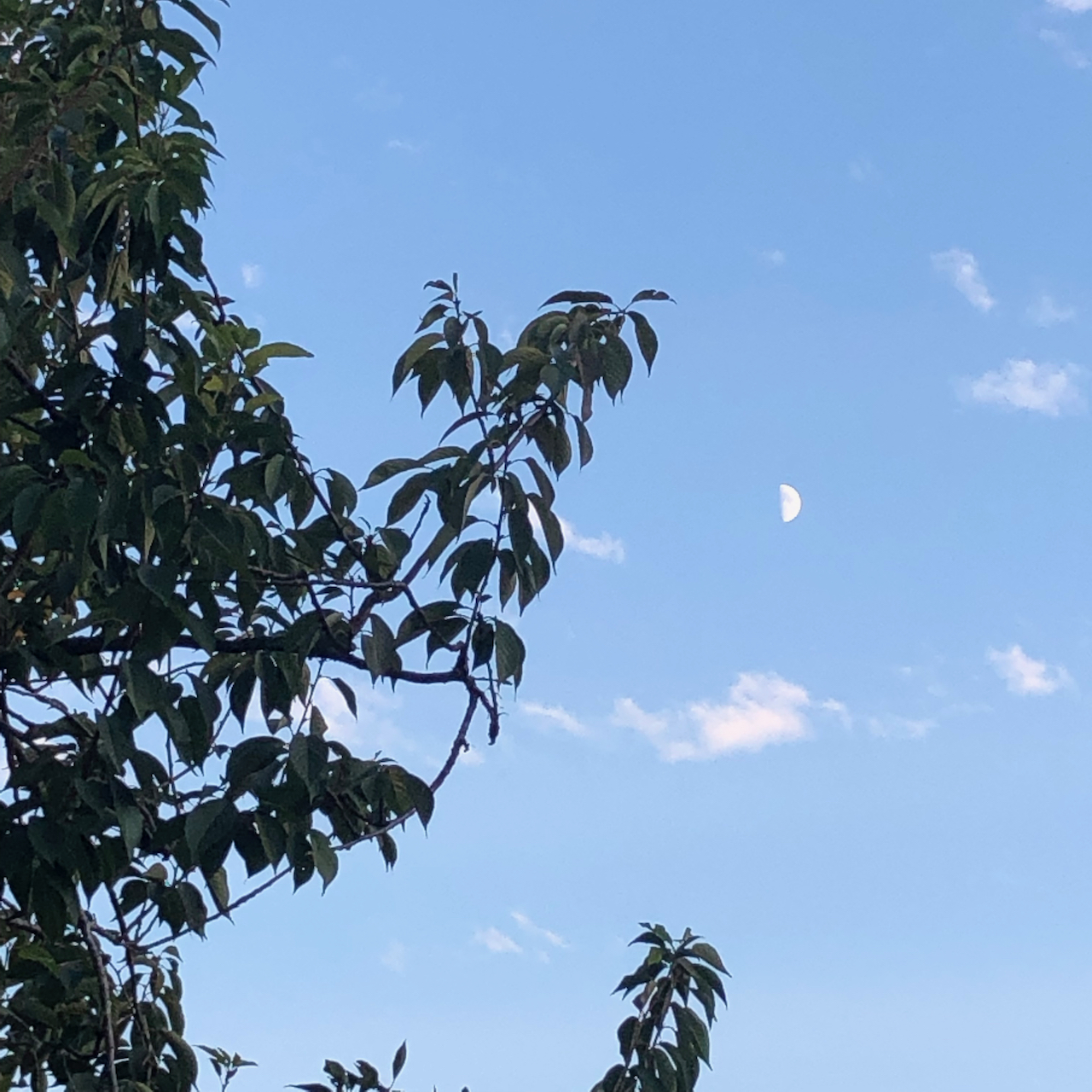
After a dinner in the lodge of pumpkin miso soup, salmon, and chocolate mousse, we returned to our room to see the moon rising and the the mountain glowing in the twilight, then in alpenglow. I seemed to be sitting in a picture postcard.


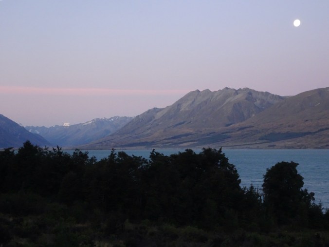
Later, the rising moon was reflected in the lake, and Aoraki/Mt Cook shone with moon glow.
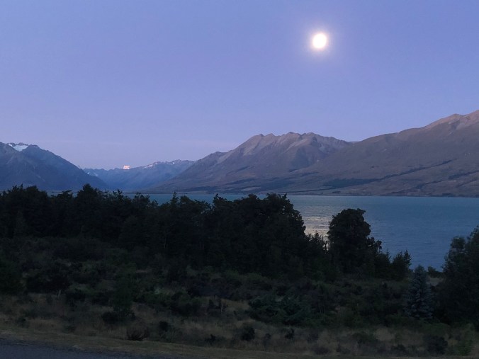
We also saw Orion in the sky, but have not yet seen the southern cross. This day ended well, and tomorrow we were looking forward to getting closer to Aoraki/Mt Cook.


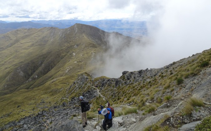


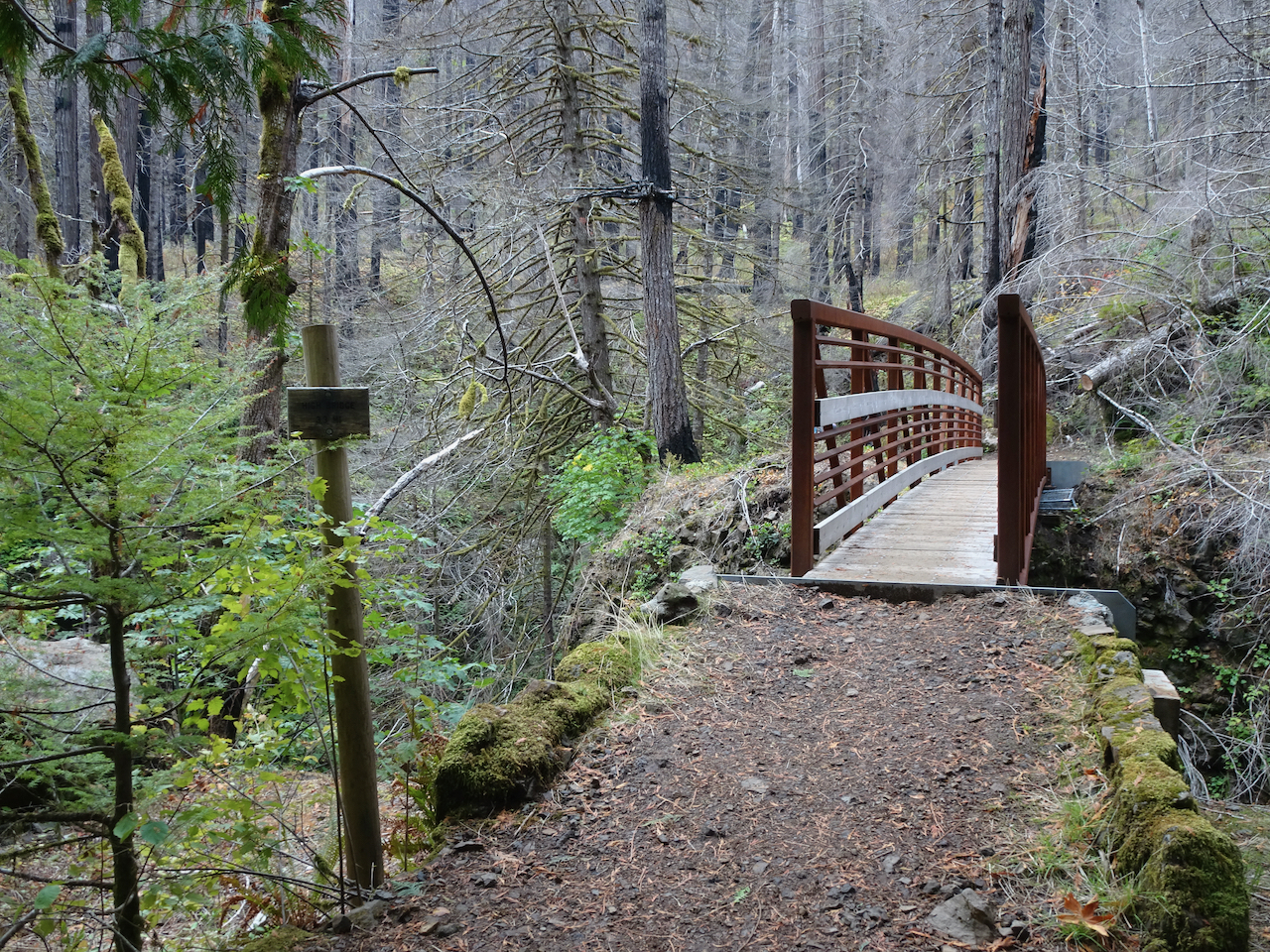


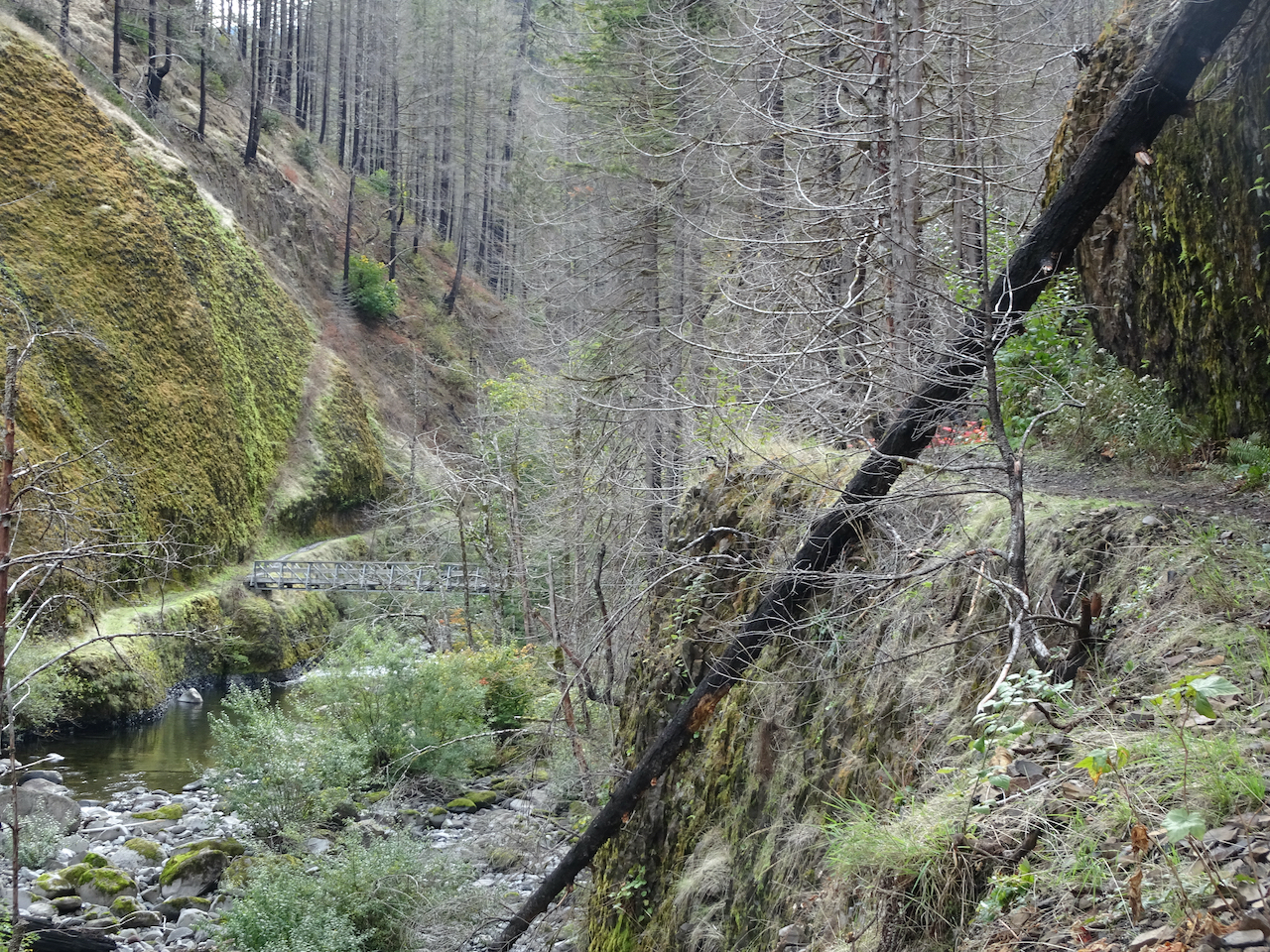


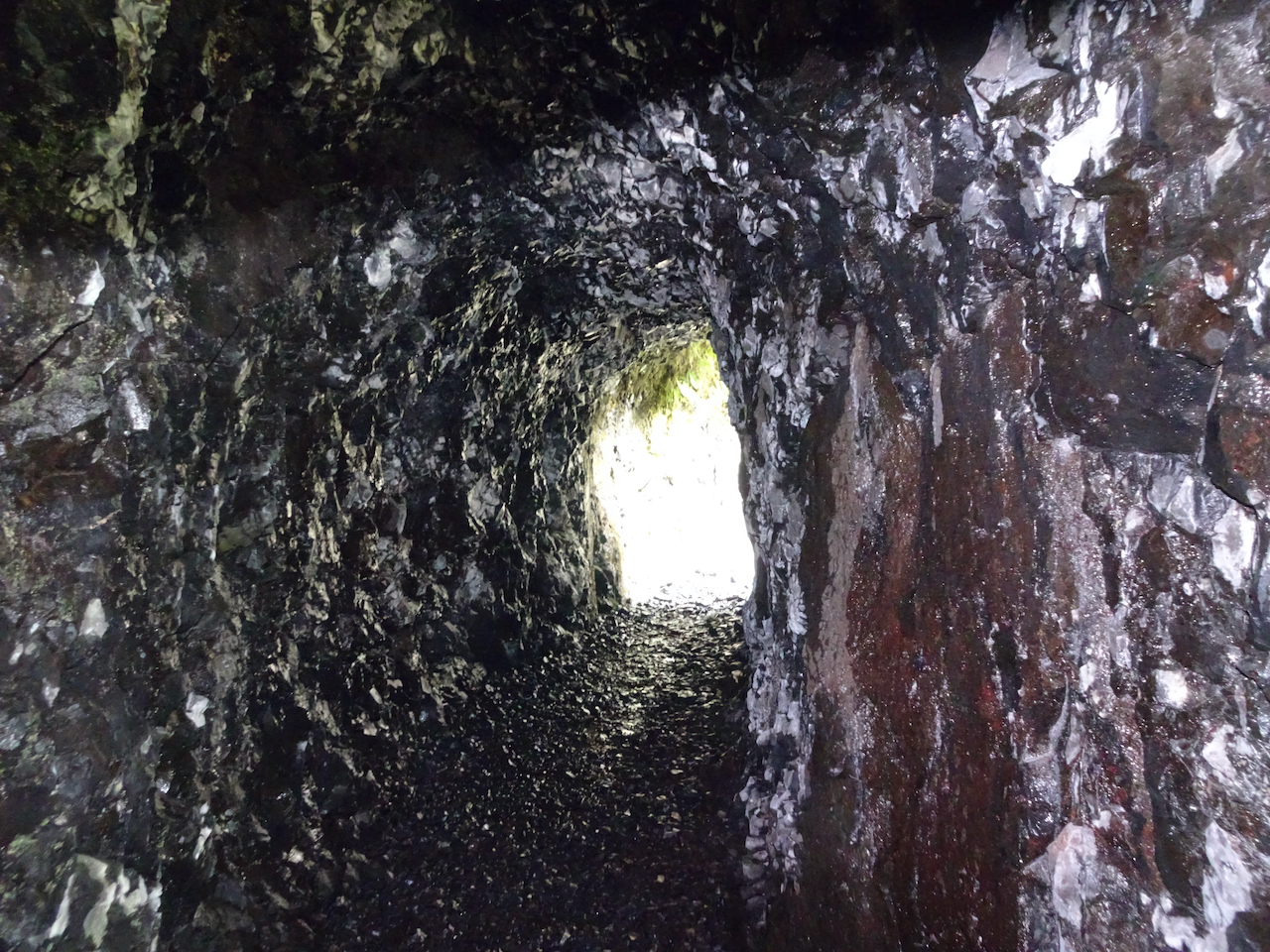

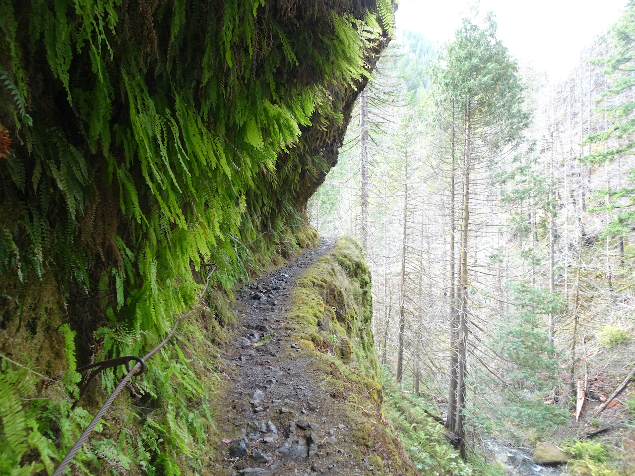

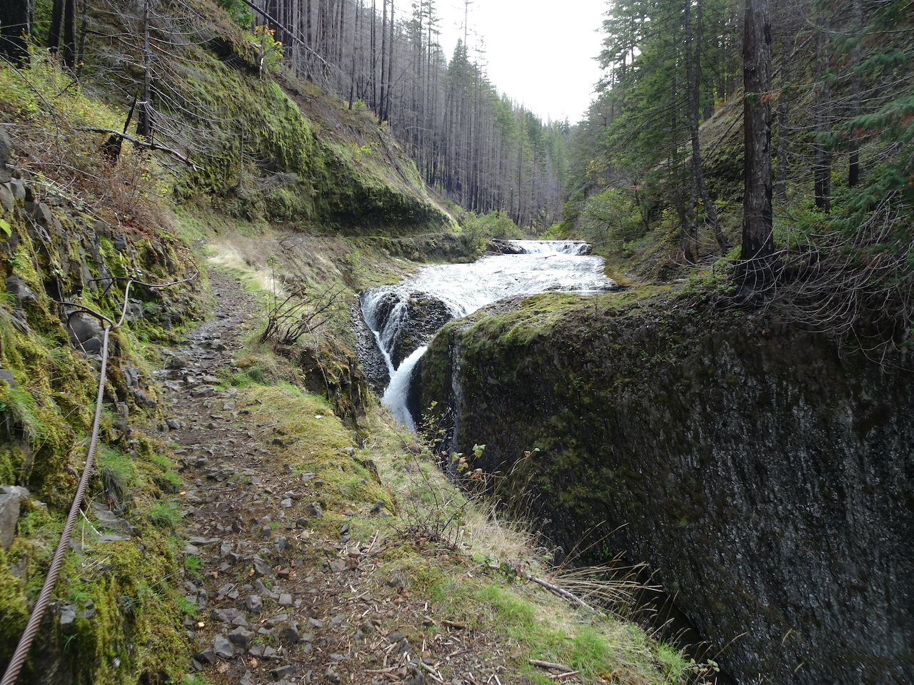


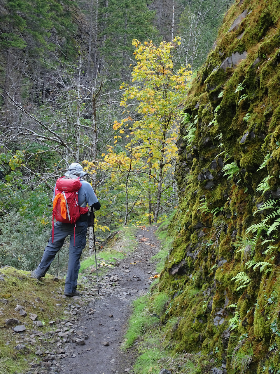
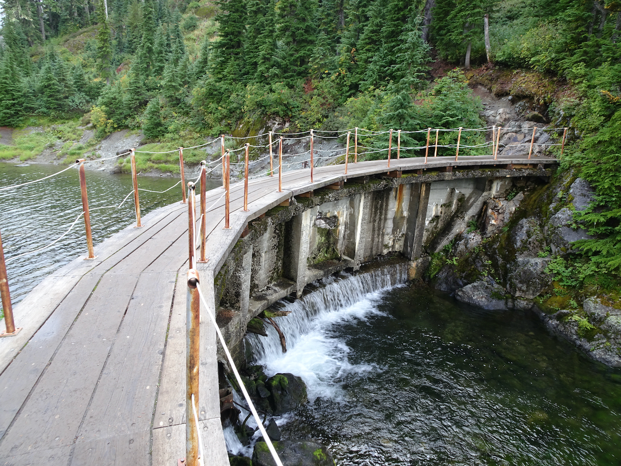
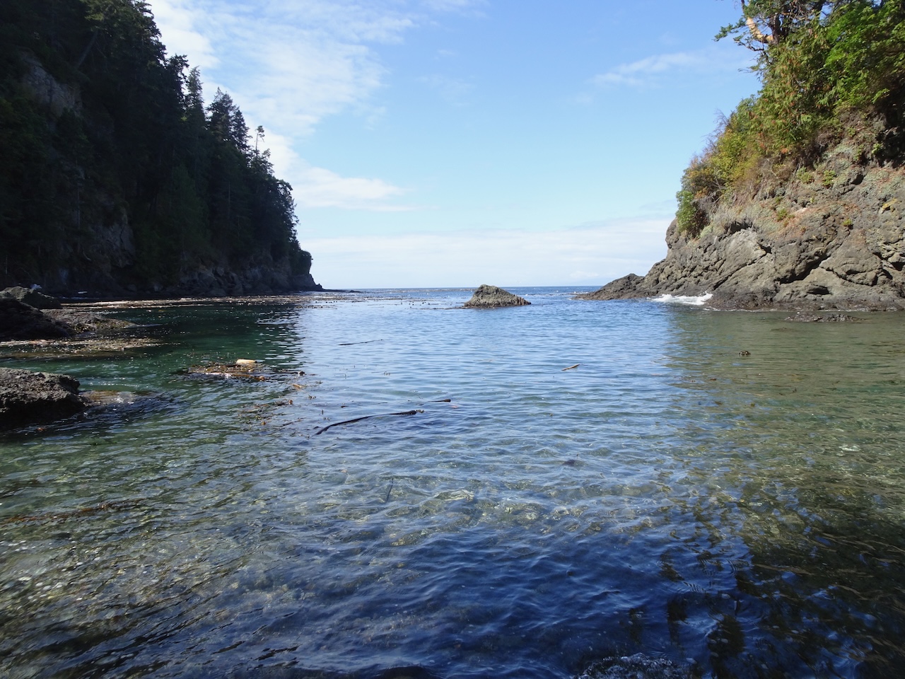
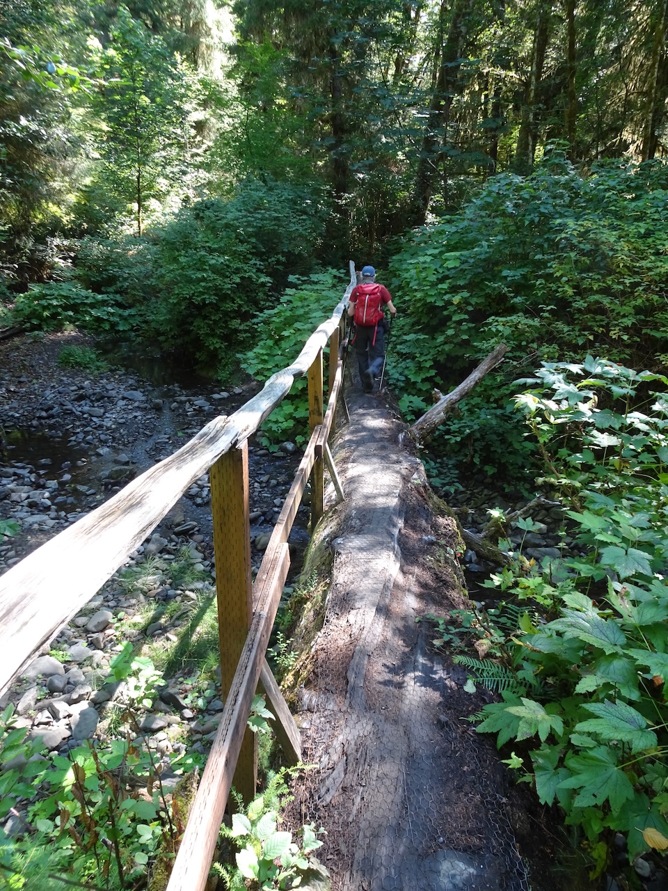
 We continued hiking downstream: