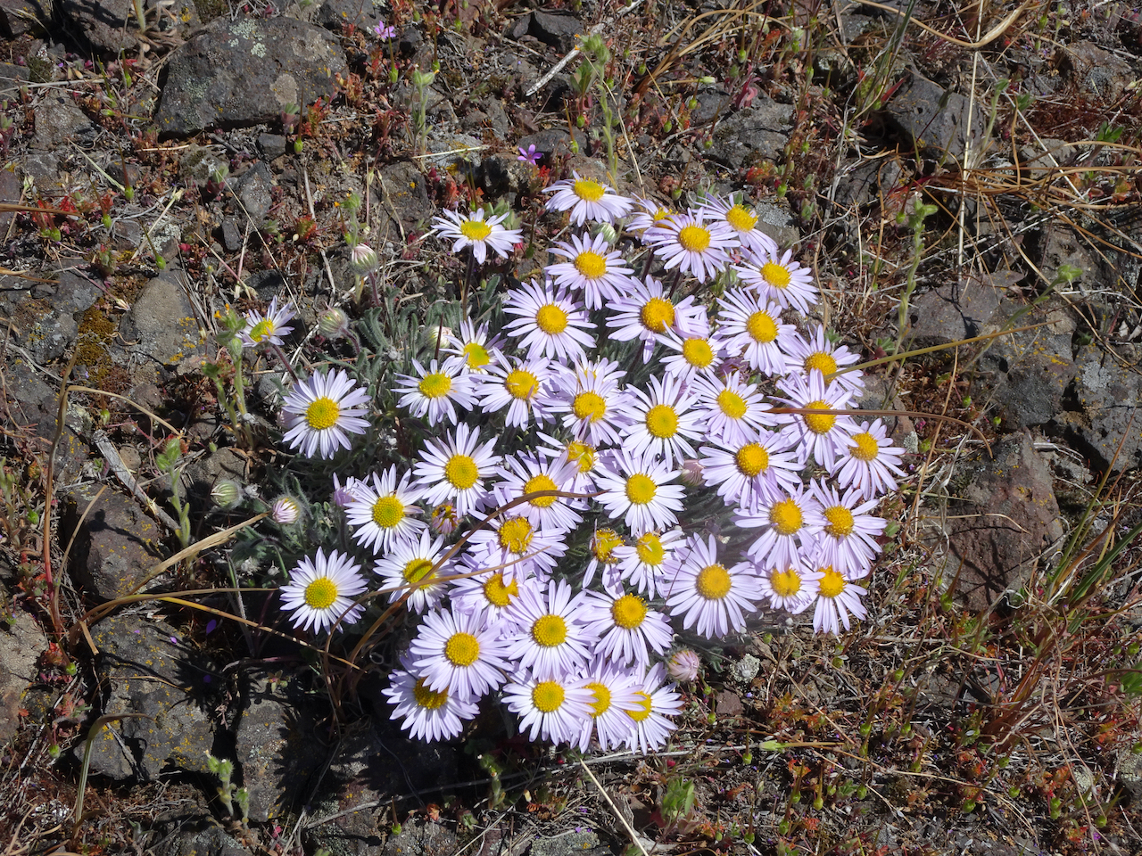
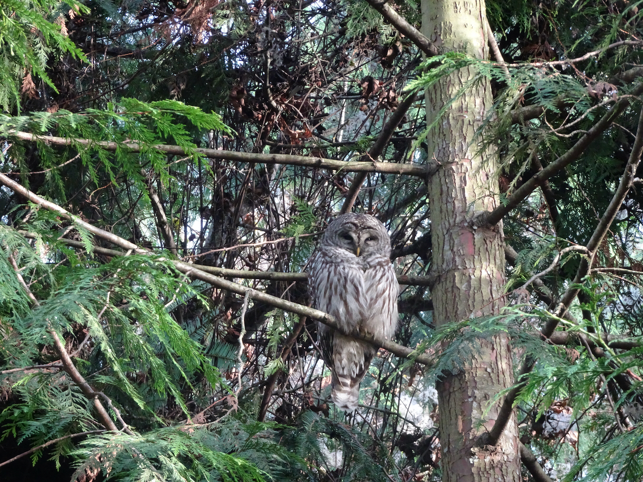
Aug 29 to Sept 3, 2021 – We scheduled a trip to the Olympic Mountains after our Iceland plans were cancelled due to increased spread of the Delta variant of Covid 19. We have been to the Olympics a few times, and have wanted to go back and explore more in the Hurricane Hill/Deer Park area where there are higher altitude hiking trails, the only ones that can be accessed without overnight backpacking. The weather was perfect, but a different sort of human pathology foiled our plans. The night we arrived in Port Angeles, the Olympic National Park website posted a closure alert due to police action. The closure continued for the three days we were in the area, so each day we found alternative hikes.


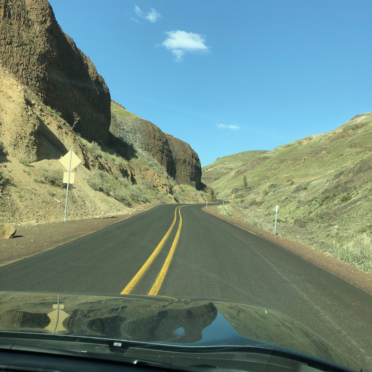
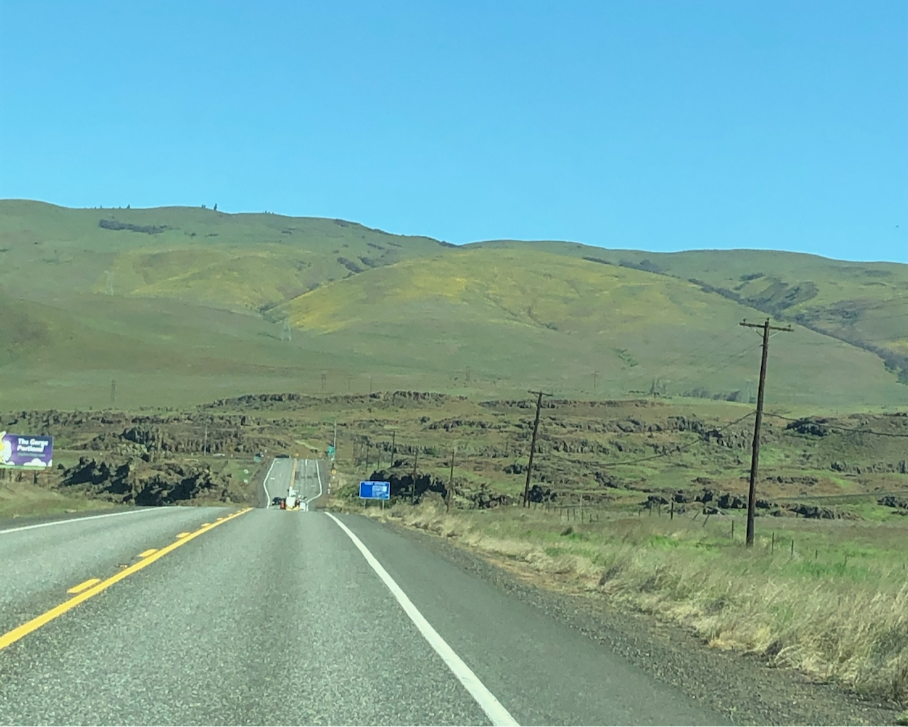
Driving north on 101 toward the Olympic Mountains – great weather ahead!
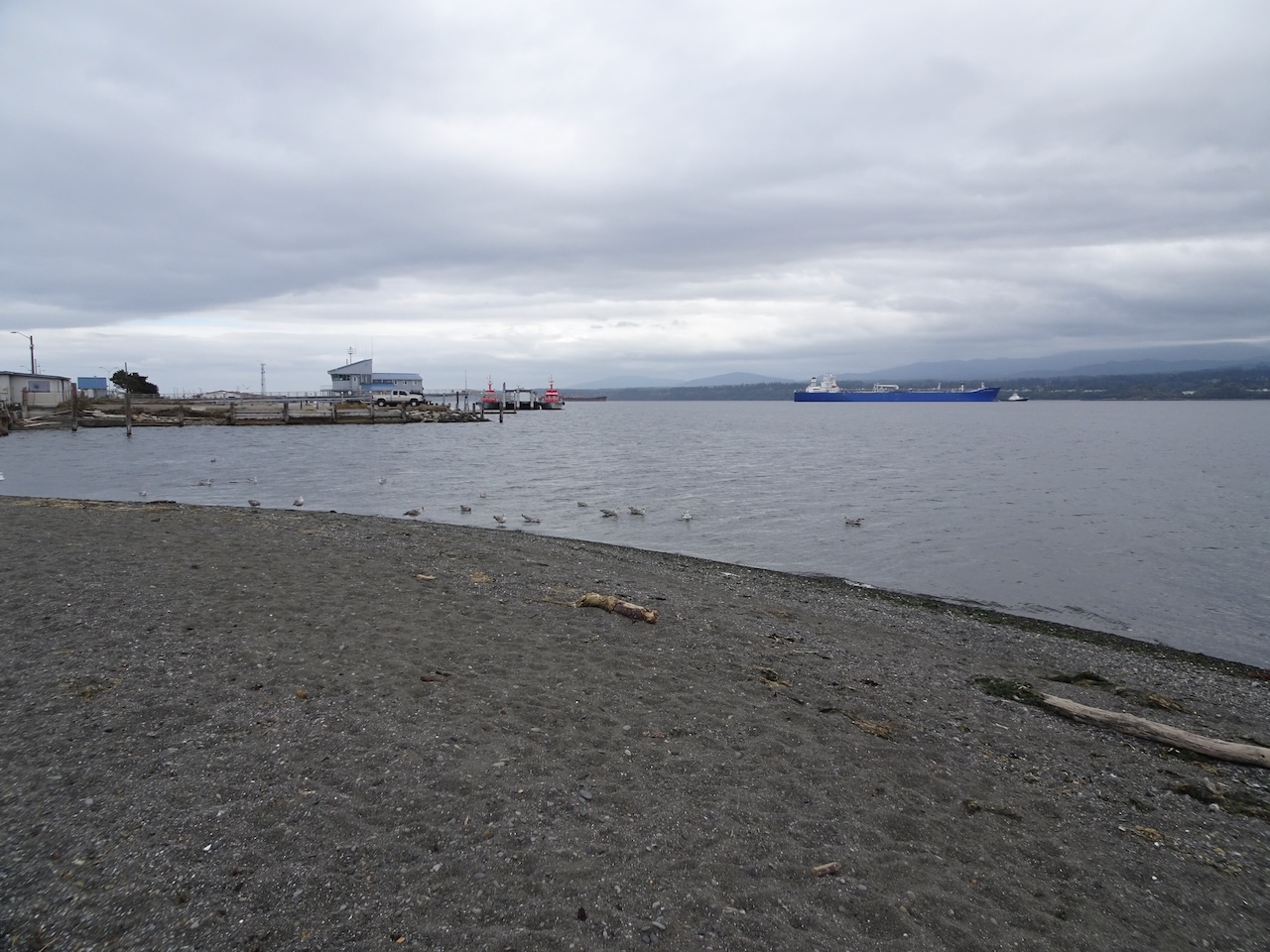
Port Angeles
Our hotel on the hill right above the center of town had an expansive view across the harbor, all the way to Victoria and the San Juan Islands. Port Angeles is home to the ferry to Victoria, BC. On previous visits, long lineups of vehicles filled the ferry loading zone at the dock, while people waiting to cross filled the town with activity. The ferry has been closed due to Covid since March of 2020. The town felt eerily quiet as we walked along the waterfront, admiring the beautiful setting and the shipping activity in the harbor.
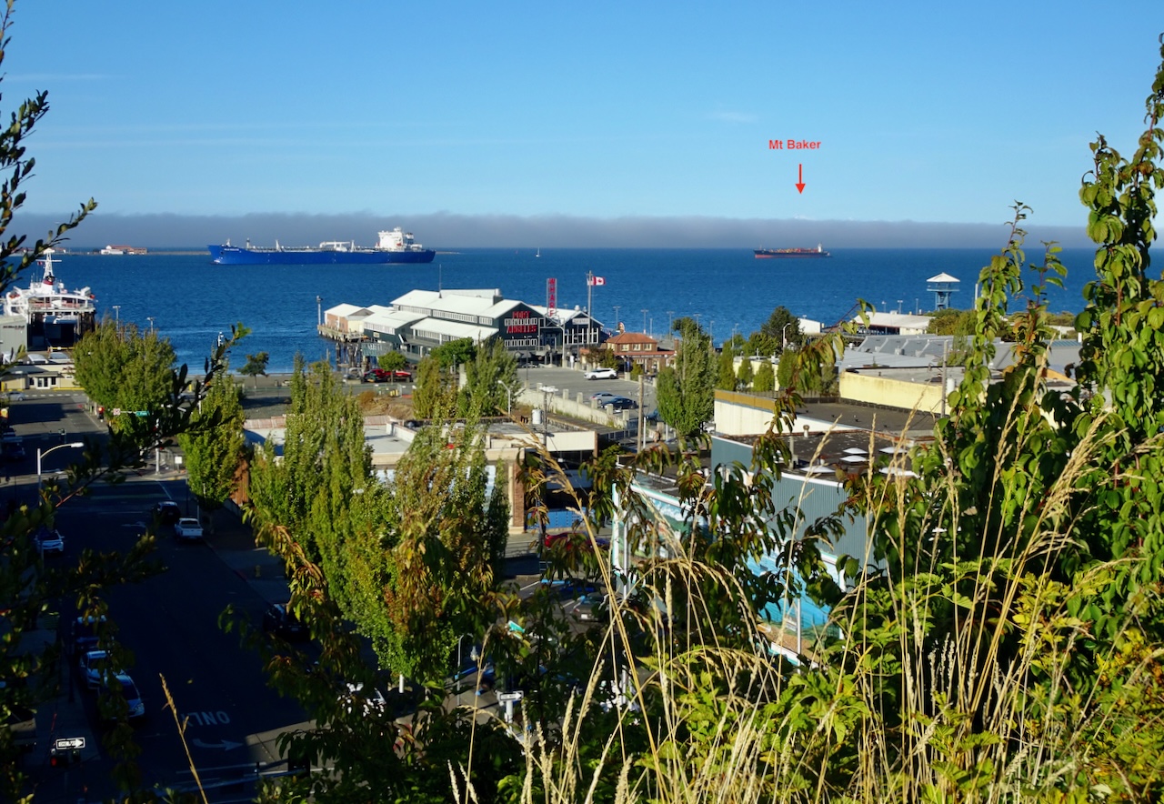
View across the Strait of Juan de Fuca, Mt Baker poking above the marine layer

Another view of Mt Baker beyond the ship

Hotel balcony view across Port Angeles Harbor to Vancouver Island

Stairs down to town

Evening lights
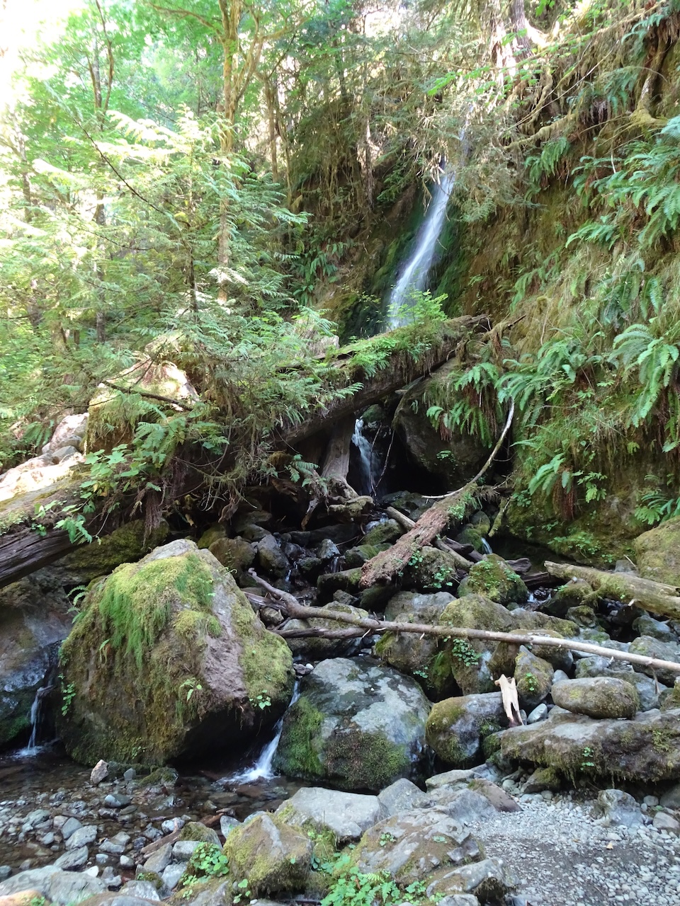
Sol Duc Falls
Monday, August 30th – A short trail leads to a beautiful triple falls.
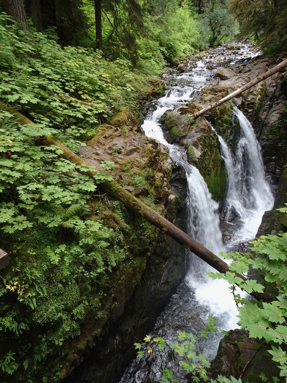
Sol Duc Falls
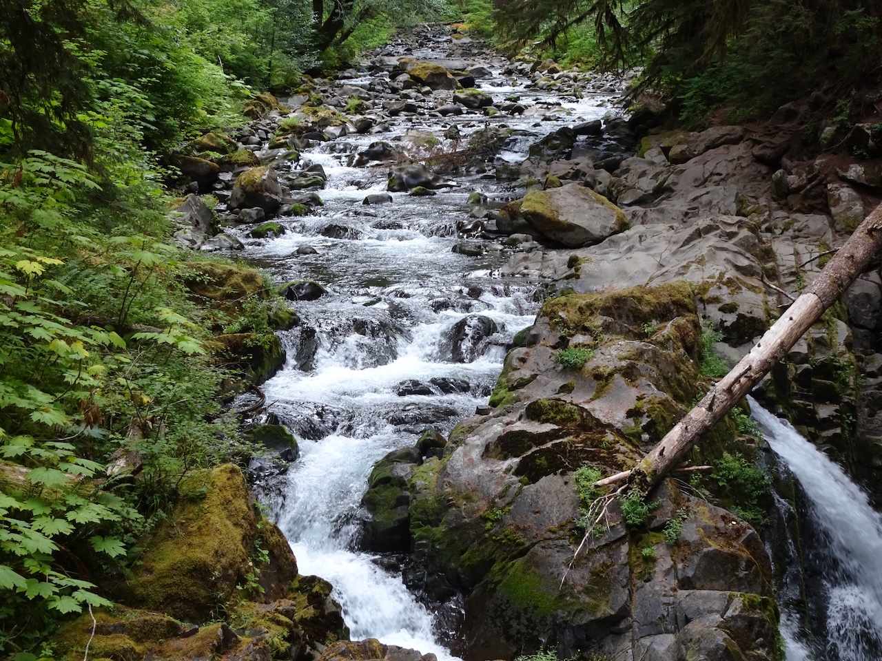
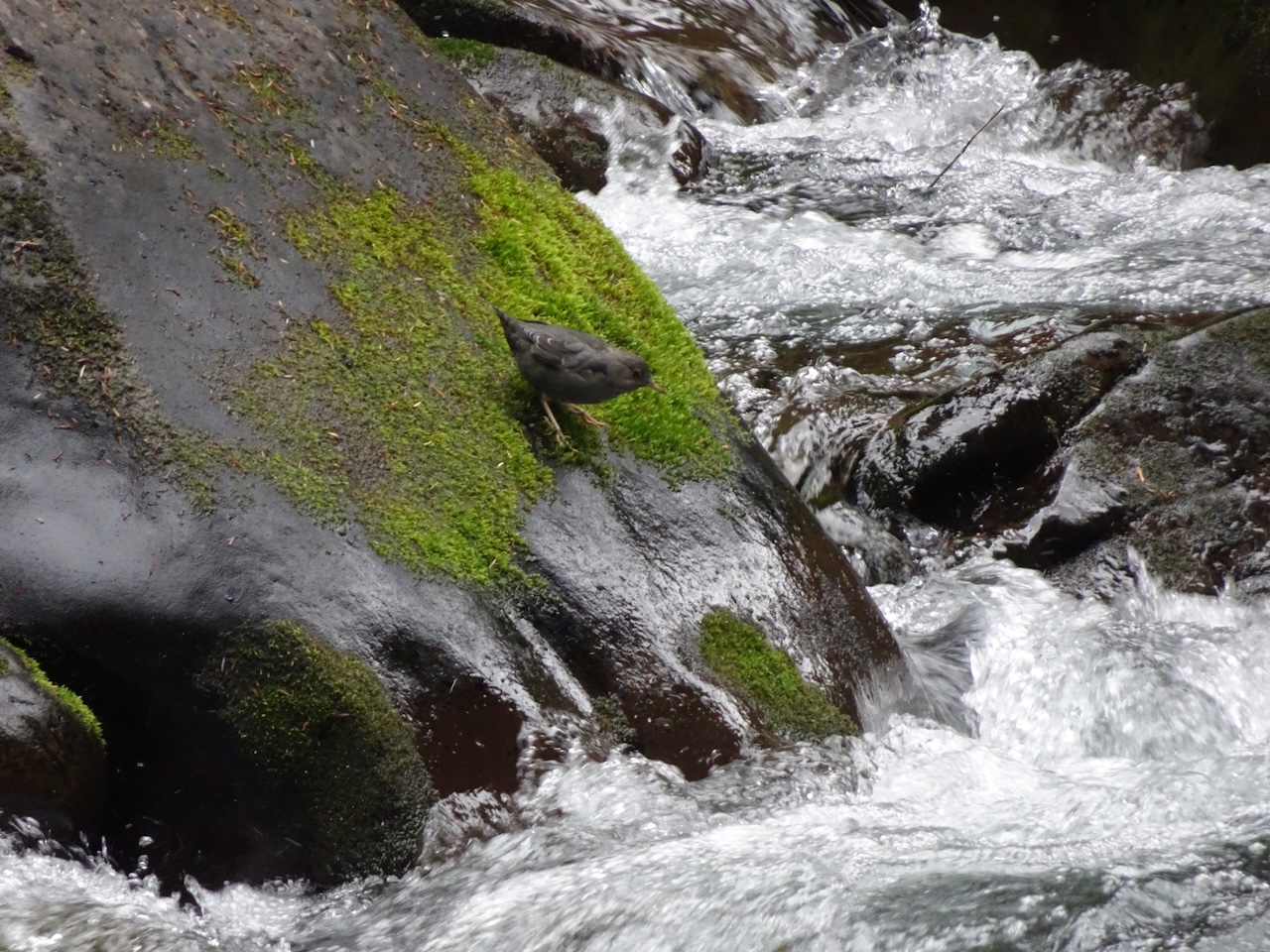
We explored the river above the waterfall.
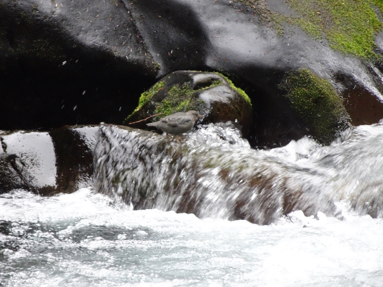
American dipper on the rocks.
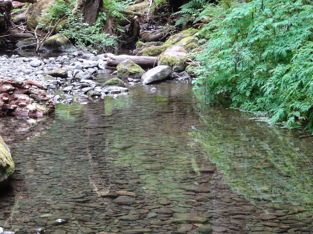
Calmer water
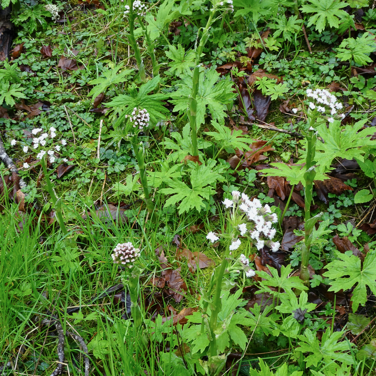
We continued farther up the Sol Duc Trail to extend our hike.
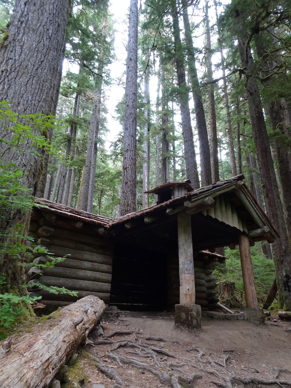
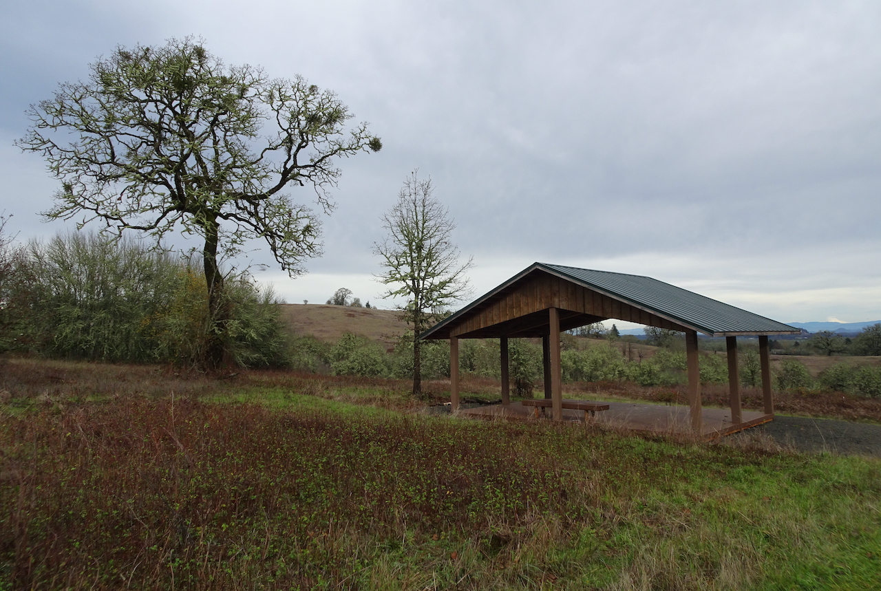
Shelter near Sol Duc Falls
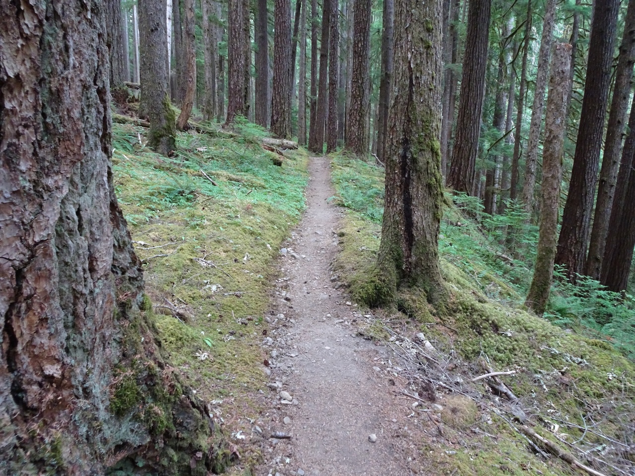
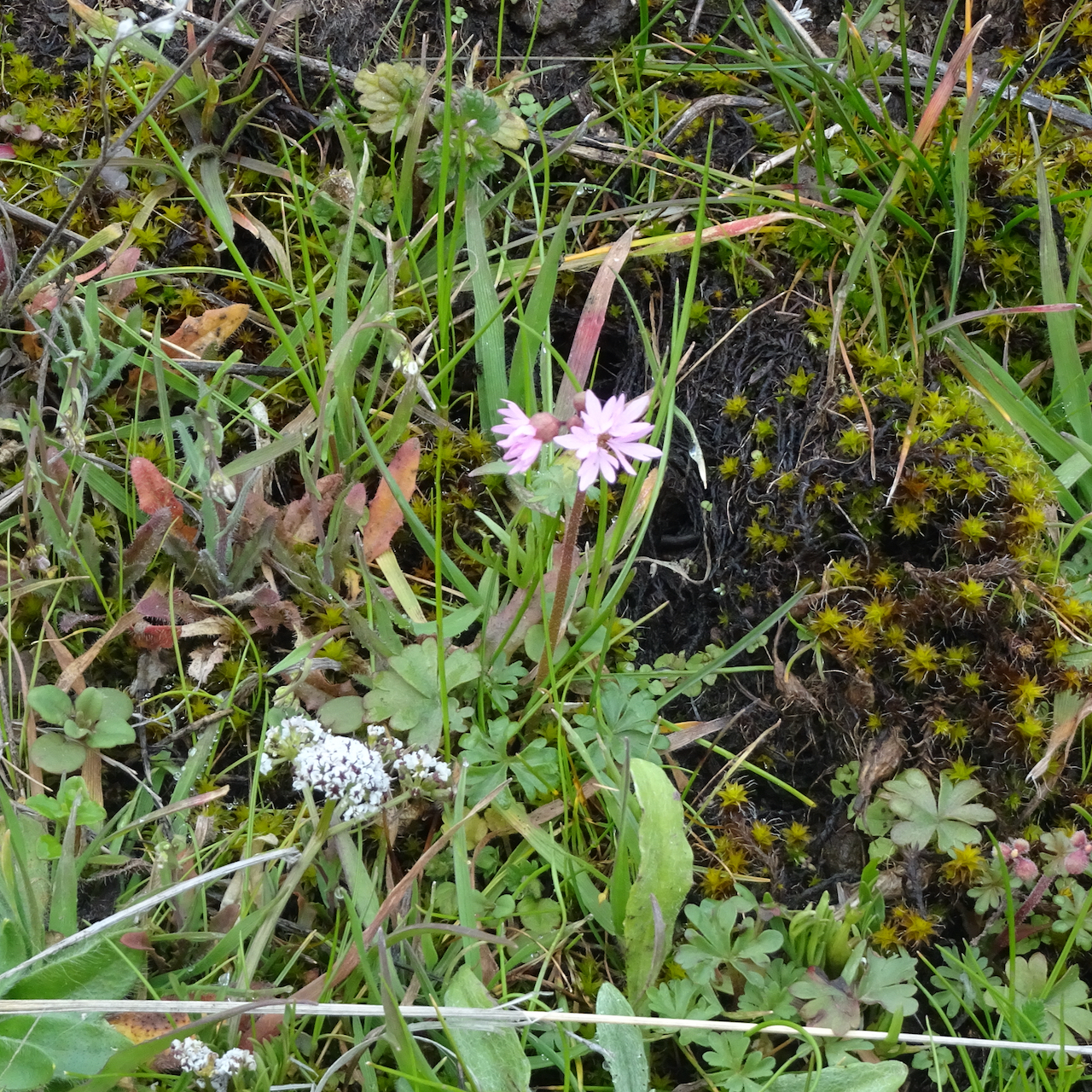
Trail beyond the waterfall…
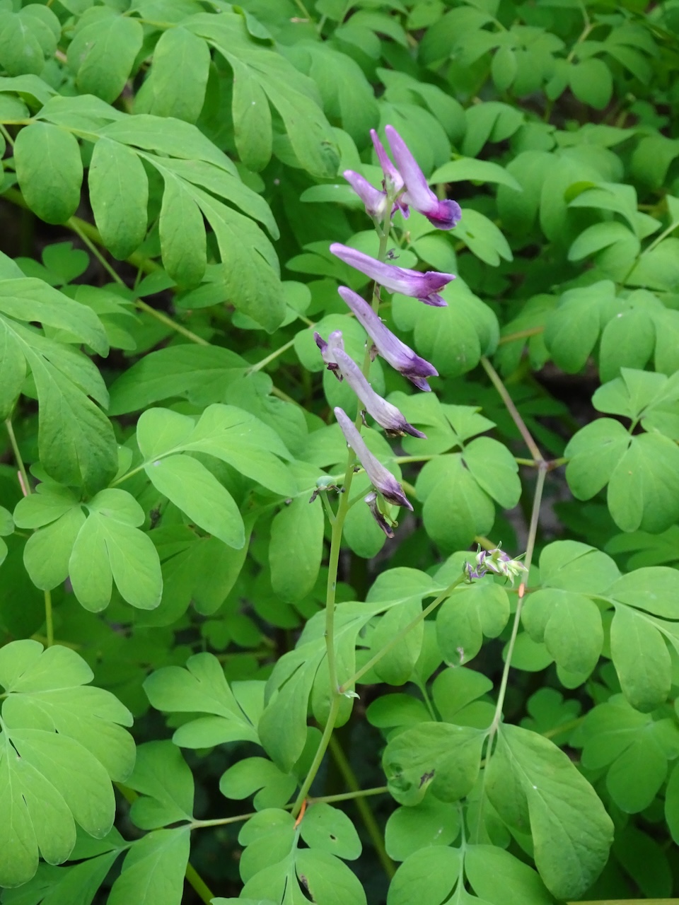
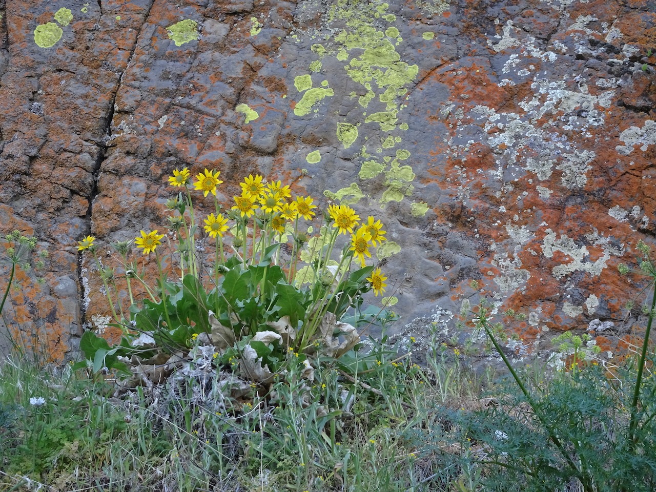
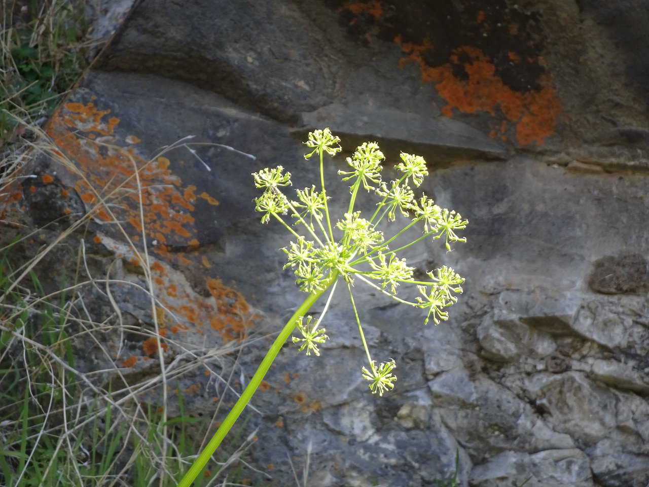
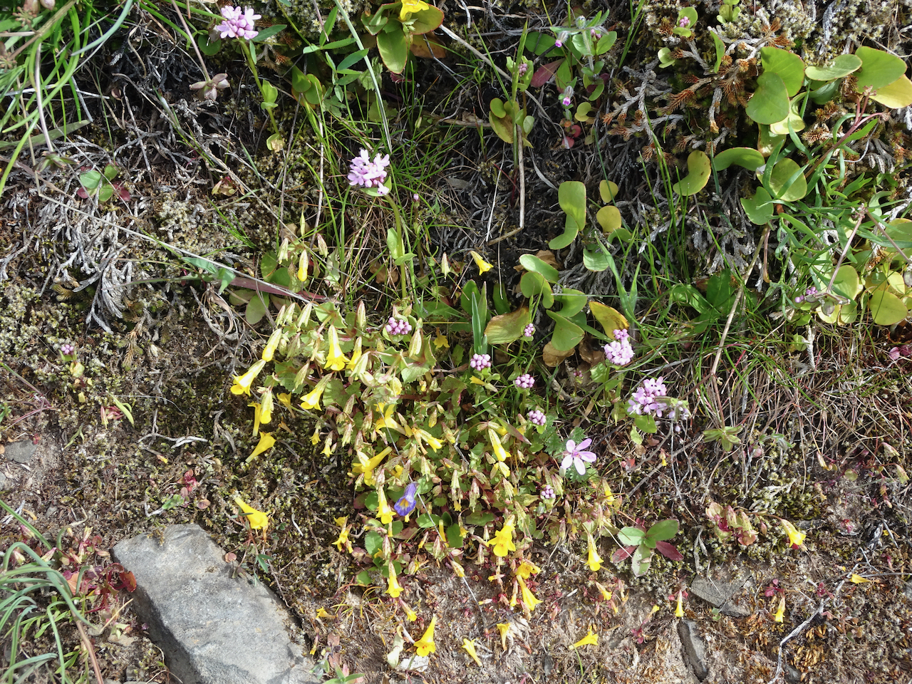
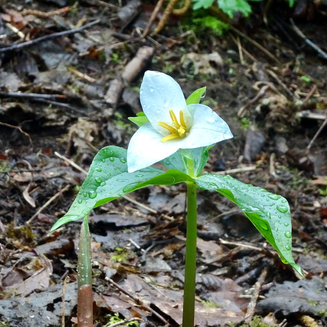
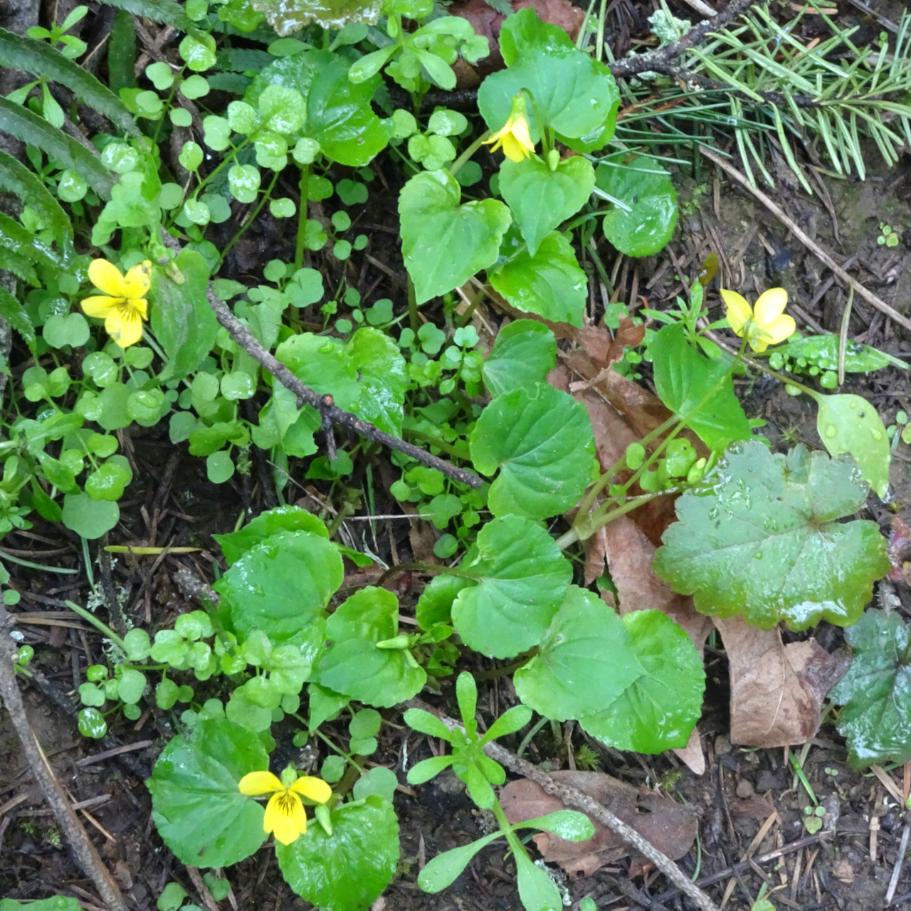
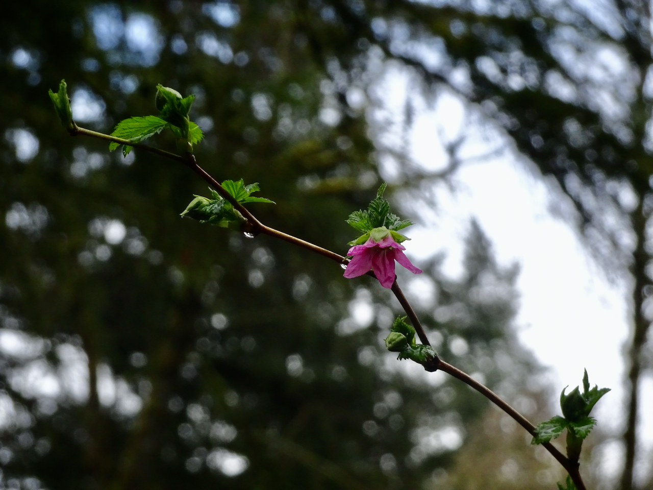
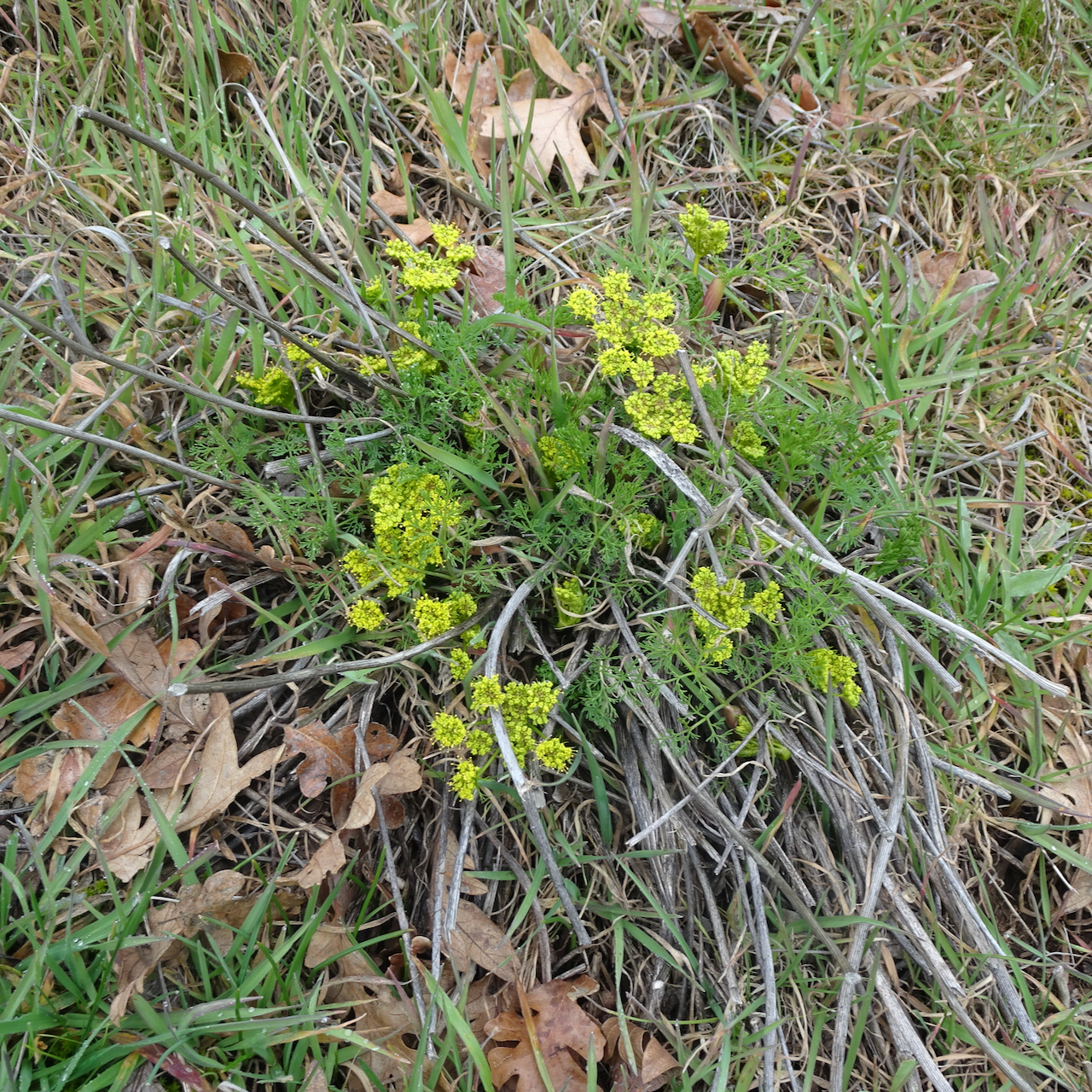
Corydalis

The blue bead berries of the Queen’s cup or bead lily

Vanilla leaf
Ediz Hook
In the afternoon, we drove out onto Ediz Hook, the long jetty that shelters Port Angeles Harbor from the Salish Sea. There are beaches on both north and south sides of the jetty, and a Coast Guard Station at its far end.

Looking north toward Canada…

and westward from the north shore of the jetty.

A seal in the Salish Sea
We walked along the south shore of the jetty, looking back to land:
Southeast to the Coast Guard Station,

South to Port Angeles and the Olympic Mountains,

Southwest to the mountains and harbor industrial buildings.

Seagull on the north shore
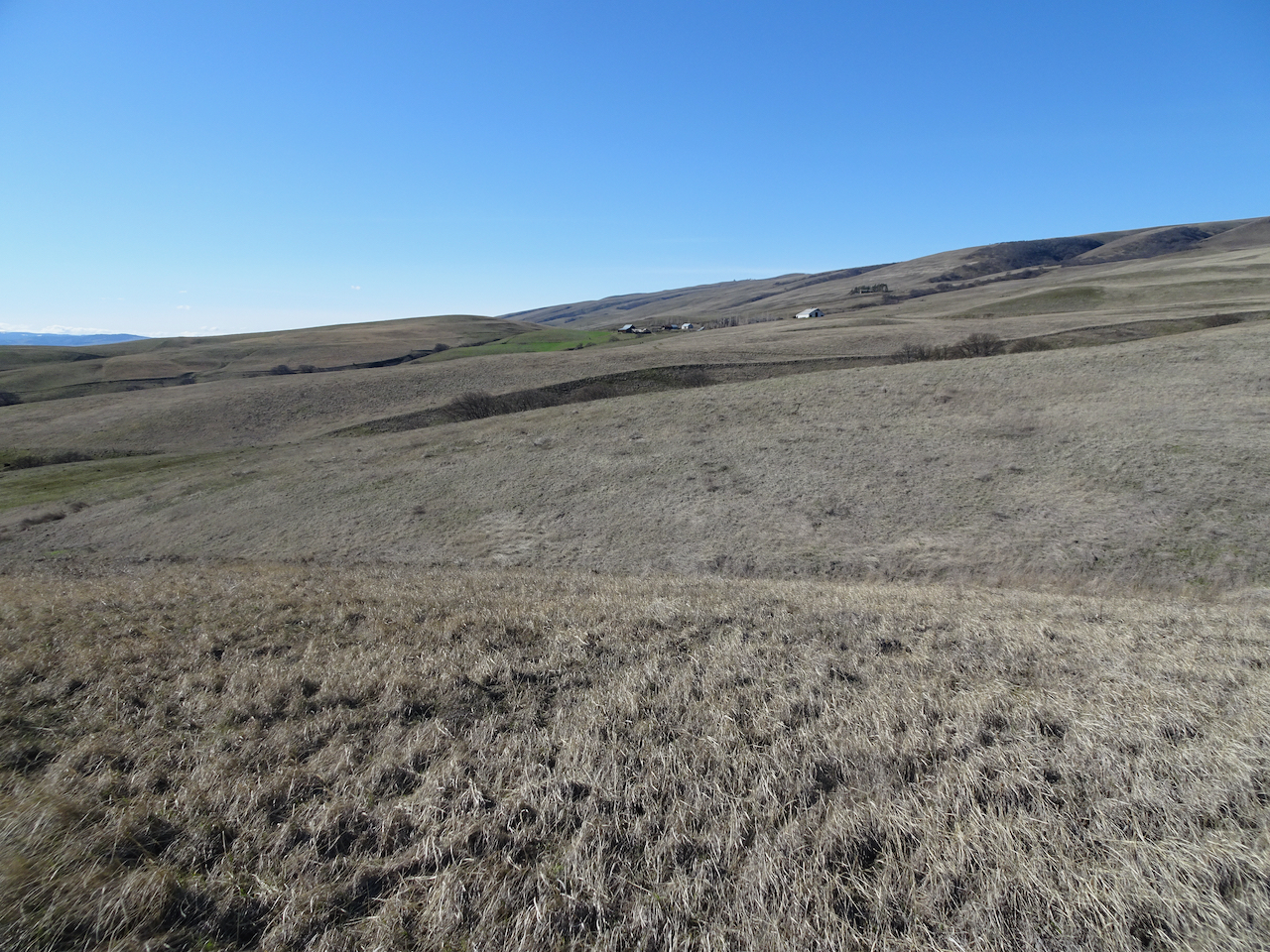
Striped Peak
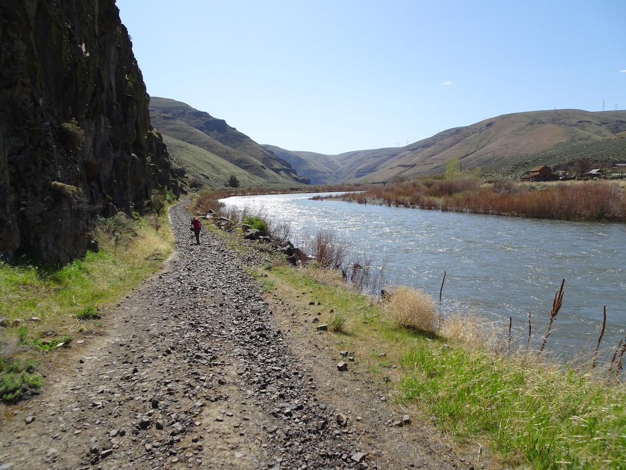
Tuesday, August 31 – We found an interesting hike at nearby Salt Creek Recreation Area on the Washington Trails Association website. This was a 7 mile hike through beautiful forest and not so beautiful clearcuts, with a visit to a lovely beach cove near the end of the loop.

Trail map

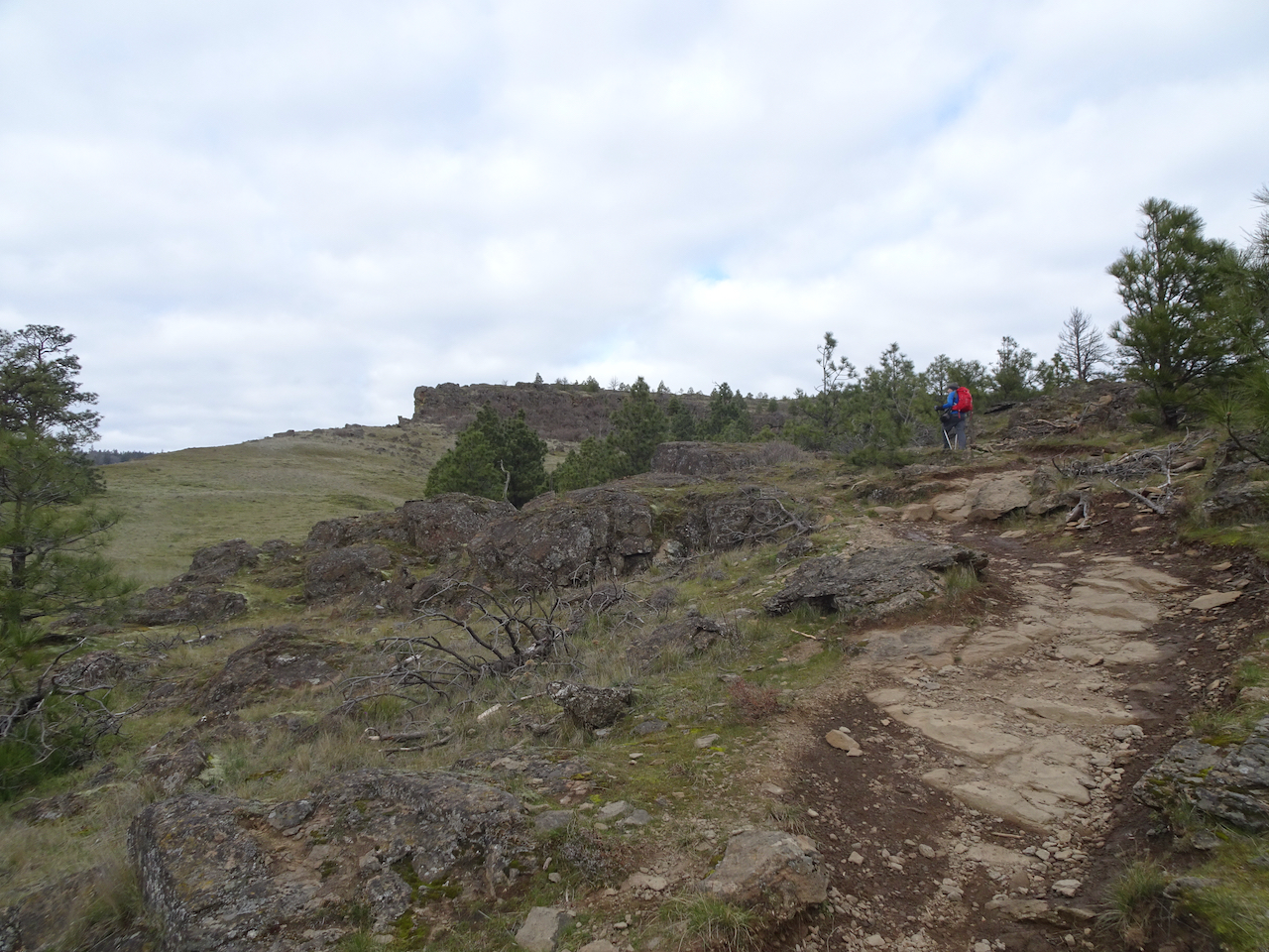
We began in the forest, hiking up almost 1000 feet to the top of Striped Peak.
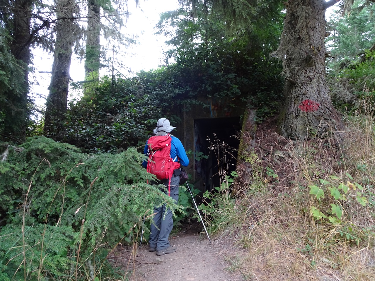
We passed military bunkers from WW2 along the ridge, similar to bunkers we saw in Cornwall a few years ago.
A trail around the peak leads to views in all directions:

Crescent Beach to the west,
Olympic Mountains to the south,

Vancouver Island to the north,

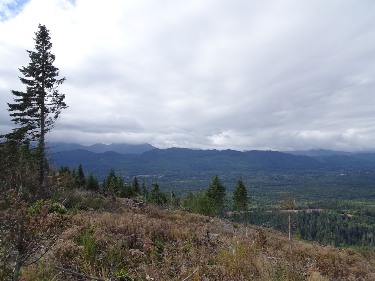
Port Angeles, and our trail through the clearcuts to the east, taken from a bench near the top of Striped Peak.
As we walked more than a mile through the clearcut, we could look back and see the top of Striped Peak.

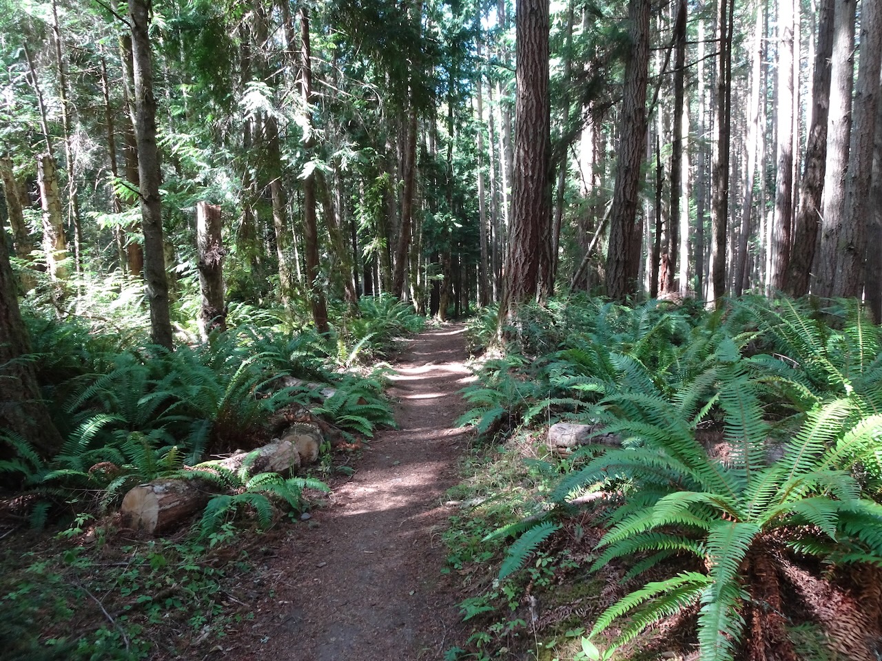
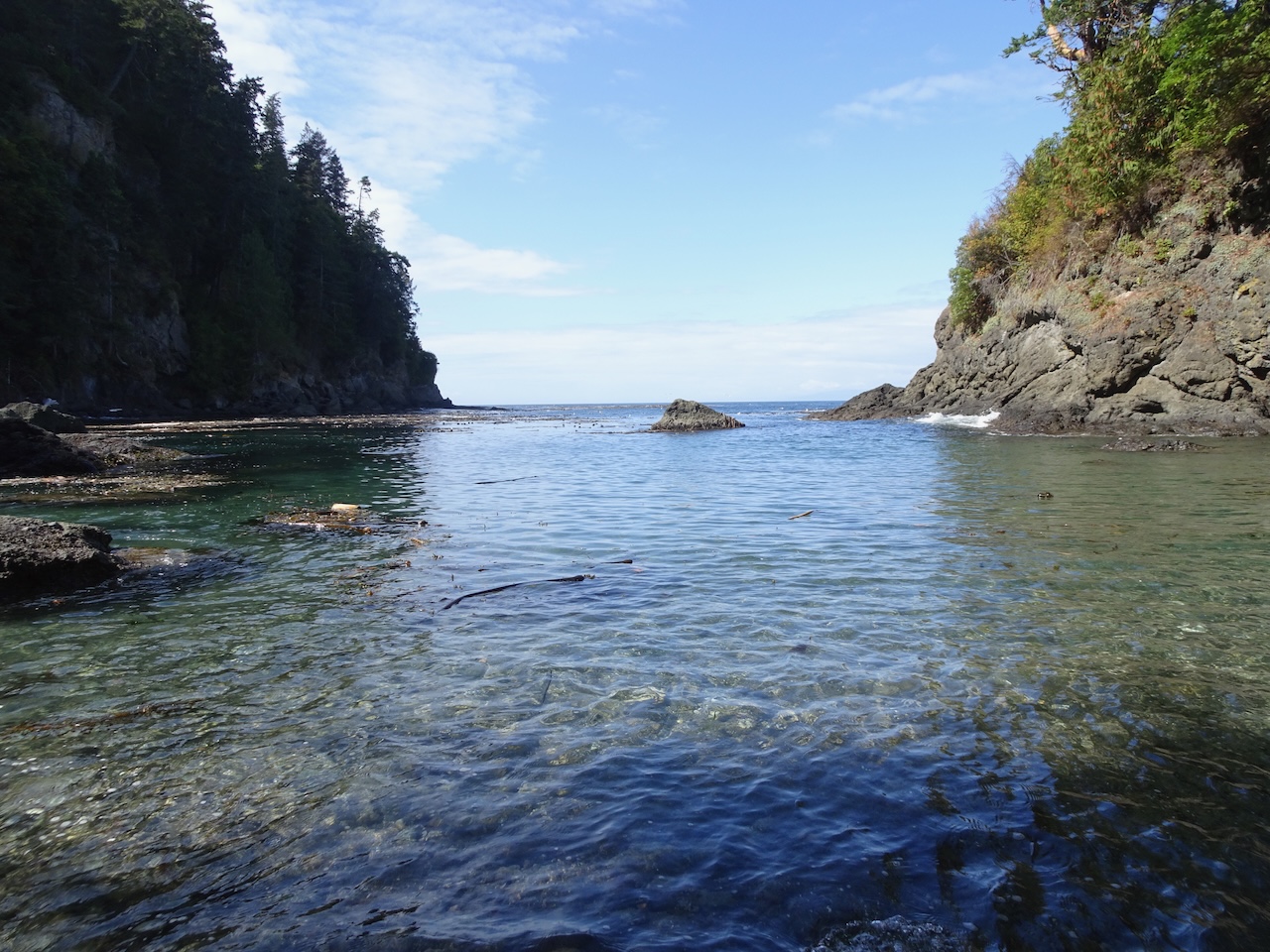
Eventually, the trail reentered the green forest, and we made our way back along the coastal cliffs .
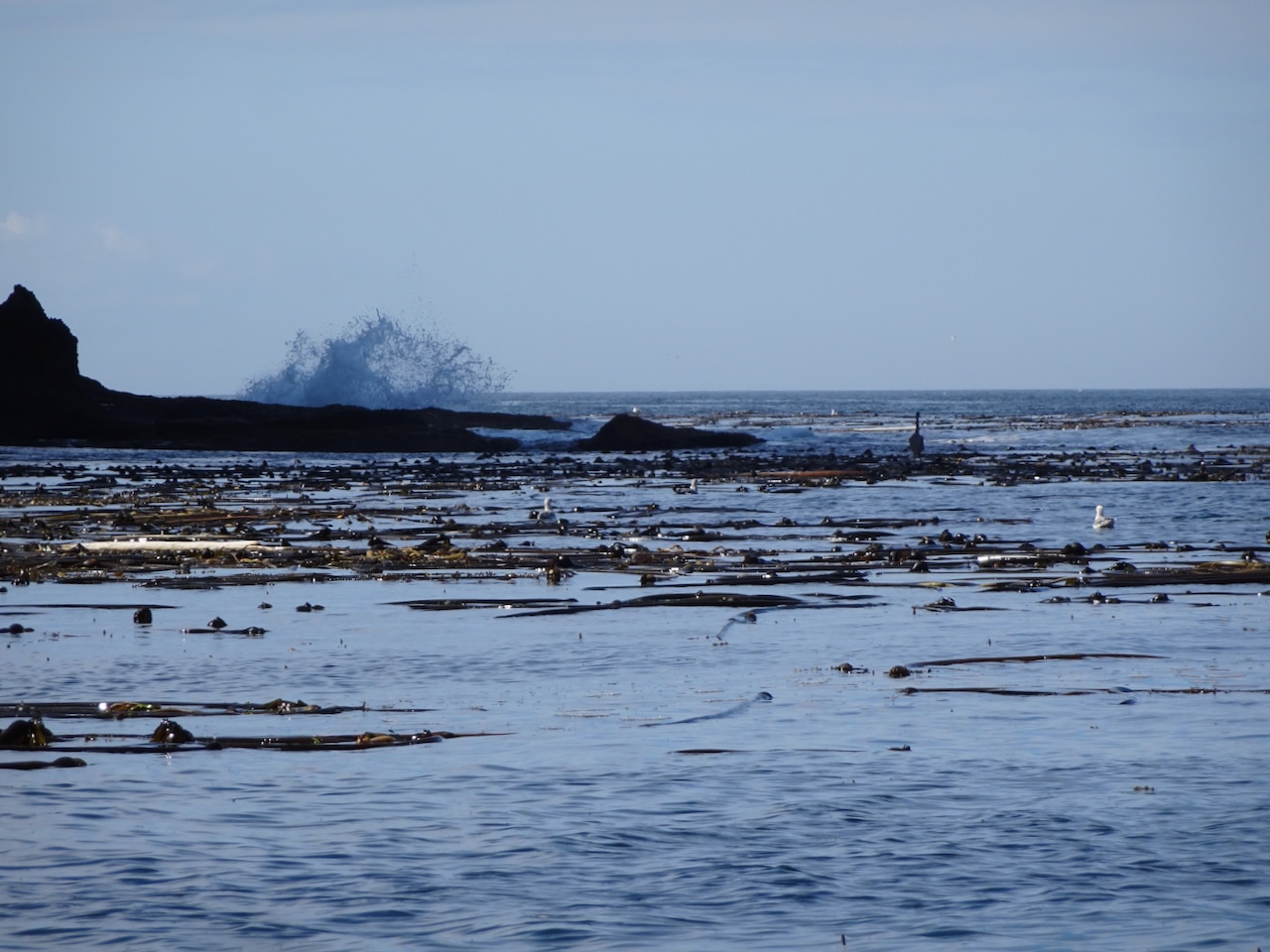
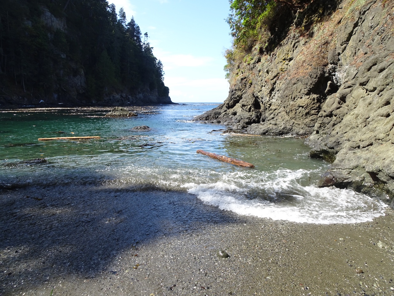
A side trail leads down to Eagle’s Cove, with its surreal turquoise waters:
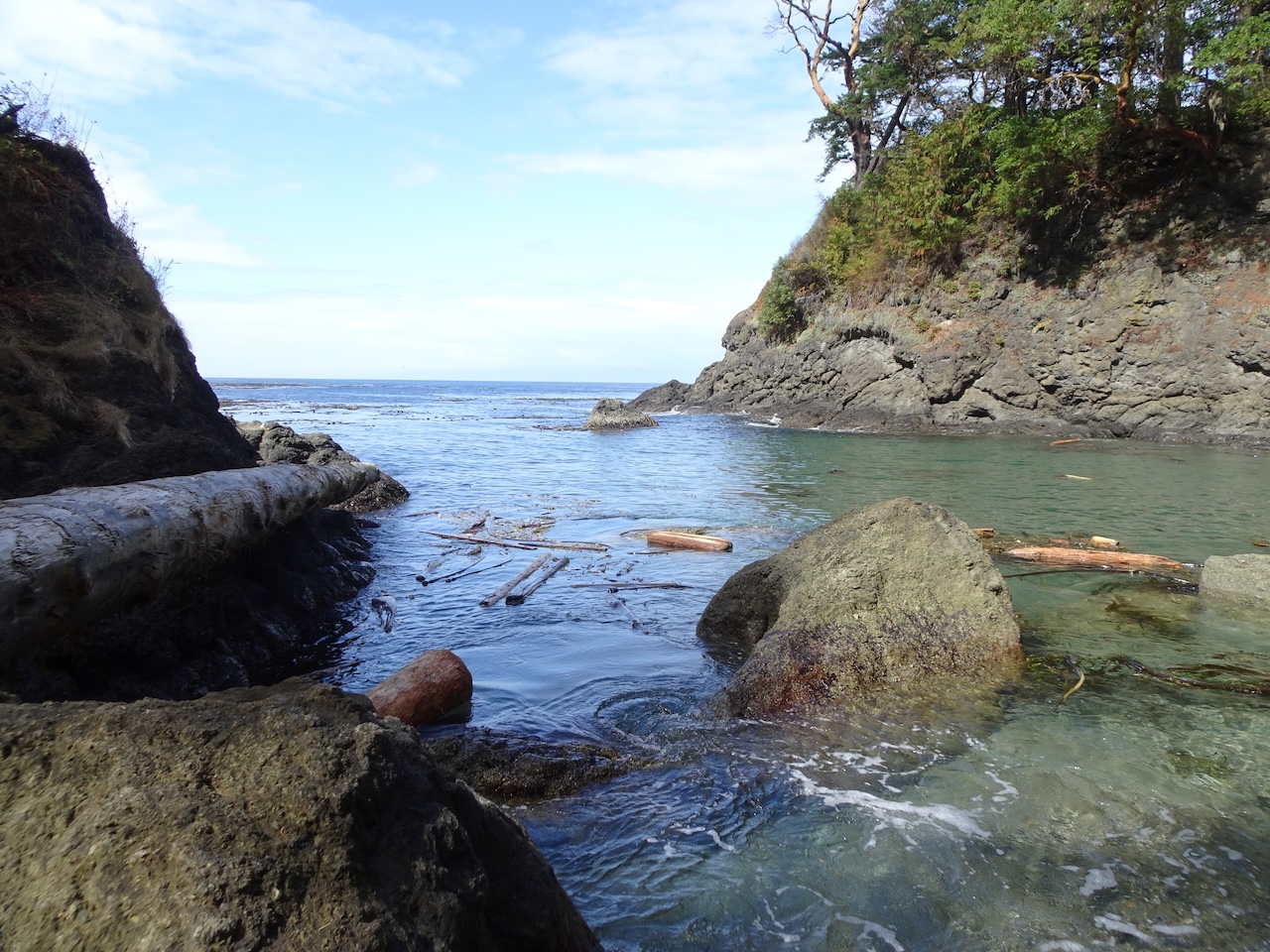
Eagle’s Cove, tide going out
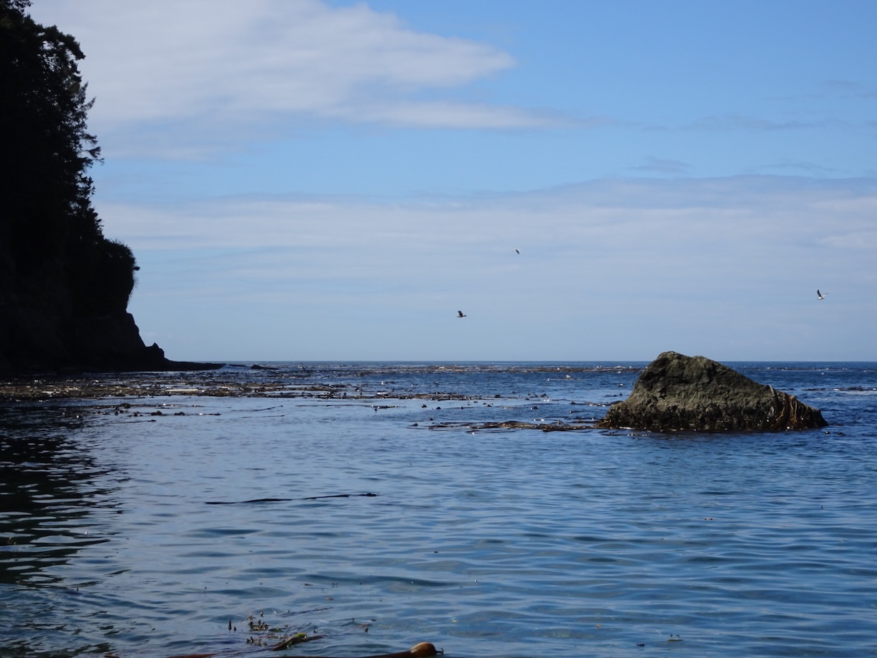
We spotted a heron out in the cove.
Heron and sea gull
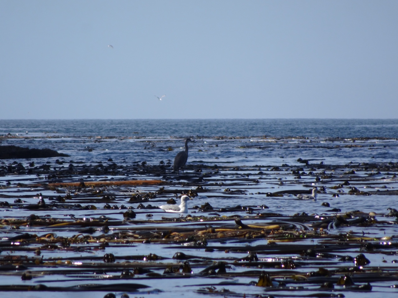
We think the heron is standing on a floating log.
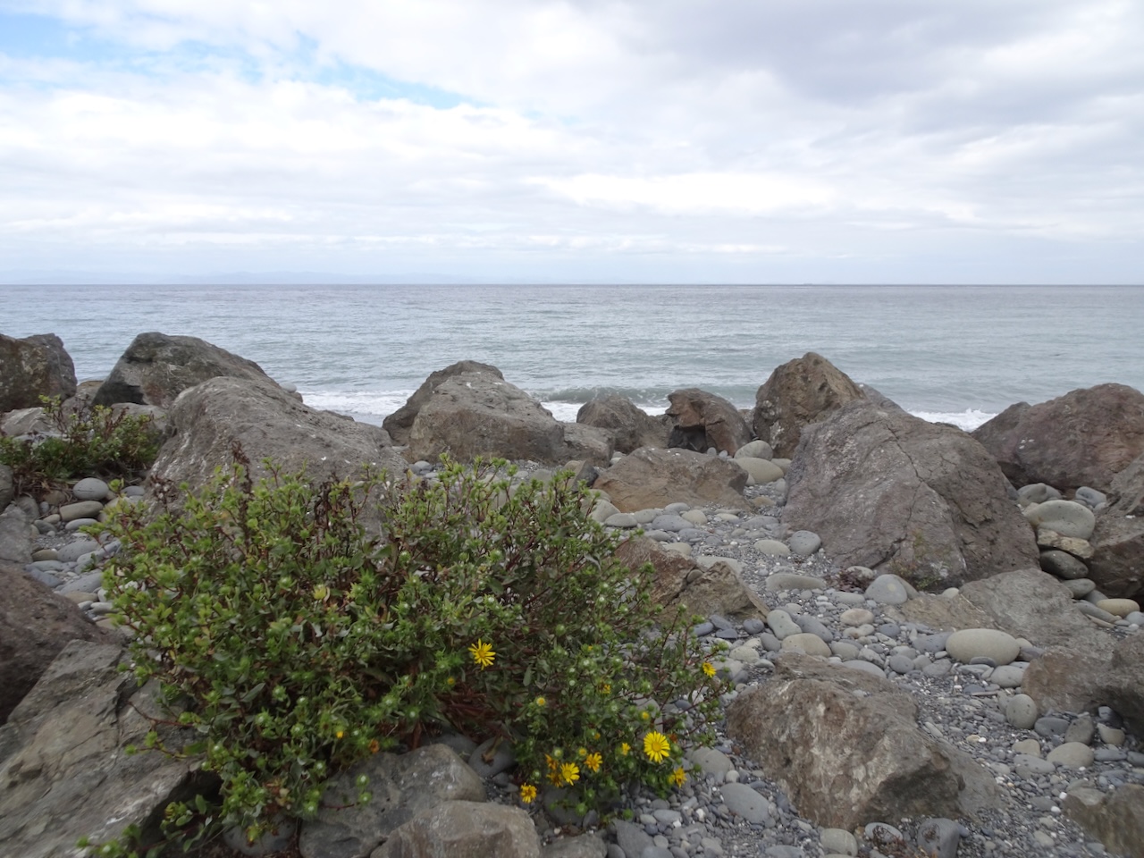
Pebbly sand and shells on the beach

Pebble close up…
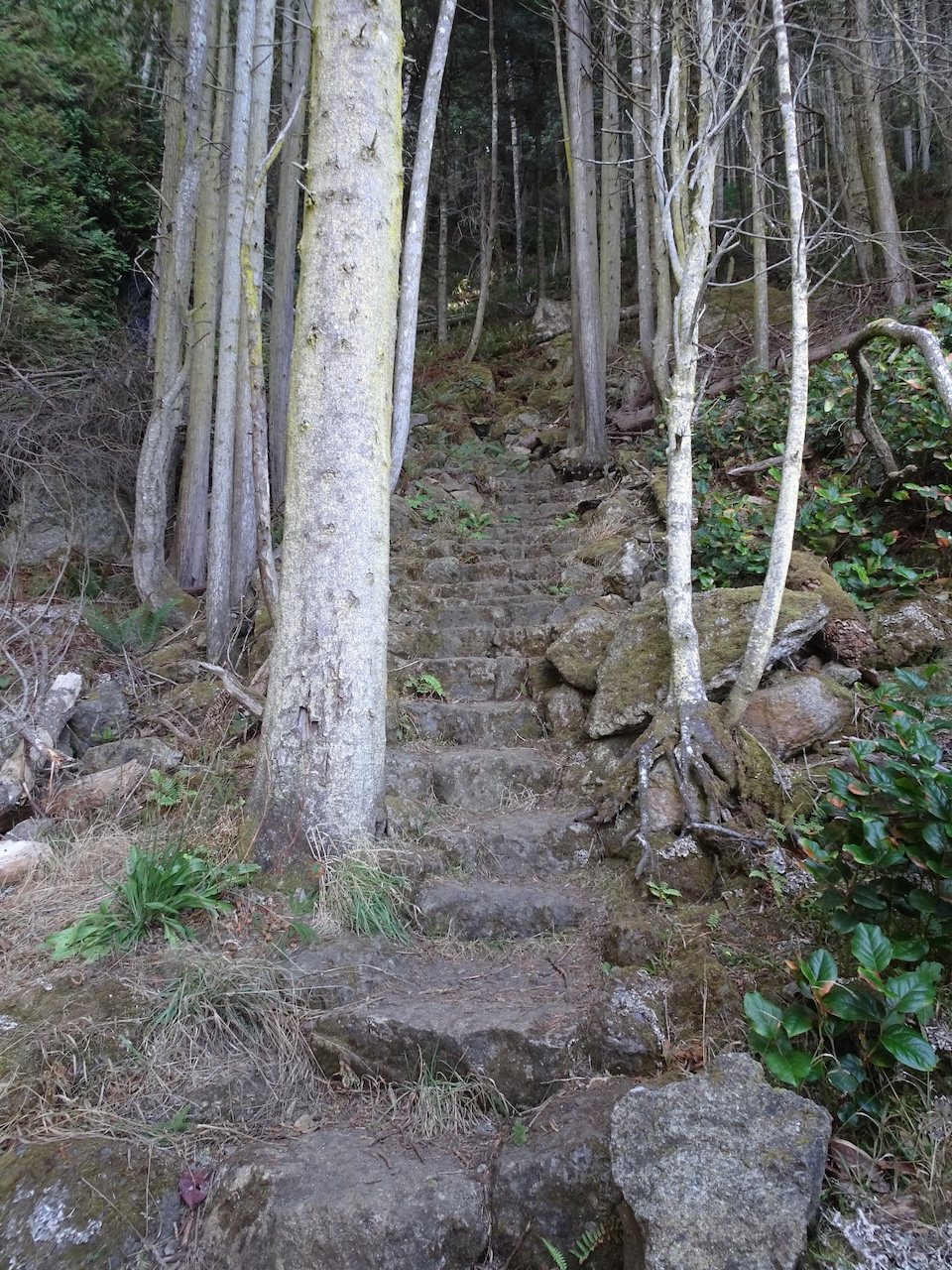
The hike out of the cove is steep.

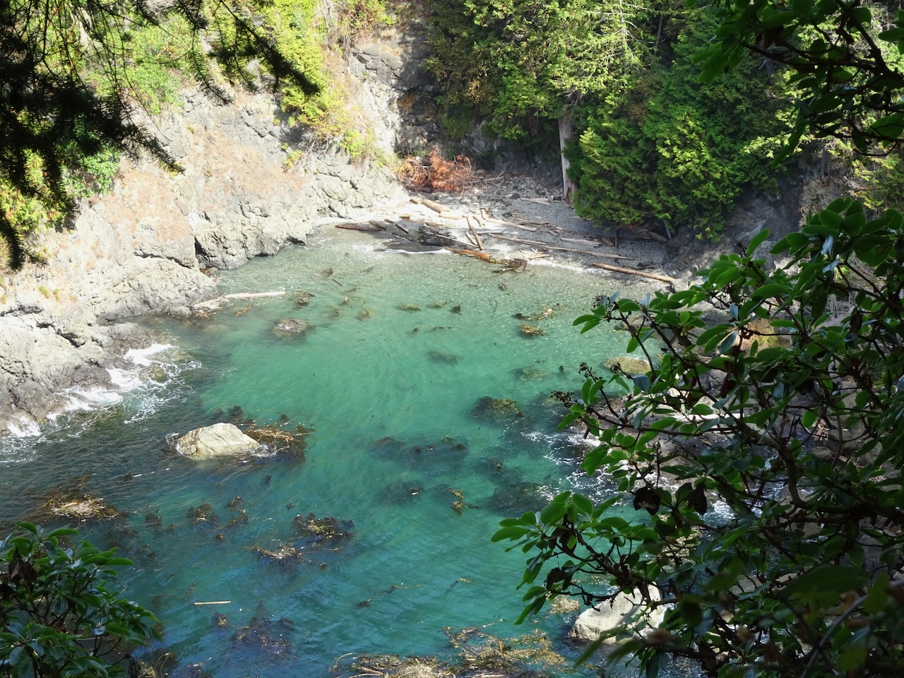
Looking down at Eagle’s Cove
Wednesday, September 1 – We drove from Port Angeles to Lake Quinault, with stops along the way.
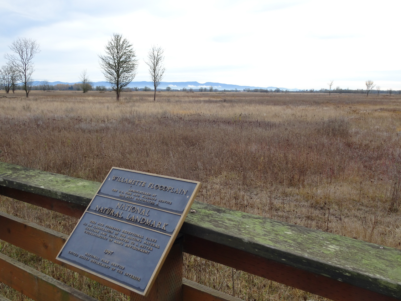
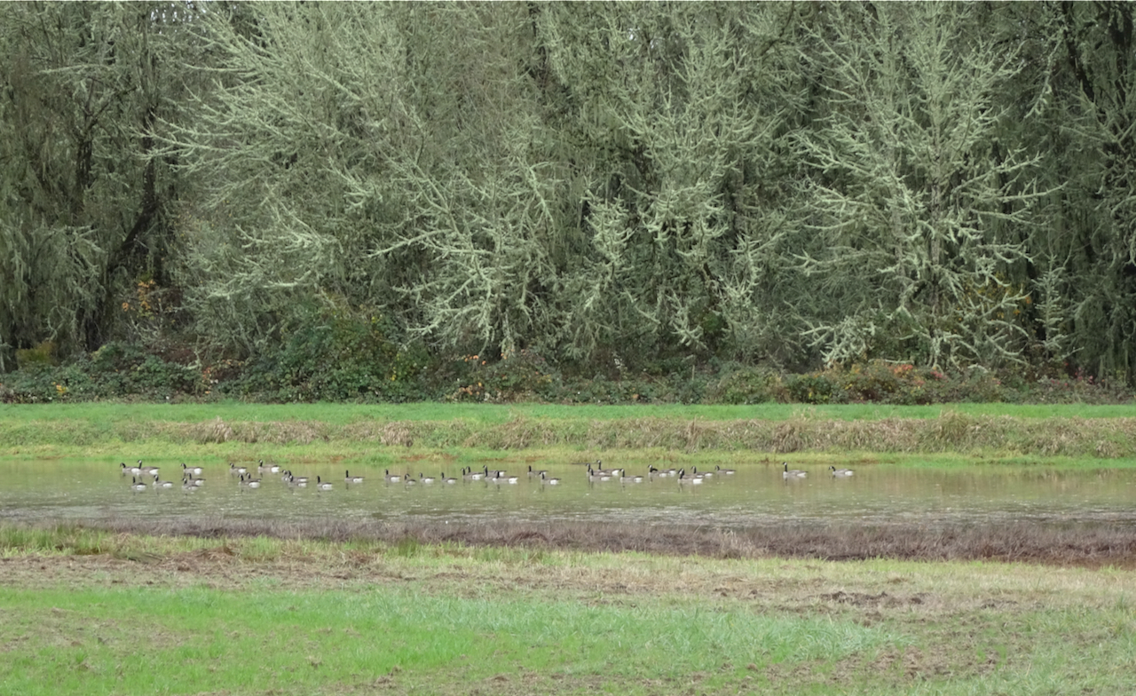
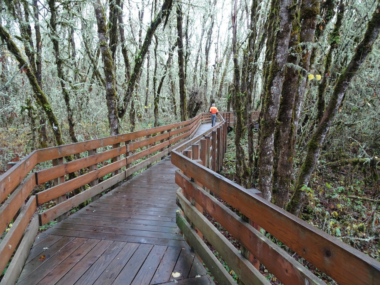
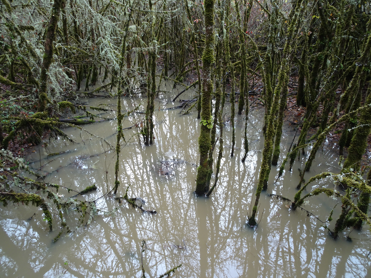
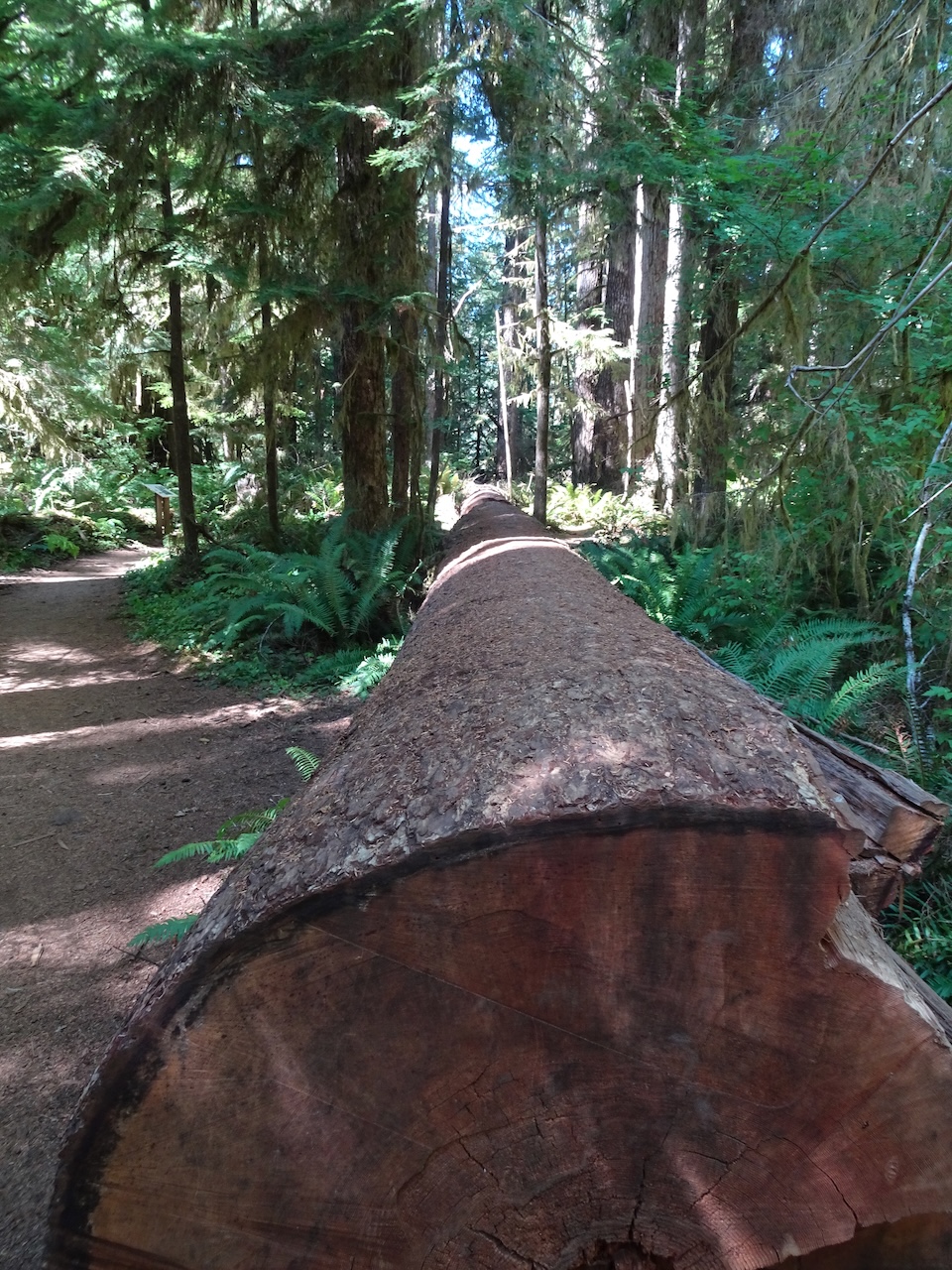
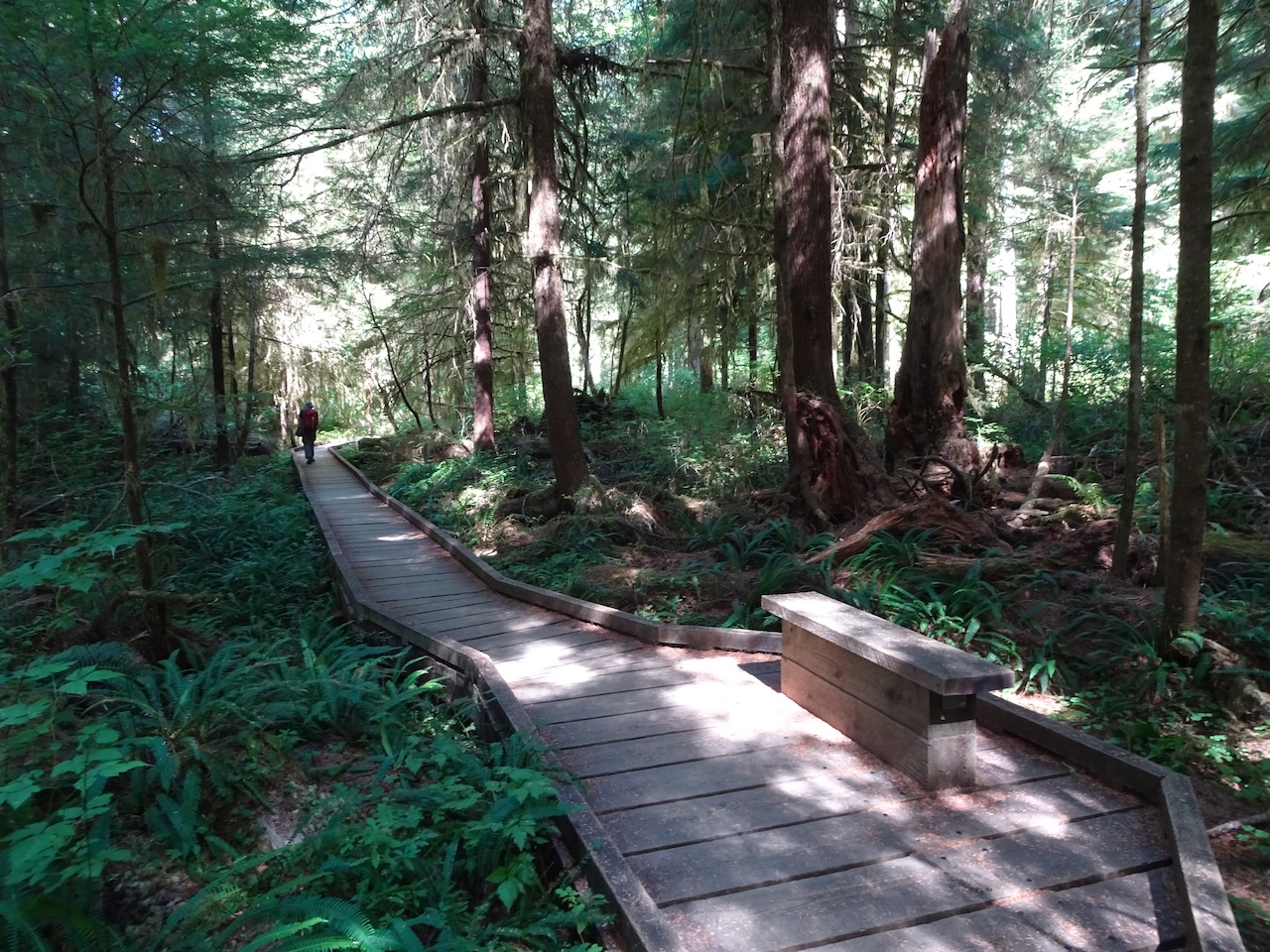
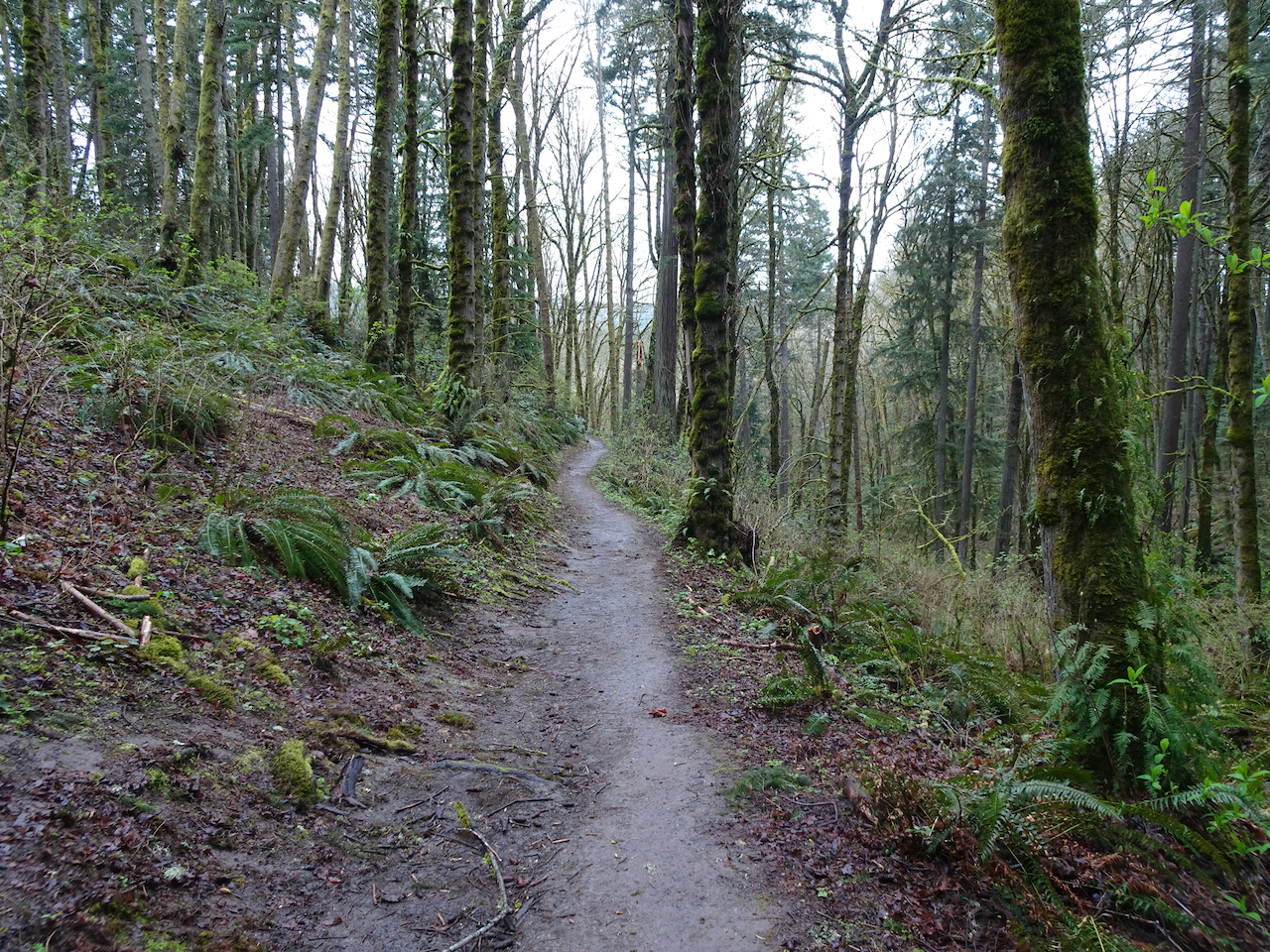
Bogachiel Rainforest
First stop, a three mile hike at the Bogachiel Rainforest. This is the dry season in the rainforest.
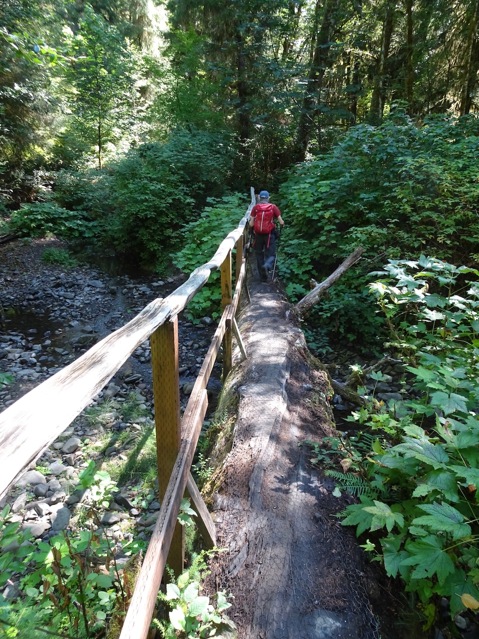
Large tree as bridge.

Plank boardwalks through what I presume can be a much wetter forest floor
Fallen tree to the right of the trail
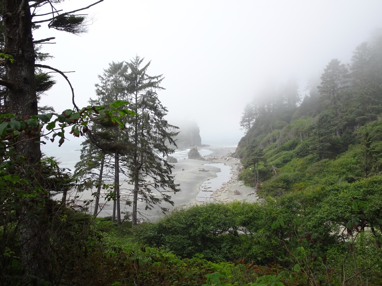
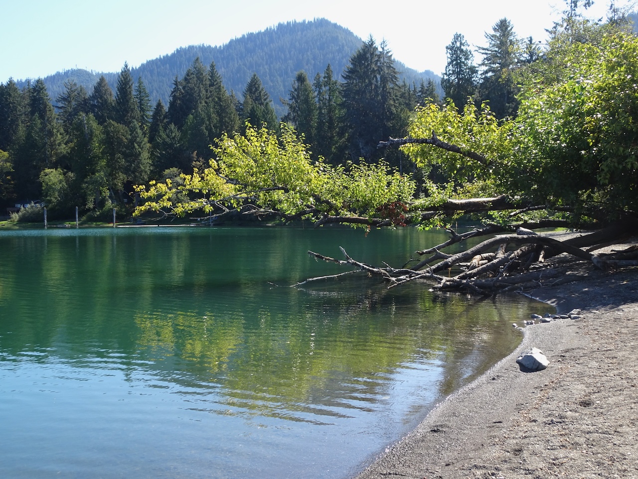
Ruby Beach
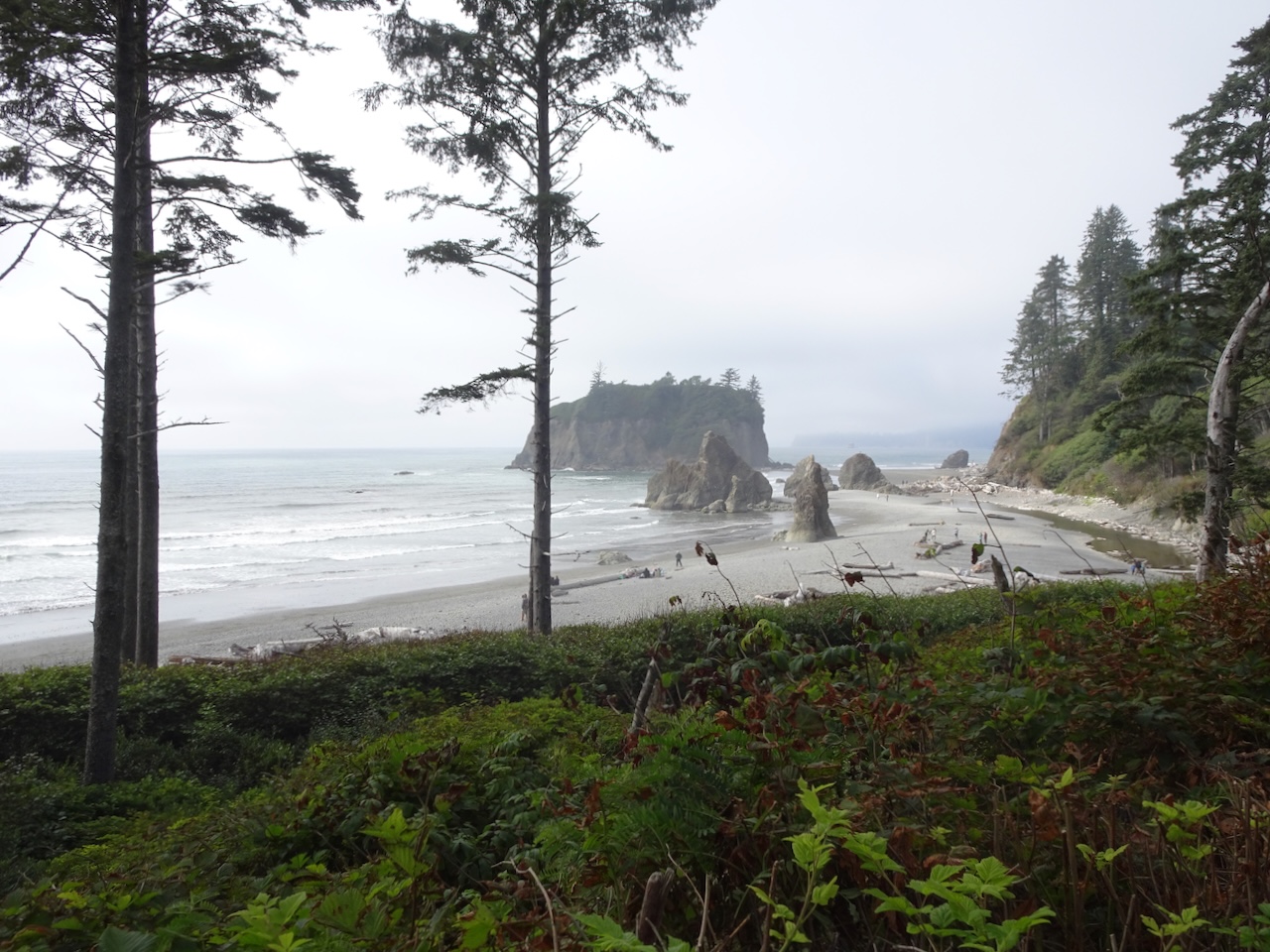
After our rainforest hike, we stopped at Ruby Beach, the first of several beaches that can be visited while driving south along the coast.
Looking down at Ruby Beach from the overlook

Sculpted sea stack near the access trail
We walked north along the shore as the tide receded.


Wave sorted shingle
A flock of birds kept us company…


Walking south again…

Tide pools formed around the sea stacks …
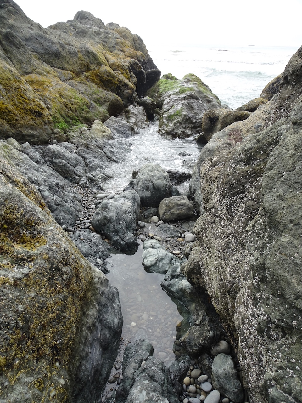
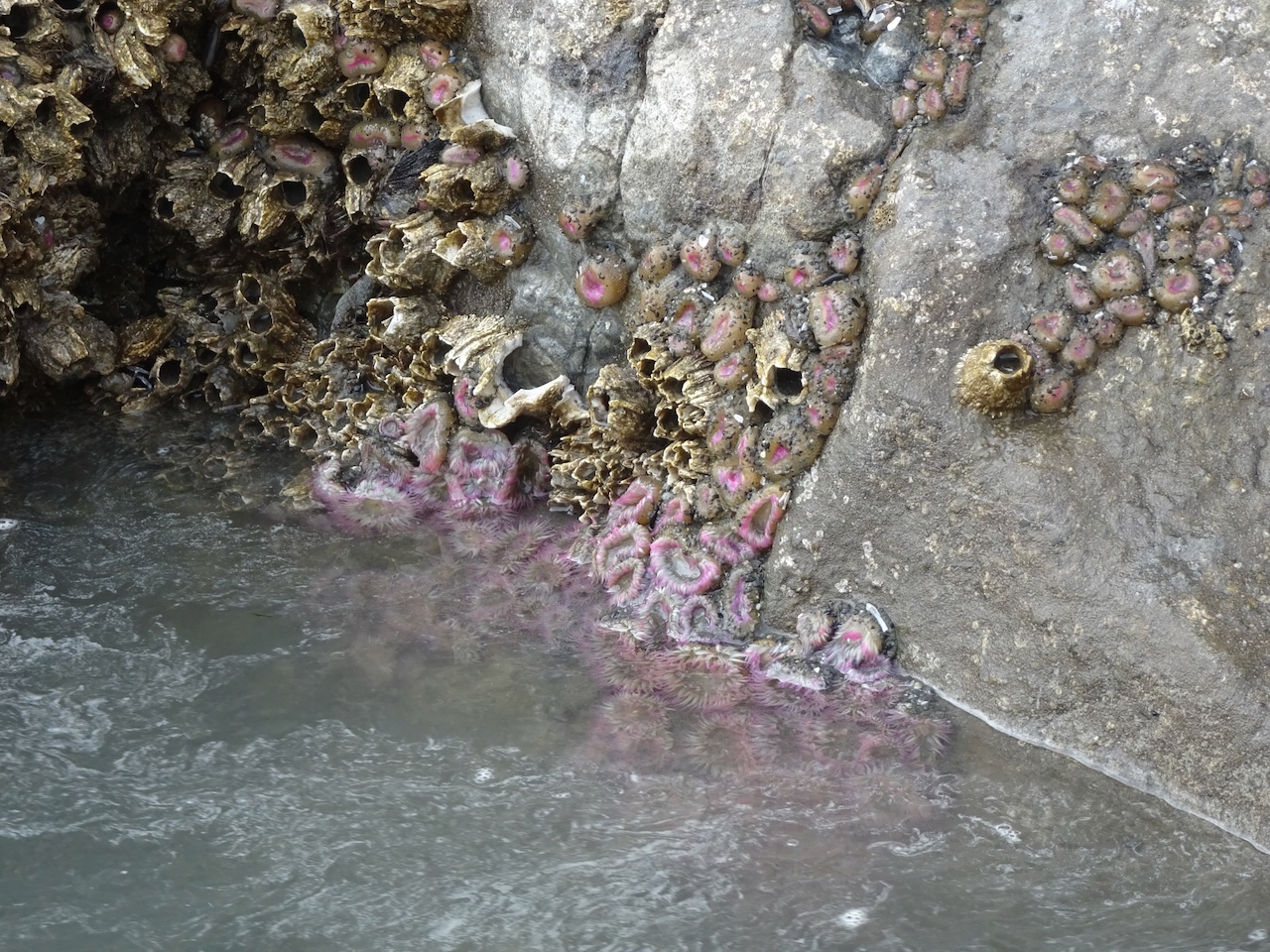
Sea anemones

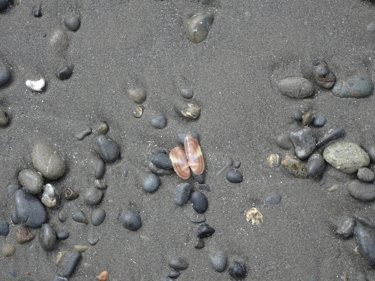
Sand, cobbles, clam

Back beach lagoon
We also walked a short distance south on Ruby Beach.

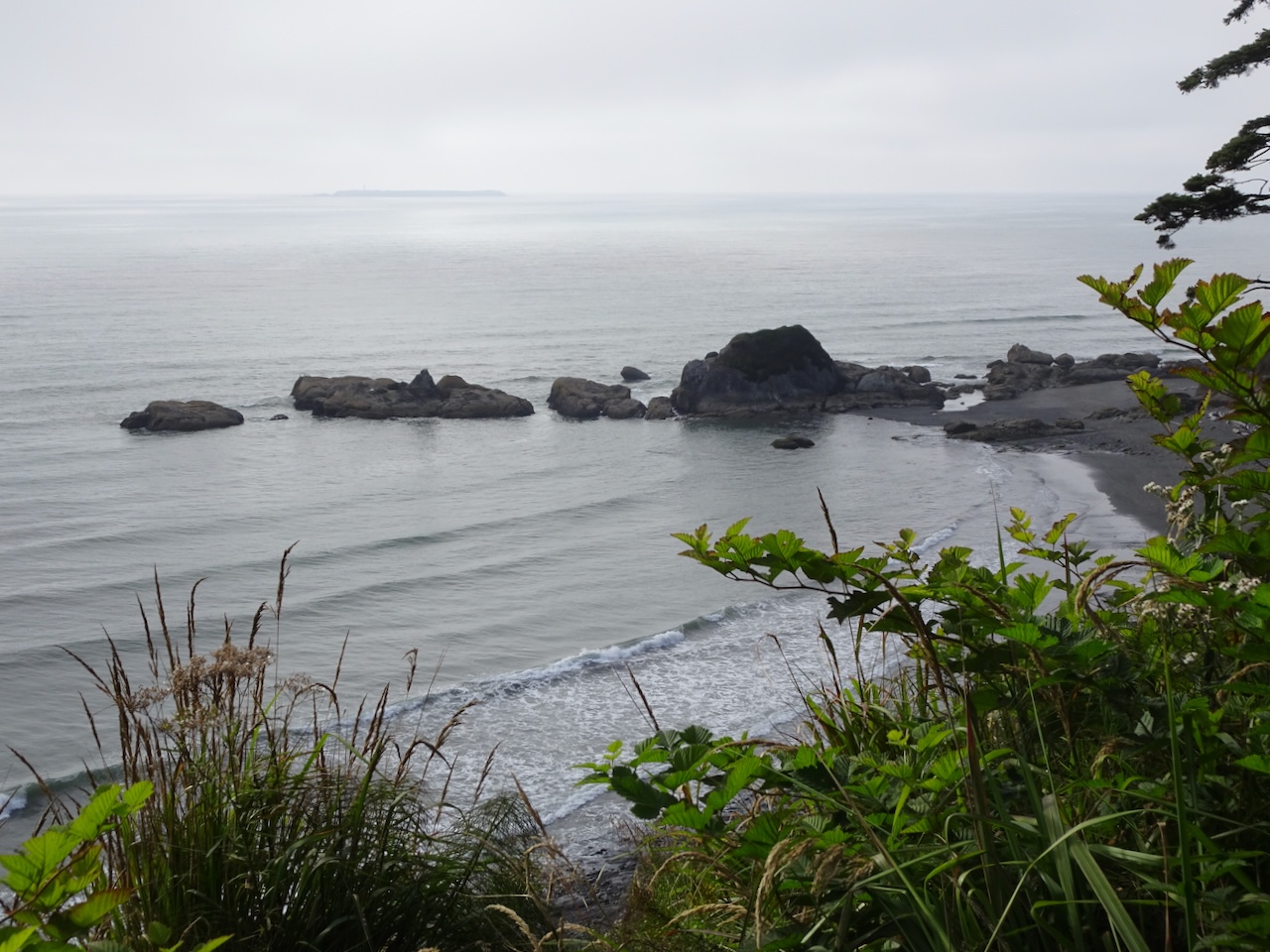
Destruction Island, with lighthouse, in the distance

Parting view of Ruby Beach
We stopped briefly at the at Kalaloch Beach 4 overlook.
View from above Kalaloch Beach 4

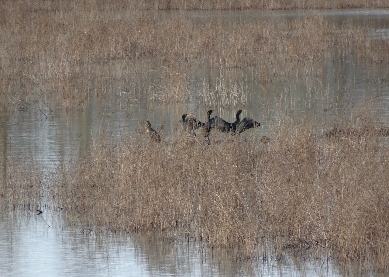
Cormorants

The sun is shining somewhere on this foggy day.
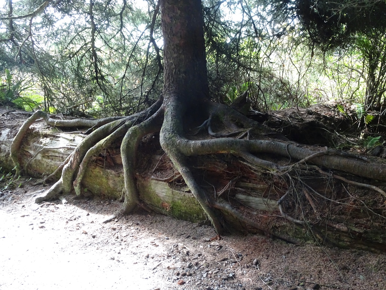
Roots around a nurse log
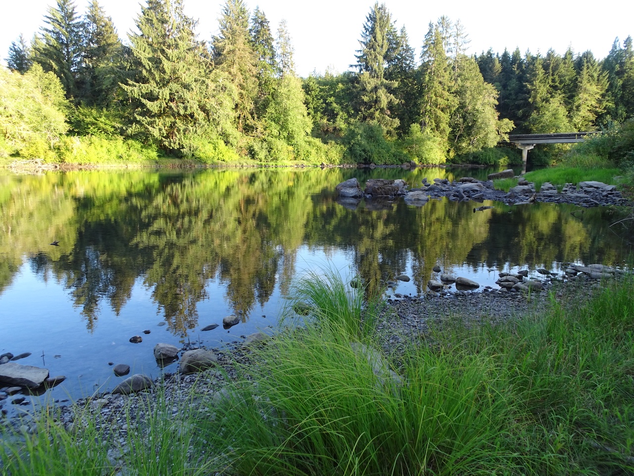
Lake Quinault
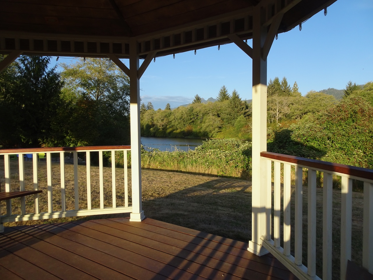
We stayed two nights at Quinault River Inn, a beautiful property with lovely views of the river and mountains.
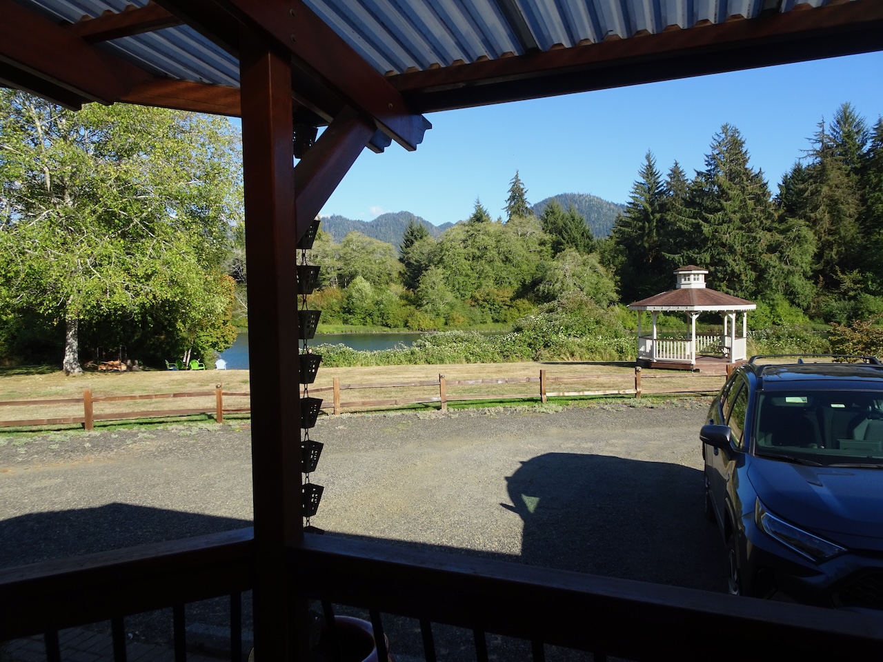
View from our porch to the river and mountains
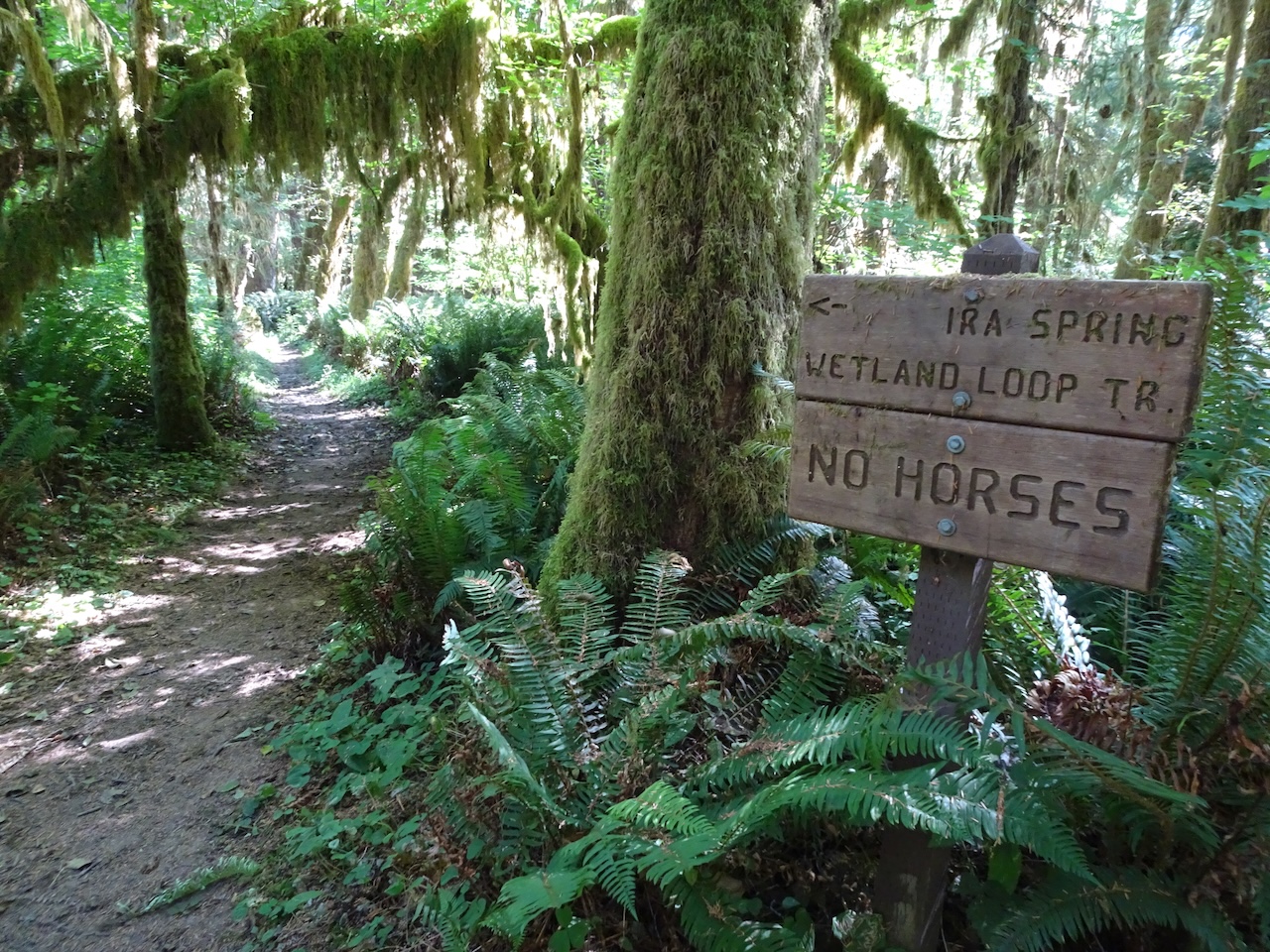
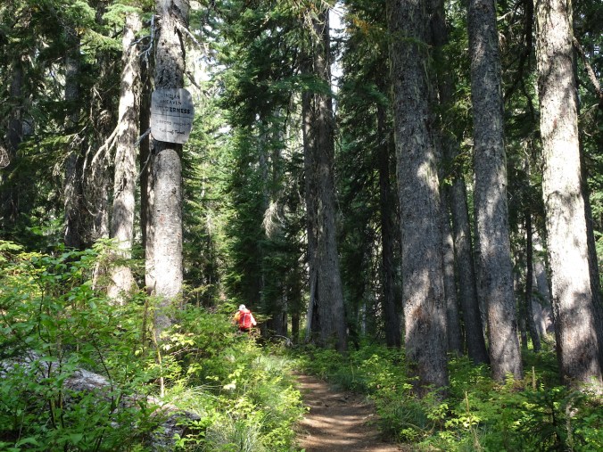
Thursday, September 2 – We explored the network of trails along Lake Quinault and nearby rainforest, then drove the loop road around the lake.
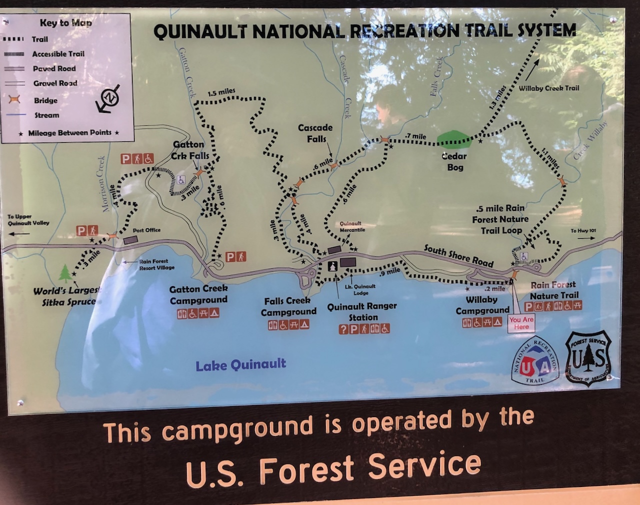
Trail sign
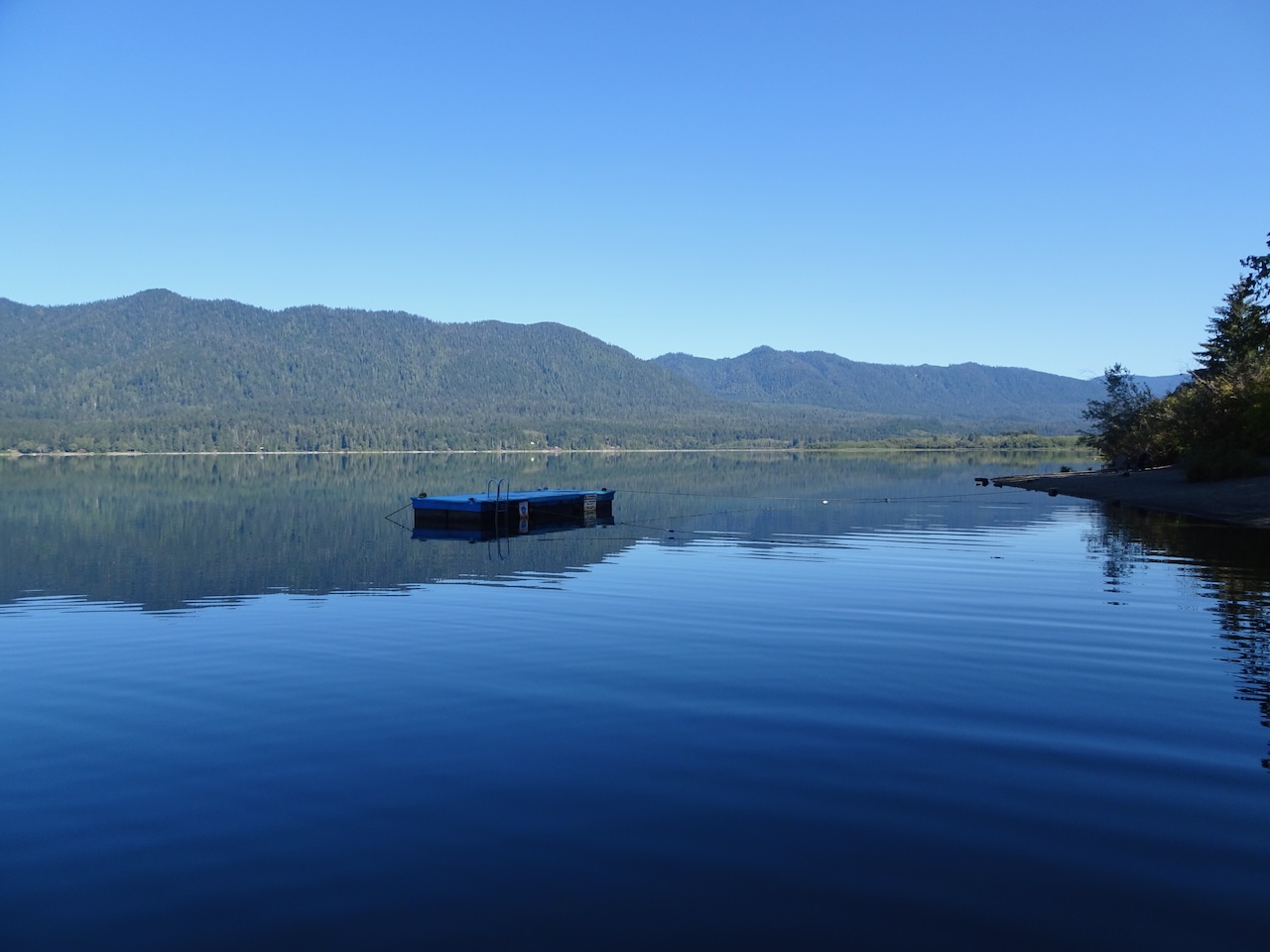
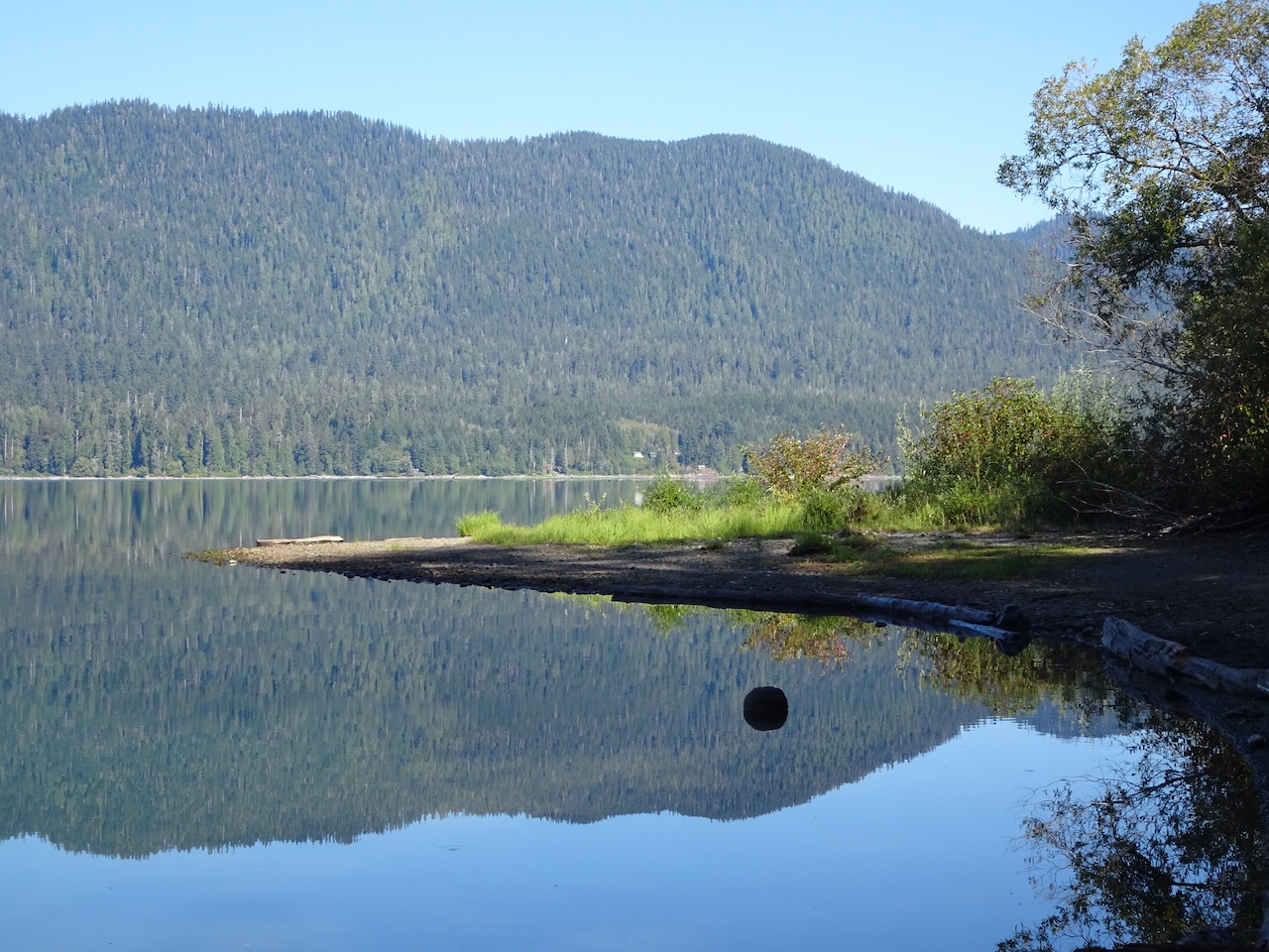
We began by walking east along the lake shore, mesmerized by the reflections in the glassy lake surface.


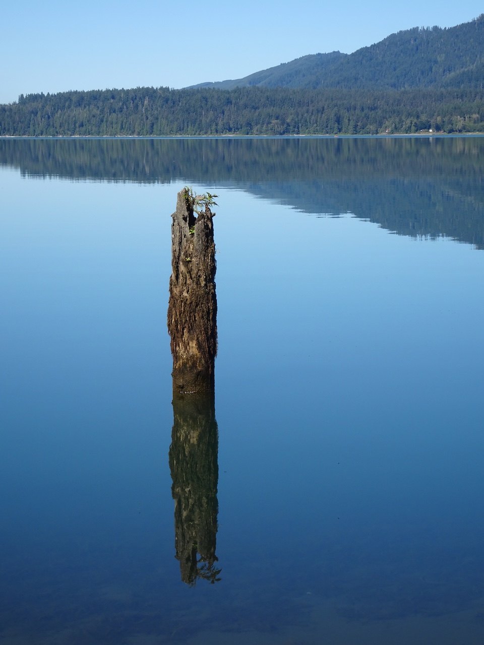
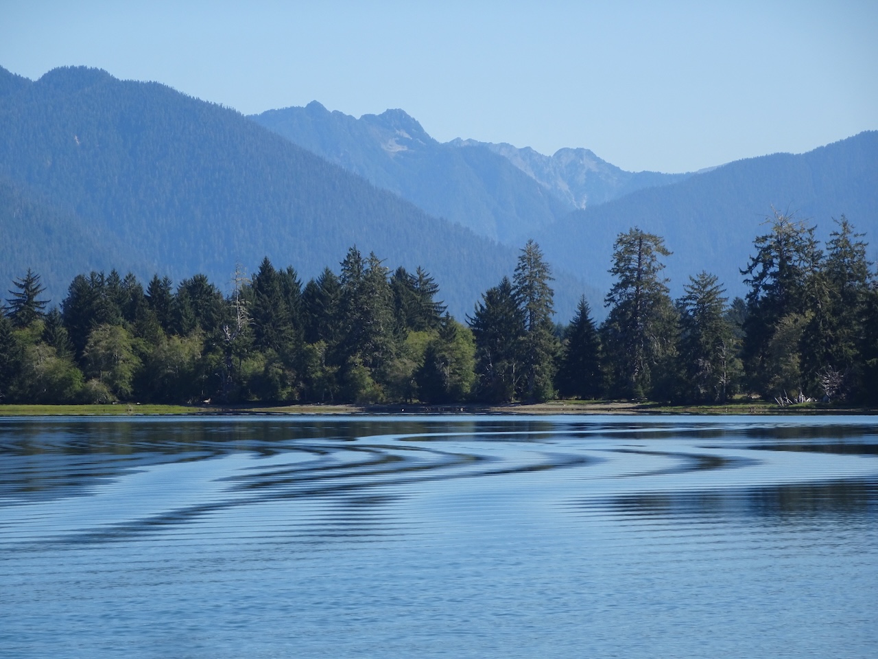
The spell was broken by a launch crossing the lake, casting wake ripples through the reflections.

We turned back west, passing by the historic Lake Quinault Lodge.


We crossed a bridge near Willaby Falls, then headed uphill to the rainforest trails.

Willaby Falls

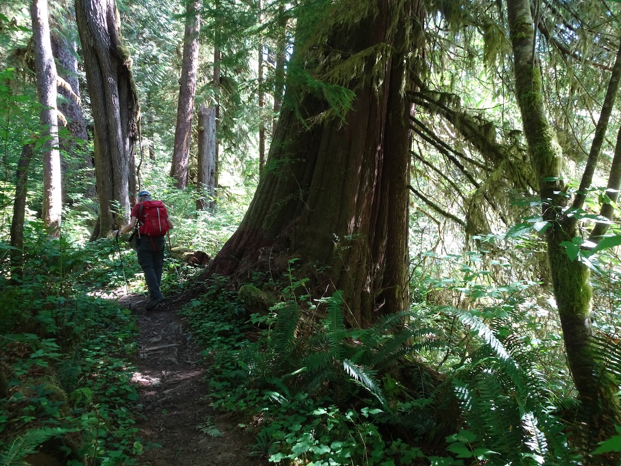
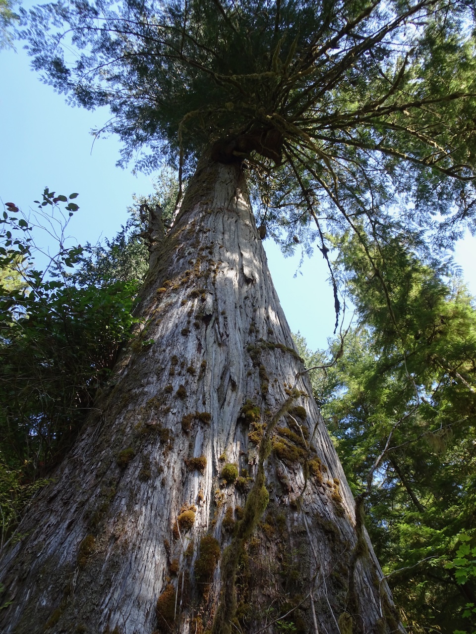
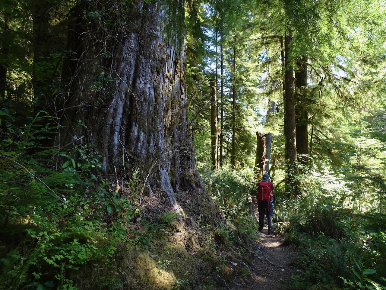
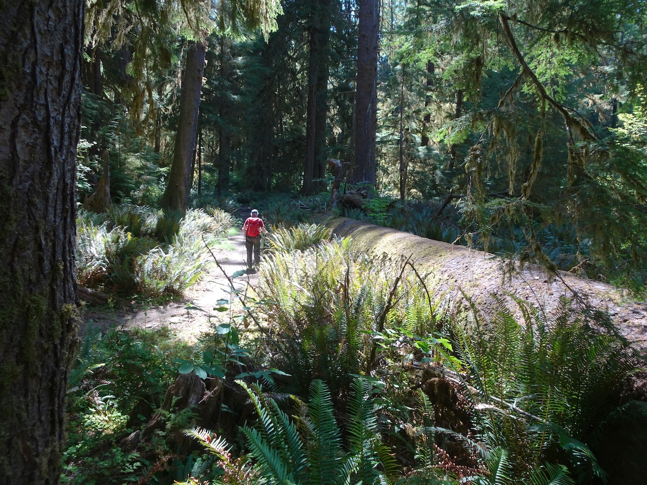
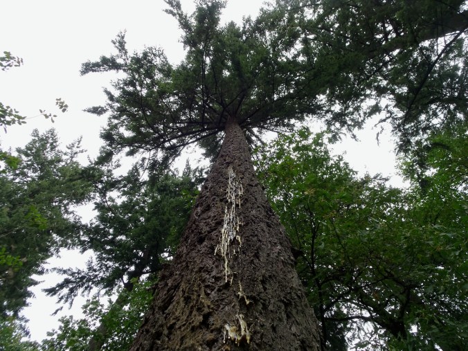
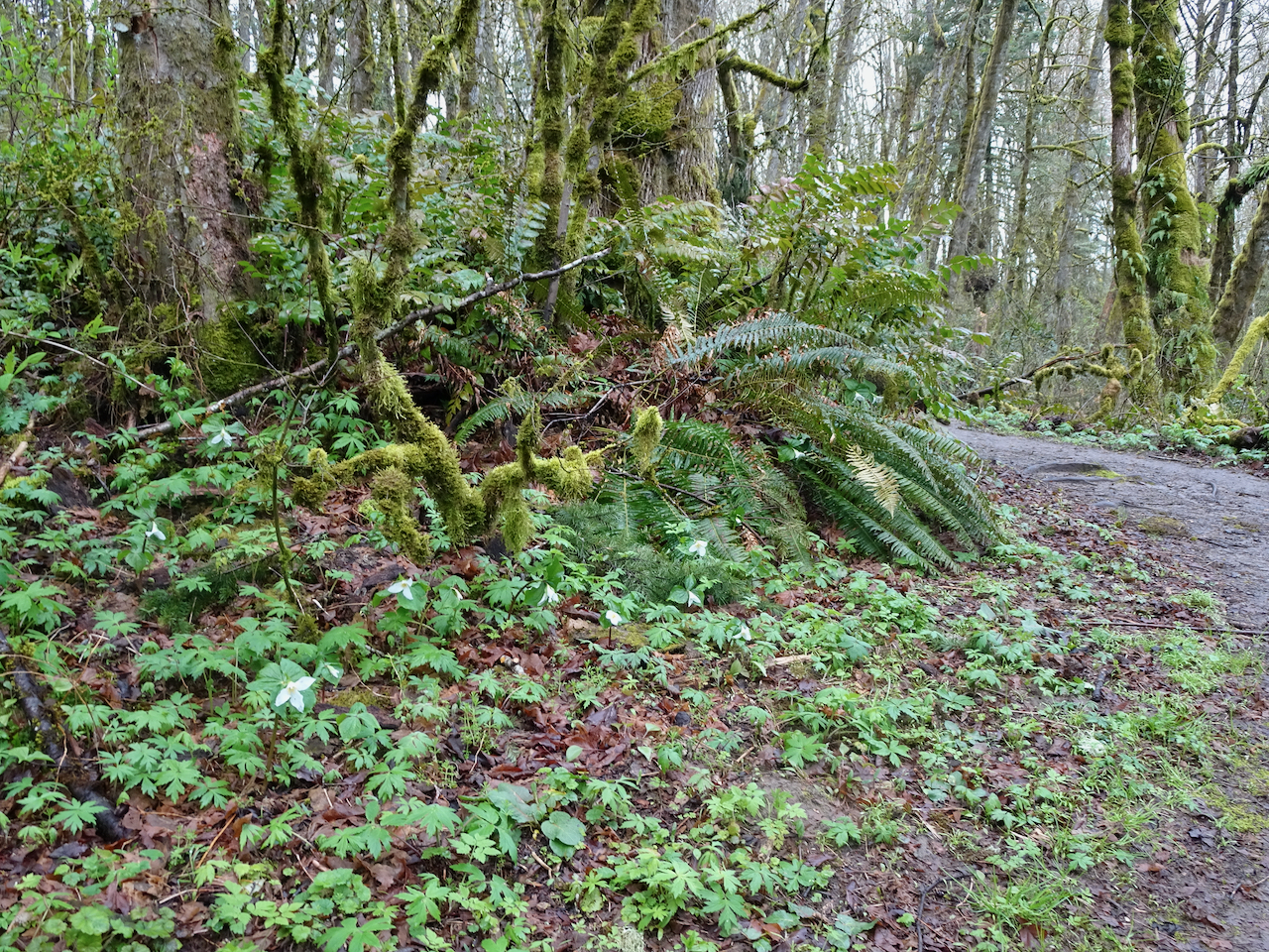
I was continuously awed by the size of the trees in the rainforest.

Cedar swamp
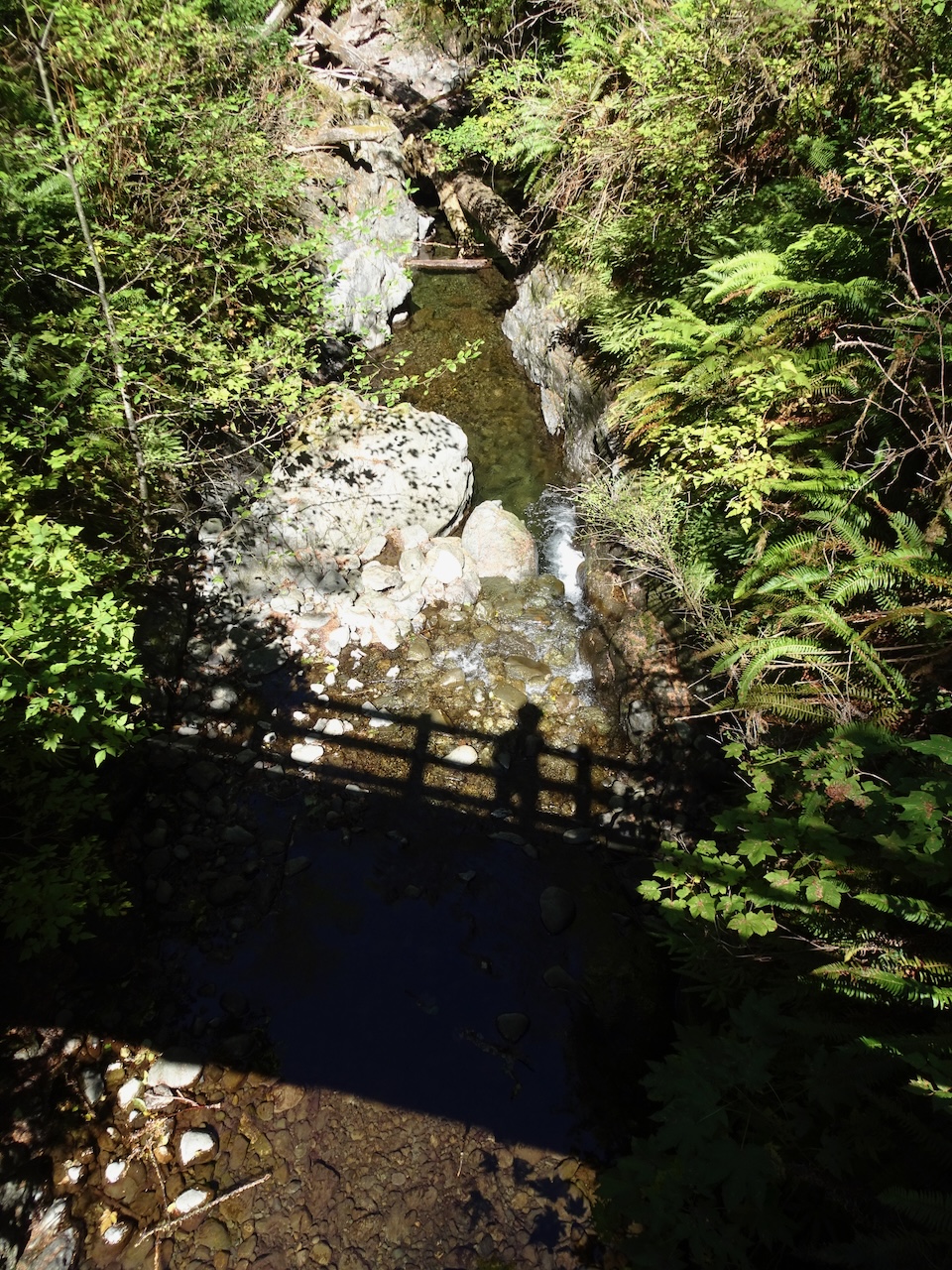
Cascade Creek

After finishing our hike, we drove the roads around Lake Quinault, passing waterfalls and a view into the higher mountains.
Merriman Falls

Bunch Falls

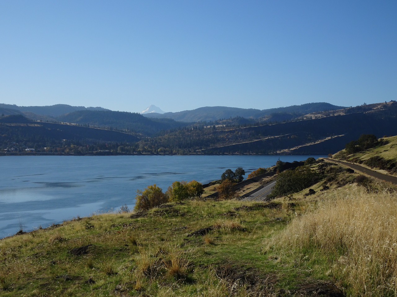
Quinault River upstream (east) from the lake

We closed our last day back at the Quinault River Inn, watching reflections in the water as the shadows grew long.


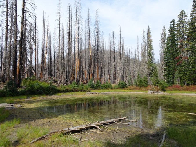
Follow up to the Olympic National Park crime situation: We learned that a man under the influence of methamphetamine had wrought havoc on the area before disappearing into the wilderness with a long gun. Trails and campgrounds in the National Park were evacuated for three days, interrupting many people’s trips. The man was located, and the park reopened, about an hour after we departed. Allegations as of time of writing this, according to a news article in the Sequim Gazette (September 14, 2021): He assaulted his girlfriend, set a 1000 acre fire, cut down a tree to block the road, disabled a park service radio repeater, and tried to shoot down a surveillance drone. After a negotiated surrender, he was placed in custody. He had multiple weapons, ammunition, chain saws, survival gear, a letter announcing a revolution to begin soon, and a quantity of presumed methamphetamine in his possesion. He has many past domestic violence charges.
This crime event did not exactly ruin our trip, as we were able to find other options for hiking and seeing beautiful places, just not the places we had planned to see. We have become accomplished this year at making other plans, and making the best of unforeseen circumstances. We hope to return another year to see the high country.


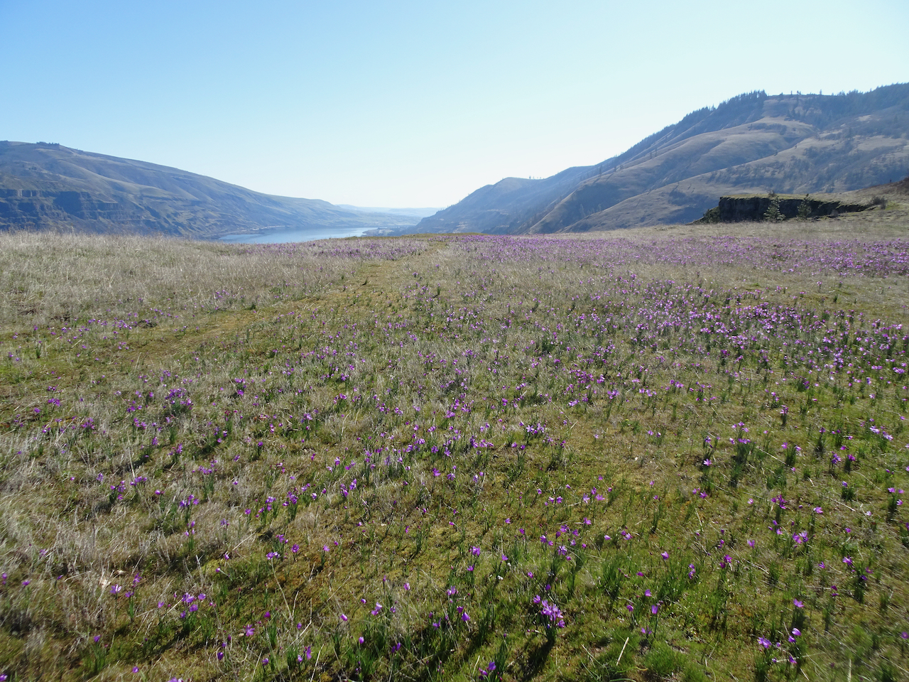
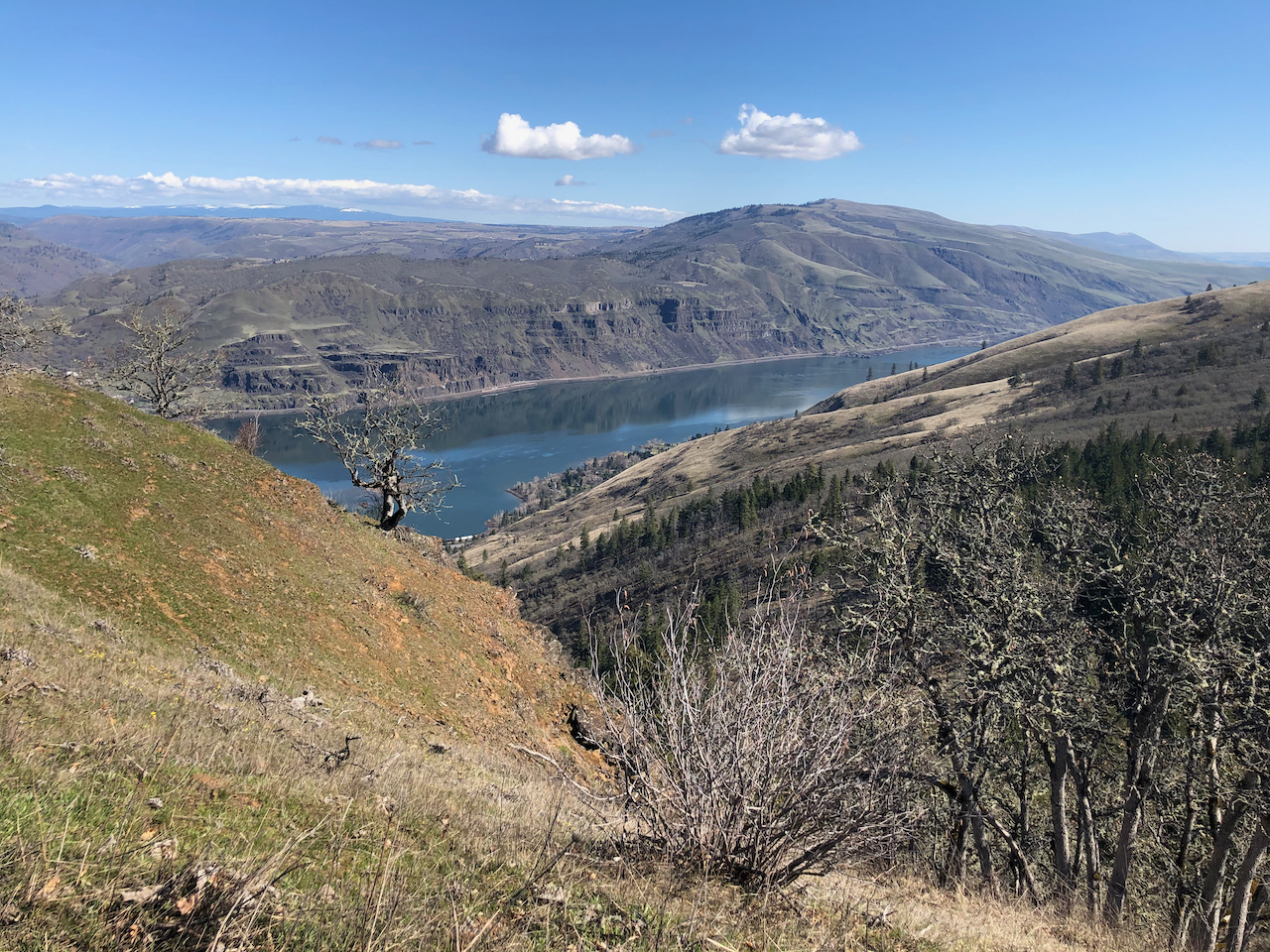


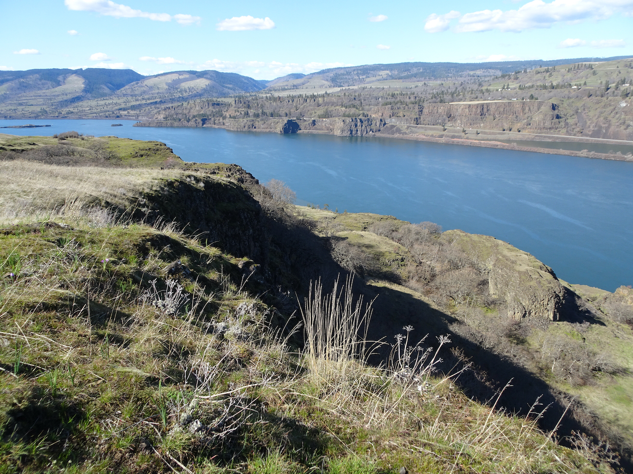
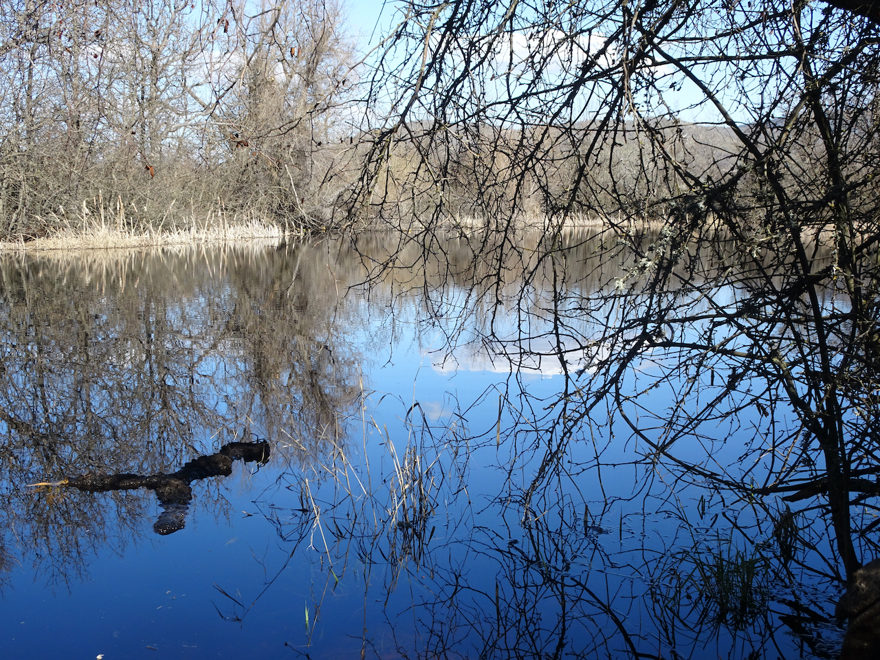


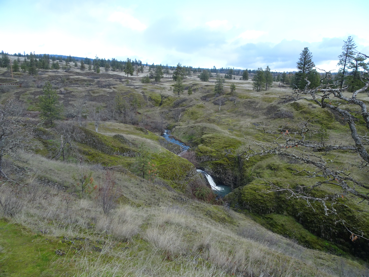


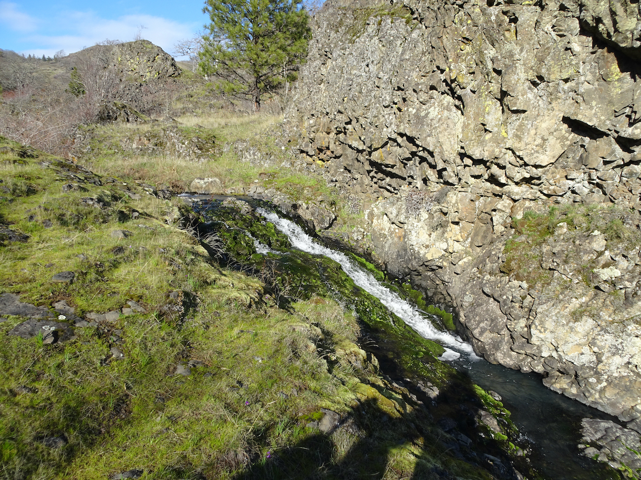
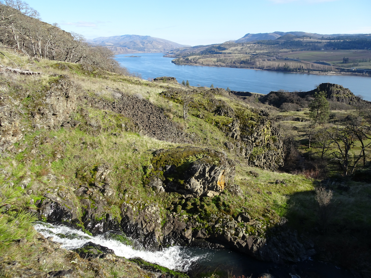

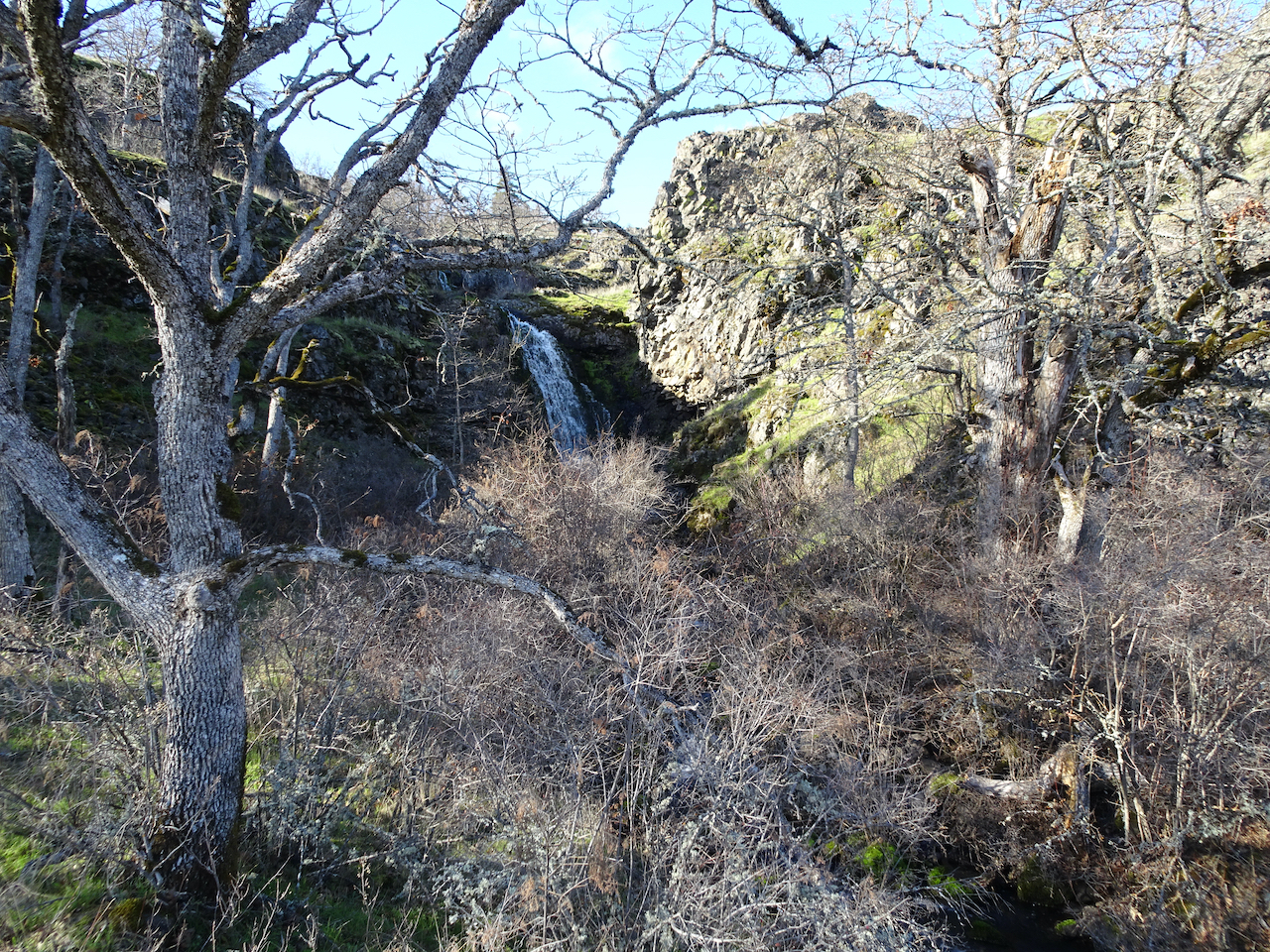
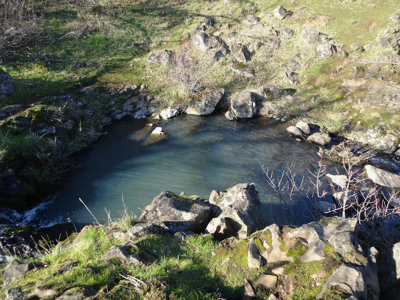


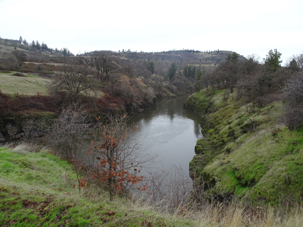


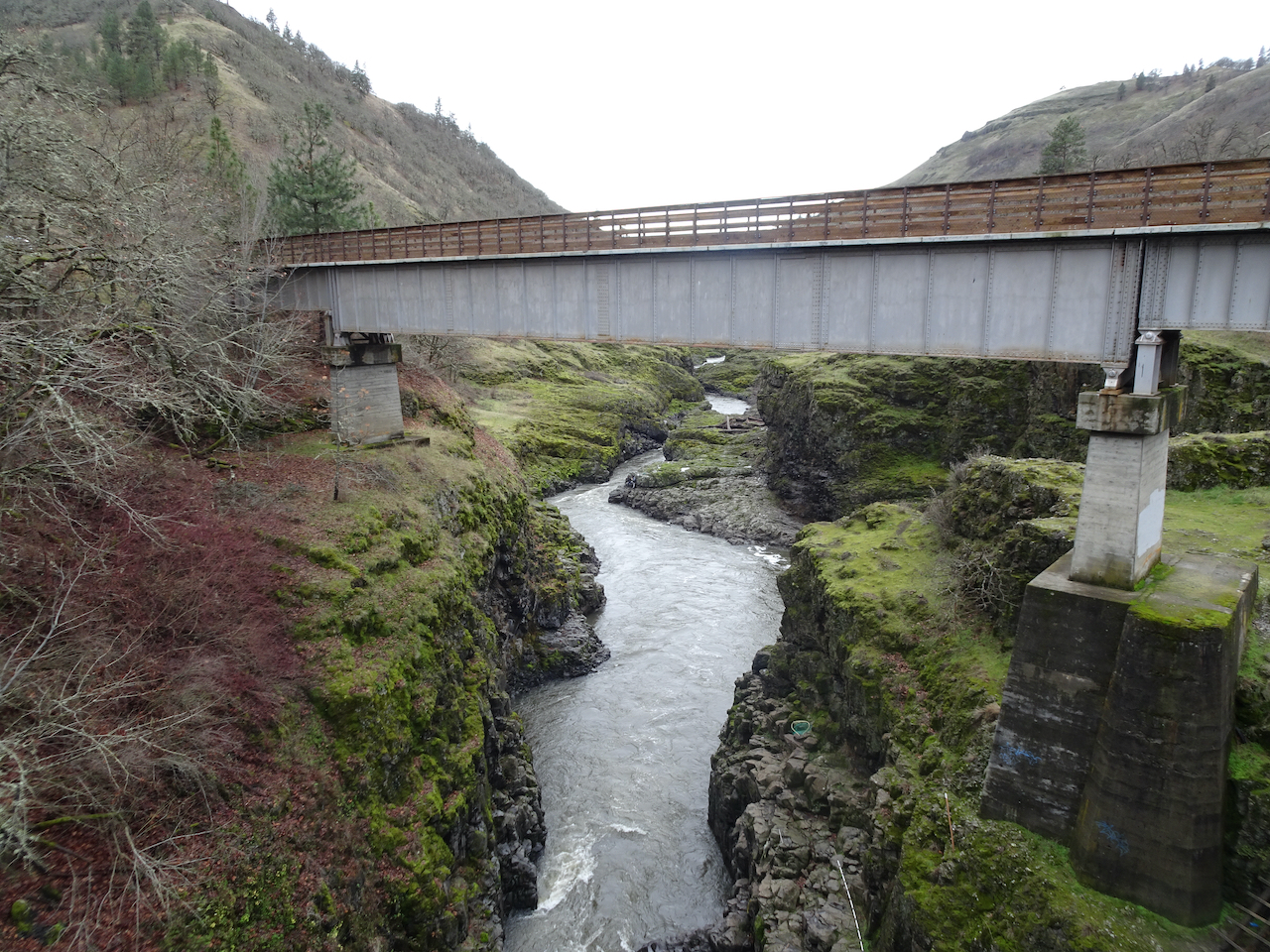
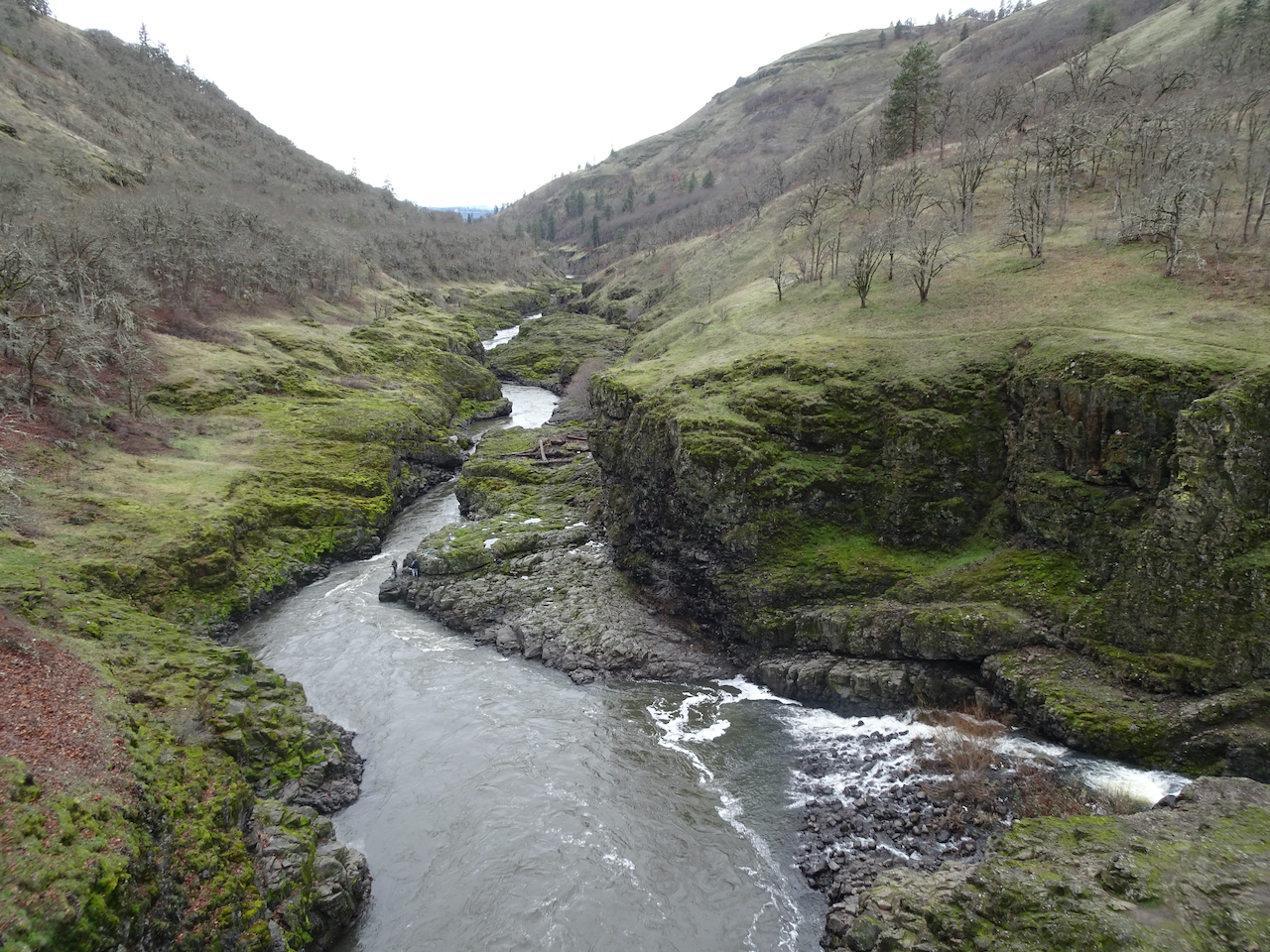


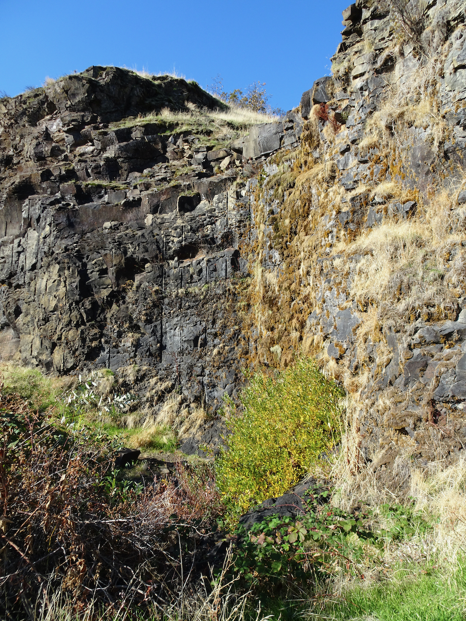
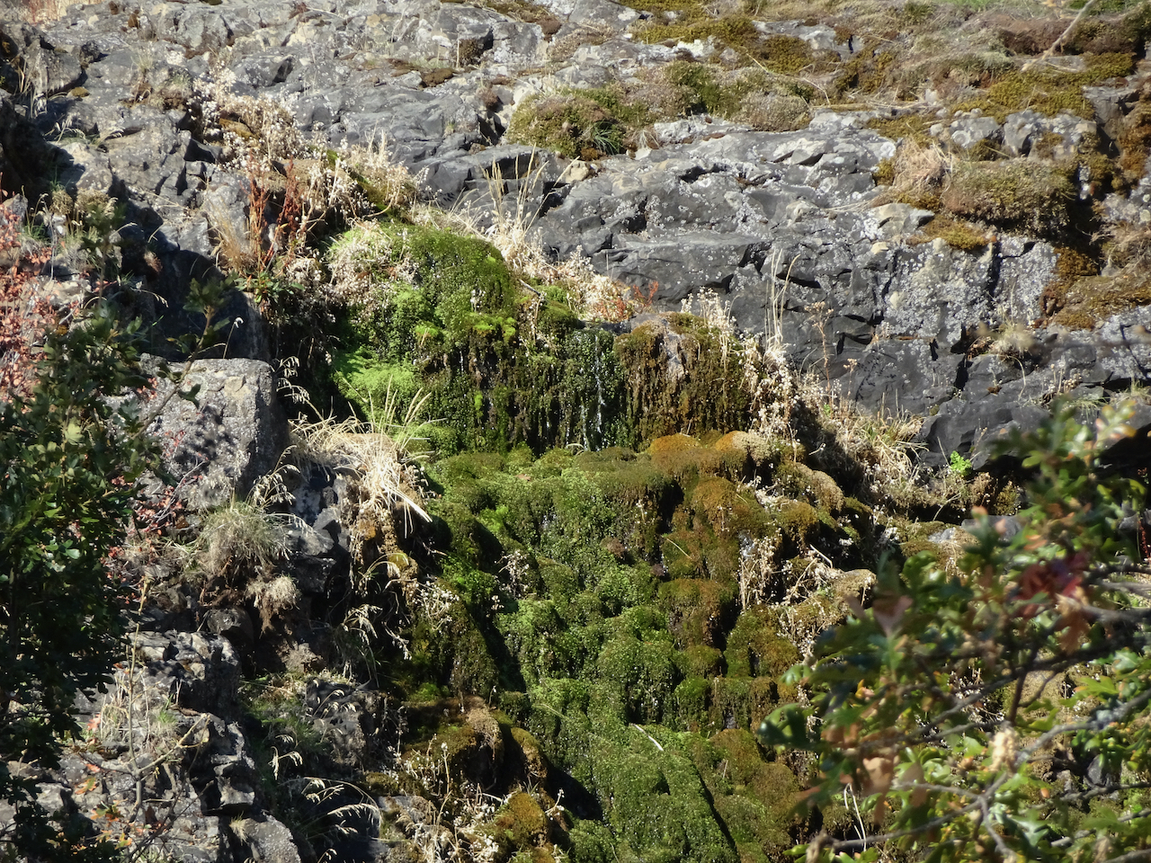
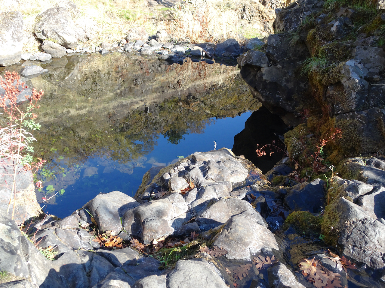
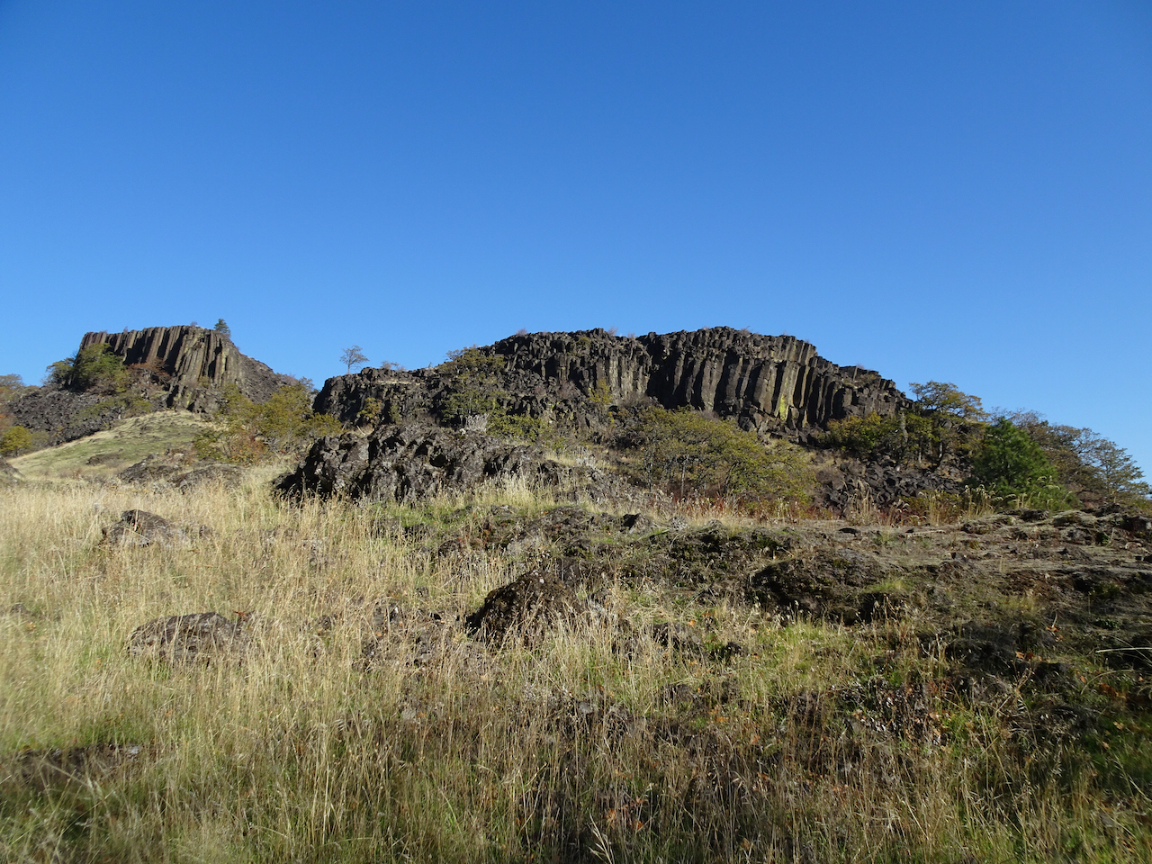
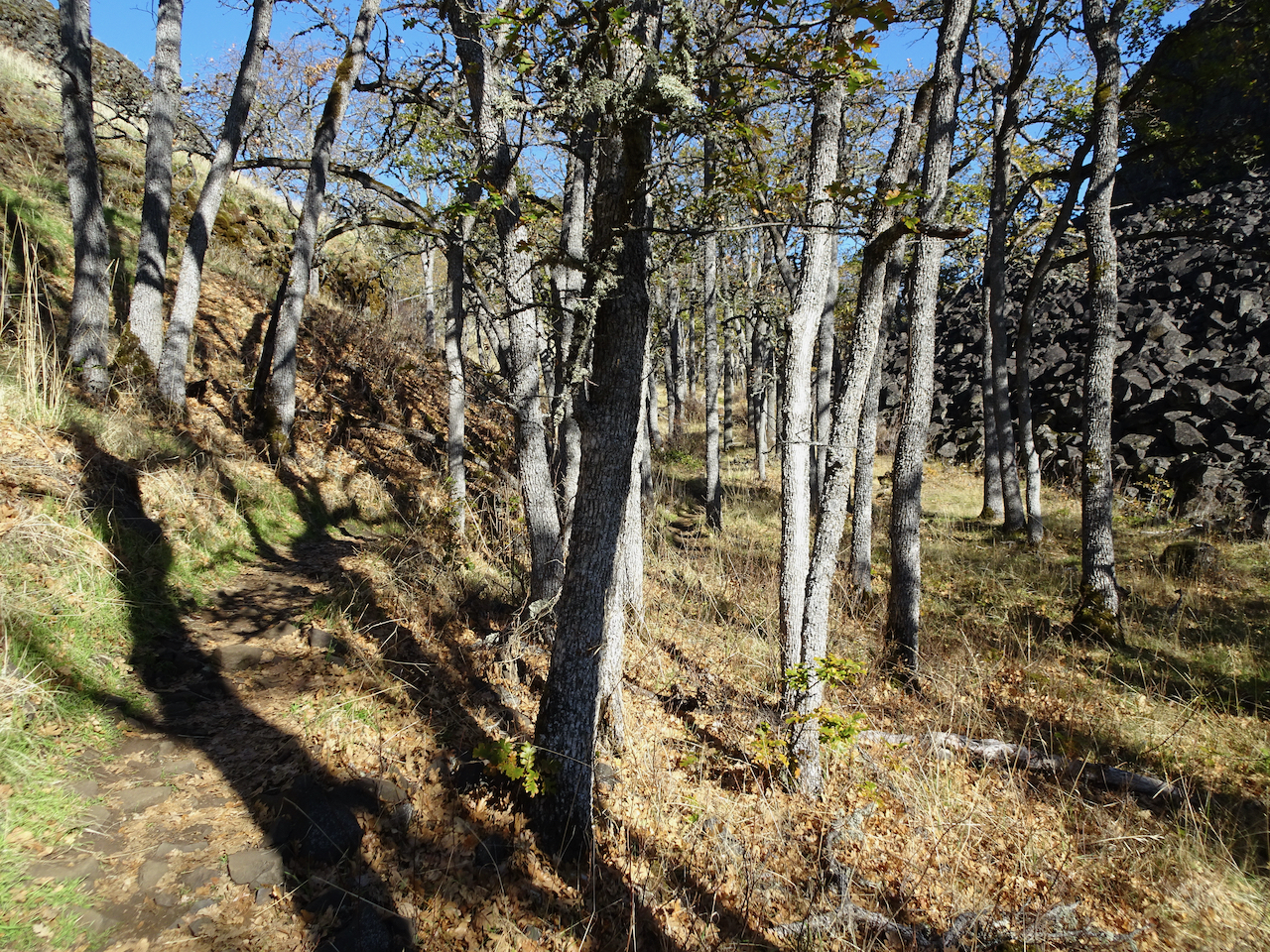


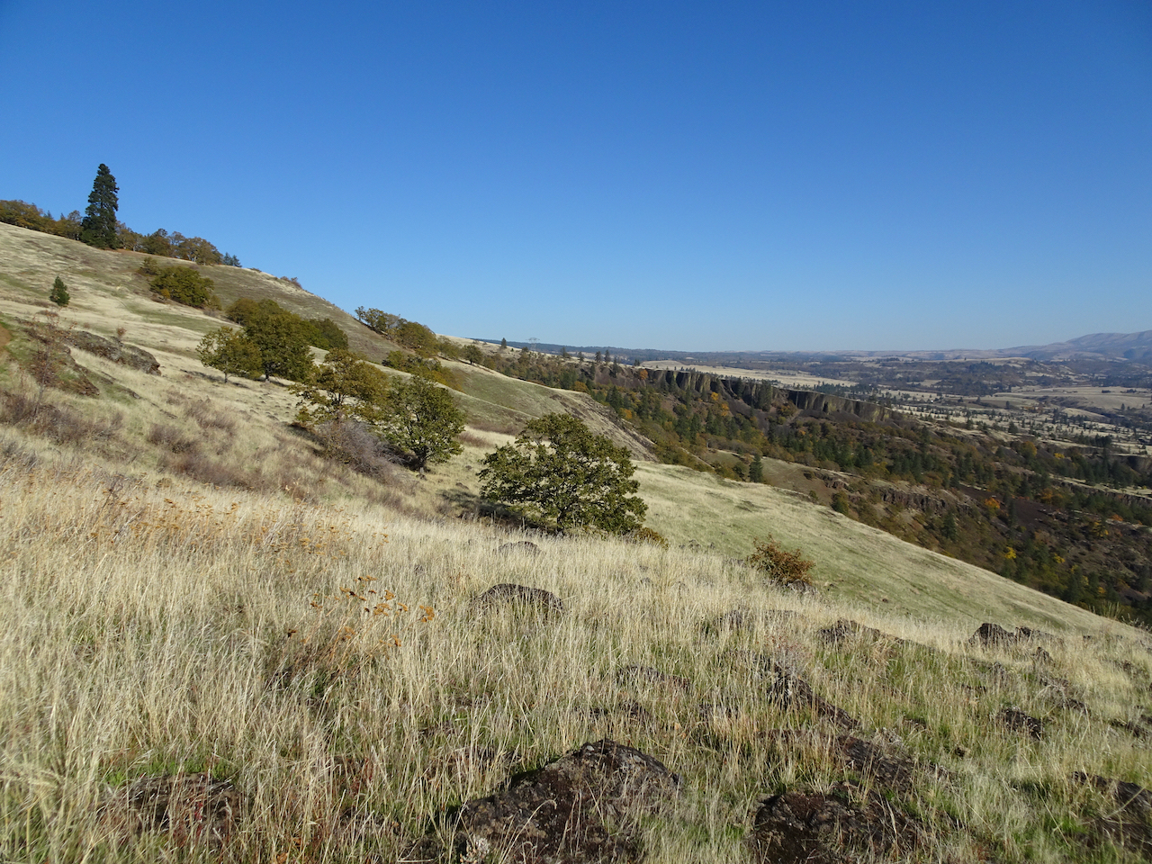
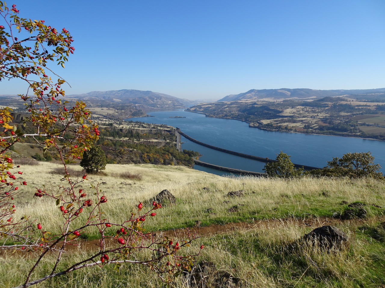

 Dry Creek Falls, which we have hiked