Columbia Hills, WA, Tryon Creek, OR, and some Brioche Knitting

Crawford Oaks 4/4/2019

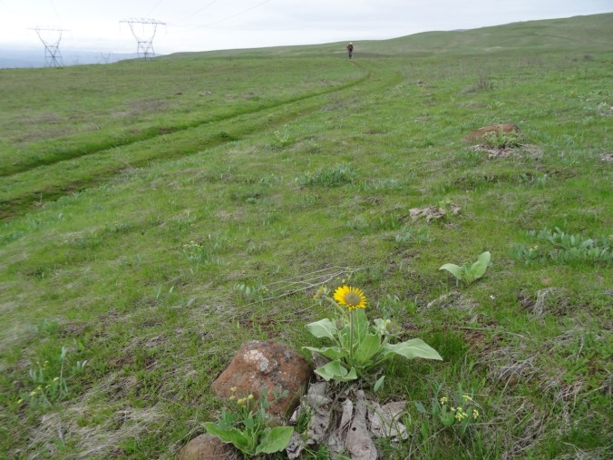
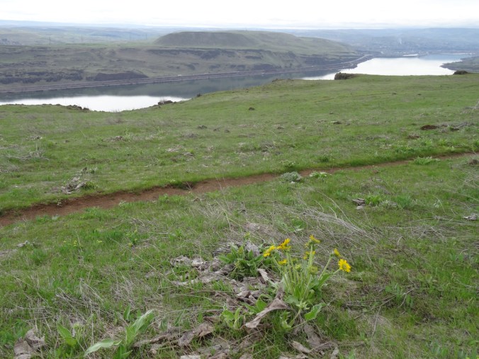
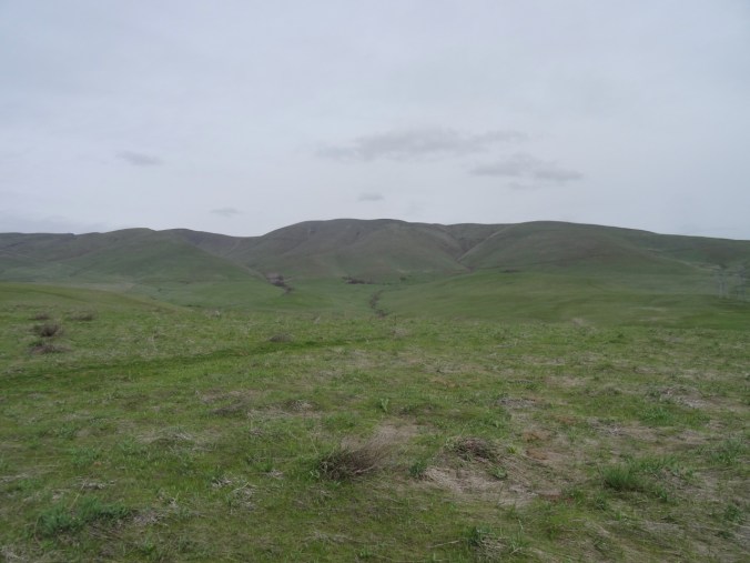
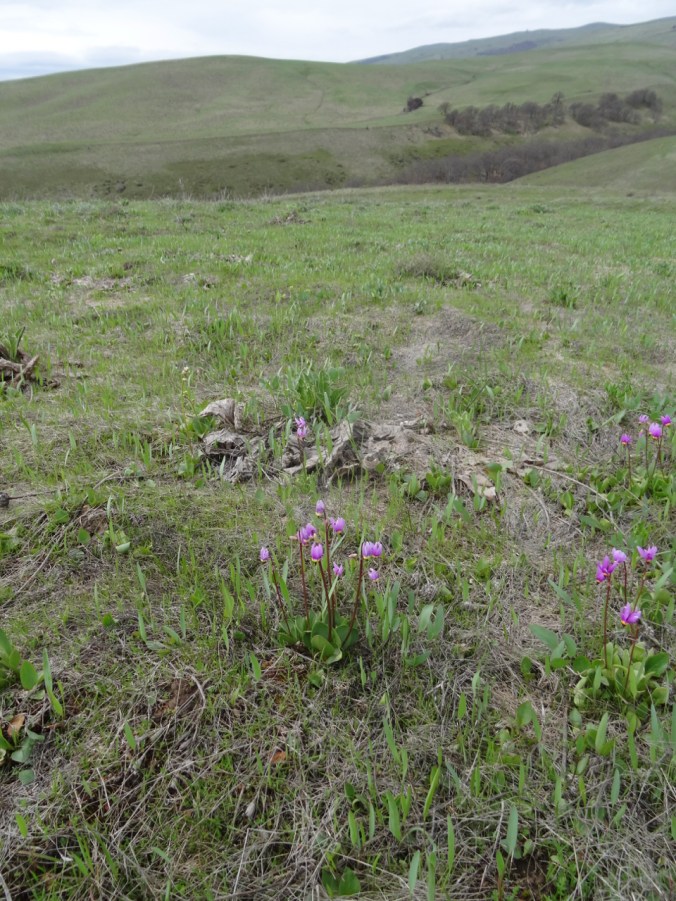
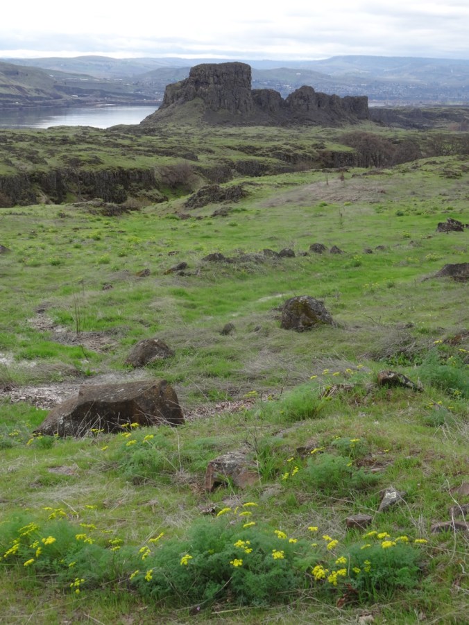
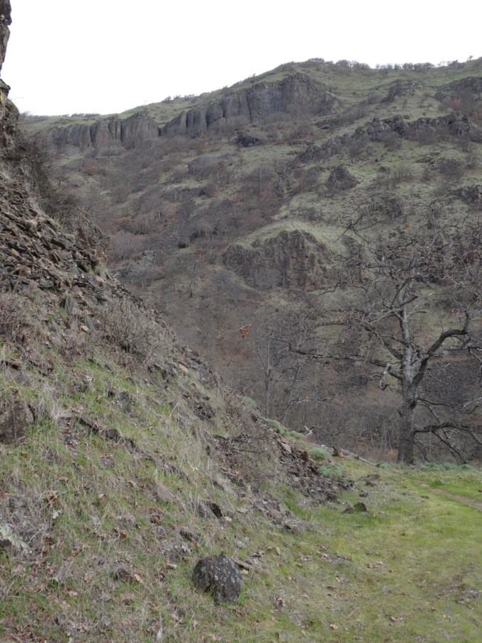
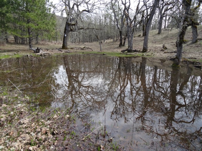
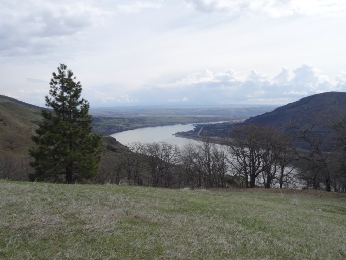
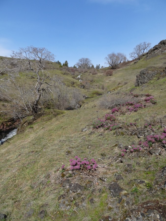
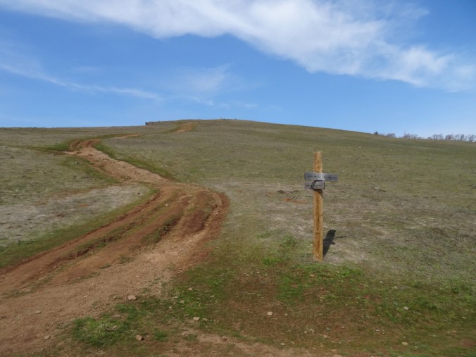
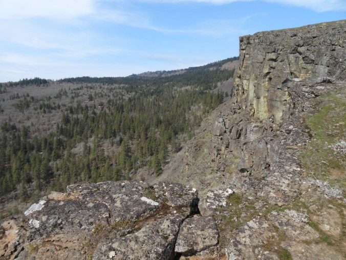
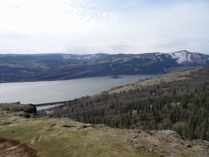
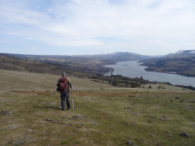
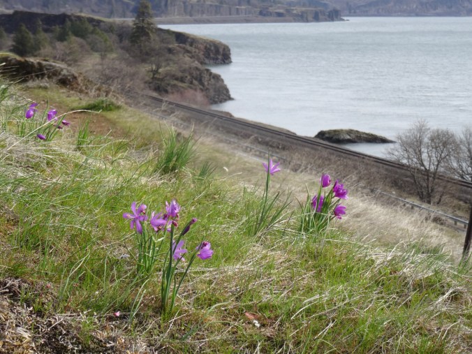
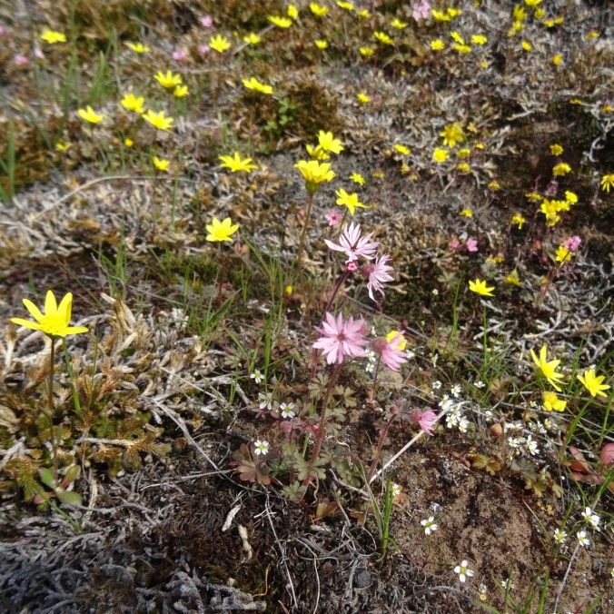
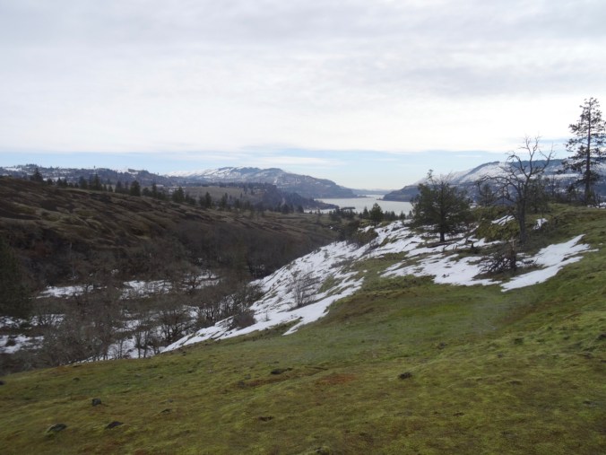
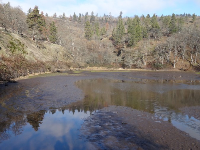
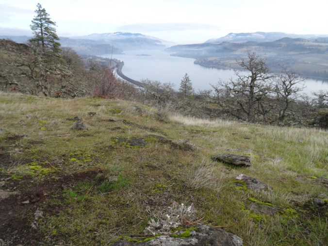
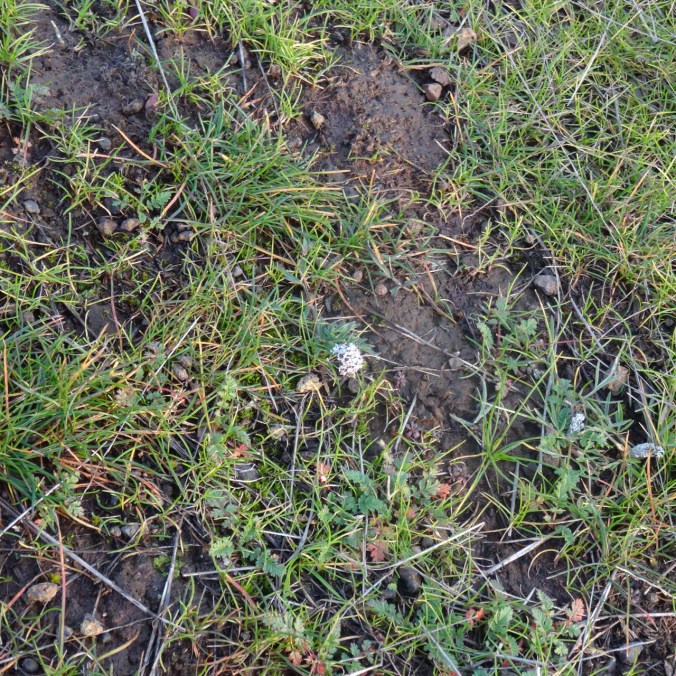
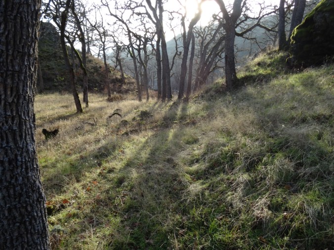
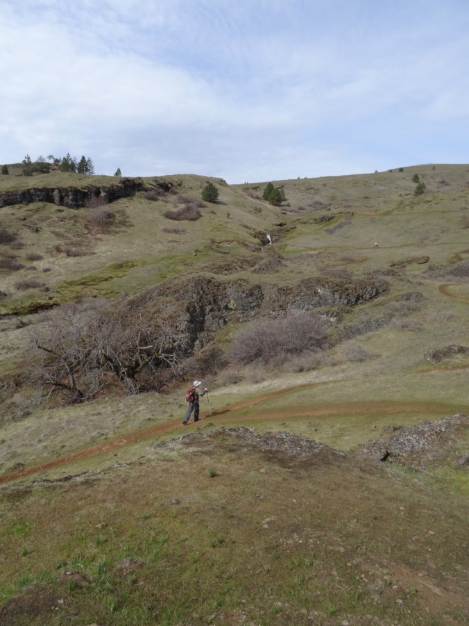
We had to drive 75 miles east to the Columbia Hills to find a dry hike this weekend. We started up the road to Eight Mile Falls, then continued on the Vista Loop. It was a bit late for grass widows and yellow bells, and a bit early for full balsamroot display, so we had a bit of each, on a windless day. A lovely hike, and pretty easy, compared to when we hiked here about a year ago and I was less than two months post surgery. Next spring, we will attempt this hike a few weeks later to get the full balsamroot experience.

DSC02566

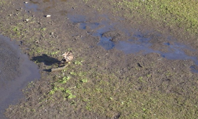
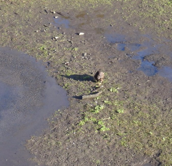
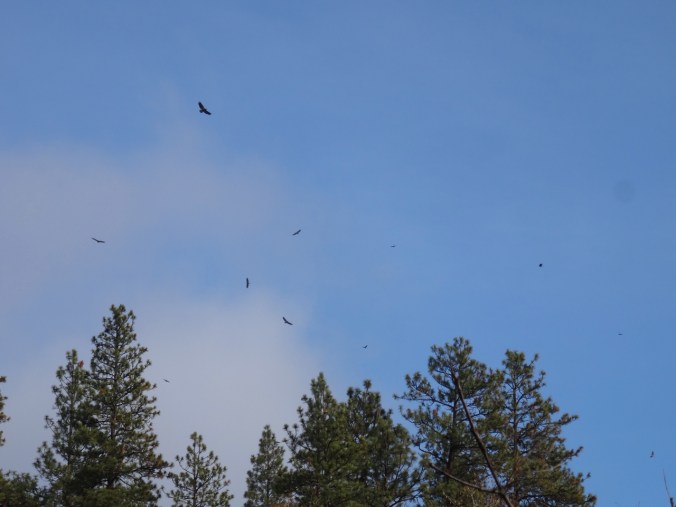
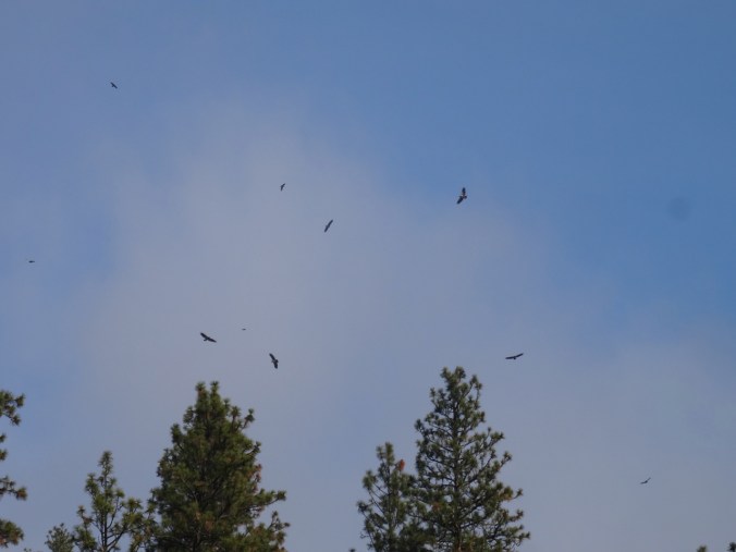
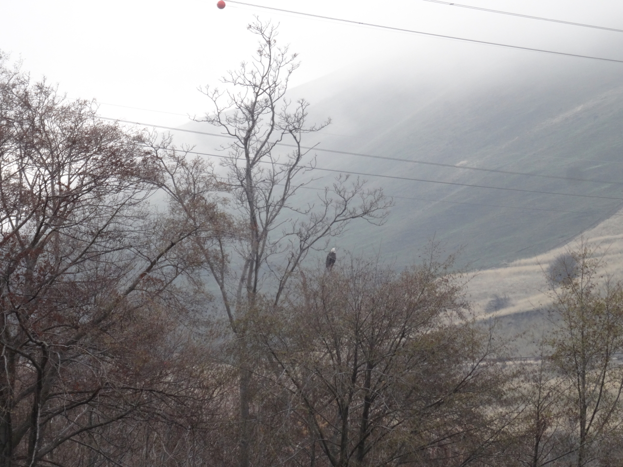
Bird welcoming us to the trail.

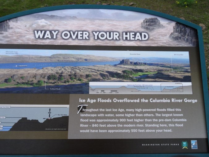
DSC02570

The graphic showing the depth of the Missoula Floods here always impresses me.

DSC02577

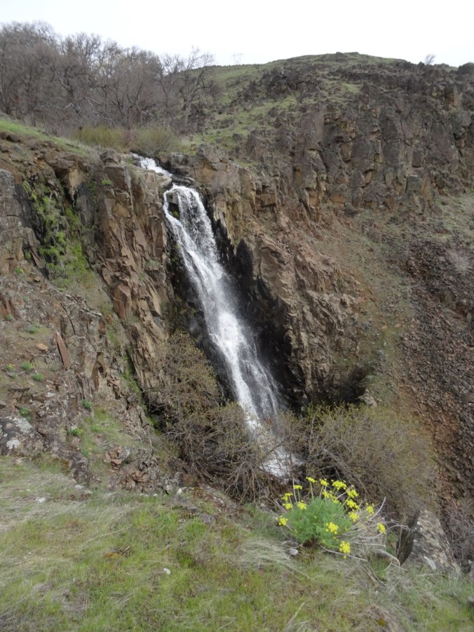
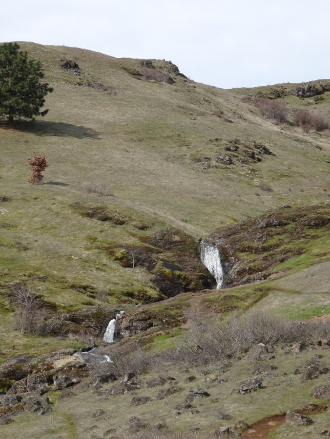
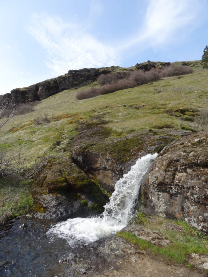
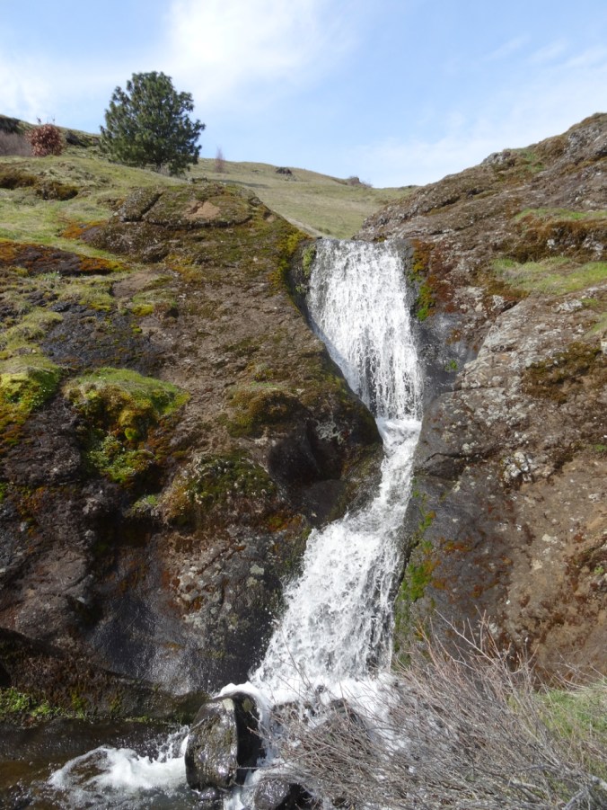
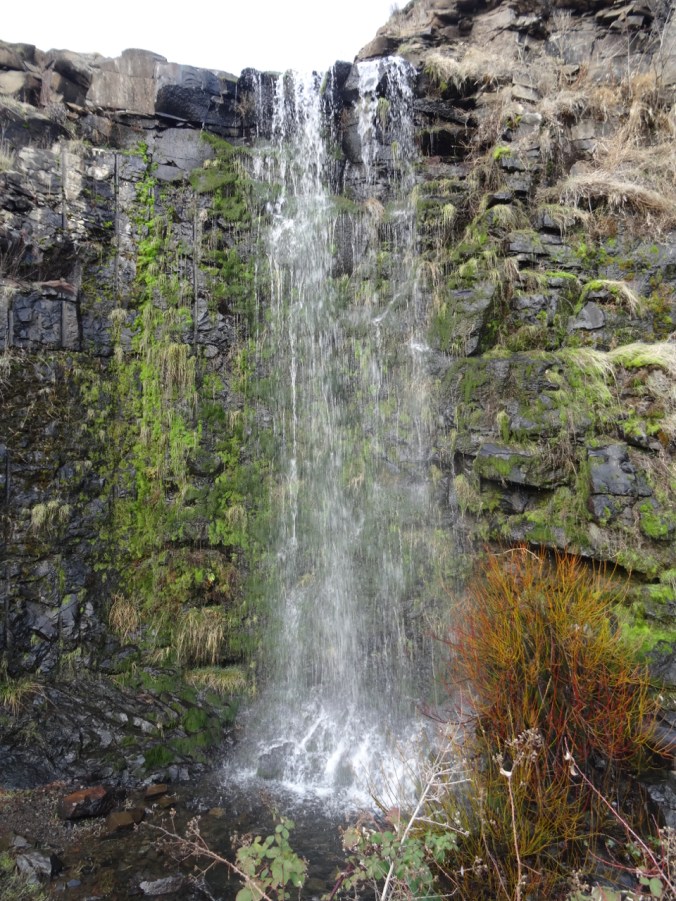
Eight Mile Falls

DSC02581

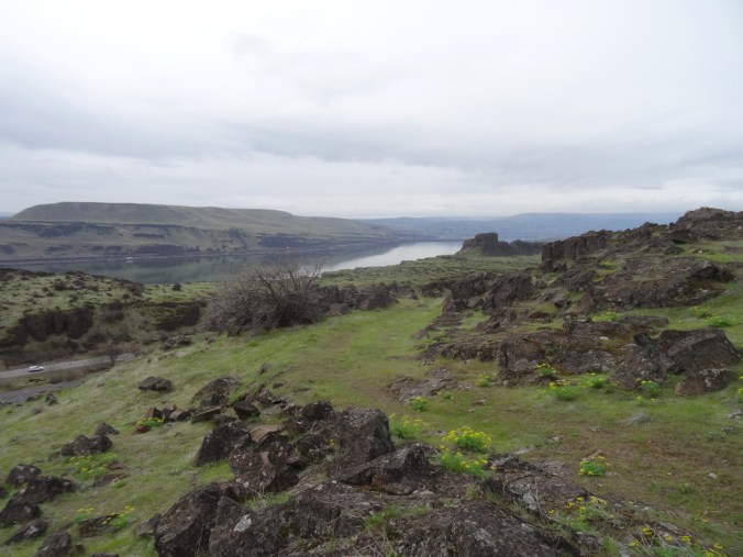
Looking back west toward the river and Horsethief Butte.

DSC02599

One of the scattered early blooming balsamroots.

DSC02606

View to the west, toward The Dalles

DSC02616

View to the east toward Biggs

DSC02617

Looking north to the Columbia Hills

DSC02624

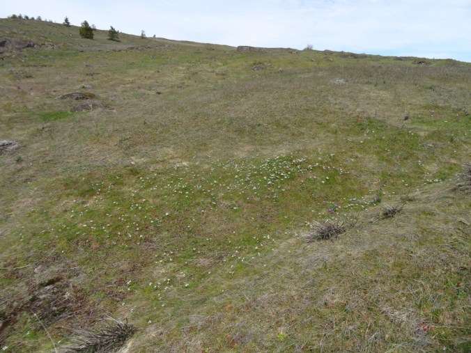
One swale of shooting stars – first of the season

DSC02636

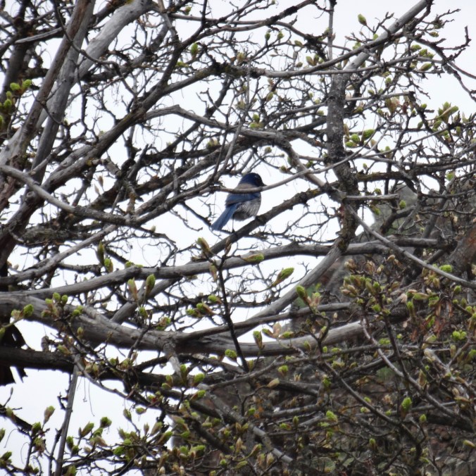
A blue jay near the trailhead

DSC02640

Last look at Horsethief Butte

DSC02643

Hike #15, 5 miles/1000 feet

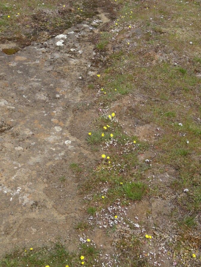
The wildflower suite:

Sunday dash around Tryon Creek to see the Trillium

4/7/2019   A rainy weekend in Portland, a weather window, so we went:

DSC02663DSC02661DSC02674DSC02681

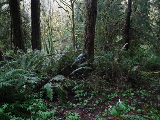
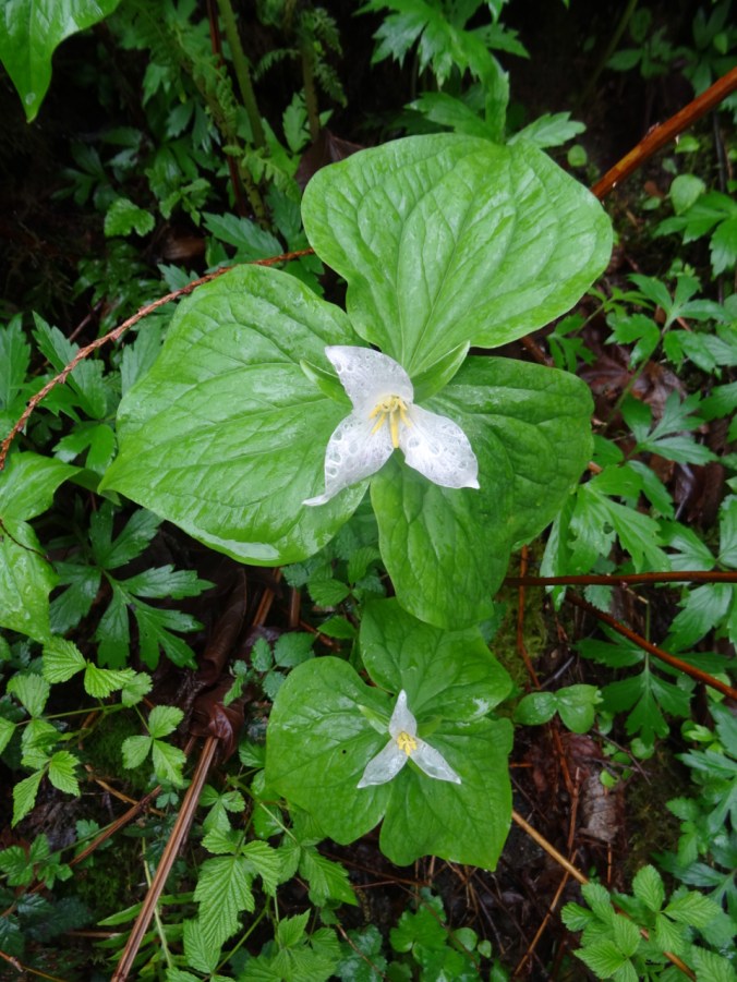
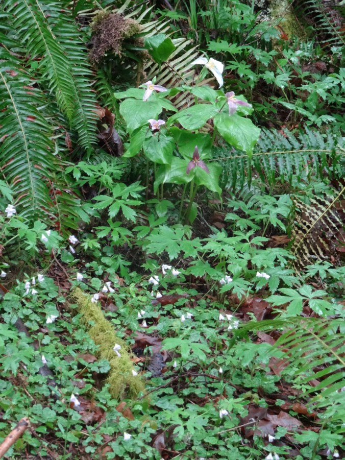
Trillium in swathes in the woodlands, and individually along the trail.

Version 2Version 2

DSC02686

After a weekend of rain, some flowers were becoming transparent

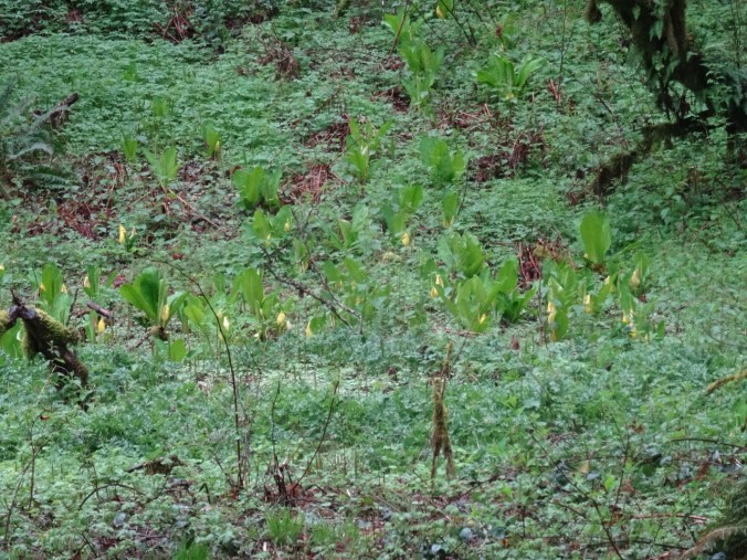
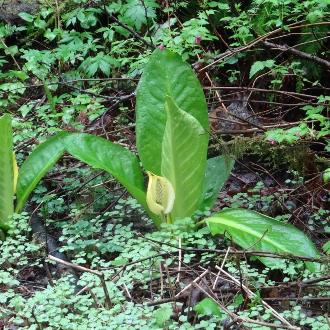
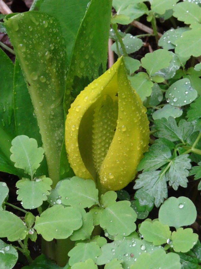
Other flowers included skunk cabbage in the bogs near the creek.

DSC02665DSC02672DSC02698

Lots of water dripping, but we mostly avoided actual rain.

DSC02680DSC02679

DSC02677

cedar

DSC02646

violets

DSC02644

Oregon grape

DSC02667DSC02684

(Hike#16, 2.2 miles, 200 feet)

Knitting

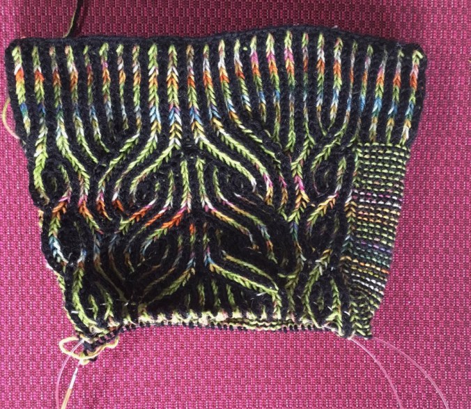
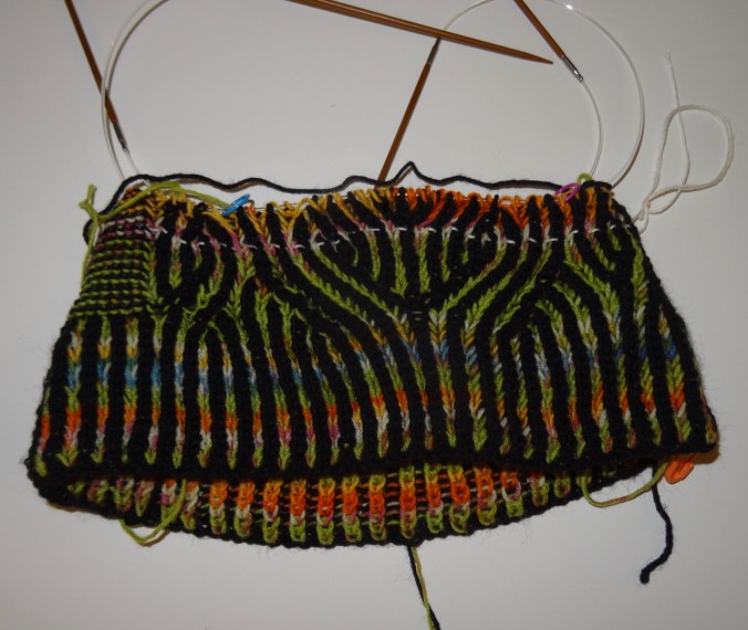
Progress on the Vintage Prim hat, with brioche:

img_2055.jpg

I will just say that there has been frogging, and use of lifelines. I have even learned to fix one or two stitches, but a big fix is still beyond me with this technique. I do love how it looks!

Spring Break 2019 – Knitting and Cherry Blossoms

Knitting – Frost Slippers

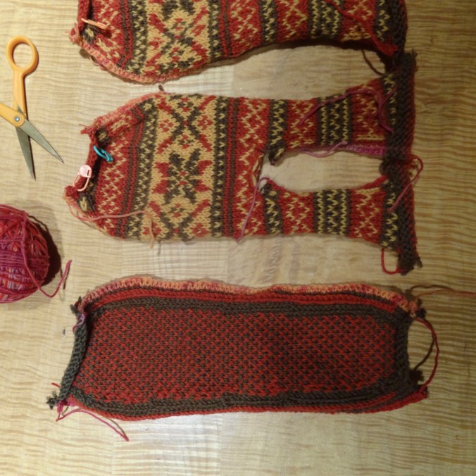
I crocheted the steeks,

DSC02381

and cut,

DSC02398

and cut again.

DSC02412

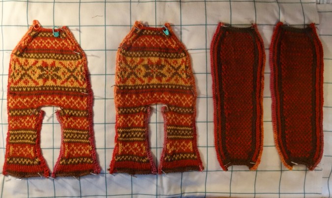
I have basted the edges, and blocked.

DSC02562

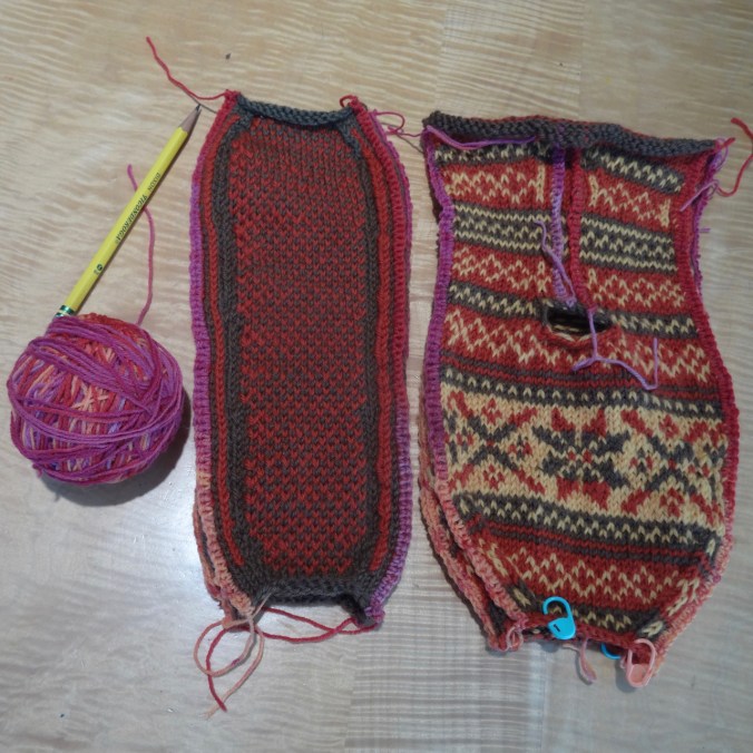
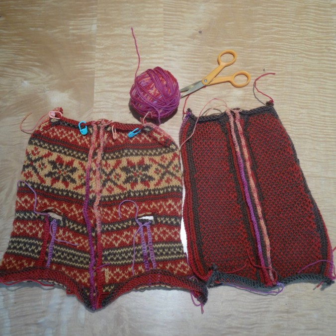
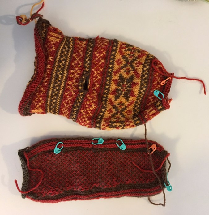
Frost Slippers – uppers and soles, blocked.

Next I will sew soles to uppers, then add cuffs. There is a lot of finishing work in these slippers, but so far I am intrigued enough by the process to keep going!

Lyle Cherry Orchard, WA    3/29/2019

A beautiful day to hike up the cliffs above the Columbia River with friends, and try the new trail switchbacks. There are a few old cherry trees along the uppermost cliff loop that were not in bloom today, but we saw many wildflowers, including some balsamroot. (Hike #14, 5.6 miles, 1500 feet)

DSC02422

DSC02419

We are headed to the top of the cliffs…

DSC02431

The second bench

DSC02435

River cruise below…

DSC02451

One of the vernal ponds along the upper trail

DSC02453

View to the east from the Cherry Orchard

DSC02459

And to the west

DSC02461

One of the new switchback legs – nowhere  near as steep or cliffy as the former trail.

Plenty of new flowers along the way:

DSC02460

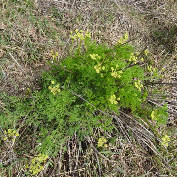
Yellow parsley and gold stars

Neighborhood flowers…

Lots in bloom these days,

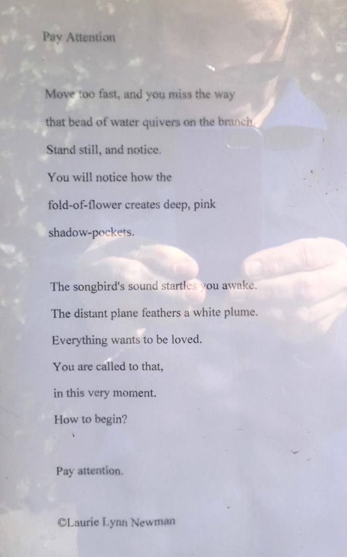
including poetry:

IMG_2001

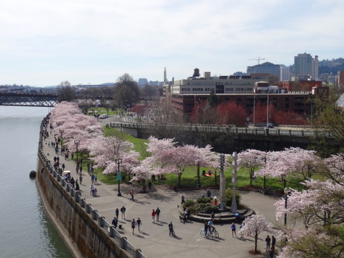
Portland Cherry Blossoms –  Sunday, March 31

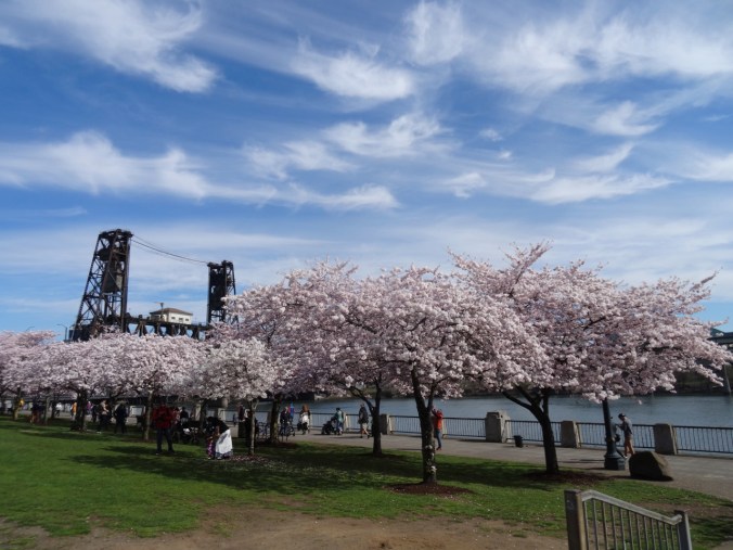
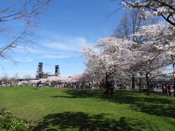
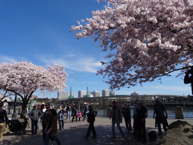
The waterfront on a sunny day with cherry trees in bloom. Today is a day for embracing the crowds.

DSC02470

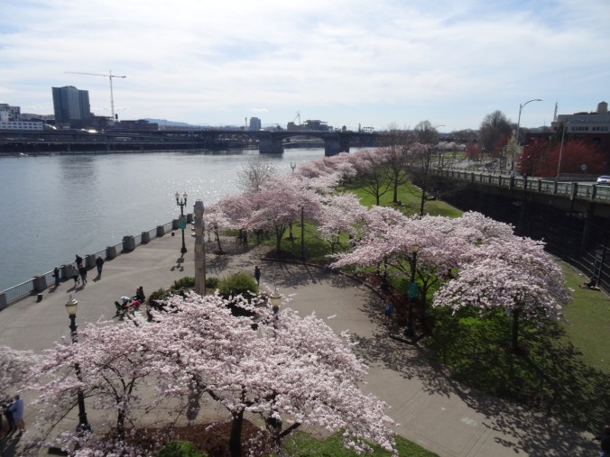
We decided to walk up onto the Steel Bridge to look down on the waterfront.

DSC02474

Views from the Bridge:

DSC02487DSC02489

DSC02511

I love the railing shadows.

DSC02502DSC02508DSC02513DSC02517

Wandering around amongst the trees and crowds:

DSC02523

DSC02530

A maple tree budding out, with bugs!

DSC02535DSC02536

DSC02543

White Stag and Old Town Water Tower behind the trees.

DSC02544

DSC02552

View of the eastside of the Willamette River.

DSC02556

And a little Portland weirdness, because it is always here.

IMG_2014

Group-peddled brew cycle.

Spring Flowers, Coyote Wall and Portland

Coyote Wall, WA,  Thursday, March 21, 2019

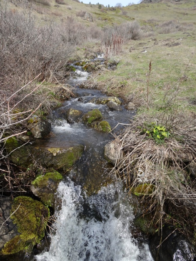
Up the Little Maui trail, more up on the Old Ranch Road and Coyote Wall trails, then, down the Little Moab trail, with the early flower suite just opening…(Hike #13, 4 miles, 1100 feet)

Hiking up the waterfalls of the Little Maui trail:

DSC02313

DSC02315

Gold stars and Salt and Pepper (biscuit root) sprinkled across the landscape.

DSC02319

Long banked switchbacks to aid the cyclists

DSC02322DSC02324

DSC02328

Lunch stop

DSC02329DSC02331

DSC02339

Columbia Desert Parsley guiding the way

Looking up to our cliff-edge destination along Coyote Wall from Old Ranch Road:

DSC02346

Views from the cliff:

DSC02347

First look.

DSC02353

We go a little higher

DSC02356

Looking back toward Oregon; Mt Hood a faint wisp on the horizon.

DSC02361

Our highest viewpoint for the day.

DSC02364

Starting down – looking east toward the Columbia Hills and Tom McCall Point.

The flowers:

DSC02299

Grass widows

DSC02297

Gold and Prairie stars, Spring whitlow-grass

DSC02306

Spring whitlow-grass, my pinky for scale

DSC02317

Swales of gold stars and whitlow-grass

DSC02293

Yellow pungent desert parsley

DSC02309

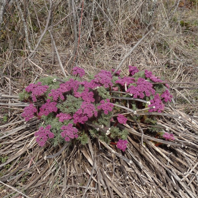
Columbia desert parsley

DSC02371

Salt and pepper, and grass widows all the way down the slope.

Knitting

Learning the increases and decreases that make brioche knitting look so magical…with a lifeline!

DSC02378

Vintage Prim Hat, pattern by Andrea Mowry.

Garden – the first tulip! and Star Magnolias!

Better late….flowers are opening in the neighborhood:

IMG_1974

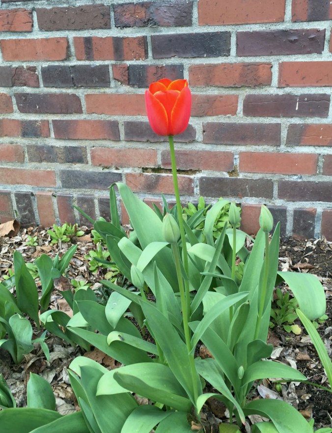
Our first tulip

IMG_1967

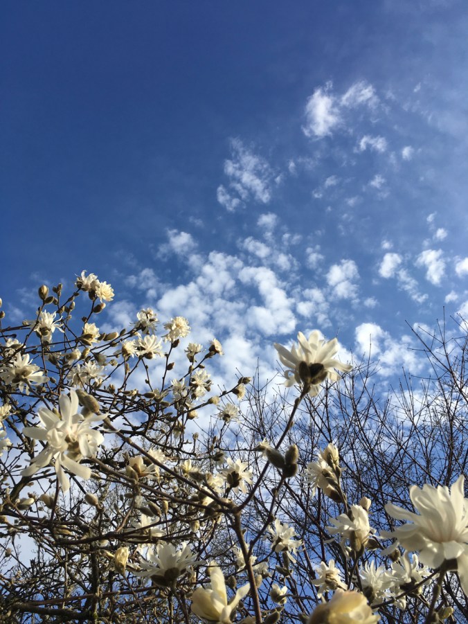
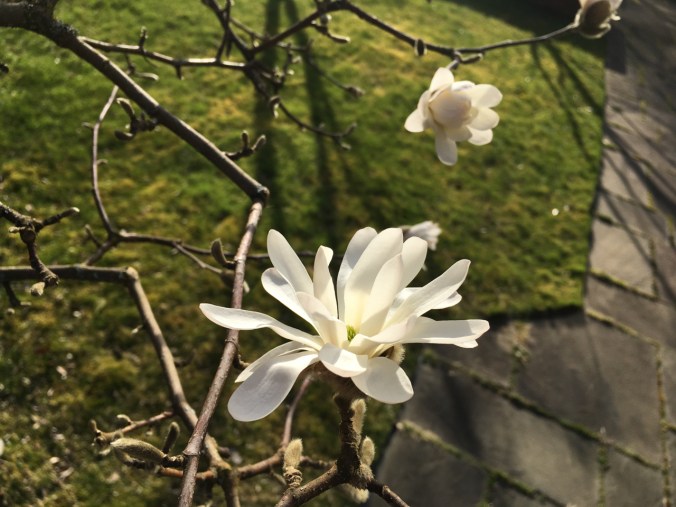
star magnolias

IMG_1964

IMG_1975

I don’t remember the name of these.

Late Early Flowers at Catherine Creek, WA, with Robins

March 14, 2019    Bitterroot Trail to Rowland Wall

We hiked a Catherine Creek loop, up past the vernal ponds along the Bitterroot Trail, then down Rowland Wall. (Hike#12, 3 miles, 1000 feet)

DSC02219

Fairy ponds

DSC02230

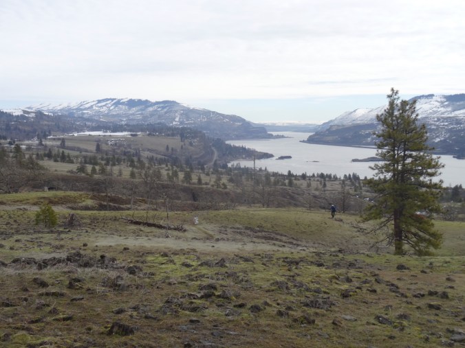
View to the east from the Bitterroot Trail

DSC02241

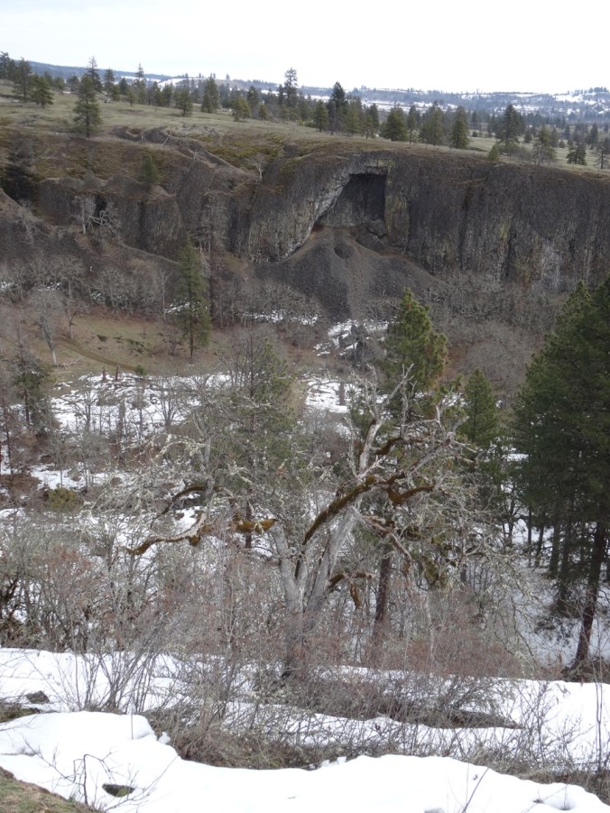
The Arch

We saw the first wildflowers just beginning to bloom.

On the upper grassy slopes we noticed robins hopping in the grass all around us.

DSC02247

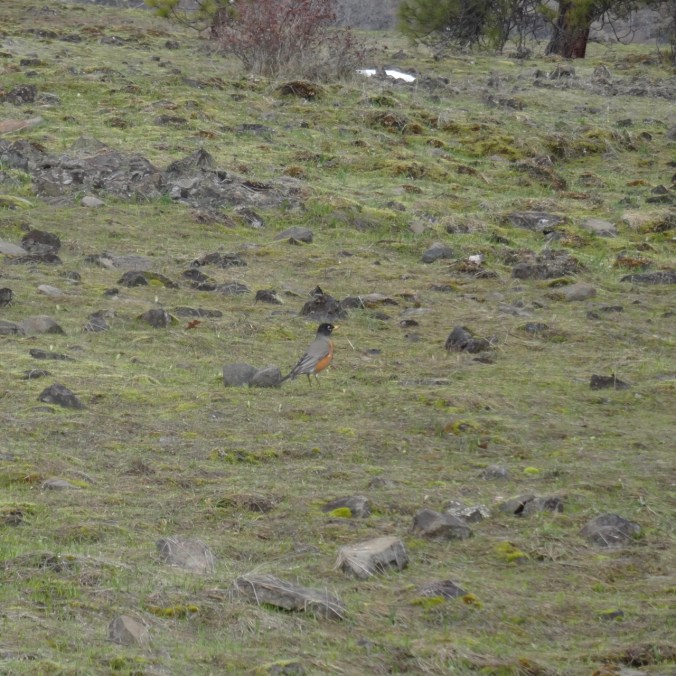
There are probably a dozen robins bobbing and hopping in this view, though they are hard to photograph as they don’t stay still for long.

DSC02250

Here is one…

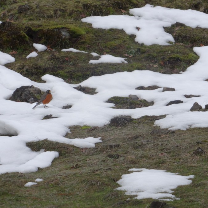
DSC02260

And another one in the snow.

The snow level was about 1000 feet, and we could see extensive snow covered landscape in every direction, though it is melting out.

DSC02261

Still looks very snowy out in the high desert

DSC02266

The orchards of Mosier, and Mt Hood

DSC02278

Rowland Wall, Rowland Lake, Mt Hood beyond the Columbia River

DSC02288

Mere

DSC02289

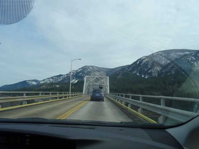
Returning via the Bridge of the Gods in Cascade Locks. Burnt trees on the Oregon Gorge skyline.

DSC02210

Knitting

I finished the soles for the Frost Slippers, but haven’t yet crocheted the steeks.

img_1962.jpg

I have started the brioche patterning on a Vintage Prim hat.

img_1961.jpg

Garden and Neighborhood

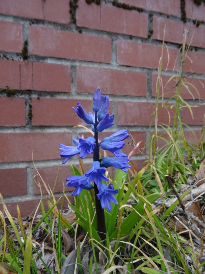
The hyacinths finally bloomed out front,

DSC02290

and there was our annual neighborhood St Patrick’s Day parade down the street.

IMG_1950

Klickitat Bald Eagles and the Labyrinth, WA

1/10/2019 Balfour/Klickitat Bald Eagles

We met up with friends in Cascade Locks, then drove to the Balfour/Klickitat wildlife viewing area near Lyle, Washington. Early January is bald eagle nesting season there, and we saw many eagles in the trees across the pond.

dsc00940

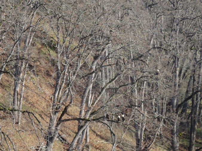
Our first eagle sighting – white head in the oak trees.

dsc00982

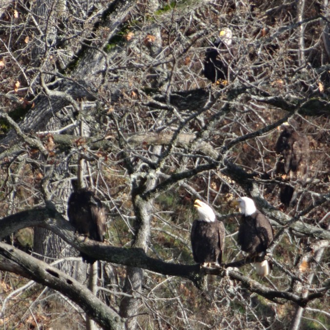
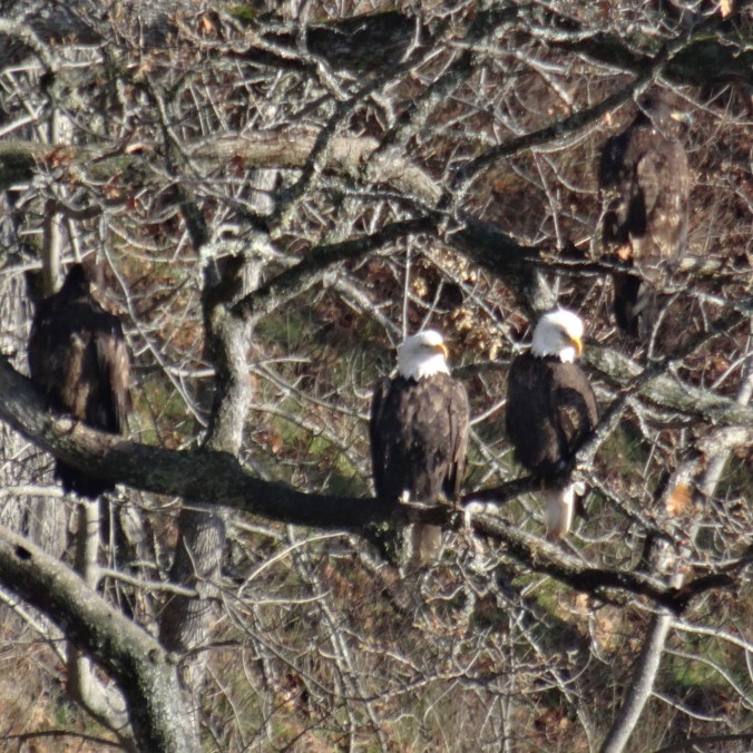
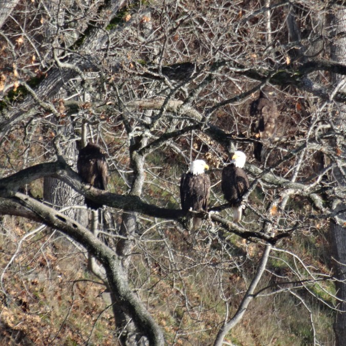
Two eagles on this branch…

dsc00987

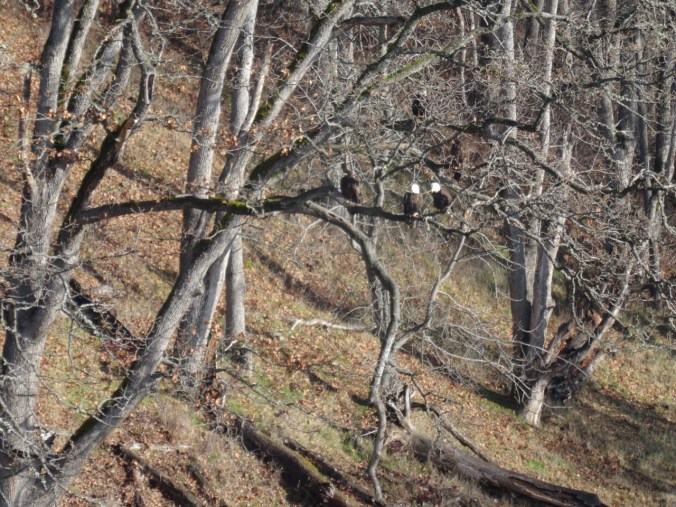
Actually, there are seven in this picture – four on the lower level and three higher up.

I watched these two eagles for a while – as they looked around.

dsc00985dsc00994dsc00996dsc00998dsc01003

For every white head in the trees, there were two or three brown juvenile eagles. They are as big as the mature eagles, but harder to spot because they don’t get their white feathers fully until they are four years old.

dsc01032

Three juvenile eagles in the tree, one flying nearby.

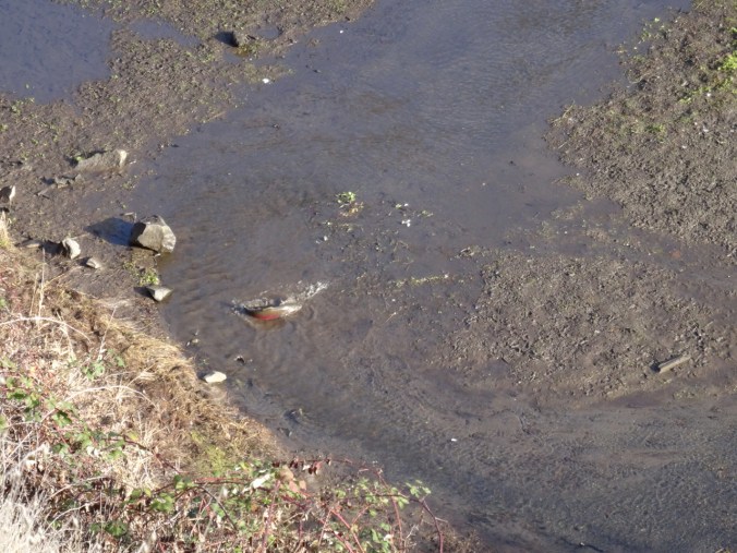
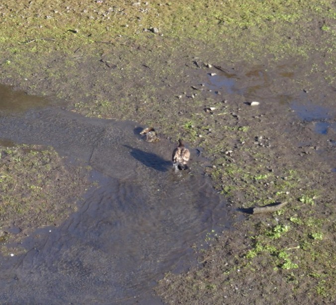
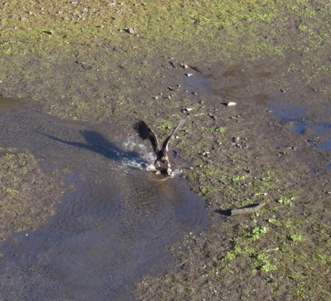
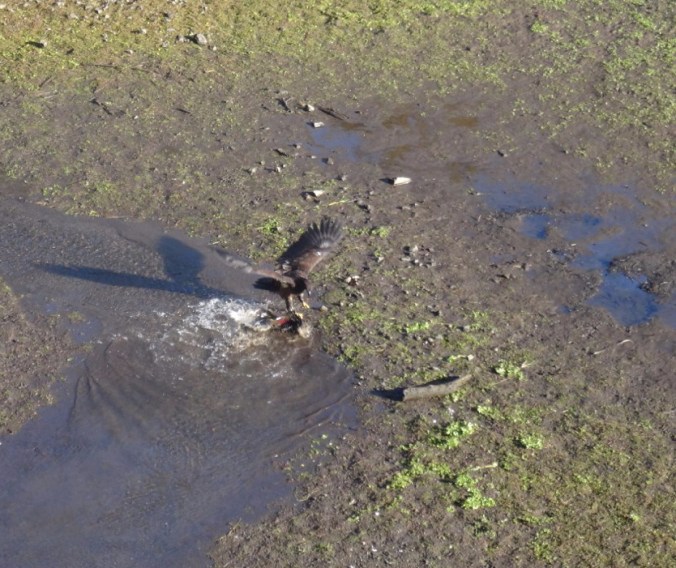
We witnessed a lone salmon struggling up the stream, and then watched as a juvenile bald eagle grabbed it with his talons, pulled it onto the adjacent mudflat, and ate it. Other eagles joined in after a while. It was the circle of life before our eyes – not pretty, but the way of nature.

dsc00938

The salmon

dsc00957.jpg

Juvenile eagle lands nearby

dsc00958.jpg

and pounces

dsc00959-e1547412696919.jpgdsc00962

dsc00963

Drags the salmon onto the mudflat

dsc00965

dsc00979

Joined by other eagles.

We also saw two great blue herons on the nearby cliffs.

dsc00950

Two great blue herons, circled in blue.

dsc01011

A closer view of the herons.

Shortly after this drama, a couple of dozen eagles flew in circles above the area for five minutes. My camera telephoto lens is not quite up to clear pictures of all these events, but I enjoyed watching and marveling at the beauty.

dsc01043dsc01050dsc01055

Labyrinth Trail

After a quick lunch we walked up the nearby Labyrinth trail to the tall Jefferson pine  landmark tree. We saw Mt Hood, the Columbia Hills and eastern gorge with snow dusting, and a few early wildflowers on on this misty, cloudy day. A good day with friends. (5.8 miles/1000 feet/#2 for 2019)

dsc01061

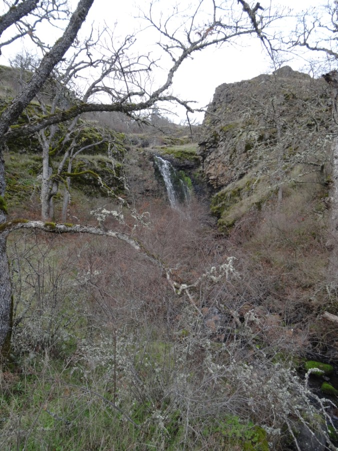
The Old Highway waterfall

dsc01062dsc01065

dsc01071

The upper waterfall

dsc01080

My favorite oak grove

dsc01104

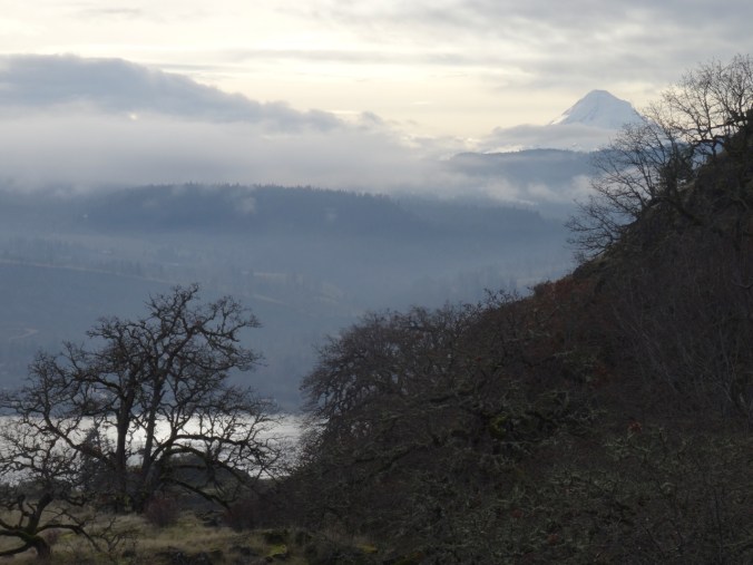
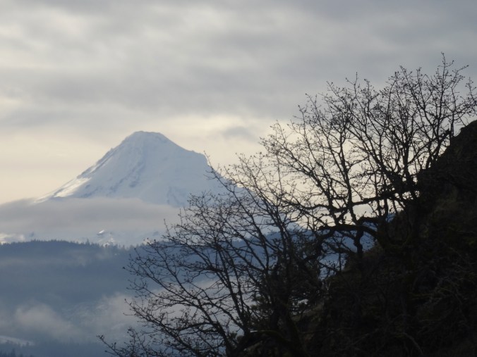
Views of Mt Hood

dsc01089dsc01091

dsc01082

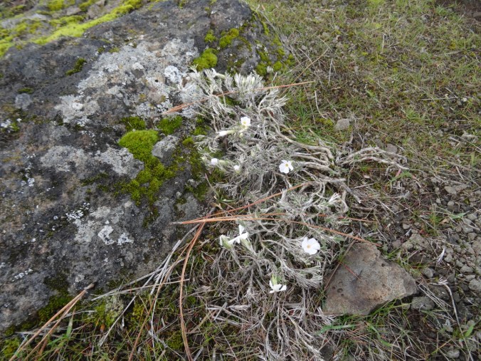
Phlox

dsc01084

Phlox, eastern gorge dusted with snow

dsc01123

Salt and pepper

dsc01113

Oak trees in low light

dsc01119

dsc01121

Columnar basalts

View under the Bridge of the Gods in Cascade Locks, our meeting place.

dsc00931

Happy New Year 2019!

First Hike of the New Year: Ferry Springs Trail, Deschutes River State Park, Oregon – January 5, 2019 

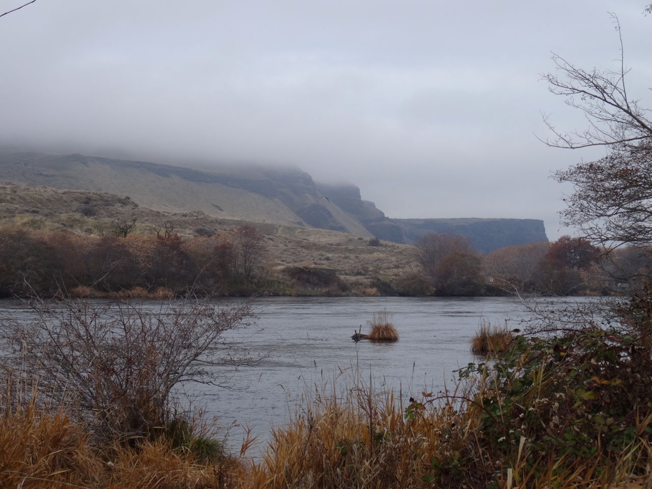
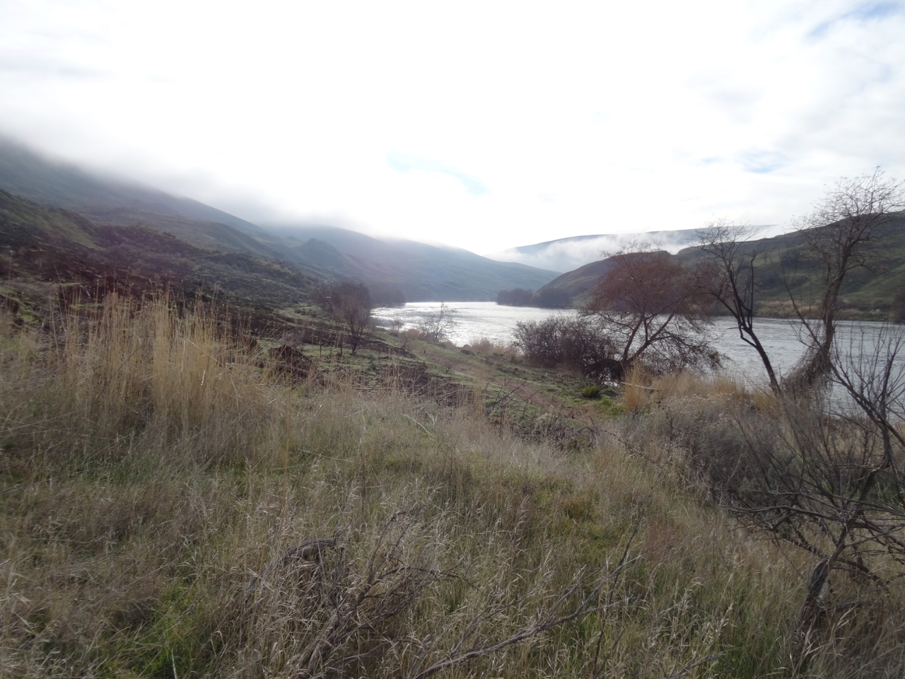
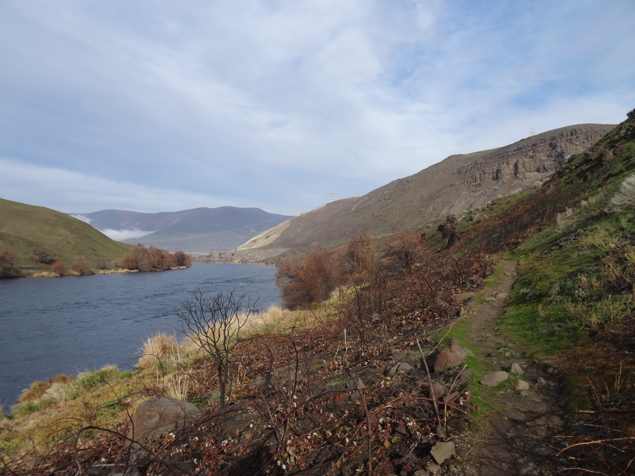
We did this same hike almost exactly one year ago – January 6th, 2018.  It was a beautiful day with blue sky and long reaching views. Today, was a cloud covered day with no actual rain. We saw the effects of the July 2019 Substation Fire that burned both river banks for about 20 miles upstream from the park.

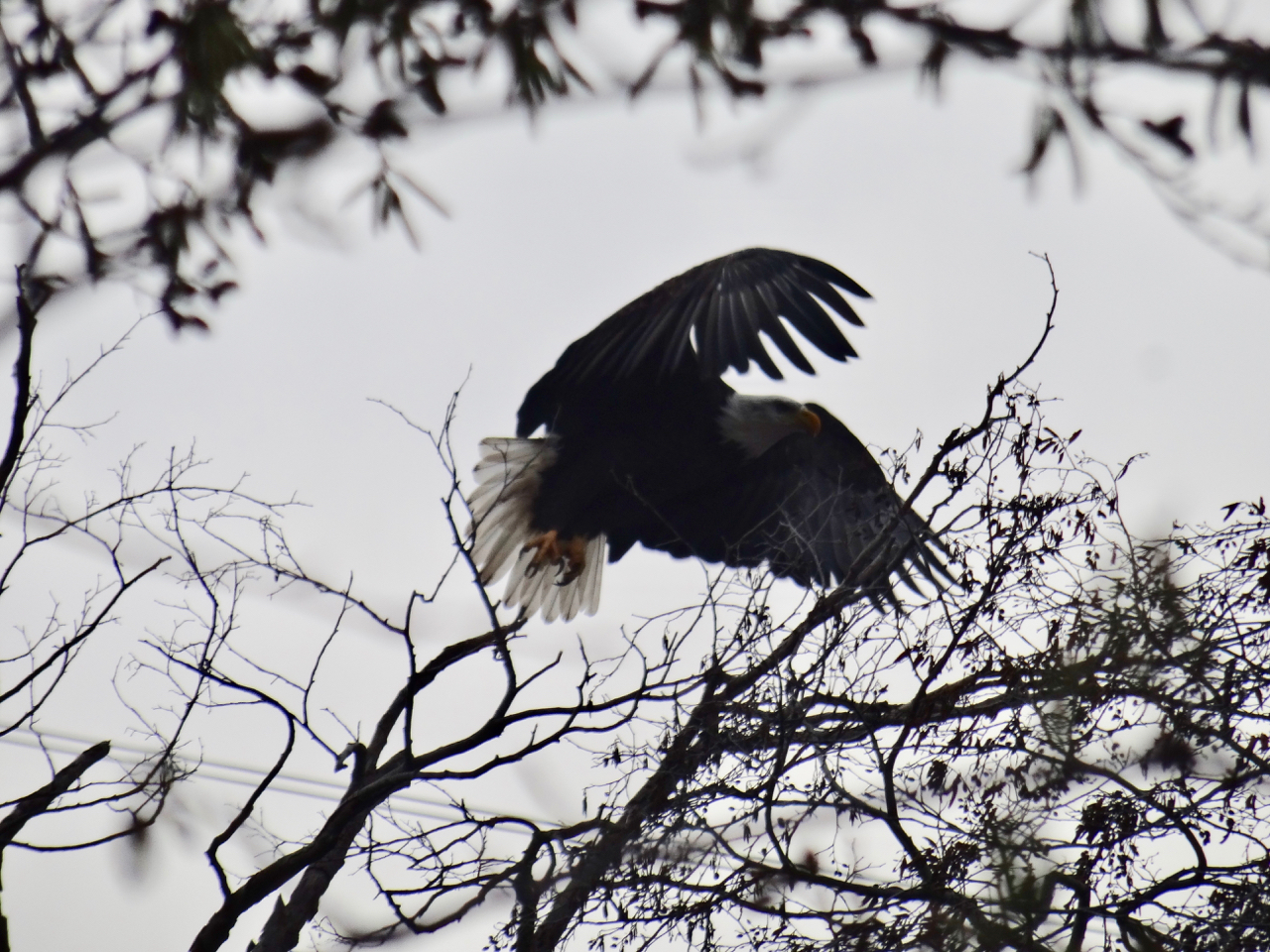
There was a bald eagle near the trailhead, but it flew off as I watched it.

dsc00827

Bald eagle near the trailhead.

dsc00828

dsc00830

Bald eagle – the white tail visible in the center of the photo, flying downstream.

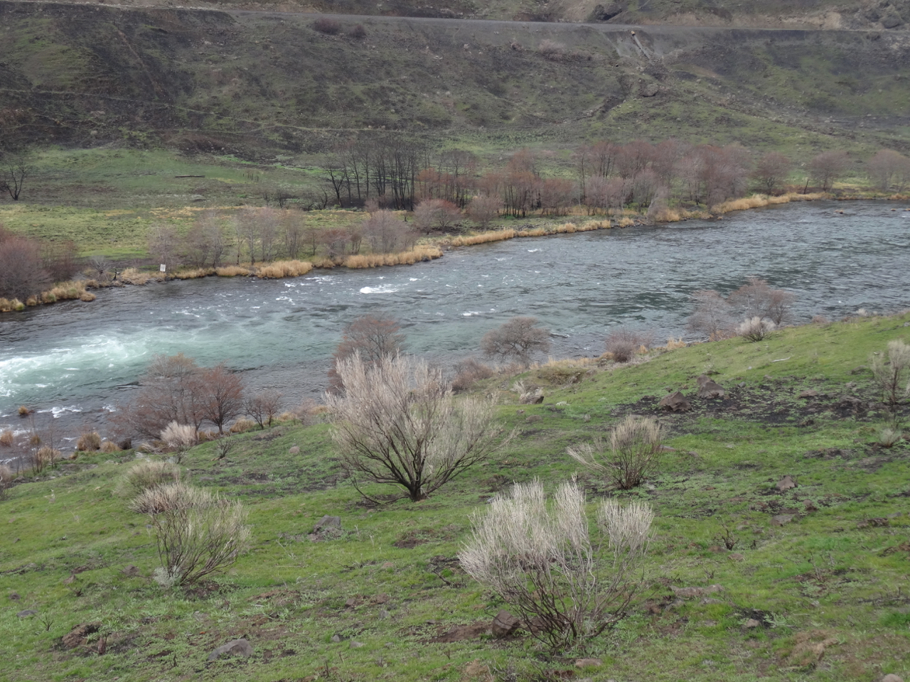
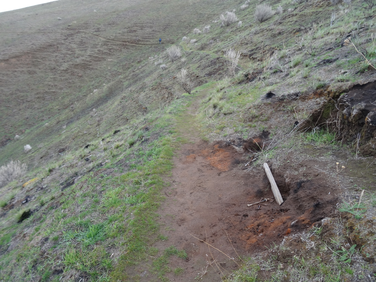
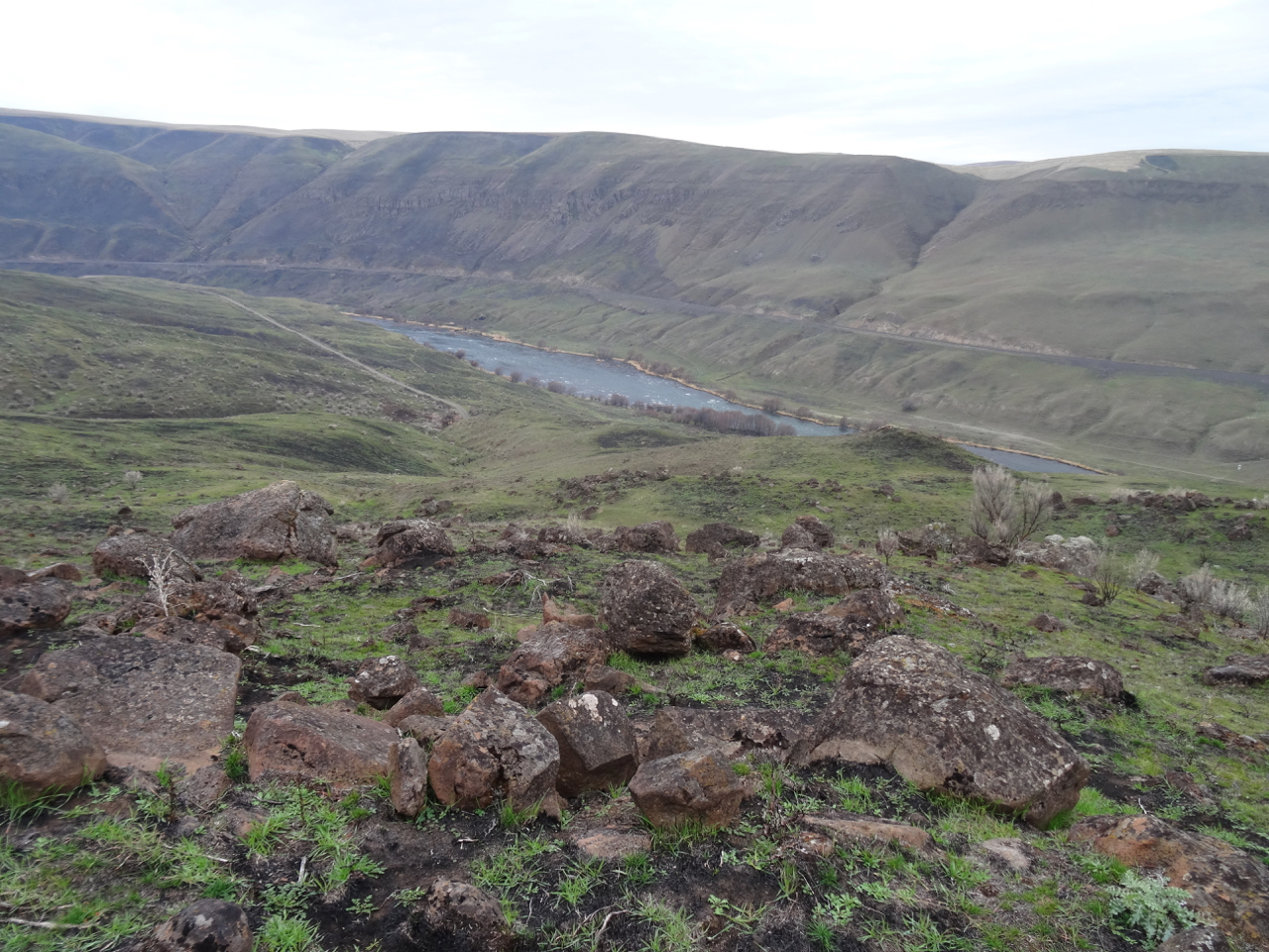
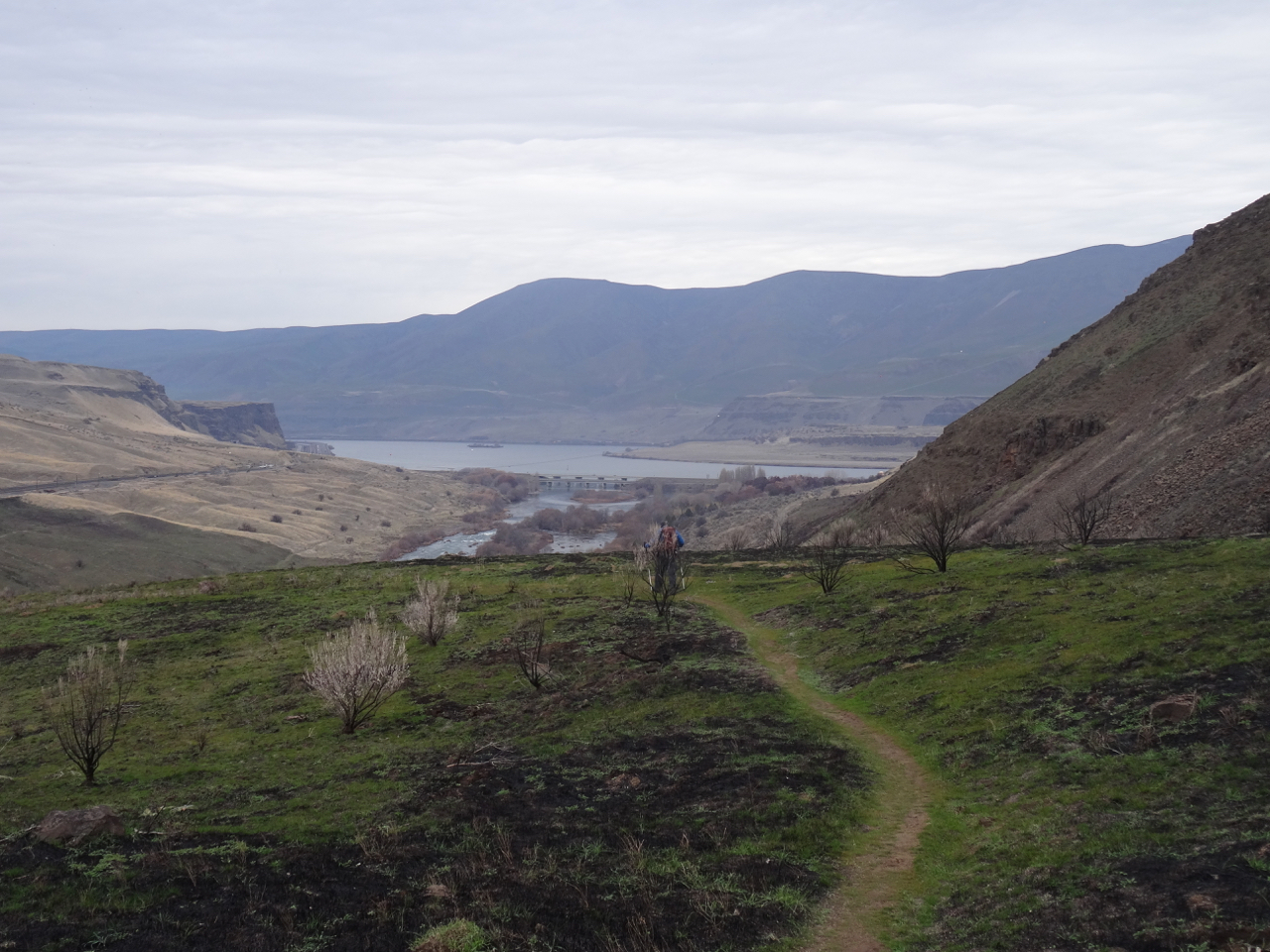
Our trail started along the river, through riparian vegetation, but then we crossed the fire line and saw before us nearly completely denuded and blackened landscape through which grass in now emerging, a green/black palette. In some ways it reminded us of the highlands of Scotland.

dsc00846

From dry grass to burn zone, though the bench is intact, as were the other benches along the lower trail.

dsc00857dsc00868

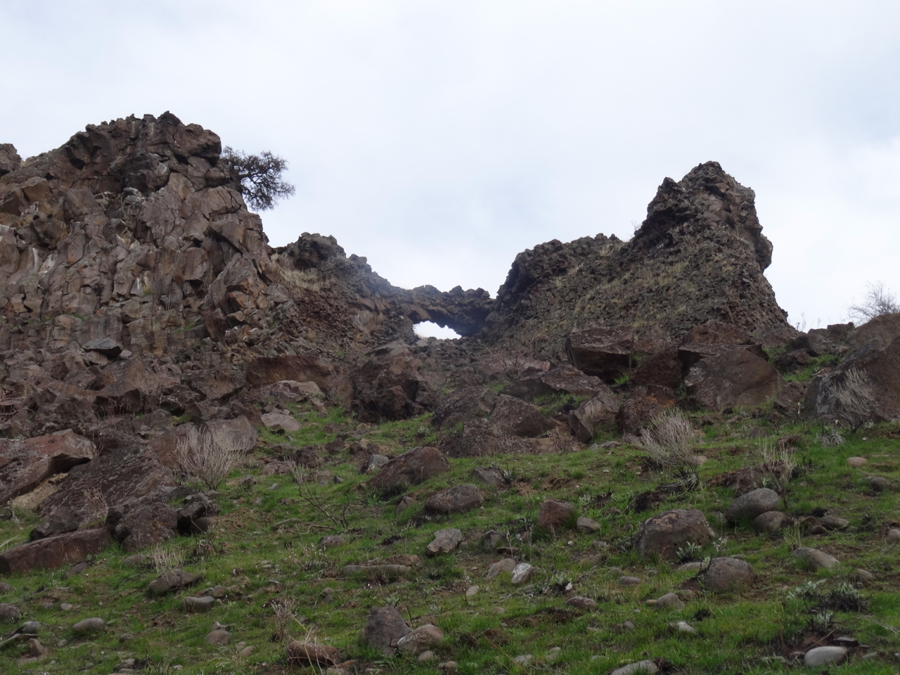
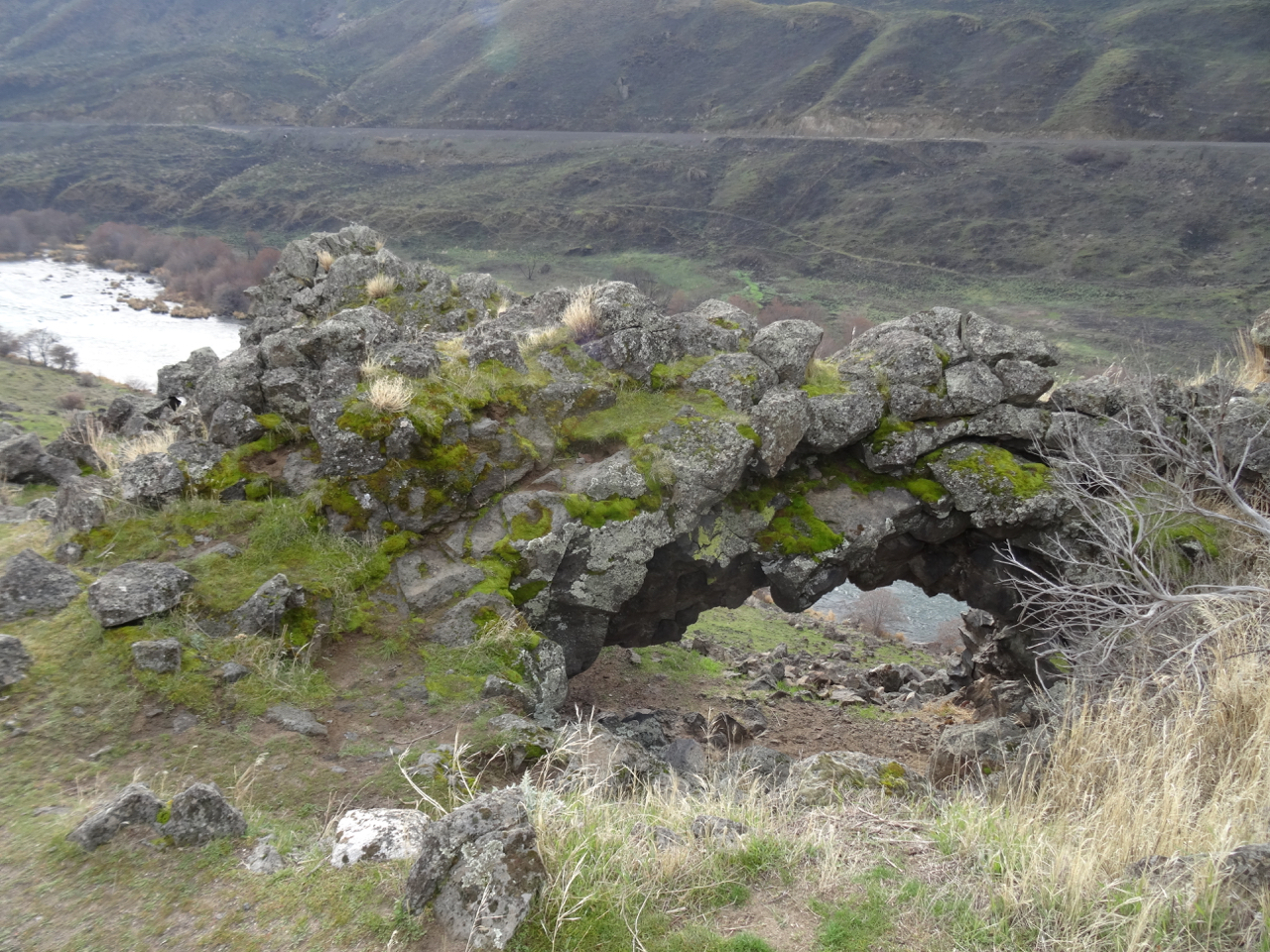
We passed below, then above the arch as the trail looped back north and uphill towards Ferry Springs.


dsc00879

Looking up at the arch.

dsc00888

Looking down through the arch.

dsc00883

I was looking forward to resting on the bench on the upper trail, but it was burned. 

dsc00892

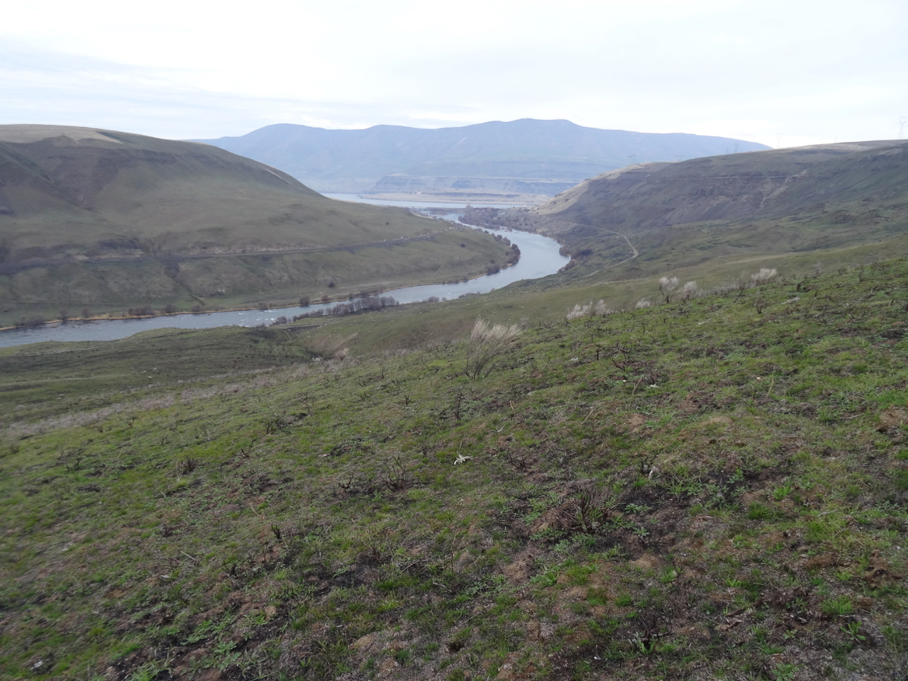
Lookback: Two views from the Upper Trail toward the mouth of the Deschutes River and Columbia River. In 2018 we were walking through dry grass. This year, the edge of the burn is well defined.

dsc00617

January 2018, pre-burn

dsc00890

January 2019, post fire

After crossing Ferry Springs, we headed back to the trailhead, looking down at the fire scars along the way.

dsc00905

This wooden gate survived, though the area around was scorched.

dsc00908

Looking back upriver.

dsc00913

The dry waterfall

dsc00914

More scorched earth, then back to dry grass.

This landscape is renewed by fire. I don’t think all the green grasses emerging are native grasses, but we did see new growth on some of the native plants. It will be interesting to return next year to see what happens. (5 miles, 560 feet, Hike #1 for 2019)

dsc00909

A yellow composite flower

dsc00918

New foliage on burned shrubs.

Crafting

dsc00926

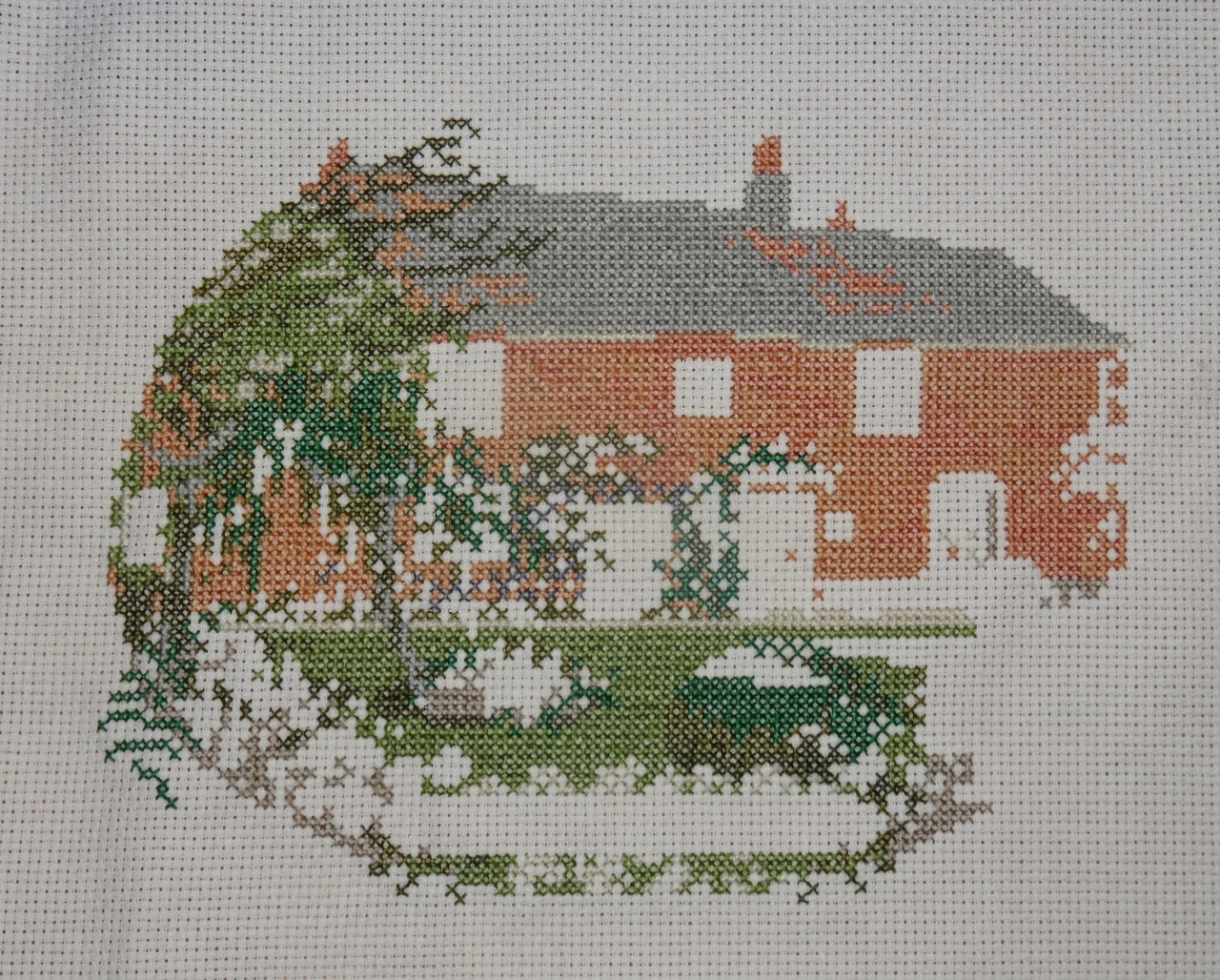
Cross stitch of Jane Austen’s house – I just need to add the windowpanes and french knot flower centers.

dsc00930

I finished the second sock, now I have to find the place in the stripe sequence that will match the place where the knot was in the first sock.

Other Adventures 

It has been a busy couple of weeks of the New Year, winding down from the holidays, and getting my daughter and her things sent back to college. I note that today is one year exactly since my surgery. I am adjusting to all my new medications, and am healthier for not having excess growth hormone secretly running around in my body and creating future problems. I am grateful for my recovery. My husband has just stepped down to half time work, with full retirement planned for a year from now. Thus we will likely have many more hikes and adventures in the years to come, including having just booked a hiking trip in New Zealand for a year from now! I am used to hiking at my own pace, but I will need to increase the difficulty of my hikes as the year goes on to prepare for the trip. A good goal, one of many, for 2019. (2019-1)


Exploring Exmoor, North Devon and Somerset, UK (18-57)

Day 13  May 8, 2018  Lynton, Lynmouth, Dunster, and Porlock
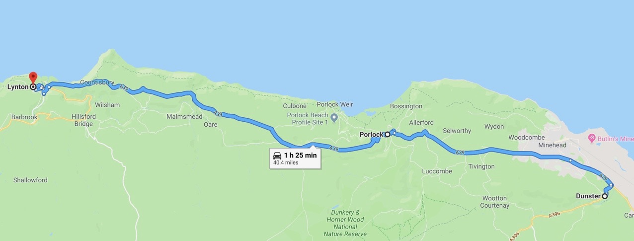
Image 12-9-18 at 8.54 PM

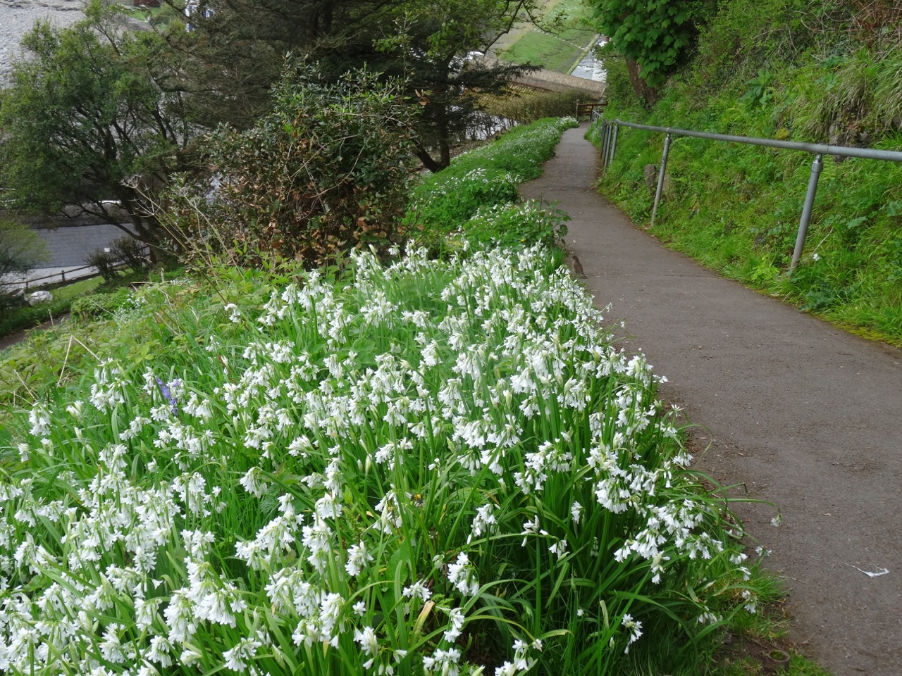
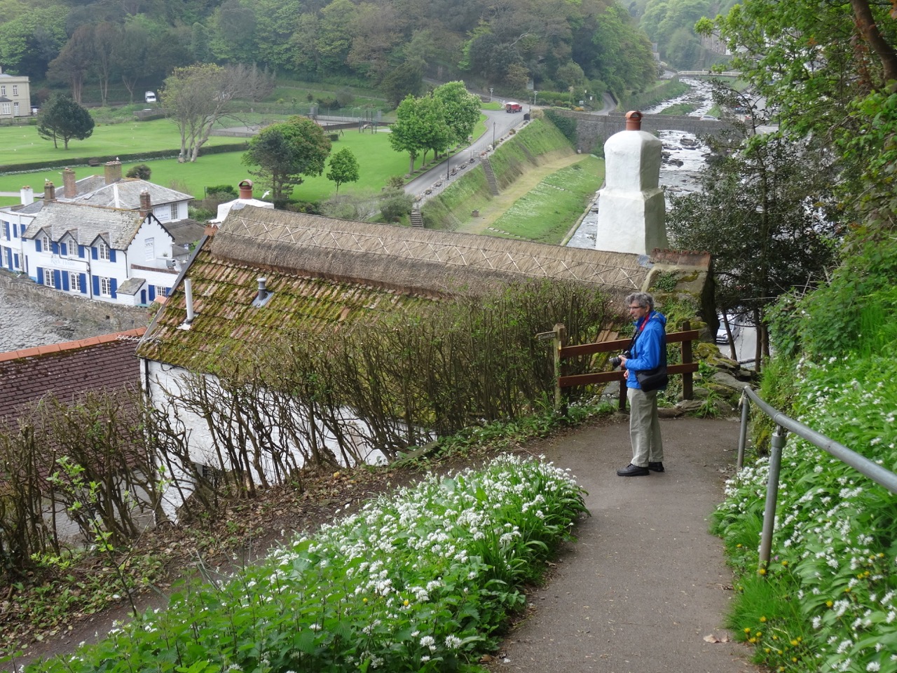
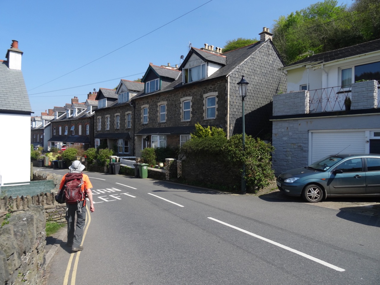
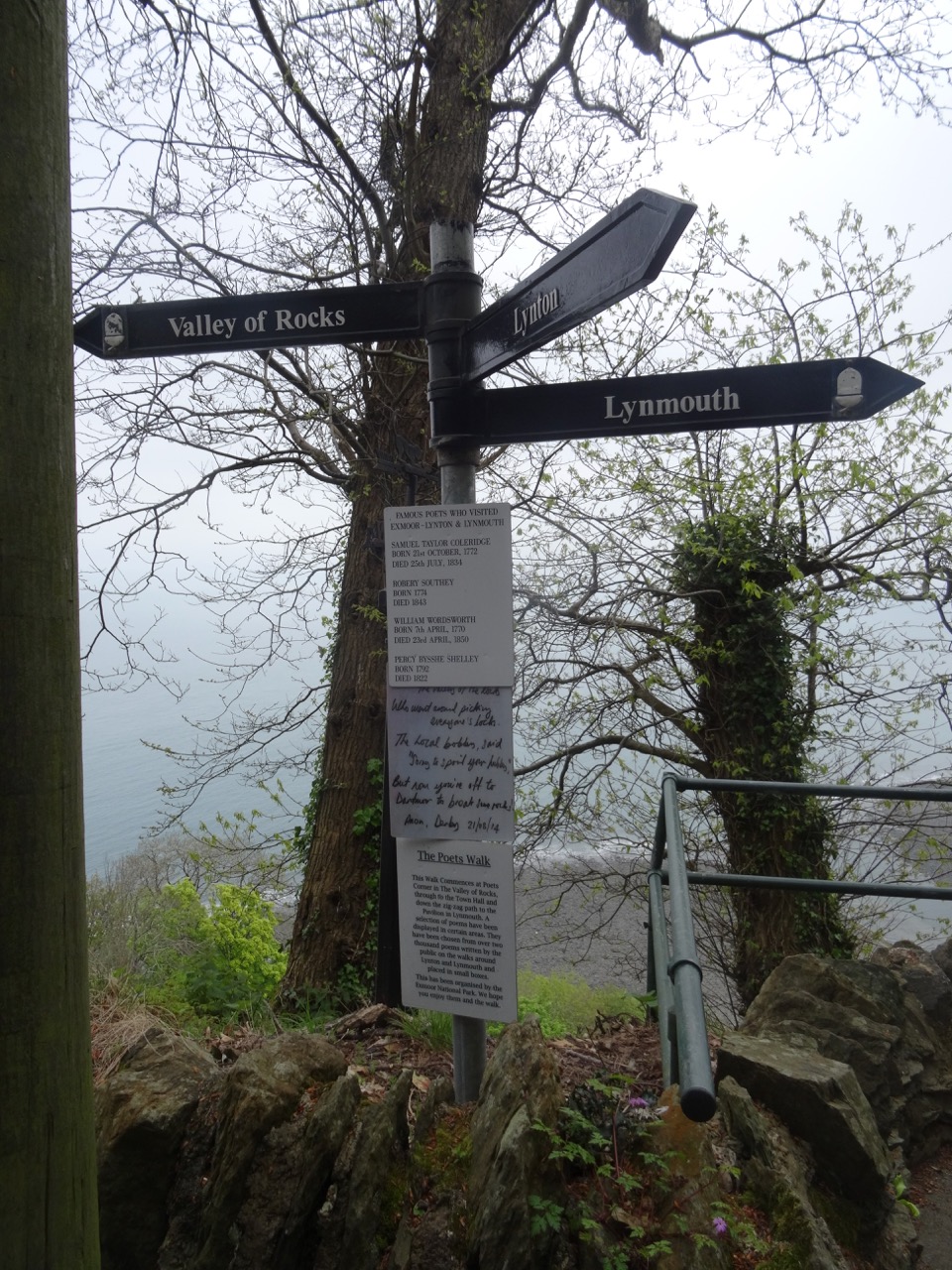
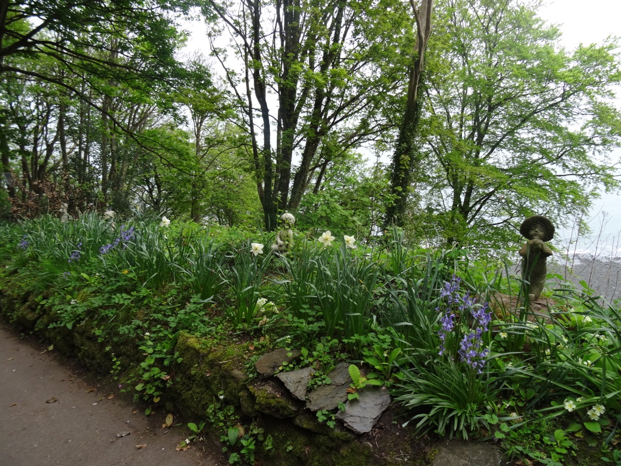
We began this day walking from our lodging down the steep poetry- and flower-lined path to Lynmouth.
DSC04255DSC04258DSC04261DSC04262

DSC04260

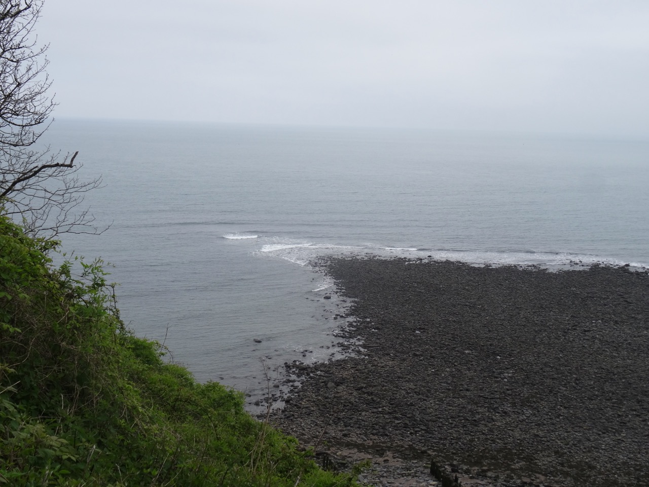
Almost to the beach at the bottom of the cliff.

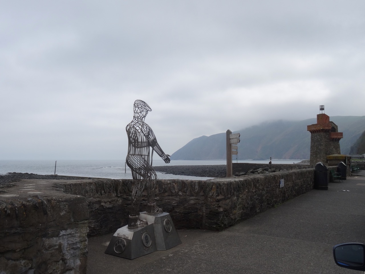
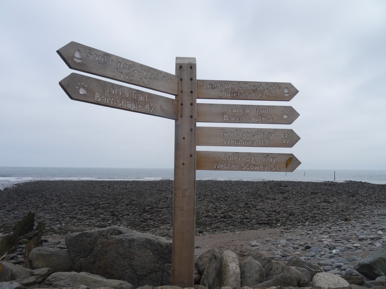
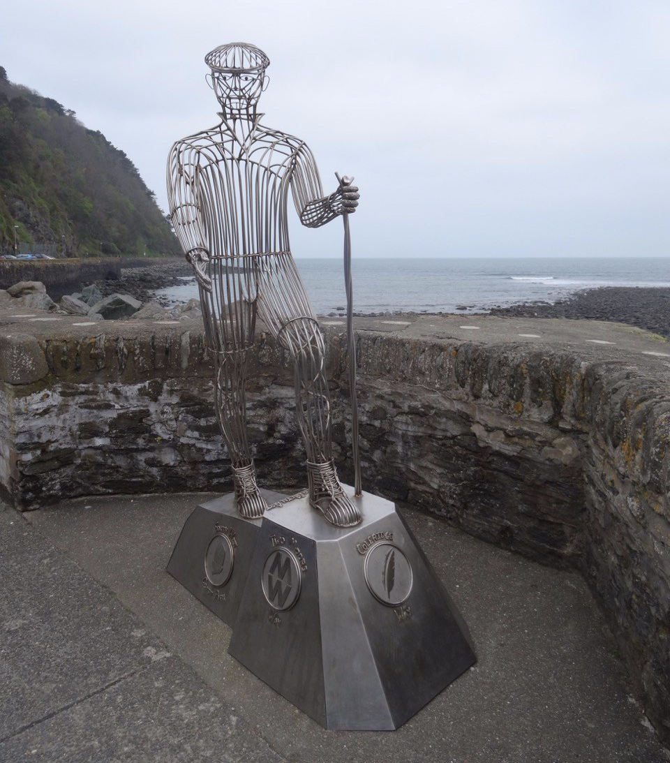
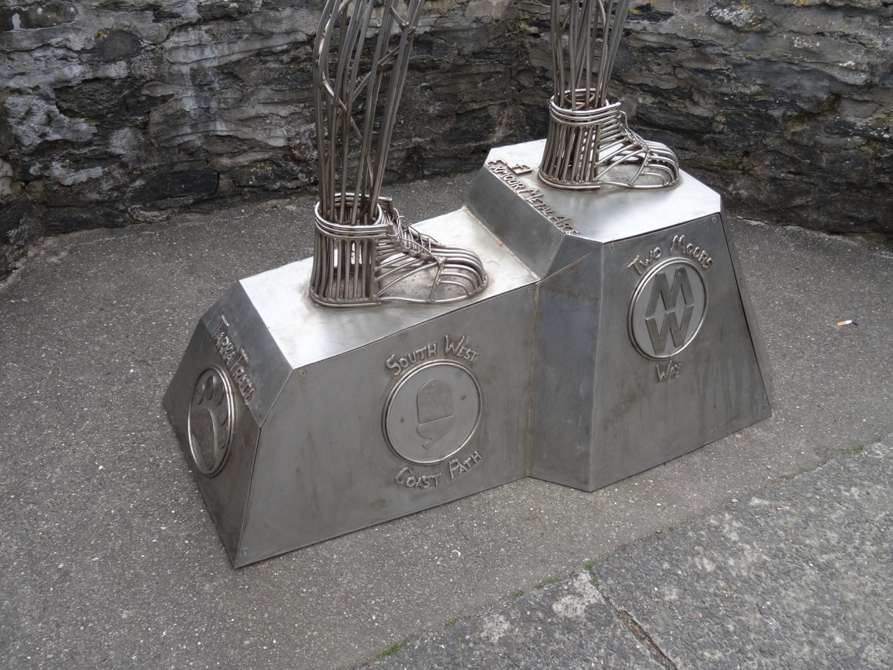
There we visited the Exmoor National Park Visitors Center and made plans to visit Dunster and Porlock, to the east of us. Lynmouth is the intersection of four trail systems in Exmoor, marked by this sculpture of a walker, and the trail signs.
dsc04266.jpgDSC04265DSC04264DSC04267

Lynton & Lynmouth Cliff Railroad

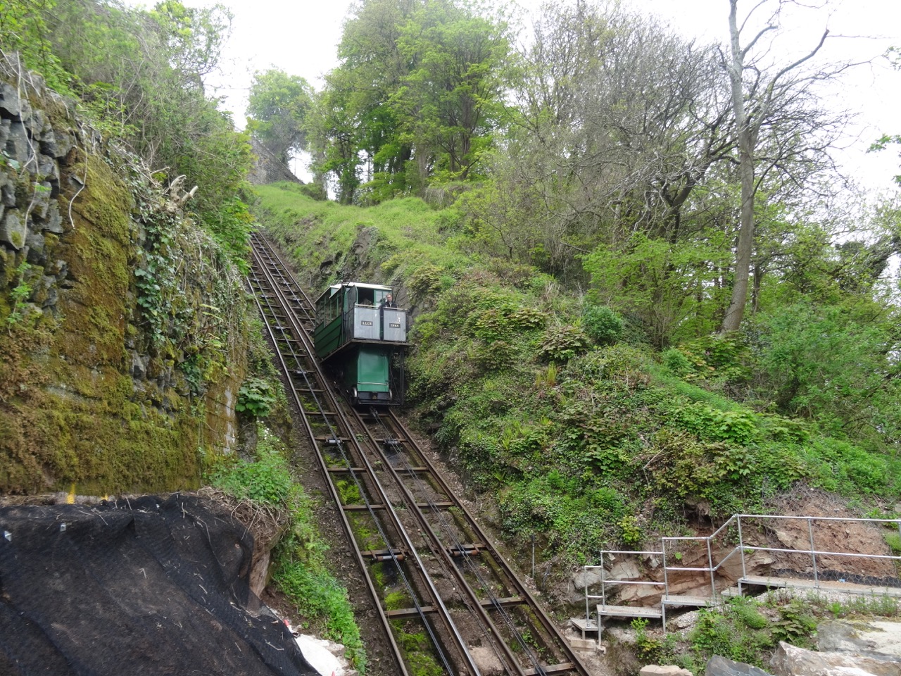
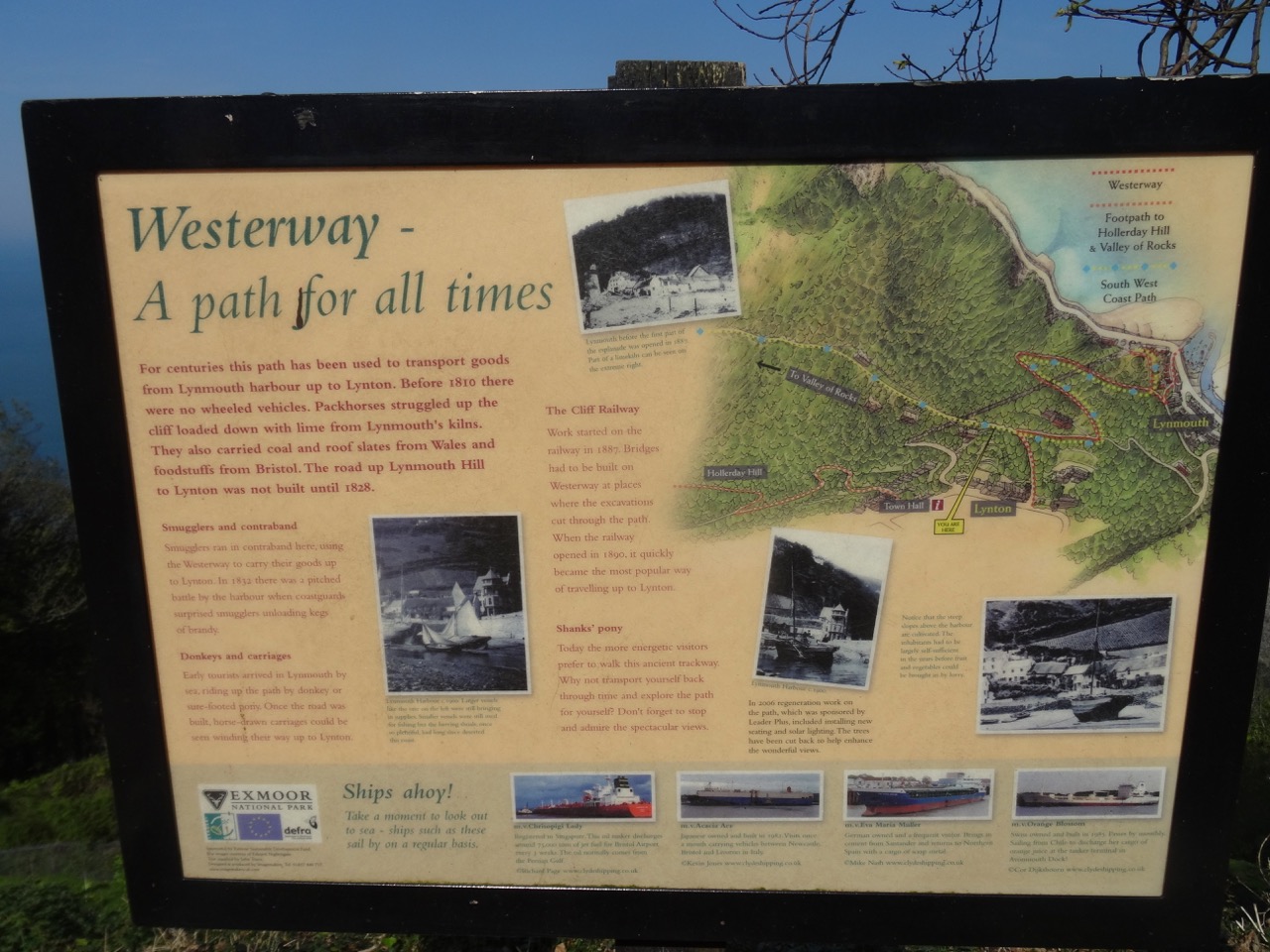
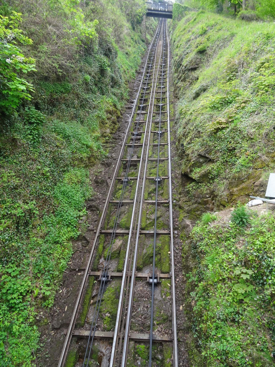
As we walked down the path to Lynmouth, we had crossed the tracks of the Cliff Railroad several times.
DSC04259

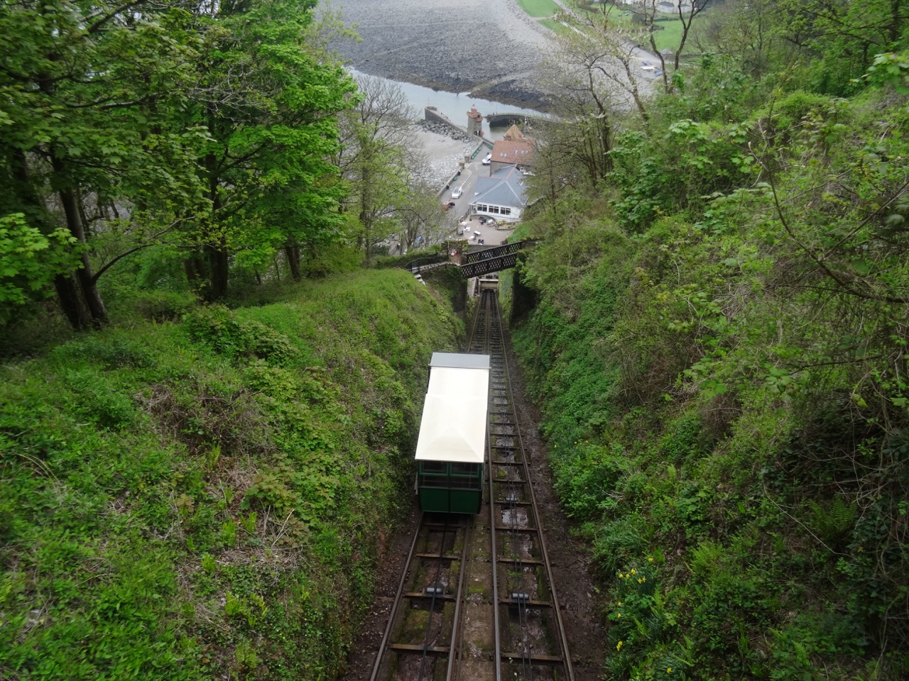
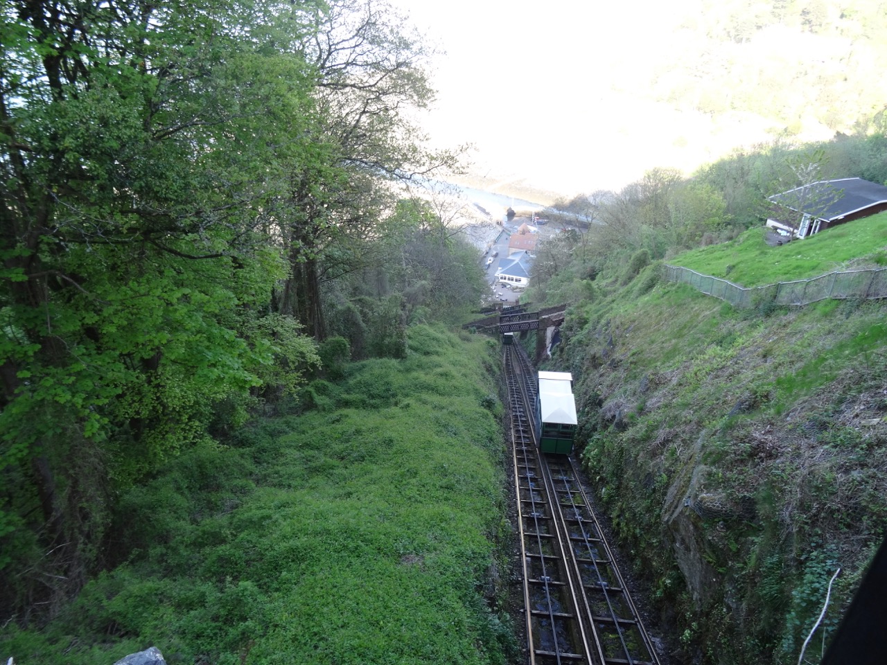
The Cliff Railroad is a Victorian era funicular with two counterbalanced cars connected by cables and pulleys that simultaneously rise or fall as water is released from the water tank of the lower car.  The cars each have 700 gallon water tanks. The tank is refilled from a stream at the top of the cliff, and released to the stream at the bottom of the cliff. The power is completely passive – just gravity imbalance created by the weight differential between the two cars. The railway has been in continuous operation since 1890.
DSC04257DSC04055DSC04256

We returned to Lynton via the Railroad, a much easier way to climb this 500 foot cliff than going back up the path.
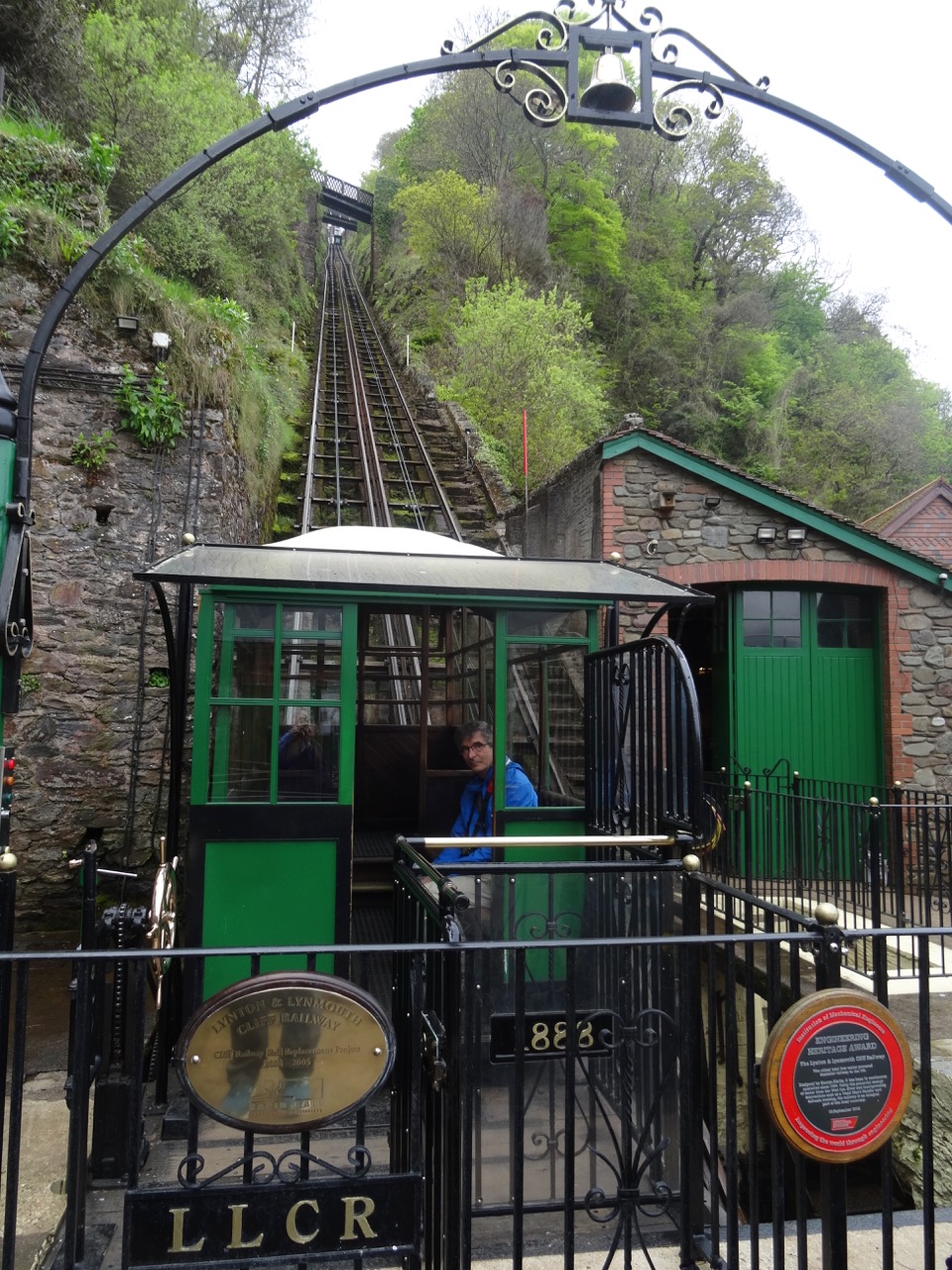
DSC04268

Dunster

We walked through the medieval town of Dunster. Dunster Castle, on the hill overlooking the town, dates back to at least 1086, shortly after the Norman conquest in 1066.
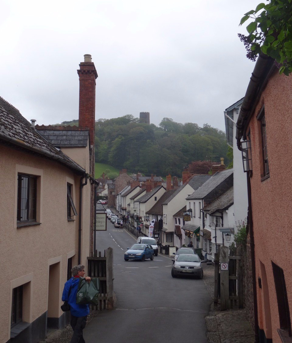
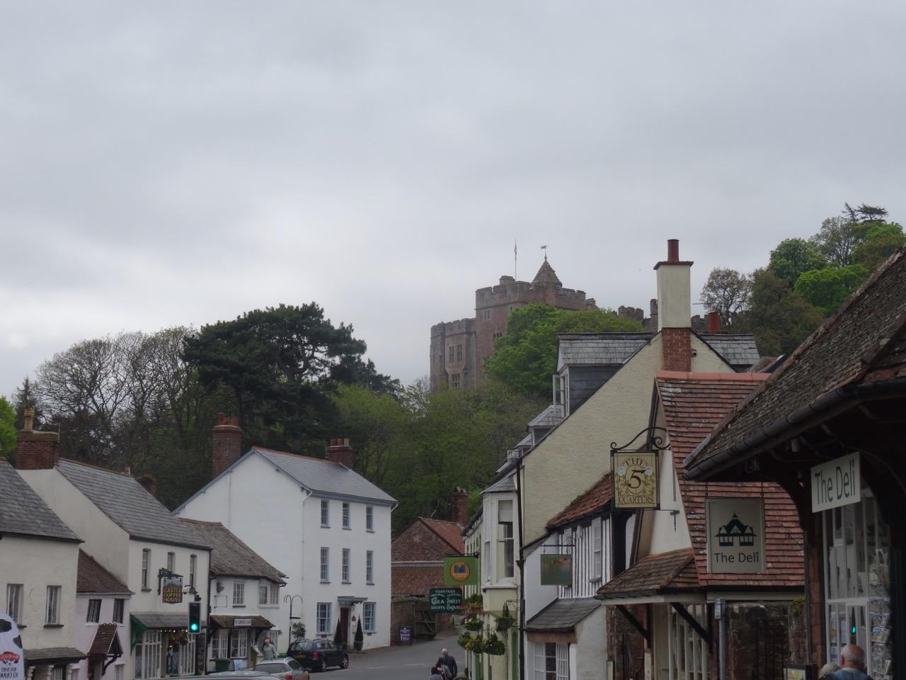
dsc04334.jpg

DSC04284

Dunster Castle

We walked around some of the castle grounds.
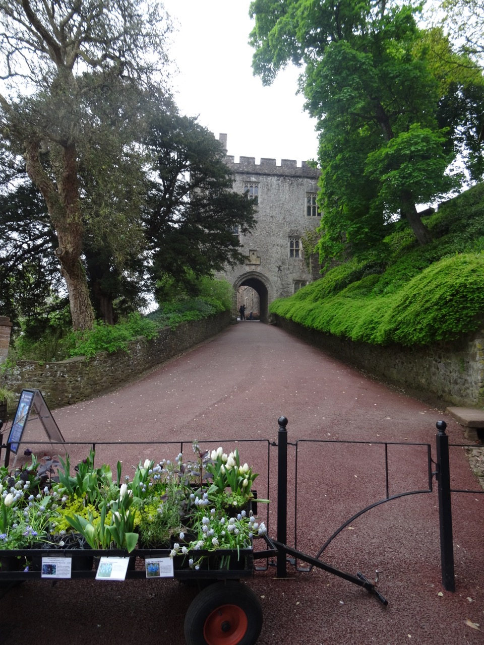
DSC04285

DSC04286

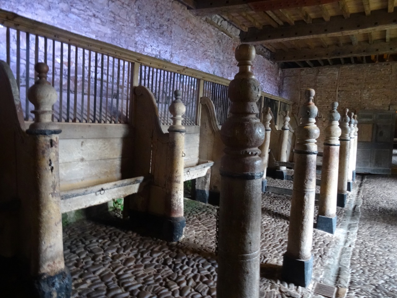
Stables

DSC04294

Gardens

DSC04297

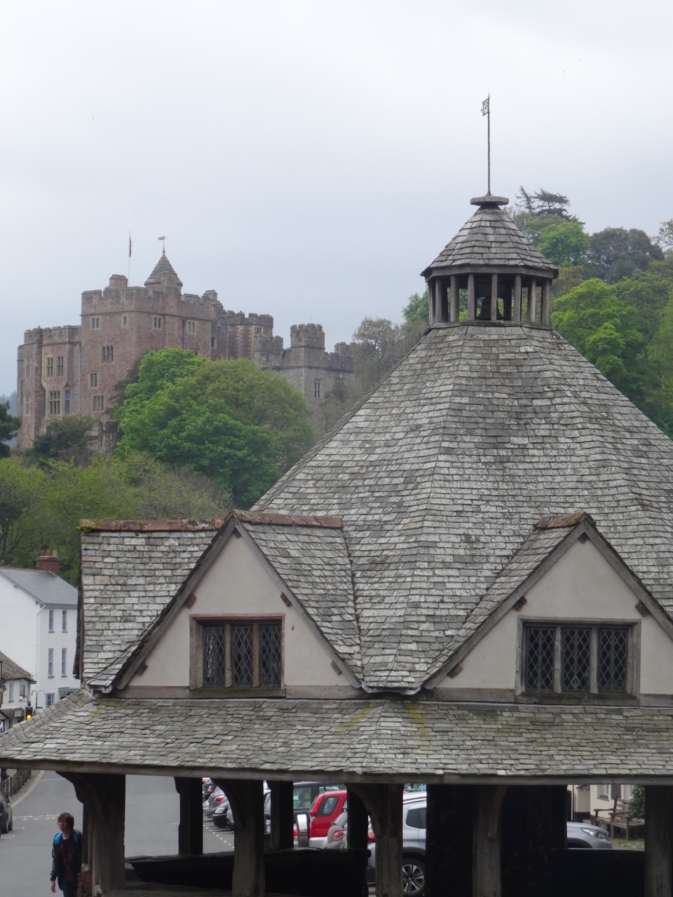
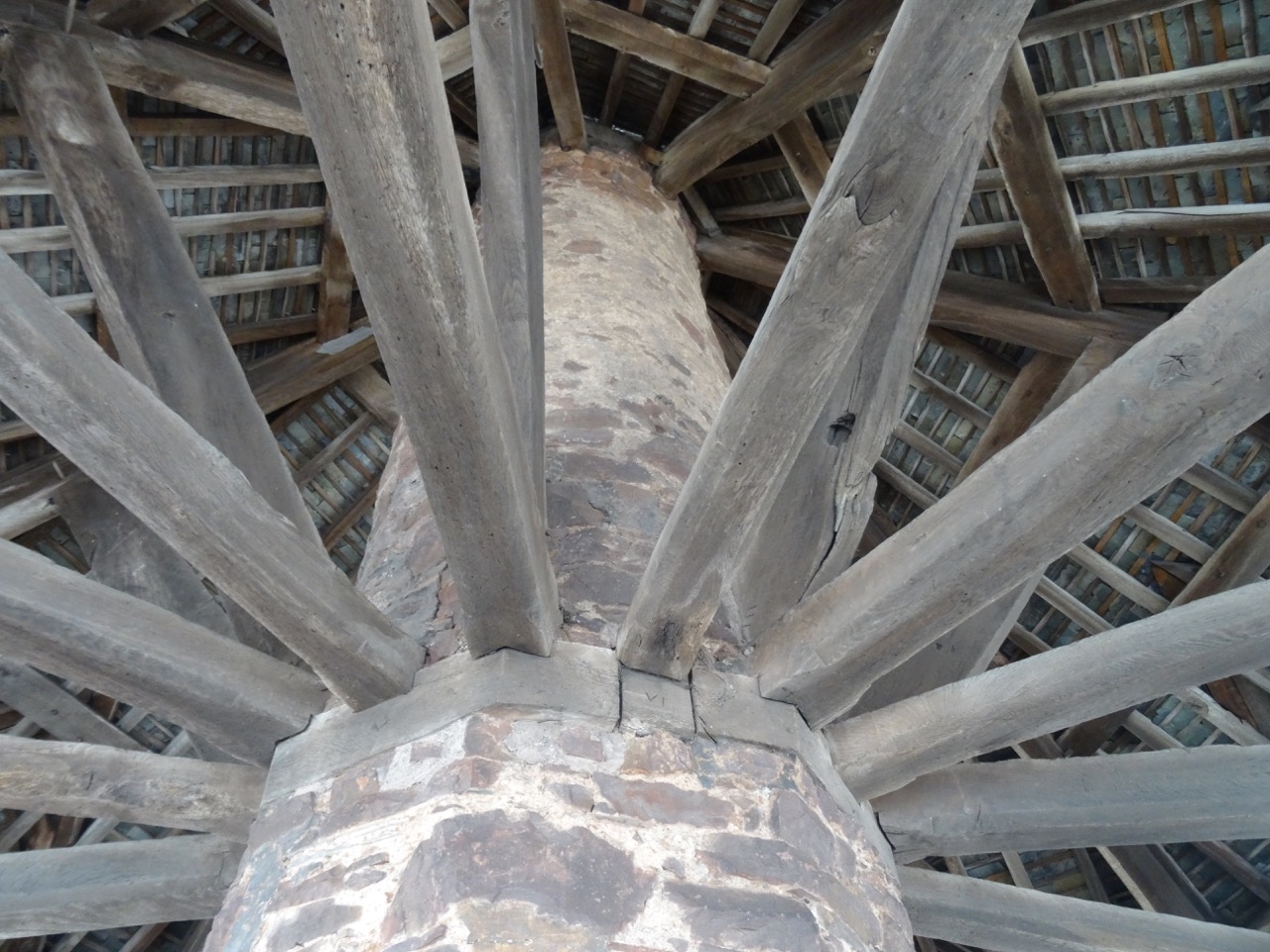
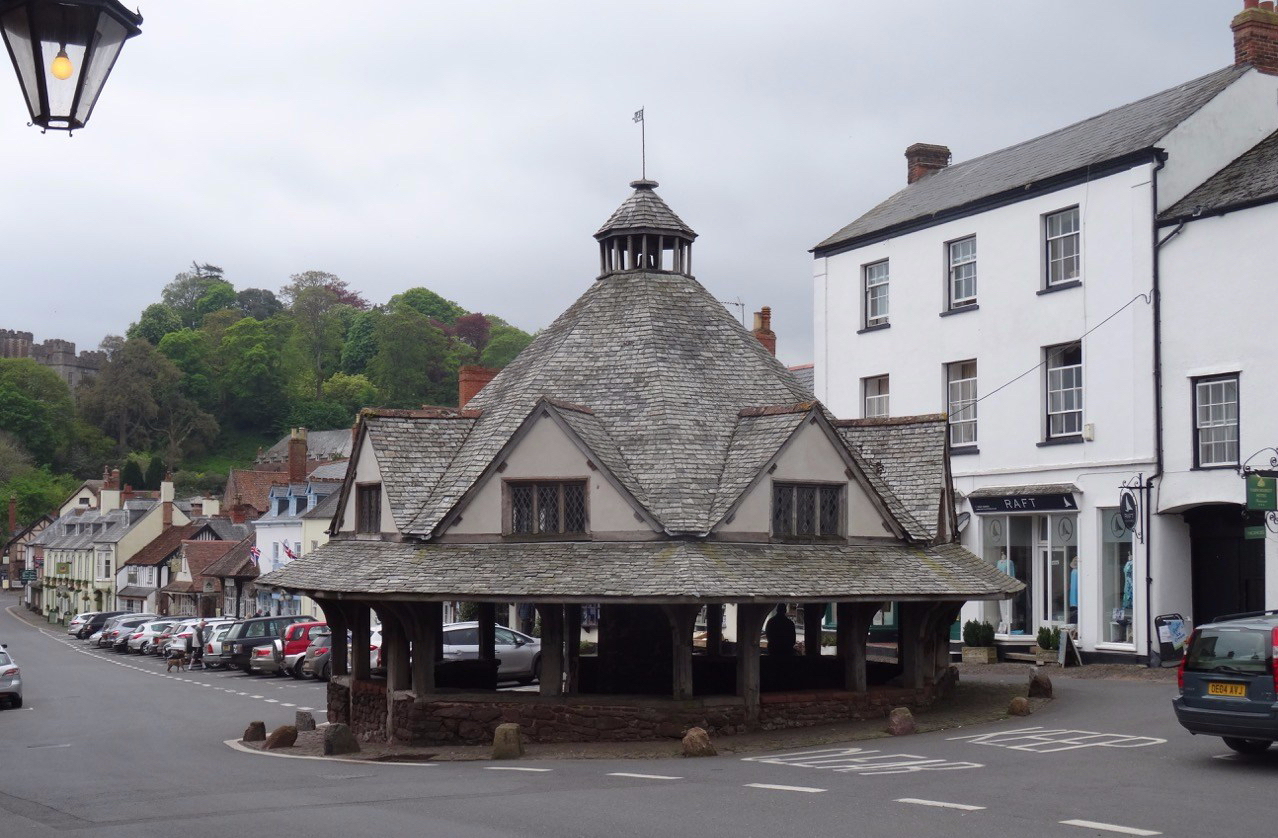
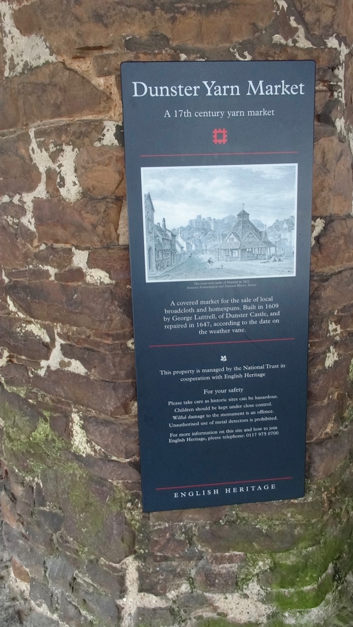
The Yarn Market, where trade in cloth was conducted, is about 400 years old.
DSC04270

DSC04271

Dunster Castle and the Dunster Yarn Market.
DSC04274DSC04277

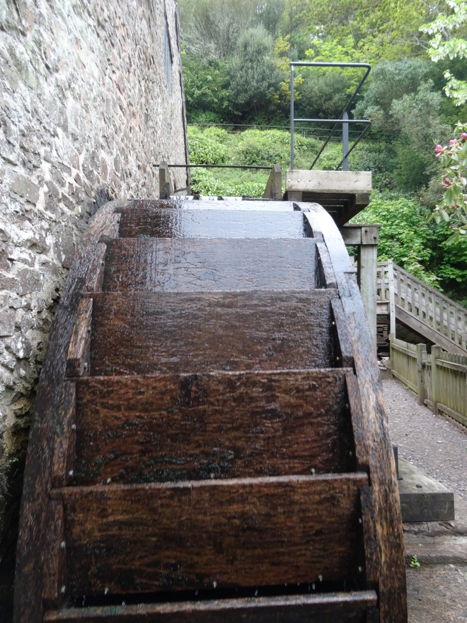
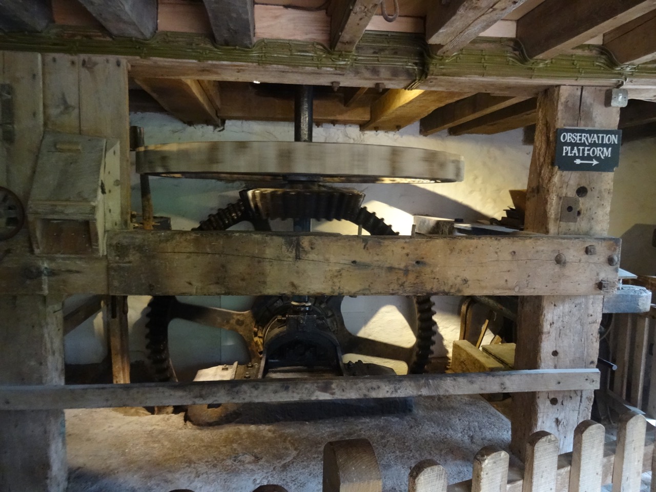
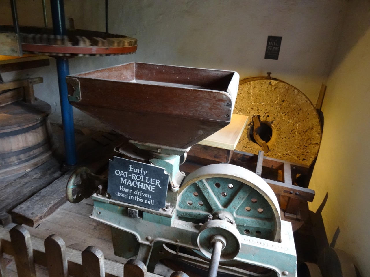
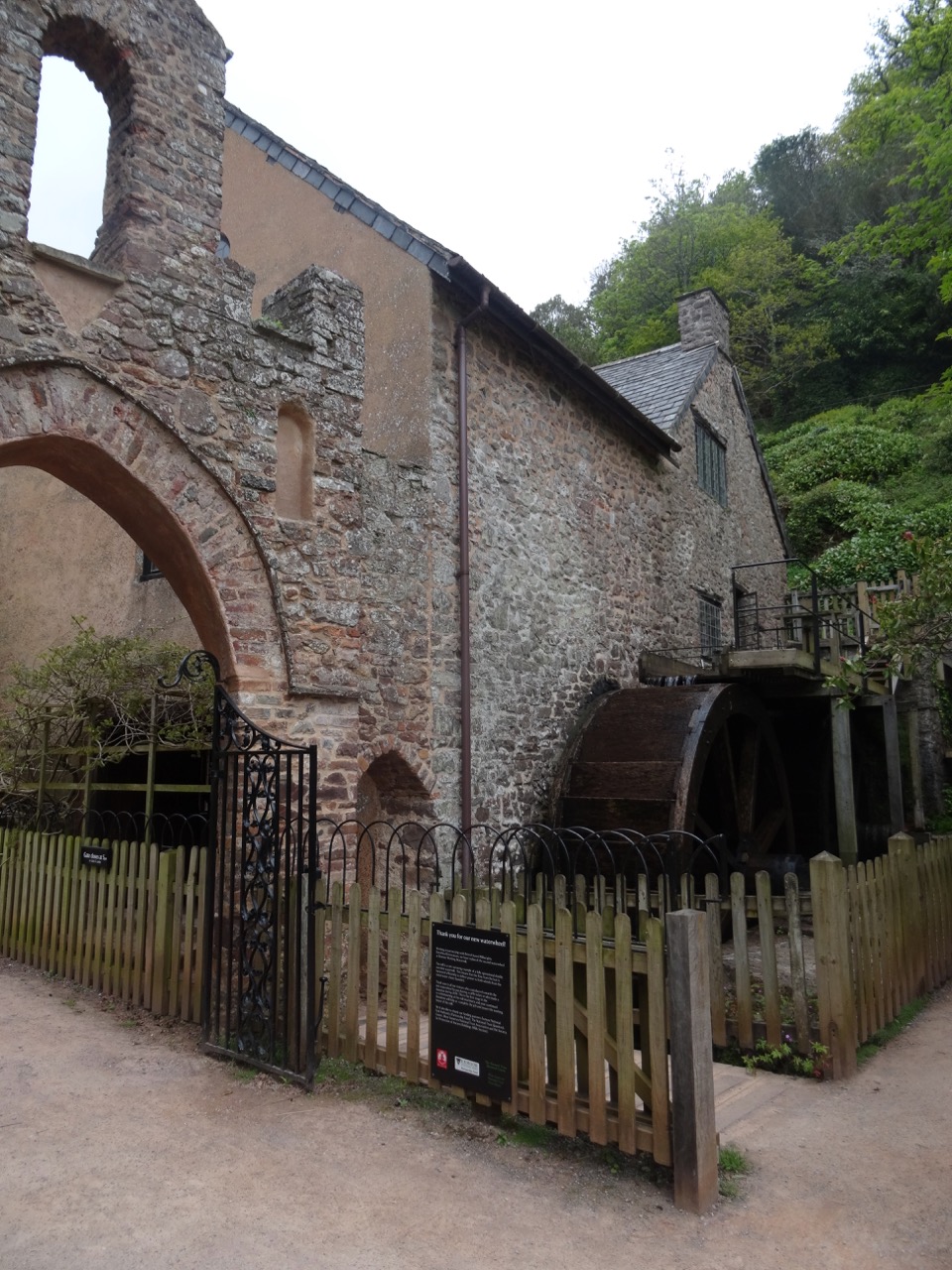
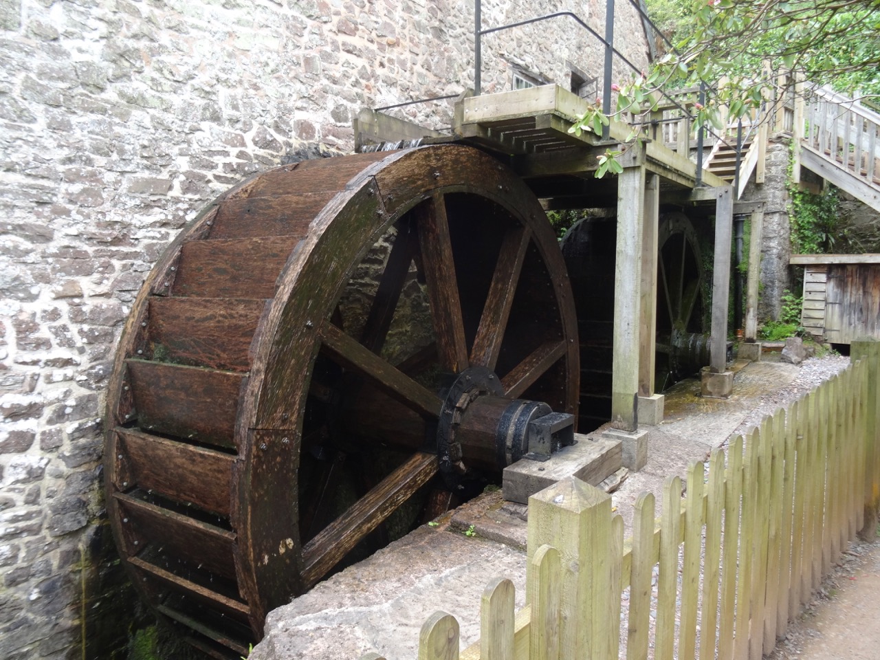
The Water Mill is about 200 years old. We looked at the machinery, but the mill wasn’t in operation today.
DSC04311

DSC04304

The water wheel

DSC04316

DSC04302

One of the flour mills.

DSC04303

DSC04310

Castle gardens near the mill

DSC04317

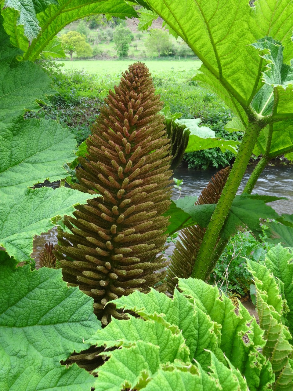
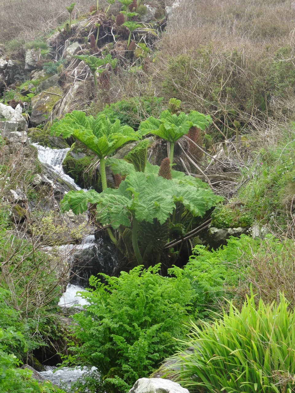
More Gunnera manicata, the giant Brazilian rhubarb, growing along the mill stream.

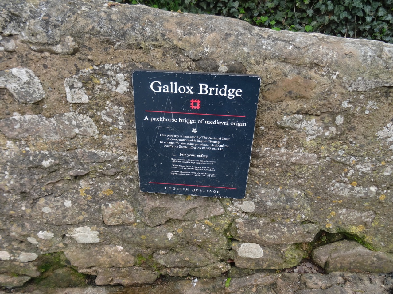
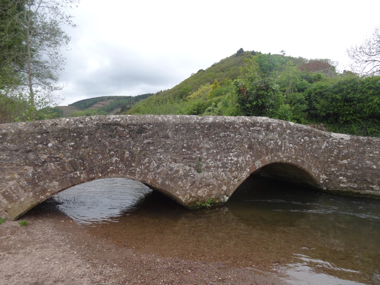
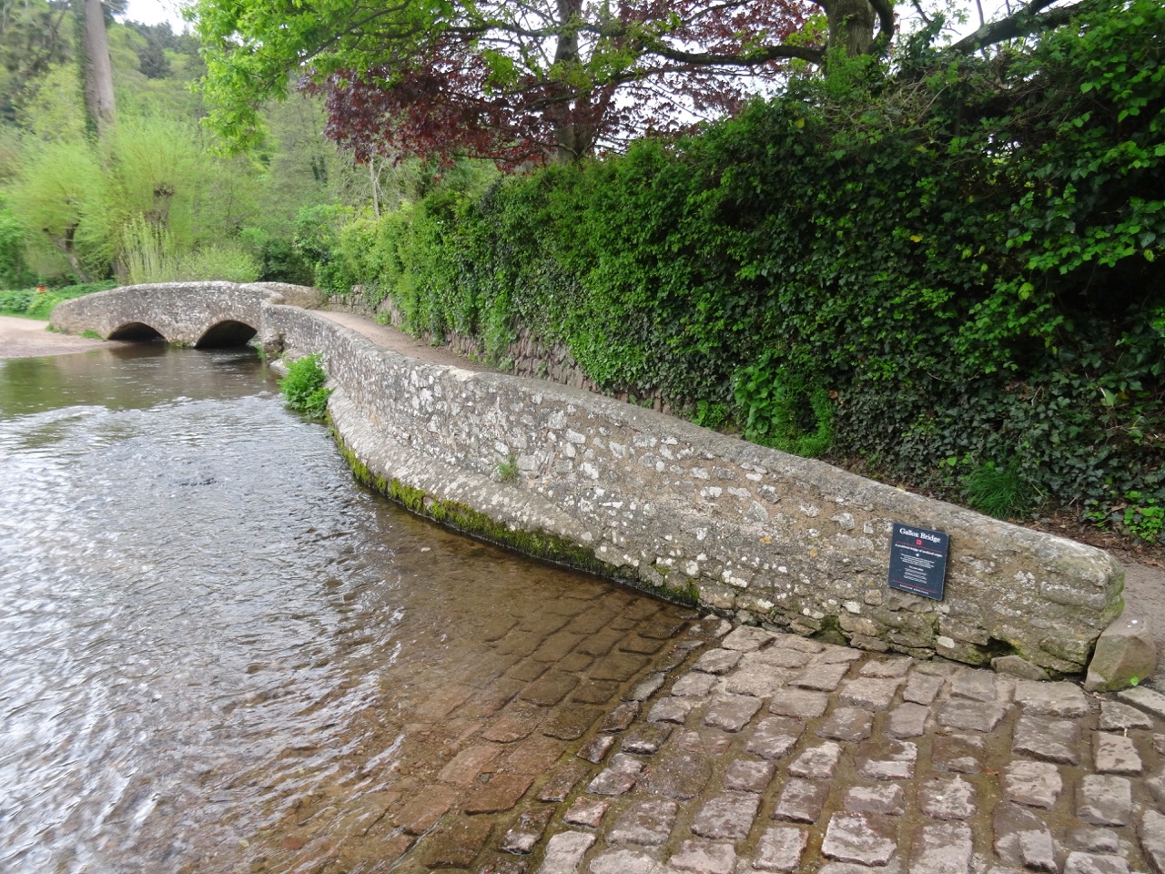
The 15th century Gallox Bridge crosses the River Avill.
DSC04332DSC04323DSC04327

DSC04321

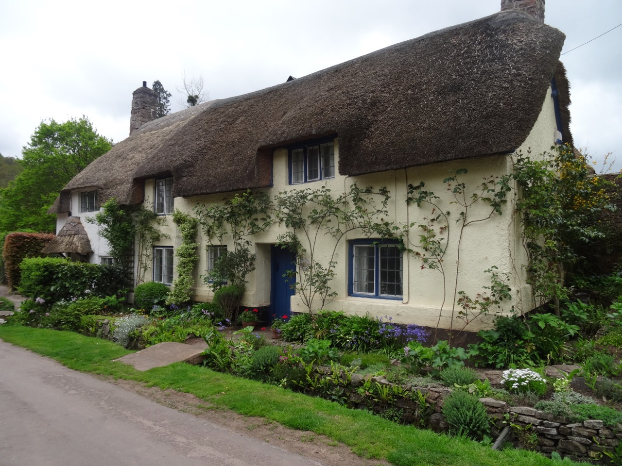
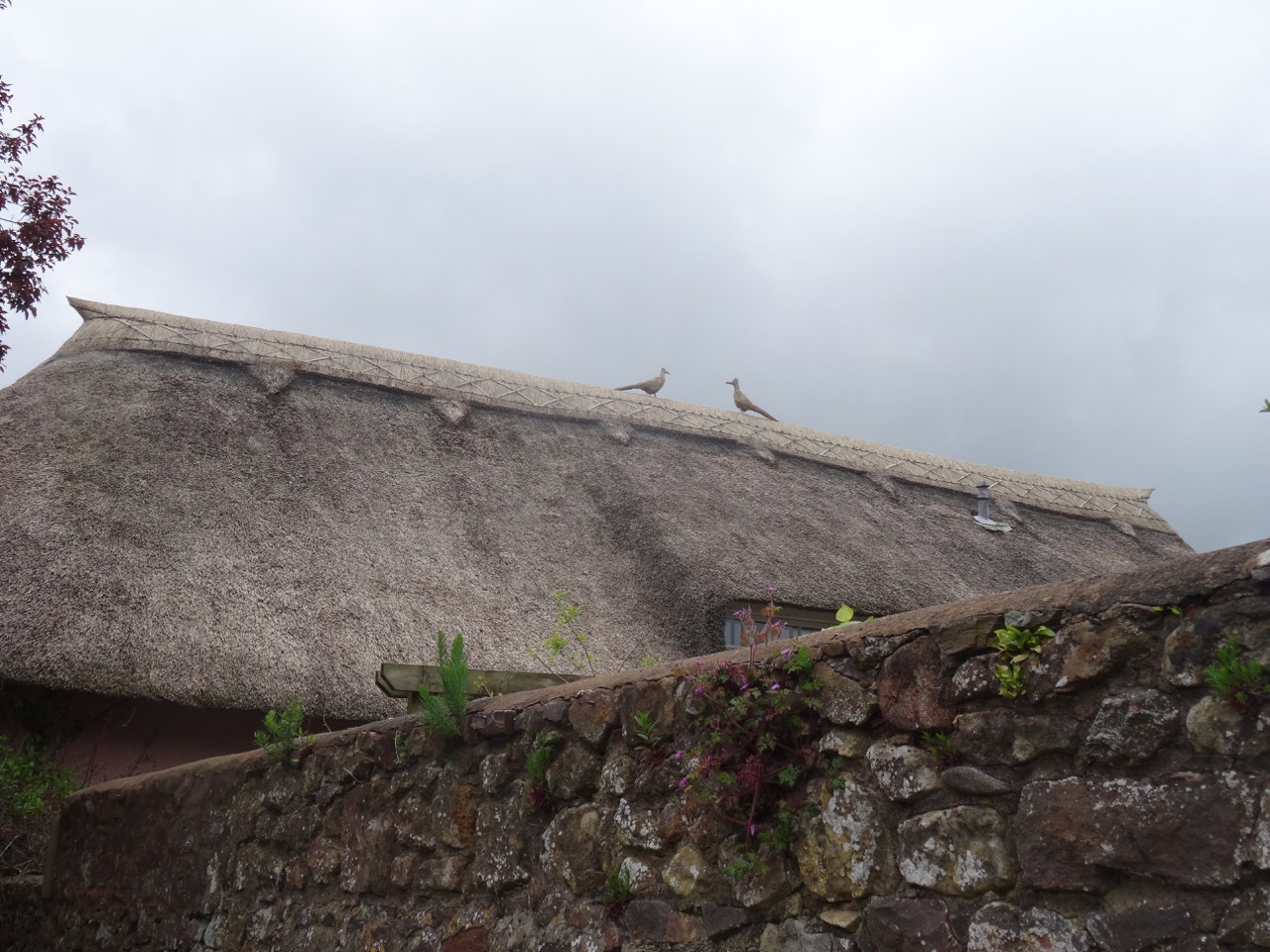
Thatched roofs.

DSC04320

Porlock Marsh

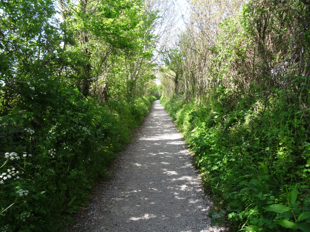
We drove back west to Porlock, where the National Park Guide had recommended a wildlife walk across the marsh.
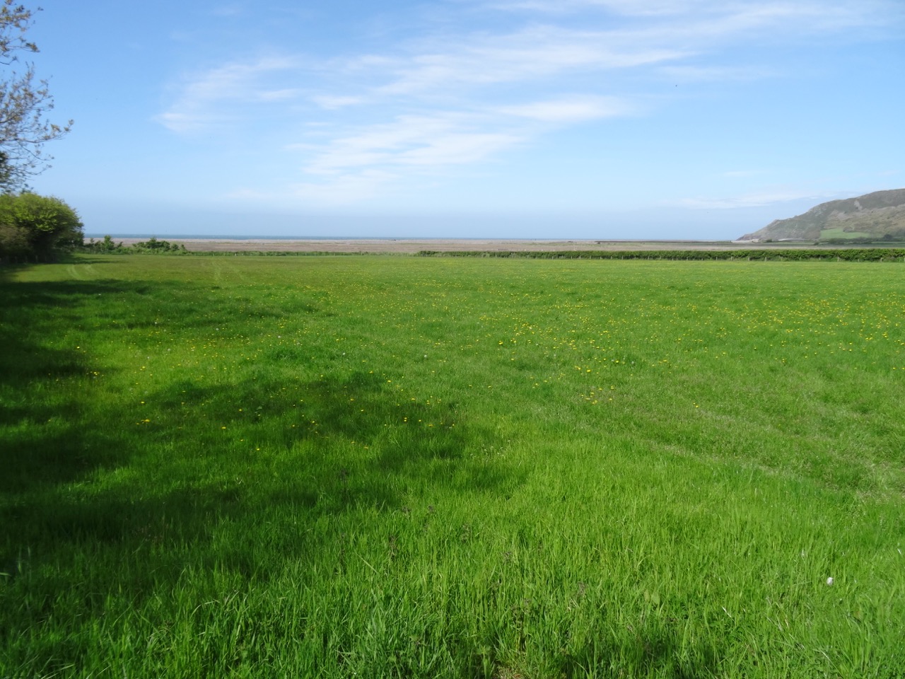
DSC04336

DSC04337

The path to the marsh.

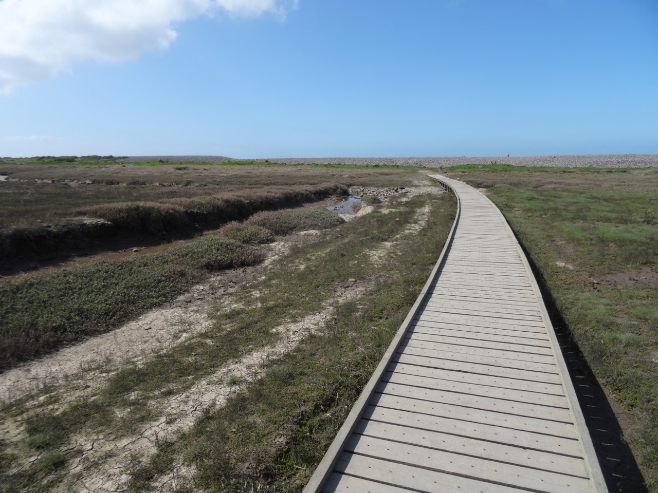
DSC04338

DSC04342

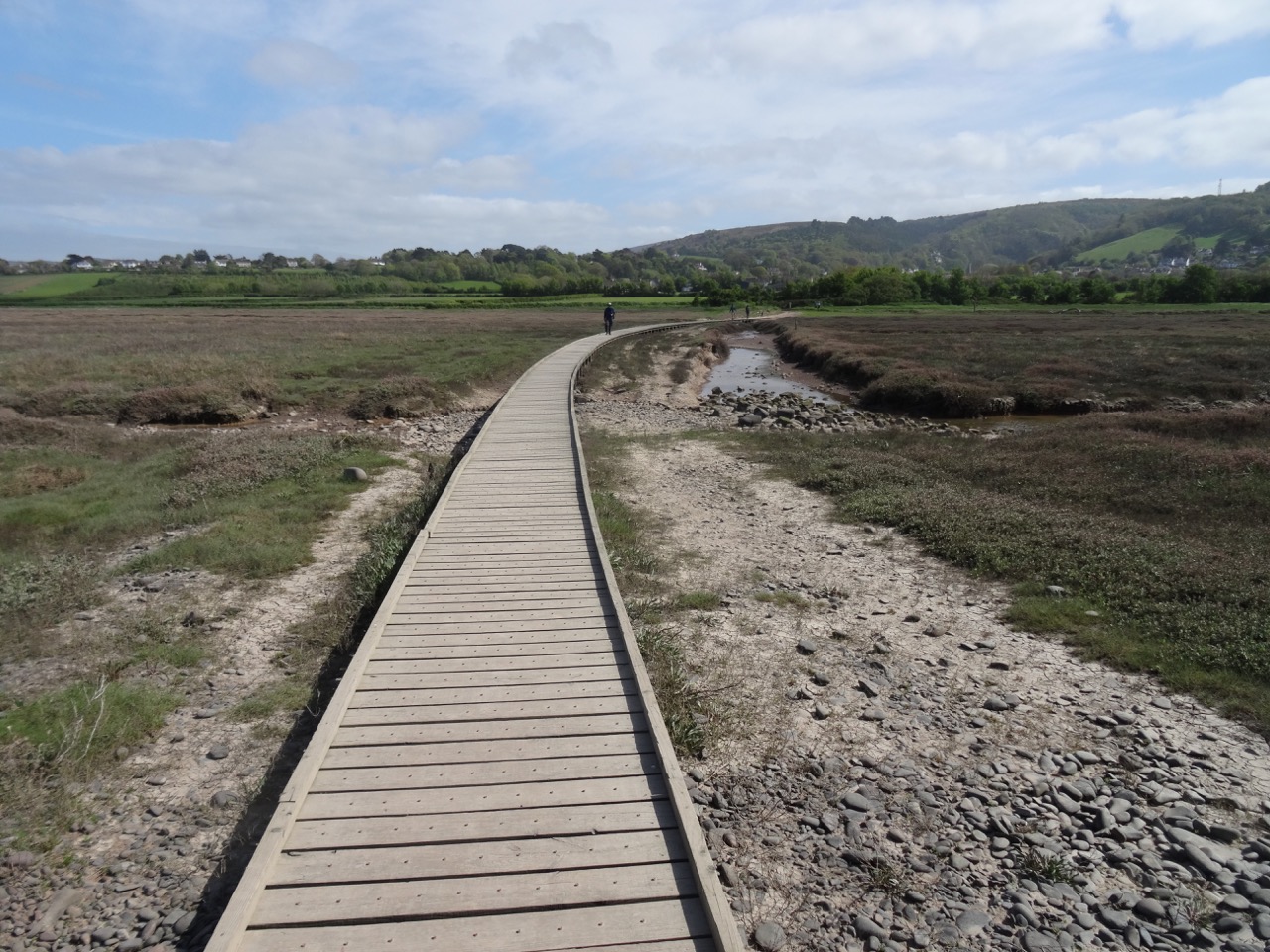
Boardwalks across the marsh

DSC04343

Looking back toward town.

DSC04346

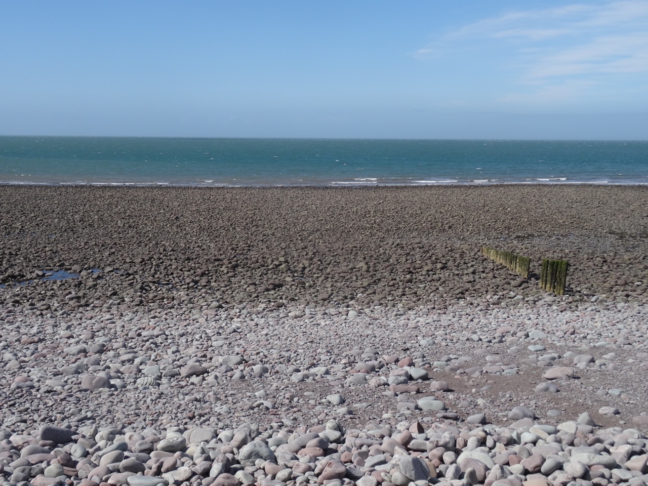
View out to the Bristol Channel from the top of the berm.
DSC04347

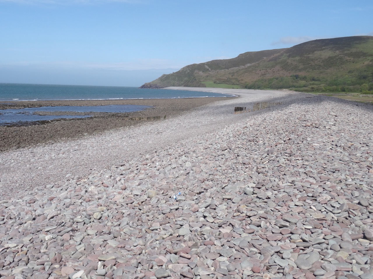
View to the east from the top of the shingled berm.

We did not see any wildlife, perhaps because the tide was out, just the shingled beach and the wide views, but it was good to stretch our legs.

My quilter’s eye noticed geometric patterns in the architecture in Porlock.
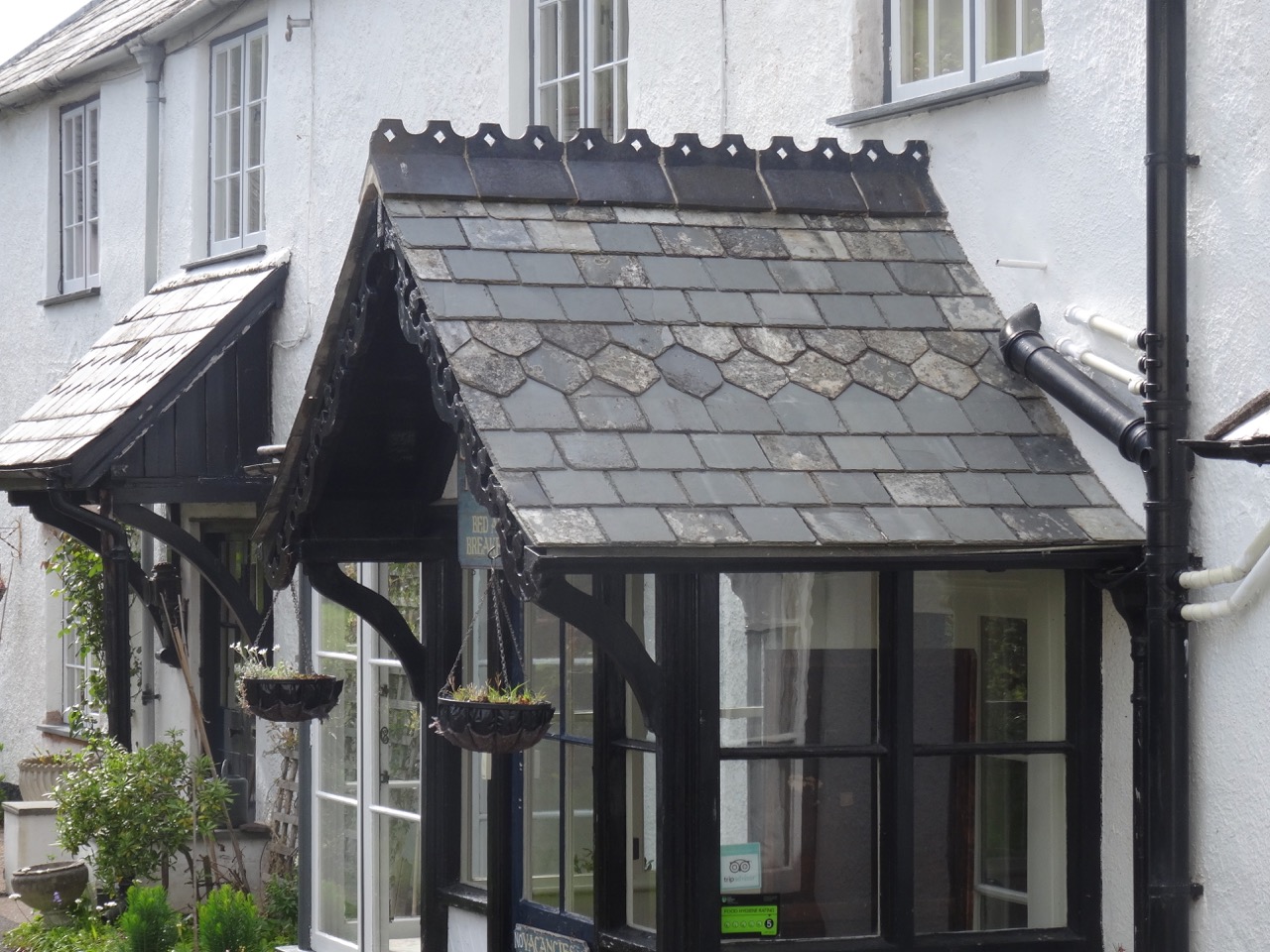
DSC04353DSC04354

We stopped at an overlook for the wide view of Porlock. From here, we headed back to Lynton for the dinner.
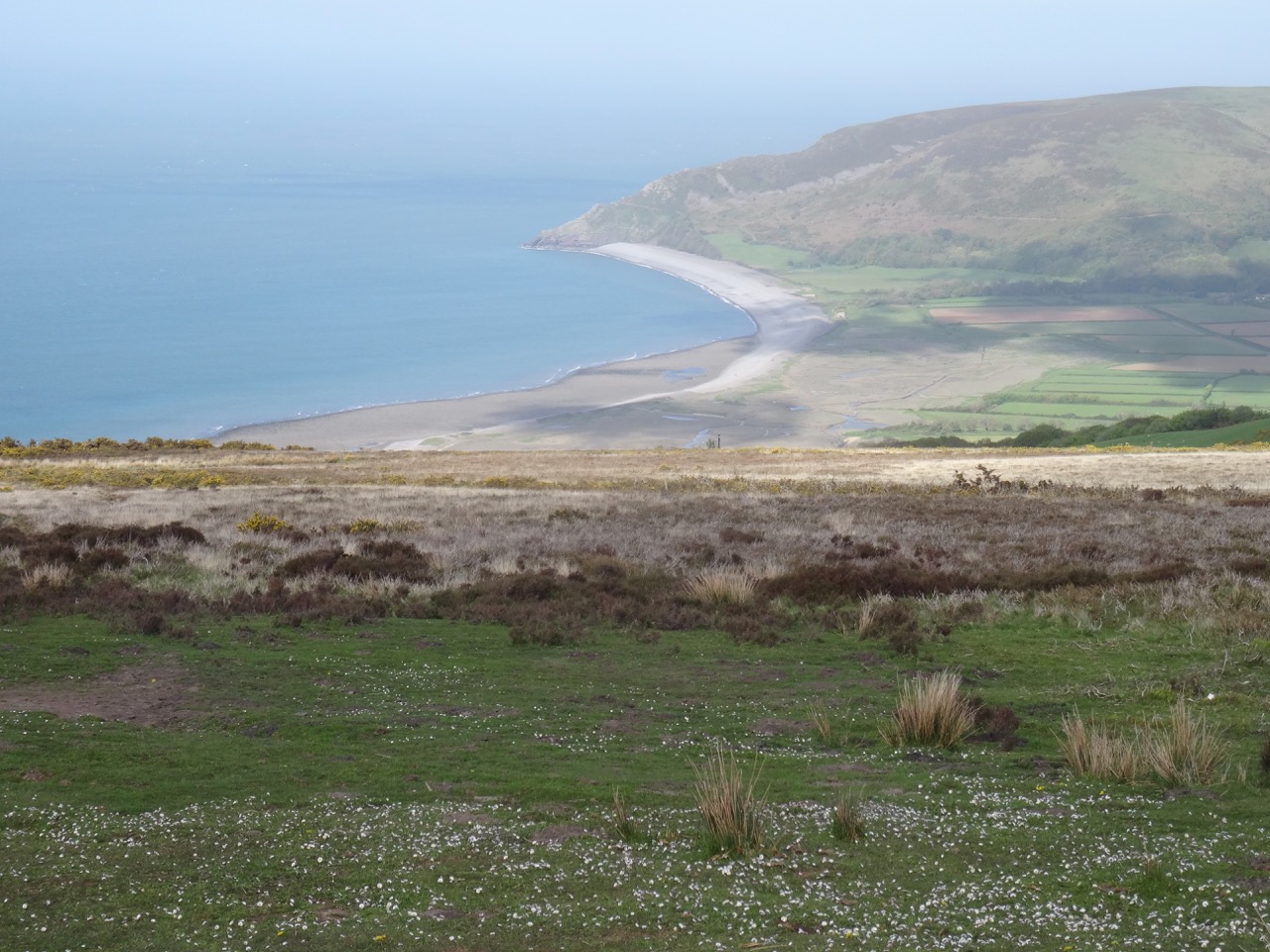
DSC04358

Our Victorian Lodgings in Lynton:

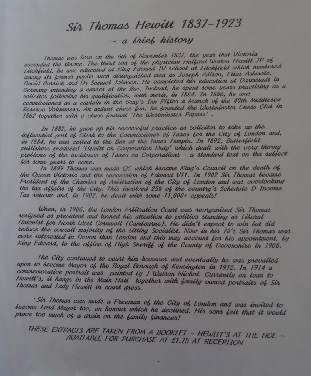
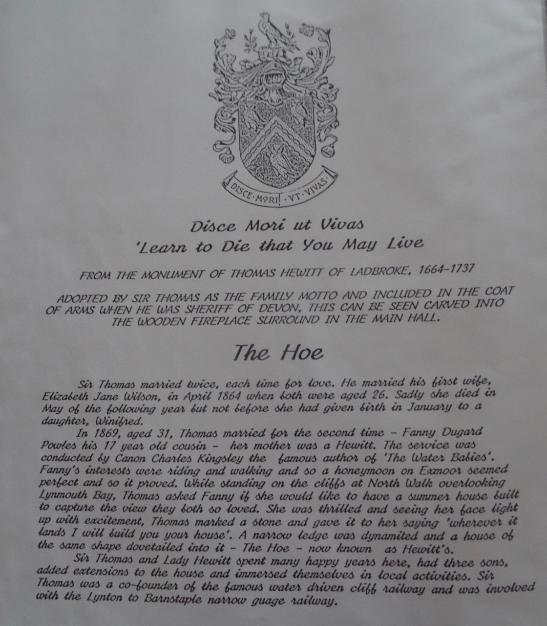
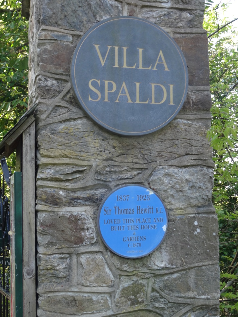
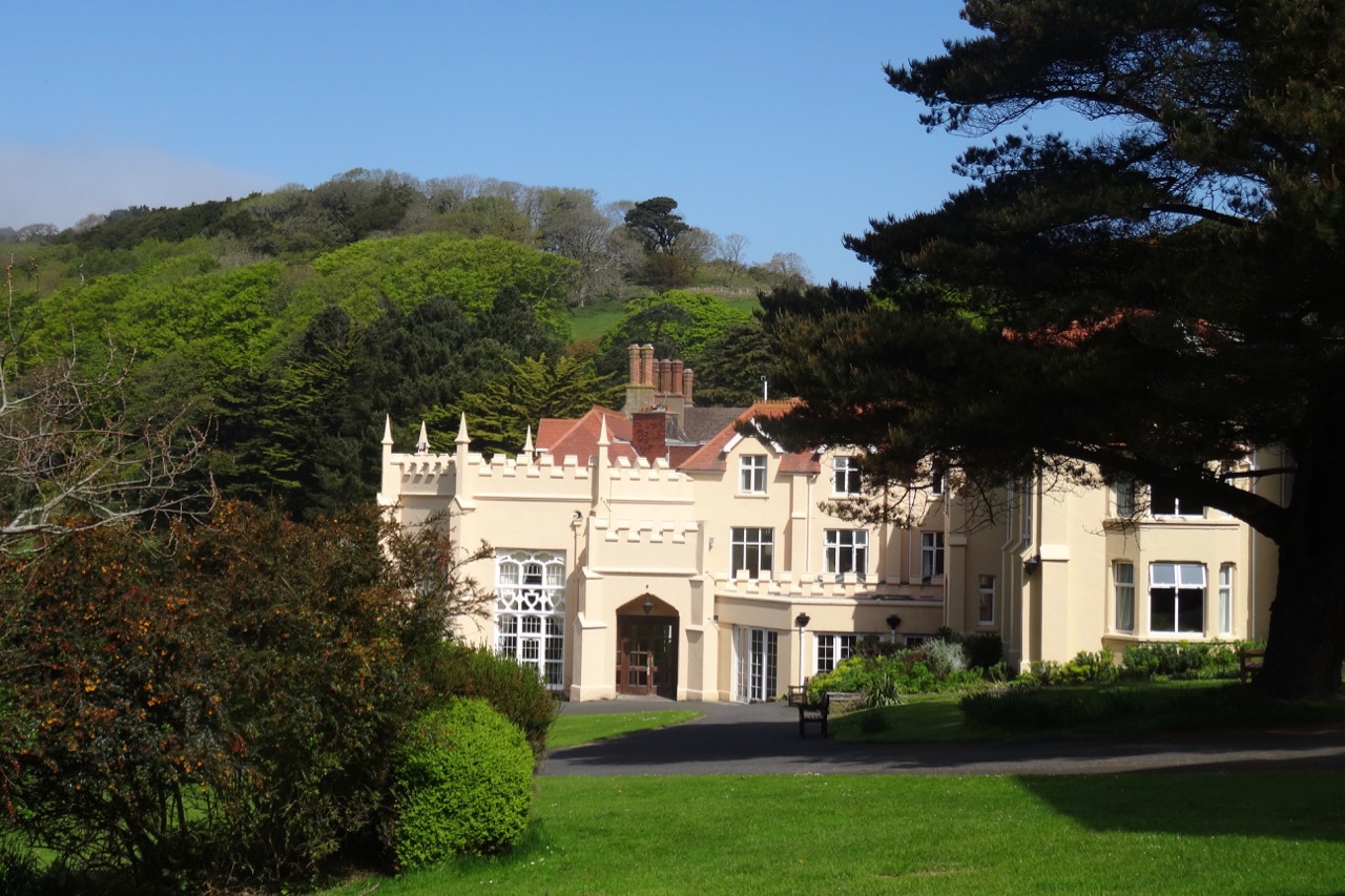
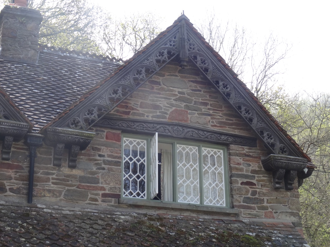
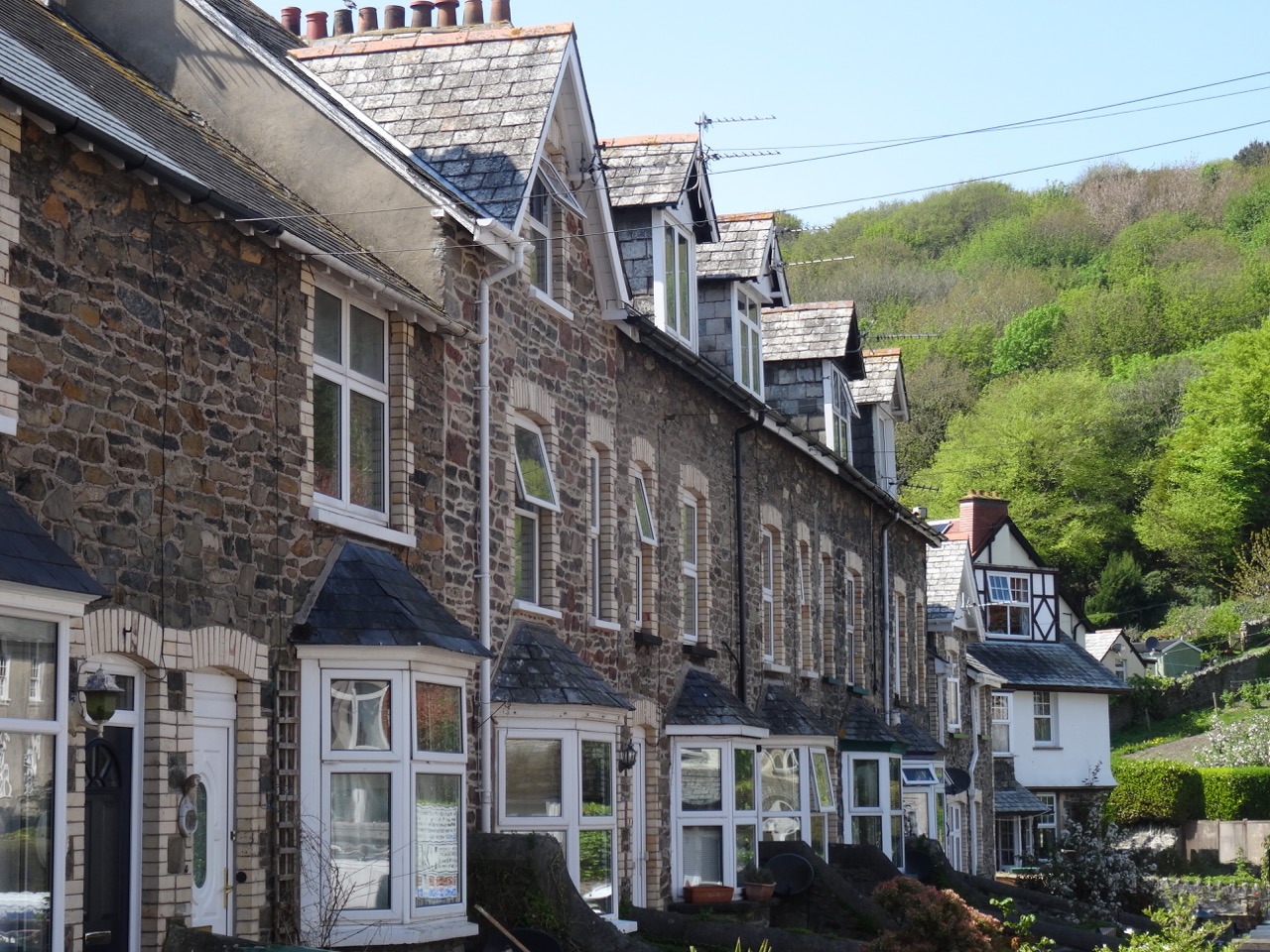
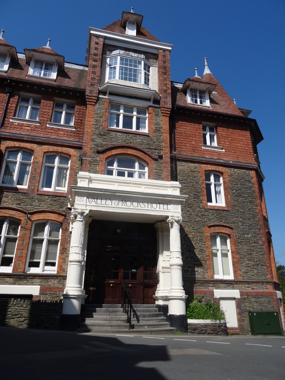
My husband had selected this lodging, so I hadn’t realized before arriving that we would be staying in a converted Victorian manor house, built by a London mogul for his wife in 1870. The home was built on a ledge blasted from the cliff.
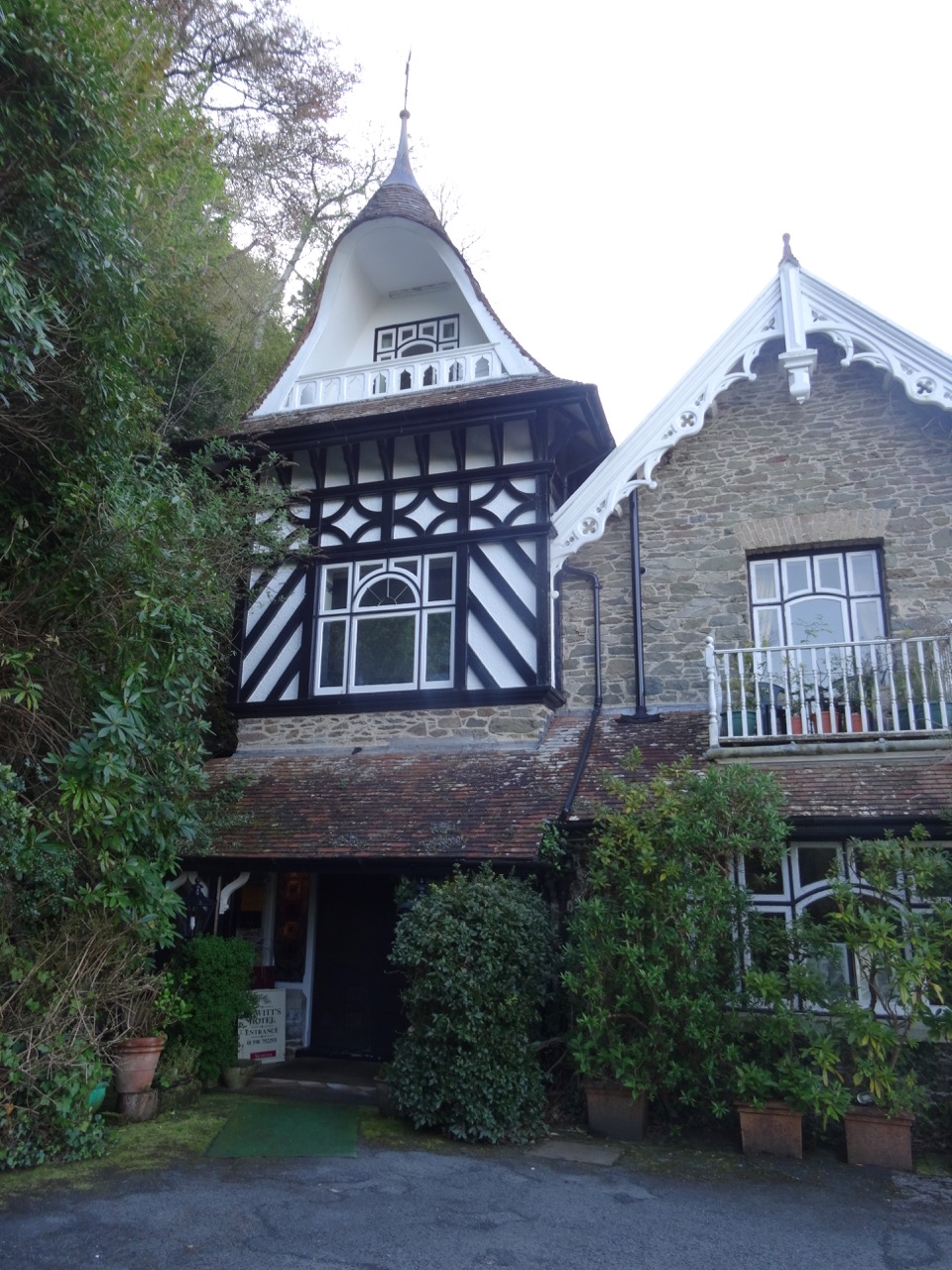
DSC04050DSC04084DSC04096DSC04097DSC04251

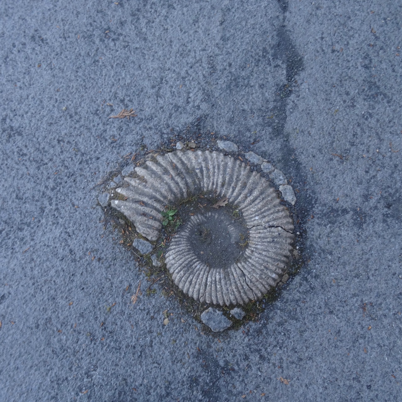
DSC04043

A large ammonite embedded near the entryway.

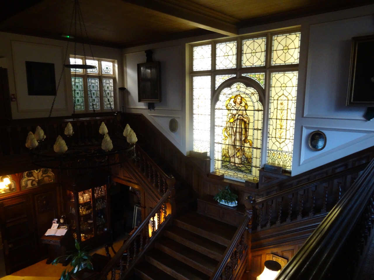
The decor is Victorian, and most of the rooms are situated around a large communal open staircase and balcony, invoking the setting of an Agatha Christie novel.
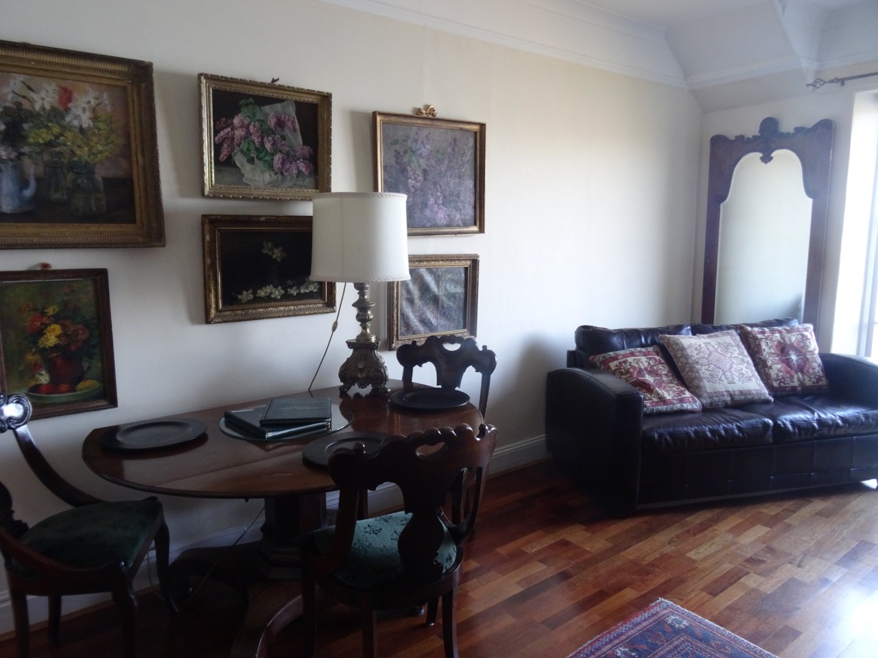
DSC04046

Our living room.

DSC04047

Central stairway

DSC04048

There were few other guests during this off season visit, but I would guess the patio tea service would be popular with walkers going to the Valley of Rocks from the Cliff Railway in the summer.
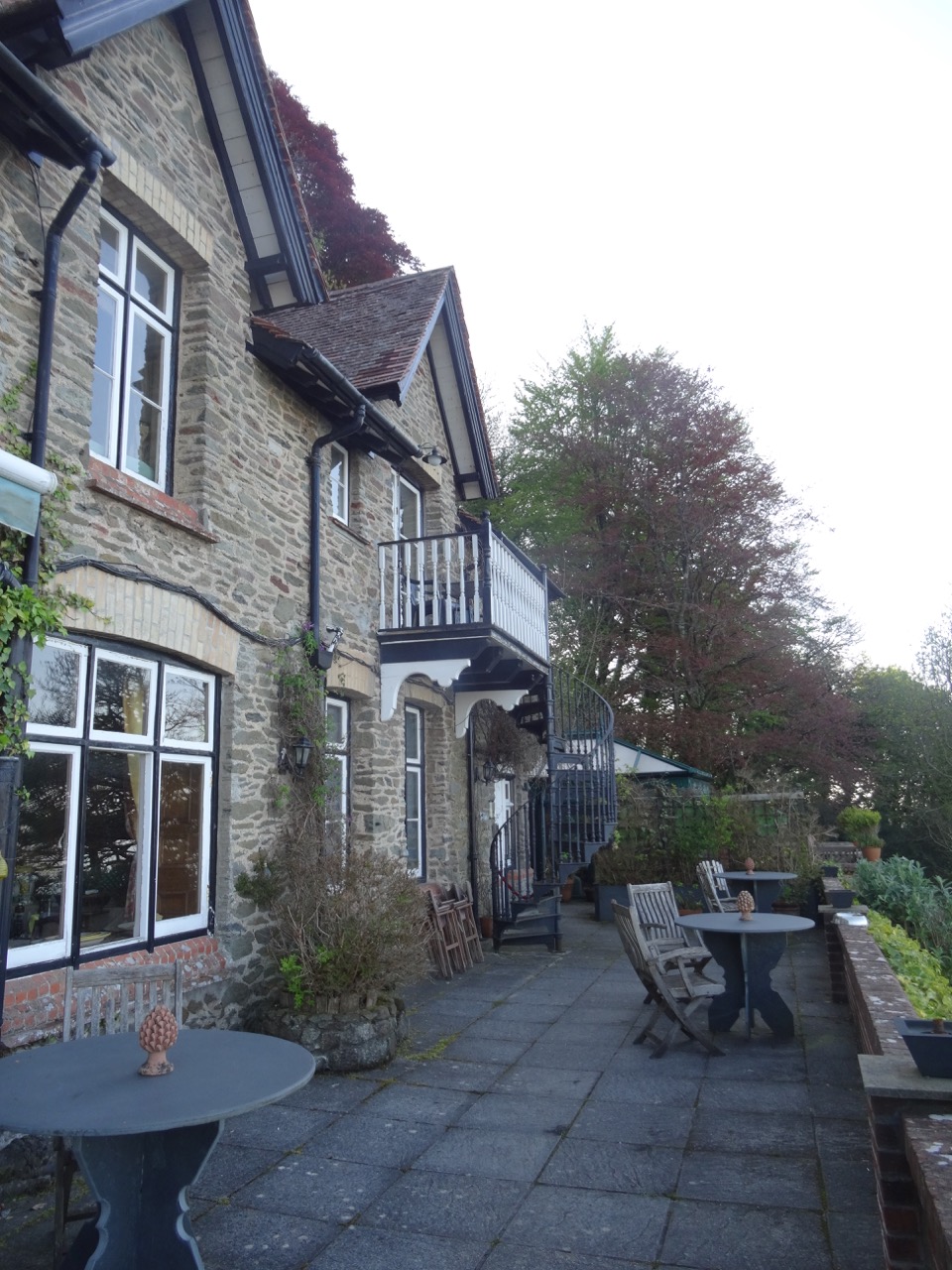
DSC04051

Our balcony and stairs leading down to the patio where tea is served with an amazing view.
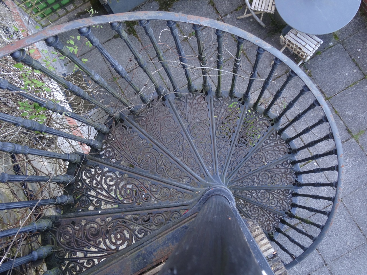
DSC04361Our self-catering apartment had updated plumbing and kitchen, with a private, very tiny balcony and spiral staircase, and a tremendous view across the bay to Countisbury Hill and Lynmouth Bay. We enjoyed the location and historical ambiance.

Valley of Rocks and Woodlands Walk, Lynton, Devon, UK (18-55)

Day 12, May 7, 2018

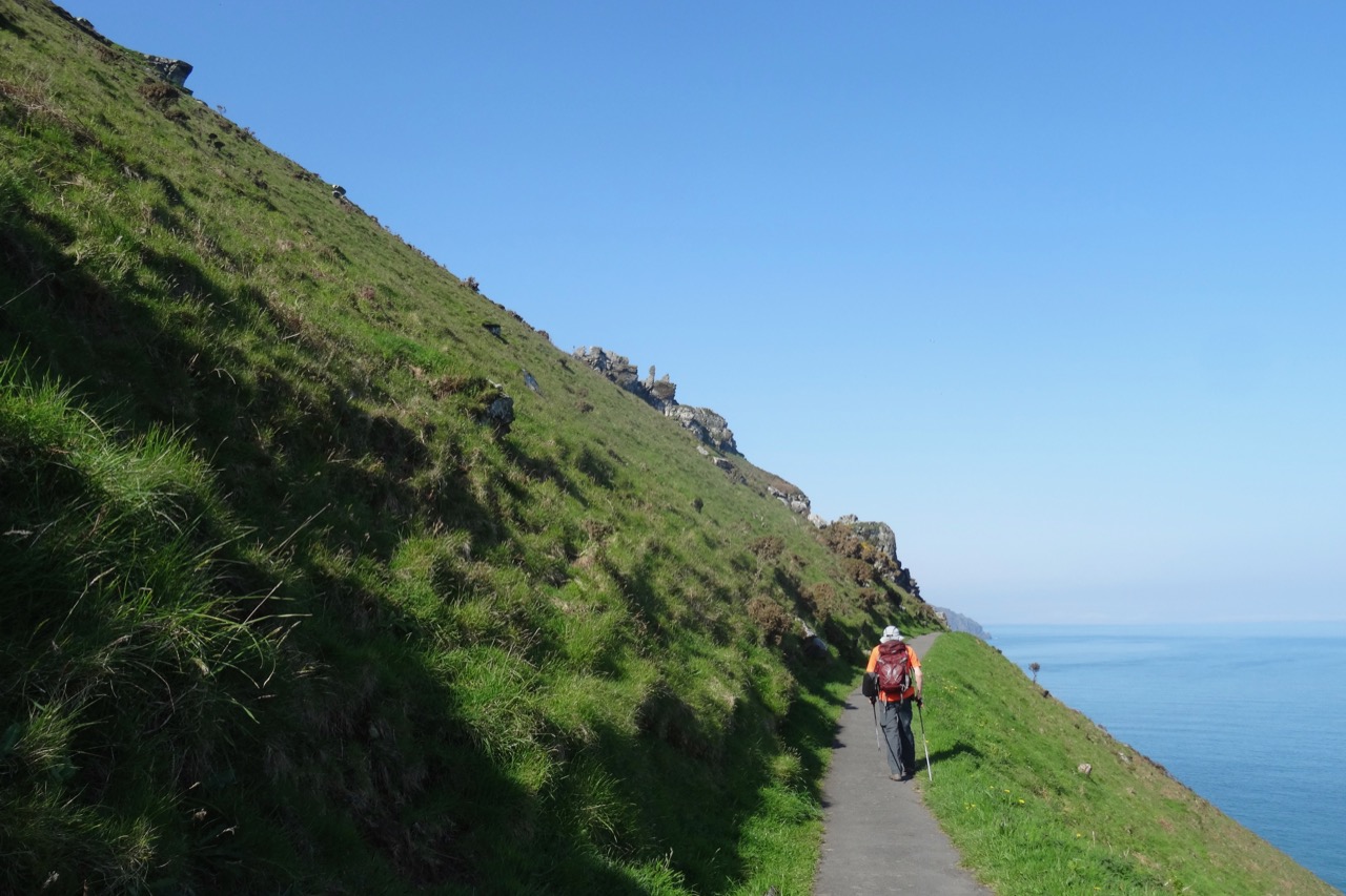
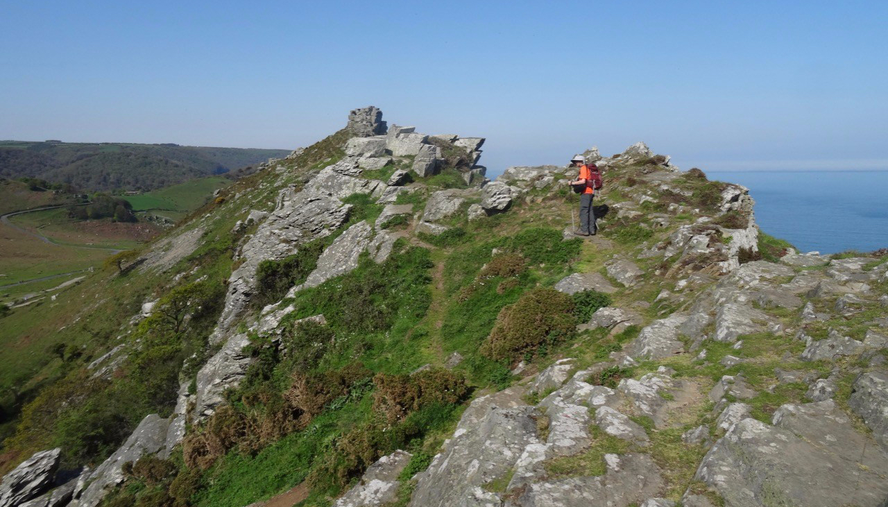
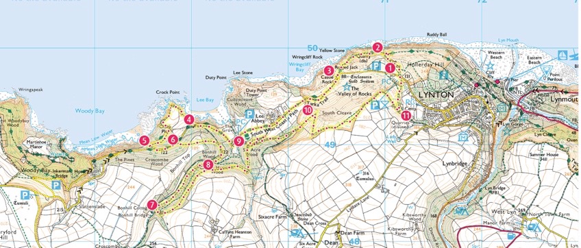
Today we walked a loop trail along the Southwest Coast Path through the Valley of Rocks, then circled back on the hills above the town of Lynton.

Screen Shot 2018-10-04 at 1.11.18 PM

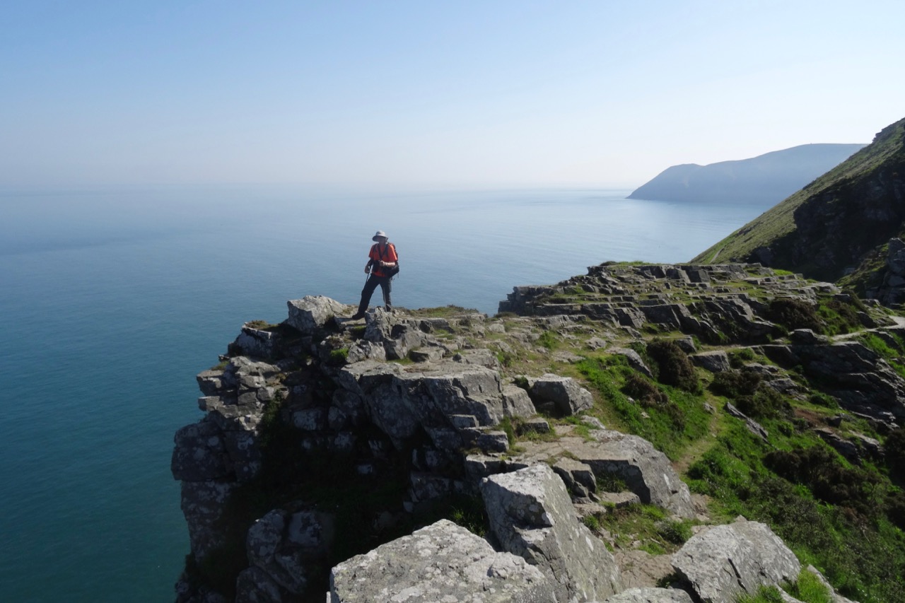
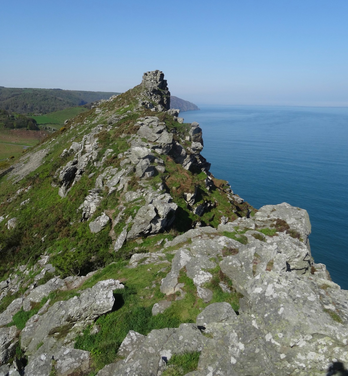
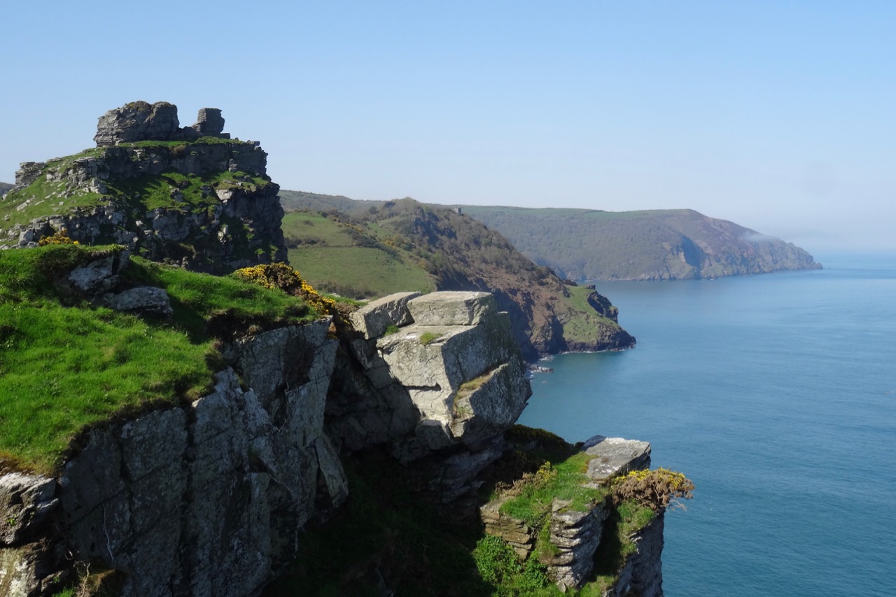
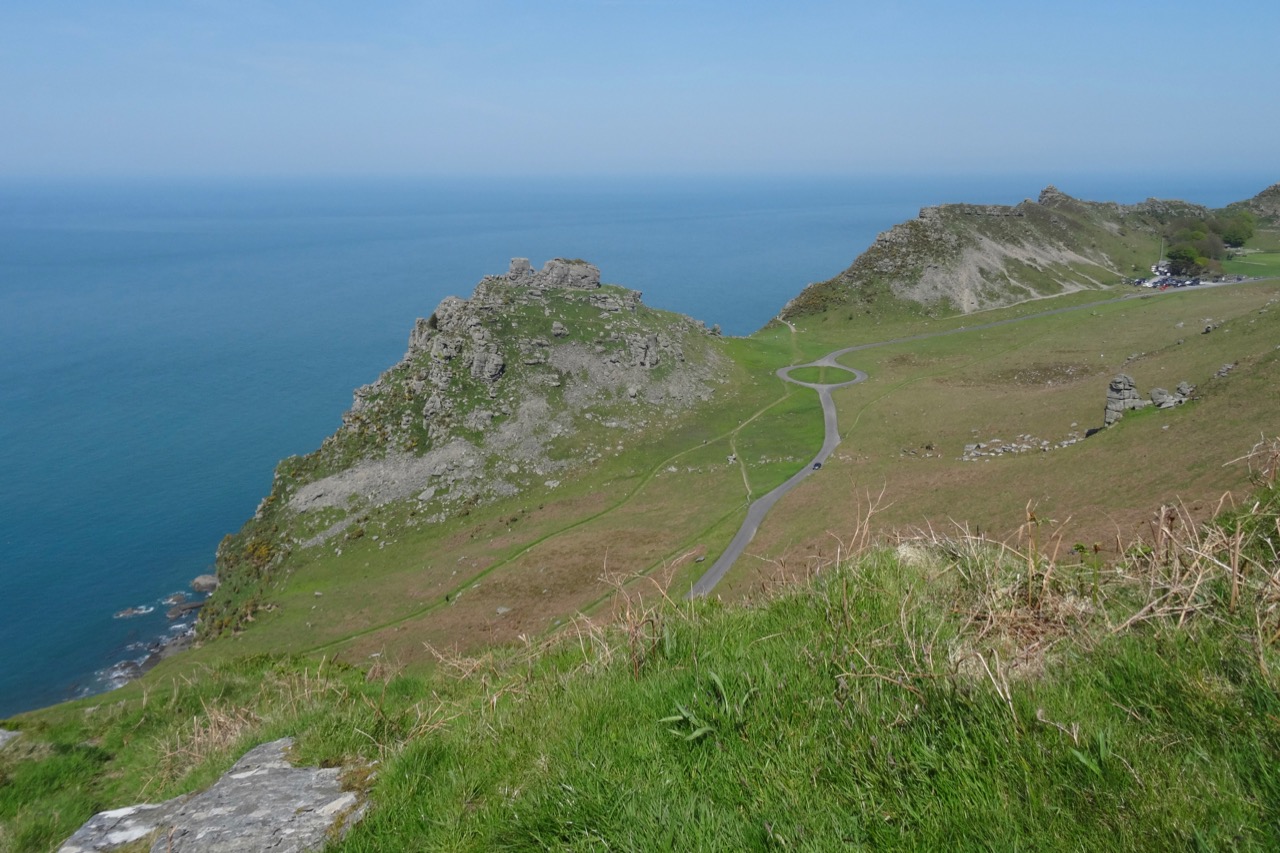
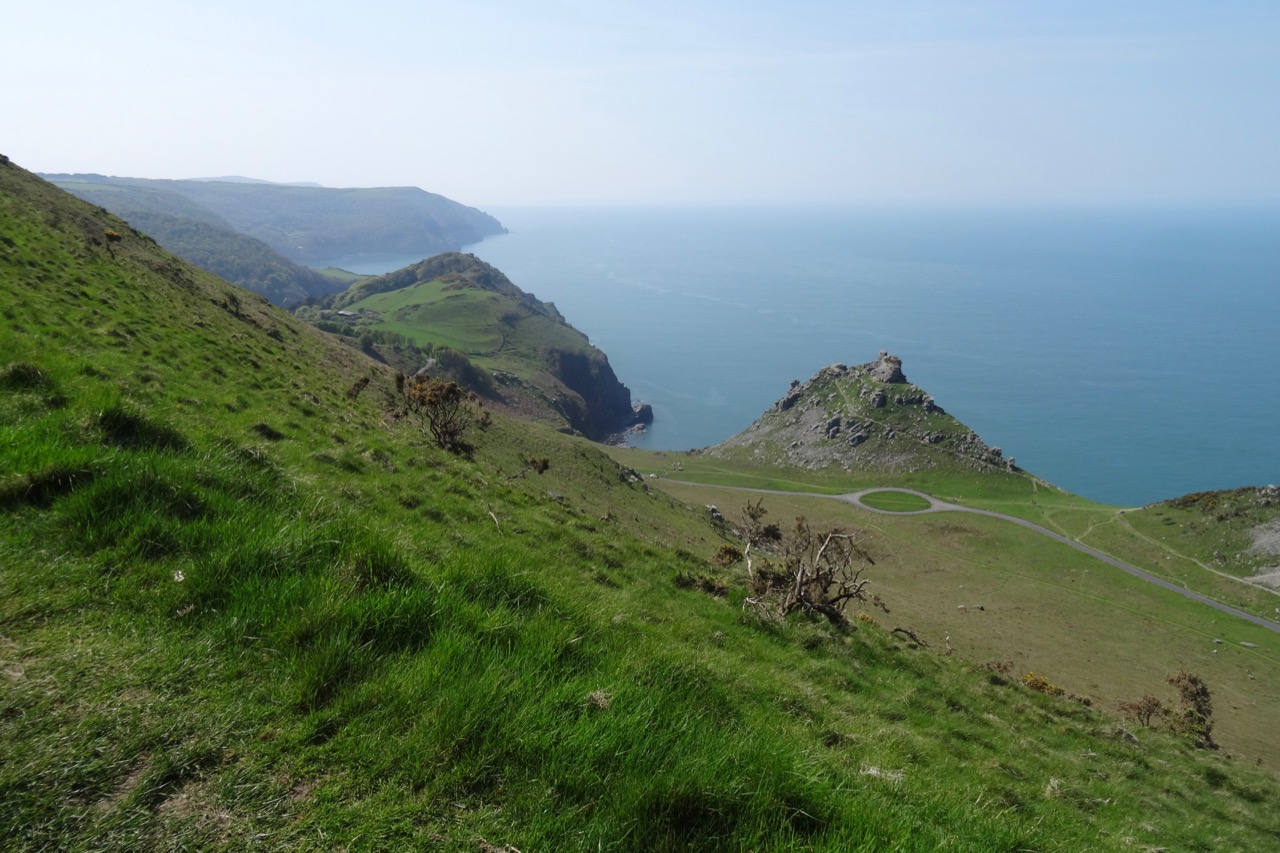
Valley of Rocks: The sun position was better today as we retraced our steps into the Valley of Rocks. We climbed up one of the promontories

DSC04099dsc04104.jpgDSC04105DSC04106

DSC04108

Looking back to the east.

DSC04109

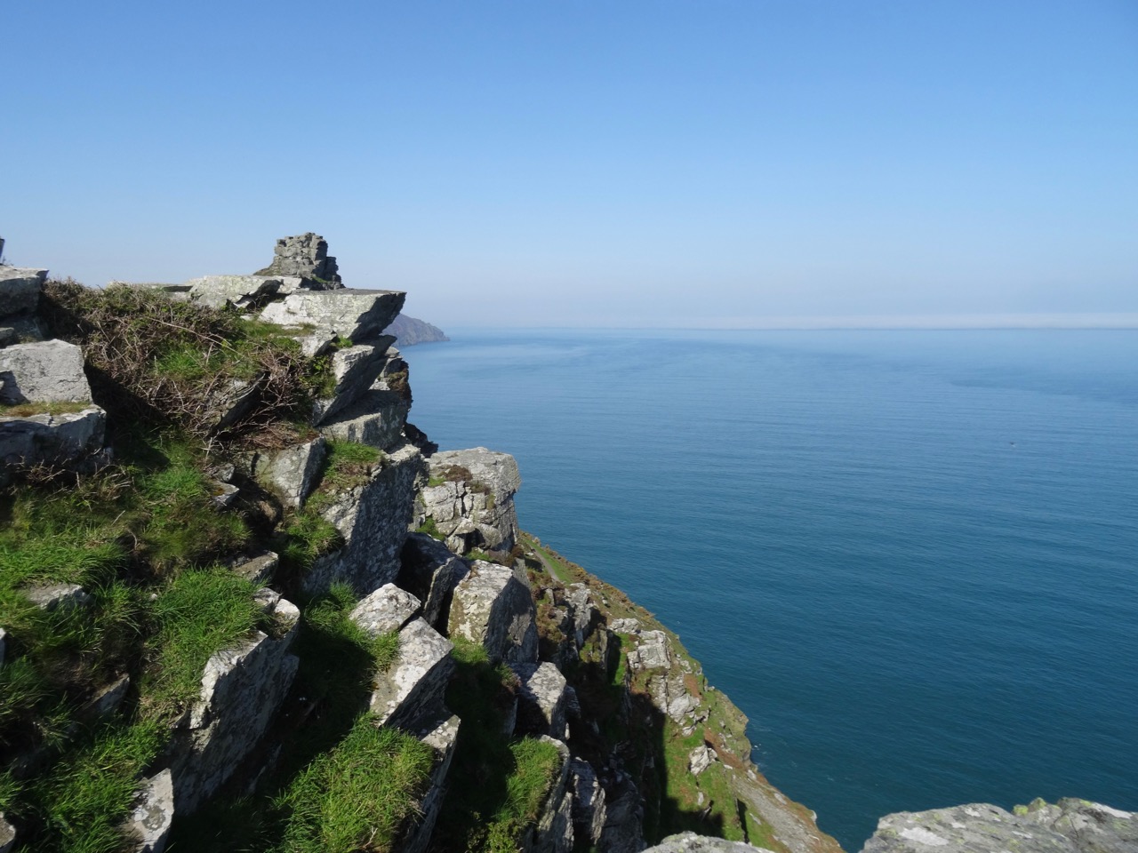
Castle Rock and westward view.

DSC04111

Steep cliffs here.

DSC04112

Quartzite and Slate of the Devonian Lynton Formation

DSC04116

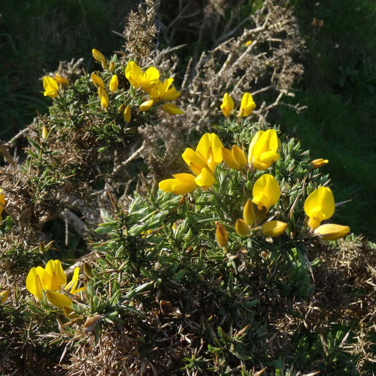
Gorse

DSC04124DSC04133

Beyond the rocks, the path continues on the road past Lee Abbey.

DSC04154

Lee Abbey

DSC04143

Gardens

DSC04144

Sheep

DSC04148

Fog wafting by

DSC04152

Old door

DSC04153

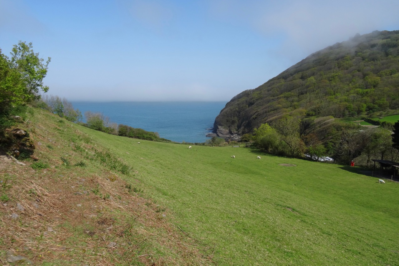
View down to Lee Bay

DSC04158

More sheep

DSC04160

View back to the Abbey

DSC04163

A house along the road

DSC04165

DSC04166

Lee Bay again

DSC04169

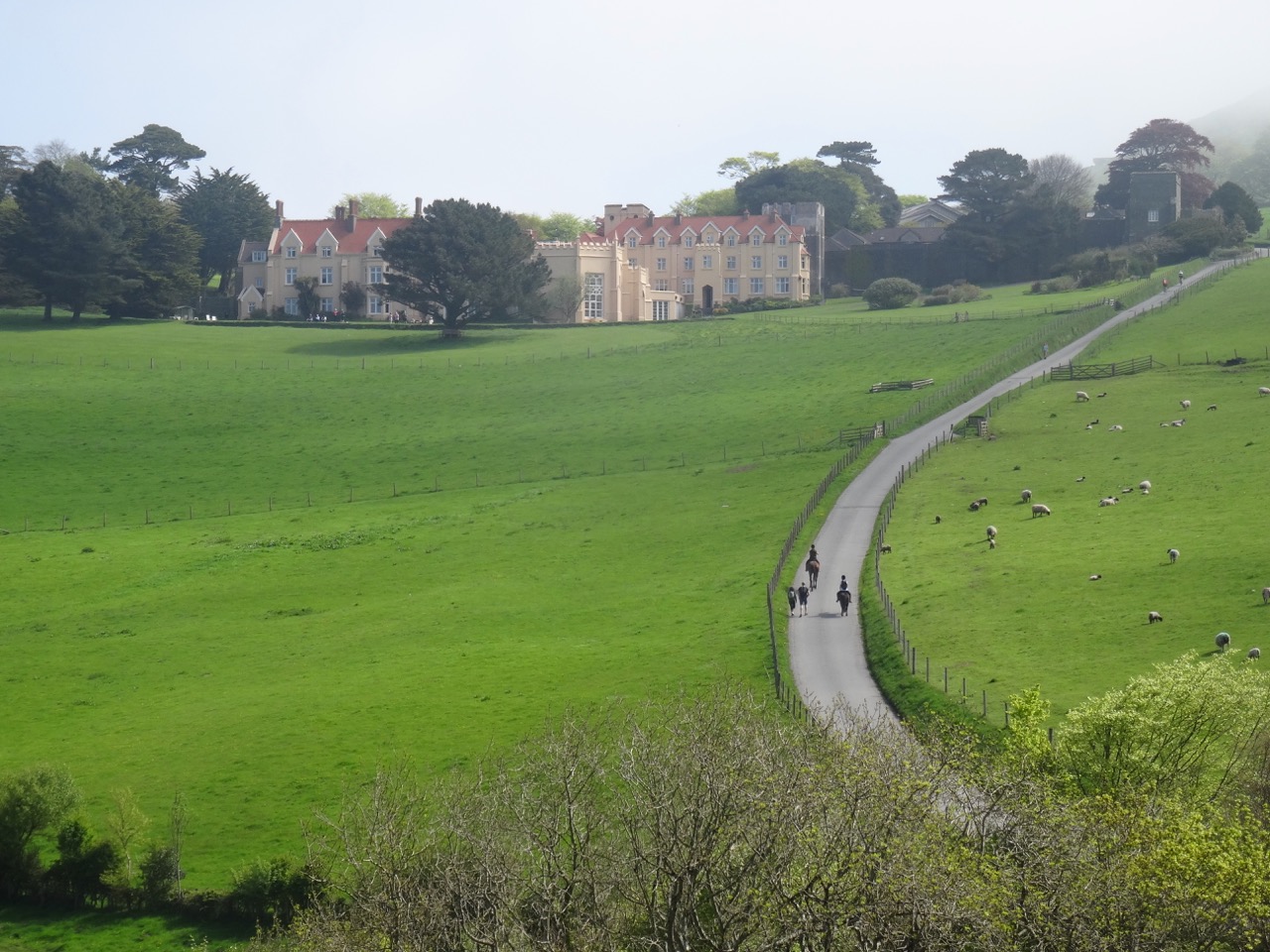
Horses riding up the road near Lee Abbey.

Our trail descended to circle around Crock Point, with the fog settling in on us.

DSC04170

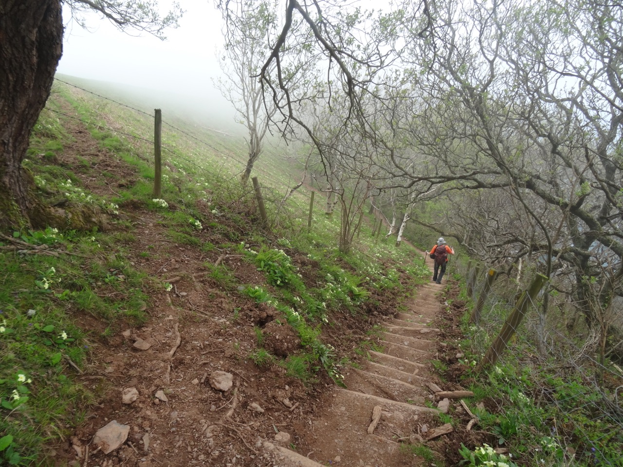
Steep steps down the primrose path.

DSC04171

Foggy meadow on Crock Point,

DSC04172

and foggy views beyond the hedgerows.

DSC04174

Plenty of flowers,

DSC04176

And then the fog lifted.

Next our trail wound through Croscombe and Bonhill Woods where we crossed The Lee on Bonhill Bridge.
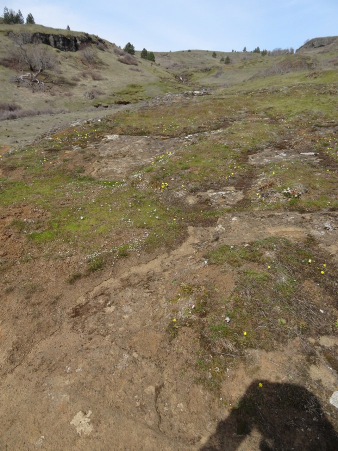
DSC04183

Our path was lined with bluebells in Croscombe Wood.
DSC04184

Bluebells and Campion

DSC04187

A twisted tree, ferns and bluebells – so very green in here!

DSC04189

Another steep staircase in Bonhill Woods down to the stream.

DSC04190

Bonhill Bridge across The Lee.

DSC04193

The Lee

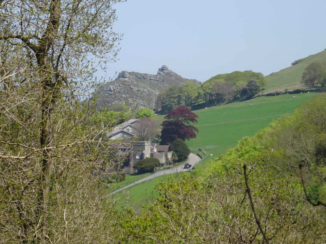
As we entered the Six Acre Wood we could see back to the Valley of Rocks.

DSC04216DSC04196

DSC04200

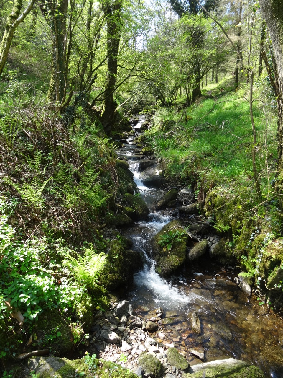
A small check dam along the way seemed like water sprite habitat.

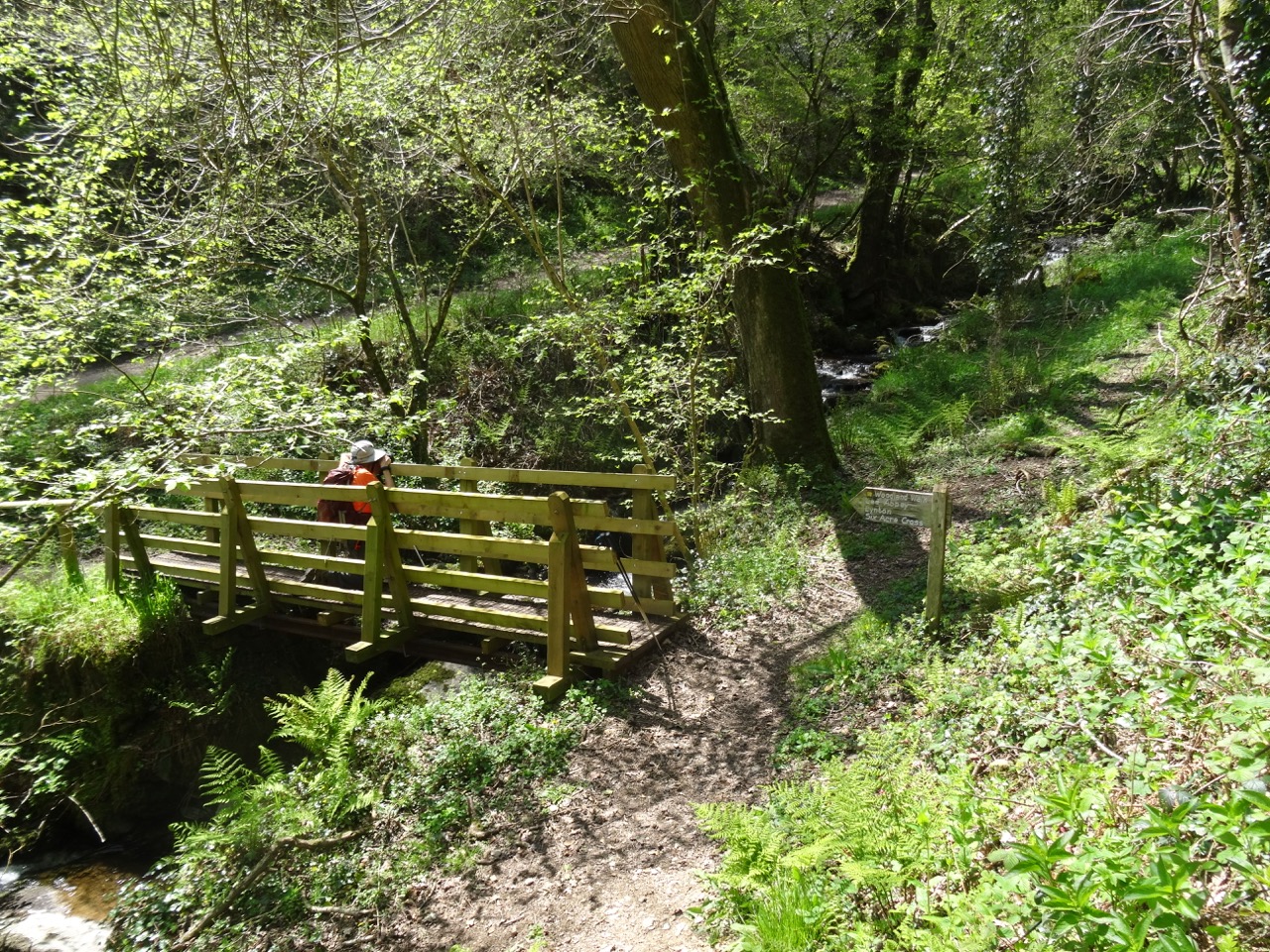
Our trial emerged onto the slopes of South Cleave, from which we could look down upon the Valley of Rocks and our earlier path.

DSC04222

Trail up South Cleave.

DSC04218

Looking down on Lee Abbey.

DSC04221

Looking down on Lee Bay.

DSC04223

Valley of Rocks below.

DSC04238

Another view west from South Cleave.

Our path led us down hill and through Lynton before circling back to our lodgings.

DSC04243DSC04244DSC04245

DSC04246

Downtown Lynton.

DSC04247

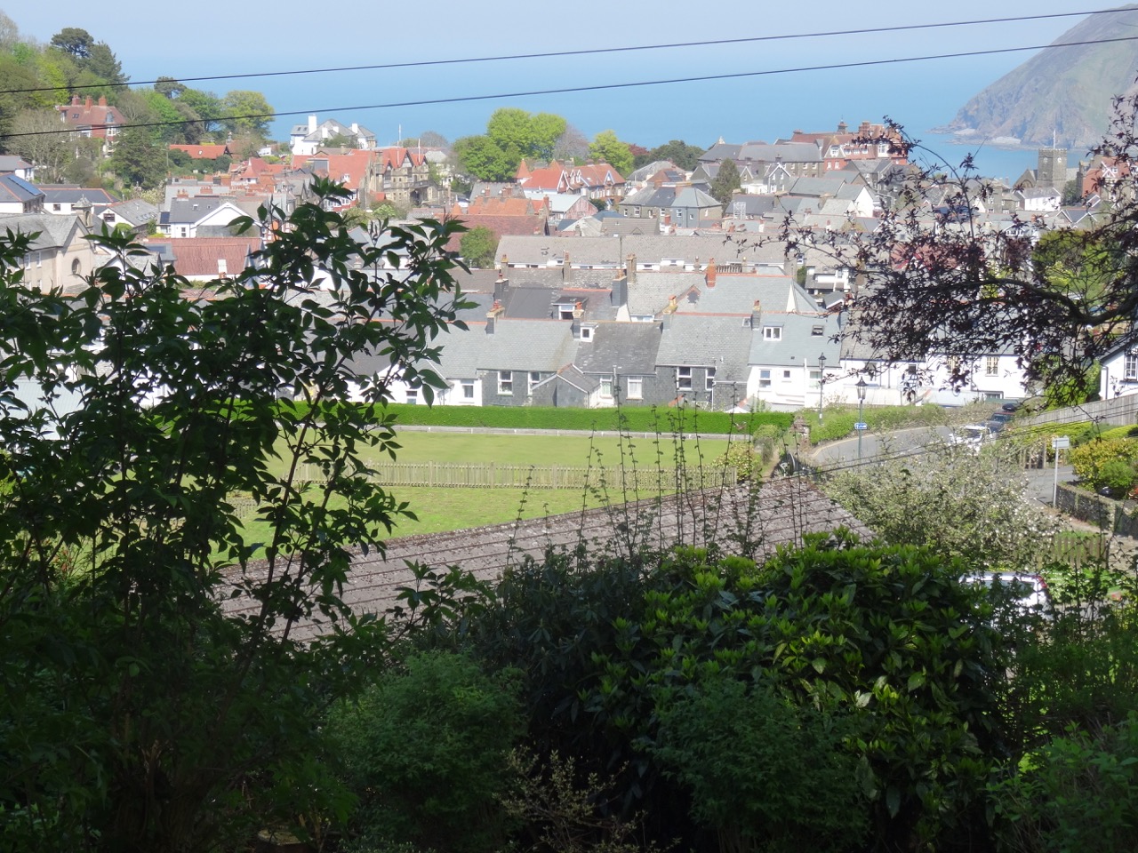
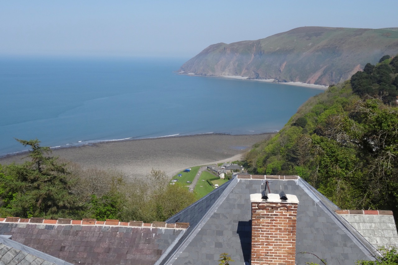
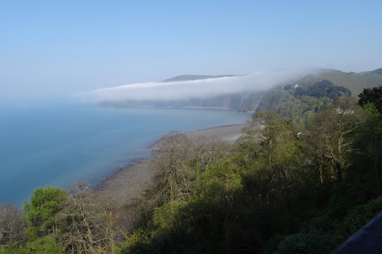
View over the rooftops to Lynmouth Bay.

DSC04248

Sign showing the paths and the Cliff Railway down to Lynmouth – on tomorrow’s agenda.


Image 12-4-18 at 6.17 PM

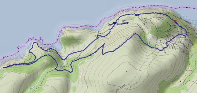
Southwest Coast Path Website Map for our Walk. We walked about 7.5 miles, 700 feet elevation.

Evening view of Countisbury Hill and Lynmouth Bay from our little balcony:

DSC04253


Return to Angel’s Rest (18-53)

Angel’s Rest Trail, Oregon   November 24, 2018

A few trails in the Columbia River Gorge that have been closed since the September 2017 Eagle Creek Fire were reopened for the first time this past weekend. We went to Angel’s Rest on Saturday morning, along with hundreds of other local hikers. It was with care, scrutiny, appreciation, and gratitude that we made our way up 1500 feet to the iconic views over the gorge. The trail was in great shape, thanks to the many trail keepers who have worked on recovery.

DSC00428

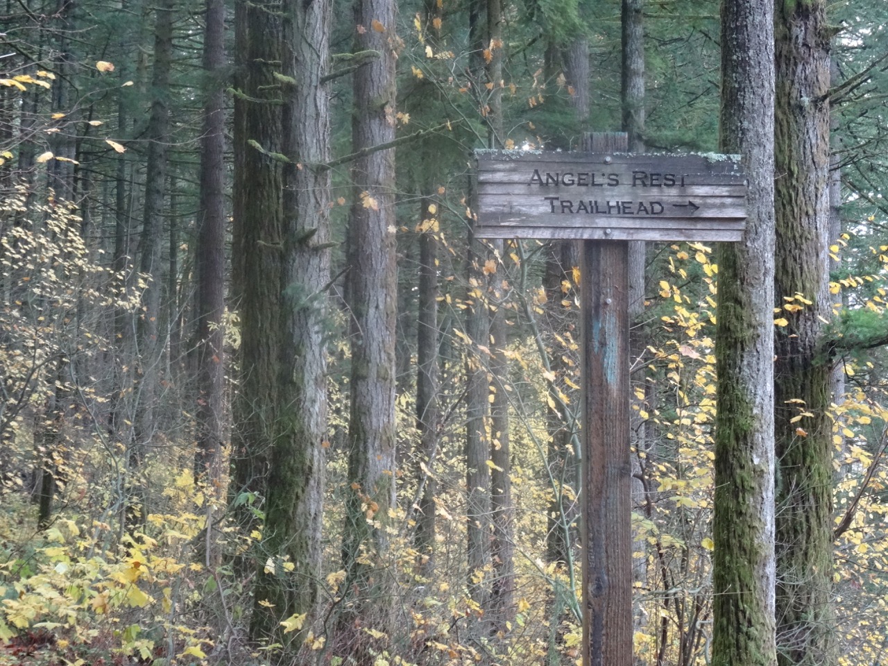
Into the woods

DSC00312

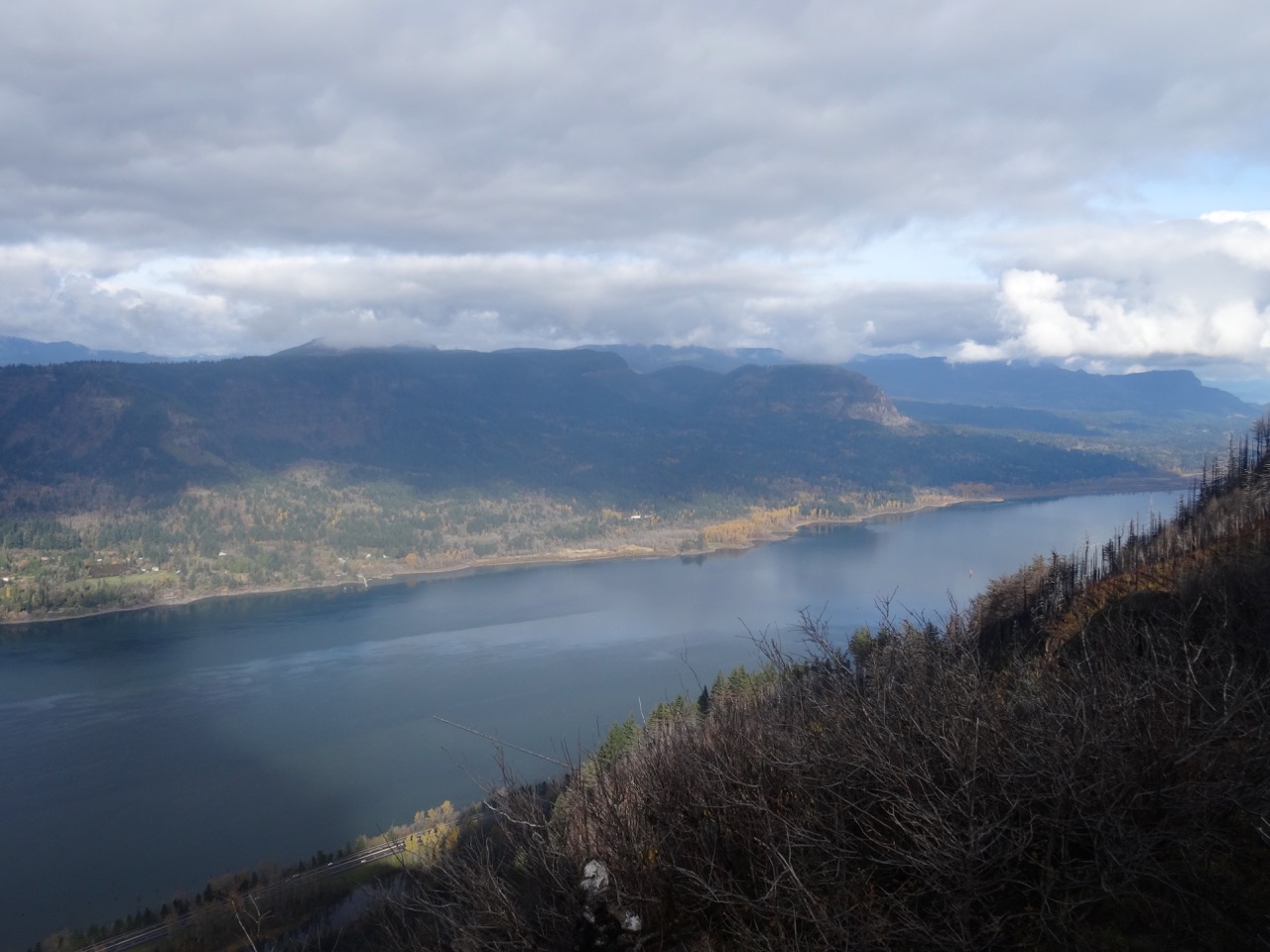
Views of Cape Horn, the Columbia River and Phoca Rock emerge on the lower trail.

DSC00315

Coopey Falls

DSC00330

Angel’s Rest – our destination.

The trail begins to switchback up the front of Angel’s Rest.

DSC00339

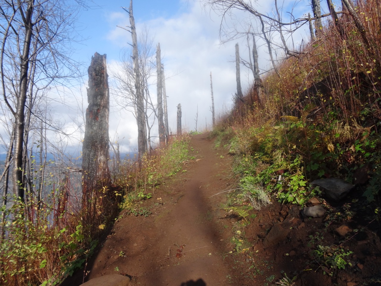
Burned tree trunks and open views line the trail.

DSC00347

First view west toward the trailhead.

DSC00349

Well repaired trail surface next to blackened trees.

DSC00351

Blackened stump.

Nearing the top, the views unfold:

DSC00361

To the west, from near the top.

DSC00370

The Hilary Step of Angel’s Rest – leads to the ridge crest. Sometimes there is a line of hikers waiting to go up or down.

DSC00411

From the top, looking toward the overlook where many rest.

DSC00380

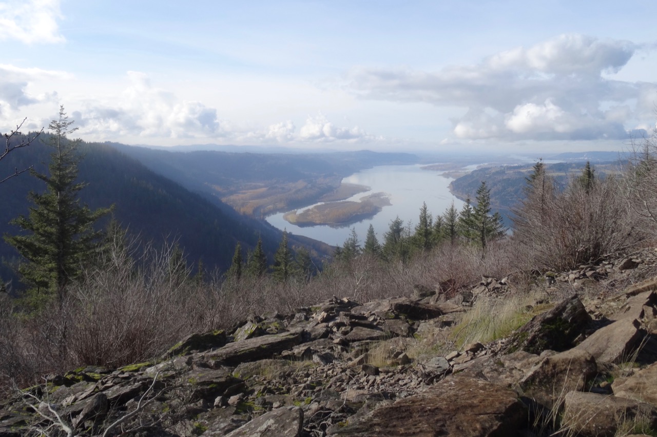
Open view west – toward Portland, Cape Horn in Washington and Phoca Rock.

DSC00387

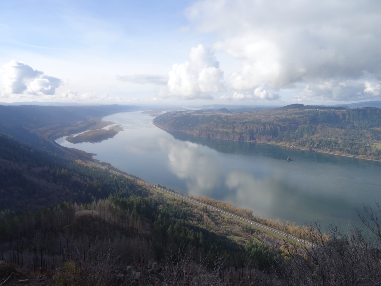
Open view east – toward Hamilton Mountain in Washington.

We wandered around on top for a while, admiring the view from various perspectives, and found a place to eat lunch.

DSC00394

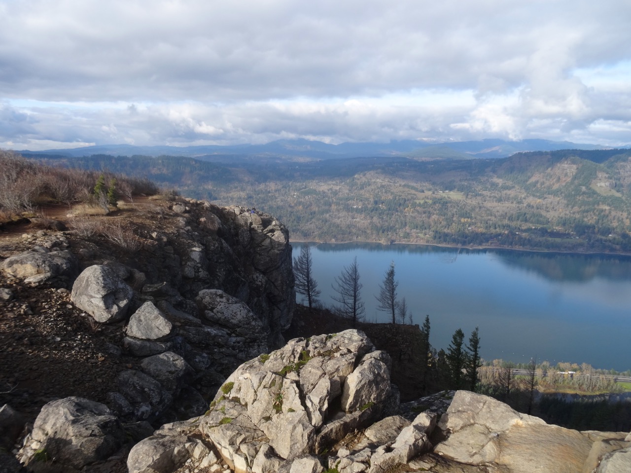
Closer view of Cape Horn in Washington.

DSC00395

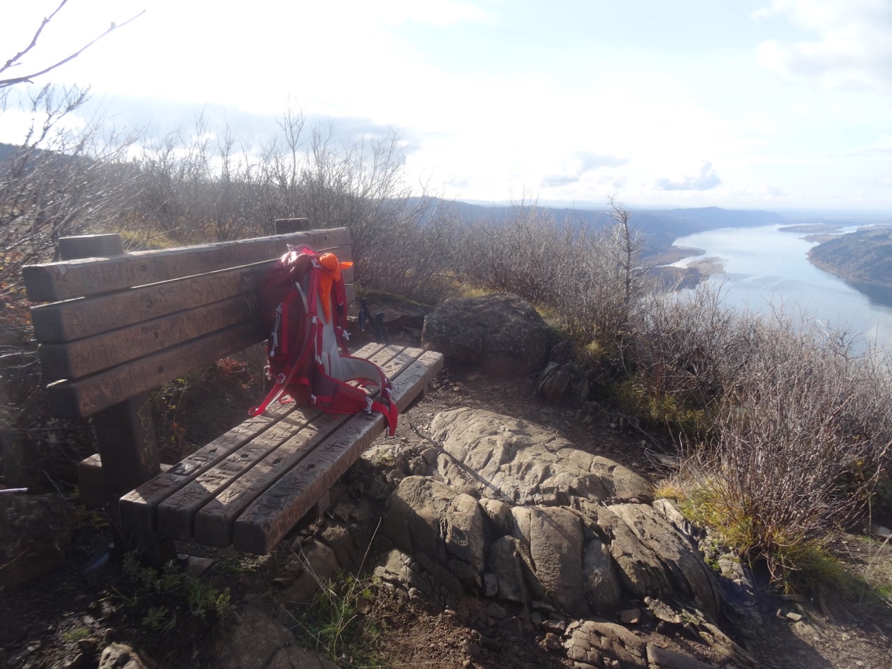
The bench is still there.

DSC00397

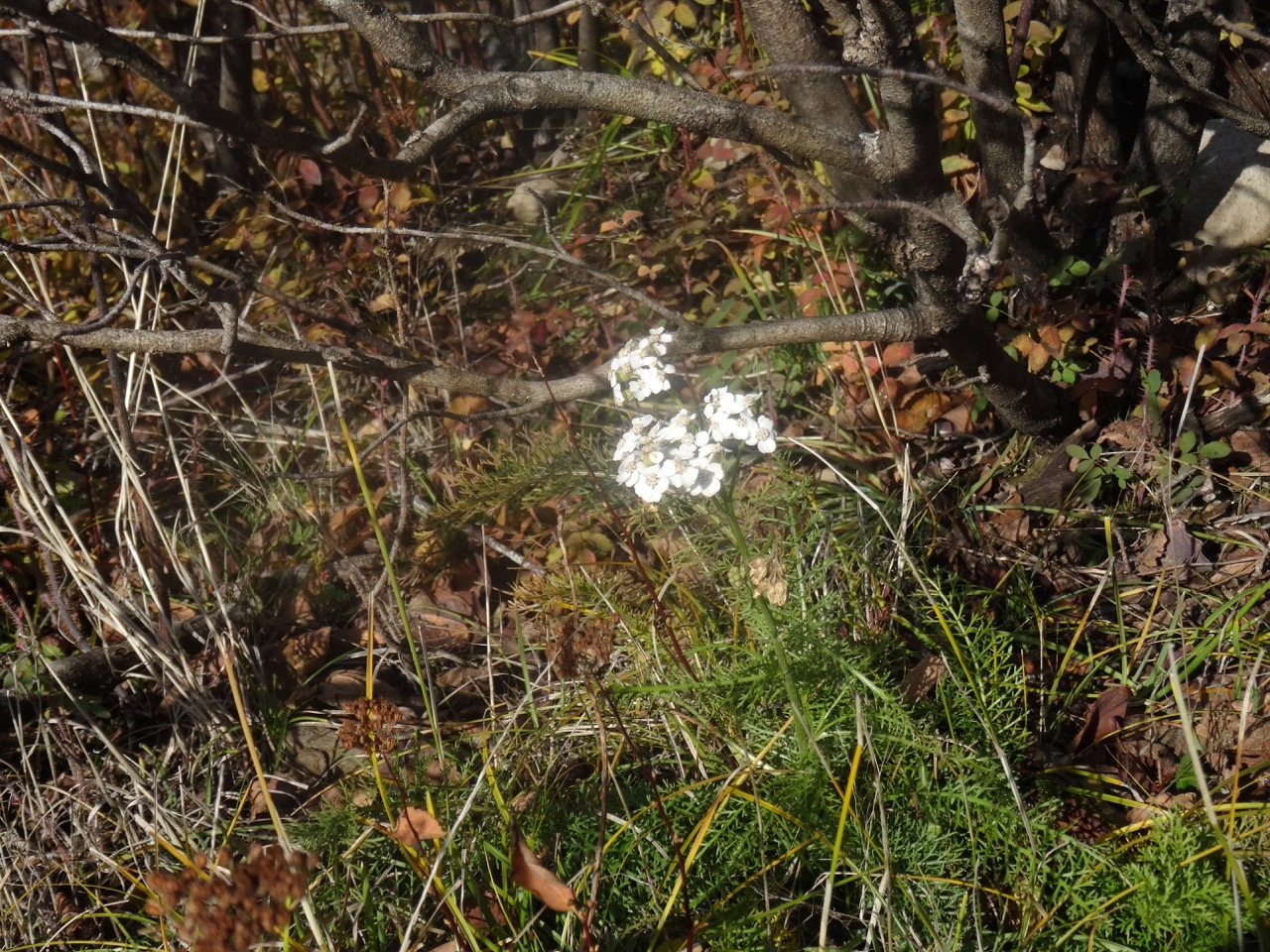
We saw a single blooming white yarrow near our lunch stop.

DSC00396

Yarrow

We headed down, stopping for a few more views along the way.

DSC00404

Looking back toward the top, where the first views are seen.

DSC00407

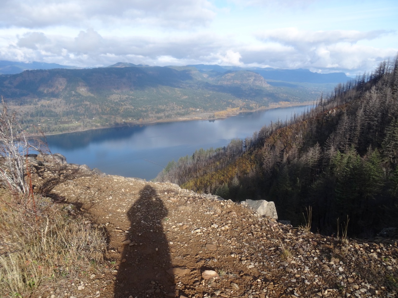
My shadow in the low November light.

DSC00413

My favorite sculpted shoreline of the Columbia River.

DSC00415

View through the rock piles.

DSC00416

Seasonal berries

DSC00417

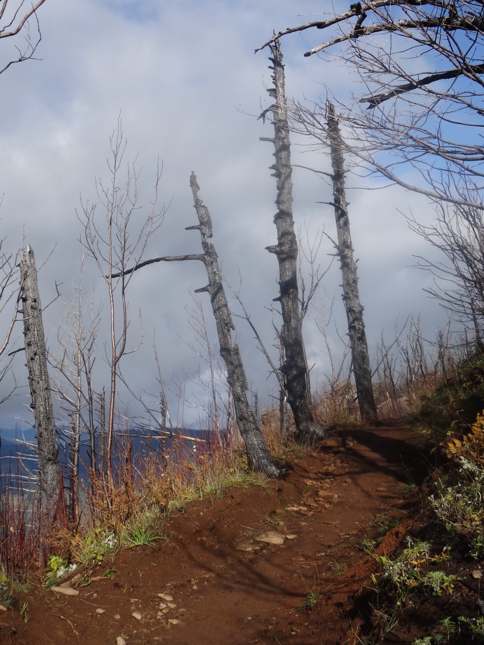
Trees that are burned, dying, no longer evergreen.

Looking back as we hiked down:

DSC00420

Where we were – and much more visible with all the undergrowth burned away.

DSC00422

White berries lined this part of the trail – not sure what they are – possible snowberries, or the dreaded poison oak.

Image 11-28-18 at 1.18 PM

Golden Hike of the year, #62, 5.2 miles, 1500 feet.

Look back:

I found a couple of comparison photos from previous hikes – this one in January of 2013:

DSC00623

January 2013 – the white tree trunks are left from a fire in 1991.

DSC00368

November 2018 – the white trunks are blackened, and the green trees are now dying.

A closer view:

DSC00628

January 2013

DSC00400

November 2018

An image taken in 2017 from Cape Horn looking over to today’s hike to Angel’s Rest.

Version 2

Angel’s Rest, October 2017, From Cape Horn, WA.

Pumpkin Pie

A lovely Thanksgiving dinner with a small gathering of family and friends.

56455561396__6DC3EE2D-A9BB-4FCC-907B-ADFF24C3AD45

Knitting

Another round cloth. Some new sock and hat yarn acquired from my LYS on Black Friday.

DSC00434IMG_1726

Jane Austen House Cross Stitch

I have been rather obsessively cross stitching in the evenings.

DSC00438

Neighborhood

Leaves fully gone from the flame ash tree.

IMG_1724

Other Adventures

It has been about a year since I was diagnosed with a pituitary tumor. I had another trip through the MRI this week to evaluate the tumor surgery site, accompanied by a Joni Mitchell soundtrack in my head this time. Fortunately, all appears well. And I could see all three mountains from the OHSU tram view patio.

IMG_1709

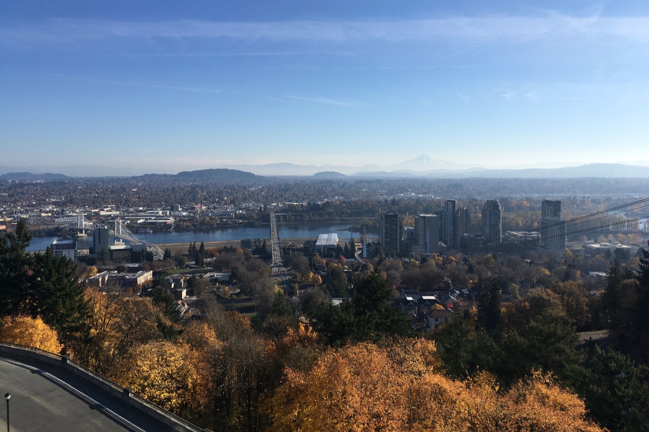
Mt St Helens on the left; the top of Mt Adams just right of center on the horizon. Tillikum Bridge over the Willamette River on the right.

IMG_1710

Tillikum Bridge on the left; Mt Hood on the horizon – looking east from the OHSU tram patio.

Zennor and Lizard; Finding Cornwall (18-52)

Day 10, Saturday, May 5, 2018

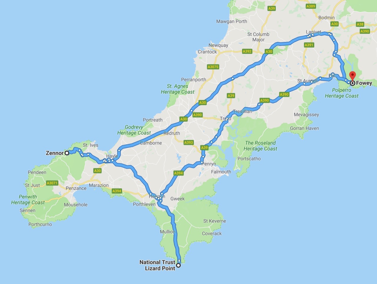
Screen Shot 2018-11-20 at 4.43.42 PM

Part 1, Zennor

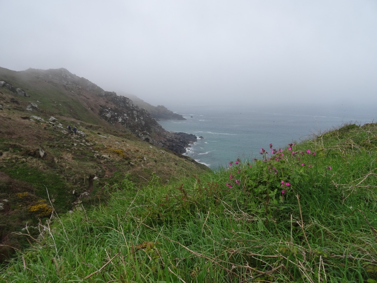
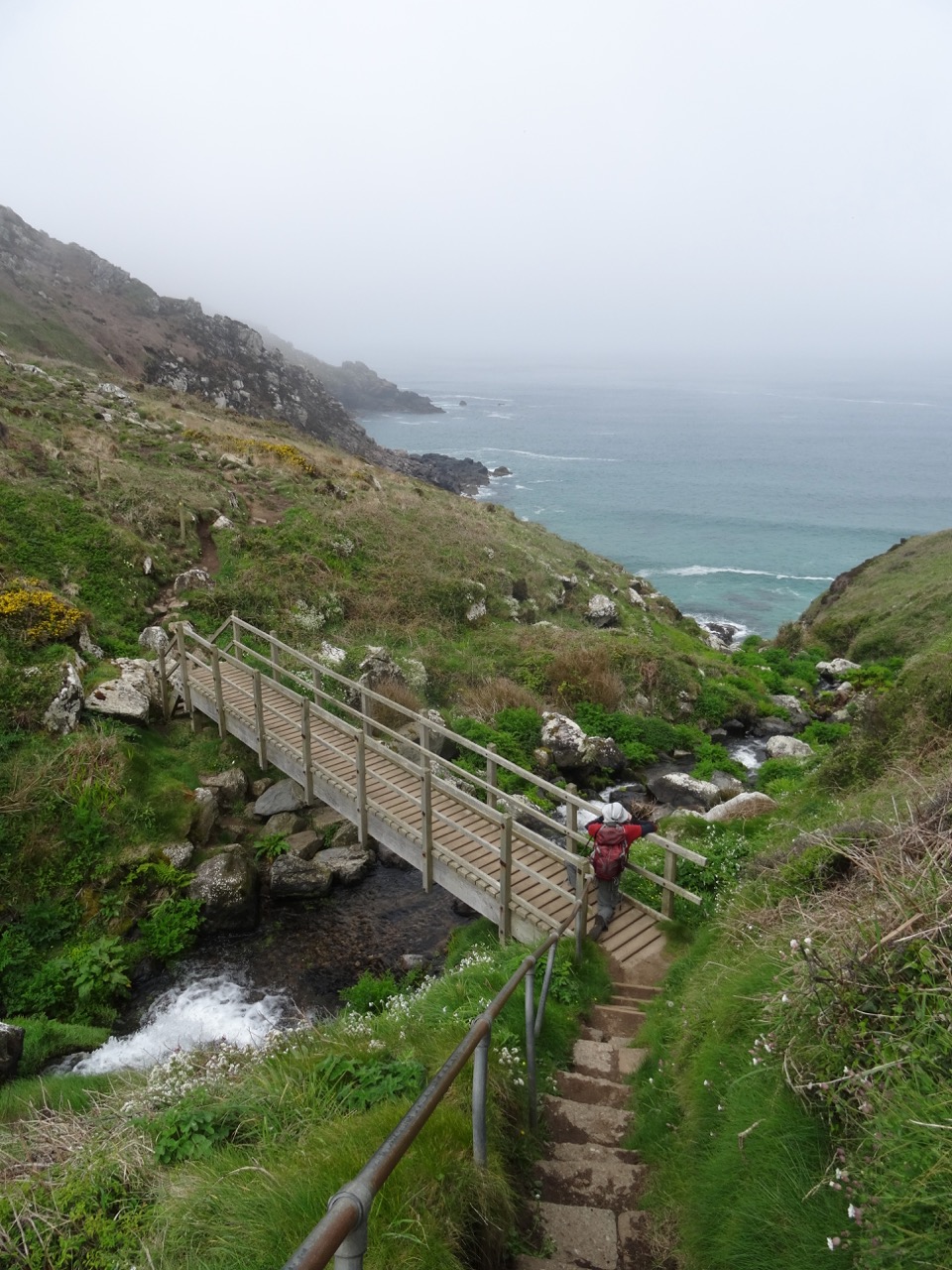
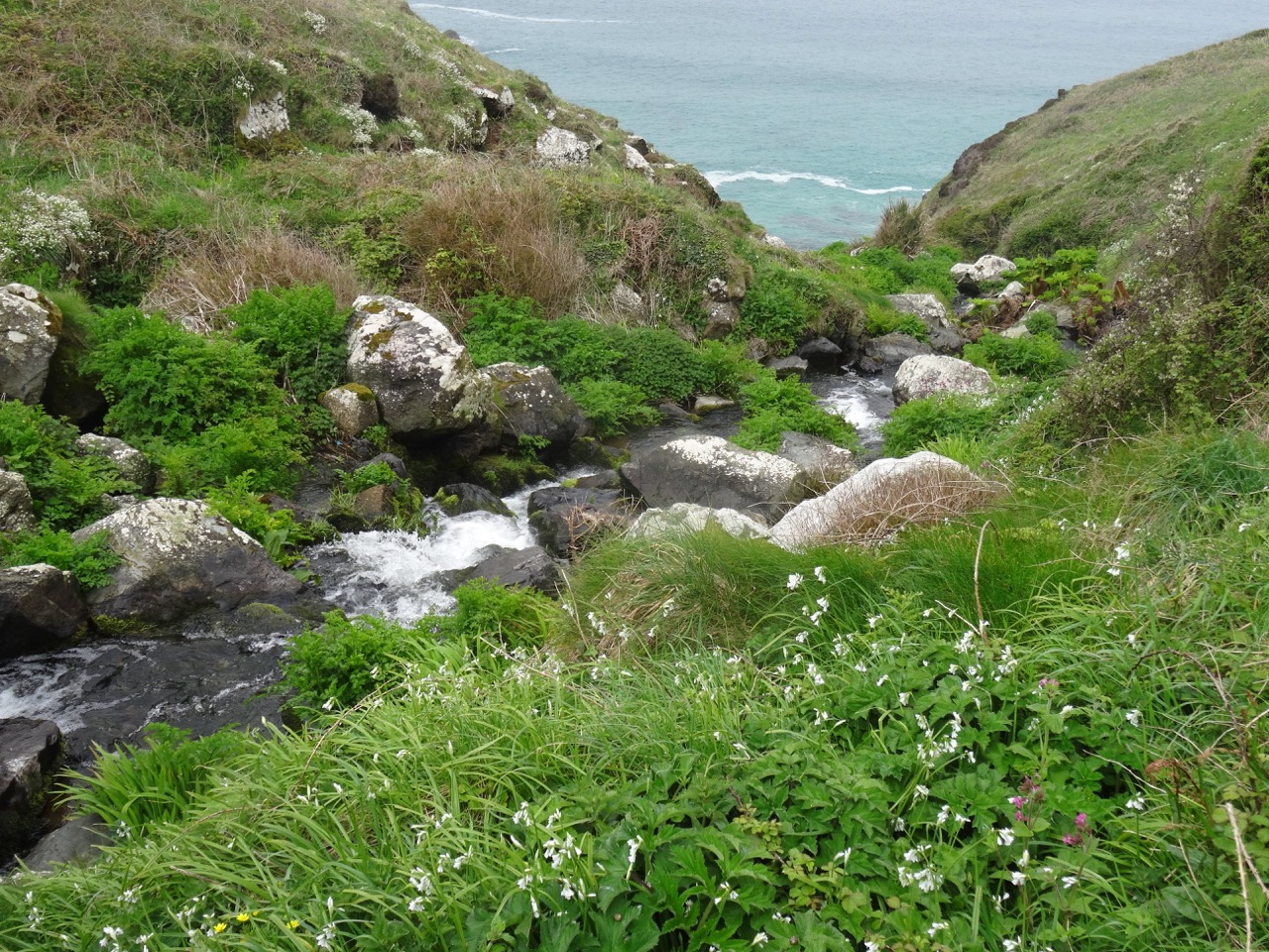
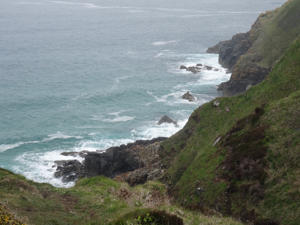
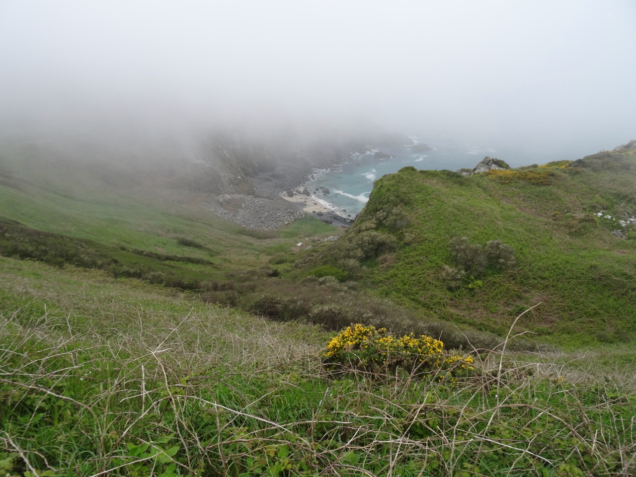
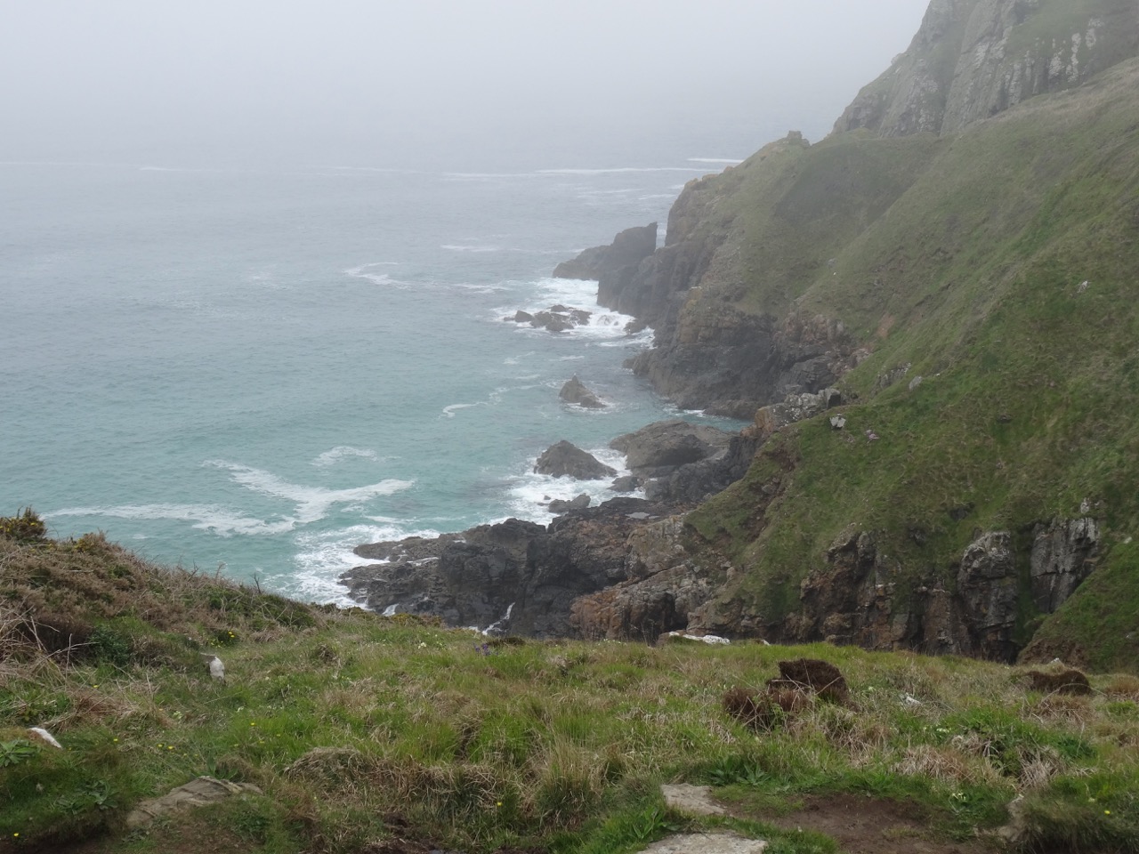
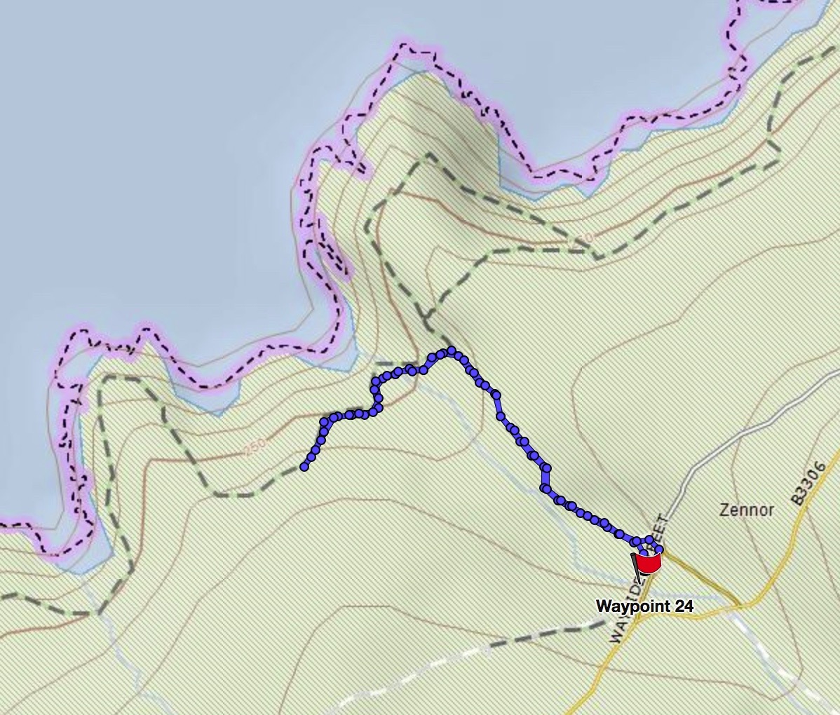
We drove from Fowey to the north coast of Cornwall again, to the village of Zennor, west of St Ives. We walked along the Southwest Coast Path, down one canyon, across the stream, and up the next bluff. The great views were limited by cloud cover, though we enjoyed seeing the flowers and a waterfall.

DSC03755

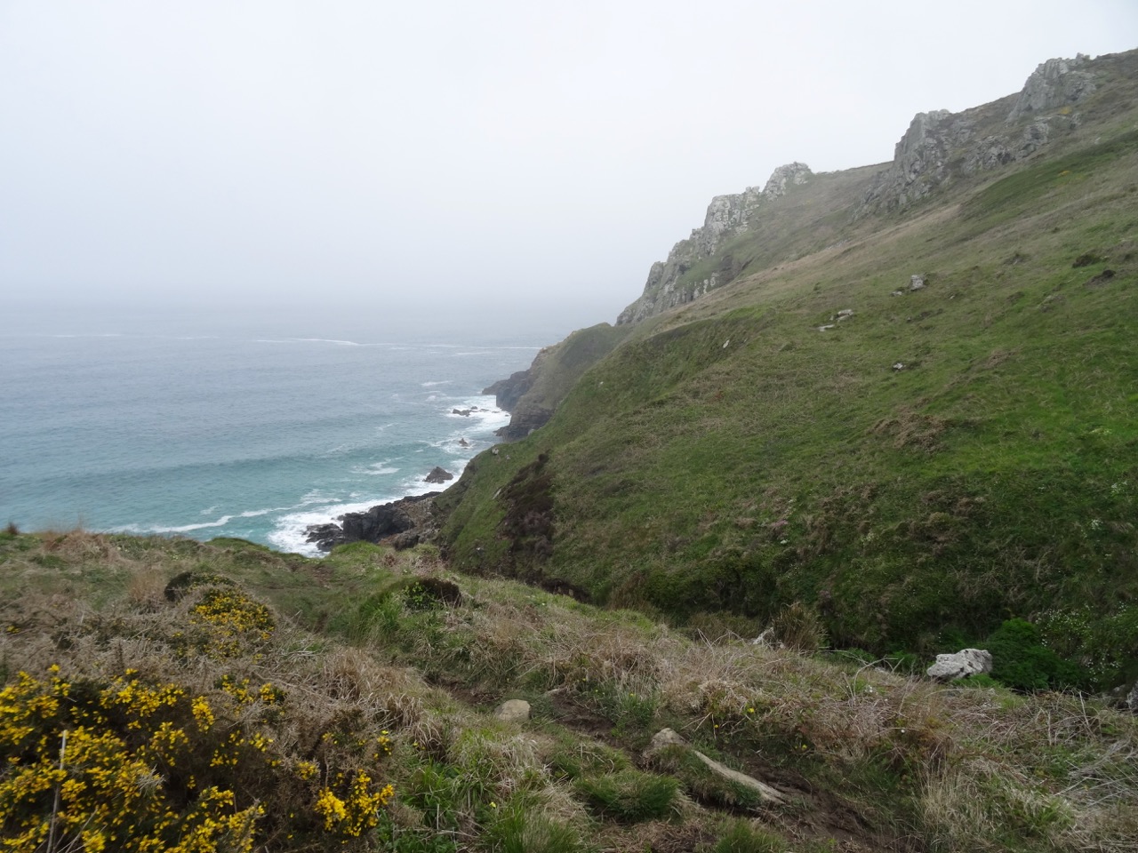
Foggy views

DSC03757

DSC03759

Crossing the stream

DSC03760DSC03770DSC03771

DSC03776

Pendour Cove

DSC03780

Foggy lunch spot

DSC03787

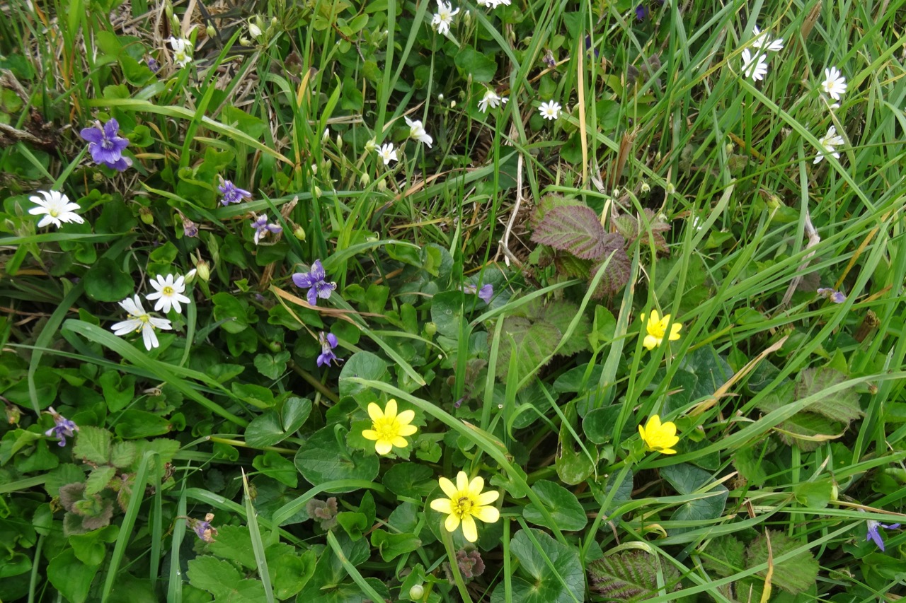
Flowers on the path back to Zennor.

DSC03788

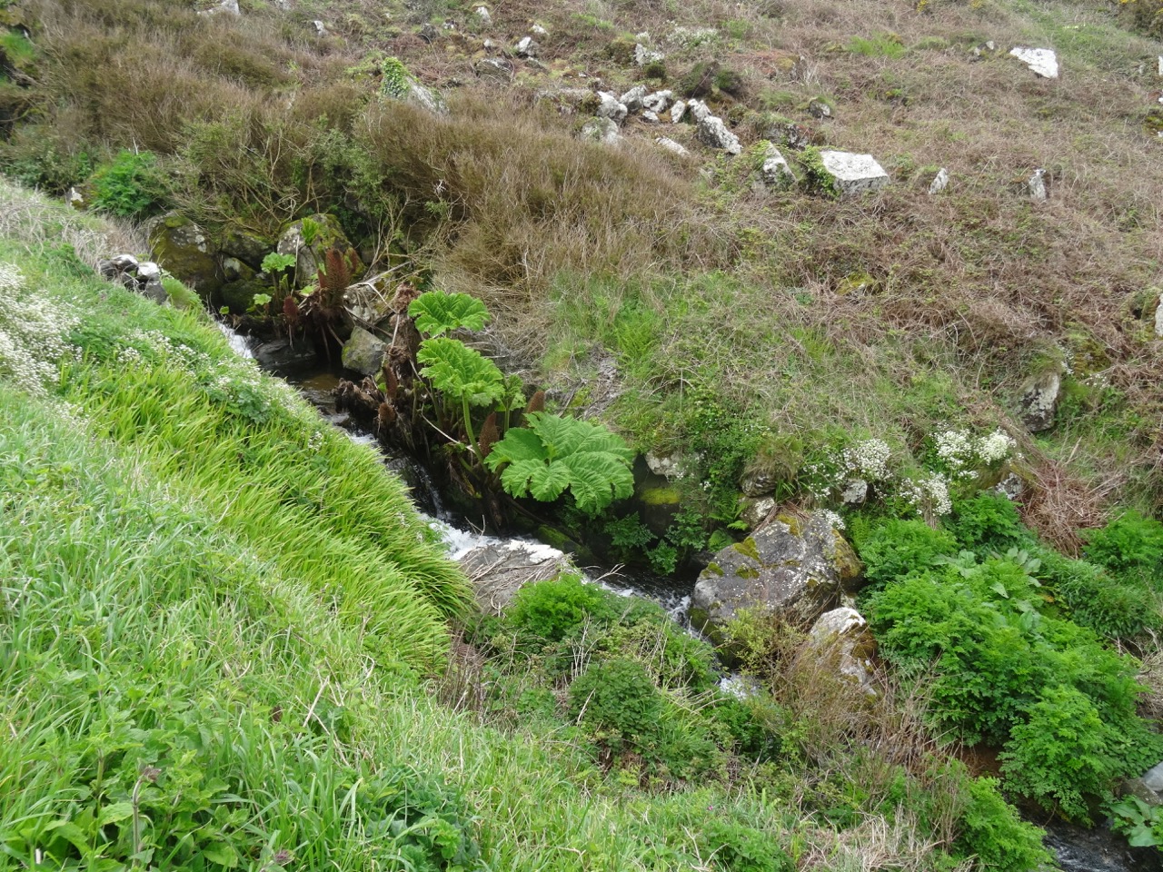
Giant Gunnera manicata – a Brazilian plant brought to the UK in the 1860s.

DSC03796

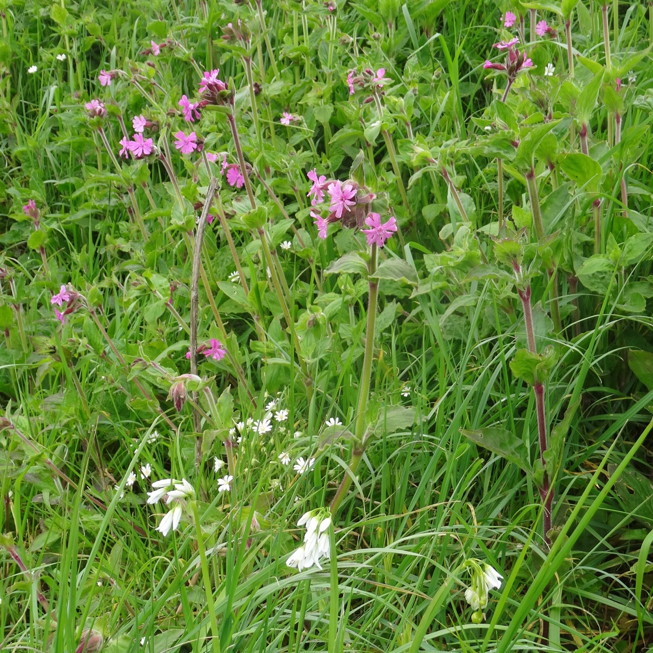
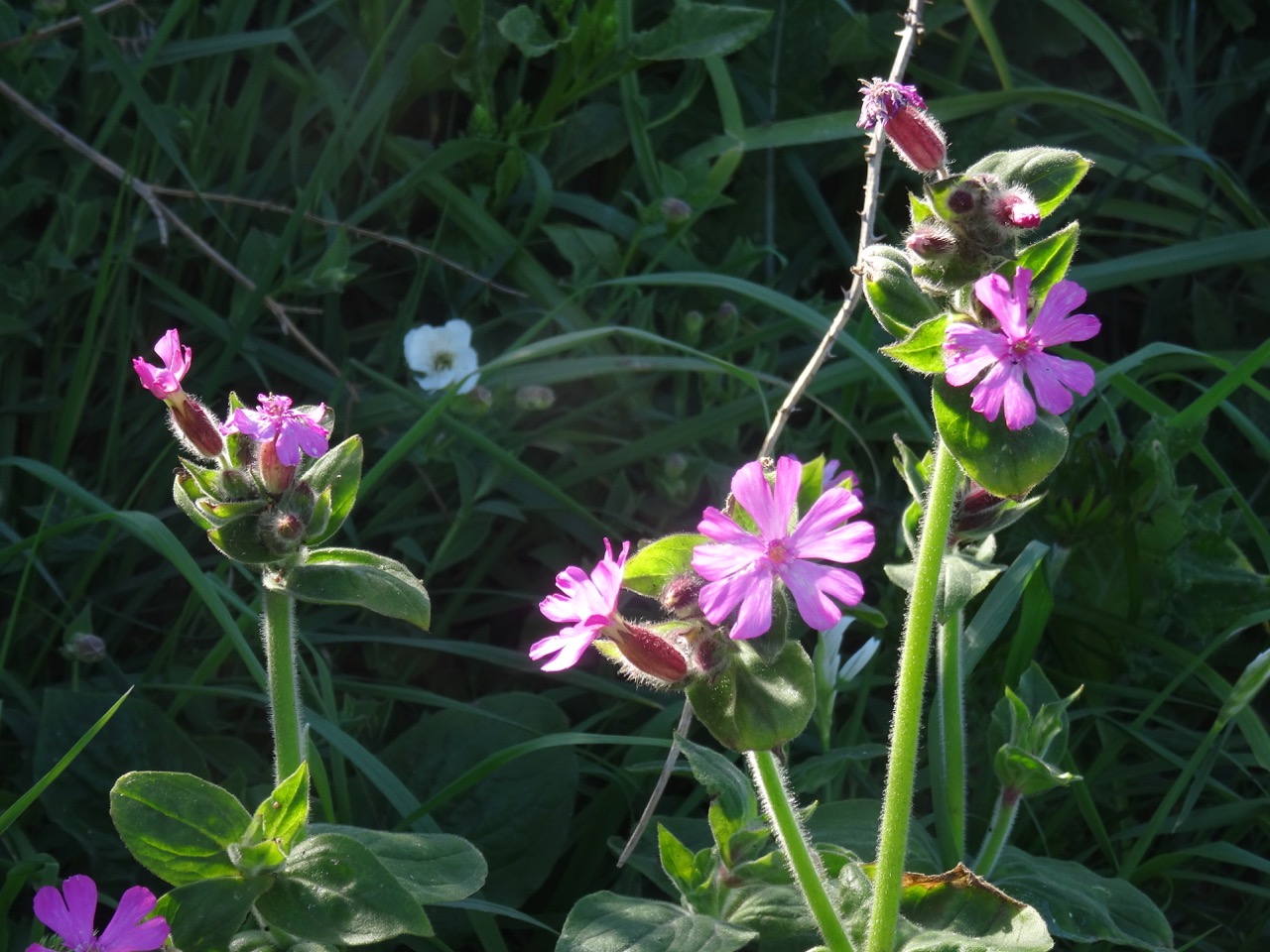
Red campion and scilla

DSC03798DSC03800

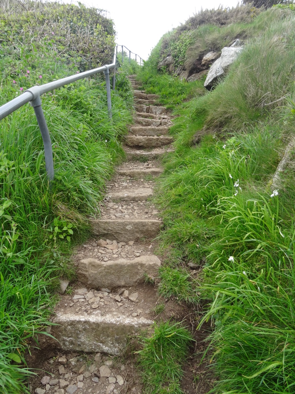
DSC03802

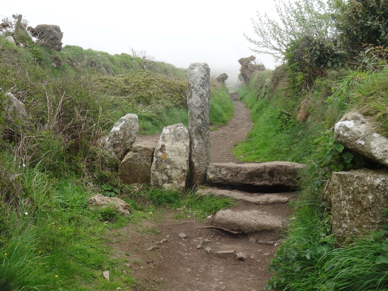
Rock stile

DSC03767

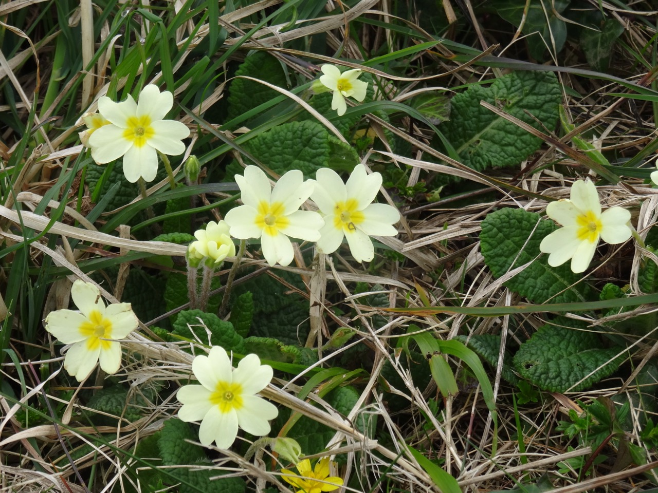
Primroses

dsc03806.jpg

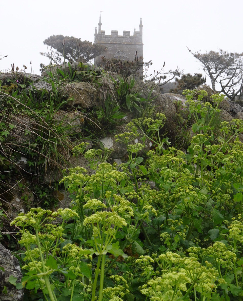
St Senara’s Church, Zennor

Screen Shot 2018-10-04 at 1.02.09 PM

Our walk

We were disappointed about the cloud clover, as this is supposed to be a particularly spectacular coastline.

Part 2, Lizard

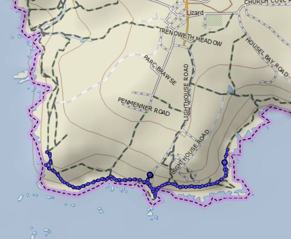
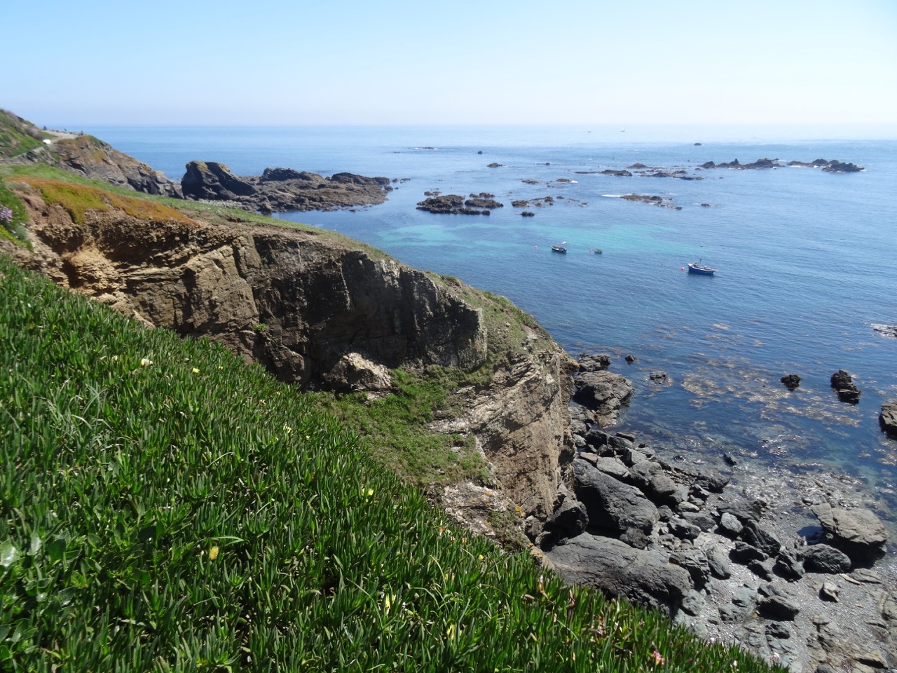
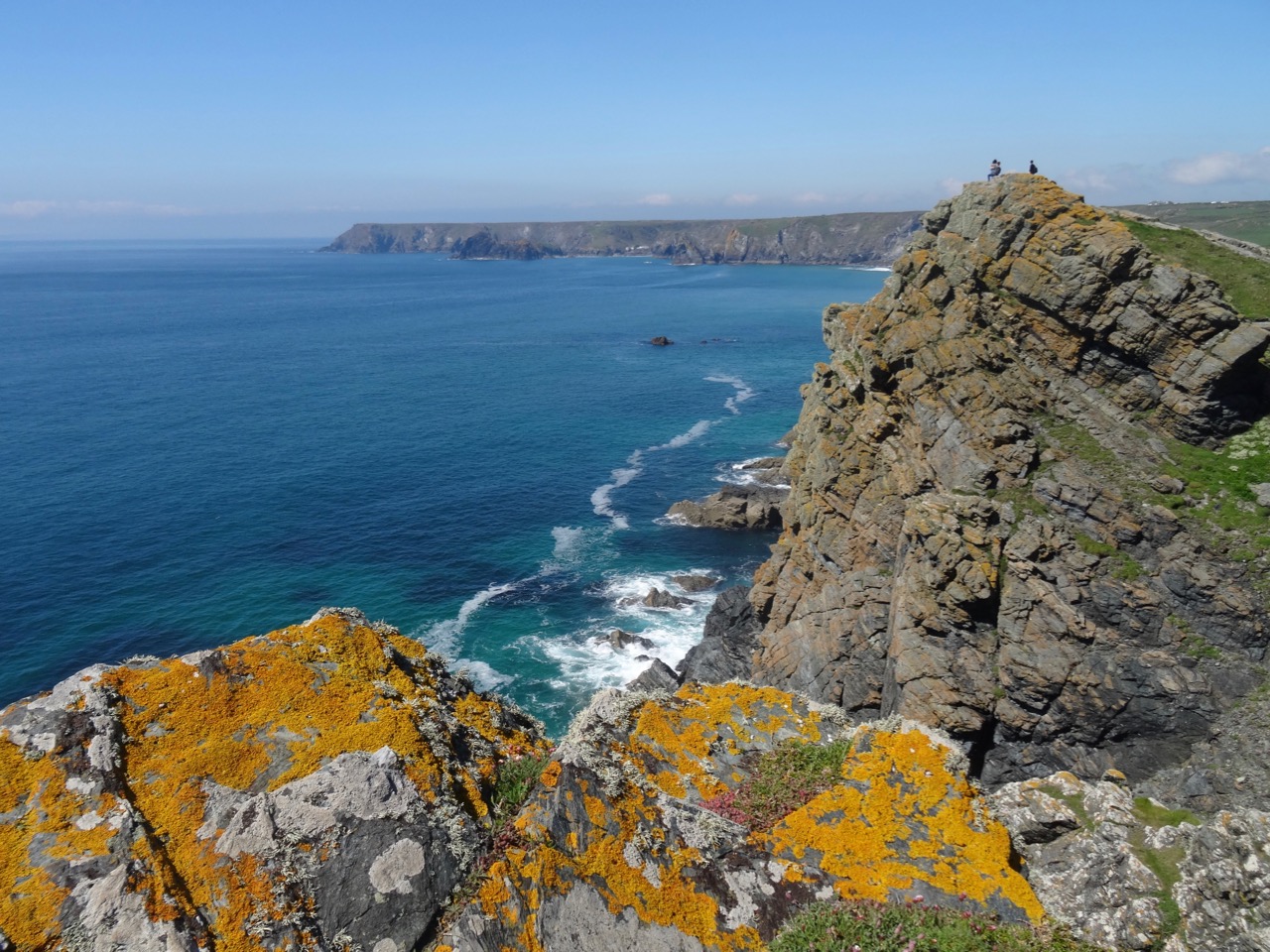
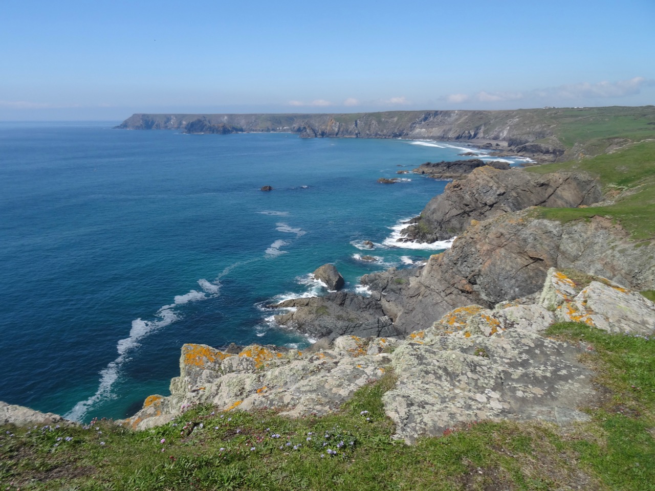
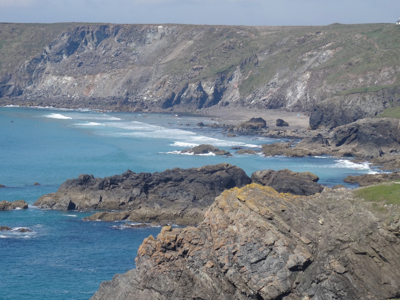
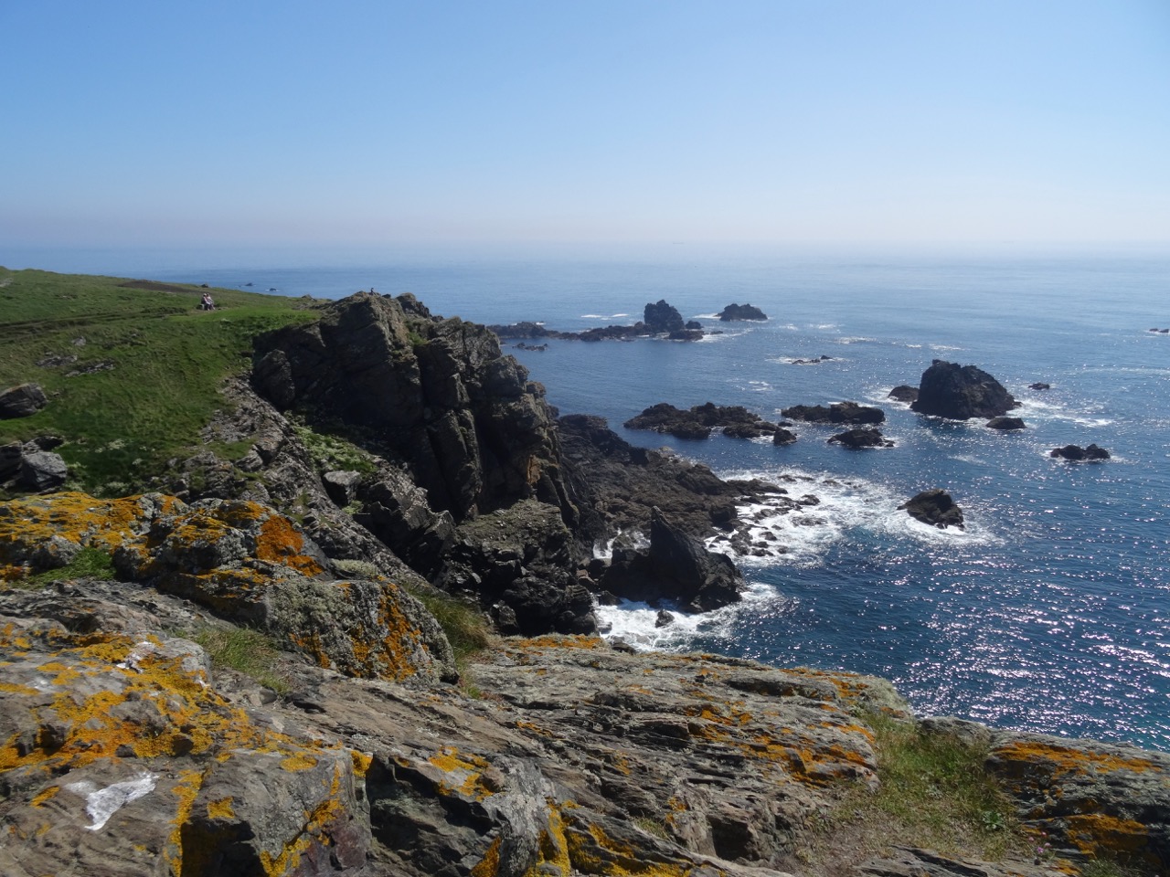
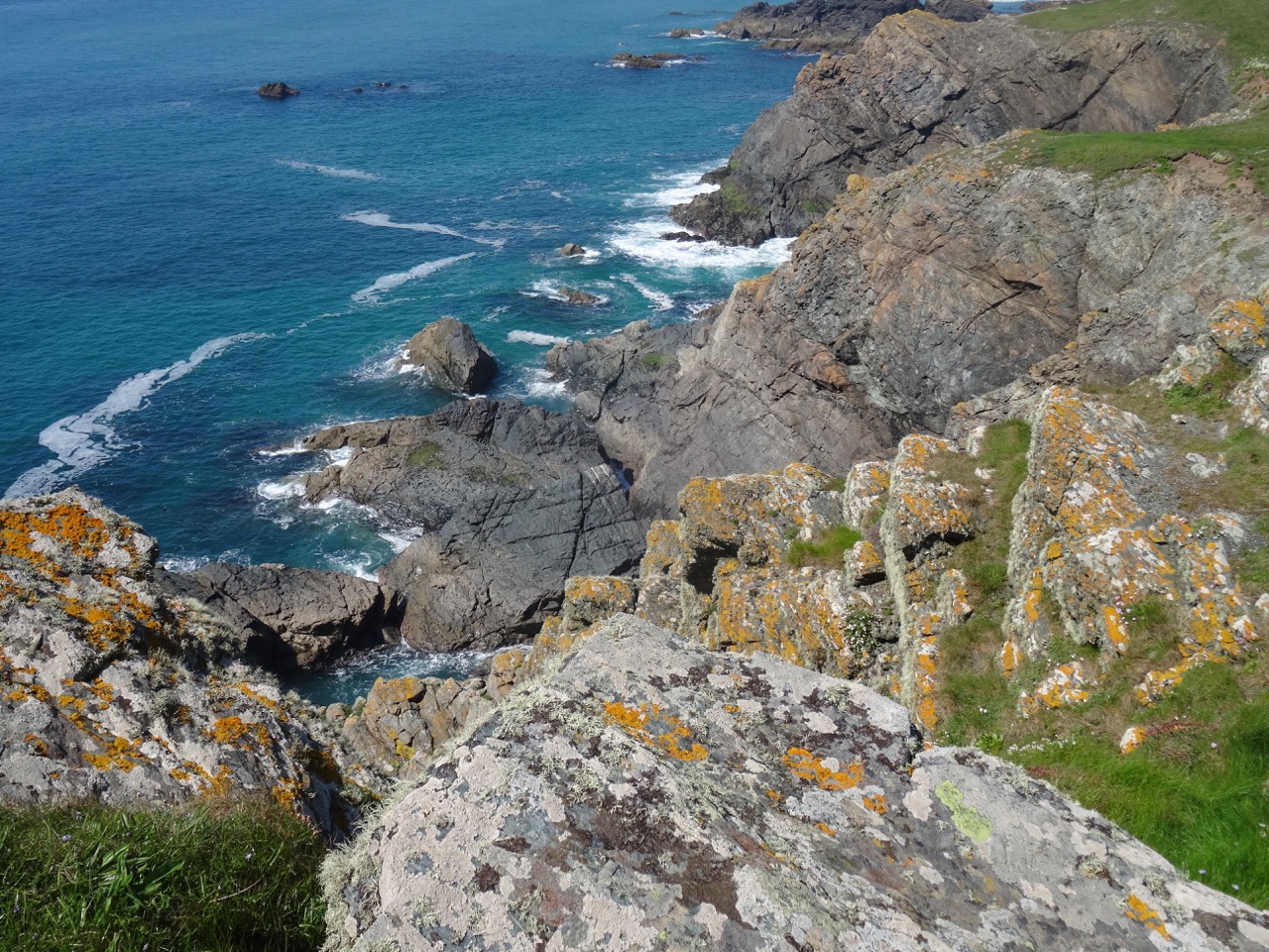
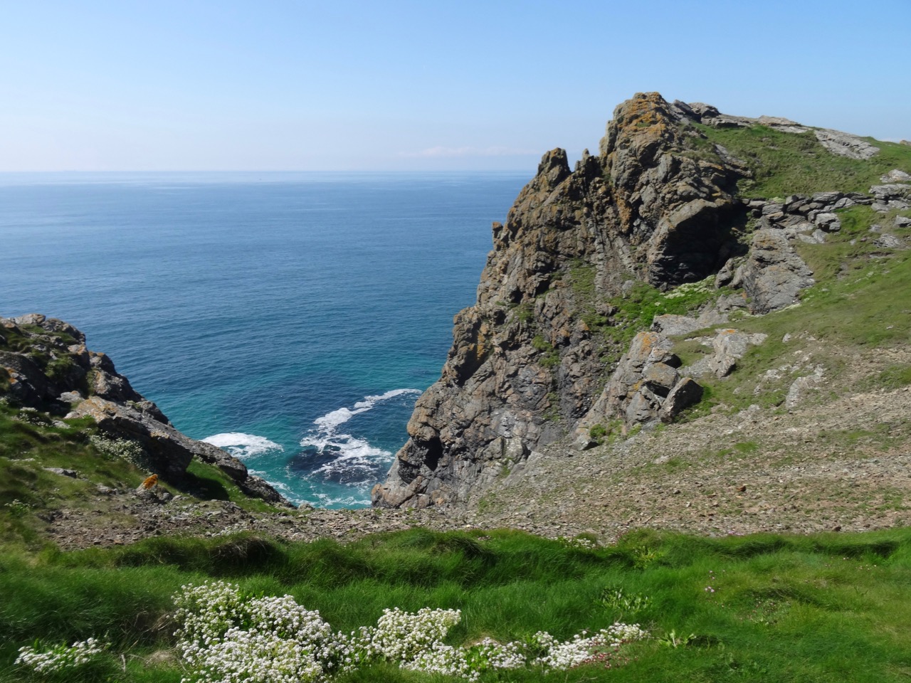
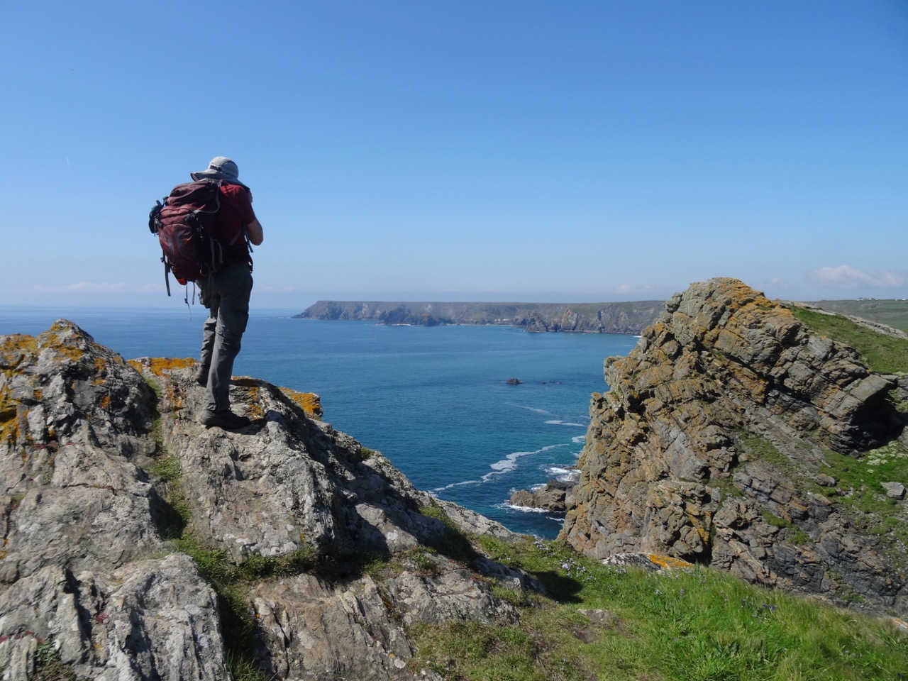
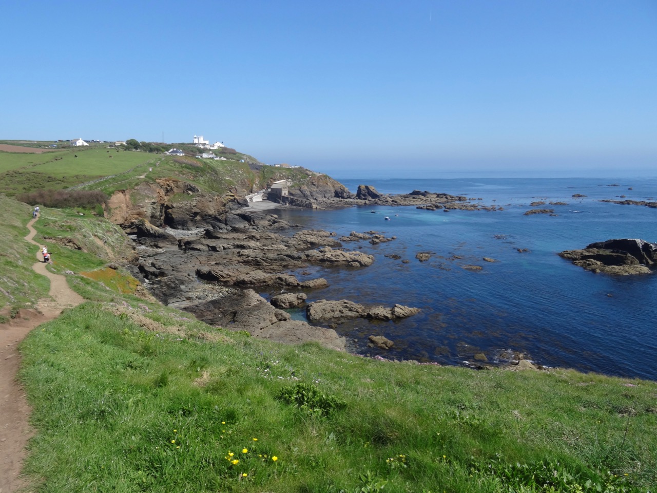
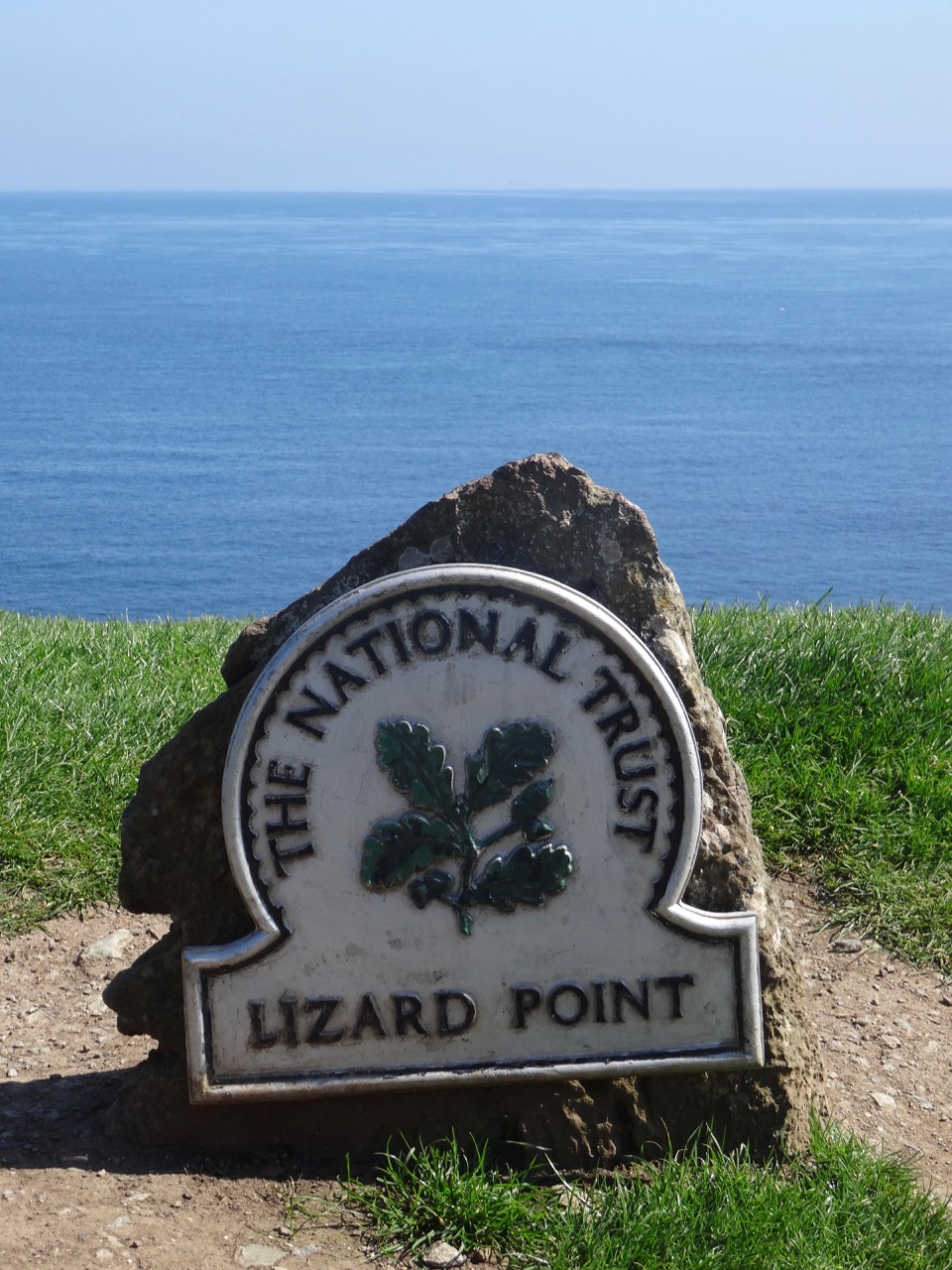
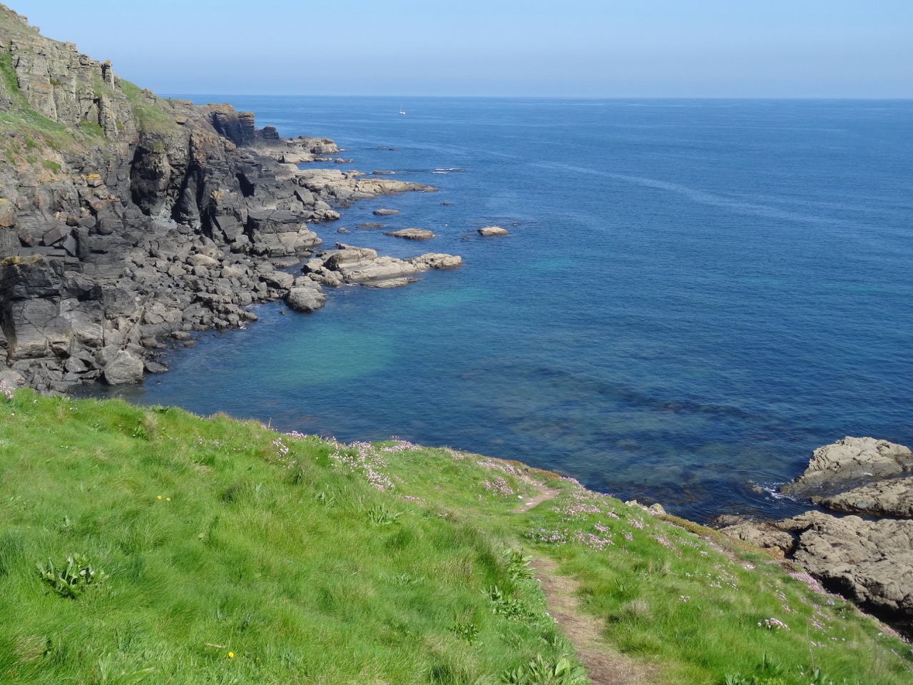
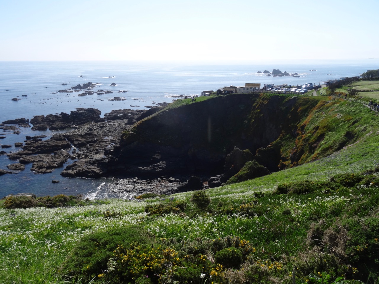
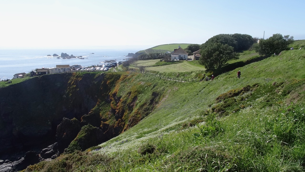
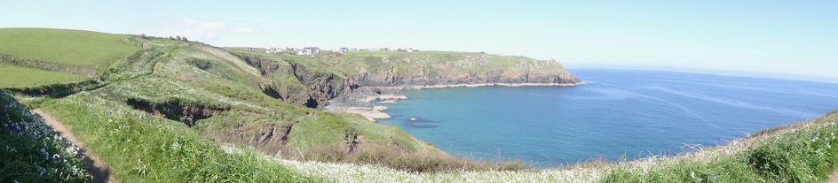
On a tip from other hikers we cut our Zennor hike short and drove to Lizard on the south coast and found Cornwall! Sunny blue skies, craggy cliffs, wildflowers, sparkling seas. Lizard is the southernmost point of the mainland of Great Britain, and is a popular tourist location, with cafes, small shops, and a lighthouse. We enjoyed the sun and the views as we walked along the cliffside paths.

Screen Shot 2018-10-04 at 1.00.55 PM

We walked cliffside paths to the west, then east of Lizard Point.

DSC03808

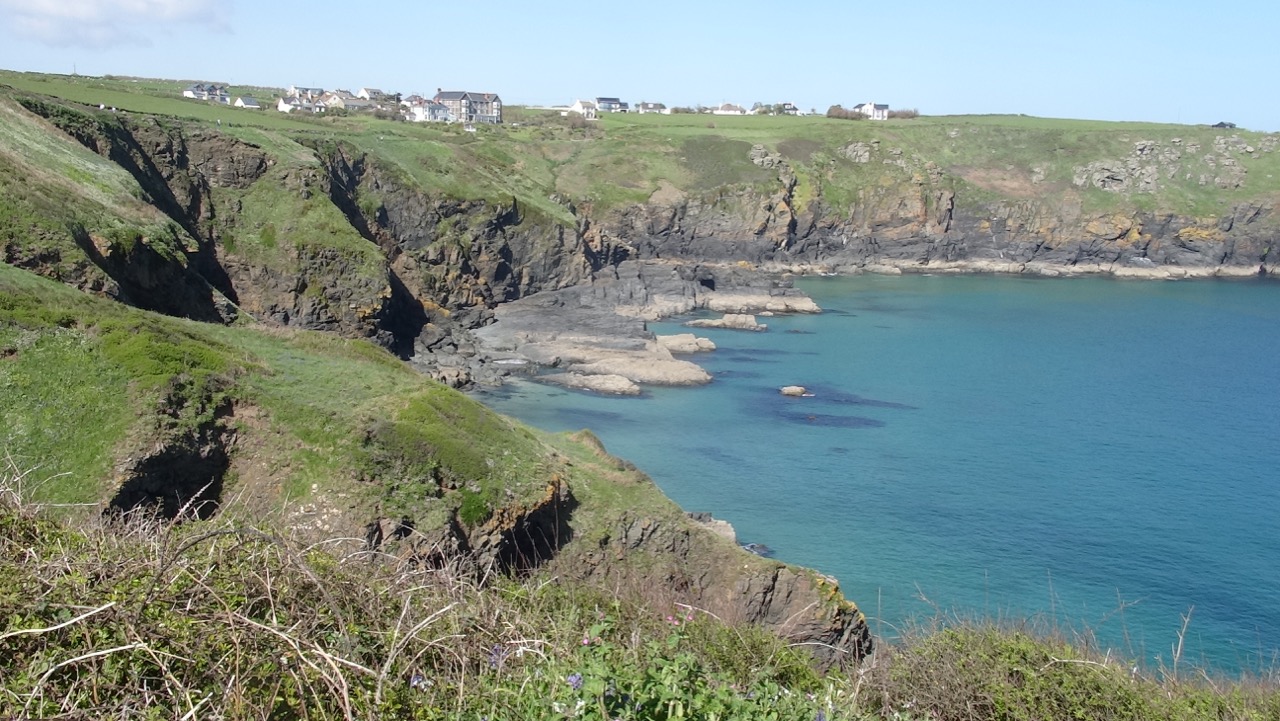
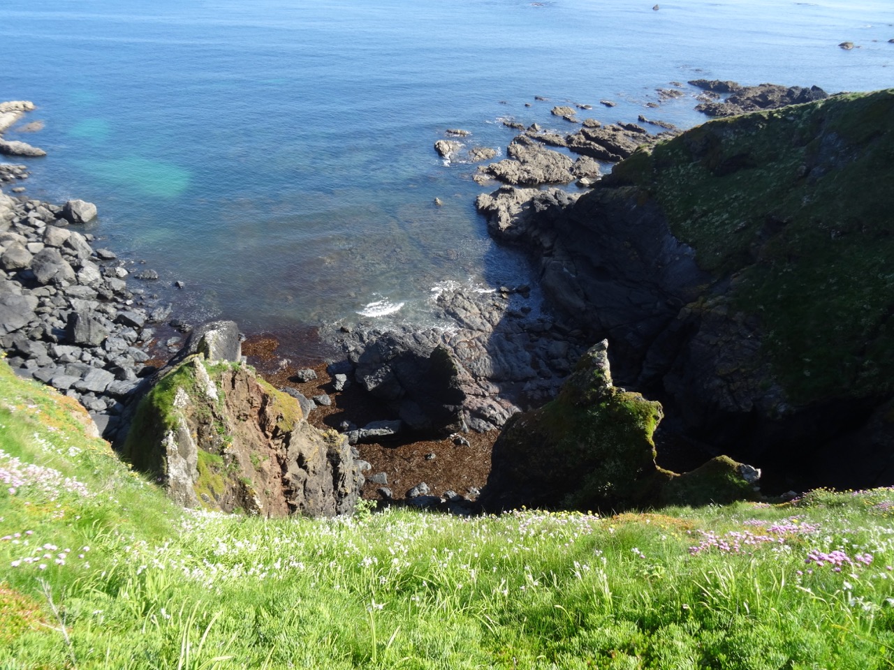
Cornwall! First view of the flowering cliffs west of Lizard Point.

DSC03813

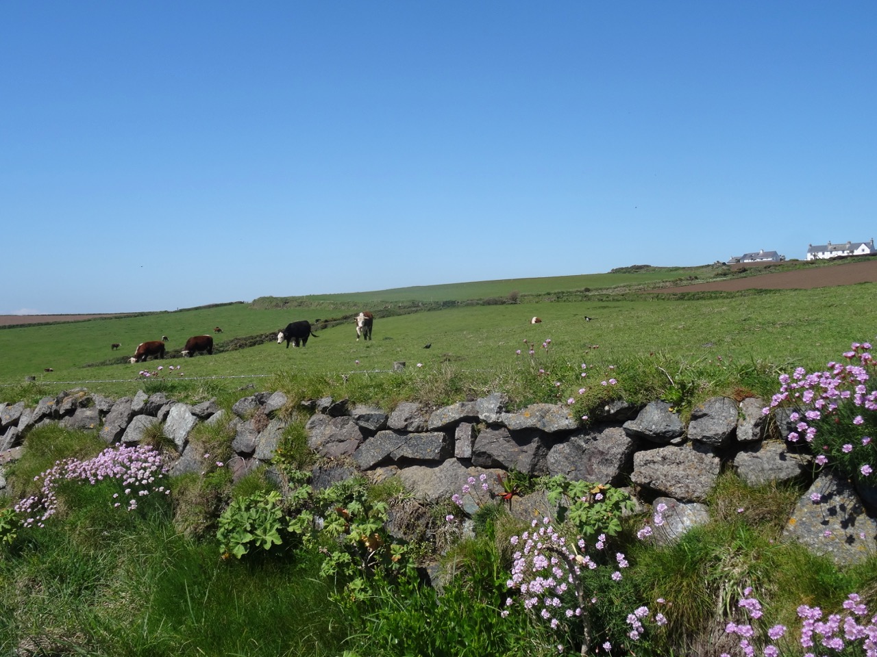
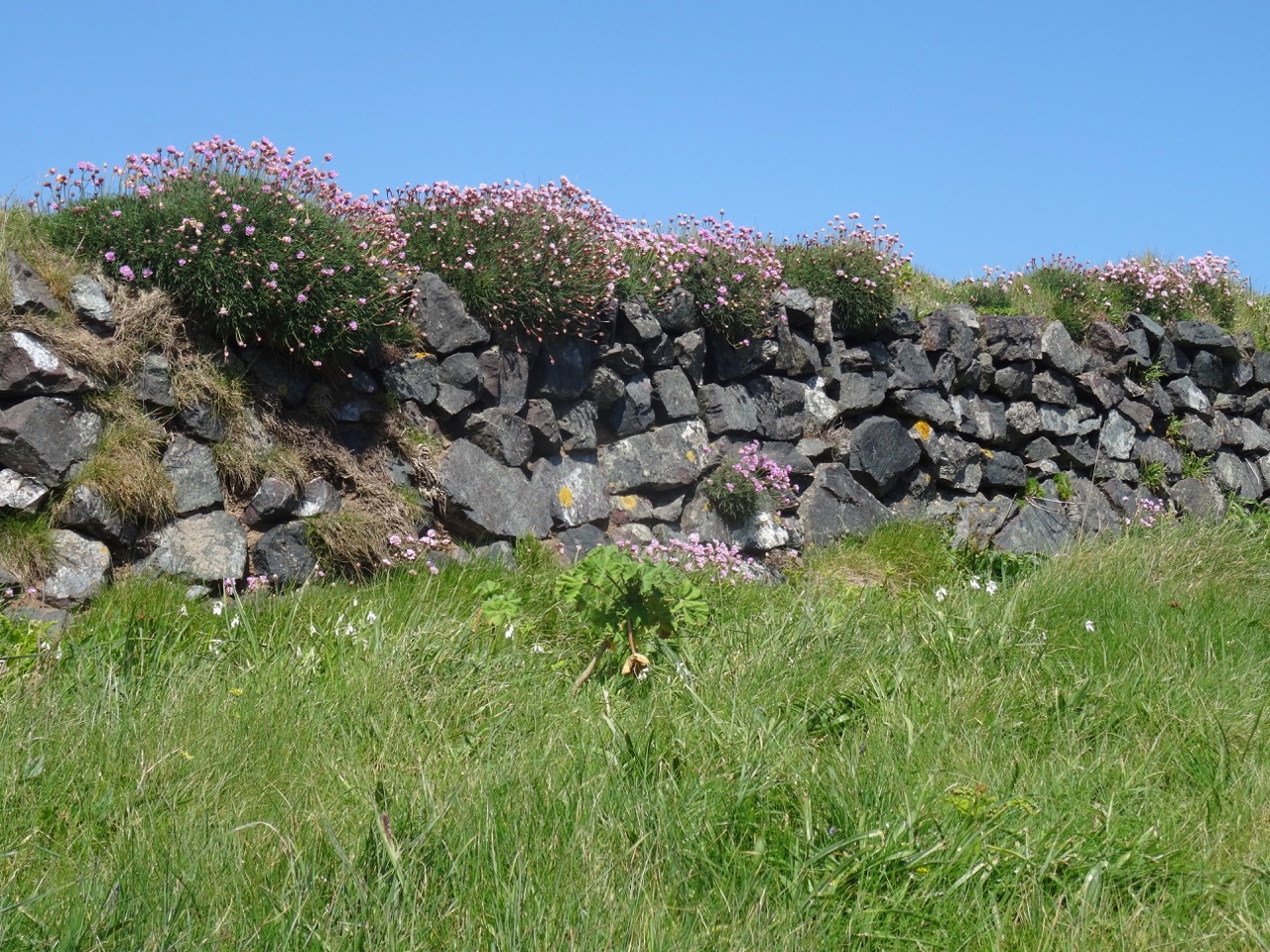
Flowering hedgerows and cows just above the cliffs

DSC03815

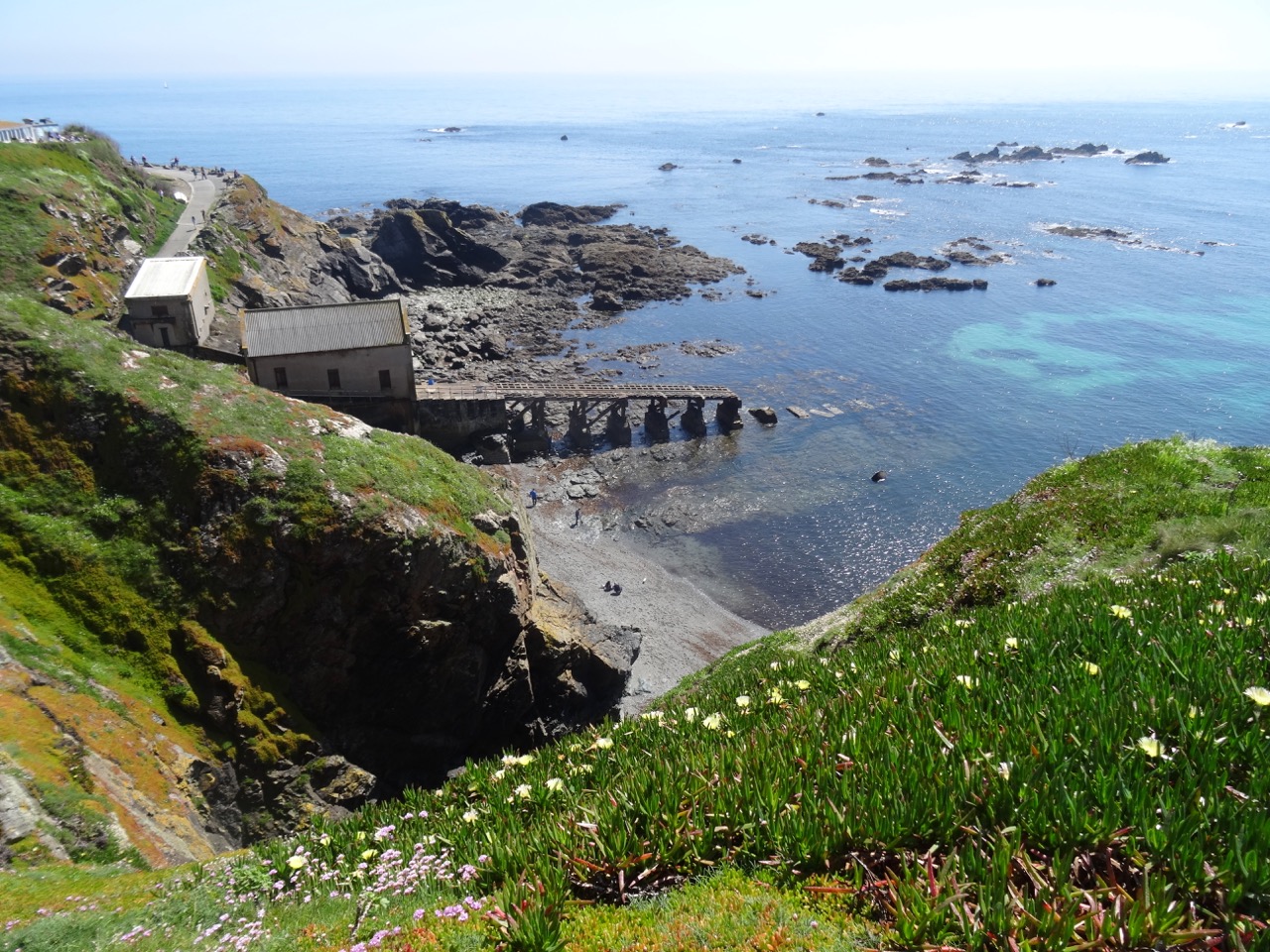
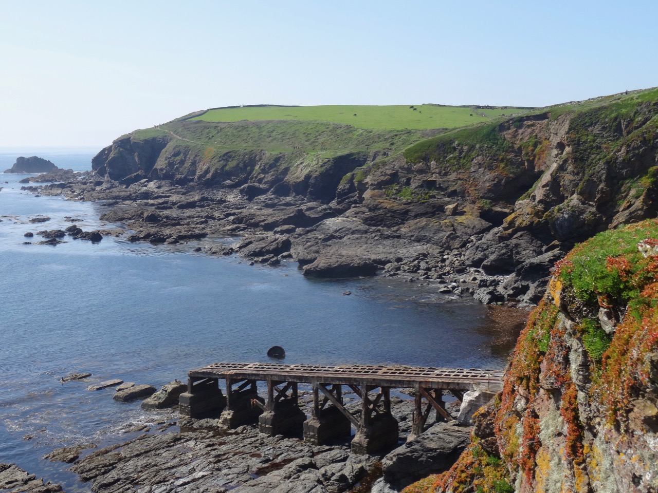
The old life boat station at Lizard Point

DSC03816

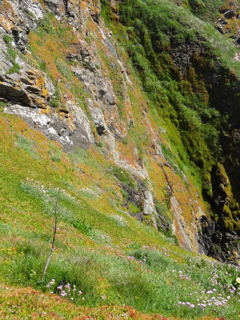
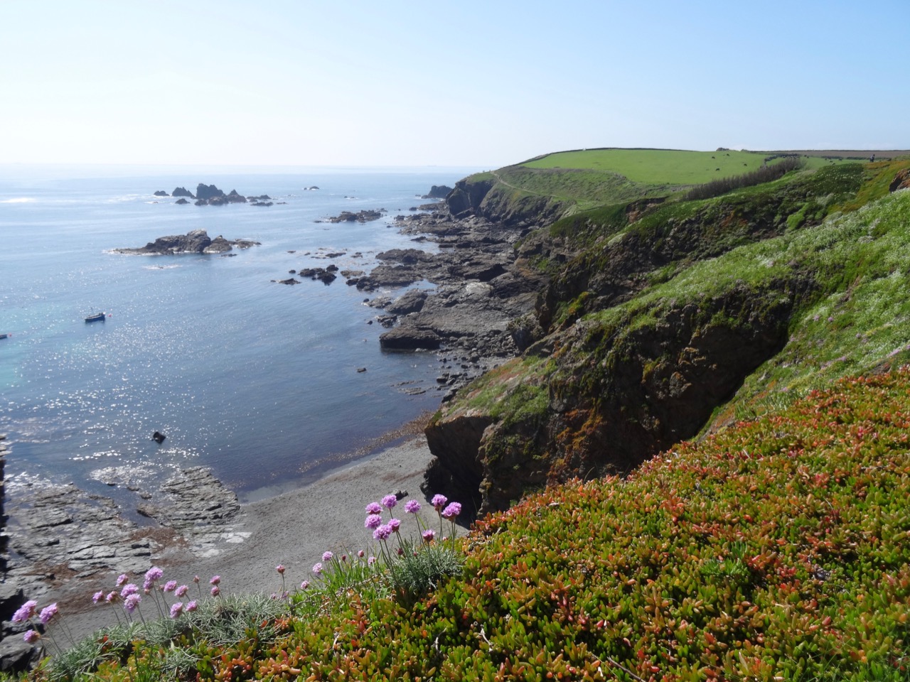
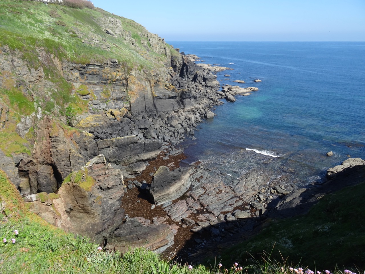
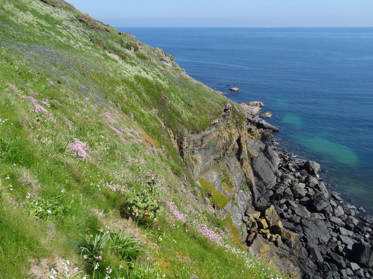
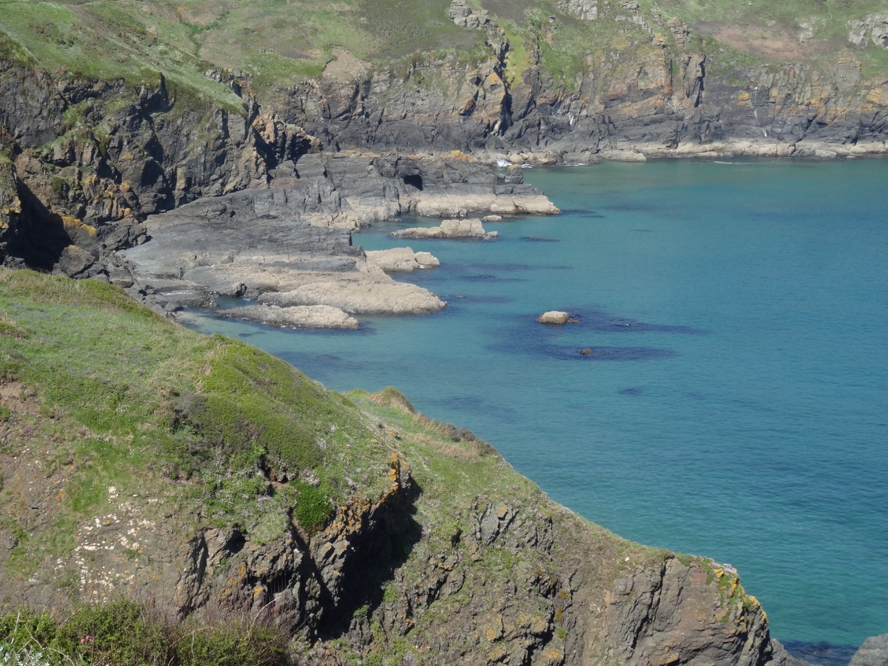
Steep flowered cliffs

DSC03819

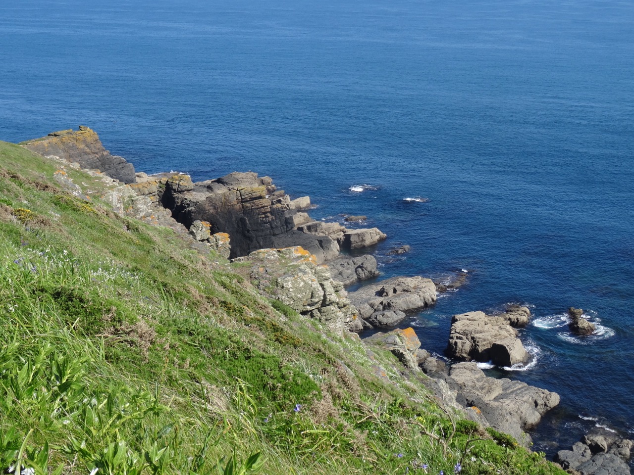
Cliffs and ocean views

DSC03822

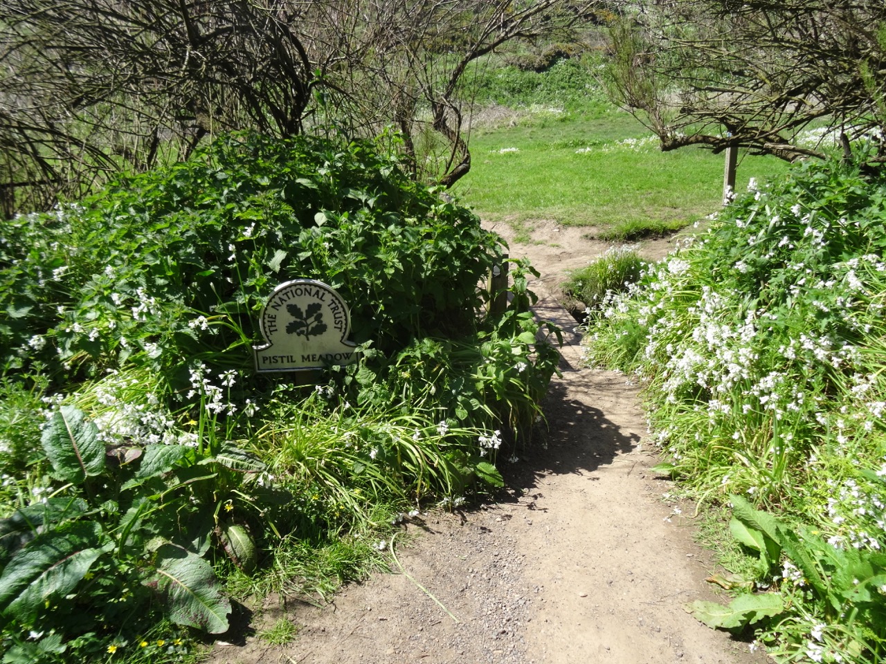
Garden path through Pistil Meadow

DSC03823

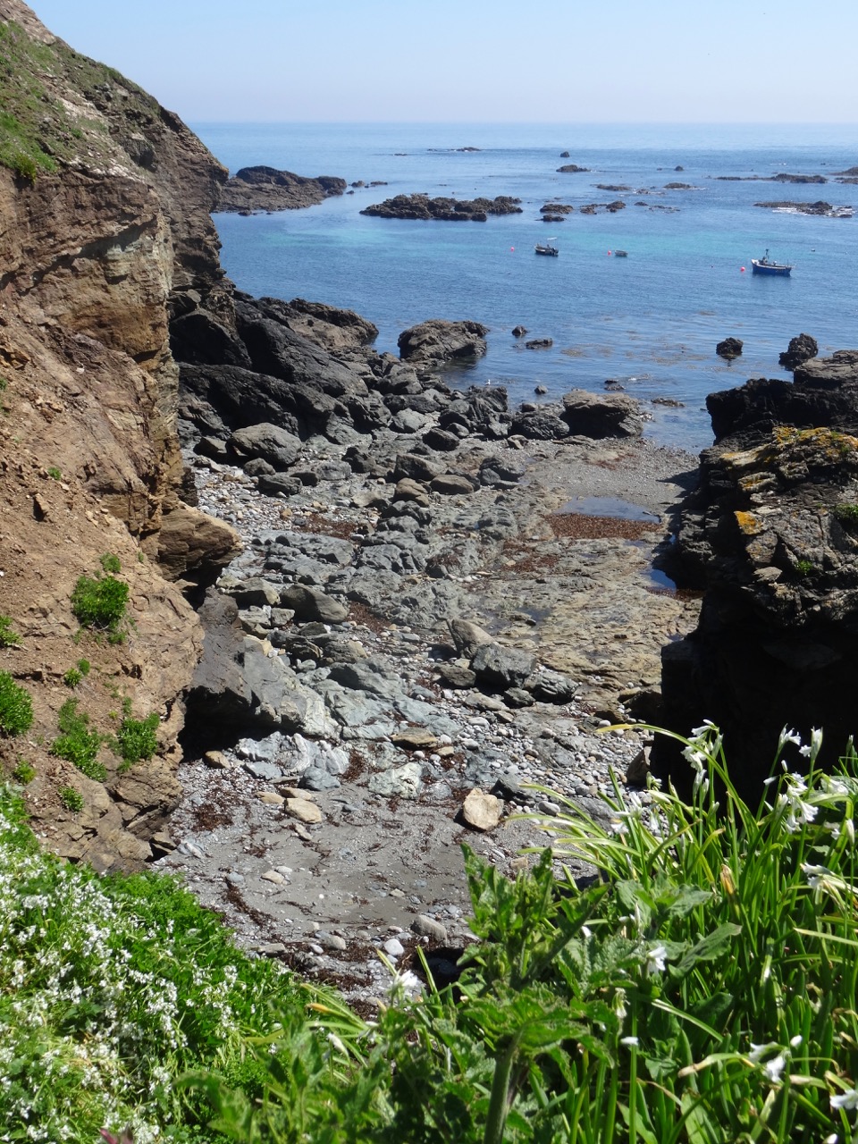
Shingled cove

DSC03834

DSC03835

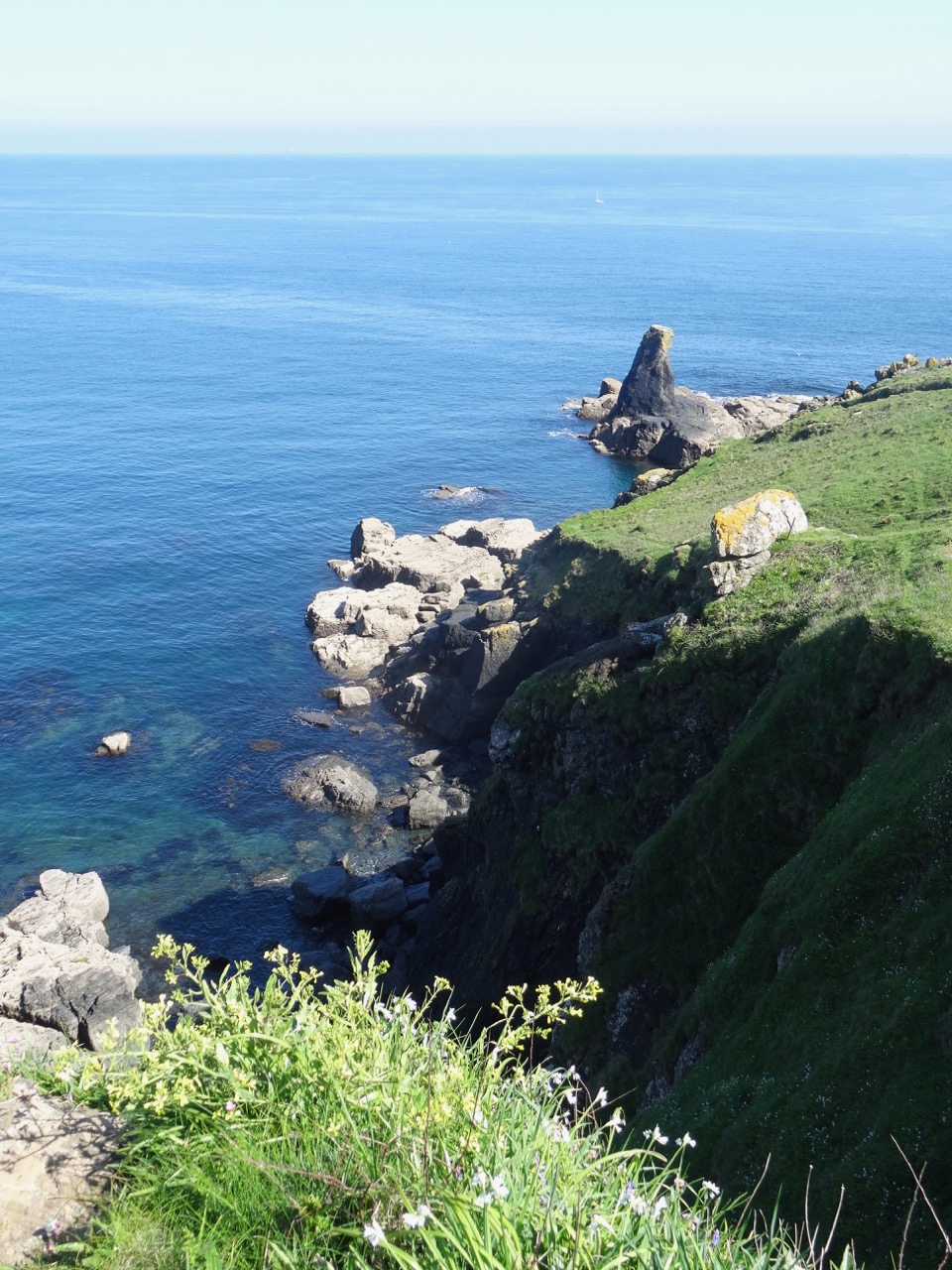
Cliffs to the west

DSC03842

Looking toward Pentreath and Kynance

DSC03843

Holsear Cove

DSC03847DSC03849

DSC03851

Lizard Lighthouse in the middle distance

DSC03853DSC03857

After walking along the cliffs to the west, we returned to Lizard Point and looked at the old life boat station in Polpeor Cove.

DSC03862

Polpeor Cove with lifeboat station; Lizard Lighthouse in the distance

DSC03868DSC03870DSC03871DSC03873DSC03874DSC03878

We continued walking east toward the lighthouse above Poltream Cove

DSC03879DSC03882DSC03883

DSC03914

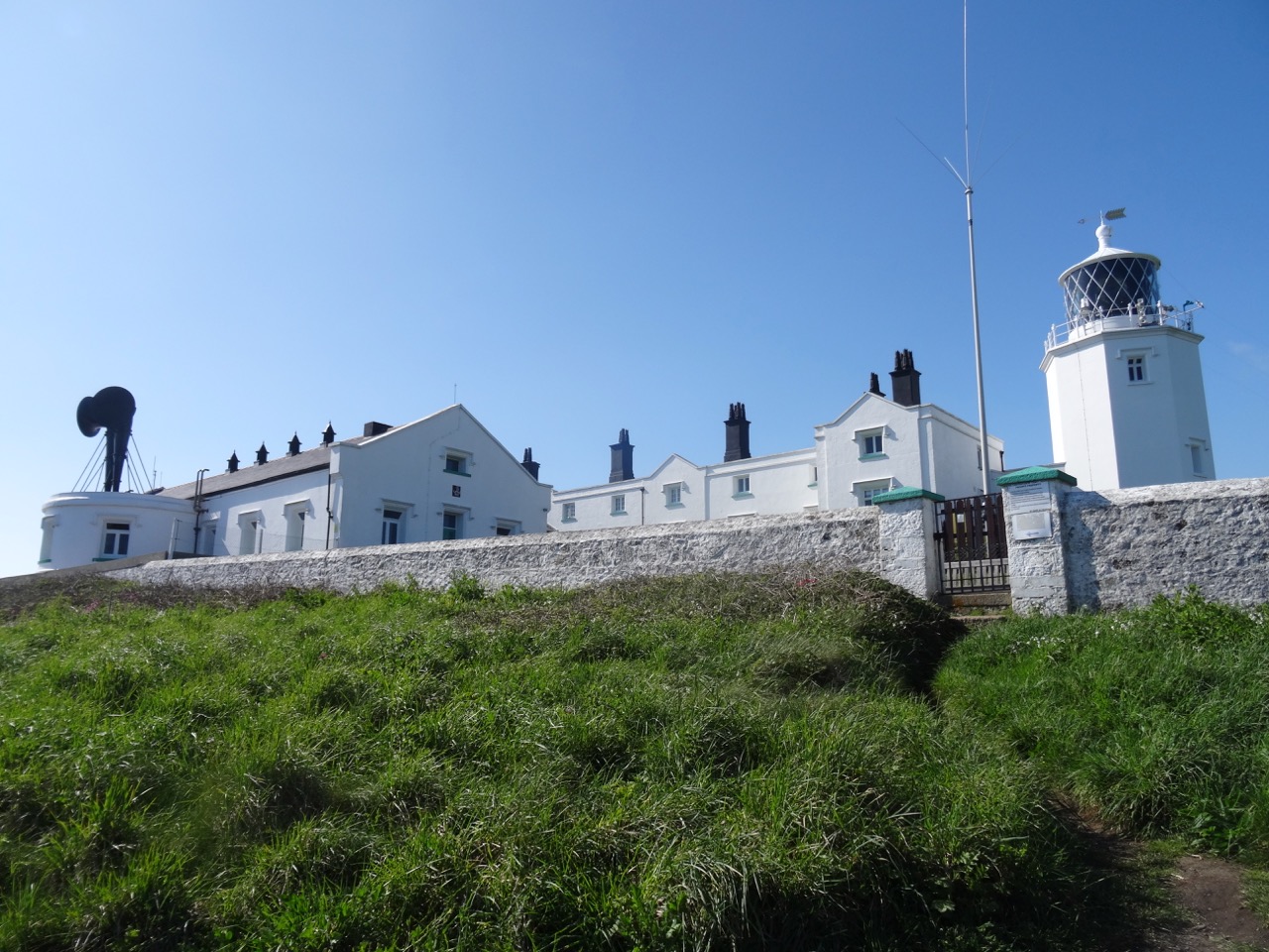
Lizard Lighthouse

Looking back at Lizard Point.

DSC03885DSC03886

The trail turned north to take in views to the east across Housel Bay.

DSC03895

Across the bay is a house where Marconi set up one of the first wireless telegraph (radio) stations in 1900, transmitting signals to the Isle of Wight, 180 miles away.

DSC03899DSC03893DSC03897

DSC03898

Red campion

DSC03917

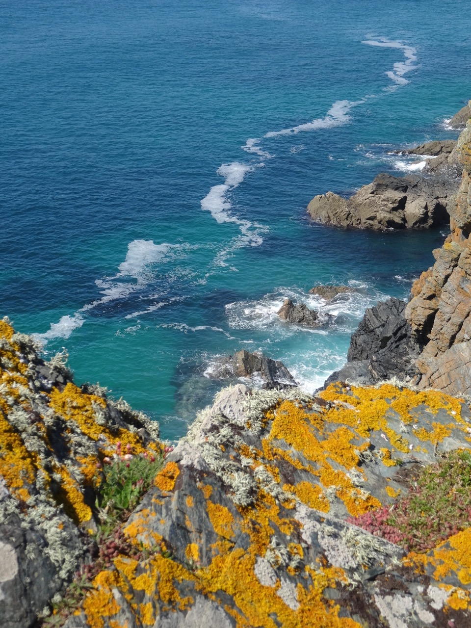
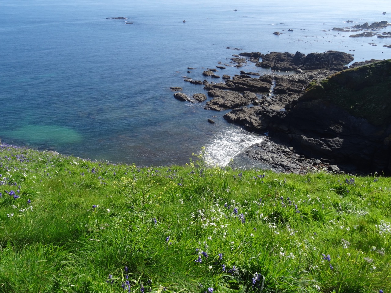
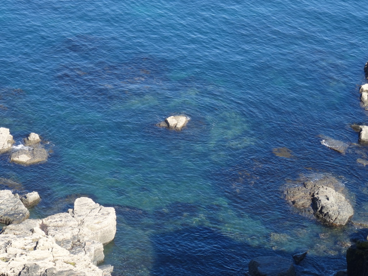
I found a bench here and just sat for a while, admiring all the colors of the ocean water: purple – indigo – turquoise – teal – marine – navy – chartreuse.

DSC03911DSC03902

DSC03901

This is a place I hope to return to someday.