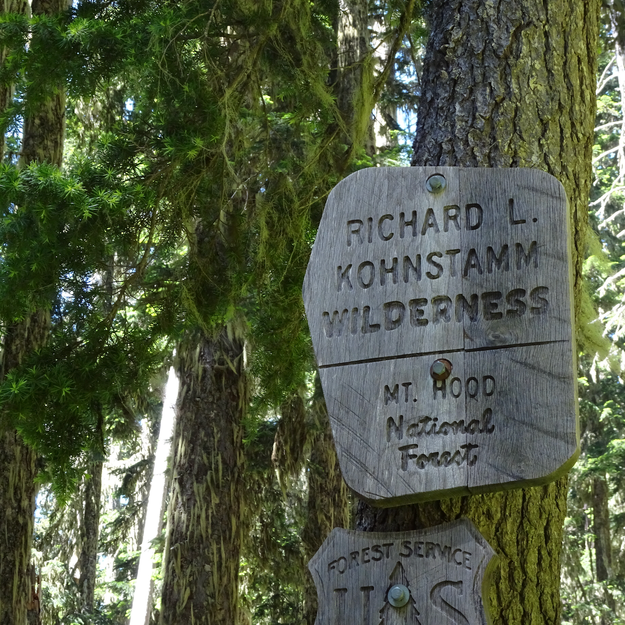
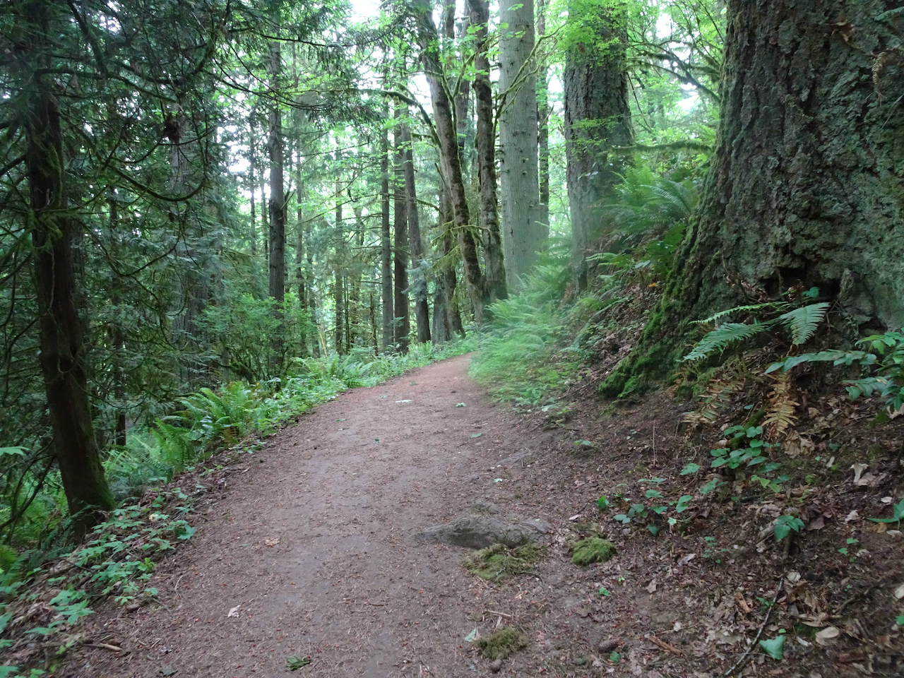
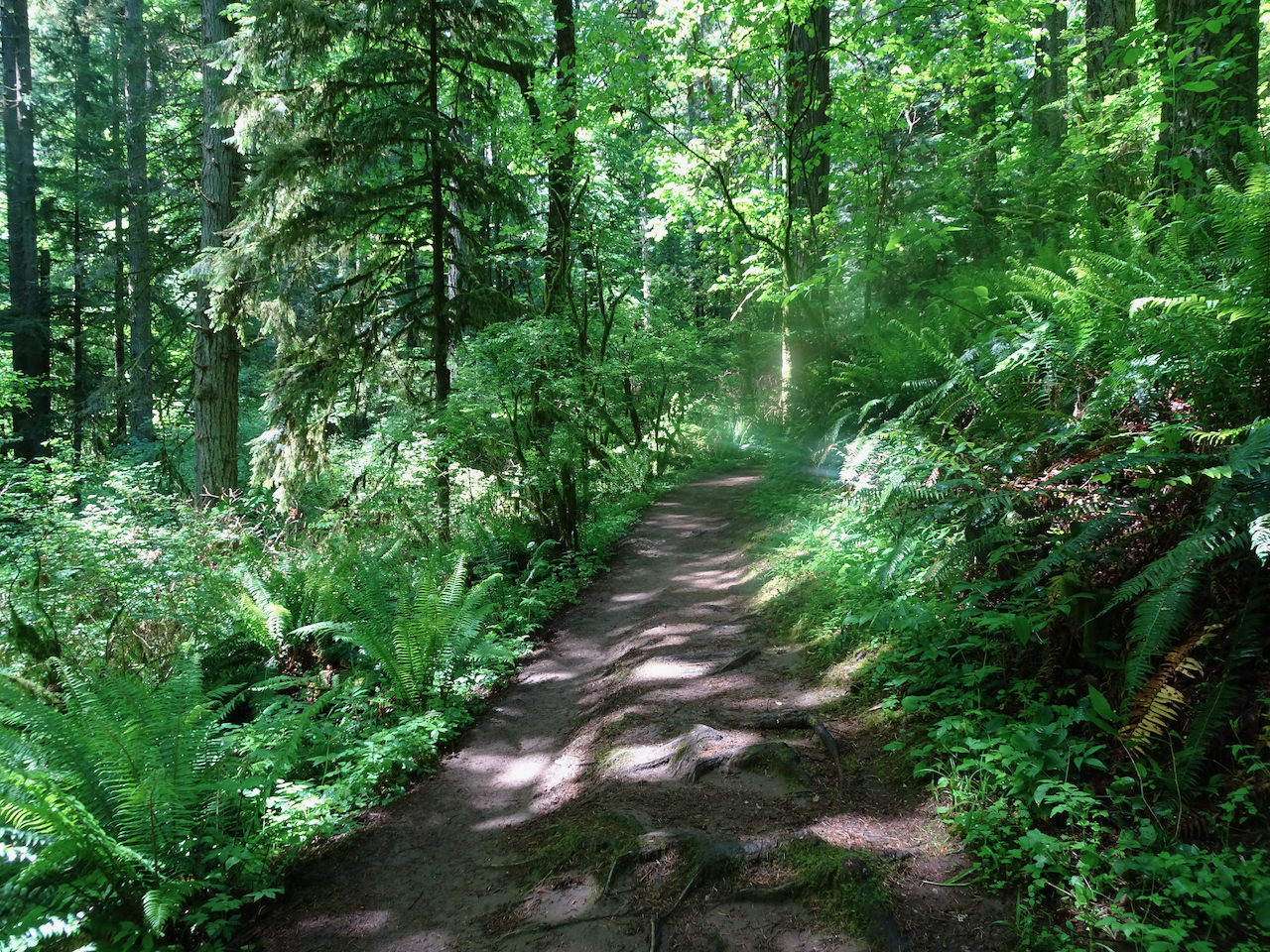
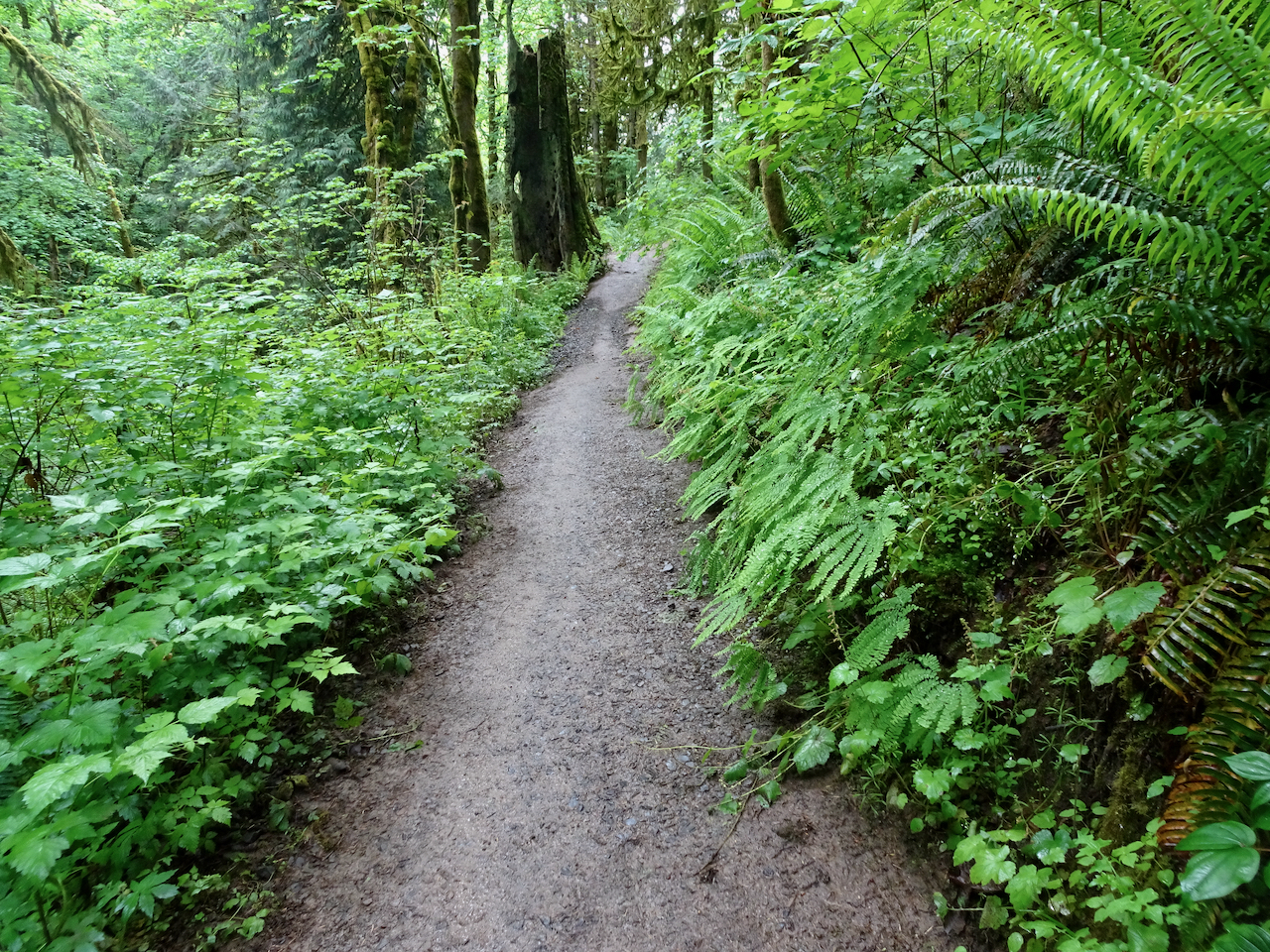
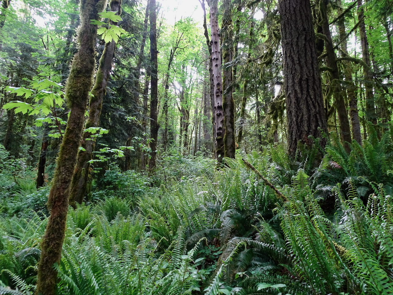
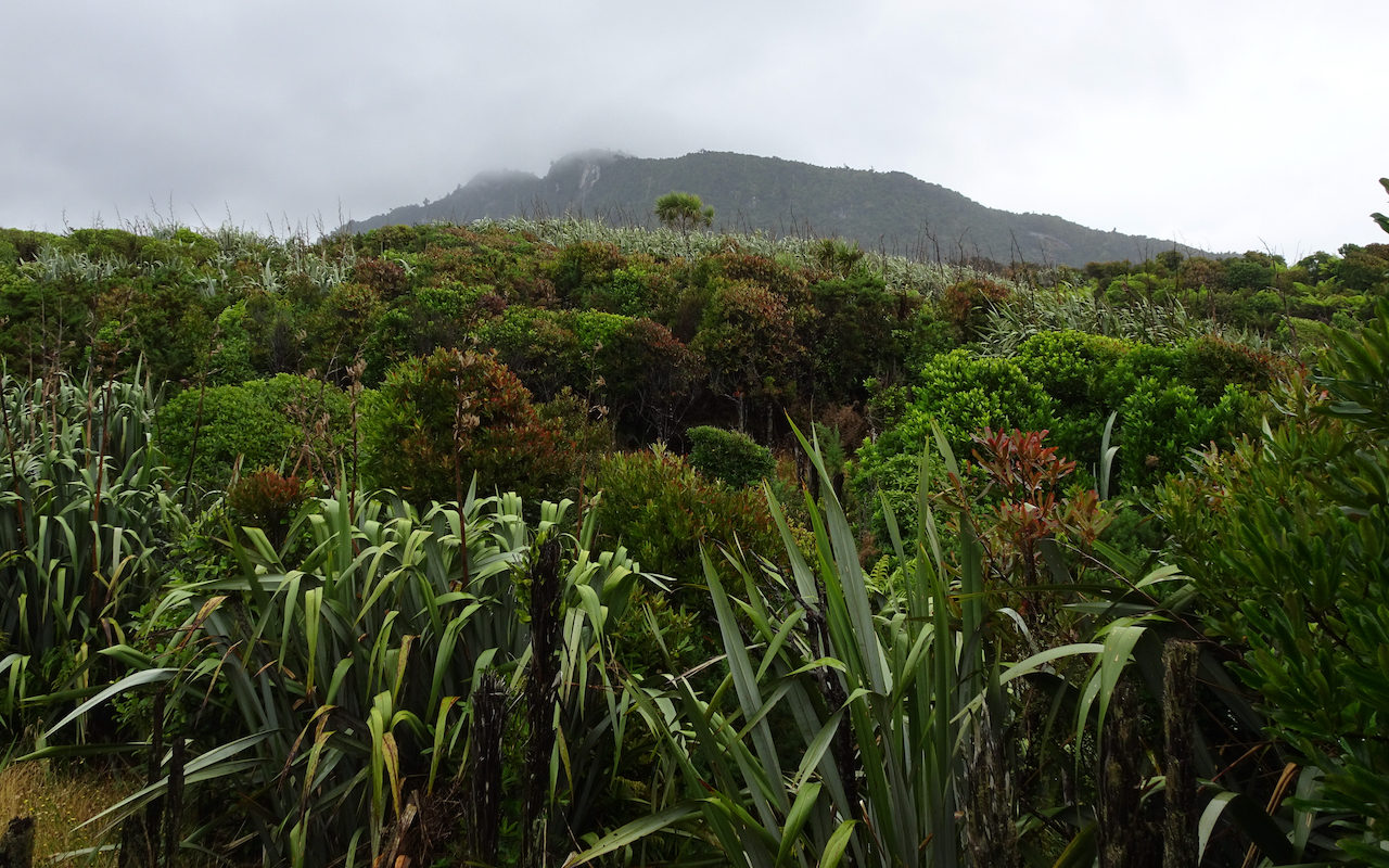
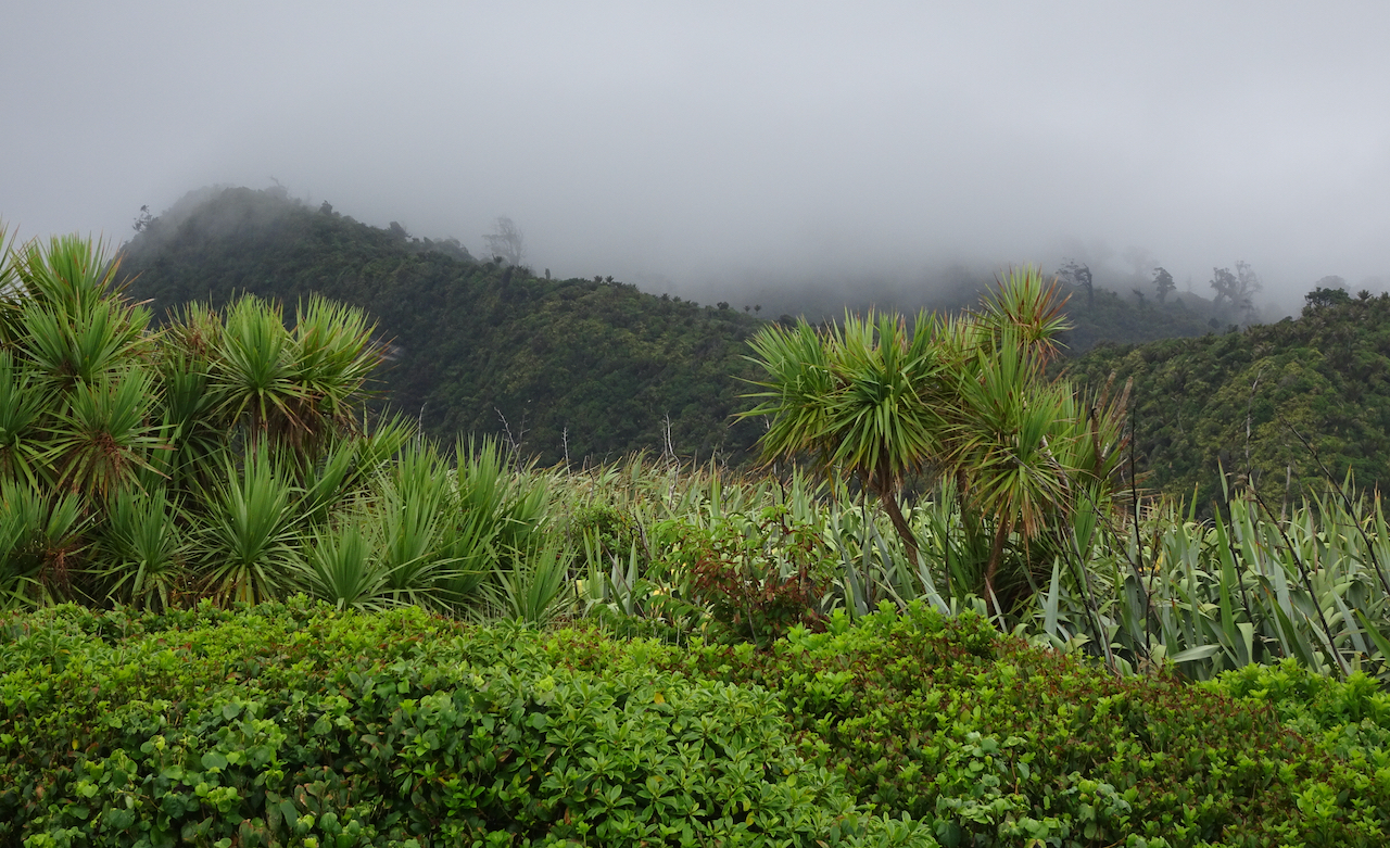
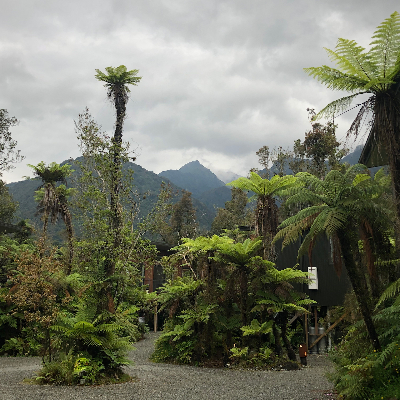
We took two hikes in Indian Heaven Wilderness, a beautiful patch of the Gifford Pinchot National Forest between Mt Adams and Mt St Helens in southern Washington. A few small volcanic peaks rise above the rolling forested landscape that is also spotted with dozens of lakes, and covered with ripe huckleberry bushes in August.

August 20, 2020 – Indian Racetrack Lake and Red Mountain
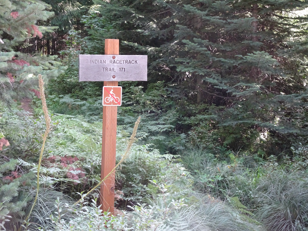
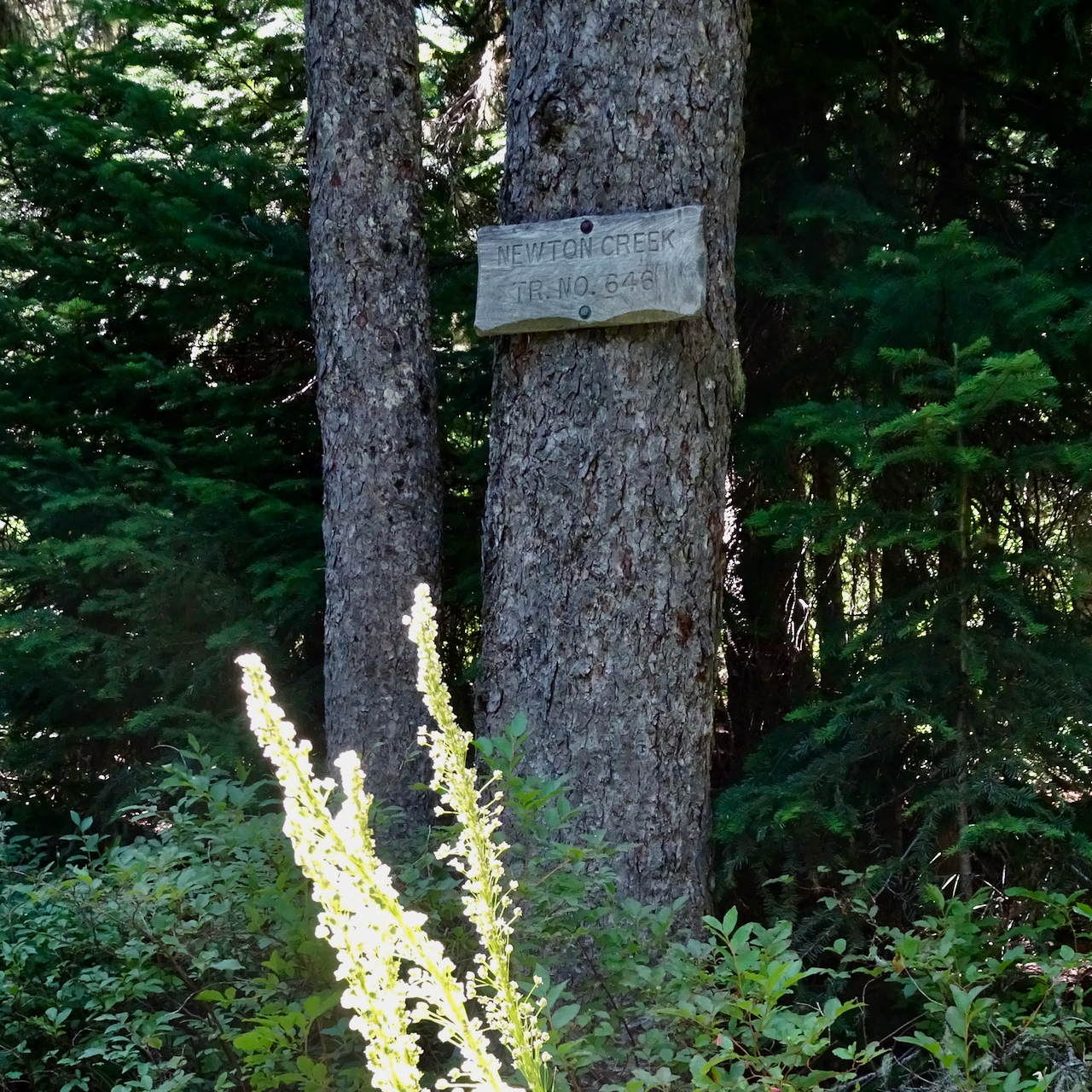
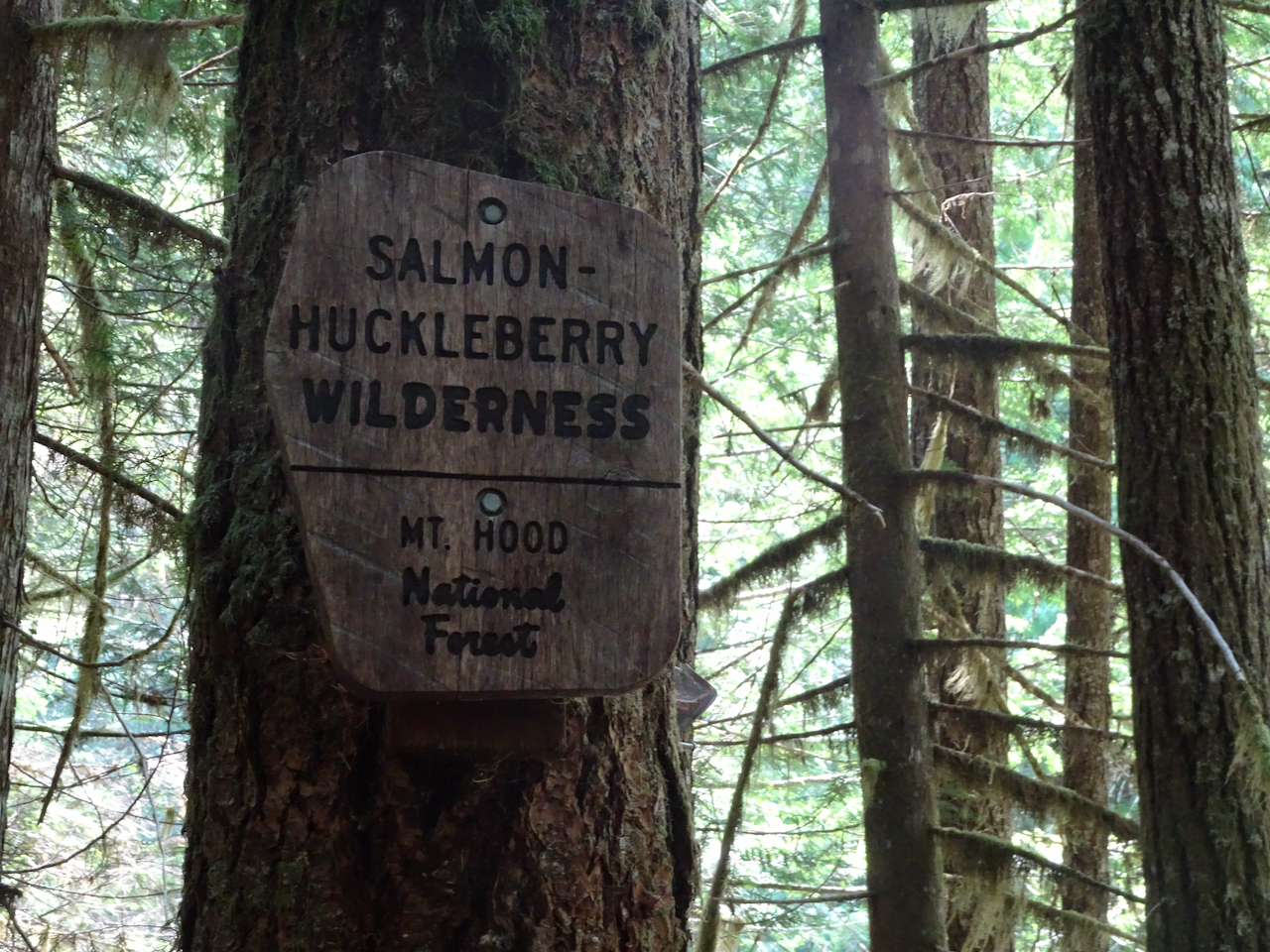
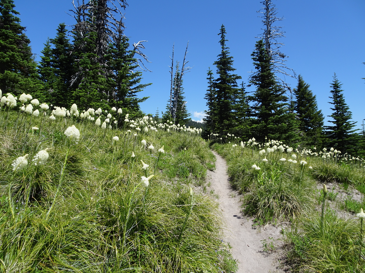
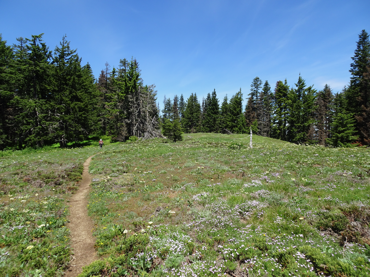
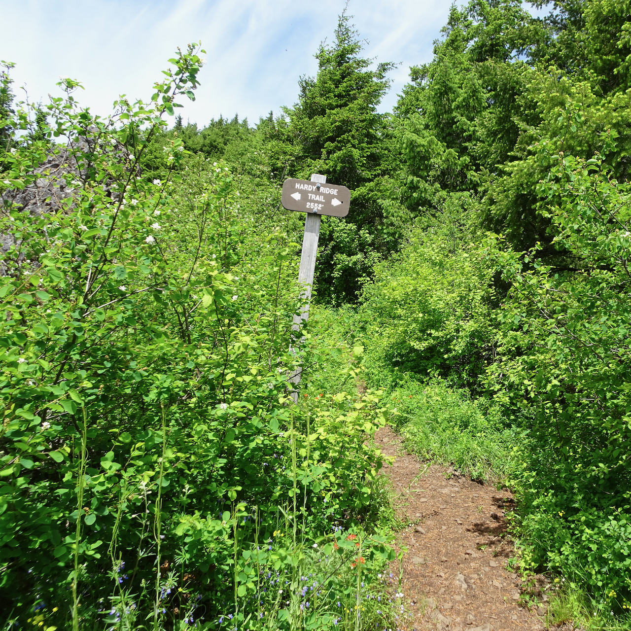
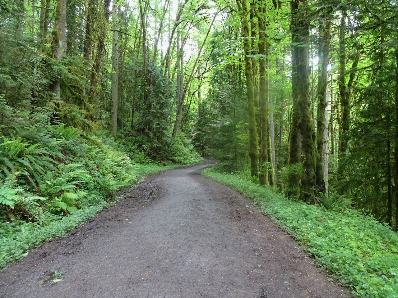
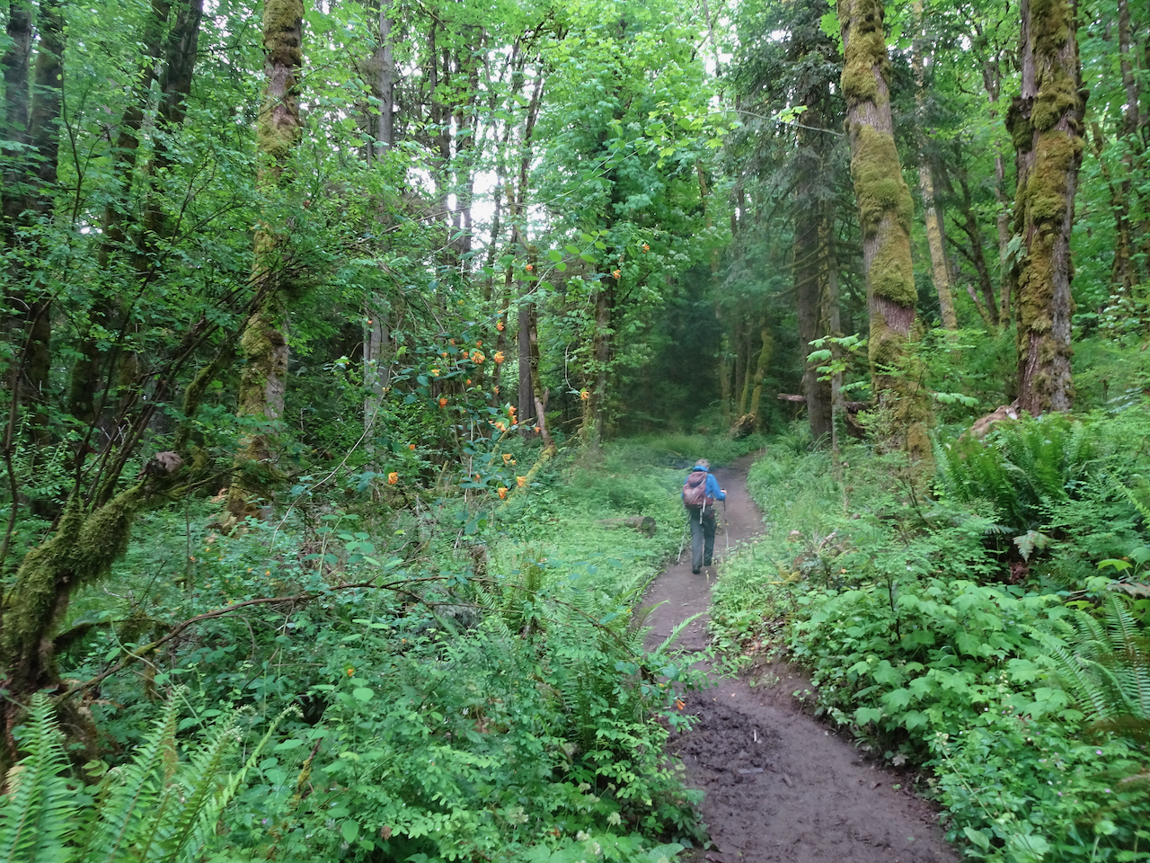
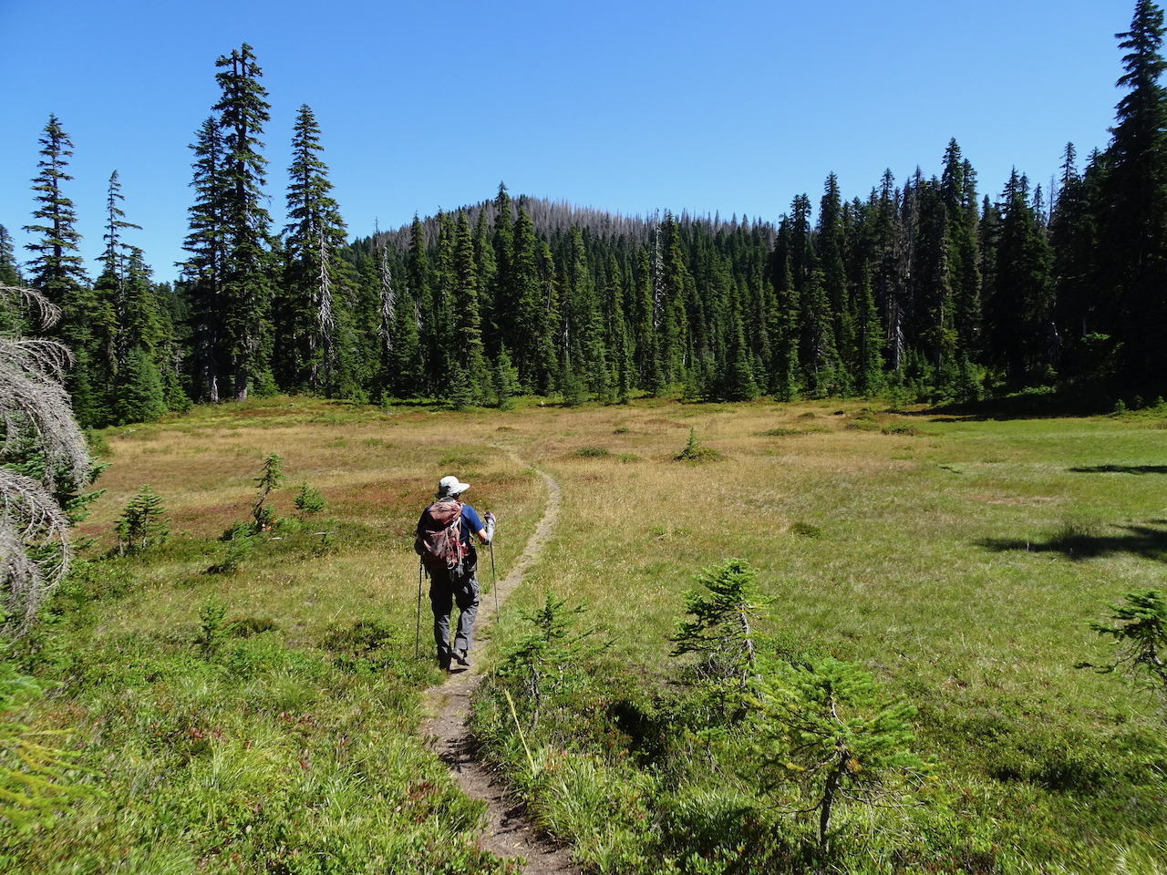
Trailhead into the forest

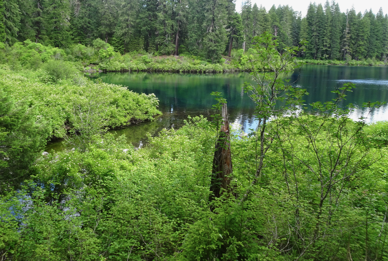
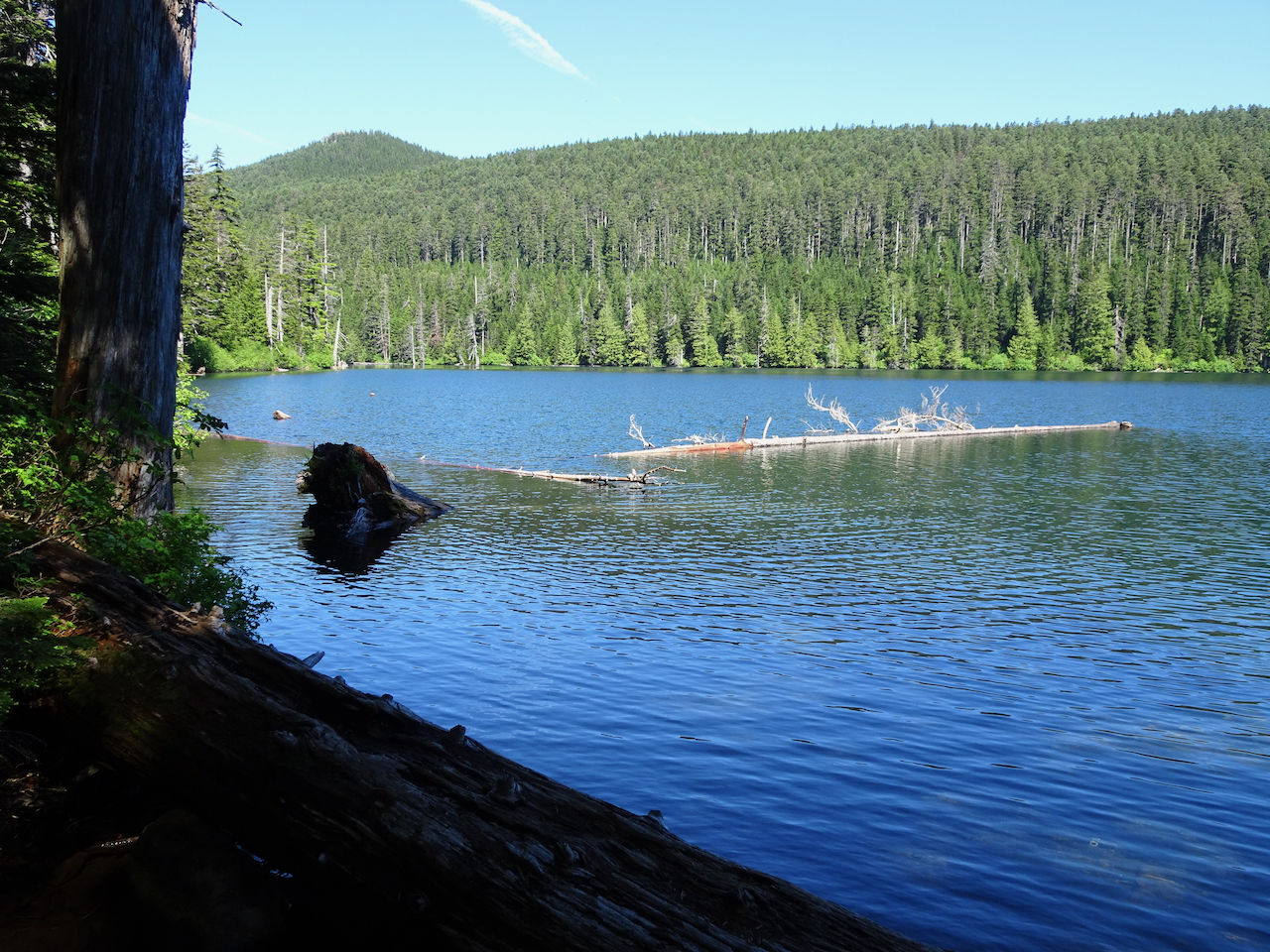
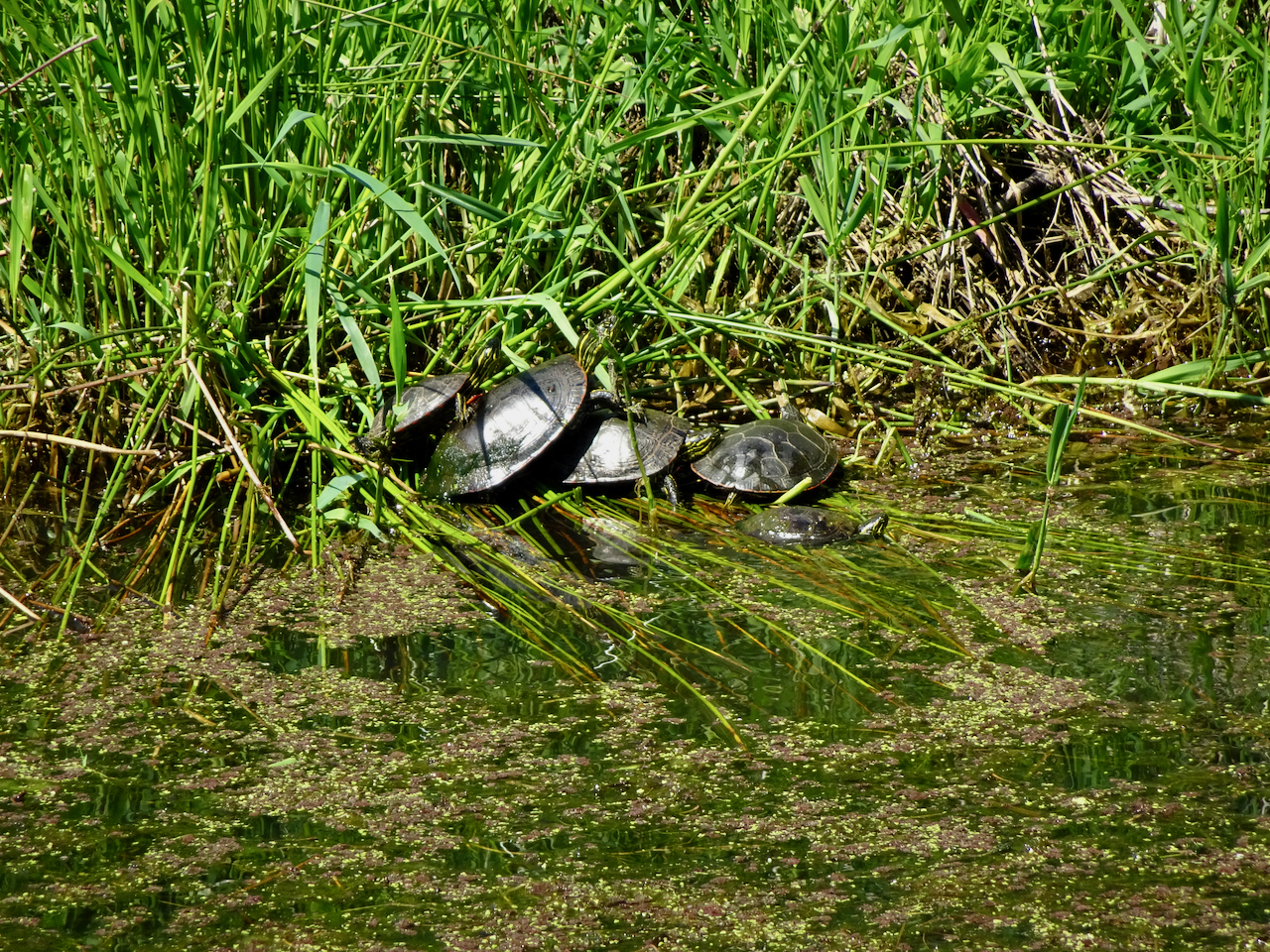
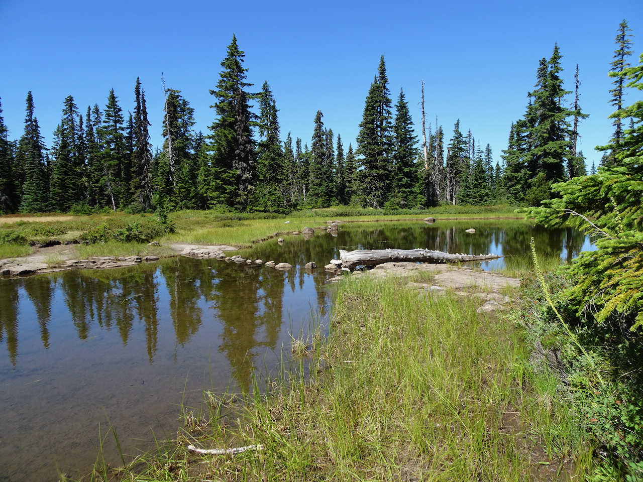
Racetrack Lake – the only lake on this hike

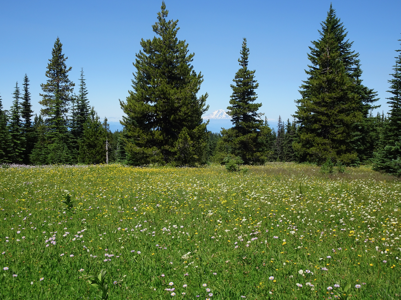
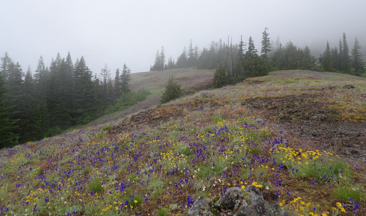
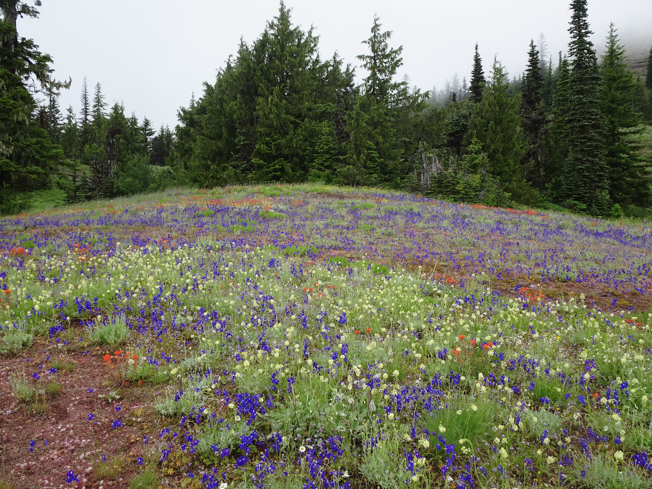
Looking Across Racetrack Meadow to Red Mountain

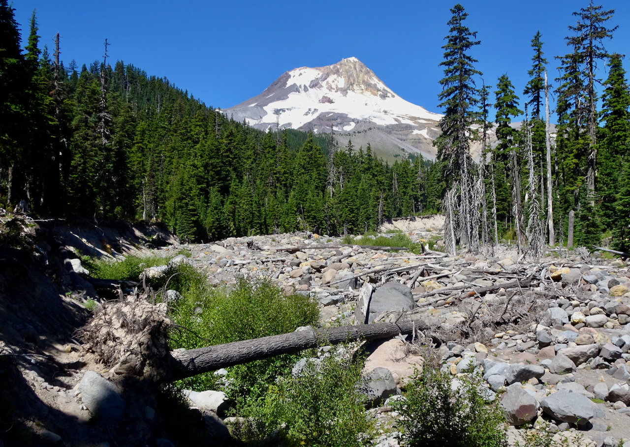
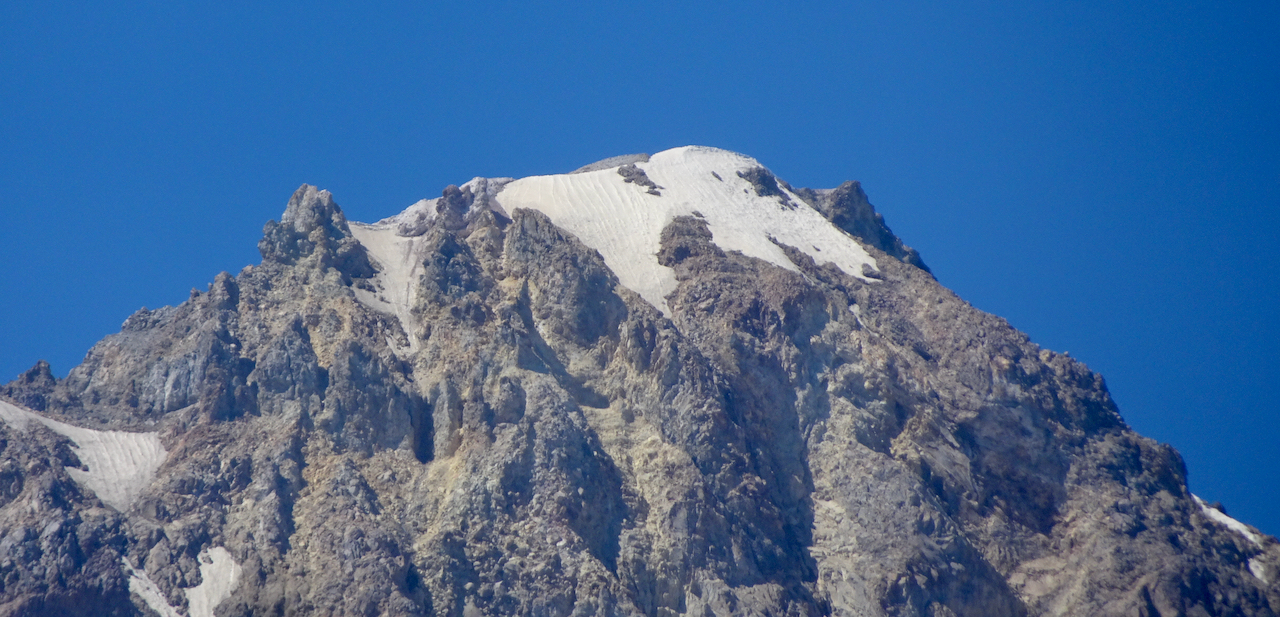
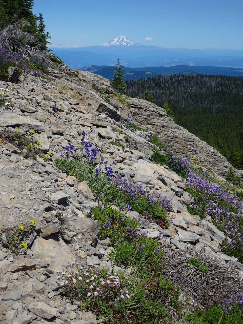
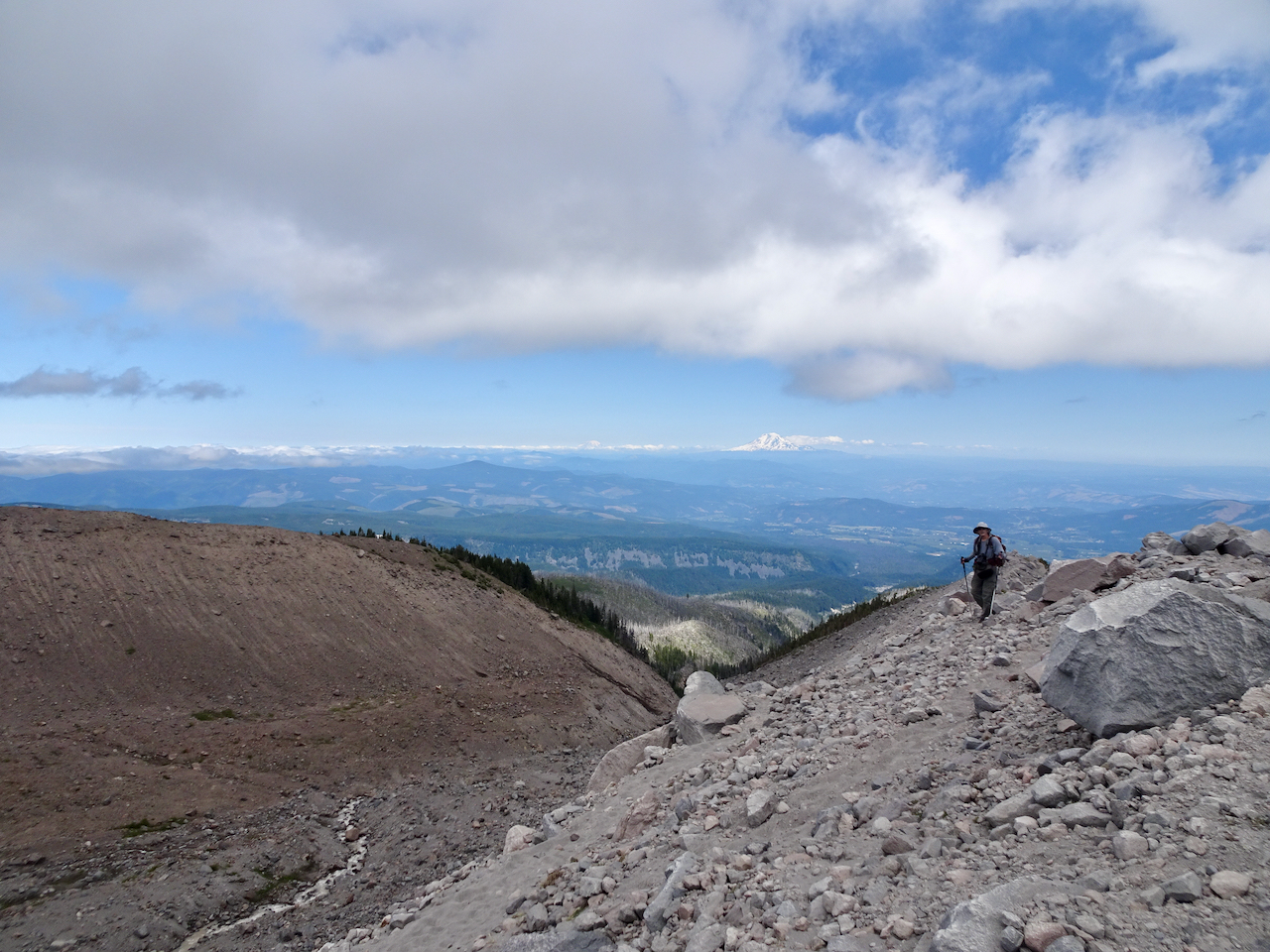
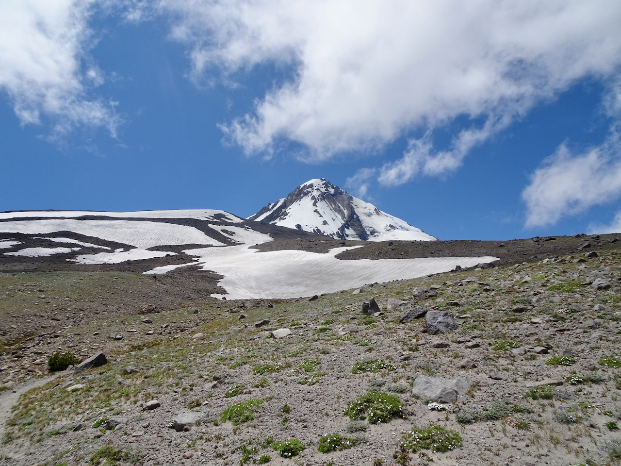
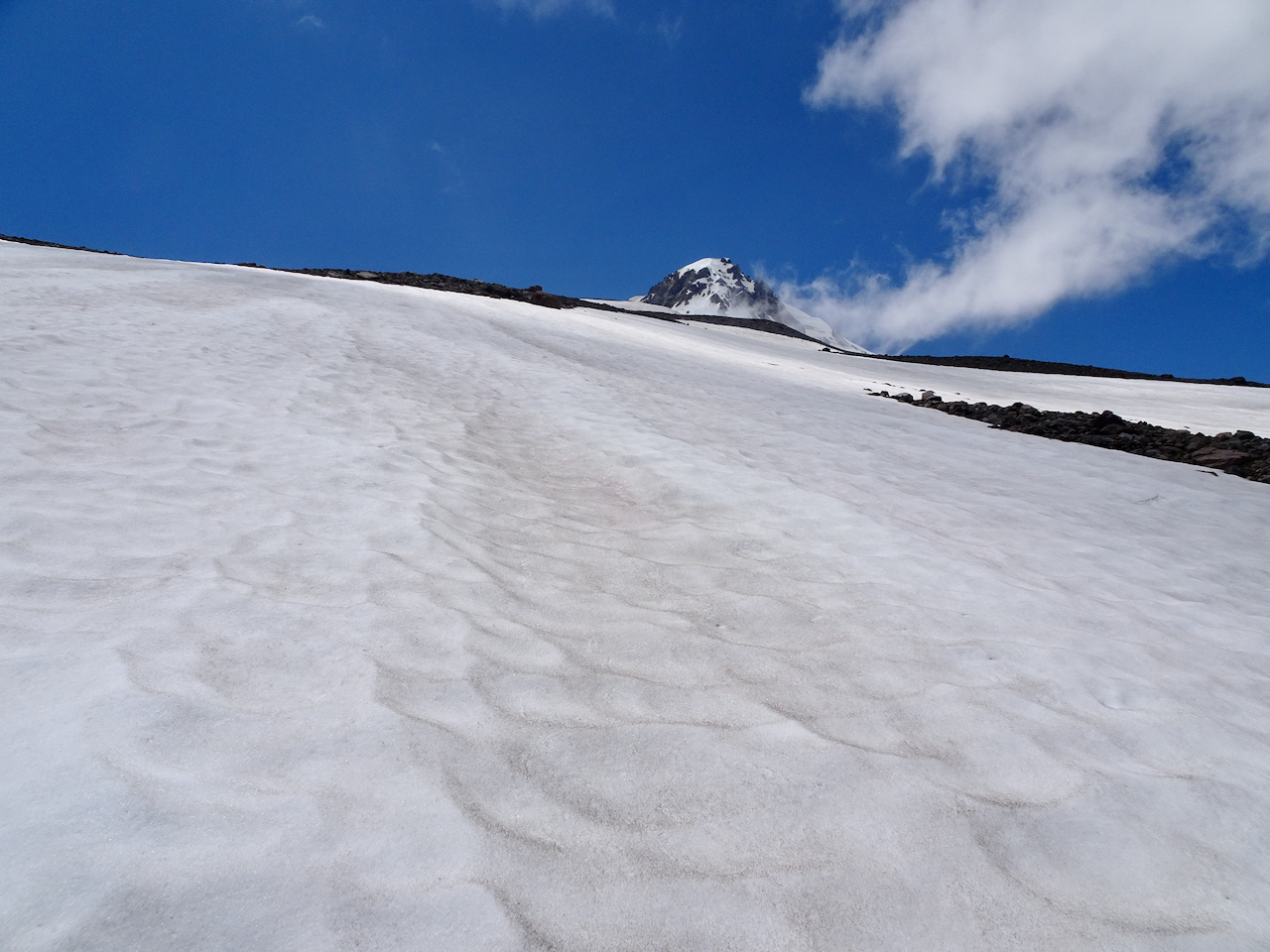
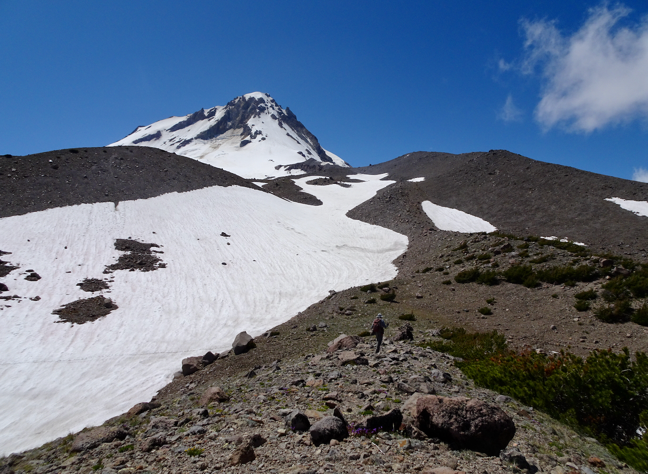
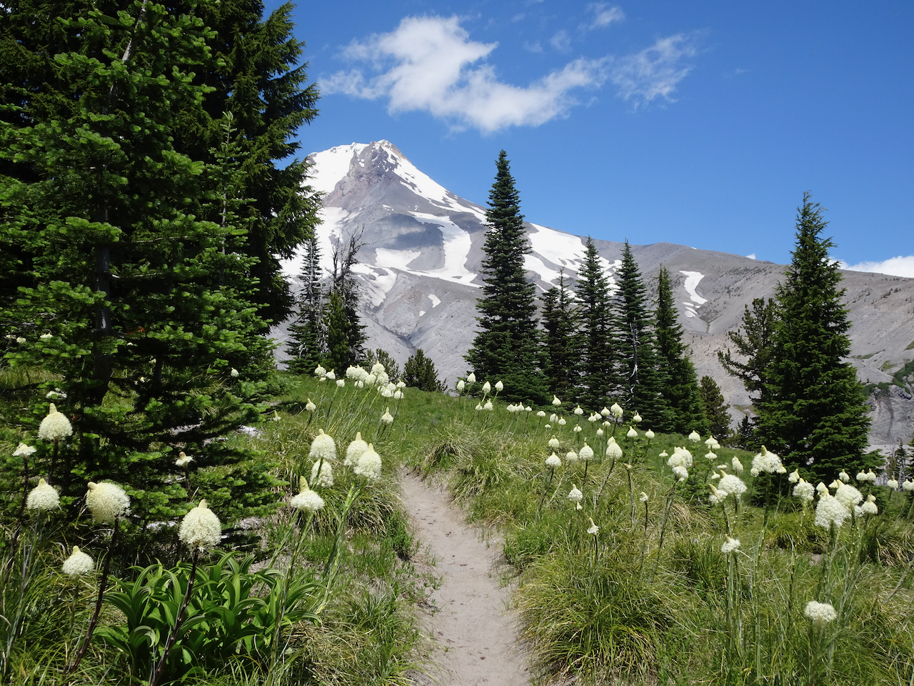
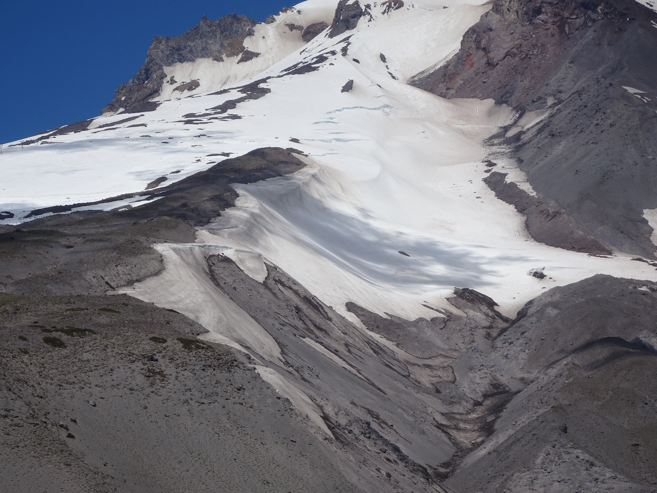
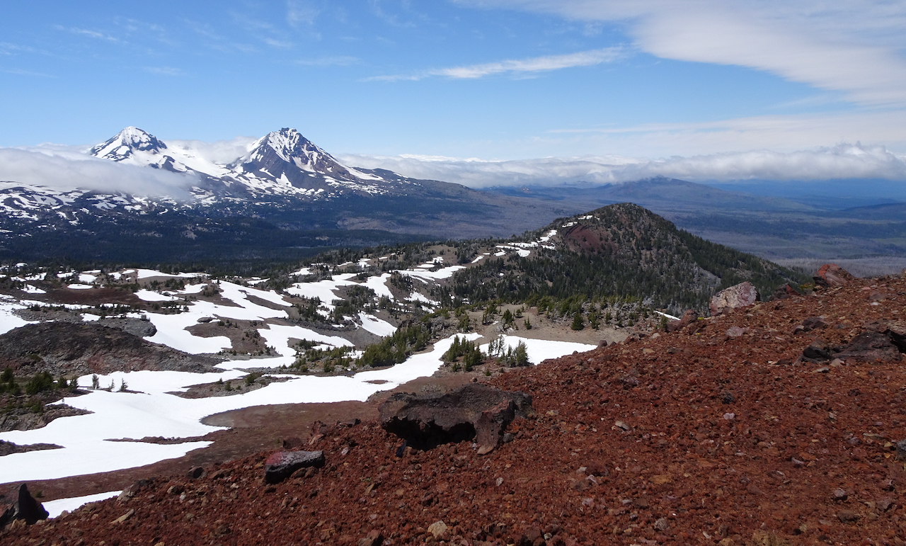
View of Mt Adams on the way up to Red Mountain
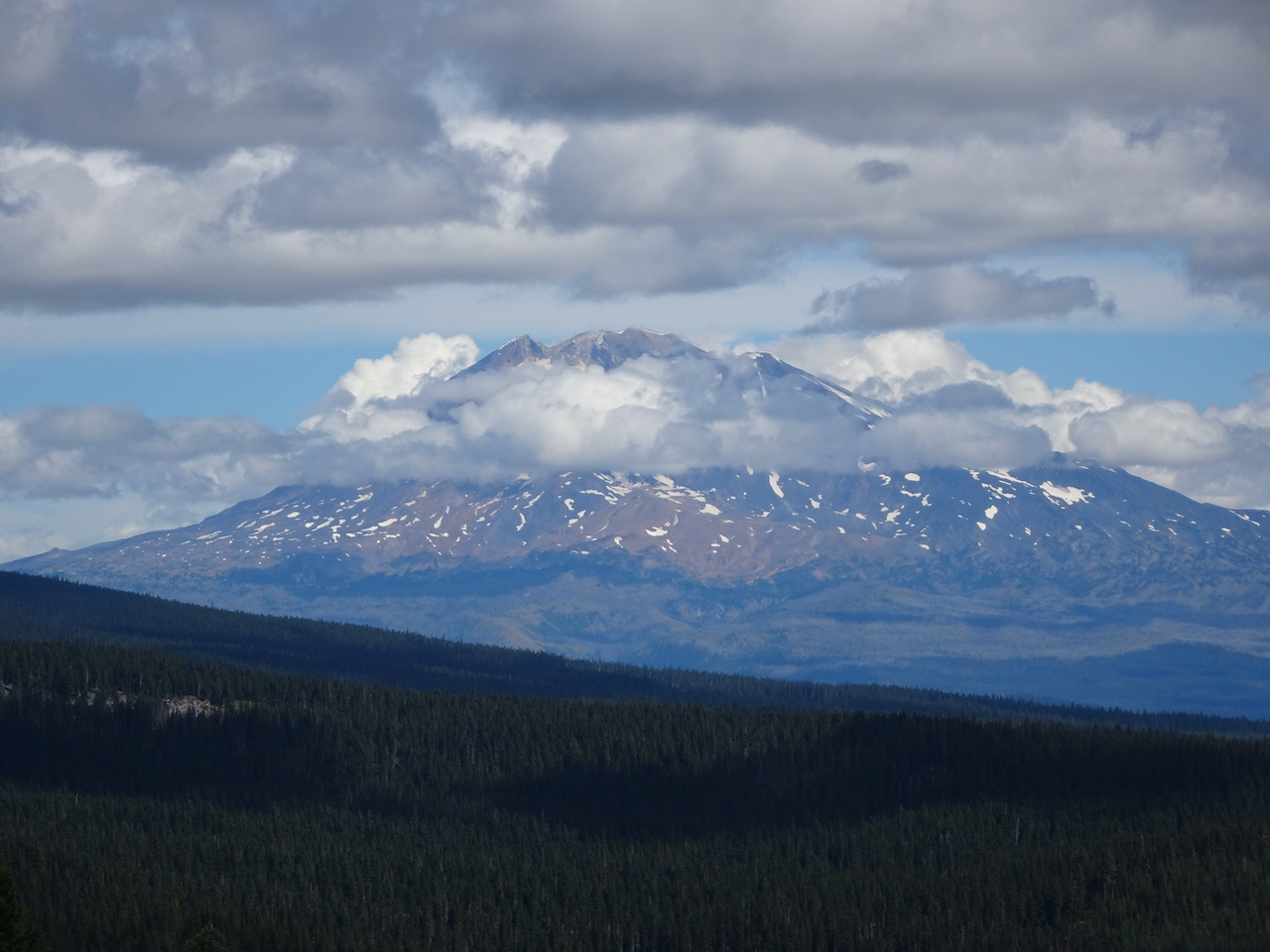
Closer view of Mt Adams,
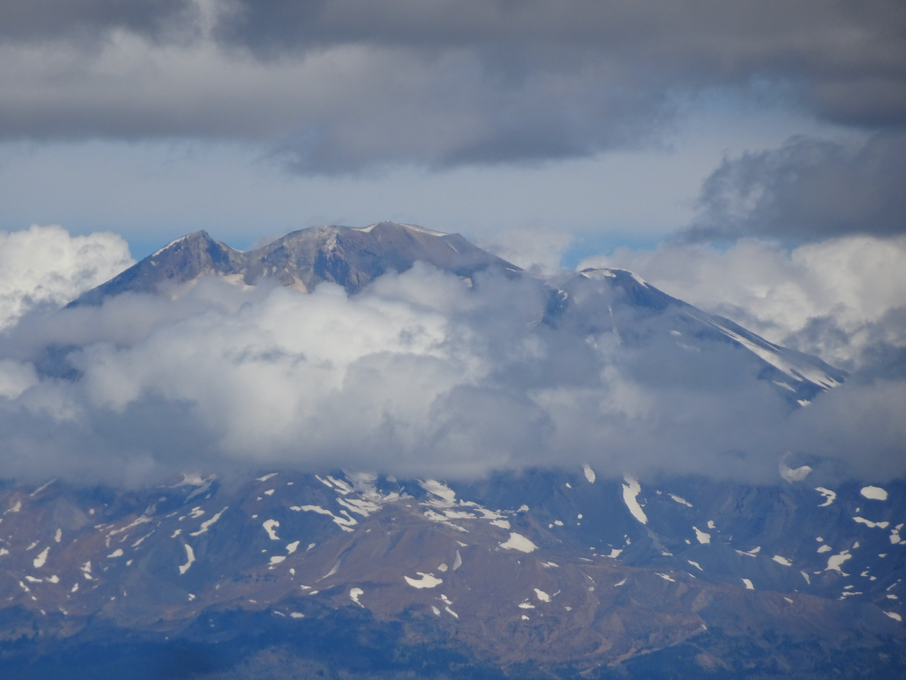
And closer.

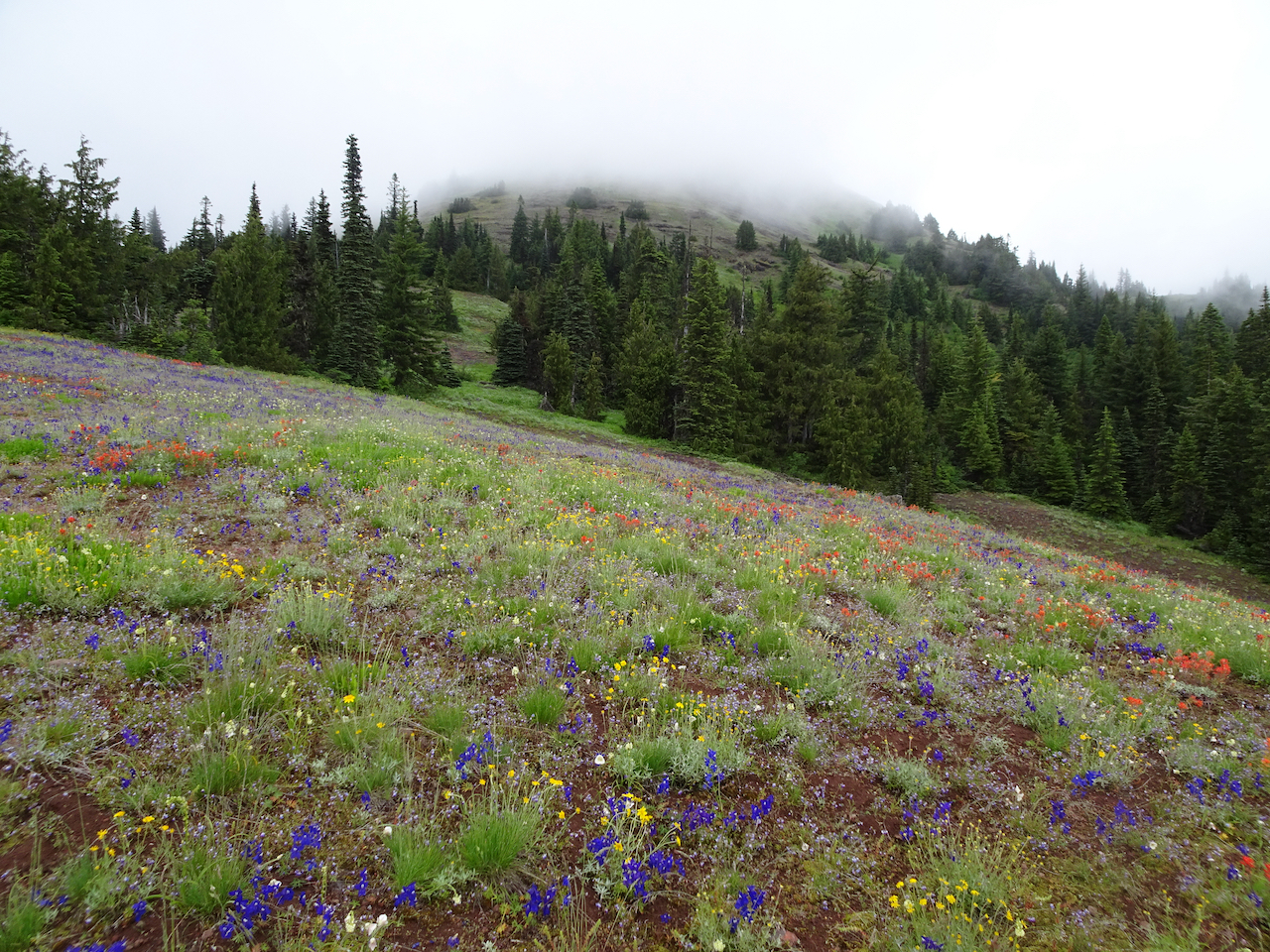
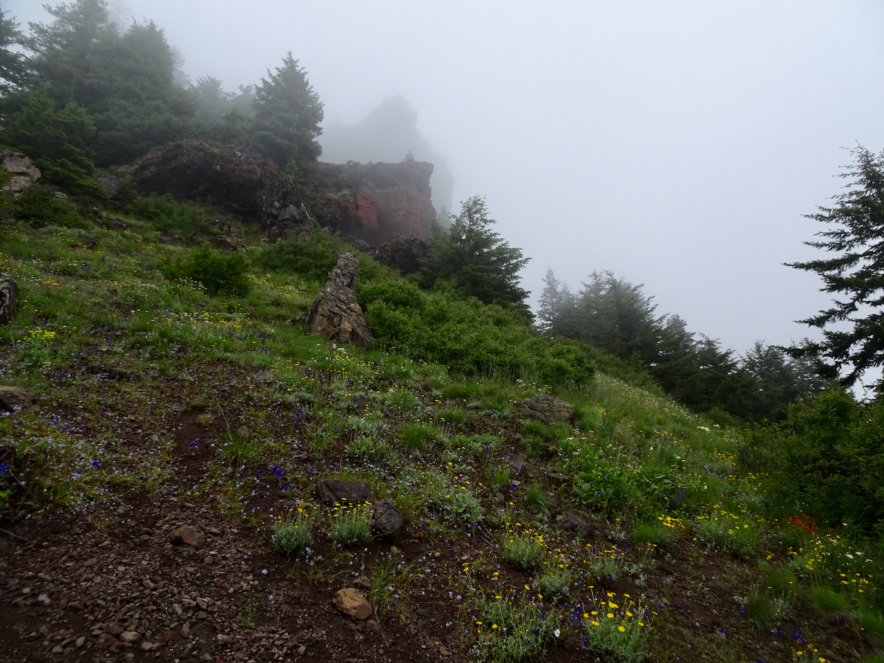
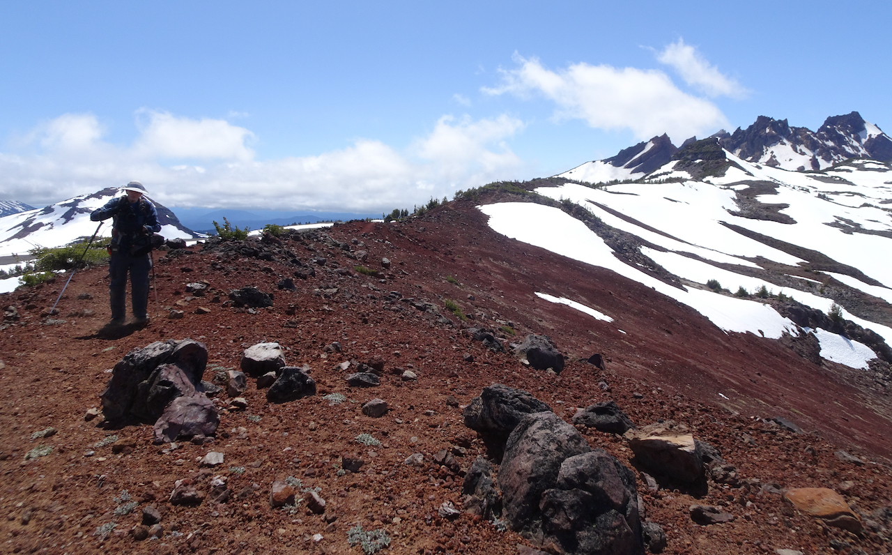
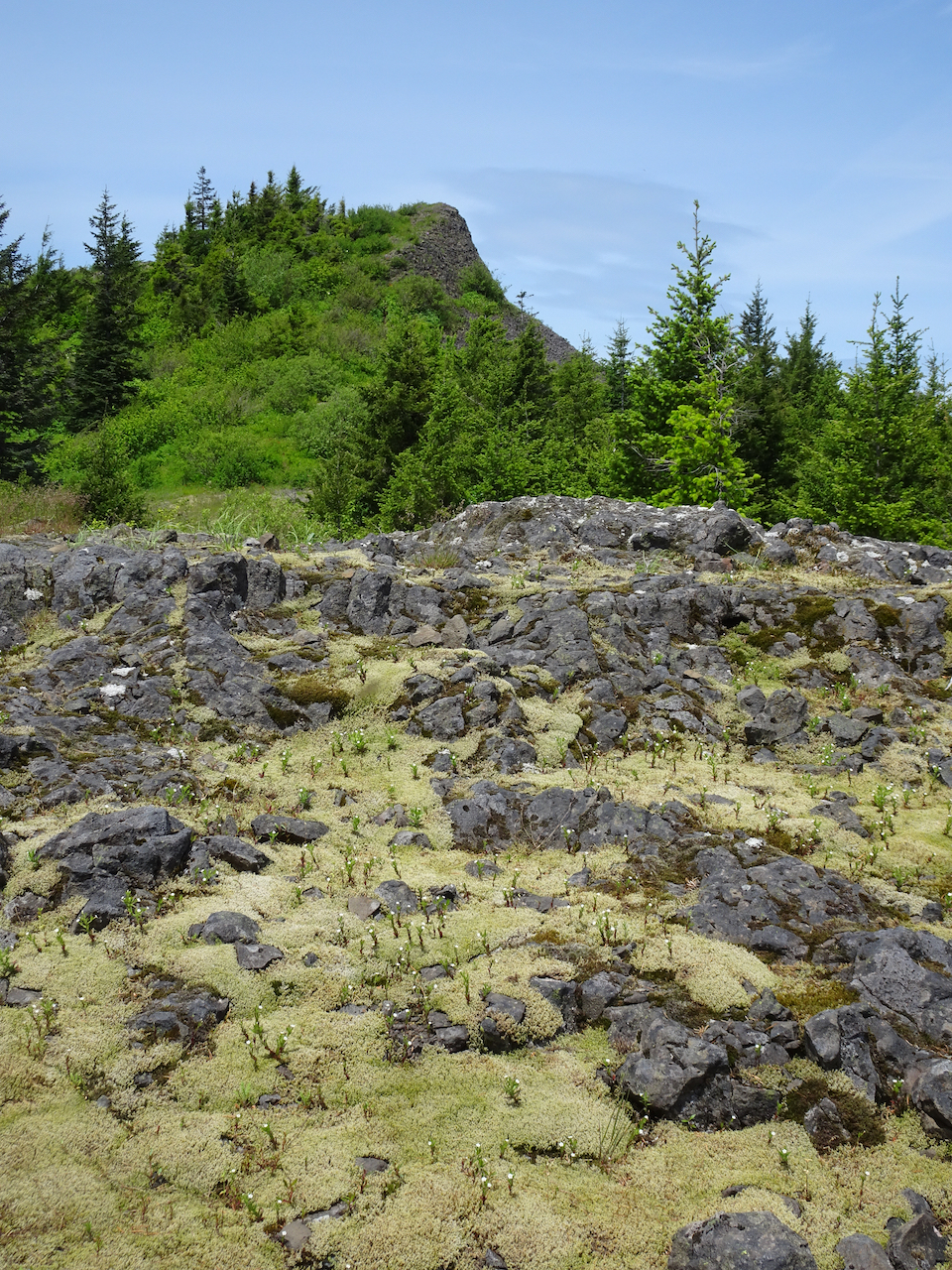
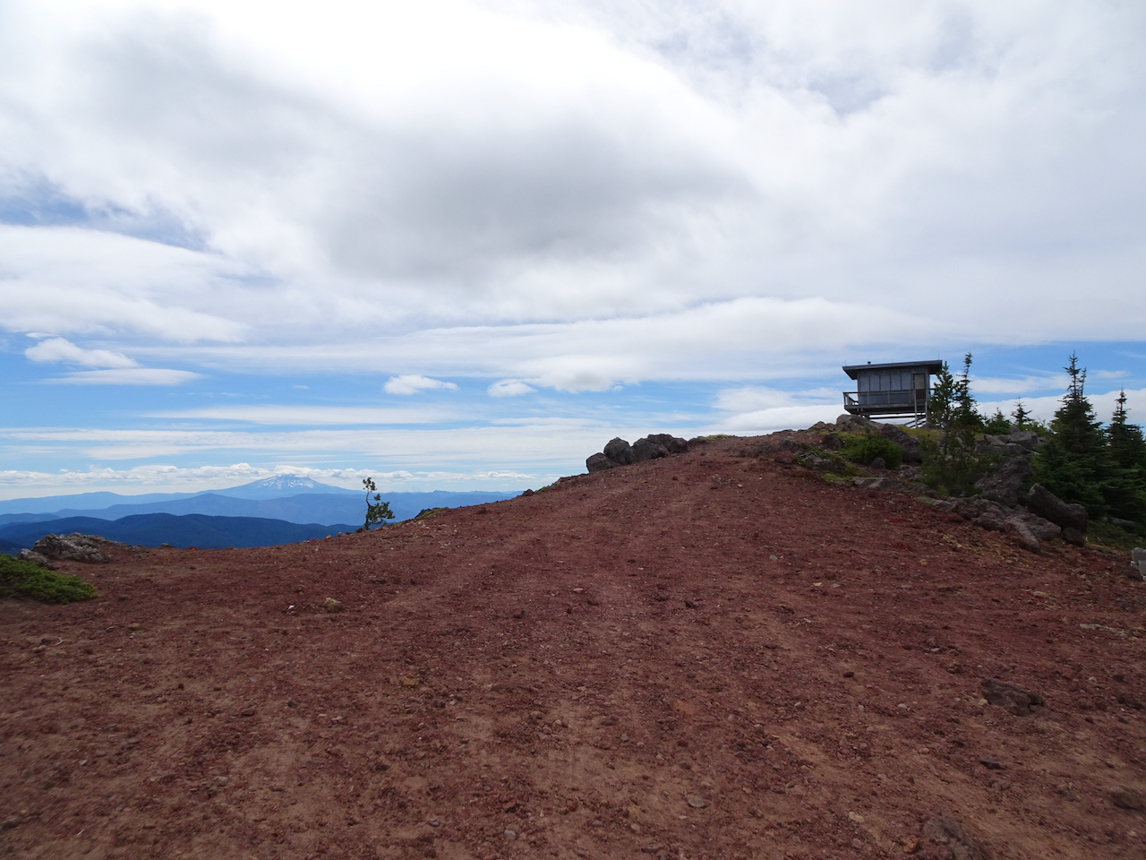
Nearing the top of Red Mountain
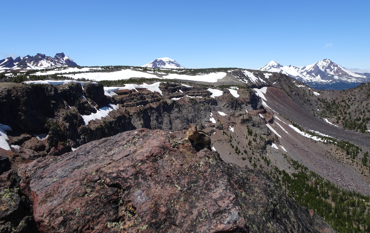
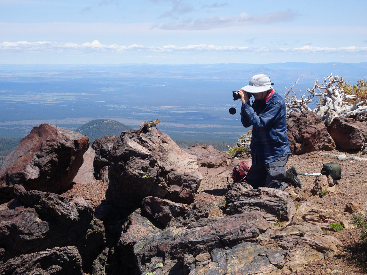
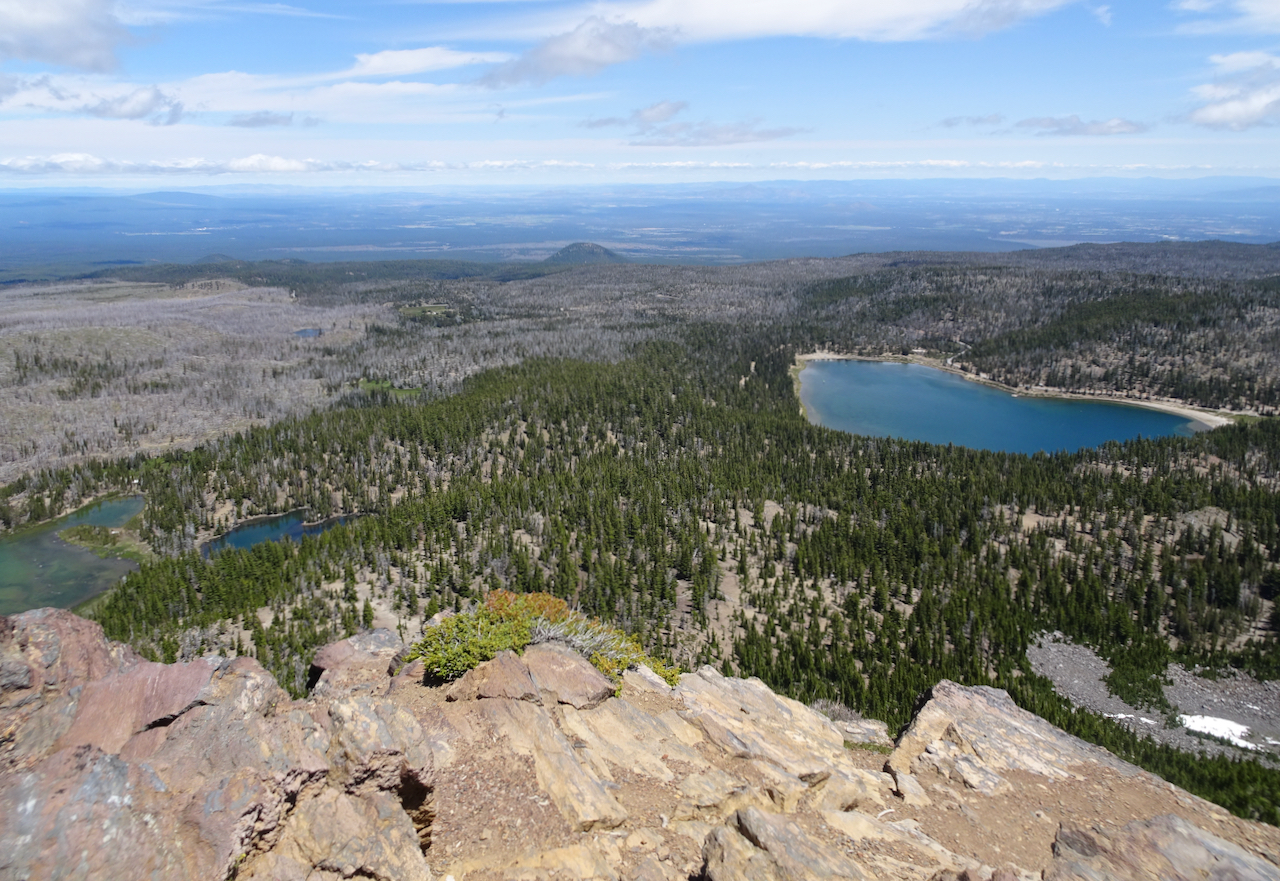
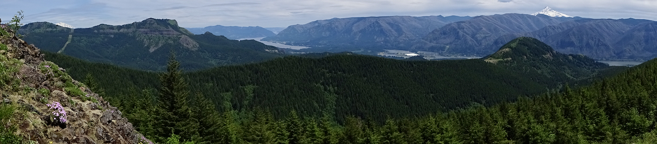
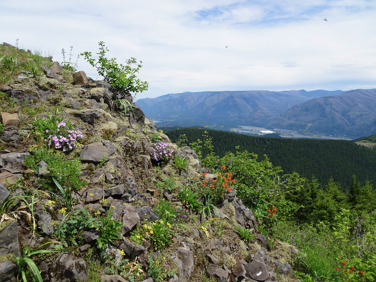
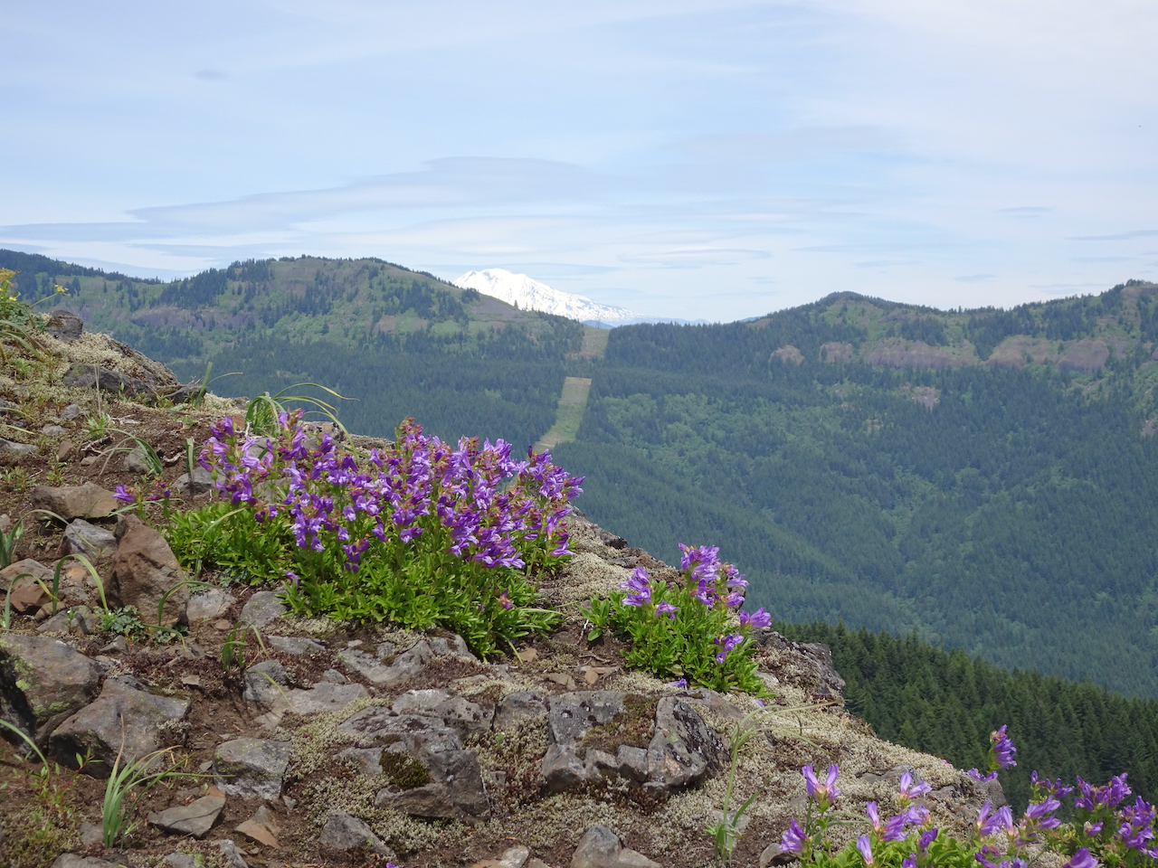
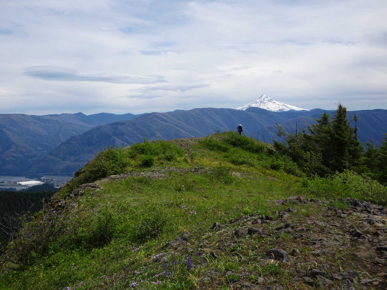
Views from the top:
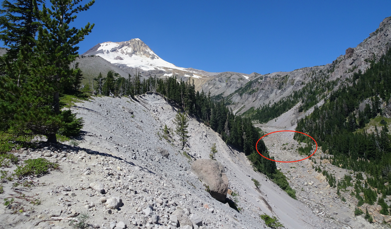
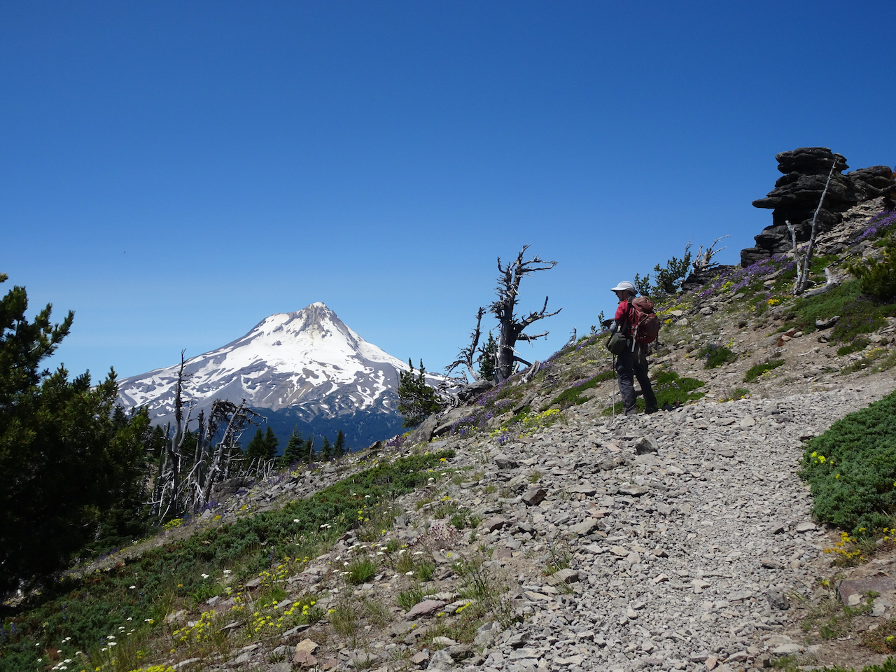
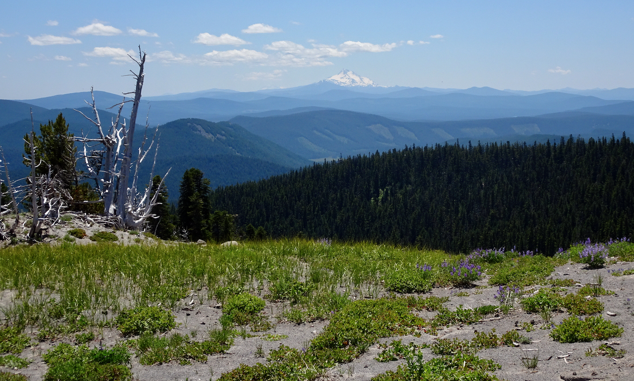
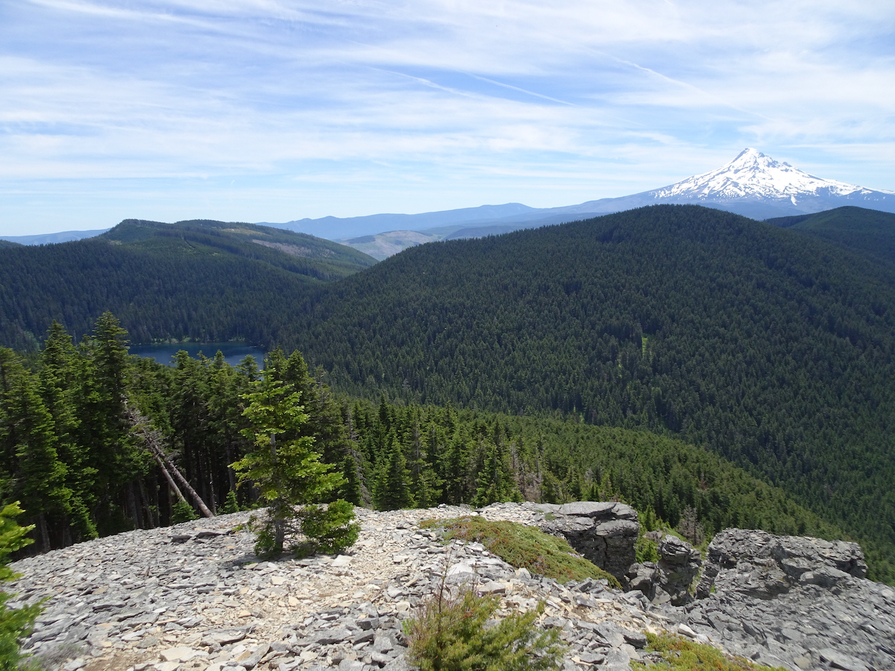
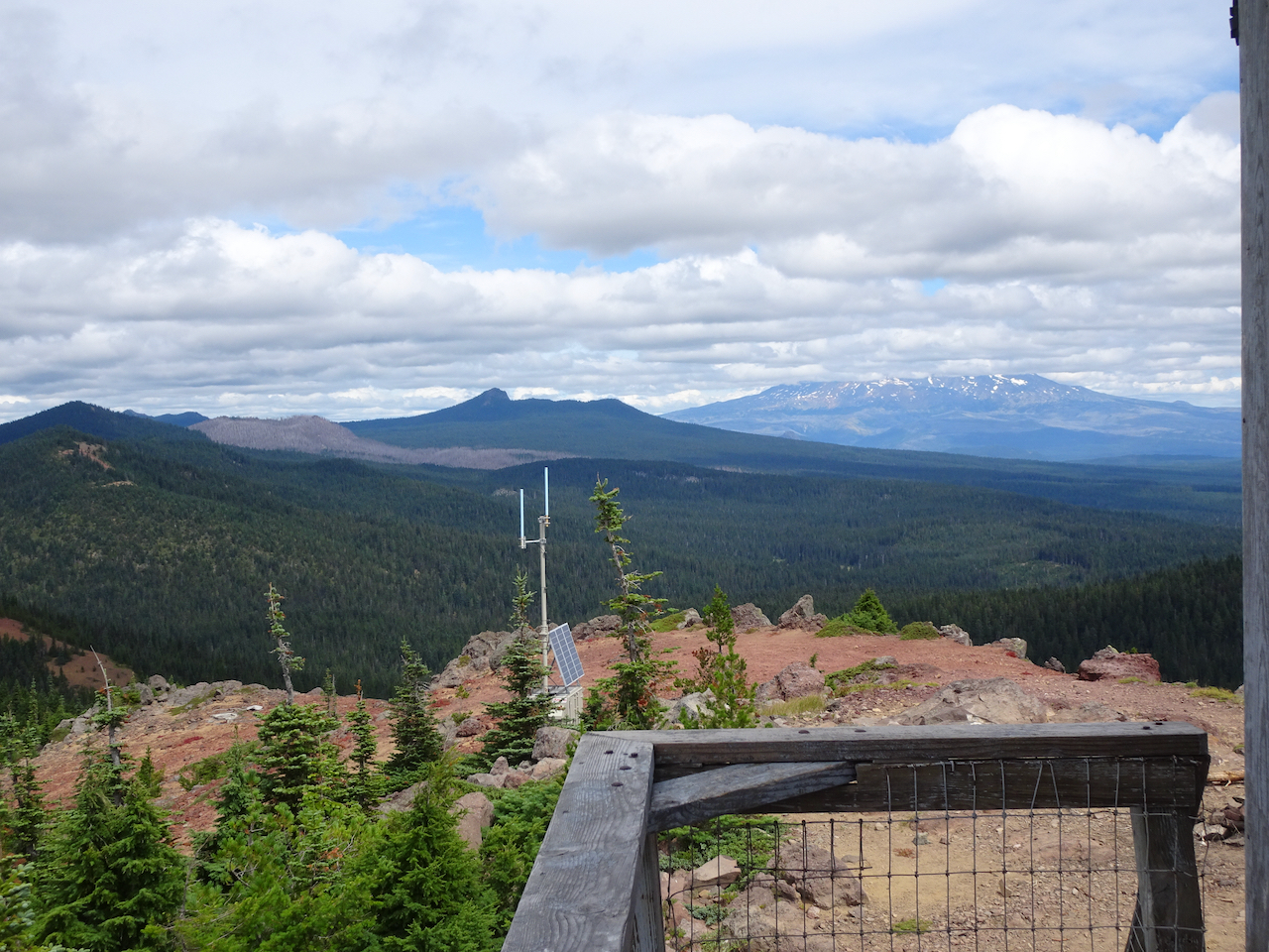
Mt Hood beyond Red Mountain Lookout

We climbed up to the viewing platform on the lookout.

Some other hikers pointed out a bear cub down on the other side of the mountain, eating huckleberries.
Looking back east at Mt Adams – clouds now covering the top
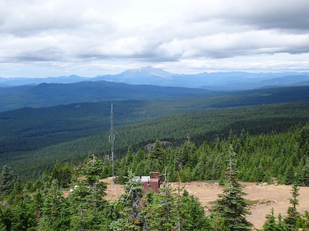
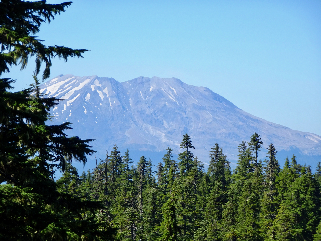
Mt St Helens to the north
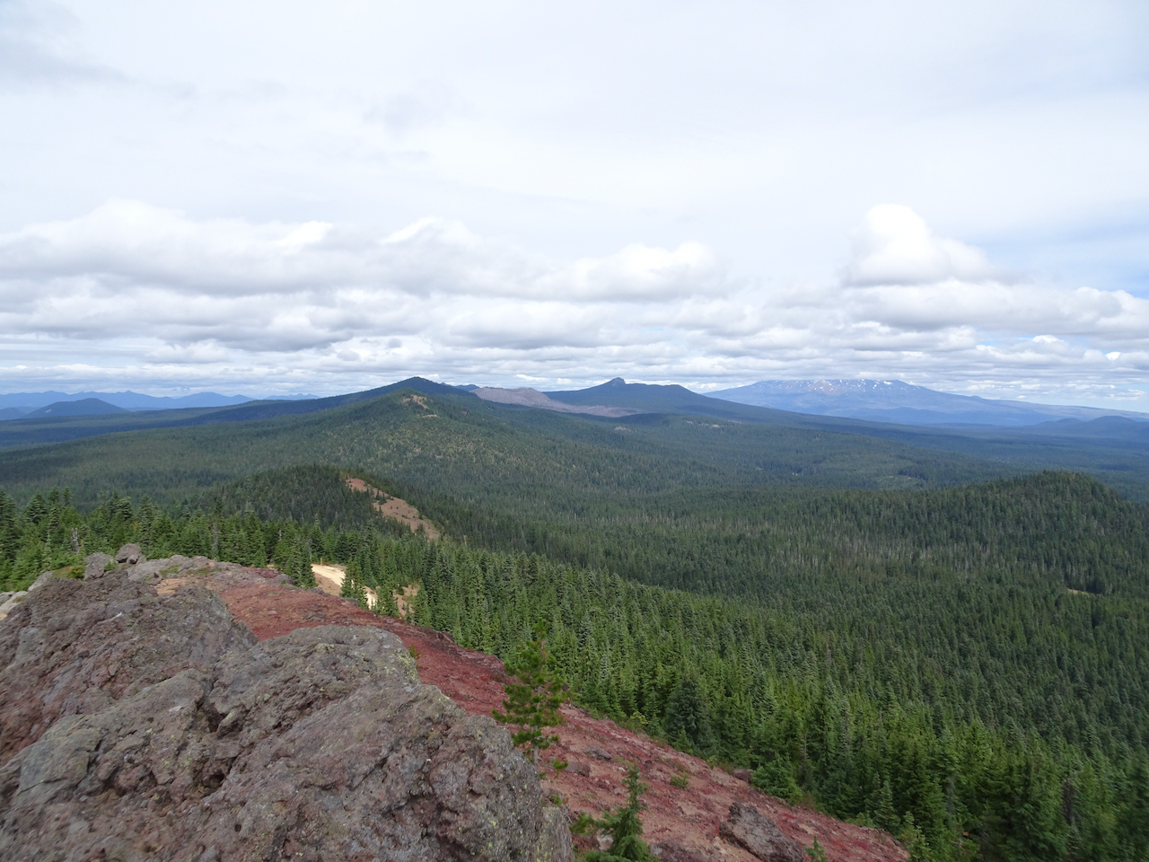
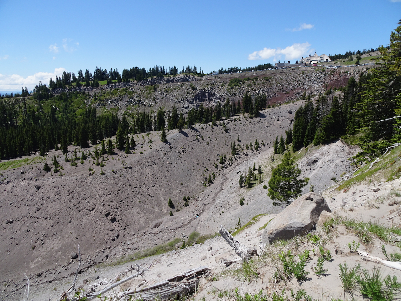
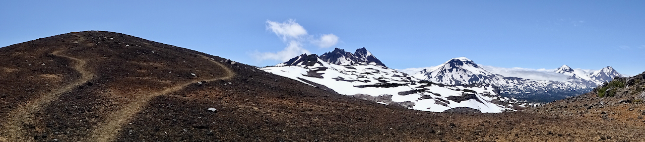
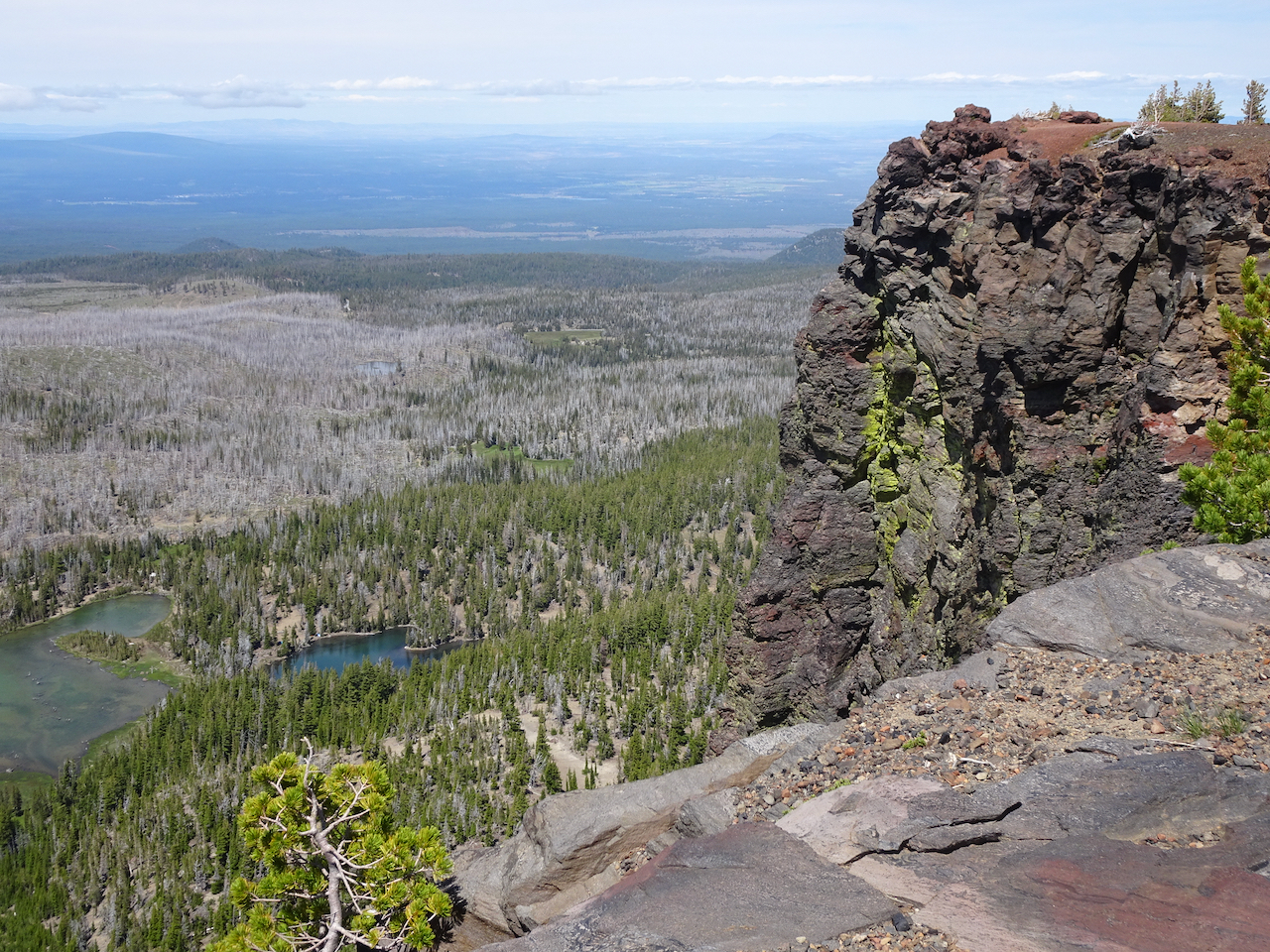
And starting down again, we can see our trail dropping into the woods, and beyond we see the spine of Indian Heaven Wilderness: Berry Mountain, Gifford Peak, burned East Crater, and Lemei Rock.
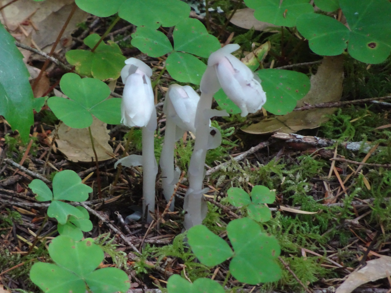
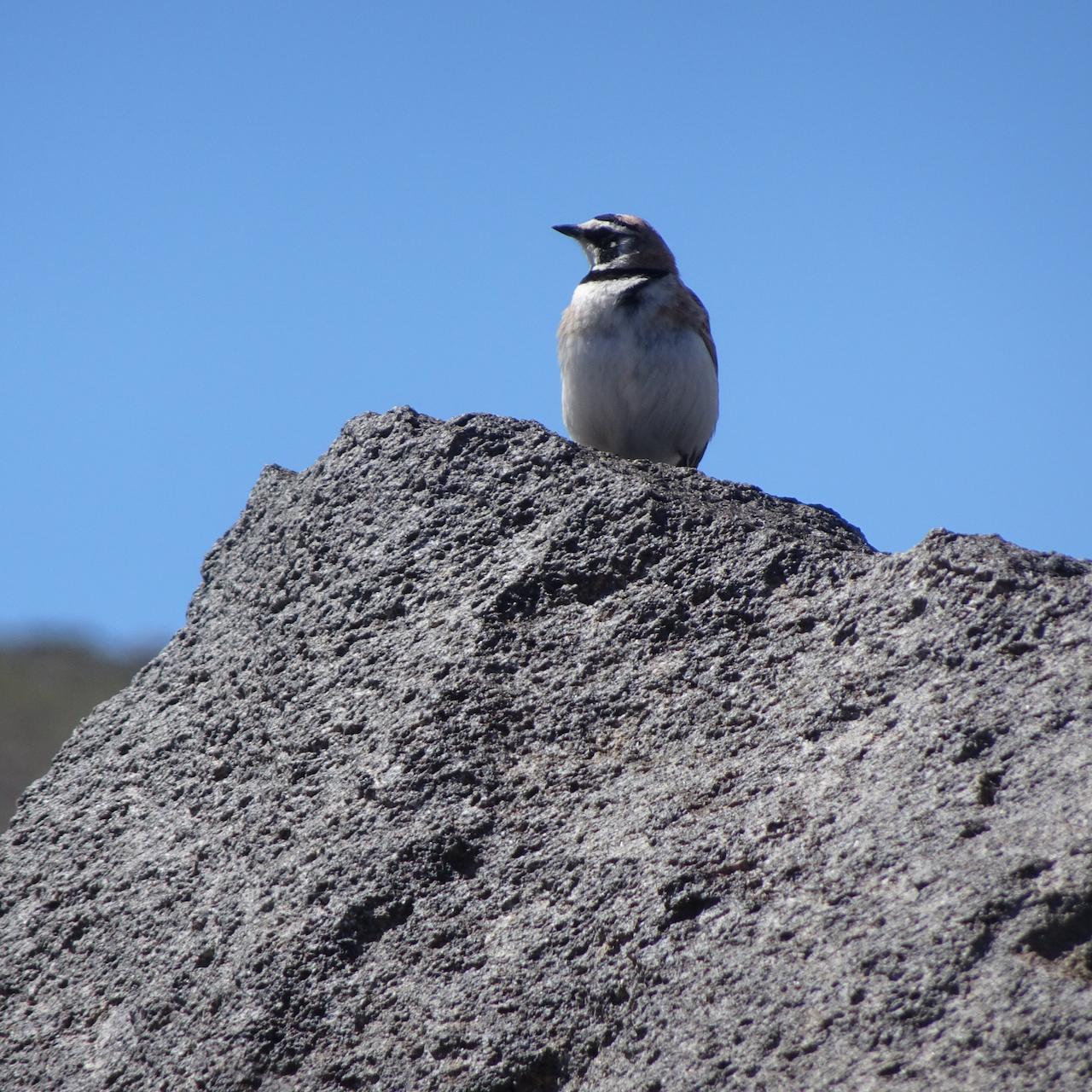
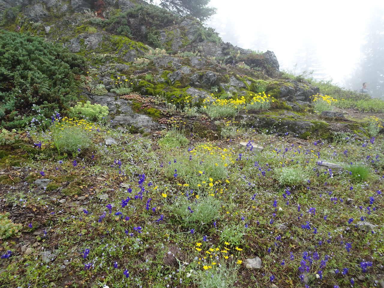
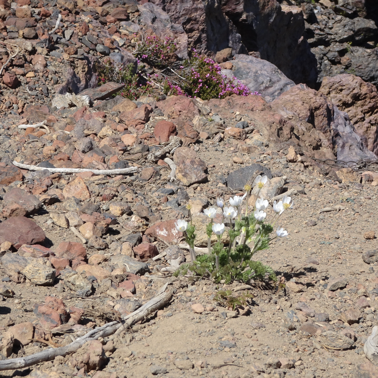
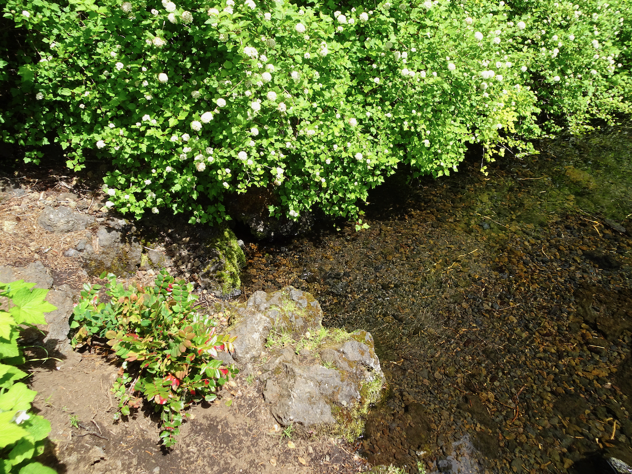
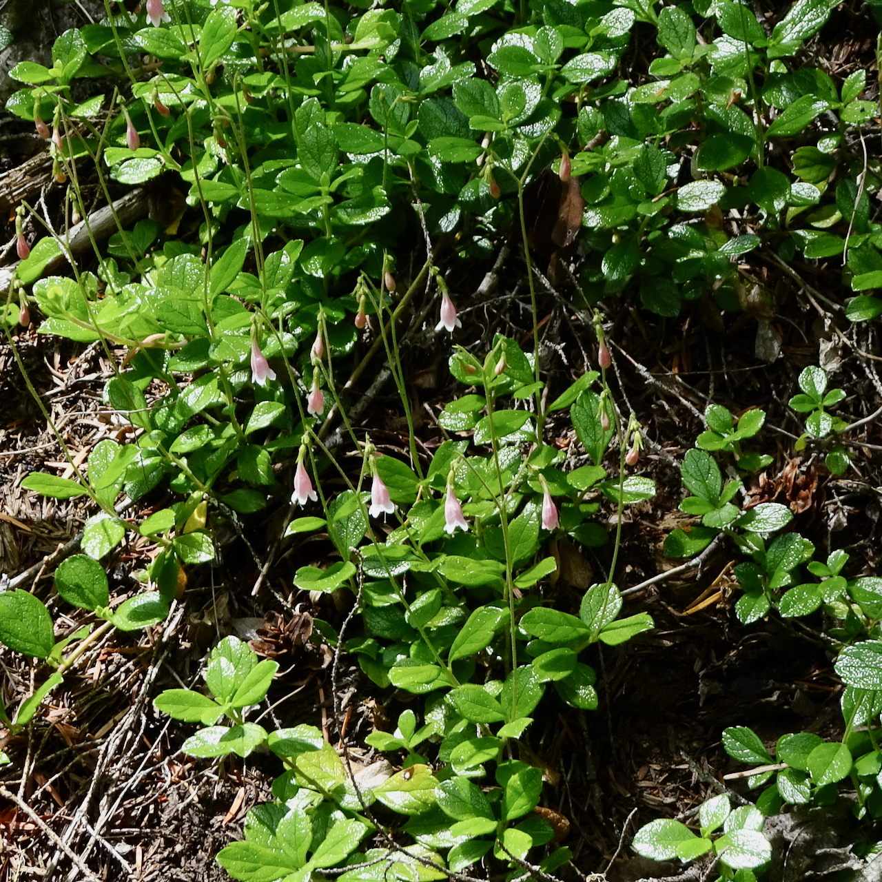
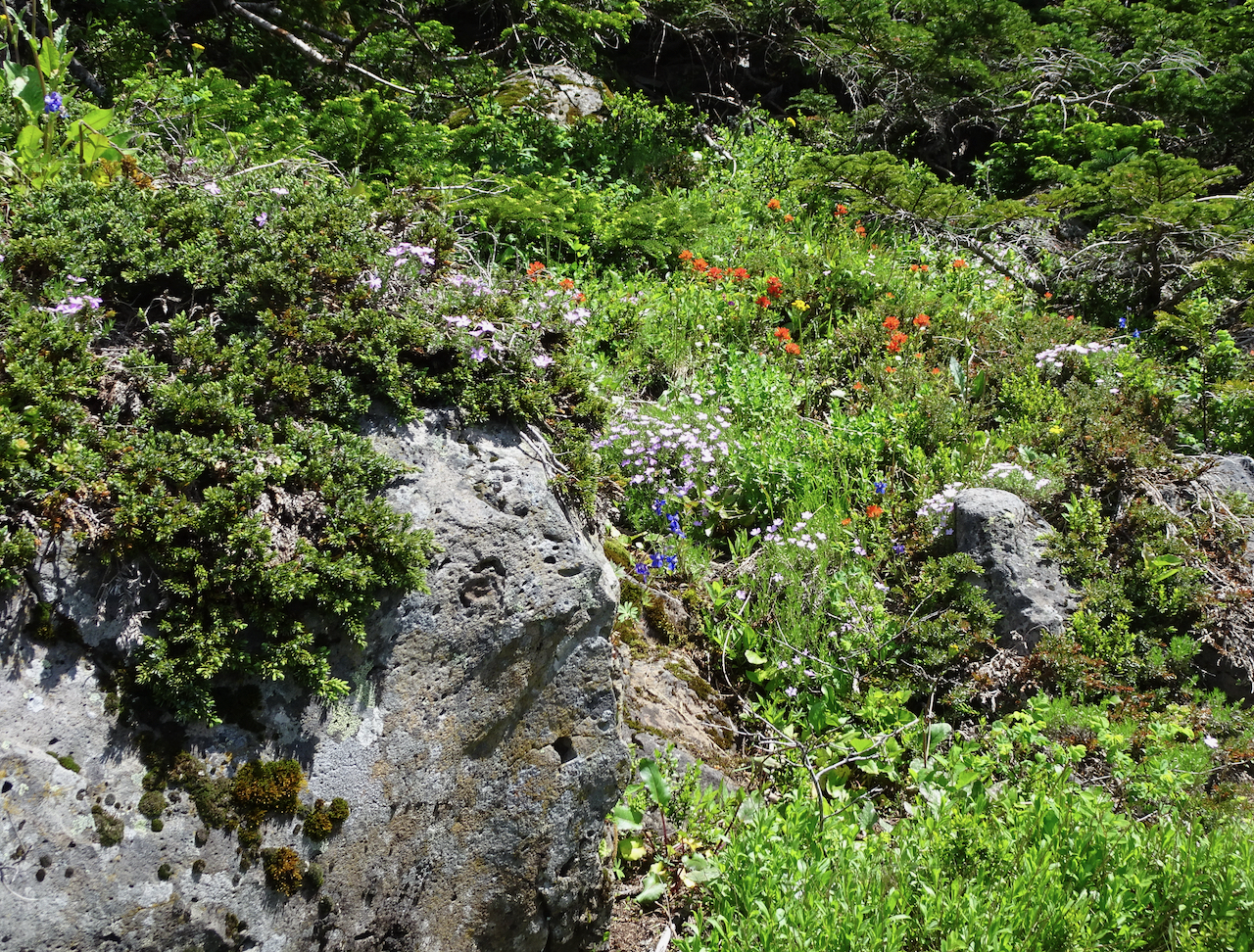
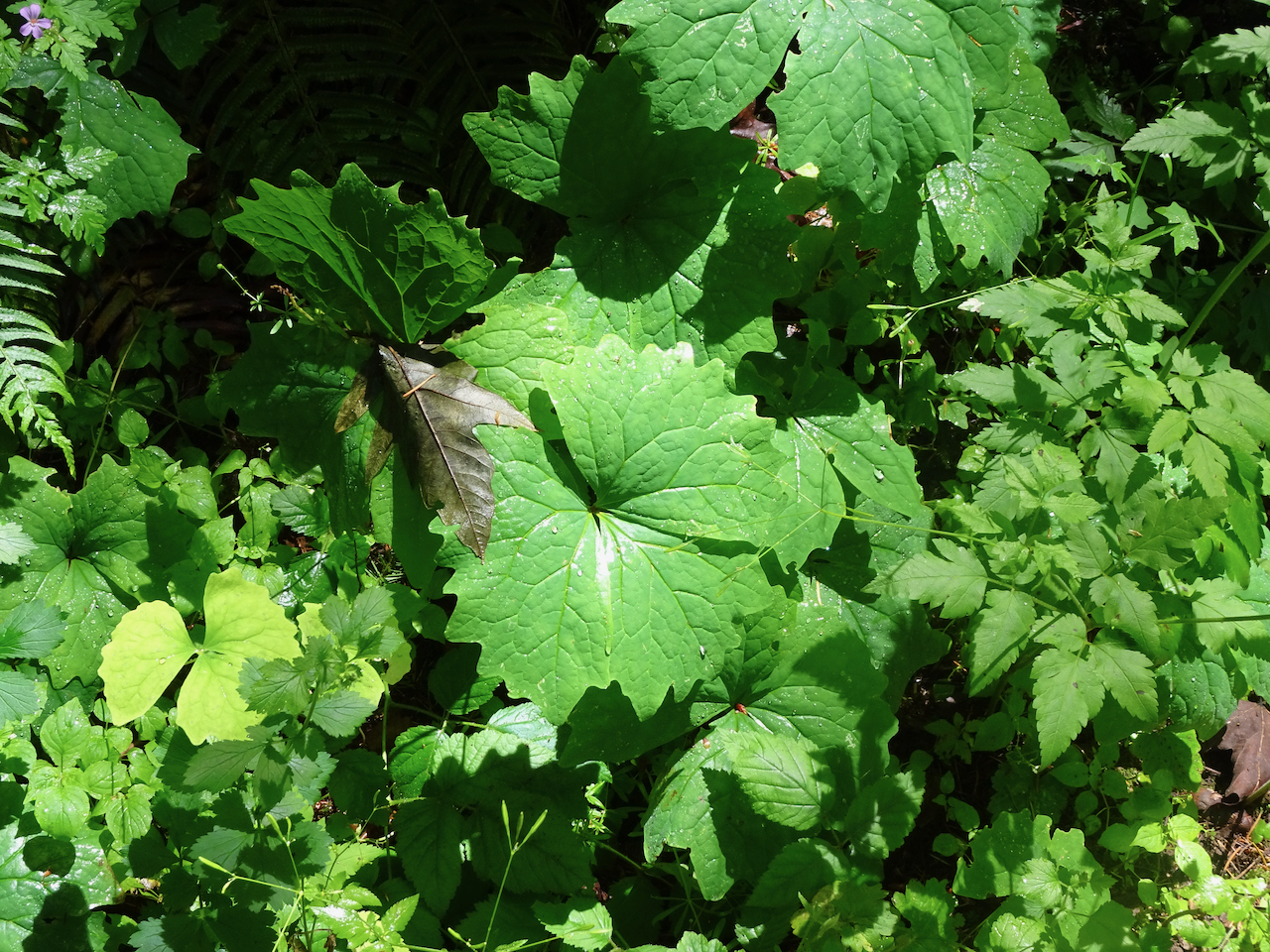
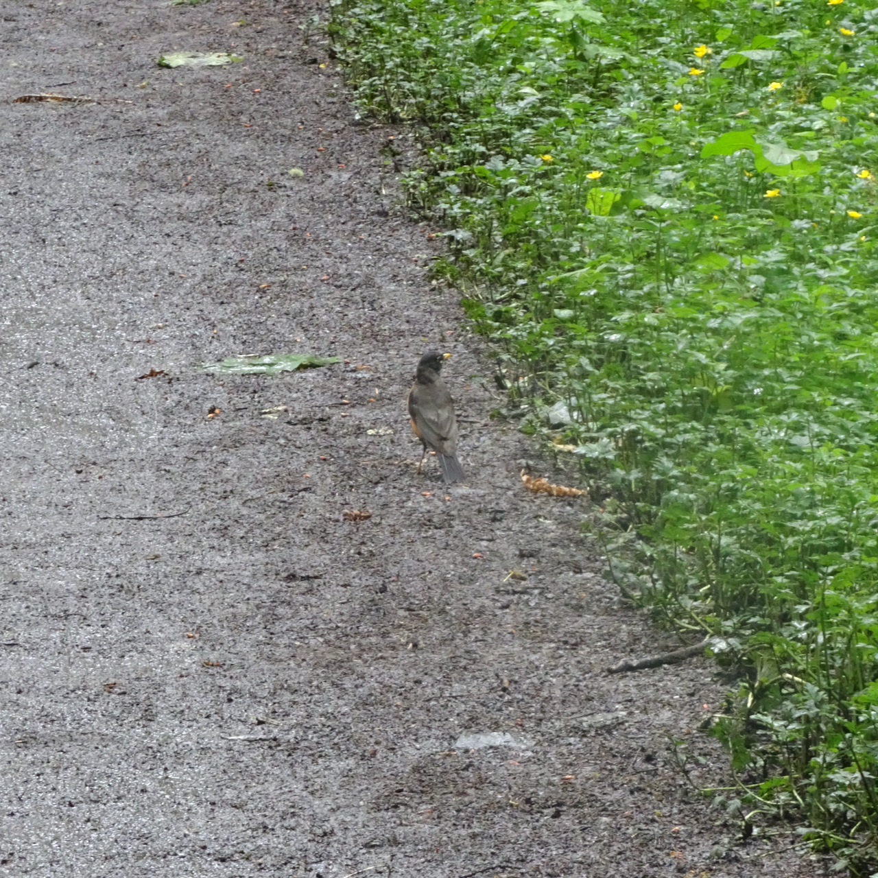
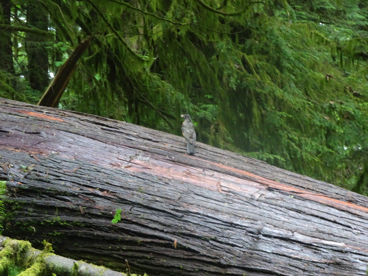
Some details along the trail:


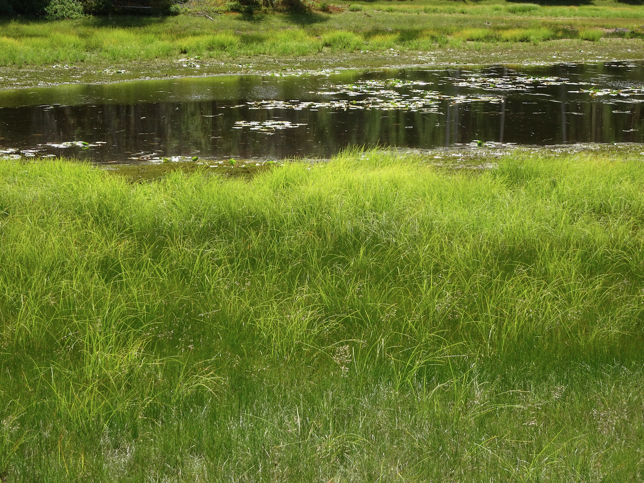
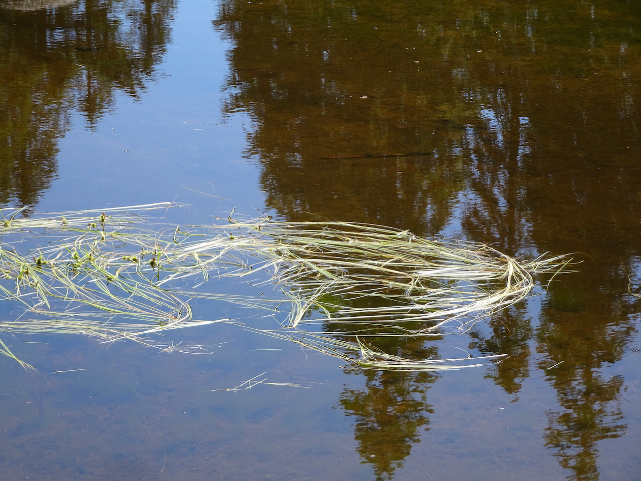
Lily pads and grass, Racetrack Lake
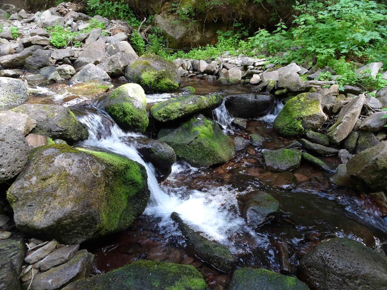
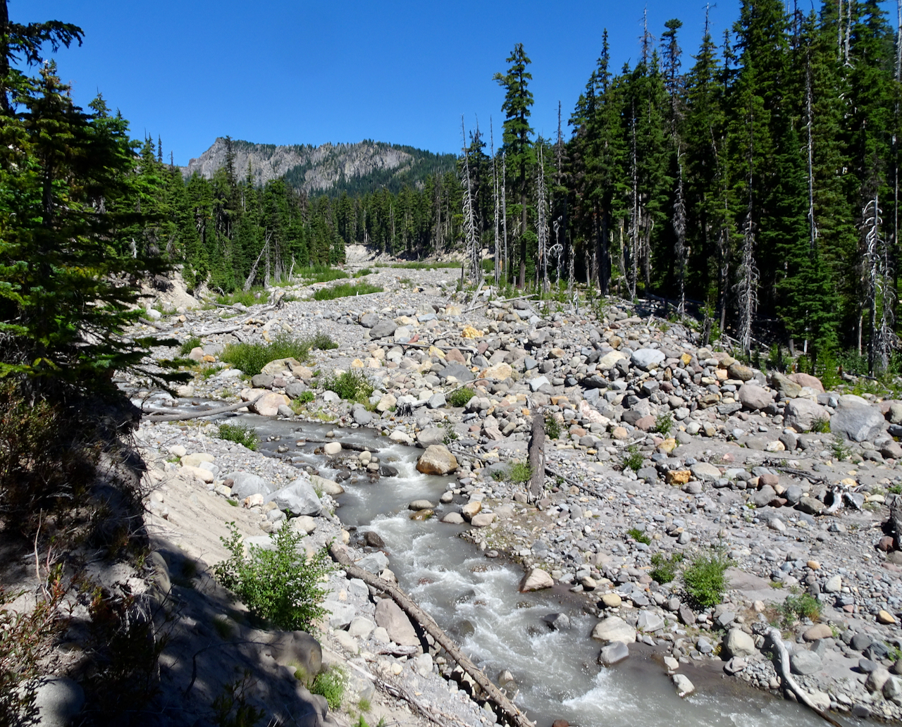
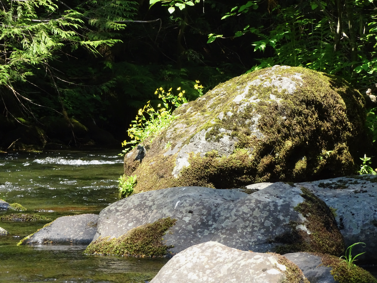
Falls Creek
Hike #57, 6.8 miles, 1500 feet
August 28, 2020 – Thomas Lake trailhead to Junction Lake
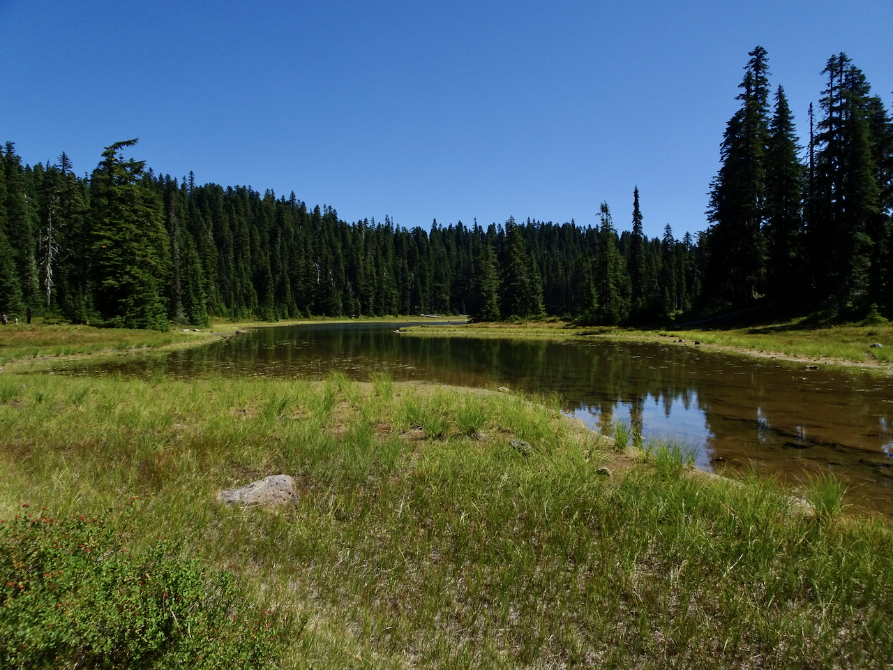
The other ten lakes were seen on this hike.

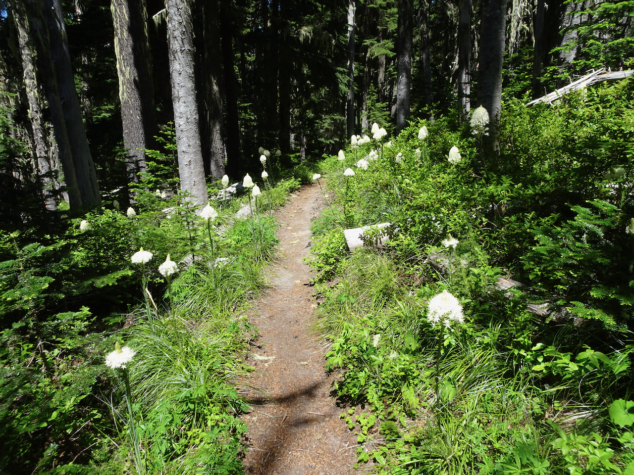
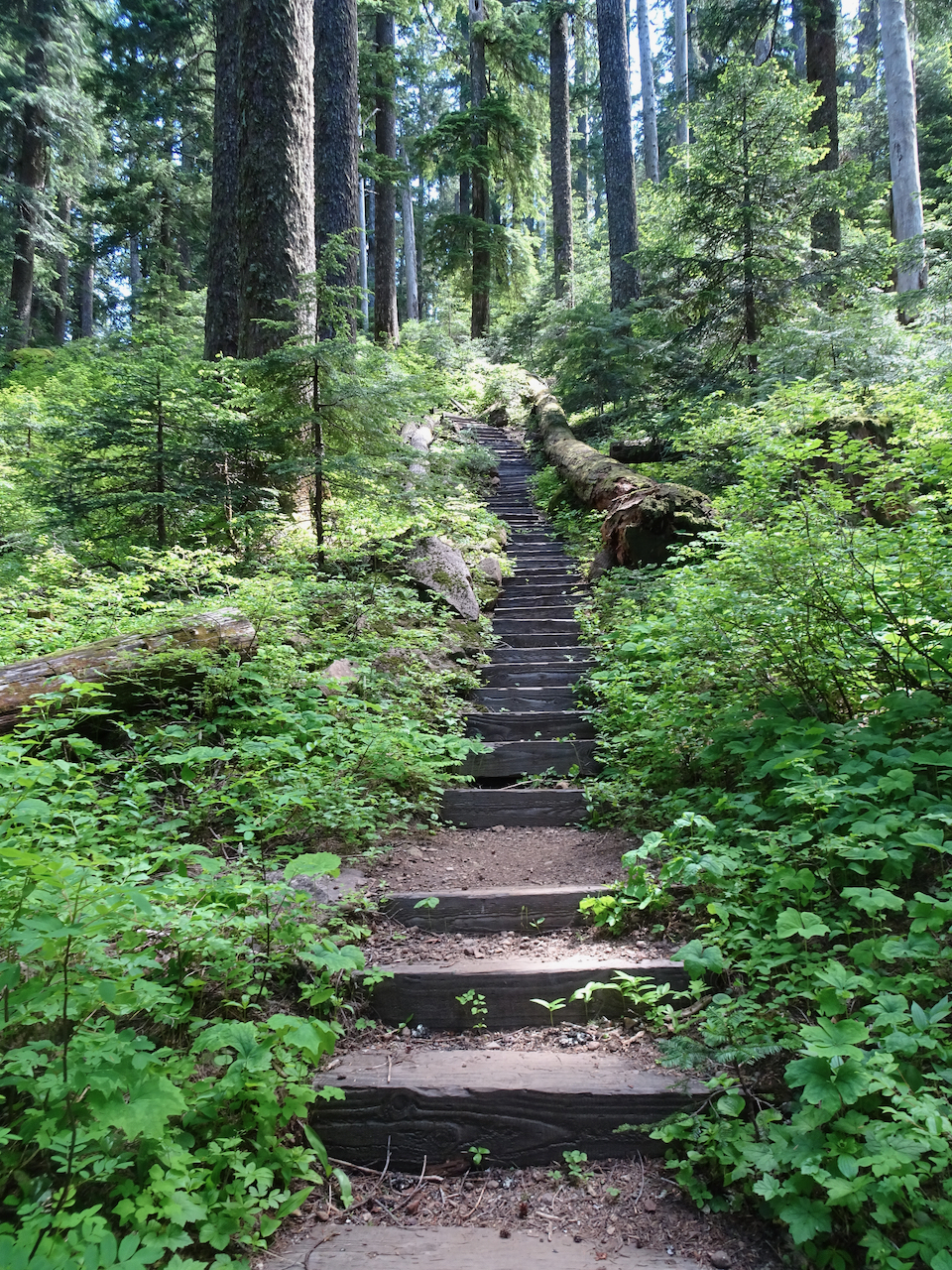
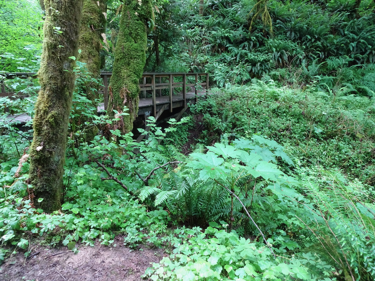
Once again we enter the forested wilderness…

Thomas Lake

Heather Lake
Dee Lake

Eunice Lake
Nuha Lake
Rock Lakes

Unnamed lake beyond Rock Lakes
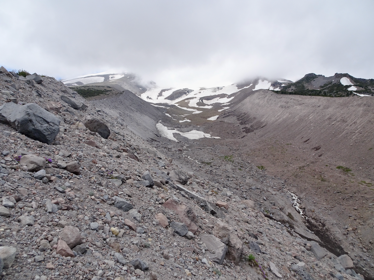
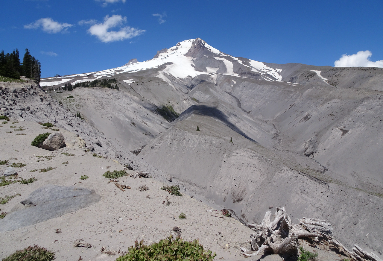
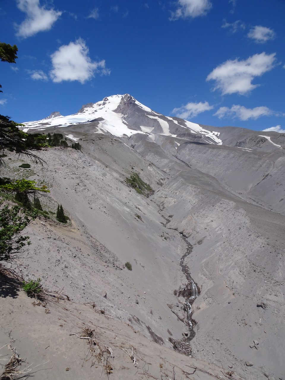
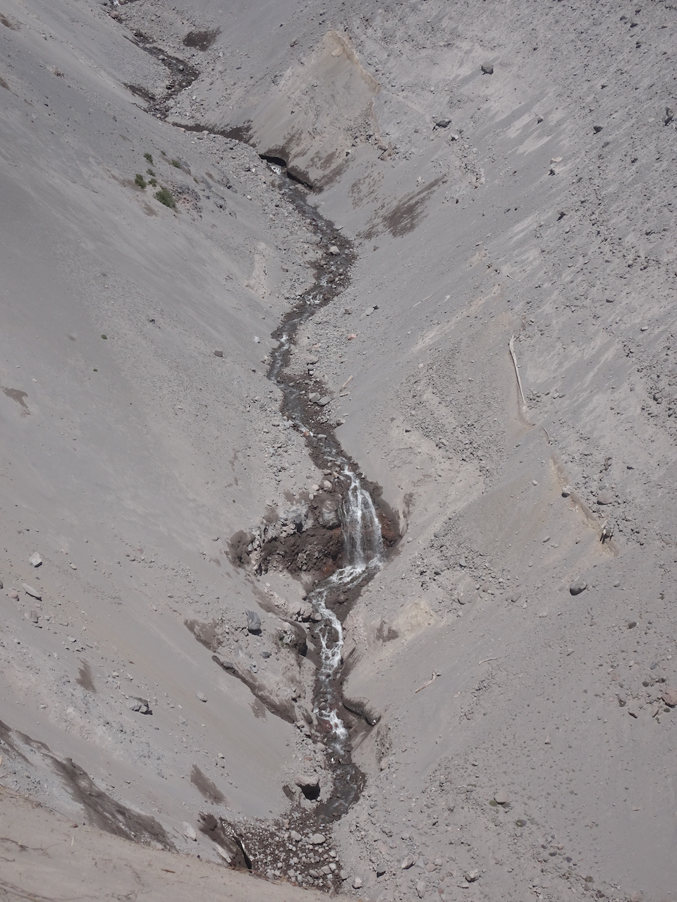
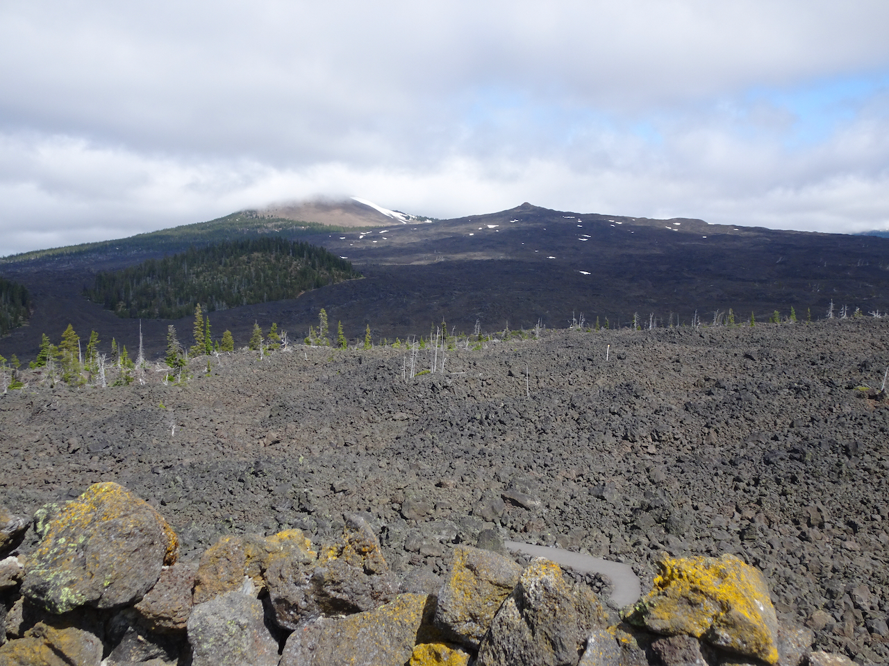
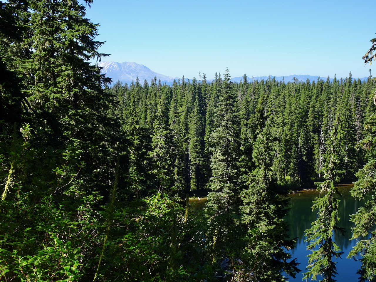
View of burnt East Crater from the Old Cascade Crest trail segment

A glimpse of Mt St Helens as we cross the shoulder of East Crater

Unnamed lake near the trail junction
Junction Lake, our turnaround point
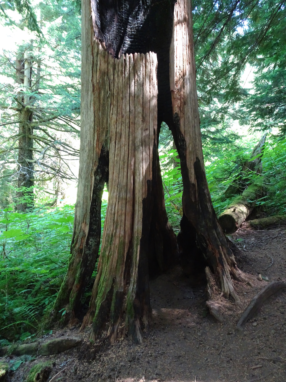
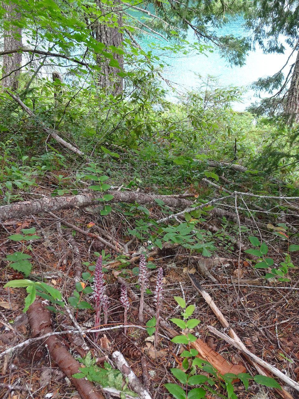
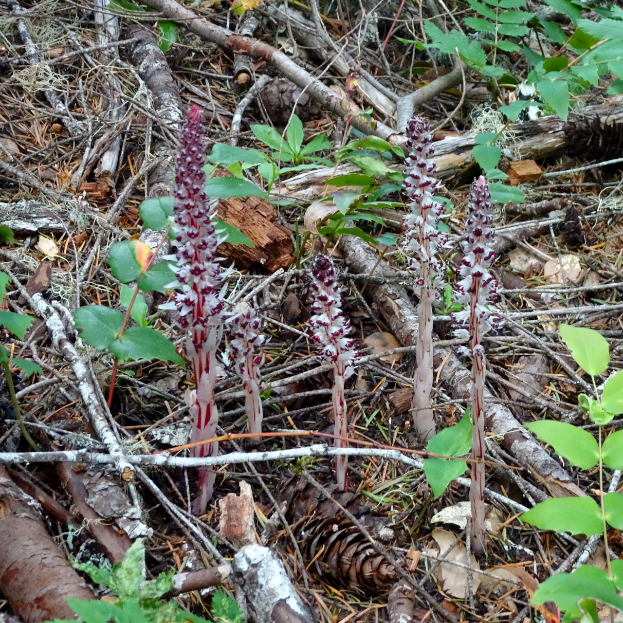
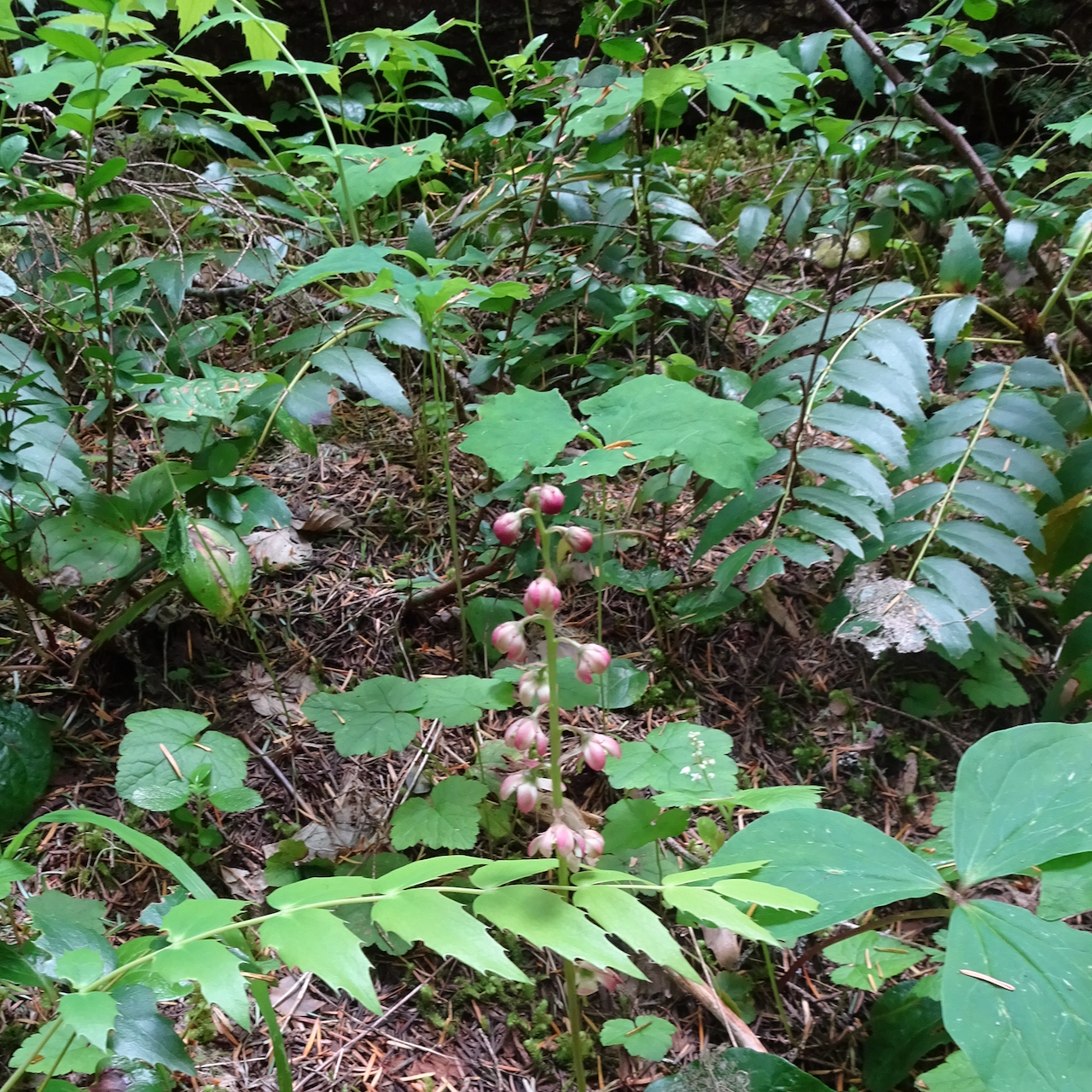
Some details along the trail:
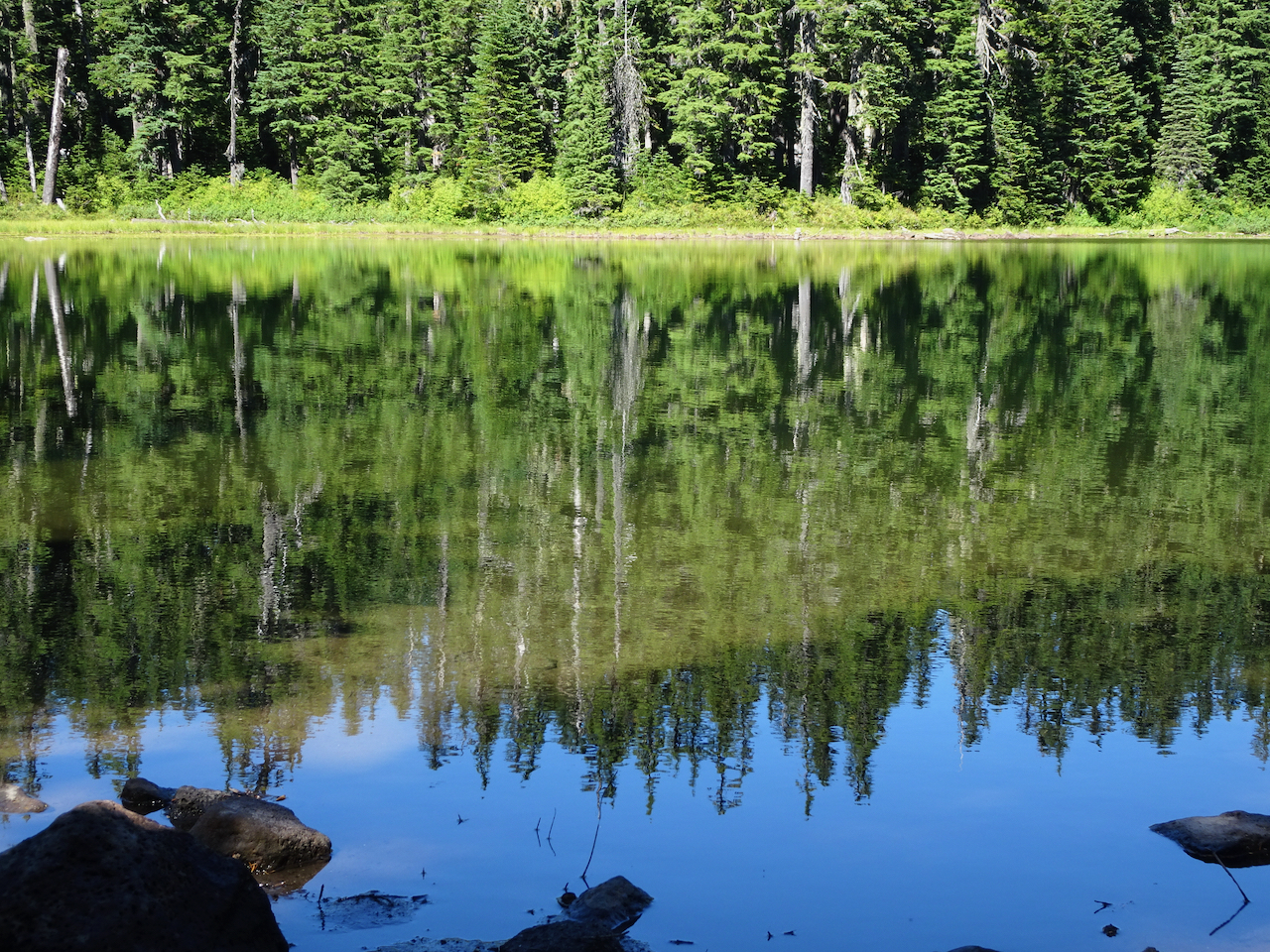
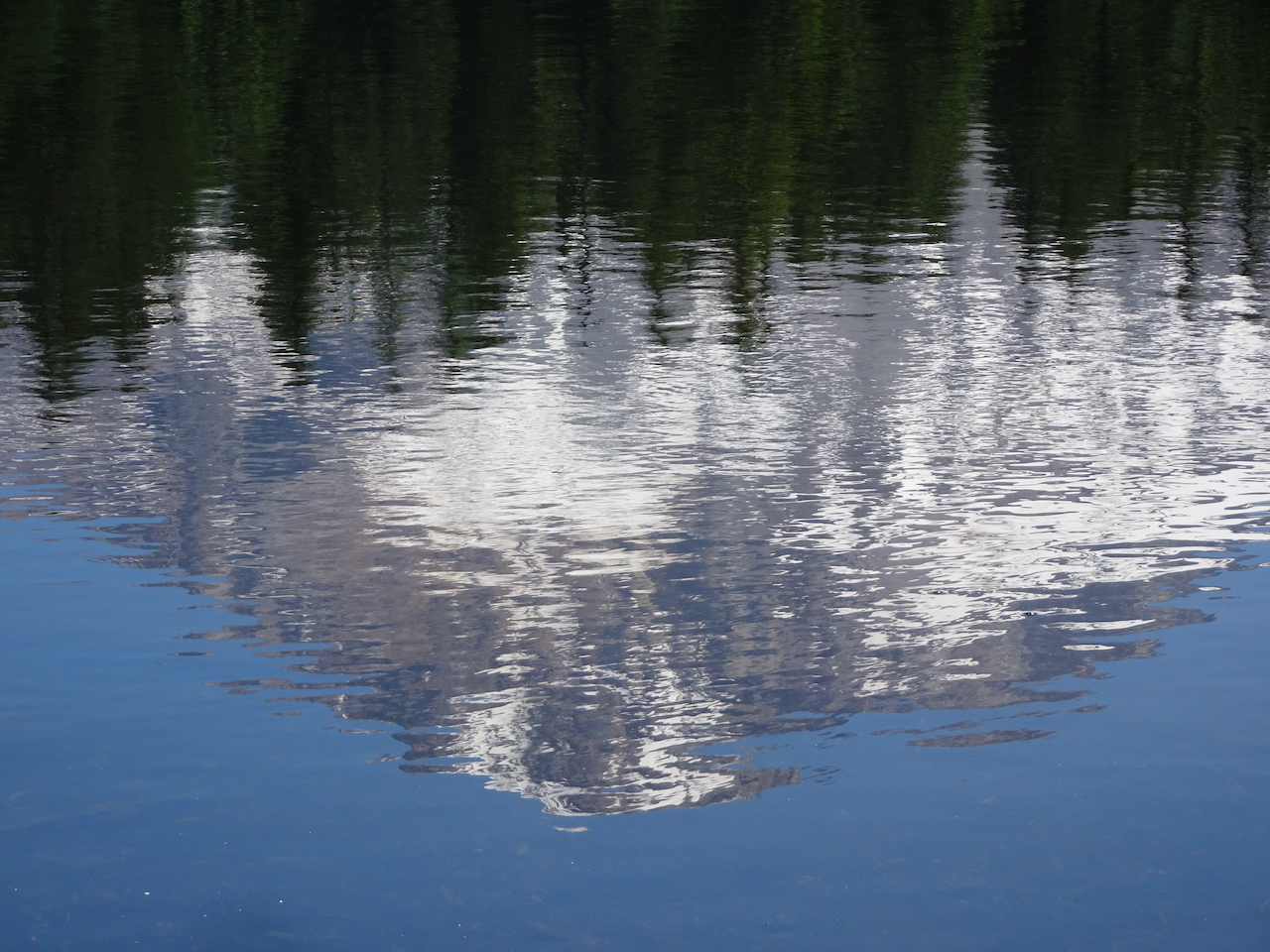
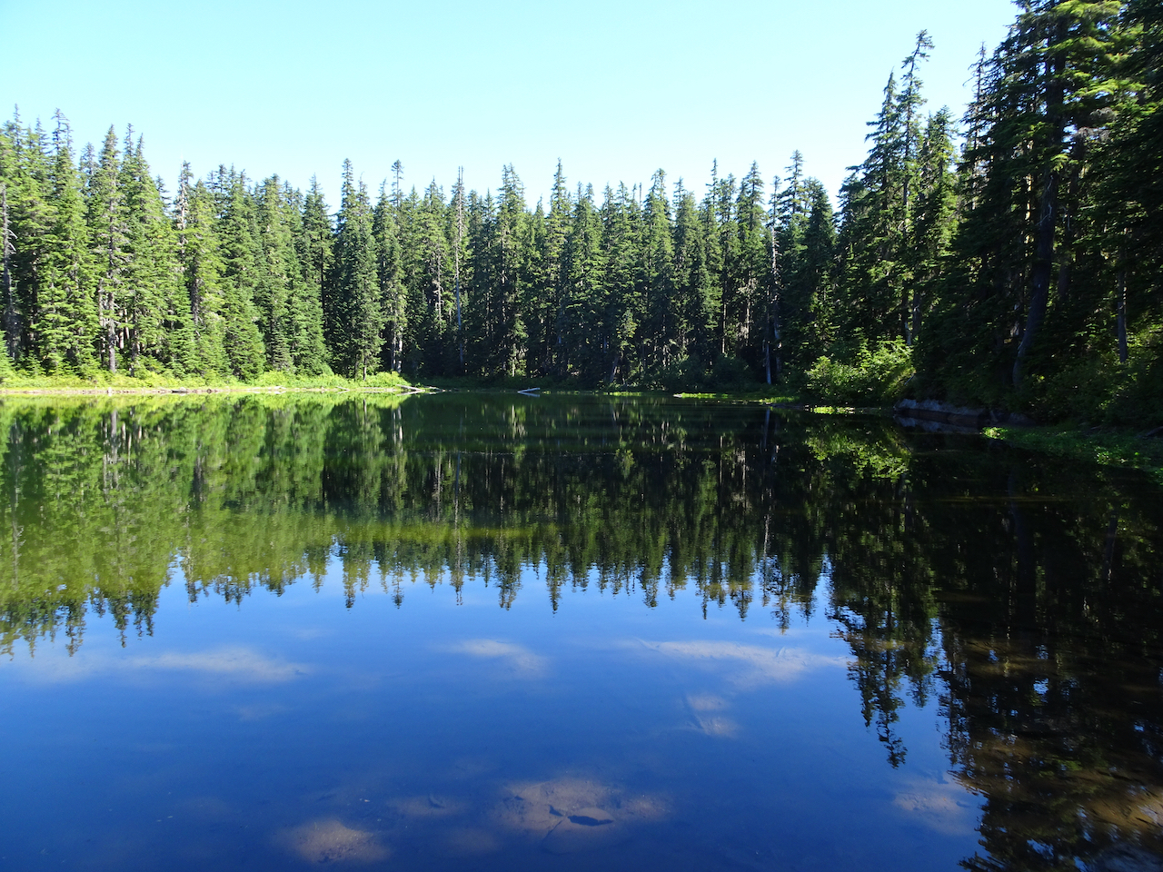
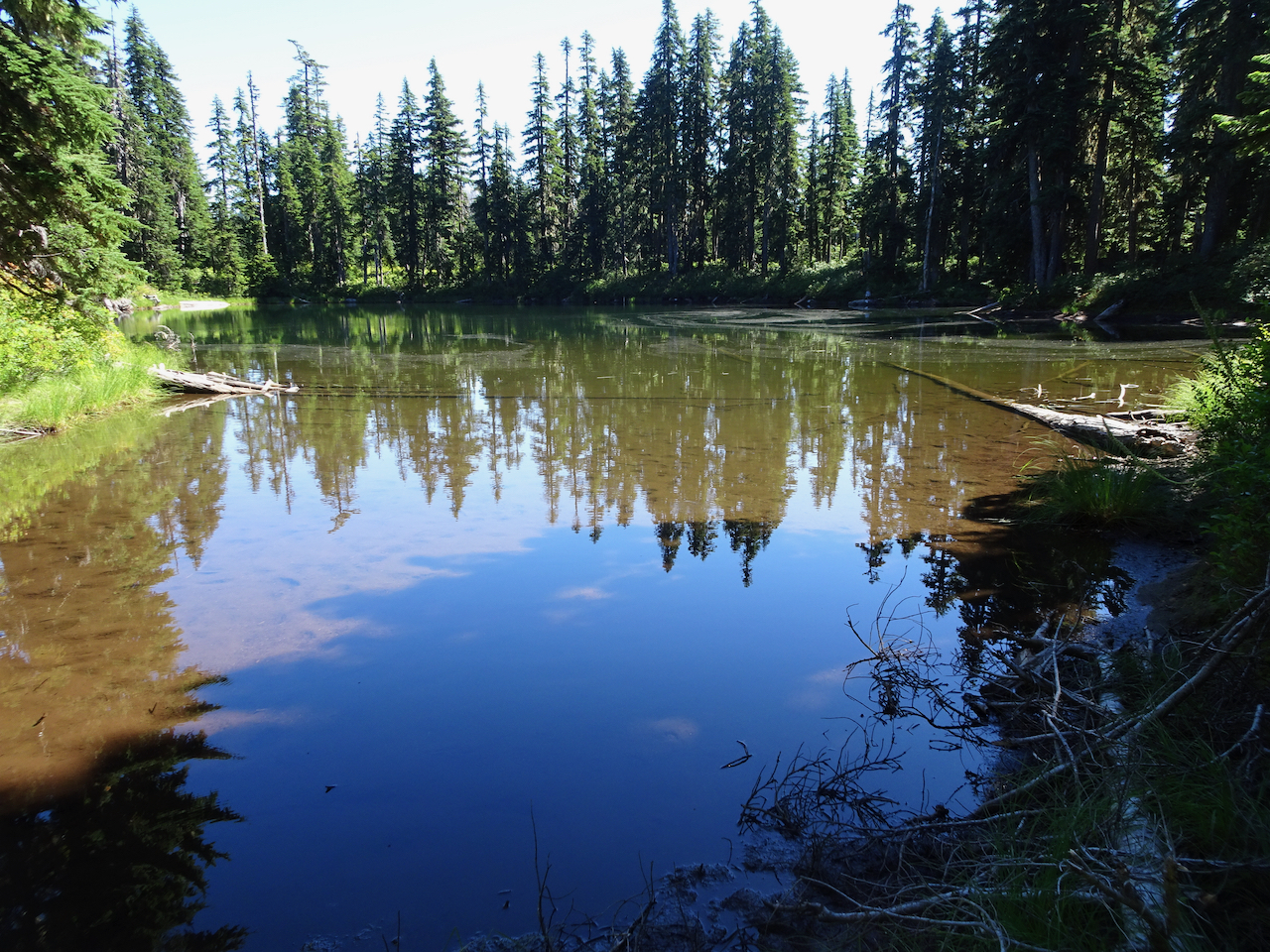
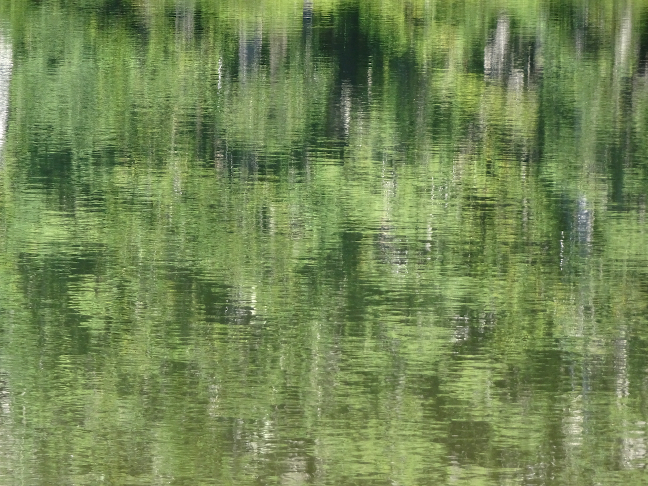
Reflections in the lakes…

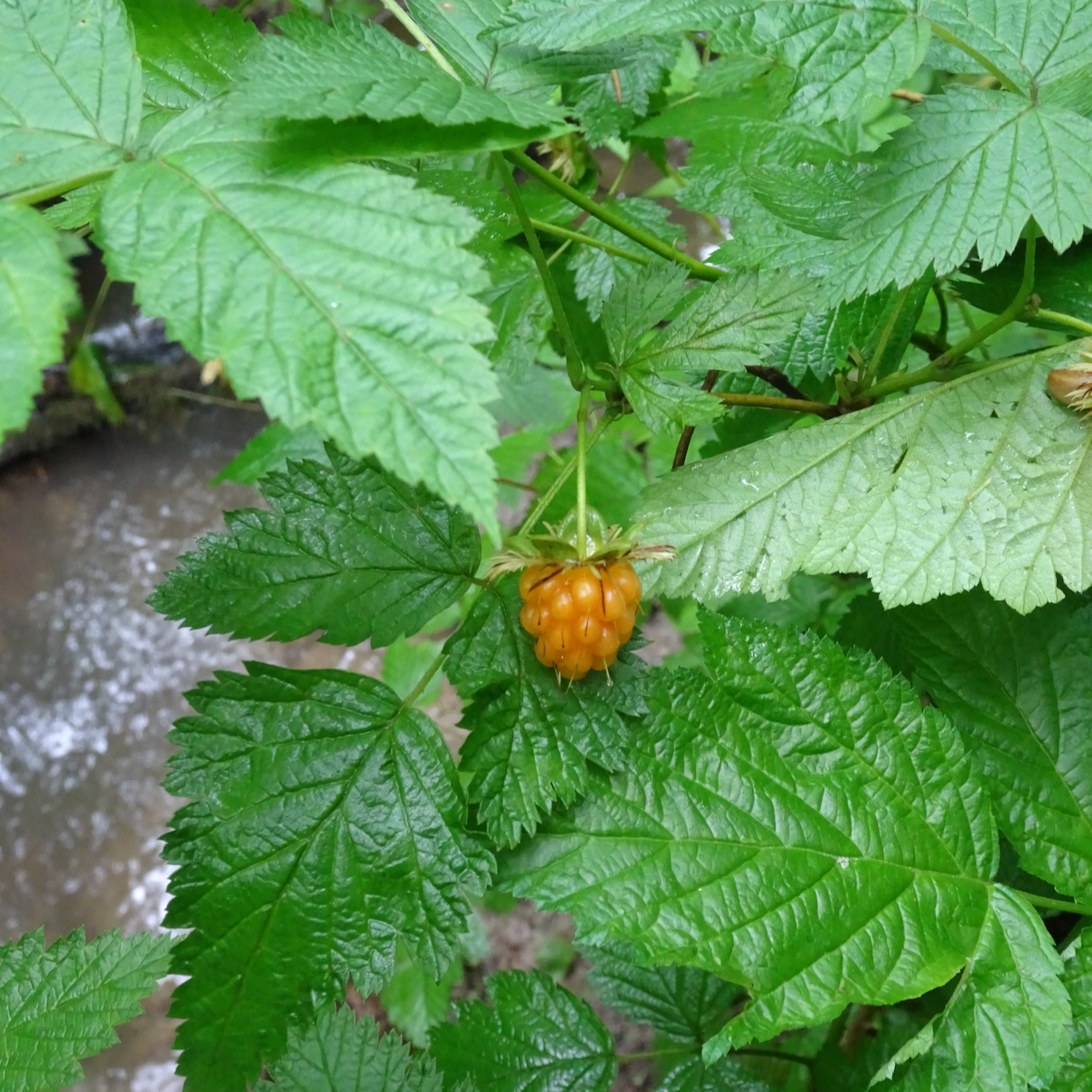
Huckleberry bushes turning red
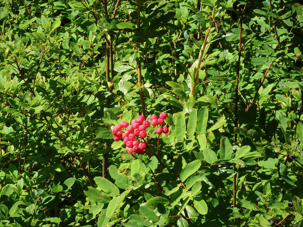
Mountain ash berries
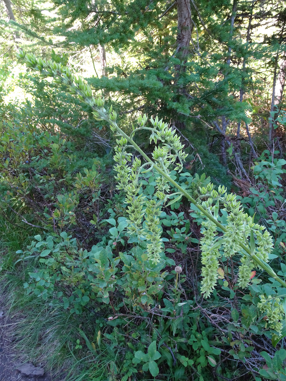
Hellebore
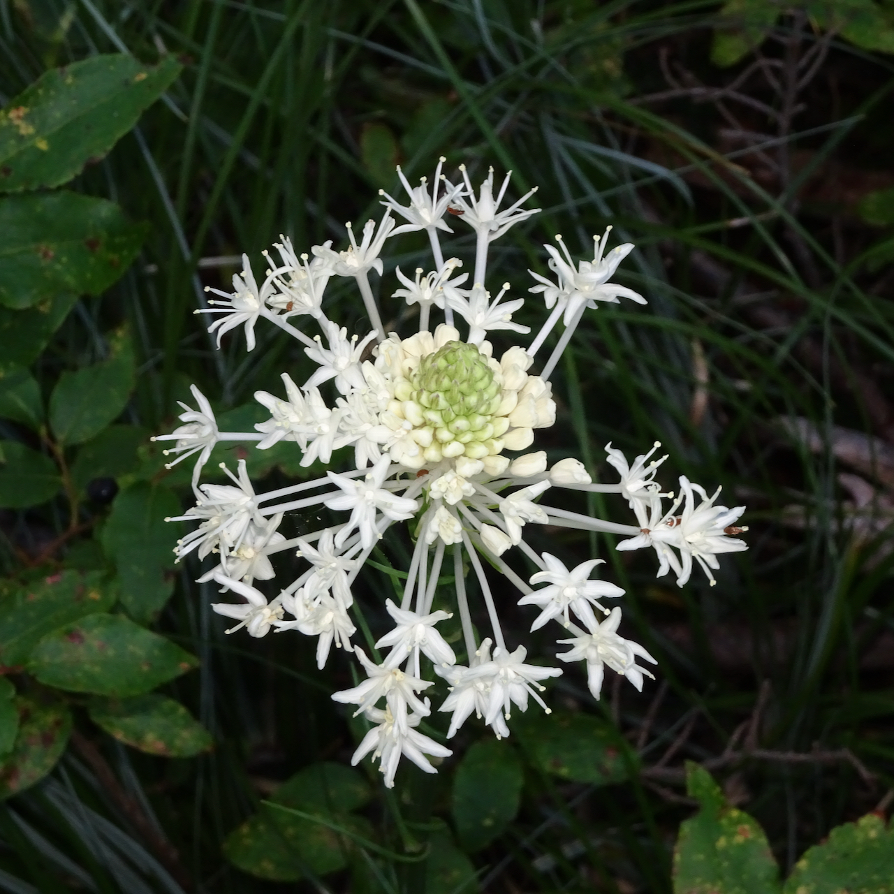
Most likely the last beargrass bloom of summer
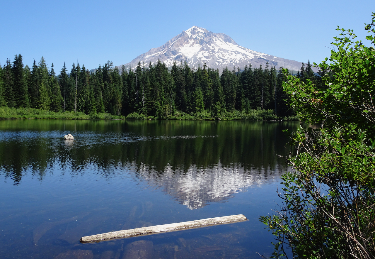
And another view of Mt St Helens above Eunice Lake on the descent.
Hike #58, 6.8 miles, 630 feet.
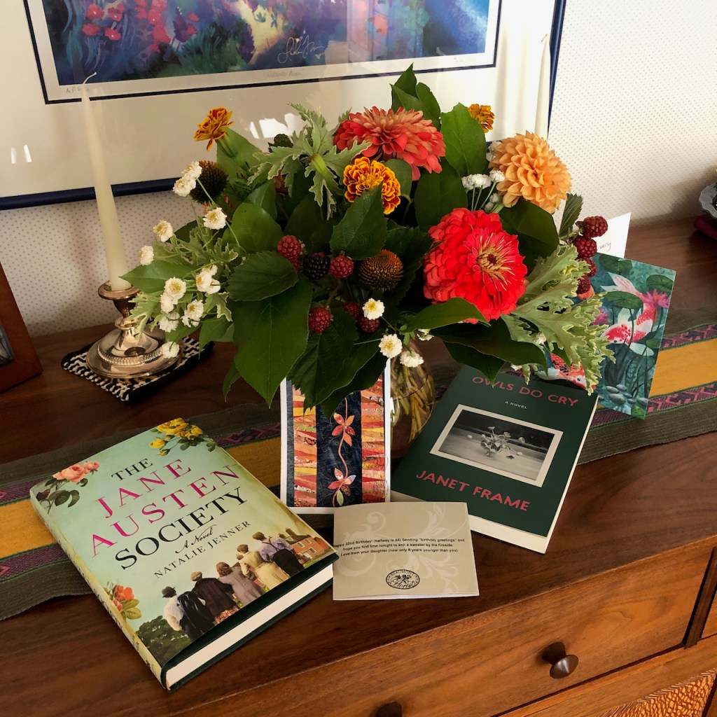
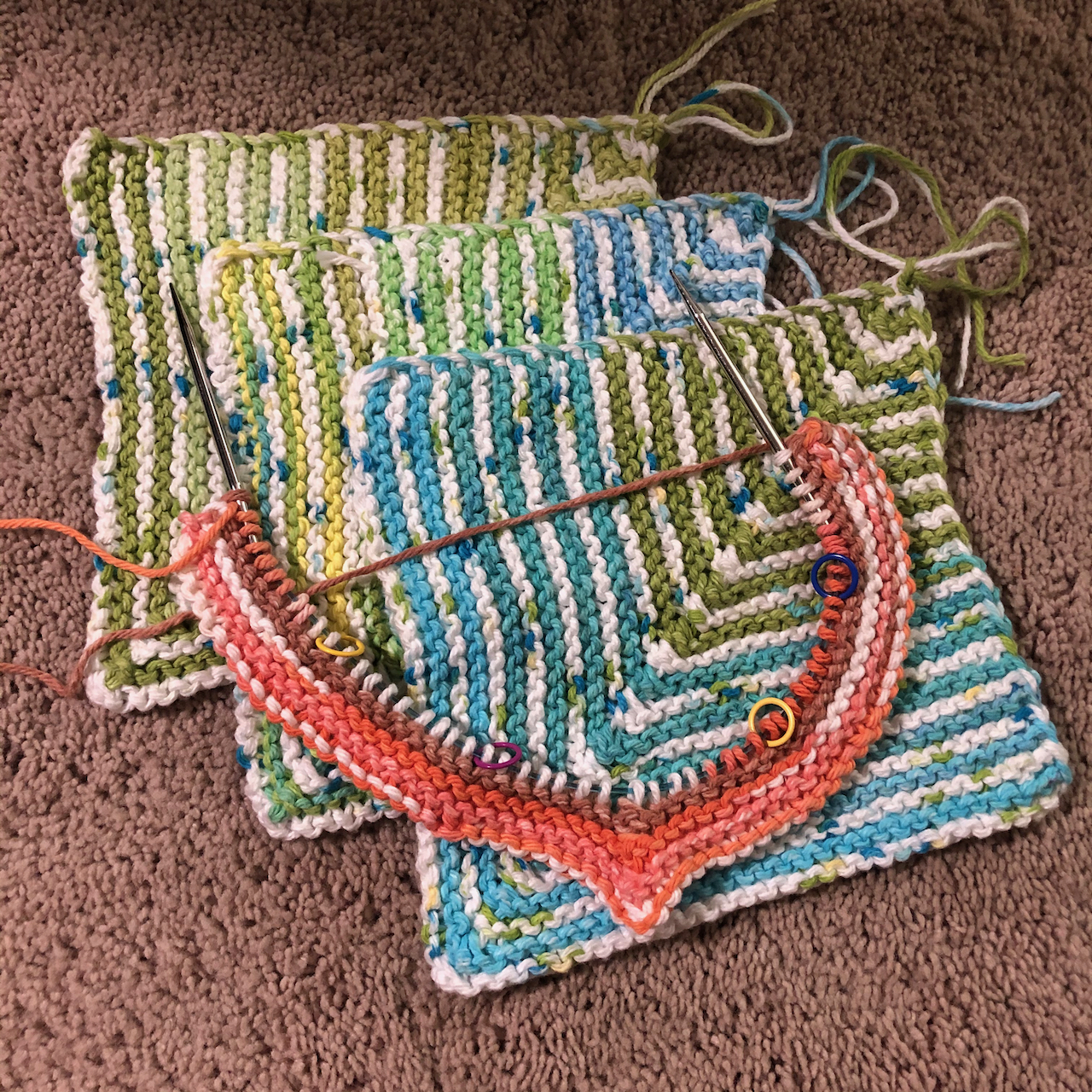
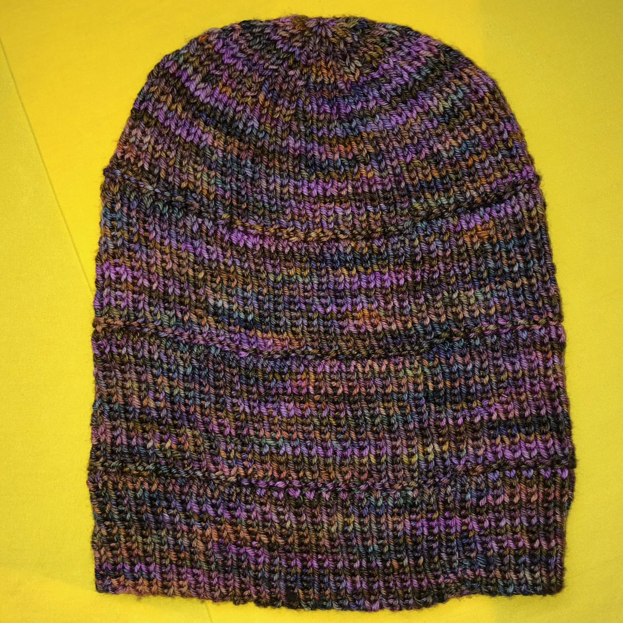
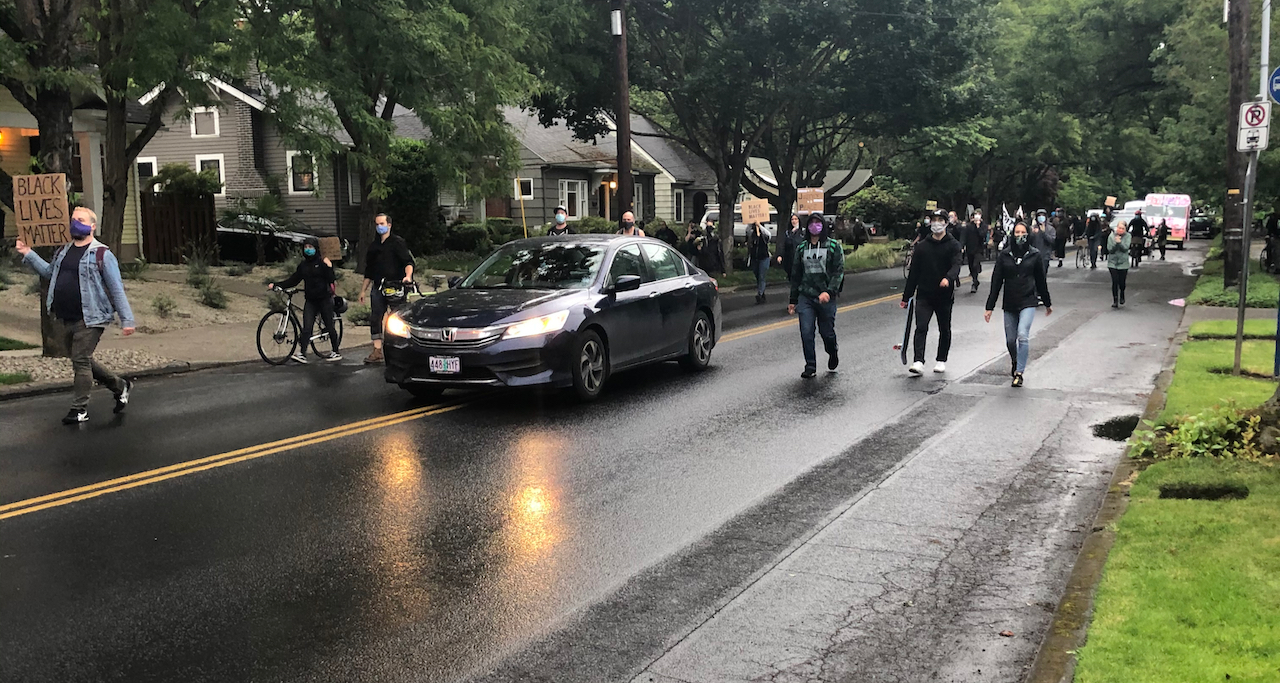
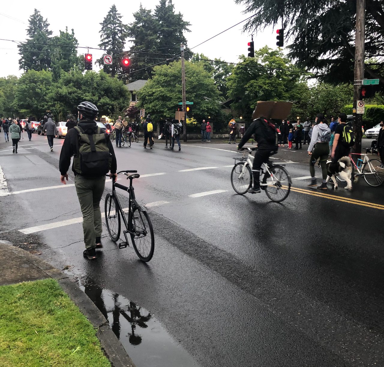
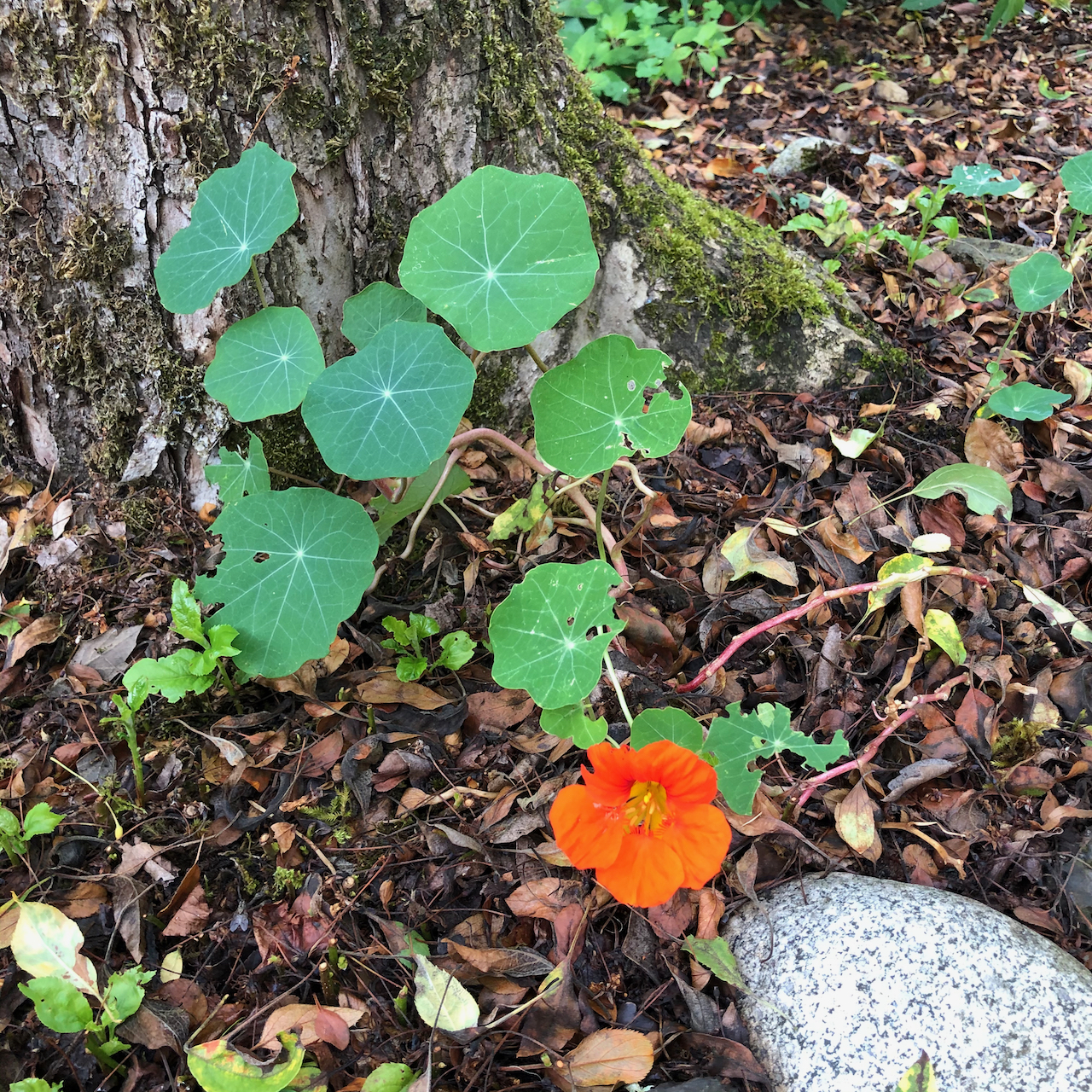
Meanwhile, we are floating along through more days of pandemia – some days we see no one at all, only virtual connections to the outside world. Our neighbors leave us tomatoes. We leave them apples and plums and wave across the rose bushes. Downtown is still burning up with civil unrest while I go on placidly through the days of late summer, of pandemia, of this administration… I virtually hold my breath, knock on wood, pray, cast spells, wish for a begin to a return to ‘normalcy’; hope for a late summer without a local fire season, hope for a scientifically tested efficacious vaccine, and hope for a fair election that will allow us to emerge from impending climate change, covid and facism. And I knit…
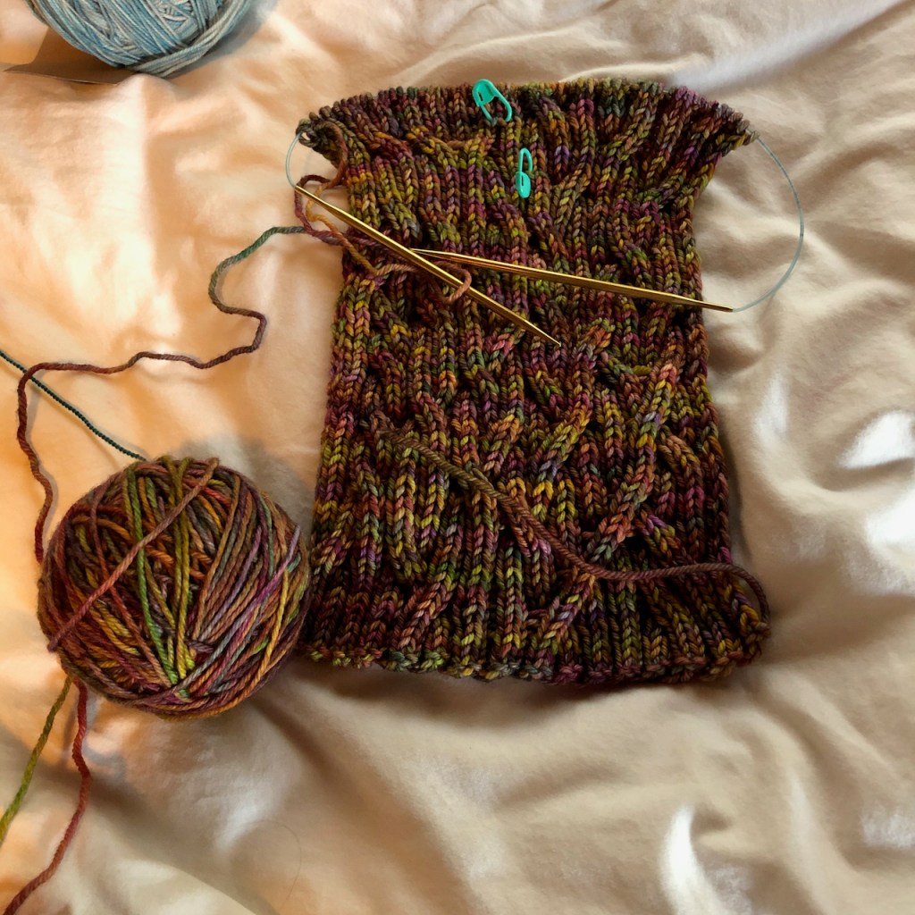
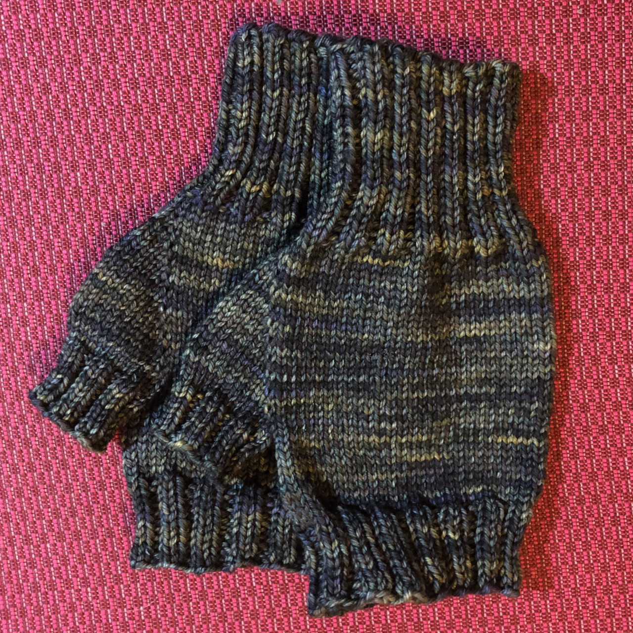
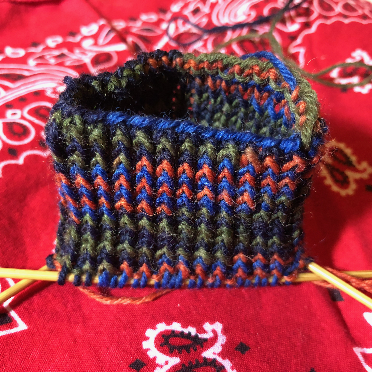
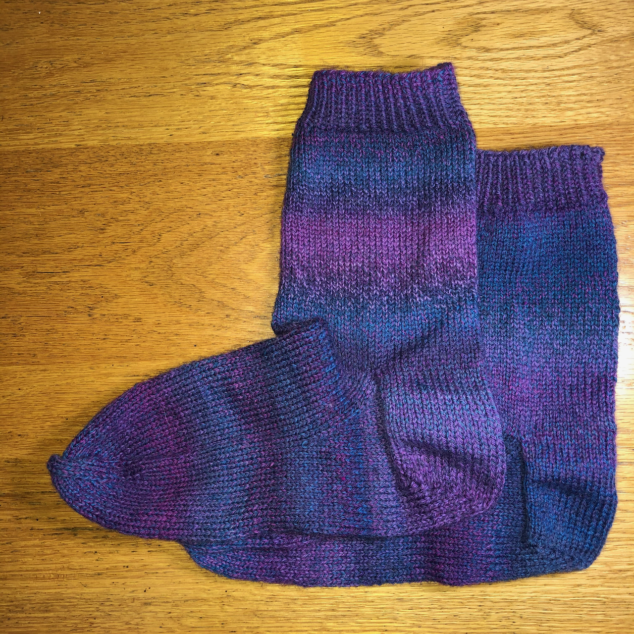
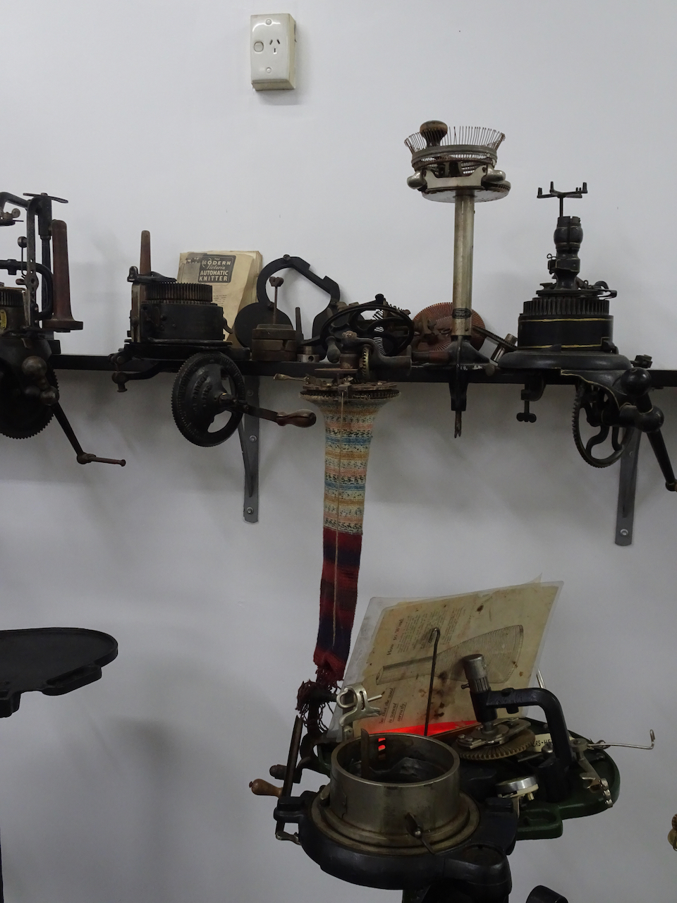
Knitting –
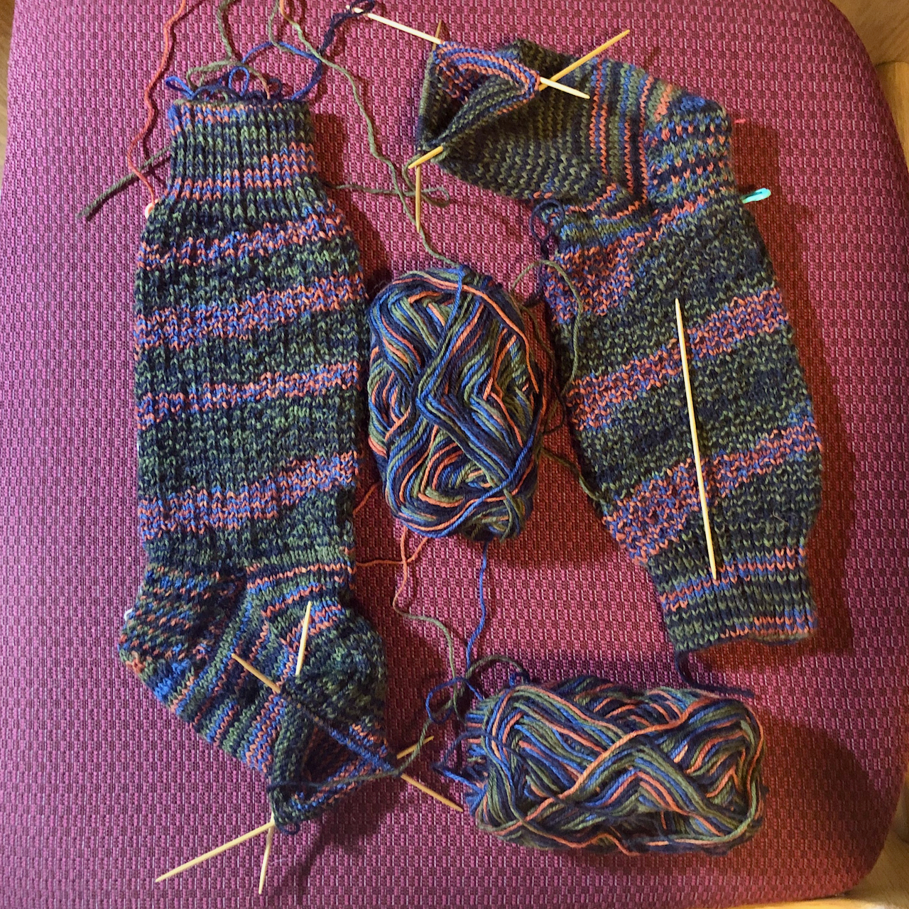
I cast on a hat and some socks…

Rafa by Joji Locatelli, Malabrigo Arroyo, Blue green
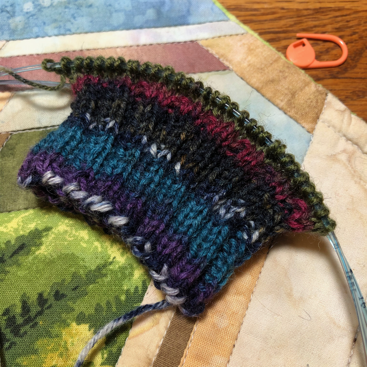
Sock, Berroco Sox yarn
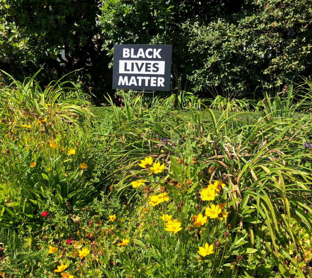
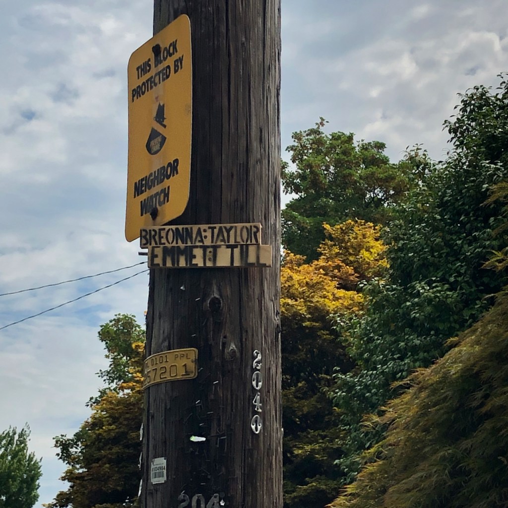
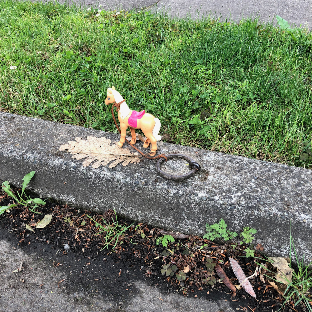
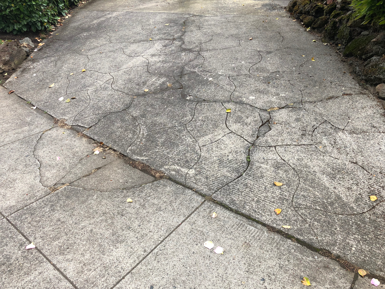
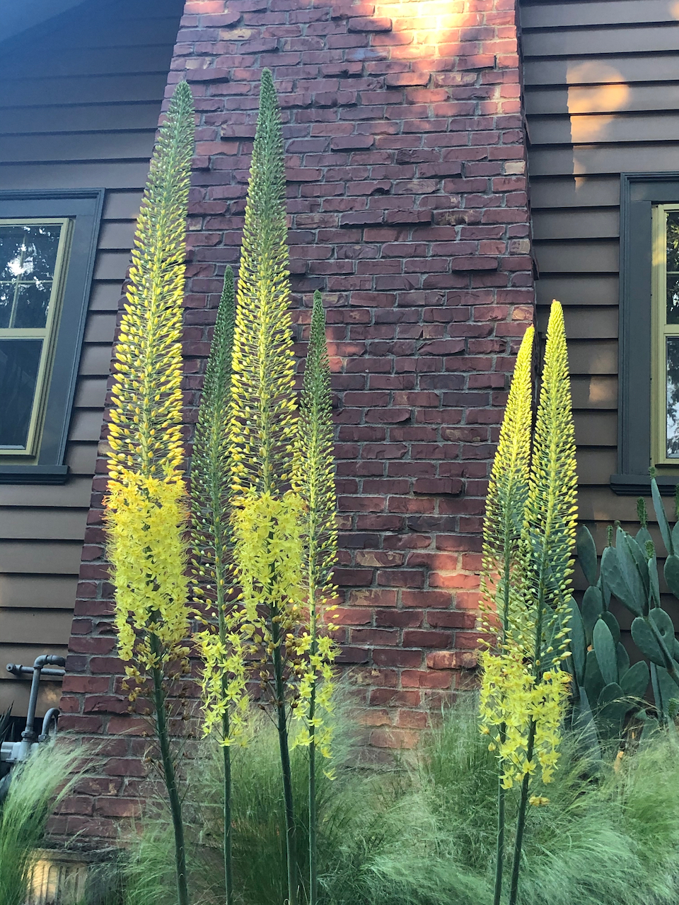
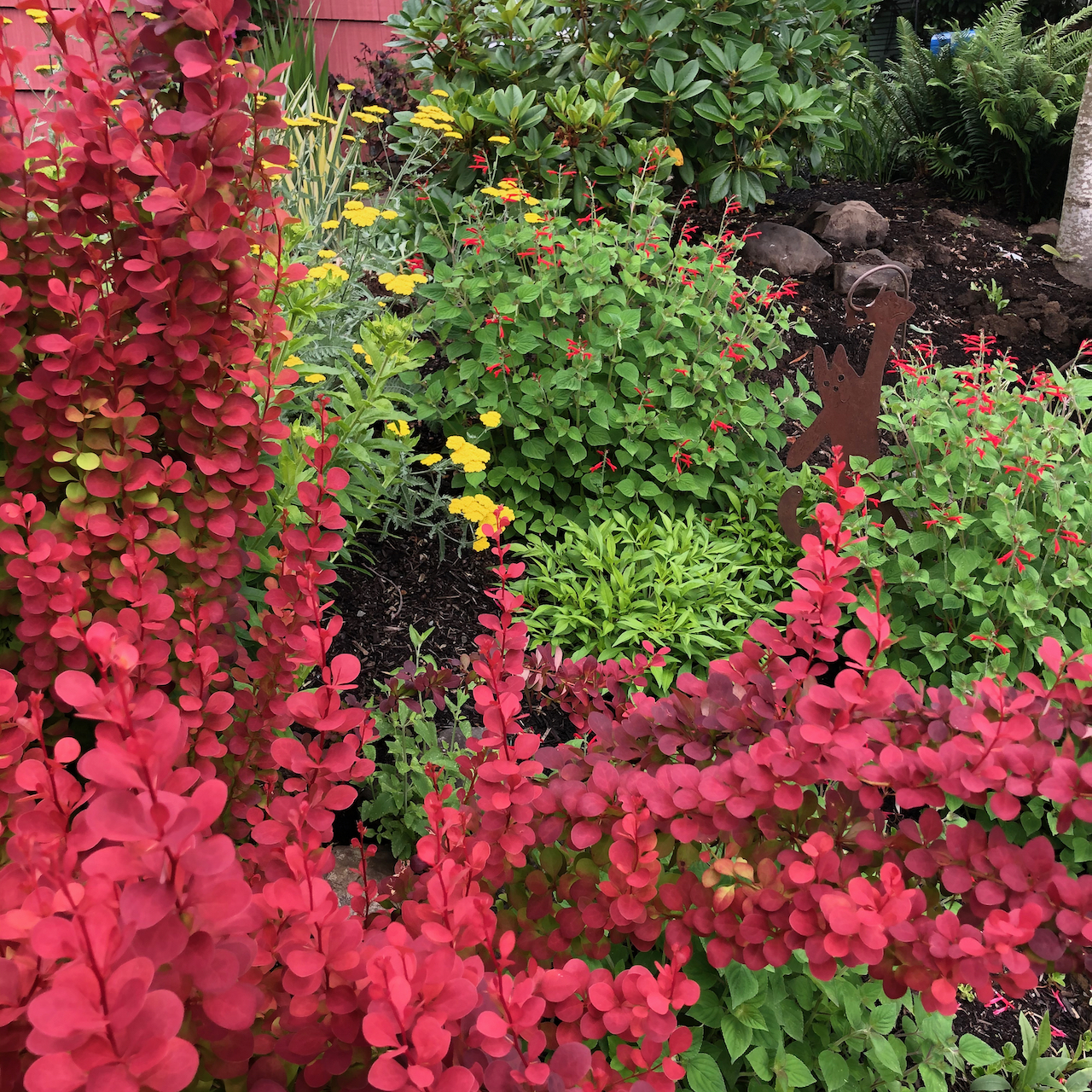
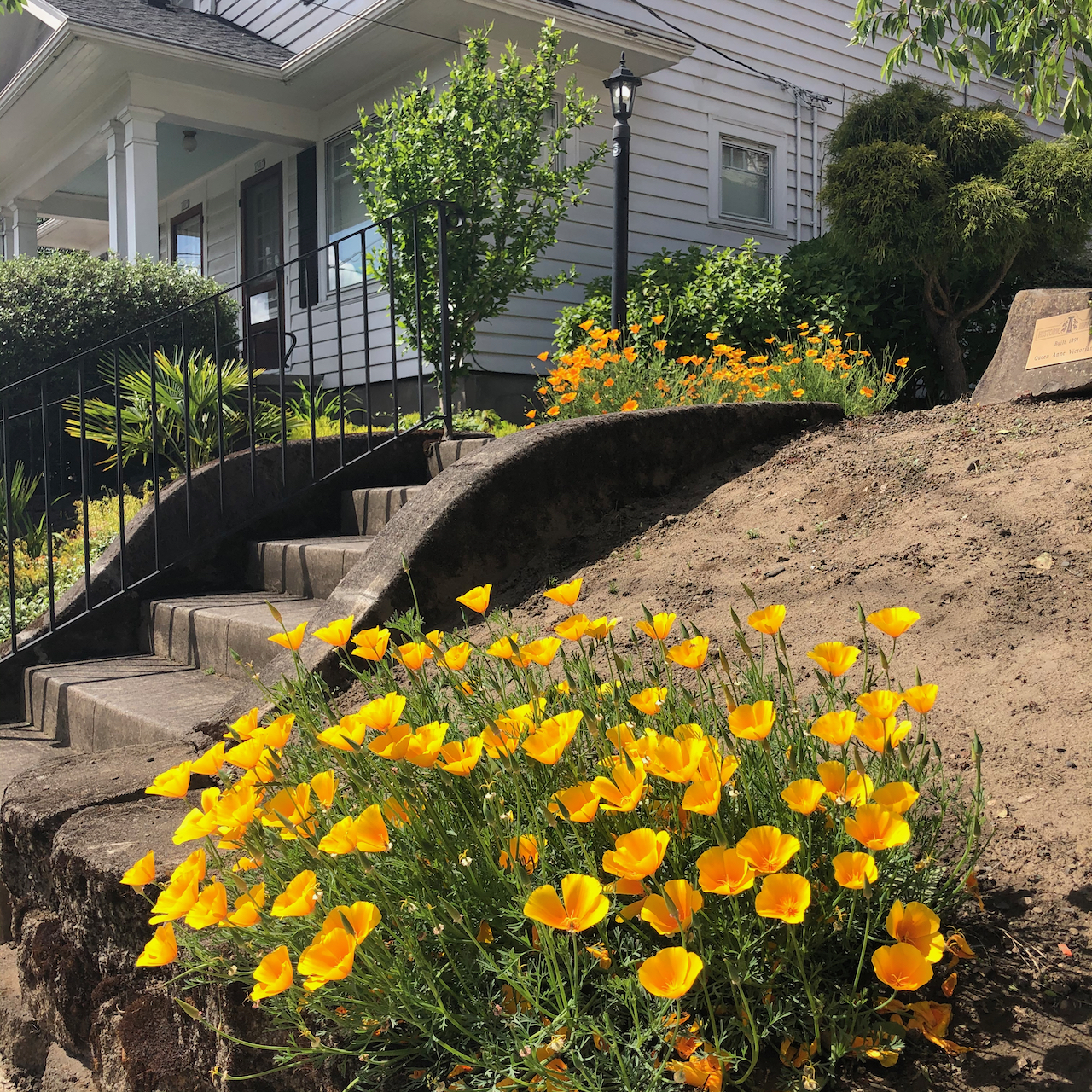
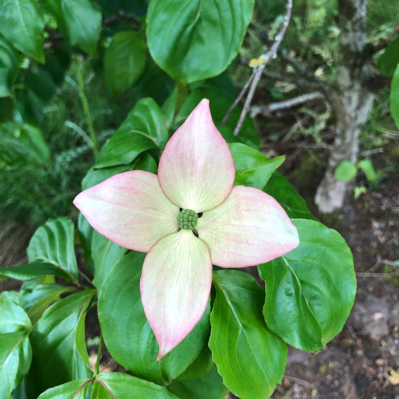
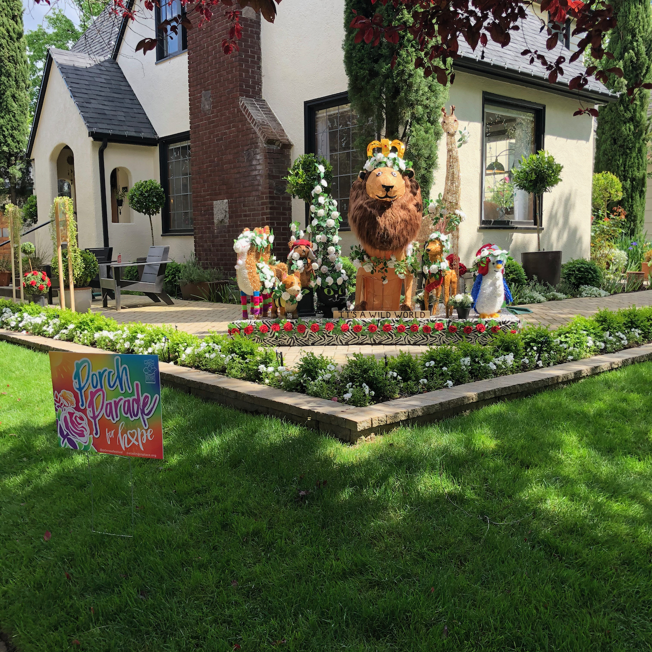
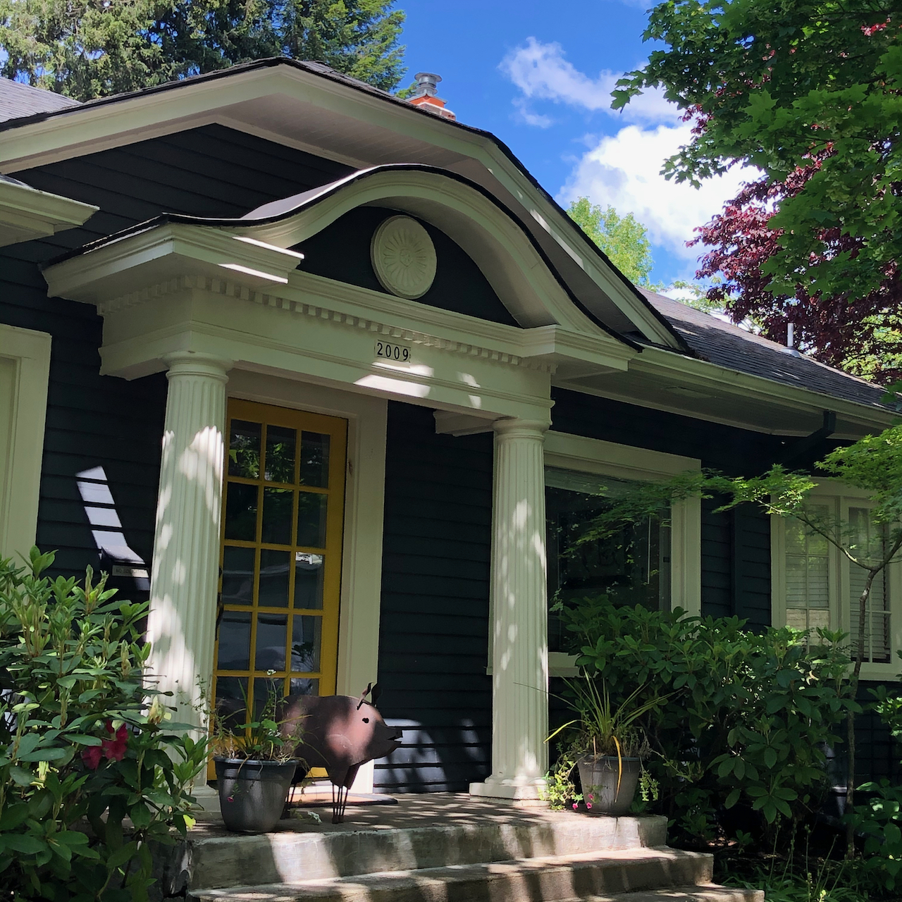
Neighborhood sights:
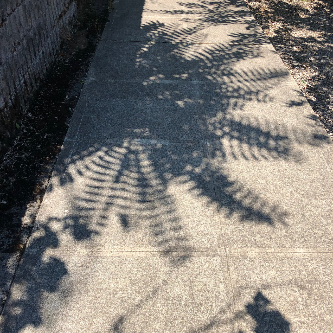
fern shadows
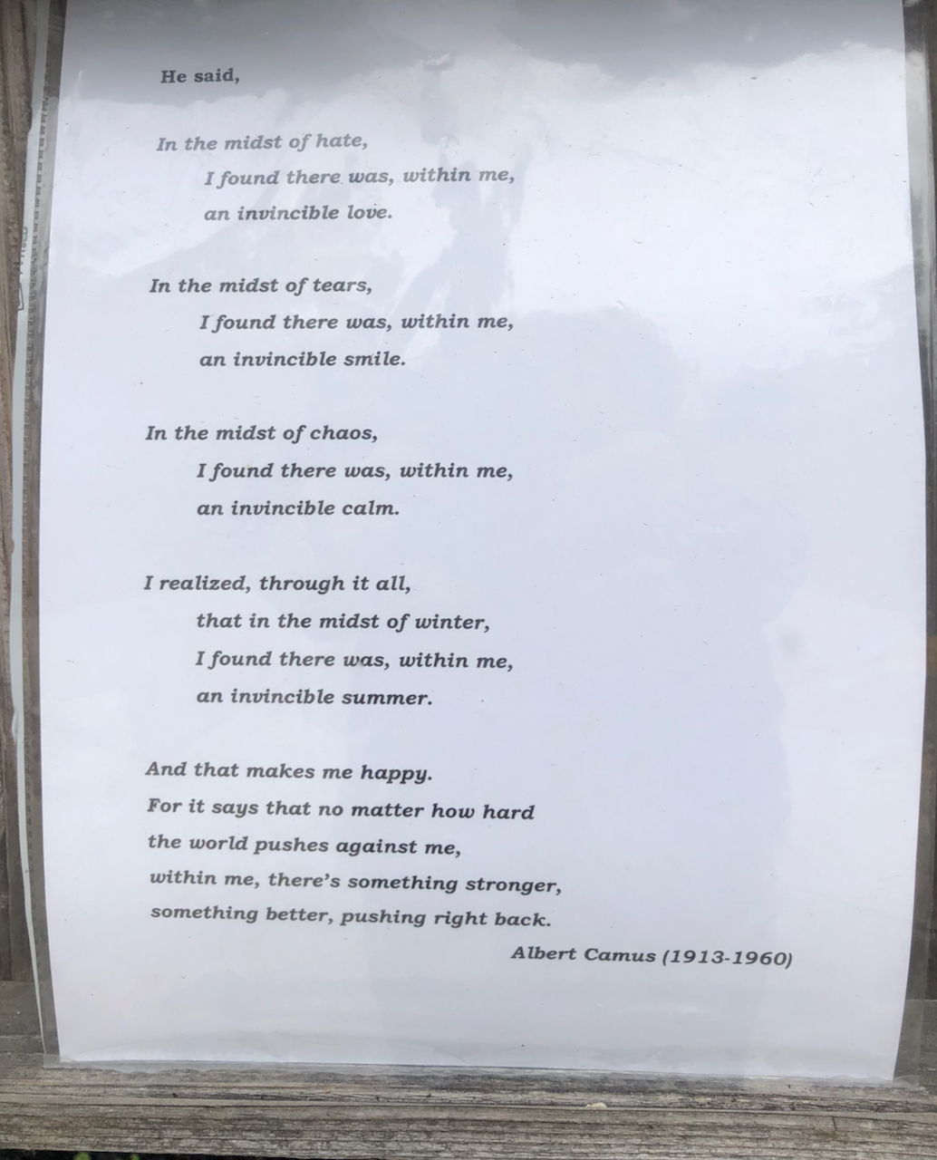
Poetry Post

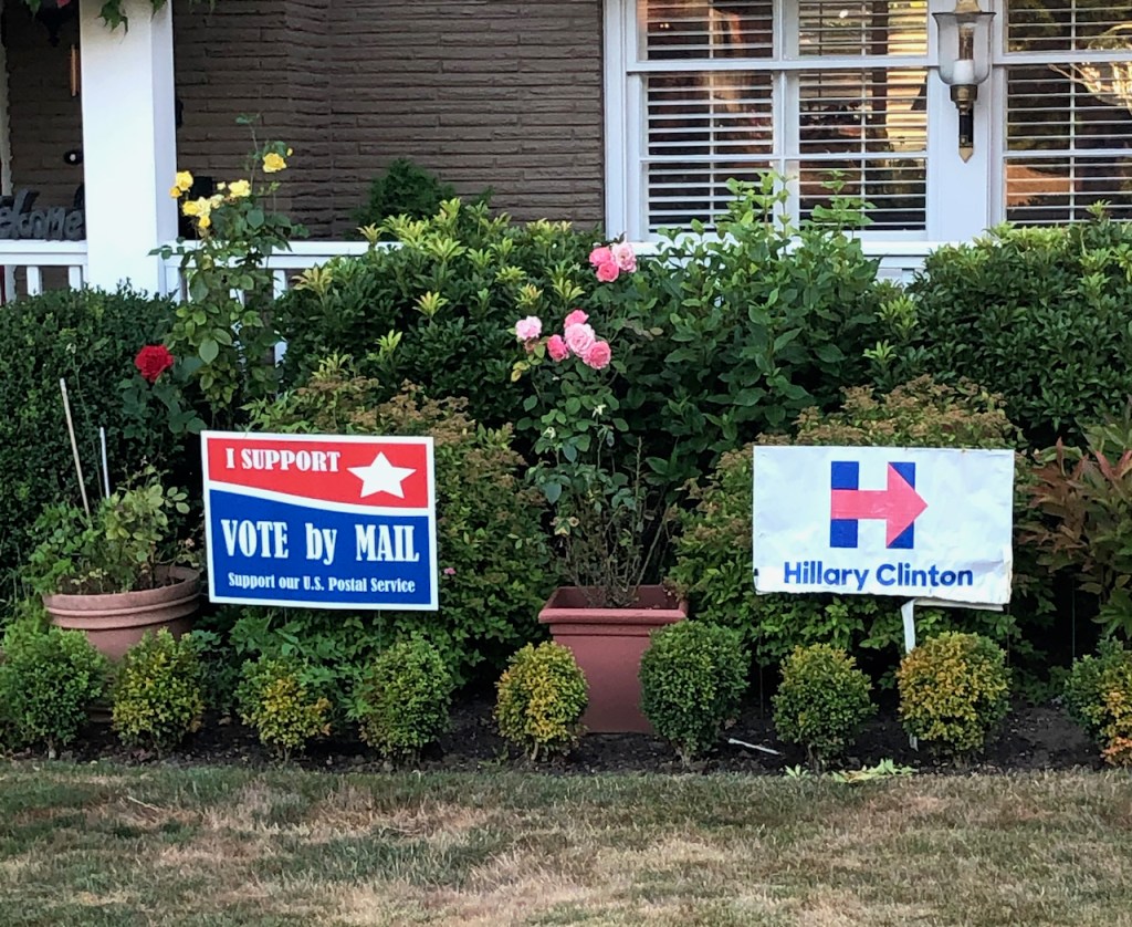
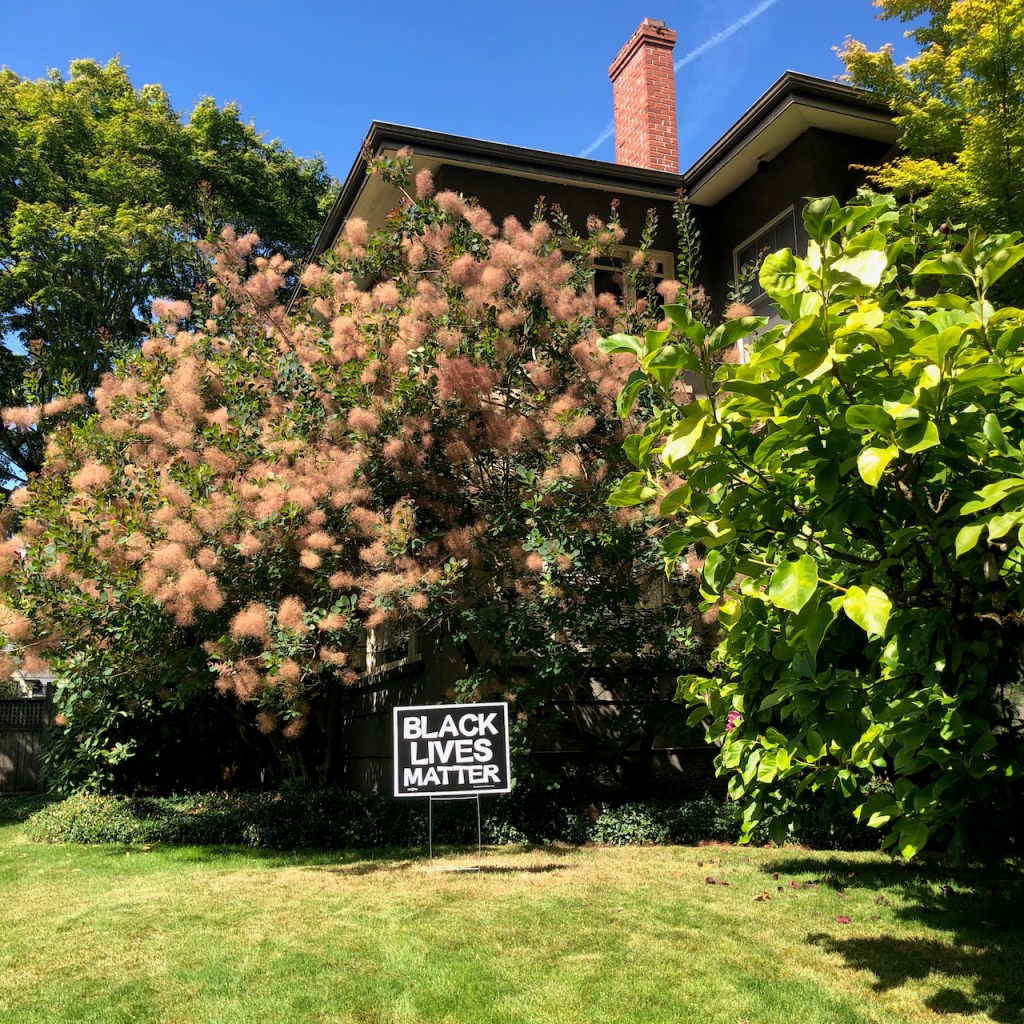
yard sign
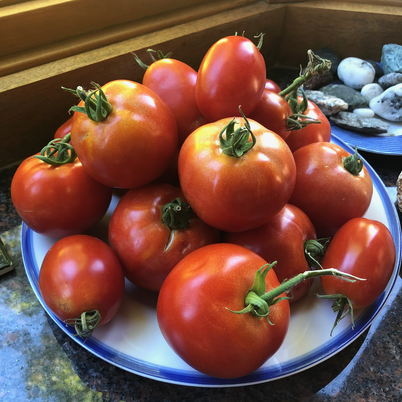
neighborly tomatoes
And nationally…
My daughter attended the 57th March on Washington,
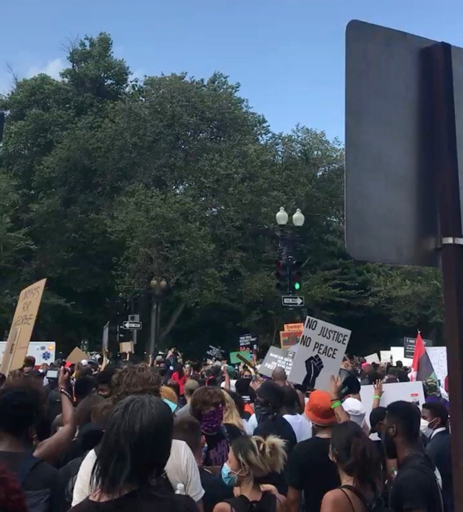
The march
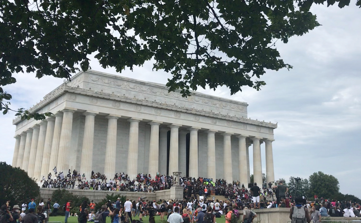
Lincoln Memorial
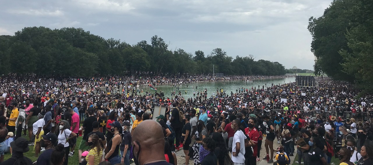
The Mall
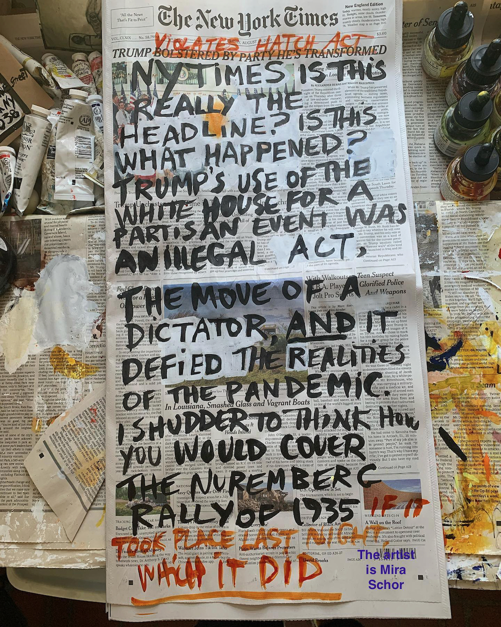
-and this artwork crossed my social media feed:
I am still struggling a bit with the new WordPress format….