Crater Lake – April 19, 2019
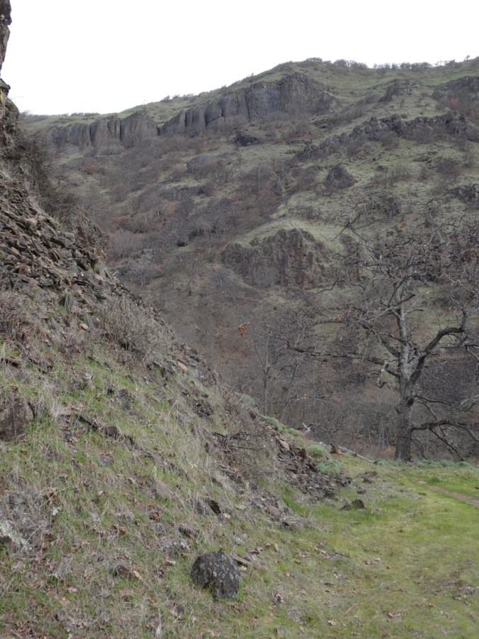
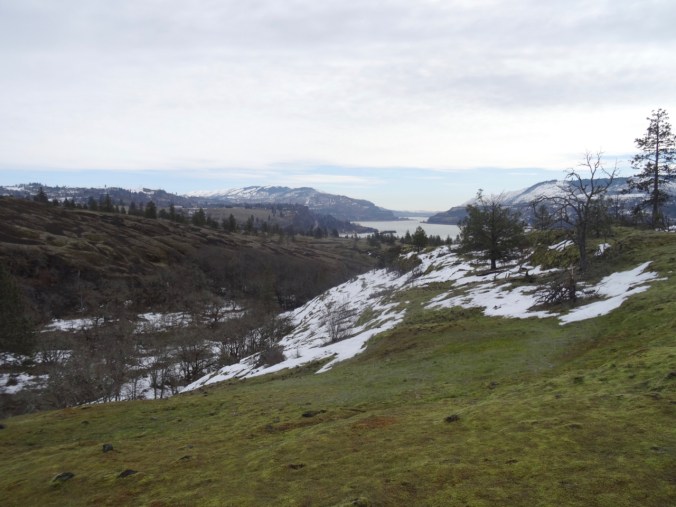
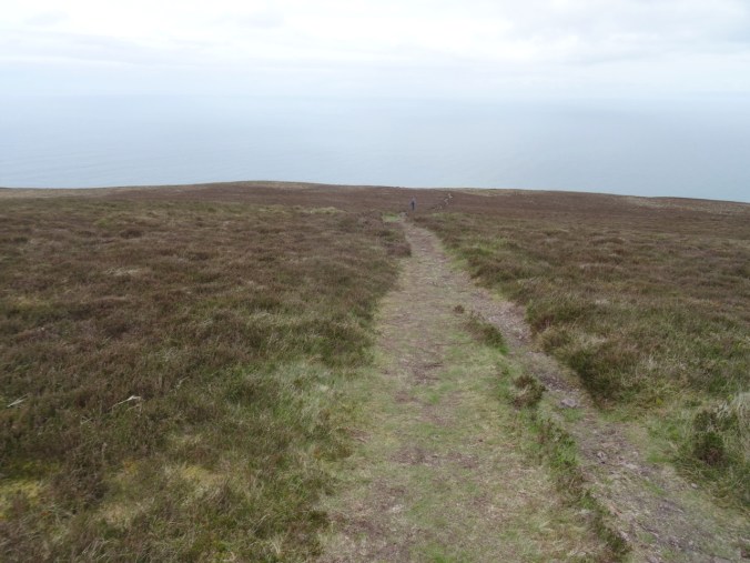
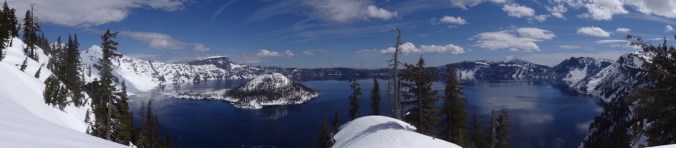
My husband has been eager to see Crater Lake with winter snow, so we waited for a promising weather weekend, and our friends found a cozy cabin in Prospect, Oregon. Friday morning we drove to the rim of Crater Lake where a small parking area provides access to the rim road, which is otherwise covered in several feet of snow. The views were stunning – the sky, the lake, the snow each so pure of color! We snowshoed about 2.5 miles clockwise along the road, nearly to the base of The Watchman.
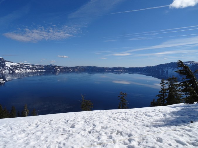
First view of Crater Lake from Rim Village
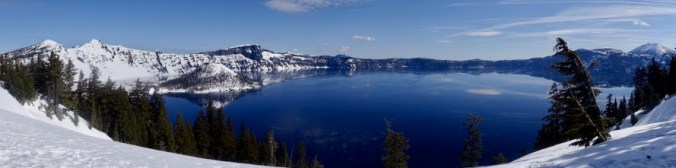
Panorama shot
We were heading toward The Watchman for our destination.
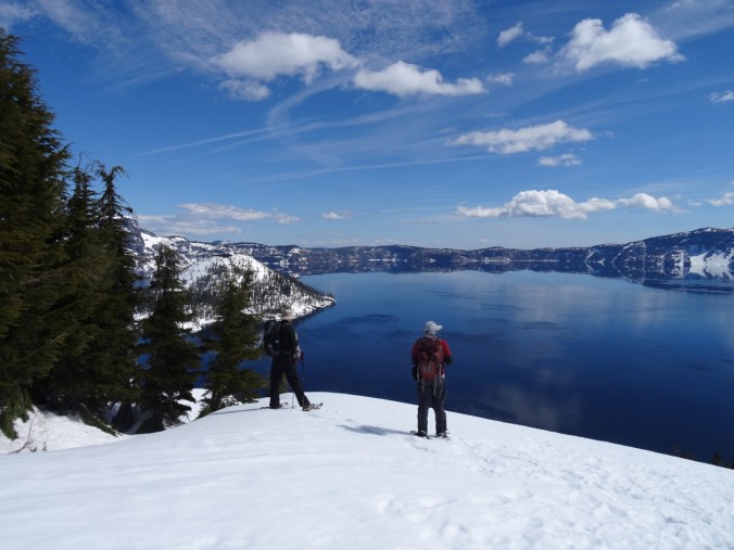
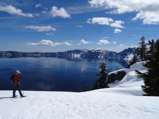
Stopping for views along the way.
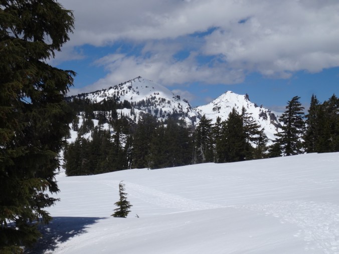
Mt Shasta to the south, in California

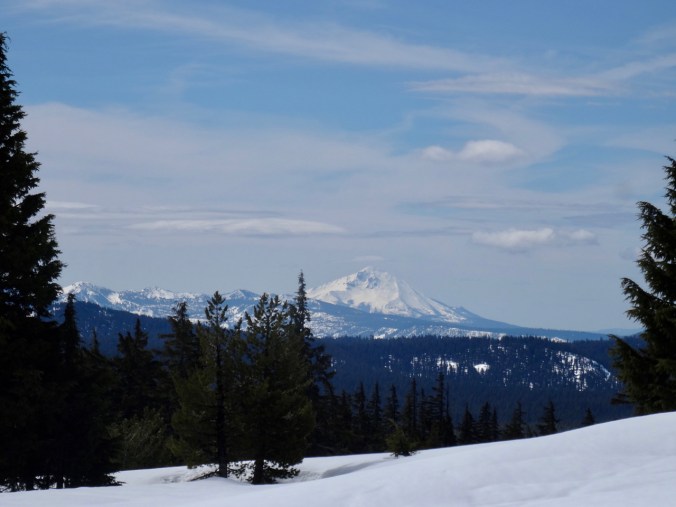
Mt McLoughlin
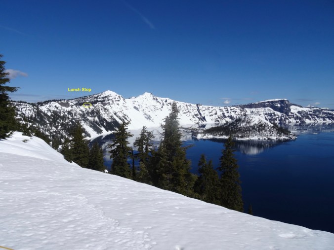
Panorama view at our lunch stop
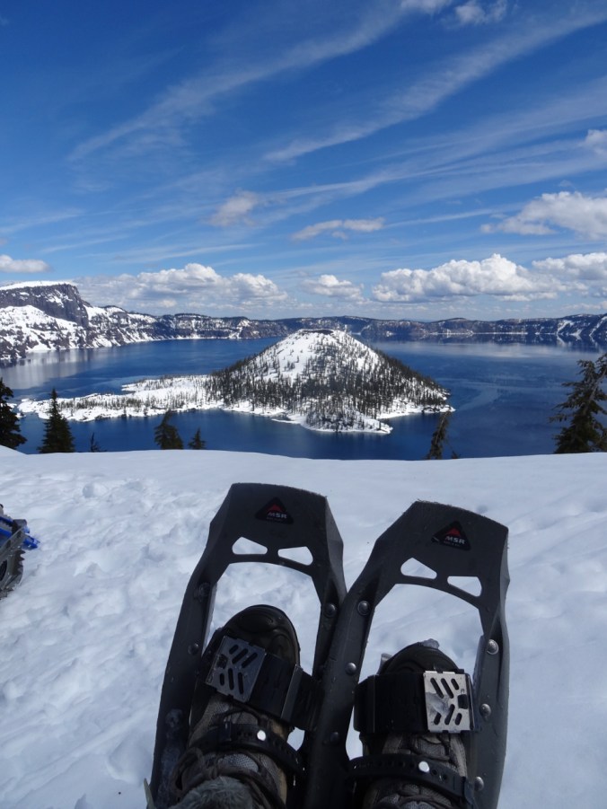
Perfect view of Wizard Island
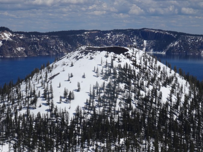
Closer view of the crater on Wizard Island,
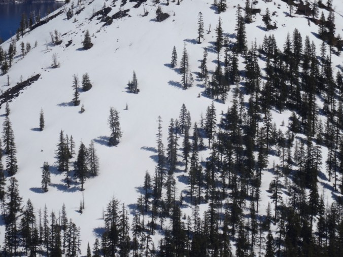
the trees,
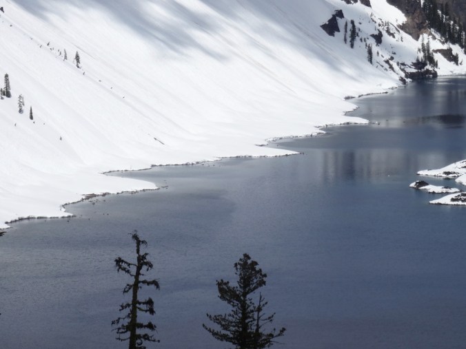
and the curvy shoreline of the lake.
Looking back at The Watchman and Hilman Peak before we return.
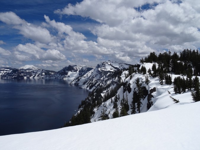
Mt Scott and Garfield Peak ahead as we snowshoe back to Rim Village.

Rim Village buildings under snow.
(Hike#17/ 5.6 miles/ 600 feet)
Rogue River/Mill Creek Waterfalls – April 20, 2019
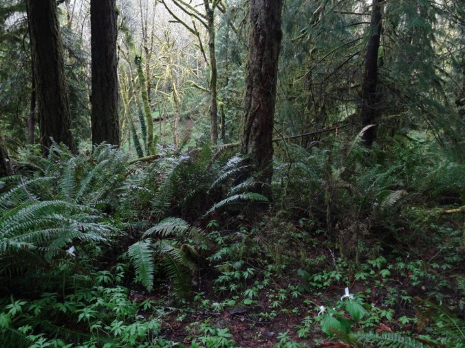
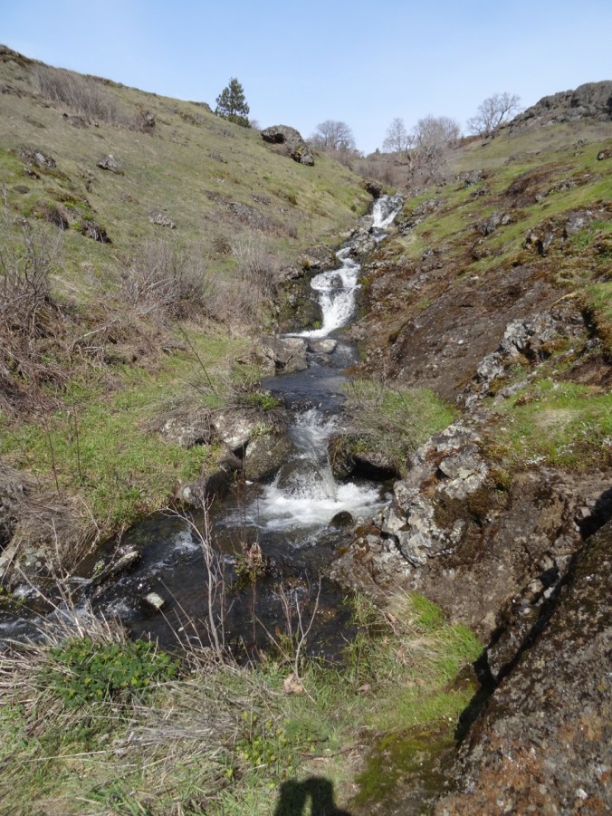
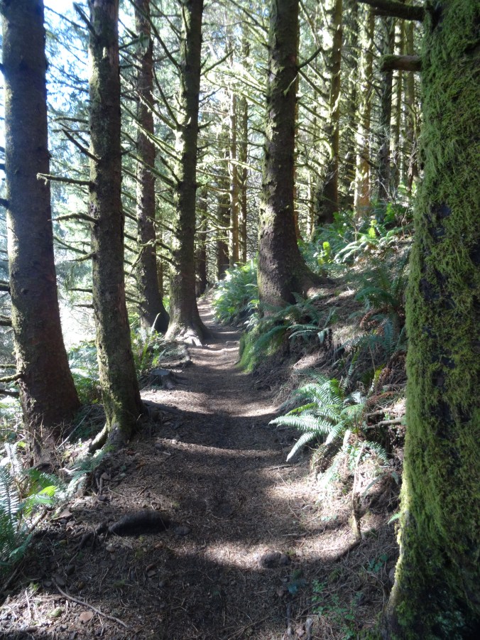
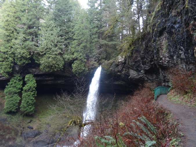
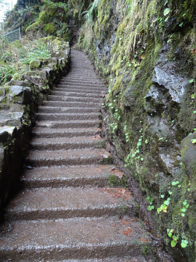
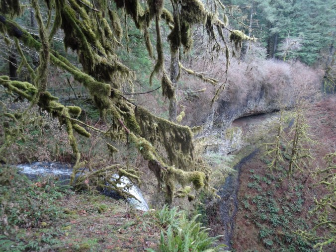
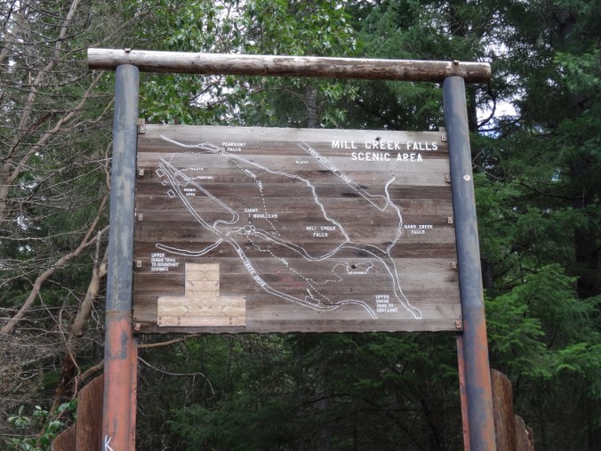
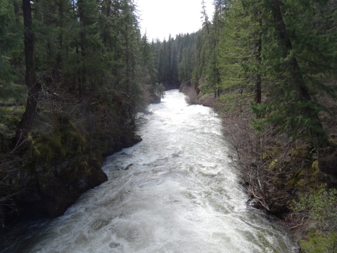
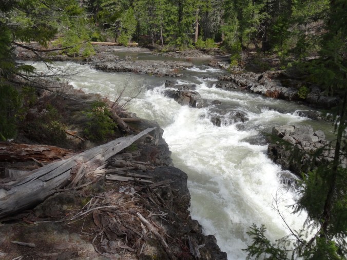
Saturday morning was rainy, but mostly dry by the afternoon. There are several waterfalls along the Rogue River near Prospect, Oregon. We followed a beautiful wooded trail along Mill Creek to Pearsony Falls, and then farther, to a view of The Avenue of Boulders, and then followed the canyon rim to the lip of Mill Creek Falls for a lunch stop.
Pearsony Falls

Avenue of the Boulders
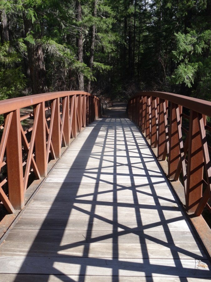
Avenue of the Boulders highway bridge
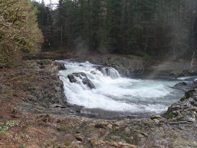
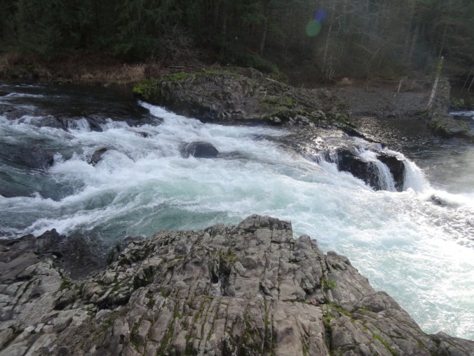
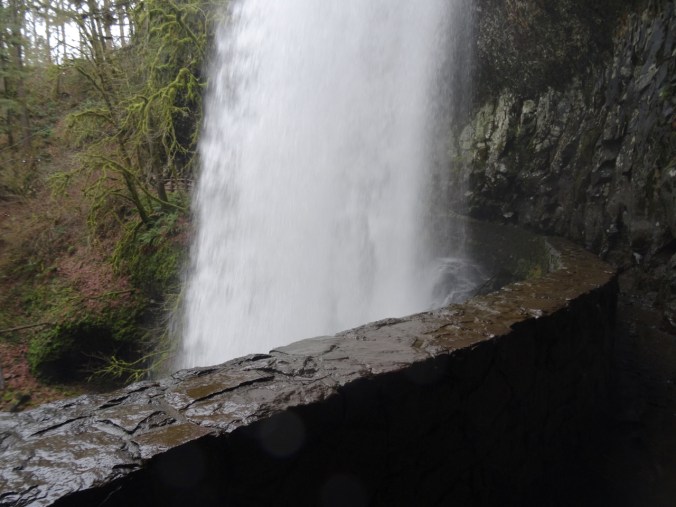
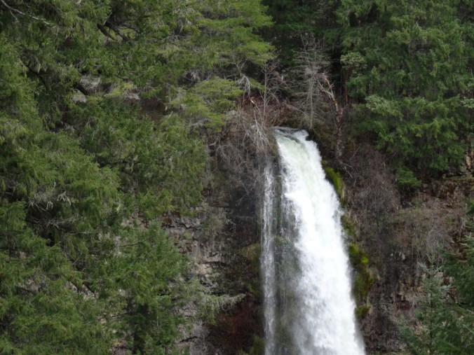
Lip of Mill Creek Falls
Lip of Mill Creek Falls, lunch stop

Mill Creek Falls and Rogue River
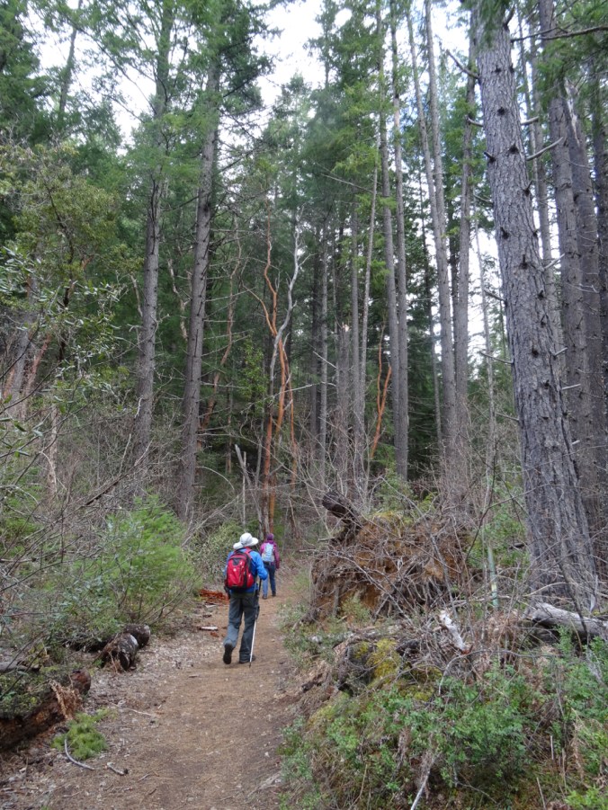
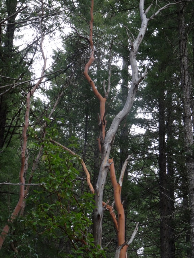
Madrone trees along the trail
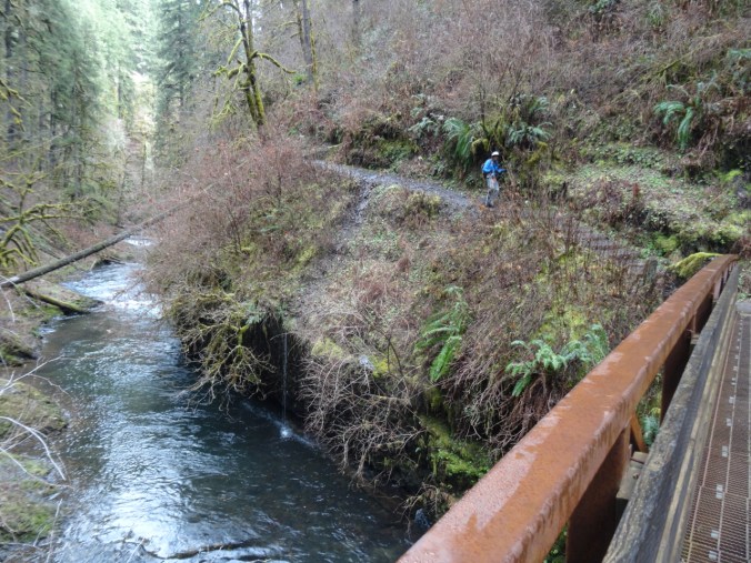
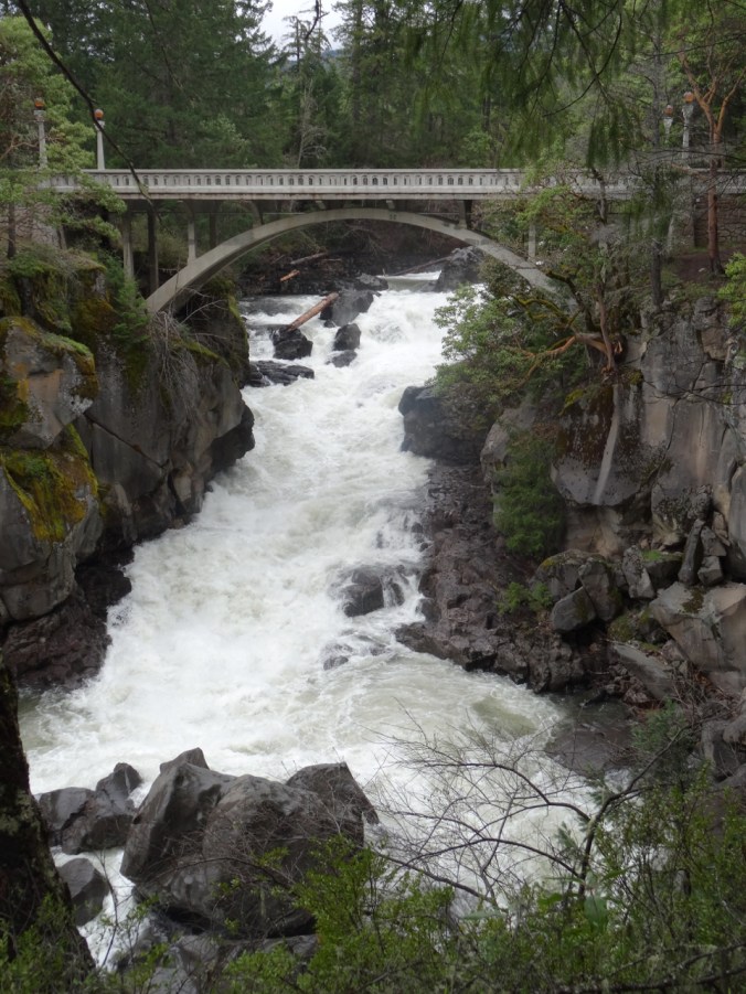
We also admired the views from the Highway bridge over The Avenue of the Boulders.
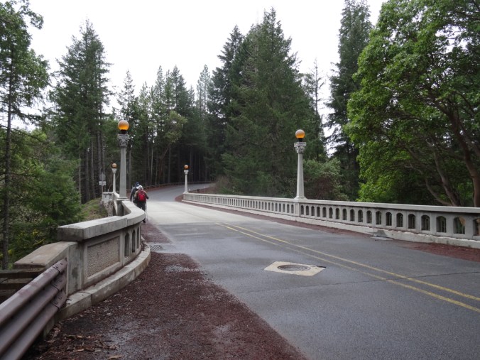
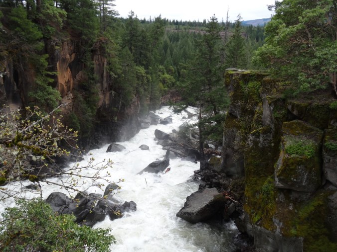
Looking down the Avenue of the Boulders from the bridge.

Perspective exercise
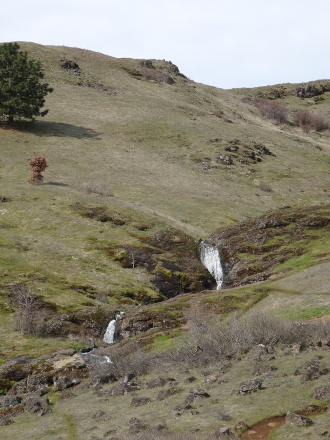
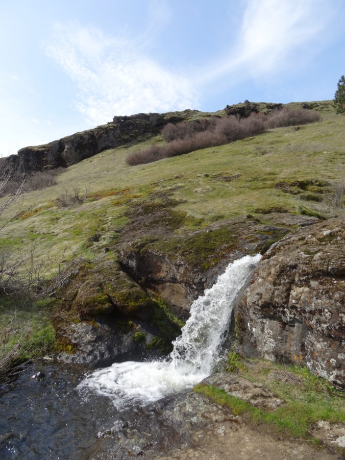
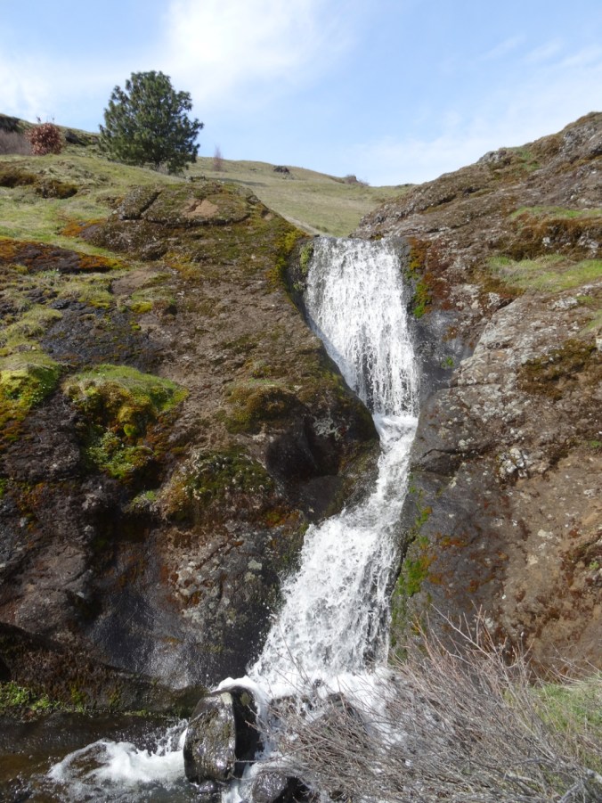
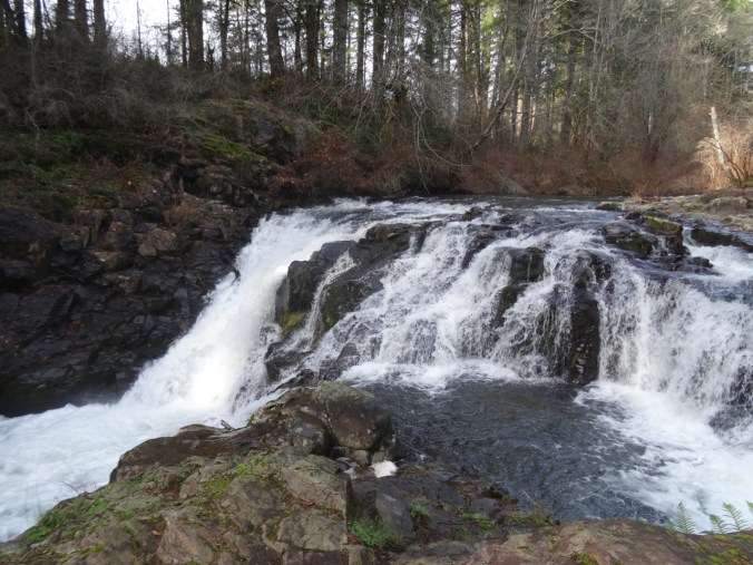
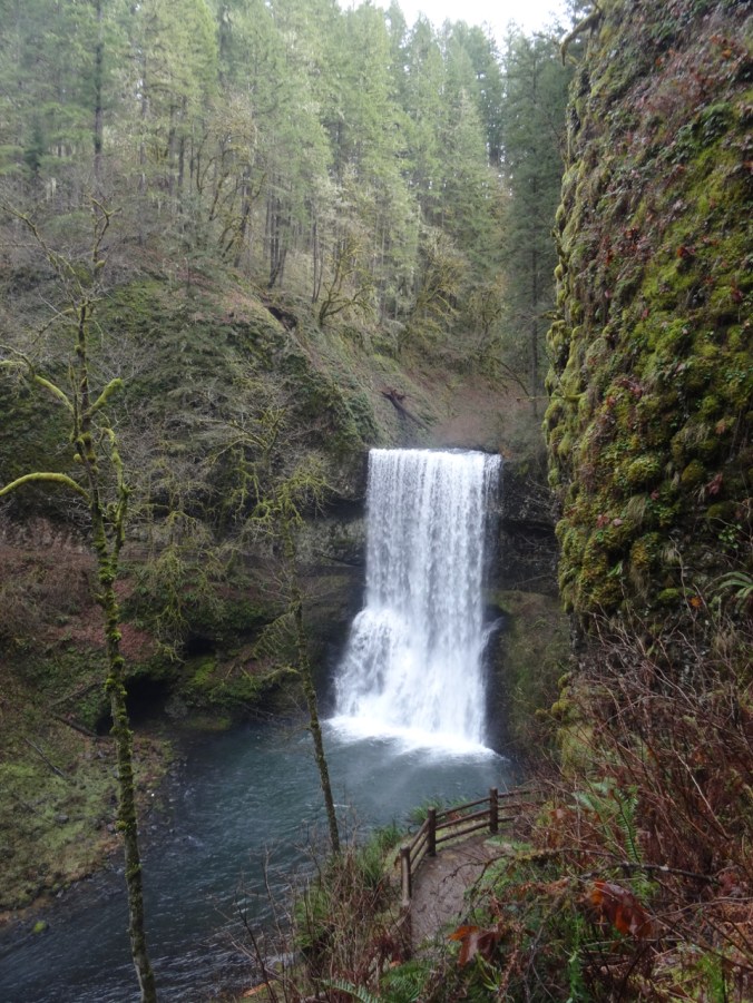
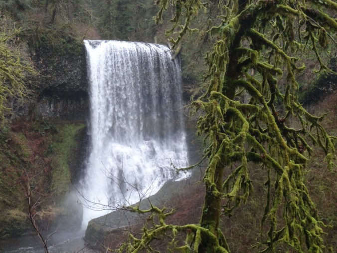
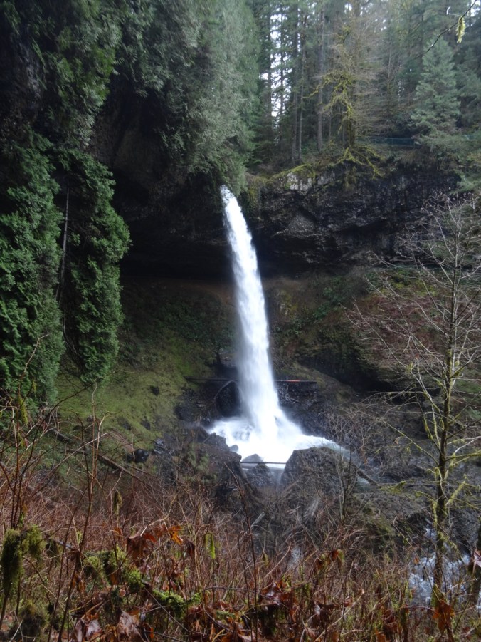
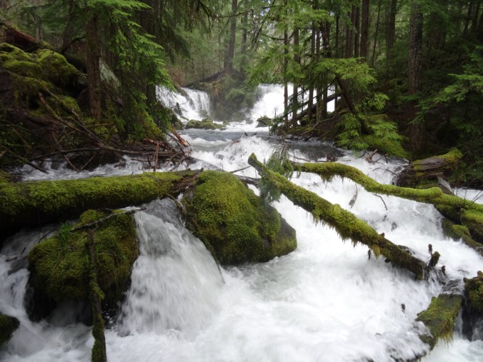
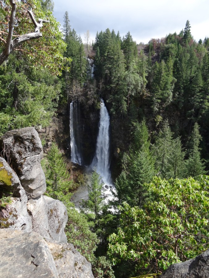
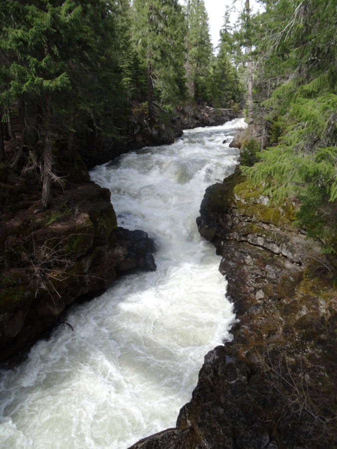
After lunch we went to the Mill Creek Falls Trailhead and followed the path to the viewpoint of Mill Creek and Barr Falls.
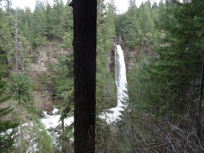
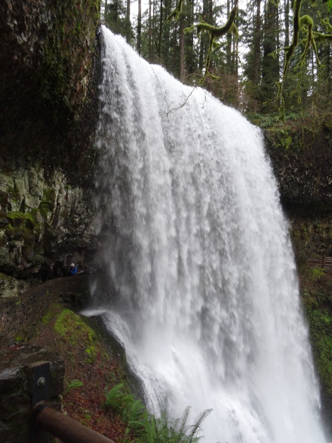
Mill Creek Falls
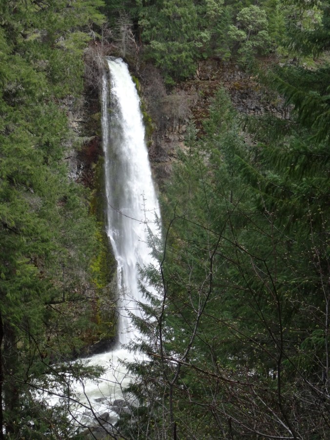
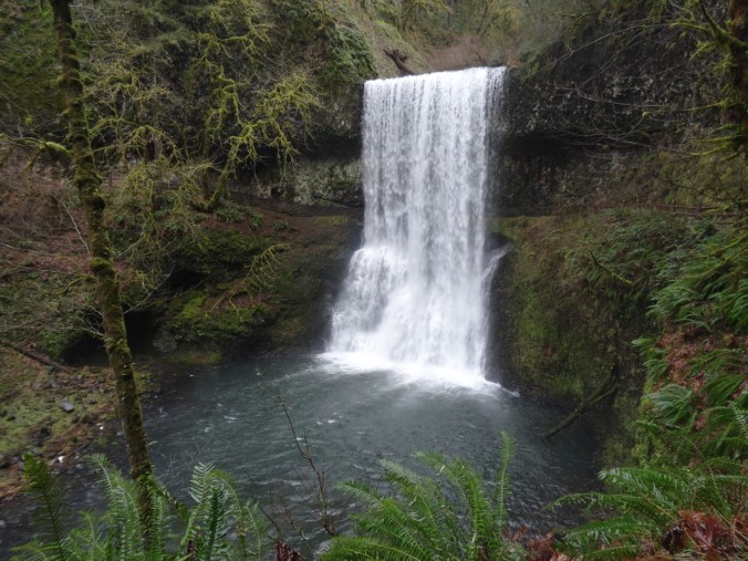
Closer view of Mill Creek Falls
Mill Creek Falls lunch stop was just to the left of the lip.
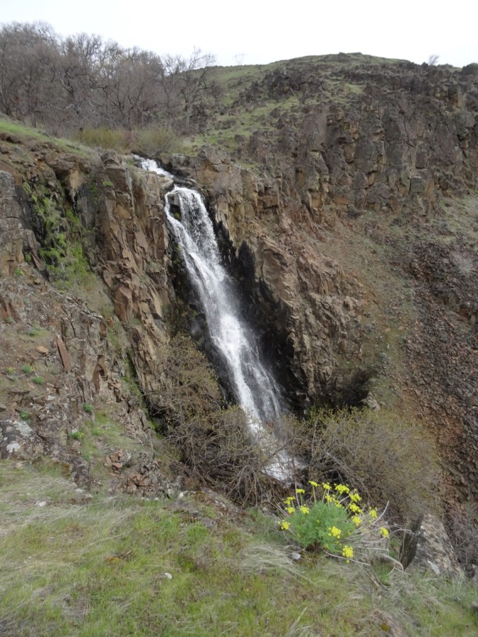
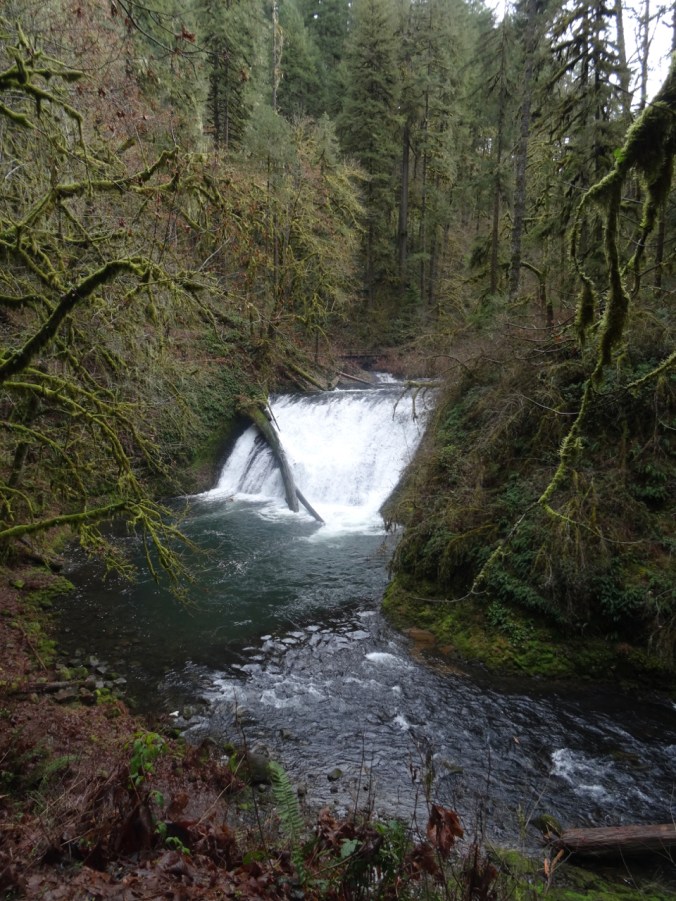
Barr Creek Falls
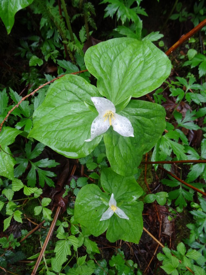
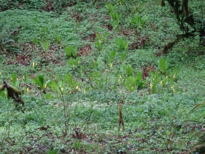
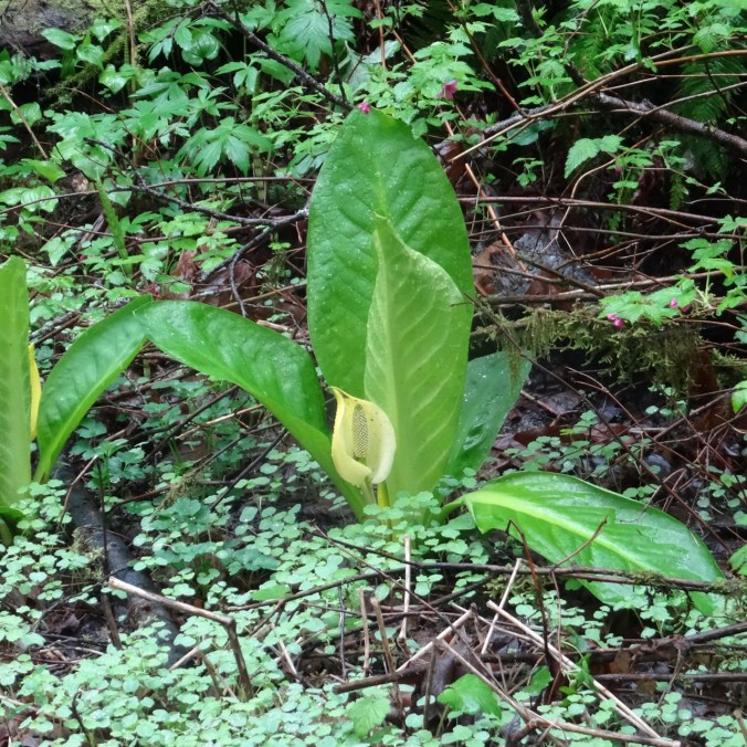
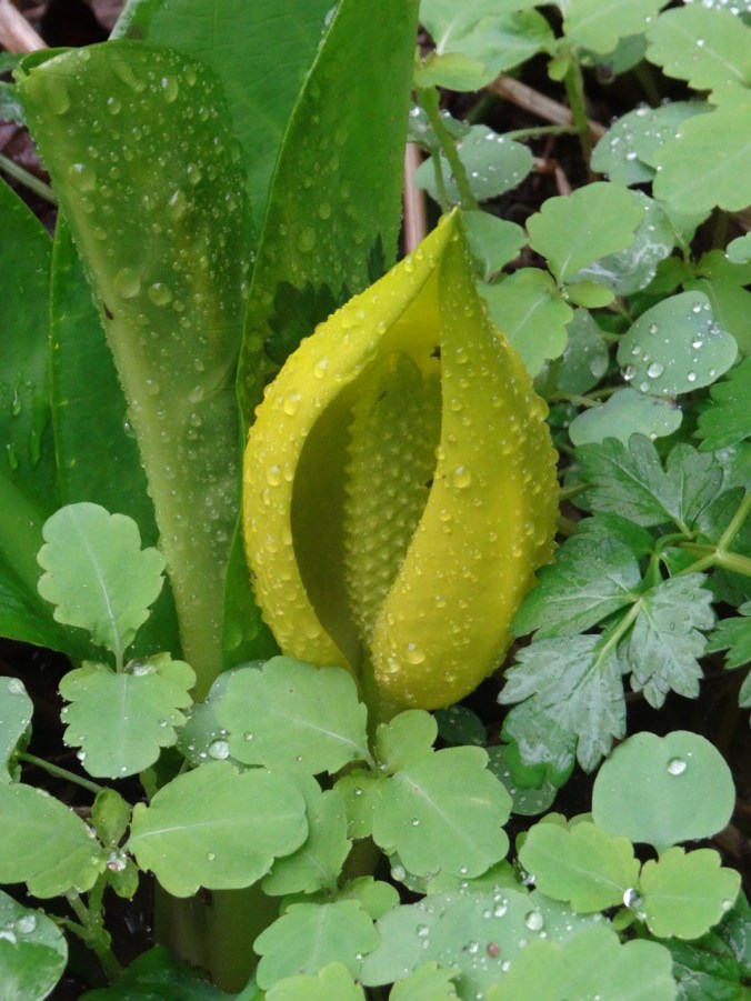
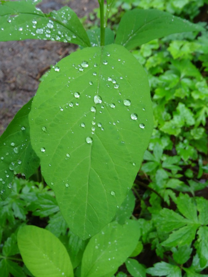
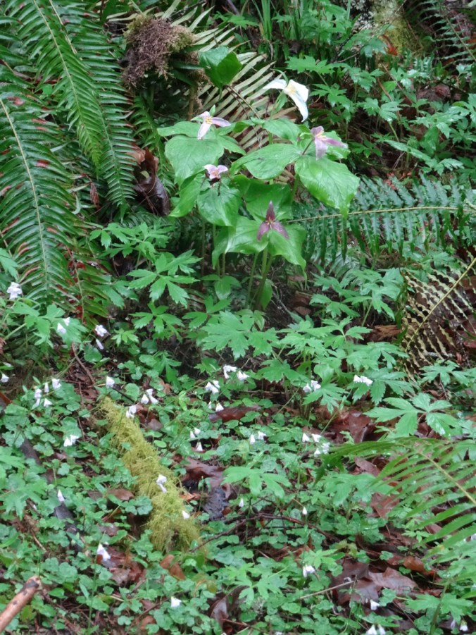
We saw many forest wildflowers, lungwort lichen, and moss: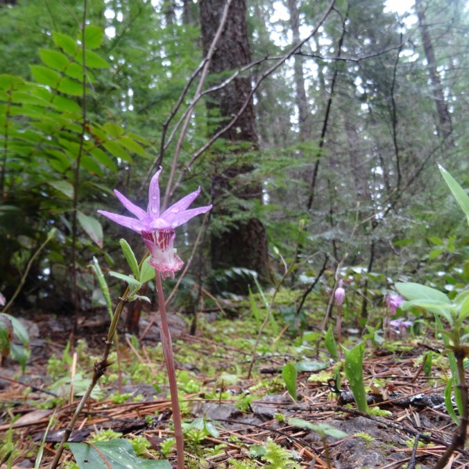
Calypso Orchid
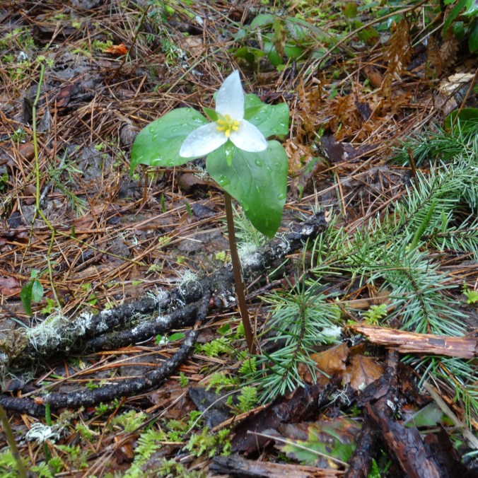
Trillium

Snow queen

Pioneer violet
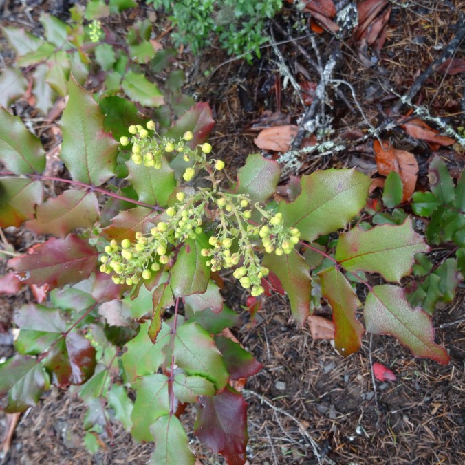
Oregon grape
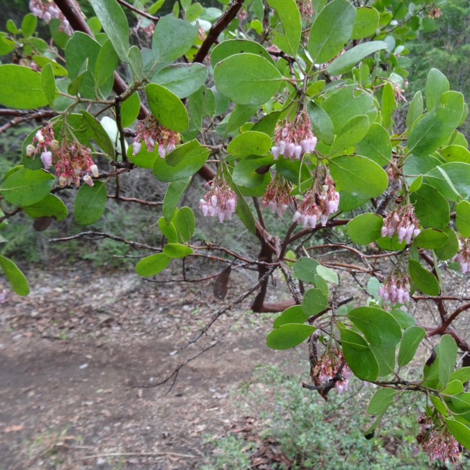
Manzanita
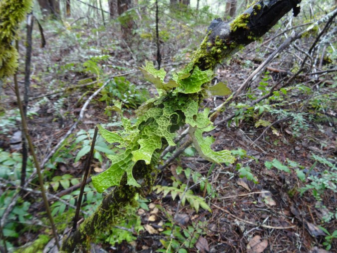
Lungwort lichen
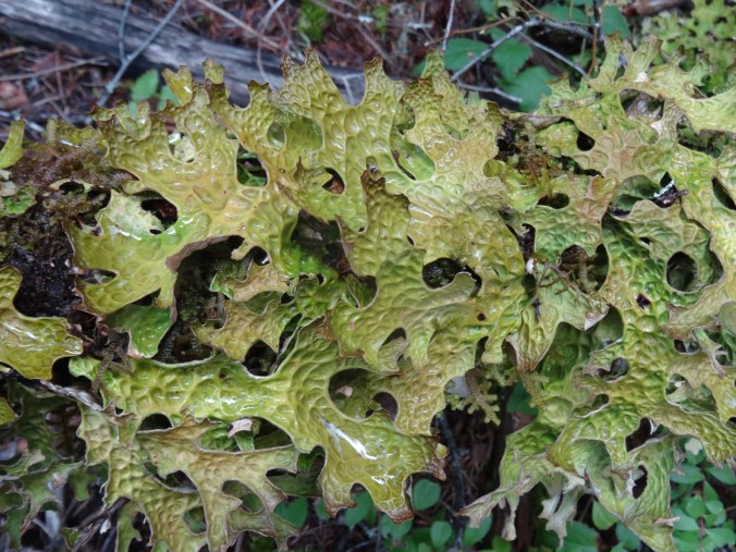
Lungwort lichen

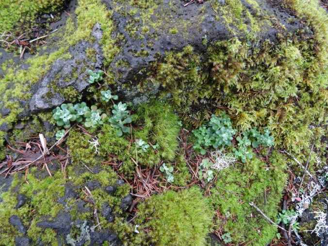
Mosses
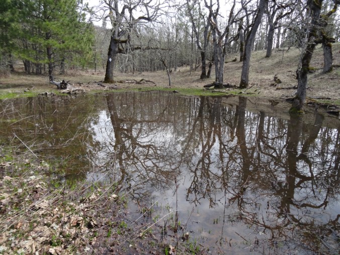
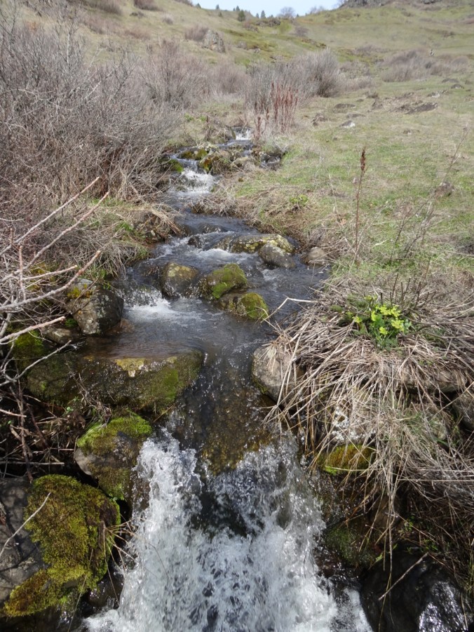
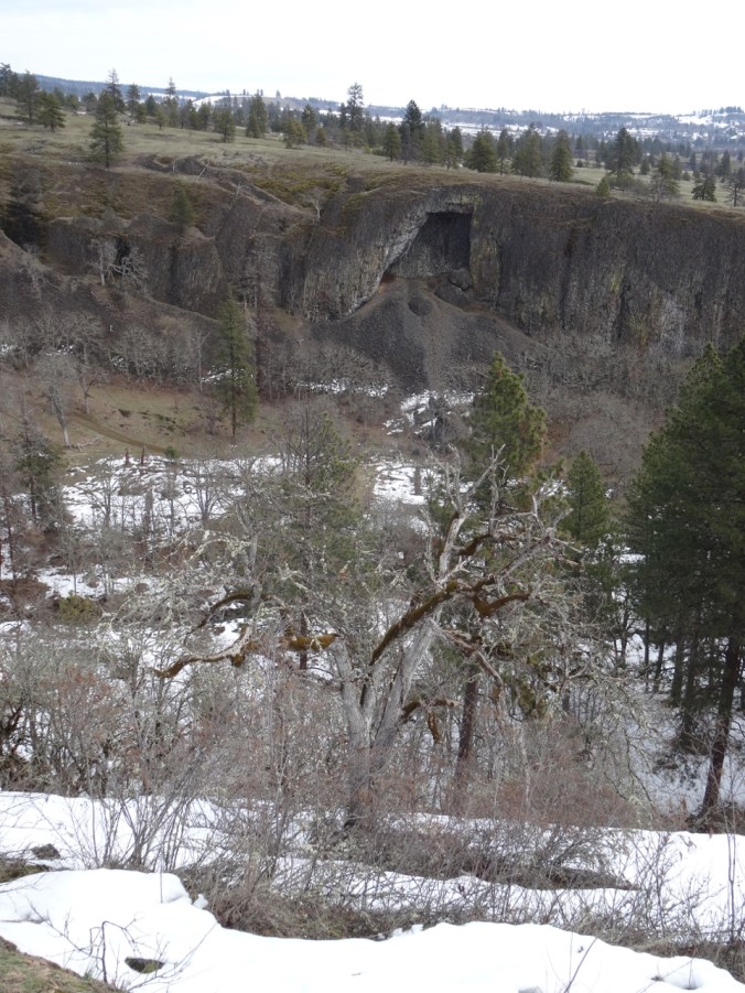
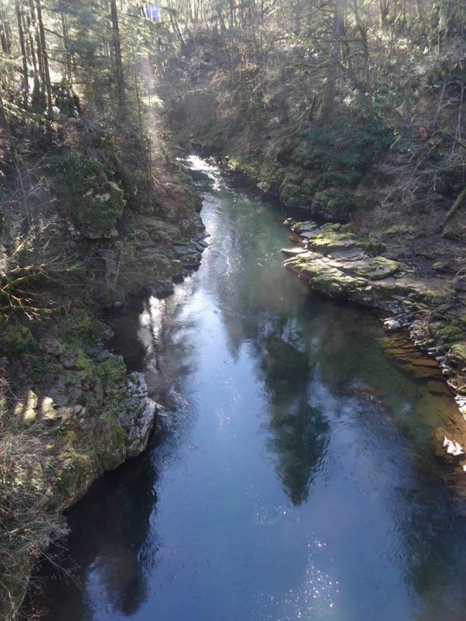
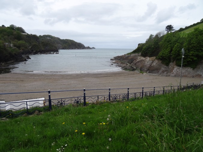
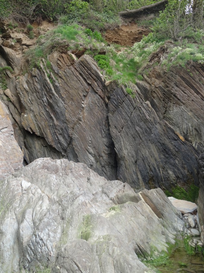
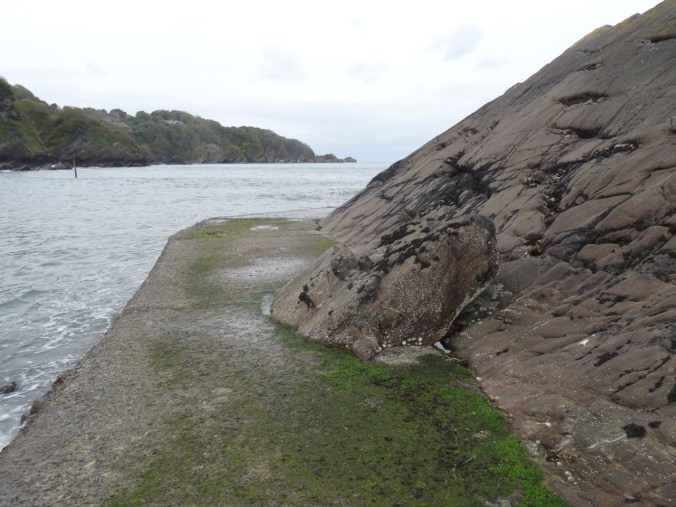
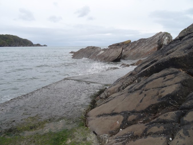
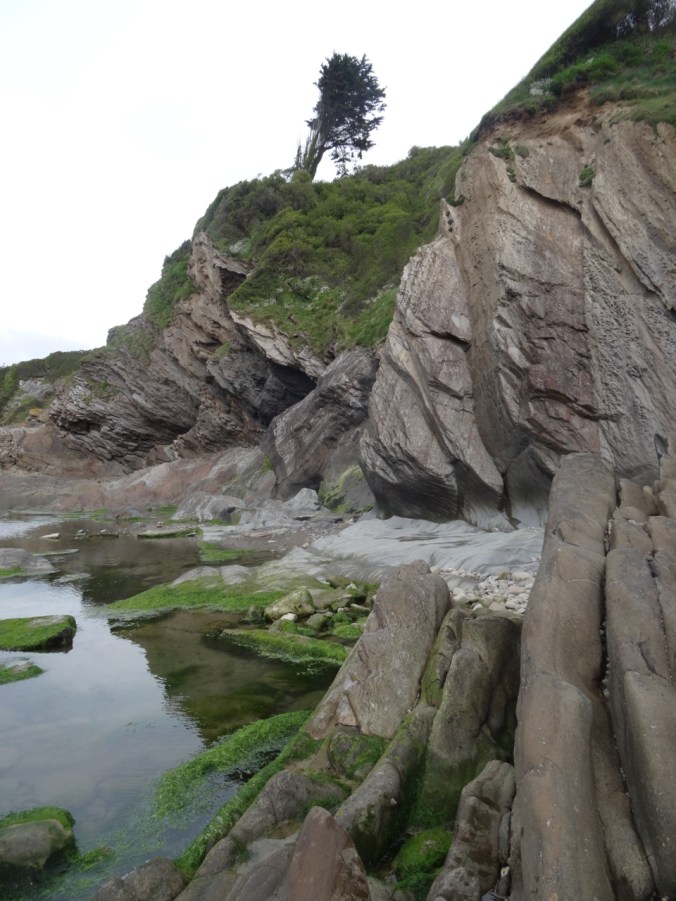
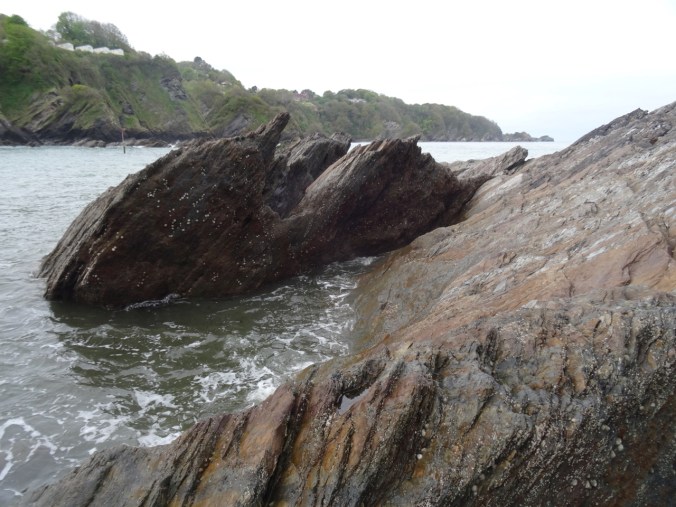
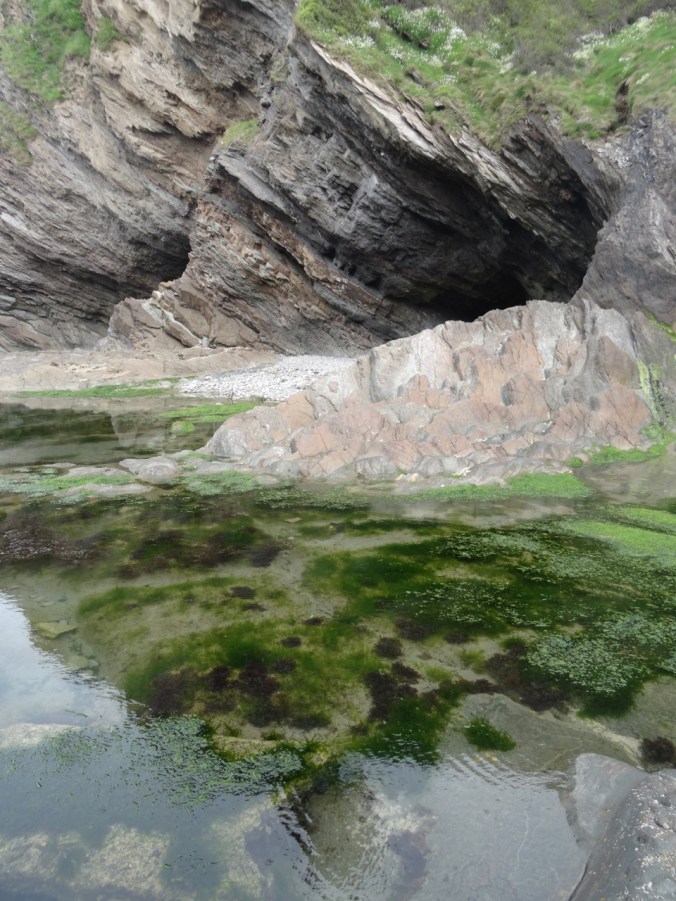
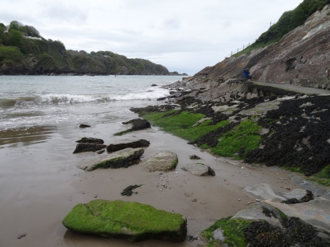
We then drove to the Natural Bridge area of the Rogue River near Union Creek. We had to walk in from the highway, as the access road is not yet open. Here the river is supposed to disappear from surface view into a lava tube, but there is so much spring runoff just now that the water is overflowing the top of the lava tube, and the natural bridge is not obvious.

Upstream view of the Rogue River
Downstream view of the Rogue River

Rogue River flowing over the top of the lava tube

Rogue River flowing over the top of the lava tube as well as through it.
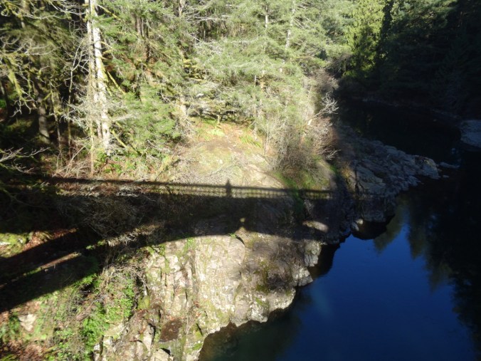
The bridge to the Natural Bridge

Group shadow portrait
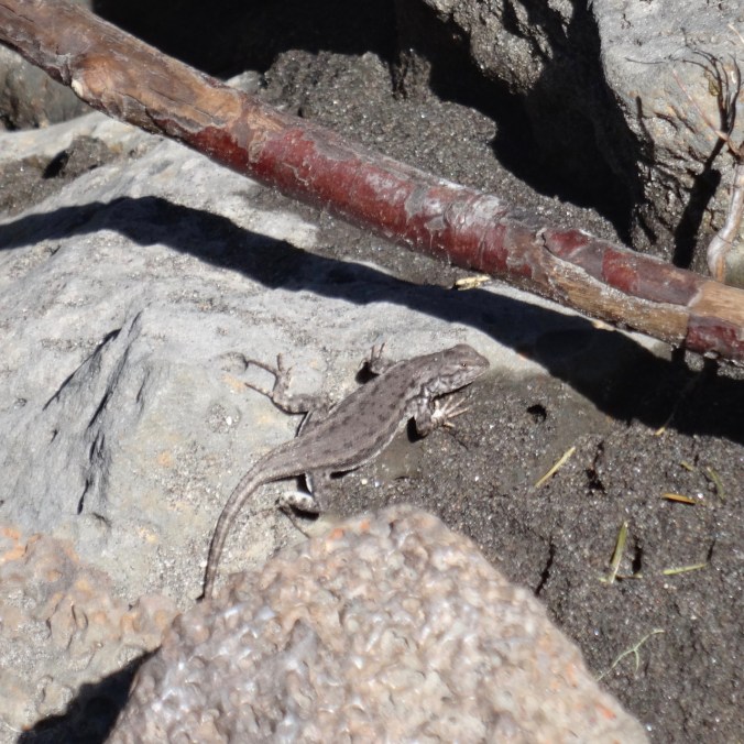
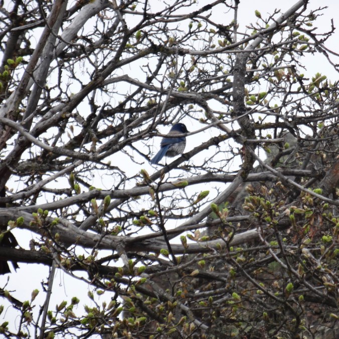
Lizard
(Hike #18/ 5.4 miles/ 500 feet – for the day)
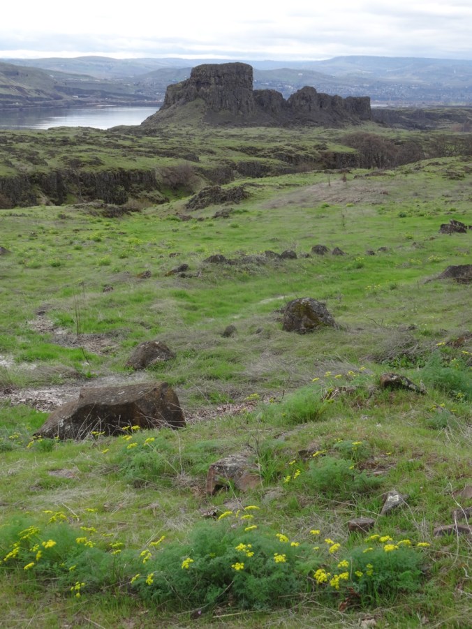
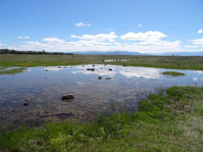
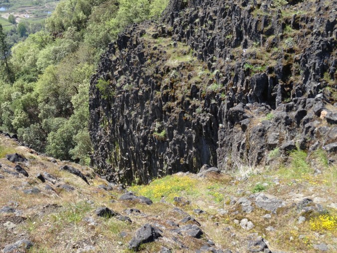
Lower Table Rock – 4/21/2019
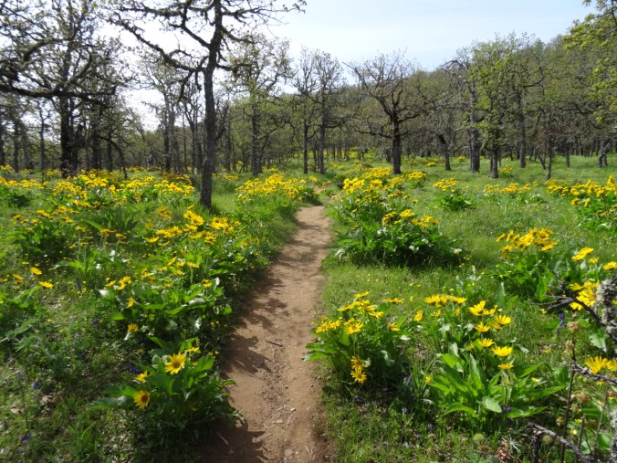
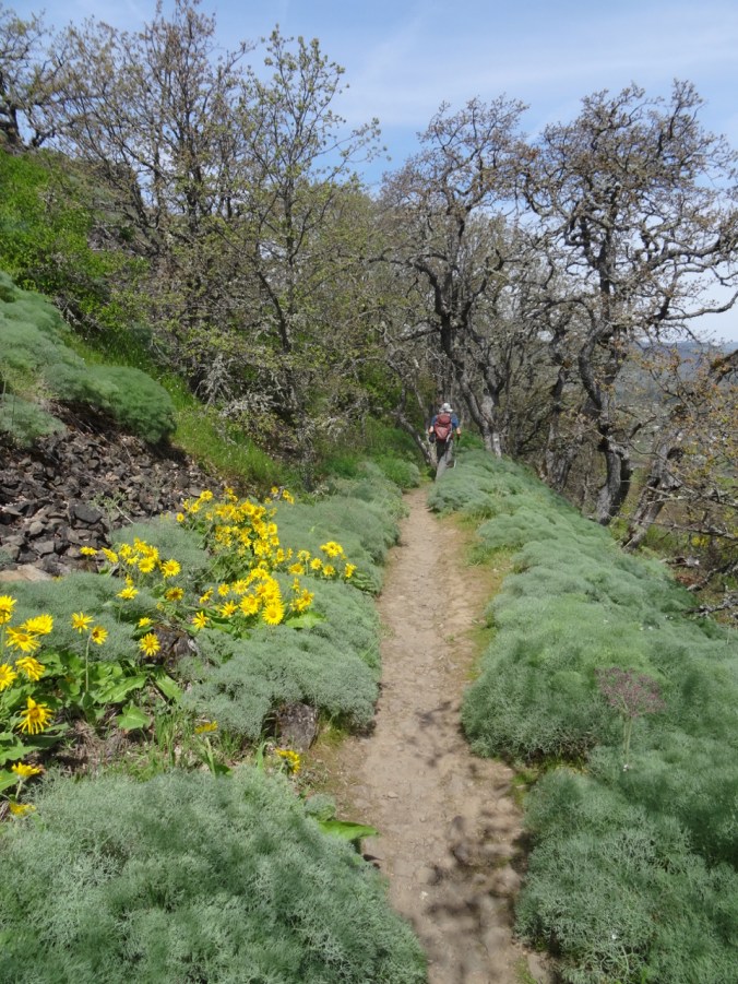
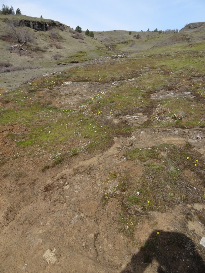
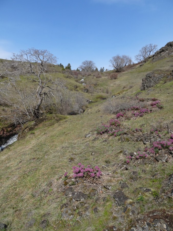
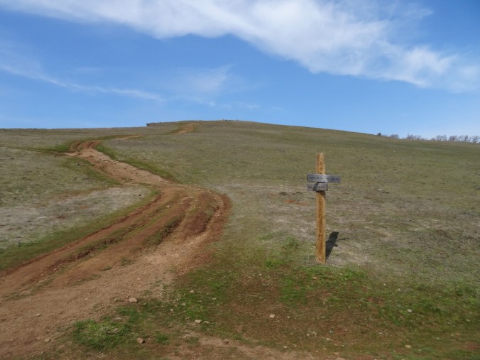
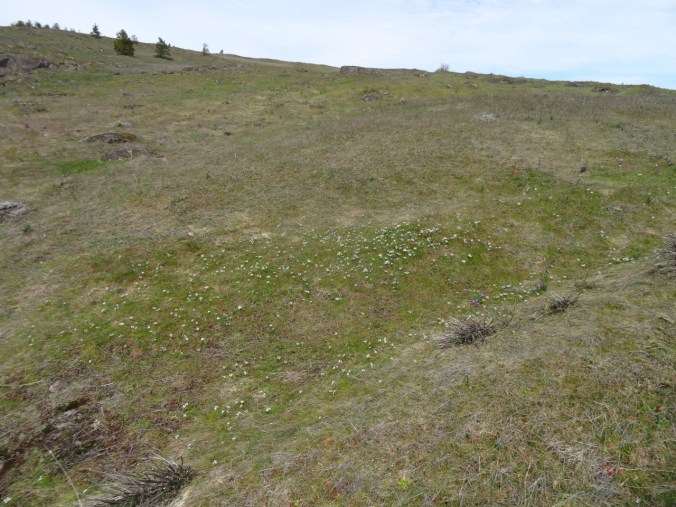
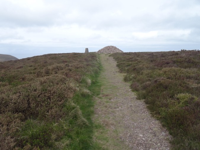
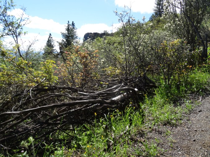
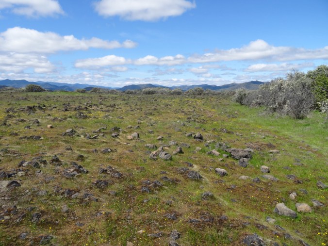
Sunday, we drove back toward Medford to Lower Table Rock, renowned for spring wildflowers. We saw at least thirty one different varieties that I could name. The wide, well maintained trail up the mesa passes through oak woodland that is completely permeated, entwined, carpeted and otherwise overgrown with shiny oily red and green poison oak.

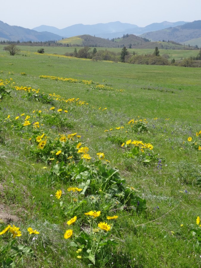
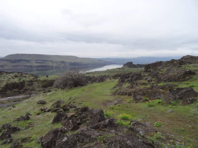
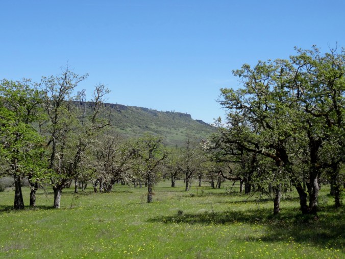
Lower Table Rock – our destination

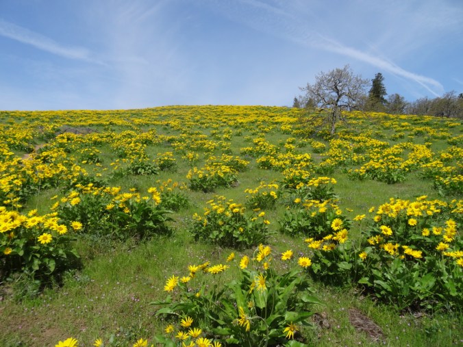
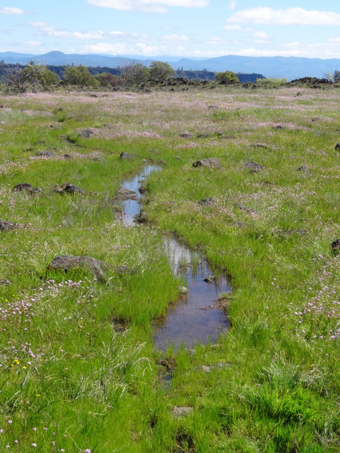
Swales of rosy plectritis and buttercup meadows

Oak tree
Buttercup meadows under the oak trees at the base of the mesa.
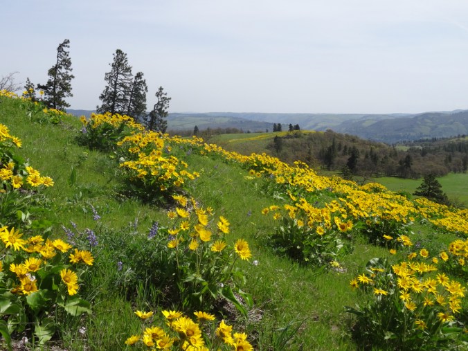
Another view of the Lower Table Rock about halfway up the trail, with fiddle neck and buckbrush in the foreground
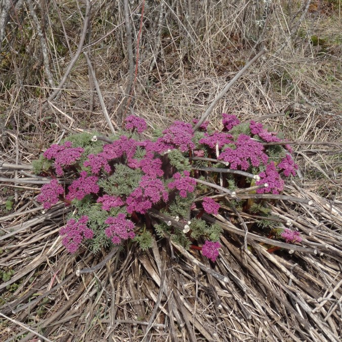
Wildflowers in the lower meadows and along the trail to the top:

rosy plectritis, buttercup

blue dicks

Pacific hounds tongue

buckbrush

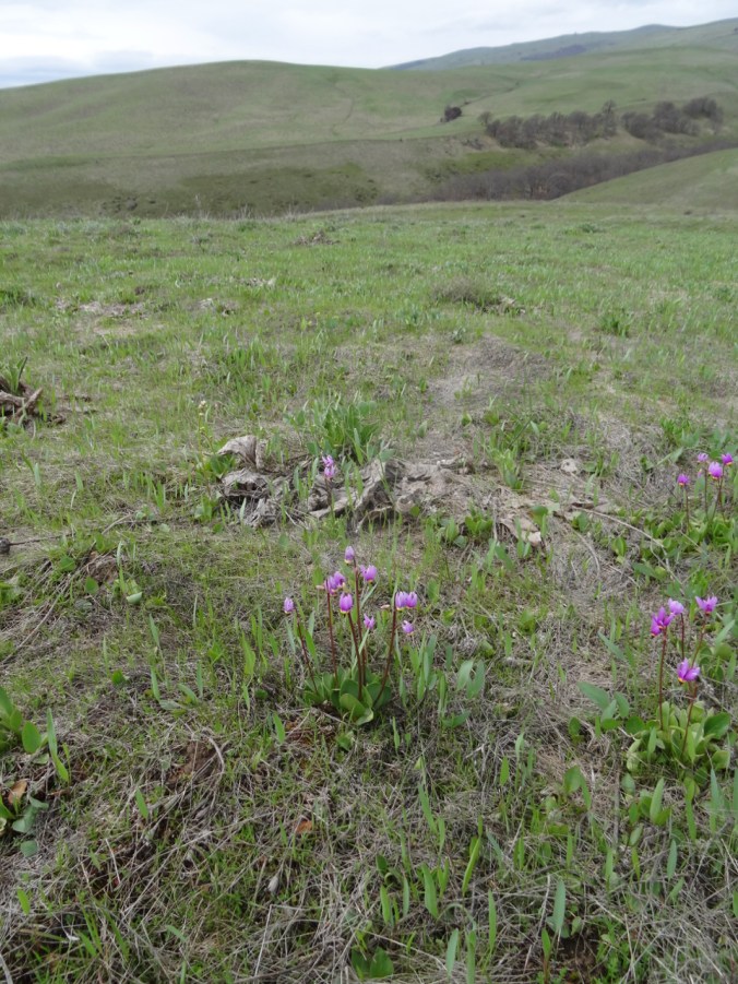
shooting stars

camas – just beginning to bloom

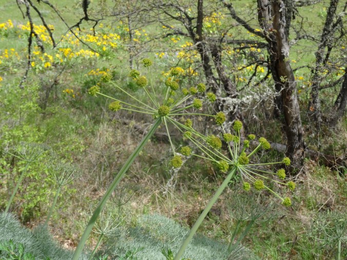
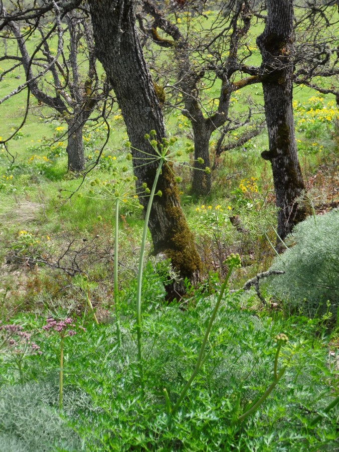
larkspur, lomatium

giant blue eyed Mary

narrow blue eyed Mary

monkey flower

ragwort

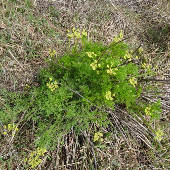
another lomatium

miner’s lettuce

arnica

woodland star

sitka valerian

wild celery

bleeding hearts
I was excited to see two new-to-me dramatic flowers:
Tolmie’s Mariposa Lily, also called cat ears –
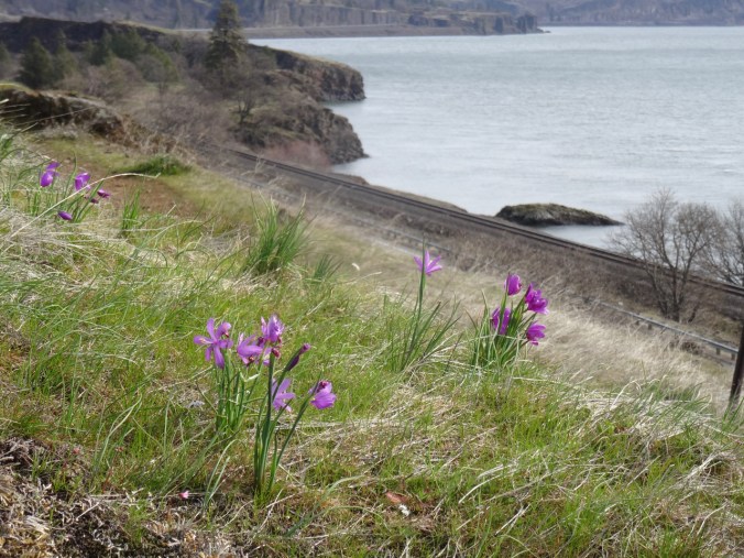
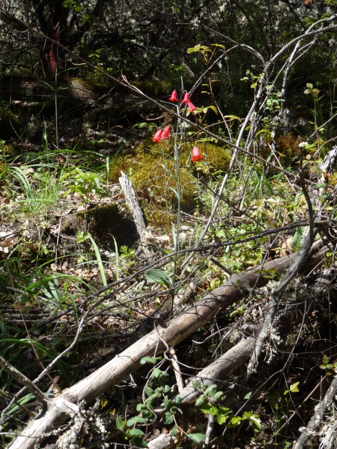
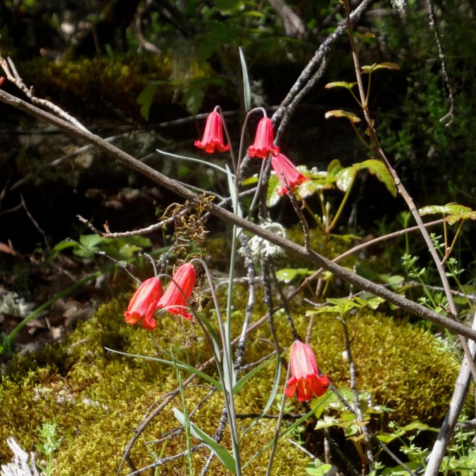
Scarlet fritillary or red bells were right near the top of the trail, and were the only two stems of these I saw. I literally gasped when I looked over and saw them, they were so beautiful. And I could not get any closer due to the proximity of poison oak!

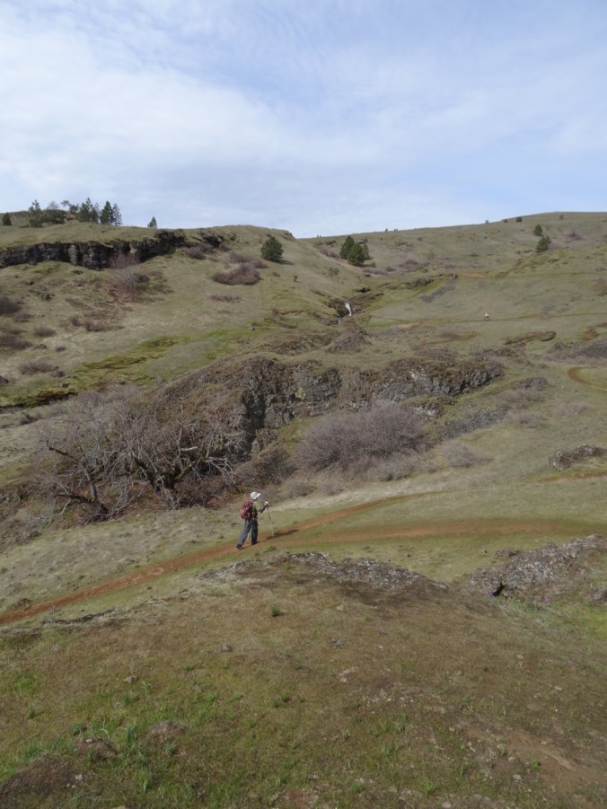
Beyond the red bells, we emerged onto the top of the mesa, which was nearly flat with a long trail, formerly a runway landing strip, across the top to viewpoints of the surrounding landscape. The flowering meadows on top were Sound of Music scenic, and lovely to walk through.


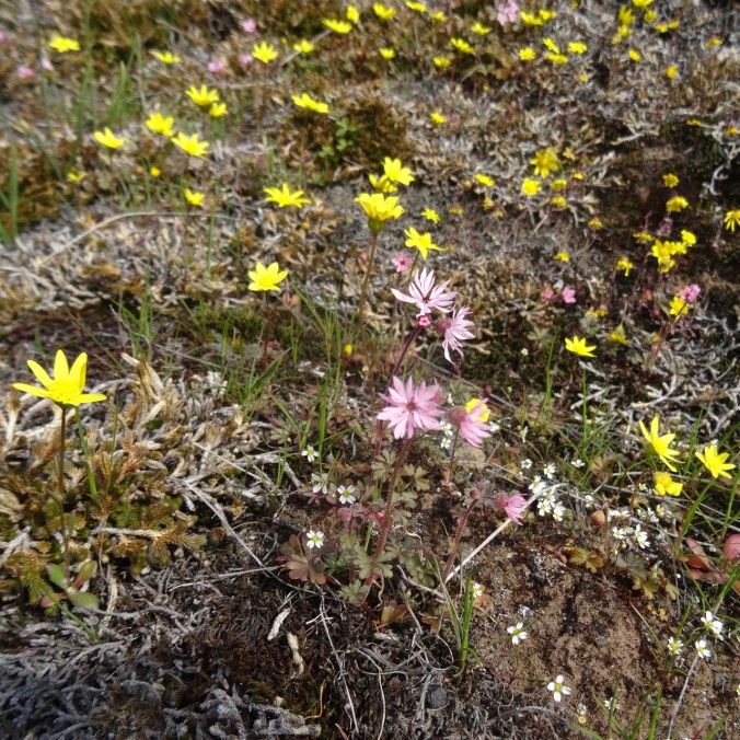
There was a different suite of flowers on the top of the mesa.

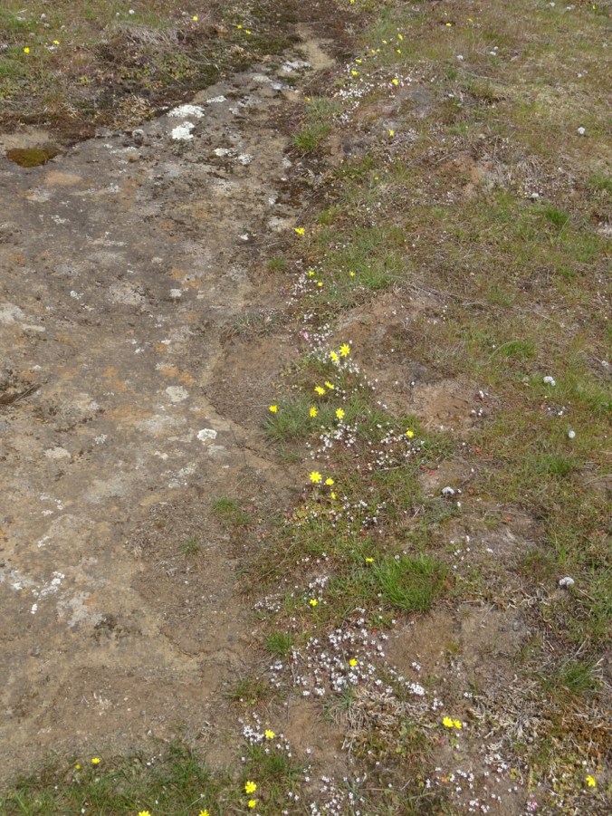
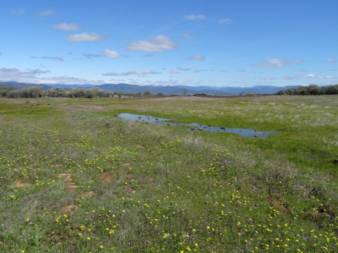
Large swales of goldfields

closer view of goldfields

goldfields and rosy plectritis

bicolored lupine, filaree, lomatium, popcorn flower

baby stars

gold stars and a white flower, possibly a sandwort

slender phlox

New to me – Cowbag clover
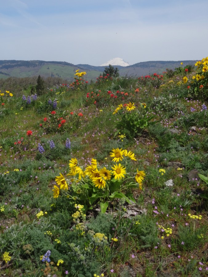
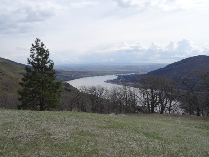
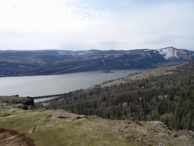
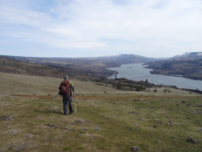
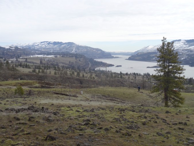
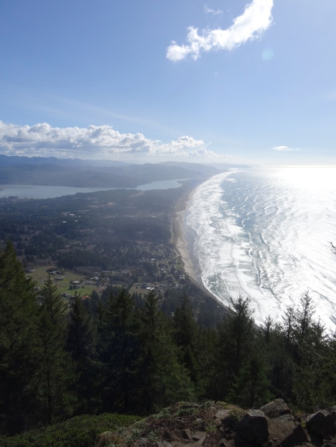
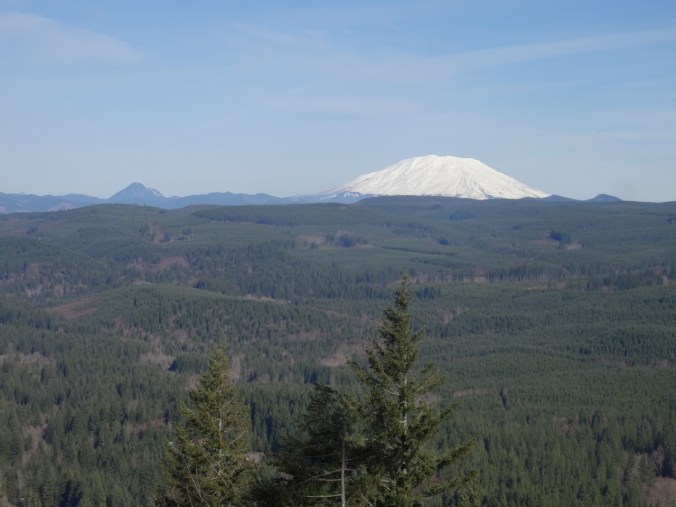
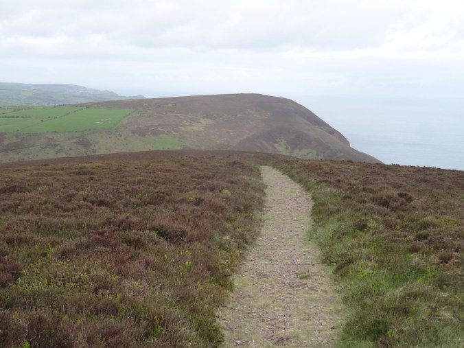
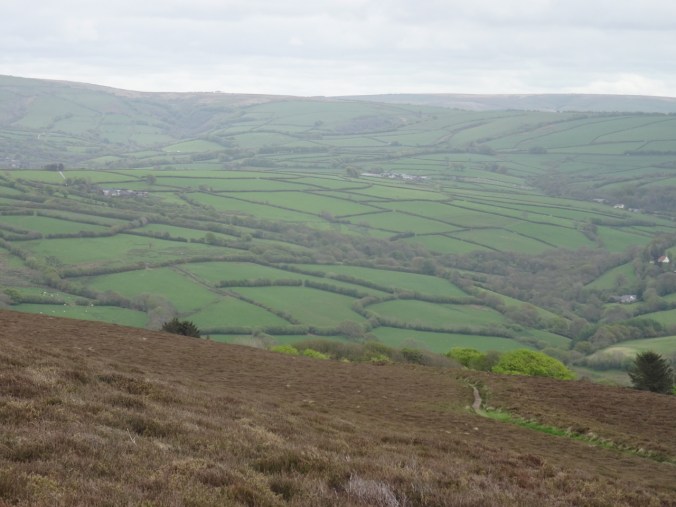
We had our lunch at the south edge of the mesa with views toward Medford, the Rogue River valley, and back east toward Crater Lake and Mt McLoughlin.
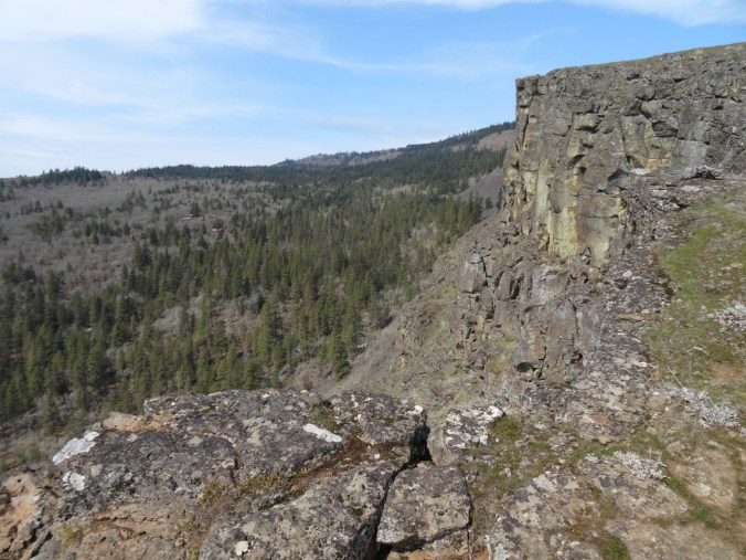
Crags at our lunch stop.
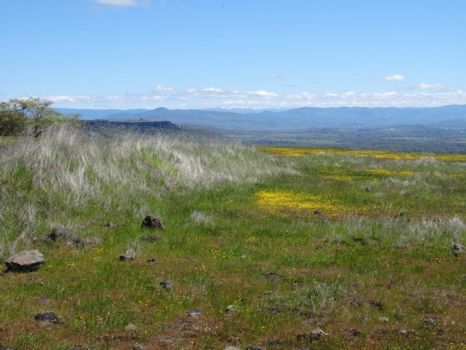
East view toward Upper Table Rock, also covered with yellow flowers, and the shoulders of Mt Mazama (Crater Lake)
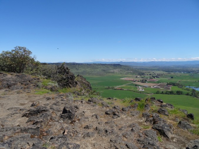
Rogue River valley

Rogue River below
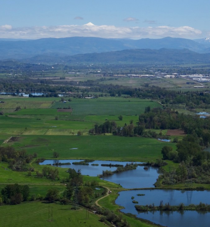
The top of Mt McLoughlin emerging from the clouds
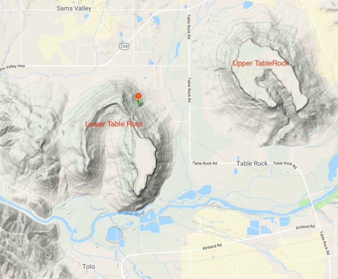
Location map
(Hike#19/ 5.1 miles/ 750 feet)
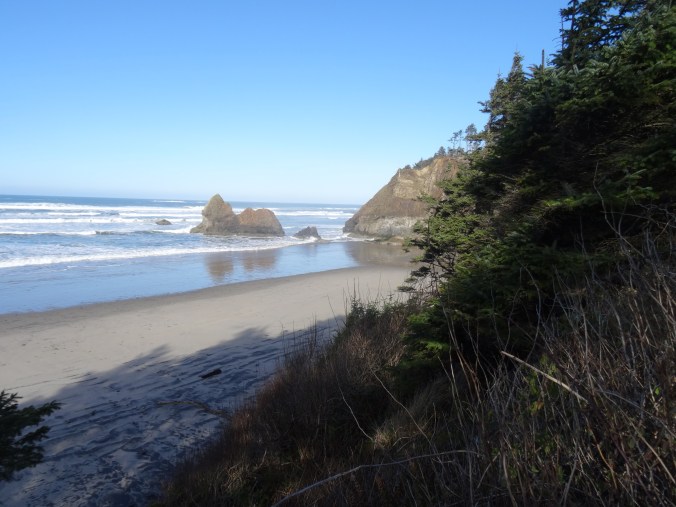
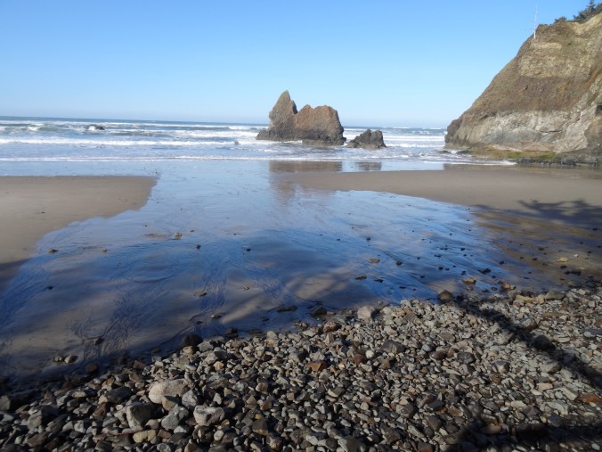
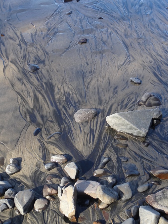
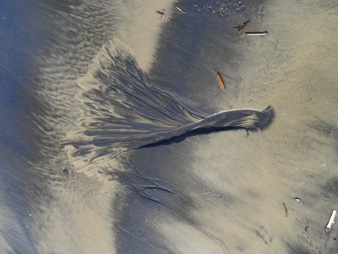
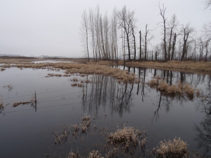
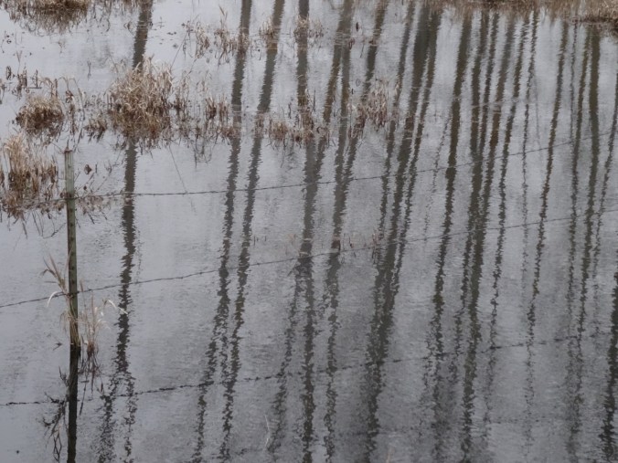
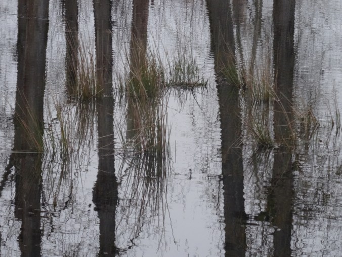
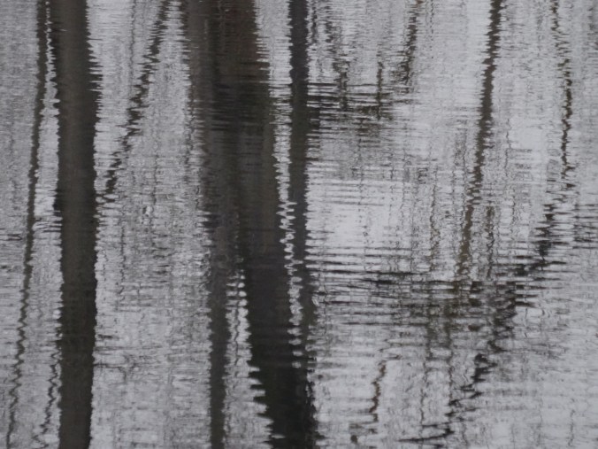
Weekend parting shots:
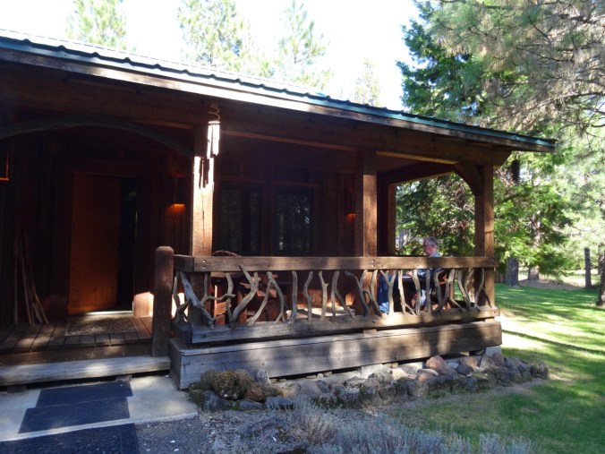
The Cabin
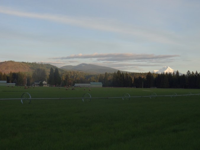
Nearby farm with grazing elk and Mt McLoughlin at sunset

Elk

Mt McLoughlin
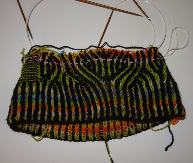
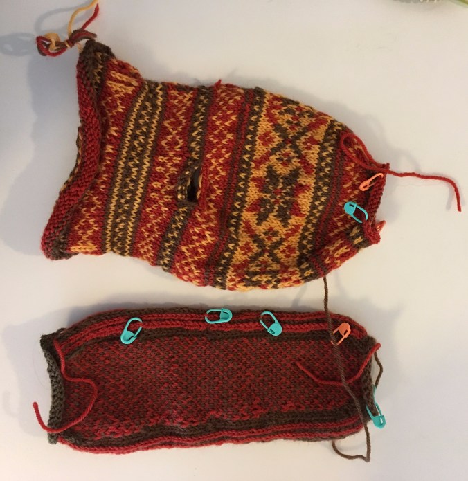
The Knitting
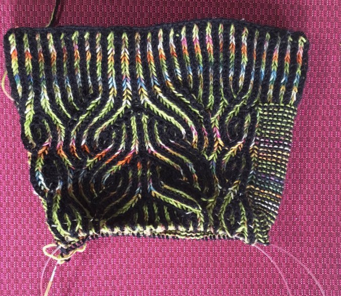
I finished the Vintage Prim Hat, pattern by Andrea Mowry! Brioche can be tricky, and I fixed a lot of mistakes – both tinking and frogging.

Brioche pattern

close up of garter stitch and brioche rib

Center top

Garter stitch side

Reversible to the green side