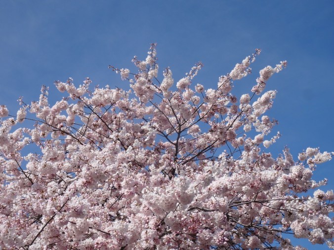
Spring Break 2019 – Knitting and Cherry Blossoms

Knitting – Frost Slippers

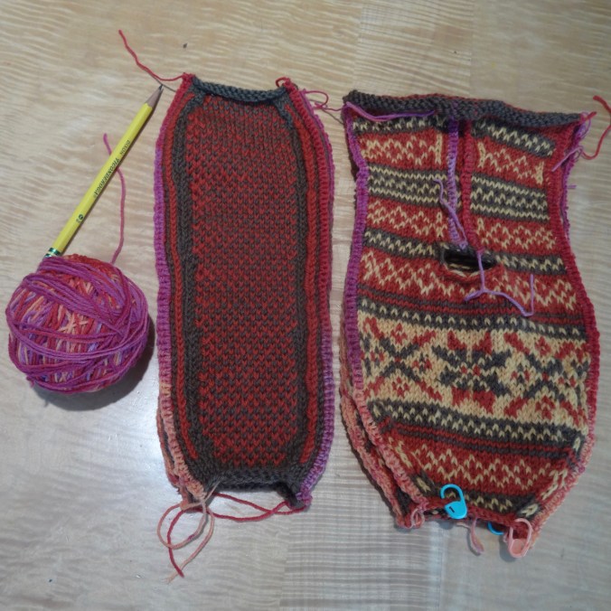
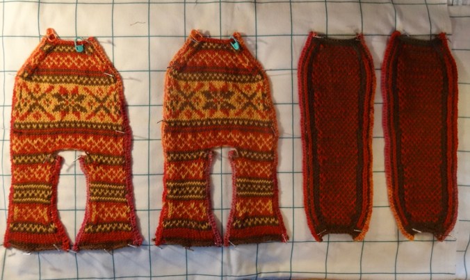
I crocheted the steeks,

DSC02381

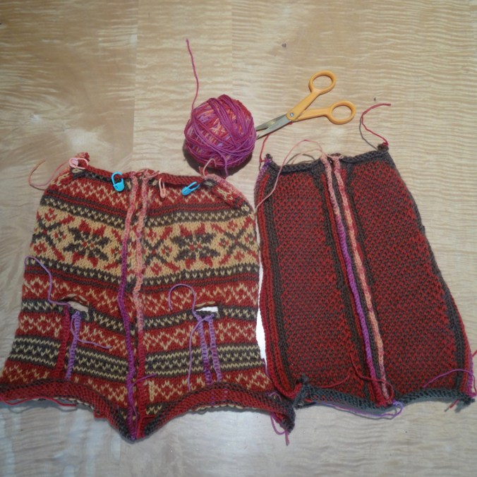
and cut,

DSC02398

and cut again.

DSC02412

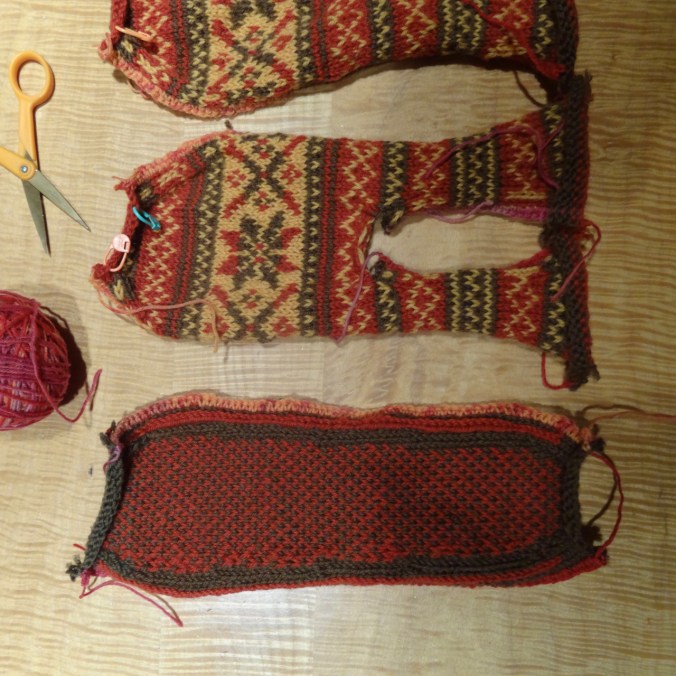
I have basted the edges, and blocked.

DSC02562

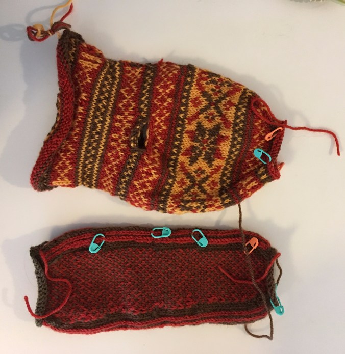
Frost Slippers – uppers and soles, blocked.

Next I will sew soles to uppers, then add cuffs. There is a lot of finishing work in these slippers, but so far I am intrigued enough by the process to keep going!

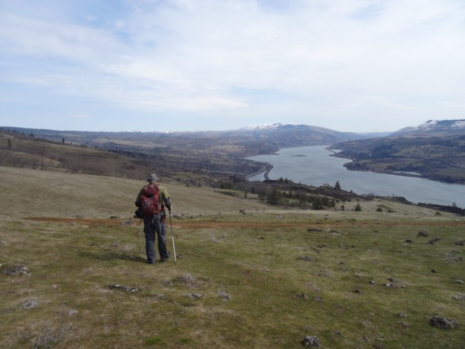
Lyle Cherry Orchard, WA    3/29/2019

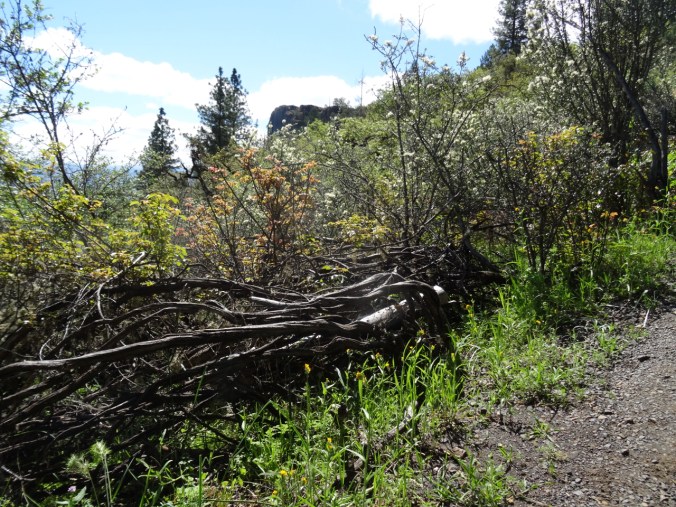
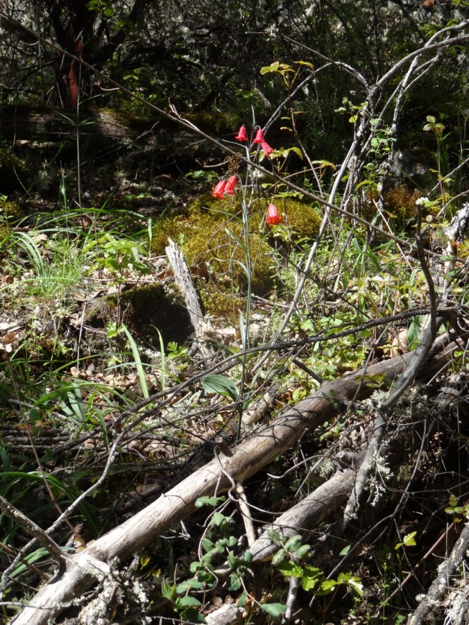
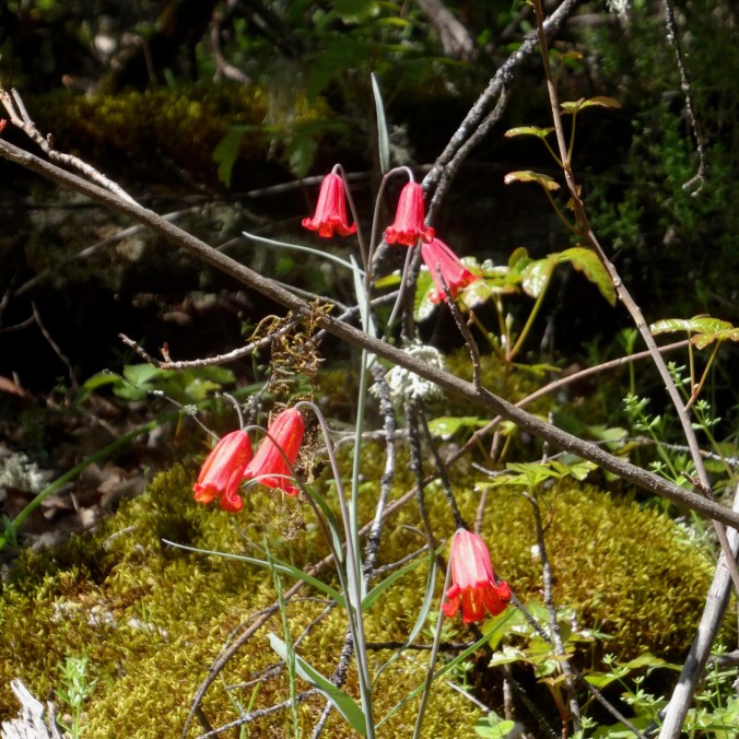
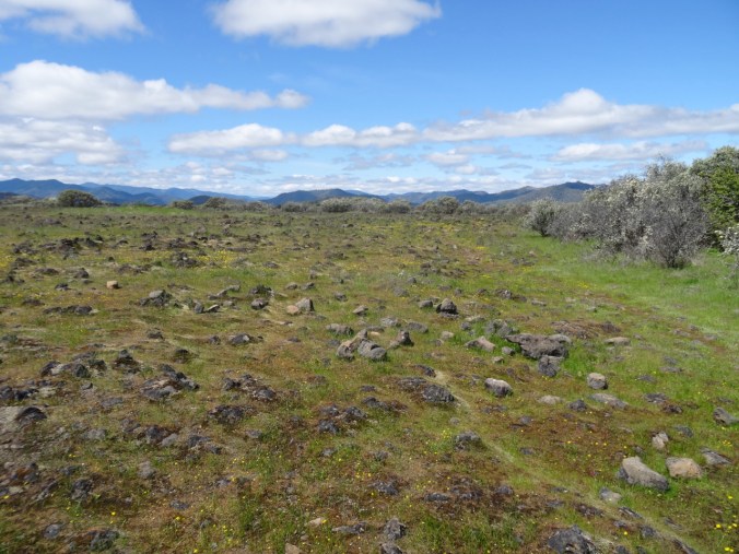
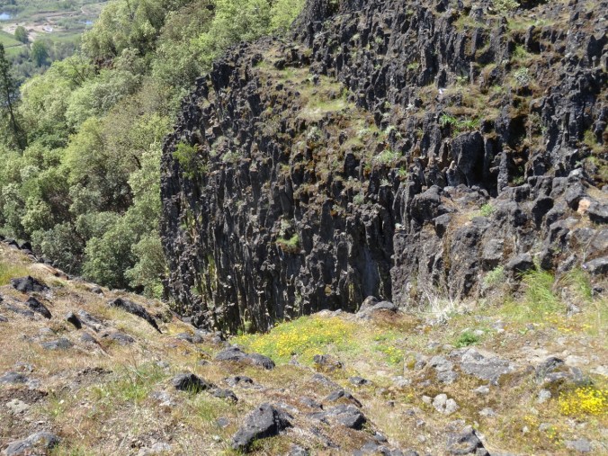
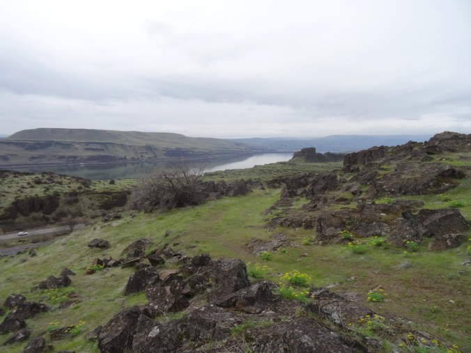
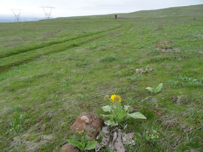
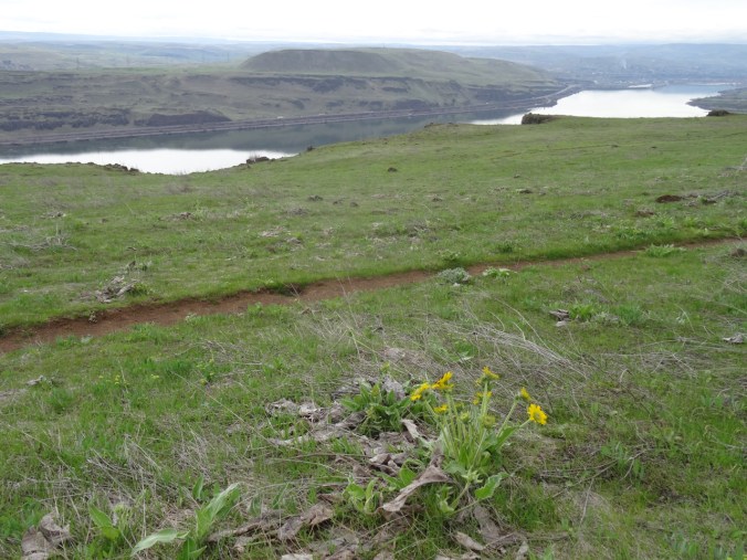
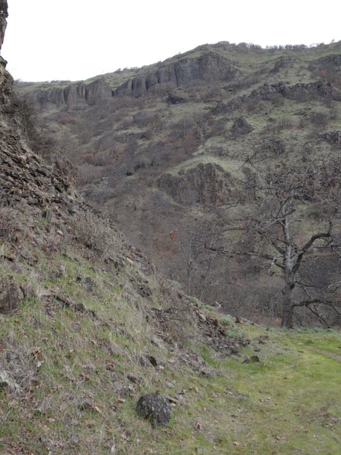
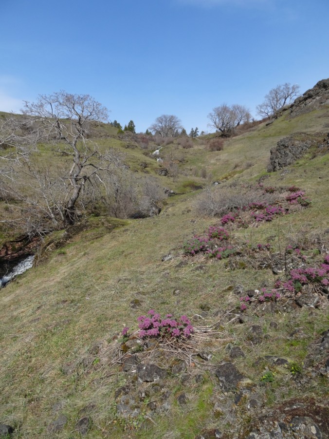
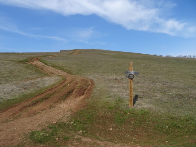
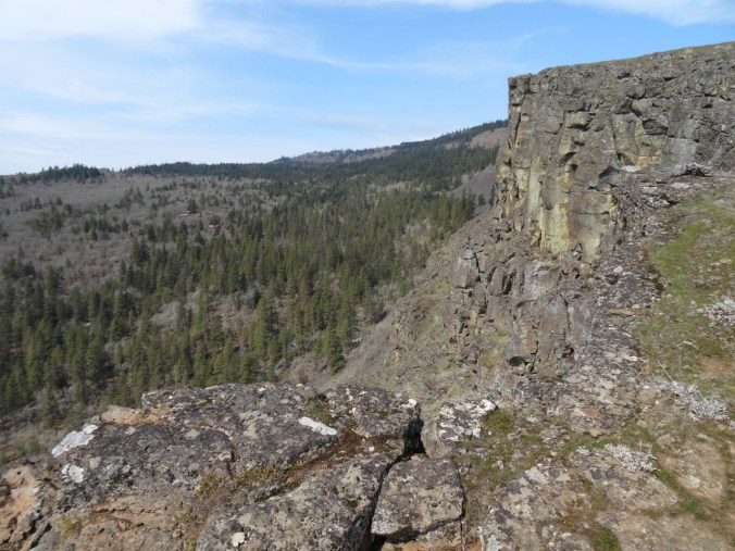
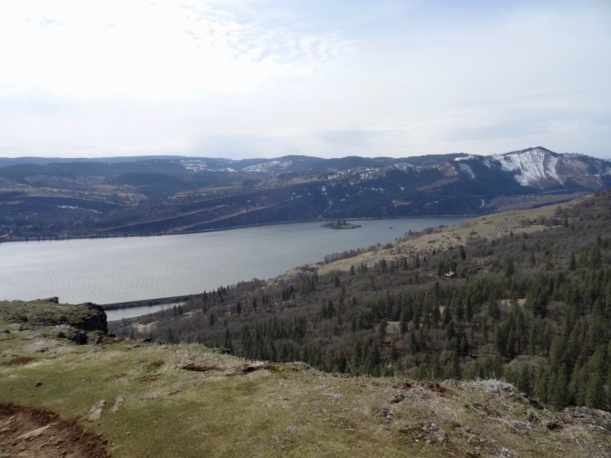
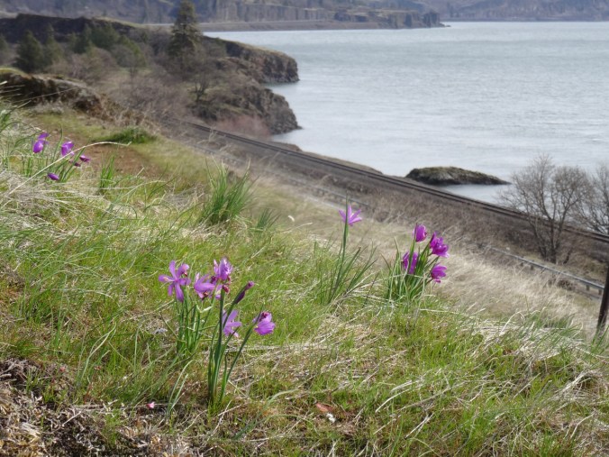
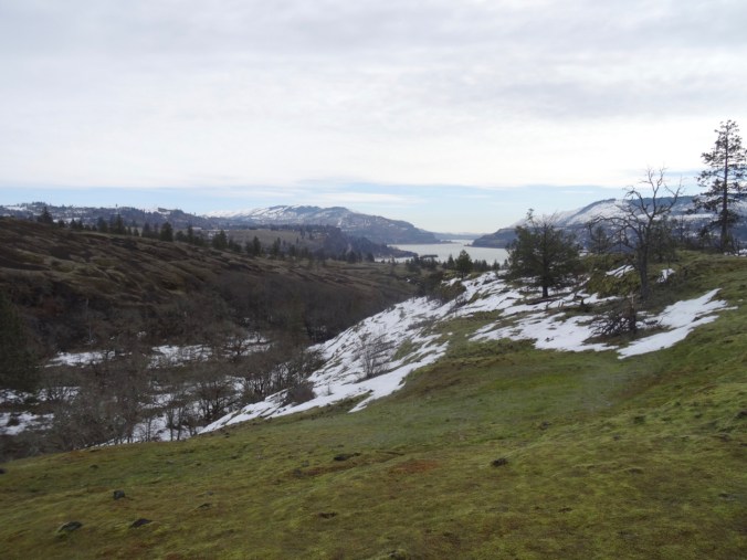
A beautiful day to hike up the cliffs above the Columbia River with friends, and try the new trail switchbacks. There are a few old cherry trees along the uppermost cliff loop that were not in bloom today, but we saw many wildflowers, including some balsamroot. (Hike #14, 5.6 miles, 1500 feet)

DSC02422

DSC02419

We are headed to the top of the cliffs…

DSC02431

The second bench

DSC02435

River cruise below…

DSC02451

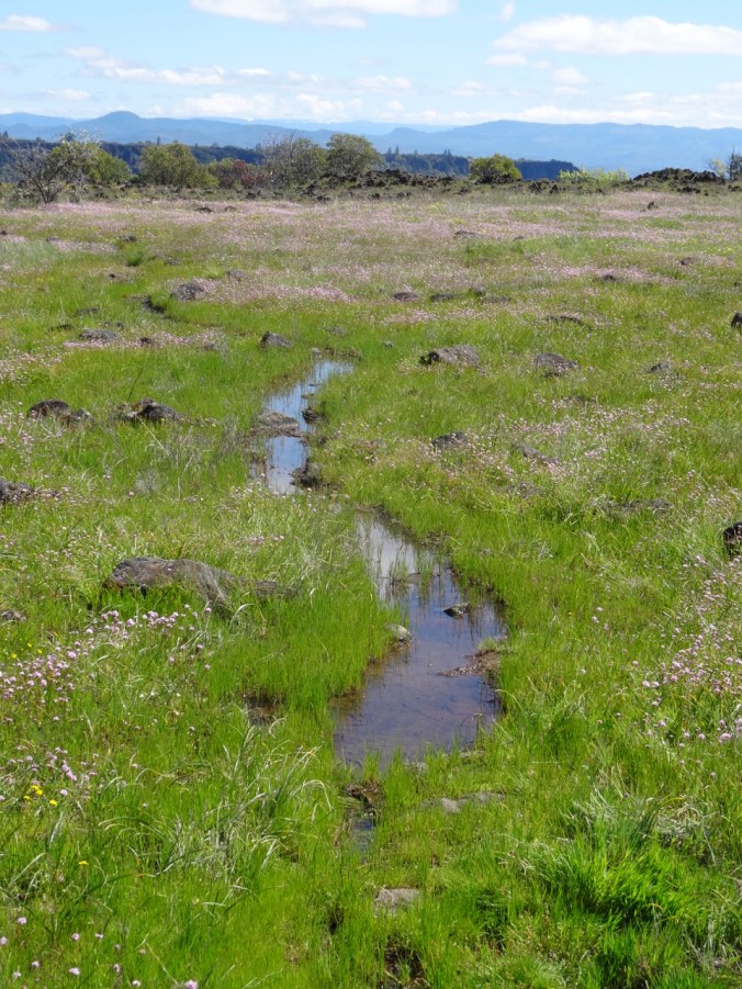
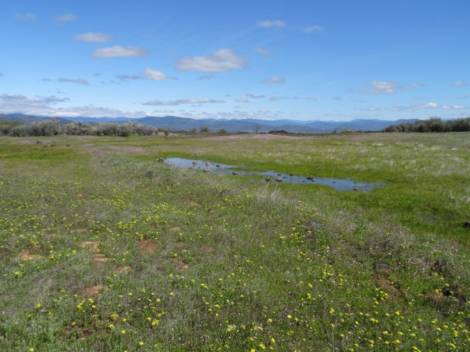
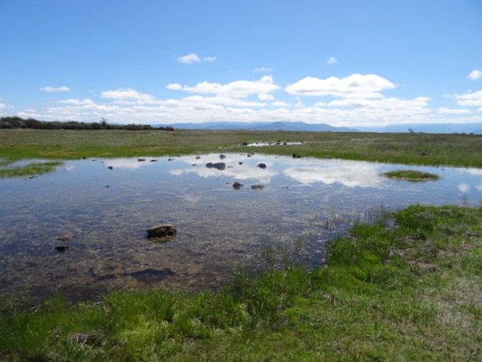
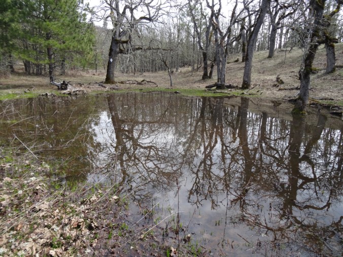
One of the vernal ponds along the upper trail

DSC02453

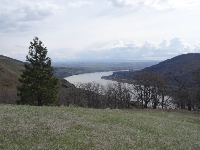
View to the east from the Cherry Orchard

DSC02459

And to the west

DSC02461

One of the new switchback legs – nowhere  near as steep or cliffy as the former trail.

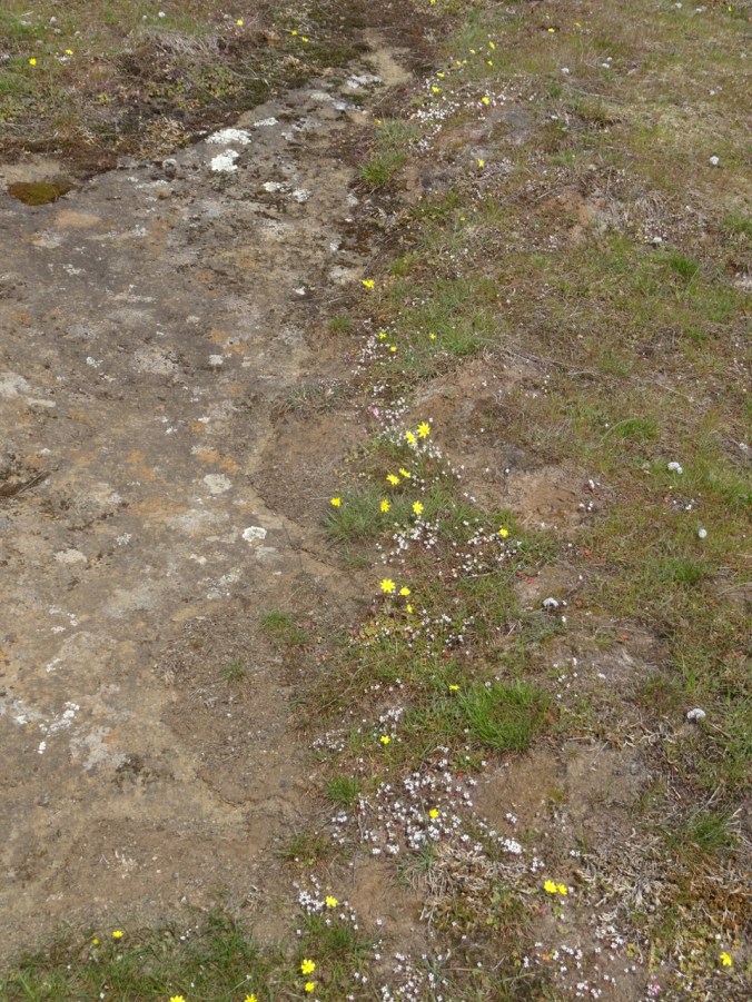
Plenty of new flowers along the way:

DSC02460

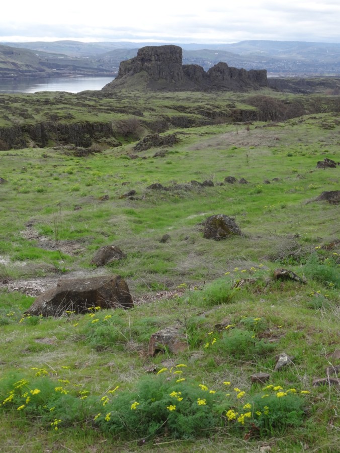
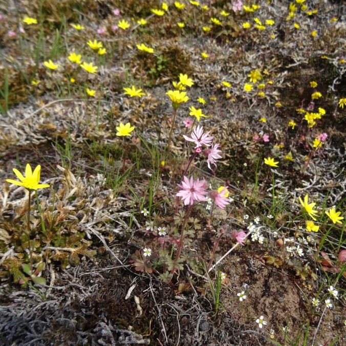
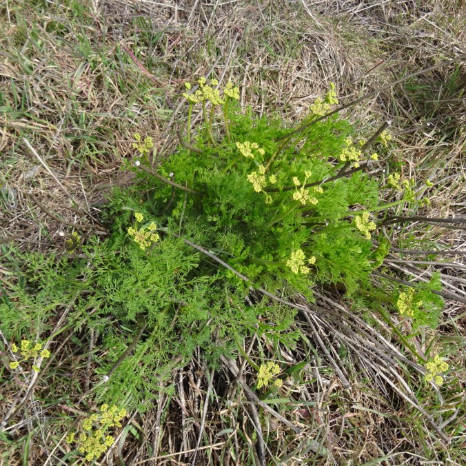
Yellow parsley and gold stars

Neighborhood flowers…

Lots in bloom these days,

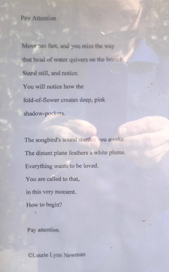
including poetry:

IMG_2001

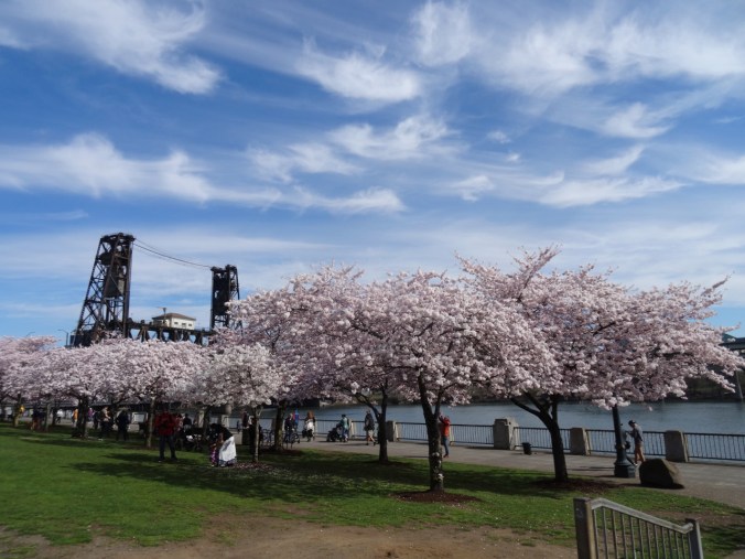
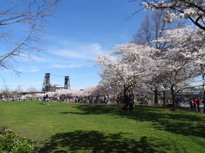
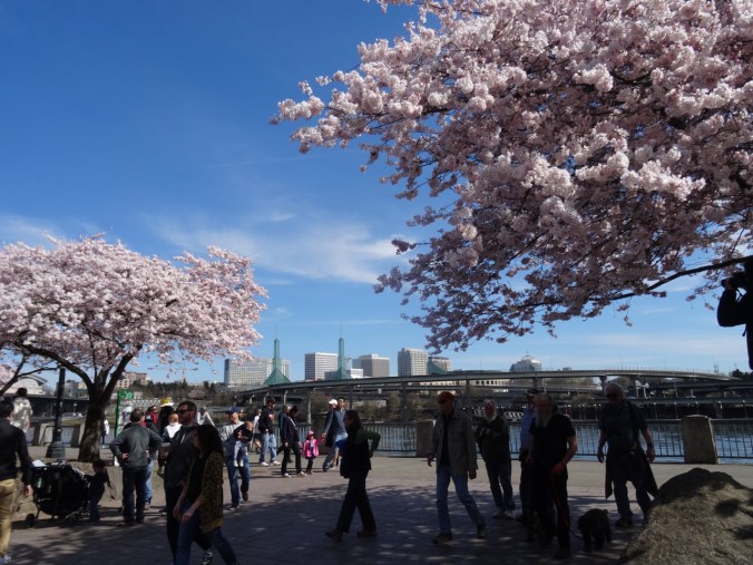
Portland Cherry Blossoms –  Sunday, March 31

The waterfront on a sunny day with cherry trees in bloom. Today is a day for embracing the crowds.

DSC02470

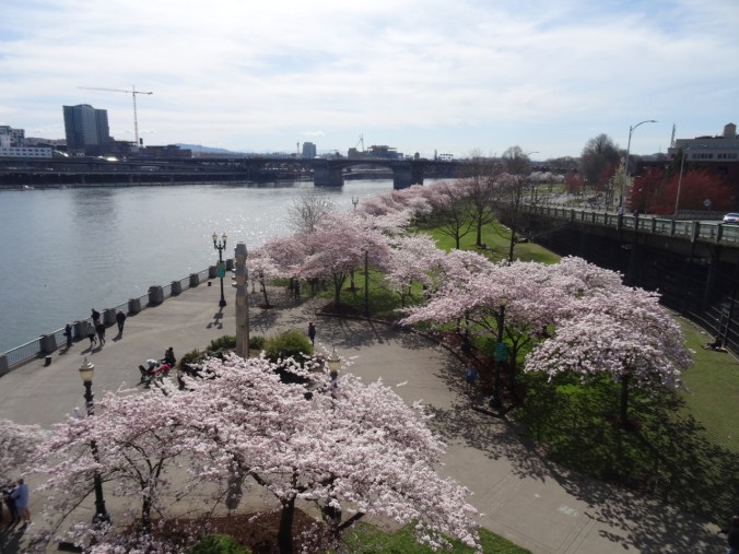
We decided to walk up onto the Steel Bridge to look down on the waterfront.

DSC02474

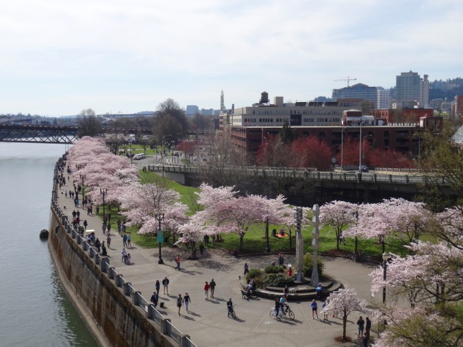
Views from the Bridge:

DSC02487DSC02489

DSC02511

I love the railing shadows.

DSC02502DSC02508DSC02513DSC02517

Wandering around amongst the trees and crowds:

DSC02523

DSC02530

A maple tree budding out, with bugs!

DSC02535DSC02536

DSC02543

White Stag and Old Town Water Tower behind the trees.

DSC02544

DSC02552

View of the eastside of the Willamette River.

DSC02556

And a little Portland weirdness, because it is always here.

IMG_2014

Group-peddled brew cycle.

Spring Flowers, Coyote Wall and Portland

Coyote Wall, WA,  Thursday, March 21, 2019

Up the Little Maui trail, more up on the Old Ranch Road and Coyote Wall trails, then, down the Little Moab trail, with the early flower suite just opening…(Hike #13, 4 miles, 1100 feet)

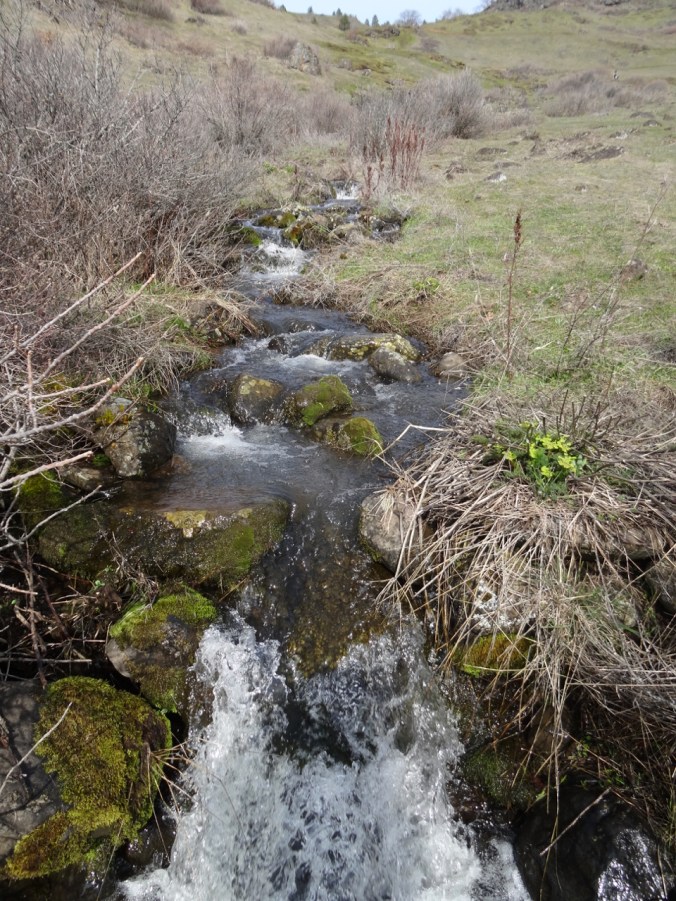
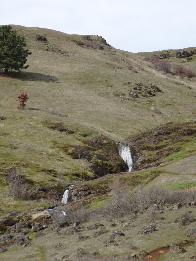
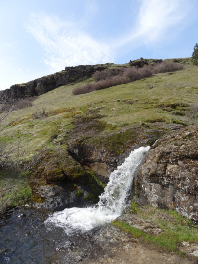
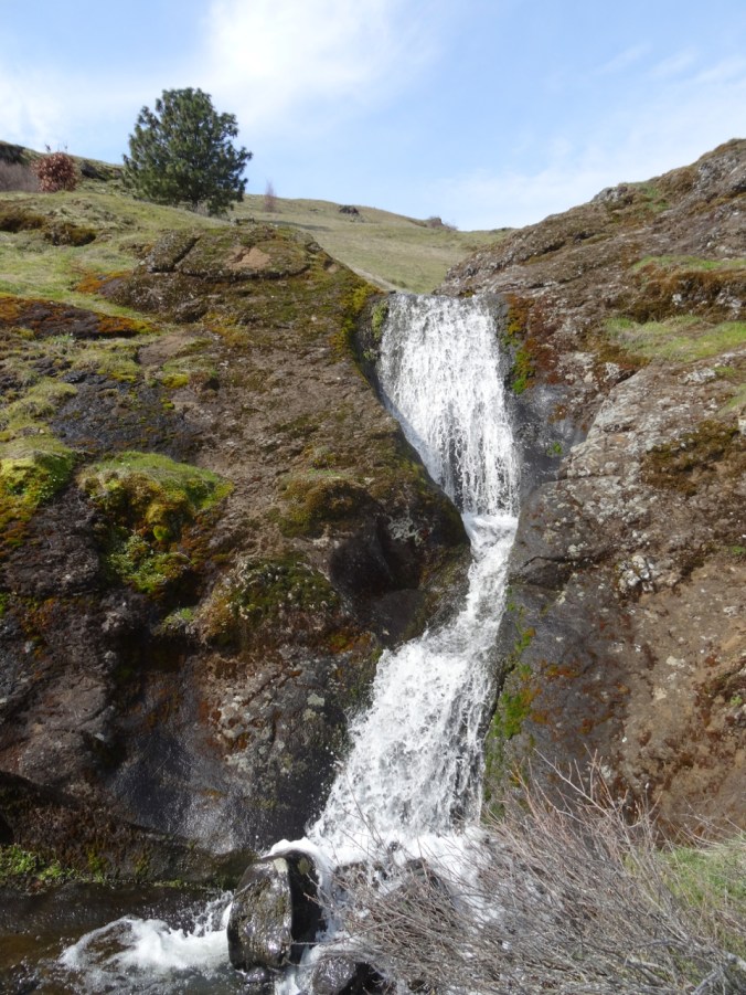
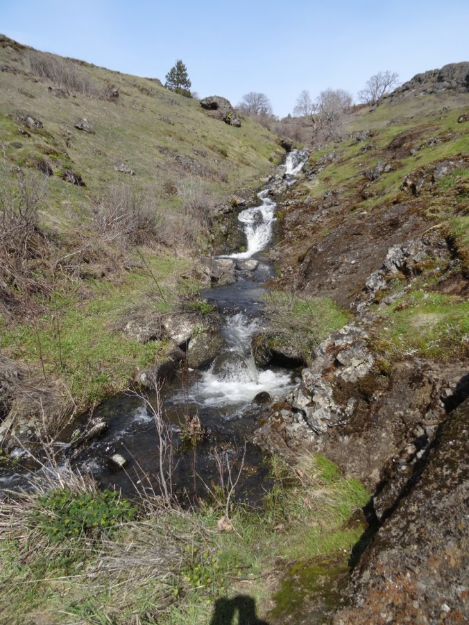
Hiking up the waterfalls of the Little Maui trail:

DSC02313

DSC02315

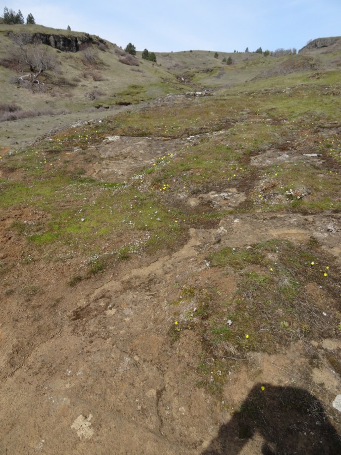
Gold stars and Salt and Pepper (biscuit root) sprinkled across the landscape.

DSC02319

Long banked switchbacks to aid the cyclists

DSC02322DSC02324

DSC02328

Lunch stop

DSC02329DSC02331

DSC02339

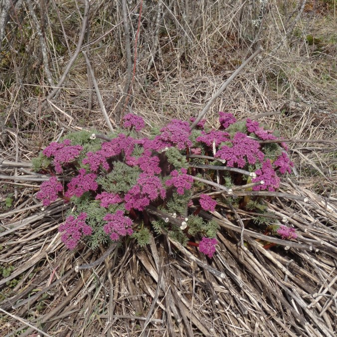
Columbia Desert Parsley guiding the way

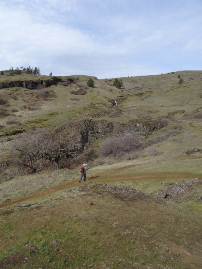
Looking up to our cliff-edge destination along Coyote Wall from Old Ranch Road:

DSC02346

Views from the cliff:

DSC02347

First look.

DSC02353

We go a little higher

DSC02356

Looking back toward Oregon; Mt Hood a faint wisp on the horizon.

DSC02361

Our highest viewpoint for the day.

DSC02364

Starting down – looking east toward the Columbia Hills and Tom McCall Point.

The flowers:

DSC02299

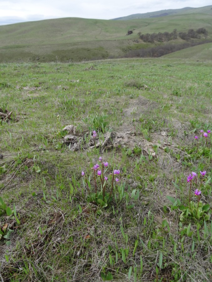
Grass widows

DSC02297

Gold and Prairie stars, Spring whitlow-grass

DSC02306

Spring whitlow-grass, my pinky for scale

DSC02317

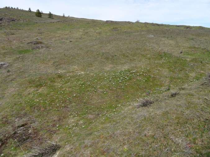
Swales of gold stars and whitlow-grass

DSC02293

Yellow pungent desert parsley

DSC02309

Columbia desert parsley

DSC02371

Salt and pepper, and grass widows all the way down the slope.

Knitting

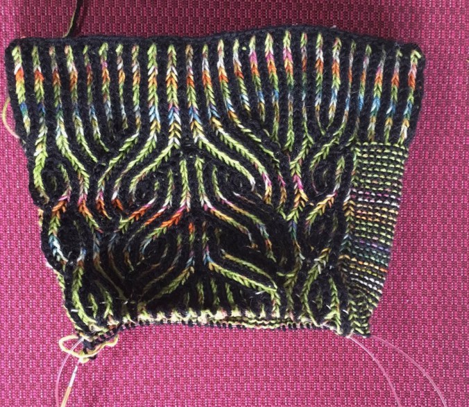
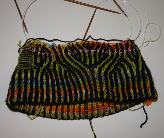
Learning the increases and decreases that make brioche knitting look so magical…with a lifeline!

DSC02378

Vintage Prim Hat, pattern by Andrea Mowry.

Garden – the first tulip! and Star Magnolias!

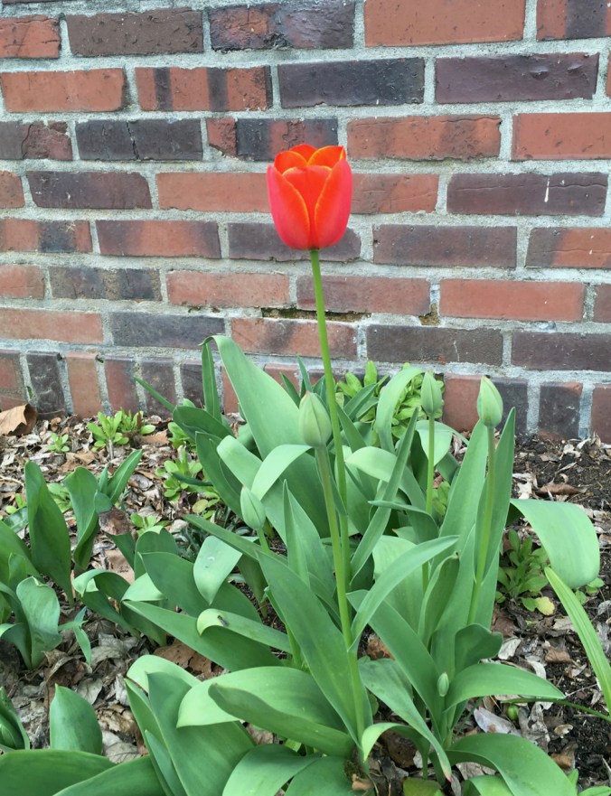
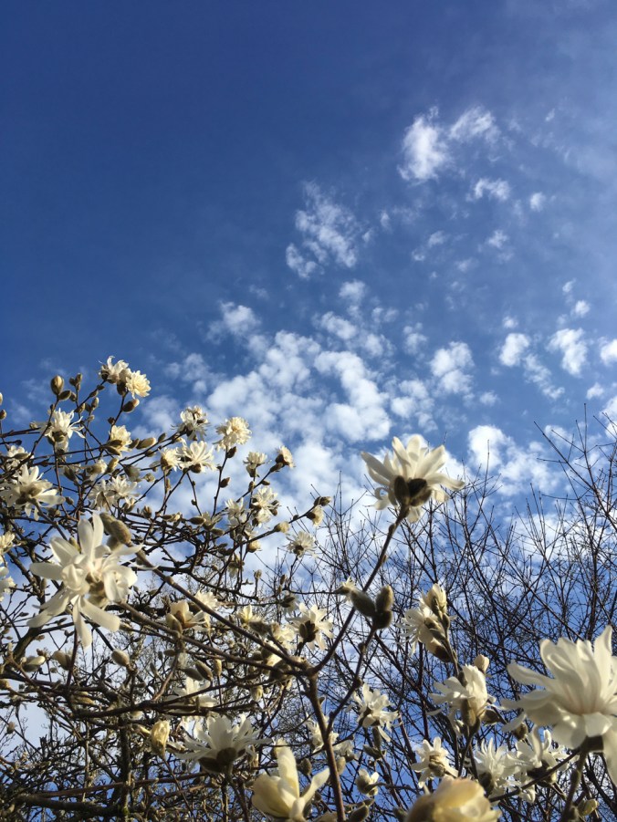
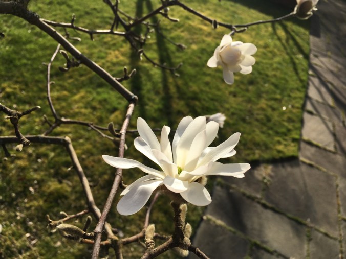
Better late….flowers are opening in the neighborhood:

IMG_1974

Our first tulip

IMG_1967

star magnolias

IMG_1964

IMG_1975

I don’t remember the name of these.

Late Early Flowers at Catherine Creek, WA, with Robins

March 14, 2019    Bitterroot Trail to Rowland Wall

We hiked a Catherine Creek loop, up past the vernal ponds along the Bitterroot Trail, then down Rowland Wall. (Hike#12, 3 miles, 1000 feet)

DSC02219

Fairy ponds

DSC02230

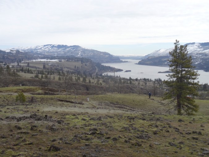
View to the east from the Bitterroot Trail

DSC02241

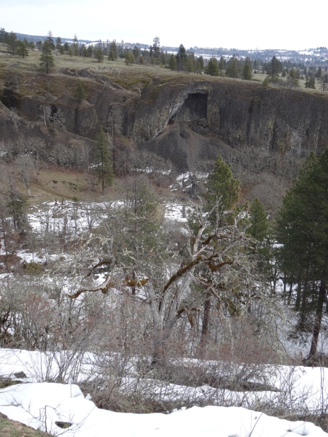
The Arch

We saw the first wildflowers just beginning to bloom.

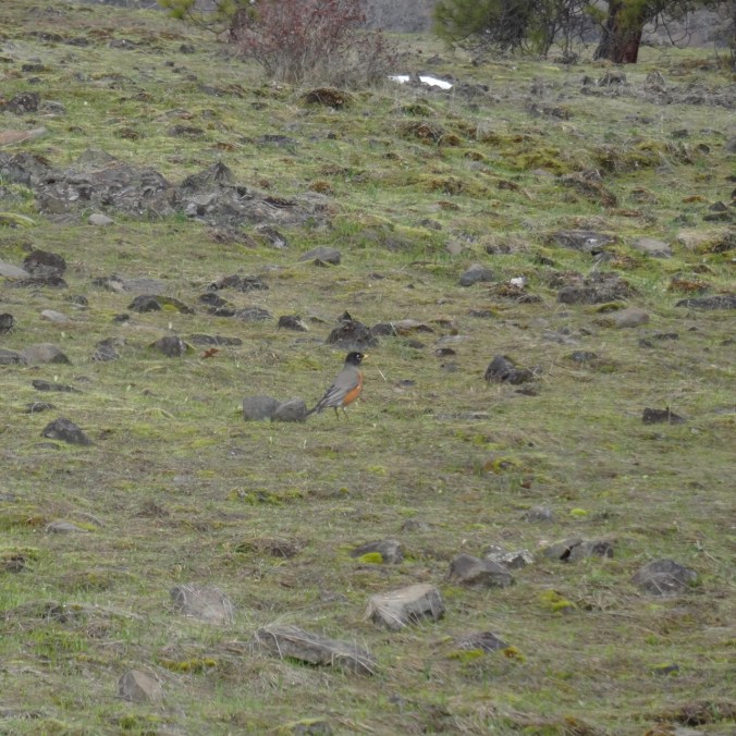
On the upper grassy slopes we noticed robins hopping in the grass all around us.

DSC02247

There are probably a dozen robins bobbing and hopping in this view, though they are hard to photograph as they don’t stay still for long.

DSC02250

Here is one…

DSC02260

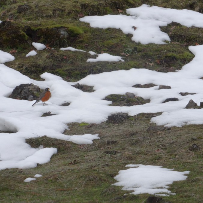
And another one in the snow.

The snow level was about 1000 feet, and we could see extensive snow covered landscape in every direction, though it is melting out.

DSC02261

Still looks very snowy out in the high desert

DSC02266

The orchards of Mosier, and Mt Hood

DSC02278

Rowland Wall, Rowland Lake, Mt Hood beyond the Columbia River

DSC02288

Mere

DSC02289

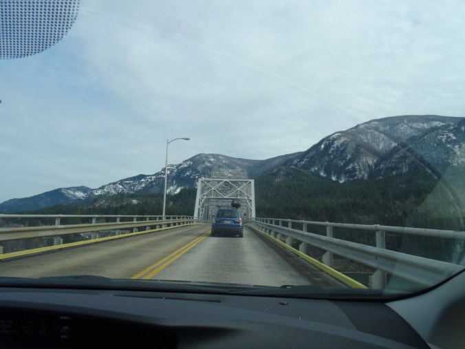
Returning via the Bridge of the Gods in Cascade Locks. Burnt trees on the Oregon Gorge skyline.

DSC02210

Knitting

I finished the soles for the Frost Slippers, but haven’t yet crocheted the steeks.

img_1962.jpg

I have started the brioche patterning on a Vintage Prim hat.

img_1961.jpg

Garden and Neighborhood

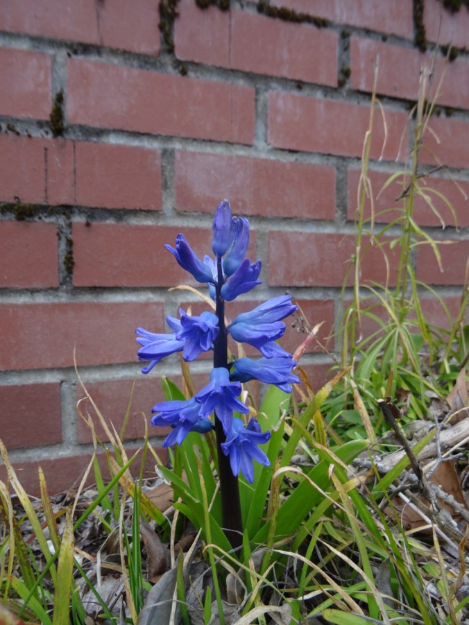
The hyacinths finally bloomed out front,

DSC02290

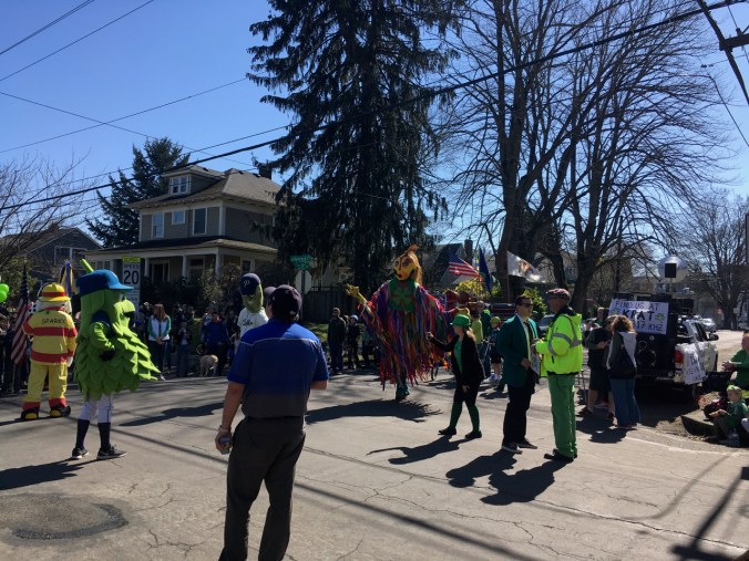
and there was our annual neighborhood St Patrick’s Day parade down the street.

IMG_1950

A Winter Day at the Oregon Coast

2/21/2019

We drove over the snowy Coast Range from Portland to Cannon Beach and explored some of our favorite places on a cold, sunny day. Everywhere else within reach was colder, wetter, snowier.

Arcadia Beach State Park

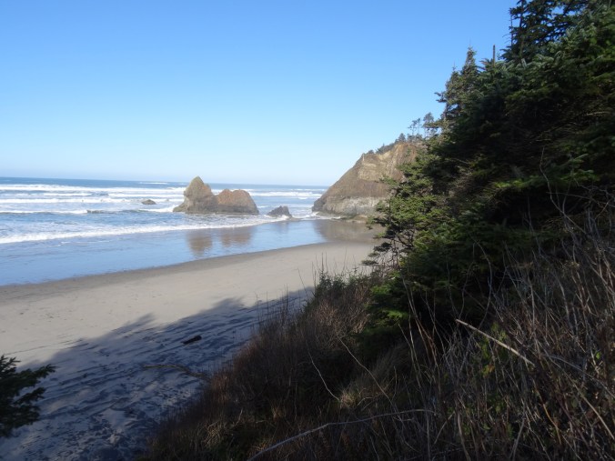
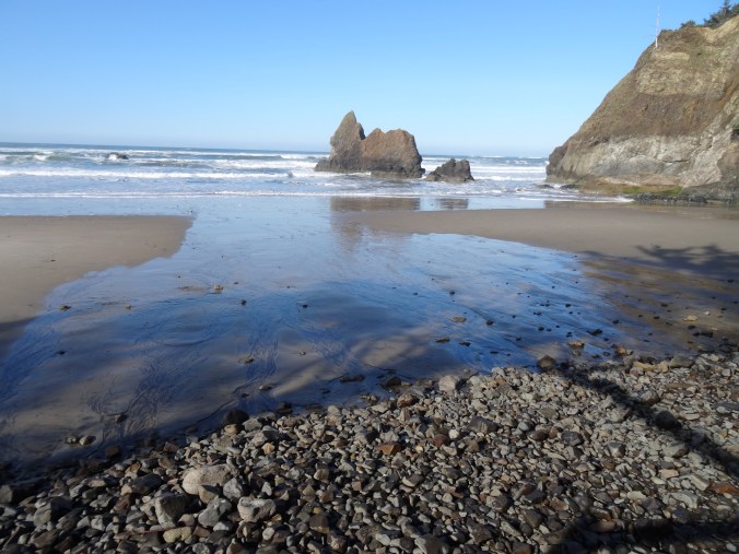
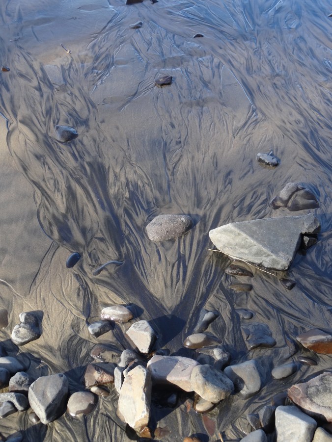
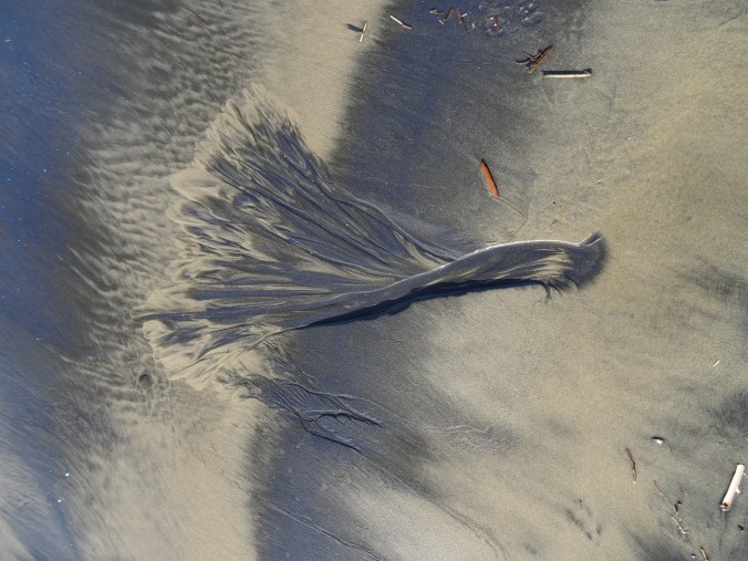
First stop, late morning. High tide was in the early afternoon so the beach was shrinking as we walked a couple of miles south along the shore. We could not get around any of the headlands. Heavy mineral concentrations on the sand-depleted winter beaches made beautiful patterns.

DSC02008

Looking down on Arcadia Beach from above – at low tide we would be able to walk around the headland and north all the way to Cannon Beach.

DSC02010

Tidal channels

DSC02013

Heavy mineral patterns

DSC02021

DSC02022

Foot for scale.

DSC02024

View to the south toward Hug Point and beyond.

DSC02025

Zooming in on Hug Point – as close as we would get to it today.

Hug Point State Park

Tide even higher, so our stop here was brief.

DSC02028

Beach at Hug Point State Park – north view at high tide. We would not be able to see the waterfall or Hug Point itself today.

DSC02027

South view – in the summer the sand stretches for miles at low tide!

Arch Cape Beach

We have stayed near this beach many times over the past 30 years. We found a log to perch on while we ate our lunch. Only the rocky shingle was exposed on the winter beach. Thick foam was washing around in the swash zone, floating on the ebbing water, sparkling in the sun.

DSC02032

Lunch view to the north.

DSC02035

Lunch view to the south, Arch Cape and Castle Rock.

DSC02036DSC02040

Neahkahnie Viewpoint

At the south end of Oswald West State Park, the view to Nehalem Bay and Manzanita to the south is stunning.

DSC02042

Neahkahnie Mountain

We hiked the three mile round trip to the top of Neahkahnie Mountain – beautiful views on this cold day.

DSC02043

DSC02046

Much of the trail is through shady forest.

DSC02047

View from the rocky top. Nehalem Bay and Manzanita Beach.

DSC02048

Note the snow capped peaks in the Coast Range.

Short Sand Beach, Oswald West State Park

We walked a couple of miles here on the interconnected trails that lead to Short Sand Beach in Smuggler’s Cove.

DSC02055

Bridge over Necarney Creek

DSC02059

View to north from the south beach

DSC02066

View to south from the south beach

DSC02067

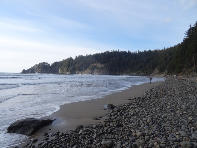
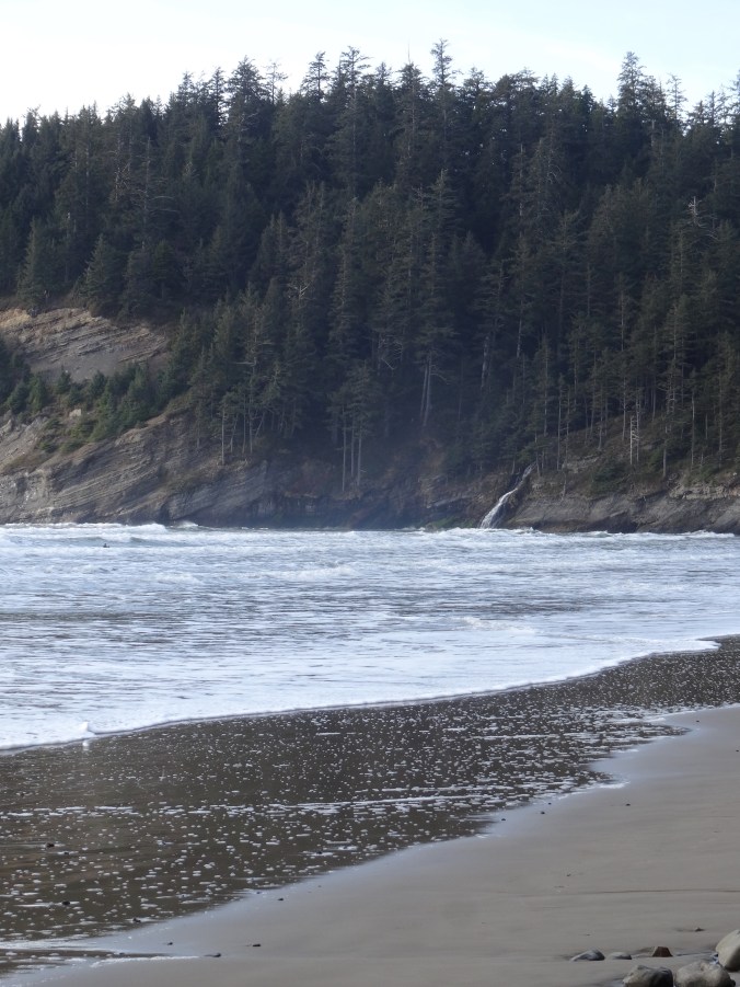
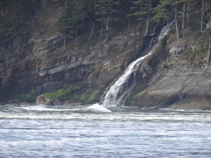
North beach of Smuggler’s CoveFalcon Point and Blumenthal Falls

There were a few surfers in the water.

DSC02070

I accidentally photographed a surfer when I was zooming in on the falls.

DSC02071

DSC02075

Blumenthal Falls

Silver Point View

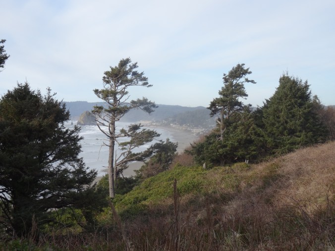
Looking back toward Cannon Beach and Haystack Rock.

DSC02081

Cannon Beach/Haystack Rock at Sunset

After an early dinner in Cannon Beach, we parked near Haystack Rock. Dan walked down the beach to photograph the sunset. I watched from above, keeping warm in the car. (Hike #11, 8 miles, 1100 feet for the day).

Version 2

Haystack Rock

Version 2

Tillamook Head to the north.

DSC02099

Crafting

I finished the first sock of this pair. I have set up a frame to practice canvas stitching.
DSC02120

Lewis River Waterfalls, a hat finish, and snow in Pdx

January 31, 2019  Moulton Falls, Bells Mountain trail, and Lucia Falls, Washington

Our first time hiking here. We have passed through on our way to Silver Star Mountain in the summer, and noted the crowds enjoying the swimming holes along the Lewis River near Battleground, Washington. Today we stopped to see the waterfalls in the off season, and to hike up the nearby Bells Mountain trail for a view of Mt St Helens.
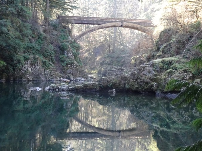
The rails to trails path along the Lewis River goes over this beautiful bridge, the East Fork High Bridge, which is apparently a popular jumping spot in summer.

DSC01629DSC01630DSC01656

DSC01635

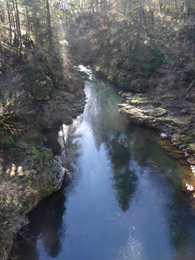
Downstream from the bridge.

DSC01637

Upstream from the bridge.

DSC01648

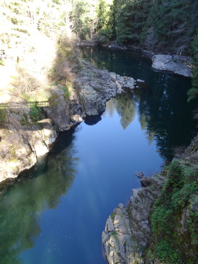
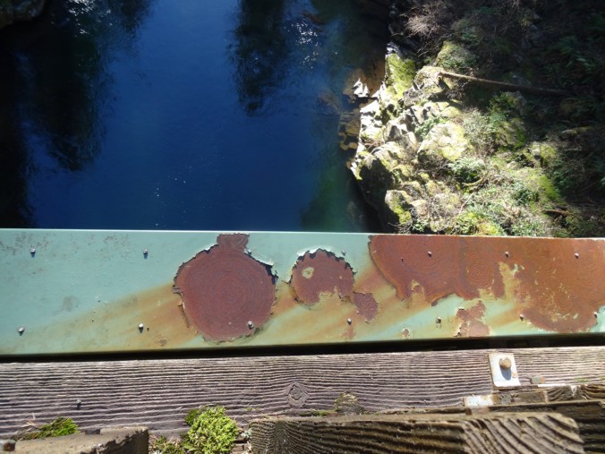
Looking down…

DSC01651

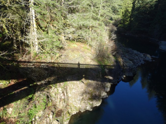
My shadow self portrait.

Up the Bells Mountain trail – about 1000 feet up in 1.5 miles, so a good work out.

DSC01662

Uphill through ferns and second growth forest…

DSC01664

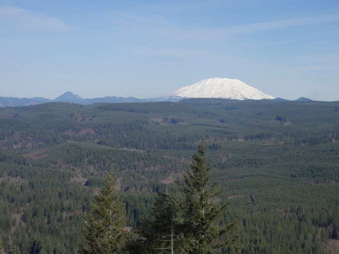
Until we cross a clear cut area, and the view to Mt St Helens opens up.

DSC01665DSC01667

DSC01670

Ice on the trail

DSC01675

Lunch time view – across the Lewis River area to Mt St Helens.

DSC01679

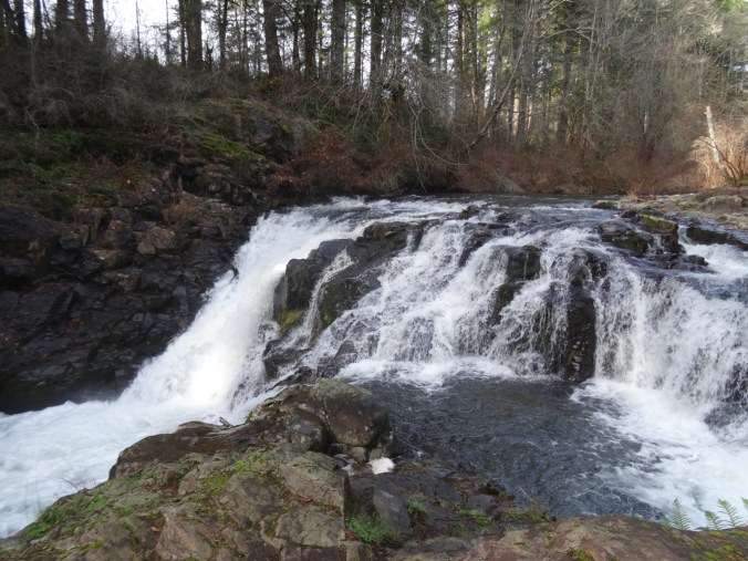
Passing Moulton Falls on the return hike

DSC01696

Nearby Yacolt Falls

And Lucia Falls:

DSC01710DSC01713DSC01721

Total for the day:  6.7 miles, 1100 feet, hike #7.

Knitting

I finished my Brioche Watch Cap, after having to buy an extra skein of Berocco Millifiore yarn, just in time for snow in Portland.

DSC01725

Neighborhood, 2/5/2019

Snow…

DSC01730DSC01732DSC01733

And a view of Mt St Helens and the Ross Island and Tilikum Crossing Bridges from the OHSU eighth floor waiting room. Latest follow up results are all good!

IMG_1843

1/29/2019


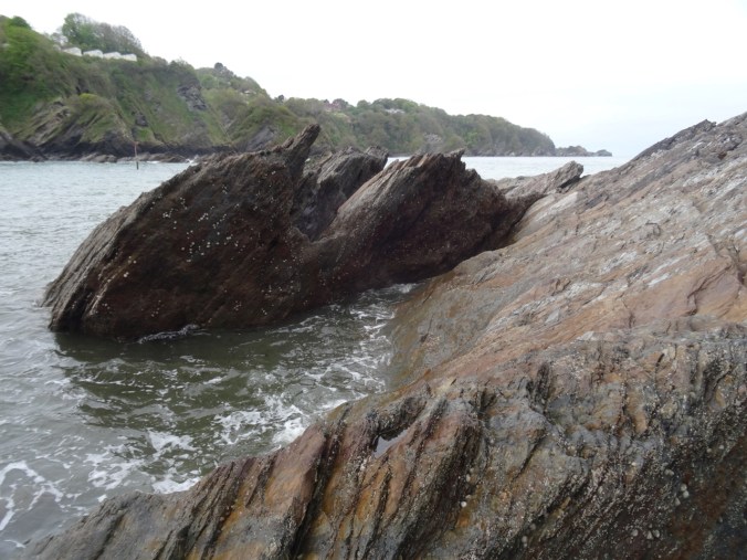
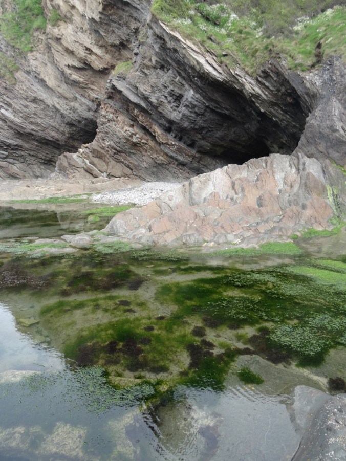
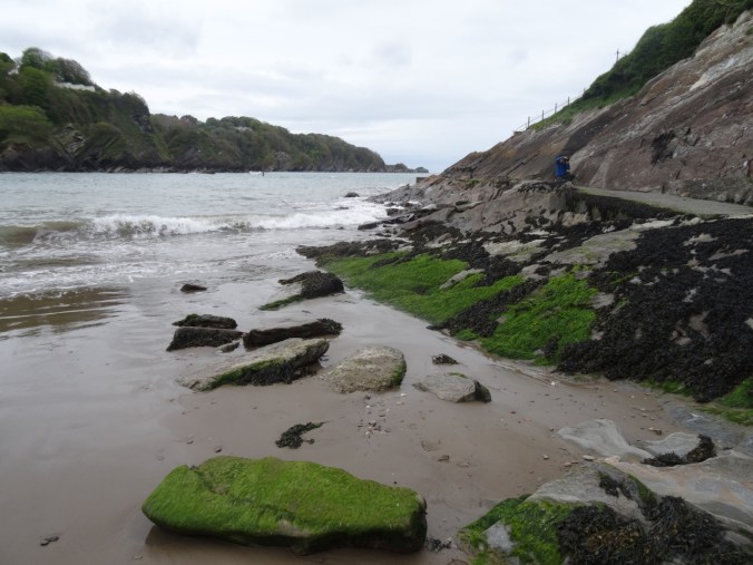
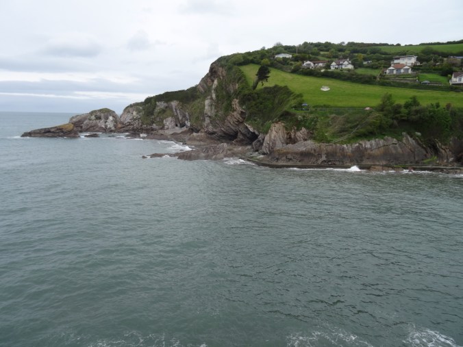
Exploring North Devon – Lynton to Ilfracombe, UK

Day 14  – More North Devon   Wednesday, May 9, 2018

Our plan for the day was to explore along the coast of North Devon to the west of our lodging in Lynton.

Screen Shot 2019-01-18 at 9.10.44 PM

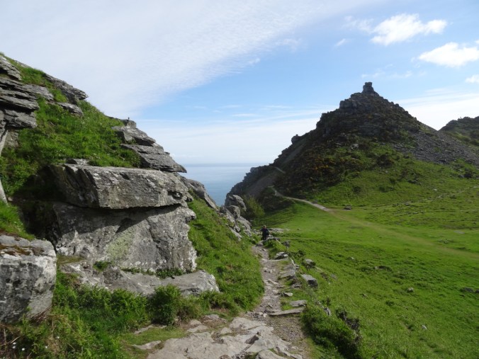
Valley of Rocks – Castle Hill

Our first stop was in the Valley of Rocks again. We wanted to climb to the top of Castle Hill this time. We had great views and a wildlife encounter.

DSC04366

Valley of Rocks

DSC04373

This bird escorted us up the path on an otherwise quiet day.

DSC04375

Dan ascending, the bird on the upper left.

DSC04386

I hiked up the next rise to find my path blocked by feral goats.

DSC04390

We found another path to the top.

DSC04391

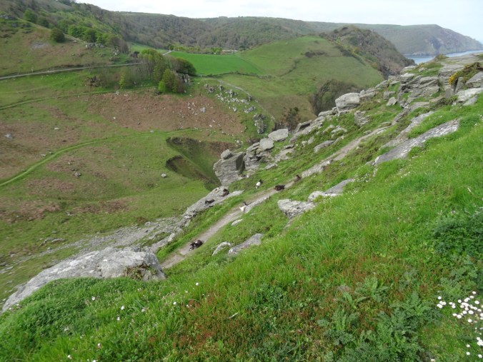
Looking down on the goats.

DSC04395

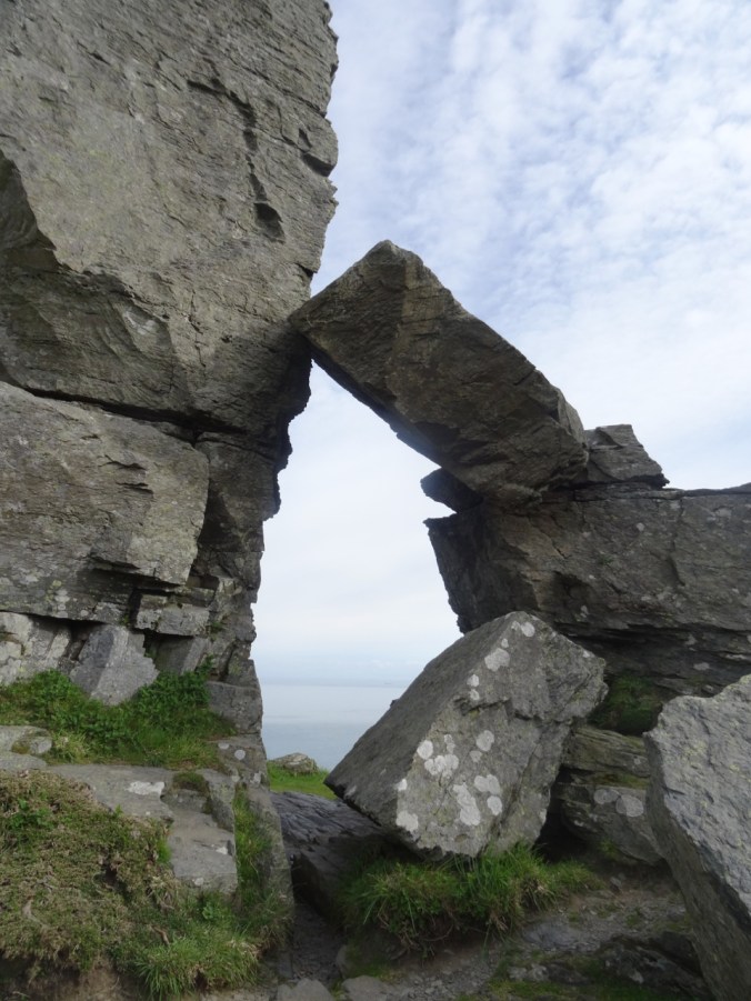
An ‘arch’ of Devonian sandstone near the top.

DSC04400

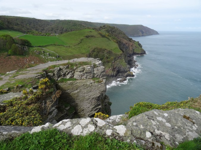
View to the west, where we hiked two days ago.

DSC04412

Looking down on the goats again as we head down hill.

DSC04417

Another ‘cheese wring’ across the road.

Trentishoe

Next, we drove west through the rolling landscape, and stopped for a coastal view at Trentishoe Hill.

DSC04427

Looking east along the Devon coastline.

DSC04425

A rocky cove beyond the blooming gorse.

Holdstone Down

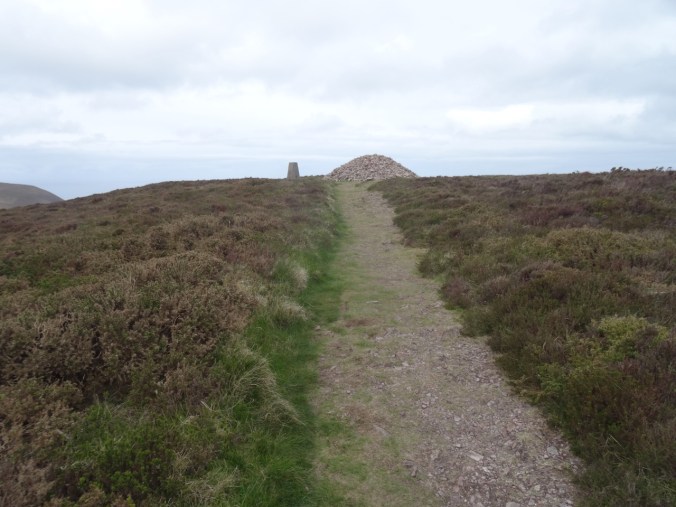
We took a short hike to a trig point at Holdsmore Down.

DSC04432

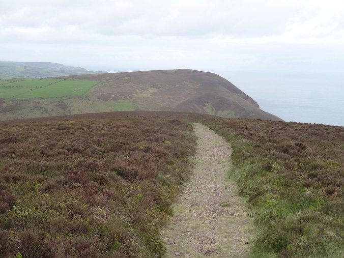
Track across Holdstone Down.

DSC04428

Holdstone Down trig point

DSC04433

View to the west

DSC04435

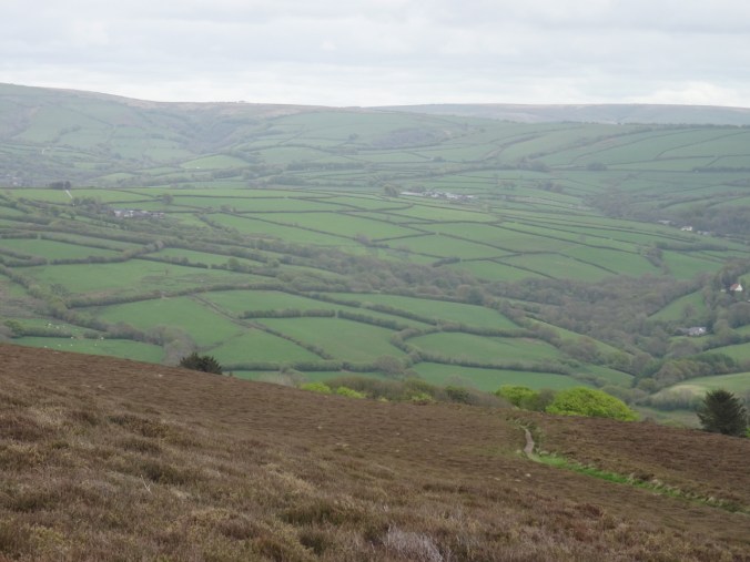
Looking south across downs to the manicured counterpane farm fields.

Combe Martin

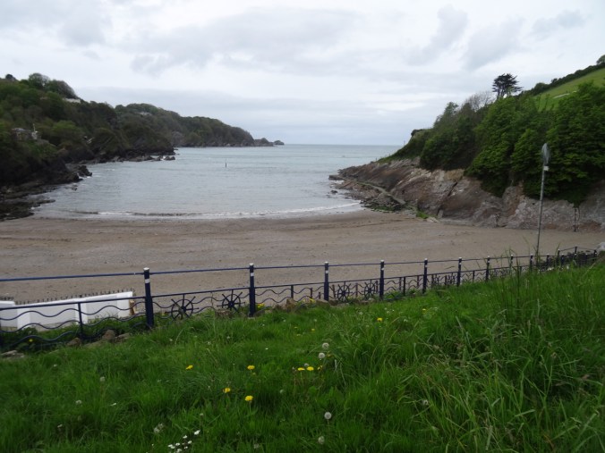
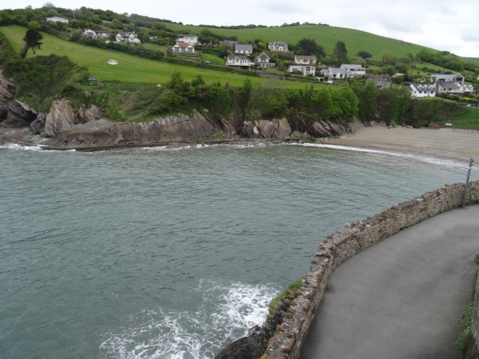
We explored the rocky cove and beach at Combe Martin as the tide was coming in. it would have been nice to explore around to the next cove, but seemed too risky.

DSC04439

The beach at Combe Martin, tide rising.
DSC04442

Dipping Devonian sandstones form one wall of the beach.

DSC04443

The walk along the cliffs.

DSC04444

Spring flowers above.

DSC04447

Looking back to town.

DSC04450

Sandstone and the view across the harbor.

DSC04451

Walking around the cliff edge.

DSC04455

Tide pools

DSC04457DSC04458

DSC04461

Tide coming in along the outer walkway.

DSC04462

DSC04463

Limpets and snails

DSC04465

Eroding stairway up the cliff.

DSC04474DSC04477

DSC04481

After exploring the beach we drove on to the western viewpoint looking back down to Combe Martin beach.

DSC04487

The walkway along Combe Martin beach.

DSC04486DSC04485

We could also see to the west from the upper viewpoint.

DSC04490DSC04492

Ilfracombe

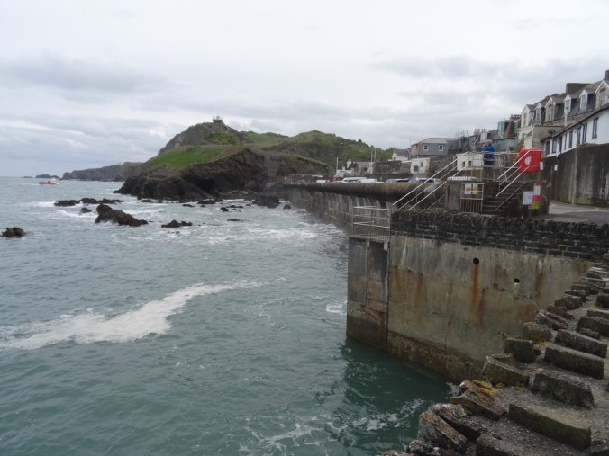
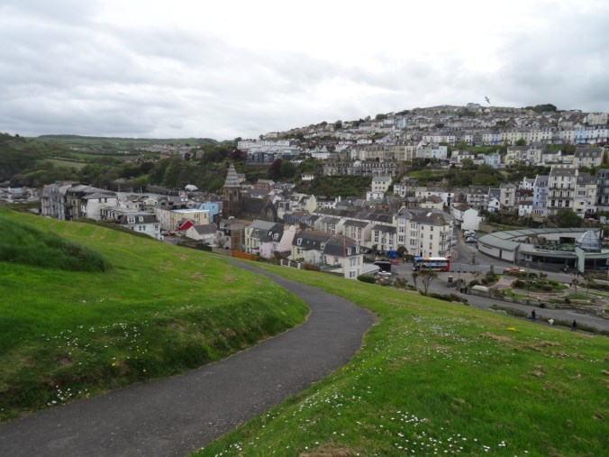
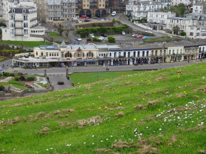
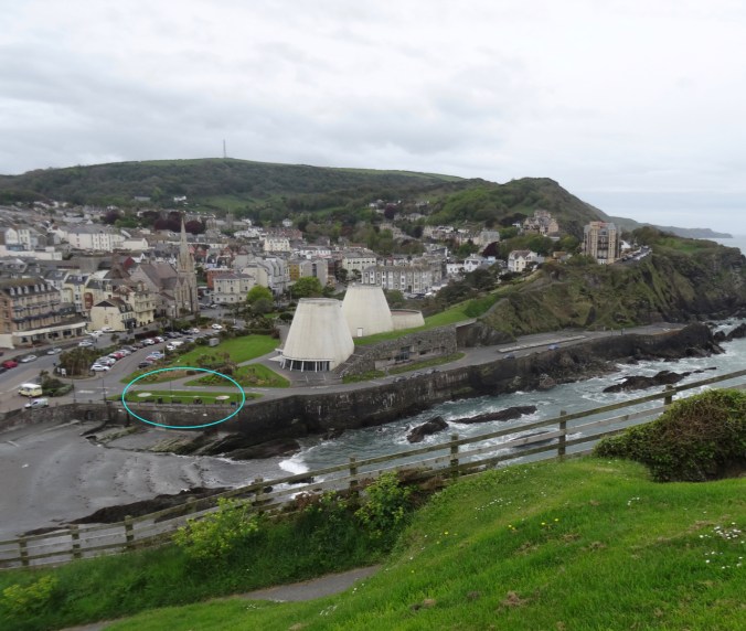
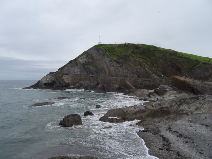
Our last stop was the sprawling town of Ilfracombe. It is surrounded by water and spread out over several rocky hills. The rising tide meant we could not go into the famous Tunnel Beach. Instead, we explored the viewpoints and some local art installations, and finally stopped at a teashop for a famous Devon Cream Tea – two light and fluffy scones with Devon cream and strawberry jam, and a pot of tea. All was delicious.

DSC04496

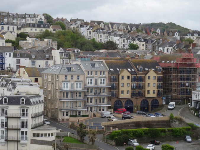
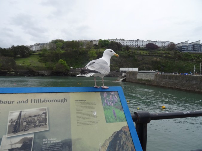
Ilfracombe Harbor

We walked through town, then uphill to the Ilfracombe Observatory, with great views all around

DSC04501

Back to the southeast.

DSC04504

We had our tea in one of these shops.

DSC04505

To the southwest.

DSC04506

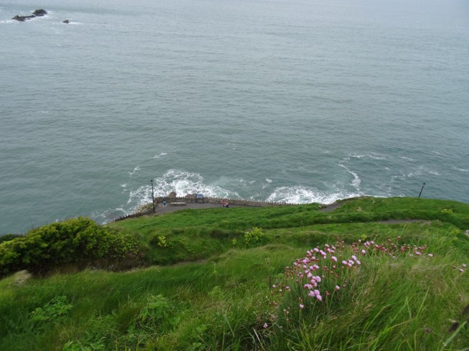
To the north – the sea.

DSC04510

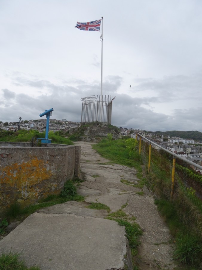
Top of the hill.

DSC04518

DSC04517

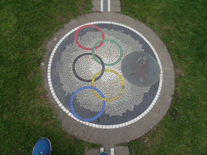
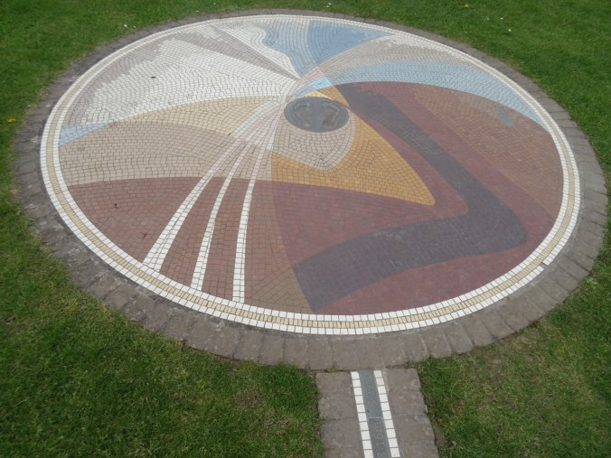
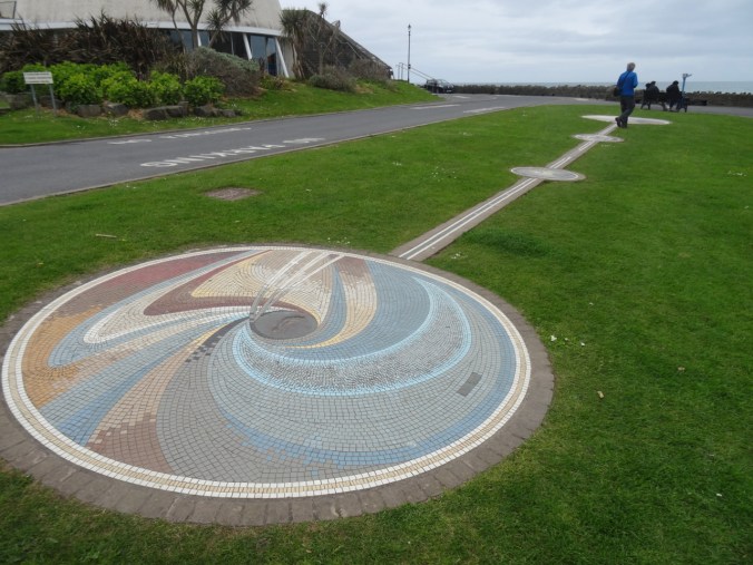
The Tunnel Beaches are along those cliffs to the west. As we admired the view, we noticed an interesting mosaic installation just beyond the beach.

Version 2

DSC04532

We could actually pace out the distance this local athlete had triple jumped while setting a (still standing) world record in 1995.

DSC04534DSC04536DSC04537

DSC04539

It’s hard to imagine going this distance (18.29 meters/60 feet) in three ‘steps’!

DSC04546

Looking back to the beach and Observatory Hill.

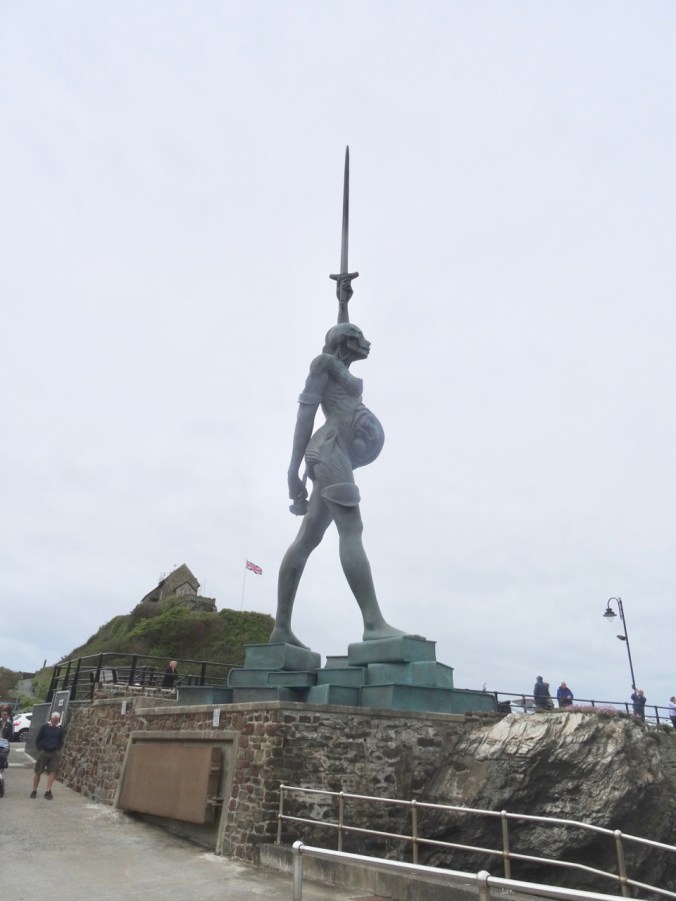
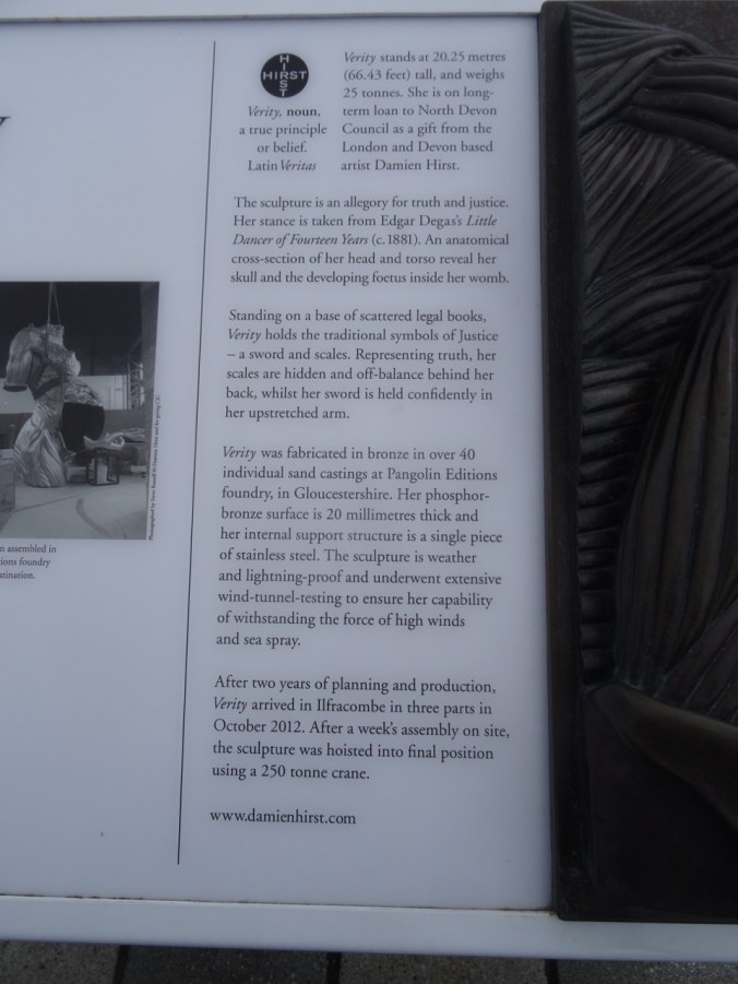
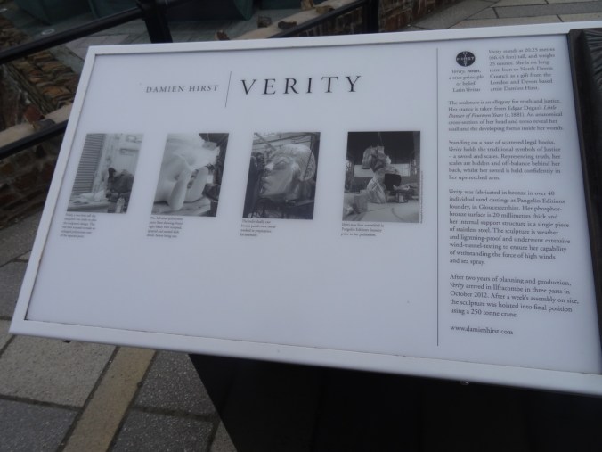
After our tea, we walked back toward the harbor, with the goal of seeing another local art installation called Verity – which, at more than 20 m high, can’t be missed!

DSC04549DSC04550

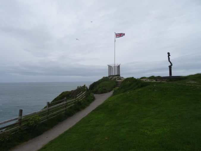
Verity by Damien Hirst, Ilfracombe Harbor

DSC04556

This side of the statue displays the organs beneath the skin.

DSC04567DSC04568DSC04572

DSC04573

This was our last stop for the day. We found our way back to Lynton, and packed up our belongings, ready to leave tomorrow for our next stop, Bath. And more Jane Austen history.

Silver Falls and Steigerwald

1/27/2019 Steigerwald Wildlife Refuge, WA

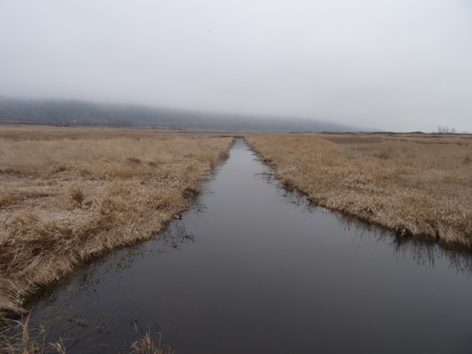
A short walk on a foggy day with one of our sons.

DSC01373DSC01375

DSC01378

Ducks

DSC01446

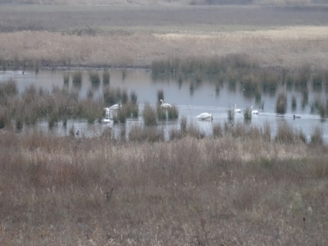
Swans

DSC01390DSC01396

DSC01440

Great Blue Heron near the bridge

DSC01424

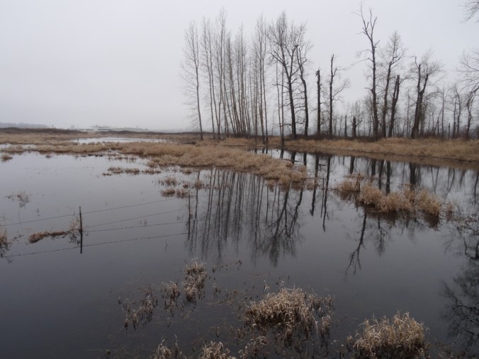
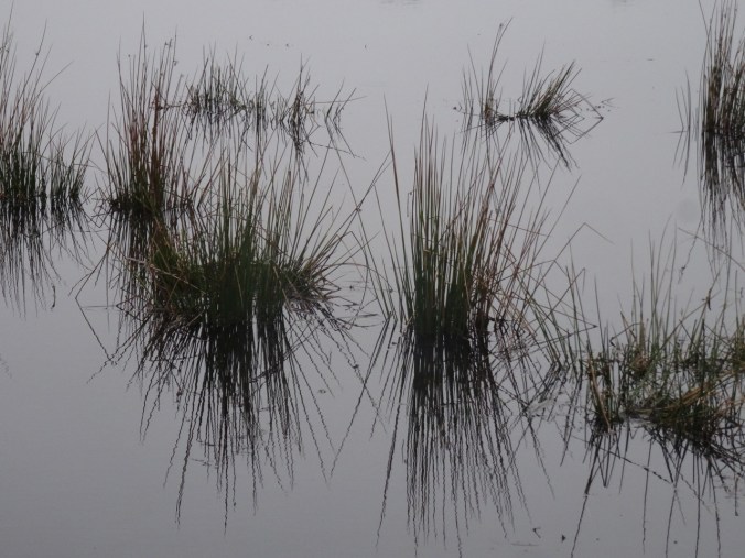
Ephemeral reflections

DSC01425DSC01429DSC01430DSC01432DSC01433DSC01423

DSC01437

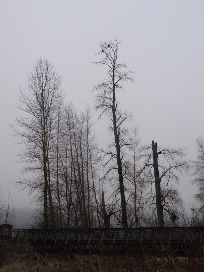
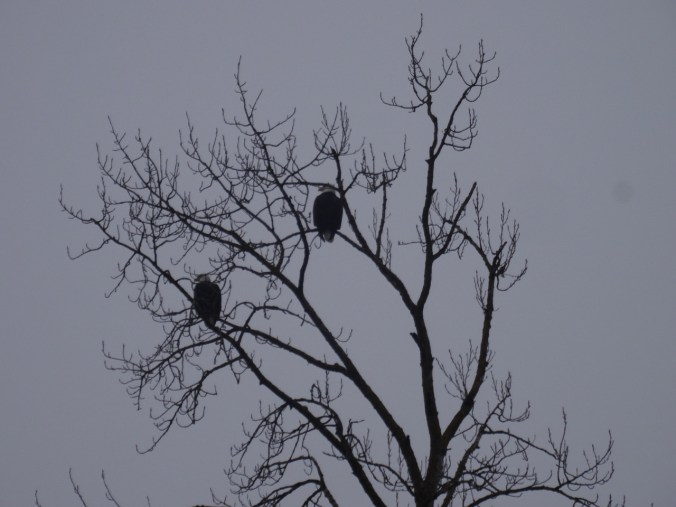
Bald eagle pair watching over all.

DSC01443

2.3 miles, hike #5 for 2019.

1/28/2019 Silver Falls, OR

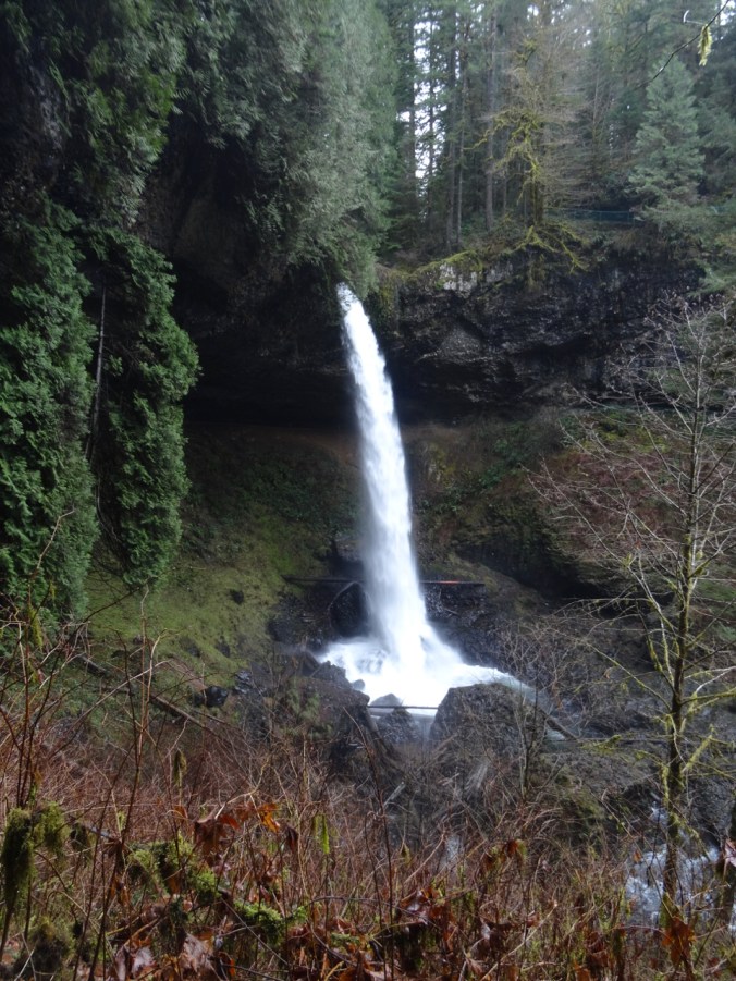
Windy and cold in Portland, but warmer to the south. We drove to Silver Falls State Park in the Cascade foothills east of Salem, Oregon, where the North and South Forks of Silver Creek fall in steep drops or shorter cascades over ledges of volcanic rock. We hiked the Trail of Ten Falls, though we skipped one – so the Trail of Nine Falls. One or more waterfalls every mile of the seven mile loop keeps the trail interesting. Lots of water in the falls, compared to my last visit in August of 2017!

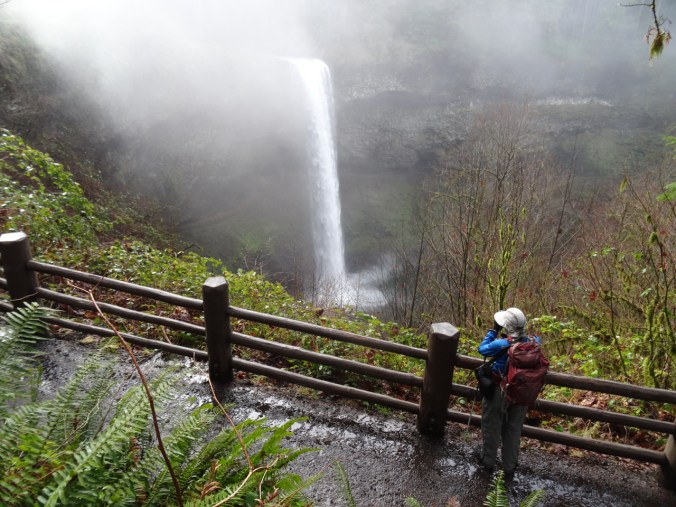
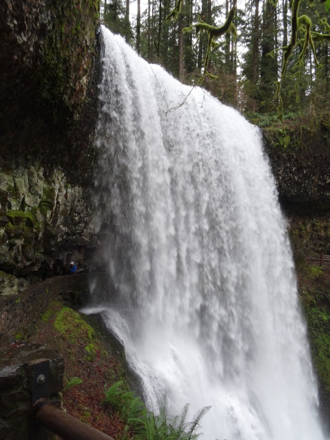
South Falls 177 ft

We started at South Falls, but skipped the path behind the falls as I didn’t want to start out the hike wet.

DSC01454

South Falls from the upper viewpoint

DSC01467

DSC01472

South Falls from the bridge.

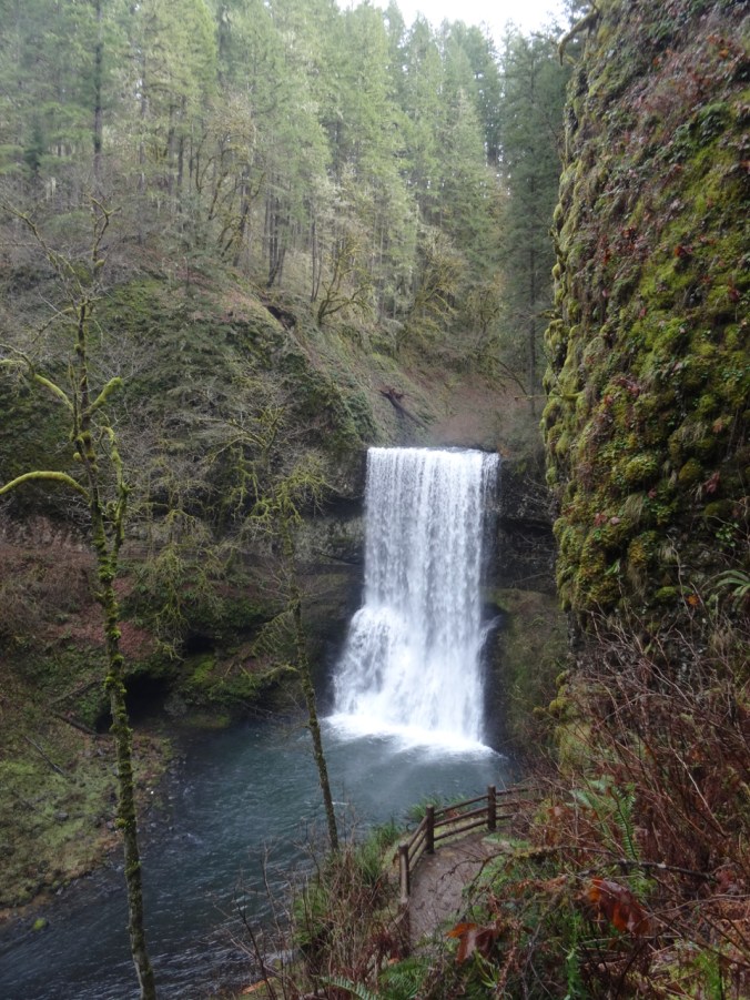
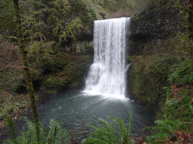
Lower South Falls 93 ft

DSC01484

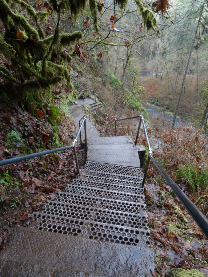
Stairs down the cliff.

DSC01485DSC01493DSC01497

DSC01503

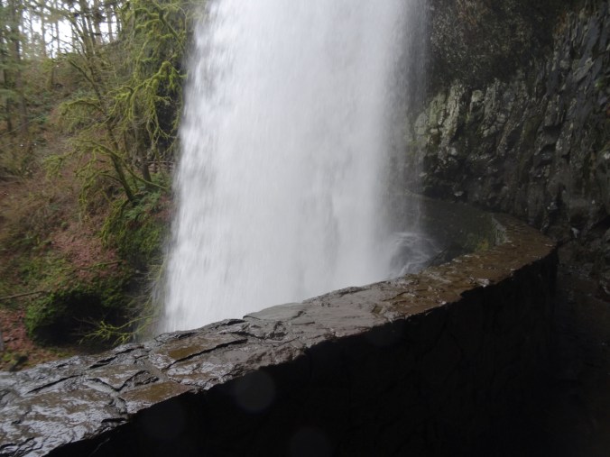
Walking behind the falls.

DSC01509

Dan on the left, emerging from behind the falls.

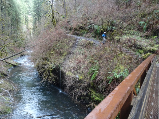
The trail follows the river, with occasional bridge crossings.

DSC01512

Lower North Falls 30 ft

DSC01518

Double Falls 178 ft

DSC01525

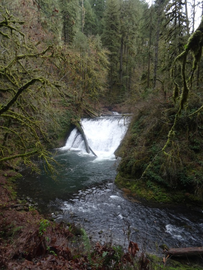
Drake Falls 27 ft

DSC01528

Named for the man who created the park.

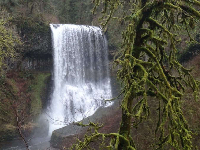
Middle North Falls 106 ft

DSC01540DSC01545

Twin Falls 31 ftDSC01557

North Falls 136 ft

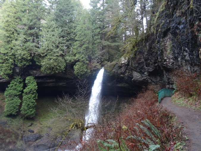
The trail leads behind North Falls.

DSC01576DSC01584

DSC01590

Behind the falls.

DSC01593

DSC01602

Looking back.

DSC01607

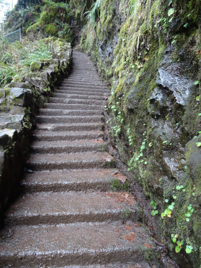
And now we have to climb up out of the canyon.

DSC01608

Looking back down at North Falls.

We did not walk the extra distance to Upper North Falls (65 ft), but followed the Rim Trail toward –

Winter Falls 134 ft

We only saw the upper lip of this one, though there is a trail down to the base.

DSC01620

Winter Falls rim.

This was the last waterfall of the hike (7.0 miles, 1200 feet, hike #6 for 2019).

Wildlife

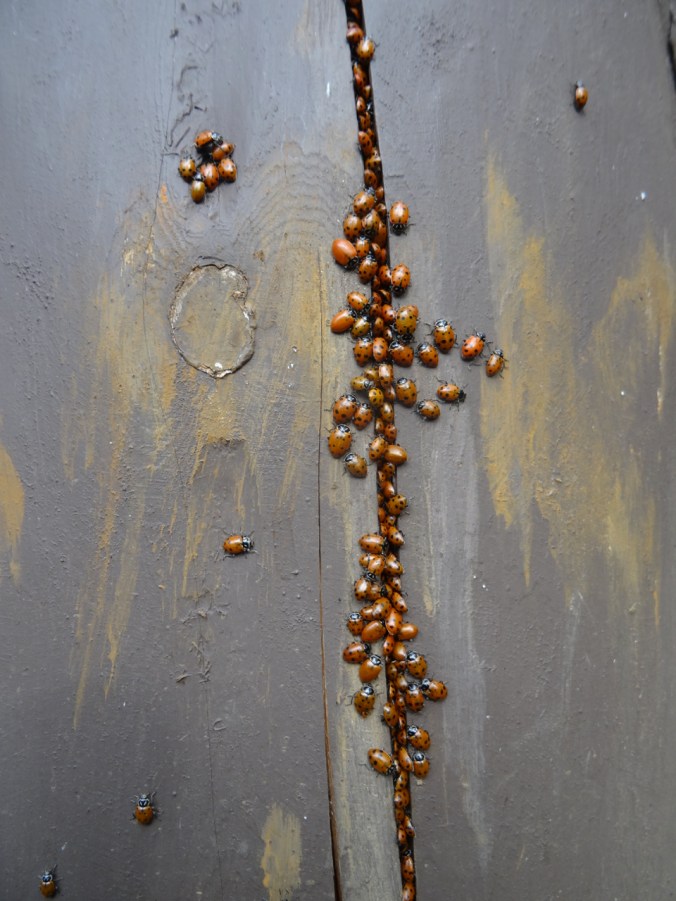
There was a ladybug picnic on one of the fence posts:

DSC01463DSC01465

White River, first crocus

1/24/2019 White River Snowshoe, Mt Hood, OR

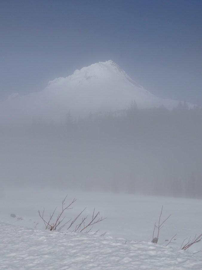
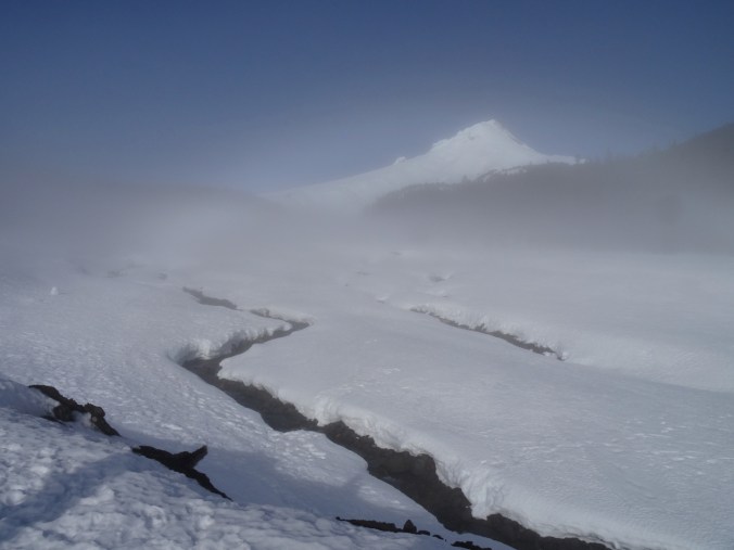
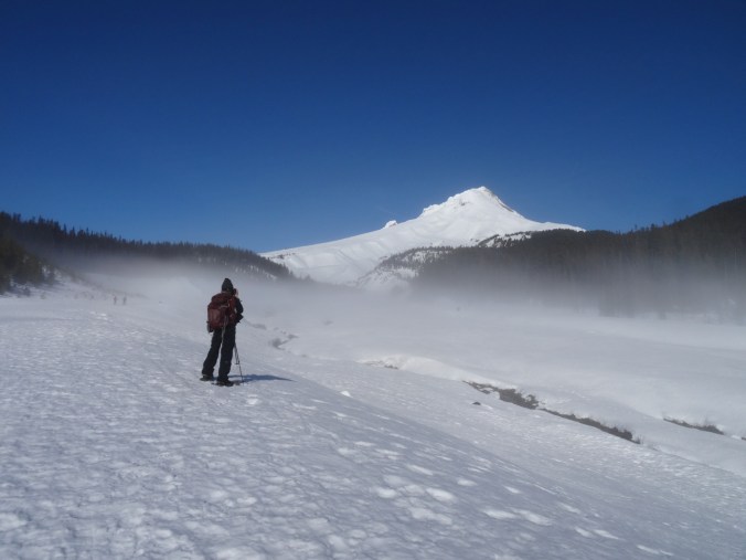
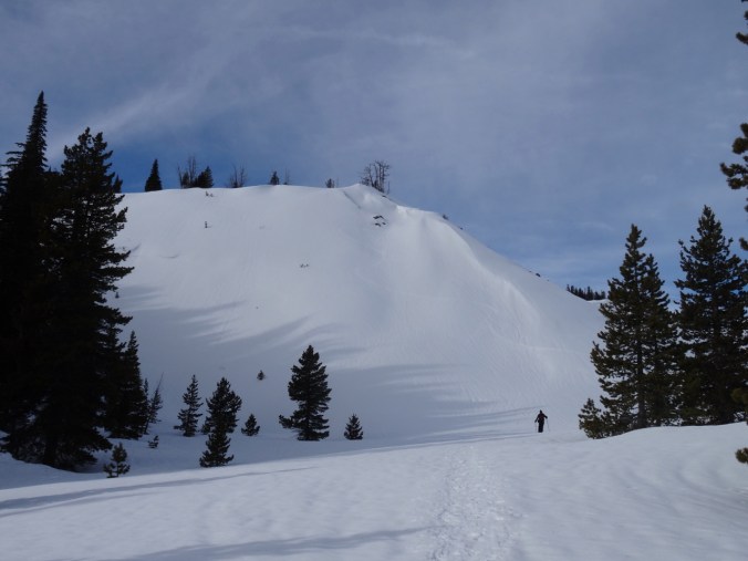
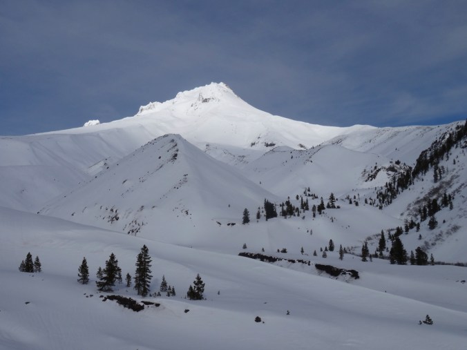
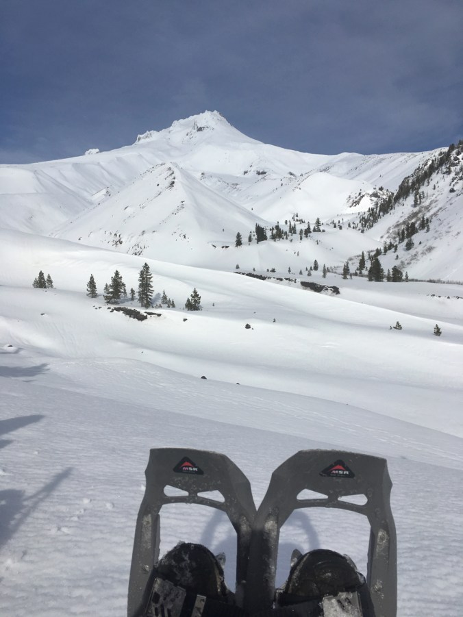
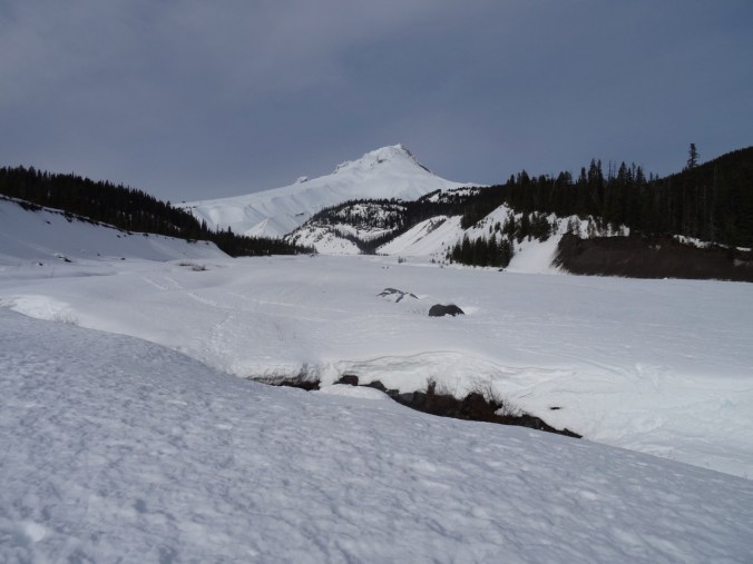
We started in mist with promise of sun breaking through. As we walked up the snow covered braid plain of the White River, the glowing peak of Mt Hood showed in silhouette, then in clarity against clear blue sky.

dsc01318dsc01320dsc01321dsc01324dsc01327

Looking back to the start point, fog lifting.
dsc01330

Clear blue skies over Mt Hood.

dsc01332dsc01333dsc01334

We hiked up onto the ridge and continued toward the mountain.

dsc01335

Approaching Boy Scout Ridge, near our lunch stop.

dsc01337

Lunch stop view point. A large group was already there, and the mountain peak was glowing ethereally as the sun came in through the clouds.

dsc01339dsc01342dsc01343

57005428396__db402ac3-7088-4100-ab2d-2ee01ae59d47

Lunch view.

Return down the White River, high clouds forming.

dsc01352

dsc01356

Tree shadows on the snowy moraine surface.

dsc01359

Last look back at Mt Hood.

(Hike # 5, 3.3 miles, 750 feet)

Winter Bulbs Blooming

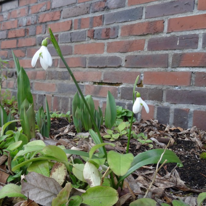
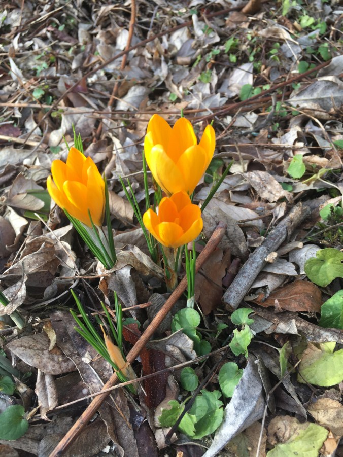
The first snowdrop and crocus bulbs have opened in the garden this week.dsc01372img_1836

img_1810

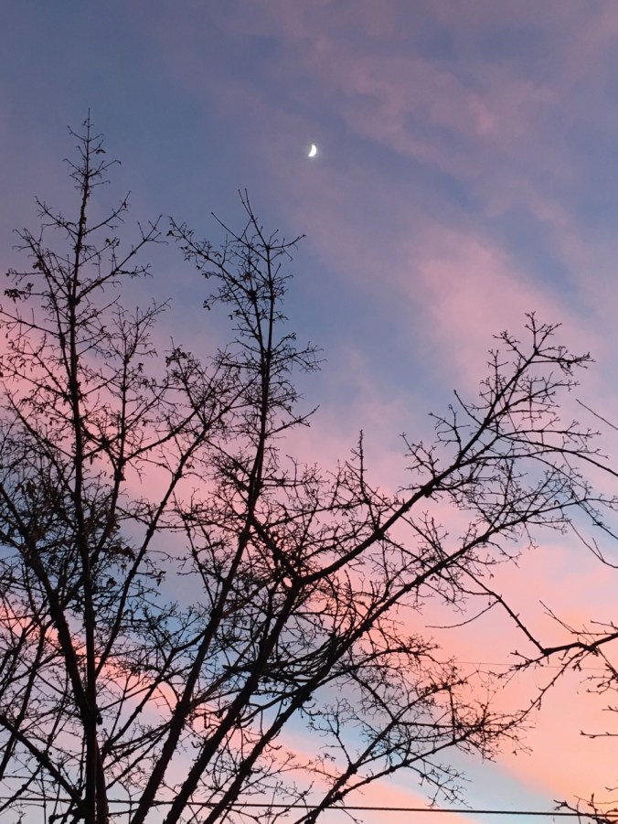
Pink and blue striped sky, half moon hanging above. From January 12, 2019.

Hummocks Trail, Mt St Helens, WA, and some finished projects!

1/14/2019 Hummocks Trail

We drove north from Portland through fog and hoarfrost, up the Toutle River Valley on Hwy. 504, then out of the fog to the Hummocks Trailhead, the end of the road this time of year.

dsc01183

Mt St Helens with hummocky landscape in the foreground.

The Hummocks Loop Trail winds through hummocks, which are mounds of poorly consolidated pulverized volcanic deposits that were dropped here like a house out of a tornado, as the debris avalanche produced by Mt St Helens’ eruption passed over the area. Since that time, 38 years ago, lakes and primitive drainages have formed between the hummocks, and trees and plants have grown on their slopes, every form of life younger than 38 years old. Today we saw bare alder trees, iced lakes and dry grass in the stark landscape, but the hummocks also protected us from the wind.

dsc01141

Walking along an icy lake

dsc01138

Lake ice

dsc01139

dsc01146

Another lake between the hummocks

dsc01145

Icy surface

dsc01158

Alders

dsc01150

dsc01163

Trail companions

dsc01165

Small creek between hummocks.

dsc01168

Our lunch time view of Mt St Helens, slightly sheltered from the wind.

We continued to the Toutle River viewpoint.

dsc01169

Looking downstream – the river carves through the hummock deposits.

dsc01173

Upstream – the Toutle River braid plain and the mountain.

We also saw the Science and Learning Center situated high above Coldwater Lake.

dsc01175

dsc01176

Another lake in the hummocks.

dsc01179

dsc01181

The white and windy mountain – stunted by eruption, wide maw open to the north, wind blown dust and snow hazing our view.

dsc01185

Half moon rising over 38 year old stumps on the ridge to the east.

The present is the key to the past, in geological thinking. Except when it isn’t – that is, when the present hasn’t yet revealed how the rocks got that way. On May 18, 1980, about three weeks before I graduated from college with a Bachelor of Science degree in Geology, Mt St Helens revealed to scientists all over the world how these particular deposits form. It was a moment of instant enlightenment, as my professor excitedly told us, once the ash finished falling and the studies begun. Wide ranging theories about how similar hummocky landscapes all over the world were formed were replaced by the lateral blast model. Going forward, Red Evacuation Zones would be wider, and more lives protected.  It was just a blip in geological time, but a catastrophe in human time, a moment that changed everything.

Coldwater Lake

Coldwater Lake was not even here before the eruption. The blast debris dammed up the drainage, and then engineers stabilized it. It is now a lovely place to contemplate the surrounding landscape. Dan and I completed the 12 mile hike around the lake a few years ago in a low snow year. Along the way we witnessed the rusting logging equipment that survives on the lee side of Coldwater Ridge, while walking through a mostly new and revegetating landscape. Today, we walked past the “shutdown” locked gate to the shore.

dsc01186We held onto our hats while the wind whipped the water into white caps, and looked at the barren knife edge of Minnie Peak at the far end of the lake. The surrounding slopes were all denuded by the 180 mph lateral blast of volcanic debris, ash, and gas.

dsc01198

Coldwater Lake

dsc01196

A large hummock right in the middle of the lake.

dsc01194

Closer view of Minnie Peak.

The lake, and all the vegetation are less than 38 years old. It is an awe inspiring sight!

(4.2 miles, 200 feet, for the day, hike #4 for 2019)

Elk Rock Viewpoint

On our way home we stopped at a high point on Hwy 504 – the Elk Rock Viewpoint. No elk today, but another look at Mt St Helens, the adjacent Mt Margaret back country, and Mt Adams peeking over her shoulder, volcanic cone intact for now.

dsc01201

Mt St Helens

dsc01205

The Mt Margaret back country.

dsc01204

Closer view of Mt Adams.

dsc01207

Panoramic view.

Crafting

I finished knitting the toe of the second sock.

dsc01211dsc01216

I relearned how to stitch French knots, so placed the final stitches in Jane Austen’s house. My next step is to figure out how to frame it. And then move on to my Nova project, teach myself the canvas stitches – tent, cashmere, mosaic, Scottish. A new stitching adventure awaits.

Klickitat Bald Eagles and the Labyrinth, WA

1/10/2019 Balfour/Klickitat Bald Eagles

We met up with friends in Cascade Locks, then drove to the Balfour/Klickitat wildlife viewing area near Lyle, Washington. Early January is bald eagle nesting season there, and we saw many eagles in the trees across the pond.

dsc00940

Our first eagle sighting – white head in the oak trees.

dsc00982

Two eagles on this branch…

dsc00987

Actually, there are seven in this picture – four on the lower level and three higher up.

I watched these two eagles for a while – as they looked around.

dsc00985dsc00994dsc00996dsc00998dsc01003

For every white head in the trees, there were two or three brown juvenile eagles. They are as big as the mature eagles, but harder to spot because they don’t get their white feathers fully until they are four years old.

dsc01032

Three juvenile eagles in the tree, one flying nearby.

We witnessed a lone salmon struggling up the stream, and then watched as a juvenile bald eagle grabbed it with his talons, pulled it onto the adjacent mudflat, and ate it. Other eagles joined in after a while. It was the circle of life before our eyes – not pretty, but the way of nature.

dsc00938

The salmon

dsc00957.jpg

Juvenile eagle lands nearby

dsc00958.jpg

and pounces

dsc00959-e1547412696919.jpgdsc00962

dsc00963

Drags the salmon onto the mudflat

dsc00965

dsc00979

Joined by other eagles.

We also saw two great blue herons on the nearby cliffs.

dsc00950

Two great blue herons, circled in blue.

dsc01011

A closer view of the herons.

Shortly after this drama, a couple of dozen eagles flew in circles above the area for five minutes. My camera telephoto lens is not quite up to clear pictures of all these events, but I enjoyed watching and marveling at the beauty.

dsc01043dsc01050dsc01055

Labyrinth Trail

After a quick lunch we walked up the nearby Labyrinth trail to the tall Jefferson pine  landmark tree. We saw Mt Hood, the Columbia Hills and eastern gorge with snow dusting, and a few early wildflowers on on this misty, cloudy day. A good day with friends. (5.8 miles/1000 feet/#2 for 2019)

dsc01061

The Old Highway waterfall

dsc01062dsc01065

dsc01071

The upper waterfall

dsc01080

My favorite oak grove

dsc01104

Views of Mt Hood

dsc01089dsc01091

dsc01082

Phlox

dsc01084

Phlox, eastern gorge dusted with snow

dsc01123

Salt and pepper

dsc01113

Oak trees in low light

dsc01119

dsc01121

Columnar basalts

View under the Bridge of the Gods in Cascade Locks, our meeting place.

dsc00931