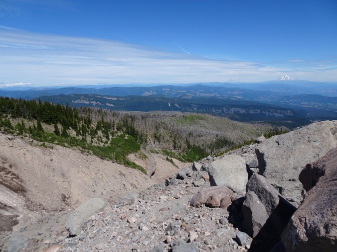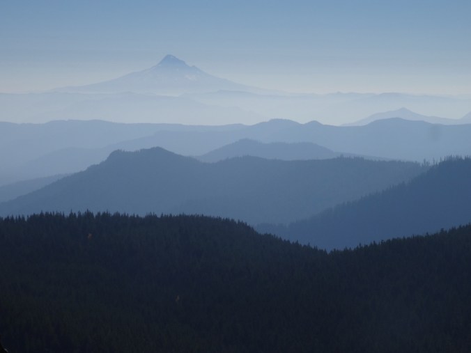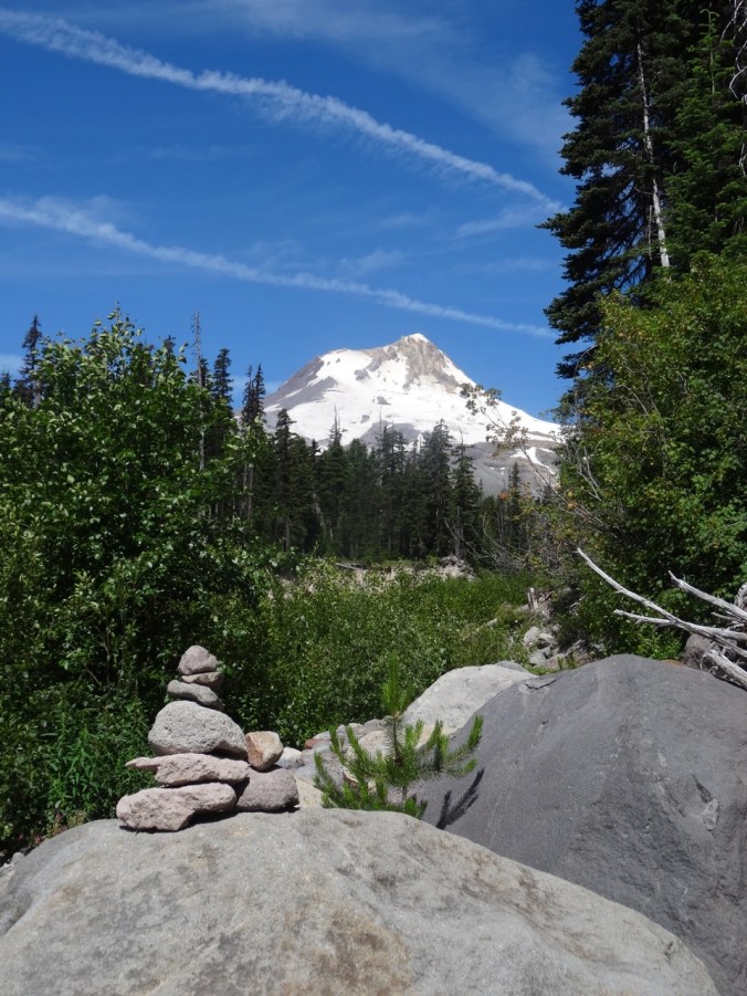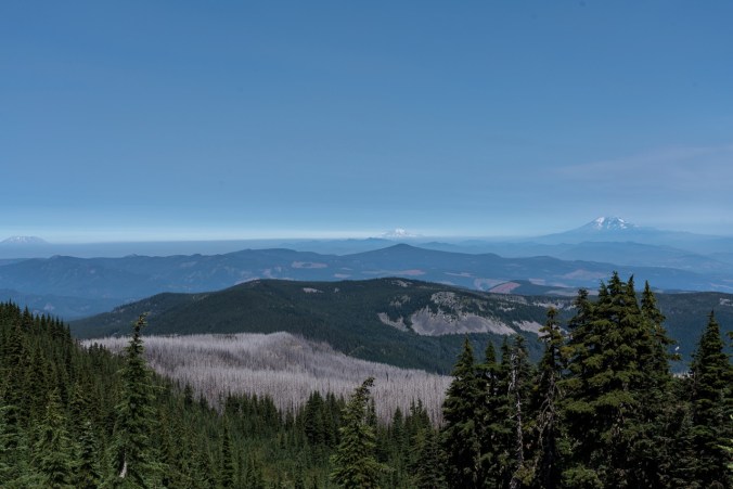
Northward view from the Timberline Trail on Mt Hood. Mt St Helens, Mt Rainier and Mt Adams float above the gray smoke layer.
August 16, 2018
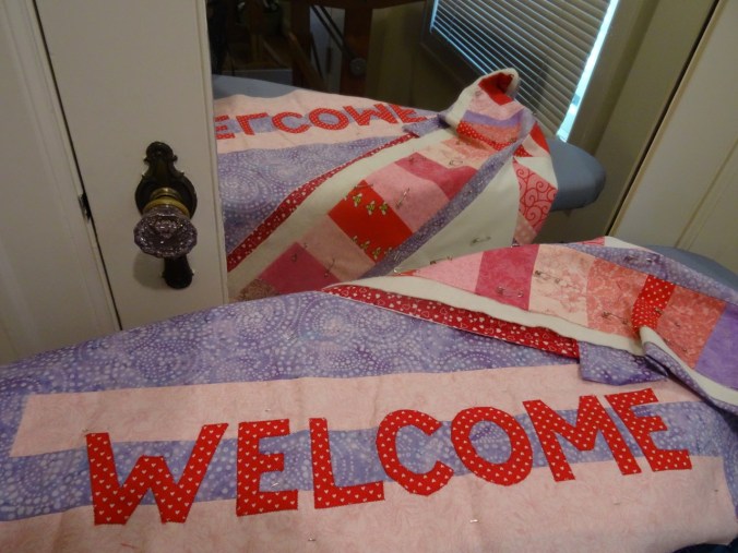
I mailed the baby and Welcome Blanket quilts while breathing wildfire smoke. While feeling a papery dry sand feeling in my mouth. While watching the blood red sun set though the haze.
Today there is an orange sky at noon. It is too hot to go outside, and there is an ashy taste on my tongue.
It’s wildfire season.
Smoke is disseminated through the atmosphere blotting out the sun, the views, and the cool air we are supposed to get from the ocean.
If this keeps up, if global temperatures continue to rise, will we find out what it was like to be the dinosaurs when they died?
It was supposed to be a meteor, but there were also Deccan flood basalts, and/or a climate change with wild fires – all valid hypotheses and maybe all had a combined role…
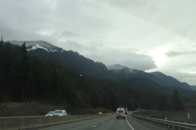
Meanwhile, oppressive haze and heat keep me indoors instead of outside where I could be walking, hiking or gardening.
The air feels dusty and my lungs feel the burn –
It reminds me of the San Fernando Valley of my youth, before cars had smog devices, when we could hardly ever see the Santa Monica Mountains, or the San Gabriel Mountains, but on really bad days we couldn’t even see the Mission Hills.
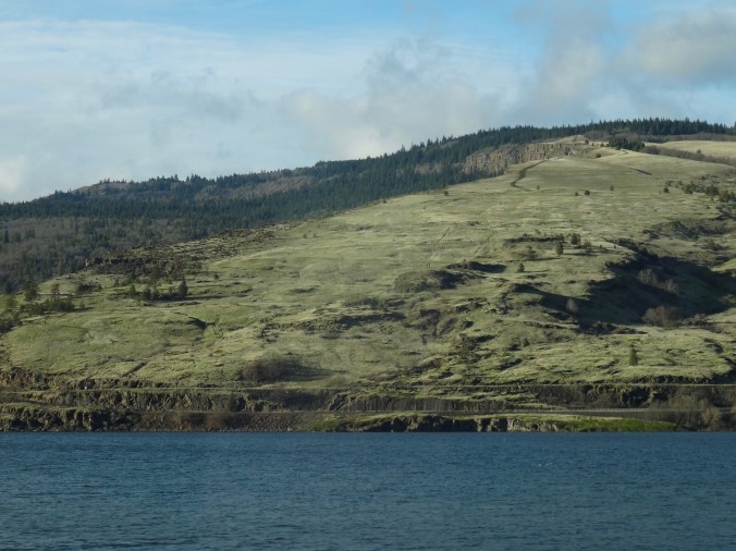
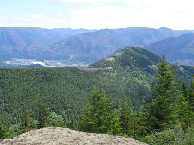
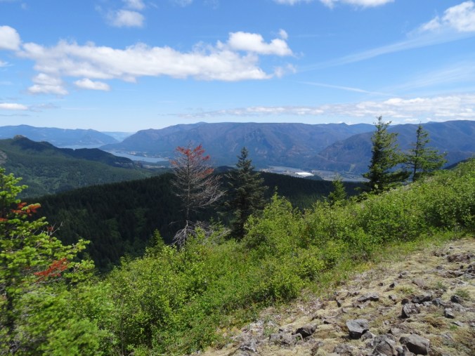
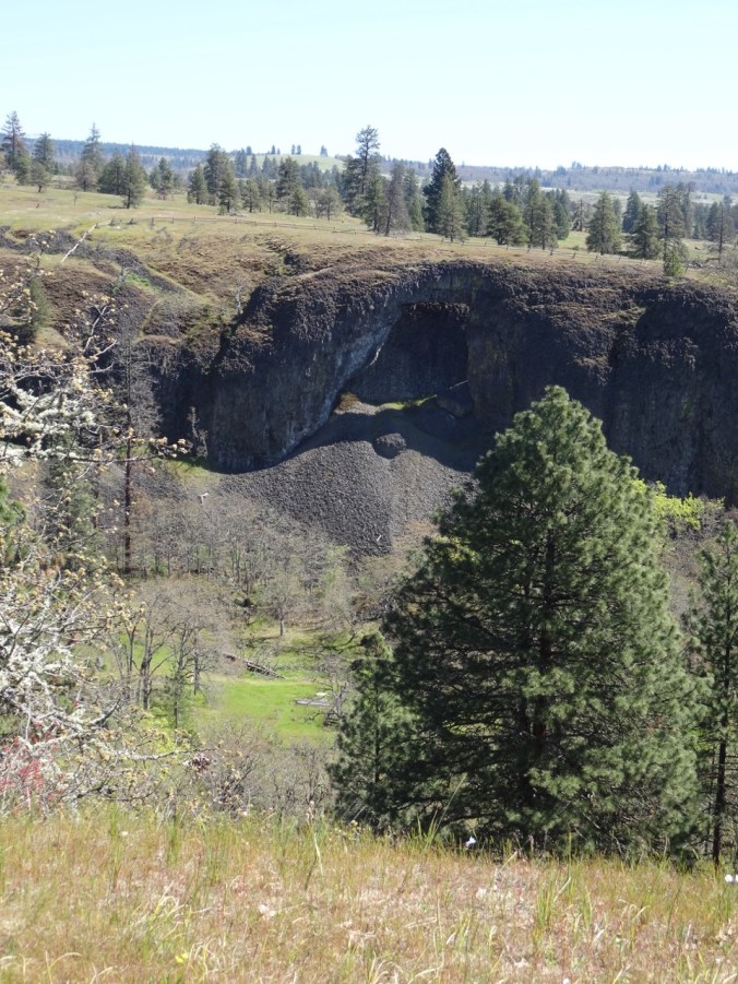
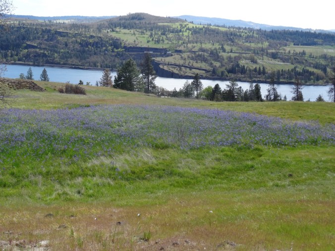
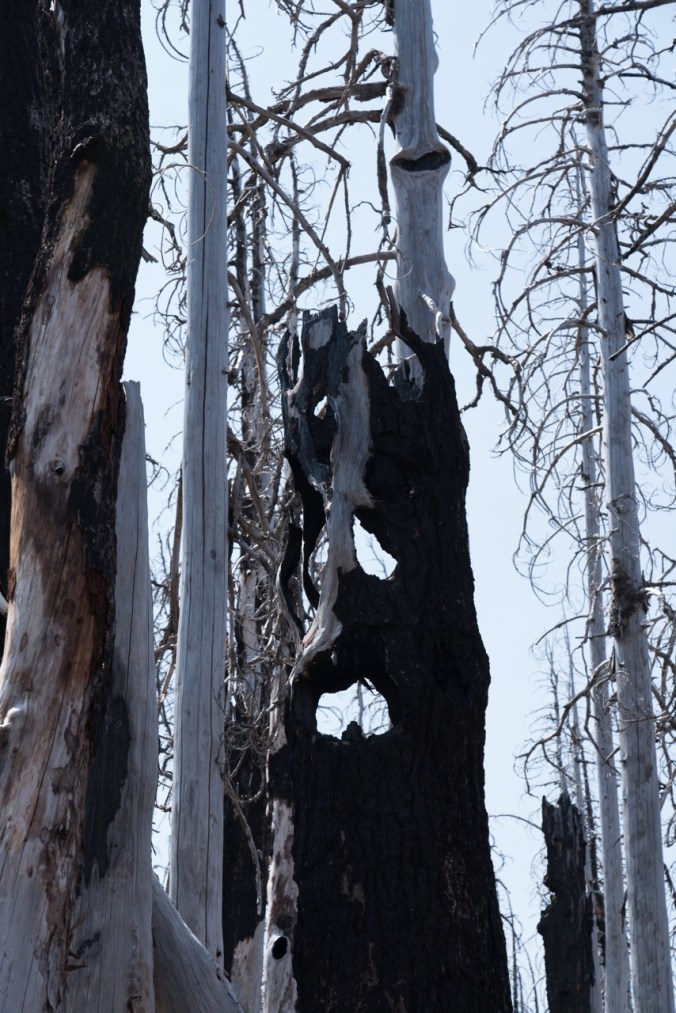
Now we have fire season. Our beautiful forests burn and the smoke infiltrates our adjacent valleys, so even though we are not in the burn zone, we must breathe the smoke or alter our activities to avoid breathing outside. This is the second August in a row that has been the season of burning, of wildfires, of dreading the views of the torched landscape, not to mention the threat to lives and livelihood of those that live closer to or in the forest. Of knowing that the beautiful places that we hike into for recreation and healing are changed beyond recognition, and though they may return to green someday, they will not be a comforting place to go for years….
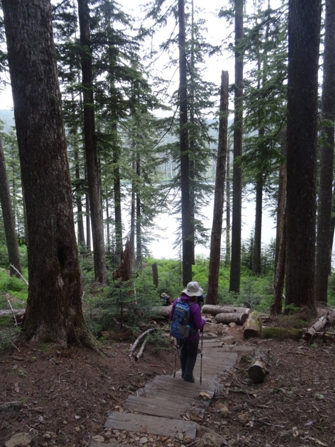
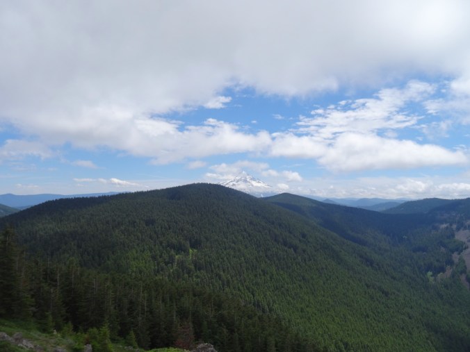
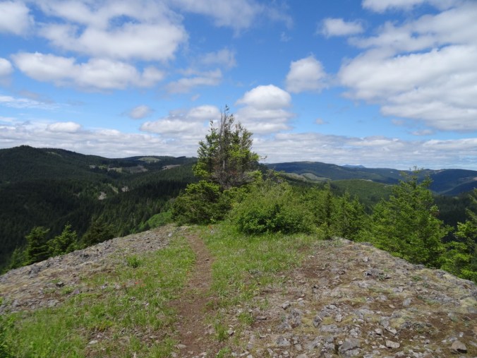
Return to Vista Ridge 8/17/18 (Hike # 44)
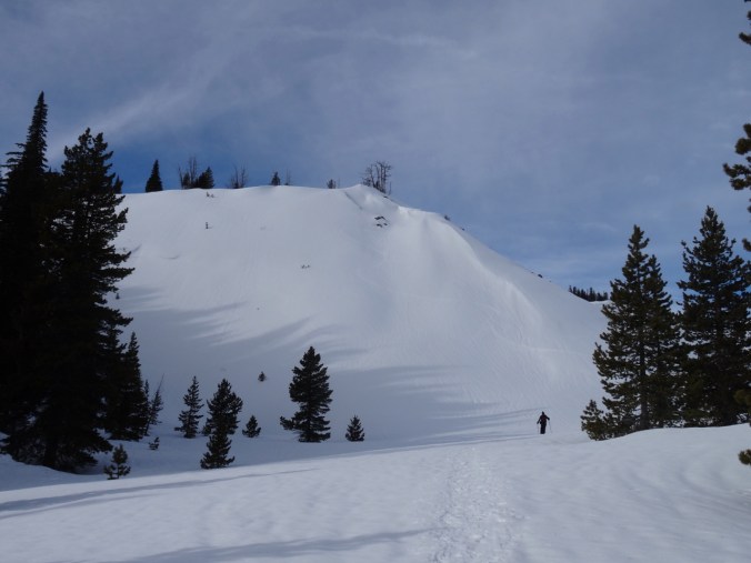
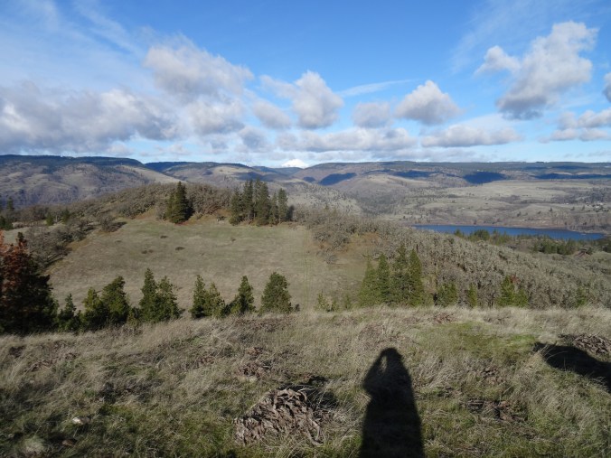
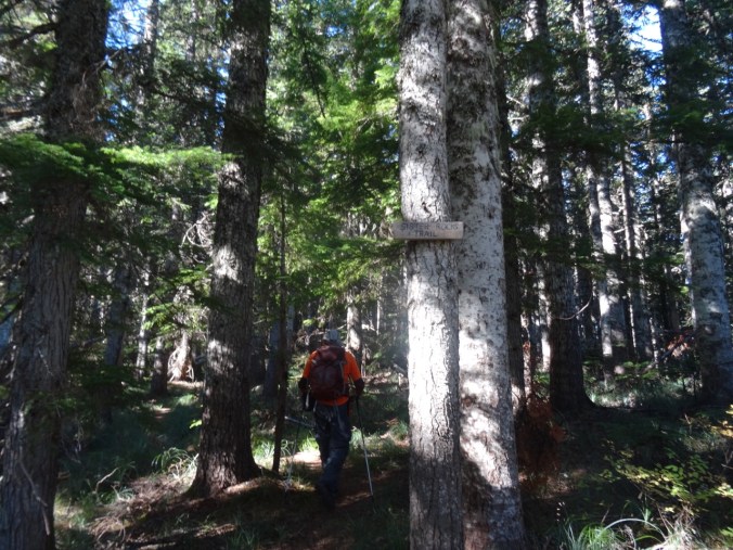
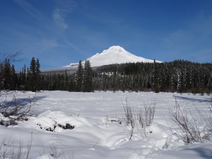
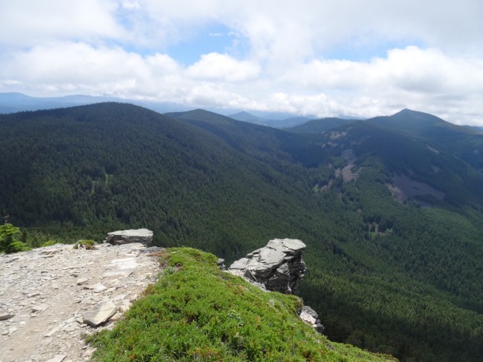
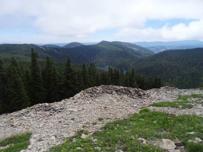
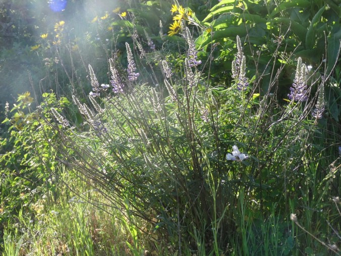
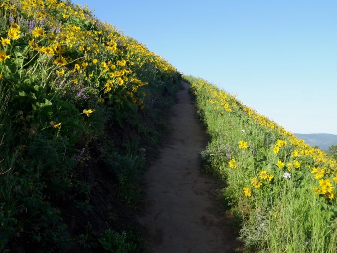
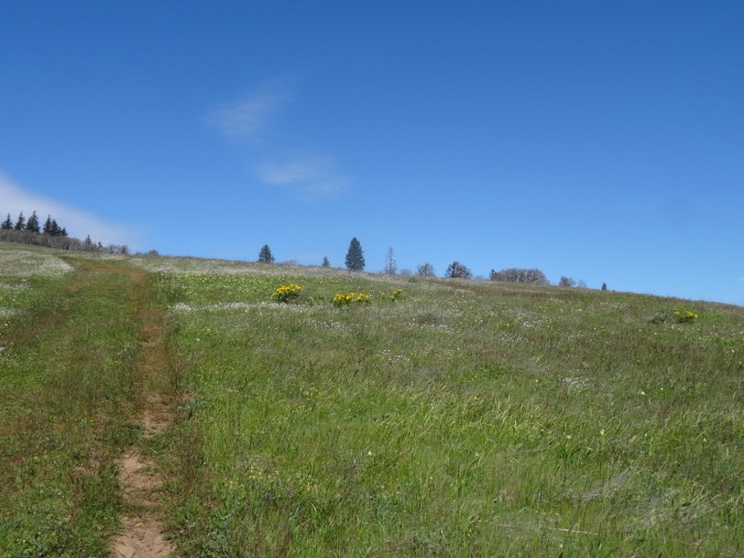
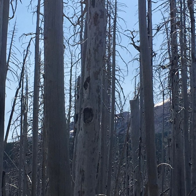
Speaking of burn zones – this is our sixth year hiking up Vista Ridge on Mt Hood. Today the regional smoke and heat have decreased enough to allow us to go for a hike.

Pearly everlasting and fireweed along the Vista Ridge trail.
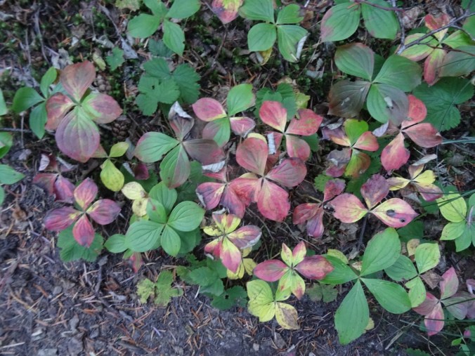
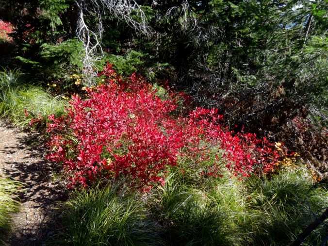
Once again through the burn zone with fireweed and pearly everlasting, huckleberries, goldenrod and berries of Sitka mountain ash.

Stka Mountain Ash

Fireweed

Pearly everlasting

Goldenrod and fireweed
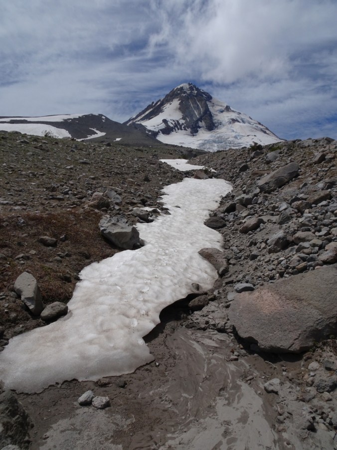
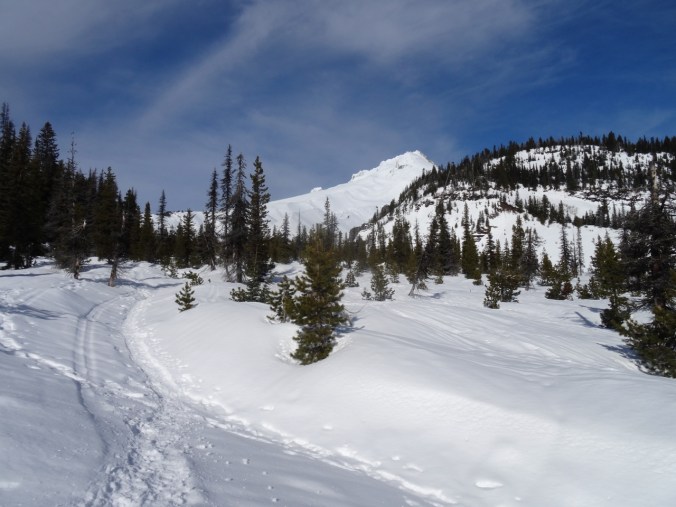
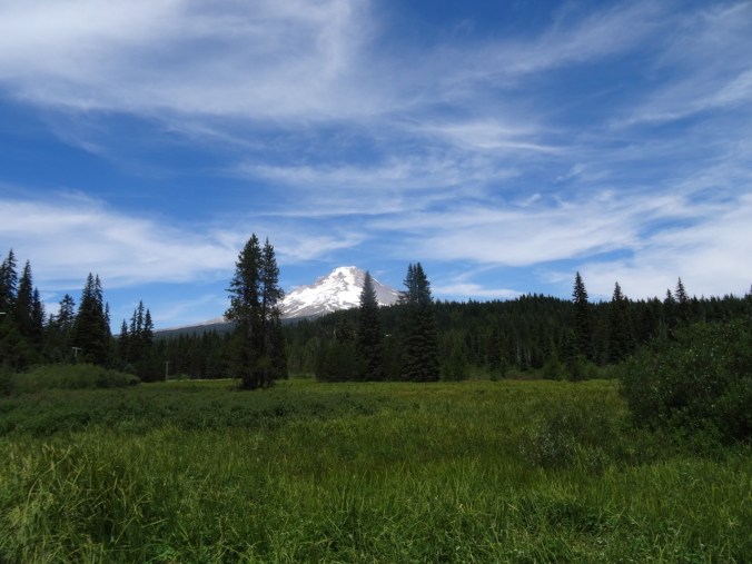
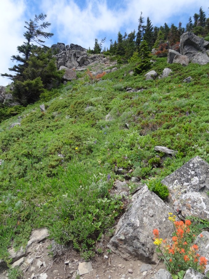
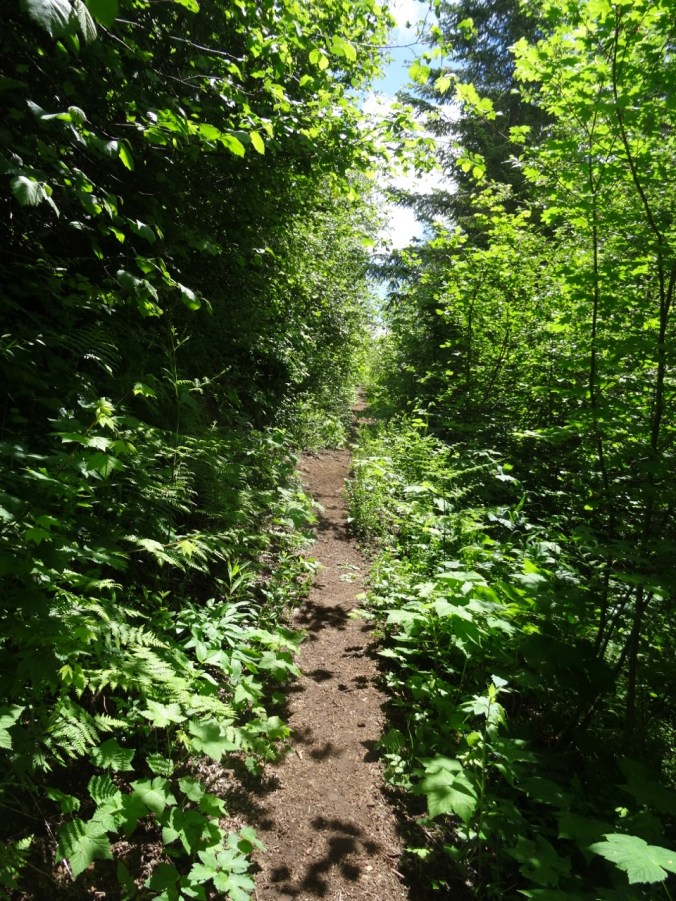
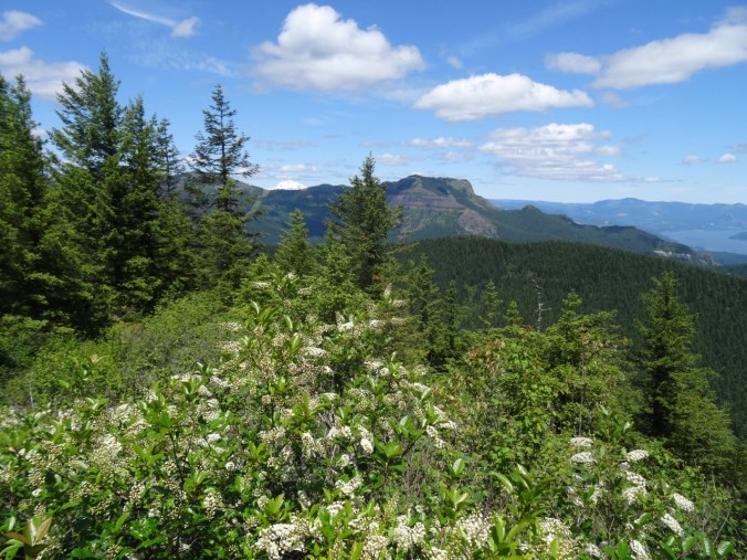
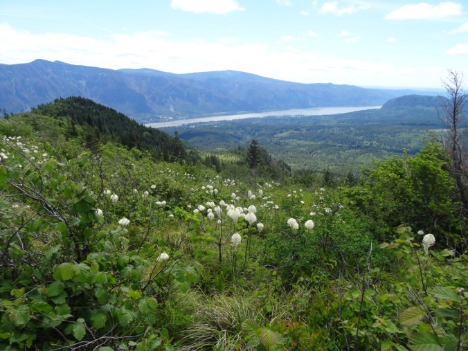
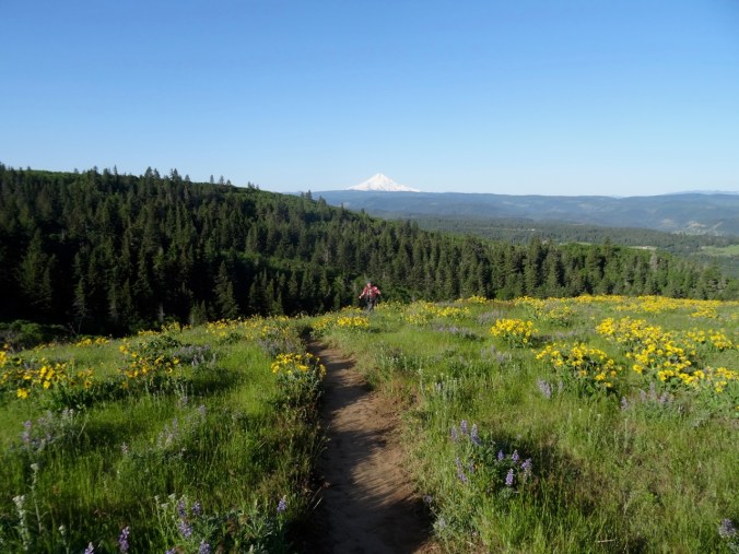
Once again through the meadows along the Timberline Trail, this time to the west, toward Ladd Creek.
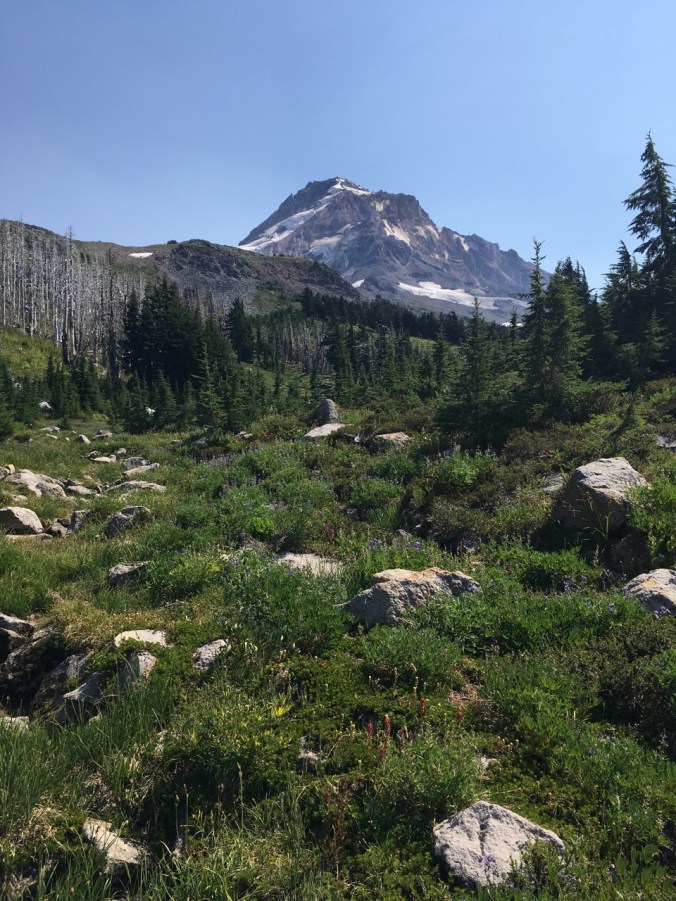
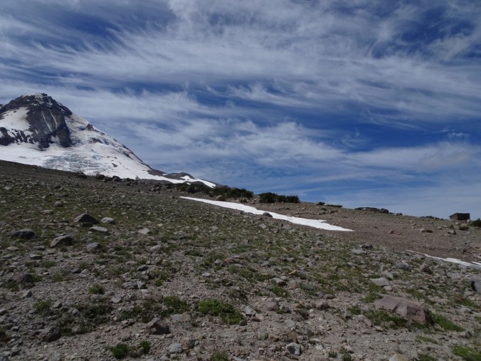
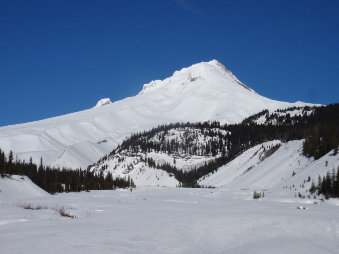
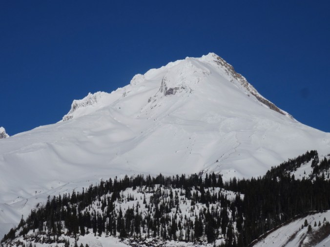
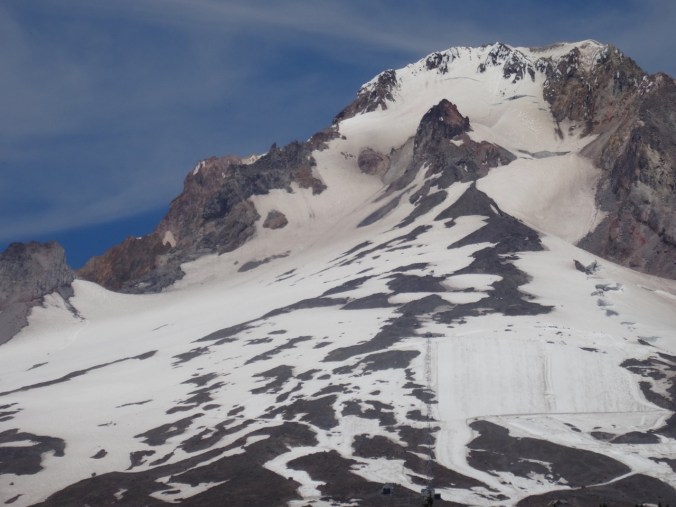
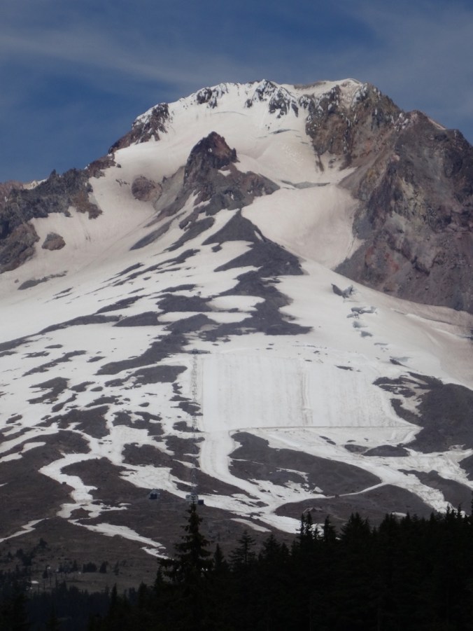
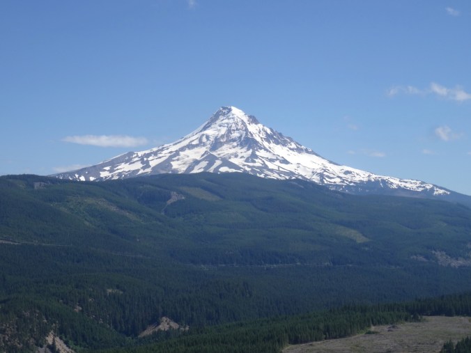
Mt Hood from the Timberline Trail near Wyeast Basin

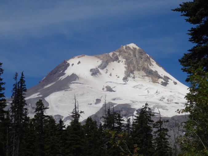
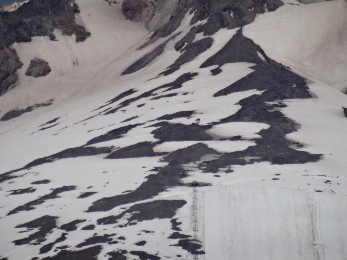
Close up of Coe and Ladd Glaciers

Meadows along the trail

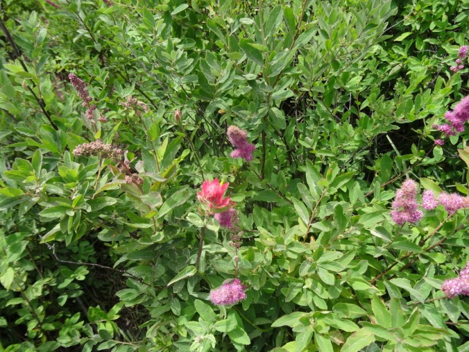
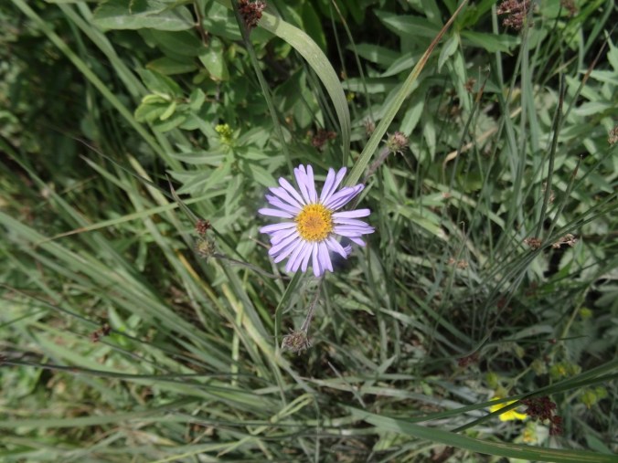
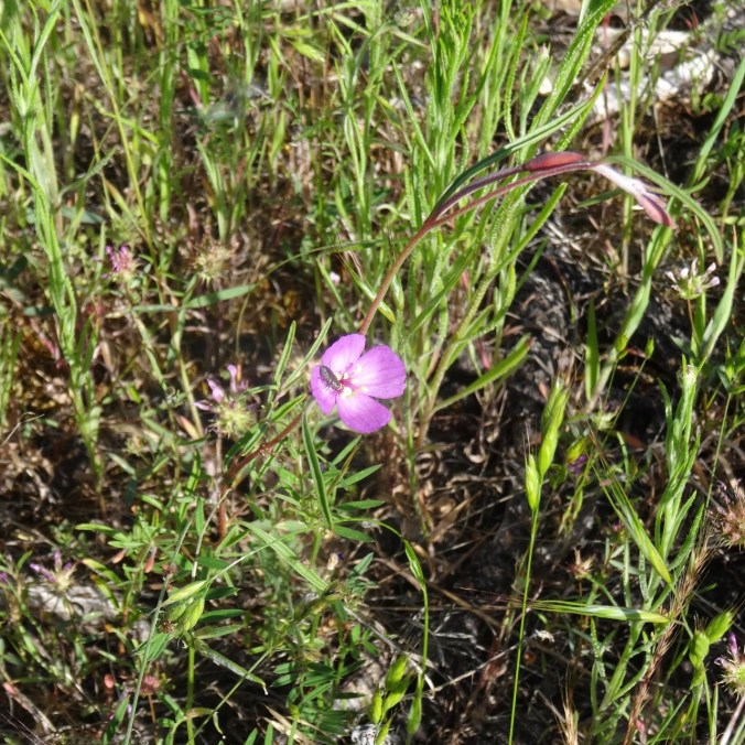
Paintbrush

Partridgefoot

Pasque flower

Monkey flower
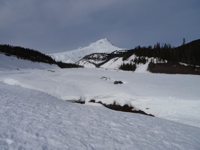
By the time we reached the Ladd crossing it was too late in the day, too deep to cross without wading.

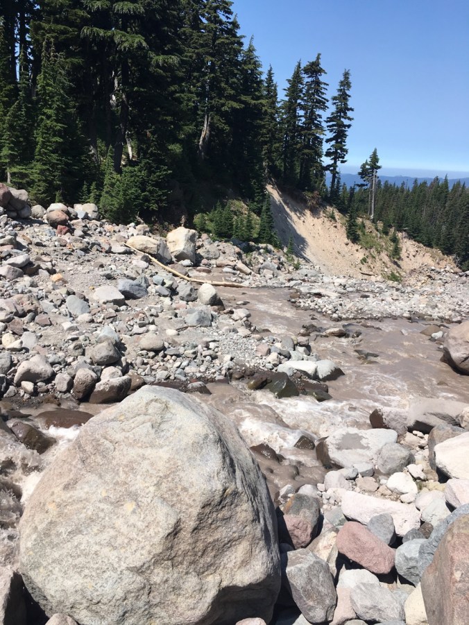
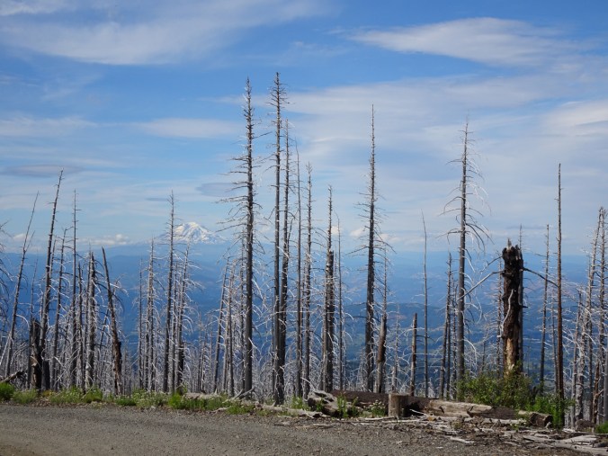
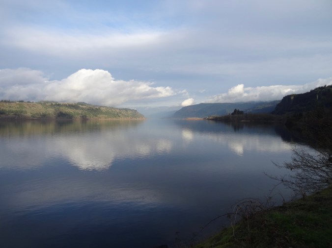
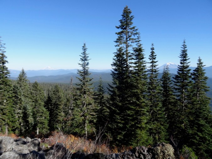
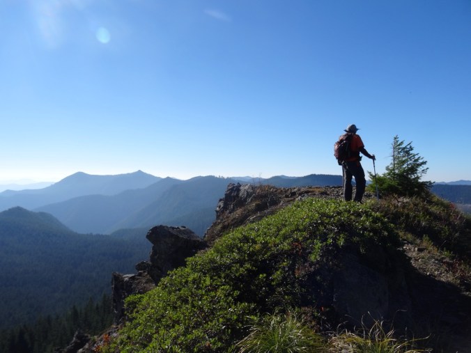
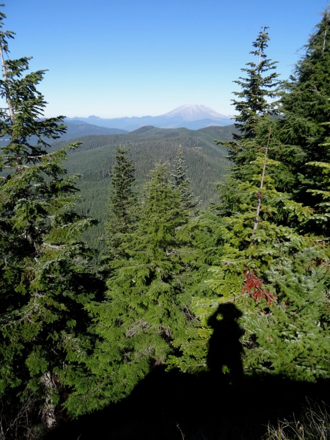
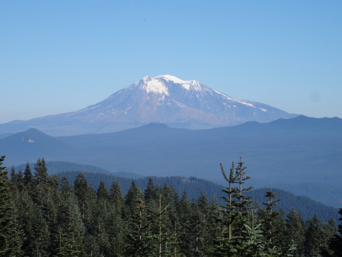
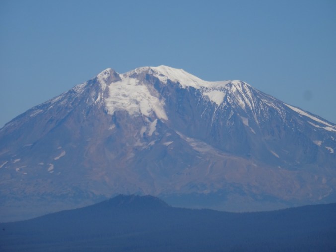
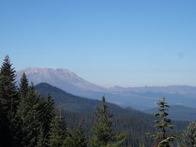
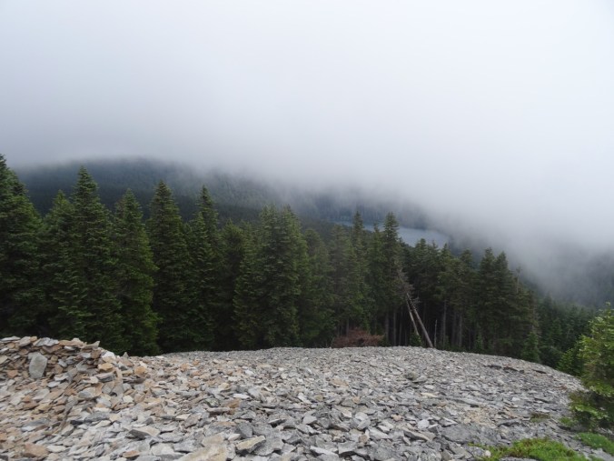
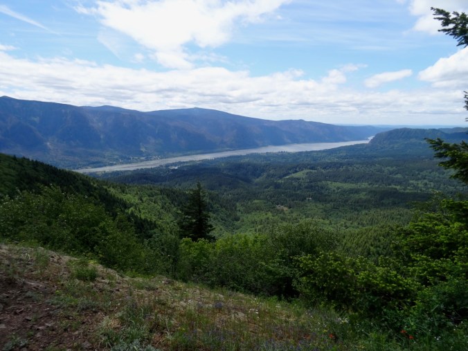
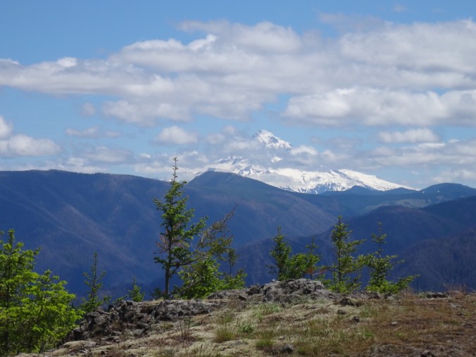
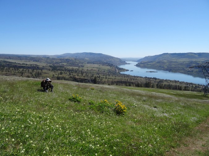
We stopped there for lunch then retraced our steps, back to the Wyeast basin with far reaching views of snow capped peaks floating above the smoke shroud that covers the Washington landscape.
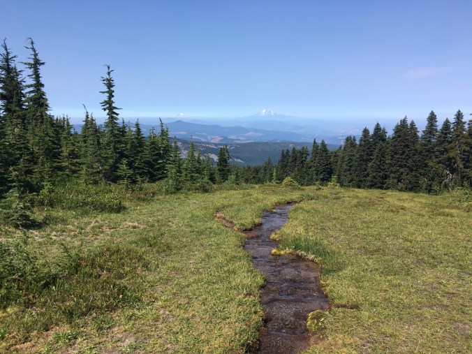
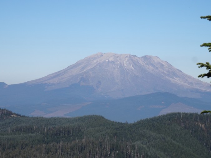
Clear Branch Creek in Wyeast Basin. Mts Rainier and Adams beyond.
Back down through fireweed in the burn zone, we say ‘Hi’ to a few ghost trees again, nibble the huckleberries, and make our way to the trailhead.

My legs were feeling it today – I am getting back into shape, but still have a ways to go to recover my fitness. Photo note – many of the photos in this post were taken by my husband – I only had my cell phone with me.
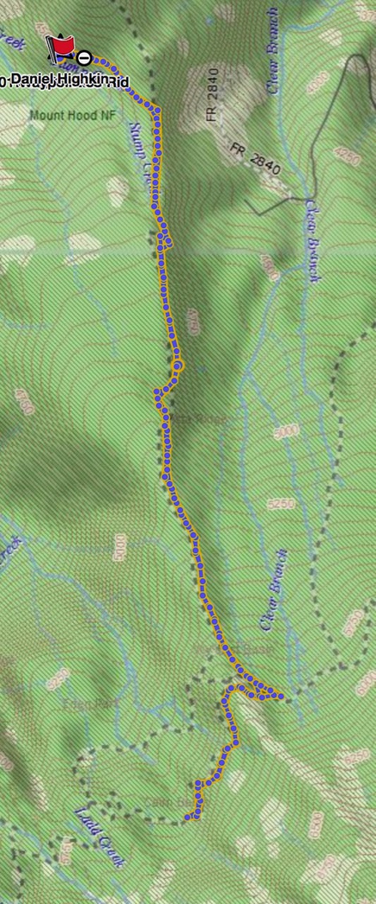
8 miles/1600 feet
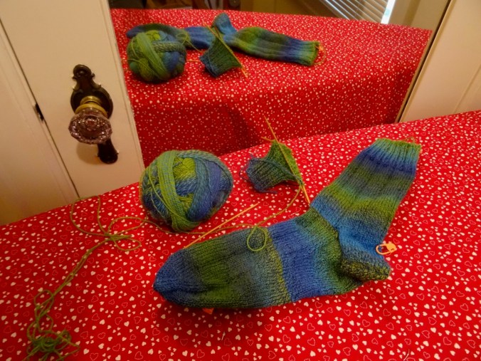
Knitting
I finished the Cornwall socks!