Crater Lake 9/12/2018
We left Boardman to drive to Sisters, Oregon for another few days of hiking. The webcams at Crater Lake National Park showed the smoke haze had mostly lifted, so we added a side trip to see Crater Lake.
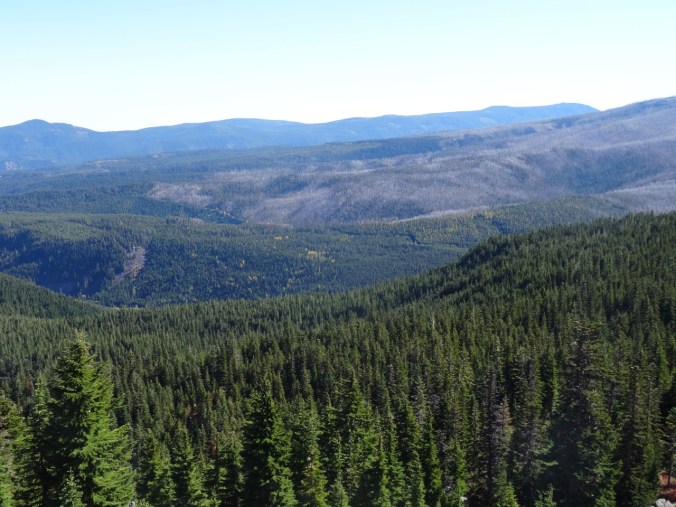
We had been to Crater Lake about 20 years ago, but our visit that summer was early in the season and there was too much snow to do much more than admire the view from the one small area that was accessible. It has been a goal to return and hike down to the lake, take the boat to Wizard Island, and hike to the many viewpoints around the lake. We were foiled again this year by the extremely bad air quality that was present during the time we had planned, but at least we got to see the views on a nearly clear day and admire the absolutely blue water.

Discovery Point – first view of the lake and a sign showing what Mt Mazama looked like before the eruption and collapse that created Crater Lake.
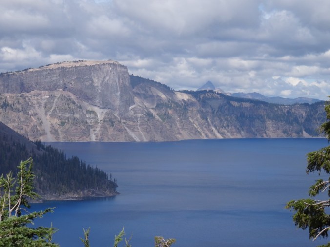
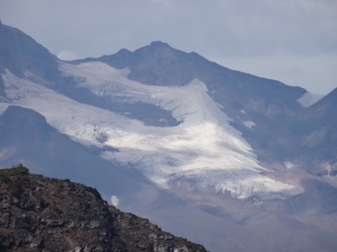
Close view of Llao Rock; Mt Thielson in the distance.

Wizard Island
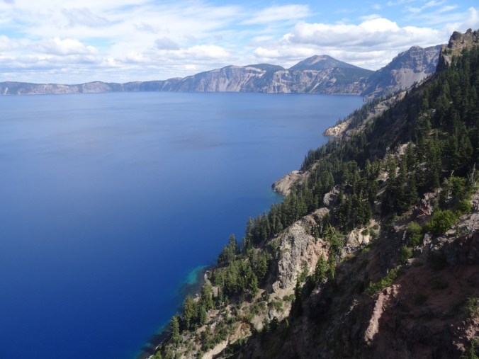
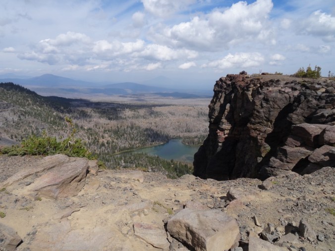
South view to Garfield Peak
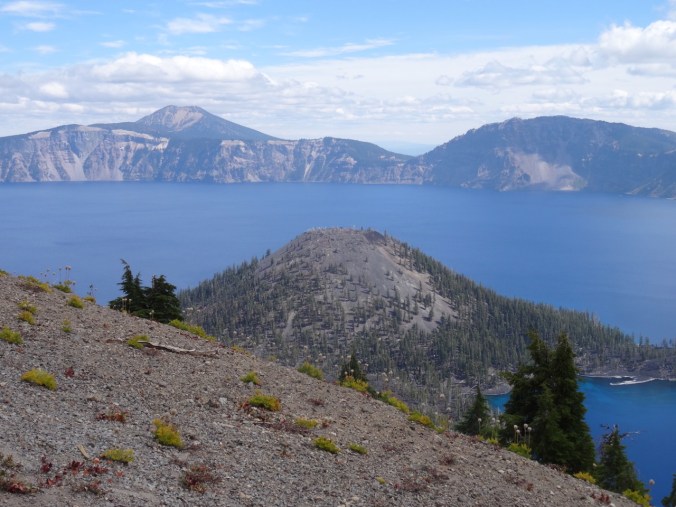
Wizard Island and Mt Scott beyond
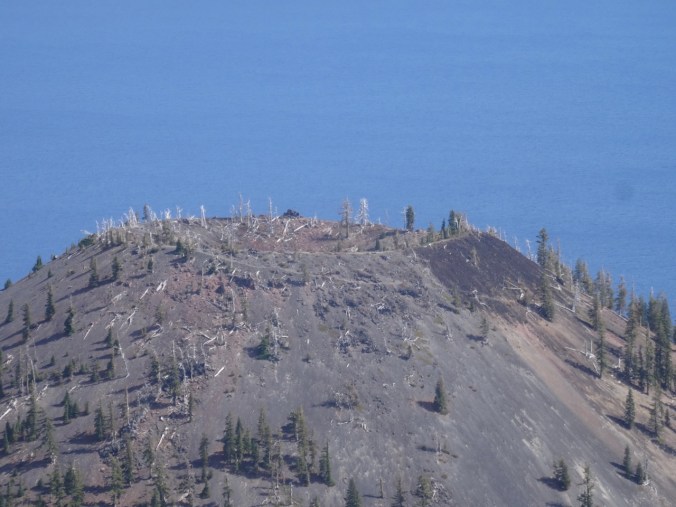
Crater at the top of Wizard Island
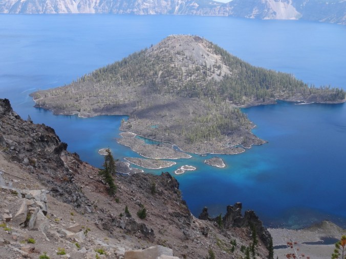
The tropical blue water in the shallows around Wizard Island
Obsidian Trail 9/13/2018
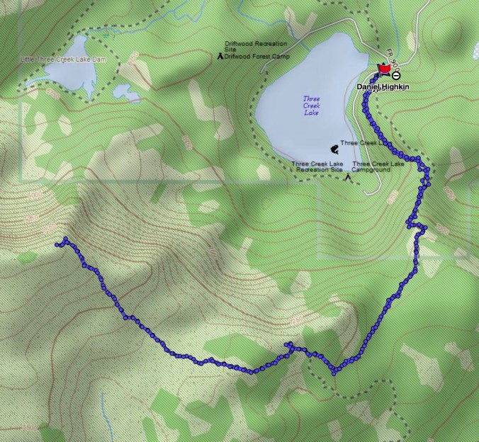
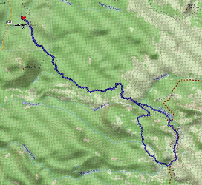
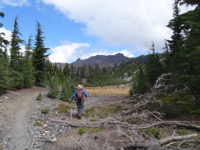
We have stayed in Sisters, Oregon several times, but have yet to explore all of the trails in the area. This was our first time to hike in the Obsidian Area of the Three Sisters Wilderness (#50) (12 miles, 2000 feet).
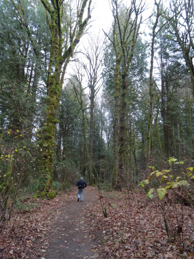
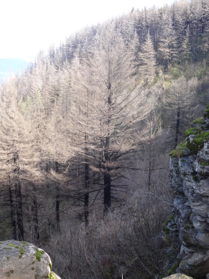
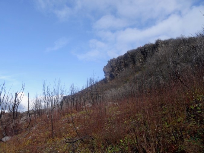
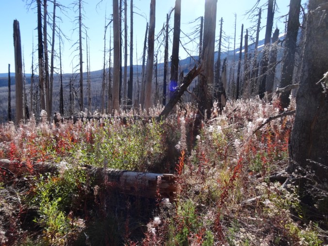
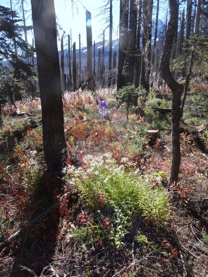
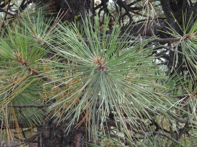
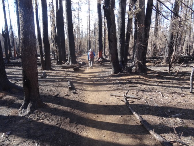
The first few miles are through forest, including part of the 2017 Milli Fire burn zone.
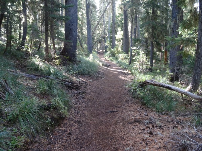
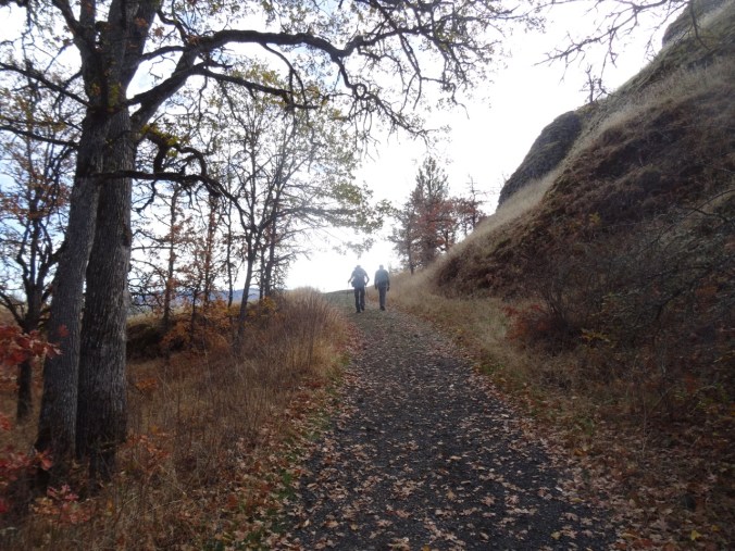
Obsidian trail
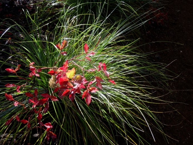
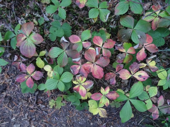
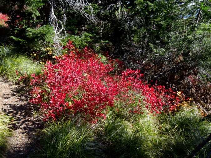
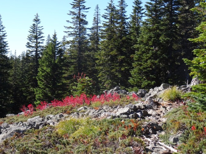
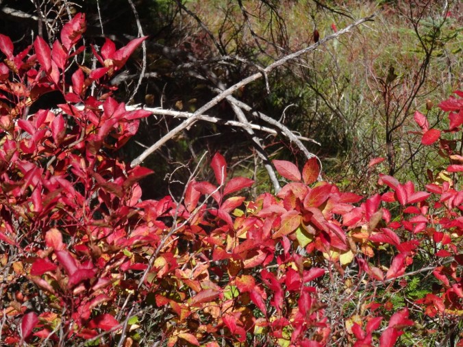
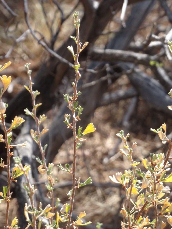
Bear Grass and huckleberry foliage
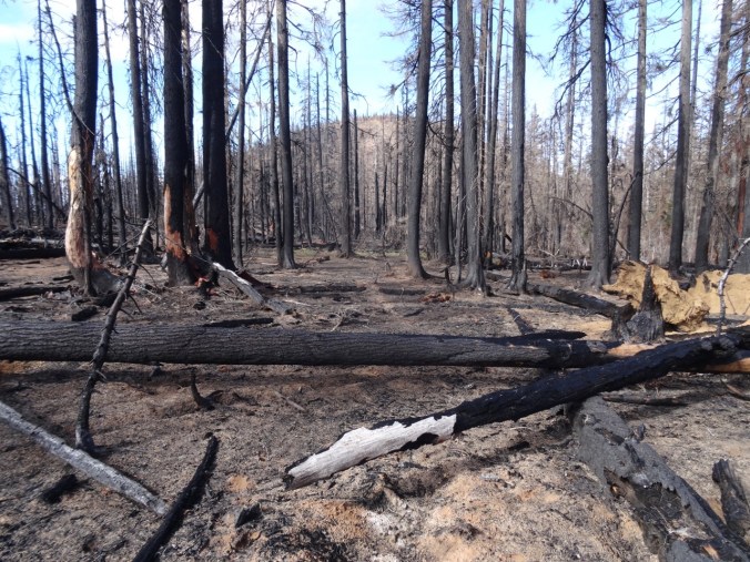
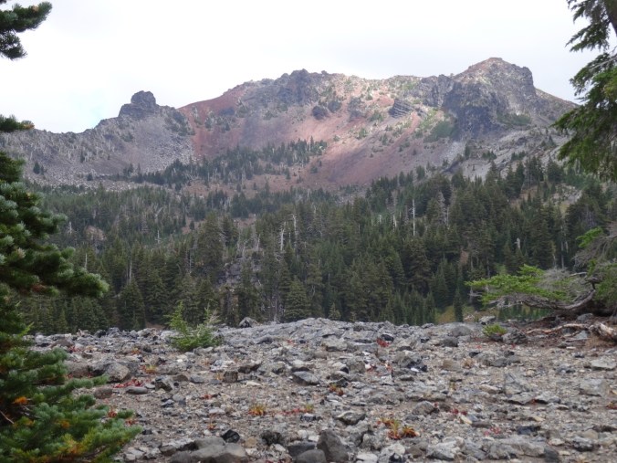
Sims Butte through the Milli burn zone
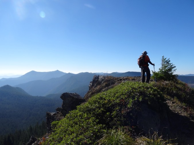
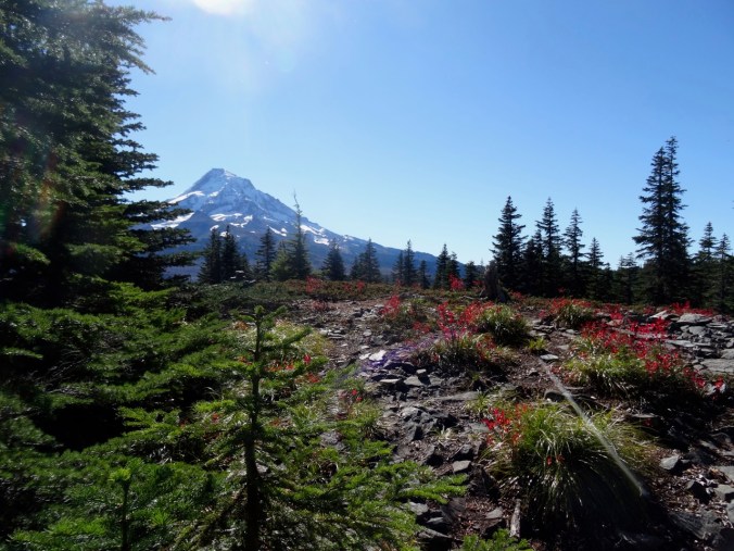
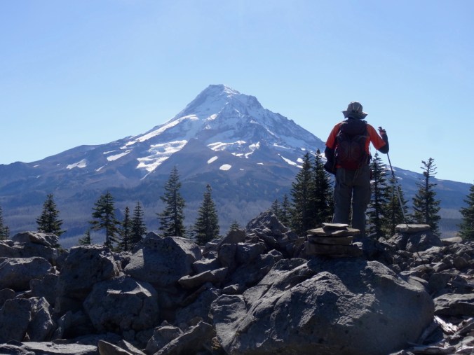
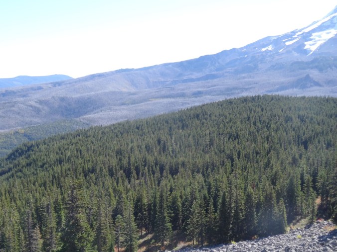
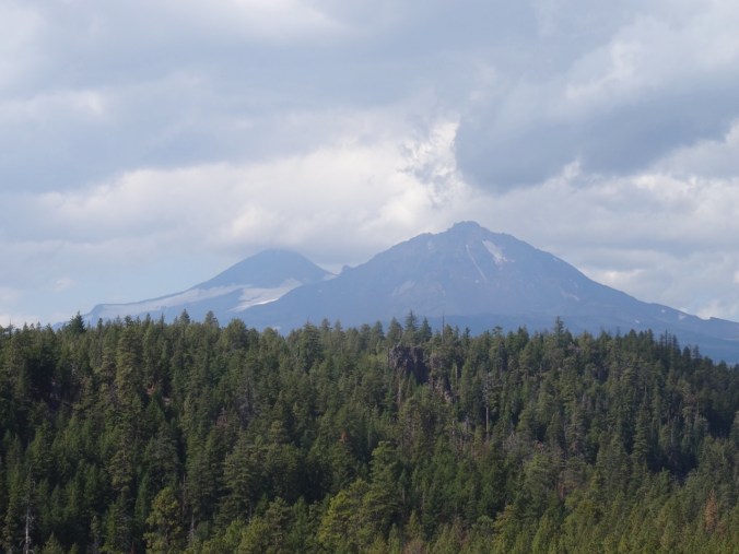
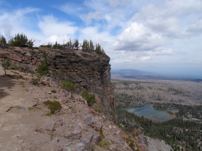
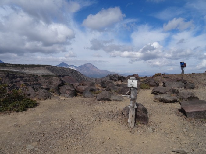
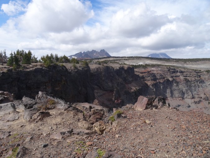
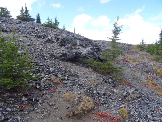
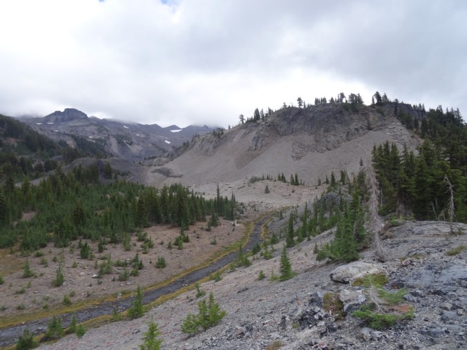
At about 3.5 miles, the trail ascends over and through a lava flow, with views to the Obsidian Cliff and to North and Middle Sisters – though today the Sisters were hiding in clouds.
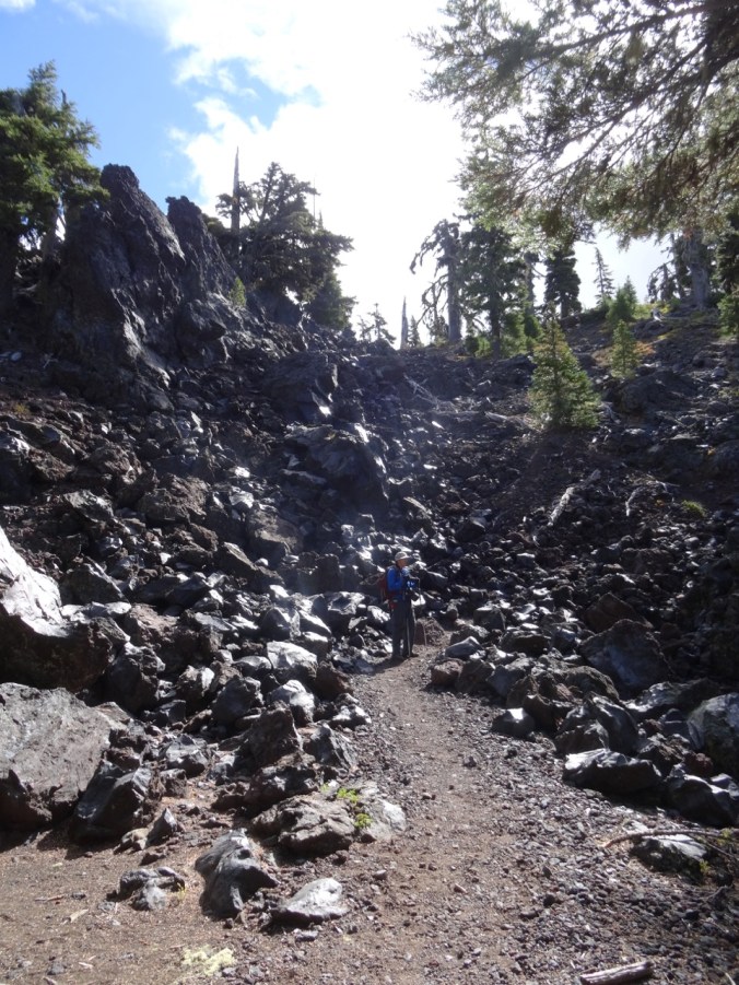
Trail up the lava flow

Obsidian Cliff with burned forest above
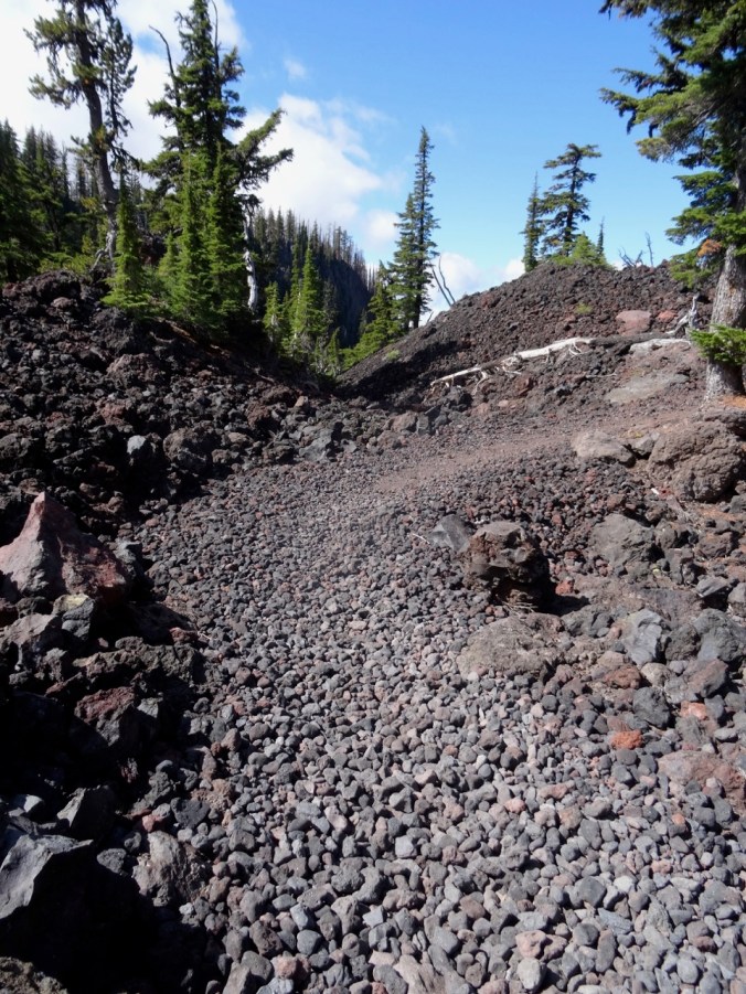
Trail through the flow
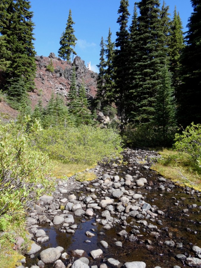
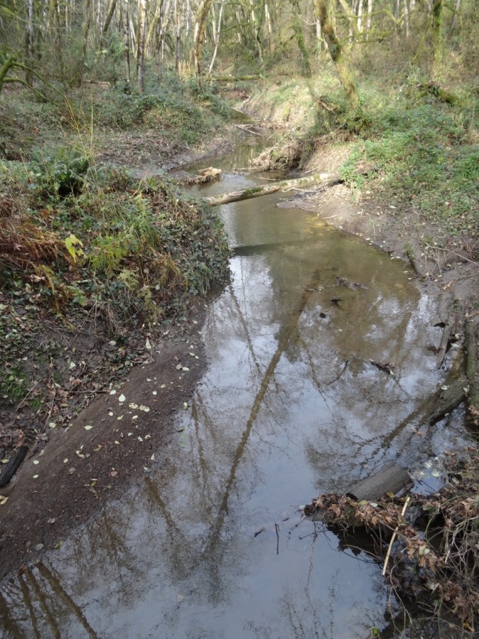
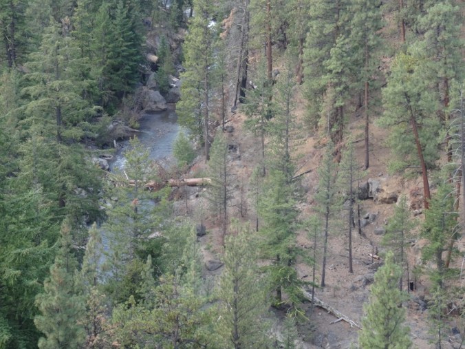
White Branch Creek on the other side
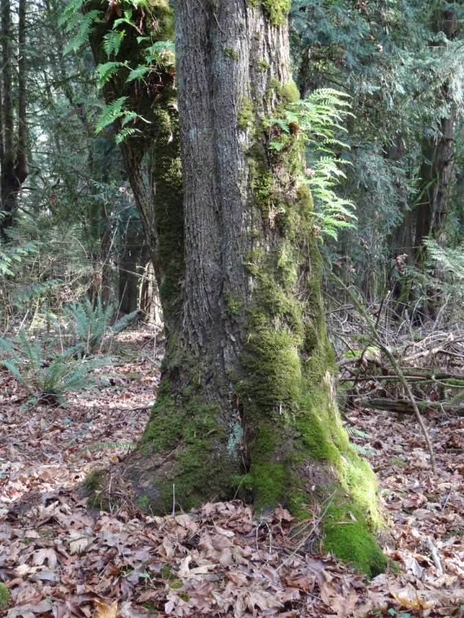
The trail continues up through forest, meadows and past interesting rock formations.

Middle Sister in the clouds

Late summer pasque flower meadow with Obsidian Cliffs beyond
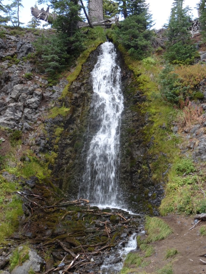
Next we reached Obsidian Falls.

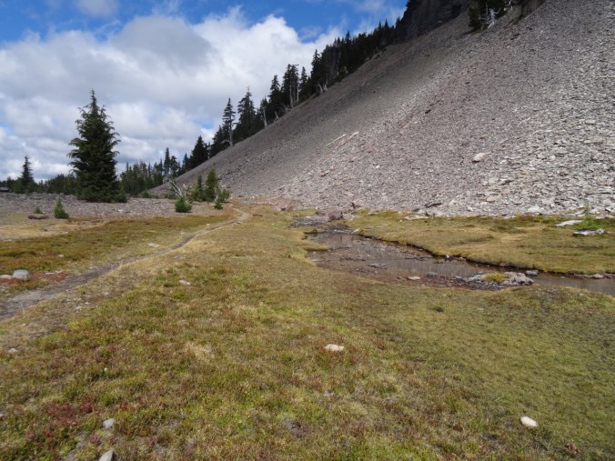
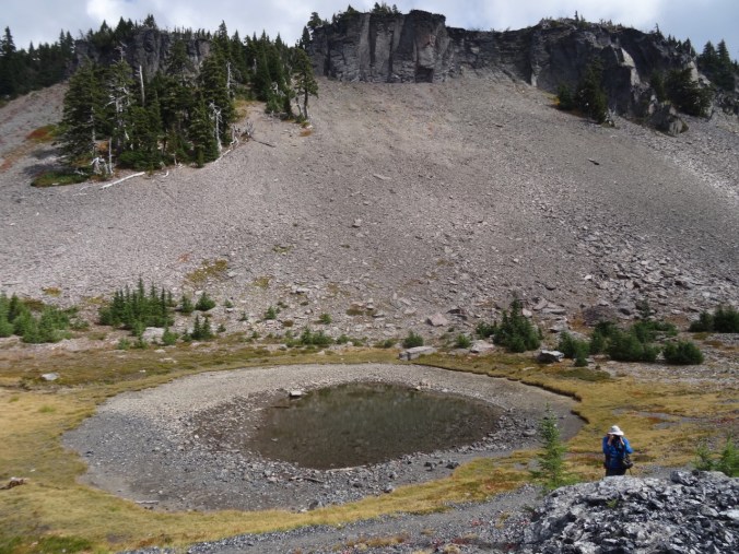
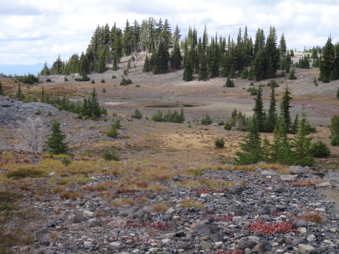
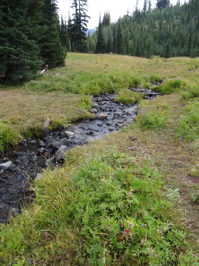
Beyond the falls is a high basin with a spring and a pond between a craggy cliff and an Obsidian flow.


A bubbling spring at the base of the cliff
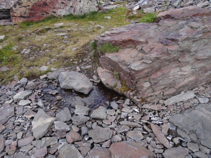
Another spring
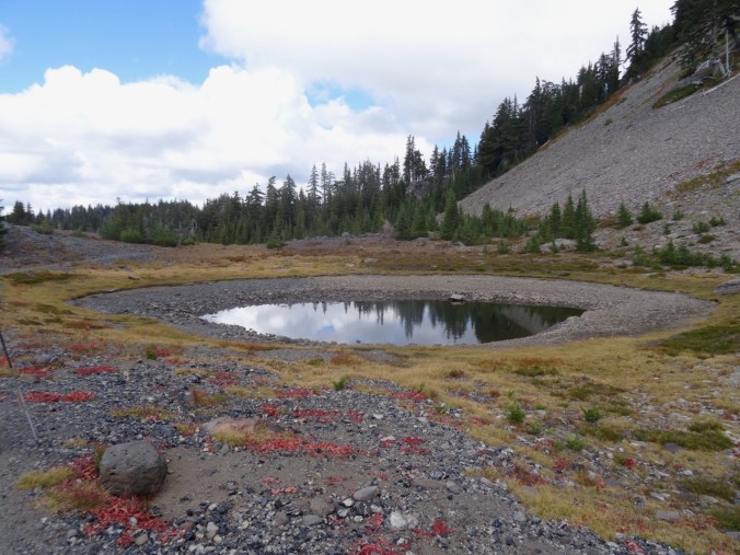
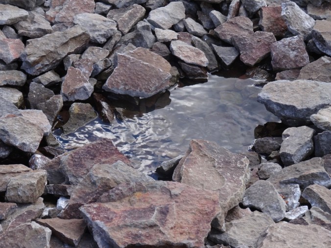
A pond
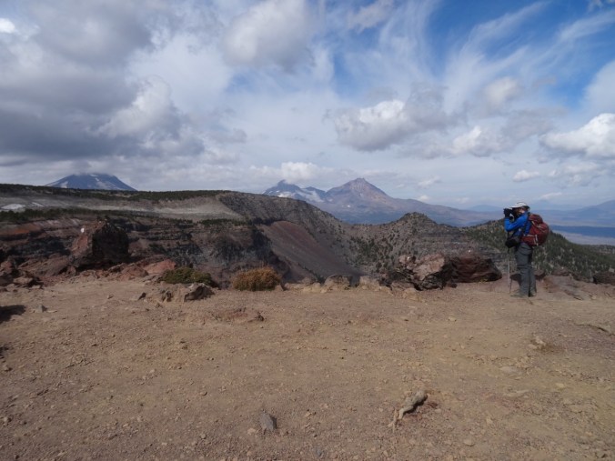
Dan photographing the Obsidian flow
Obsidian flow

Closer view of the obsidian
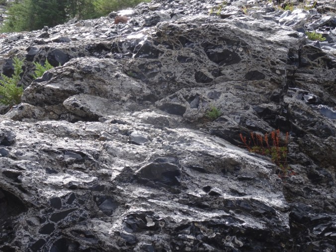
obsidian
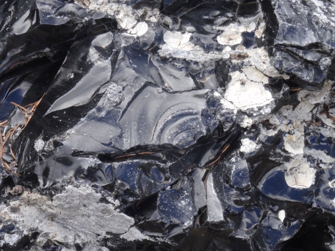
conchoidal fracture
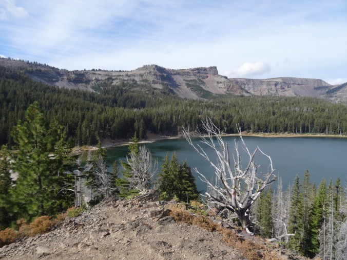
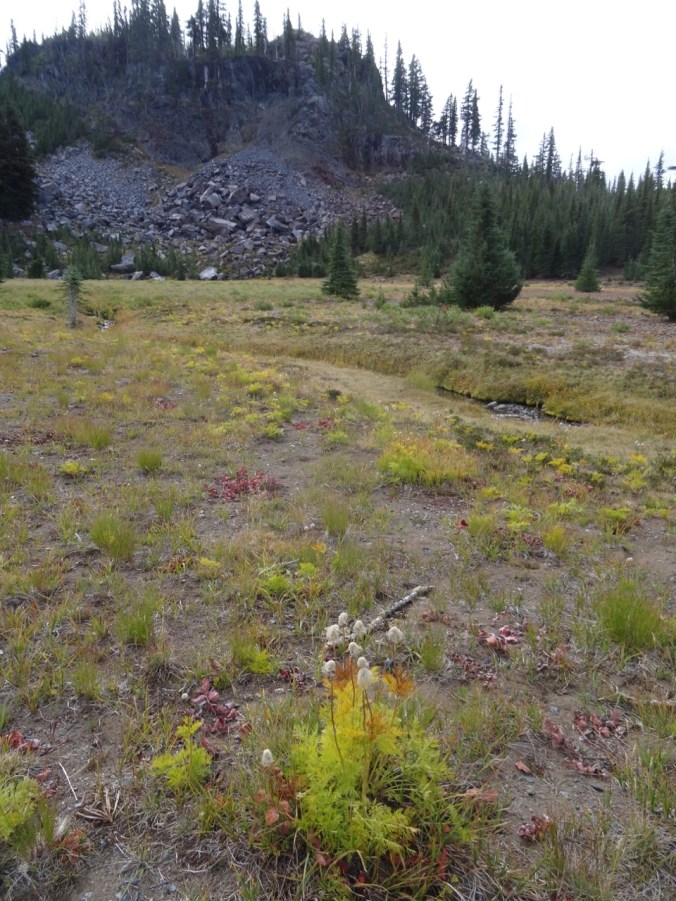
Over the dividing ridge is another pond.

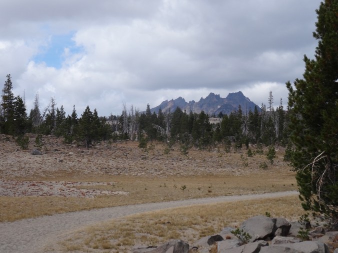
We continued around the loop to cloud obscured views of North and Middle Sister, a good view of the Little Brother, and a view down to Glacier Creek.
The Little Brother
Glacier Creek, cloud obscured Sisters
The Little Brother
The trail descends to Sunshine Meadow along White Branch Creek.

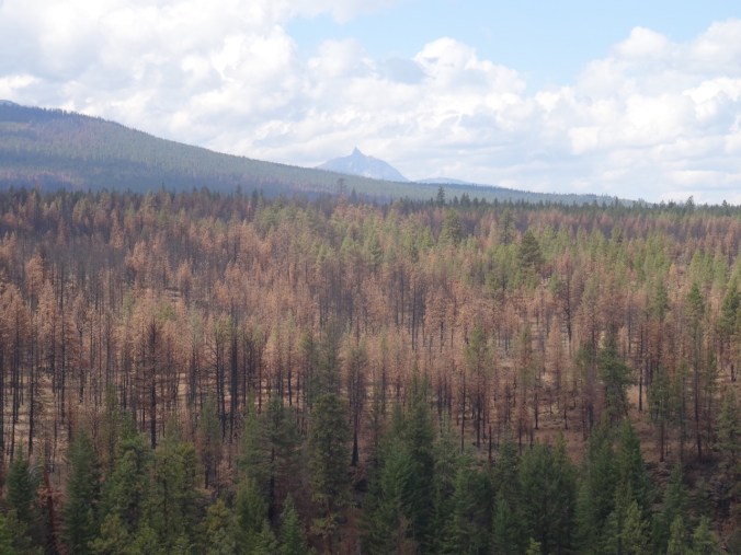
Mt Washington and the Belknap Craters from the trail
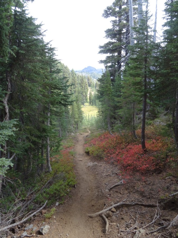
Huckleberry lined path to Sunshine Meadow
The last magenta paintbrush in Sunshine Meadow

and an obscured view of the Sisters
We continued down the Glacial Way, back over the lava flow

Lava flow ahead

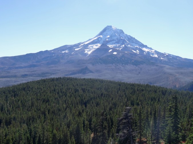
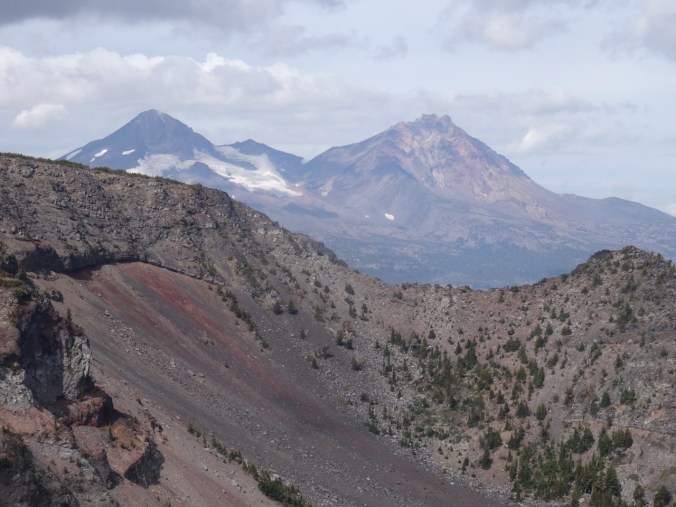
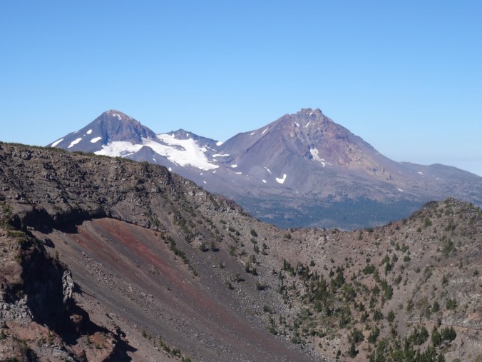
Clearest view of the day of Middle and North Sisters
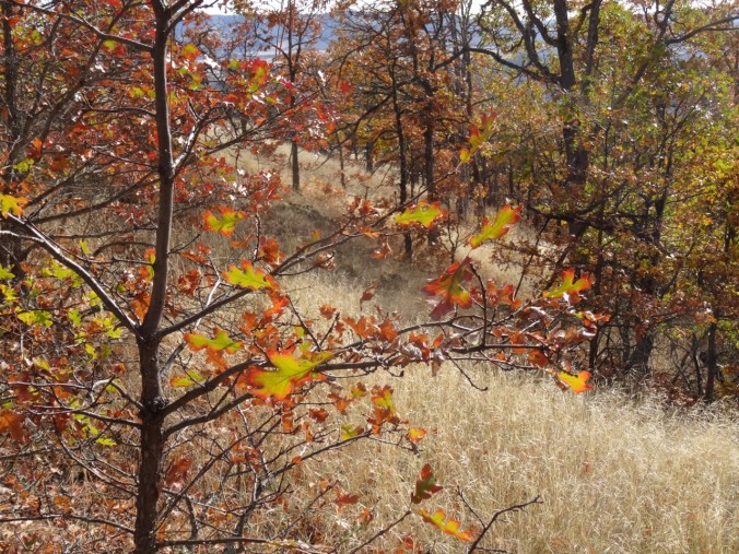
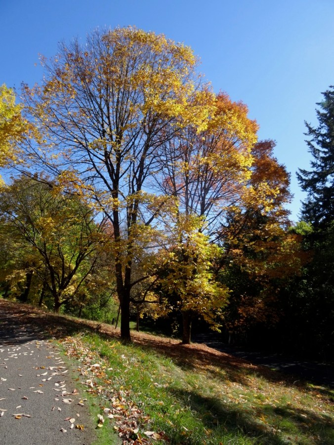
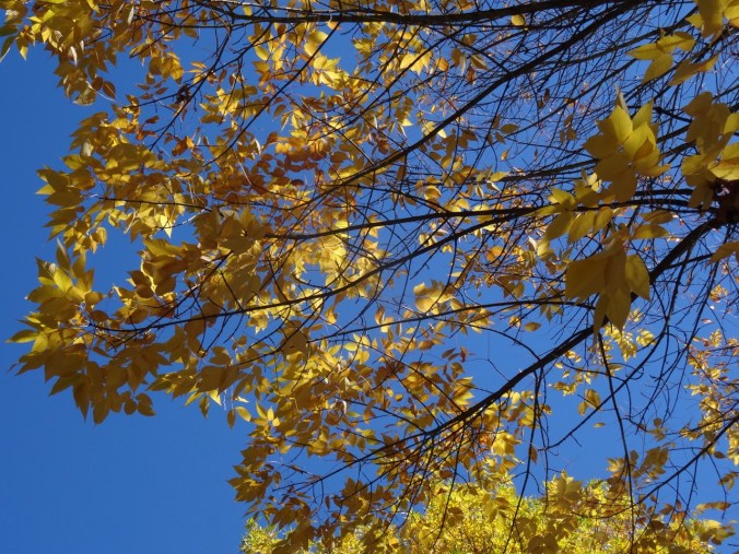
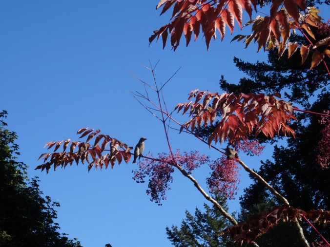
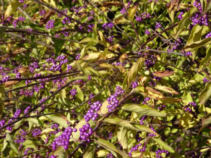
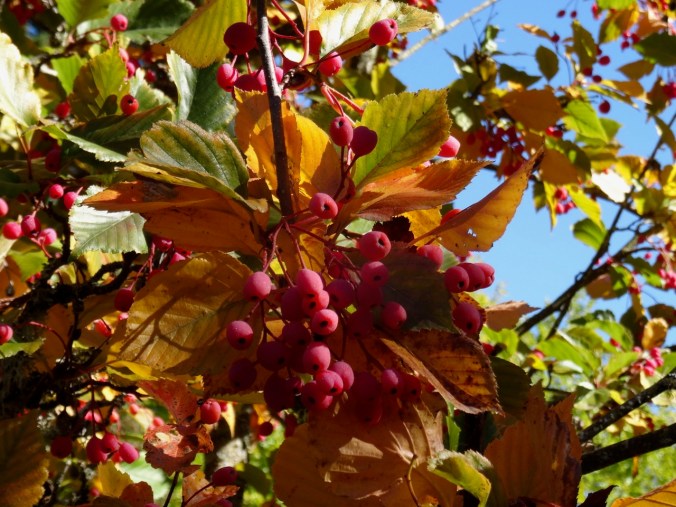
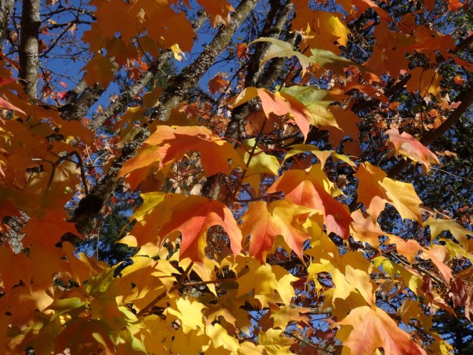
Fall colors

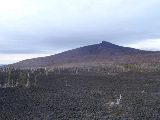
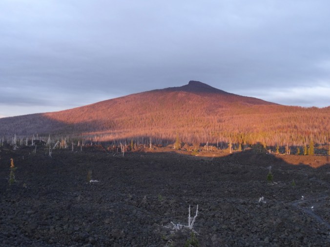
Collier Cone – a future destination.
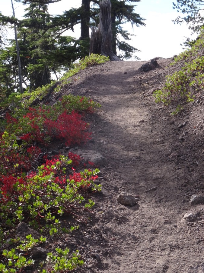
and back through the burn zone to the trailhead,
which, after twelve miles for the day, I was very glad to see.
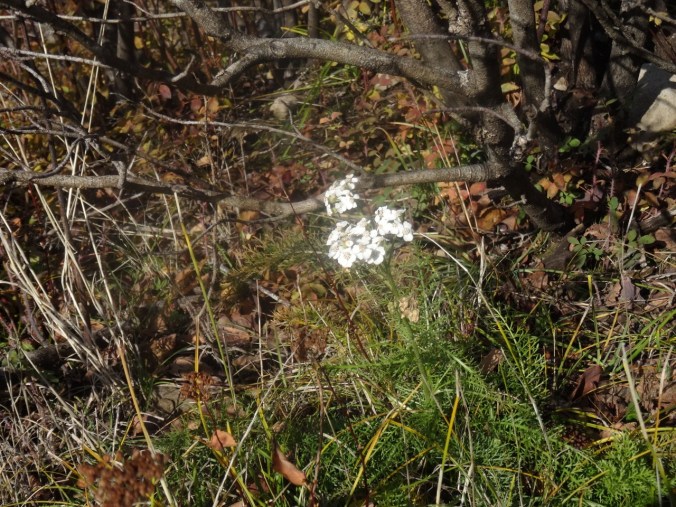
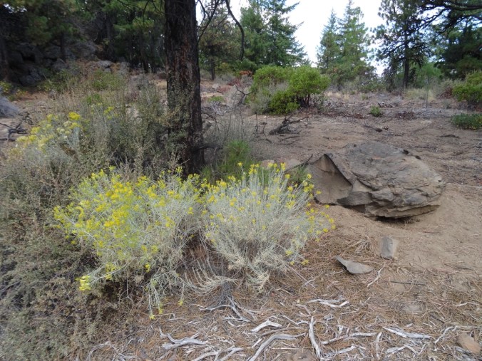
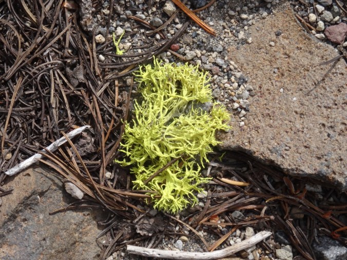
Sparse but welcome wildflowers today:

Pearly everlasting

Magenta paintbrush

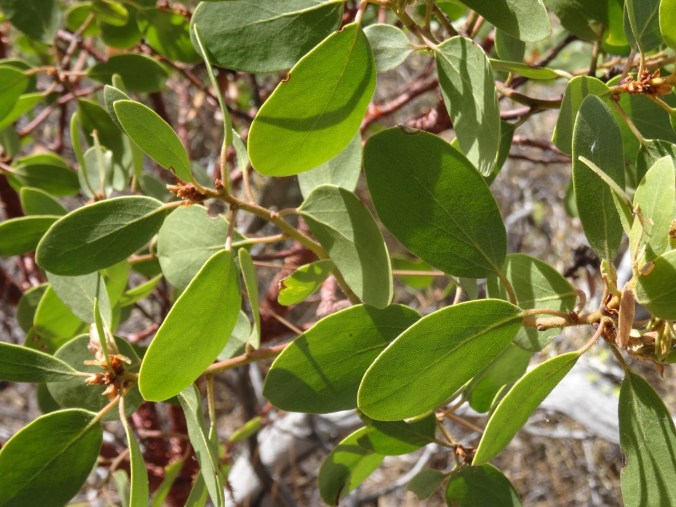
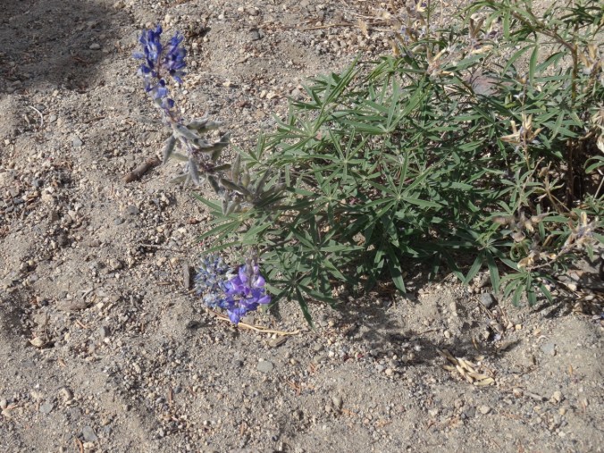
So much lupine foliage! This place must be purple in bloom season.

Bramble leaf

Pasque flower seed head

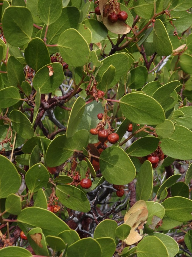
Bramble
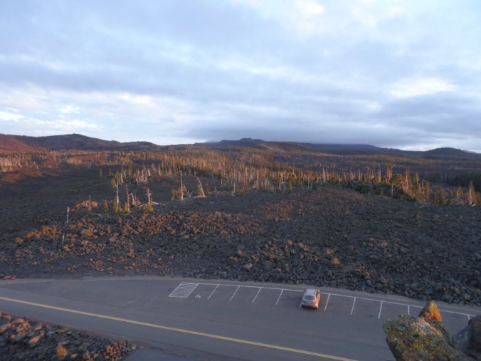
Dee Wright Observatory
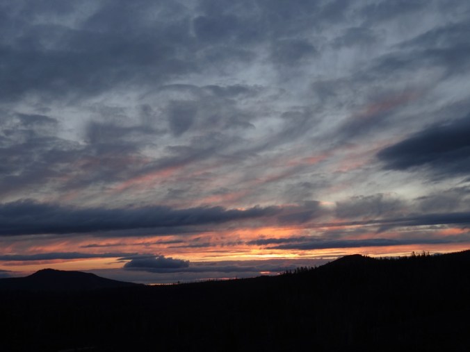
We had to drive over Makenzie Pass to return to the town of Sisters at the end of the day, so we stopped for a quick overview:

Dee Wright Observatory
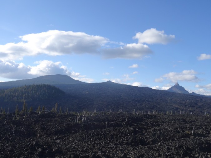
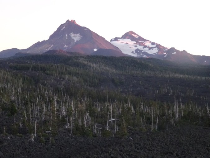
Belknap Craters and Mt Washington to the north.
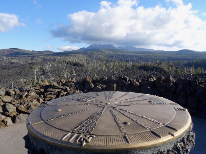
Cloud covered North and Middle Sisters to the south.